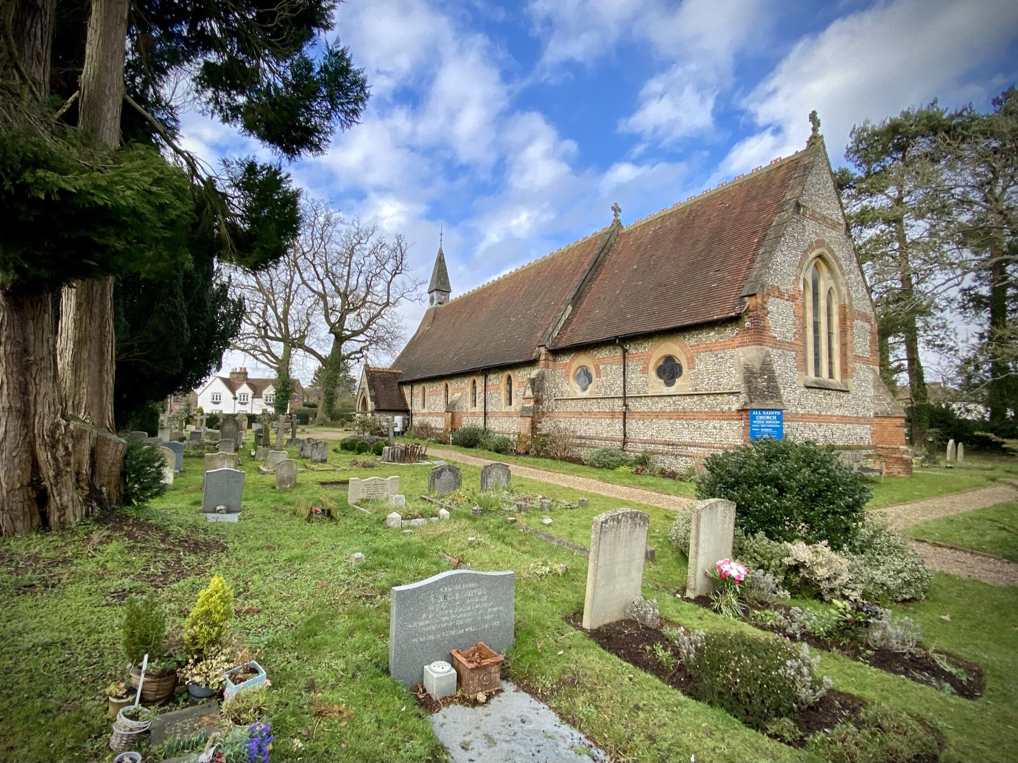
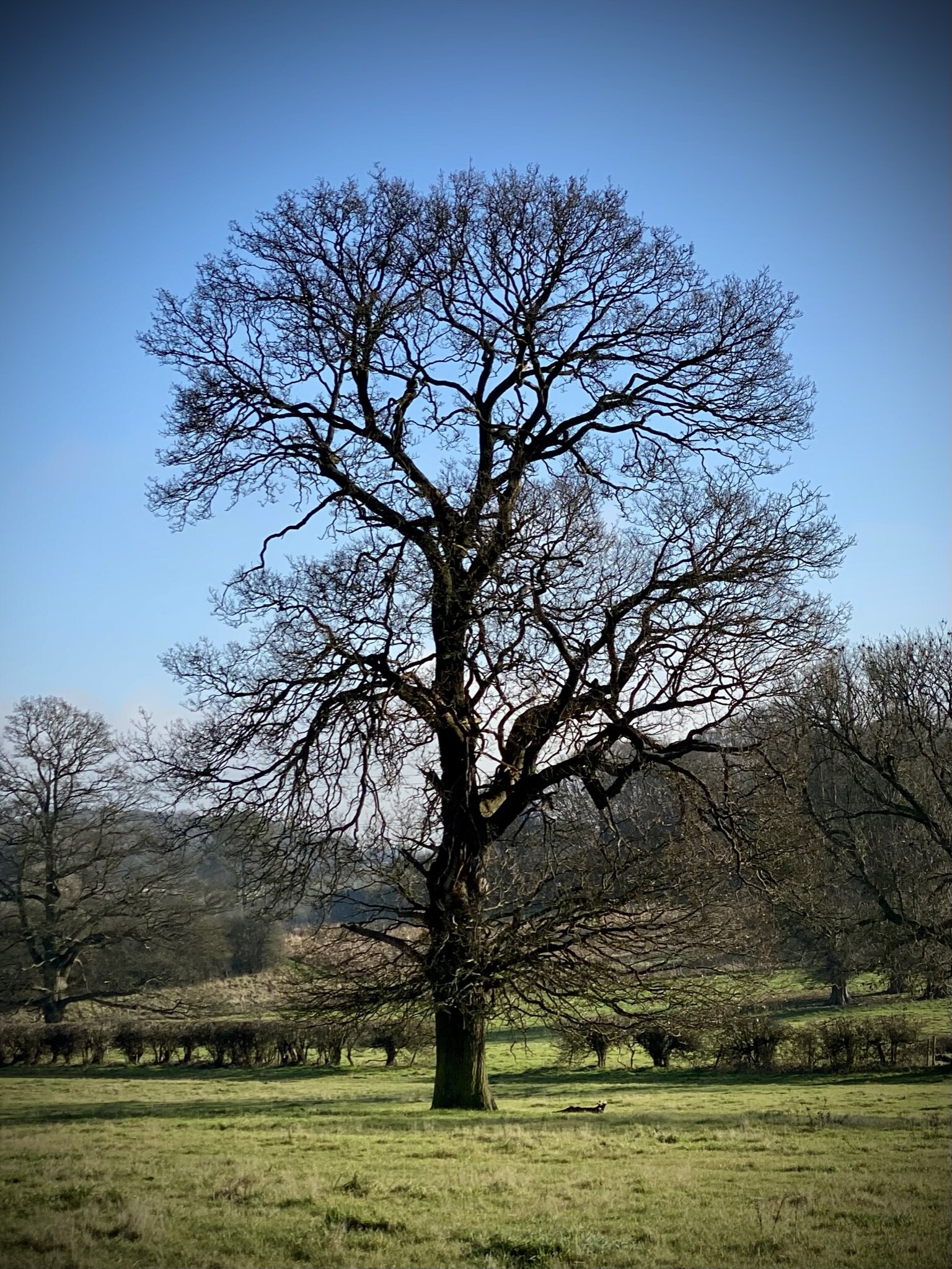
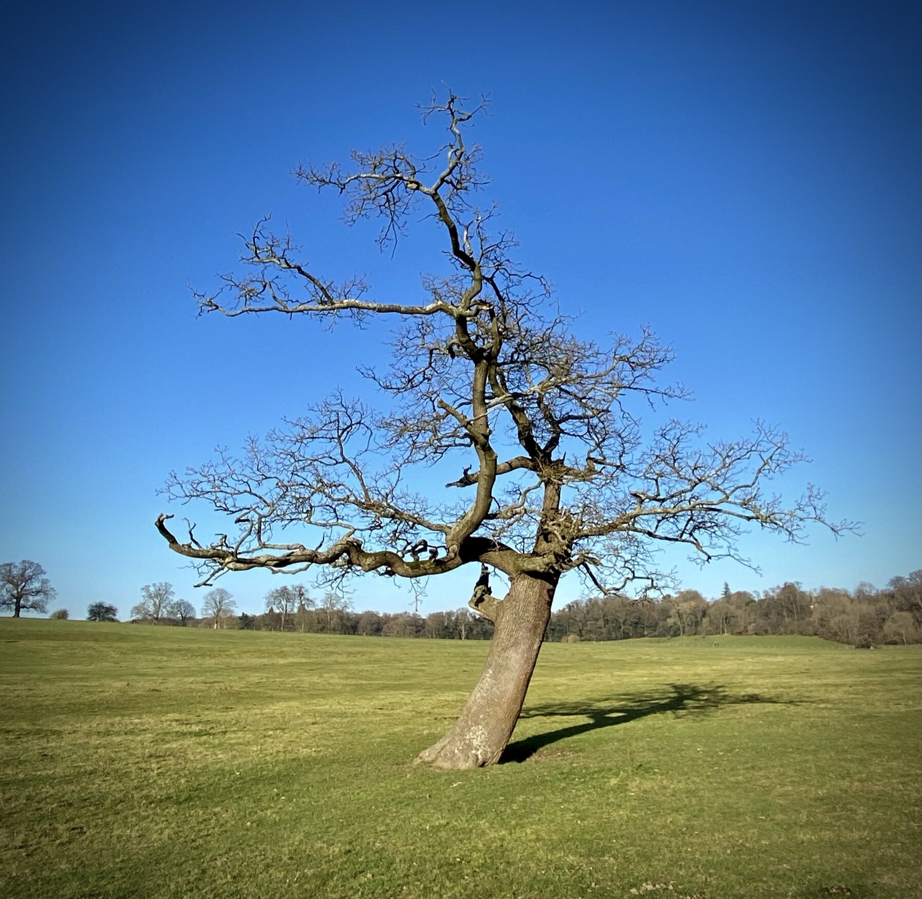
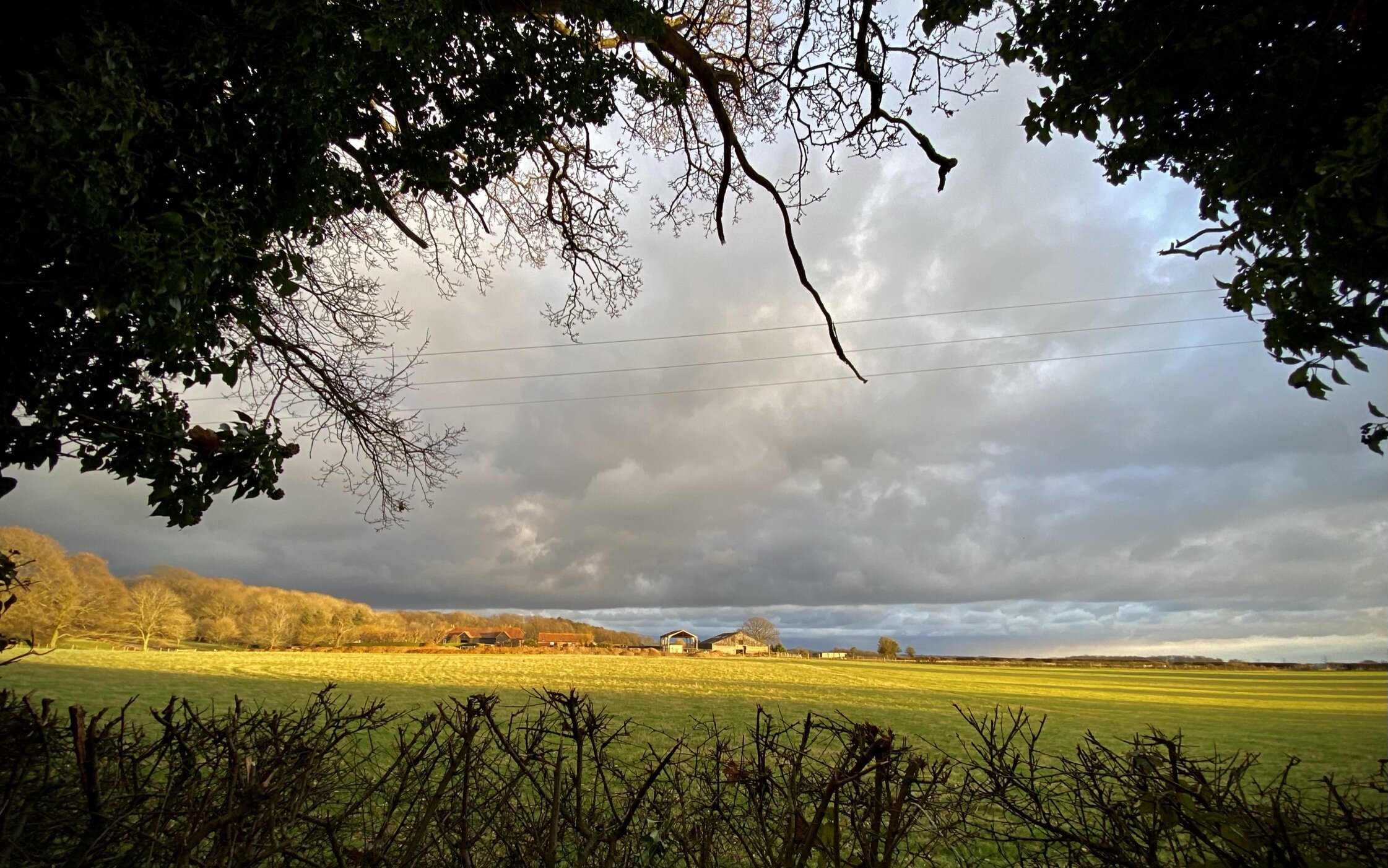
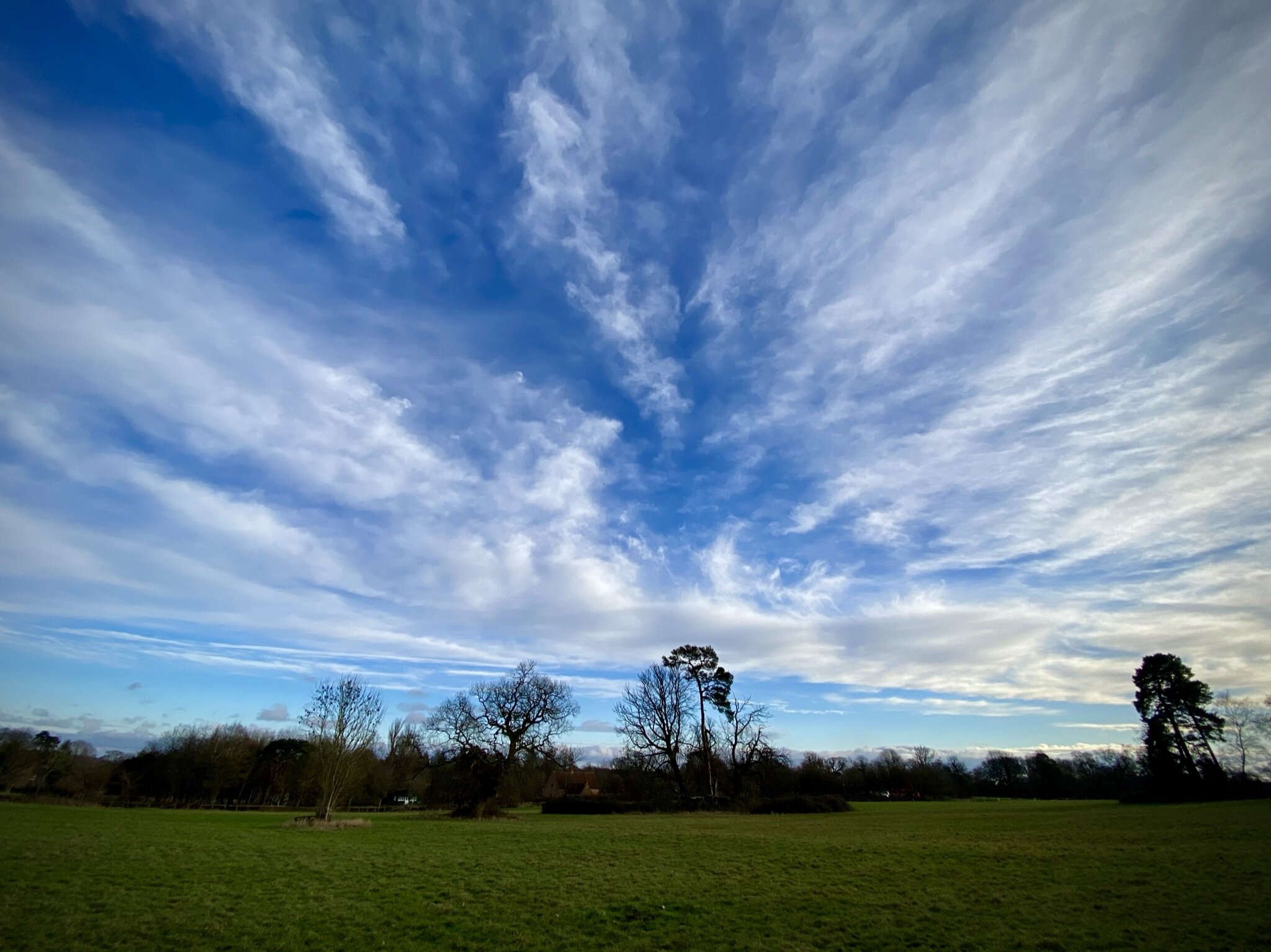
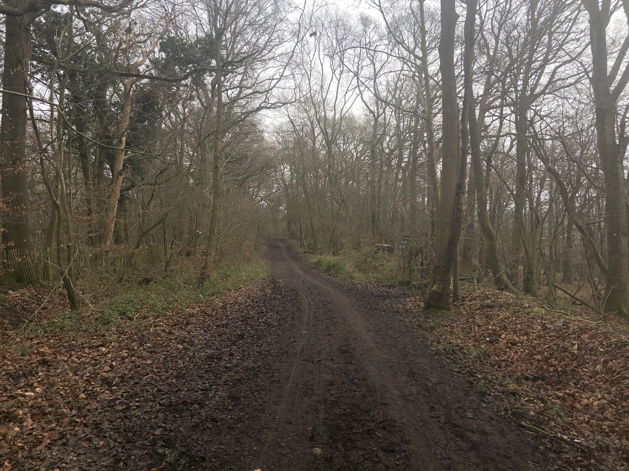
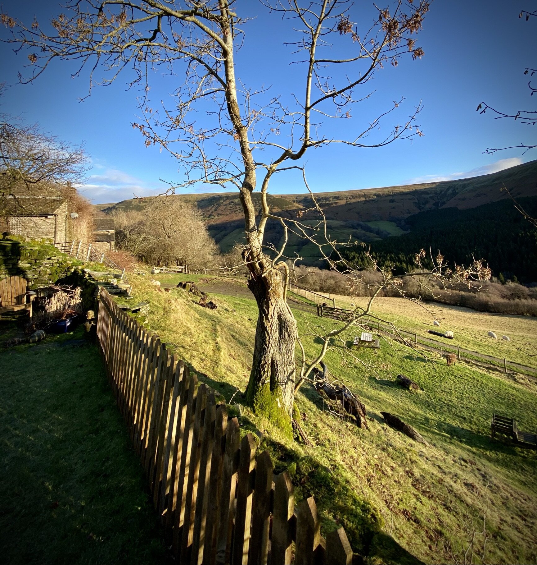
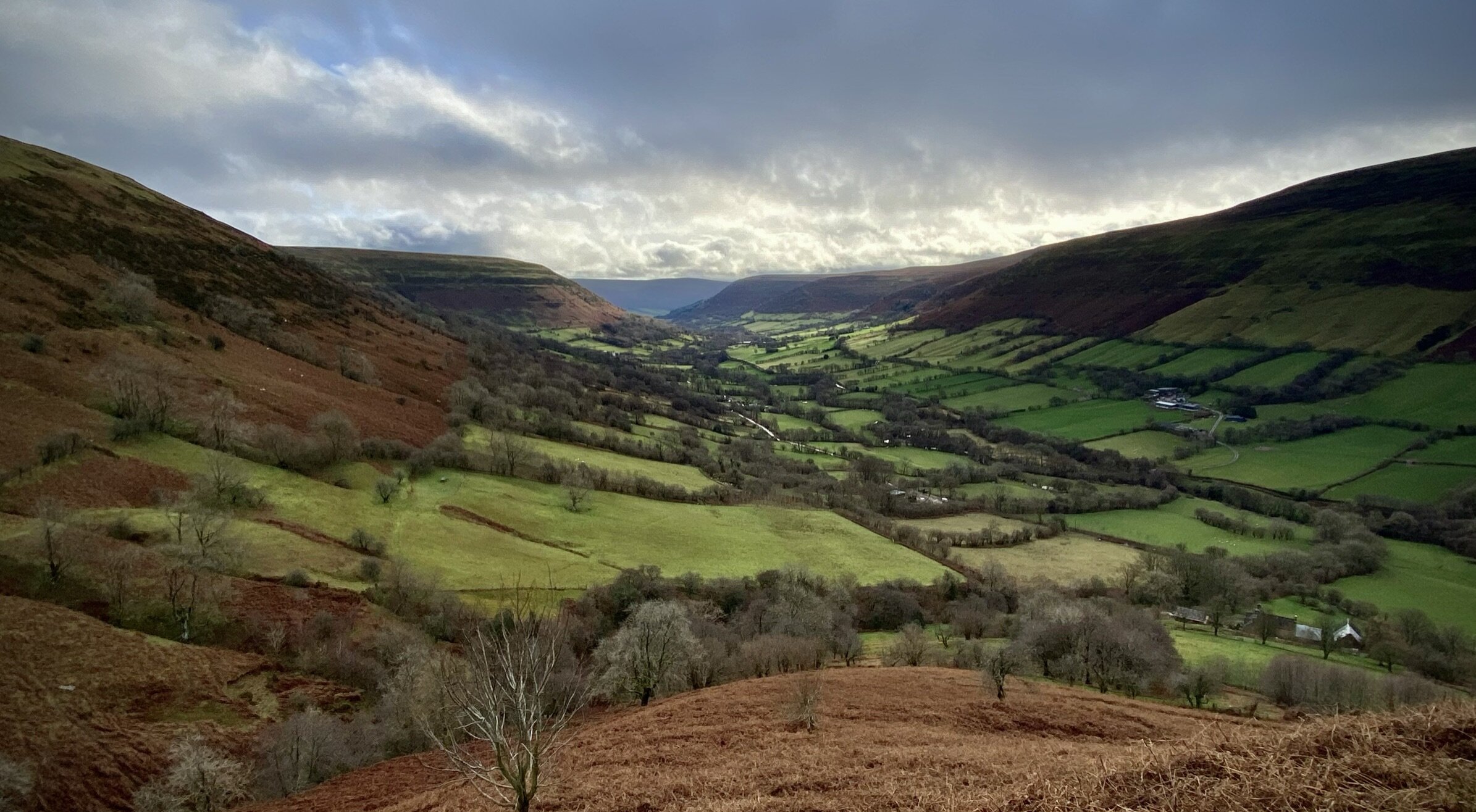
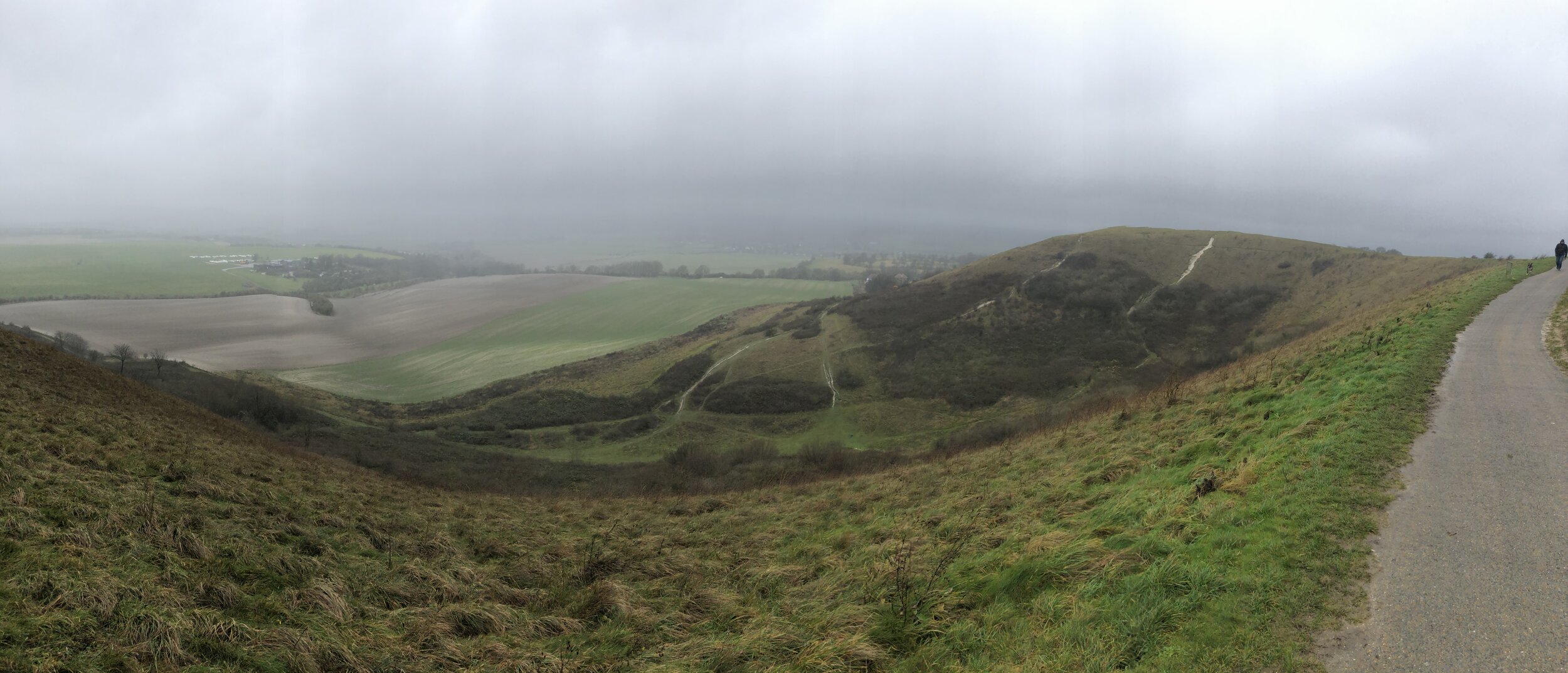
View to the south-east from Great Missenden Parish Church
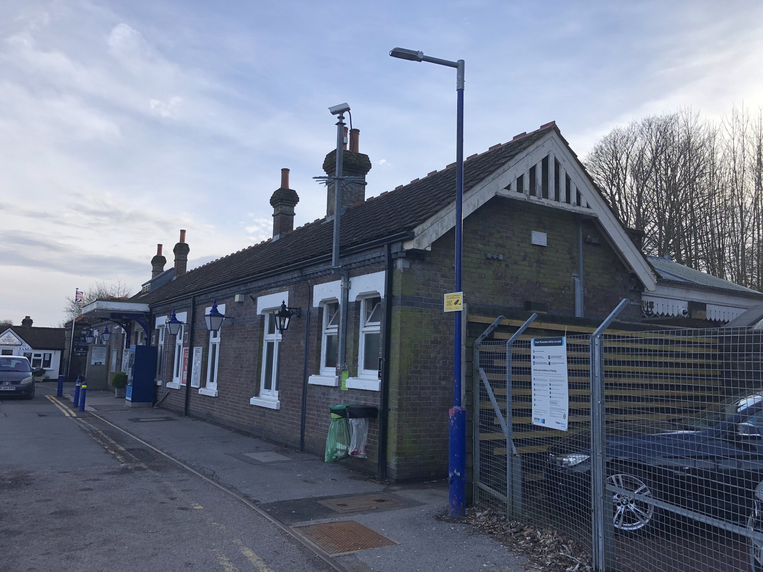
Start & Finish: Great Missenden Station, HP16 9WH
Alternative Start / Finish: Link Road Car Park, Great Missenden, HP16 9AE
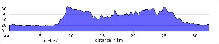
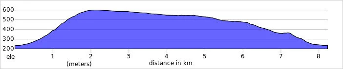
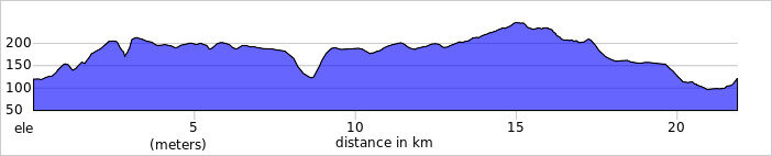
Distance: 9.2 km (5.7 miles)
Elevation change: +/- 114m
South Bucks Way section covered: Great Missenden to Little Kingshill: 3.3 km
Chiltern Heritage Trail Section Covered: Little Kingshill Recreation Ground to Buryfield Car Park: 4.4 km
GPX File: get via Buy Me a Coffee
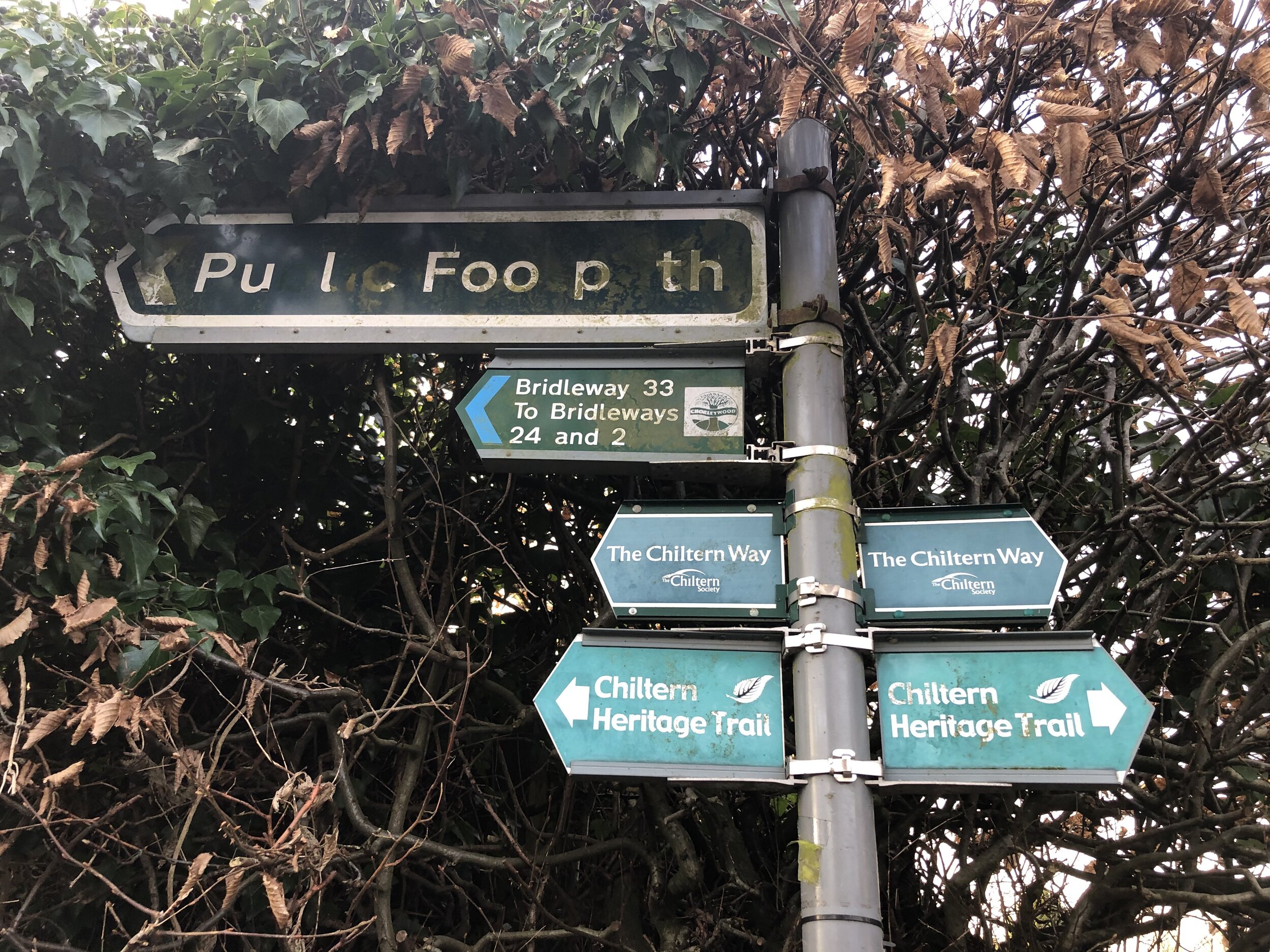
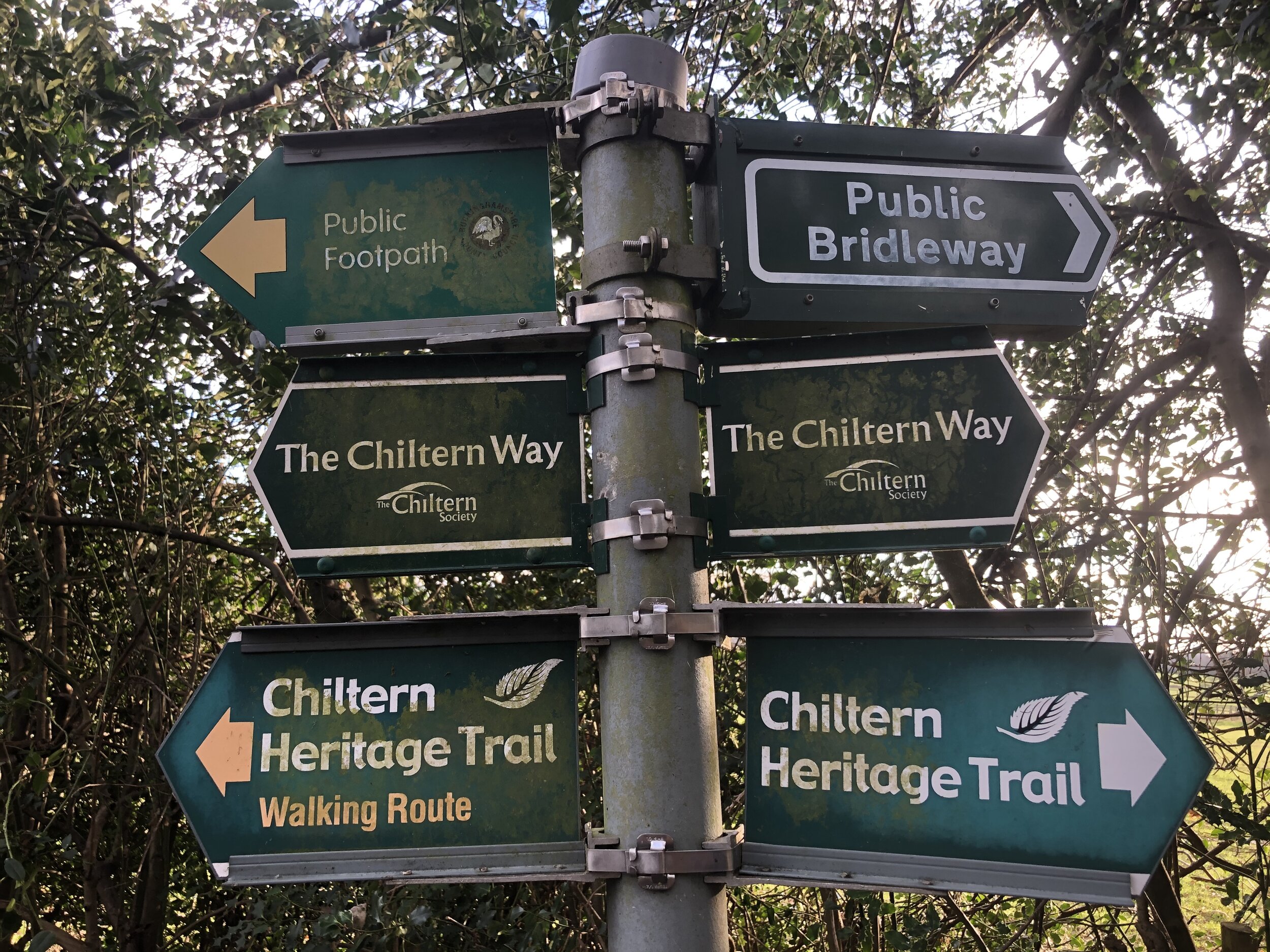
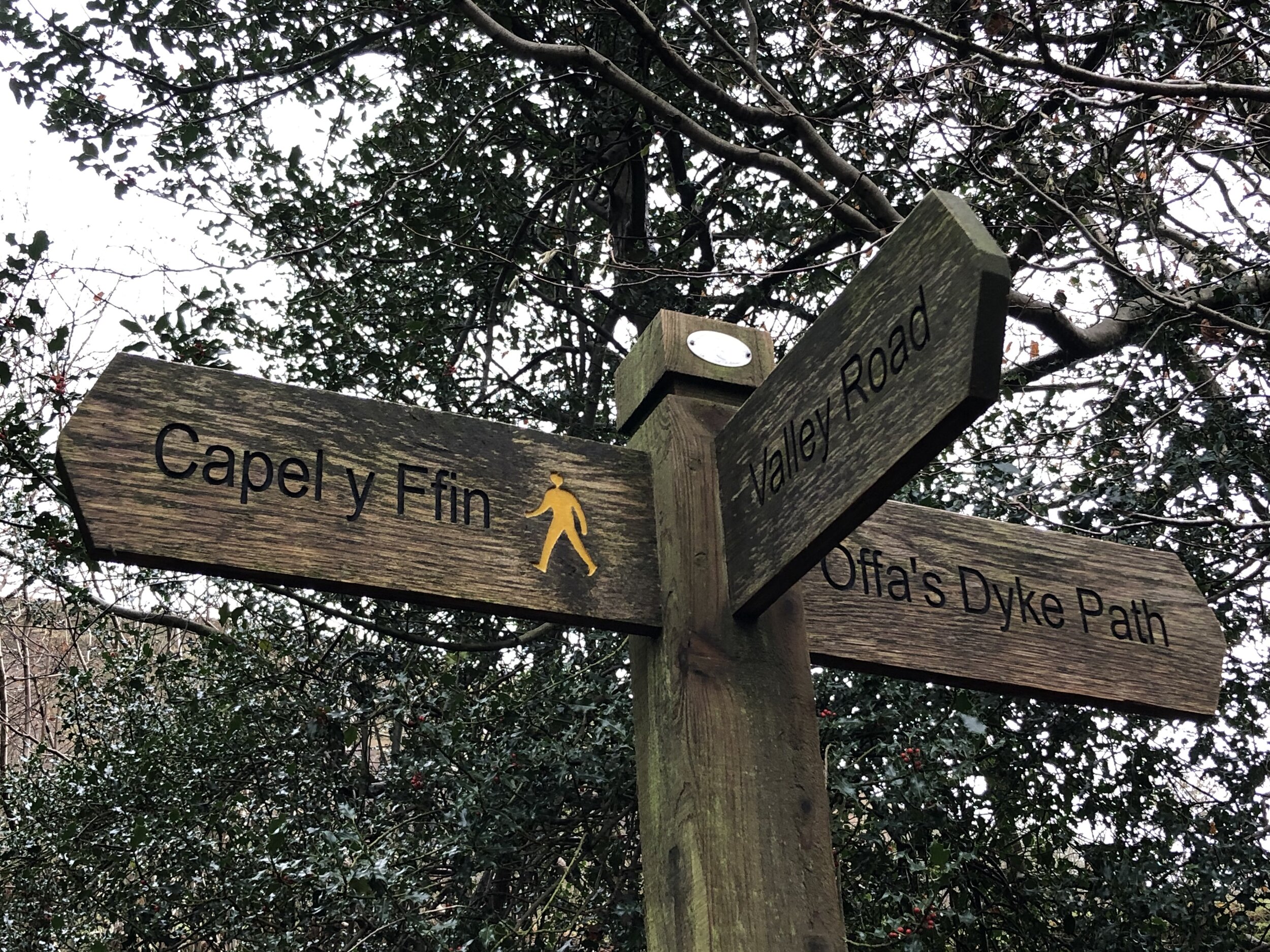
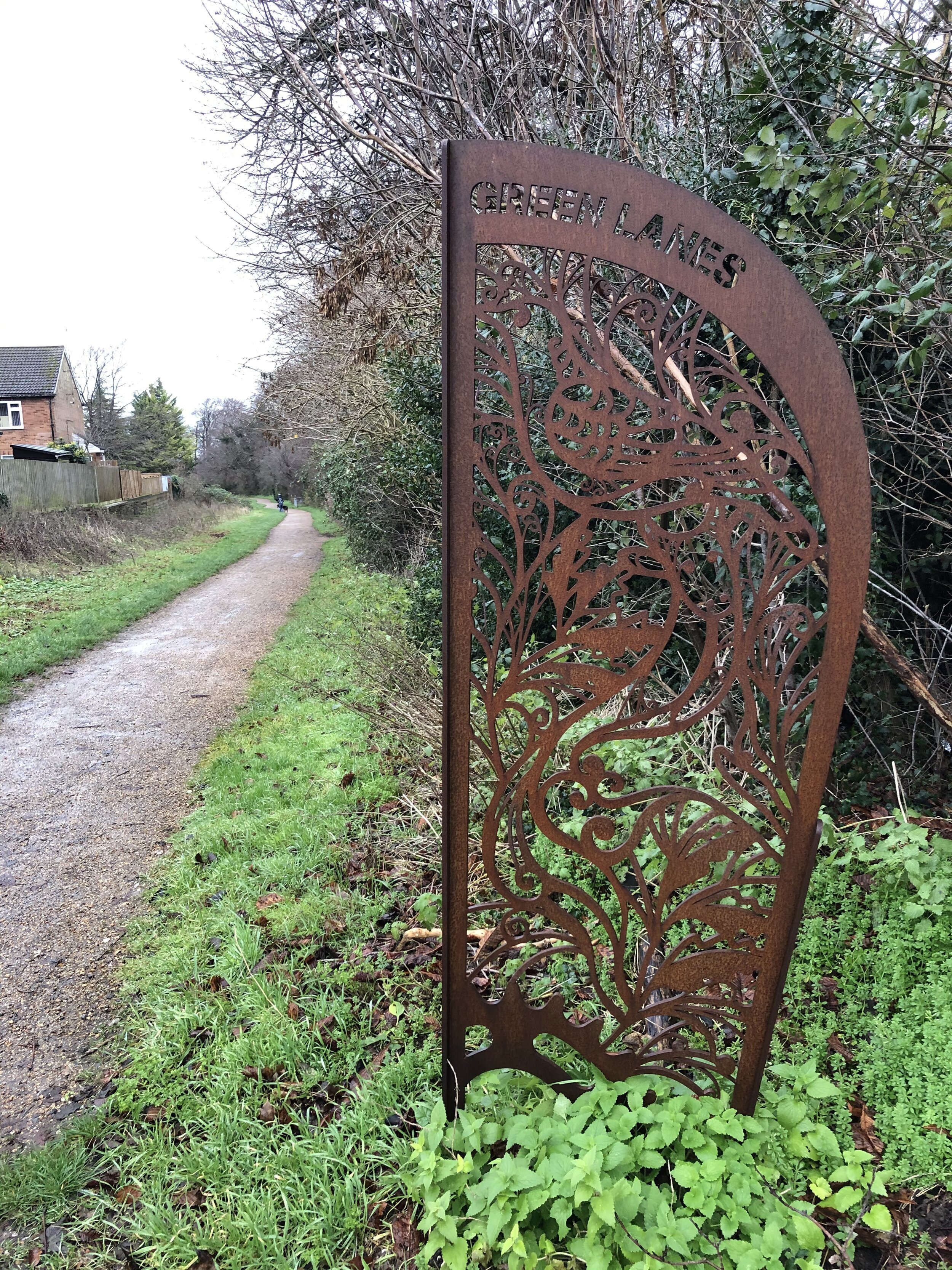
Other routes touched (walk): South Bucks Way, Chiltern Heritage Trail
Other routes touched (cycle): NCN 57, Chilterns Heritage Trail: Hampden Route
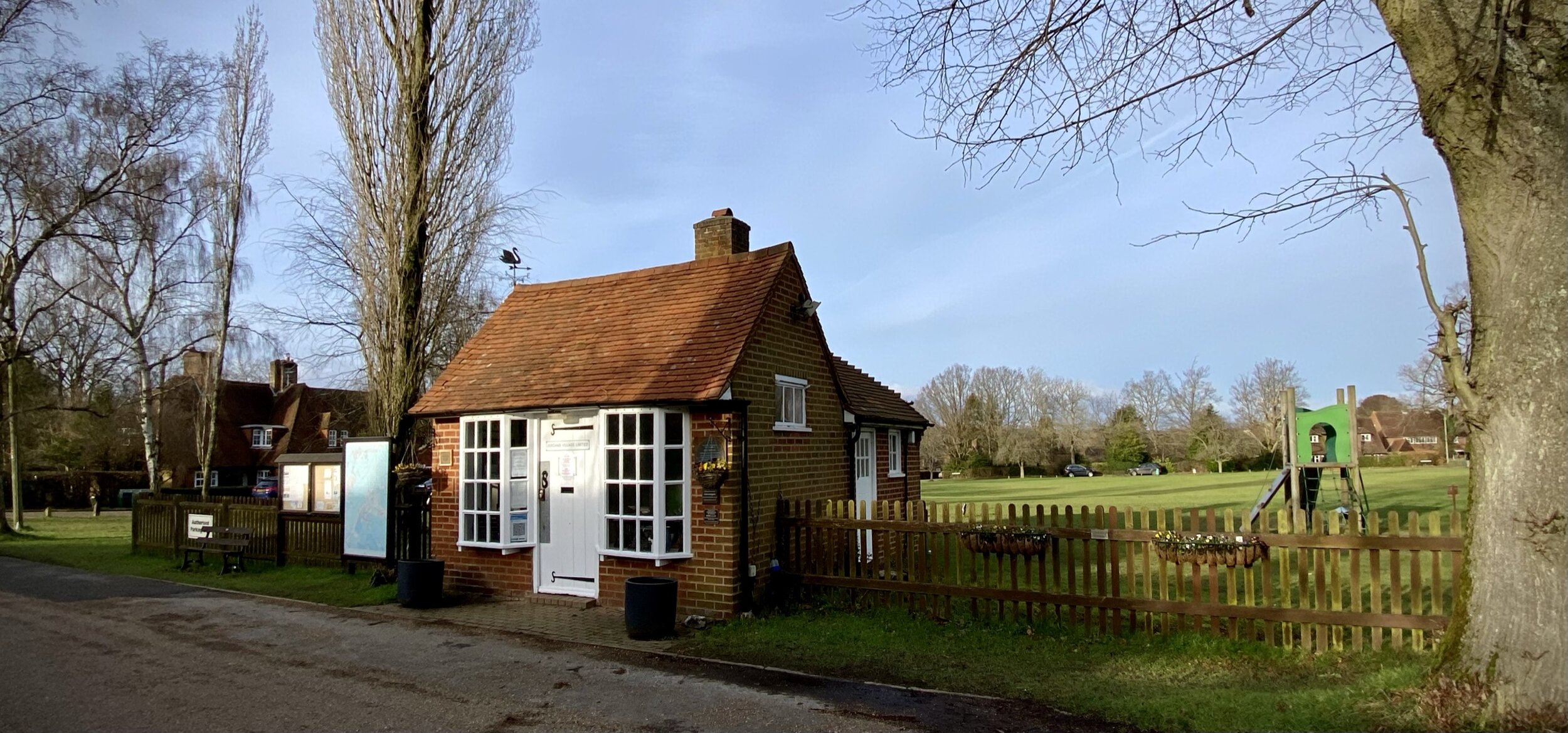
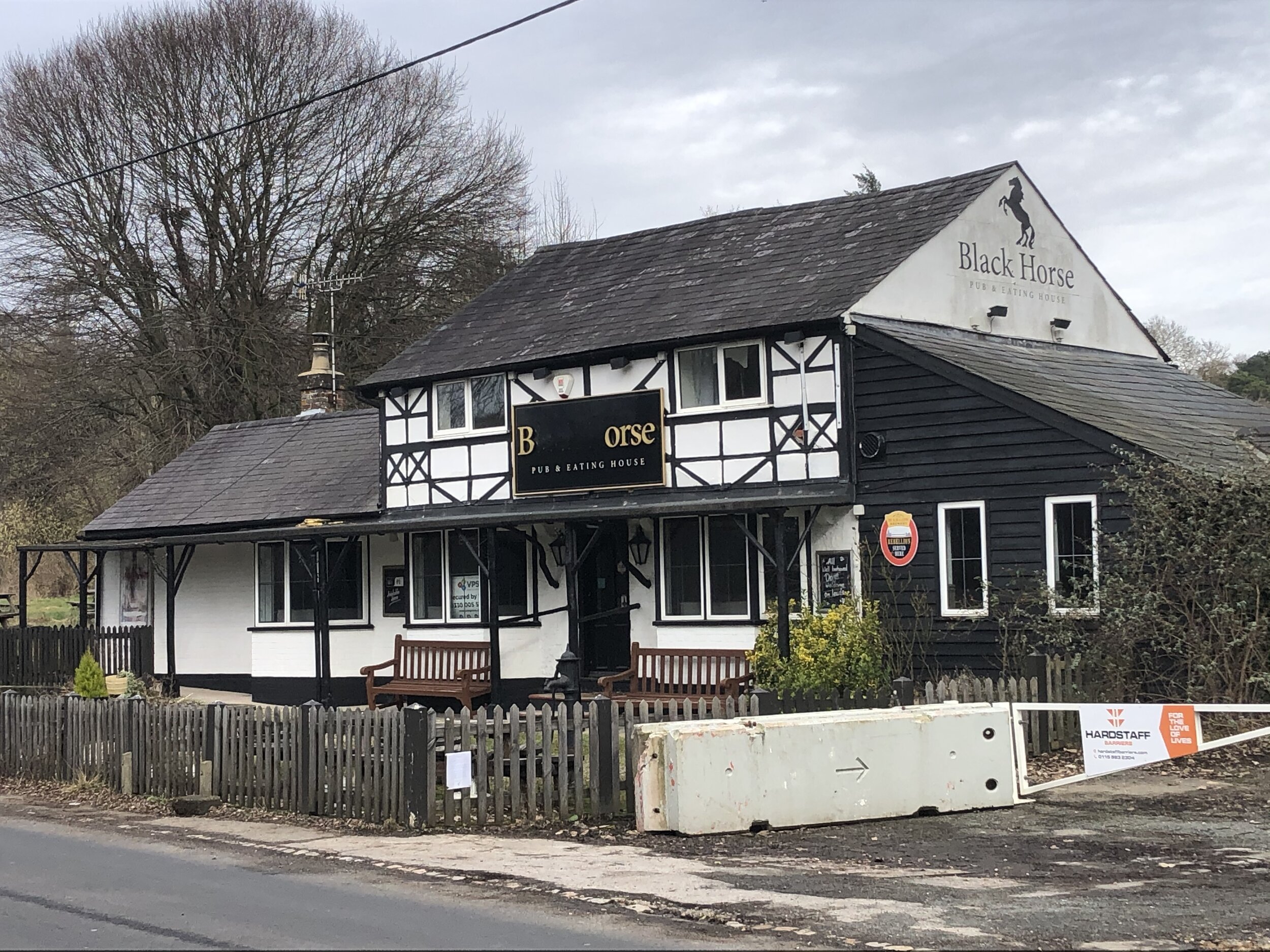
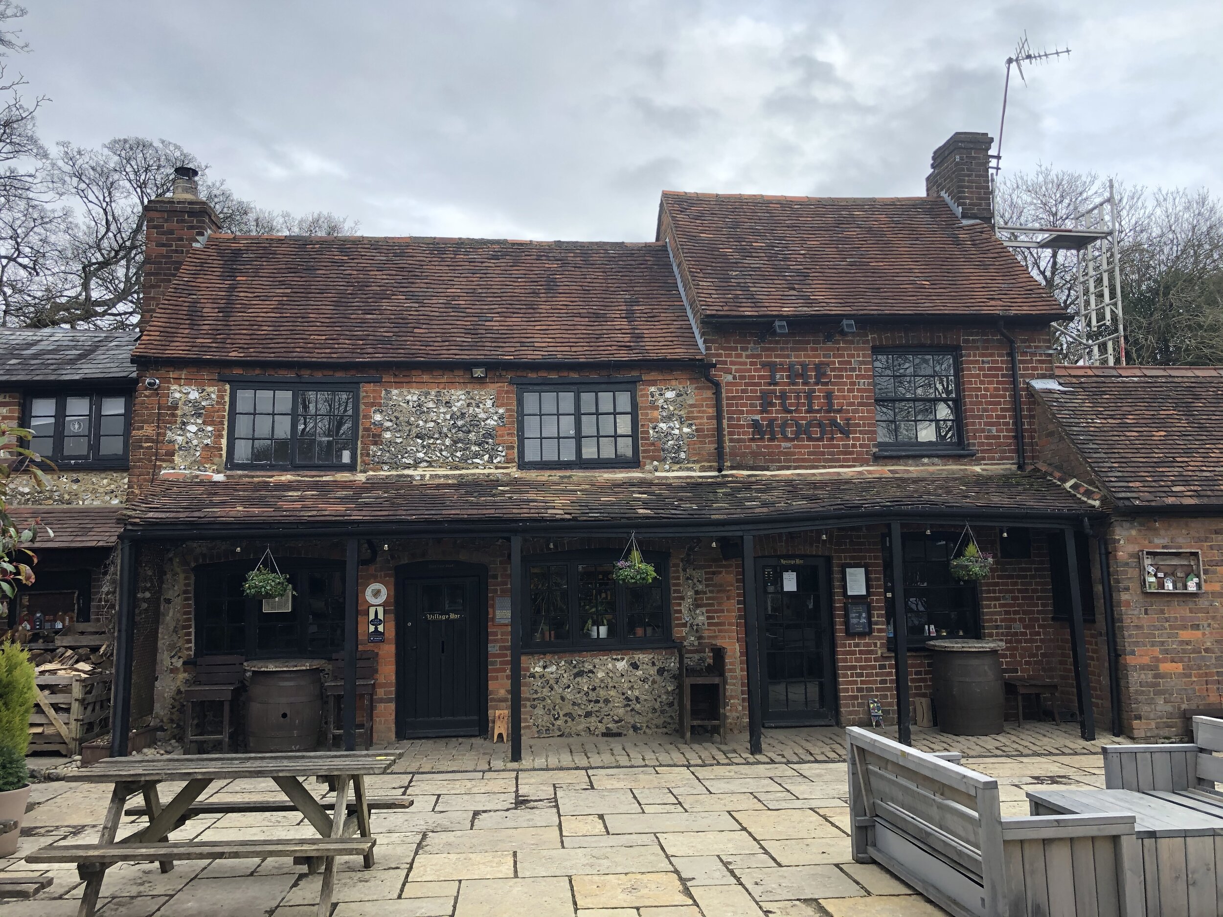
Pubs / Cafes on route: The Black Horse (1km in), The Full Moon (5.3km in), several cafes in Great Missenden Town Centre
Map: OS Explorer Map (172) Chiltern Hills East
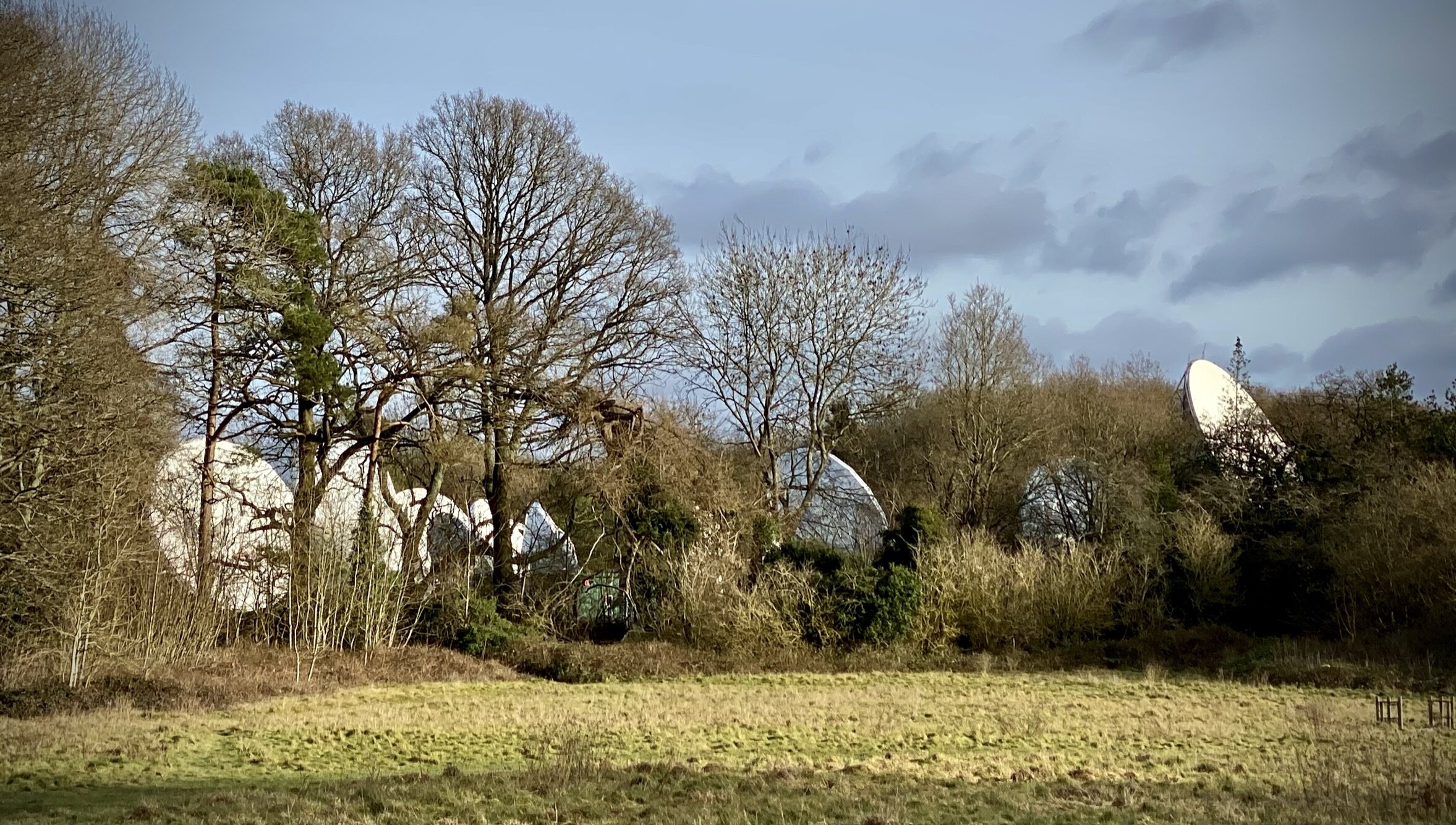
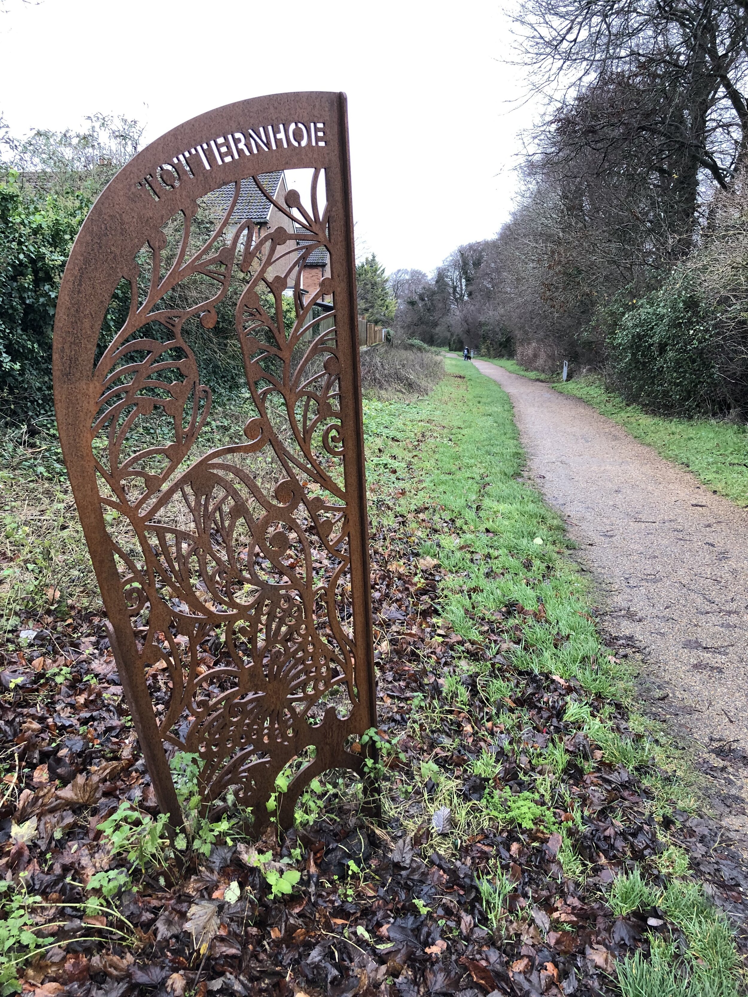
Links: River Misbourne, Great Missenden, Great Missenden Station, Great Kingshill, Roald Dahl
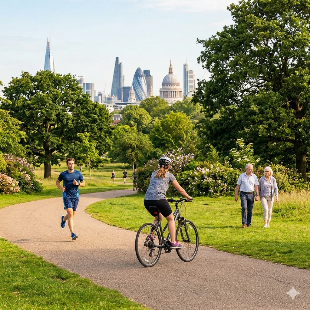
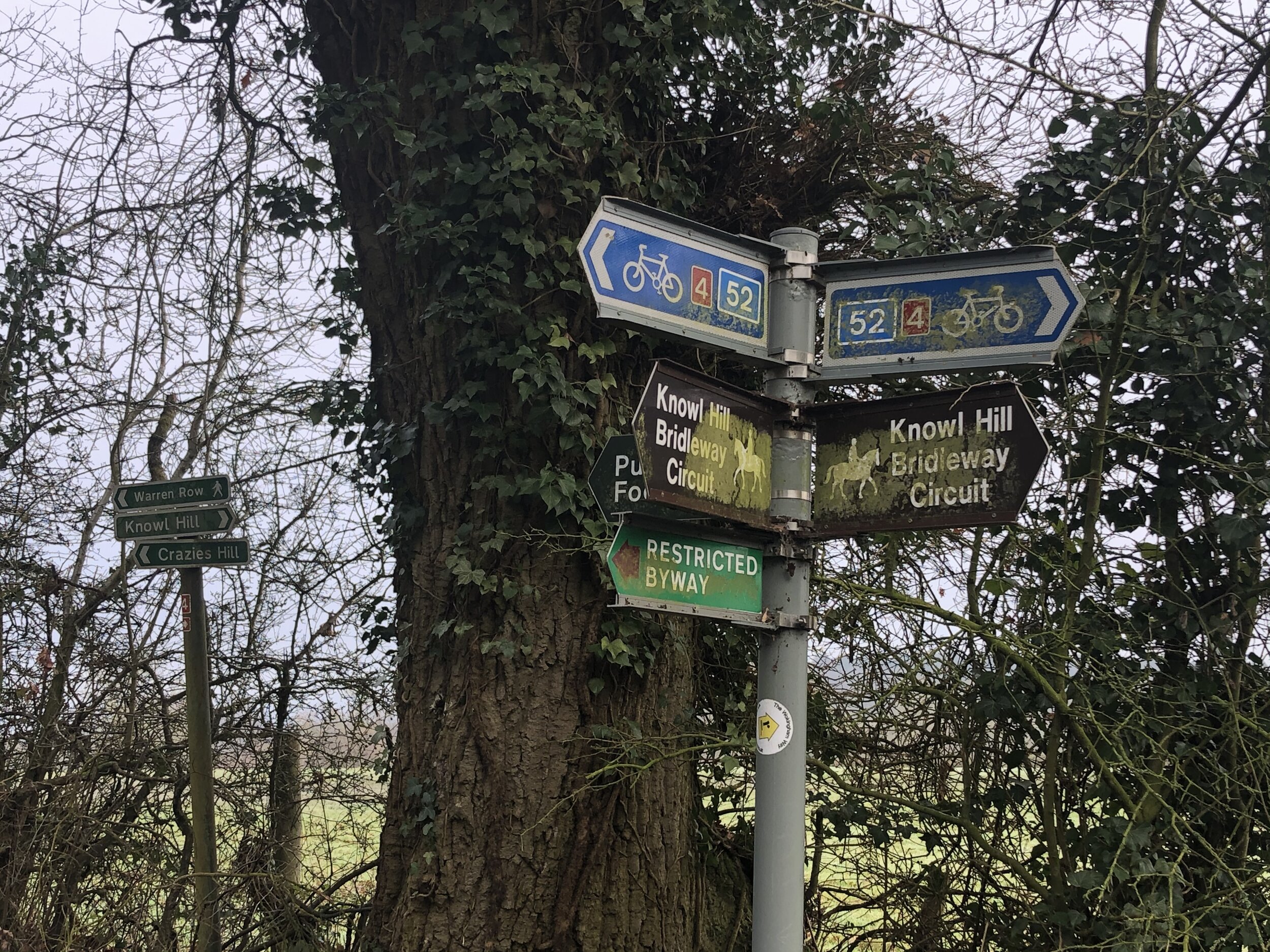
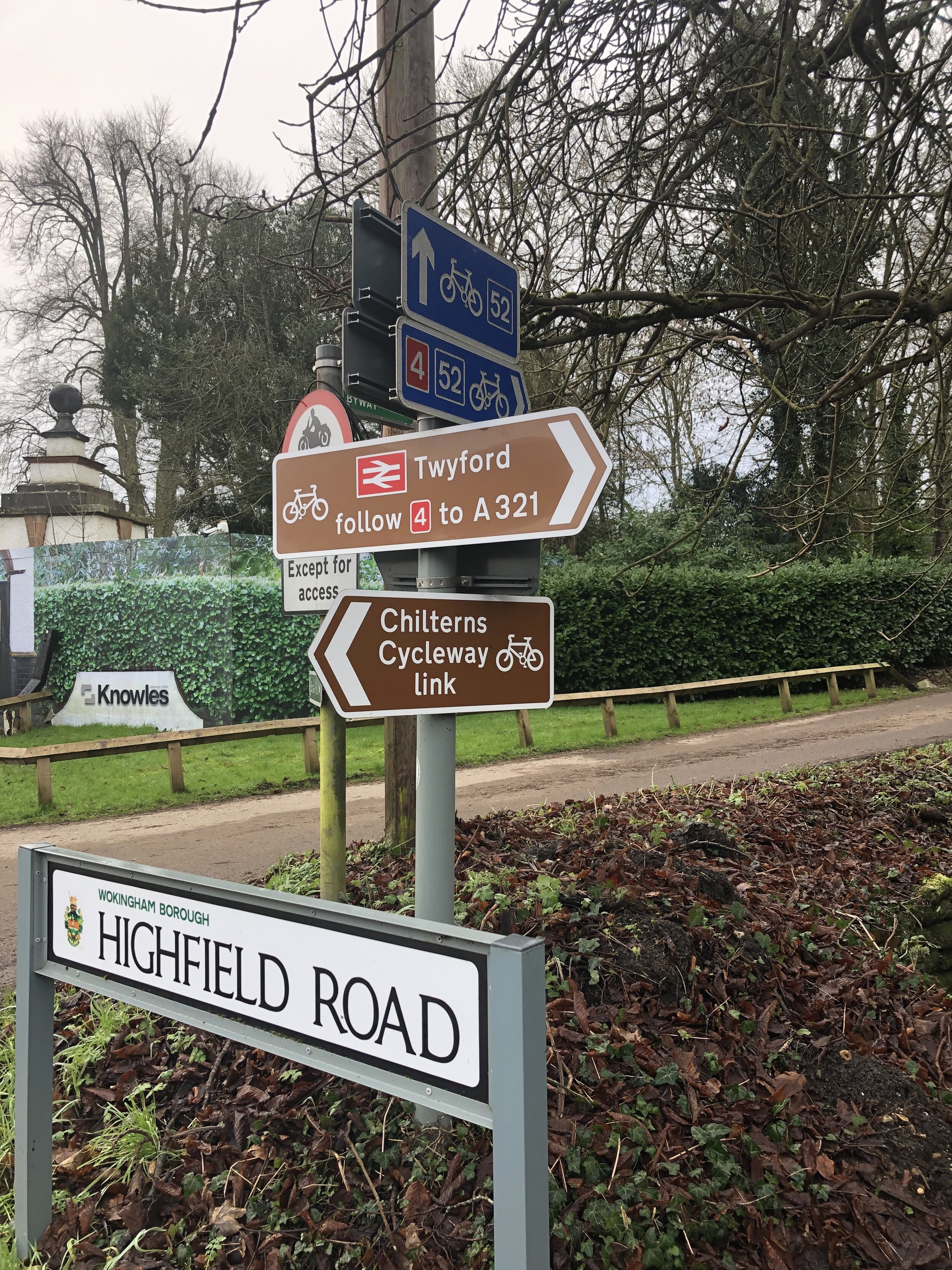
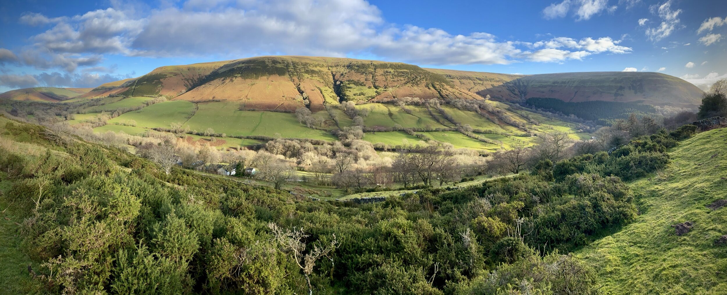
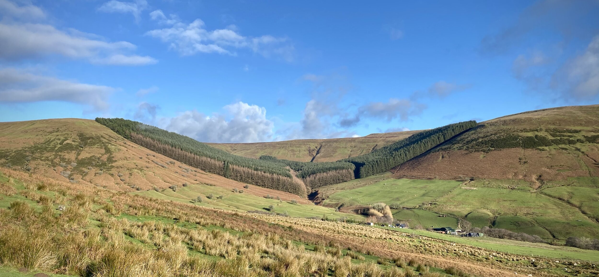
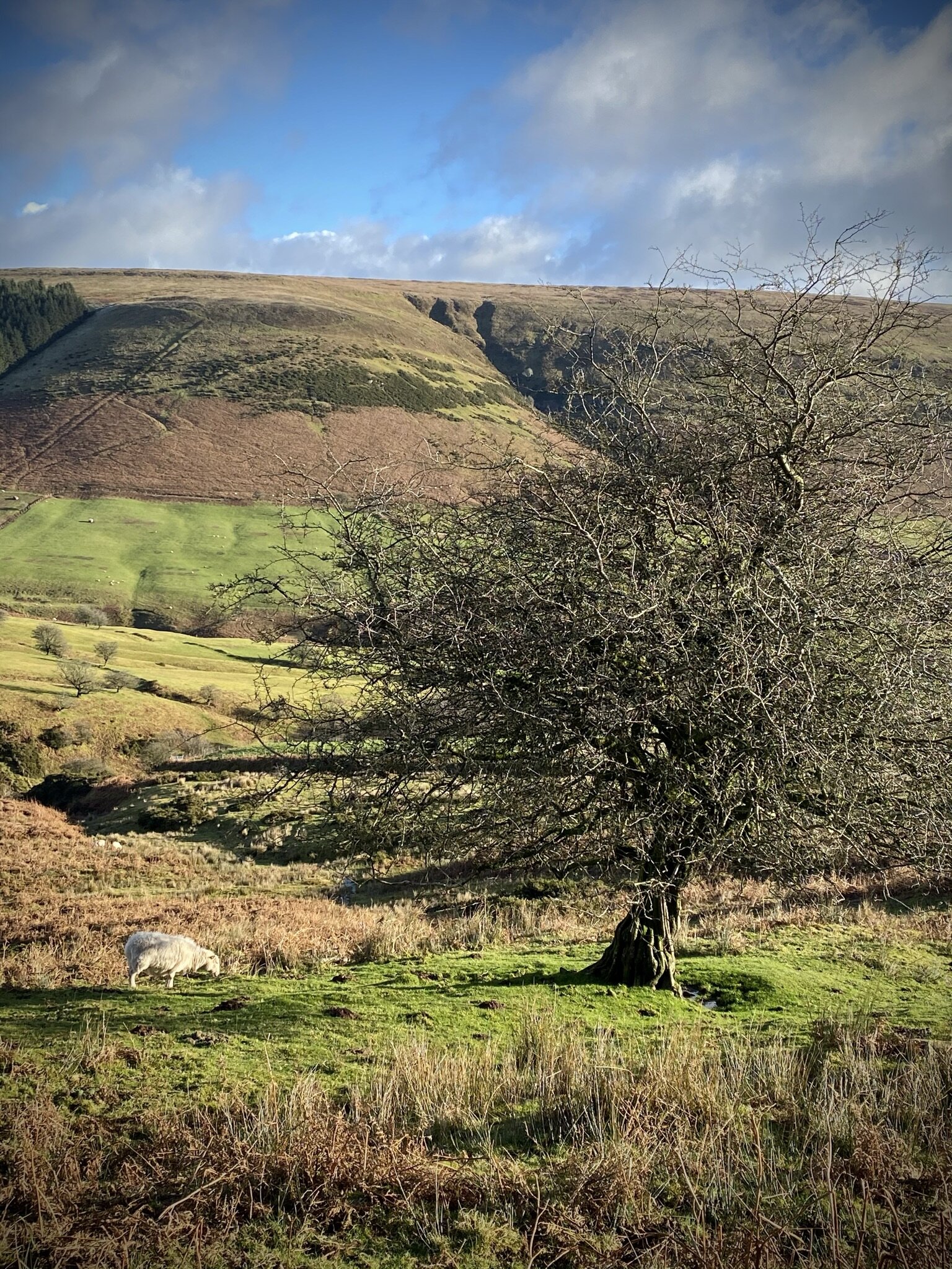
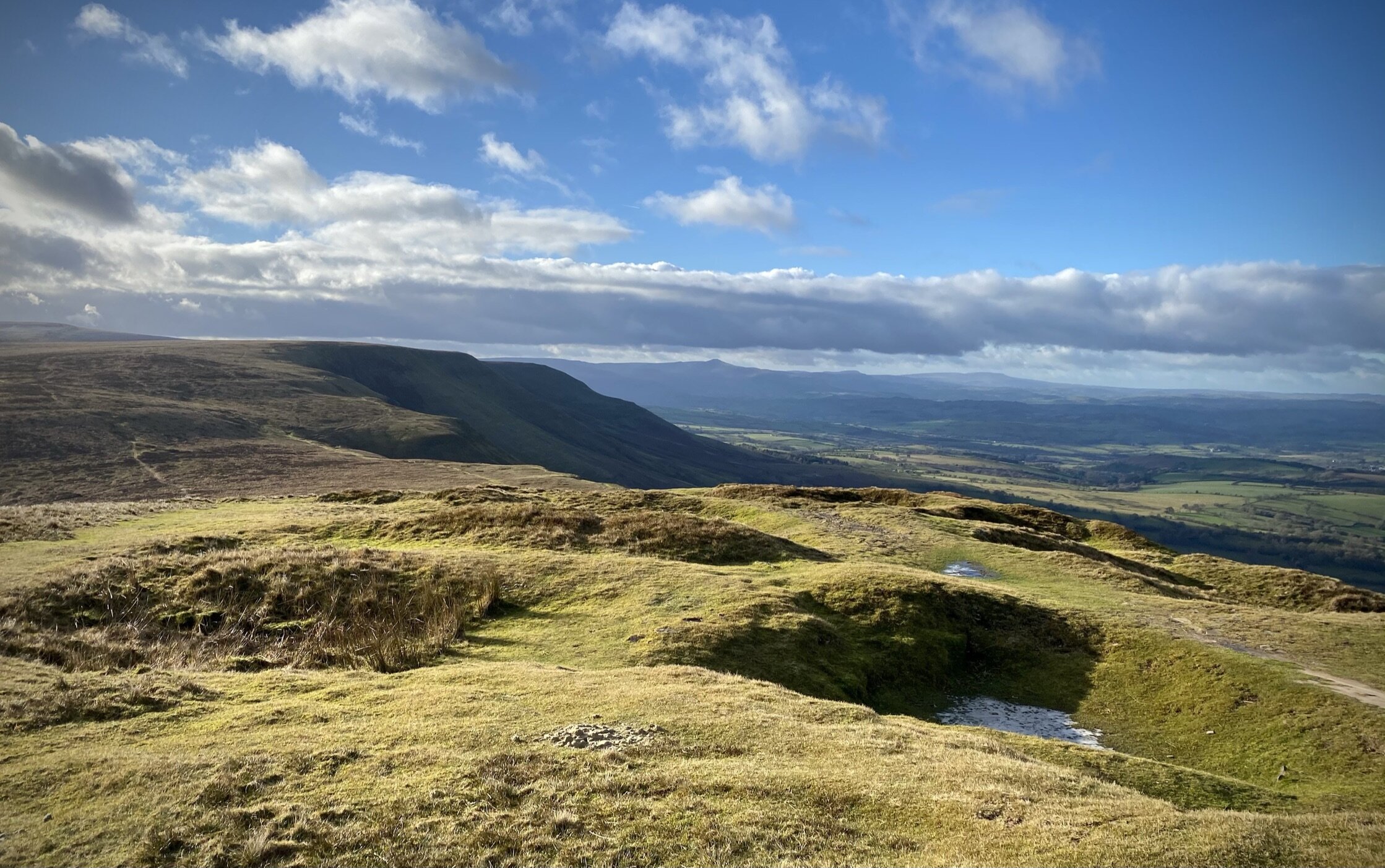
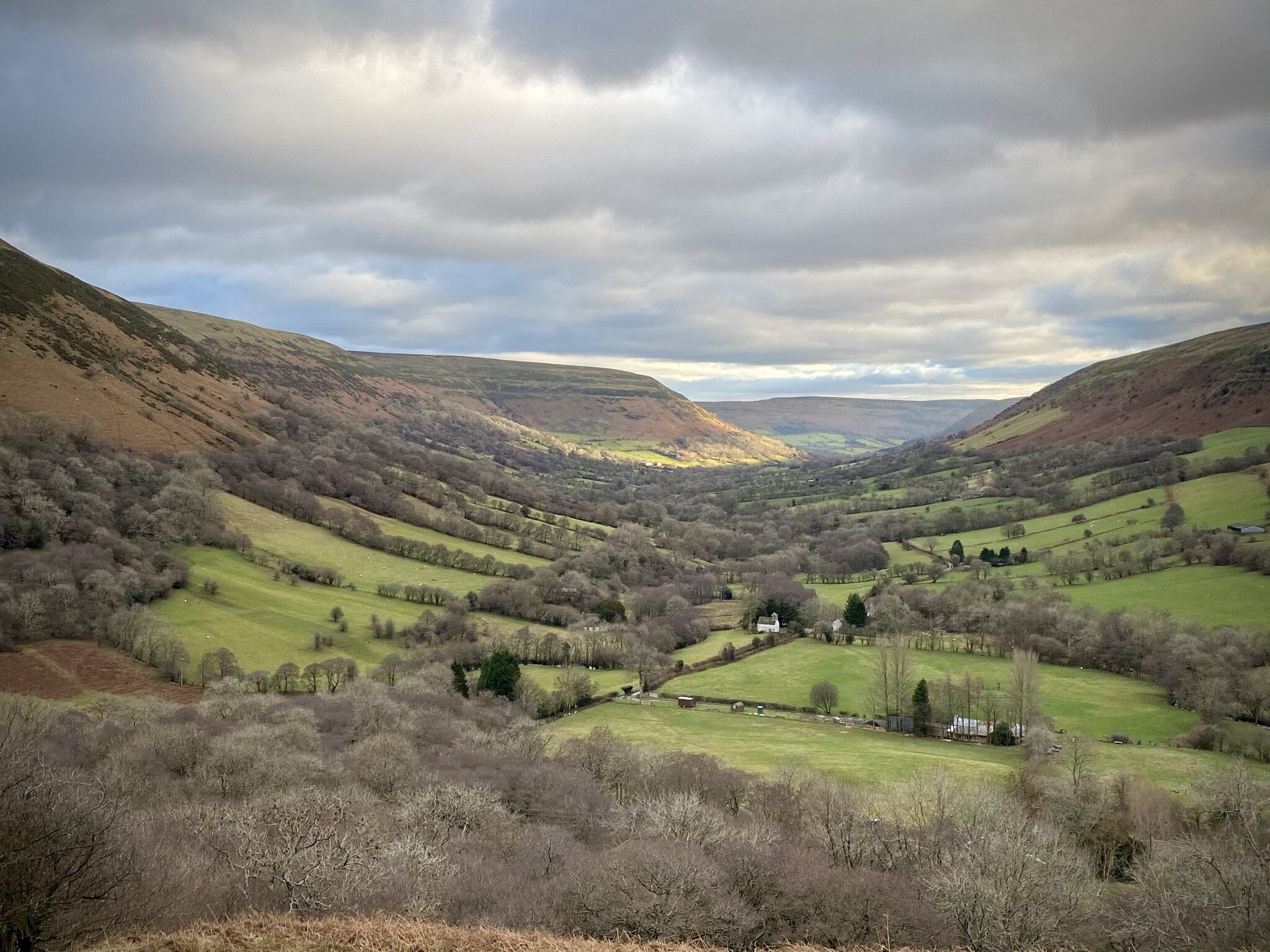
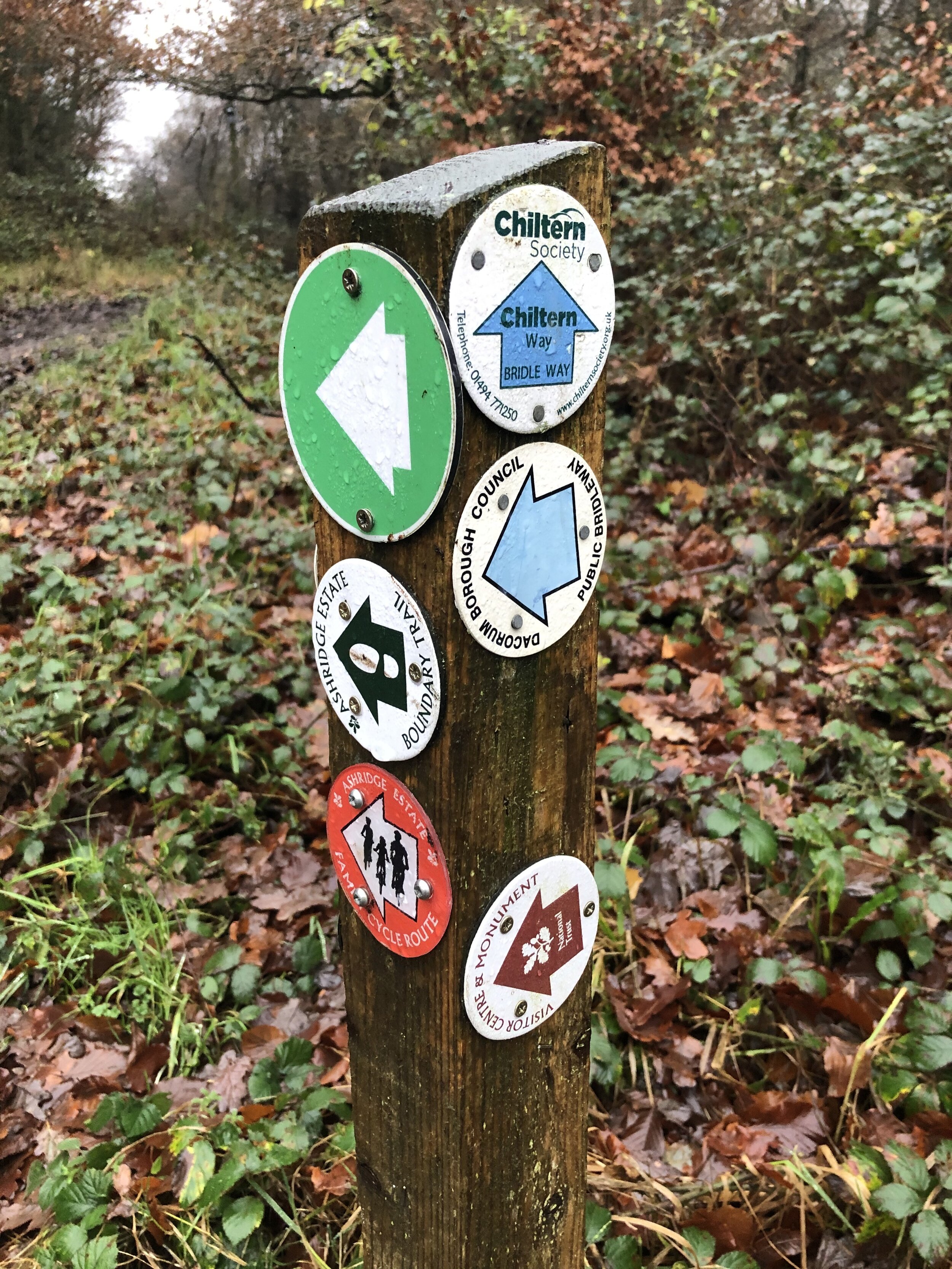
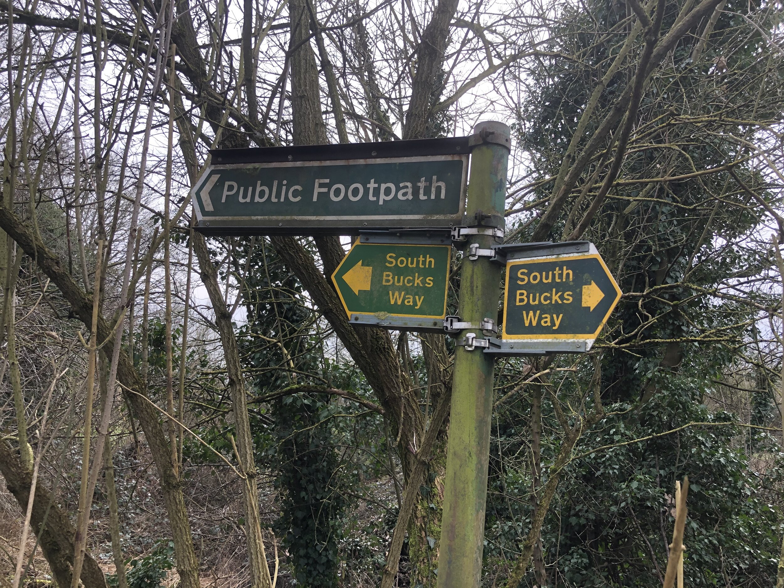
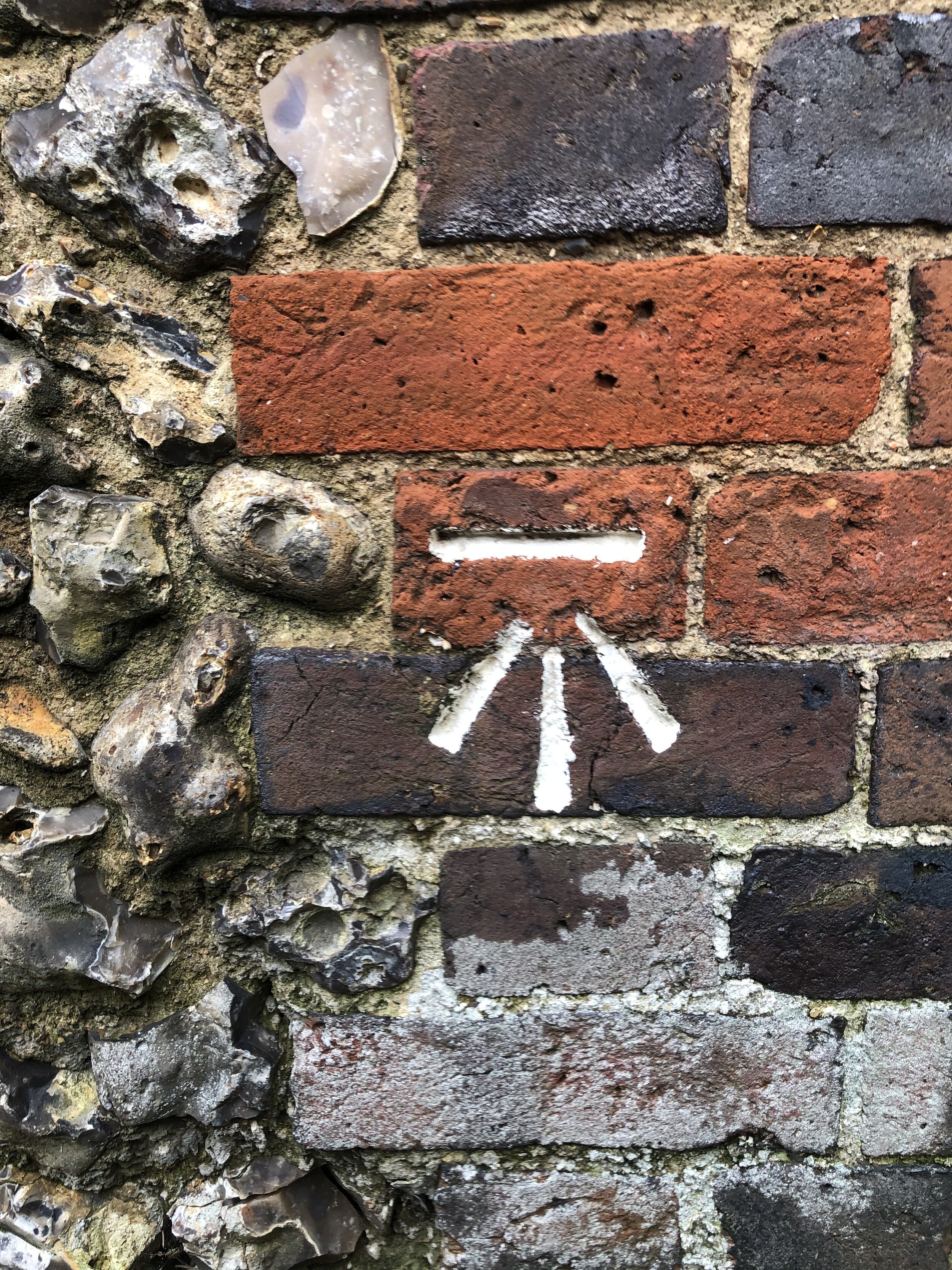
The South Bucks Way is a 37 km (23-mile) trail that promises a delightful escape for walkers and hikers. This scenic route, often overshadowed by its more famous counterparts, offers a tranquil journey through charming villages, lush countryside, and the gentle murmur of the River Misbourne. This post is part of a series of circular walks featuring the South Bucks Way. The full trail stretches from Coombe Hill near Wendover to the Grand Union Canal at Denham. Our walks take in short sections of the South Bucks Way and loop back to the start on other paths. The South Bucks Way is well sign-posted however you’ll need a map or GPX route to keep on track for the return sections of the loops. The guidance below will help but don’t use it as a fully accurate turn-by-turn guide.
The route is also part of a series of 17 walks that, between them, cover the 83 km of the Chiltern Heritage Trail. Created as a Millennium project, this trail links the towns and parishes within the district, offering stunning scenery, charming villages, and points of historical interest.
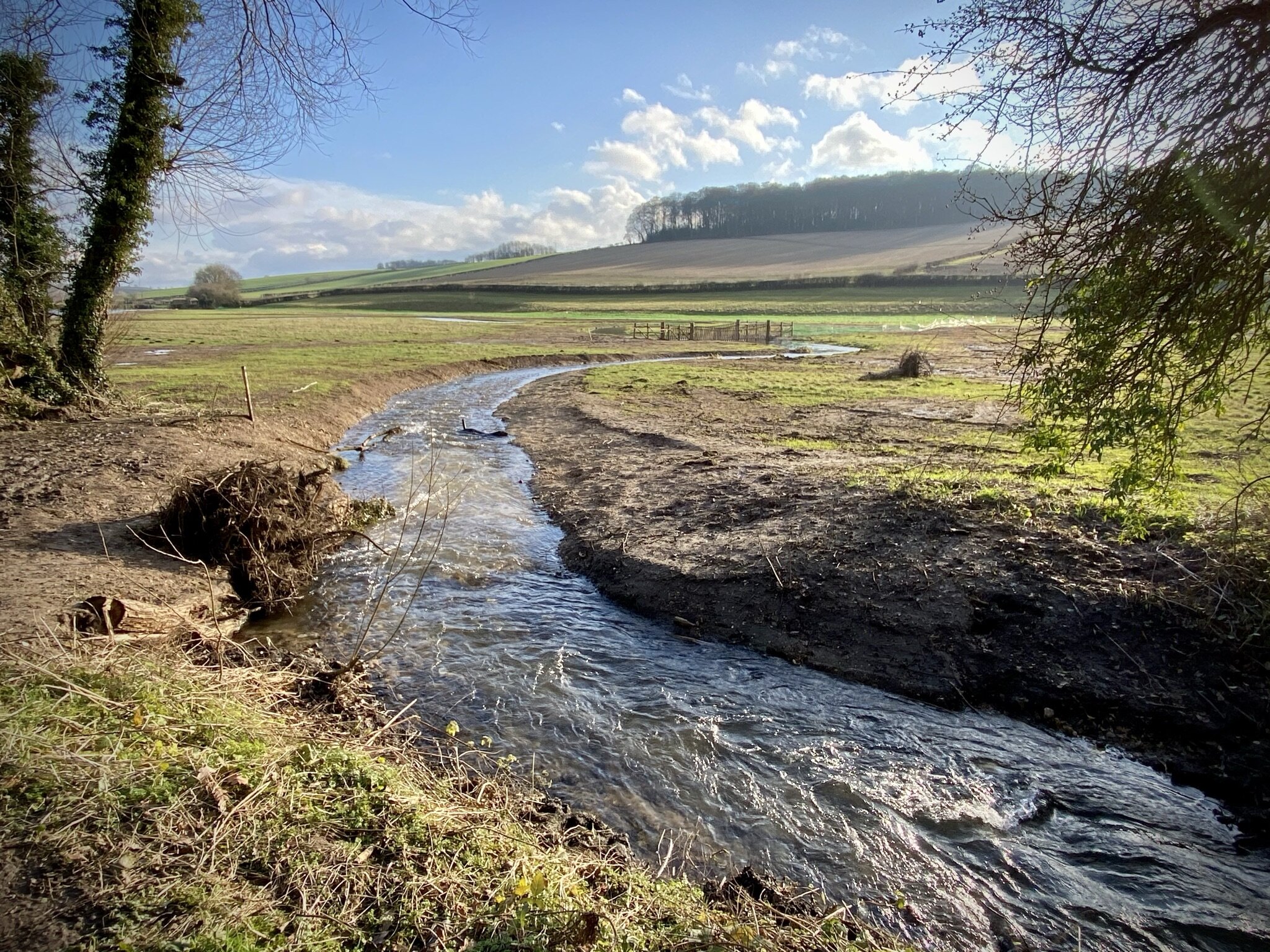
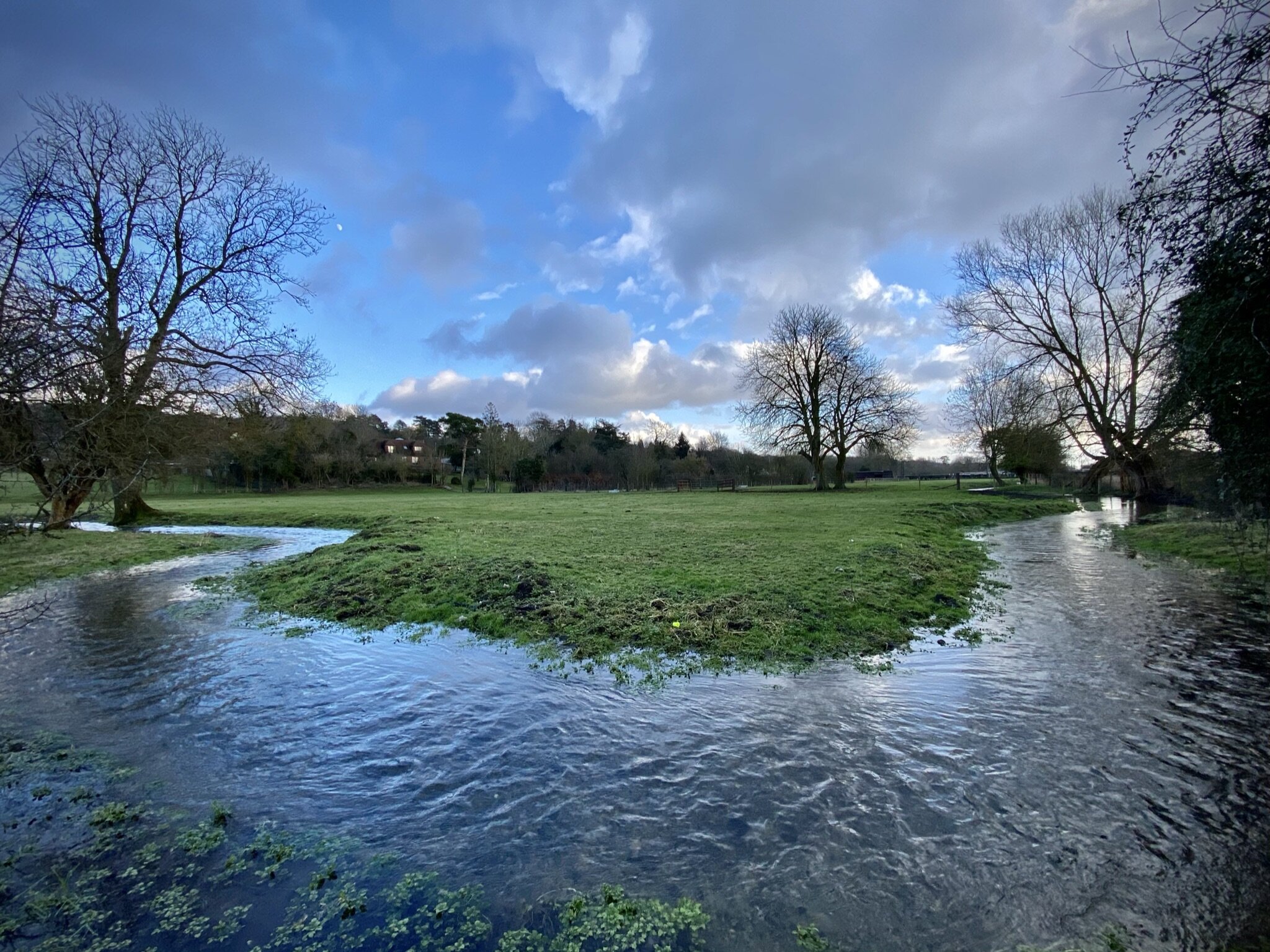
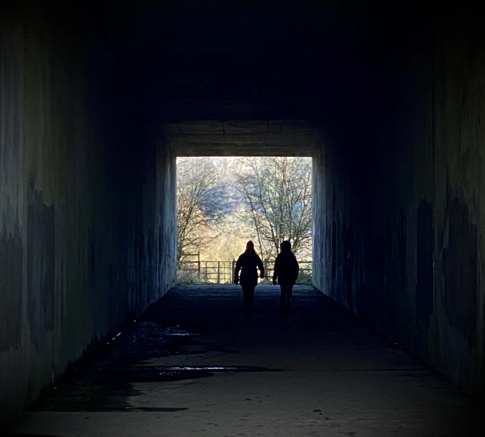
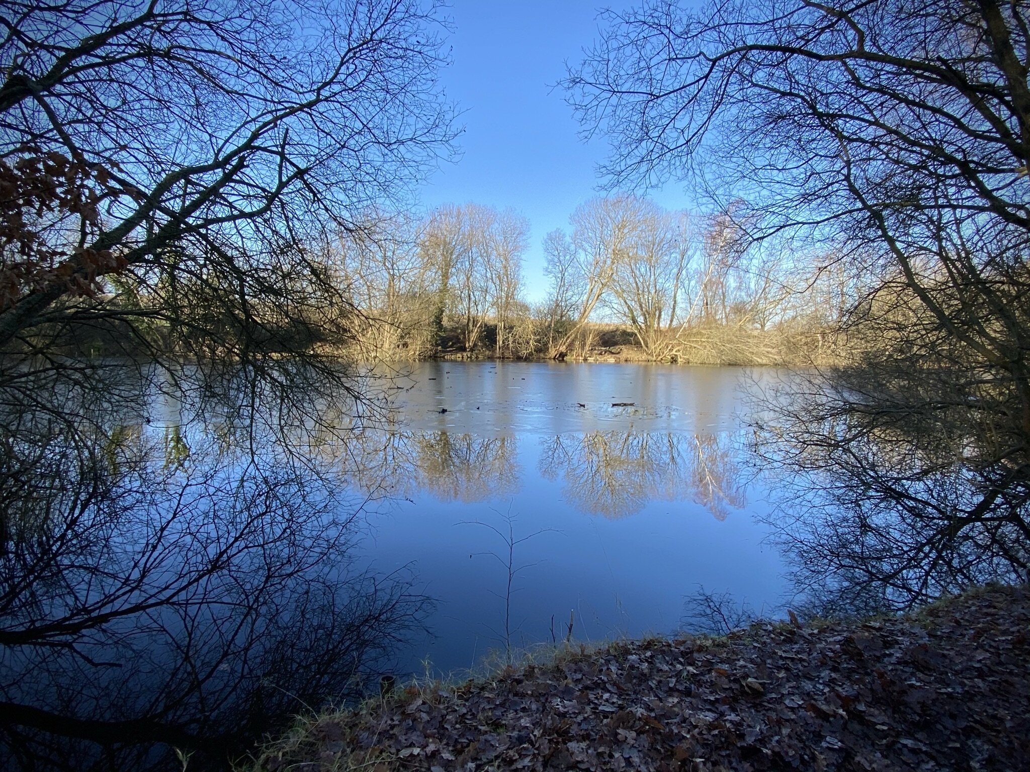
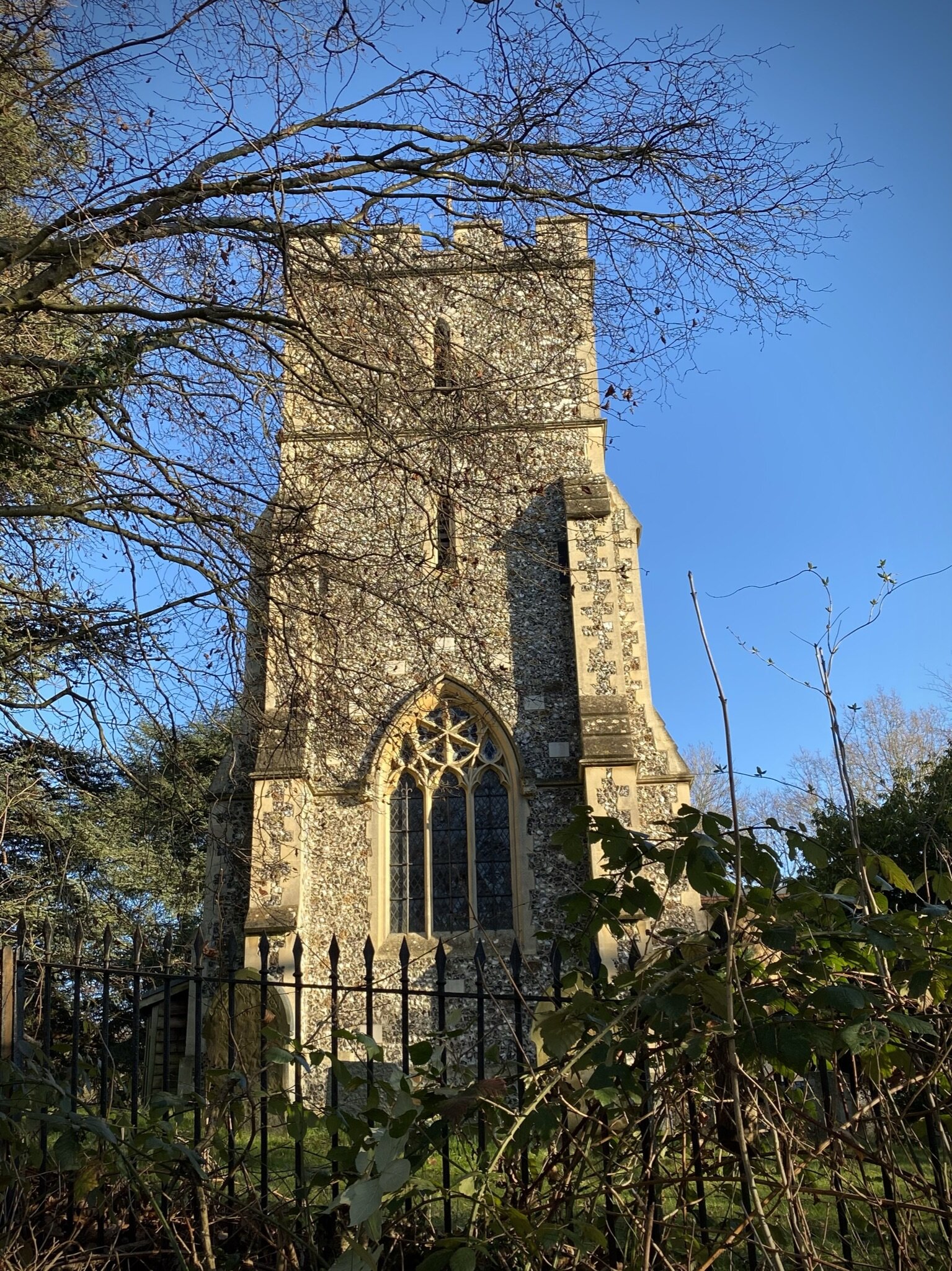
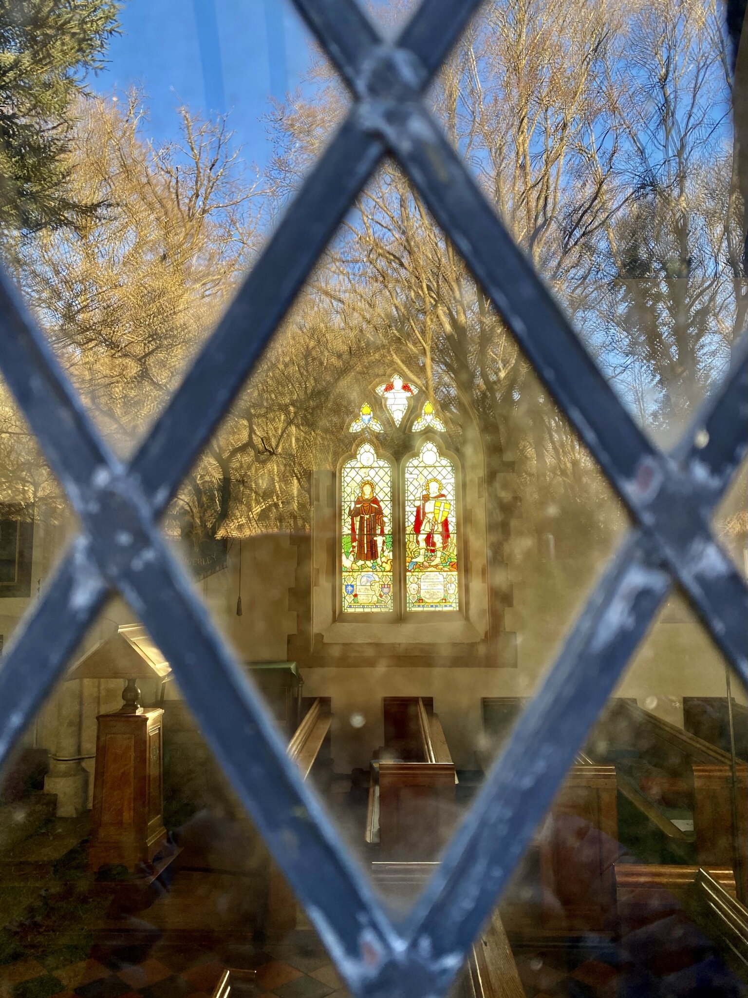
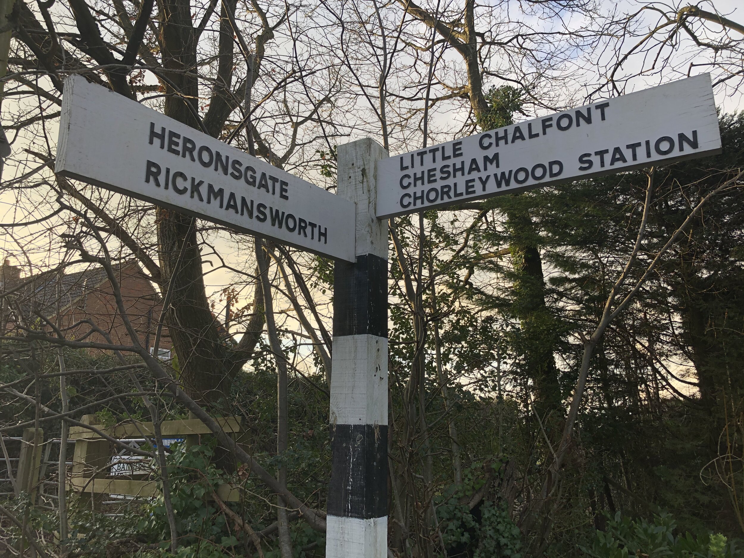
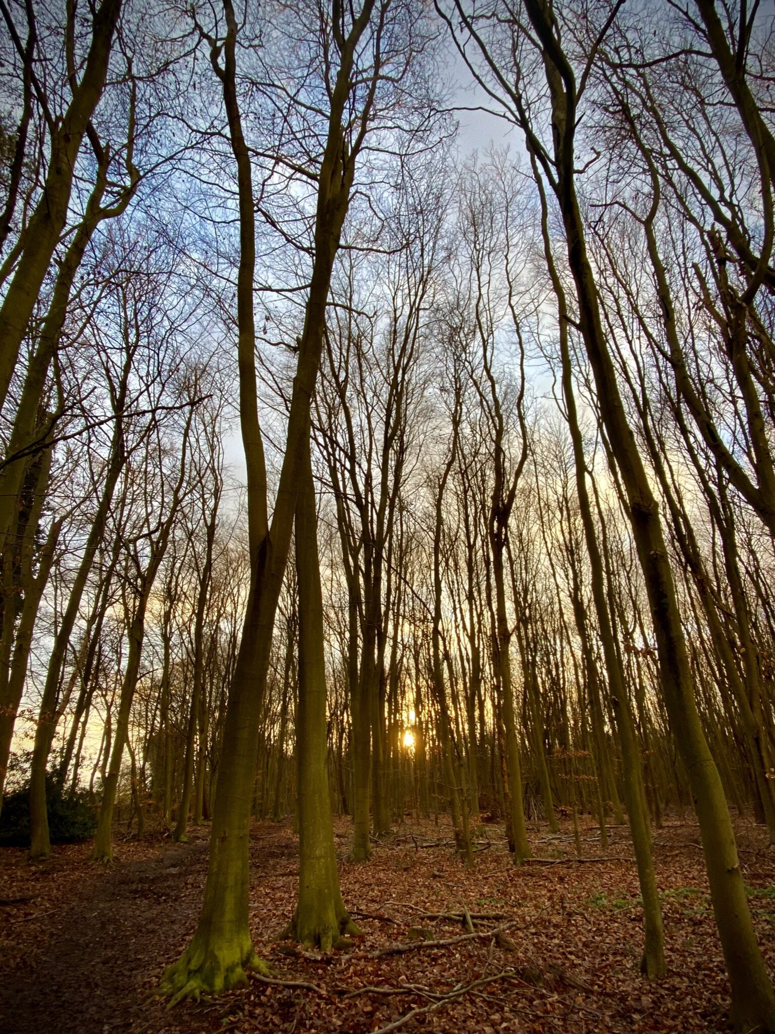
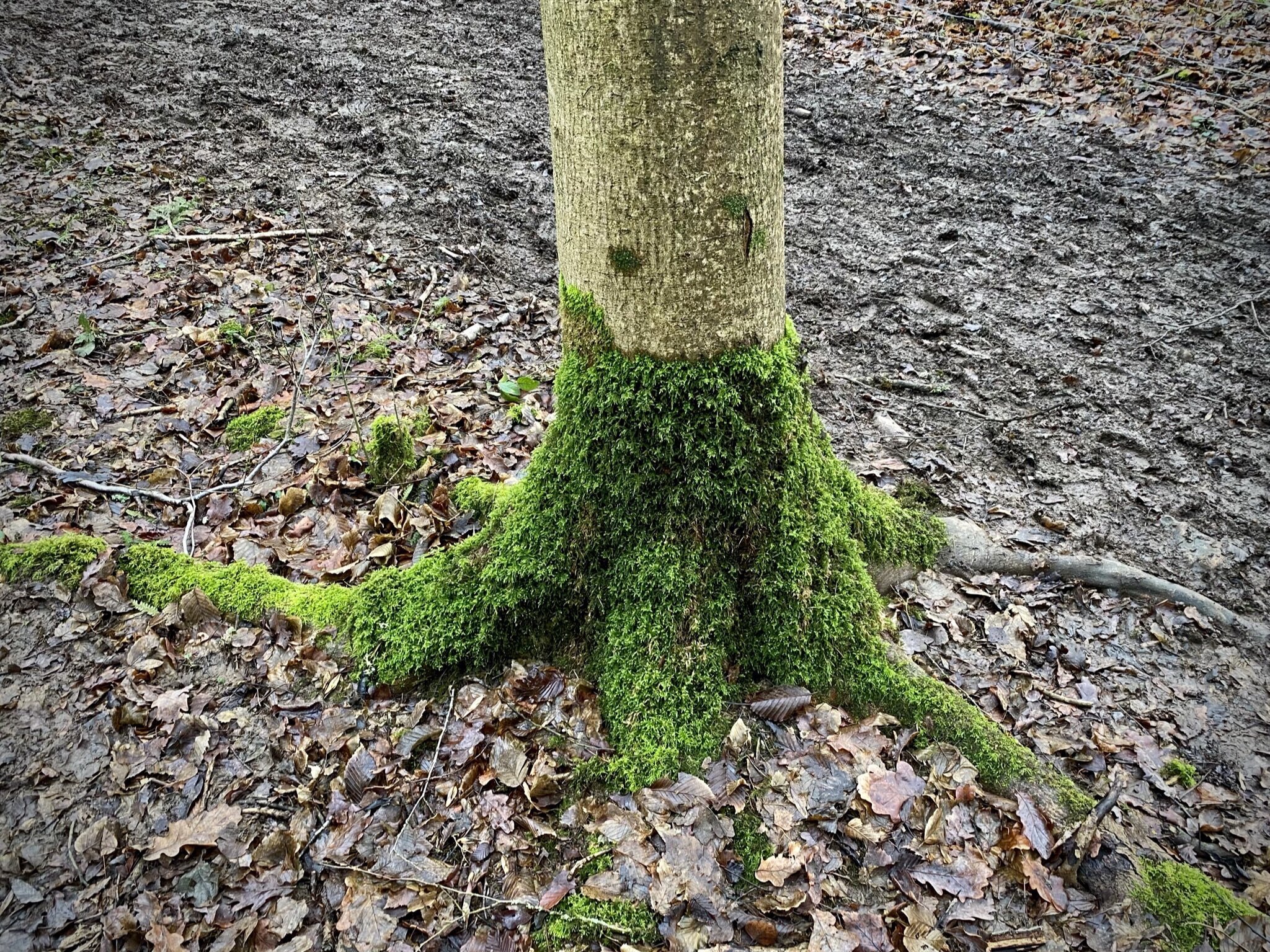
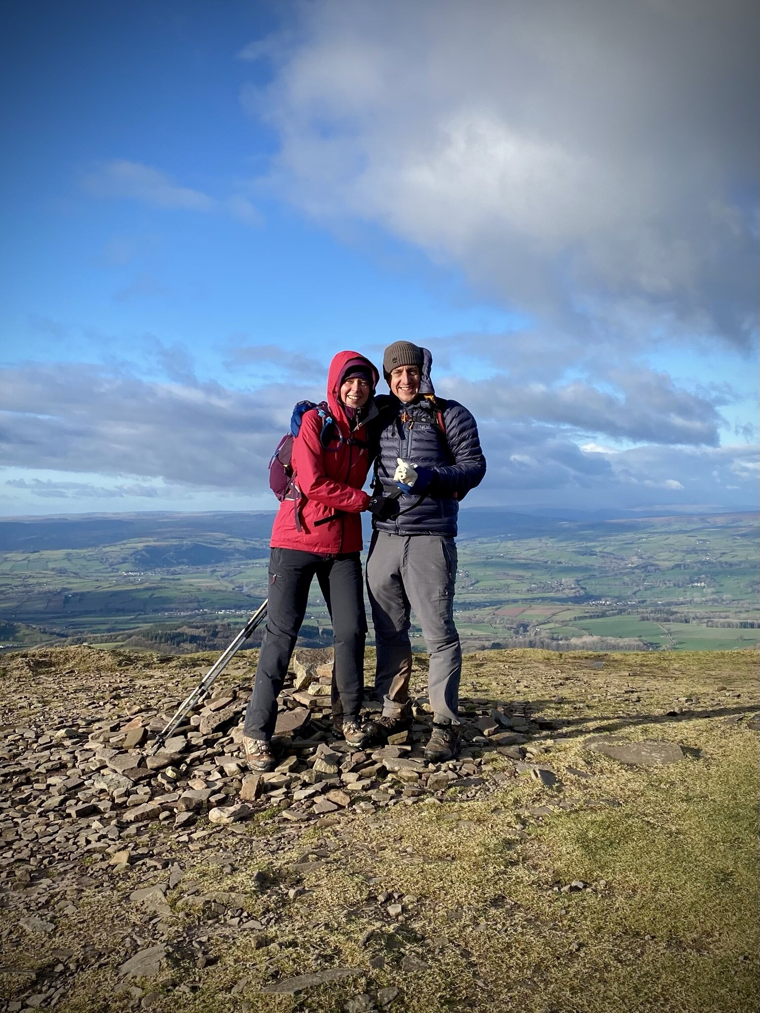
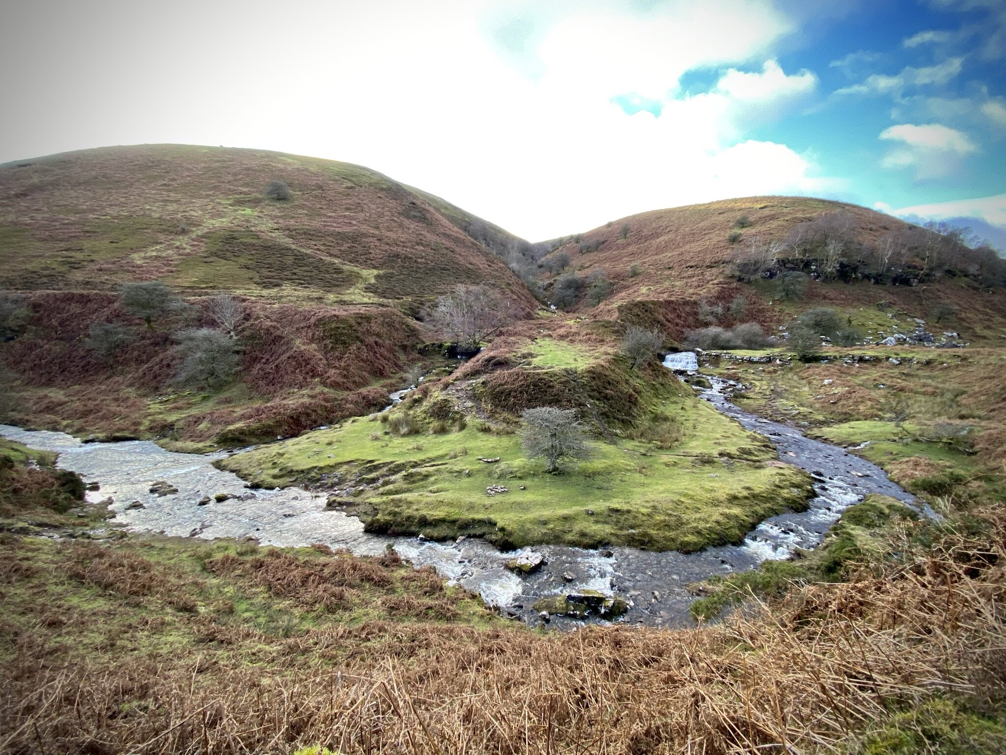
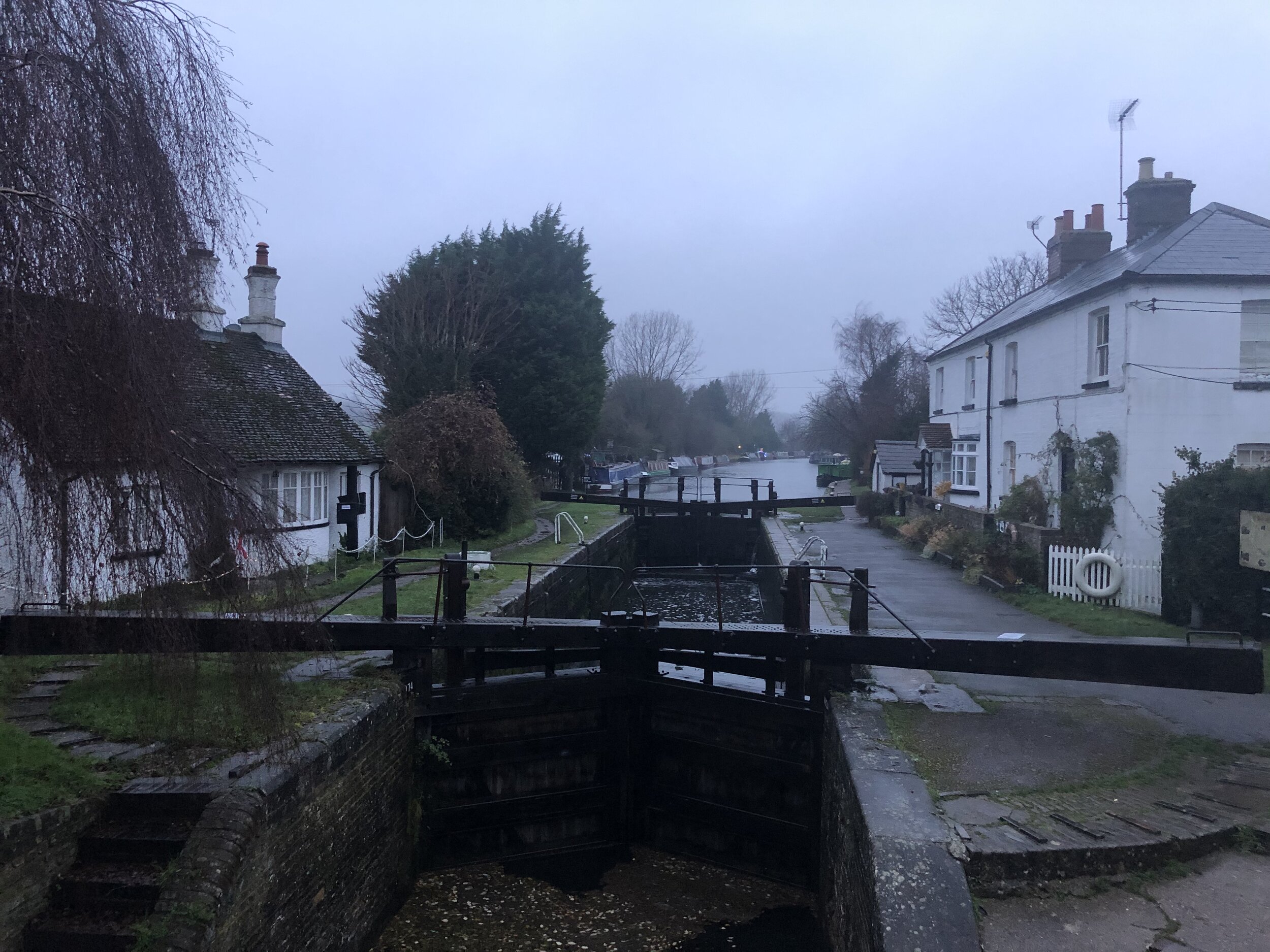
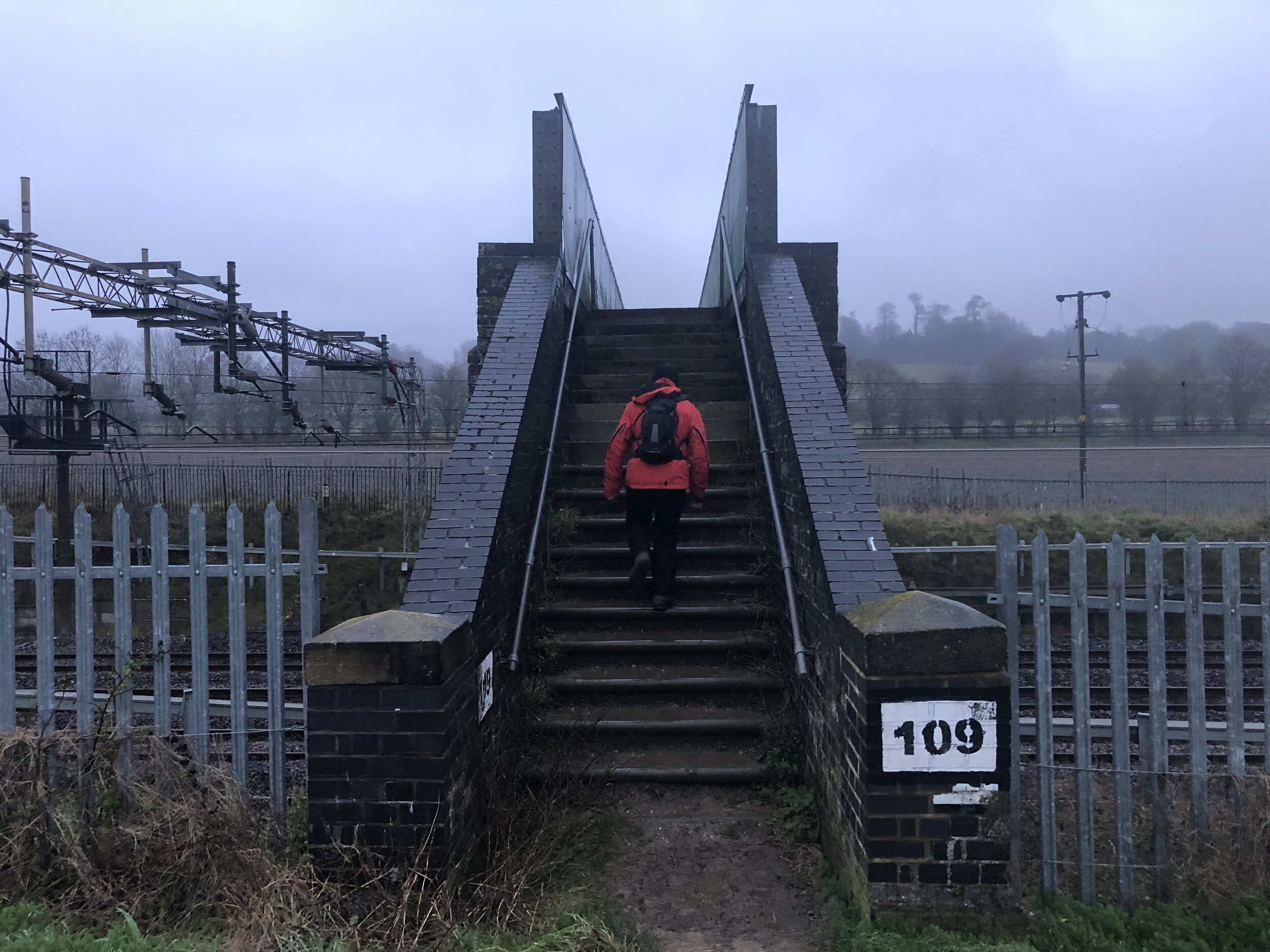
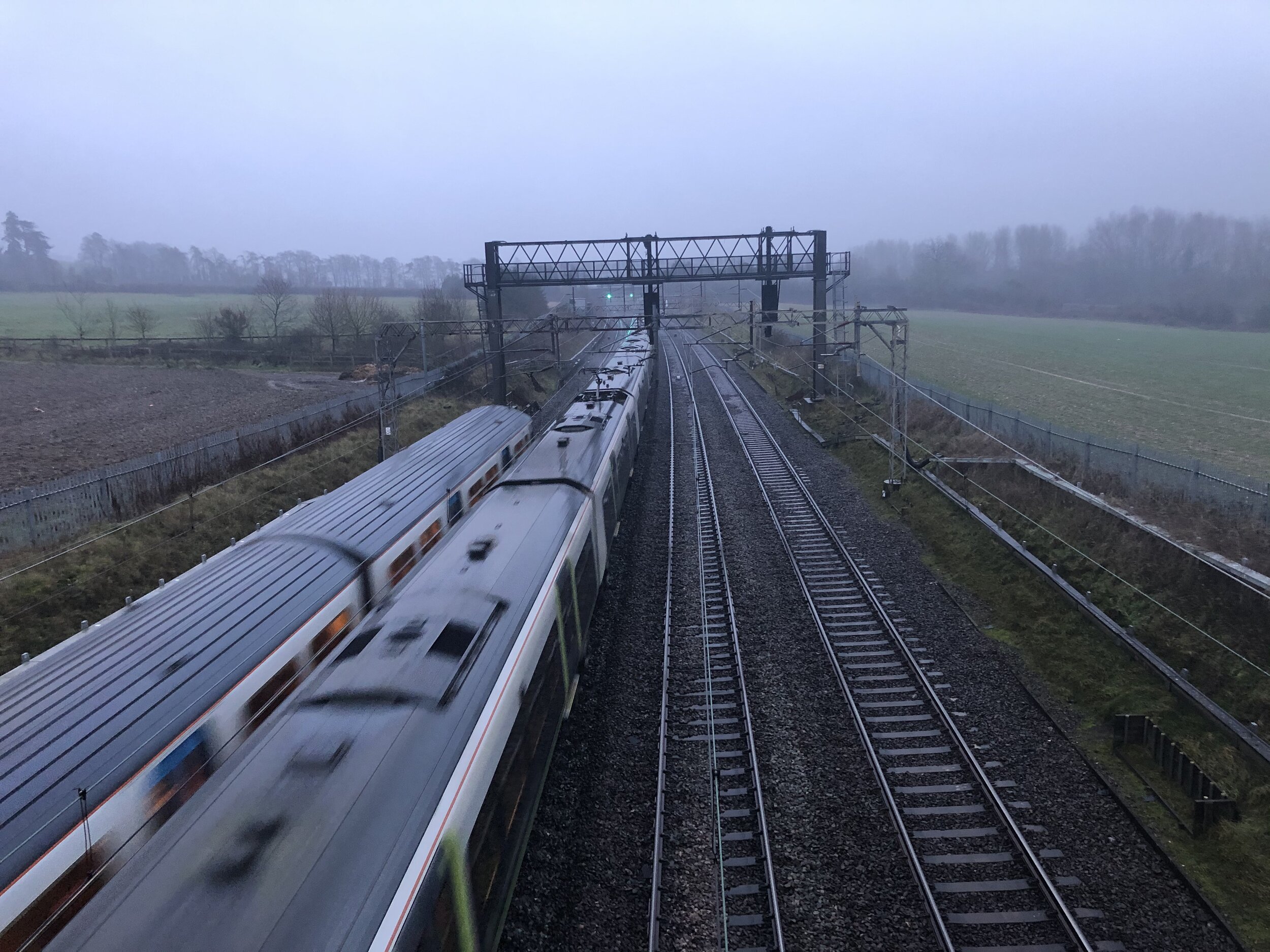
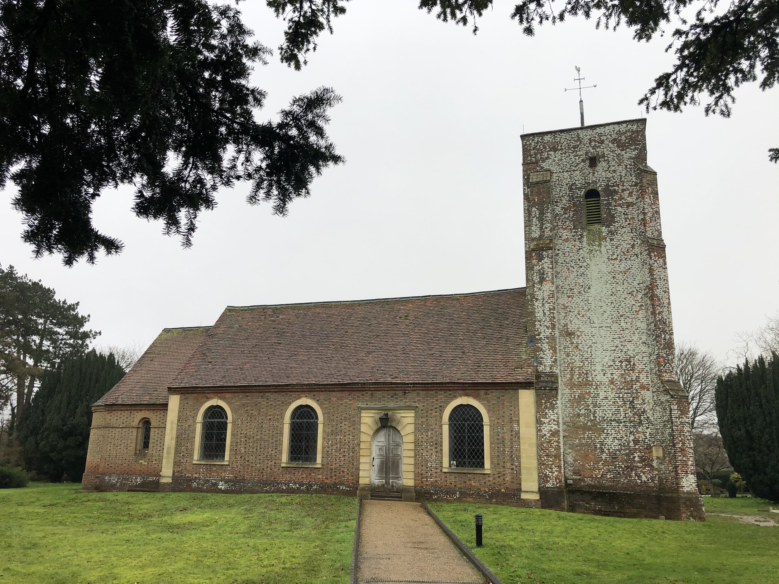
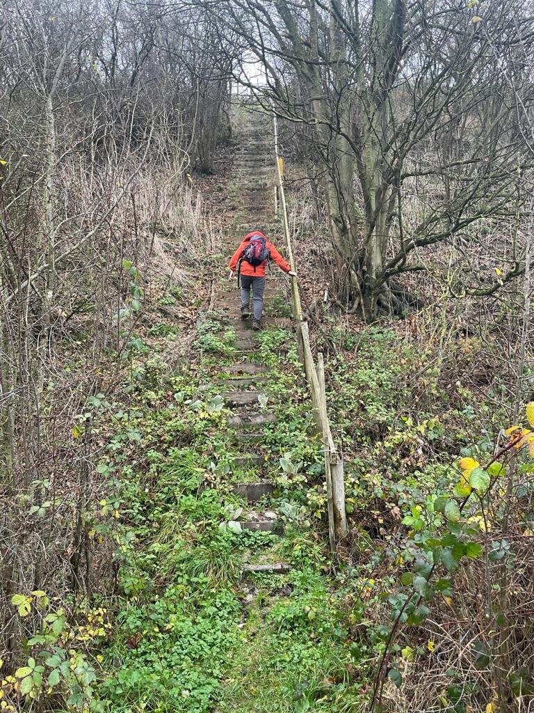
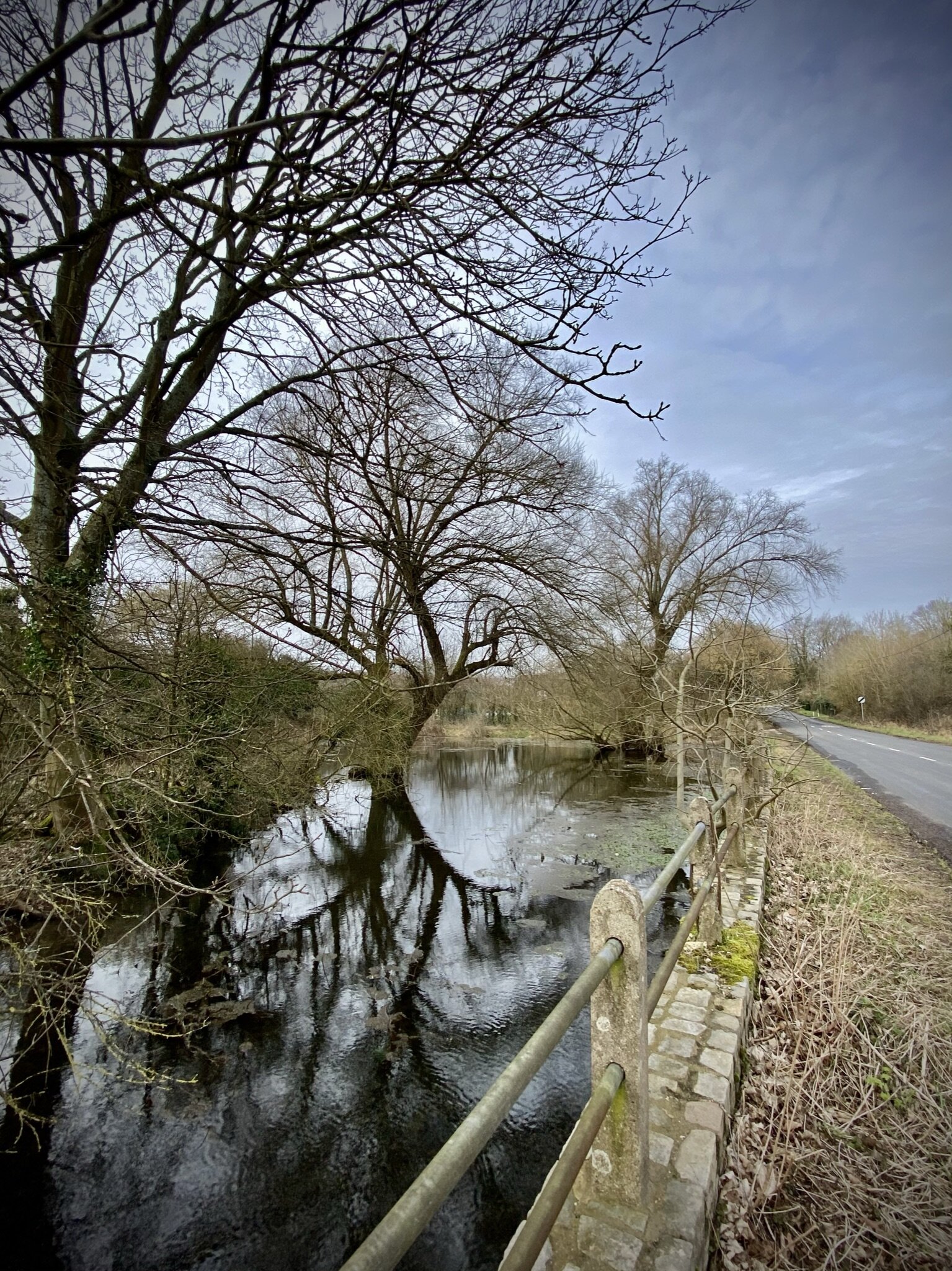
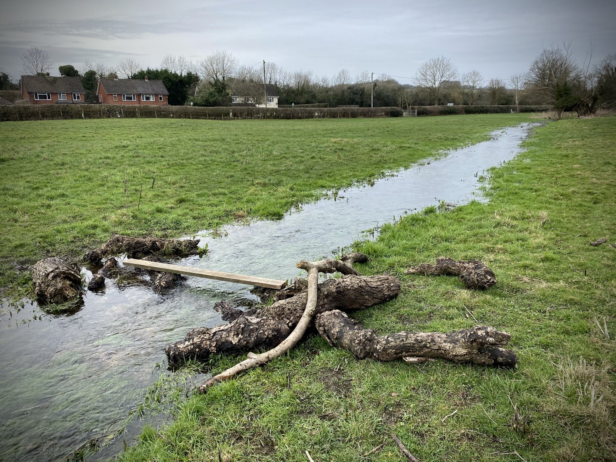
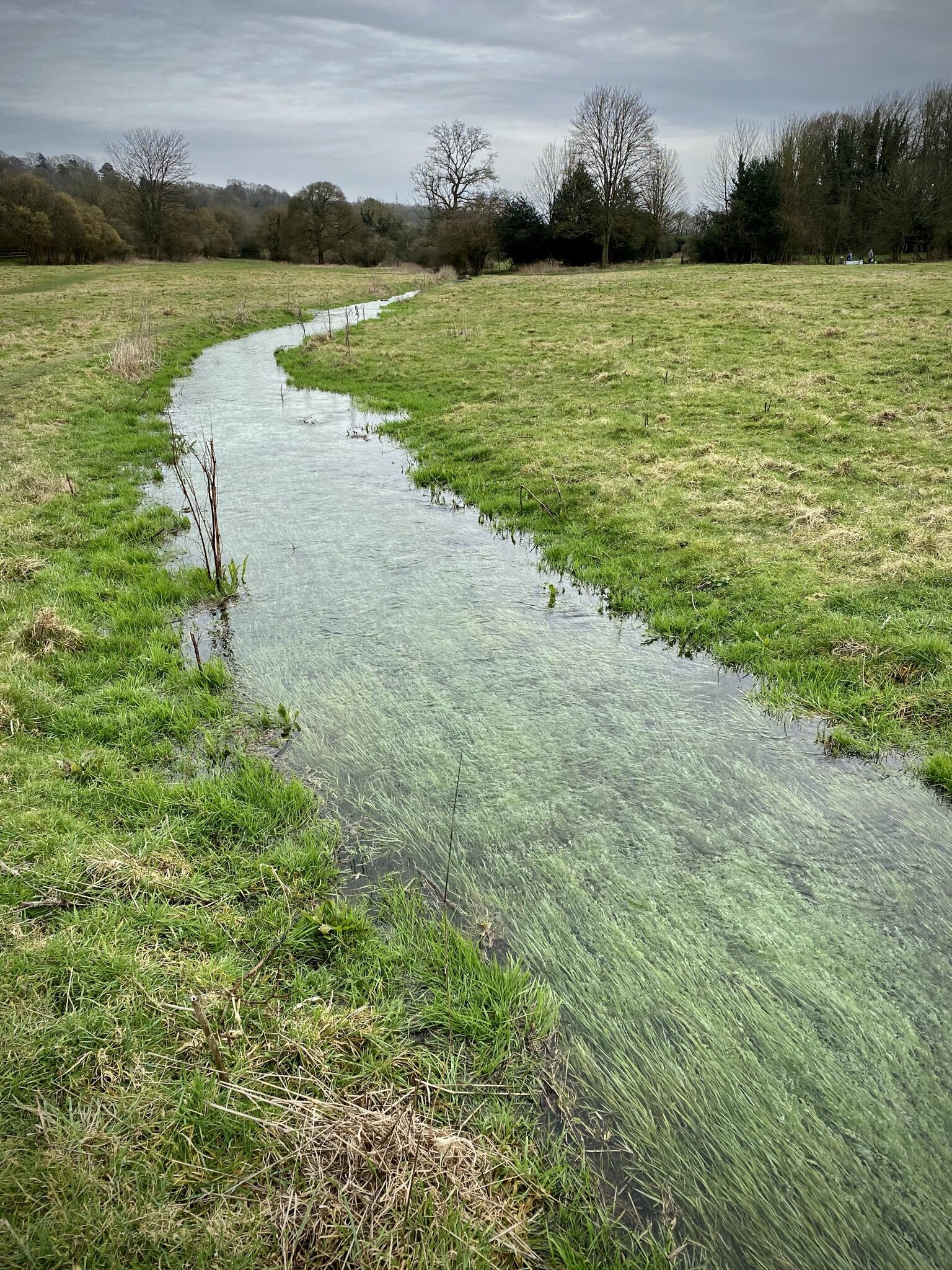
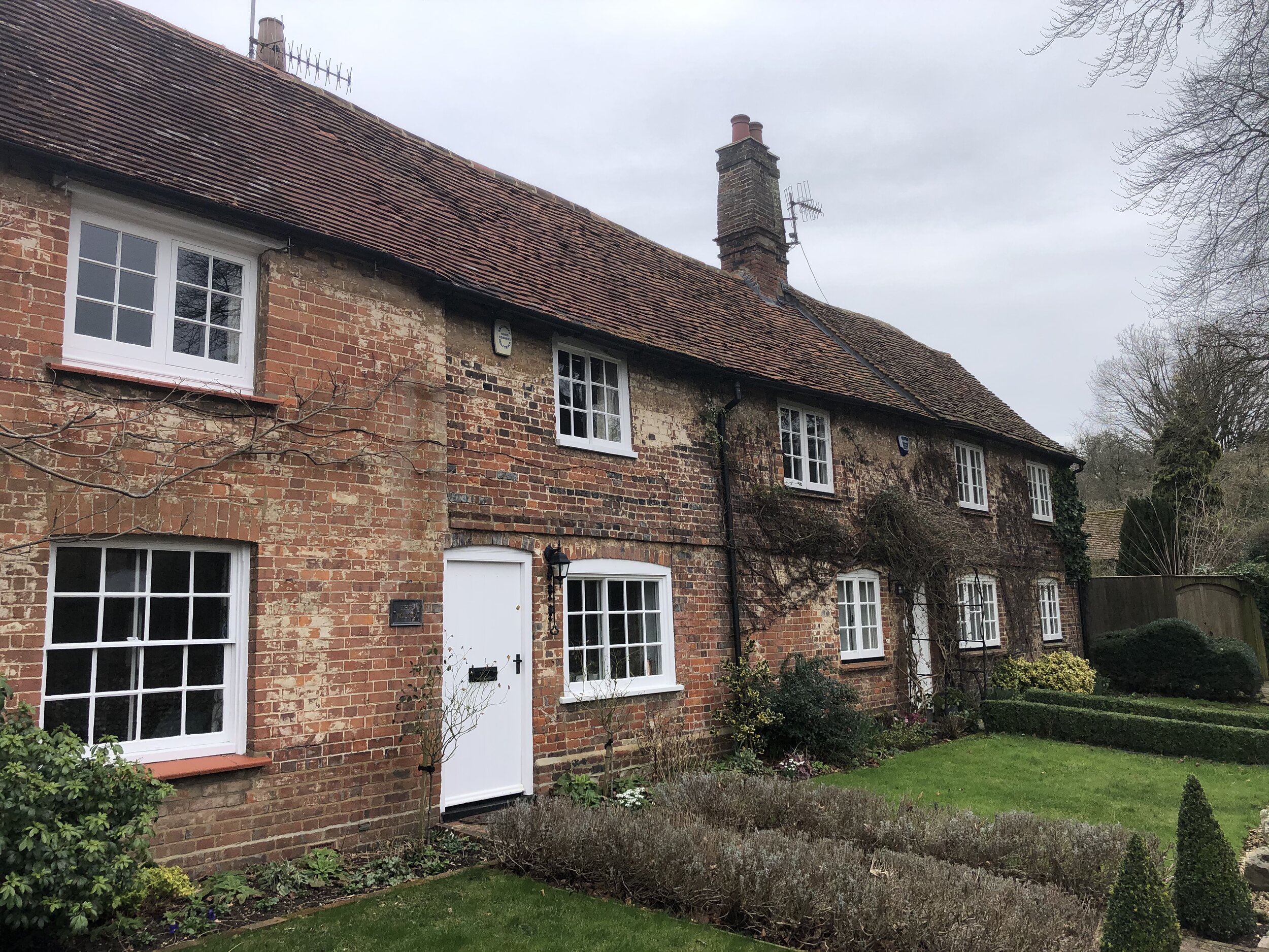
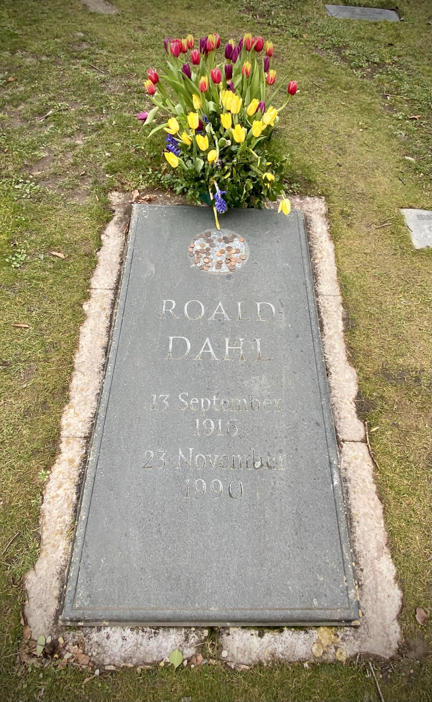
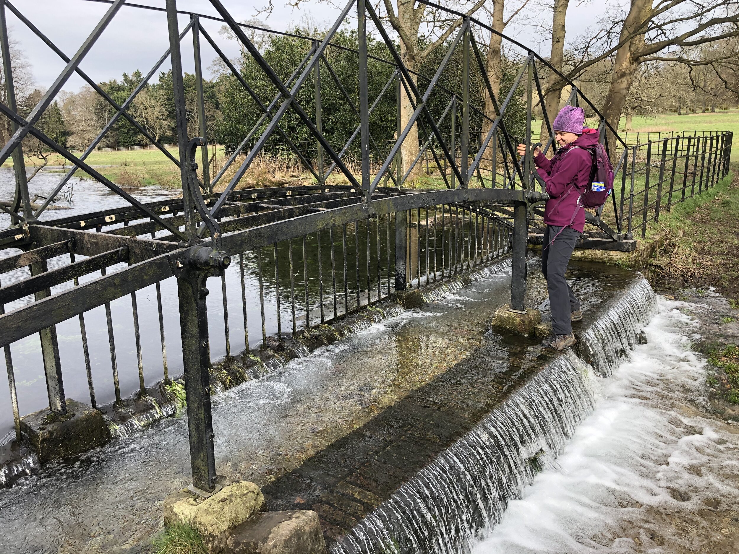
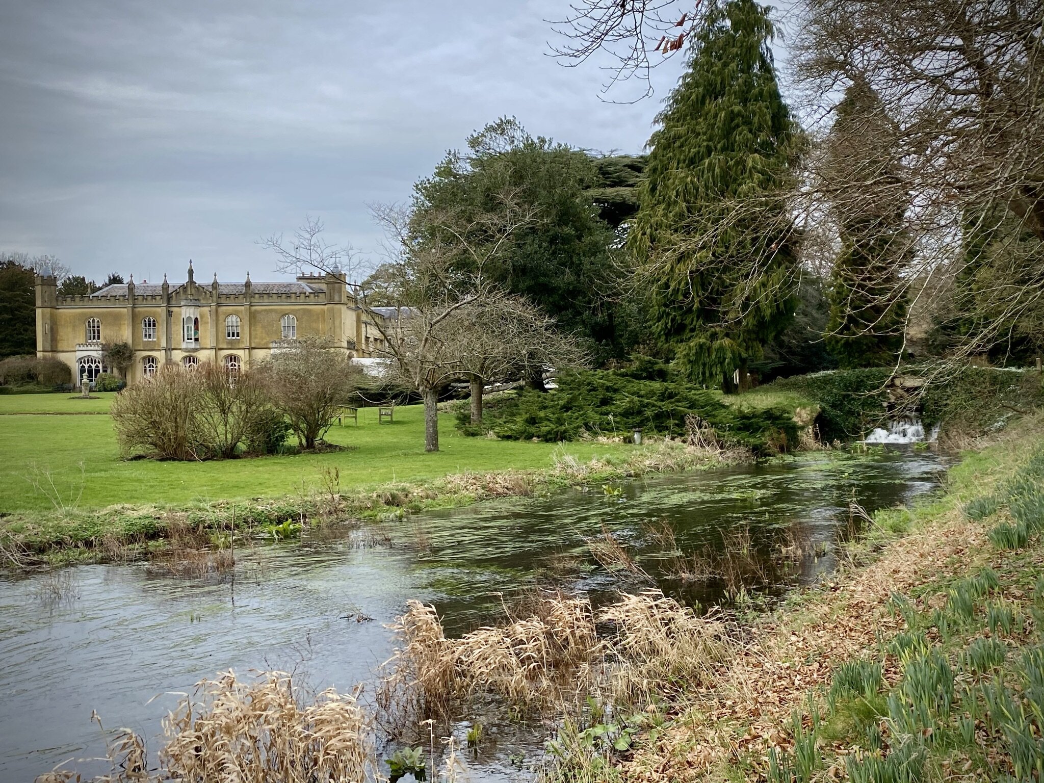
The walk starts at either Great Missenden Railway Station or nearby parking in Link Road. From here follow Link Road and take a right onto the South Bucks Way through Buryfields Recreation Ground. If you continue along Church Lane and over the A413 you can visit Great Missenden Parish Church of St Peter & St Paul and the grave of famous local resident and writer, Roald Dahl. From here retrace your steps back over the A413 bridge and rejoin the South Bucks Way heading south through Abbey Park. You’ll cross over a metal footbridge over the Misbourne at the south end of Missenden Abbey Lake. The bridge was in disrepair when we were there, so be careful and be prepared for a tricky crossing. Once over the bridge, the South Bucks Way crosses London Road and wiggles round the perimeter fence of the Misbourne School before crossing under the railway line.
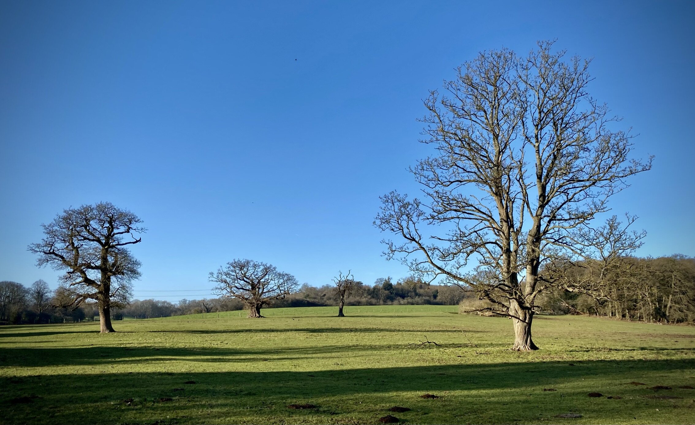
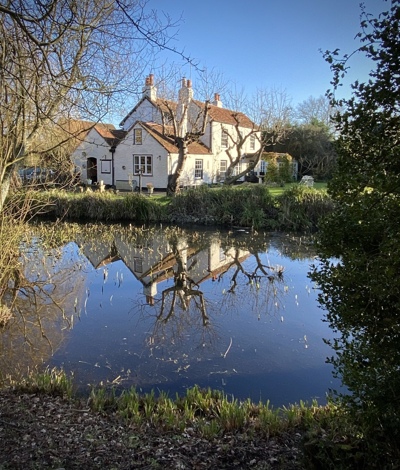
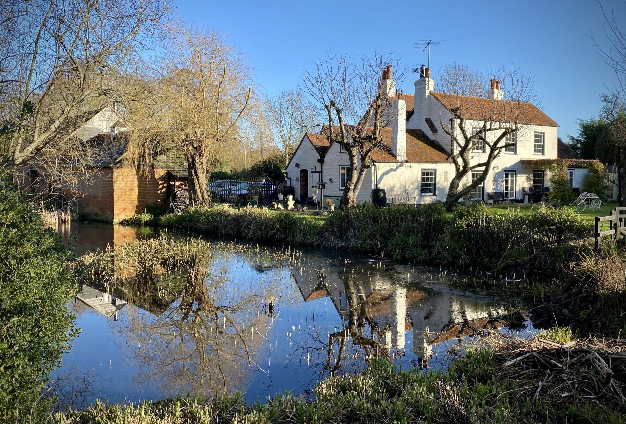
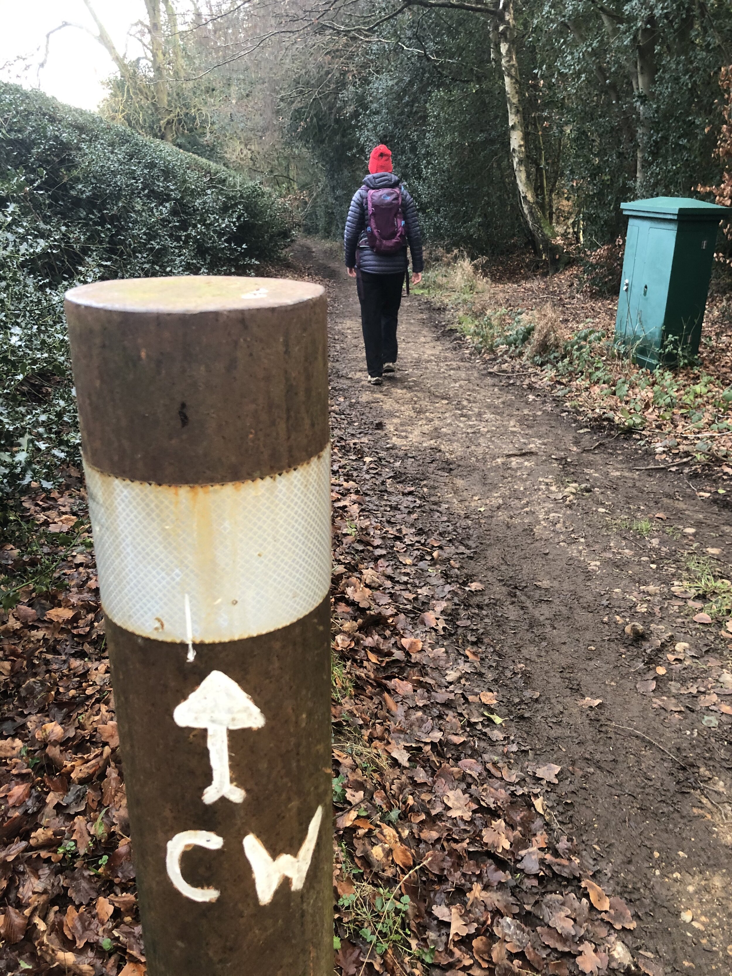
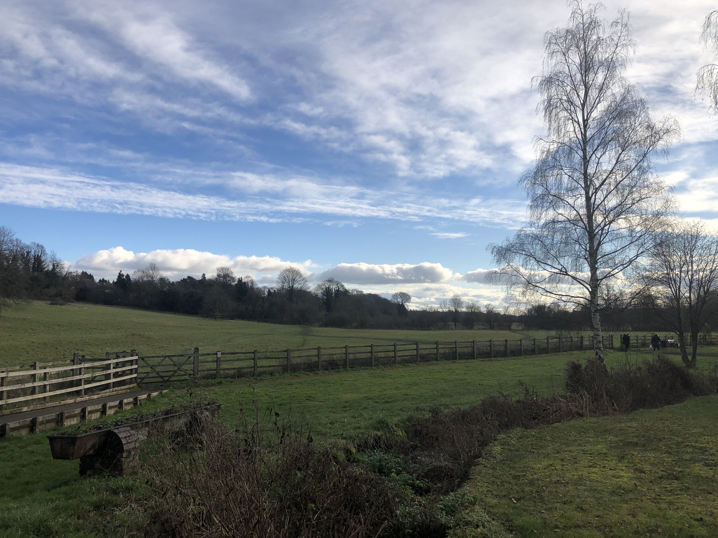
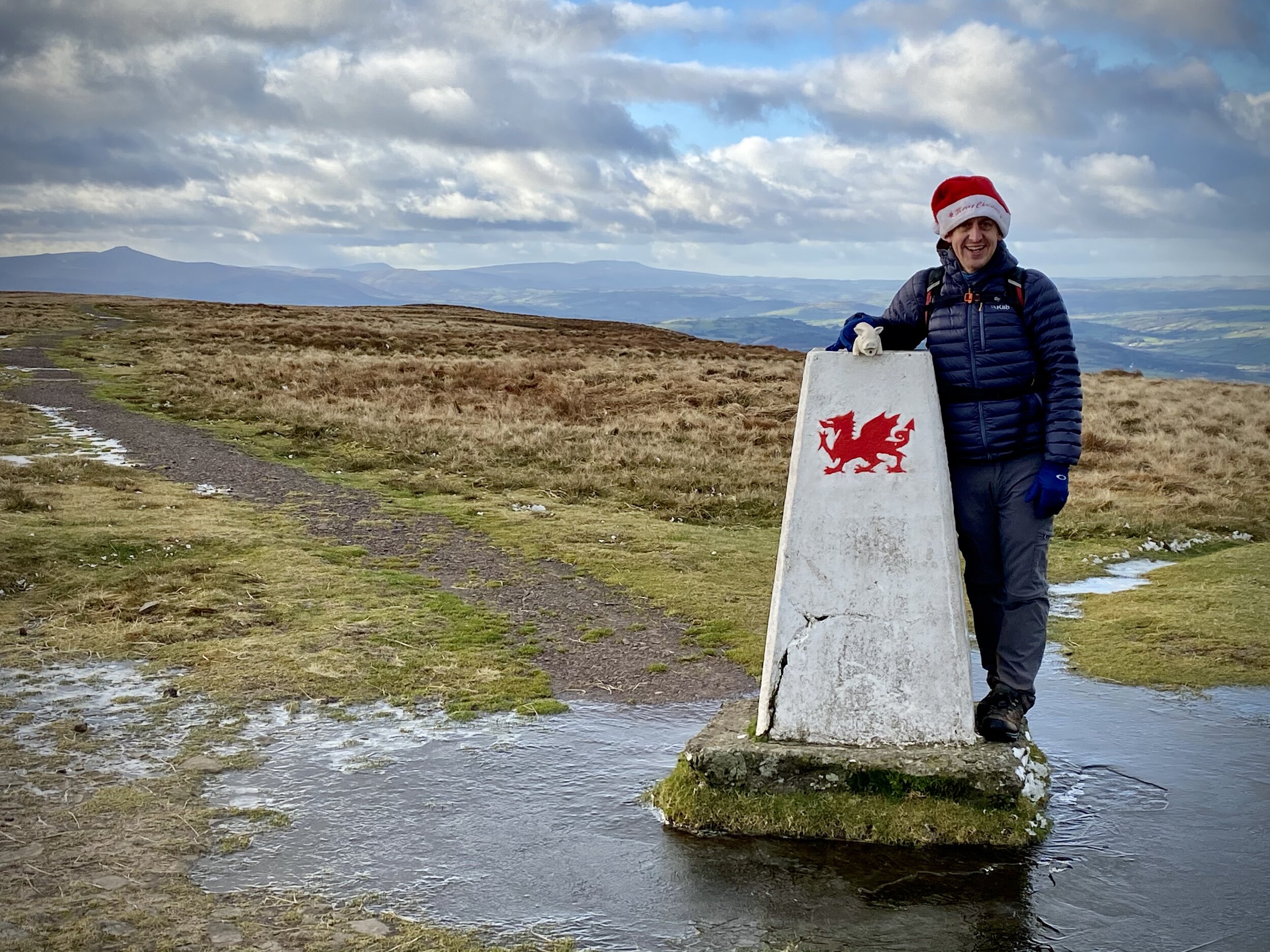
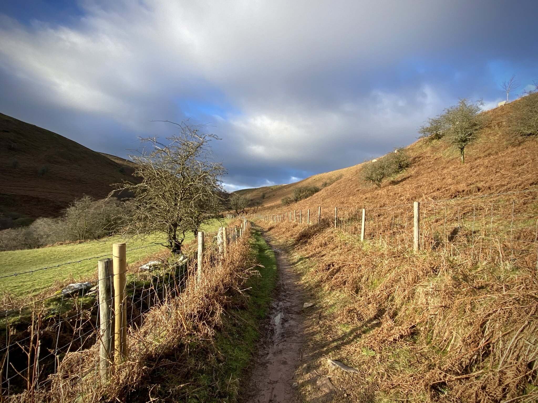
After the railway line continue along the South Bucks Way in a south-westerly direction until the Full Moon pub in Little Kingshill. This is a great half-way point for a rest before you’ll leave the South Bucks Way and travel north along the Chiltern Heritage Trail. You’ll notice a small triangle at the bottom of the map which is there to make sure there’s no gap in completing the whole of the South Bucks Way between this section and the next. If you’re not worried about the gap take the Chiltern Heritage Trail in a north-easterly direction. If you’re a completer-finisher like me, continue south along the South Bucks Way to Windsor Lane, take a right, then another right onto Hare Lane and you’ll end up back at the Full Moon pub.
This latter half of the trip is fairly easy to navigate as you’ll be on the Heritage Trail all the way back to Great Missenden Station.


South Bucks Way previous section (north): Little Hampden and Great Missenden
South Bucks Way next section (south): Little Kingshill and Little Missenden
Chiltern Heritage Trail next section clockwise: Great Missenden and Ballinger
Chiltern Heritage Trail next section anti-clockwise: Little Kingshill and Little Missenden