Hurley and Ashley Hill Circular Walk
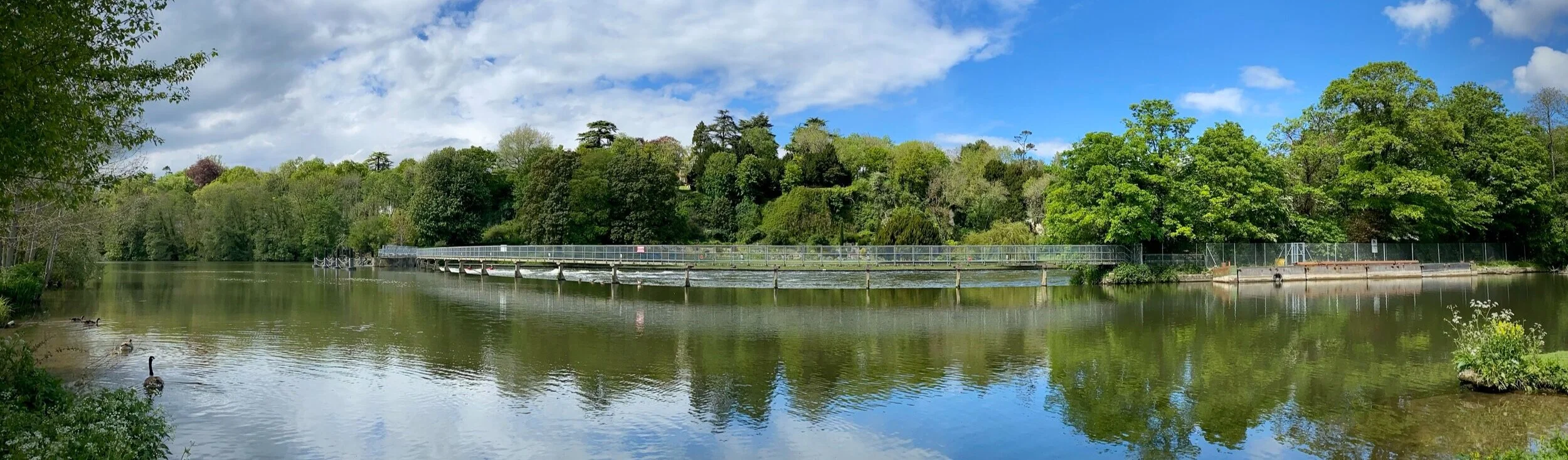
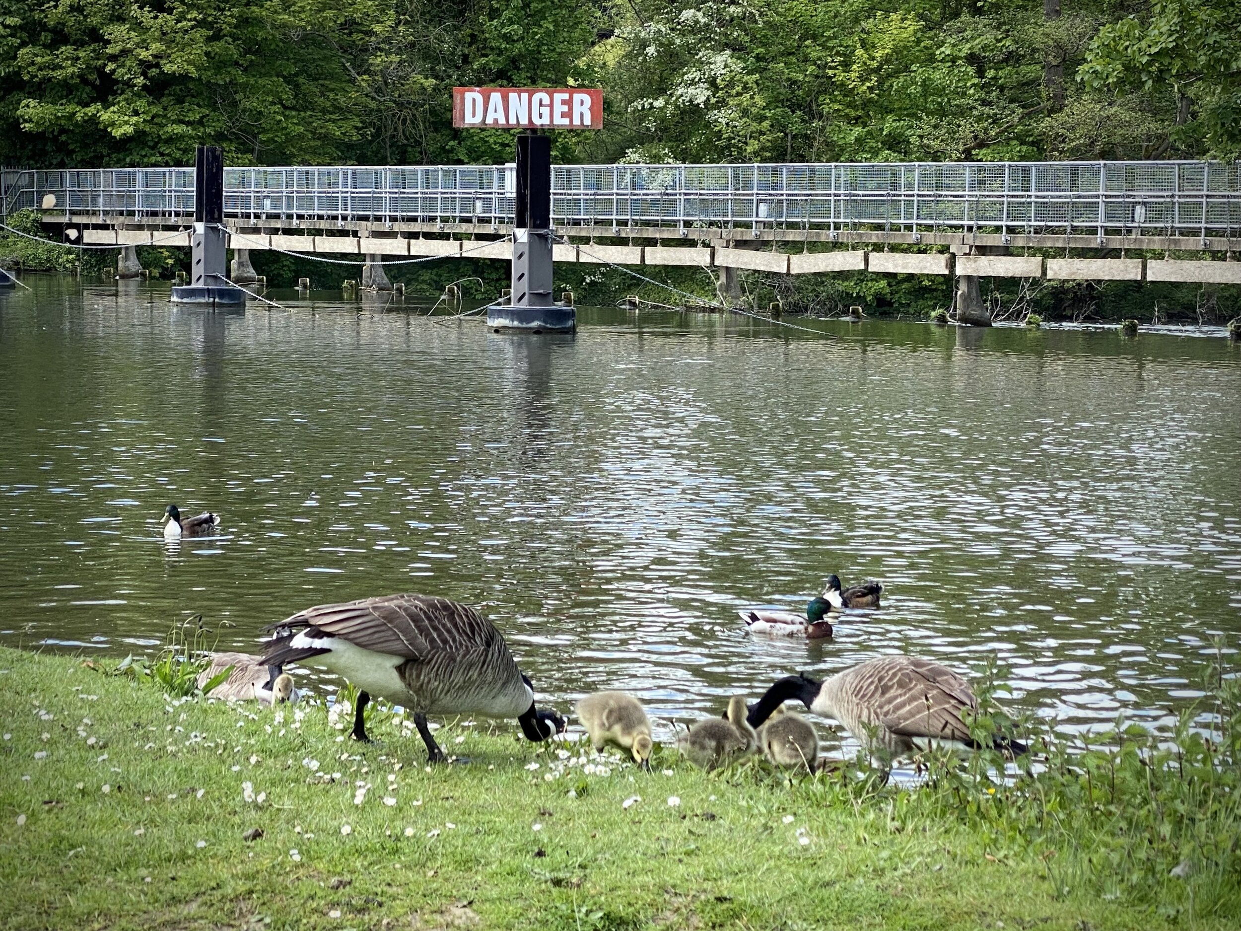
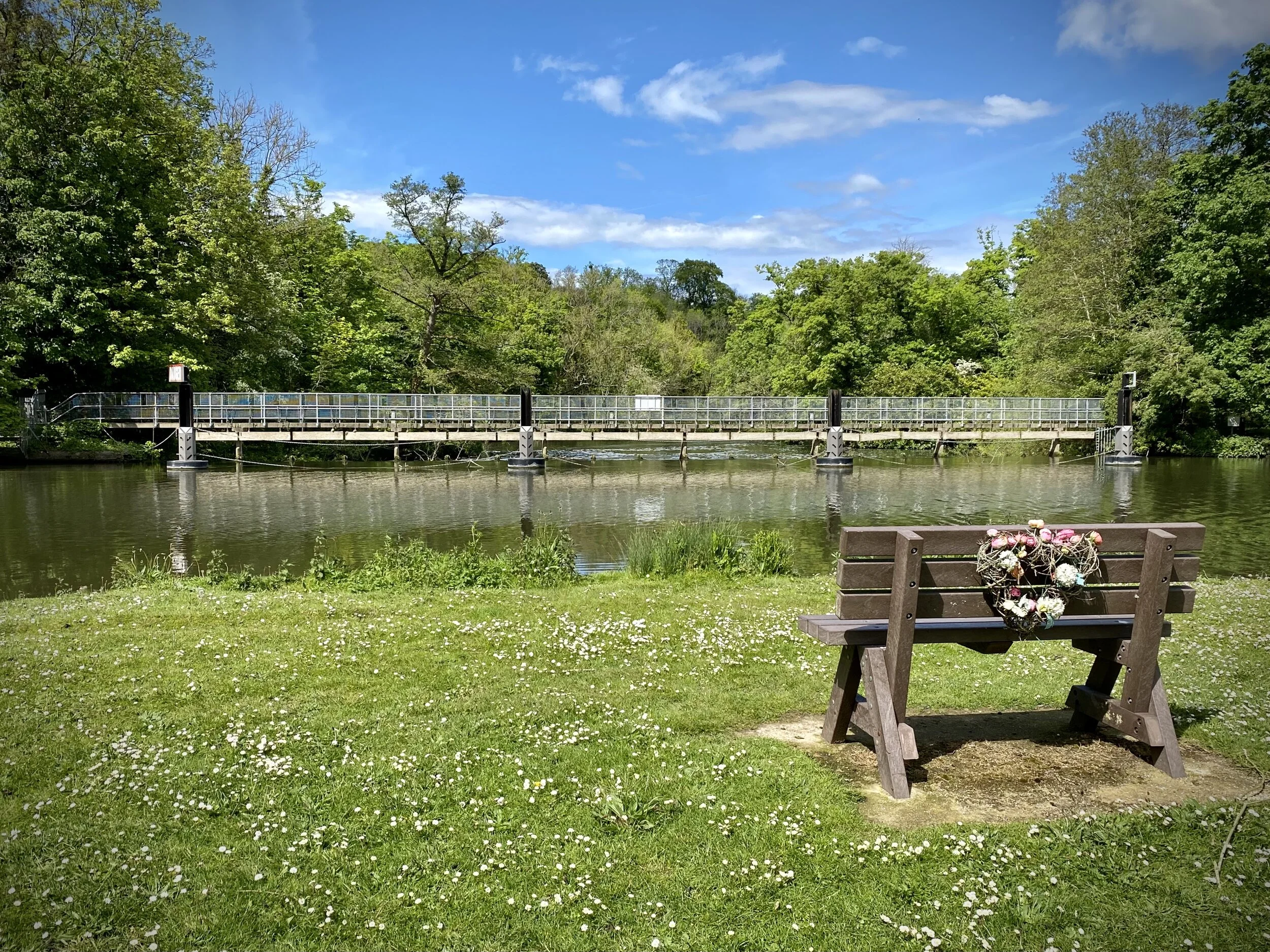
Hurley Weir
Start & Finish: Hurley village Car Park, Maidenhead, SL6 5NB
Distance: 8.9 km (5.5 miles)
Elevation change: +/- 132m
GPX File: get via Buy Me a Coffee
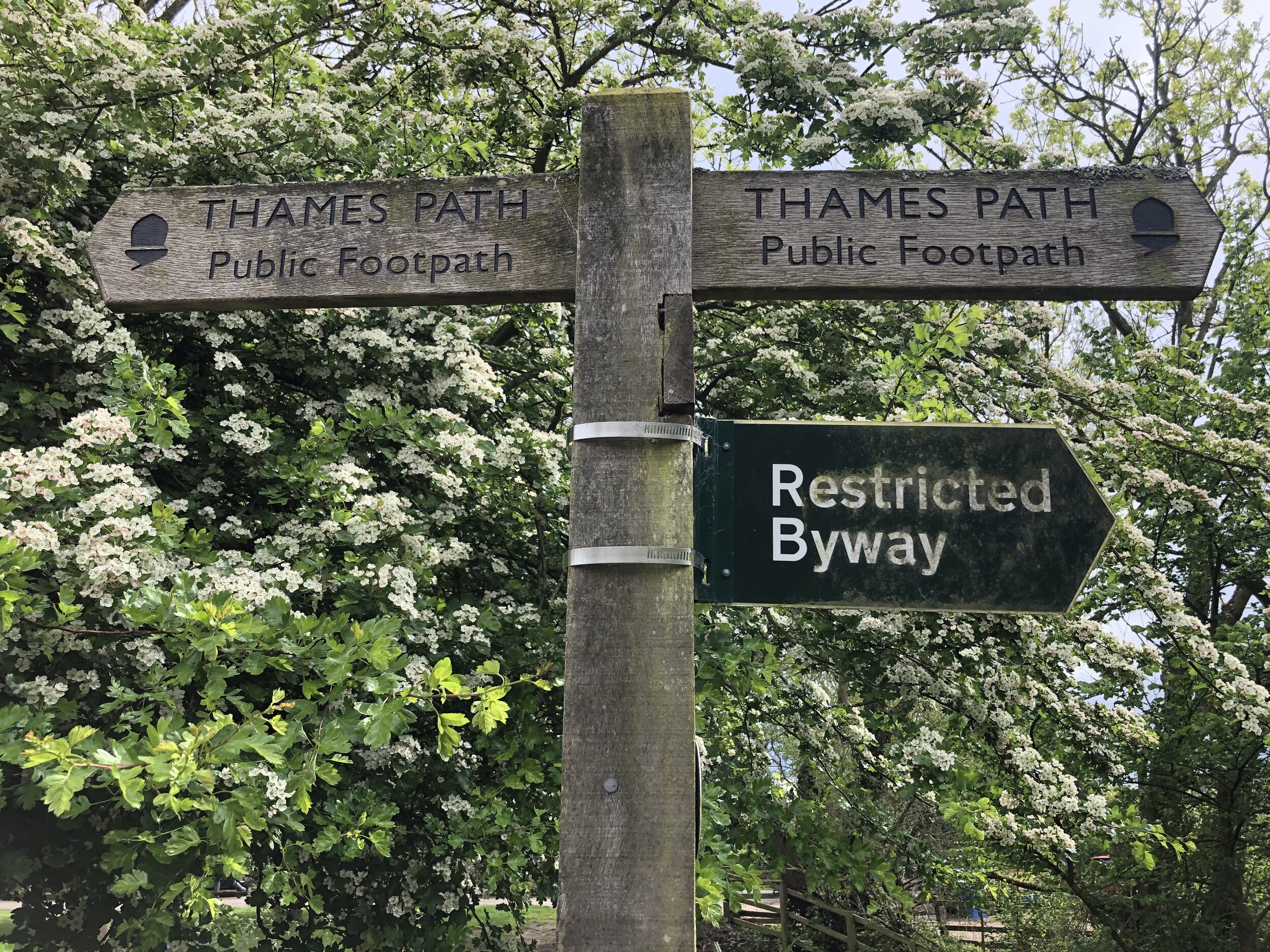
Other routes touched (walk): Thames Path, The Wokingham Way, The Chiltern Way Berkshire Loop, Littlewick Green, Ashley Hill and Knowl Hill Circular Walk
Other routes touched (cycle): Berkshire Cycle Route 52
Pubs / Cafes on route: The Rising Sun Hurley, The Olde Bell Hurley
Map: OS Explorer Map (172) Chiltern Hills East and OS Explorer Map (171) Chiltern Hills West, Henley-on-Thames and Wallingford
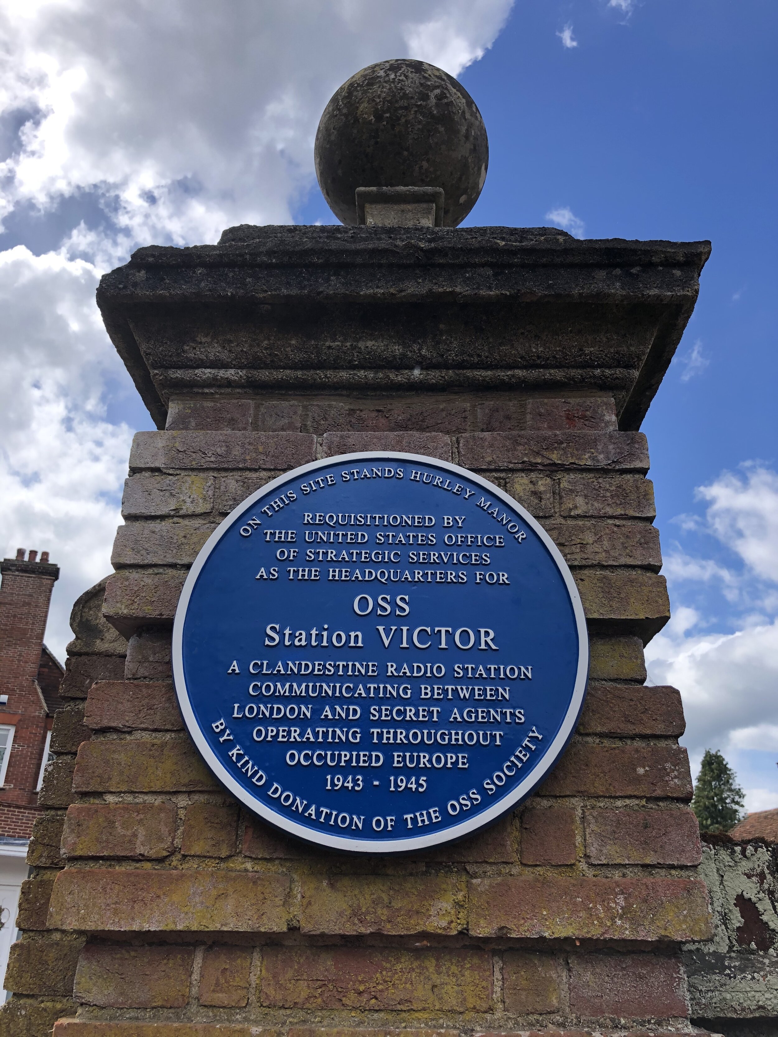
Links: Hurley, Ashley Hill
For our latest short Thames Path circular walk we returned to Hurley. There’s a small cark park at the end of High Street opposite St Mary’s church. This gets very busy during summer weekends but there’s a lot of free curb-side parking all along High Street.
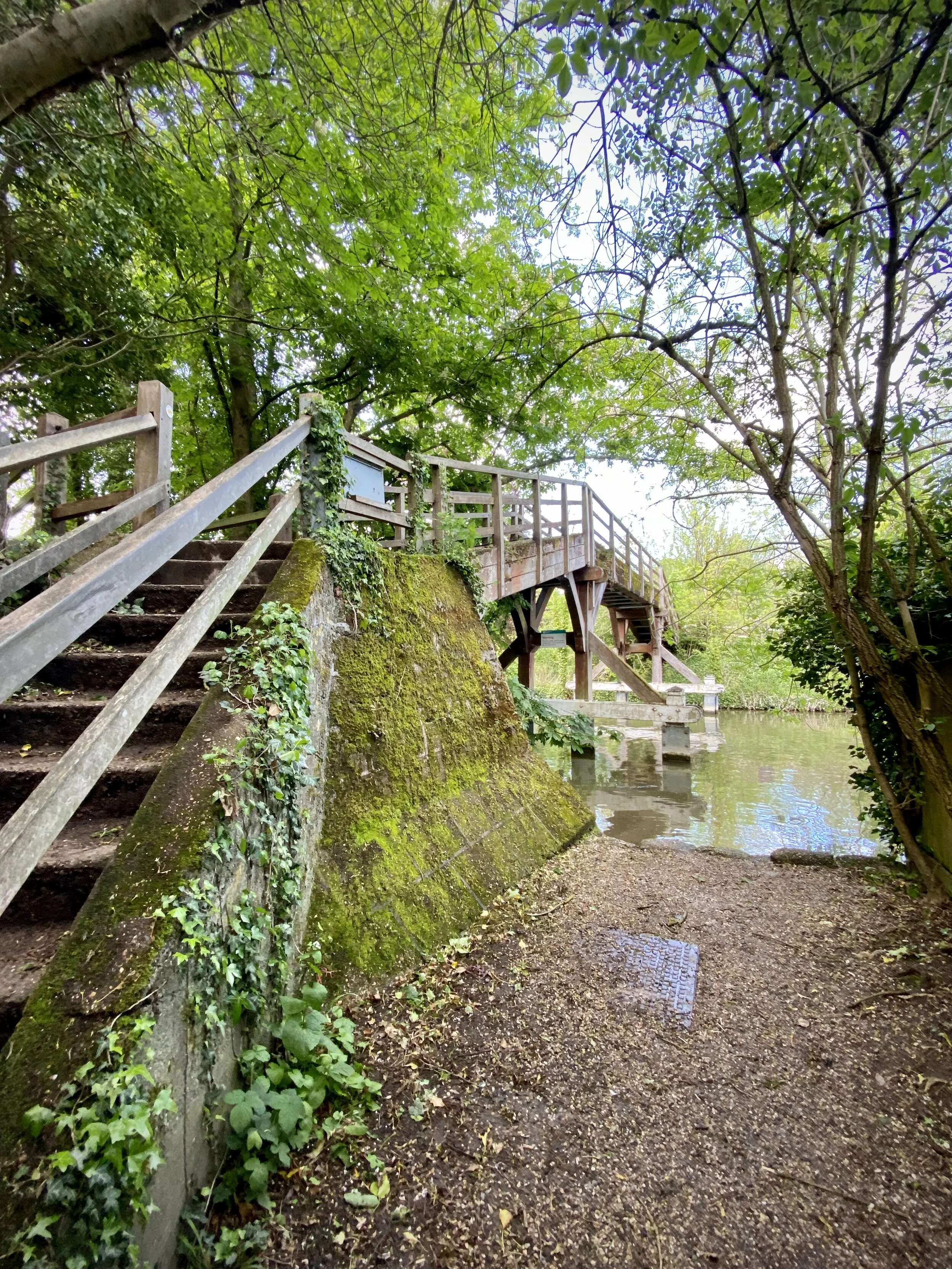
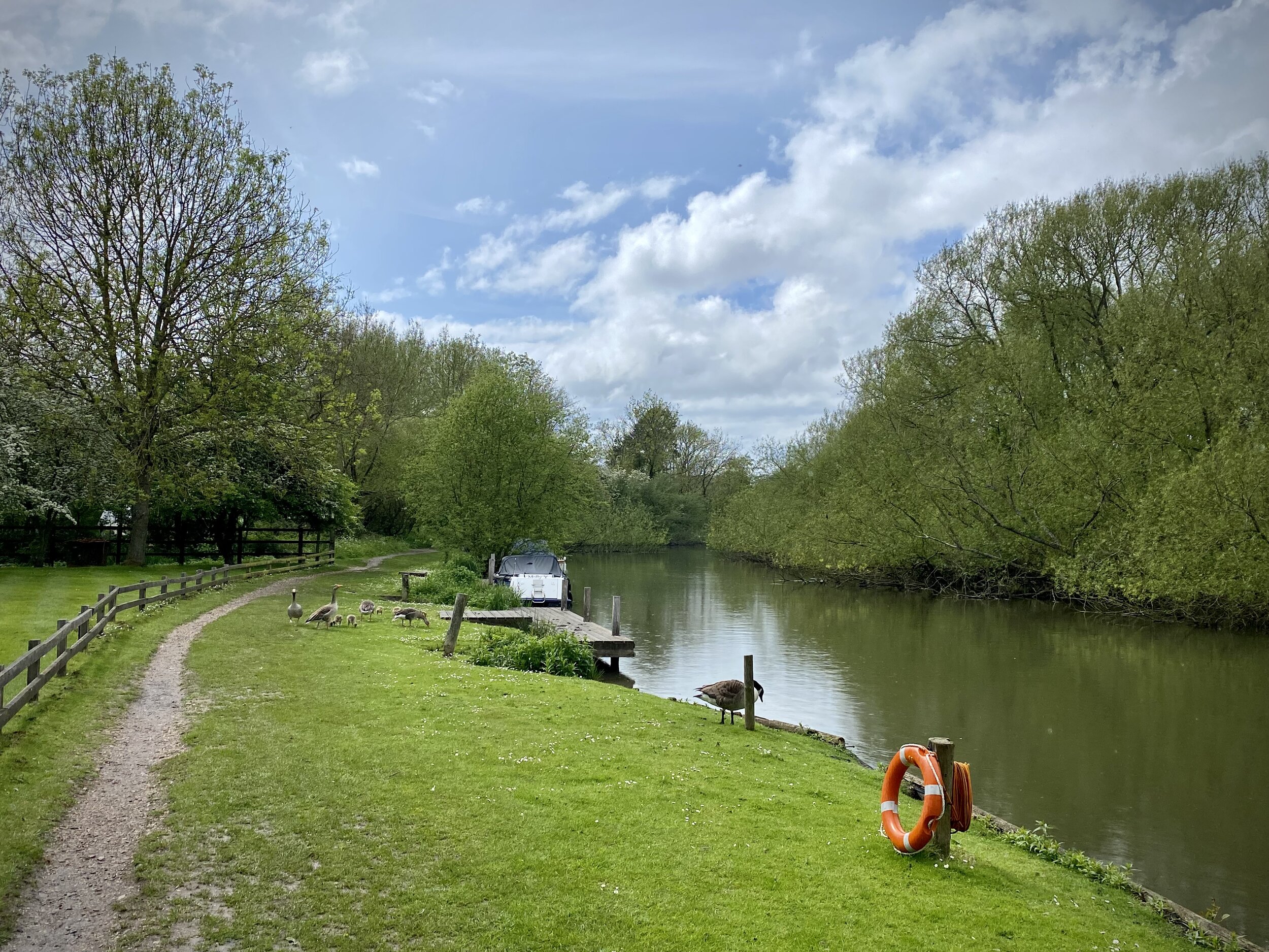
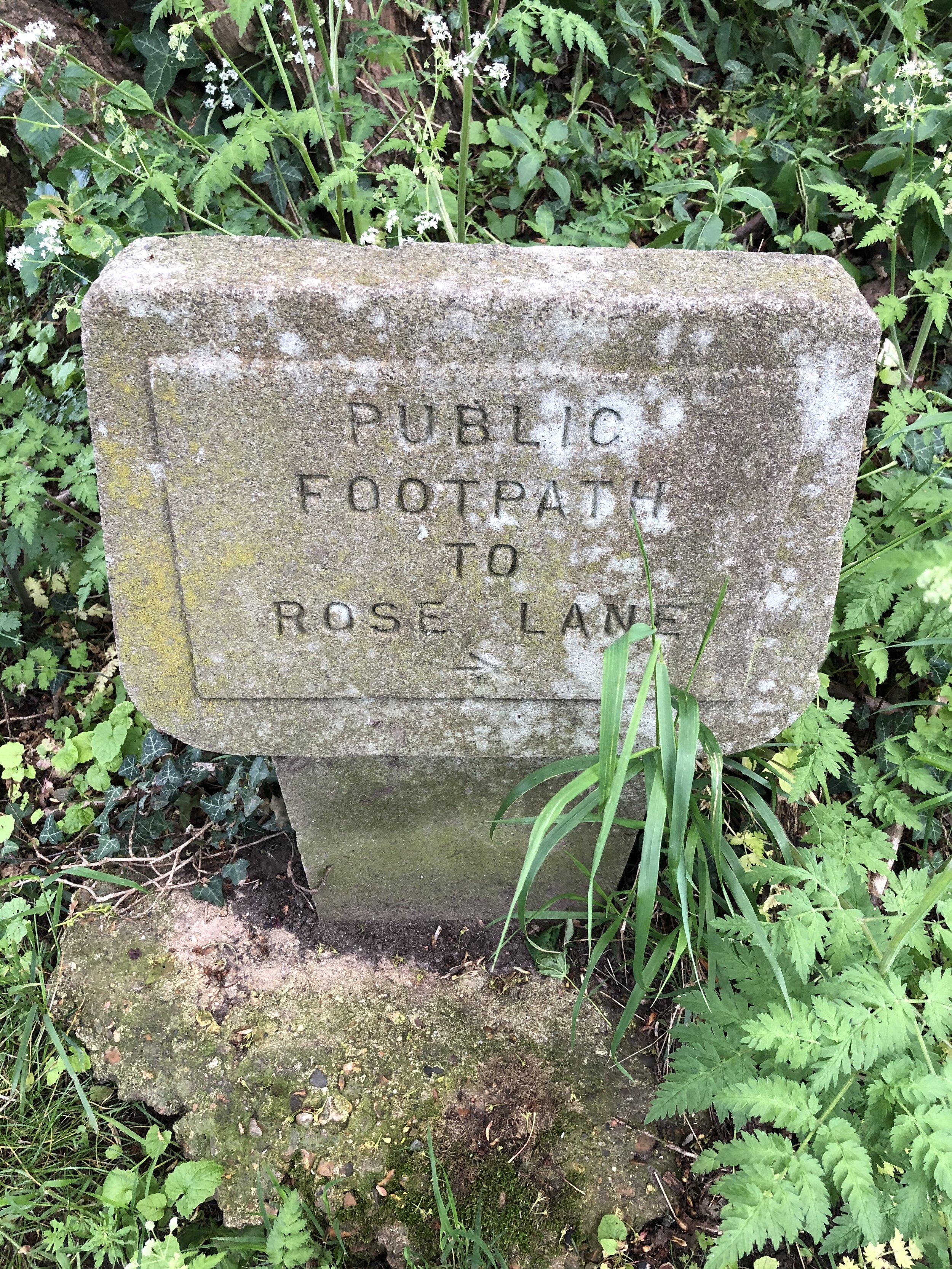
Pick up the Thames Path at the north end of High Street and follow it west for 2km to Frogmill. After the river-side houses, take the footpath on the left following it south down Black Boy Lane to the A4130 Henley Road. Turn left onto the A4130 following the pavement in front of the Black Boy pub then carefully cross the road and take the footpath heading south. Follow this path for ~1.5 km up the hill to meet the Chiltern Way Berkshire Loop.
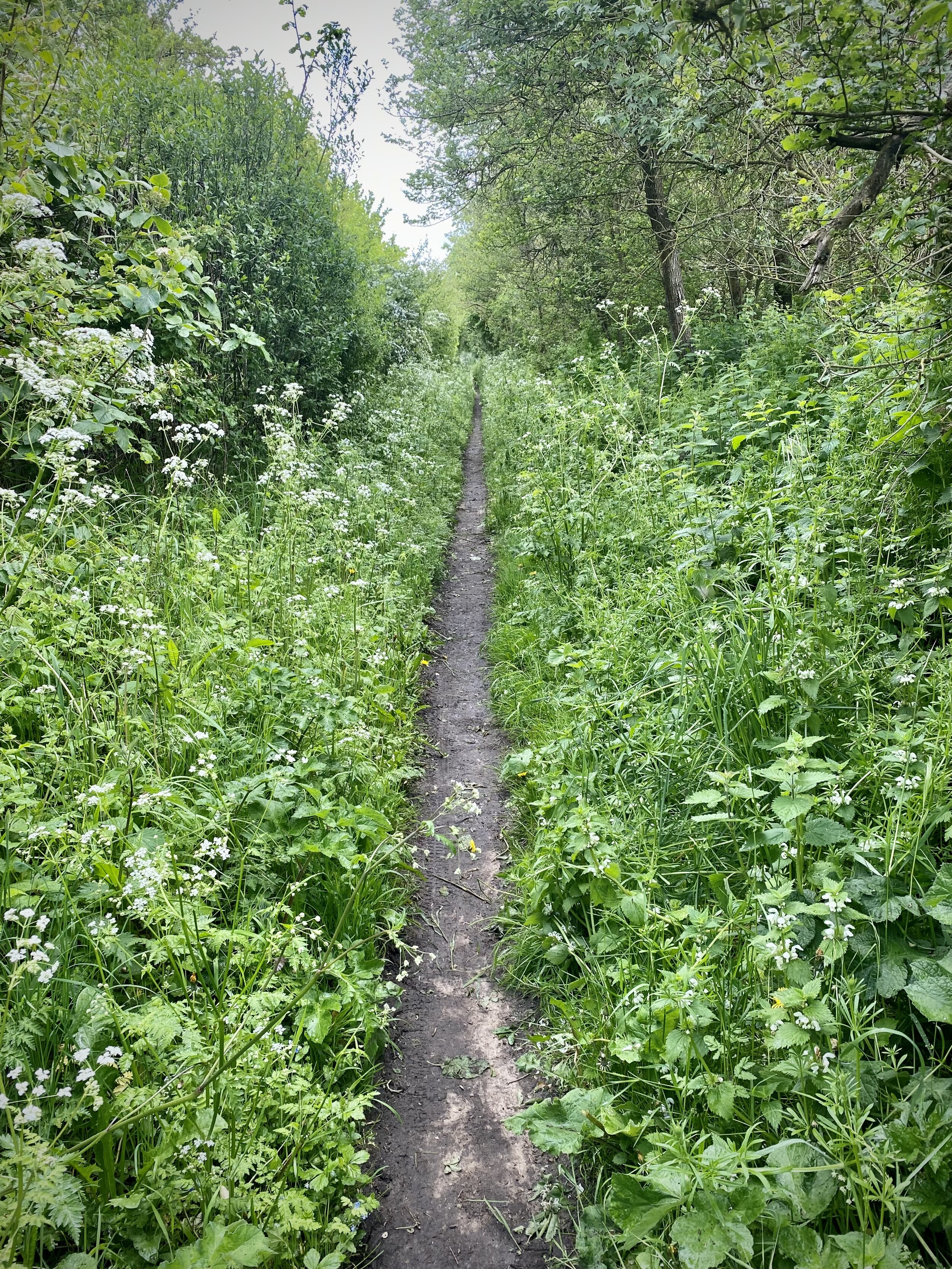
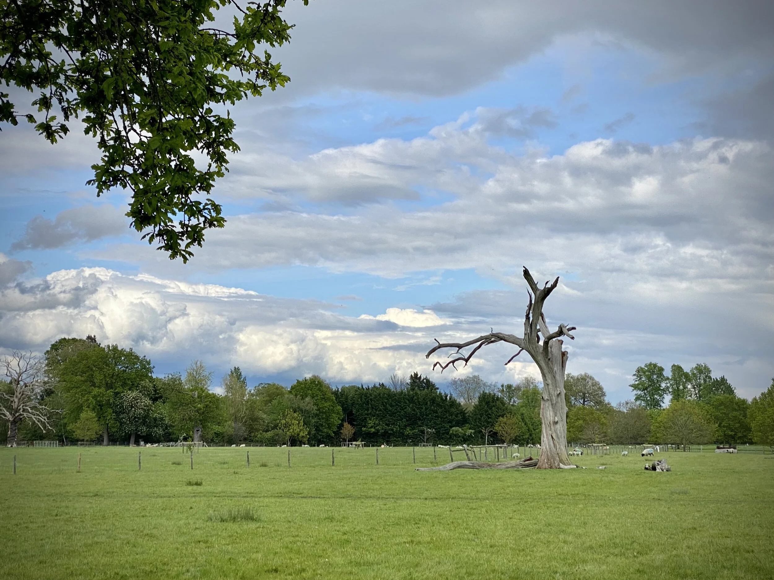
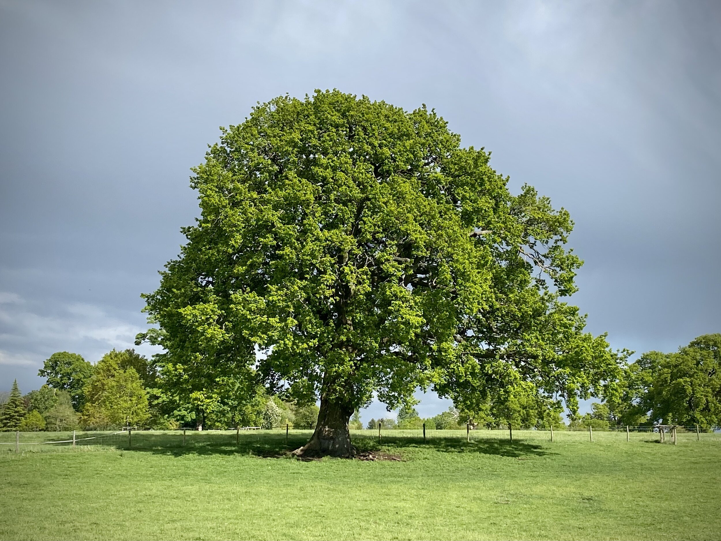
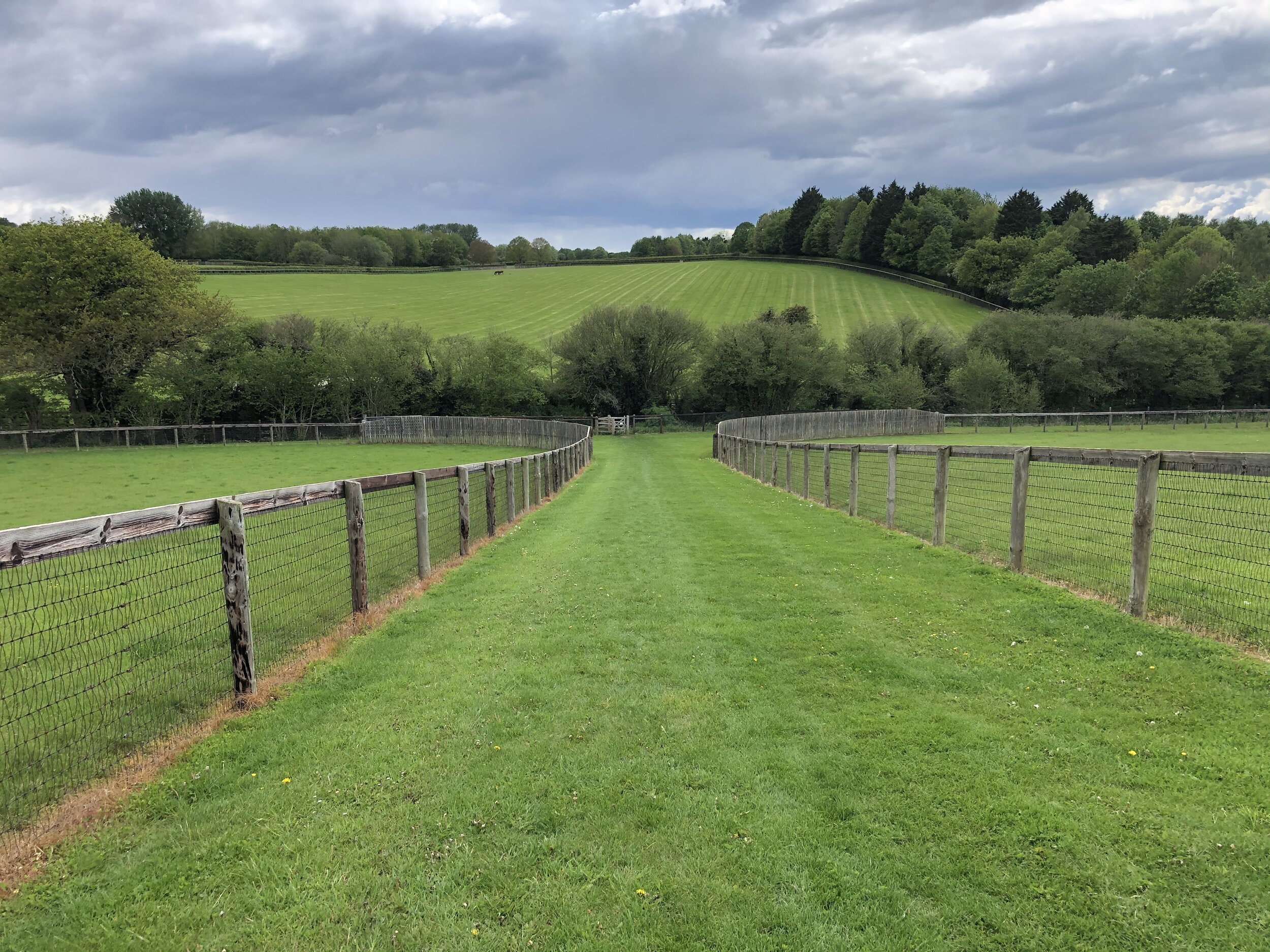
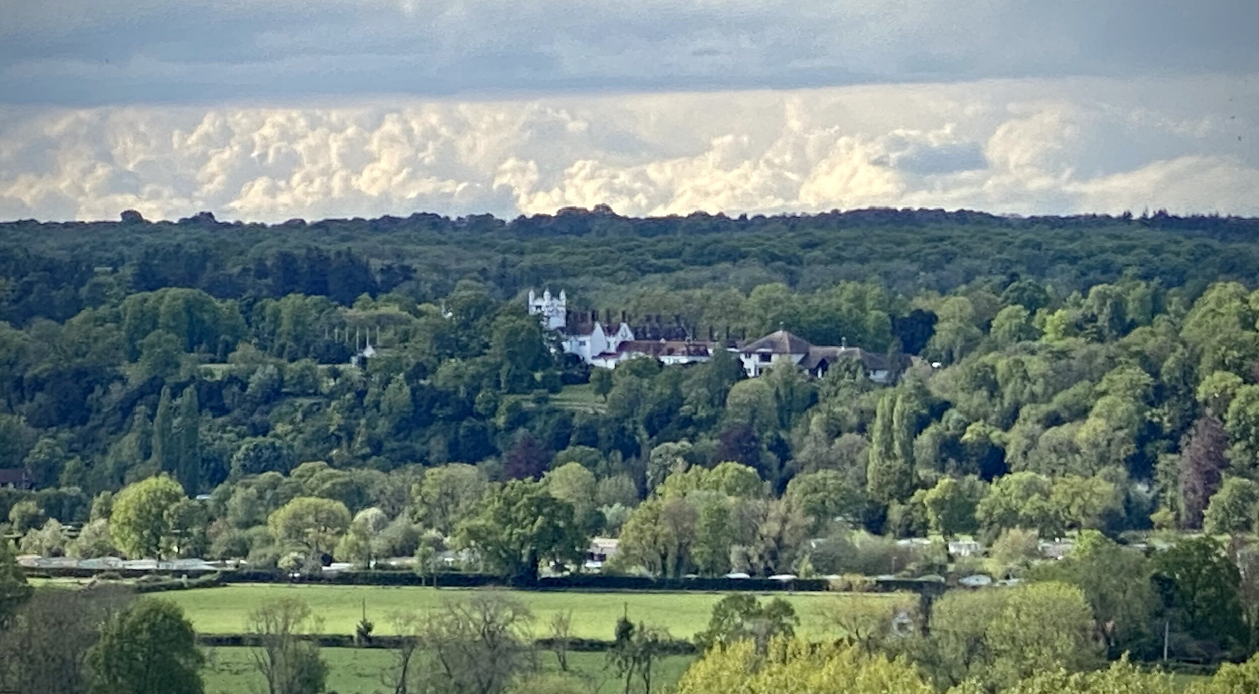
Take a left onto the Chiltern Way Berkshire Loop and follow it to the top of Ashley Hill. Here you’ll pass the house with the inaccessible OS Trig Pillar in its grounds. Continue along the Chiltern Way, now heading down the hill on the eastern side, and take the 2nd footpath on the left. Follow this path for 2km all the way back to the start, via the grounds of the Berkshire College of Agriculture.


Previous Thames Path Section (west): Aston and Crazies Hill
Next Thames Path Section (east): Marlow, Hurley, Temple and Bisham