Cycling The Nickey Line, Ayot Greenway and The Alban Way

On the Nickey Line
When Dr Beeching cut a large chunk of Britain’s rail network in the 1960s, Hertfordshire had a good share of the impact. The rail passengers’ loss later turned out to be the cyclists’ gain with several very enjoyable routes through the county.
This is a half day circular cycle route that follows three of Hertfordshire’s cycle paths along disused railways. It takes in the Nickey Line, Ayot Greenway and Alban Way. These were formerly the Harpenden to Hemel Hempstead Branch Railway, Dunstable Branch Line and Hatfield and St Albans Railway. Each of the lines have been adopted into the National Cycle Network and have been well restored.
The Lost Rails section of the Herts Memories web site is a great resource for the history of the lines.
Full Route Details
Start & Finish: Nickey Line Start, by The Midland Hotel, Midland Road, Hemel Hempstead, HP2 5BH
Distance: 54.2 km (34 miles)
Elevation change: +/- 364m
GPX File: get via Buy Me a Coffee
Map: OS Explorer Map (182) St. Albans and Hatfield

Cycle Route Elevation

Cycle Route Map
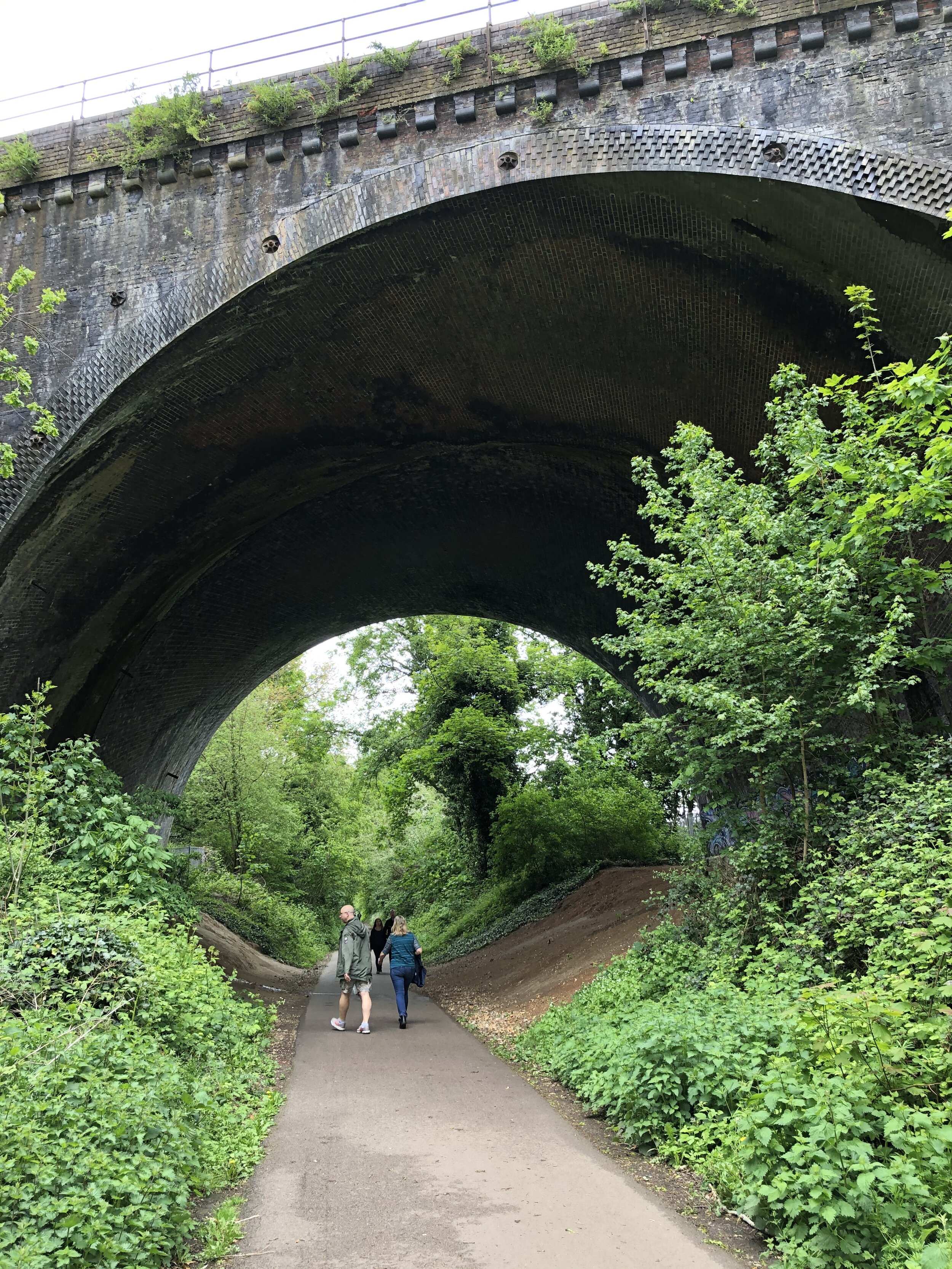
Section 1: The Nickey Line
Start: Nickey Line Start, by The Midland Hotel, Midland Road, Hemel Hempstead, HP2 5BH
Finish: Railway Bridge at Hollybush Lane, Harpenden (OS Grid Ref: TL 13426 15162)
Distance: 11.7 km (7.3 miles)
Elevation change: +94m / -77m (Net -17m)
Other routes touched (walk): Hertfordshire Way, River Ver Trail, Chiltern Way
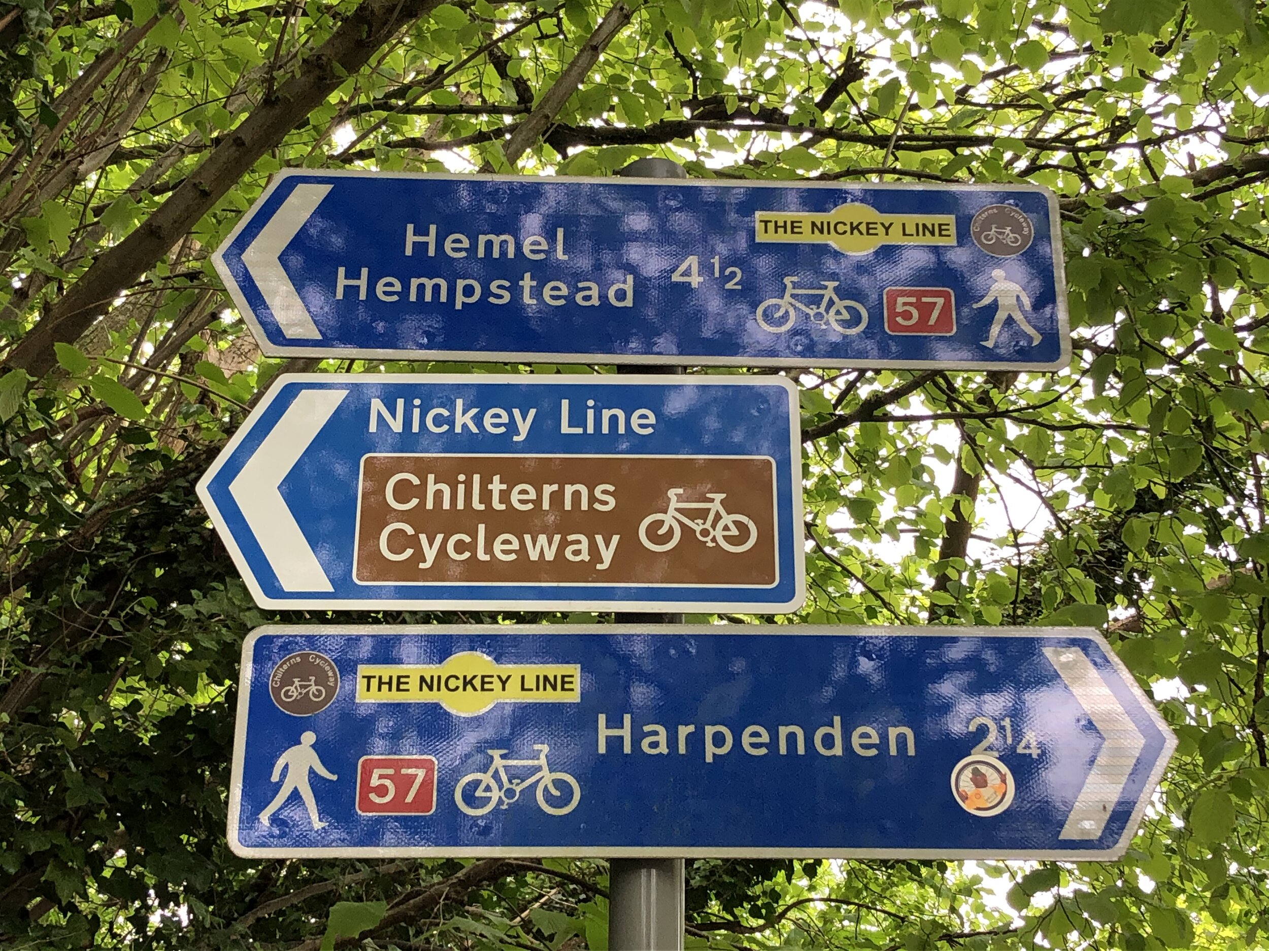
Other routes touched (cycle): NCN 57, Chilterns Cycleway
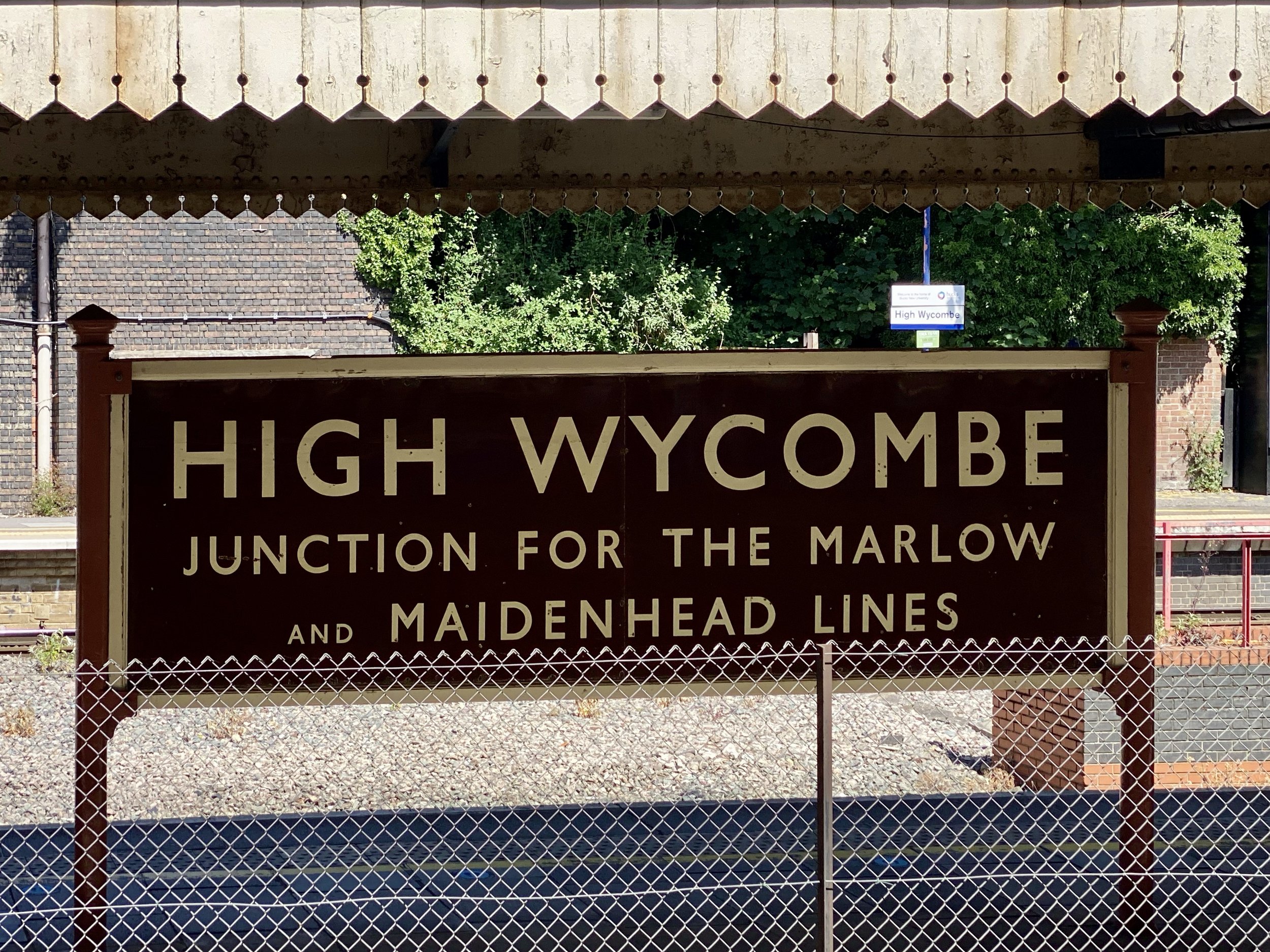
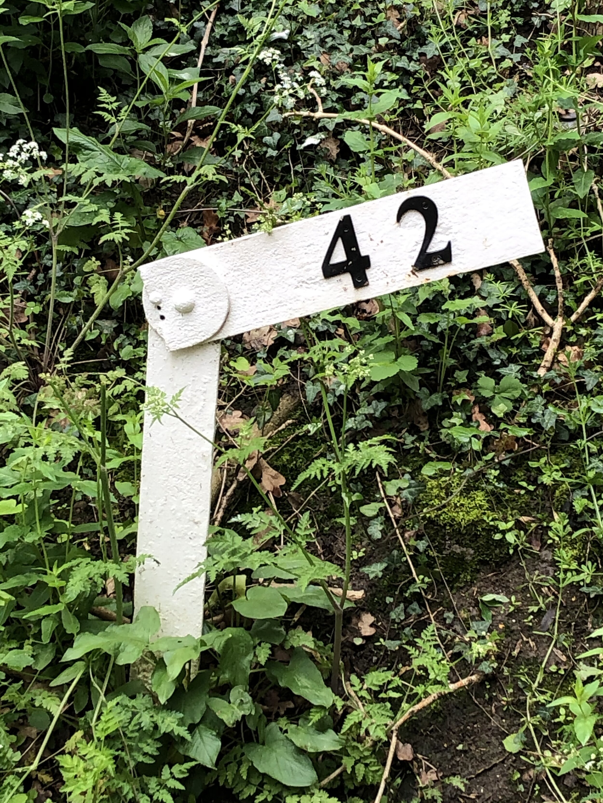
Disused Stations Passed: Hemel Hempsted, Godwin's Halt, Beaumont's Halt, Redbourn, Roundwood Halt
Pubs / Cafes on route: Midland Hotel at the Hemel Hempstead end
Links: Nickey Line (Wikipedia), Herts Memories: Nickey Line, Friends of The Nickey Line, Hemel Hempstead, Harpenden
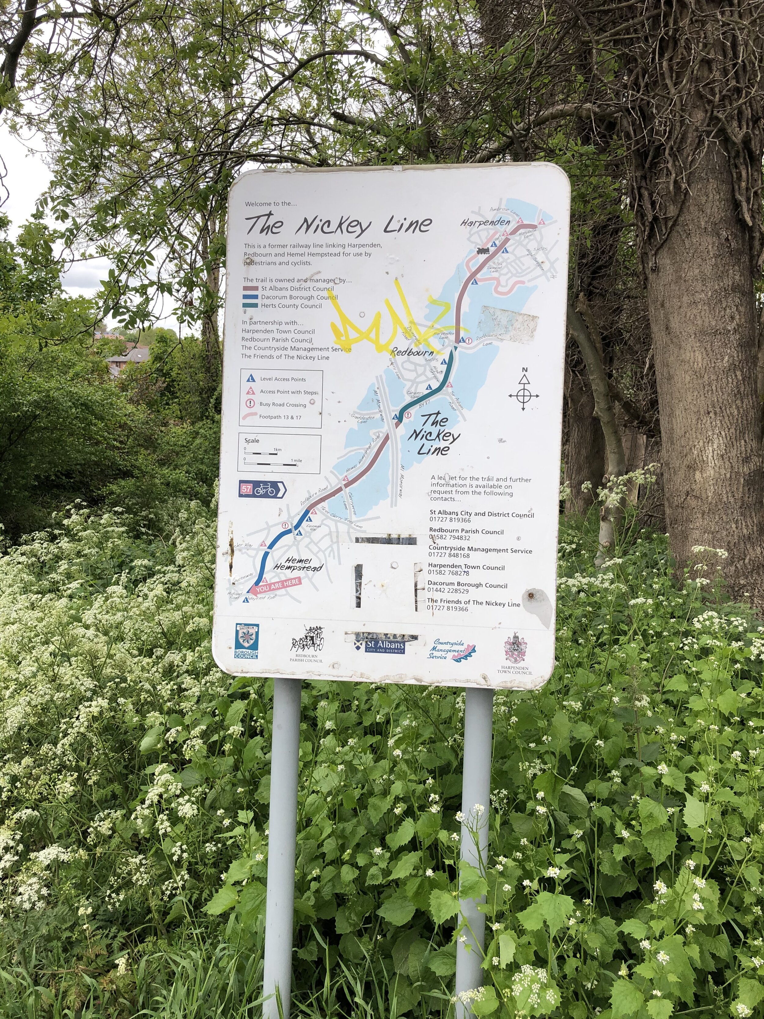
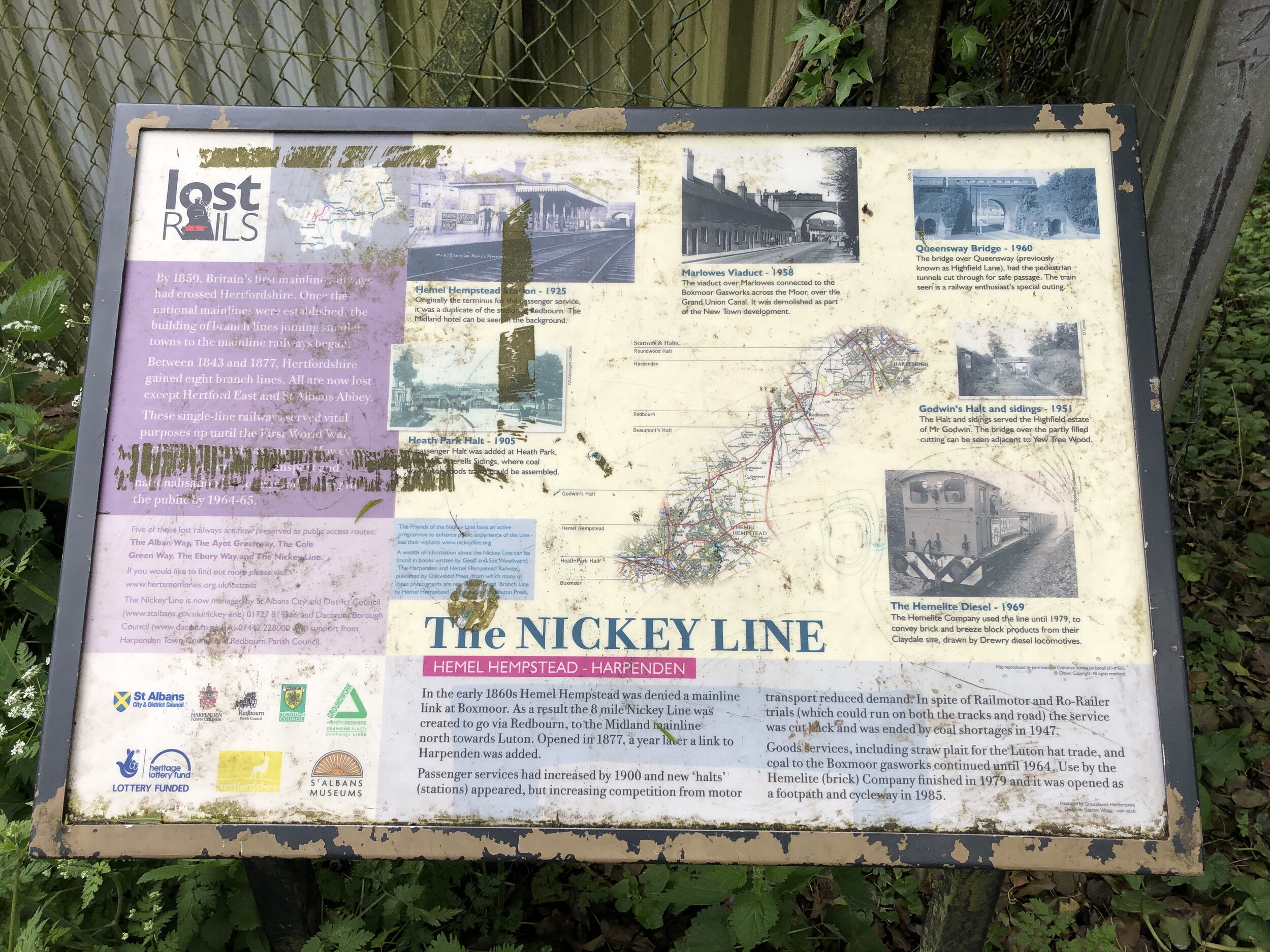
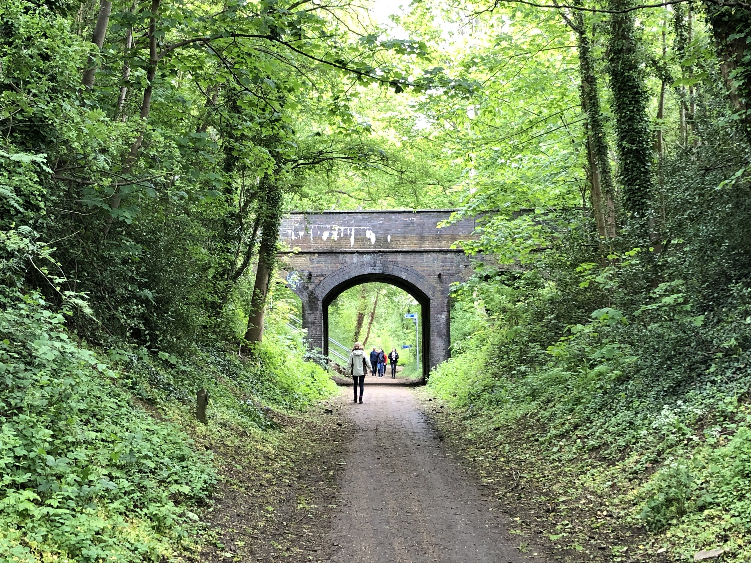
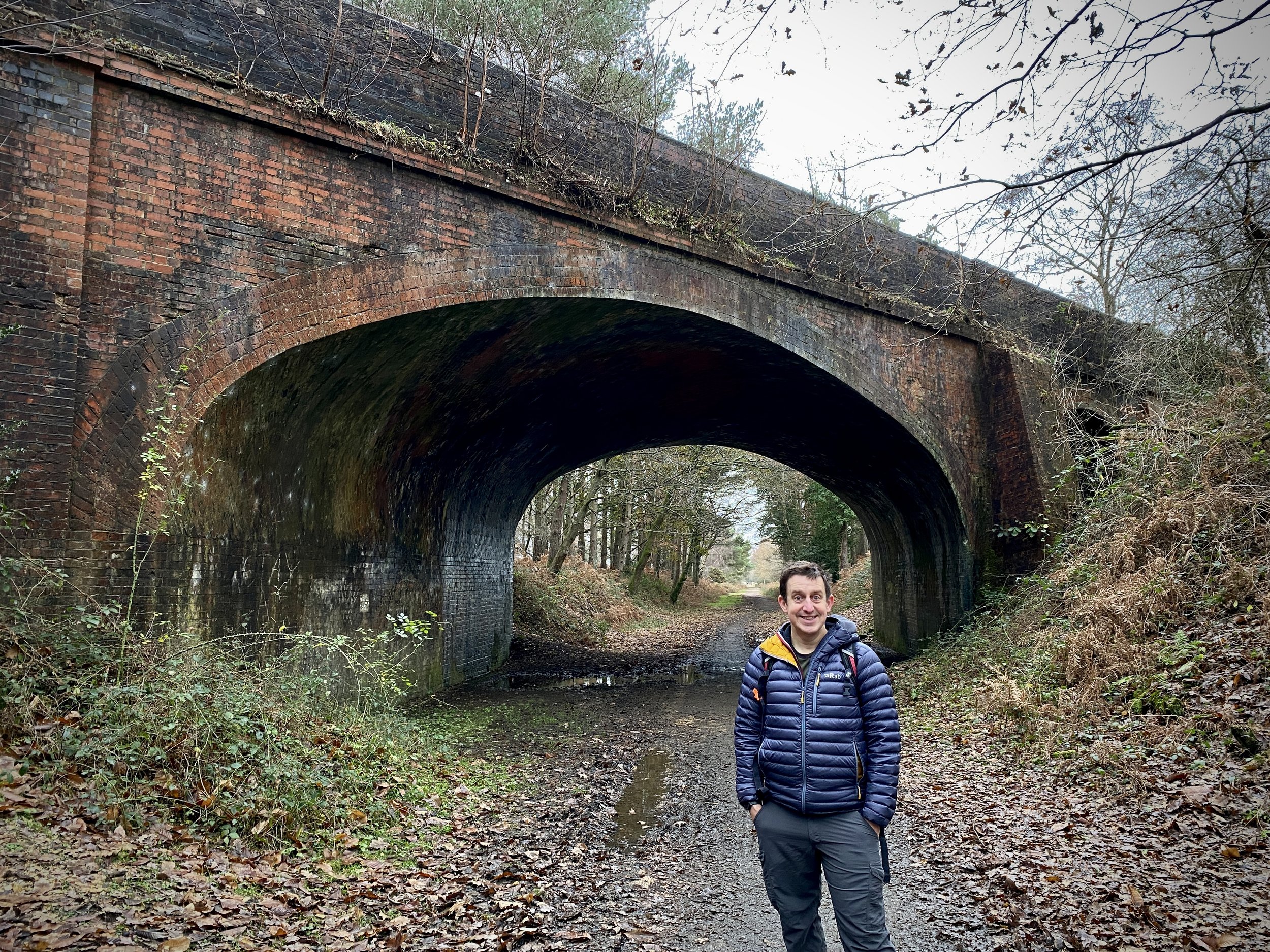
Although you can start the route at any point on it’s circuit I chose the most westerly point at Hemel Hempstead. The Nickey Line starts where Adeyfield Road crosses over what was the Harpenden to Hemel Hempstead Branch Railway. Here there was a station called Hemel Hempsted which sounds the same, but spelled slightly differently to Hemel Hempstead station (previously Boxmoor Station) to the south-west. The section of the route from Boxmoor to here is now completely missing, covered by housing.
There’s curb-side parking in some of the side streets near the start of the Nicky Line. Alternatively you add a couple of miles and can use the town centre car parks or access via Hemel Hempstead (Boxmoor) station if you’re coming by train.
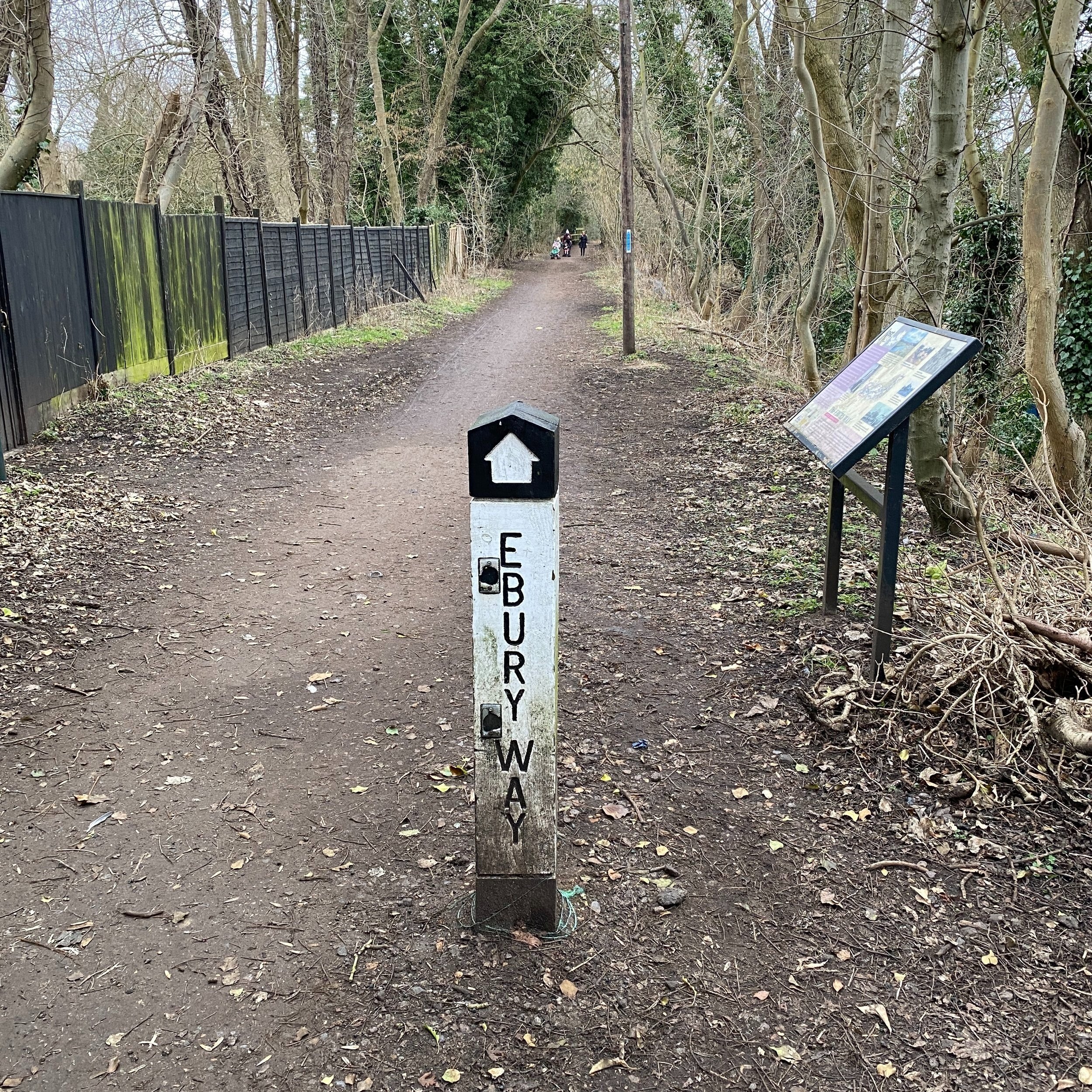
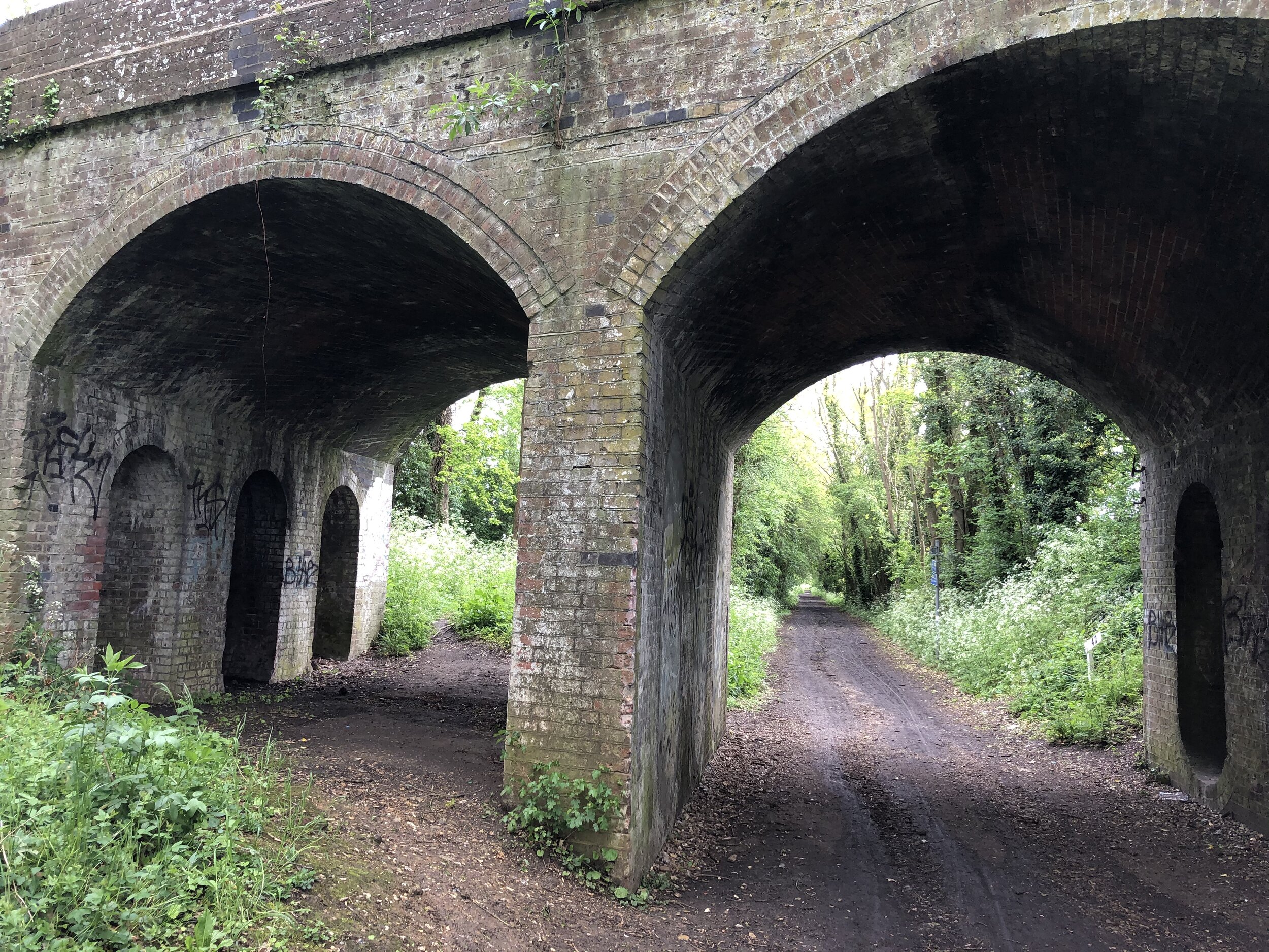
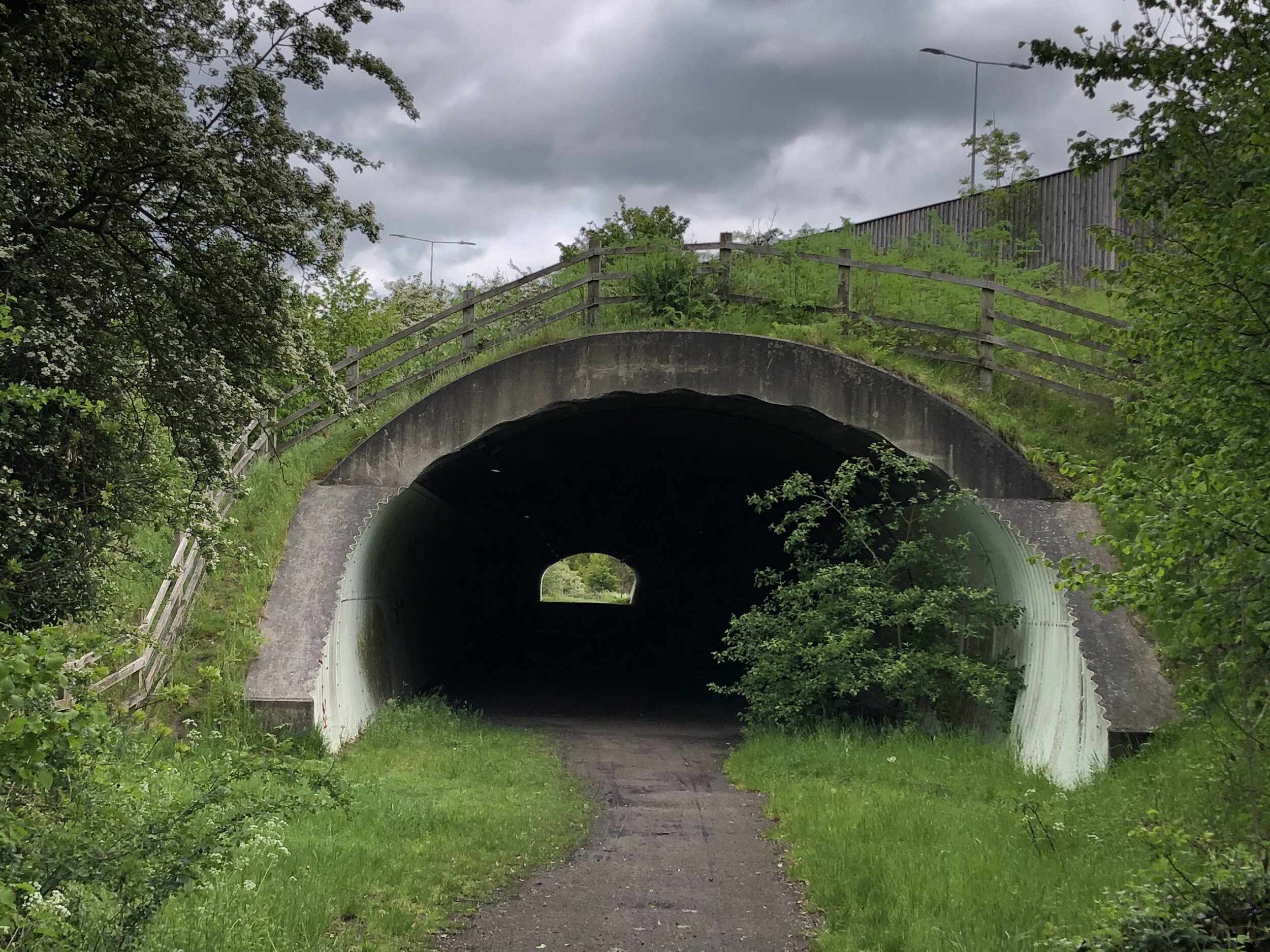
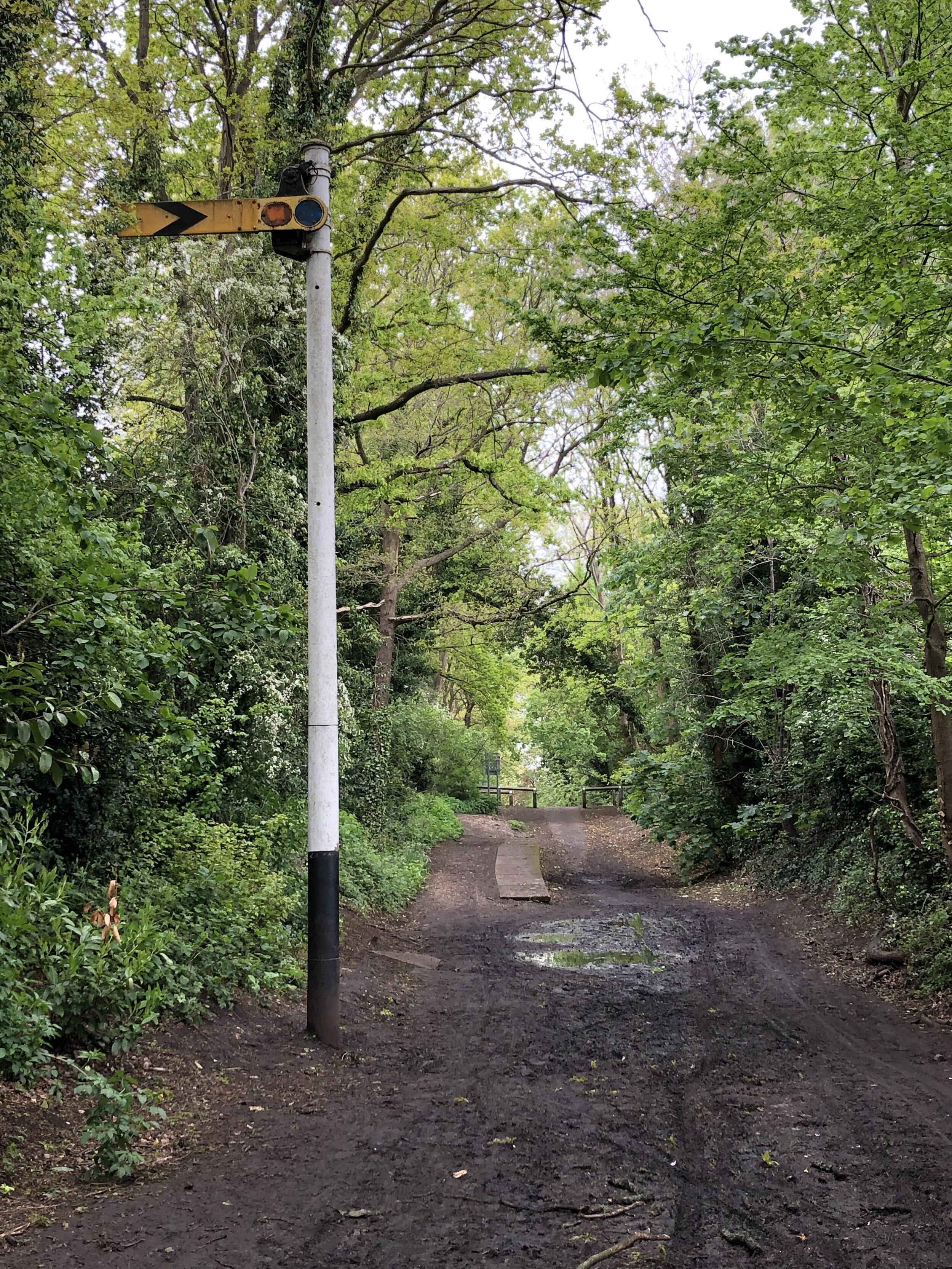
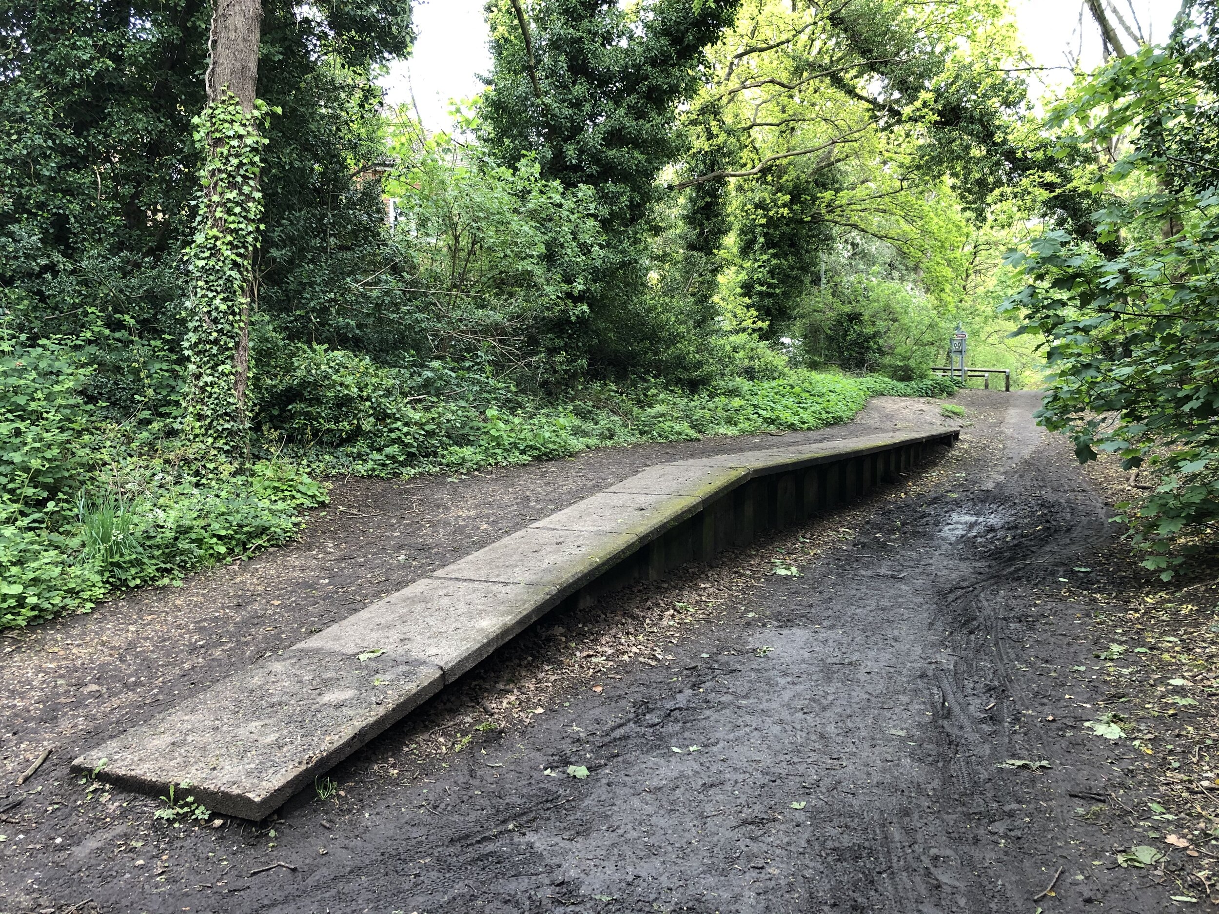
Once on the Nicky Line, it’s a smooth easy to navigate, route all the way to Harpenden. There’s not much left of the 4 previous stations along the way, but several information signs to show you where they were.
Section 2: The Ayot Greenway
Start: Intersection of Lea Valley Walk and Westfield Road, Harpenden (OS Grid Ref: TL 13883 15861)
Finish: Sherrardspark Wood (OS Grid Ref: TL 22861 13396)
Distance: 11.7 km (7.3 miles) including the extra section of disused railway from Harpenden
Elevation change: +102m / -82m (Net -20m)
Other routes touched (walk): Lea Valley Walk, Hertfordshire Way, WCG 100 Centenary Walk
Other routes touched (cycle): NCN 57, 12, Chilterns Cycleway
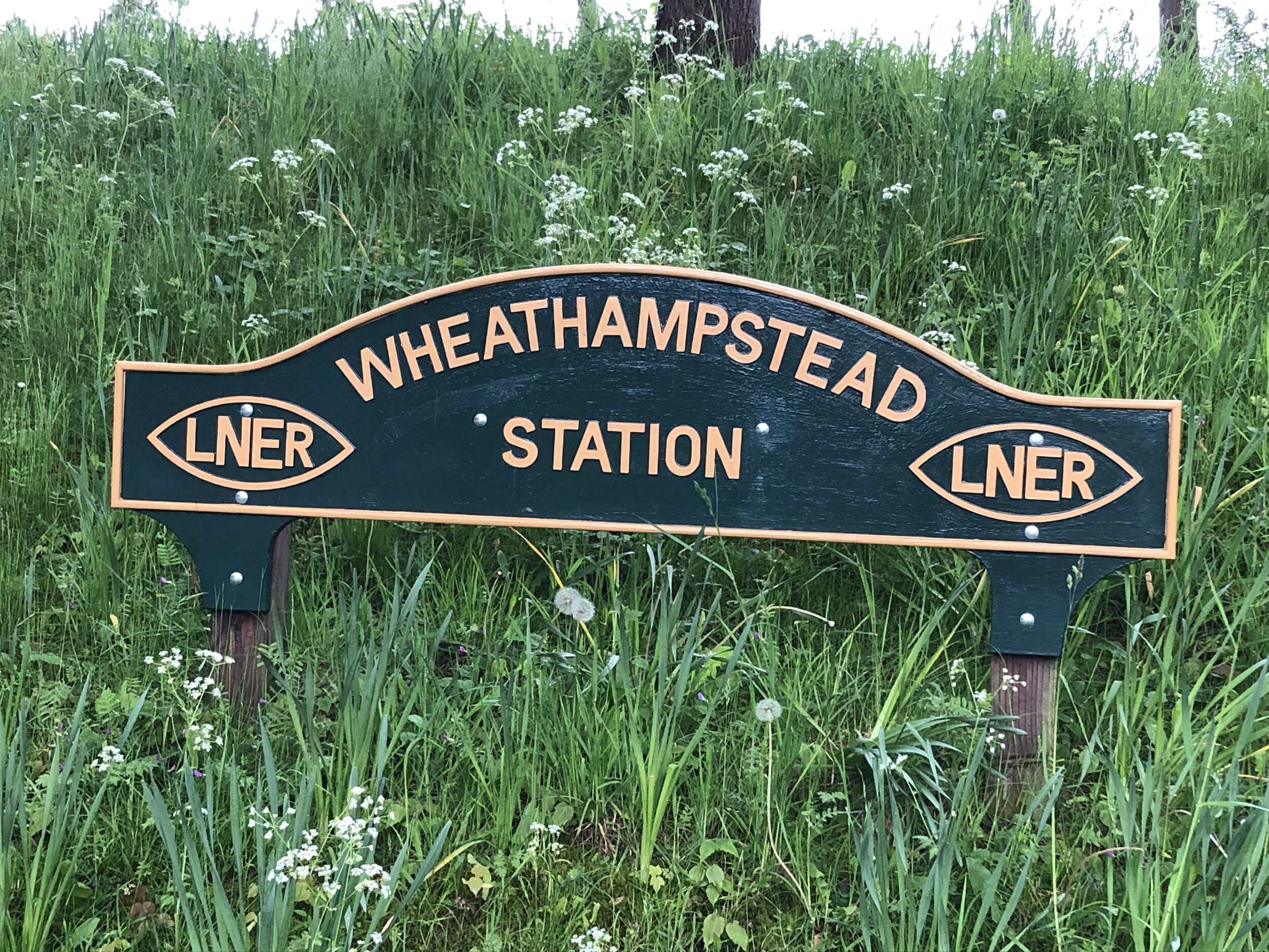
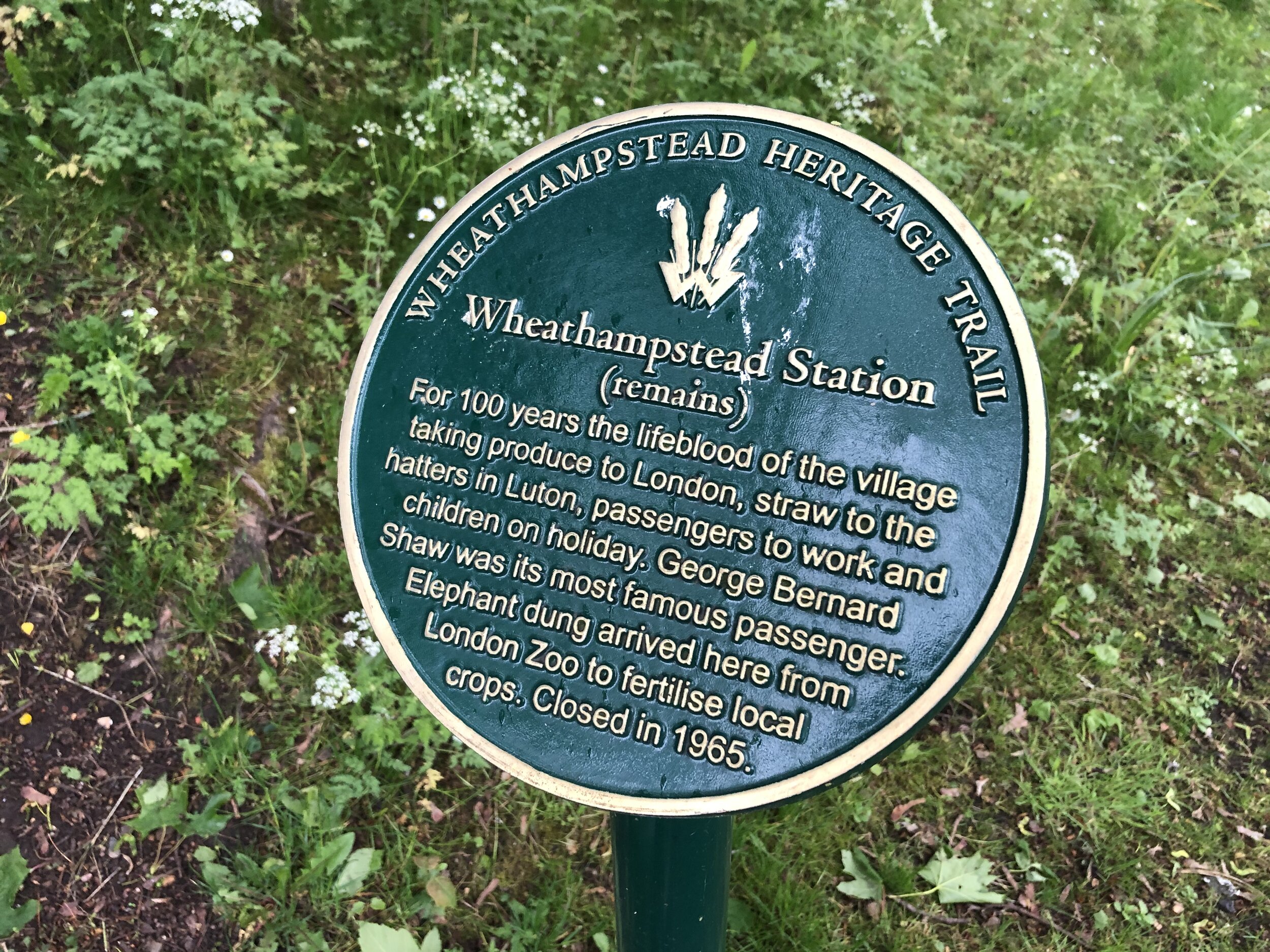
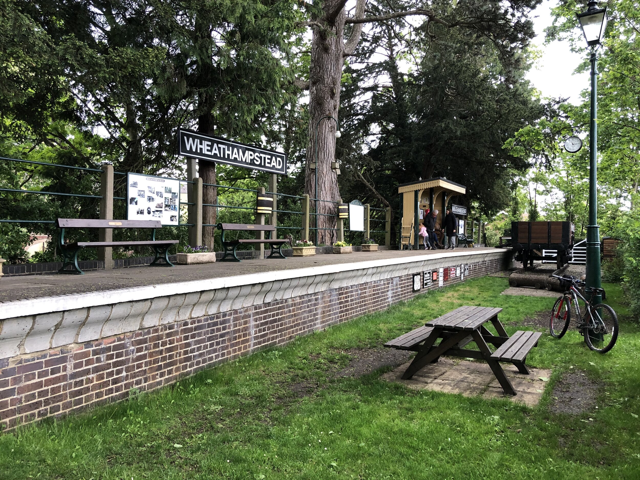
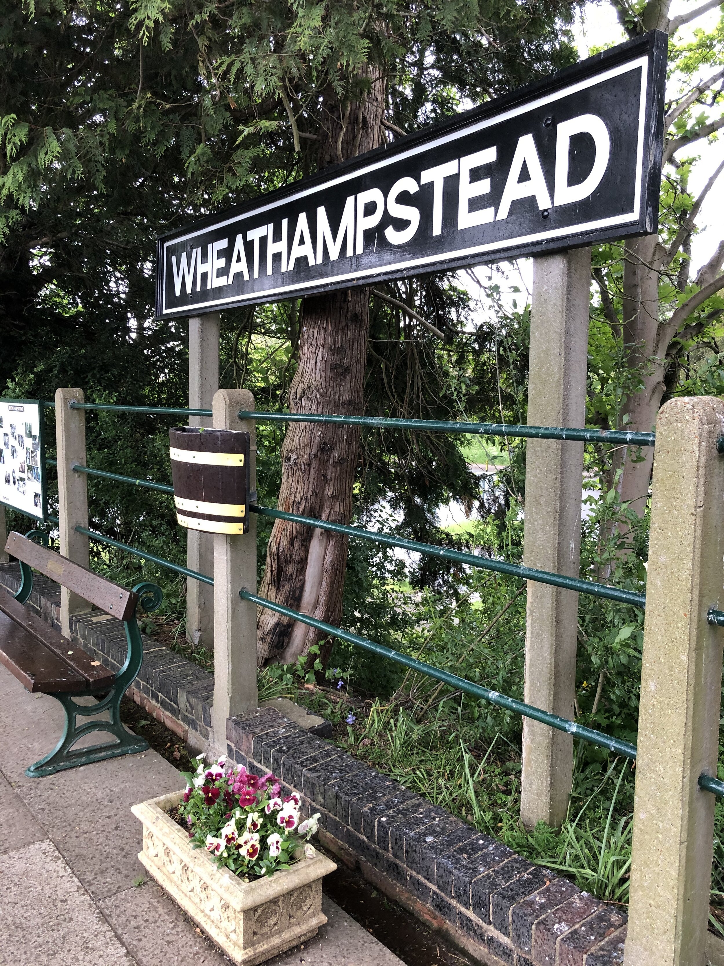
Disused Stations Passed: Wheathampstead, Ayot
Pubs / Cafes on route: Charlie's Cafe Wheathamstead (AL4 8BU) plus several in Welwyn Garden City after the Greenway
Links: Ayot Greenway (Wikipedia), Herts Memories: Ayot Greenway, Dunstable Branch Line, Wheathampstead, Ayot Green, Ayot St. Peter, Sherrardspark Wood
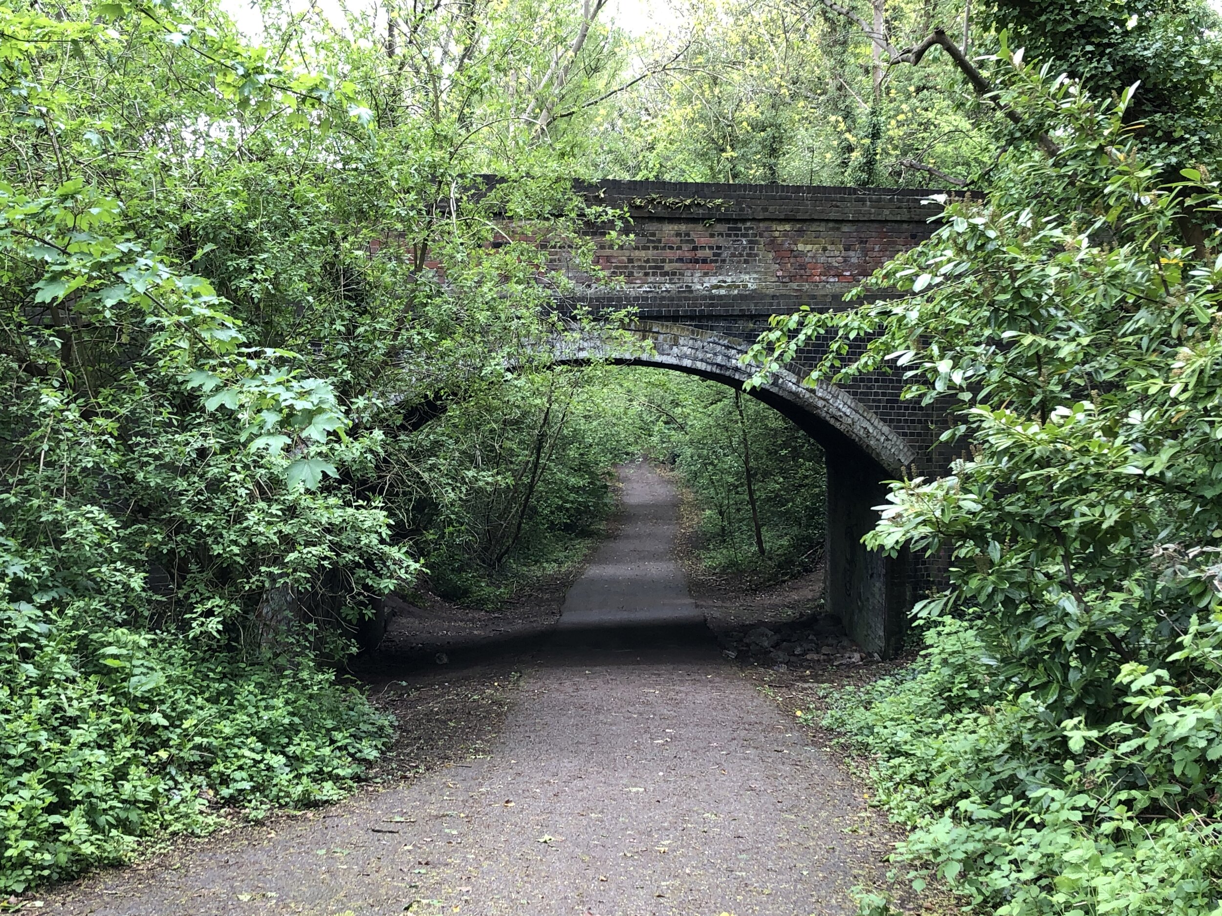
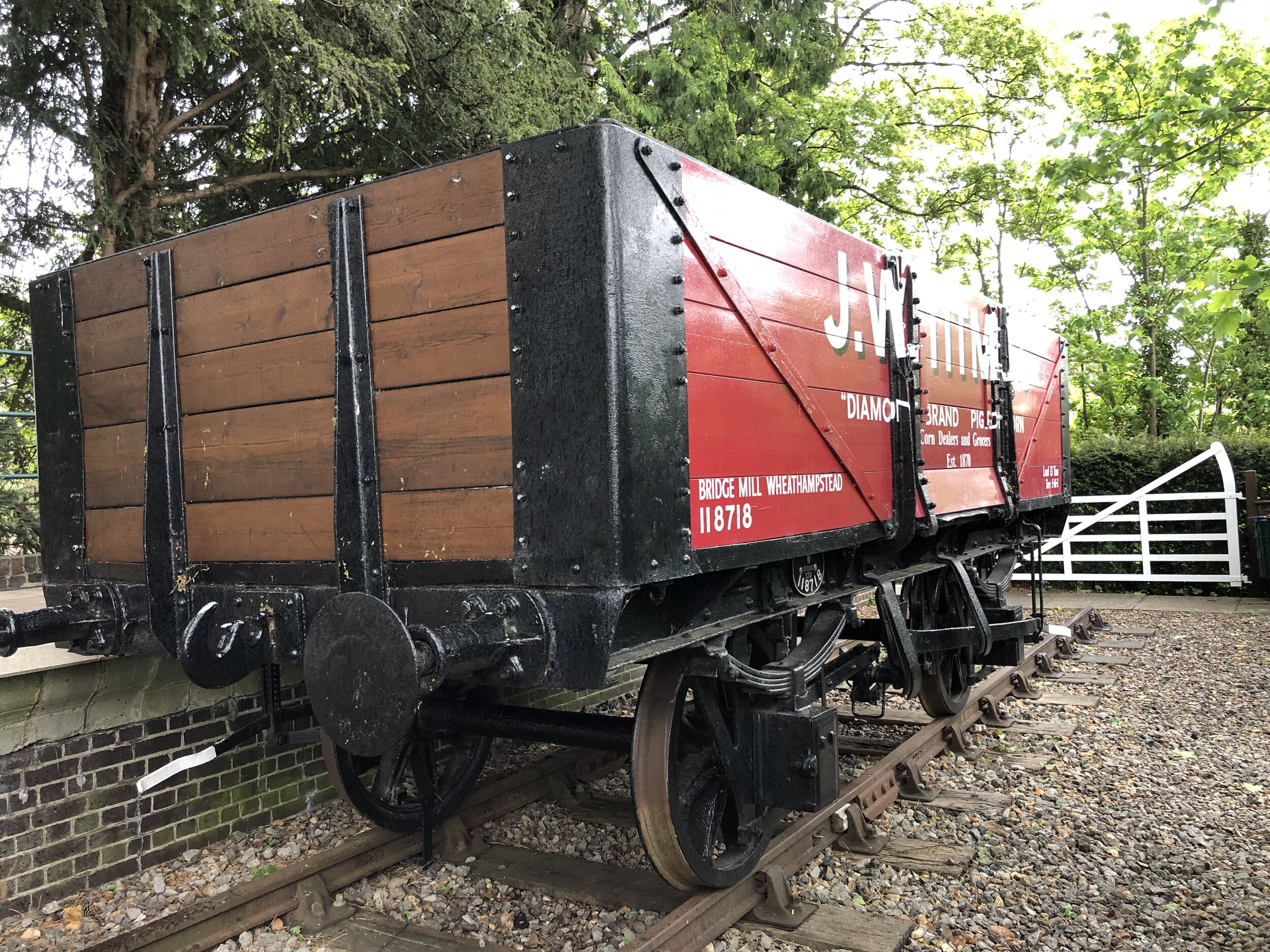
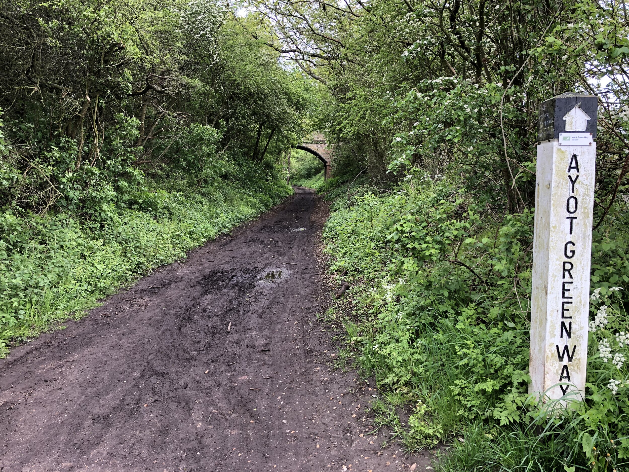
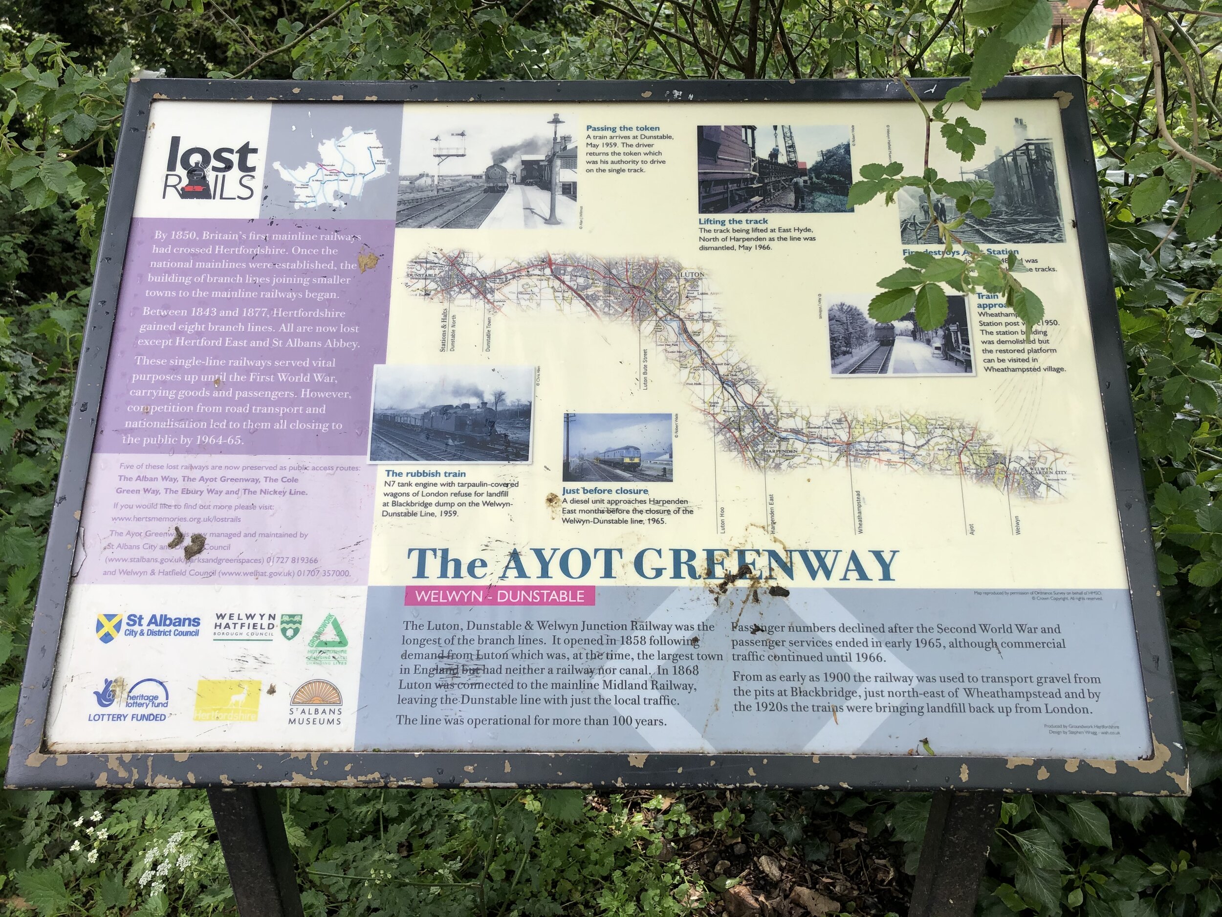
The actual Ayot Greenway starts from Wheathampstead Station but it’s part of a group of cycle paths that trace the old Dunstable Branch Line. The distance and elevation stats below include the full stretch of the disused railway from Harpenden.
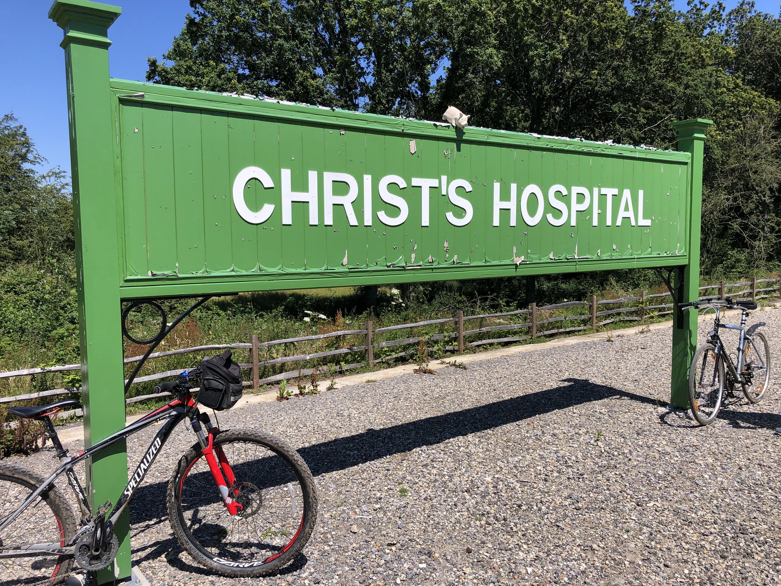
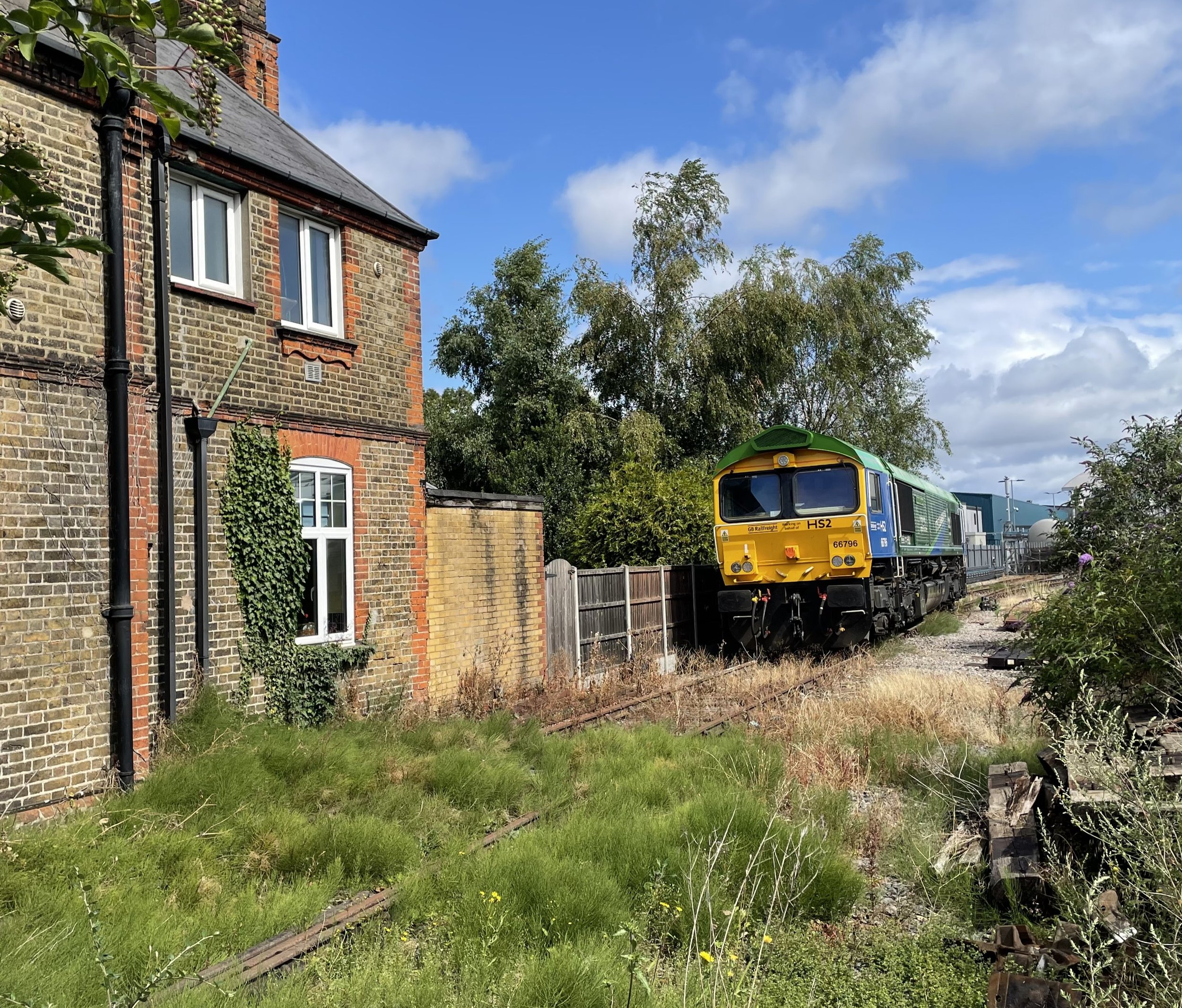
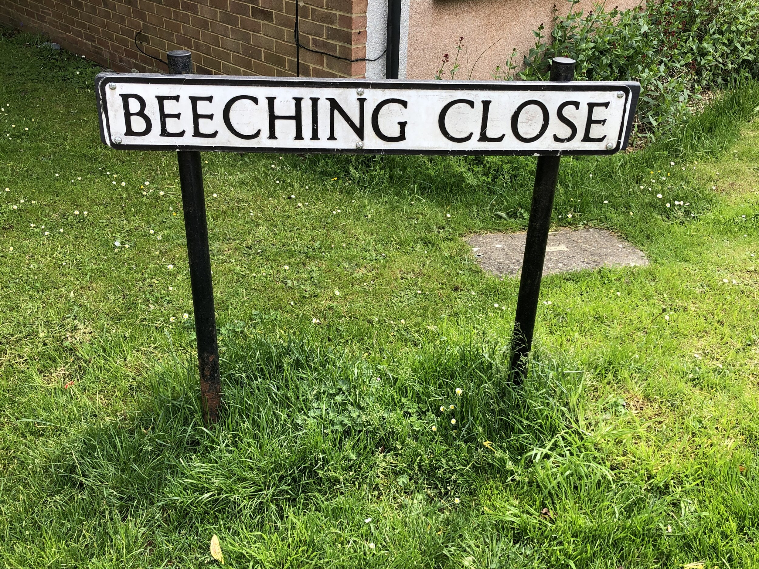
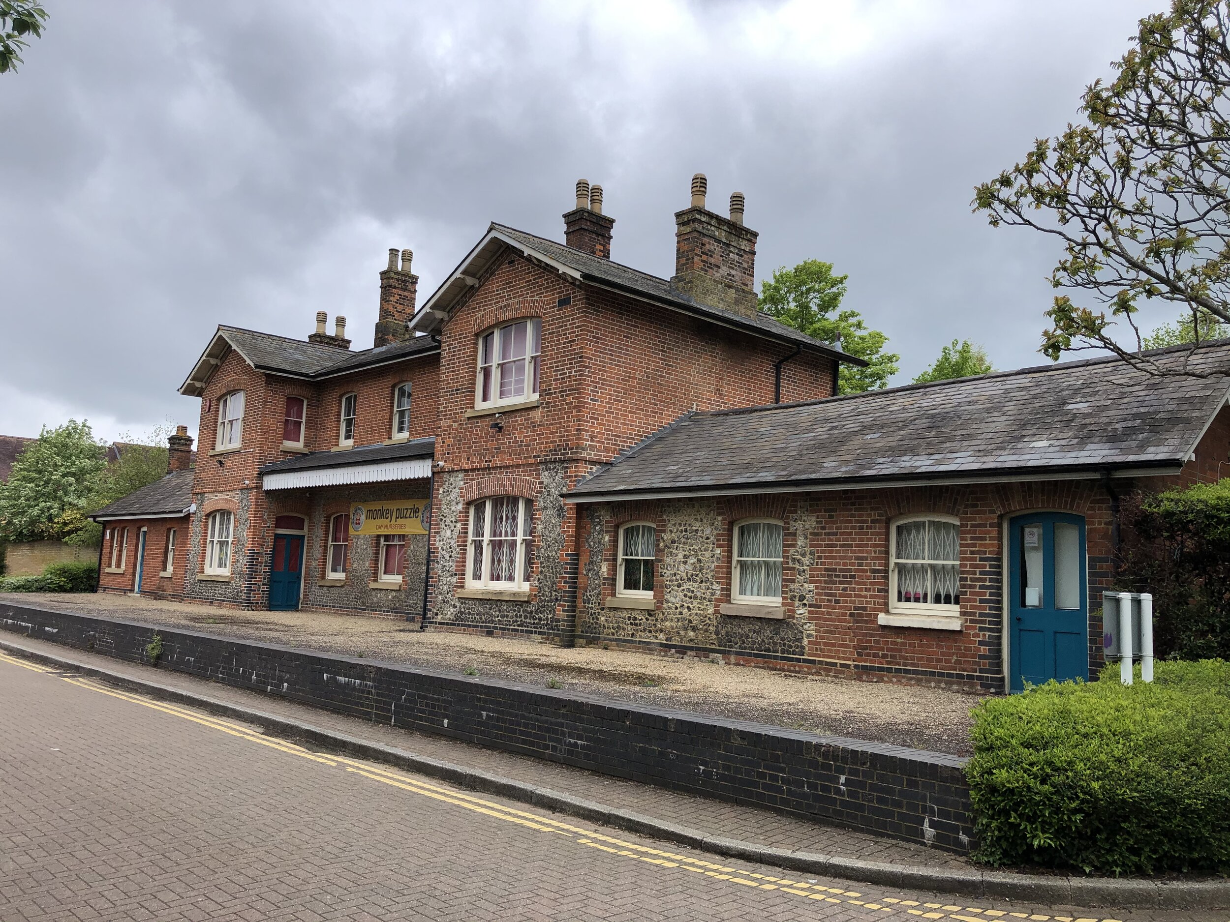
From the Hollybush Lane bridge that marks the end of the Nickey Line there’s two ways to connect to the old Dunstable Branch Line. One option is to continue along the NCN 57 to join at Hickling Way. The alternative route that I took was to turn left onto Westfield Road, heading north along the Chilterns Cycleway. Take the path on the left after Beeching Close to keep on the Cycleway as it joins the Lea Valley Path. Whichever option you take you’ll end up following the NCN 57, Chilterns Cycleway and Lea Valley Path in a south-easterly direction. At the junction with Cherry Tree Lane, turn left, then right onto B653 Lower Luton Road. Follow this for ~1.5km to the roundabout where you’ll find the beautifully preserved Wheathampstead Station on the south east corner. Stop here for a rest before heading south down Station Road. Take a left onto Mount Road where you’ll pick up the NCN 57 again and the start of the Ayot Greenway. Follow this in an easterly direction to Ayot Green.
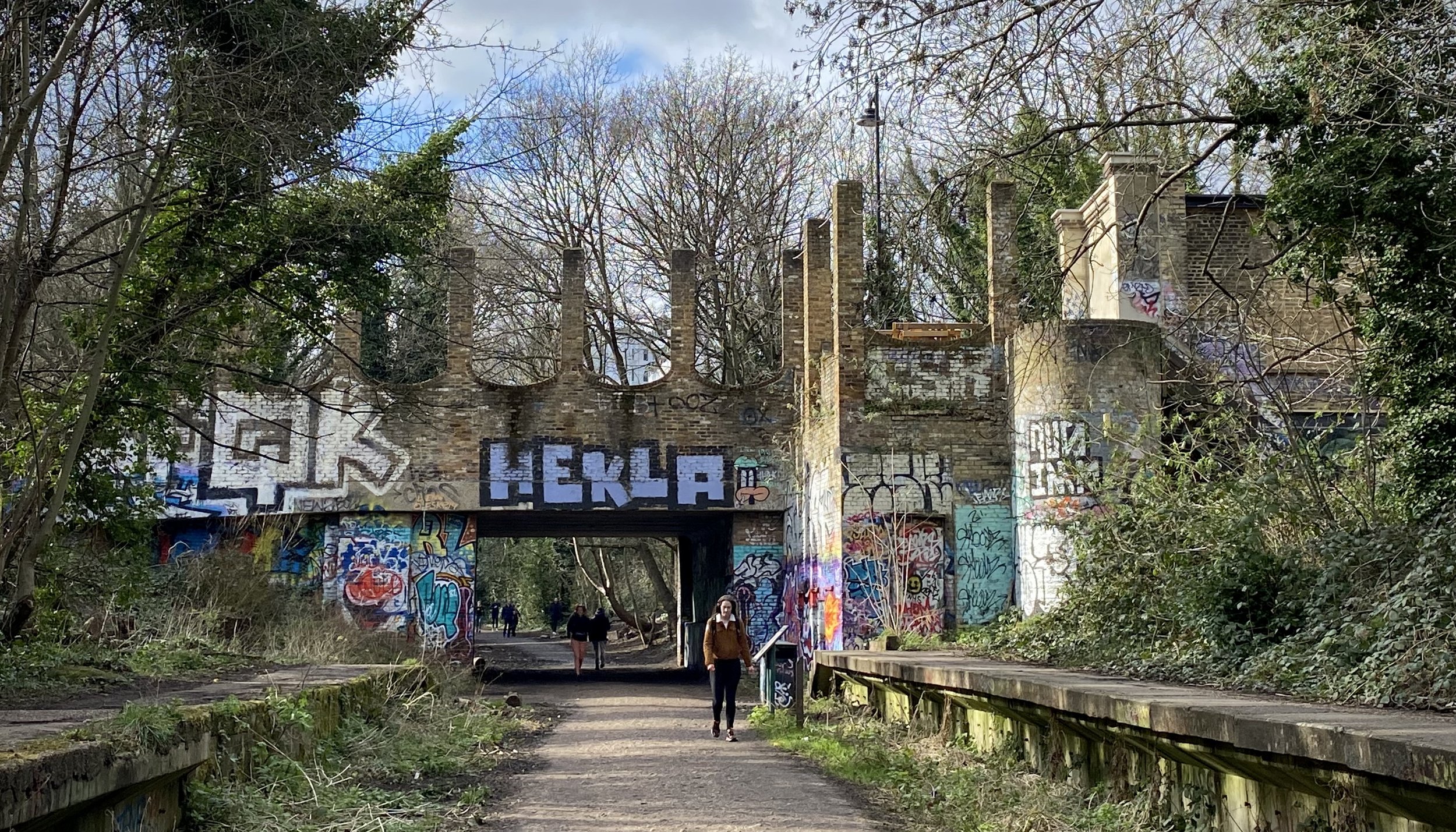
The sign-posted Ayot Greenway ends at Ayot Green but you can continue following the NCN 57 over the A1, picking up the path of the old railway at Sherrardspark Wood.
Section 3: The Alban Way
Start: Small park off the Great North Road Hatfield (OS Grid Ref: TL 23173 09327)
Finish: Cottonmill Lane, St Albans (OS Grid Ref: TL 23173 09327)
Distance: 9.5 km (5.9 miles)
Elevation change: +39m / -36m (Net +3m)
Other routes touched (walk): St Albans Green Ring
Other routes touched (cycle): NCN 61
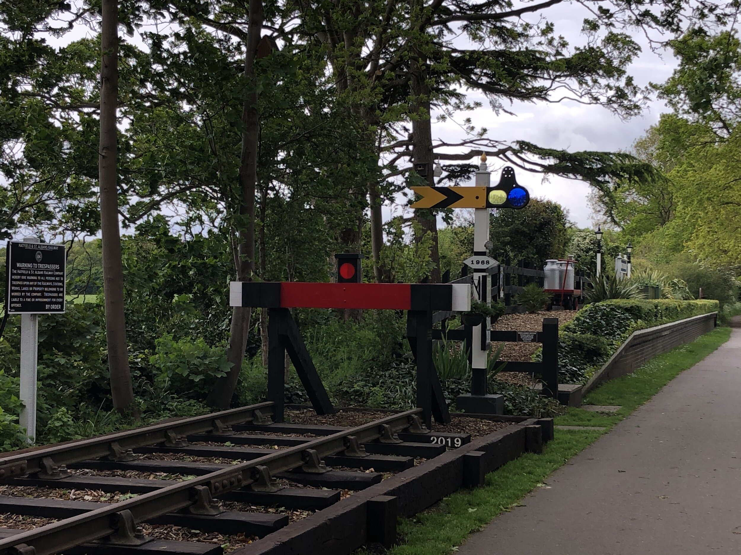
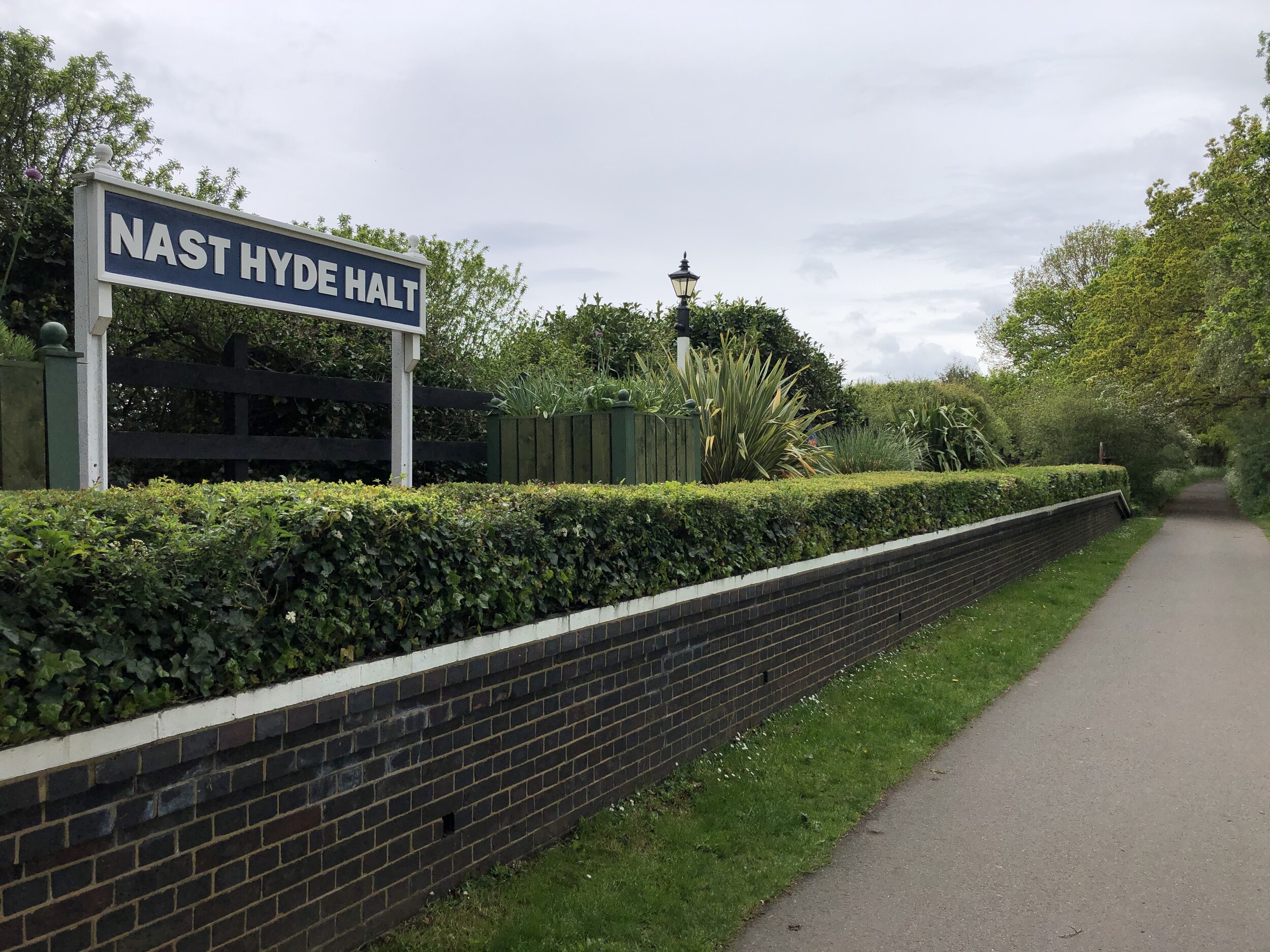
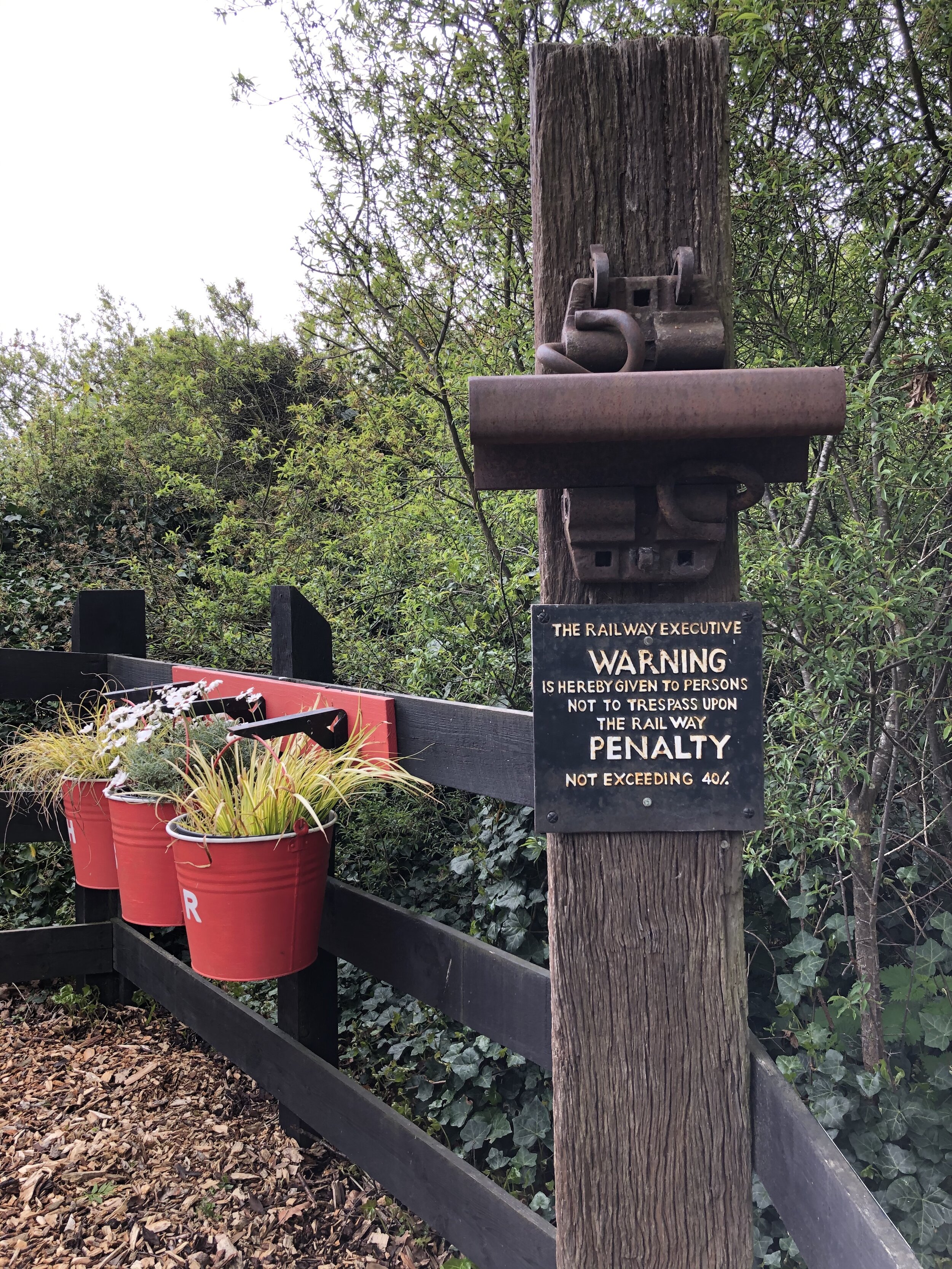
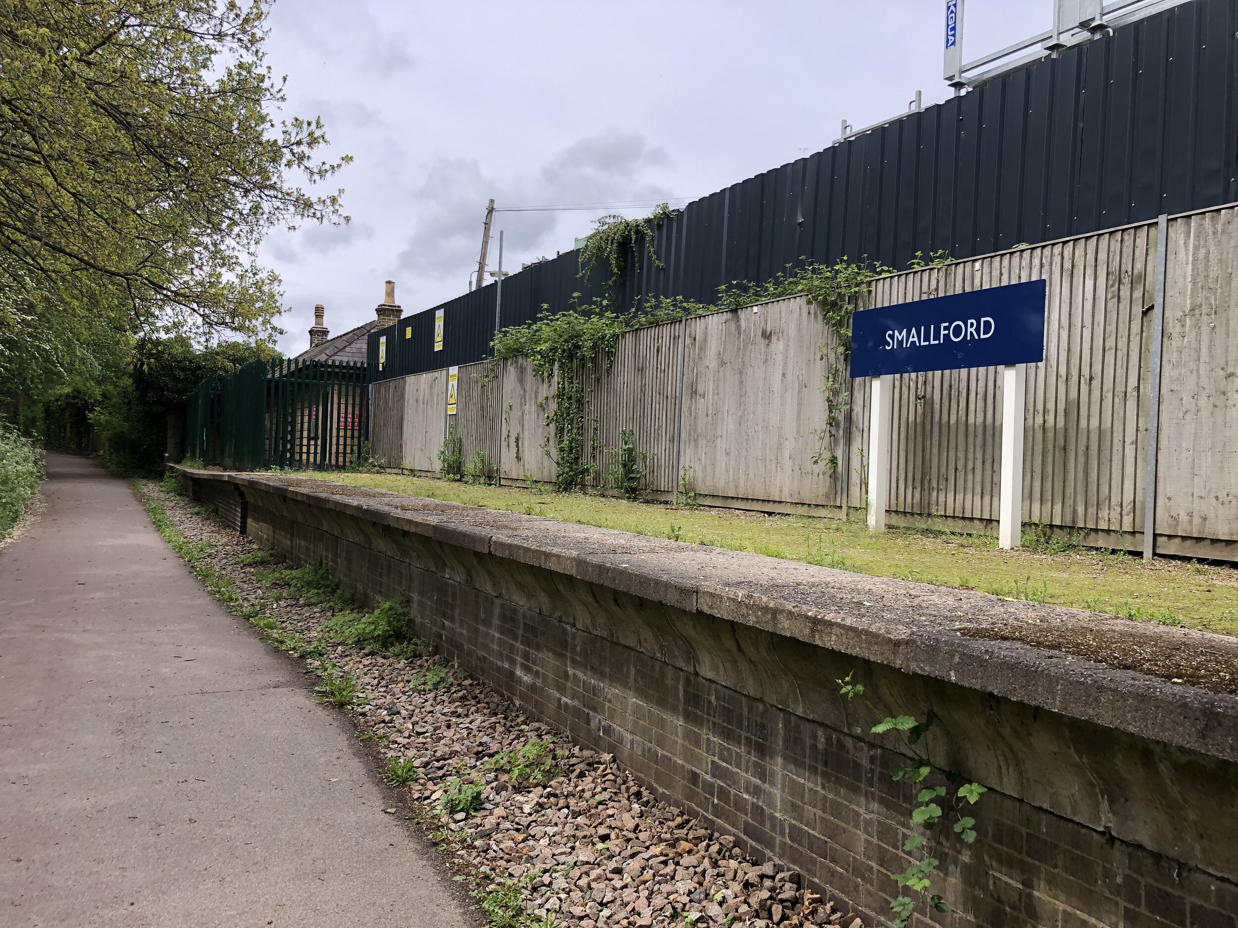
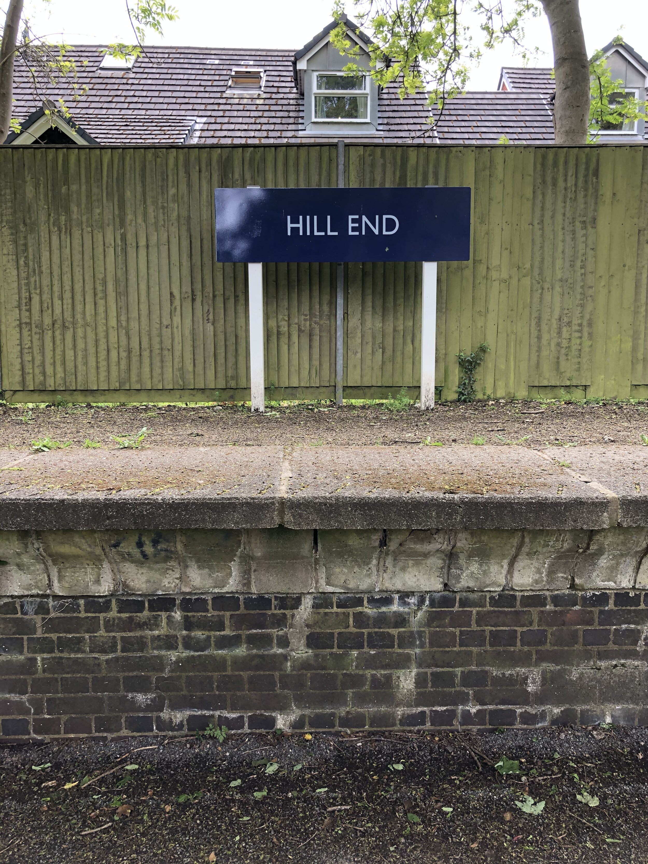
Disused Stations Passed: Lemsford Road Halt, Nast Hyde Halt, Smallford, Hill End, Salvation Army Halt, London Road Station
Pubs / Cafes on route: none
Links: Alban Way (Wikipedia), Hatfield and St Albans Railway, Herts Memories: Alban Way, Hatfield, St Albans
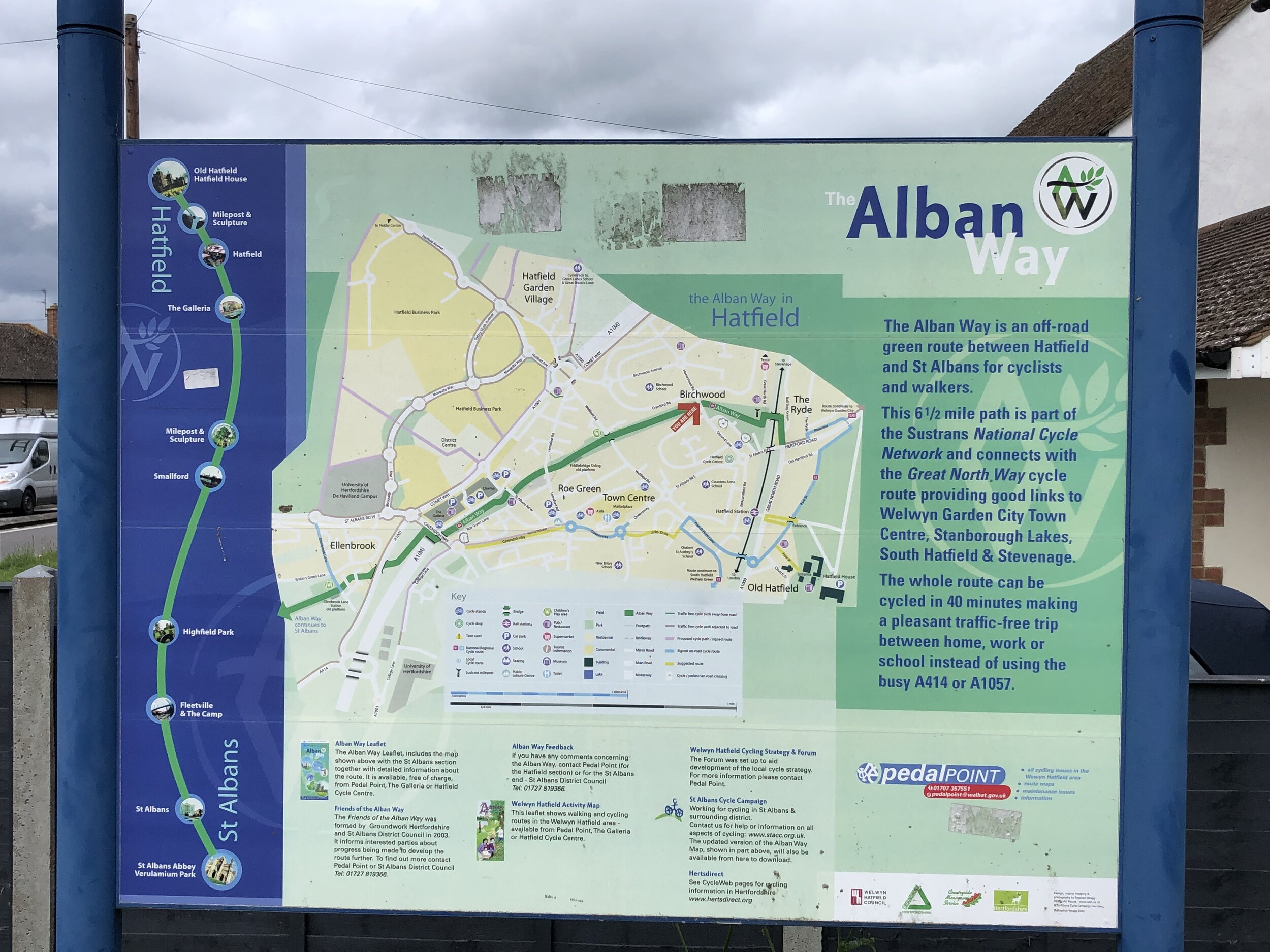
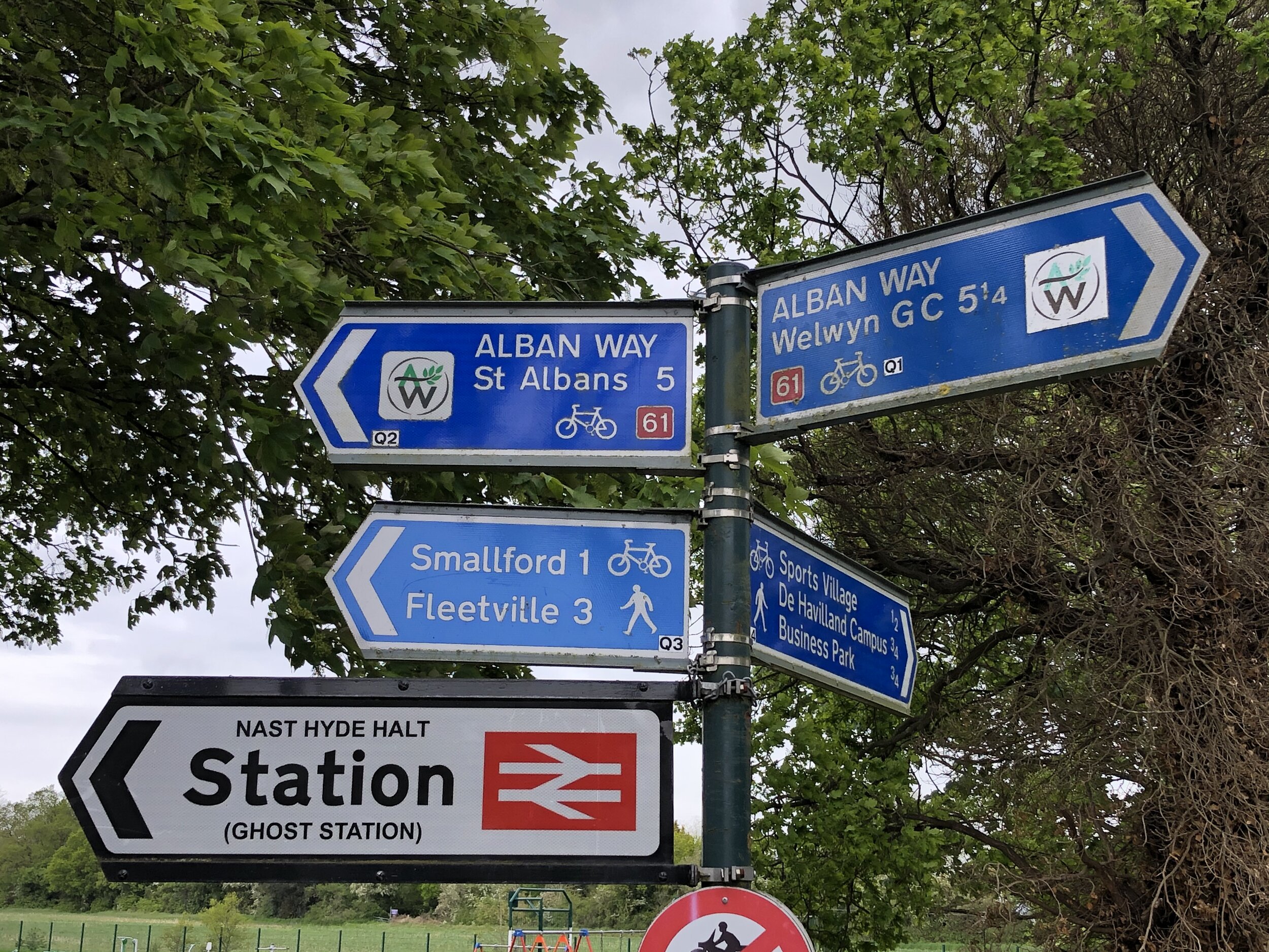
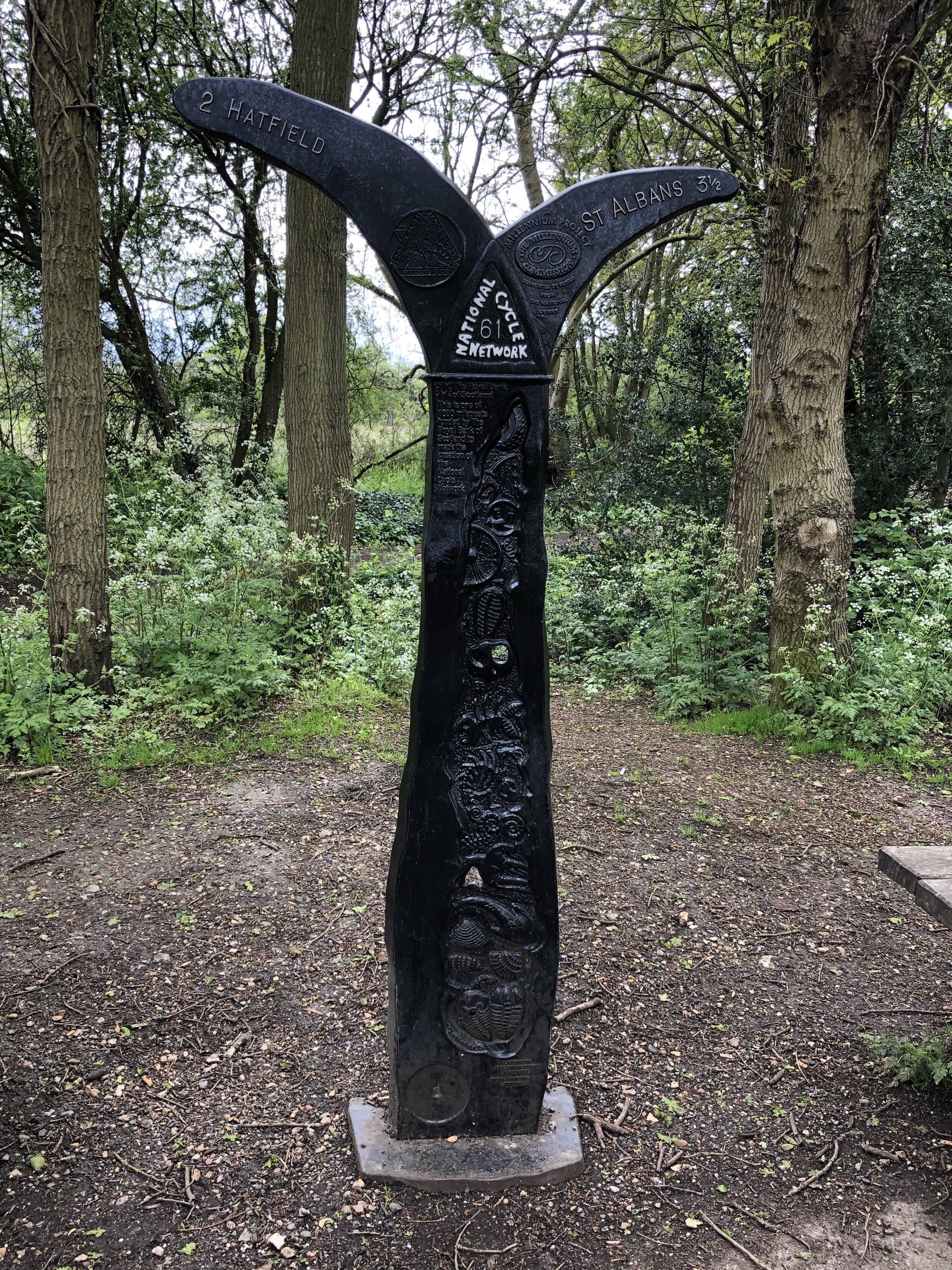
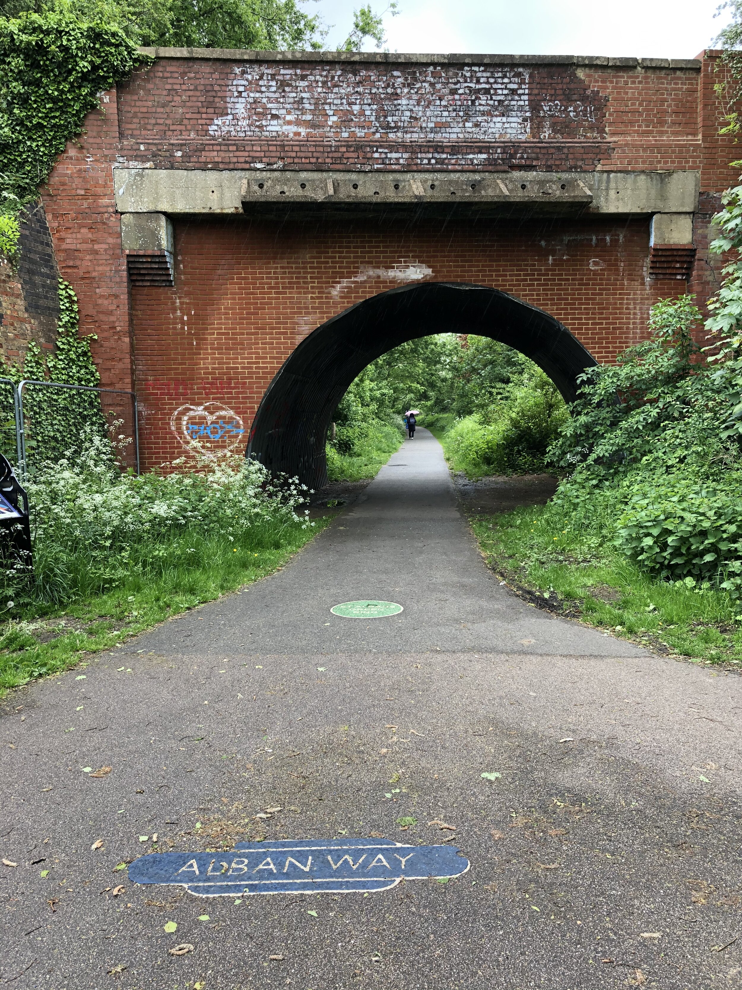
From Sherrardspark Wood continue along the NCN 57 to Welwyn Garden City town centre. This is approximately half way into the circular tour and a good place to stop for food and a rest. From here continue south along the NCN 57, crossing the present-day mainline railway bridge and connect with the NCN 61 on the A1000. The NCN 61 will take you through Hatfield and onto the Alban Way. The distance and elevation stats above for the Alban Way start as the NCN 61 crosses the Great North Road.
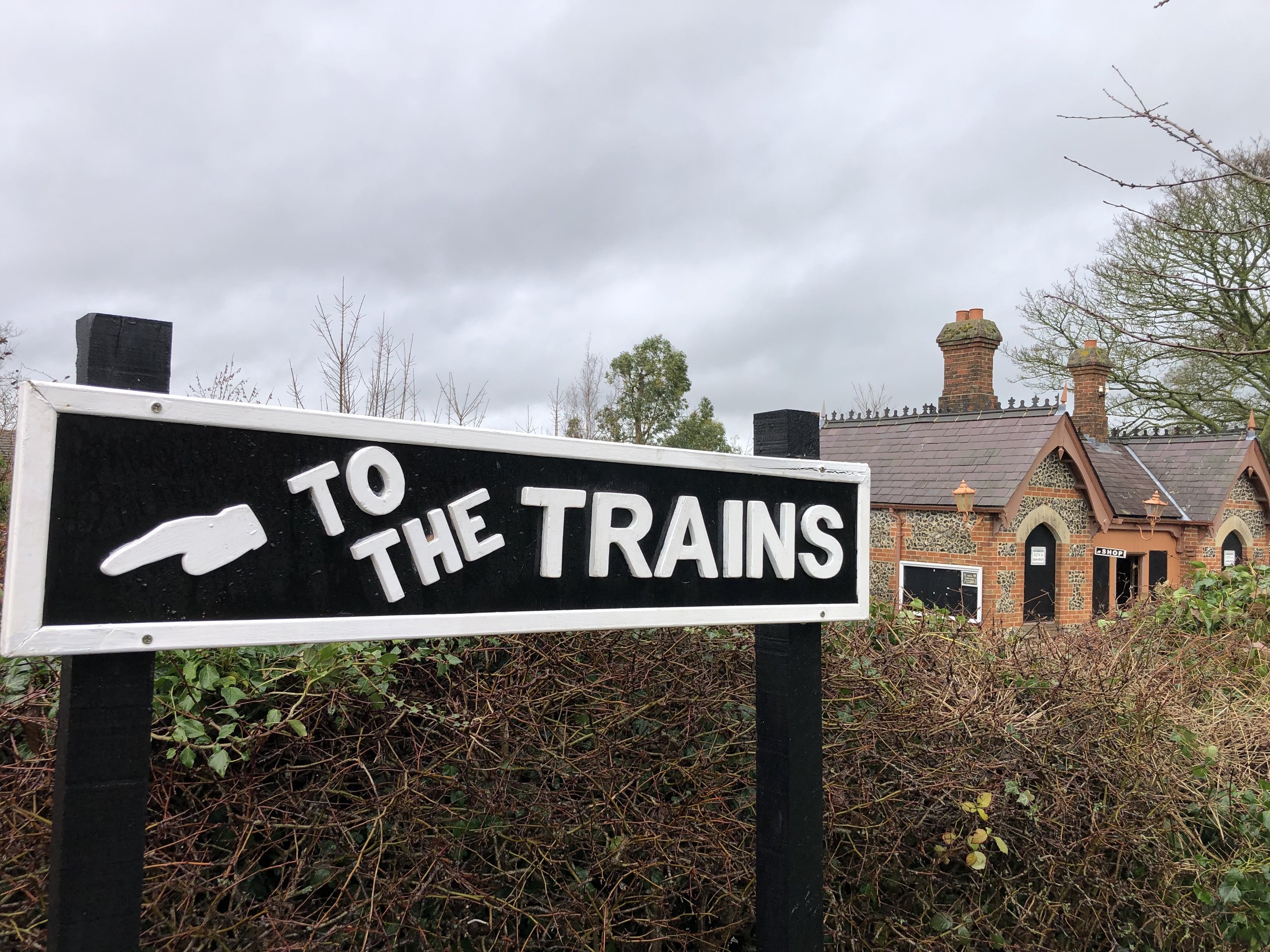
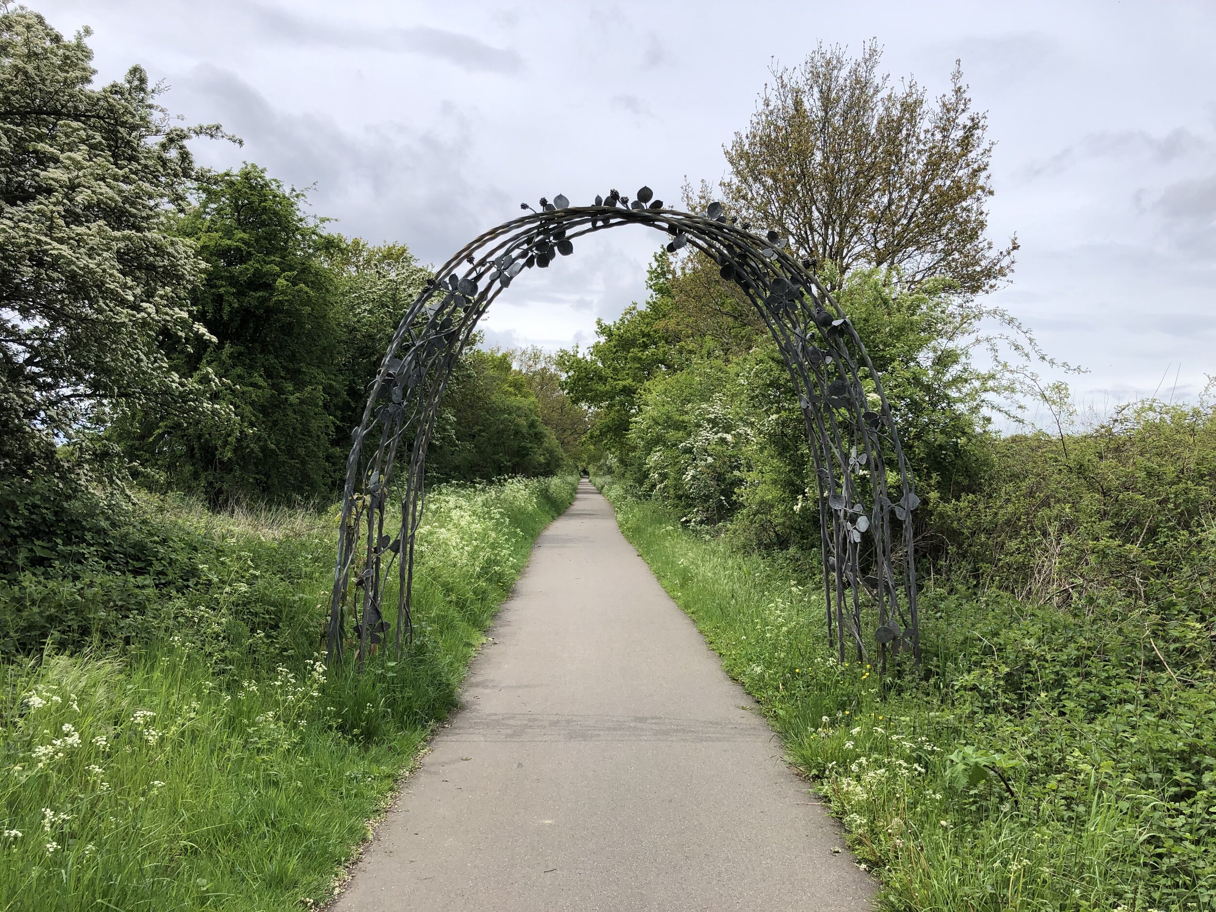
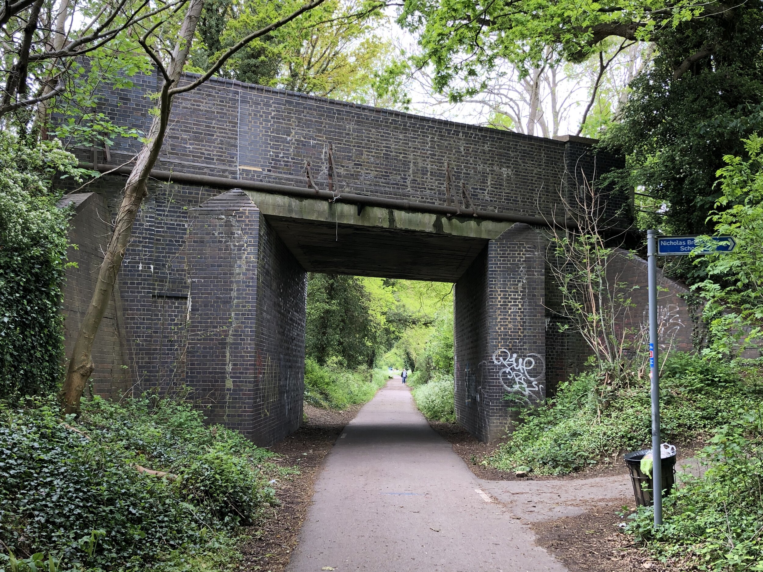
The Alban Way is the best preserved of the 3 routes. Nast Hyde Station is a highlight and there’s information boards along the way detailing the history of each of the old stations. It’s worth taking this section slow to take in the artifacts of the old line. This section of the route ends at the junction with Cottonmill Lane just before the old rail line would have connected with the present-day line to St Albans Abbey Station.
Section 4: Return To The Start
Start: Cottonmill Lane, St Albans (OS Grid Ref: TL 23173 09327)
Finish: Nickey Line Start, by The Midland Hotel, Midland Road, Hemel Hempstead, HP2 5BH
Distance: 14.1 km (8.8 miles)
Elevation change: +129m / -100m (Net +29m)
From the end of the Alban Way at Cottonmill Lane, take a left to continue on the NCN 61. Follow this for 2.5km until it meets the B4630 Watford Road. After following this south for ~100m carefully cross the road onto Ragged Hall Lane in a south westerly direction. You will now have left the NCN 61. Continue south-west along Ragged Hall Lane and onto Bedmond Lane, St Albans Lane and Sergehill Lane. At the junction with Church Lane in Bedmond take a right onto Bedmond Road for 2.5km.
You’ll now be in the uninspiring outer edges of Hemel Hempstead. There’s no pretty way through this back to the start but several options. If you have the GPS route you can take a complex route through quiet residential streets. Alternatively, the easiest route to navigate is to continue on Bedmond Road north, merging with the A4147 then left on the the B487 Swallowdale Lane. This runs past Keens Field where you can pick up the Nickey Line again, retracing your treads back to the Midland Hotel.
More Disused Railway Posts