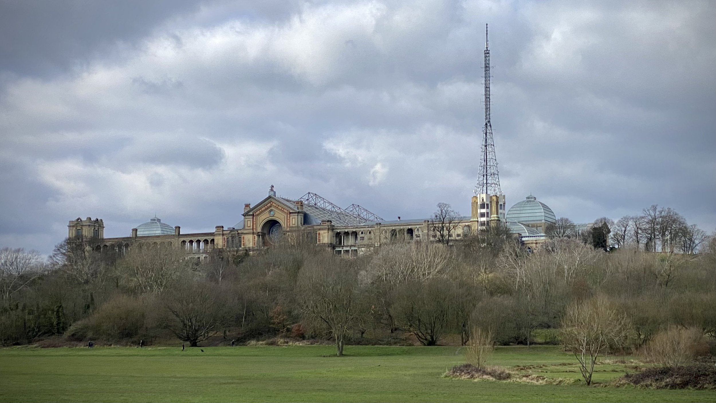
Alexandra Palace and The Parkland Walk

Protected View to St Paul’s Cathedral
Start & Finish: Alexandra Palace, Alexandra Palace Way, London N22 7AY
Distance: 11.1 km (6.9 miles)
Elevation change: +/- 138m
GPX File: get via Buy Me a Coffee
Other routes touched (walk): New River Path, Capital Ring
Other routes touched (cycle): None
Pubs / Cafes on route: Many, including: Finsbury Park Cafe, Goods Office (Parkland Walk South), Queens Wood Cafe (Highgate Wood)
Map: OS Explorer 173 London North
Links: Alexandra Palace, New River, Finsbury Park, Parkland Walk, Highgate Wood, London’s Protected Views
This is a brilliant, short circular walk in North London that takes in Alexandra Palace, the New River Path, and the Parkland Walk. The Parkland Walk follows a disused railway line and is now a fantastic, leafy green corridor providing a genuine area of calm in a very busy part of the capital.
If you are driving, there is a large car park at Alexandra Palace that, at the time of writing, asks for donations rather than a fixed charge. To access the route by public transport, the path passes close to Hornsey and Harringay rail stations, as well as Highgate tube station on the Northern Line.
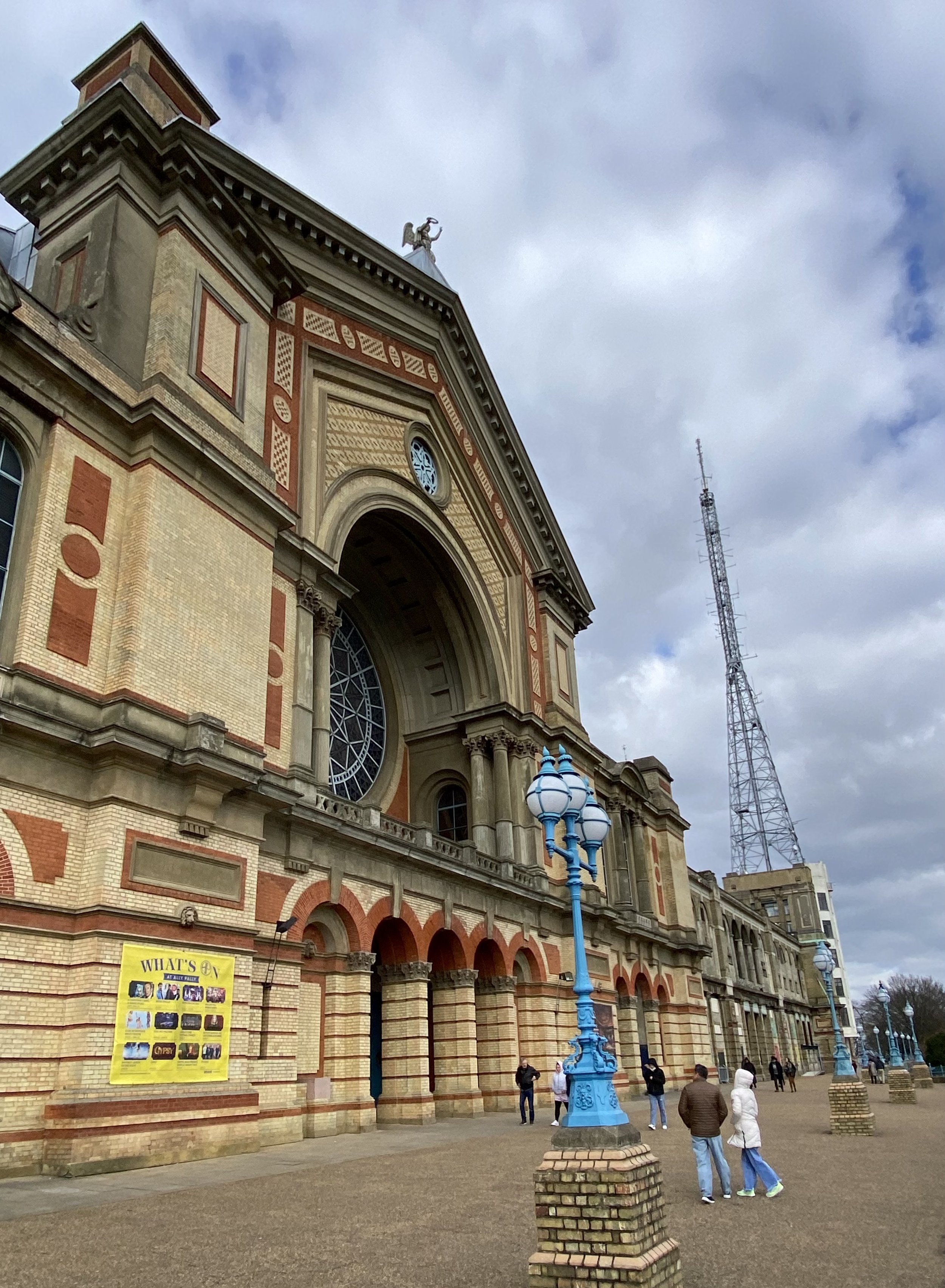
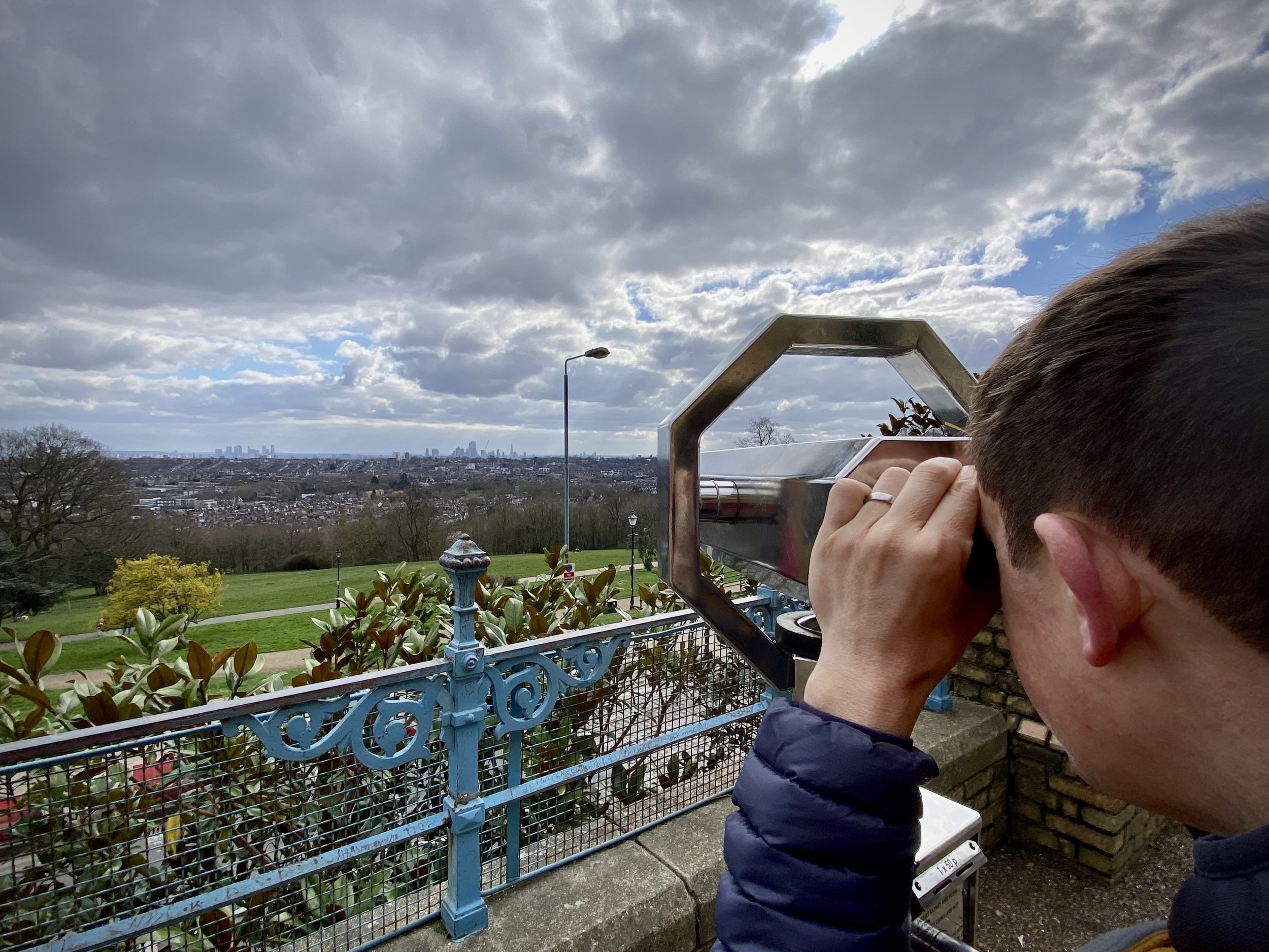
At Alexandra Palace, start by finding the viewpoint on the terrace at the centre of the south side of the main building. This is one of London's legally Protected Views looking towards St Paul's Cathedral. When we visited, we couldn't actually see St Paul's even through the metal viewfinder; it must have been hiding in the London haze! It is a spectacular panoramic spot regardless, originally built so Victorian Londoners could escape the smog of the city below.
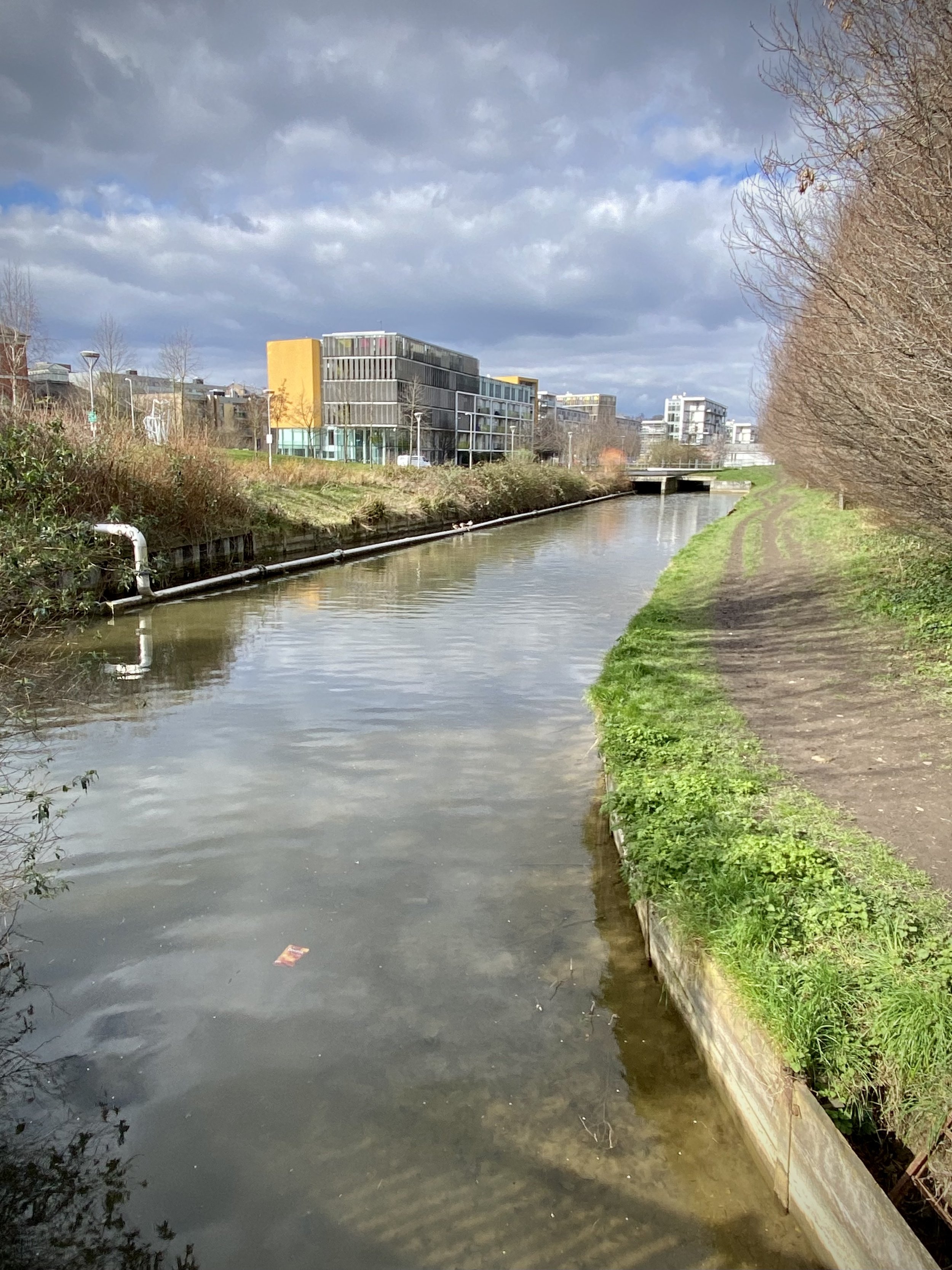
From the viewpoint, take the paths through Alexandra Park to the southern exit onto North View Road. Here you can either take a left onto the path following the southern edge of the park, or follow North View Road and Newlands Road as they run parallel to it. We were there after a lot of rain and the path was incredibly muddy, so we took the roads. The path and Newlands Road join just before the Campsbourne Play Centre. Follow Newlands Road, then Greenways in an easterly direction until you reach the New River Path. (A quirky fact about the New River: it is neither new nor a river! It is actually a 17th-century aqueduct built to supply drinking water to London from Hertfordshire).
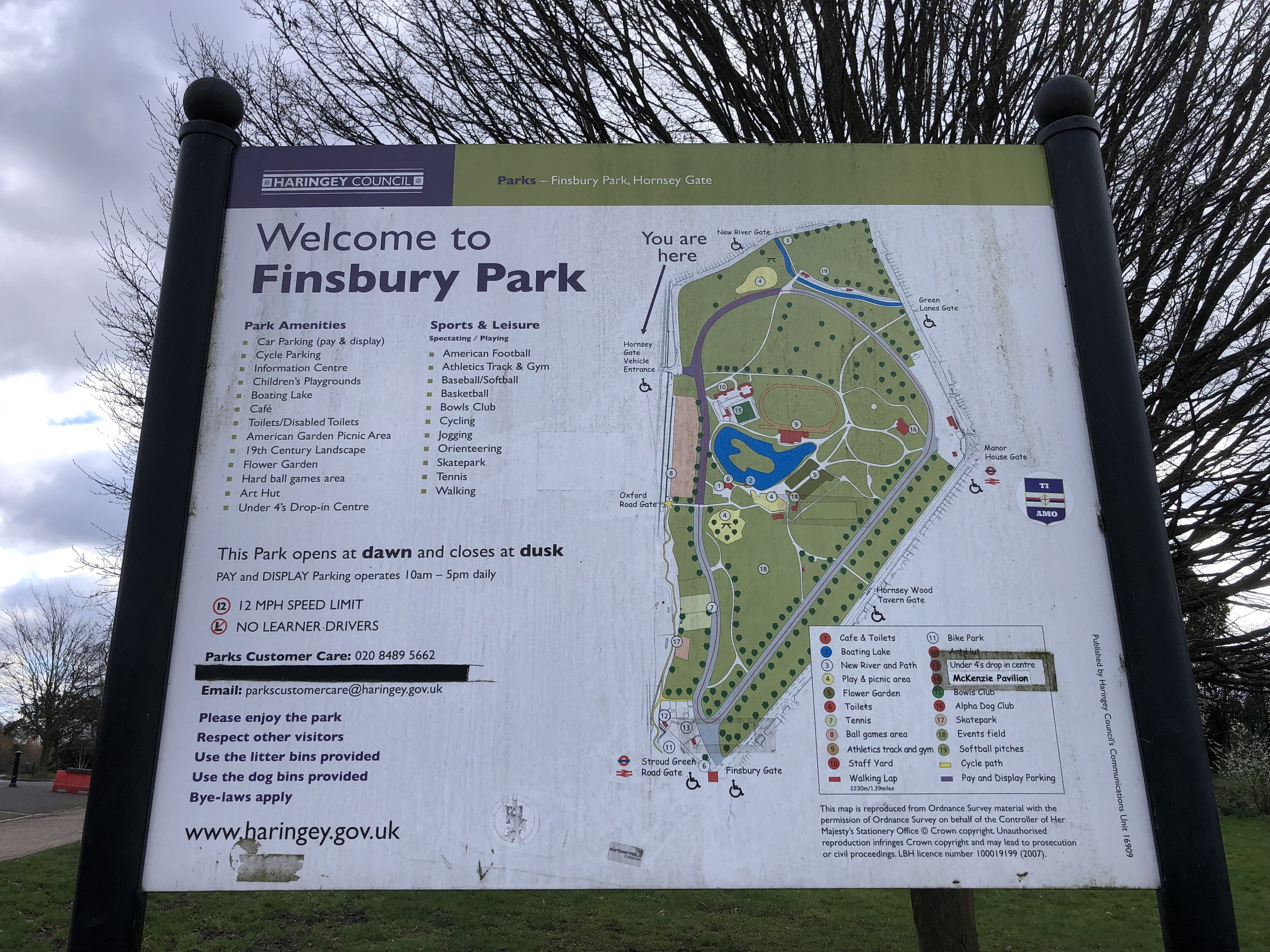
Follow the New River Path in a southerly direction for 2.6km until the junction of Alroy Road and Endymion Road. Take a right onto Endymion Road and follow it south until you reach the entrance to Finsbury Park. Enter the park and follow the path on the western edge down to meet the Capital Ring just south of the Finsbury Park Café. Take a right onto the Capital Ring, cross the footbridge over the active rail line, and join the Parkland Walk.
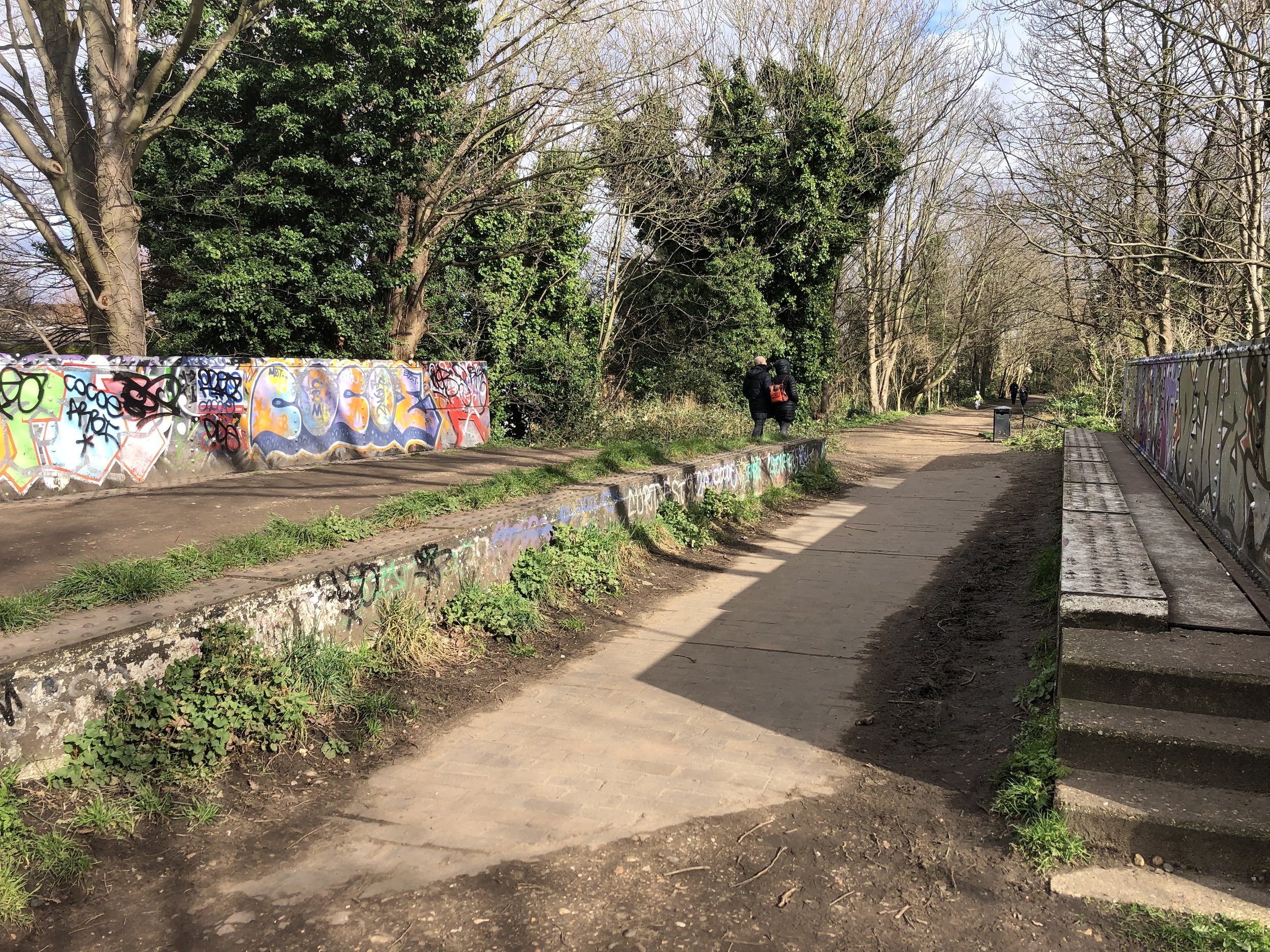
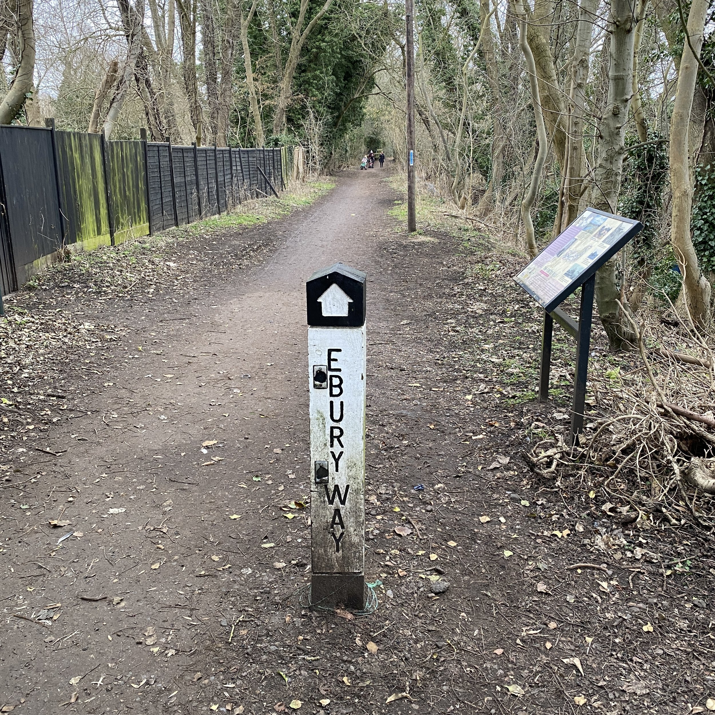
Parkland Walk South
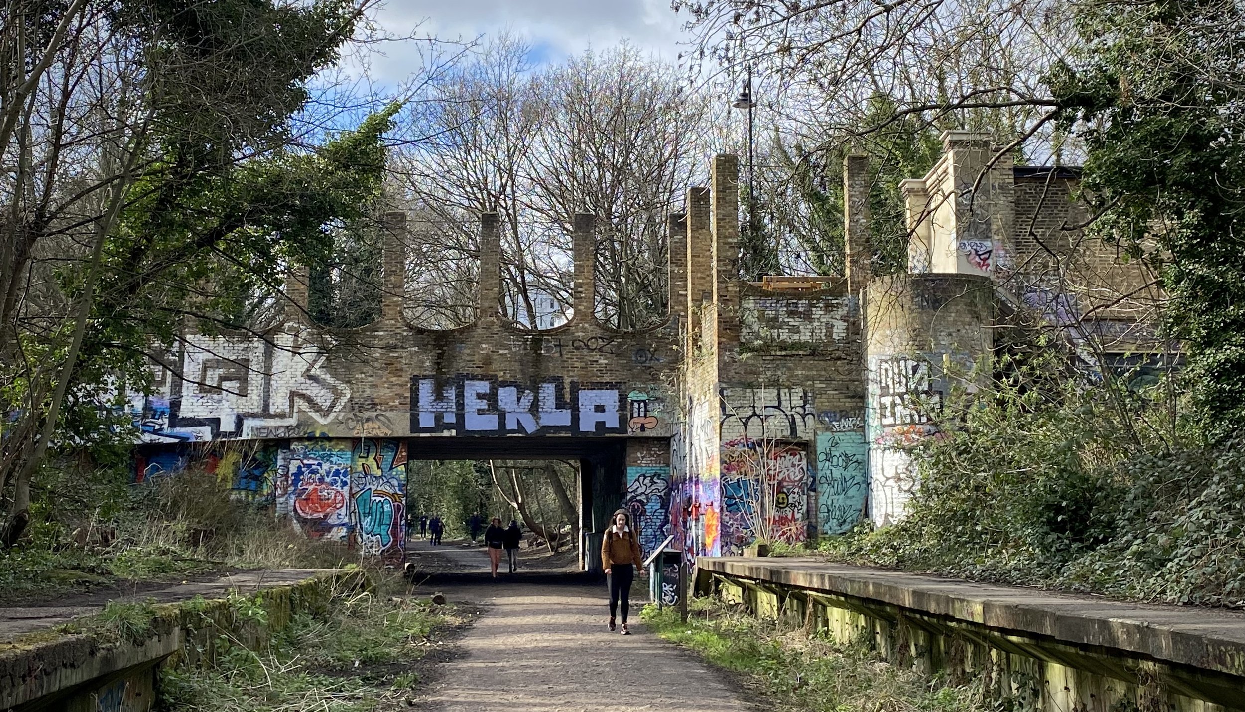
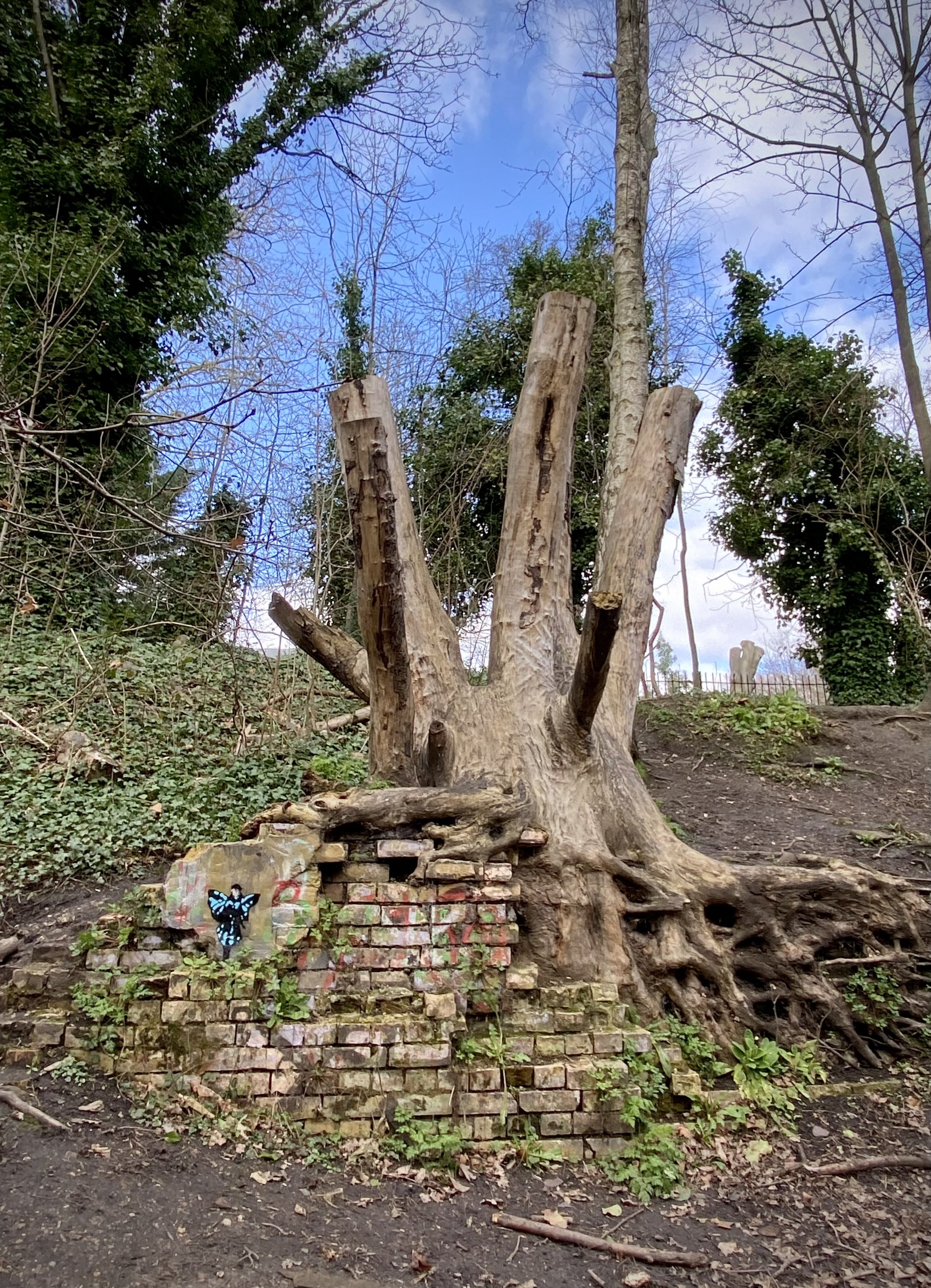
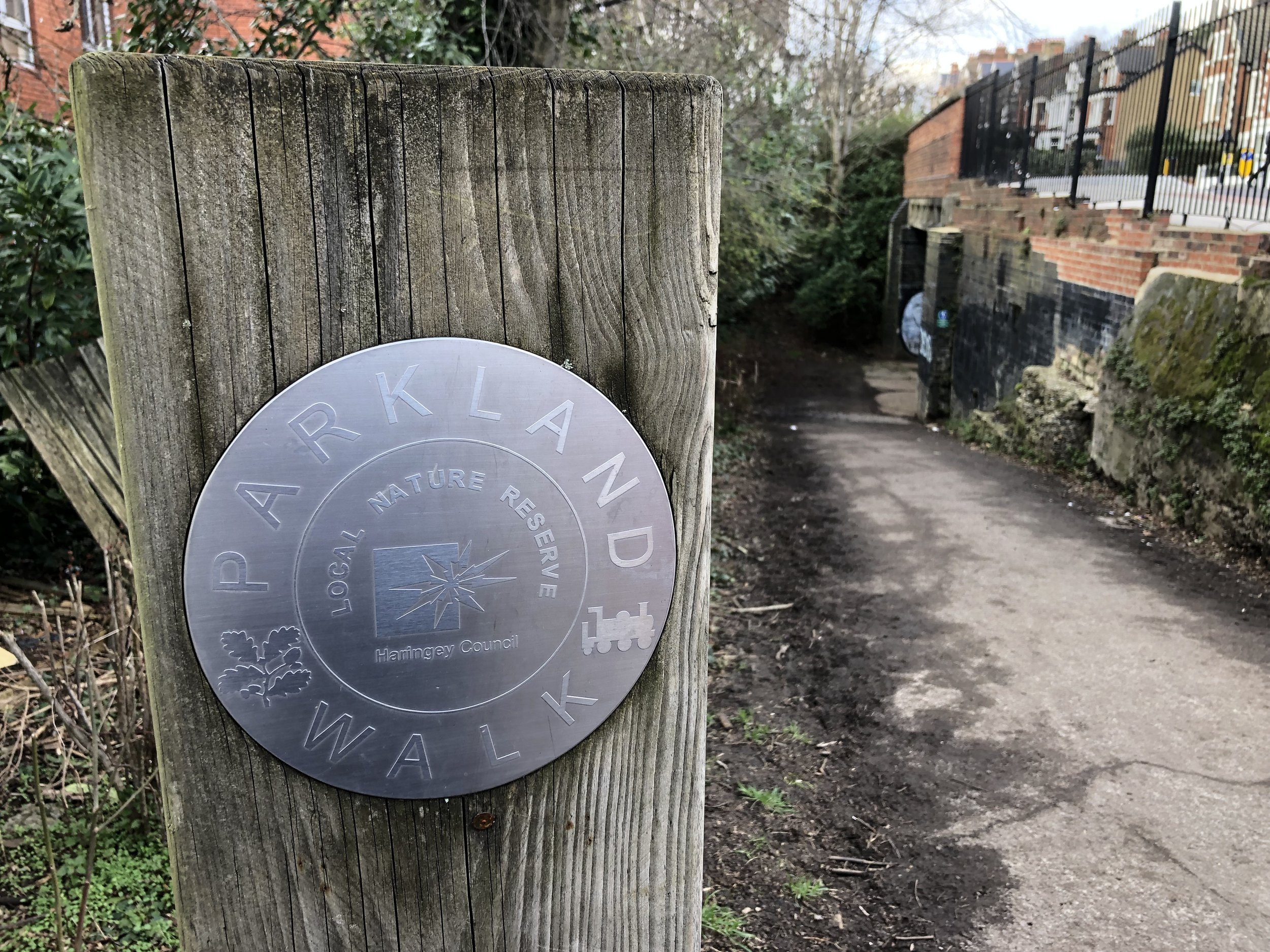
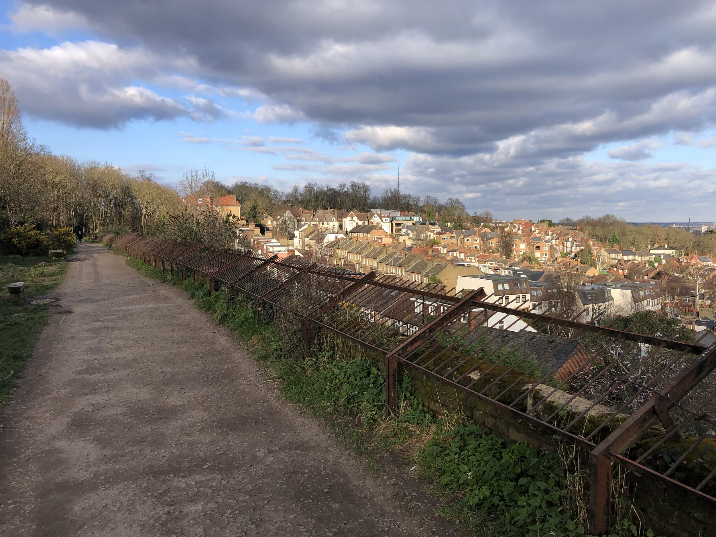
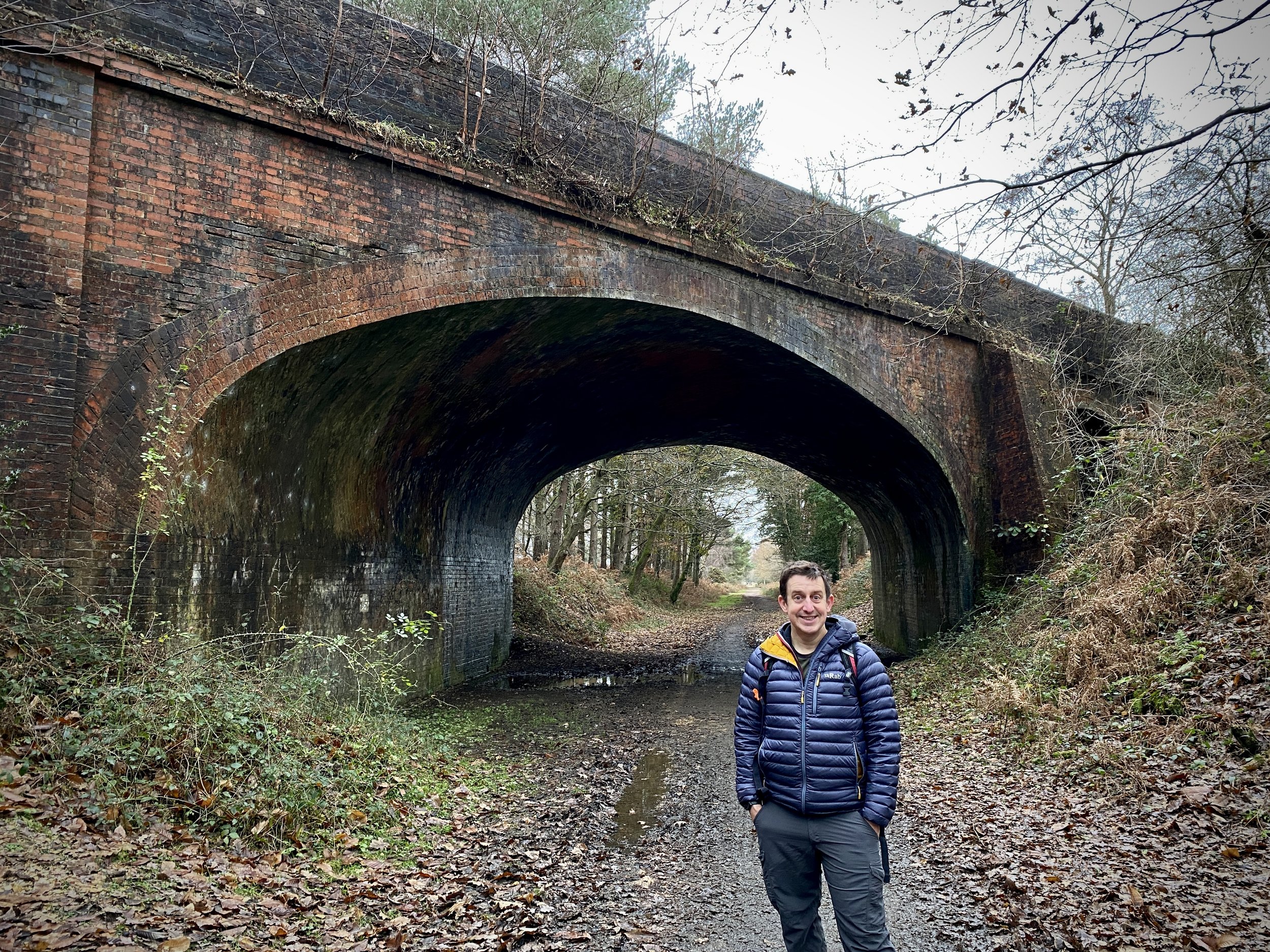
The Parkland Walk traces the route of the old railway line that ran from Finsbury Park to Alexandra Palace. The route of the southern, and longer, section of the Parkland Walk runs from the edge of Finsbury Park up to the Holmesdale Tunnels near Highgate tube station. Look out for the curious sight of a spriggan (a type of Cornish fairy) bursting out of one of the old railway arches along the way!
Disused Stations Passed:
Stroud Green: Platforms no longer exist. The Station Master's House survives and is now in alternative use.
Crouch End Station: Both platforms survive and are slowly being reclaimed by nature.
Highgate: Still exists, but the high-level platforms are not publicly accessible.
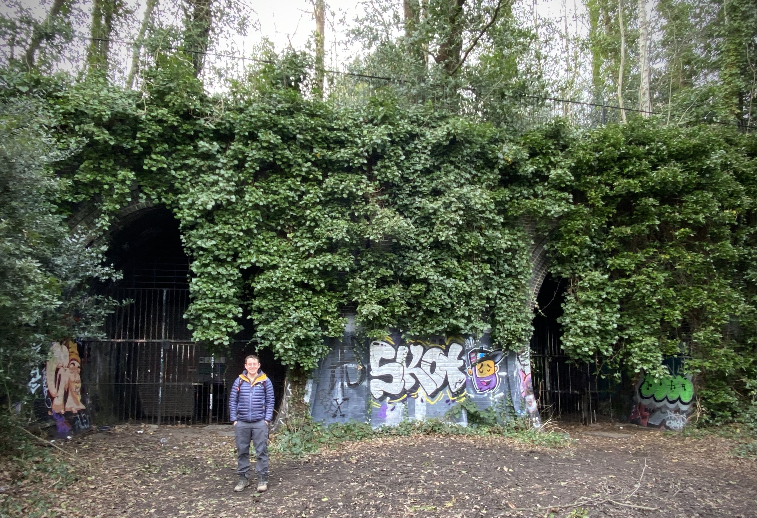
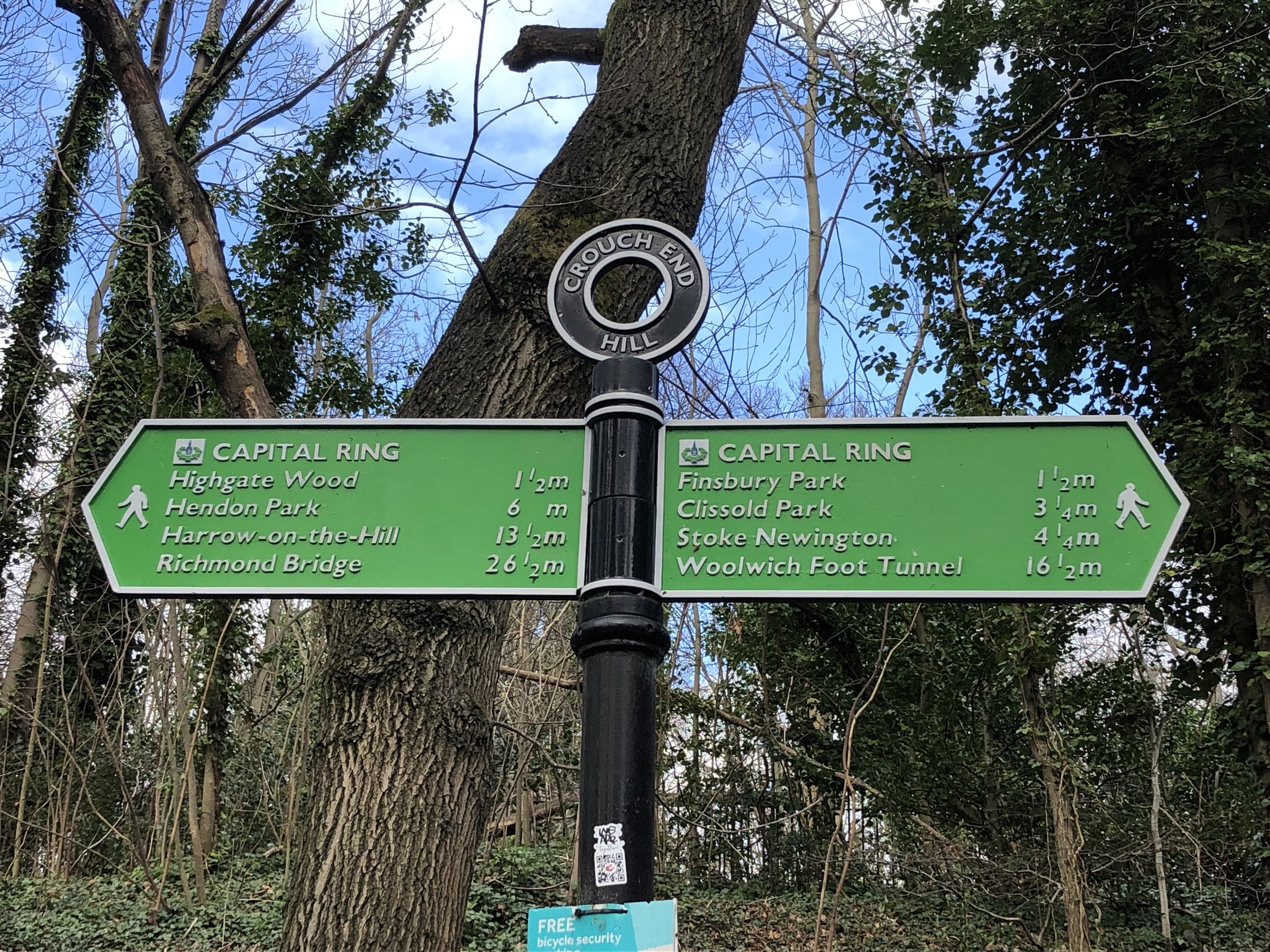
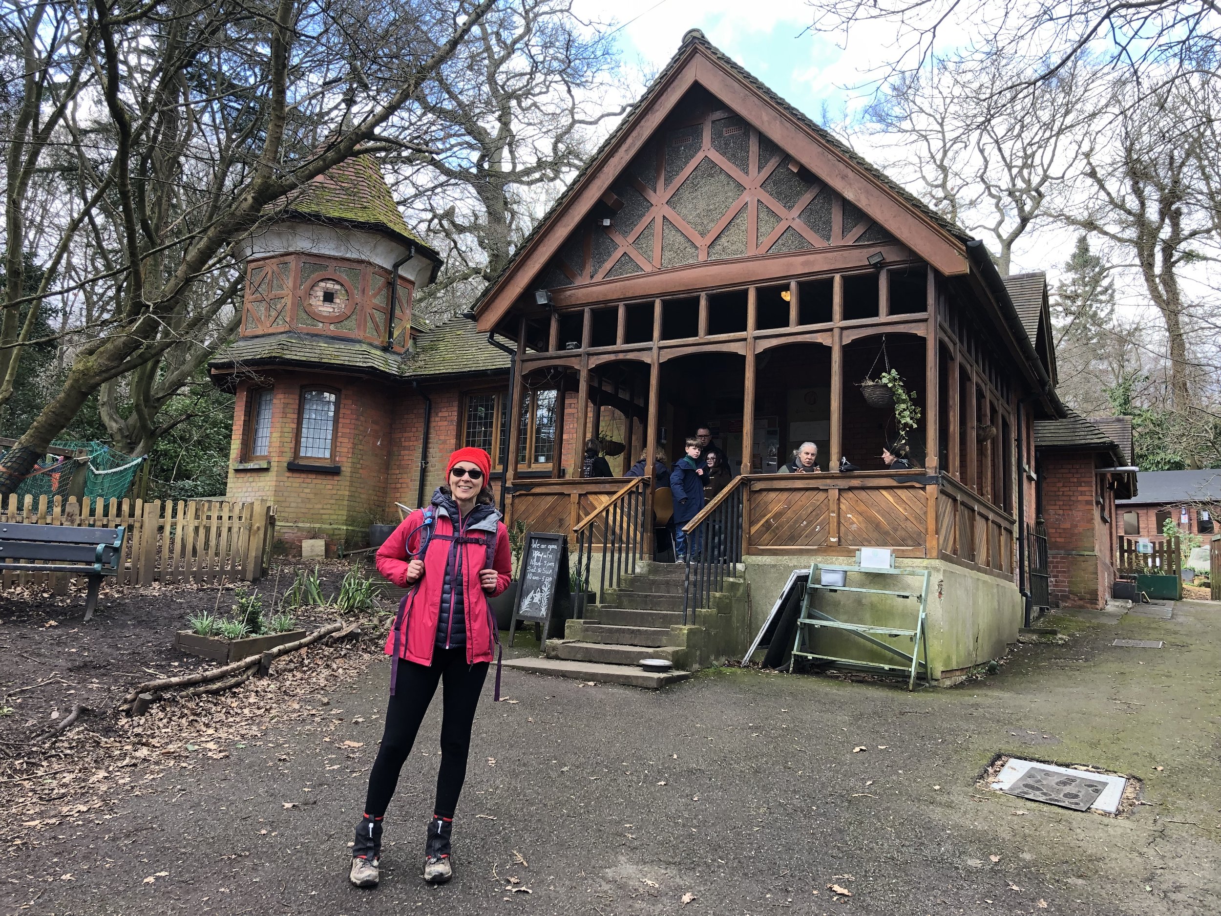
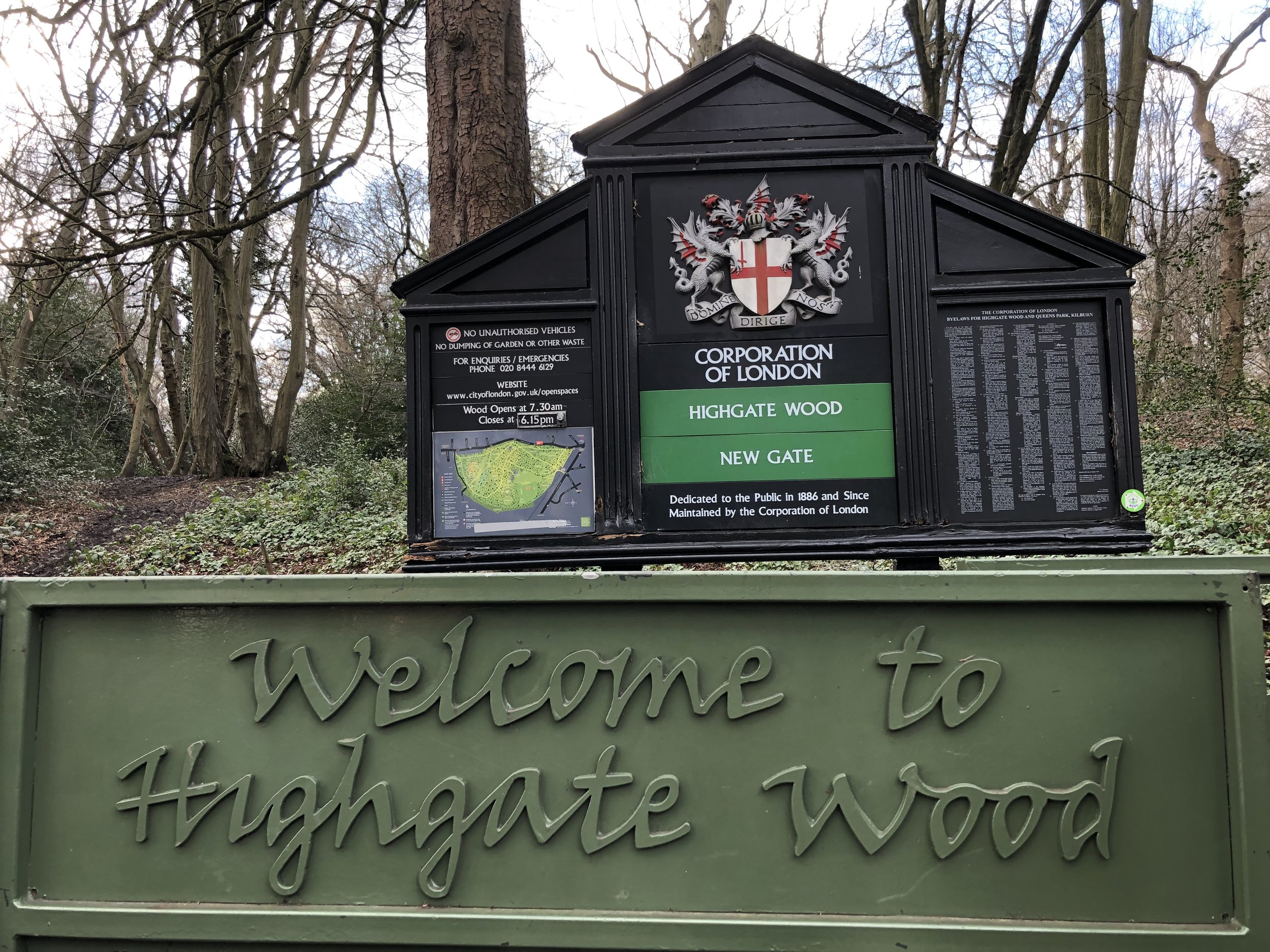
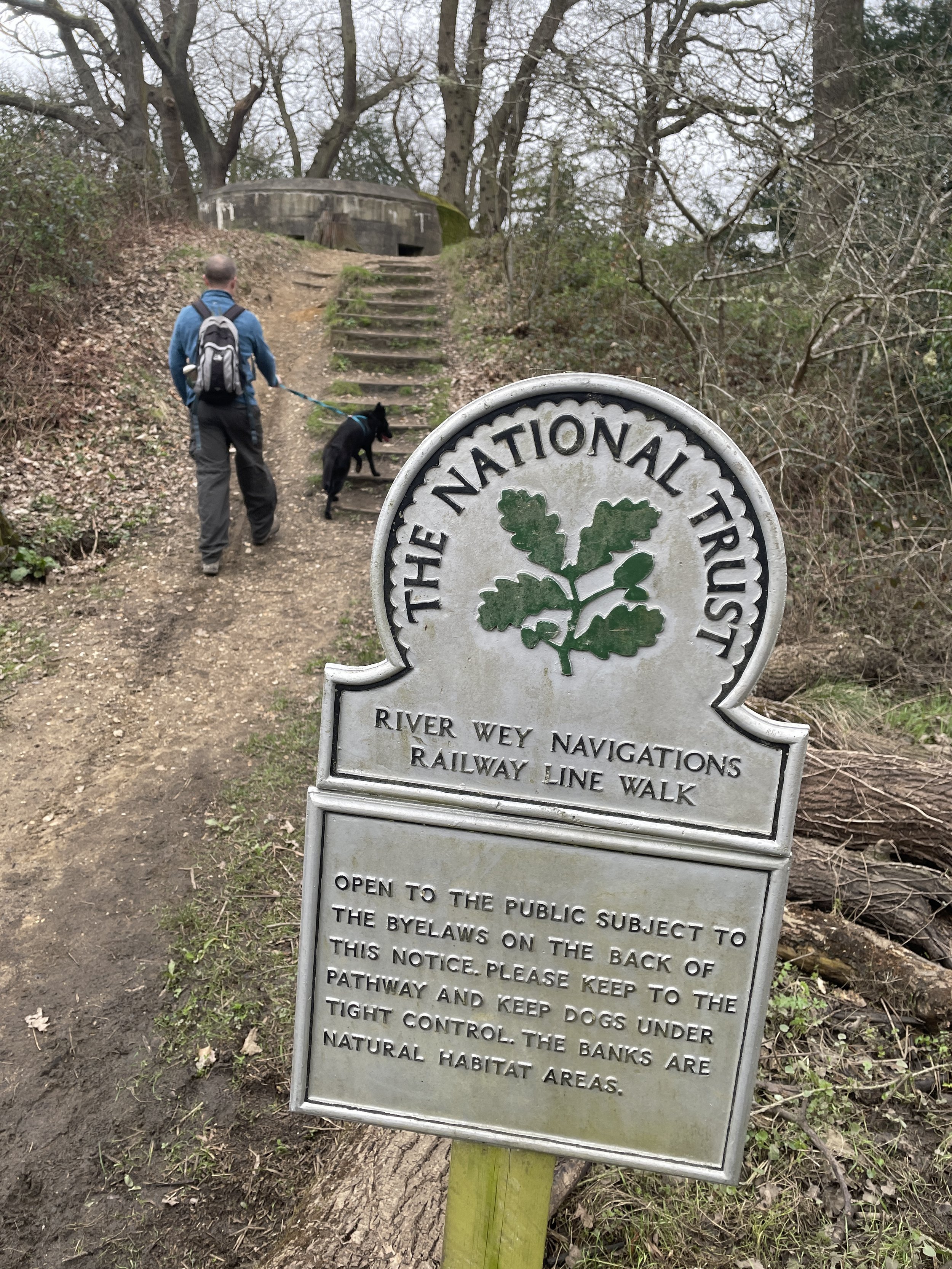
When you reach the western end of Parkland Walk, have a look at the entrance to the old tunnels before leaving the path. These are now heavily gated off to protect the rare species of bats that have taken up residence inside. Leave the Parkland Walk at Holmesdale Road and follow the signs for the Capital Ring. You will pass through Priory Gardens, Queen's Wood, and Highgate Wood. The Queen's Wood Café is a great place to stop for a rest ahead of the final 2km. Once you have crossed Muswell Hill Road from Queen's Wood into Highgate Wood, leave the Capital Ring and follow the path on the eastern edge of Highgate Wood to the north-east corner at Cranley Gardens. If you want to stay strictly true to the route of the old rail line, you could follow the path on the western side of Highgate Wood instead.
Parkland Walk North
After Highgate Wood, the Parkland Walk can be picked up again at the junction of Muswell Hill Road and Cranley Gardens. This section of the walk exits right back into Alexandra Park, leaving you just a very short stroll back up the hill to the start.
Disused Stations Passed:
Cranley Gardens: No longer exists. The site is now used for housing and St James primary school.
Muswell Hill: No longer exists. The site is now used for Muswell Hill primary school.
Alexandra Palace: The platforms have been removed, but the grand old station building survives and is now used as a community centre.


More Disused Railway Posts

More London Posts
Welcome to London Outdoors. London might be a busy city, but it is also packed with incredible green spaces and trails. This page is a collection of my outdoor adventures across the capital: whether I am heading out for a long walk, exploring new cycling routes, or lacing up my trainers for a local parkrun. Have a look through the index below to find all my posts about getting outside in the city.
Comment below or contact me if you have any questions, suggestions for improvement or if you spot any errors in any of the posts. I’ll donate £ to one of the outdoor causes that i support for any correction made.