Walking The High Wycombe To Bourne End Disused Railway
Start: High Wycombe Railway Station, High Wycombe, HP13 6NN
Finish: Bourne End Railway Station, 1 Station Road, Wooburn Green, Bourne End, SL8 5RN
Return to Start: via #36 bus. Check timetables for details.
Distance: 9.9 km km (6.2 miles)
Elevation change: +37m / -86m. Net -49m
GPX File: get via Buy Me a Coffee
Other routes touched (walk): The Chiltern Way
Other routes touched (cycle): N/A
Other Pubs / Cafes on route: Several in Wooburn Green village
Map: OS Explorer Map (172) Chiltern Hills East
Links: Maidenhead - Marlow Passengers’ Association History, Wycombe to Bourne End railway - looking back at the historic line (Photos)
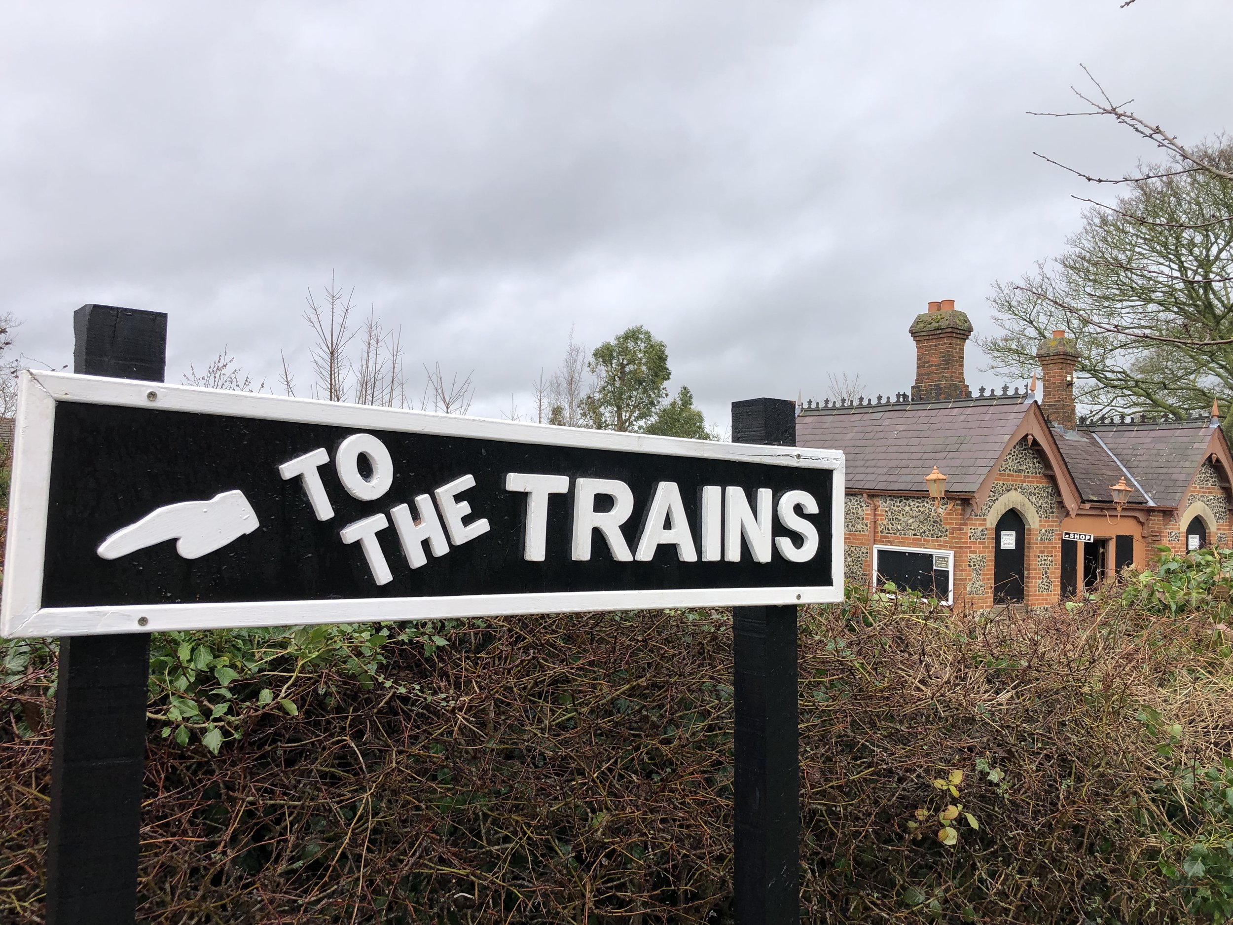
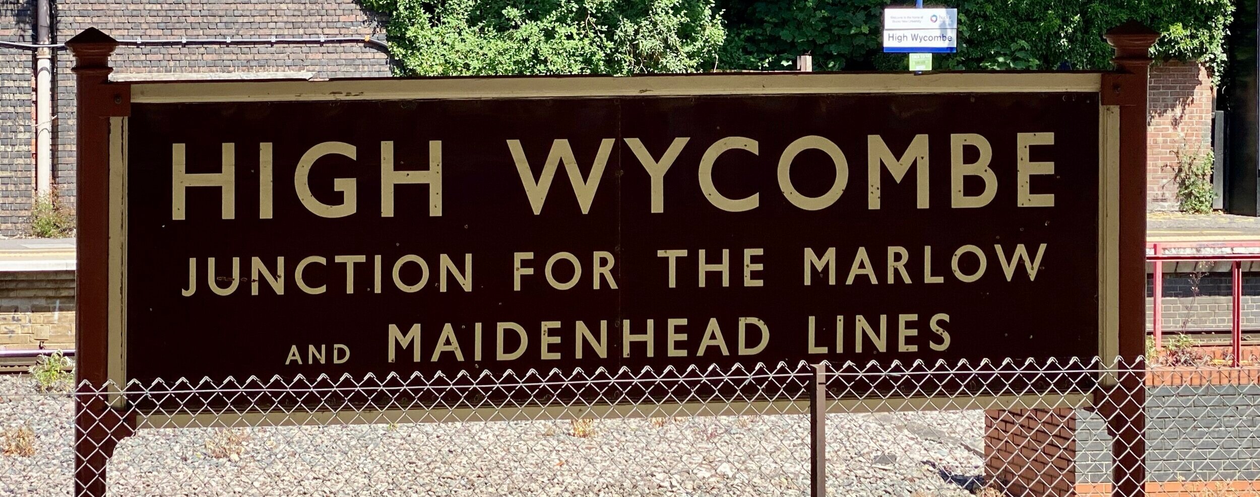
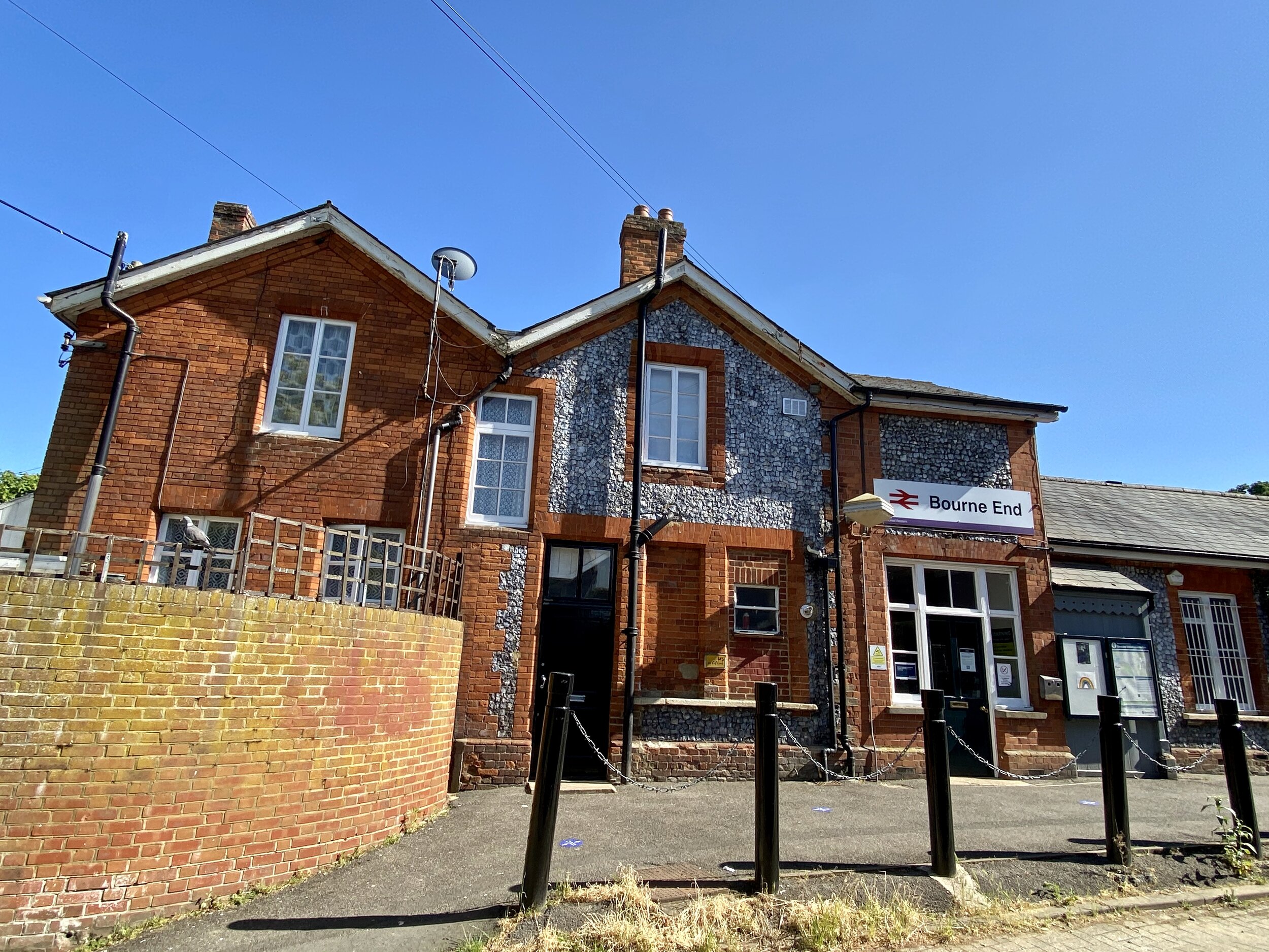
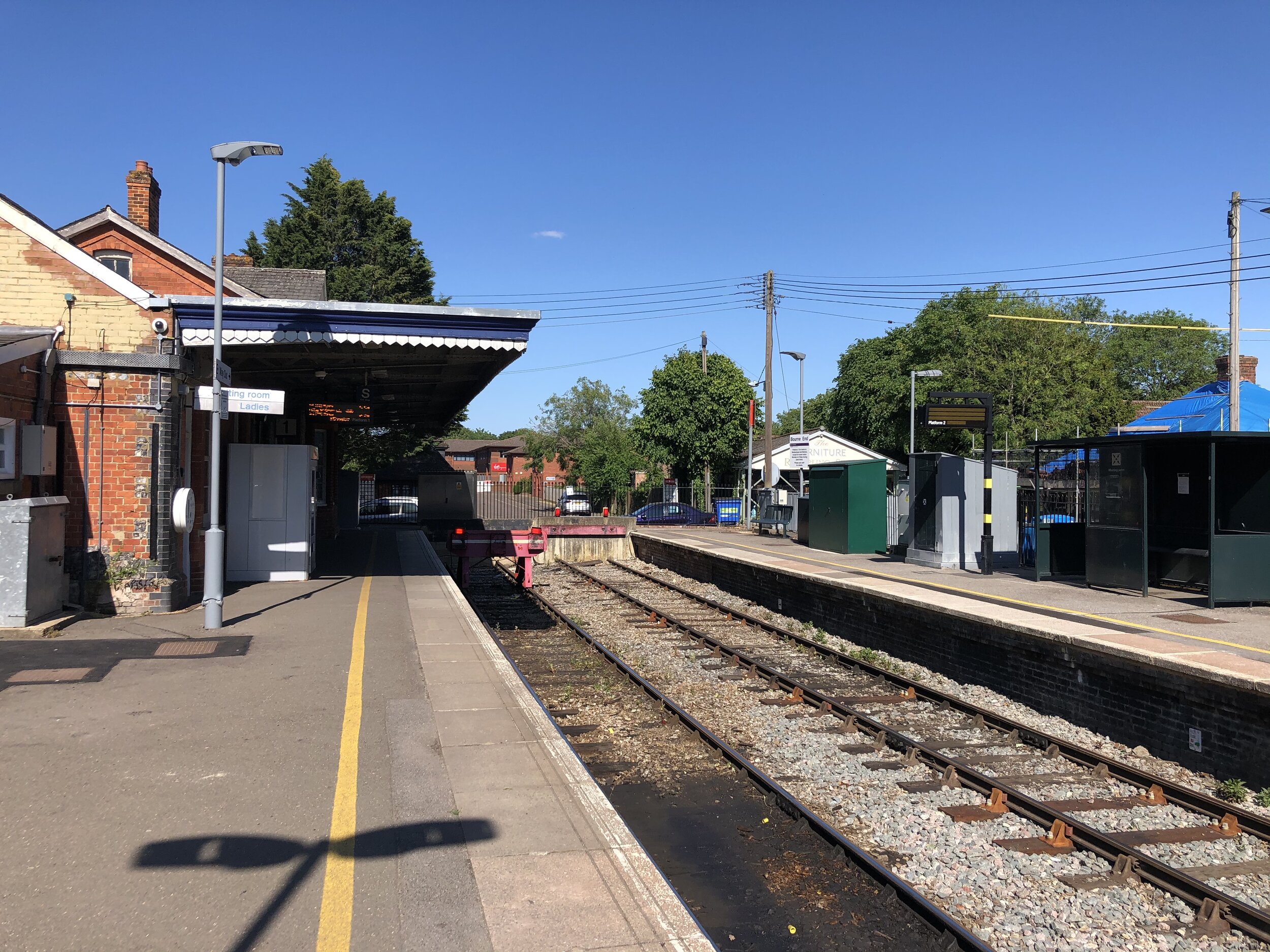
Wycombe Railway, Loudwater Station, Wooburn Green Station, Bourne End Station
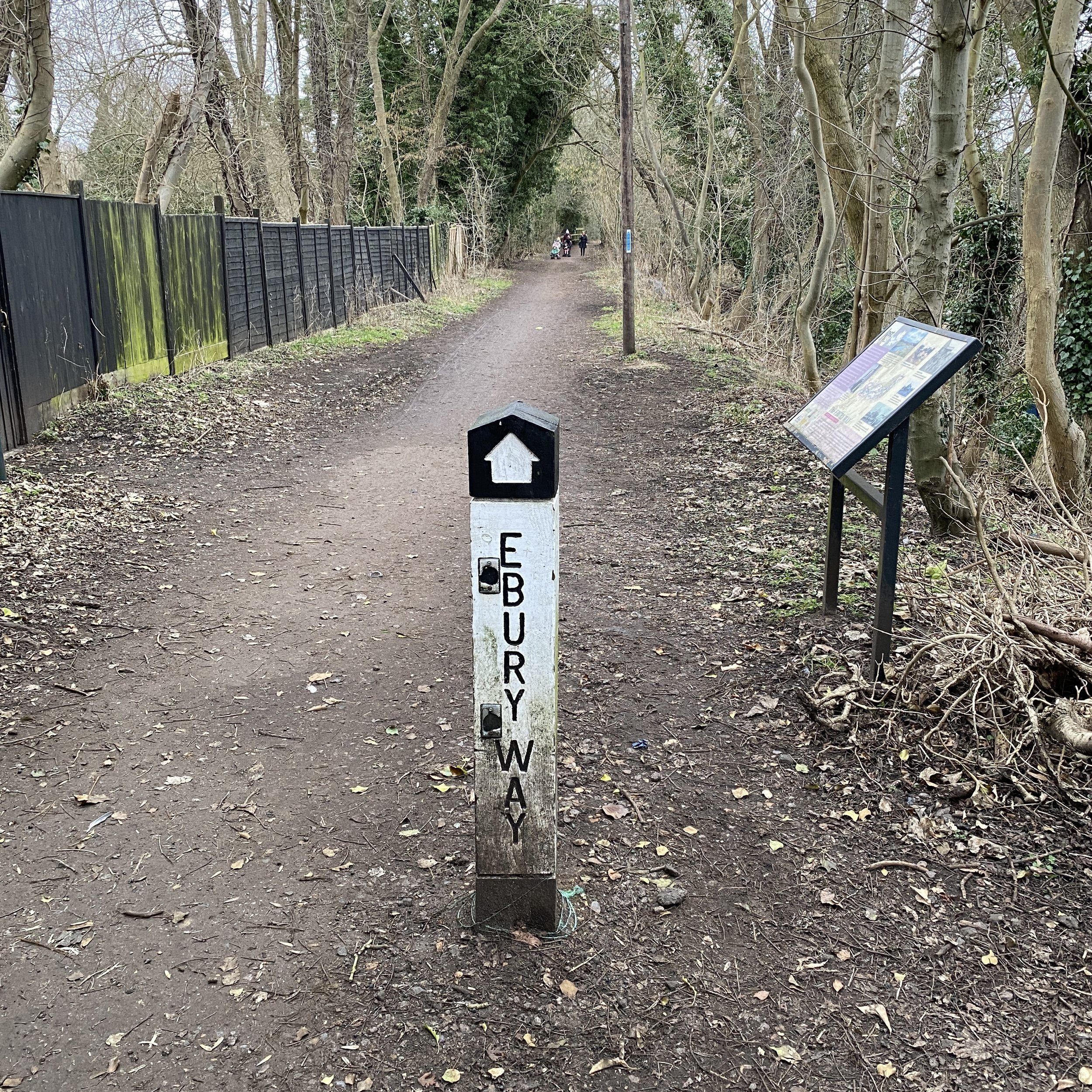
The Wycombe to Bourne End Railway was originally part of a longer section that connected Maidenhead and High Wycombe. The Maidenhead to Bourne End section is still intact but the line to Wycombe closed in 1970. Unlike a lot of disused railways its not been fully adopted into a cycle route or walking trail. It’s all walkable though with a bit of planning, some good navigation and a few diversions. The guidance below will help you navigate but don’t use it as a fully accurate turn-by-turn guide. Always take a map and/or a GPX route and prepare well for the weather and terrain.
You can start at either end but we chose to start at High Wycombe station as we will continue the trip to Maidenhead on a later trip. From the station walk East for approx 750m following Birdcage Walk, then Station Road and Queen’s Road until it meets the A40. Follow the A40 for another ~500m, crossing to the South side of the road at the junction with Pinions Road. Up to this point there’s no visible remains of the old railway, although you can see the main Chiltern Line when you look North up several of the adjoining streets.
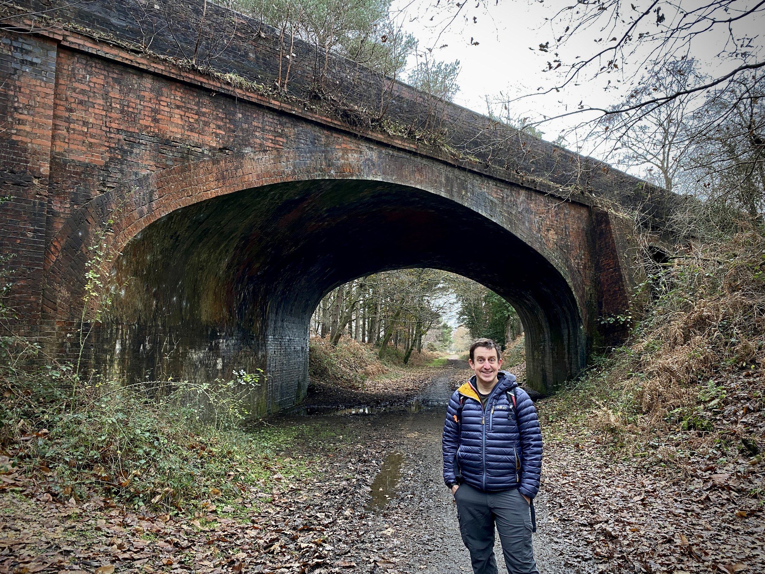
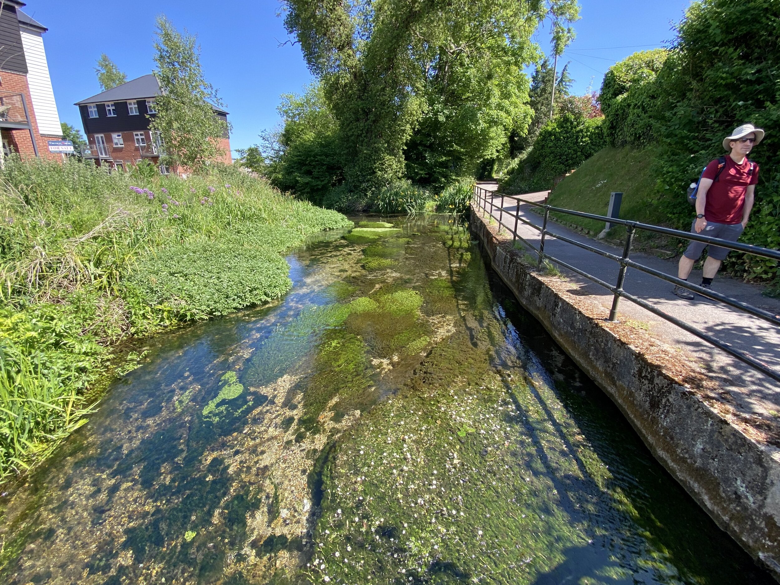
The first time that you encounter the old railway is at the steep embankment that stops abruptly at the A40 opposite Pinions Road. There was originally a steel girder bridge that took the railway over the A40 to join up with the mainline to the Northwest. There’s a path to the East of the embankment where you’ll get your first chance to walk along the old rail route. Here the River Wye passes underneath as it continues its journey from Bradenham to the confluence with the Thames not far from Bourne End Station.
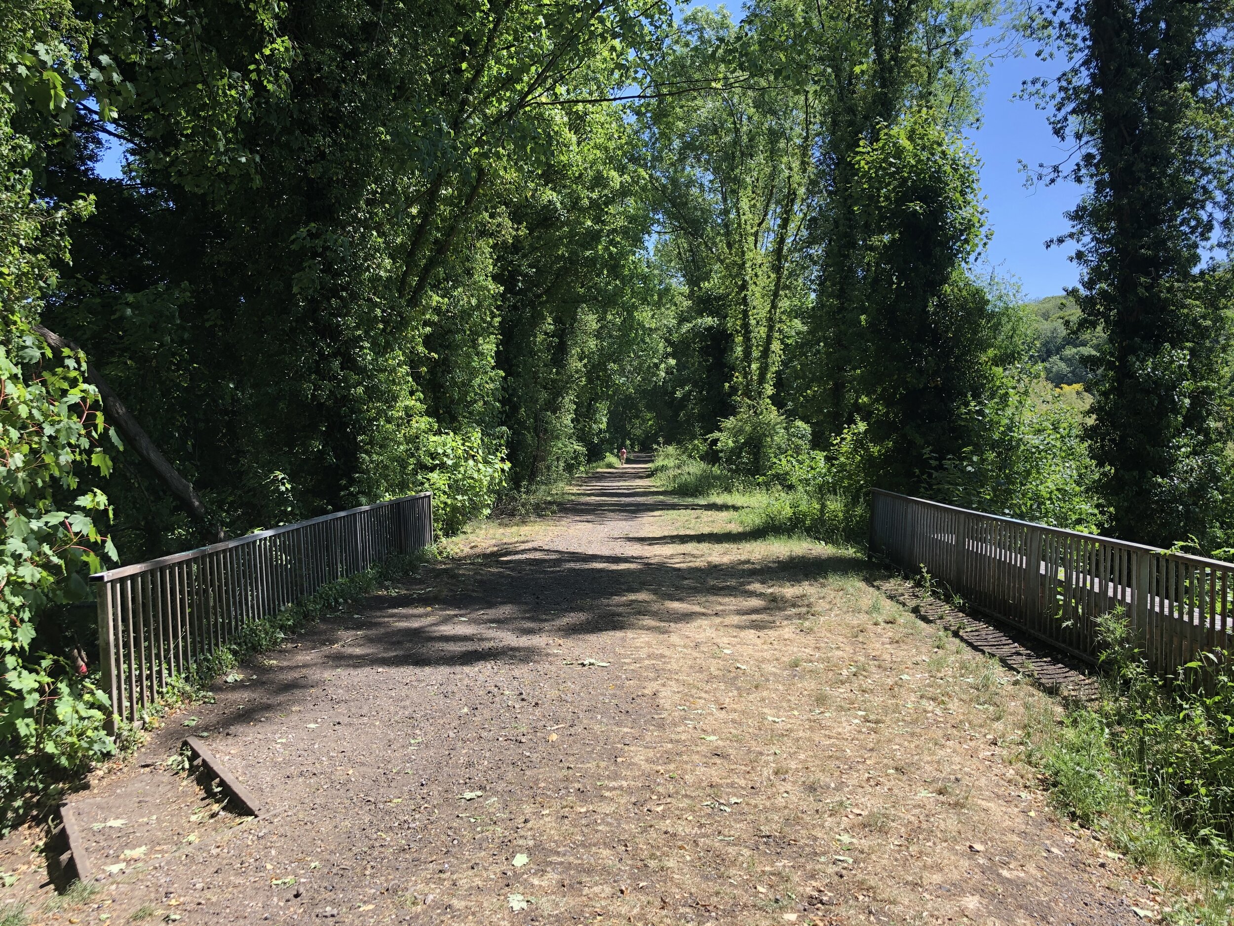
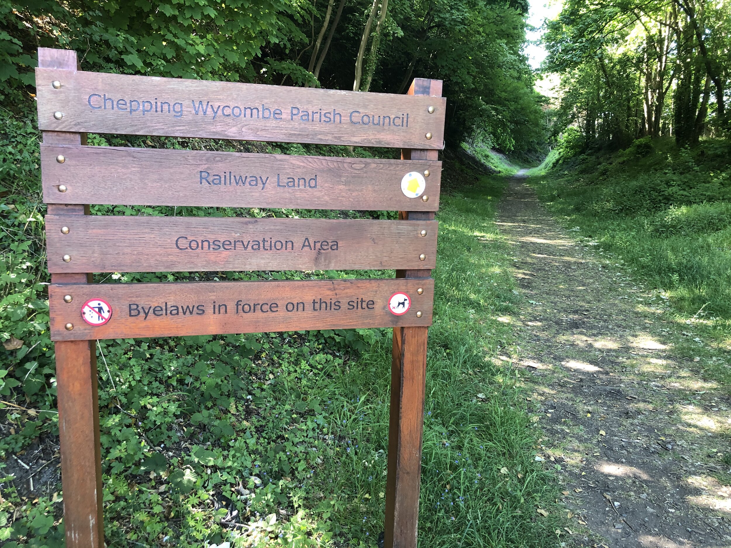
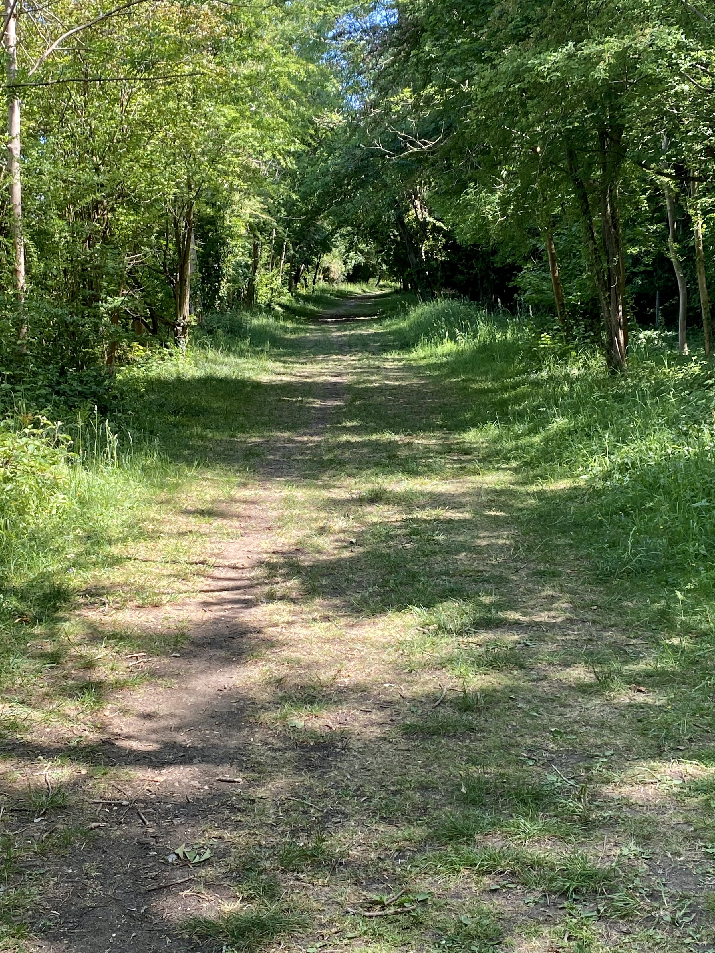
This part of the walk ends at Bassetsbury Lane which you can follow close to the old rail route for ~1.4km. To the right hand side of the road the houses are built up higher that the road in place of the tracks. Bassetsbury Lane becomes Kingsmead Road which you’ll take until it crosses the Chiltern Way just after the Rugby Club. Turn right up Bridge Bank Close following the Chiltern Way for about 100m. Here you can rejoin the path that follows the rail route South East through the woods. You’re now on the Chepping Wycombe Parish Council Railway Land Conservation Route, a highlight of the trail.
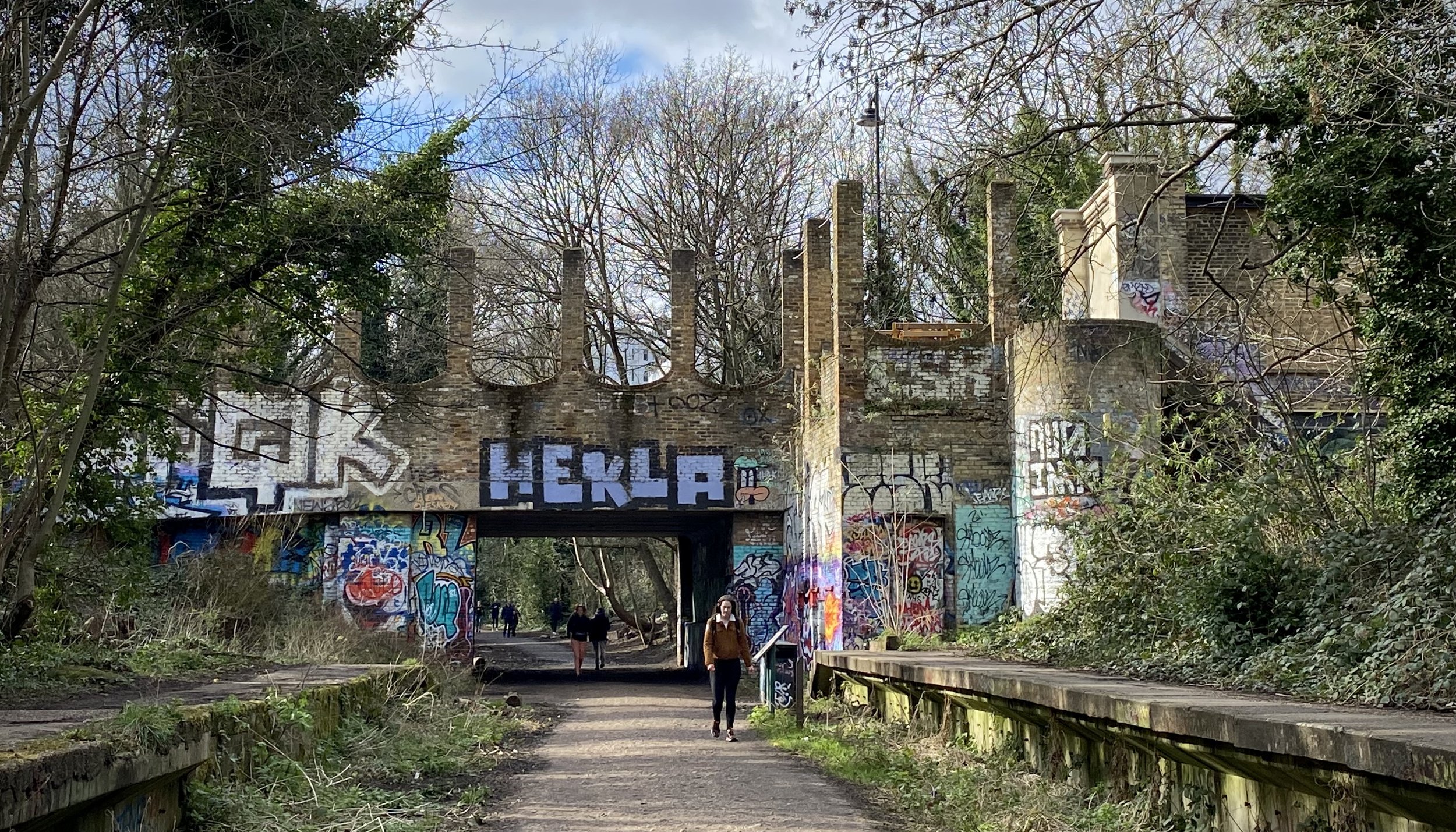
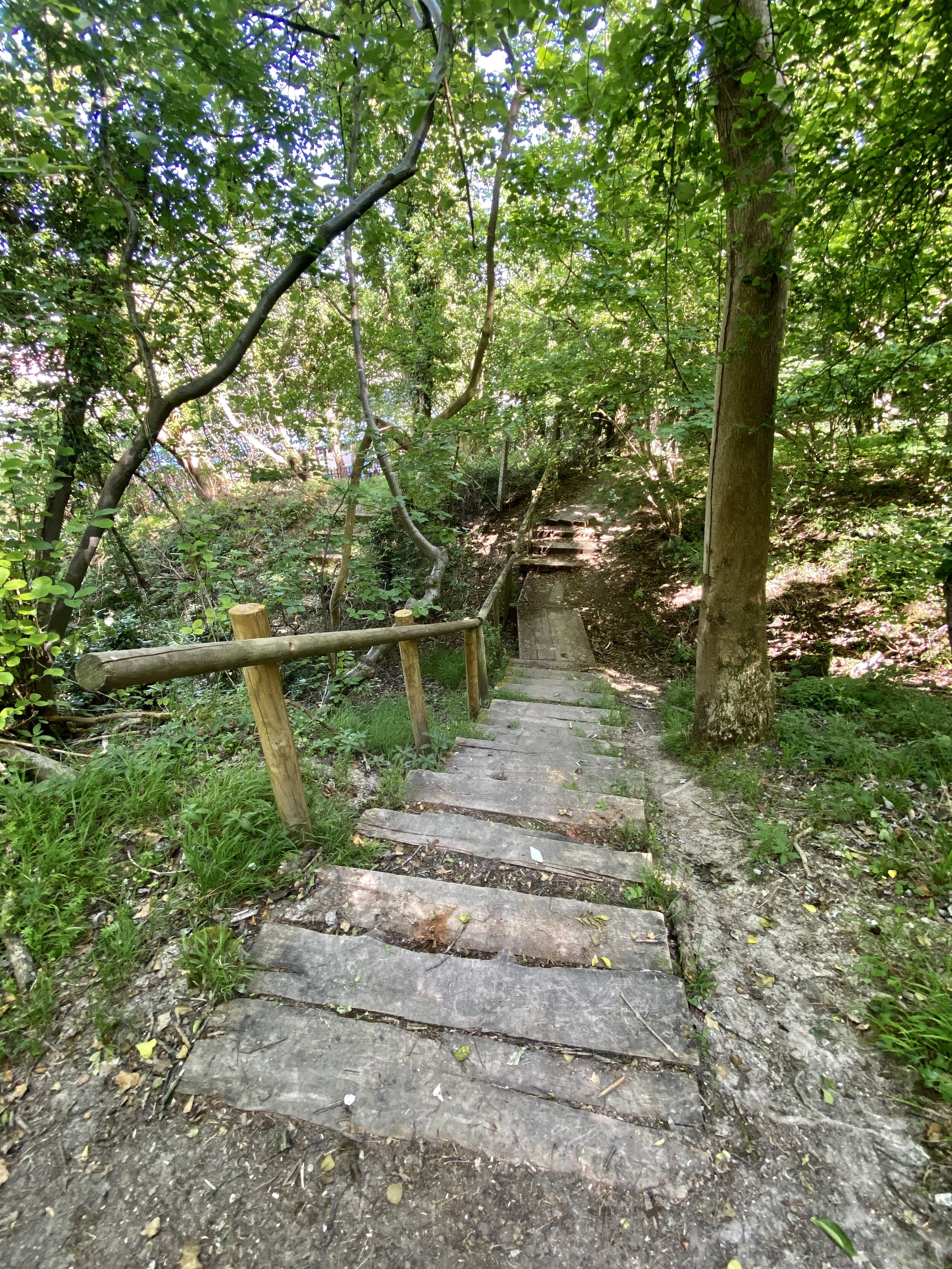
The conservation trail ends Treadaway Hill very close to the old Loudwater Station, now demolished. Here the there was a Level Crossing but the route is now blocked by an industrial estate next to the M40. To continue the walk, divert left onto Treadaway Hill and take a right at the Happy Union pub to follow Boundary Road. Pass under the M40 bridge and over a small roundabout onto Wycombe Lane. A very short distance past the roundabout take the footpath to the right of the pavement up into the woods.
Continue through the woods for a short distance until you reach Flackwell Heath Golf Course. A footpath will continue straight across the golf course, however turn left and follow the path and track along the North-East side of the golf course. When the main path will takes you back onto Wycombe Road continue along the overgrown path that follows the back of the houses. The path will take a sharp right hand turn up the hill at the end of the golf course. Continue up but take the left hand path at the path junction to continue on to Juniper Lane. Turn left on Juniper Lane and follow this back to Wycombe Road.
For the next 1.6 km / 1 mile you’ll continue along Wycombe Road through Wooburn Green. This stays to the East of the railway route, although diversions onto the parallel streets of Compton Road, Red Lion Way and Old Station Road would keep you closer to the tracks. All of these are cul-de-sacs so a through-route on these is not possible. The only one that we diverted to was Old Station Road which, not surprisingly, was the location of the original Wooburn Green Station that was demolished in the late 1980s.
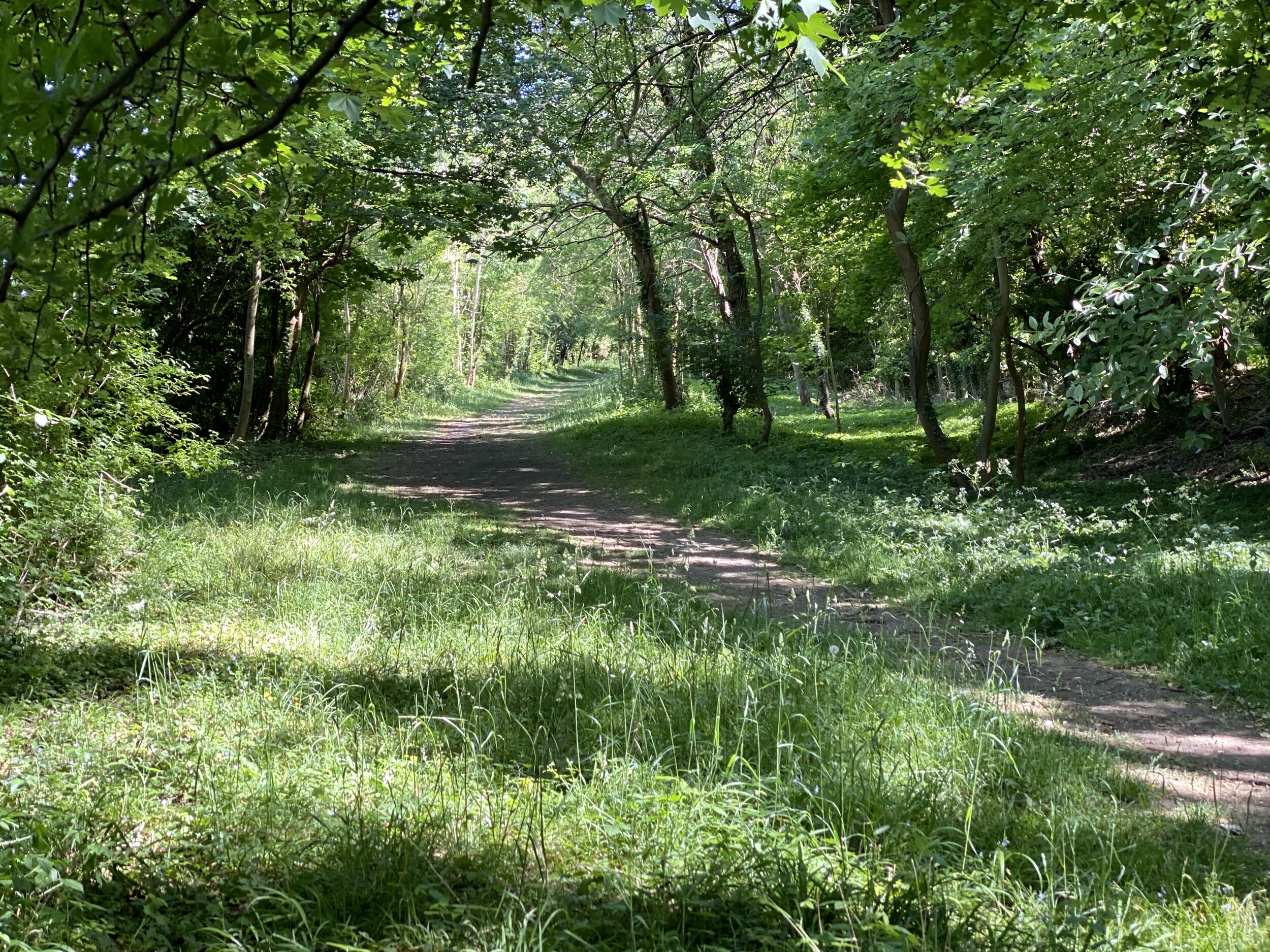
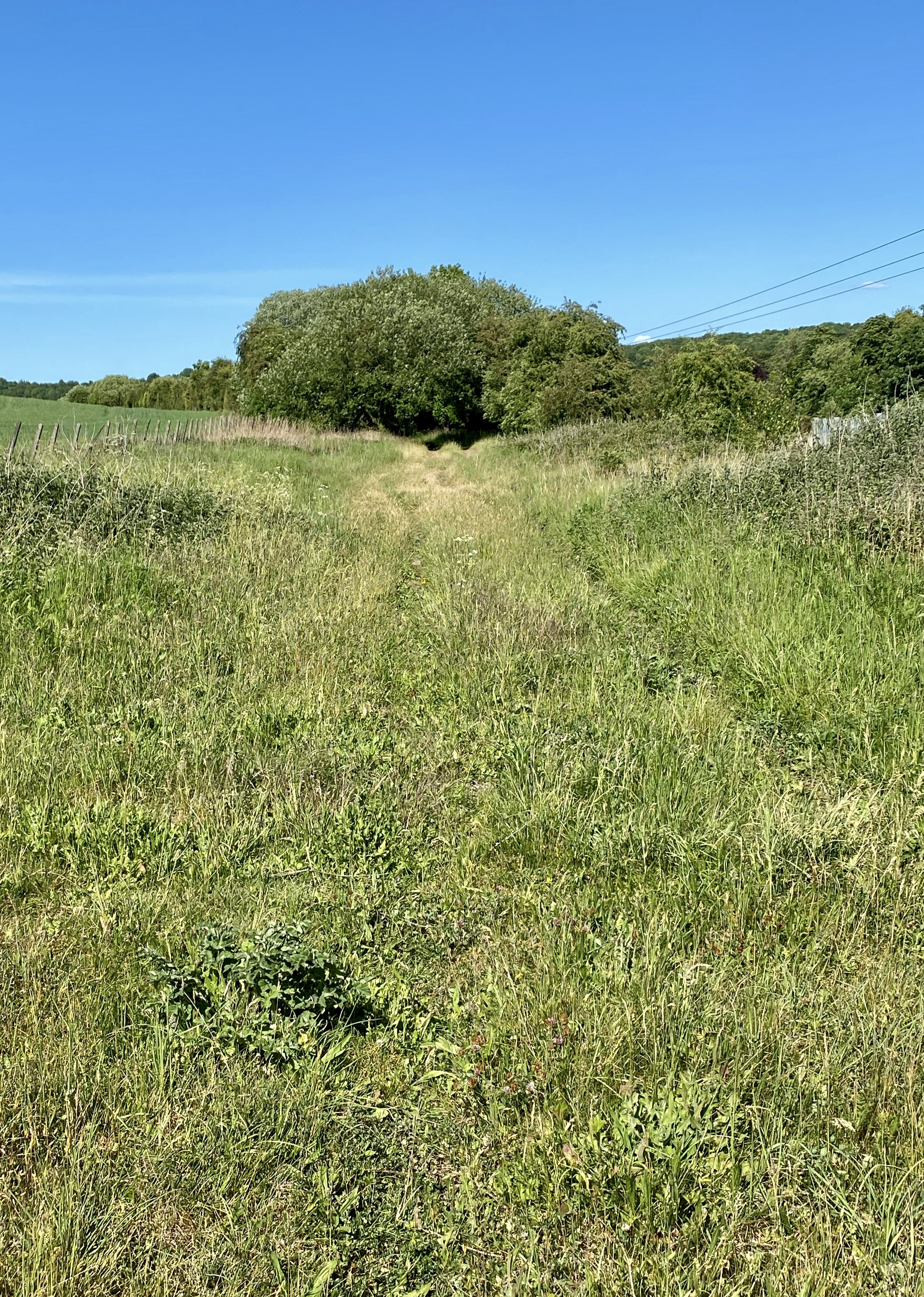
When you reach Wooburn Manor Park, look out for a footpath on the right of Wycombe Road that takes you past Spade Oak and back onto the railway route. From here you can continue along a quiet, wooded section that follows the old rail line for 1.6 km / 1 mile to Bourne End. When the path finishes at the A4155 Cores End Road, cross over and take a footpath onto Boston Drive to continue to Bourne End Station.
I’d stumbled upon parts of this route year ago on various cycling and Geocaching adventures. As it’s not a recognised trail I hadn’t considered tracing the route of the line until recently. I’m glad that I did though as its a hidden gem of a route still with evidence of the old rail route.

The Wycombe Railway and Connecting Lines

More Disused Railway Posts