Walking The Bourne End To Maidenhead Line

View of Bourne End Marina from the rail and footbridge
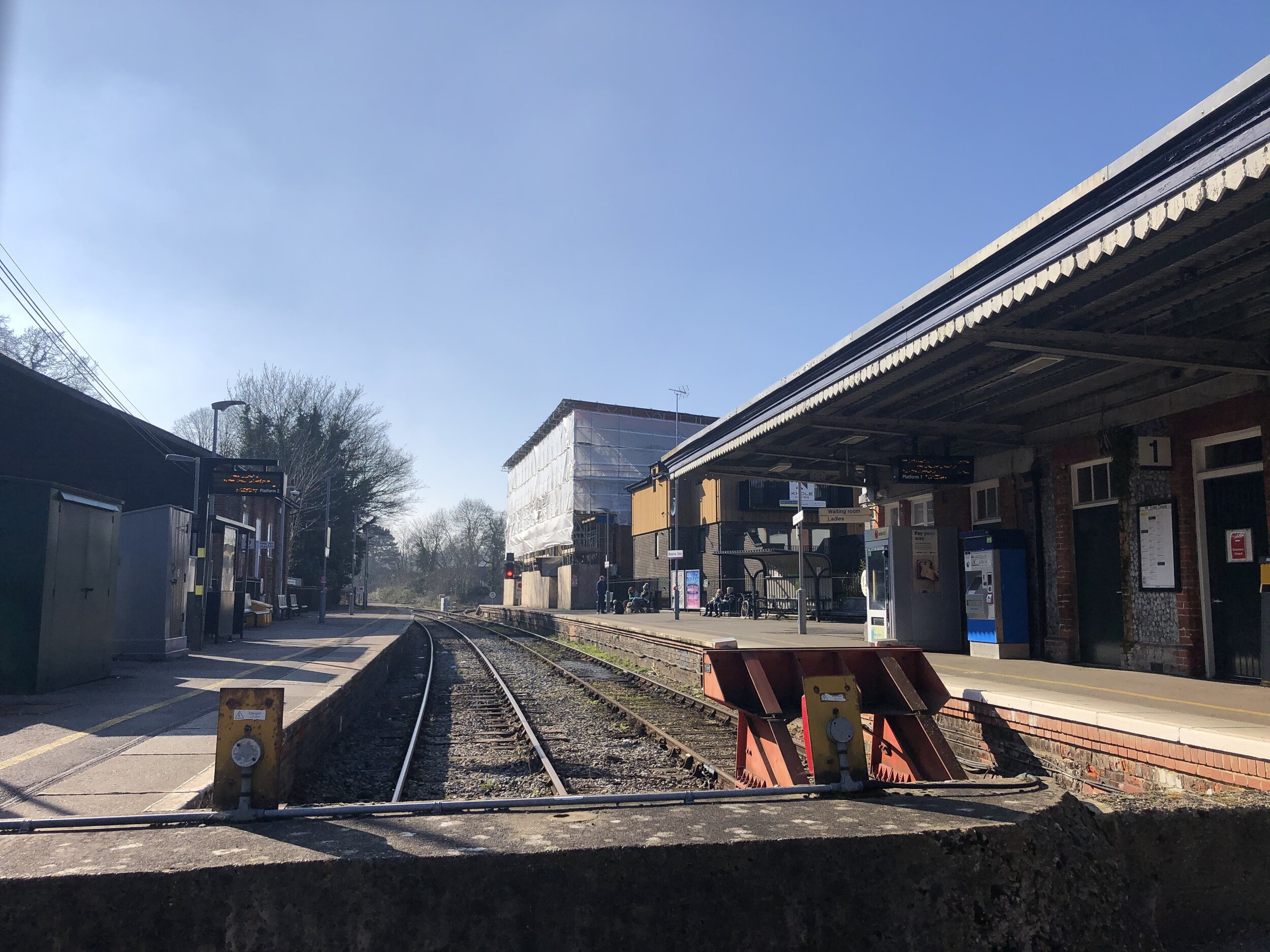
Start: Bourne End Railway Station, 1 Station Road, Wooburn Green, Bourne End, SL8 5RN
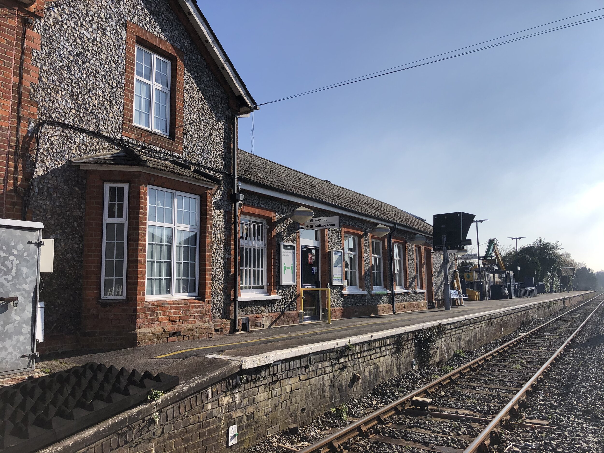
Finish: Maidenhead Railway Station, Maidenhead SL6 1EW
Distance: 9.6 km (5.9 miles)
Elevation change: +60m / -58m. Net +2m
GPX File: get via Buy Me a Coffee
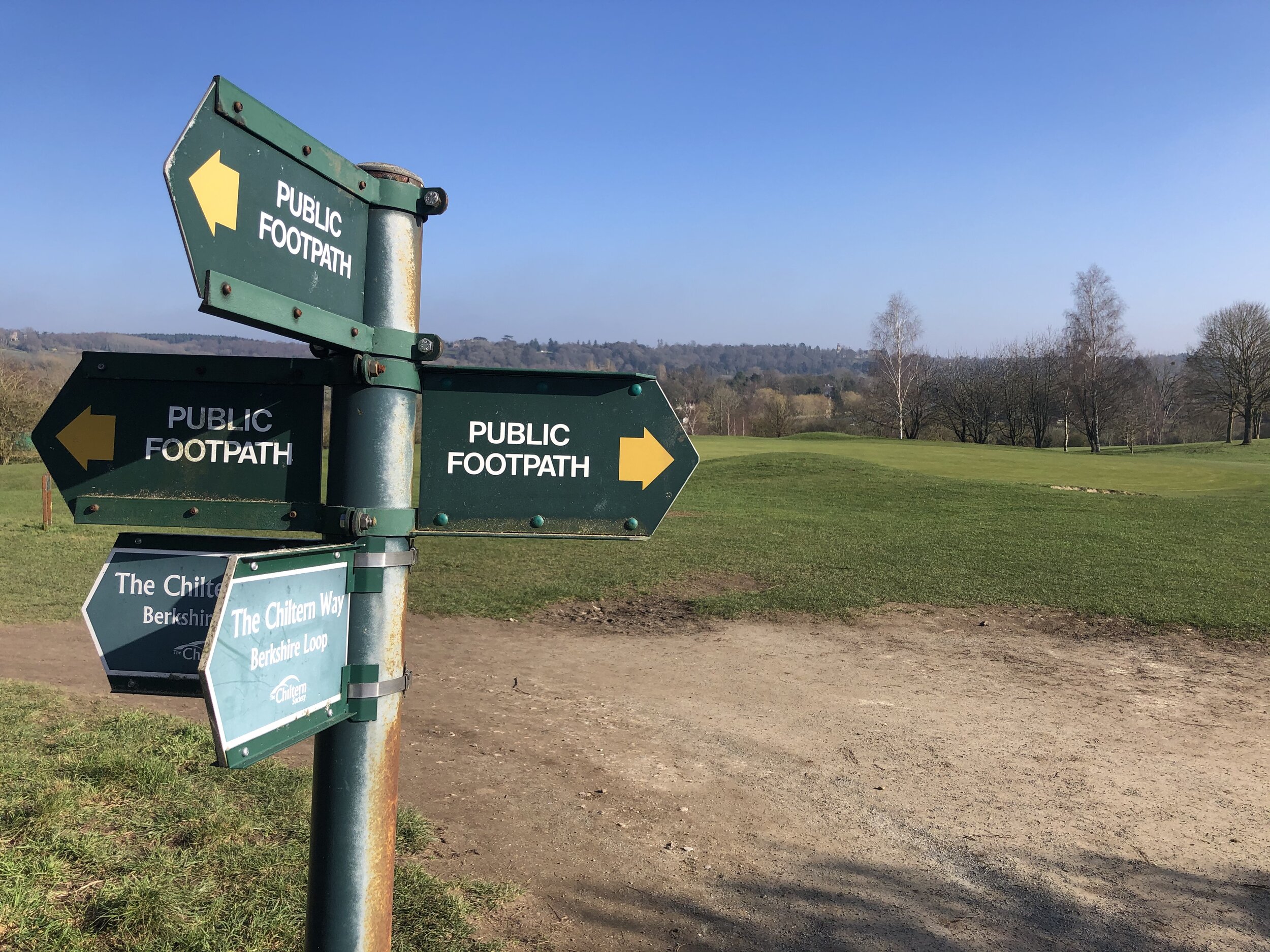
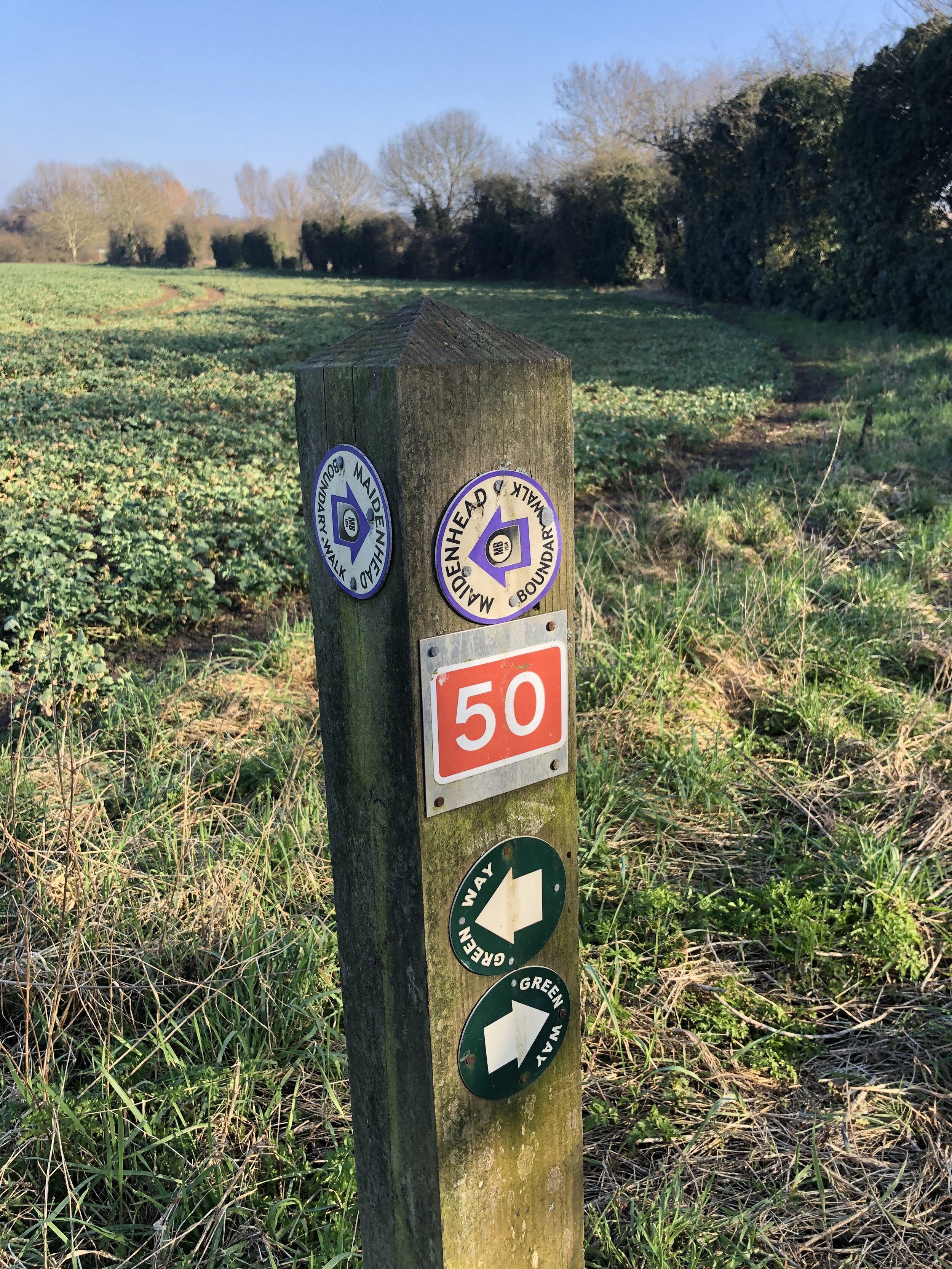
Other routes touched (walk): Shakespeare’s Way, Thames Path, Maidenhead Boundary Walk, Maidenhead Green Way, The Chiltern Way Berkshire Loop, Walking The High Wycombe to Bourne End Disused Railway
Other routes touched (cycle): NCN 50
Other Pubs / Cafes on route: Costa Coffee at Cookham Station, several in Maidenhead Town Centre
Map: OS Explorer Map (172) Chiltern Hills East
Links: Maidenhead - Marlow Passengers’ Association History, Wycombe to Bourne End railway - looking back at the historic line (Photos)
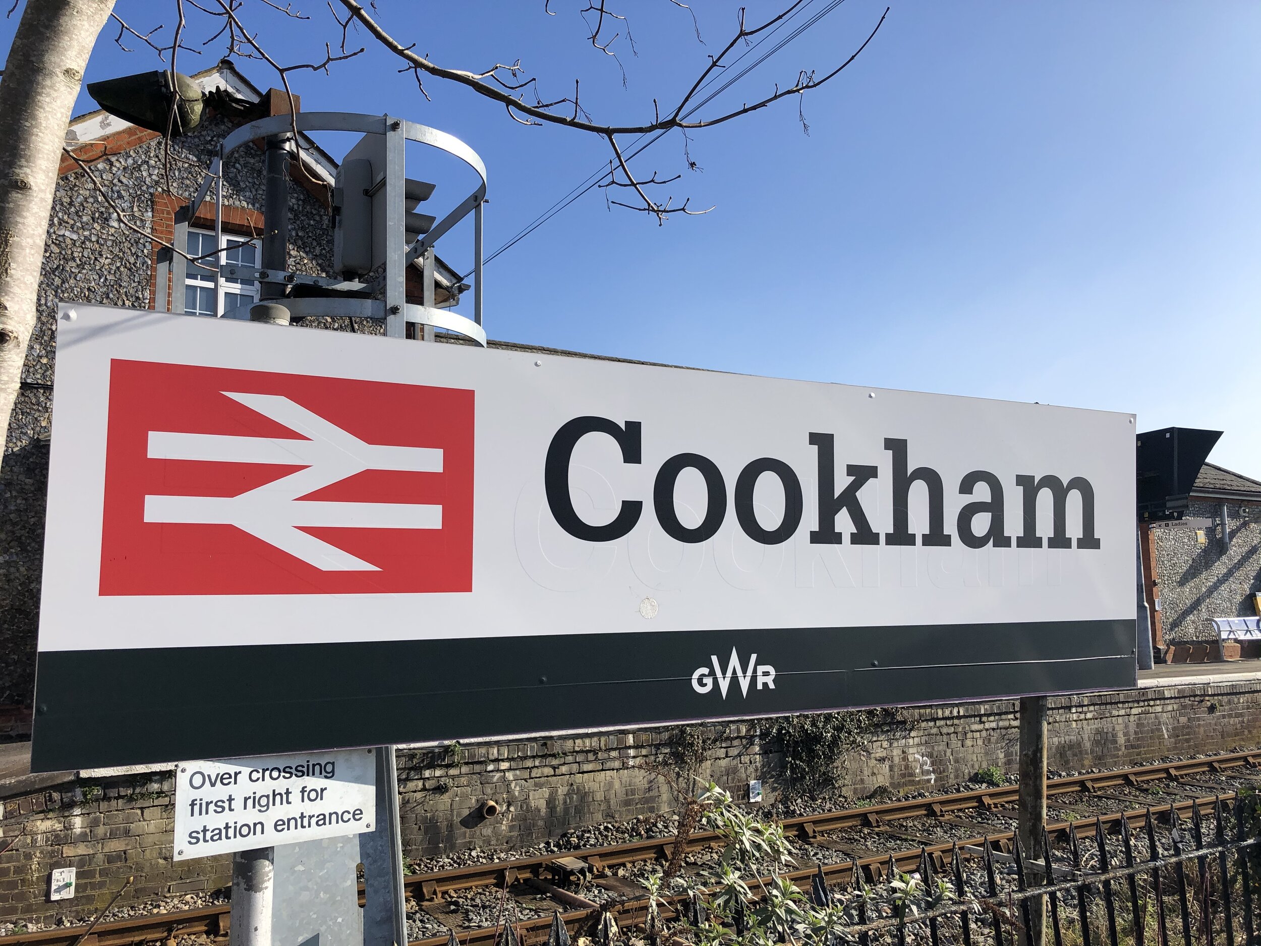
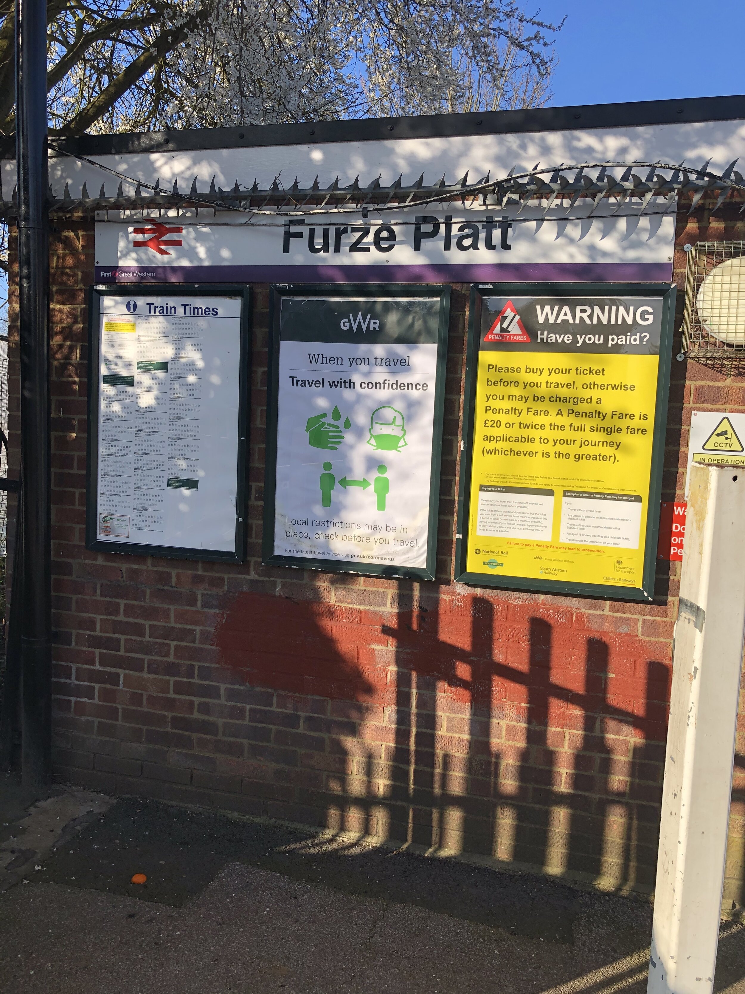
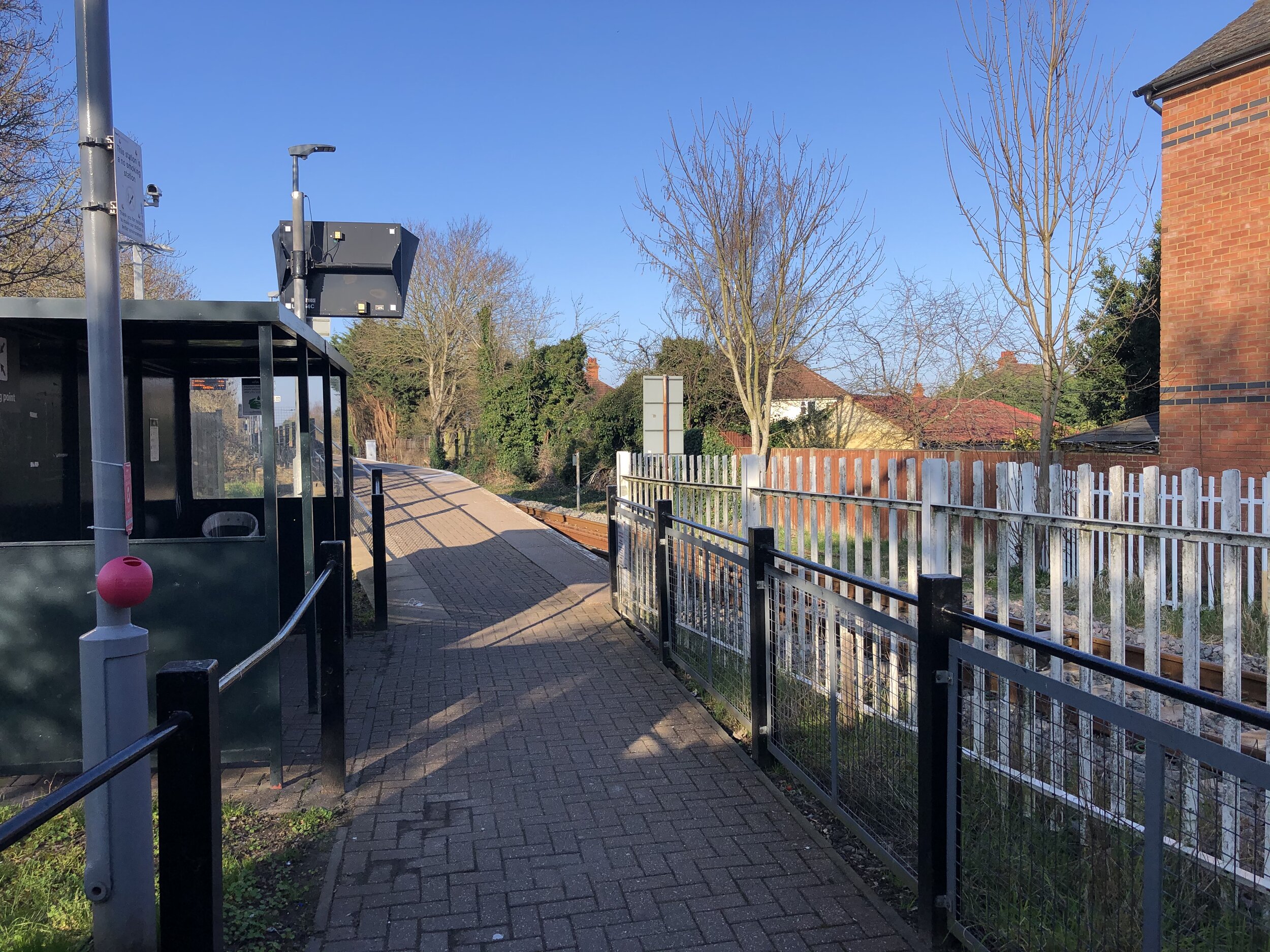
Wycombe Railway, Bourne End Station, Cookham Station, Furze Platt Station, Maidenhead Boyne Hill Station, Maidenhead Station
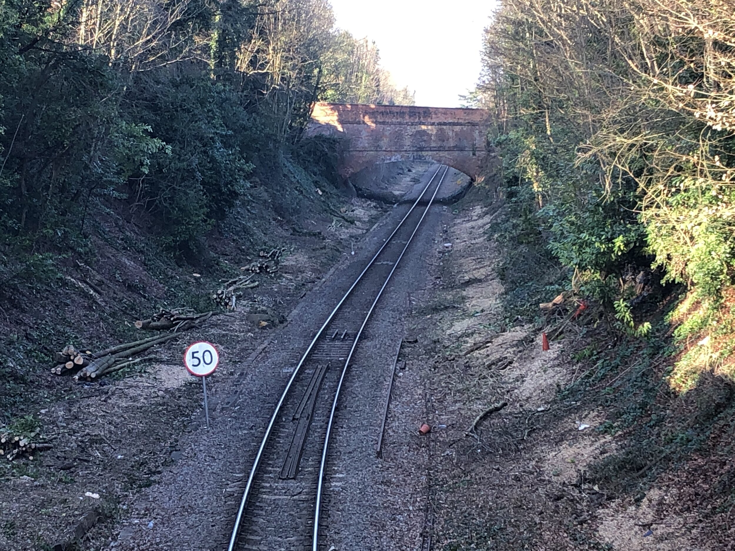
The Wycombe to Bourne End Railway was originally part of a longer section that connected Maidenhead and High Wycombe. The Maidenhead to Bourne End section is still intact but the line to Wycombe closed in 1970. We completed the disused section last year and were keen to continue the route of the original line from Bourne End to Maidenhead. The guidance below will help you navigate but don’t use it as a fully accurate turn-by-turn guide. Always take a map and/or a GPX route and prepare well for the weather and terrain.
As this is a working rail line, doing a point to point walk then returning to the start by train is pretty straightforward. We picked up where we finished last year at Bourne End Station. From here you can pick up a footpath to the south of the station. This path will connect with the Thames Path and cross over the footbridge next to the river’s rail crossing. Once over the bridge, take a left onto the Thames Path, heading south. After ~0.5 km leave the Thames Path, following a footpath to the south of Strand Water, a minor tributary of the Thames. When you meet the railway again, take the left had footpath running between the railway and the golf club. Continue walking south until you reach The Pound. Take a right onto the Pound and follow it west until Cookham Station.
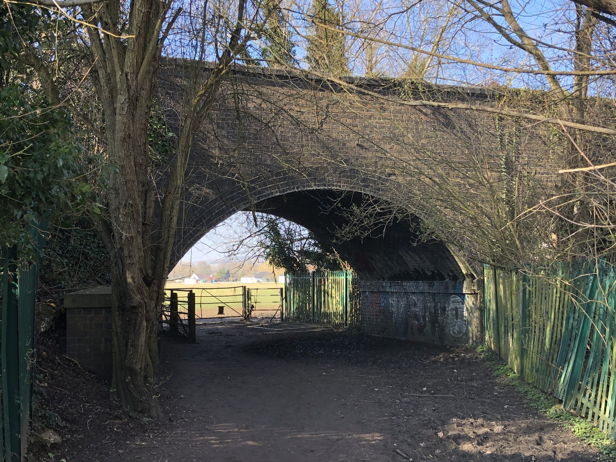
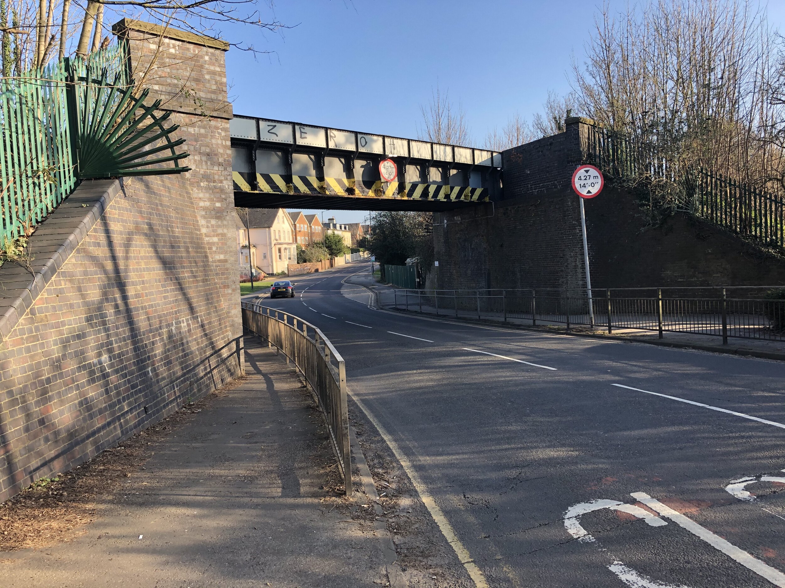
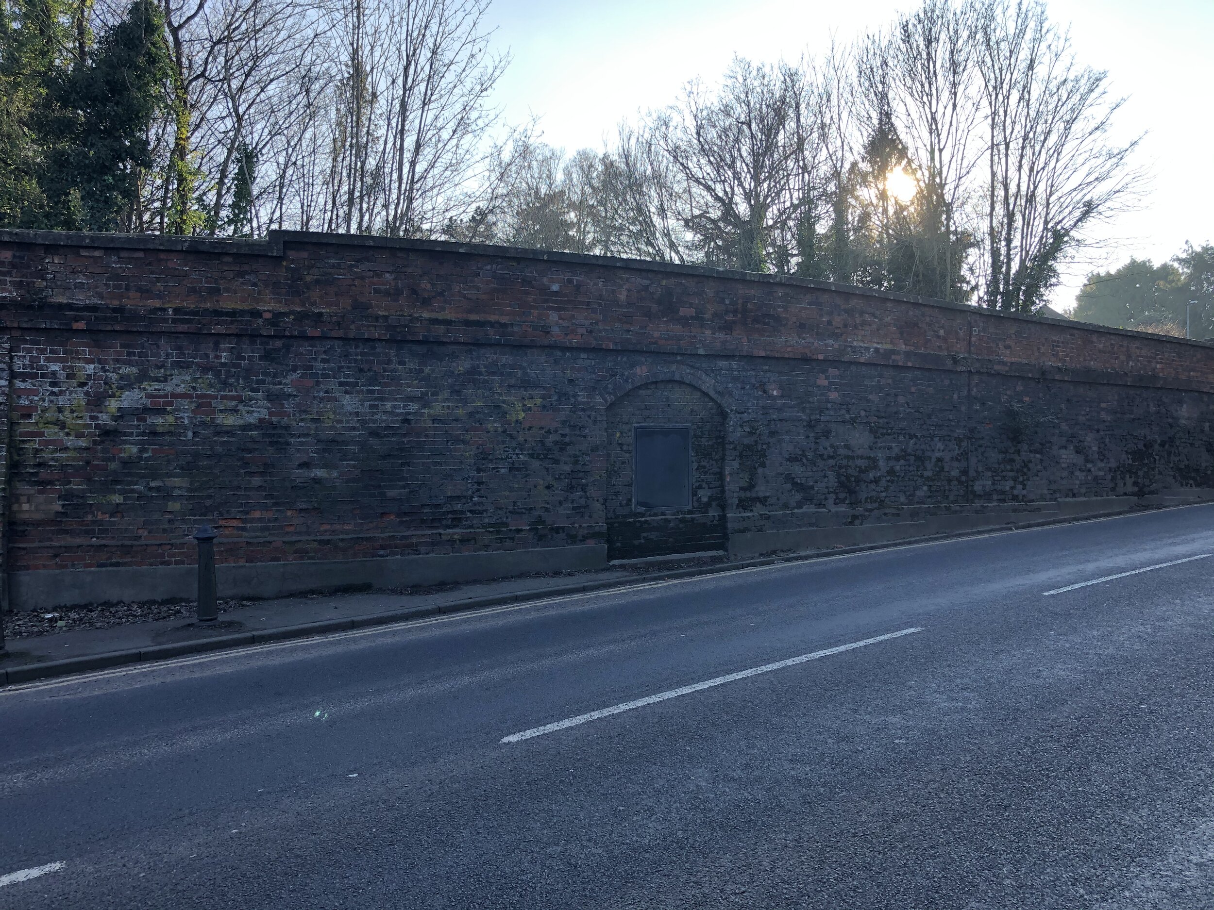
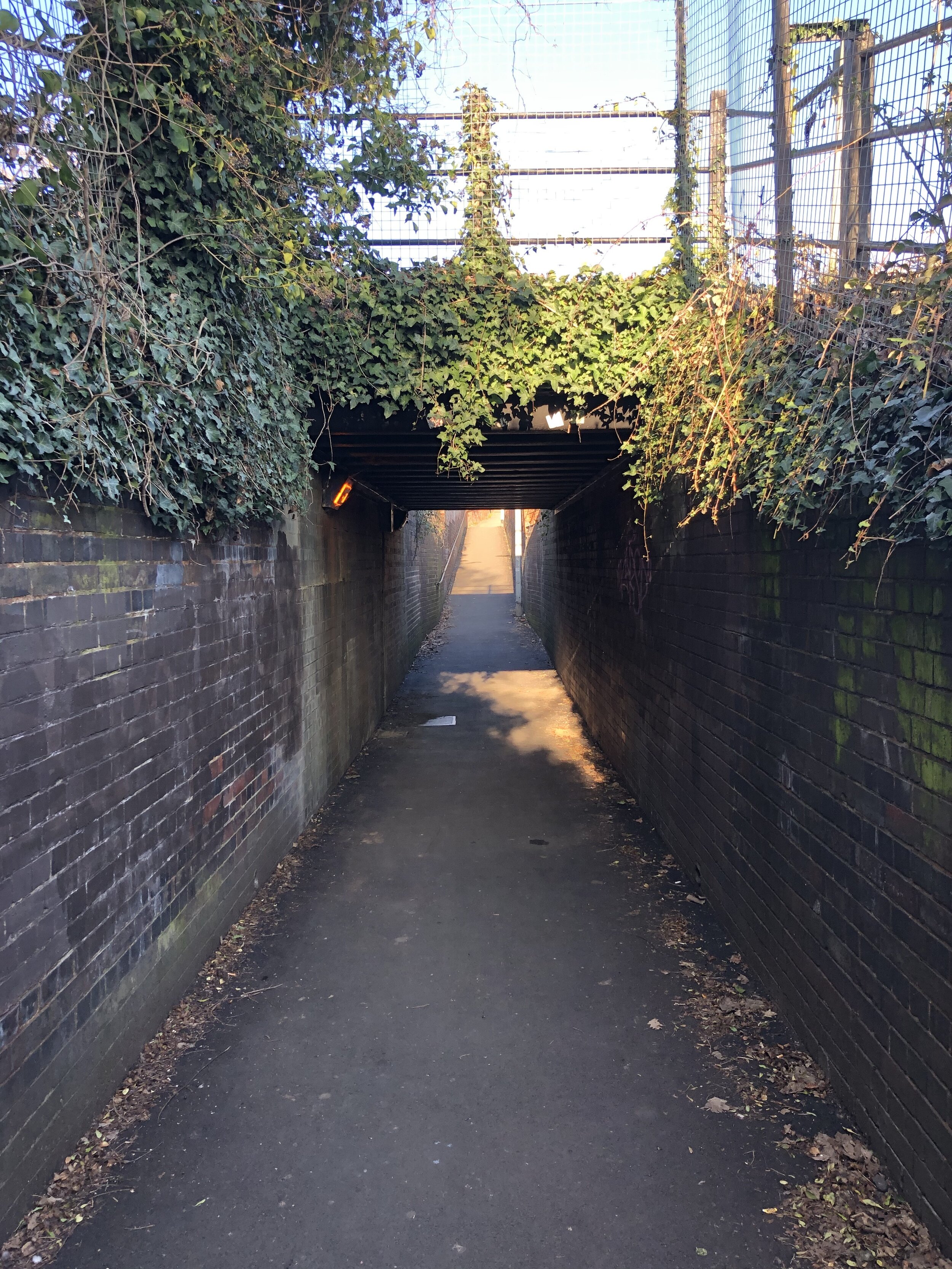
Once over the level crossing at Cookham Station take a left onto High Road. Continue south along High Road, Peace Lane and the edge of Alfred Major park, keeping the rail line on your left. When you reach the B4447 take a left, following it under the rail bridge, taking the first footpath on the right. This path opens onto Bass Mead which you’ll follow to the junction with Lightlands Lane and Strande Lane. Just before that junction take a right hand track heading south. Continue walking south, picking up the Maidenhead Boundary walk until you cross railway bridge on the B4447 Gardner Road.
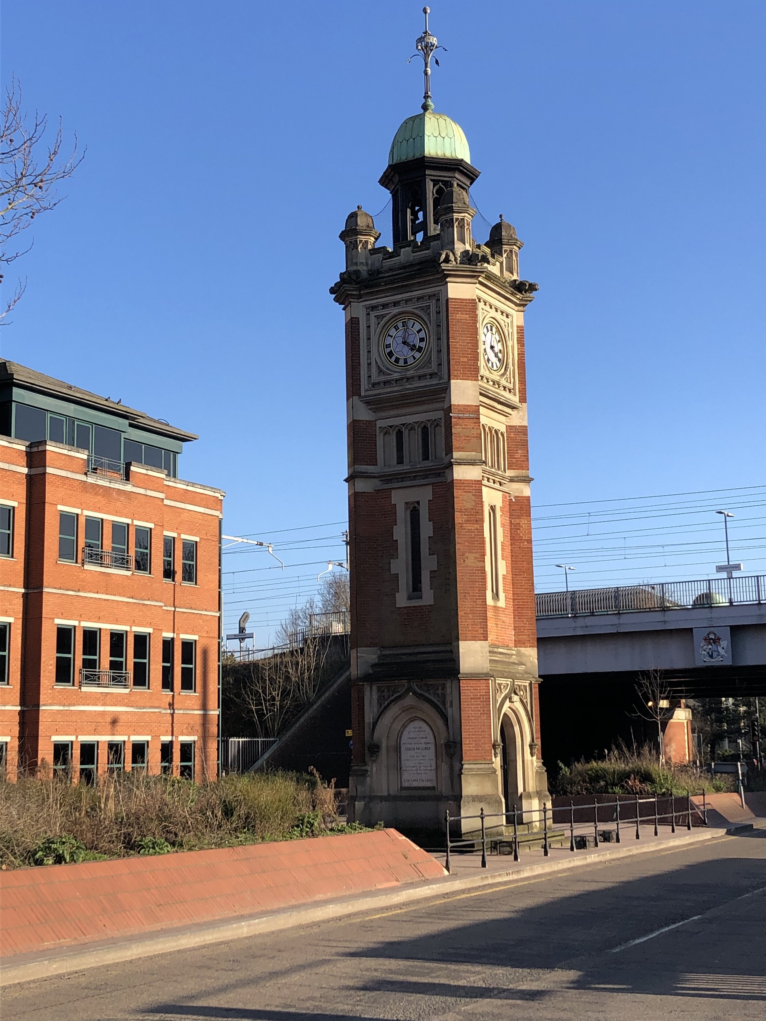
Leave the Maidenhead Boundary Walk by taking a left onto Queensway, a left onto Edinburgh Road, a left onto Connaught Close and a right onto a footpath leading back to Queensway. At the junction of Queensway and Harrow Lane take a left to visit Furze Platt Station. Then double back on Harrow Lane taking Bridle Road, the first road on the left. Follow Bridle Road until you meet Gringer Hill. Here you can take a westerly heading footpath to College Avenue. Follow College Avenue south, curving round to the east to cross the rail line on a footbridge. Once over the footbridge take a right onto Elm Grove and follow it until you reach the A4 at Castle Hill. Here you can see the site of the, now disused, Maidenhead Boyne Hill Station.
On the east side of the rail bridge you can take a path heading south to West Road. Continue down West Road, taking a right onto High Town Road. When you meet Grenfell Road, continue heading west over the railway bridge and take a left onto Kings Grove. Just after Clare Road on your right take a footpath on the left that goes under the rail line. Take a right onto Grenfell Road, following it as it curves round to the west. Take the right hand footpath round the back of a private car park to the end of the trip at Maidenhead Station.