Chiltern Walks: Berkhamsted Castle and Common
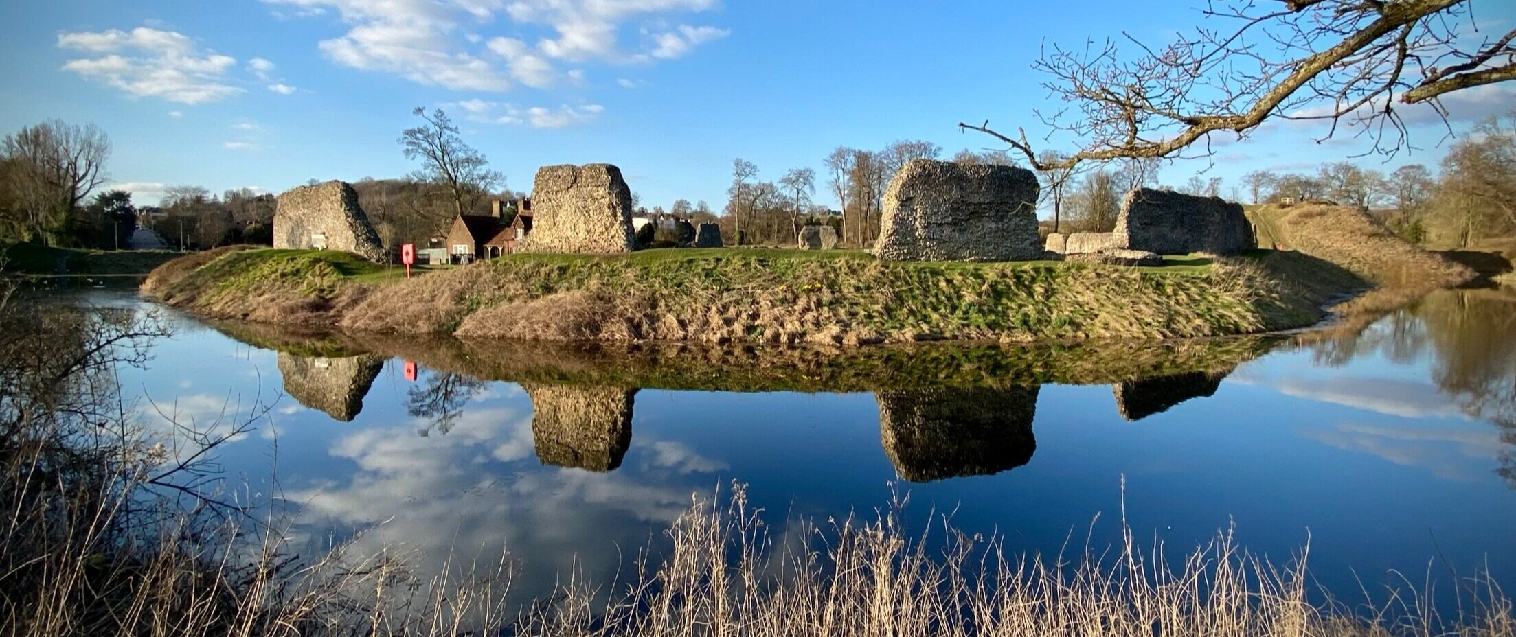
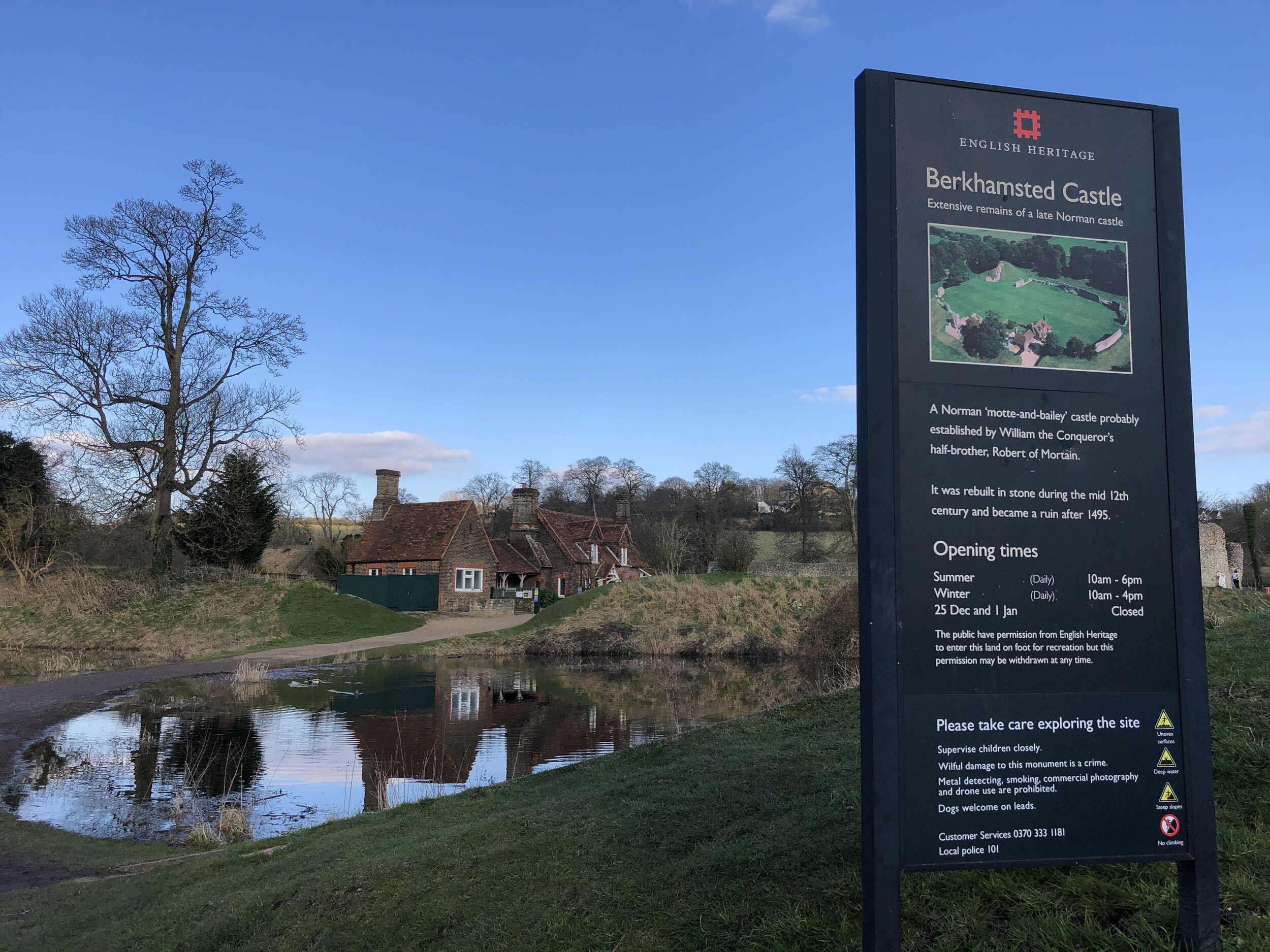
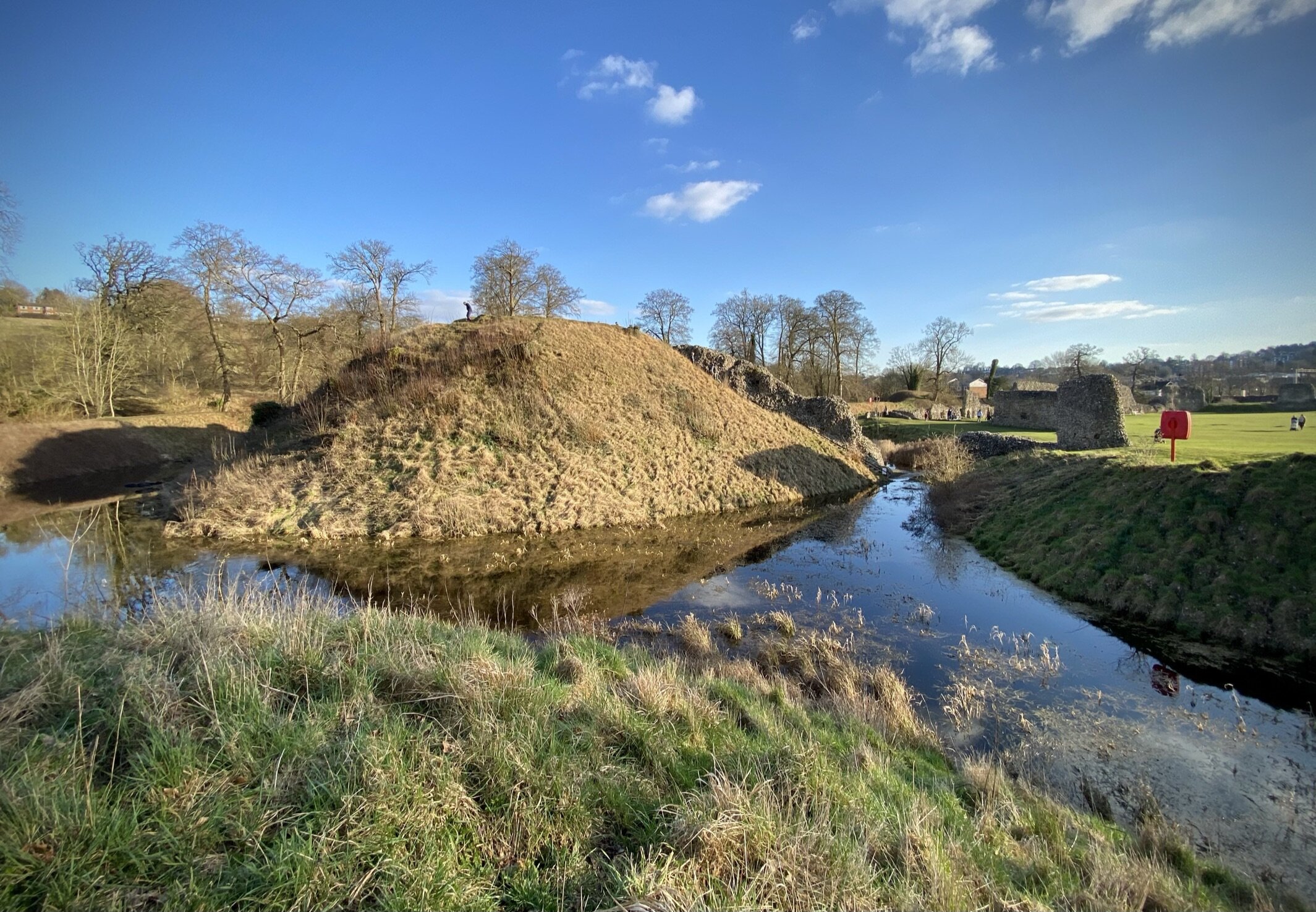
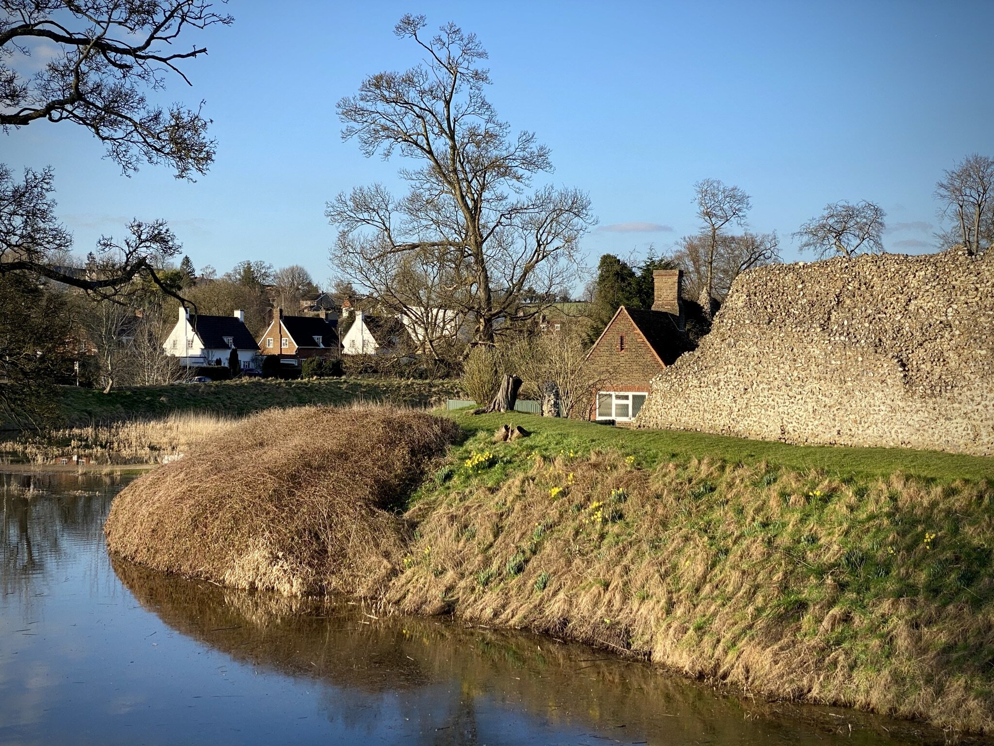
Berkhamsted Castle
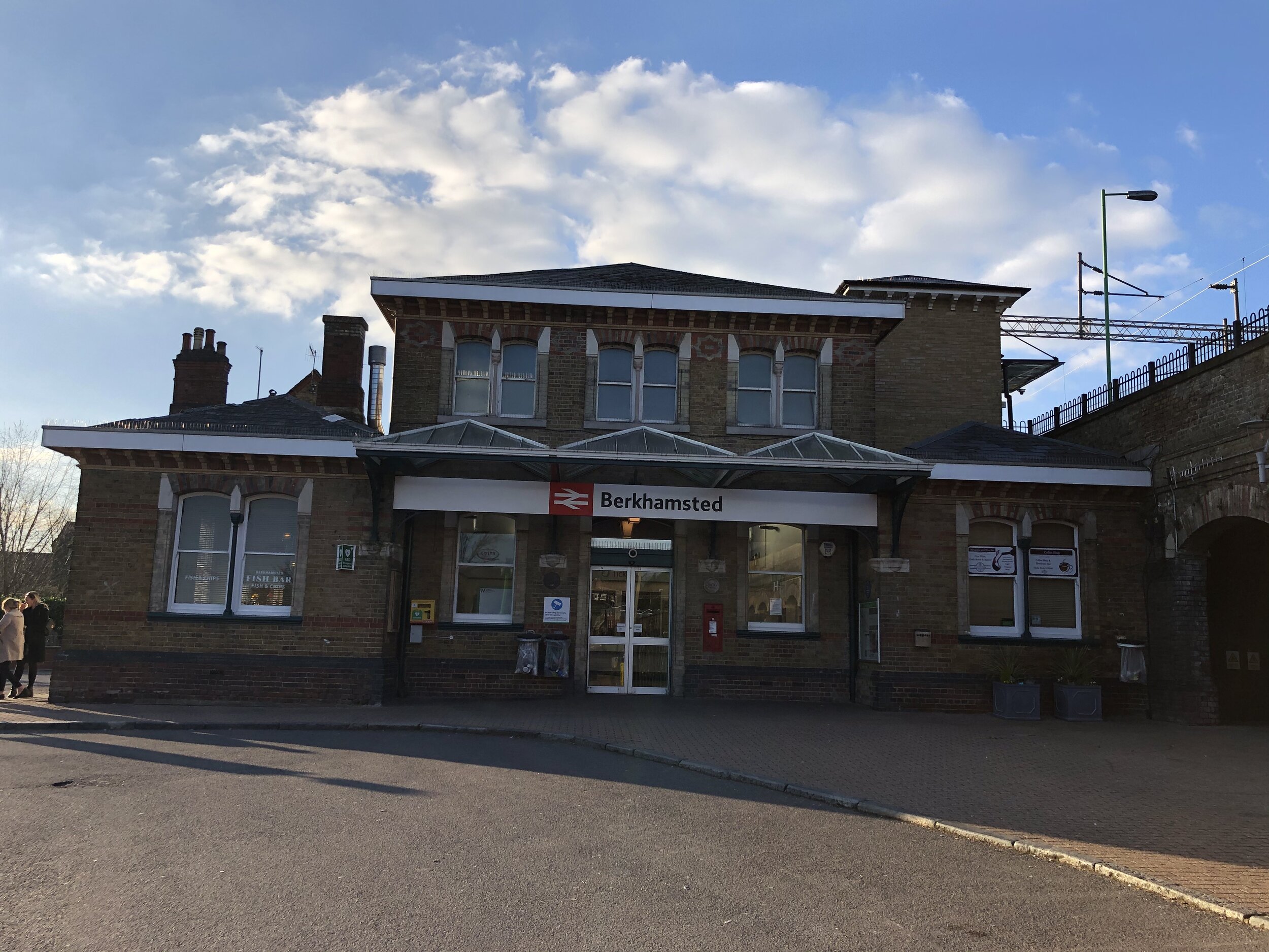
Start & Finish: Berkhamsted Station, HP4 2AJ
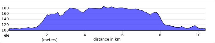
Distance: 10.4 km (6.5 miles)
Elevation change: +/- 119m
Hertfordshire Way section covered: Berkhamsted Common to Berkhamsted Castle: 4 km
GPX File: get via Buy Me a Coffee
Other routes touched (walk): Ashridge Boundary Trail, Hertfordshire Way, Grand Union Canal Towpath, Berkhamsted Heritage Walk
Other routes touched (cycle): Chilterns Cycleway, Berkhamsted Route 6
Pubs / Cafes on route: several on Berkhamsted High Street
Map: OS Explorer Map (181) Chiltern Hills North
Links: Berkhamsted, Berkhamsted Station, Berkhamsted Castle, Berkhamsted Common, Ashridge Estate National Trust, River Bulbourne, Grand Union Canal
For the latest of our Chiltern Rail based walks we visited Berkhamsted. As a stop on the Grand Union Canal and at the heart of several cycle and walking routes, it’s a place that’s featured in several of my trips. The guidance below will help you navigate but don’t use it as a fully accurate turn-by-turn guide. Always take a map and/or a GPX route and prepare well for the weather and terrain.
From Berkhamsted Station it’s a short walk along Lower Kings Road to the Grand Union. Cross over the bridge to pick up the towpath on the southern side. Follow the towpath in a westerly direction for 1.4 km until the Billet Lane Bridge. Cross over the bridge and follow Billet Lane for 200m then take a right onto Bridgewater Road then left onto Billet Lane. Be careful here as following the main road called Billet Lane from the canal will take you onto Bridle Way. Keep your eyes open at the roundabout to make sure you take on the smaller road on the right called Billet Lane.
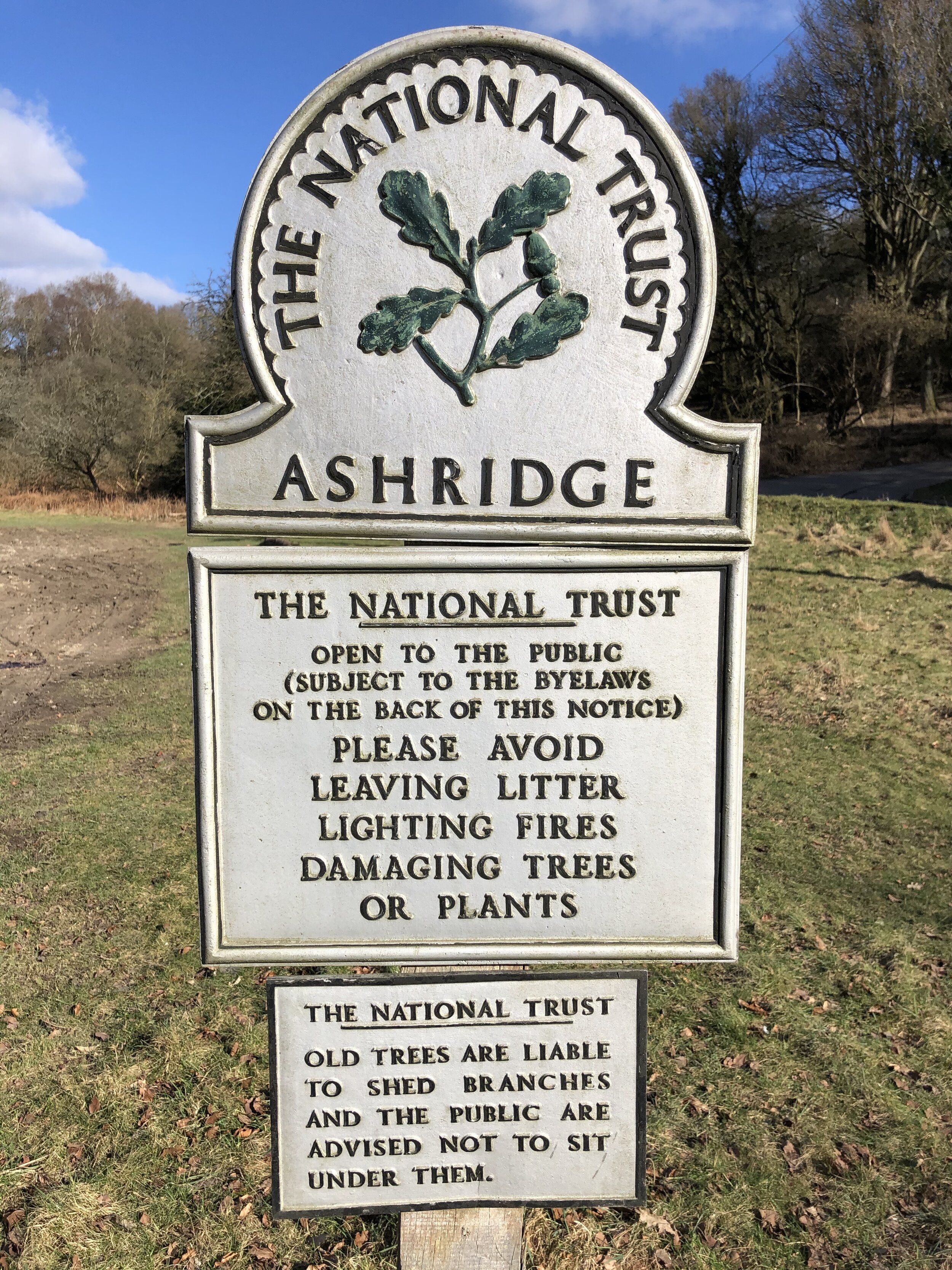
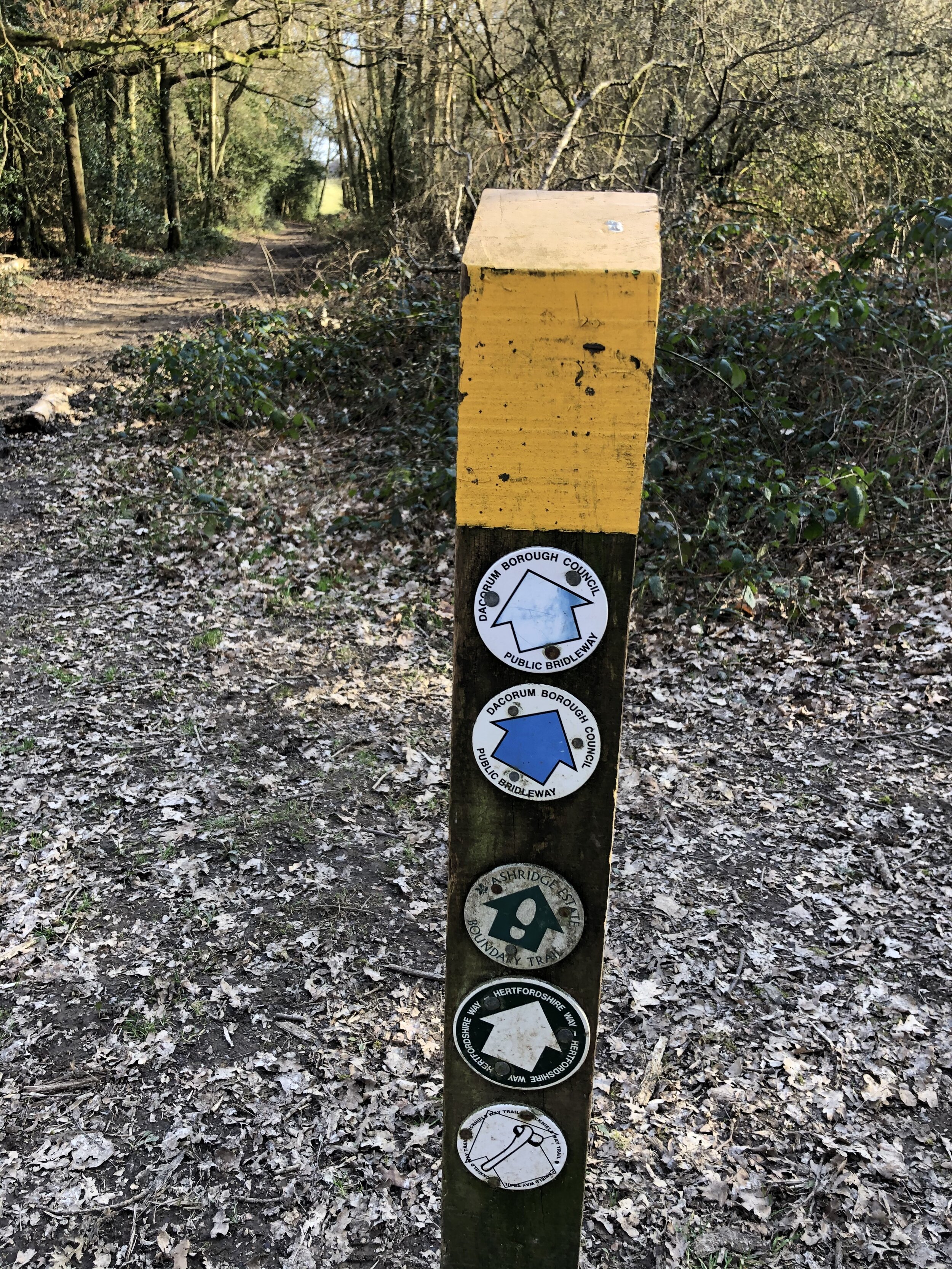
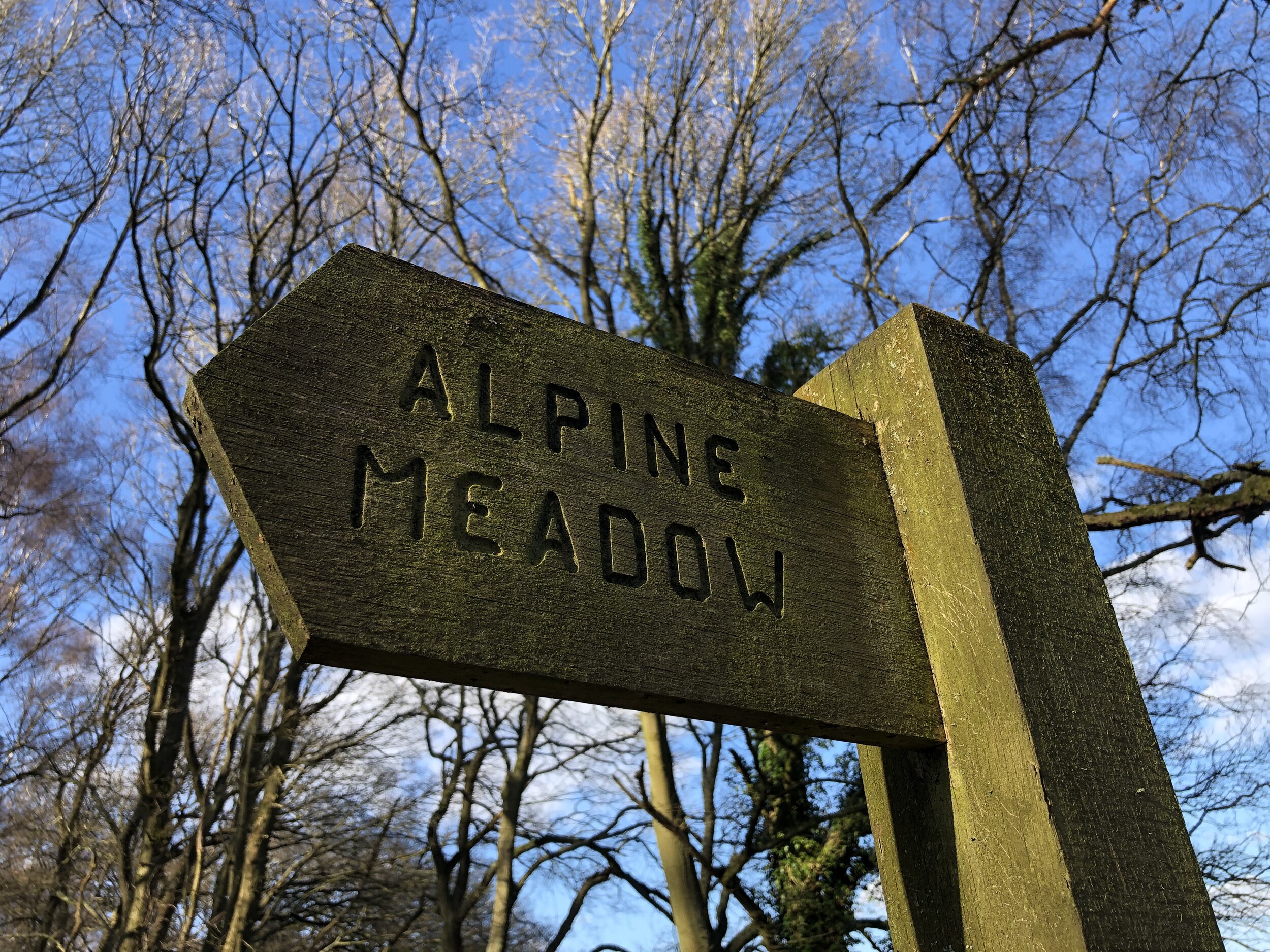
At the entrance to Bridgewater Primary School take a left onto Bridle Way then a right onto The Beeches footpath. Follow this through woodland for 600m until New Road and an open space with a National Trust sign. Take the north-westerly footpath up the hill to a path junction where you’ll take the right hand footpath heading north-east. Continue along here for 2 km, following the Ashridge boundary Trail, until you connect with the Hertfordshire Way at Berkhamsted. Common. Take a right here and follow the Hertfordshire Way all the way back down to Berkhamsted.
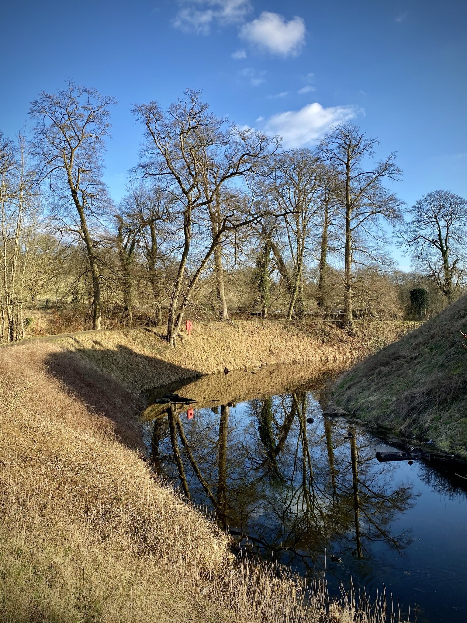
If it’s open, the moat walk around the castle is well worth an additional 800m before you reach the end of the trail back at the railway station.

Hertfordshire Way next section clockwise: Cow Roast and Berkhamsted Common
Hertfordshire Way next section anti clockwise: Berkhamsted and Bourne End