Posts tagged English Heritage
Walking The Silchester Trail

Walking the old Roman walls


Start & Finish: Bramley Inn, The Street, Bramley, Tadley, RG26 5BT
Distance: 10.7 km (6.6 miles)
Elevation change: +/- 71m
GPX File: get via Buy Me a Coffee
Other routes touched (walk): St. James Way, Brenda Parker Way
Other routes touched (cycle): NCN 23, Calleva Trail
Pubs / Cafes on route: Bramley Inn at the start and finish
Maps:
- Reading, Wokingham & Pangbourne Map | Thames Path | Ordnance Survey | OS Explorer Map 159
- Basingstoke, Alton & Whitchurch Map | Odiham, Overton & Hook | Ordnance Survey | OS Explorer Map 144
Links: Bramley, Silchester, Silchester, Roman City Walls and Amphitheatre


The Sichester Trail is a ~11 km walk taking in the remains of the old Roman town of Calleva. The Hampshire County Council’s guide to the walk describes it very well so I won’t repeat those details here. I also recommend Paul Whitewick’s 20 minute video about the Roman town to learn about the history of the site before you visit.

There’s a few different options for starting the walk and we chose to start at Bramley where there’s free on-street parking near the Bramley Inn. Starting here means that the Roman Town is in the middle of the walk and you have a pub at the end.

Having completed a couple of the Camino de Santiago routes we were pleased to discover that the English section of the Camino Ingles runs through the Roman town on its path from Reading to Southampton. We’ll likely be back one day to walk that whole Camino Trail.


Whitehorse Hill: Present-Day Oxfordshire County Top

At the top of the White Horse


Significance: Highest peak in the present-day county of Oxfordshire
Member of: N/A
Parent Peak: Walbury Hill, NHN = Liddington Hill
Historic County: Berkshire (of which Walbury Hill is the County Top)
Elevation: 261m
Date “climbed”: January 8th 2023
Coordinates: 51° 34' 31'' N, 1° 34' 0'' W
Map: Vale of White Horse Map | Abingdon-on-Thames, Wantage, Wallingford & Faringdon | Ordnance Survey | OS Explorer Map 170
Links: Wikipedia (Oxfordshire), Peakbagger, Hillbagger


Whitehorse Hill, also referred to as White Horse Hill is the highest point in the Present-Day or Ceremonial County of Oxfordshire. It’s not the Historic County Top though as that’s Bald Hill near Christmas Common in the Chilterns. Whitehorse Hill was originally in the Historic County of Berkshire before the boundary changes that formed the Ceremonial Counties. Compared with Bald Hill which has nothing to mark the summit, Whitehorse is a much more satisfying walk.


National Trust Short Walk

Start & Finish: National Trust White Horse Hill Car Park, Faringdon, SN7 (Free to National Trust members)
Distance: 2.5 km (1.6 miles)
Elevation change: +/- 50m
GPX File: get via Buy Me a Coffee
Other routes touched (walk): White Horse Hill Circular
Other routes touched (cycle): None
Pubs / Cafes on route: None
Map: Vale of White Horse Map | Abingdon-on-Thames, Wantage, Wallingford & Faringdon | Ordnance Survey | OS Explorer Map 170
Links: Uffington Castle, White Horse and Dragon Hill (English Heritage), White Horse Hill (National Trust), White Horse Hill Circular Walk


We had originally planned to walk the 7 km White Horse Hill Circular Walk. We were there on a very rainy January day and managed to get to the car park in a short break in the rain and decided for a shorter walk instead. From the main National Trust car park you can either do a 2 km out and back to the Trig Pillar or add an extra 0.5 km to take a circuit of Uffington Castle and see the top of the White Horse.

Despite the wintery conditions we got a great view over the Berkshire Downs. We’ll likely return in better weather to do the longer walk and check out Drago Hill too.


OTHER HIGH POINT IN OXFORDSHIRE


Walking The Three Castles Path Part 1: Windsor to Greywell
Windsor Castle and the start of the Three Castles Path

Windsor Castle and the start of the Three Castles Path


The Three Castles Path is a 60 mile trail from Windsor to Winchester, inspired by the travels of King John. The three castles that it refers to are Windsor Castle, Winchester Castle, and King John’s own Odiham castle at the half way point. The trail is very well described in the short guidebook The 3 Castles Path by Heron Maps.

Our journey along the path was a reunion of our small group that did the Caminos Ingles and Finisterre in 2019. The Covid lockdowns had thwarted many of our plans for long trips so we covered this first section of the path in sections around the Lockdowns. Our trip was based on roughly 10k sections with good parking options at either end. These are different sections to those described in the guidebook which also details public transport options.

We’ll get to the second half of the path another time. It’s further from home with fewer parking options on some sections so will need some more planning.


Section 1. Windsor Castle to Ascot

Start: Windsor Castle, Castle Hill, Windsor
Finish
: Free car parking, High Street, Ascot, SL5 7HS
Distance: 11.6 km (7.2 miles)
Elevation change: +128m / -90m. Net +38m
GPX File: get via Buy Me a Coffee
Other routes touched (walk): None
Other routes touched (cycle): NCN 4, Ascot To Windsor Cycle Route, Round Berkshire Cycle Route 52
Pubs / Cafes on route: None on route but several in Windsor and Ascot High Streets
Map: OS Explorer Map (160) Windsor, Weybridge & Bracknell
Links: Windsor, Windsor Castle, Windsor Great Park, Ascot, Ascot Racecourse

route-34711377-map-full.png
elevation_profile.jpg

Section 2. Ascot to Swinley Forest

Start: Free car parking, High Street, Ascot, SL5 7HS
Finish
: The Look Out Discovery Centre, Nine Mile Ride, Bracknell, RG12 7QW
Distance: 8.3 km (5.2 miles)
Elevation change: +68m / -41m. Net +27m
GPX File: get via Buy Me a Coffee
Other routes touched (walk): Ramblers’ Route
Other routes touched (cycle): NCN 422, Ascot To Windsor Cycle Route
Pubs / Cafes on route: None on route but The Look-out has a cafe and Horseshoe Lake has a kiosk.
Map: OS Explorer Map (160) Windsor, Weybridge & Bracknell
Links: Ascot, Ascot Racecourse, North Ascot, Swinley Forest, The Lookout Discovery Centre

route-34711580-map-full.png
elevation_profile.jpg

Section 3. Swinley Forest to Horeshoe Lake

Start: The Look Out Discovery Centre, Nine Mile Ride, Bracknell, RG12 7QW
Finish
: Horseshoe Lake Car Park, Sandhurst, GU47 8JW
Distance: 10 km (6.1 miles)
Elevation change: +74m / -127m. Net -53m
GPX File: get via Buy Me a Coffee
Other routes touched (walk): Ramblers’ Route, The Wokingham Way, Ambarrow Hill Circuit, Ambarrow Court Circuit
Other routes touched (cycle): Swinley Forest Mountain Bike Routes
Pubs / Cafes on route: None on route but The Look-out has a cafe and Horseshoe Lake has a kiosk.
Map: OS Explorer Map (160) Windsor, Weybridge & Bracknell and OS Explorer Map (159) Reading, Wokingham and Pangbourne
Links: Swinley Forest, The Lookout Discovery Centre, Broadmoor Hospital, Sandhurst, Horseshoe Lake

route-34755124-map-full.png
elevation_profile.jpg

Section 4. Horseshoe Lake to Hartley Wintney

Start: Horseshoe Lake Car Park, Sandhurst, GU47 8JW
Finish
: Cricket Green, Hartley Wintney, Hook RG27 8QB. Parking at Hartley Wintney Long Stay, 484 Monachus Lane, Hartley Wintney, RG27 8NN
Distance: 12 km (7.5 miles)
Elevation change: +103m / -91m. Net -12m
GPX File: get via Buy Me a Coffee
Other routes touched (walk): The Wokingham Way, Blackwater Valley Park
Other routes touched (cycle): None
Pubs / Cafes on route: None on route but several in Hartley Wintney and Horseshoe Lake has a kiosk.
Map: OS Explorer Map (159) Reading, Wokingham and Pangbourne and OS Explorer Map (144) Basingstoke, Alton and Whitchurch
Links: Horseshoe Lake, Blackwater Valley, River Blackwater, River Hart, Hartley Wintney

route-34755130-map-full.png
elevation_profile.jpg

Section 5. Hartley Wintney to Greywell

Start: Cricket Green, Hartley Wintney, Hook RG27 8QB. Parking at Hartley Wintney Long Stay, 484 Monachus Lane, Hartley Wintney, RG27 8NN
Finish
: Fox & Goose Pub, The Street, Hook, RG29 1BY
Distance: 11.9 km (7.5 miles)
Elevation change: +79m / -61m. Net -18m
GPX File: get via Buy Me a Coffee
Other routes touched (walk): Basingstoke Canal Towpath
Other routes touched (cycle): Odiham Circular
Pubs / Cafes on route: Several on Hartley Wintney High Street at start, the Waterwitch in Odiham and The Fox and Goose at the end.
Map: OS Explorer Map (144) Basingstoke, Alton and Whitchurch
Links: Hartley Wintney, Basingstoke Canal, Odiham, Odiham Castle, Greywell, Greywell Tunnel


Race To The Castle Ultra Marathon
Bamburgh Castle. 1km from the Finish Line

Bamburgh Castle. 1km from the Finish Line


When: June 26th 2021
From: Kirkharle Courtyard, NE19 2PE
To:
Car Park, Radcliffe Road, Bamburgh, NE69 7AE
Distance
: 102.6 km (63.7 miles) based on my Garmin stats. Official distance = 100 km
Elevation Change: +1,141m / -1,591m. Net -450m
GPX File: get via Buy Me a Coffee
Other routes touched (walk): St Oswolds Way, Hadrian’s Wall Path, Northumberland Coast Path
Other routes touched (cycle): NCN 1
Maps:
- OS Explorer OL42 Kielder Water & Forest
- OS Explorer Map (325) Morpeth and Blyth
- OS Explorer Map 332 Alnwick and Amble, Craster and Whittingham
- OS Explorer Map (340) Holy Island and Bamburgh
Guidebook: St Oswald's Way and St Cuthbert's Way: With the Northumberland Coast Path (Cicerone)
Finish time: 17 hours 46 minutes
Links: St Oswolds Way, Northumberland National Park, Rothbury, River Coquet, Warkworth, Alnmouth, Craster, Seahouses, Bamburgh, Bamburgh Castle


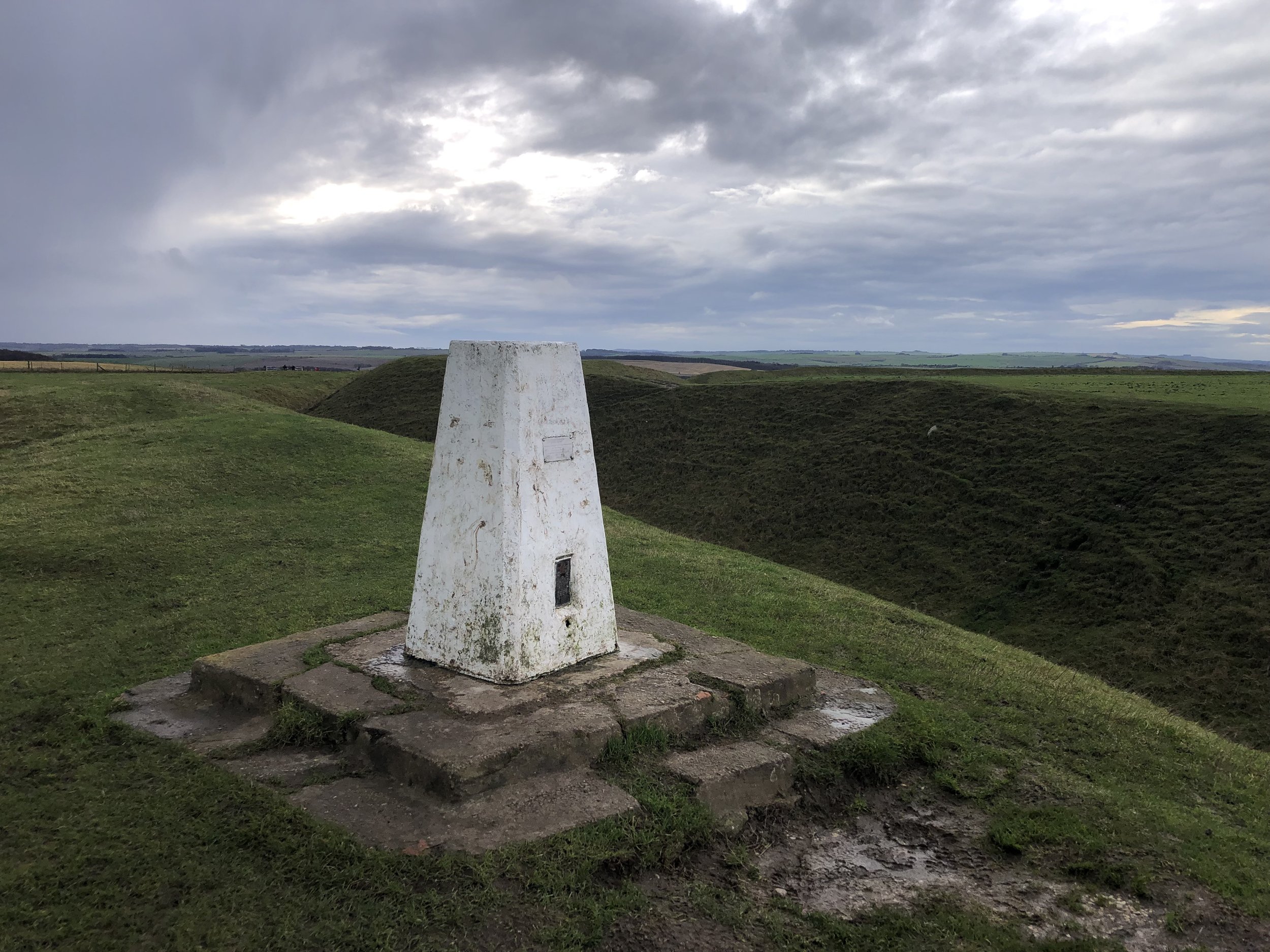
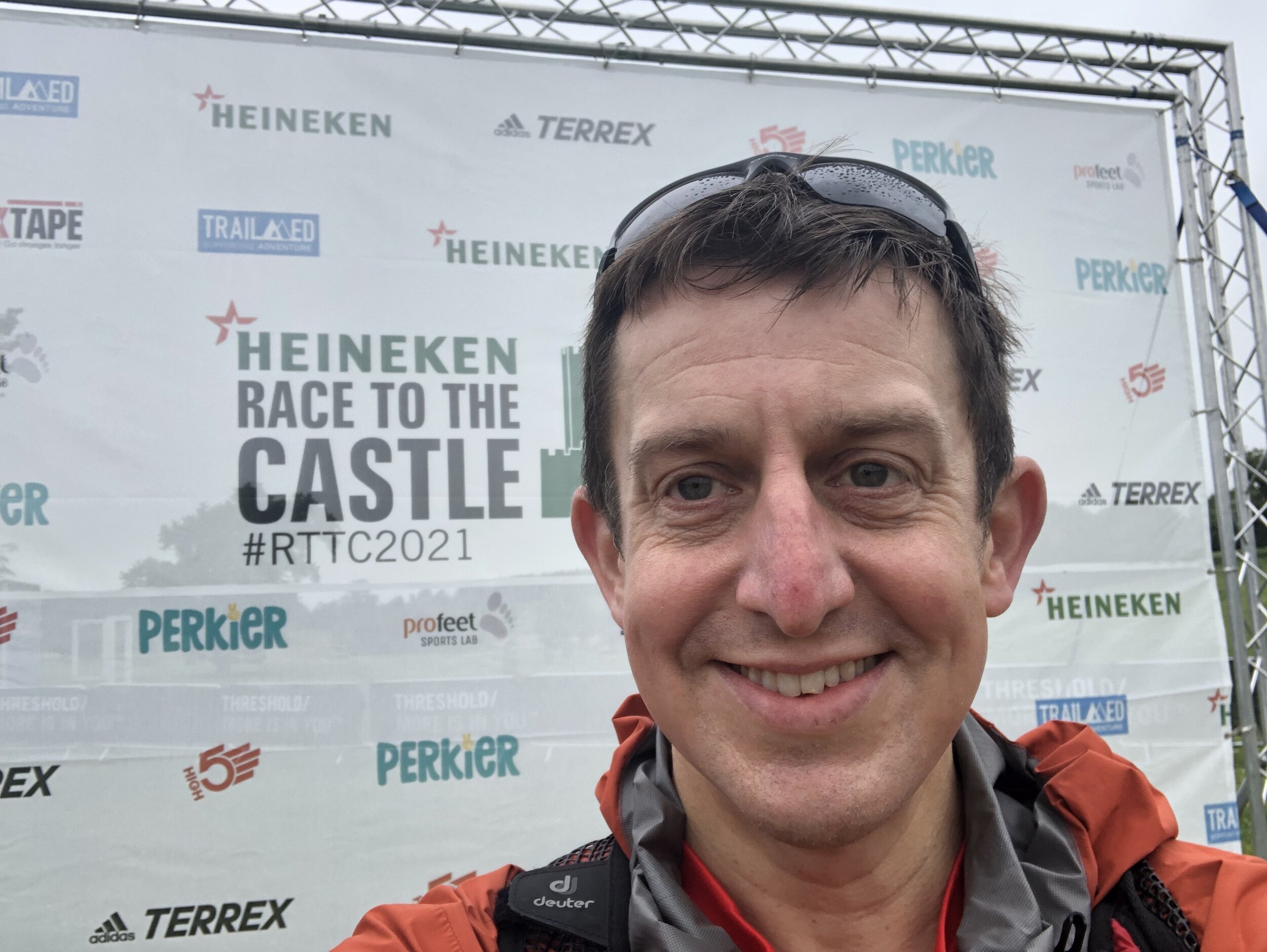
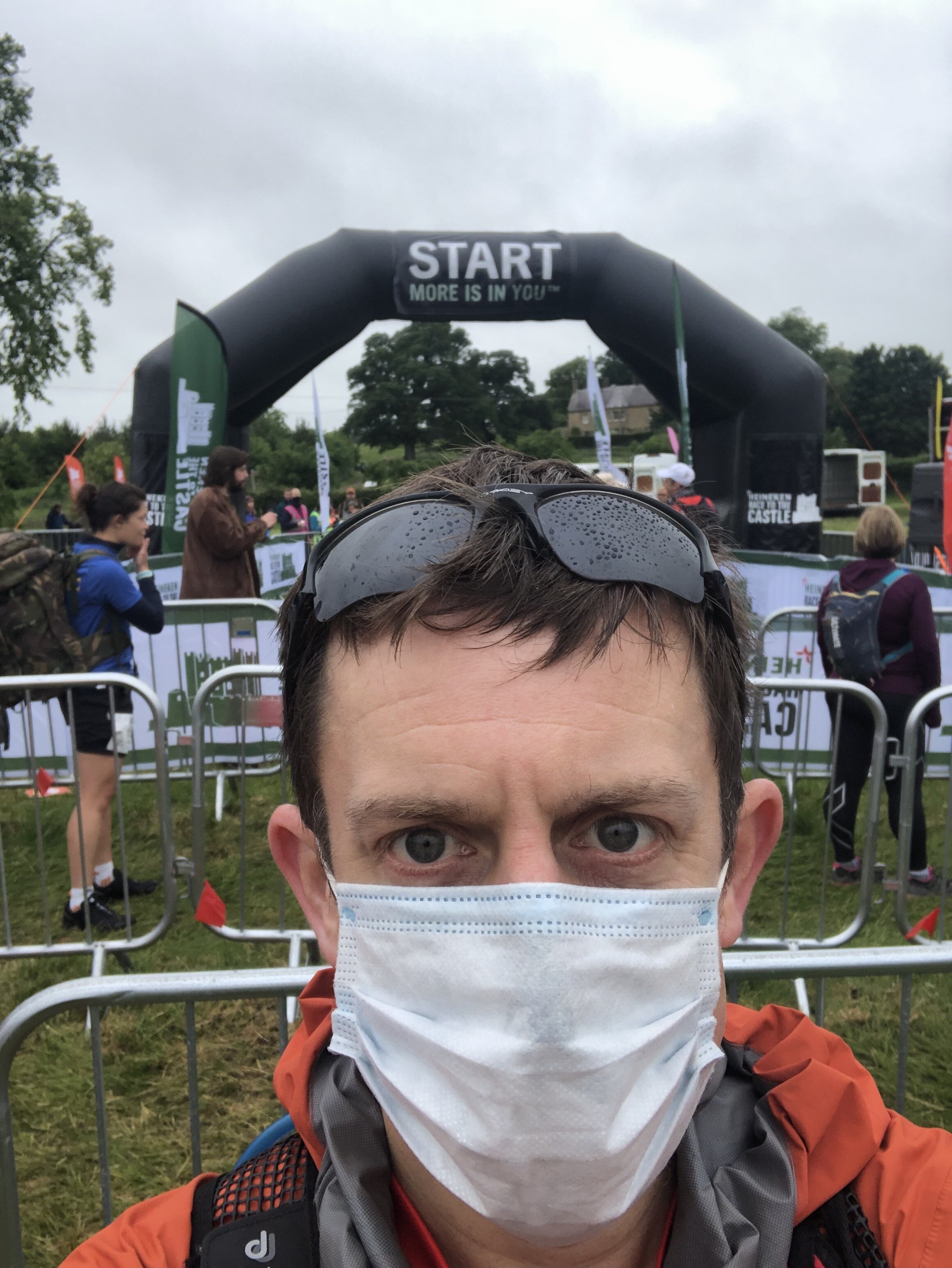
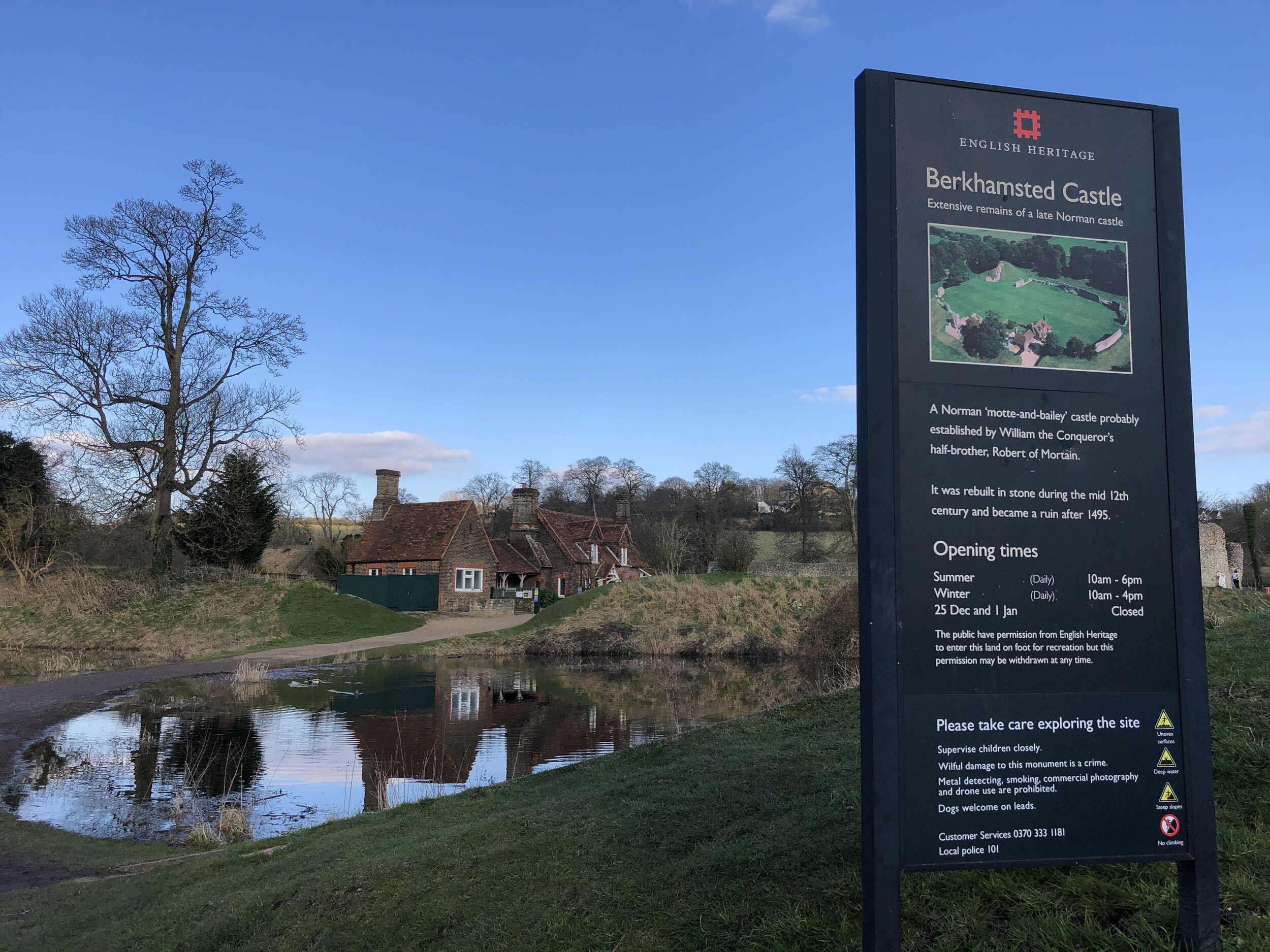
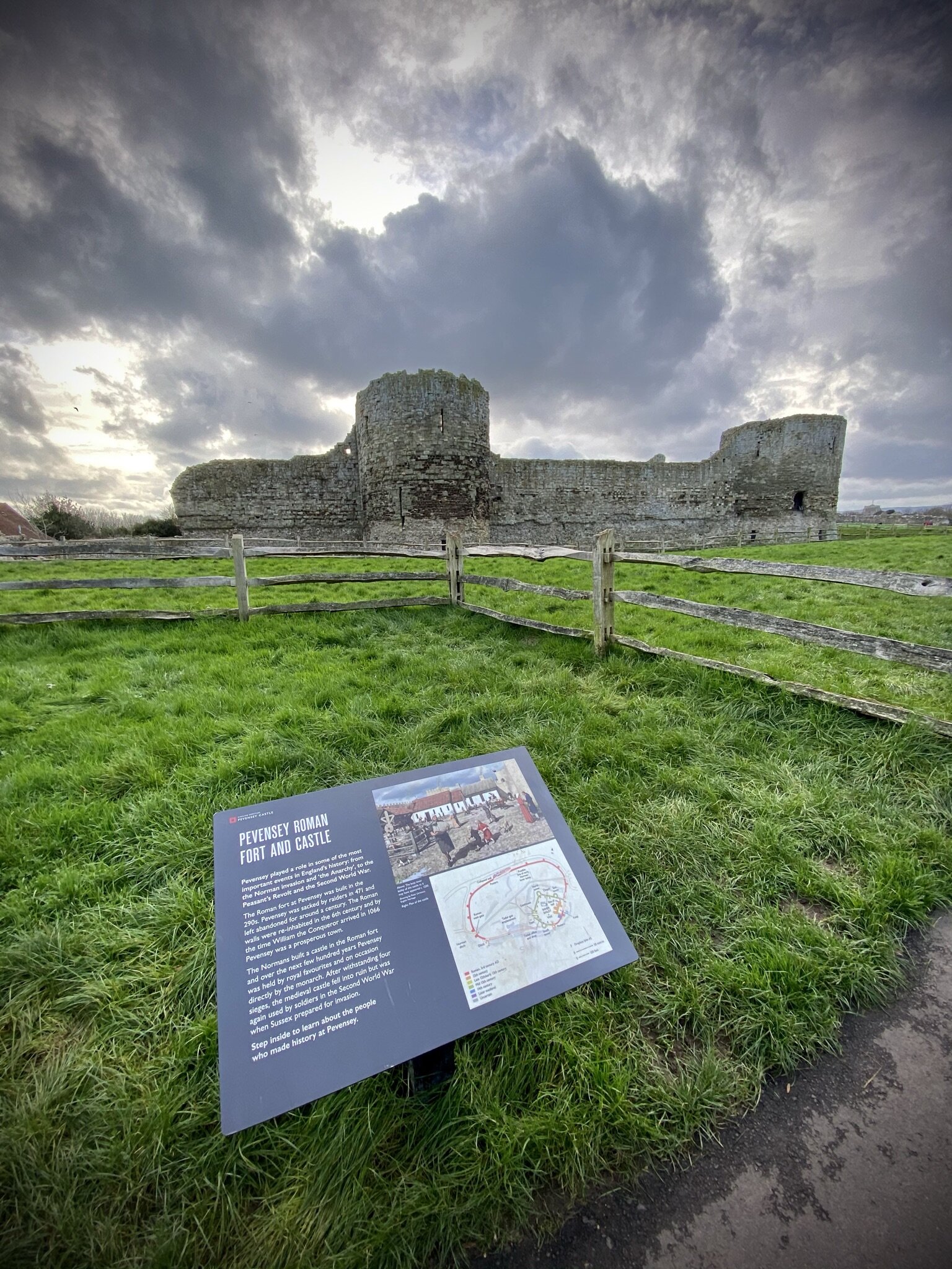
I’d signed up for Race To The Castle as soon as tickets were open. This was the fourth and newest of the Threshold Trail series. Having done the other three, I needed to complete the set. It would take a while to get to the start line though. As with most 2020 events Covid pushed it back a year. So, 18 months after signing up, I was in the 08:30 start wave ready to run my second 100k ultra.

All the usual pre-race nerves were there. Although I do an ultra every year it has been five years since my last 100k. My preparation had gone well, but you never know how the day will go.

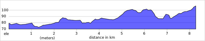
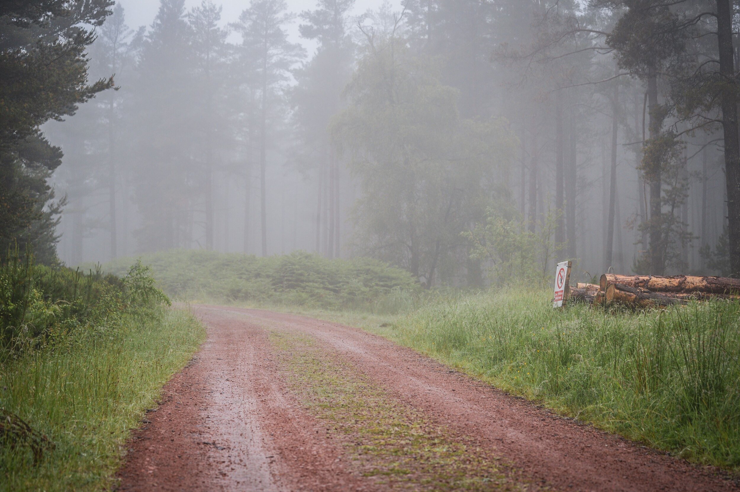
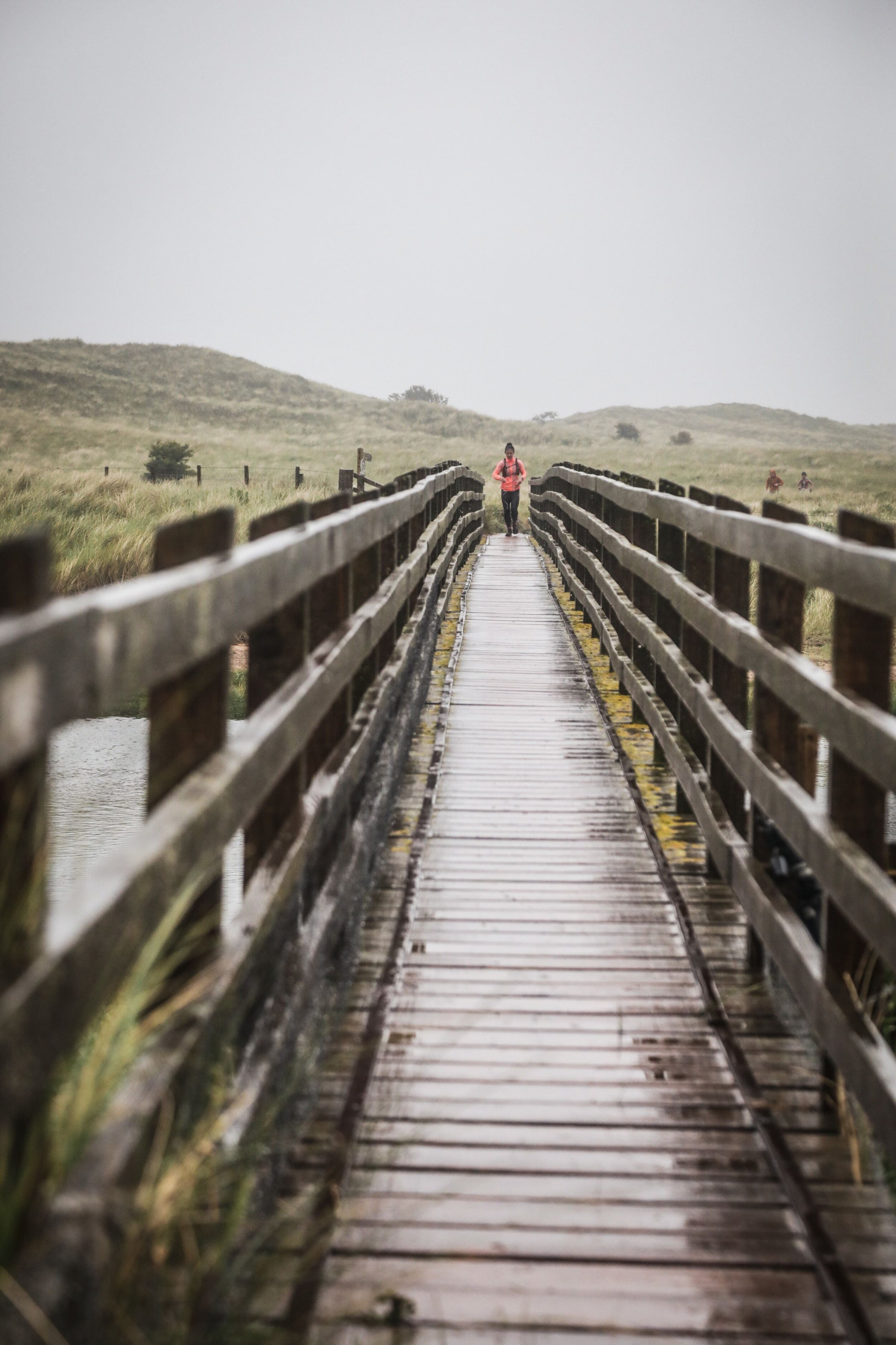
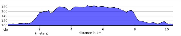
It was tough. Most of the elevation was in the first 35k, with a long slog up and down the Simonside Hills. By the end of that section my thighs had tightened up and my slow running become a fast walk. The weather didn’t help either. The whole day had low grey clouds with constant drizzle. I changed my socks for dry ones after the hills but nothing could stay dry for long.

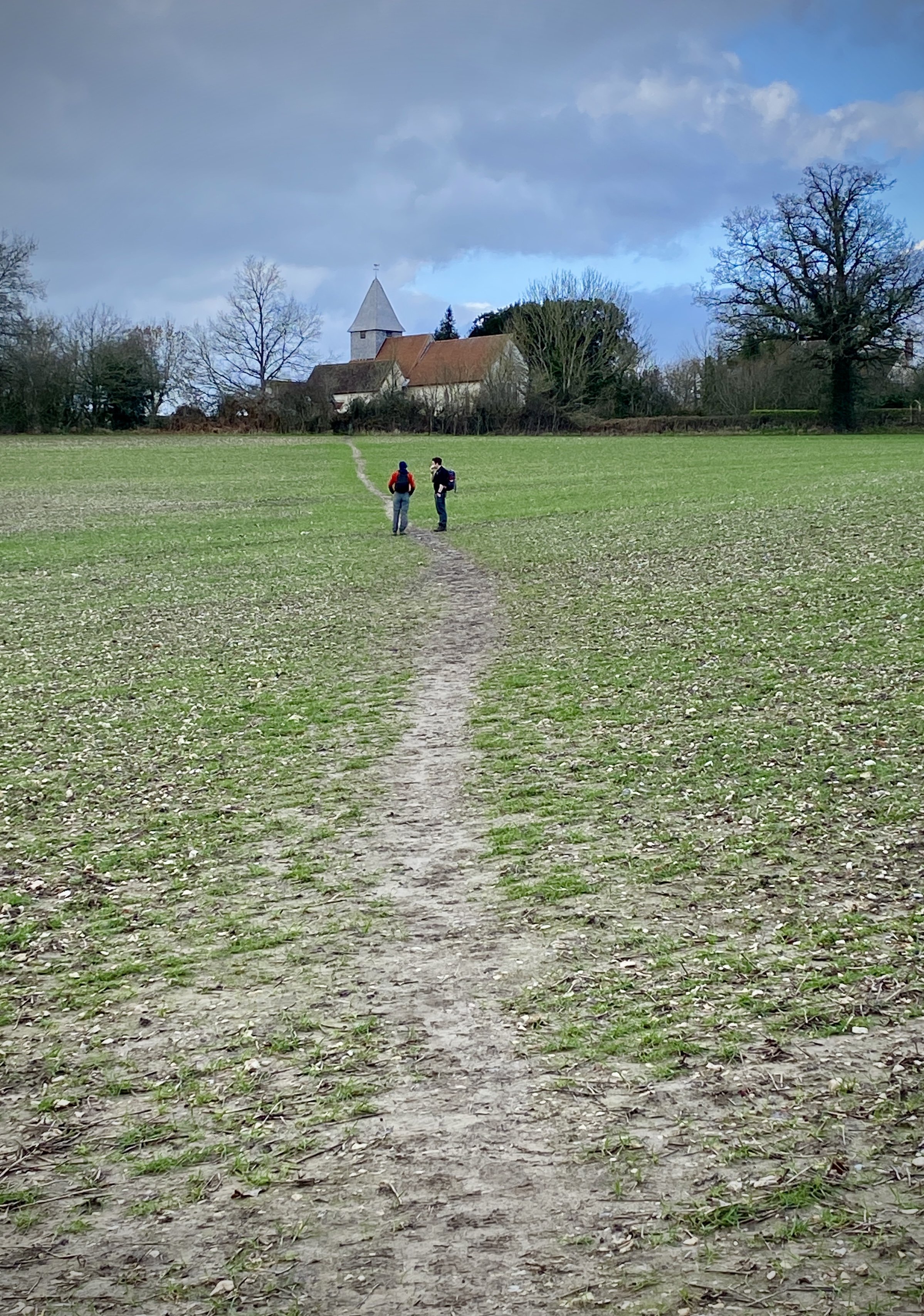
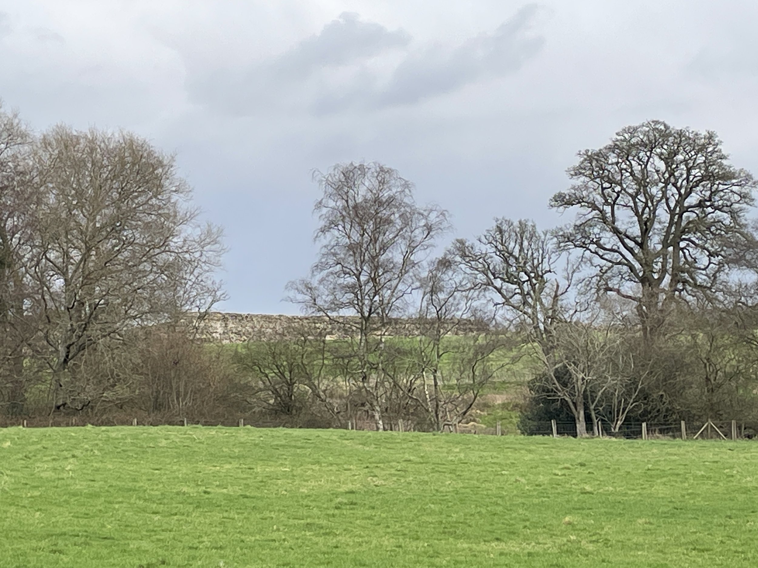
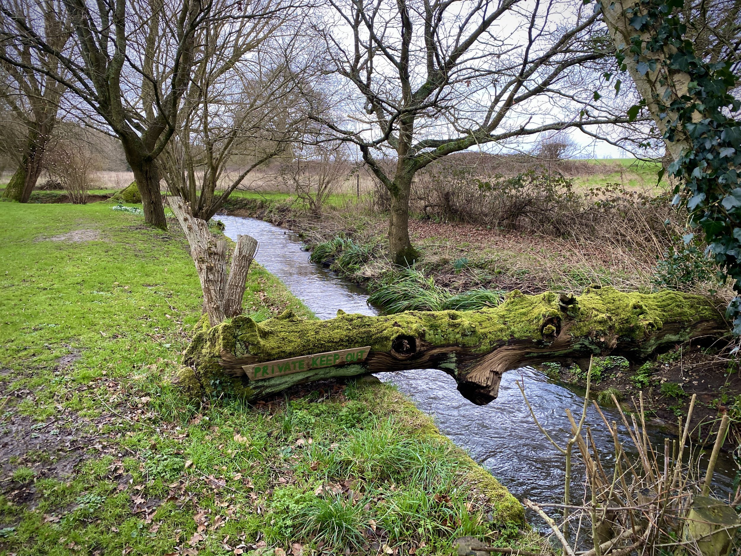
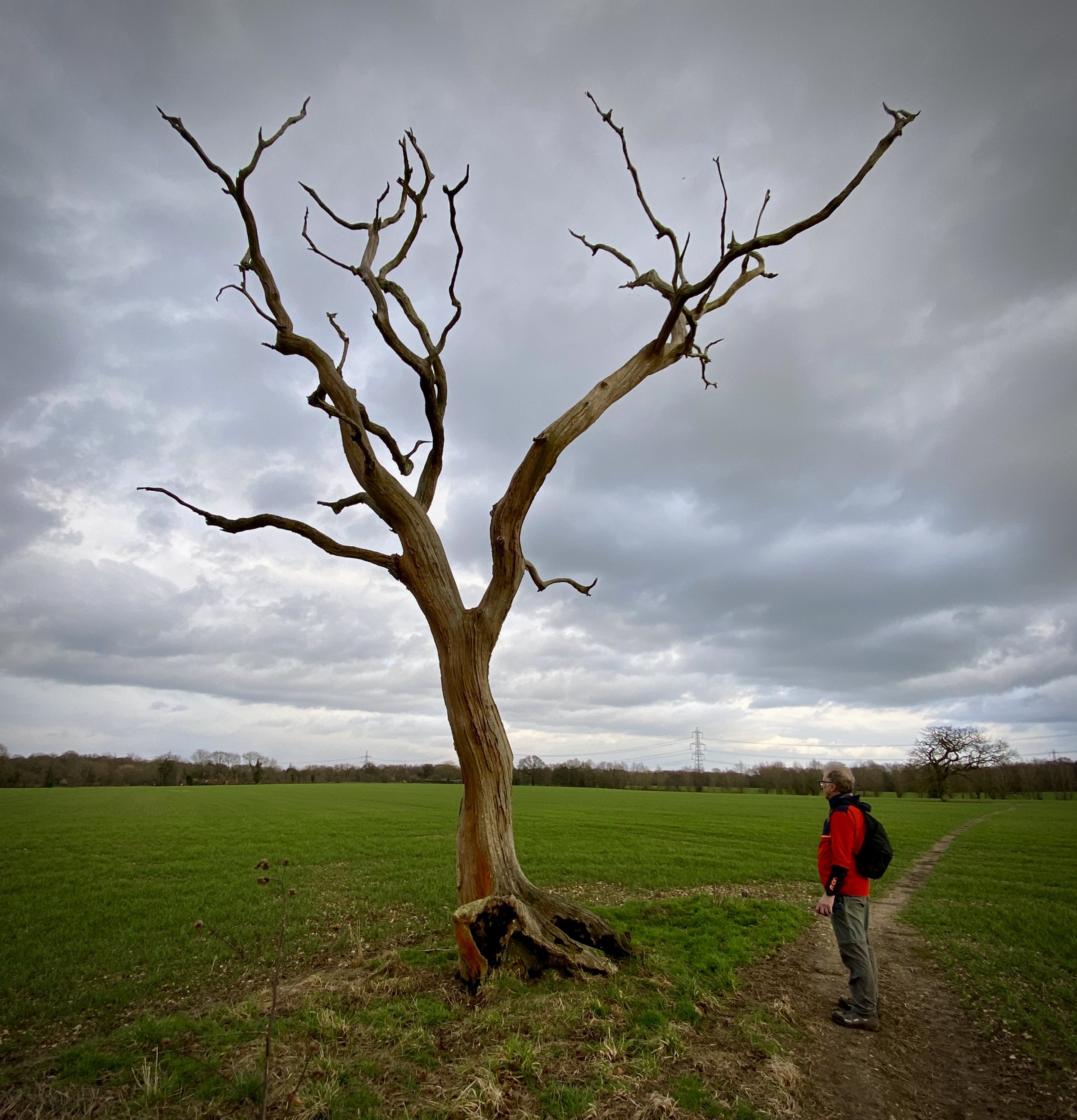
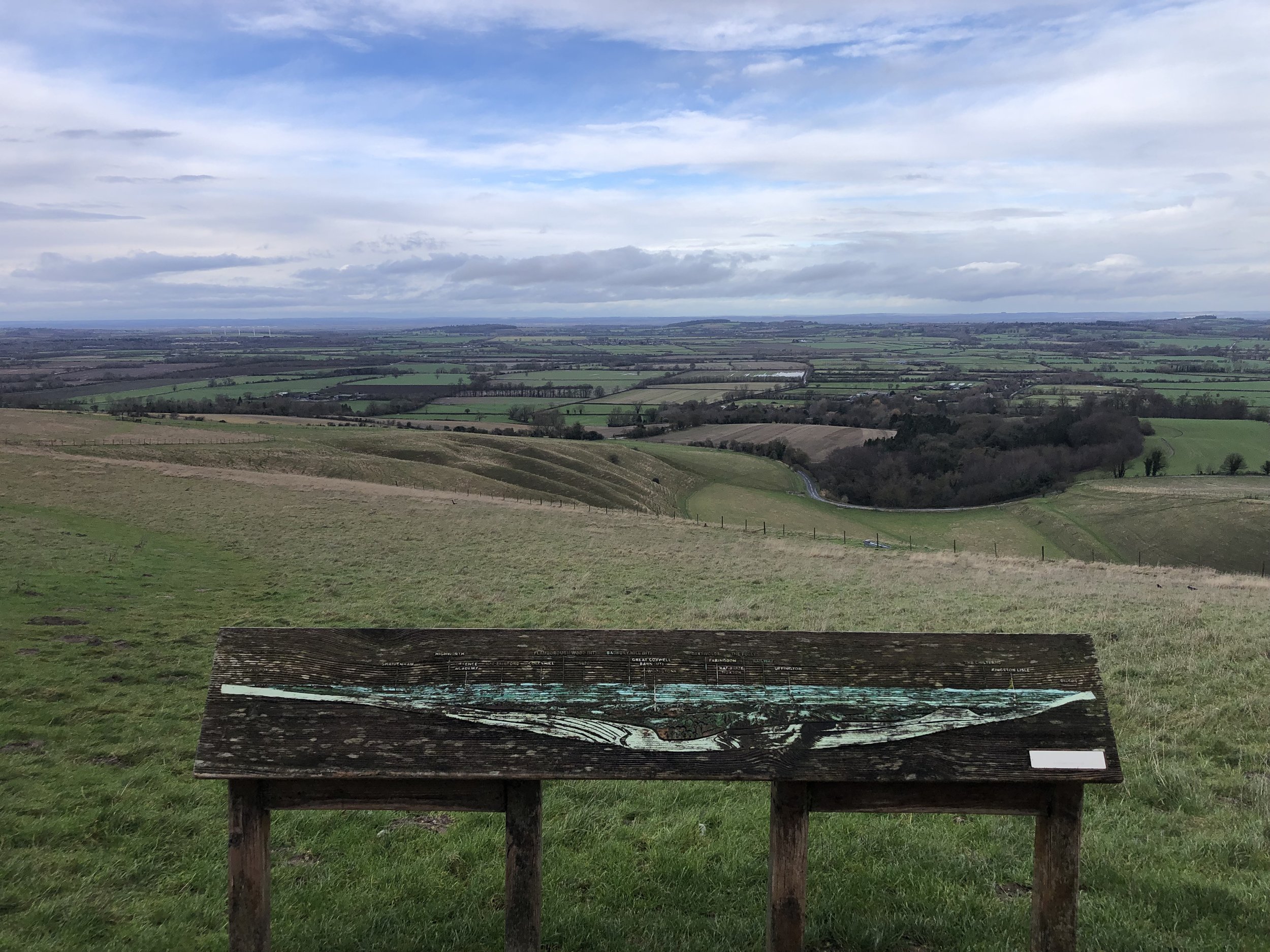
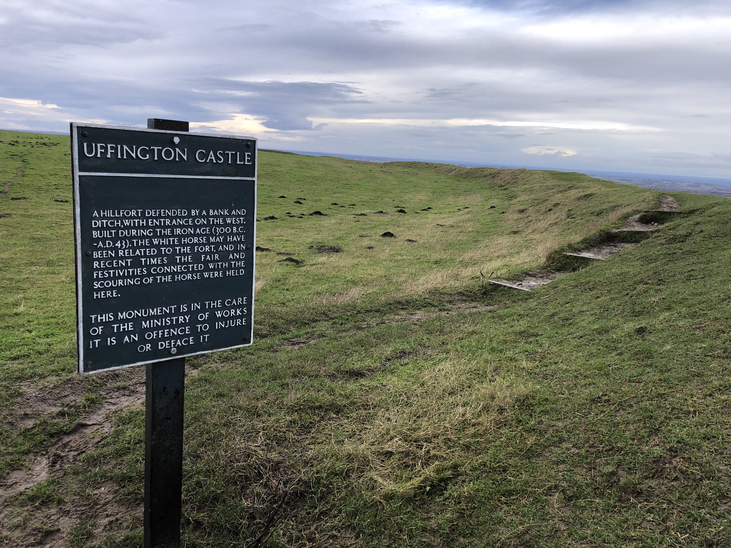
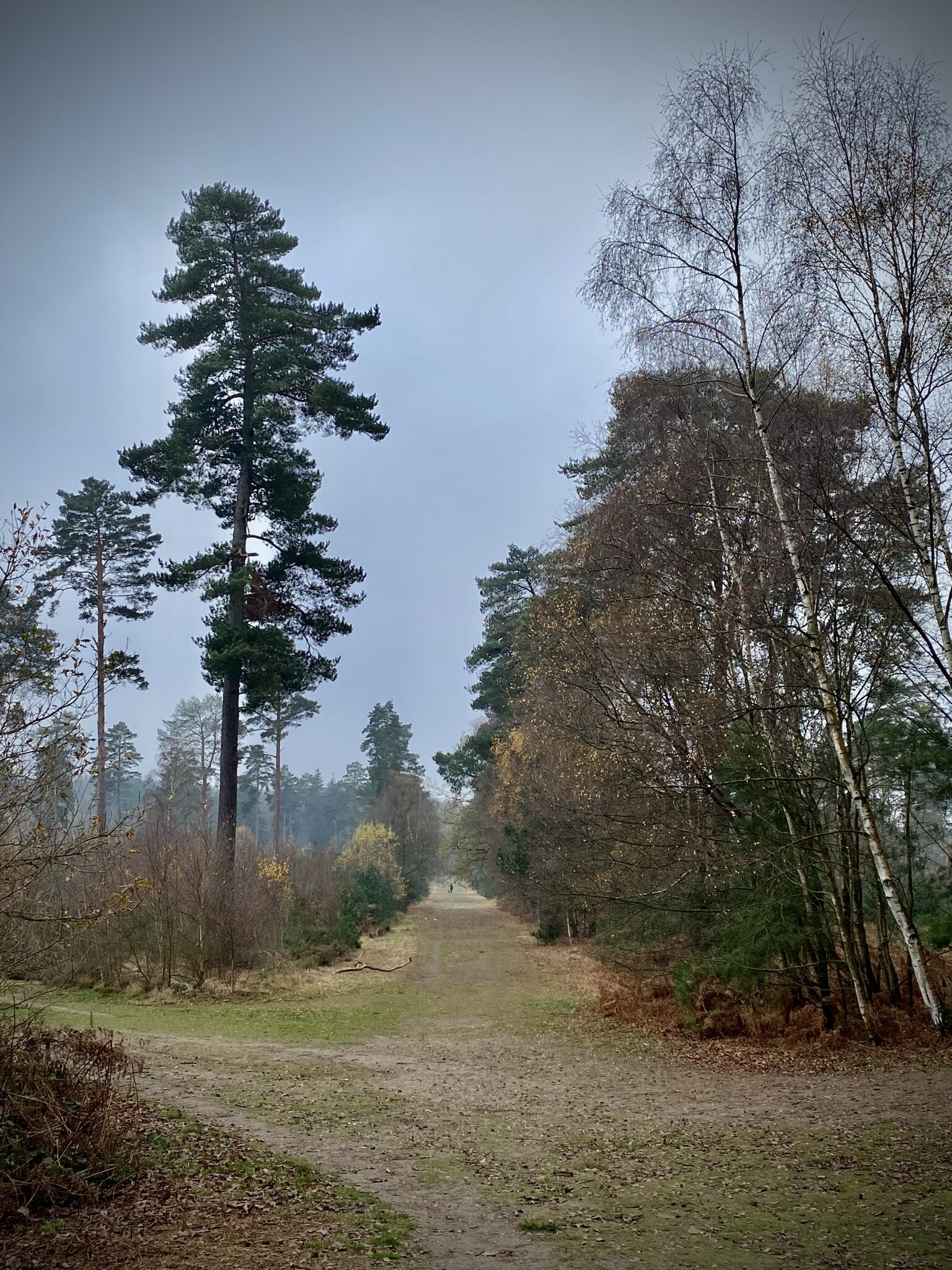
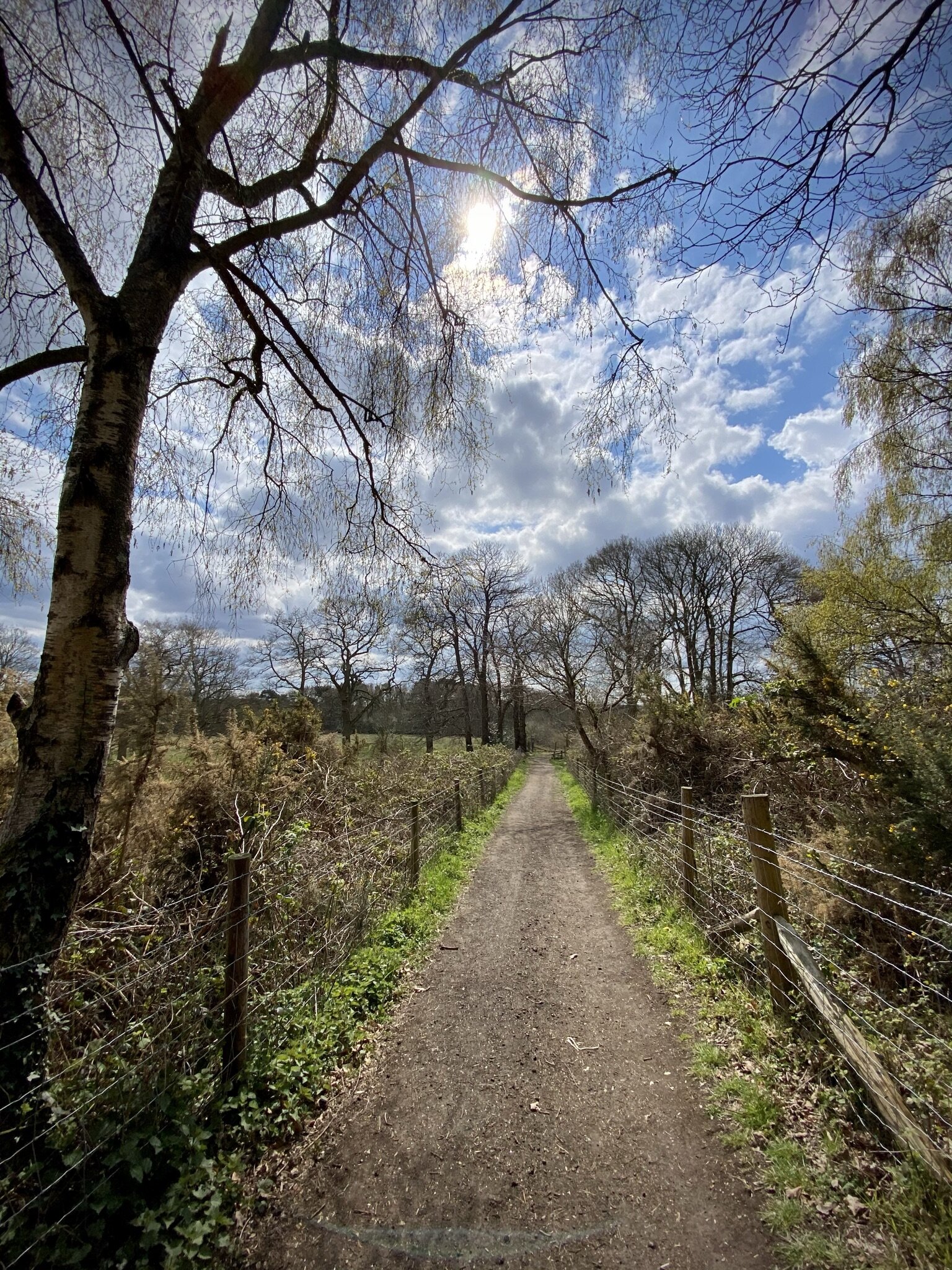
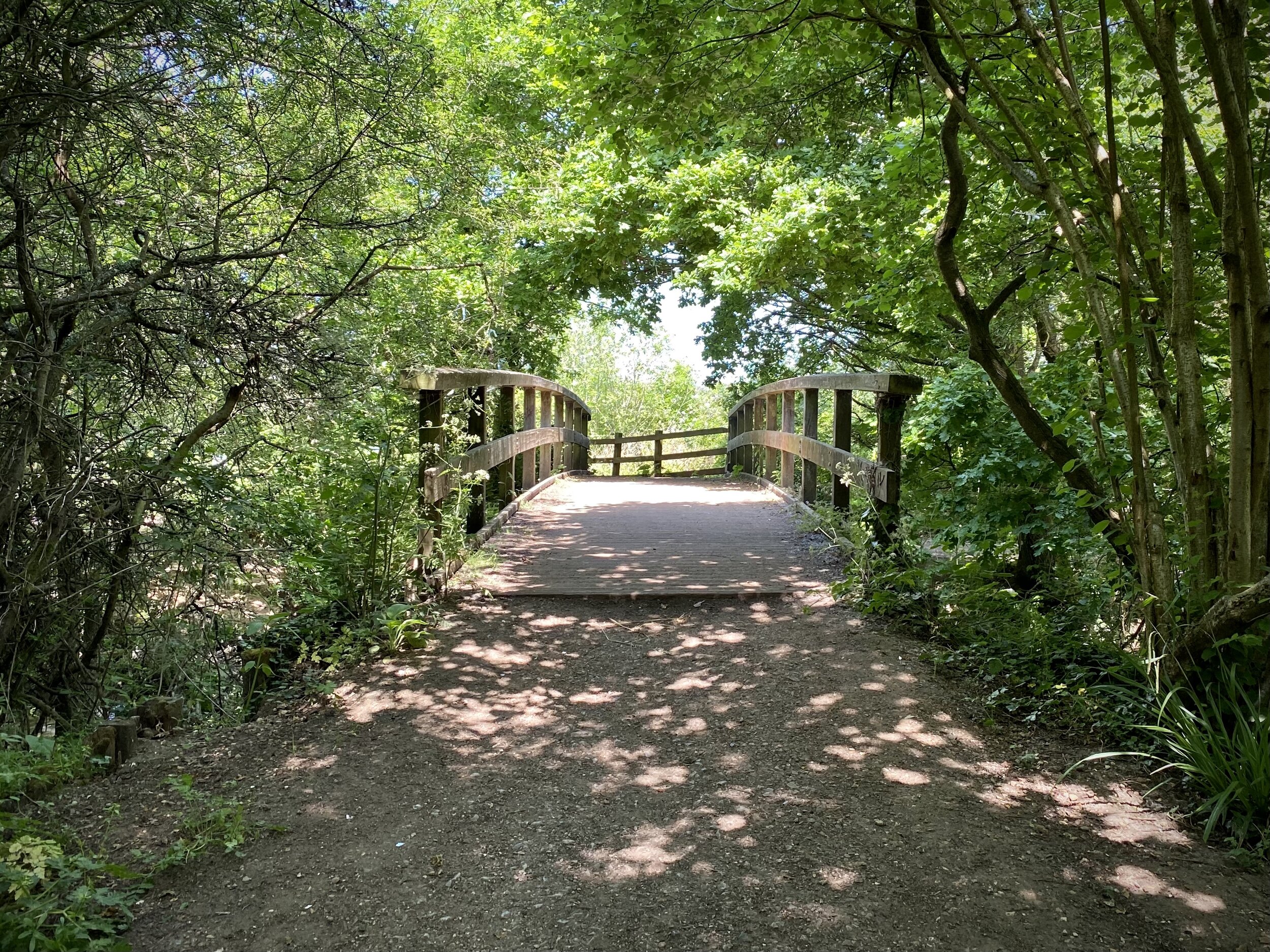
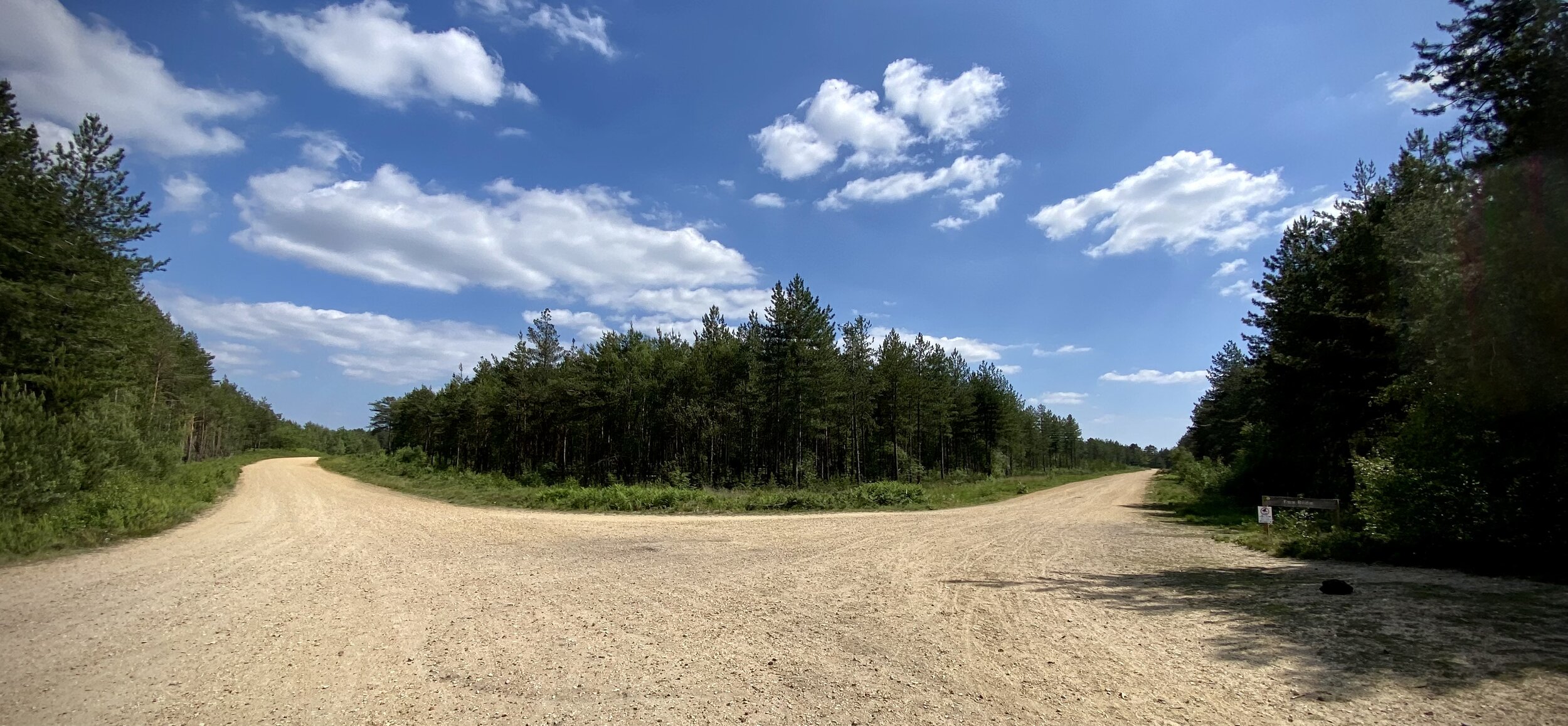
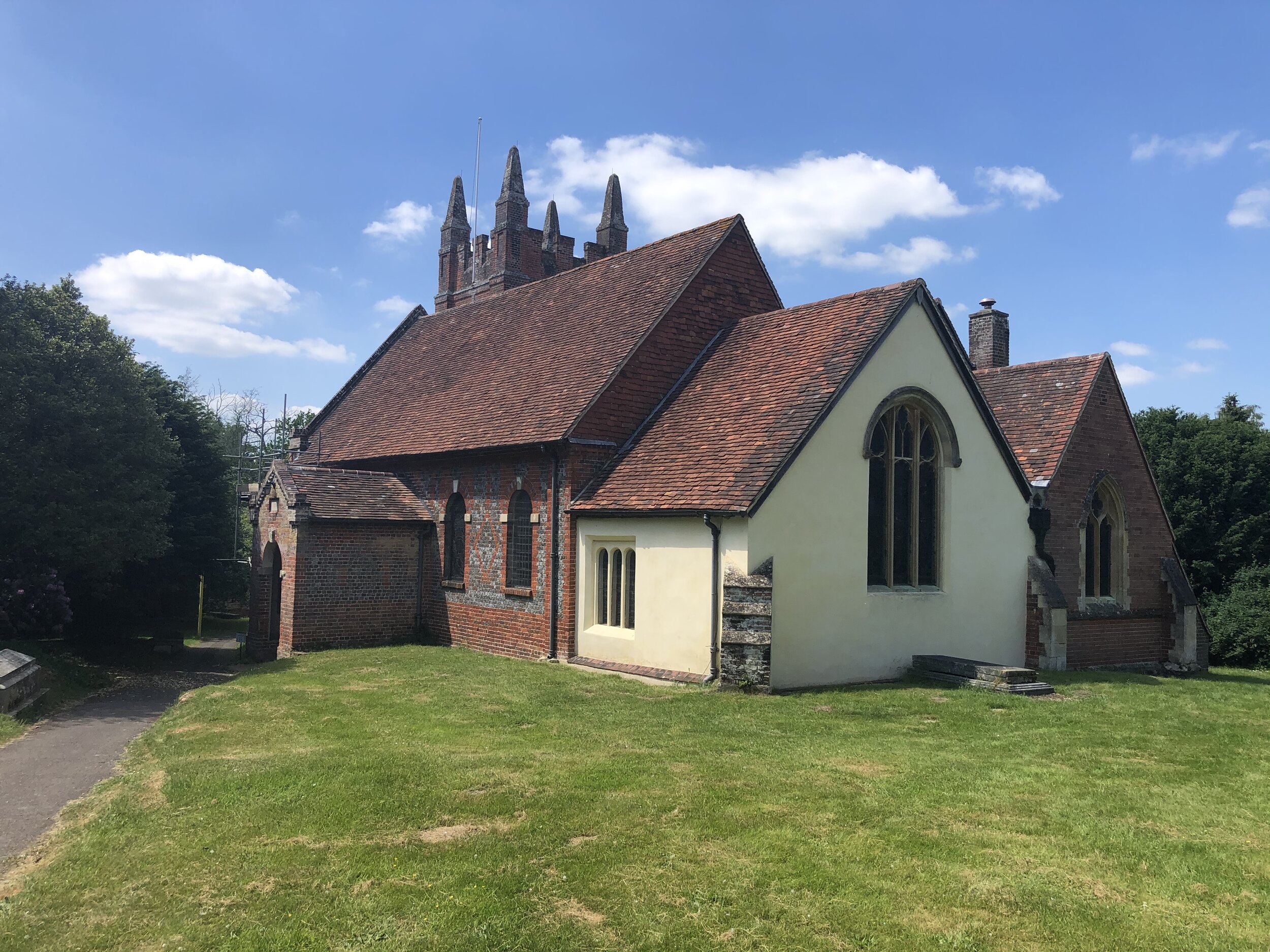
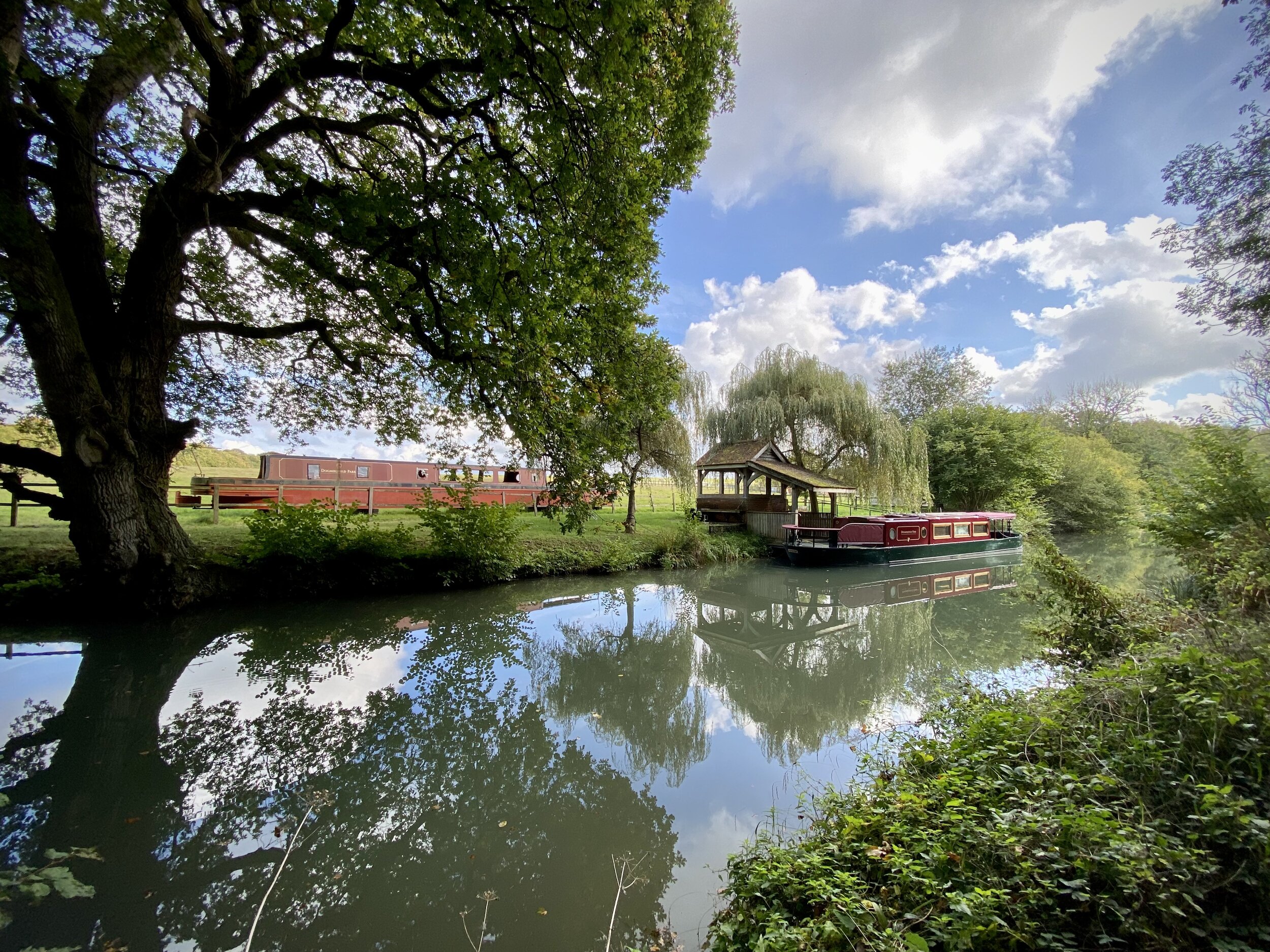
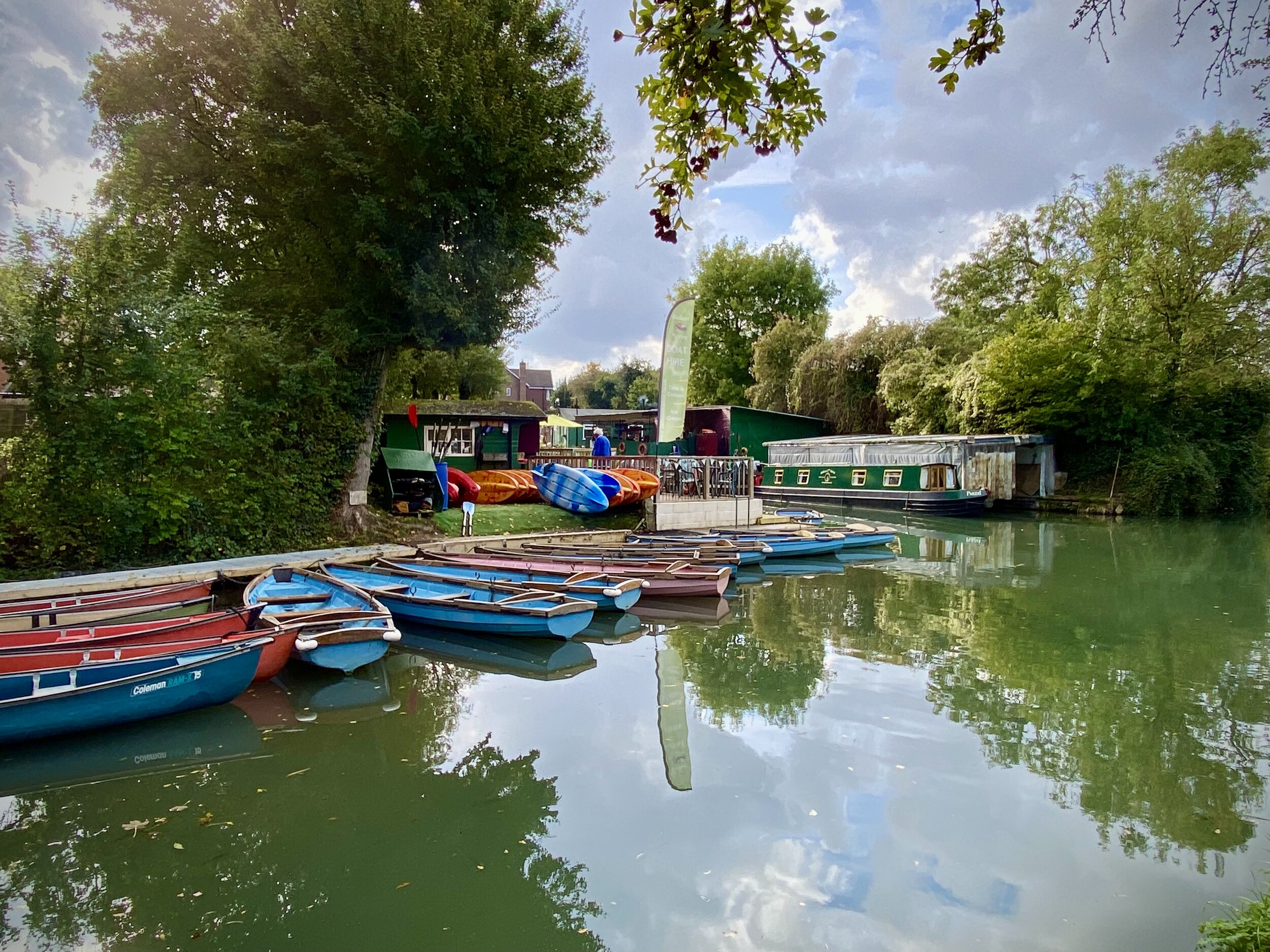
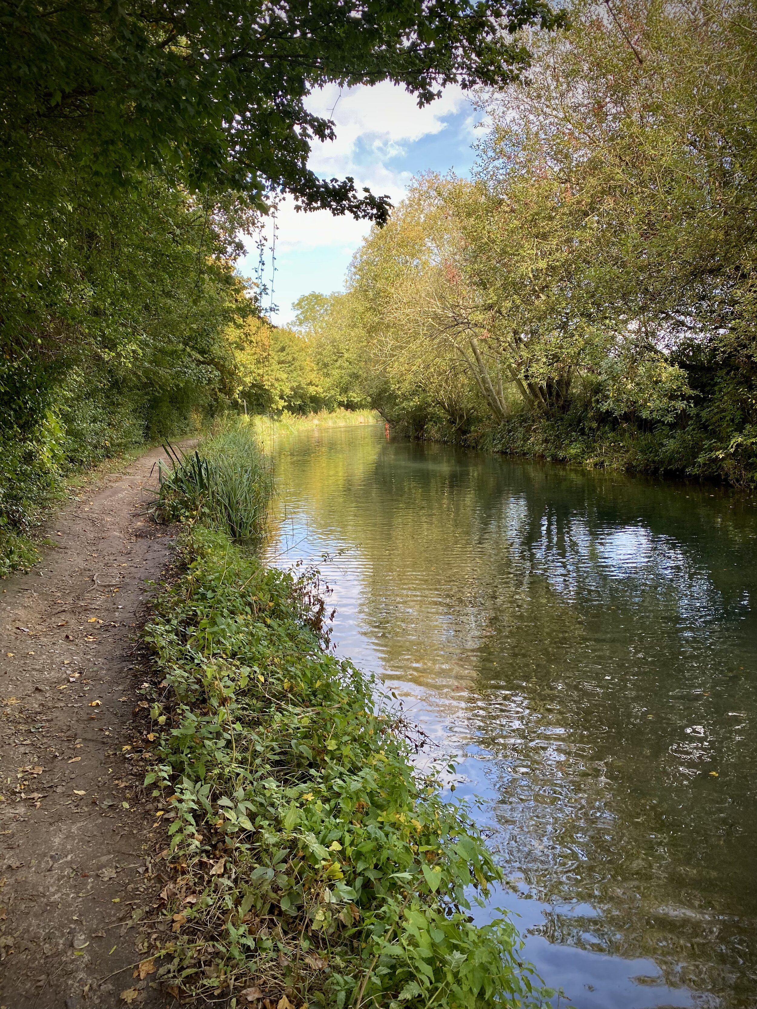
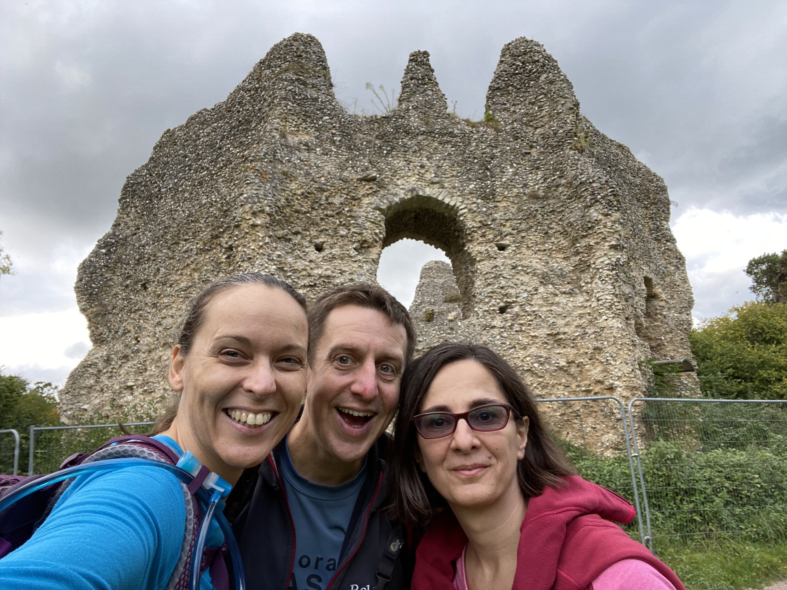
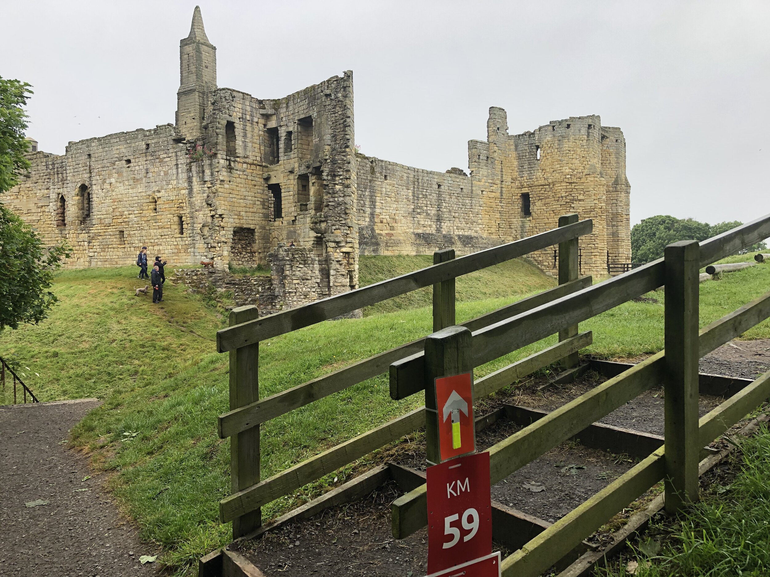
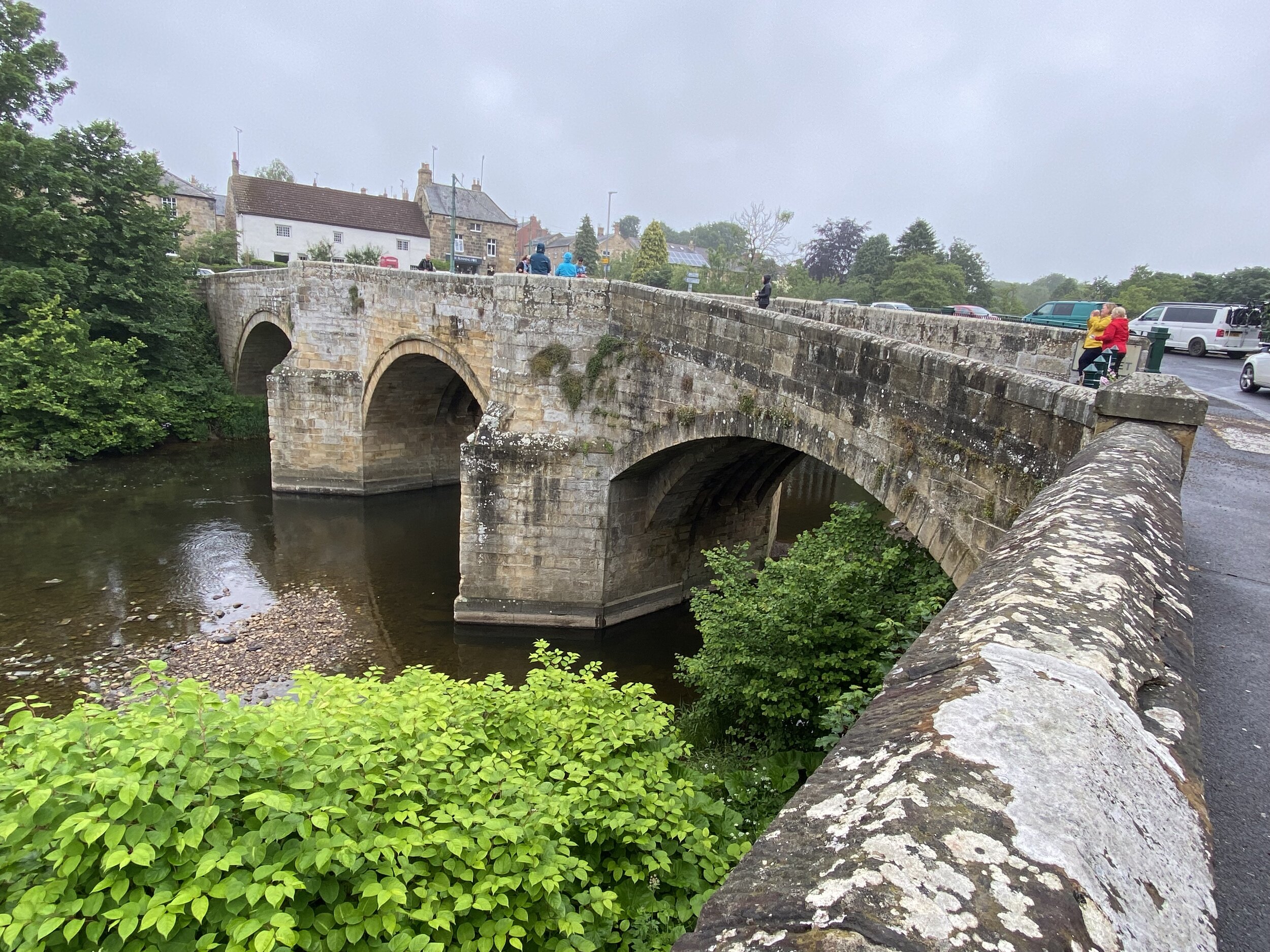
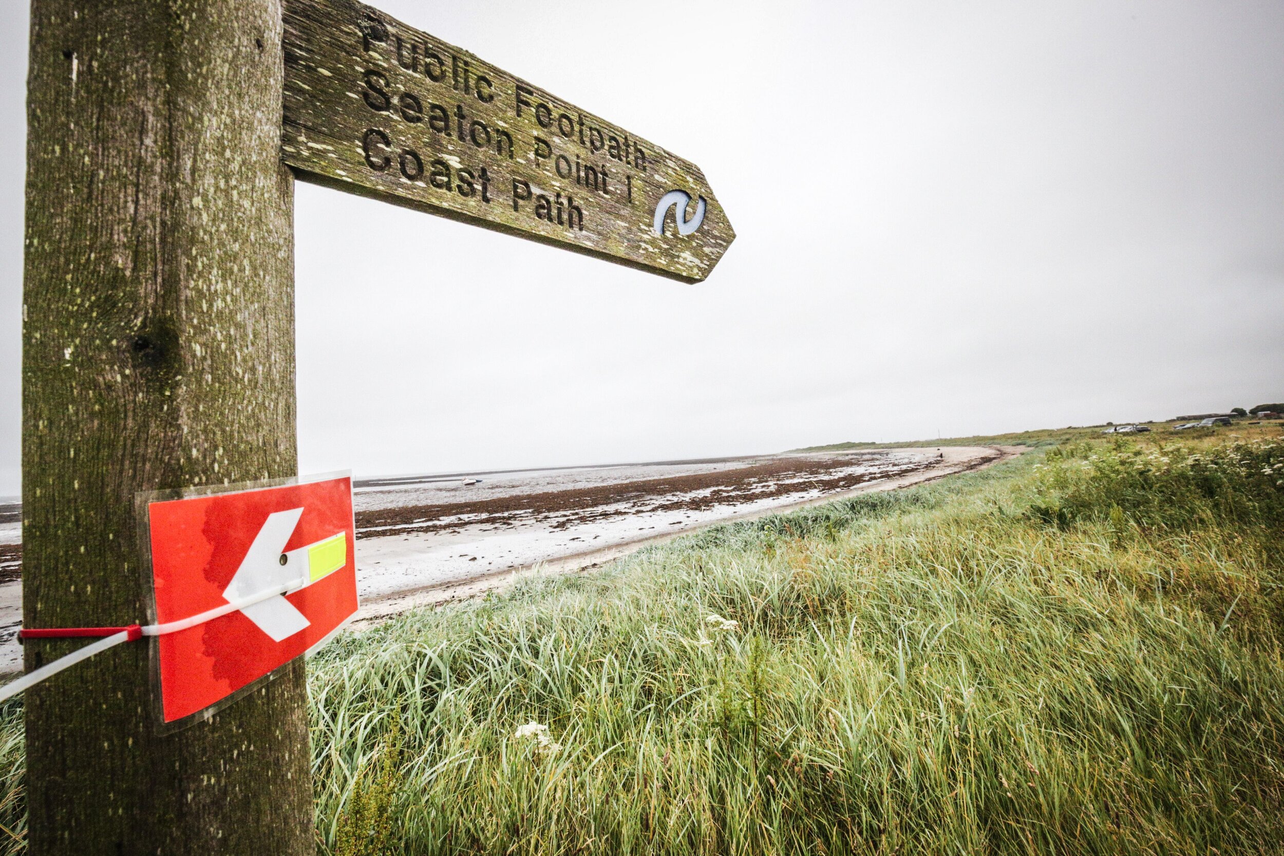
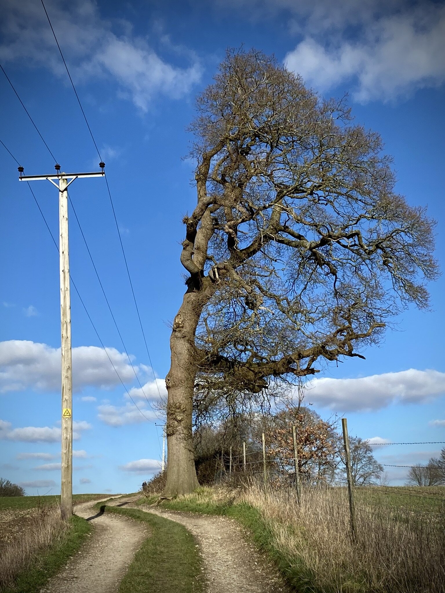
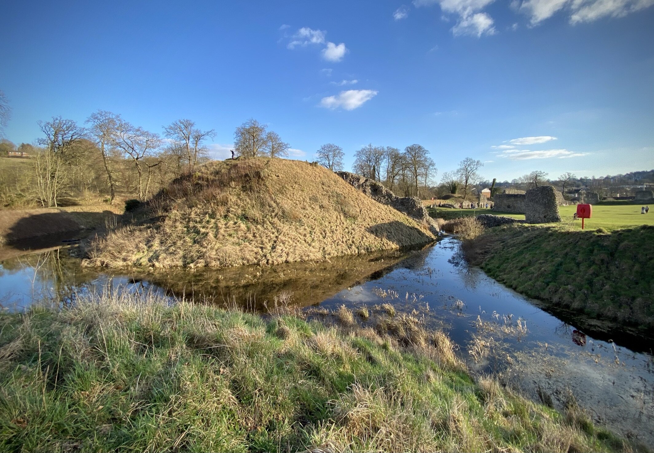
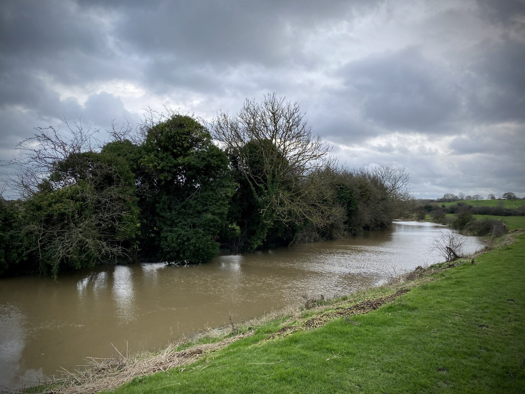
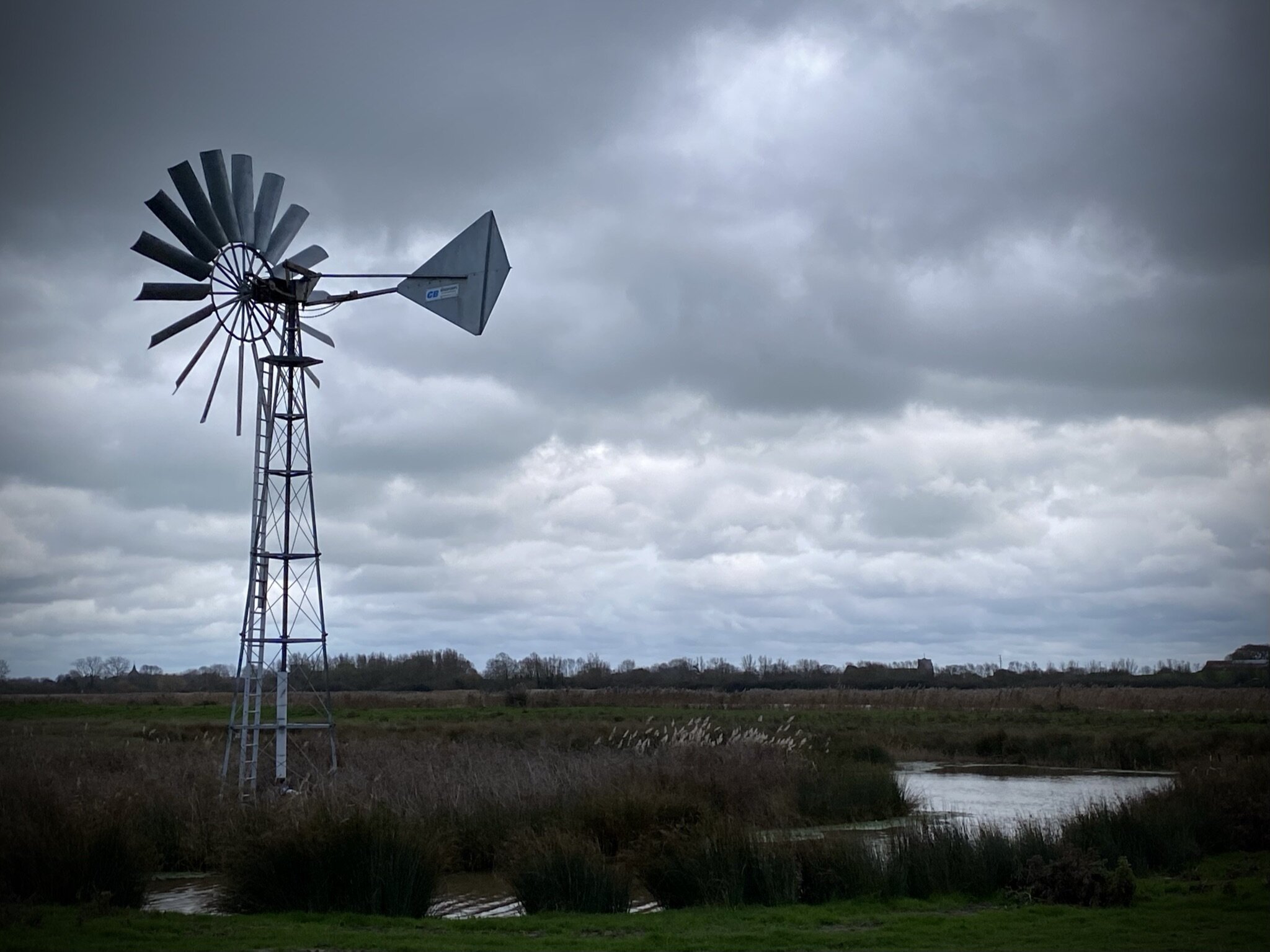
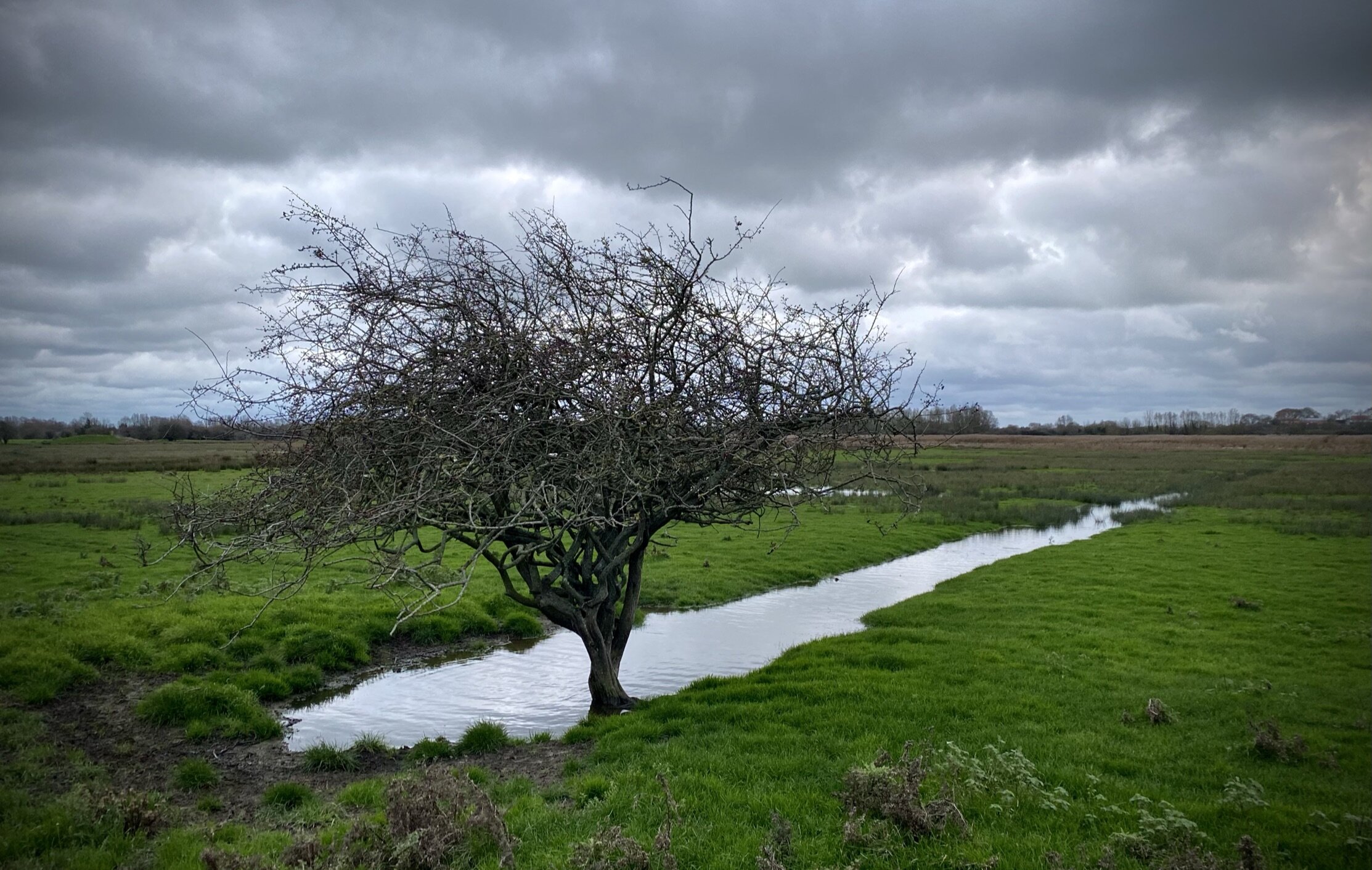
The countryside was beautiful and likely much more so if it had been sunny. The route, mostly following St Oswald’s Way, took in forest, track, rivers, pretty villages and coastal paths. The coastal section would likely have been a highlight. By the time I got there is was getting dark so I didn’t see much of it. Although I always choose the 1 day non-stop option for these events, anyone doing the 2 day option would have seen the best of the coast.

My low point was at midnight on the National Trust land at Newton Links. It felt like high exposed moor but I only realised that it was next to the sea when I looked at the map the next day. It was completely dark, raining a lot and no other runners in sight. By now I’d already completed 88k and there was no stopping now. It still hurt though.

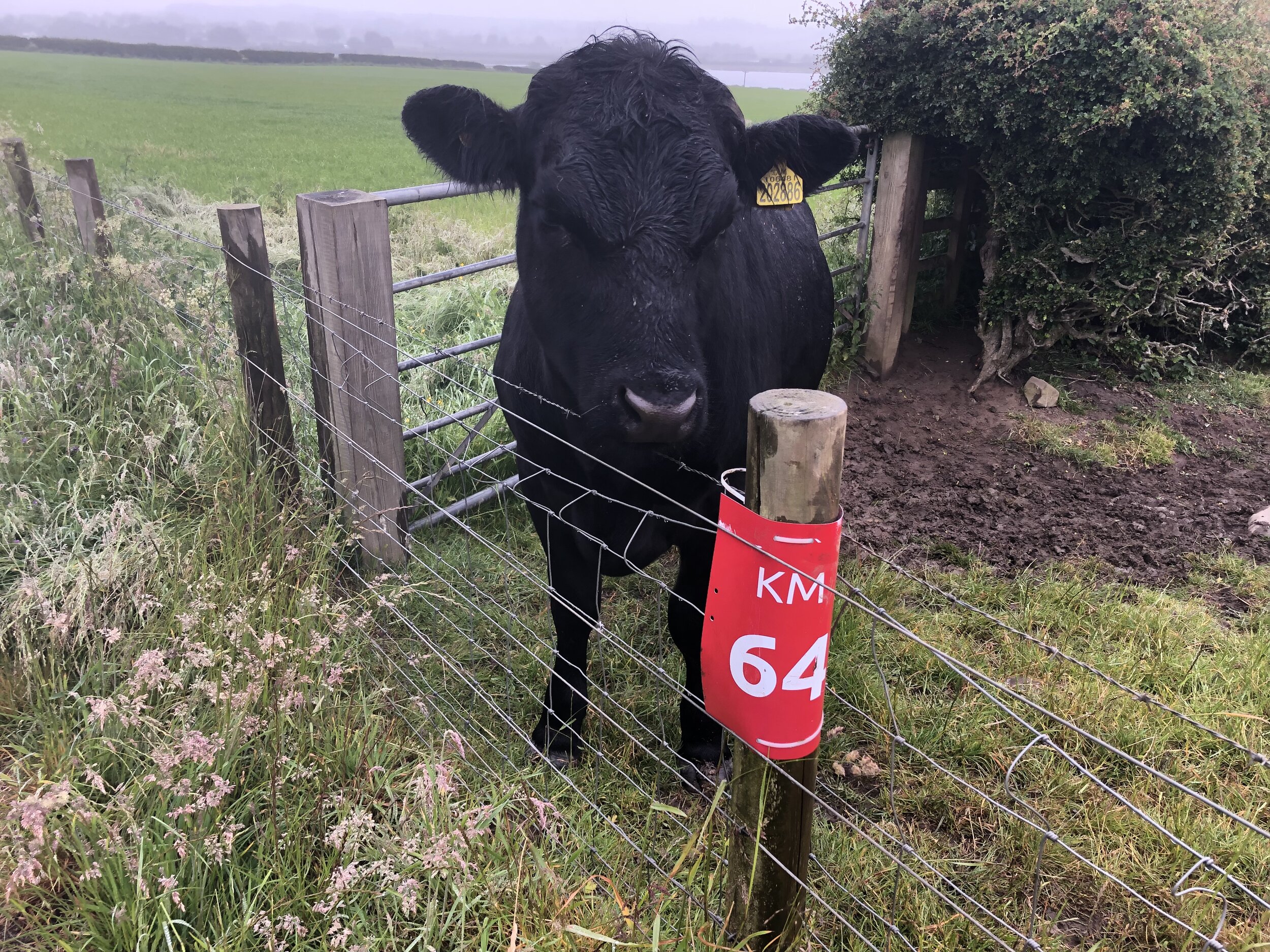
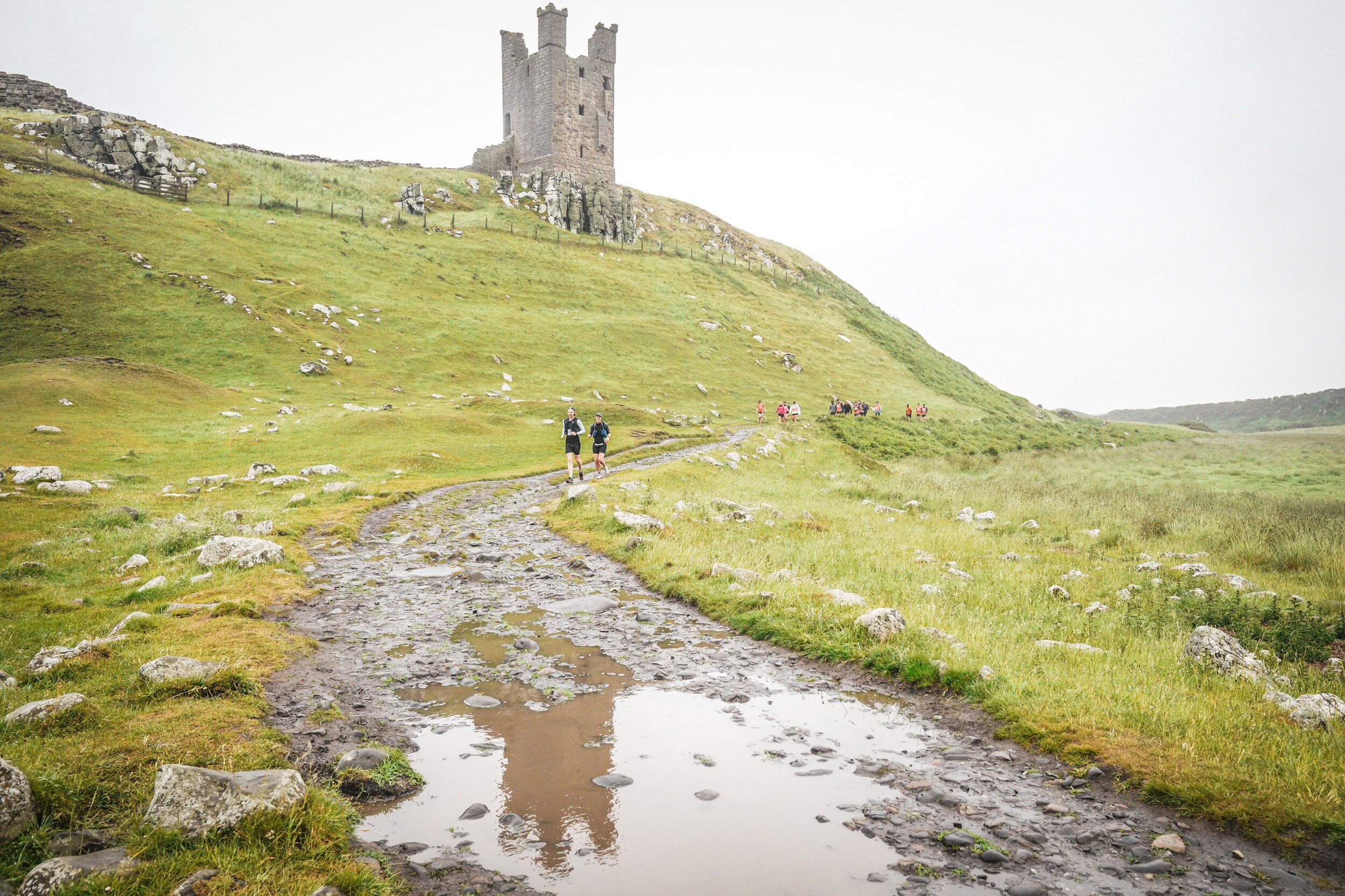
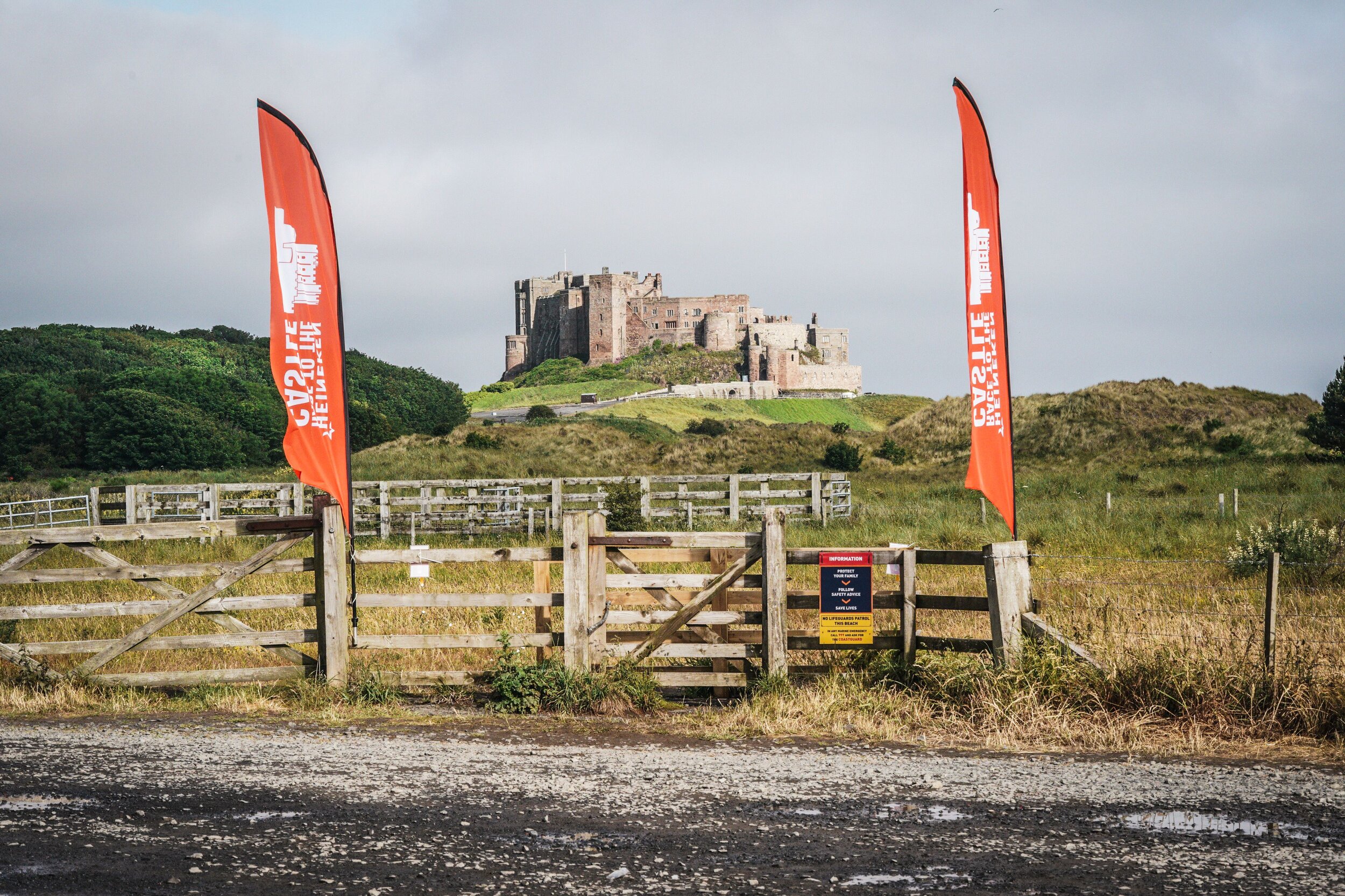
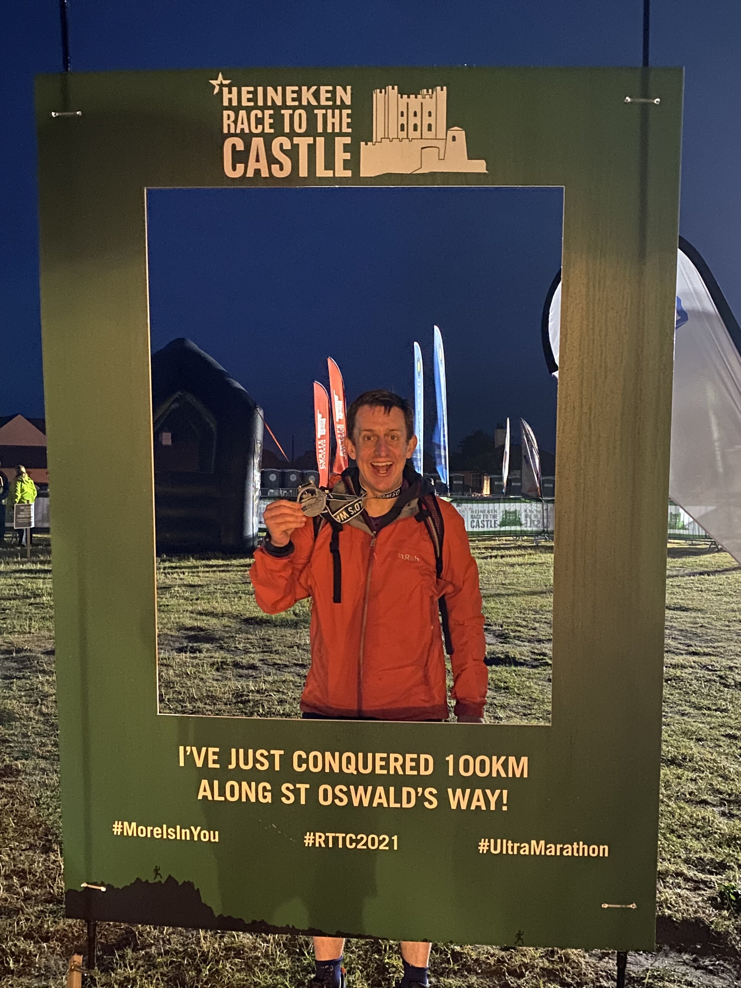
From the final pit stop at Beadnell I’d got some new motivation. Timea followed closely in the car and fed me cookies and Lucozade to keep up my energy. As Seahouses approached there was more streetlighting and people around. After Seahouses the route took an inland curve down a quiet country lane. From 97k Bamburgh Castle was in sight, lit up in the distance. I passed the castle at 99k with the final 1k along the coastal road to the finish line.

At 17 hours 46 minutes, I was 13 minutes off my 100k PB. I was more that happy with that though as this was much tougher than Race to the Stones. I now had the medal to complete the set of 4.

When you’re finishing an ultra on your own late at night it’s easy to think you’re the last to finish. There were still a lot of people coming in as we drove back to the hotel and even some when we got up the next morning. This has definitely proven that Race To The Stones wasn’t my 100k fluke. I’m not in a rush to do any more any time soon though. 50ks will do me for a while.

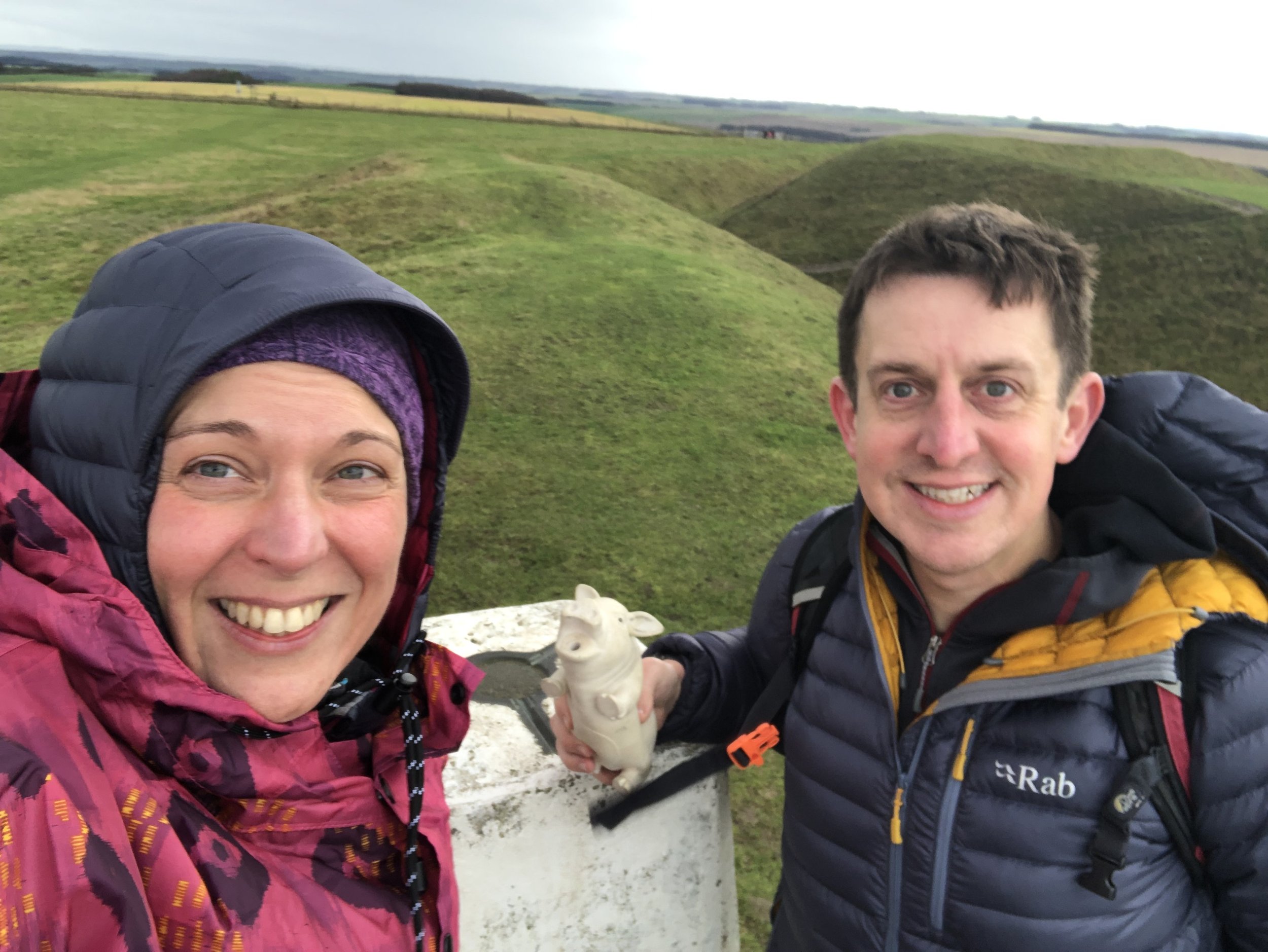
Thank you to the Threshold Crew for another very well organized event. Thanks especially for my awesome wife who is my personal support crew on the runs. Seeing her every 10k along the route and at the finish line is a big motivation. The cookies and pasties that she brings also help too :-)


route-36594558-map-full.png

Some photos taken by Sportograf, all others Richard Gower and Timea Kristof.

elevation_profile.jpg

Start: Kirkharle Courtyard


End: Bamburgh Castle


Chiltern Walks: Berkhamsted Castle and Common
Berkhamsted Castle

Berkhamsted Castle


Start & Finish: Berkhamsted Station, HP4 2AJ
Distance: 10.5 km (6.5 miles)
Elevation change: +/- 123m
GPX File: get via Buy Me a Coffee
Other routes touched (walk): Ashridge Boundary Trail, Hertfordshire Way, Grand Union Canal Towpath, Berkhamsted Heritage Walk
Other routes touched (cycle): Chilterns Cycleway, Berkhamsted Route 6
Pubs / Cafes on route: several on Berkhamsted High Street
Map: OS Explorer Map (181) Chiltern Hills North
Links: Berkhamsted, Berkhamsted Station, Berkhamsted Castle, Berkhamsted Common, Ashridge Estate National Trust, River Bulbourne, Grand Union Canal


For the latest of our Chiltern Rail based walks we visited Berkhamsted. As a stop on the Grand Union Canal and at the heart of several cycle and walking routes, it’s a place that’s featured in several of my trips. The guidance below will help you navigate but don’t use it as a fully accurate turn-by-turn guide. Always take a map and/or a GPX route and prepare well for the weather and terrain.

From Berkhamsted Station it’s a short walk along Lower Kings Road to the Grand Union. Cross over the bridge to pick up the towpath on the southern side. Follow the towpath in a westerly direction for 1.4 km until the Billet Lane Bridge. Cross over the bridge and follow Billet Lane for 200m then take a right onto Bridgewater Road then left onto Billet Lane. Be careful here as following the main road called Billet Lane from the canal will take you onto Bridle Way. Keep your eyes open at the roundabout to make sure you take on the smaller road on the right called Billet Lane.

At the entrance to Bridgewater Primary School take a left onto Bridle Way then a right onto The Beeches footpath. Follow this through woodland for 600m until New Road and an open space with a National Trust sign. Take the north-westerly footpath up the hill to a path junction where you’ll take the right hand footpath heading north-east. Continue along here for 2 km, following the Ashridge boundary Trail, until you connect with the Hertfordshire Way at Berkhamsted. Common. Take a right here and follow the Hertfordshire Way / Ashridge Boundary Trail for 1.4 km.

When you reach the driveway to a large house on the right, the path will split. Take the right-hand path rather than staying on the Hertfordshire Way / Ashridge Boundary Trail. Follow the path as it curves to the south-east, crossing New Road then a further 300m until Berkhamsted Golf Club. Take a right here, descending steeply through fields toward Berkhamsted Castle.

When you reach New Road again follow it onto White Hill between the Castle and the railway. If it’s open, the moat walk around the castle is well worth an additional 800m before you reach the end of the trail back at the railway station.


route-34945518-map-full.png
elevation_profile.jpg

Pevensey Castle and Hankham Circular Walk
IMG_2955.jpg

Start & Finish: Pevensey Castle Car Park, Pevensey, BN24 5LF
Distance: 11.4 km (7 miles)
Elevation change: + / - 80m
GPX File: get via Buy Me a Coffee
Other routes touched (walk): 1066 Country Walk - South Downs Link
Other routes touched (cycle): NCN 2
Pubs / Cafes on route: Royal Oak and Castle (Pevensey), Pevensey Castle Tea Room, Cafe at Sharnfold Farm Near Stone Cross
Map: OS Explorer OL25 Eastbourne & Beachy Head
Links: Pevensey, Pevensey Castle, 1066 Country Walk


Now that my brother-in-law has moved to Eastbourne this is likely to be the first of several walks we’ll be doing in the area. We chose Pevensey Castle as a good meeting point near to the town and a great start for a flat countryside walk.

From the Pevensey Castle Car park, the walk starts in the grounds of the castle. It’s an English Heritage property but you only have to pay to enter the ruins of the main part of the castle. At the south-west end of the castle grounds take a right onto High Street and cross over the B2191. Here you’ll pick up the 1066 Country Walk which you’ll follow for 3km in a westerly direction to Stone Cross.

The Stone Cross section of the 1066 Walk is on the busy Dittons Road. It’s only for 800m though and you’ll be able to take a right back onto a footpath. After crossing the A27 Pevensey Bypass (crossing very carefully!) you’ll reach Sharnfold Farm with a Farm Shop and Cafe for a mid-point rest.

From Sharnfold Farm cross over the Hailsham road and into a large field. The path across the field wasn’t visible when we were there but it’s in a roughly north east direction crossing under the electricity lines. At the north end of the field the route follows a stream bed and through a farm into Hankham. Take a left onto Hankham Street and follow the road for 2km to Rickney.

Just before Rickney Road crosses the river and joins Rickney Lane take a footpath on the right. This follows Pevensey Haven River all the way back to Pevensey. This was extremely muddy on the day that we went so be sure to take boots if it’s even remotely damp. You’ll cross over the busy A27 for a final time before reaching Castle Road and back to the car park at the start.


route-34801340-map-full.png
elevation_profile (1).jpg