Liddington Hill: Swindon High Point

Approach to Liddington Hill from The Ridgeway
Significance: Unitary Authority High Point for Swindon
Member of: N/A
Parent Peak: Walbury Hill. NHN = Milk Hill
Elevation: 276m
Date climbed: August 20th 2023
Coordinates: 51° 30' 41'' N, 1° 41' 40'' W
Route Start & Finish: Parking spots on Aldbourne Road (B4192) or on The Ridgeway (Road).
Route Distance: 6 km (3.7 miles)
Route Elevation change: +/- 98m
GPX File: get via Buy Me a Coffee
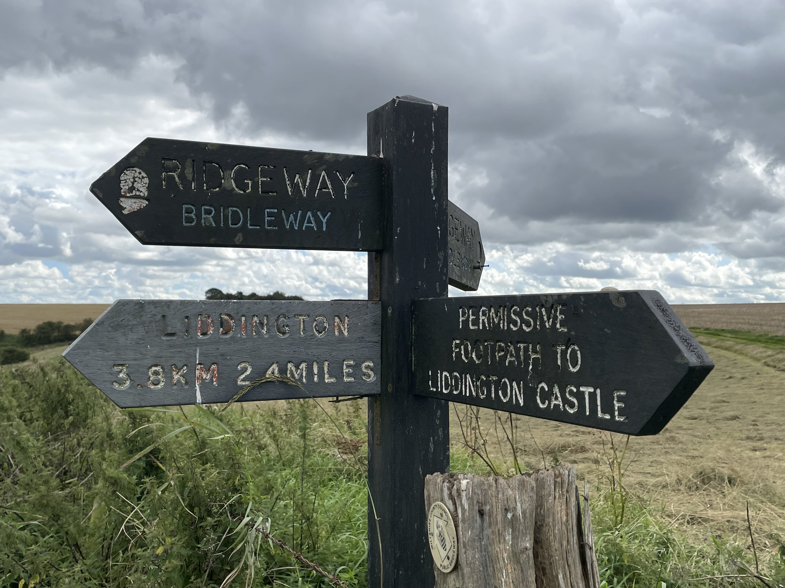
Other routes touched: The Ridgeway
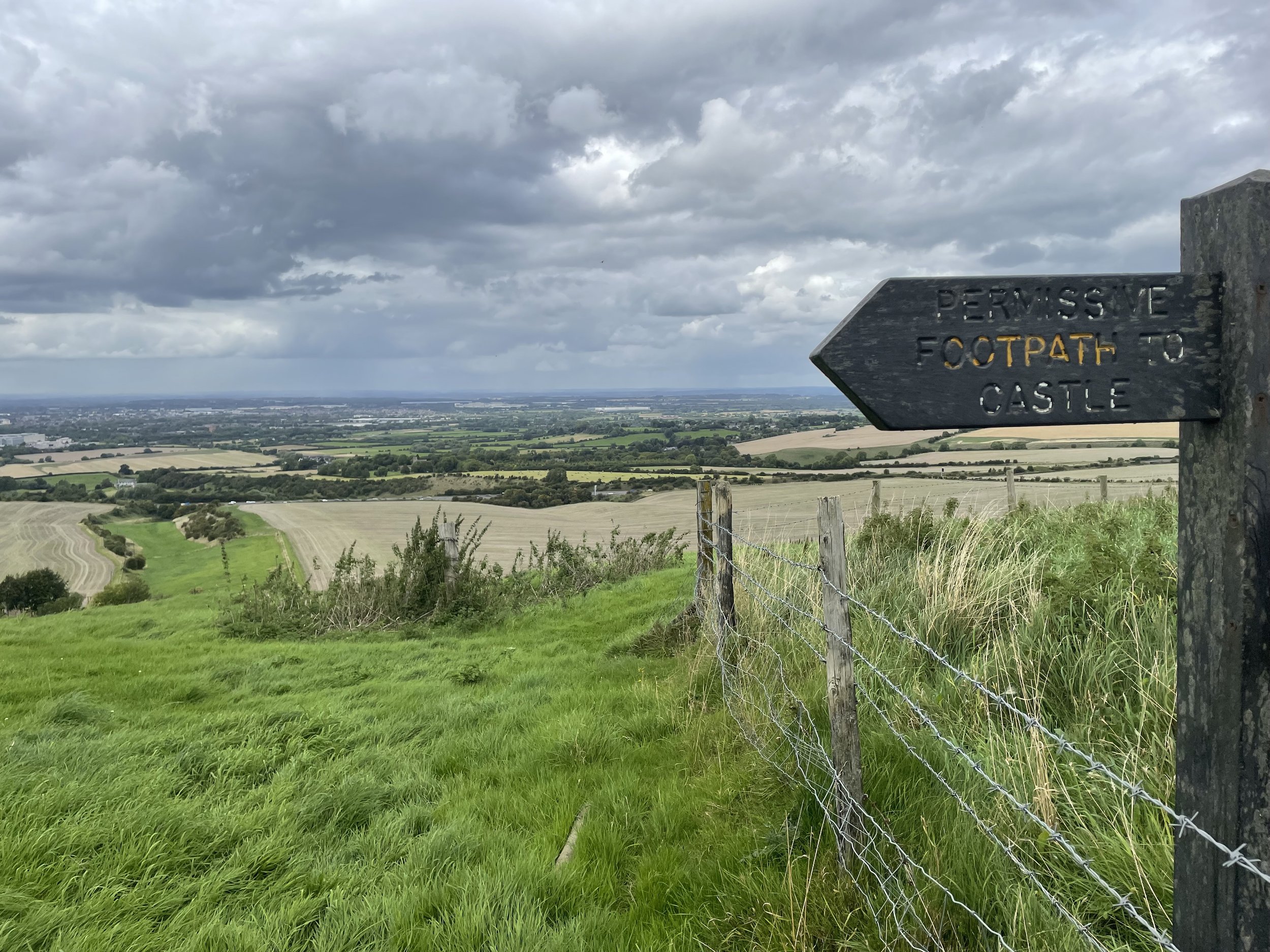
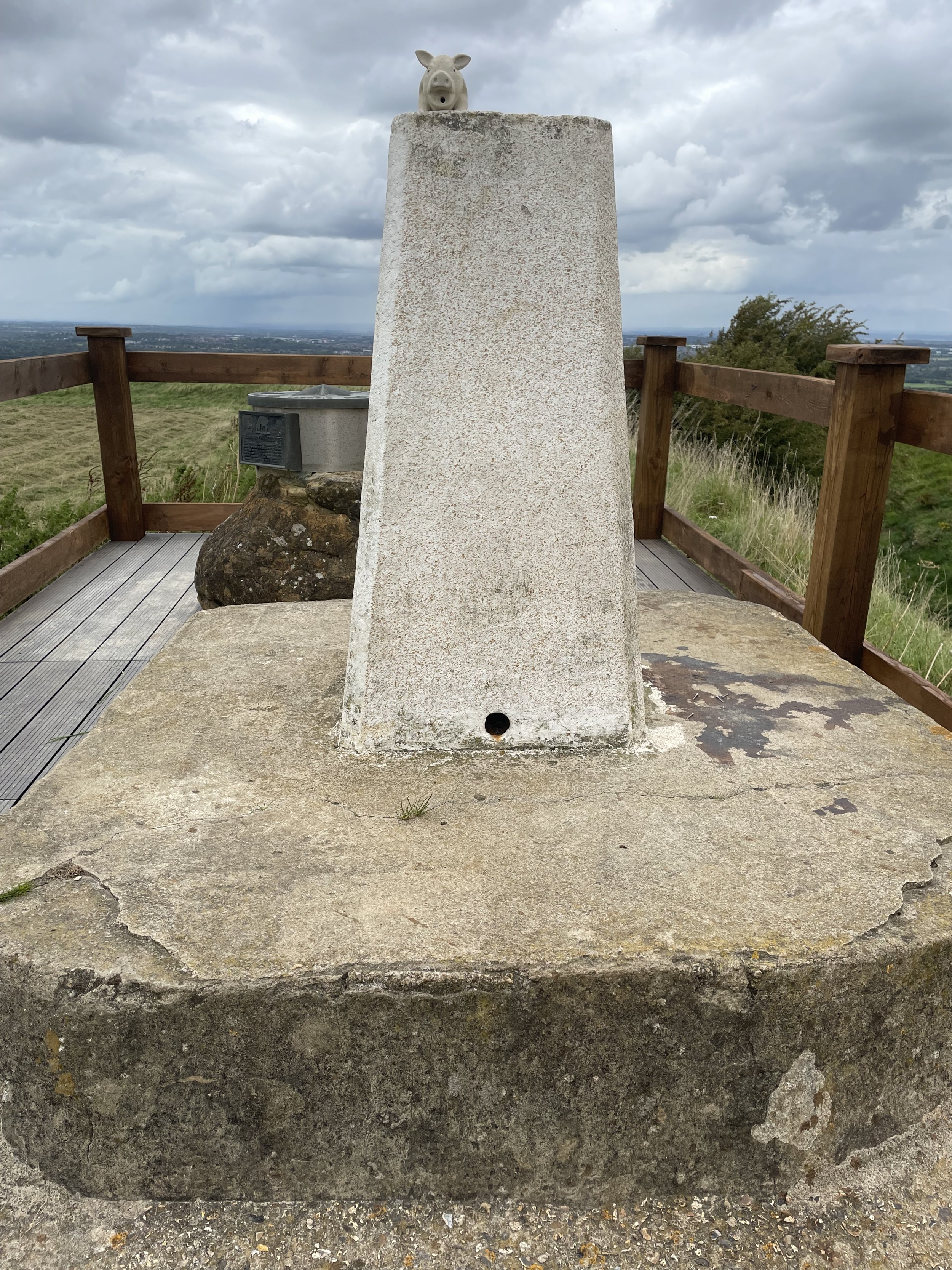
OS Trig Pillar: TP0743 - Liddington Castle
Pubs / Cafes on route: N/A
Map: Cirencester & Swindon Map | Fairford & Cricklade | Ordnance Survey | OS Explorer Map 169
Links: Wikipedia: (Swindon, Liddington Castle), Peakbagger: (Castle / Hill)
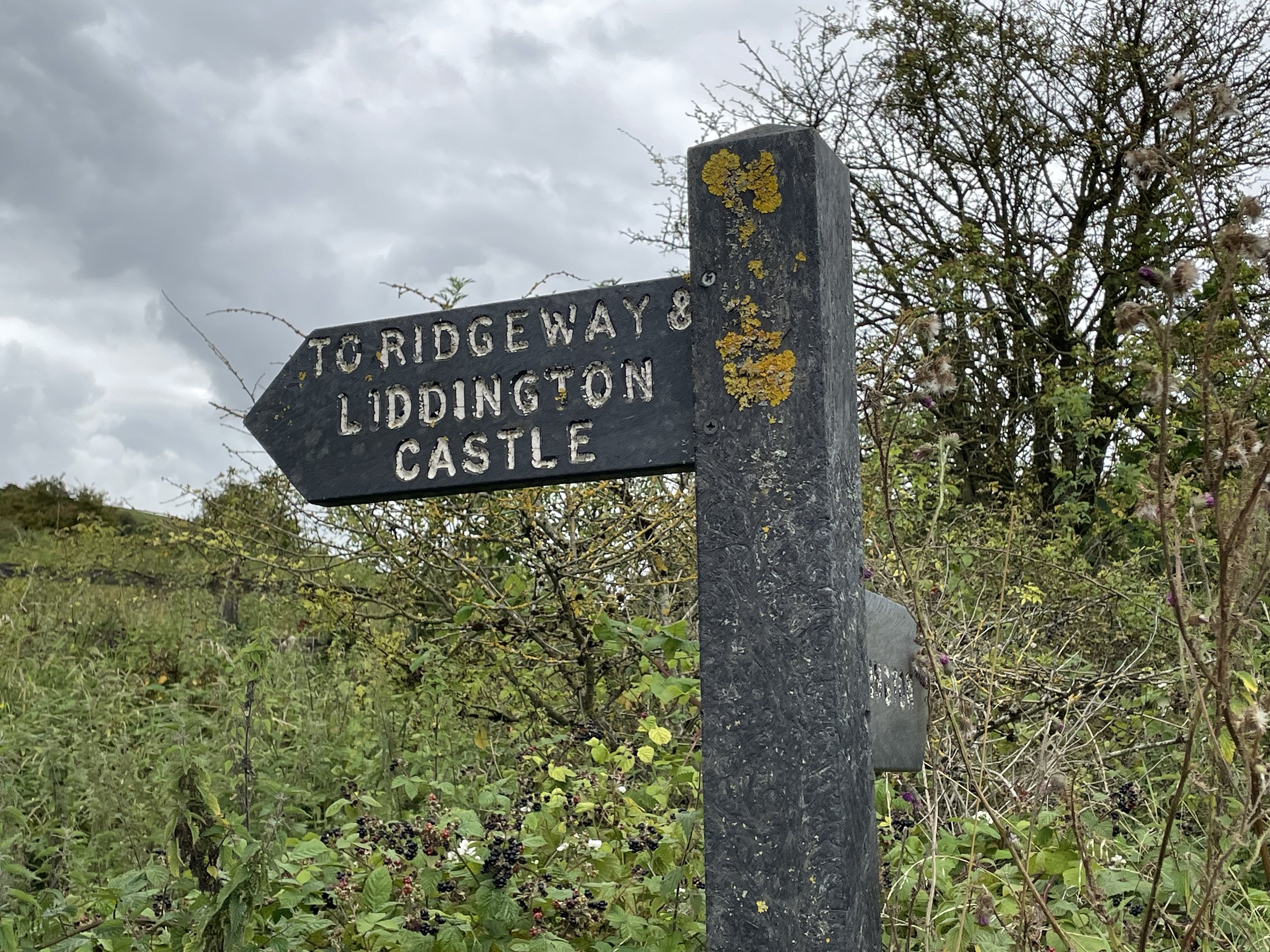
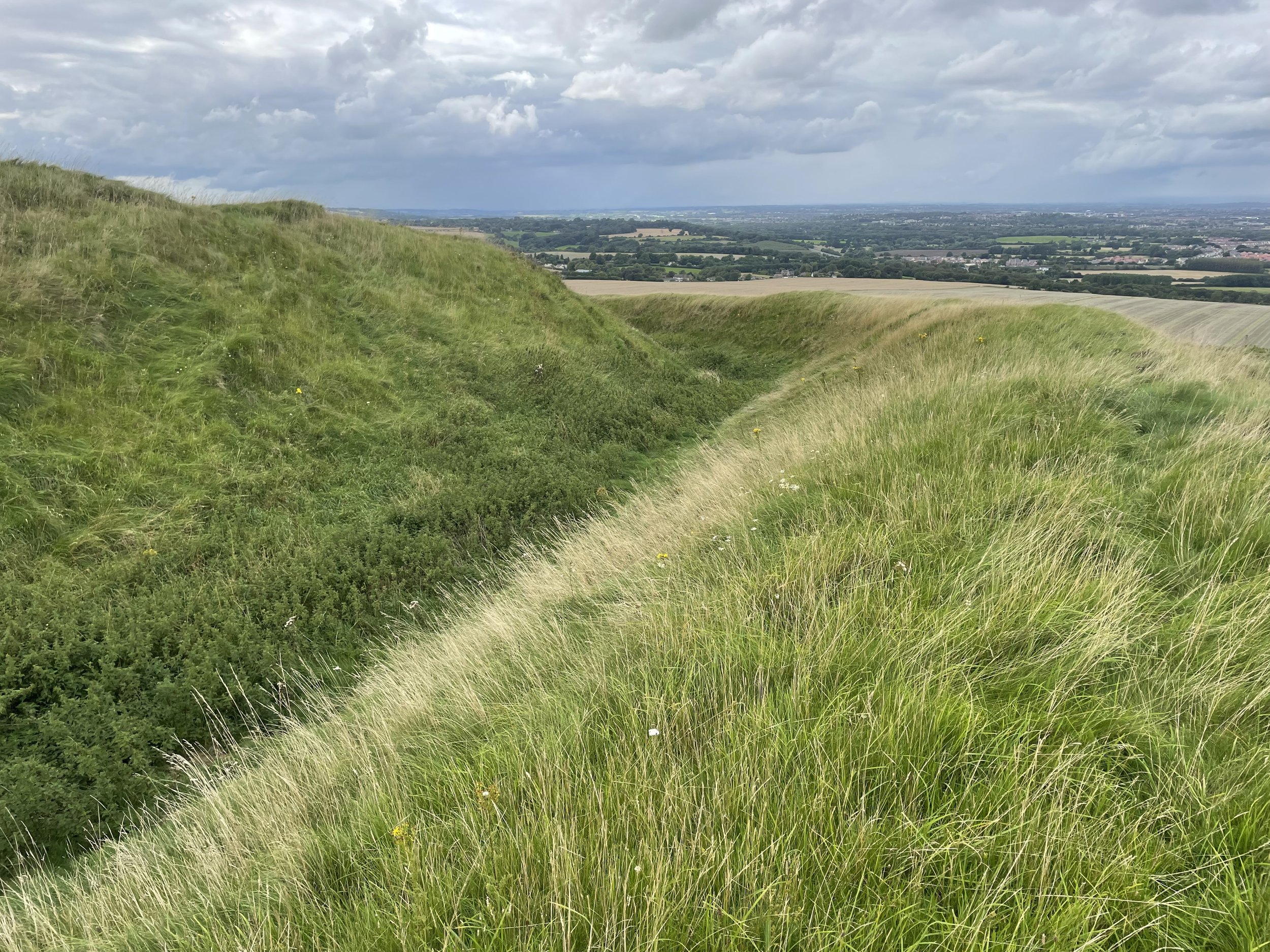
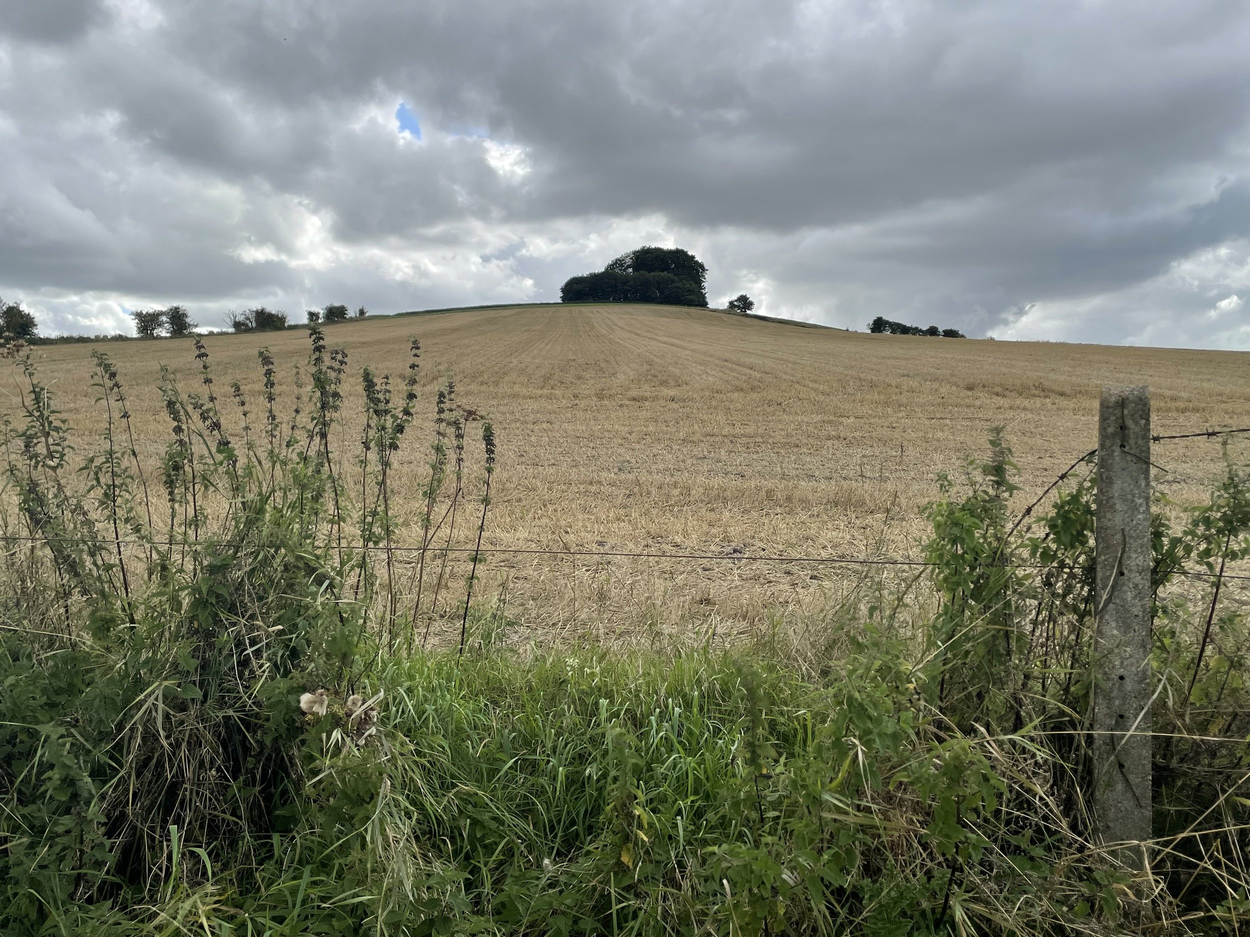
Liddington Hill is the high point of the Unitary Authority of Swindon within the Historic County of Wiltshire. The summit of the hill has the remains of Liddington Castle, a late Bronze Age and early Iron Age hillfort with a prominent Trig Pillar on the north-eastern rim.
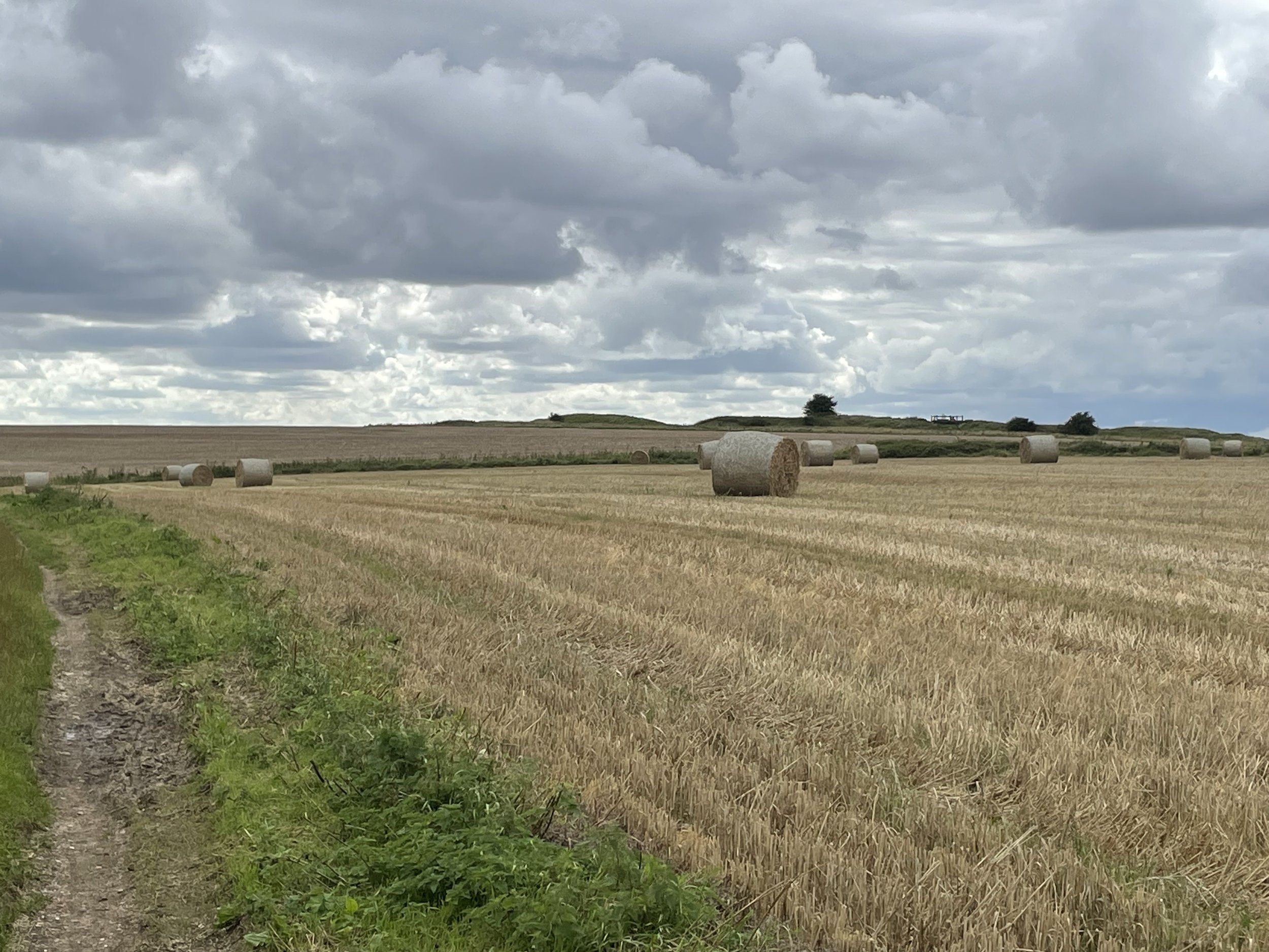
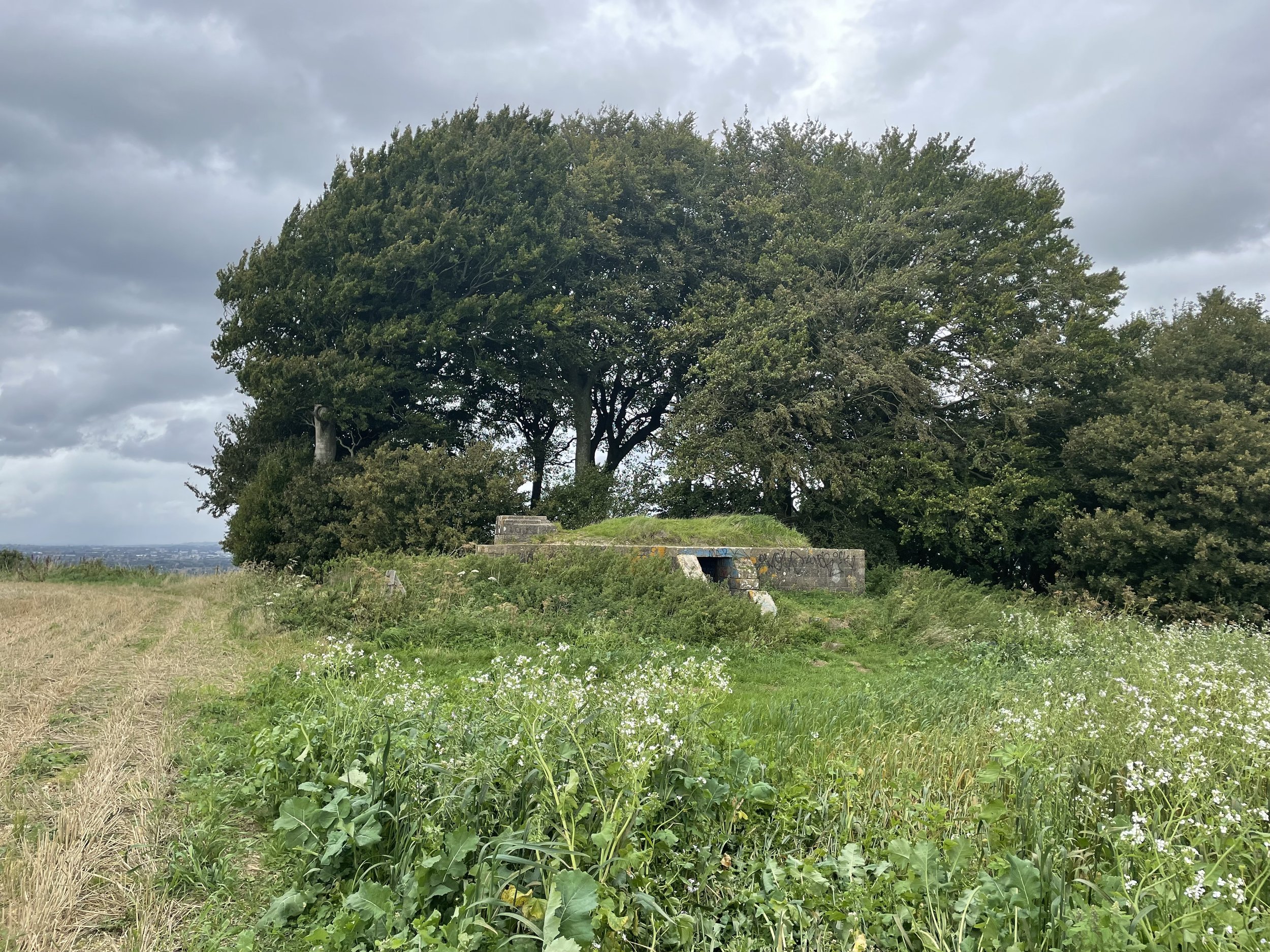
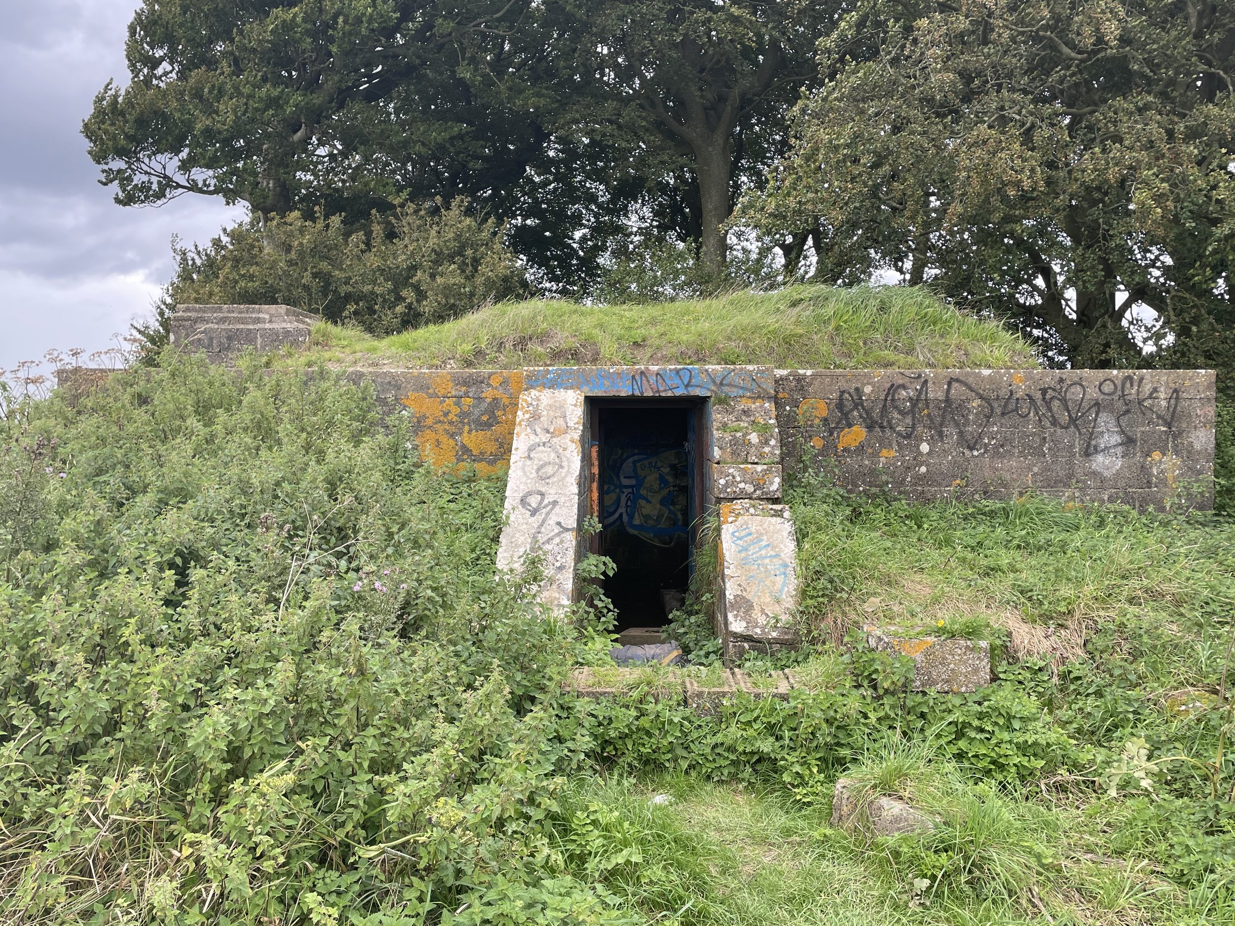
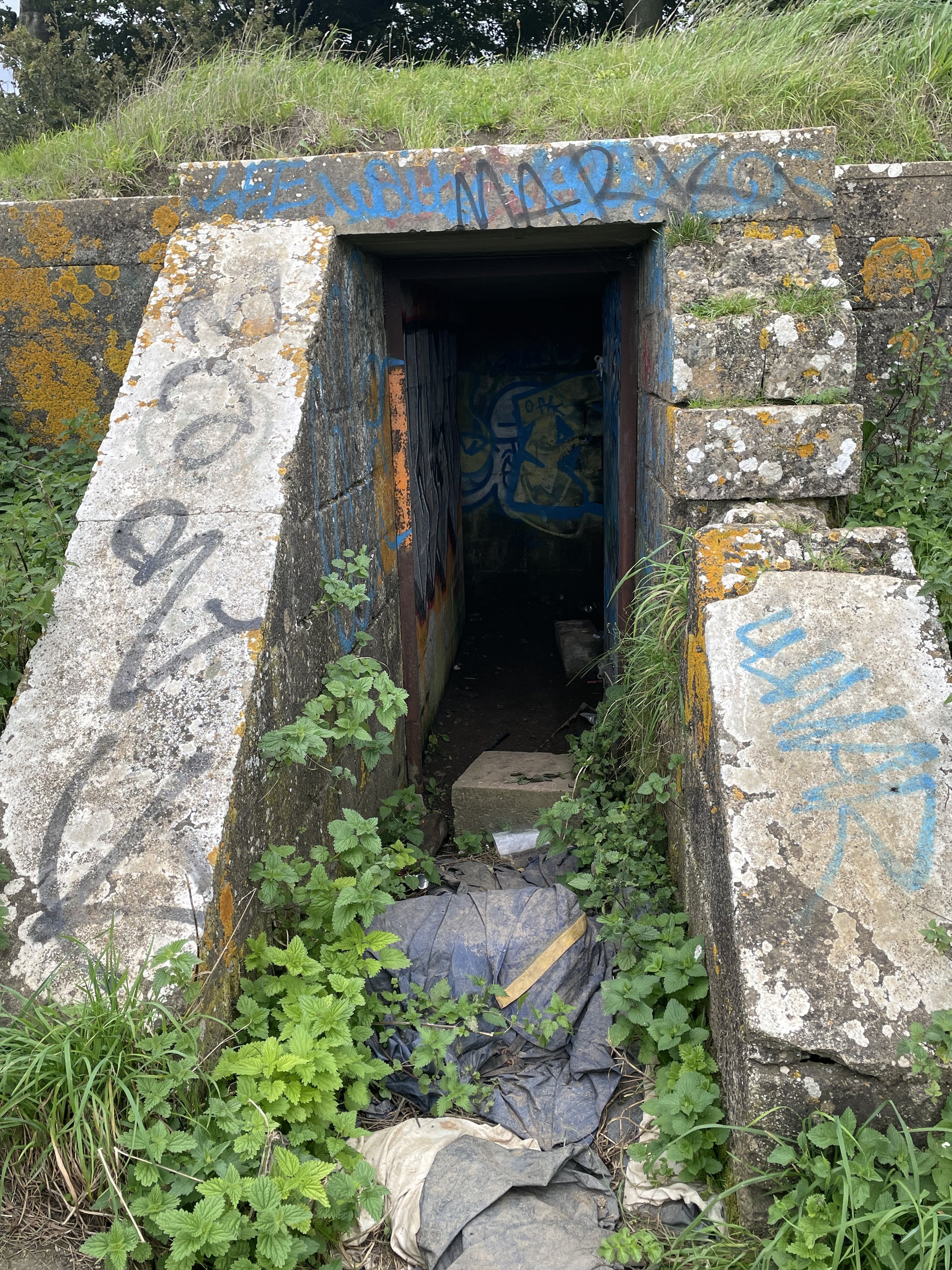
Although the Trig Pillar is the highest position on the hill, the natural high point is a little to the south-east in a farmer’s field. There were crops growing at the time and robust fencing around the castle so I decided not to walk to the natural high-point. From the castle it’s hard to spot the highest natural position on a relatively flat summit so tramping through crops to an unmarked position didn’t feel right. At the time I was more interested in finding the remains of the WW2 decoy bunker on the route back to the parking spot. See this video on YouTube for more on the bunker.
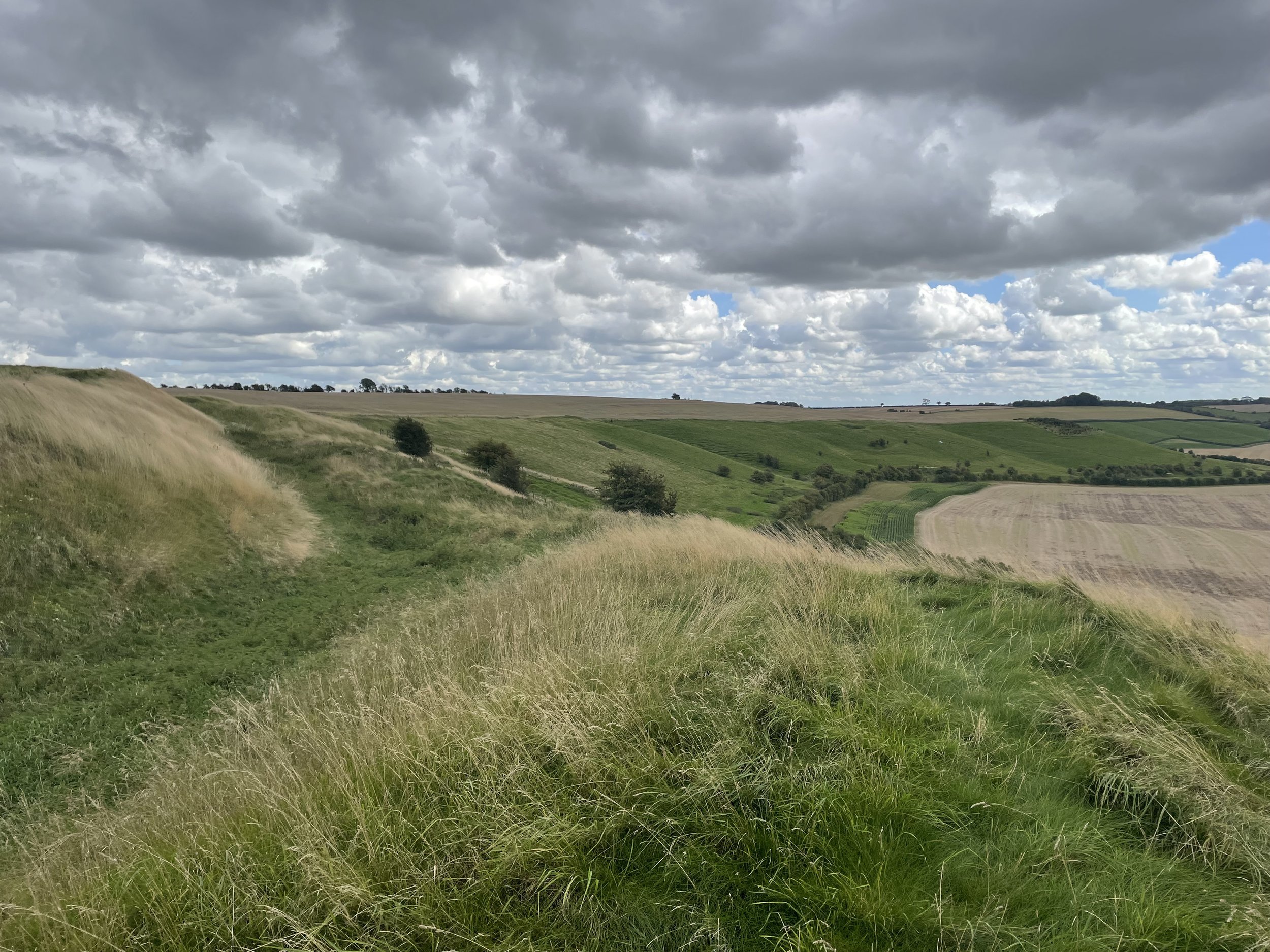
Access to the hill is easy and the summit can be bagged in a simple out-and-back from Aldbourne Road or as a minor detour from the Ridgeway. There’s parking space for a few cars at the junction of Aldbourne Road and The Ridgeway (path). These were full when I arrived so I used a layby round the corner on the road called The Ridgeway to the north of the hill.