Walking Mount Etna
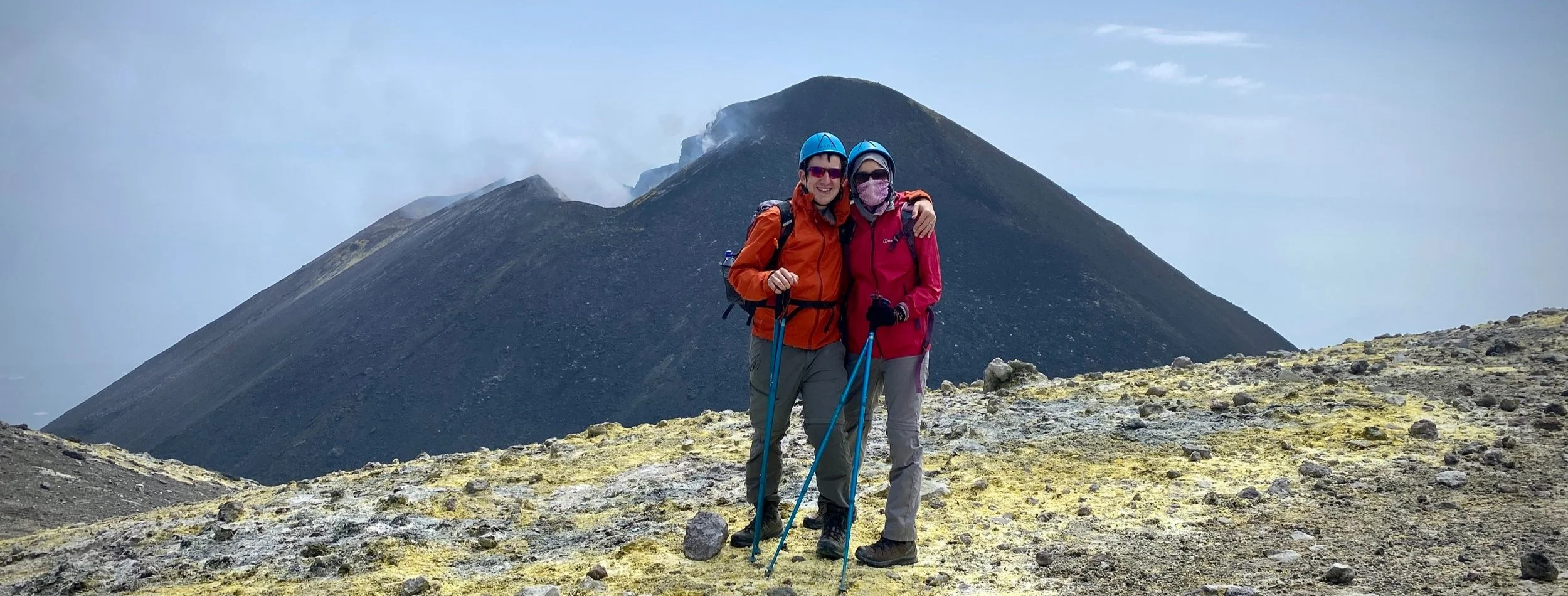
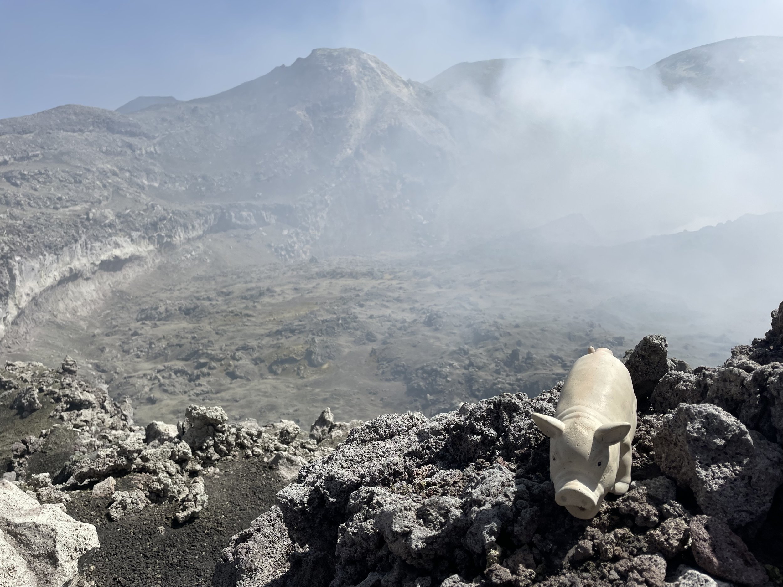
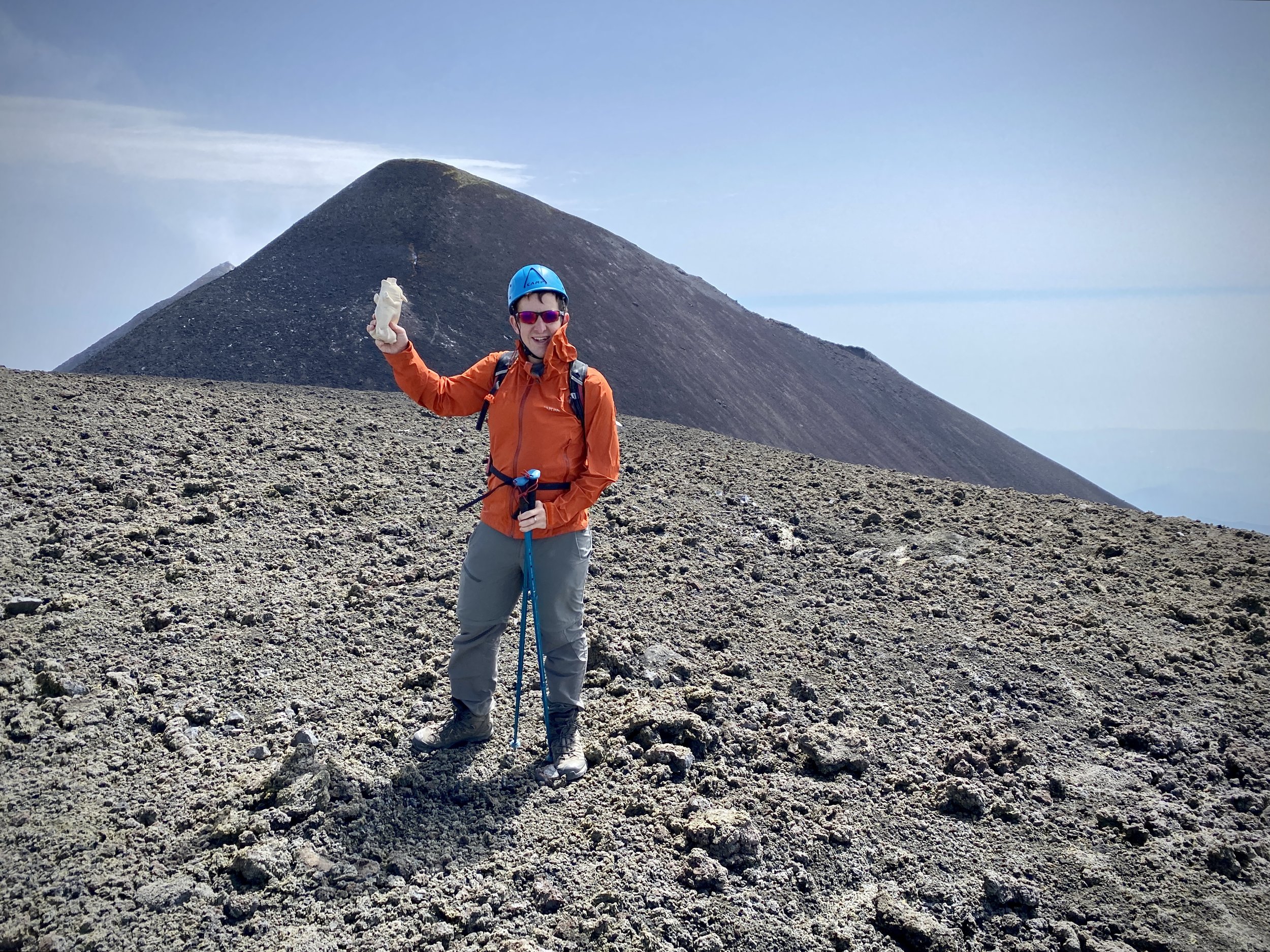
View to the South-East Crater from the Boca Nuova crater rim
Significance: Highest Point on the Island of Sicily and Metropolitan City of Catania
Parent Peak: N/A. NHN = Marmolada, Italy
Elevation: 3,342m
Date climbed: August 28th 2023
Coordinates: 37° 45' 1'' N, 14° 59' 41'' E
Route Start: 37°45'49.7"N 14°59'43.4"E
Route Finish: 37°45'55.4"N 15°00'49.7"E
Route Distance: 6.4 km (4 miles)
Route Elevation change: +336m / -540m. Net -204m
GPX File: get via Buy Me a Coffee
Guidebook: Walking in Sicily (Cicerone Guides): 46 walking routes including Mt Etna and the Egadi and Aeolian islands
Links: Wikipedia: (Sicily, Catania, Mount Etna), Peakbagger
When we were talking about where to go for our summer holiday this year I wasn’t as keen as Timea was on Sicily. I always prefer to go somewhere new and we’d done Sicily. I got convinced about going when we researched about the Mount Etna and Stromboli trips. Our last trip had also been nearly 20 years ago and we’d only scratched the surface of exploring the island.
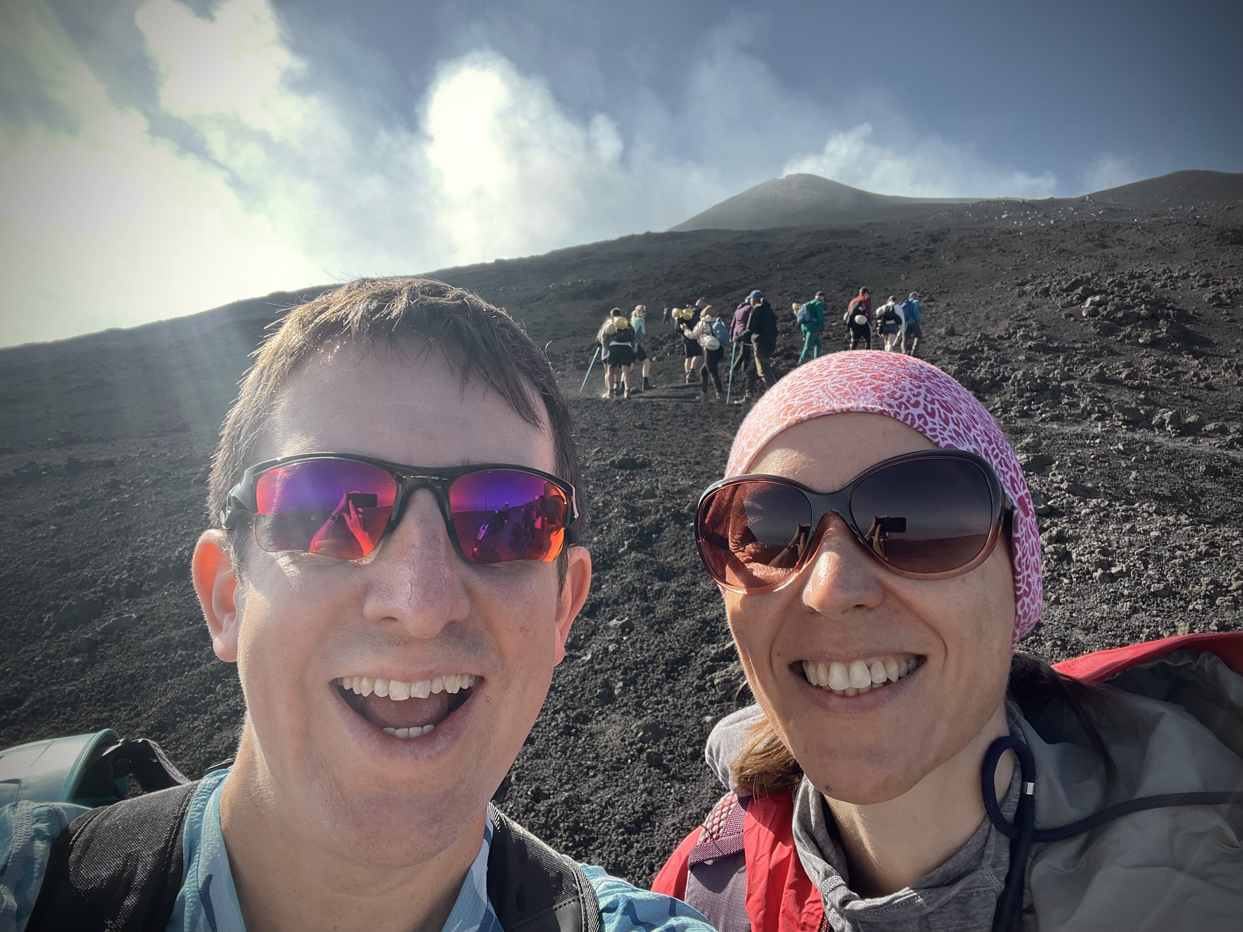
First up was the Mount Etna trip. Having come off a busy time at work, and wanting to minimise the planning, we went with a private tour organised by our hotel. Our guide Angelo and his daughter Fabiana picked us up at 07:30 from our hotel in Risposto and we headed towards the mountain.
We made a quick stop on the drive up to Cappalla Nel Maggio, an old church that had nearly been destroyed by a lava flow. A sign on the chapel tells the story (please excuse the translation): “During the eruption of November 1950 a lava flow, dividing into two arms, threatened simultaneously Milo and Fornazzo. In so much danger a solemn devout procession was promoted from the parish priest of Fornazzo Don Salvatore Fichera. It changed it, deviating to the left, it was channeled into the Cava Grande torrent, sparing the town. Then the commitment to build a chapel was born. In May 1971 another lava flow retraced the same route. The procession ended in a house owned by Mr. Sebastiano Cantarella. This house was overwhelmed by August 3, 1979. Of these there are currently some ruins still visible. The same flow of August 3, 1979 threatened to overwhelm this chapel but it stopped close to its walls penetrating inside the Chapel. The prodigious event is remembered every year on the first Sunday of August with a procession and the celebration of the Holy Mass”
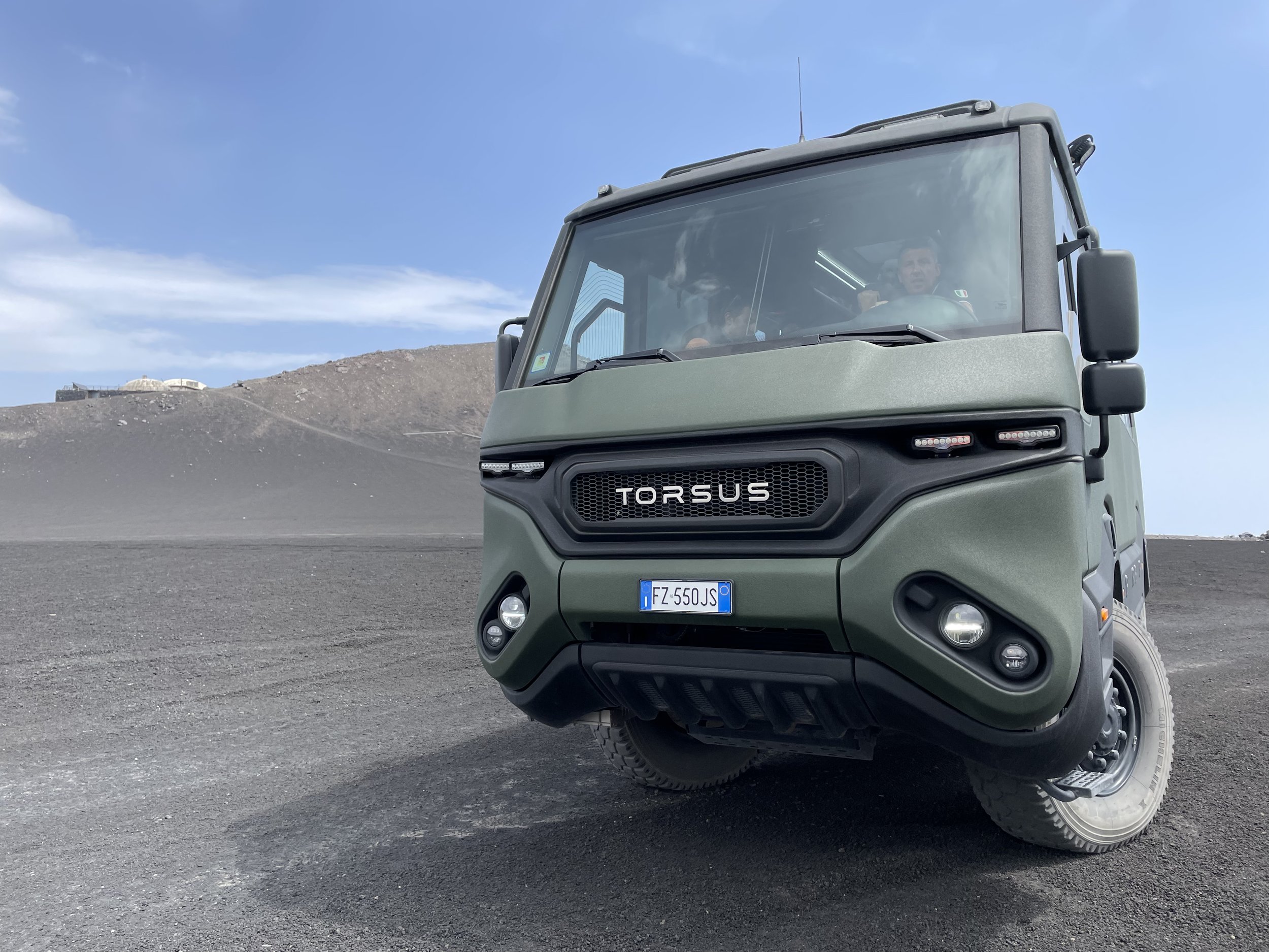
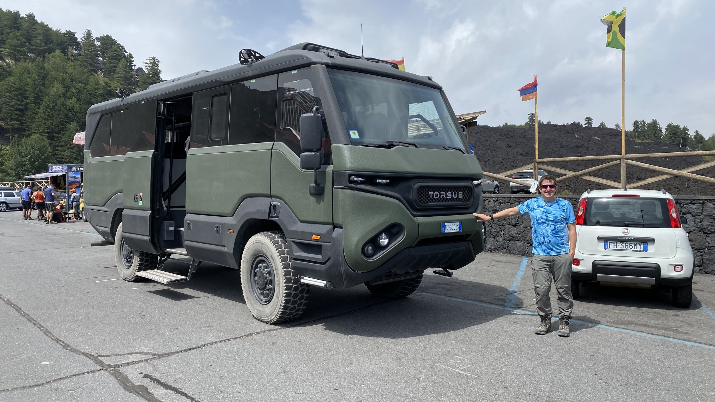
The drive to the Visitor Centre at Piano Provenzana took just over an hour. Here we had a quick stop then transferred to a Unimog, a large off-road bus to take us further up. Piano Provenzana is also has a large car park and several tour agencies if you’re making your own way there. Our guide told us that there’s no limit on numbers of visitors to the mountain but you may be limited by the number of spaces on the Unimogs. An alternative is walking all the way up from Piano Provenzana but you’ve got to be a strong hiker, and prepared for the heat. Also, given the obvious dangers of climbing up an active volcano, I certainly wouldn’t go without an experienced guide.
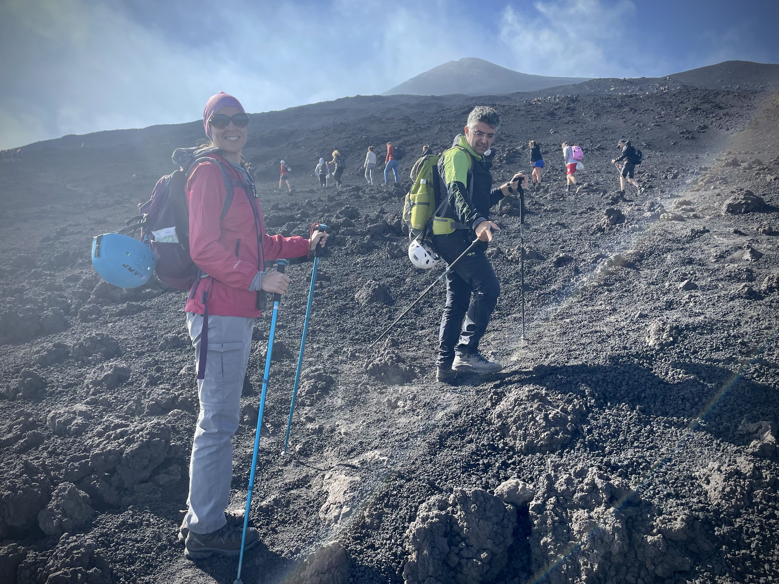
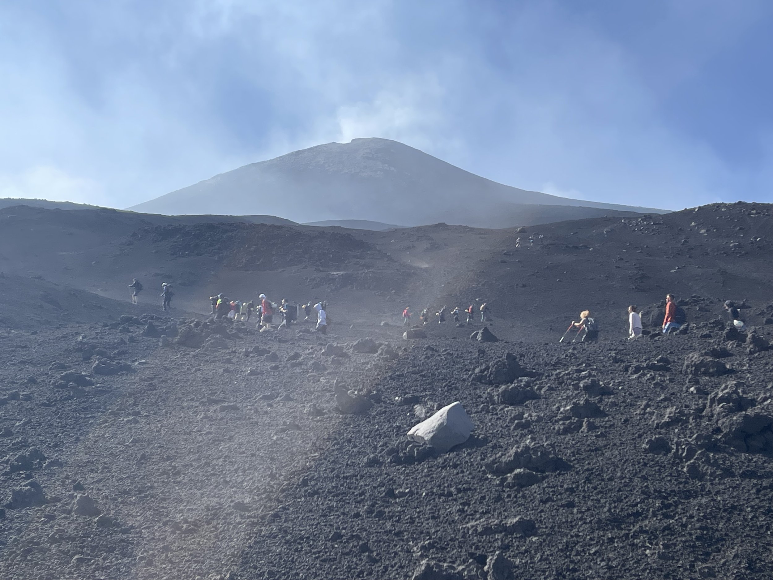
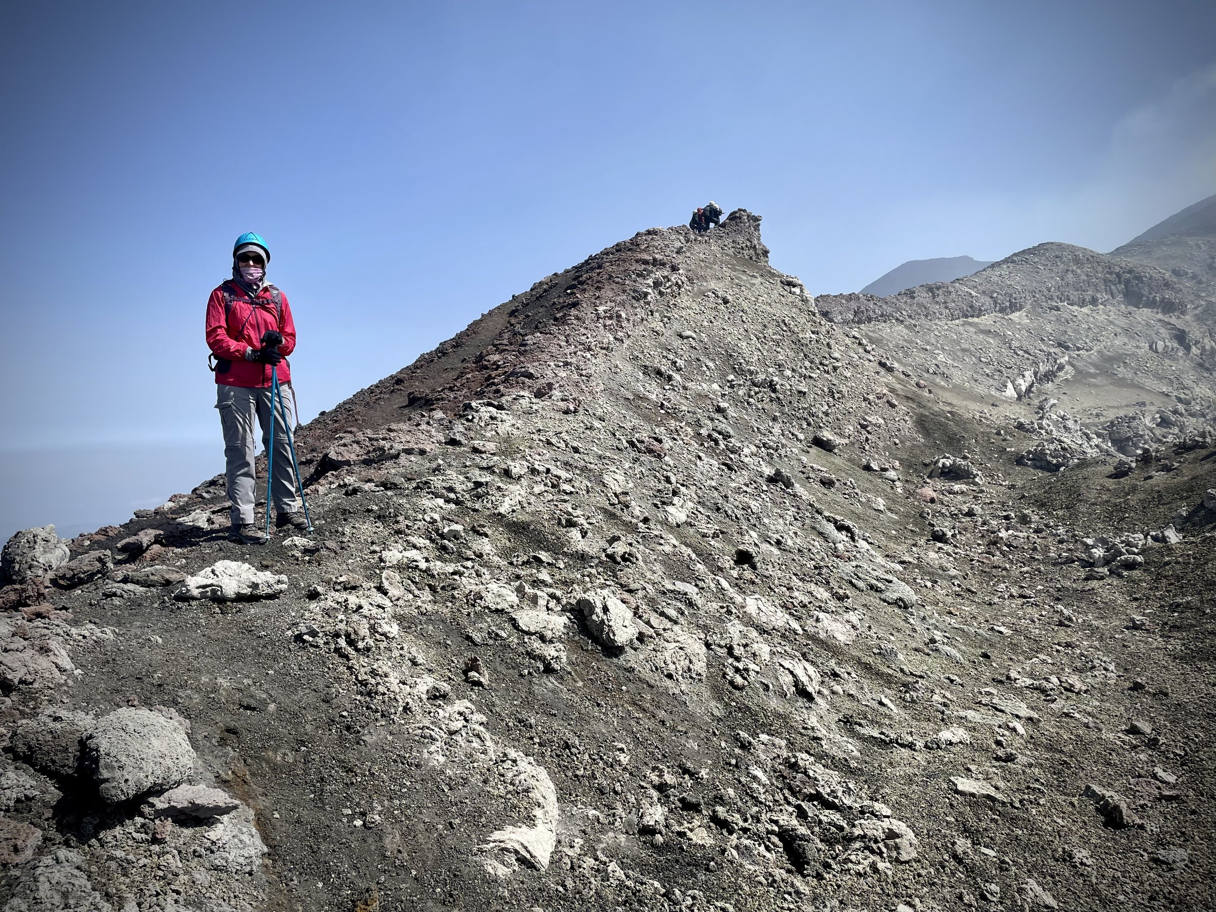
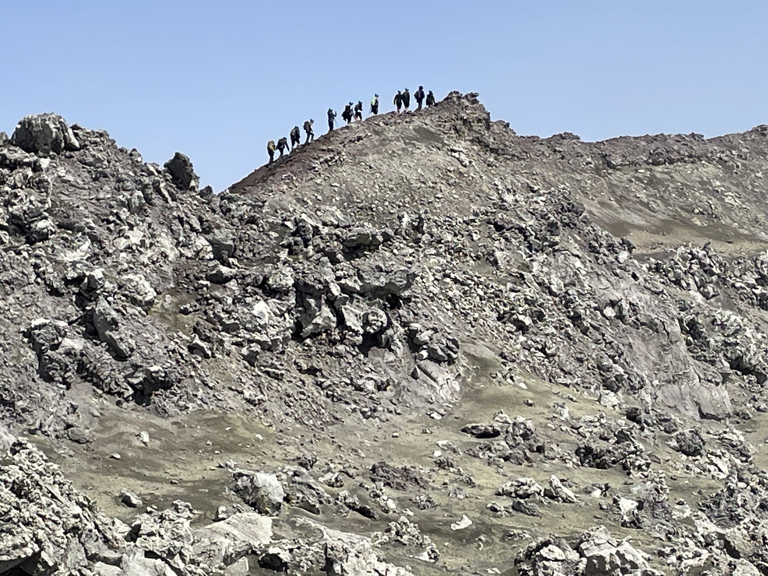
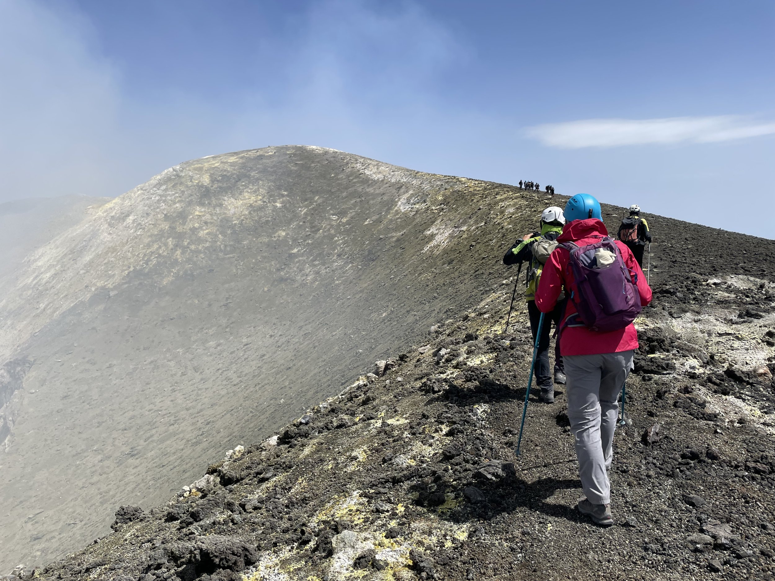
The Unimog trip took about half an hour to cover 9.7 km and 1,183m of elevation to reach the start of the hiking section at 2,967m. There were a few other groups on the same bus and we let them go heading, preferring a more relaxing ascent. We slowly ascended in a southerly direction to reach the Boca Nuova Crater after 2.2 km.
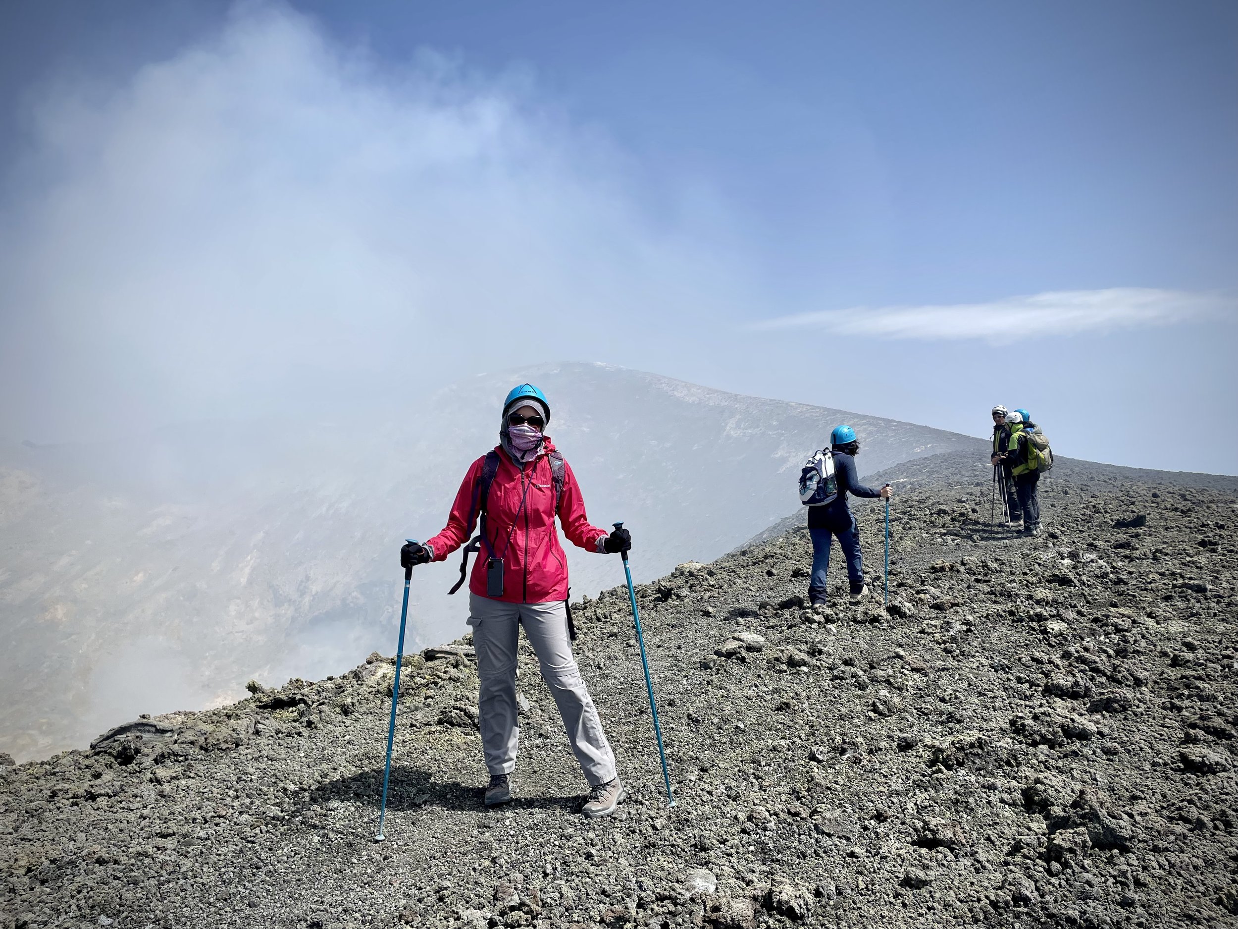
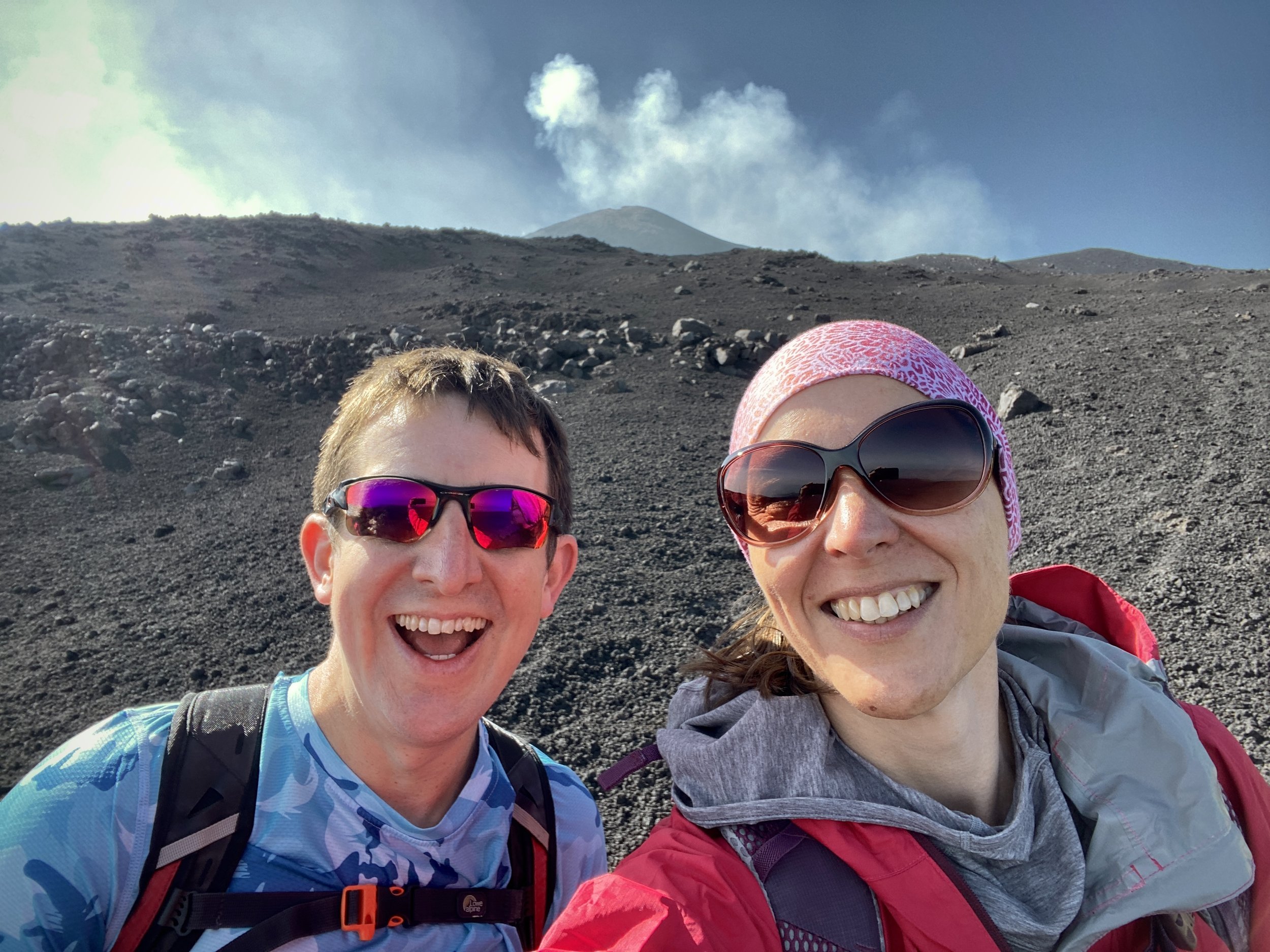
We were there on a clear but windy day. Not too much wind to blow us off course but enough to blow clouds of sulphur into our faces. My regret here was no packing my Buff to cover my face with. Timea was better prepared as she brought hers so I had to settle with holding a tissue over my mouth and face. You definitely don’t want the sulphur inside you.
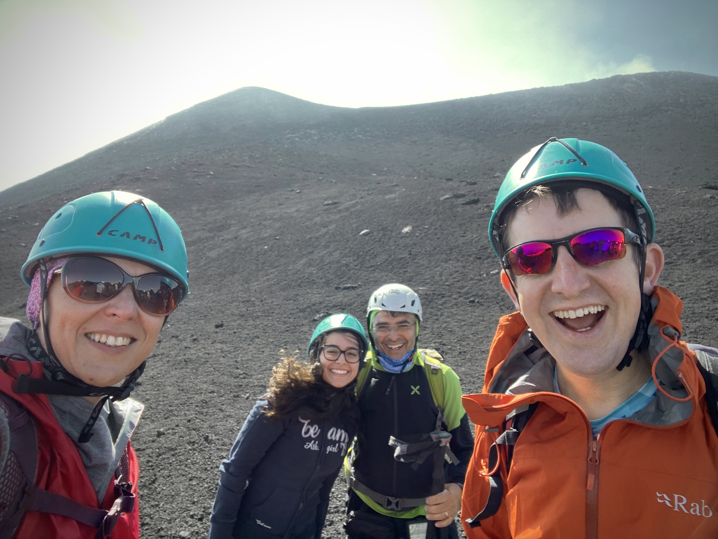
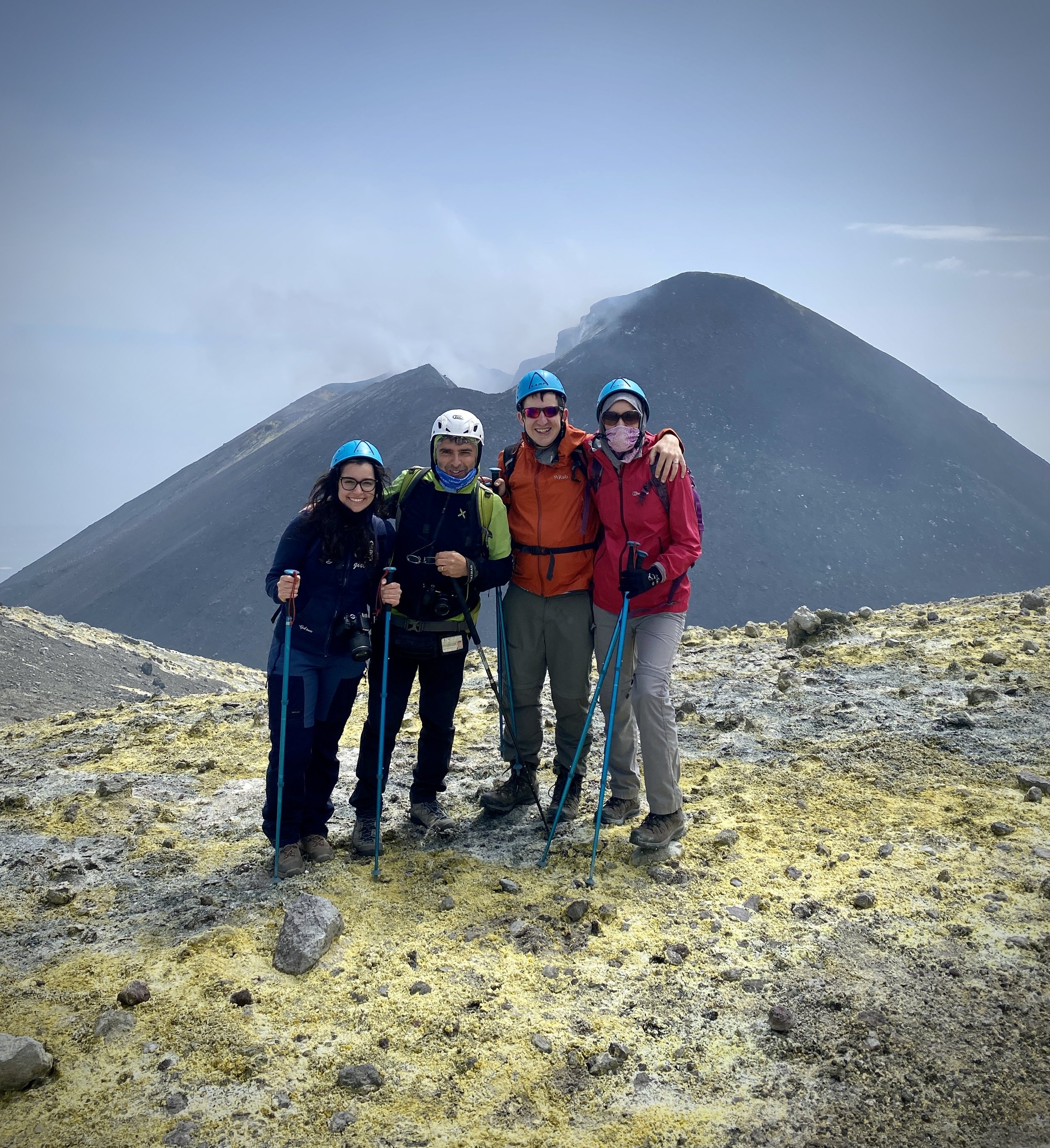
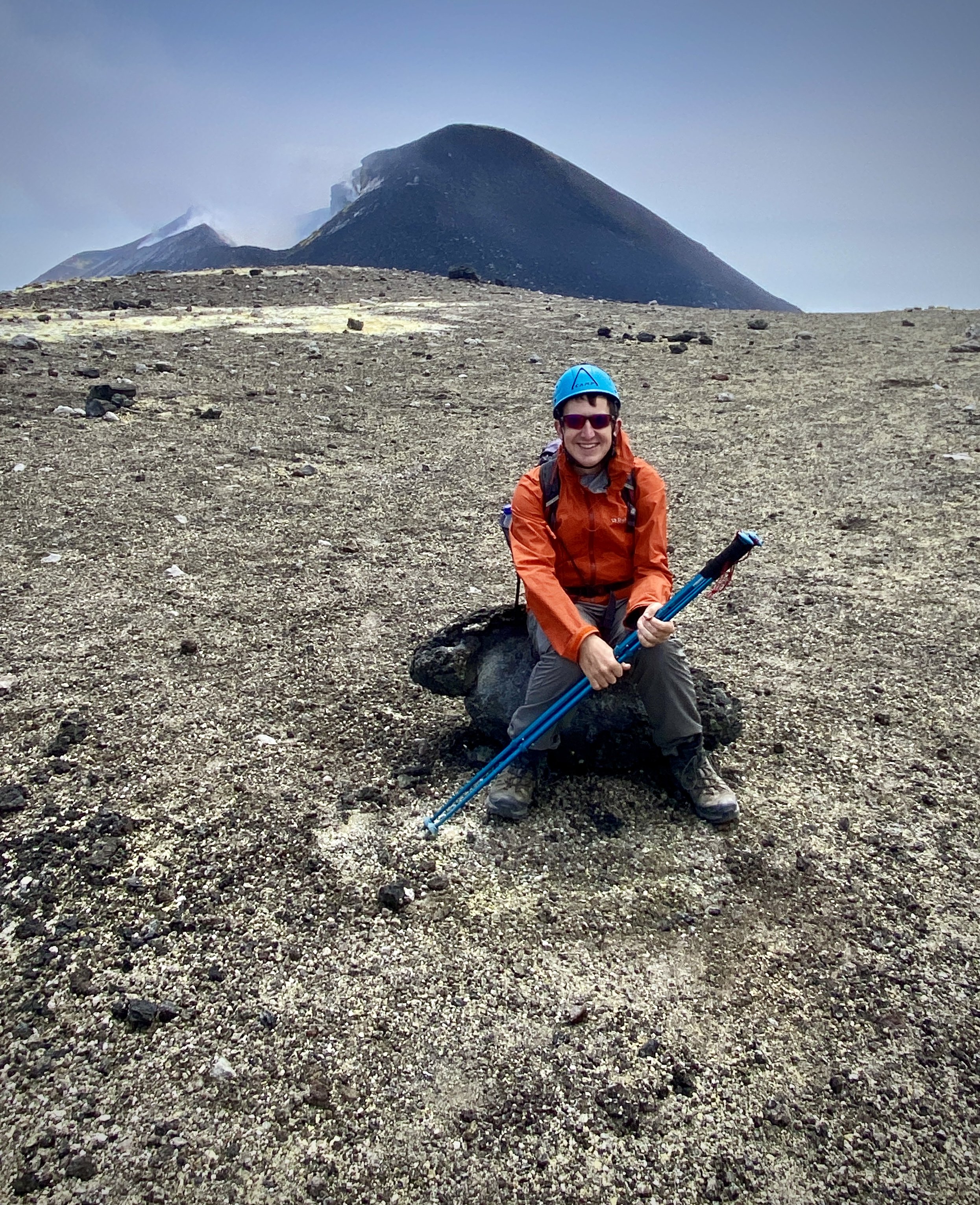
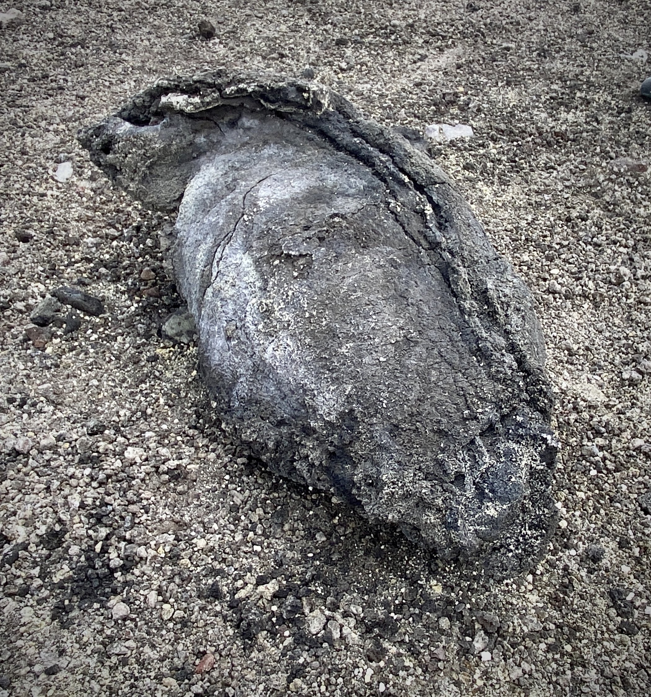
The sulphur was a small price to pay for the awesome view of the Boca Nuova Crater, still spewing clouds of steam and gas. Our route took us on a full anticlockwise circuit of the crater and close to the South-East Crater, the current high point of the mountain at 3,357m. We couldn’t get to the top of that one as it’s still dangerous but I was very happy getting to the most accessible high point of 3,317m.
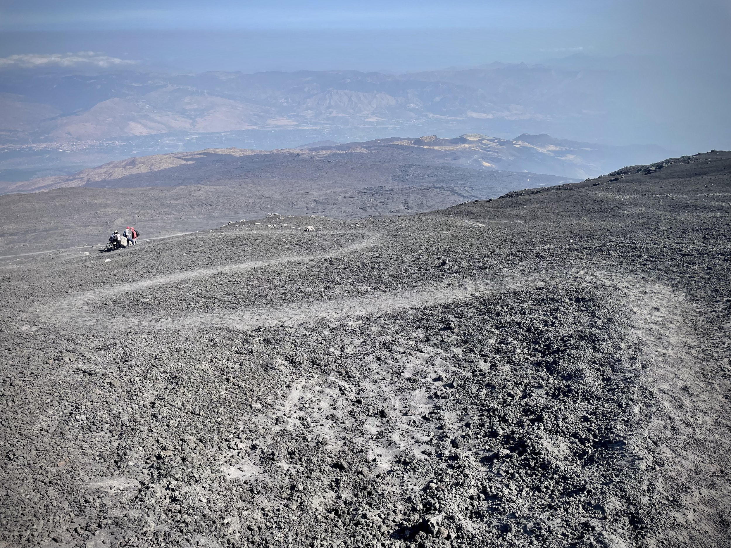
After the Boca Nuova crater we skirted round the south-western edge of the North-East Crater. A circuit of this crater looked tempting but it was also too dangerous so we settled for peering over the top on the southern edge. from here we descended in a north-easterly direction towards the Observatory Etneo where we met the bus to take us back to the Visitor Centre. The fast ski-like descent down the ash fields to the bus was another highlight of the trip.
The adventure wasn’t over yet as there were 2 more interesting stops on the way back down to Riposto. First stop was an “island” of forest created when a lava flow cut off one of the main roads up to the mountain in 2002. A new road has been laid over the lava and you can take a small track down to see the remains of the old road.
Stop 2 was a small cave created by a lava flow. There’s steps at either end making it easy to walk through, although a helmet and torch is essential. The cave was once used as an ice house and is depicted in the painting “La Grotta a La Neige” by Jean-Pierre Houël. According to the information board, the painting is now displayed in The Hermitage in St. Petersburg, Russia.
We were back in our hotel in Rispoto by 16:30 totaling an 8 hour trip. If you’re up for a similar day trip I can highly recommend our guide Angelo at siciliaadventure.it