Walking In The Surrey Hills
The Surrey Hills is a National Landscape (formerly Area of Outstanding Natural Beauty (AONB)), covering parts of the North Downs and Greensand Ridge in Surrey, England. It is very close to London with the M25 running near or through the northern boundary.
It’s a beautiful part of the countryside with many options for walking, running and cycling. This page is an index of the circular and point-to-point walks that I’ve done in the Surrey Hills.
Circular Walks In The Surrey Hills
Click on the map icon for each walk to find a link to more details on each. If you have any comments, corrections or suggestions for improvement please leave a comment on the relevant page or via the Contact page. I’ll donate £1 to one of the outdoor causes that I support for every update made.
Map pins showing a train or bus icon instead of the walking person icon indicate a point-to-point walk with a return to the start by public transport. All other walks are circular for the full walk.
The table below shows the same walks as in the above map listed in alphabetical order of the name of the walk. Colour-coding is the same: green for walks in the Surrey Hills National Landscape and orange for other walks in Surrey. Walks indicated with a T or a B in the left hand column indicate that it’s a circular route but part of the route is a return to the start by train (T) or bus (B).
Long Distance Trails in The Surrey Hills
There are several long distance trails that are either inside or pass through the Surrey Hills. Unlike the shorter circular walks above, most people tackle them either in stages over multiple days or via a series of circular walks. Click on the links in the sections below the map for further details on each trail.
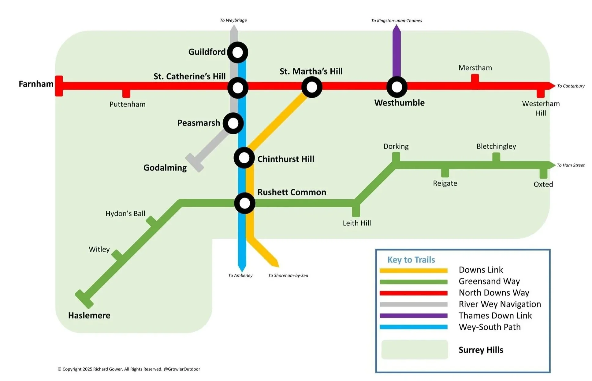

The Downs Link trail is a 59 km (37 mile) long-distance path primarily for cyclists, walkers, and equestrians, following the route of a disused railway line. It connects the North Downs Way near Guildford, Surrey, with the South Downs Way near Steyning, West Sussex, and continues south to Shoreham-by-Sea. Along the way, it passes through the picturesque Sussex countryside, often shaded by trees and crossing several viaducts and bridges.
I completed the Downs Link twice, first as a cycle ride and then on an Ultra Marathon.
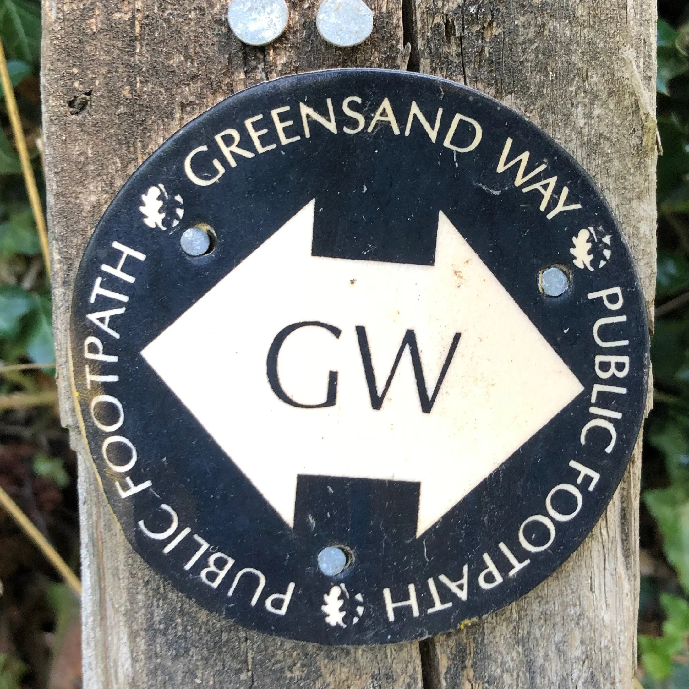
The Greensand Way is a 170 km (106 mile) long-distance footpath that roughly follows the outcrop of Greensand rock, running through three counties. The Surrey section is approximately 60 km (37 miles) long, starting near Haslemere and exiting into Kent near Westerham. Along the way, it passes over prominent hills and ridges like Blackdown, Leith Hill (the highest point in southeast England), and Box Hill, offering panoramic views of the Weald and the North Downs.
We completed the Surrey section of the Greensand Way as a series of 20 circular walks. Click here for more information on this trail.

The North Downs Way is a 246 km (153 mile) long-distance national trail that roughly follows the North Downs from Surrey to Kent. The Surrey section is approximately 90 km (56 miles) long, starting near Farnham and running eastward, crossing into Kent near Westerham. Along the way, it passes through the Surrey Hills Area of Outstanding Natural Beauty (AONB), traversing chalk grassland, woodland, and steep slopes, offering spectacular views from viewpoints like Newlands Corner and Box Hill.
We completed the Surrey section of the Greensand Way as a series of 7 point-to-point walks. Click here for more information on this trail.

The Thames Down Link is a 24 km (15 mile) long-distance footpath that forms an important connection between two major national trails. It links the Thames Path at Kingston-upon-Thames with the North Downs Way near Westhumble/Box Hill in Surrey. Along the way, it passes through Richmond Park (on the north side of the Thames), the Hogsmill River Valley, and traverses green spaces like Epsom Common and Ashtead Common, before climbing onto the Downs. We completed this trail in a single point-to-point overnight Summer Solstice walk.
Click here for more information on this trail.
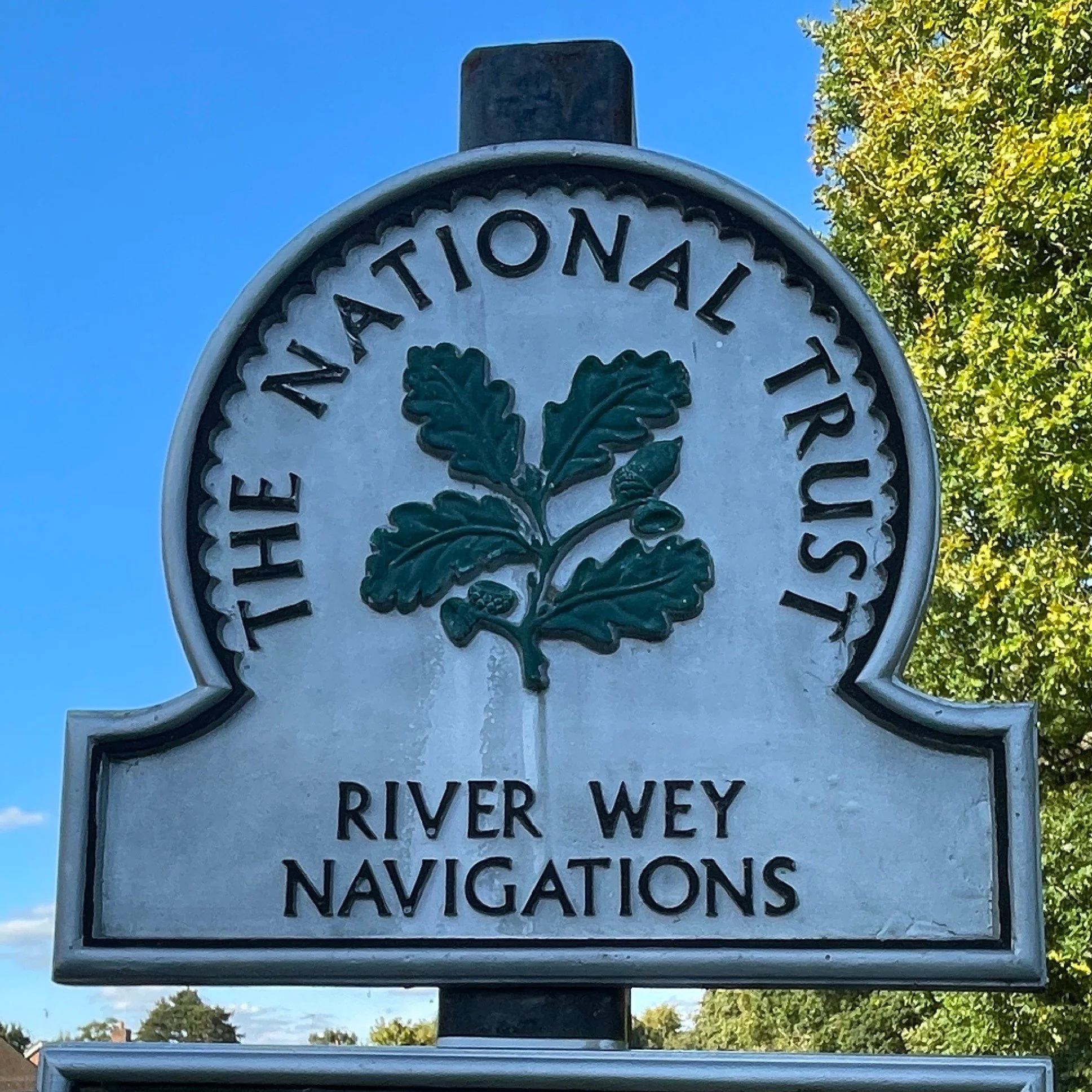
The Wey Navigation is a 32 km (20 mile) long-distance towpath walk that follows the River Wey Navigations, one of the earliest canalised river systems in Britain. It connects the River Thames at Weybridge, Surrey, with Godalming to the south. Along the way, it passes through the centre of Guildford, the Dapdune Wharf National Trust site, and a series of historic locks, mills, and bridges, offering a flat, tranquil route through water meadows and riverside suburbs.
We completed the River Wey Navigation as a series of 9 circular walks. Click here for more information on this trail.