Walking The North Downs Way Part 4 - Ranmore Common to Betchworth

View over Denbies Vinyard and across to Dorking
Start: Ranmore Common East Car Park, Wotton, Dorking, RH5 6SR
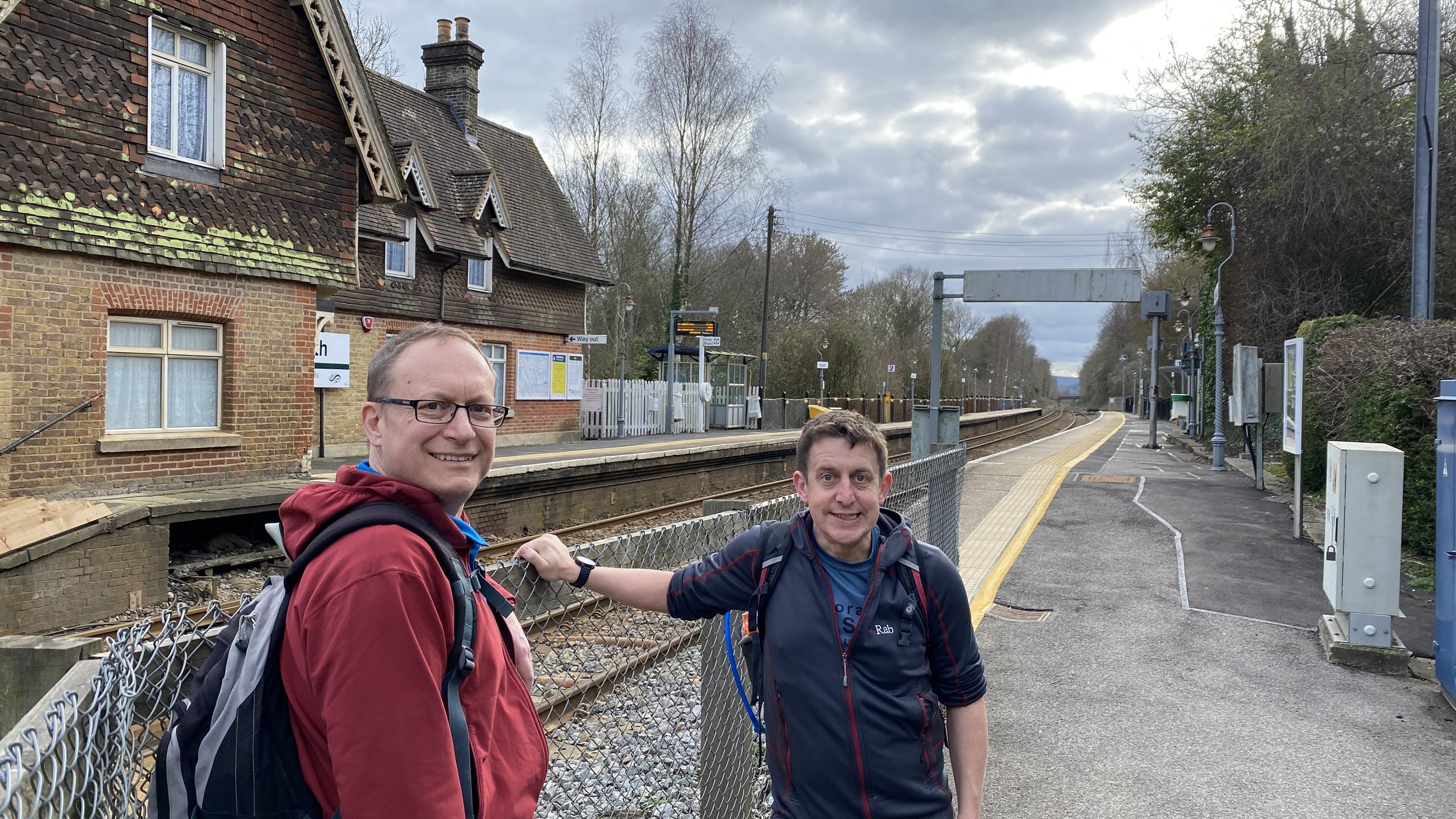
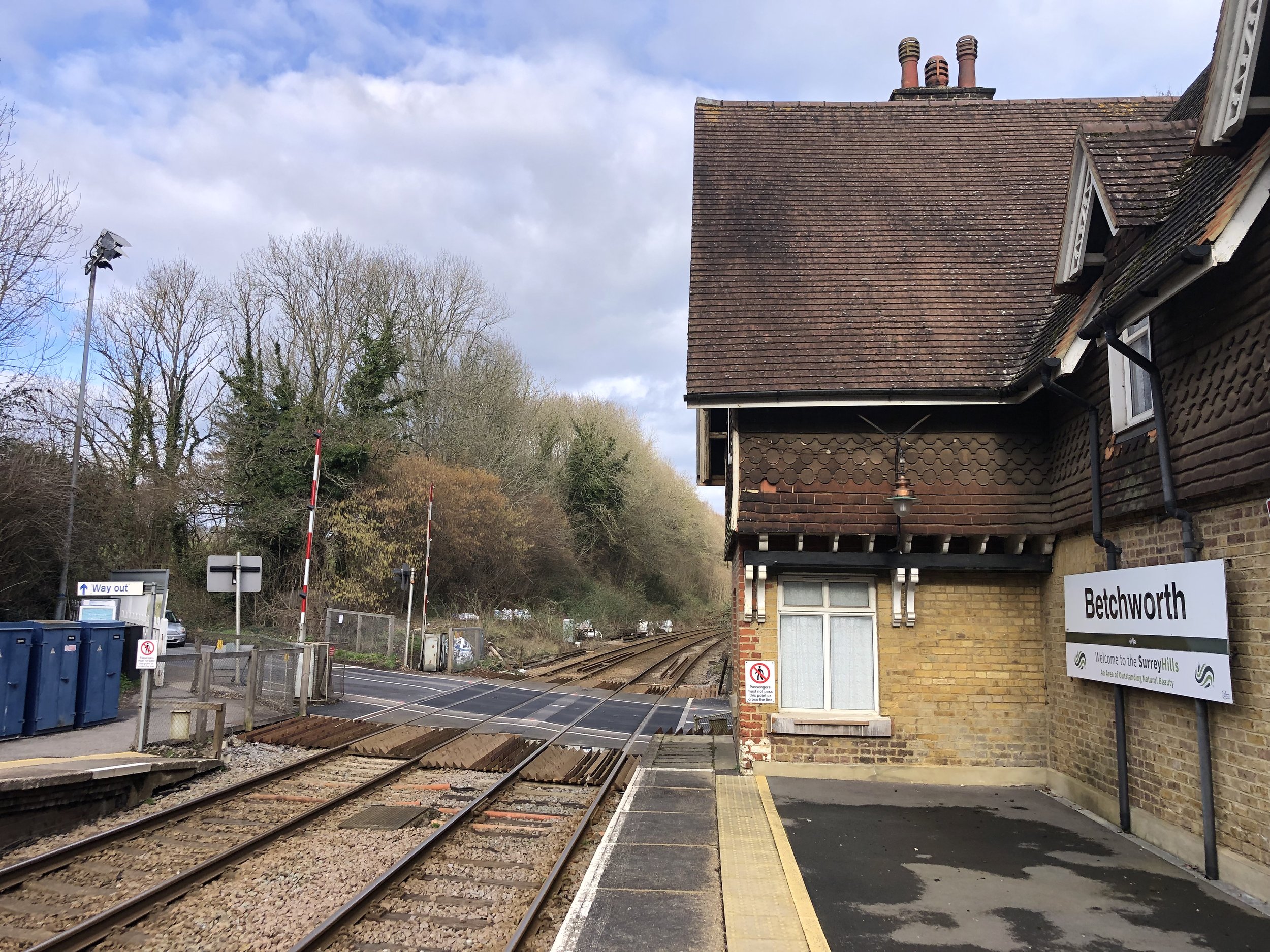
Finish: Betchworth Station, Betchworth RH3 7BZ
Distance: 10 km (6.2 miles)
Elevation change: +192m / -292m. Net -100m
GPX File: get via Buy Me a Coffee
Other routes touched (walk): North Downs Way, Ranmore SCC Circular, Mole Gap Trail, Leith Hill Greenway, NT Stepping Stone Path, The Box Hill Hike
Other routes touched (cycle): NCN 2, 22, Surrey Cycleway
Pubs / Cafes on route: None directly on route, but just off are: Denbies Vinyard (3.5 km in), National Trust Boxhill (6 km in), Smith & Western (6.7 km in)
Map: Dorking, Box Hill & Reigate Map | Leatherhead & Caterham | Ordnance Survey | OS Explorer Map 146
Guidebook: The North Downs Way National Trail from Farnham to Dover (Cicerone)
Links: Ranmore Common, Denbies Vinyard, National Trust Stepping Stones, National Trust Box Hill, Betchworth Quarry and Lime Kilns, Betchworth, , LDWA: North Downs Way, National Trails: North Downs Way, northdownsway.org
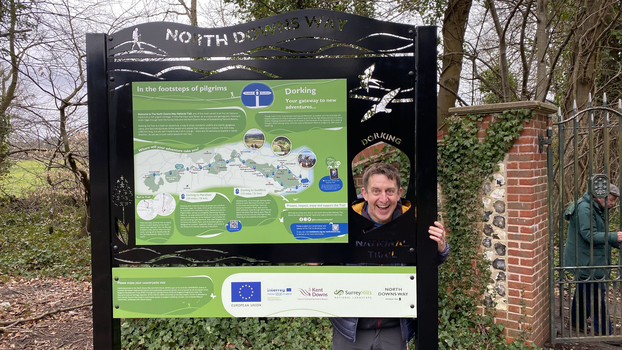
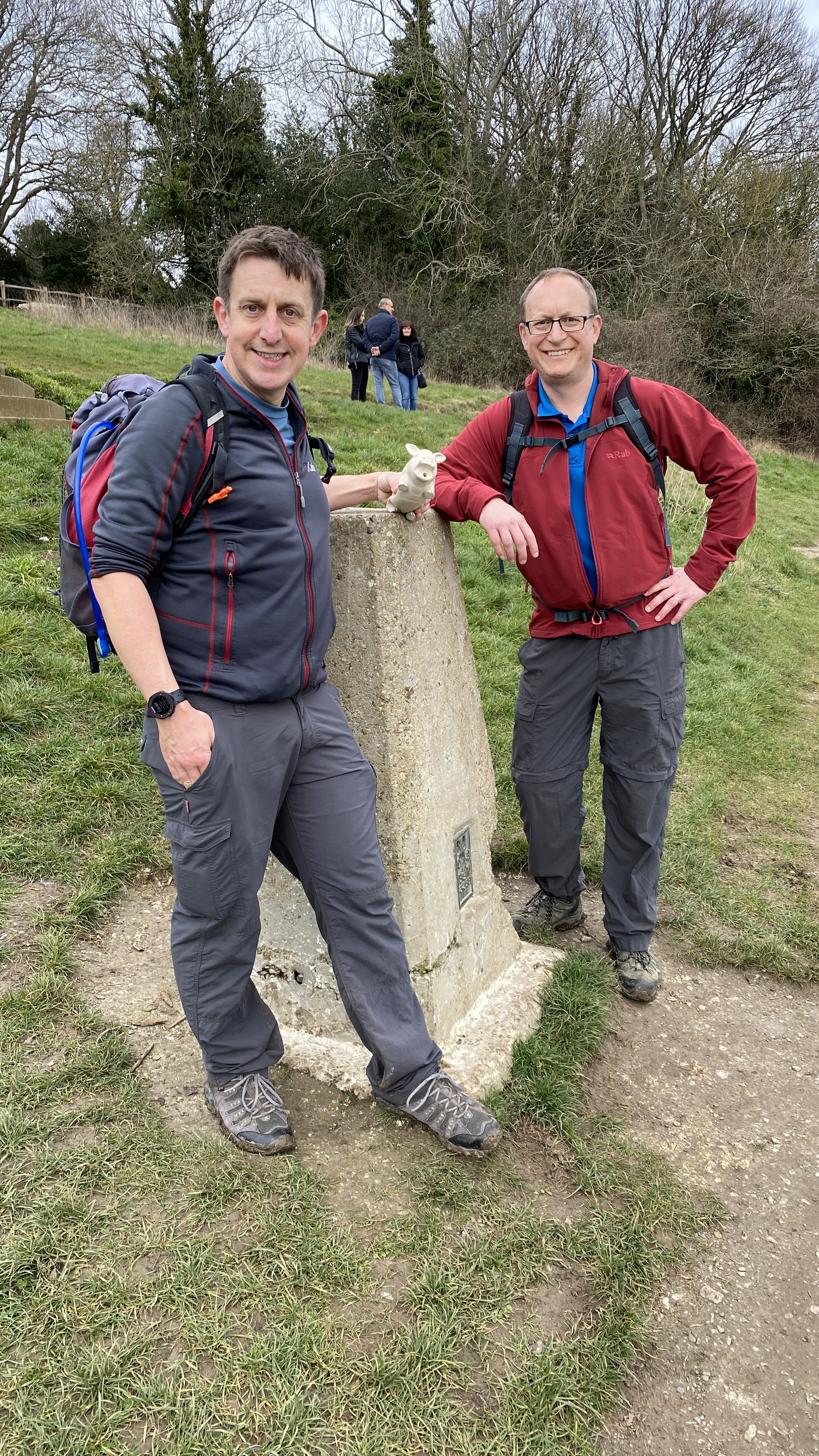
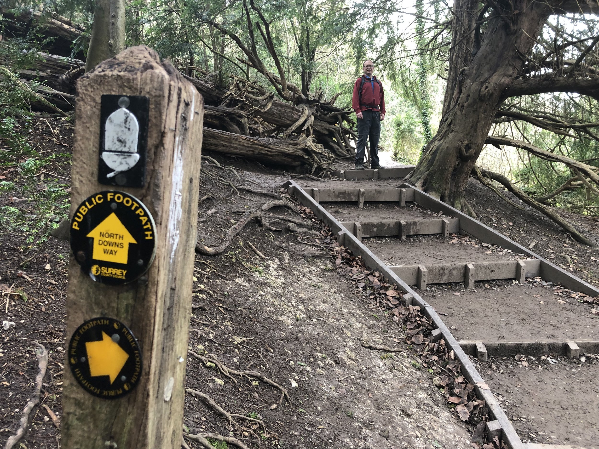
This is the fourth of a series of short point-to-point walks along the North Downs Way. The full trail is a long distance path stretching from Farnham in Surrey to Dover in Kent. Our walks took in short sections of 10 km to 13 km which we did with a friend over the course of a couple of years when our schedules coincided. The North Downs Way is well sign-posted however I highly recommend taking a map or GPX route to keep you on track. The Cicerone book on the trail is a great guide to the points of interest along the way.
For this section we left one car at the National Trust Car Park at Ranmore Common and another at the end near Betchworth Station. Although there’s no parking at the station itself there’s room for several cars at the start of The Quarry (road) to the north of the station.
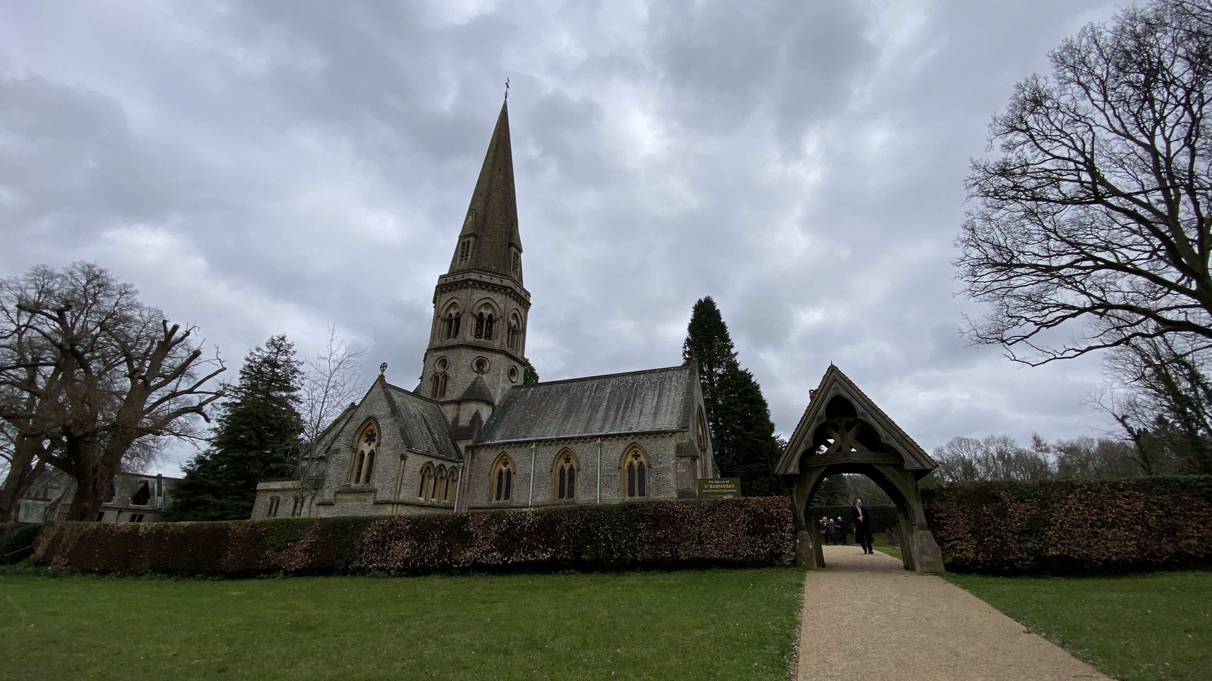
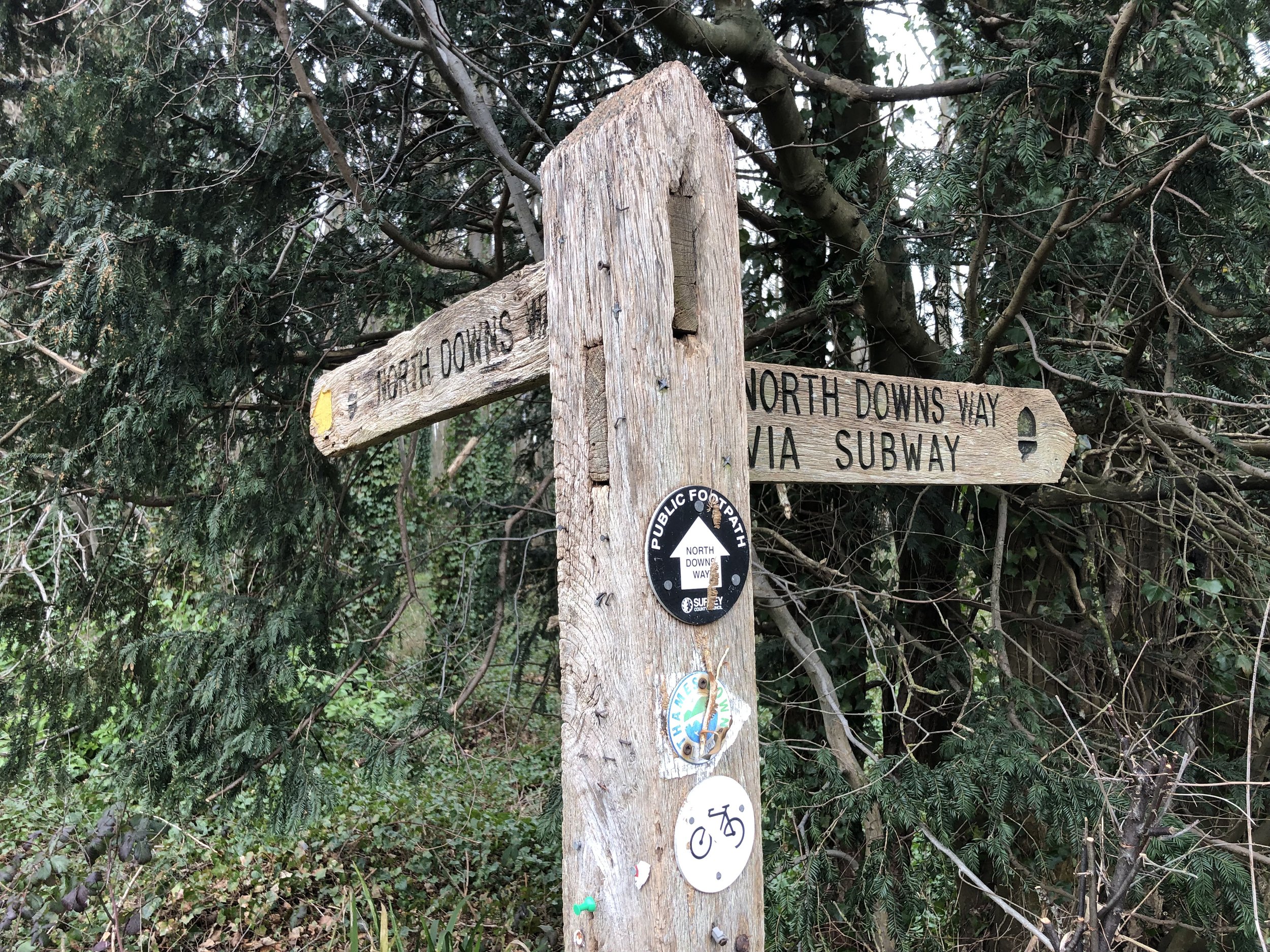
From the Ranmore Common Car Park return to the North Downs Way at the viewpoint and take a left heading east then a left to follow the path that crosses over the Ranmore Road and onto the road called North Downs Way. Continue in a north easterly direction, passing St Barnabas Church. Shortly after the junction with Ranmore Common Road, take a right off the road and onto an unnamed farm road. Continue following the North Downs Way as it snakes around Denbies Vinyard, descending to the A24.
The A24 is a very busy dual carriageway connecting Dorking to Leatherhead and the M25. The safest route is to follow the path along the A24 north for 500m, cross under the subway at Westhumble and return south on the other side. We skipped this additional 1km by crossing straight over the road, pausing on the central grass verge. Be VERY careful if you do this though as cars and motorcycles pass by very quickly.
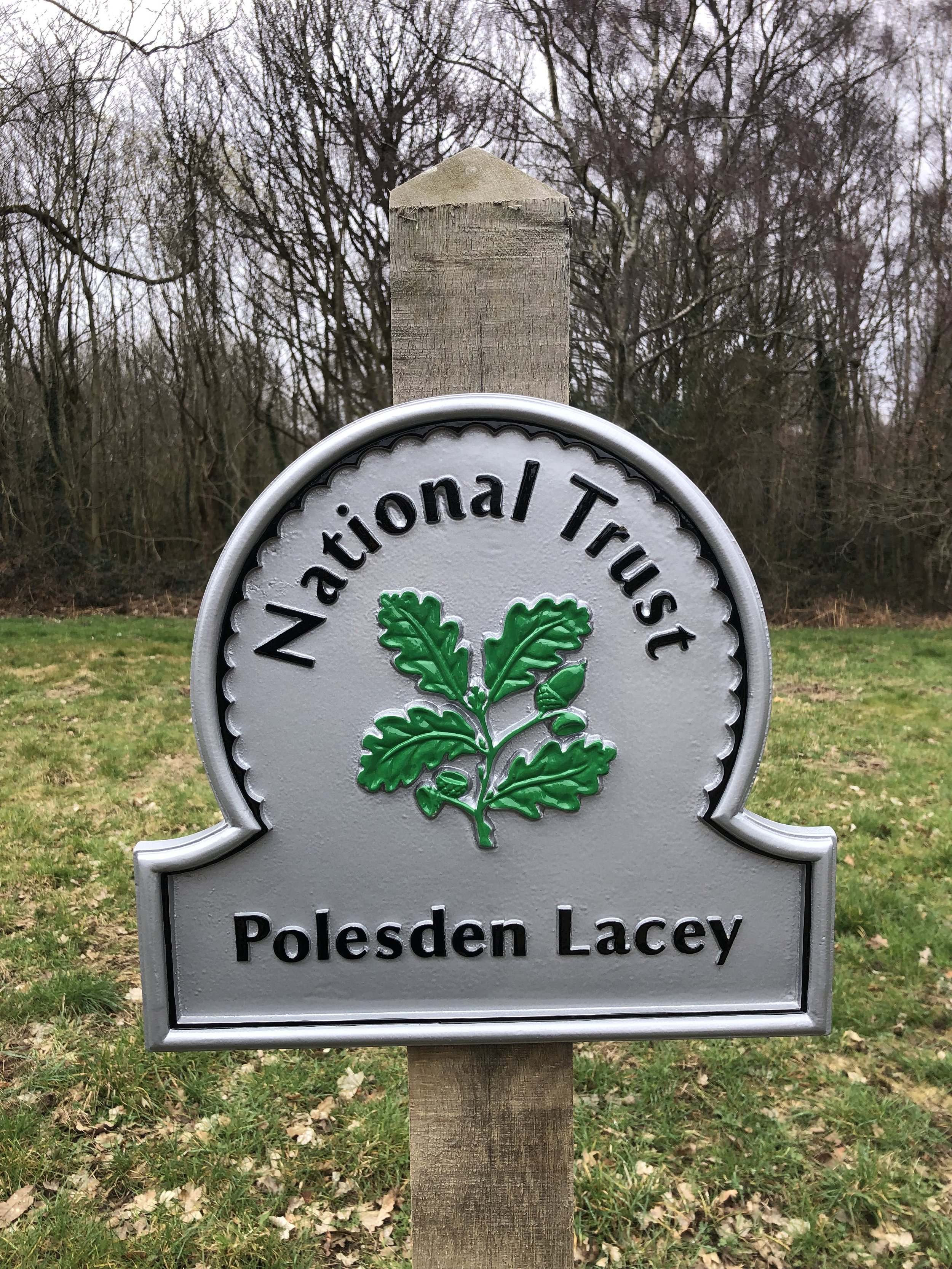
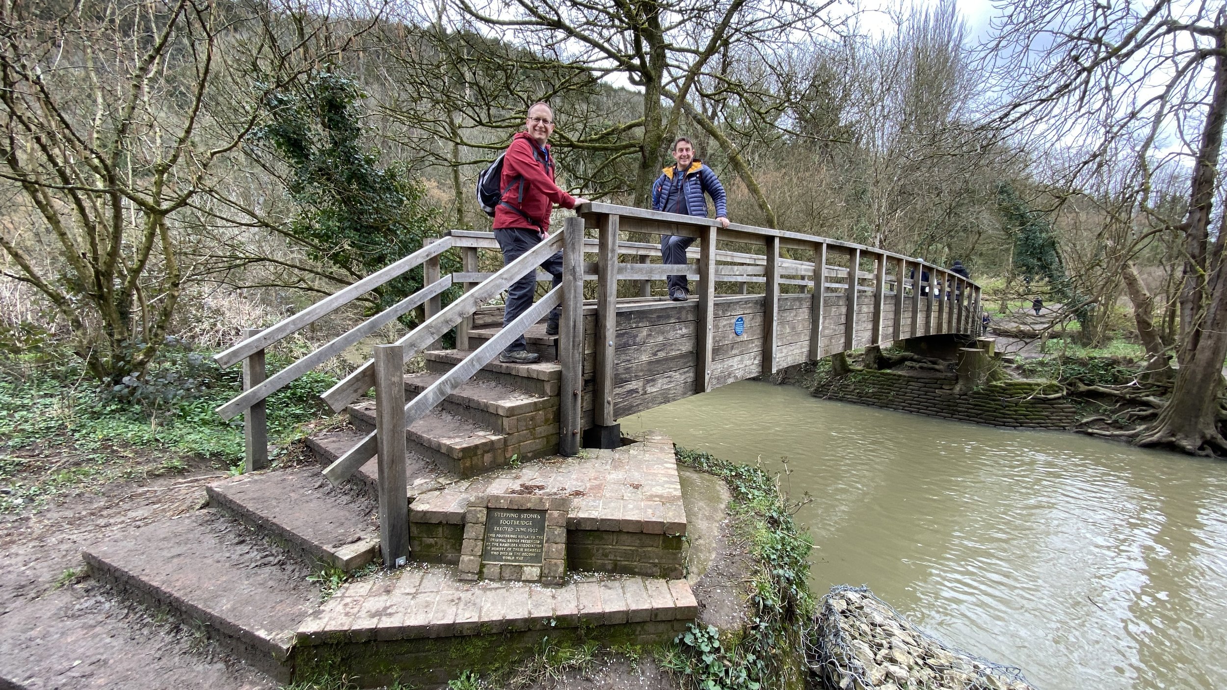
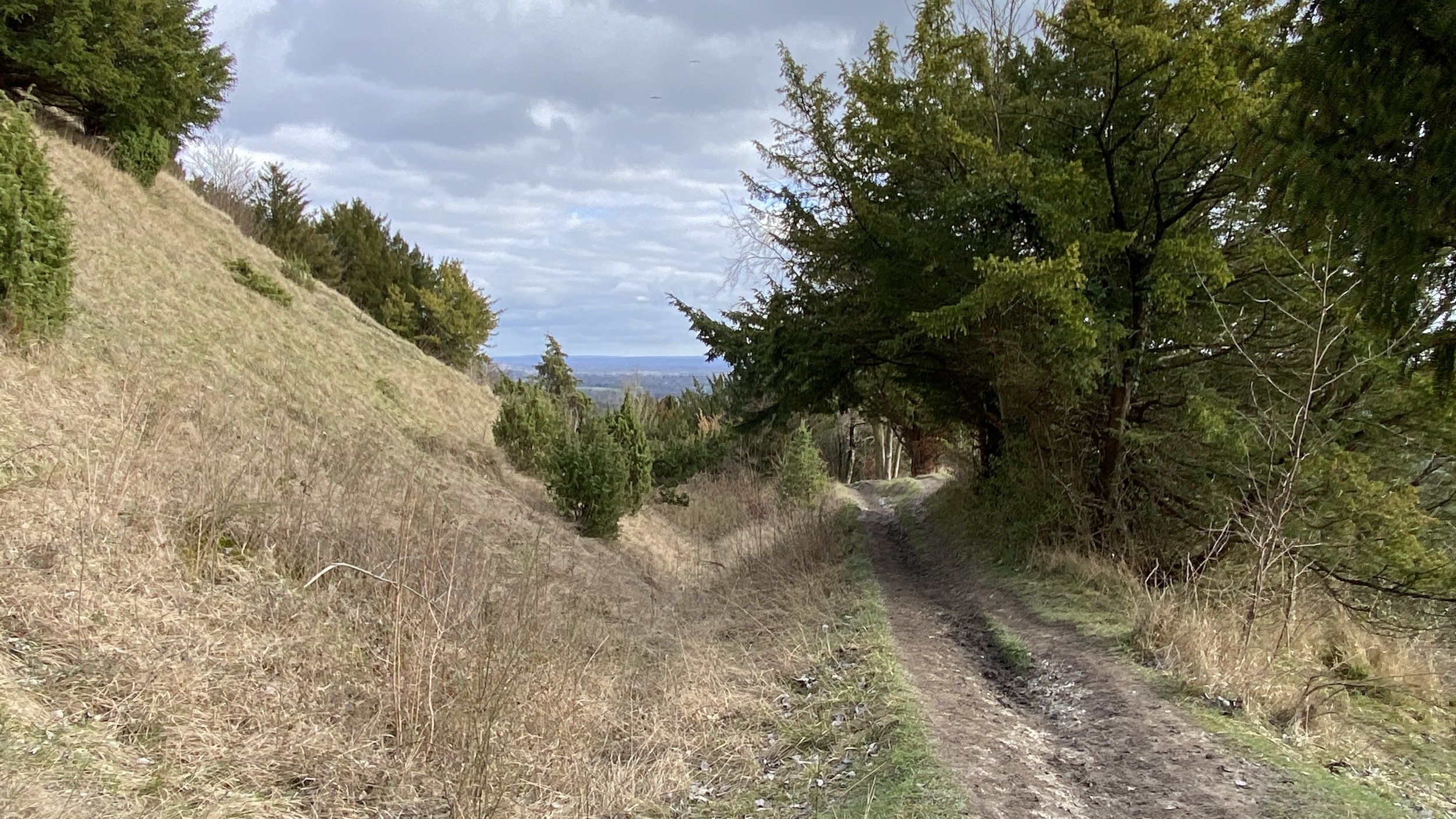
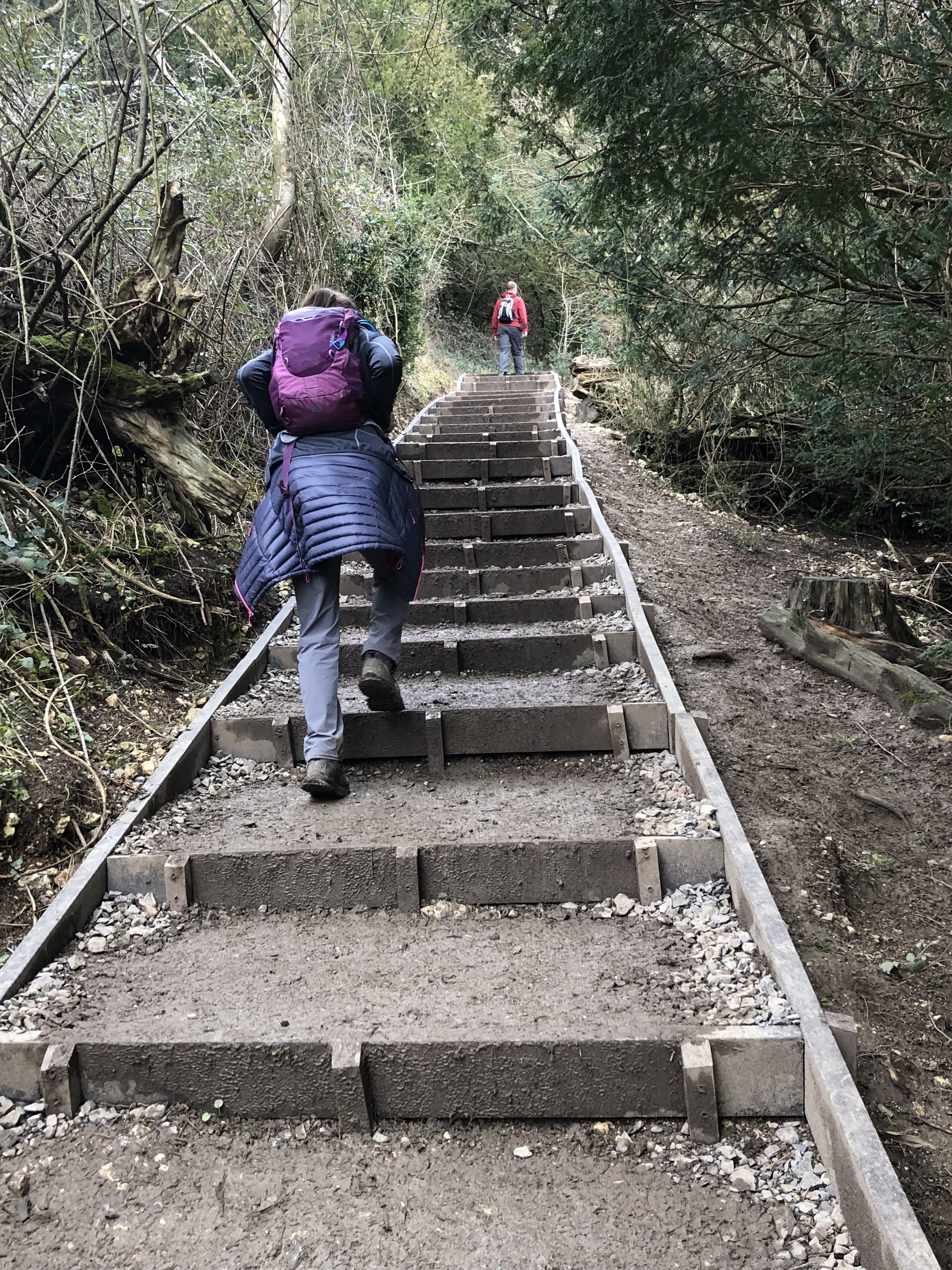
Once over the A24 the trail passes into the National Trust areas of Box Hill. The trail passes straight over the Stepping Stones that cross the River Mole. This is great in dry summer months but we were there in March after heavy rain and the stones were completely submerged. When the stones are inpassable you can cross over a bridge to the north of the stones. Once on the north side of the River Mole continue along the North Downs Way in an easterly direction along the south side of Box Hill. Some sections here are pretty steep so take it slow. If you need a break here you can divert from the trail at the top of Box Hill to the National Trust Visitors’ Centre and café.
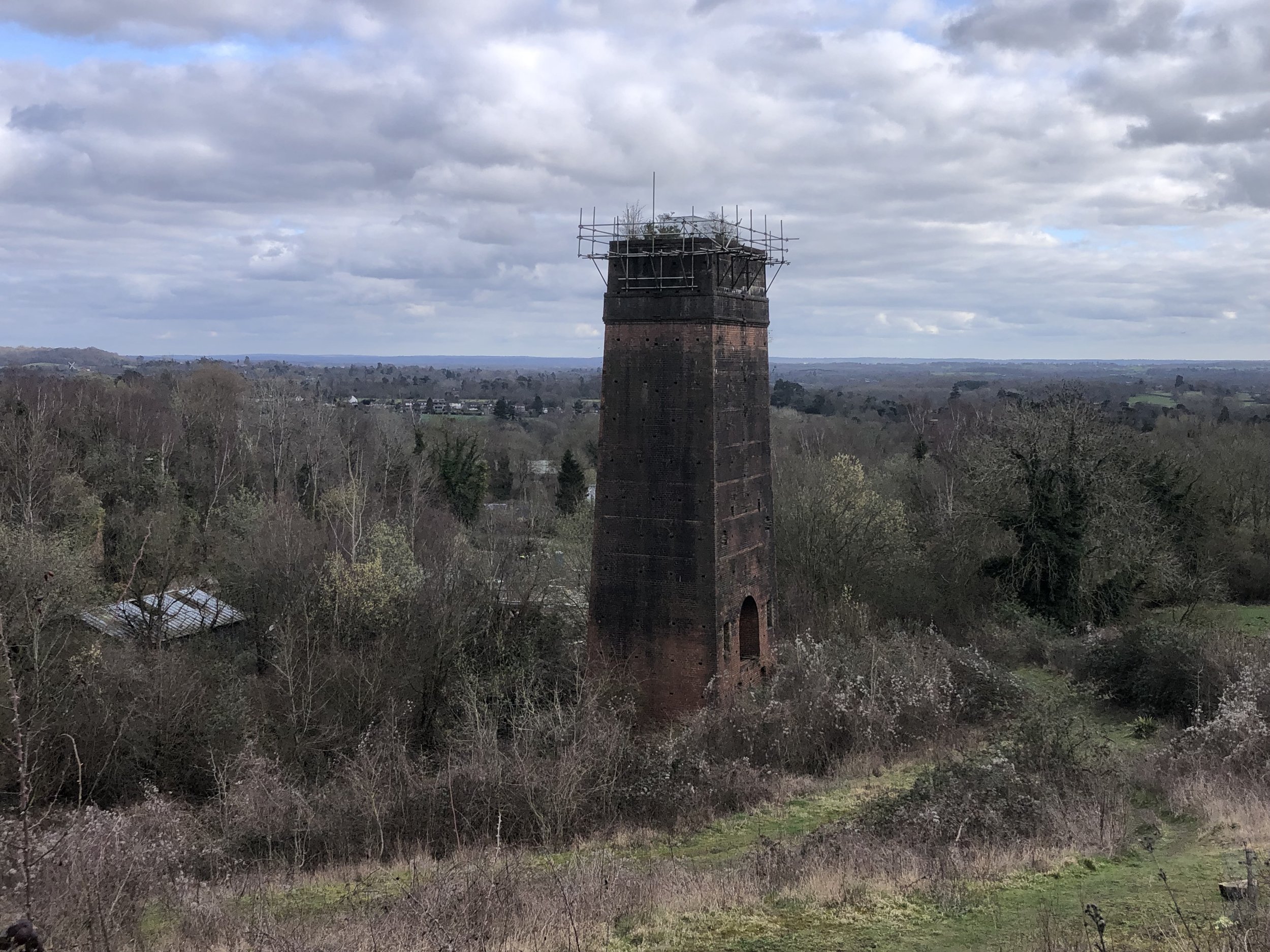
The final 2 km is a more gentle descent from Box Hill Village. Here you can see the remains of Betchworth Quarry and Lime Kilns to the south of the path. When you reach Station Road you’ll be at the end of this section of the North Downs Way. Betchworth Station is 350m to the south of trail.


Previous Section (west): Walking The North Downs Way Part 3: Newlands Corner to Ranmore
Next Section (east): Walking The North Downs Way Part 5: Betchworth to Merstham