Descent of Box Hill
When: February 7th and 8th 2026
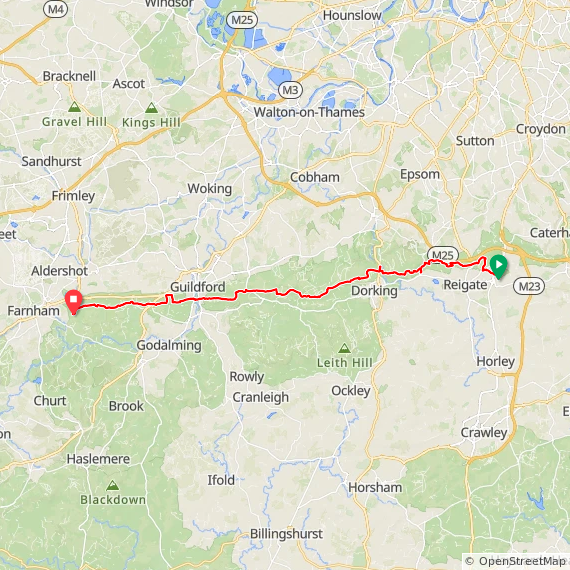
Start and Finish: Sandy Farm Business Park, Sands Road, The Sands, Farnham, Surrey, GU10 1PX
Organiser: XNRG
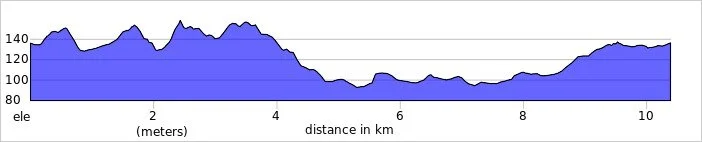
Distance: 55km (34 miles) x 2 days = 110km (68 miles), including the diversion.
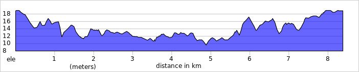
Elevation change: +/- 1,155m per day = +/- 2310m for the 2 day event
GPX File: get via Buy Me a Coffee
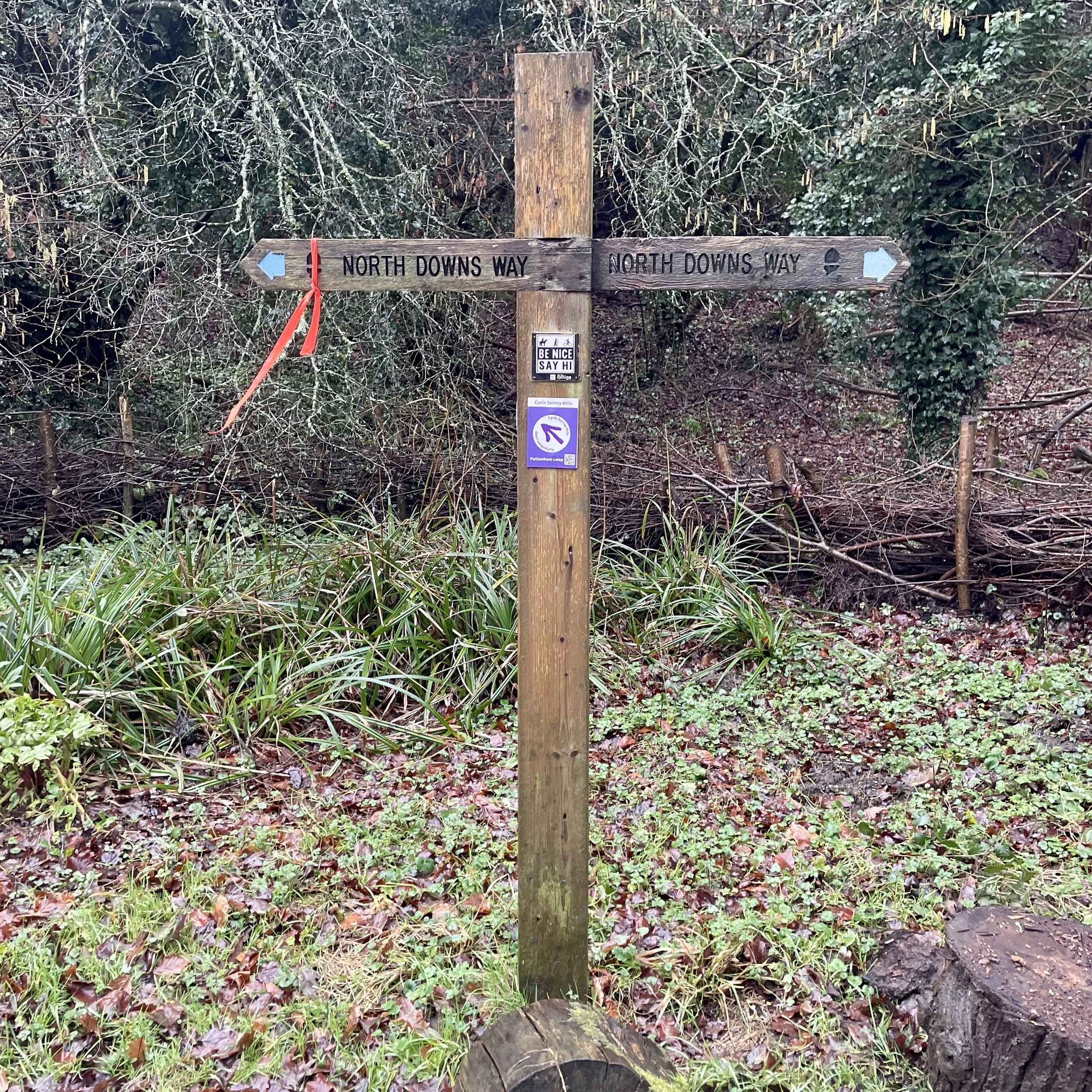
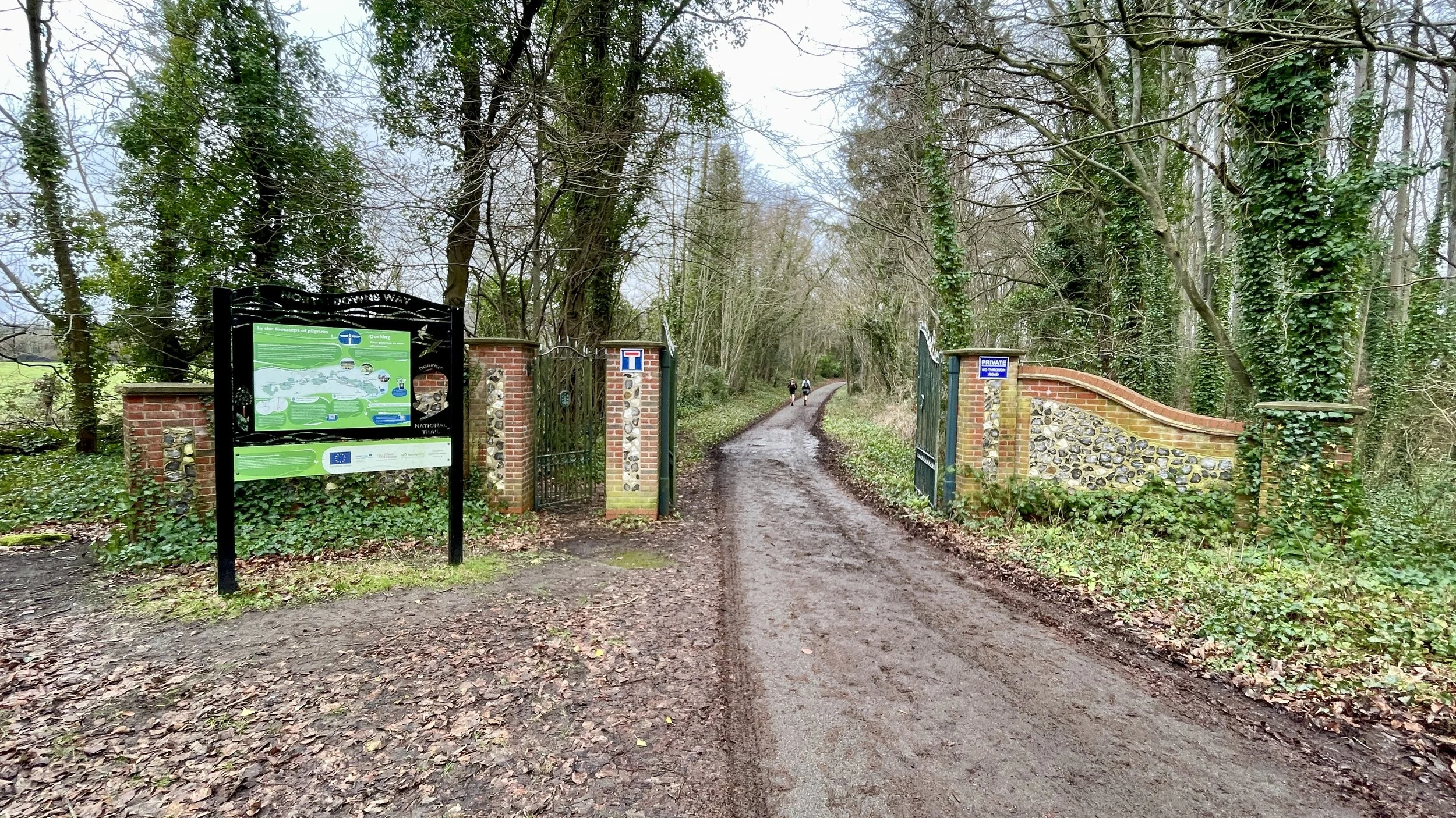
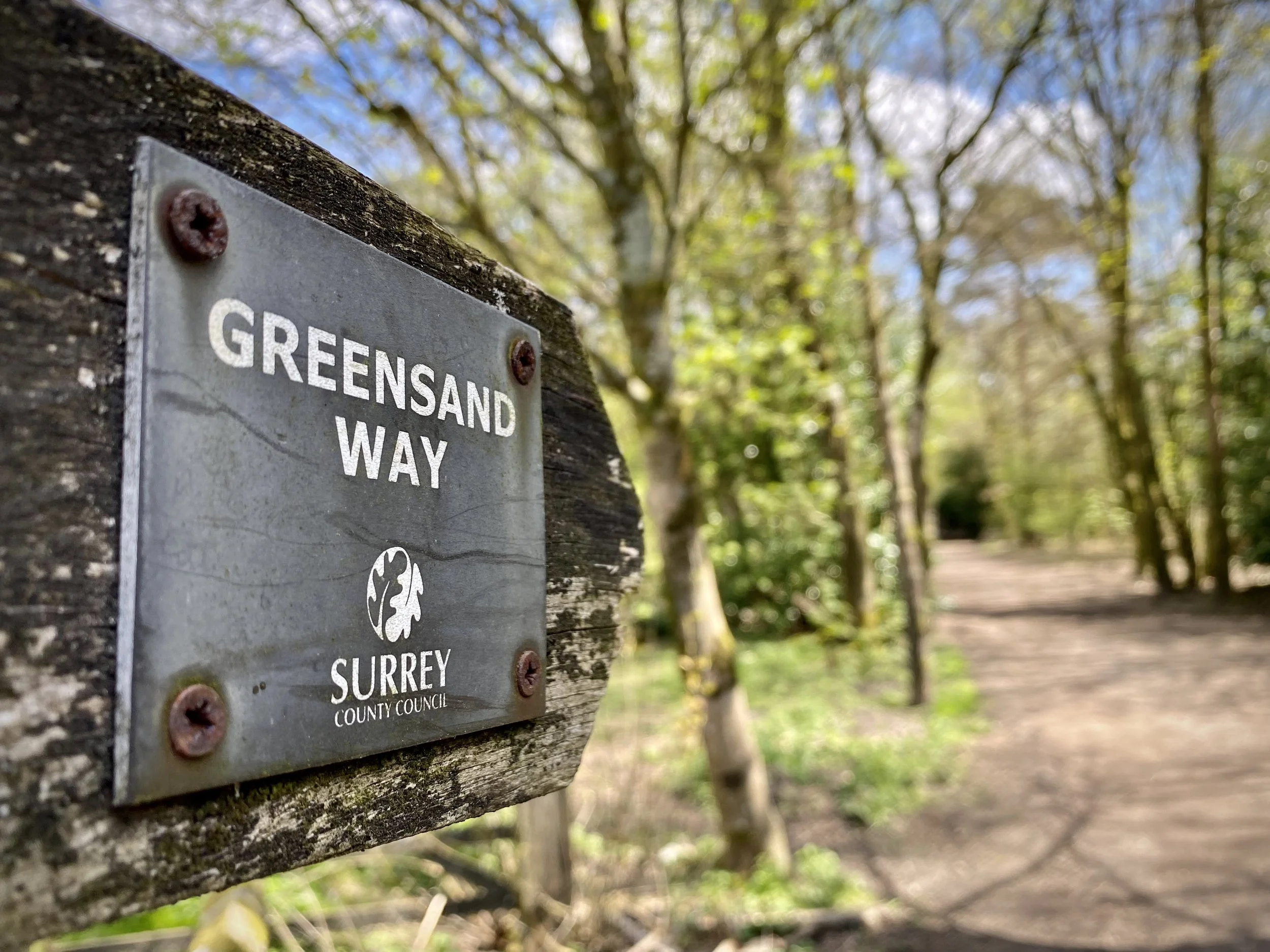
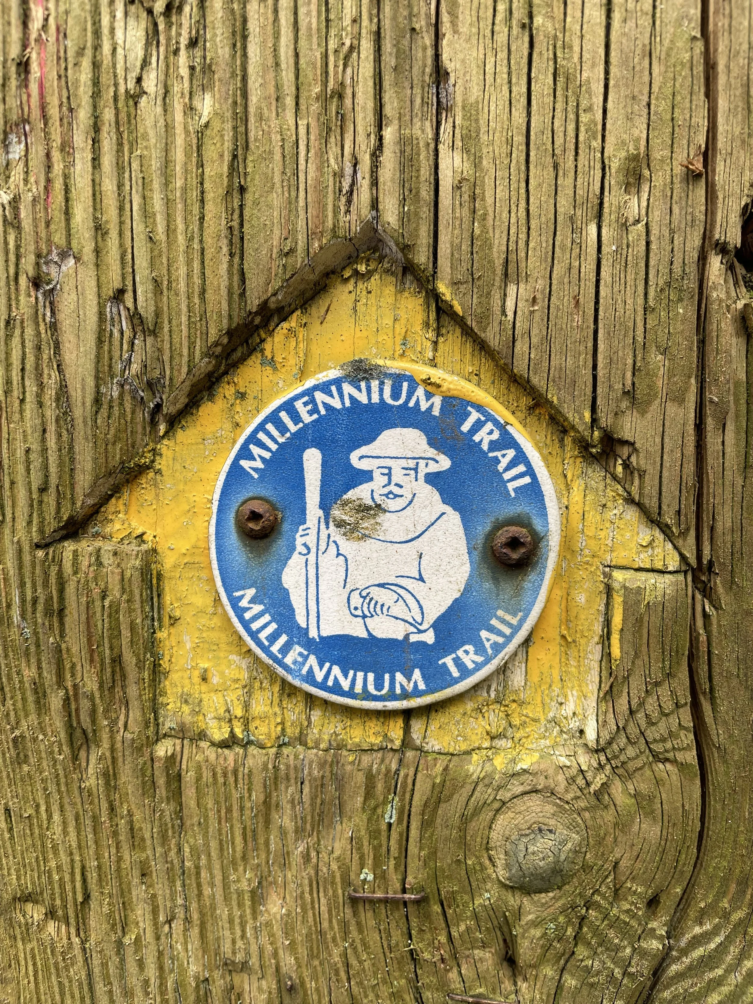
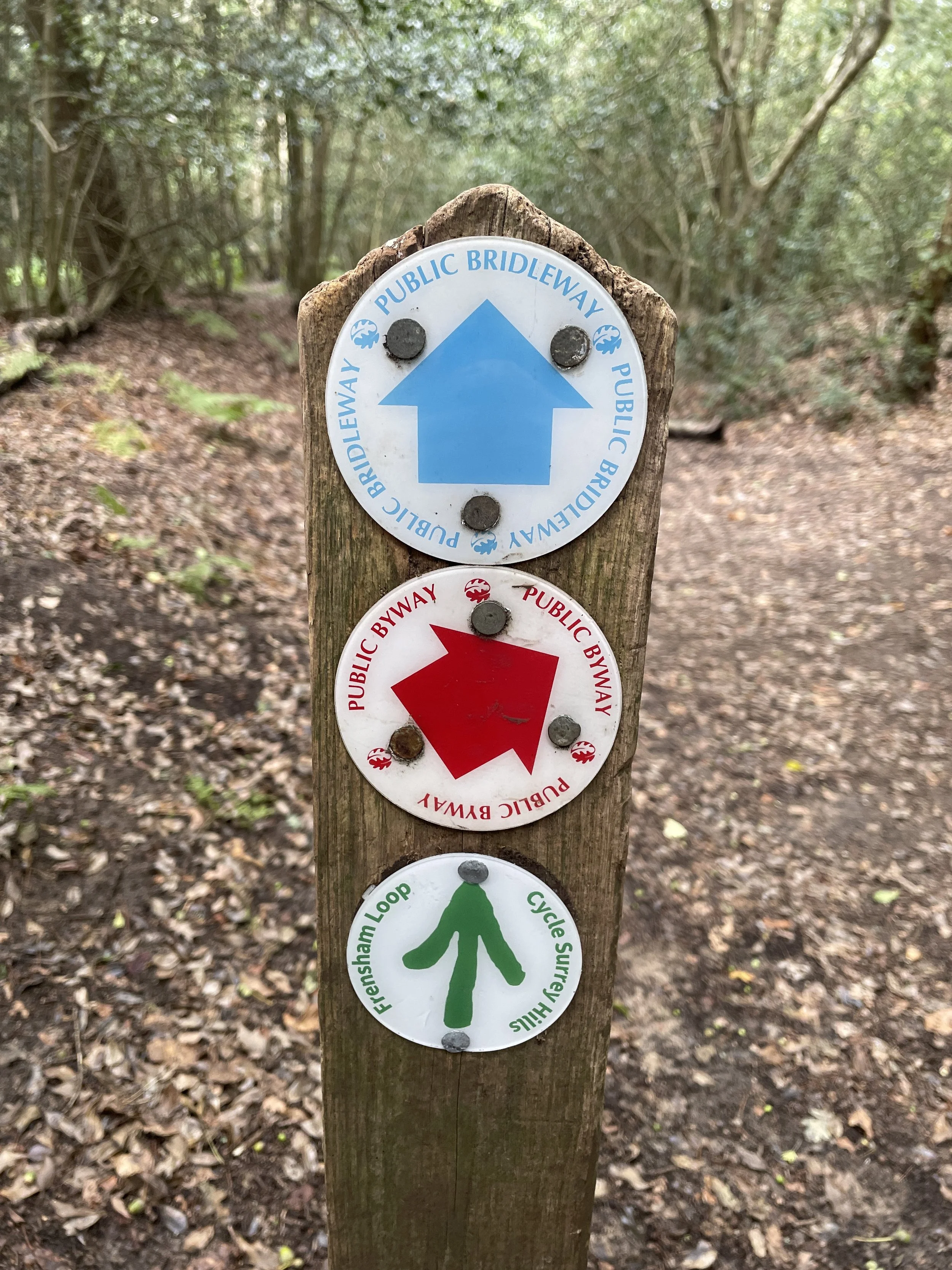
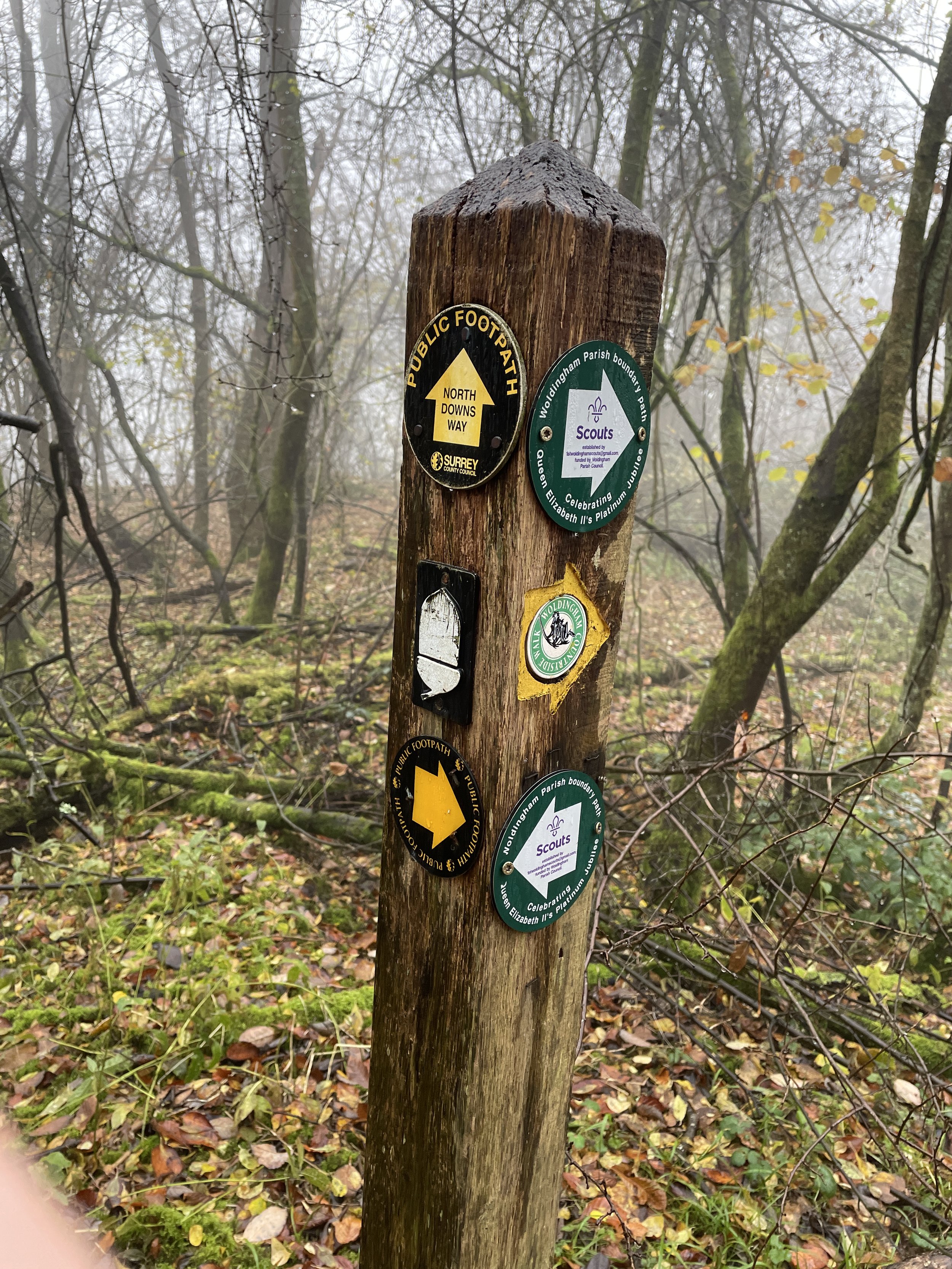
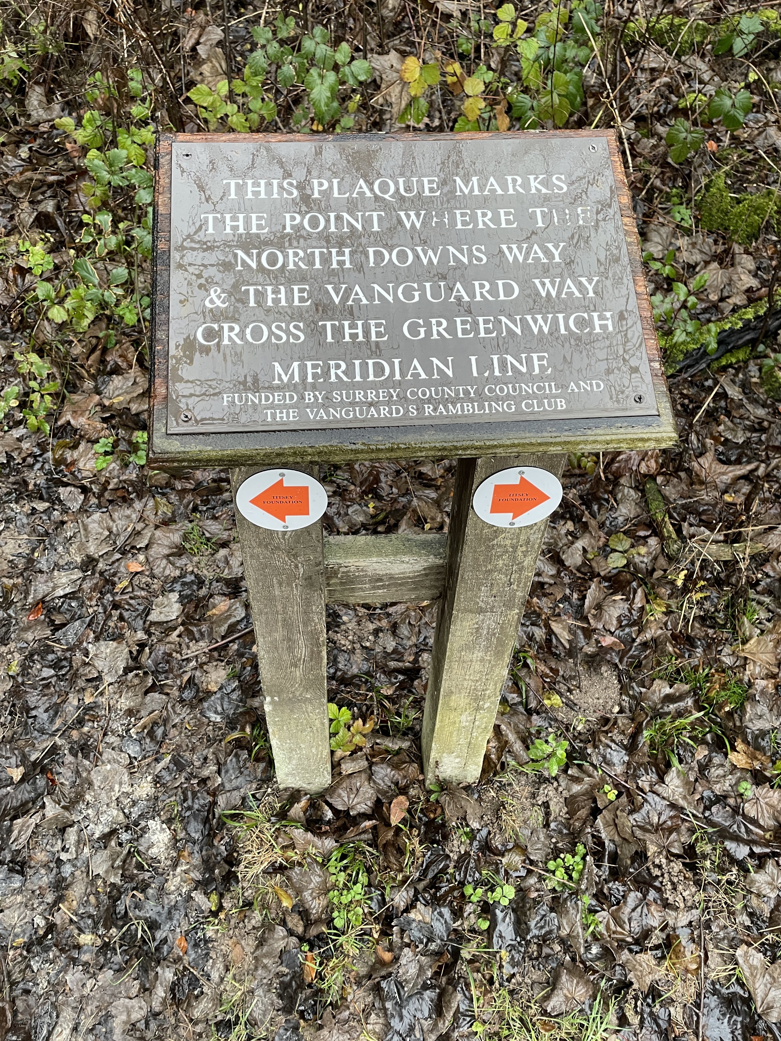
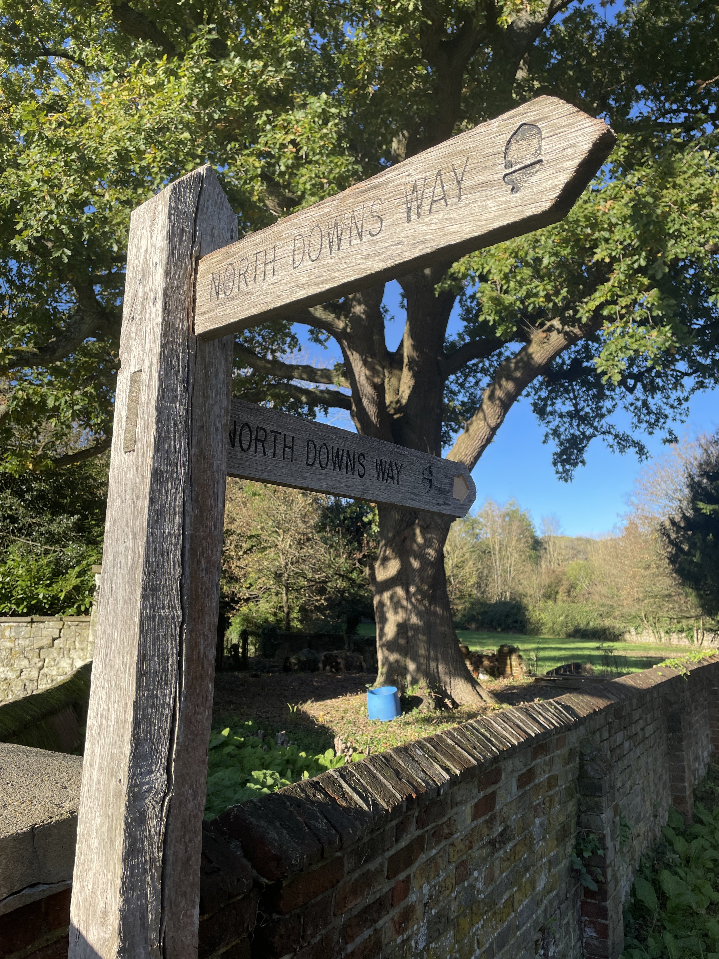
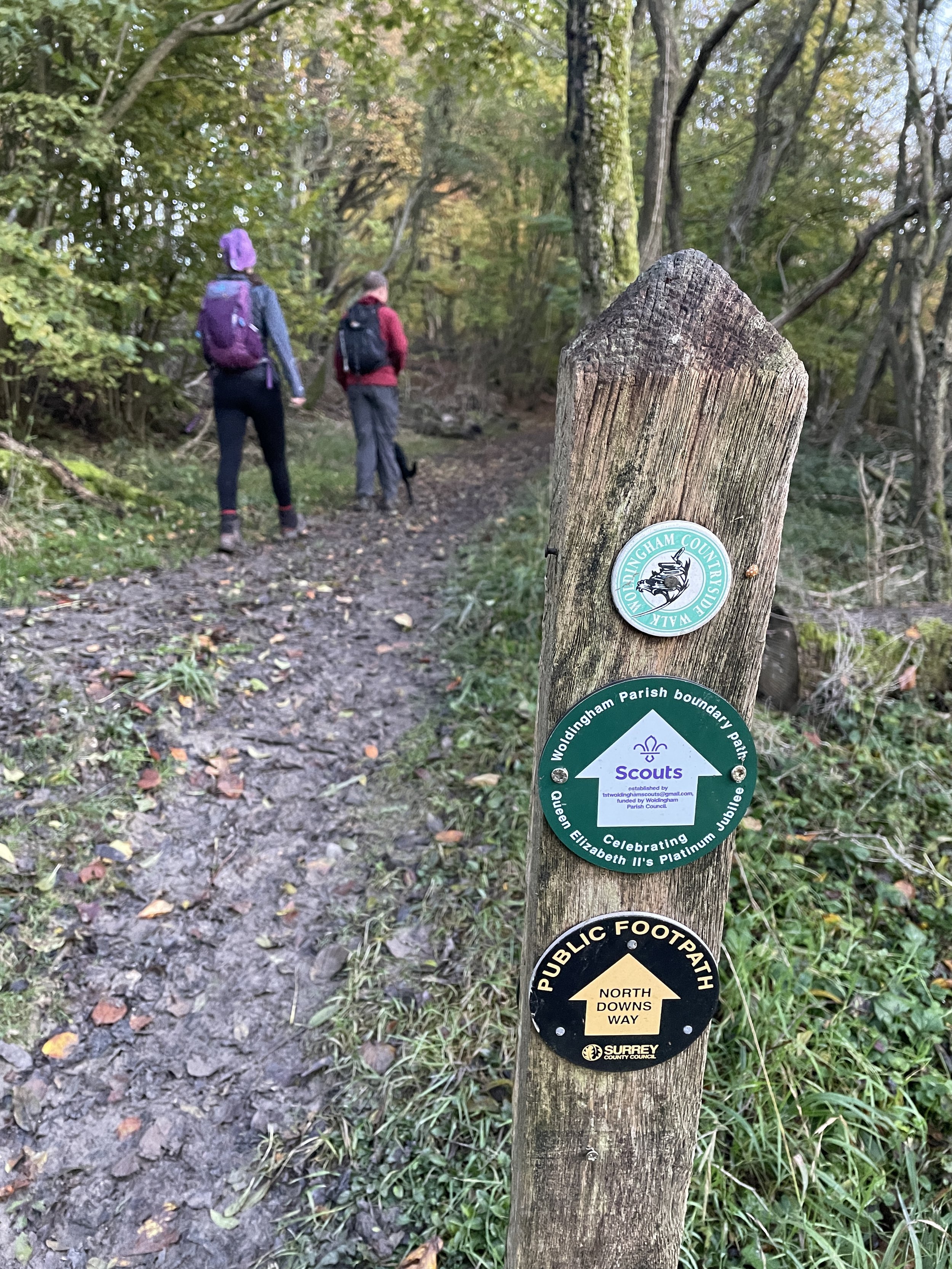
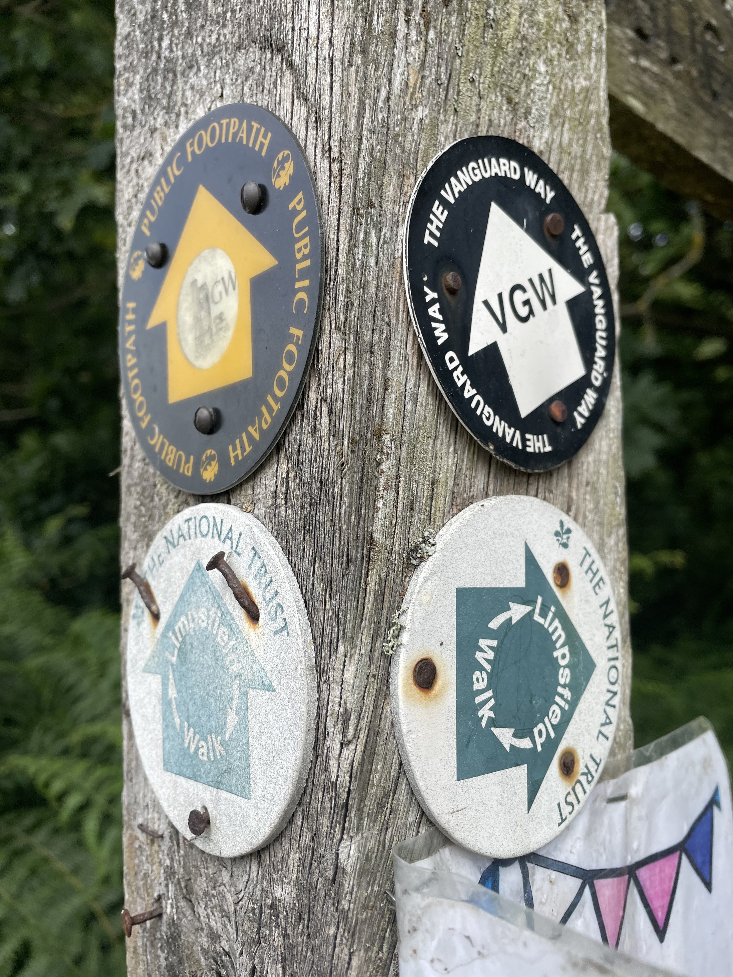
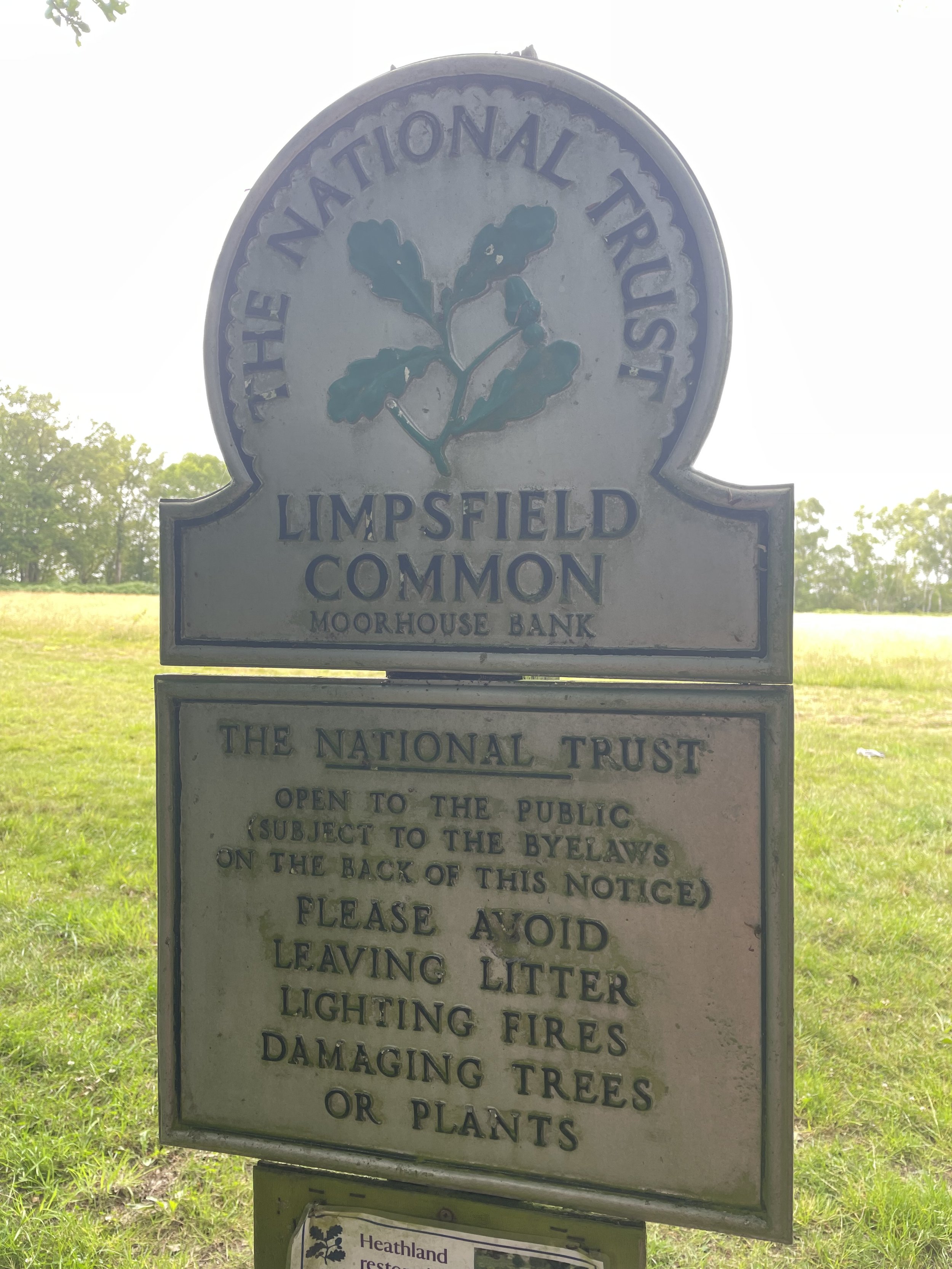
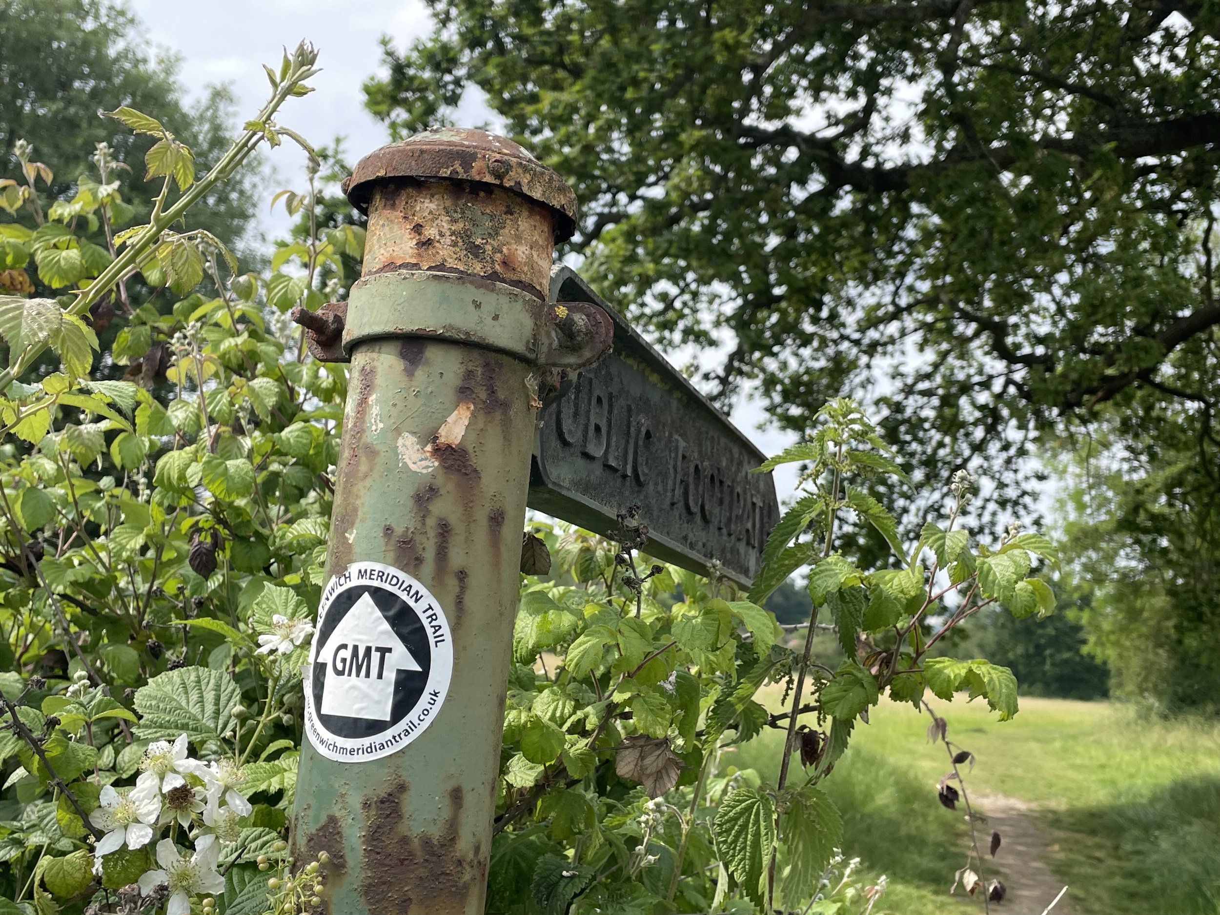
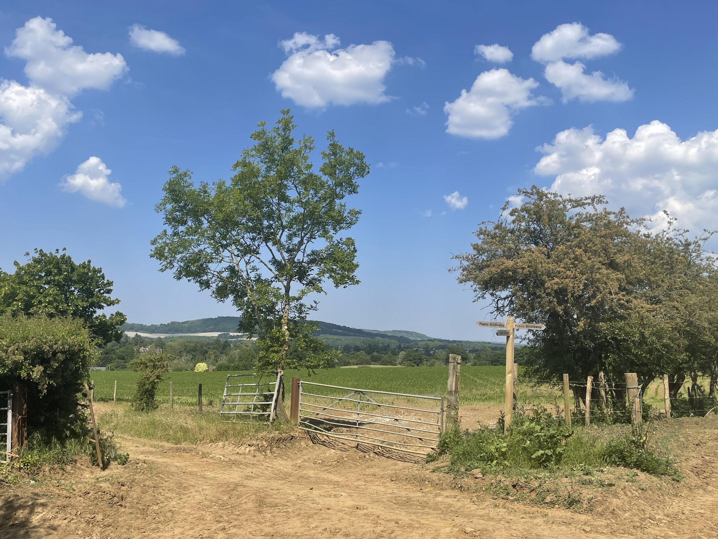
Other routes touched (walk): North Downs Way, The Fox Way, Wey South Path, Scholar’s Trail, Downs Link, Prospects of Polesden, Ranmore Circular, Mole Gap Trail, Box Hill Hike, Stepping Stones Path, Leith Hill Greenway, Reigate Hill Walk Harewoods, Greensand Way
Other routes touched (cycle): NCN 22, Surrey Cycleway
Other routes touched (run): Downs Link Ultra, Hardest of Snails 10k
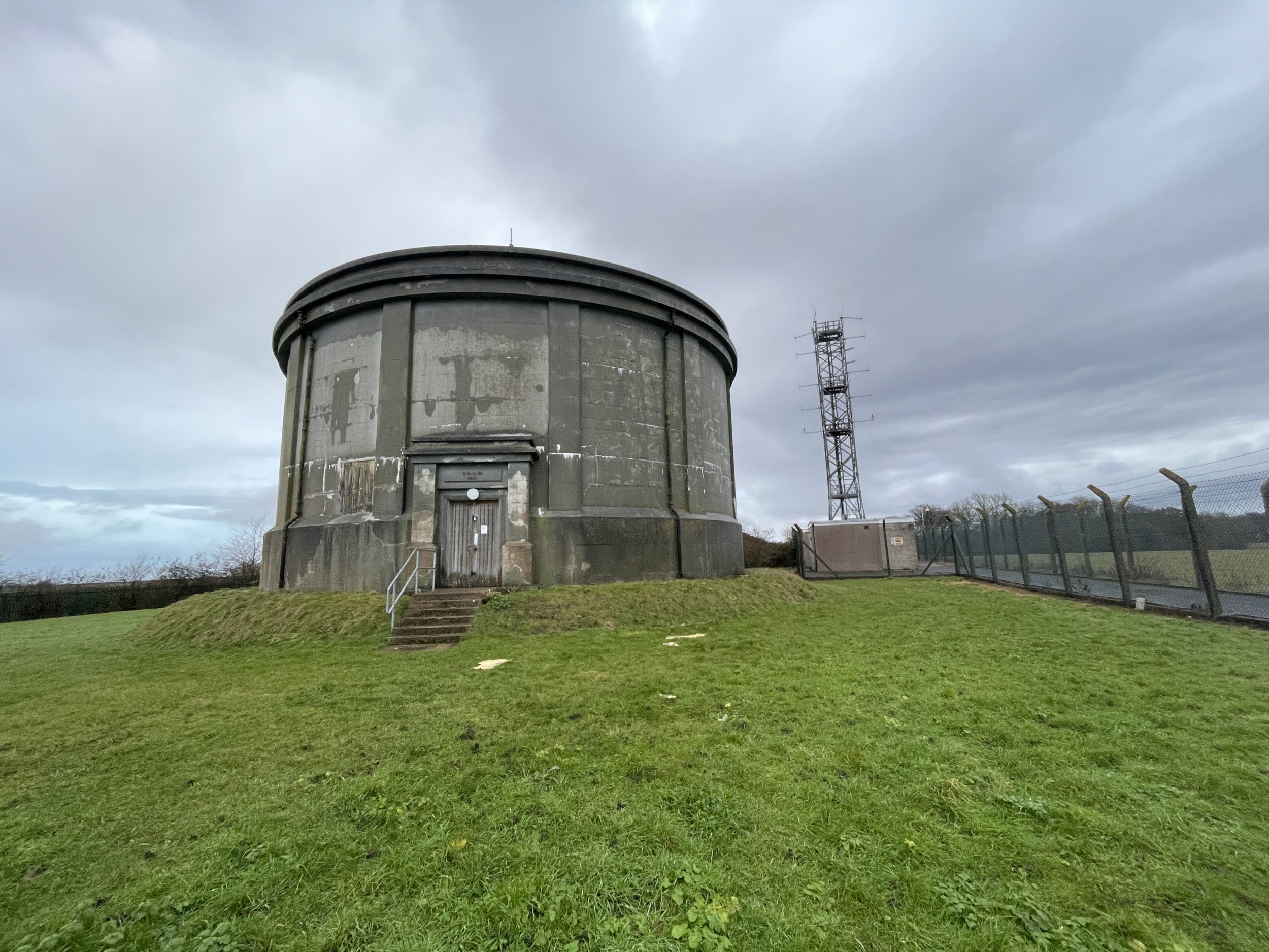
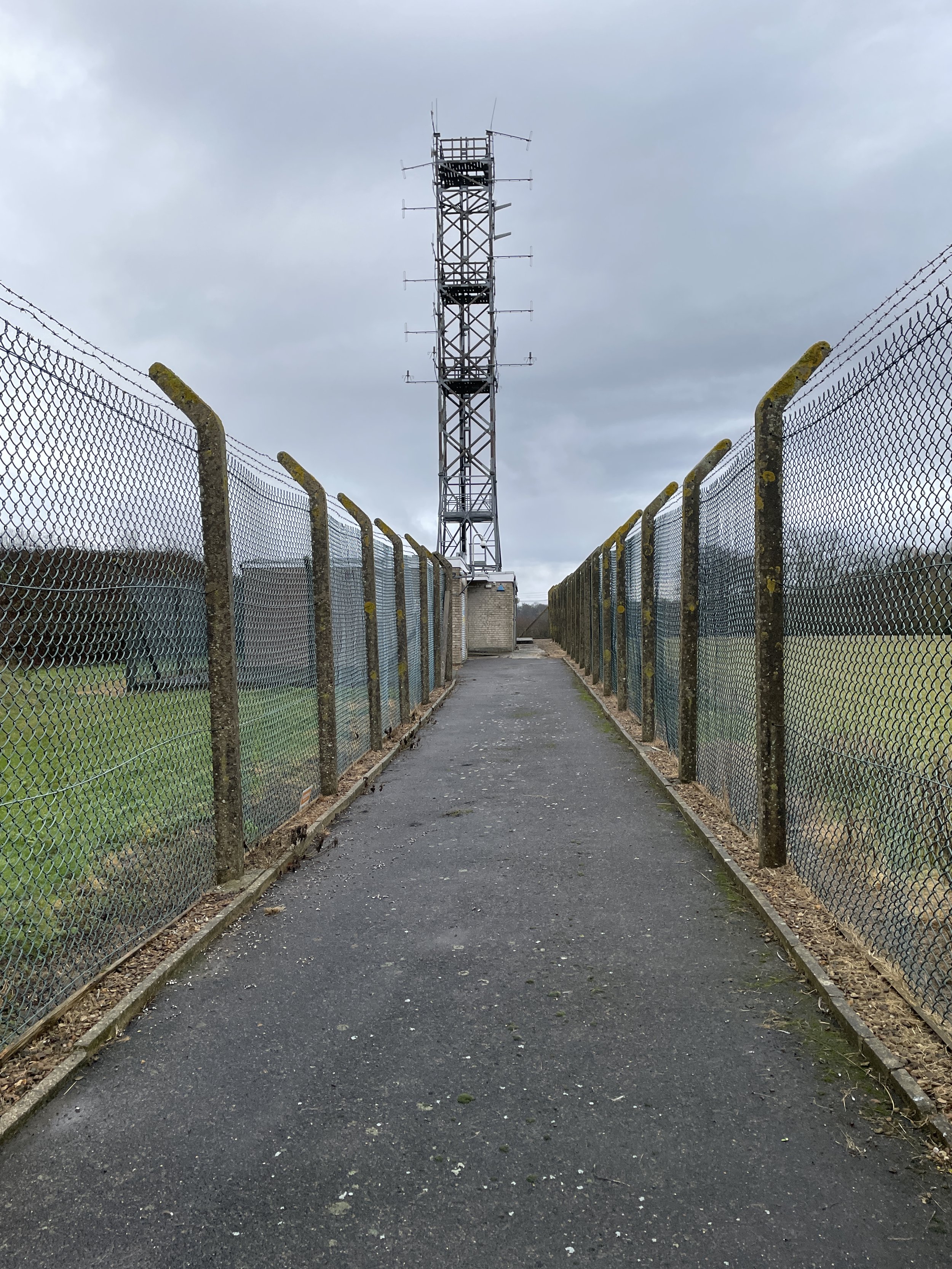
Summits: St. Martha's Hill (175m), Reigate Hill (235m)
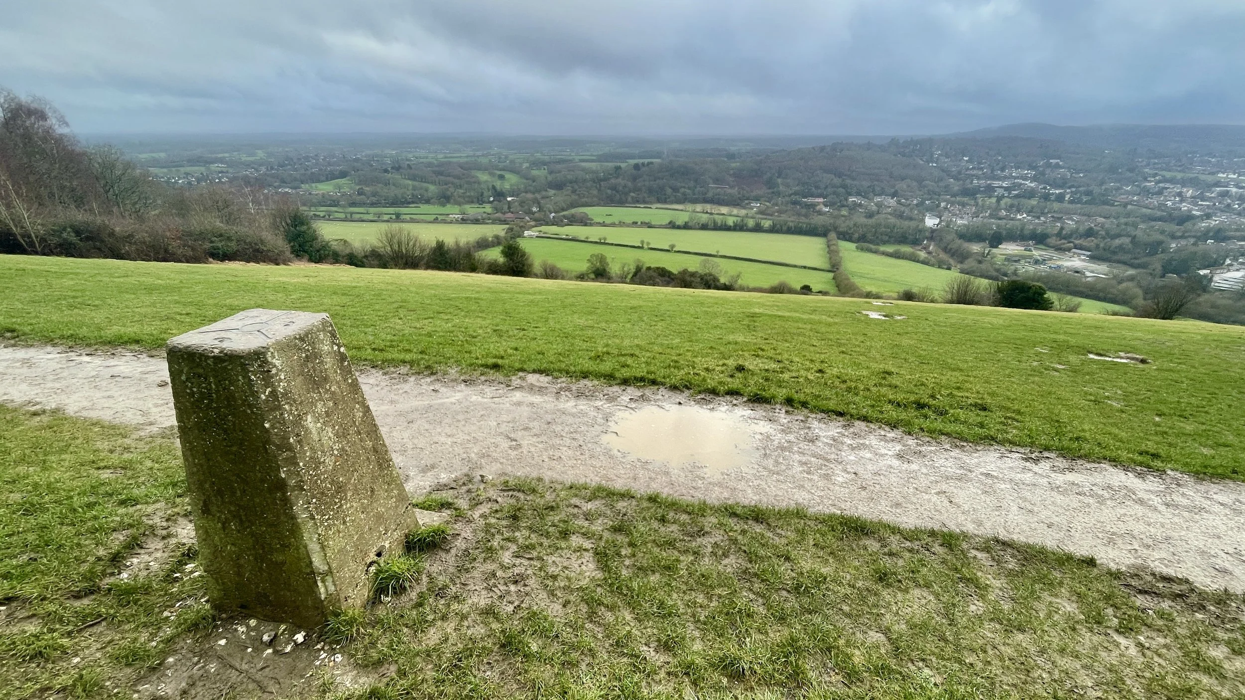
OS Trig Pillars: TP1553 - Box Hill
Maps:
- Guildford & Farnham Map | Godalming & Farnborough | Ordnance Survey | OS Explorer Map 145
- Dorking, Box Hill & Reigate Map | Leatherhead & Caterham | Ordnance Survey | OS Explorer Map 146
Finish time Day 1: 9 hours, 41 minutes, 53 seconds
Finish time Day 2: 11 hours, 33 minutes, 27 seconds
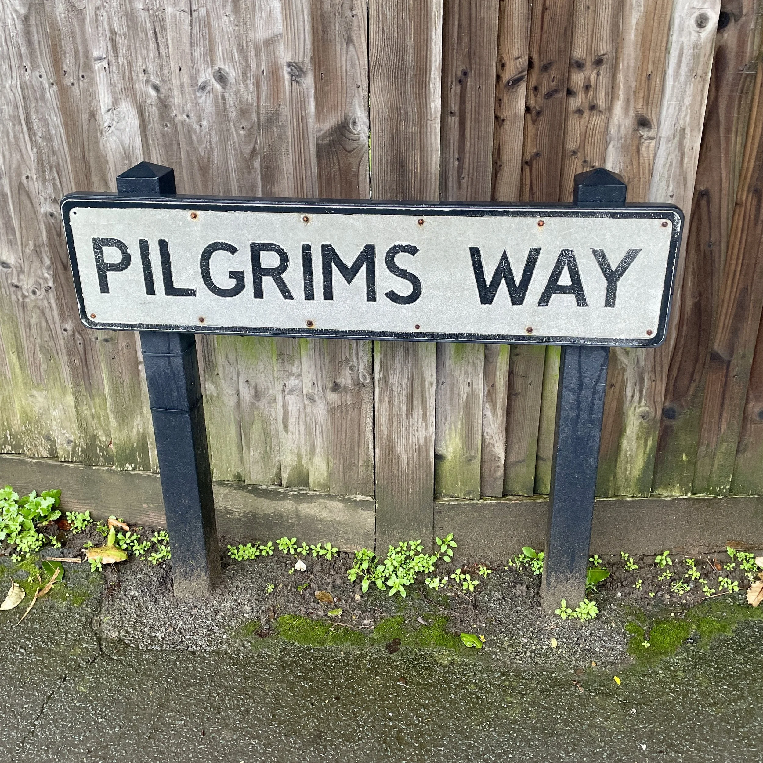
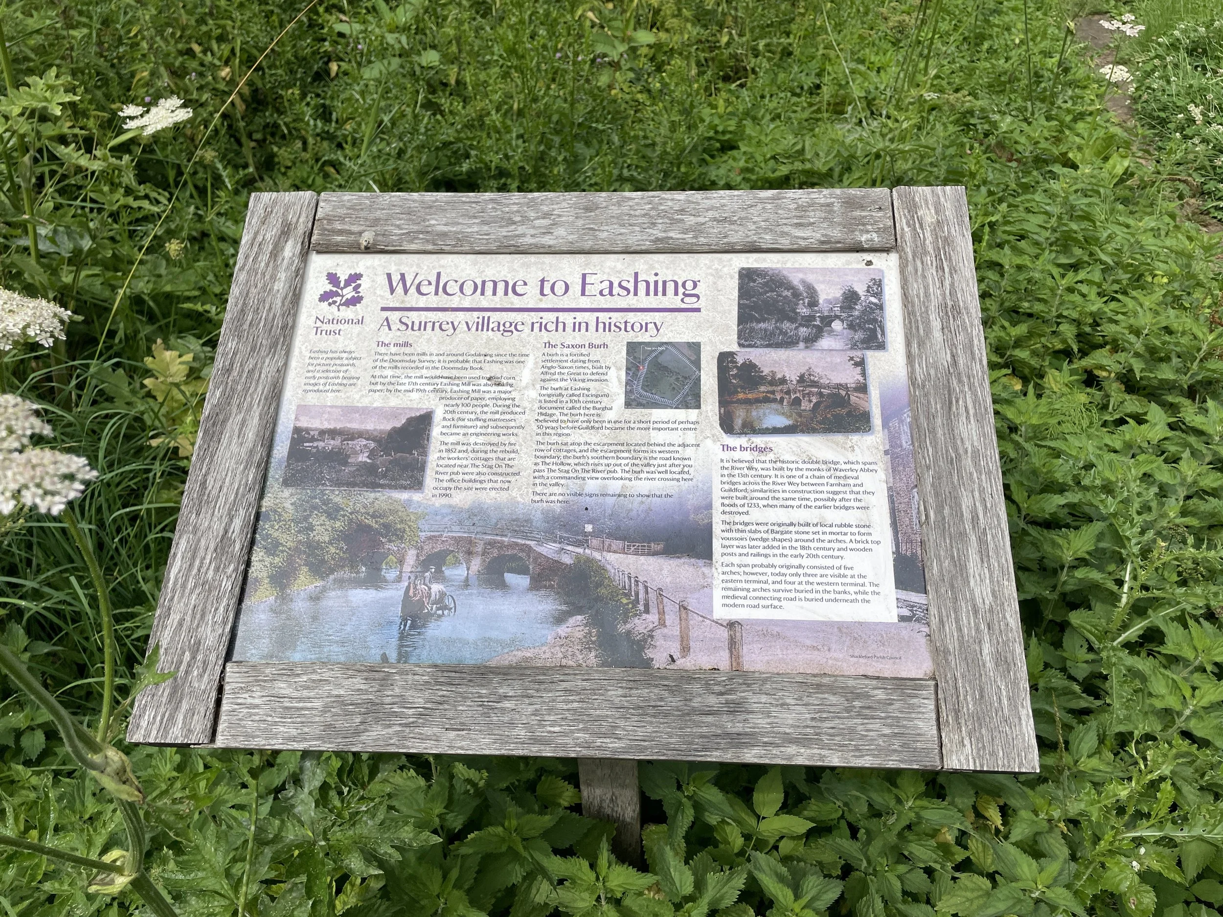
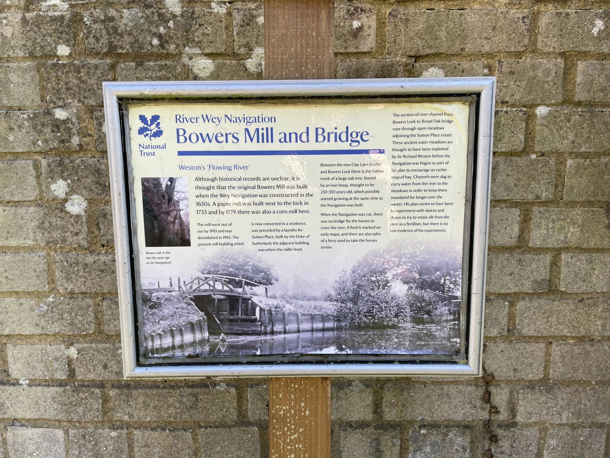
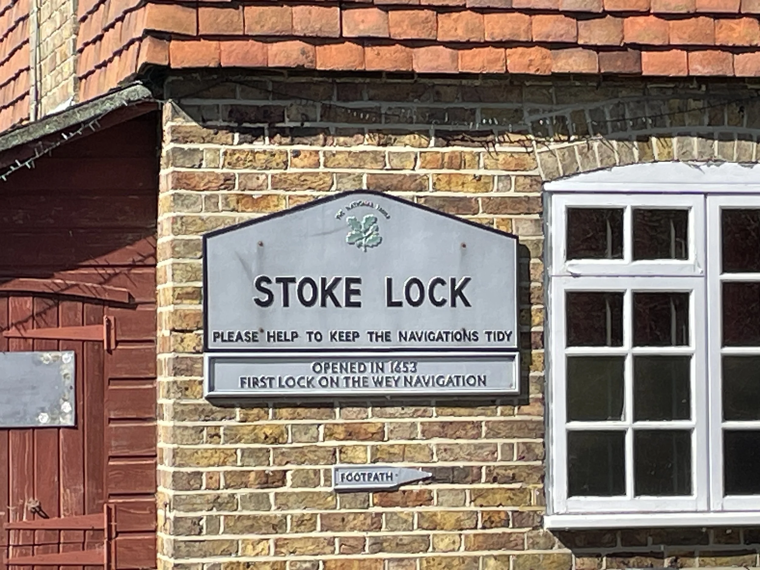
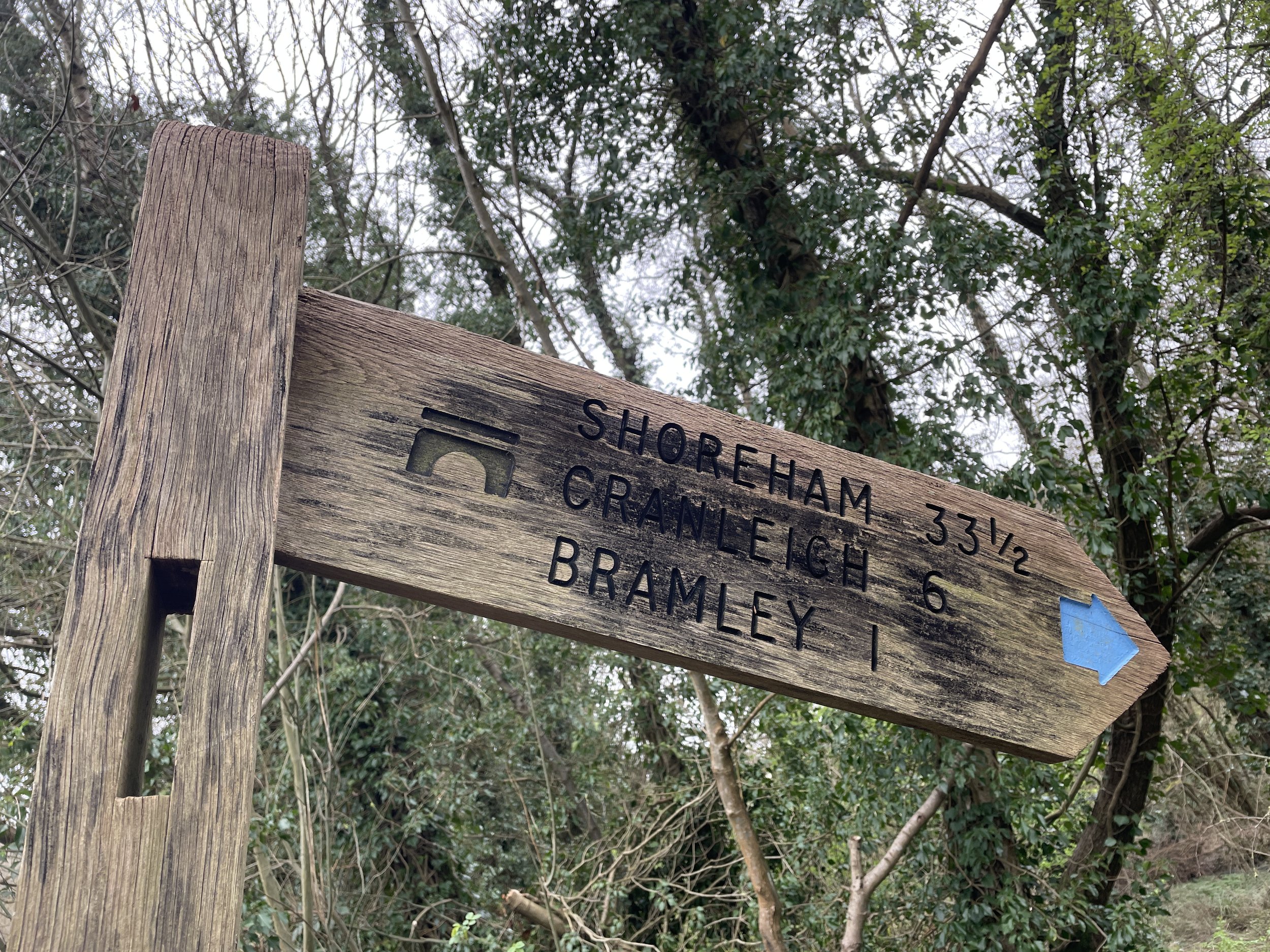
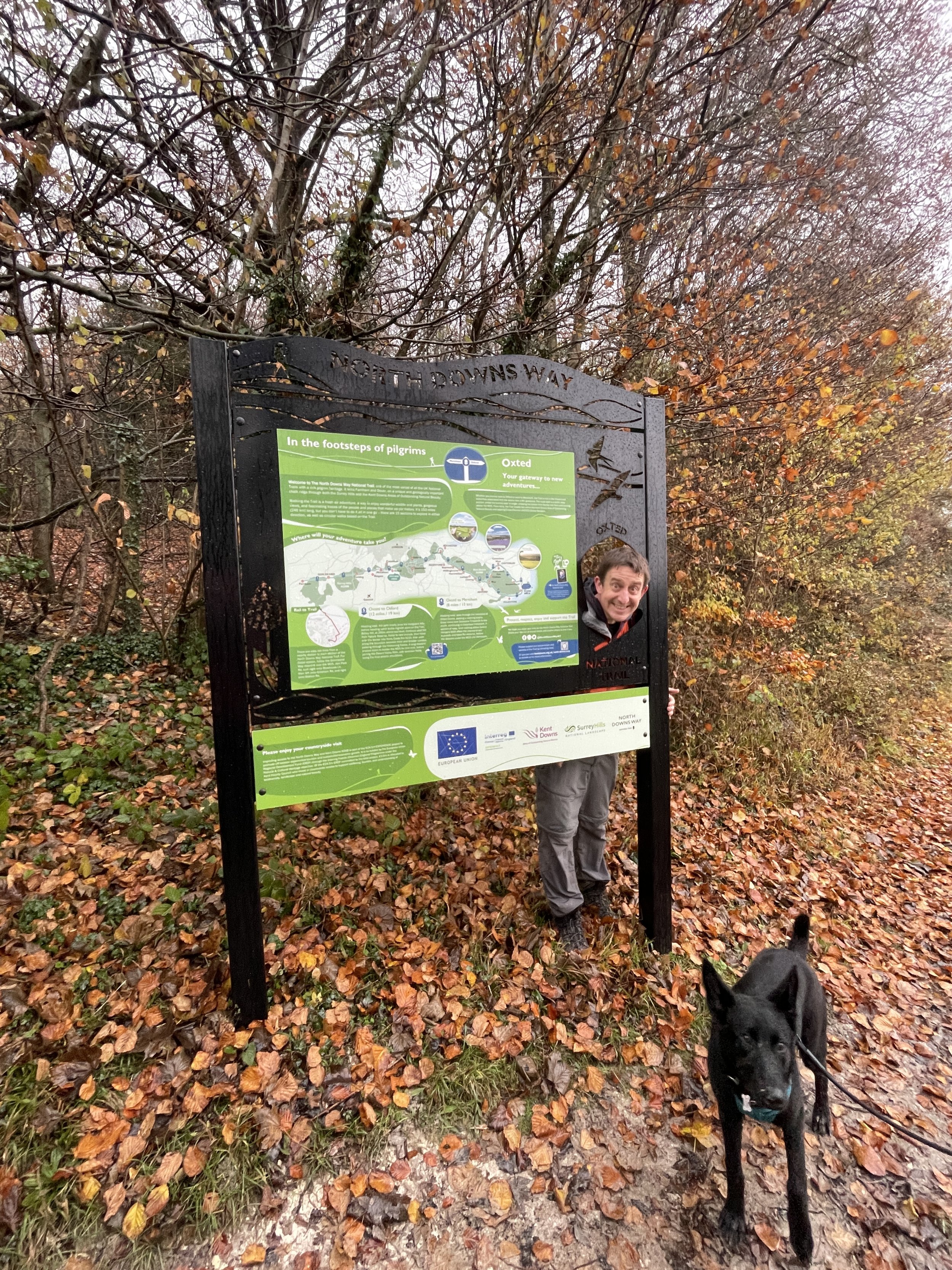
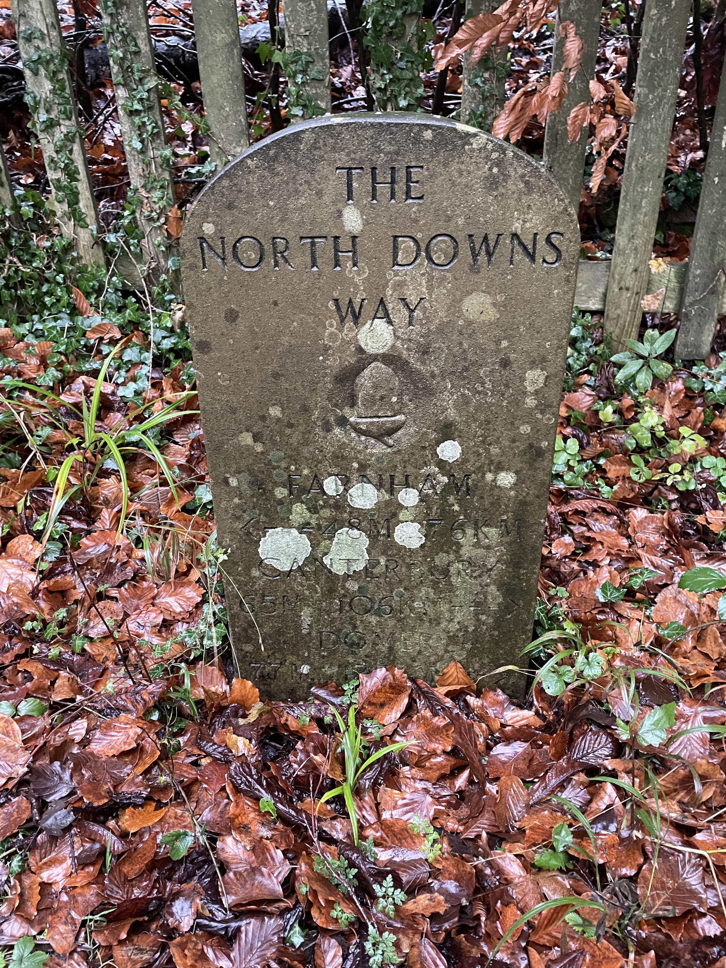
Links: North Downs Way, Puttenham, Guildford, St. Martha’s Hill, Newlands Corner, Shere, Denbies, Box Hill, Betchworth, Redhill
After loving The Lap Ultra around Lake Windermere the previous year, I was looking for inspiration for a new event. My social media feeds had no shortage of ads for big races, but they were either ones I had done before, too long, too far away, or simply didn't inspire me enough.
It was at a pre-Christmas family lunch when my sister, Lisa, gave me that inspiration: she had recently completed the Druid's Challenge on the Ridgeway. That was a 3-day event with overnight stays along the way. I had only done single-day Ultras before, so the novelty of doing a multi-day event with Lisa gave me the "Hell Yes" decision I was looking for.
I tried in vain to recruit my friend Mark to sign up too: he is normally up for Ultras but didn't seem too keen on a winter one or the prospect of sleeping in a school. Timea also had no interest in being my support crew in the bleak midwinter (which was fair enough). Then, shortly after New Year, Lisa decided that the race wasn't right for her this year. I briefly considered deferring my place but decided to go ahead anyway when I remembered how much I enjoyed The Hurtwood, an Ultra I did a few years back which was also in the winter.
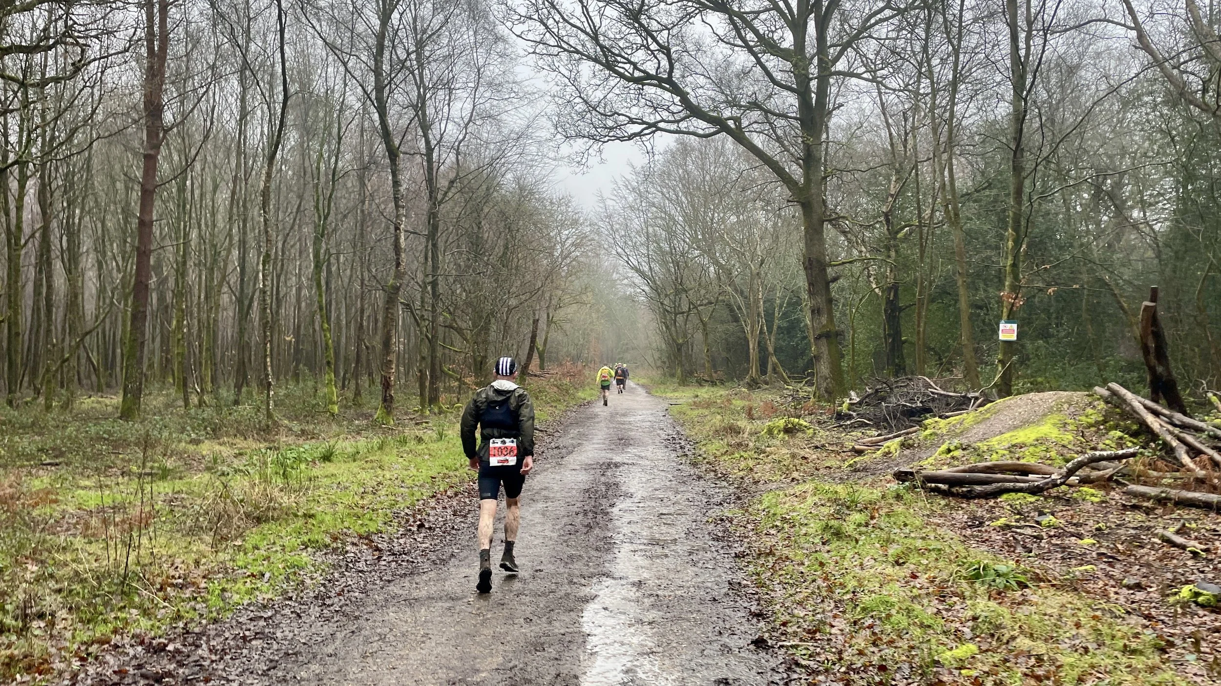
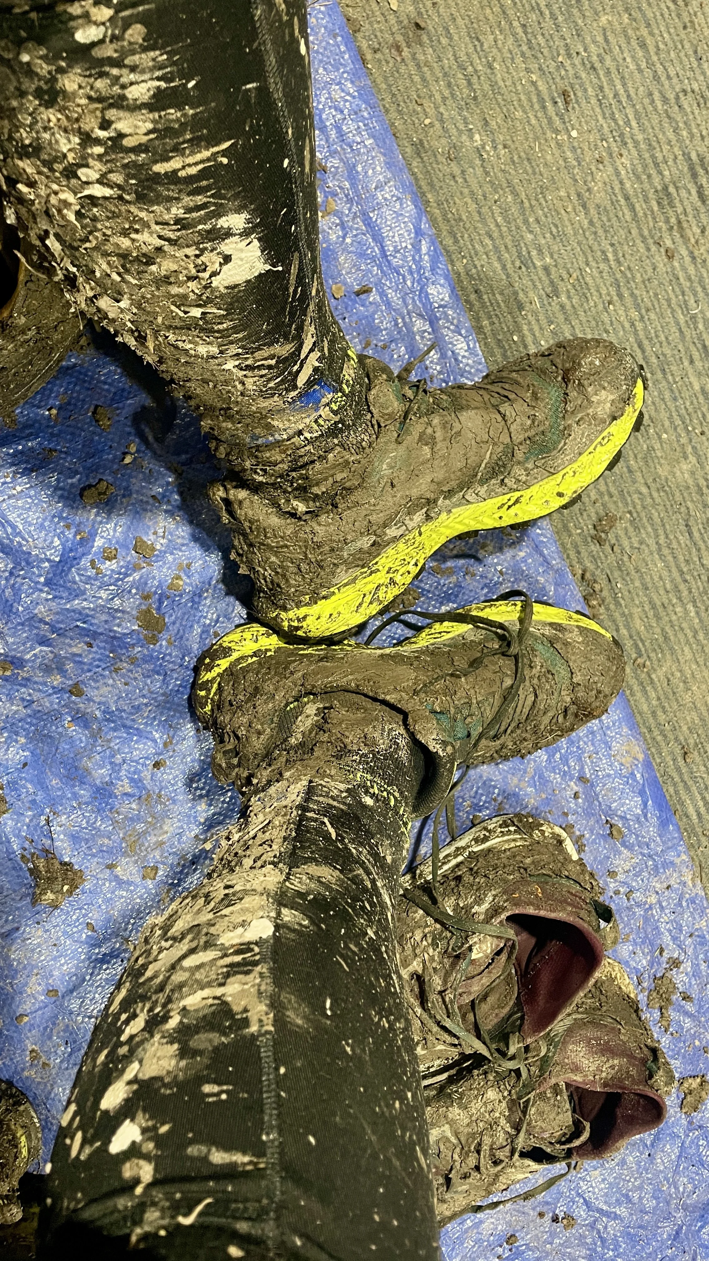
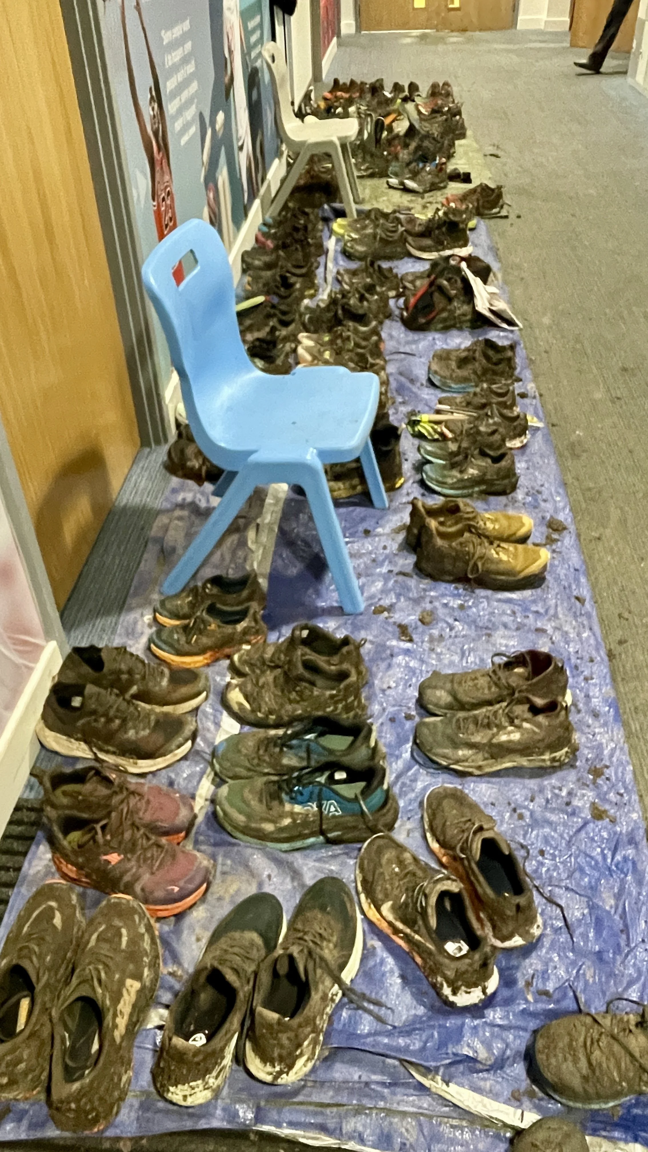
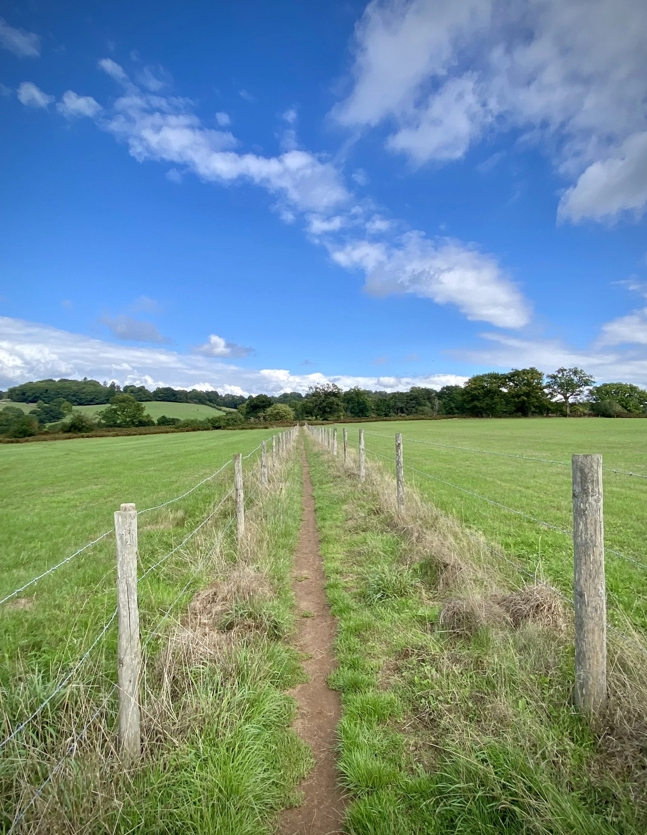
My January was both dry and wet. I had pressed pause on alcohol before New Year, except for some pre-Christmas drinks with a friend that we postponed until Jan 14th. The wet part came from nearly constant rain for the 3 weeks leading up to the event. The North Downs Way is known for its mud, and I could feel that this was going to be tough.
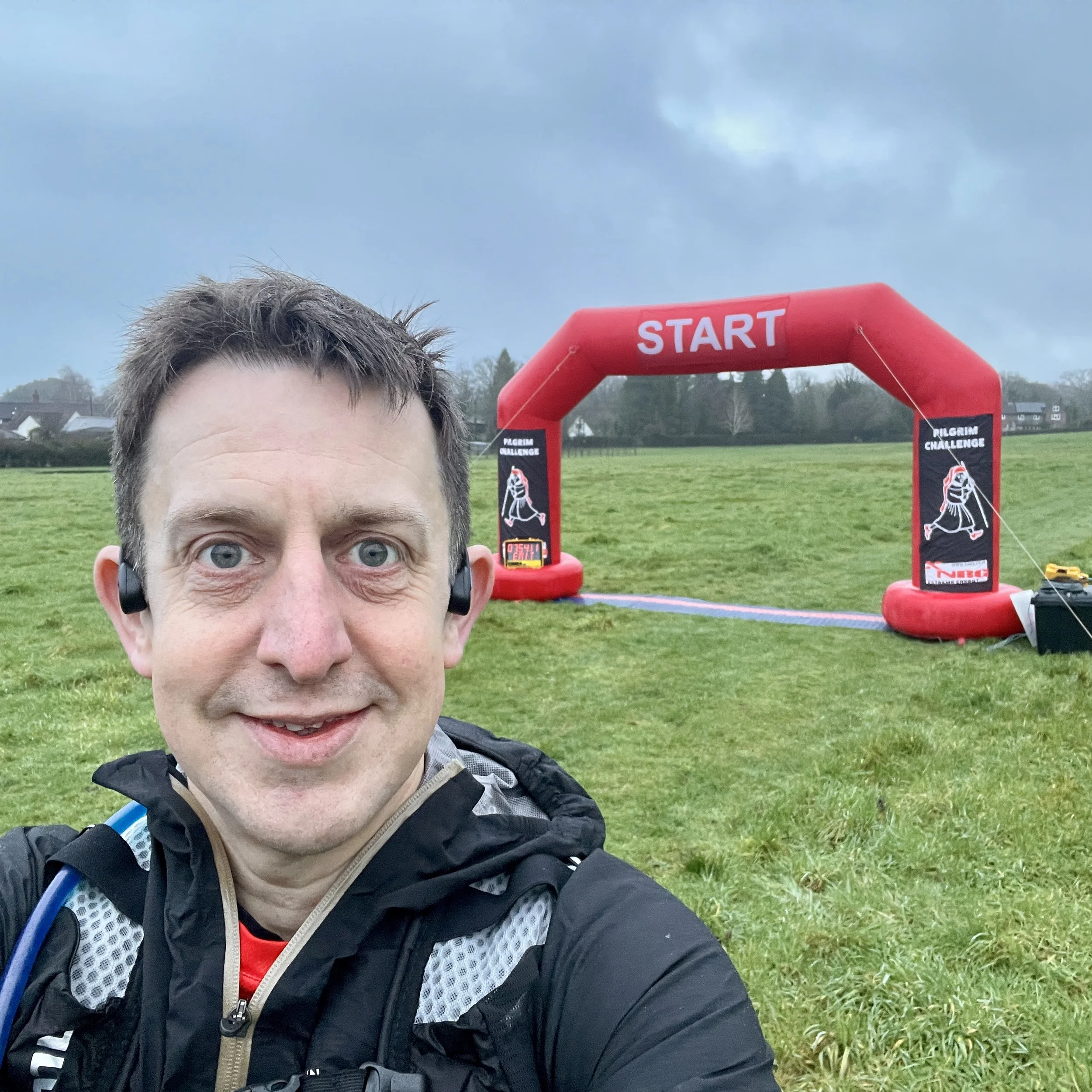
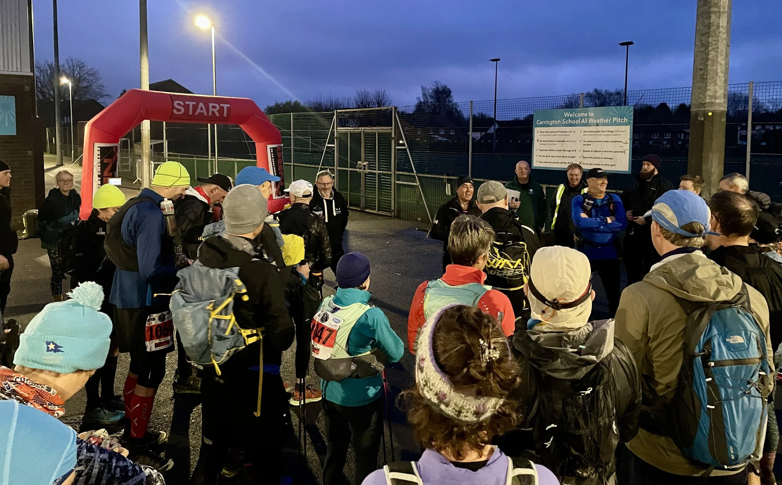
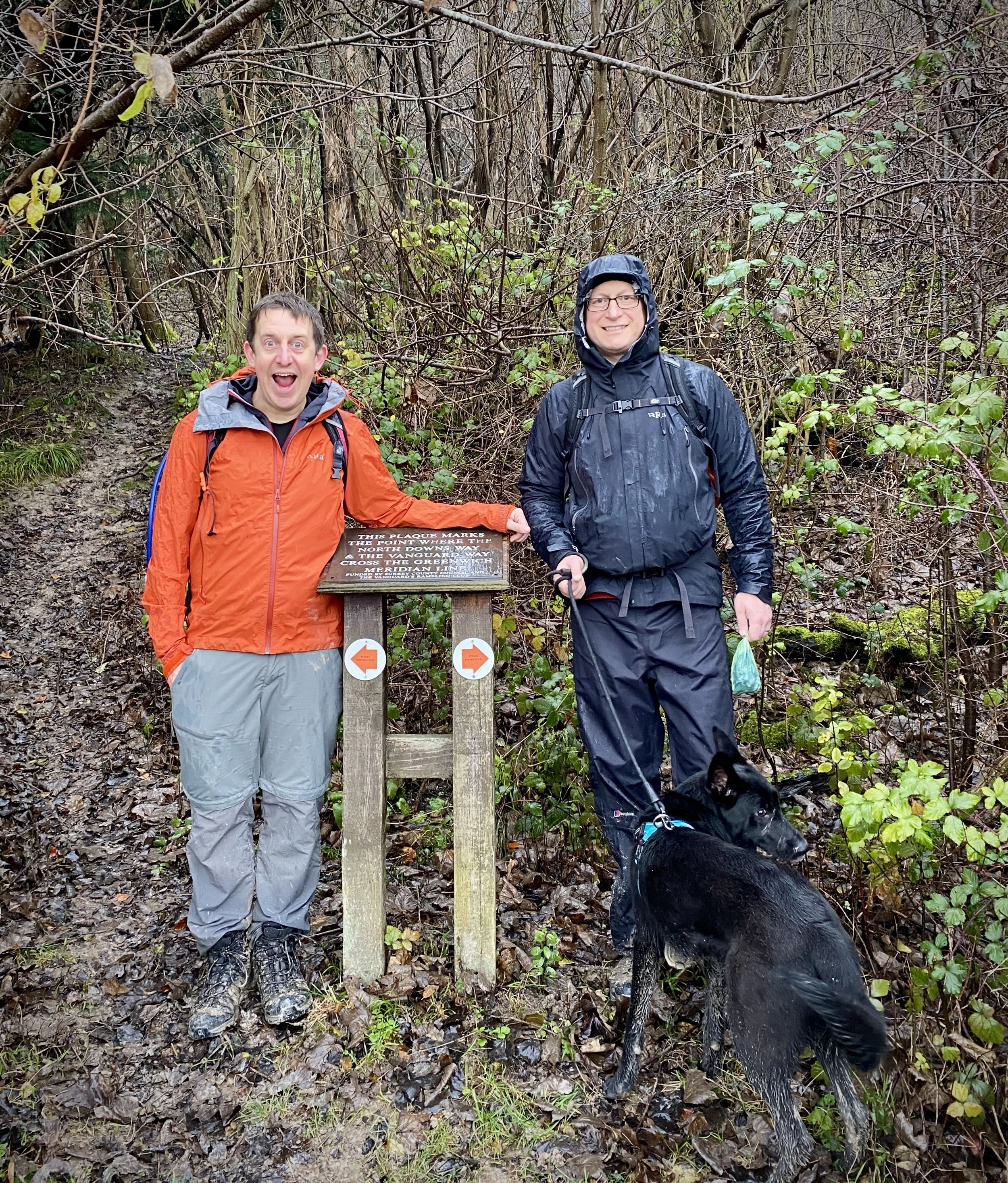
On the night before the race, we received an email from XNRG, the organisers, stating that a diversion would add a mile to each day. At that point, my attitude was "bring it on". If it was going to be tough, then why not an extra hilly 2 miles? That was the same attitude that meant I wasn't bothered that it was pissing it down with rain through the hour's drive to the start.
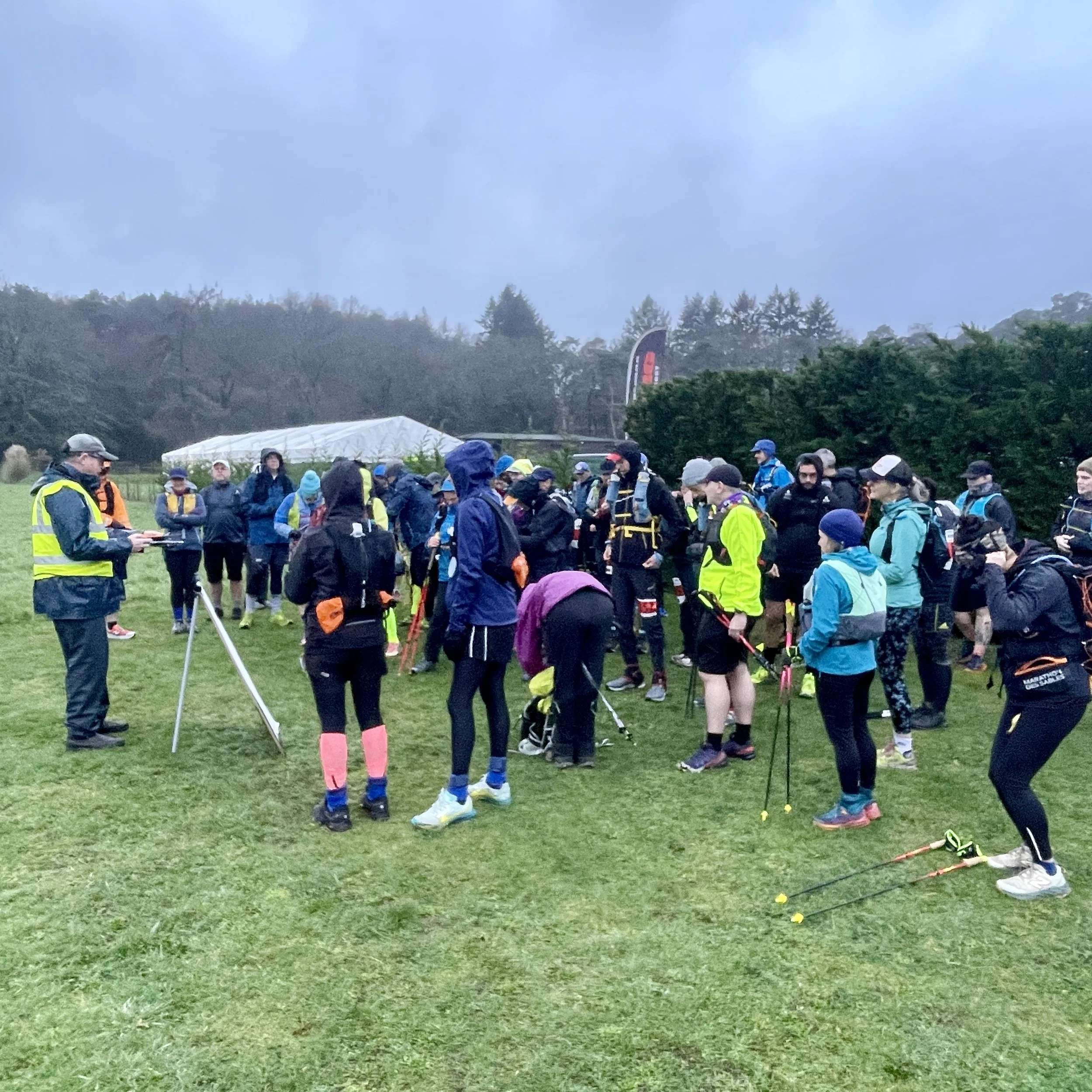
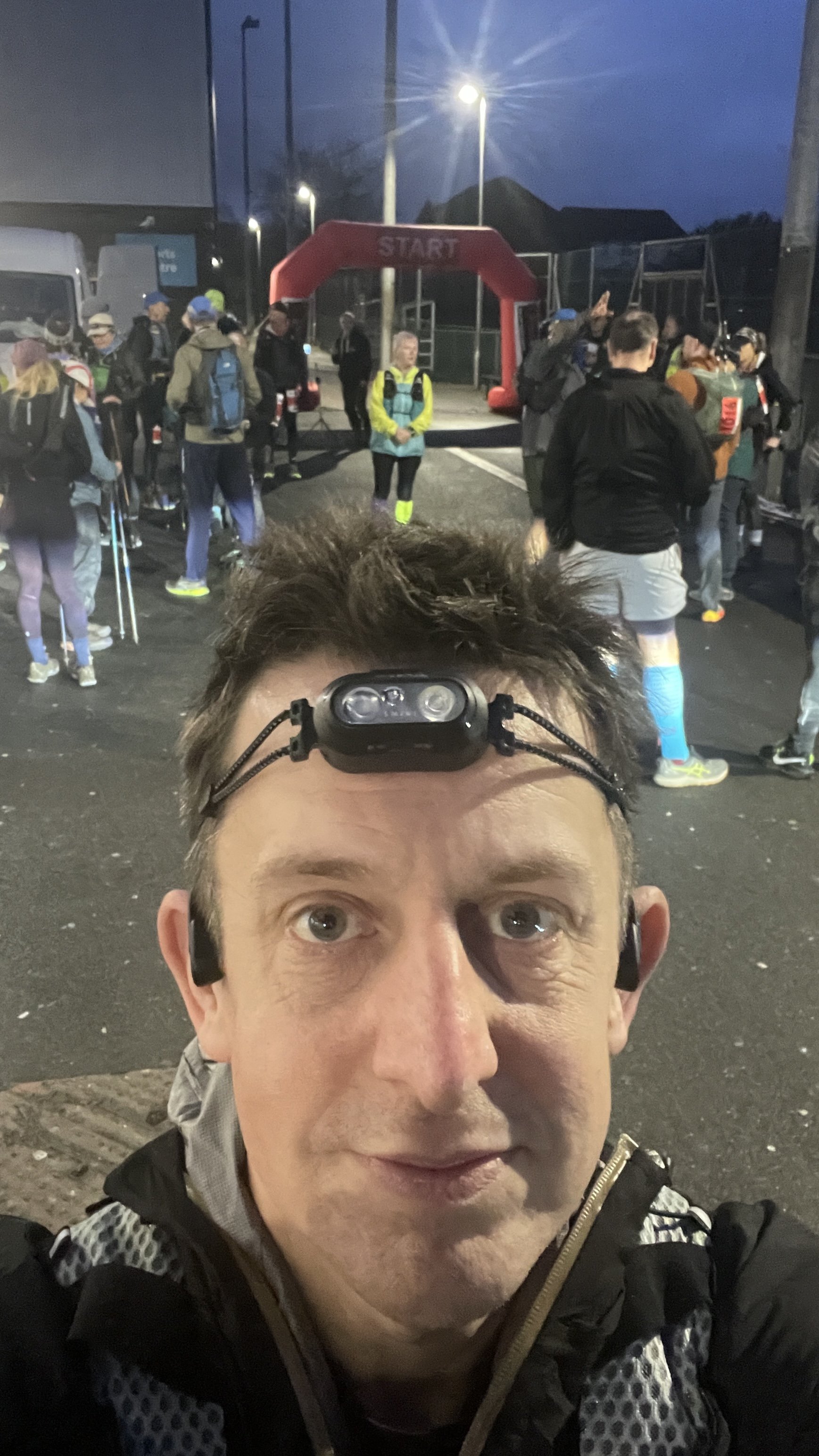
I was in the 08:00 walkers start based on the predicted finish time I gave when I signed up. The runners would start an hour later. After a short briefing, we were off. I usually run the first half of an Ultra but decided to take this one easier. I also didn’t want to be at the front of the pack and risk getting everyone lost.
As it happened, the group I was following took a wrong turn after the first 5 minutes, following the edge of the starting field rather than exiting via the corner. Luckily, other participants noticed and called us back, only adding about 100m to our route.
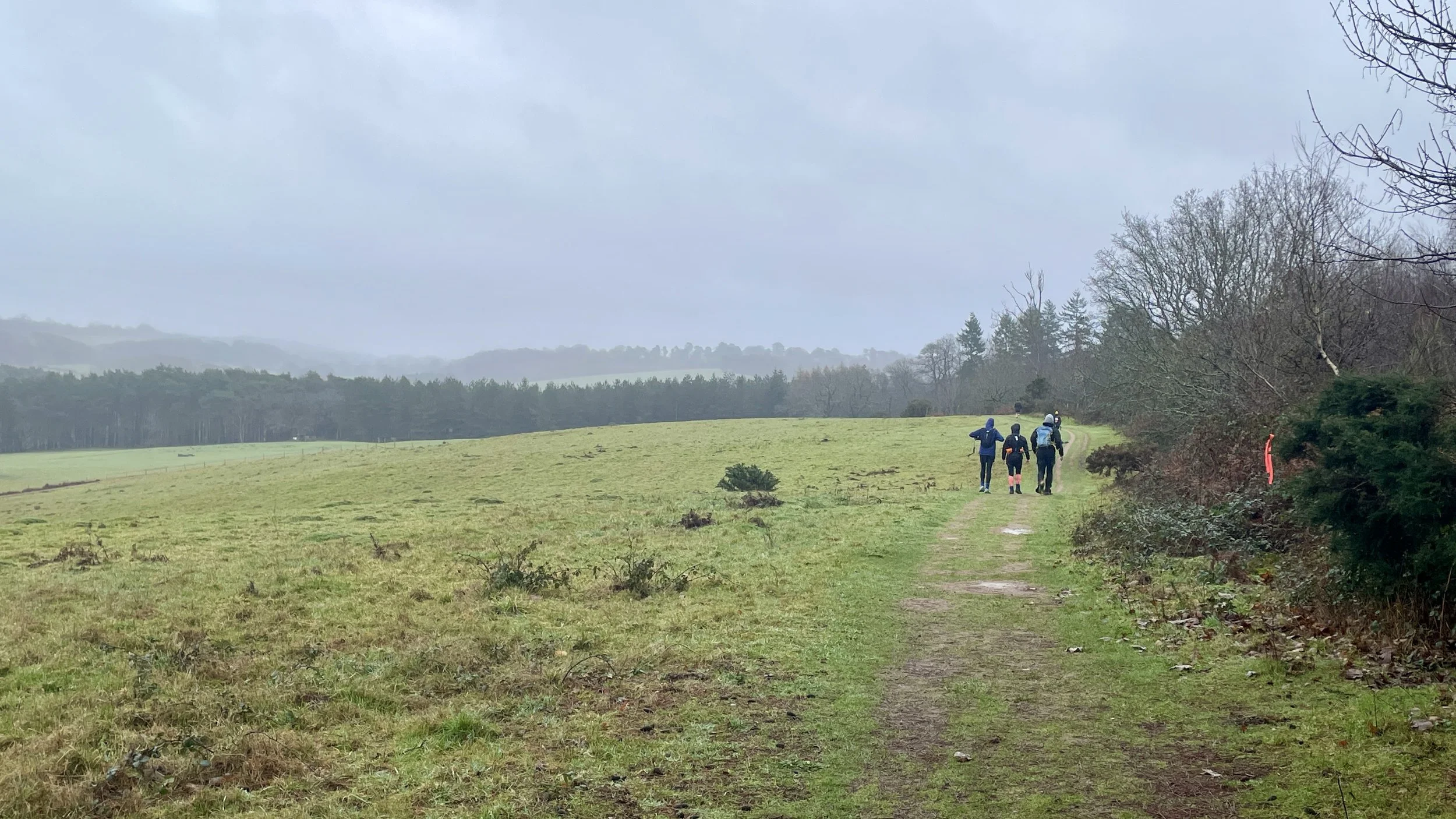
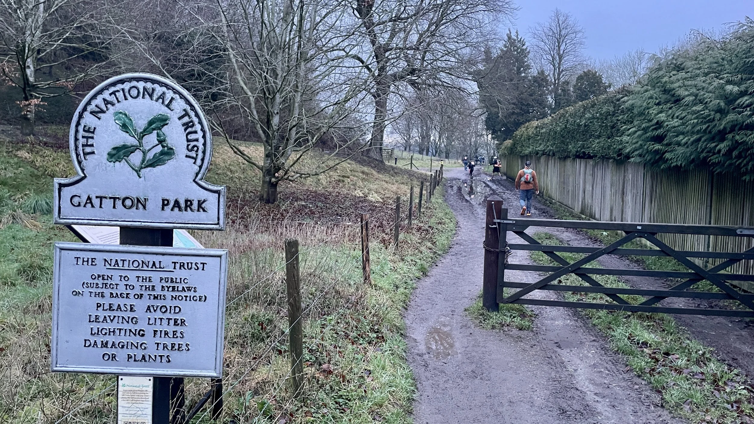
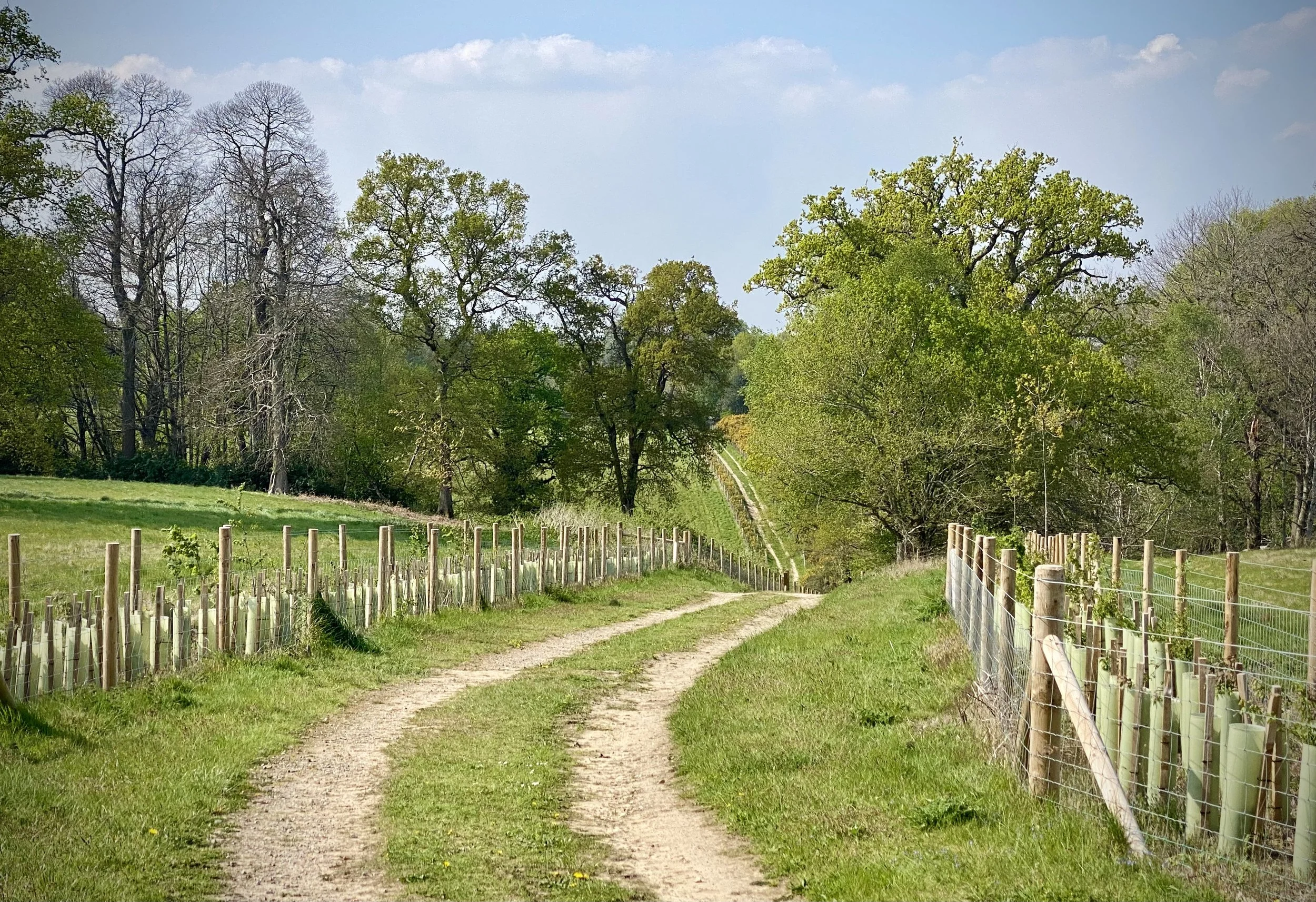
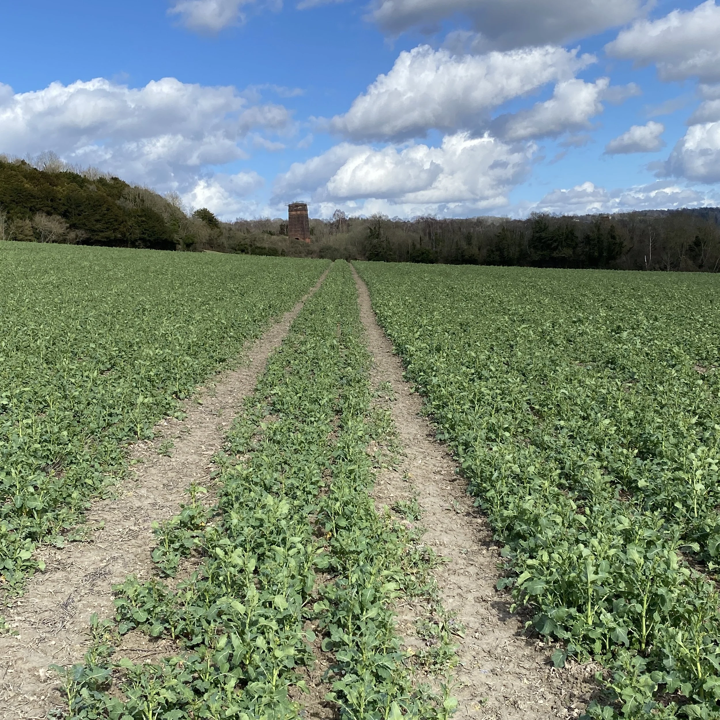
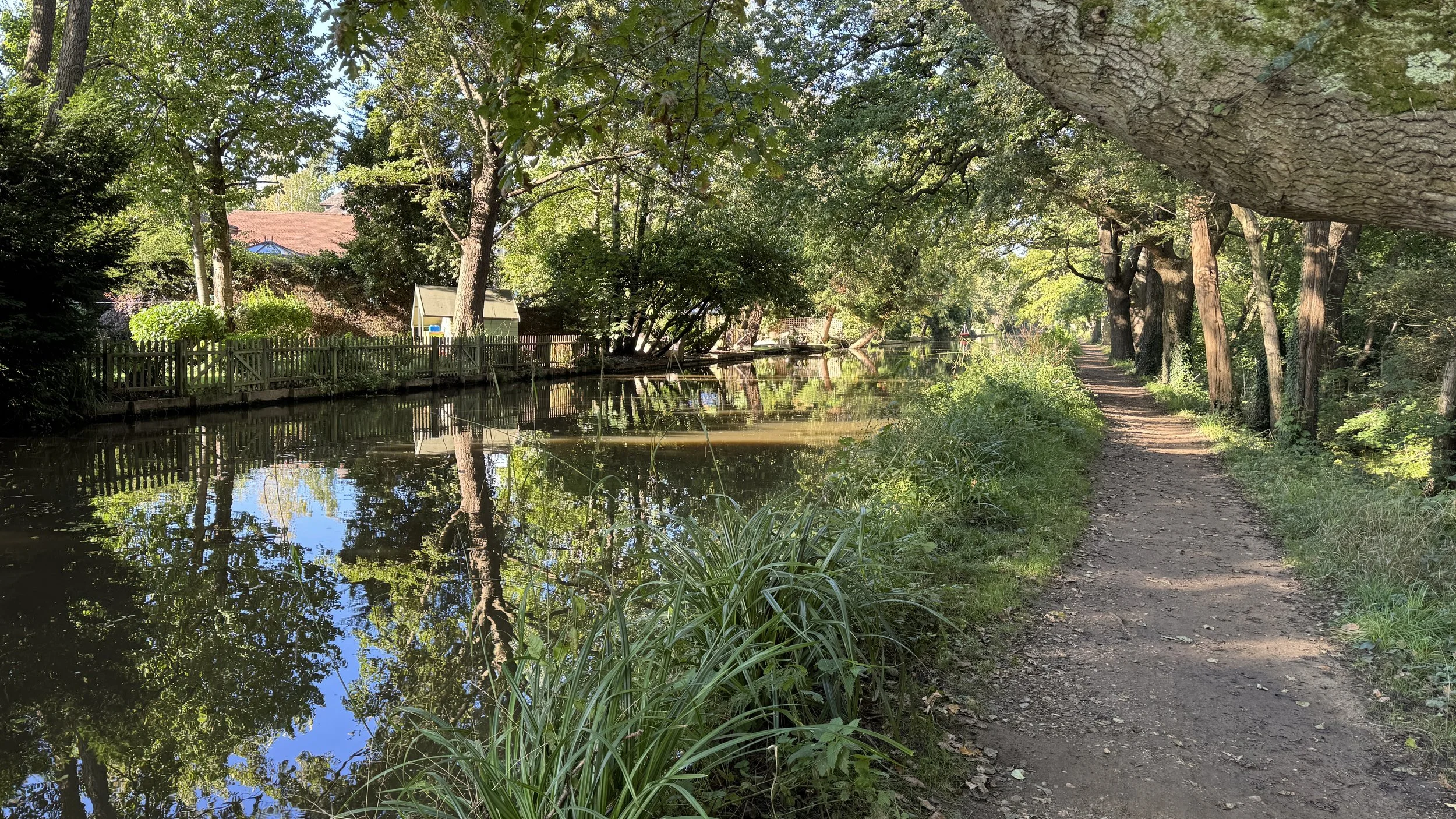
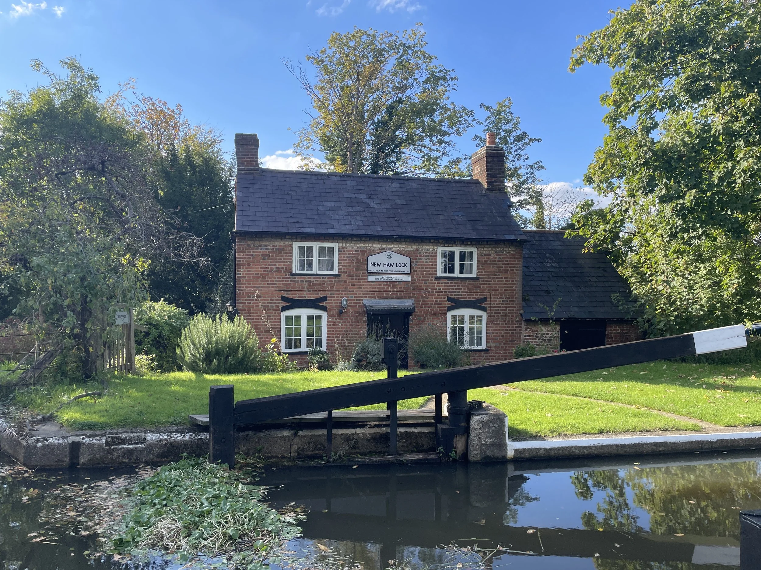
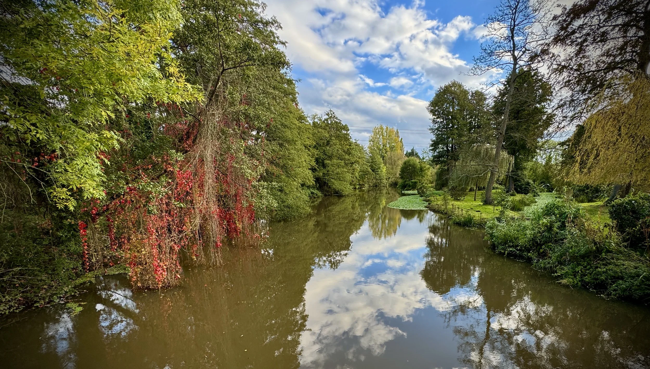
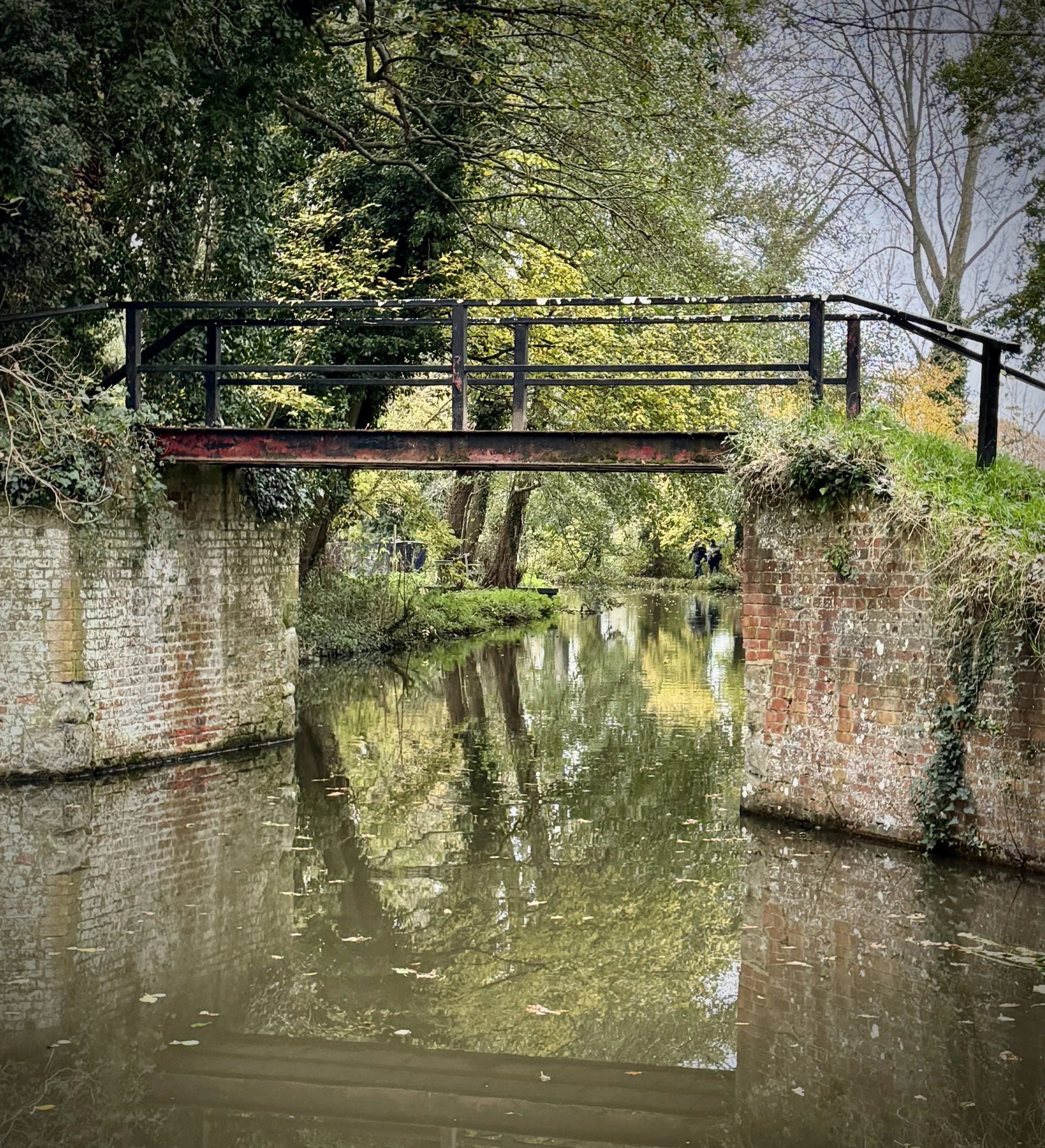
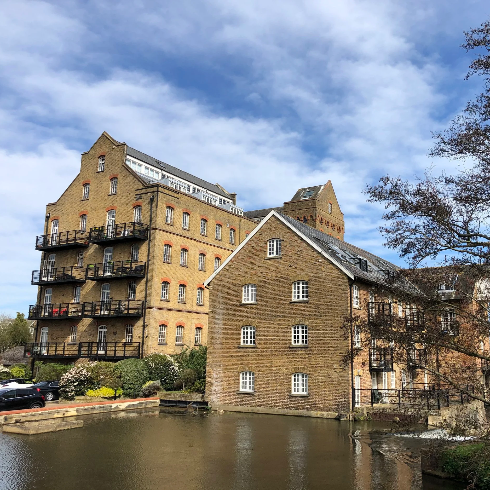
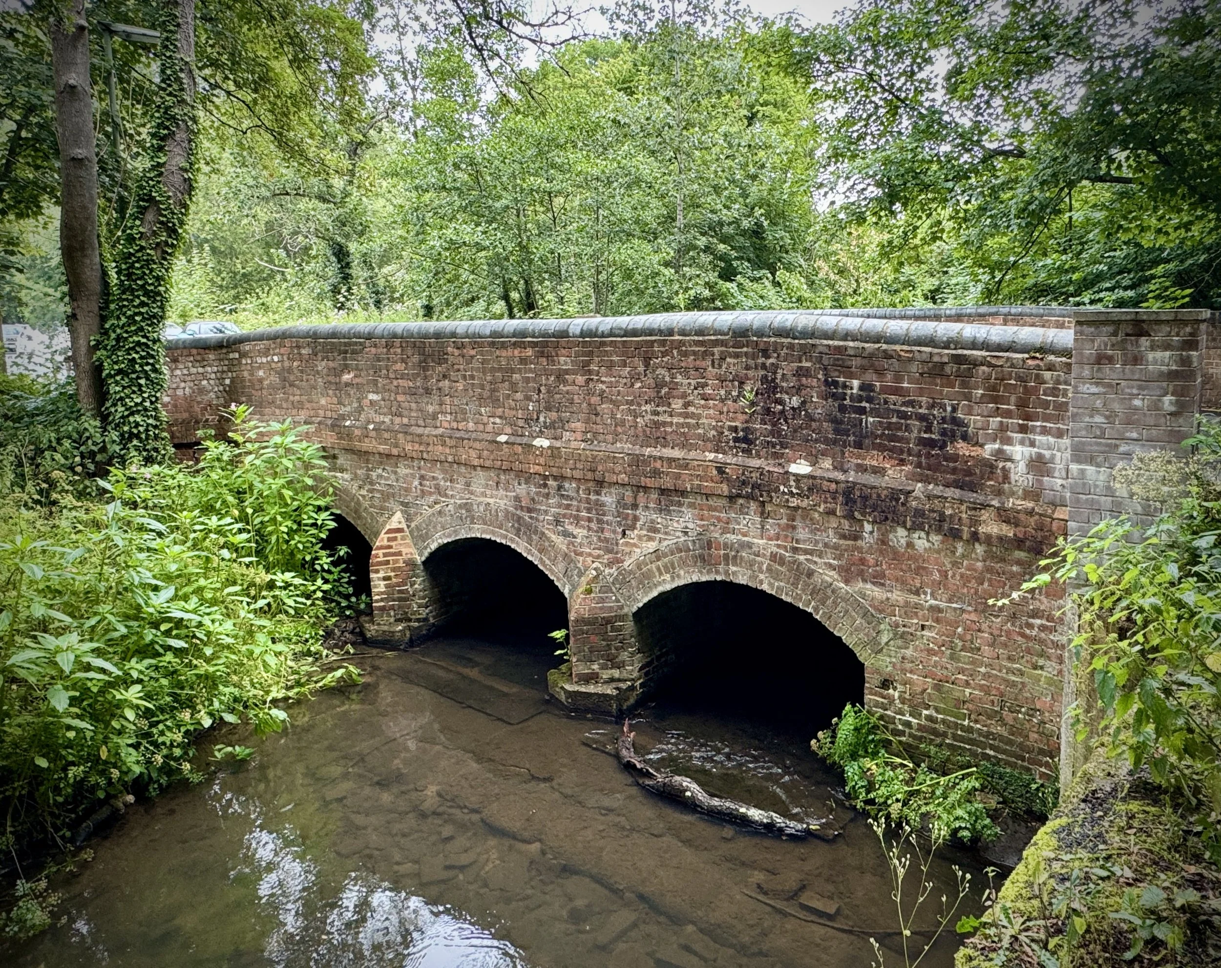
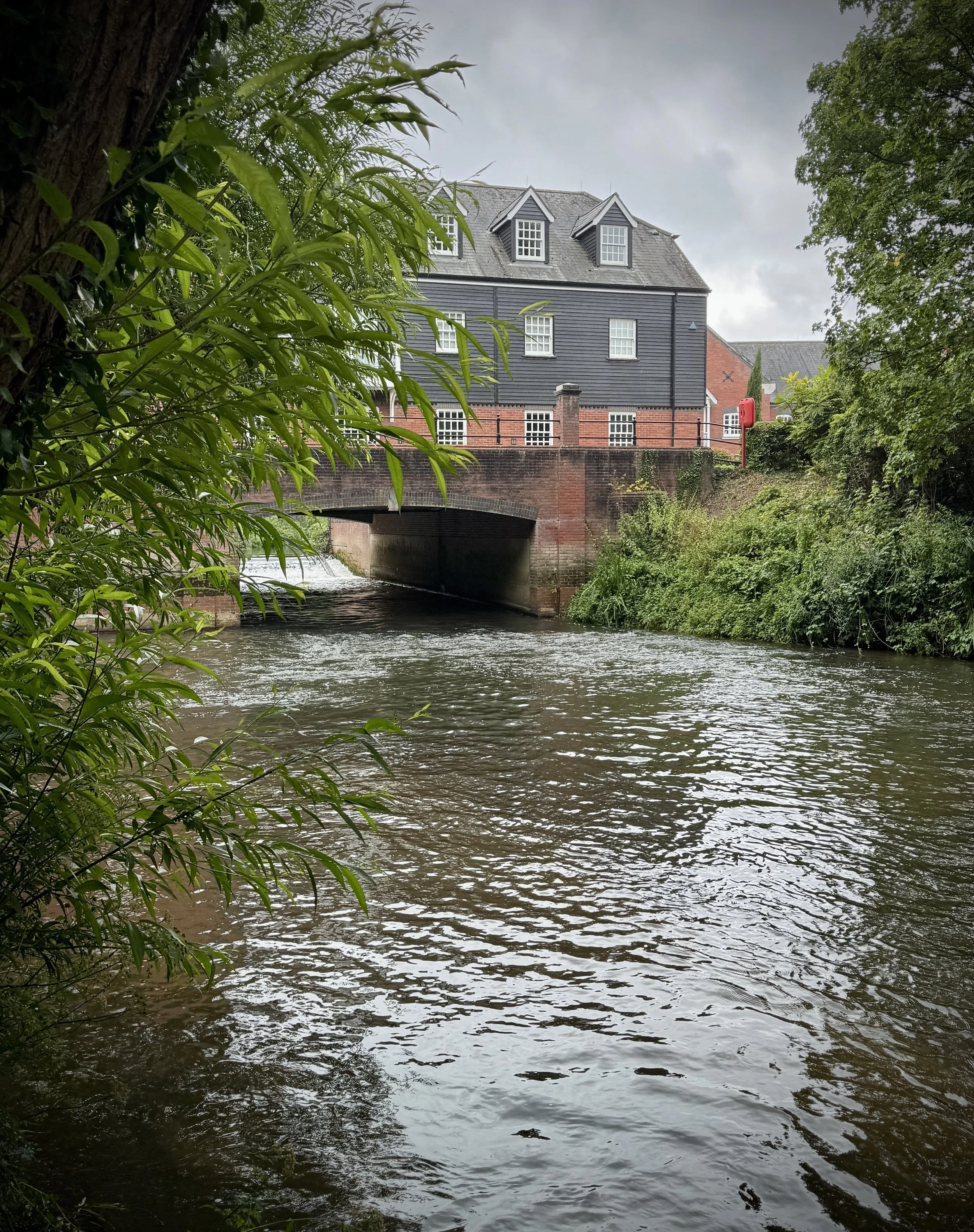
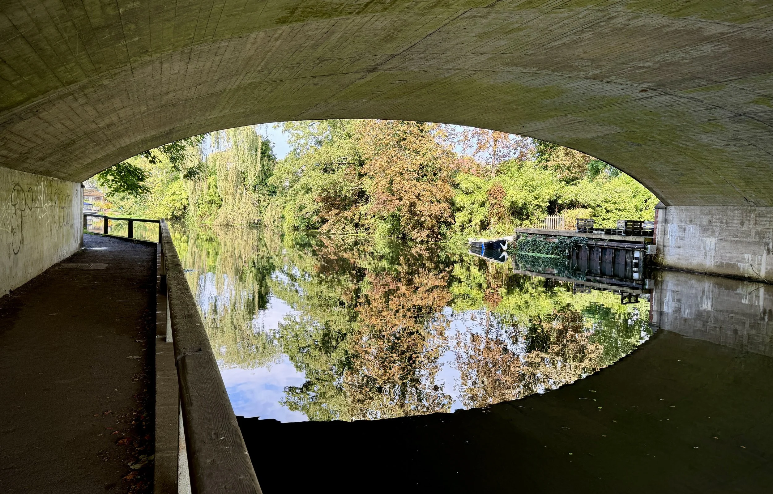
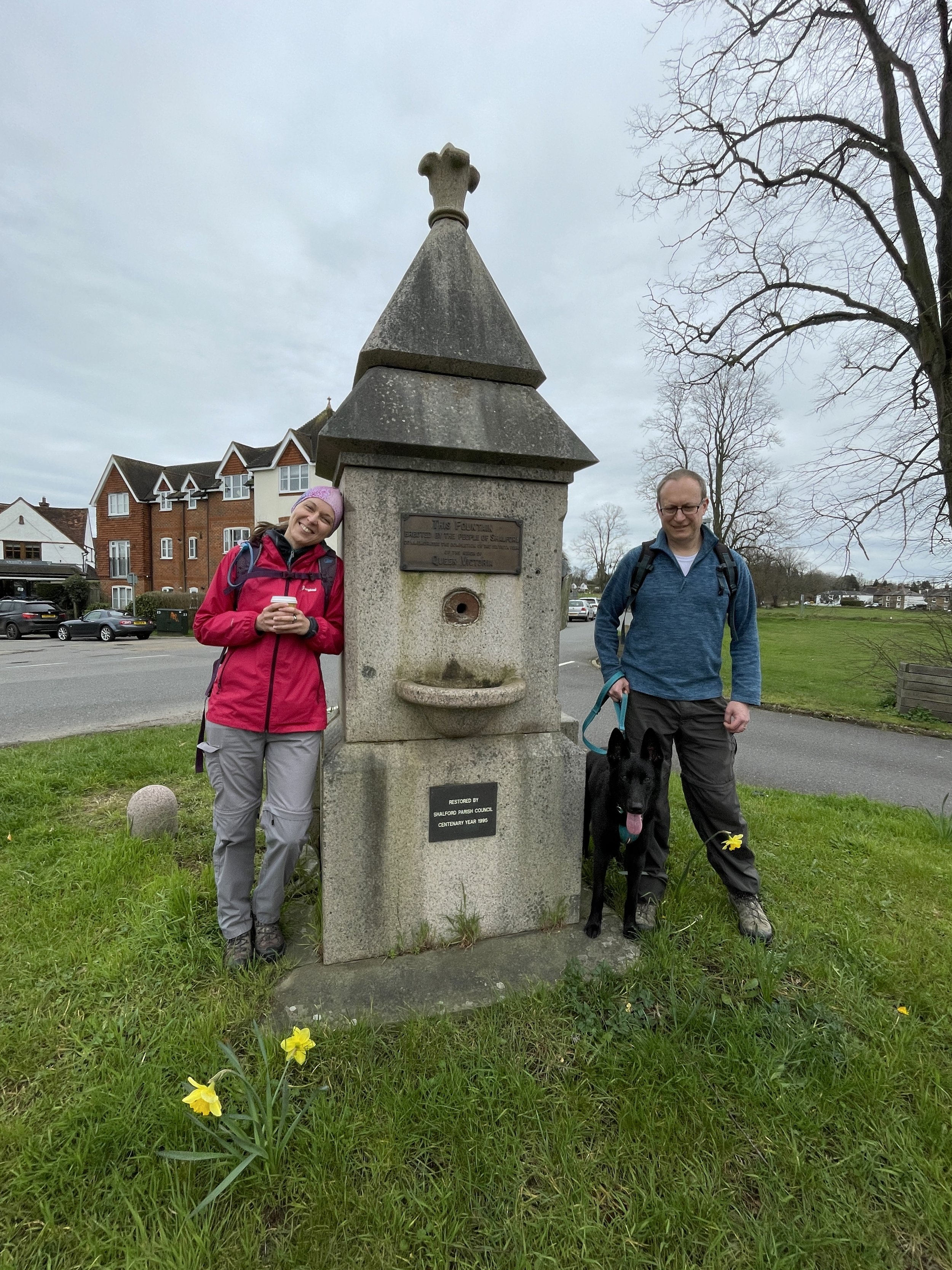
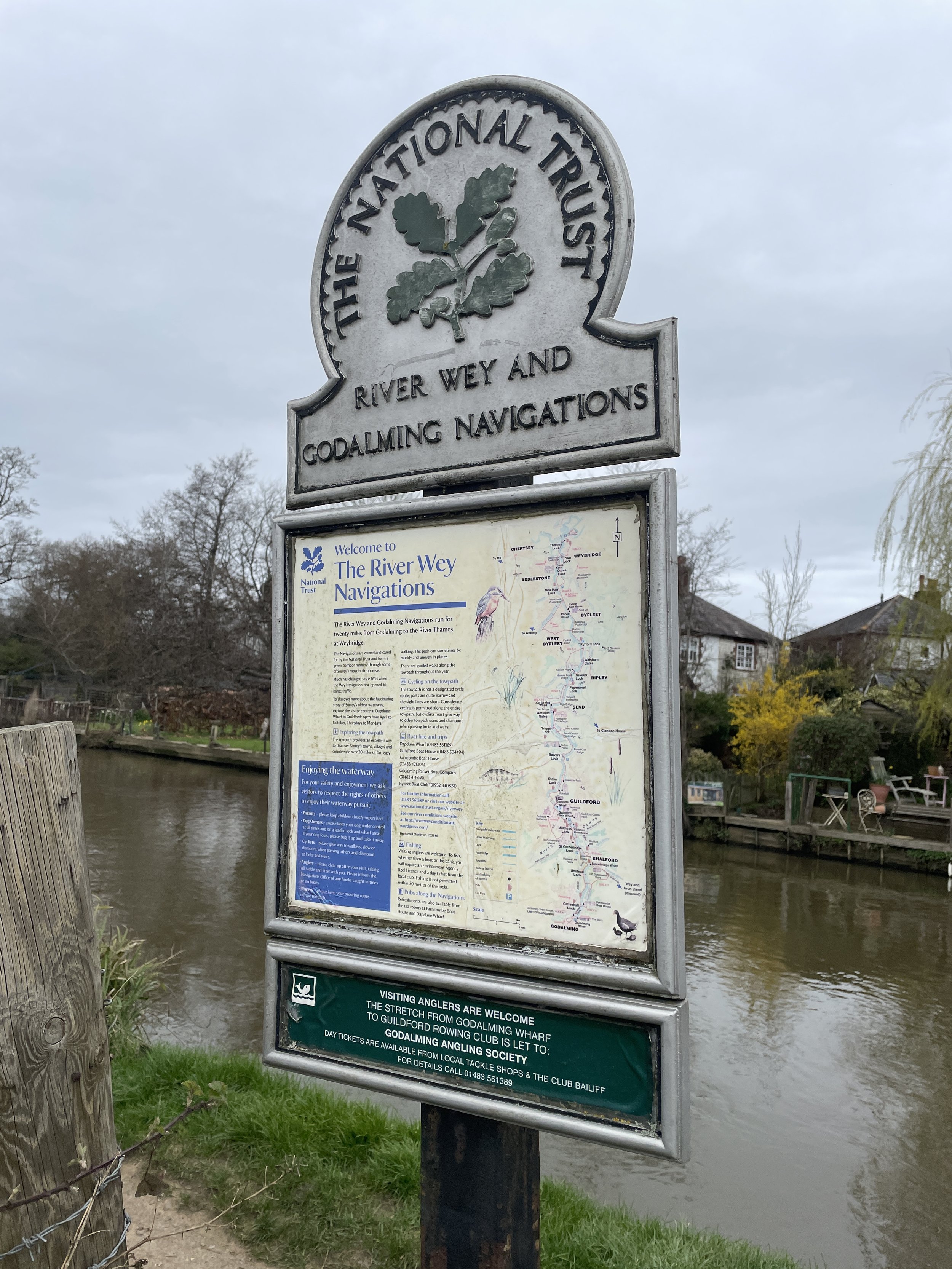
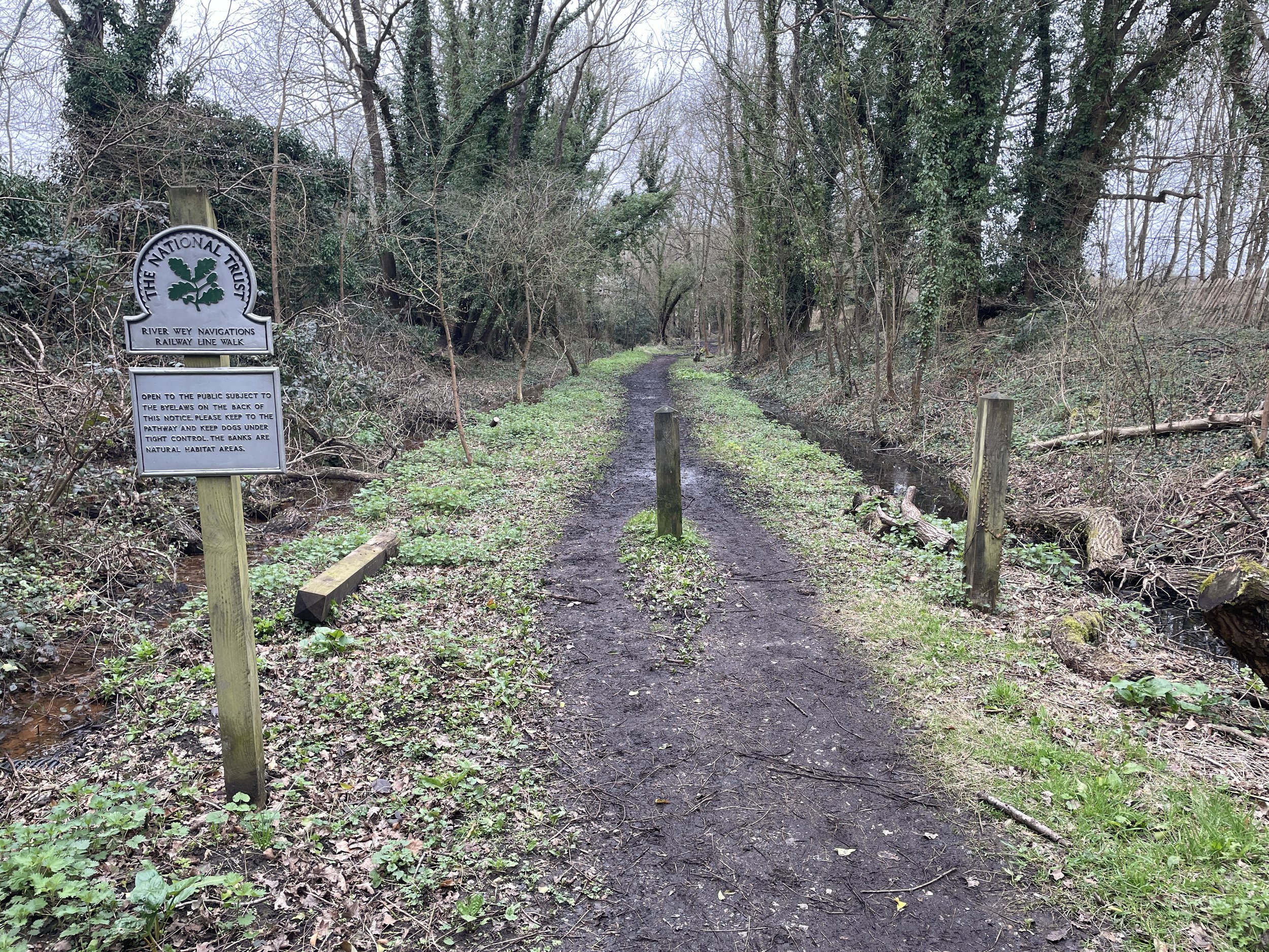
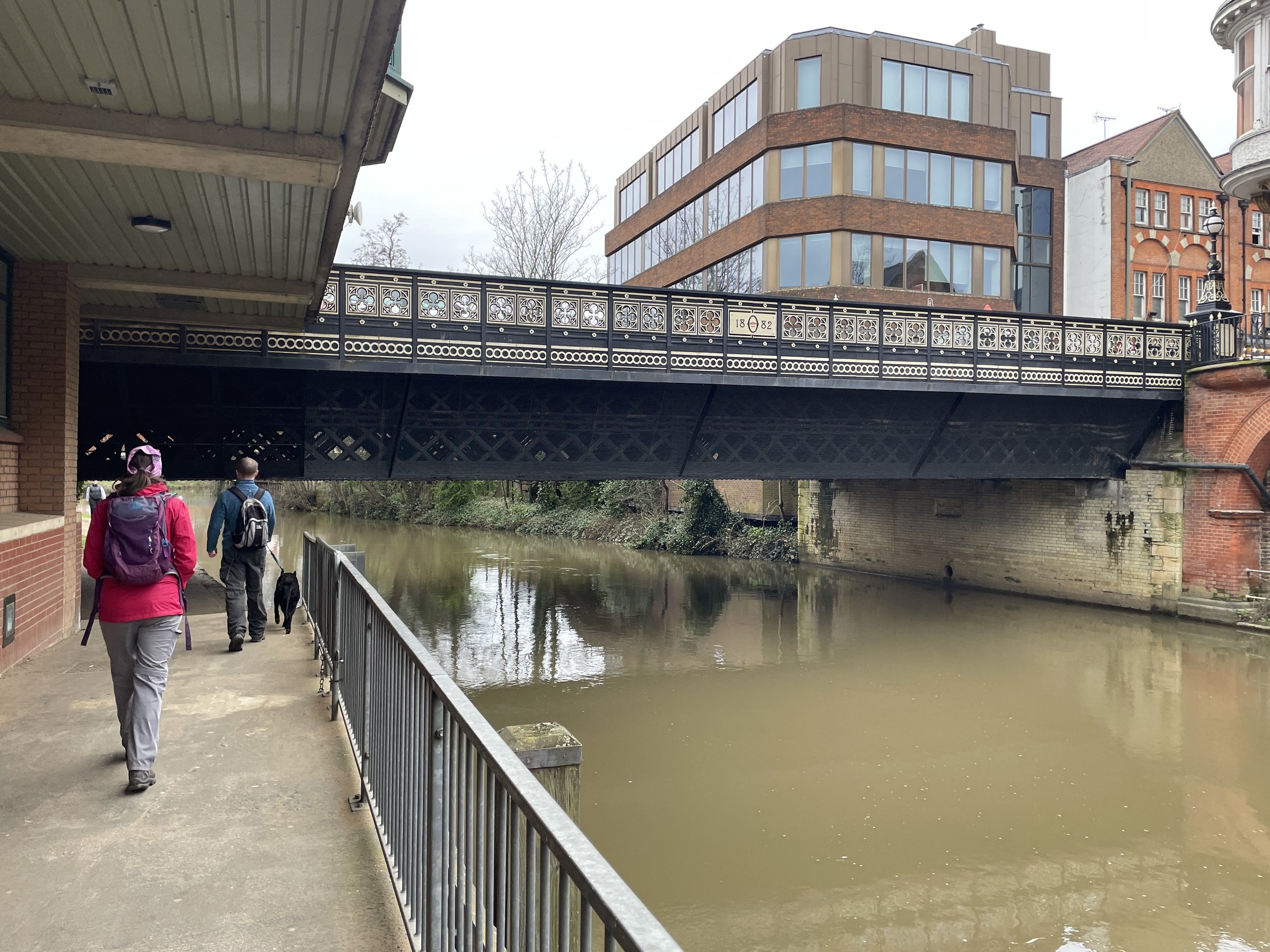
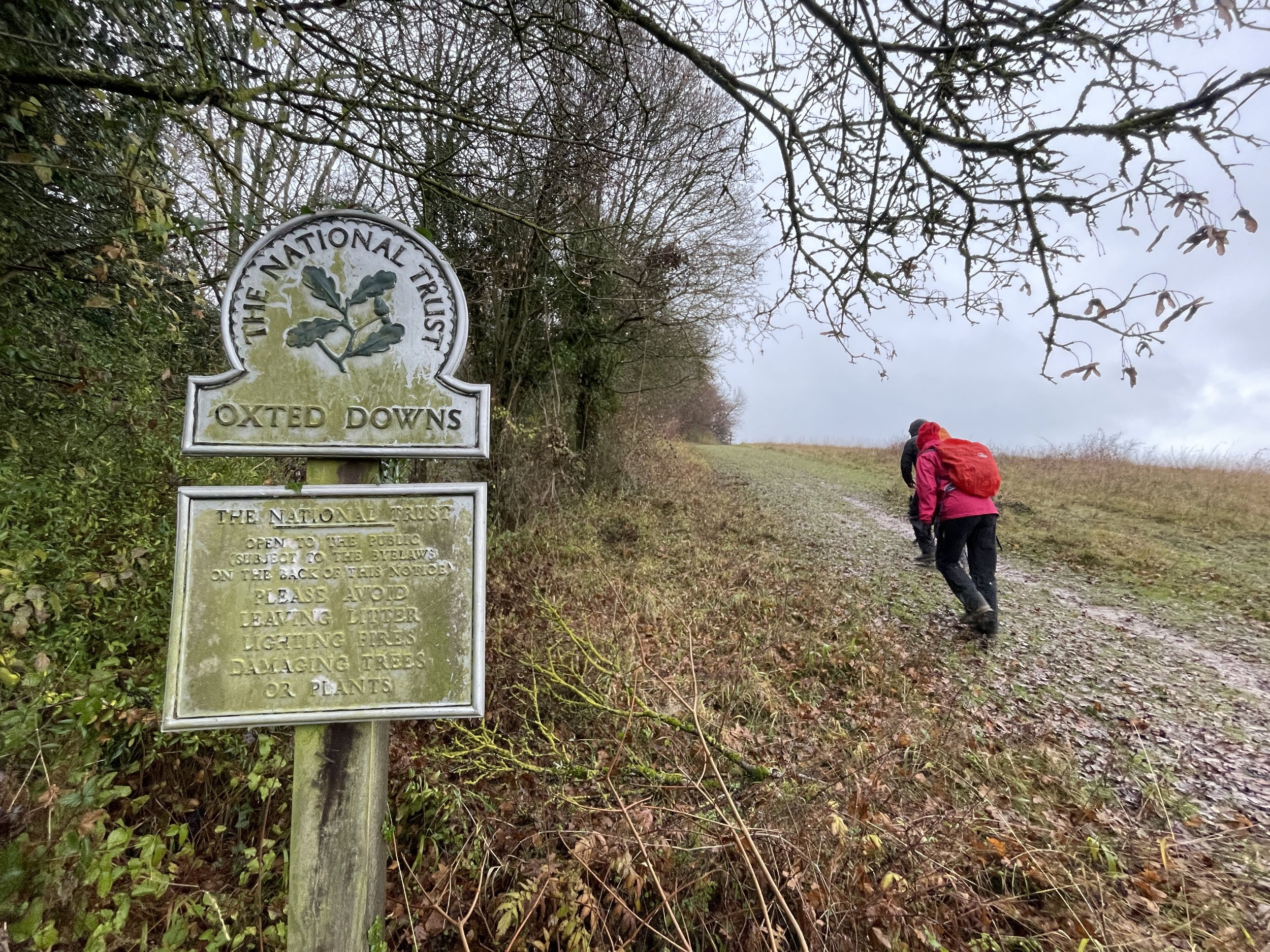
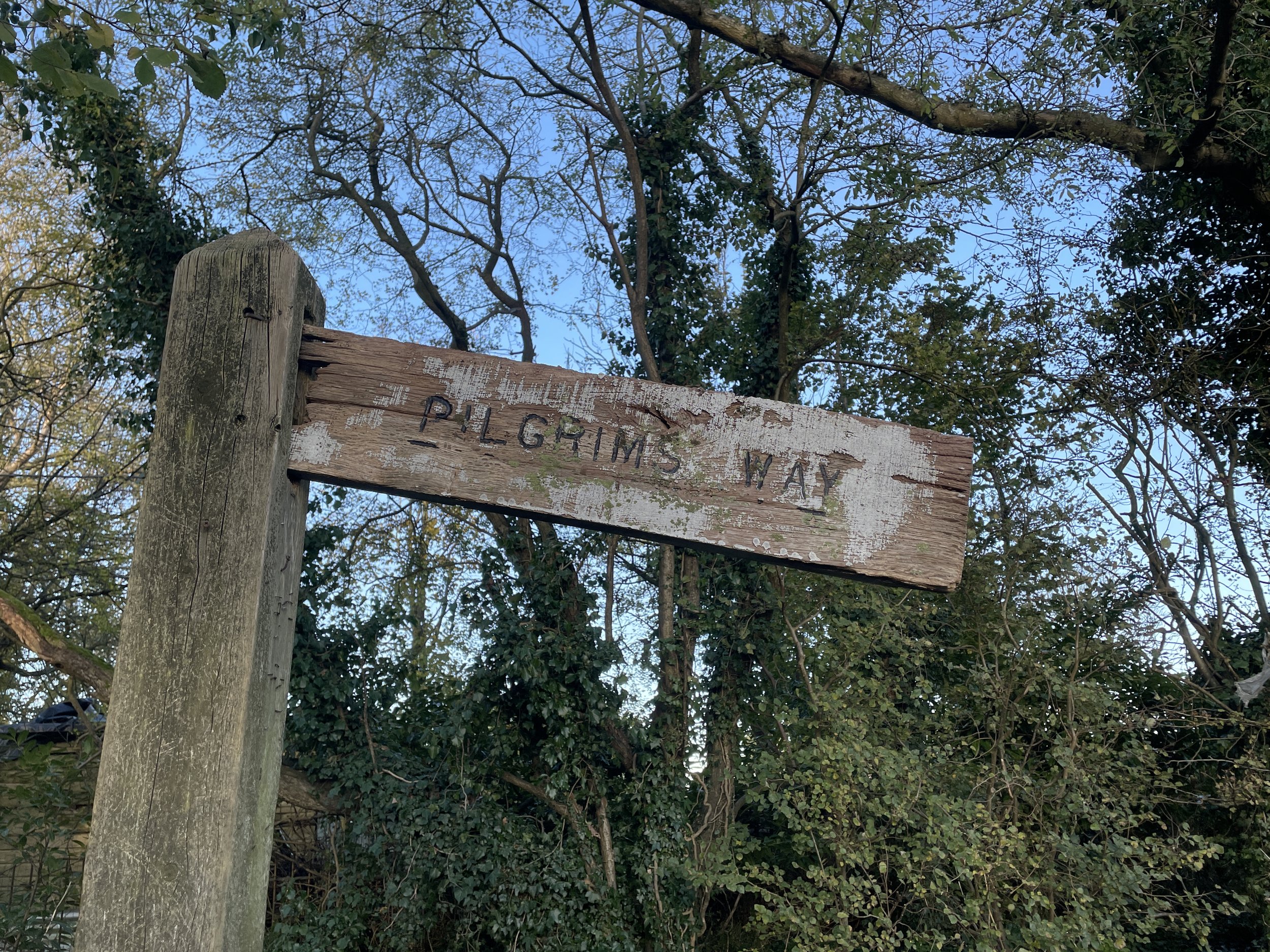
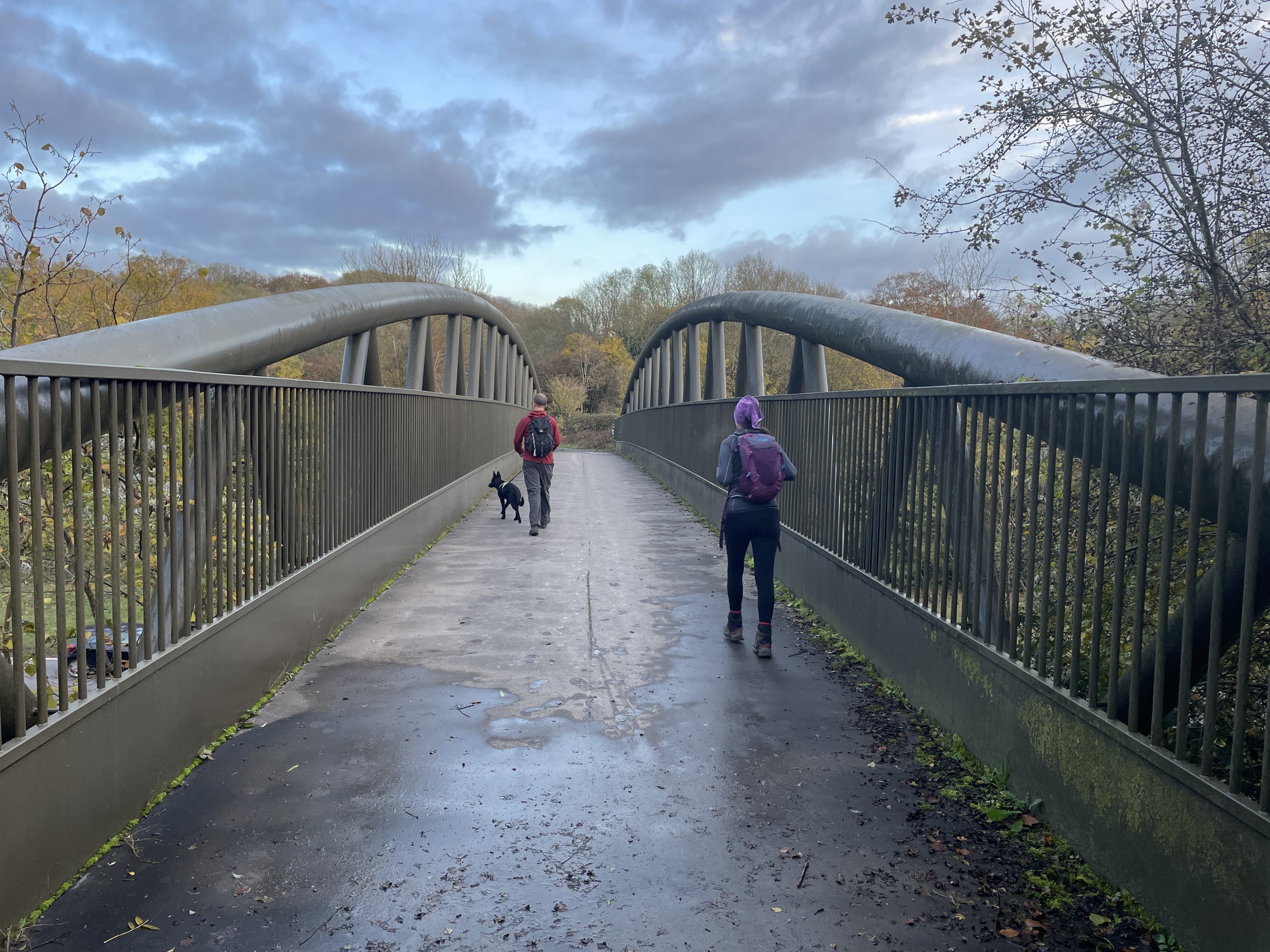
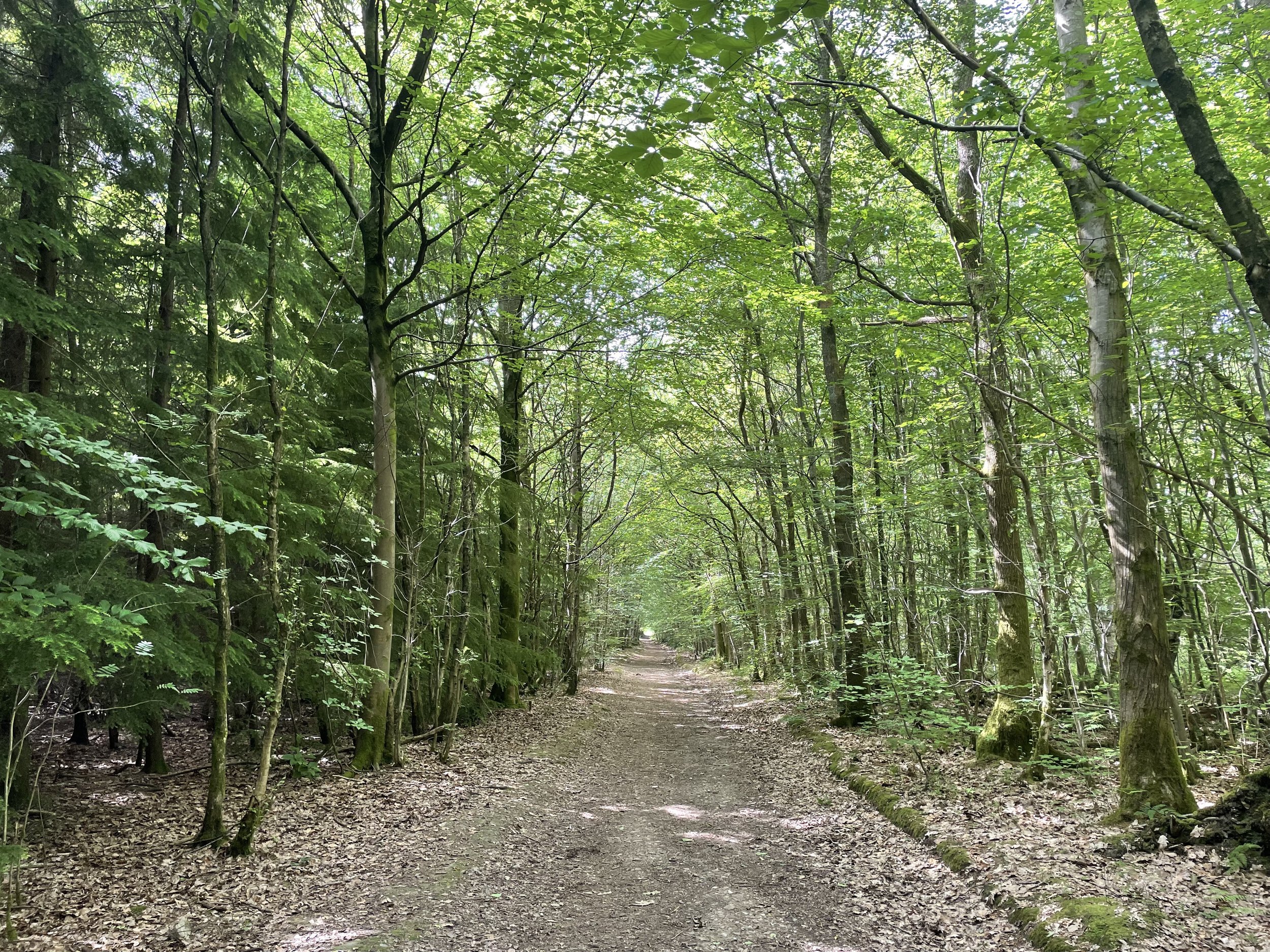
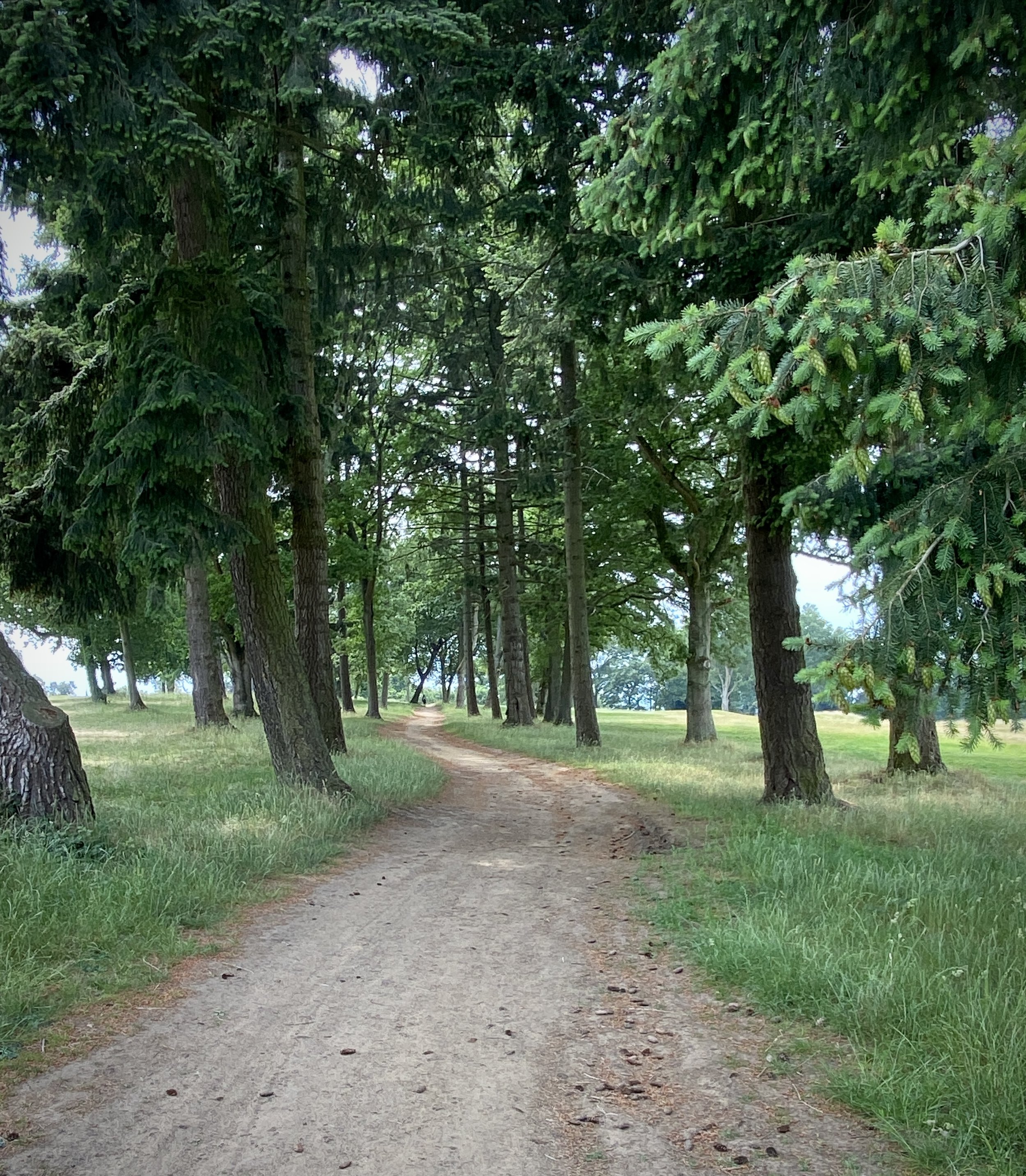
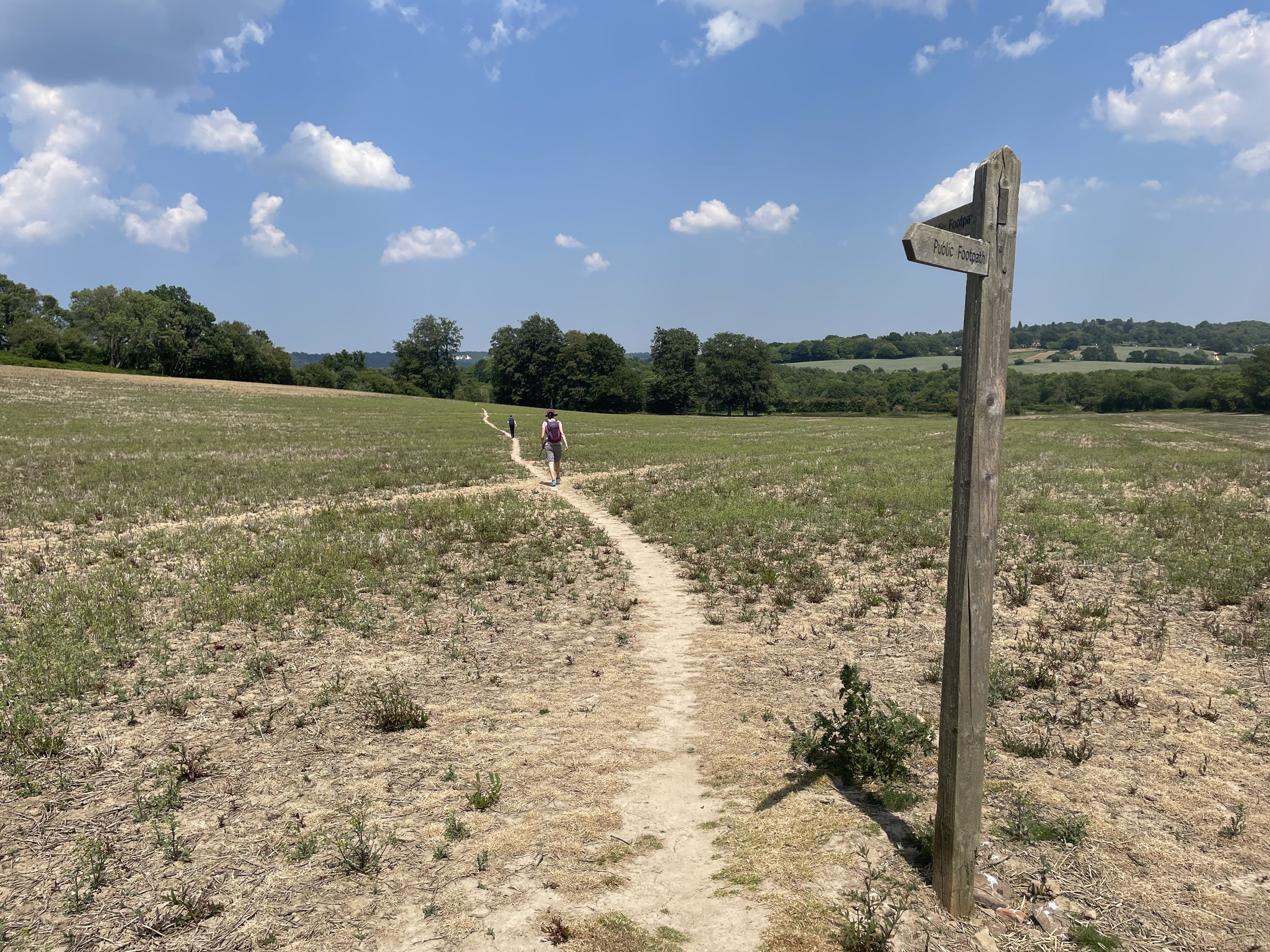
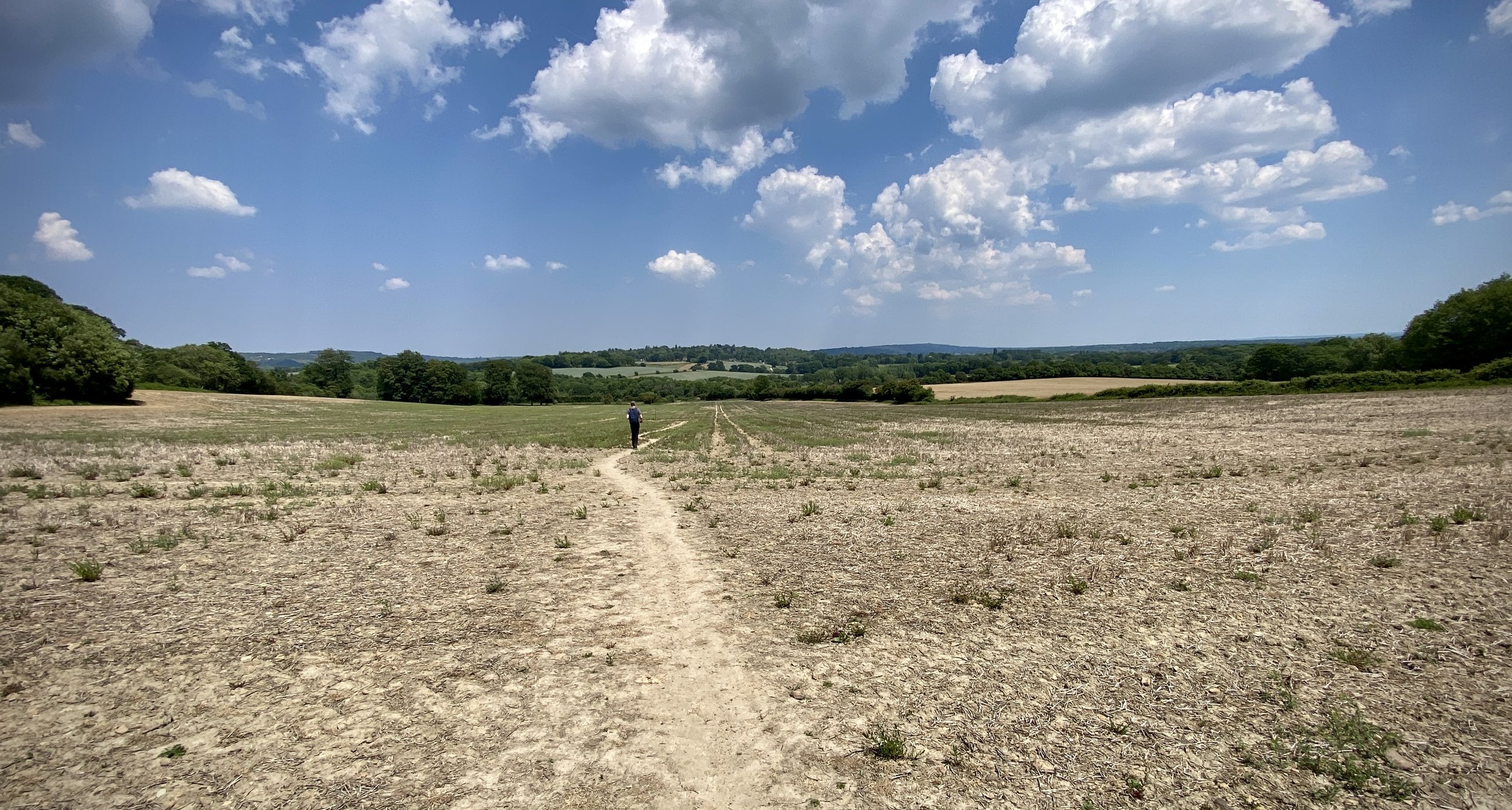
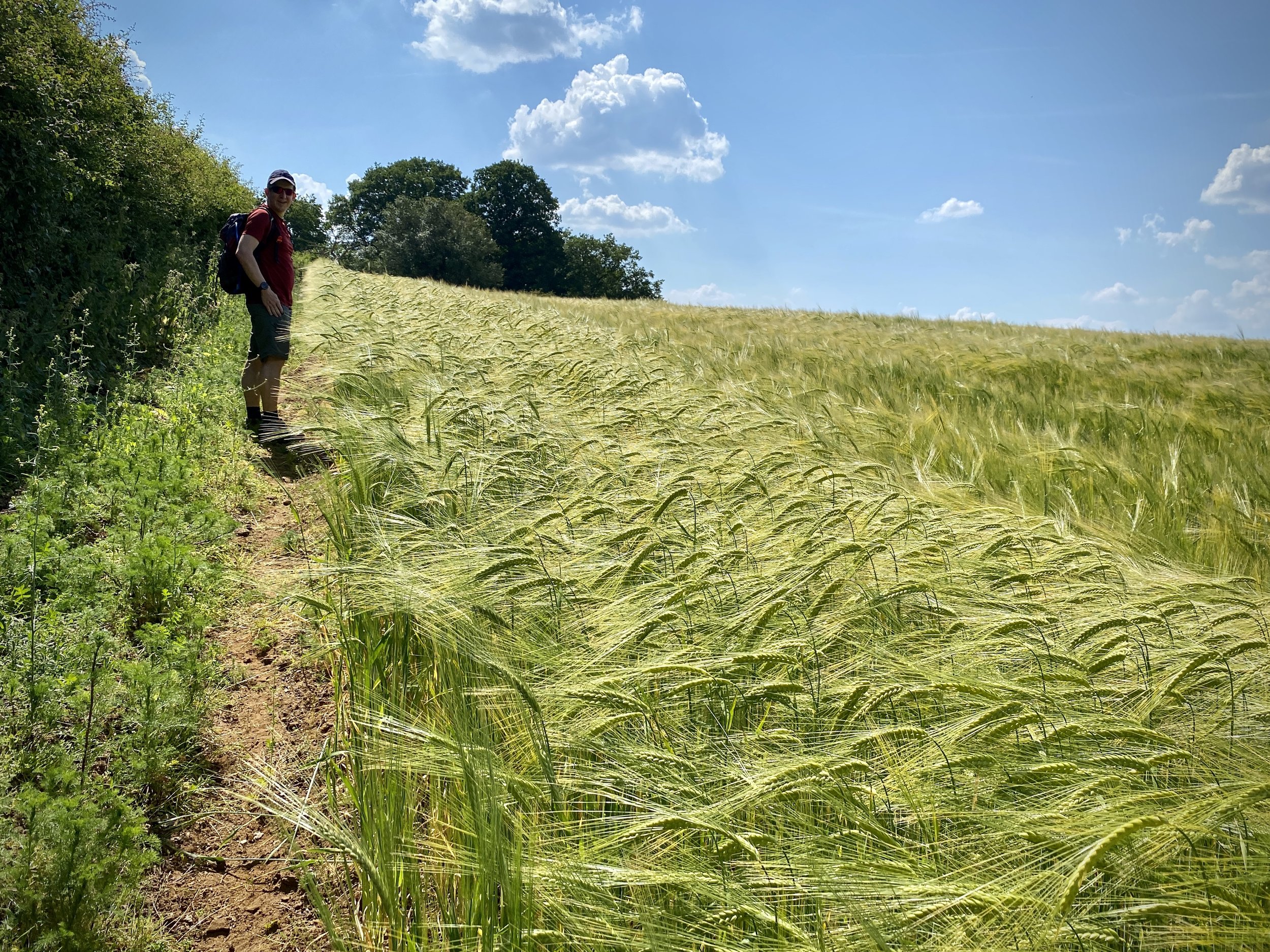
Having previously walked the whole of the North Downs Way, the route was very familiar and felt like an old friend. The first 16 km took us through the villages of Seale and Puttenham, across the River Wey at Guildford and over to Chantry Wood.
This was also the section with the diversion to avoid repairs on the trail. Not only was it an extra mile, but it was all hill: the route climbed a steep hill to the A31 then descended steeply again shortly after.
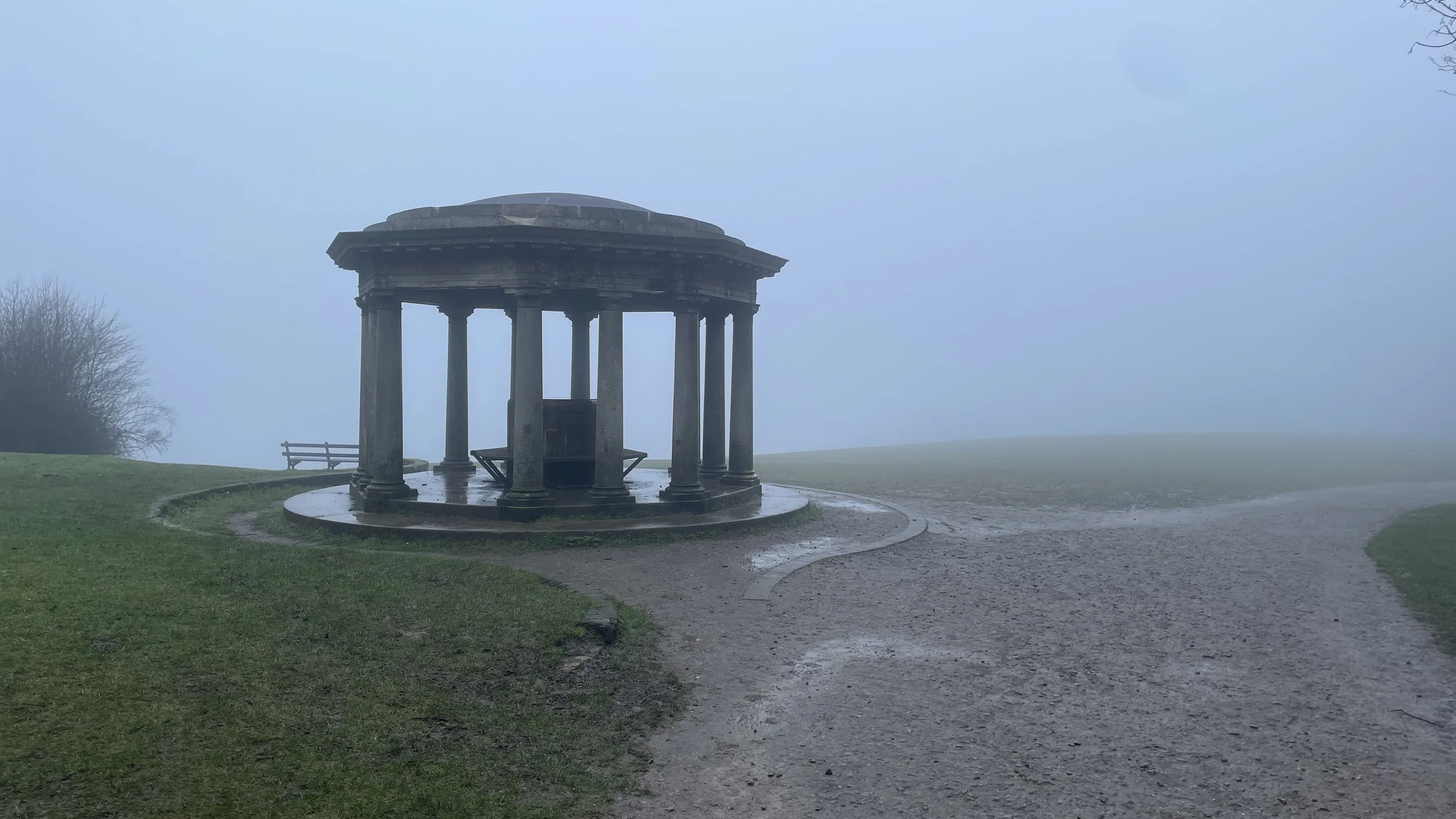
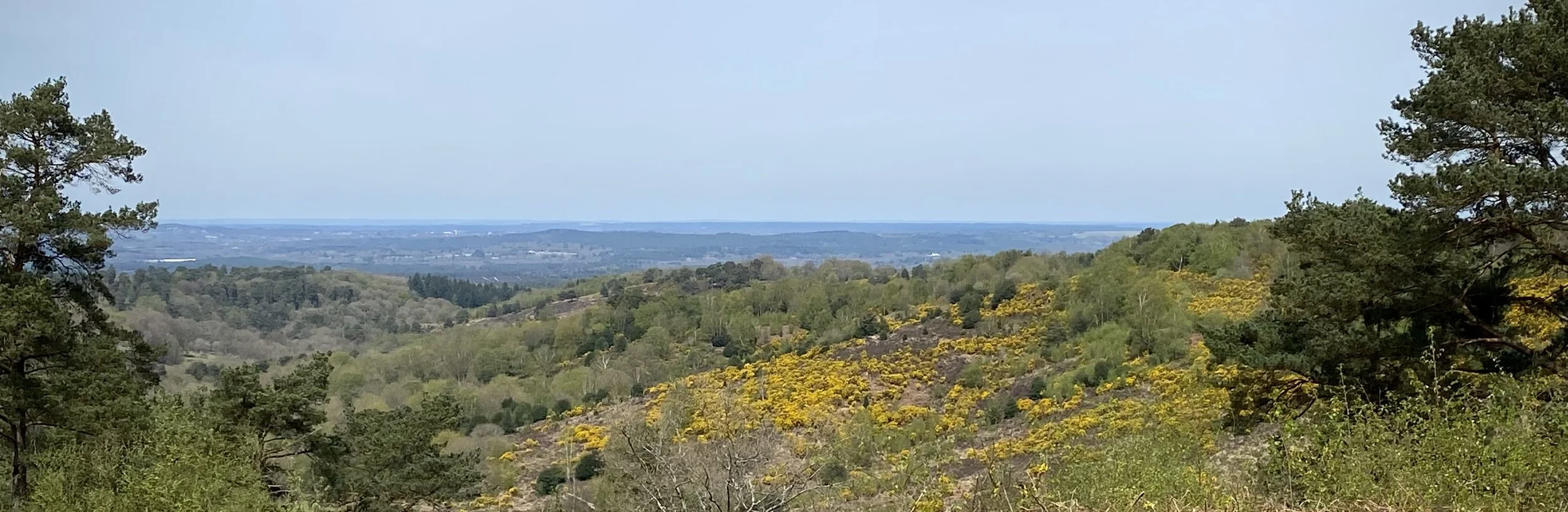
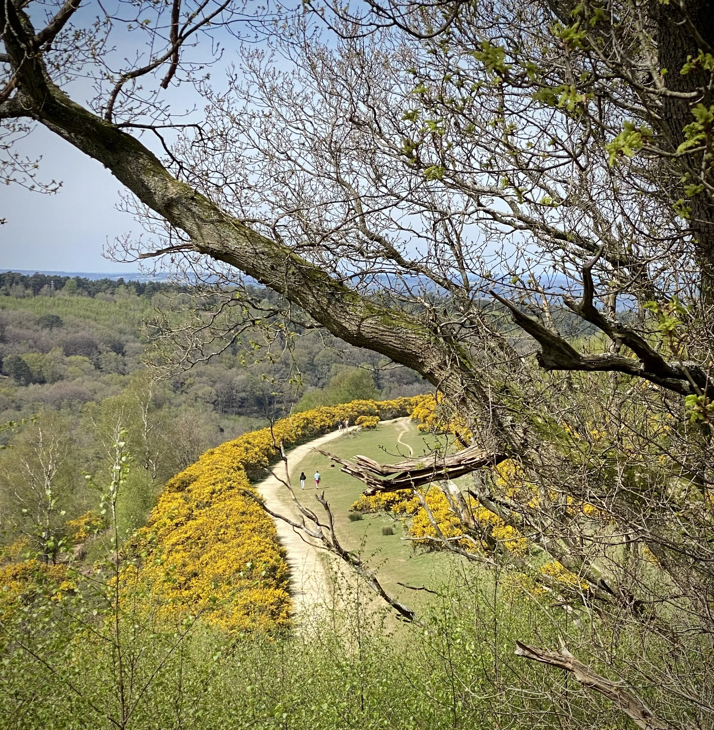
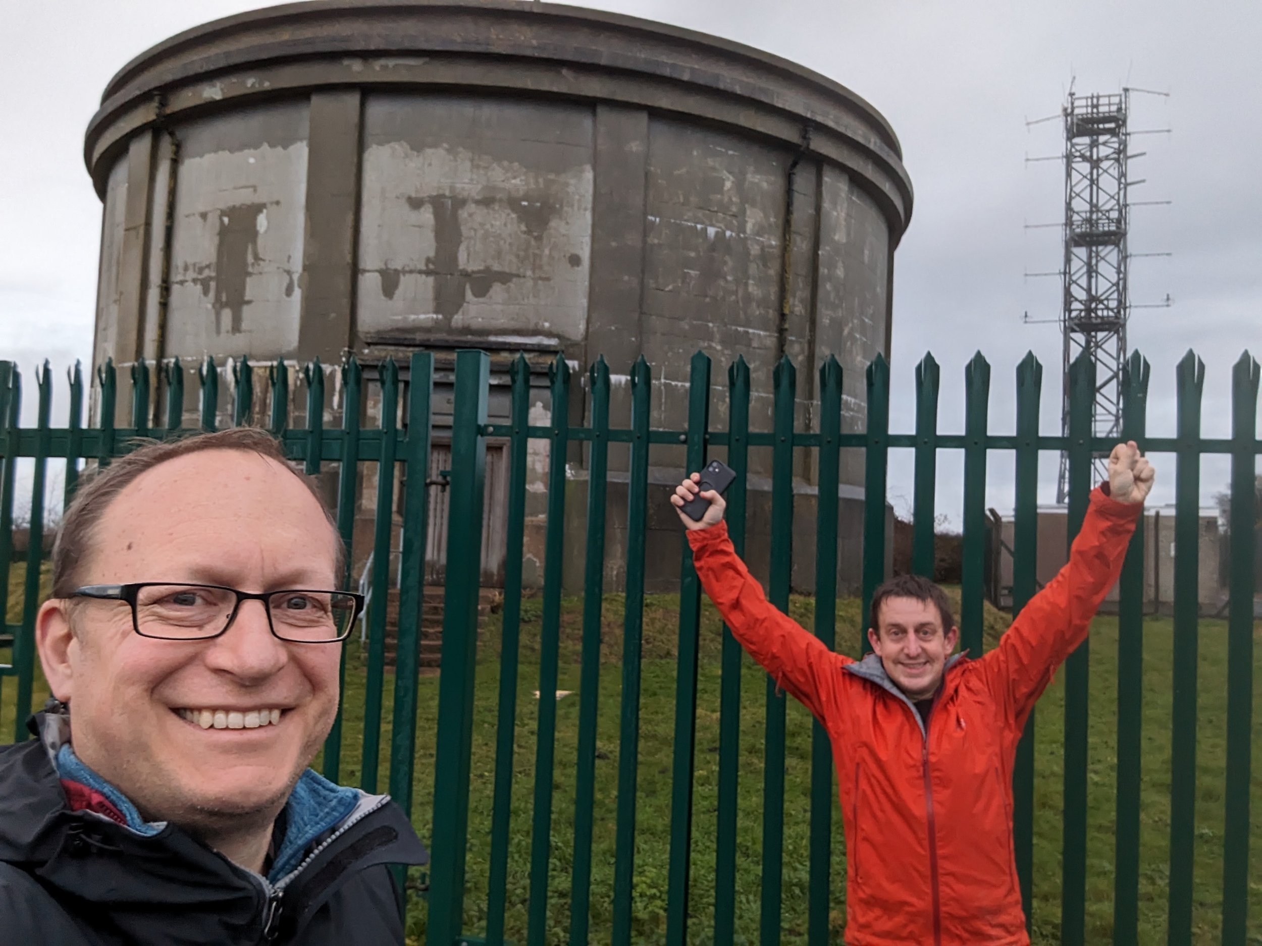
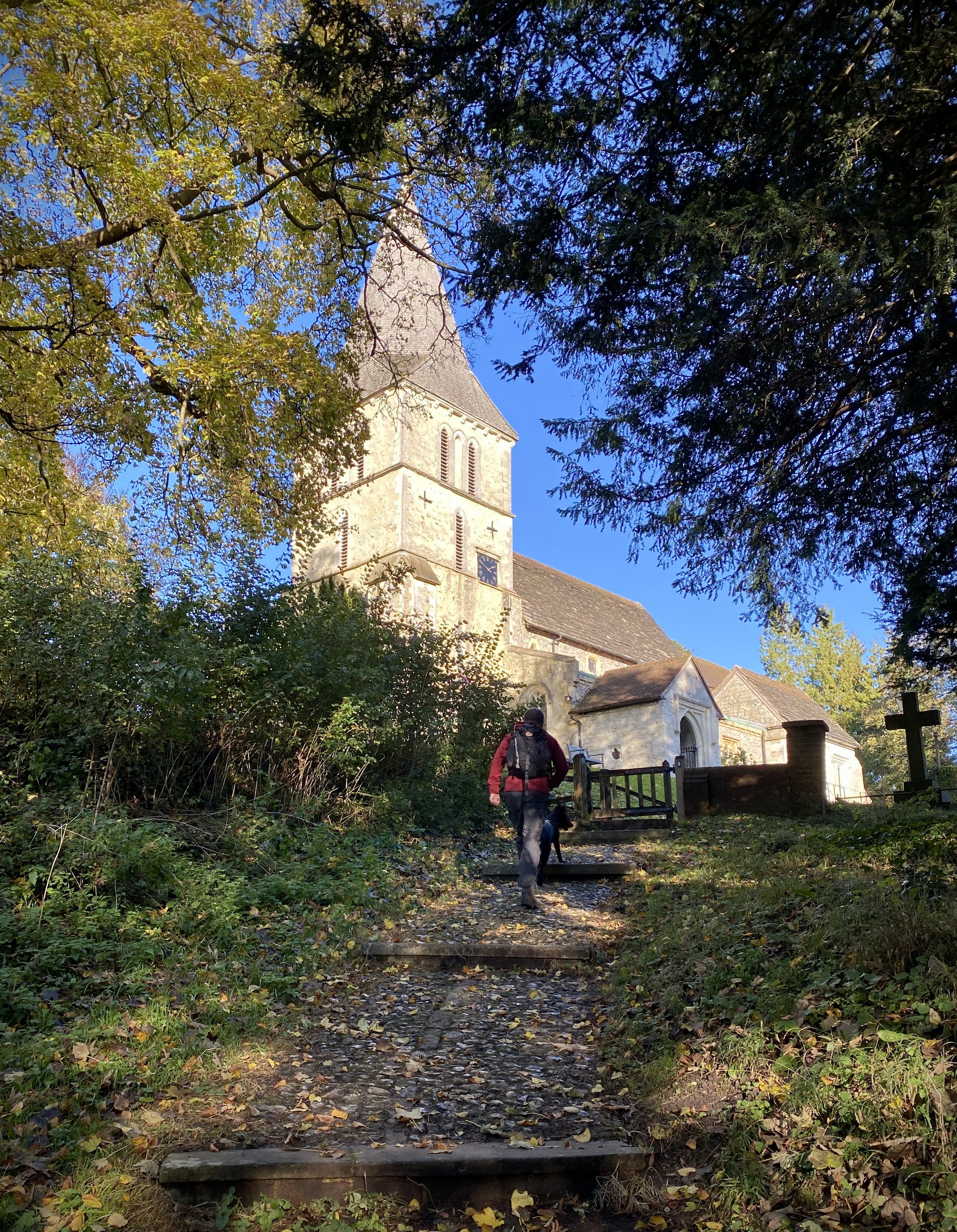
After the first checkpoint, we climbed up to St Martha’s Hill. This would have been the first great view, but the mist and rain didn’t show off the Downs at their best. Newlands Corner came next, which felt like a big milestone in the race. I half-considered stopping in the cafe for a coffee and cake, but I was making good time and didn’t need the food, so I pressed on.
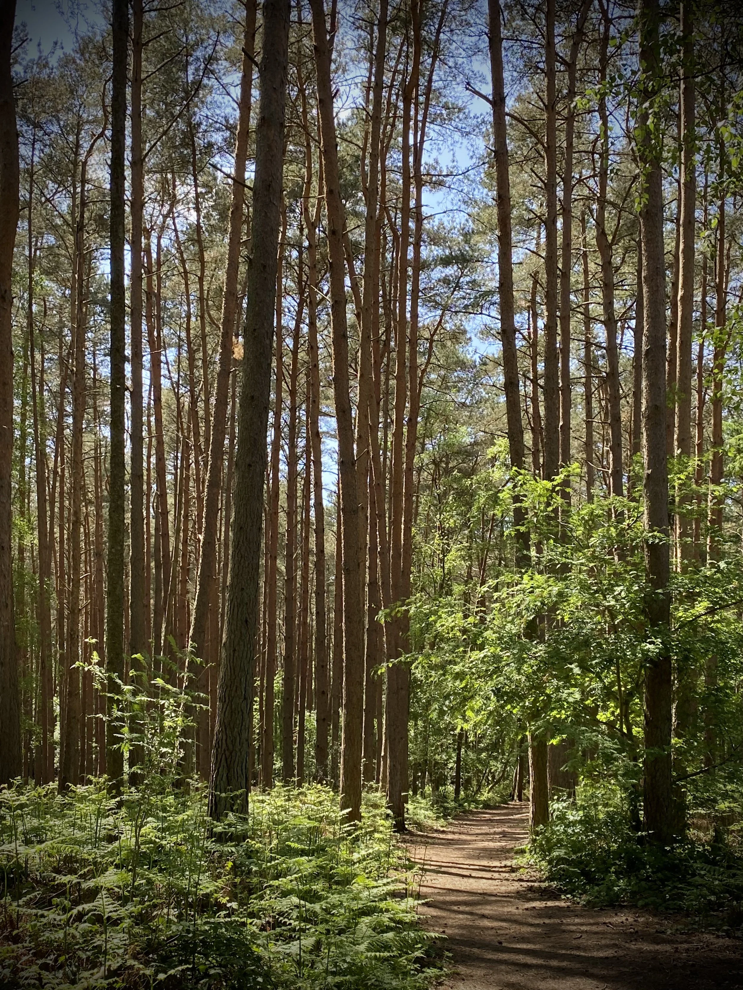
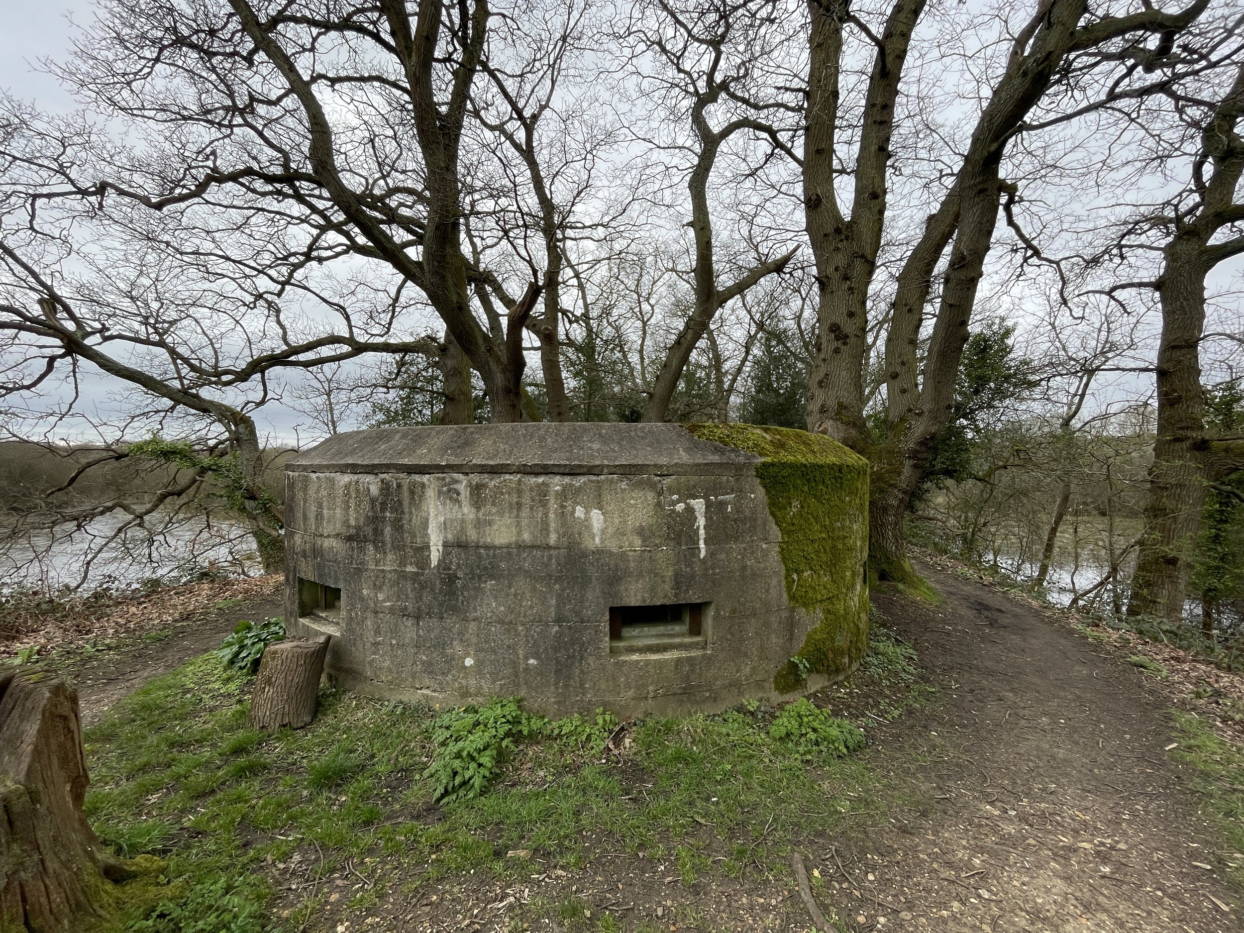
The 12 km after Newlands Corner through Shere Woodlands is beautiful, but it involves a lot of the same view, so I found it one of the less interesting parts of the route. This was also where I was overtaken by the faster runners who had started an hour behind me.
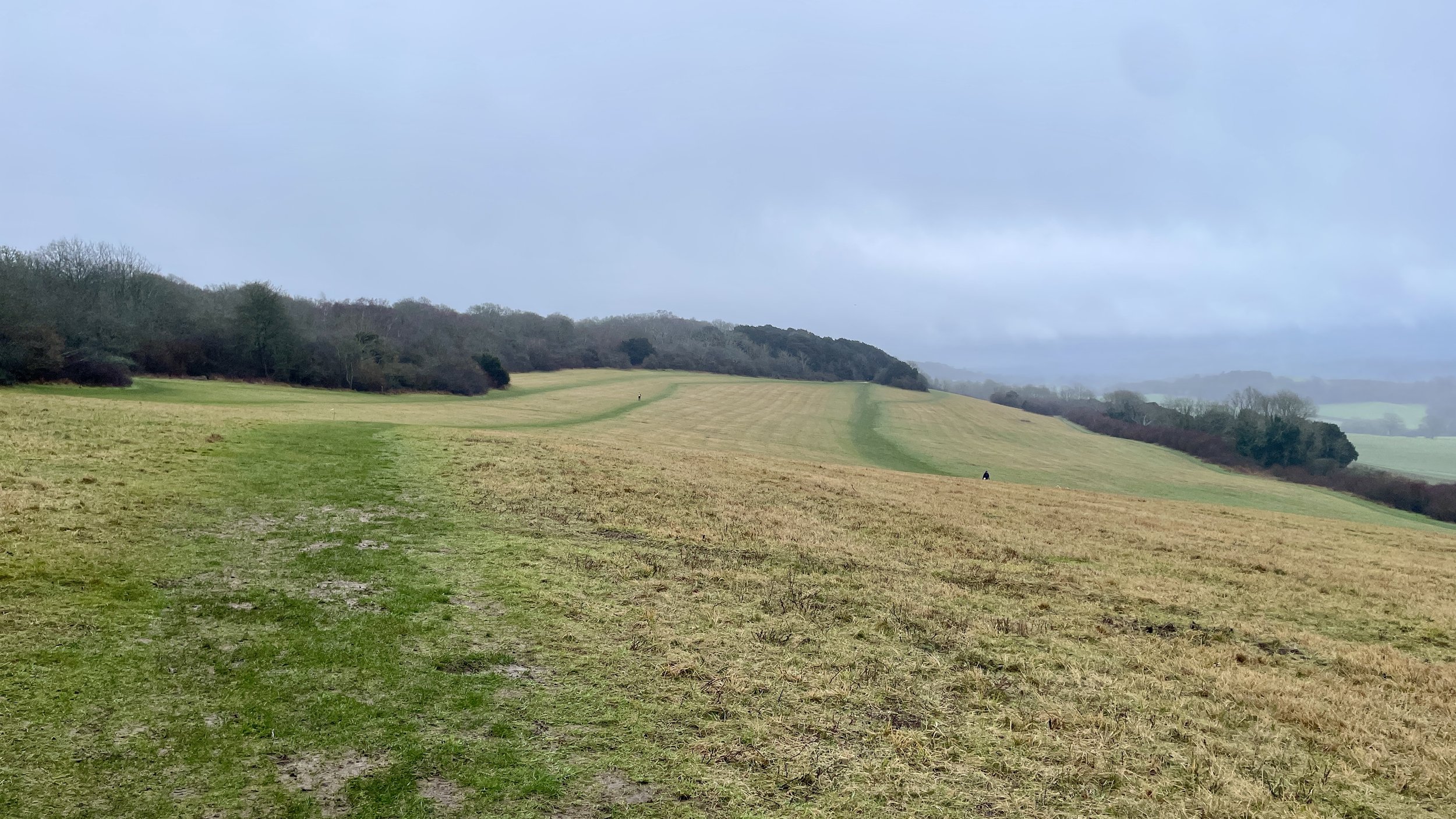
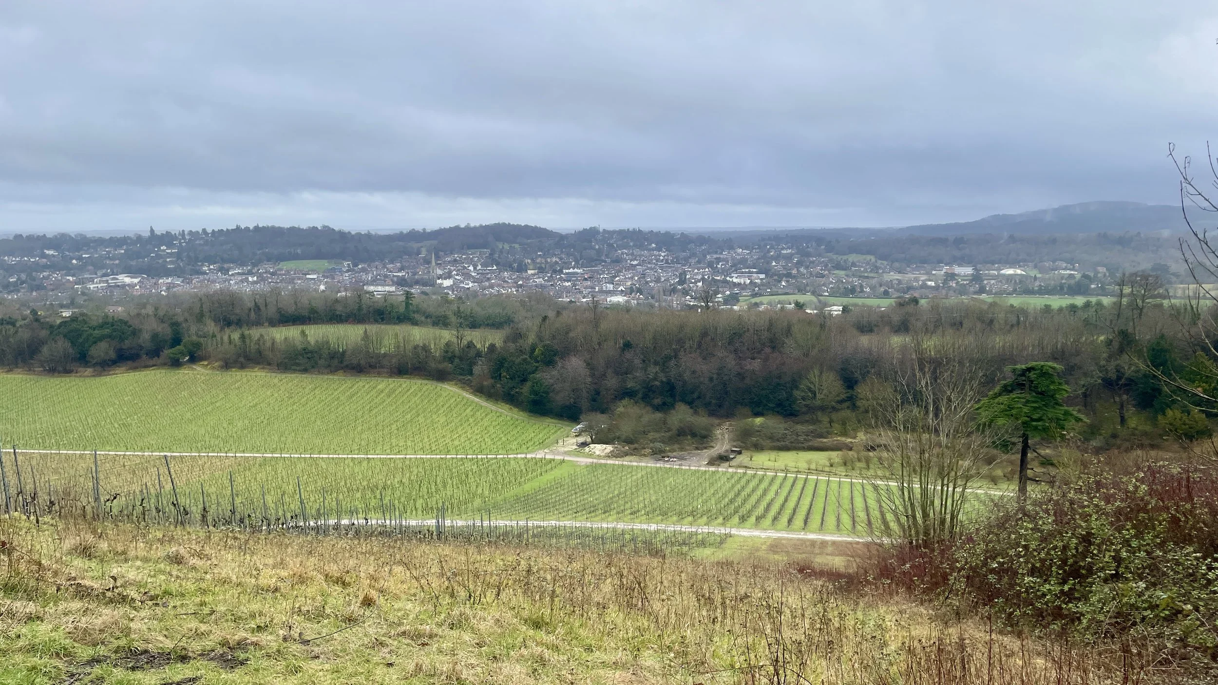
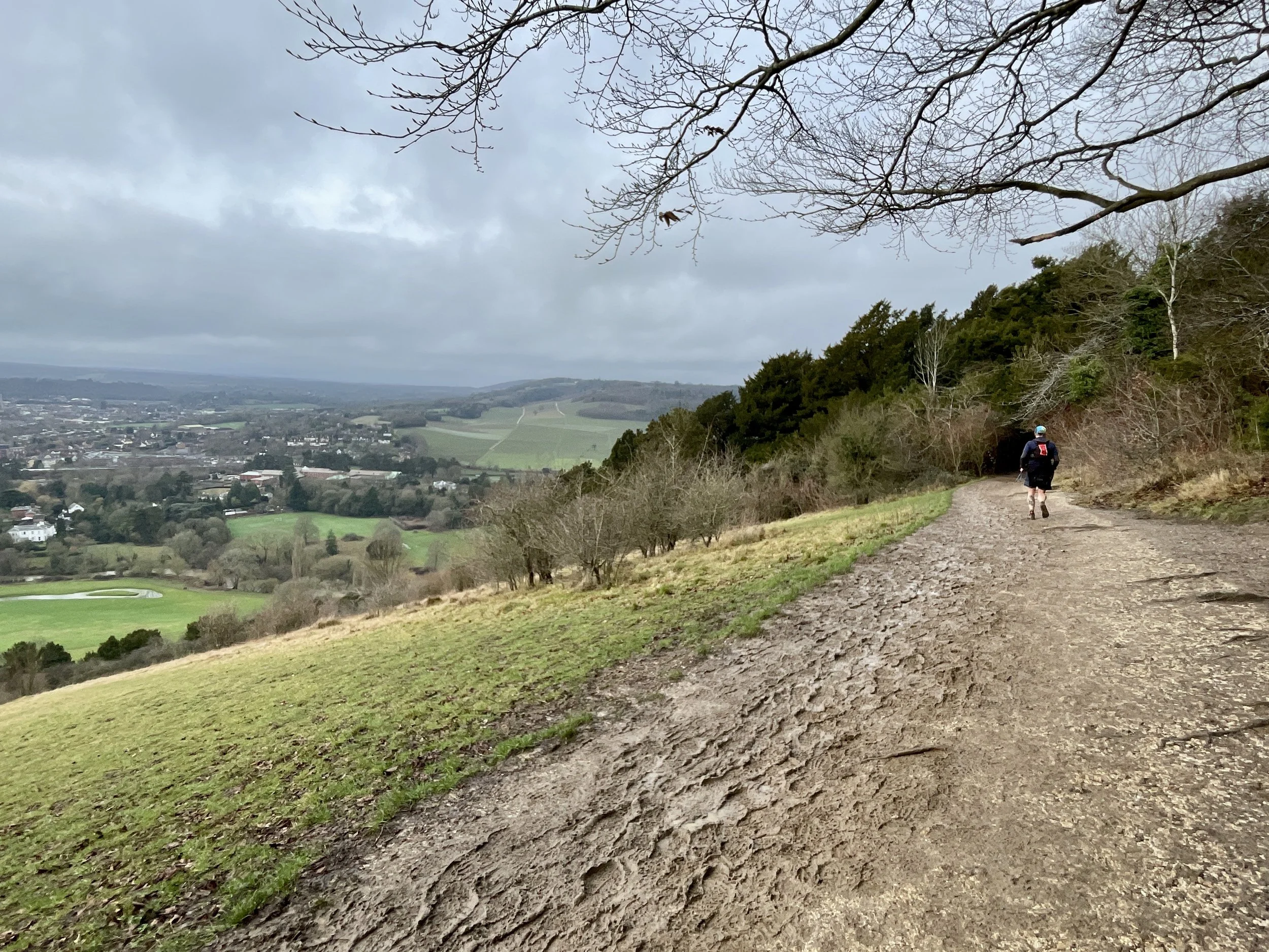
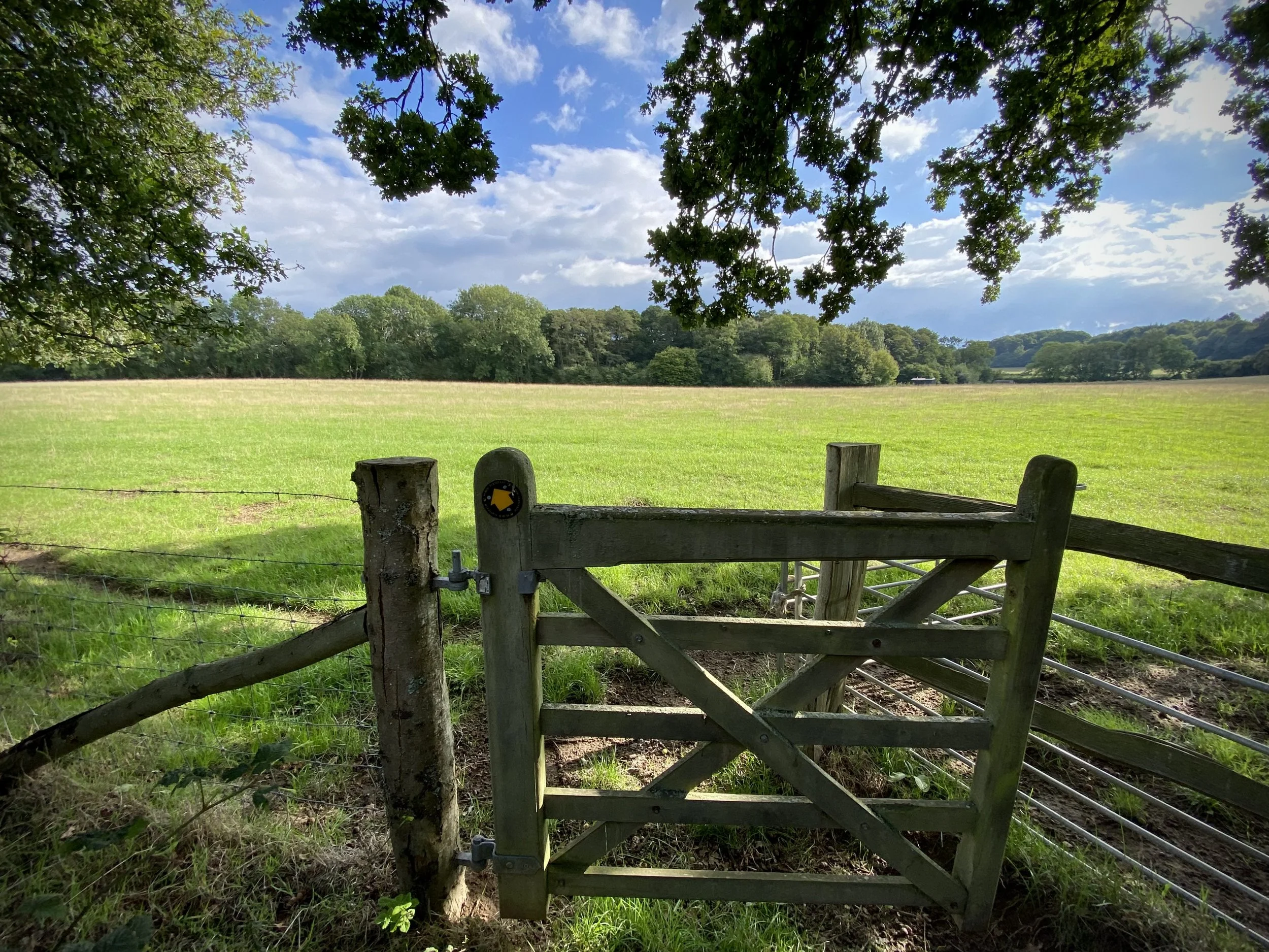
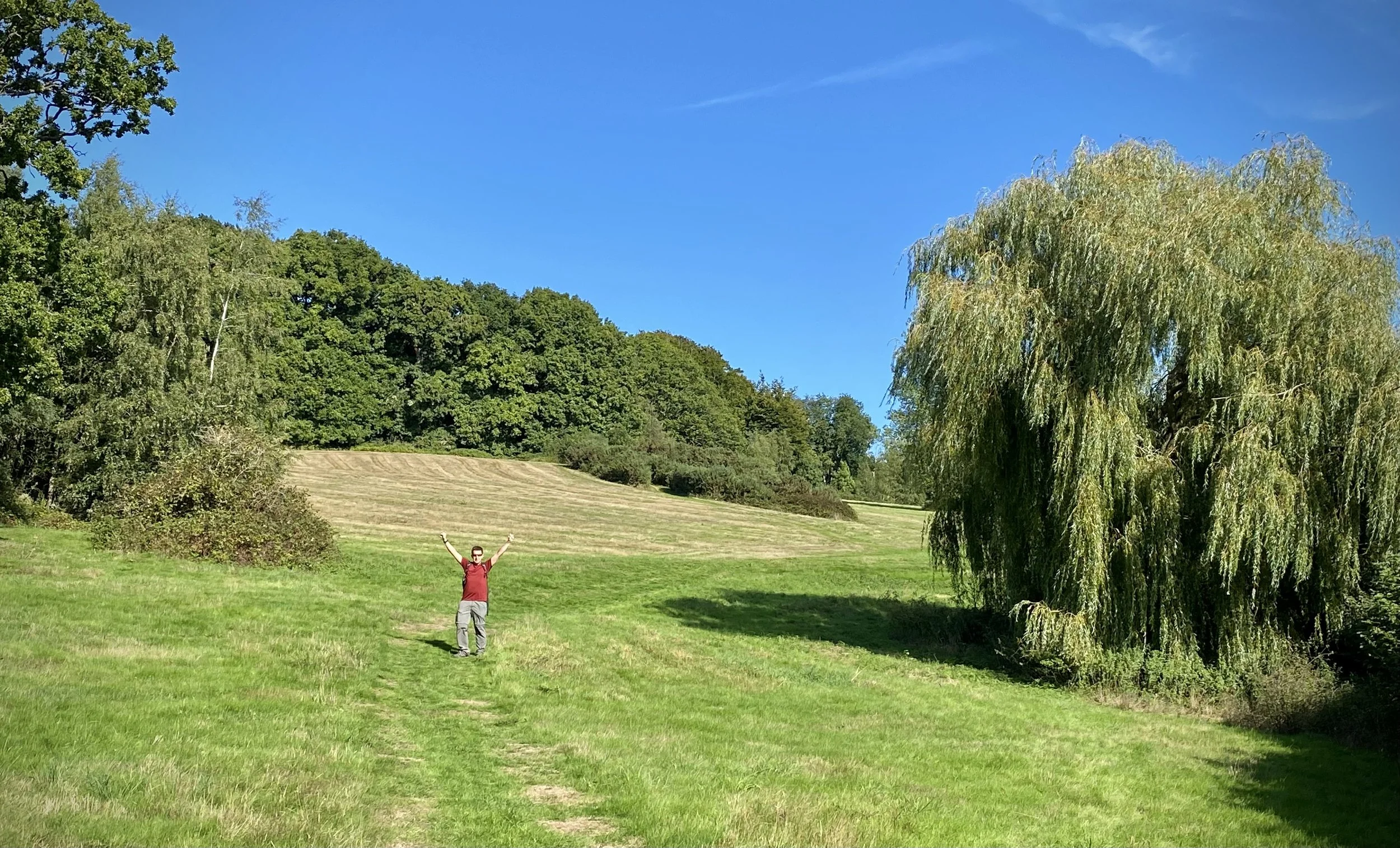
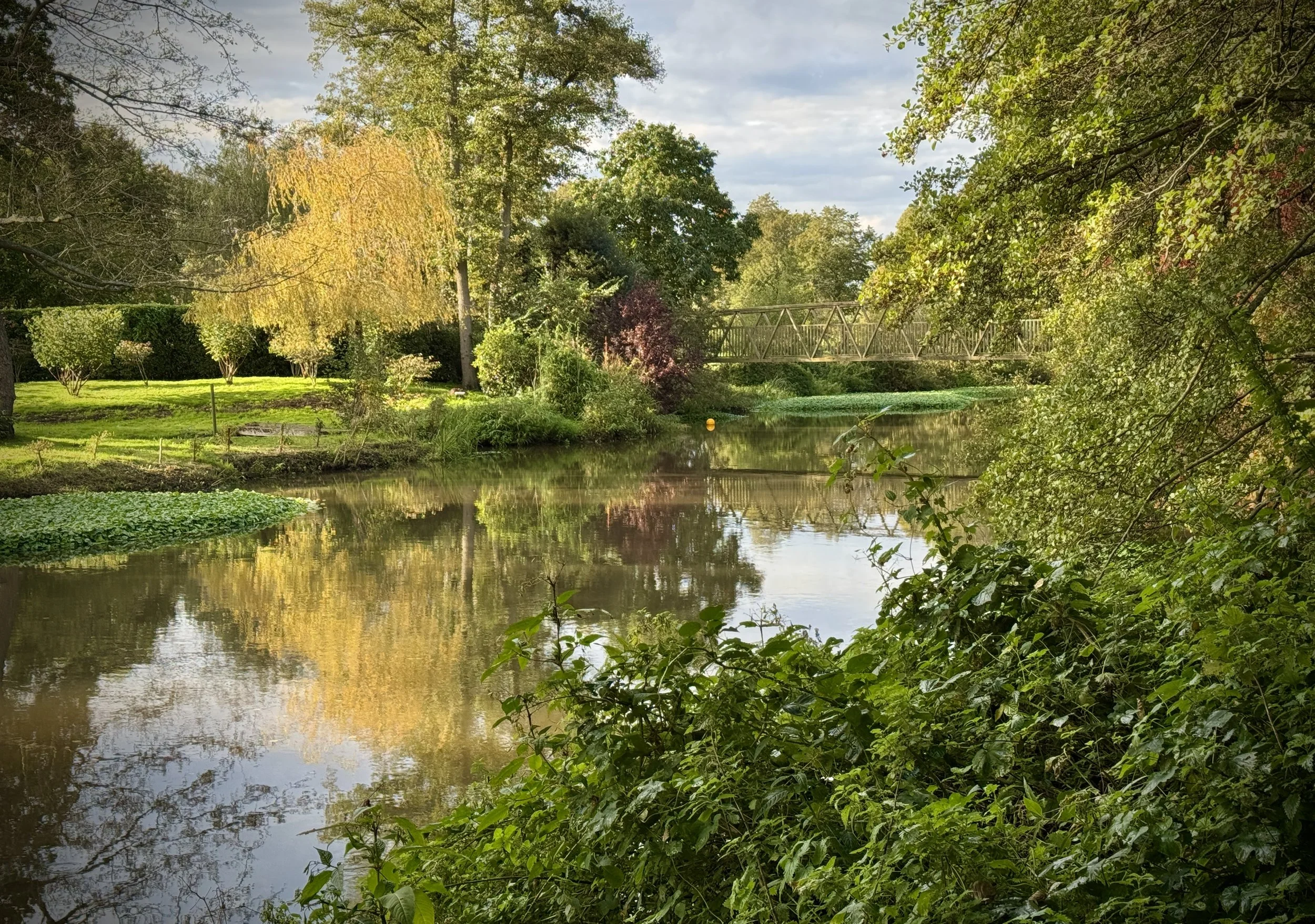
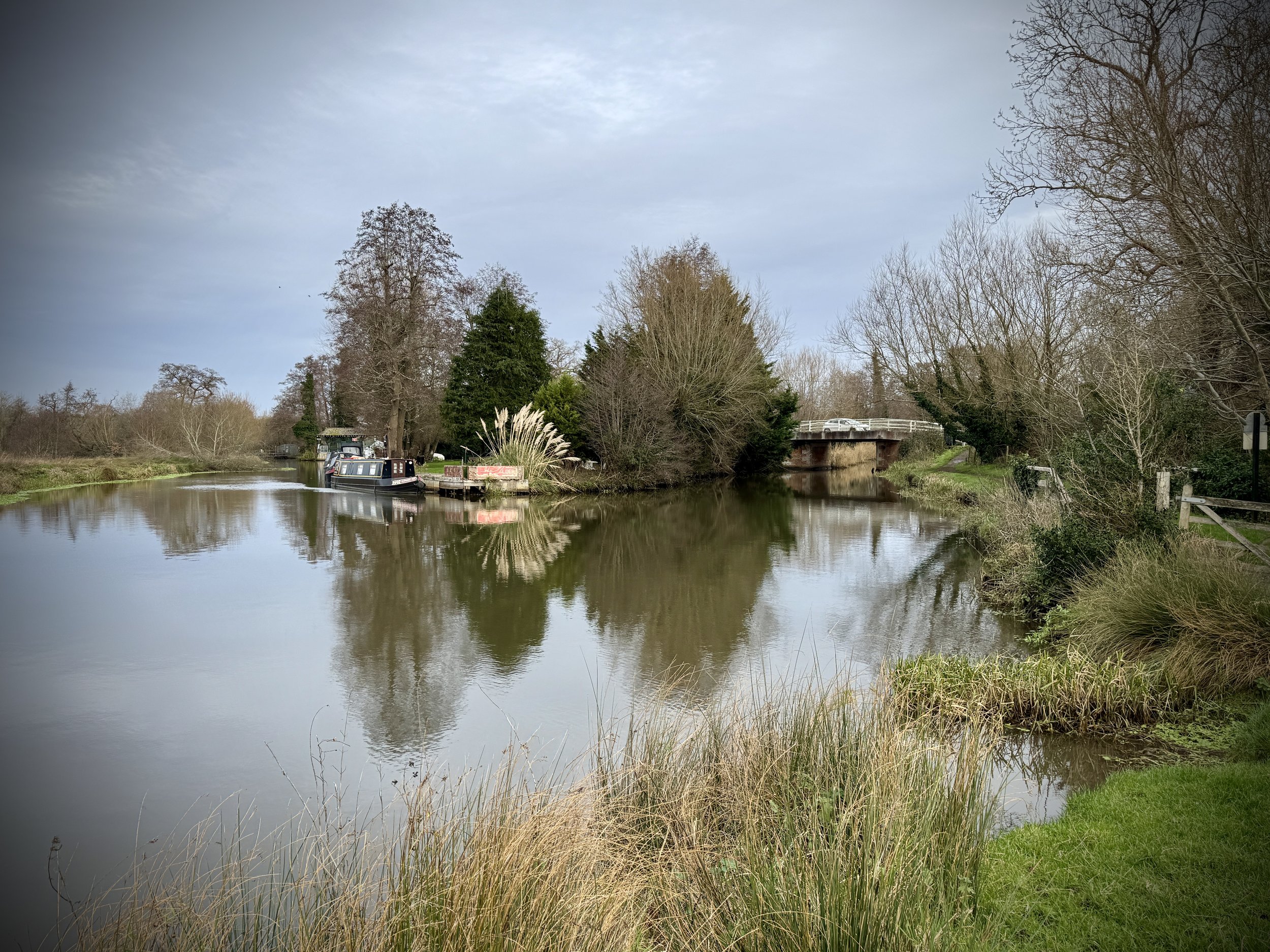
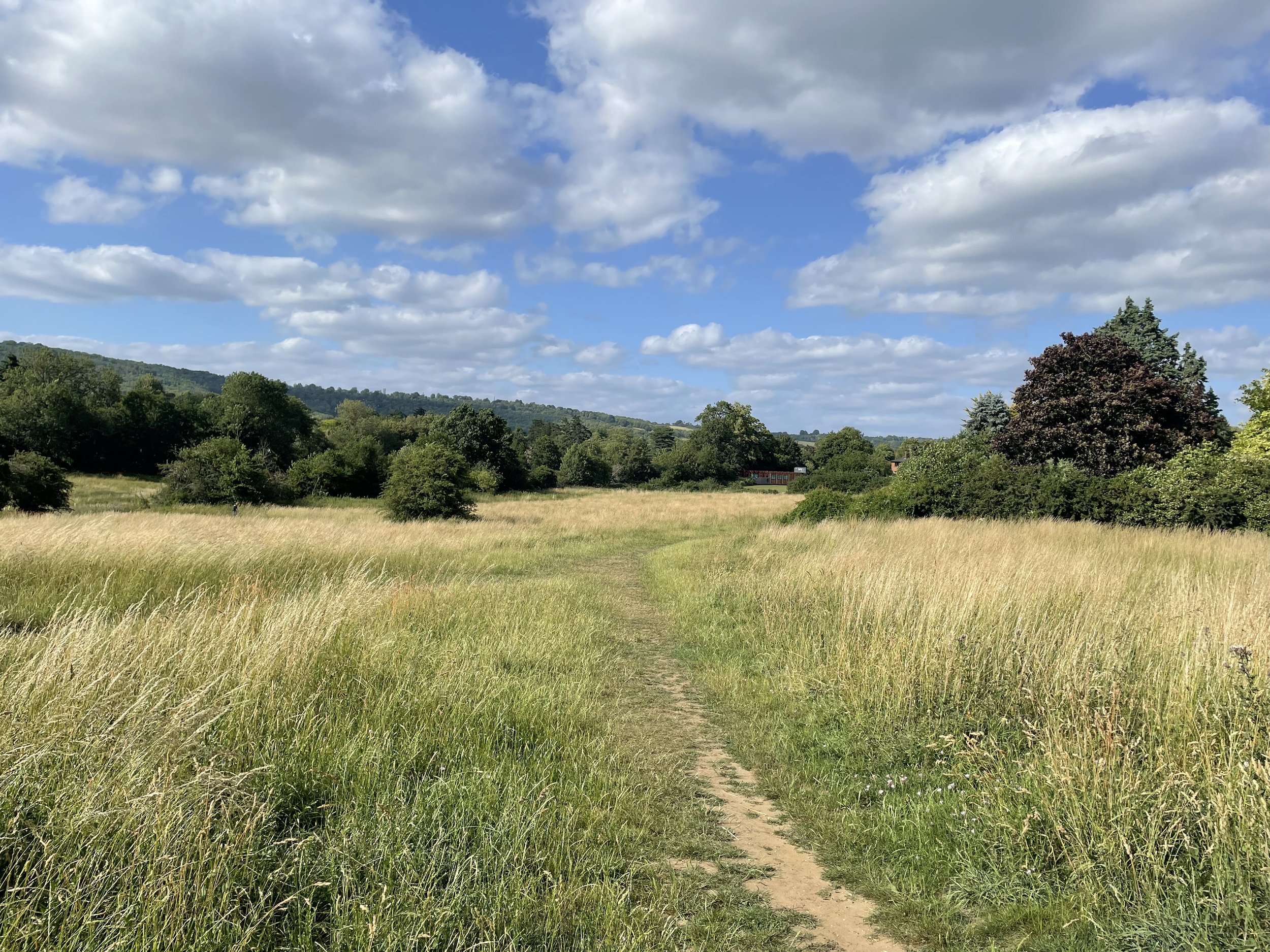
After the Ranmore Common checkpoint, the trail became much more interesting again. The descending curve around Denbies gave us great views across the vineyard over to Dorking and Box Hill.
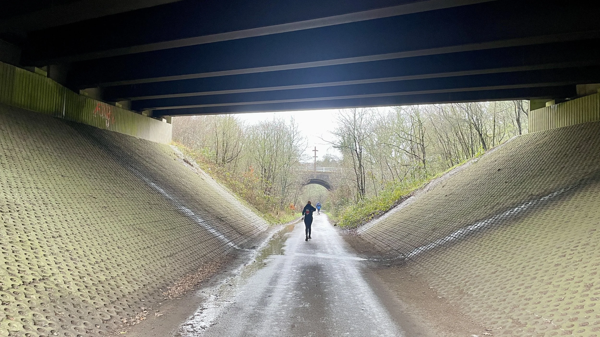
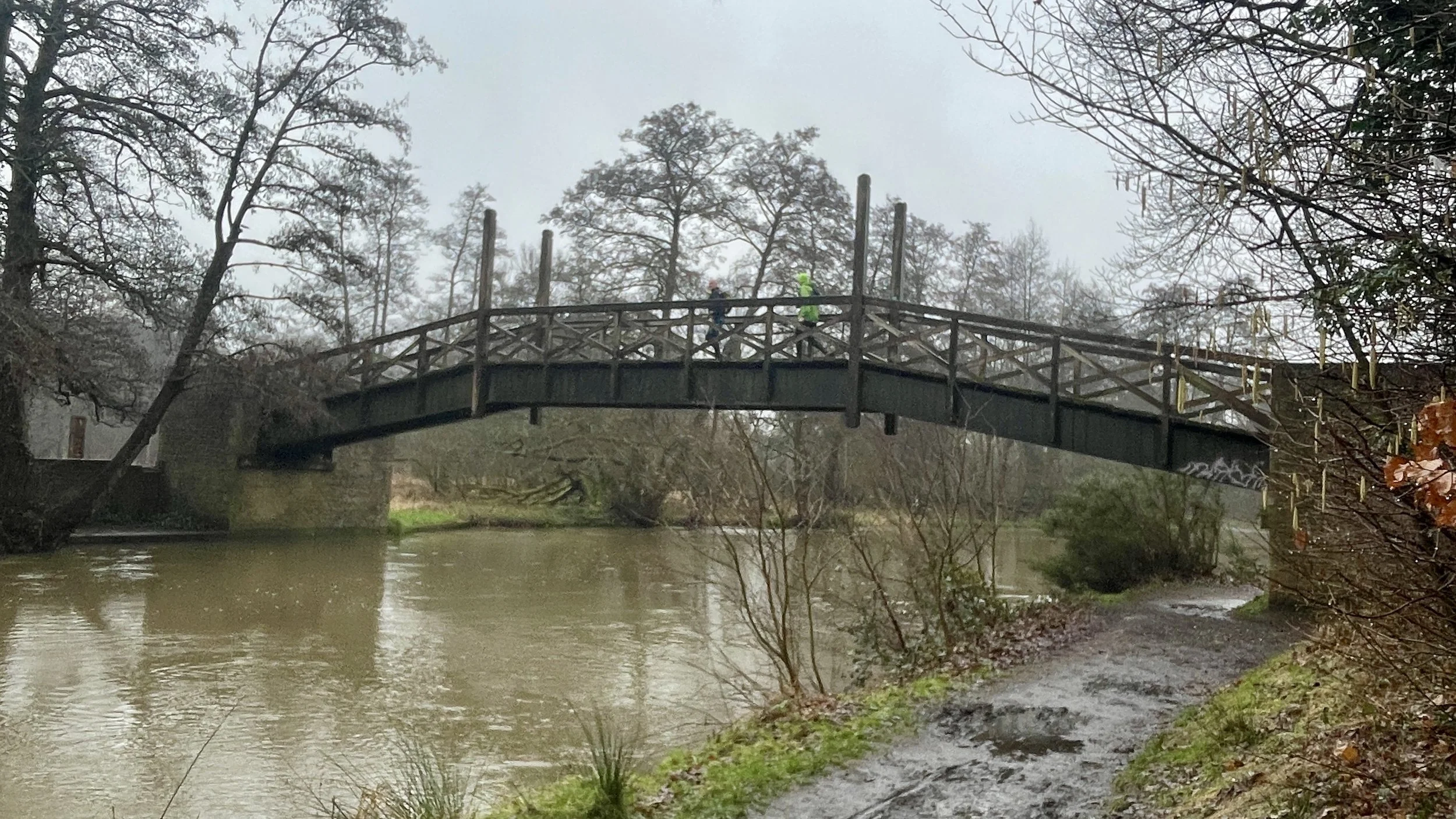
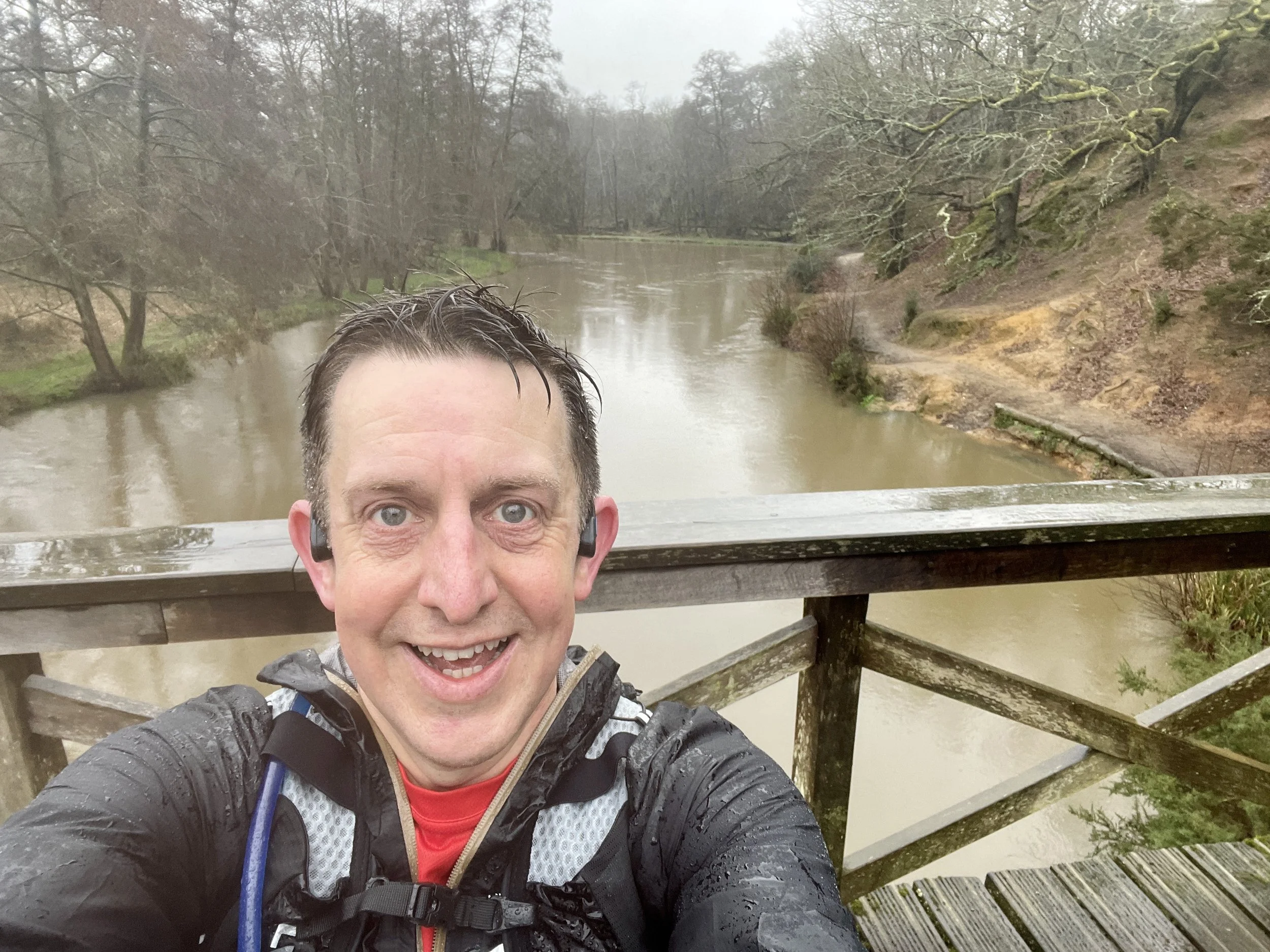
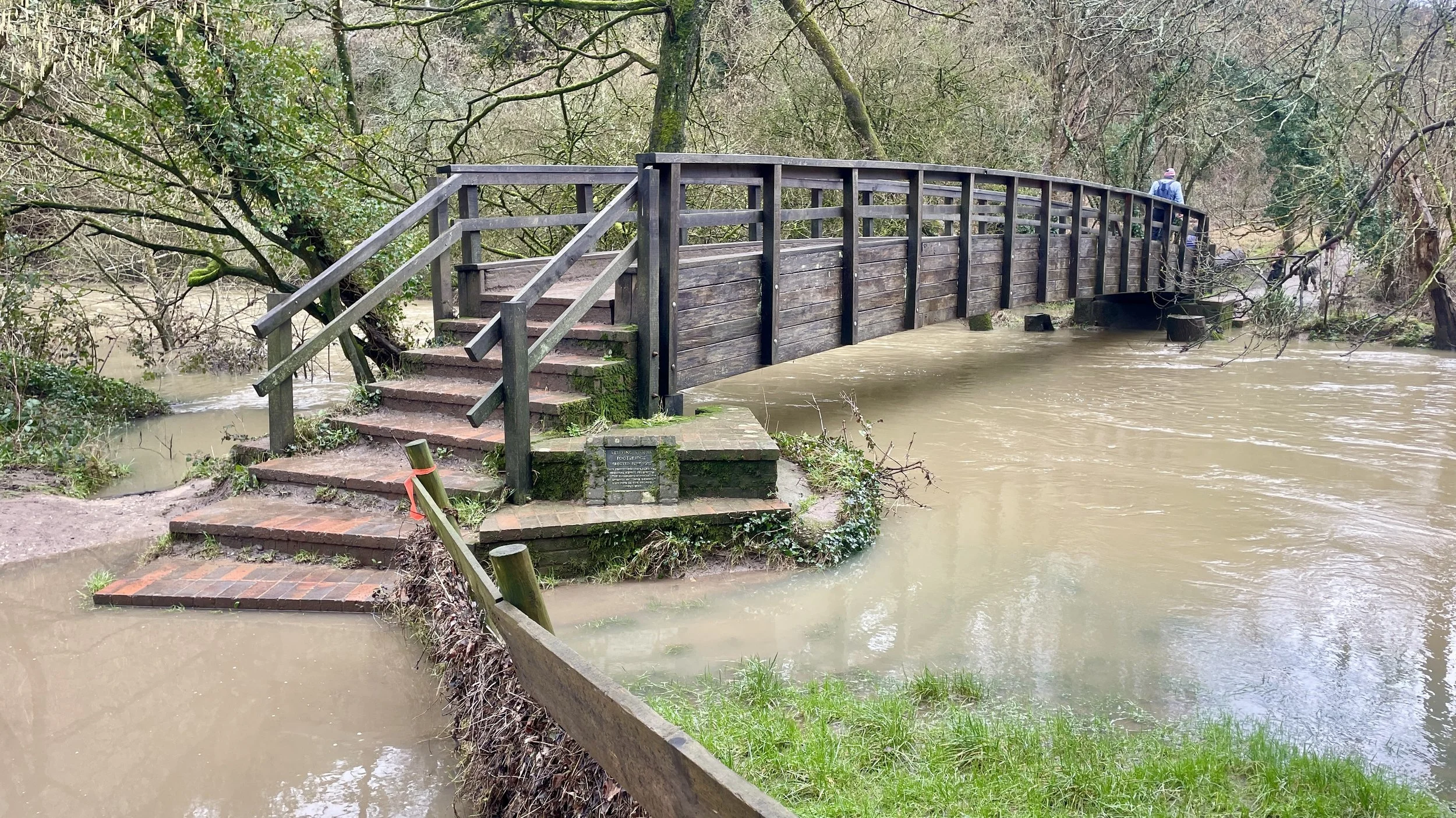
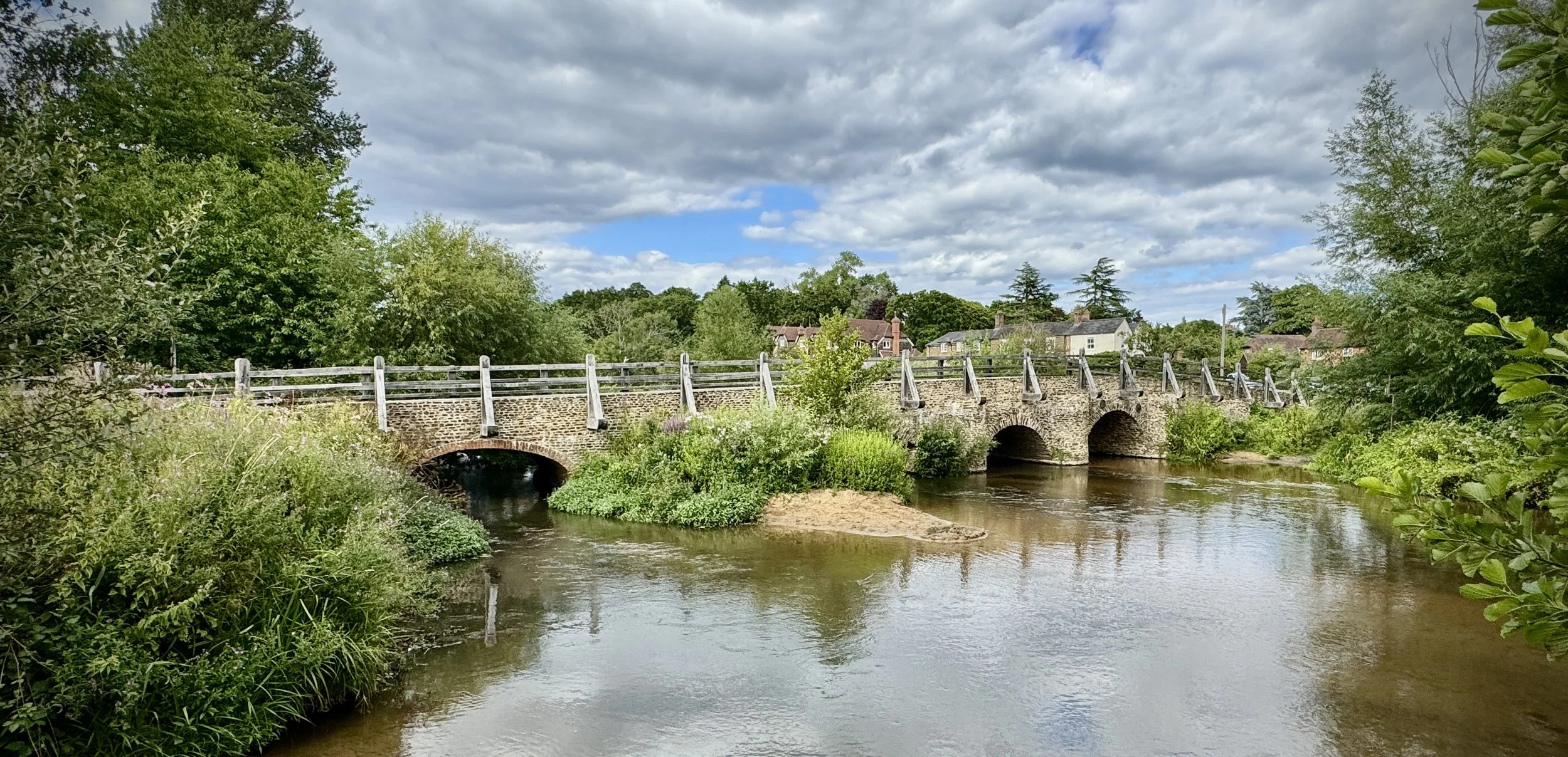
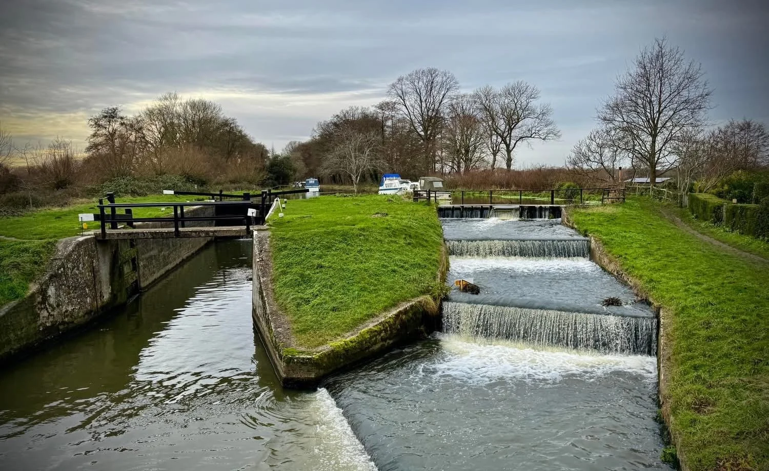
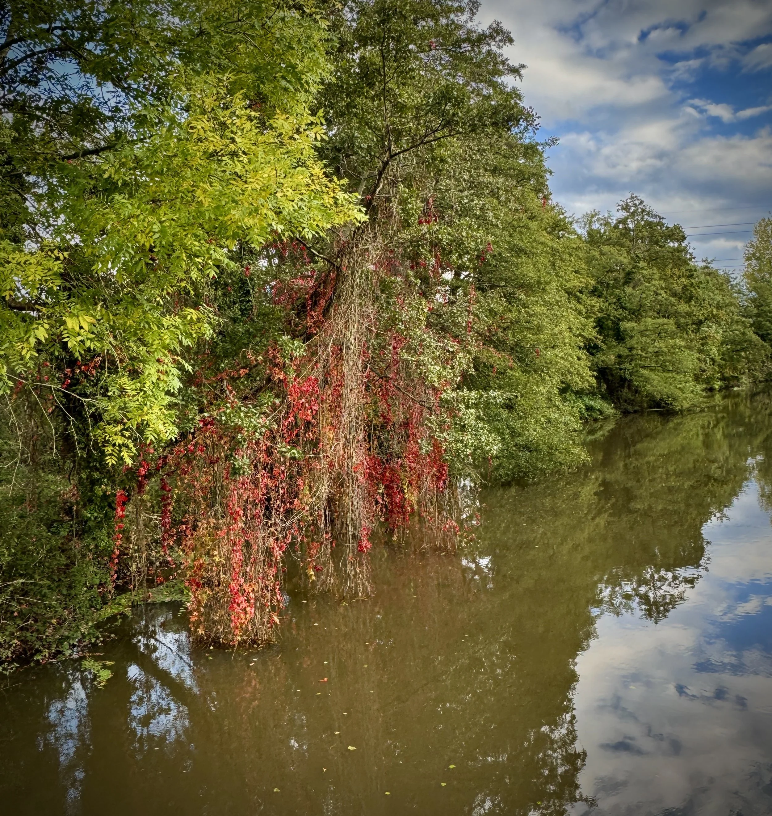
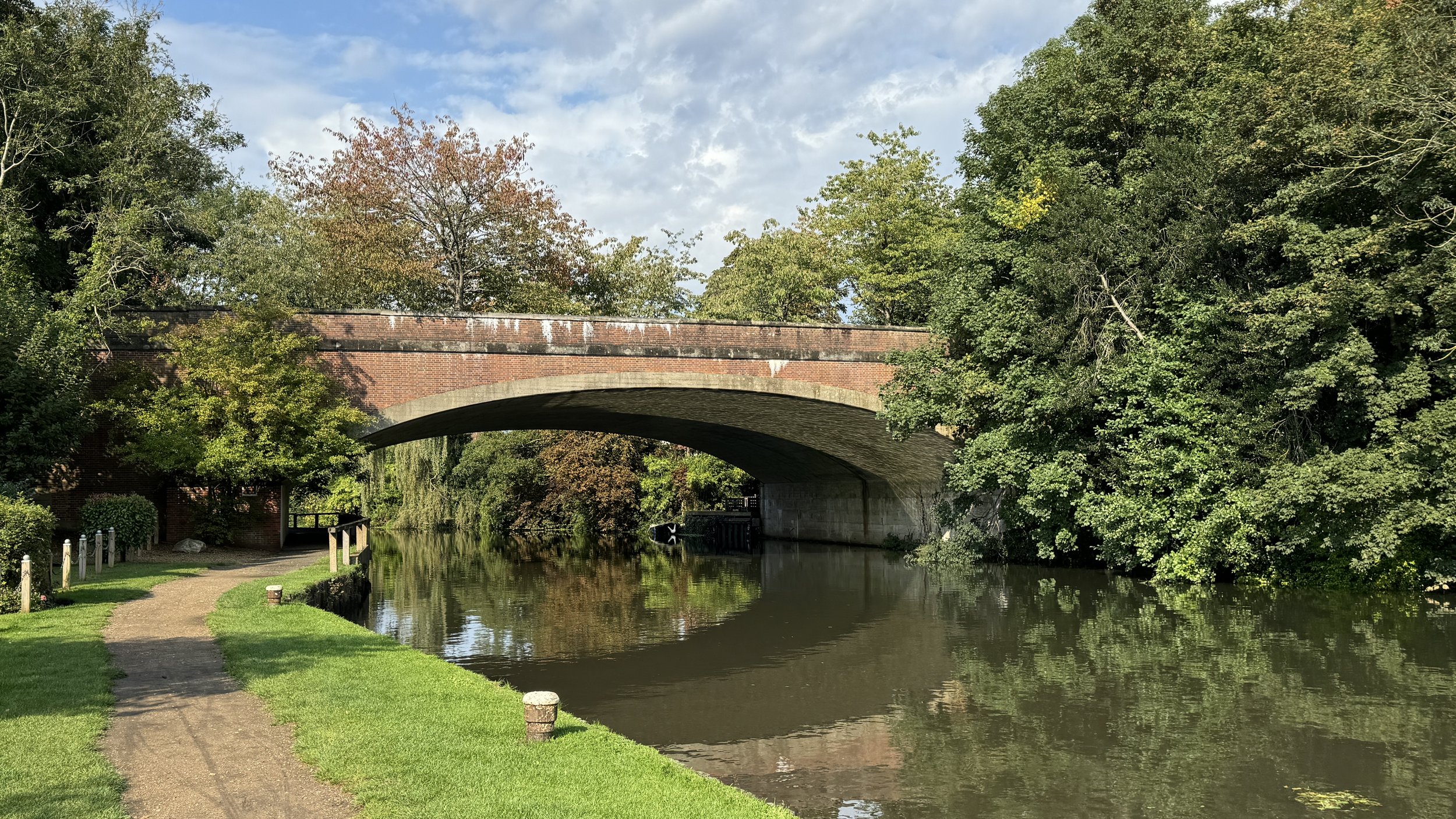
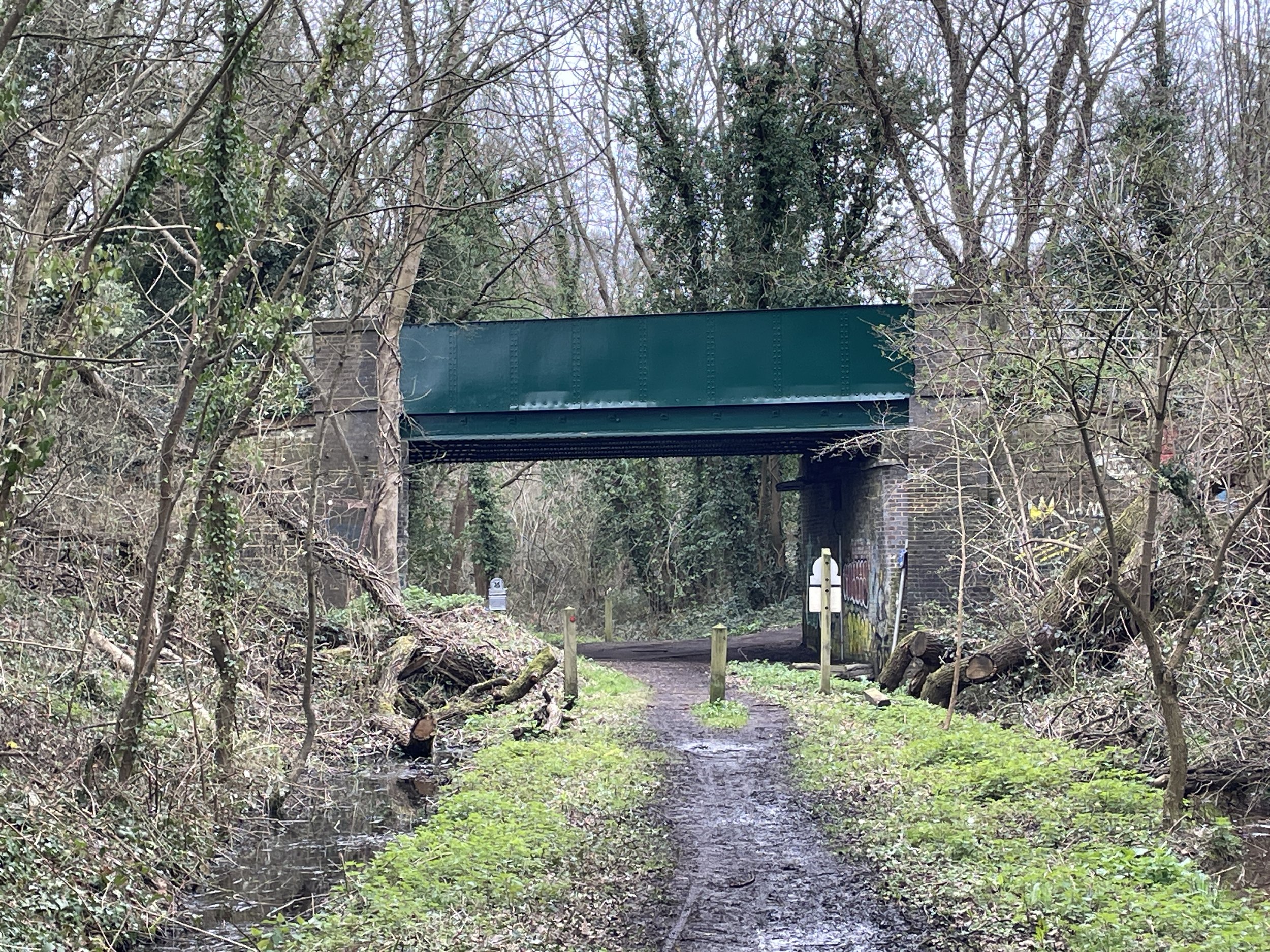
After crossing under the A24 near Dorking, we came to the River Mole crossing. We were told in the briefing that the Mole had burst its banks and it would be a wet one: we would have a choice of crossing over the Stepping Stones or using the dry route over the footbridge.
It was only because I had been to the crossing before that I knew where the stepping stones would be. That day they were submerged under fast-flowing water and couldn’t be seen at all. Even the bridge option wasn’t completely dry as there was a large, deep puddle on the other side that required wading.
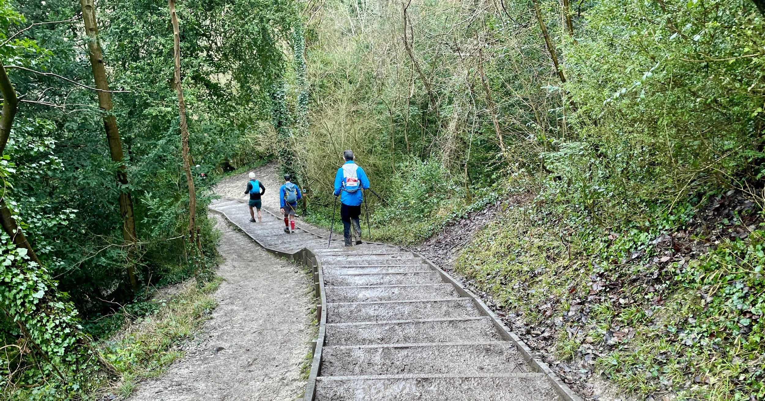
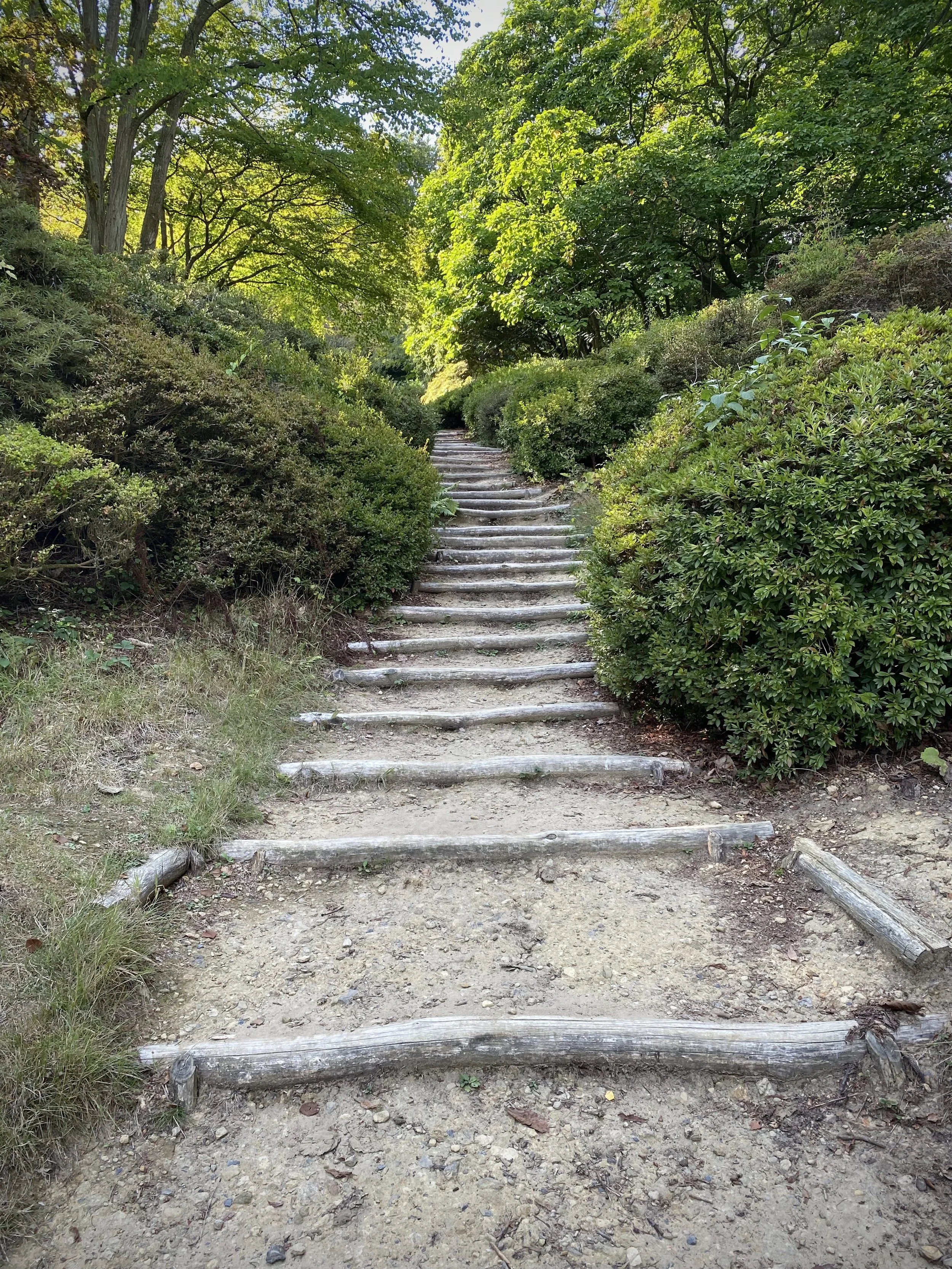
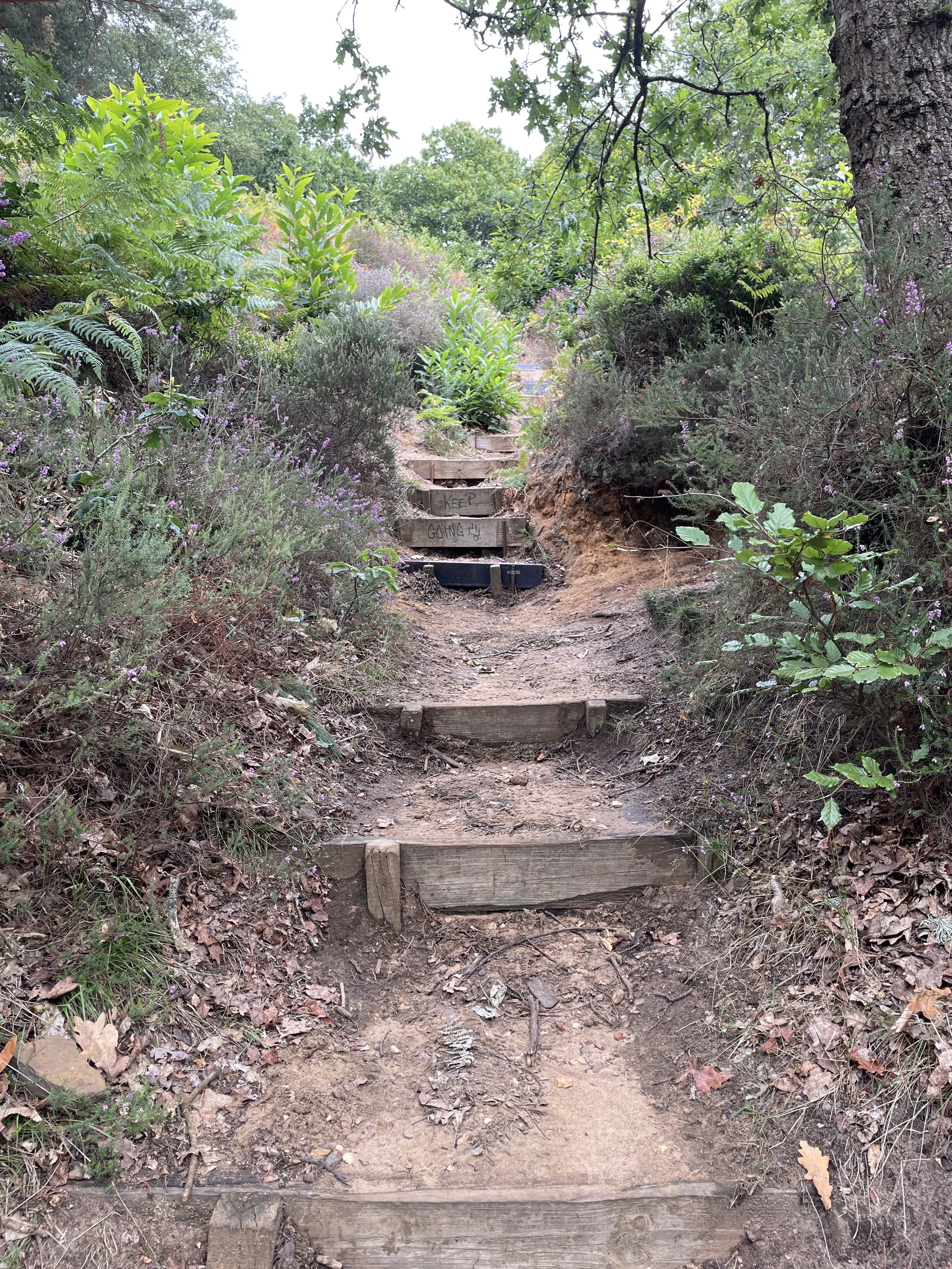
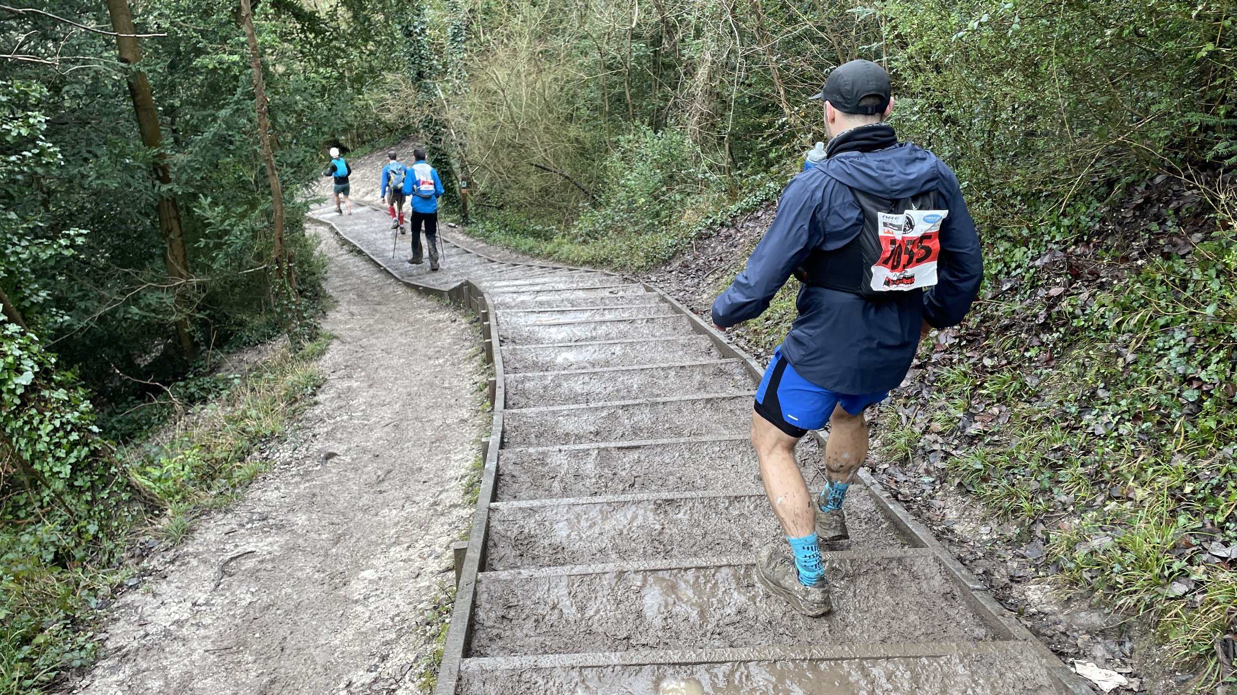
Next up was the steep climb up the steps to the Box Hill viewpoint, followed by an equally steep descent through a narrow wooded path.
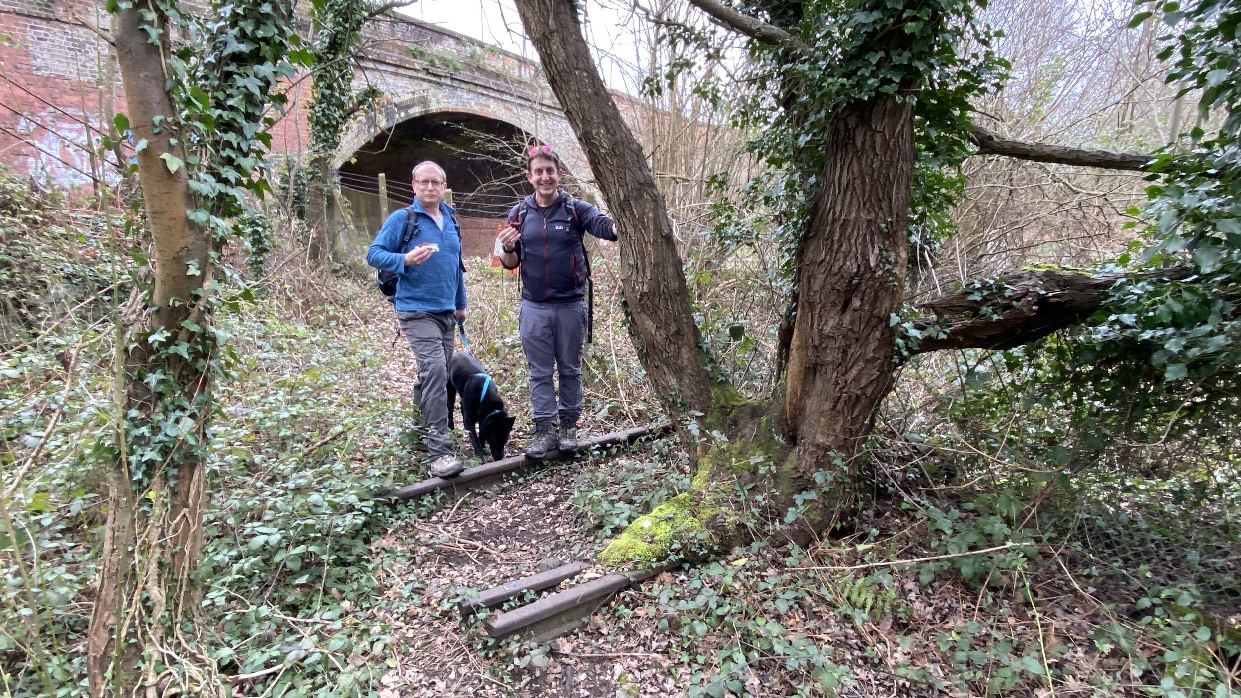
After Checkpoint 3 at Betchworth, I joined a fellow participant named Lee for the final couple of hours. Like several others on the route, Lee was using the event as training for the Marathon des Sables. He was suffering, having fallen earlier in the day, and was going slower than planned. Lee’s slow pace was my normal pace, and it gave us the opportunity to chat for a couple of hours.
I’ve learned that there are two types of Ultra conversation. The usual one is the 2-minute chat as you briefly pass someone at a similar speed before one of you pulls ahead. That chat is a mixture of "tough isn’t it?", "how are you feeling?" and "is this your first Ultra?"
The other type of chat only happens when your pace exactly matches another runner for a long period and you can have a much deeper conversation. Ultra runners tend to have very interesting backstories, and Lee was no exception. I think the chat helped both of us, and it certainly helped me through the last 15 km, which always feel longer.
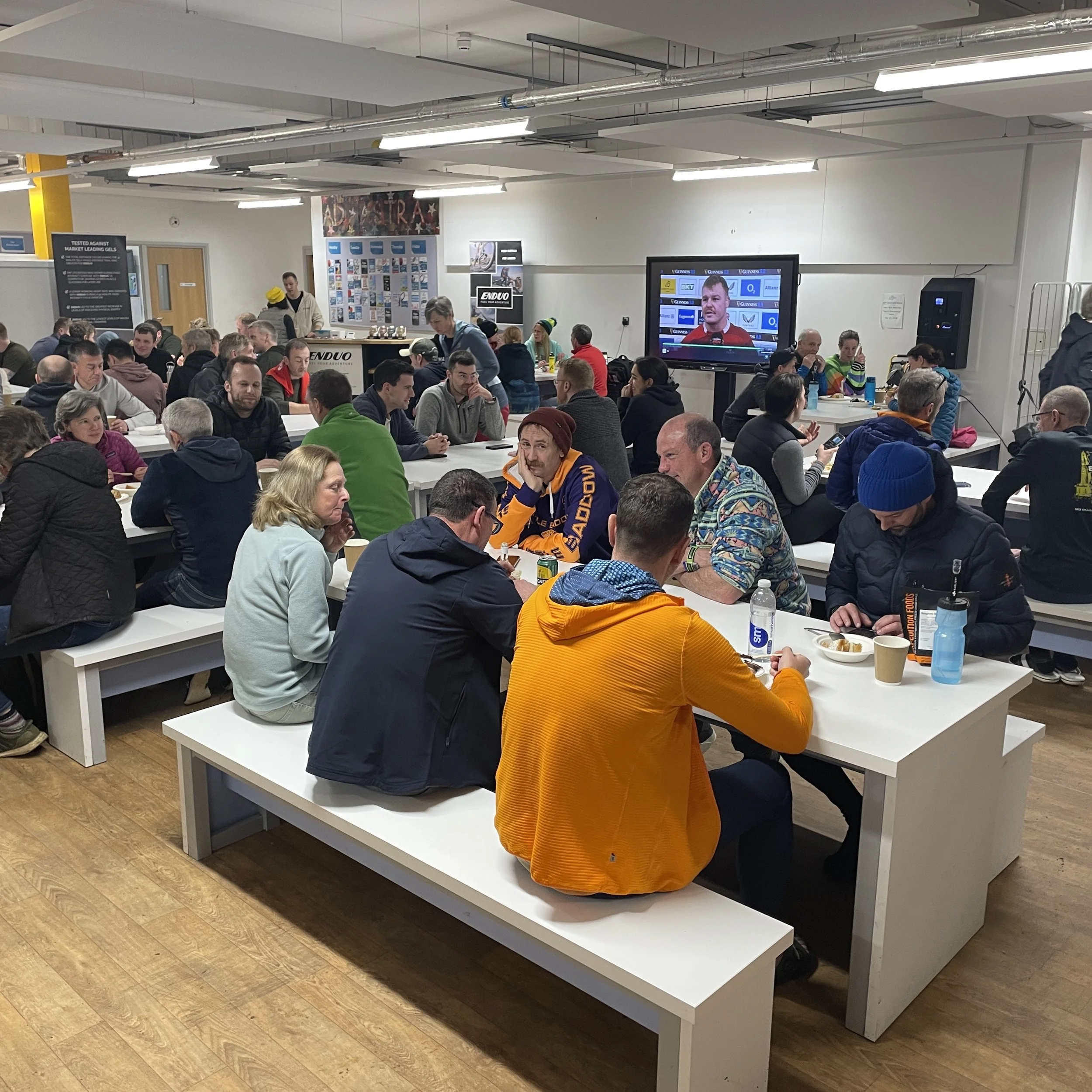
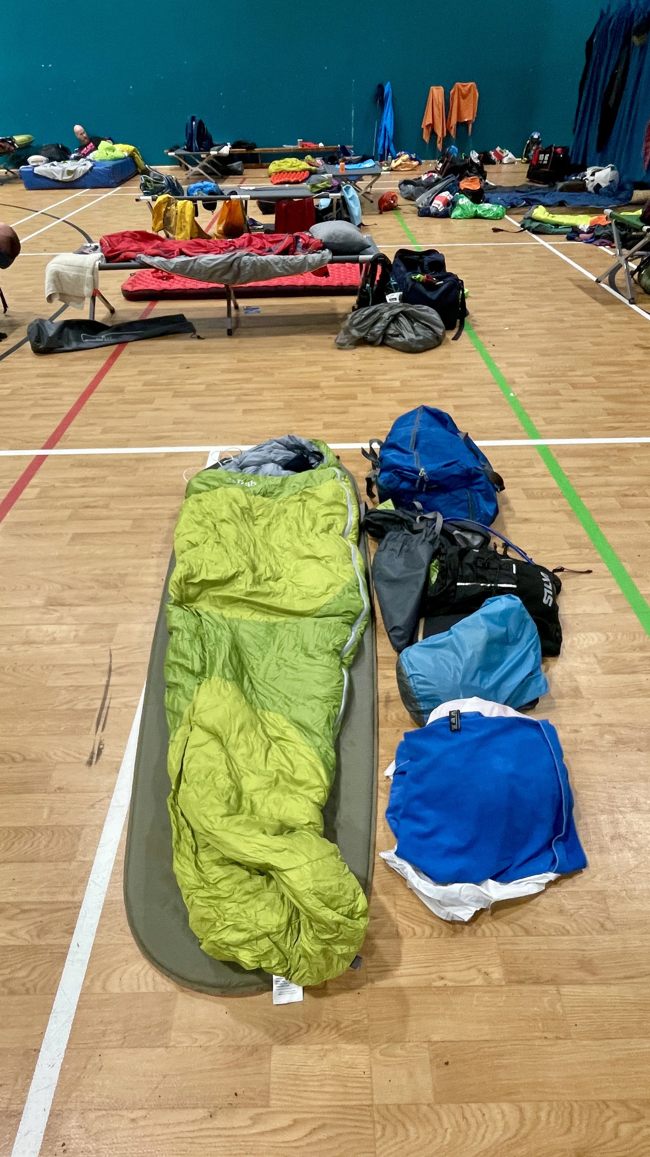
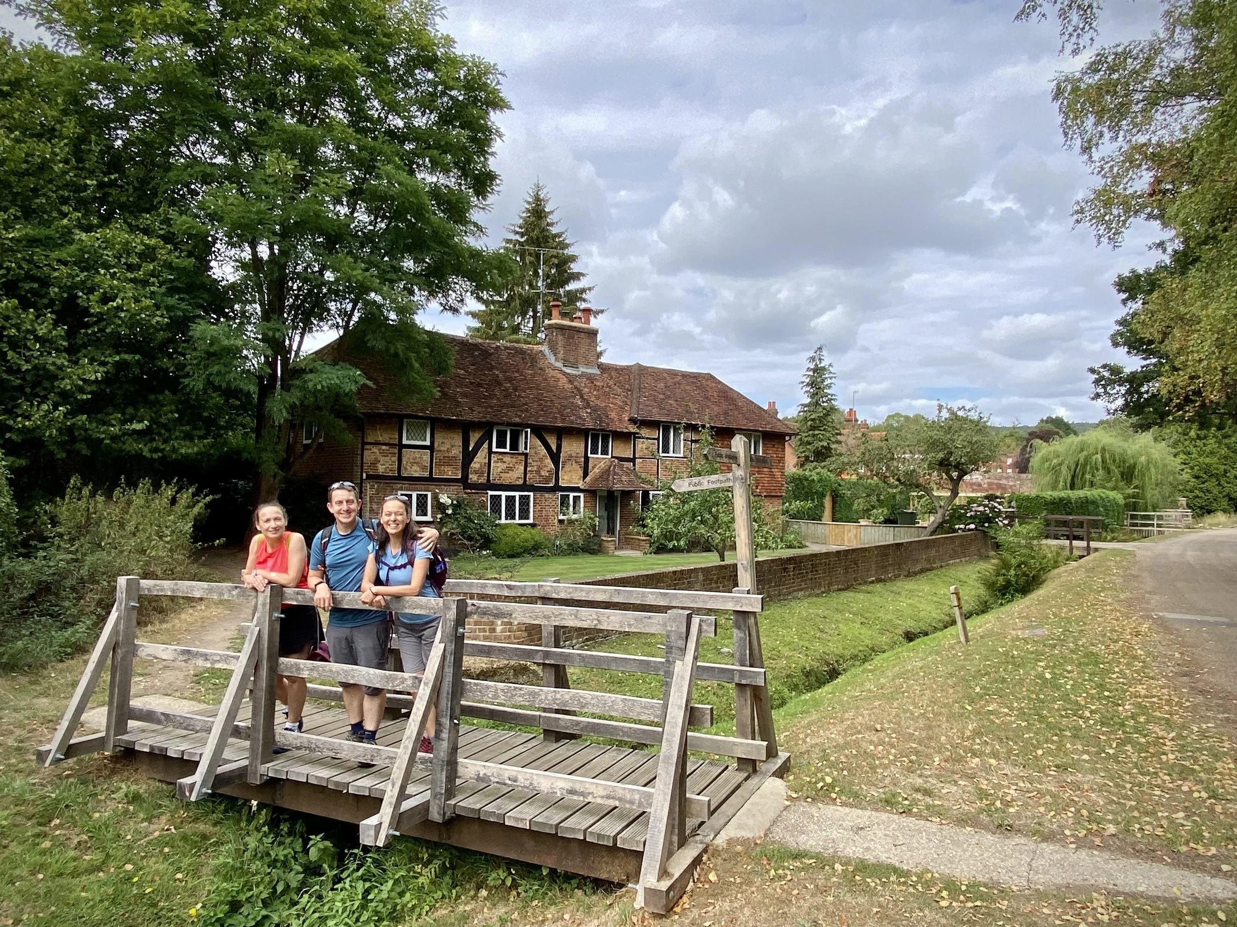
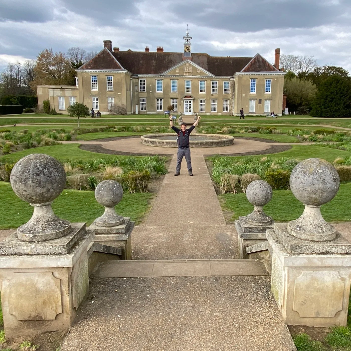
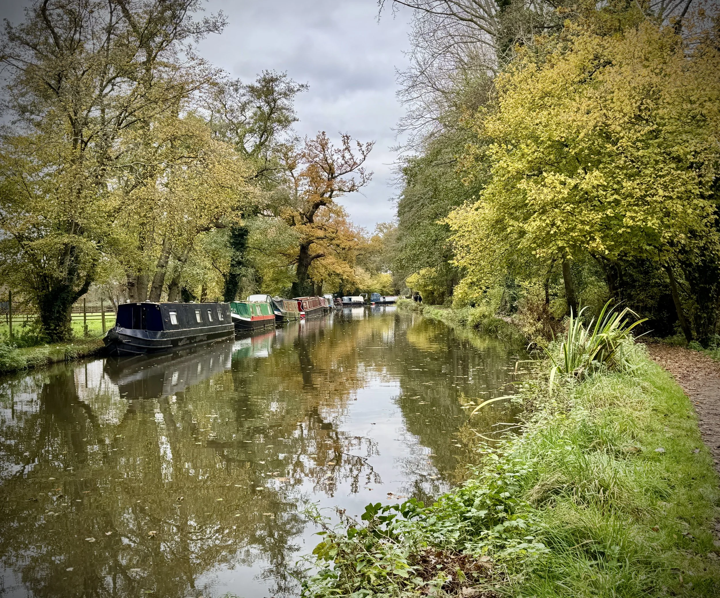
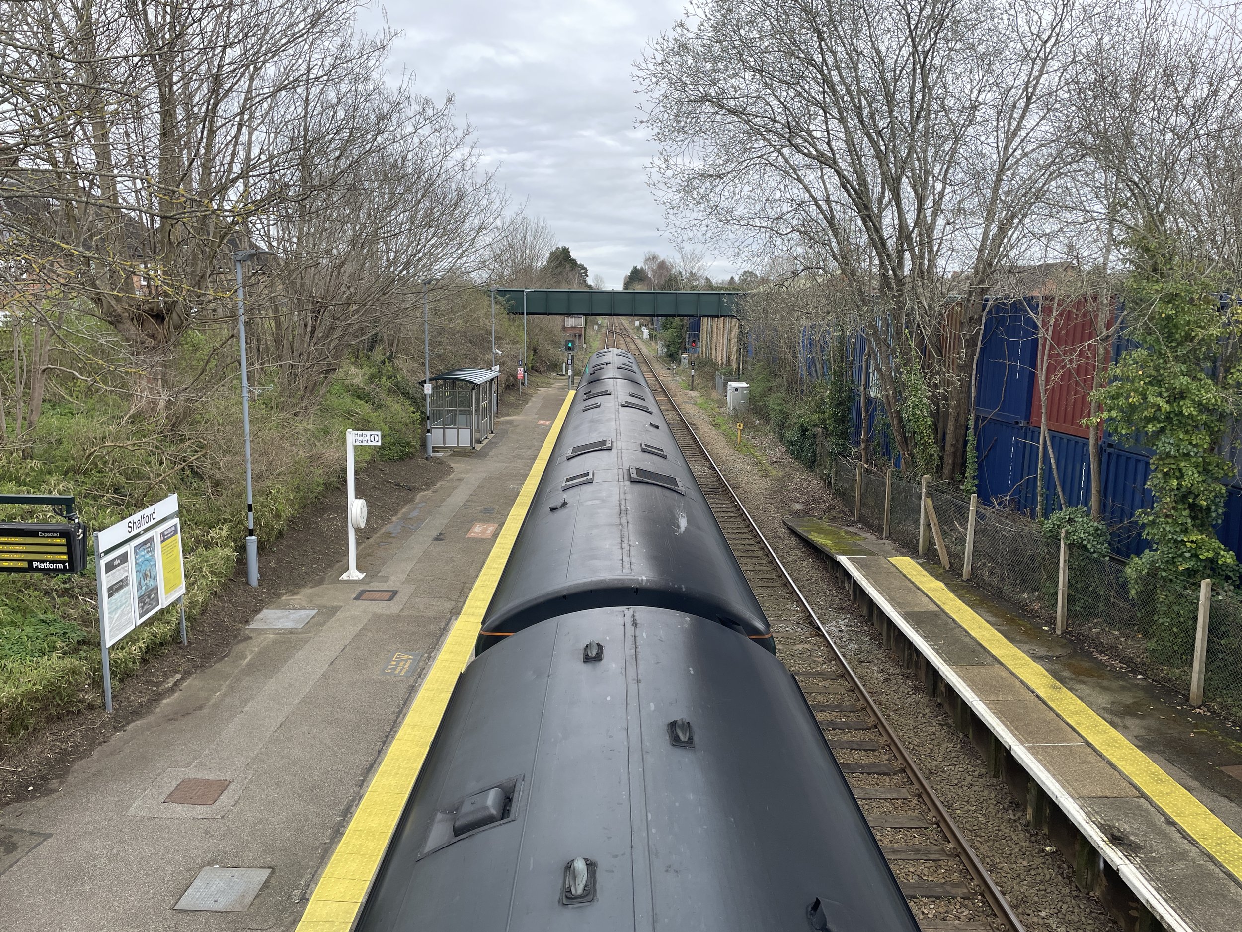
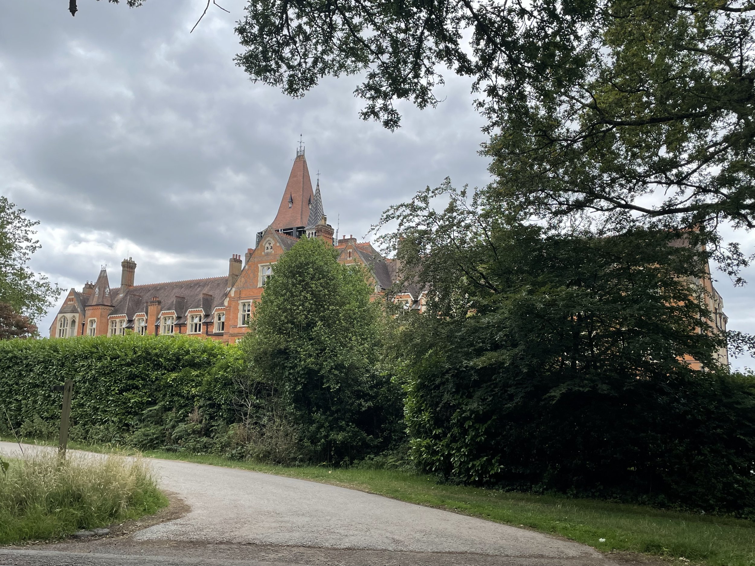
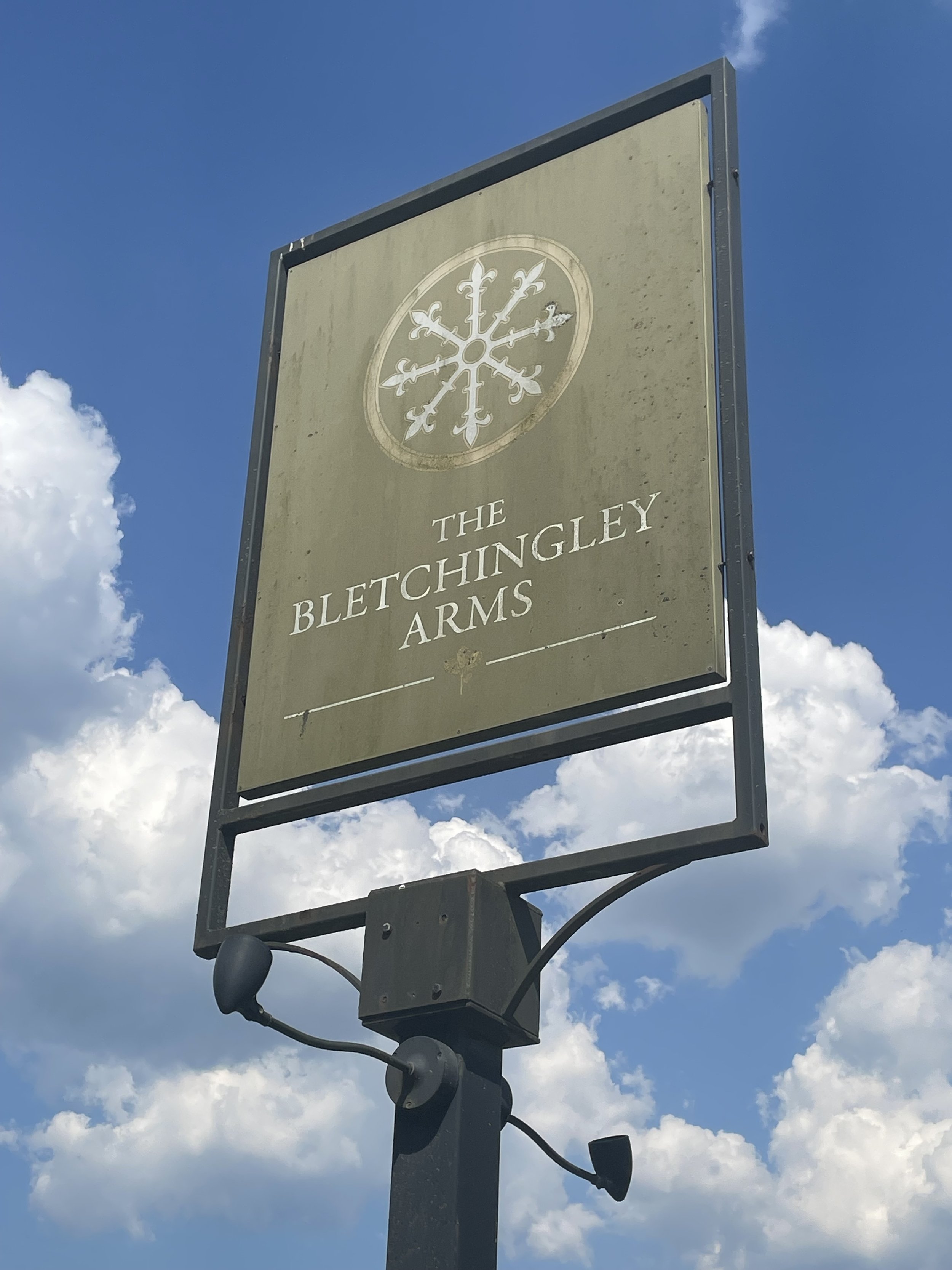
We arrived at the school in Redhill just after it got dark. I was mostly interested in going straight to bed and waking up in the morning, but I managed to summon the energy to get showered, changed, sort my kit and have dinner. Lisa had given good reviews about the evenings based on her Druid's Challenge experience. The food was great, and it was nice to hear the Ultra-related speeches after dinner.
I slept better than expected, although my Garmin wasn't happy with me in the morning. The focused rest I had before the weekend had given me good Body Battery, Sleep and HRV scores. At the start of Day 2, however, I was down to 33% Body Battery, a 43% Sleep Score and an HRV of 54 (down from 91 the previous night). Not the best numbers to have in the tank ahead of the second Ultra distance of the weekend.
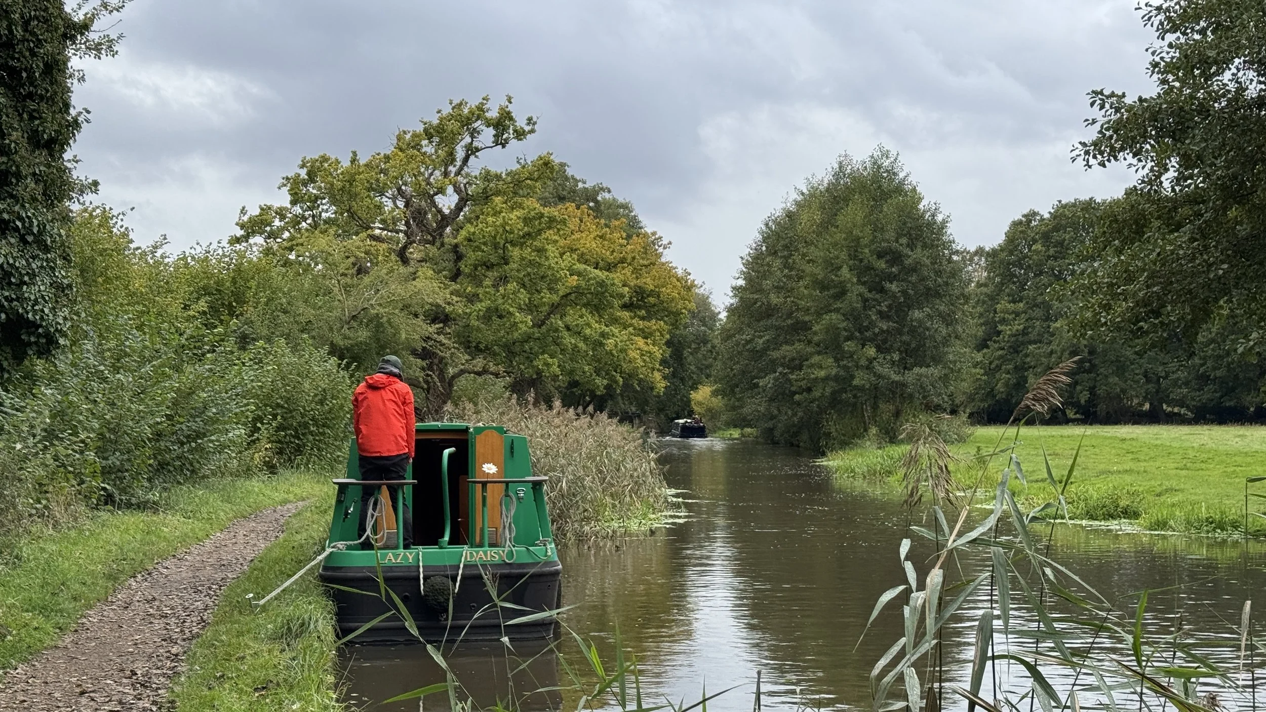
Based on my Saturday finish time, I was placed in the earliest starting wave at 07:00. I was happy with this as I had decided I would walk the day and needed all the daylight I could get. Even being in the walker's group, I was still near the back. I wasn't worried, though, as I decided that I would just enjoy another day on the trail.
Day 2 was dry with no rain for much of the route. The mud was still there and the first couple of hours of steep, narrow and mud-filled paths were slow going. I was only 100 minutes in before the fastest of the second wave overtaken me. They may have been half my age and likely to have done significantly more Ultras and training than I had, but the speed they went through on the second day was incredibly impressive.
With my decision to just walk and enjoy the day, I settled into getting through my backlog of podcast episodes and finished an audiobook. On the quieter times without headphones, I got into a "zone": a fairly Zen-like state where the miles slipped away slowly but peacefully towards the finish.
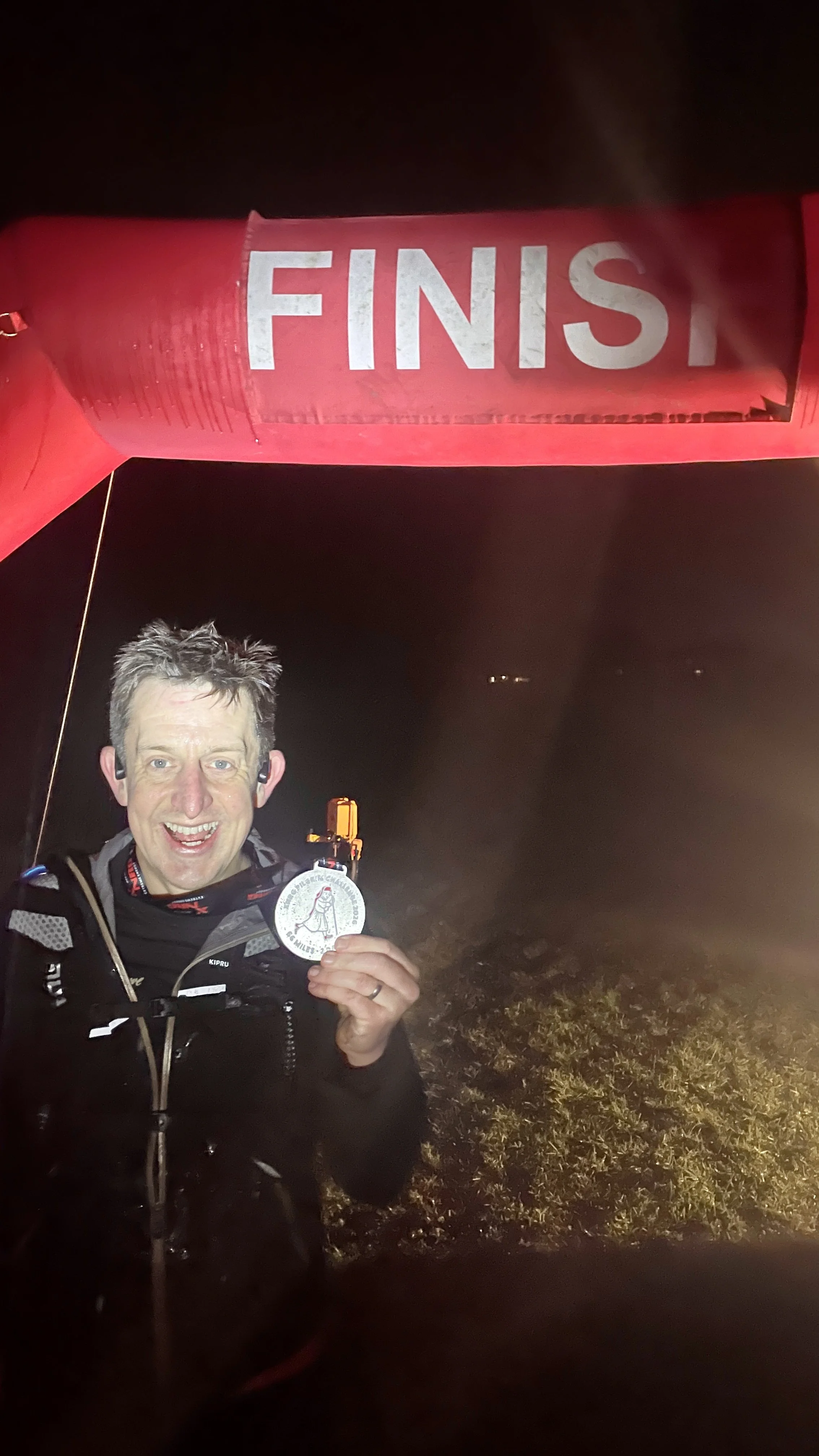
The final hour was a bit tougher as it was all in the dark and with mostly no one else around. With the finish line in sight and the sounds of the event crew audible, I decided to do my only running of the day: the 100 metres to the finish. A bit of drizzle turned into heavy rain within minutes of crossing the finish, so I didn't hang around too long. I was so tired and cold at the end that I couldn't get changed fully, so I drove home still kitted up.
After 14 Ultras, it was good to do one that was a real challenge again. At 110 km, it was the longest distance I've done in a single event. I also found out what it's like to do a 2-dayer with a sleep in between. I think I've scratched that itch for now and will probably stick to single-day 50ks for a while.
A huge thanks goes to the crew at XNRG for putting on a very well-managed, safe and friendly event. When the skin grows back and I've had a few weeks of rest, I'm sure I will be coming back for more.
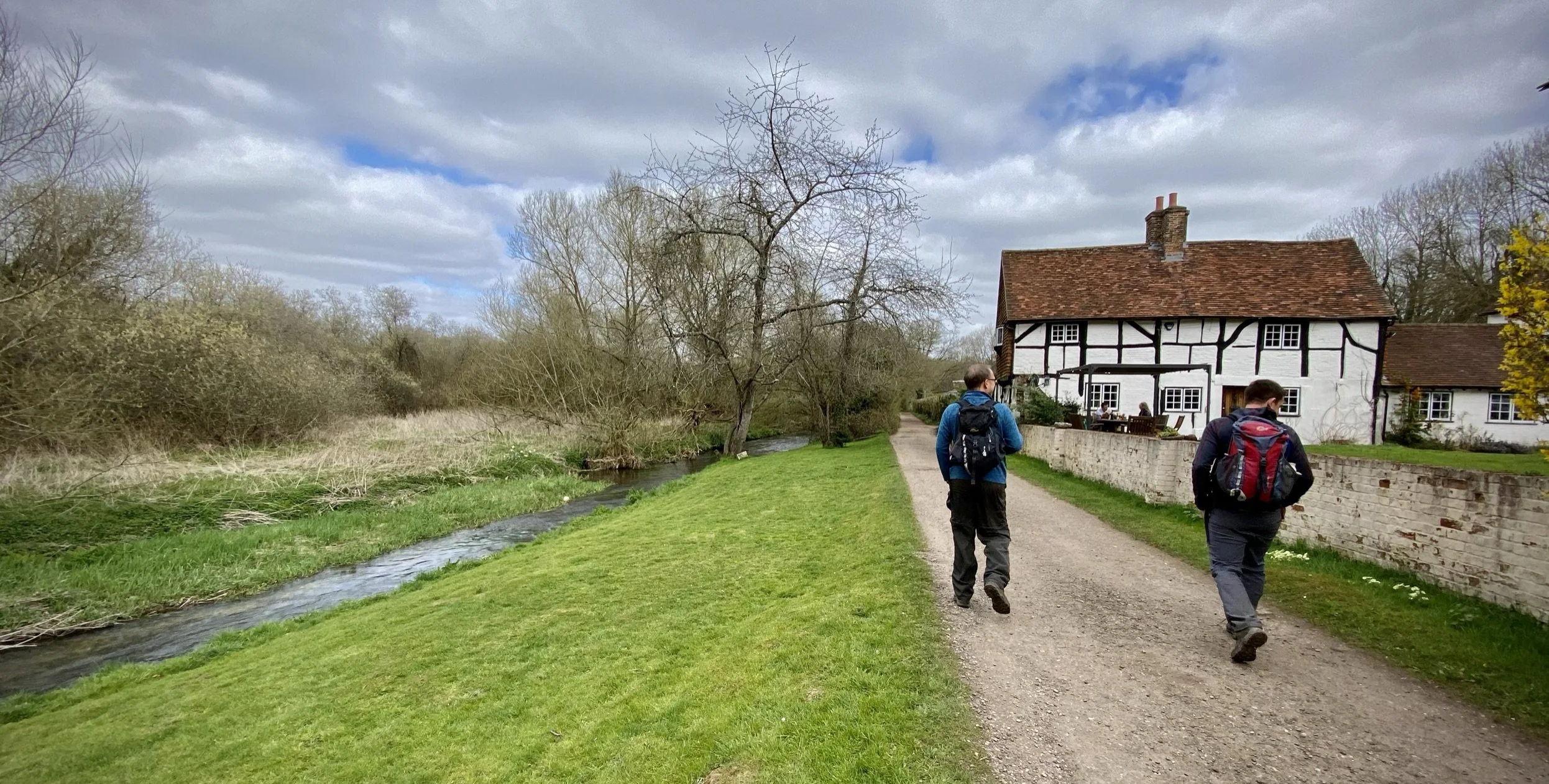
Day 2: Redhill to Sandy Farm