Walking The North Downs Way in The Surrey Hills

View to the south from Ockley Hill
The North Downs Way is a National Trail that weaves its way for 153 miles (246 km) across the stunning landscapes of Surrey and Kent in southeast England. From its starting point in Farnham, Surrey, the trail extends eastward, culminating dramatically at the iconic White Cliffs of Dover in Kent. This well-marked route largely follows the chalk ridge of the North Downs, offering walkers a diverse range of terrain. You'll encounter ancient woodlands, chalk grasslands and panoramic views across the Weald.
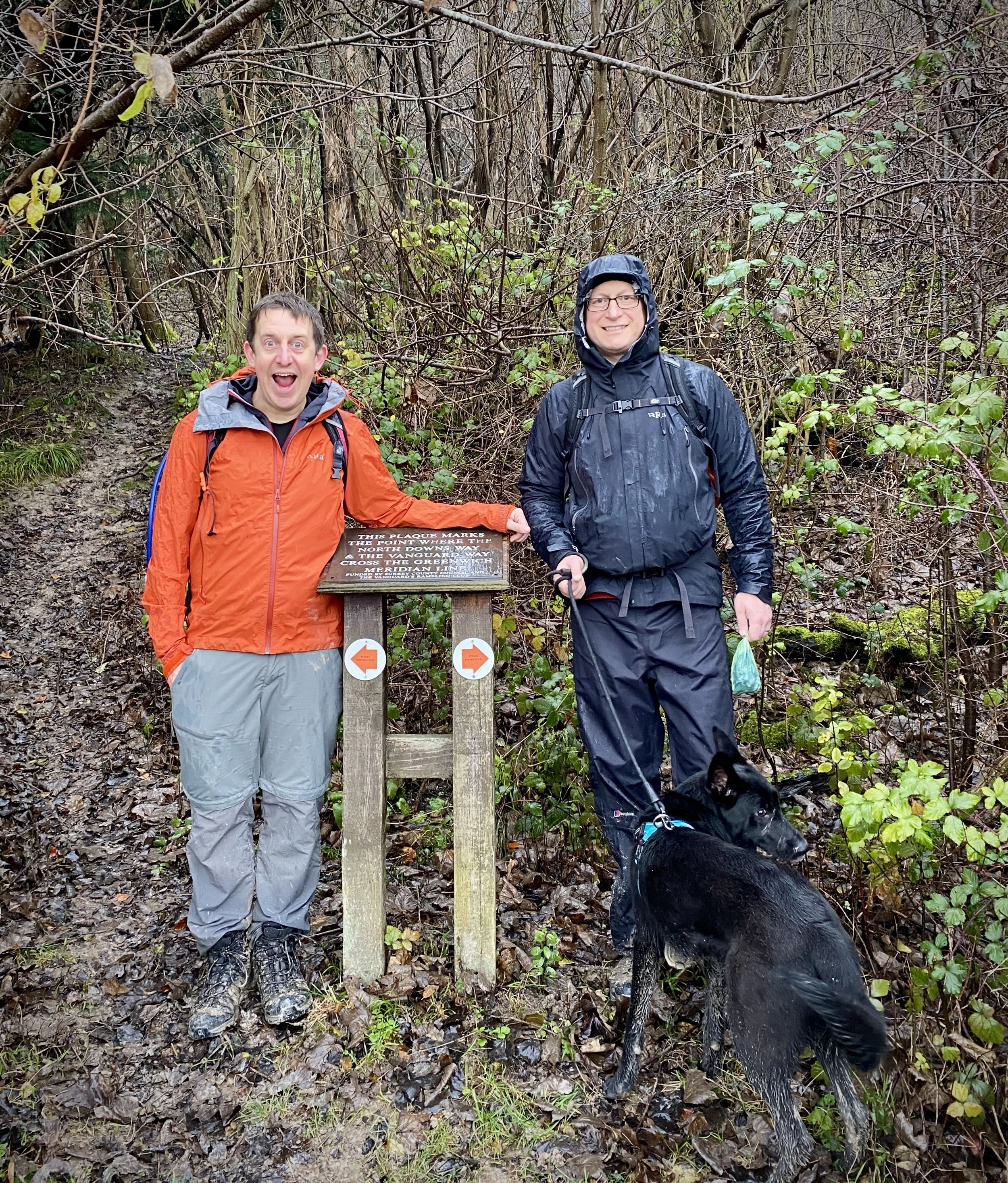
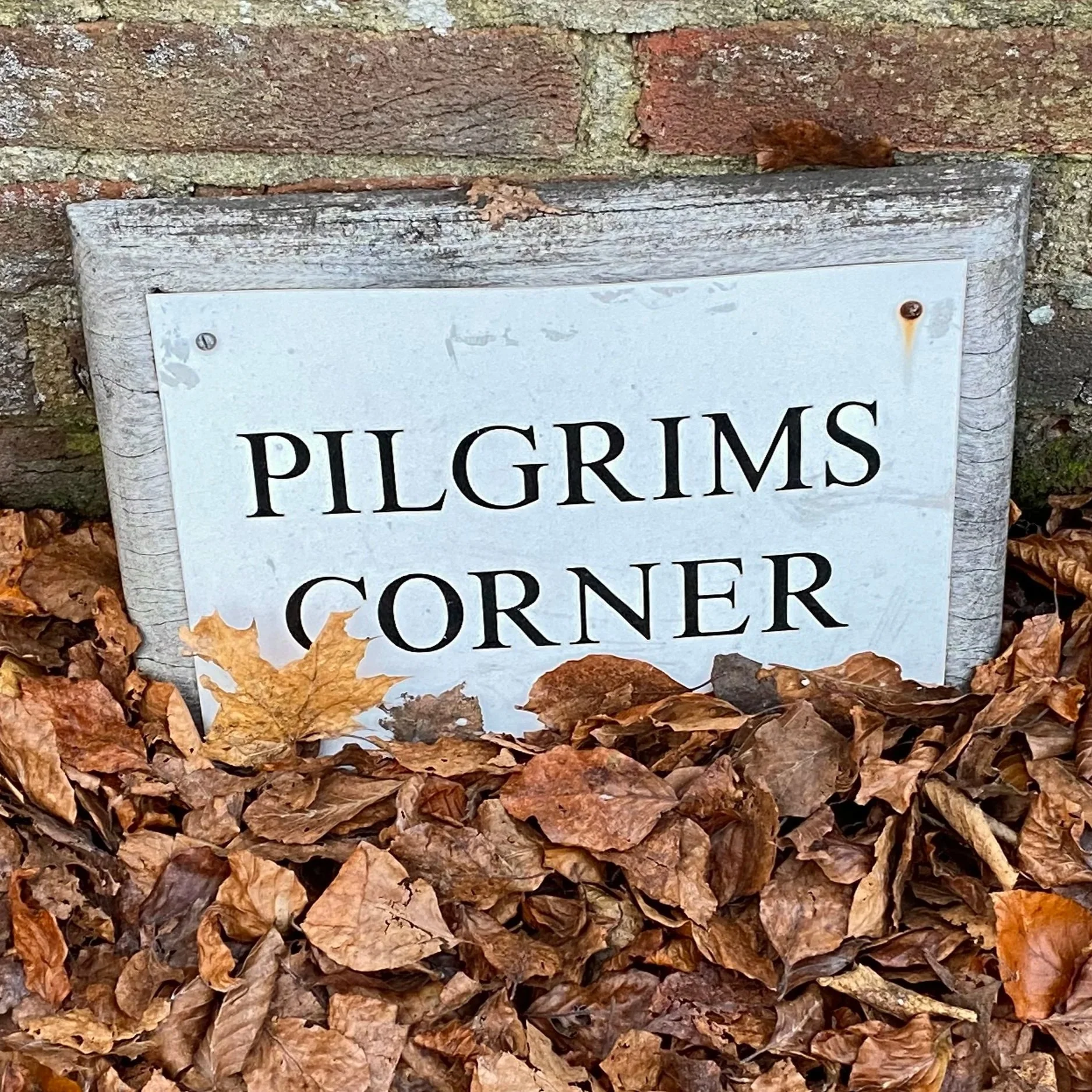
Beyond its natural beauty, the North Downs Way is steeped in history. Sections of the trail closely trace the ancient Pilgrims' Way, a historic route used by pilgrims travelling to Canterbury Cathedral, famously immortalised in Chaucer's Canterbury Tales. Along the way, you'll encounter remnants of Roman roads, Norman castles like Rochester and Thurnham, and even Neolithic burial chambers such as Kit's Coty House. The trail passes through two designated National Landscape – the Surrey Hills and the Kent Downs – both recognised for their unique ecological importance and scenic charm. With excellent public transport links, including numerous train stations along its length, the North Downs Way is easily accessible, making it perfect for both multi-day expeditions and shorter day walks.
We completed the Surrey section of the North Downs Way in a series of 7 point-to-point walks over 2 years. This post details both the whole section through the Surrey Hills and links to the 7 individual sections. For further details there’s several books about the Trail and web resources including northdownsway.org and the National Trails’ site.
Point to Point: The full North Downs Way in The Surrey Hills
Start: Farnham Station, Farnham, GU9 8AG
Finish: The Velo Barn, Unit 1, Betsoms Farm, Pilgrims Way, Westerham TN16 2DS
Distance: 75 km (46.6 miles)
Elevation change: + 1,272m / - 1,186m. Net -86m
GPX File: get via Buy Me a Coffee
Maps:
- Guildford & Farnham Map | Godalming & Farnborough | Ordnance Survey | OS Explorer Map 145
- Dorking, Box Hill & Reigate Map | Leatherhead & Caterham | Ordnance Survey | OS Explorer Map 146
- Sevenoaks & Tonbridge Map | Royal Tunbridge Wells & Westerham | Ordnance Survey | OS Explorer Map 147
Guidebook: The North Downs Way National Trail from Farnham to Dover (Cicerone)
Links: LDWA: North Downs Way, National Trails: North Downs Way, northdownsway.org
See individual section posts linked below for other links.


Walking The North Downs Way in the Surrey Hills in 7 trips
If you’re not up for a 75km walk in one go, you can take in the North Downs in 7 point-to-point walks of between 9 and 13 km each. We chose this option, completing all 7 sections over a few years from 2021 to 2024.

Each number refers to a circular walk below. Base map: Esri Topo via RideWithGPS

Section 1: Farnham to Puttenham
Start: Farnham Station, Farnham, GU9 8AG
Finish: The Good Intent Pub, 60-62 The Street, Puttenham, Guildford, GU3 1AR
Distance: 10.6 km (6.6 miles)
Elevation change: +118m / -100m. Net +8m
Section 2: Puttenham to Newlands Corner
Start: The Good Intent Pub, 60-62 The Street, Puttenham, Guildford, GU3 1AR
Finish: Newlands Corner Car Park, A25 Shere Road, Newland's Corner, Albury, GU4 8S
Distance: 12.8 km (7.9 miles)
Elevation change: +256m / -181m. Net +75m

Section 3: Newlands Corner to Ranmore
Start: Newlands Corner Car Park, A25 Shere Road, Newland's Corner, Albury, GU4 8S
Finish: Ranmore Common East Car Park, Wotton, Dorking, RH5 6SR
Distance: 11.6 km (7.2 miles)
Elevation change: +128m / -107m. Net -21m

Section 4: Ranmore to Betchworth
Start: Ranmore Common East Car Park, Wotton, Dorking, RH5 6SR
Finish: Betchworth Station, Betchworth RH3 7BZ
Distance: 10 km (6.2 miles)
Elevation change: +192m / -292m. Net -100m

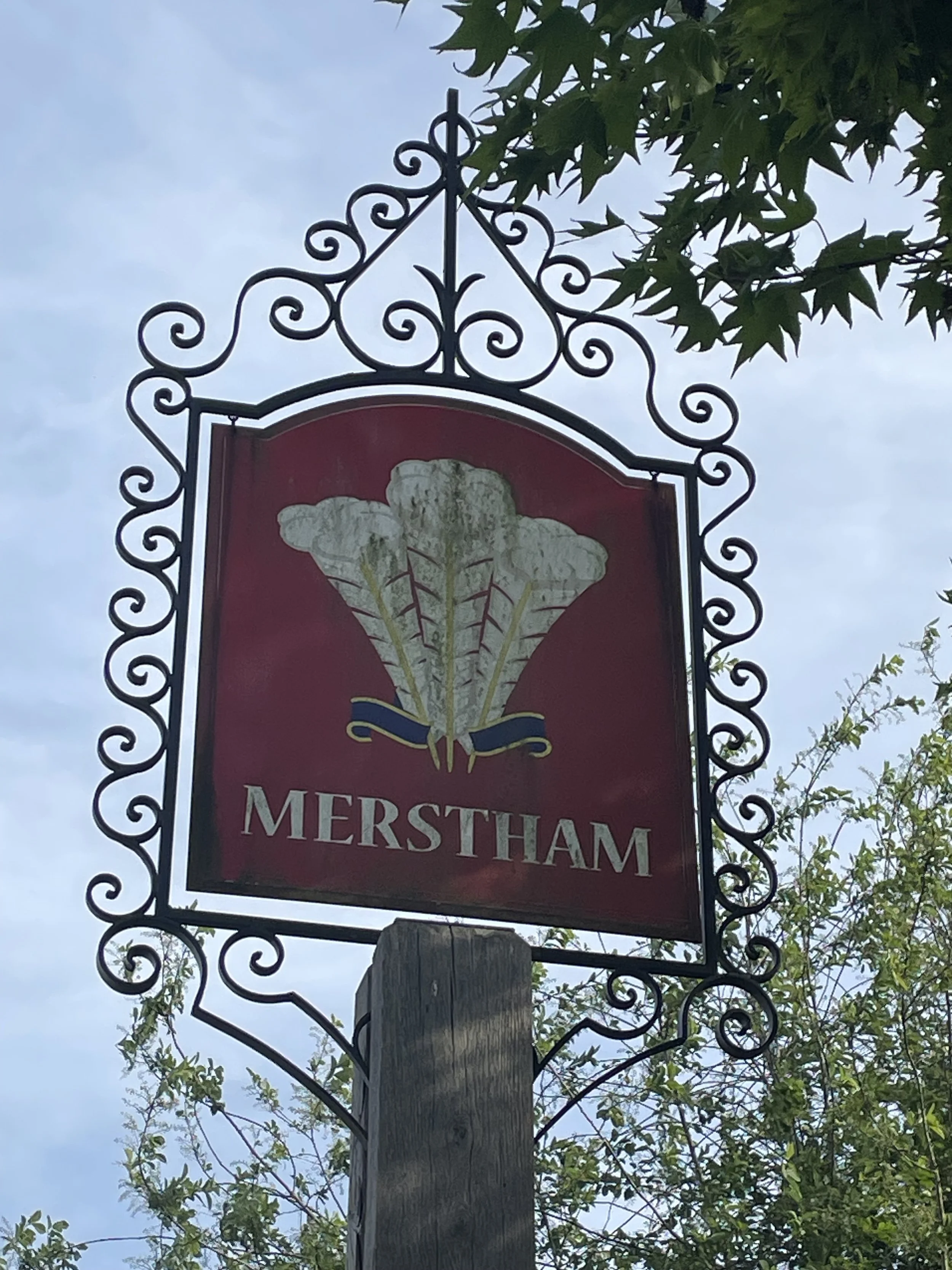
Section 5: Betchworth to Merstham
Start: Betchworth Station, Betchworth RH3 7BZ
Finish: Merstham Station, Station Rd, Merstham, Redhill, RH1 3ED
Distance: 11.1 km (6.9 miles)
Elevation change: +206m / -197m. Net -9m

Section 6: Merstham to Gangers Hill
Start: Merstham Station, Station Rd, Merstham, Redhill, RH1 3ED
Finish: Gangers Hill Car Park, Gangers Hill, Woldingham, Godstone, CR3 7AD
Distance: 11.8 km (7.3 miles)
Elevation change: +270m / -140m. Net -130m

Section 7: Gangers Hill to Westerham Hill
Start: Gangers Hill Car Park, Gangers Hill, Woldingham, Godstone, CR3 7AD
Finish: The Velo Barn, Unit 1, Betsoms Farm, Pilgrims Way, Westerham TN16 2DS
Distance: 9.1 km (5.6 miles)
Elevation change: +161m / -216m. Net -55m