Walking The North Downs Way Part 1 - Farnham to Puttenham
Following the River Wey at Farnham
Start: Farnham Station, Farnham, GU9 8AG
Finish: The Good Intent Pub, 60-62 The Street, Puttenham, Guildford, GU3 1AR
Distance: 10.6 km (6.6 miles)
Elevation change: +118m / -100m. Net +8m
GPX File: get via Buy Me a Coffee
Other routes touched (walk): North Downs Way, Puttenham Walk (SCC)
Other routes touched (cycle): NCN 22
Pubs / Cafes on route: None on route but several in Farnham plus the Good Intent Pub at the end
Map: OS Explorer Map (145) Guildford and Farnham
Guidebook: The North Downs Way National Trail from Farnham to Dover (Cicerone)
Links: Farnham, Farnham Railway Station, Puttenham, LDWA: North Downs Way, National Trails: North Downs Way, northdownsway.org
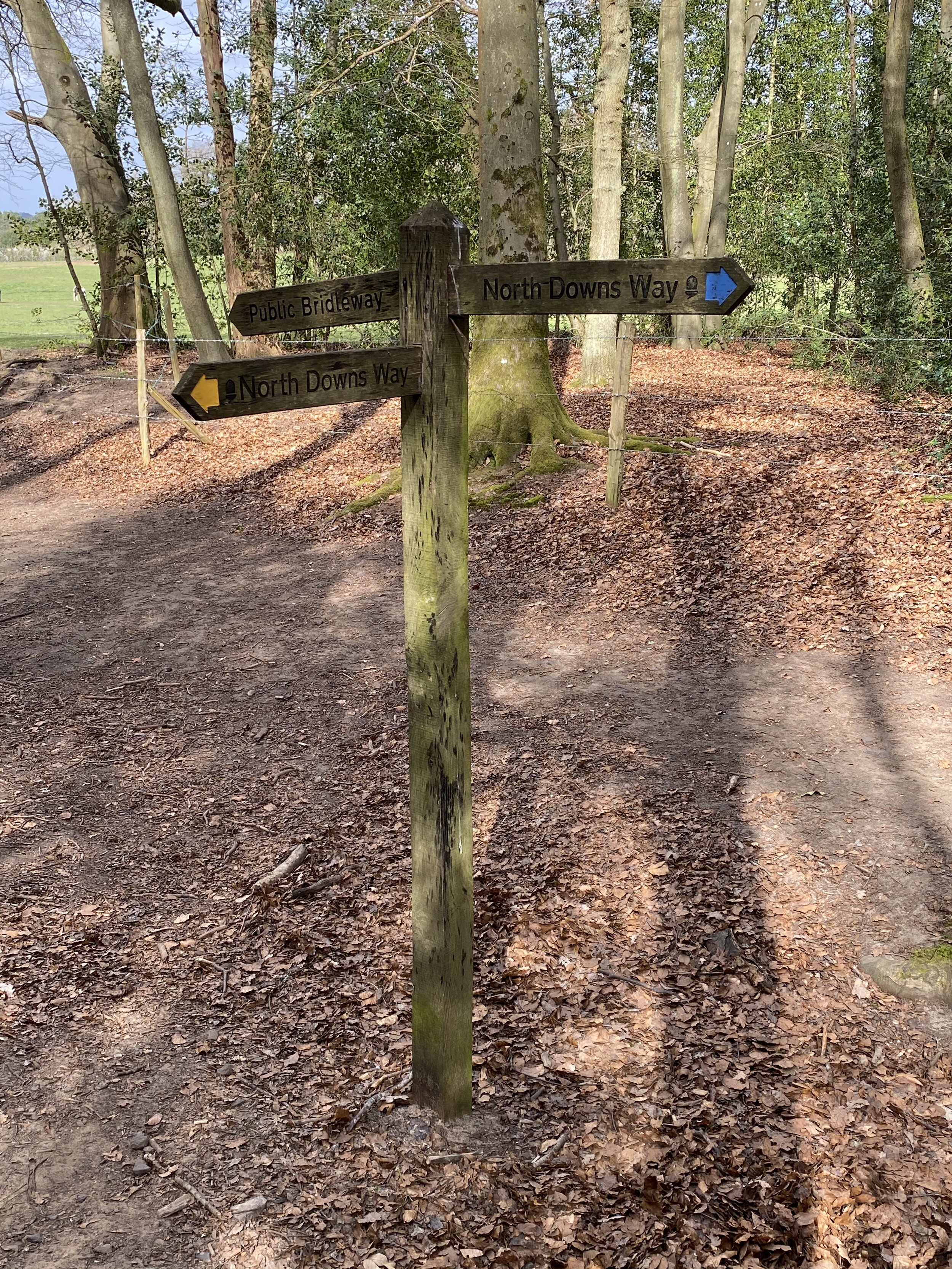
This is the first of a series of short point-to-point walks along the North Downs Way. The full trail is a long distance path stretching from Farnham in Surrey to Dover in Kent. Our walks took in short sections of 10 km to 13 km which we did with a friend over the course of a couple of years when our schedules coincided. The North Downs Way is well signposted however I highly recommend taking a map or GPX route to keep you on track. The Cicerone book on the trail is a great guide to the points of interest along the way.
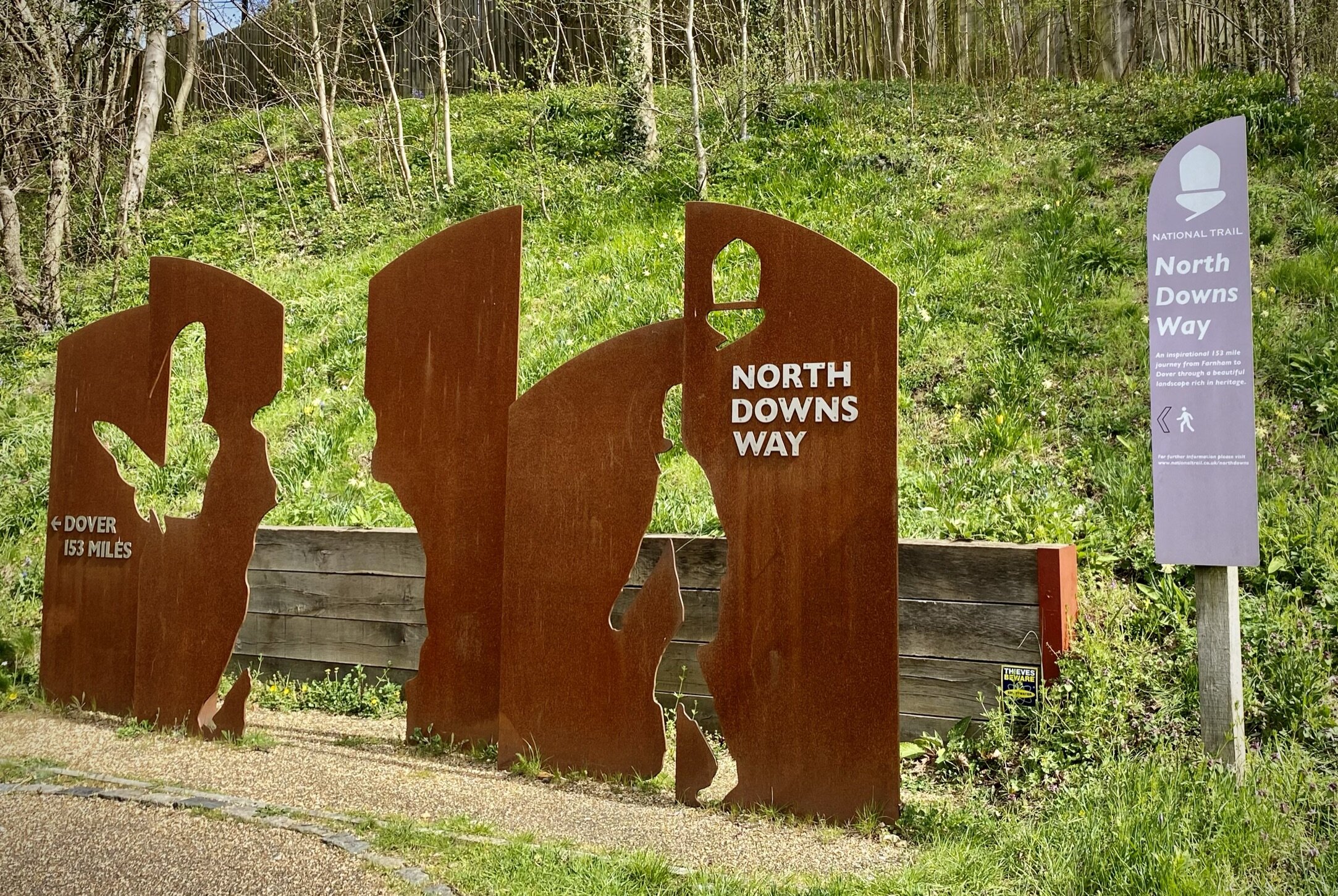
For this section we left one car in the car park behind Farnham Railway Station and the other outside the Good Intent Pub in Puttenham. From the Farnham Station car park it’s less than 100m to walk to the large sign that marks the official start of the North Downs Way at Hickley’s Corner on the A31. It struck me as an odd place to start the trail as this is a very busy junction and not representative of the rest of the trail.
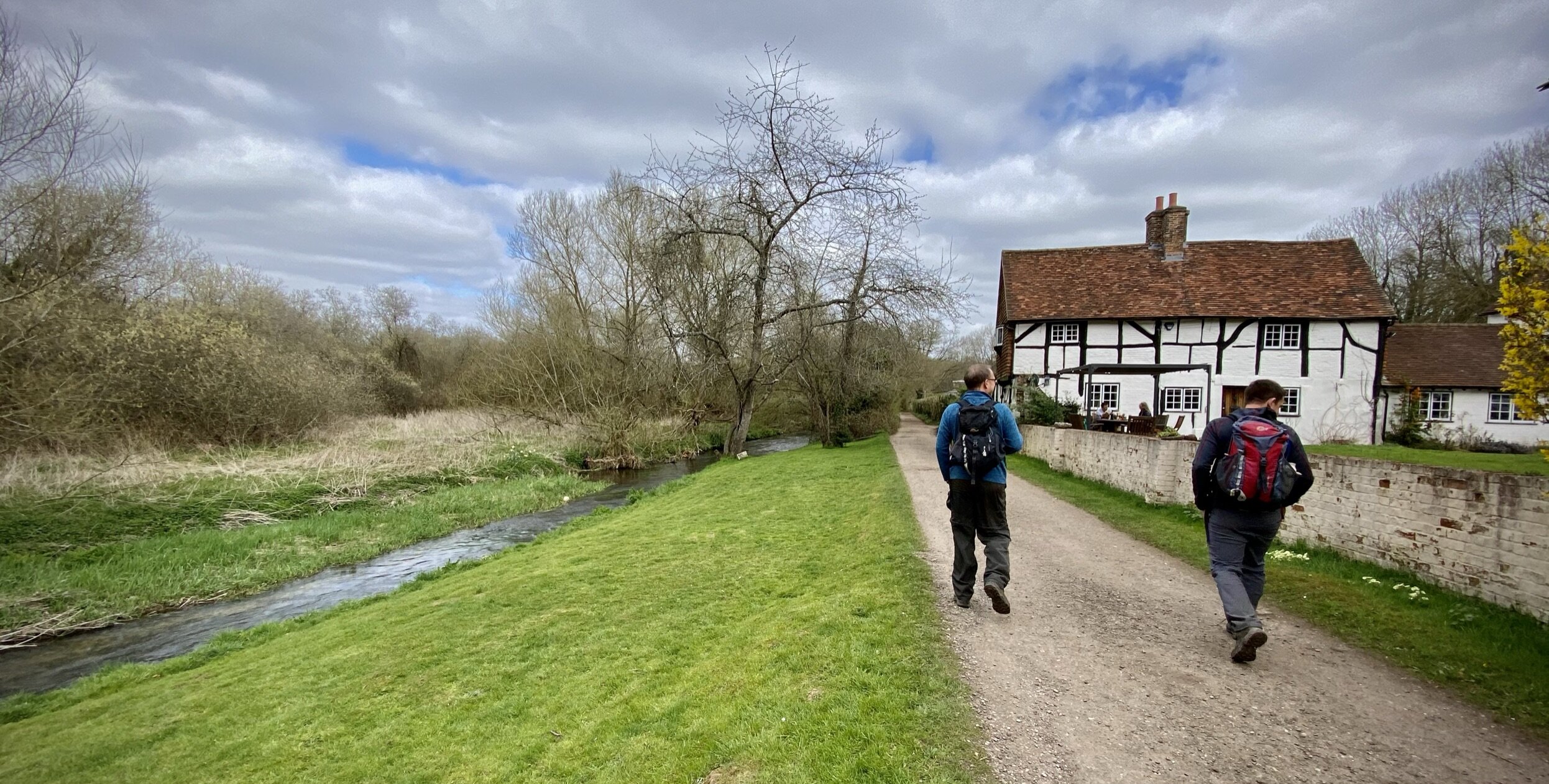
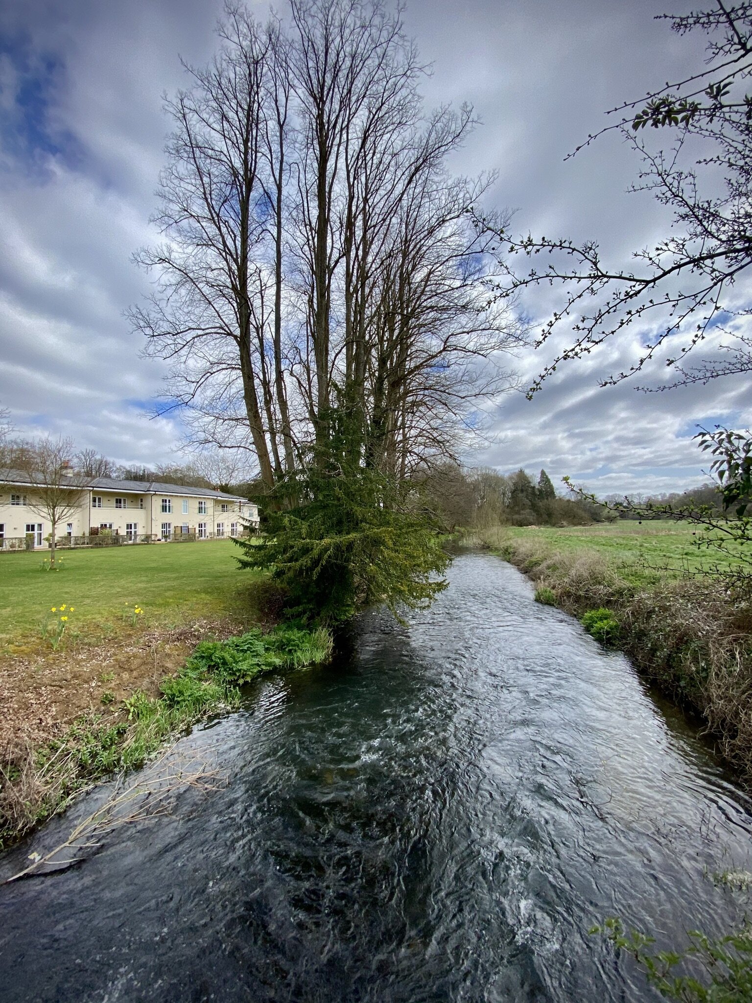
The trail follows the right hand side of the A31 for 100m in a northerly direction before you take onto Darville Lane. Follow this onto Snailslynch and you’ll soon be walking next to the River Wey. At the 4km mark you’ll enter into the Surrey Hills Area of Outstanding Natural Beauty (AONB) after crossing Crooksbury Road. From here the trail keeps to the northern edge of the National Landscape through to Tatsfield in Kent.
Next Section (east): Walking The North Downs Way Part 2: Puttenham To Newlands Corner


