Walking The North Downs Way Part 2 - Puttenham to Newlands Corner

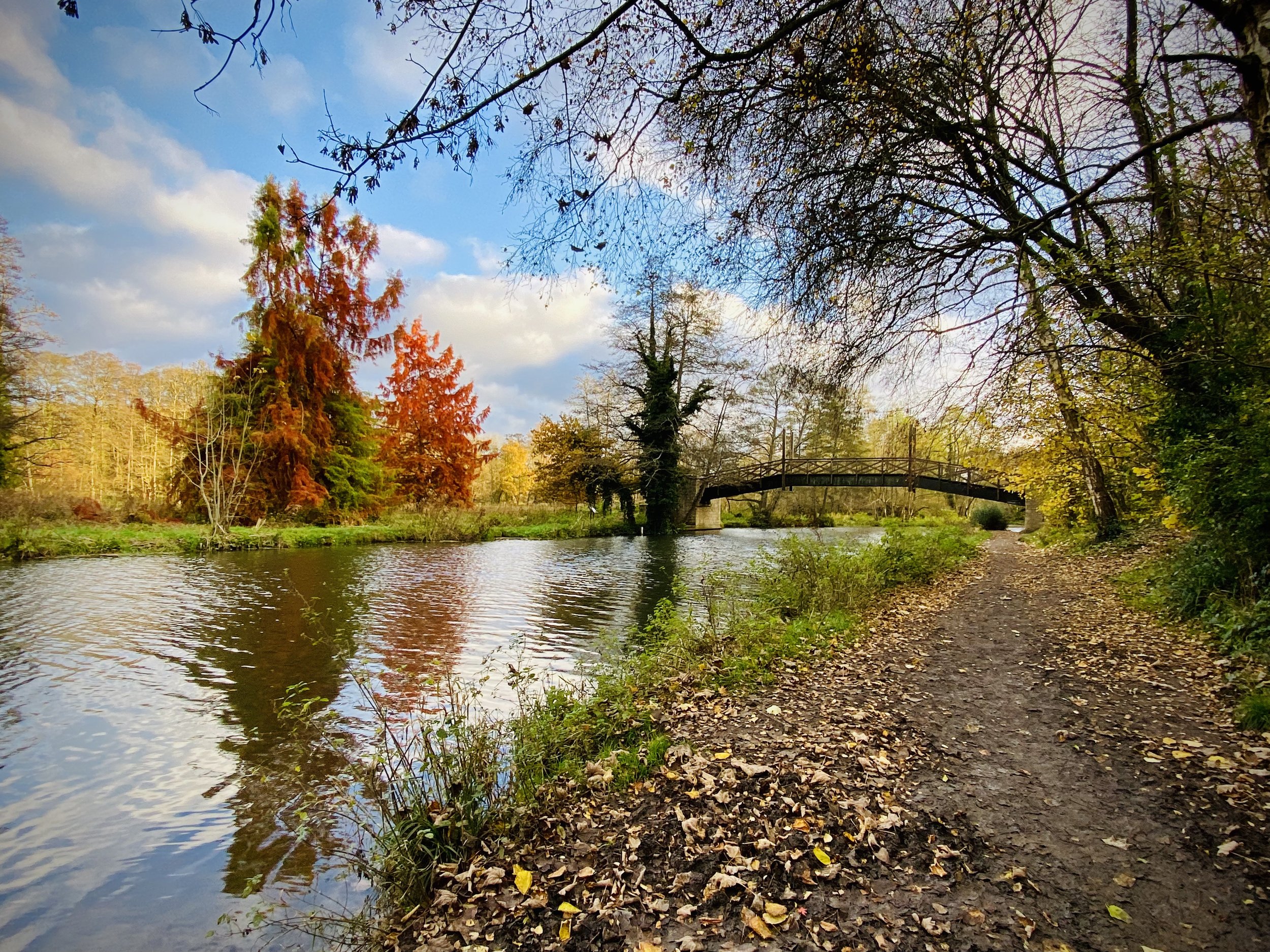
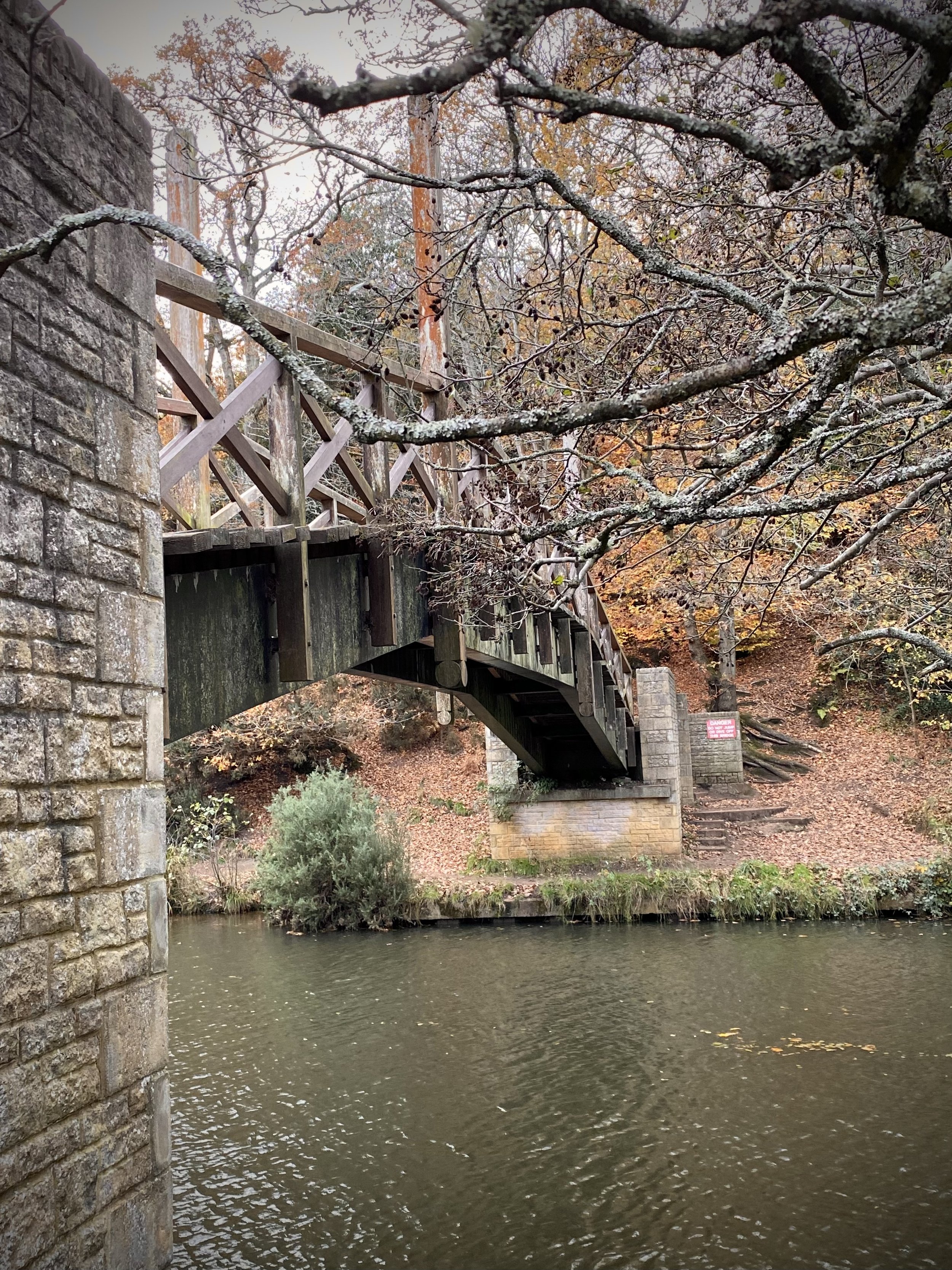
Footbridge over the River Wey near Guildford
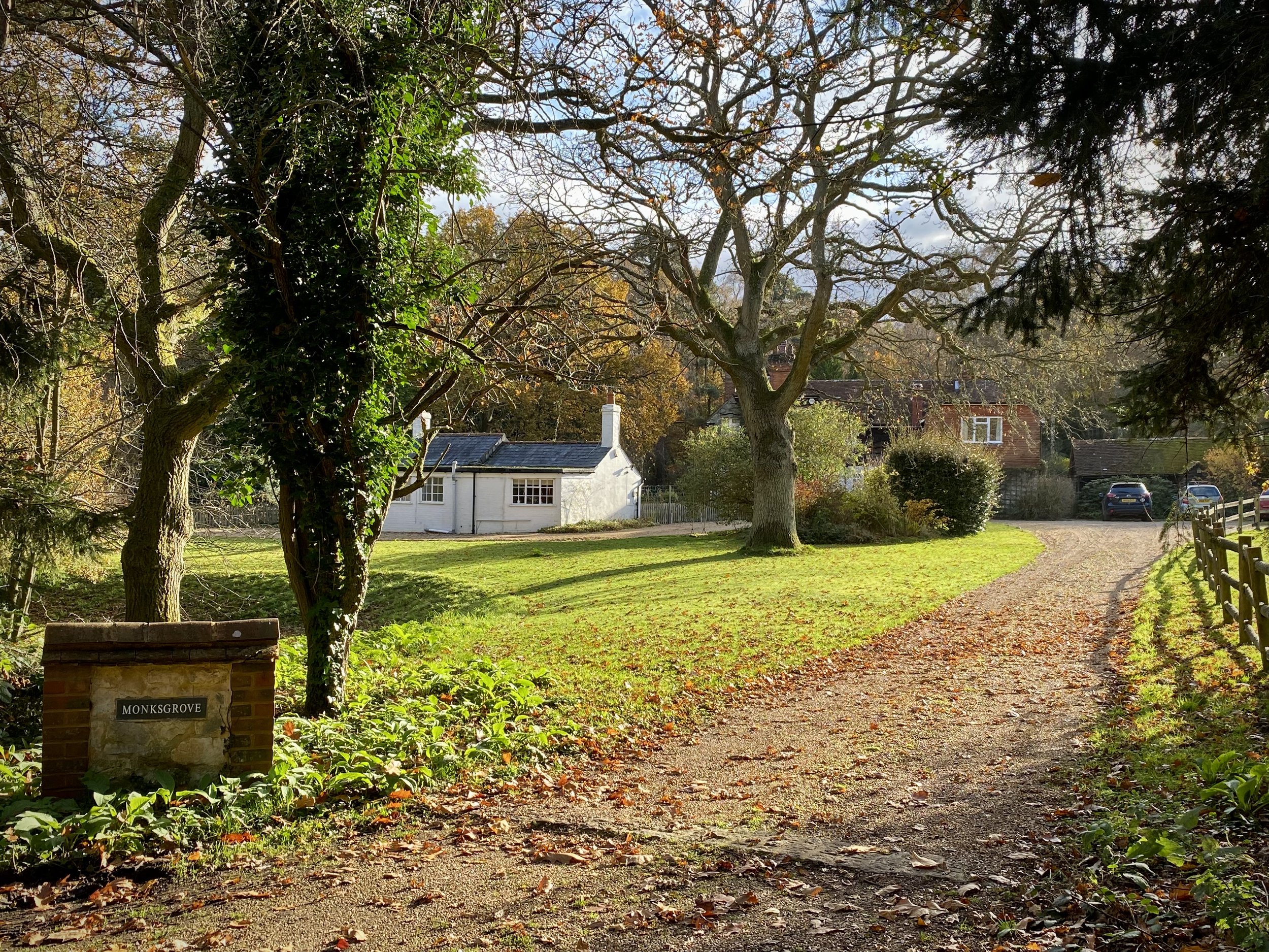
Start: The Good Intent Pub, 60-62 The Street, Puttenham, Guildford, GU3 1AR
Finish: Newlands Corner Car Park, A25 Shere Road, Newland's Corner, Albury, GU4 8S
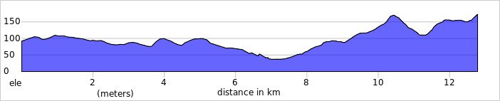
Distance: 12.8 km (7.9 miles)
Elevation change: +256m / -181m. Net +75m
GPX File: get via Buy Me a Coffee
Other routes touched (walk): North Downs Way, Puttenham Walk (SCC), The Fox Way, Wey South Path, Scholar’s Trail
Other routes touched (cycle): NCN 22, Downs Link
Pubs / Cafes on route: Ye Olde Ship Inn (GU2 4EB) and Newlands Corner Cafe at the end.
Map: OS Explorer Map (145) Guildford and Farnham
Guidebook: The North Downs Way National Trail from Farnham to Dover (Cicerone)
Links: Puttenham, Guildford, St Martha’s Hill, Newlands Corner, LDWA: North Downs Way, National Trails: North Downs Way, northdownsway.org
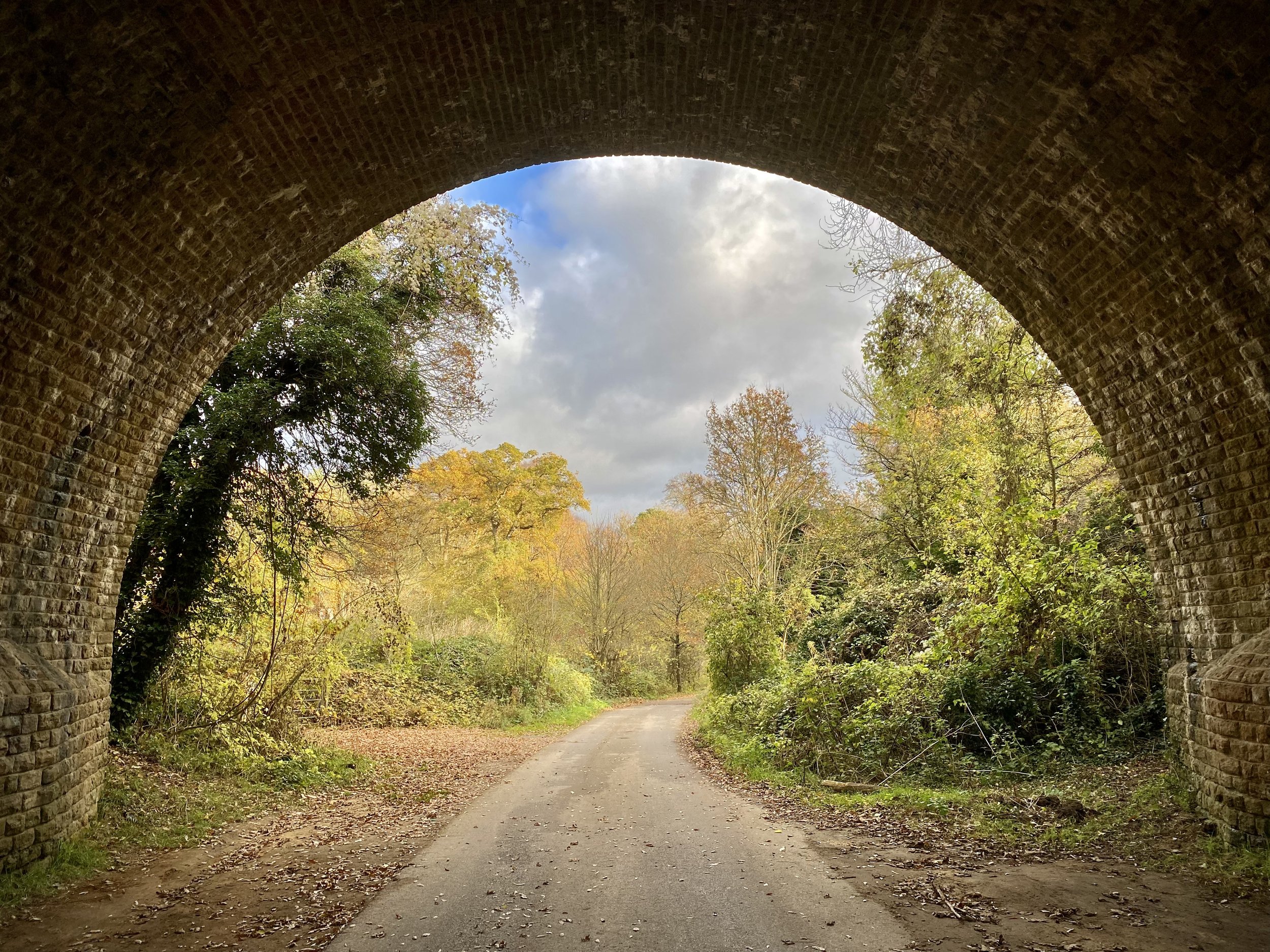
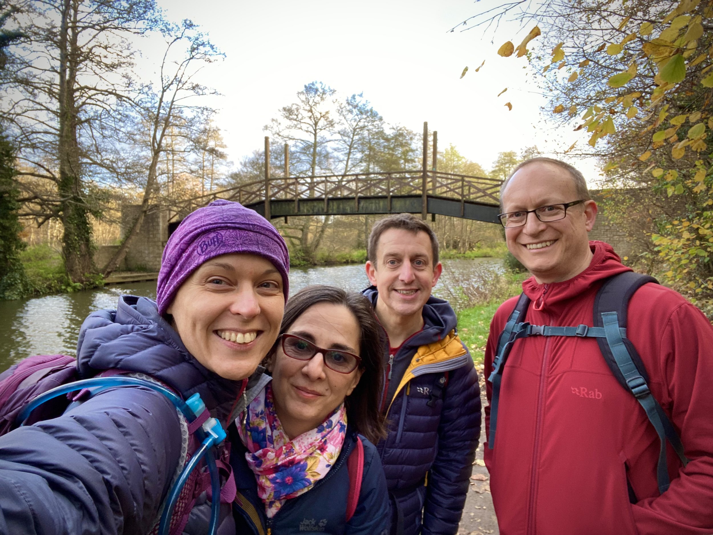
This is the second of a series of short point-to-point walks along the North Downs Way. The full trail is a long distance path stretching from Farnham in Surrey to Dover in Kent. Our walks took in short sections of 10 km to 13 km which we did with a friend over the course of a couple of years when our schedules coincided. The North Downs Way is well sign posted however I highly recommend taking a map or GPX route to keep you on track. The Cicerone book on the trail is a great guide to the points of interest along the way.
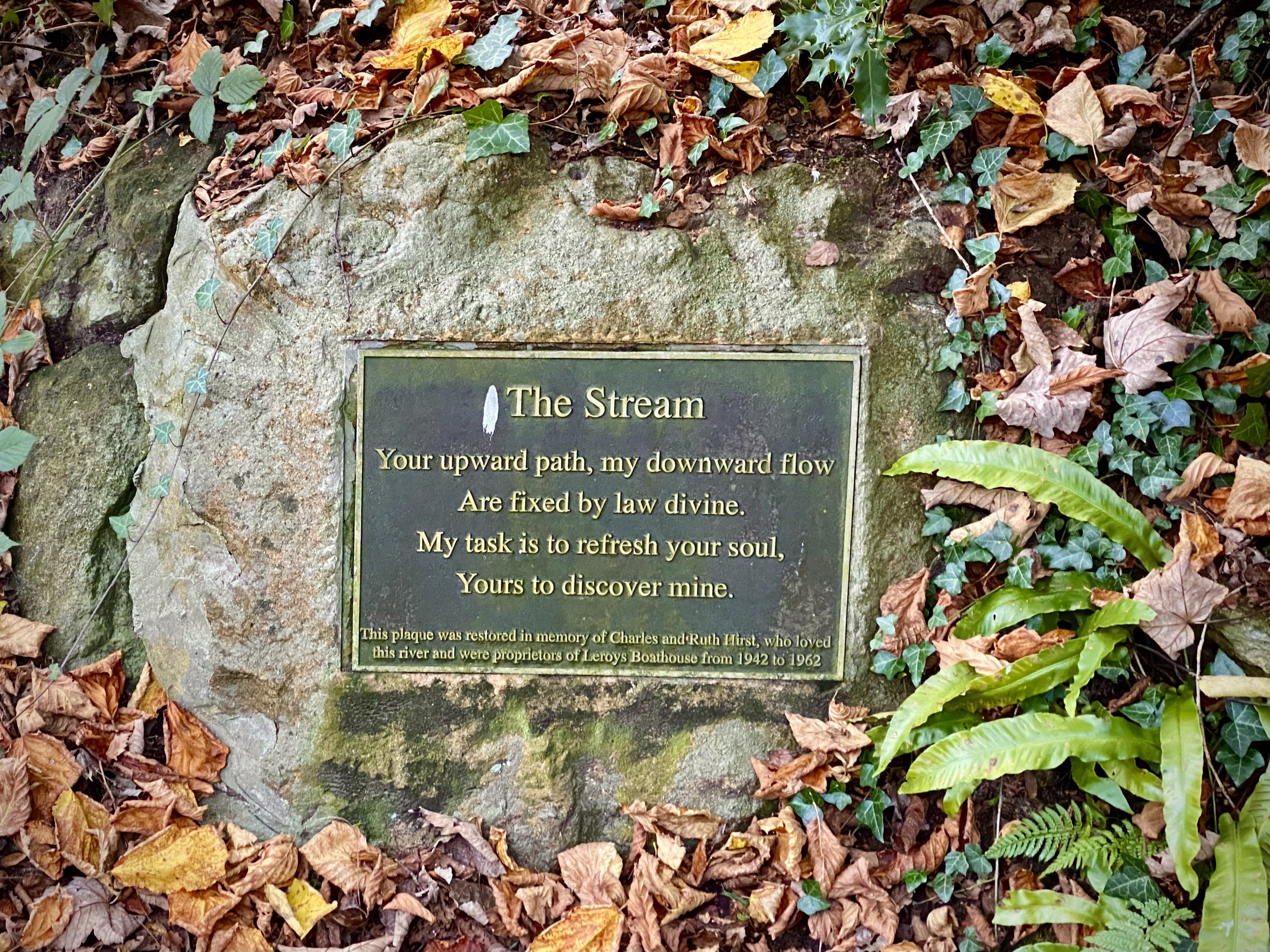
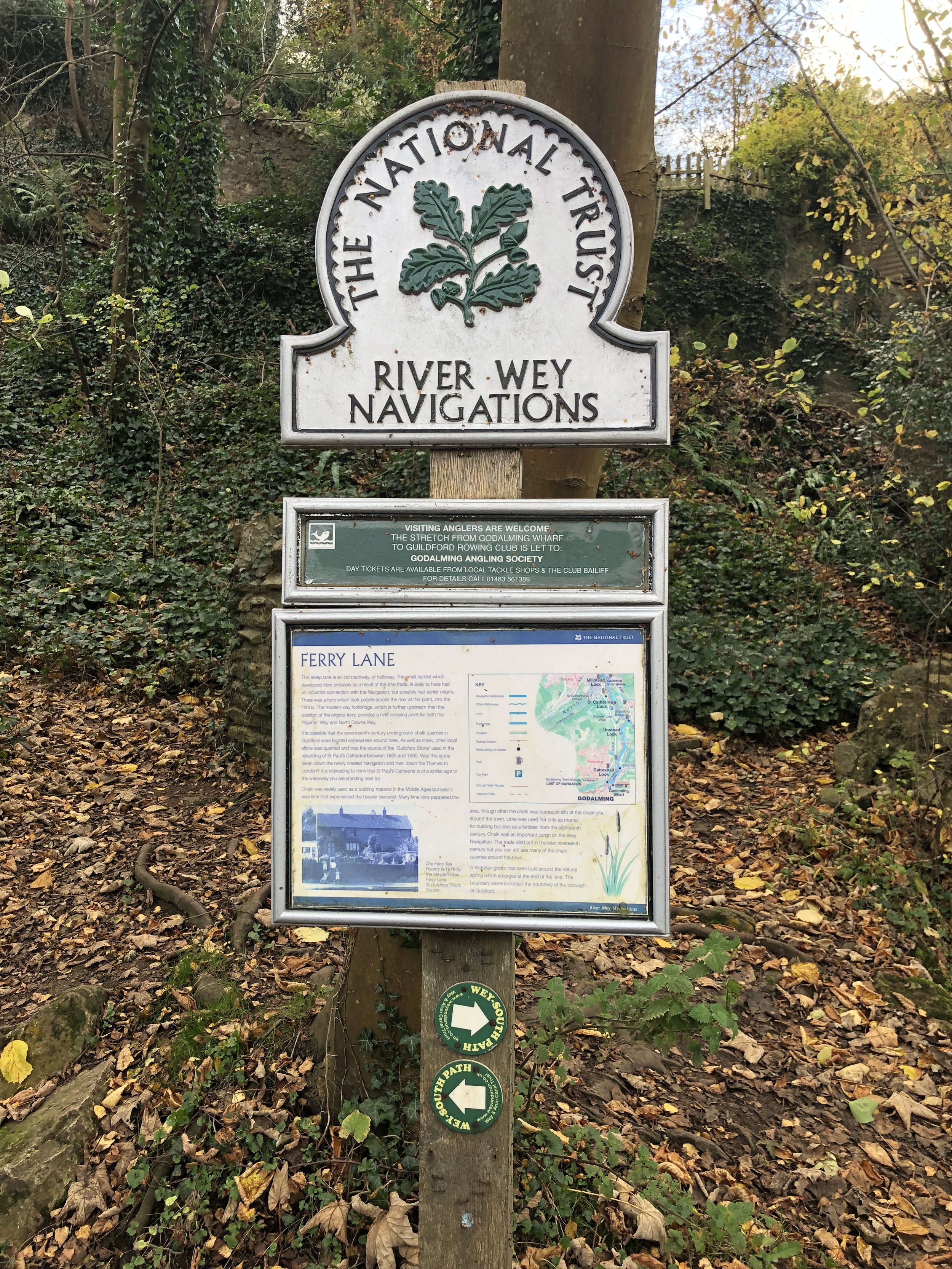
For this section we left one car outside the Good Intent Pub and the other at the large car park at Newlands Corner. Heading east, the first few kms of his section heads through Puttenham Golf course and quiet fields and woods. After 6km the trail descend to its lowest point of this section to cross the River Wey. Here you’re directly south of Guildford, the first major town near the trail since Farnham. The trail crosses the river on a wooden bridge shown in the banner photo above.
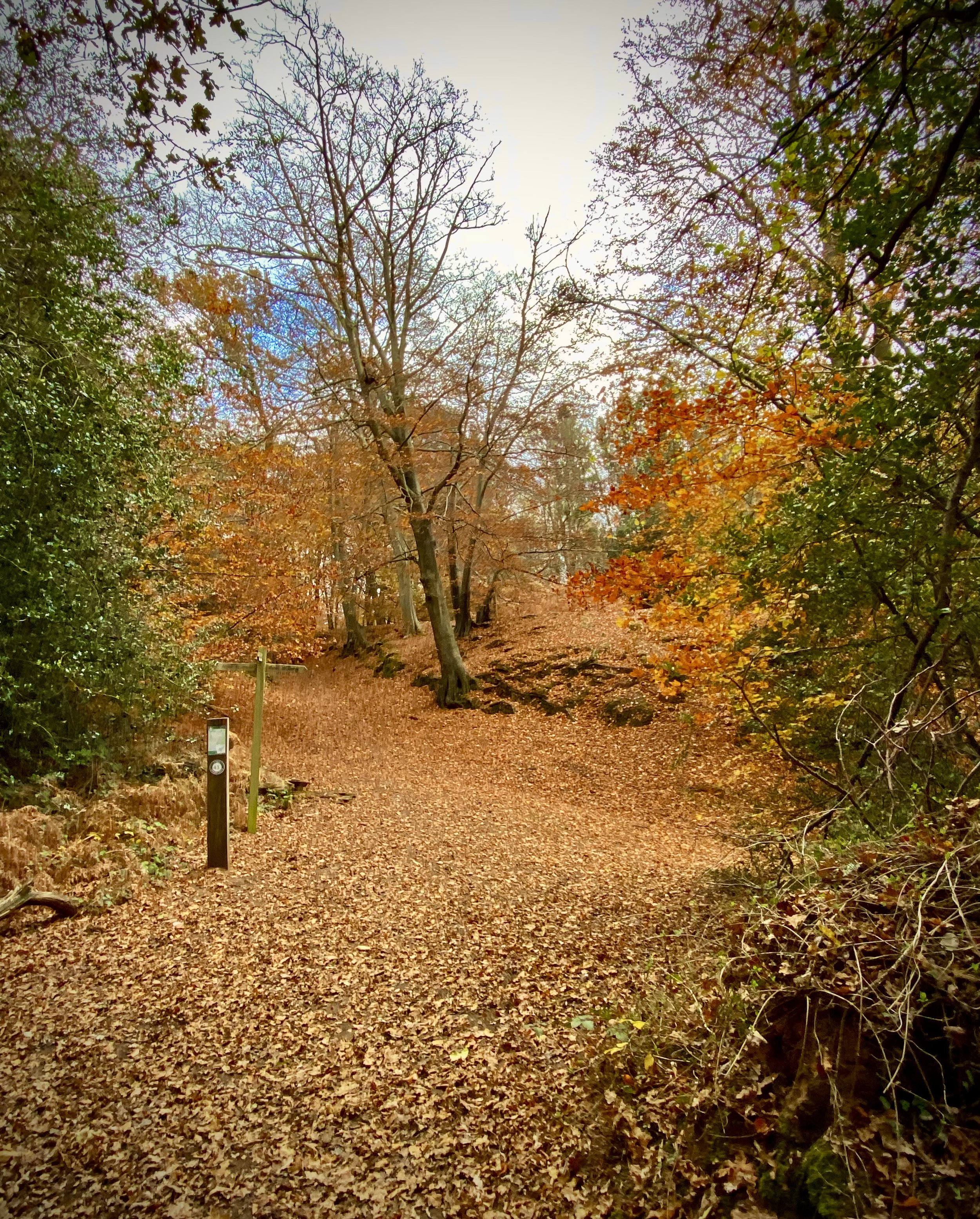
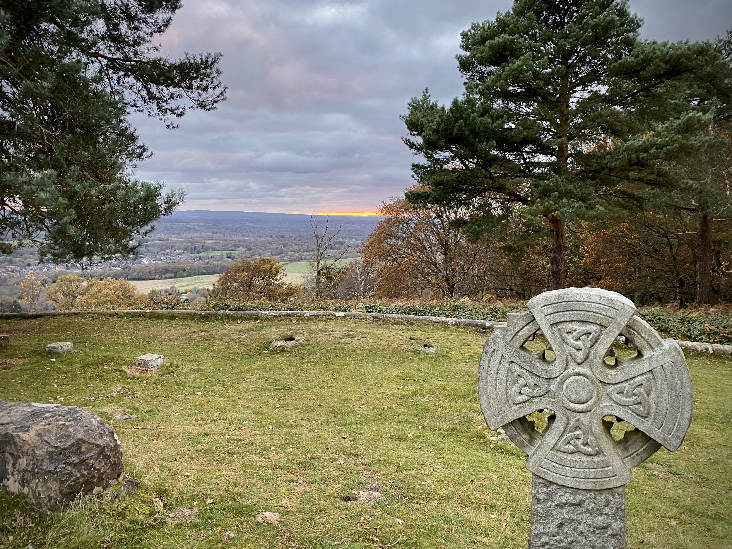
1 km after the river the trail passes through Chantry Wood and ascends to the sections high point at Martha’s Hill. The view from here to the south is spectacular on a clear day and the church is worth having a look inside. Descending from the summit of Martha’s Hill you’ll pass the start of the Downs Link which connects the North Downs Way to the South Downs Way, mostly along disused railways. Next the trail curves round to the north and follows the southern edge of woodland to Newlands Corner.


Previous Section (west): Walking The North Downs Way Part 1: Farnham to Puttenham
Next Section (east): Walking The North Downs Way Part 3: Newlands Corner to Ranmore Common