Walking The Scholar's Trail, Guildford

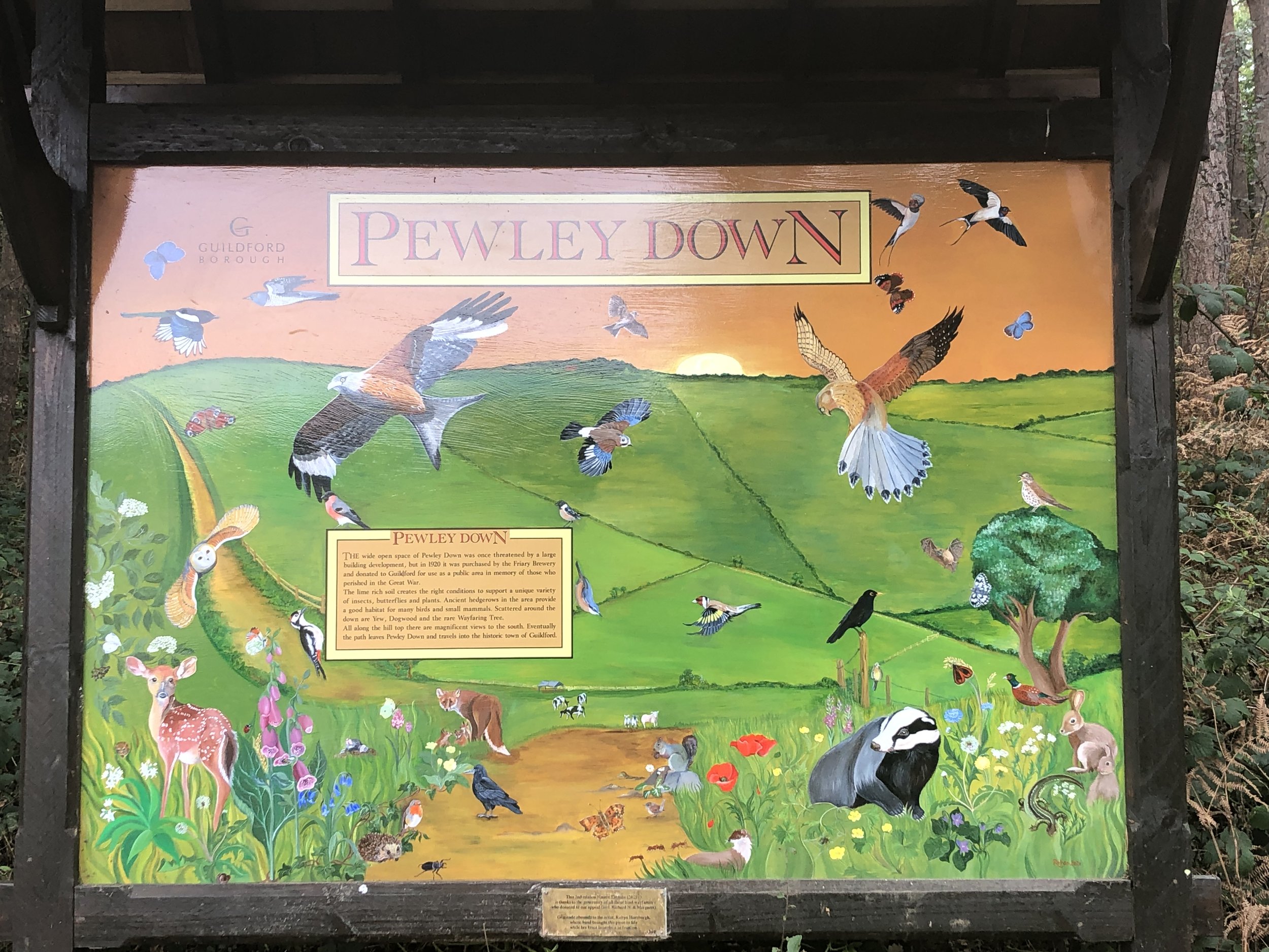
Pewley Down, Guildford
Start & Finish: Millbrook Car Park, A281, Guildford, GU1 3XJ
Distance: 8.1 km (5 miles)
Elevation change: +/- 147m
GPX File: get via Buy Me a Coffee
Other routes touched (walk): Wey-South Path, North Downs Way
Other routes touched (cycle): NCN 22
Pubs / Cafes on route: The Weyside (at start), Seahorse Guildford (at 2.3km), The March Hare (at 7.6 km)
Map: Guildford & Farnham Map | Godalming & Farnborough | Ordnance Survey | OS Explorer Map 145
Links: Guildford, River Wey, Shalford Mill National Trust, Chantry Wood, Pewley Down, Semaphore House, Guildford Castle
This is a short circular walk starting and ending in the centre of Guildford, Surrey. I’d seen it a few times on maps and crossed it a couple of times but otherwise hadn’t heard much about it. I also couldn’t find anything about it on the internet. Please contact me or comment below if you know anything about the background to the trail. Despite not knowing much about its background we found this to be a very pleasant short walk with several points of interest along the way.
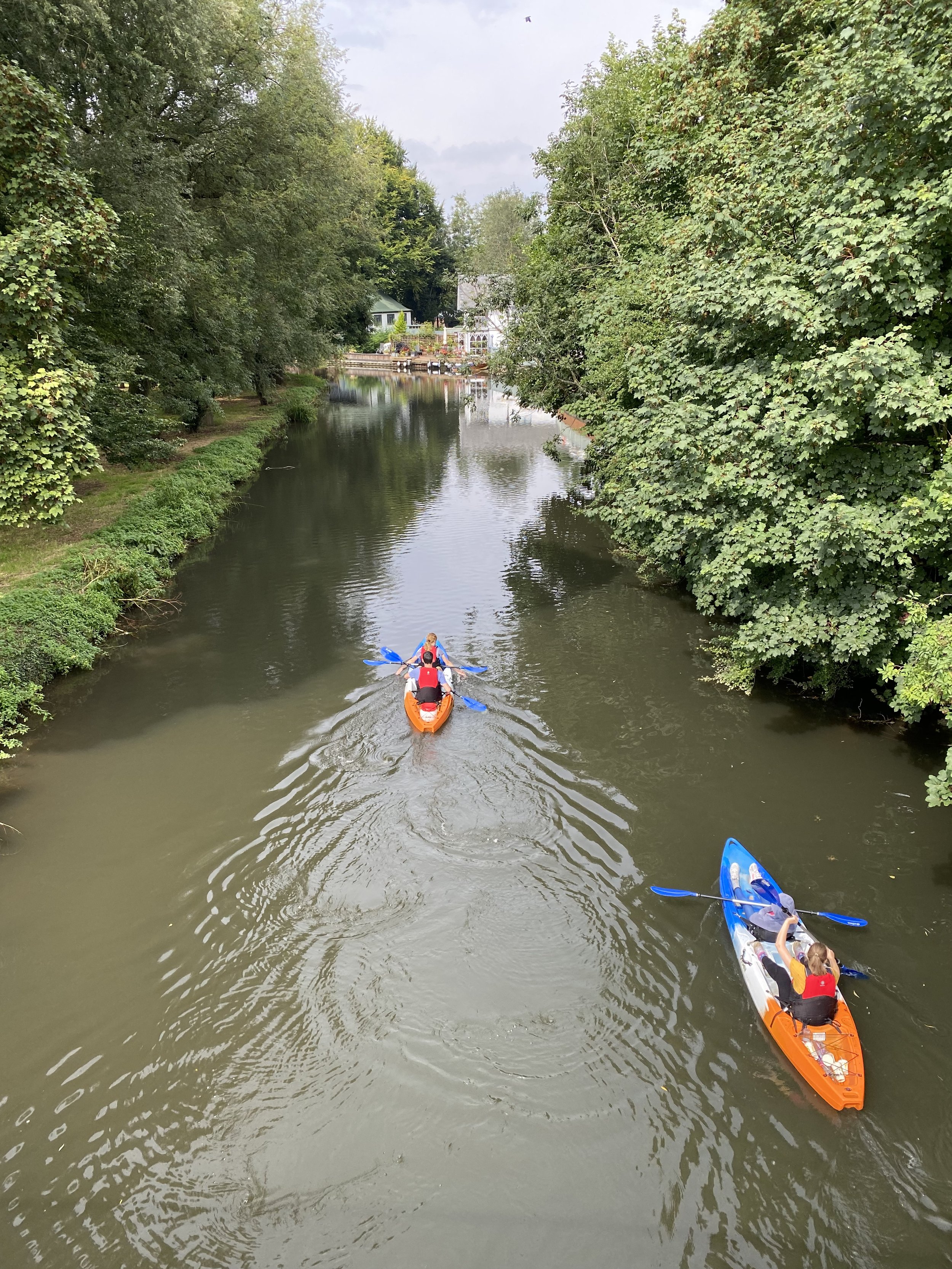
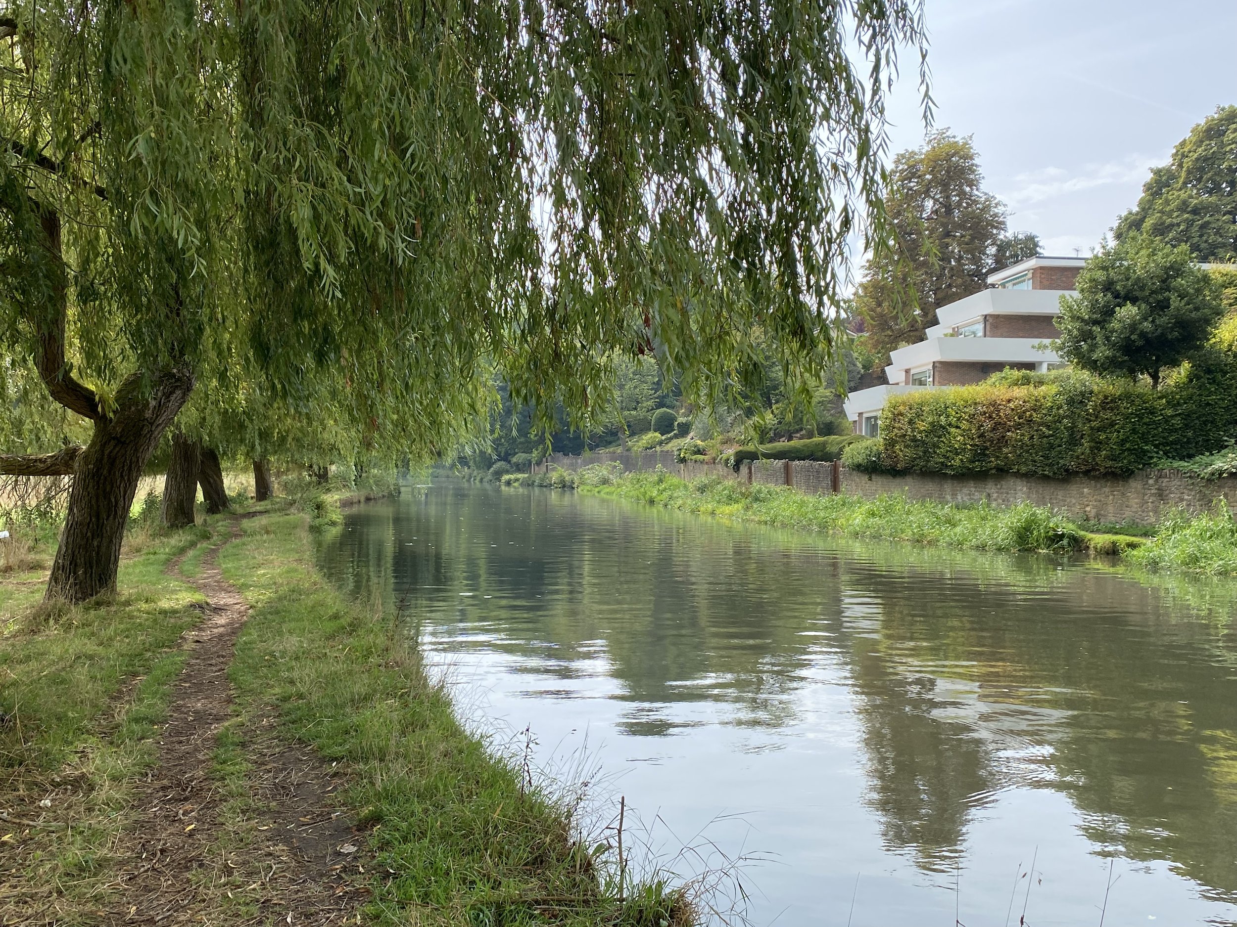
We parked at Millbrook Car Park in the centre of Guildford and headed south along the east hand-side of the River Wey. Shortly after the Weyside pub you can cross over the Wey to join the Wey-South Path continuing south on the west side of the river. The towpath was blocked off for repairs when we were there but you can also follow the river on the east side of the path and reconnect ~1km later at the next bridge.
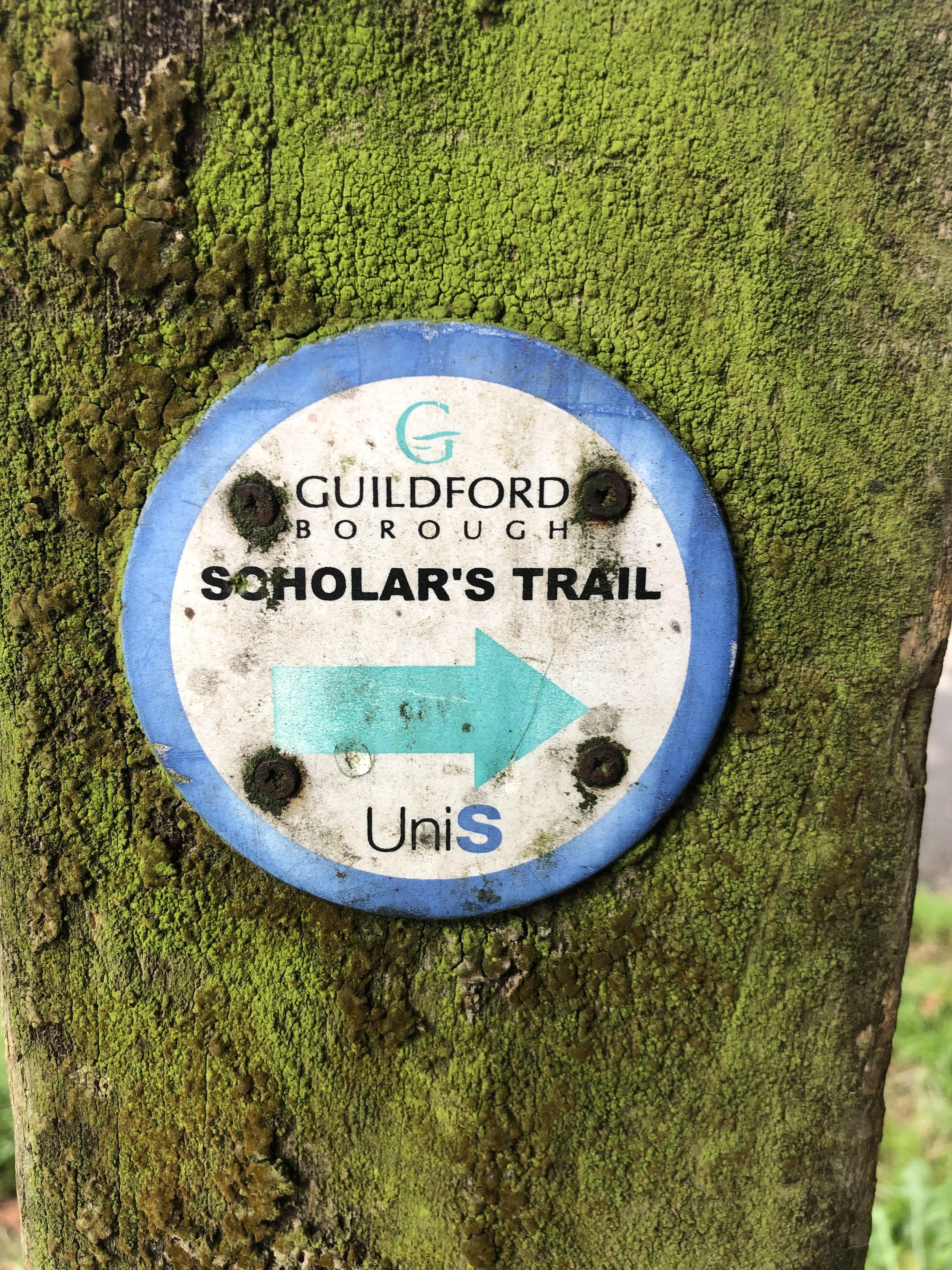
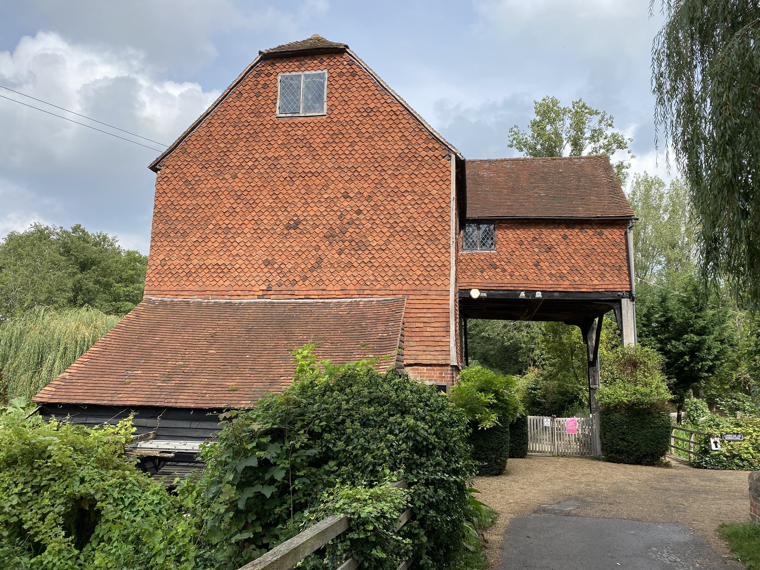
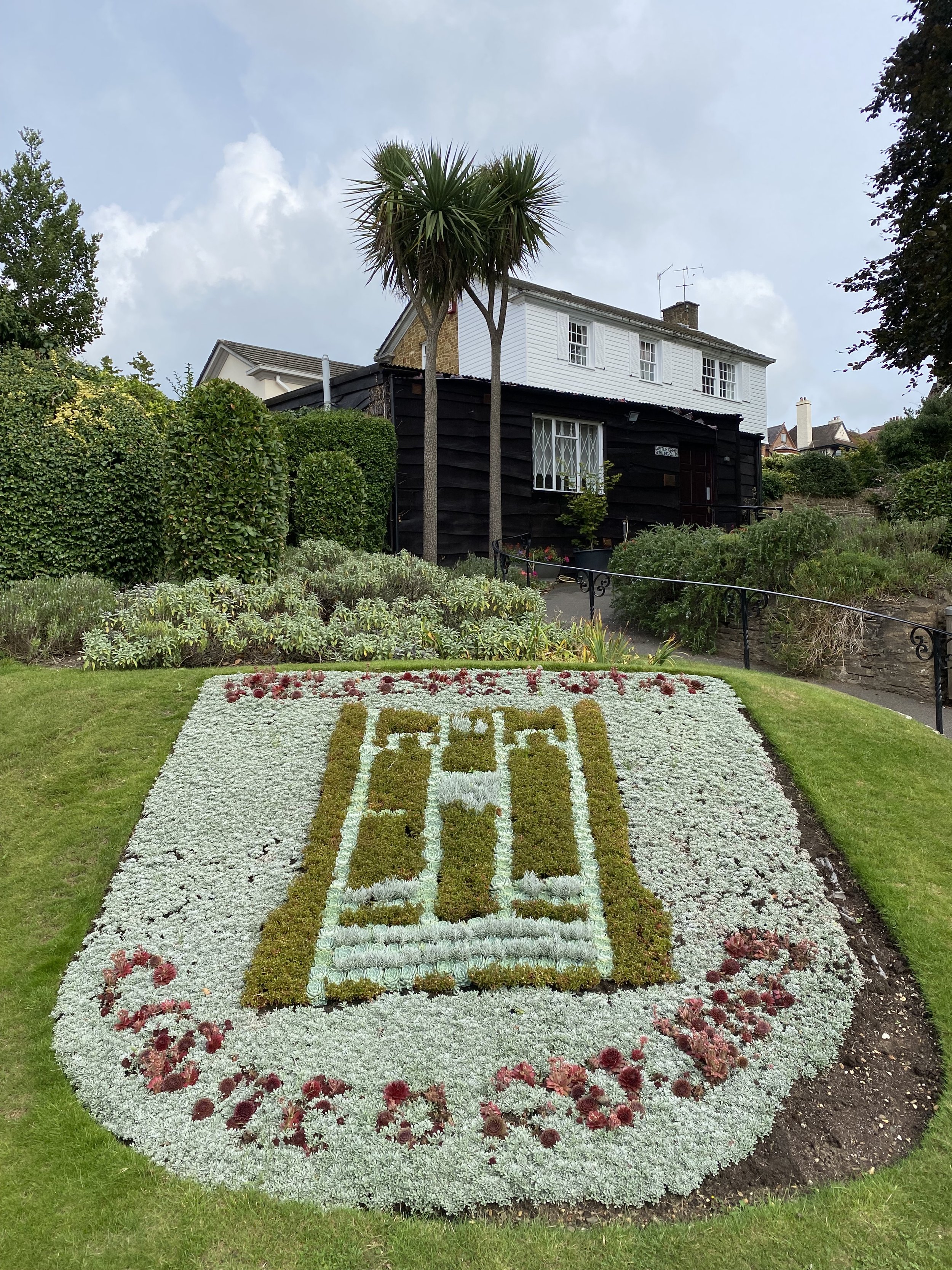
If you’re on the west side, you’ll reach a wooden bridge near Ferry Lane. Cross this bridge and return to the east side of the river. You’ll now be on the North Downs Way heading east. When you reach Shalford Park leave the North Downs Way and follow the path on the western edge of the park, continuing south over the Tillingbourne. At a path junction follow the Scholar’s Trail signs to take a left turn to meet the A281 near the Seahorse pub. Take a right onto the A281 then, cross over and take a left onto the lane to Shalford Mill. The Mill is a small National Trust property that’s worth a visit, especially if you’re a member.
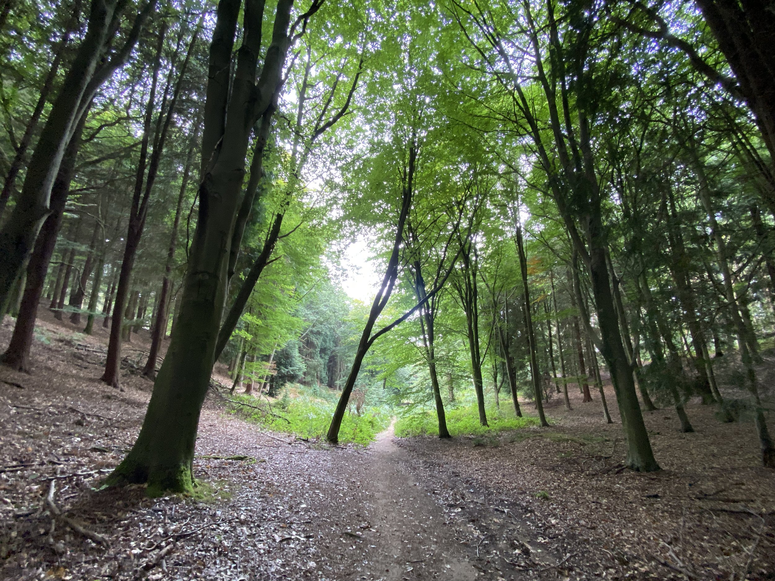
From Shalford Mill continue along the path in a north-easterly direction. Join Shepherds Way in a northerly direction for ~300m then take a right onto a narrow path when the road curves to the left. When you reach the next road take a right into Chantry Wood. The Trail snakes through Chantry Wood for 2.5km. We didn’t see a lot of Scholar’s Trail signs here, especially on some important junctions, so a map or GPX route is essential here.
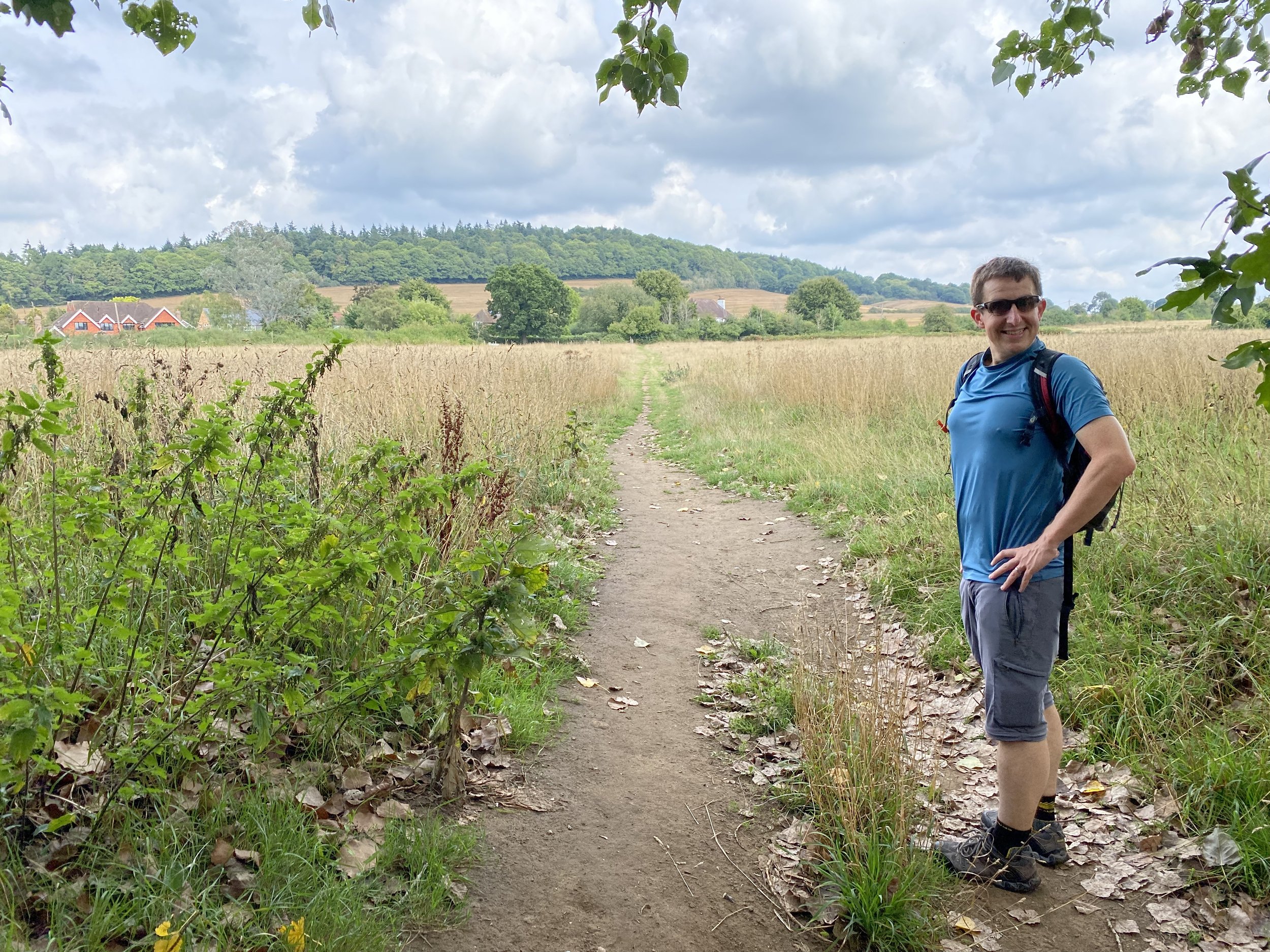
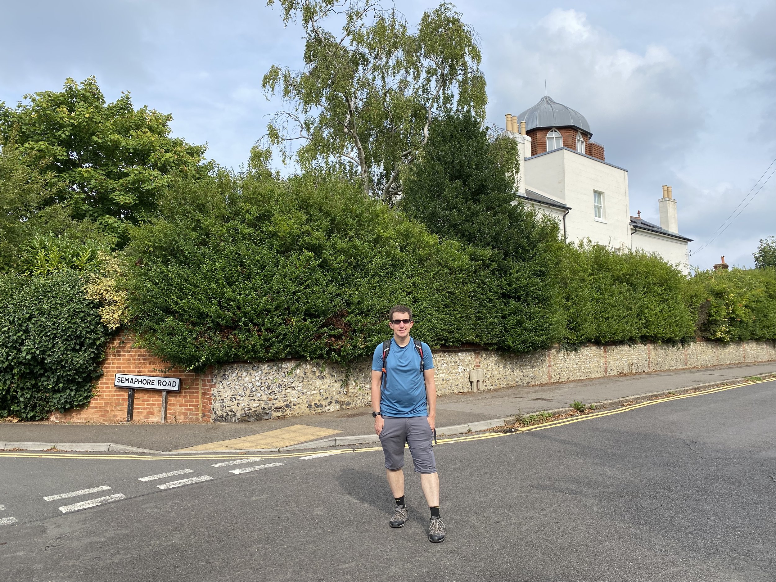
At 5.5 km into the walk the Trail takes a sharp left turn out of the wood and though fields in a north-westerly direction. This is a long, straight section that takes you across Pewley Down back into Guildford. Stop on the way for some great views to the south from the top of Pewley Down. Head to the north-west corner of Pewley Down to Pewley Hill (road). Follow this for 750m descending down to the March Hare pub. Along Pewley Hill you’ll pass Semaphore House, an example of a series of semaphore towers that linked The Admiralty in London with Portsmouth Dockyard. This one, now a private residence, is the next along the line from the Chatley Heath Tower seen on the Discover Downside walk.
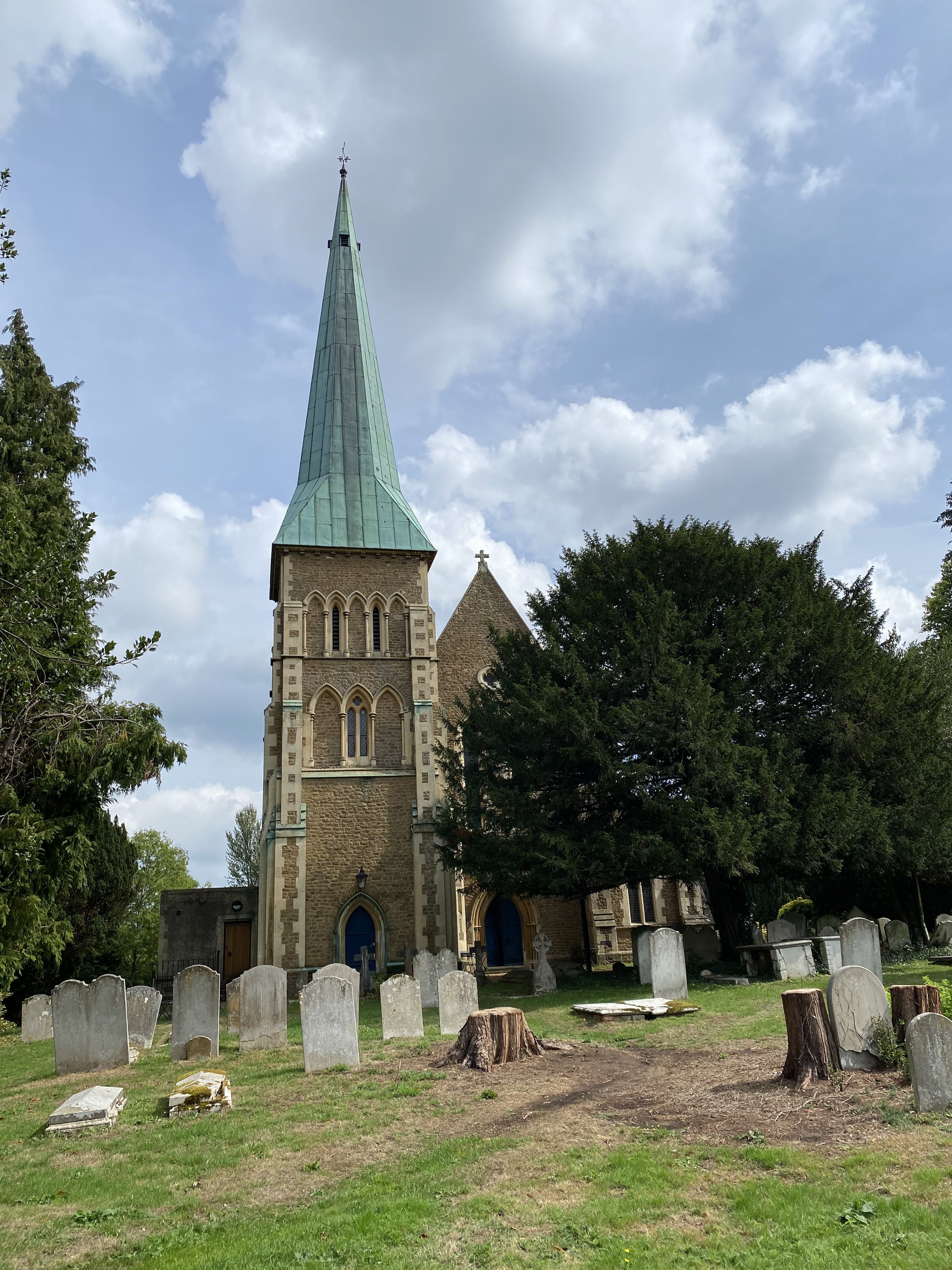
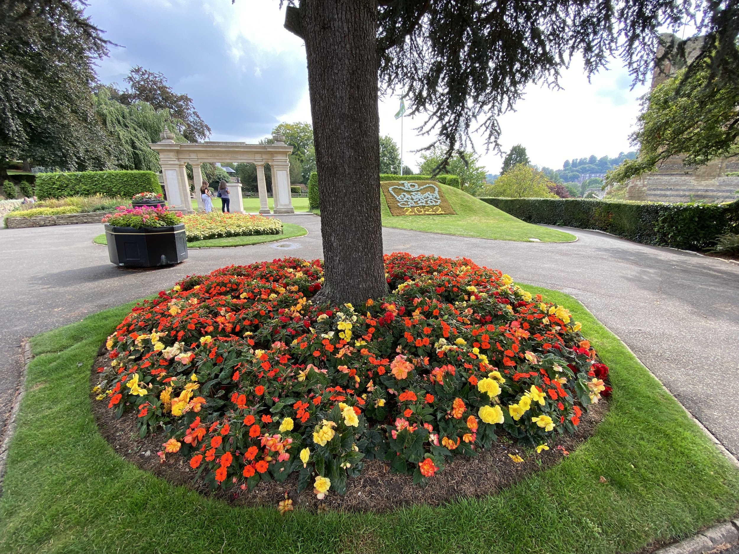
At the March Hare pub take a left onto South Hill and continue south-east for 220m, taking a path on the right into woodland. Follow the path down the hill to Quarry Street and the Millbrook Car Park. An alternative finish that we took is to take a left after the March Hare and walk around the grounds of Guildford Castle. This is well worth a visit if you’ve not been there before. The Castle Grounds exists onto Castle Hill, then Quarry Street and then the car park.