Discover Downside Circular Walk

The path near the River Mole to the Semaphore Tower
Start & Finish: Holly Hedge Car Park, Downside Bridge Road, Cobham, KT11 3DQ
Distance: 9.6 km (6 miles)
Elevation change: +/- 67m
GPX File: get via Buy Me a Coffee
Other routes touched (walk): None
Other routes touched (cycle): The Semaphore Line
Pubs / Cafes on route: Caffè Capital near the car park. Lots of others on Cobham High Street. None on the route
Map: London South Map | Westminster, Greenwich, Croydon, Esher & Twickenham | Ordnance Survey | OS Explorer Map 161
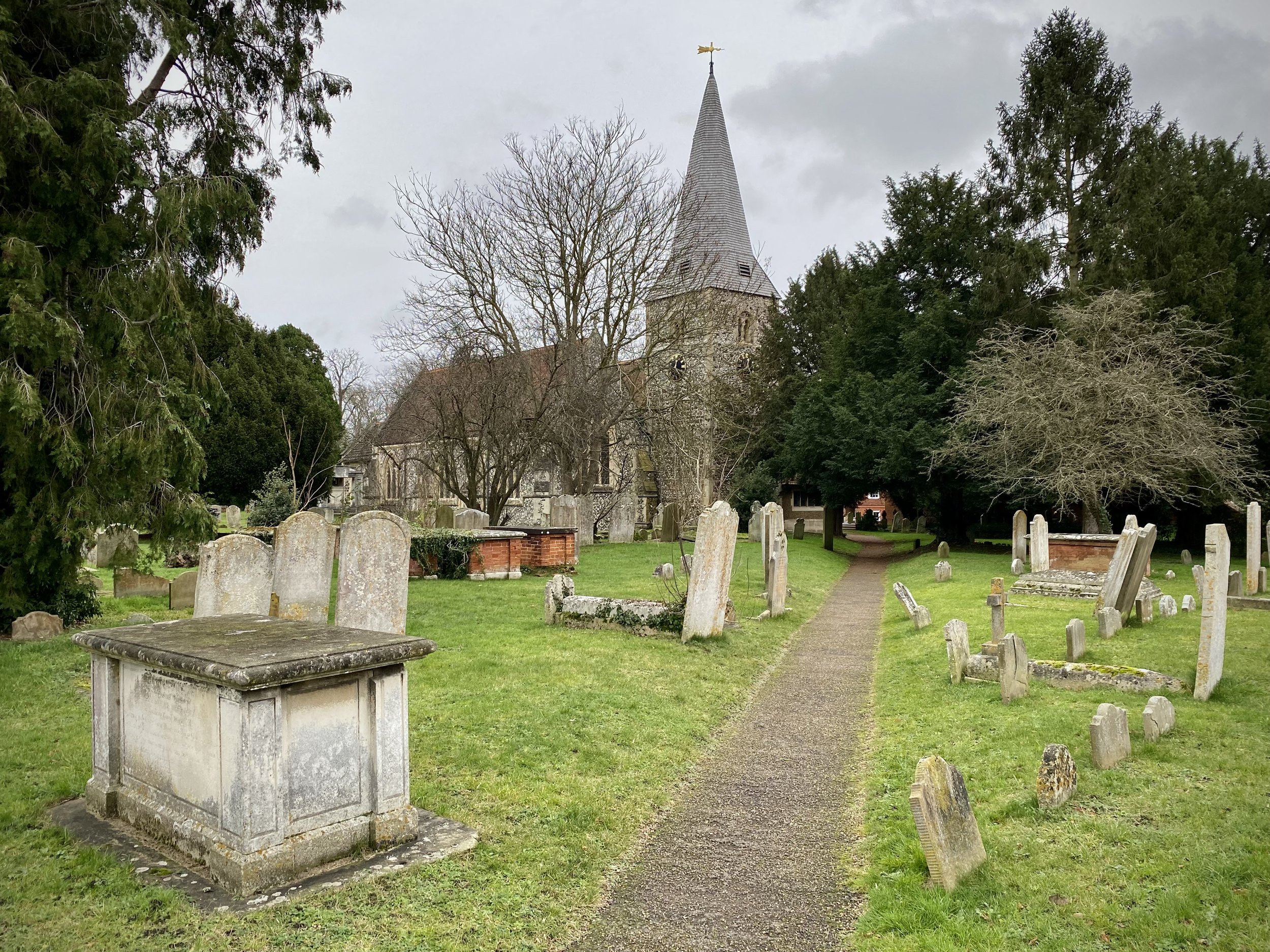
Links: Cobham, Chatley Heath, Optical Telegraph, Ockham, Downside, Explore Surrey - Discover Downside
This was our latest of the Explore Surrey walks and a visit to the north side of the Surrey Hills. The Explore Surrey Guide contains all of the directions, so I’ve not included them here. Instead, here’s a few other things to note.
There’s no pubs or cafes on the route, but several in Cobham Town Centre. We liked Caffè Capital near the car park.
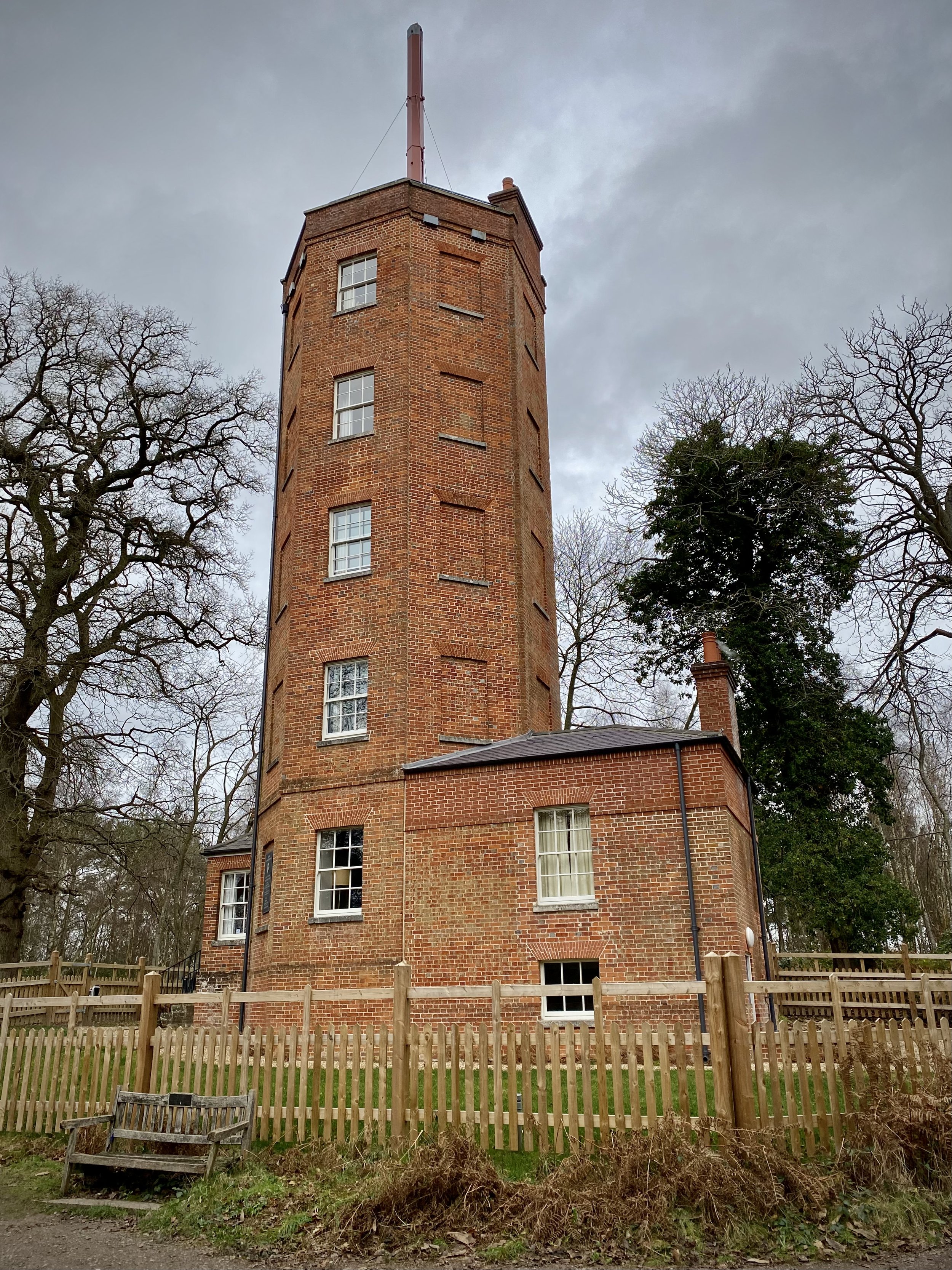
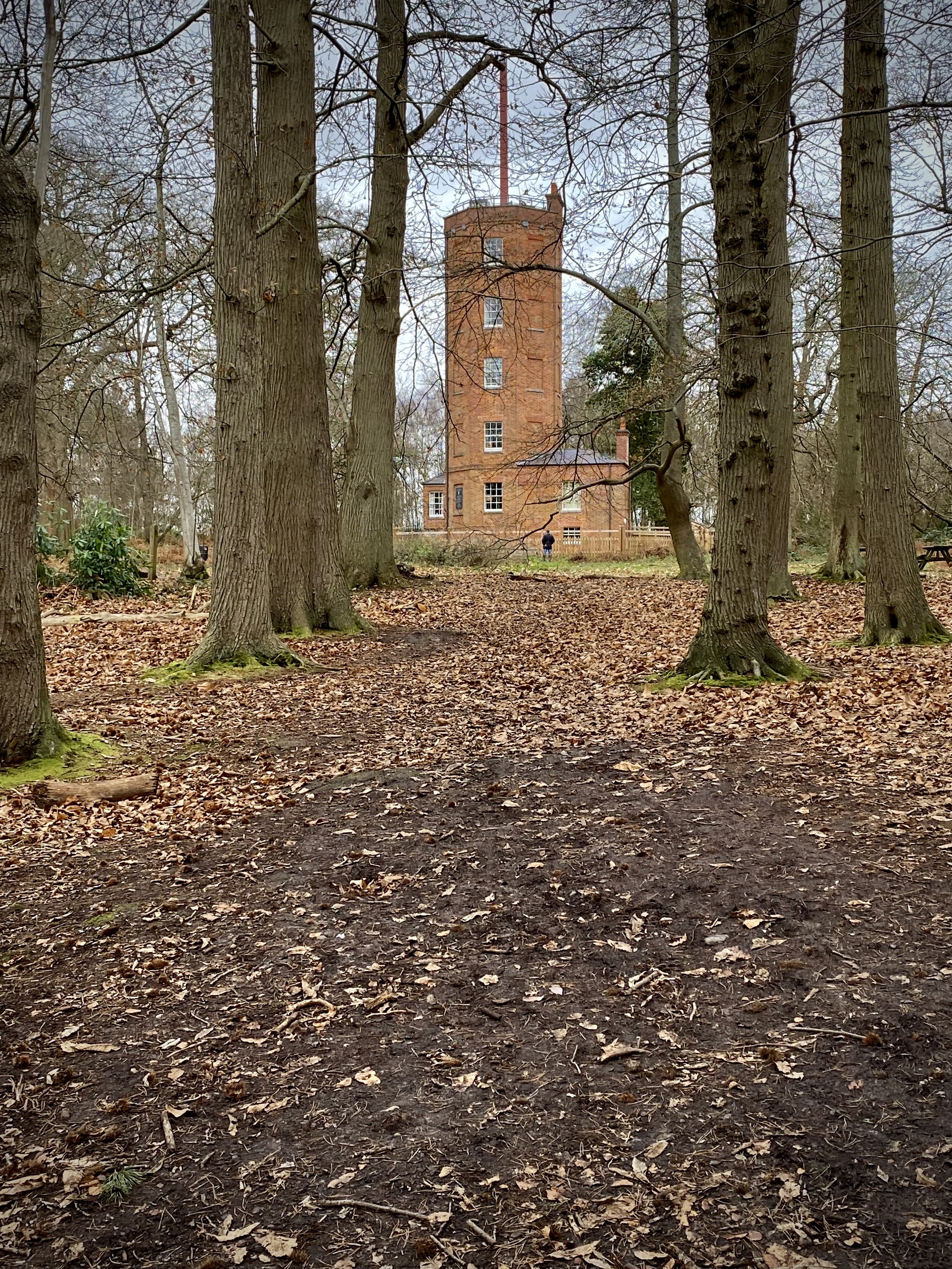
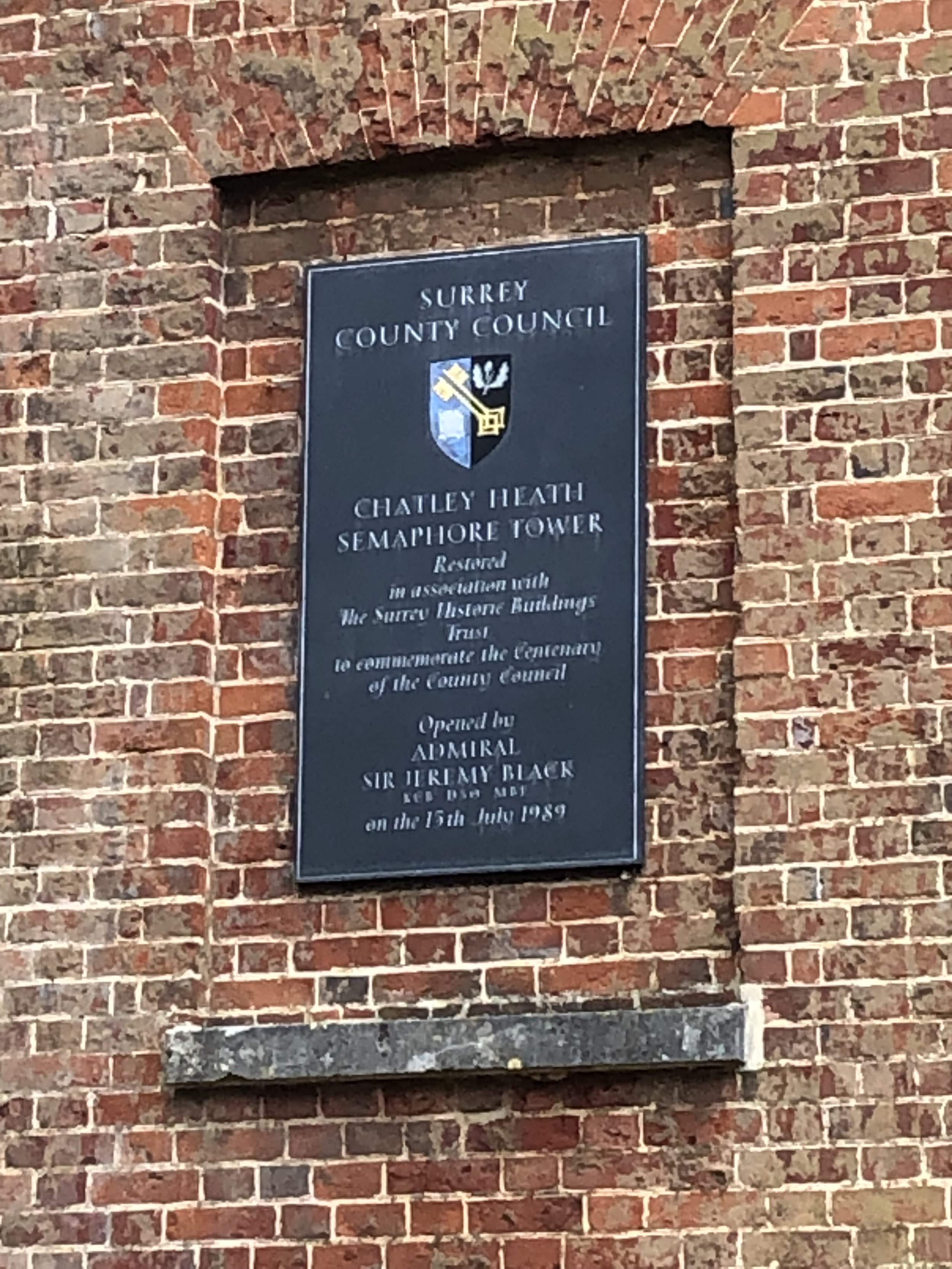
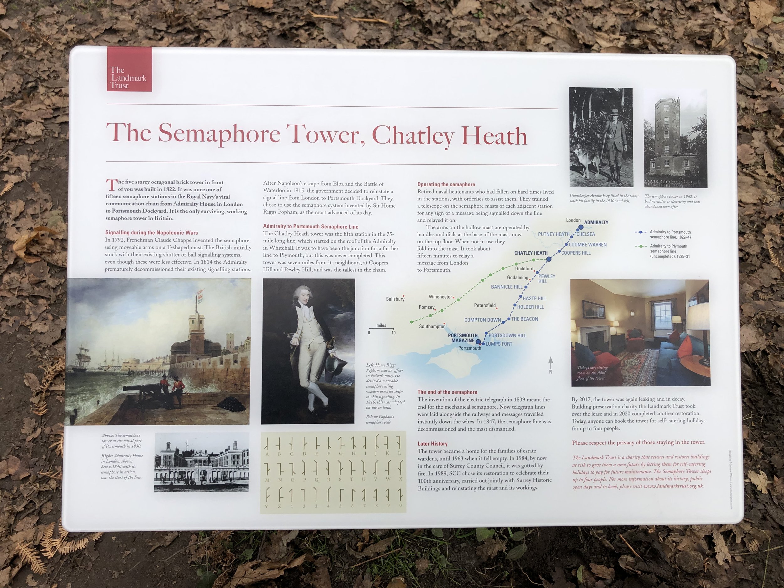
If you take your own food there’s several picnic tables by the Semaphore Tower. The Tower is the best preserved example of a series of semaphore towers that linked The Admiralty in London with Portsmouth Dockyard. See my post on Cycling The Semaphore Line for more on this.
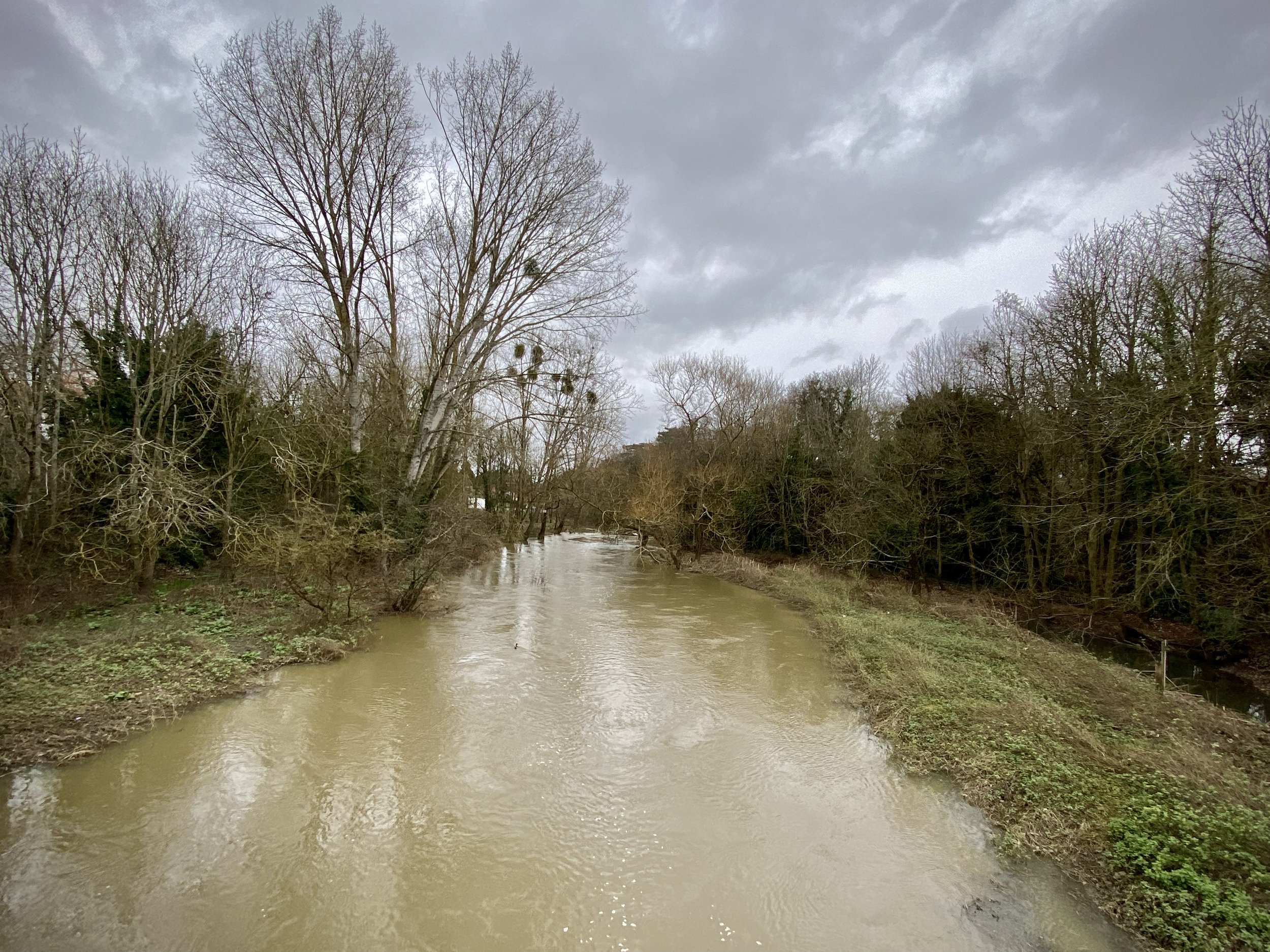
The route can be VERY muddy. We went in early January after a lot of rain. The main muddy spots are the fields next to the River Mole near the start, the footpath behind the houses at May’s Green and Old Oak Common Woods. Wear good boots.