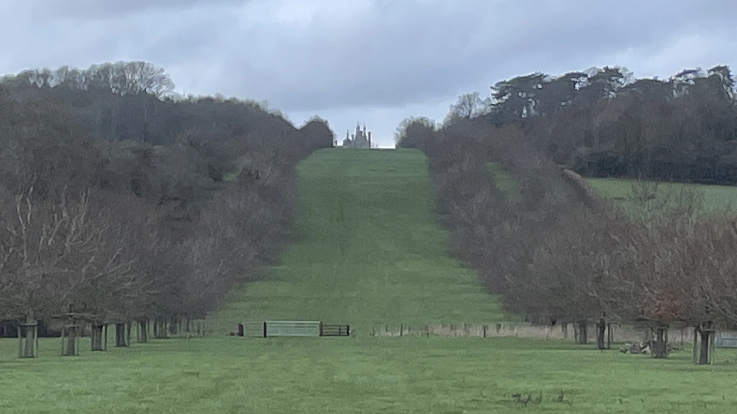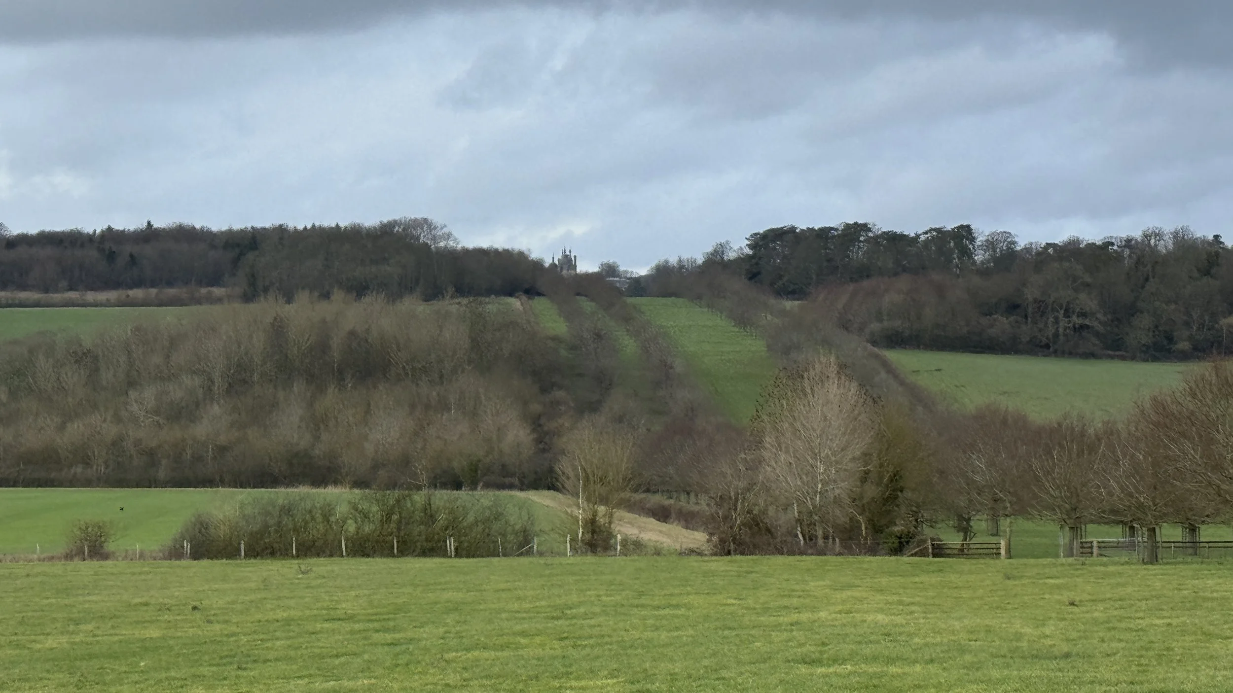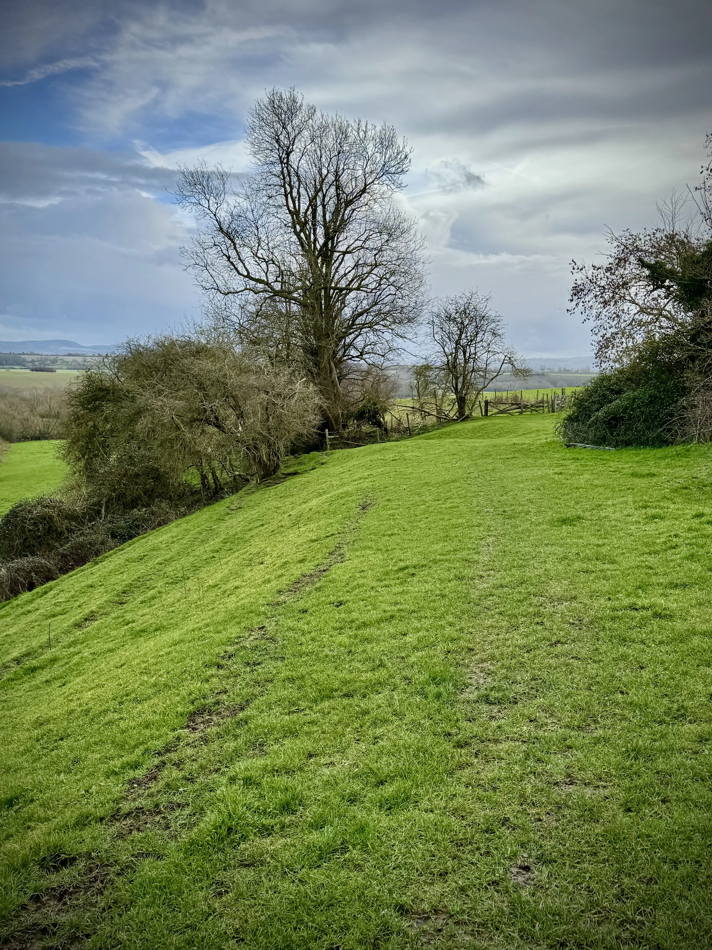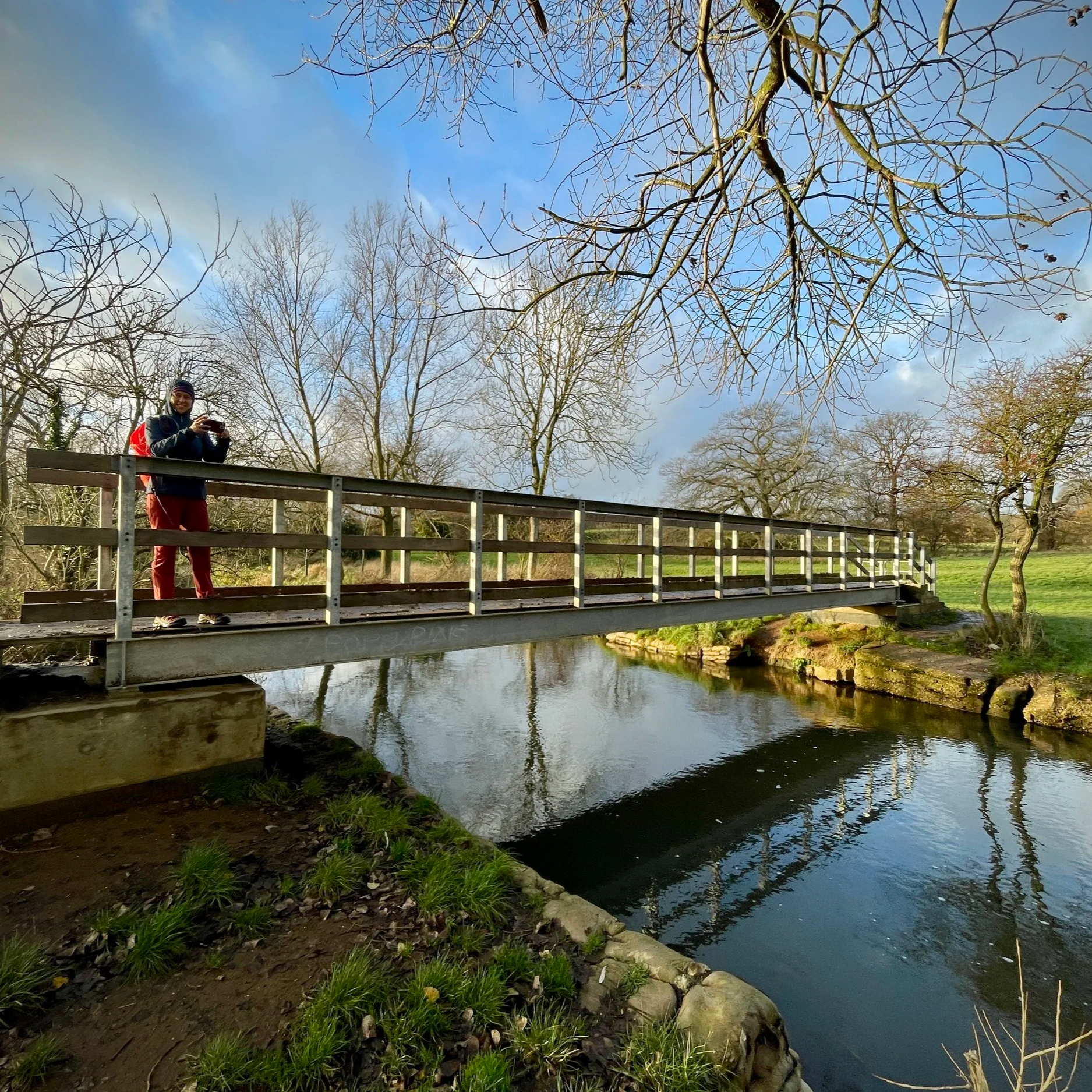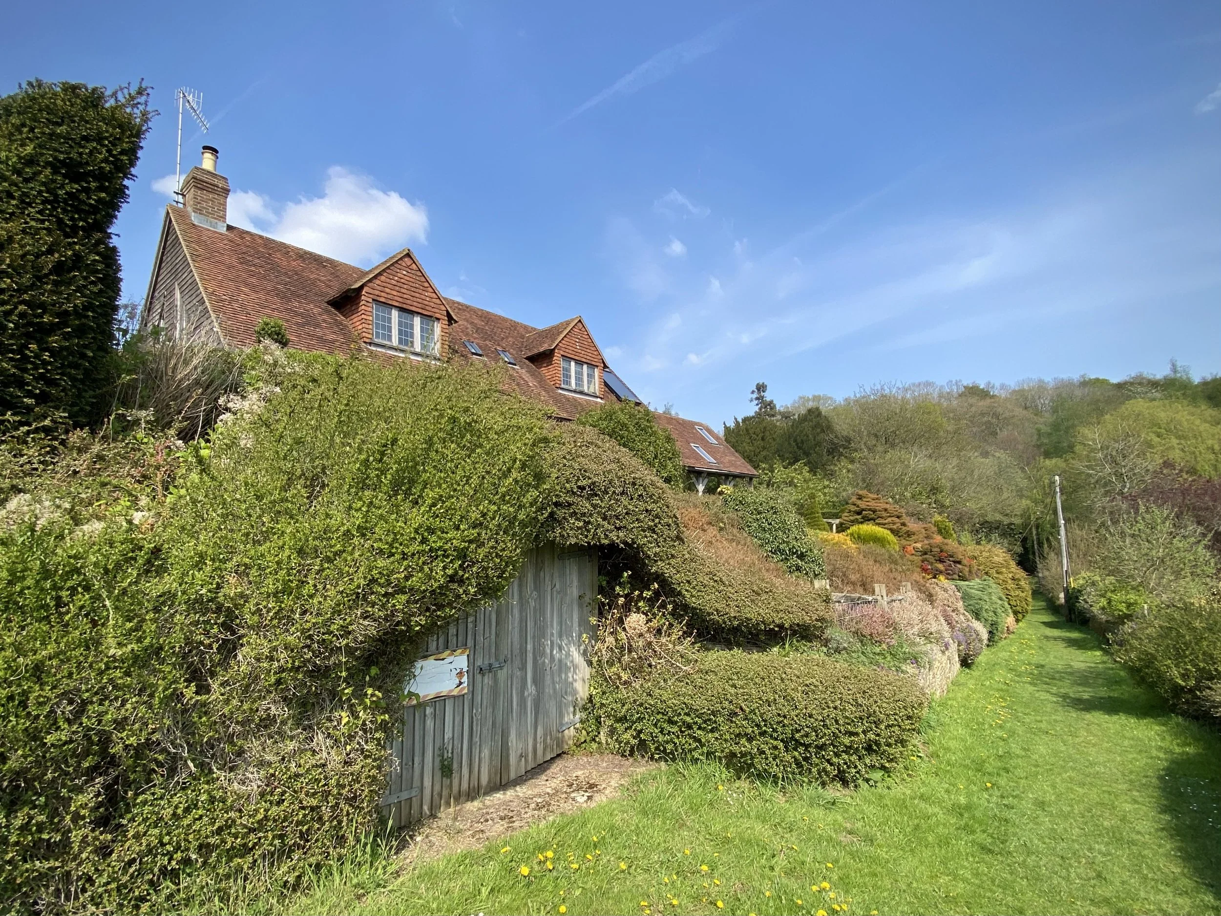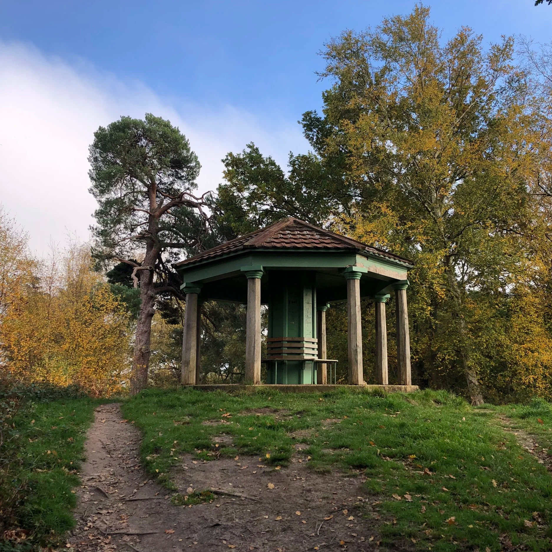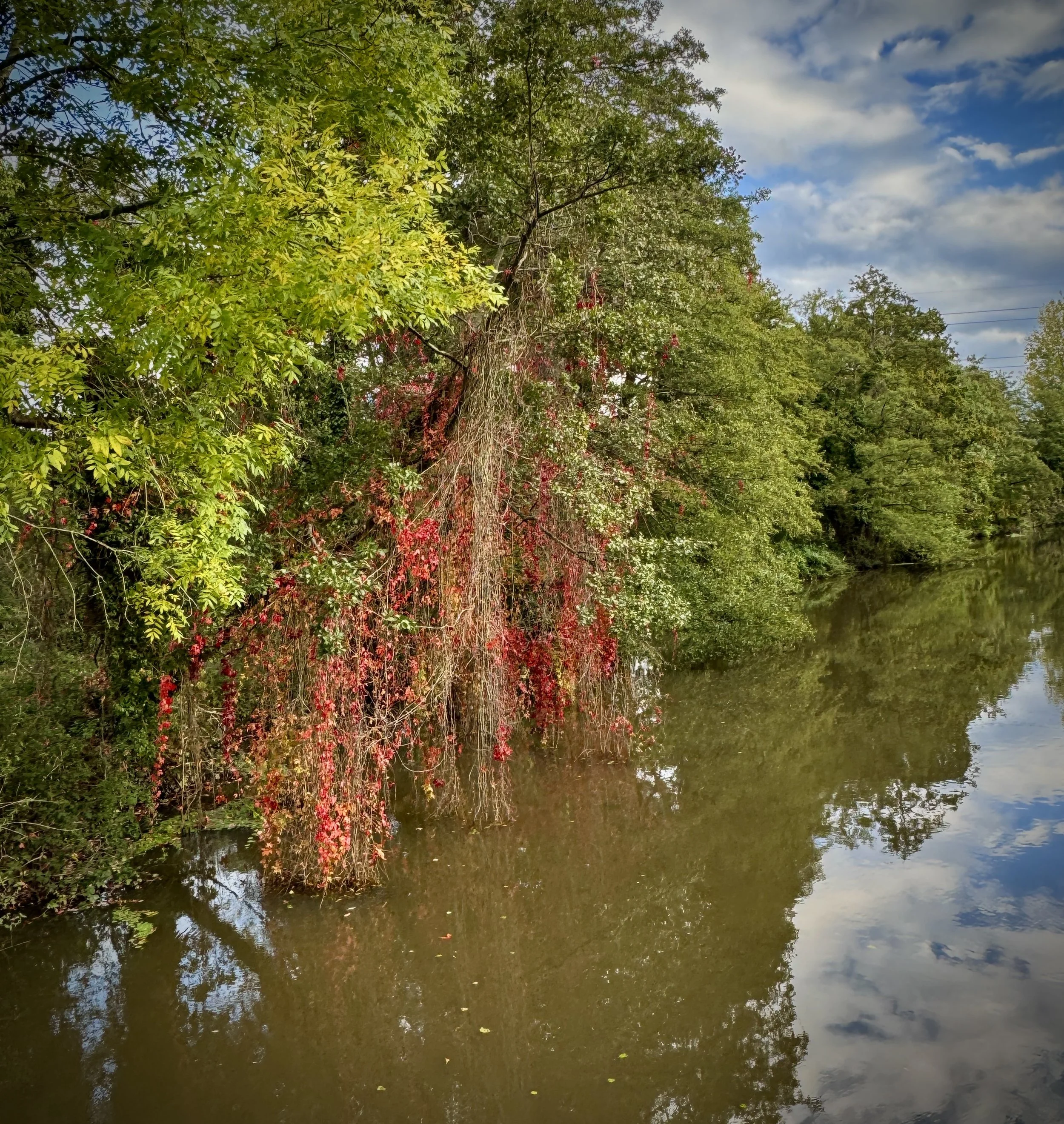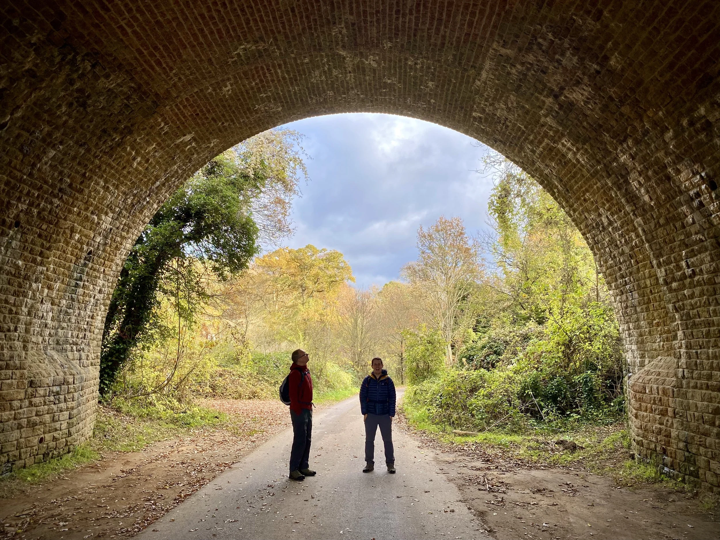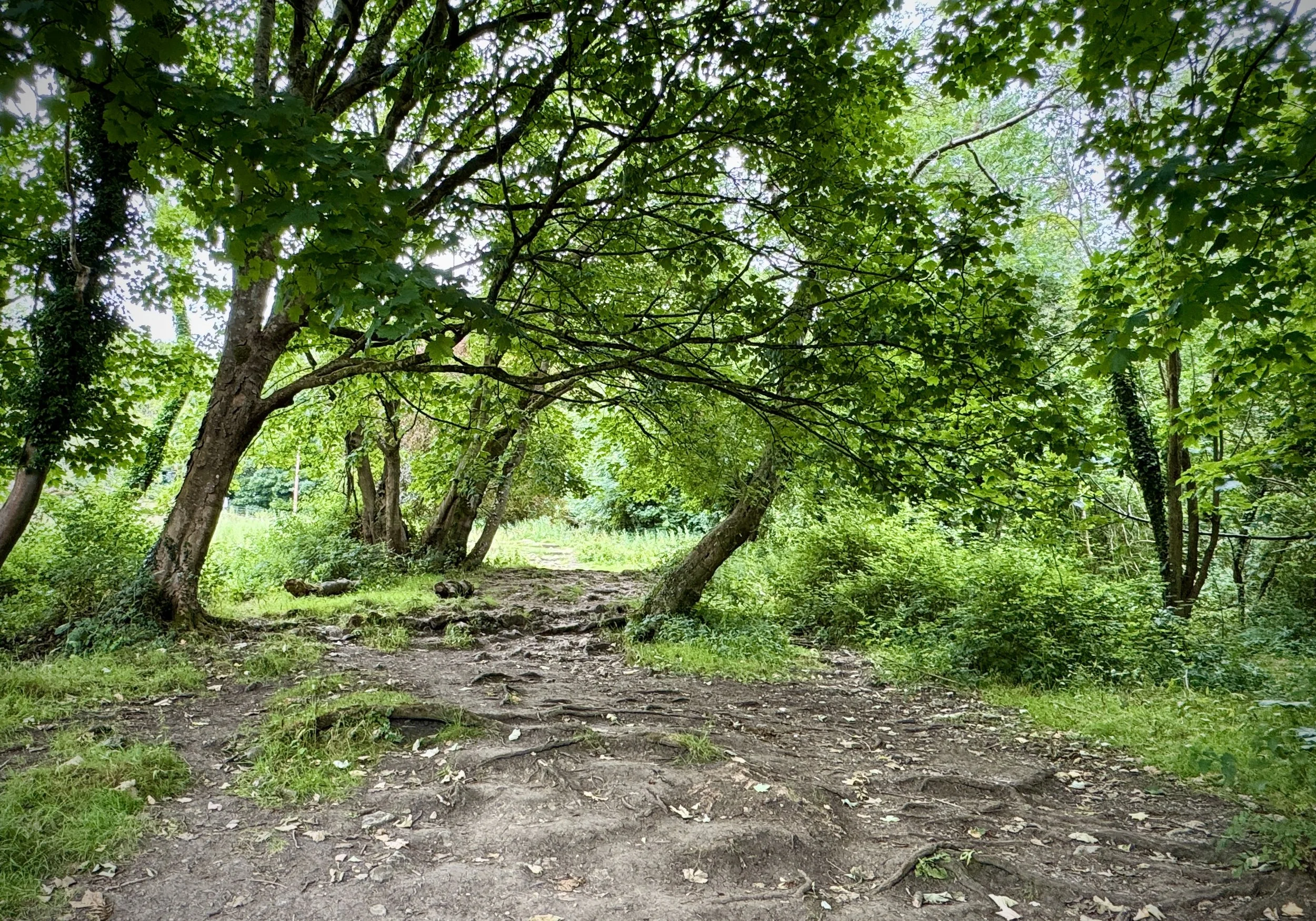
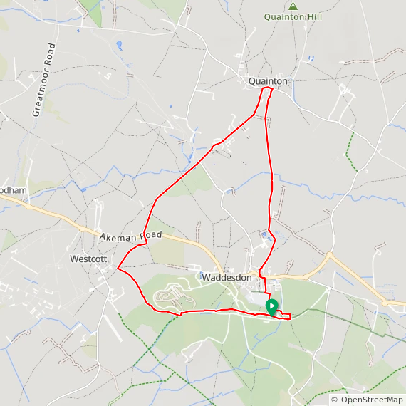
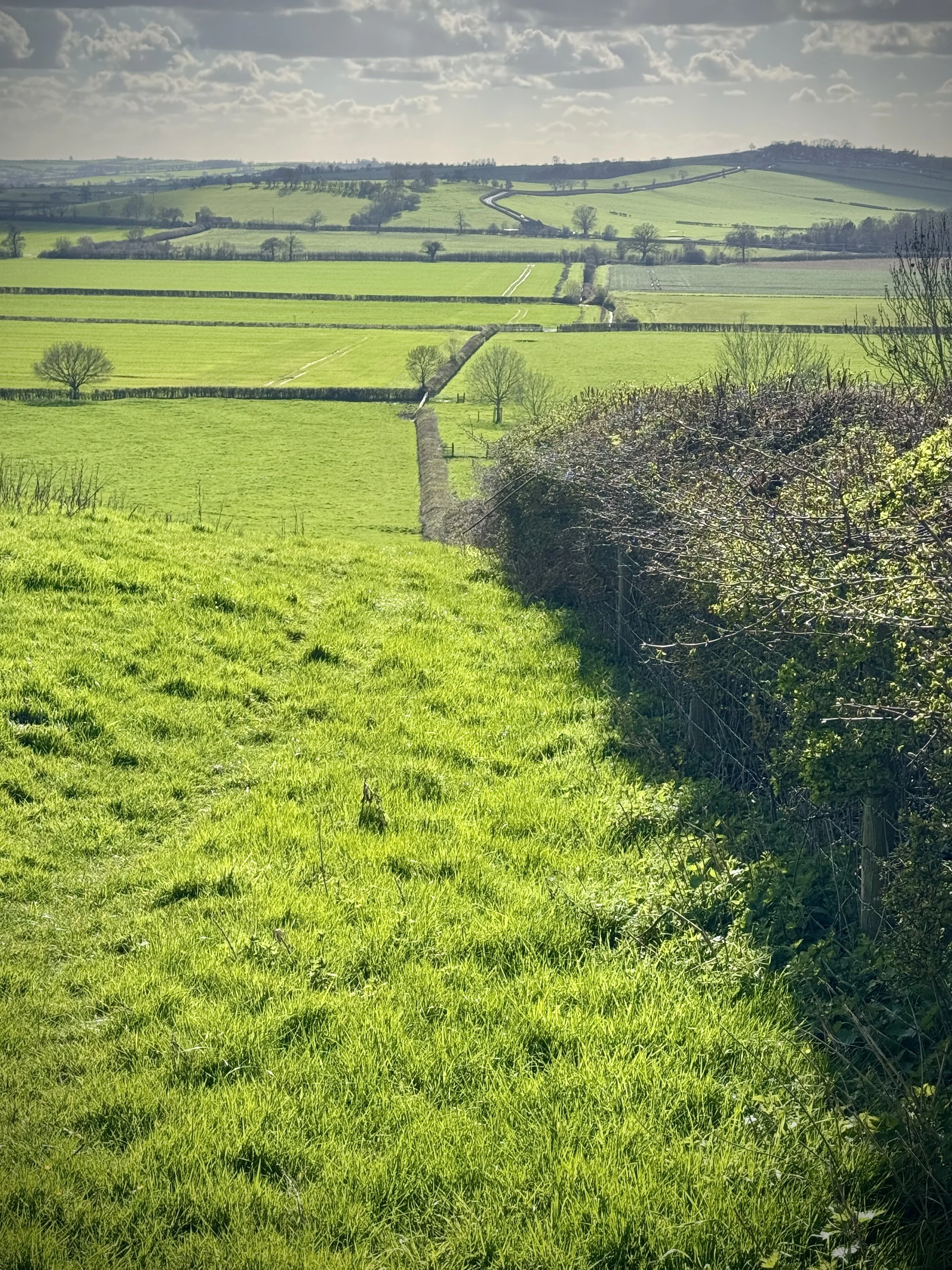
Approaching the Waddesdon Estate from the north-west on the Brill Tramway Walk
*** Note that at the time of writing in March 2026, this route is not possible to complete due to the HS2 works running through the centre. Please check the status of the HS2 work before attempting this route. Scroll down to see our alternative route that avoids the works ***
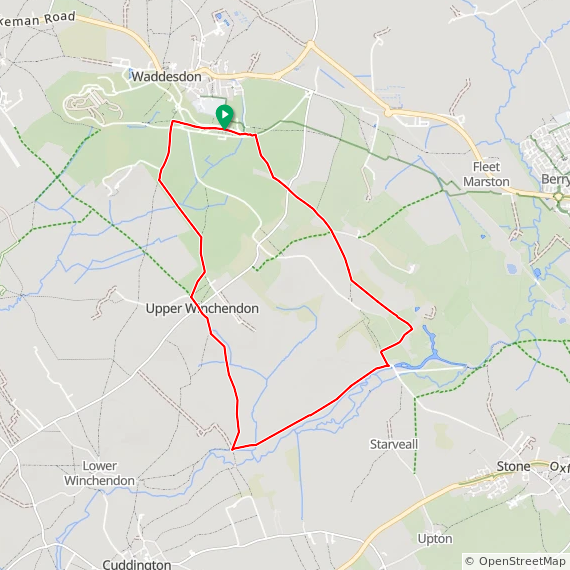
Start & Finish: Waddesdon Manor Car Park, Waddesdon, Aylesbury, HP18 0JE
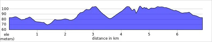
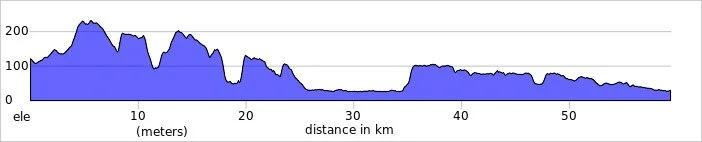
Distance: 11.9 km (7.4 miles)
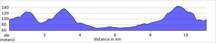
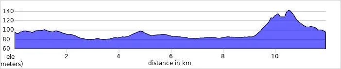
Elevation change: +/- 96m
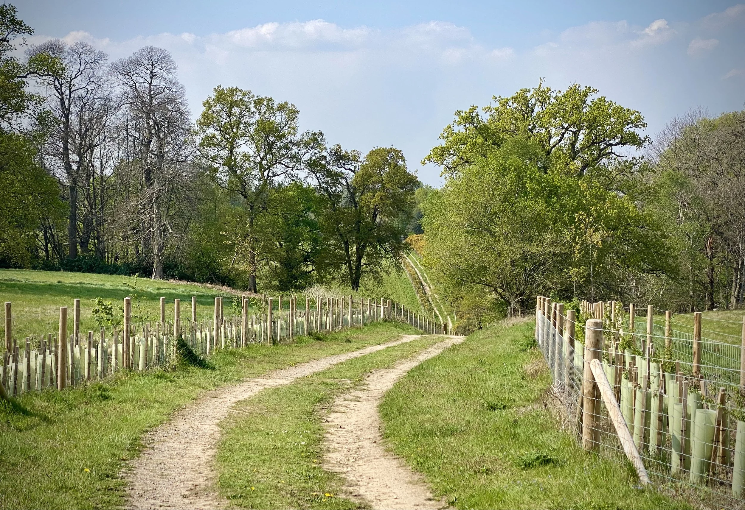
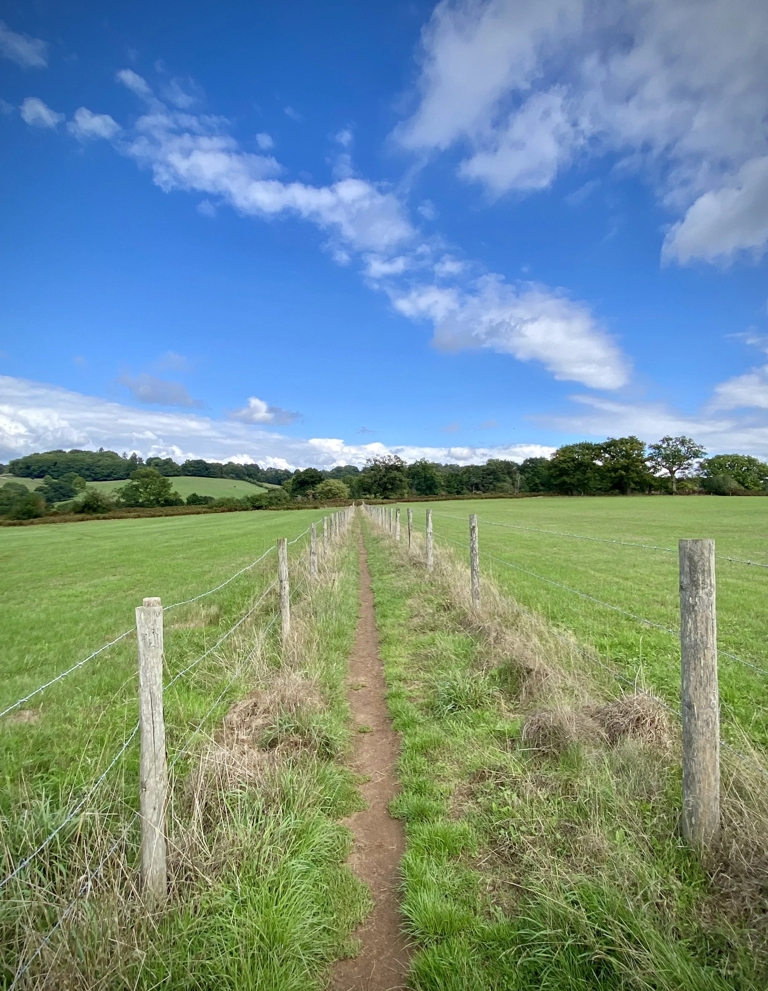
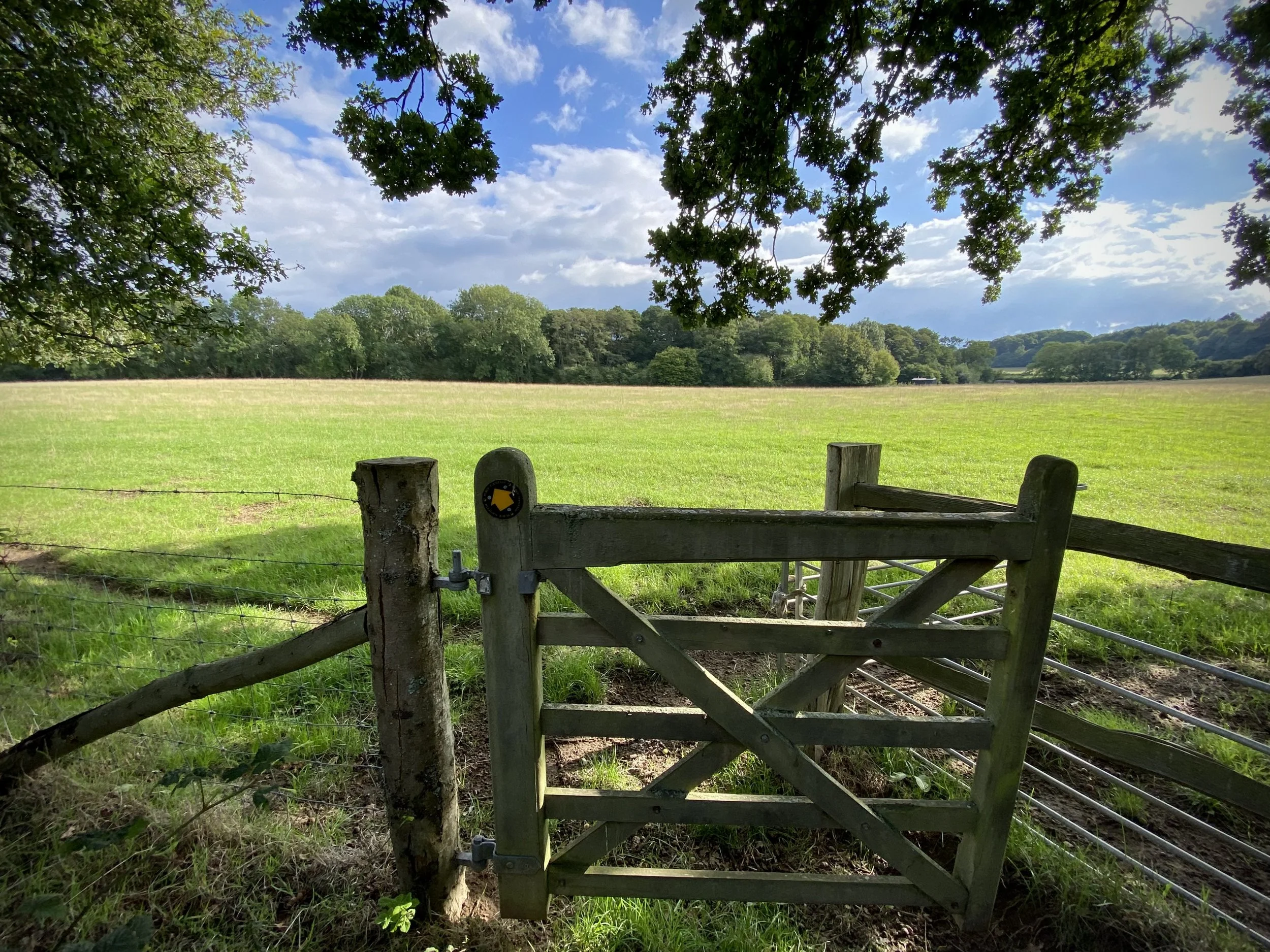
Terrain: A mixture of paved surfaces, grassy footpaths, and countryside tracks with rolling elevations.
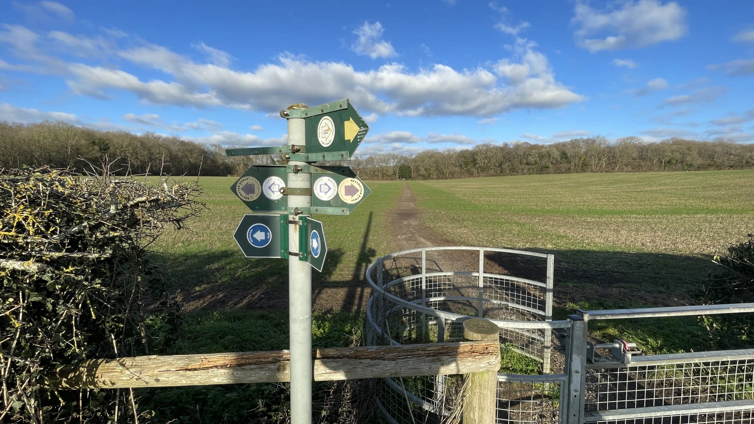
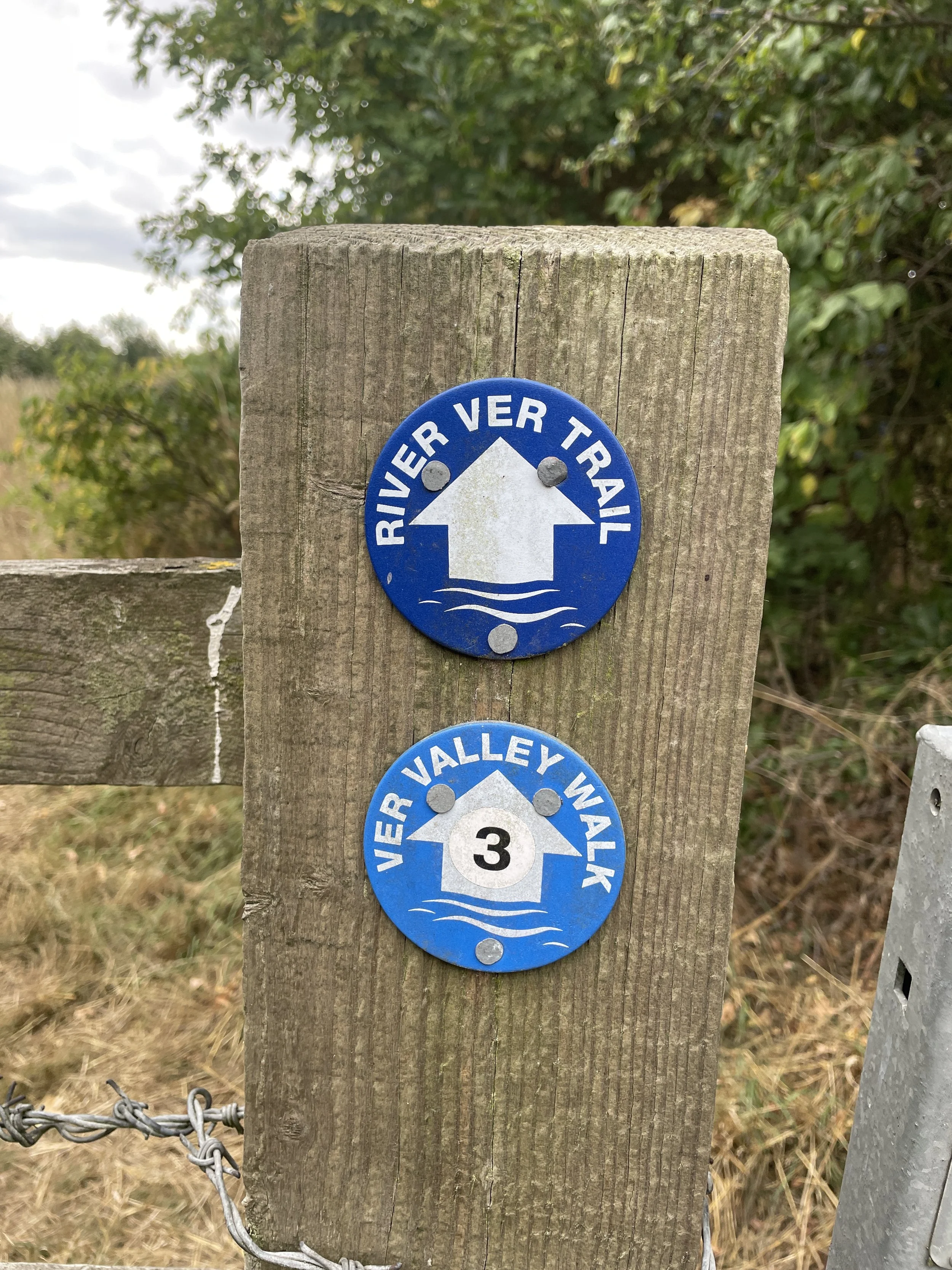
Midshires Way section covered: Waddesdon to Quainton: 4.5 km
GPX File: get via Buy Me a Coffee
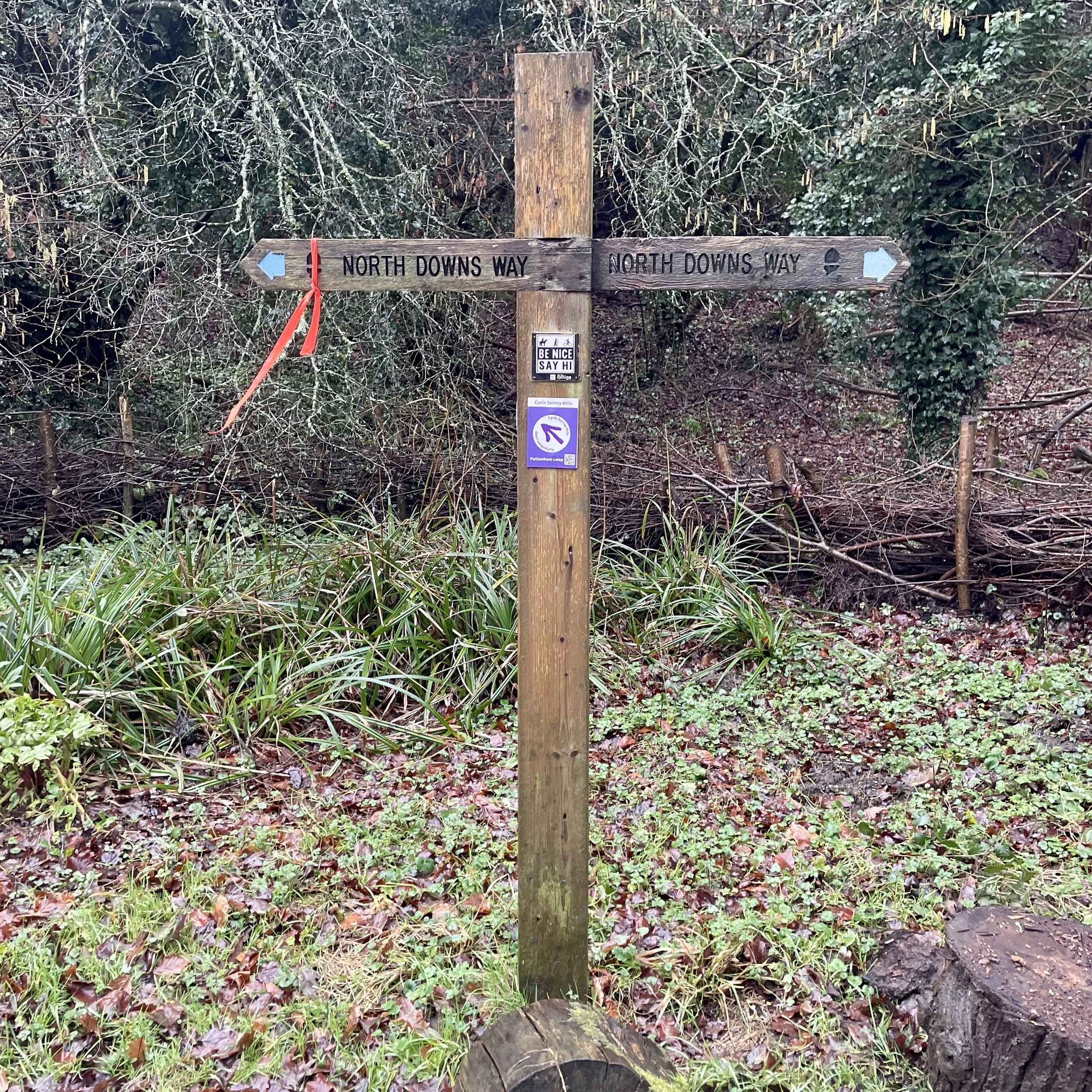
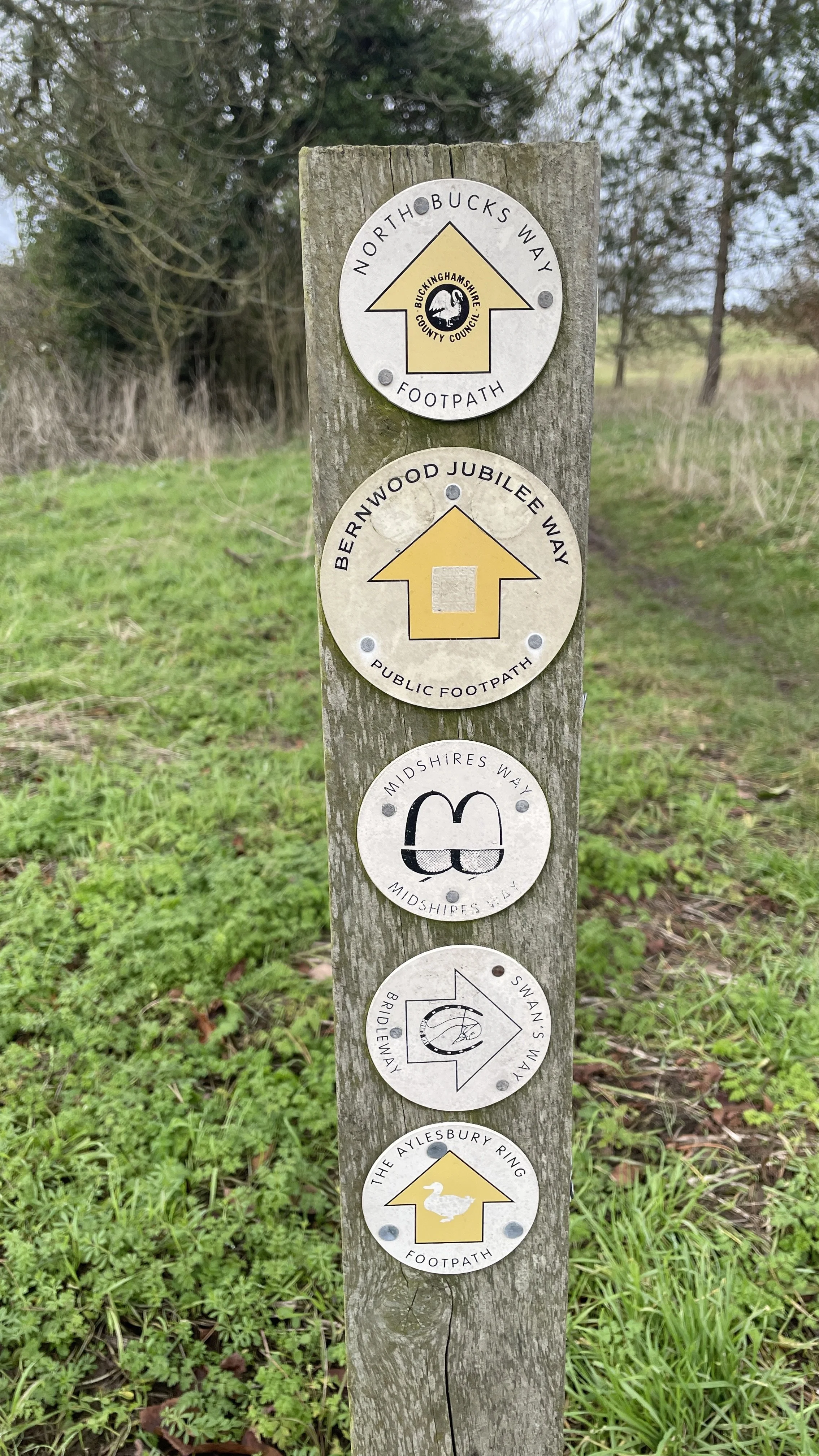
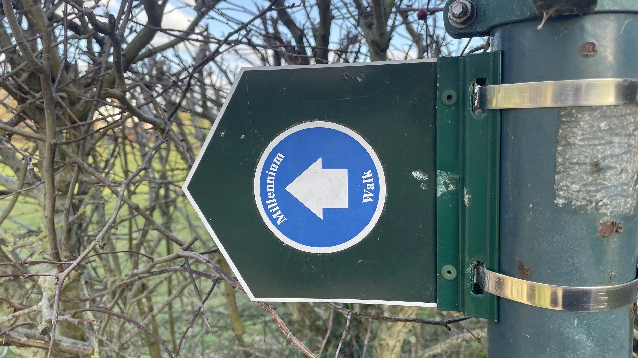
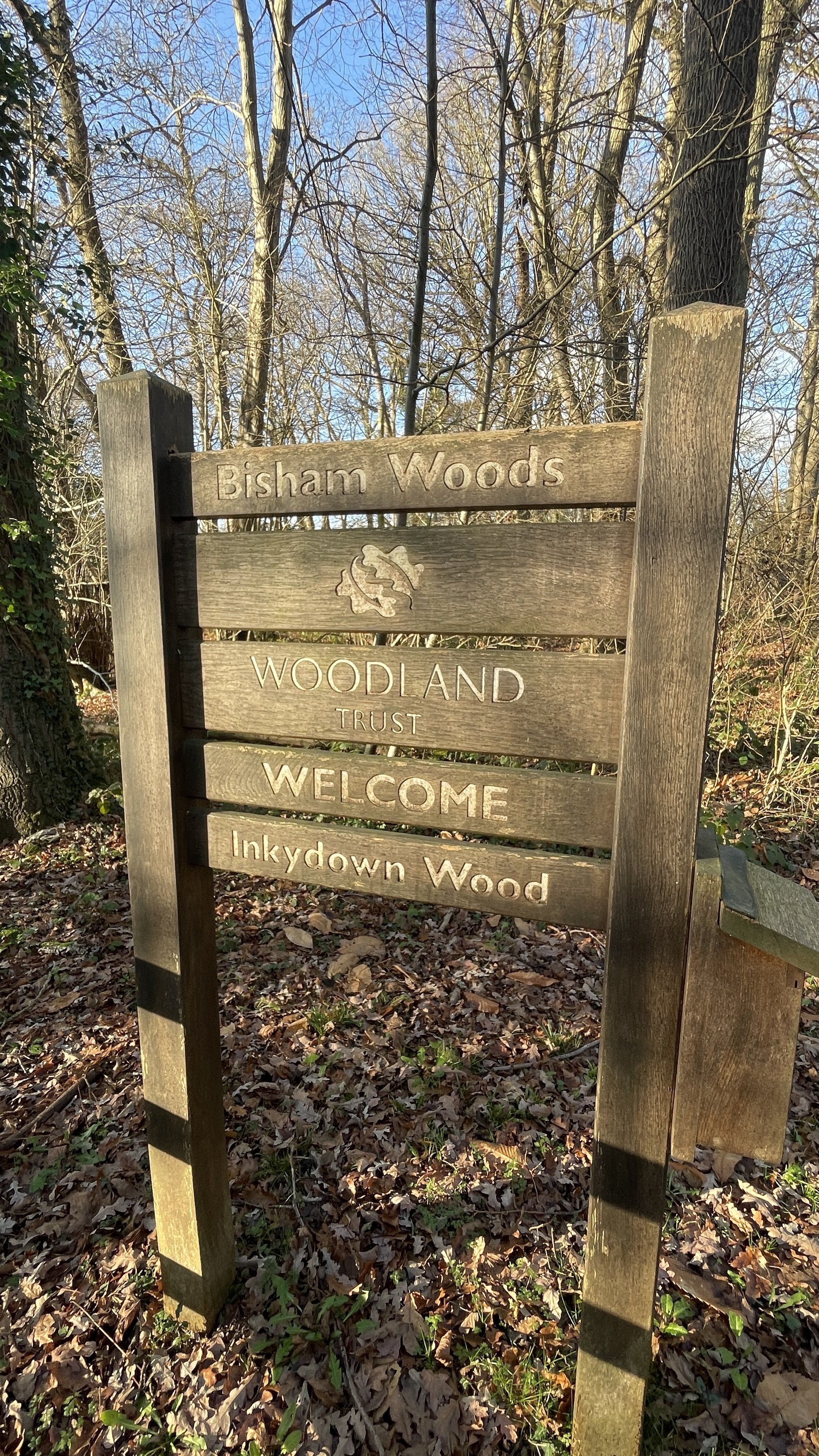
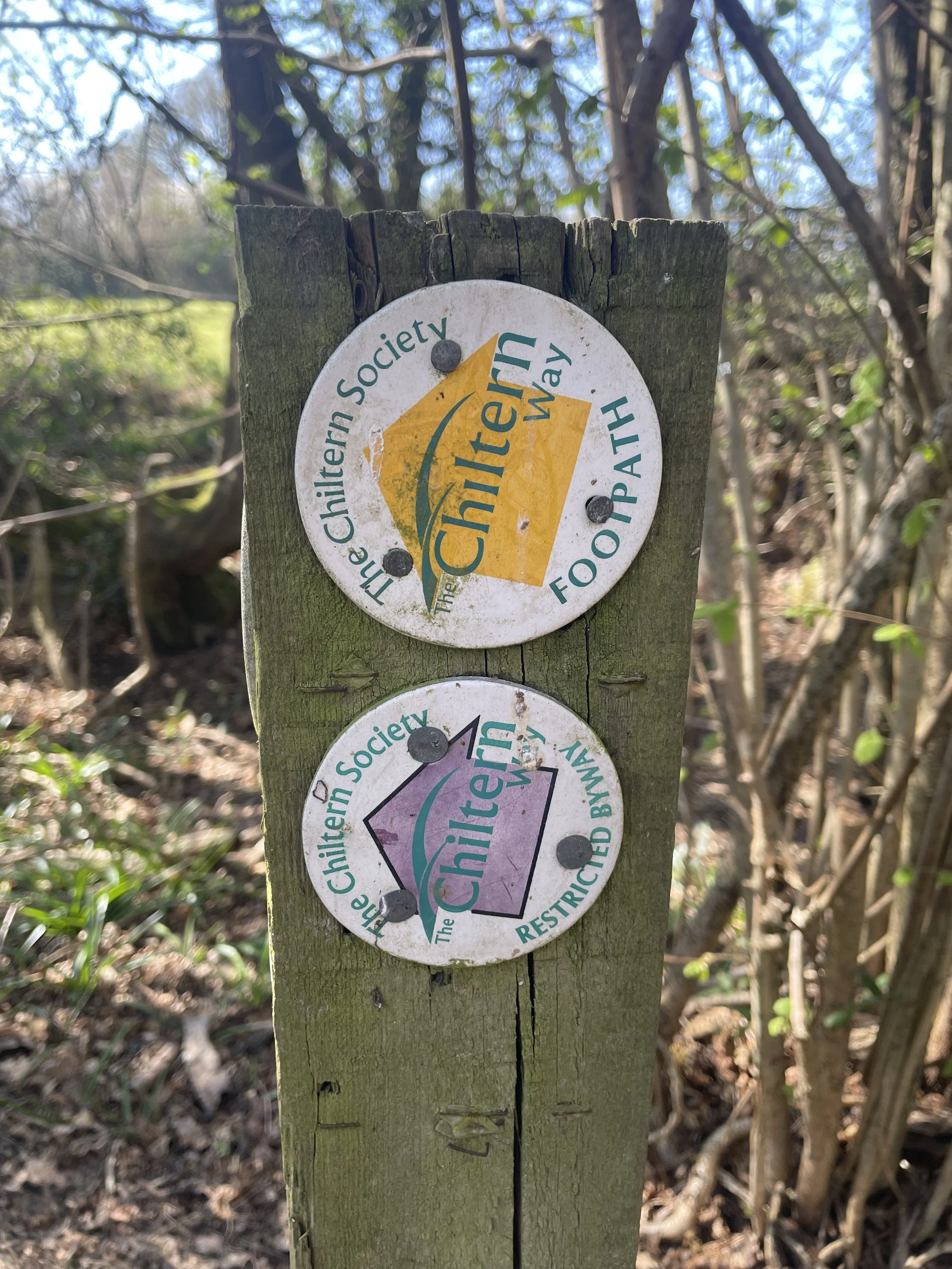
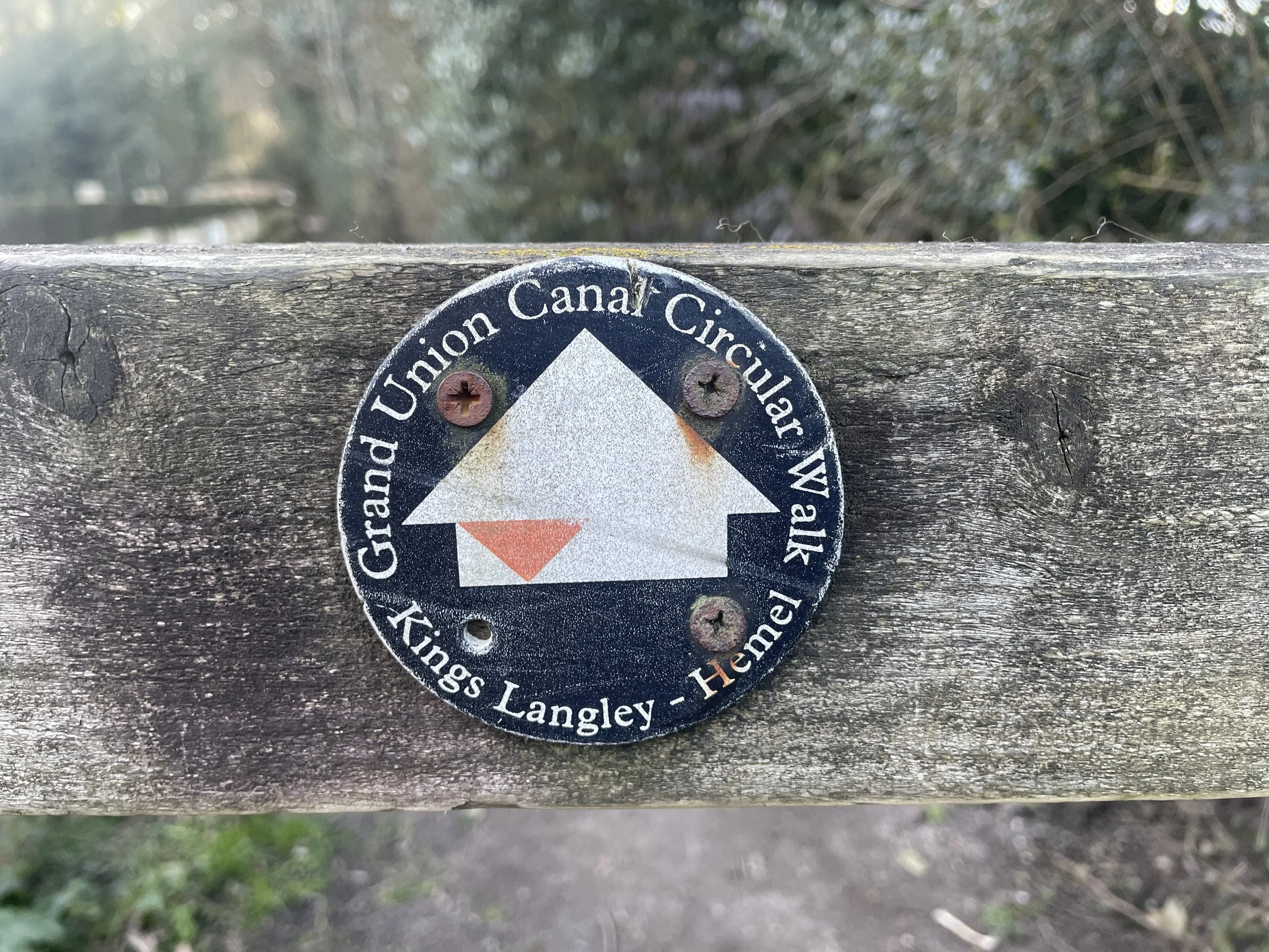
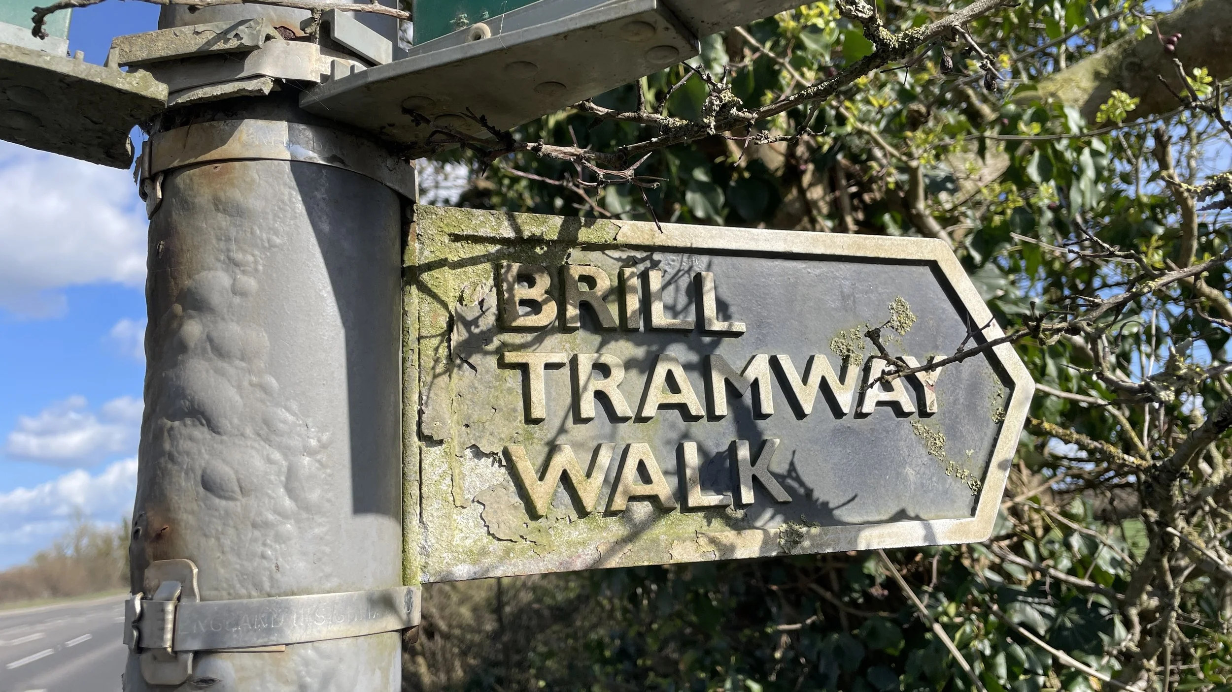
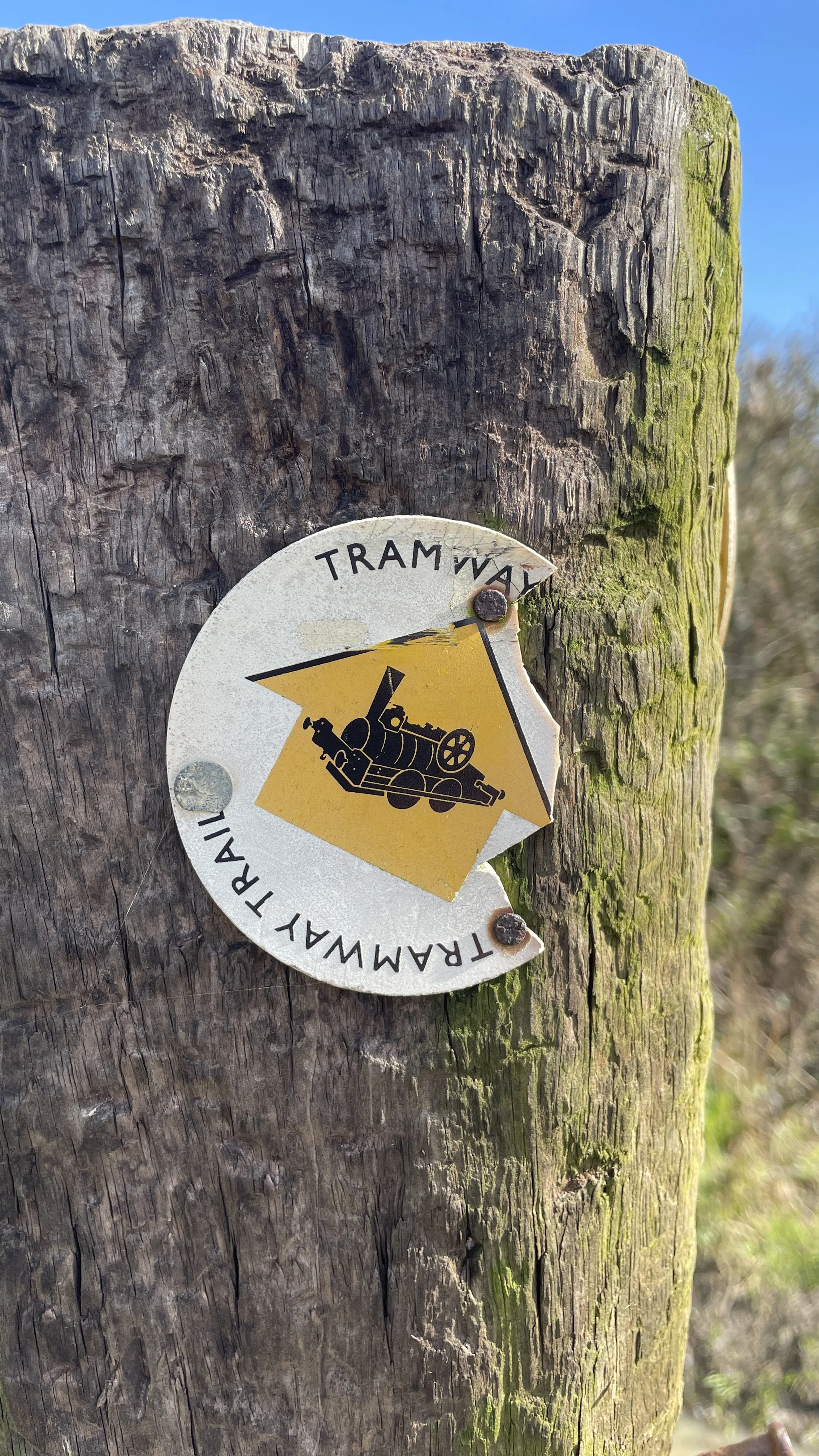
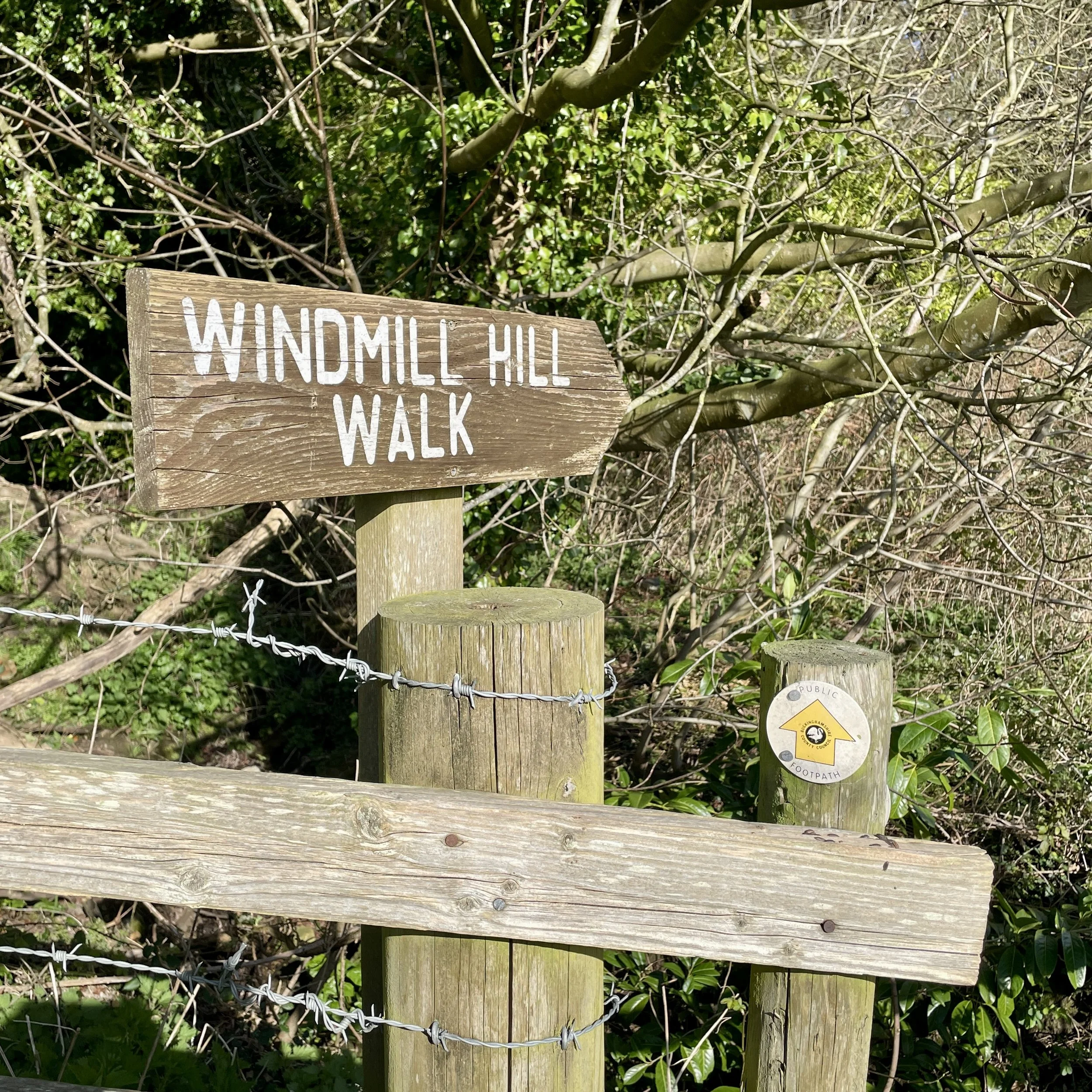
Other routes touched (walk): Midshires Way, The Swan Way, North Bucks Way, Aylesbury Ring, Windmill Hill at Waddesdon, Bernwood Jubilee Way, Brill Tramway Walk
Other routes touched (cycle): National Bridleway, Waddesdon Greenway
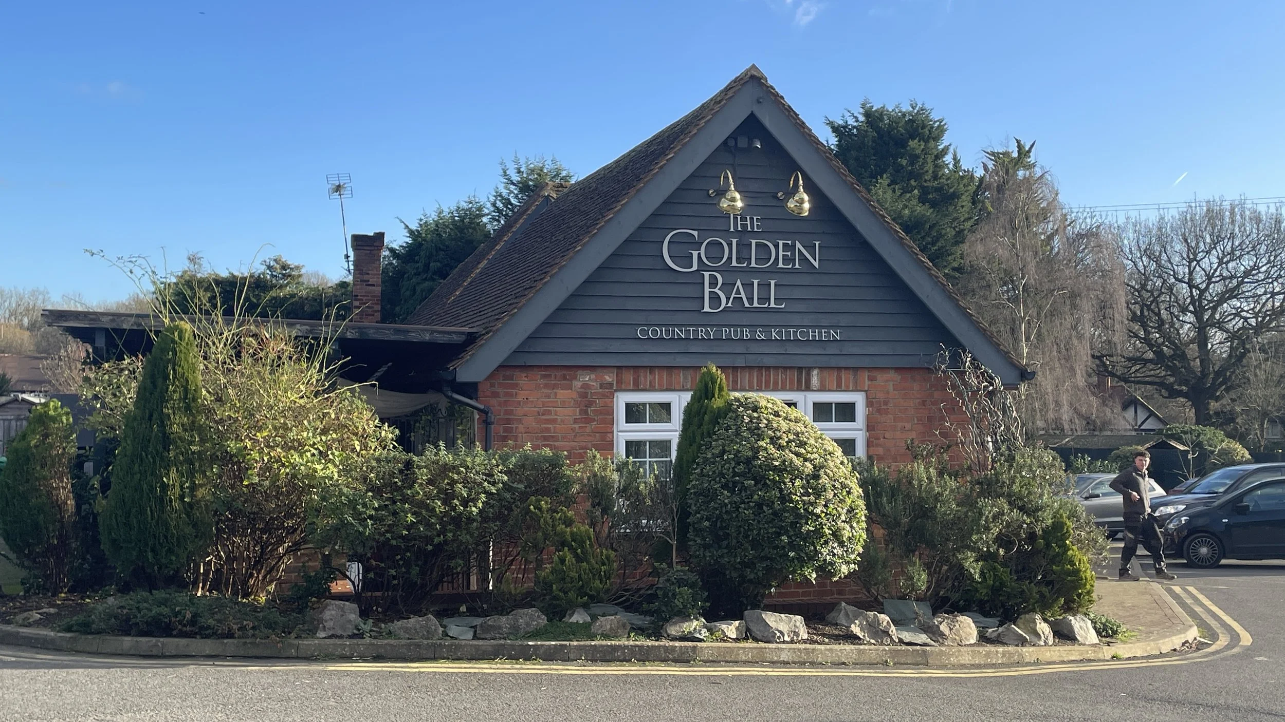
Pubs / Cafes on route: The Five Arrows, The Bow, The Lion, all near the start and finish at Waddesdon. The George & Dragon, Quainton (4.8 km in)
Maps:
- Chiltern Hills North Map | Aylesbury, Berkhamsted & Chesham | Ordnance Survey | OS Explorer Map 181
- Buckingham & Milton Keynes Map | Leighton Buzzard & Woburn | Ordnance Survey | OS Explorer Map 192
Links: Waddesdon Manor, Waddesdon National Trust, Waddesdon, Quainton, Quainton Road railway station
This is part of a series of short circular walks following the length of the Midshires Way in Buckinghamshire. The Midshires Way is a 225-mile (362 km) trail that journeys through the rural heart of Middle England, linking the Ridgeway National Trail at Bledlow in the south to the Trans Pennine Trail at Stockport in the north. Opened in 1994, this route traverses several counties, including Buckinghamshire, Northamptonshire, Leicestershire, Nottinghamshire, Derbyshire, and Greater Manchester, following a scenic tapestry of ancient bridleways, quiet country lanes, and historic canals. In Buckinghamshire, the Midshires Way has a significant connection with the Swan's Way (often referred to as the Swan Way), a 65-mile long-distance bridleway. Essentially, the Swan's Way forms the backbone of the Buckinghamshire section of the Midshires Way, with the two routes being broadly coincident for approximately 50 miles between Salcey Forest and Bledlow. While the Swan's Way strictly adheres to bridleways to accommodate horse riders and cyclists, the Midshires Way sometimes offers alternative waymarked footpaths for walkers to avoid on-road sections.
Walking Directions
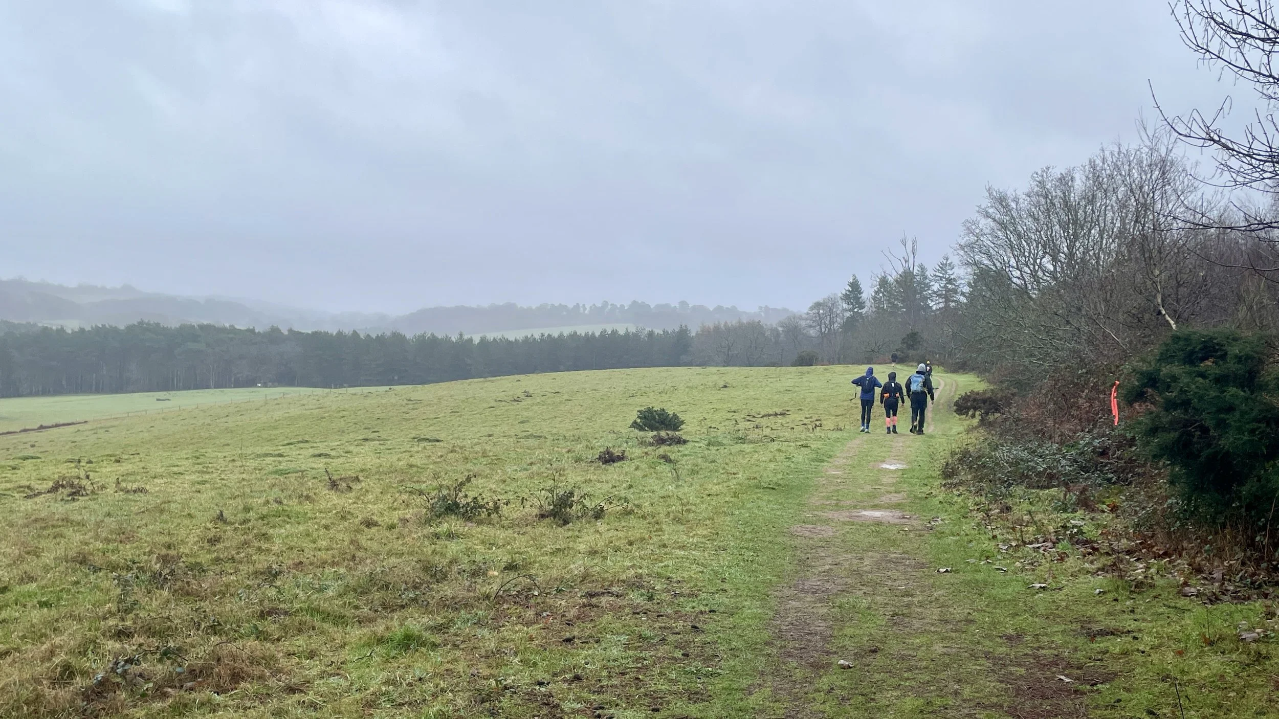
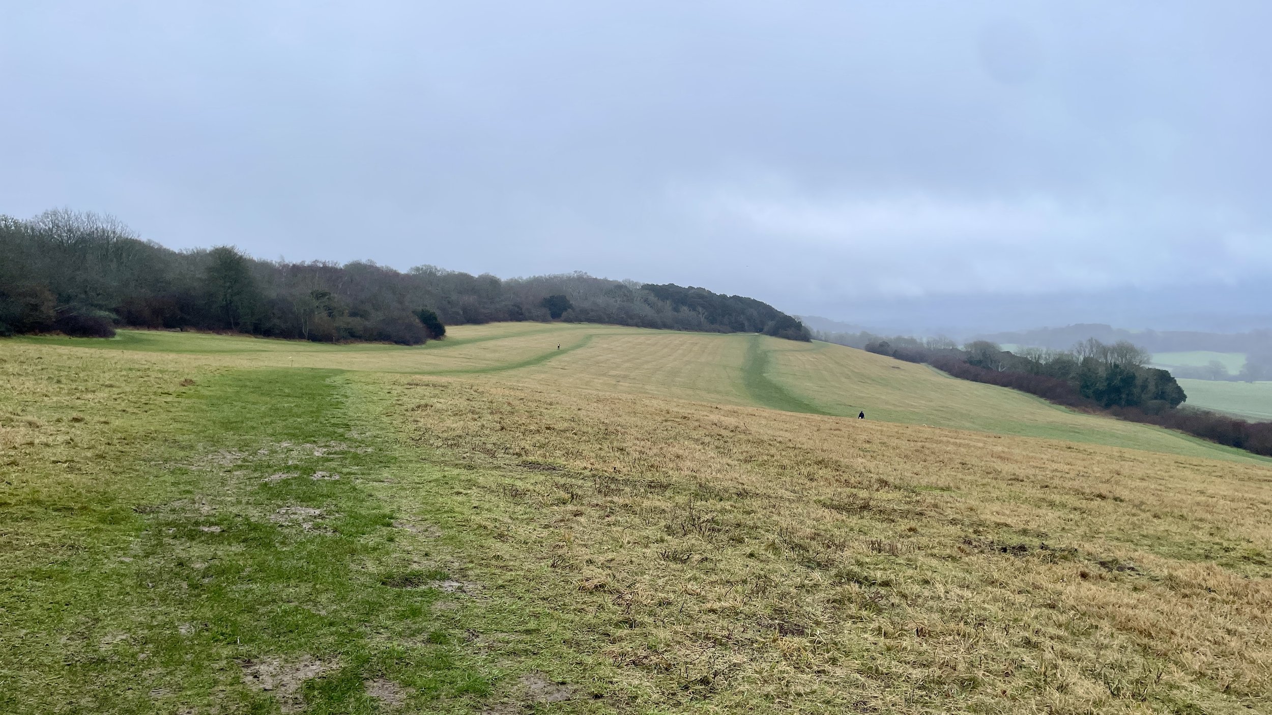
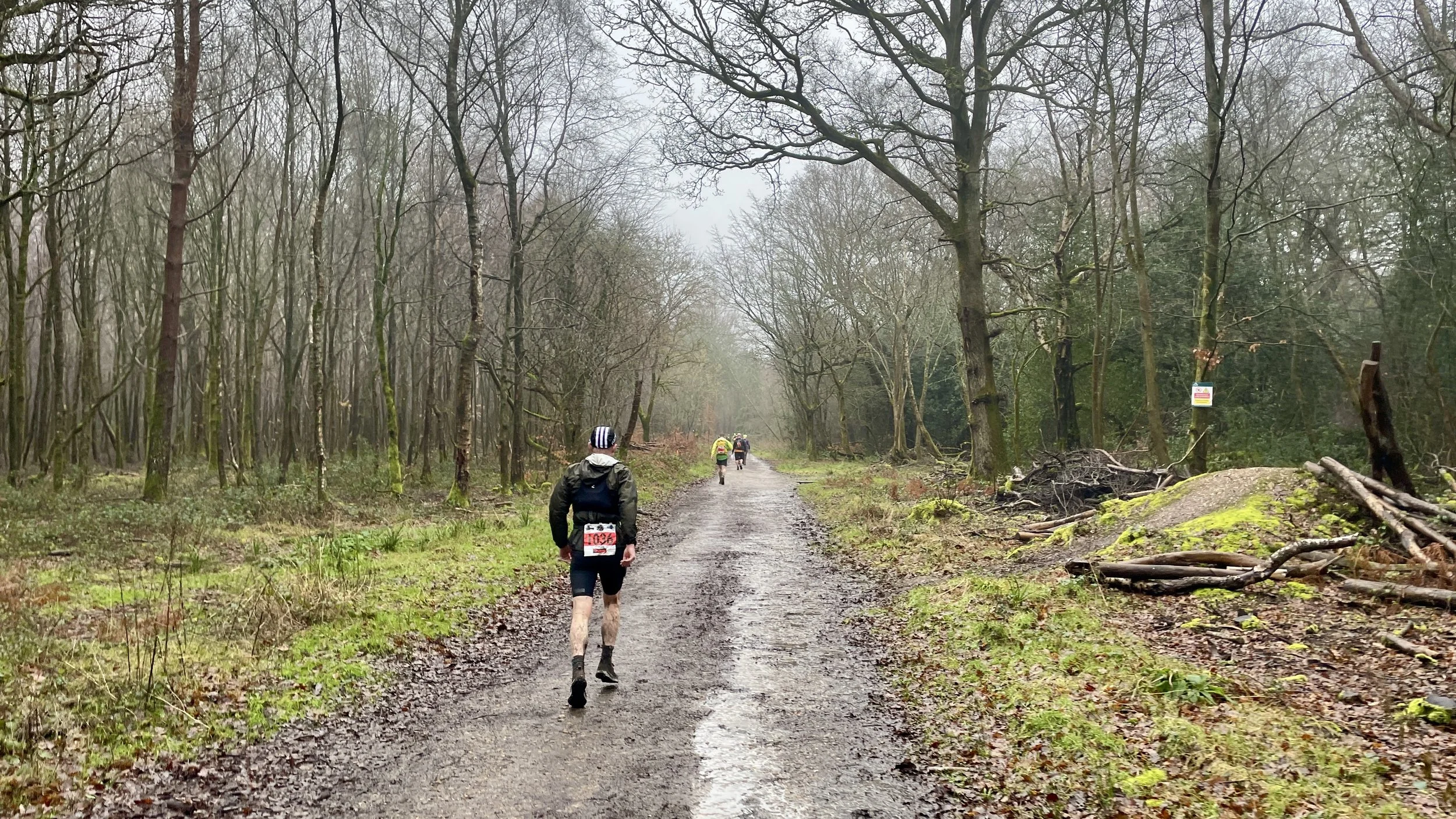
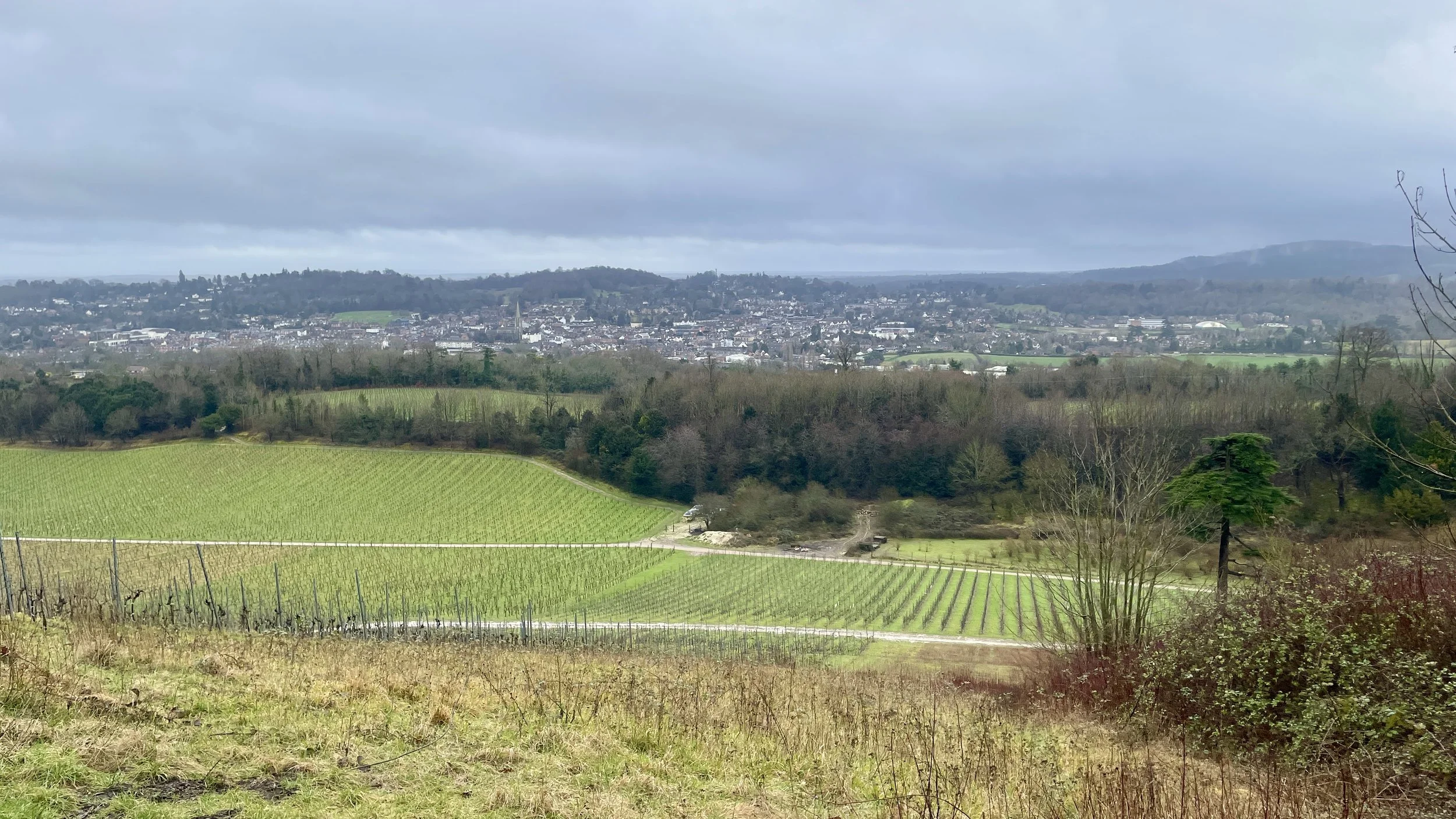
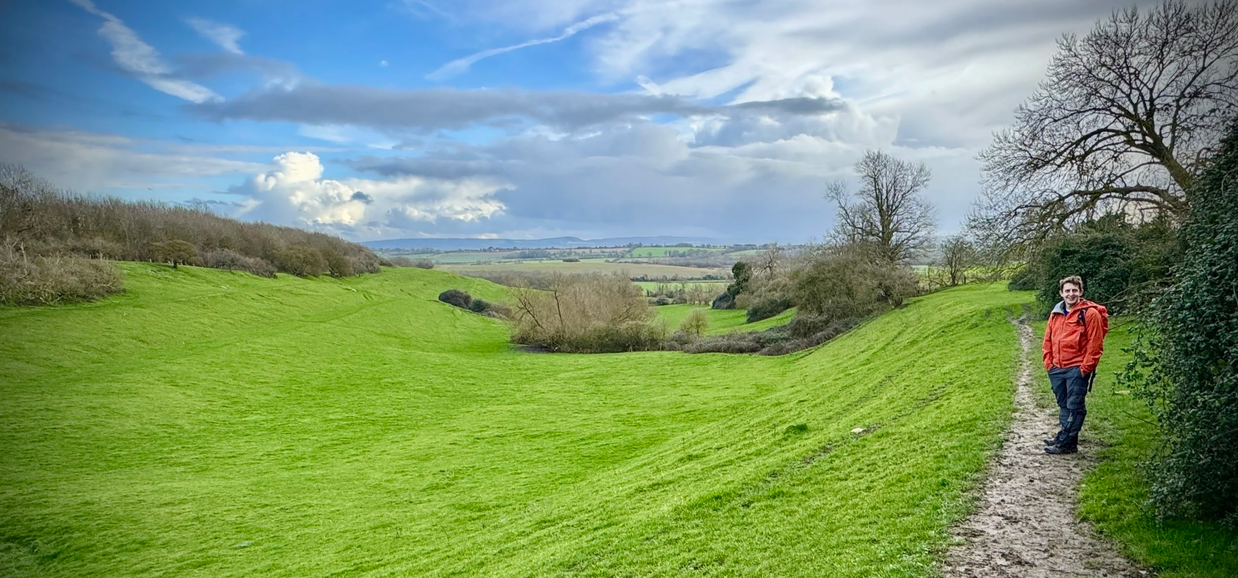
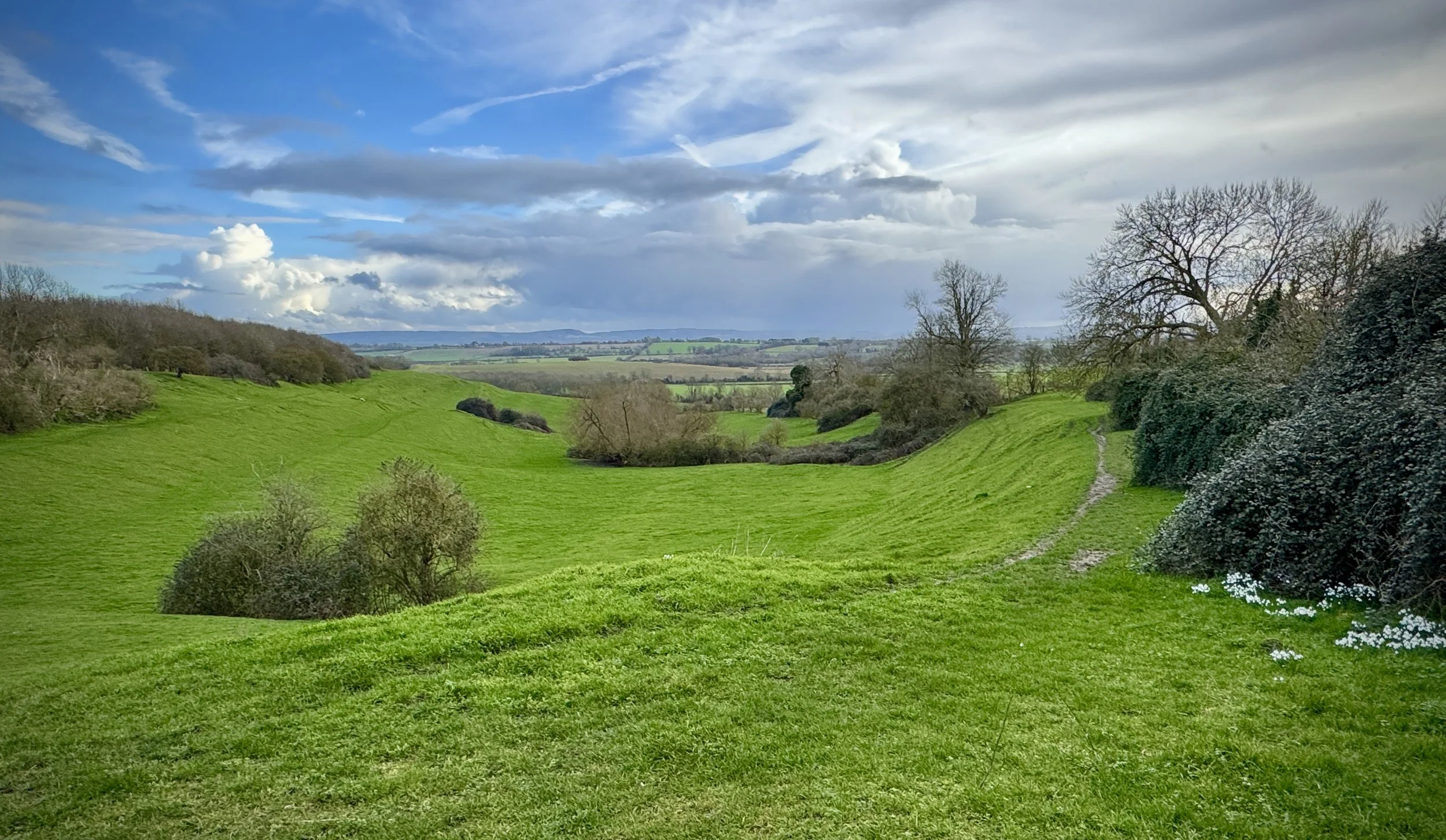
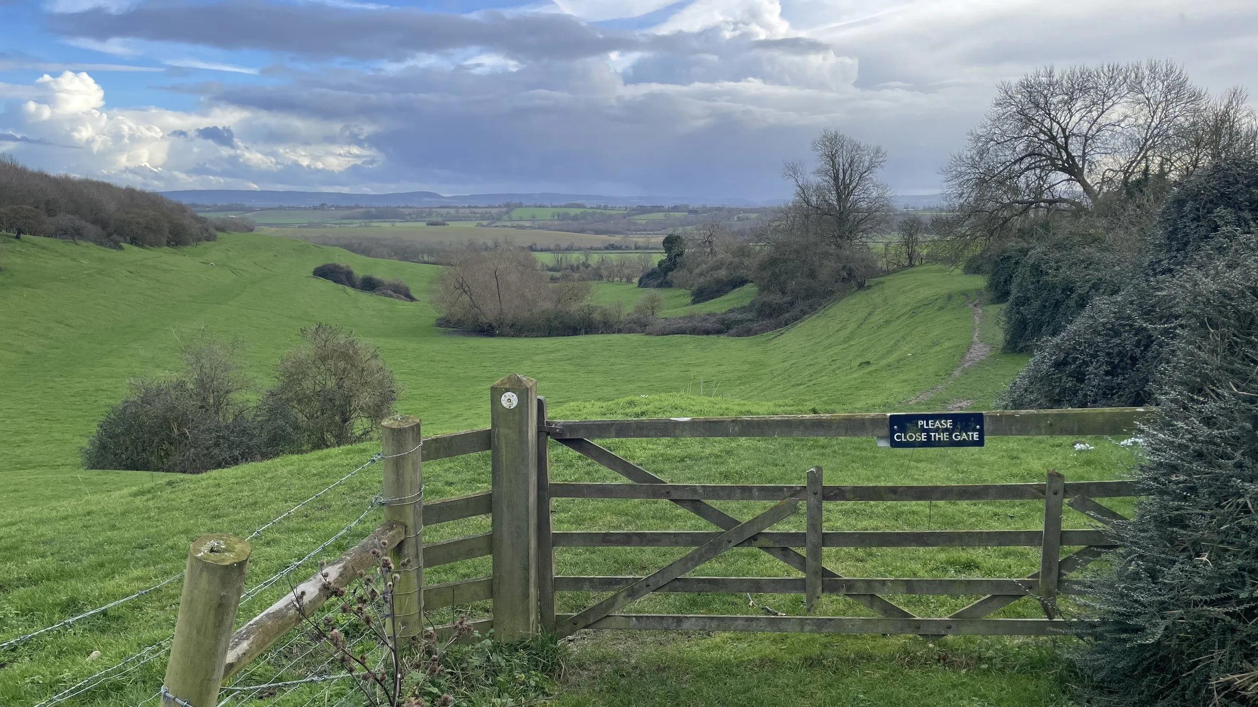
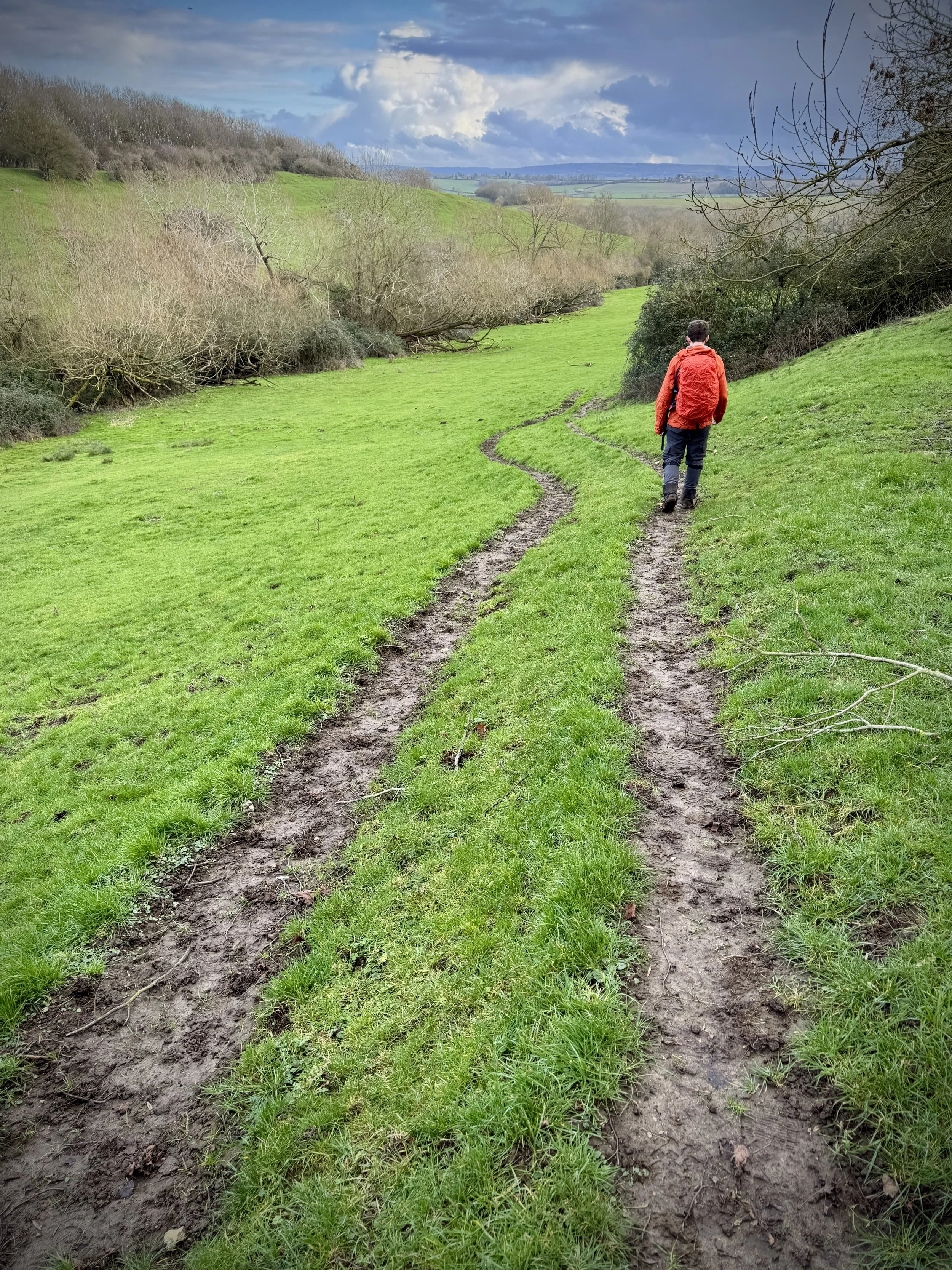
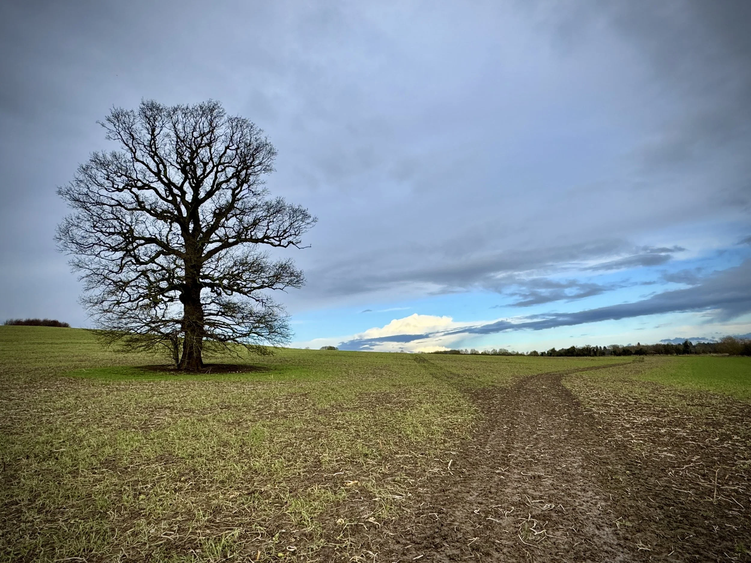
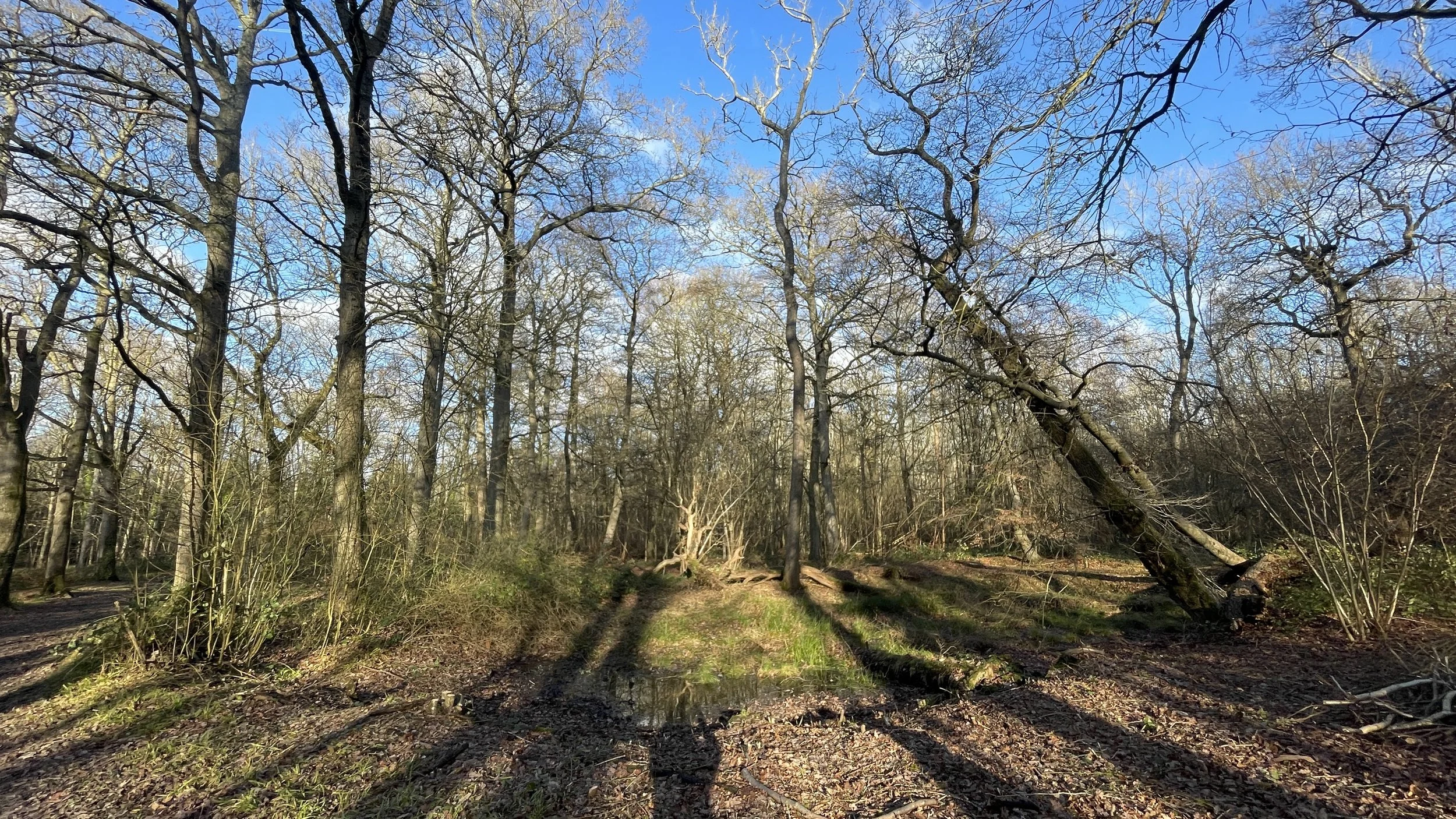
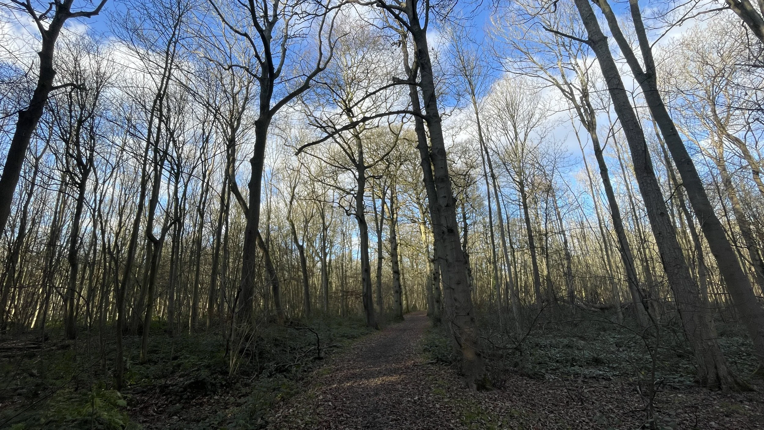
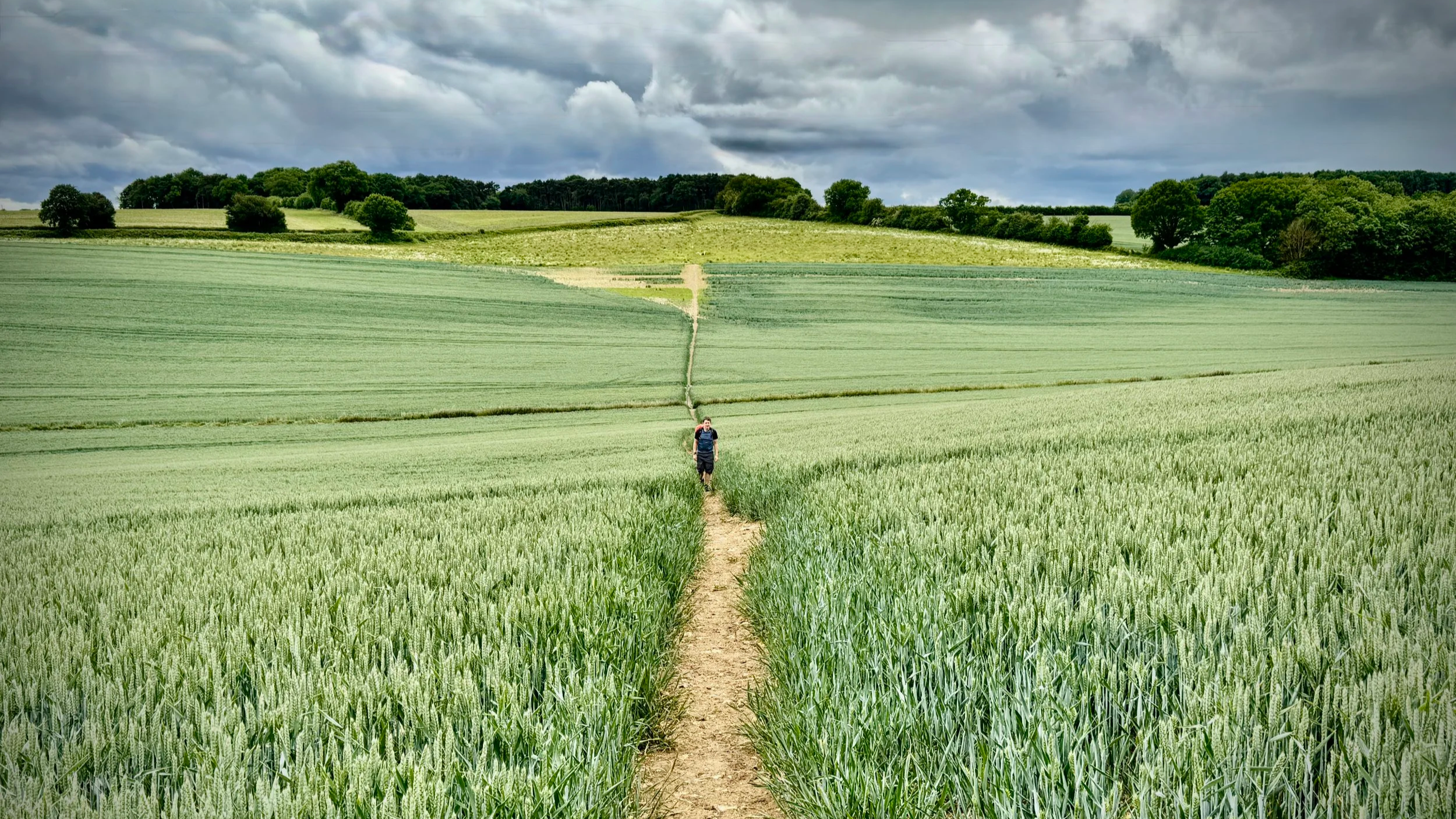
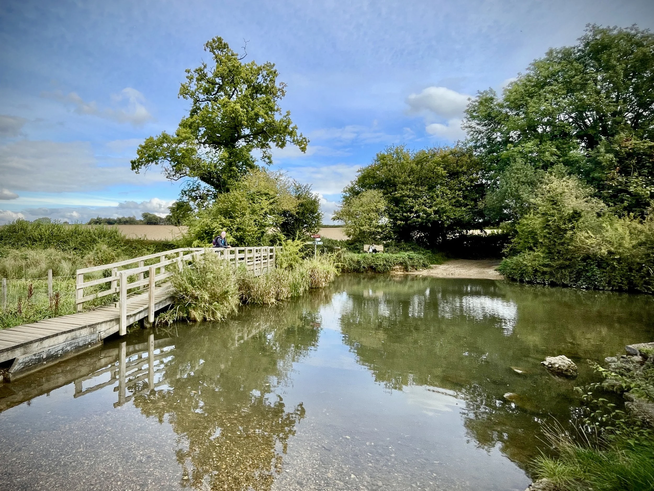
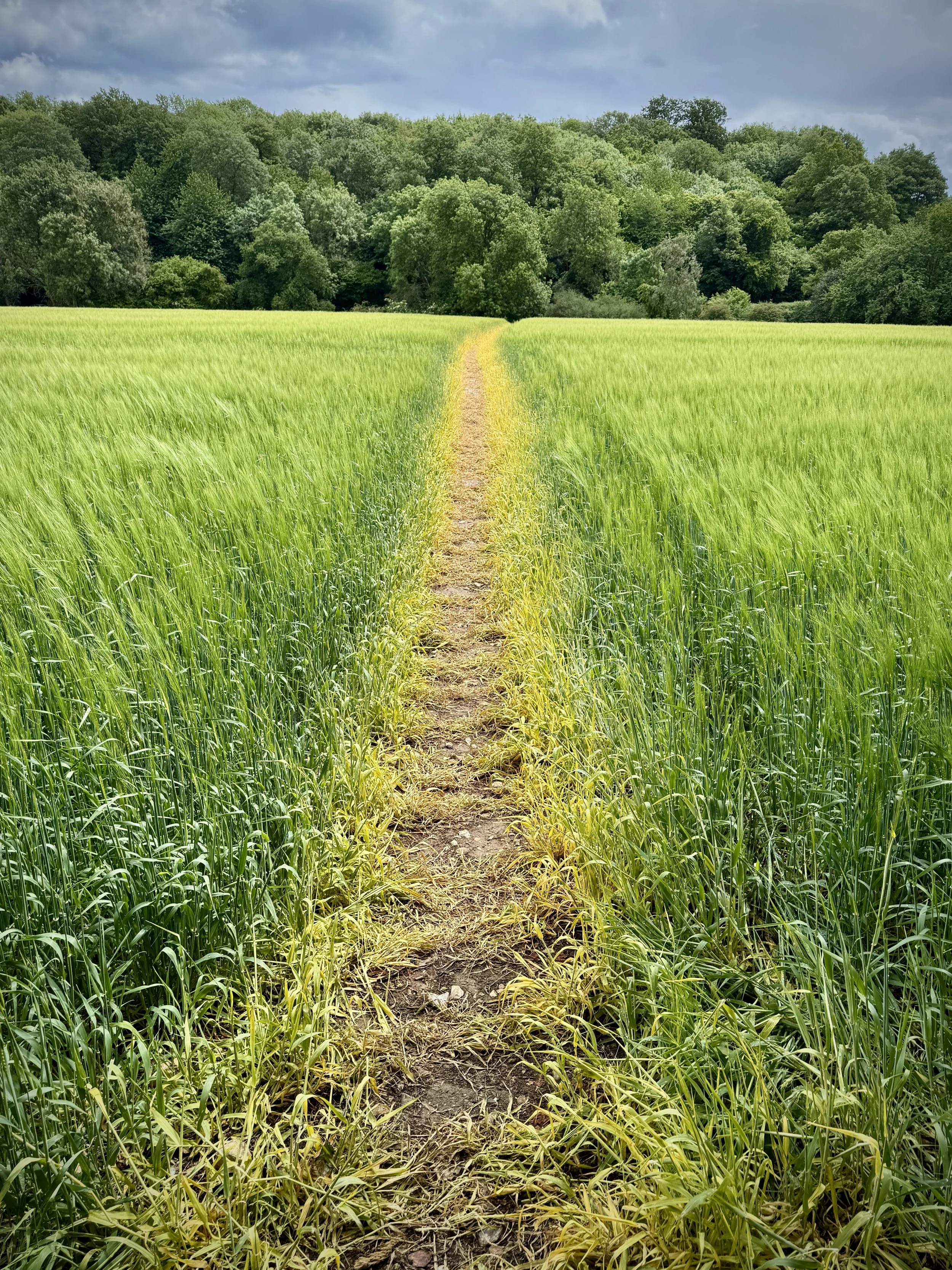
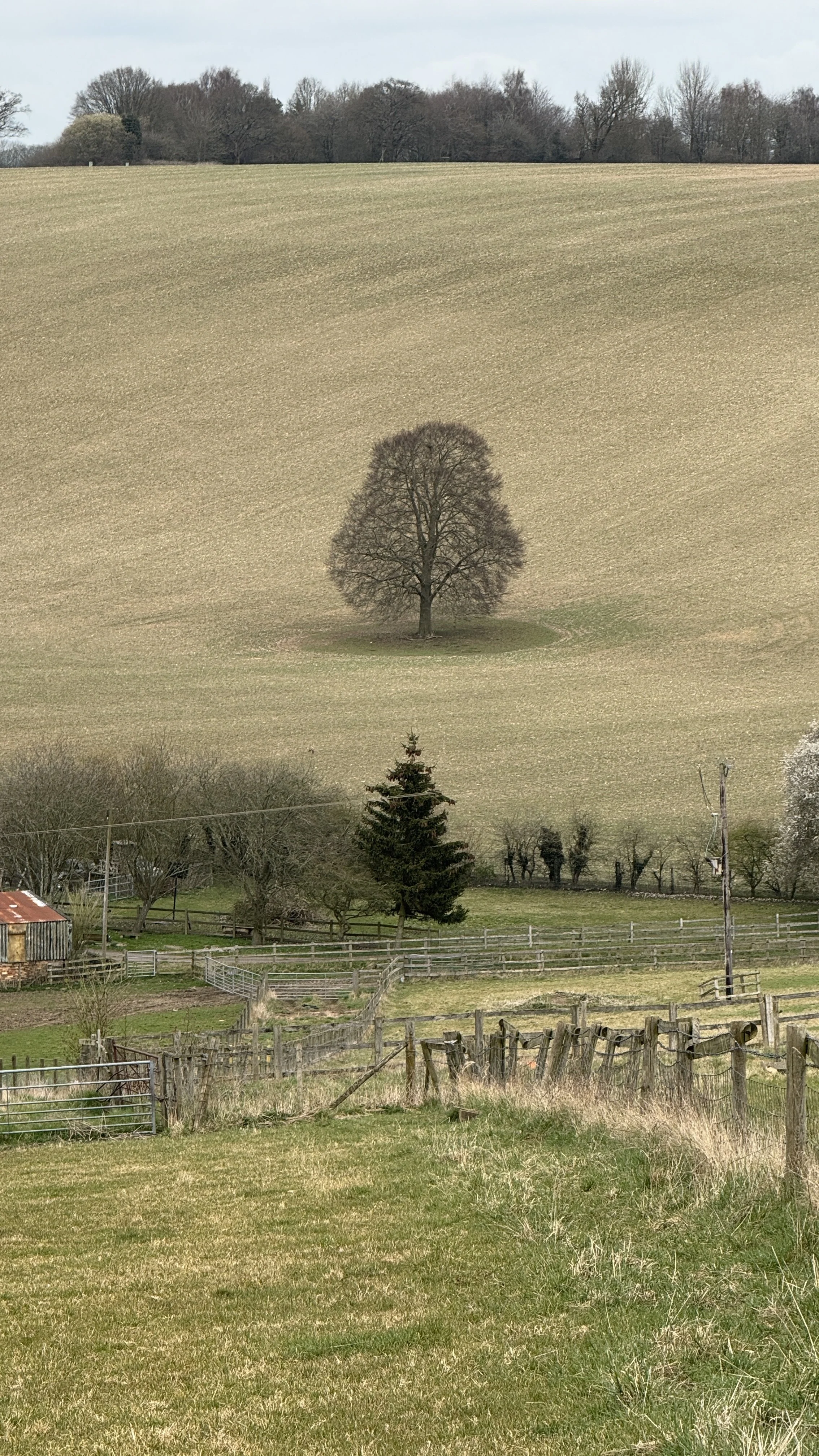
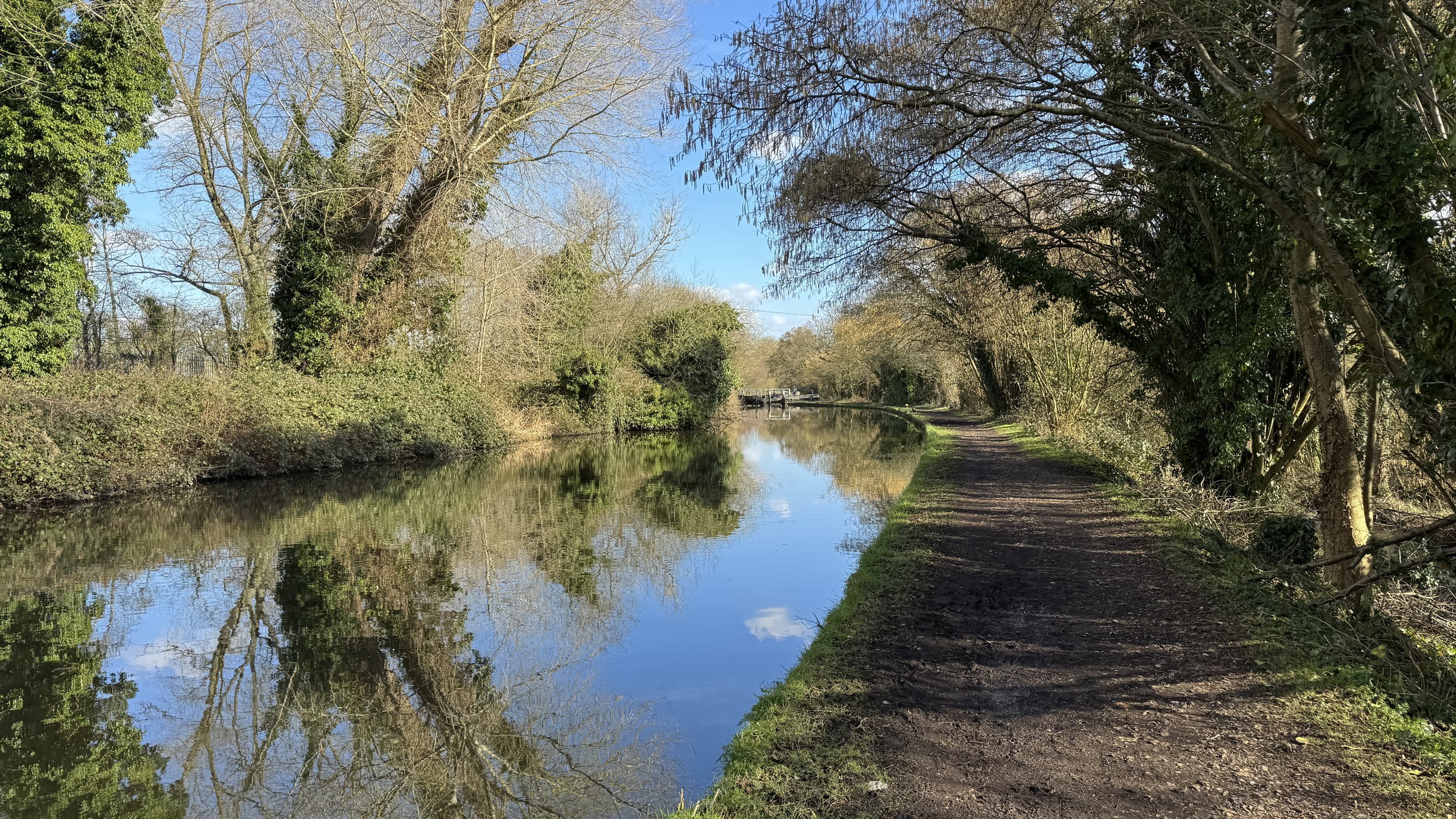
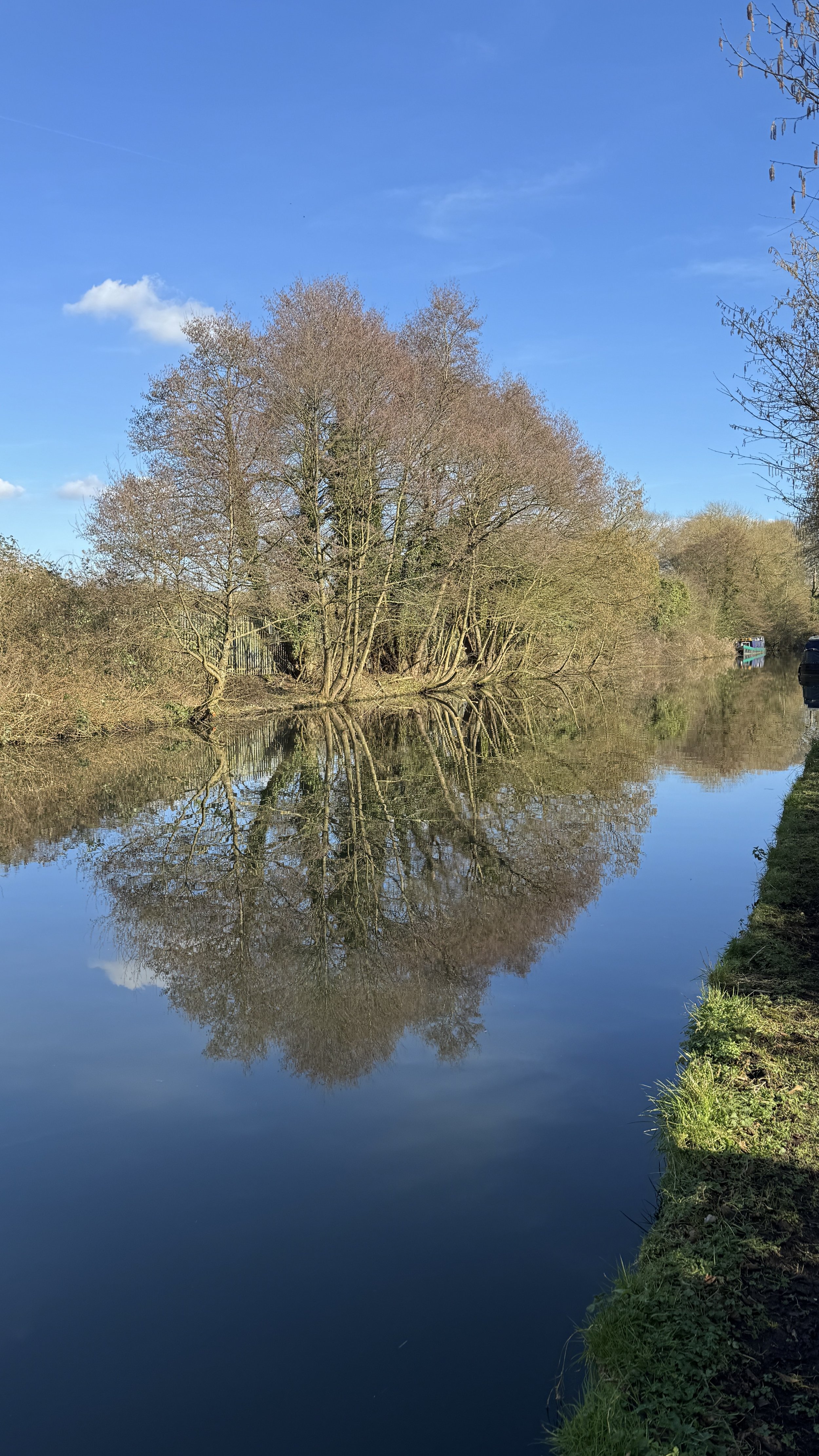
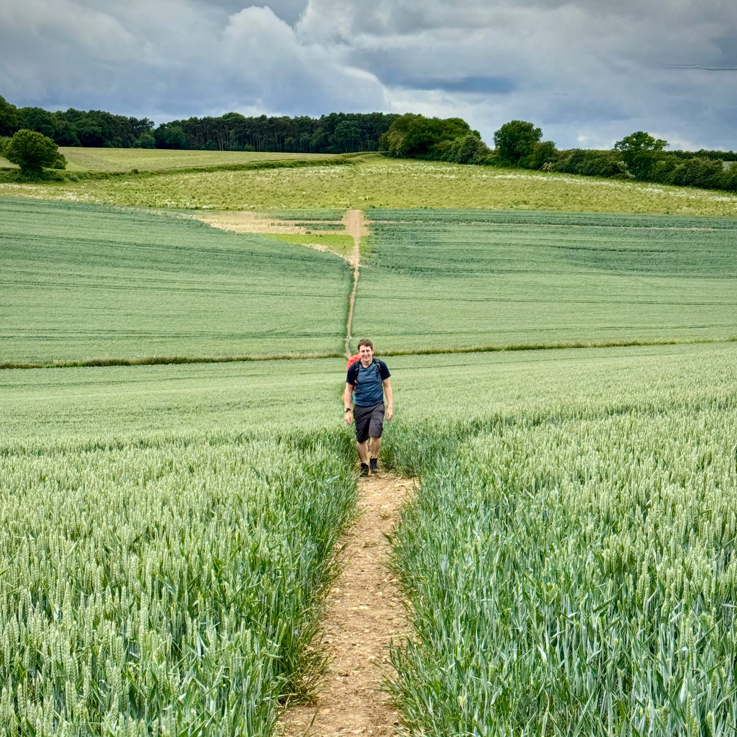
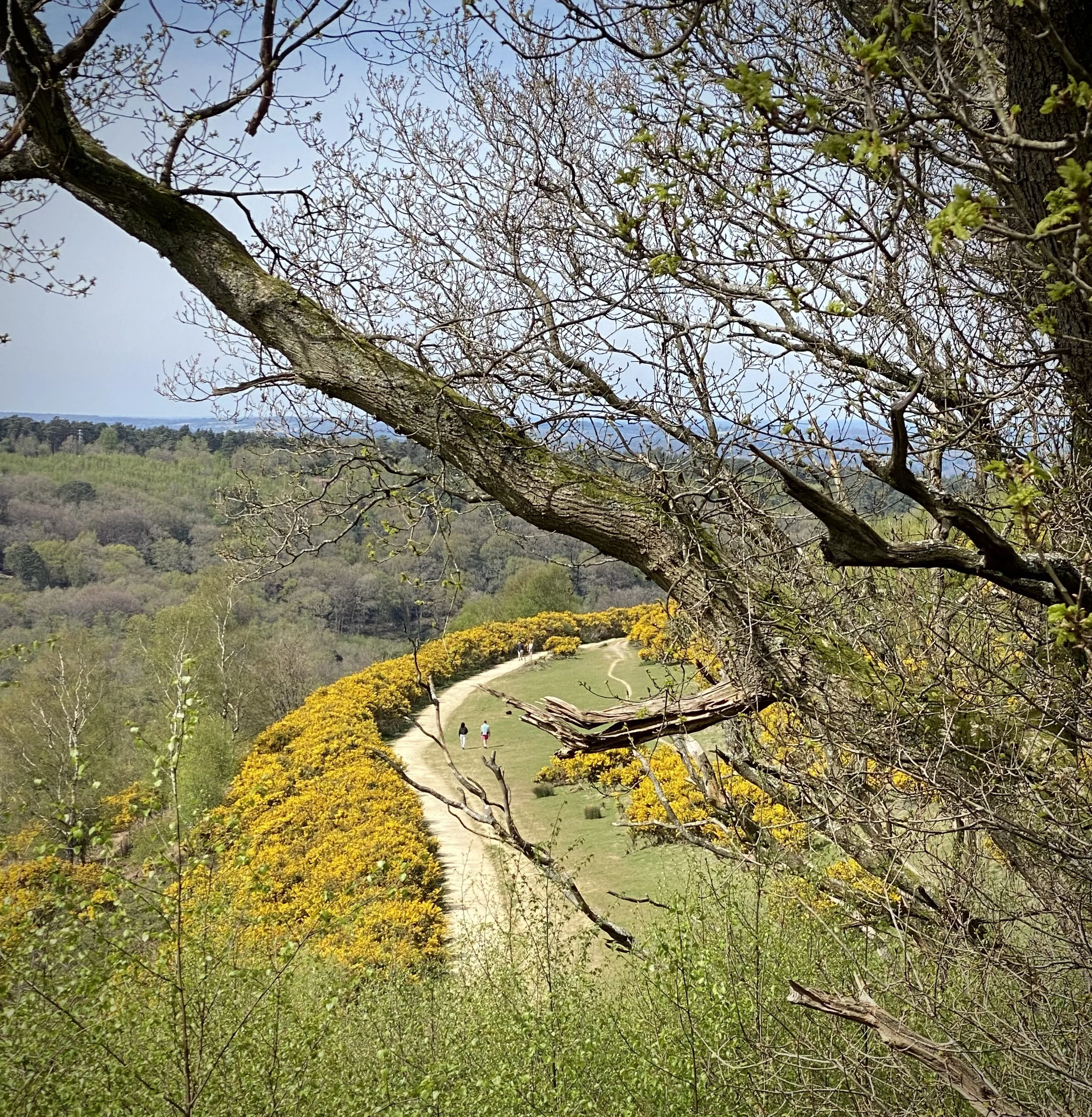
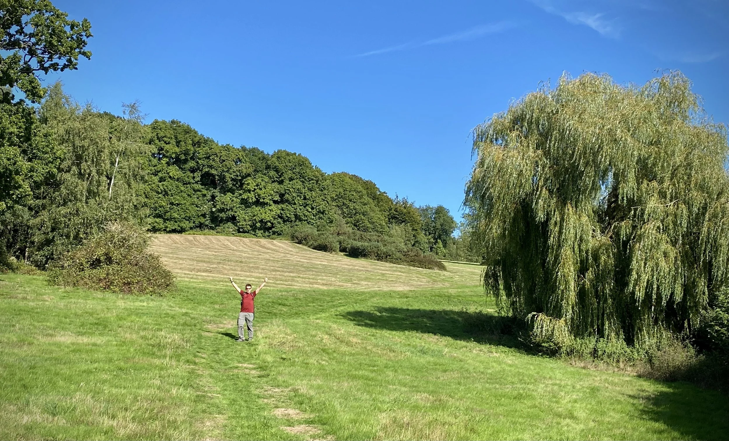
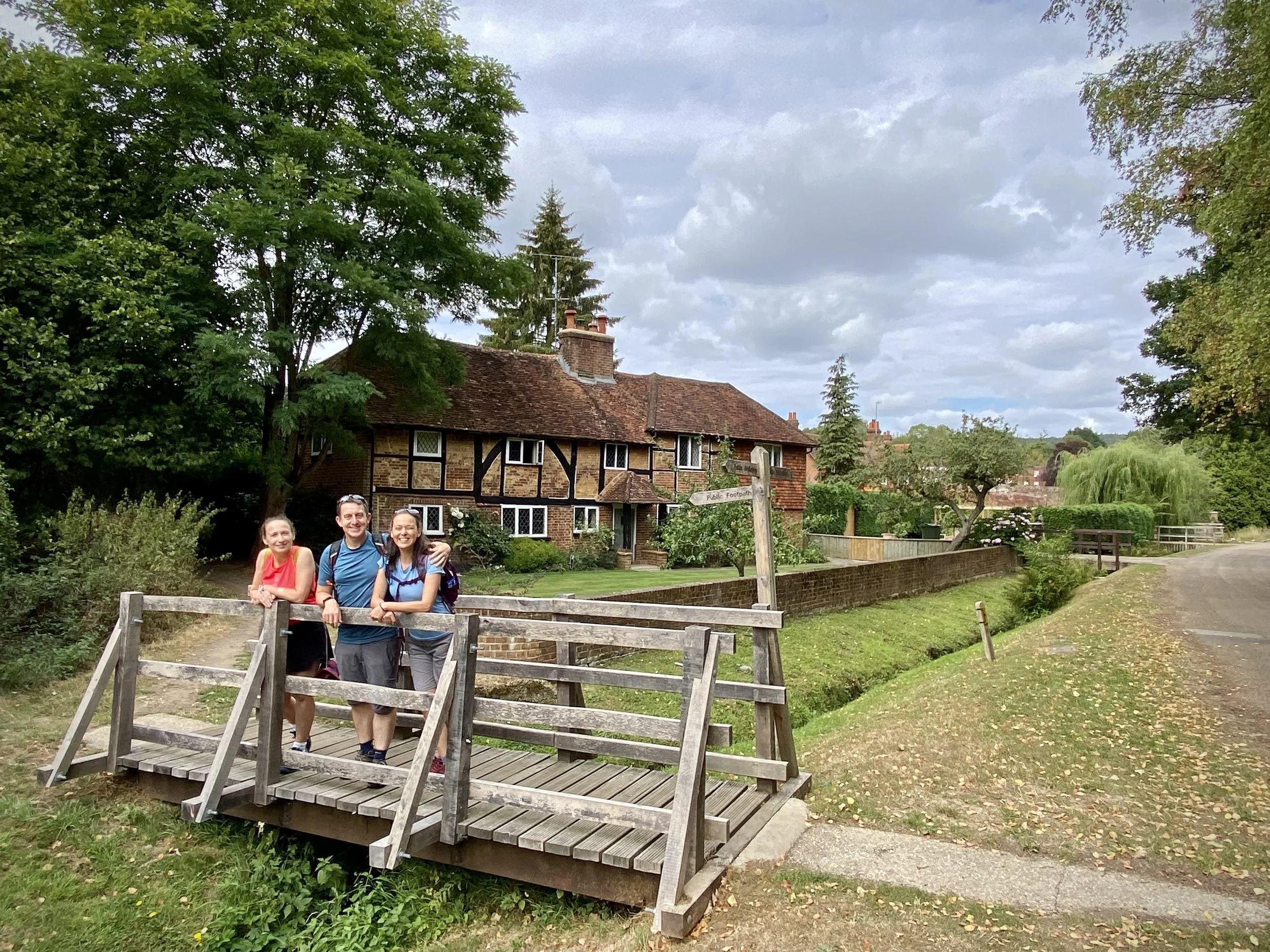
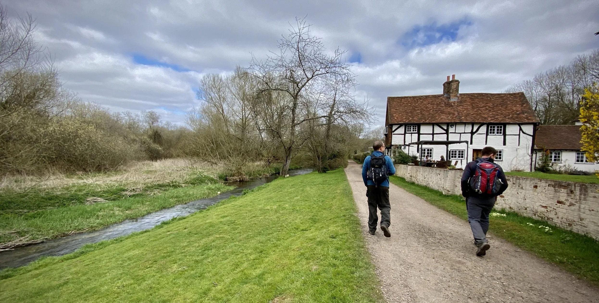
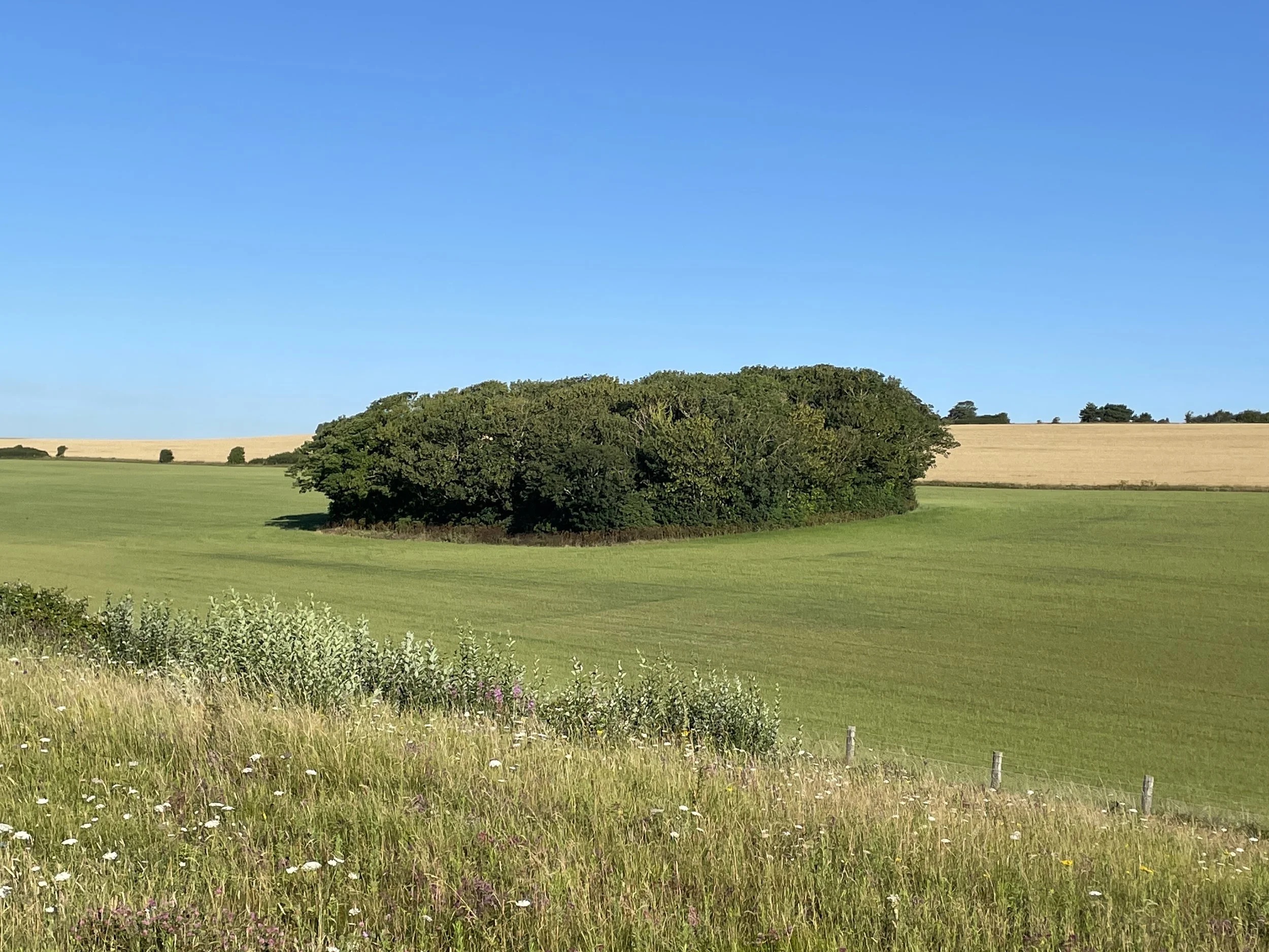
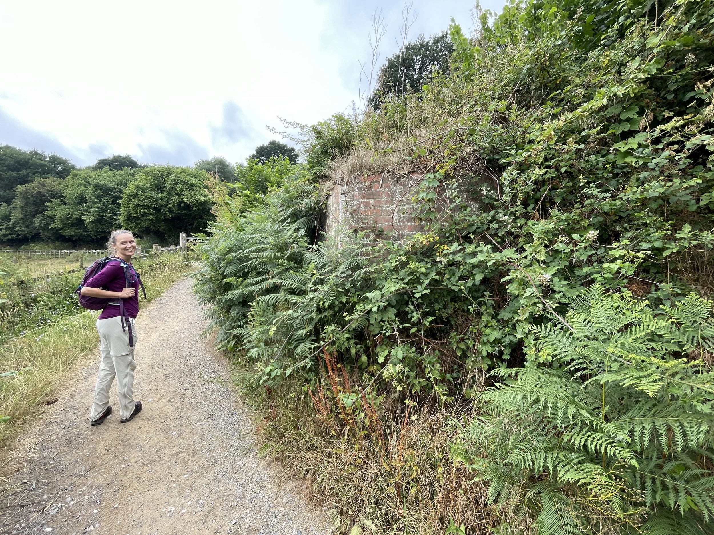
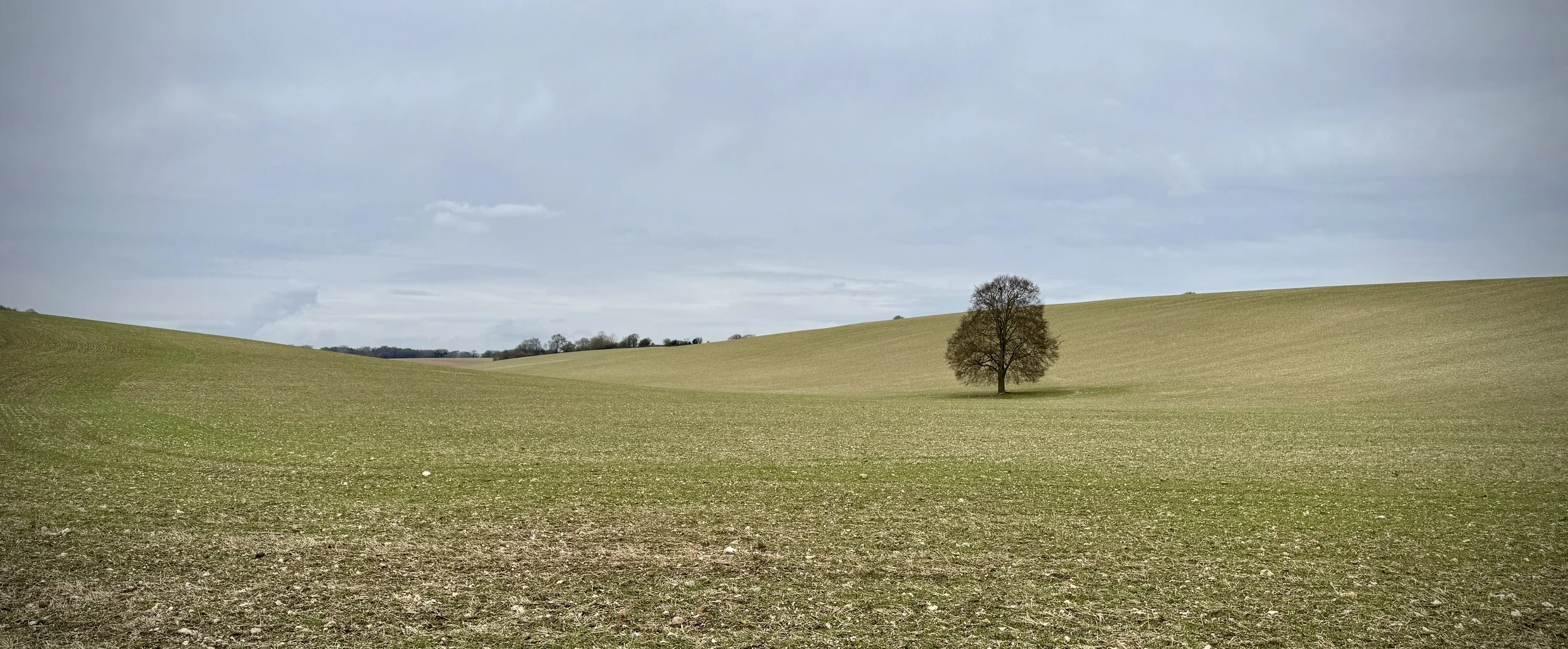
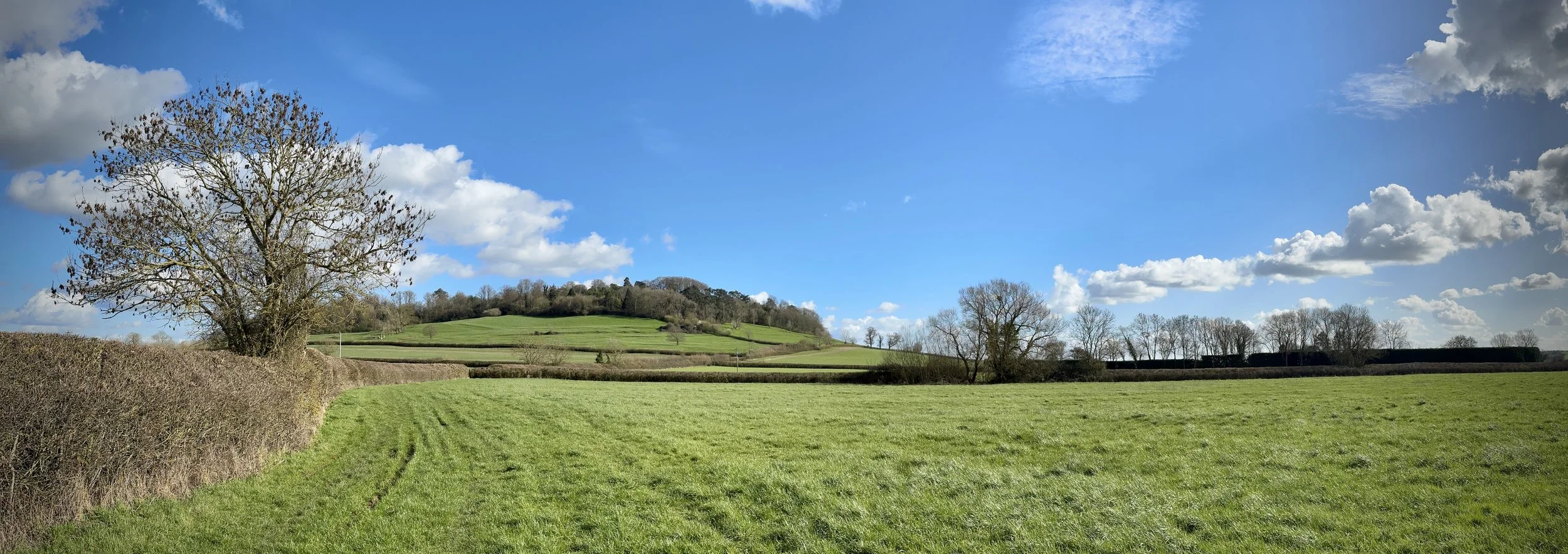
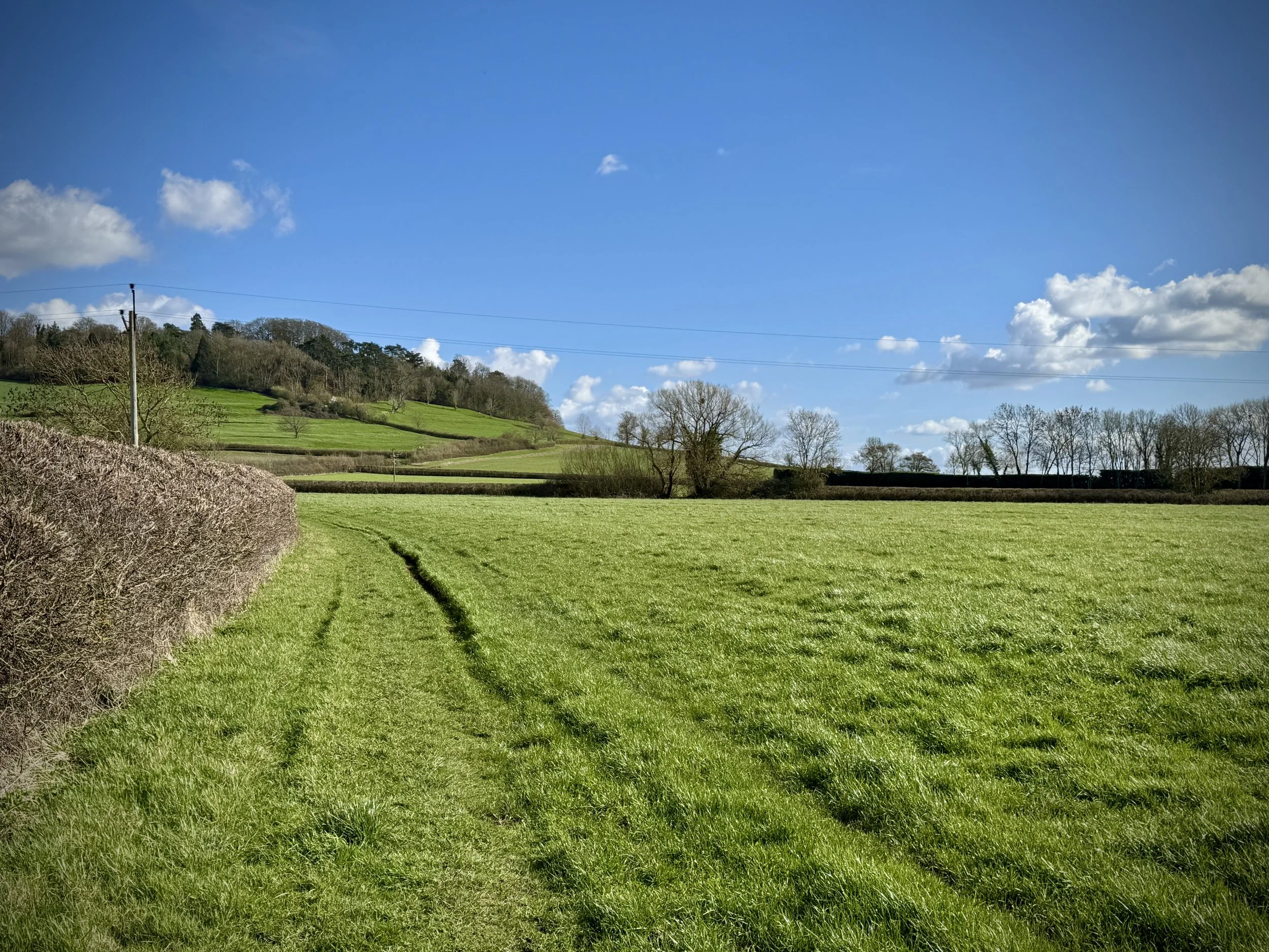
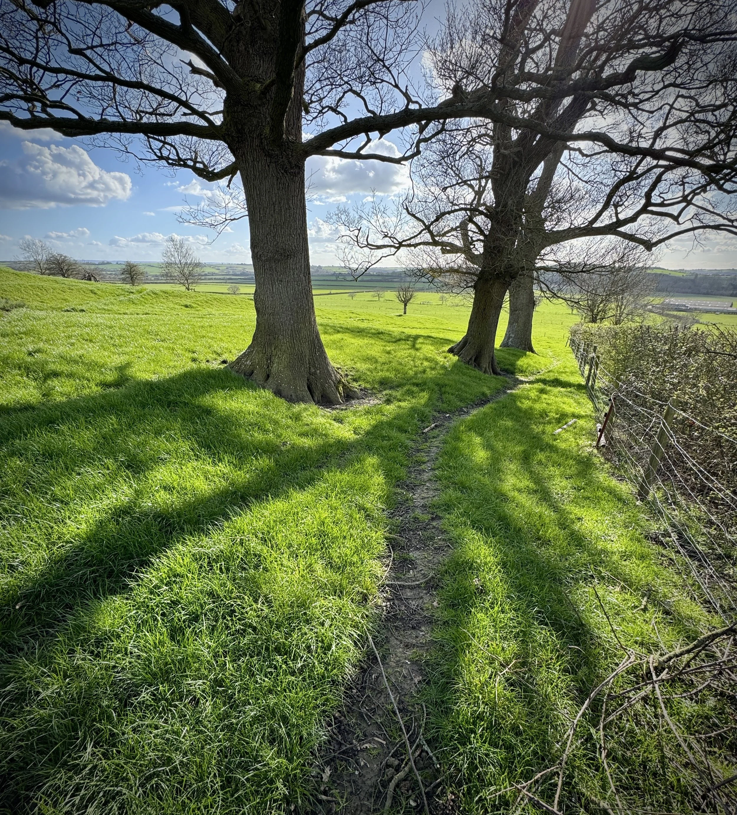
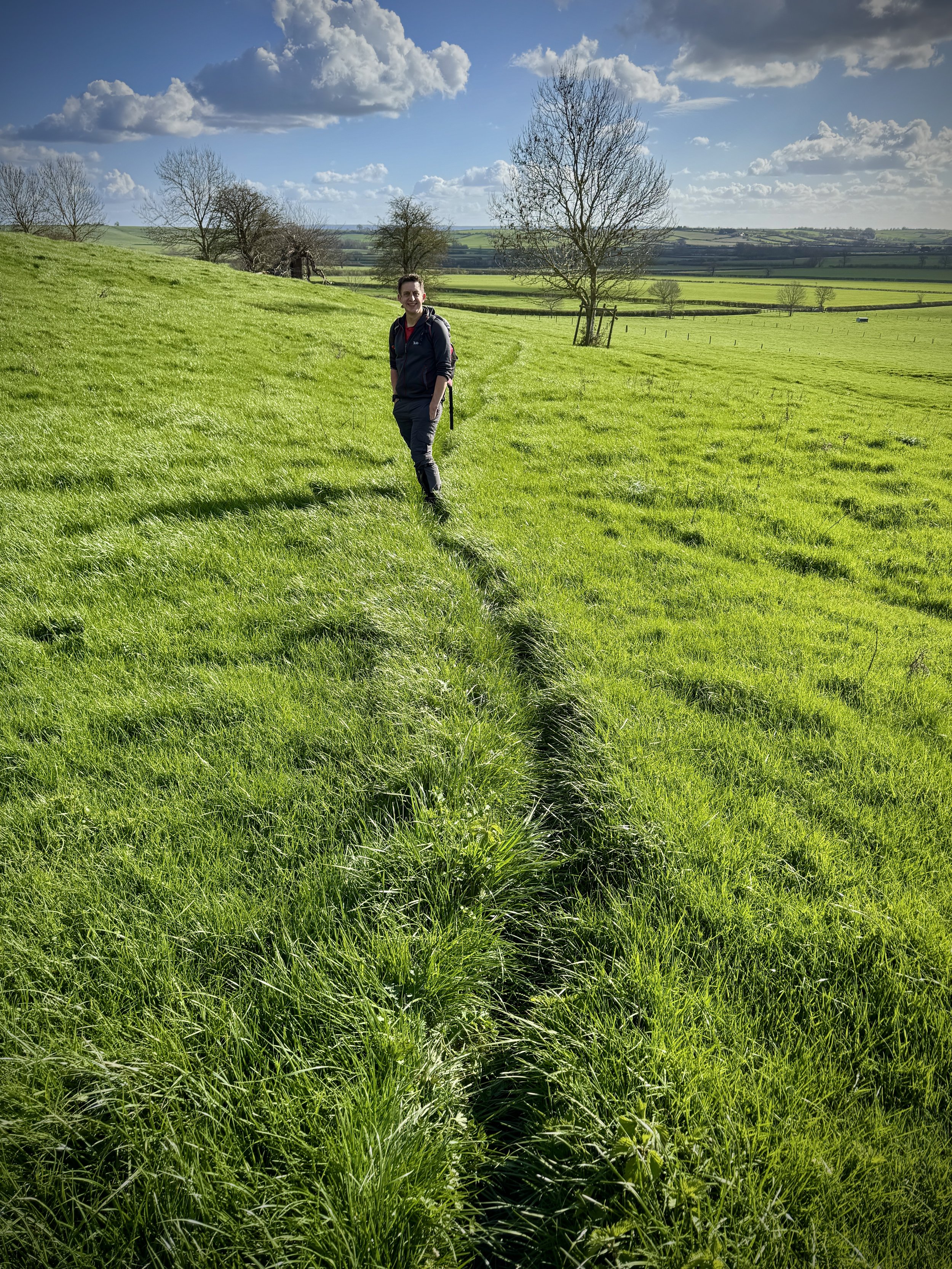
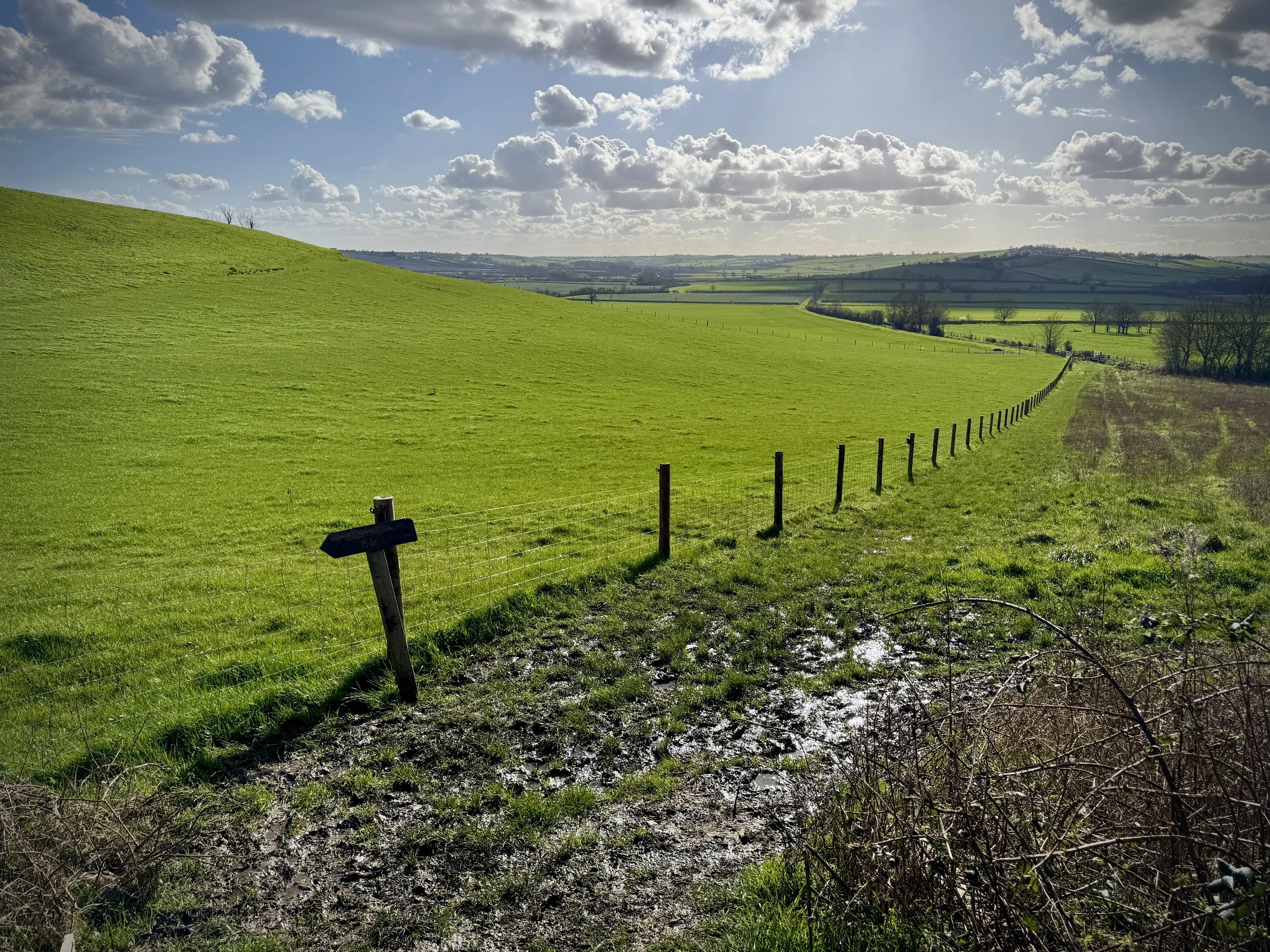
This circular route offers a brilliant way to explore the Buckinghamshire countryside, taking you from the historic village of Waddesdon up towards Quainton and back. It is a lovely walk to enjoy on a weekend, whether you are looking for a relaxed hike or trying to build up your stamina for your local parkrun. The views across the Vale of Aylesbury are fantastic, making it a highly rewarding loop for walkers of all abilities.
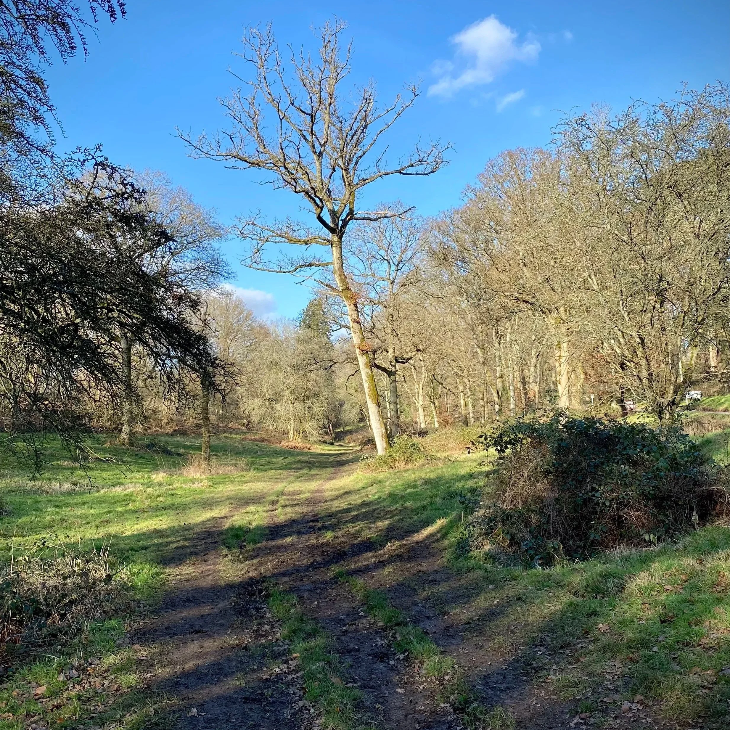
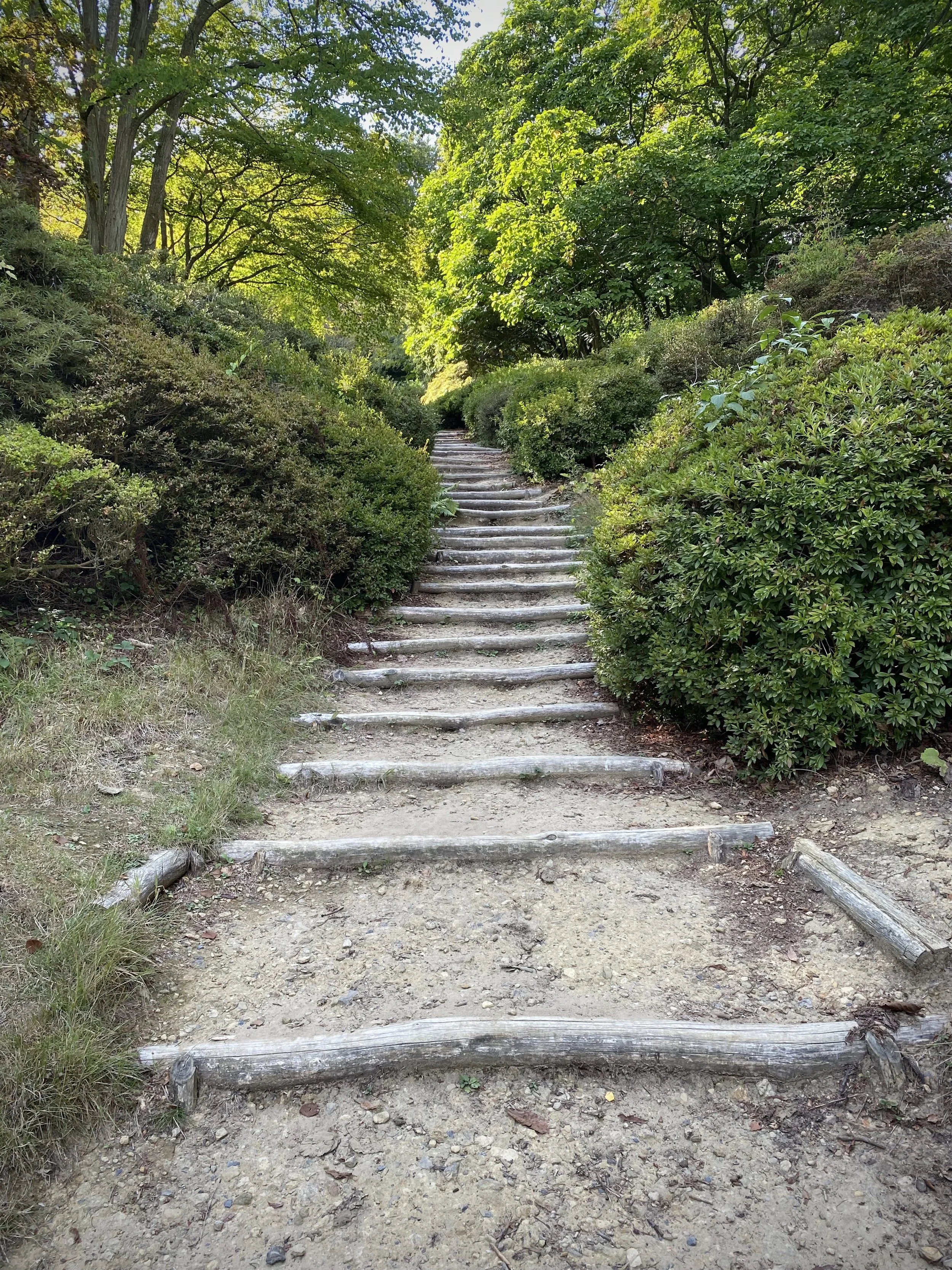
The path itself is beautifully varied, combining well-trodden tracks with slightly more elevated sections that give you a great perspective of the surrounding landscape. You will wander past some iconic local spots and enjoy the fresh air without feeling like you are on a gruelling expedition. It is simply a great way to spend a few hours outdoors with friends or family.
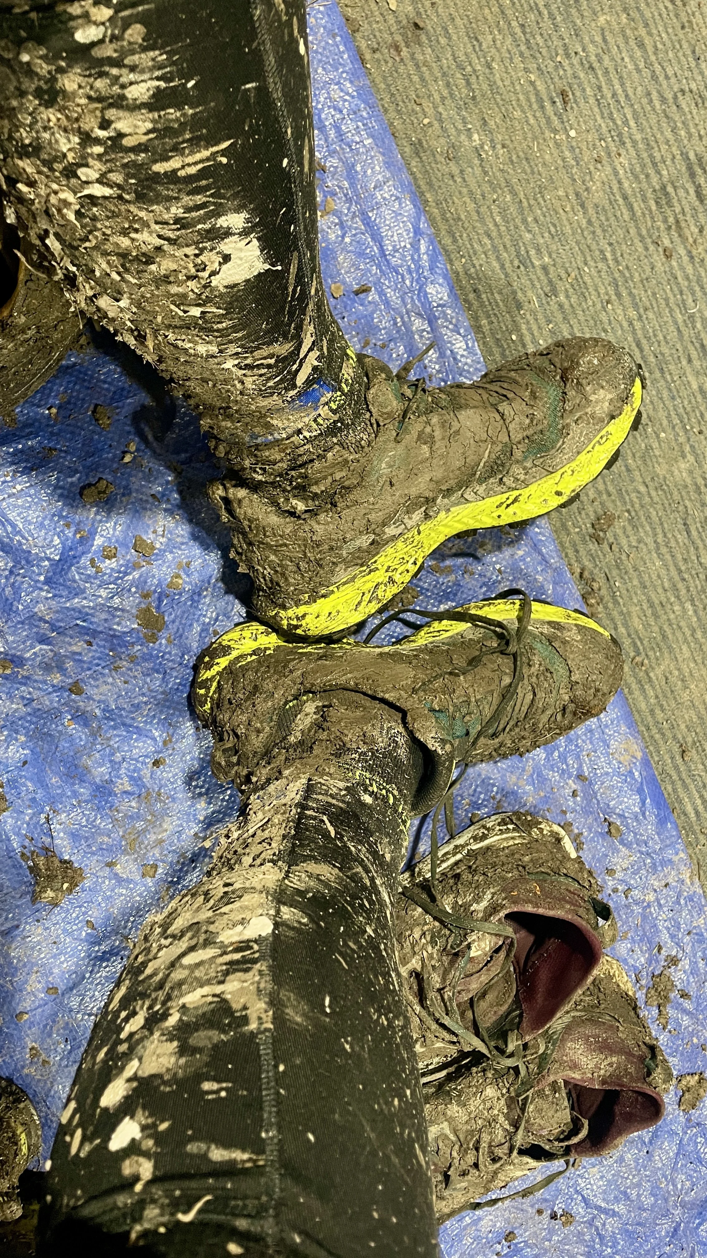
The guidance below will help you navigate but don’t use it as a fully accurate turn-by-turn guide. Always take a map and/or a GPX route and prepare well for the weather and terrain.
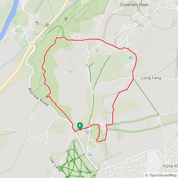
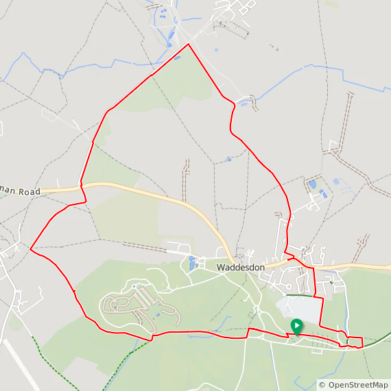
Start at the main Waddesdon Manor car park and take the path through it in an easterly direction.
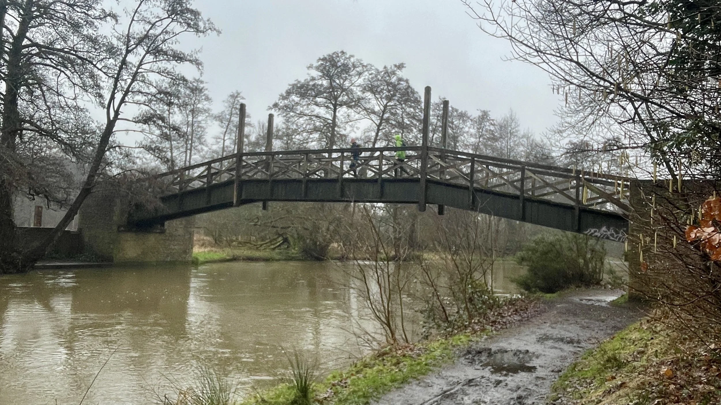
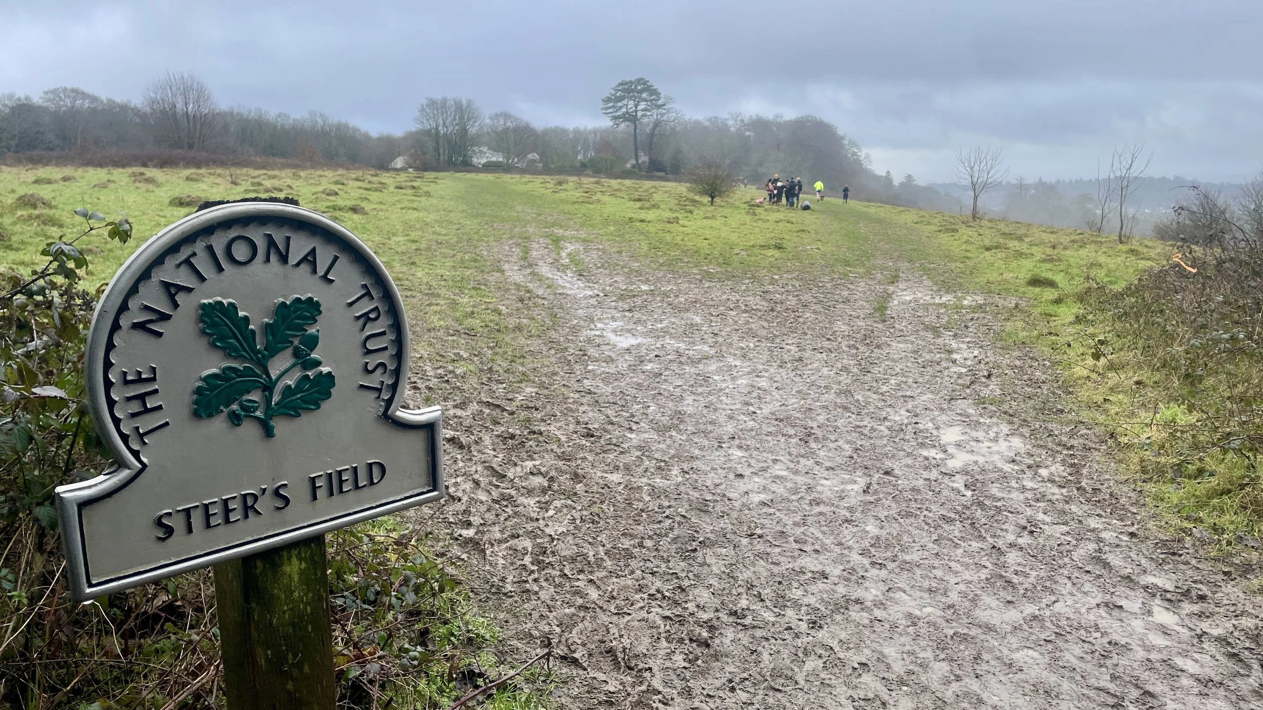
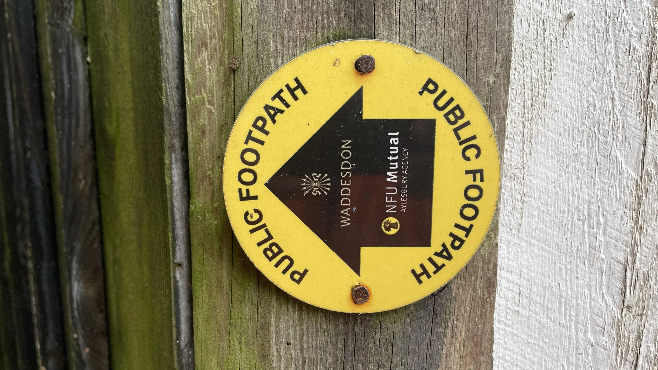
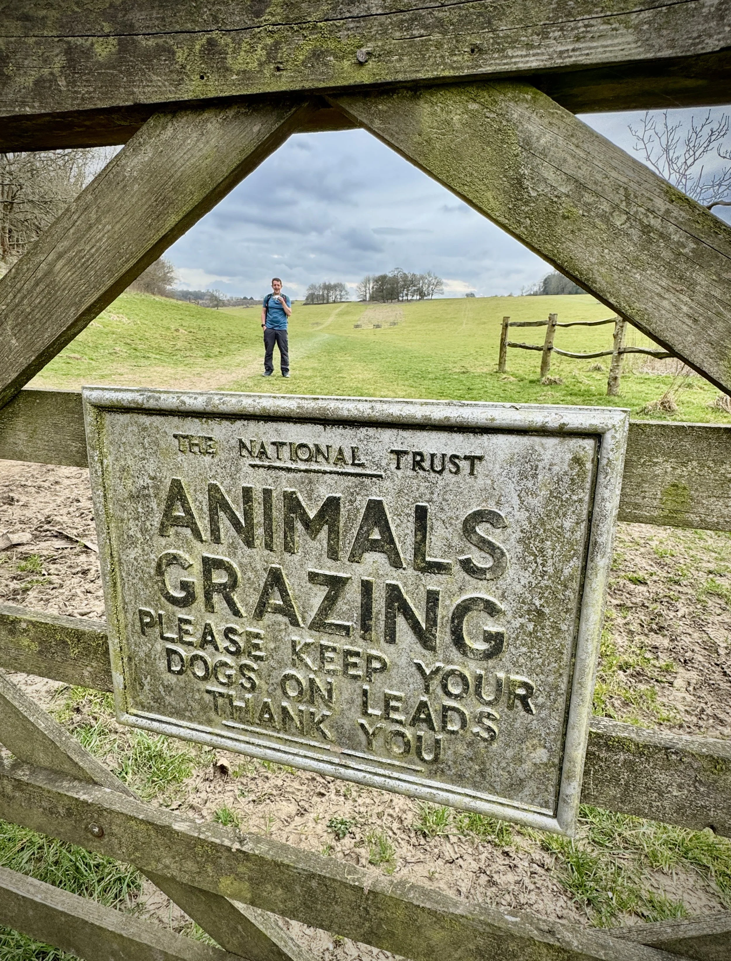
When you reach the junction with Midshires Way / Aylesbury Ring take a left and follow the Midshires Way / Aylesbury Ring. It will meander through the edge of the Waddesdon Estate, alongside the overflow car park and onto Goss Avenue. At the end of Goss Avenue turn left onto the A41.
Take a right onto Little Britain (road) and follow it as it leads onto a footpath between garden fences and out into open fields.
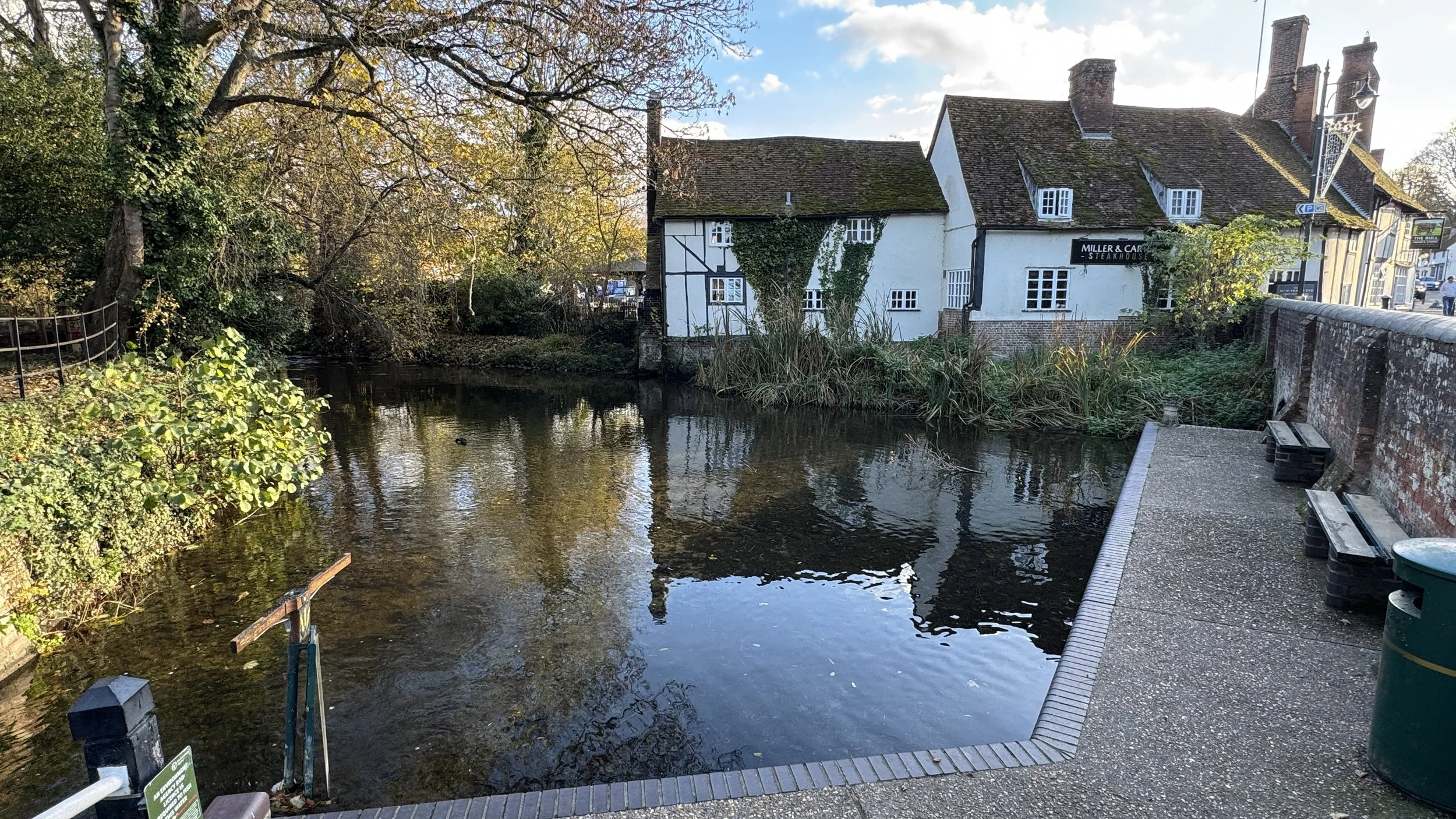
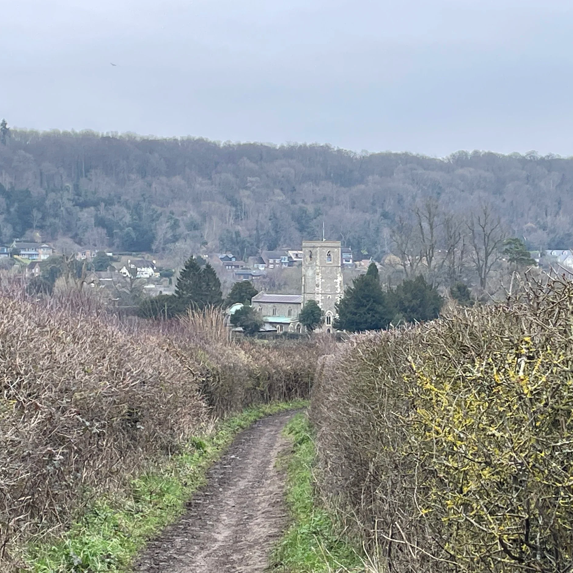
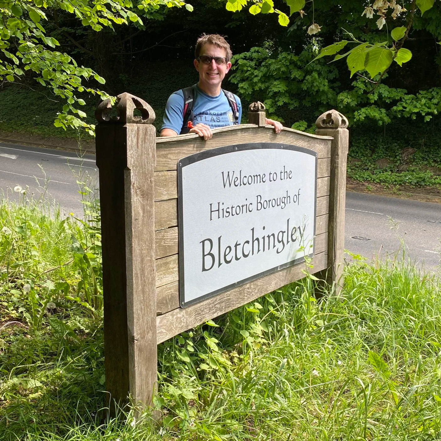
Continue walking north along the Midshires Way until you reach The Strand (road) at Quainton. Take a left onto The Strand. Here is a good place to stop for a mid-point rest at The George and Dragon pub.
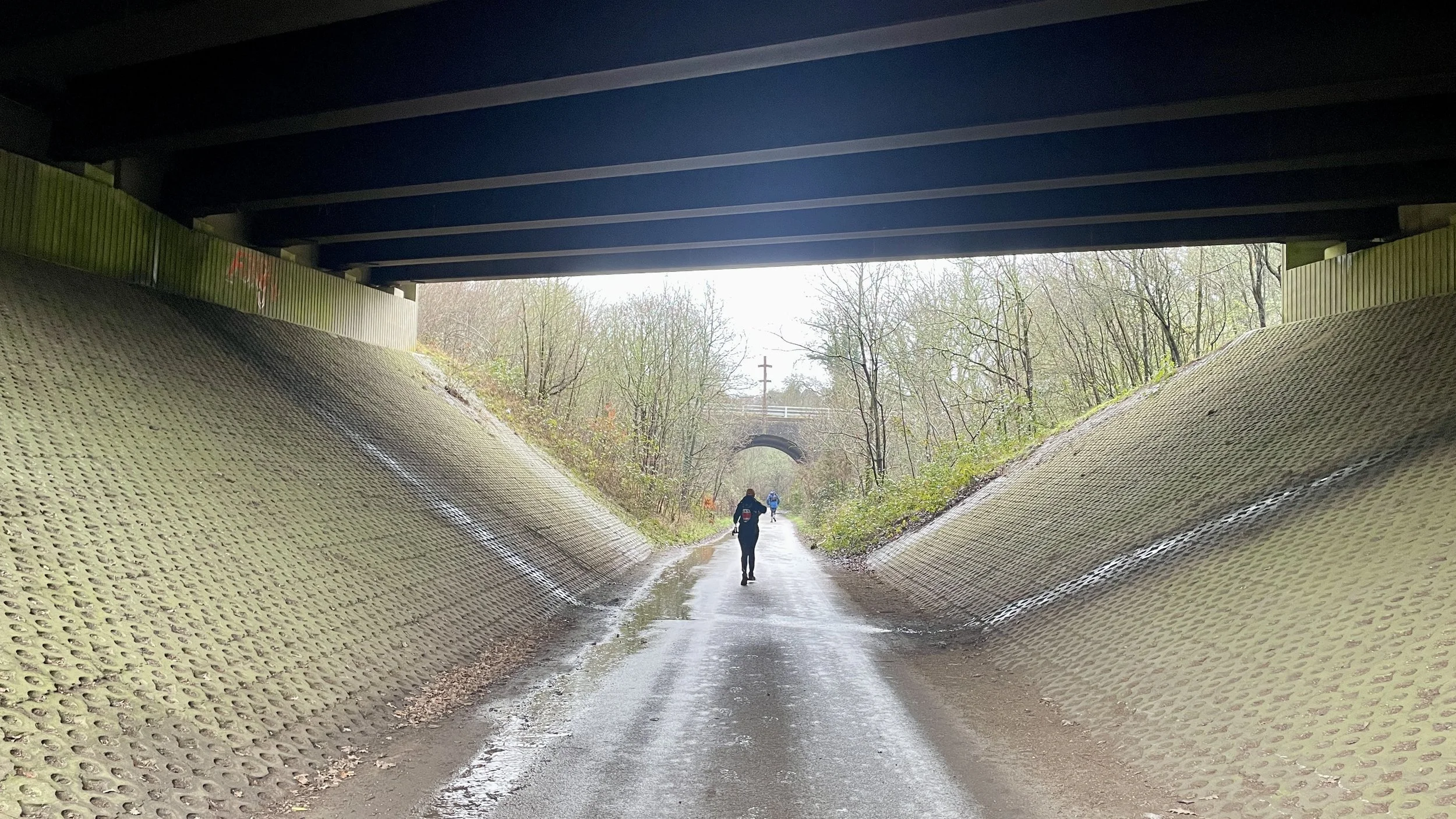
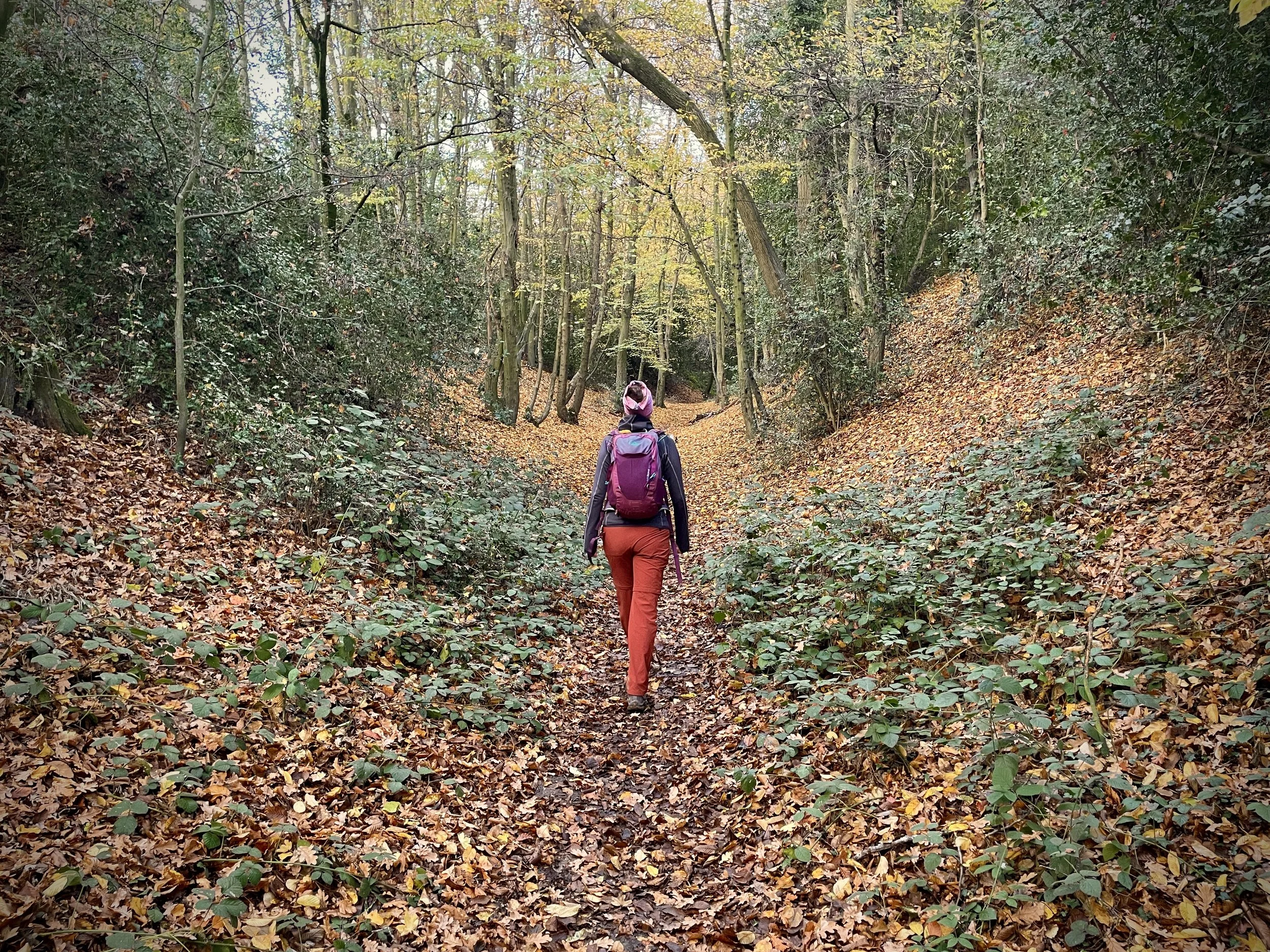
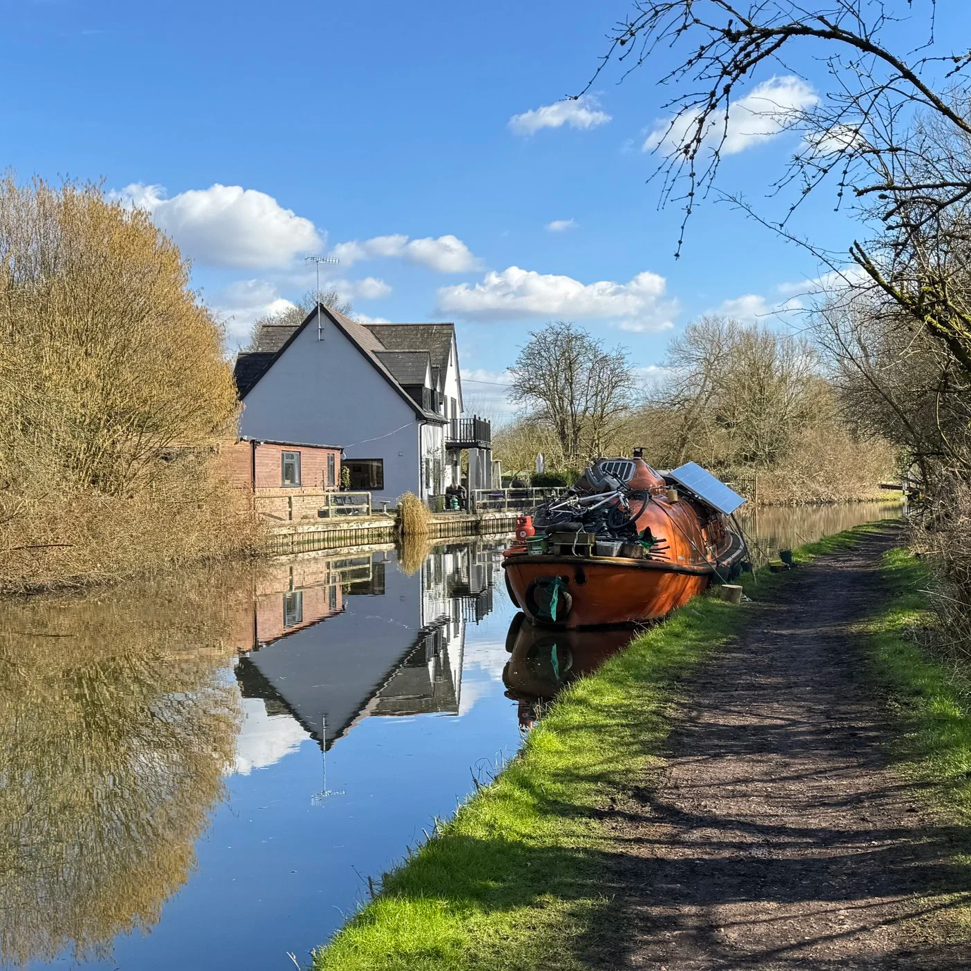
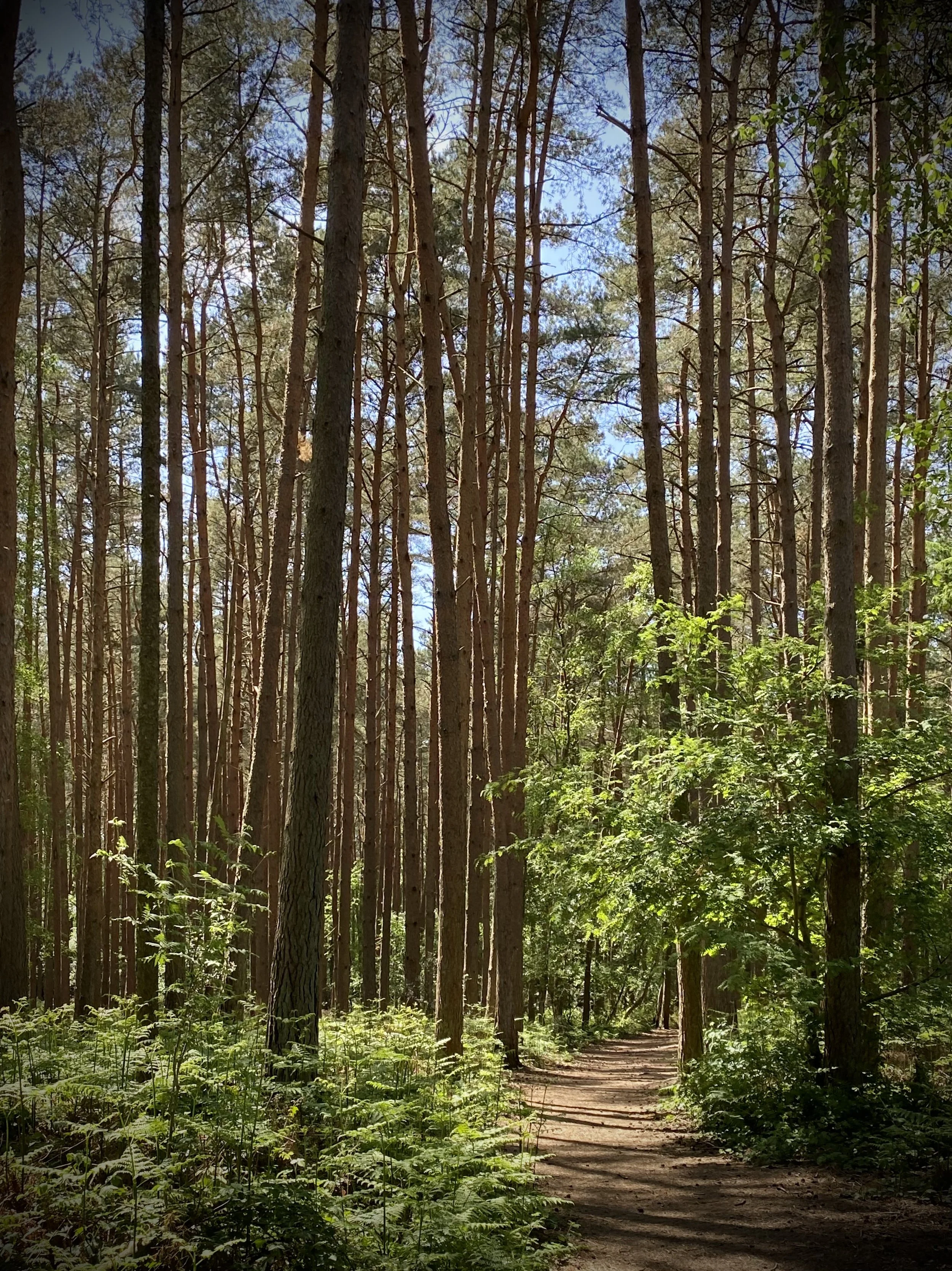
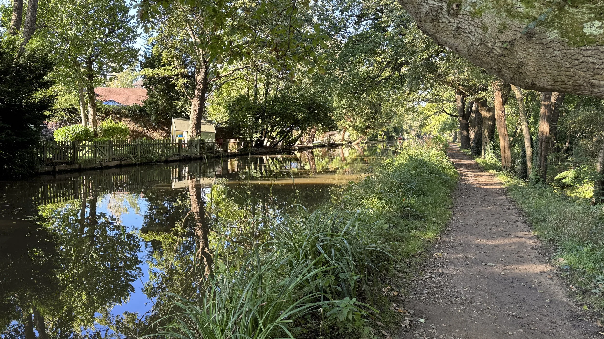
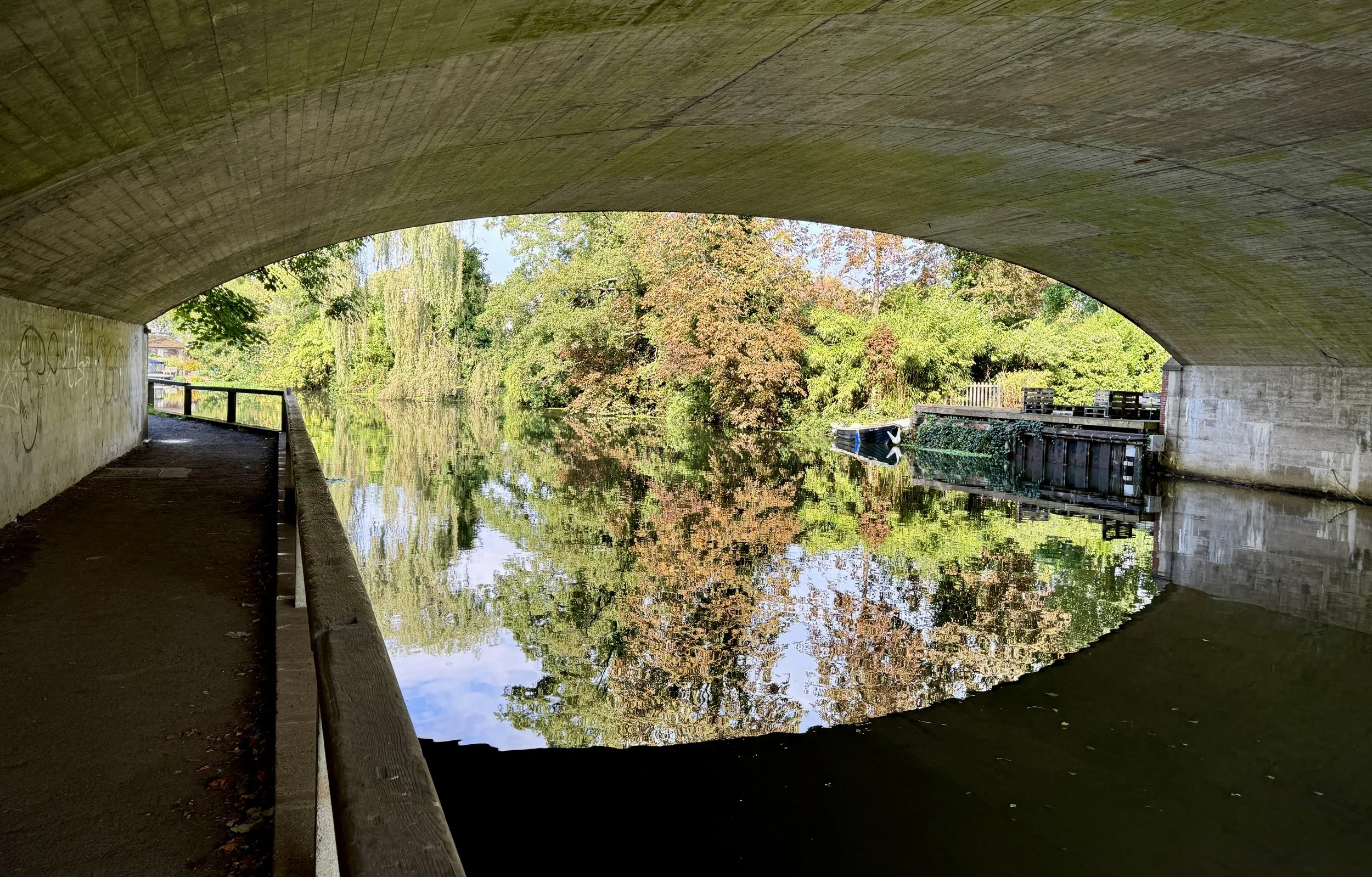
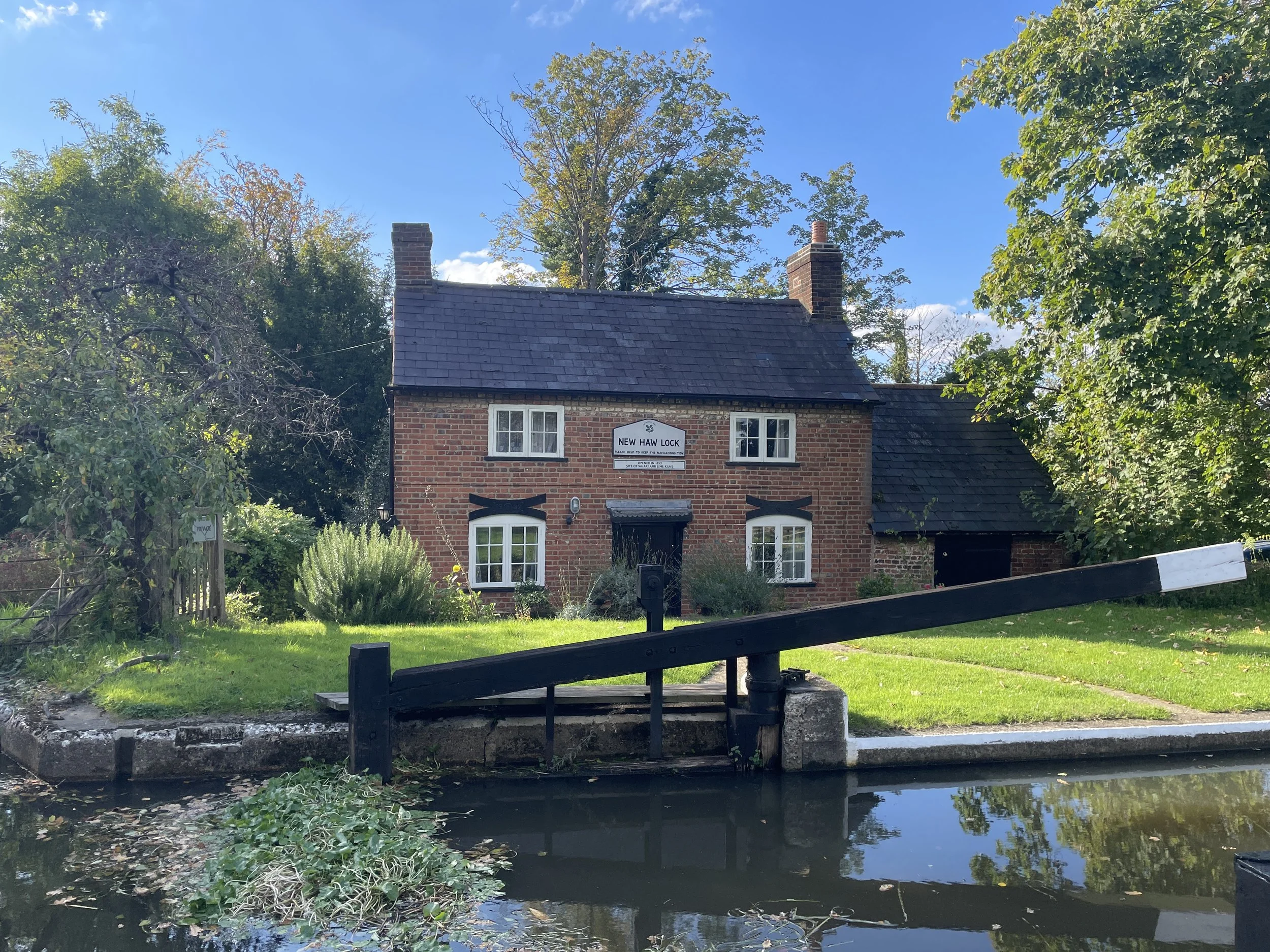
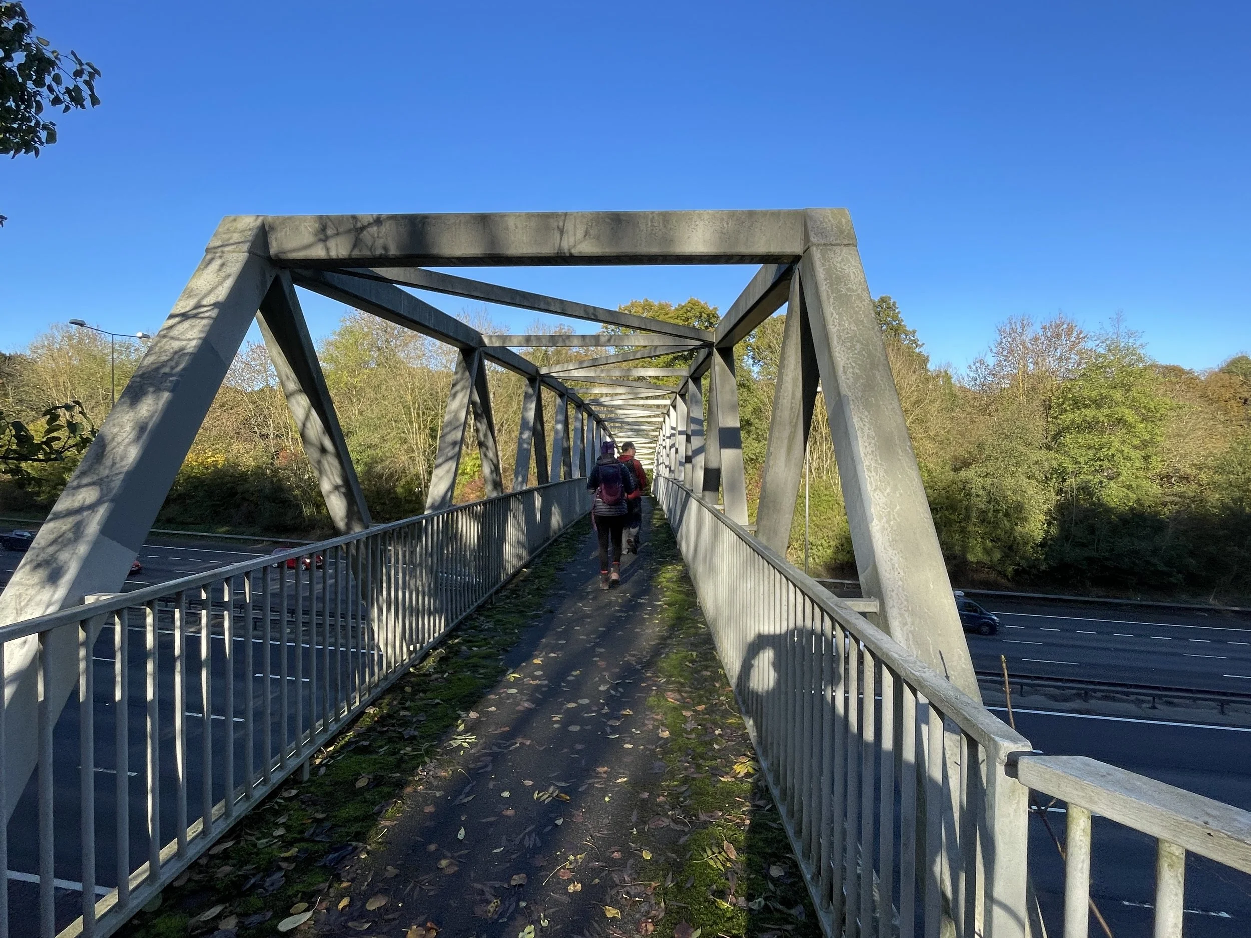
Take a left off The Strand / Lower Road onto Station Road and follow it in a southerly direction for 3.1 km until you reach the A41. Along the way you'll pass the Buckinghamshire Railway Centre at the Old Quainton Road Station. After the station you'll be following the route of the old Brill Tramway.
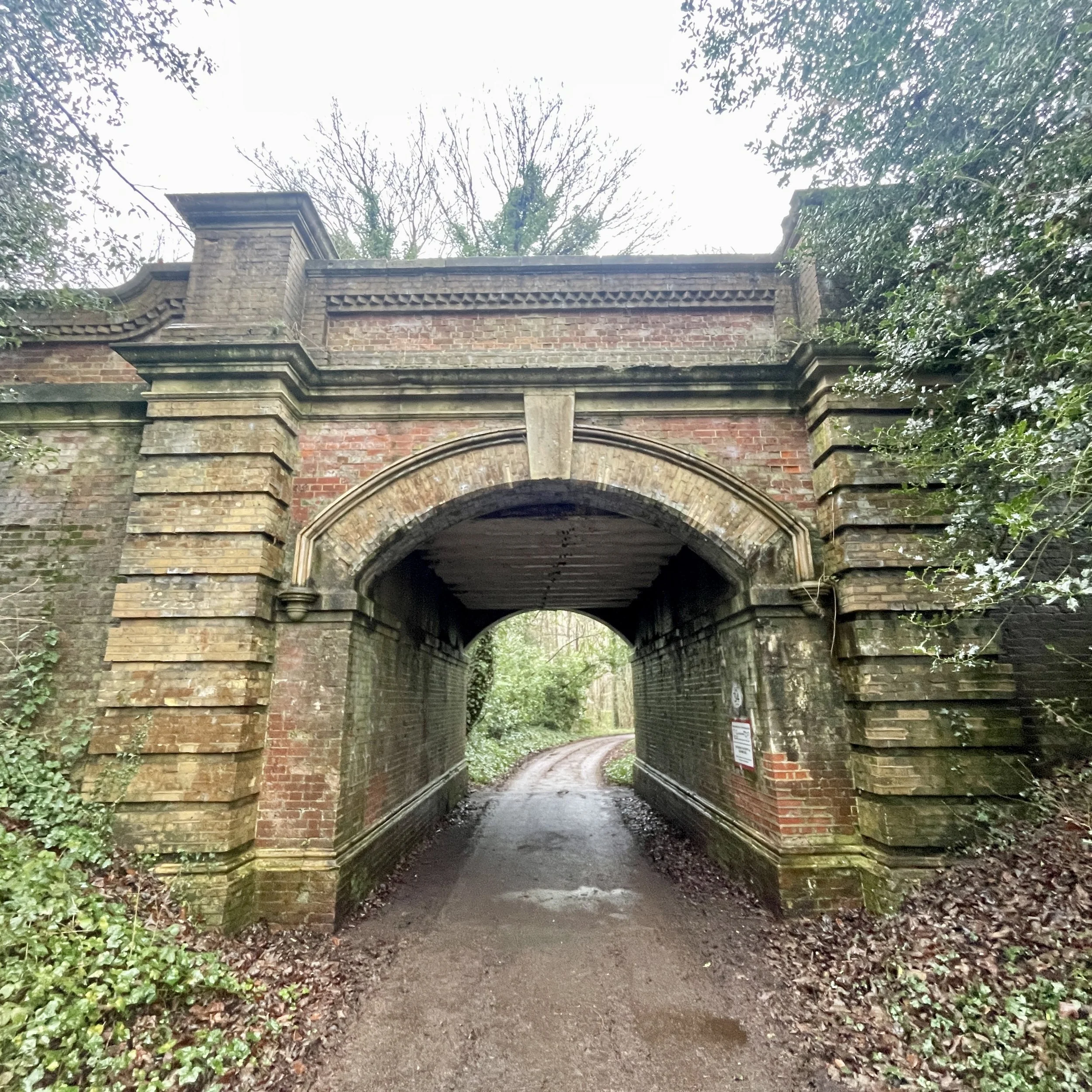
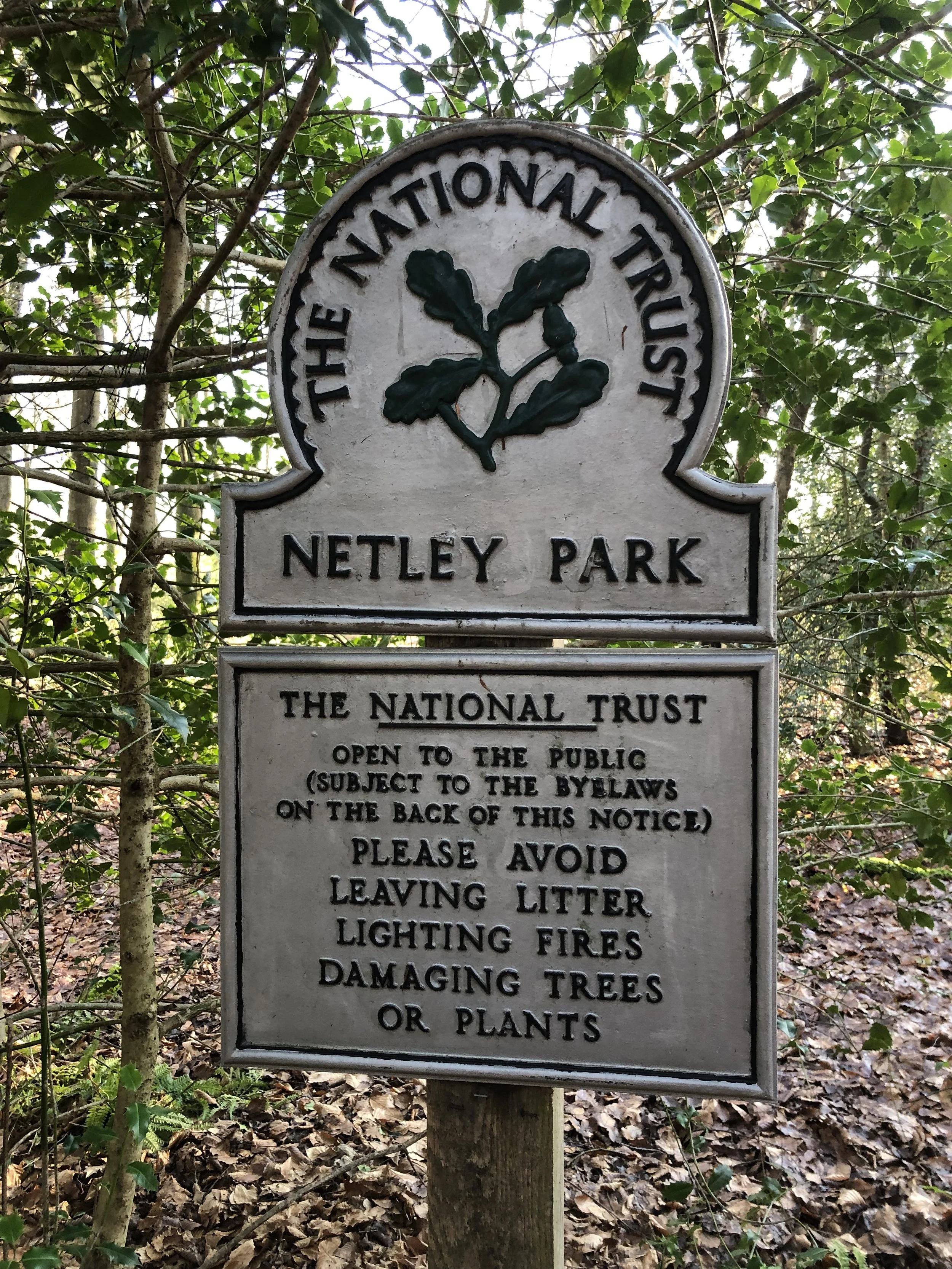
Cross over the A41 and continue to follow the Brill Tramway Walk through fields and into the Waddesdon Manor Estate. Once into the estate take a right to follow the road back to the Visitor Centre and car park where you started.
Points of Interest along or near to the Route
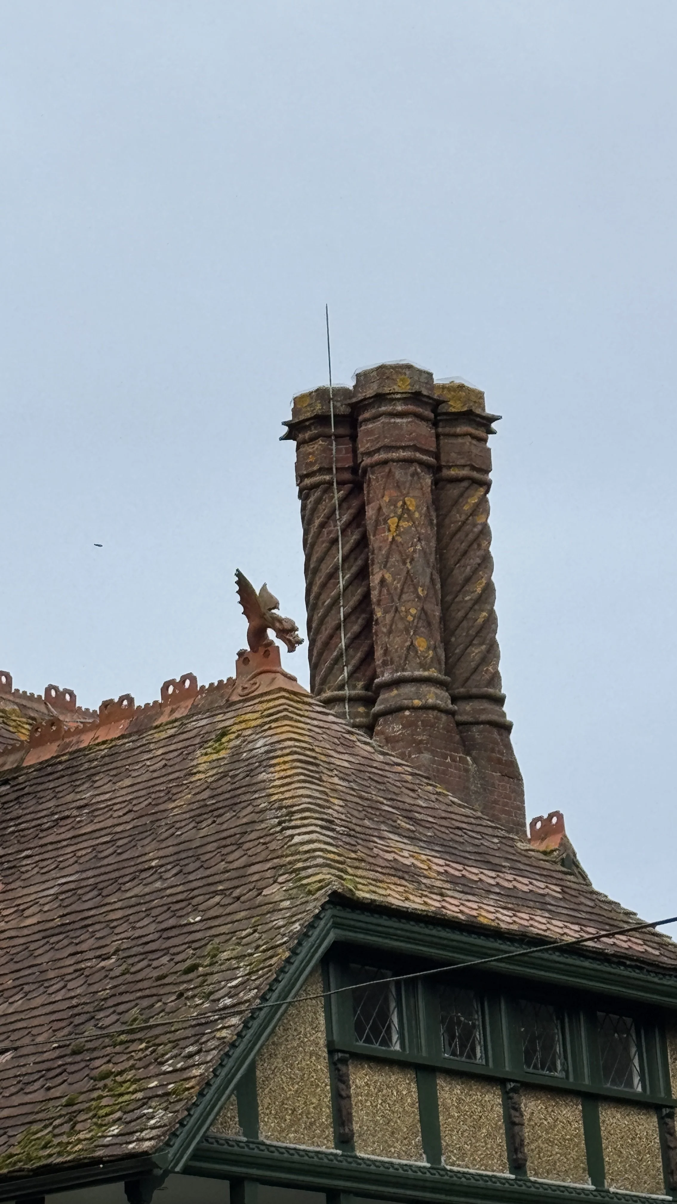
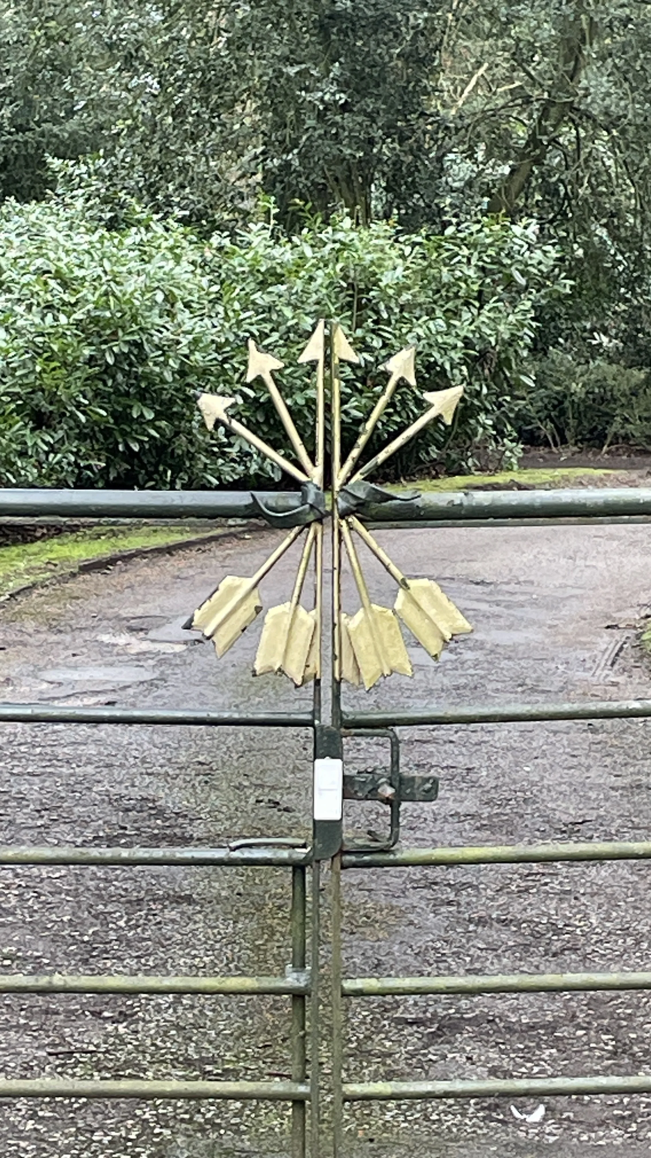
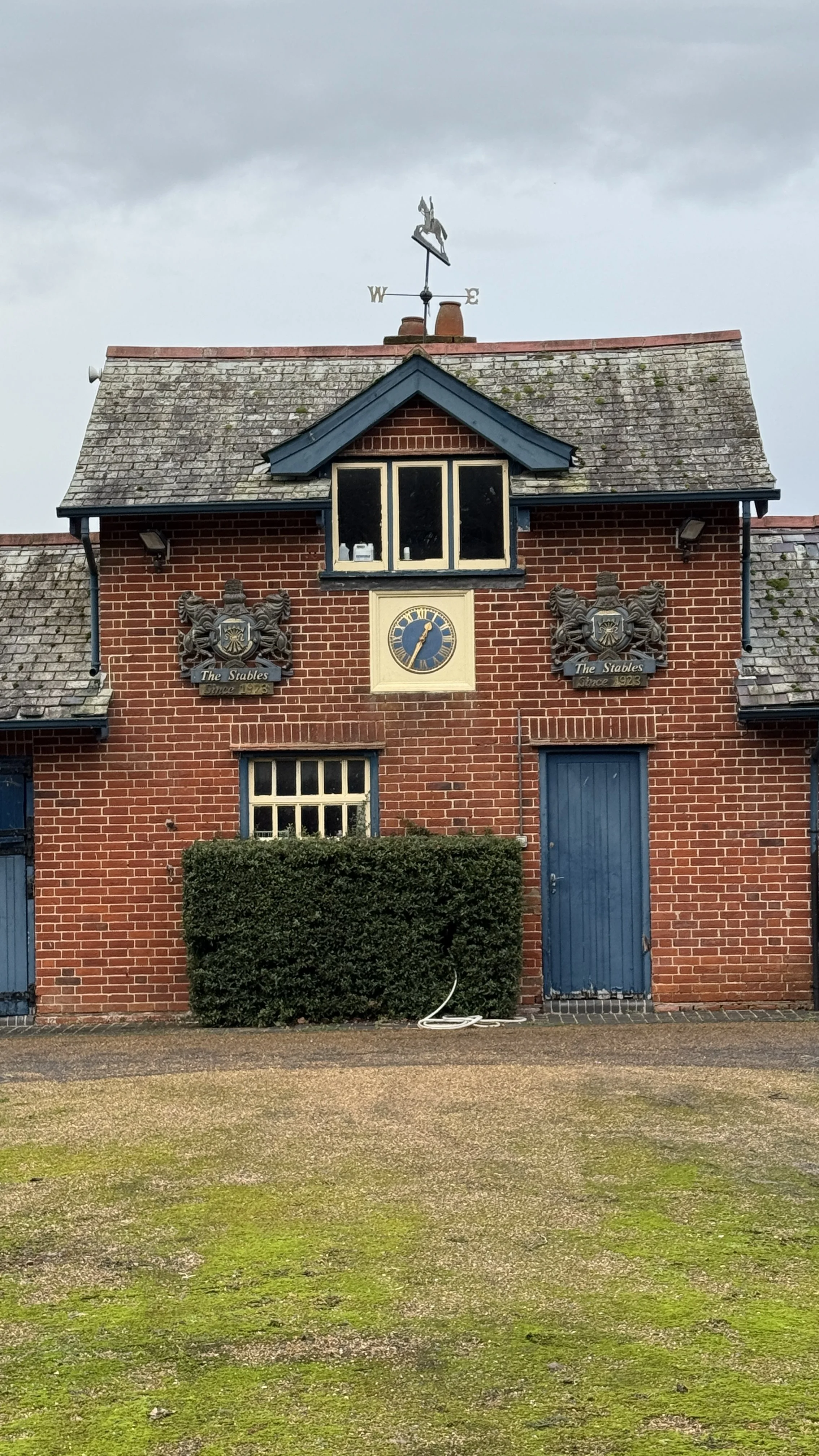
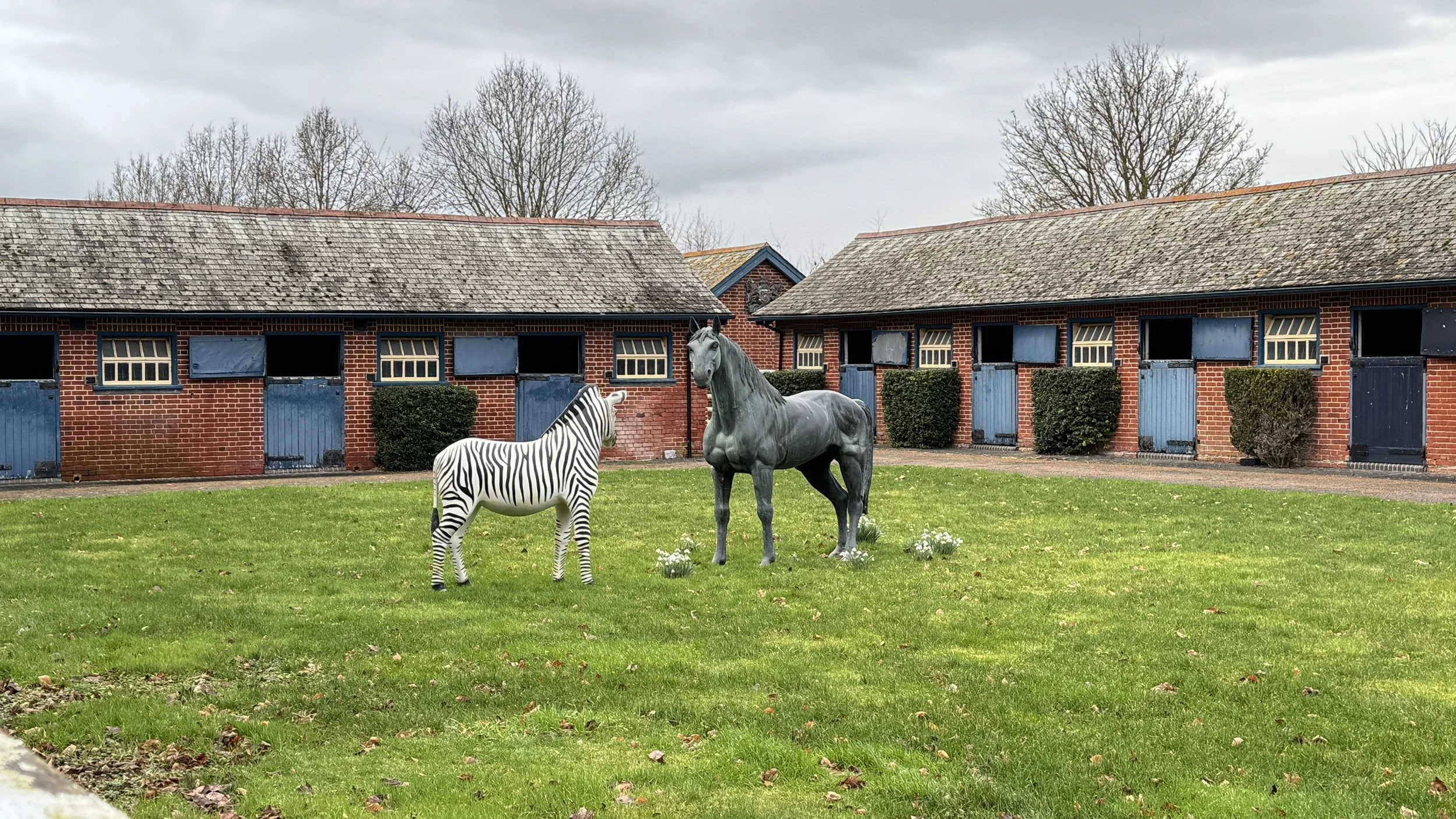
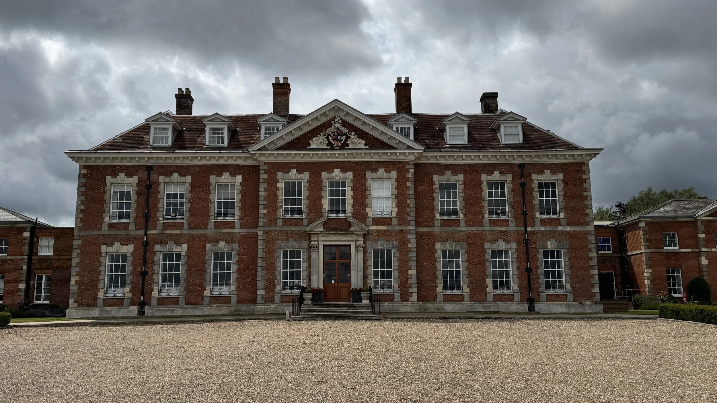
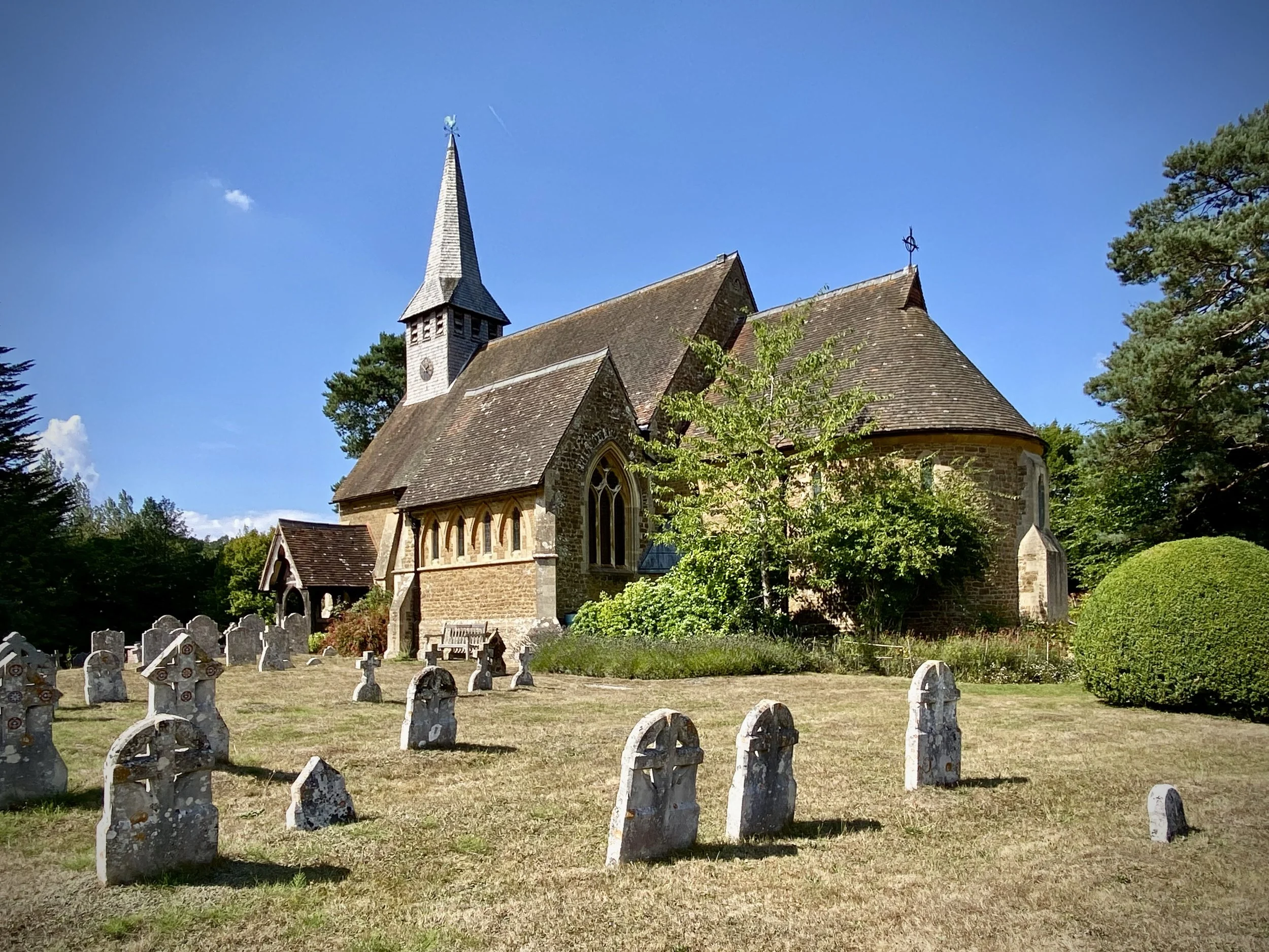
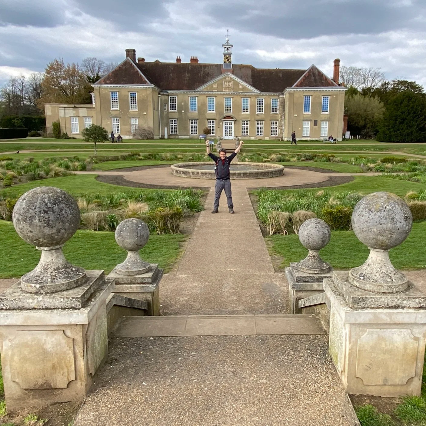
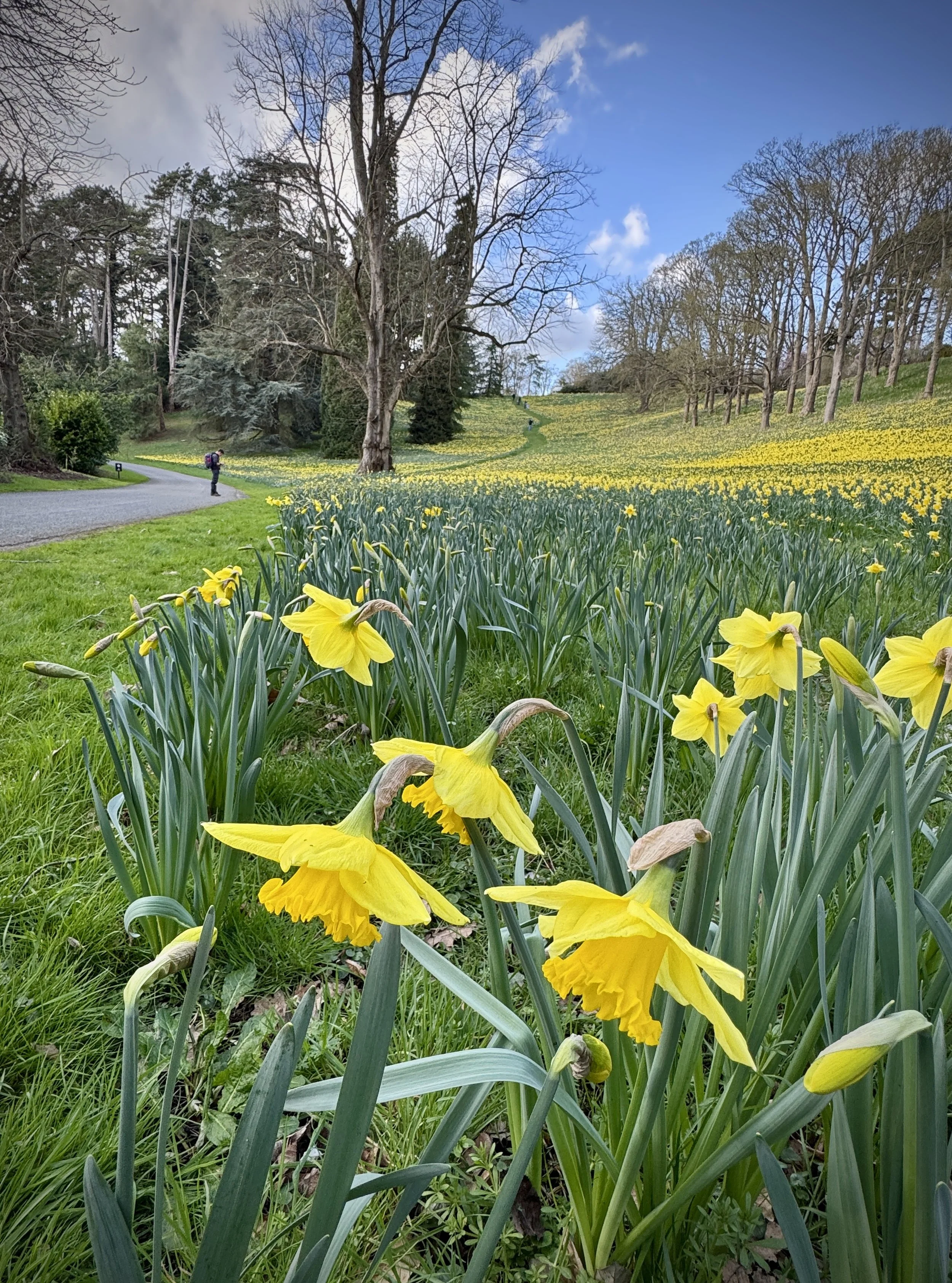
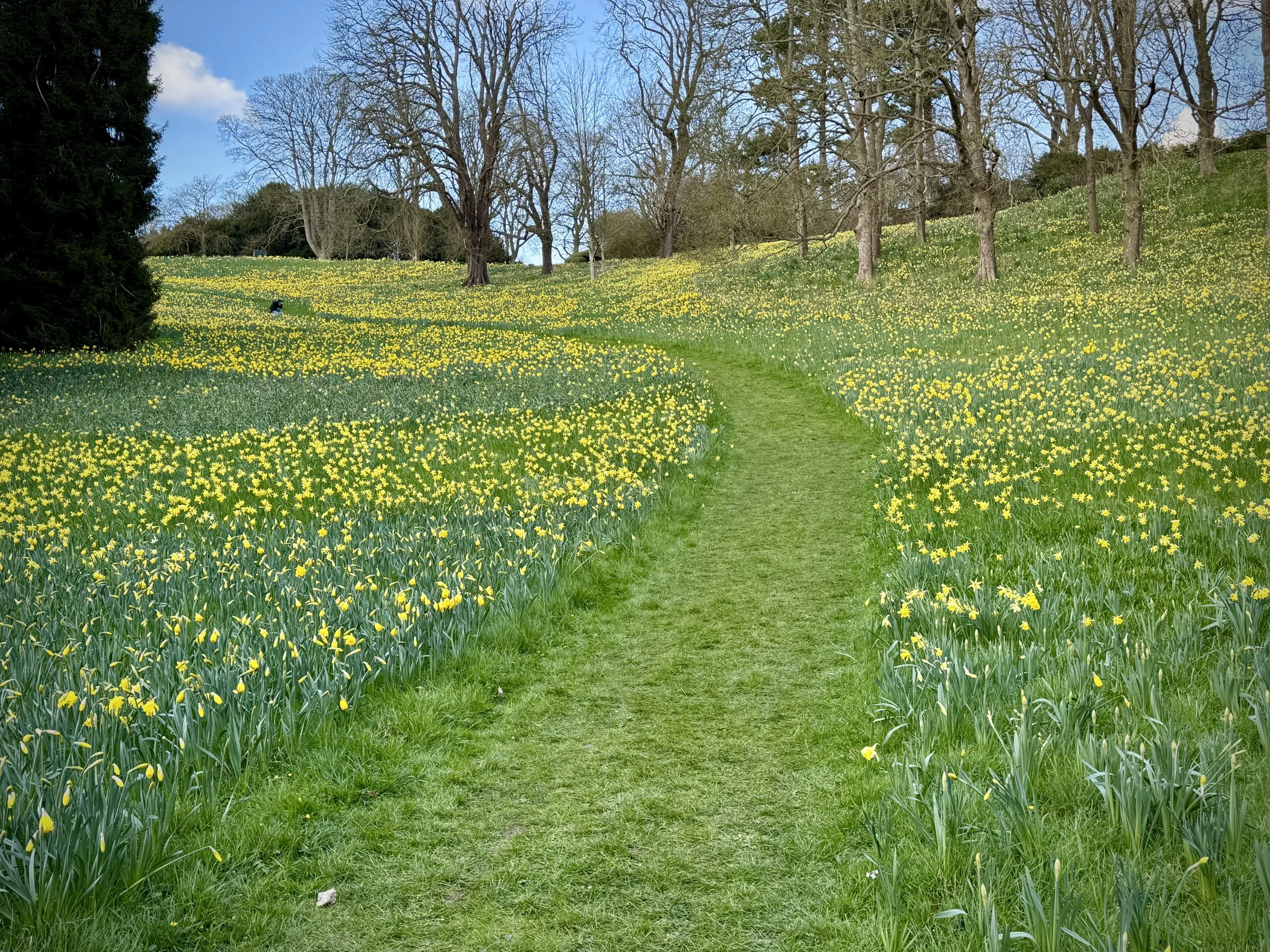
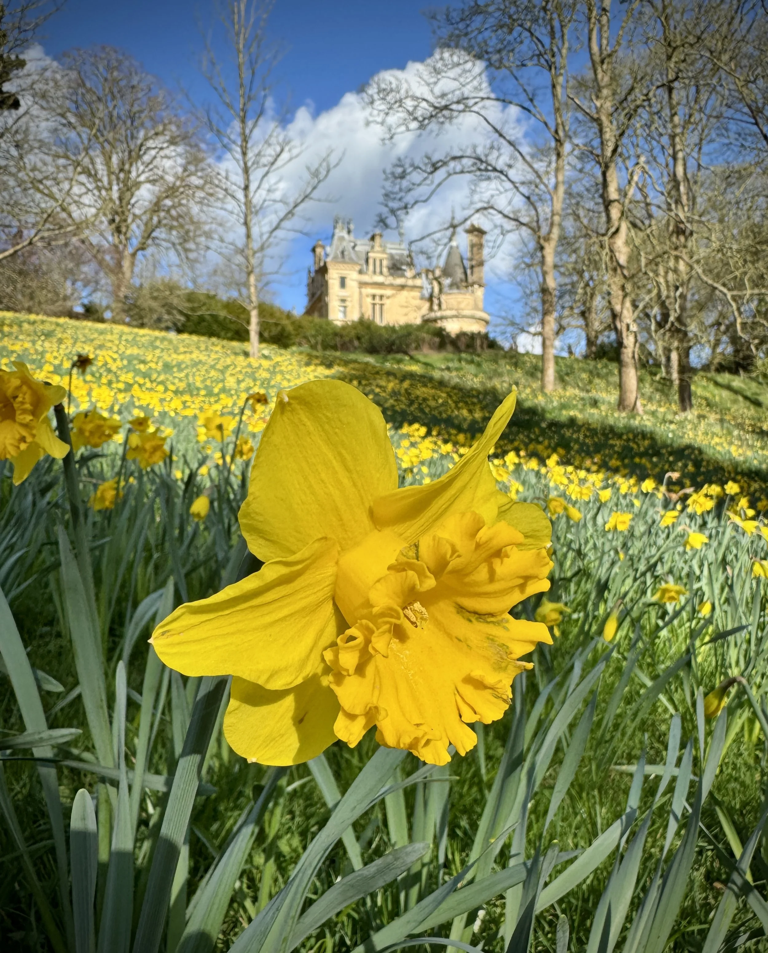
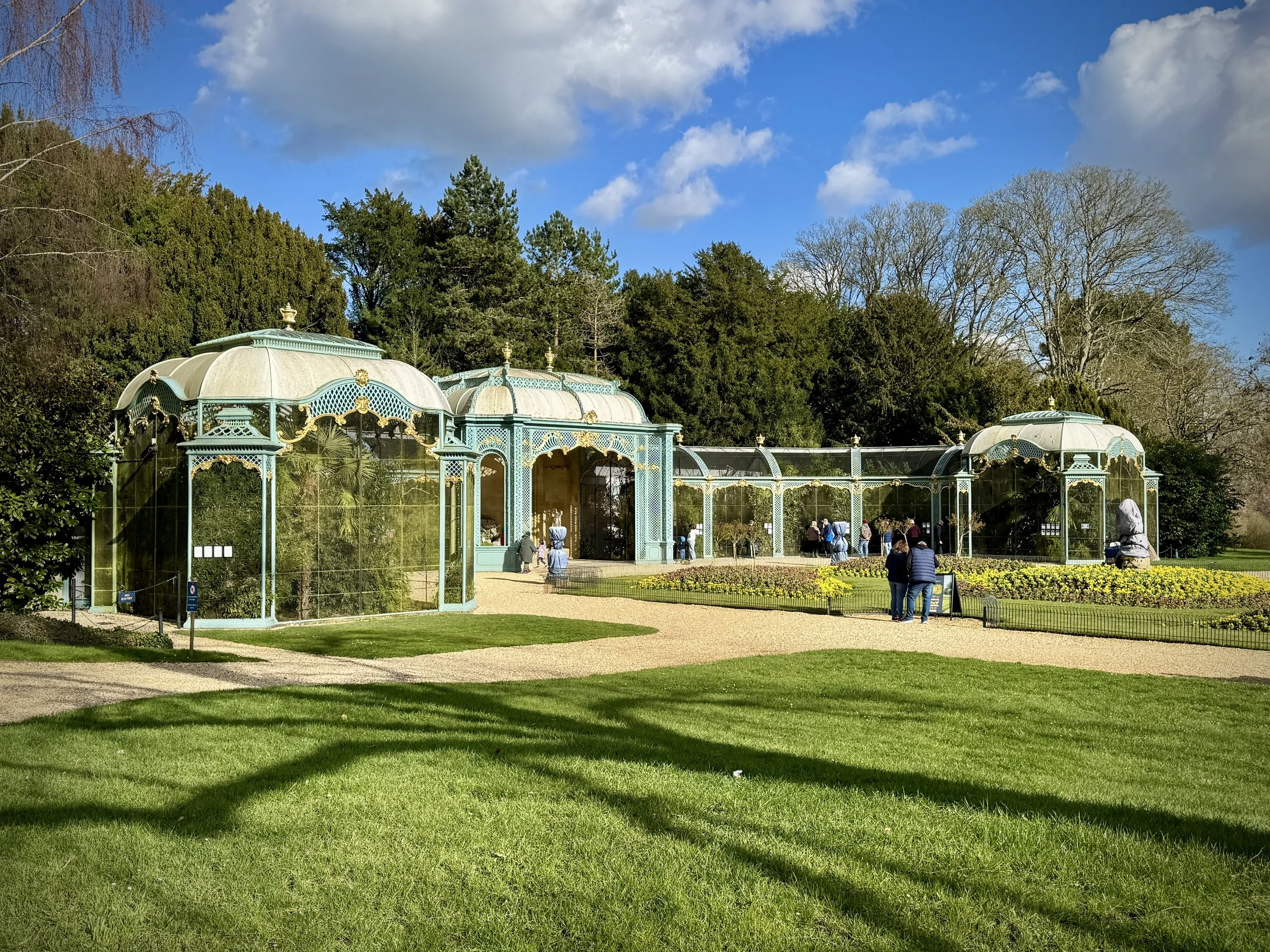
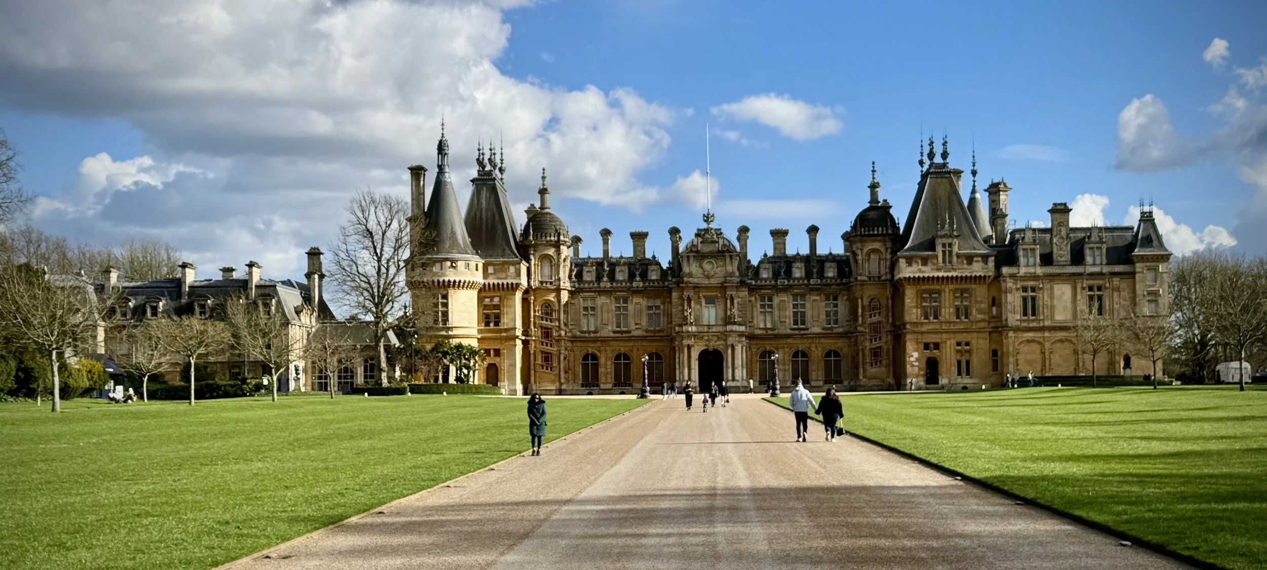
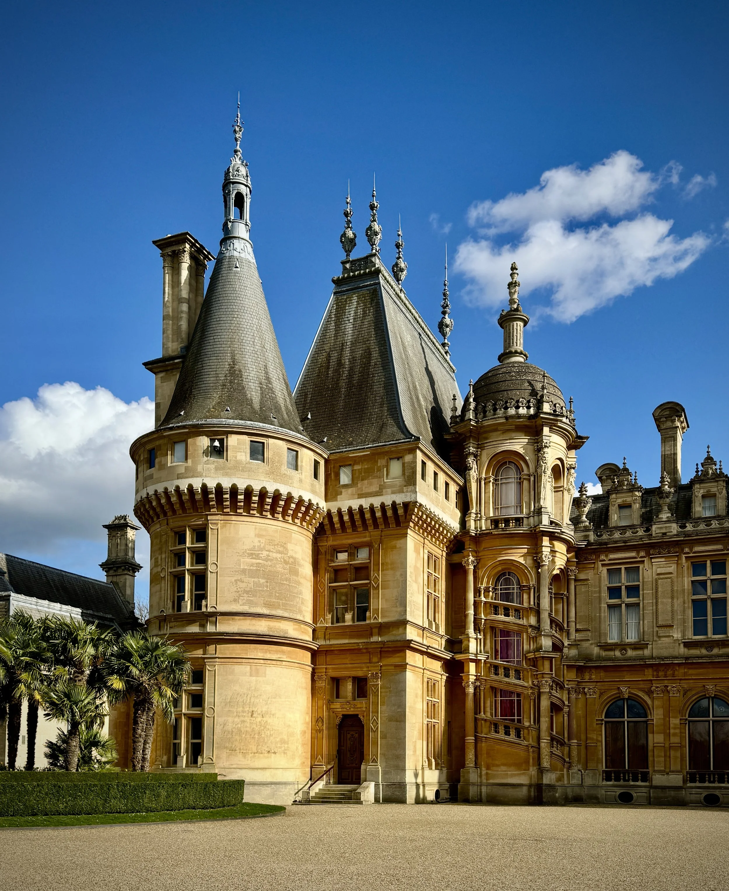
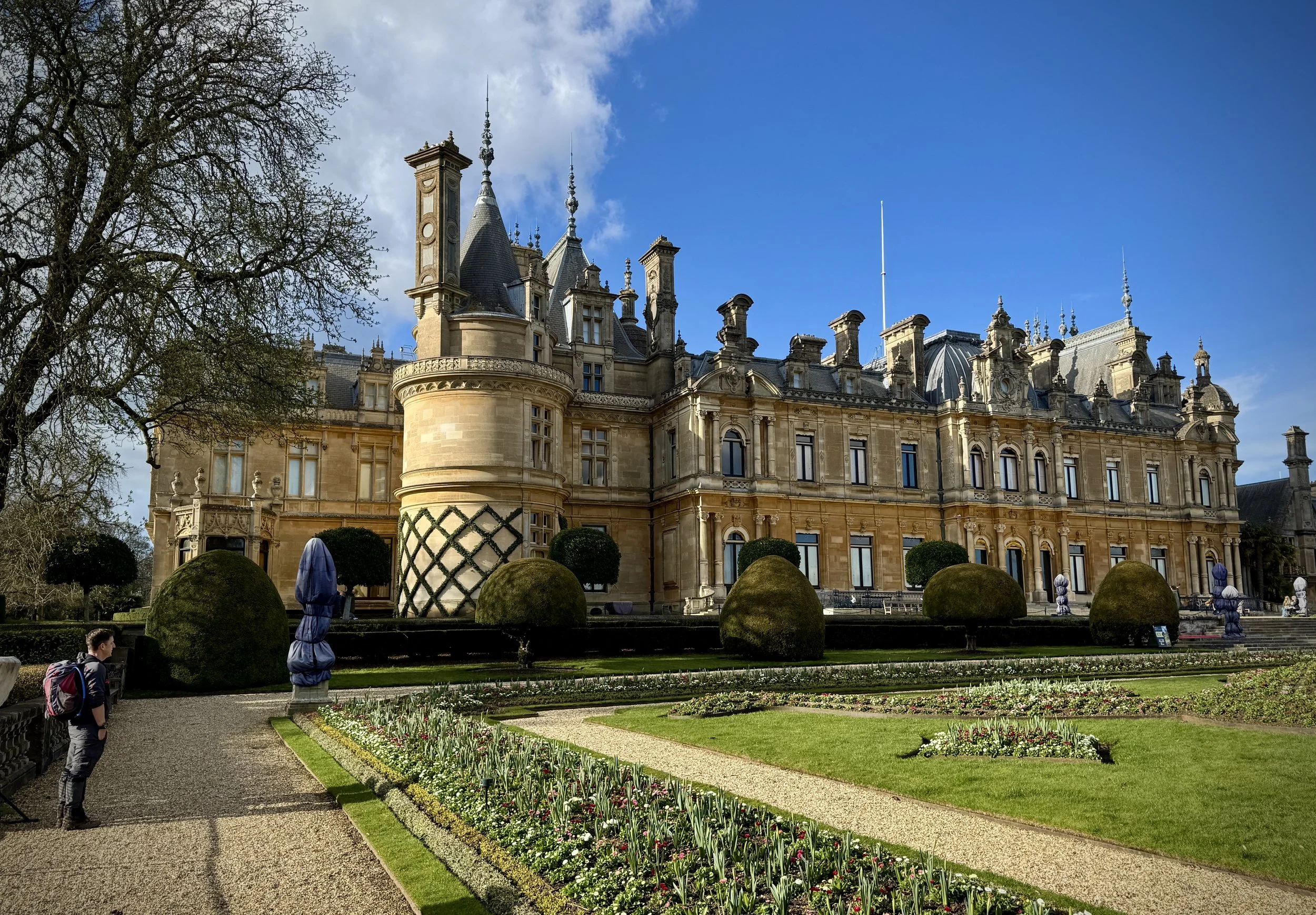
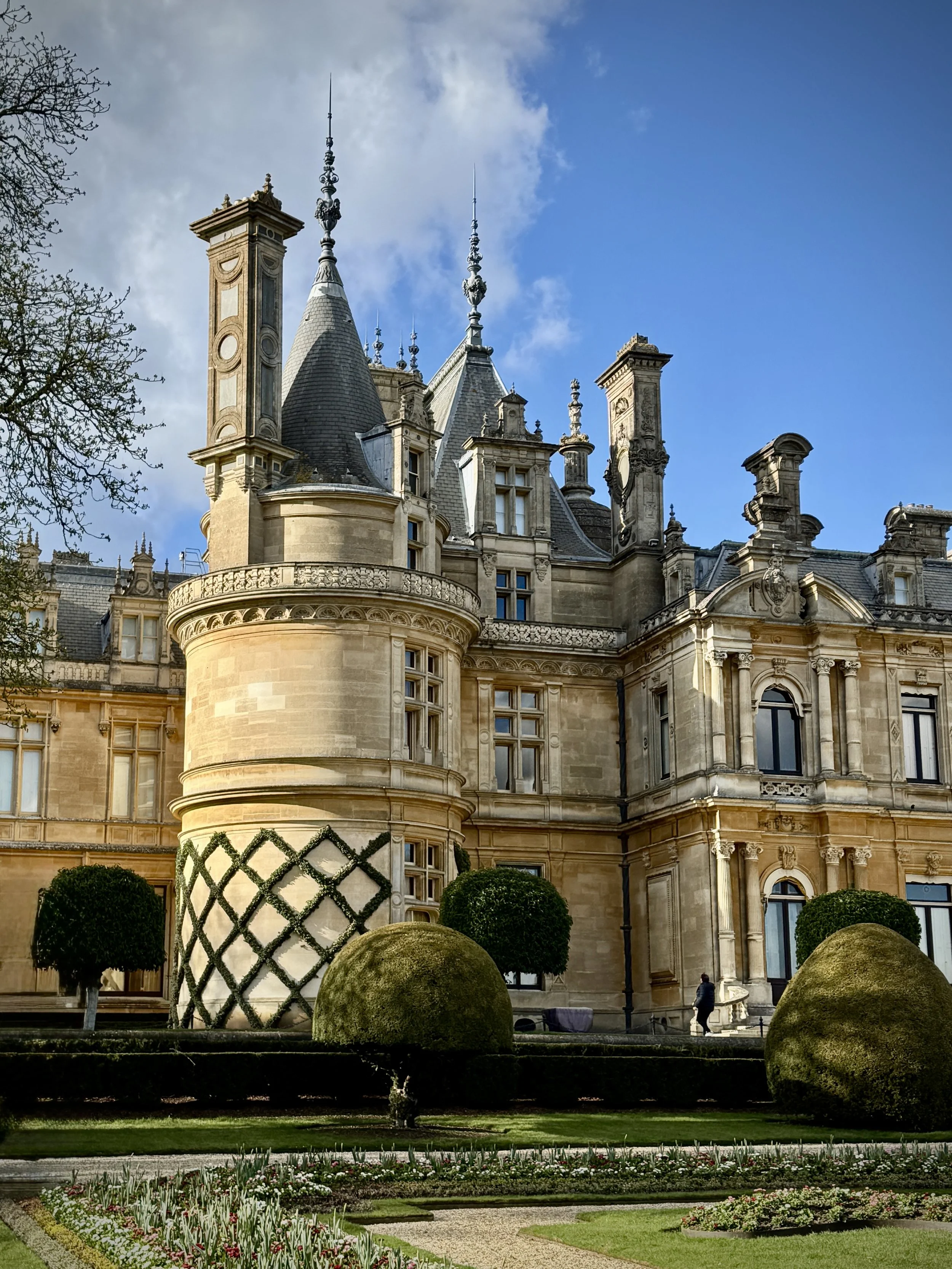
Waddesdon Manor: Built between 1874 and 1889 for Baron Ferdinand de Rothschild, this striking French Renaissance-style château is a spectacular place to visit. Beyond its impressive architecture, the manicured grounds and meticulously designed parterre showcase Victorian horticultural excellence, occasionally hosting vibrant light festivals that illuminate the Buckinghamshire night.
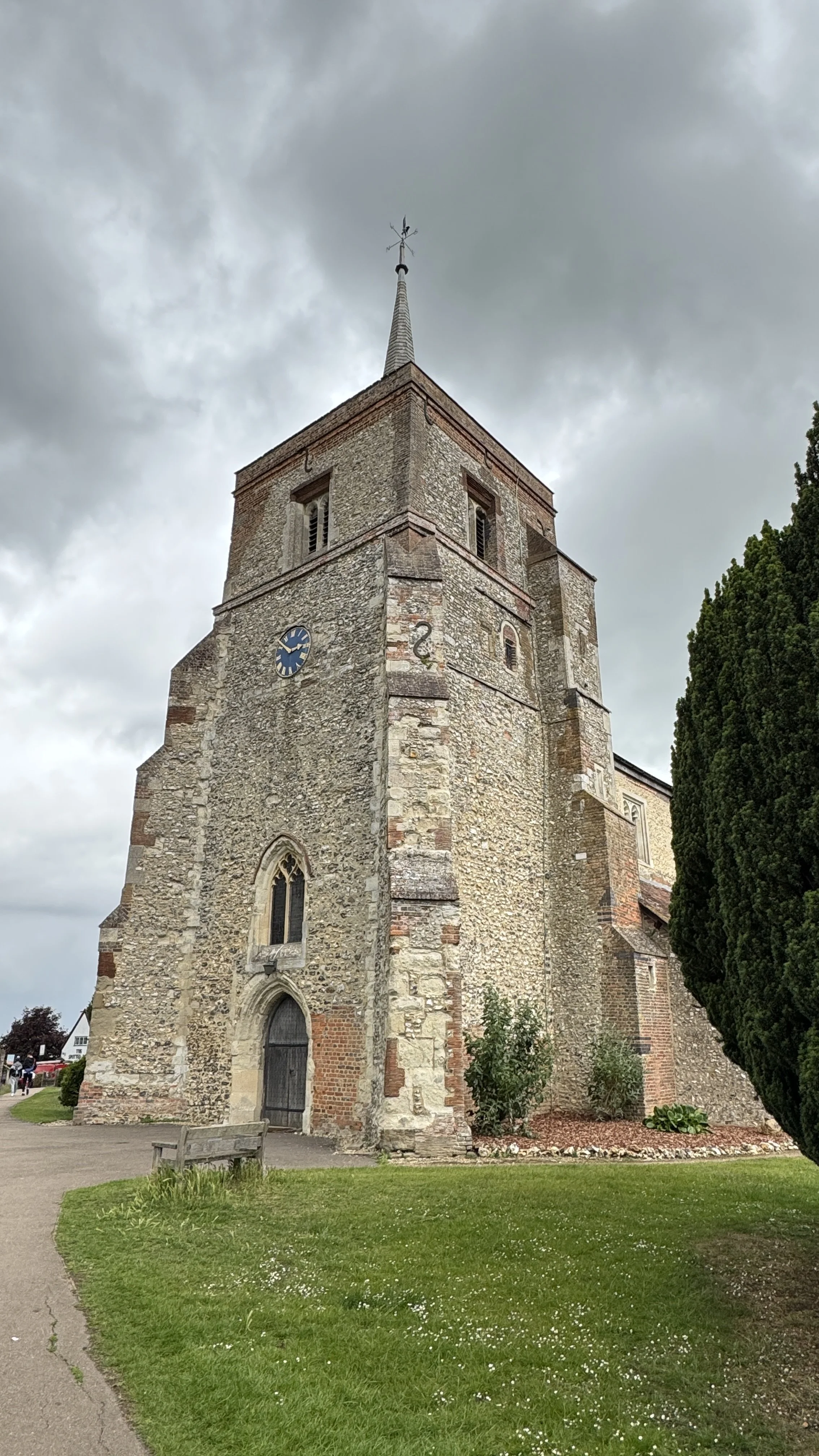
Quainton Windmill: Dominating the picturesque village green, this towering six-storey working windmill was built in 1830 and remains the tallest in Buckinghamshire. Carefully restored by dedicated volunteers, it stands as a testament to the region's agricultural heritage, offering visitors a fascinating glimpse into 19th-century milling practices.
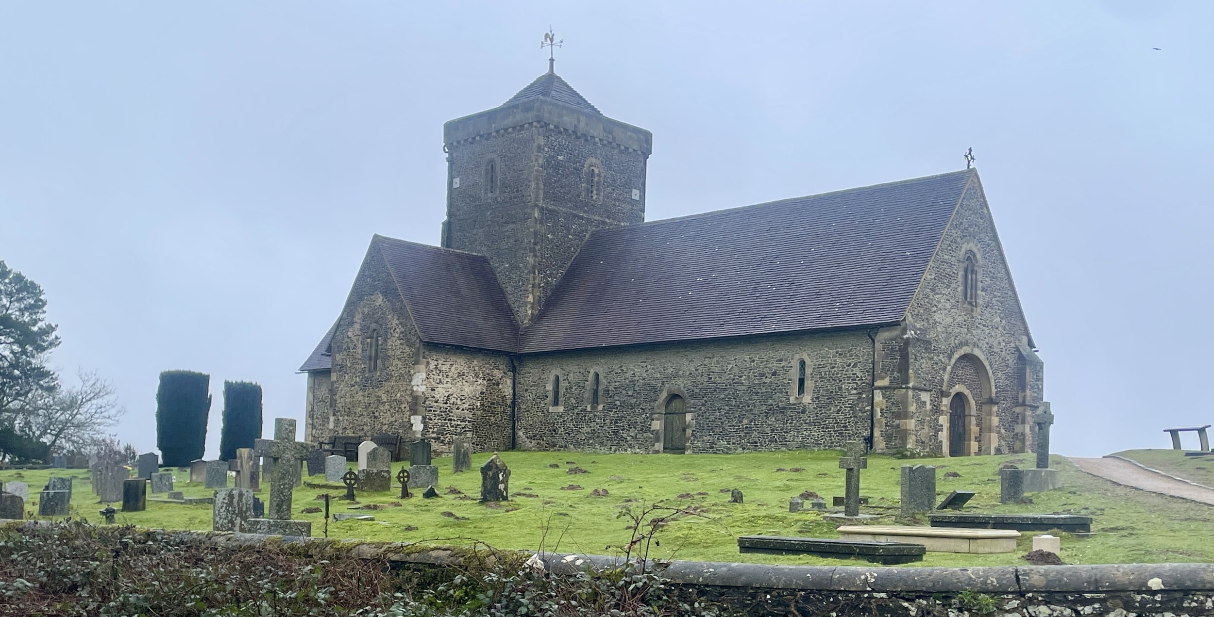
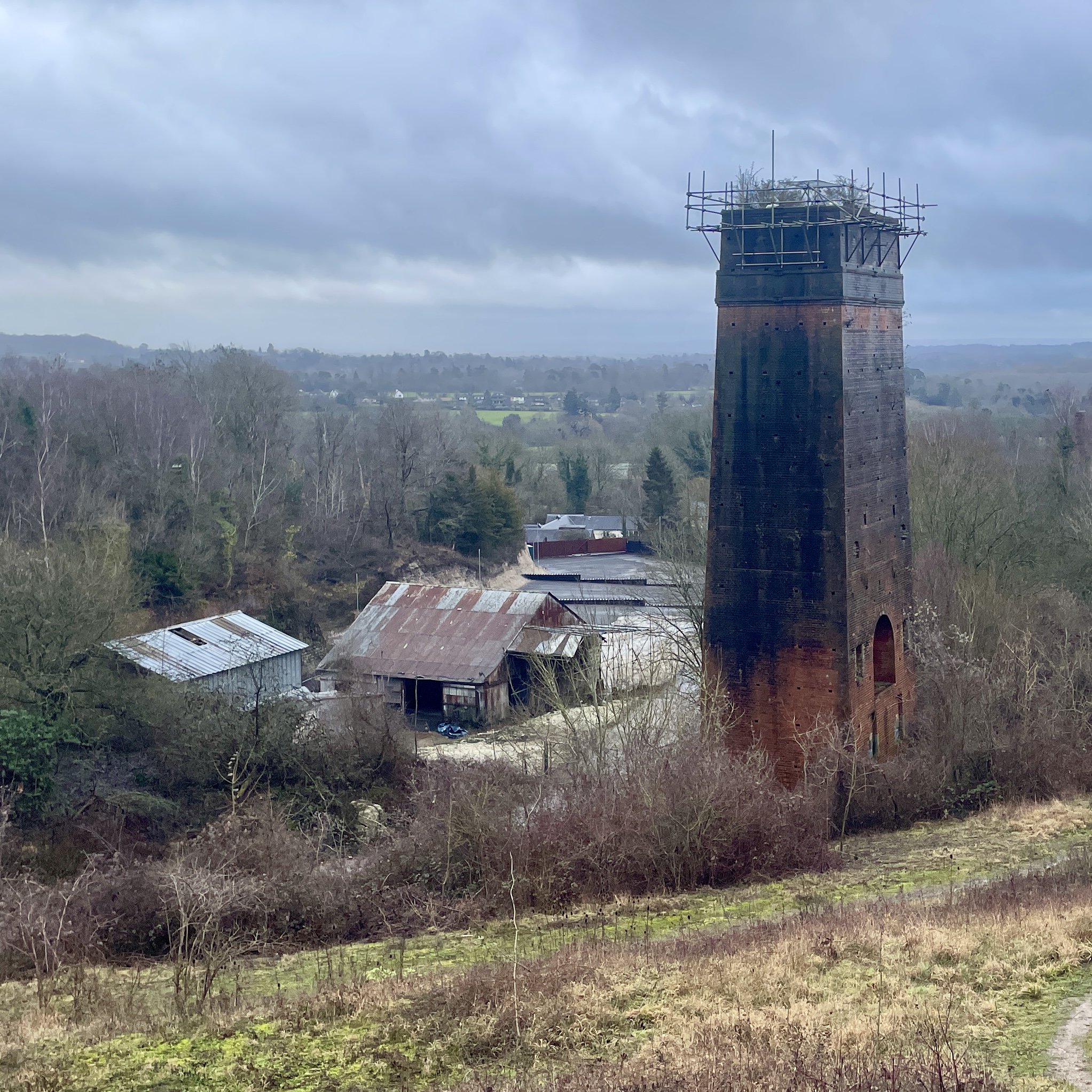
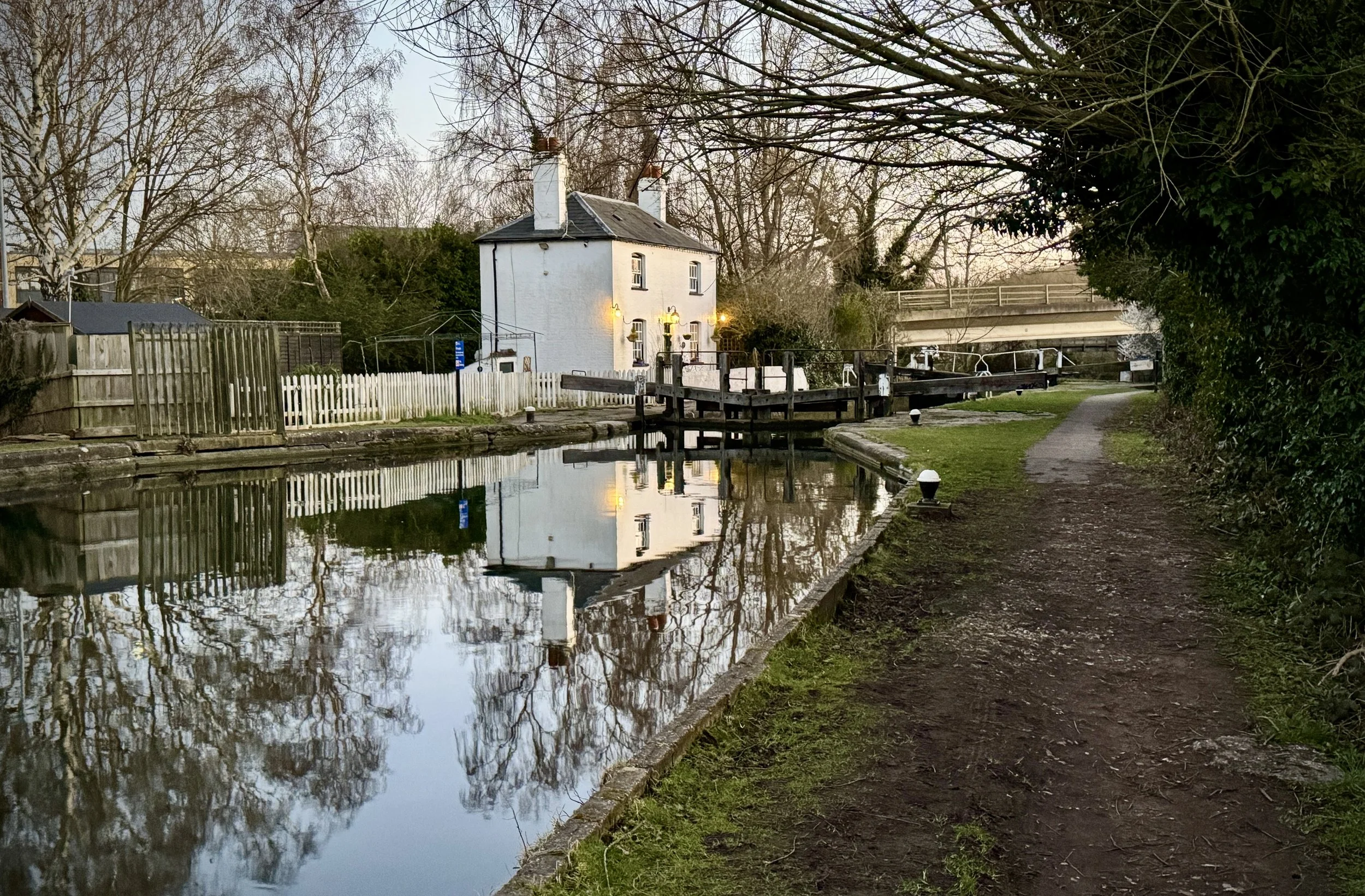
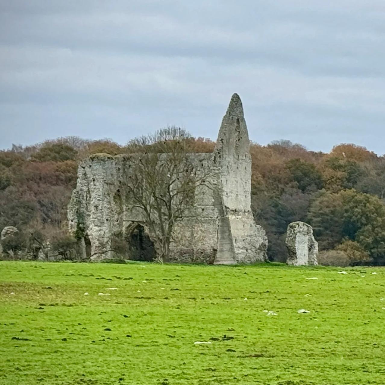
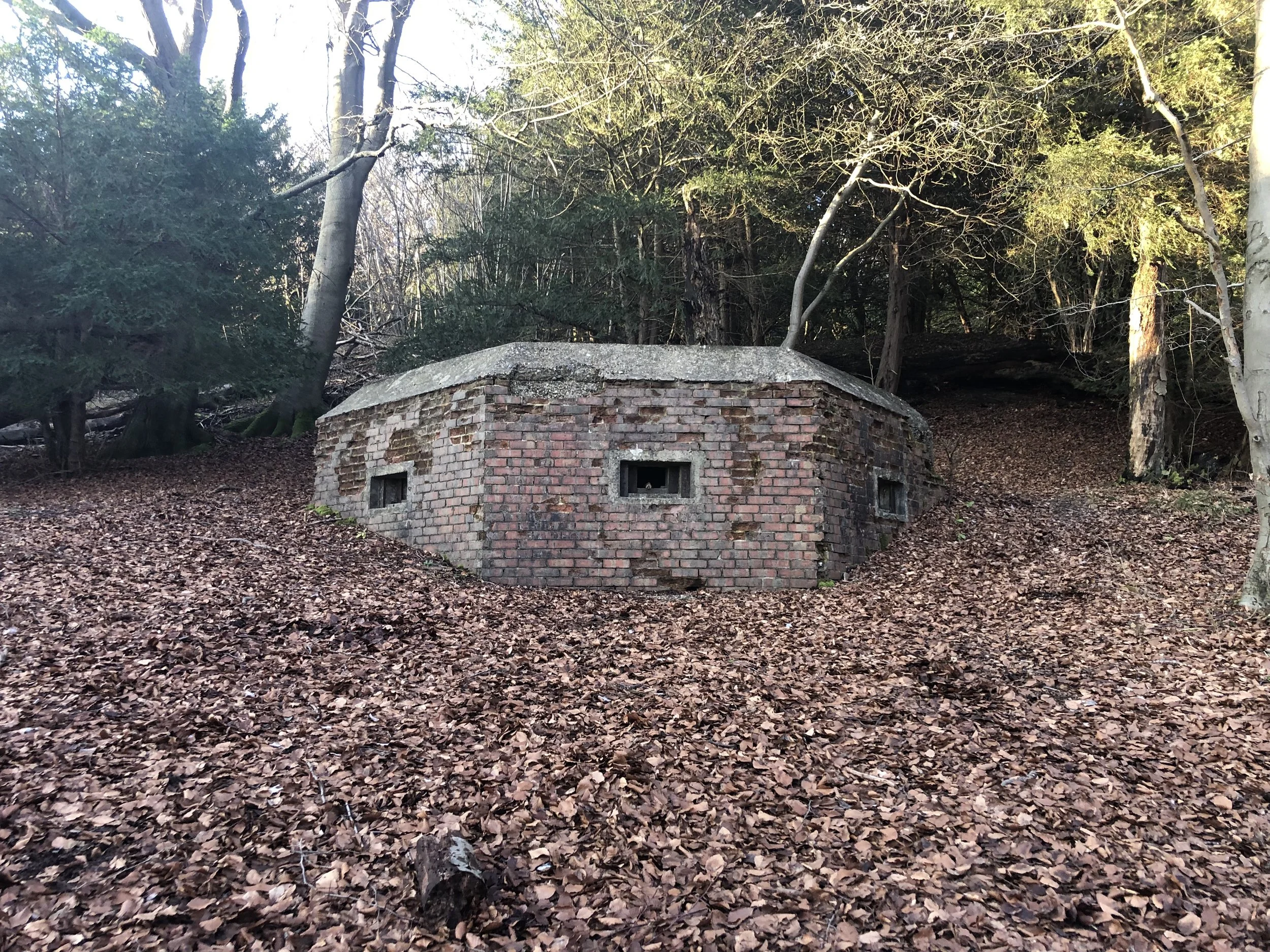
Quainton Road Railway Station: Opened in 1899 and closed to passengers in 1936. A nostalgic stop that once served the far reaches of the Metropolitan Line, this historic station is now a beautifully preserved heritage site. It forms a central part of the Buckinghamshire Railway Centre, where the legacy of the old Brill Tramway and the golden age of steam travel are kept alive for modern enthusiasts.
The George & Dragon: Situated right on the village green in Quainton, this historic pub believed to date from 1777. It provides a quintessential village experience and a fantastic spot to grab a hearty bite to eat or a refreshing drink whilst enjoying uninterrupted views of the nearby windmill turning in the breeze.
Alternative Route to Avoid The HS2 Works
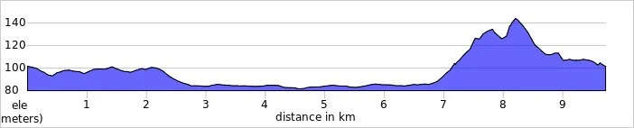
We attempted this route in March 2026 but had to replan it on the fly when we couldn't get much further north than Waddesdon. The HS2 line runs right through the middle of the route between Waddesdon and Quainton and there was no practical route through the construction works. Instead we followed Quainton Road from Waddesdon High Street until the junction of Station Road, then took a left to rejoin the original route following the Brill Tramway Walk towards the Waddesdon Estate. As the walk was slightly shorter than planned we spent some time exploring the Waddesdon Manor grounds. Allow an extra 3 km on top of the walk route distance to explore the Waddesdon grounds.
Start & Finish: Waddesdon Manor Car Park, Waddesdon, Aylesbury, HP18 0JE
Distance: 9.7 km (6 miles)
Elevation change: +/- 81m
Midshires Way section covered: Waddesdon Manor to Little Britain (road): 1.4 km
Midshires Way previous section (south): Waddesdon and Eythrope
Midshires Way next section (north): Quainton and Boltoph Clayton