Chiltern Walks: Russell's Water, Pishill and Maidensgrove

Rolling hills between Pishill and Maidensgrove
Start & Finish: Parking spot opposite Russell’s Water Village Hall, Henley-on-Thames, RG9 6ES
Distance: 9.2 km (5.7 miles)
Elevation change: +/- 166m
Shakespeare’s Way section covered: Maidensgrove Common to farm at south Maidensgrove: 1.3 km
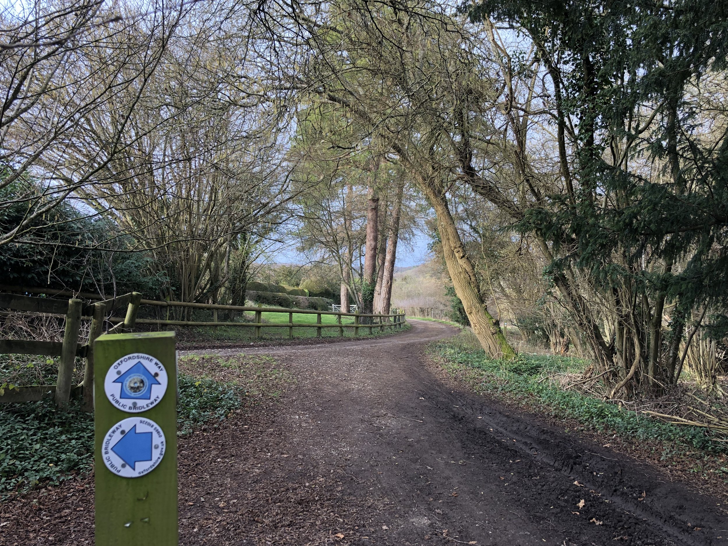
Oxfordshire Way Section Covered: Maidensgrove to (near) Hollandridge Farm: 3.7 km
GPX File: get via Buy Me a Coffee
Other routes touched (walk): Chiltern Way, Oxfordshire Way, Shakespeare’s Way
Other routes touched (cycle): None
Pubs / Cafes on route: Just off: The Five Horseshoes (just off route at 8.2 km in)
Map: Chiltern Hills West Map | Henley-on-Thames & Wallingford | Ordnance Survey | OS Explorer Map 171
Links: Russell’s Water, Pishill, Maidensgrove
This walk is the intersection of the Chilterns Sections of both the Oxfordshire Way and The Shakespeare’s Way. Both are reasonably well marked however you’ll need a map or GPX route to keep on track for the return sections of the loops. The guidance below will help but don’t use it as a fully accurate turn-by-turn guide and prepare well for the weather and terrain.
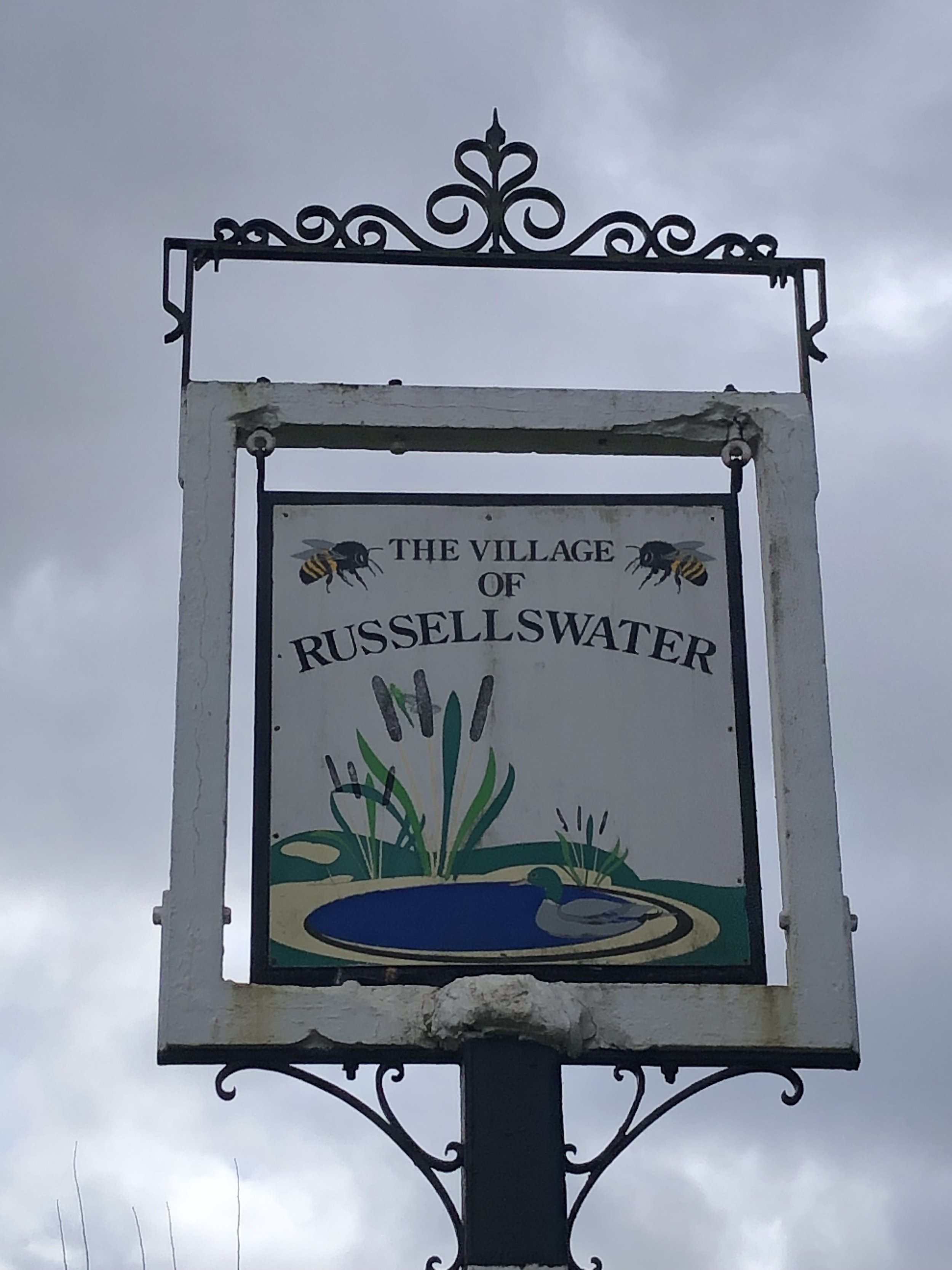
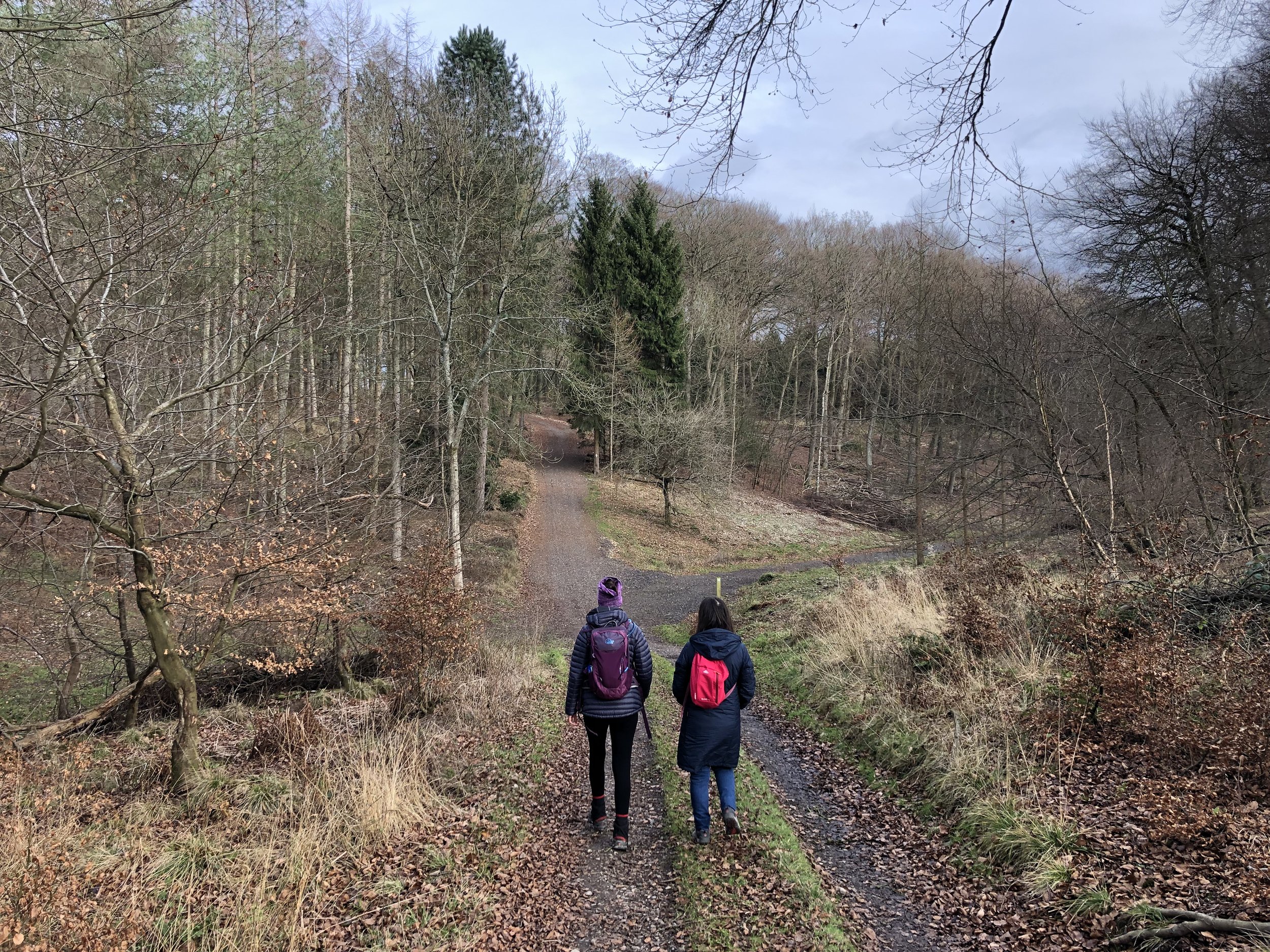
The route starts at in the small village of Russell’s Water where there’s some parking spots opposite the village hall. Take the road to the south-east of the village hall, passing the duck pond and then a left the Chiltern Way, following it in a northerly direction.
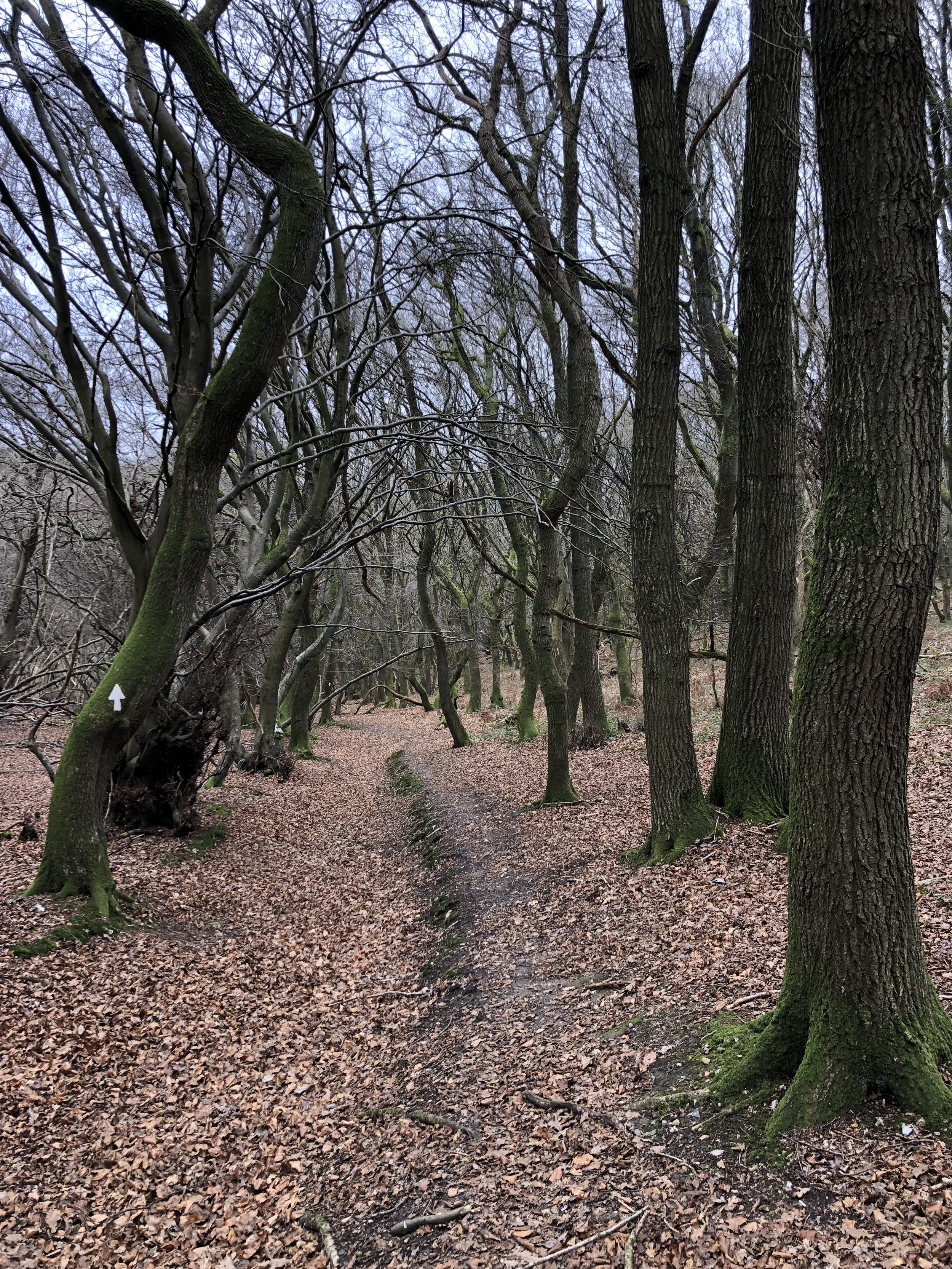
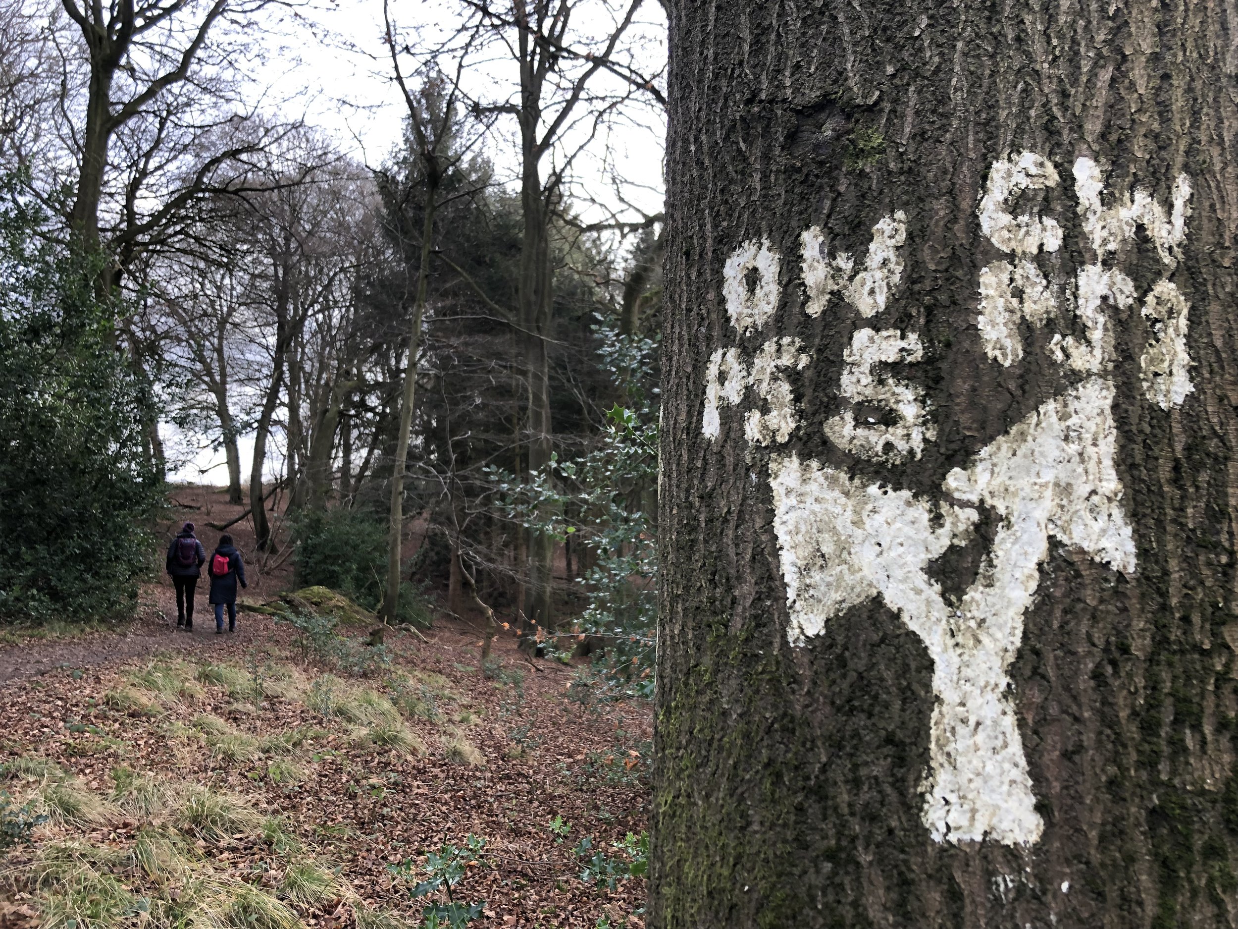
Continue along the Chiltern Way for ~3km following the large white arrows painted onto trees. Make sure you keep to the main Chiltern Way path though as some of the arrows also point to side paths. When you hit Patemore Lane the Chiltern Way takes a left on the road then a right into the woods. Rather than taking the road you can cross straight over and take a steep path up the woods to cut this corner and avoid the road.
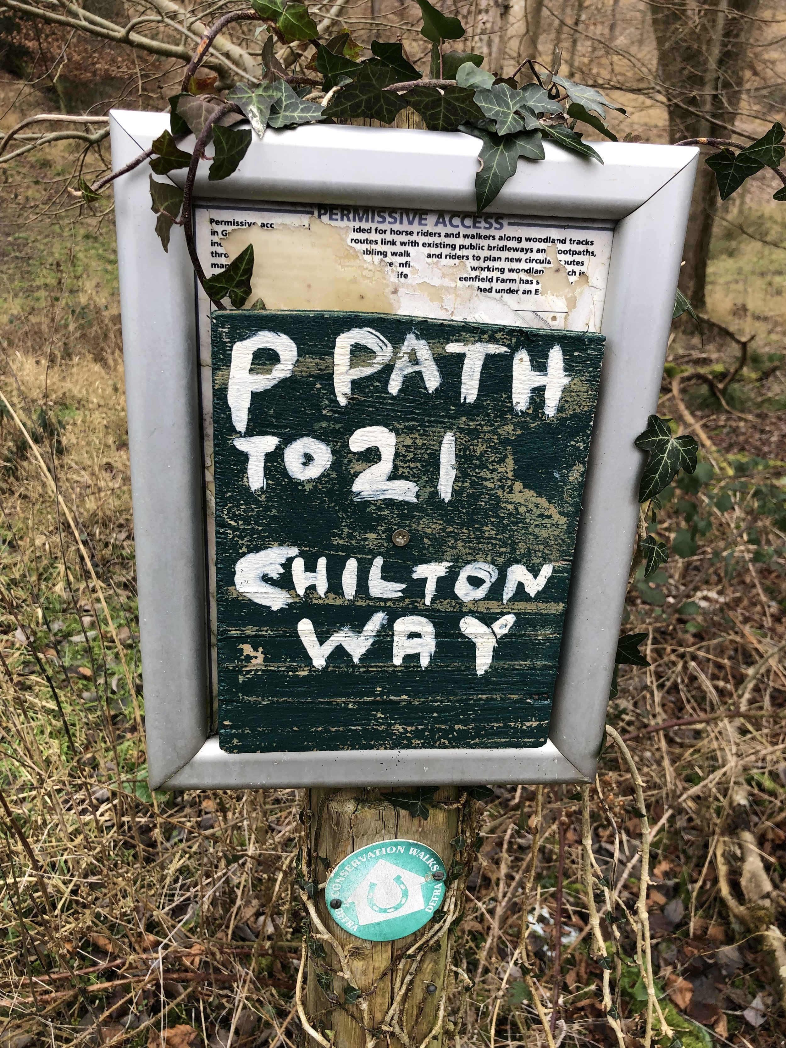
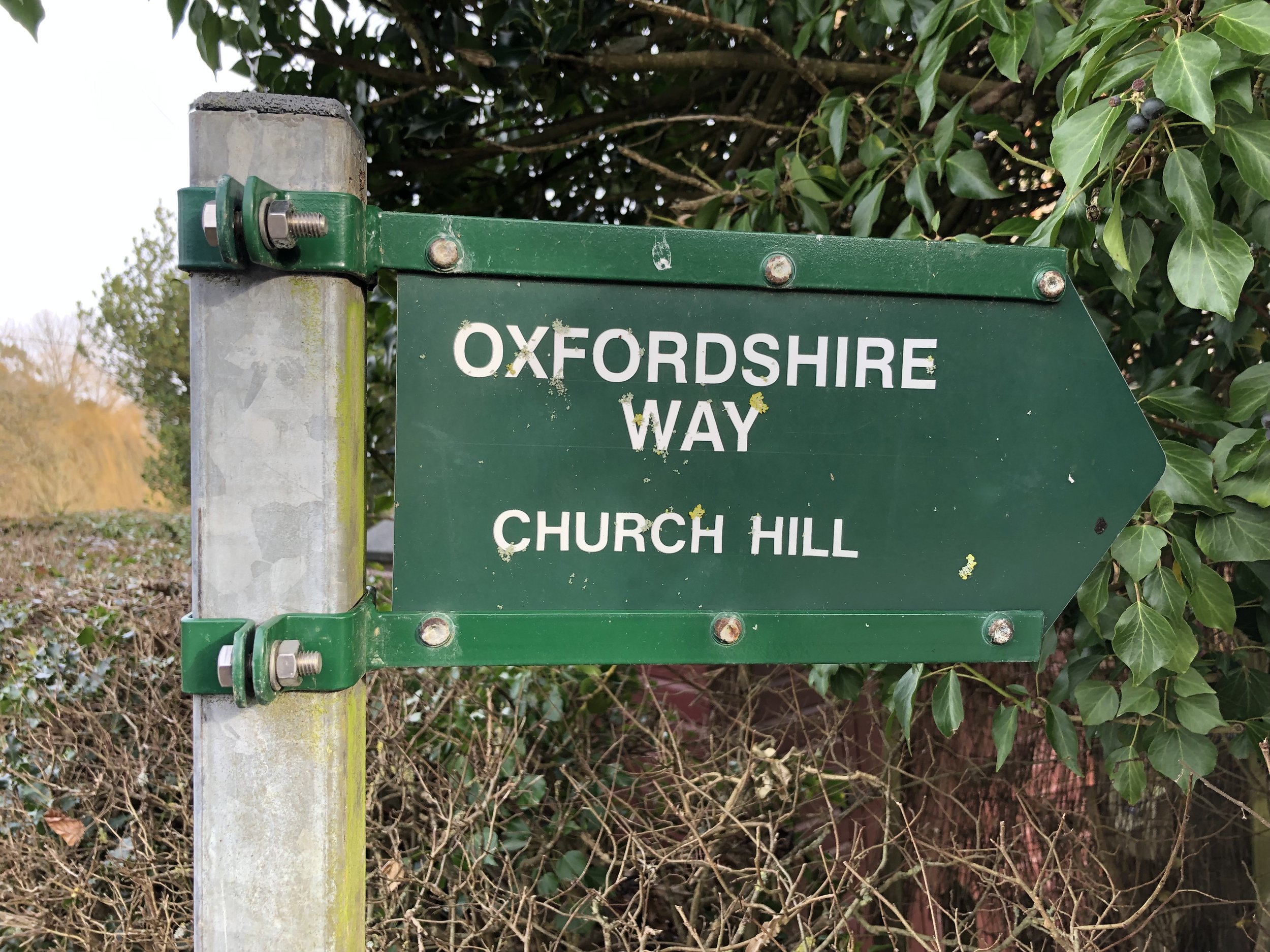
At around 3km from Russell’s Water you’ll meet a path junction with the Oxfordshire Way. Leave the Chiltern Way here and take a right onto the Oxfordshire Way. If you reach Hollandridge Farm on the Chiltern Way you’ll have gone too far.
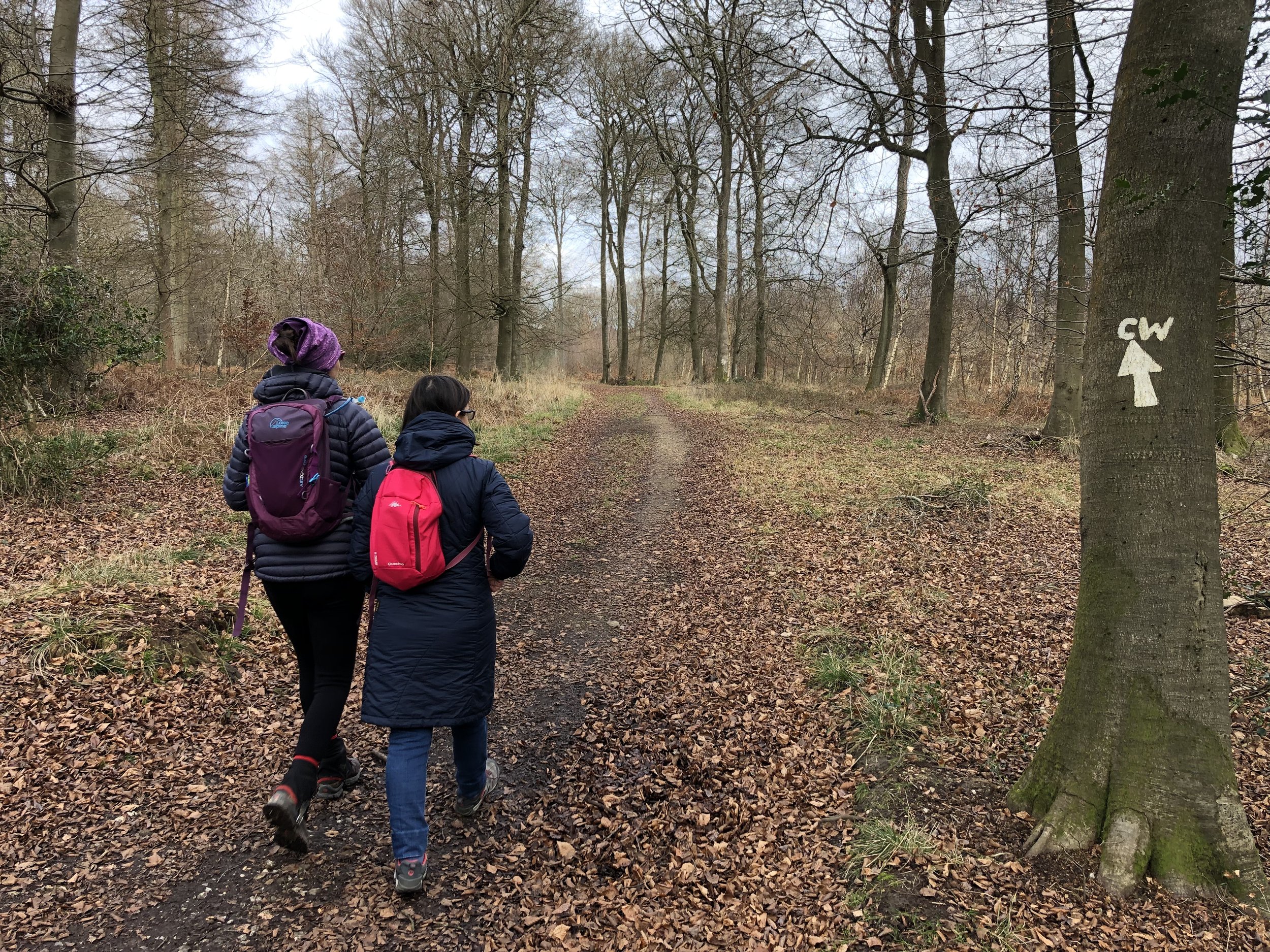
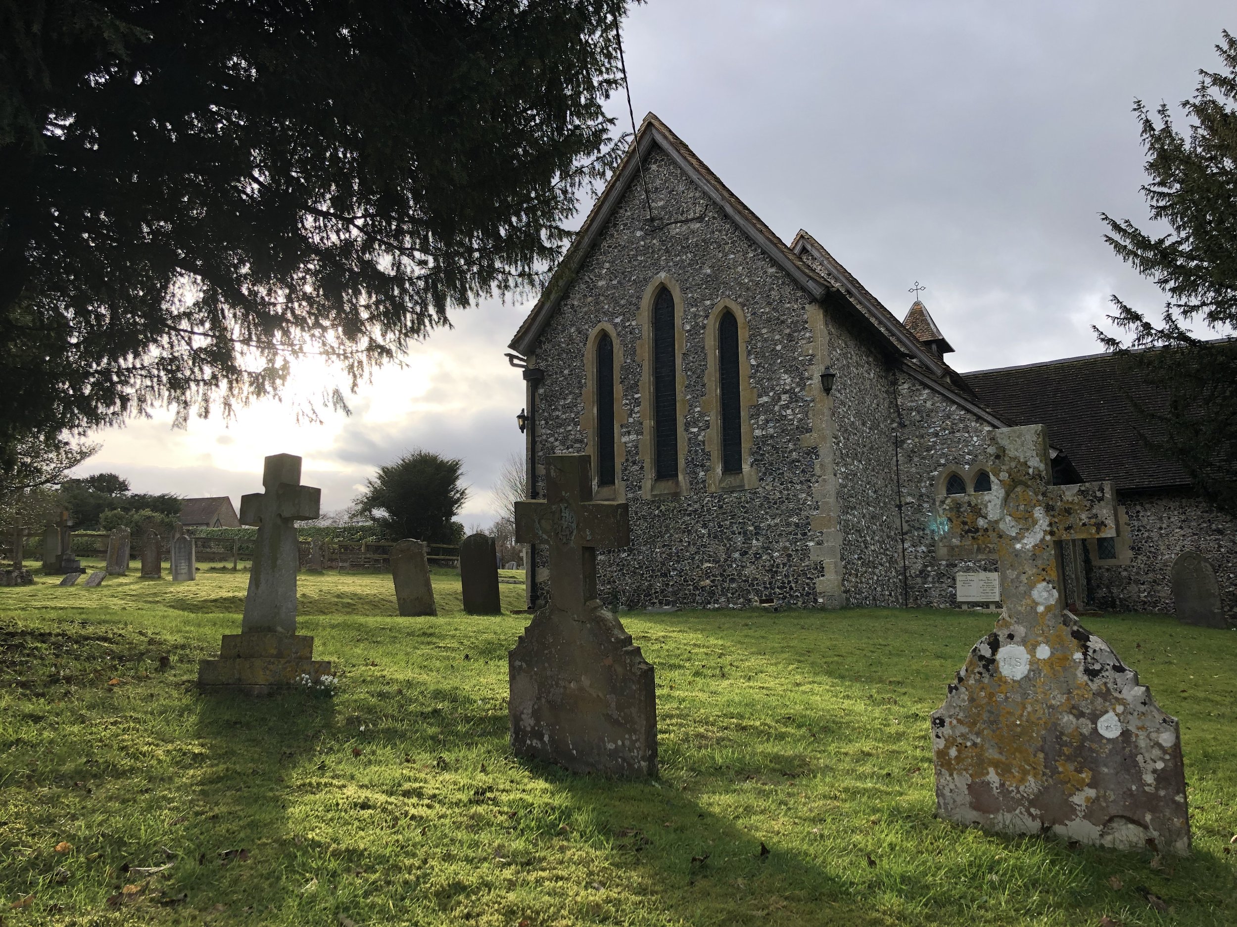
Continue south along the Oxfordshire Way, through Pishill, until you meet the Chiltern Way again just south of Maidensgrove. Follow the Chiltern way in a north-westerly direction. You’ll meet Maidensgrove and Russell’s Water Common where you’ll follow the edge of the road until you reach a small group of houses on the right of the road. If you need a rest the Five Horseshoes pub is among these houses.
Here you have a choice to continue along the road back to Russell’s Water or, as we did, take a path around the back (east side) of the houses, and through the woods back to the start.


Shakespeare’s Way previous section (north): Nettlebed, Park Corner and Maidensgrove
Shakespeare’s Way next section (south): Stonor and Turville Heath
Oxfordshire Way previous section (south): Middle Assendon, Bix and Crocker End
Oxfordshire Way next section (north): Christmas Common, Watlington Hill and Greenfield