Chiltern Walks: Middle Assendon, Bix and Crocker End

Start & Finish: The Rainbow Inn, Middle Assendon, Henley-on-Thames, RG9 6AU
Distance: 10.9 km (6.8 miles)
Elevation change: +/- 190m
Oxfordshire Way Section Covered: Middle Assendon to Maidensgrove: 4.3 km
GPX File: get via Buy Me a Coffee
Other routes touched (walk): Chiltern Way Southern Extension, Chiltern Way, Oxfordshire Way
Other routes touched (cycle): None
Other Pubs / Cafes on route: The Rainbow Inn at start and finish.
Map: Chiltern Hills West Map | Henley-on-Thames & Wallingford | Ordnance Survey | OS Explorer Map 171
Links: Middle Assendon, Bix, Maidensgrove, Warburg Nature Reserve, Bix Brand Old Church
For our latest Chiltern Walk we returned to the Oxfordshire Way. This is a 66 mile long-distance path connecting Bourton-on-the-Water in the Cotswolds with Henley-on-Thames. Our plan is to start with the Chilterns section, taking it on in short circular walks of around 10km. The guidance below will help you navigate but don’t use it as a fully accurate turn-by-turn guide. Always take a map and/or a GPX route and prepare well for the weather and terrain.
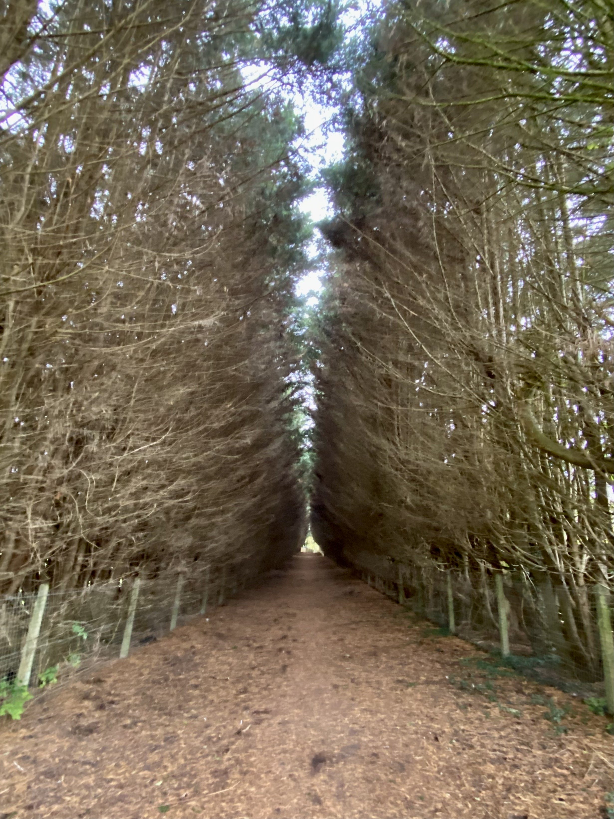
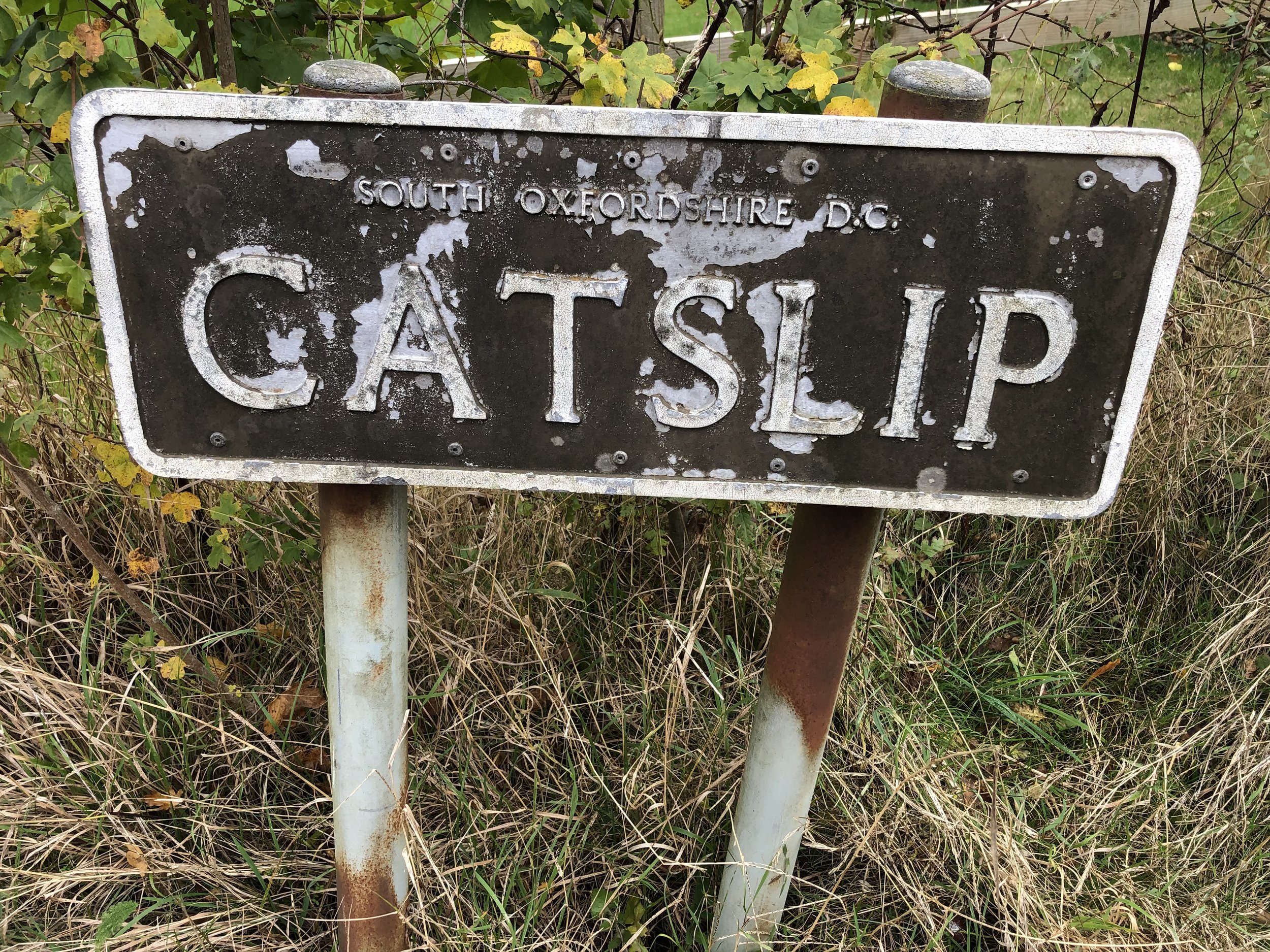
Start at the Rainbow Inn where there’s a small car park and also free on-street parking. Walk south down the B480 for 50m then take the footpath on your right, leading up the hill. Follow this path in a westerly direction as it takes you onto White Lane and Rectory Lane along the edge of Bix Common Field. At the end of Rectory Lane continue onto a path through a field, following it through the woods until you reach the small village of Catslip.
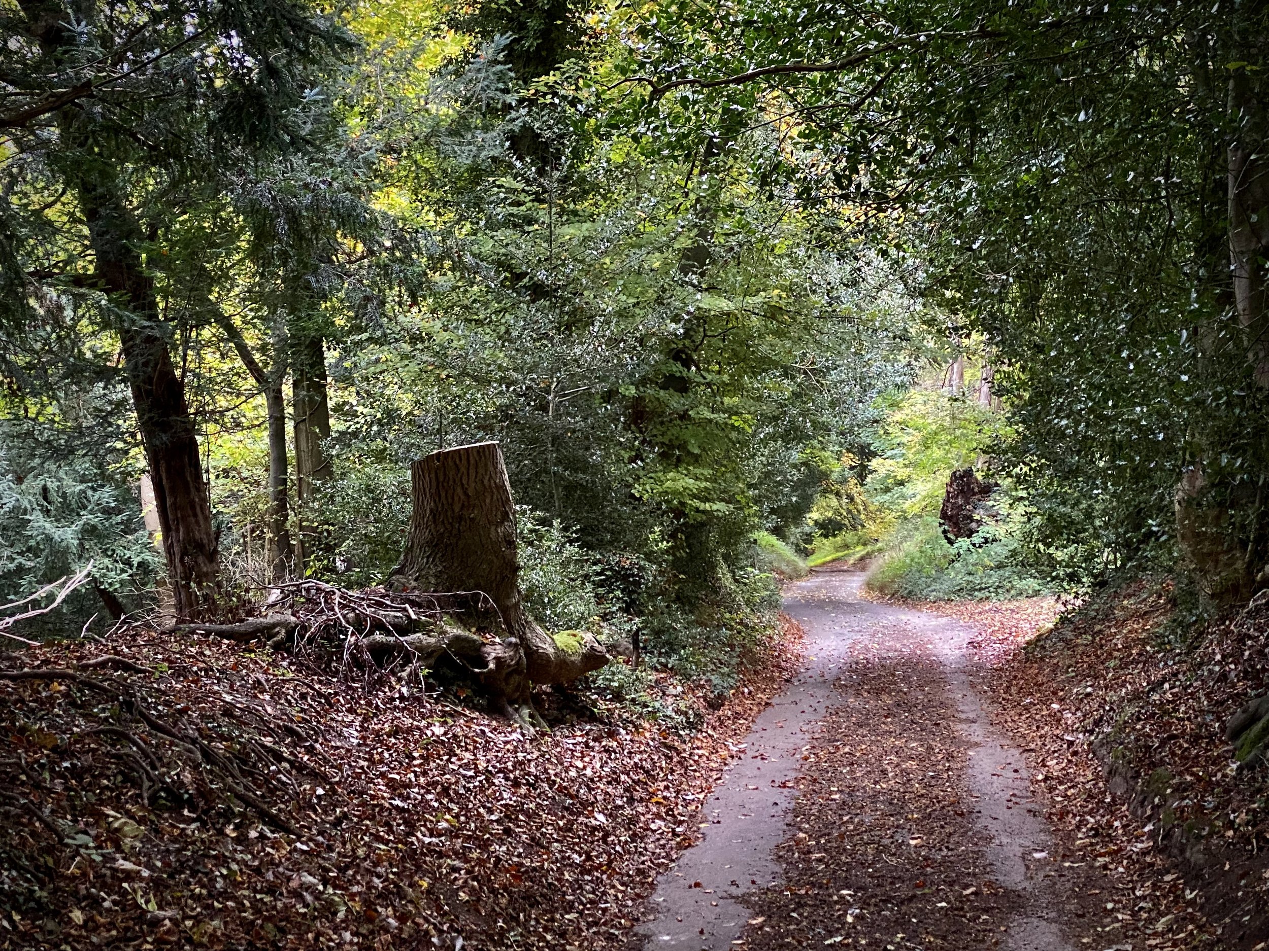
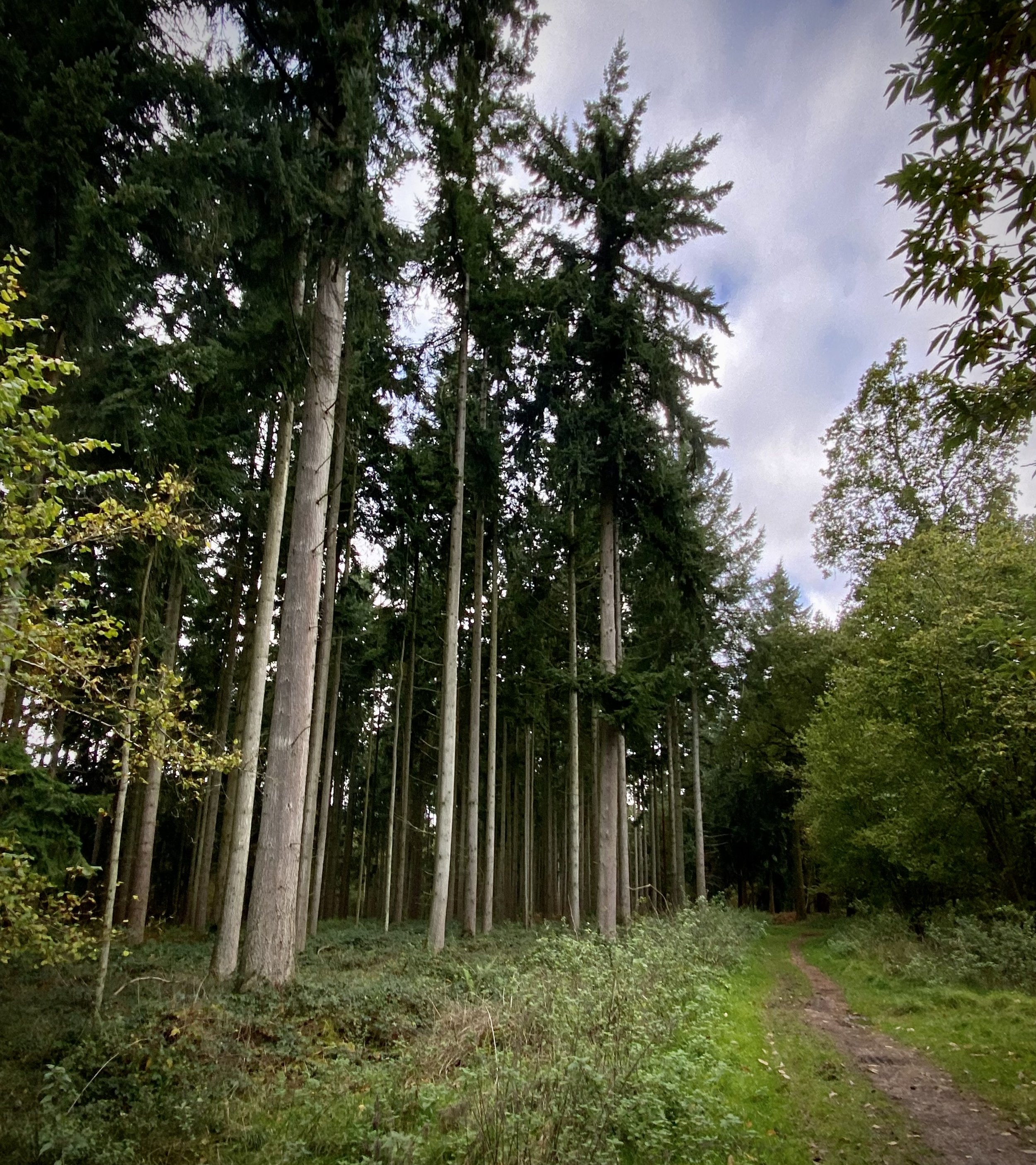
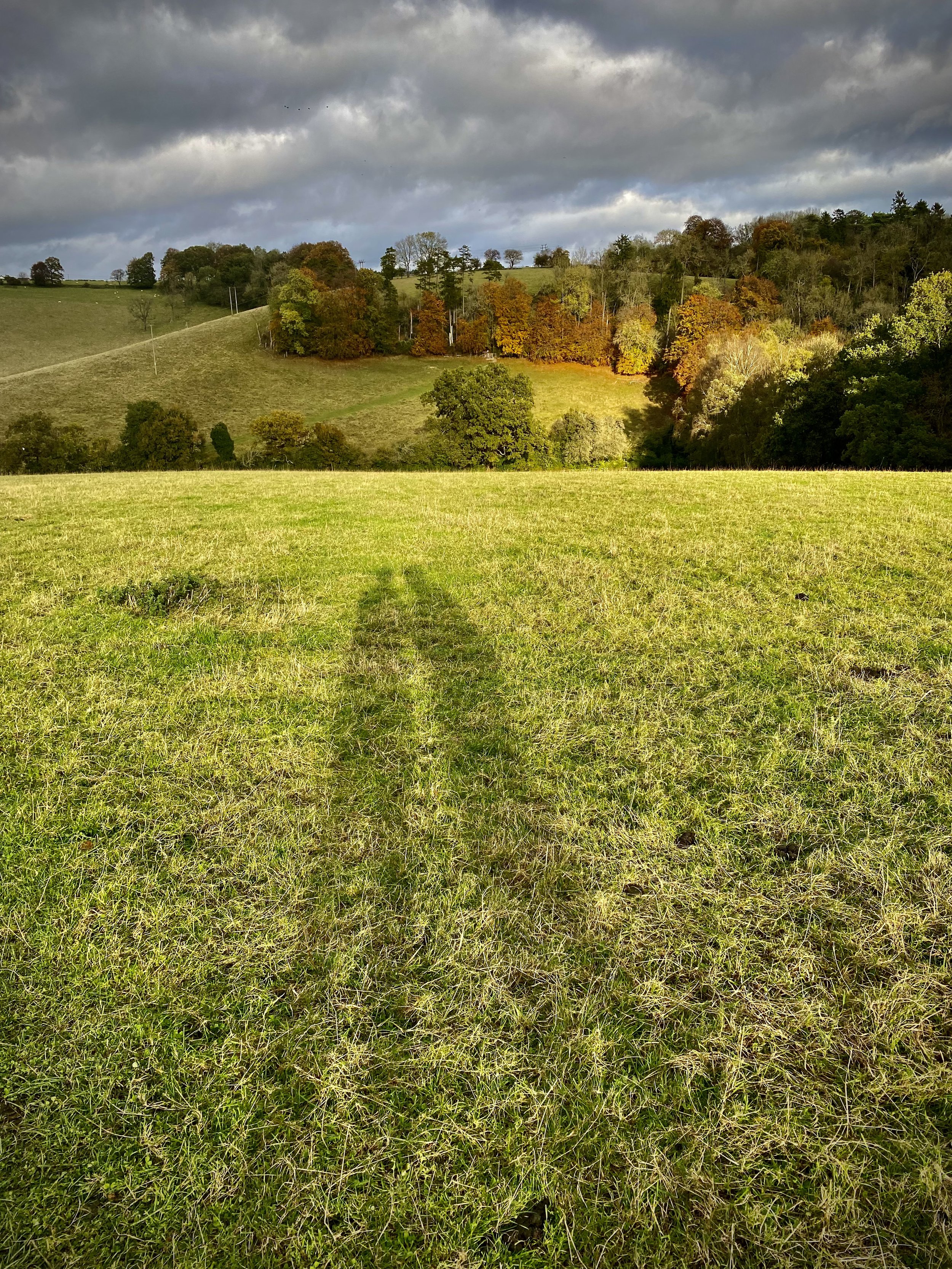
At Catslip take a right and follow the lane north to Crocker End. Here you’ll meet the Chiltern Way Southern Extension. Follow this north out of Crocker End for 1.7km. When you reach the bottom of the field in the banner photo above take a right onto the Chiltern Way following it in an easterly direction. At Park Lane, keep on the Chiltern Way, now following it in a south-easterly direction. When you reach the end of the driver at the converted farmhouses, continue south, now on the Oxfordshire Way and leaving the Chiltern Way. Follow the Oxfordshire way in a south-easterly direction, descending past Bix Bottom until you reach the B480 again. Take a right on the B480 and you’ll be back at the Rainbow Inn.
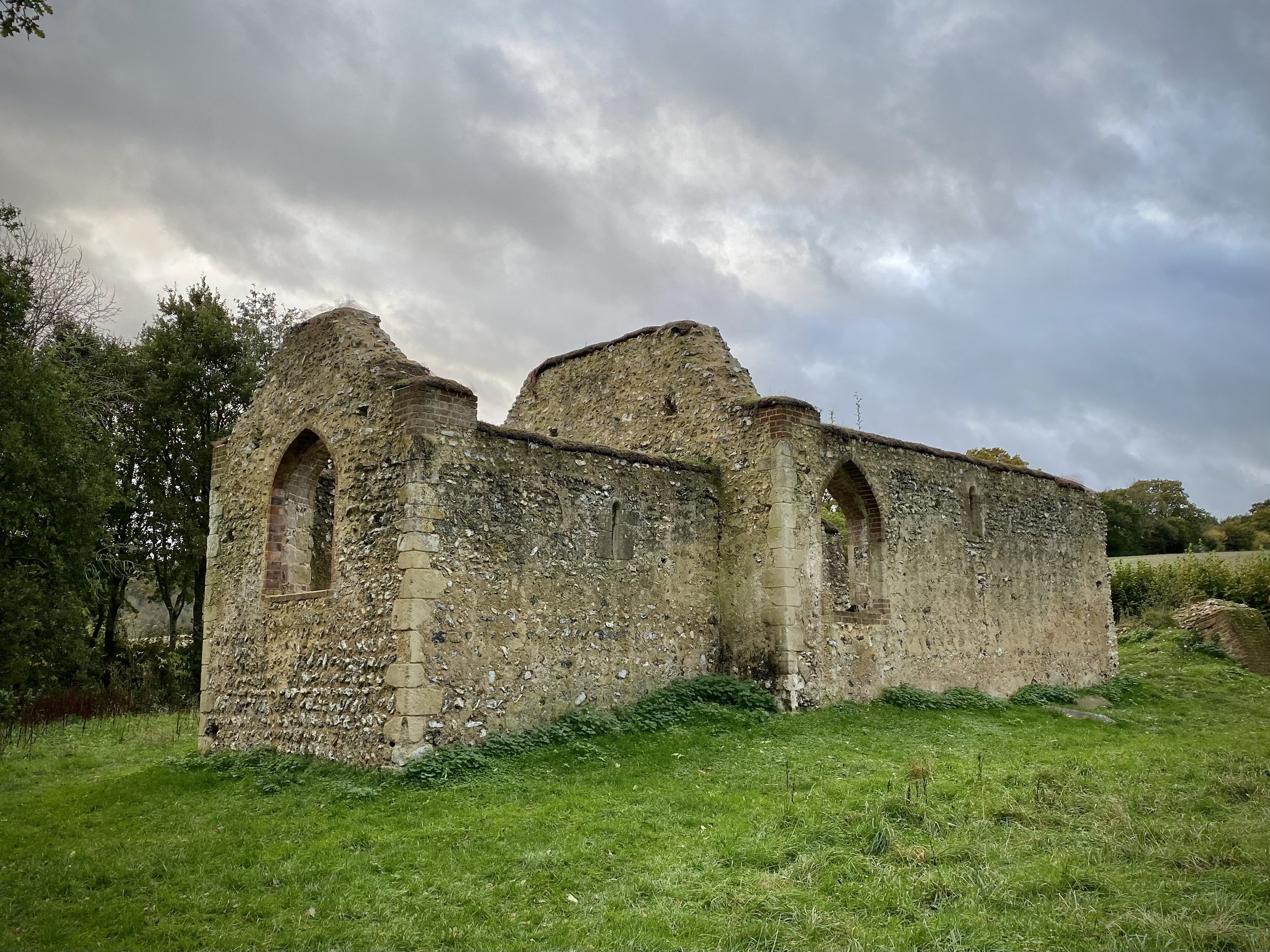
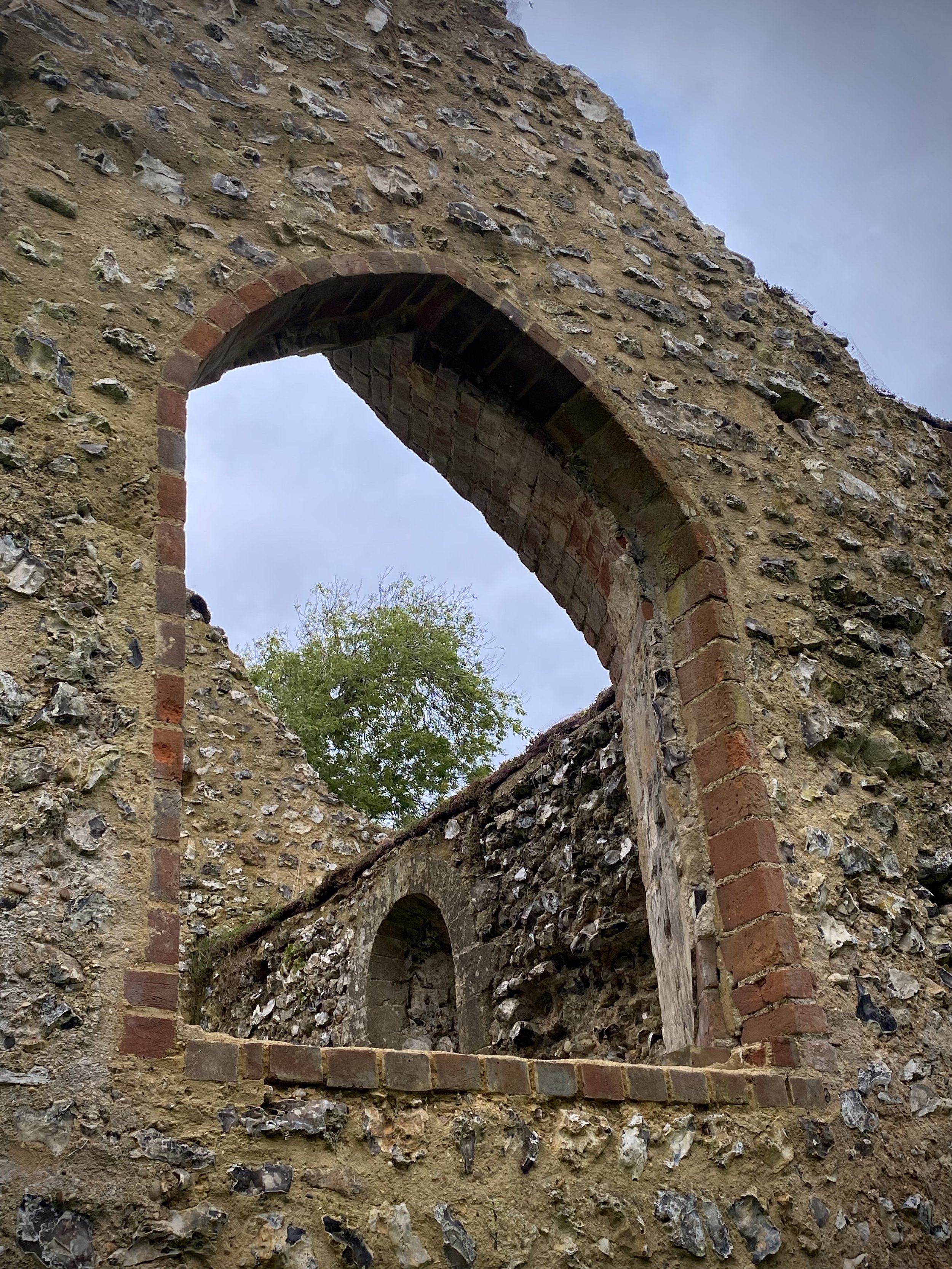
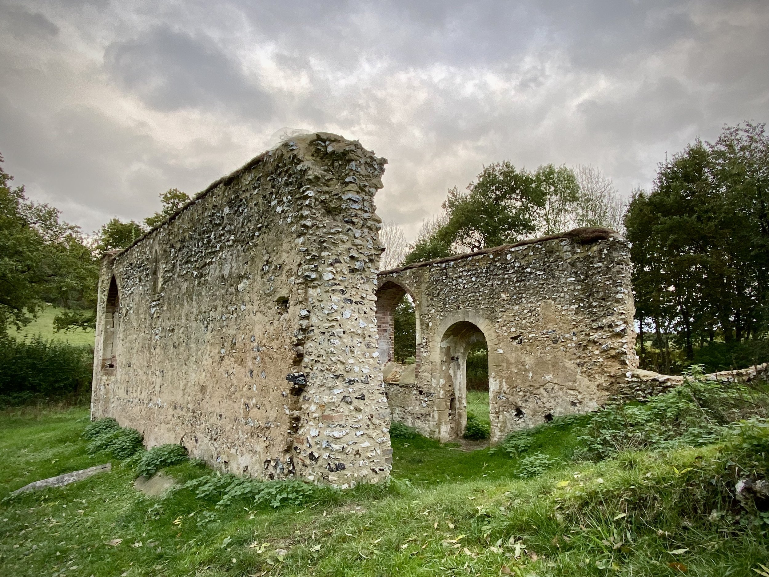
At Bix Bottom take a moment to have a look around the grounds of the abandoned Church of St. James. The information sign at the gate describes how the walls became unstable and it was closed in 1874. The outer walls are still there but nothing else. The 1971 horror film The Blood on Satan’s Claw was filmed in the grounds of the church.


Oxfordshire Way previous section (south): Henley, Middle Assendon and Lambridge Wood
Oxfordshire Way next section (north): Russell's Water, Pishill and Maidensgrove