Walking The Oxfordshire Way: The Chilterns Section

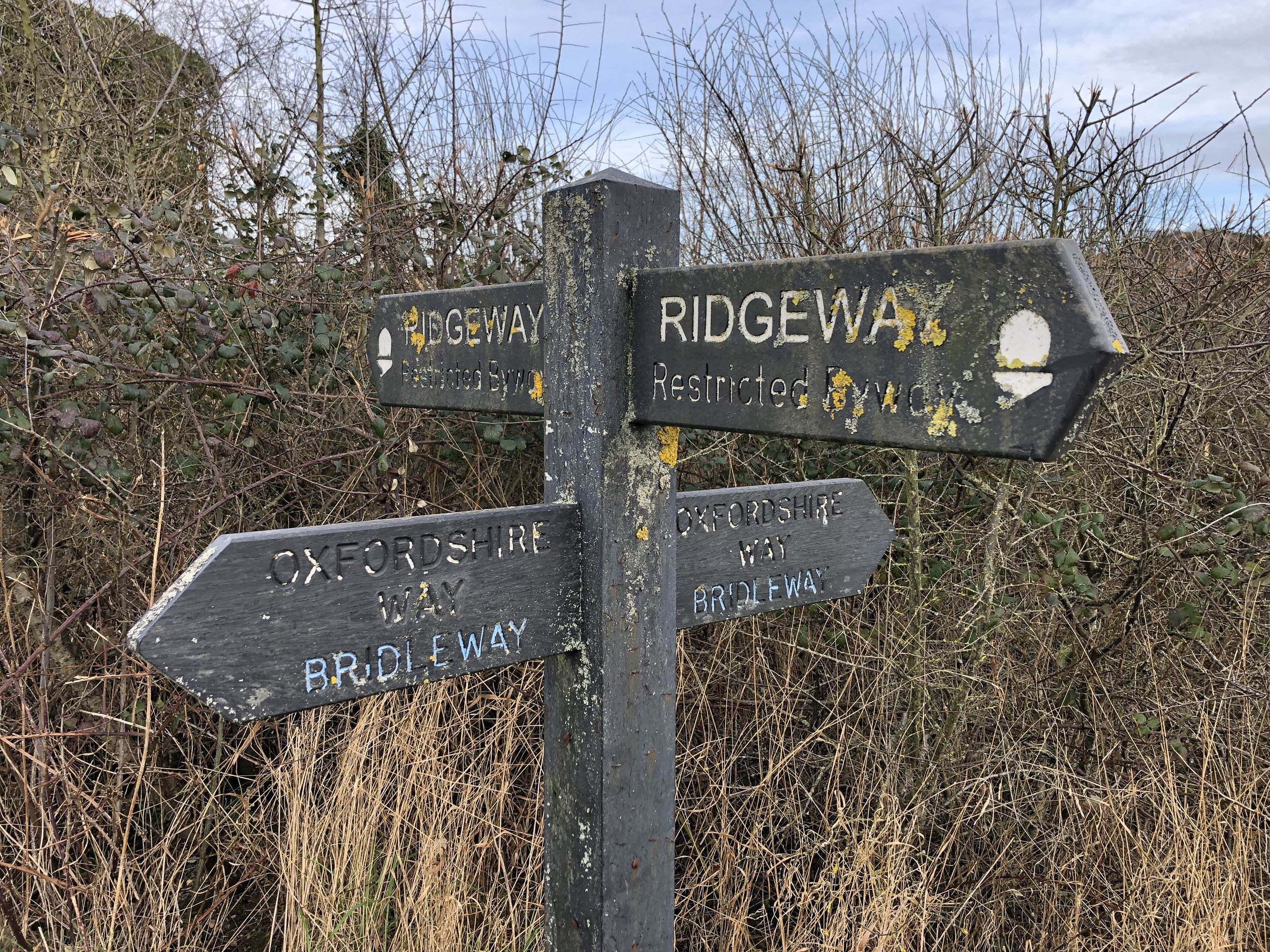
Intersection of The Ridgeway and The Oxfordshire way at the north edge of The Chilterns AONB
The Oxfordshire Way is a 66 mile long-distance path connecting Bourton-on-the-Water in the Cotswolds with Henley-on-Thames. The first 18km on the southern end stretch from the Thames Path at Henley to The Ridgeway at Watlington through the Chiltern Hills AONB. Here’s how to walk the Chilterns section either as a point-to-point or in a series of 4 short circular walks. The guidance below will help you navigate but don’t use it as a fully accurate turn-by-turn guide. Always take a map and/or a GPX route and prepare well for the weather and terrain.
Point to Point: Henley to Watlington
Start: Henley Bridge, White Hill, Henley-on-Thames, RG9 3HG
Finish: Junction of Station Road and Watlington Road, OX49 5RR
Distance: 17.8 km (11 miles)
Elevation change: + 378 / - 298m. Net -80m
GPX File: get via Buy Me a Coffee
Map: Chiltern Hills West Map | Henley-on-Thames & Wallingford | Ordnance Survey | OS Explorer Map 171
Links: Oxfordshire Way (LDWA), See individual section posts linked below for other links.
If you’re attempting the Chilterns section as a point-to-point the first decision is how to get back to the start. I didn’t find any practical public transport solutions of less than 3 hours and multiple changes. It’s only a 20 minute drive between the two towns though so the best options are either a 2-car shuffle or to get a taxi.
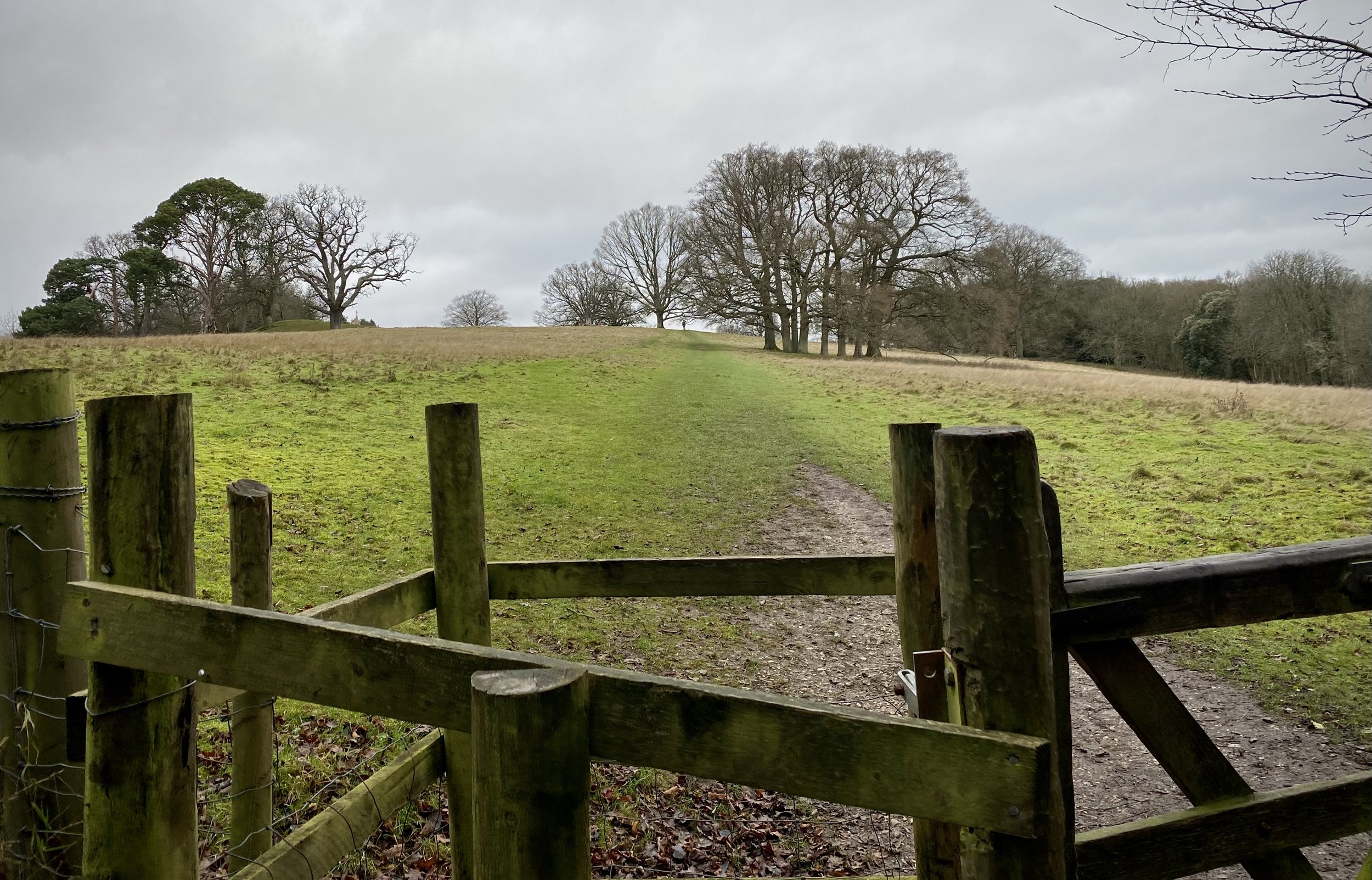
This first section starts at Henley Bridge, where the Oxfordshire Way meets the Thames Path. From here, walk up Hart Street in a westerly direction and turn right onto Bell Street. Continue along Bell Street until the mini-roundabout, crossing this onto Northfield End. After 300m, and 1km into the route, take the footpath on the right, following it diagonally up the hill to a wooded area.
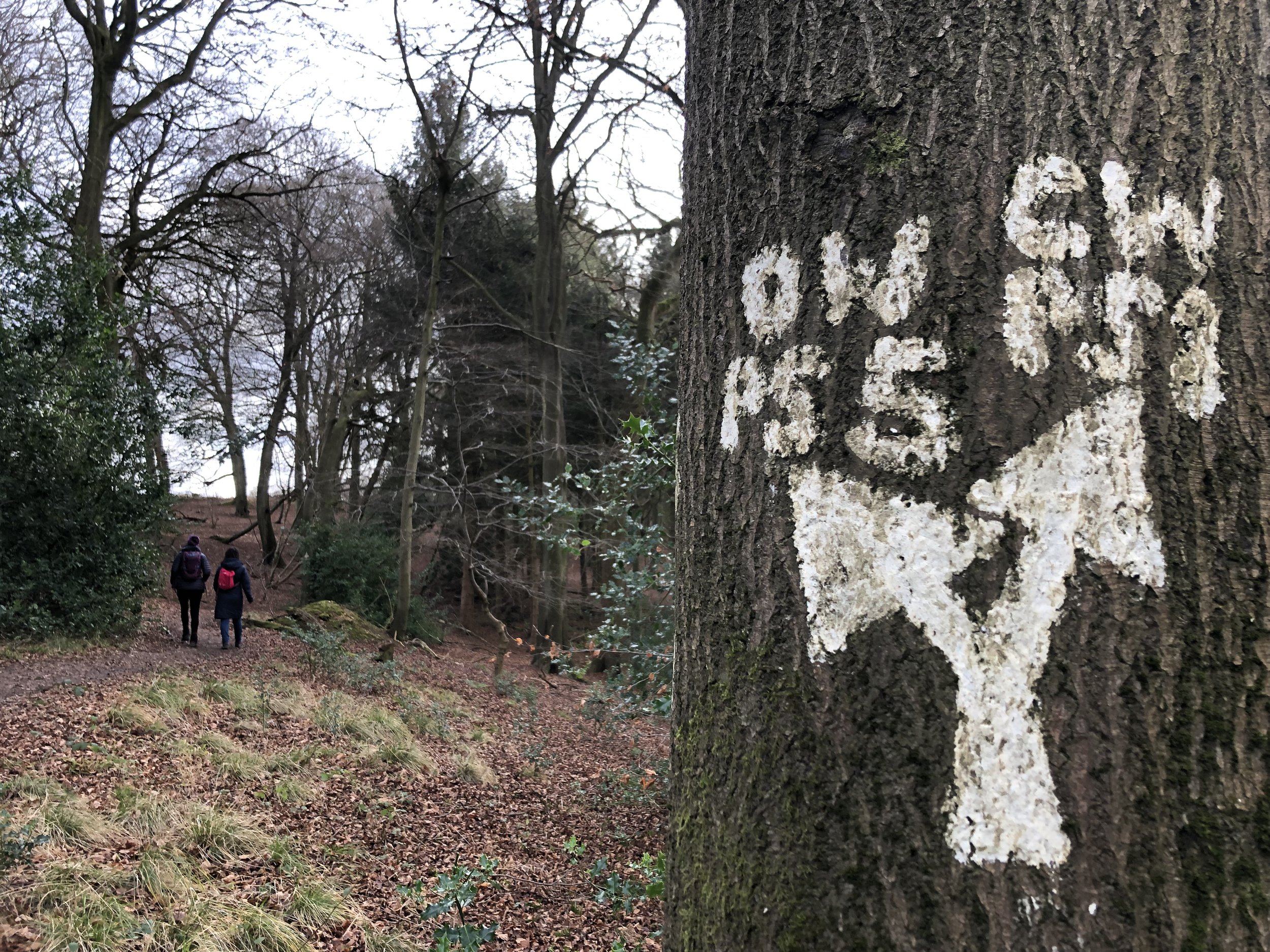
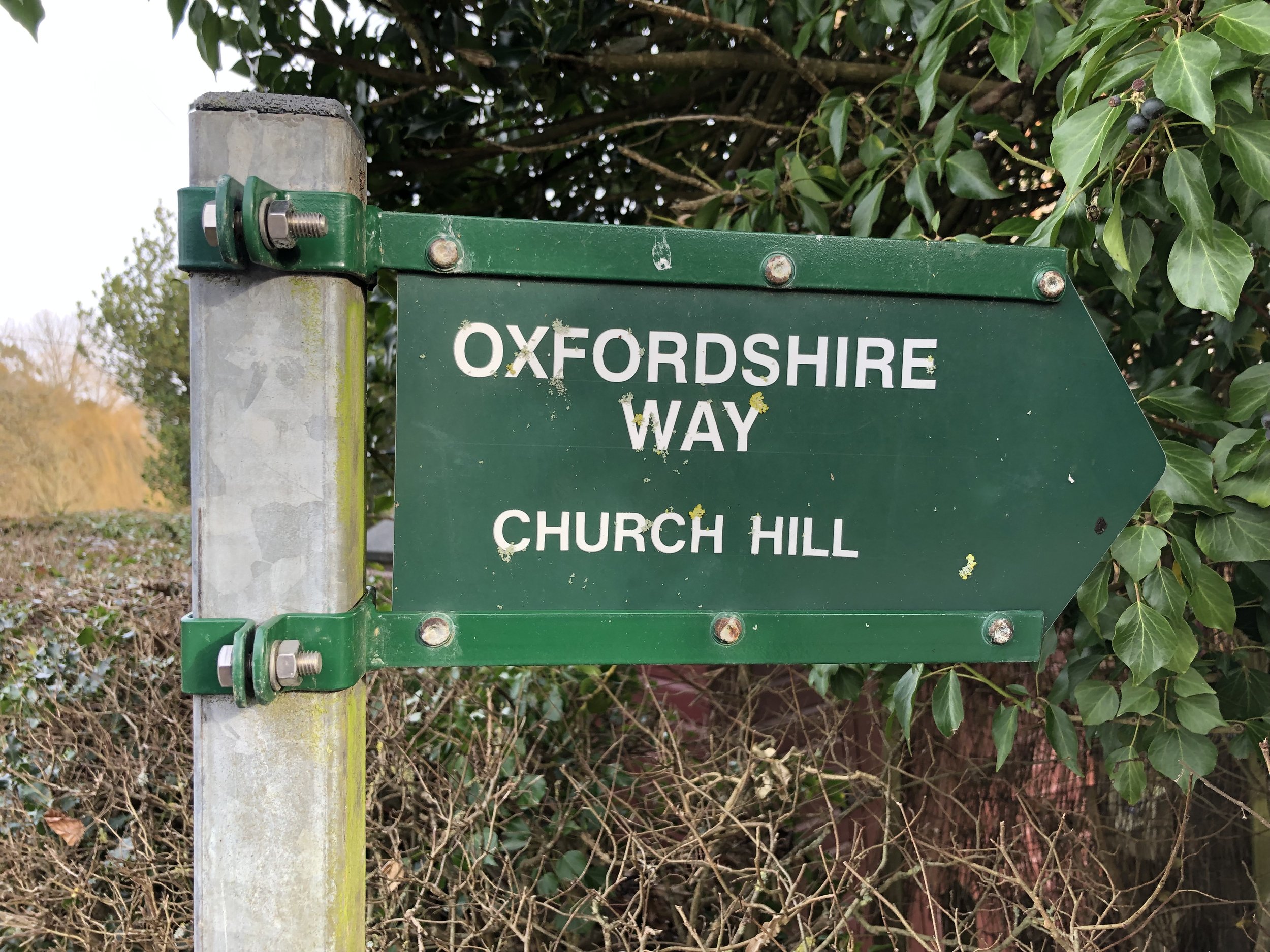
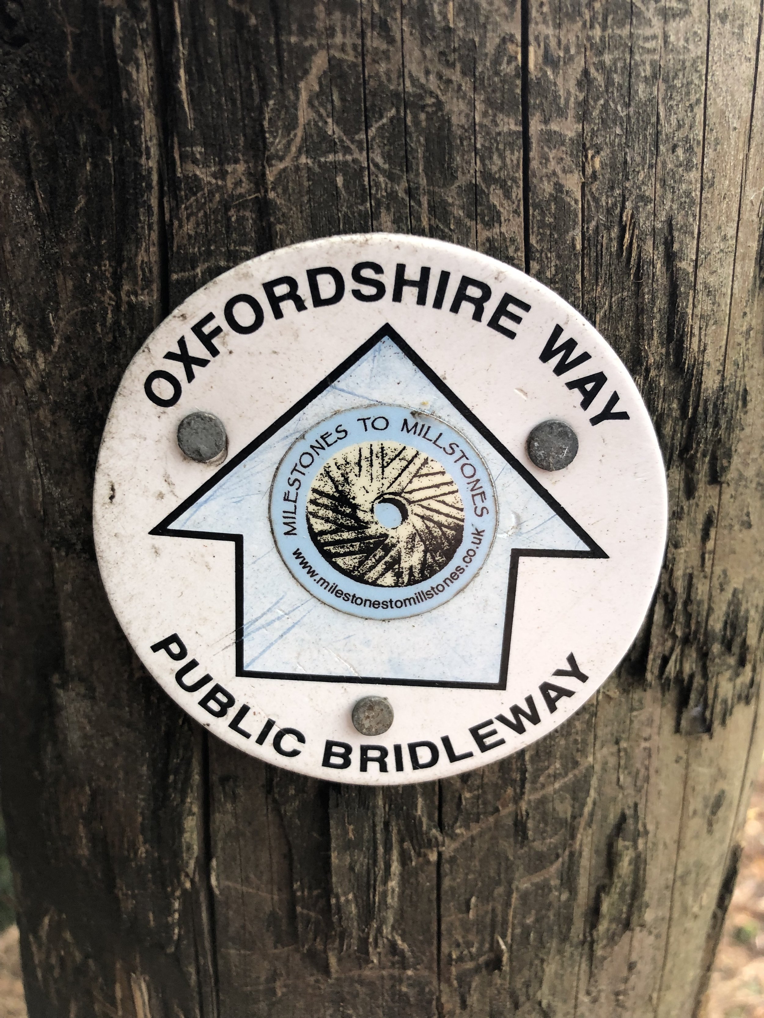
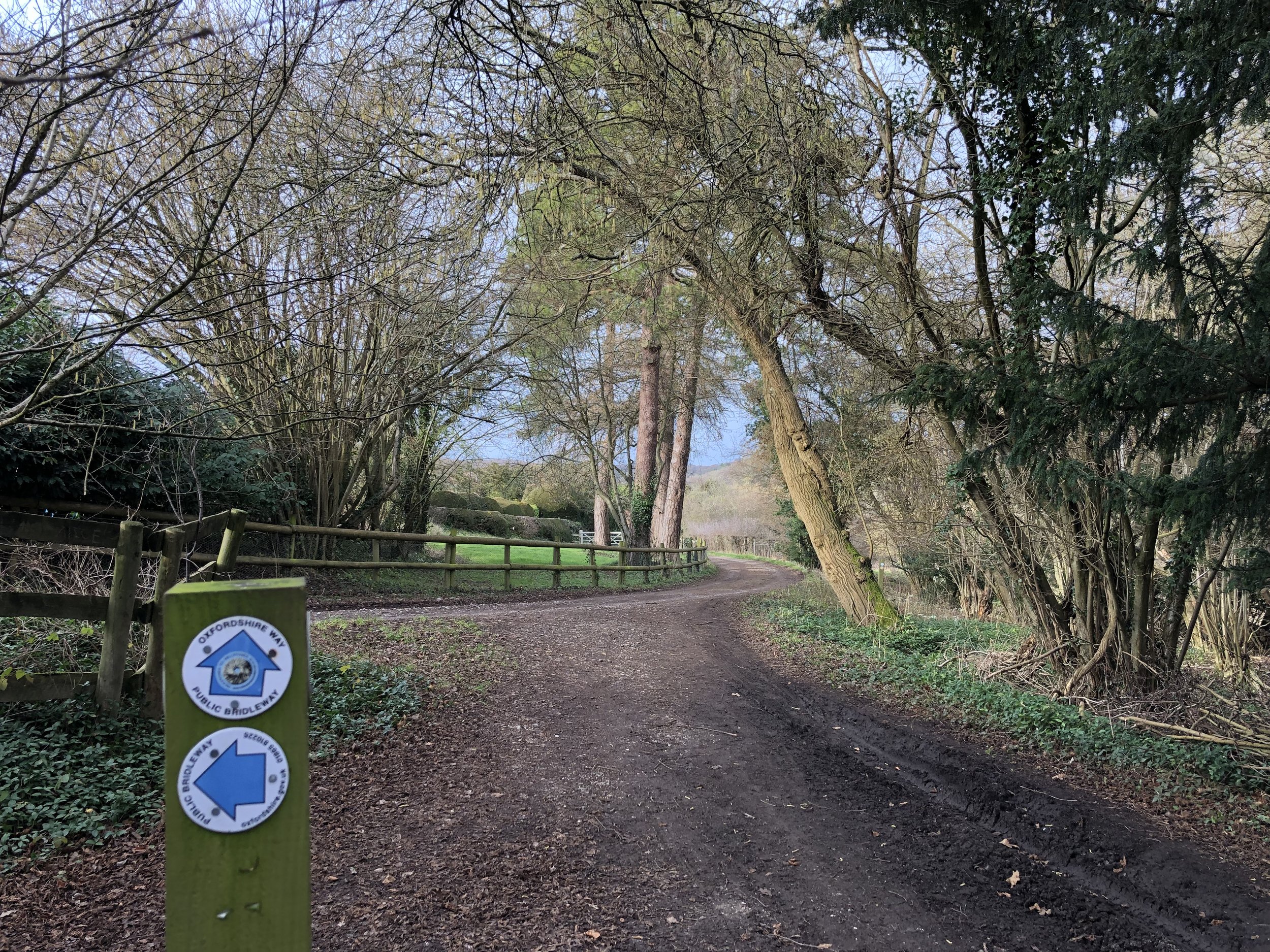
From here, navigation is pretty straightforward after leaving Henley. There’s a lot of footpath roundels labelled with the Oxfordshire Way and white painted arrows on trees through wooded sections. Be careful of these though as other connecting routes like the Chiltern Way use similar arrows.
For the final section you’ll descent a steep hill down from Christmas Common that joins Station Road. You’ll cross The Ridgeway and 1 km later you’ll reach the B4009 Watlington Road. There’s not much here so a sensible end is to leave the Oxfordshire Way by taking a left onto the B4009 and follow it for 800m to Watlington High Street.


Walking The Oxfordshire Way Chilterns Section in 5 Circular Routes
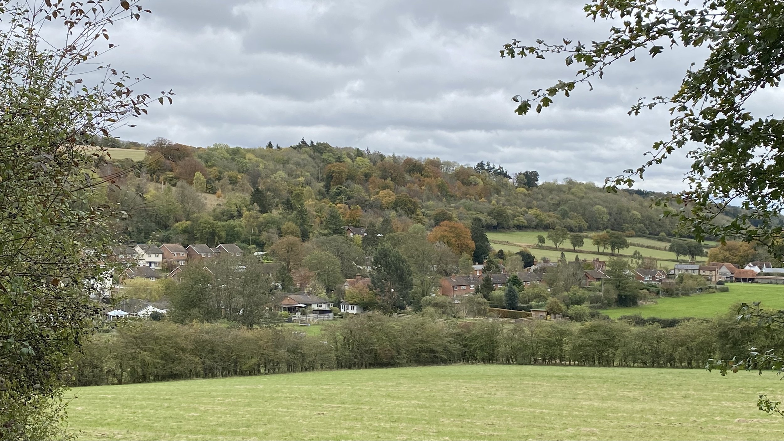
If you’re not up for an 18km walk in one go, you can take in the Oxfordshire way in 5 circular walks of between 8 and 11 km each. We chose this option, completing all 5 sections in winter 2021/22. The advantage of this option is exploring more of the villages and side paths to the west of the main route. As with the point-to-point option, public transport options are very limited so driving to the start points of each is more practical.

Each number refers to a circular walk below. Base map: Esri Topo via RideWithGPS

Route 1: Henley, Middle Assendon and Lambridge Wood.
Distance = 10.9 km (6.8 miles).
Elevation change: +/- 185m.
Oxfordshire Way Section Covered: Henley on Thames to Middle Assendon: 4.7 km

Route 2: Middle Assendon, Bix and Crocker End
Distance = 10.9 km (6.8 miles).
Elevation change: +/- 190m.
Oxfordshire Way Section Covered: Middle Assendon to Maidensgrove: 4.3 km

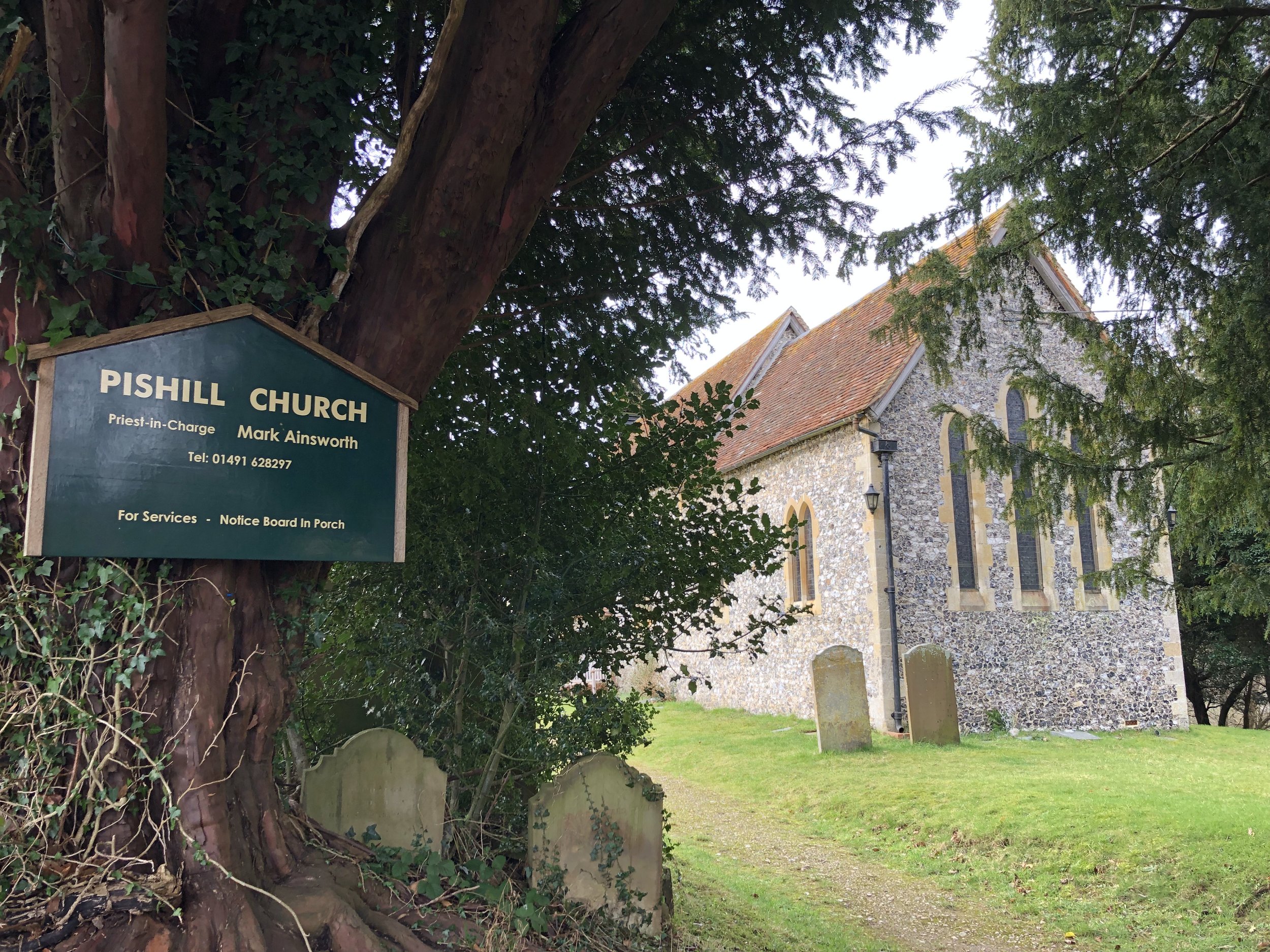
Route 3: Russell's Water, Pishill and Maidensgrove
Distance = 9.2 km (5.7 miles).
Elevation change: +/- 166m.
Oxfordshire Way Section Covered: Maidensgrove to (near) Hollandridge Farm: 3.7 km

Route 4: Christmas Common, Watlington Hill and Greenfield
Distance = 10.9km km (6.8 miles).
Elevation change: +/- 239m.
Oxfordshire Way Section Covered: Hollandridge Farm to The Ridgeway near Watlington: 4.7 km

Route 5: Watlington and The Ridgeway
Distance: 7.9 km (4.9 miles).
Elevation change: +/- 59m.
Oxfordshire Way Section Covered: The Ridgeway to Pyrton Lane: 1.67 km