Chiltern Walks: Watlington and The Ridgeway

View to Watlington Hill
Start & Finish: Public Car Park, Hill Road, Watlington, OX49 5AB
Distance: 7.9 km (4.9 miles)
Elevation change: +/- 59m
Oxfordshire Way Section Covered: The Ridgeway to Pyrton Lane: 1.67 km
GPX File: get via Buy Me a Coffee
Other routes touched (walk): The Ridgeway, The Oxfordshire Way
Other routes touched (cycle): None
Pubs / Cafes on route: The Spire and Spoke (at start and end), The Chequers (7.3km in). Others in Watlington.
Map: OS Explorer Map (171) Chiltern Hills West, Henley-on-Thames and Wallingford
Links: Watlington
For our latest Chiltern Walk we returned to the Oxfordshire Way. This is a 66 mile long-distance path connecting Bourton-on-the-Water in the Cotswolds with Henley-on-Thames. Our plan is to start with the Chilterns section, taking it on in short circular walks of around 10km. The guidance below will help you navigate but don’t use it as a fully accurate turn-by-turn guide. Always take a map and/or a GPX route and prepare well for the weather and terrain.
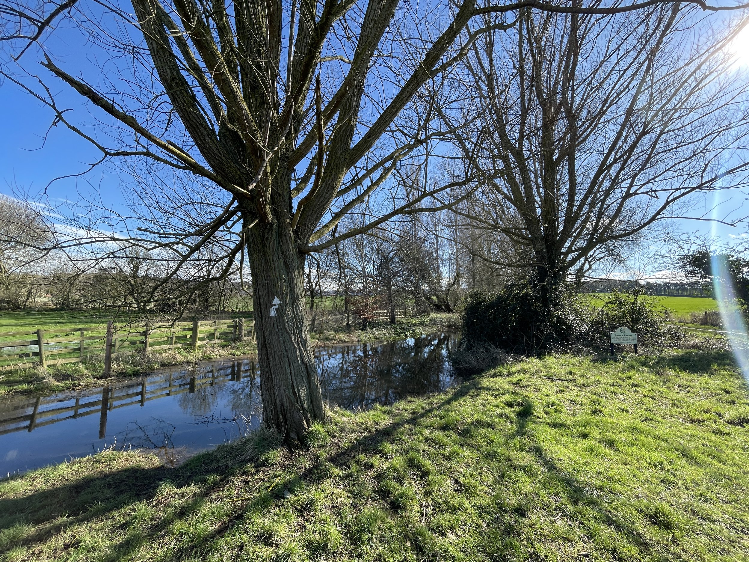
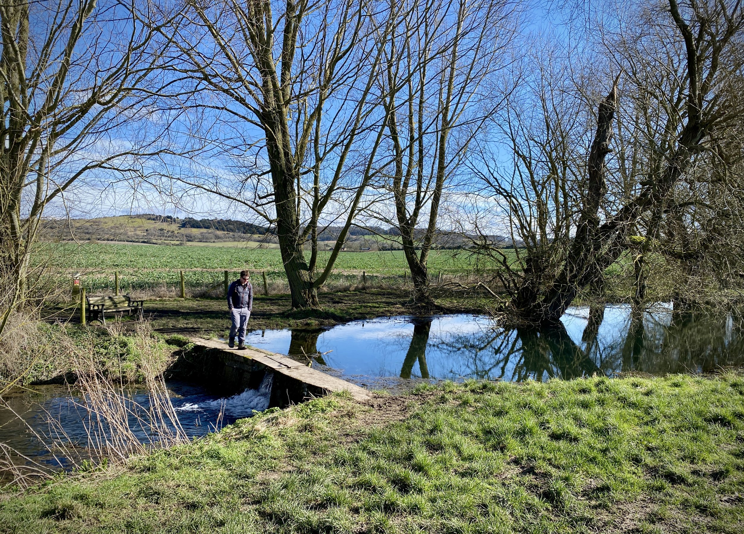
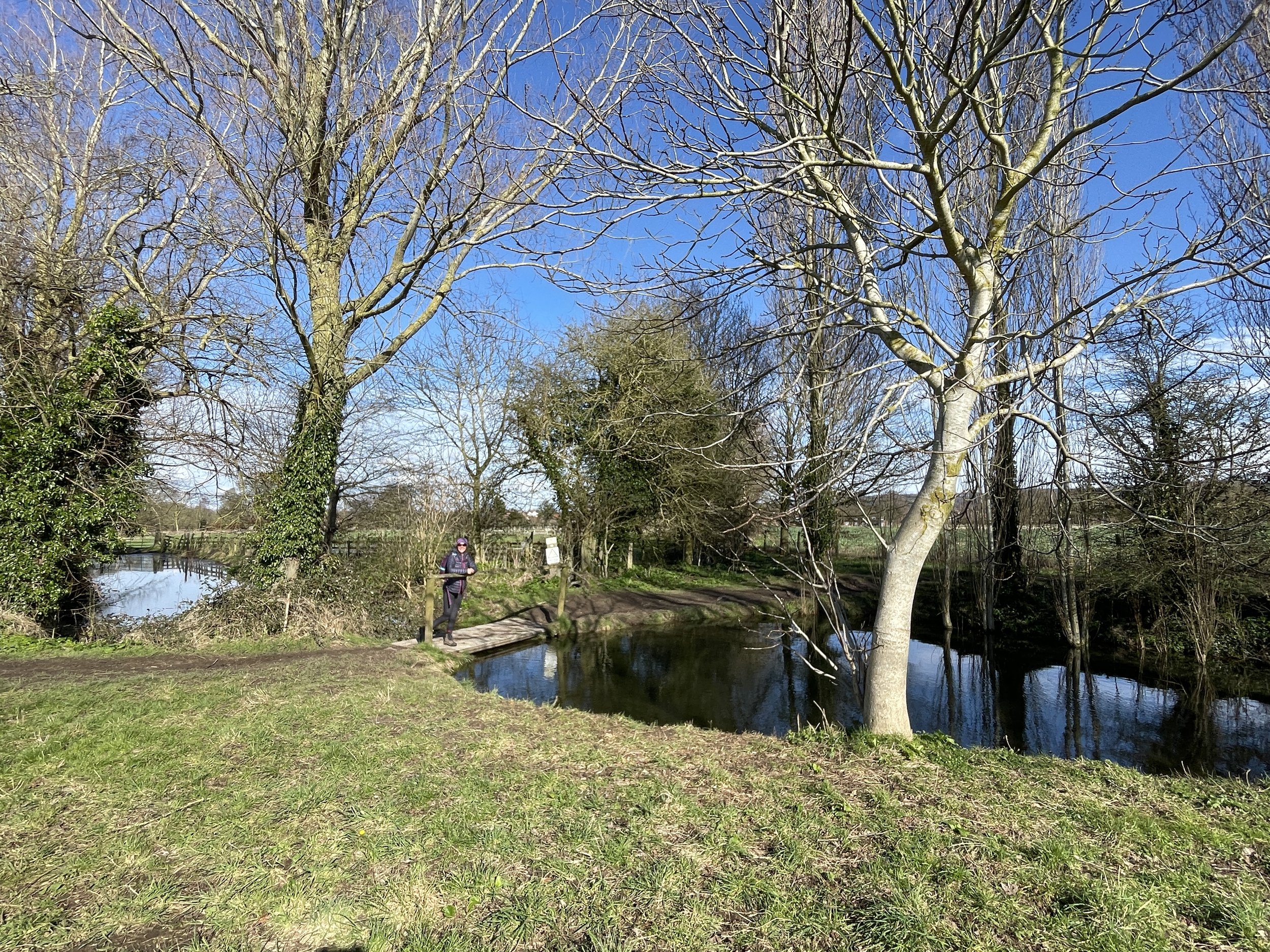
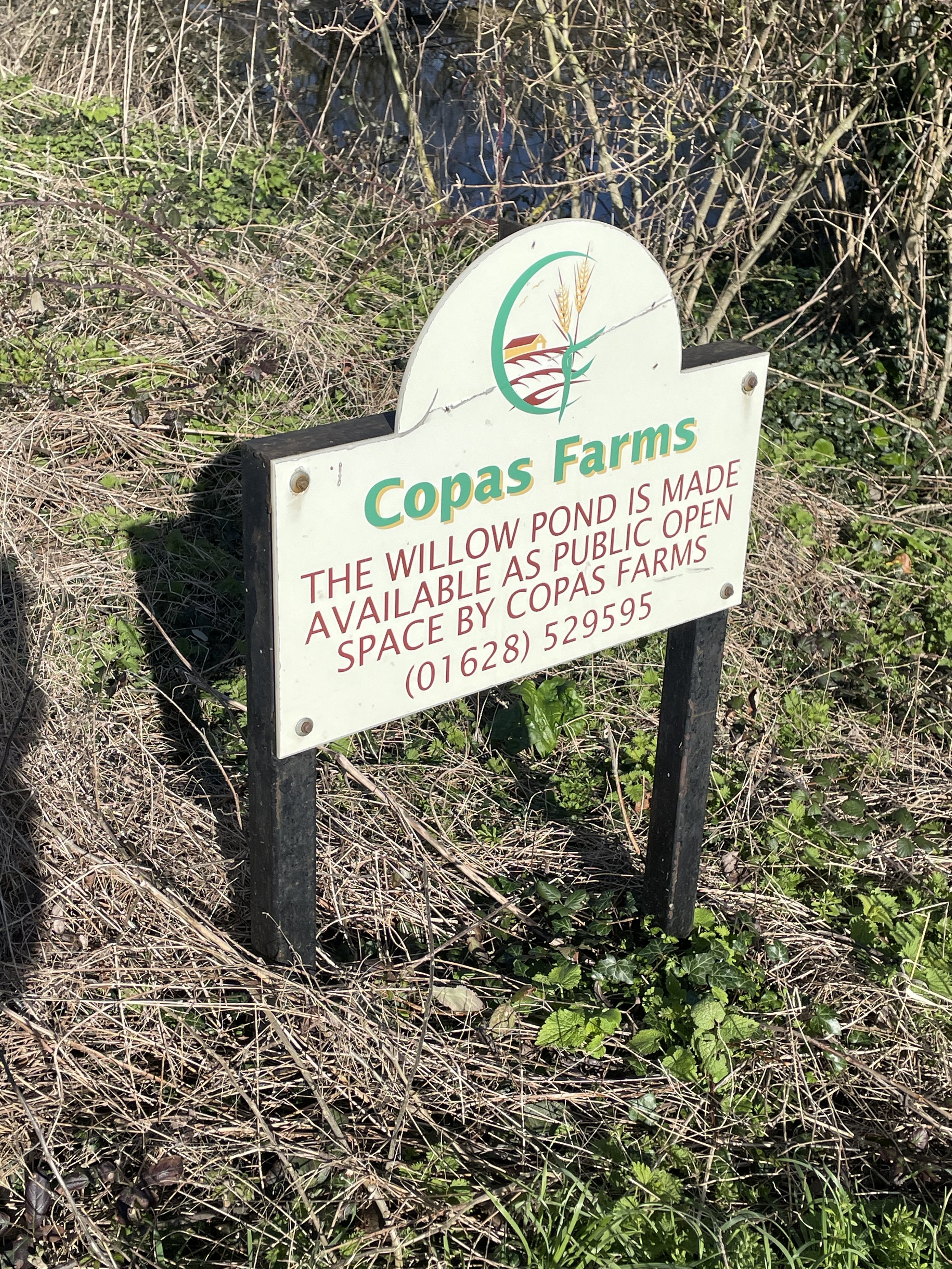
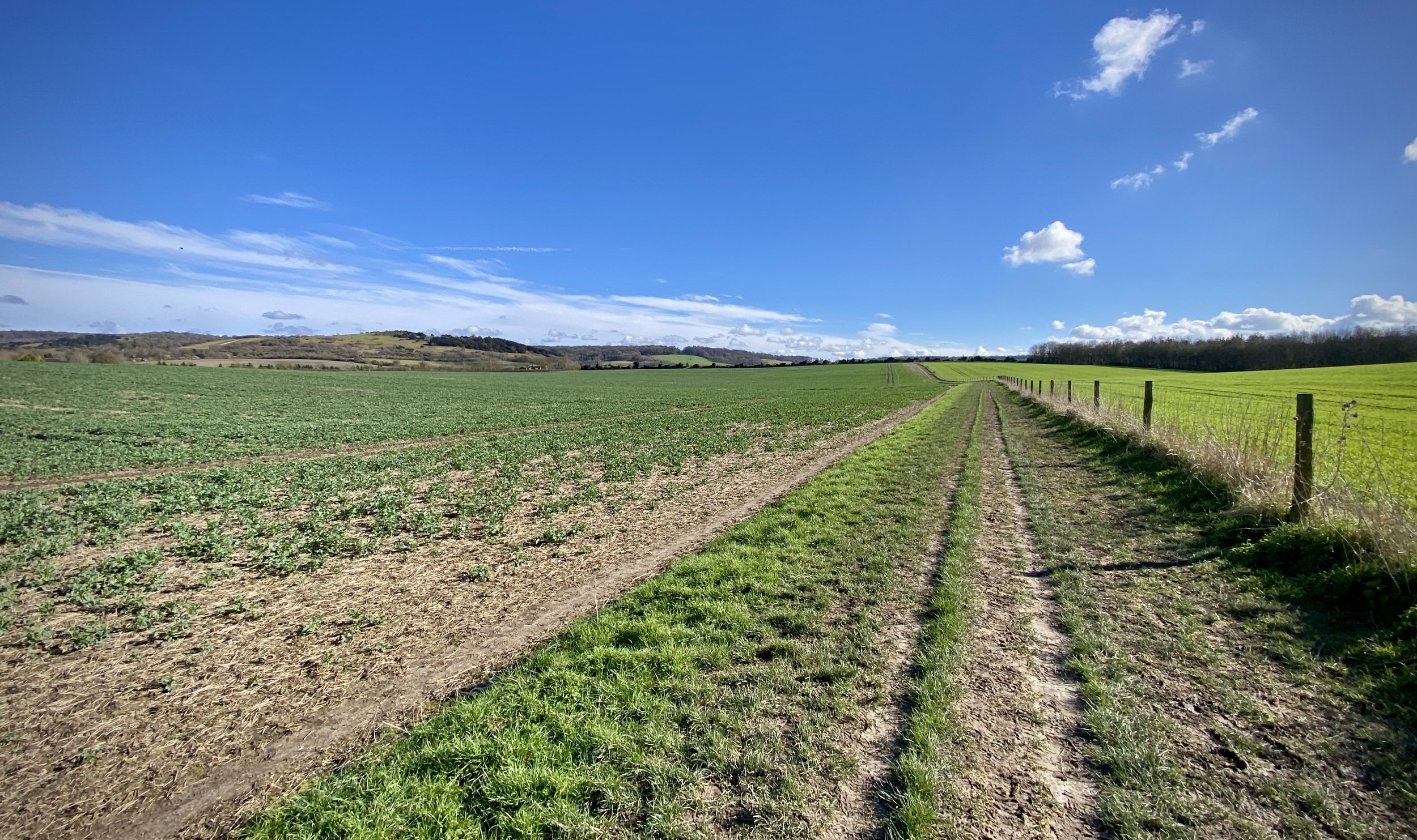
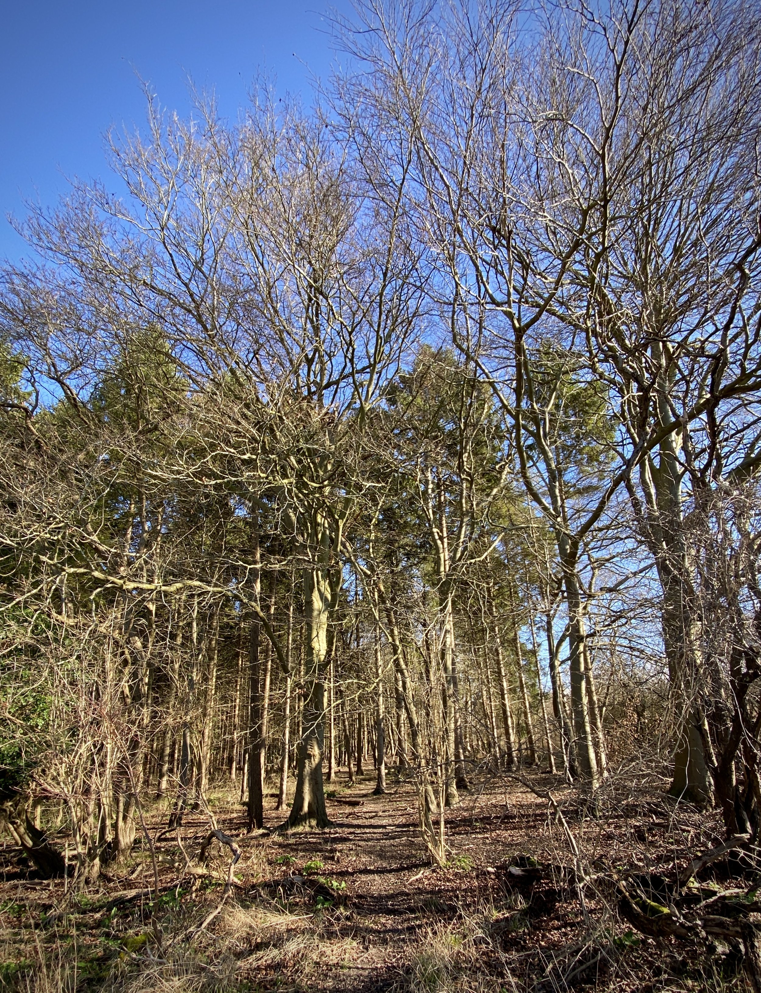
For this walk we parked in the public car park near The Spire and Spoke on Hill Road, Watlington. From the north-western side of the car park follow Watcombe Road in a south-westerly direction then a right onto the B480 Brook Street. Take a left onto a footpath after ~20m which will open out into a large field. Cross the field diagonally in an easterly direction to meet a footpath. Take a left to follow this path for approximately 1.4km in a southerly direction to The Ridgeway. Along this path you’ll pass Willow Pond, a public space with a stream that you can walk either side of.
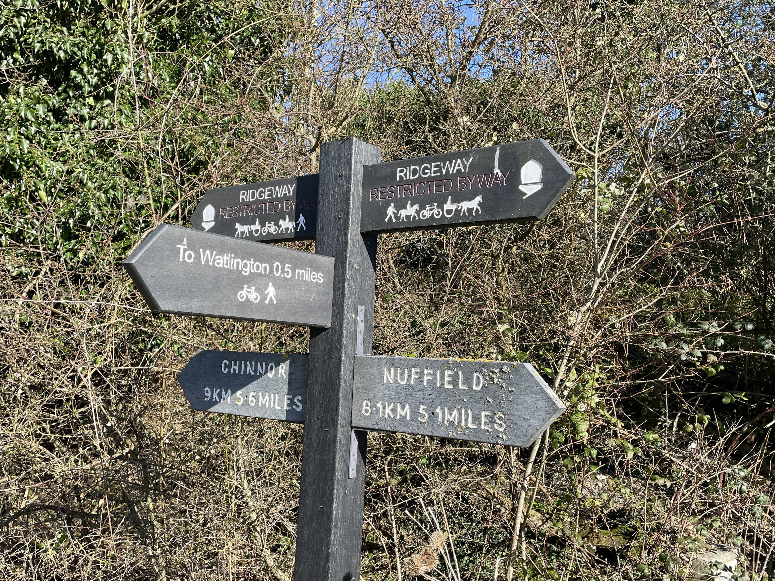
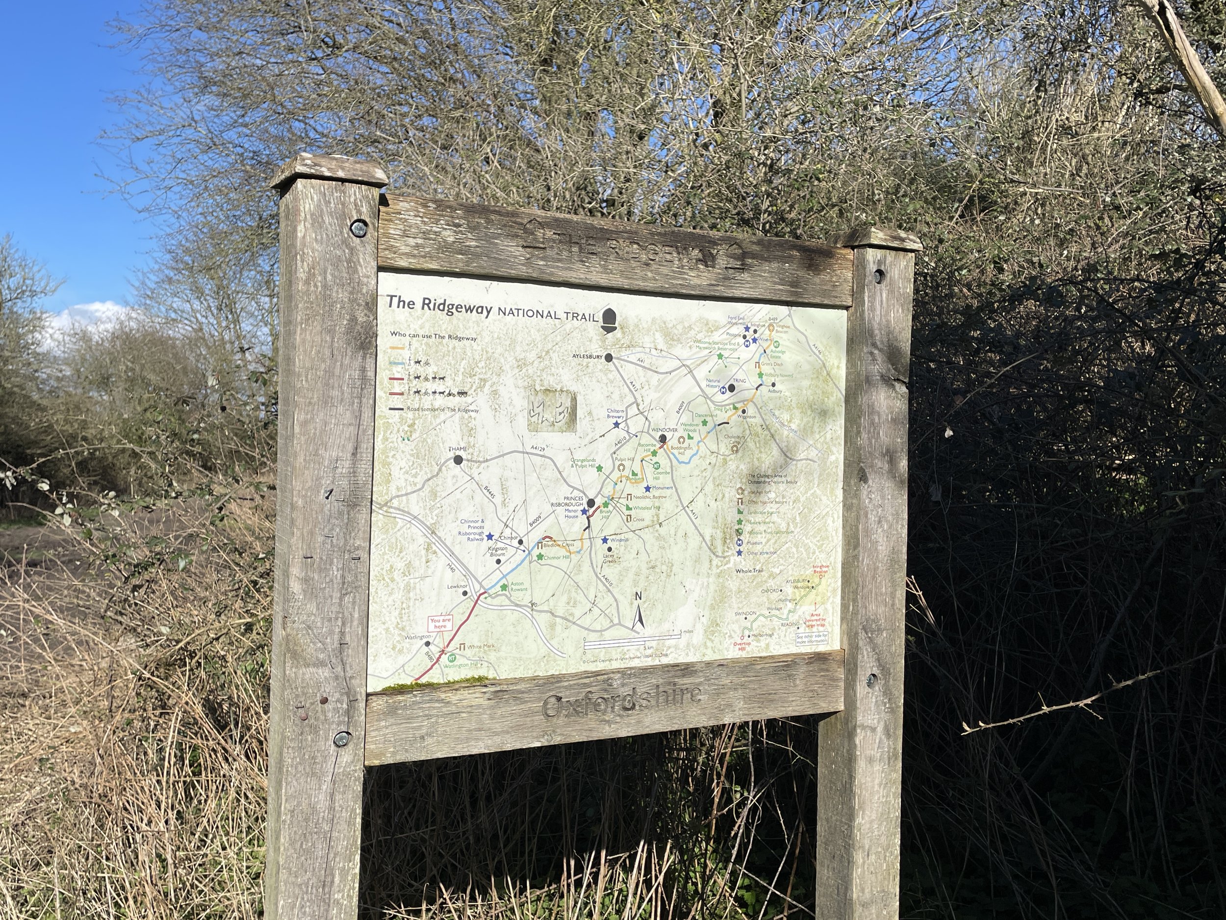
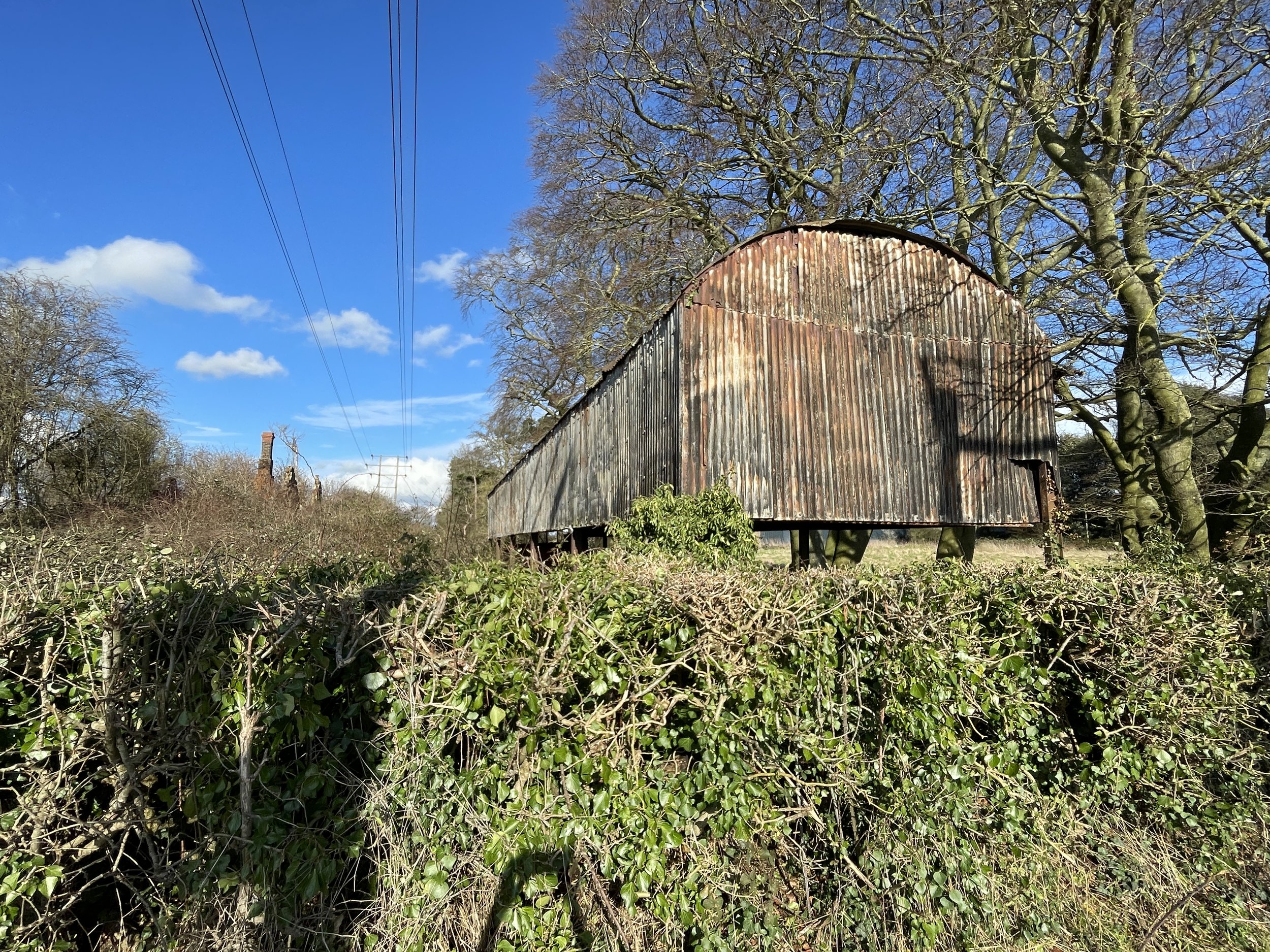
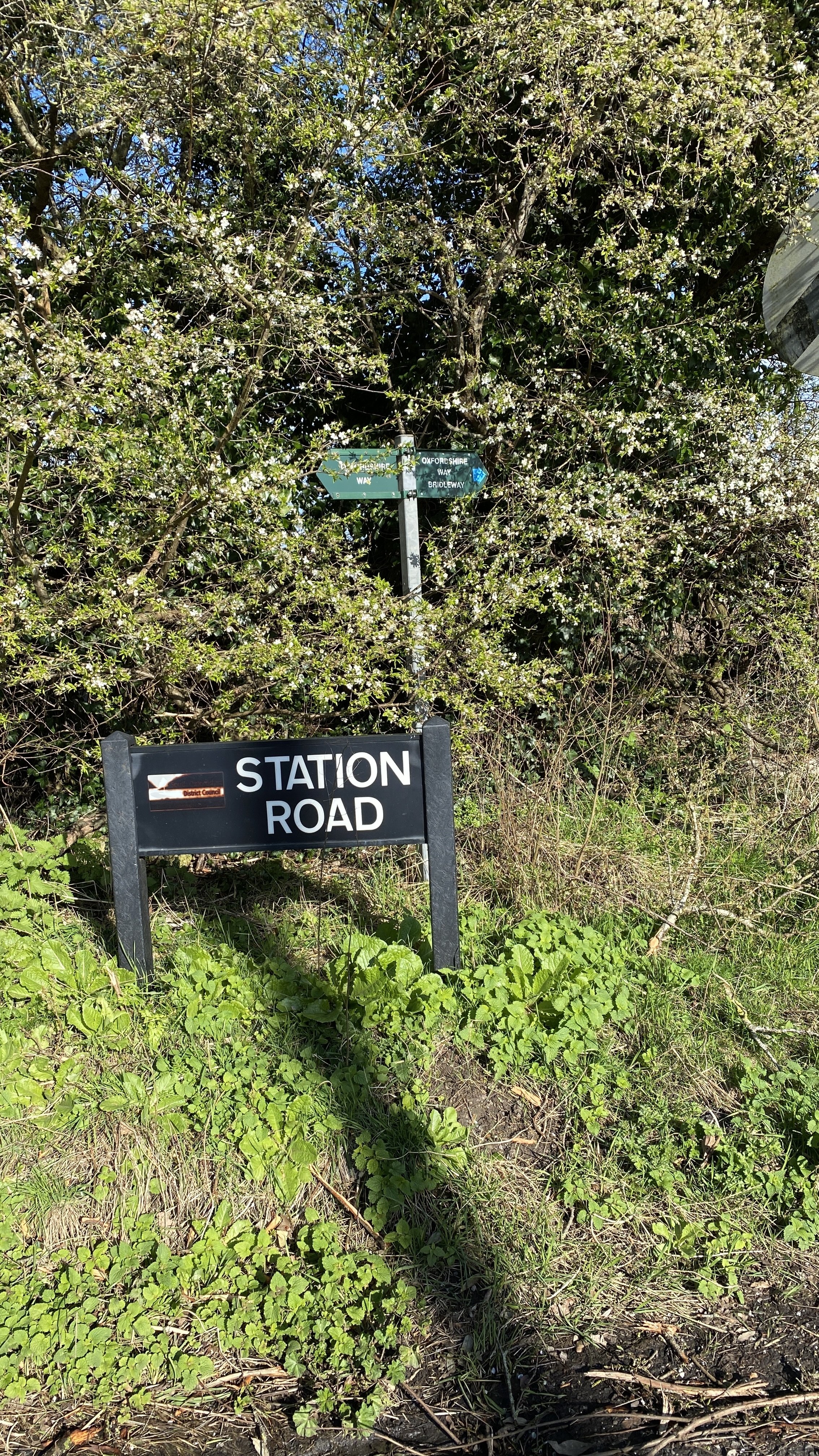
Turn left onto The Ridgeway and follow it in a north-easterly direction for approximately 2.5km. Take a left onto Station Road and follow it to the intersection with the B4009 Watlington Road. Just before the intersection, on the right hand side, you’ll pass the remains of the disused Watlington Station. There’s not much left and access to it is locked off but you can see the remains from the road.
Cross over the B4009 to follow Pyrton Lane for 55m until a junction where Pyrton Lane diverts to the left and Knightsbridge Lane continues to the north-west to Pyrton. This juction is as far as we go on the Chilterns Section of the Oxfordshire Way. The junction with the B4009 was the point where the Oxfordshire Way crosses out of the Chiltern Hills AONB.
Follow Pyrton Lane in a south-westerly direction for 40m then take a footpath on the left following the boundary of Icknield Community College. Follow the boundary of the college to Love Lane, following it onto Chapel Street then High Street. Take a left onto High Street and follow it back to the car park.


Oxfordshire Way next section (south): Christmas Common, Watlington Hill and Greenfield