Chiltern Walks: Christmas Common, Watlington Hill and Greenfield

Rolling hills between Pishill and Greenfield
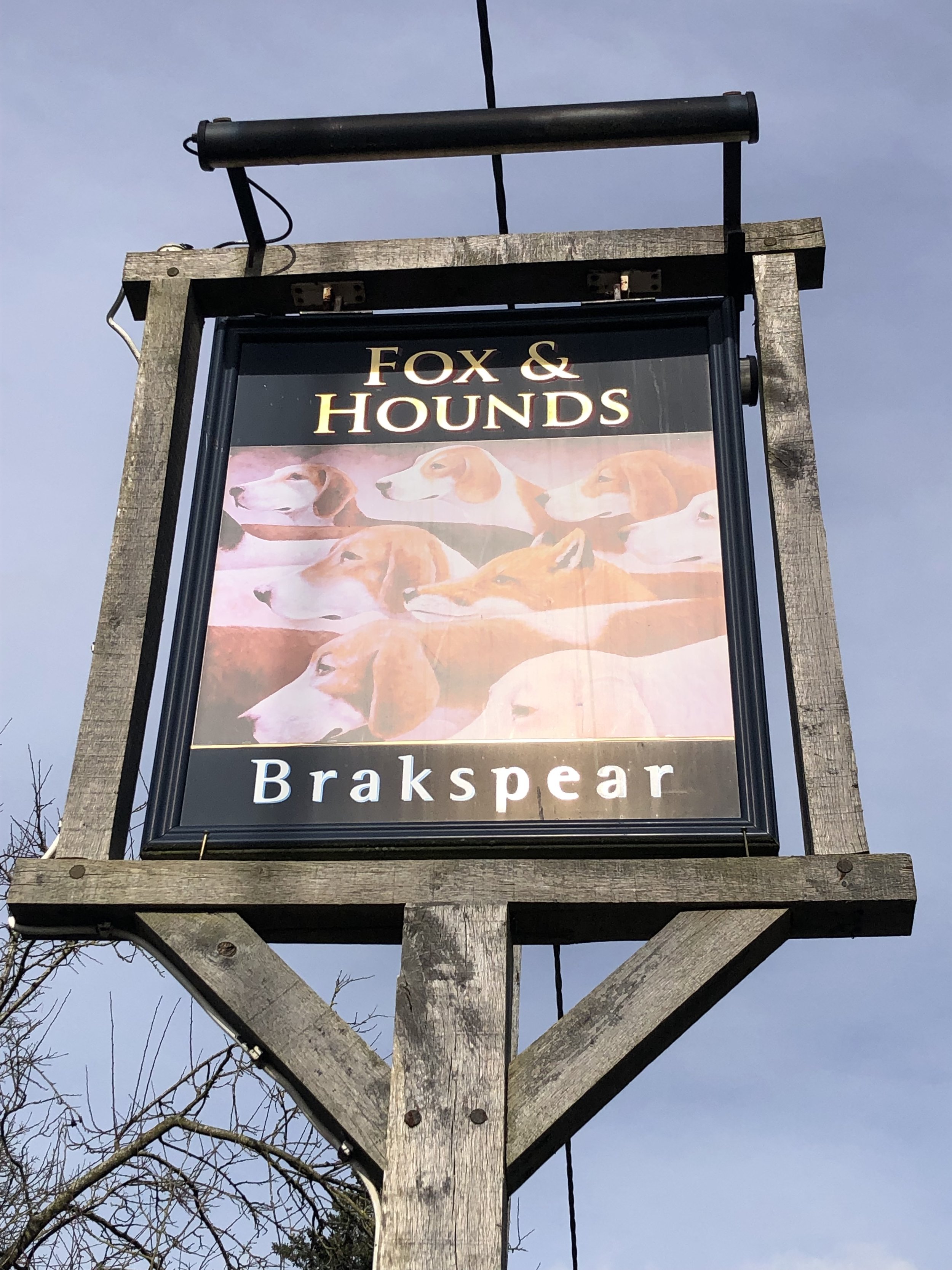
Start & Finish: Parking spot opposite The Fox and Hounds Pub, Christmas Common, Watlington, OX49 5HL
Distance: 10.9km km (6.8 miles)
Elevation change: +/- 239m
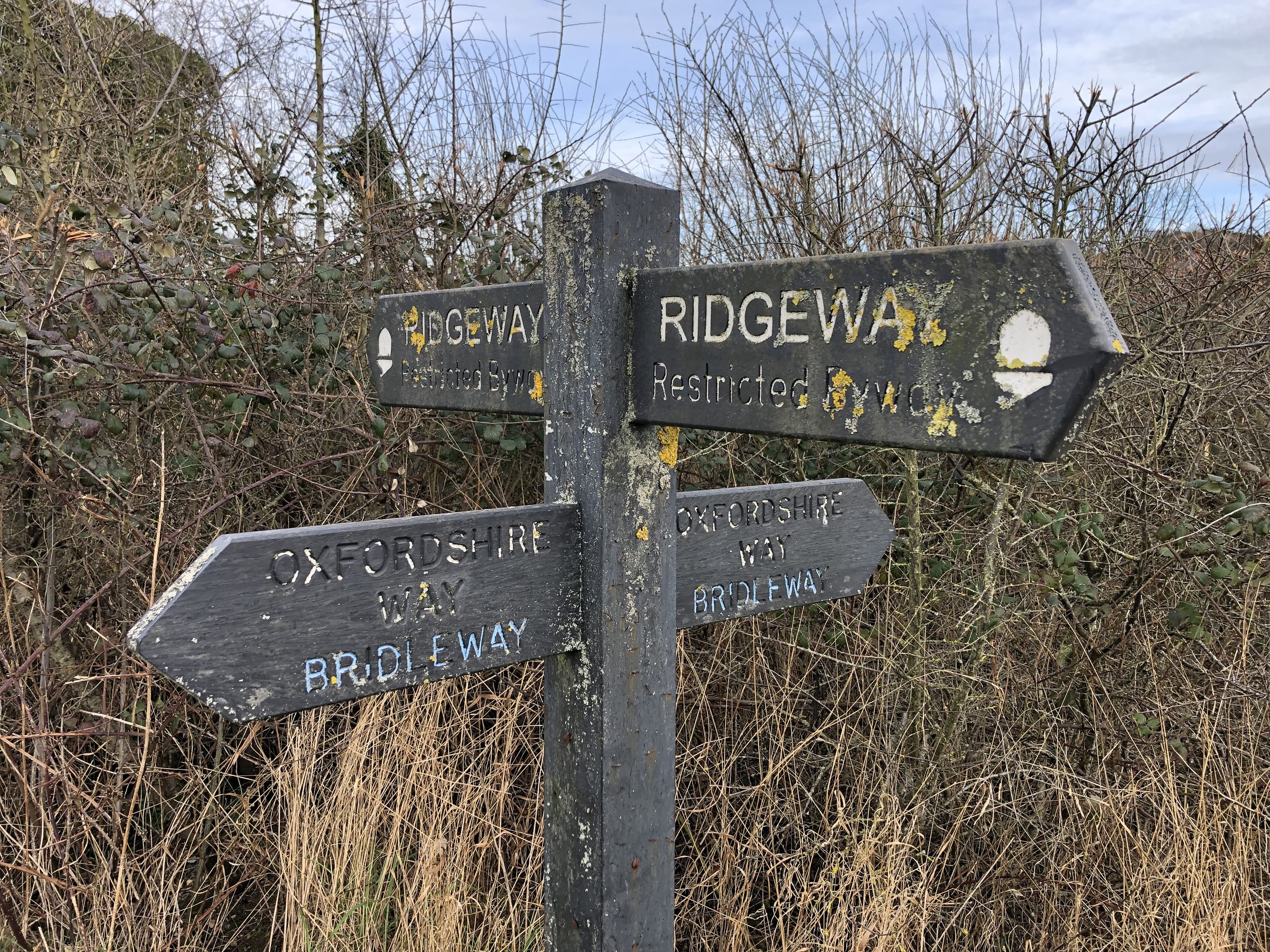
Oxfordshire Way Section Covered: Hollandridge Farm to The Ridgeway near Watlington: 4.7 km
GPX File: get via Buy Me a Coffee
Other routes touched (walk): Chiltern Way, Oxfordshire Way, The Ridgeway
Other routes touched (cycle): Chilterns Cycleway
Pubs / Cafes on route: The Fox and Hounds at the start and end.
Map: Chiltern Hills West Map | Henley-on-Thames & Wallingford | Ordnance Survey | OS Explorer Map 171
Links: Christmas Common, Watlington Hill (National Trust)
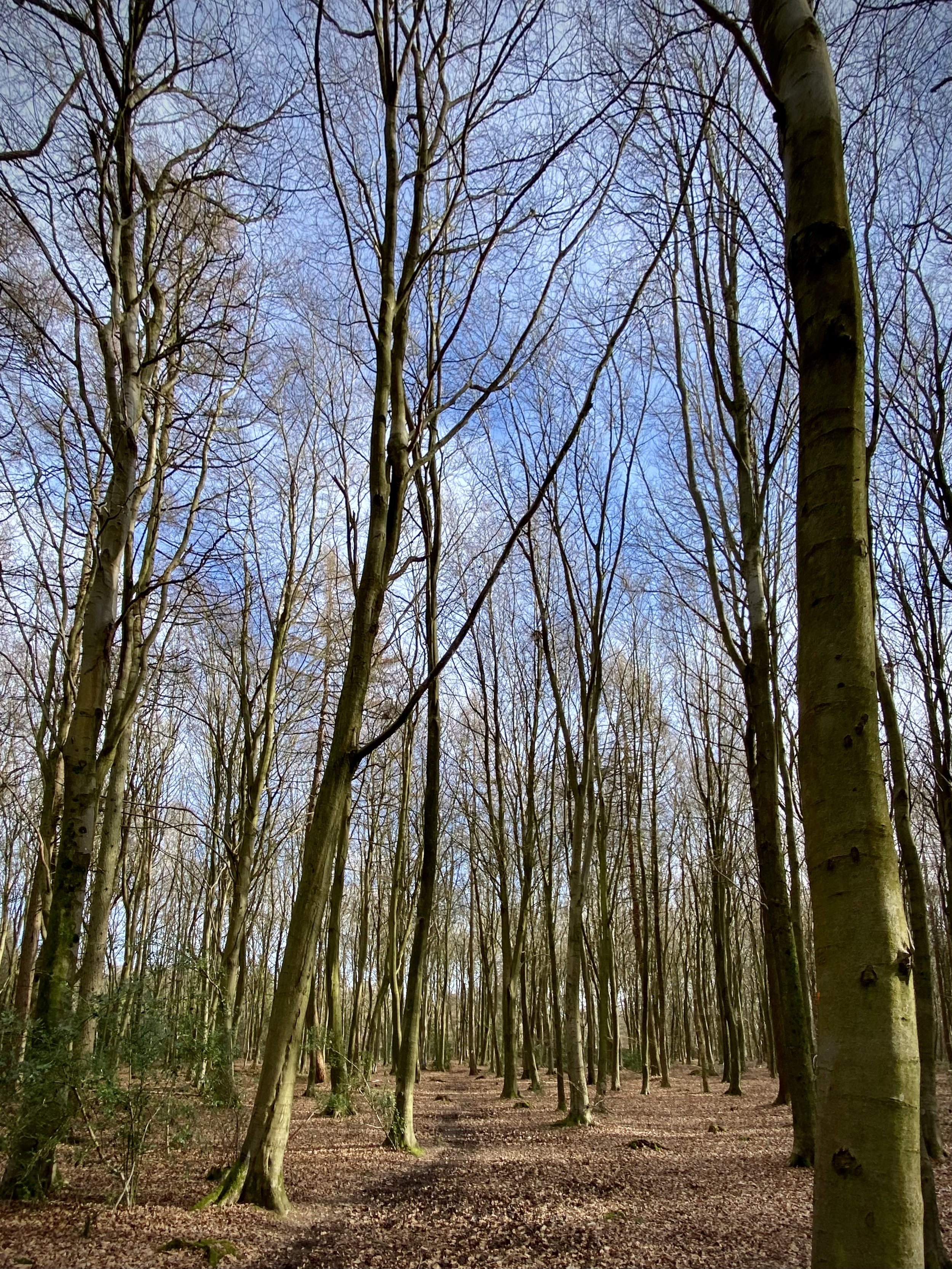
For our latest Chiltern Walk we returned to the Oxfordshire Way. This is a 66 mile long-distance path connecting Bourton-on-the-Water in the Cotswolds with Henley-on-Thames. Our plan is to start with the Chilterns section, taking it on in short circular walks of around 10km. The guidance below will help you navigate but don’t use it as a fully accurate turn-by-turn guide. Always take a map and/or a GPX route and prepare well for the weather and terrain.
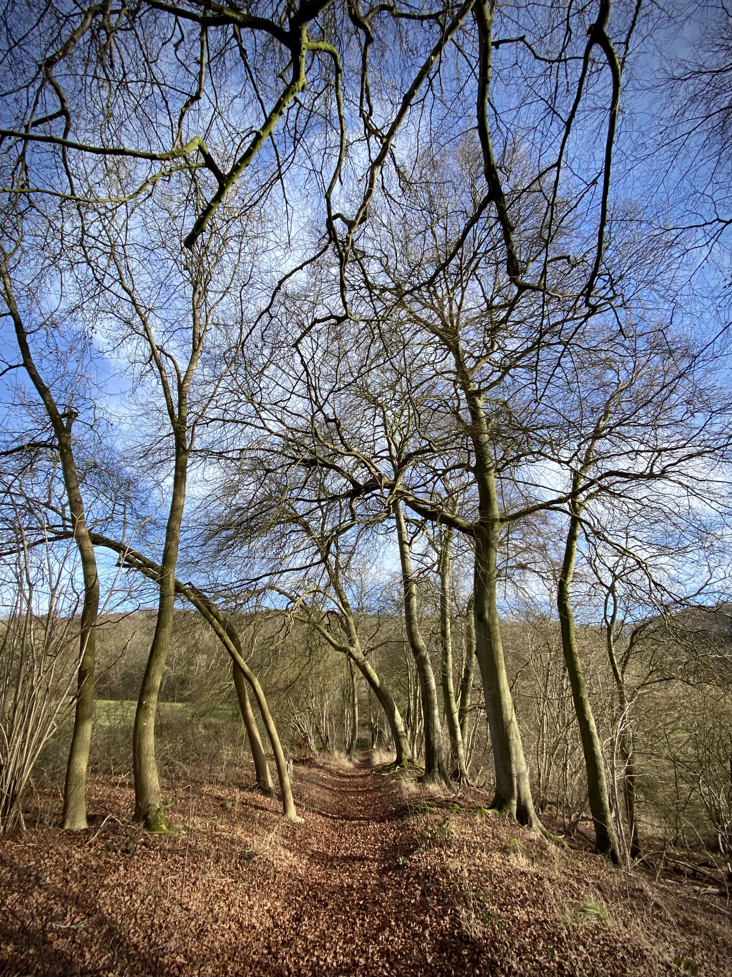
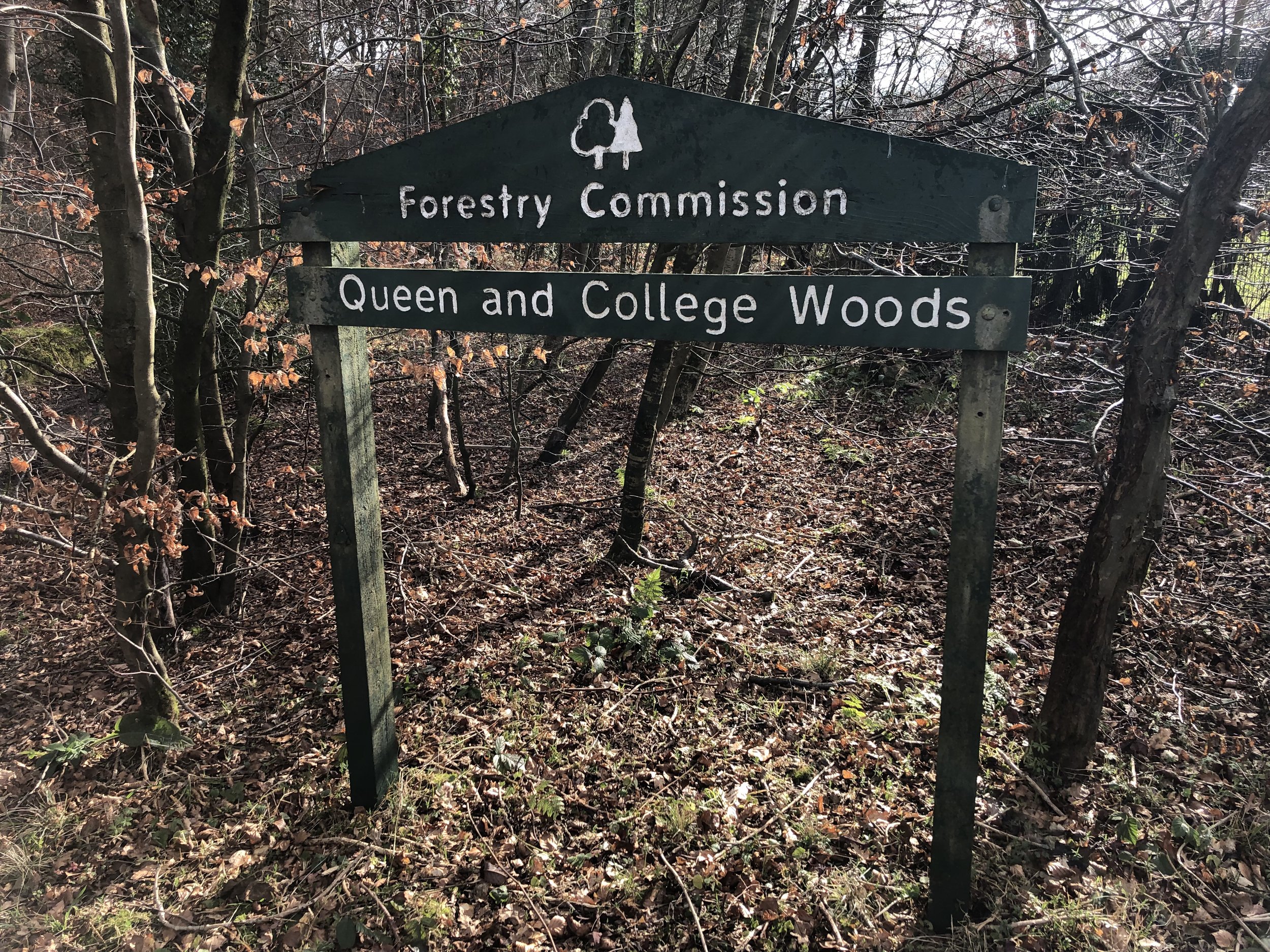
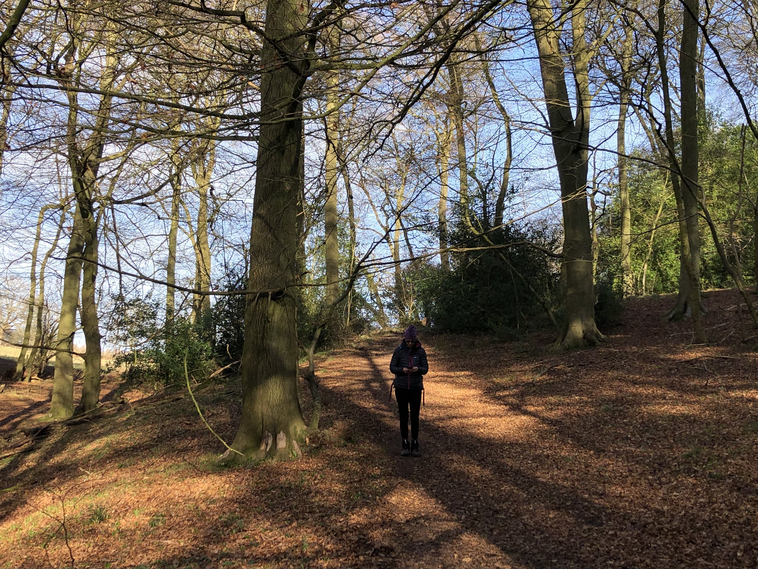
From the parking spot opposite the Fox and Hounds, walk south for 100m along Nettlebed Henley Road then take the Oxfordshire Way footpath to the left. Continue along the Oxfordshire way in a south-easterly direction for another 2km to meet the Chiltern Way. At this junction take a right turn, still following the Oxfordshire Way plus the Chiltern Way in a south-westerly direction. After 600m leave the Oxfordshire Way but continue along the Chiltern Way through the woods. After another 1km leave the Chiltern Way and follow a path heading in a westerly then north-westerly direction to Greenfield.
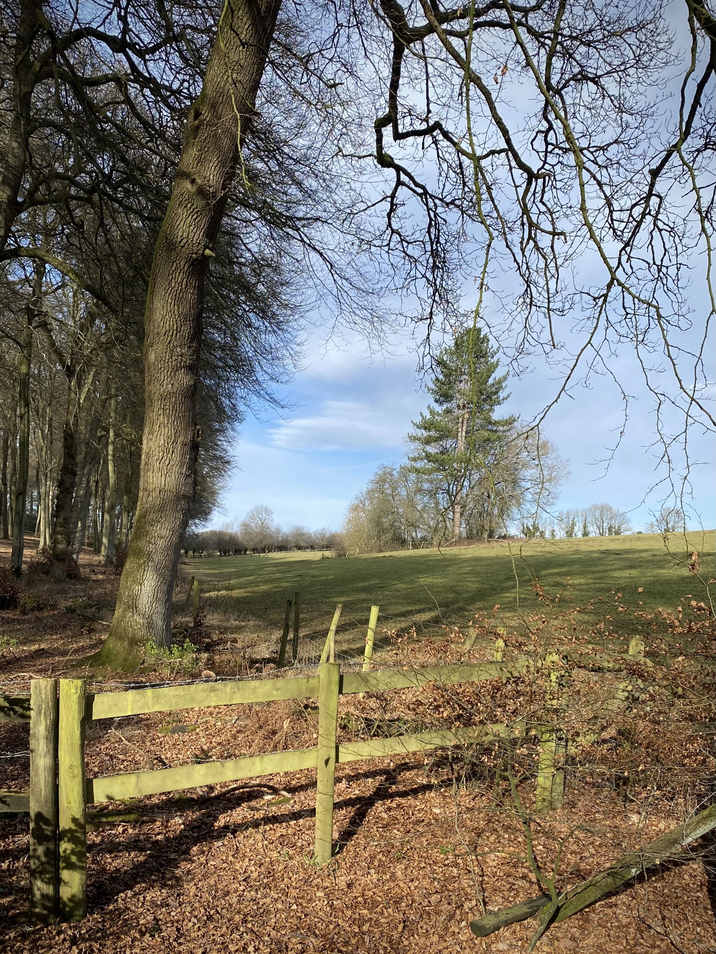
When you reach Greenfield you’ll meet the Nettlebed Henley Road again. Cross over the road and through an old wooden gate in a stone wall. This will take you into wooded National Trust land. Continue along the footpath for 1.6 km in a north-westerly direction to Howe Road. Follow Howe Road in in a north-westerly direction for 500m. Be careful here as there’s no pavement but there is a wide enough grass verge to keep to.
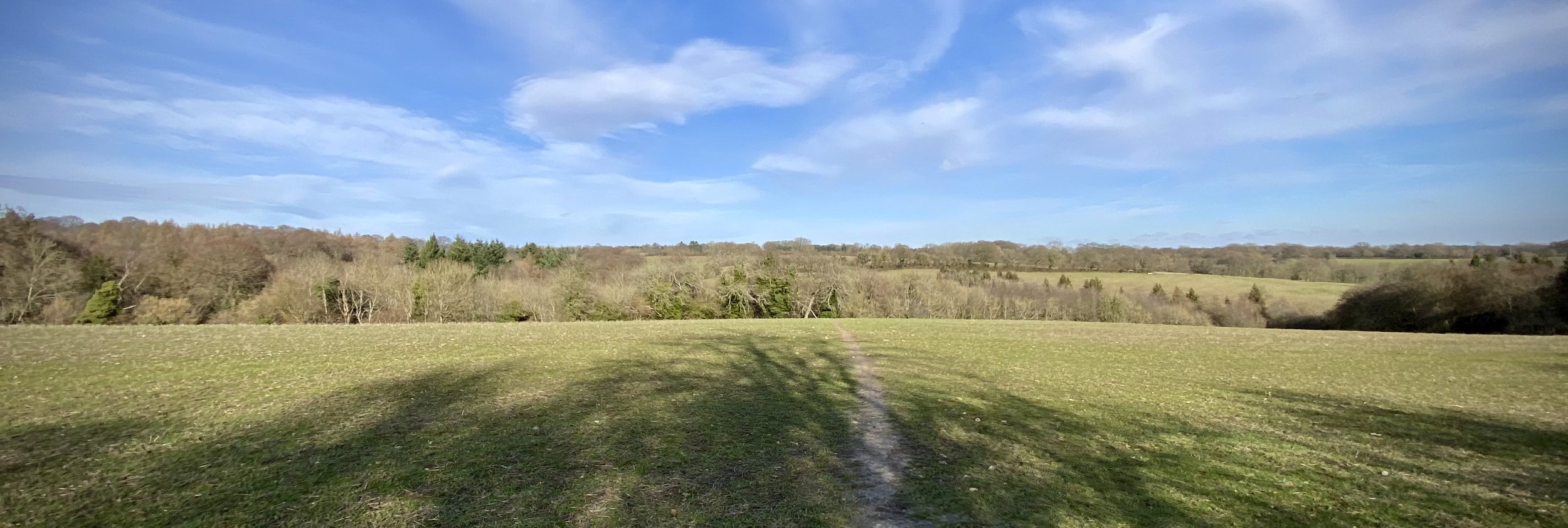
Leave Howe Road by taking a right turn onto a private road at Five Acres. After 100m take the footpath on the left towards Watlington Hill. At the path junction after 200m, take the path on the left to cross fields on the western side of Watlington Hill. Continue until the meet The Ridgeway and take a right onto it. Follow The Ridgeway for 1km until you meet the Oxfordshire Way at Station Road. Follow the Oxfordshire Way steeply uphill to return to the start at Christmas Common.


Oxfordshire Way previous section (south): Russell's Water, Pishill and Maidensgrove
Oxfordshire Way next section (north): Watlington and The Ridgeway