Isla de Lobos, Fuerteventura

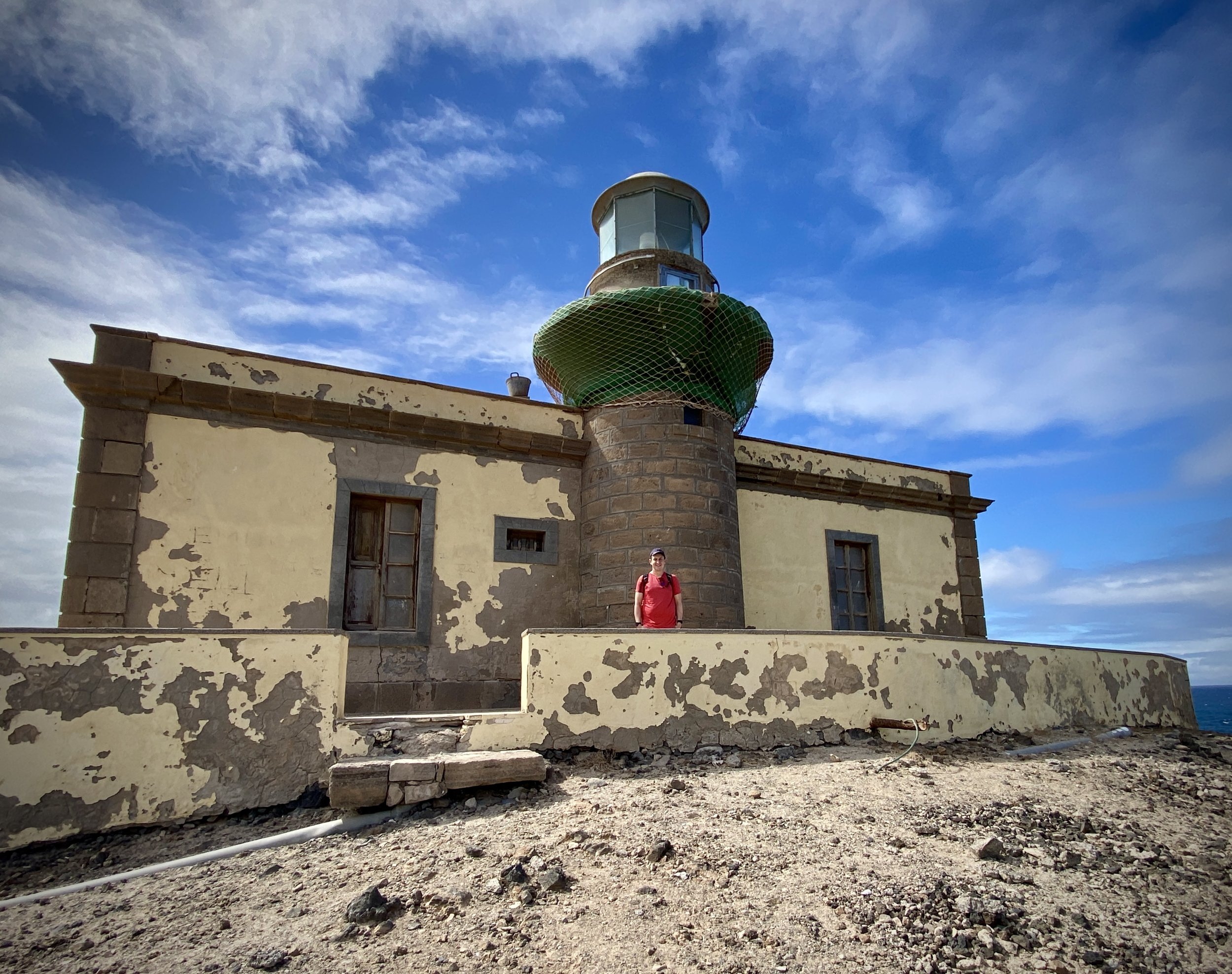
Punta Martiño Lighthouse on the northern tip of the island
The Canary Islands are a regular choice for us to spend our end-of-winter holidays. They’re always warm in February and, at 4 hours flight time, they’re about as far as we want to travel for a one week trip.
Our goal for these trips is always resting over adventure and I’ve learned not to get over-excited about ticking off everything on the islands. We’ve missed most of the highest points either due to weather or length of walk. Due to this we’ve managed to successfully miss the highest points on Tenerife, Lanzarote and La Gomera. We did manage to get to the Gran Canaria summit although that’s only the highest accessible point very close to the actual high point.
So, on our week in Fuerteventura I had written off the high point even before we left the UK. Pico de la Zarza is not a very difficult hike but it was too long and too hot for our relaxing break. I added it to the list of the other Canary High Points to cover later on a different type of trip at at a different time of year.
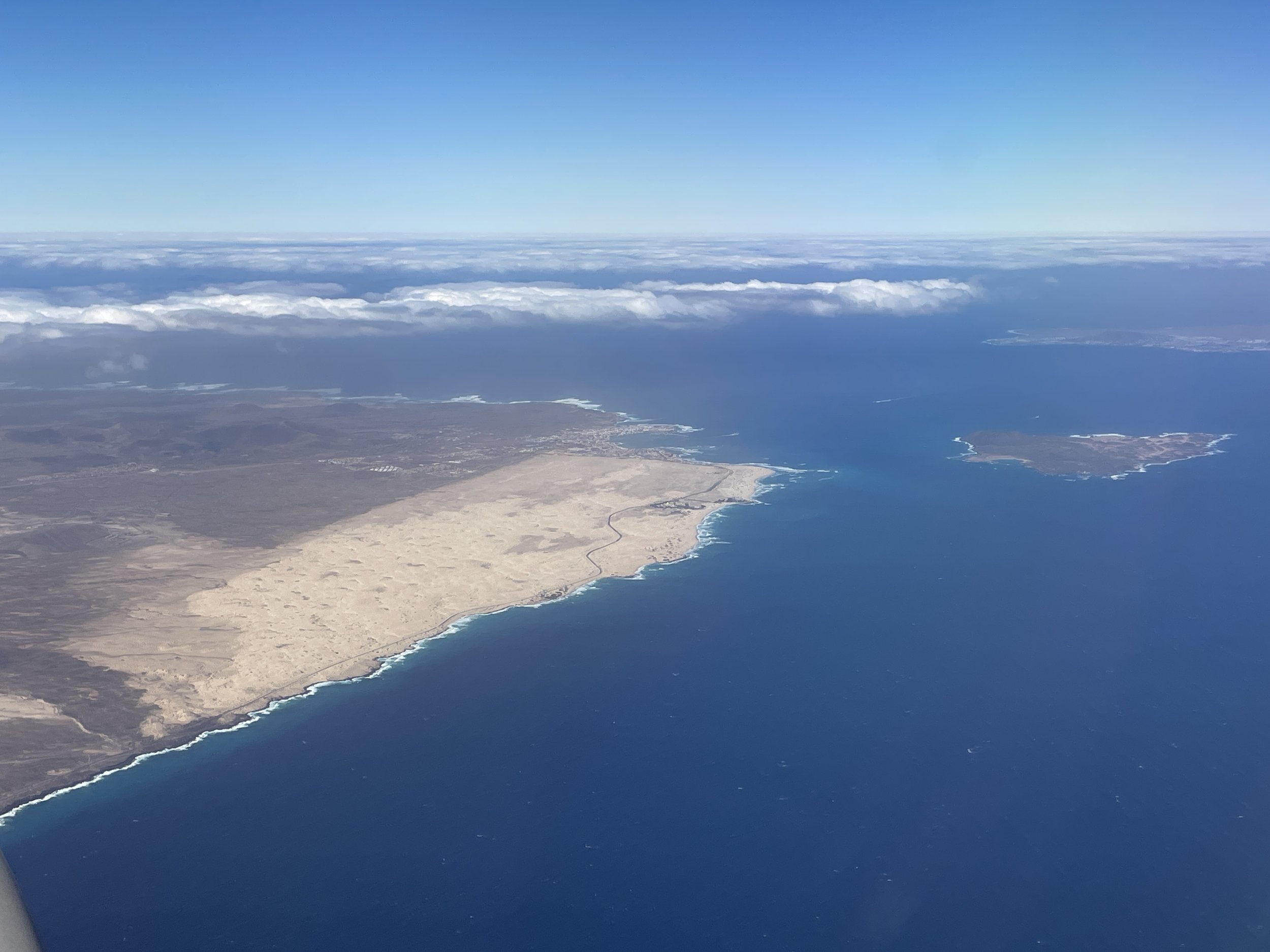
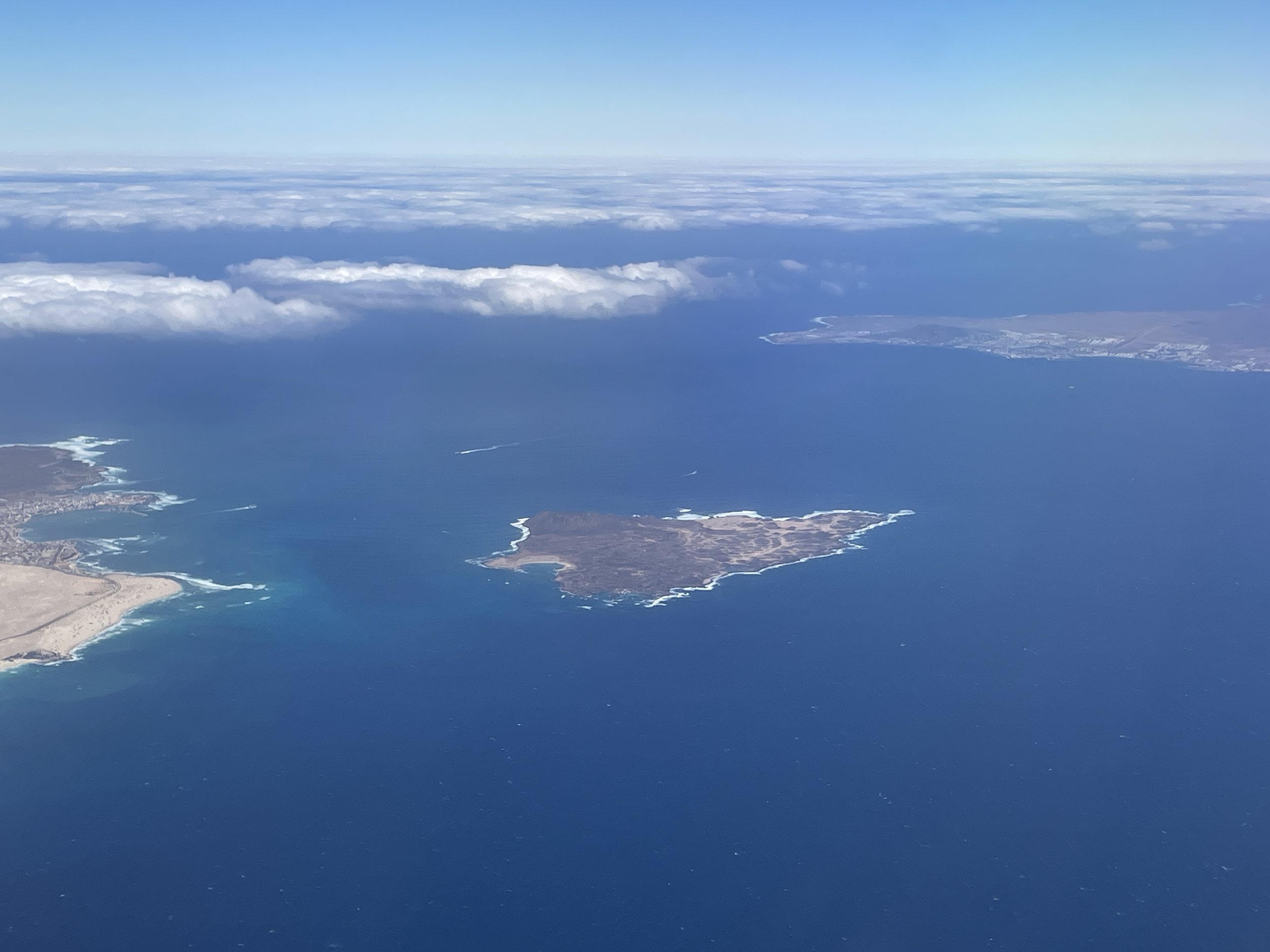
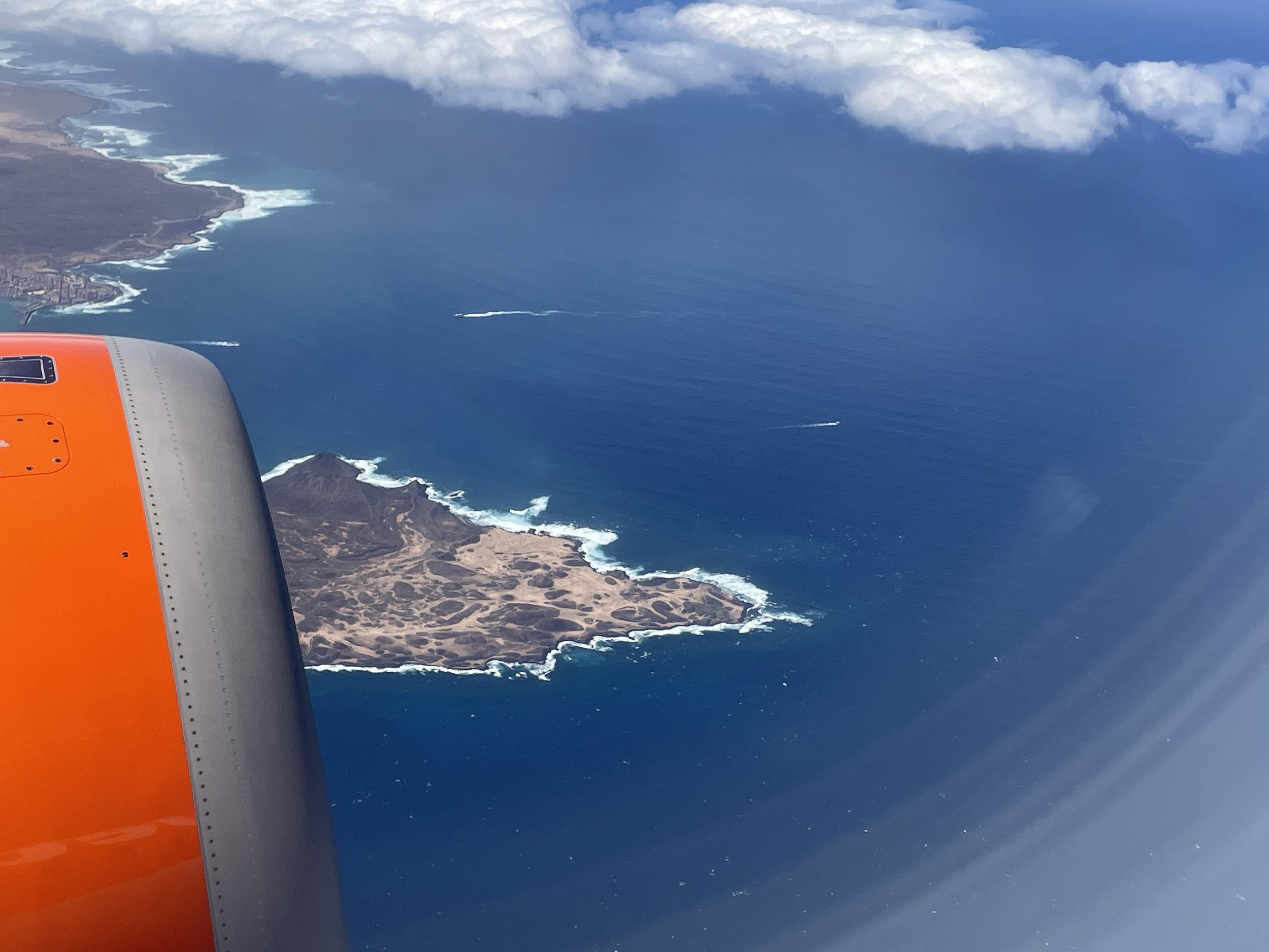
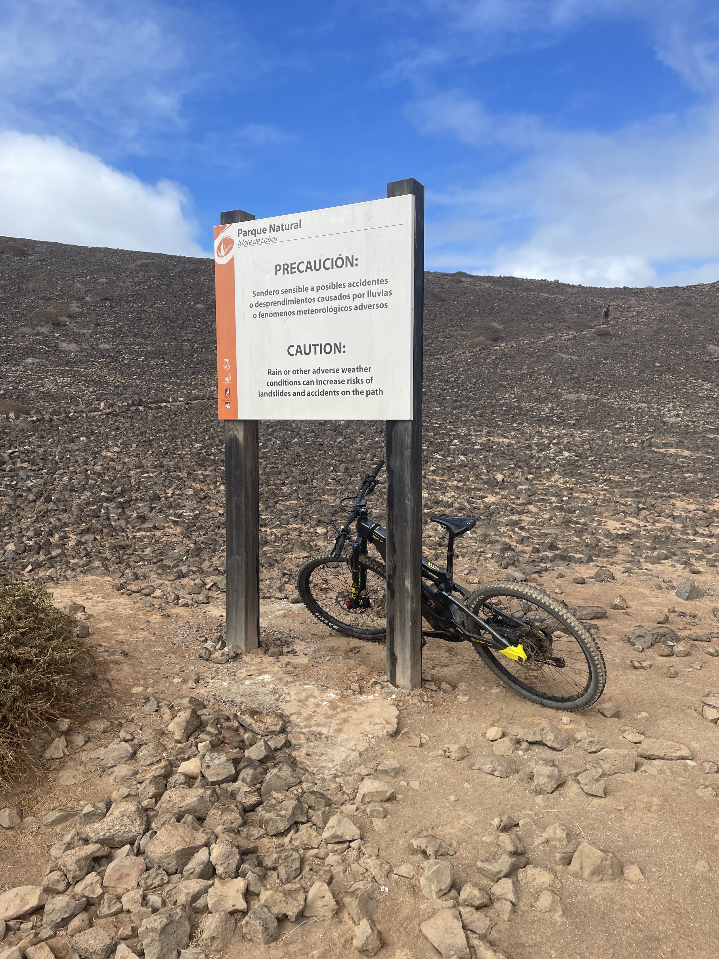
My need for high point bagging ended up being satisfied by a trip to a small island just off the north coast of Fuerteventura. Isla de Lobos is a 5k / 15 minute ferry ride from Corralejo harbour. It has well-marked hiking trails totaling 10k and an out-and-back ascent of Montaña La Caldera.
We took the 12:30 foot ferry run by Naviera Nortour. By the time all the tourists had stopped their faffing on and off the boat it was 13:00 before we started the hike. This gave us a full 3 hours on the island before needing to be back at 16:00 for the 16:15 return ferry.
We had read on other blogs that the 10k circuit takes 2 and a quarter hours to complete. That would be a very fast pace, especially if including the high point. We walked at a steady pace, stopped for lunch 15 minutes at the lighthouse and took the full 3 hours.
We took the anticlockwise route having seen a recommendation in another blog post that this would be the less popular route. Everyone with us that day must have read the same post as most people were going the same was as us.
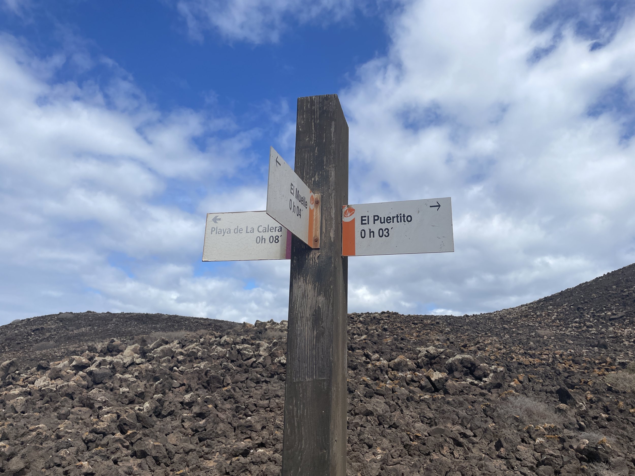
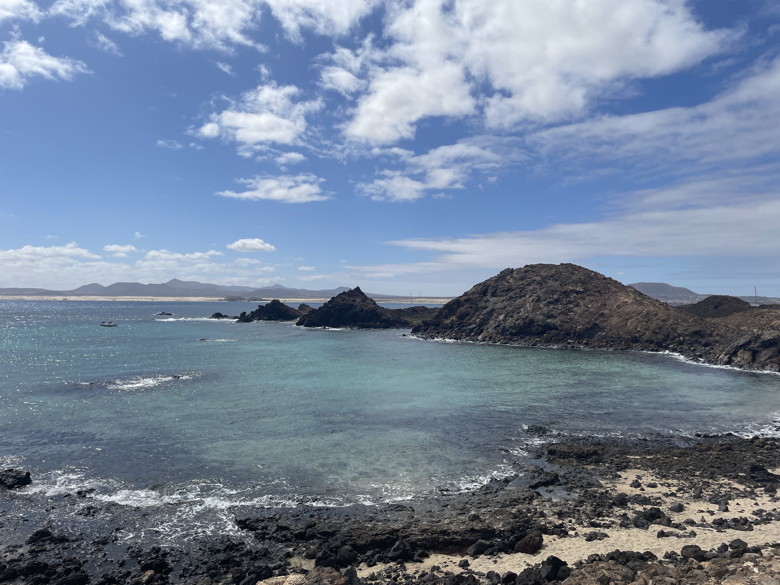
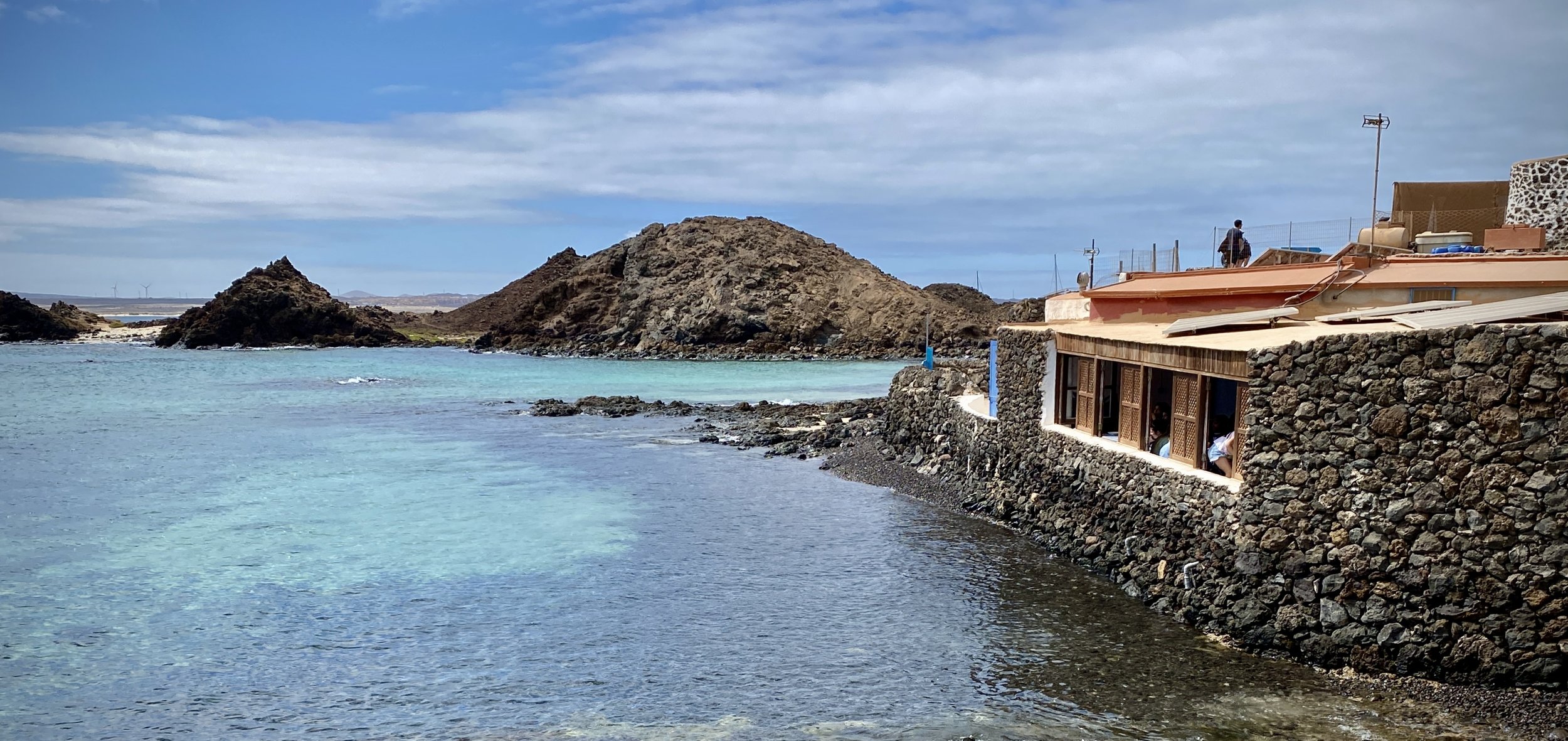
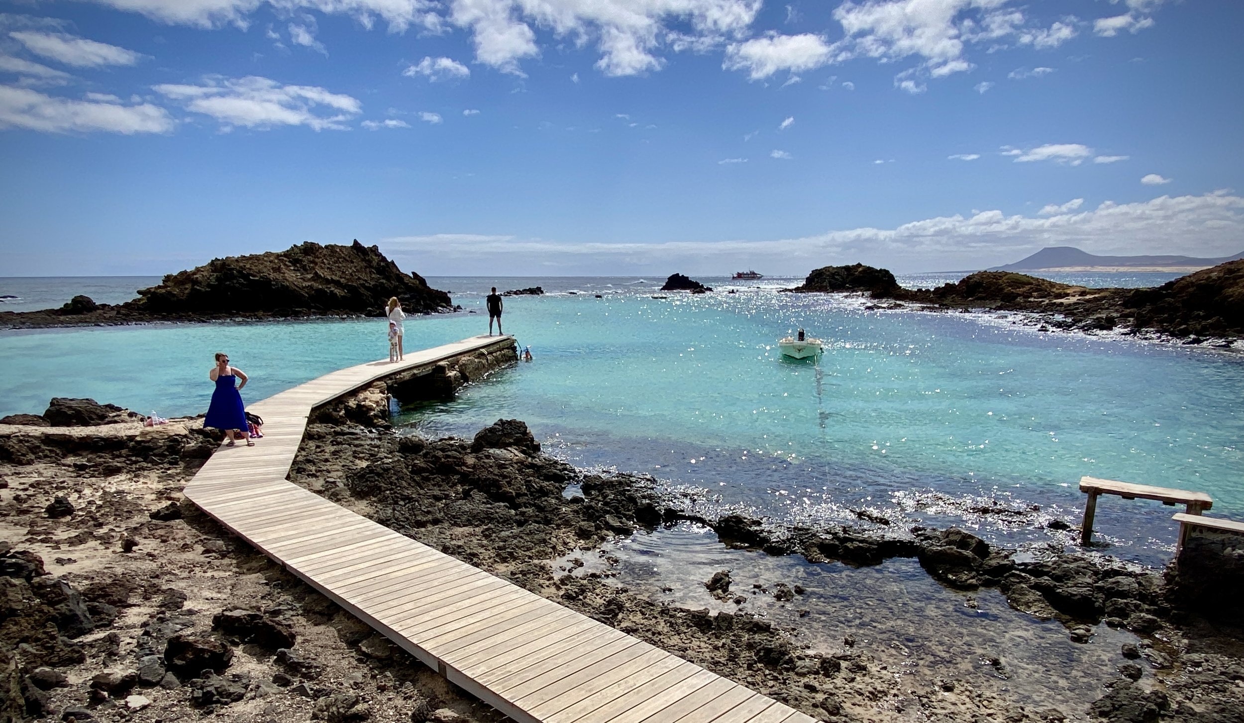
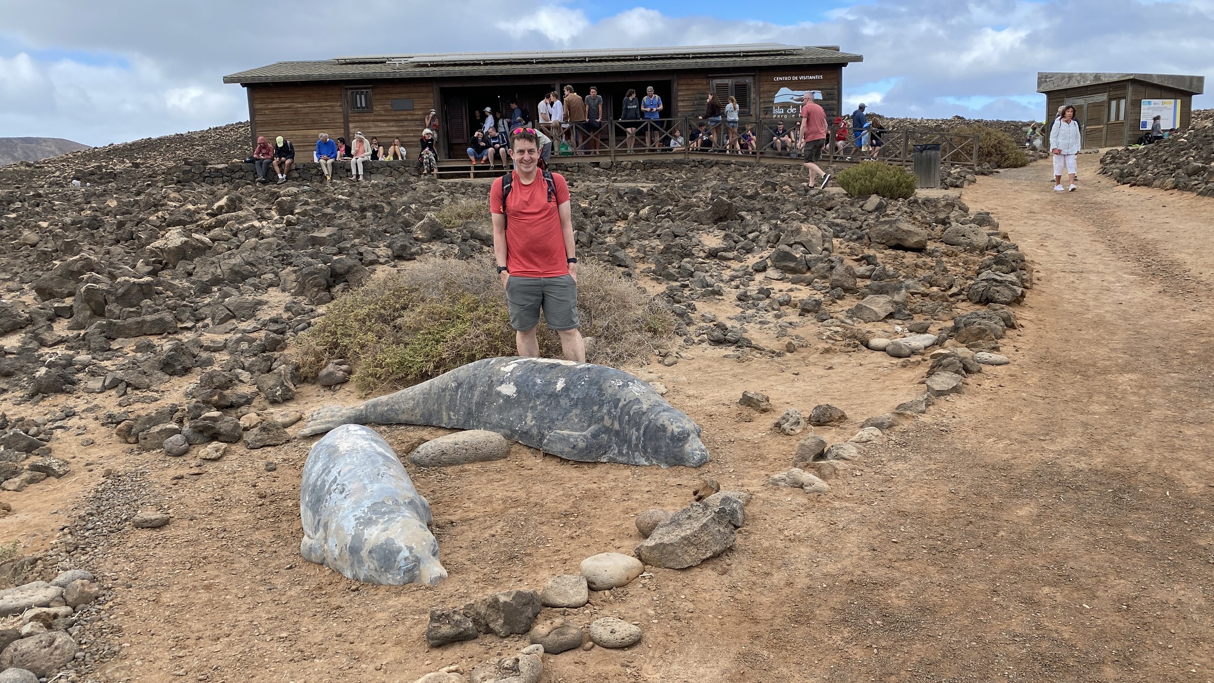
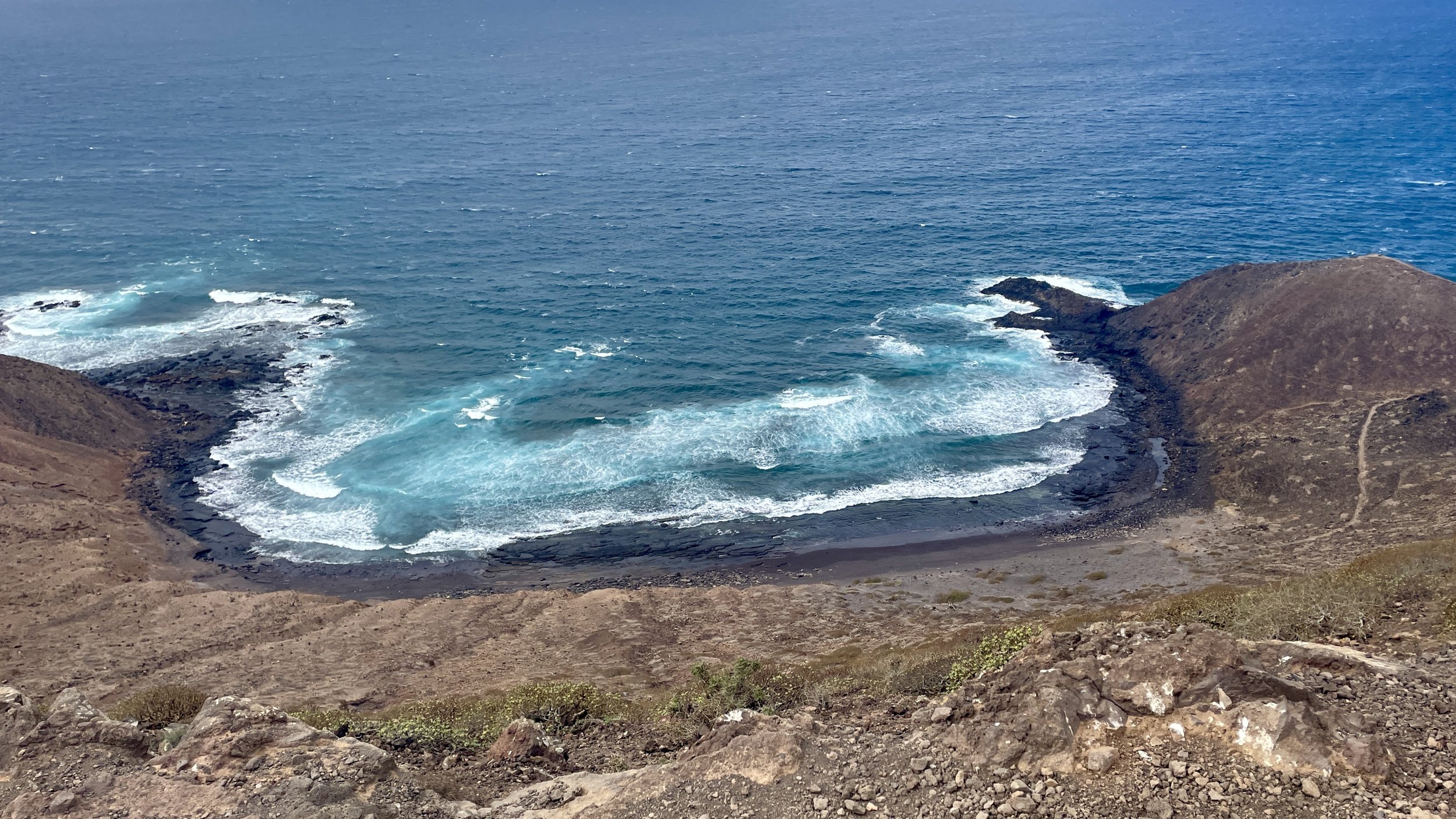
A few minutes later east of the ferry pier is El Puertito where there’s a pretty bay and a restaurant. We passed through it quickly as it was already crowded. From there we took a side route from the main path that takes in Las Lagunitas.
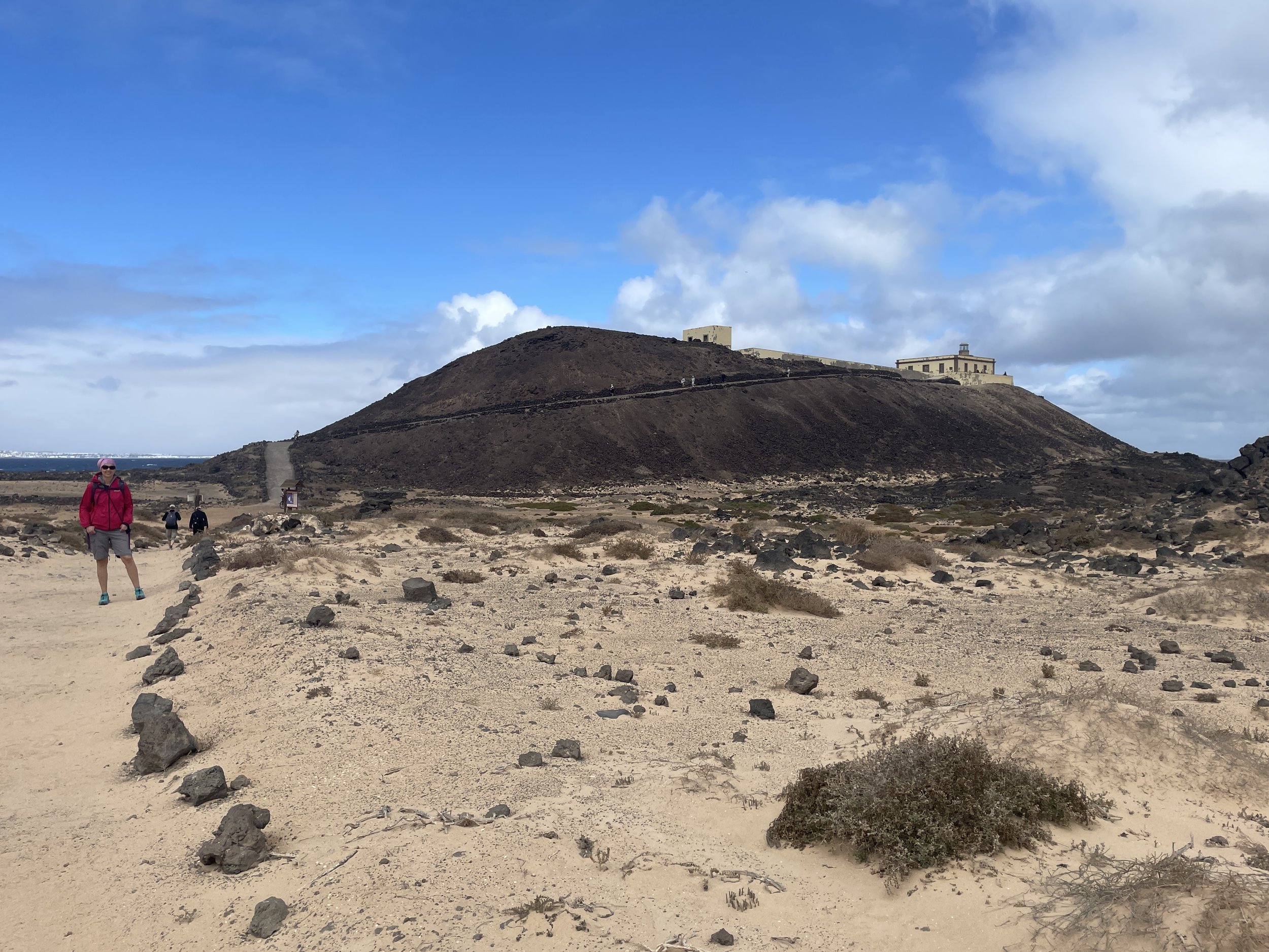
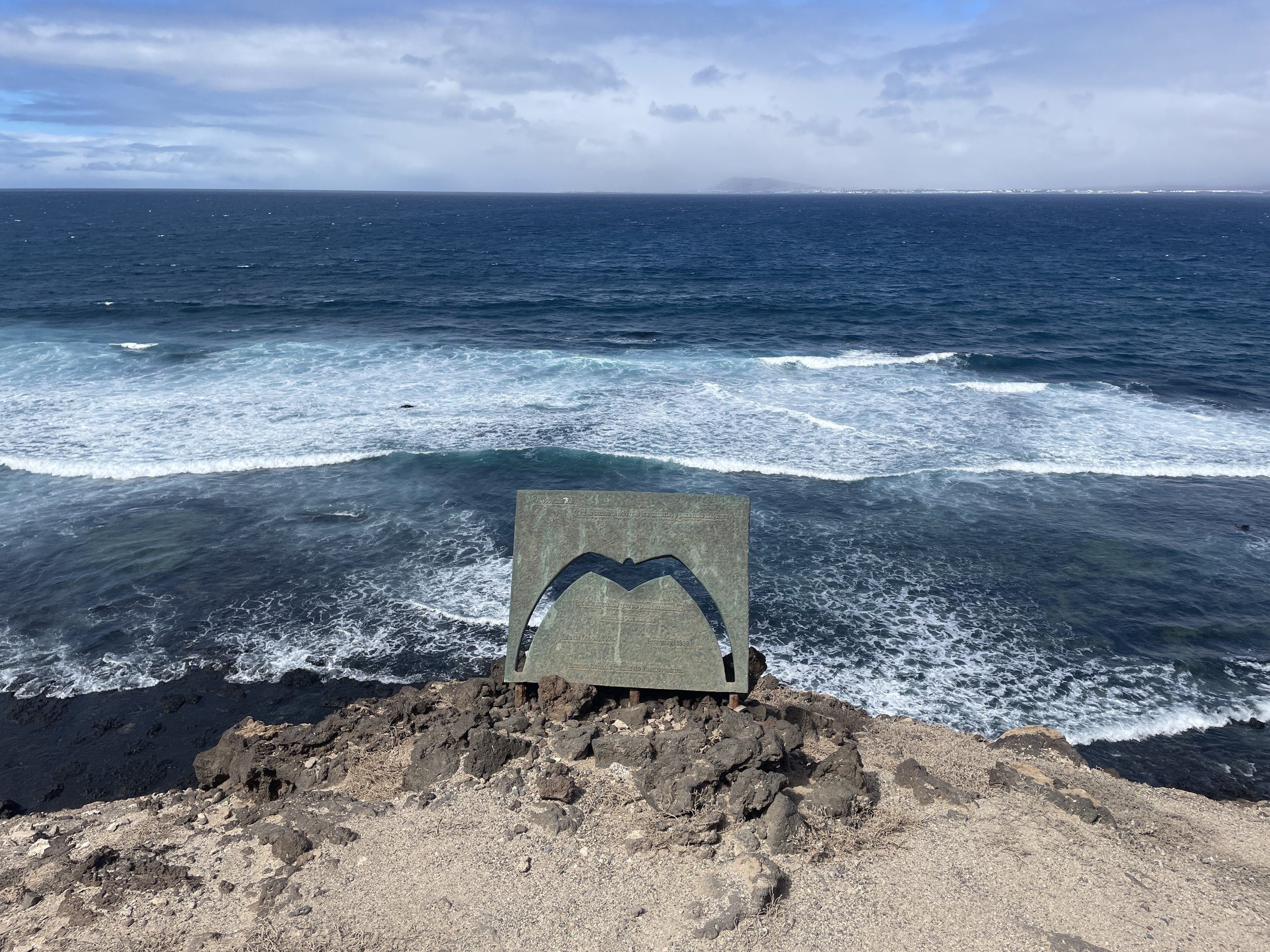
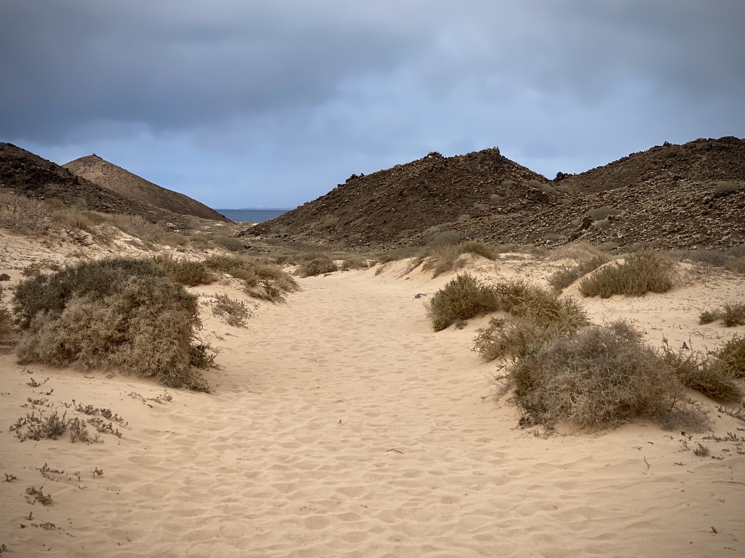
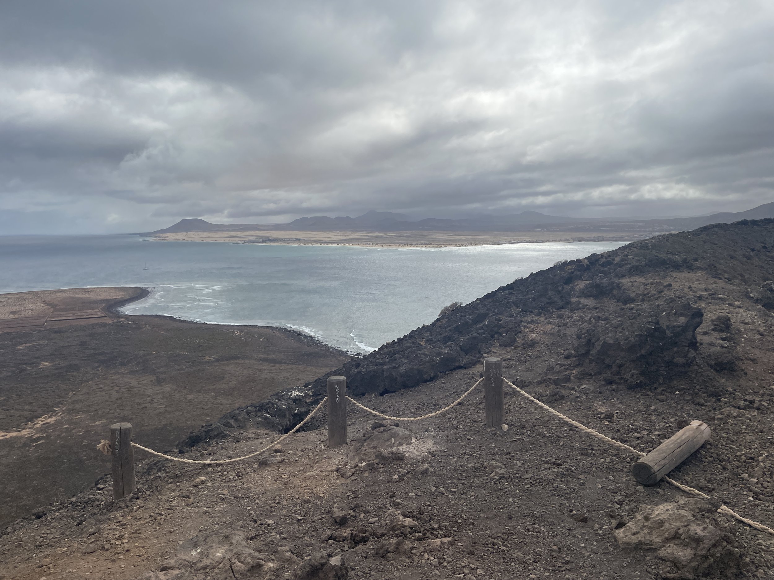
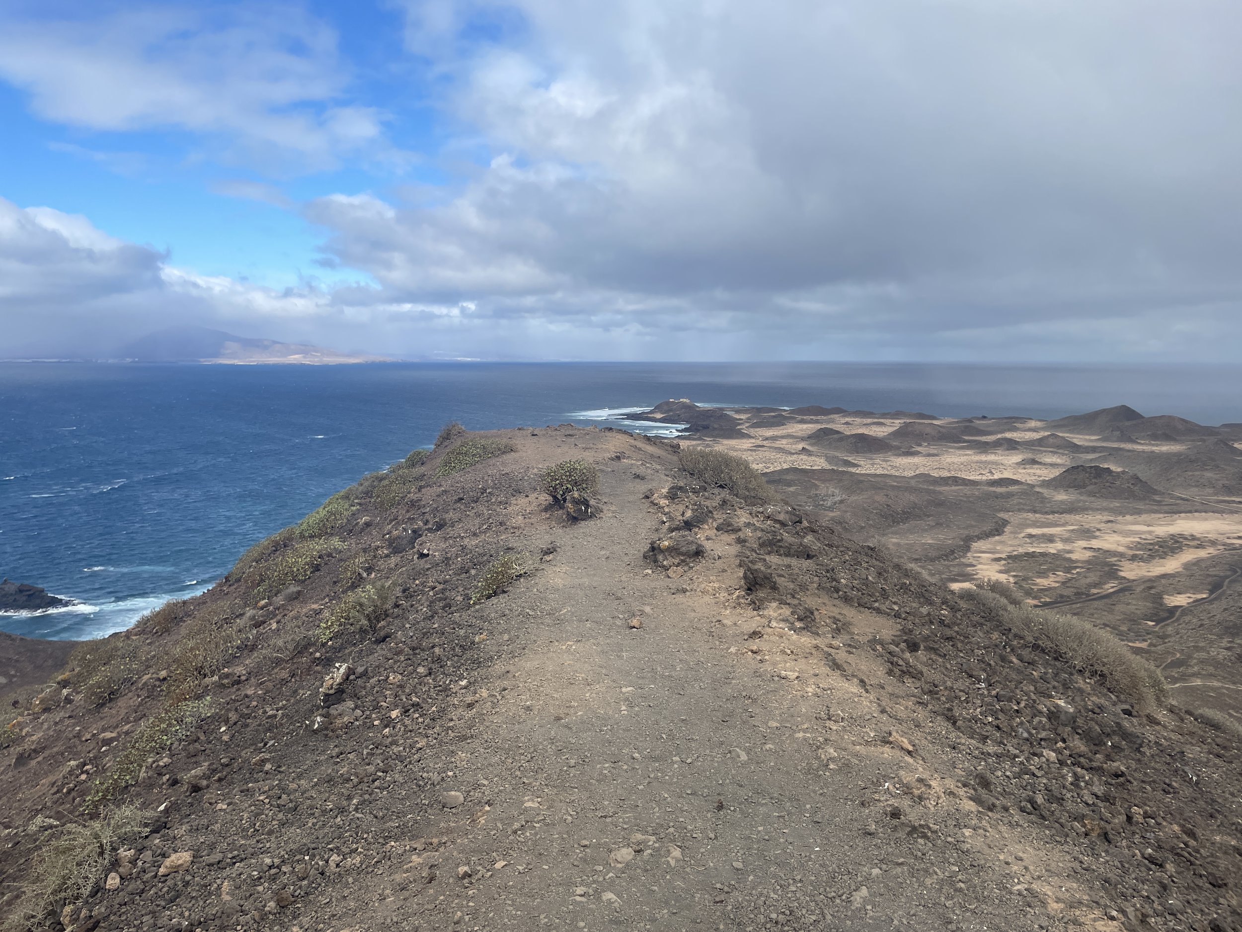
The paths around the island are well maintained and mostly flat. When you get to the lighthouse be prepared for a short climb up the hill. You’re now roughly half way into the walk and a good place for photos and a rest.
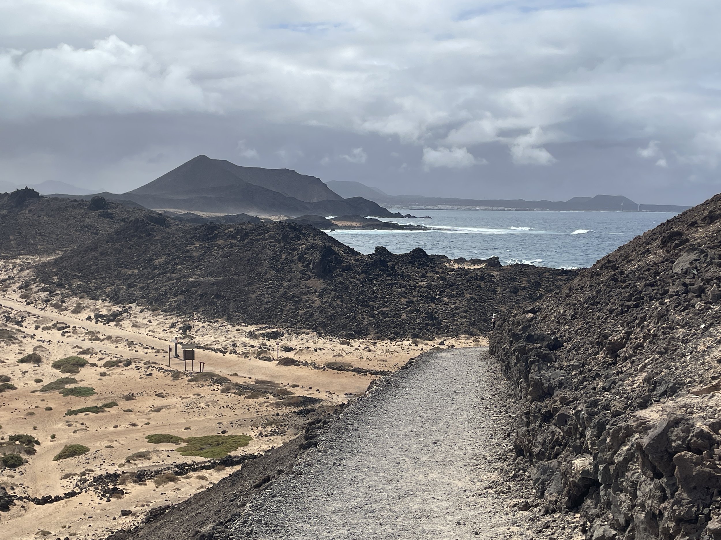
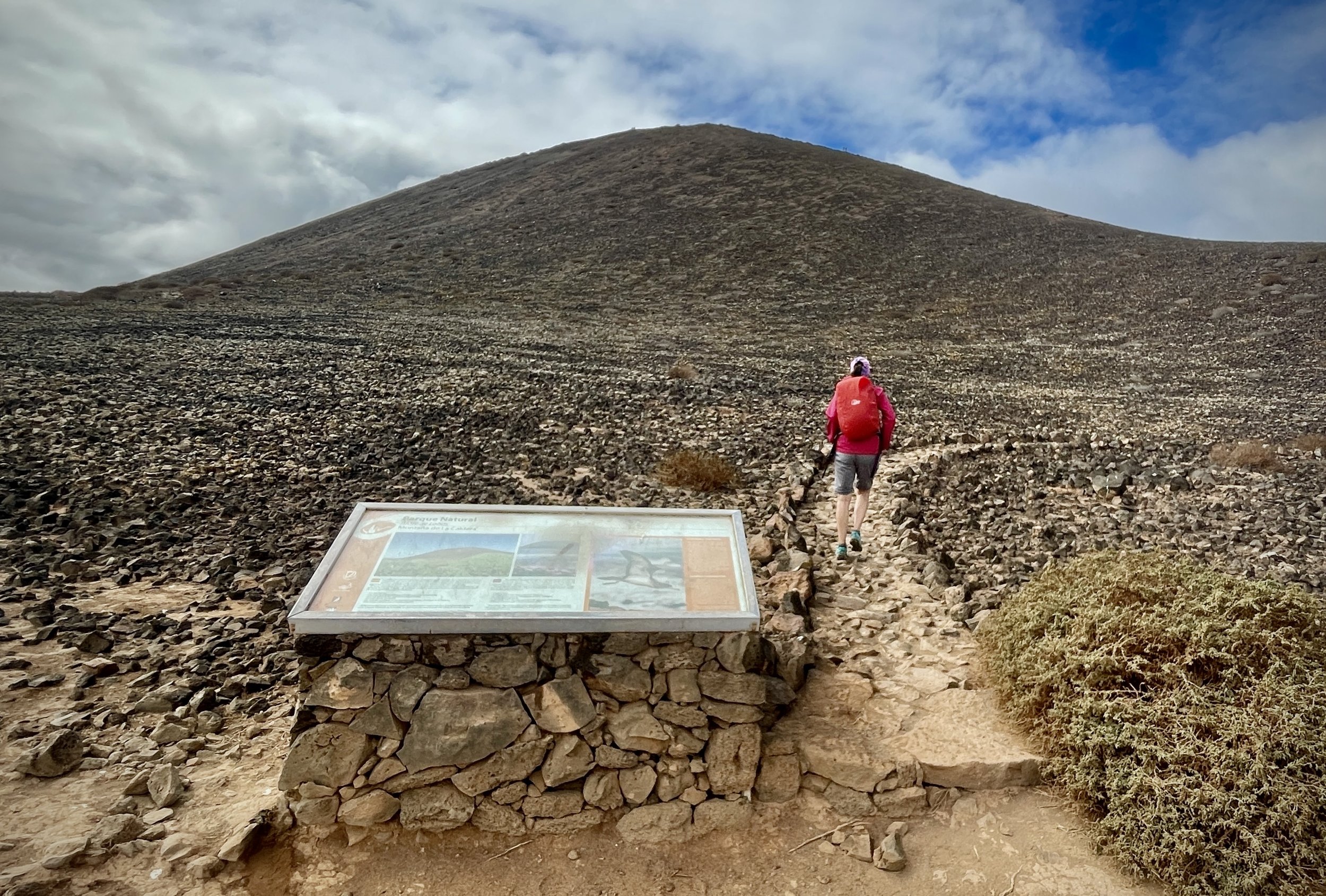
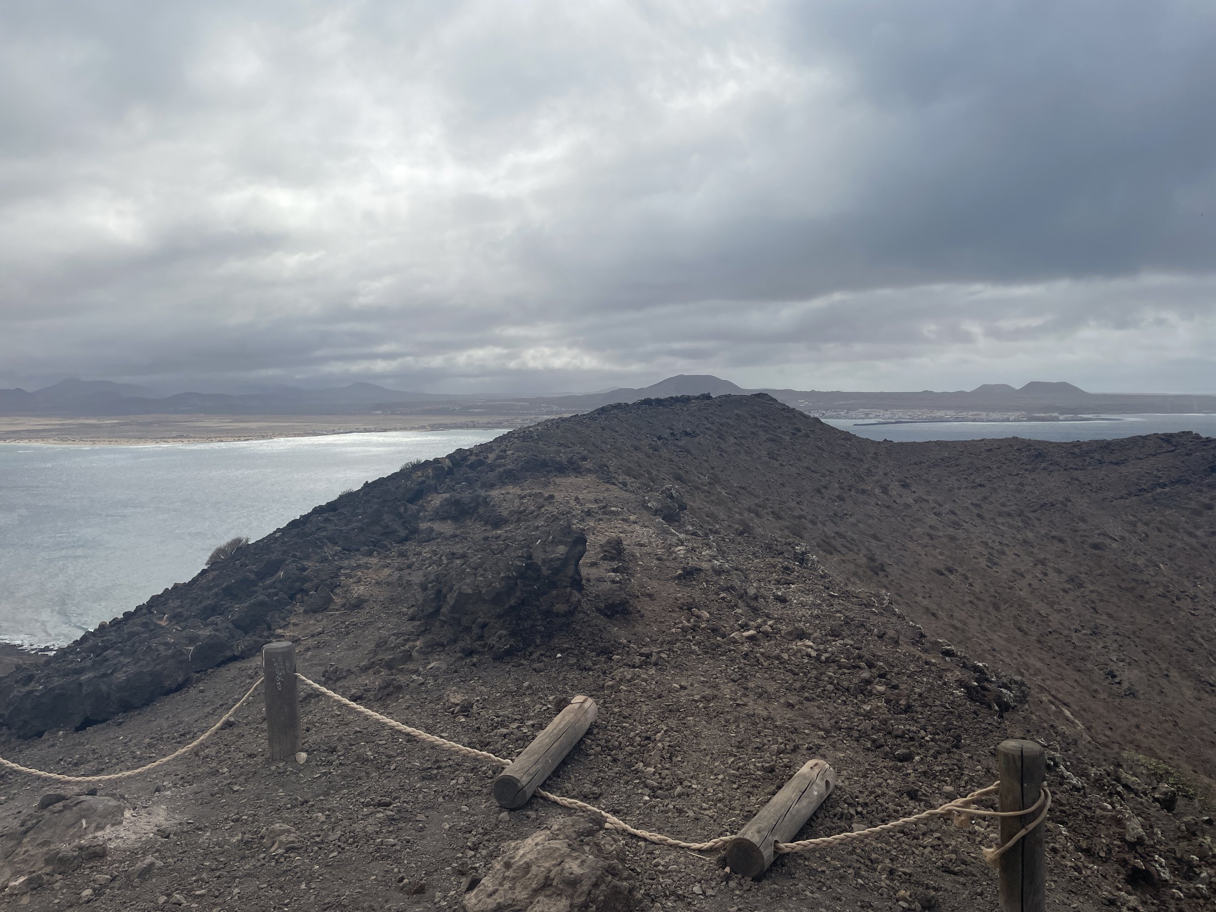
After the lighthouse return to the base and take the right hand path, now on GR131. After 3.5 km you’ll reach the spur to climb the hill to the high point. If you don’t fancy it you can carry straight on back to the ferry pier.
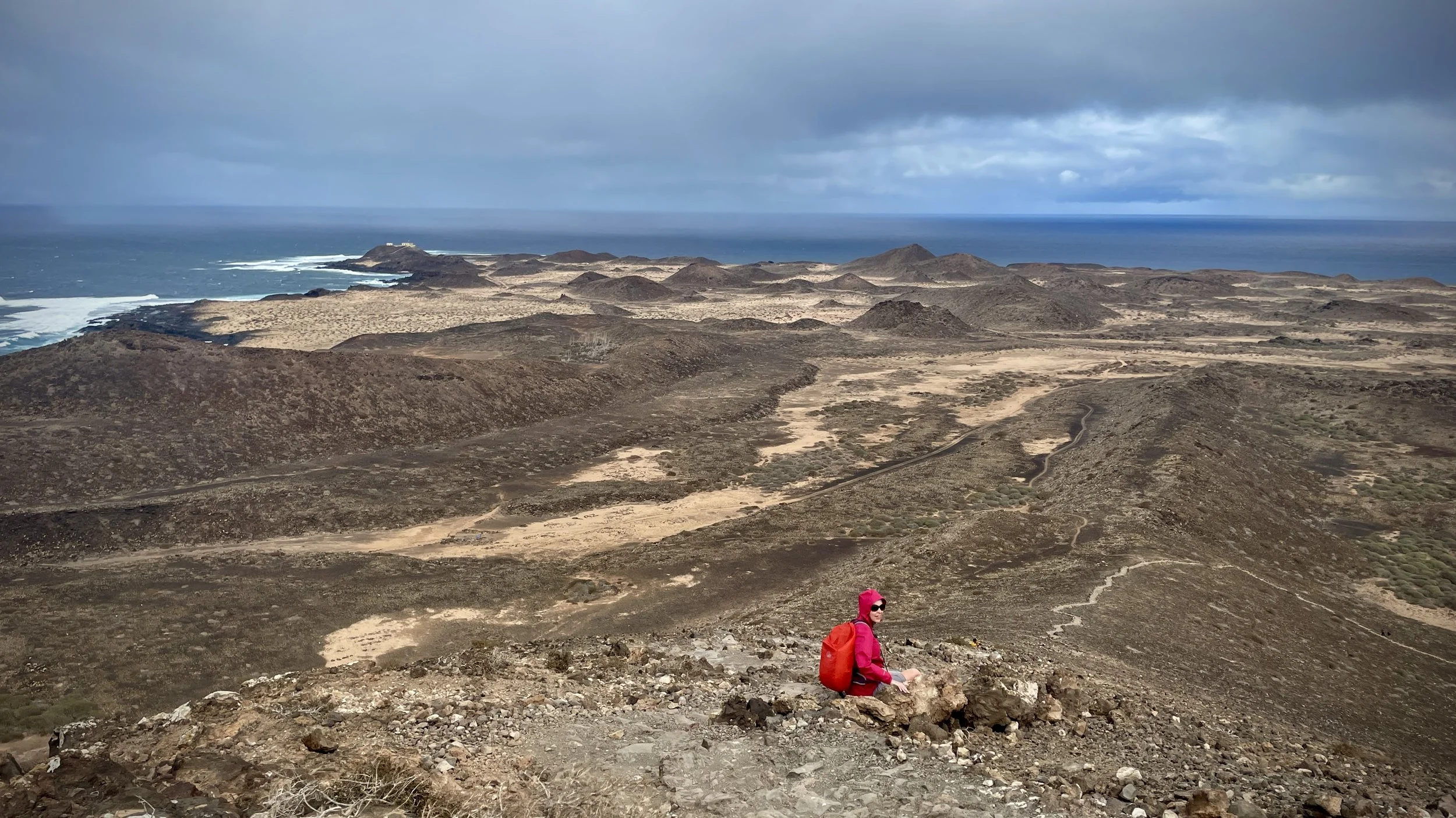
The weather had changed for the second half of our walk and we had some light rain on the approach. As we started ascending the rain stopped and some heavy wind started. Timea got to around 100m of elevation and decided that was enough for her as she didn’t want to be blown off back to the mainland.
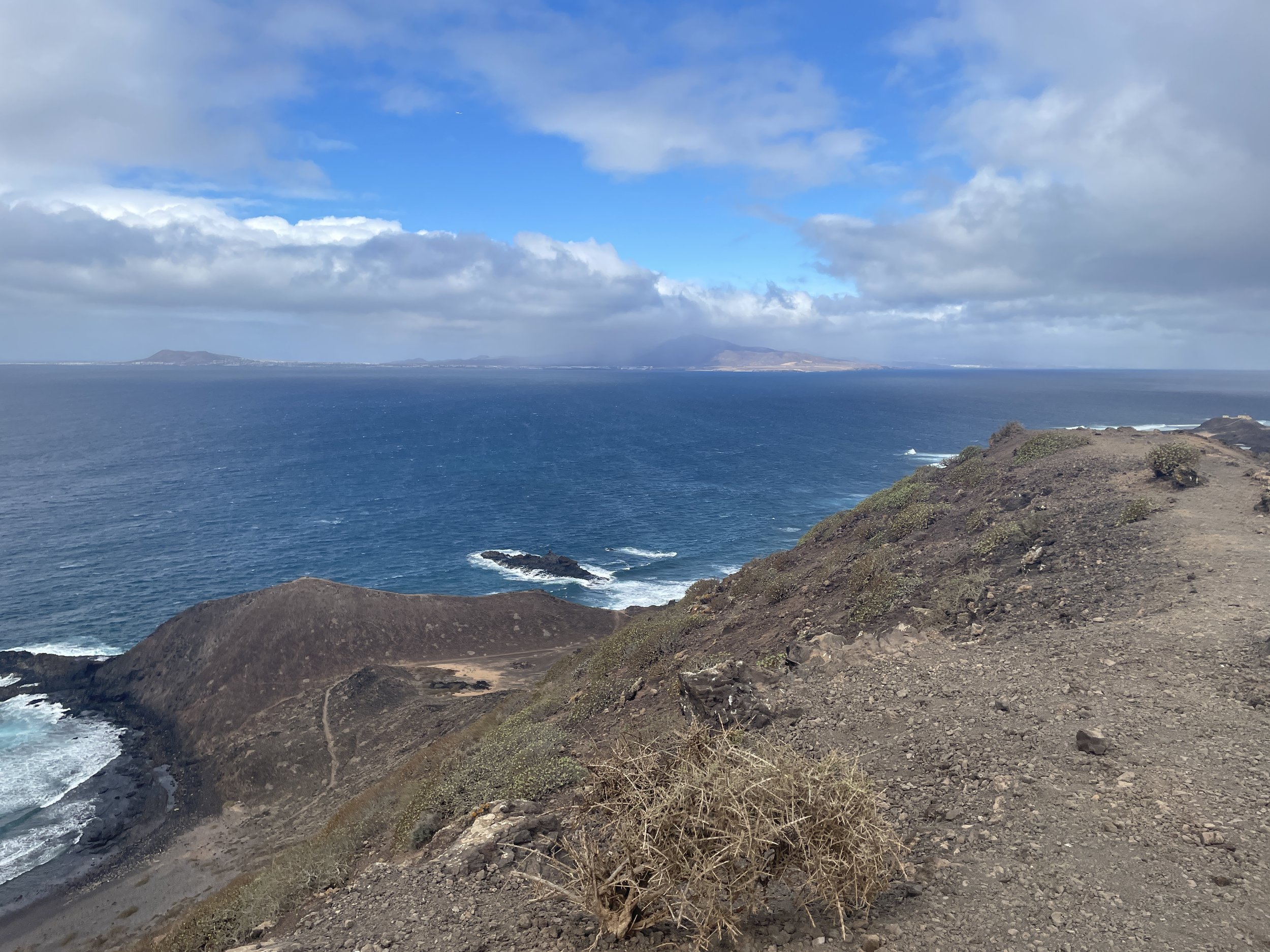
I continued the remaining 10 mins to the summit to reach the Trig Pillar, get a few photos and tried not to be blown off. Even that day there were great views to both Fuerteventura and Lanzarote but I didn’t hang around for long to admire them.
From the path junction to the Montaña it’s another 20 minutes walk back to the ferry pier.
With a new island and a high point bagged I was now happy to head back to the hotel to relax for the rest of the trip.
The Hike
Start / Finish: Lobos Island Ferry Pier
Distance: 9.9 km (6.1 miles)
Elevation Change: +/- 128m
GPX File: get via Buy Me a Coffee
Other Routes Touched (walk): GR131 Camino Natural de Fuerteventura
Cafe / pub on route: Chiringuito Lobos Antoñito El Farero, 600m from the Ferry Pier
Guidebook: Walking on Lanzarote and Fuerteventura (Cicerone)
Links: Fuerteventura, Corralejo, Lobos Island

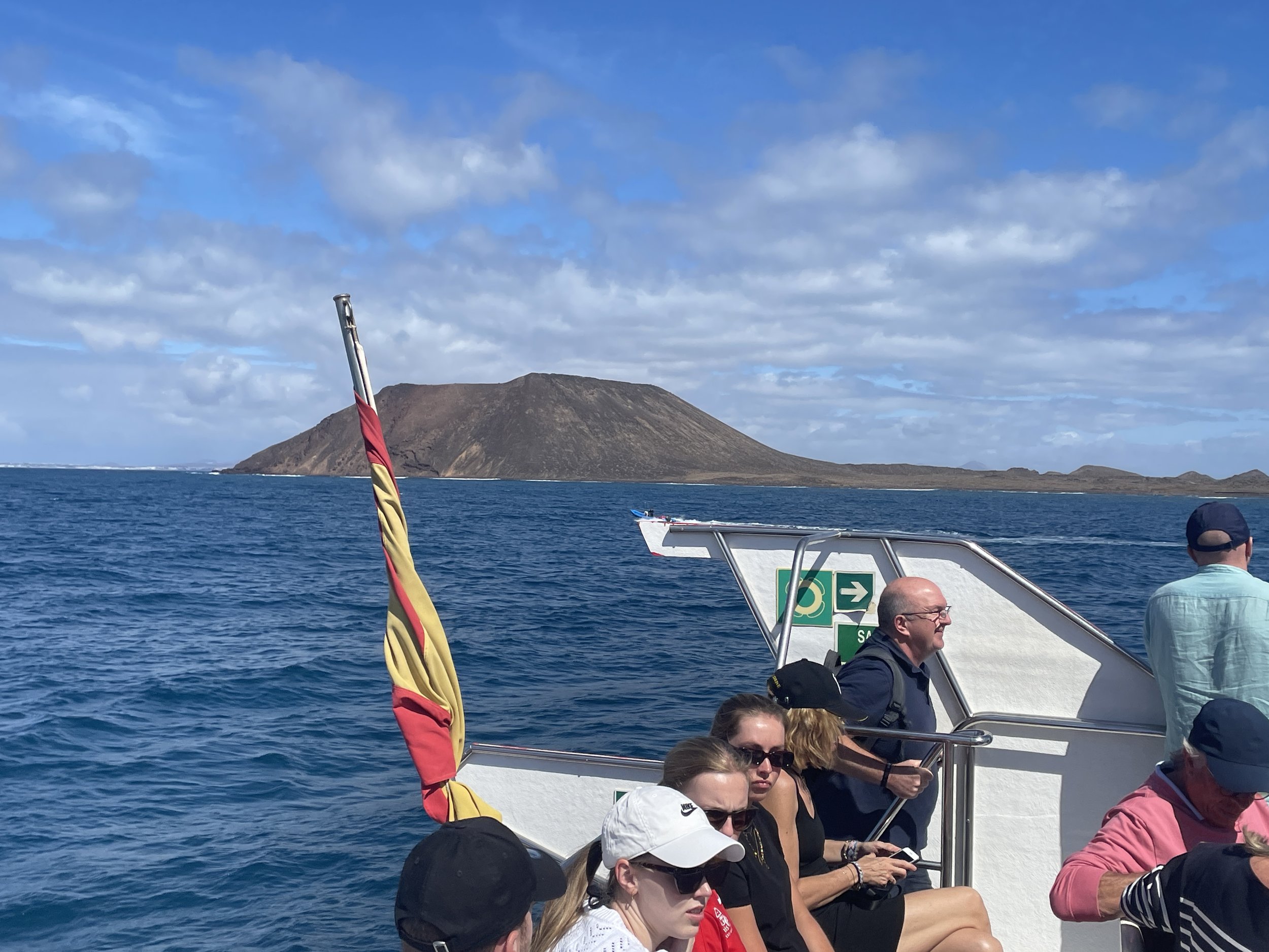


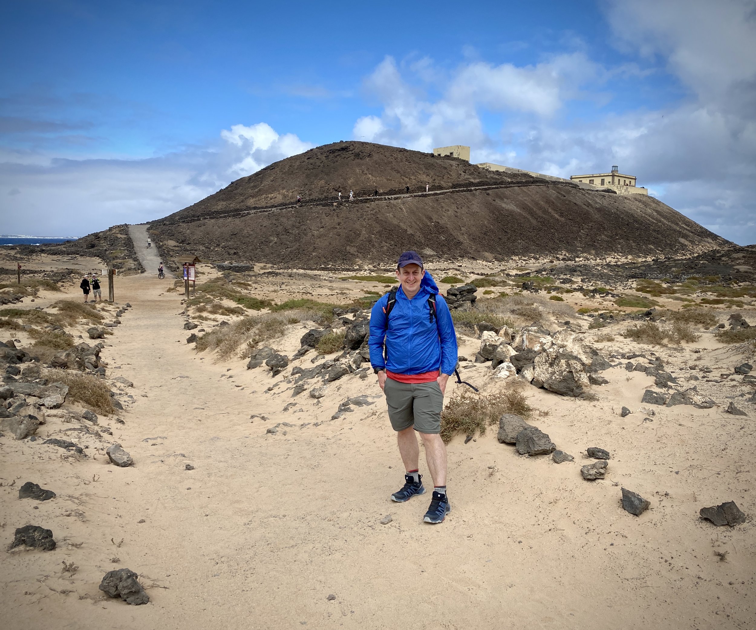

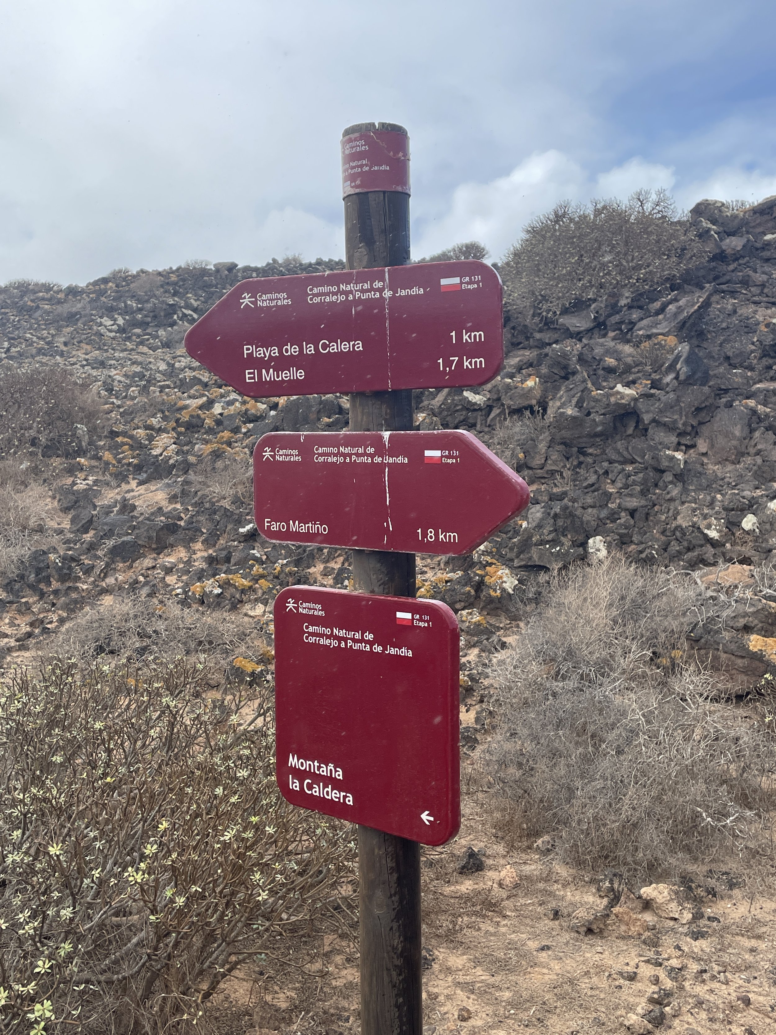
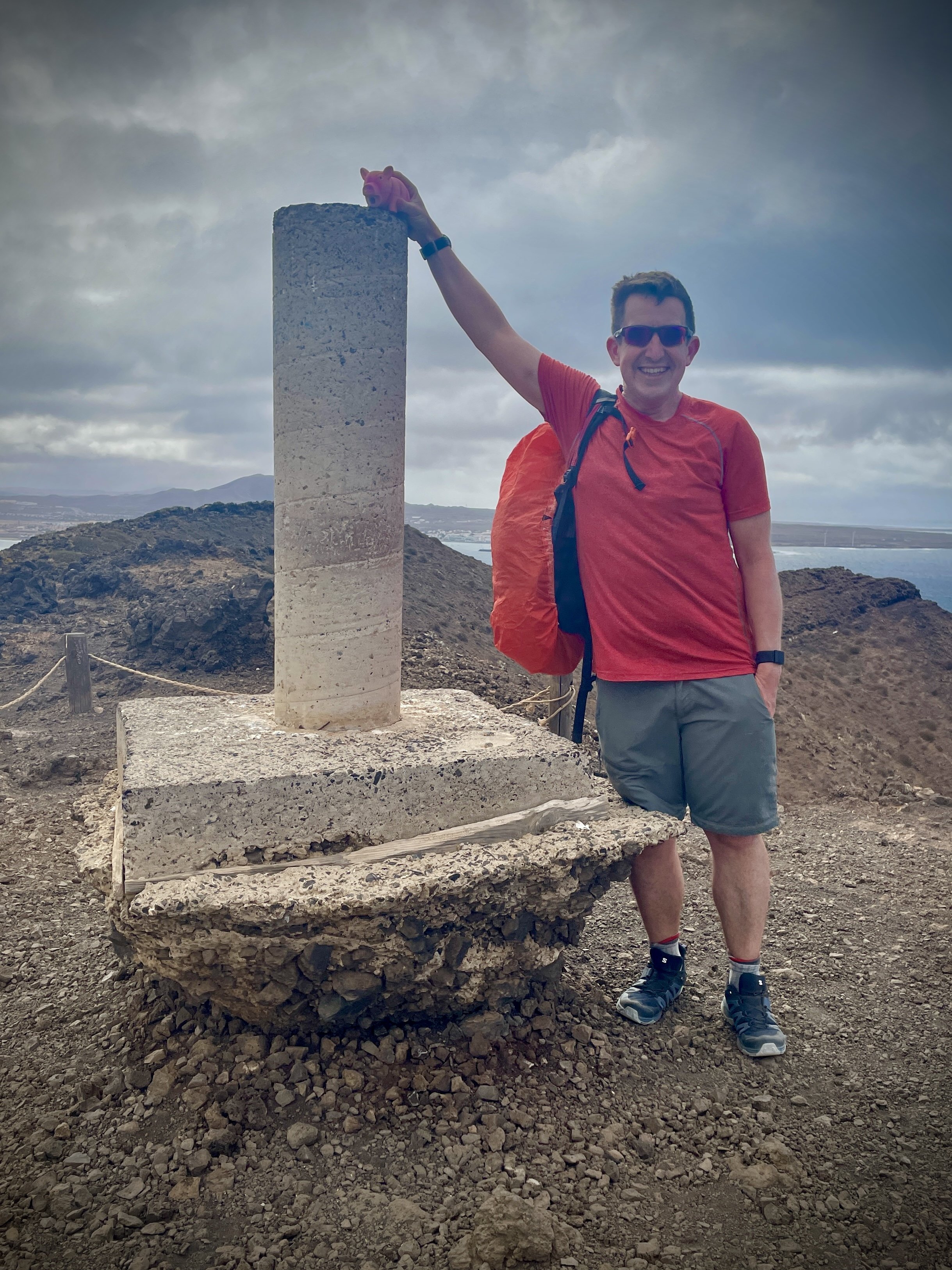
Montaña La Caldera
Also known as: Caldera de Lobos
Significance: Highest point on Isla de Lobos
Elevation: 127m (although listed as 124m on Peakbagger)
Date “climbed”: February 23rd 2024
Coordinates: 28° 45' 6'' N, 13° 49' 49'' W
Links: Peakbagger
Isla de Lobos from above