Posts tagged Spain
Isla de Lobos, Fuerteventura

Punta Martiño Lighthouse on the northern tip of the island


The Canary Islands are a regular choice for us to spend our end-of-winter holidays. They’re always warm in February and, at 4 hours flight time, they’re about as far as we want to travel for a one week trip.

Our goal for these trips is always resting over adventure and I’ve learned not to get over-excited about ticking off everything on the islands. We’ve missed most of the highest points either due to weather or length of walk. Due to this we’ve managed to successfully miss the highest points on Tenerife, Lanzarote and La Gomera. We did manage to get to the Gran Canaria summit although that’s only the highest accessible point very close to the actual high point.

So, on our week in Fuerteventura I had written off the high point even before we left the UK. Pico de la Zarza is not a very difficult hike but it was too long and too hot for our relaxing break. I added it to the list of the other Canary High Points to cover later on a different type of trip at at a different time of year.

My need for high point bagging ended up being satisfied by a trip to a small island just off the north coast of Fuerteventura. Isla de Lobos is a 5k / 15 minute ferry ride from Corralejo harbour. It has well-marked hiking trails totaling 10k and an out-and-back ascent of Montaña La Caldera.

We took the 12:30 foot ferry run by Naviera Nortour. By the time all the tourists had stopped their faffing on and off the boat it was 13:00 before we started the hike. This gave us a full 3 hours on the island before needing to be back at 16:00 for the 16:15 return ferry.

We had read on other blogs that the 10k circuit takes 2 and a quarter hours to complete. That would be a very fast pace, especially if including the high point. We walked at a steady pace, stopped for lunch 15 minutes at the lighthouse and took the full 3 hours.

We took the anticlockwise route having seen a recommendation in another blog post that this would be the less popular route. Everyone with us that day must have read the same post as most people were going the same was as us.

A few minutes later east of the ferry pier is El Puertito where there’s a pretty bay and a restaurant. We passed through it quickly as it was already crowded. From there we took a side route from the main path that takes in Las Lagunitas.

The paths around the island are well maintained and mostly flat. When you get to the lighthouse be prepared for a short climb up the hill. You’re now roughly half way into the walk and a good place for photos and a rest.

After the lighthouse return to the base and take the right hand path, now on GR131. After 3.5 km you’ll reach the spur to climb the hill to the high point. If you don’t fancy it you can carry straight on back to the ferry pier.

The weather had changed for the second half of our walk and we had some light rain on the approach. As we started ascending the rain stopped and some heavy wind started. Timea got to around 100m of elevation and decided that was enough for her as she didn’t want to be blown off back to the mainland.

I continued the remaining 10 mins to the summit to reach the Trig Pillar, get a few photos and tried not to be blown off. Even that day there were great views to both Fuerteventura and Lanzarote but I didn’t hang around for long to admire them.

From the path junction to the Montaña it’s another 20 minutes walk back to the ferry pier.

With a new island and a high point bagged I was now happy to head back to the hotel to relax for the rest of the trip.


The Hike

Start / Finish: Lobos Island Ferry Pier
Distance:
9.9 km (6.1 miles)
Elevation Change: +/- 128m
GPX File: get via Buy Me a Coffee
Other Routes Touched (walk): GR131 Camino Natural de Fuerteventura
Cafe / pub on route: Chiringuito Lobos Antoñito El Farero, 600m from the Ferry Pier
Guidebook: Walking on Lanzarote and Fuerteventura (Cicerone)
Links: Fuerteventura, Corralejo, Lobos Island


Montaña La Caldera

Also known as: Caldera de Lobos
Significance:
Highest point on Isla de Lobos
Elevation: 127m (although listed as 124m on Peakbagger)
Date “climbed”: February 23rd 2024
Coordinates: 28° 45' 6'' N, 13° 49' 49'' W
Links: Peakbagger


Isla de Lobos from above


El Toro - Menorca Island High Point

View to the north from El Toro


Significance: High point of the island of Menorca
Elevation: 358m
Date climbed: 6th May 2023
Coordinates: 39° 59' 6'' N, 4° 6' 48'' E
Links: Wikipedia, Peakbagger

Bagging Menorca’s high point is very easy. There’s a wide well-maintained road from Es Mercadal and a large car-park at the top near the high point. Although it’s a low elevation as high-points go, the whole island is pretty flat so you get great views from the top, including the other Balearic Islands of Mallorca and Ibiza.

The name El Toro means "the bull" in Catalan and the mountain is said to have been named after a bull that was killed by a hunter in the 13th century. Other than the views you’ll also find the Sanctuary of the Verge del Toro (built in the 17th century) a cafe and souvenir shop, a large statue of Jesus and a lot of communications masts.


Gran Canaria: Then and Now

Five years ago Timea and I visited Tenerife for our February end-of-winter getaway. One of the highlights was recreating some of the old photos from when I used to visit there with my family when I was growing up. Here’s the results. Five years later we booked Gran Canaria for our winter break and decided to do the same.

We went to Tenerife a lot as a family in the ‘80s as my parents shared an apartment there with my dad’s business partner and his family. We only went to Gran Canaria once and I’m guessing that it was 1983 when I was 7, going on 8. That would put it at exactly 40 years before I returned with Timea. I only had one memory of the inside of the hotel that we stayed in, plus a small collections of scanned in photos.


Flight to Gran Canaria

1983: Small boy, big window

2023: Big boy, small window


Hotel Paraiso Maspalomas

Coming back to Maspalomas after 40 years I assumed that the hotel that we stayed in might not still be there. As it turned out there’s a lot of very old hotels in the resort, mixed with some very modern luxury ones. After having a walk down the sea-front and not finding it, we decided to ask one of the older gentlemen who worked on reception at the hotel where we were staying. As it turned out he knew it well and actually worked there in the ‘80s, maybe at the time I was there before. He pin pointed it on a map for us and we visited there a few days later.

When we drove towards it the white and yellow curved balconies were obvious. Very little had changed since 1983 and much of the décor probably hasn’t been updated since then. The major difference is that it’s now a private apartment block rather than a hotel.

1983: View to the hotel rooms from the pool

2023: Same view. Rooms are now private apartments

1983: Dad looking out to the pool bar from our hotel room

2023: Pointing at the approximate location of the original room

1983: The big atrium inside the hotel

2023

1983: Me and Lisa (sister) in the atrium

2023

1983: In the pool

2023: Slightly pained expression due to sun in my eyes

1983: Me and dad in the pool

2023

1983: Me with my Nintendo Game and Watch. Likely Super Mario Bros. and Donkey Kong

2023: Nintendo replaced by iPhone. You can’t see it but I have the original photo (left) on the iPhone screen

1983: The water slide between the pools

2023: Slides barred off, presumably due to a health and safety incident


Barranco de Guayadeque

Apart from the hotel the other batch of old photos that I had were from a ravine where we went on a donkey safari. The only clue that I had was one photo displaying a sign for Bar Vega. I looked it up on Google Maps and it’s still there, although now called Restaurante Vega. The roads have had an upgrade in the past 40 years and it now takes only 35 minutes to get there from Maspalomas.

The ravine is famous for its cave dwellings where people have lived in the rocks for 100s of years. As we drove up the ravine road I remembered walking along a path past some of the cave houses. The road is only passable to tourist traffic until the restaurants, after which it continues as a narrower local road further up into the mountains.

Our first stop was Bar Vega where we easily found the spot from the original photo. We stayed there for lunch and showed the hold photos to the son of the owner. They told us that the other bar photos that we had were from the Restaurant La Era next door so we visited that too. The owner of La Era was very excited to see the old photos as asked to send her copied. She also told us about the Donkey Safari which we did in the ‘80s but no no longer operates.

1983: Bar Vega overlooking the Barranco (ravine) de Guyadeque

2023: Same view, same bar

1983: Restaurante La Era, next to Bar Vega

2023: Restaurante La Era. Original table and music area is now a bar

1983: Restaurante La Era overlooking the ravine

2023: Same spot - notice the stone pillar behind me

1983: overlooking the terraces just down the hill from the restaurants

2023: Old stone wall replace by a fence


Here’s a great clip from the 1980s travel show Wish You Were Here? featuring Playa del Ingles. I remember watching this show when I was growing up and it’s likely that we would have seen this clip before we went to Gran Canaria in 1983.

Playa del Ingles is the older part of a now continuous resort that includes the towns of San Agustín, San Fernando and Meloneras and is most commonly referred to as Maspalomas. For our return trip in 2023 we stayed in a newer hotel near the Dunes. We walked the 2 km to the centre of Playa del Ingles to find it looking much the same as in the Wish You Were Here? clip. The old hotels and bars are still there and still as tacky as you’d expect.

Don’t get put off though as the newer developments to the west are much nicer. We’re definitely not into beach holidays but found Maspolomas to be a great location for exploring the island by car. You can access most of the island within an hour’s drive.


Roque Nublo and Pico de las Nieves, Gran Canaria

Ascent to Roque Nublo from La Goleta


While we were in Gran Canaria for a short winter break we escaped the coast for a day to head into the mountains. Our main destination was the high-point of the island, but there’s a lot of interesting places to stop along the way. As Camino enthusiasts we would have loved to have walked the 67 km Camino de Gran Canaria from Maspolomas to Galdar, but this was a relaxing holiday rather than an adventure. We got to see some of the Camino though as the road to the island high-point runs parallel to the southern half of the walking route. The Camino starts at the Faro (lighthouse) in Meloneras on the western side of Maspolomas and we had already visited it after a walk across the dunes on our first day.

For our roadtrip to the high-point we took the GC-60 north out of Maspolomas. There’s a few interesting places to stop along the way:

  • Mirador Astronómico de la Degollada de las Yeguas. 12km out from Maspolomas, this is a viewpoint with amazing view both back to the coast and of the Barranco de Fataga. It is situated at an altitude of 1,480 meters, making it one of the best places on the island to observe the stars and the night sky.

  • Necrópolis de Arteara. 16km out from Maspolomas, this is an ancient burial site considered one of the most important pre-Hispanic archaeological sites in the Canary Islands. The site consists of over 900 tombs that were used by the Guanches, the aboriginal people of the Canary Islands. The tombs are arranged in a circular pattern and are made of stone slabs and boulders.

  • San Bartolomé de Tirajana. 16km out from Maspolomas, this is a pretty village in the mountains that’s a great place to stop for lunch on the trip. Don’t miss the Tunte Catholic Church (Iglesia San Bartolomé), a natural stop on the Camino route.


Roque Nublo

Start / Finish: Roque Nublo Trailhead, GC-600, 35299 San Bartolomé de Tirajana, Las Palmas
Distance:
3.1 km (1.9 miles)
Elevation Change: +/- 151m
GPX File: get via Buy Me a Coffee
Other Routes Touched (walk): Route is along the S-70. Crosses the S-51 at the trailhead
Cafe / pub on route: Food van at trailhead by the road.
Map: Gran Canaria Tour and Trail Super-Durable Map
Guidebook: Walking on Gran Canaria: 45 day walks including five days on the GR131 coast-to-coast route (Cicerone Walking Guides)
Links: Roque Nublo, Tejeda

42 km out from Maspolomas, this is a famous volcanic rock formation located in the centre of the island. It stands at an impressive height of 80 meters and is a popular attraction for visitors to the island. Roque Nublo is a volcanic formation that dates back millions of years and is considered a sacred site by the aboriginal people of the Canary Islands, the Guanches.

The top Roque Nublo is the third altitude of the island of Gran Canaria, although accessing the summit requires rock climbing. For the rest of us the 2 mile oute-and-back walk from the parking spot on the GC600 is spectacular enough.


Pico de las Nieves

Also known as: Los Pechos
Significance:
2nd highest peak on Gran Canaria
Elevation: 1,951m
Date “climbed”: 20th February 2023
Coordinates: 27° 57' 43'' N, 15° 34' 18'' W

Start / Finish: Parking at Pico de los Pozos viewpoint, 35299 Gran Canaria
Distance:
0.1 km (0.1 miles)
Elevation Change: +/- 2m
GPX File: get via Buy Me a Coffee
Other Routes Touched (walk): S-20, S-37 and S-50
Cafe / pub on route: Food van in car-park.
Map: Gran Canaria Tour and Trail Super-Durable Map
Guidebook: Walking on Gran Canaria: 45 day walks including five days on the GR131 coast-to-coast route (Cicerone Walking Guides)
Links: Pico de las Nieves, Morro de la Agujereada, Province of Las Palmas, Peakbagger: Pico de las Nieves

50 km out from Maspolomas, Pico de las Nieves was the main attraction for our day in the mountains. The summit was considered the highest peak on the island, and it was the high point that I found on my initial research about the island. It’s actually the 2nd highest peak of Gran Canaria, behind the neighboring Morro de la Agujereada (at 1,956m).

You can access the summit as a quick drive-by as there’s a road to a car-park very close to the top. From the car-park it’s a short climb up some steps to the stone pillar that marks the summit.

When you look across to Morro de la Agujereada it’s a wonder how anyone would have thought that Pico de las Nieves was higher. As much as I would have loved to have summited the real high point, it’s another one, like Roque Nublo, for the rock climbers.


To return to Maspolomas by car from Pico de las Nieves, continue east along the GC-130 then take the GC-120 from Cazadores towards the Airport. Take the GC-1 south to Maspolomas. Total driving time approx 1 hour.


Walking The Old Postman's Route, Mallorca

View to the northern coast from the descent to Banyalbufar


Start: Sant Pere d'Esporles, Carrer de sa Rectoria, 1A, 07190 Esporles
Finish
: Santa Maria de Banyalbufar, Plaça de la Vila, 2A, 07191 Banyalbufar
Distance: 7.6 km (4.7 miles)
Elevation change: + 273m / - 358m. Net -85m
GPX File: get via Buy Me a Coffee
Other routes touched (walk): GR 221 Ruta de Pedra en Sec
Pubs / Cafes on route: Several at start and end in Esporles and Banyalbufar. Cafeteria de La Granja d’Esporles at 1.5km (just off route)
Links: Esporles, La Granja, Banyalbufar, Old Postman’s Route: Mallorca Hiking / Estilo Palma Magazine, GR 221 Ruta de Pedra en Sec


The Old Postman’s Route is a popular section of the GR221 walking trail in the Tramuntana mountains. It runs from Banyalbufar on the coast to Esporles in the interior and follows the mail route between the 2 towns. We chose to do the Esporles to Banyalbufar direction to end at the coast.

I found the Old Postman’s Route when searching for a short interesting hike to do as a part of a non-walking holiday in Mallorca. I usually prioritise finding a walk to an island high point, but Mallorca’s one is a military zone with few walking options. Instead I found this short route in the Tramuntana Mountains that turned out to the the highlight of our trip.

We had a rental car for the week and drove to the end point at Banyalbufar hoping to take a taxi to the start at Esporles. It turned out that there were no taxis in town but there’s a bus from Palma the connects both towns. This is also a good option if you don’t have a car. The bus isn’t very frequent but fortunately it was picking up from Banyalbufar shortly after we arrived.

The start point of the trail is a short walk along the main street from the bus stop in Esporles. You’ll pass several cafes on the street, all of which were packed out with an unusual combination of cyclists and dog walkers. When you get to the church of Santa Maria de Banyalbufar you’re at the start of the trail.

This is actually part of a much longer trail along the Tramuntana Mountains called the Dry Stone Route (GR 221 Ruta de Pedra en Sec). If the short Postman’s Route section is representative, then it will be a very impressive trail and definitely one that I’d love to return for other sections.

Once on the Postman’s Route, you’ll find it very well sign-posted and difficult to lose your way. It’s rocky and steep in sections but not overly challenging for regular walkers. Your main consideration should be taking enough water as there’s no cafes after La Granja.

The route is stunning and on a clear day you get glimpses of the mountains and the seas in breaks in the tree line. Once on the descent to Banyalbufar you get great views of the town and coastline.

The route finishes at Banyalbufar Town Hall next to the Church of Santa Maria de Banyalbufar and, appropriately, the town’s post office. For an extra sense of completion you can continue for another 10 minutes to reach the sea.


Walking The Camino Finisterre
Finisterre

Finisterre


For the story so far, see Walking The Camino Inglés

We got up early to leave Santiago de Compostela. Unlike our first trip there were were not going home. This time we were about to start a new chapter of our second Camino adventure. We were starting the Camino Finisterre.

The Finisterre route is often done as an extension to one of the longer Caminos that end in Santiago. For many pilgrims the Camino is all about the journey rather than the destination. Santiago is a wonderful place with the cathedral as the natural end point. The end can often feel like it's come too quickly or can be an anticlimax. The solution to the problem of not wanting to finish is to continue. The Finisterre provides this solution taking you from the city to the coast at the "end of the world".

Our first day on the Finisterre was damp and cloudy. We followed the route west out of the city often looking back to see the cathedral spires staying on the horizon for any miles. Day 2 and 3, through Negreira to Oliviera via Santa Marina kept similar weather. It was a nice contrast to the baking heat of the Ingles week and added another point of difference to this trip.

Shortly after Oliviera on Day 4 the Camino Finisterre splits. Continuing south-west you'll take the direct route to Finisterre. Taking the north-west option, as we did, takes you to Muxia. From Muxia you can continue along the coast to Finisterre. We were in no rush to complete the journey and wanted to experience both destinations.

We weren't disappointed. The approach to Muxia follows a coastal path descending from the cliffs and along the beach. We spent a lovely, now sunny, afternoon exploring the town. From the seafood to the hill-top monument to the church at the end of he peninsular, we loved this town.

From Muxia, Finisterre is another 33km over 2 days to the south. Unlike most of the Camino trails, you'll meet pilgrims coming from the opposite direction. These are the ones that continued to Finisterre from Oliviera and have chosen Muxia as their final destination. There's fewer cafes and accommodation in this stretch so Lires is the obvious place to rest for the final stretch.

The final approach to the next of the world goes through Fistera town. We were staying the over night so we dropped off our bags to lighten the load for the last stretch. From Fistera, the route climbs up the eastern side of the hills to the iconic Faro de Finisterre. The 0km pillar is next to the lighthouse and beyond it the steep rocky cliffs to sit for an hour and contemplate the journey that's now ended.

On the beautiful clear day that we had it was hard to feel anything but satisfaction and wonder. Our first Camino, the Portuguese, was a deeper more spiritual journey for us. Despite not being religious, the cathedral in Santiago was a fitting end to that trip. The two weeks of our Inglés and Finisterre walk was different. We had fewer life decisions to make, fewer thoughts to process and the stress of the start of the journey had disappeared quickly. Instead we took in more of the changing landscape, enjoyed the towns and had fun together. For some, this wouldn't have been an "authentic" Camino. For us it was a different chapter in a Camino story that we'll come back to many times.

That next chapter would have to wait a while. In the winter that followed our return to the UK a pandemic would emerge that would change the world and put the brakes on many pilgrim journeys for a long time to come. We didn't stop walking though but stayed local and explored more near where we lived. We'll be back on the Camino one day though for the next chapter to be be written.


DAY 1: Santiago de Compostela To Negreira

Date: Saturday September 21st 2019
Start:
Cathedral of Santiago de Compostela, Praza do Obradoiro, s/n, 15704 Santiago de Compostela
Finish (Albergue):
Albergue El Carmen (Private Rooms also available), Rúa Carmen, 2, 15830 Negreira
Rest stops: Os Arcos, CP-7802, 15896 Santiago de Compostela / O km 79, Aldea Augapesada, 8, 15229 Ames / Restaurante Pontemaceira, Lugar Pontemaceira, 3 15870 Ames
Distance: 21.2 km / 13.3 miles
Elevation Change: +467m / -556m / Net -89m
GPX File: get via Buy Me a Coffee
Walking Time: 4 hours 40 minutes
Other Routes Touched: N/A


DAY 2: Negreira To Santa Marina

Date: Sunday September 22nd 2019
Start:
Albergue El Carmen, Rúa Carmen, 2, 15830 Negreira
Finish (Albergue):
Casa Pepa (Private Rooms also available), Lugar Santa Mariña, 4, 15256 Santa Marina
Rest stops: Albergue Cafetería Alto da Pena, Piaxe, 5 15838 Negreira / Albergue O Rueiro, Vilaserio, 28 15838 Vilaserío
Distance: 21.1 km / 13.2 miles
Elevation Change: +483m / -327m / Net +156m
GPX File: get via Buy Me a Coffee
Walking Time: 4 hours 36 minutes
Other Routes Touched: N/A


DAY 3: Santa Marina To Olveiroa

Date: Monday September 23rd 2019
Start:
Casa Pepa, Lugar Santa Mariña, 4, 15256 Santa Marina
Finish (Albergue):
Casa Loncho (Private Rooms also available), Lugar Olveiroa
Rest stops: Casa Xalleiro Tienda-Cafetería, Lago 13 15256 Mazaricos / Albergue Ponte Olveira, Ponte Olveira 3 15256 Mazaricos
Distance: 13.1 km / 8.2 miles
Elevation Change: +231m / -291m / Net -60m
GPX File: get via Buy Me a Coffee
Walking Time: 2 hours 50 minutes
Other Routes Touched: N/A


DAY 4: Olveiroa To Dumbria

Date: Tuesday September 24th 2019
Start:
Casa Loncho (Private Rooms also available), Lugar Olveiroa
Finish (Hotel):
Mesón O Argentino, Calle Dumbria, s/n, 15151 Dumbría
Finish (Albergue): Albergue de Peregrinos de Dumbría, 15151 Dumbría
Rest stops: Albergue Bar O Logoso, 15151 O Logoso / O Casteliño, Calle Hospital, 0 S/N 15151 Dumbría
Distance: 10.6 km / 6.6 miles
Elevation Change: +188m / -266m / Net -78m
GPX File: get via Buy Me a Coffee
Walking Time: 2 hours 28 minutes
Other Routes Touched: N/A


DAY 5: Dumbria To Muxia

Date: Wednesday September 25th 2019
Start:
Mesón O Argentino, Calle Dumbria, s/n, 15151 Dumbría
Finish (Albergue):
Albergue Delfín, Av. López Abente, 22, 15124 Muxía
Rest stops: Casa da Coxa, Rua Senande, 91, 15124 Senande / Bar Pataca, 15125 Os Muíños
Distance: 24.3 km / 15.2 miles
Elevation Change: +490m / -650m / Net -160m
GPX File: get via Buy Me a Coffee
Walking Time: 6 hours 13 minutes
Other Routes Touched: Camiño dos Faros


DAY 6: Muxia To Lires

Date: Thursday September 26th 2019
Start:
Albergue Delfín, Av. López Abente, 22, 15124 Muxía
Finish (Hotel):
Casa Raúl, 15138, Lires
Finish (Albergue): As Eiras Lires, Lugar de Lires, 82, 15138 Santo Estevo de Lires
Rest stops: O Muino, Guisamonde
Distance: 15.5 km / 9.7 miles
Elevation Change: +325m / -352m / Net -27m
GPX File: get via Buy Me a Coffee
Walking Time: 4 hours 07 minutes
Other Routes Touched: Camiño dos Faros


DAY 7: Lires To Finisterre

Date: Friday September 27th 2019
Start:
Casa Raúl, 15138, Lires
Finish:
Cape Finisterre Lighthouse, Cabo Fisterra, s/n, 15155 Fisterra
Rest stops: Bar La Razon, Candelas, A Lugar San Salvador Duio, 7 15154 Fisterra
Distance: 16.9 km / 10.6 miles
Elevation Change: +378m / -284m / Net +94m
GPX File: get via Buy Me a Coffee
Walking Time: 4 hours 28 minutes
Other Routes Touched: Camiño dos Faros


The Full Route - Camino Finisterre from Santiago de Compostela to Finisterre

Each colour represents a different day.

Walking The Camino Inglés

Pontedeume


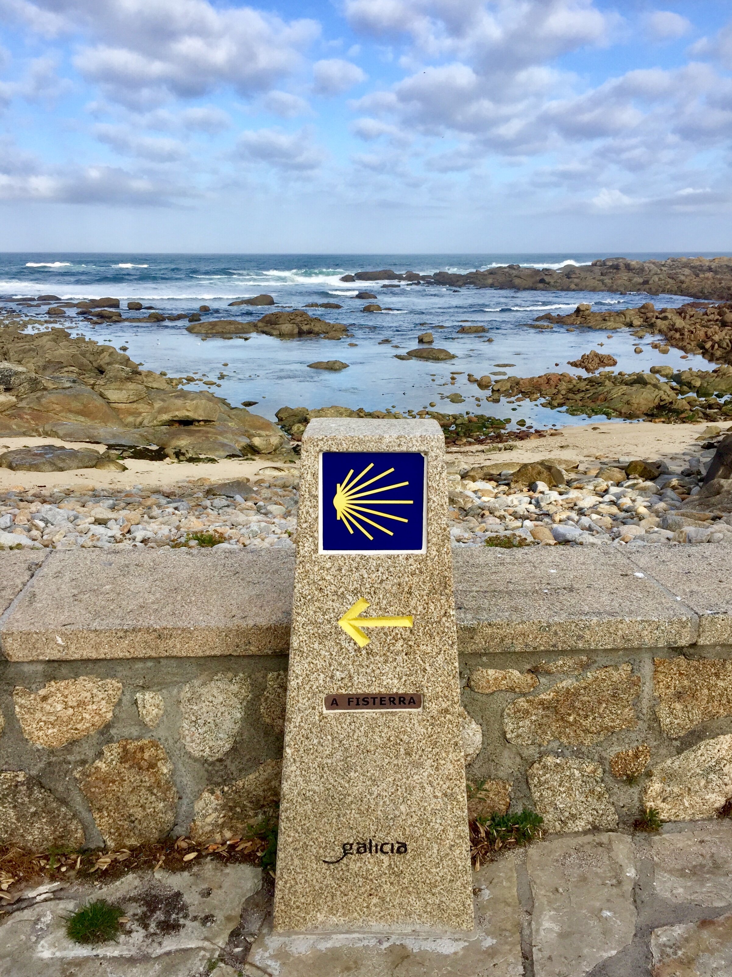
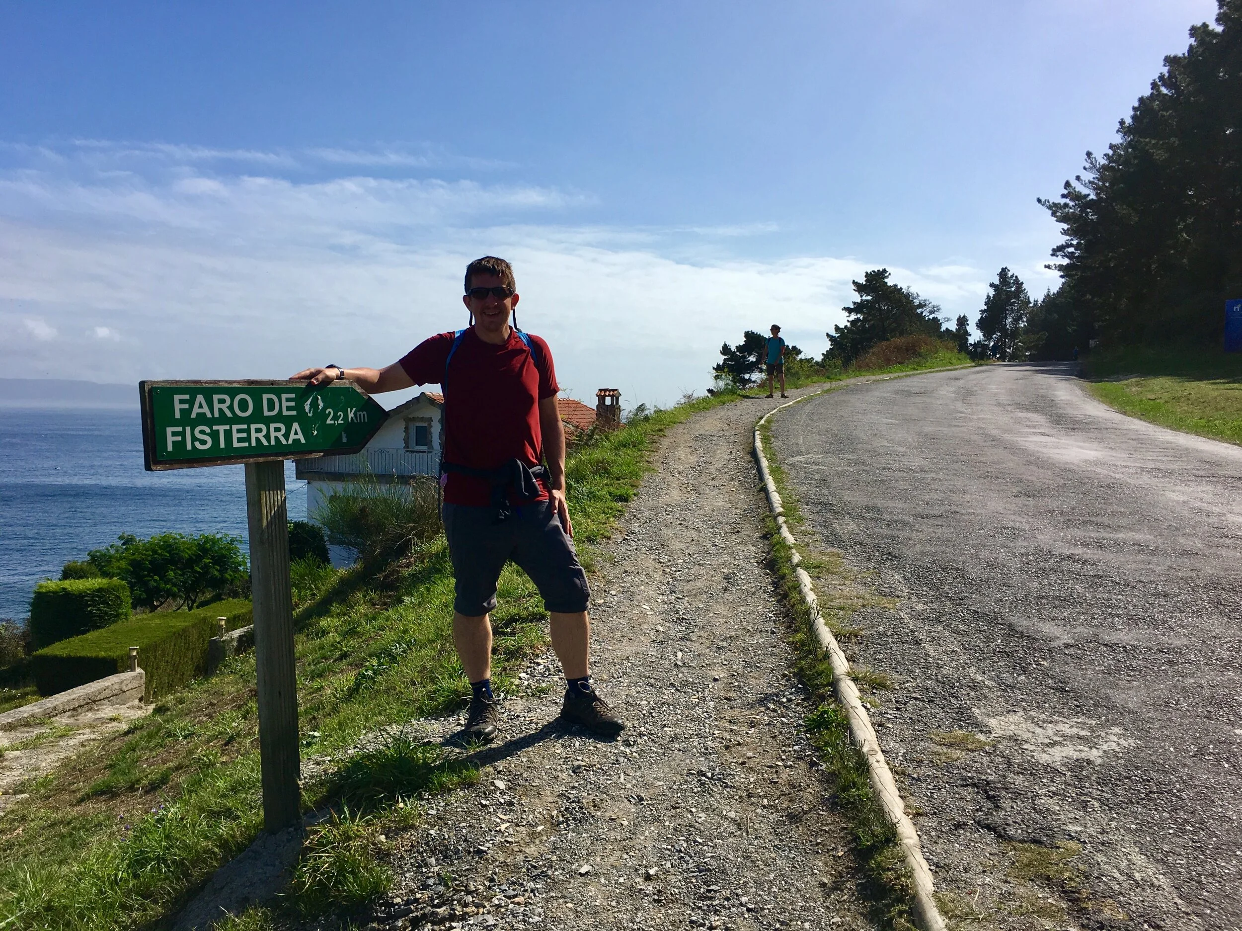
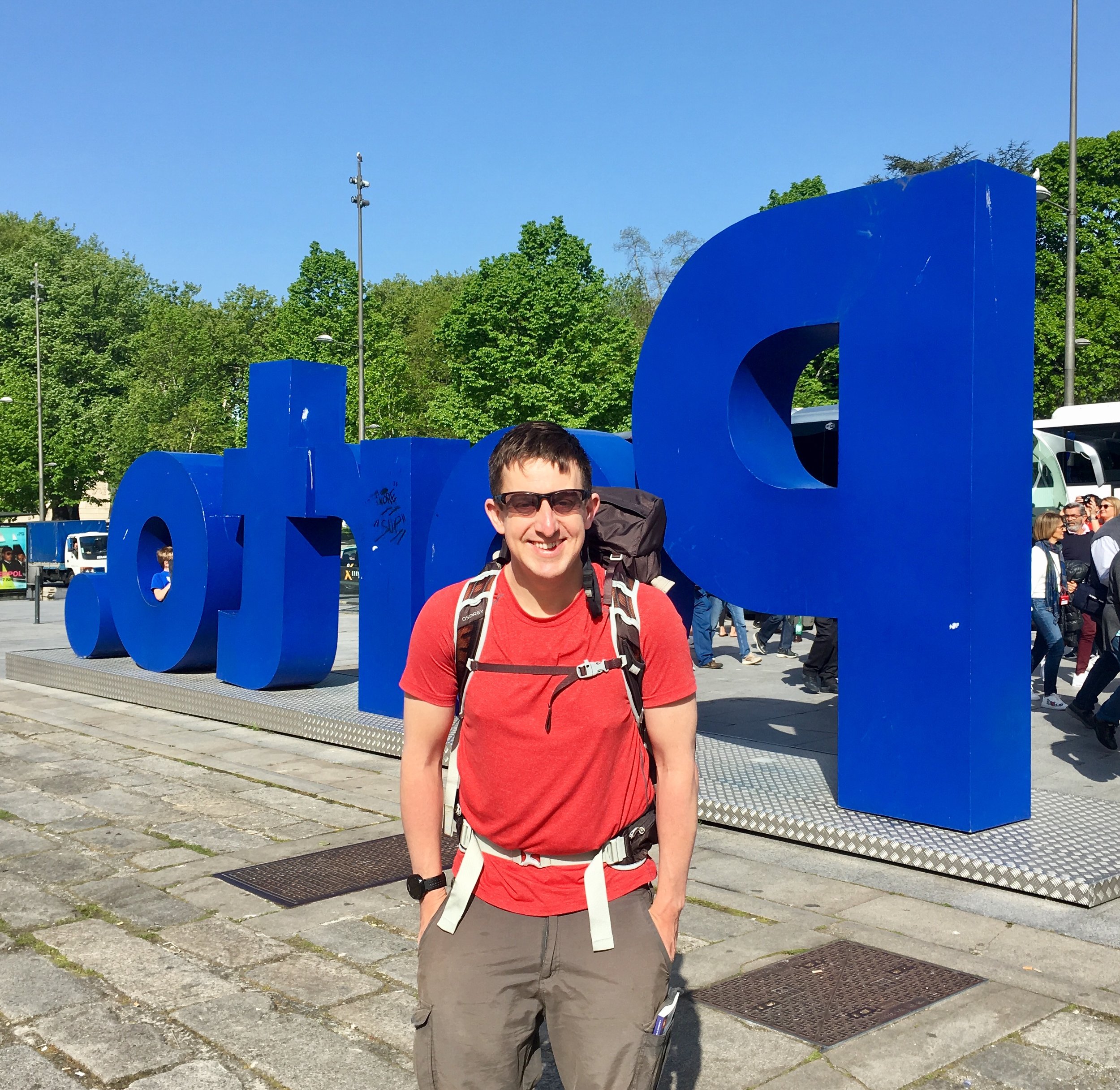
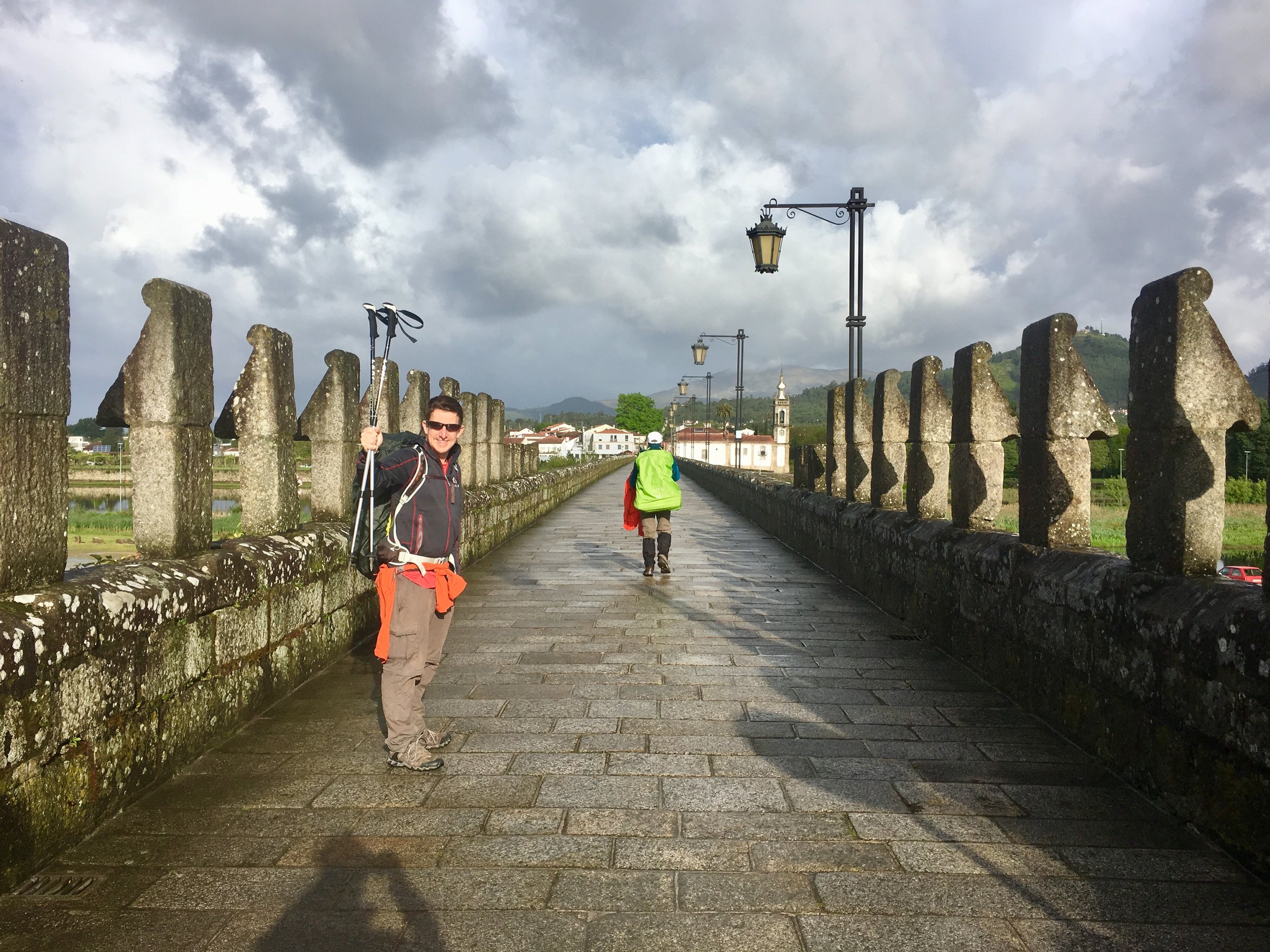
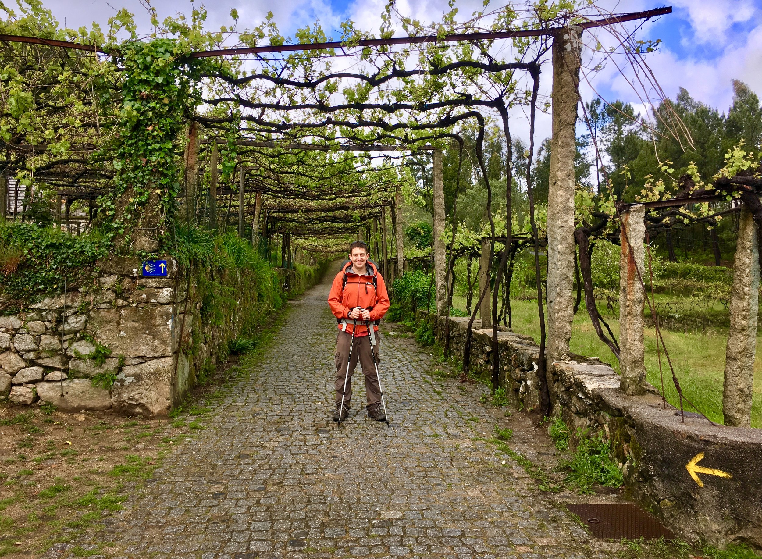
It only took one taste of the Camino to get hooked. Shortly after returning from the Camino Portuguese in May we had already started planning our next one for the following Autumn. It didn't take a lot of deliberation to work out what would come next. My work schedule would only allow us another 2 week trip. We also had a strong desire to see Finisterre, the end of the world. The combination of the Camino Inglés and the Camino Finisterre would fulfil both criteria.

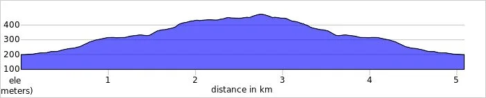
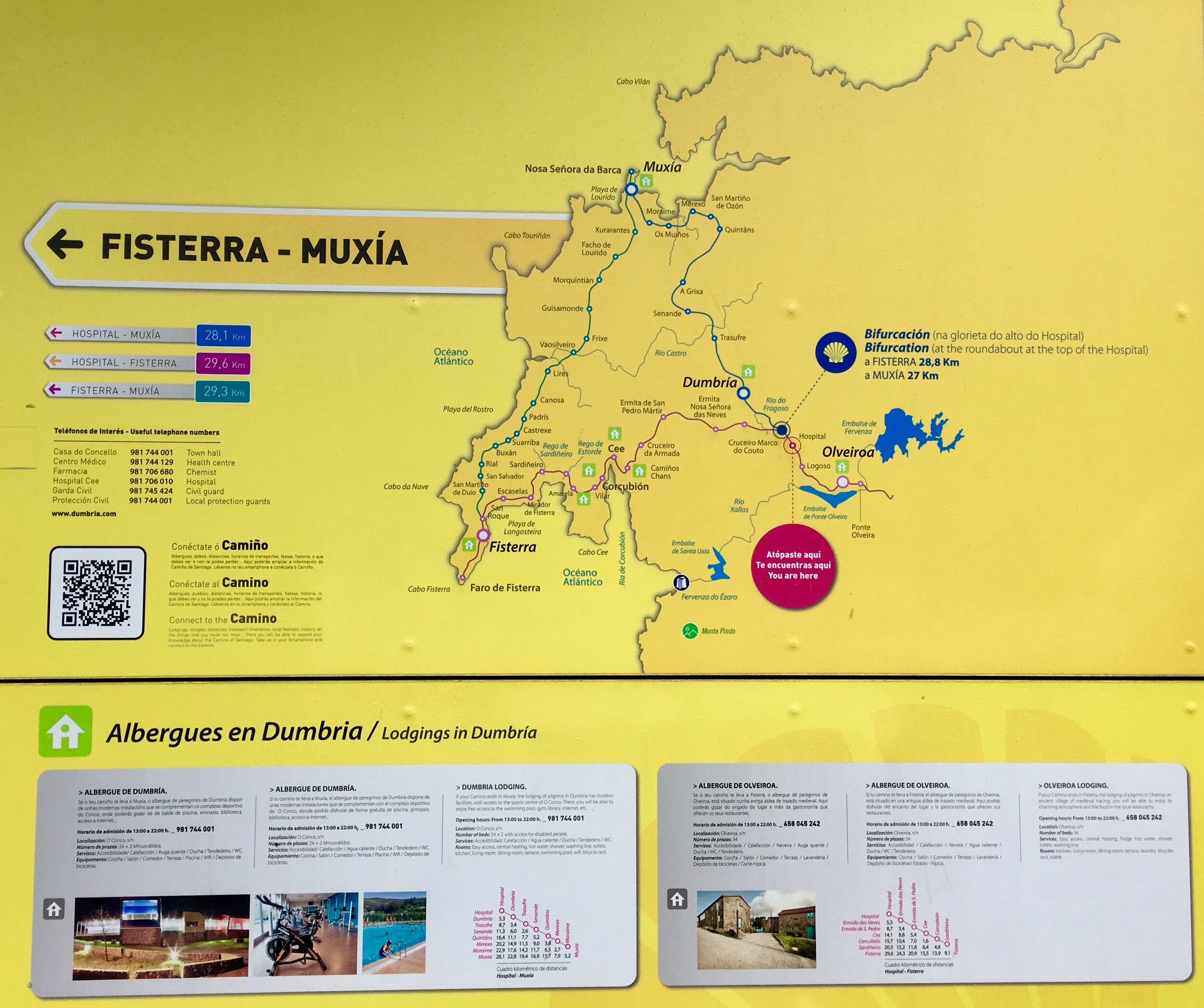
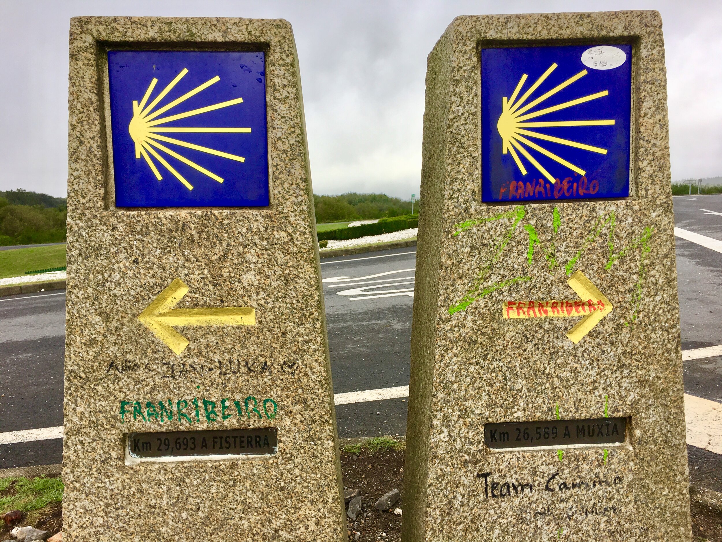
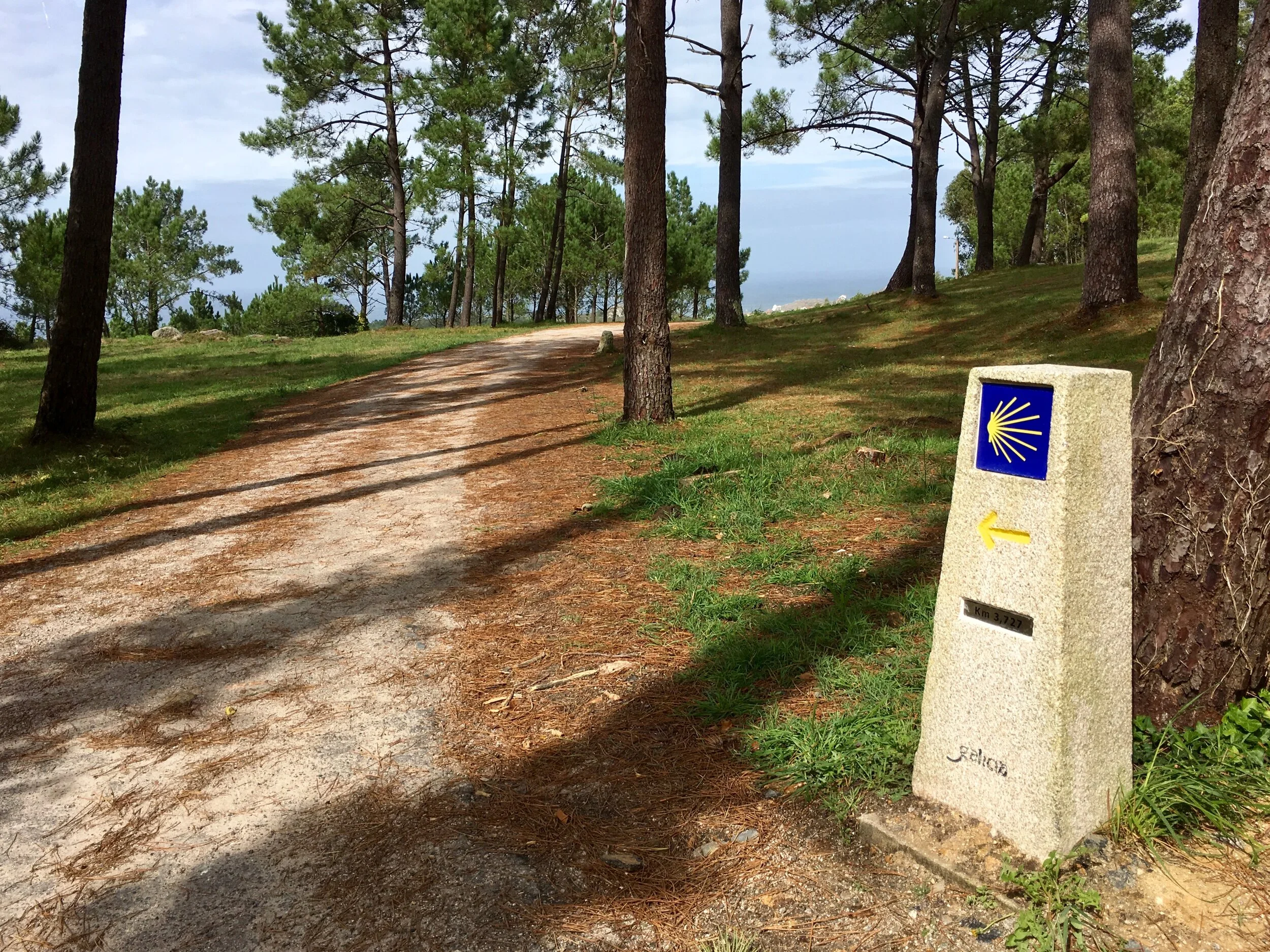
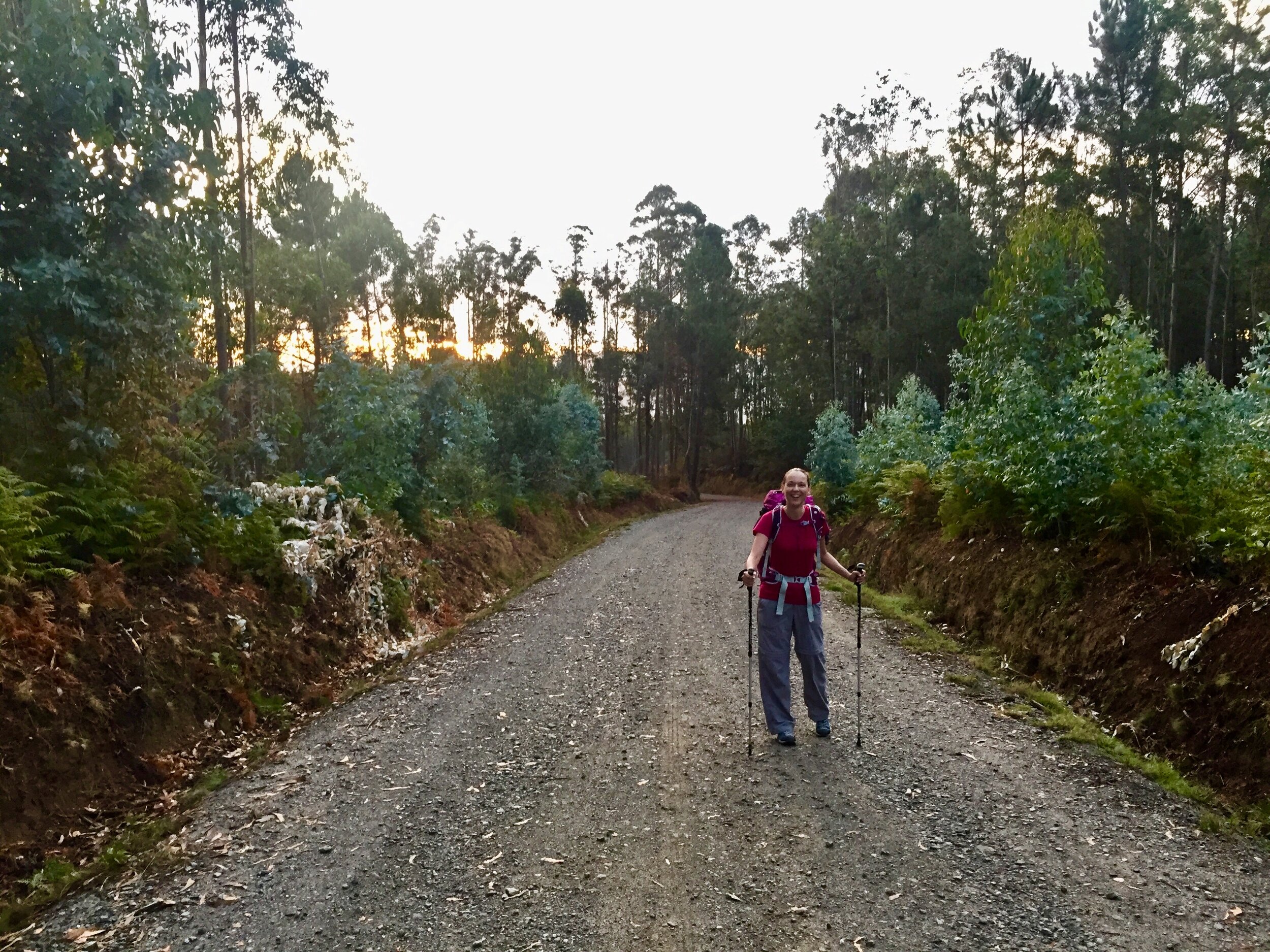
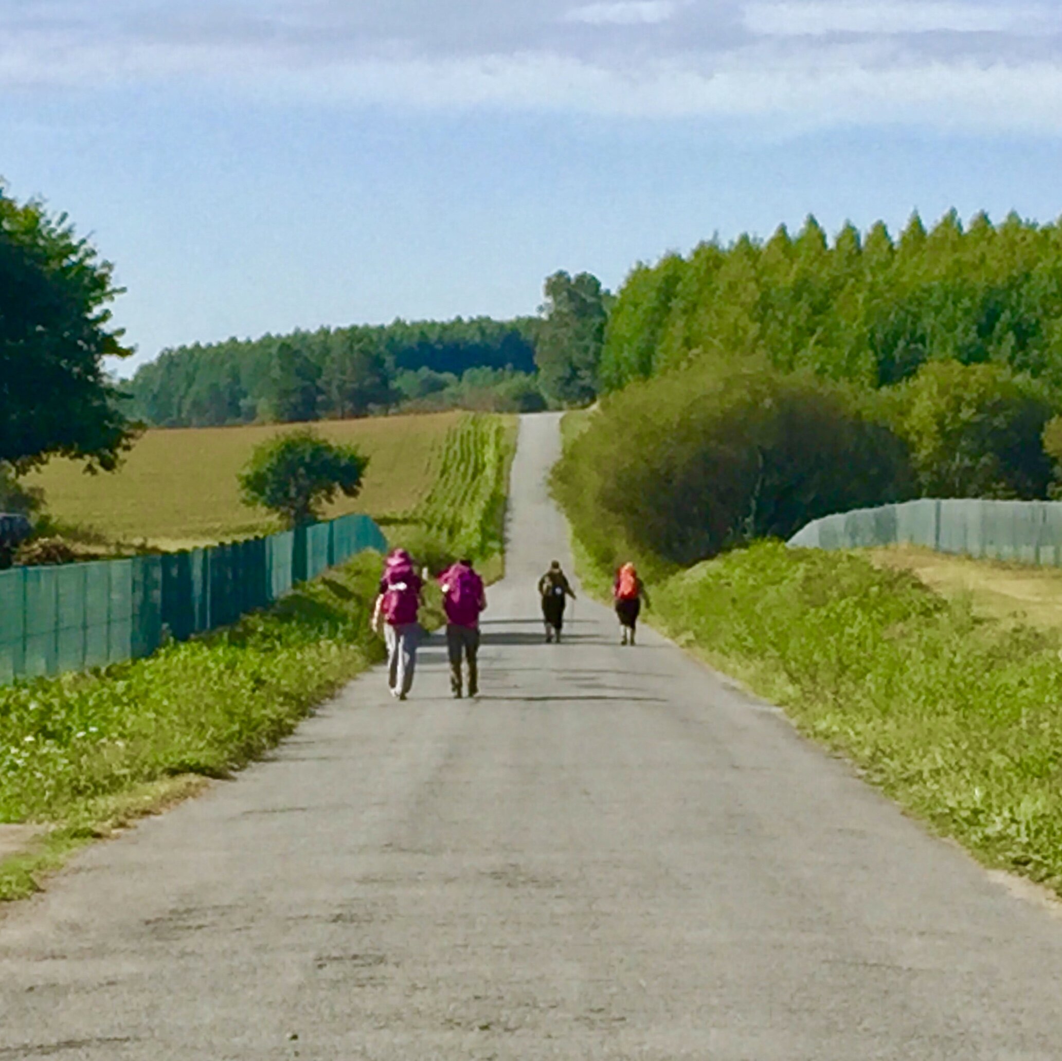
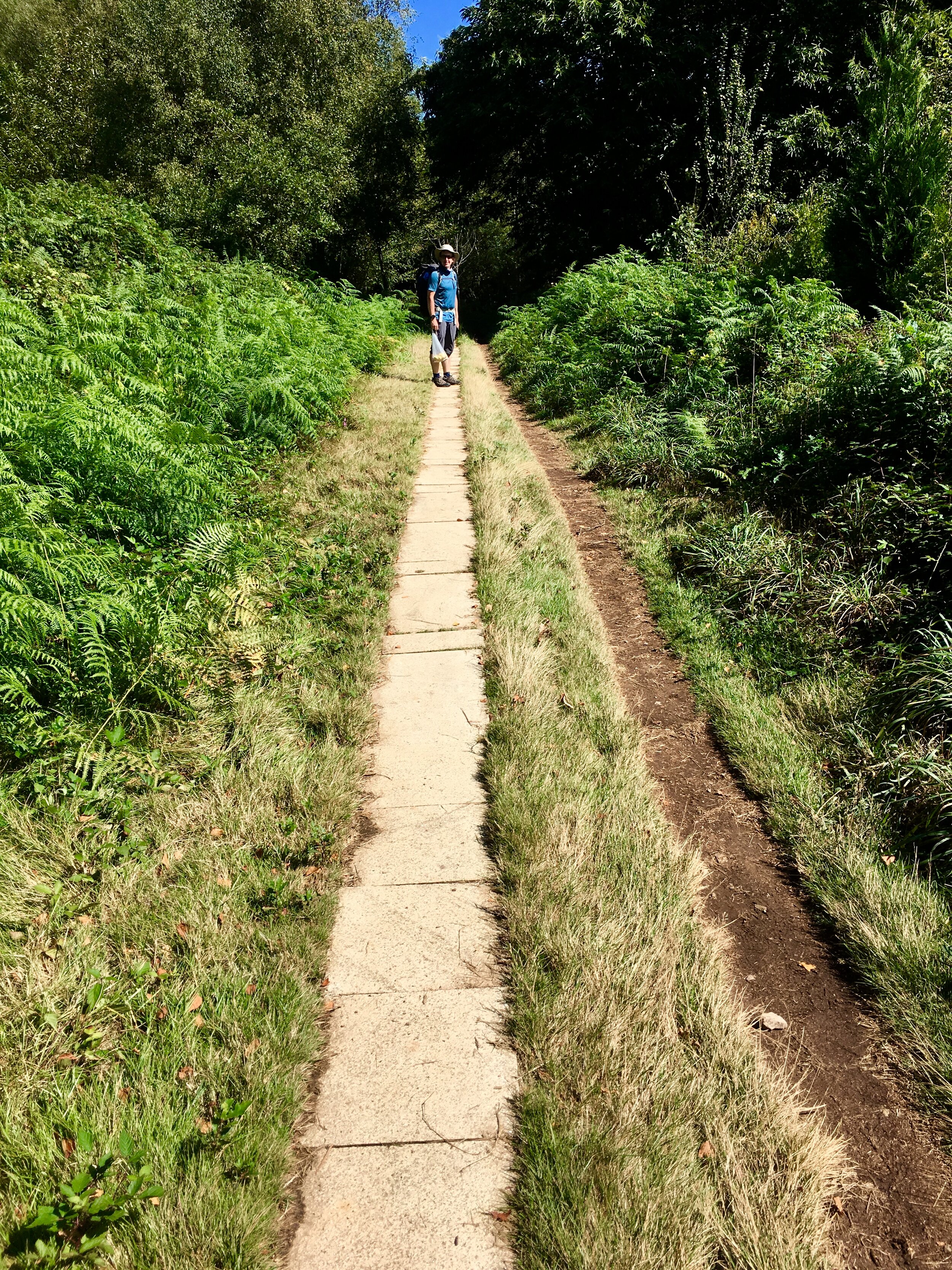
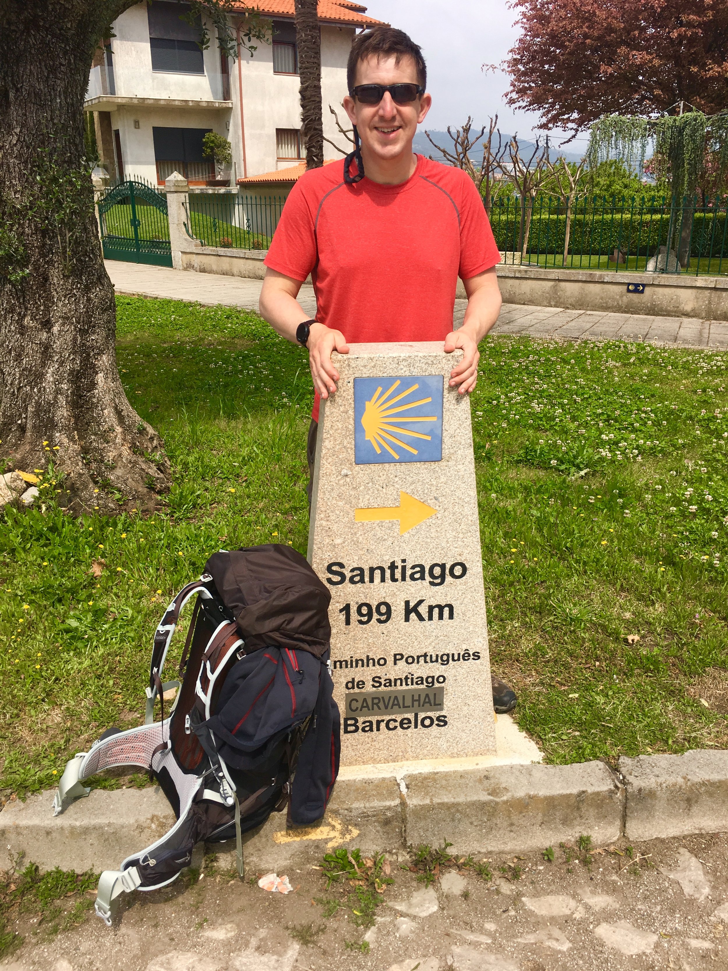
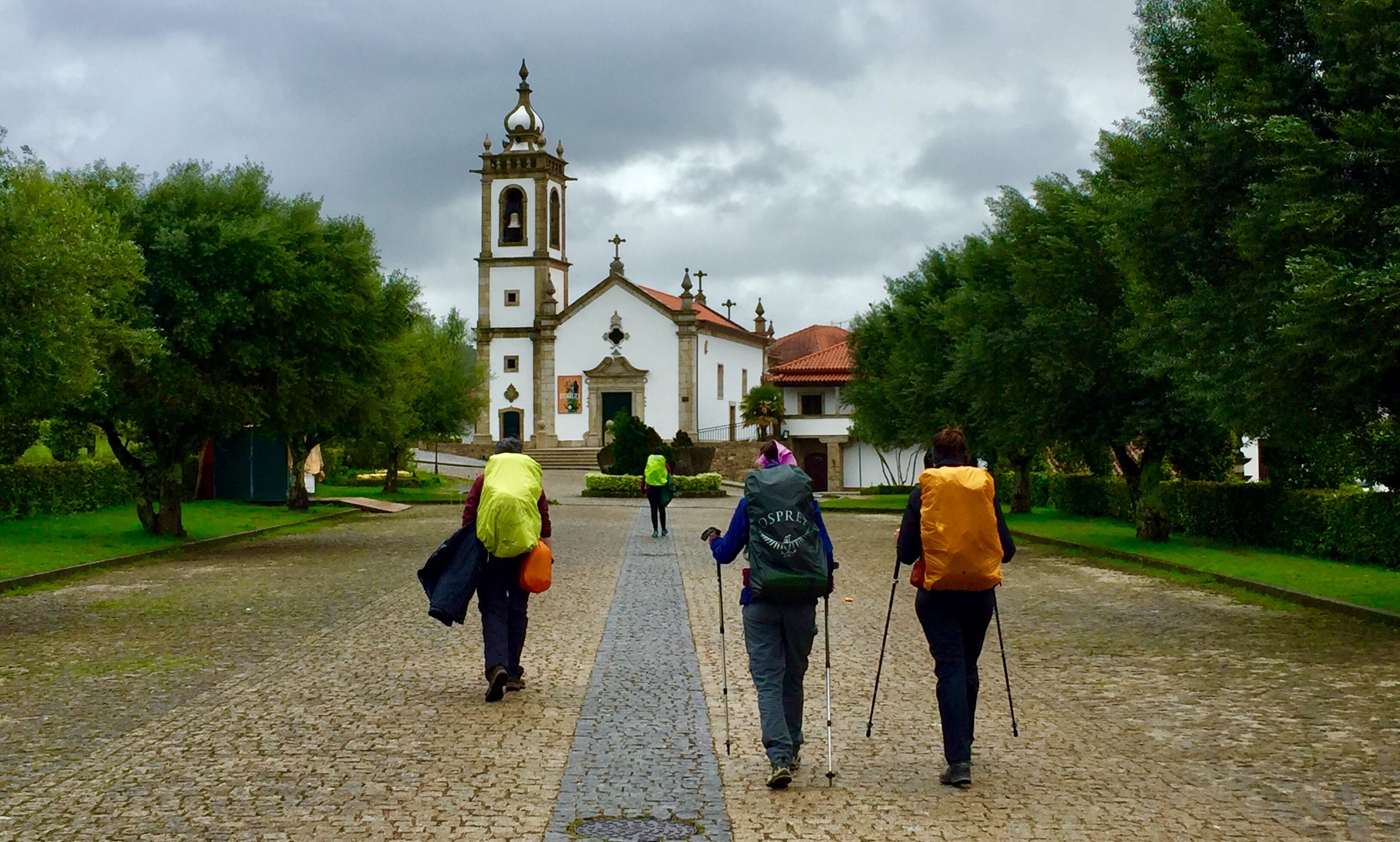
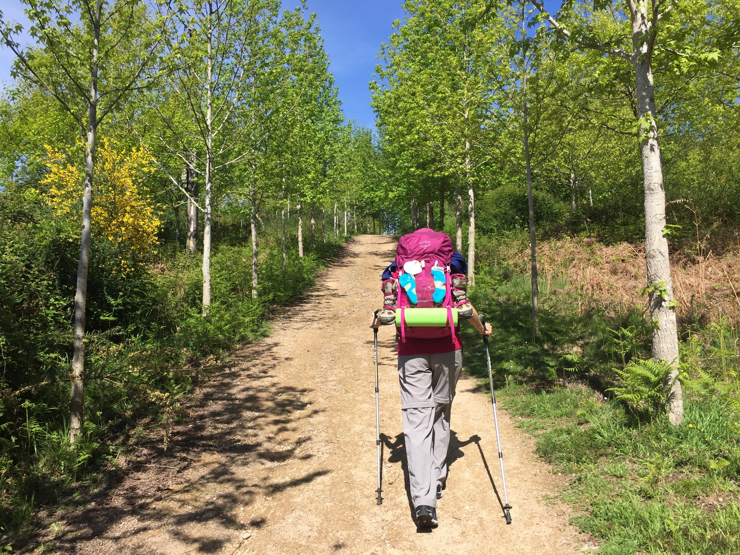
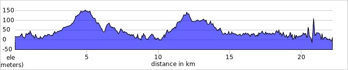
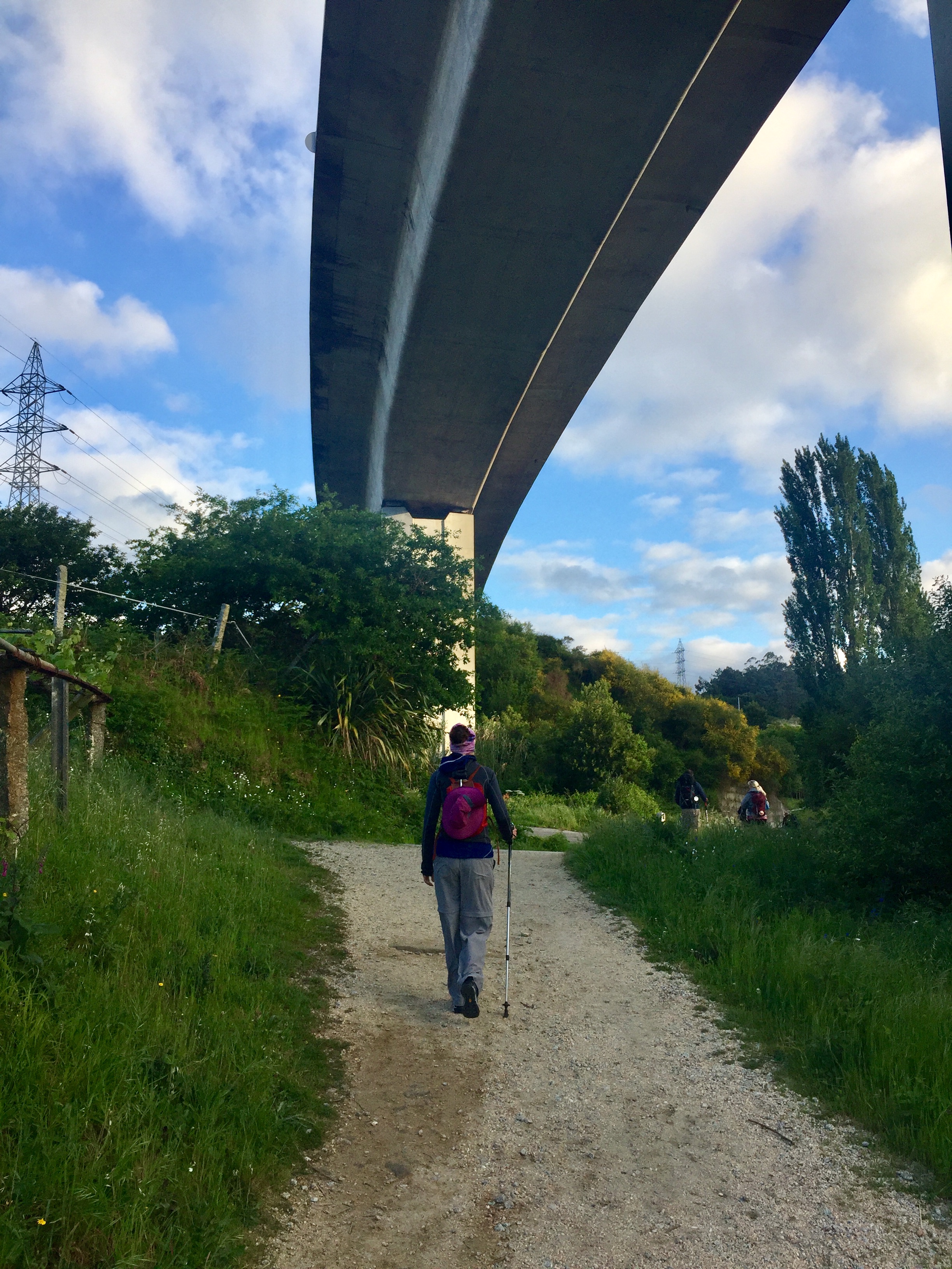
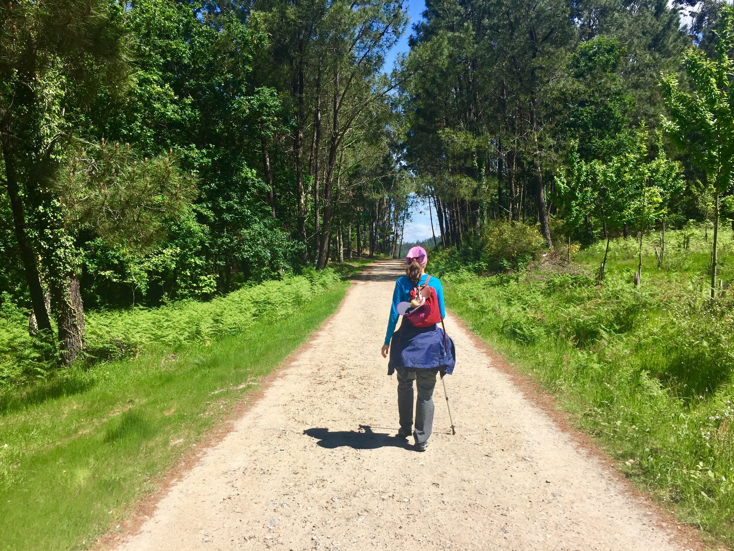
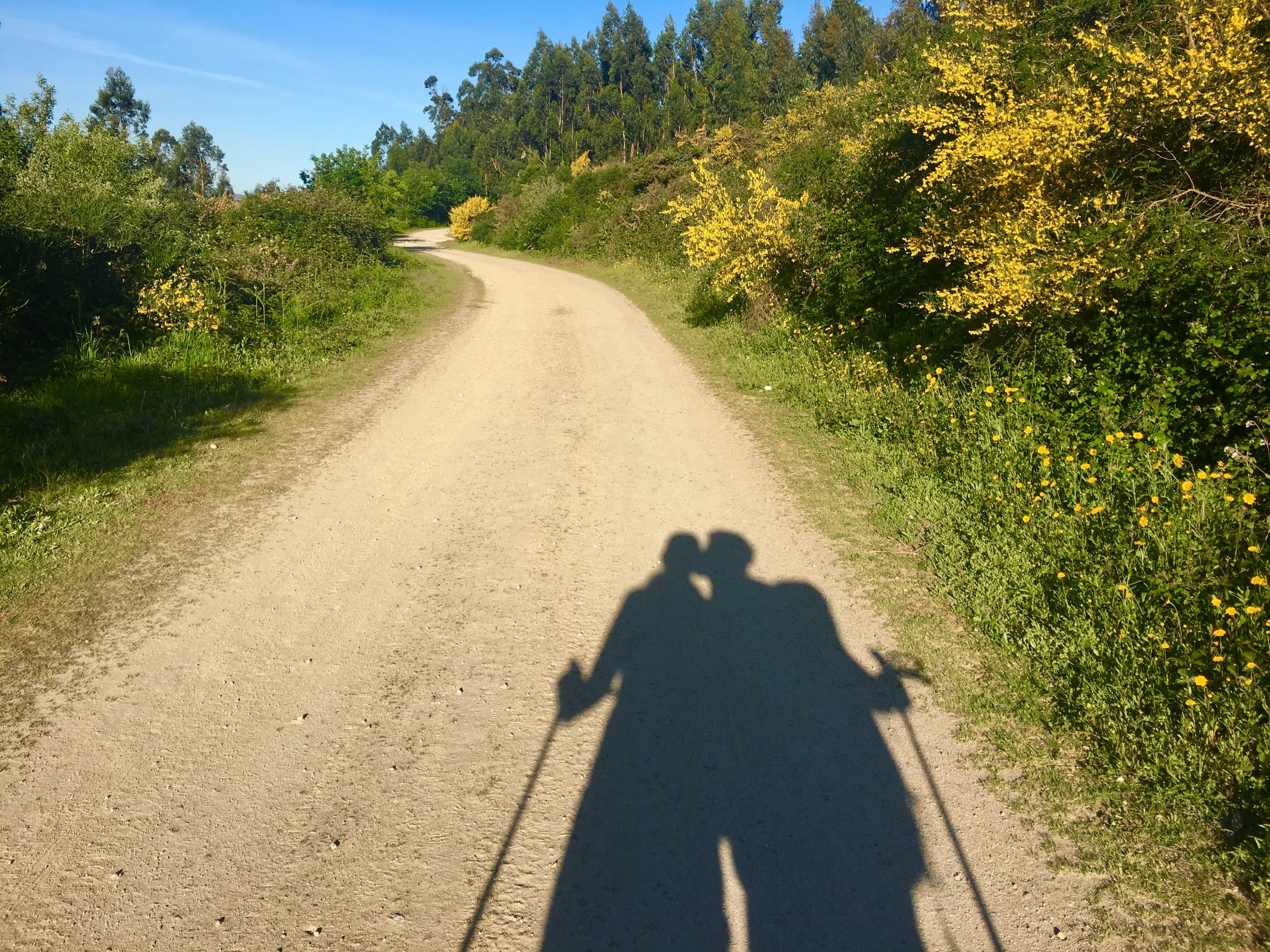
With the Inglés at 110 km and the Finisterre via Muxia at 122 km, they are easily achieved within 2 weeks. You can do either in less than a week each but we were in no rush. We had learnt on the Portuguese that 15 to 18 km per day was the right place for us.

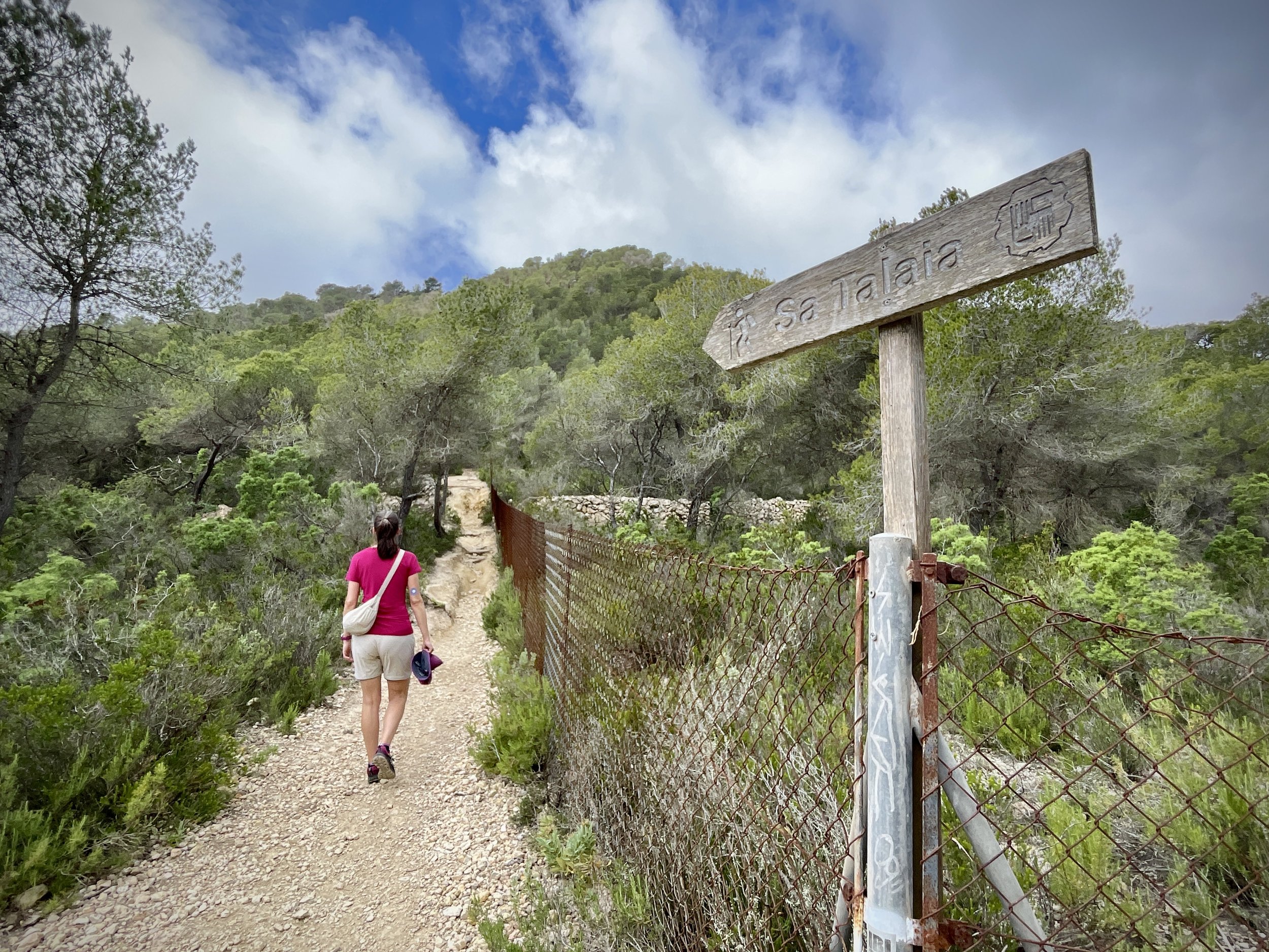
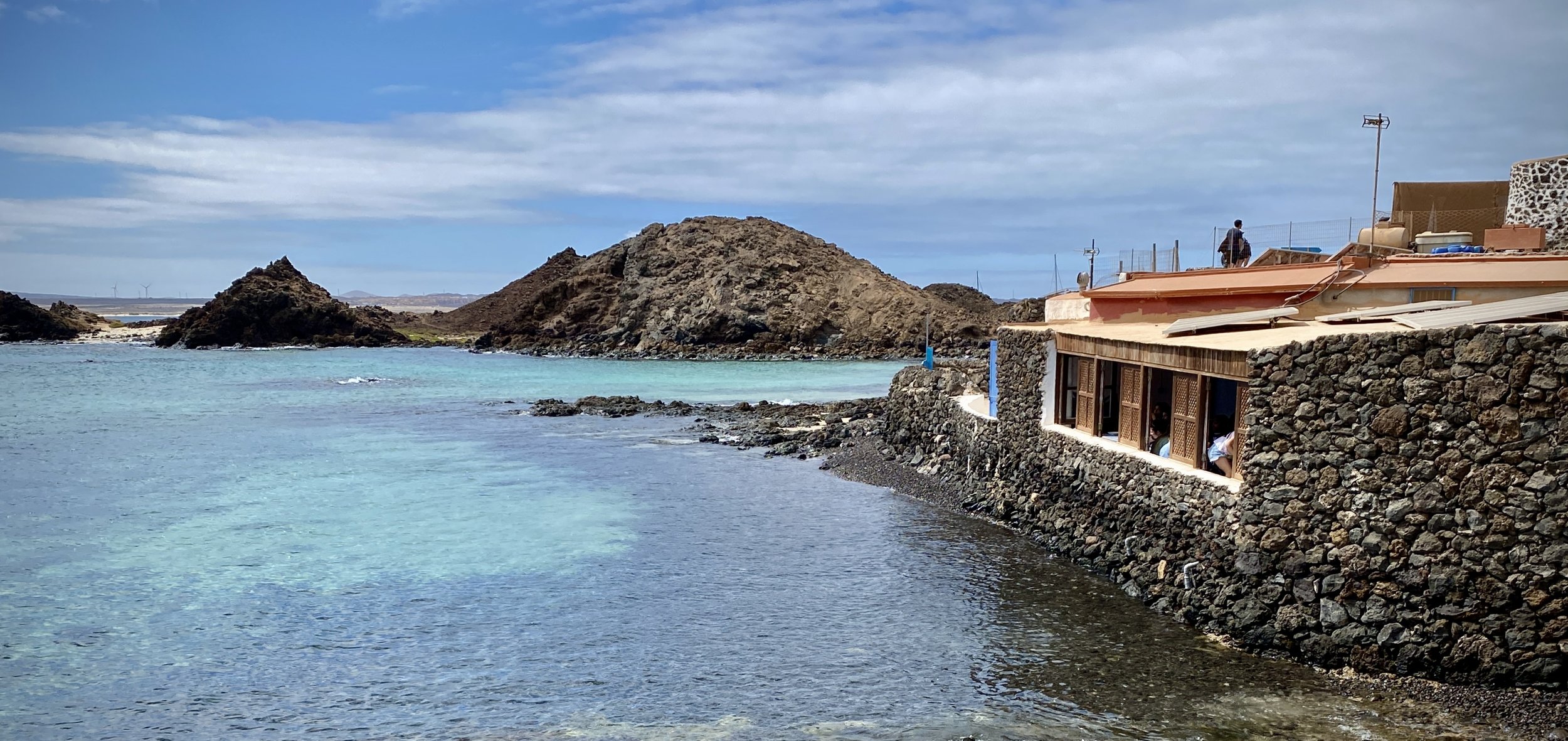
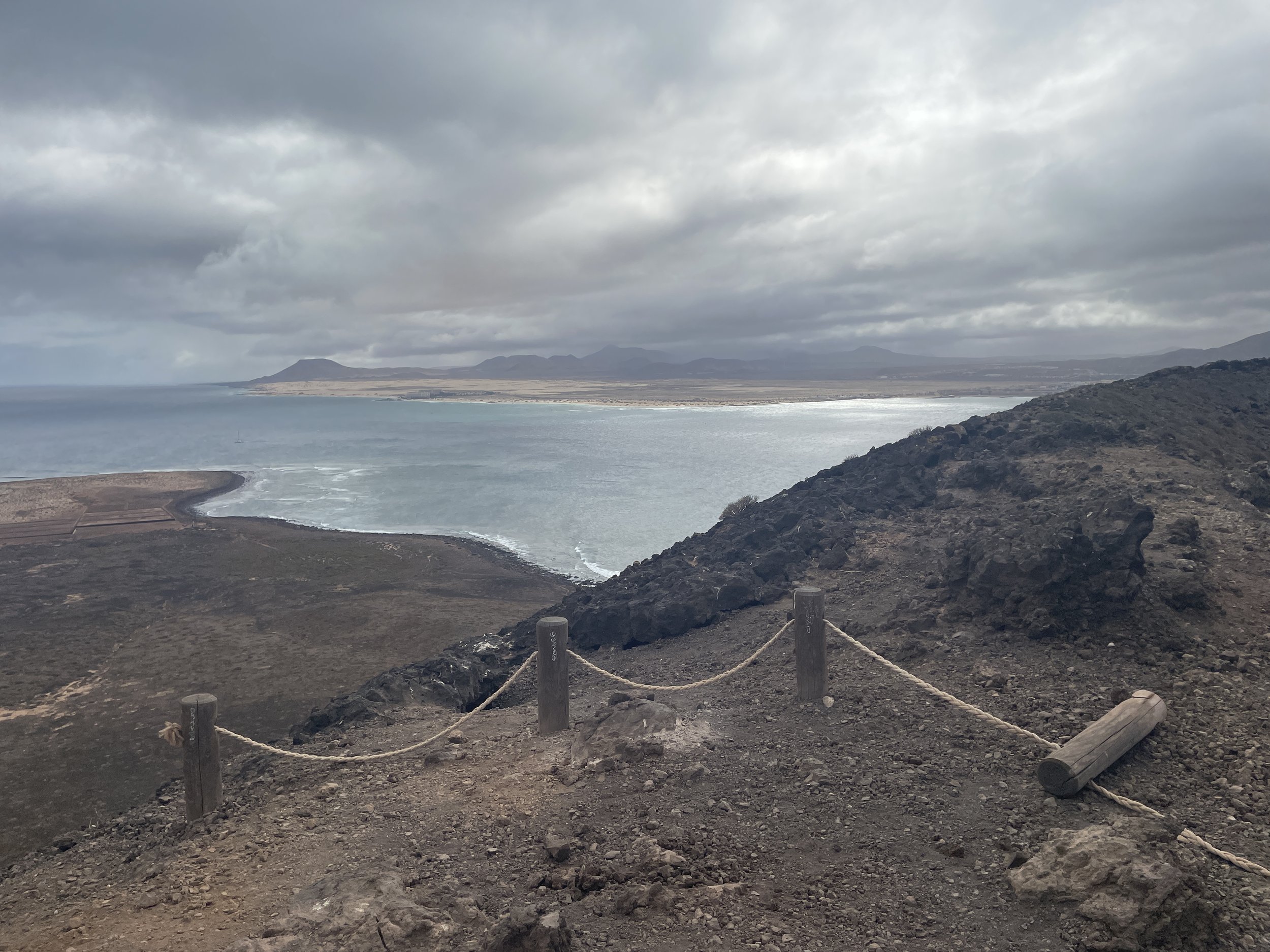
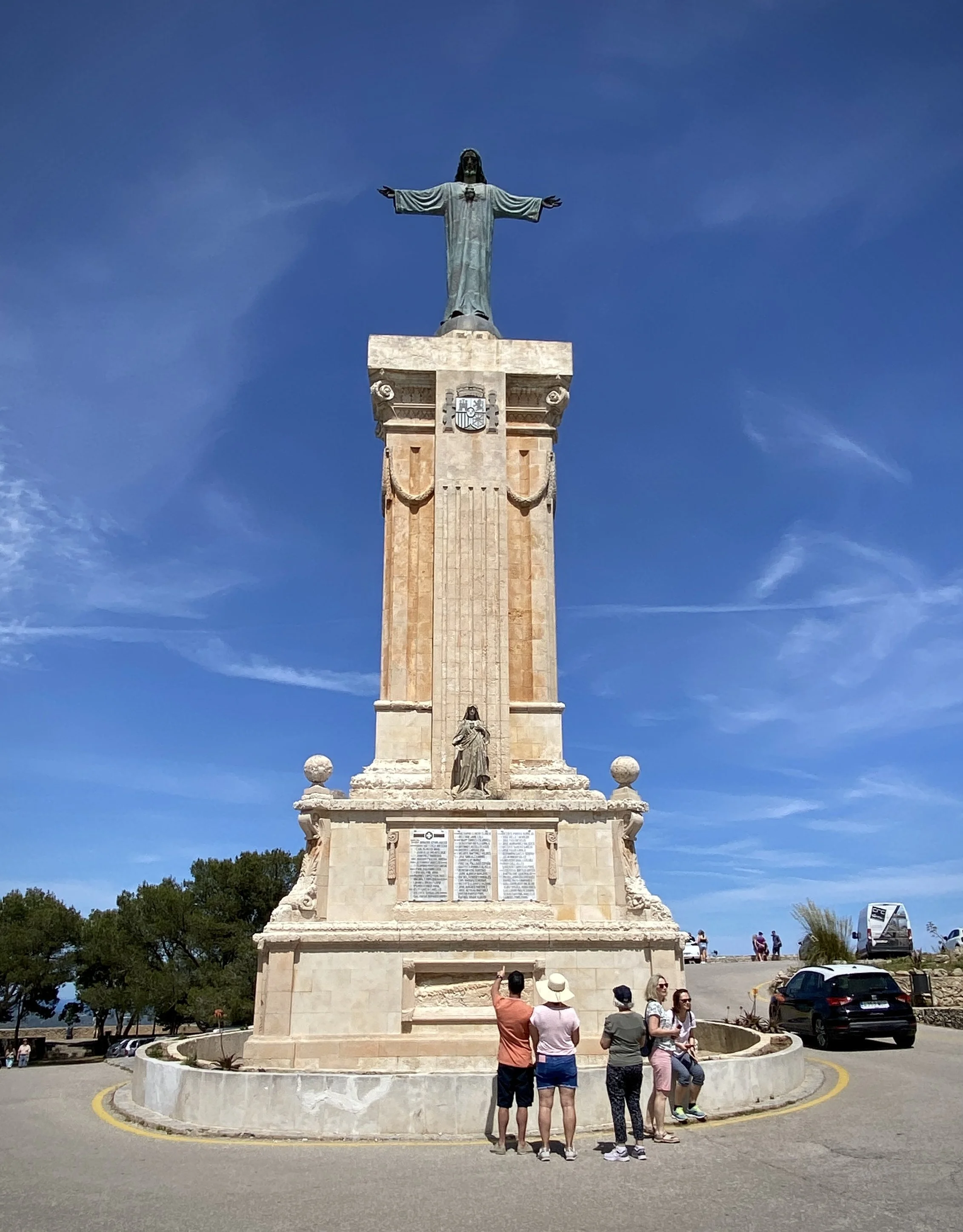
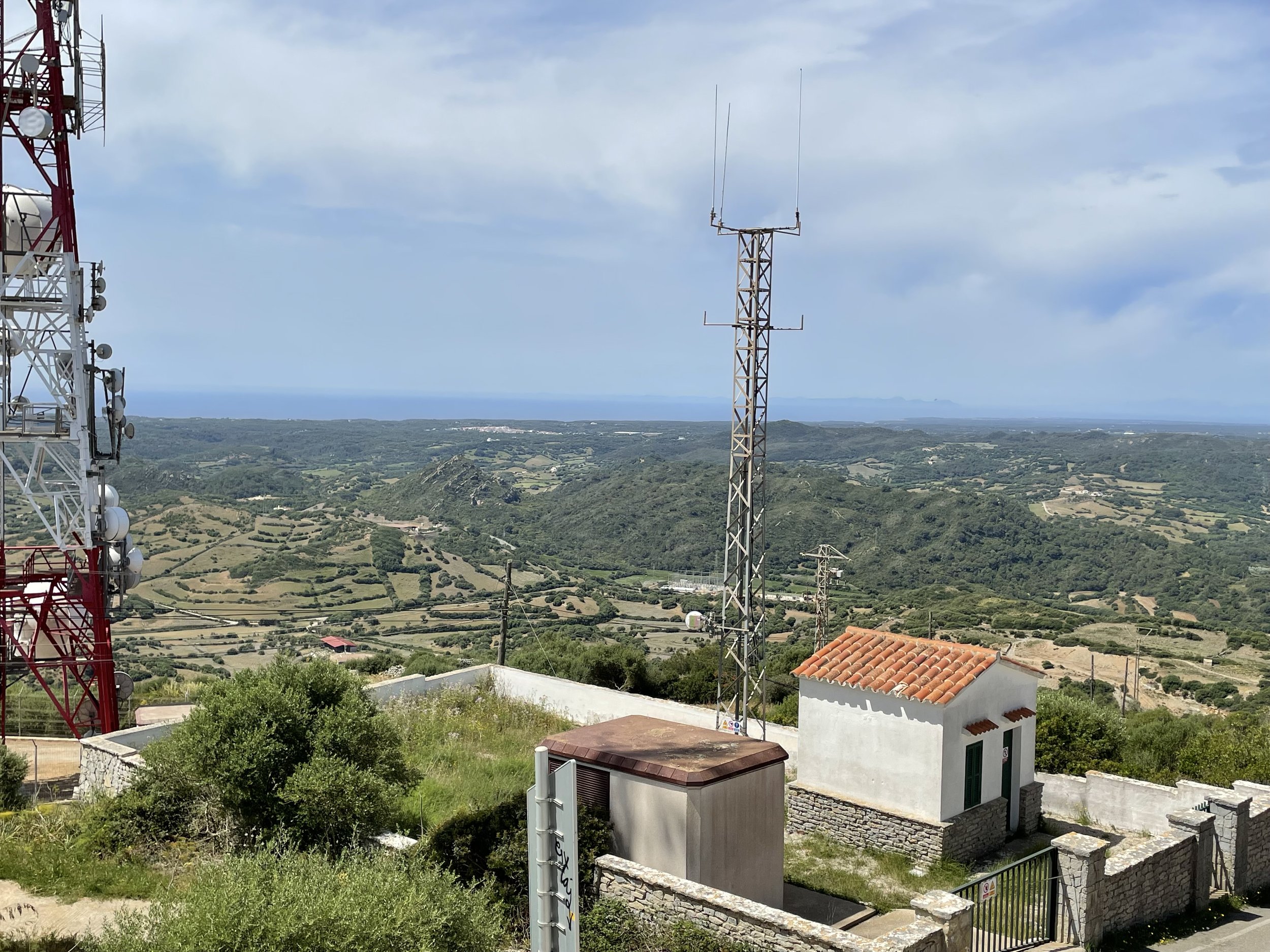
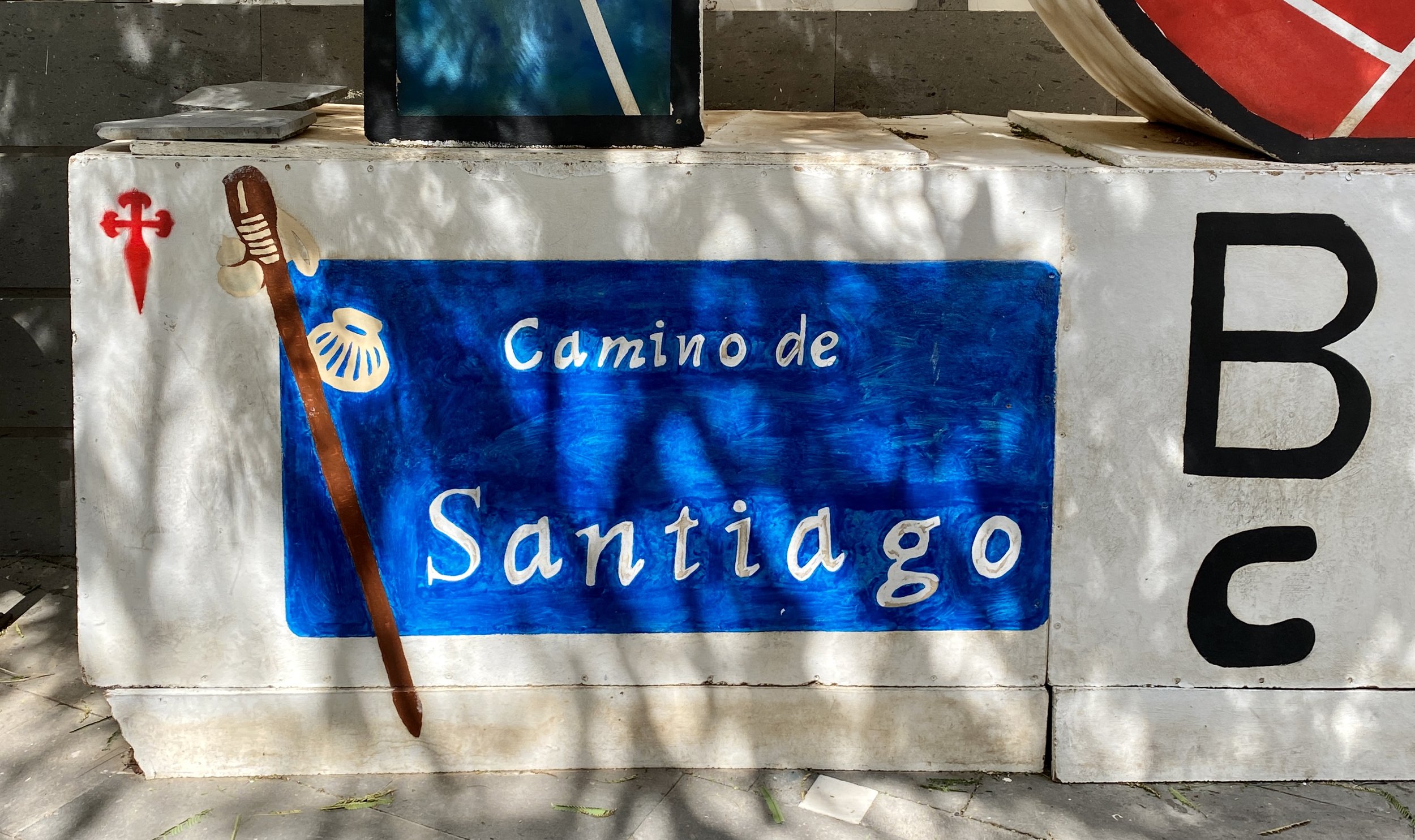
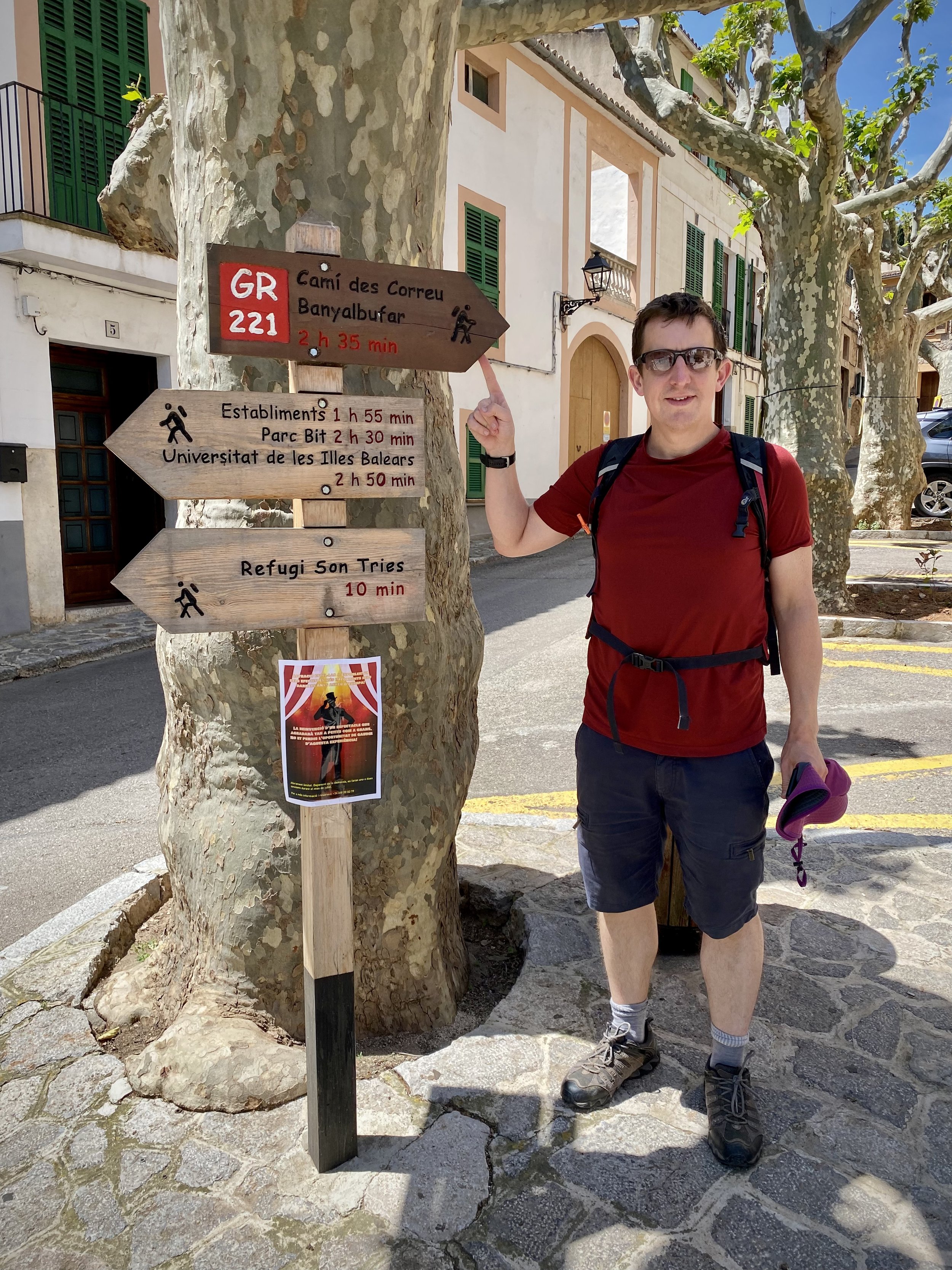
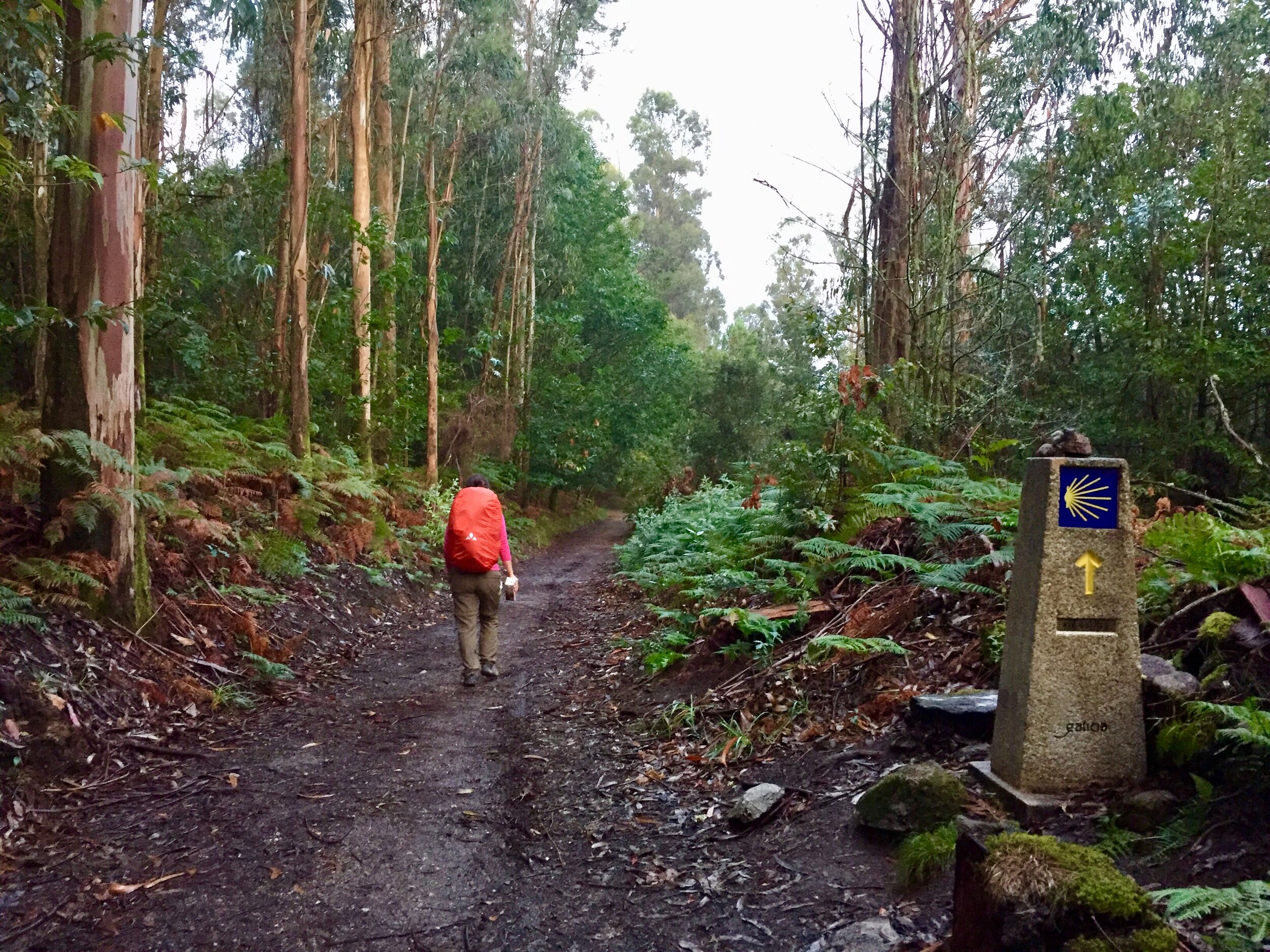
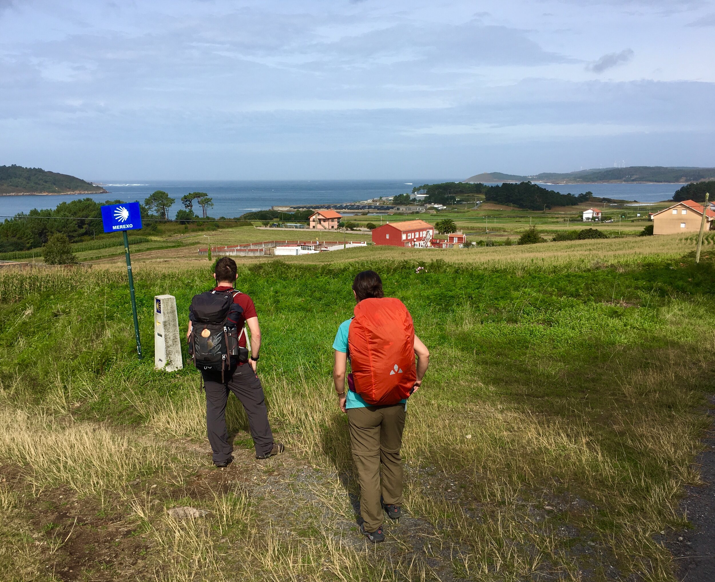
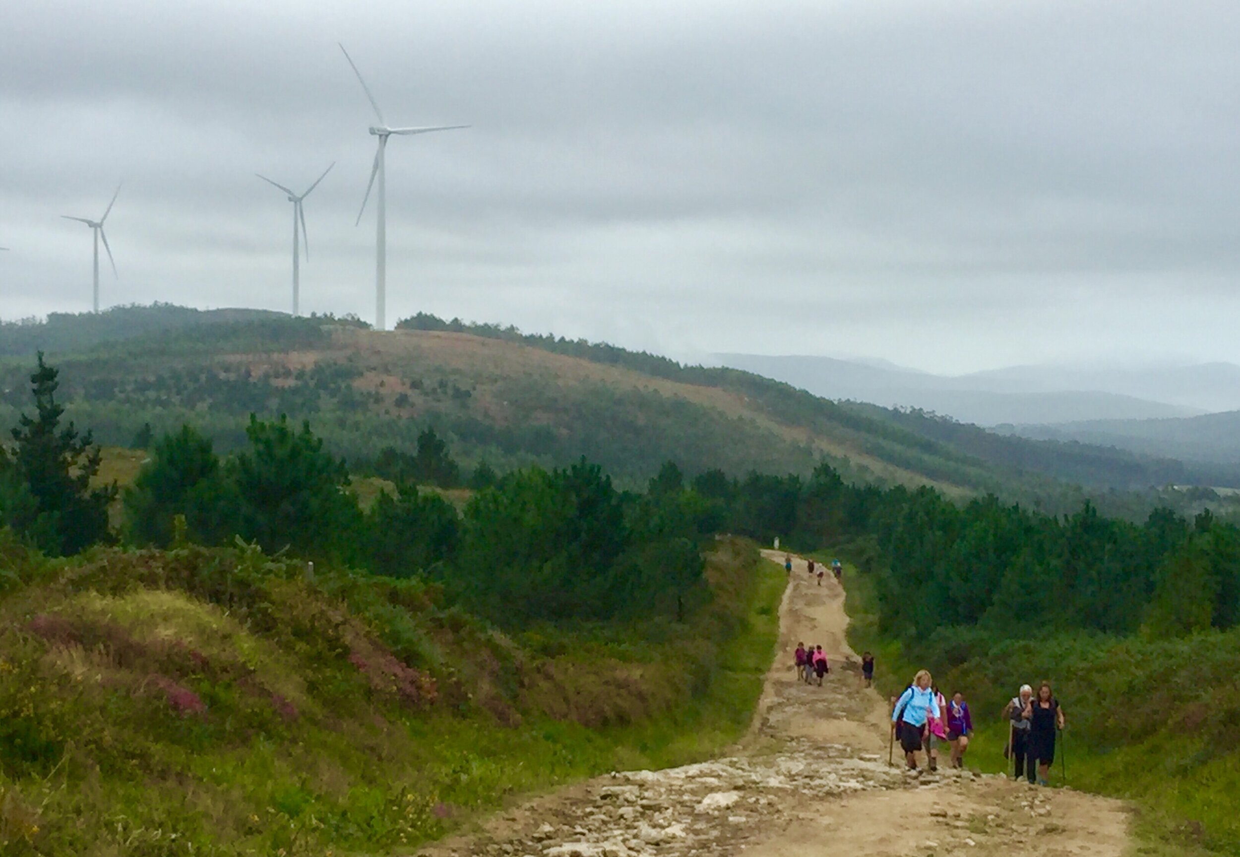
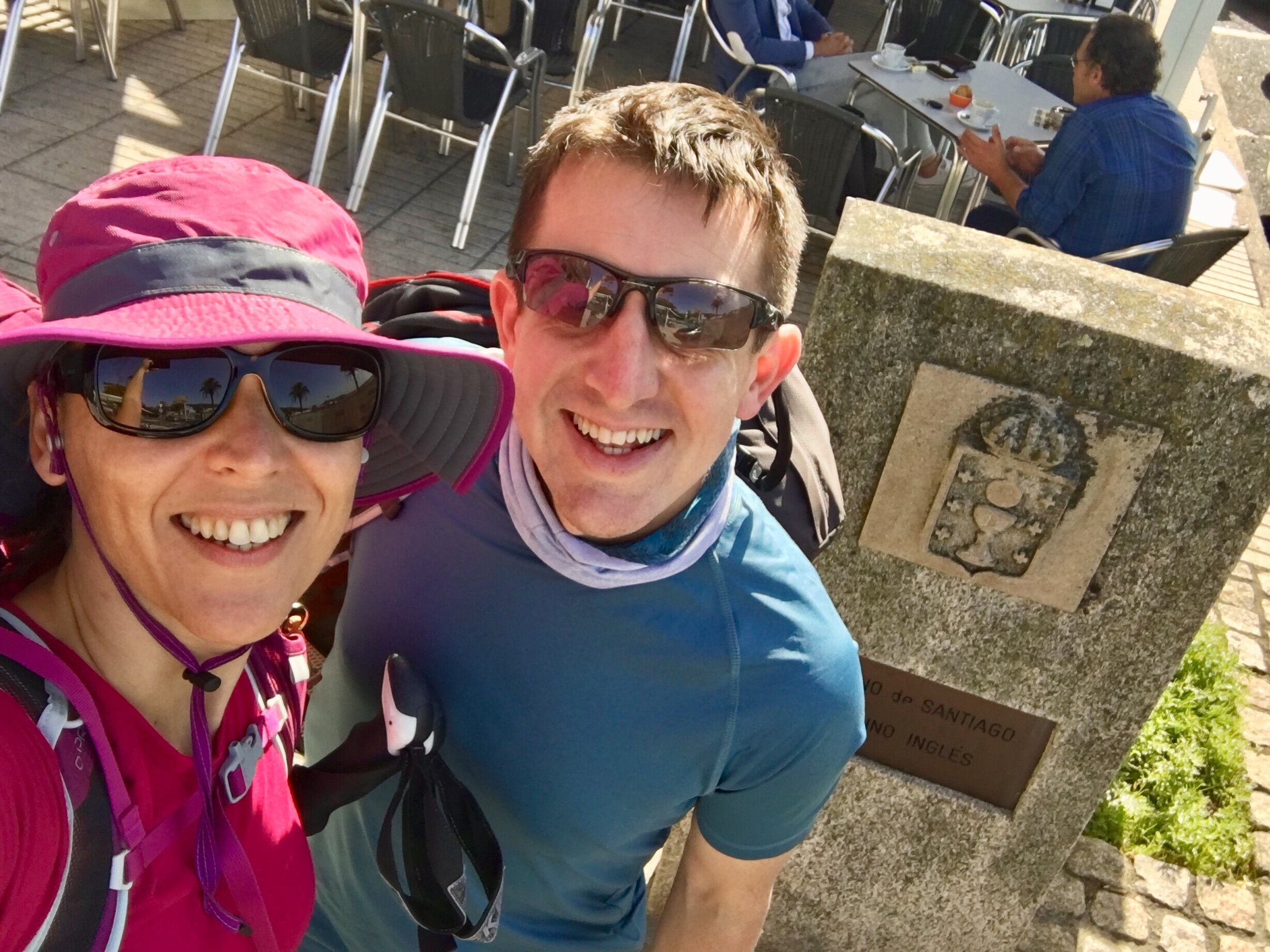
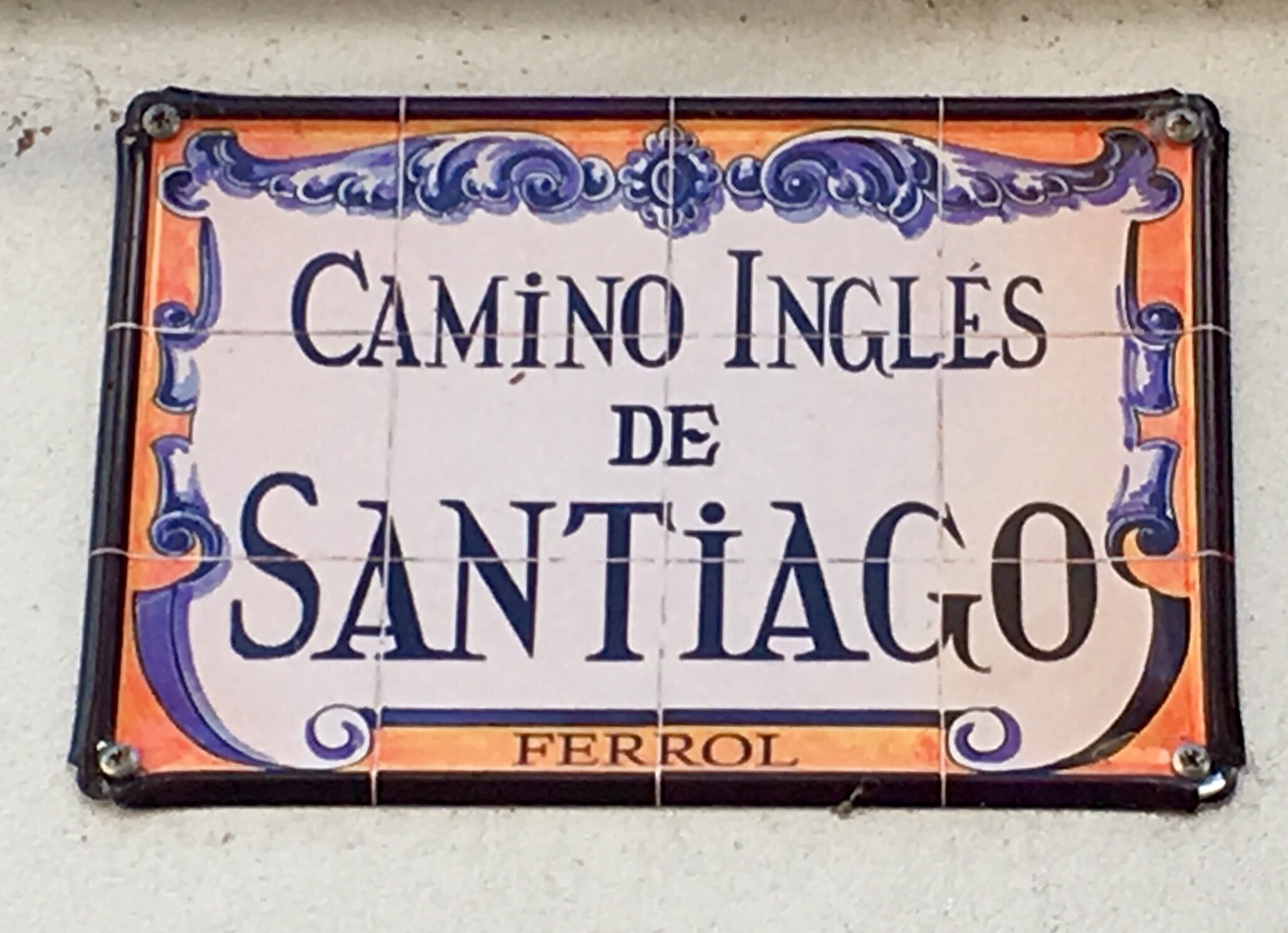
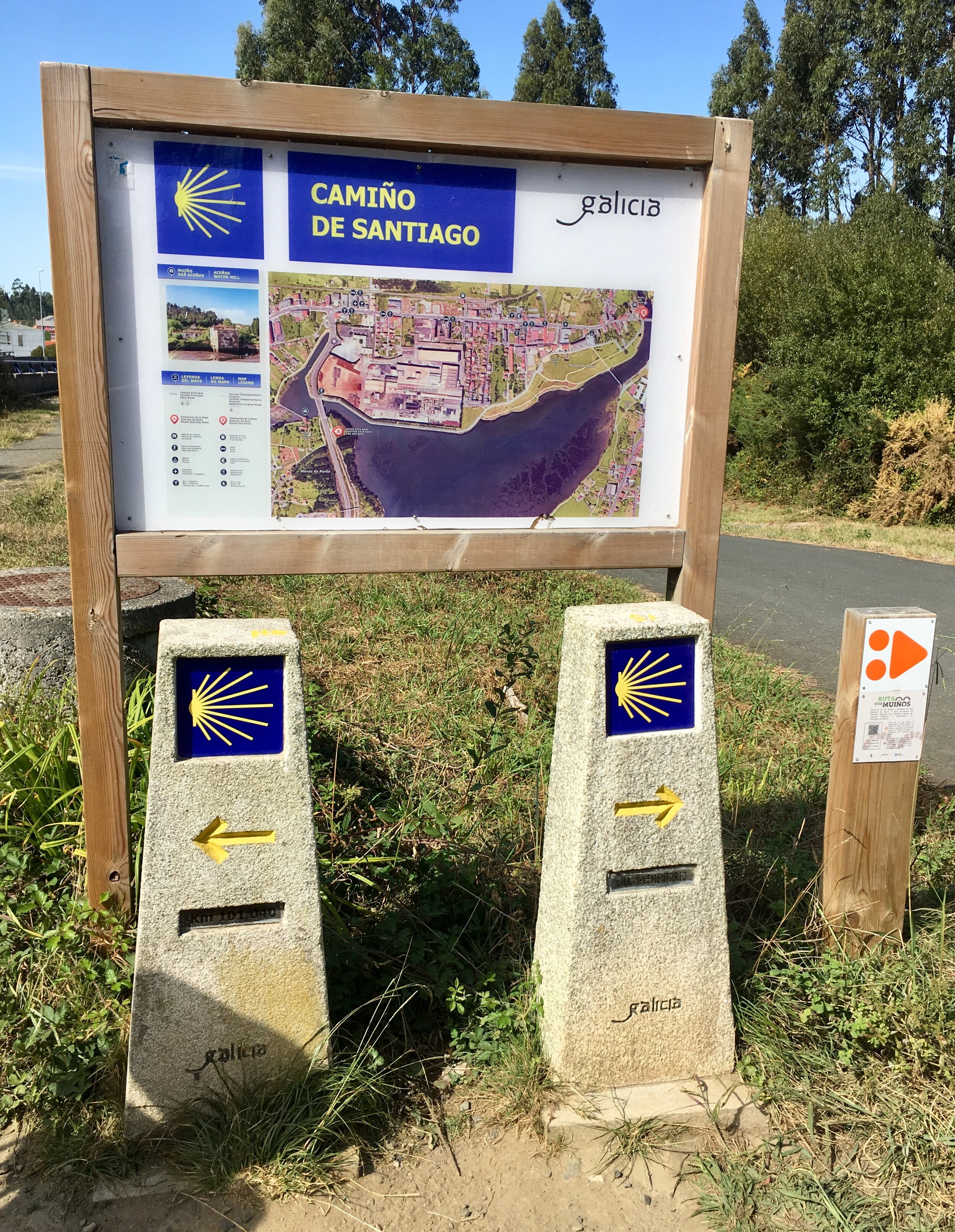
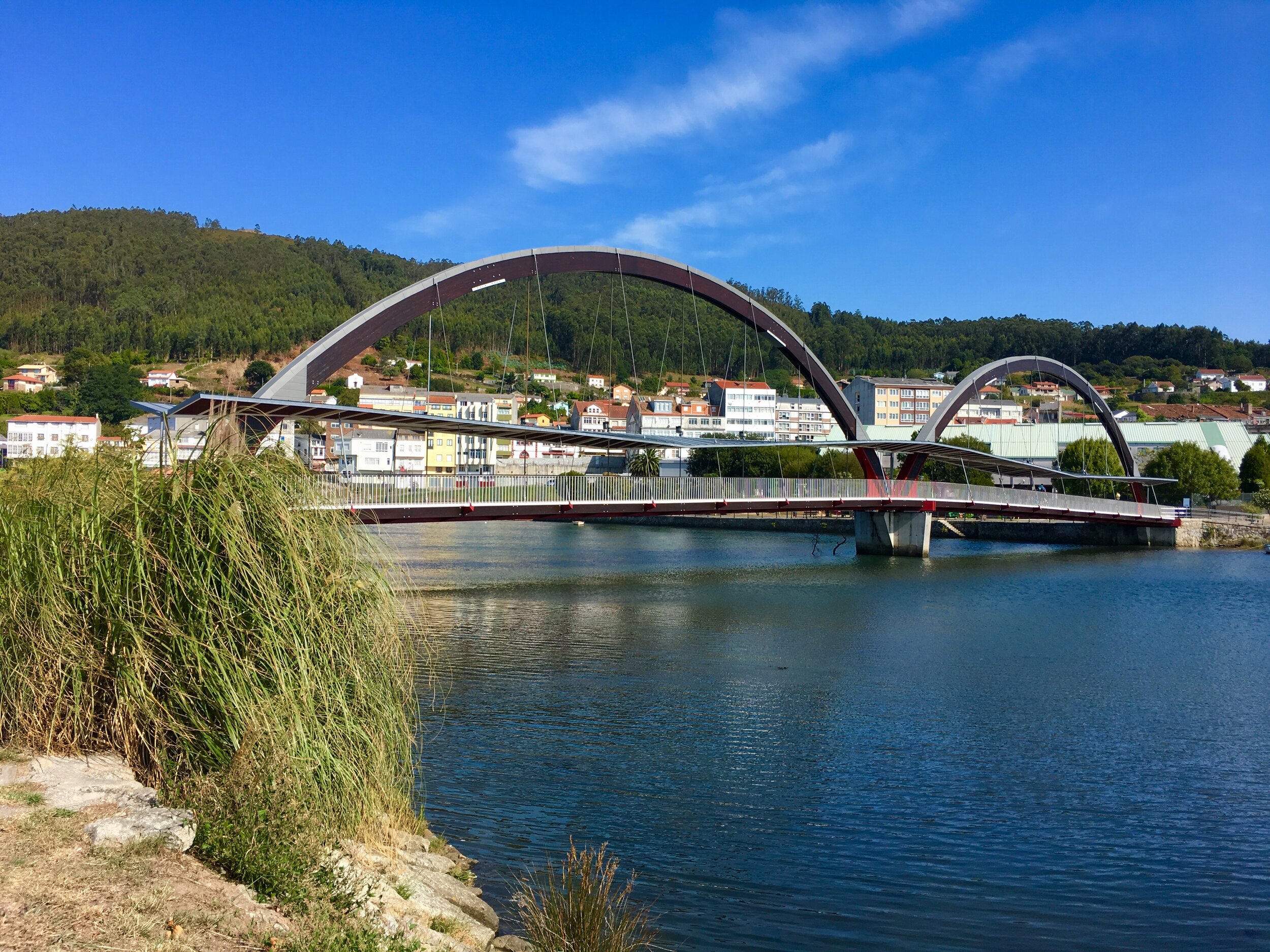
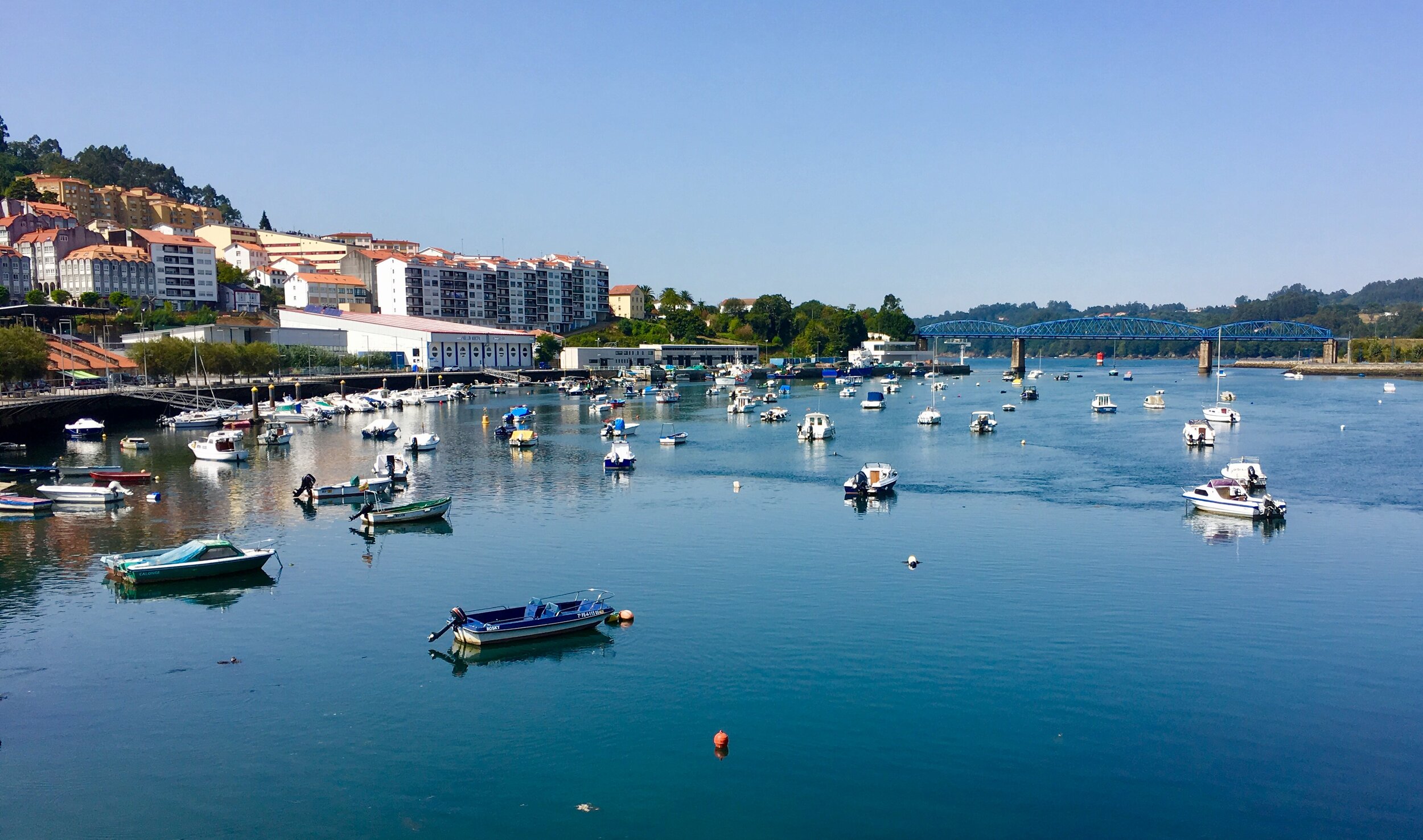
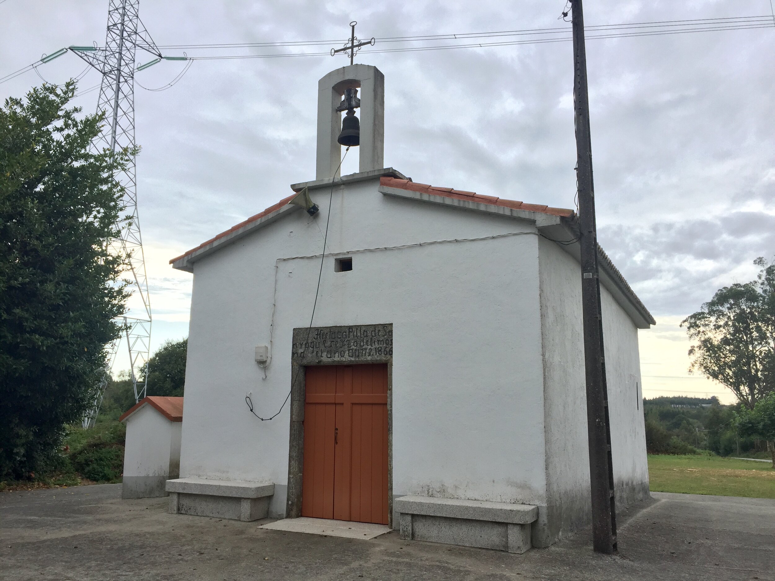
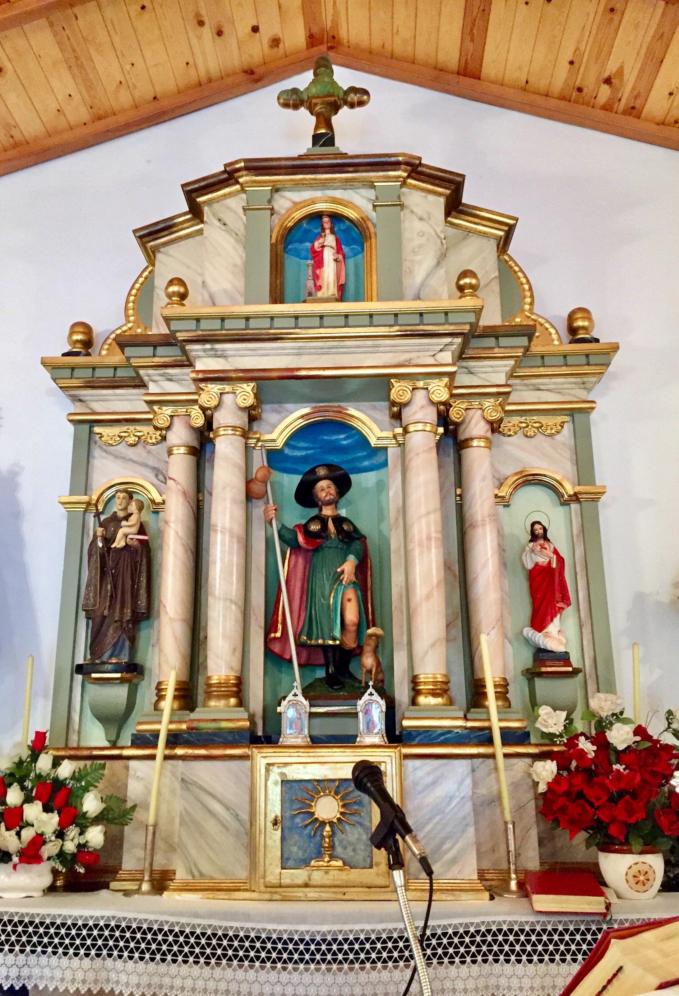
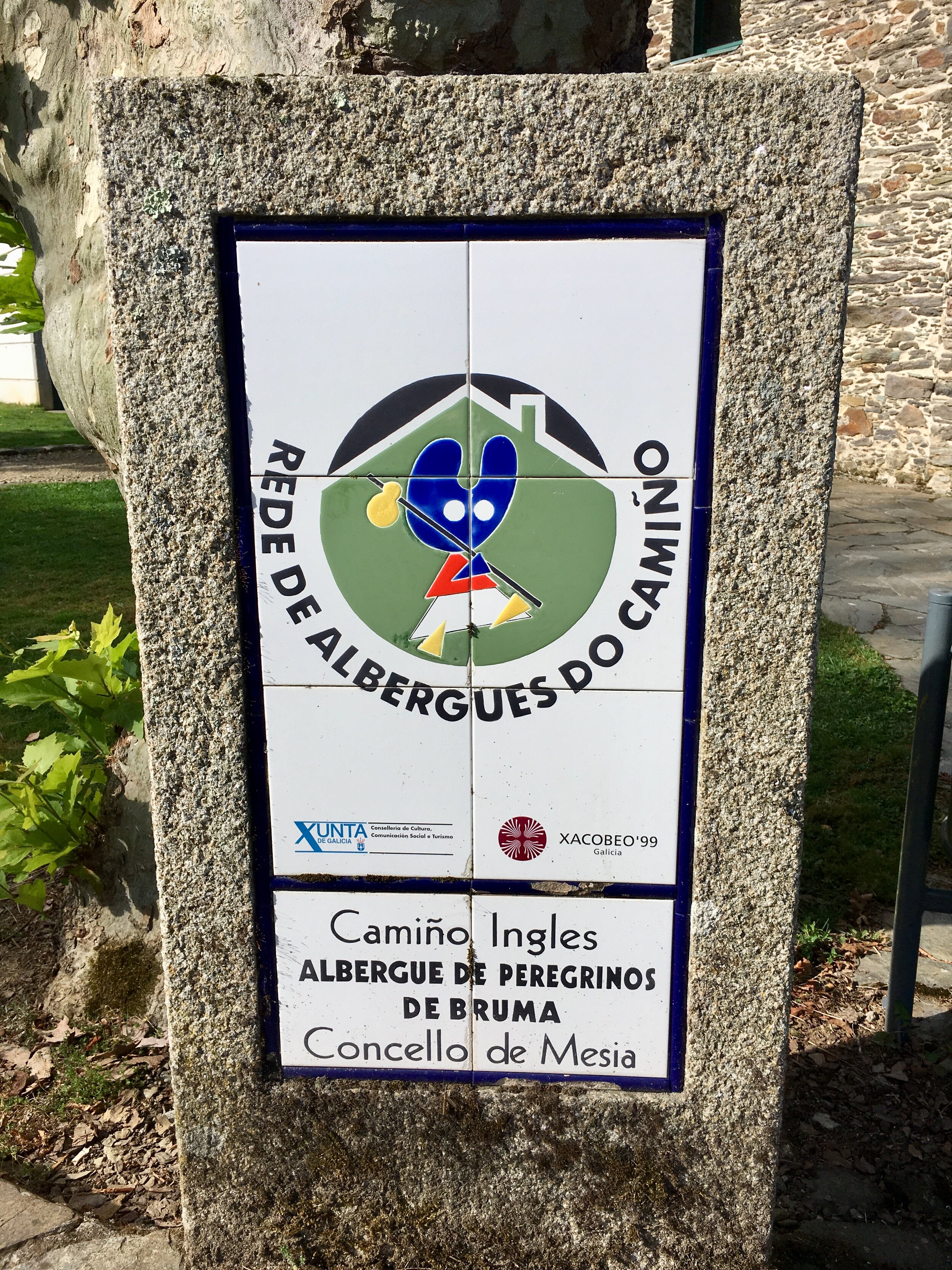
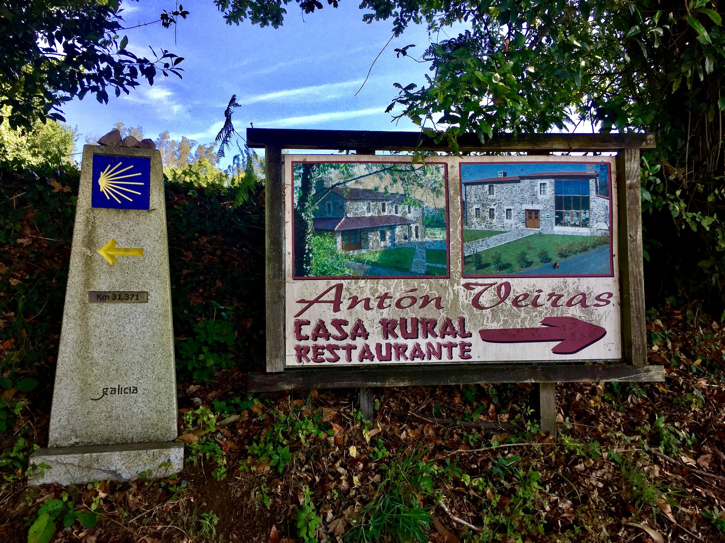
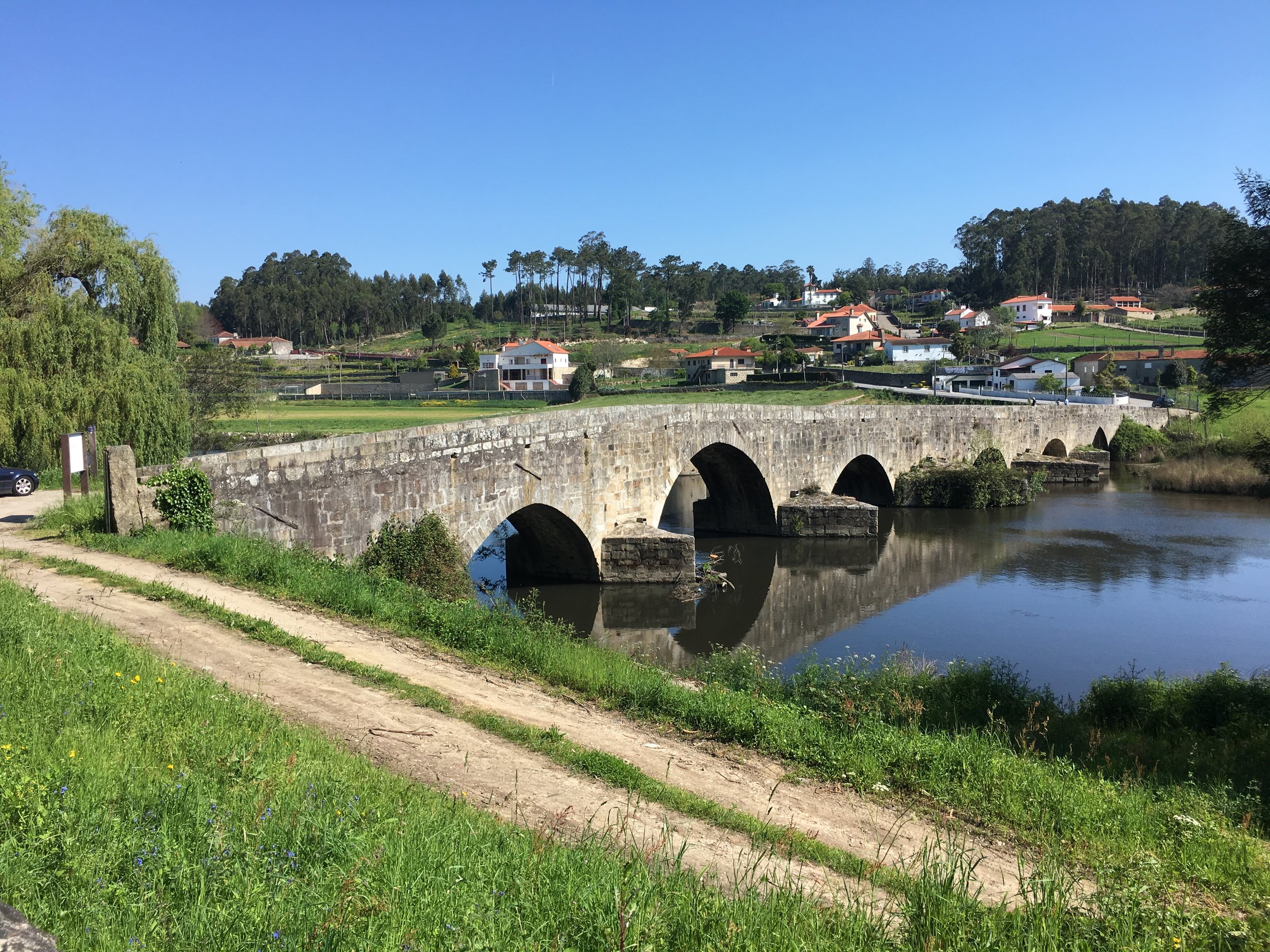
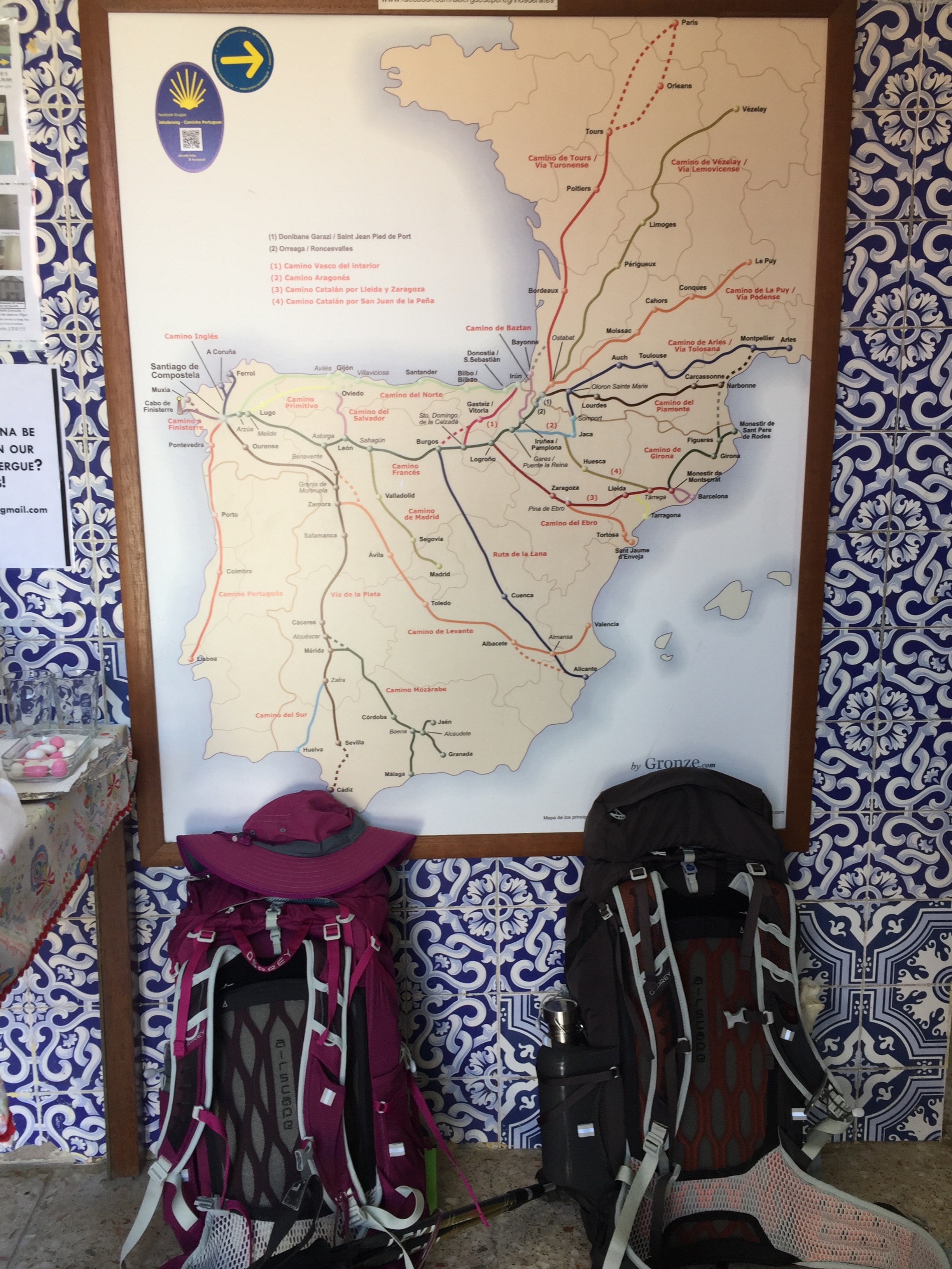
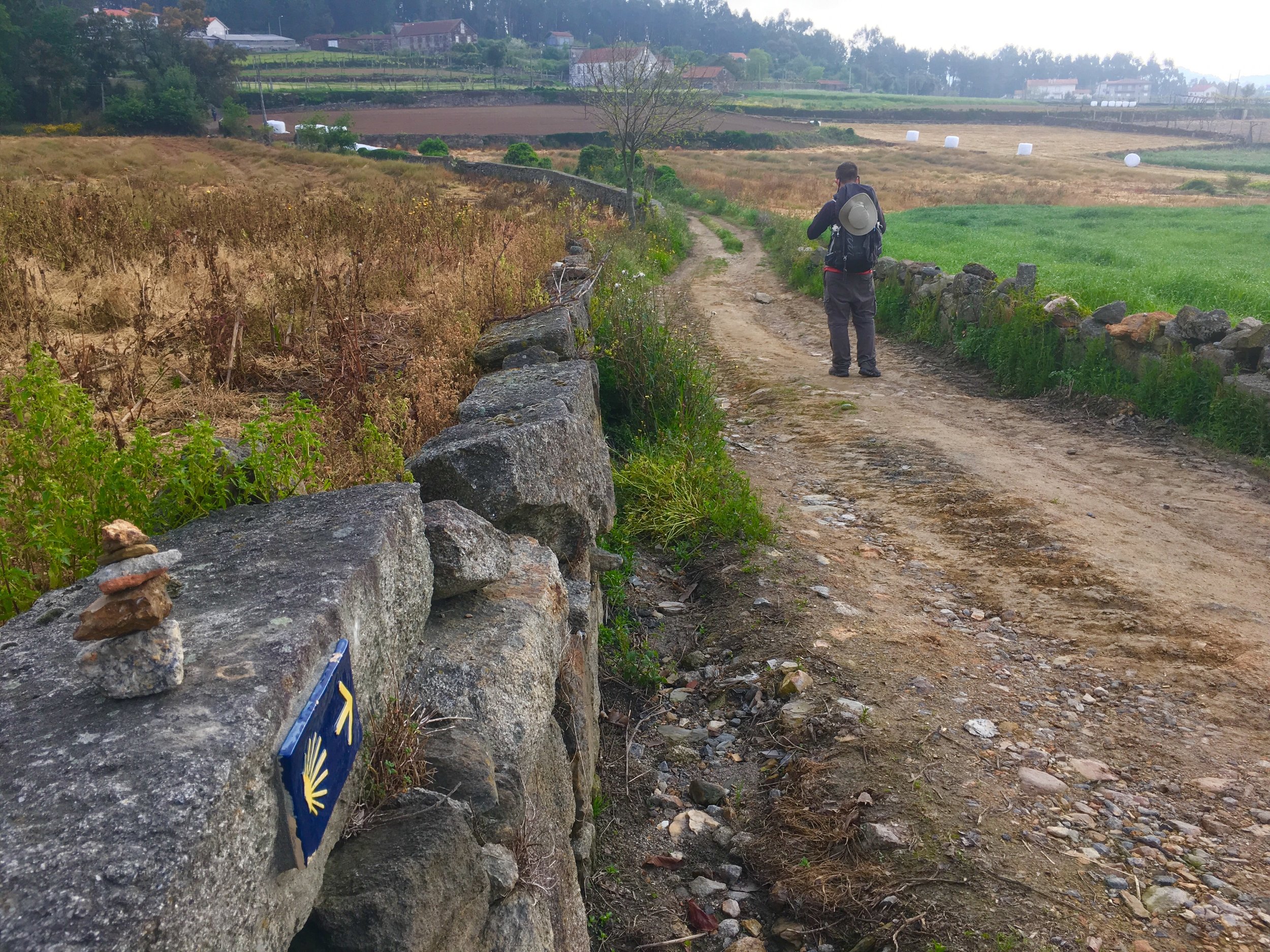
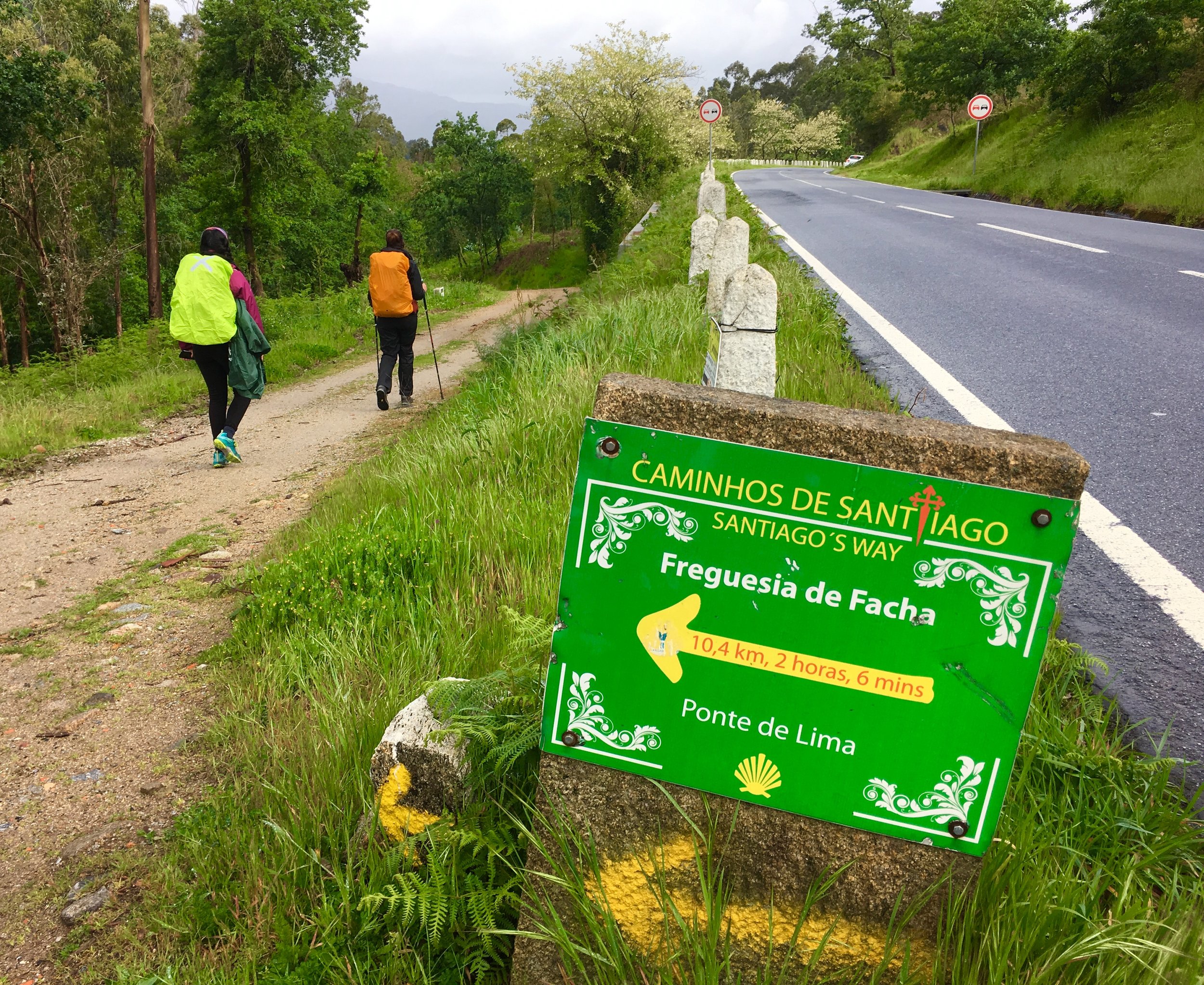
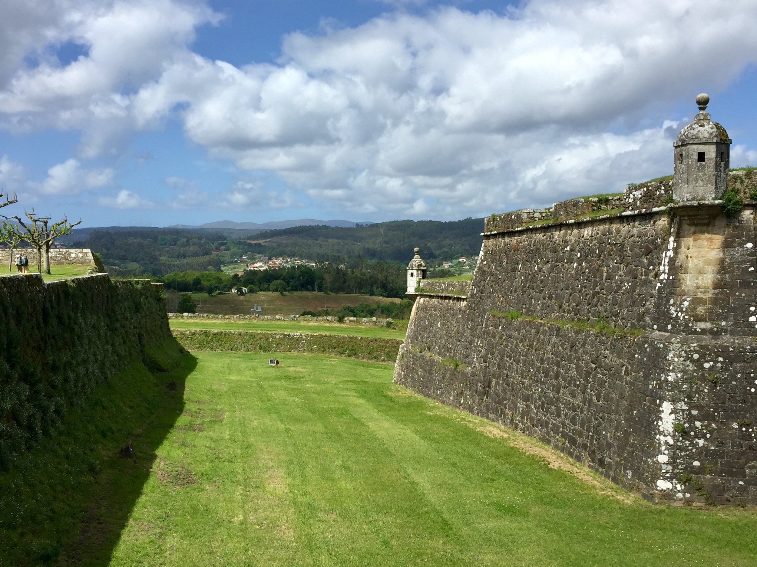
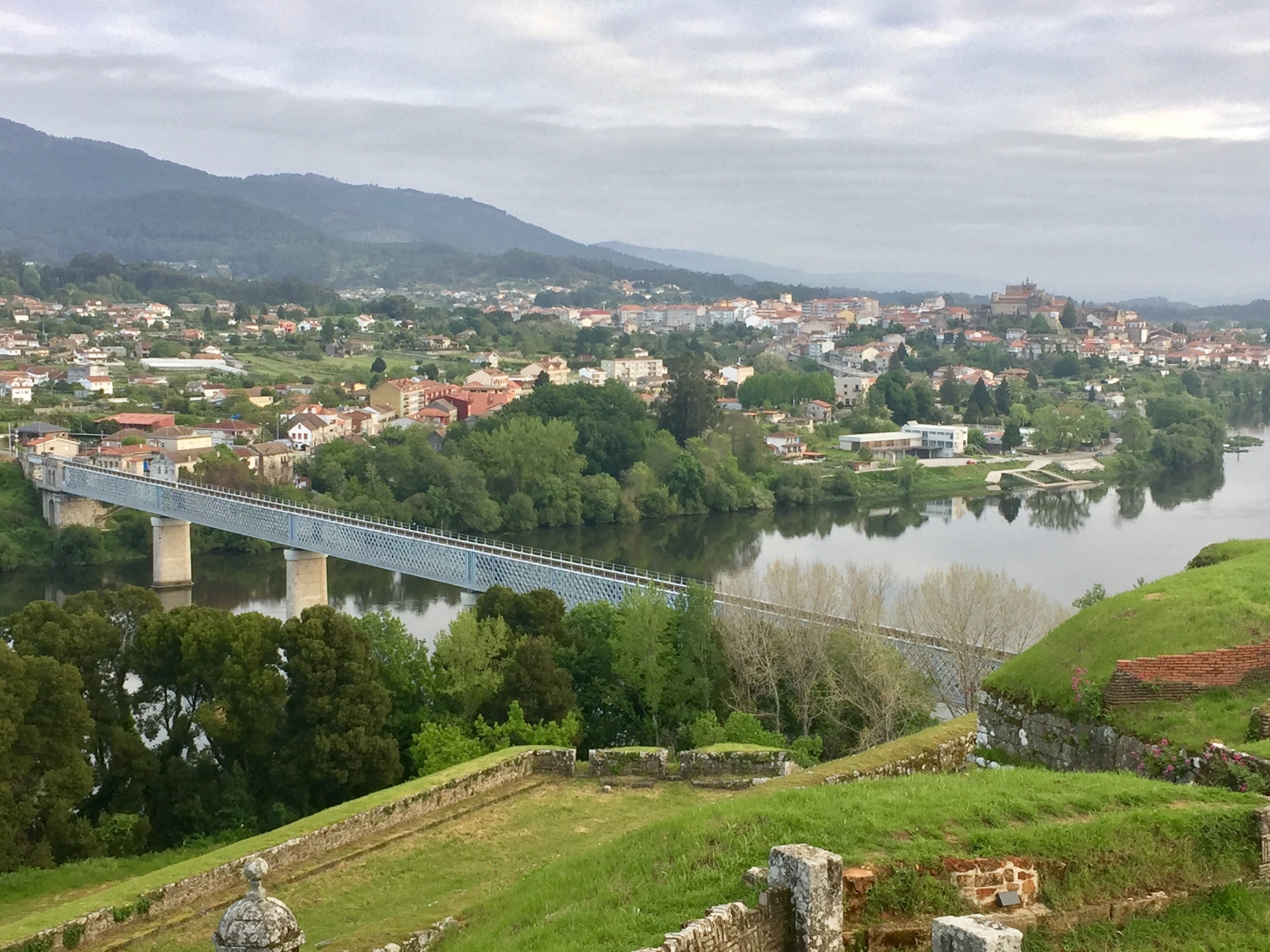
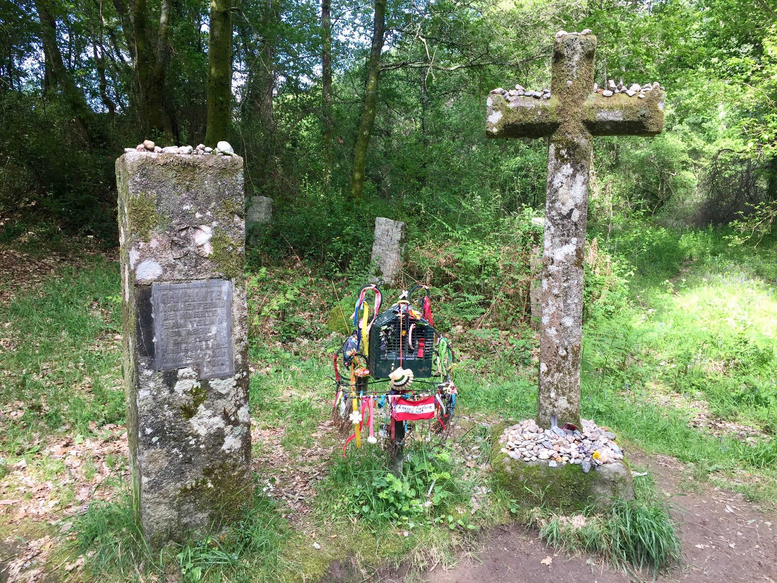
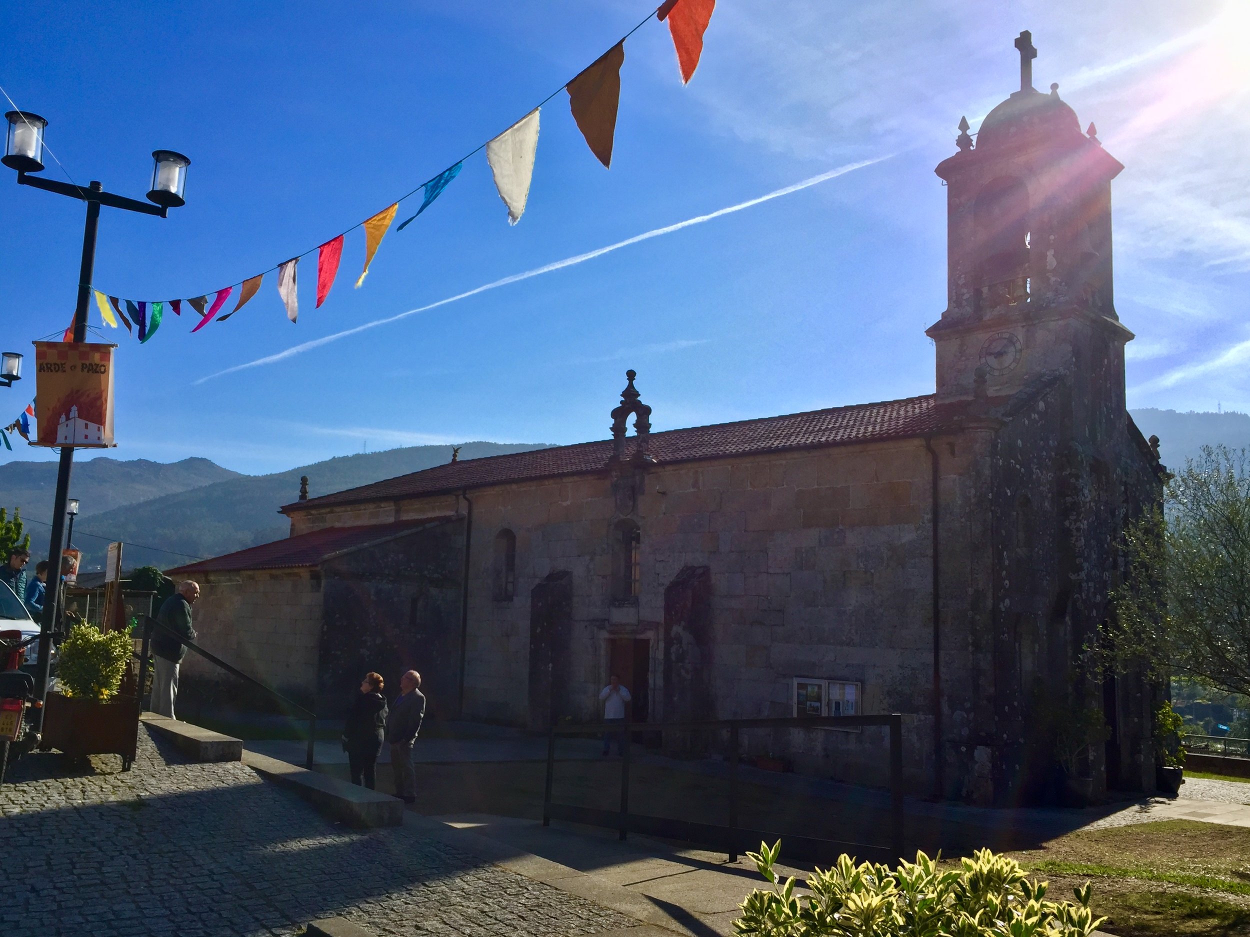
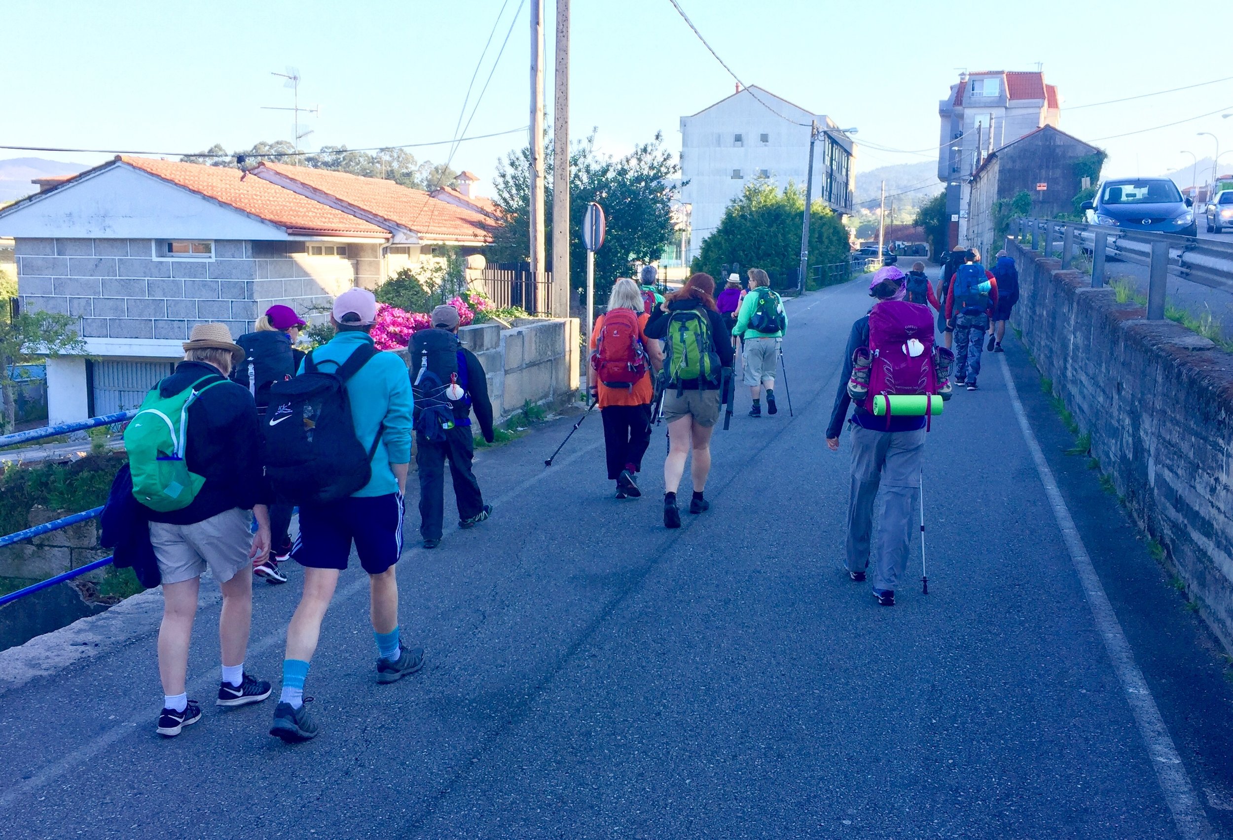
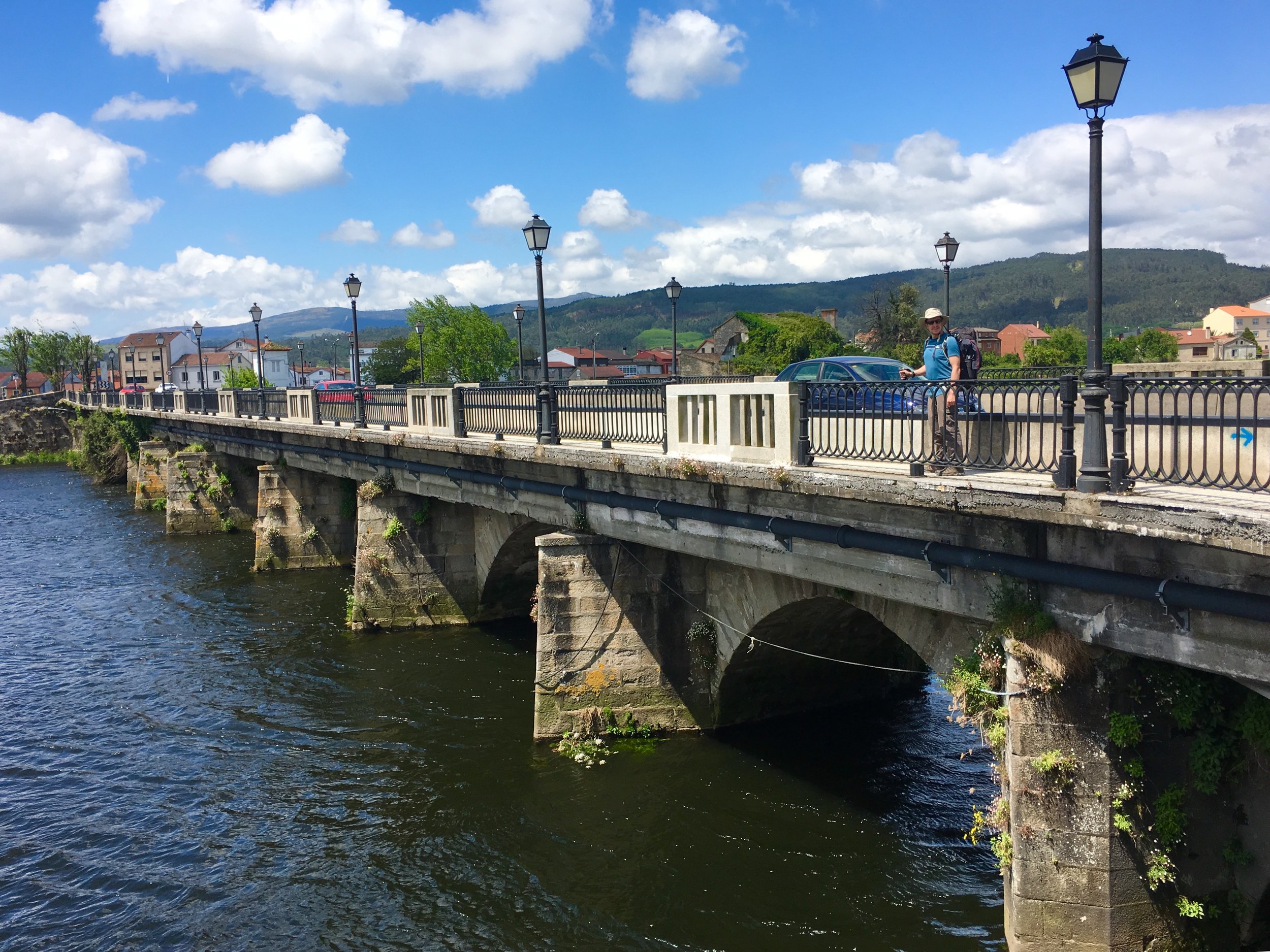
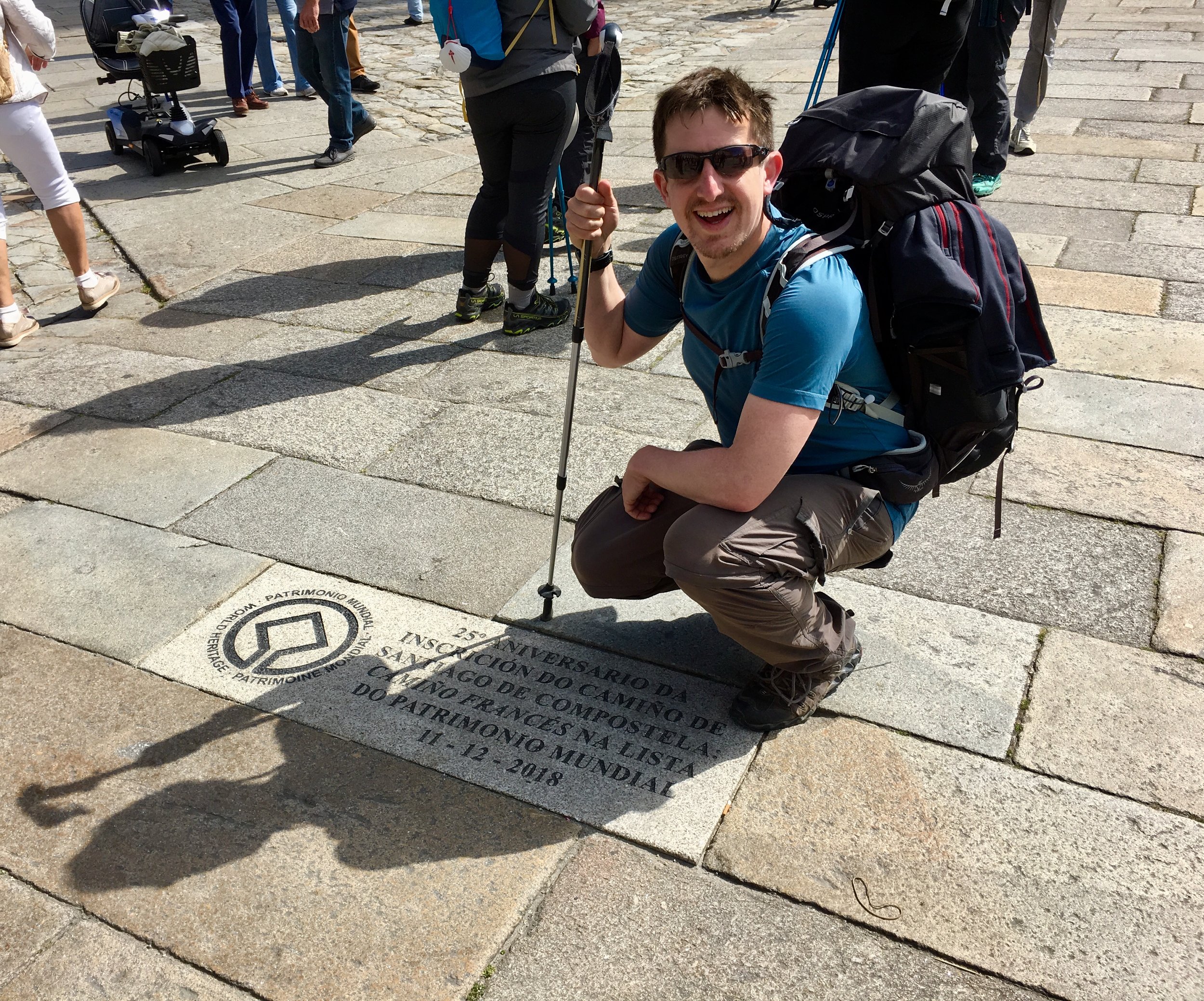
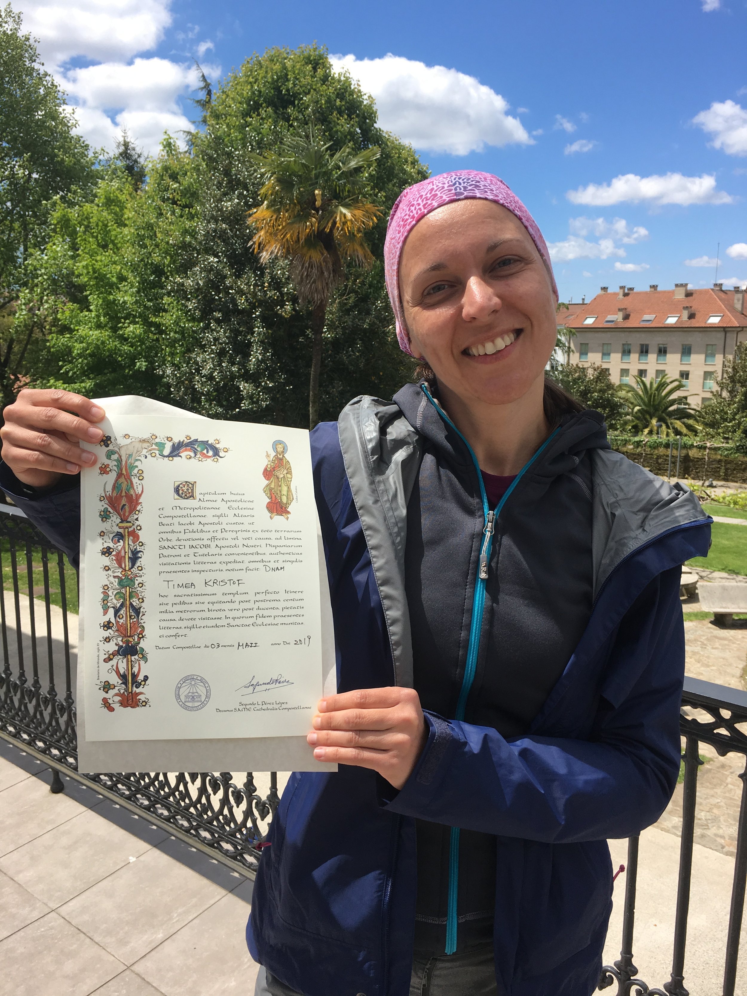
The Inglés is the shortest of the main Camino routes into Santiago de Compostela. Its name comes from the pilgrims who would start their journey in England, take a boat to the northern Galician coast and continue from there. Nowadays there's two options for starting the Inglés, A Coruña and Ferrol, both connecting at Hospital de Bruma. It's more likely that olden-days pilgrims would have arrived in A Coruña as there would have been very few options to arrive by boat from England to Ferrol. Despite the authenticity, the route from A Coruña is shorter than the 100km needed to get the Compostela certificate. At 110km, Ferrol is the more popular route, especially for pilgrims like me who need the certificate.

As the date for our trip approached I was in desperate need of a break. Work had been intense, and getting stuck in Newark Airport on a 27 hour delay didn't help. I'd wished to not travel again for work any time soon. As it turned out that wish came true as Covid scuppered all work travel for the following 2 years.

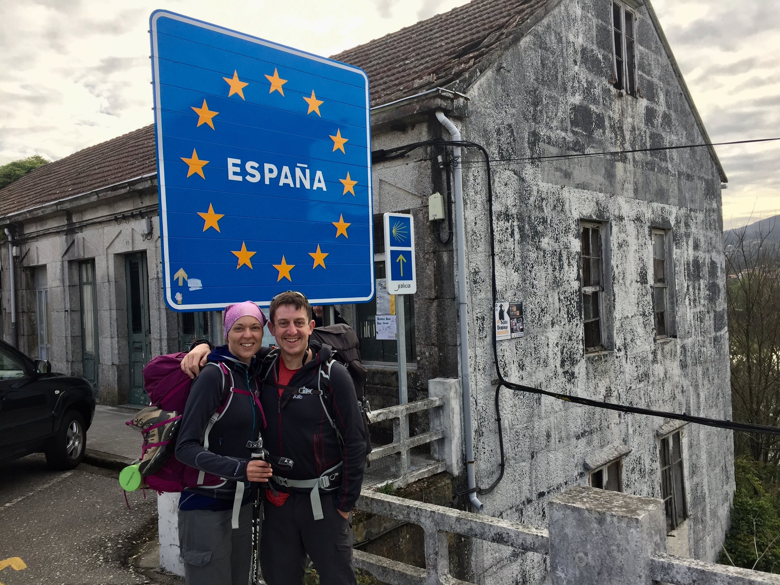
My wish for uneventful air travel didn't come through though. Our plan was to fly from Heathrow to A Coruña then take a taxi to Ferrol. A broken piece of engine kept us at Heathrow for four hours before our flight was cancelled and we had to return home. The expensive, albeit insurance-covered, Plan B was to take a taxi to Gatwick the next morning into then an early flight to Santigo via Barcelona and a taxi to Ferrol. We arrived at the harbour in time for our scheduled start time for the walk.

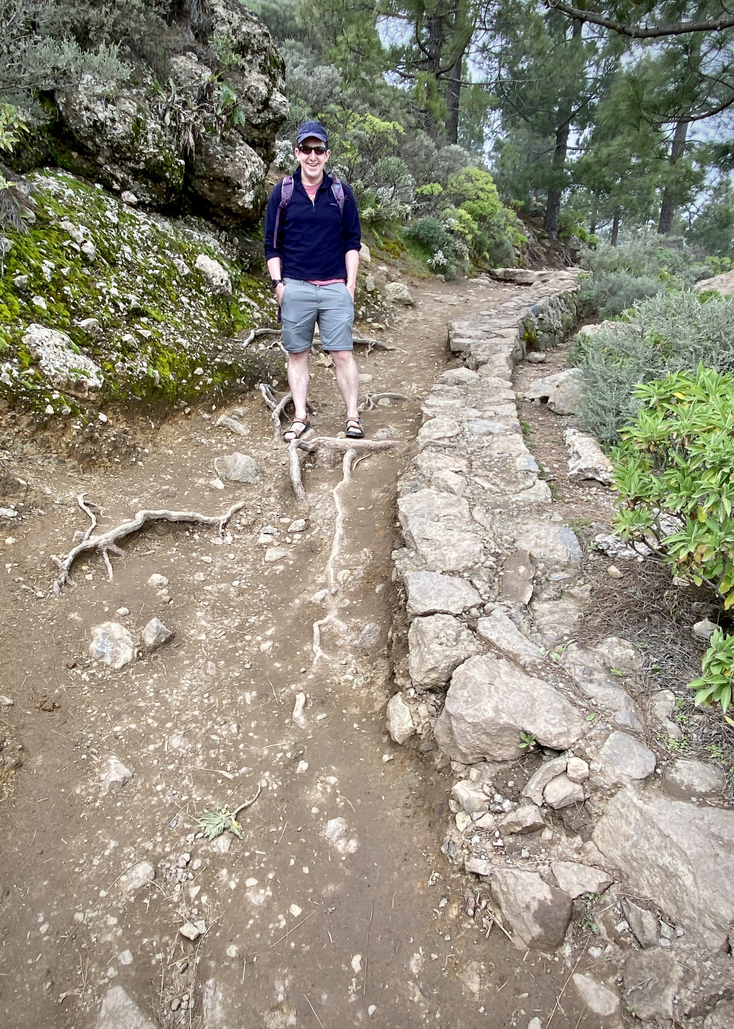
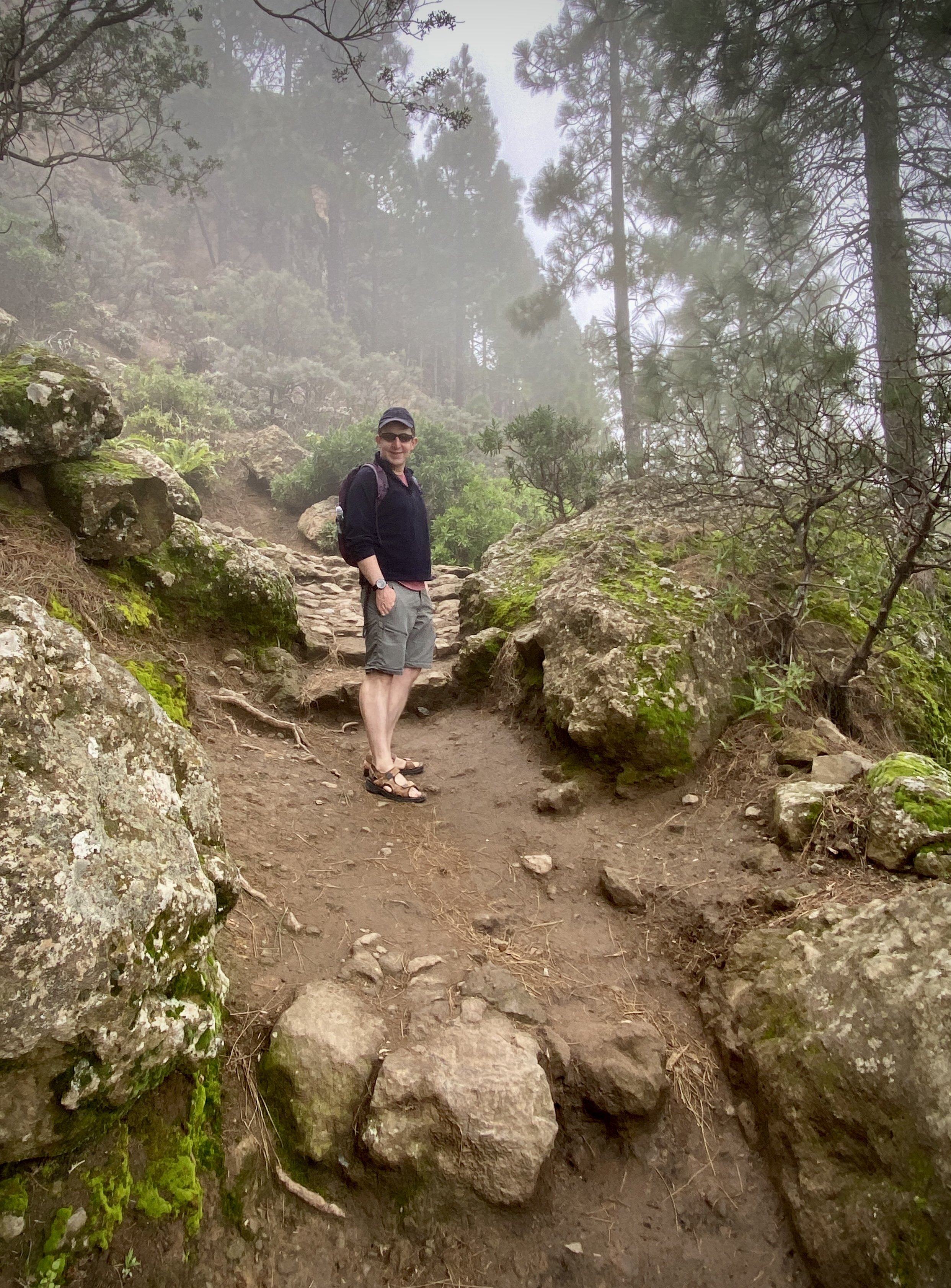
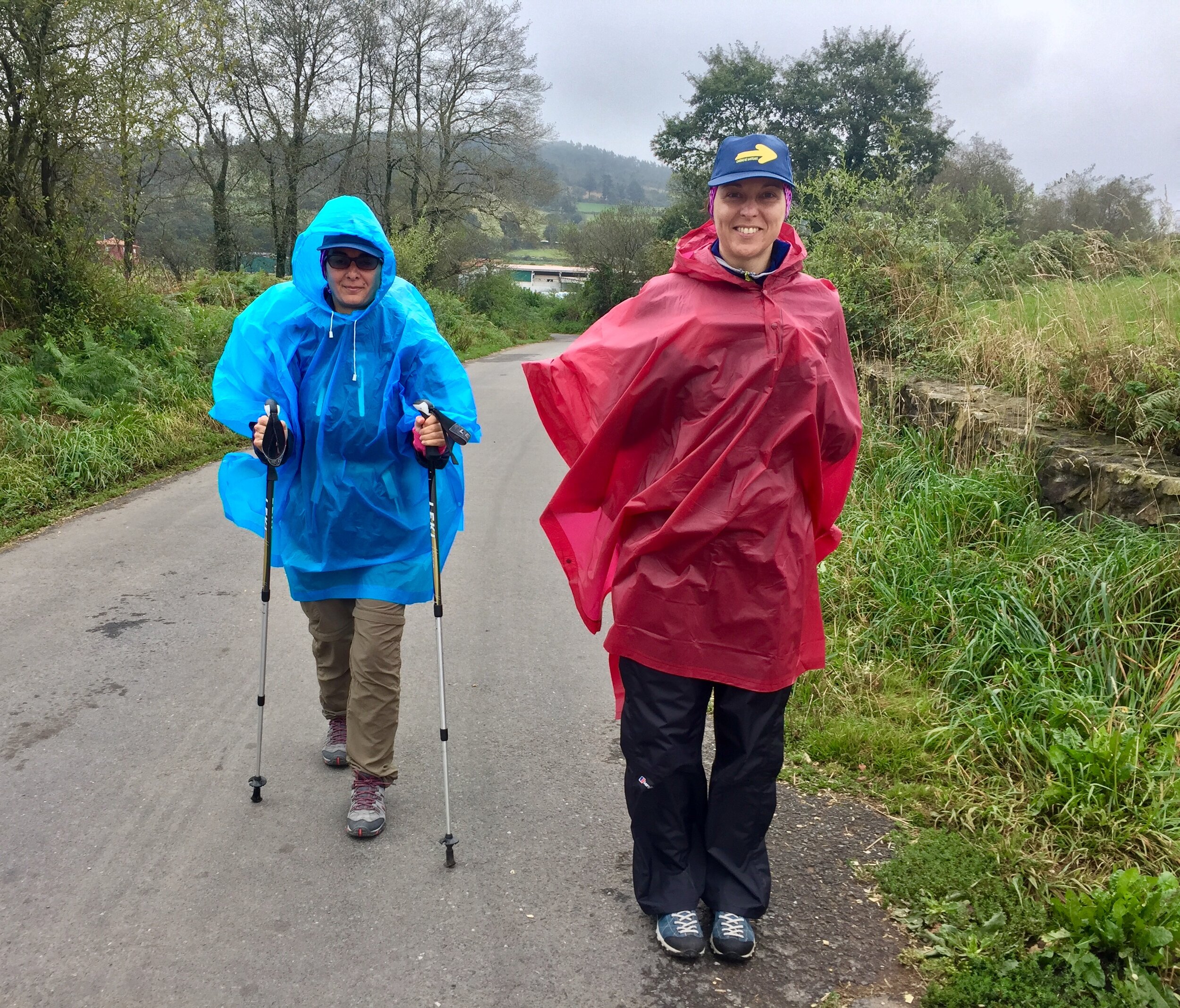
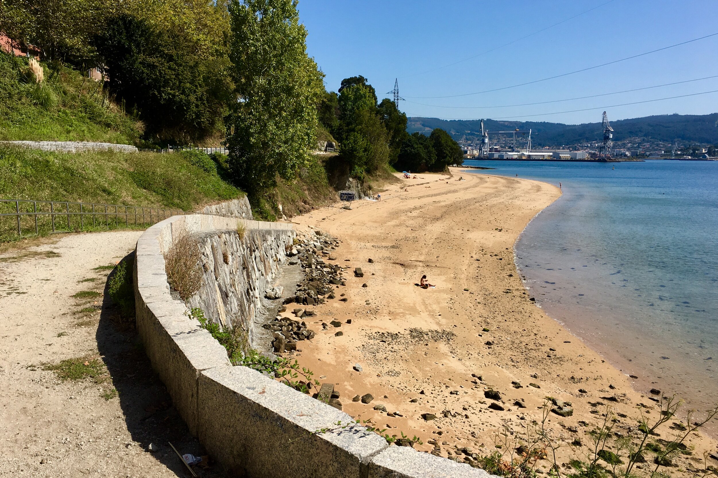
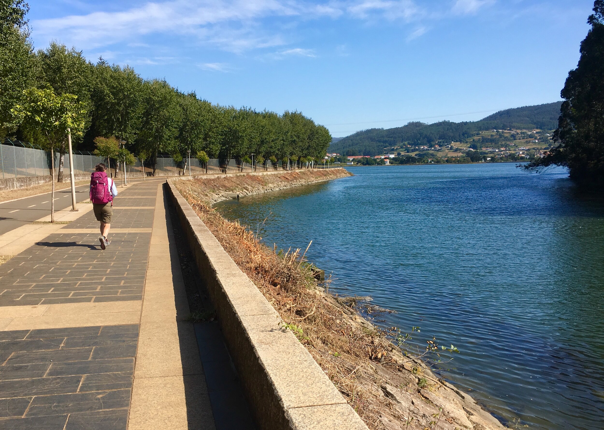
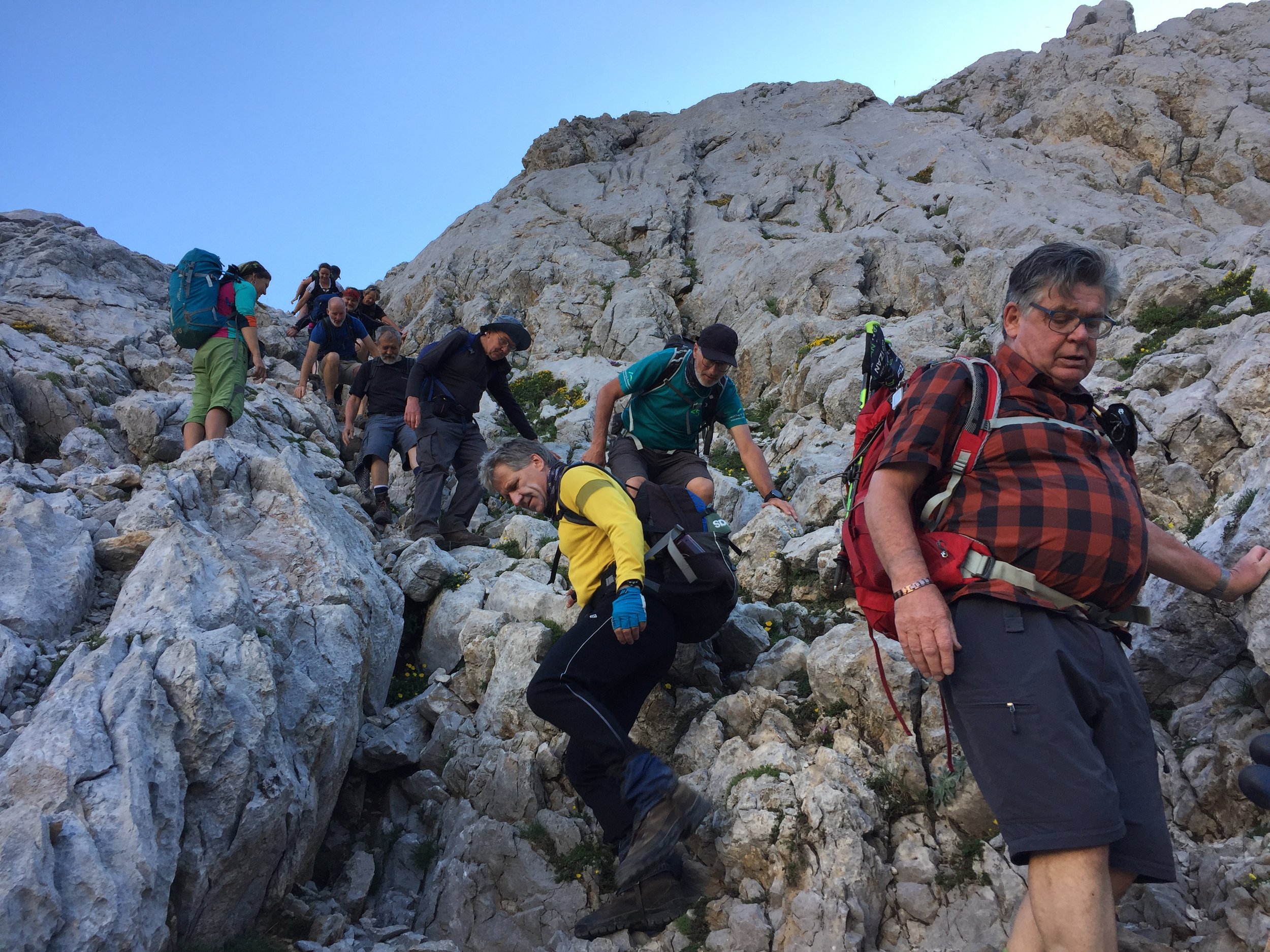
With the stress of the travel and a very hot day, the first leg to Neda was hard going. I still had a lot of work thoughts running around in my head. This didn't feel like the mindful Camino experience that we remembered from a few months before.

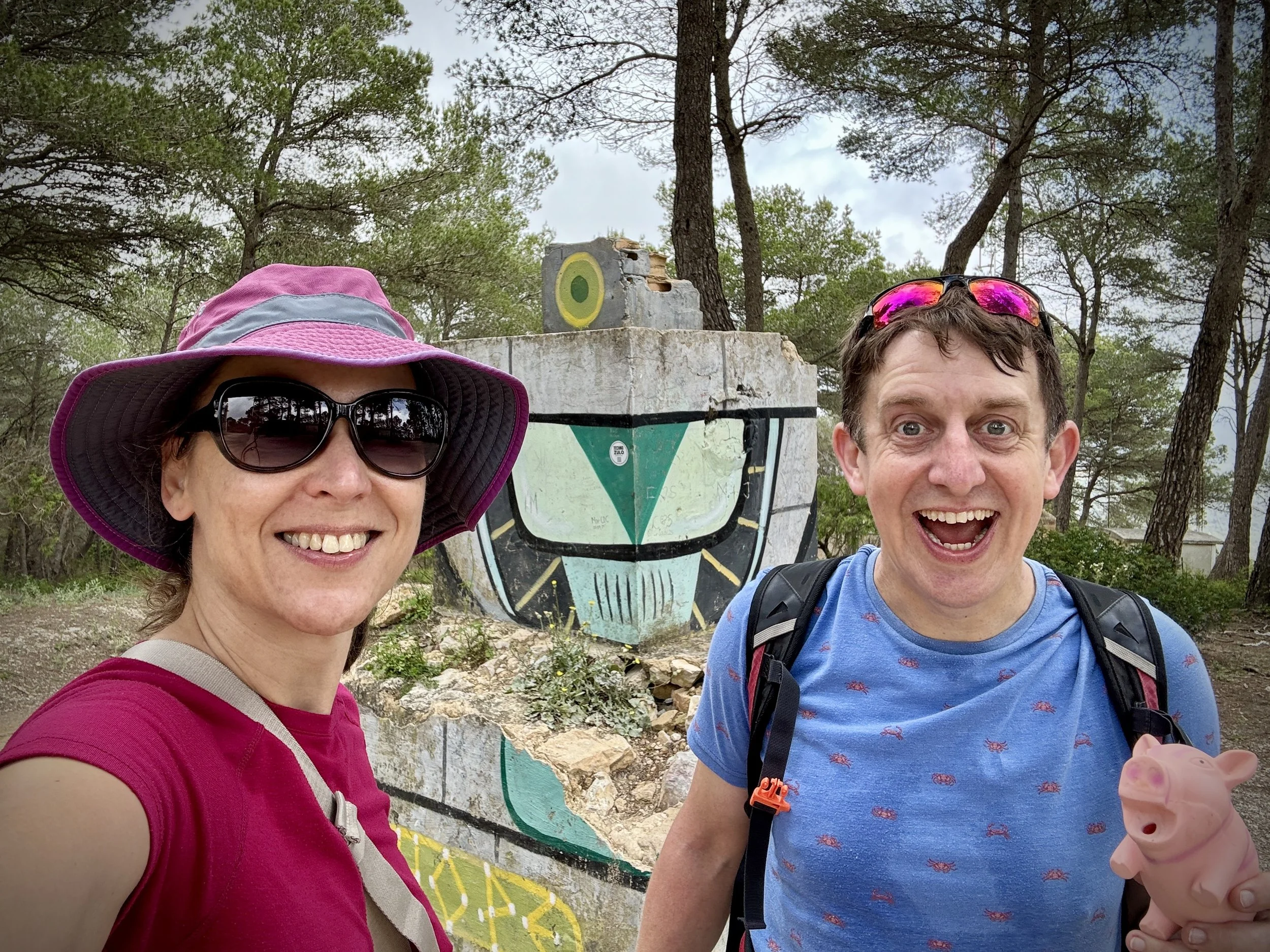
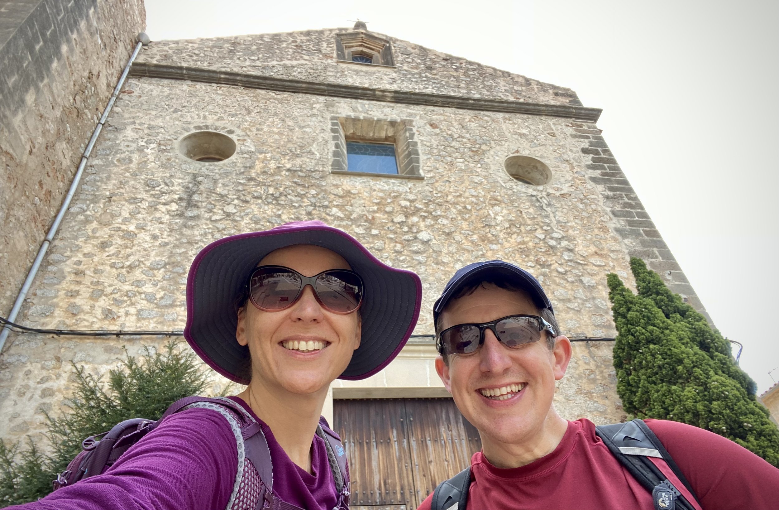
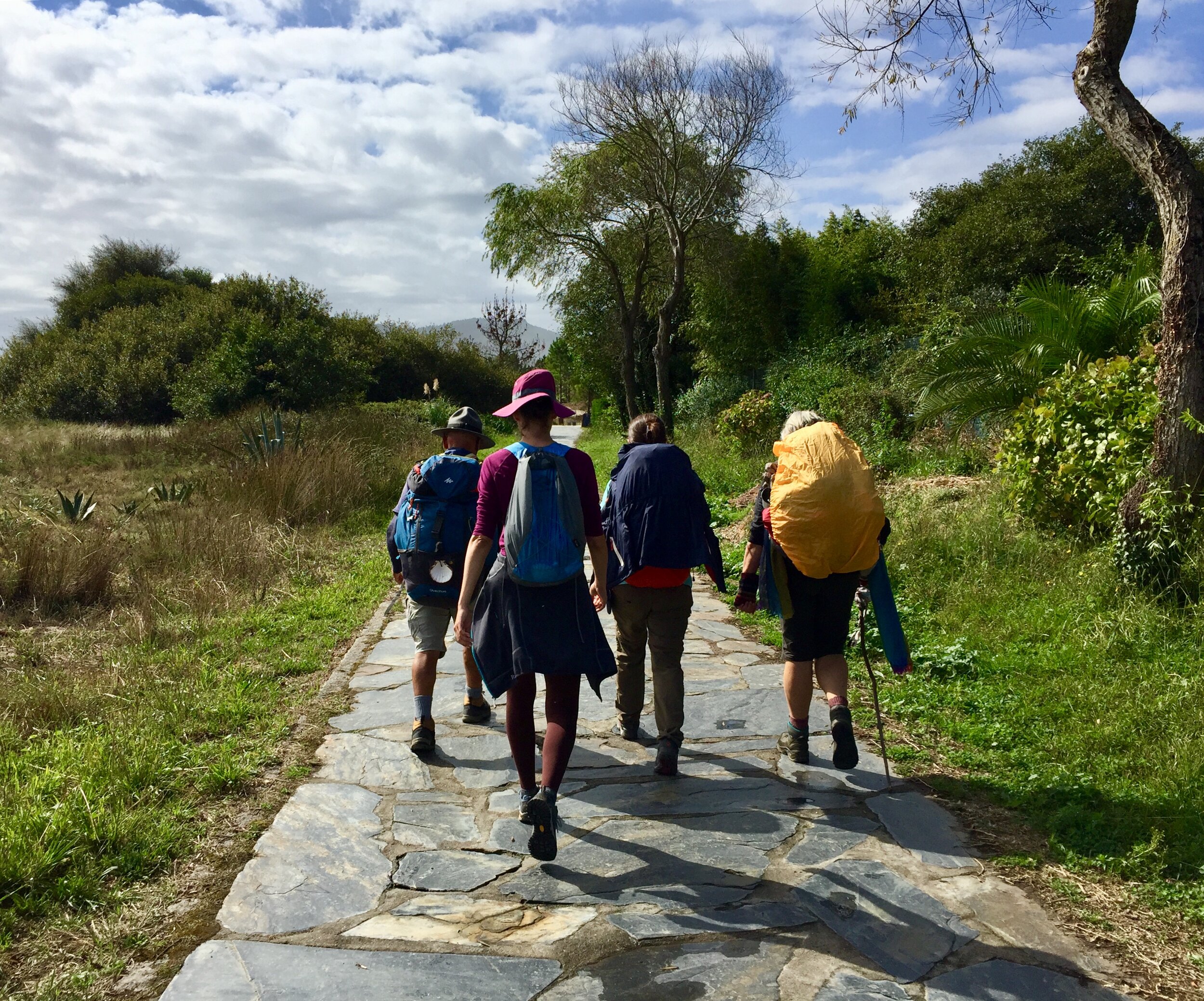
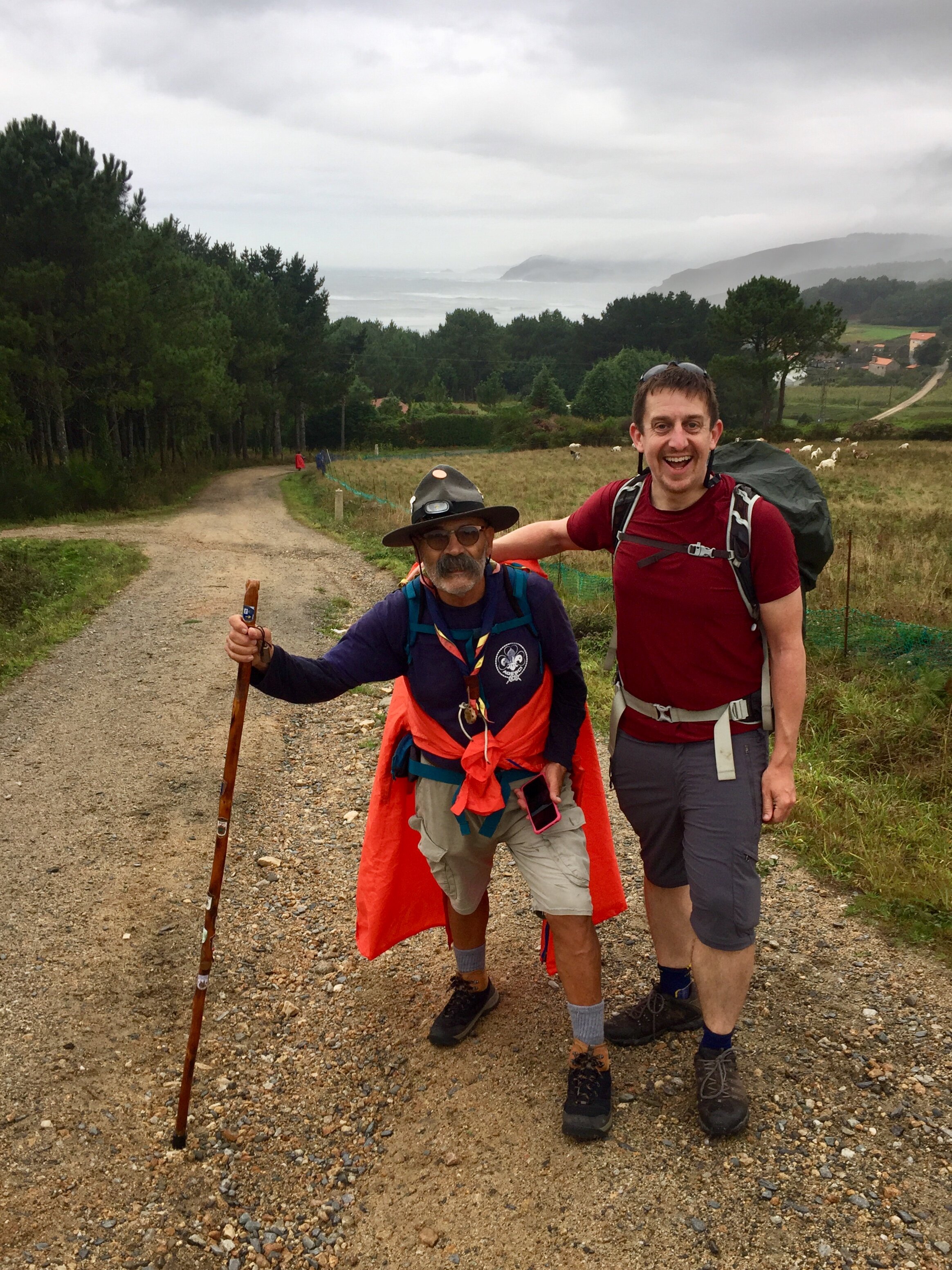
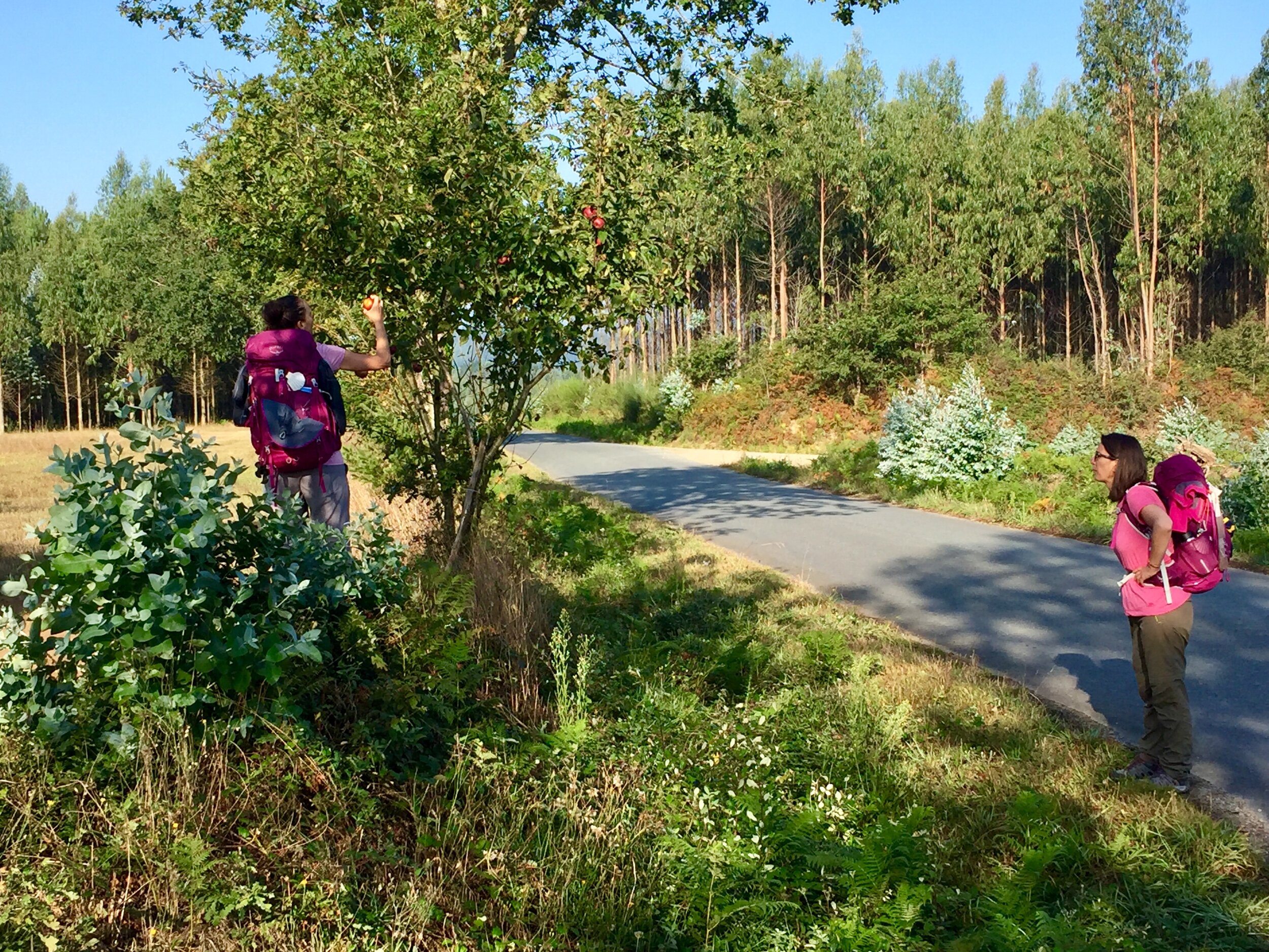
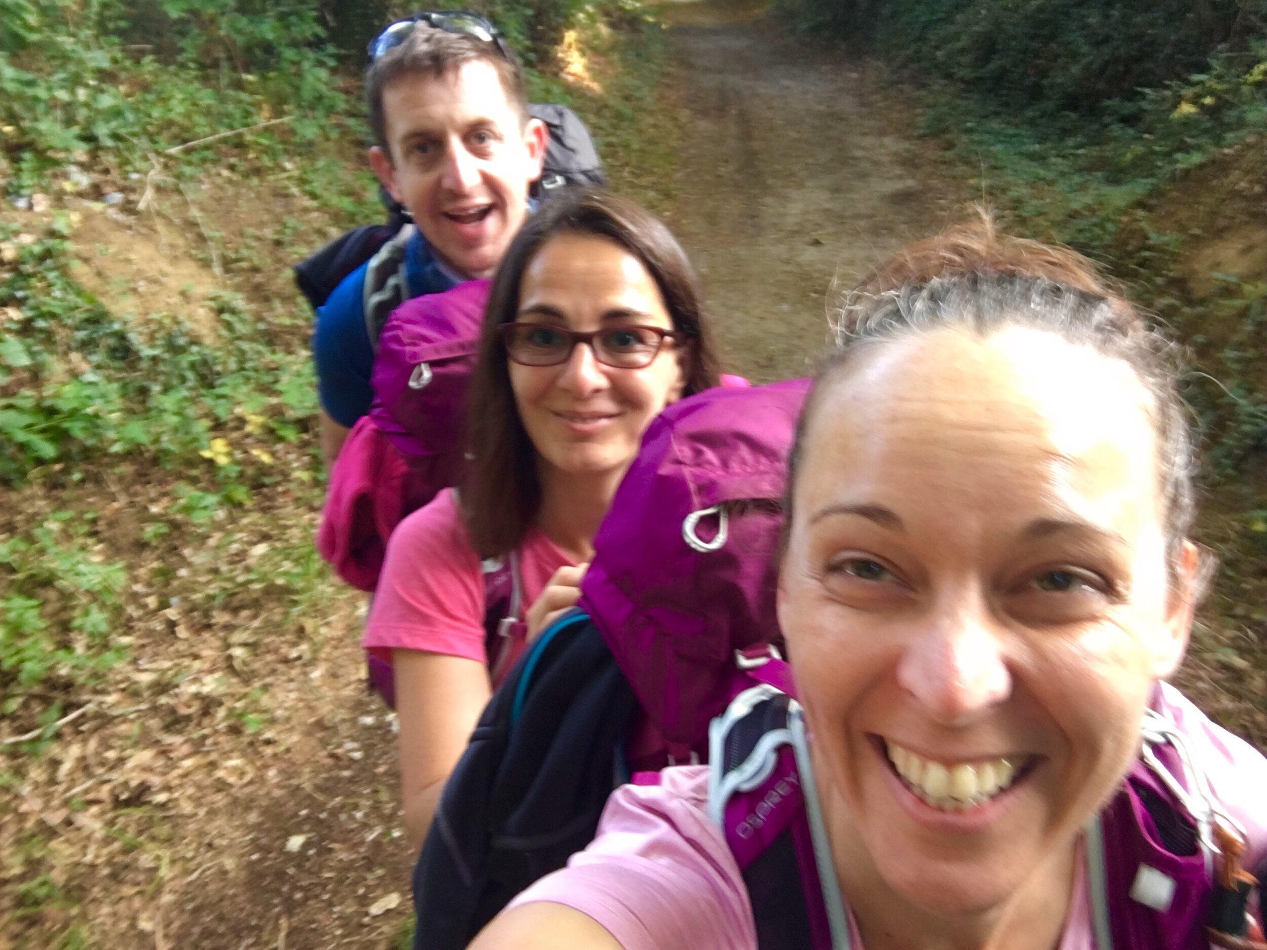
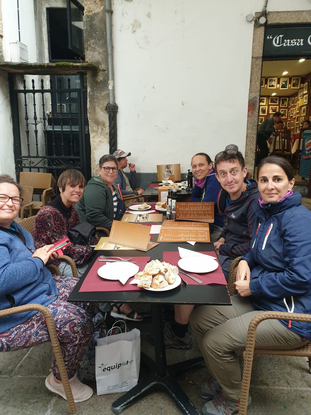
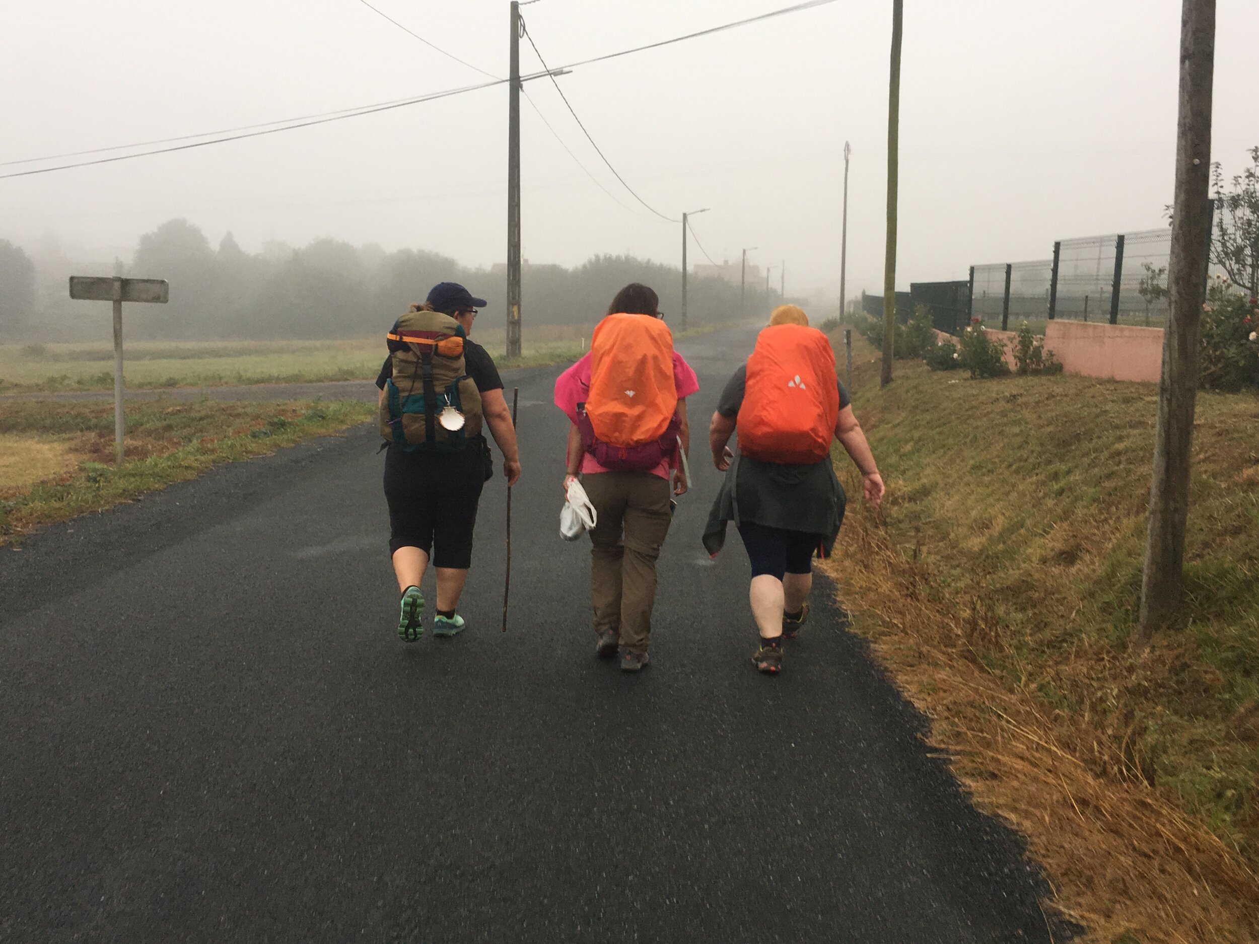
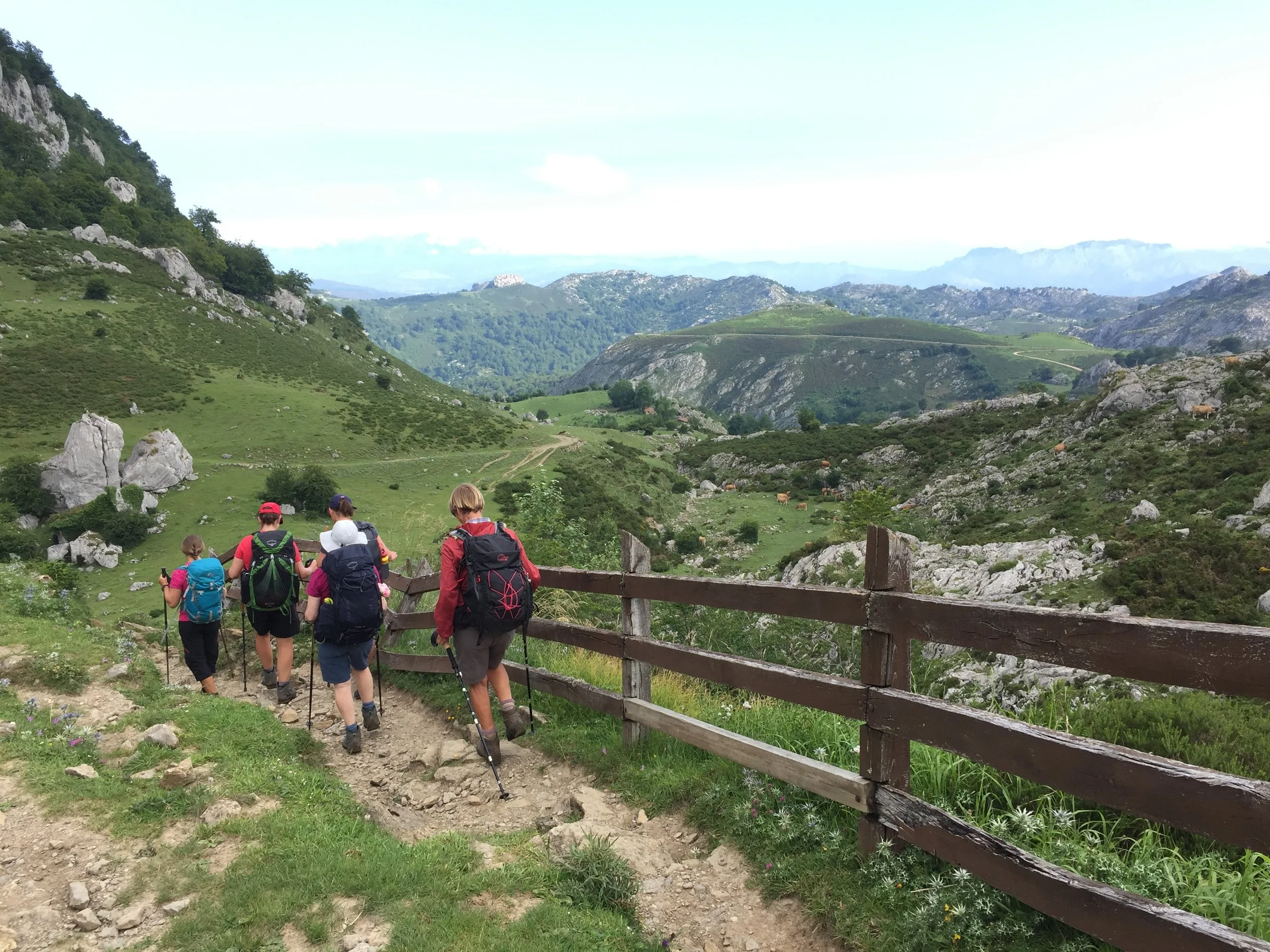
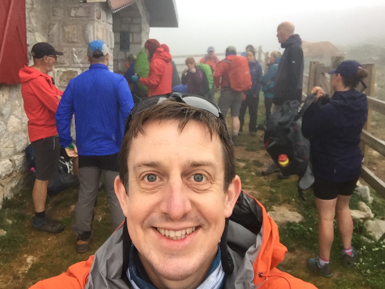
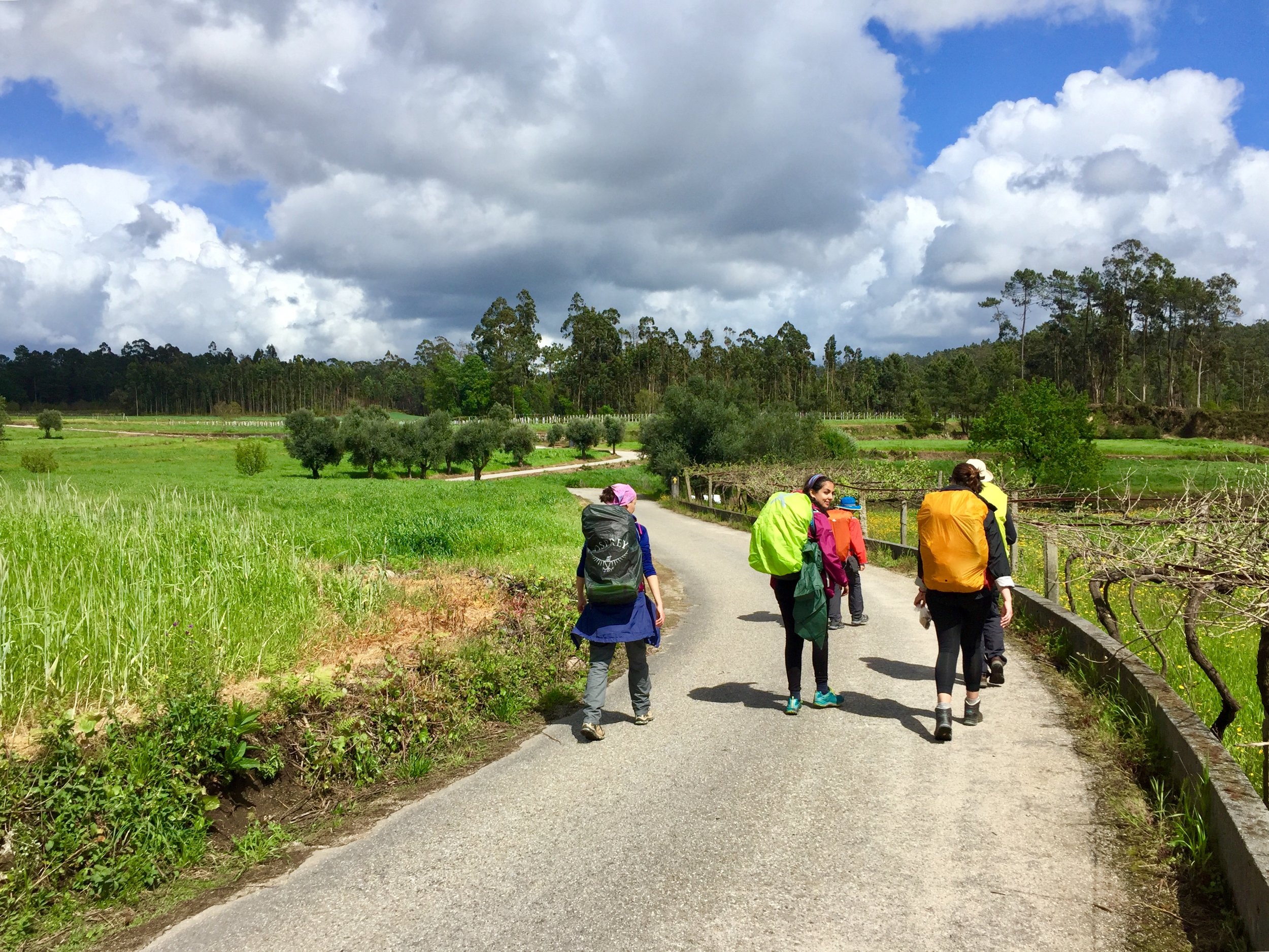
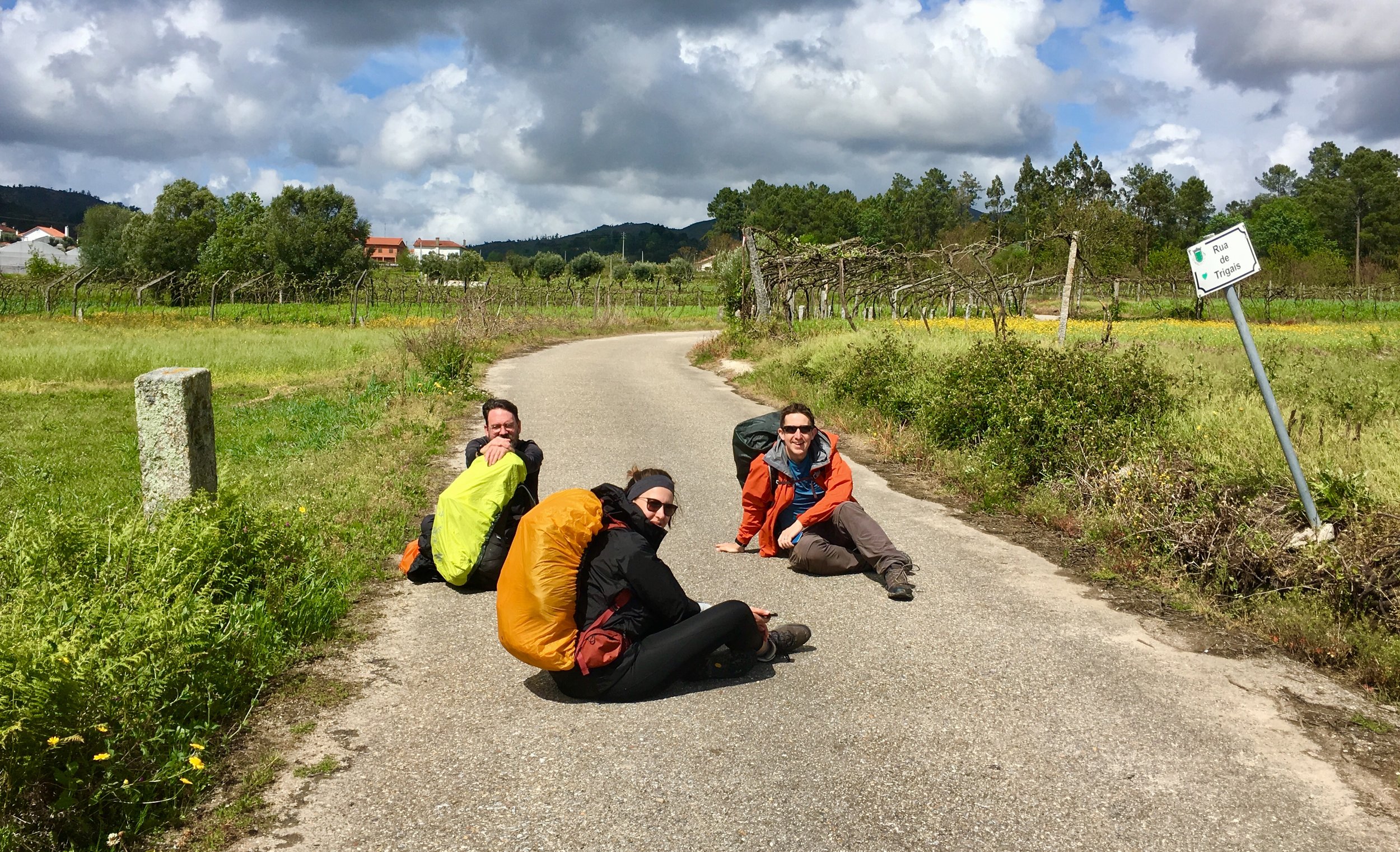
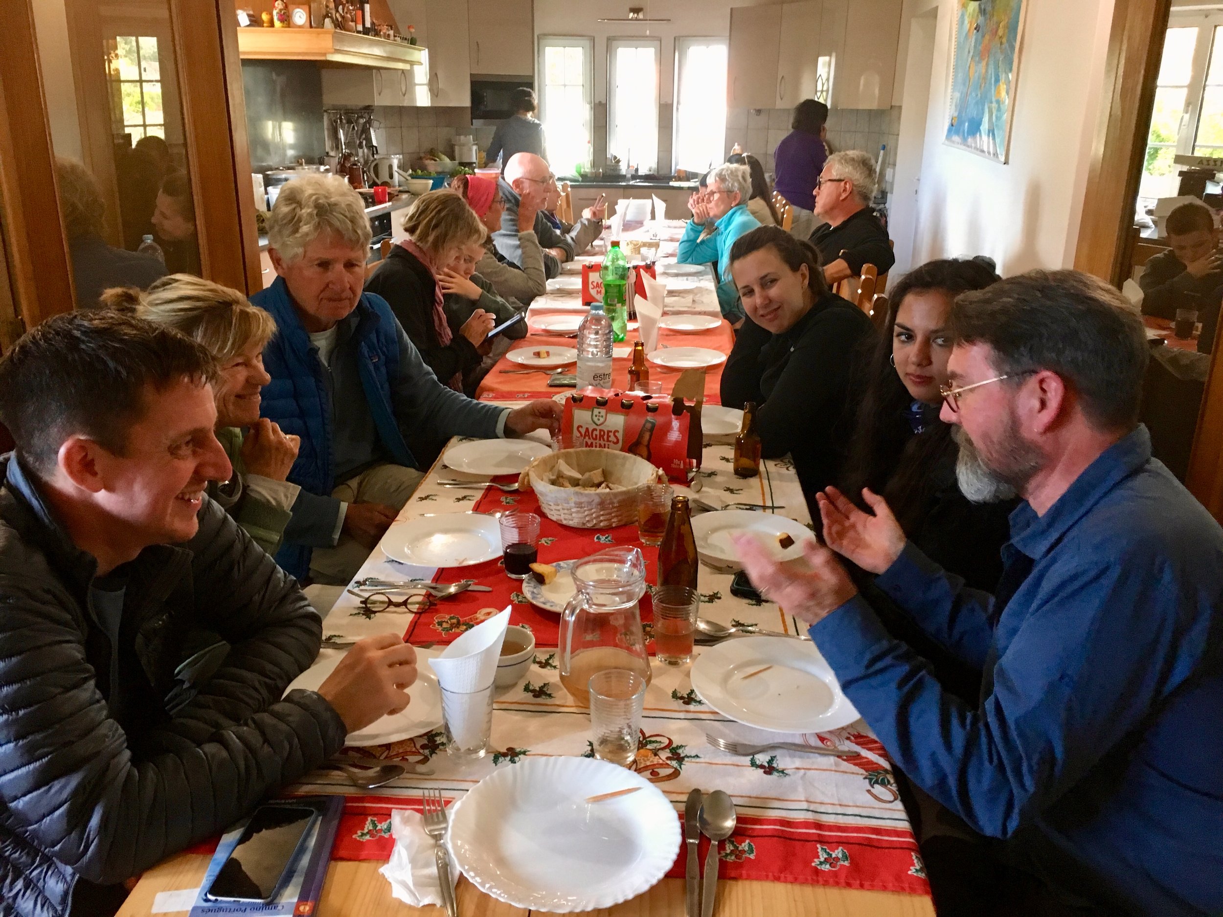
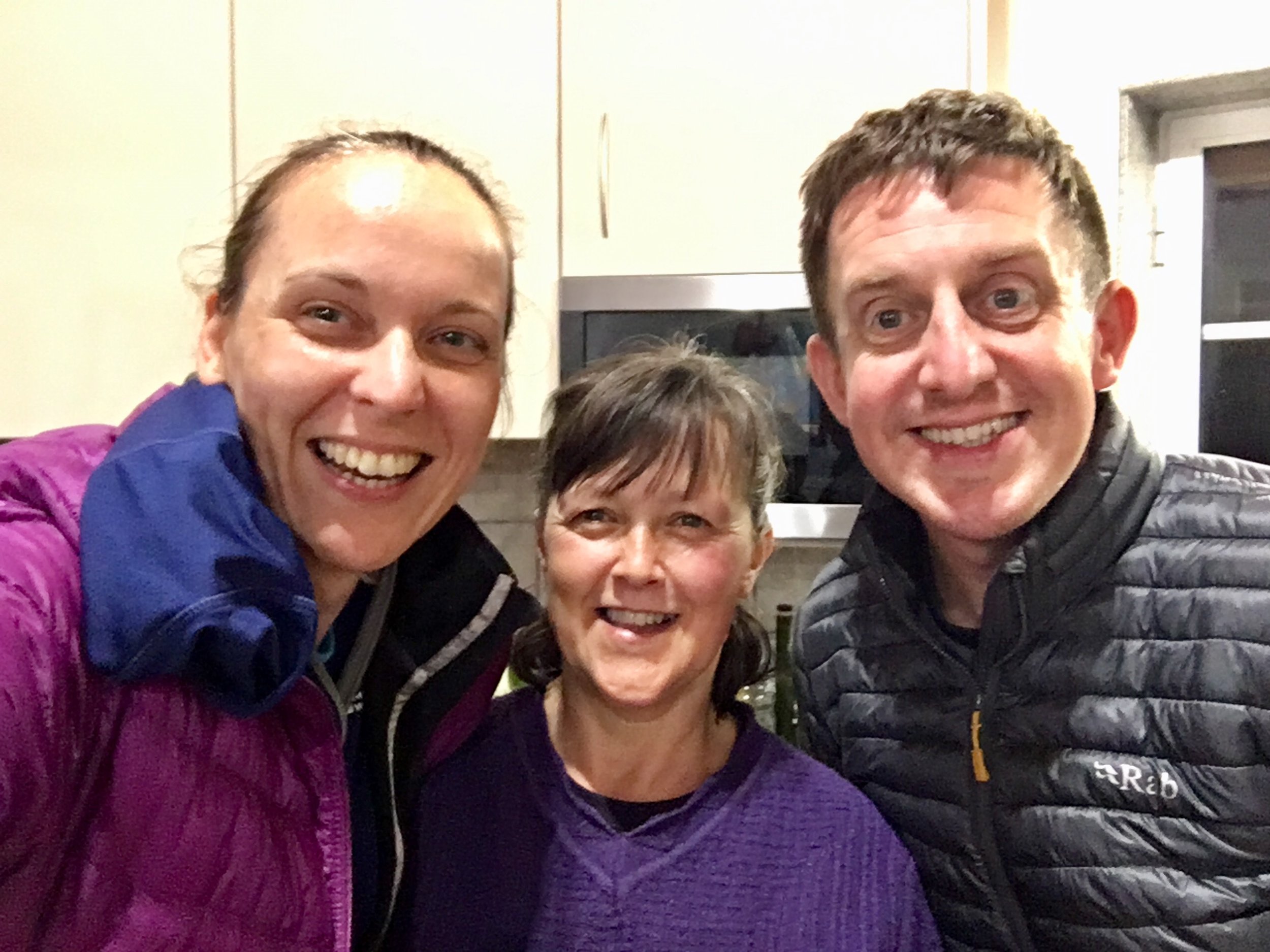
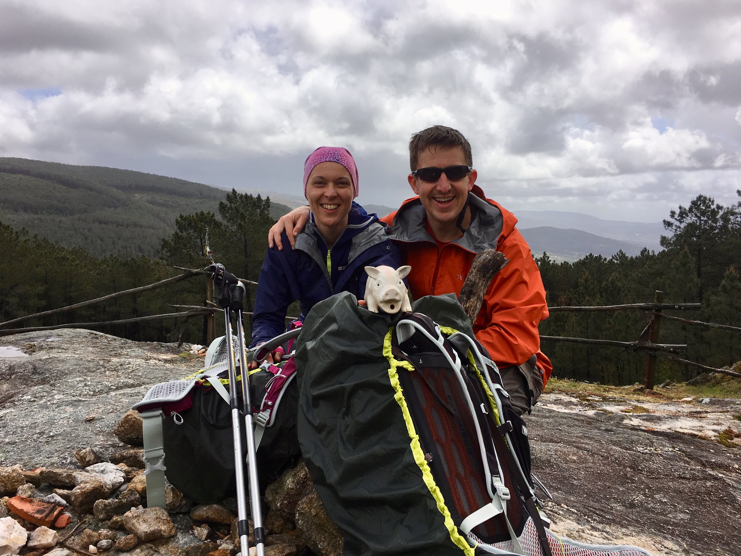
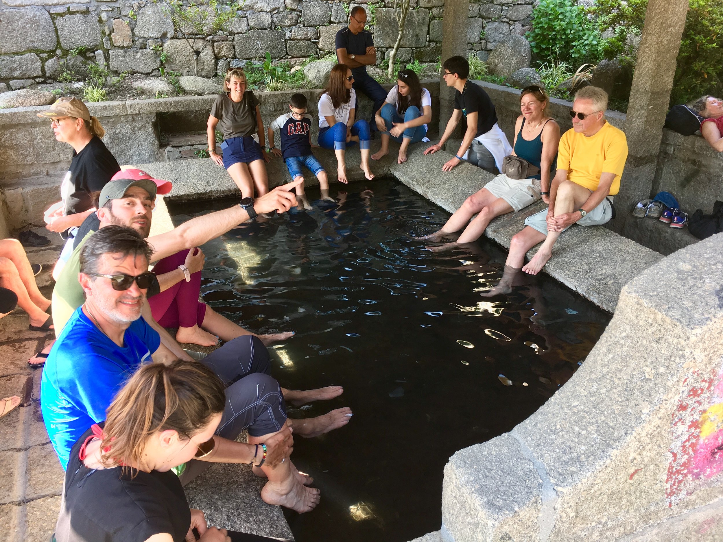
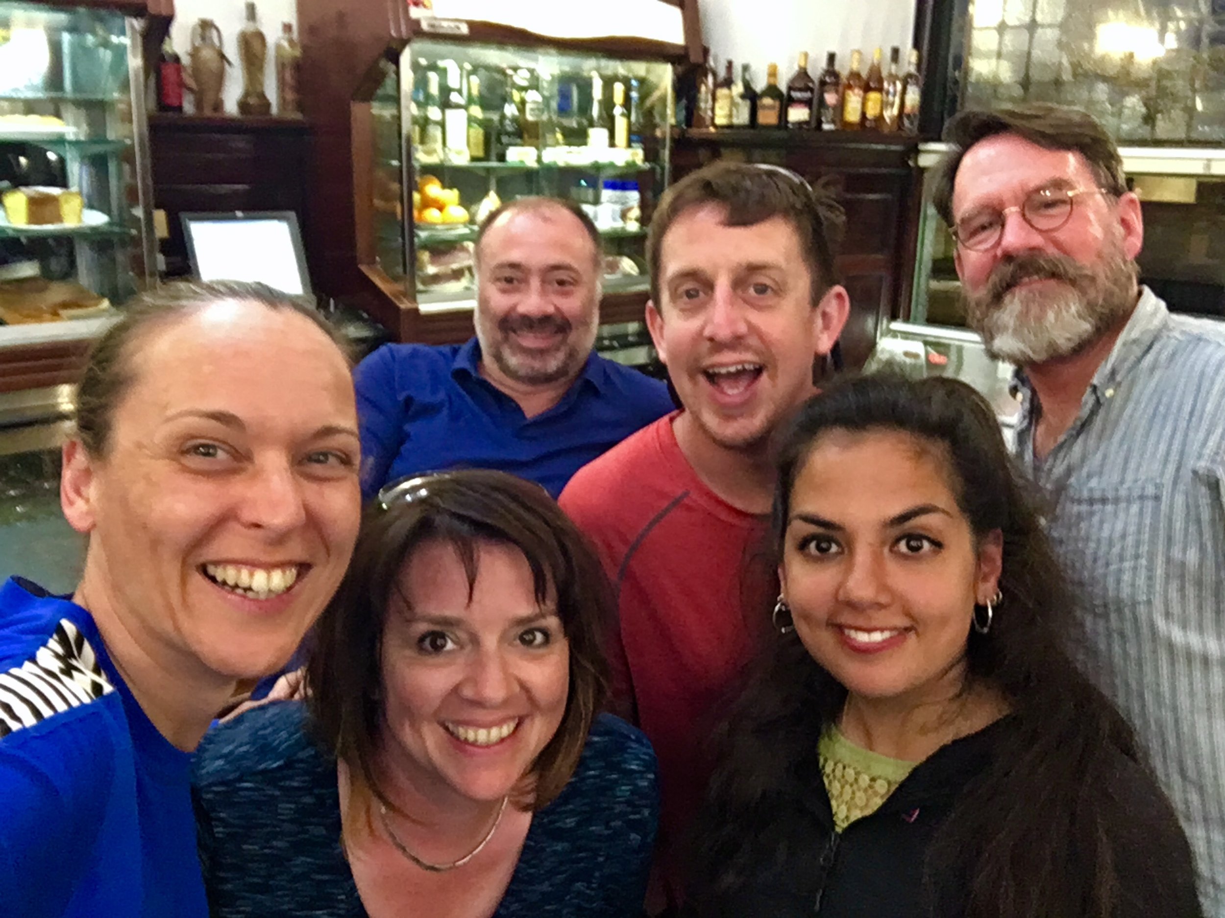
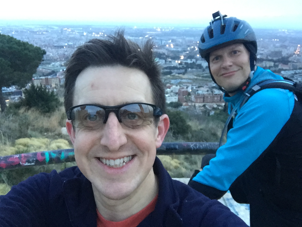
This trip was also different in that we were a group of three rather than two. Adina, a good friend of ours whose previous Caminos had inspired our Portuguese trip, joined us for what would be her third Camino.

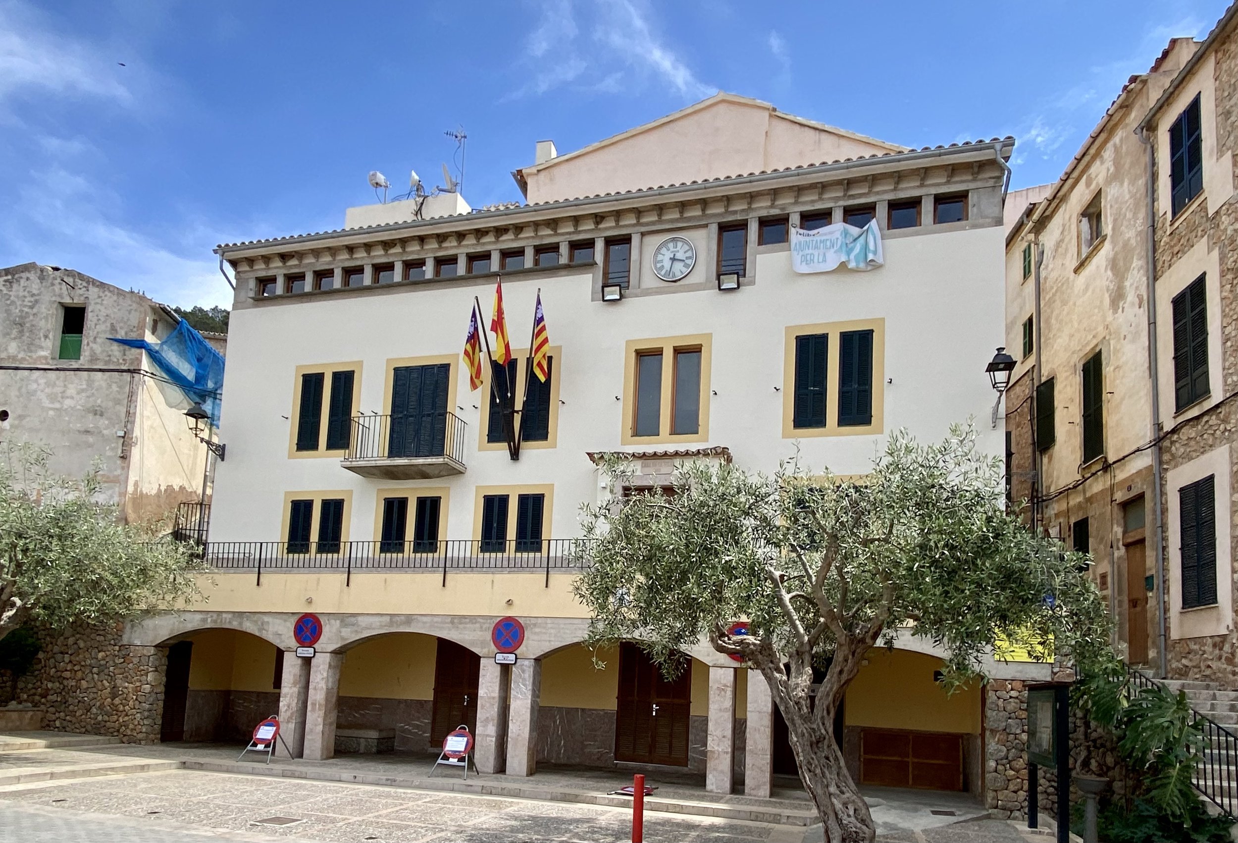
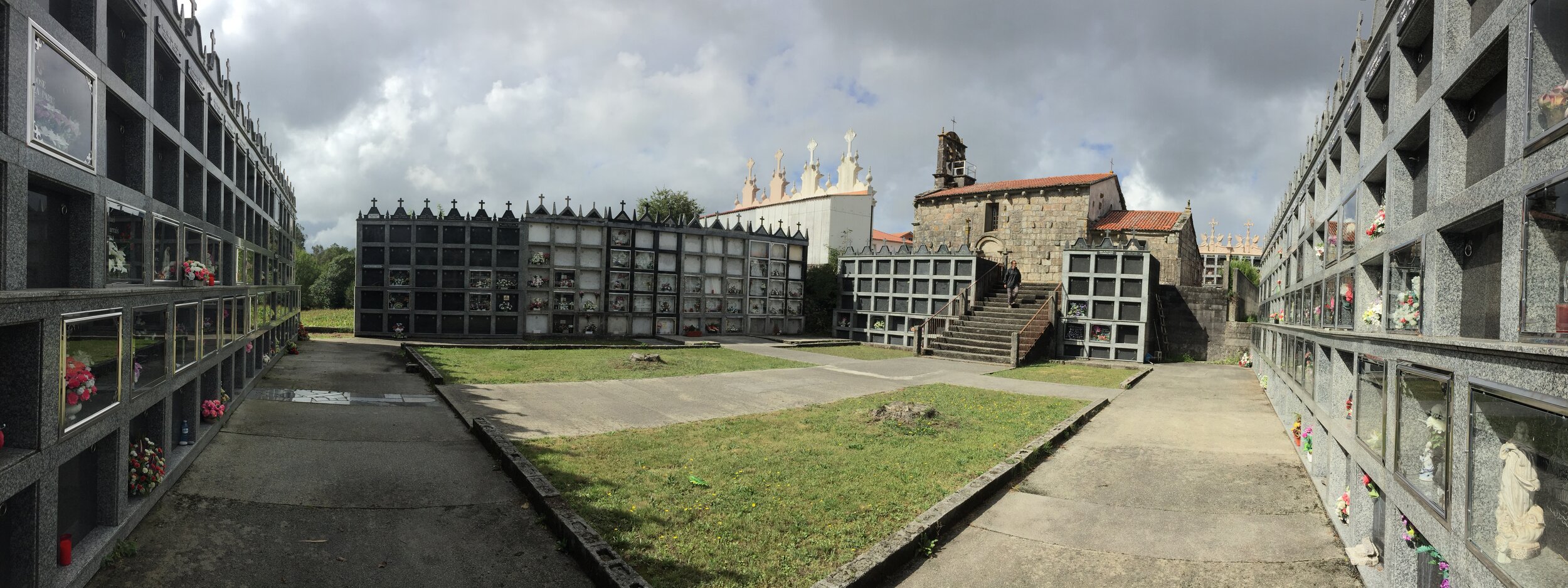
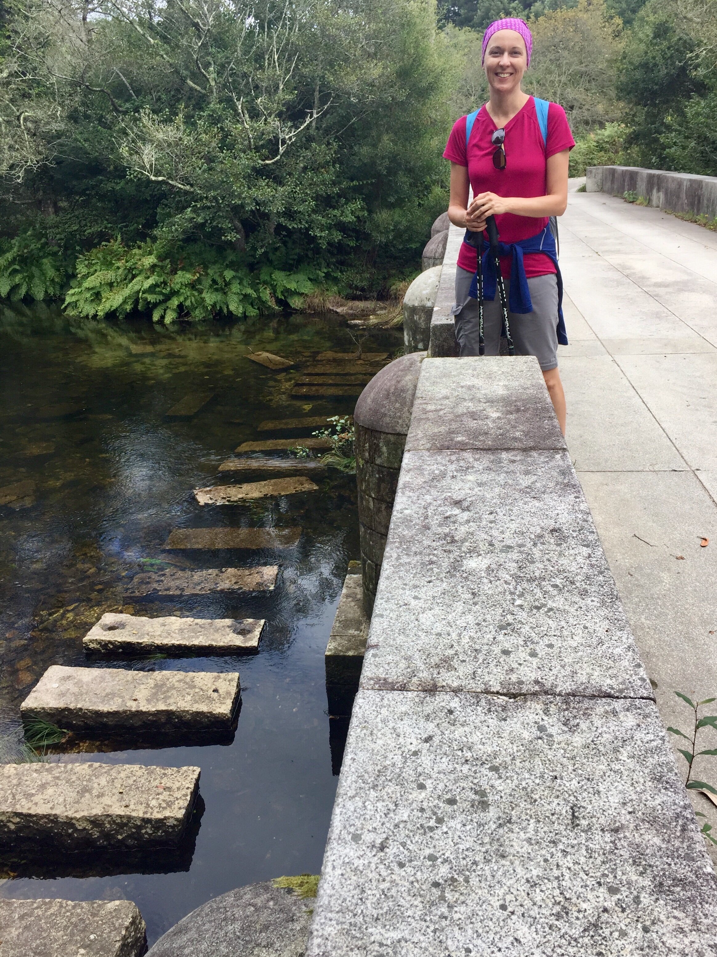
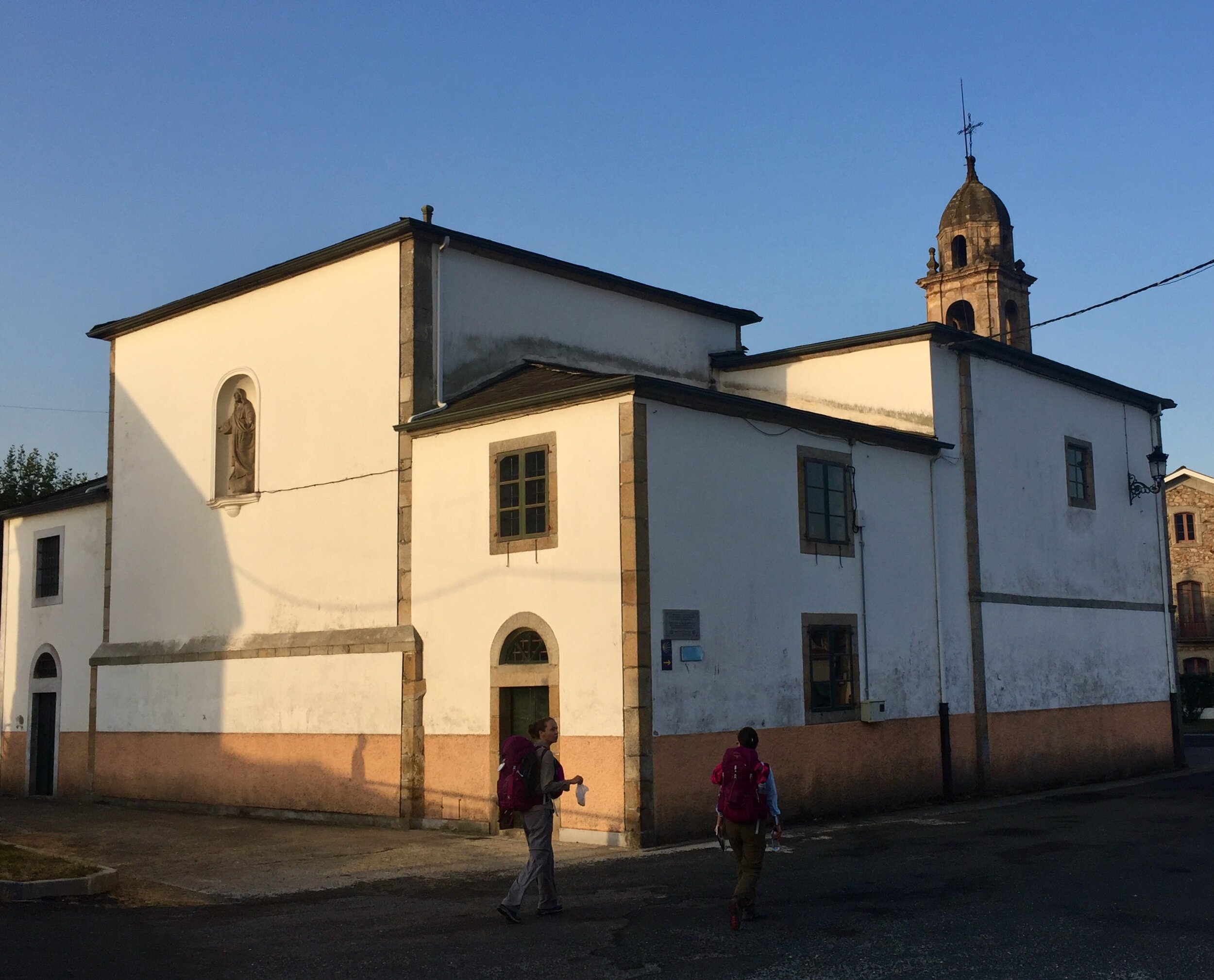
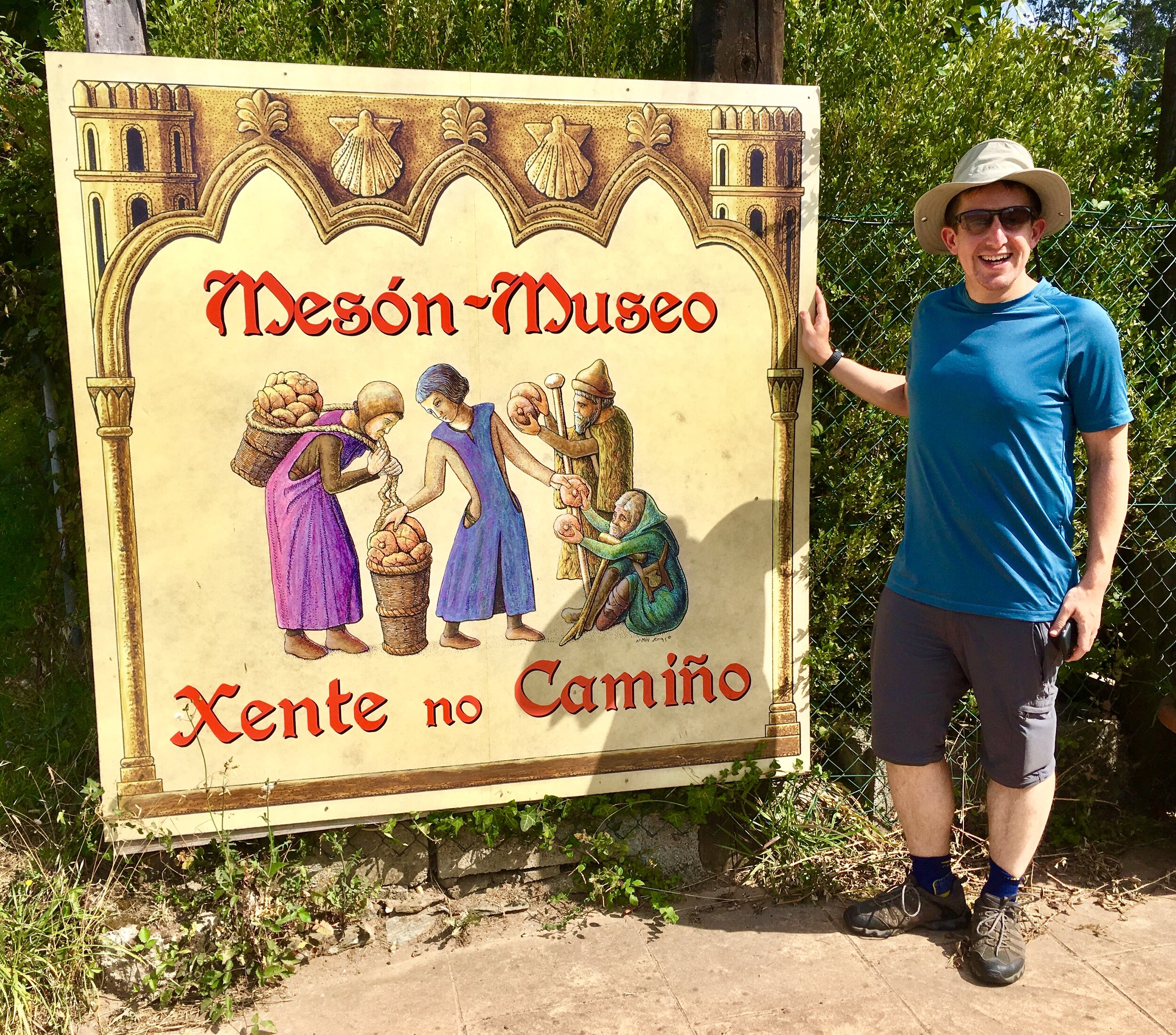
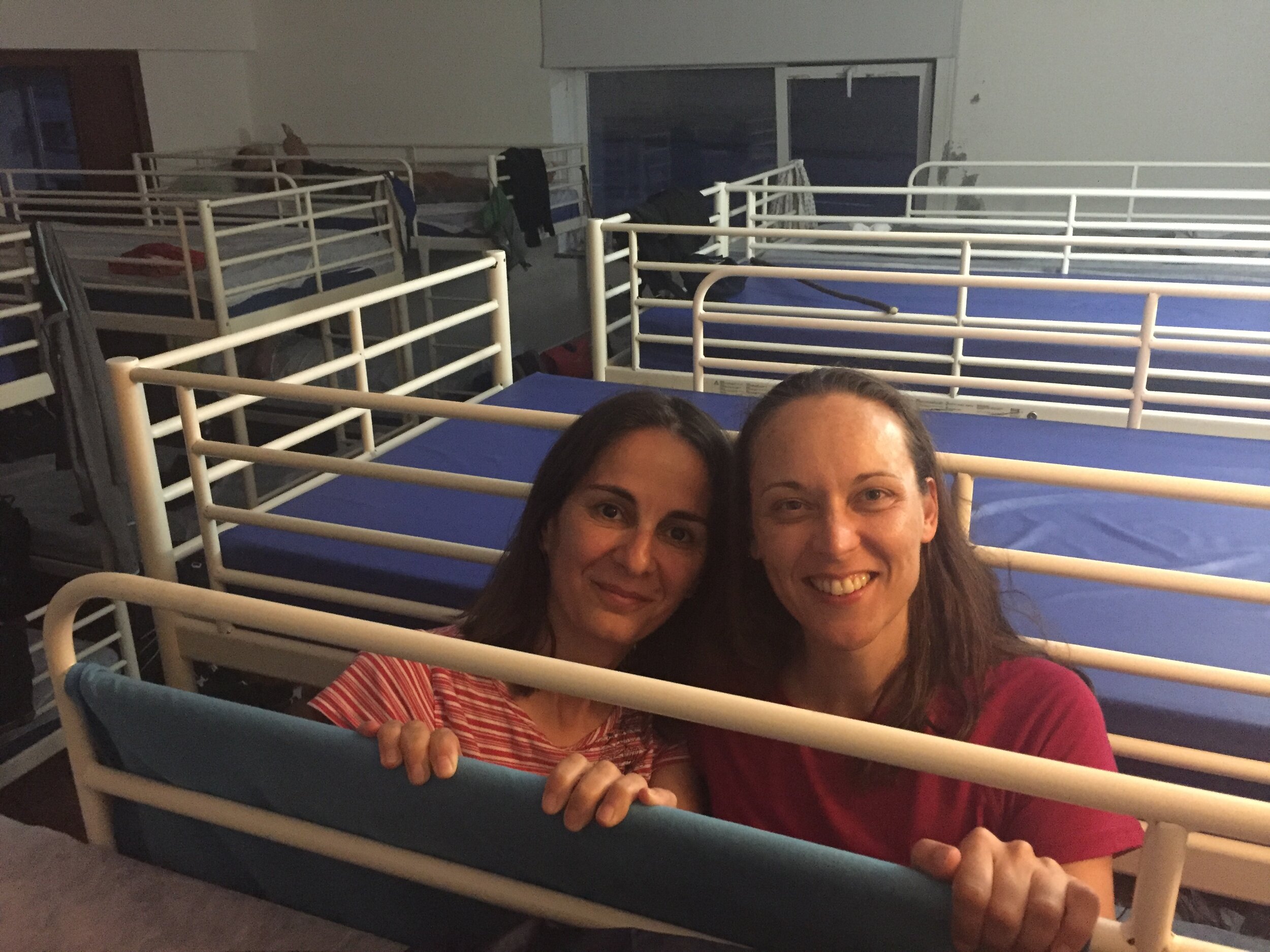
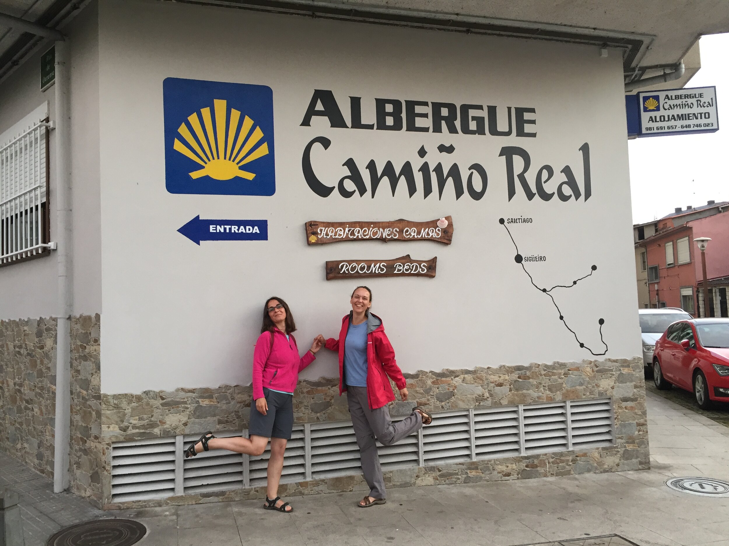
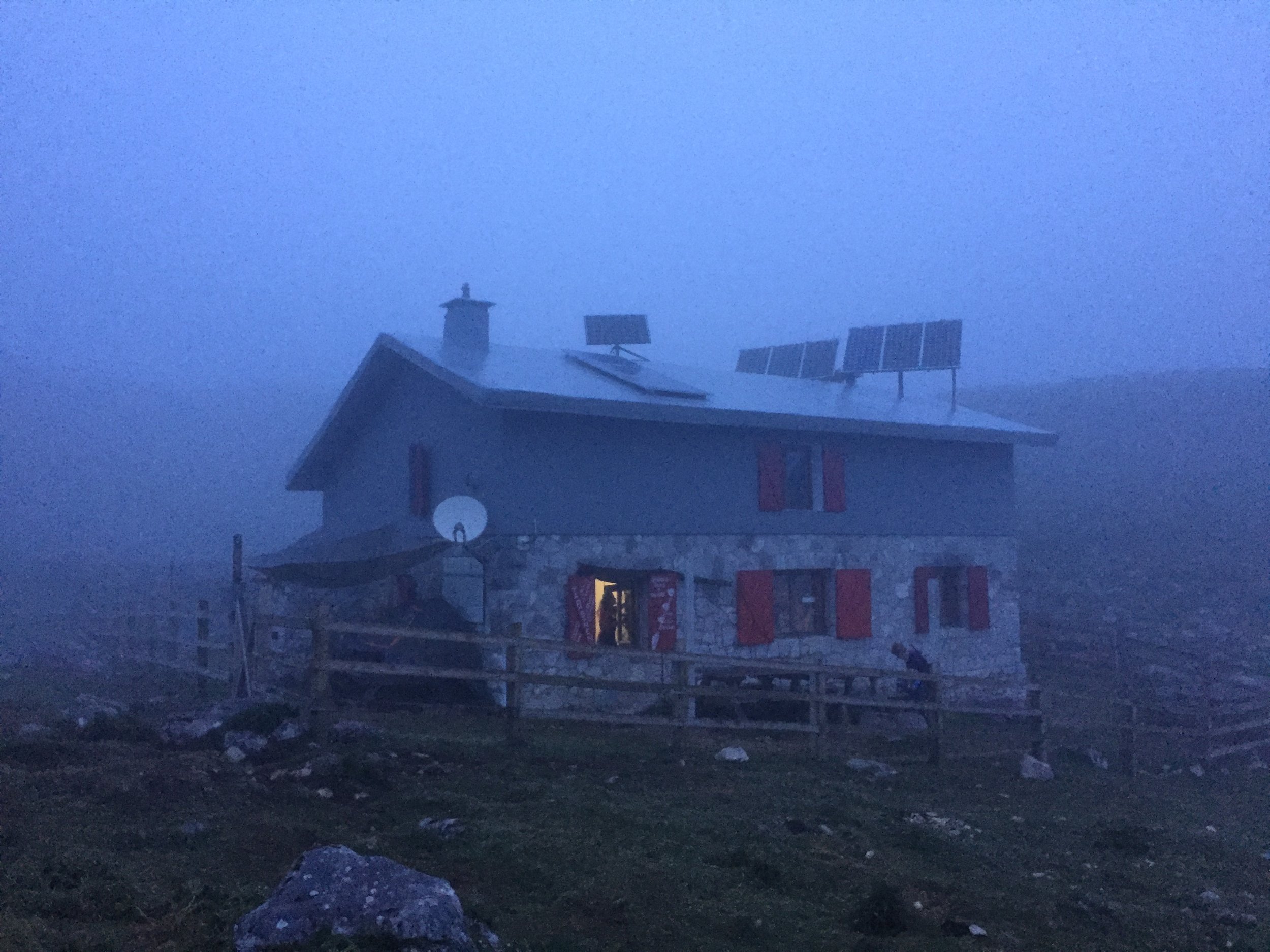
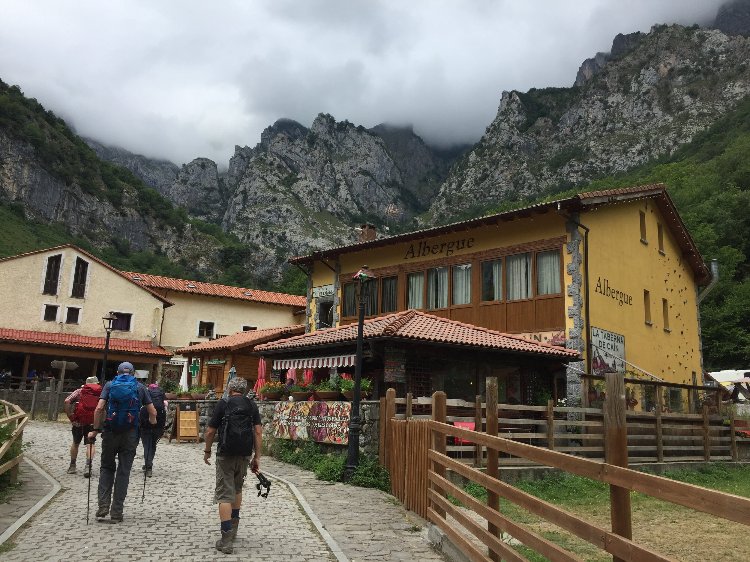
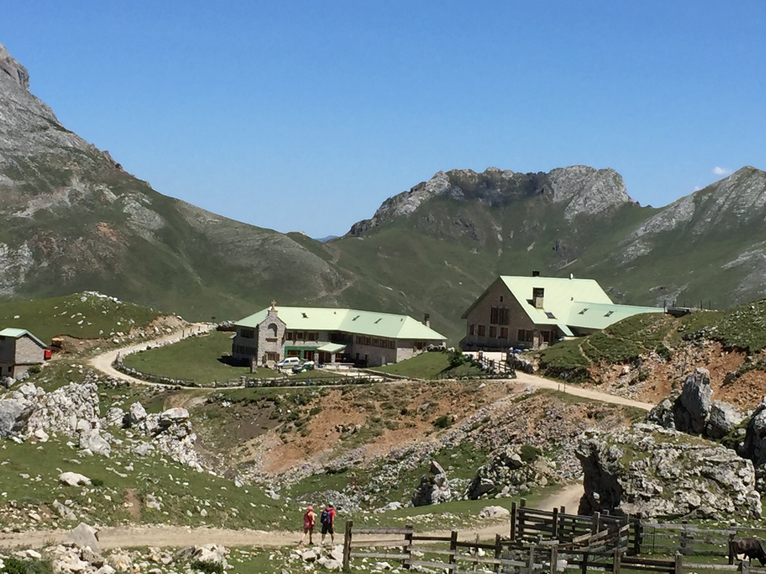
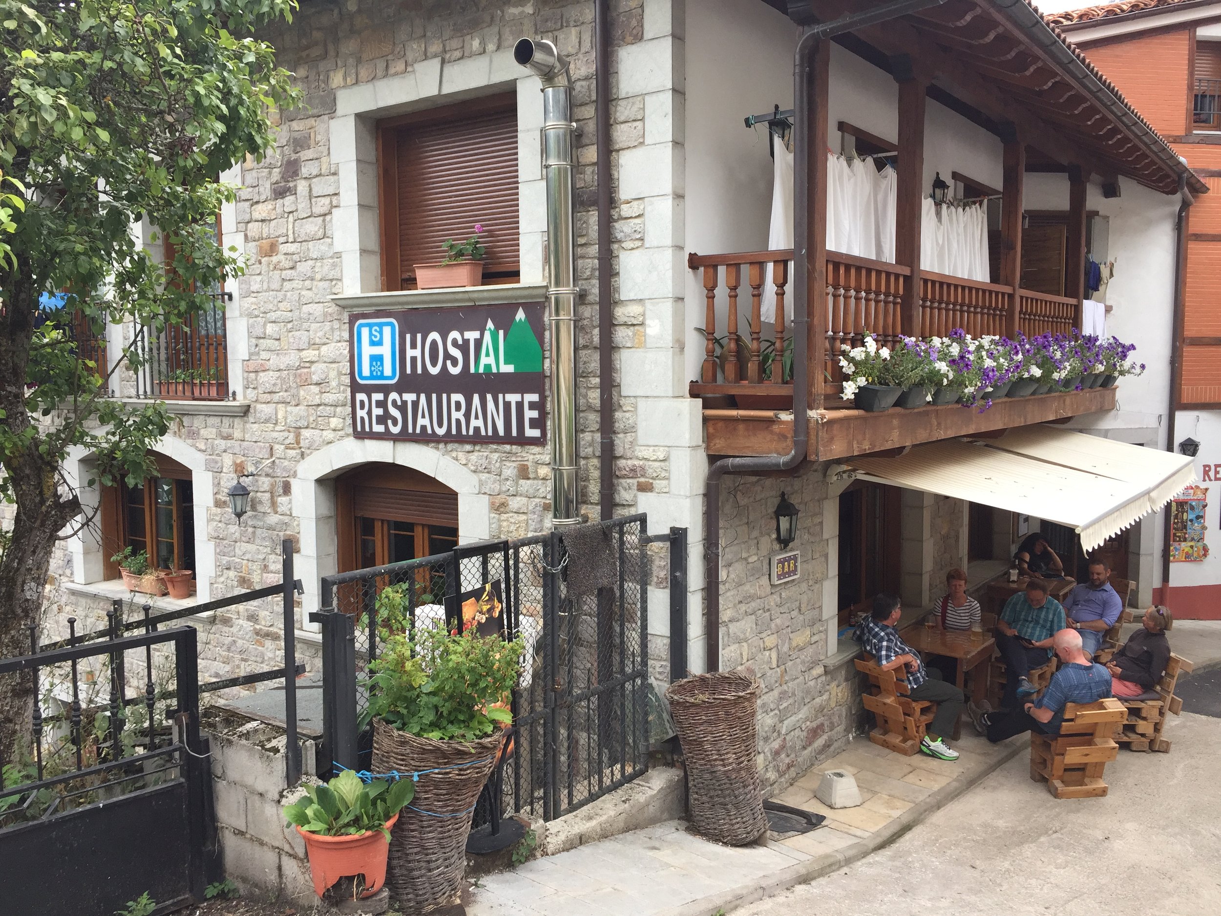
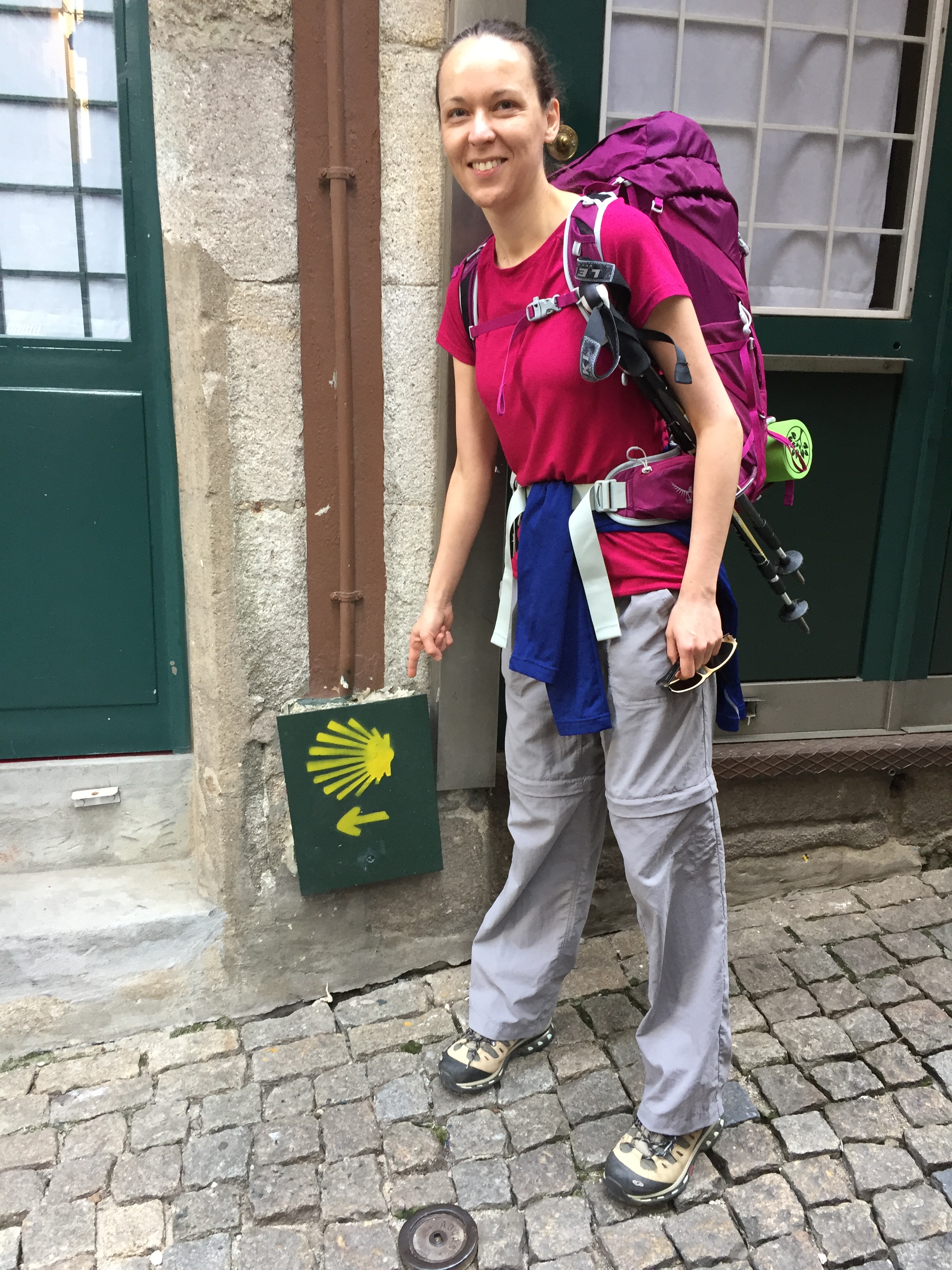
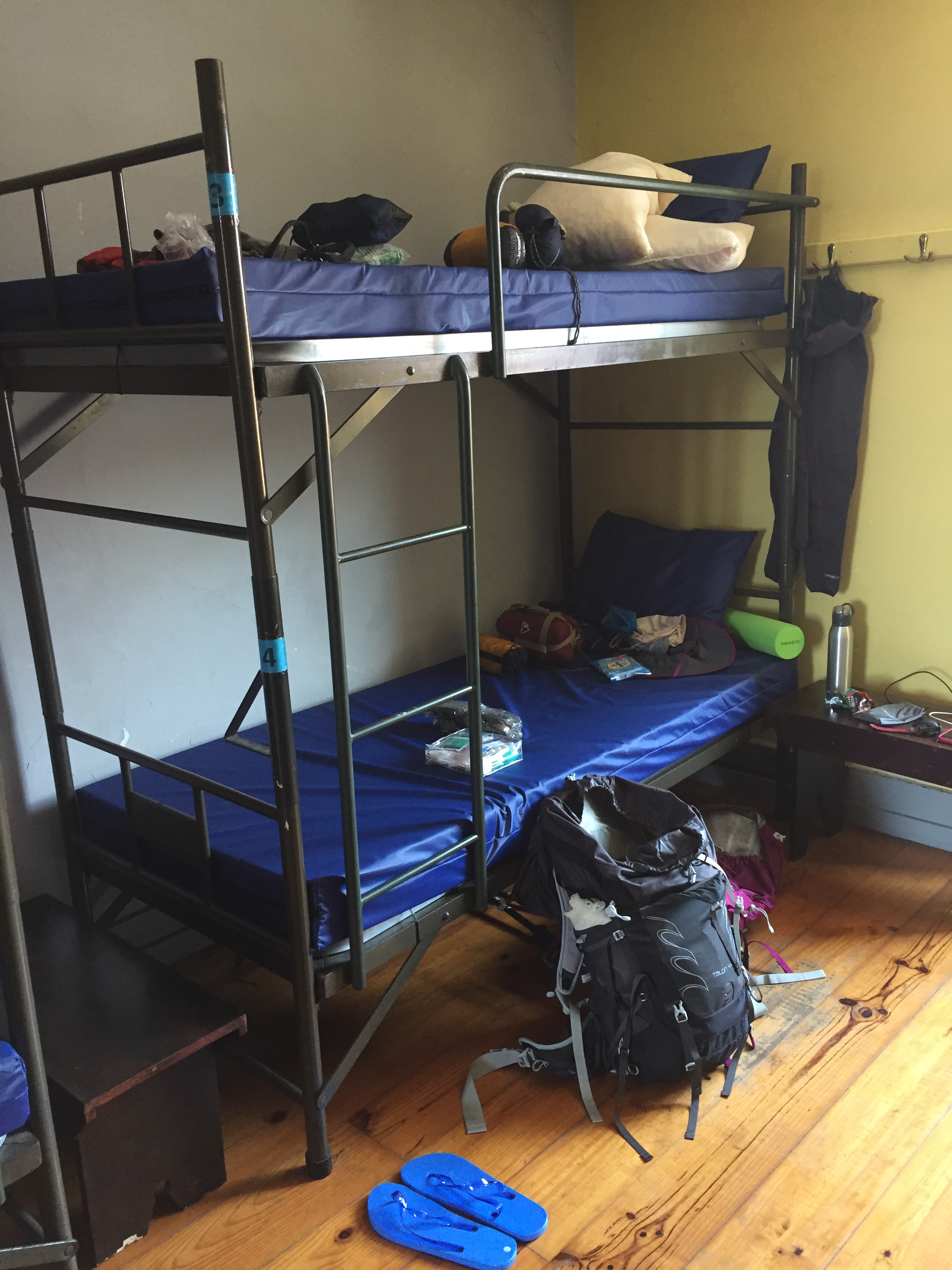
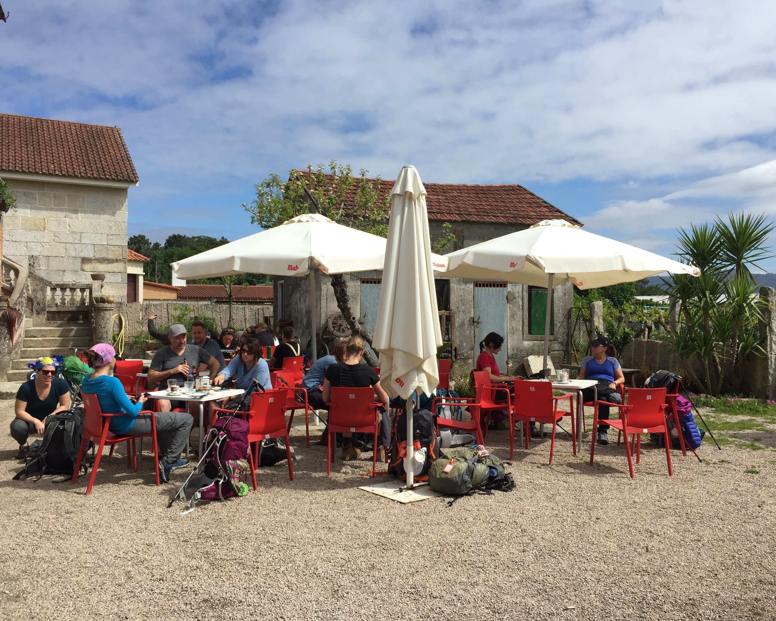
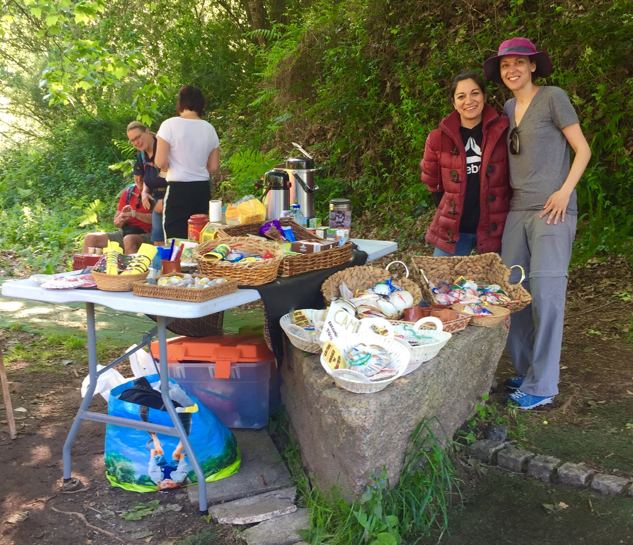
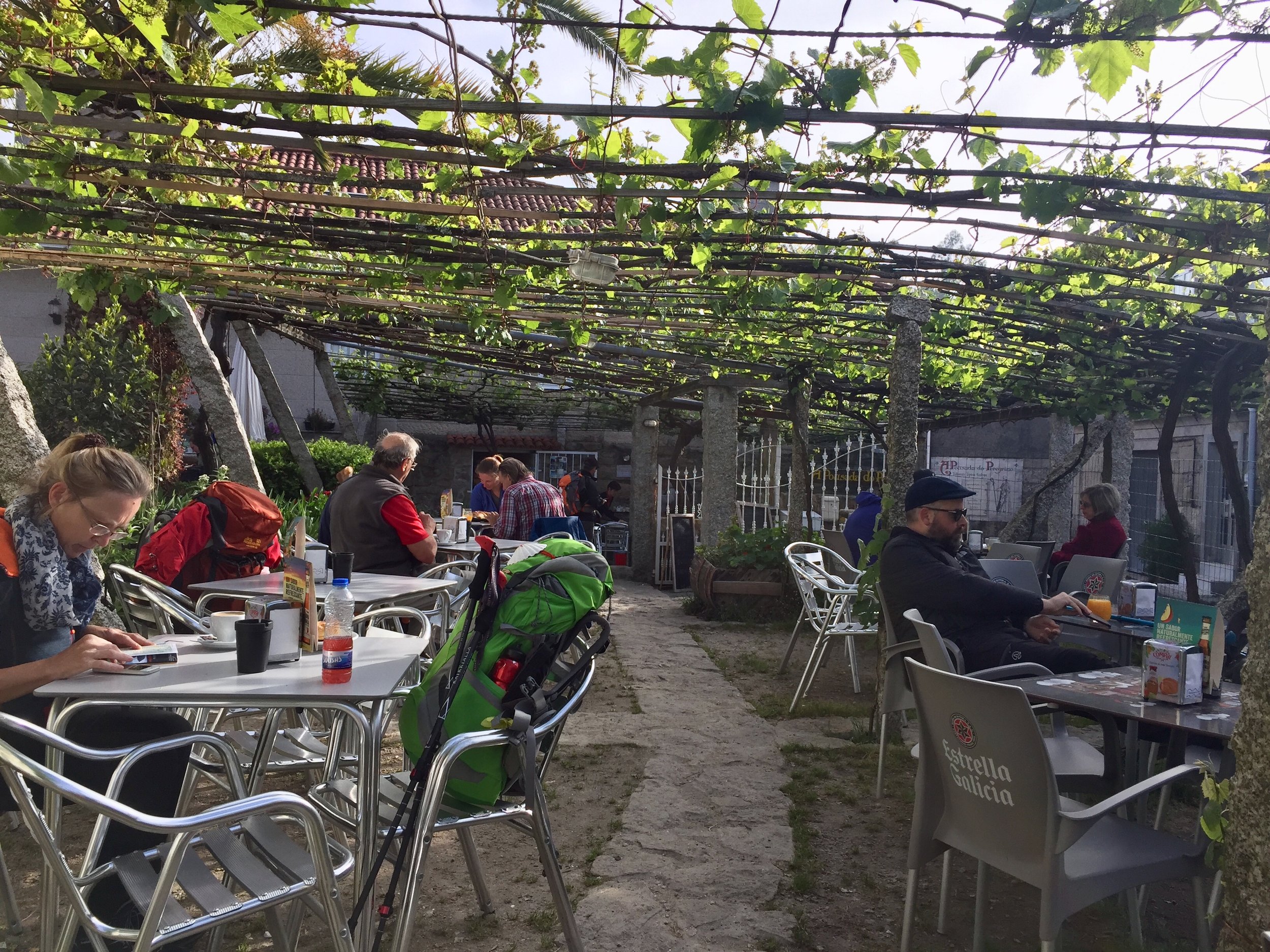
As we arrived in Neda for the first night we checked into our different accommodations. Adina preferred to stay in the communal Albergues. One sleepless Albergue experience on the Portuguese was enough for us and we opted for comfortable B&Bs and small hotels instead. We soon got over any anxiety about doing an "authentic" Camino. We saw a lot of snobbery around what constitutes a genuine Camino experience. There's always someone doing it with more hardship than you. For us, that wasn't what the experience was about. Everyone has their own Camino experience however they do it. We found our way of doing it and it worked well for us.

As it turned out Adina had a great first night's sleep in her newly built Albergue. Our hotel experience wasn't so great due to the combination of thin walls and partying neighbours. The rest of the trip's accommodations, with one exception, were much better and more like what we were used to on the Portuguese.

The one exception to the good night's sleep was in Presedo. This was on a longer stretch of the route with few accommodation choices. Our only option was the Albergue. It was .....fine .... as Albergues go, but we'd got used to having our own rooms and this was a bit of a shock to the system. Food choices were limited too with the only restaurant 20 minutes walk away. The reviews for the restaurant were good but we must have been there when the staff were having an off night. We got through the snoring, the humid room and the bed bugs and set off early the next day. The reward was a great hotel (for us) and another new Albergue (for Adina) on the next night.

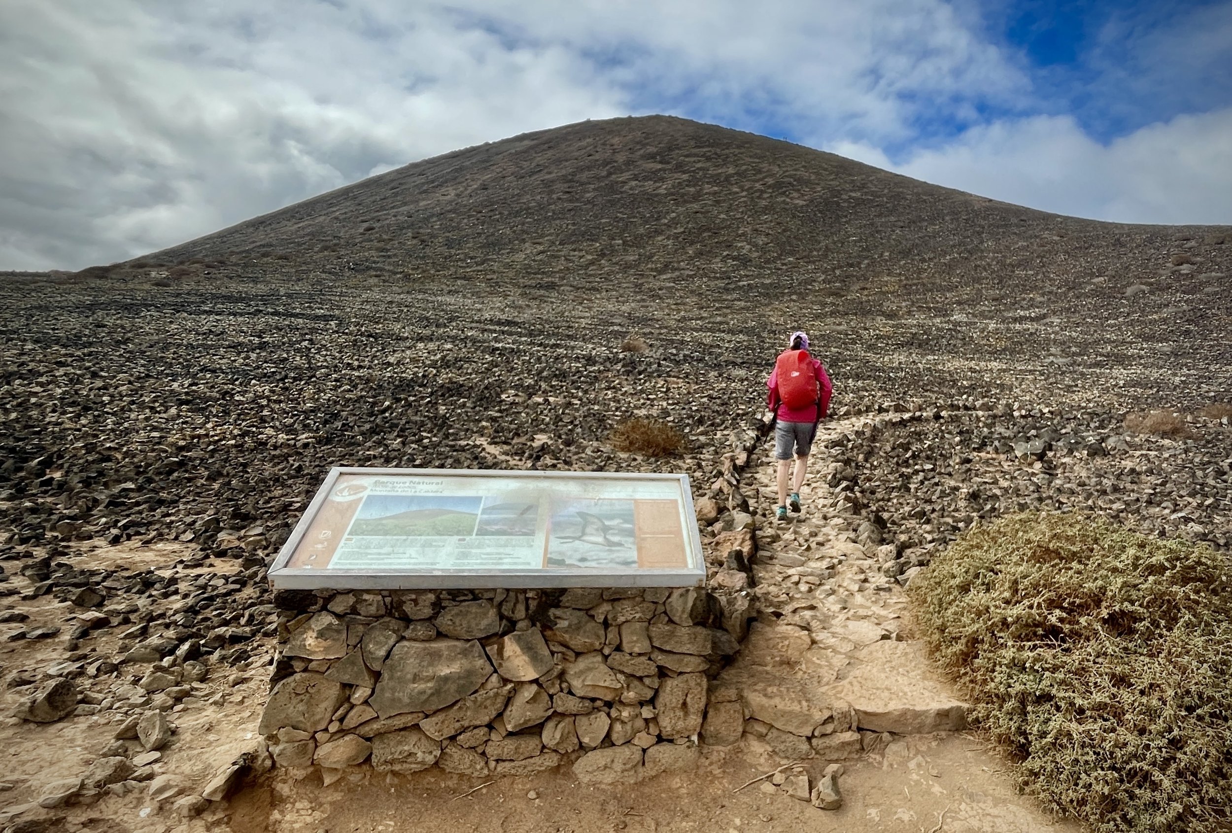
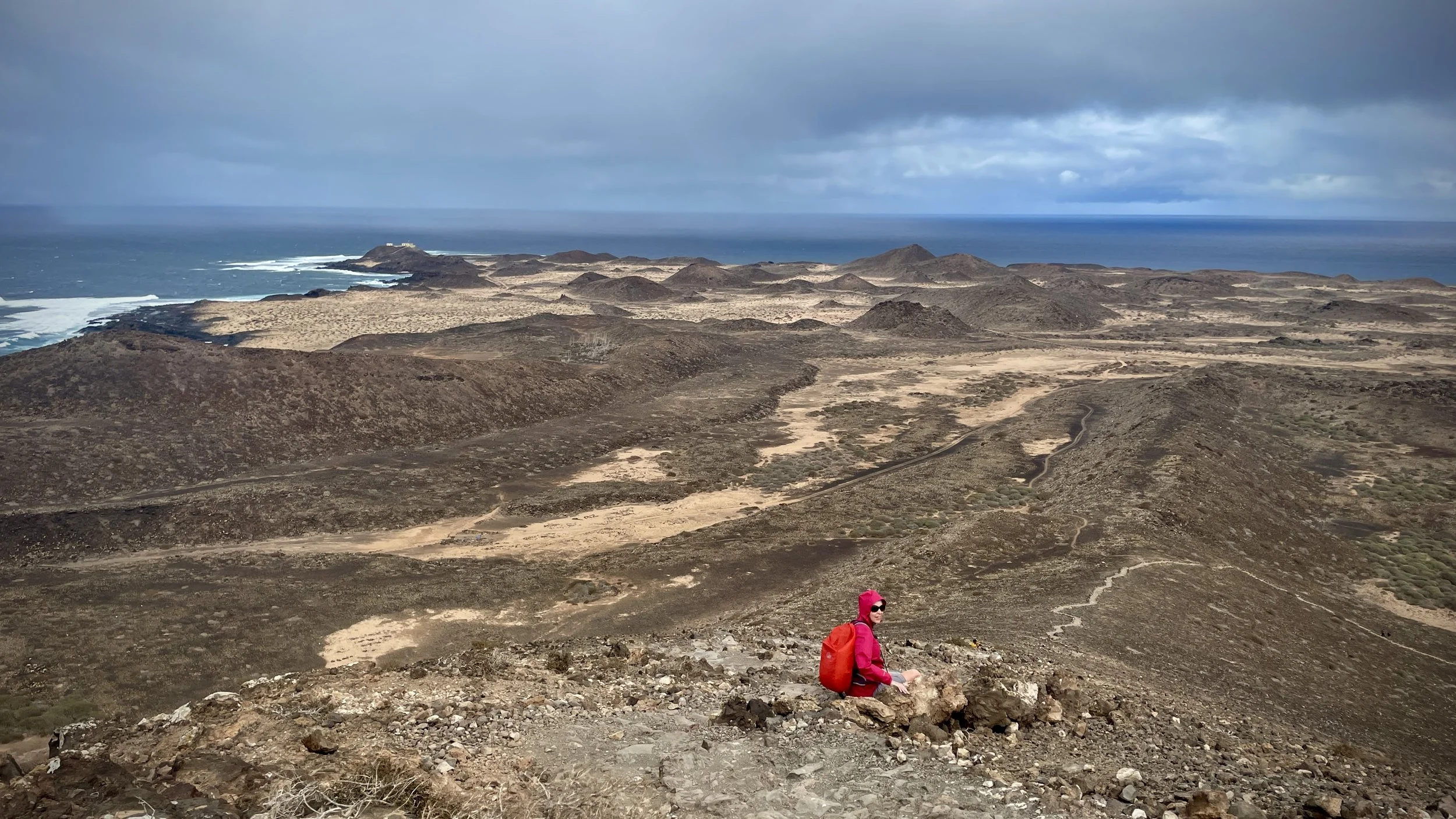
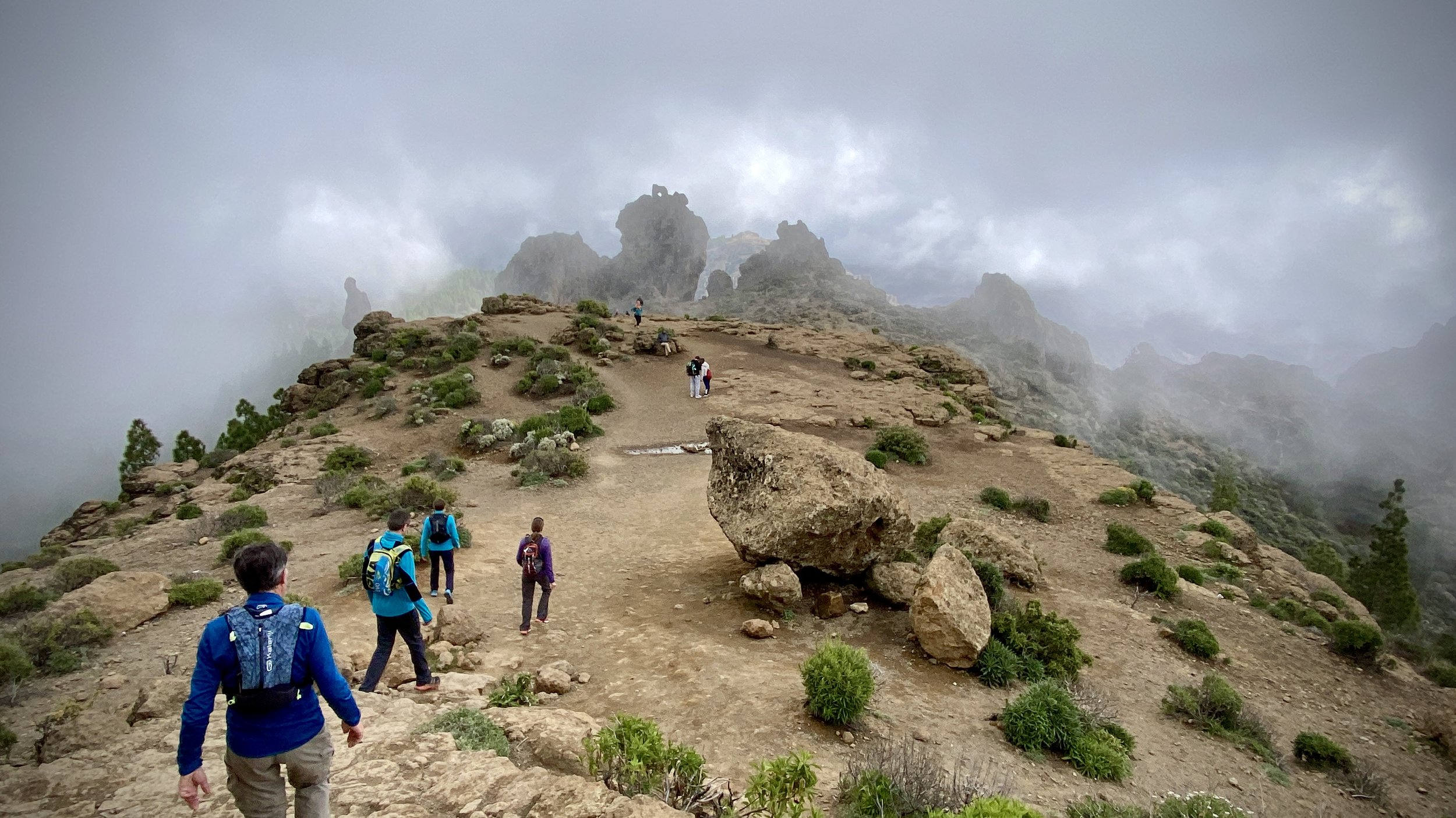
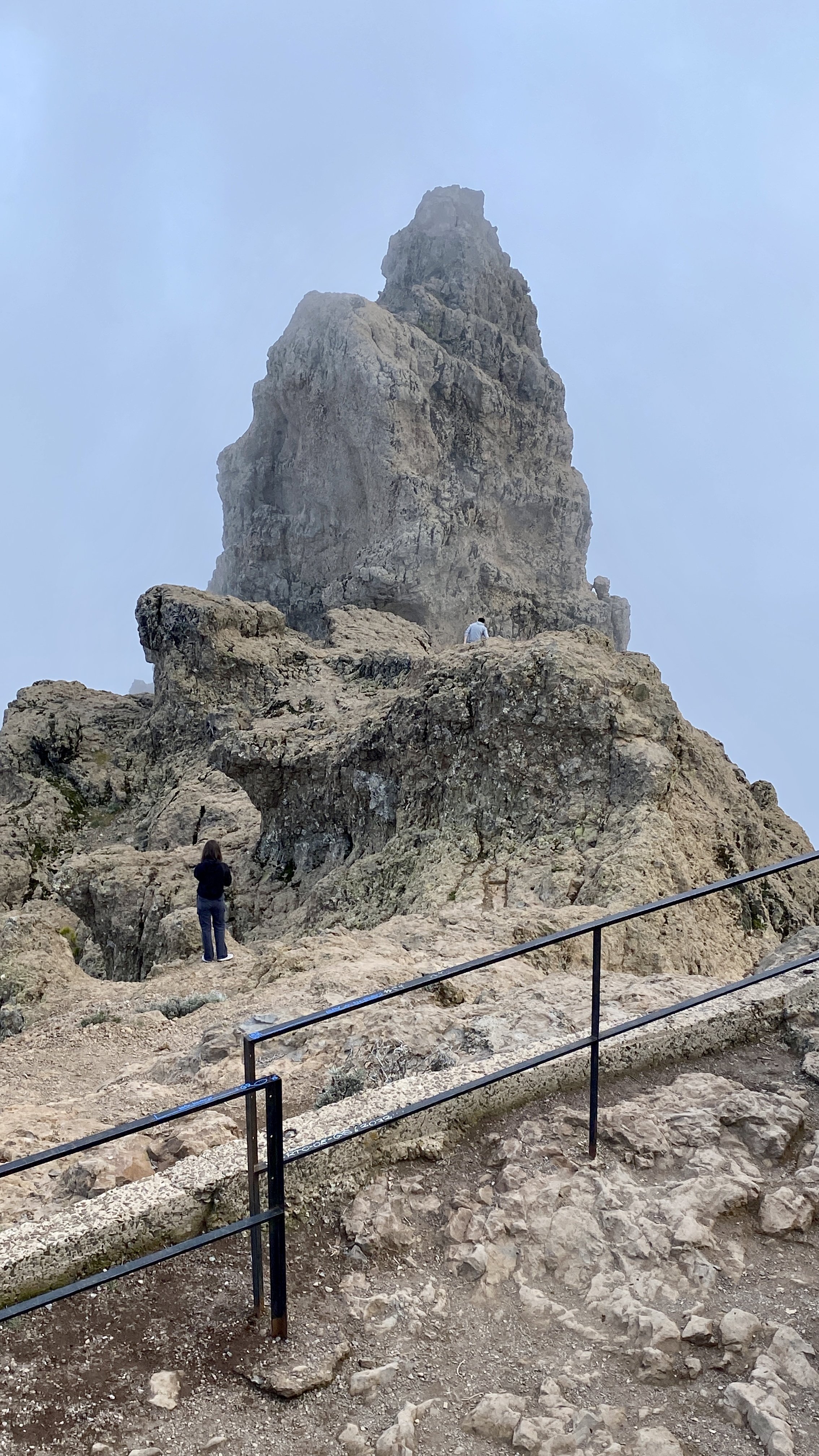
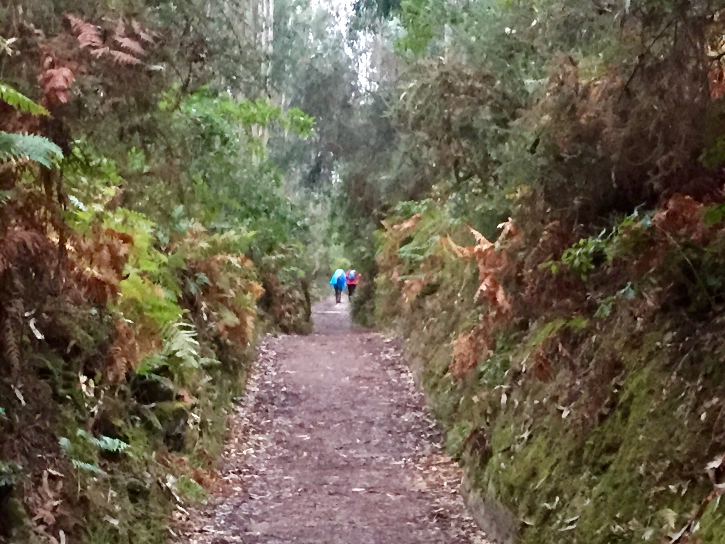
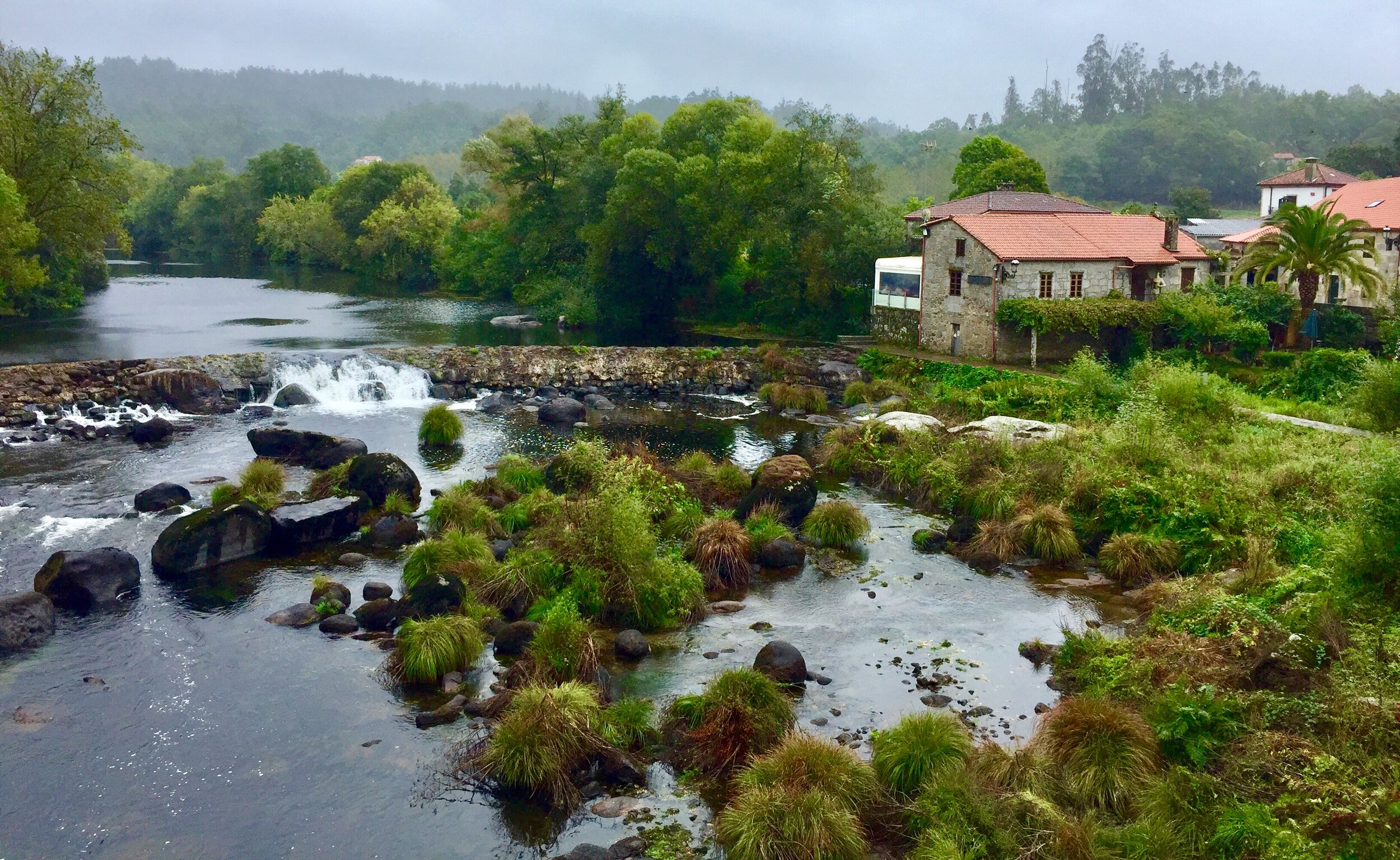
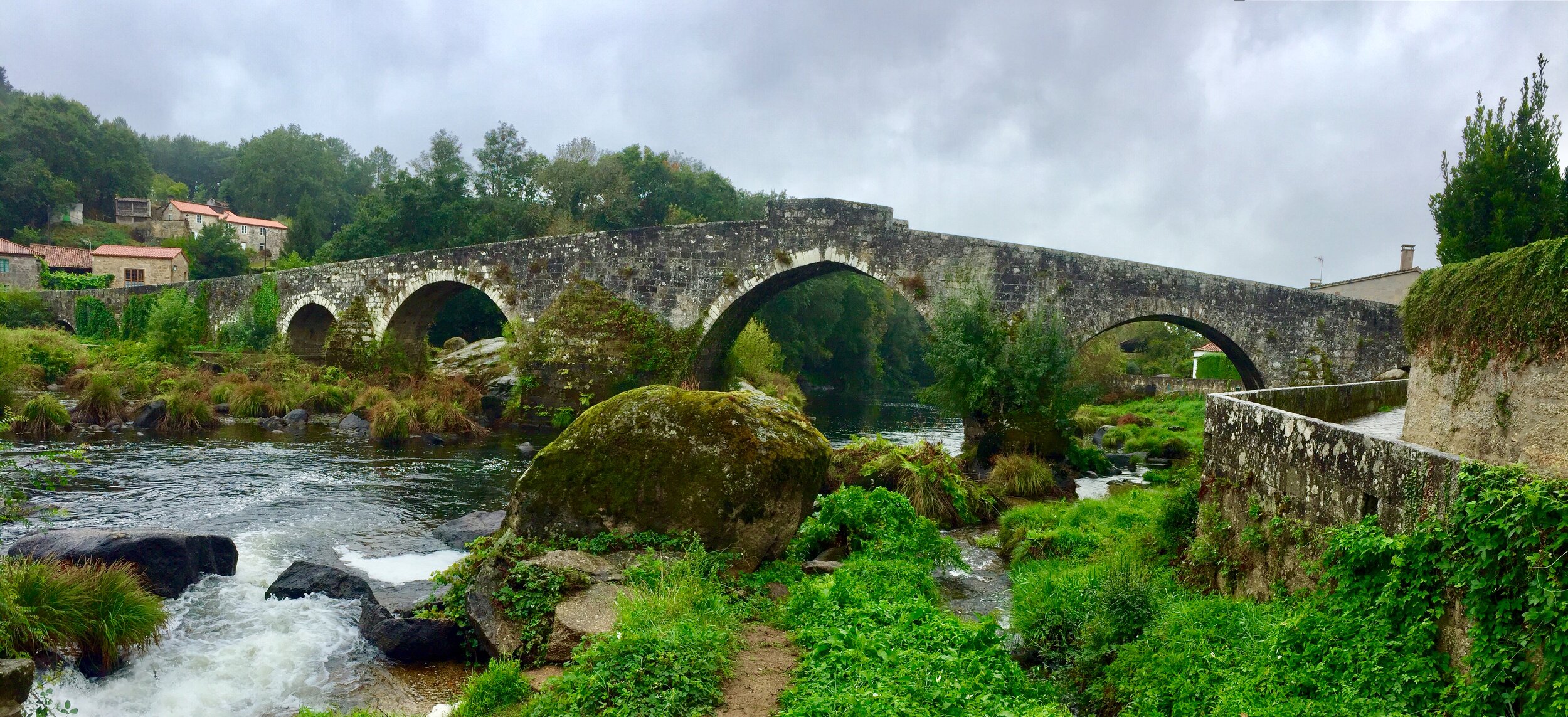
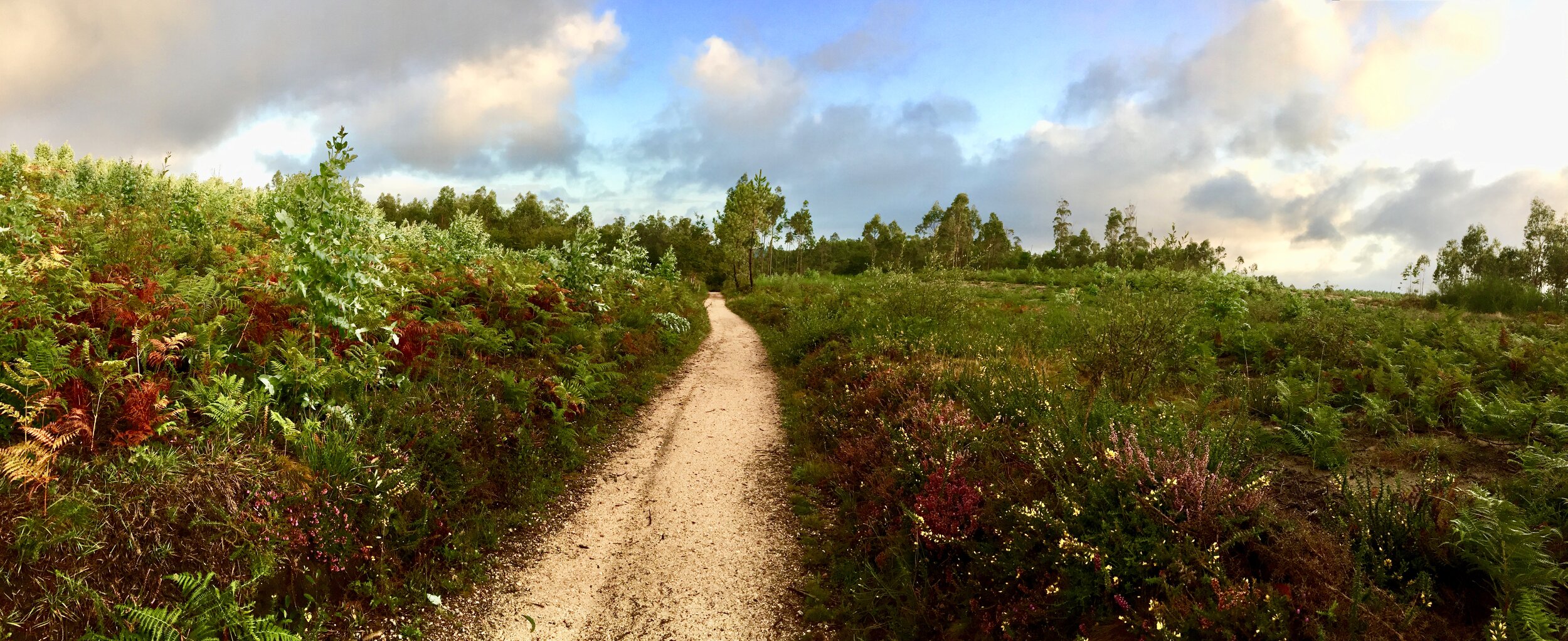
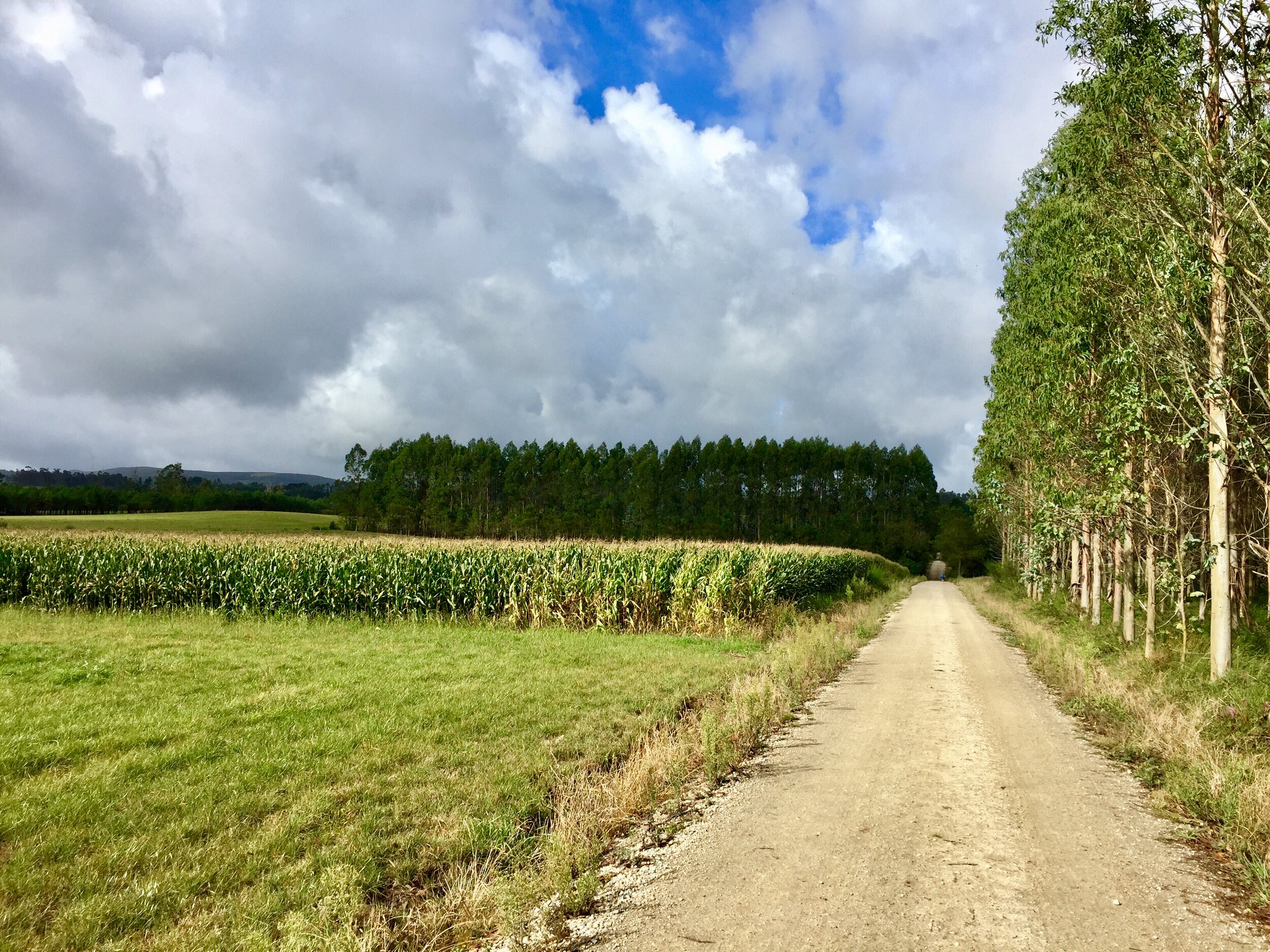
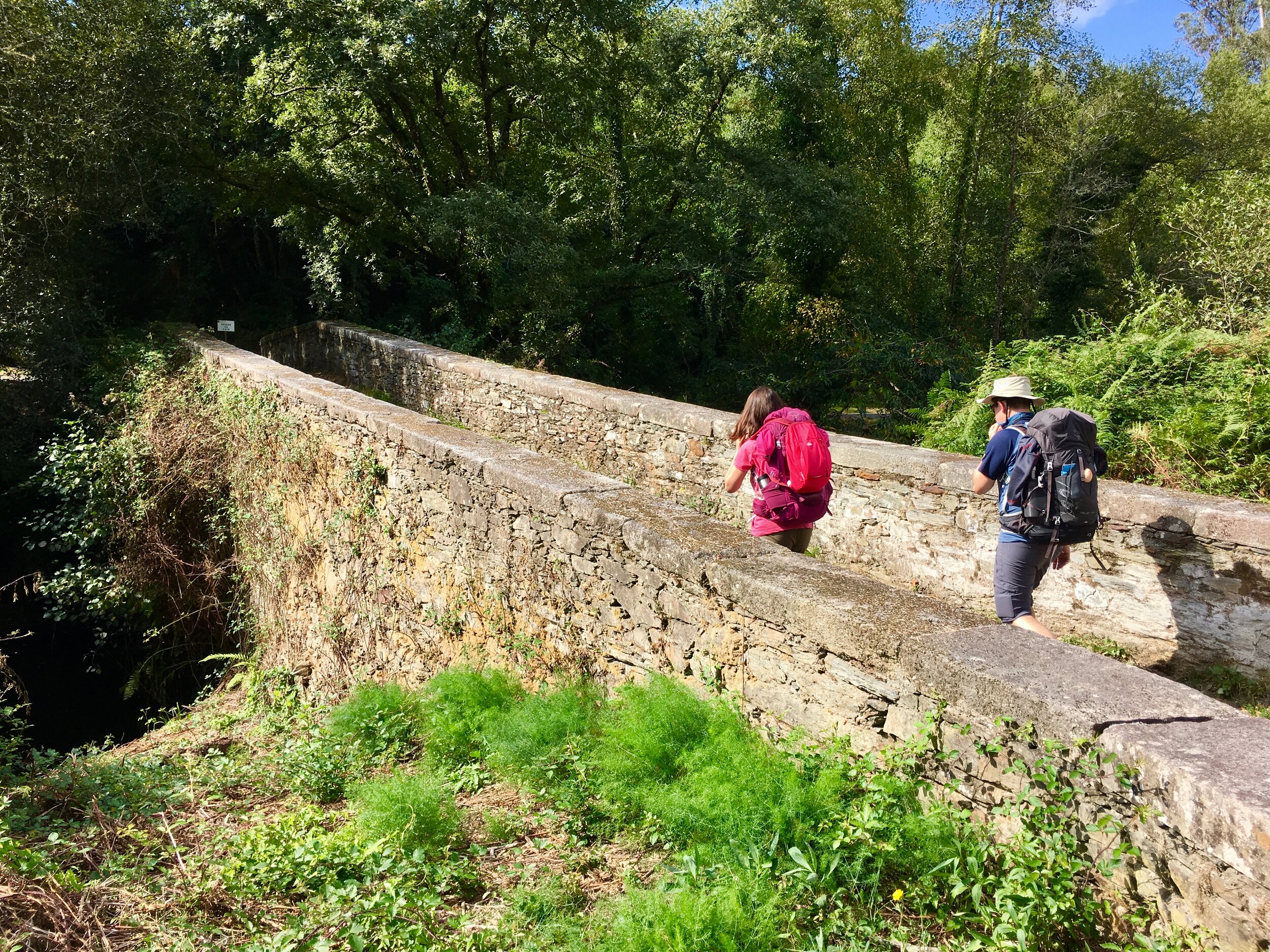
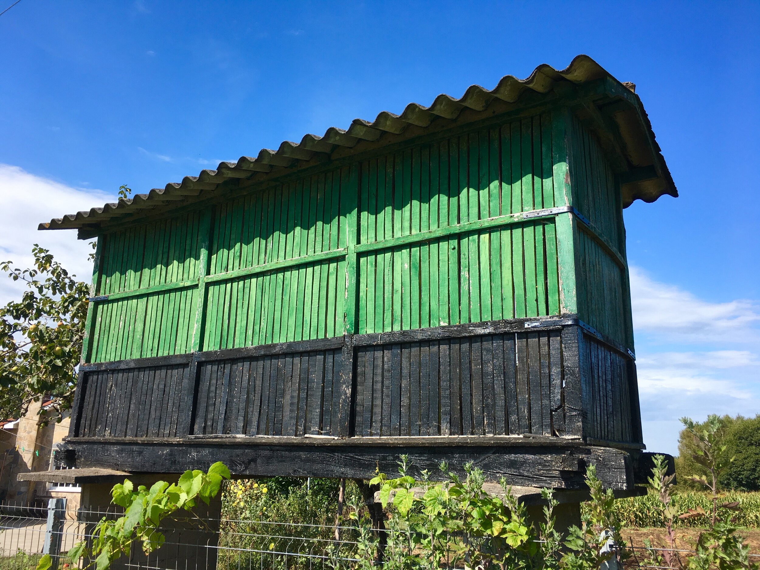
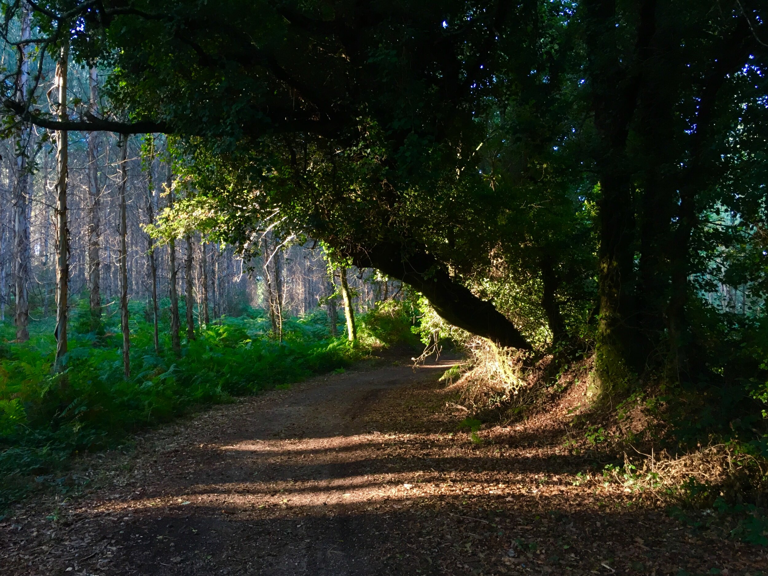
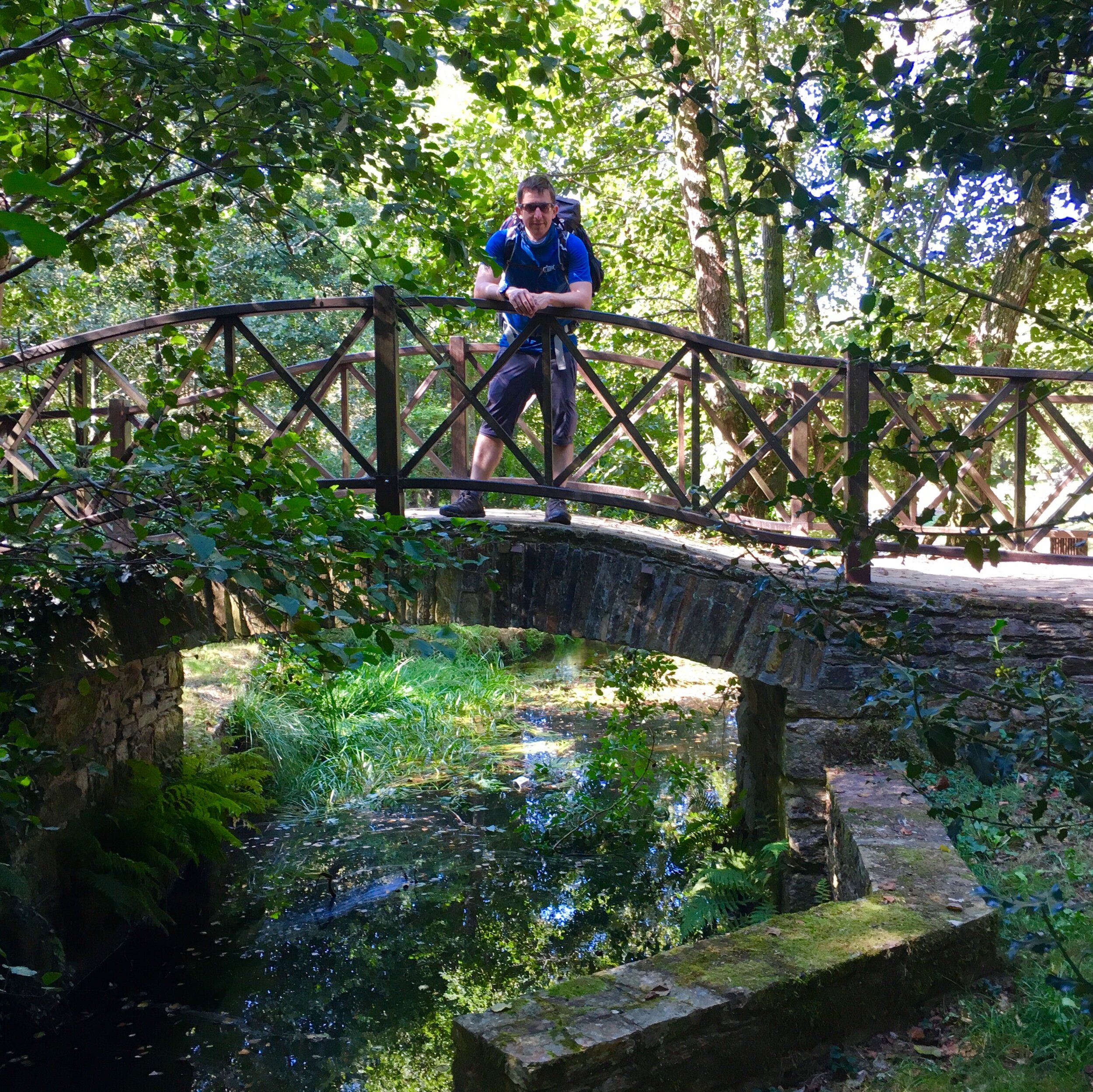
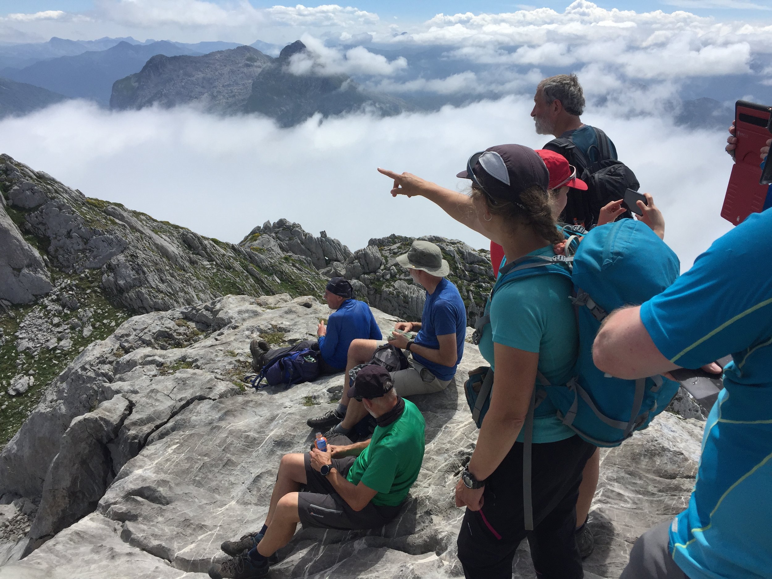
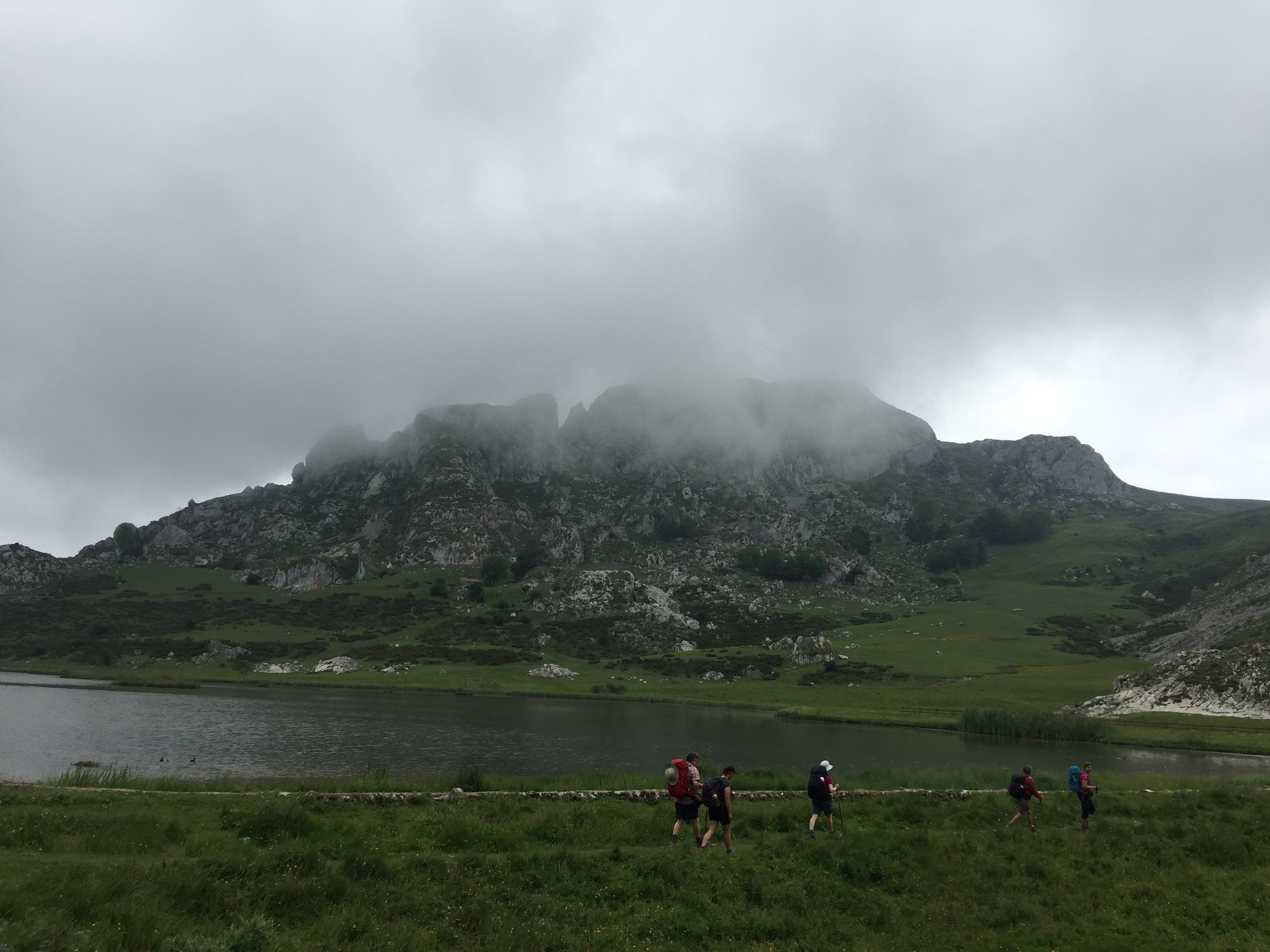
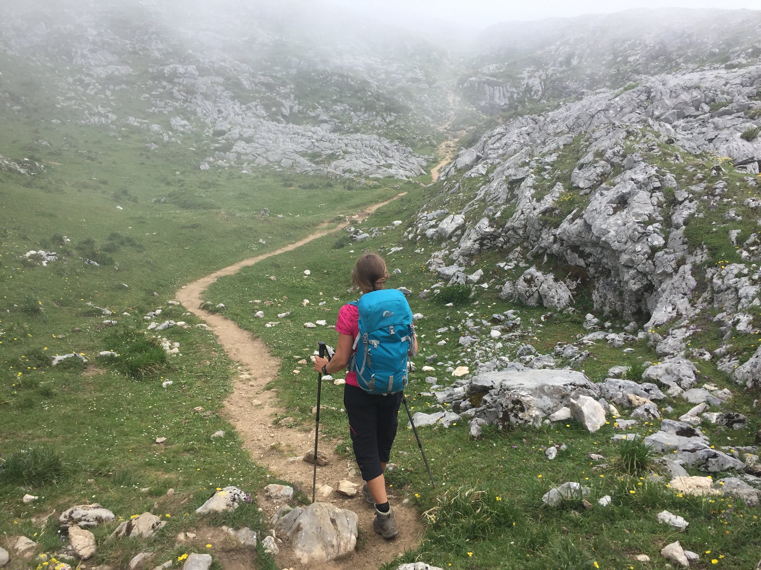
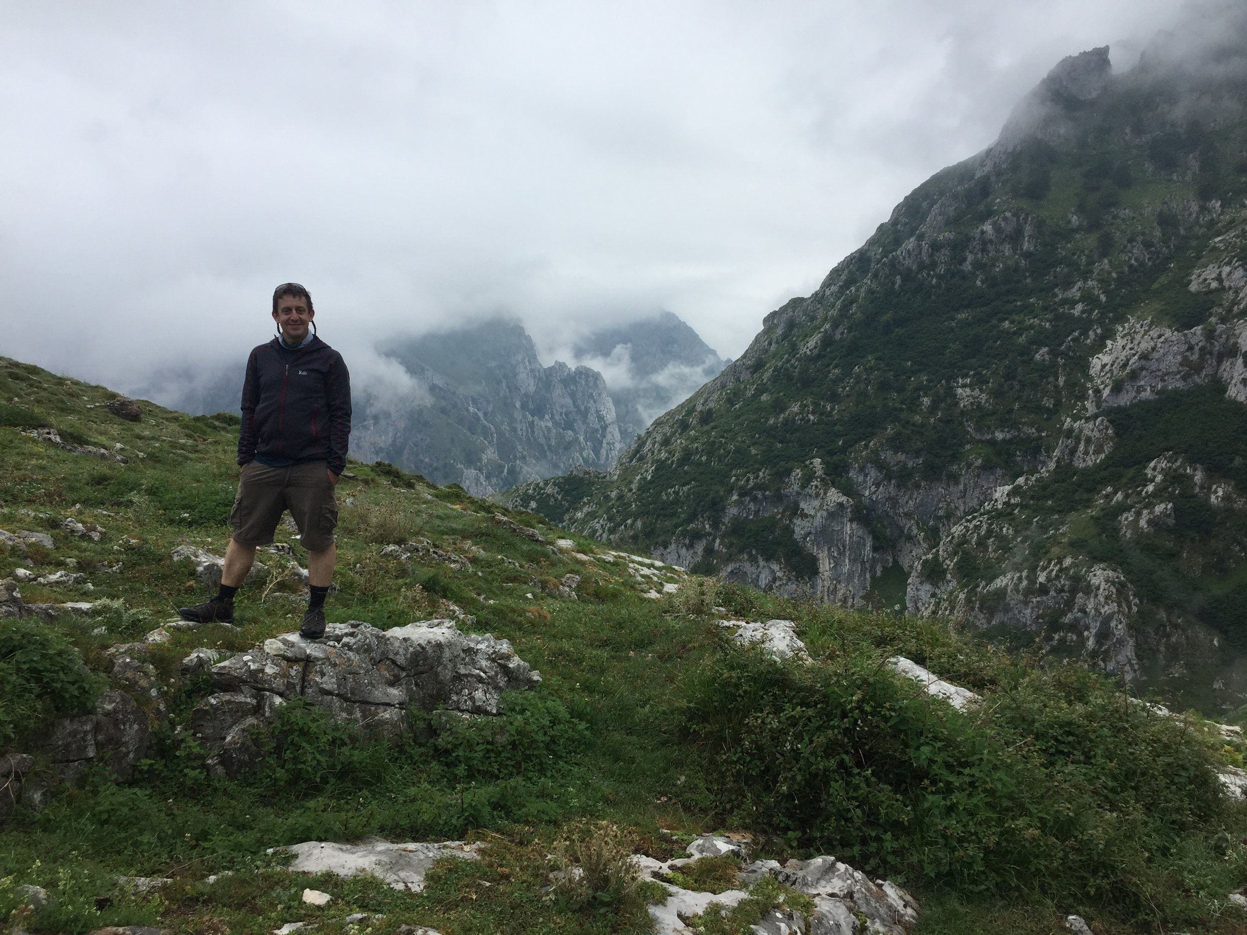
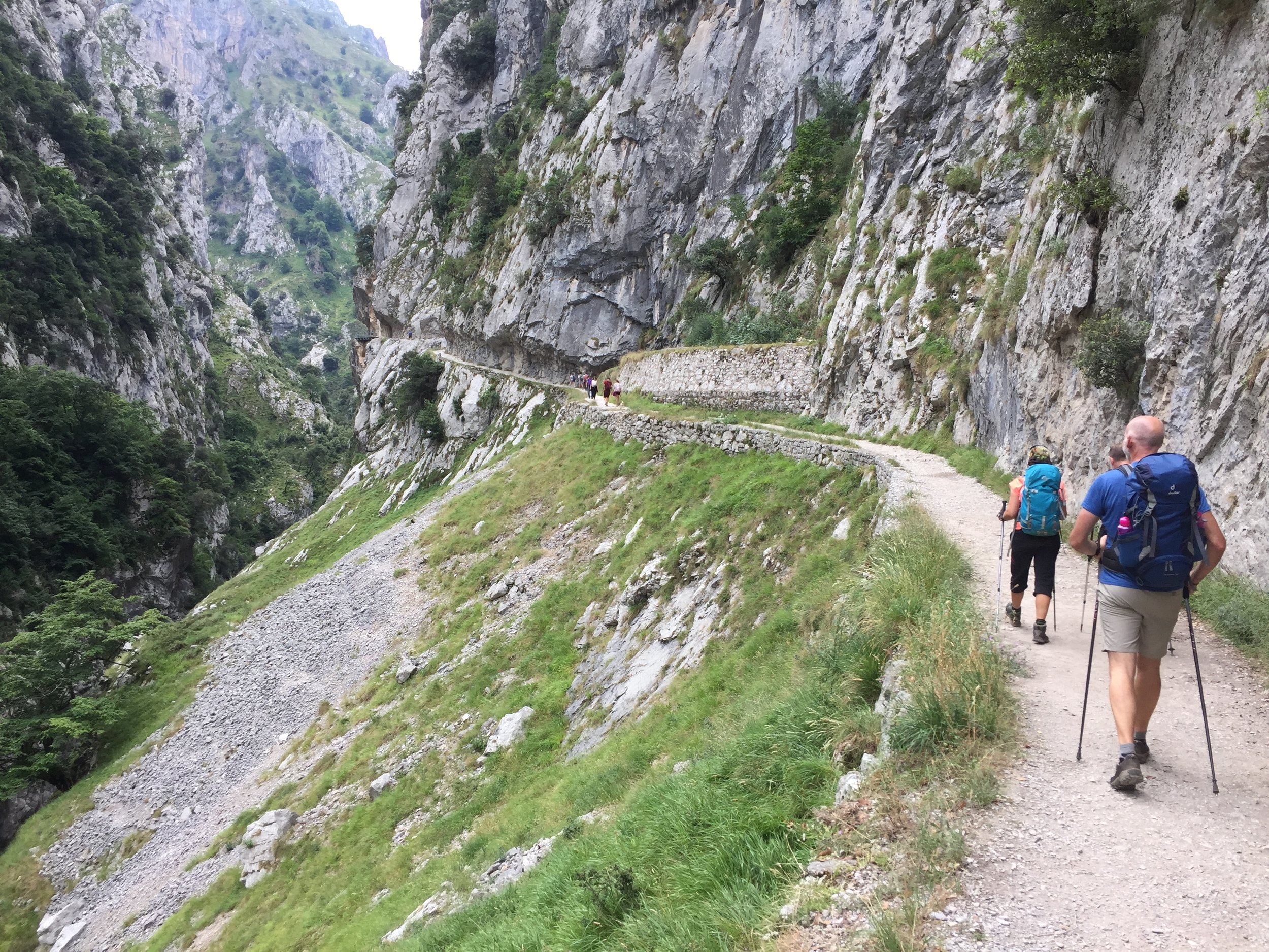
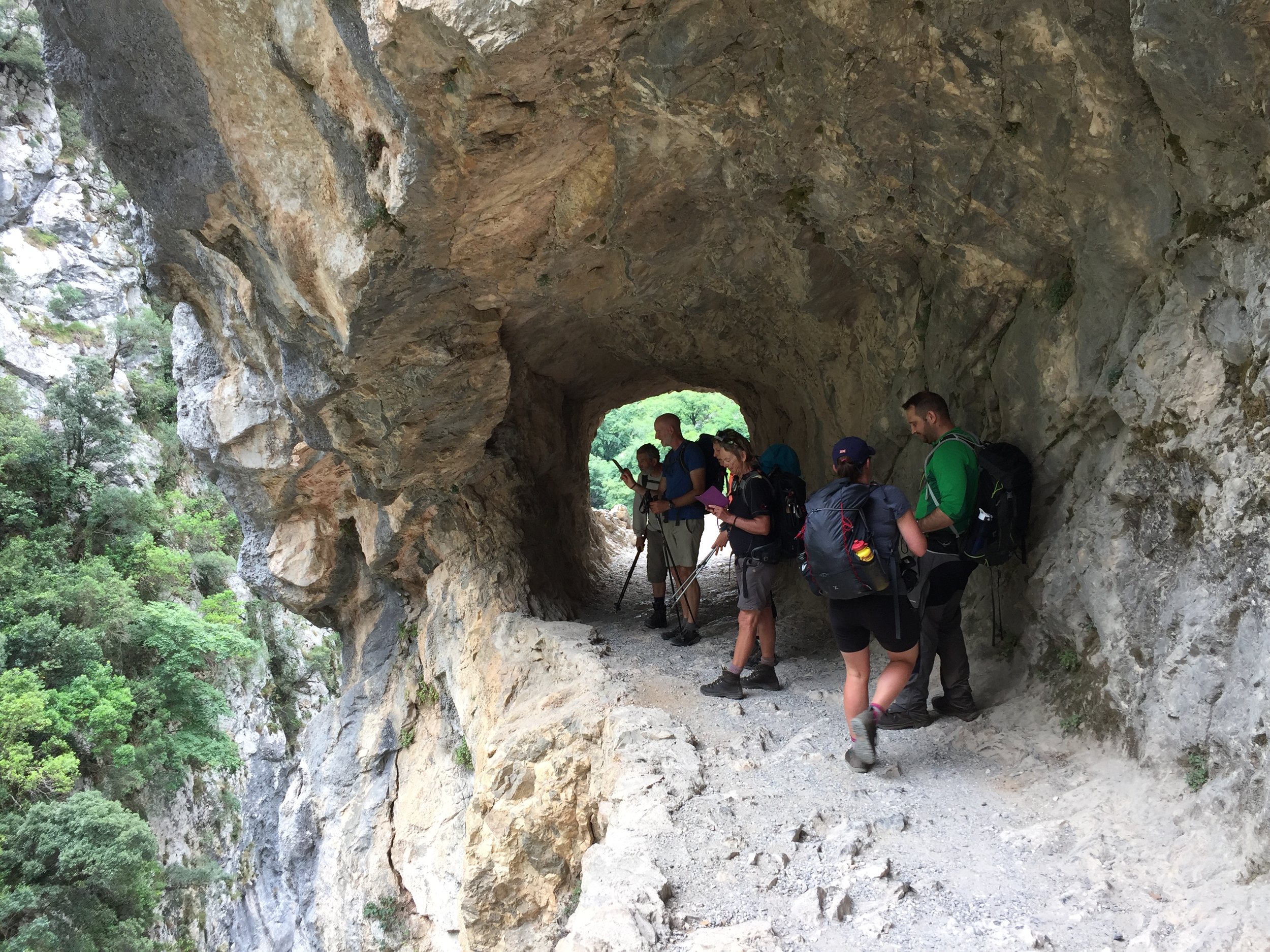
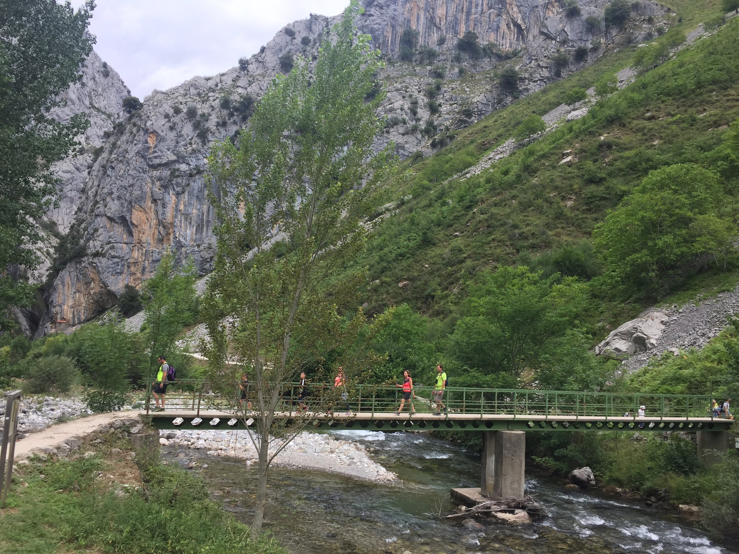
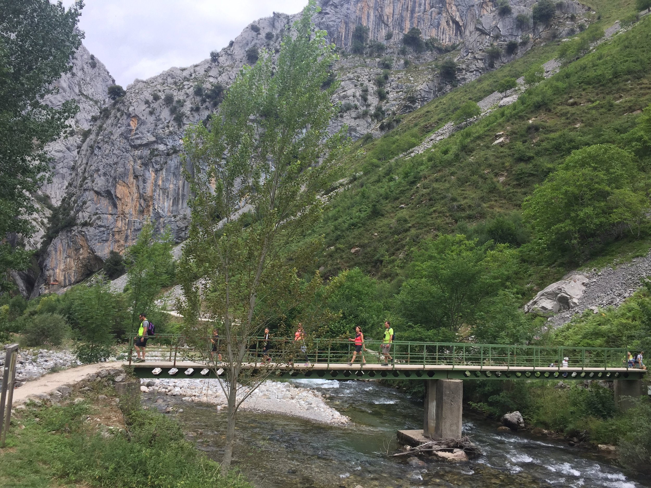
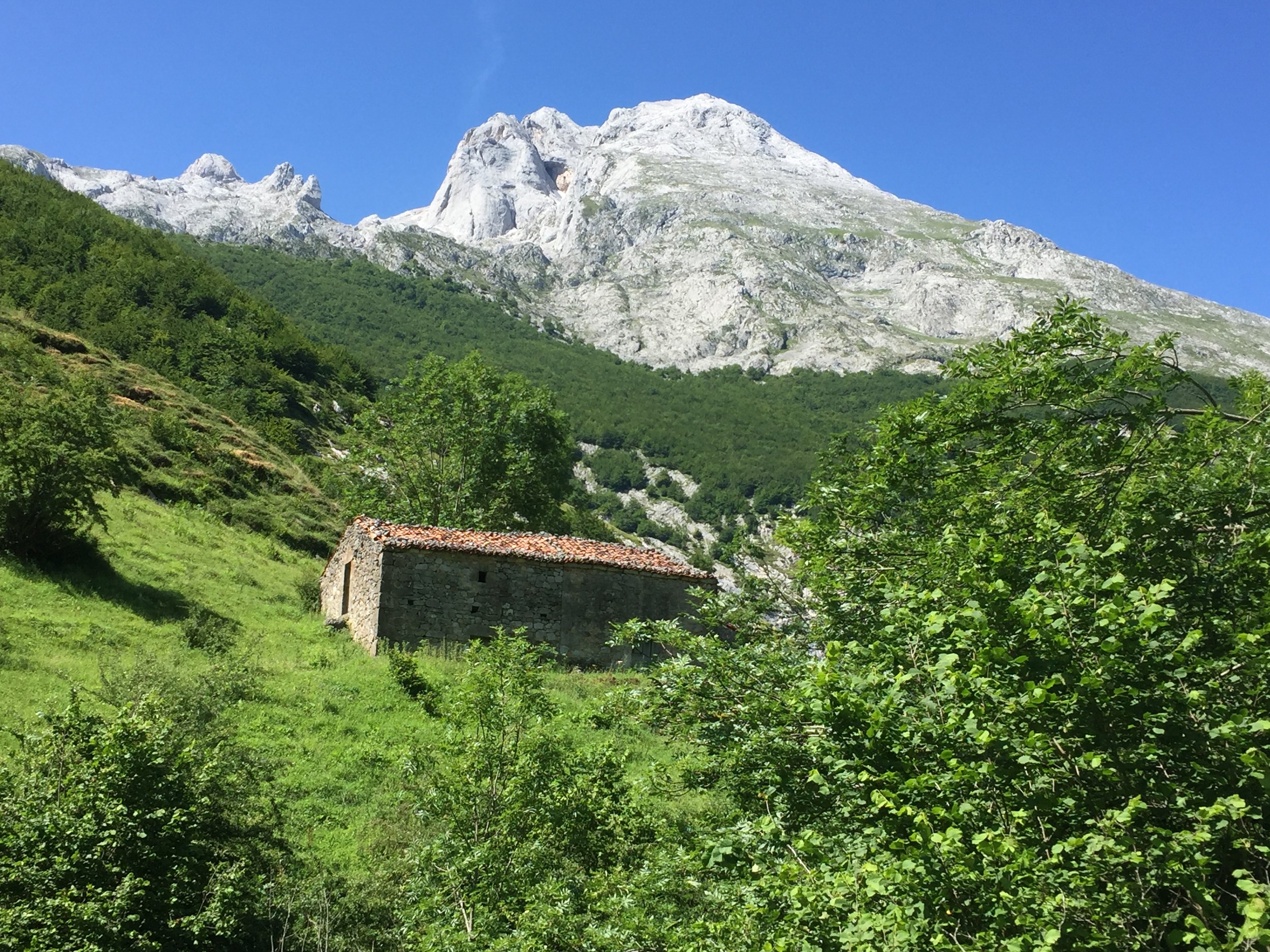
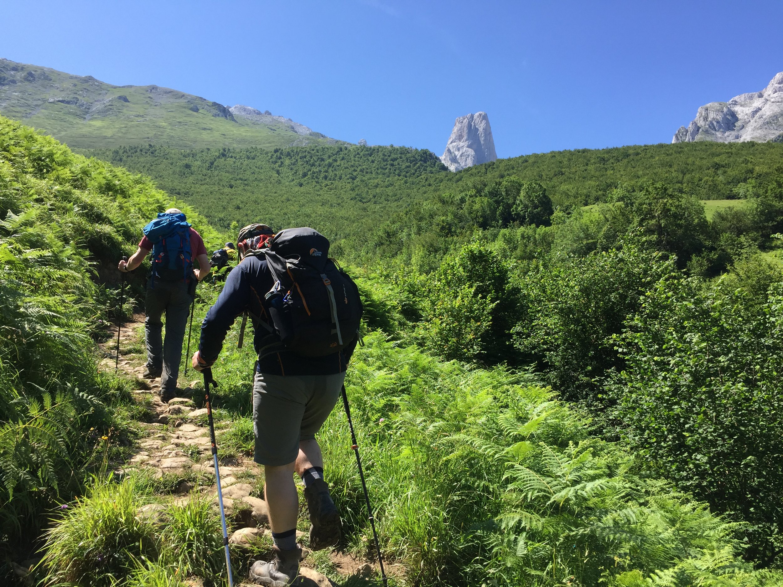
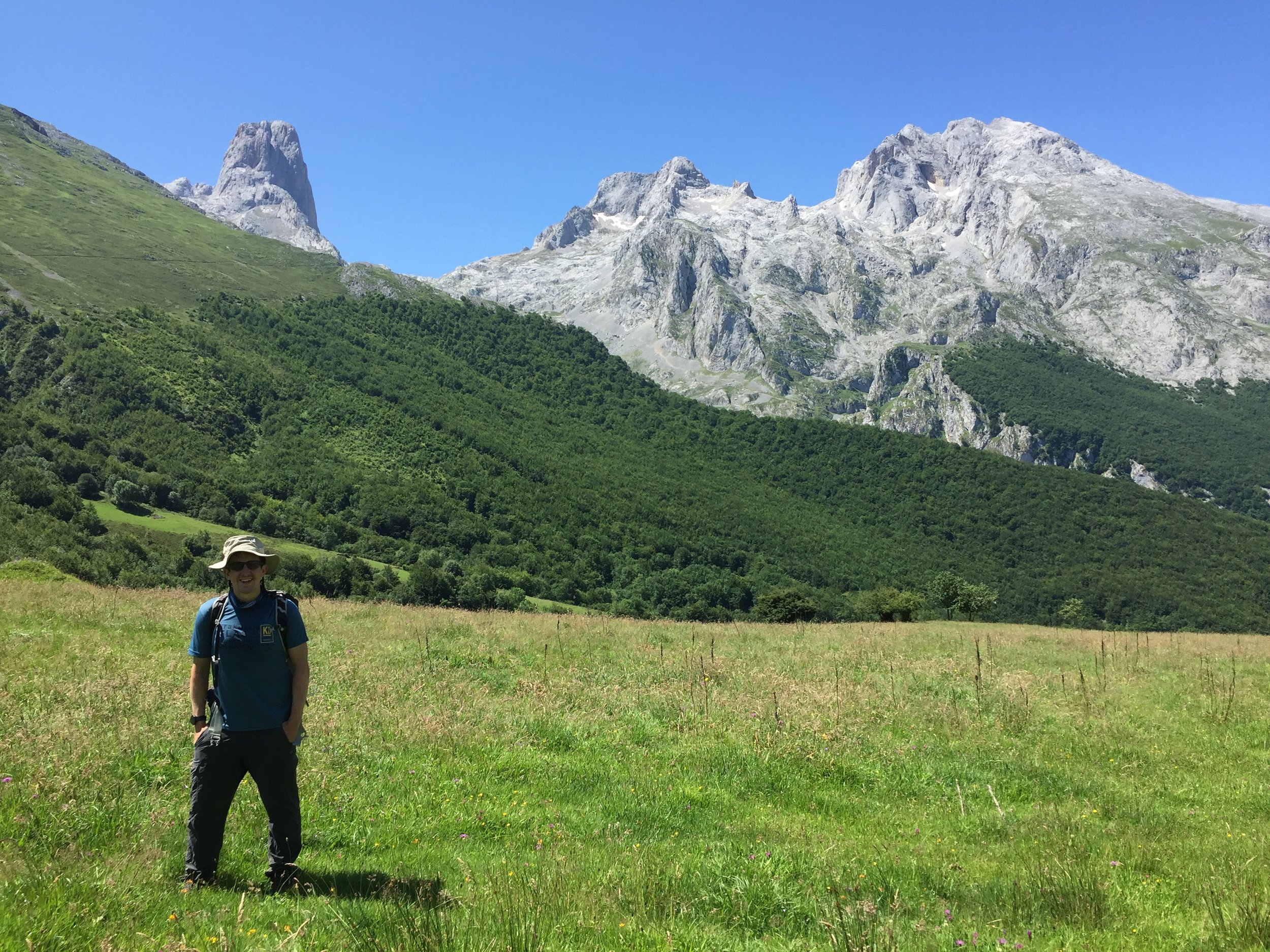
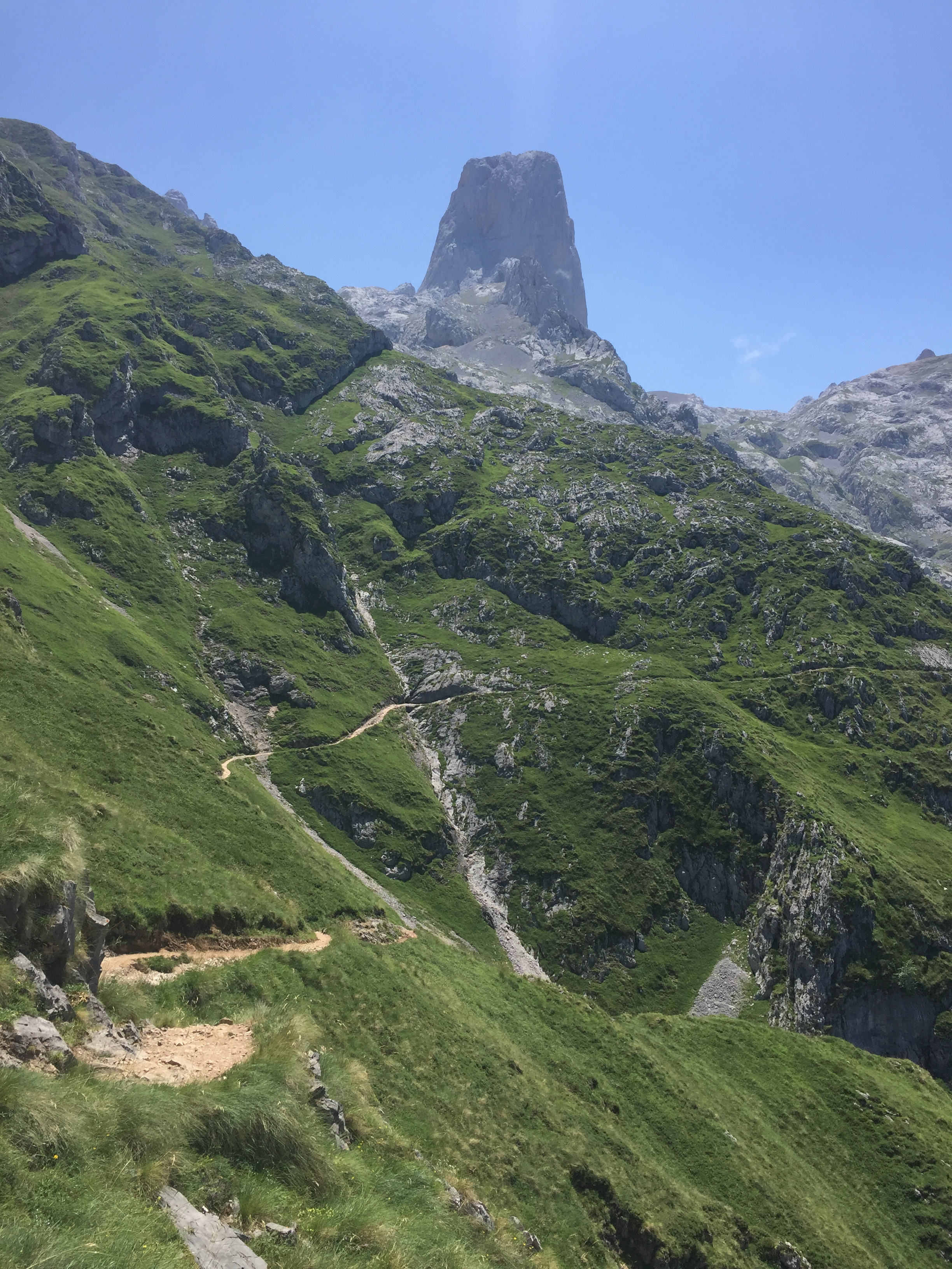
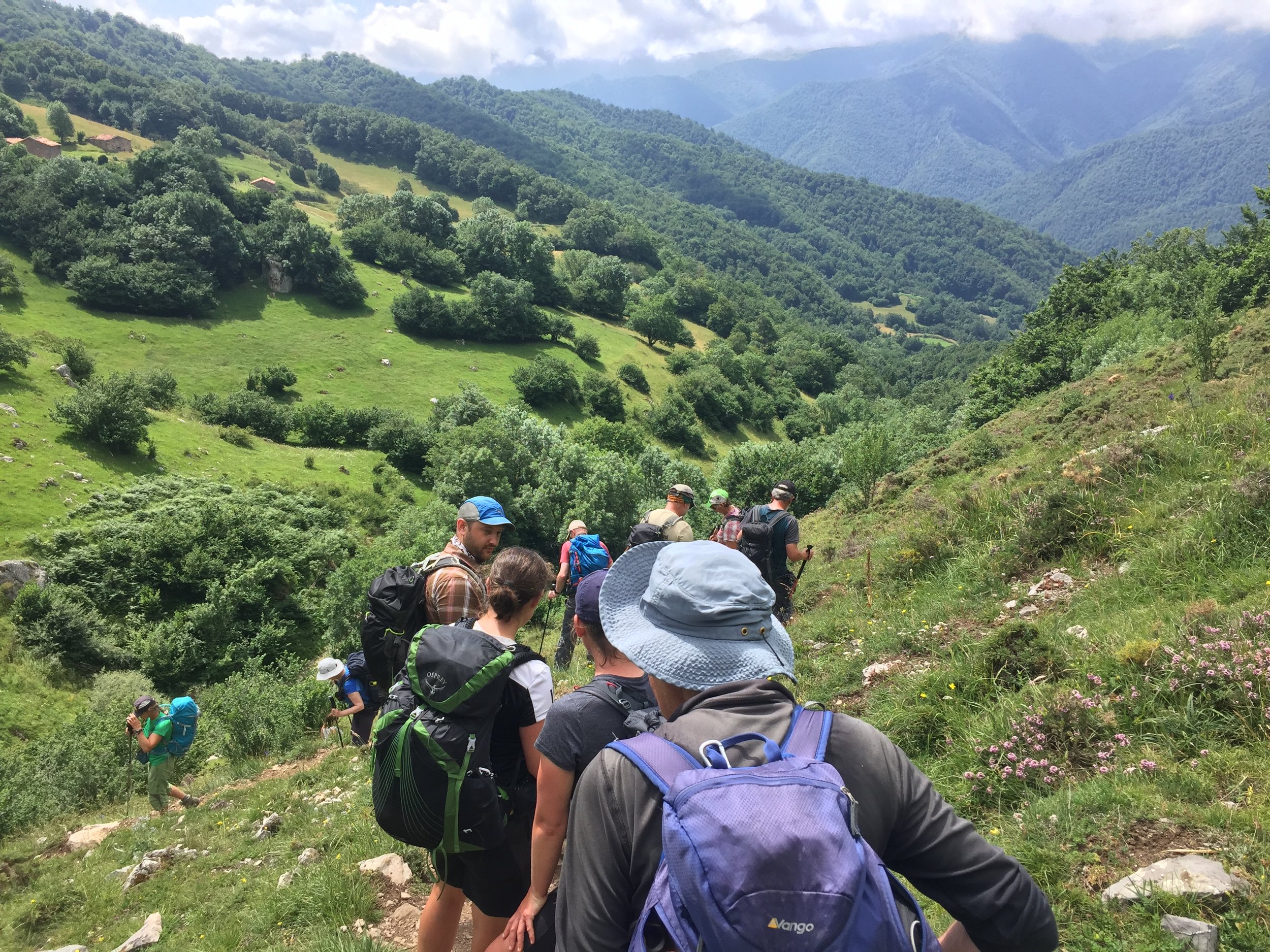
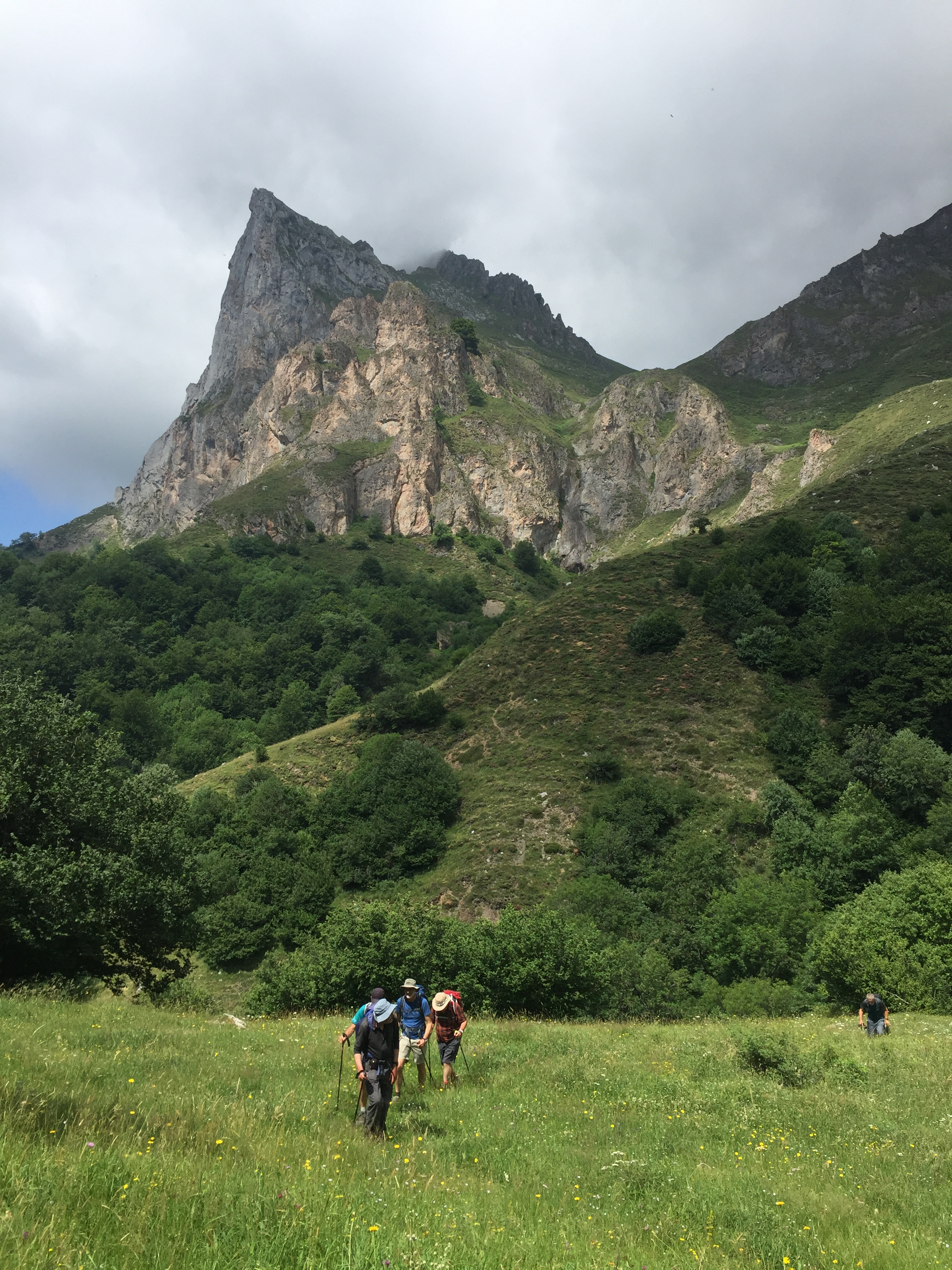
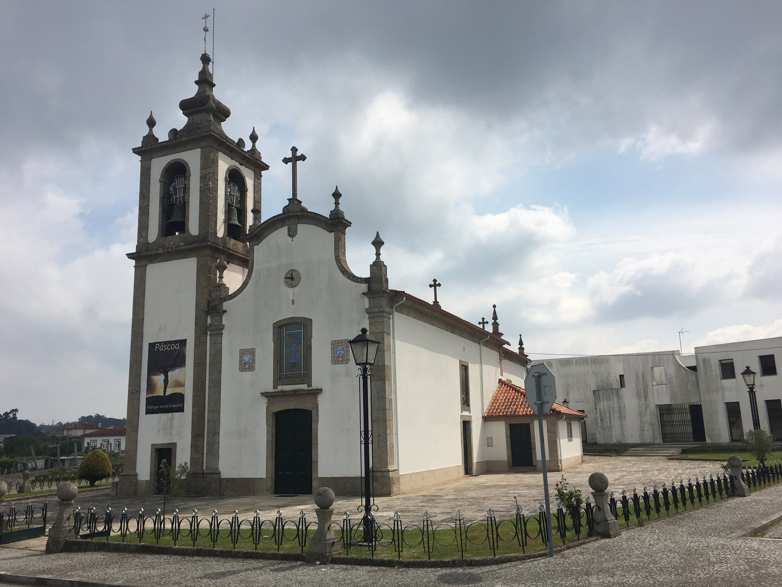
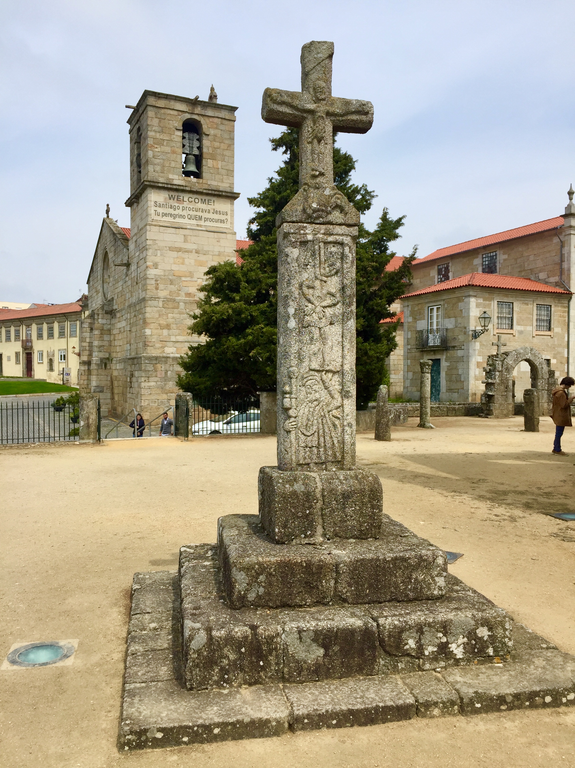
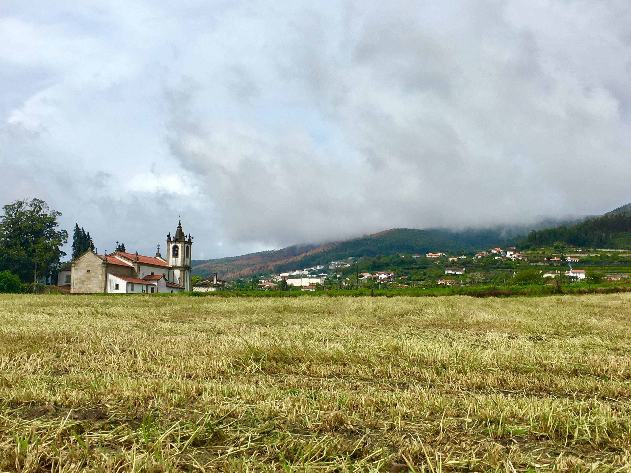
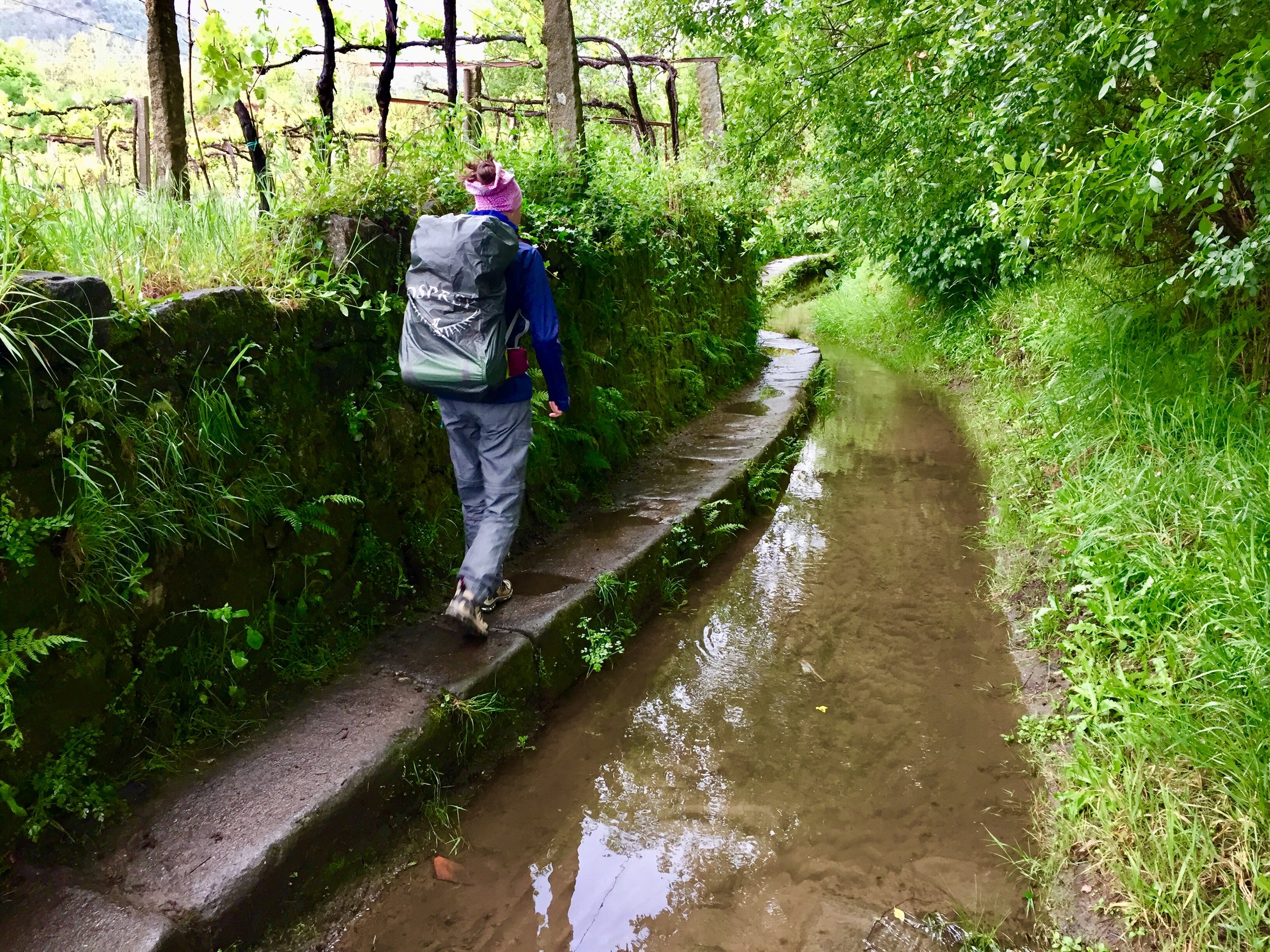
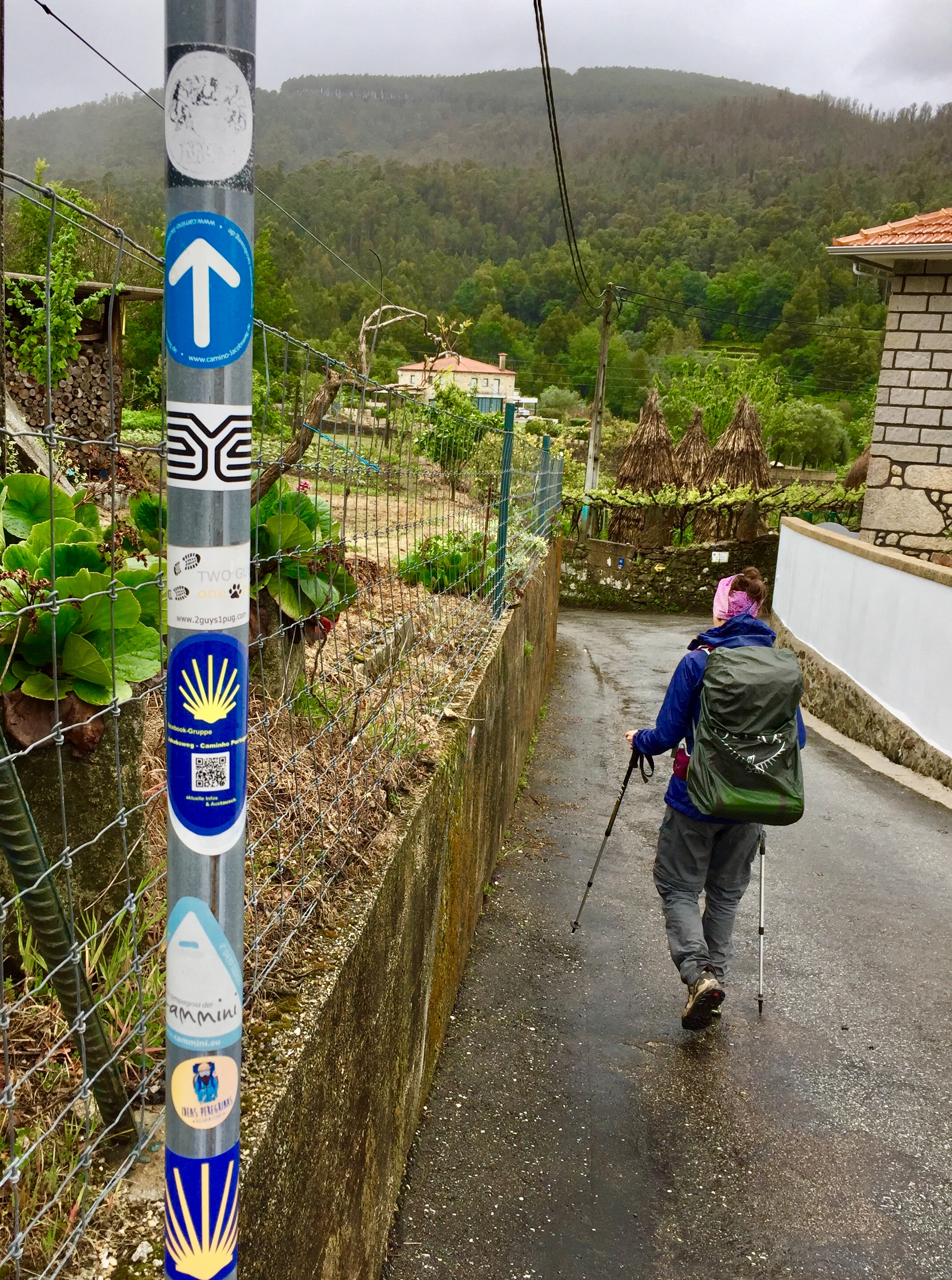
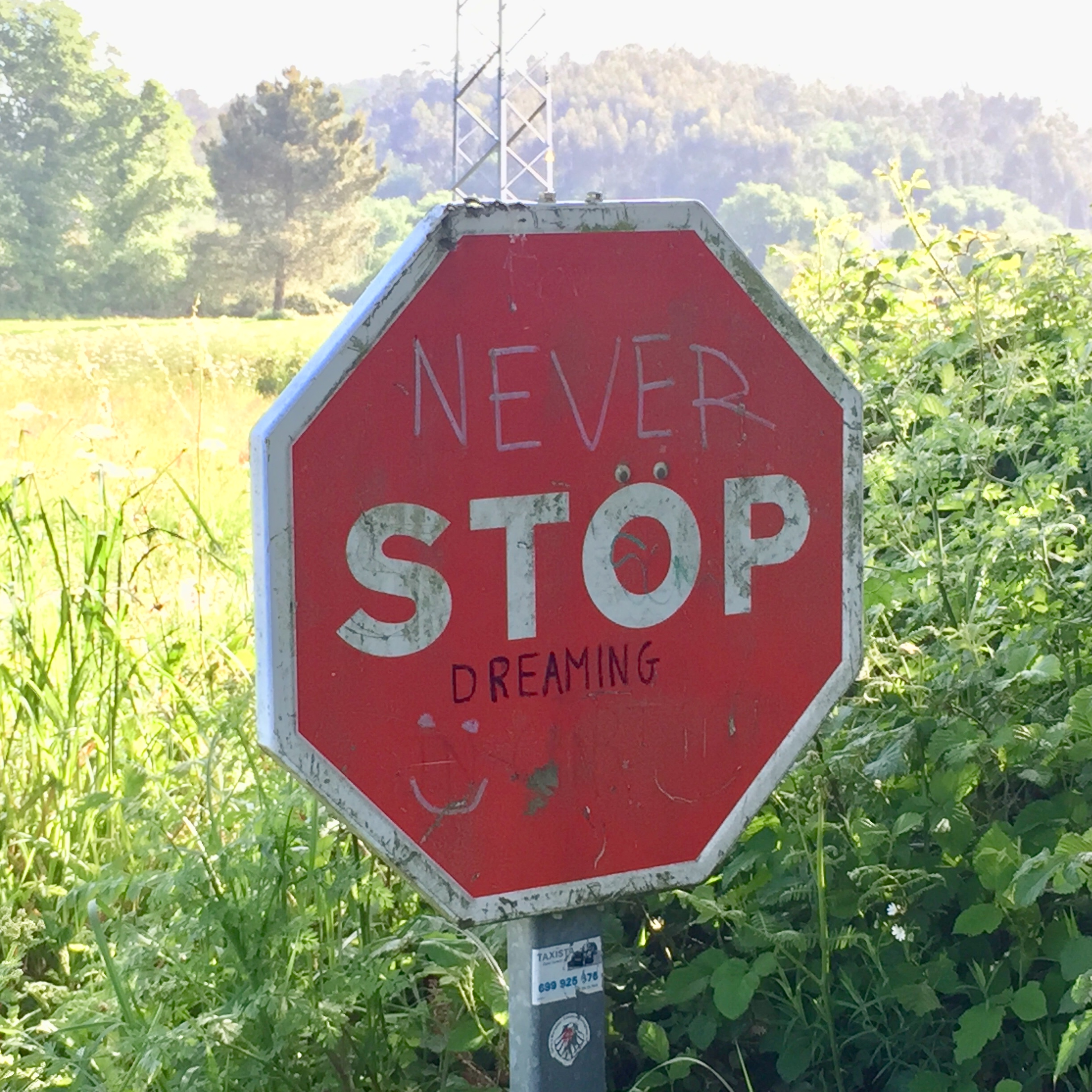
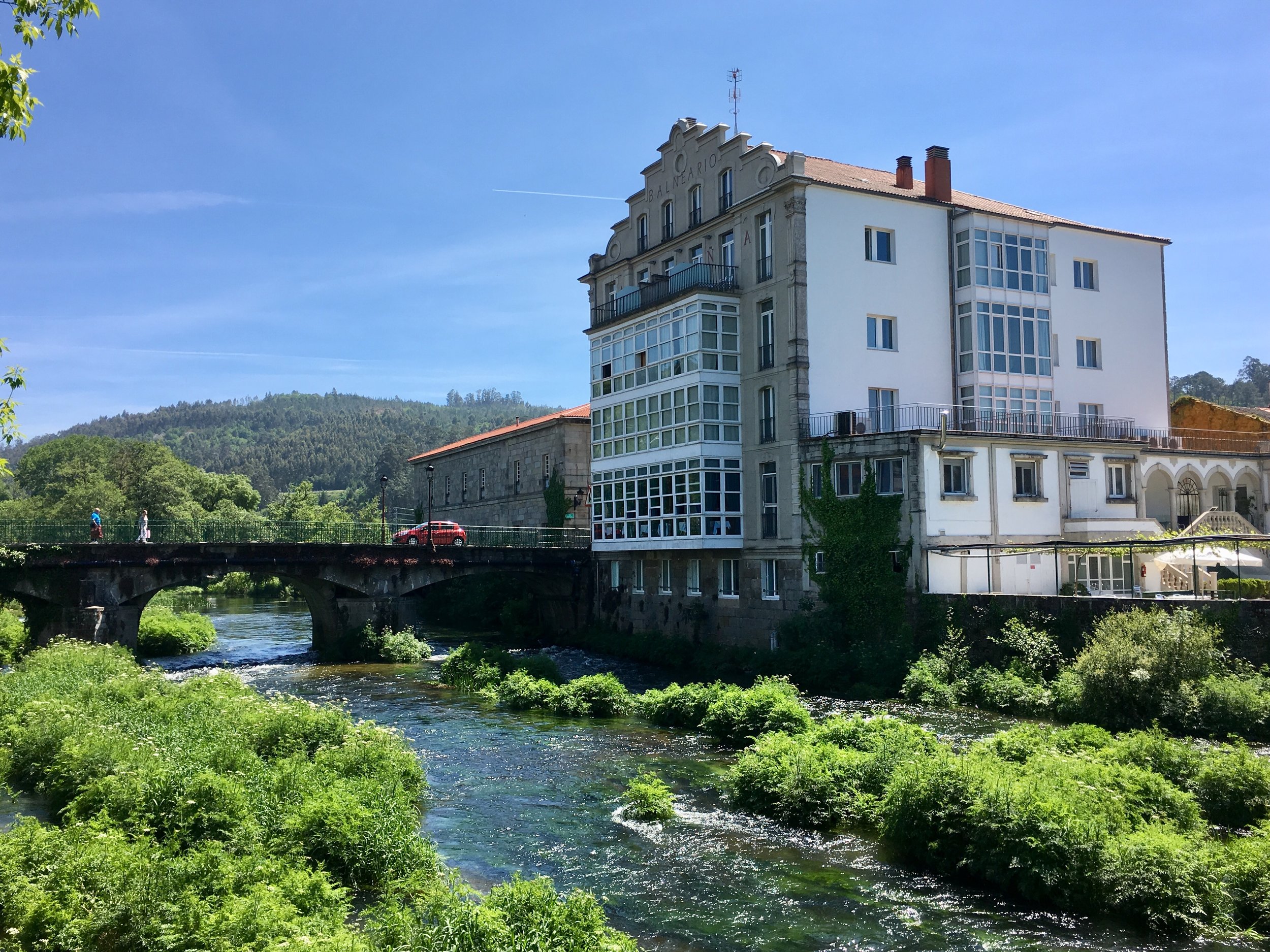
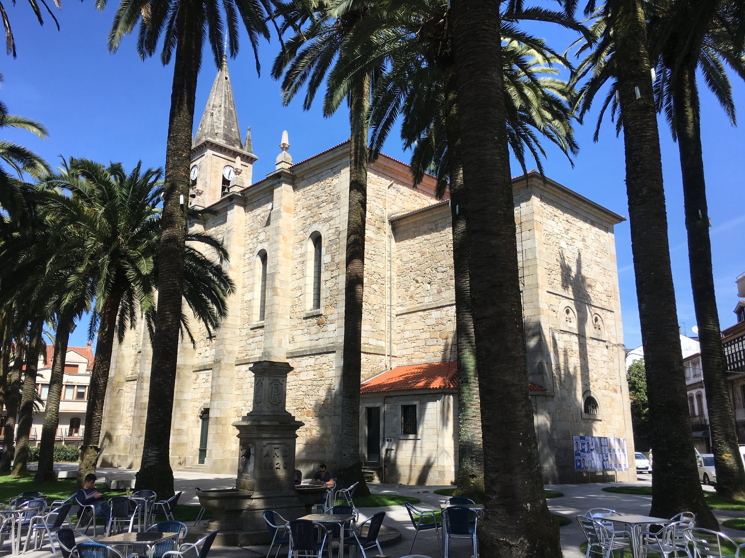
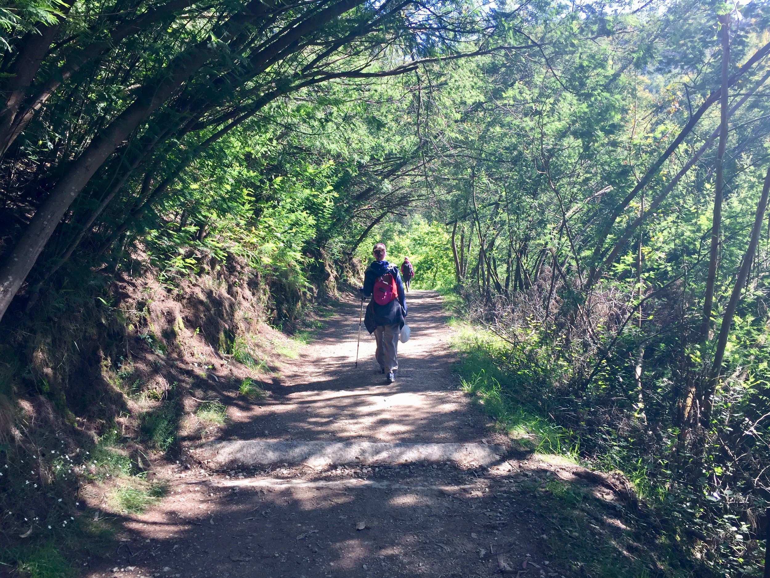
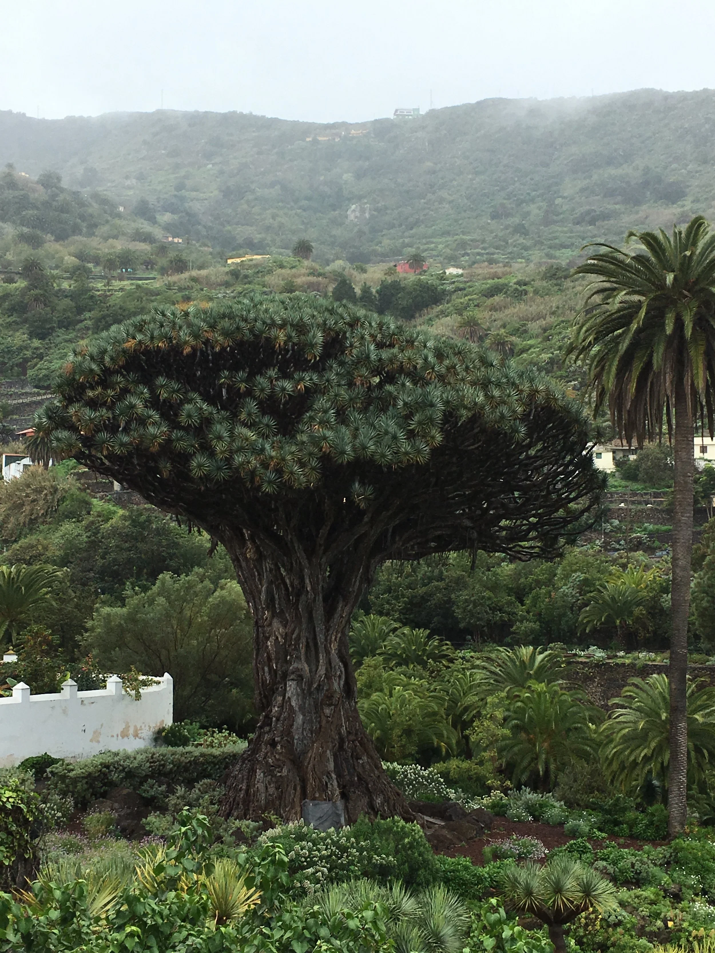
The route in general was interesting and enjoyable. It didn't have the "wow factor" of the Portuguese so we were glad to have done that one as our first Camino experience. Instead this was a satisfying continuation of our Camino story, a middle chapter of a longer book that we're still writing. Having a friend join us also gave us a different perspective on the trip.

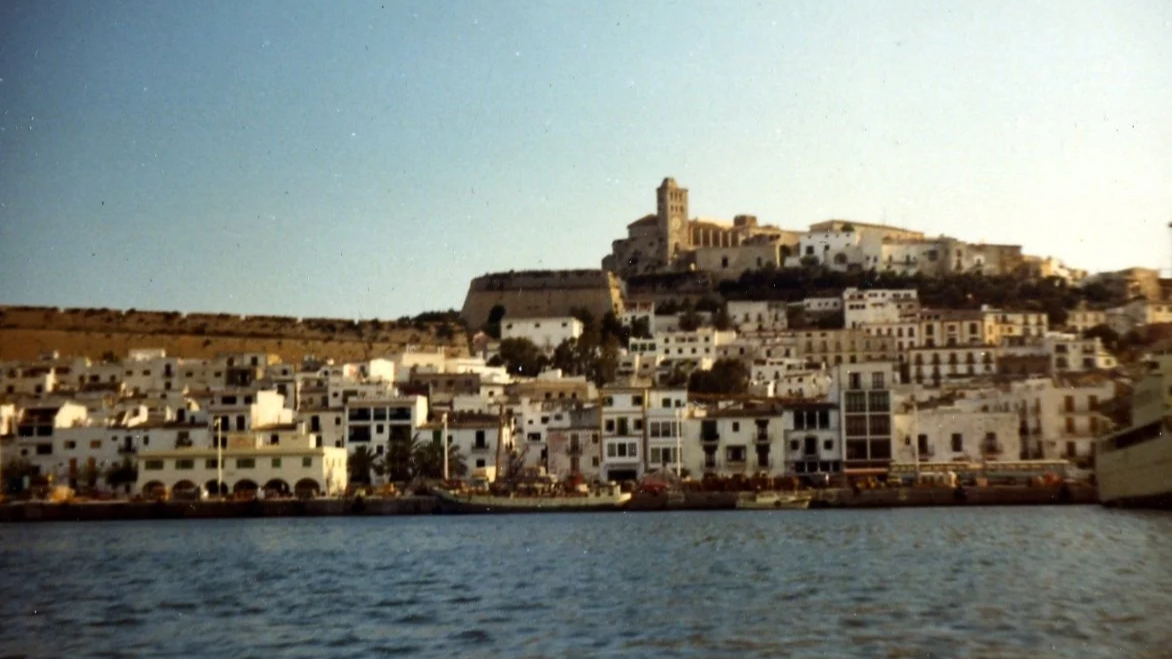
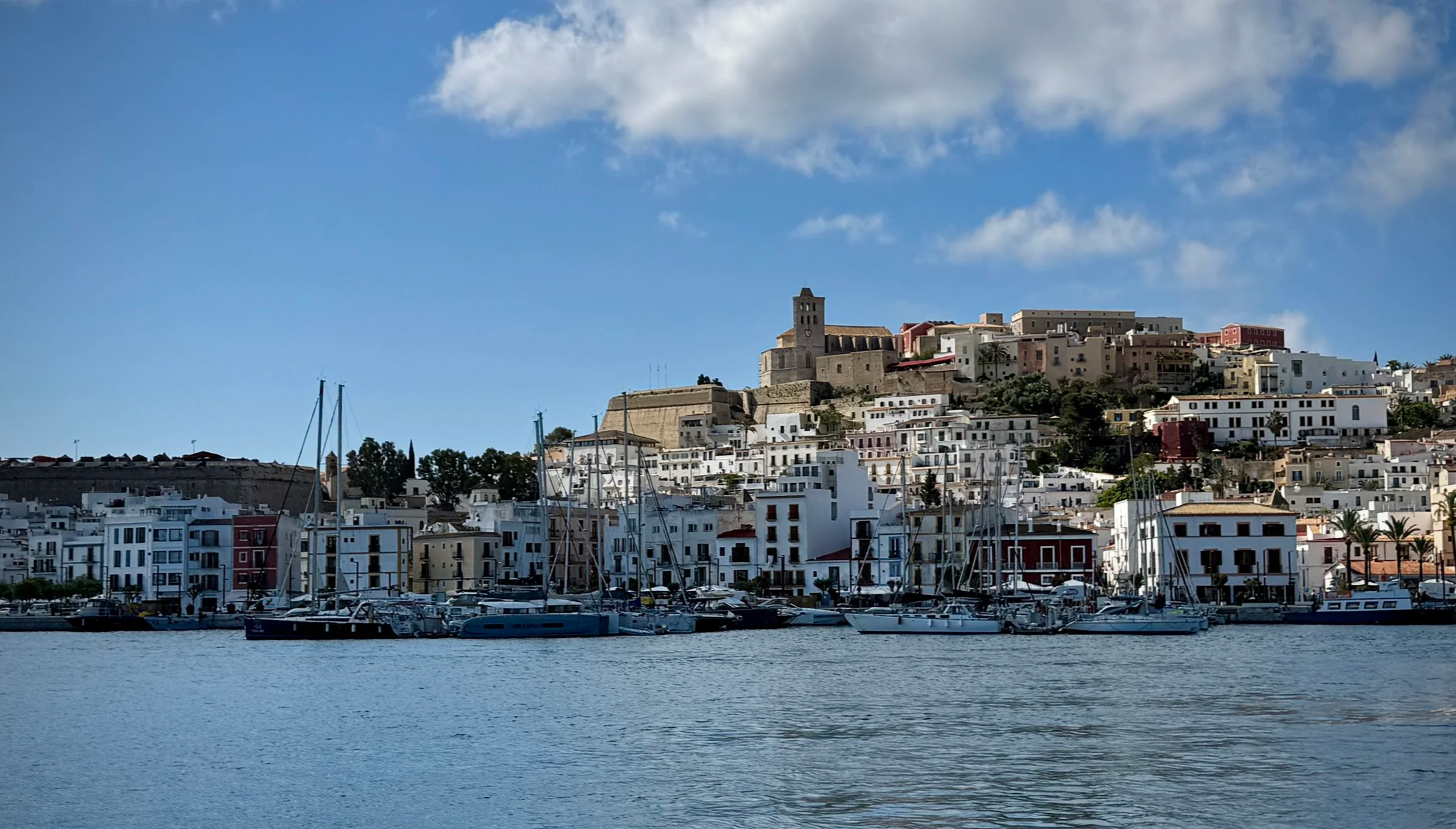
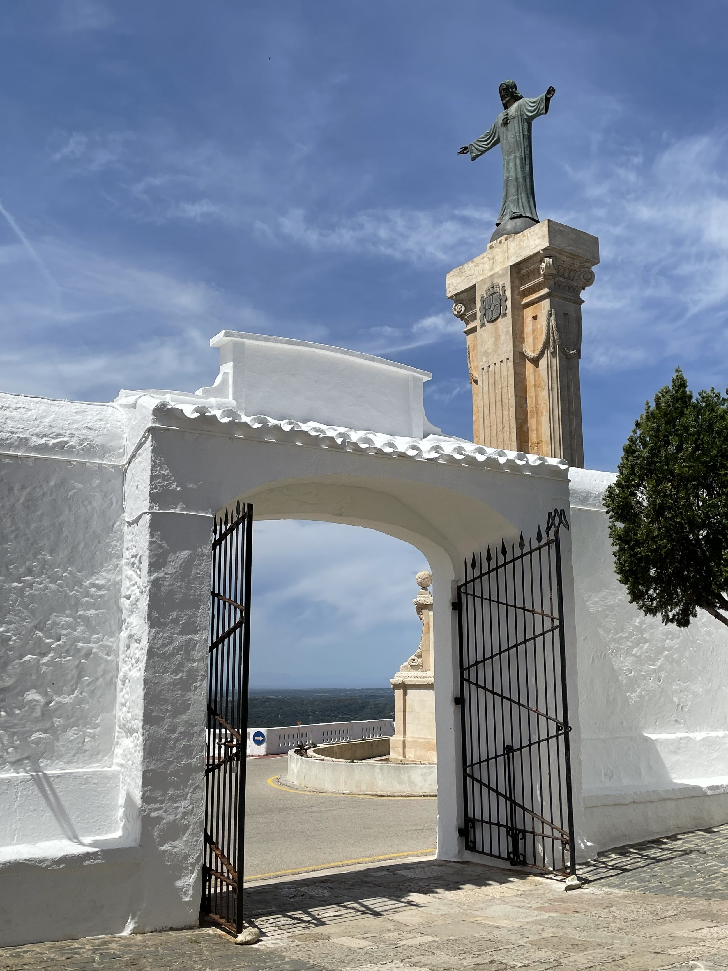
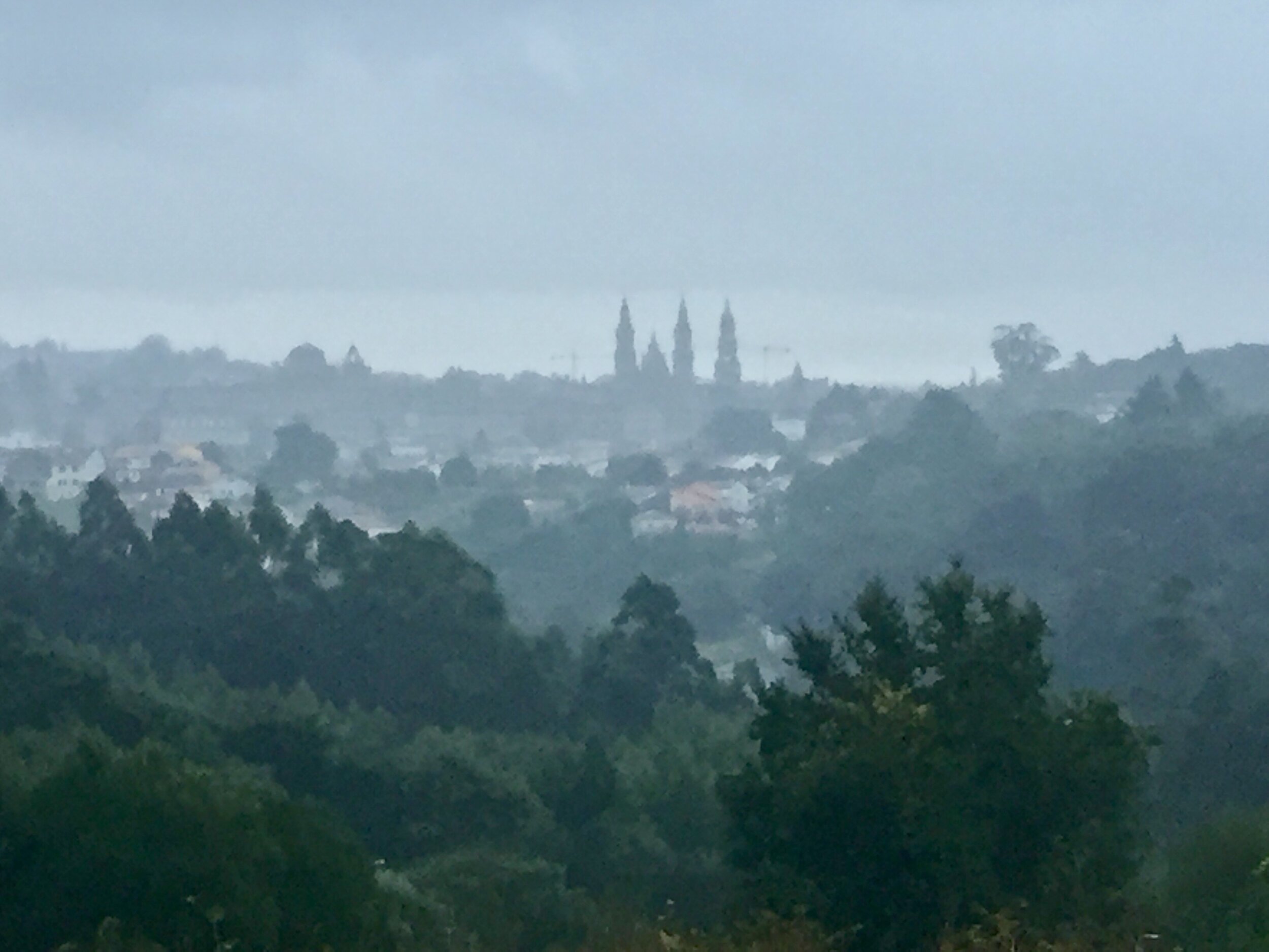
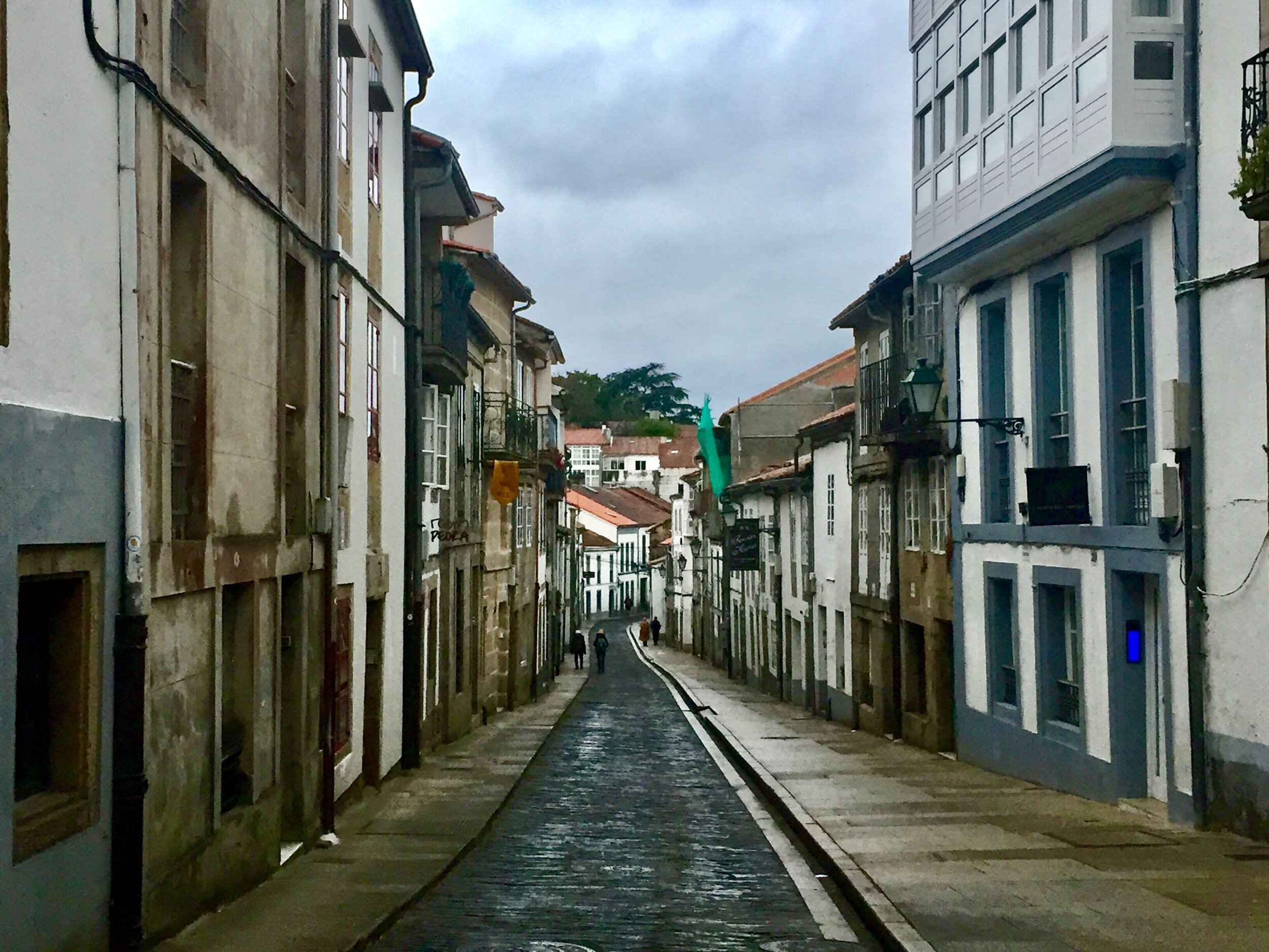
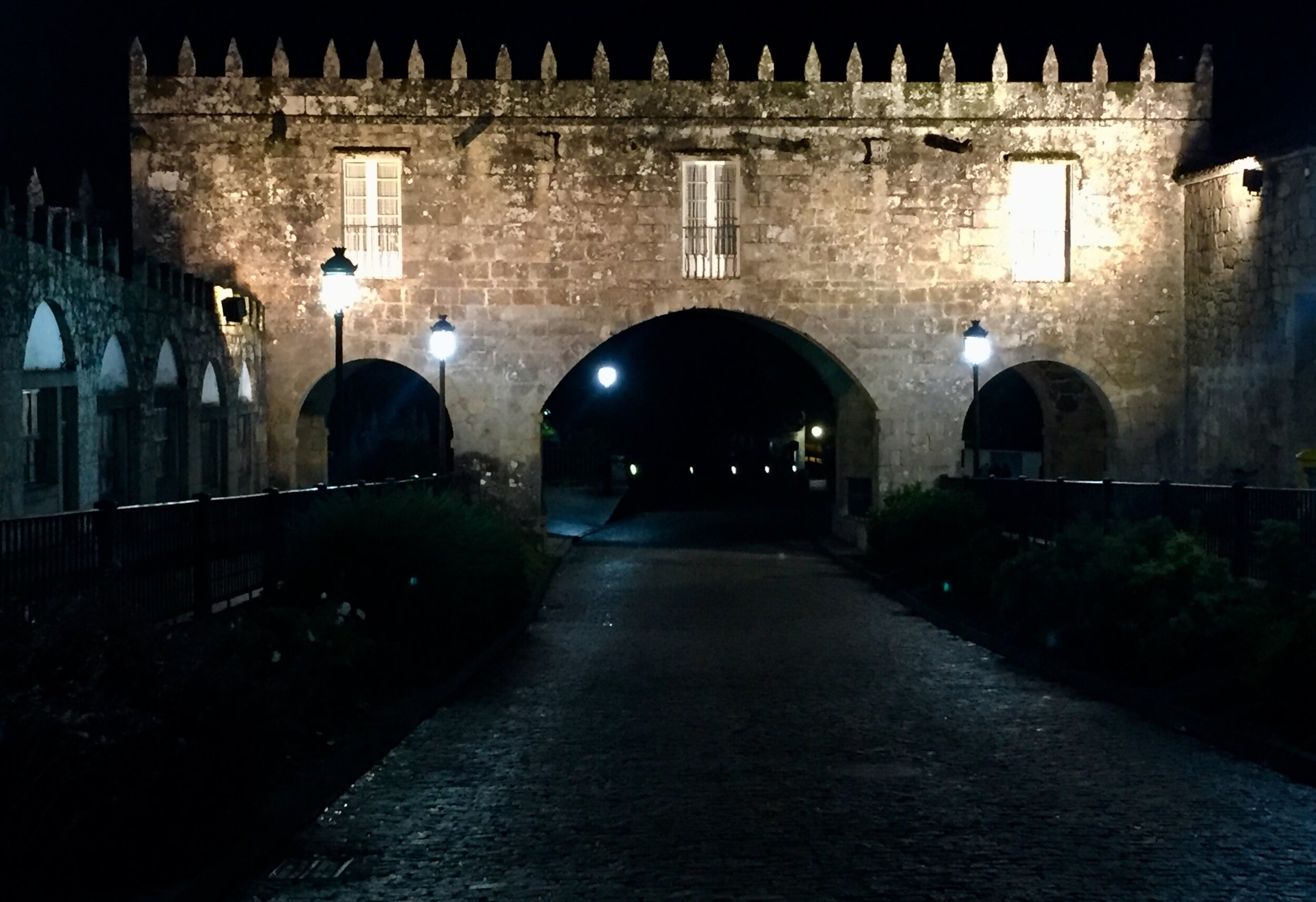
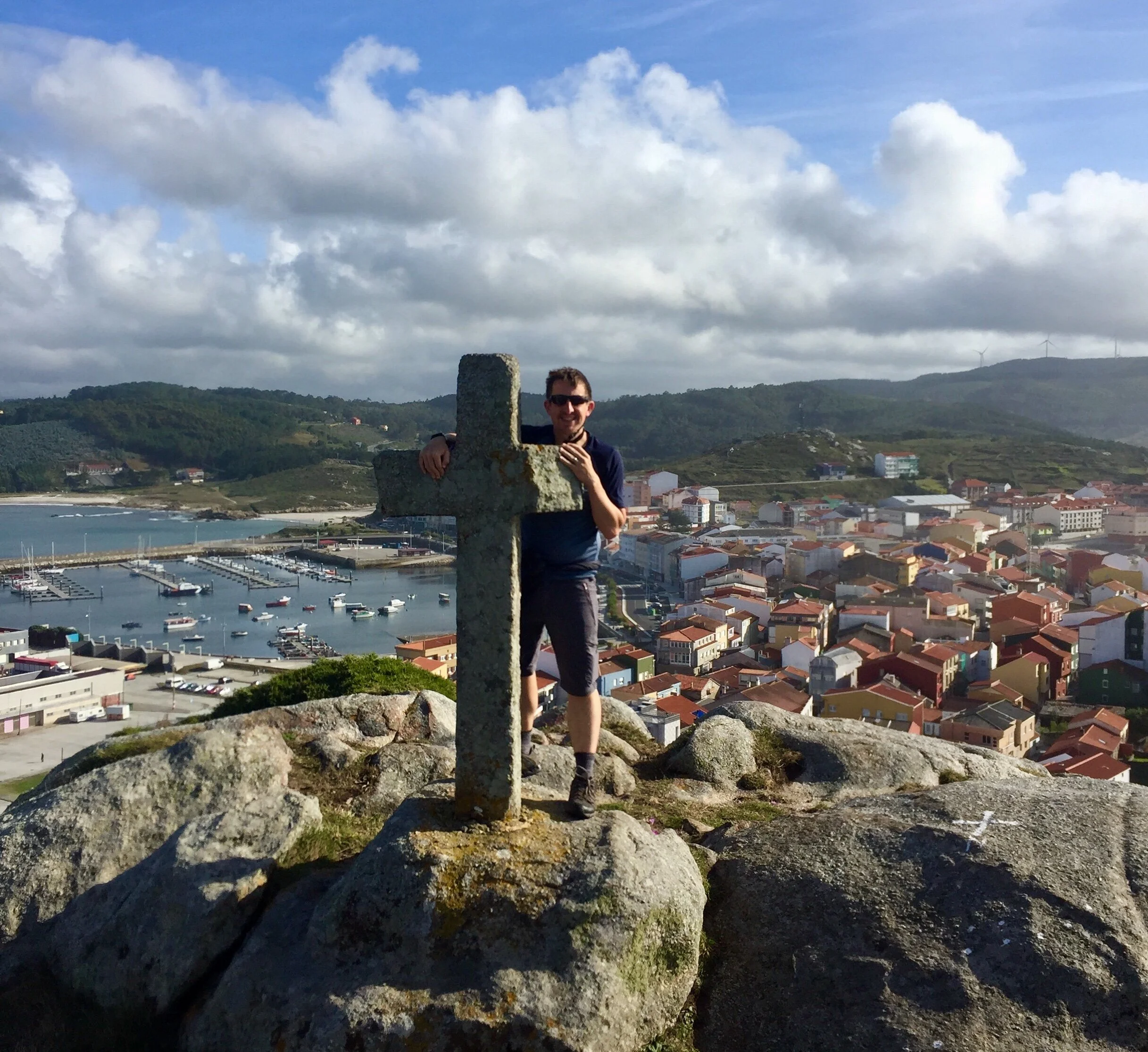
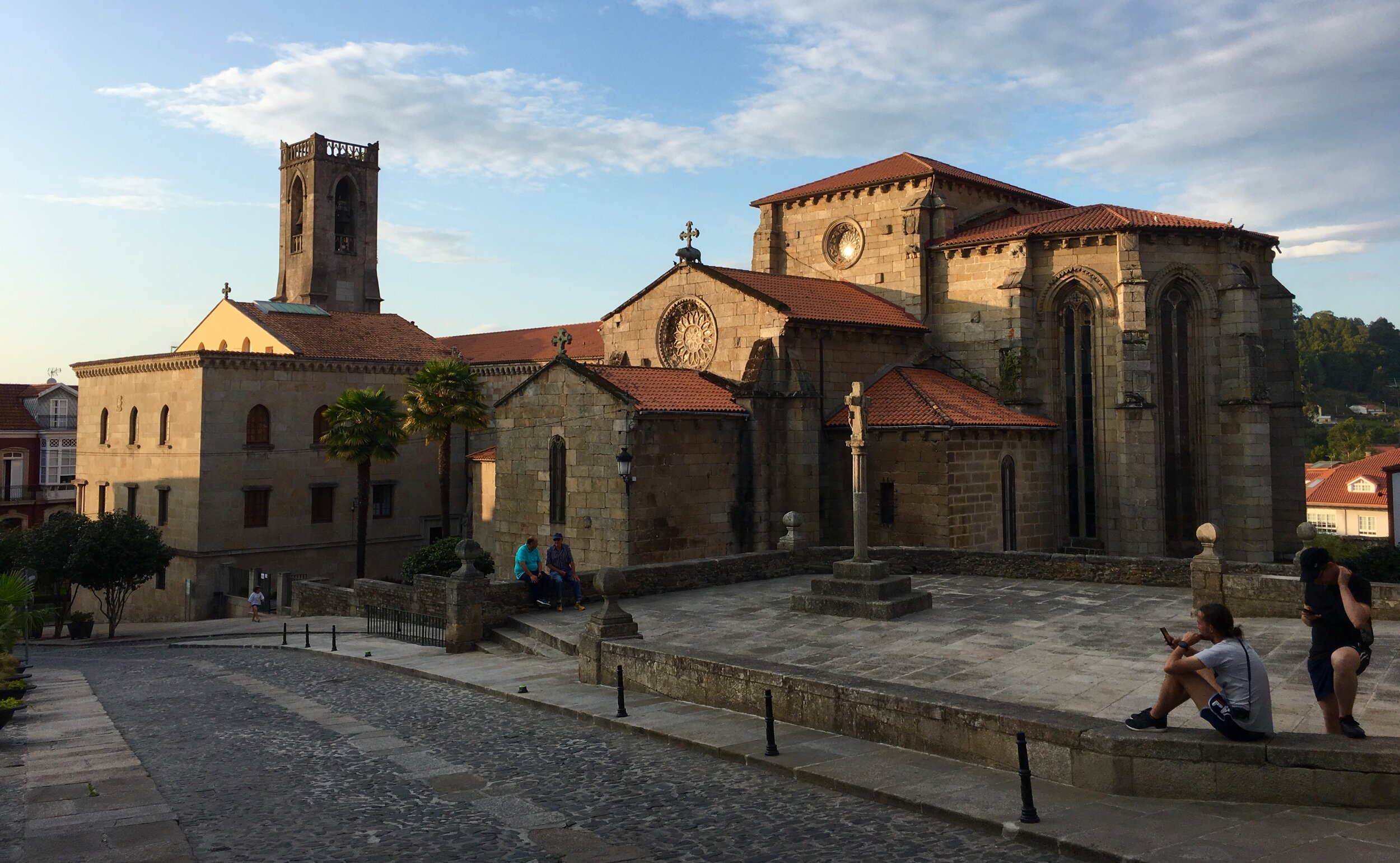
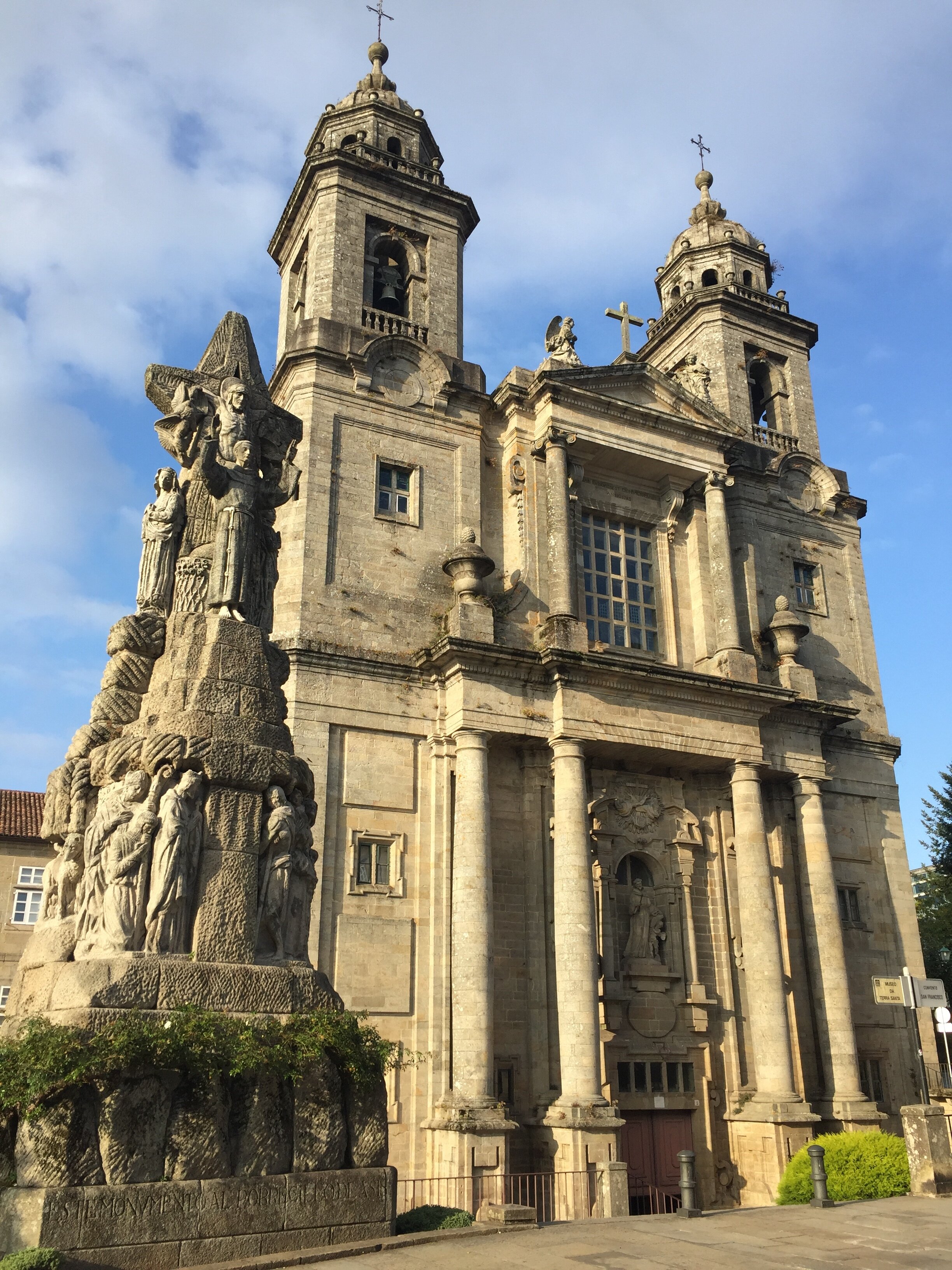
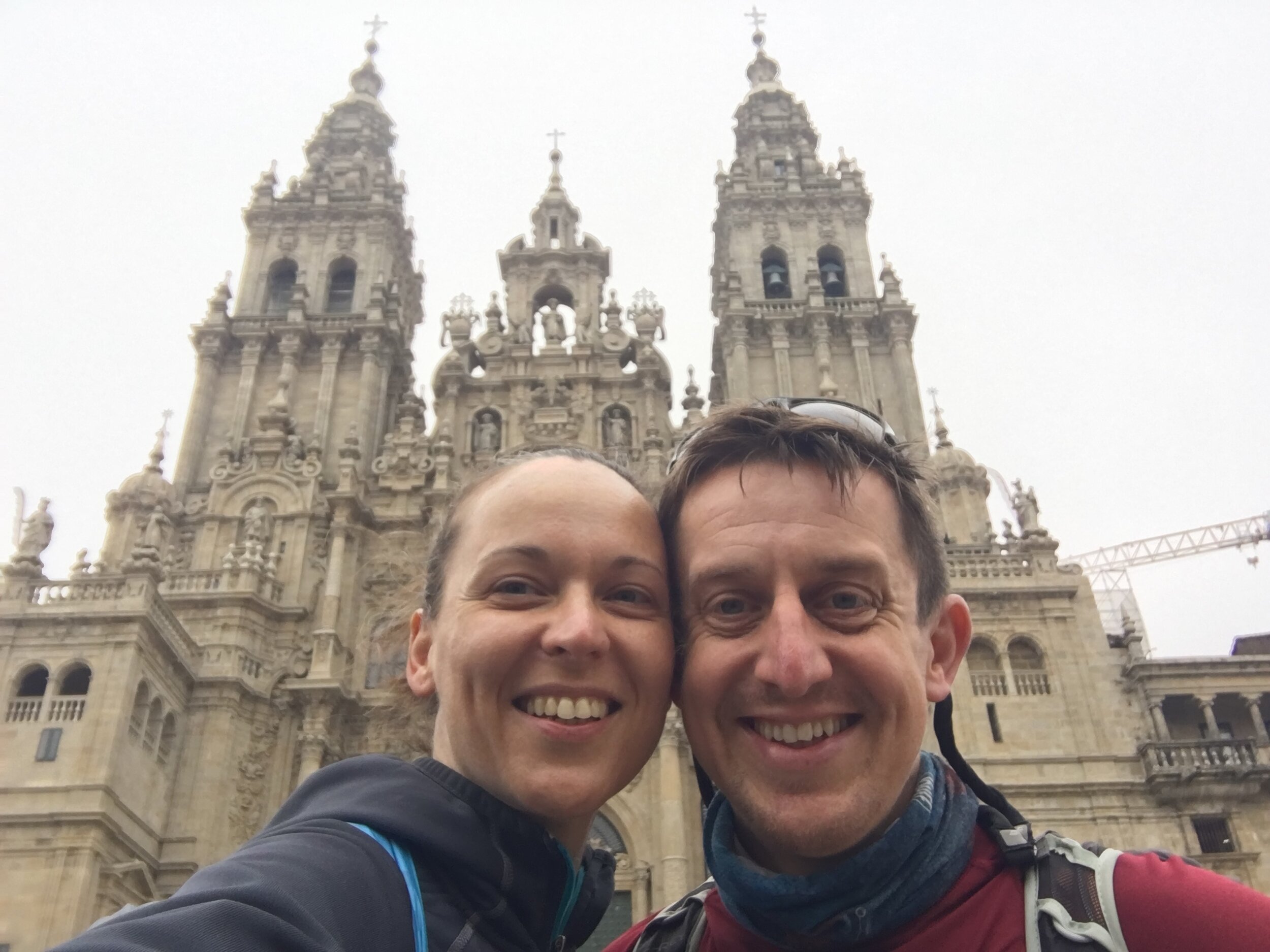
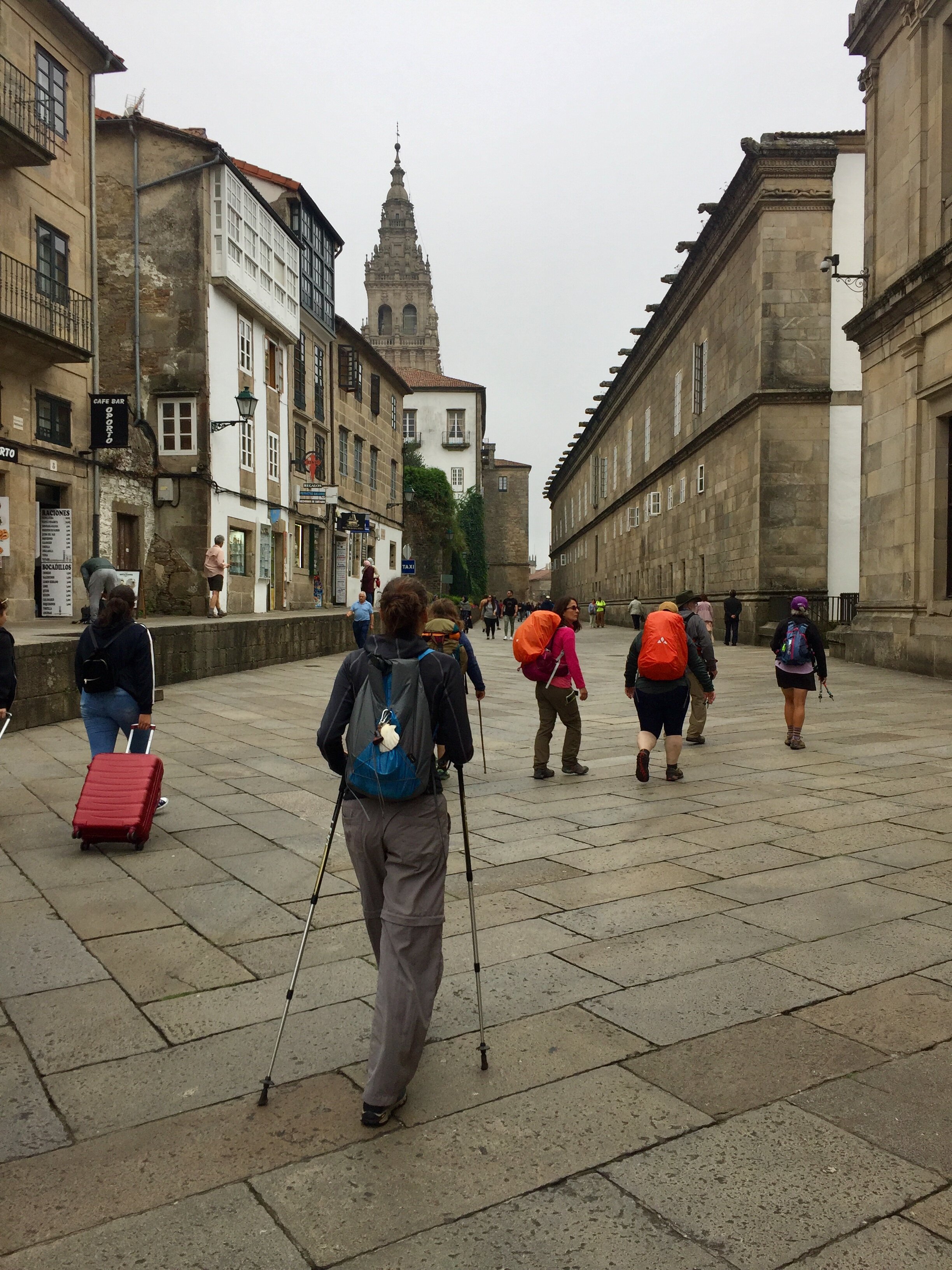
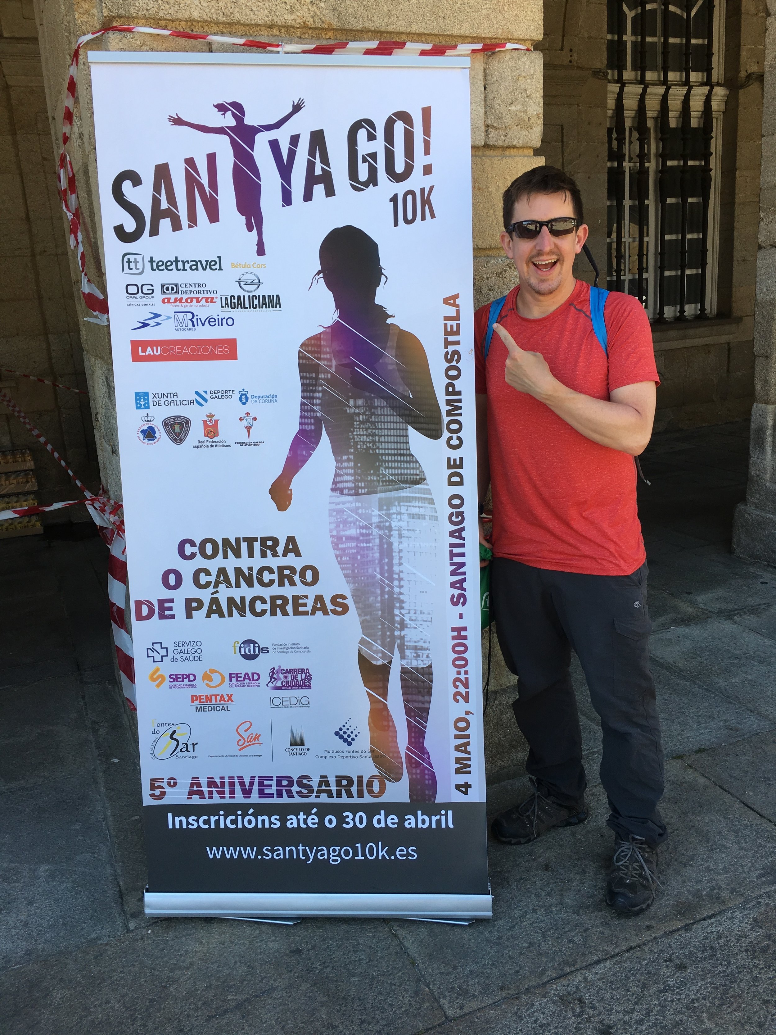
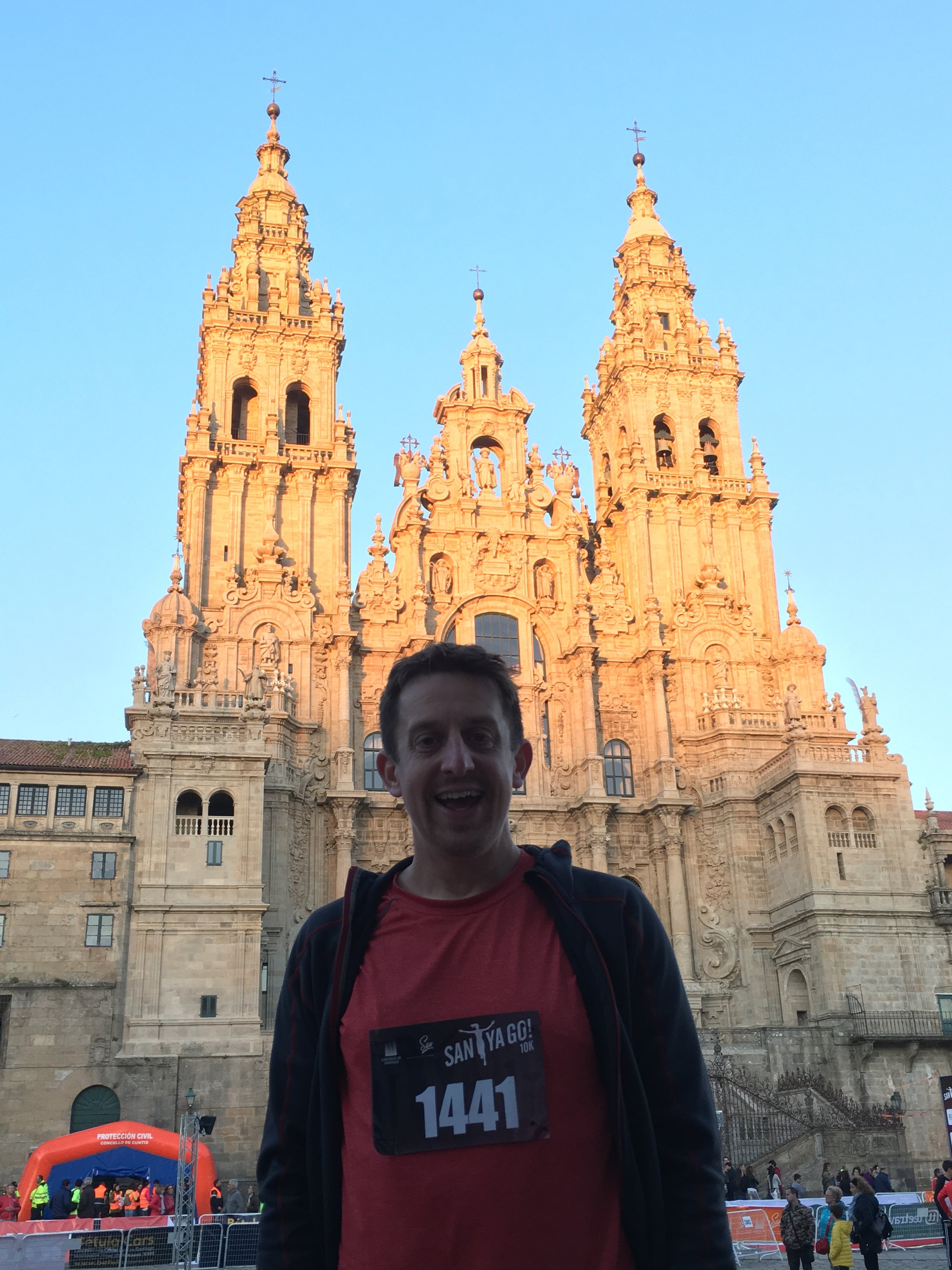
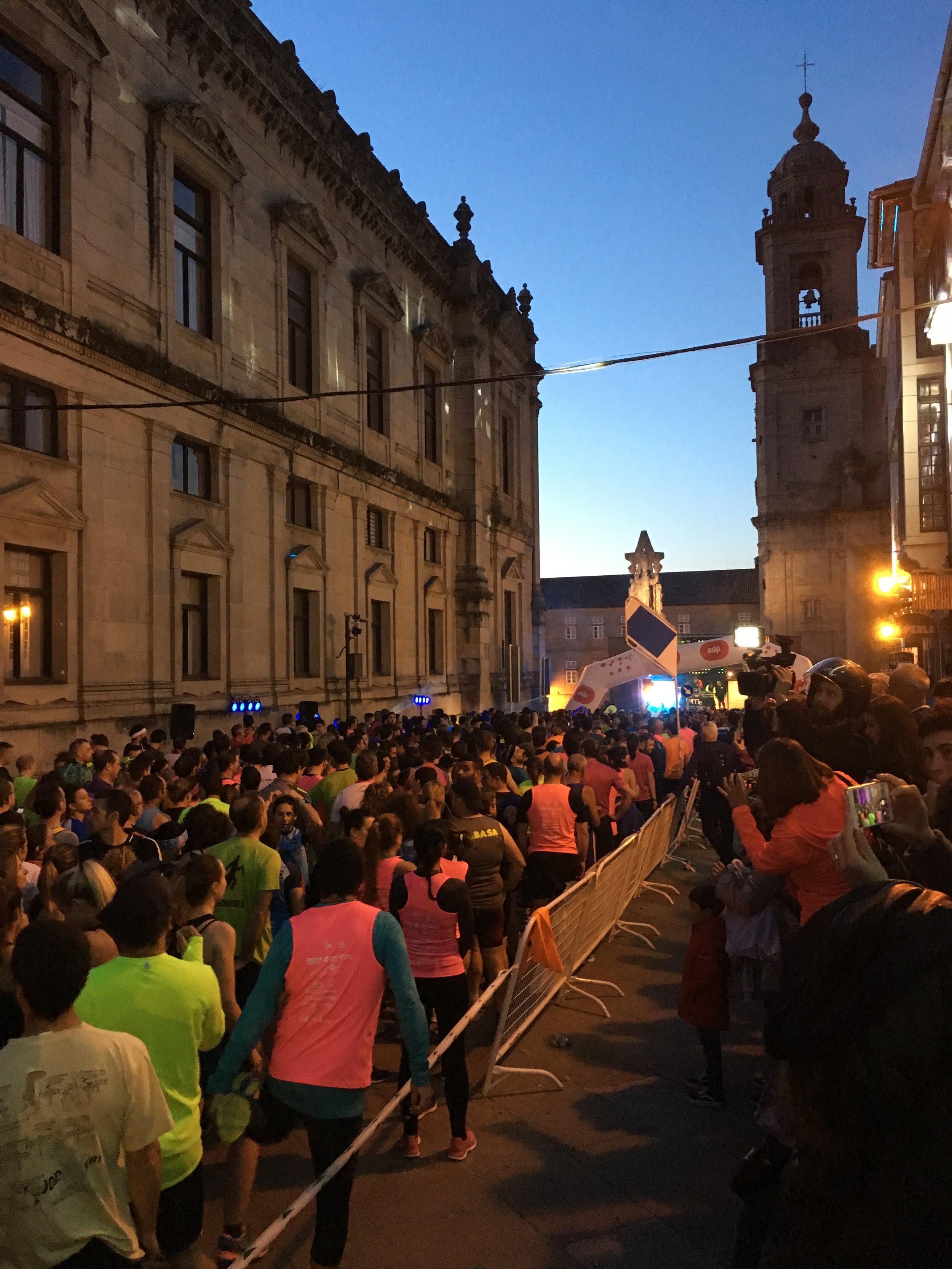
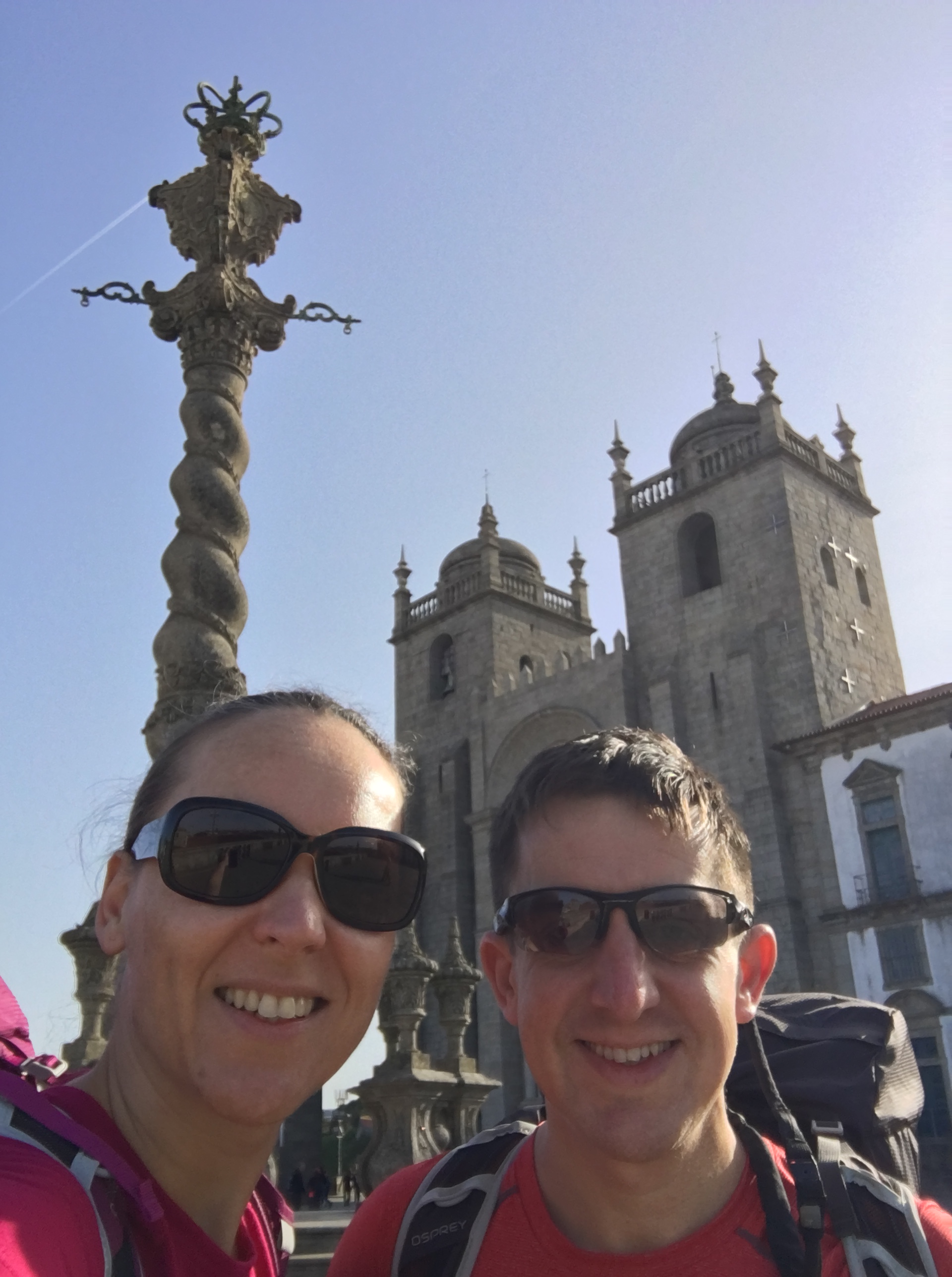
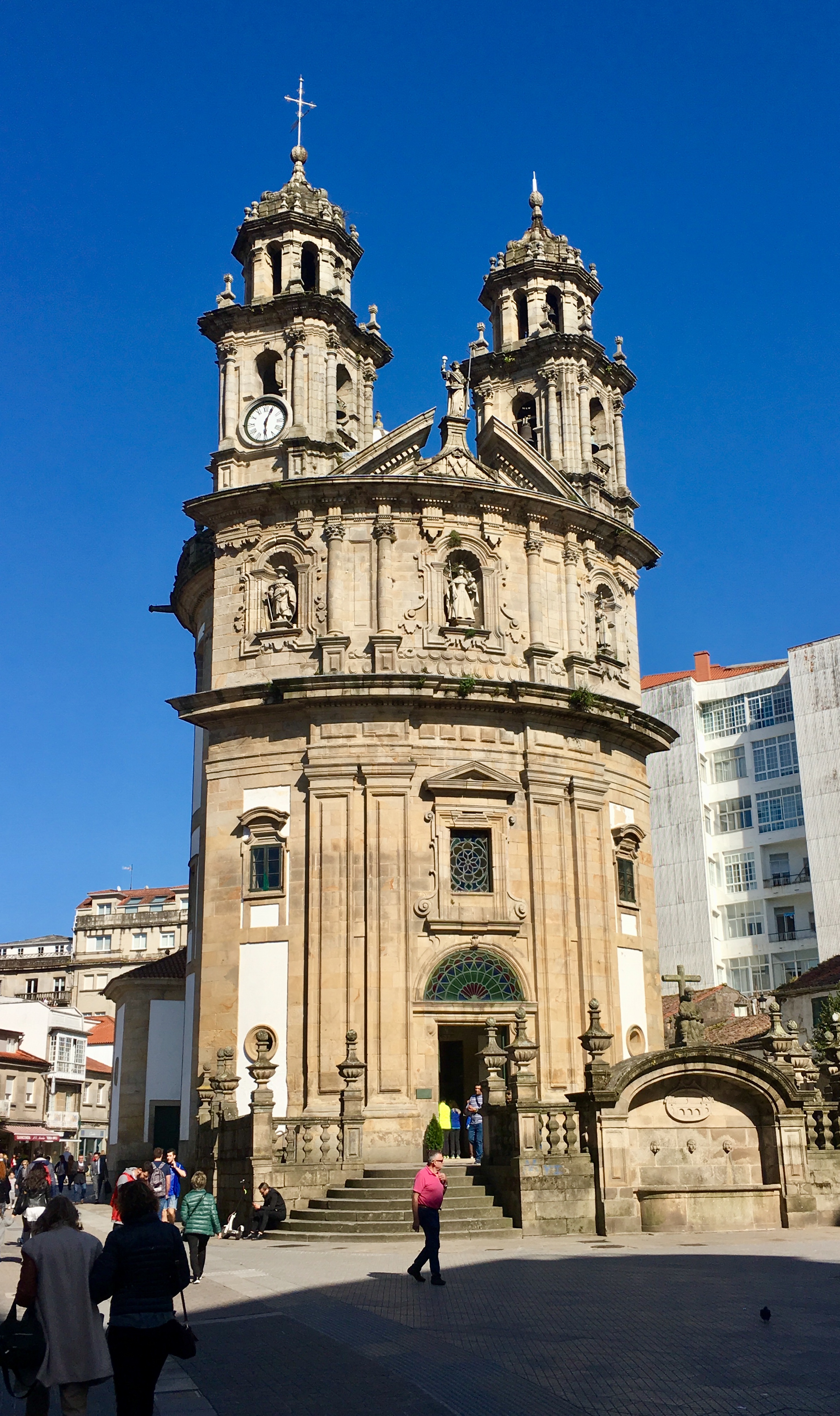
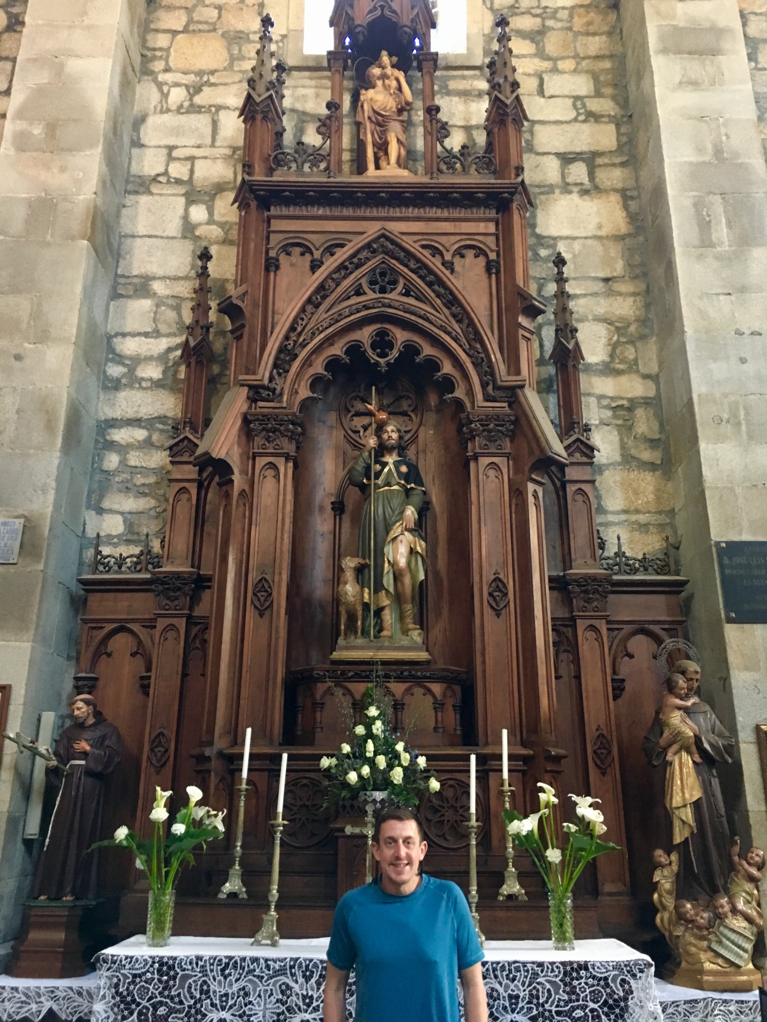
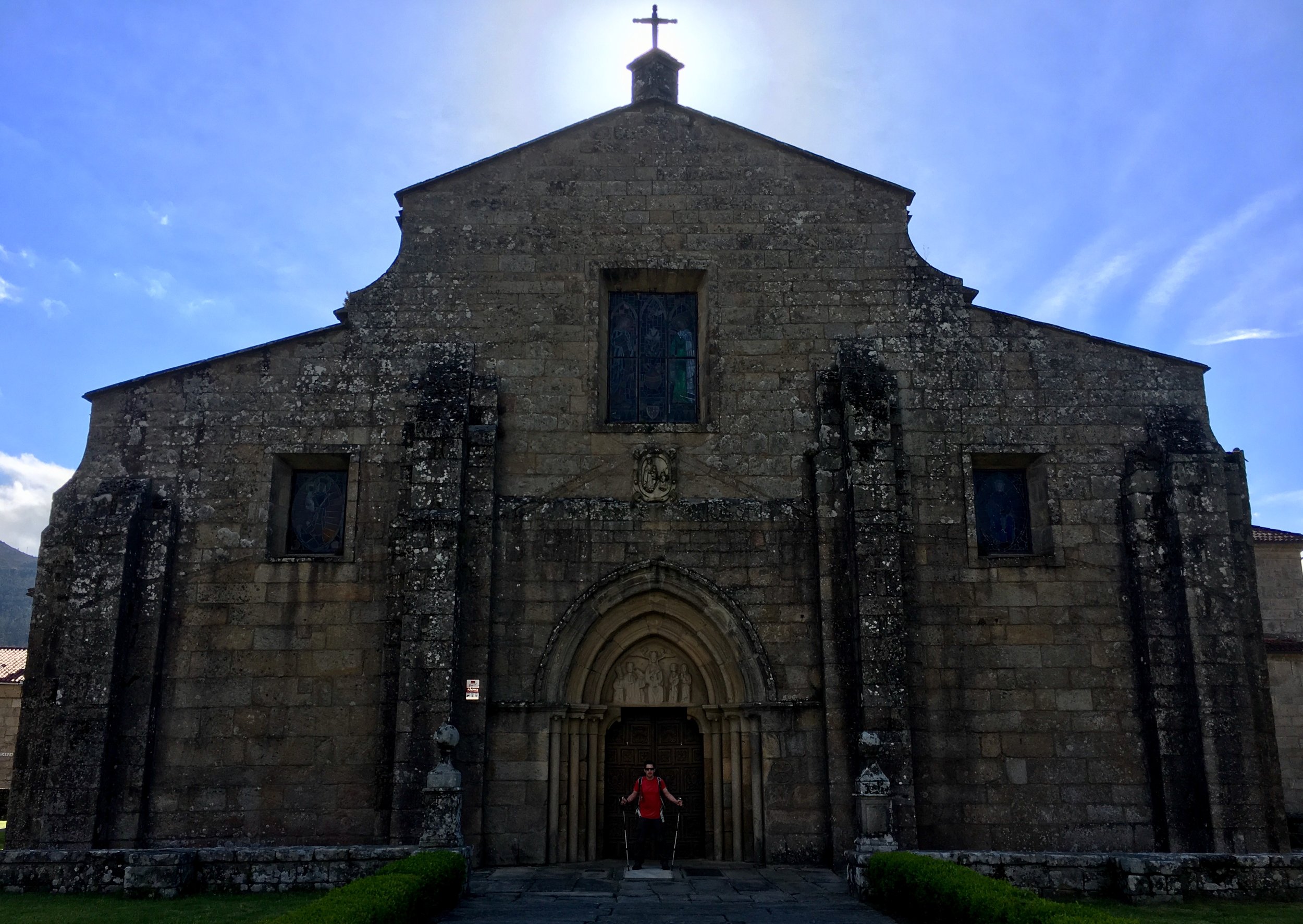
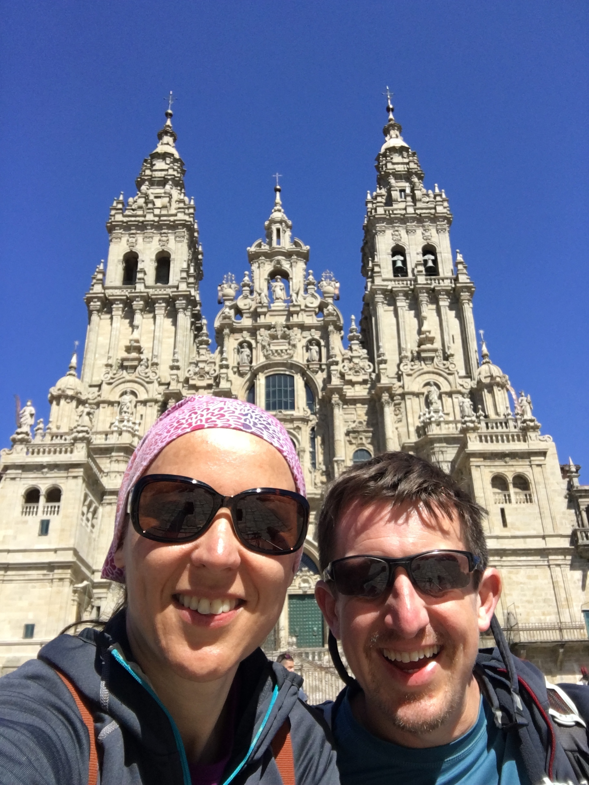
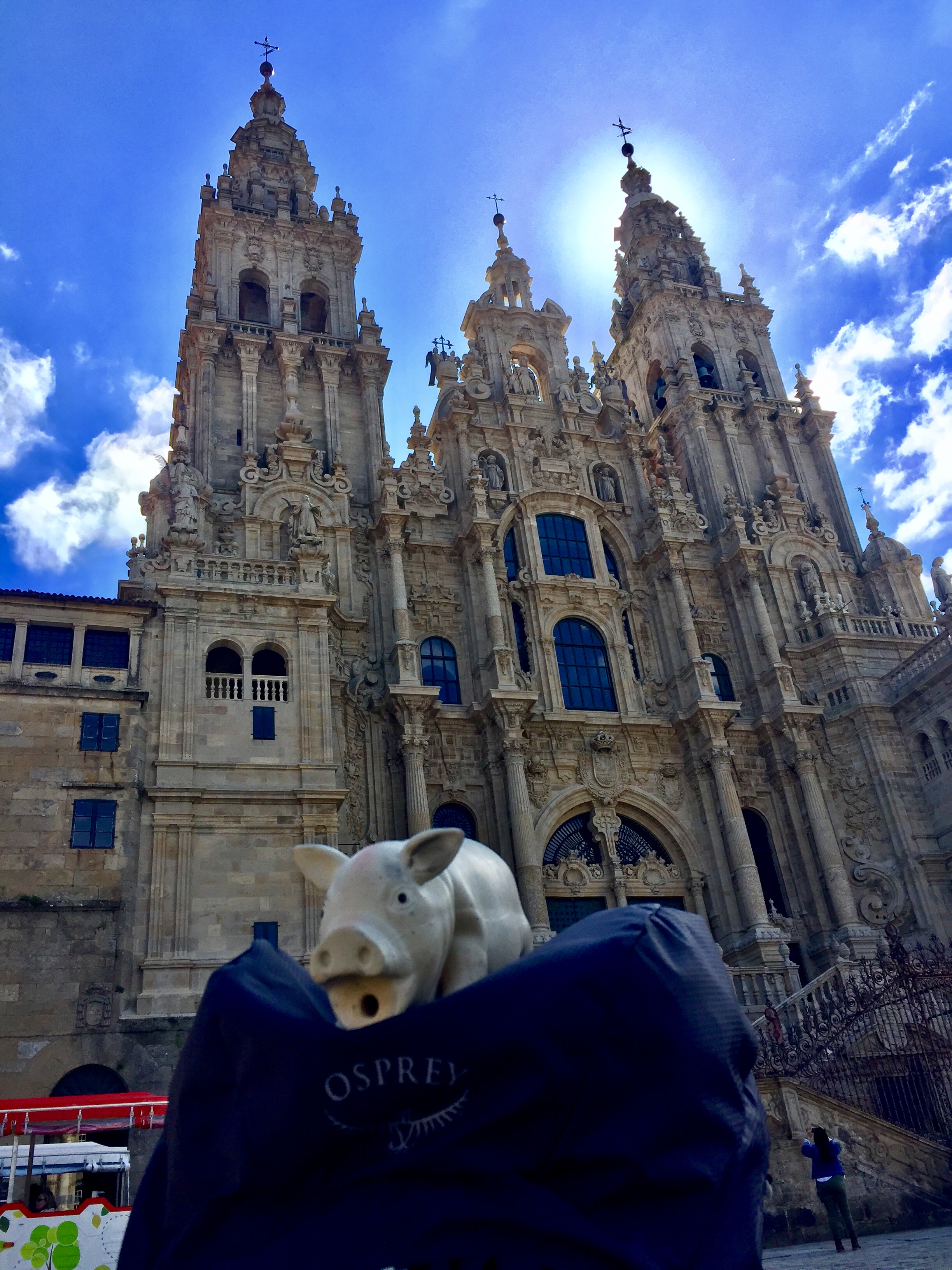
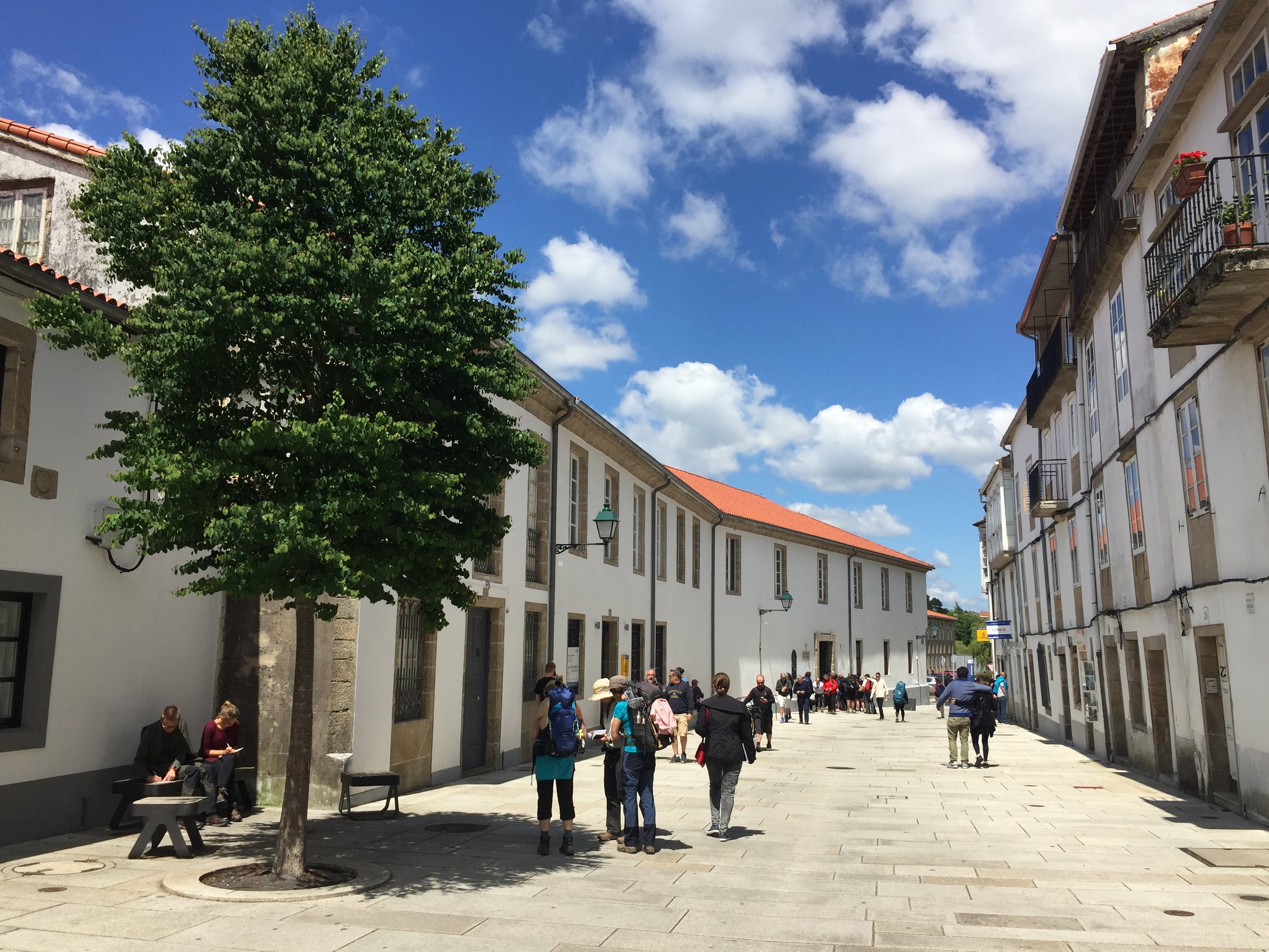
Entering Santago de Compostela at the end of the Portuguese was a magical and emotional experience. This was different. It didn't give us the big sense of achievement or the thrill of the new. Instead, it felt like coming home. Although this was only our second visit, we were already in love with the place and it was starting to feel like a place we would return to often.

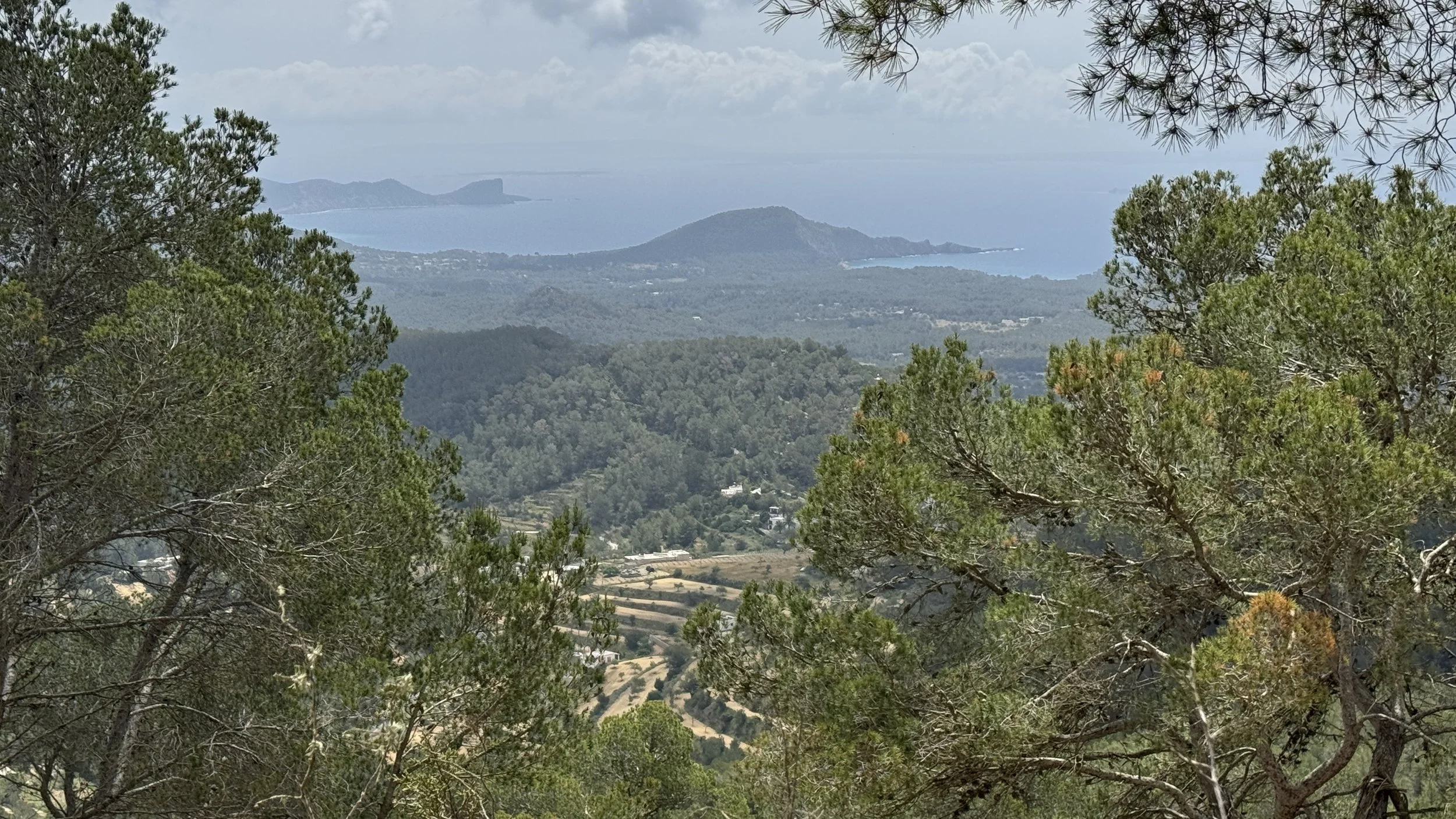
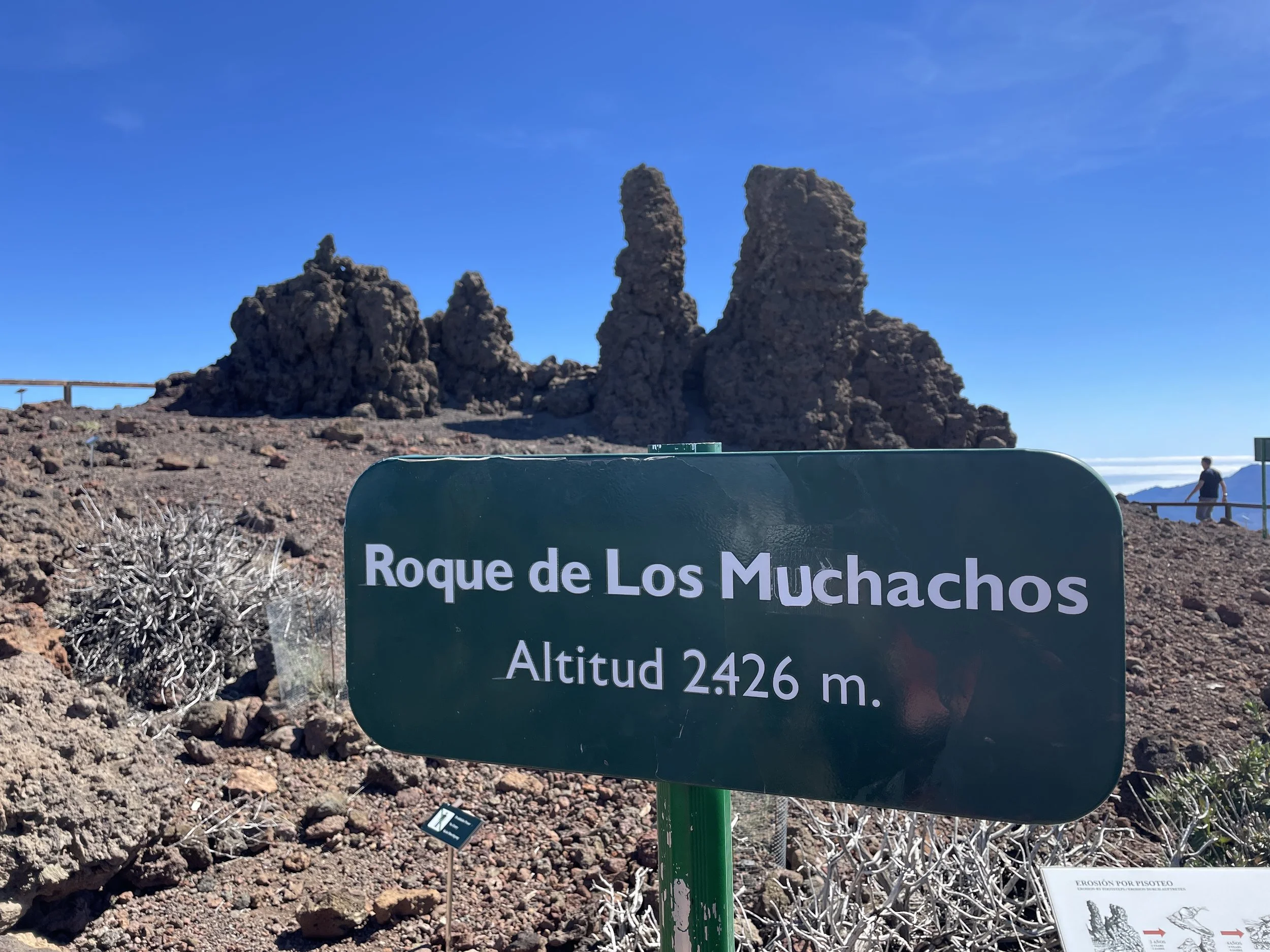
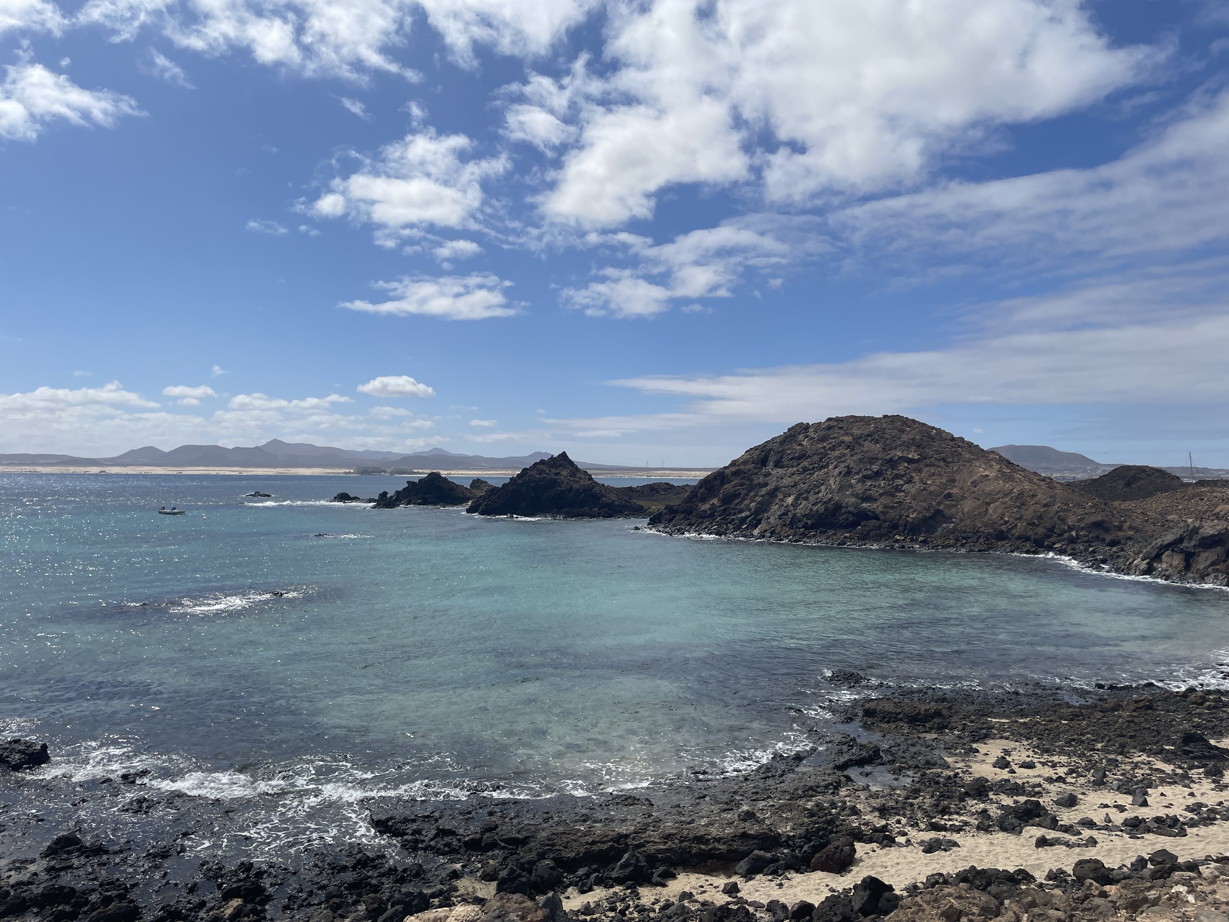
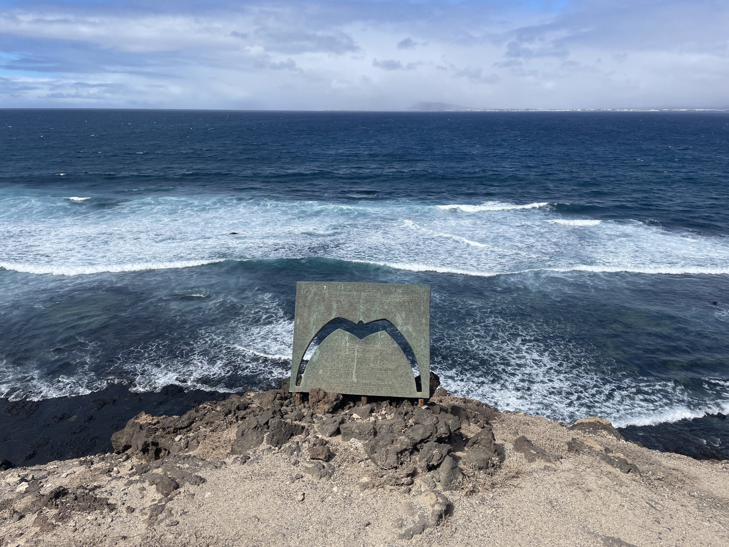
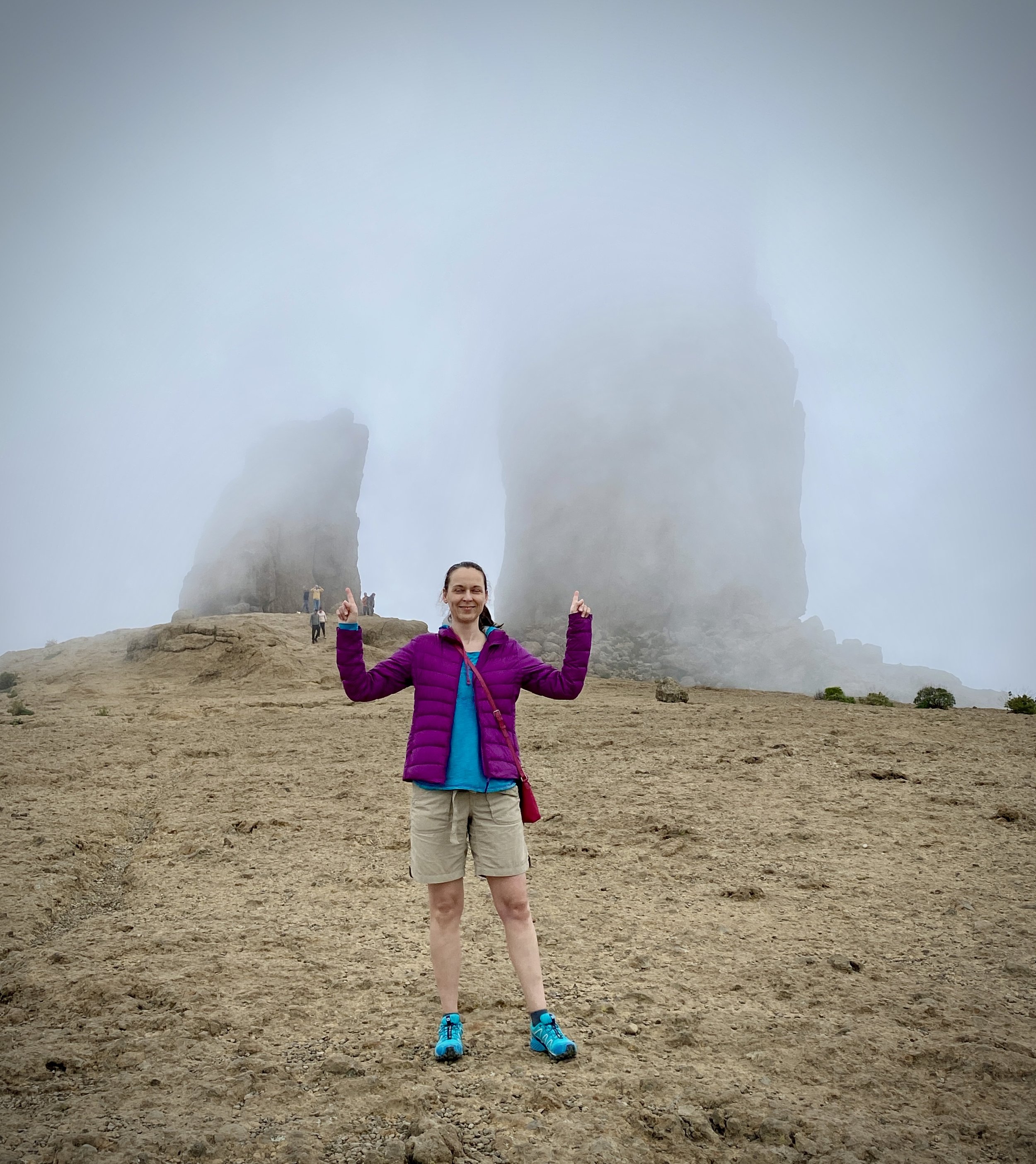
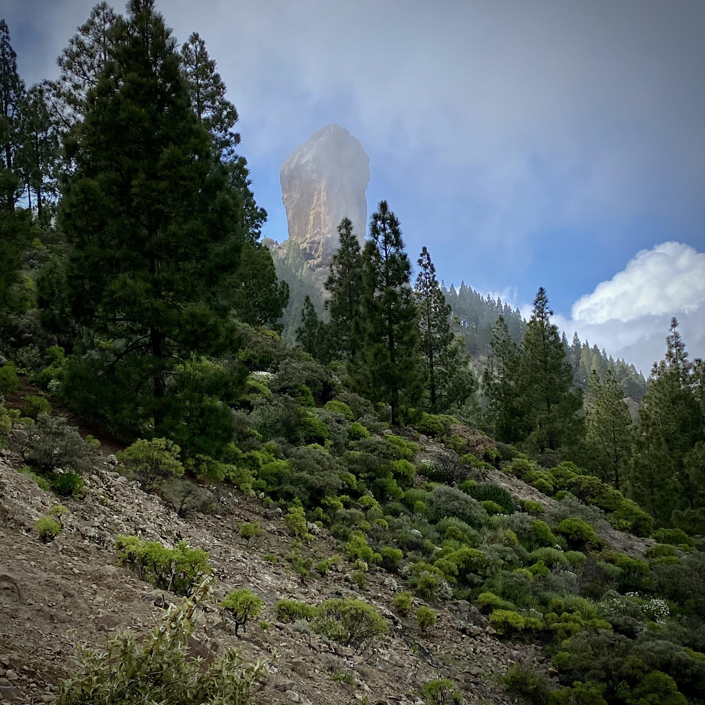
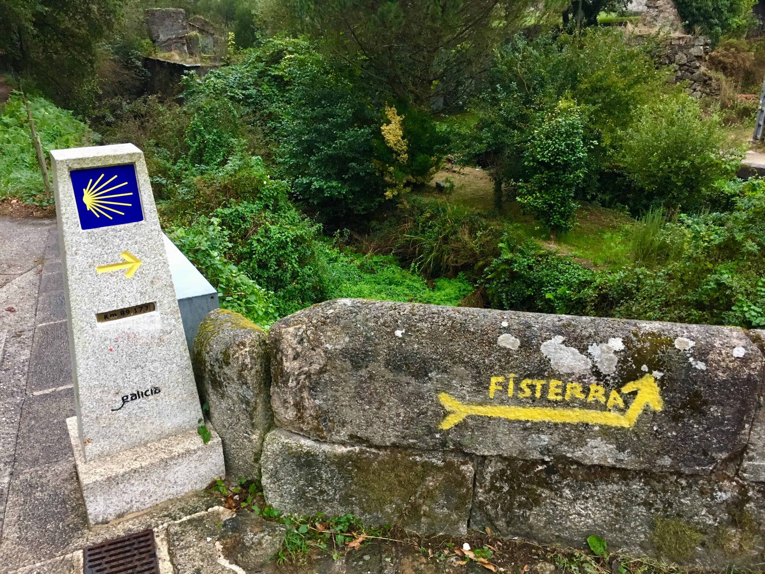
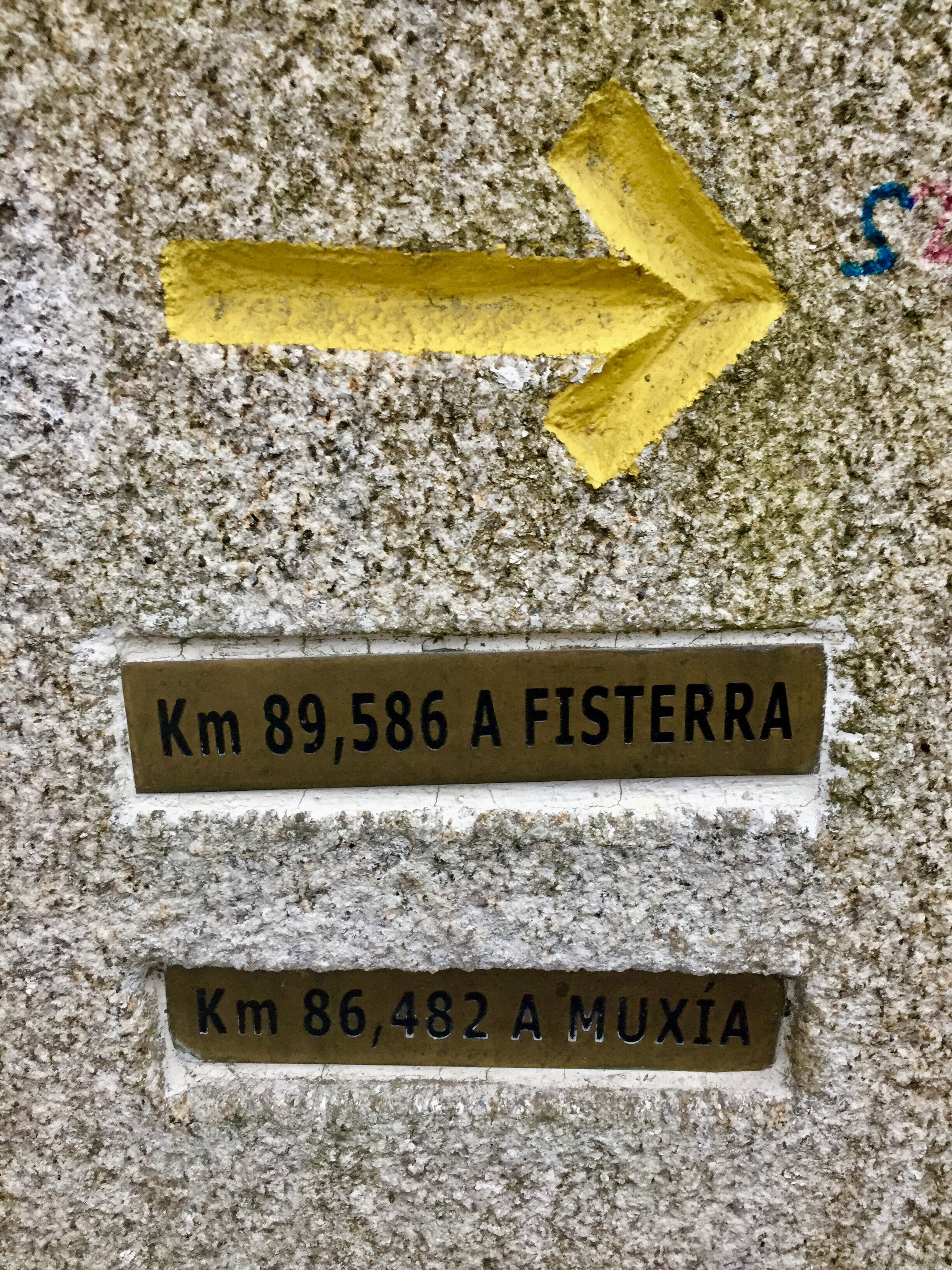
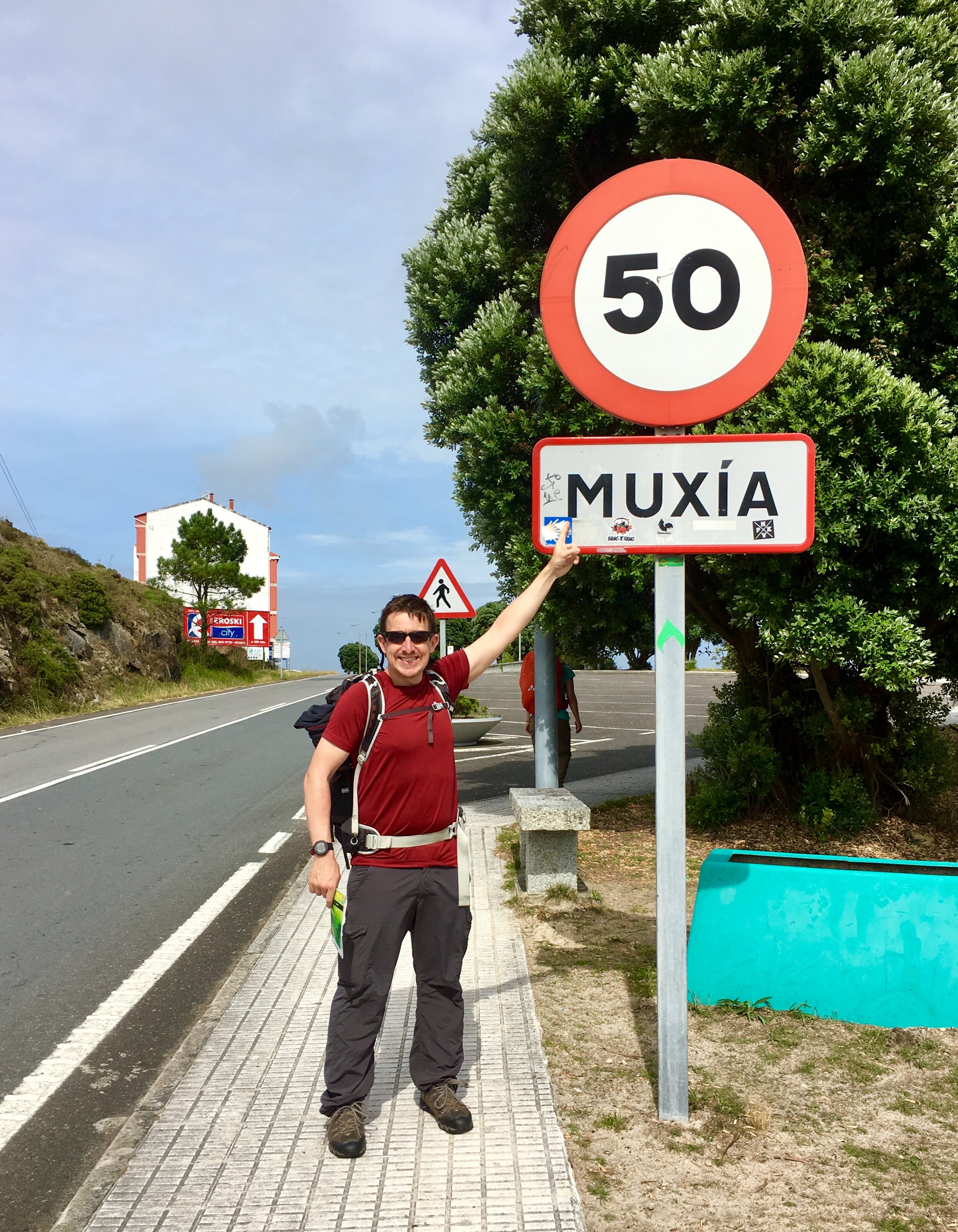
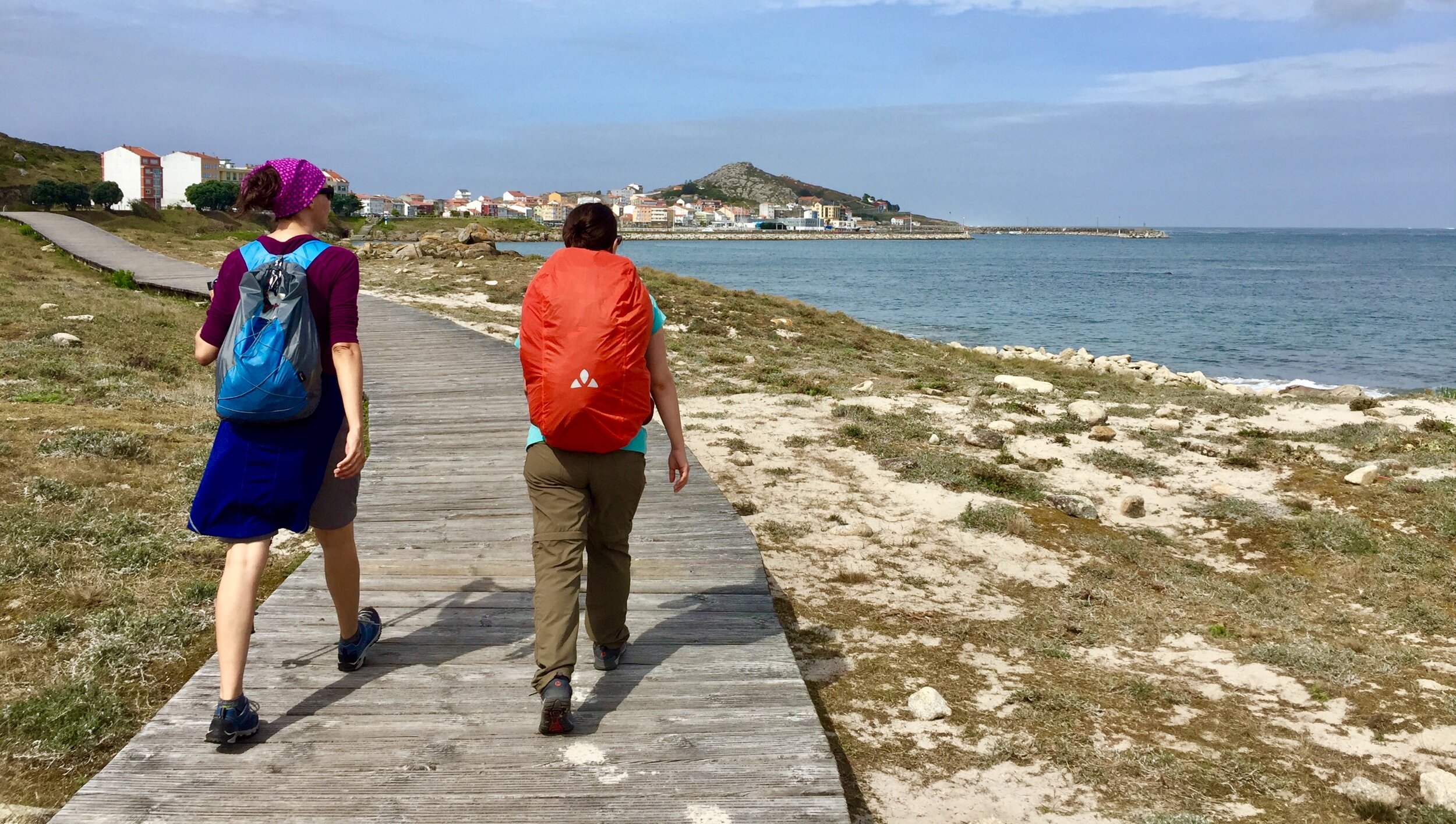
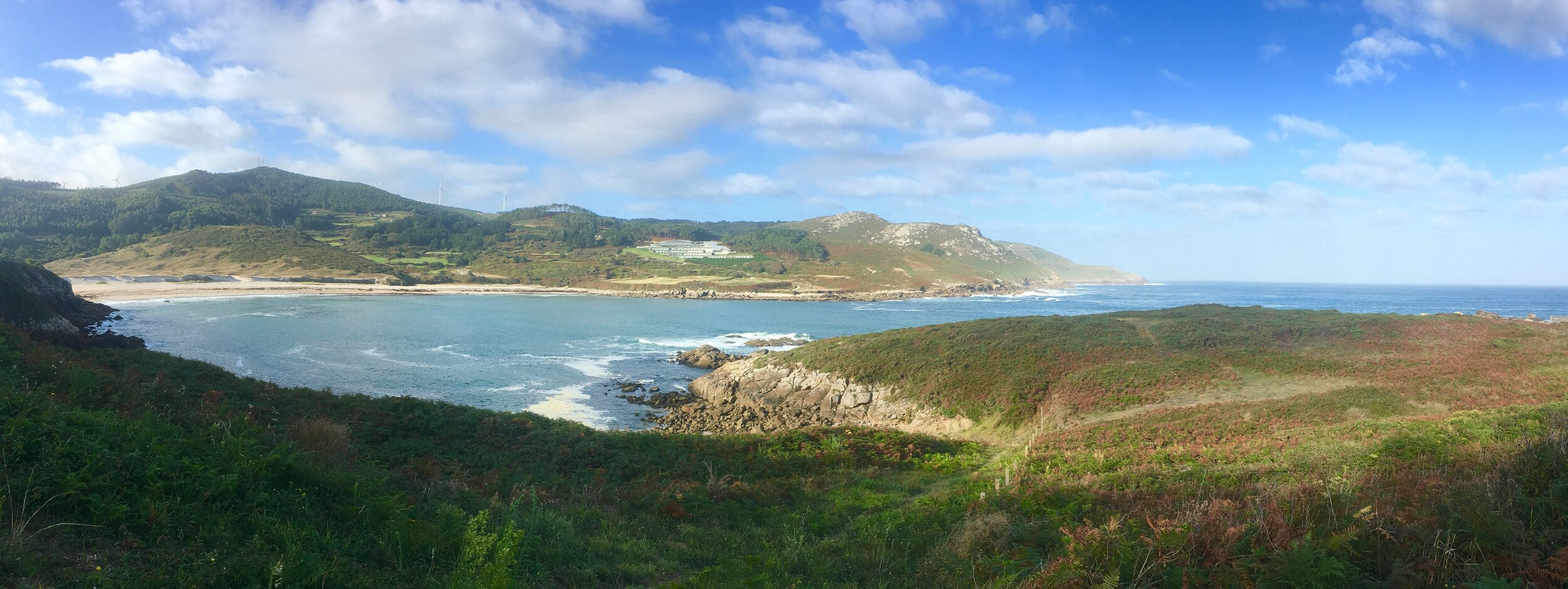
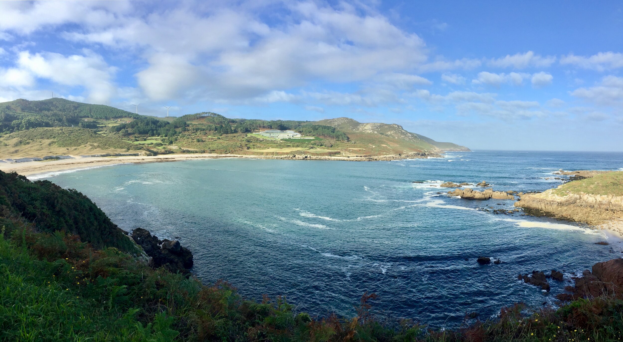
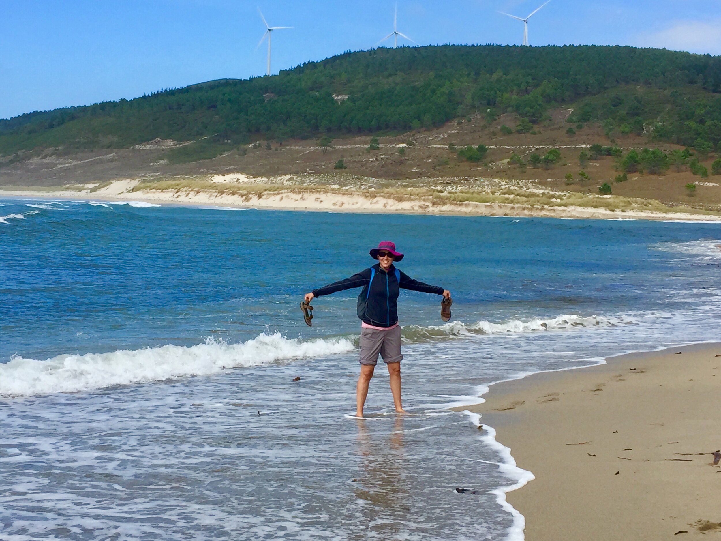
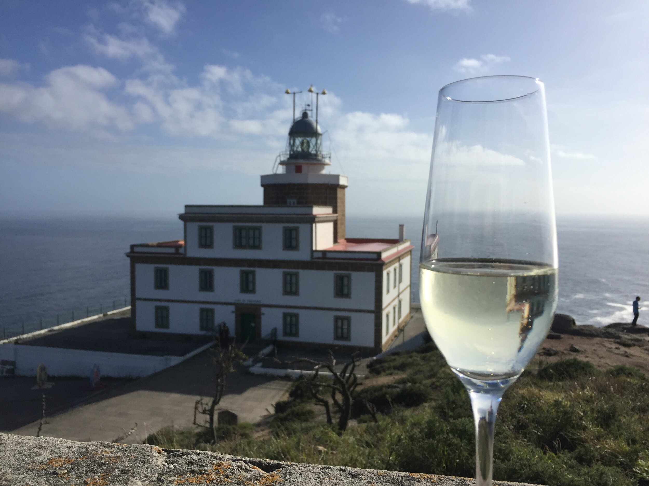
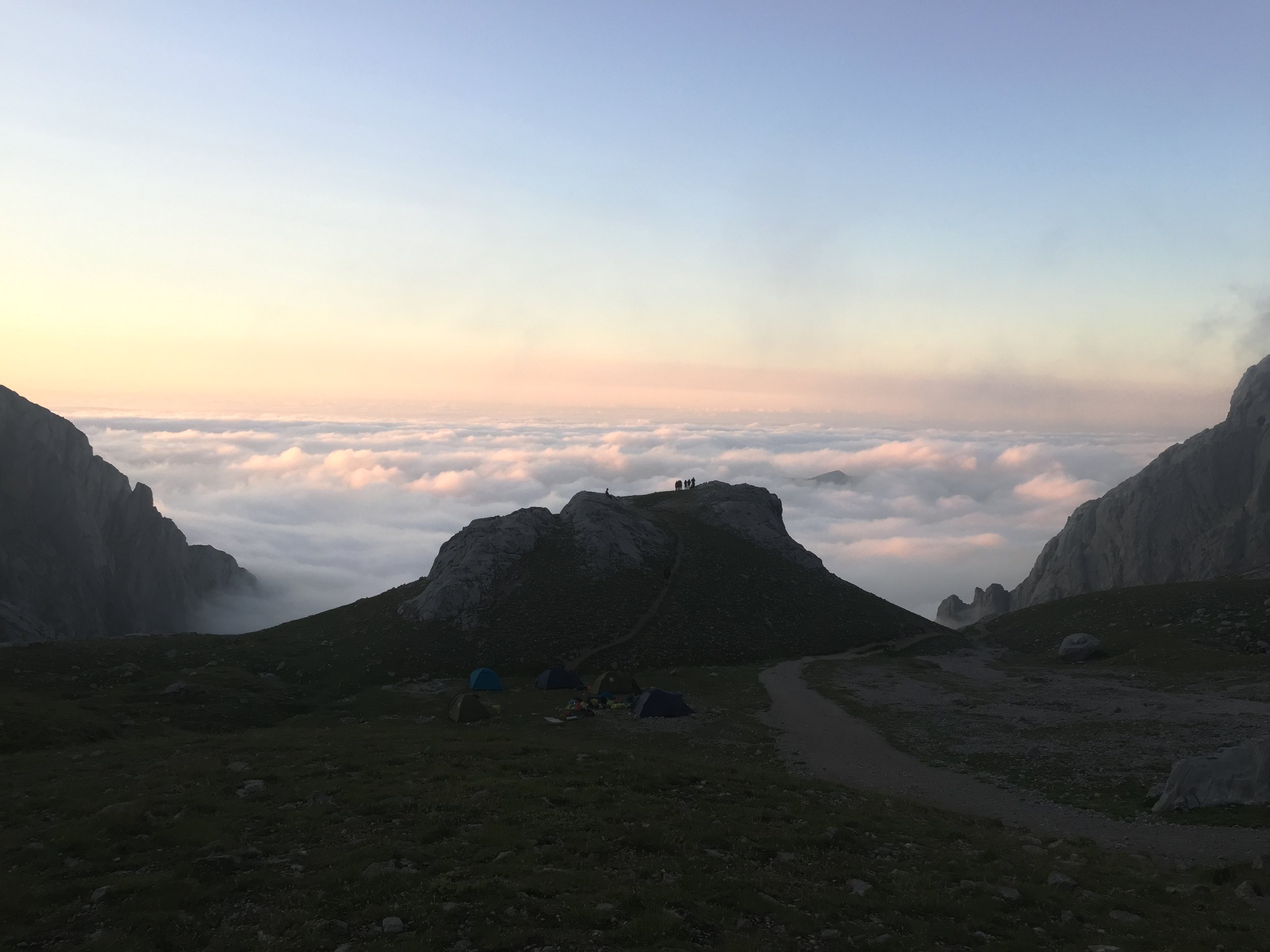
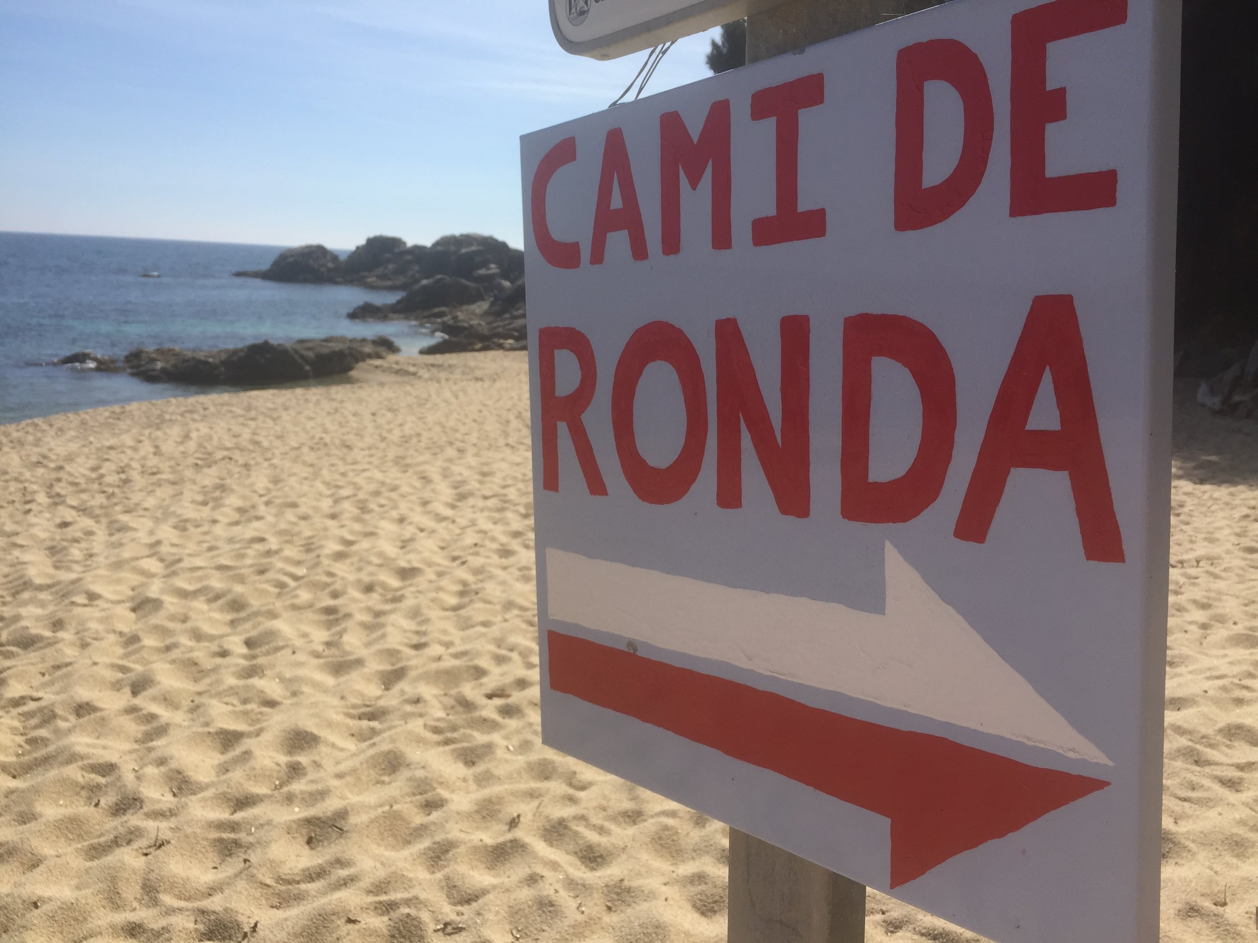
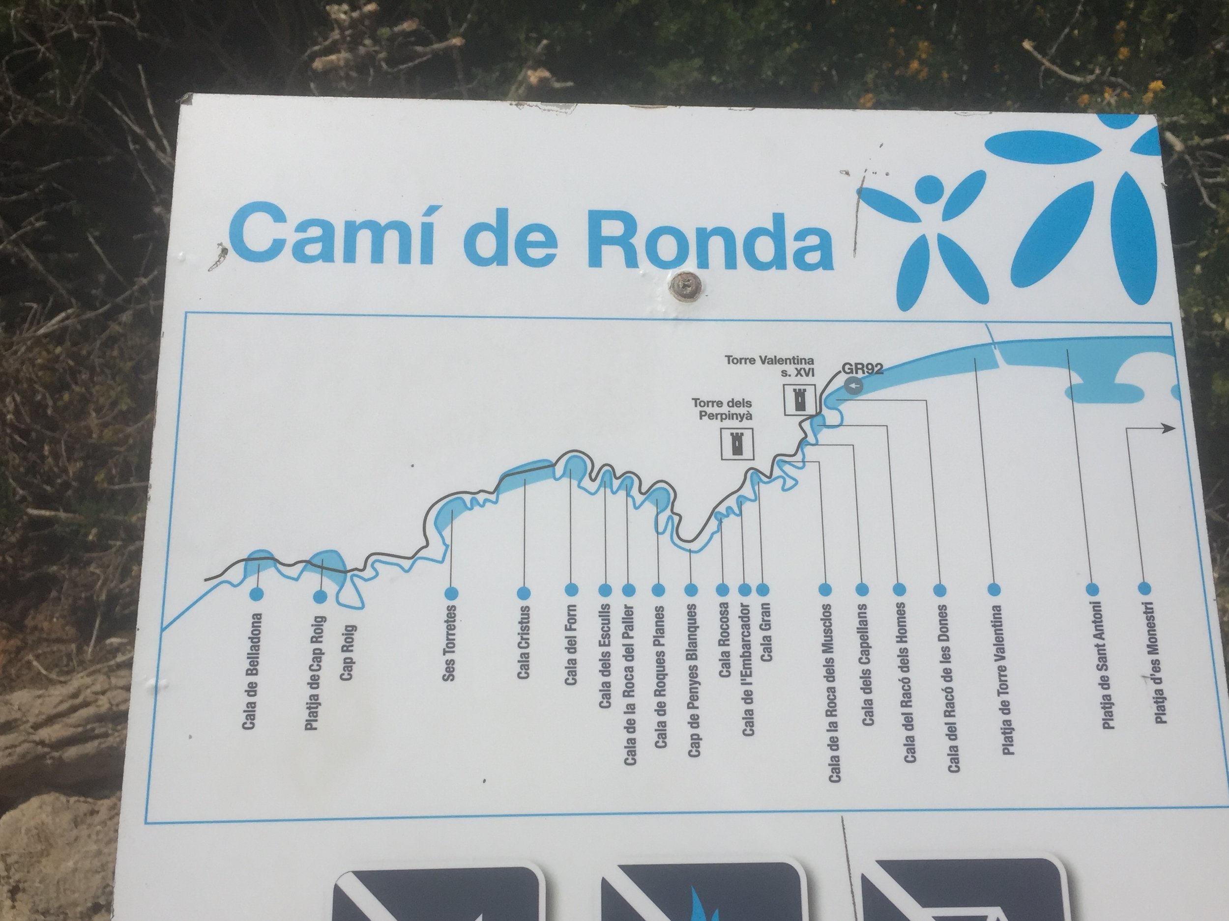
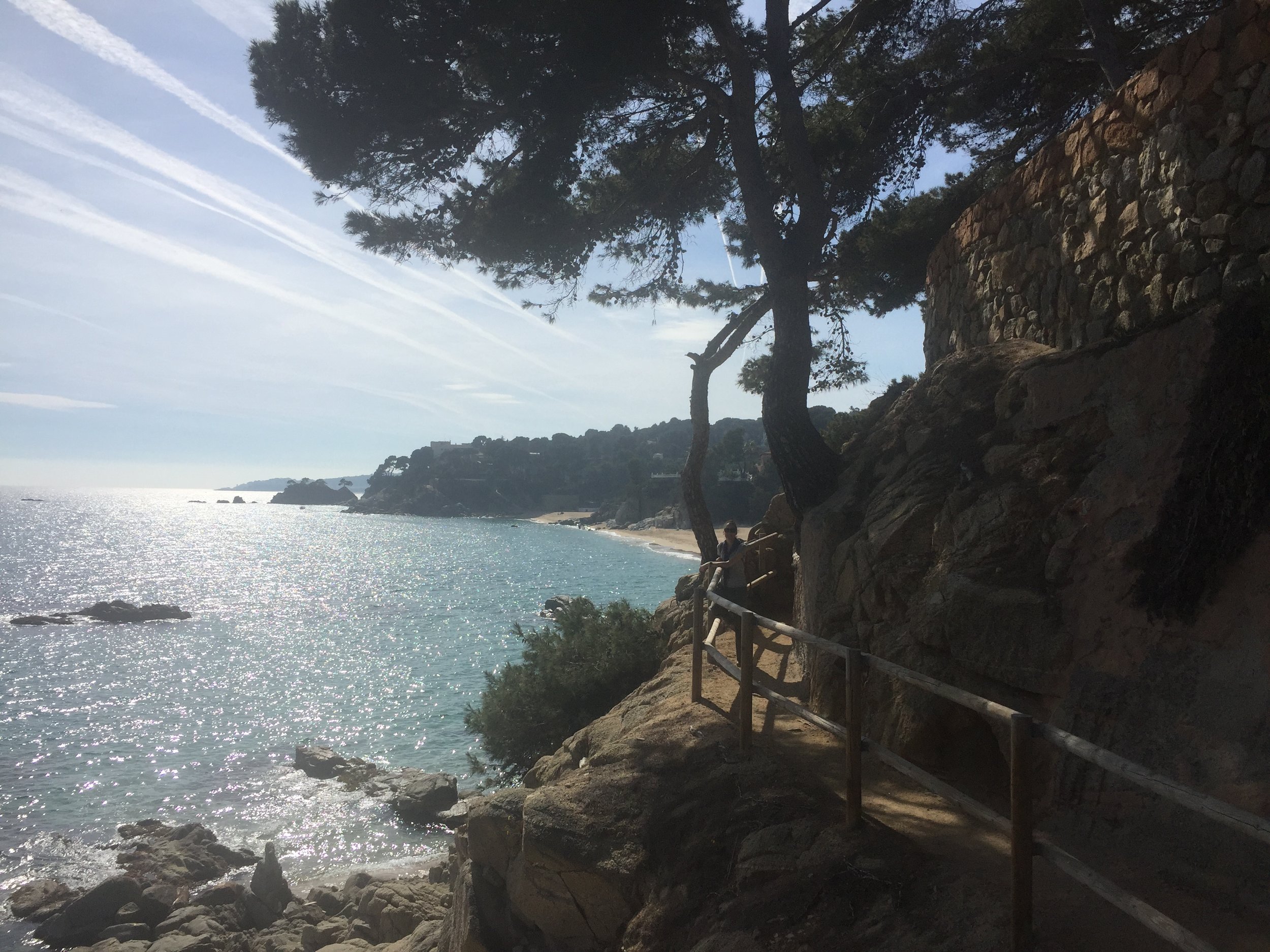
The other big difference to our first Camino was that Santiago was a stop on the way, not the final destination. The next day we would wake up, have breakfast and start walking again. We would continue towards the West in search of the end of the world: Finisterre.


DAY 1: Ferrol to NEDA

Date: Saturday September 14th 2019
Start:
Inicio del Camino Inglés a Santiago de Compostela, Paseo Mariña, s/n, 15401 Ferrol
Finish (Hotel):
Pensión Residencia Maragoto, Av. Xubia, 12, 15510 Neda
Finish (Albergue): Albergue de Peregrinos de Neda, 15510 Neda
Rest stops: (Before start): La Gruta Sofdan, Paseo Mariña, 8- 10, 15401 Ferrol,
Distance: 13.8 km / 8.6 miles
Elevation Change: +186m / -174m / Net +12m
GPX File: get via Buy Me a Coffee
Walking Time: 3 hours 41 minutes
Other Routes Touched: Camino de San Andres de Teixido

elevation_profile - Camino  Ingles - Day 1 - Ferrol To Neda.jpg

DAY 2: Neda to Pontedeume

Date: Sunday September 15th 2019
Start:
Pensión Residencia Maragoto, Av. Xubia, 12, 15510 Neda
Finish (Hotel):
Hotel Eumesa, Av. Coruña, s/n, 15600 Pontedeume
Finish (Albergue): Albergue de peregrinos de Pontedeume, Rúa Peirao, 15600 Pontedeume
Rest stops: El Camarote, Av. Naturais de Fene, 42, 15500 Fene / Restaurante Vilar do Colo, Pol. Ind. Vilar do Colo, Rua Astano, 3B, 15500 Fene,
Distance: 15.3 km / 9.6 miles
Elevation Change: +318m / -323m / Net -5m
GPX File: get via Buy Me a Coffee
Walking Time: 4 hours 36 minutes
Other Routes Touched: N/A

elevation_profile - Camino  Ingles - Day 2 - Neda to Pontedeume.jpg

DAY 3: Pontedeume to Betanzos

Date: Monday September 16th 2019
Start:
Hotel Eumesa, Av. Coruña, s/n, 15600 Pontedeume
Finish (Hotel):
Hotel Villa de Betanzos, Avenida de Castilla, 38, 15300 Betanzos
Finish (Albergue): Albergue de Peregrinos "Casa da Pescadería", Rúa Pescadería, 4, 15300 Betanzos
Rest stops: Ultreia et suseia, Puente Bajoy, s/n, 15639 / Café 15 Once, Rúa a Carreira, 3 Bajo, 15630 Miño
Distance: 21.0 km / 13.1 miles
Elevation Change: +568m / -545m / Net +23m
GPX File: get via Buy Me a Coffee
Walking Time: 5 hours 59 minutes
Other Routes Touched: Camino Real de Obre


DAY 4: Betanzos to Presedo

Date: Tuesday September 17th 2019
Start:
Hotel Villa de Betanzos, Avenida de Castilla, 38, 15300 Betanzos
Finish (Hotel):
N/A: Albergue is the only option here.
Finish (Albergue): Albergue Presedo, Lugar Campo de Ntra. Sra. de la Saleta, 10, 15318 Abegondo
Rest stops: Bar Carabel, Meangos 4, 15318 Abegondo / Meson-Museo Xente No Camino, Lugar Campo de Ntra. Sra. de la Saleta, 30, 15318 Abegondo
Distance: 11.4 km / 7.1 miles
Elevation Change: +306m / -201m / Net +105m
GPX File: get via Buy Me a Coffee
Walking Time: 2 hours 53 minutes
Other Routes Touched: N/A


DAY 5: Presedo to A Rua

Date: Wednesday September 18th 2019
Start:
Albergue Presedo, Lugar Campo de Ntra. Sra. de la Saleta, 10, 15318 Abegondo
Finish (Hotel):
Casa Rural Antón Veiras, Outeiro de Abaixo 2, poulo, 15680 Ordes
Finish (Albergue): Albergue de peregrinos de Poulo, Lugar, Outeiro, 3, 15687 Ordes
Rest stops: Bar Casa Avelina, Travesas, 38, 15183 Carral / Cafe Bar Uzal, Cruz, 4, 15685 Ordes
Distance: 22.1 km / 13.8 miles
Elevation Change: +479m / -333m / Net +146m
GPX File: get via Buy Me a Coffee
Walking Time: 5 hours 15 minutes
Other Routes Touched: N/A


DAY 6: A Rua to Sigueiro

Date: Thursday September 19th 2019
Start:
Casa Rural Antón Veiras, Outeiro de Abaixo 2, poulo, 15680 Ordes
Finish (Hotel):
Sigüeiro Hostel, Praza de Alexandre Bóveda, 1 bajo, 15888 Sigüeiro
Finish (Albergue): Albergue Camiño Real, Rúa Ourense, 9, Bajo, 15888 Sigüeiro
Rest stops: Cafe-Bar O Cruceiro, Calle, 28, 15687 A Calle
Distance: 15.6 km / 9.8 miles
Elevation Change: +187m / -254m / Net -67m
GPX File: get via Buy Me a Coffee
Walking Time: 3 hours 57 minutes
Other Routes Touched: N/A


DAY 7: Siguero to Santiago de Compostela

Date: Friday September 20th 2019
Start:
Sigüeiro Hostel, Praza de Alexandre Bóveda, 1 bajo, 15888 Sigüeiro
Finish:
Cathedral of Santiago de Compostela, Praza do Obradoiro, s/n, 15704 Santiago de Compostela
Hotel: Pensión Residencia Hedrass, Rúa da Fonte de Santo Antonio, 25, 15702 Santiago de Compostela
Rest stops: Hotel Castro, Formarís, 22-23, 15884 Santiago de Compostela
Distance: 16.1 km / 10.1 miles
Elevation Change: +316m / -296m / Net +20m
GPX File: get via Buy Me a Coffee
Walking Time: 3 hours 56 minutes
Other Routes Touched: All other Caminos de Santiagos converge at the Cathedral.


The Full Route - Camino Ingles from Ferrol to Santiago de Compostela


Traverse of The Picos de Europa
IMG_2323.JPG


Unlike most of my adventures which are conceived and planned a year in advance, this was a last minute affair. This year’s summer trip was meant to be Part 3 of the big cycle trips following LEJOG and Titanic Ireland. LEJOG started with 6 of us, finished with 5 and by Belfast we were down to 3. By early June this year it was pretty clear that no-one else shared my excitement about the 2019 trip.

I loved last year’s High Peaks of The Balkans trip so much that the KE Adventures website was my first port after killing the cycle trip. Of the 4 possible trips in July the Picos de Europa Traverse stood out. With my current Camino obsession it also ticked a couple of boxes. This would be another Northern Spain trip tucked between the routes of the Caminos Frances and Norte. I could even do a tiny bit of the Norte when passing through Bilbao.

So, 6 weeks later, I was wandering around Bilbao airport looking for 11 random people that I would spend the next week with. I'd done group trips like this a couple of times before so I knew what to look for: rugged types, alone or in couples with big bags, also looking lost. Eventually we all found each other and the local Guide and started the 2 hour drive into the National Park.

The Picos de Europa is split into 3 massifs by the Cares and Duje rivers. This trip covers the Western and Central Massifs in a continuous 6 day trek. Day 1 was a good intro with a long, steady day, a 2,026m summit and a variety of terrain. As well as a taster day for the trip, it gave our guide Rosanna an idea of abilities in the group.

The first night was the Vegarredonda Refuge where we had an outbuilding to ourselves. Even having done my share of refuge/albergue stays, it still takes a night or 2 to get used to the communal sleeping and basic toilet facilities. This wasn’t a bad start though and still luxury compared some of the stops in the Balkans.

Day 2 was the least memorable and mostly covered in low clouds. It started with retracing our route back to the parking spot then heading East to Lago de la Ercina. This was the day where I wasn’t sure that I would enjoy the trip. In hindsight it was the Balkans that set my expectations too high. Having had such a great experience on that one I was too eager for this to match it from the outset.

Any fears of being underwhelmed vanished on day 3. This started with a 4-hour steep descent into the Cares Gorge. The gorge splits the Western and Central Massifs and it’s a beauty. The footpath follows a man-made channel that takes water from the Cares River to a hydroelectric plant further North. The trail provides some easy walking with dramatic views along the steep limestone walls.

That evening gave us a break from the refuges as we stayed in a nice hotel in Poncebos. We were now at the lowest elevation of the trip so the only option now was up. Day 4 gave us the most elevation in 1 day at nearly 2,000m metres. We had the option of taking the funicular railway to avoid the first third of the climb. We’d already learnt not to take any of the easier options as there was always something amazing to be missed. This was no exception as the completely enclosed funicular misses a rewarding climb. This day finished at the Vega de Urrielu refuge under the imposing Naranjo de Bulnes, a popular climbing spot.

Day 5 was the technical day with more steep scrambling sections. Our guide did well to manage our expectations on the difficulty of it. After last year’s tricky climb of Montenegro’s Zla Kolata I figured that it couldn’t be so bad. It definitely wasn’t, but it was still an exhilarating diagonal traverse of the back of Torre de los Horcados. The end of this section rewarded us with a summit of that peak and a lunch stop at the quirky Cabaña Verónica.

The rest of the trip was mostly downhill with pleasant walking. There were still interesting diversions like the stay in a hotel once owned by the King of Spain, an abandoned mine, a final summit and an excursion to Potes, an historic town near the end of the trek at Espinama.

While this didn’t have the drama of the Balkan peaks or any country high points, this matched that trip in overall enjoyment. The lack of heavy tourism will keep it a hidden gem and one for those of us wanting something different. As a tour company, KE Adventures more than lived up to expectations and I'm sure I'll be signing up for several more of their trips.


Day 1 - Lago de Enol to Vegarredonda Refugio

Date: Monday July 15th 2019
Start:
Aparcamiento Pandecarmen near Lago de Enol, 33556, Asturias, Spain
Finish:
Vegarredonda Refugio, 33556, Asturias, Spain
Rest stops: Mirador de Ordiales, 33556, Asturias, Spain
Distance: 12.4 km / 7.7 miles
Elevation Change: +958m / -577m / Net +429m
Walking time: 6 hours 32 minutes
GPX File: get via Buy Me a Coffee
Other Routes Touched: El Anillo de Picos, PR-PNPE 5 Bufferera-Ordiales
Summit: Pico Cotalba (2026m)


Day 2 - Vegarredonda Refugio to Refugio Vega de Ario

Date: Tuesday July 16th 2019
Start:
Vegarredonda Refugio, 33556, Asturias, Spain
Finish:
Refugio Vega de Ario, 33556, Asturias, Spain
Distance: 14.7 km / 9.1 miles
Elevation Change: +694m / -521m / Net -173m
Walking time: 6 hours
GPX File: get via Buy Me a Coffee
Other Routes Touched: El Anillo de Picos, PR-PNPE 4 Vega de Ario


Day 3 - Refugio Vega de Ario to Puente Poncebos

Date: Wednesday July 17th 2019
Start:
Refugio Vega de Ario, 33556, Asturias, Spain
Finish:
Hotel Garganta del Cares, Lugar Puente Poncebos, 0 S N, 33554 Camarmeña, Asturias, Spain
Distance: 17.6 km / 10.9 miles
Elevation Change: +830m / -2,168m / Net -1,338m
Walking time: 8 hours 34 minutes
GPX File: get via Buy Me a Coffee
Other Routes Touched: El Anillo de Picos, PR-PNPE 3 - Ruta del Cares


Day 4 - Puente Poncebos to Naranjo de Bulnes

Date: Thursday July 18th 2019
Start:
Hotel Garganta del Cares, Lugar Puente Poncebos, 0 S N, 33554 Camarmeña, Asturias, Spain
Finish:
Naranjo de Bulnes: Refugio Vega de Urriellu, 33554 Cabrales, Asturias, Spain
Rest stop: Refugio de la Terenosa
Distance: 11.9 km / 7.4 miles
Elevation Change: +1,748m / -20m / Net +1,728m
Walking time: 6 hours 42 minutes
GPX File: get via Buy Me a Coffee
Other Routes Touched: El Anillo de Picos, PR-PNPE 3 - Ruta del Cares, PR-PNPE 19 Canal de Camburero, PR-PNPE 19 Vega de Urrielu, GR202 Ruta de la Reconquista


Day 5 - Naranjo de Bulnes to Refugio Aliva

Date: Friday July 19th 2019
Start:
Naranjo de Bulnes: Refugio Vega de Urriellu, 33554 Cabrales, Asturias, Spain
Finish:
Hotel Áliva, Puerto de Áliva s/n, 39588 Puerto de Aliva, Spain
Rest stops: Cabaña Verónica, Parque Nacional Picos de Europa, s/n, 39570, Cantabria, Spain
Distance: 11.8 km / 7.3 miles
Elevation Change: +685m / -989m / Net -304m
Walking time: 6 hours 42 minutes
Other Routes Touched: El Anillo de Picos, PR-PNPE 23 Horcados des Rojos, Mirador de El Cable - Cabana Veronica
GPX File: get via Buy Me a Coffee
Summit: Torre de los Horcados Rojos (2,506m)


Day 6 - Refugio Alvia to Espinama

Date: Saturday July 20th 2019
Start:
Hotel Áliva, Puerto de Áliva s/n, 39588 Puerto de Aliva, Spain
Finish:
Hostal Restaurante Nevandi, Barrio Espinama, s/n, 39588 Espinama, Cantabria, Spain
Distance: 10.3 km / 6.4 miles
Elevation Change: +255m / -1,036m / Net -781m
Walking time: 4 hours 21 minutes
GPX File: get via Buy Me a Coffee
Other Routes Touched: PR PNPE 24 - Puertos de Aliva - Fuente de, , GR202 Ruta de la Reconquista
Summit: Pico Valdecoro (1,841m)


The Full Traverse

The full 6-day Traverse from North West to South East. Note the overlap between Days 1 (Red) and 2 (Blue)


Sant Ya Go 10k - Santiago de Compostela

When: May 4th 2019
Where: Santiago de Compostela, Galicia, Spain
Course: Road and cobbles meandering route. Start in the Old Town in front of the Convent of San Francisco, heading out North for a loop around the University, loop in the Parque Alameda and a final 3k in the Old Town to finish in front of the Cathedral.
Other routes touched: End points of all of the Caminos de Santiago
Finish time: 58 minutes

route-29961284-map-full.png
elevation_profile.jpg
 
Walking The Camino Portuguese
Porto Old Town

Porto Old Town


I can’t even remember when I first got excited about walking a Camino. It was probably around 13 years ago when I read The Pilgrimage by Paulo Coelho. Since then the 800km Camino Frances was firmly lodged in my bucket list. It stayed there for a long time though. I’d only considered doing it as a single trip but taking 6 weeks off work wasn’t something I was keen to do. A Camino remained something I would do “in the future”.

Much had changed in the following years. I got married and, unlike a lot of post-marriage men, I became even more adventurous. The tipping point was when my wife Timea also got the adventure bug. Sometime in 2018 she decided that she definitely wanted to do a Camino too.

We still weren’t in a position to take 6 weeks off so we discussed how to get a 1 week Camino taster. On studying the route of the Camino Frances I worked out that the section from St Jean Pied de Port to Pamplona could be an option. I even researched the dates of the Bull Run in case we could “accidentally” arrive for the start of the event (and it would be rude not to take part). Timea quickly realised what I was up to and vetoed that idea immediately.

Our plan came together when we talked to our friend Adina. She had already done a couple of Caminos and convinced us that 1 week was not enough. A true Pilgrimage experience, whether it’s religious, spiritual or simply a personal journey needs at least 2 weeks. The section of the Camino Portuguese from Porto to Santiago would fit nicely into a 2 week window. Throw in the 2 country, 2 time-zone factor and I was completely convinced.


Day 0 - London to Porto

We arrived in Porto on Good Friday. Rather than taking a taxi from the airport as we would have normally done, we got the Metro. Just like the Pilgrims of yore. Our destination station, Sao Bento conveniently gave us a walk past the Cathedral on the way to our apartment. We stopped by and got our first stamp for our Camino passport.

Our apartment was 3 minutes from the Cathedral door and in a old renovated building hugging the cliffs by the river. The bedroom had an old part of the stone wall and some Cathedral steps exposed in the bedroom. The wall has been built in the 1200s to protect the Cathedral during a war. Over time they had been built over and forgotten about only to be found again when this building was being renovated.

The apartment was a great place to explore the riverside of Old Porto. We’d been here a couple of times before so we could relax knowing that we didn’t need to cram in all the sights. This is a truly beautiful city and one I could spend a week getting lost in. For now a nice evening walk and a Cataplana (fish stew) was enough. There were new adventures to come in the morning.


DAY 1: Porto to Gião

Date: Saturday April 20th 2019
Start:
Porto Cathedral
Finish:
Casa Mindela, Travessa da Joudina, 265 ou Rua da Joudina, 427 Gião - Vila do Conde Portugal
Rest stops: Jeronymo, Rue das Flores / Cafe Simpatia, Leça do Balio / Café CL5, Vilar de Pinheiro
Distance: 23.9 km (14.9 miles)
Elevation Change: +444m / -462m. Net -18m
GPX File: get via Buy Me a Coffee
Walking Time: 5 hours 40 minutes
Other Routes Touched: Camino de Fátima

We left the apartment to be back at the Cathedral in time for the 9:00 bells. From here we picked up the first of what would be many thousands of yellow way-mark arrows that pointed to Santiago. Stamp #2 came from a cafe in Rue das Flores where we had a relaxing breakfast before restarting at 10:00 having only travelled 0.5km so far. Pilgrimages need some suffering but we weren’t planning on doing that on the first day.

The rest of the day was quite diverse as we followed the route from the Old Town. We passed through the outskirts of the city, nice villages, motorway crossings and an industrial zone. By the 20km point the city was well behind us and we were in the countryside that would be our host for the next 2 weeks.

We didn’t make it as far as the end of the first stage described in the guidebook. Rather than complete the trip at Vilarinho we stopped in a lovely hotel in the grounds of an old farm near Gaio. The place had been in the same family for generations.

This was a beautiful place with a friendly owner. She even called the local restaurant to bring us some food to have on the patio. Day 1 was long, hot and tiring but we were already loving our Camino adventure.

Map.jpg
elevation_profile.jpg

DAY 2: Gião to Rates

Date: Sunday April 21st 2019
Start: Casa Mindela, Travessa da Joudina, 265 ou Rua da Joudina, 427 Gião - Vila do Conde Portugal
Finish:
Albergue de Peregrinos, São Pedro de Rates, Rua de Santo António 138, 4570-503 Rates, Portugal
Rest stops: Companhia Do Pão, Largo de Vilarinho / Restaurante Regional O Peregrino, Póvoa de Varzim
Distance: 15.7 km (9.8 miles)
Elevation Change: +236m / -243m. Net -7m
GPX File: get via Buy Me a Coffee
Walking Time: 3 hours 40 minutes
Other Routes Touched: Camino de Fátima, Camino Costa / Camino Central link at Arcos, Ecopista do Ramal da Famalaciao

After a nice breakfast we left the farmhouse over an hour earlier than the previous day. At 40 minutes in we reached the monastery in Vairão, a popular 1st night stop for many pilgrims. Another 30 mins and we were in Vilharinho, the end of stage 1 in the guidebook. Having already had a long day yesterday, a single day trip from Porto to Vilharinho seemed inconceivable. There was also no need for us to keep up with the pace set by the book. We only needed to average 18 km per day so we had an extra 3 days to play with.

We had planned to stop in Sao Manede for lunch after 11km. The town was a lot smaller than we expected and passed right through it without noticing. We even popped into the cafe to pick up water thinking we had another 2km to go. By the time we realised it was too late to turn back so we headed on another 2 km to Arcos. We were tired and hungry when we got there but nothing was open. We sat in the shade outside one of the closed restaurants to contemplate our options.

We phoned ahead to a hotel 10km out but it was fully booked. Our best option now was to head to Rates, 5km away, and spend the night in the albergue there. As we closed in on the albergue we met a nice mother-and-son team from the Netherlands. He was a Camino convert and had brought his mum on his second Portuguese trek. This week was a warm-up for him as he was 6 weeks away from starting a 7 month Camino from The Netherlands to Santiago.

We also bumped into a guy and his dog who we’d seen a couple of times before. He tried to book into the farmhouse the previous night but it was fully booked so he pressed on until the Monastery at Vairão. We also met him halfway today when he overtook us. Bringing a dog on a Camino adds extra adventure as most places won’t take dogs. He went for the fully unplanned version of the Camino and didn’t even have a guidebook or a phone. Pretty impressive.

We ended the day watching the sunset over the hills between the town and the coast sharing a bottle of Port with our new Dutch friends.

Map.jpg
elevation_profile (1).jpg

DAY 3: Rates to Barcelos

Date: Monday April 22nd 2019
Start: Albergue de Peregrinos, São Pedro de Rates, Rua de Santo António 138, 4570-503 Rates, Portugal
Finish:
Art'otel Barcelos, Rua de Santo António 138, 4570-503 Rates, Portugal
Rest stops: Café/Restaurante Noémia, Góios
Distance: 16.6 km (10.3 miles)
Elevation Change: +257m / -283m. Net -26m
GPX File: get via Buy Me a Coffee
Walking Time: 3 hours 54 minutes
Other Routes Touched: Camino de Fátima,

Our first night in a public albergue wasn’t a resounding success. It all started well with a very friendly Hospitaliero, a welcome cake and first pick of the beds. The trouble started when the lights went out and we found ourselves in the Finals of the European Snoring Championships. I’m a bit of a snorer myself so I’m often concerned about keeping others awake in a public dorm. I didn’t need to worry that night as our new Dutch friend was making a great impression of a Harley Davidson all night. I managed to get some sleep but Timea (a light sleeper at the best of times) had to move to the sofa in the common room. At 05:30 Timea shook me awake and announced that we were leaving. I think that was the first time ever that she had been awake at that time.

The early departure gave us a quiet road to ourselves after a social and noisy evening. It was a nice cool temperature and the mist gave the fields a magical quality.

We ended this day in Barcelos, a town famous for its many rooster statues. The town's story concerns a rich man that threw a big party. When the party was over, the man noticed that his cutlery had been stolen by a guest. He accused a pilgrim of the theft and let him go to court. He protested his innocence, but the judge didn't believe him. The judge was about to eat rooster when the pilgrim said: "If I am innocent, this rooster will crow three times." When the pilgrim was about to be lynched, the rooster crowed and the judge released the pilgrim. Since then the rooster has been the symbol of the town and can also be found across Portugal.

After the lack of sleep in Rates we were more than happy to spend a night in a nice boutique hotel. Just us, no bunks, no snoring and a very good shower. Ending the night Timea proclaimed that she was broken and didn’t want to move for at least 2 days. In the next sentence she asked what would happen if we arrived in Santiago early. Would the hotel give us an extra couple of nights? I told her not to worry about that for at least a week and a half.

Map.jpg
elevation_profile.jpg

DAY 4: Barcelos to Lugar do Corgo

Date: Tuesday April 23rd 2019
Start: Art'otel Barcelos, Rua de Santo António 138, 4570-503 Rates, Portugal
Finish:
Albergue De Peregrinos Casa Da Fernanda, N204 2, 4990-680 Vitorino dos Piães, Portugal
Rest stops: Café Arantes, Lijó / Restaurante 2000, Senhora da Portela / Pastelaria Sra. Lapa, Aborim
Distance: 20 km (12.4 miles)
Elevation Change: +372m / -313m. Net +59m
GPX File: get via Buy Me a Coffee
Walking Time: 2 hours 44 minutes
Other Routes Touched: Camino de Fátima

We left Barcelos at 08:30 after making the most of breakfast at the Art hotel. We had used up our luck with the dry weather and left the hotel in light drizzel after a full night of heavy rain. The rain turned out to be fine and it was nice to feel a bit cooler after a few hot days.

We were also feeling lighter. Maybe it was because we were getting used to the trekking and we were more rested. Maybe it was just the combination of all the toothpaste, deodorant and plasters we’d used up the days before. It also reminded us of something the Hospitaliero at the Rates Albergue said to us. He said that his rucksack represented his sins but every time he removed stuff from it it still felt just as heavy. Maybe we didn’t have as many sins as him to start with as we were getting lighter.

Today we made some Camino friends. Mark and Sienna were a father-and-daughter from the UK who we’d briefly met when leaving the Rates hostel and Kati from Germany was walking alone. We all found ourselves on roughly the same pace and would walk together for the next few days.

Evening accommodation was at a private albergue called Casa Fernanda. We were hesitant about staying there as we’d already been put off the albergue experience. There were few other options that day so we took what we could. As it happened, this was our best night and probably the one we’ll most remember from the whole experience. The place started small. It used to be a private house on the Camino where one night a Pilgrim knocked on the door asking for a place to stay. Not wanting to turn anyone away, Fernanda gave her a bed in her home. From here it grew and became a popular place for Pilgrims to visit. Fernanda is a lovely caring person who does everything to make a Pilgrim feel at home. She has 12 beds in a cabin and hosts everyone for dinner in her kitchen. That night there was 25 for dinner, including several Pilgrims who she found rooms for amongst her neighbours.

It was a late night with lots of Port, conversation and some outstanding singing and guitar playing from our new friend Sienna. This was the first time we really felt that we were experiencing a true, special, pilgrimage experience.

Map.jpg
elevation_profile (1).jpg

DAY 5: Lugar do Corgo to Ponte de lima

Date: Wednesday April 24th 2019
Start: Albergue De Peregrinos Casa Da Fernanda, N204 2, 4990-680 Vitorino dos Piães, Portugal
Finish:
Mercearia da Vila, R. Cardeal Saraiva 34, 4990-076 Pte. de Lima, Portugal
Rest stops: O Farinheiro - Padaria E Pastelaria, Correlha / Sabores do Lima, Largo António de Magalhães, Pte. de Lima
Distance: 14.5 km (9 miles)
Elevation Change: +182m / -263m. Net -81m
GPX File: get via Buy Me a Coffee
Walking Time: 3 hours 21 minutes
Other Routes Touched: Camino de Fátima, Camino de Santiago Braga

Today started with breakfast with all the people at the albergue and a few big hangovers. Timea found some painkillers and decided that she was never going to drink Port again.

The day was short at 15km and, despite being mostly raining, it went fast. We got to know our new Camino friends better and shared stories of our various adventures.

This was the point where we understood the advice that we were given by our friend that one week of Camino is not enough. The first few days were a nice walking holiday but it was only now that it was becoming an experience. If we only had 1 week we’ be heading home soon. With 2 weeks the experience could get deeper day by day.

Map.jpg
elevation_profile.jpg

DAY 6: Ponte de lima to Pecene-Cossourado

Date: Thursday April 25th 2019
Start: Mercearia da Vila, R. Cardeal Saraiva 34, 4990-076 Pte. de Lima, Portugal
Finish:
Casa da Capela, N303 116, 4940-132, Portugal
Rest stops: Pescaria, Mouro / Cafe Cunha Nunes, Labruja / Café São Sebastião, Rubiães
Distance: 22.3 km (13.9 miles)
Elevation Change: +616m / -388m / Net +228m
GPX File: get via Buy Me a Coffee
Walking Time: 5 hours 37 minutes
Other Routes Touched: Camino de Fátima, Camino de Santiago Braga

We left Ponte de Lima under a cloud. Our friends from yesterday were already slightly ahead of us as they were staying in the albergue in the other side of the bridge. They were already up and out as we sat down for breakfast giving them an hour's head start

This day includes a climb up to Alto da Portela Grande, the highest point on the Camino at 405m. The weather gradually improved during the morning and we made the most of rest stops at the 2 cafes before the ascent.

Views from the top are fine but not spectacular so we didn’t hang around long. Within 5 minutes of starting the descent we got caught in short but fierce downpour. This was our first real test of whether we’d brought the right waterproofs. We didn’t. I was fine as my jacket kept out the rain and I never wear waterproof trousers anyway. Timea’s didn’t keep out much damp at all and she soon became soaked and cold.

By the time we got to Rubiães we were soaked. Timea popped into the albergue to change her trousers as we still had another 45 minutes to walk. As much as we were not keen on more walking it was much better than dealing with the lack of heating in the albergue. The final push to the guesthouse was more than worth it. It was lovely and, more importantly, gave us a chance to get completely warm and dry again.

Map.jpg
elevation_profile (1).jpg

DAY 7: Pecene-Cossourado to Valença

Date: Friday April 26th 2019
Start: Casa da Capela, N303 116, 4940-132, Portugal
Finish:
Pousada Valença, Baluarte do Socorro, 4930-735 Valença, Portugal
Rest stops: Cafe A Toca, Rua da Viega, Valenca
Distance: 13.6 km (8.5 miles)
Elevation Change: +153m / -353m. Net -200m
GPX File: get via Buy Me a Coffee
Duration: 3 hours 12 minutes
Other Routes Touched: Camino de Fátima, Camino Portuguese Coastal, Grand Rota Travessia da Ribeira do Minho

The previous day’s soaking had taken its toll on Timea. She woke up ill and was caught in a dilemma about whether to walk for the day. In the end, she made the right choice and took a rest day while I continued on my own.

The silver lining on Timea’s rest day was that she met another lady at the guesthouse who was in a similar position. She had hurt her leg and was resting up while her husband continued. This couple would soon be added to our collection of Camino friends that we would see over the next few days.

For me this was a short day and mostly downhill. I soon caught up with the 3 friends from Day 4 and we walked together to Valença. The rest of the walk was nice but unspectacular. The route was pleasant but had little to distinguish itself from other days. We arrived in Valença at midday to meet Timea and her new friend in a cafe in the main square.

To celebrate the end of the first half of our Camino we stayed in the Poussada Valença. This is a very nice hotel high up on the hill overlooking the Minho River that marks the border between Portugal and Spain. Yes, its expensive, but if you’re not into the albergue-only type of Camino it's a great way to reward yourself for a big milestone in the trip.

Timea’s Facebook post for the day is a great summary of how we were feeling:

So, today we are celebrating many things:

- We are half-way through our journey both here and metaphorically / spiritually speaking.

- We have come to the end of the Portuguese section: we walked 129 kms so far.

- I decided to be mindful of my body and didn’t walk today. I didn’t feel too well after yesterday’s hike and took a taxi instead. It was a hard decision but the right one! #MyCaminoMyWay

- I’m 43 and as one wise man said yesterday, this is age is the spring of the Summer of our lives. I will start fresh as of tomorrow, so watch those spring flowers grow and help to feed them when needed.

- I’ve decided to change how I work in the future and to anchor that I will throw a stone into the river half-way on the bridge tomorrow.

- I have bought a new pair of hiking shoes to continue the journey in. They are so comfy and dry.. just what the doctors ordered!

- We have the sun back and there is an amazing view over to Tui in Spain from our window. That alone would be enough to celebrate!

Map.jpg
elevation_profile.jpg

DAY 8: Valença to Porriño

Date: Saturday April 27th 2019
Start: Pousada Valença, Baluarte do Socorro, 4930-735 Valença, Portugal
Finish:
Hotel Internacional, Rúa Antonio Palacios, 99, 36400 O Porriño, Pontevedra, Spain
Rest stops: Cafe/Snackbar Ultreia, Magdalena 19, Ribadelouro / San Campio, Rua Centeans, O Porriño
Distance: 20.3 km (12.7 miles)
Elevation Change: +305m / -302m. Net +3m
GPX File: get via Buy Me a Coffee
Walking Time: 4 hours 44 minutes
Other Routes Touched: Camino de Fátima, Paseo de Louro

We left Valença early and crossed the bridge from Portugal into Spain. A new day, new section, new country, new timezone. We were now completely immersed in the Camino experience and everything was becoming a “metaphor for life”. The crossing of the bridge into Spain is a great example as many Pilgrims mark this as a metaphorical end to their past life and the start of a new one. For Timea it was significant as it marked her fully letting go of her old corporate life and her readiness to start up her own business. I was just excited about being able to tick off another border on my travel spreadsheet.

We’d heard this was going to be a tough day through grim industrial roads but the new diversion made it one of my favourite days. We followed a Roman Road through lovely woodland along the Rio Louro and took a diversion that avoided the main industrial areas.

Timea did her good deed for the day when she found a lost phone and found a way to contact the owner. It belonged to an Italian/Spanish couple who were an hour of 2 ahead of us. After a few confused calls in simple English we arranged to leave it at a Petrol Station at the edge of the next big town. Later that day we discovered that we were actually staying at the same hotel as them.

Map.jpg
elevation_profile (1).jpg

DAY 9: Porriño to Redondela

Date: Sunday April 28th 2019
Start: Hotel Internacional, Rúa Antonio Palacios, 99, 36400 O Porriño, Pontevedra, Spain
Finish:
Convento de Vilavella, Praza de Ponteareas, 15, 36800 Redondela, Pontevedra, Spain
Rest stops: Tapería Flora, Mos
Distance: 16.6 km (10.4 miles)
Elevation Change: +299m / -359m. Net -60m
GPX File: get via Buy Me a Coffee
Walking Time: 3 hours 58 minutes
Other Routes Touched: Camino de Fátima, Senda del Agua

We had a slow start out of Porrino today. I had developed an unexplained limp and the the 17km of mostly concrete didn’t help.

Our morning coffee stop was at Mos, 6km in. Kati, our German friend, was now walking on her own and was powering through each day. She had stayed here the previous night and was nearly 2 days ahead of us already. It was Sunday and not much was open but we found a small cafe for our morning coffee, cake and passport stamp.

By now we could also spot the nationalities of Pilgrims by the guidebooks they were carrying. A long lilac-coloured book meant they were English and using the John Brierley guide. A square orange book meant they were German. Our big life-hack that we’d picked up from Kati was to take photos of the guidebook pages each day. This means you can keep the book in the bag and just have your phone out for navigation.

We had left the rain well behind us in Portugal and the Spanish section was pleasant and sunny. The rest of today was a steady descent into Redondela where we had a private apartment in an old Convent.

Map.jpg
elevation_profile.jpg

DAY 10: REDONDELA to Pontevedra

Date: Monday April 29th 2019
Start: Convento de Vilavella, Praza de Ponteareas, 15, 36800 Redondela, Pontevedra, Spain
Finish:
Hotel Ruas, Rúa Sarmiento, 20, 36002 Pontevedra, Spain
Rest stops: Cafe Bar Jumboli, Estrada Cesantes, Redondela/ Cafetería Pastelería Acuña, Calle Rosalía De Castro, 16 Bajo, Arcade
Distance: 22.2 km (13.9 miles)
Elevation Change: +525m / -535m. Net -10m
GPX File: get via Buy Me a Coffee
Walking Time: 5 hours 31 minutes
Other Routes Touched: Camino de Fátima

We woke up full of energy after a peaceful night in the convent. Over breakfast we chatted to the only other guest in the convent, a Mexican guy walking on his own. He explained that has an annual solo walk while his wife goes to see Ricky Martin in Vegas. We loved the quote he told us: “pain is inevitable, suffering is optional”. I also loved how the Camino can get you into a deep philosophical conversation with a Mexican at 07:30 on the morning in an old Spanish convent.

The first 10k out of Redondela and into Arcade was smooth sailing. It was bright, warm and full of Pilgrims all in high spirits. We stopped at a cafe in Arcade and met our 2nd Mexican for the day. This one was a world traveller with a backpack full of sewn-on patches to prove it and a randomly Dutch accent.

Timea’s unlimited energy in the morning disappeared by mid-afternoon and we slowed down significantly. The final 5km were particularly tough for her and it took me all of my emergency Haribos to coax her out from under a tree to finish the section.

The reward once we made it to the end was the town of Pontevedra. It’s one of the largest on the trip and the capital of its region. A must-see is the Santuario da Peregrina, a Pilgrim chapel built in the shape of a scallop shell.

Map.jpg
elevation_profile (1).jpg

DAY 11: Pontevedra To Caldas de Reis

Date: Tuesday April 30th 2019
Start: Hotel Ruas, Rúa Sarmiento, 20, 36002 Pontevedra, Spain
Finish:
Alojamiento Caldas de Reis, Calle Laureano Salgado, 5, 36650 Caldas de Reis, Pontevedra, Spain
Rest stops: A Pousada do Peregrino (Cafe) San Mauro, Portela
Distance: 21.1 km (13.2 miles)
Elevation Change: +289m / -293m. Net -4m
GPX File: get via Buy Me a Coffee
Walking Time: 4 hours 46 minutes
Other Routes Touched: Camino de Fátima

Another solo day for me as Timea took a rest day having overdone it on the previous day. I left by 08:00 on a faster 5k per hour pace. Today was pleasant and far easier than yesterday for a similar distance. My little toe blister has either gone away or I just don’t notice it now but the shin splints on my left leg feel worse. I ploughed on anyway.

Timea spent the morning in Pontevedra and took a taxi around lunchtime. By coincidence we arrived at exactly the same time to the bridge into Caldas de Reis. Timea was now feeling much better but I was knackered so I hid away in our apartment for a long afternoon nap. I would have stayed there all afternoon but Timea coaxed me out with the promise of meeting San Roque in the nearby church.

The town’s church, Ingexa de San Tomé Becket is named for Archbishop of Canterbury who passed through the town on his own pilgrimage to Santiago. The town’s patron Saint, San Roque, is also the saint of pilgrims and dogs. Legend has it that he become ill whilst on pilgrimage to Rome during the time of plague. His life was saved by a dog who licked his wounds and healed him.

Map.jpg
elevation_profile.jpg

DAY 12: Caldas de Reis to Padrón

Date: Wednesday May 1st 2019
Start: Alojamiento Caldas de Reis, Calle Laureano Salgado, 5, 36650 Caldas de Reis, Pontevedra, Spain
Finish:
Private apartment near Xardín Botánico de Padrón, Rúa Franco Salgado Araujo, 13, 15900 Padrón, A Coruña, Spain
Rest stops: Café-Bar Esperon, O Cruceiro / Autoservicio San Miguel, Lugar San Miguel / Mesa de Pedra, Lugar San Miguel
Distance: 19.2 km (12.0 miles)
Elevation Change: +326m / -352m. Net -26m
GPX File: get via Buy Me a Coffee
Walking Time: 4 hours 28 minutes
Other Routes Touched: Camino de Fátima

Timea was feeling much better to day and the lack of a rucksack helped enormously. We decided in Pontevedra to reduce our load to 1 backpack and send the other ahead to Santiago. Now that we were only staying in hotels, we didn’t need sleeping bags and various other non-essentials.

Today was spent deep in thoughts or just giggling and playing with dogs whilst walking among wonderful trees in a gentle wind. I had decided that I had now embodied the spirit of San Roque and was on a new mission to get a selfie with every dog that I could find on the route.

Padron, our destination for the evening, was where St James preached and where his body was returned to before being moved to Santiago de Compostela. Padron is also famous for its hot peppers but we’d arrived before the start of the season so nowhere was serving them. We did manage to get the Padronia, a special pilgrim certificate for anyone walking to the town via the main sites.

Map.jpg
elevation_profile (1).jpg

DAY 13: Padrón to Parada de Francos

Date: Thursday May 2nd 2019
Start: Private apartment near Xardín Botánico de Padrón, Rúa Franco Salgado Araujo, 13, 15900 Padrón, A Coruña, Spain
Finish:
Casa Rural Restaurante Parada de Francos, Rúa de Francos, 43, 15886 Rúa de Francos, La Coruña, Spain
Rest stops: O Lagar de Jesus, Vilar, Escravitude / Bar Restaurante La Milagrosa, 15980 A Picaraña
Distance: 13.2 km (8.3 miles)
Elevation Change: +214m / -131m / Net +81m
GPX File: get via Buy Me a Coffee
Walking Time: 3 hours 02 minutes
Other Routes Touched: Camino de Fátima

The Padrón to Santiago section is normally done in a single 26 km section. We were in no rush though so we split it in 2 and stayed overnight in a lovely small hotel in a tiny village.

Part of us was dreading the end of our trip. We had adopted a very simple way of life: get up around 07:00, have breakfast, leave at 08:00 walk a bit, have a coffee and a rest, walk a bit more, another rest, walk to wherever we were staying, have dinner and then sleep. Along the way we would talk about important things that we don’t normally get to as work and other stuff gets in the way. We also made new friends, saw some beautiful countryside, took photos of dogs and granary houses. Gradually this felt more like “real life” and home life was something we did as a distraction.

The old cliché of “it’s the journey, not the destination” is especially relevant to a pilgrimage. Whatever the reason you do it, whatever the thing you’re looking for happens on the route, not at the end. There’s no single moment of revelation, just a gradual realisation of whatever you needed to find.

A lot of people say that arriving at Santiago is an anti-climax and a major disappointment. We were close to finding out whether that was true.

Map.jpg
elevation_profile.jpg

DAY 14: Parada de Francos to Santiago de Compostela

Date: Friday May 3rd 2019
Start: Casa Rural Restaurante Parada de Francos, Rúa de Francos, 43, 15886 Rúa de Francos, La Coruña, Spain
Finish:
Santiago de Compostela Cathedral, Praza do Obradoiro, s/n, 15704 Santiago de Compostela, A Coruña, Spain
Rest stops: Cafeteria Casa da Cultura Do Milladoiro, 15895 O Milladoiro
Distance: 13.3 km (8.3 miles)
Elevation Change: +386m / -246m. Net +140m
GPX File: get via Buy Me a Coffee
Walking Time: 3 hours 19 minutes
Other Routes Touched: Camino de Fátima, All other Caminos de Santiagos converge at the Cathedral.

They were wrong. There was no anti-climax on reaching Santiago. We took the morning slowly and made the most of the final few hours on the road. Countryside turned into suburbs which gave way to a large city, then eventually the Old Town. We got to the Praza do Obradoiro shortly before mid-day. The sun was out and the square was full of pilgrims celebrating whatever long journey they’d just completed. It was a magical moment and we only felt happiness to be there. We took our time there, took photos, observed the other Pilgrims and I fell asleep in the sun for a while.

Later that day we joined the long queue to get our certificates at the Pilgrims’ Post Office. We still had the rest of the weekend to explore the city, meet up with some of the friends that we had along the way and reflect on our adventure.

For Timea the journey represented her much needed career change from working for Corporates to working for herself. If there was a breakthrough moment it was on the bridge on the Portuguse border. More importantly, she’d walked significantly further than she’d ever done before, survived a night in an albergue and officially became a Pilgrim.

For me it was different. It was just as amazing an adventure but I didn’t start with a particular thing that I needed to achieve or solve. The most important thing was doing the journey with Timea and supporting her in whatever came up on the trip. You can’t not have a deep experience though. I still got into deep thoughts and discussions, still worked through problems that were bugging me and got inspired along the way. Most of all, I had an amazing couple of weeks in a beautiful place and in the company of some really special people.

It won’t be long before we’re back on the trail. There’s another 7 Caminos to do ....

Map.jpg
elevation_profile (1).jpg

The Full Route - Camino Portuguese from Porto to Santiago de Compostela

Camino Portuguese - Full Route.jpg

Walking The Camino de Ronda - Platja d'Aro to Palamós
Tower near Palamós

Tower near Palamós


Start: Platja d’Aro Beach, Girona, Spain
Finish: Palamós Old Town
Distance: 8 km (5 miles)
Elevation Change: +71m /-65m. Net +6m
GPX File: get via Buy Me a Coffee
Other Routes Touched: N/A


After a worky week in Barcelona, Timi and I headed North for quiet weekend together. We also got our 2nd unexpected microadventure of the week.

The hotel was on cliff just off the beach at Platja d'Aro. After checking in we wandered down to the small bay to find that the Camino de Ronda went straight through it. With only 6 weeks to go until our Camino Portuguese trip, we had to check it out.

The Camino de Ronda is an old coastal route that connects villages on the Costa Brava. At 43km, its just over the length of a marathon. As much as I was excited to do it all, we we there to relax so we opted for a shorter taster version.

After completing a short section on the Friday between our hotel and Platja d'Aro beach we returned the next day for a longer stretch. On Saturday we headed North to see how far we could get in a few hours.

The first few KM ran along jagged cliffs and through beautiful quiet bays. This was off-season and there were very few people around. There was a stunning photo opportunity at every corner so we took out time. The route, or at least the part that we walked, is very well maintained and signposted.

The second half of the walk, from the beach at Sant Antoni de Calonge was flatter and busier. In summer this would be packed with tourists. Even now there were enough places open to find a nice local place for lunch and some not-horrendous 1 Euro wine.

On finishing lunch we chose the church that we could see in the distance as our end point. This was the Parròquia de Santa Maria del Mar in the heart of Palamós Old Town. By the time we arrived here it was getting dark and locals were out for the street markets. It was a nice way to finish an unexpected mini-Camino before taking a taxi back to the hotel.

I've got a good feeling we'll be back here too. Not just to finish the Camino de Ronda though. When we arrived at the harbour at Palamós they were setting up for a Trail Race the next day. We spoke to one of the organizers and took down some details. Looks like Spain will be more of a feature of future trips!

 
Cycling Sant Pere Màrtir, Barcelona
View across Barcelona from the trails

View across Barcelona from the trails


Start / Finish: Sant Just Desvern, Barcelona, Spain
Distance: 15.2 km (9.4 miles)
Elevation Change: +/- 400m
GPX File: get via Buy Me a Coffee
Other Routes Touched (cycle): PRC-164, PRC-171, Carretera de les Aigües


This was the first of 2 unexpected micro-adventures on a business trip to Barcelona. Timi was there for a conference and I tagged along on a combo of working-from-hotel and a Friday off. While we were there we caught up with an old friend from work who now lives in the city. I didn't think twice when he offered to take me on a evening's ride in the nearby mountains.

I've been to Barcelona a few times and always loved it. Its has the right mix of culture, coast, city and access to mountains. It's always been a potential future place to live and this trip only reconfirmed that.

The ride started in Sant Just Desvern, a suburb to the west of the city. From here you can be off road and climbing the trails within 15 minutes. My friend knew the route well and I was in the rare situation of just following along and not really knowing where we were heading. By KM 5 were were up on the Carretera de les Aigües with outstanding views over the city.

From here there's loads of options including a longer route to Mt Tibidabo. Instead we chose to climb Sant Pere Màrtir, the nearest peak before heading back. Its not a summit you can't easily miss as the giant transmitter can be seen for miles.

By the time we reached the top it was dark and I wimped out of cycling the steep 100m first section on the other side. The combo of my weird nervousness of slipping, the dark and my lack of helmet all kicked in. Beyond that first section the rest of the descent was an amazing ride back through the trails, mountain roads and town to the start.

 
Tenerife & La Gomera: Then & Now

Coming back to Tenerife wasn't very appealing to me until recently. I must have been there about 20 times with my family when I was growing up. My parents had a half share in an apartment in Las Americas with my Dad's’ business partner’s family . We had some great times there and it was the setting for some of my fondest memories.

I only got the travel bug in my mid twenties and since then I’ve been on a mission to see the world. I developed a rule about not going back to places, so Tenerife never got a look in. It was going to Madeira last year and walking the Levadas that started to change my mind. I realised that I’d only seen holiday resort Tenerife, not the outdoor wonderland that most tourists never visit. It was time to return and to show Timi the holiday places of my childhood.

First up, a 5 mile walk of the resort to recreate some old moments...


Playa de las Americas

Playa de las Americas beach - early 1980s 

Playa de las Americas beach - early 1980s 

2018

2018

Dad: view to Villamar, Bouganville Playa and Gran Tinerfe - early 1980s

Dad: view to Villamar, Bouganville Playa and Gran Tinerfe - early 1980s

2018: Same view from lower position. Upper walkway now closed for building works.

2018: Same view from lower position. Upper walkway now closed for building works.

Dad: view to Parque Santiago 1,2,4 and Conquistador - late 1980s

Dad: view to Parque Santiago 1,2,4 and Conquistador - late 1980s

Richard - 2018

Richard - 2018

Los Angeles cafe & view to Roque del Conde mountain: mid 1980s

Los Angeles cafe & view to Roque del Conde mountain: mid 1980s

Flanagans: the scene of some epic 1980s dad dancing.

Flanagans: the scene of some epic 1980s dad dancing.

Cafe amazingly still there in 2018. Mountain obscured by palm trees

Cafe amazingly still there in 2018. Mountain obscured by palm trees

2018: Flanagan's is long gone. Still classy though.

2018: Flanagan's is long gone. Still classy though.


Parque Santiago 3

Parque Santiago 3 was the resort where my parents shared an apartment with the Blore's, the family of my dad's business partner. 

Mum in front of Parque Santiago 3 being built in the 1980s

Mum in front of Parque Santiago 3 being built in the 1980s

Mum: late 1980s. The big ugly block in the distance is the now-demolished Europa hotel

Mum: late 1980s. The big ugly block in the distance is the now-demolished Europa hotel

Timi in 2018

Timi in 2018

Same bridge 30 years later.

Same bridge 30 years later.

Late 1980s: Perfecting my smug grin

Late 1980s: Perfecting my smug grin

2018: Smugness comes naturally now. Bigger me, bigger tree. 

2018: Smugness comes naturally now. Bigger me, bigger tree. 


Mount Teide Cable Car

Summit of Teide, early 1980s

Summit of Teide, early 1980s

2018: slightly different angle, bit colder, but still there.

2018: slightly different angle, bit colder, but still there.

Old cable car: mid 1980s

Old cable car: mid 1980s

2018: new cable car. Click here for the Teide website's history of the cable car

2018: new cable car. Click here for the Teide website's history of the cable car

1980s low tech sign on the cable car station

1980s low tech sign on the cable car station

2018: same building, new tech.

2018: same building, new tech.


Dragon Tree, Icod de los Vinos

800 year old Dragon Tree in 1980s

800 year old Dragon Tree in 1980s

835 year old Dragon Tree.

835 year old Dragon Tree.


La Gomera

Roque de Agando - mid 1980s, rocking the Comic Relief T-shirt

Roque de Agando - mid 1980s, rocking the Comic Relief T-shirt

Ruins of old banana harbour - mid 1980s

Ruins of old banana harbour - mid 1980s

View of Tenerife from La Gomera ferry: mid 1980s

View of Tenerife from La Gomera ferry: mid 1980s

Roque de Agando - looking a bit older in 2018

Roque de Agando - looking a bit older in 2018

2018 - still ruined but looks like someone lives there now.

2018 - still ruined but looks like someone lives there now.

2018: much more development. Think there's a volcano in there somewhere.

2018: much more development. Think there's a volcano in there somewhere.


And finally, one of my favourite photos: The Gowers and The Blores at the Santiago 3 apartment before a night out (late '80s). Sadly, no 2018 recreation for this one as not all of the original cast are still with us. 

ERNE6501.JPG

Not Walking to Teide and Alto de Garajonay
Mt Teide

Mt Teide


Mt Teide

Significance: High point of Tenerife, The Canary Islands and Spain
Summit height: 3,717m
Highest point reached: 3,555m


I don’t remember much about visiting Mt Teide. I’ve definitely been before, at least to the bottom of the Teleferico (cable car). Judging from the old photos it must have been about 35 years ago.

I do remember talking with my dad about going up again when I was an early teenager. This was in my less adventurous days and I was scared when my dad told me that the air would be thinner up there. I had this fear that it would be too thin for him and he would have a heart attack. I realised today that he would have been about the same age as I am now ... which I’ve now decided is really really young.

So, on my first trip back in over 20 years and with a well developed adventure obsession, I had to make it to the top. I’d made all the plans: permit, pre booked tickets, all the right clothing. The only problem was that it was February and the trail from the upper cable car station was shut due to ice.

Despite the near miss of reaching the summit, Timi and I had an amazing day. We ticked off the Teide National Park UNESCO site and got some amazing photos of the peak and Los Roques de Garcia before the clouds came down.

I was a bit disappointed in not getting to the top but February is always a risk. It’s was the same reason we didn’t get to Mt Olympus in Cyprus 3 years ago. After all, our mission for the week was to have a relaxing end of winter break, not to get to the summit. Anway, I figured that we would have better luck climbing Alto de Garajonay on Friday.

IMG_0842.JPG
 

Alto de Garajonay

Significance: High point of La Gomera
Summit height: 1,487m
Highest point reached: 1,250m


Whilst a Teide trip is simple to organise, La Gomera is trickier. We wanted a 1 day trip from where we were staying in Costa Adeje, Tenerife. I started researching 6 weeks before. The first company that I emailed obviously hadn’t got the knack of using computers. After 2 weeks with no reply to my enquiry I emailed again. Apparently their reply was stuck in their draft folder. They sent me as brief an email as they could muster, so I replied with a few basic questions. No response.

With a bit more research I found another company that had a few interesting trekking options on their website. I picked one and paid online, giving all the details they asked for, including the hotel where we were staying it. It was a good sign that I got a response straight away, but strange that they were asking me again where I was staying. I told them our hotel name and within minutes got a refund with a blunt email saying I that I could not join the trip as I was not staying on the island. After a bit of back and forth with me trying to explain how god customer service works, I gave up.

Attempt #3 was prompted by an email from my hotel asking if there was anything they could do to help with our upcoming stay. They even had an Experience Centre with a dedicated email address. I wrote to them to explain what we wanted to do on La Gomera. No reply. Was the island was actively trying to discourage tourists? By now I’d given up hope of making arrangements in advance and decided to chill out and sort out when I got to Tenerife.

Once we’d arrived at the hotel and settled in Timi and I went to the hotel’s Experience Centre to ask about La Gomera. Having not quite got to the top of Teide we were determined to bag at least one island summit. I asked whether the jeep safari they offered would go to Alto de Garajonay, the highest point on the island. The guy made a phone call and confirmed that yes, it definitely did. Result.

On the day of the trip we were picked up early and taken on the ferry from Los Cristianos to San Sebastián de la Gomera. Soon after arriving the jeep convoy stopped at a nearby viewpoint and the main guide explained the day’s agenda. It all sounded great but was a bit odd that he didn’t mention to stop at the summit. I asked him about it... “no, unfortunately we don’t go there, it’s a bit of a hike and no tour company goes there.” I was, as you could imagine, not amused.

The tour itself was OK but not special and certainly nothing to make up for the lack of summiting. We did the usual stops for the Aloe Vera Farm, Banana Plantation, local lunch and Botanical Gardens. All fairly interesting but not worth the money we’d paid for, especially as I’d been there before. So close.

Back at the hotel I made sure they understood my frustration and eventually got my money back. I’ll spare you the details here as my Tripadvisor review explains it well.

So, the learning for La Gomera is not to go with an excursion if you want to get to the high point. Don’t believe anyone who tells you they go there unless you’re sure they completely understand that Alto de Garajonay doesn’t mean just the National Park that surrounds it. You may have better luck than I did with a local company on Gomera, just don’t expect good customer service.

We plan to go back but we’ll organise it ourselves now that we know what to do and where to go. The best plan seems to be to go by ferry on foot and hire a car on La. Gomera. Our first plan had been to take our Tenerife based rental car over on the ferry, then we found out that most rental companies don’t allow it. The island roads from the port to the national park are good and there’s several parking spots around the trail to the summit. We will probably stay on the island for a few days and check out the many other trails too.

IMG_6159.JPG

So close

Roque de Agando - volcanic plug, a highlight of the centre of La Gomera

Roque de Agando - volcanic plug, a highlight of the centre of La Gomera