Posts tagged UNESCO
Coety Mountain: Blaenau Gwent & Torfen High Points

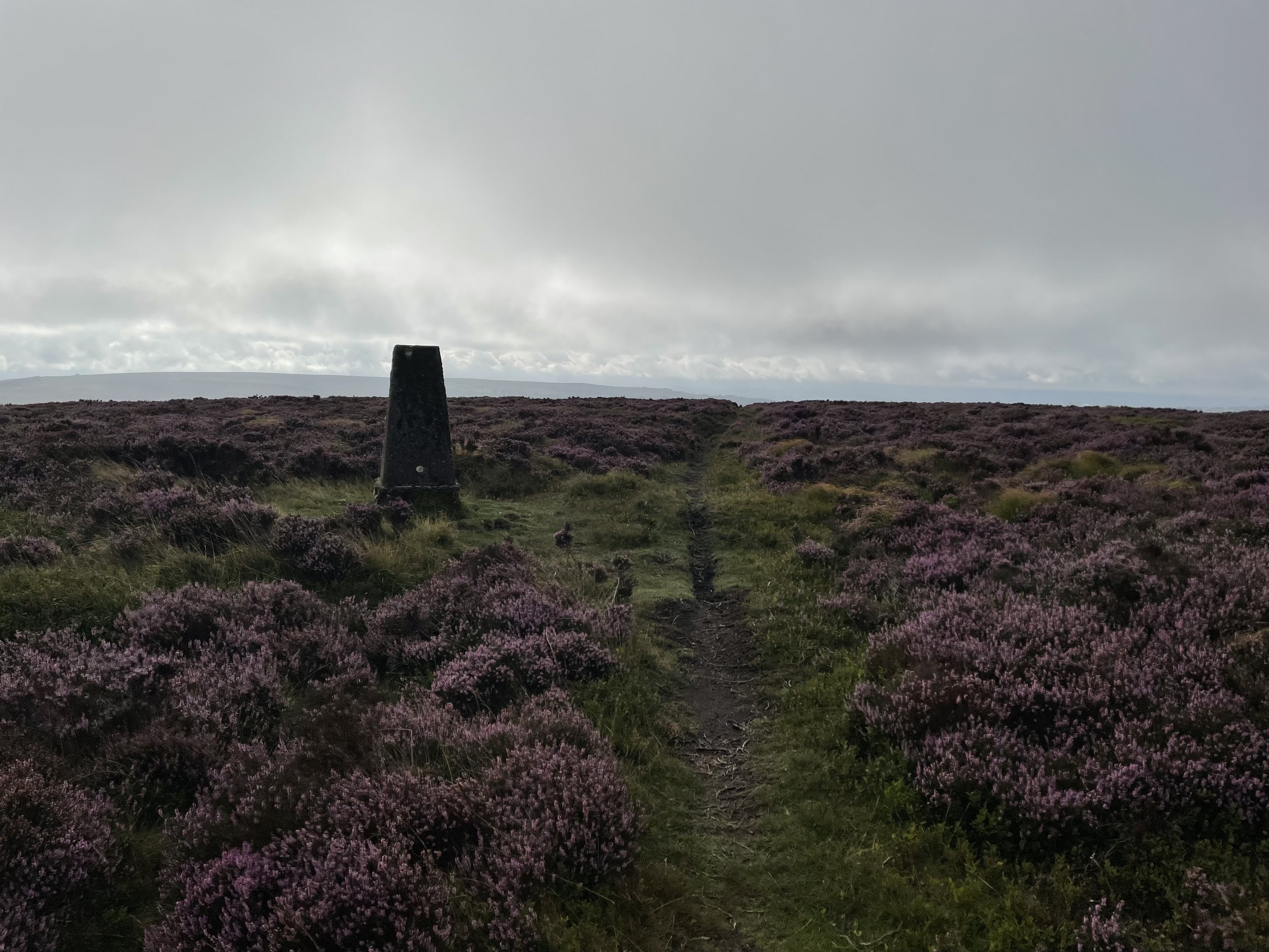
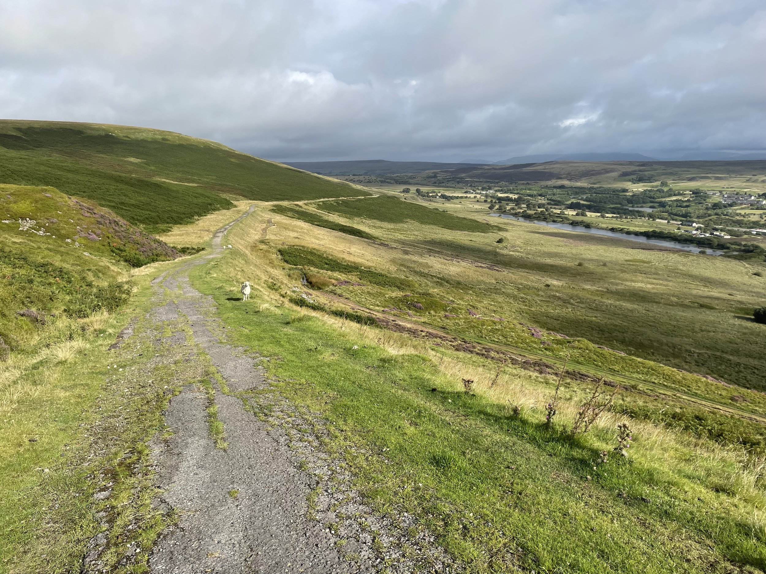
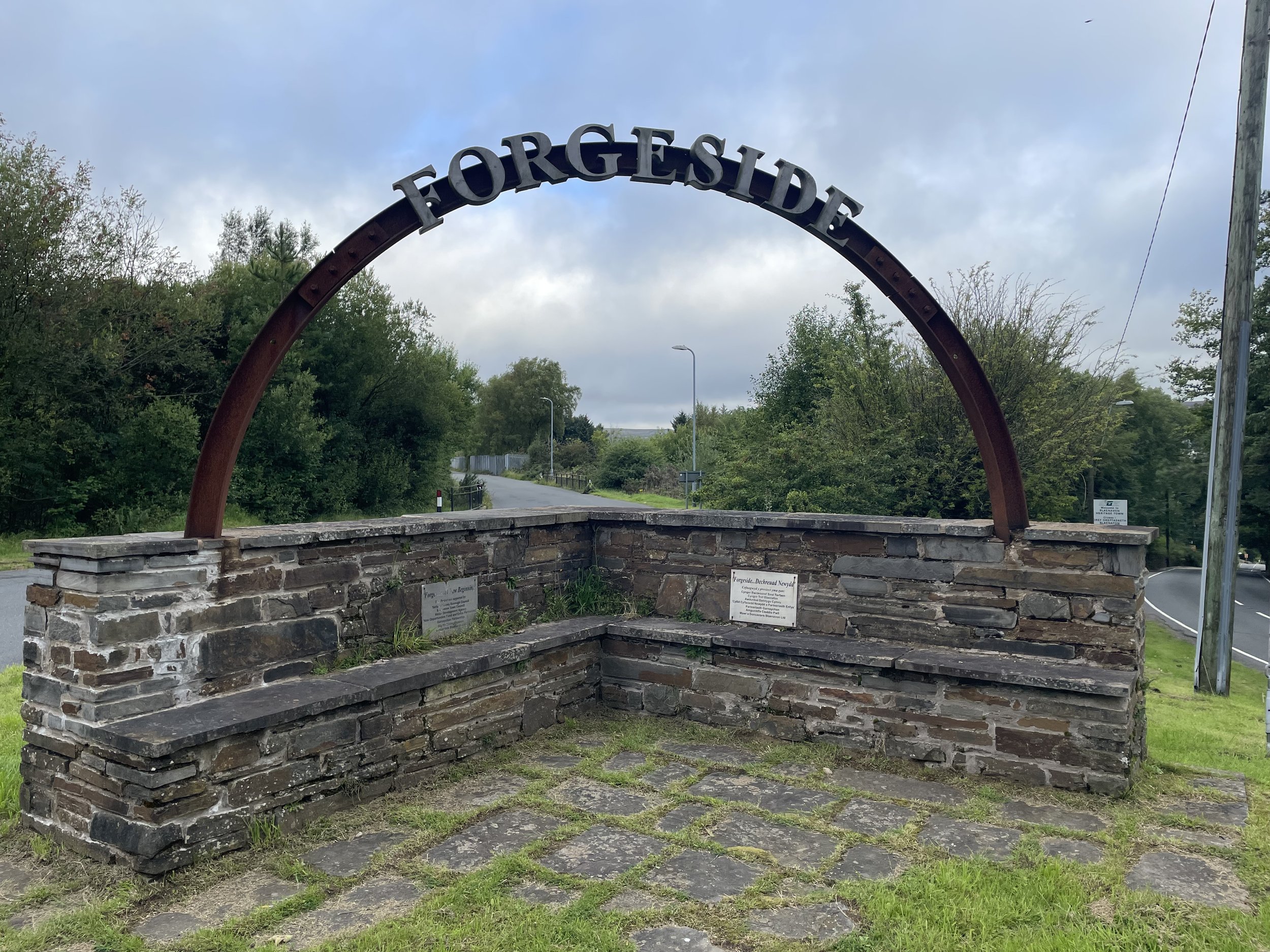
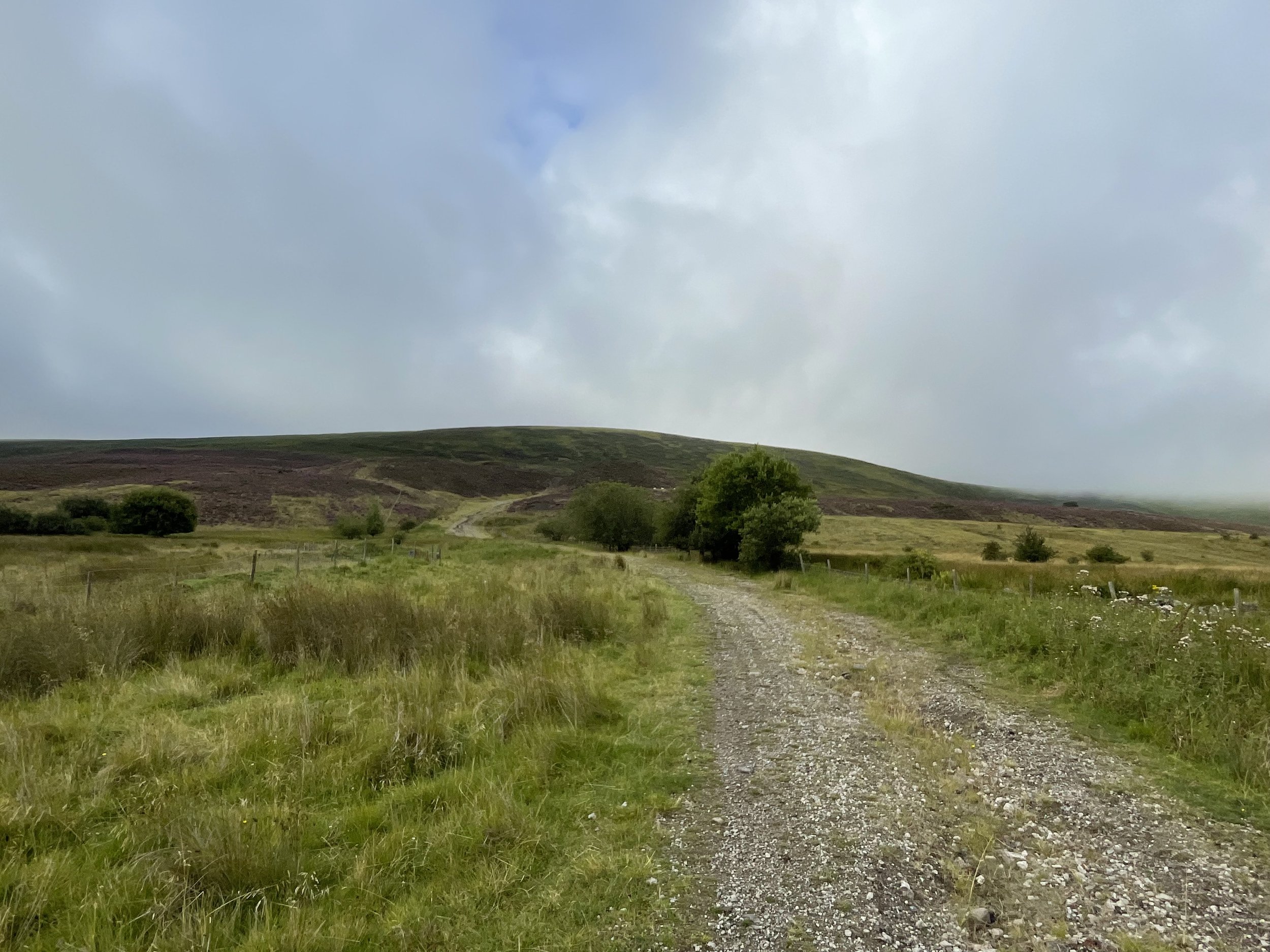
Approach to Coety Mountain from Forge Side Road


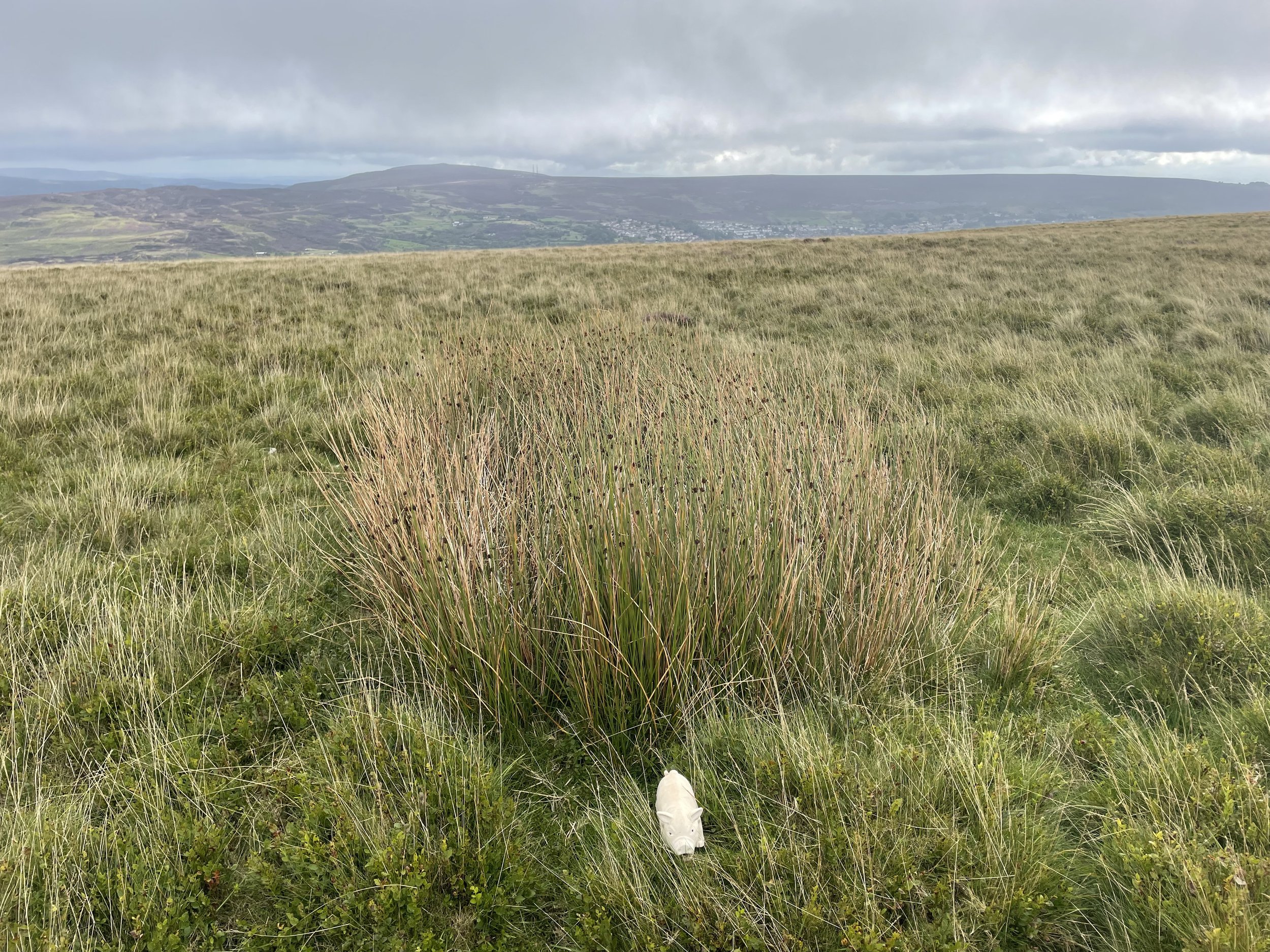
Coety Mountain

Also known as: Coity Mountain / Mynydd Coety (Welsh)
Significance
: High Point for the Welsh Principal Area of Blaenau Gwent
Member of: Marilyns
Parent Peak: Pen y Fan. NHN = Sugar Loaf
Elevation: 578m
Date climbed: August 19th 2023
Coordinates: 51° 45' 55'' N, 3° 6' 53'' W
Links: Wikipedia: Blaenau Gwent, Coety Mountain, Peakbagger, Hillbagging

Coety Mountain East Slope

Significance:  Unitary Authority High Point for Torfaen
Member of: N/A
Parent Peak: Coety Mountain. NHN = Coety Mountain
Elevation: 574m
Date climbed: August 19th 2023
Coordinates: 51° 45' 56'' N, 3° 6' 50'' W
Links: Wikipedia (Torfaen), Peakbagger, Hillbagging


For both peaks:

Route Start & Finish: Parking space before the cattle grid near Varteg Road Cemetery, Varteg Road, Pontypool, NP4, UK
Route Distance: 10.1 km (6.2 miles)
Route Elevation change: +/- 276m
GPX File: get via Buy Me a Coffee
Other routes touched (walk): N/A
Other routes touched (cycle): N/A but NCN 492 passes very close to the start of the walk.
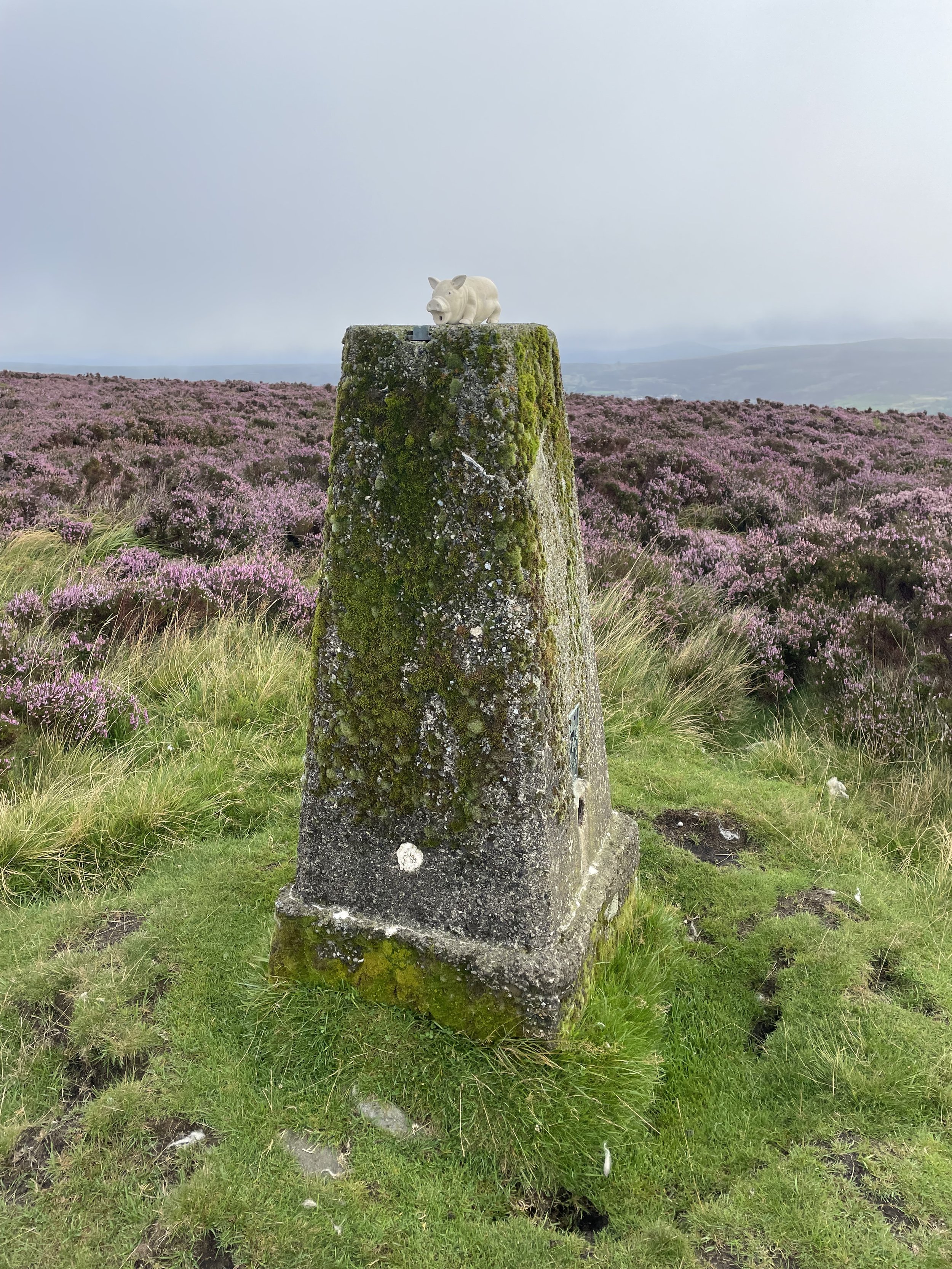
OS Trig Pillar: TP5042 - Mynydd Varteg Fawr
Pubs / Cafes on route: N/A
Map: Ordnance Survey OS Explorer OL13 Brecon Beacons National Park - Eastern Area Map
Links: Blaenavon, Blaenavon World Heritage Site


Coety Mountain is the high point of the Welsh Principal Areas of Blaenau Gwent and Torfaen within the Historic County of Monmouthshire. The Blaenau Gwent / Torfaen border runs along the ridge of the mountain with the 2 high points very close together.

The quickest way to bag the high points is an out-and-back from the Whistle Inn Halt at the north-western end of Blaenavon. Instead I chose a longer circular route from the south-eastern end of town to include the Mynydd Farteg Fawr Trig Pillar. There’s a parking space for a couple of cars near the cattle grid by the cemetary on Varteg Road, or, if not available you can also park along Forge Side Road.

From Varteg Road follow Forge Side Road in a north-westerly direction until you reach a footpath on the left by an old access road to a mine. Follow the path to the left of the mine as it curves up the hill towards the south-east. At a path junction take the path that leads to the north-west and follow that for about 250m. There’s no direct path from here to access the top of the ridge so I found a safe spot and headed up through the bracken. When you reach the top of the ridge take a left to follow the path to the Trig Pillar.

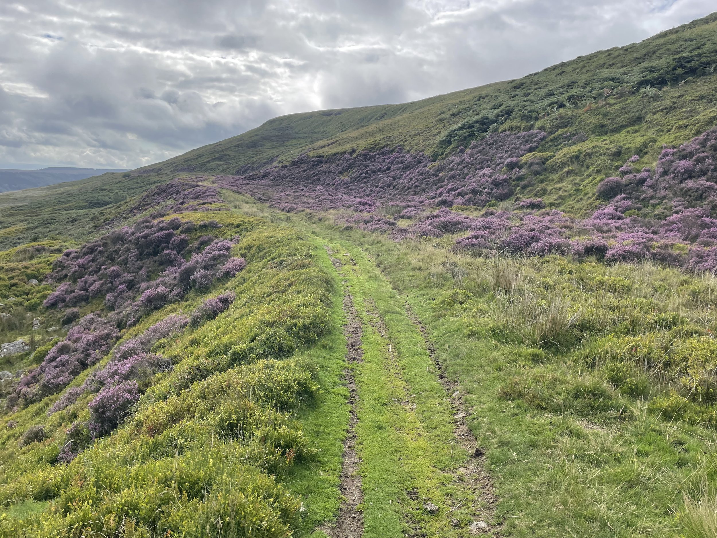
After the Trig Pillar retrace your steps to where you reached the top and continue following the path for ~2.4 km to the top of Coety Mountain. Keep an eye on the GPS though as the path disappears before the summit. The top of Coety Mountain is obvious but you’ll need to follow the GPS to reach the East Slope which is the high point of Torfaen.

After the high points make your way down to a track that leads to an old mine. Around 100m to the north-west of the mine you can pick up a path that leads to the south-east. Follow this for ~3.6km until you reach the point where you left the path earlier to reach the Trig Pillar. From here retrace your steps to the start of the walk at Varteg Road.

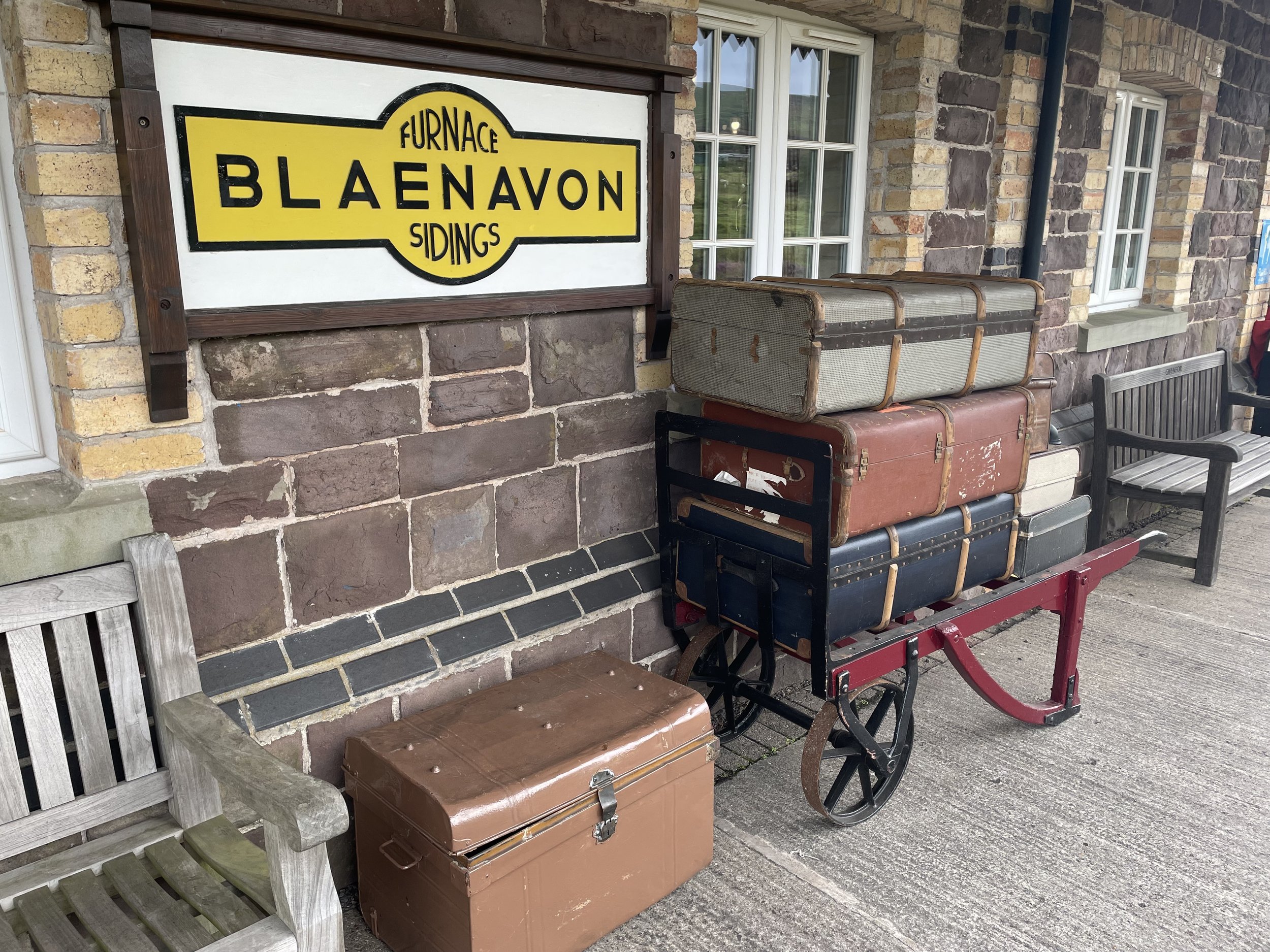
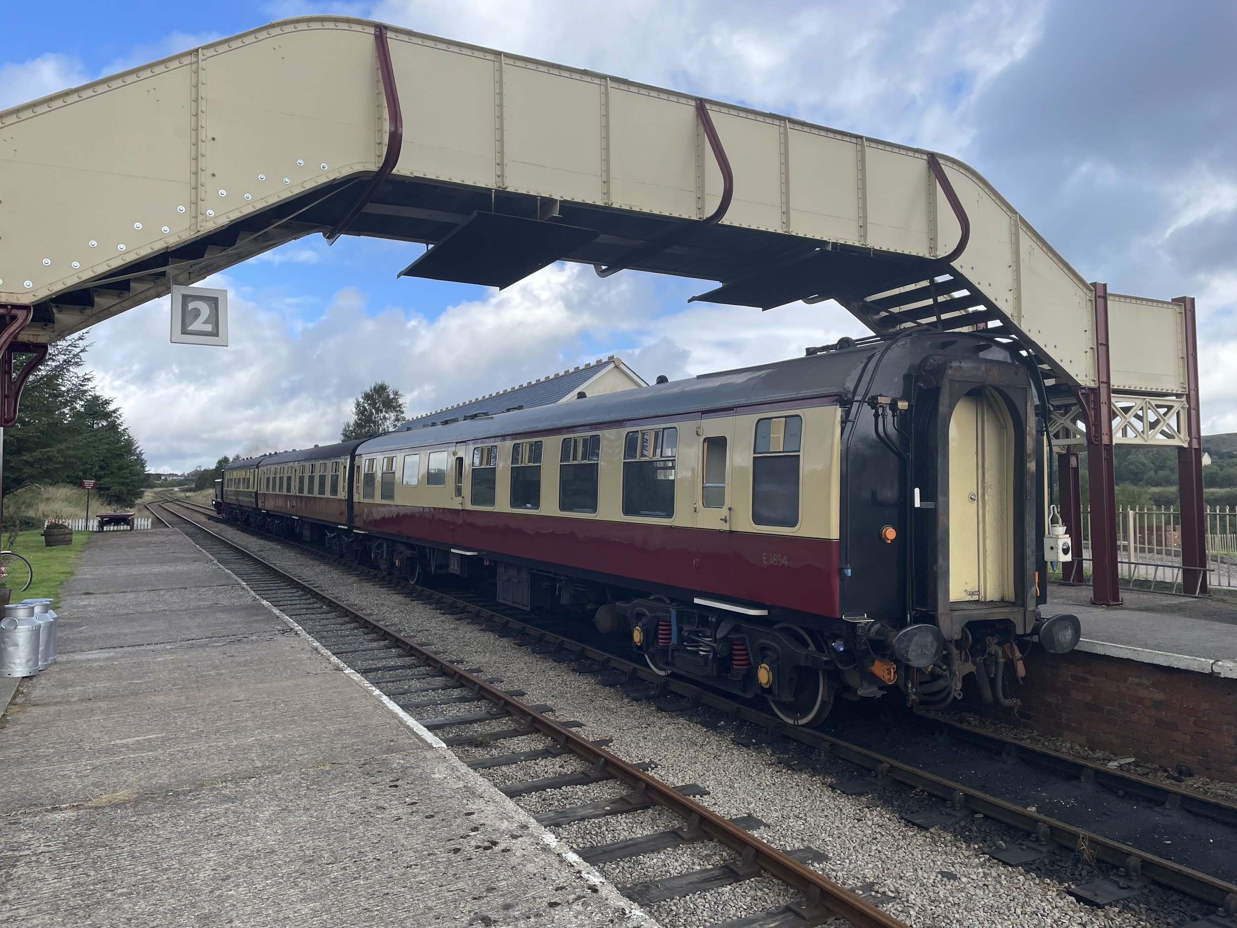
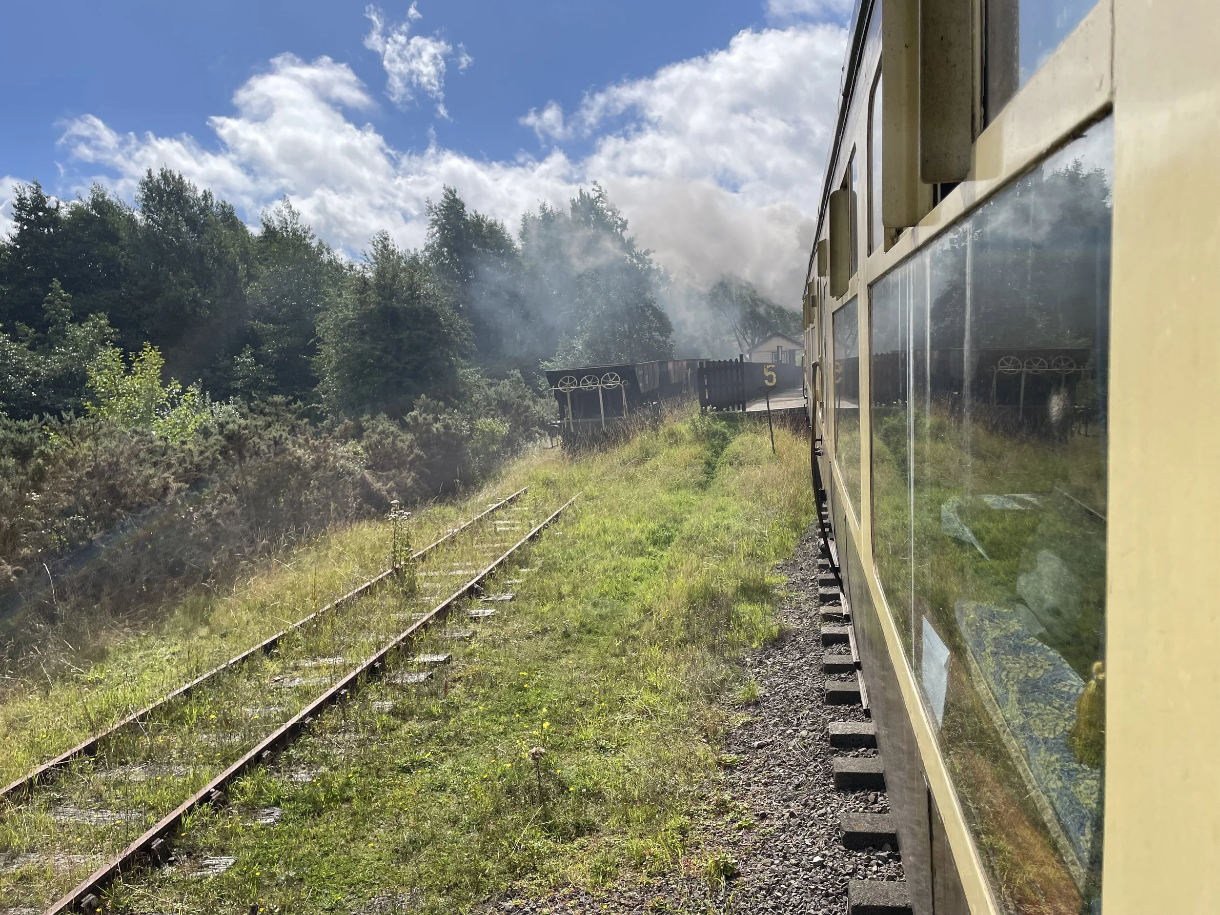
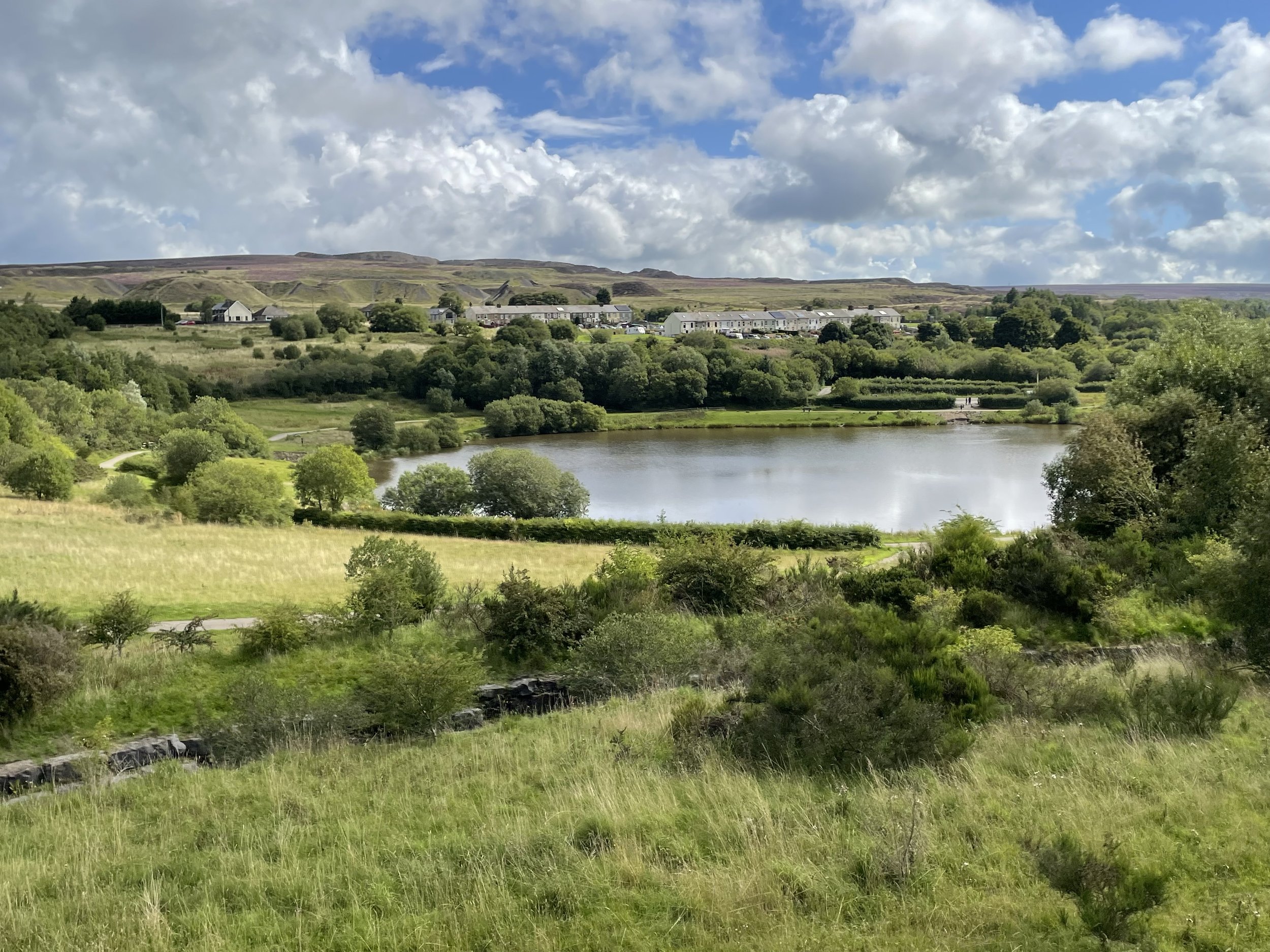
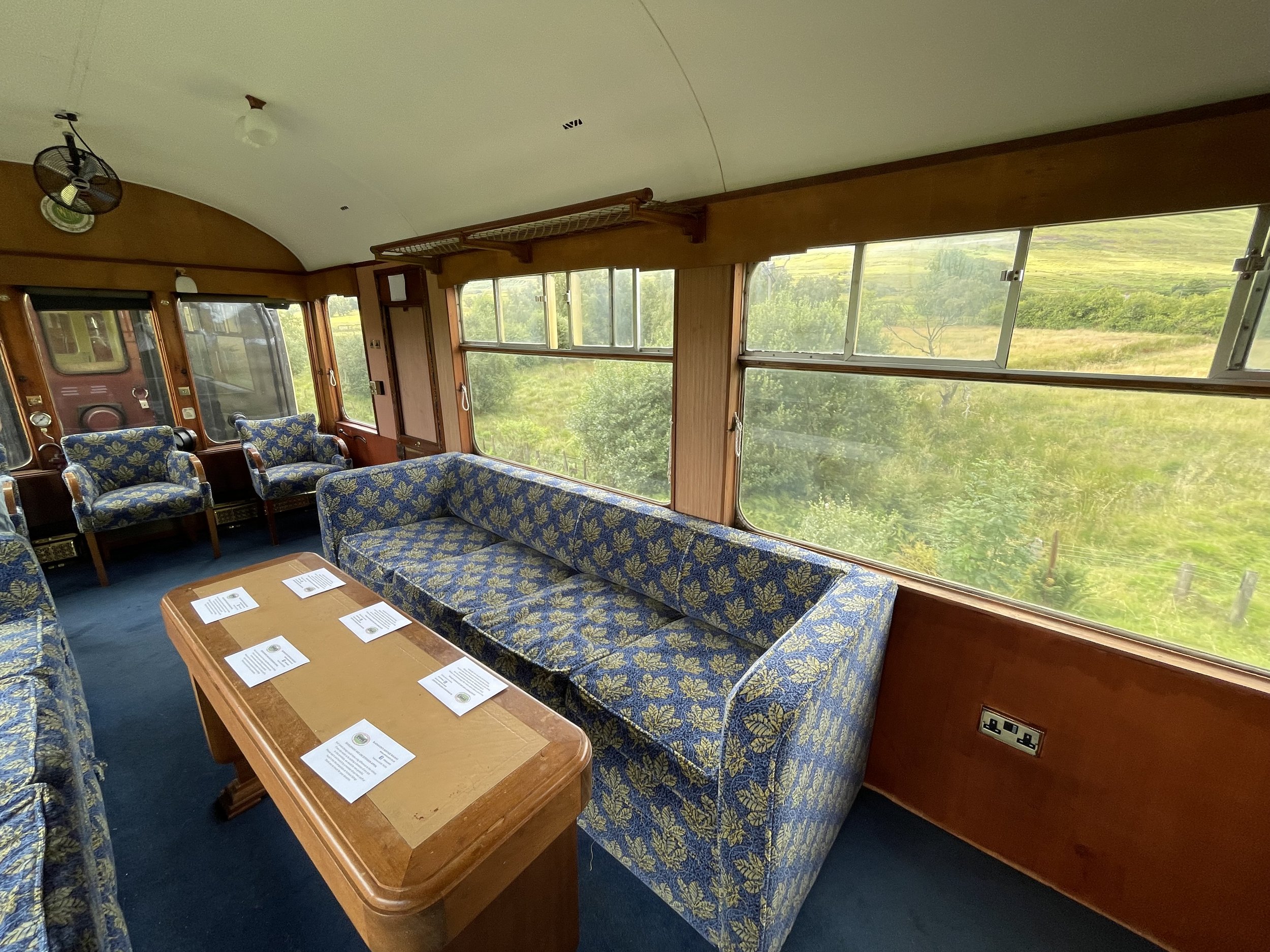
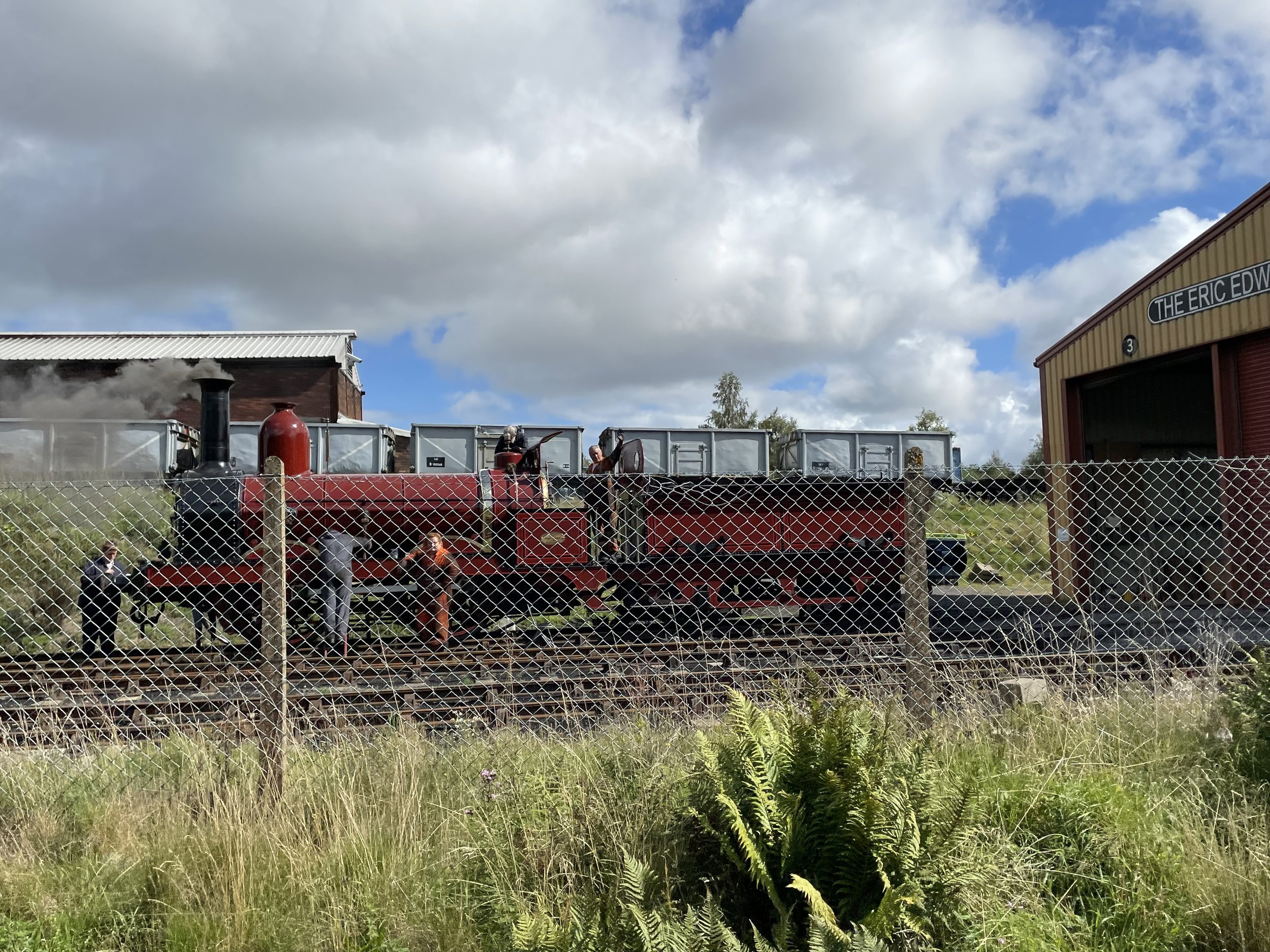
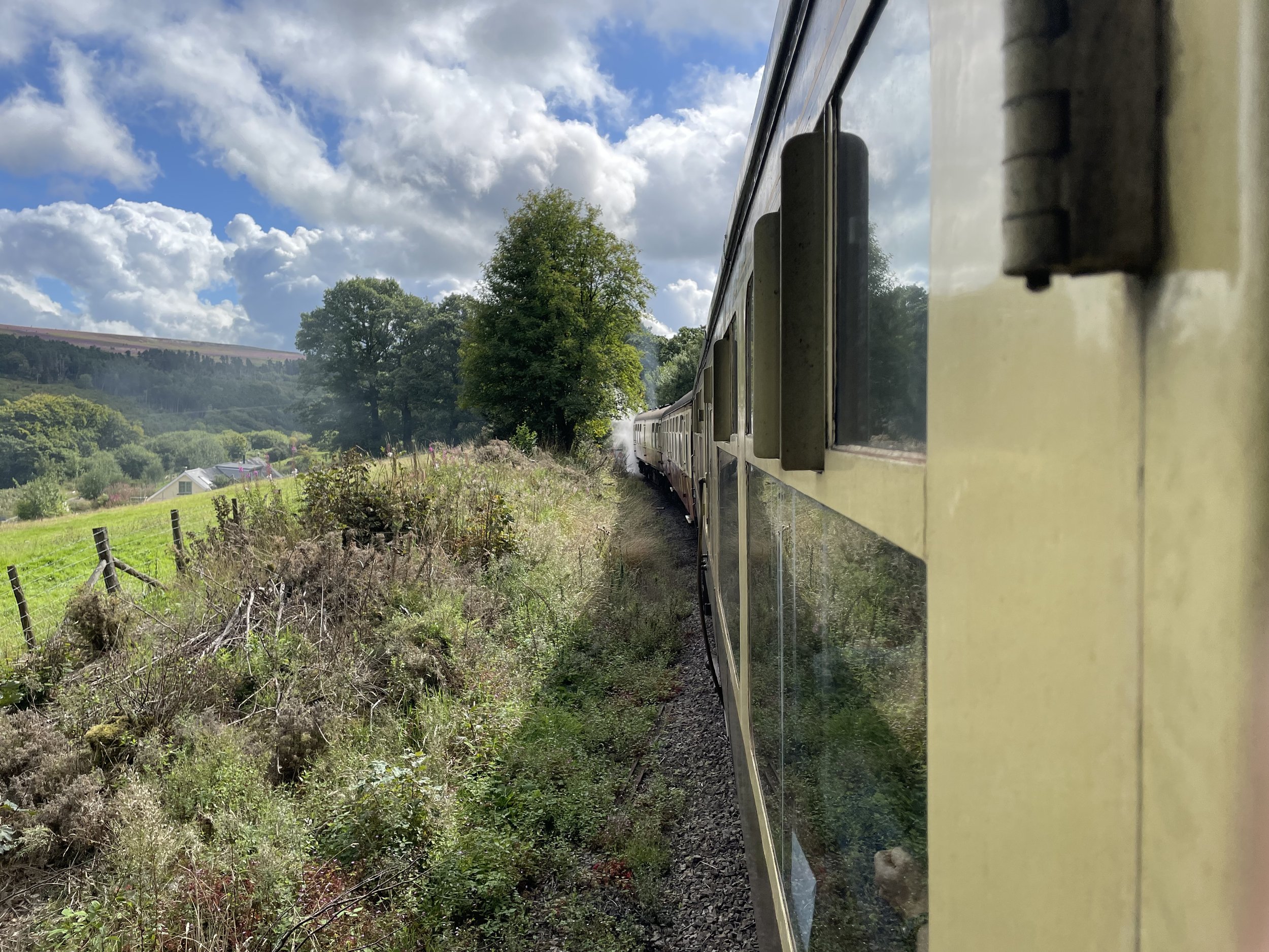
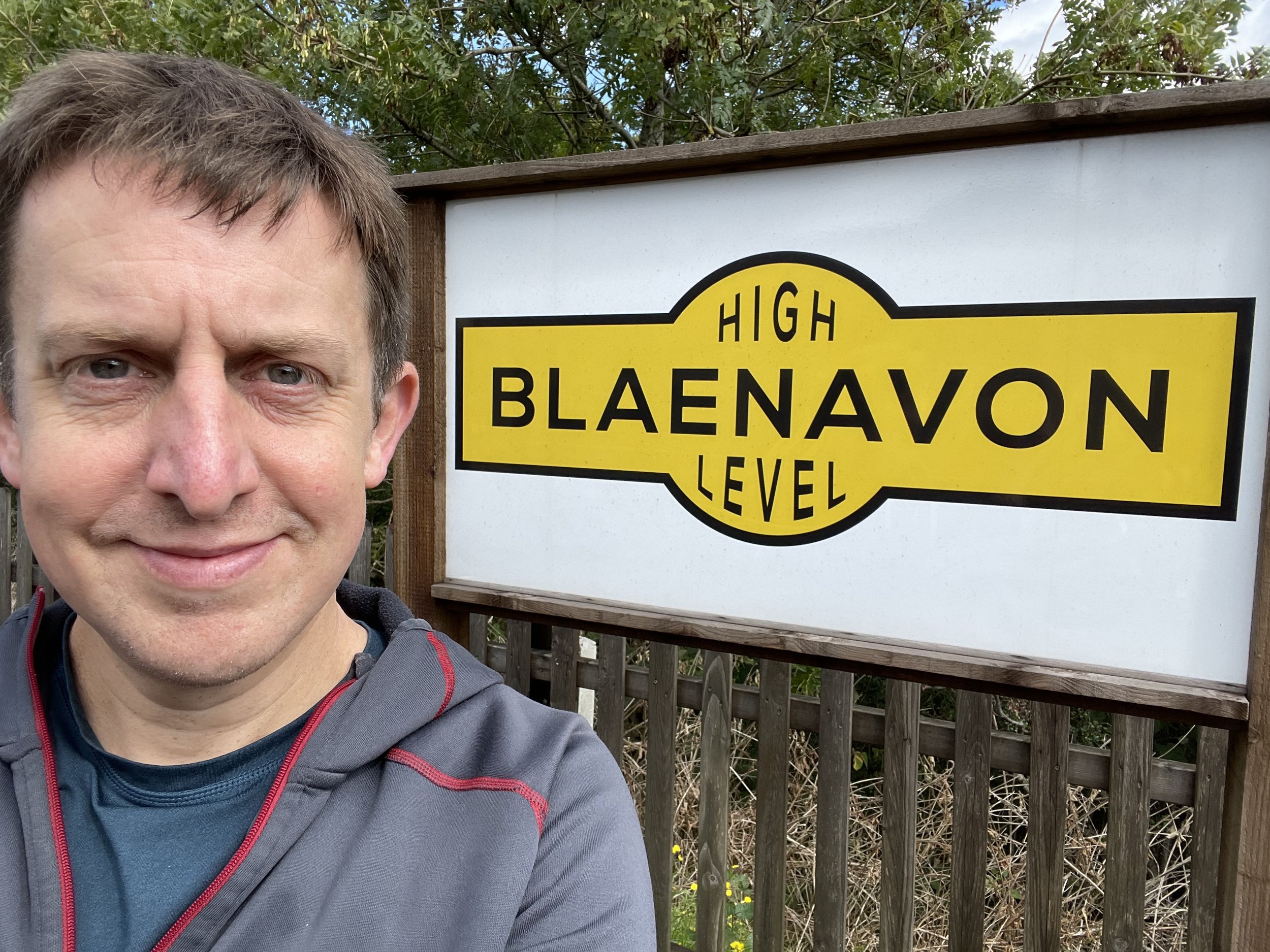
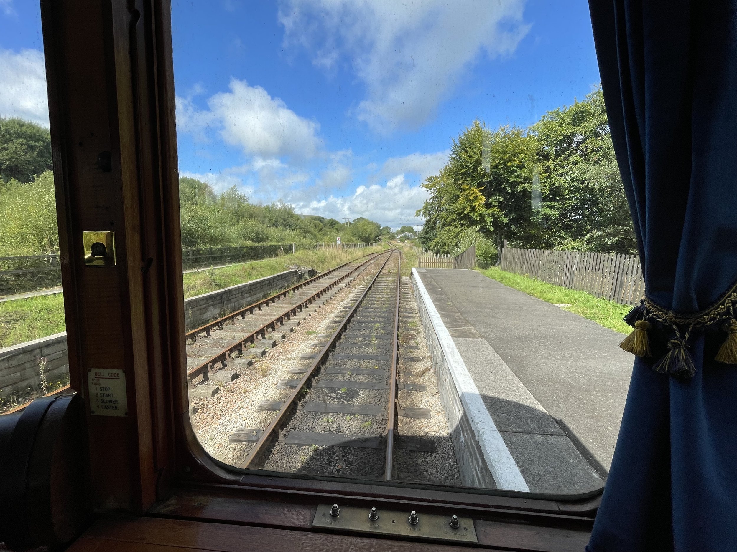
While in Blaenavon it’s worth spending a bit more time there to visit the UNESCO World Heritage Site attractions and the Historic Railway. I completed the walk just in time to take a ride on the old steam train that follows the track connecting the Whistle Inn Halt and Varteg Road. You’ll get a great view of Coety Mountain and Mynydd Farteg Fawr on the trip.


Blaenavon's Heritage Railway


Otterton Coastal Circular Walk

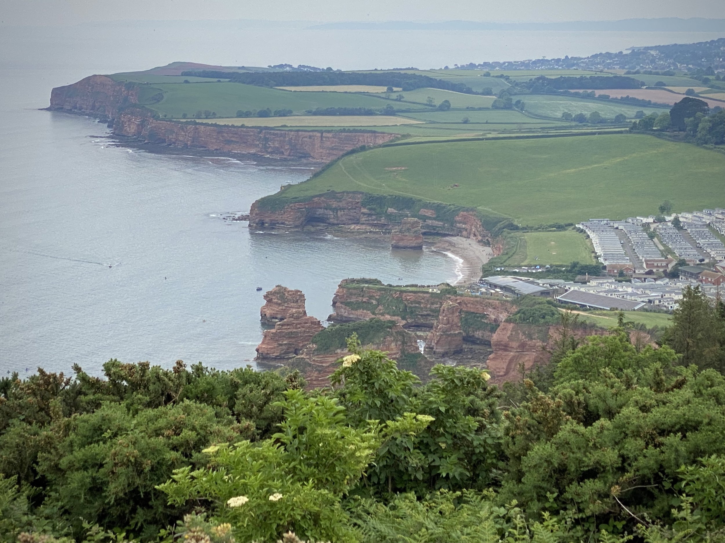
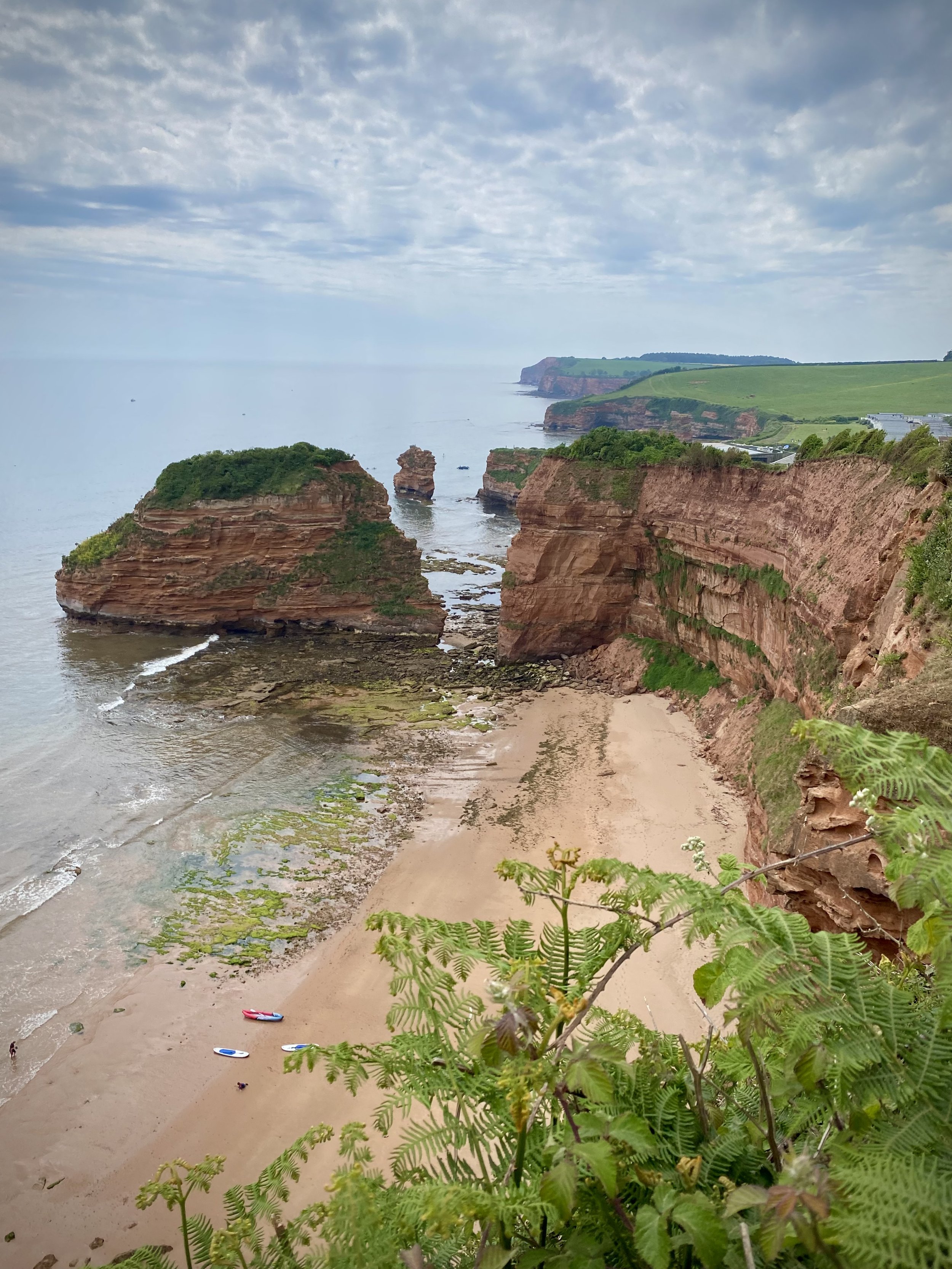
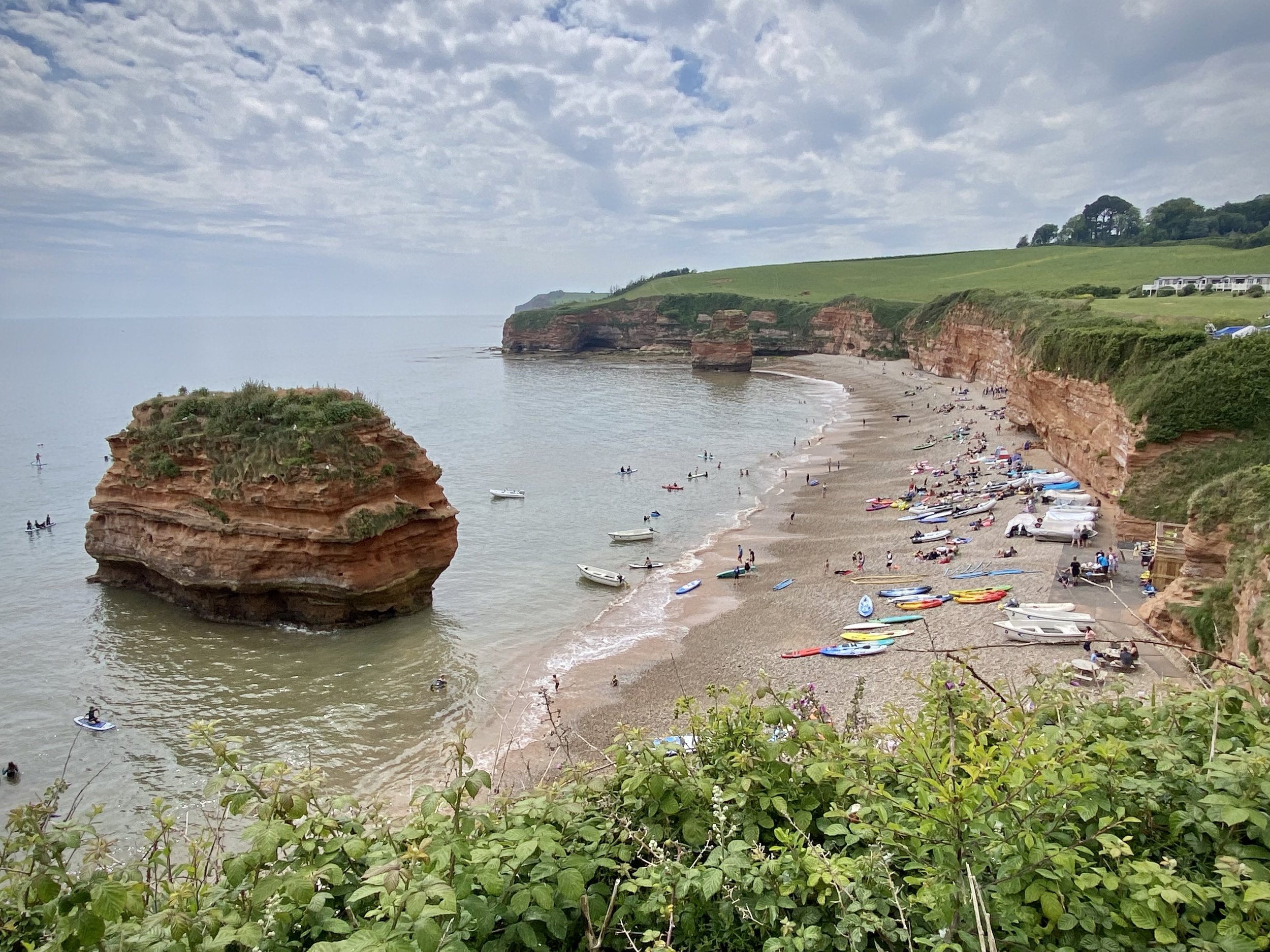
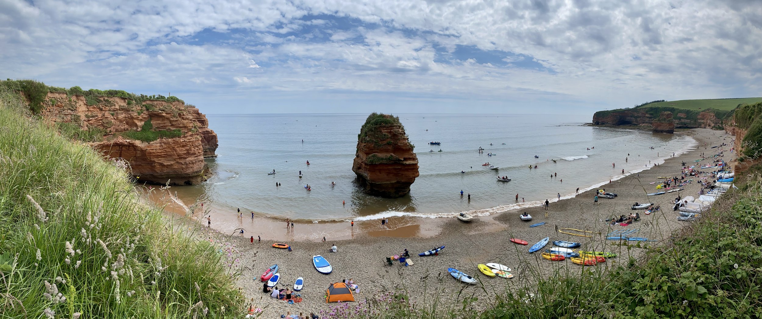
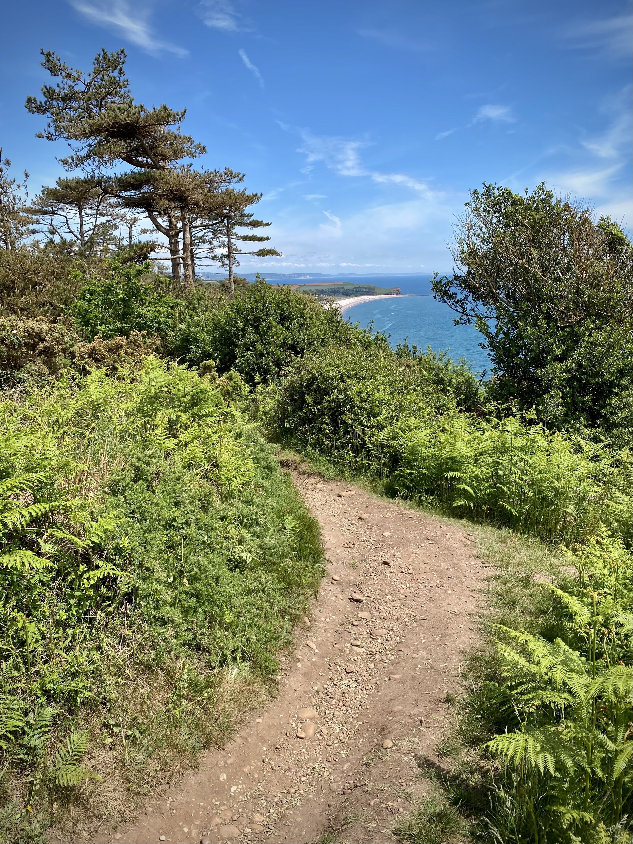
View south / west from High Peak across the East Devon AONB. Ladram Bay on the left.


Start & Finish: Fore Street, Otterton, Budleigh Salterton, EX9 7JF
Distance: 12.1 km (7.5 miles)
Elevation change: +/- 186m
GPX File: get via Buy Me a Coffee
Other routes touched (walk): English Coastal Path, Otter Valley Walk
Other routes touched (cycle): NCN 2
Pubs / Cafes on route: Cafe at Ladram Bay Holiday Park, Otterton Mill
OS Trig Pillar: TP3799 - High Peak
Map: Exmouth & Sidmouth Map | Honiton | Ordnance Survey | OS Explorer Map 115
Links: Otterton, High Peak, Ladram Bay, Ladram Bay Holiday Park, East Devon AONB, Dorset and East Devon Coast UNESCO


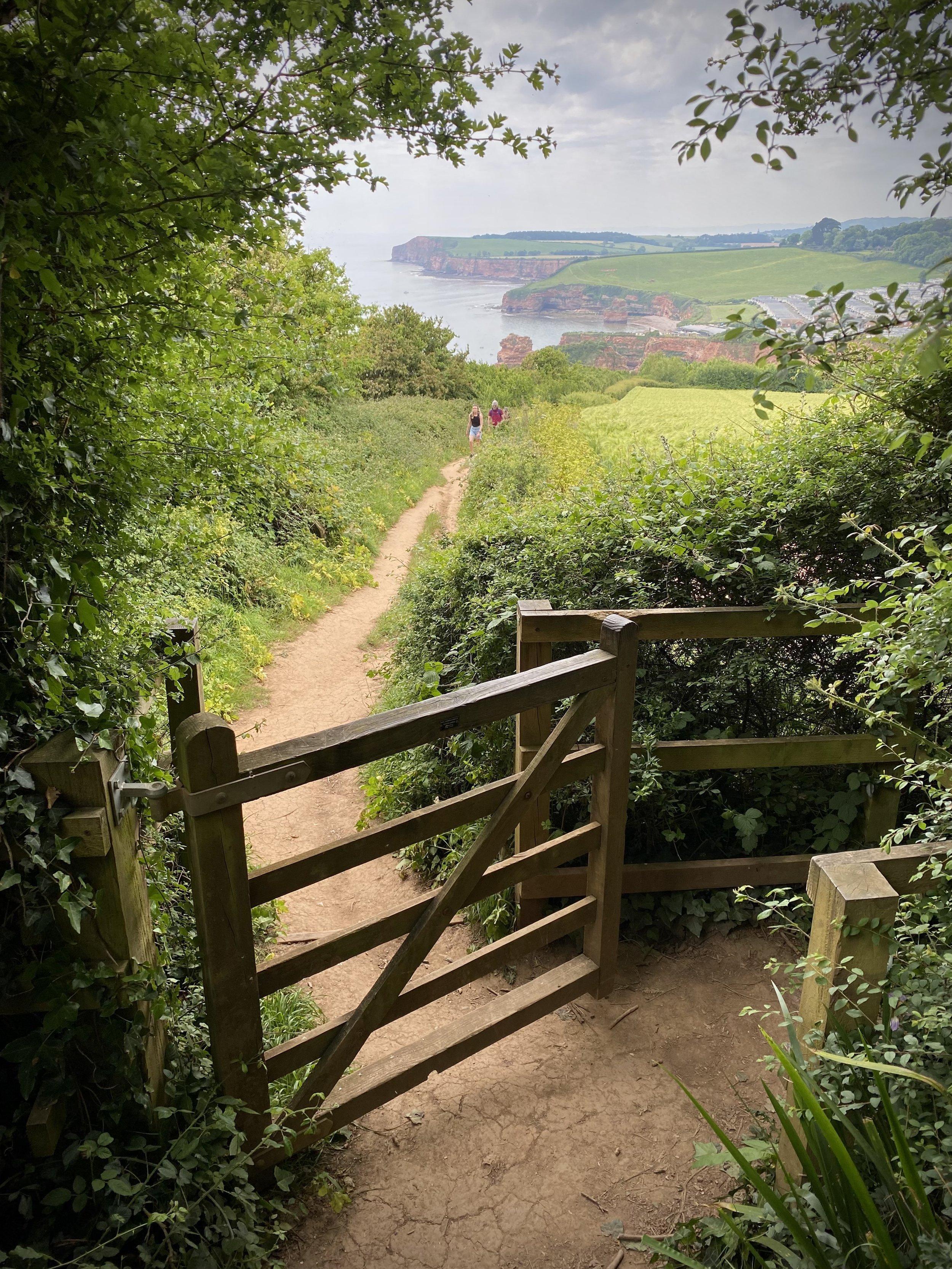
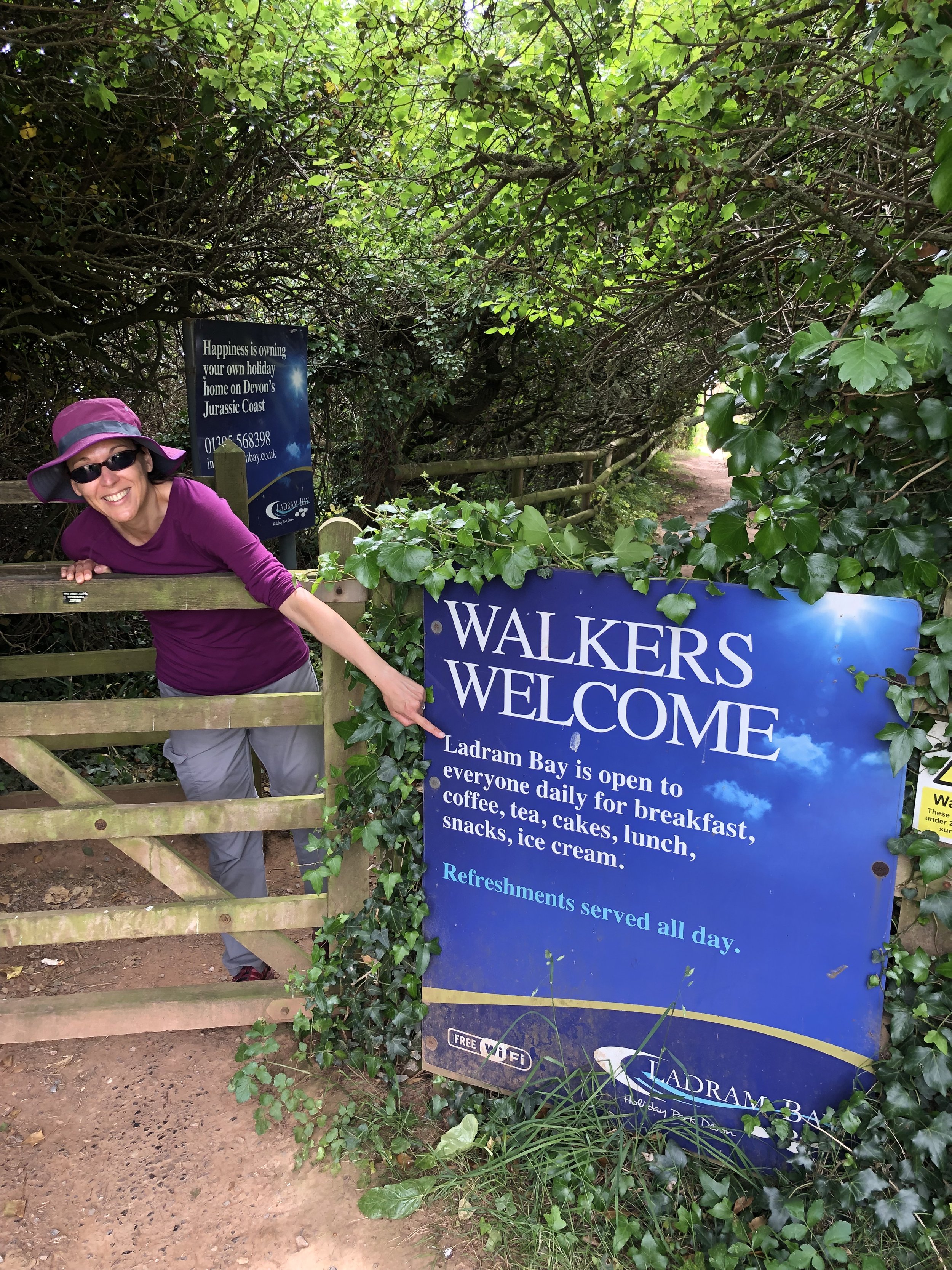
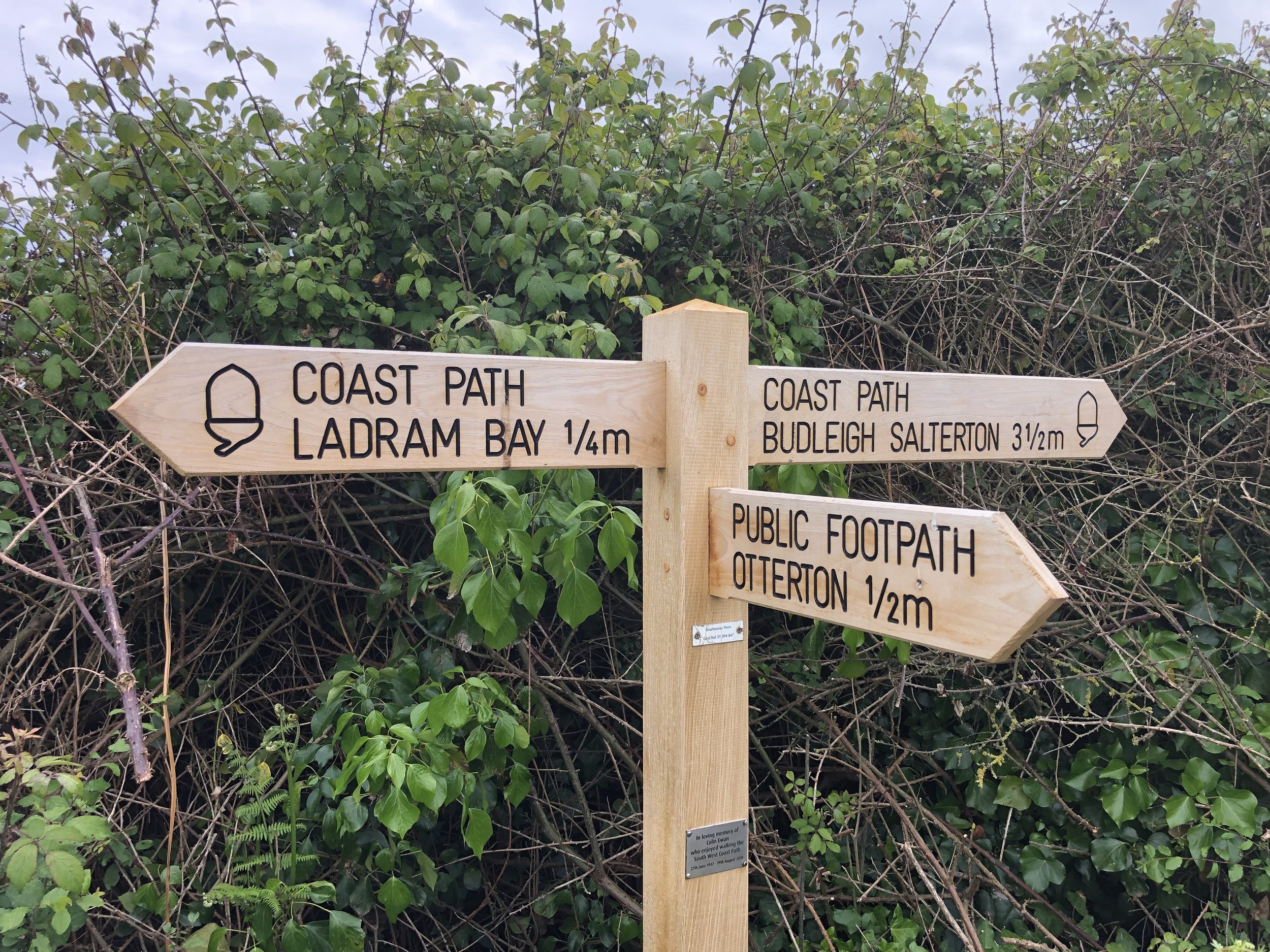
Following our short but stunning Budleigh Salterton walk the day before we took on a longer walk on the next section of the coast to the east. This one starts inland in the small village of Otterton where you’ll find plenty of free on-street parking. From Fore Street (the main street through the village), walk in an easterly direction and take a right onto Bell Street. Continue up the hill as it becomes Ladram Road then Barr’s Lane. Just over 1 km from the village you’ll pass the main entrance to Ladram Bay Holiday Park where the road ends and the route becomes a narrower path. Continue up the path until Just over 2.5km from Otterton where you’ll find a footpath fingerpost sign pointing to Sidmouth (1.5m) and to the coastal path and Ladram Bay (0.75m). Follow the path towards Ladram Bay.

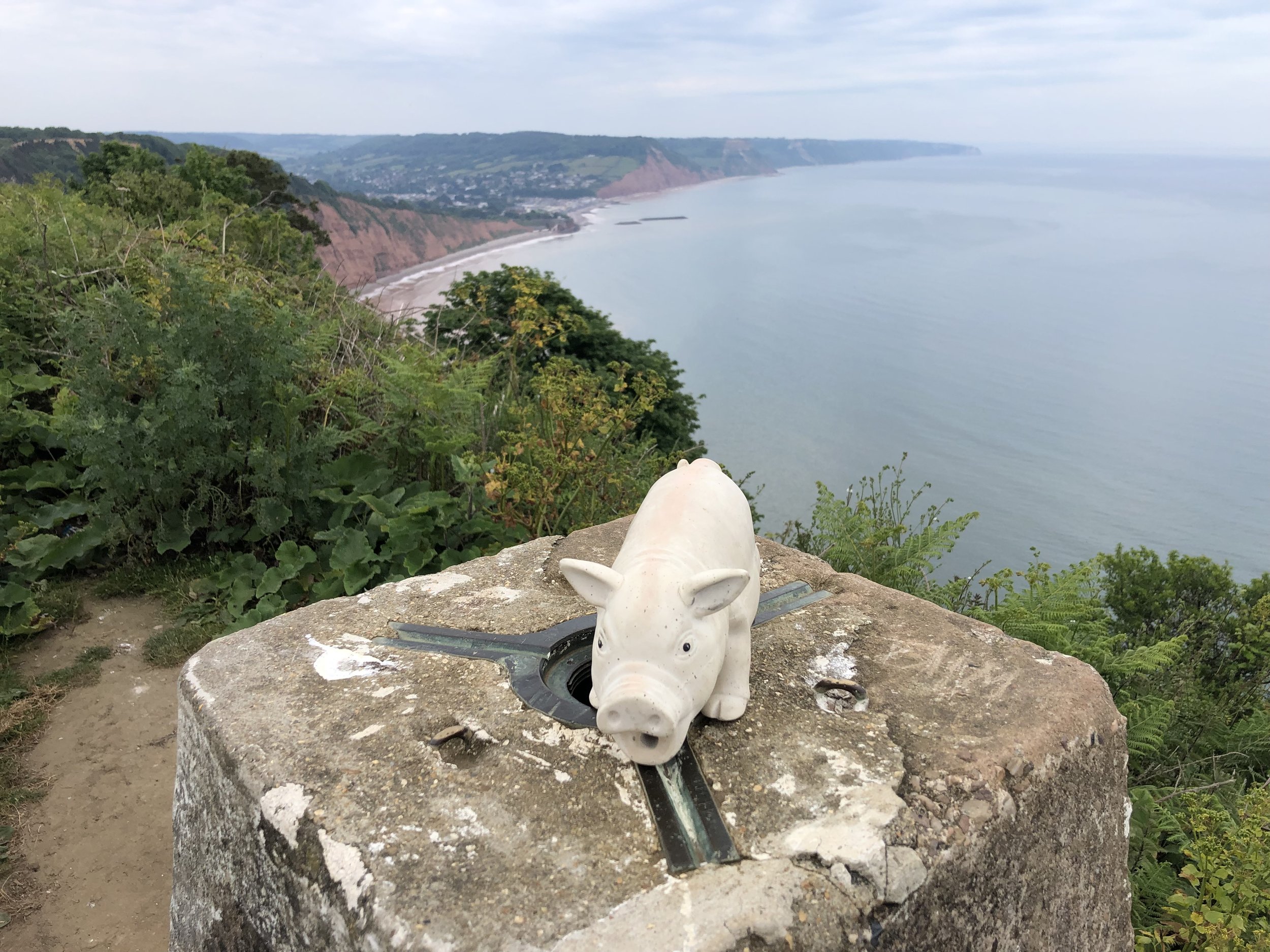
After 300m you can take a left hand path to climb the steep hill to the OS Trig Pillar at the top of High Peak. Here you get great views in all directions: Sidmouth to the north, Budleigh Salterton to the south and the East Devon AONB as you look inland. Carefully descend back to the Coastal Path from the Trig Pillar. Take a left oto the Coastal Path and follow it in a southerly direction down to Ladram Bay Holiday Park. The cliff top café is a good place to stop for a rest as it’s the only place to get food and drink before you return to Otterton.

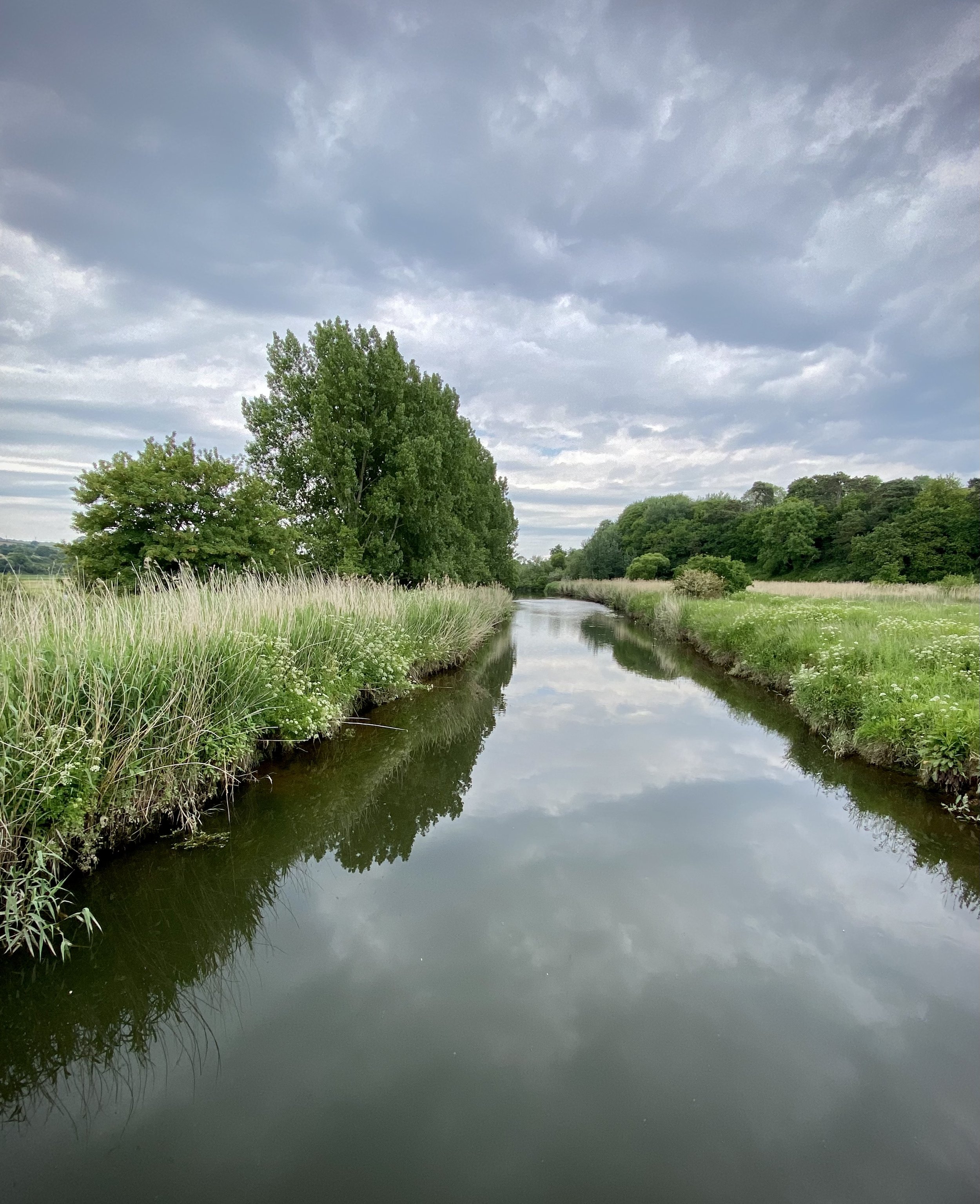
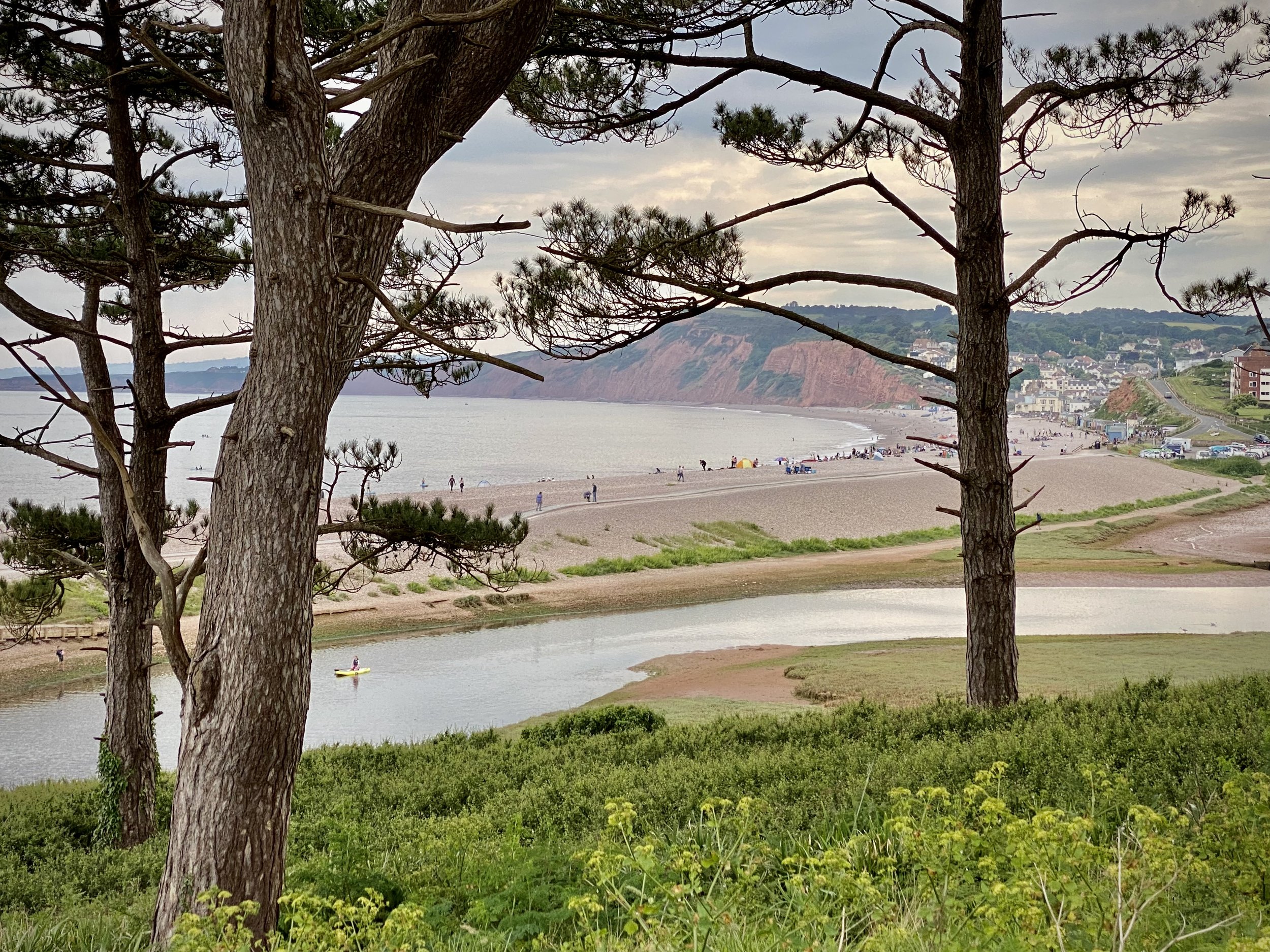
From Ladram Bay continue along the Coastal Path until you reach the River Otter just before Budleigh Salterton. Take a right and follow the path on the eastern side of the river until you reach the bridge on South Farm Road. Cross the bridge and take a right to follow the Otter Valley Walk path on the western side of the river. Continue until you reach Fore Street and the road bridge taking you back into Otterton. Before you reach Fore Street take look across the fields to the west where you’ll see a house on it’s own across the field next to a large tree. This was the old East Budleigh railway station, now converted into a private home. You can still see the platform edge and canopy.

Otterton Mill, just over the bridge on Fore Street is a good place to stop for something to eat before you finish the walk. Go inside to see the old workings of the mill near the shop.


Budleigh Salterton and West Down Beacon Circular Walk

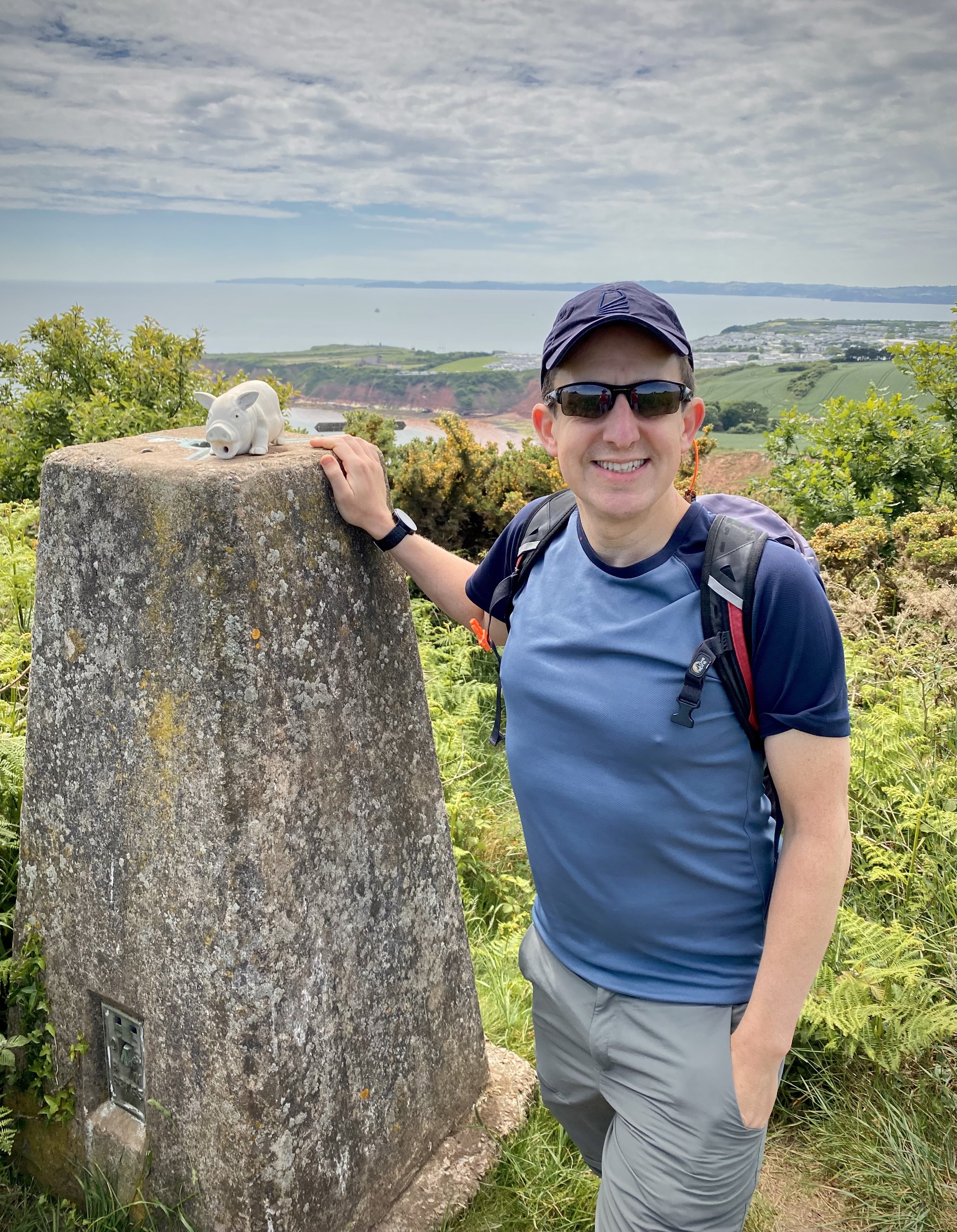
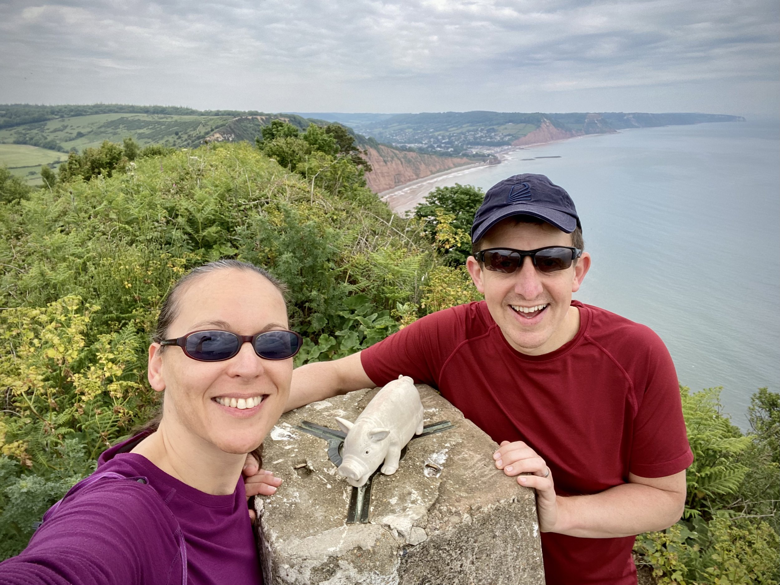
View to High Peak, Ladram Bay and Budleigh Salterton from West Down Beacon


Start & Finish: Lime Kiln Car Park, 1 Granary Lane, Budleigh Salterton, EX9 6JD
Distance: 6.4 km (4 miles)
Elevation change: +/- 117m
GPX File: get via Buy Me a Coffee
Other routes touched (walk): English Coastal Path, Otter Valley Walk,
Other routes touched (cycle): None
Pubs / Cafes on route: Lots in Budleigh Salterton town centre
OS Trig Pillar: TP6804 - West Down Beacon
Map: Exmouth & Sidmouth Map | Honiton | Ordnance Survey | OS Explorer Map 115
Links: Budleigh Salterton, East Devon AONB, Dorset and East Devon Coast UNESCO


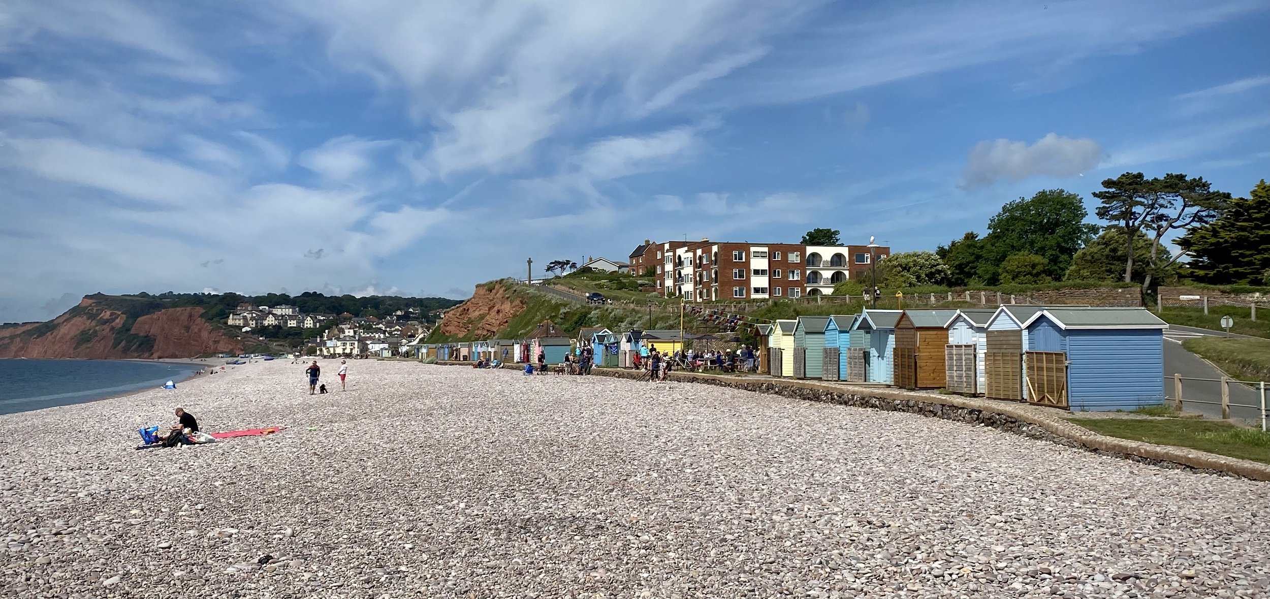
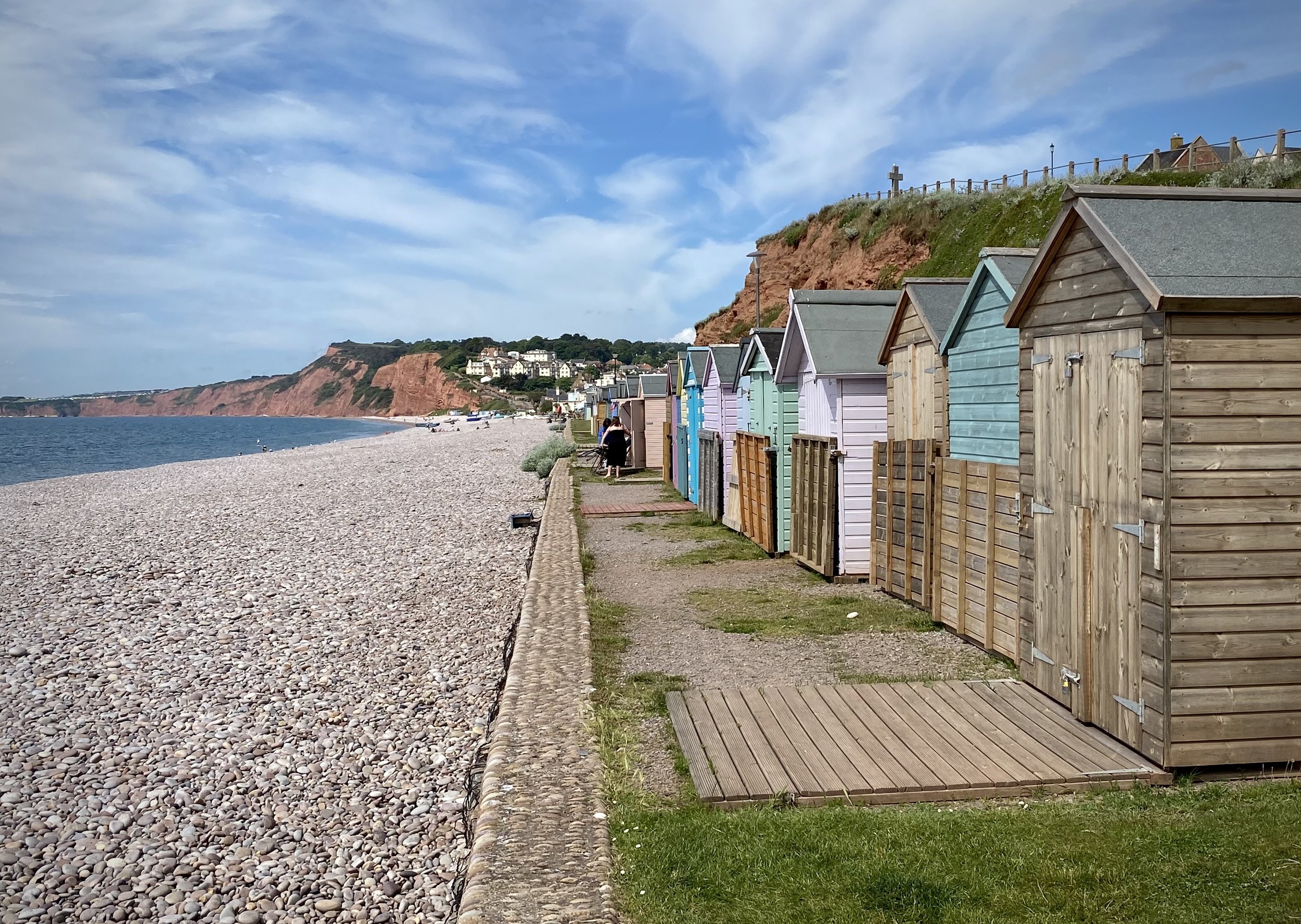
This is a stunning short walk along the coastal path past Budleigh Salterton up to the West Down Beacon Trig Pillar. Start from the town’s main car park next to the beach on Granary Lane and follow the coastal path in a westerly direction. After 1km the path will climb steeply up to the top of the cliffs. Continue until approximately 3km from the car park where you’ll meet a footpath finger sign pointing to Knowle (1m). You’re now at the top of the hill where you’ll find the OS Trig Pillar in a small clearing just in from the sign. Here you get great views along the cost in both directions. To the west is Exmouth and the river Exe that leads inland to Exeter.

Leave the coastal path and follow the footpath through the golf course to Knowle for ~1km until you reach Littleham Church Path. Take a right onto this path and follow it down to Exmouth Road. Take a right onto Exmouth Road and follow it in an easterly direction as it becomes West Hill and Budleigh Salterton High Street. Here you’ll find a lot of cafes and restaurants for a rest before completing the walk back at Lime Kiln Car Park.


Walking The Old Postman's Route, Mallorca

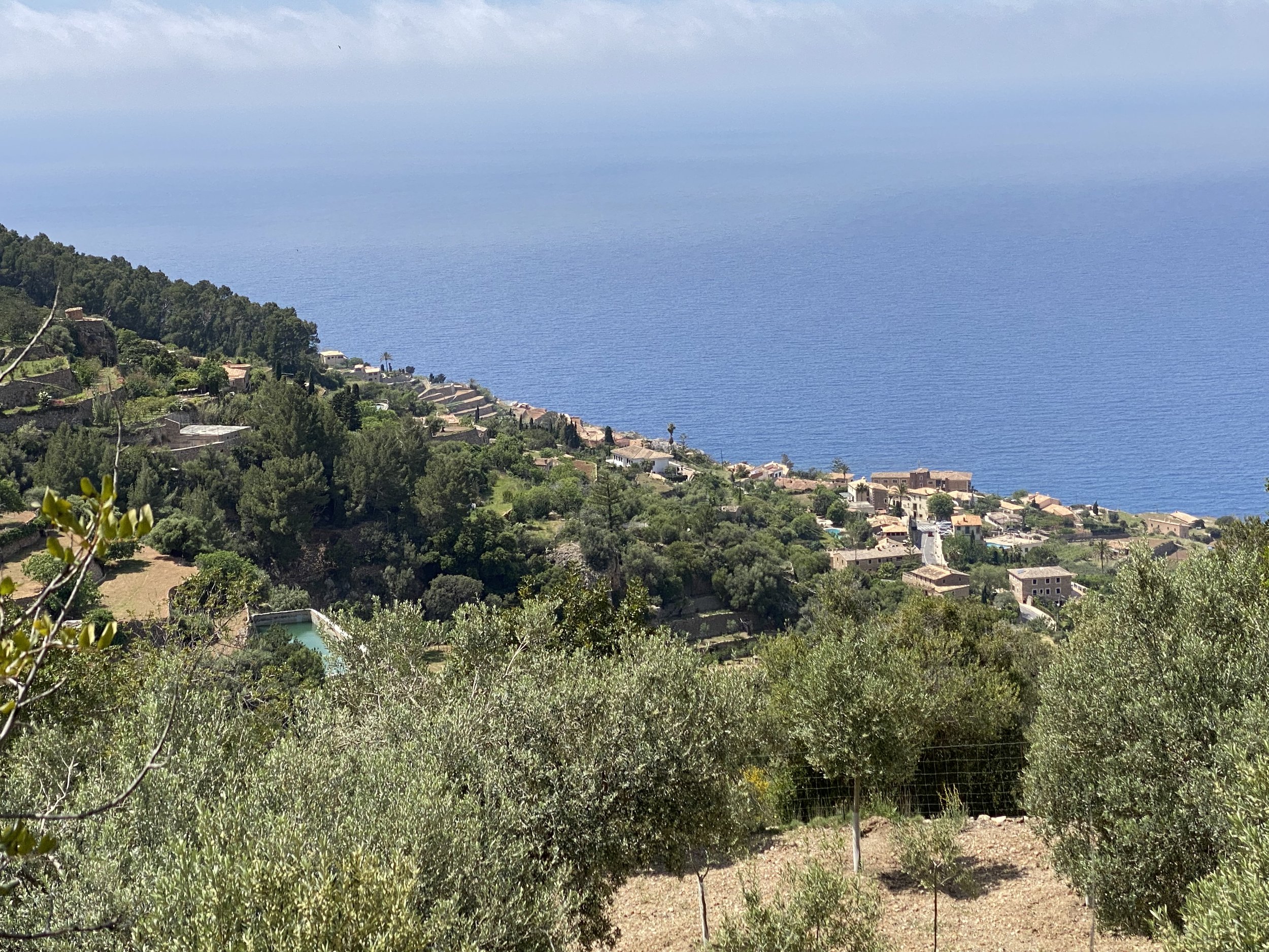
View to the northern coast from the descent to Banyalbufar


Start: Sant Pere d'Esporles, Carrer de sa Rectoria, 1A, 07190 Esporles
Finish
: Santa Maria de Banyalbufar, Plaça de la Vila, 2A, 07191 Banyalbufar
Distance: 7.6 km (4.7 miles)
Elevation change: + 273m / - 358m. Net -85m
GPX File: get via Buy Me a Coffee
Other routes touched (walk): GR 221 Ruta de Pedra en Sec
Pubs / Cafes on route: Several at start and end in Esporles and Banyalbufar. Cafeteria de La Granja d’Esporles at 1.5km (just off route)
Links: Esporles, La Granja, Banyalbufar, Old Postman’s Route: Mallorca Hiking / Estilo Palma Magazine, GR 221 Ruta de Pedra en Sec


The Old Postman’s Route is a popular section of the GR221 walking trail in the Tramuntana mountains. It runs from Banyalbufar on the coast to Esporles in the interior and follows the mail route between the 2 towns. We chose to do the Esporles to Banyalbufar direction to end at the coast.

I found the Old Postman’s Route when searching for a short interesting hike to do as a part of a non-walking holiday in Mallorca. I usually prioritise finding a walk to an island high point, but Mallorca’s one is a military zone with few walking options. Instead I found this short route in the Tramuntana Mountains that turned out to the the highlight of our trip.

We had a rental car for the week and drove to the end point at Banyalbufar hoping to take a taxi to the start at Esporles. It turned out that there were no taxis in town but there’s a bus from Palma the connects both towns. This is also a good option if you don’t have a car. The bus isn’t very frequent but fortunately it was picking up from Banyalbufar shortly after we arrived.

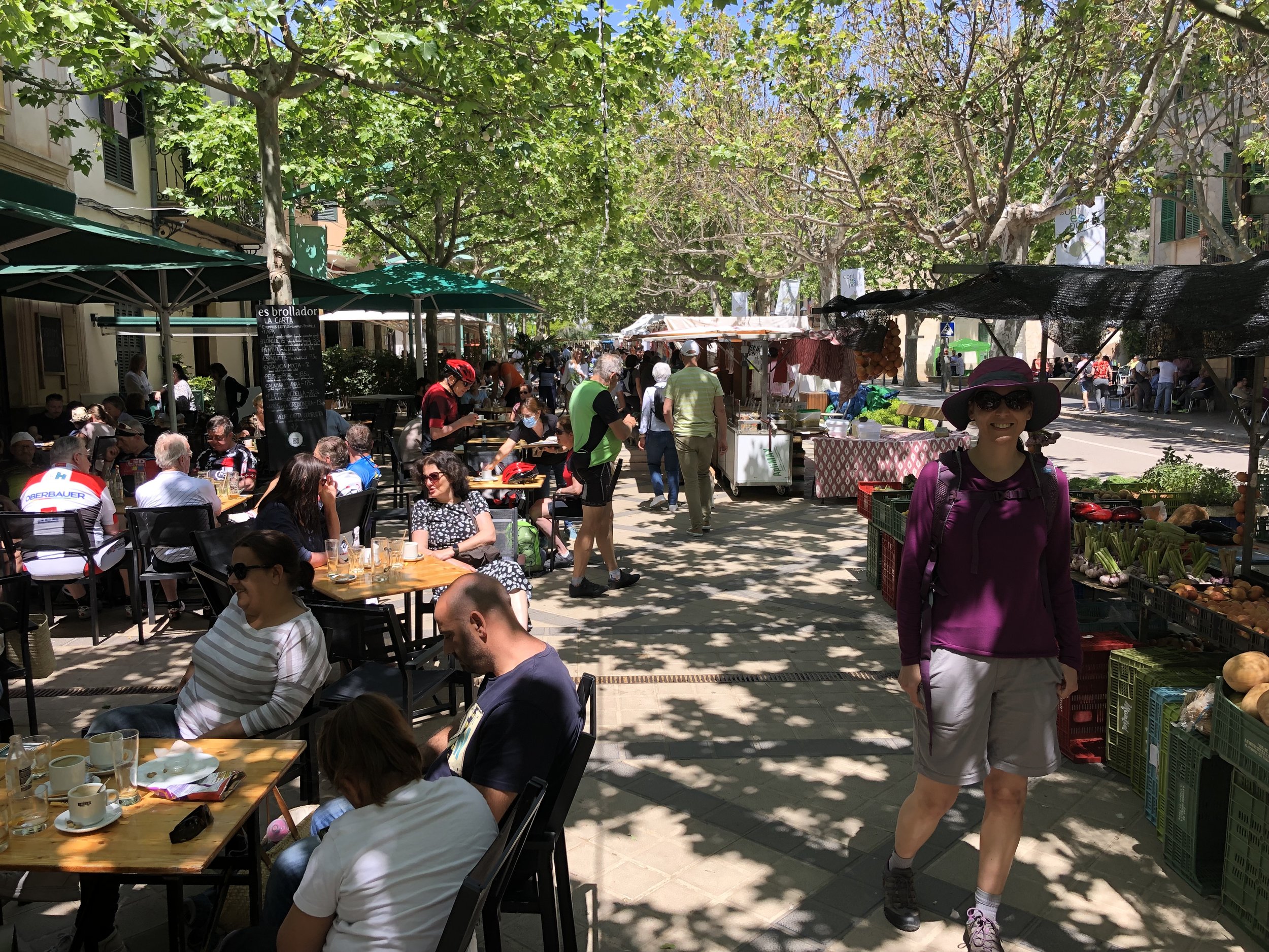
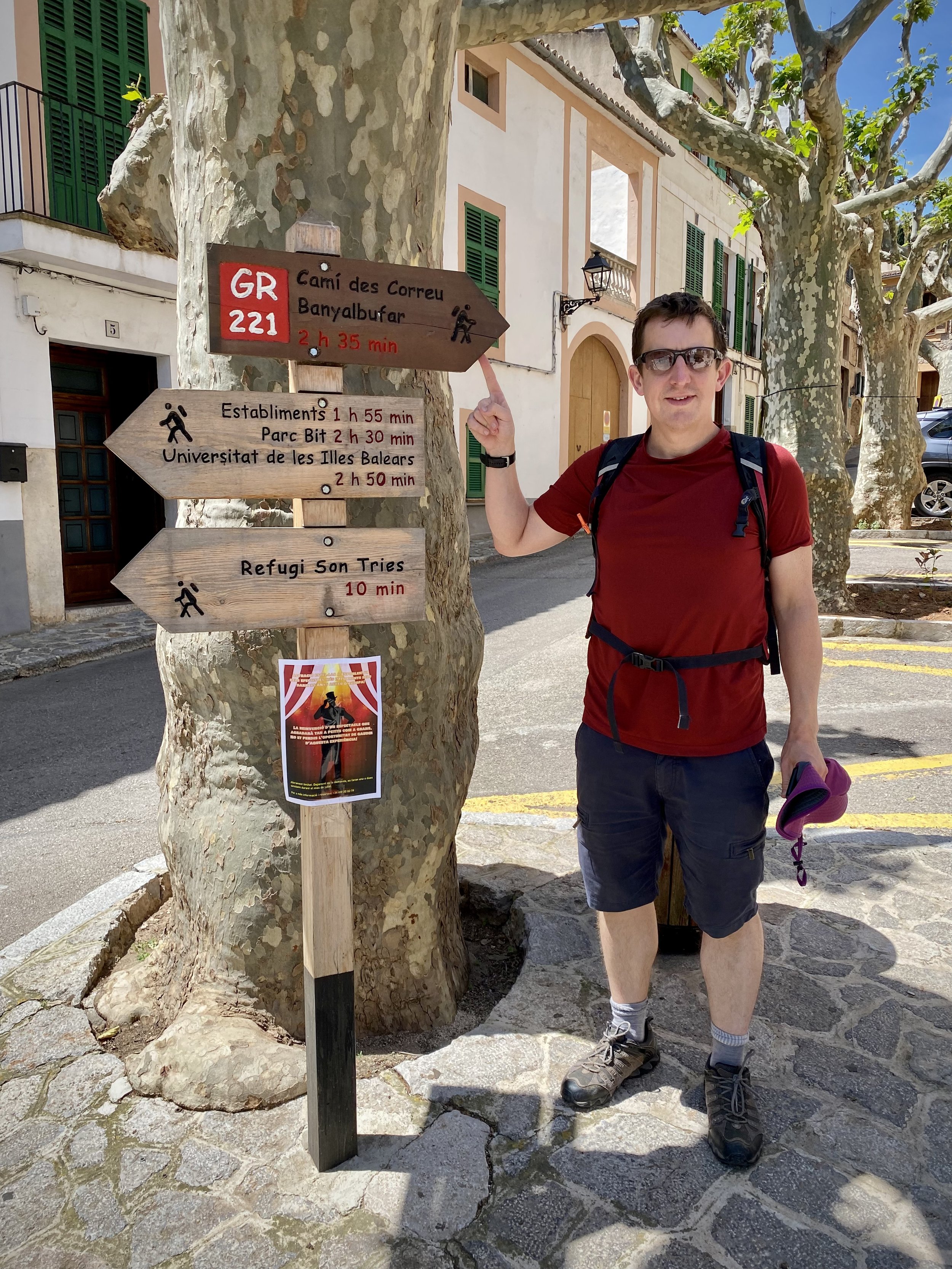
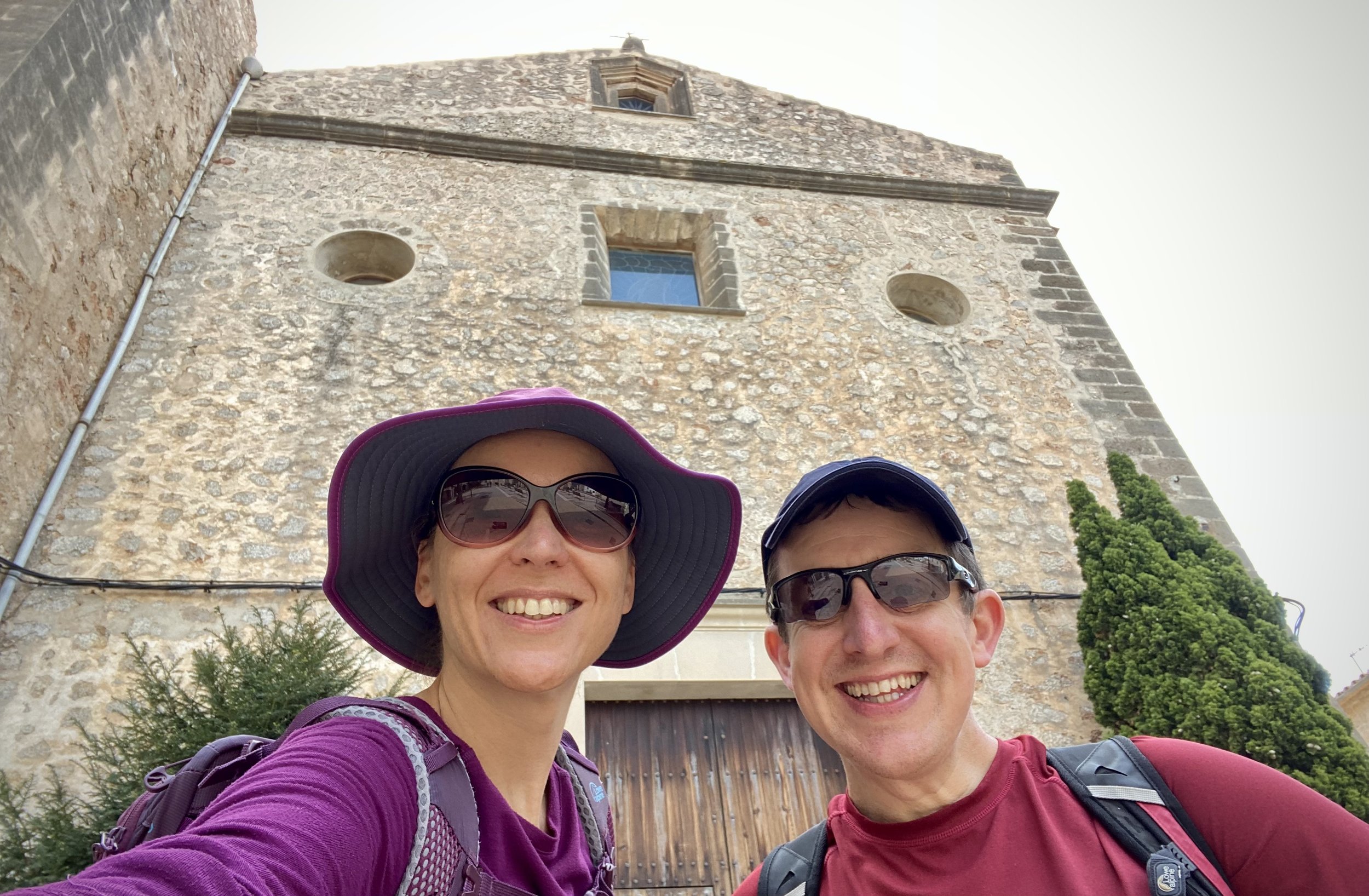
The start point of the trail is a short walk along the main street from the bus stop in Esporles. You’ll pass several cafes on the street, all of which were packed out with an unusual combination of cyclists and dog walkers. When you get to the church of Santa Maria de Banyalbufar you’re at the start of the trail.

This is actually part of a much longer trail along the Tramuntana Mountains called the Dry Stone Route (GR 221 Ruta de Pedra en Sec). If the short Postman’s Route section is representative, then it will be a very impressive trail and definitely one that I’d love to return for other sections.

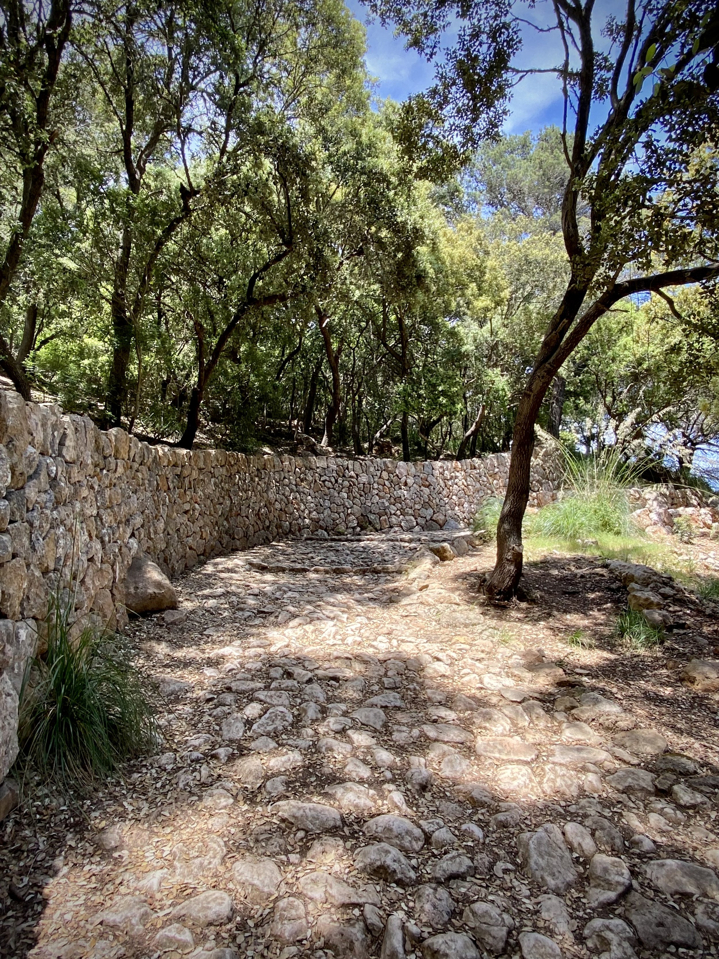
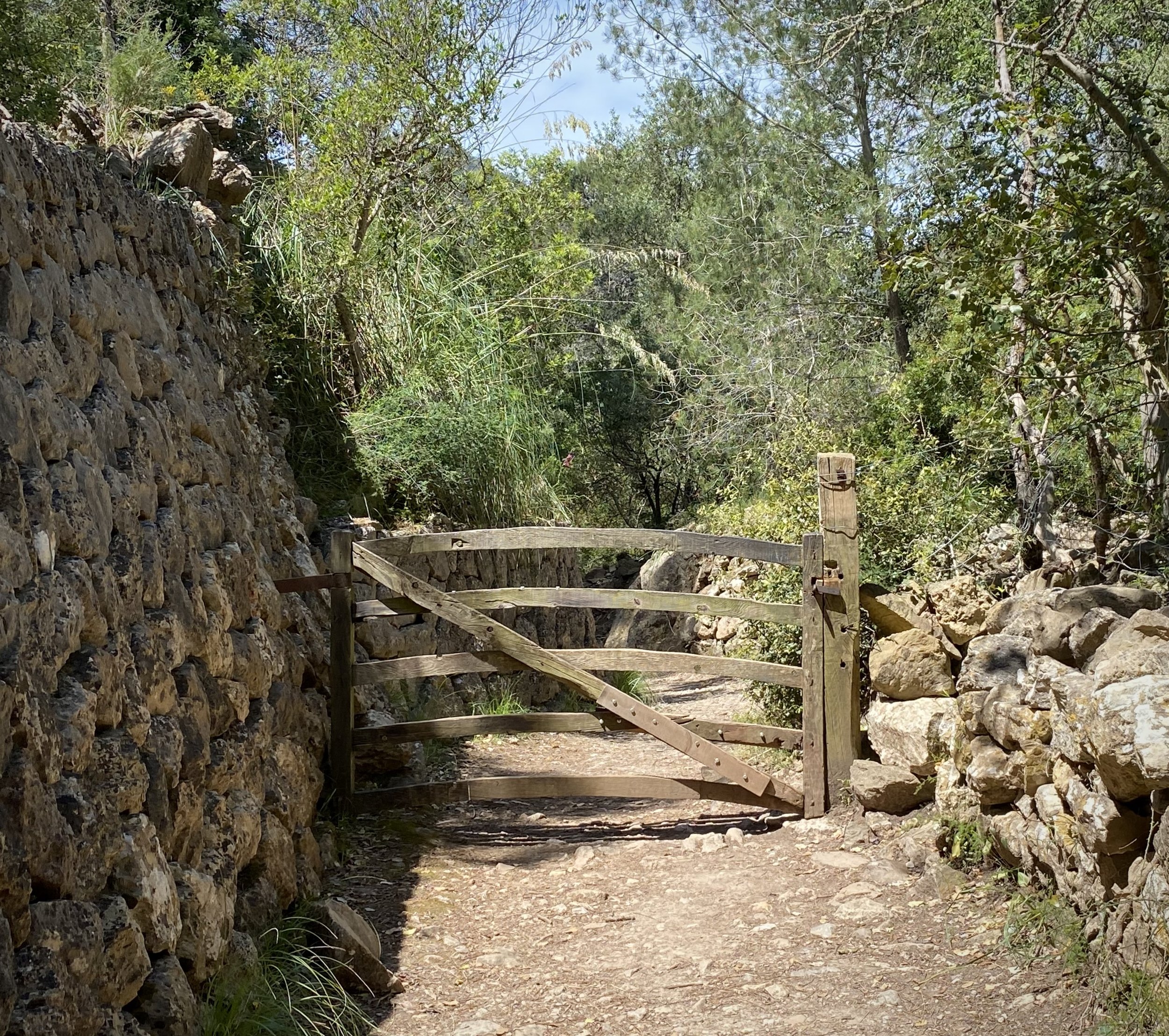
Once on the Postman’s Route, you’ll find it very well sign-posted and difficult to lose your way. It’s rocky and steep in sections but not overly challenging for regular walkers. Your main consideration should be taking enough water as there’s no cafes after La Granja.

The route is stunning and on a clear day you get glimpses of the mountains and the seas in breaks in the tree line. Once on the descent to Banyalbufar you get great views of the town and coastline.

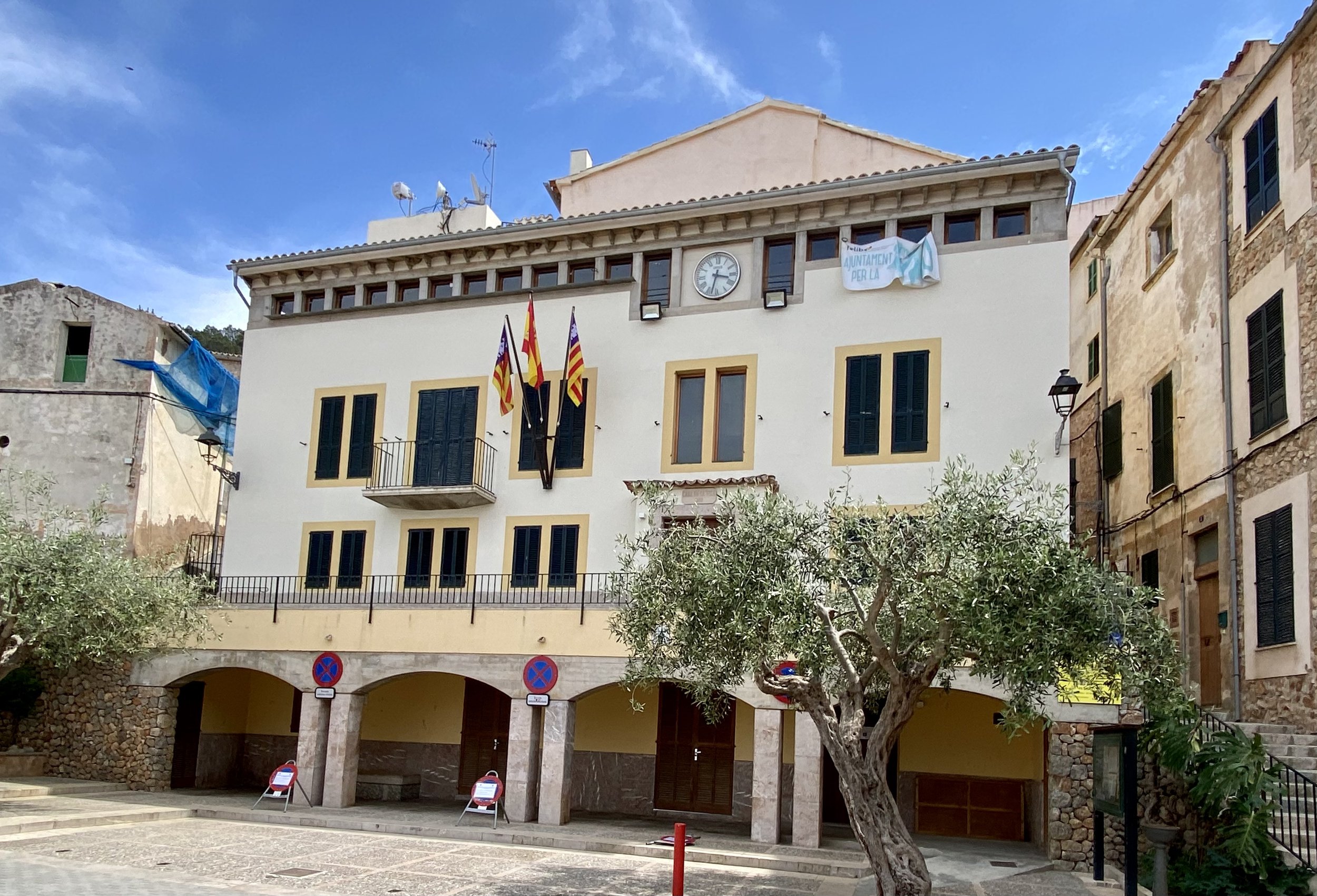
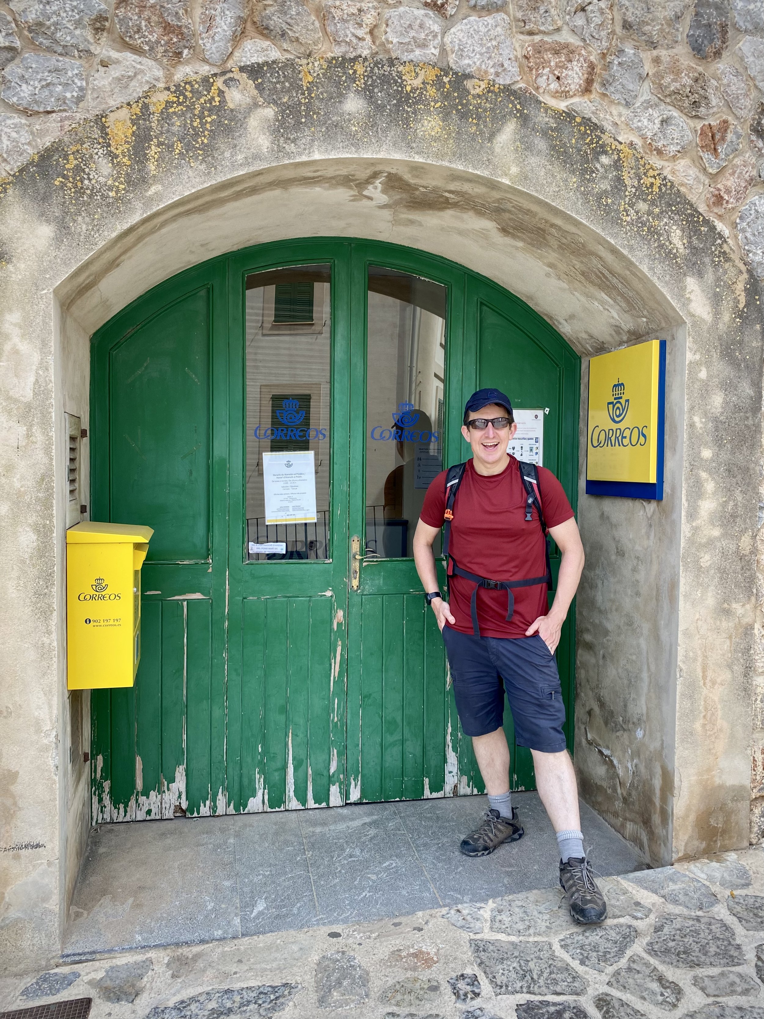
The route finishes at Banyalbufar Town Hall next to the Church of Santa Maria de Banyalbufar and, appropriately, the town’s post office. For an extra sense of completion you can continue for another 10 minutes to reach the sea.


Cuilcagh: Fermanagh and Cavan County Tops

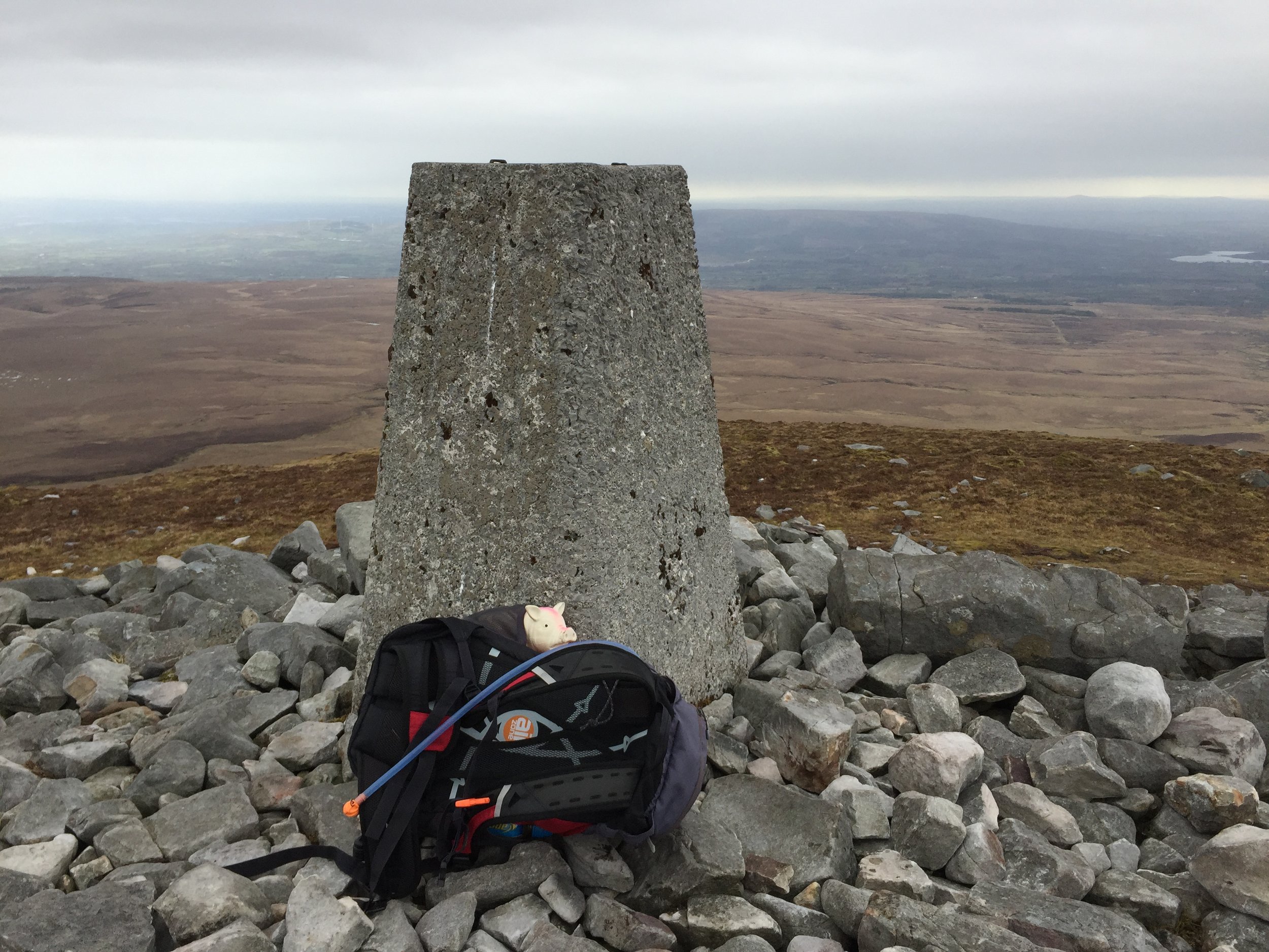
Cuilcagh summit


Also known as: Binn Chuilceach
Significance: 
Highest peak in County Fermanagh (Historic County Top)
Member of: Marilyn, Hewitt
Parent Peak: TBC. Nearest Higher Neighbour: Croaghgorm
Elevation: 666m
Date climbed: May 4th 2016
Coordinates: 54.2017° N, 7.8123° W


Route Start / End: Cark park at Cuilcagh Mountain Park
Route Distance: 13.5 km (8.4 miles)
Route Elevation Change: +/- 897m
Subsidiary tops on route: None
GPX File: get via Buy Me a Coffee
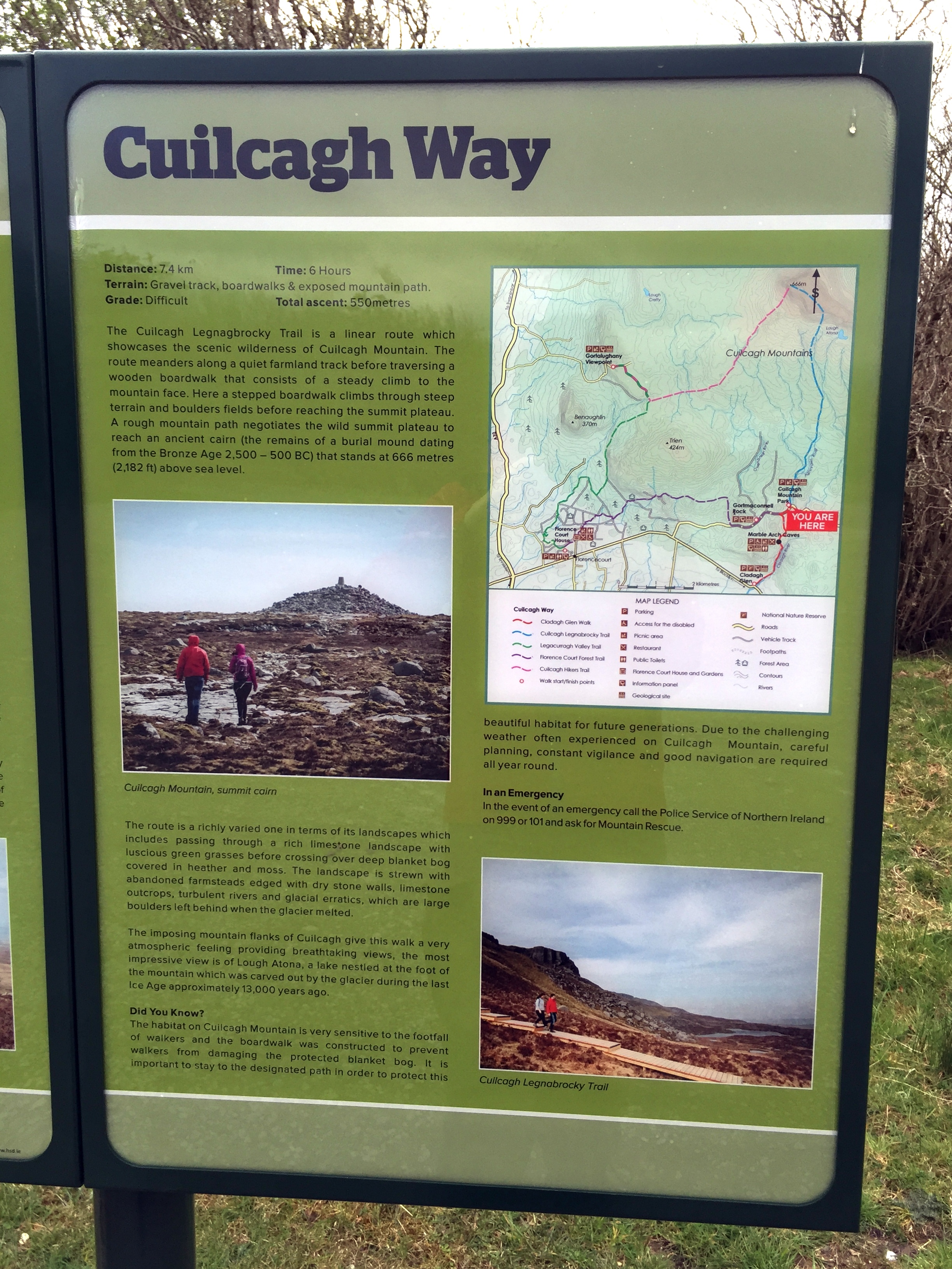
Other routes touched (walk): Cuilcagh Way
Other routes touched (cycle): None
OS Trig Pillar: TP7344 - Cuilcagh
Guidebook: The UK's County Tops (Jonny Muir)
Links: Wikipedia (County Fermanagh), Wikipedia (Cuilcagh), Peakbagger, Hillbagging


This trek was part of a tour of the Historic County Tops of Northern Ireland that Timea and I did in May 2016. Cuilcagh would be the first of the 2 more challenging County Tops of the trip. Timi decided to have a spa day at the hotel so I headed out on my own.
The start is near the Visitors' Centre for the Marble Arch Caves, part of the UNESCO Geopark that covers a lot of the surrounding area. The Visitors Centre sells maps which was pretty handy I'd found that OS maps of Northern Ireland pretty hard to find. From the Visitors Centre, turn right out of the car park and you'll see the car park for the Lenocky Trail very shortly on the left hand side.

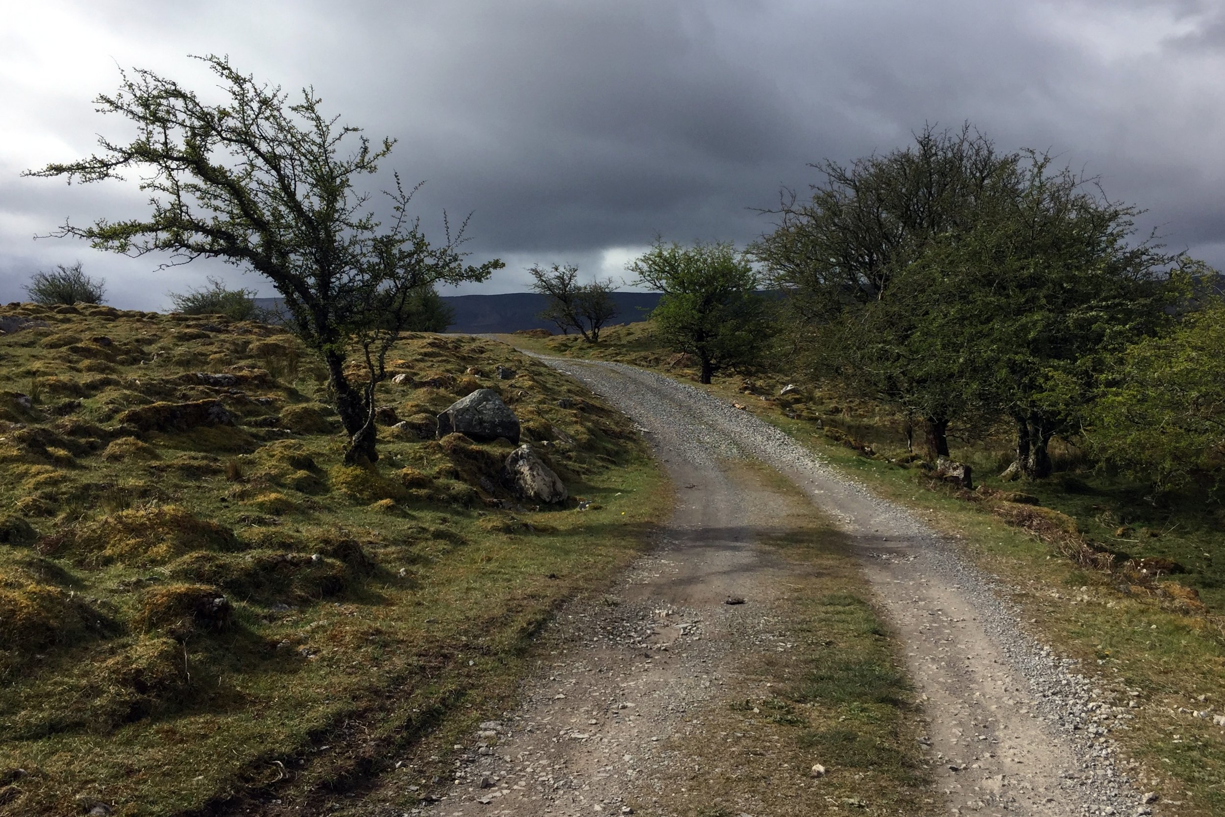
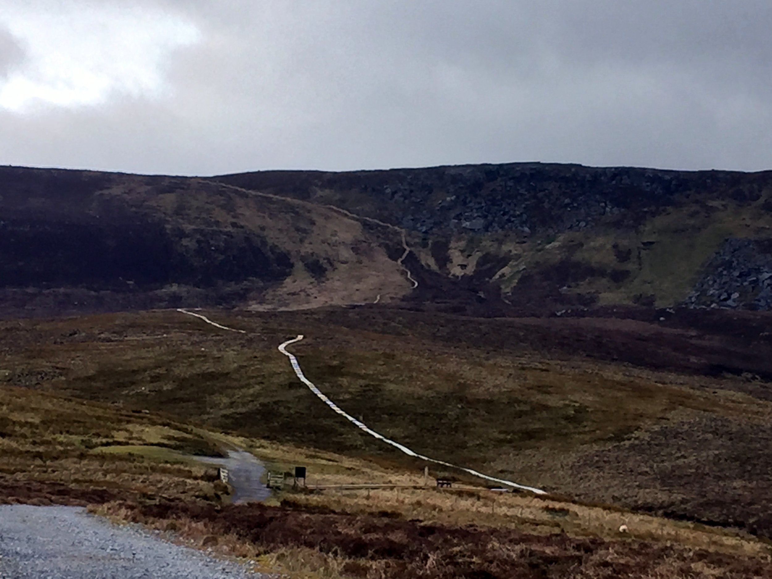
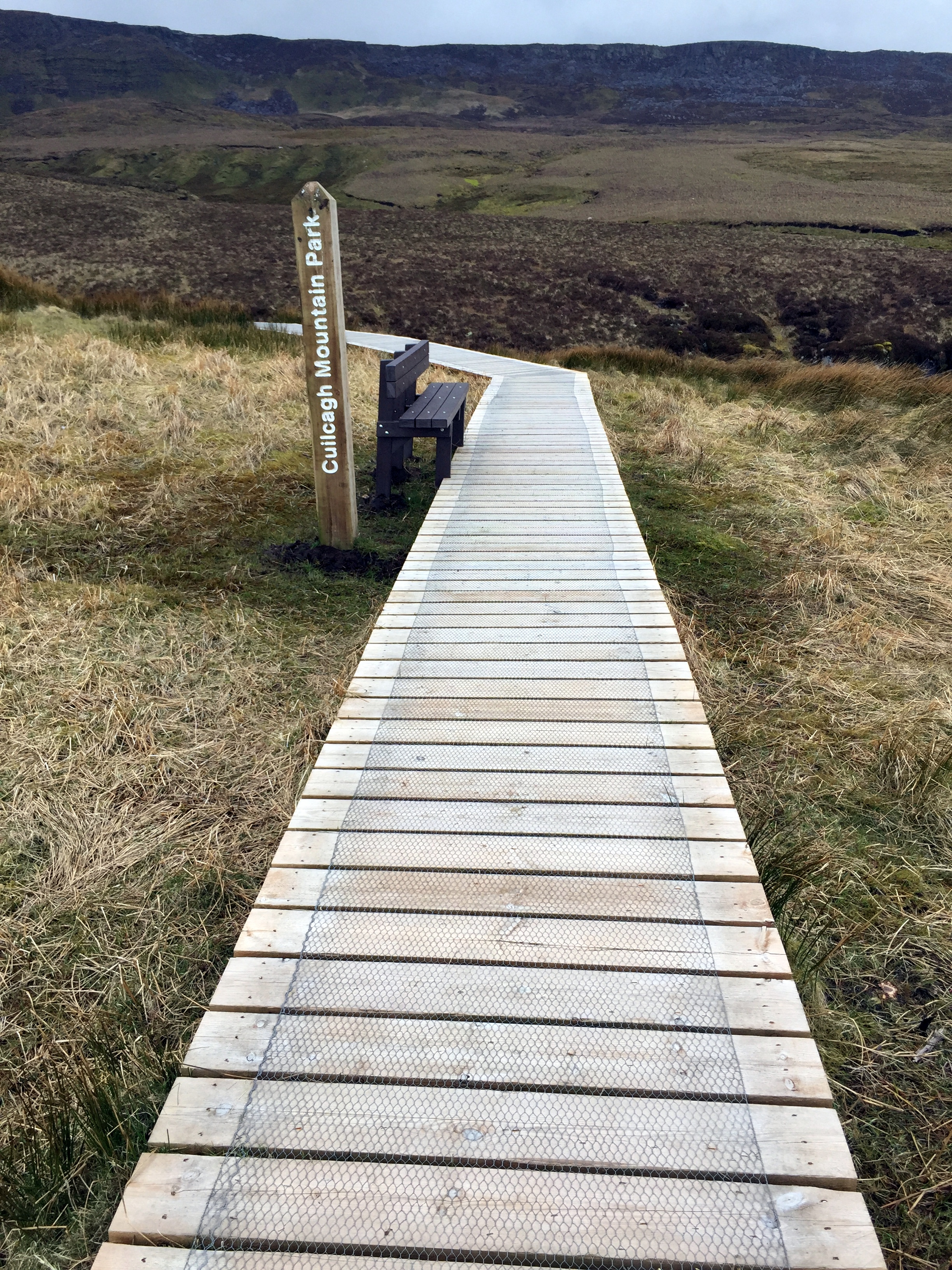
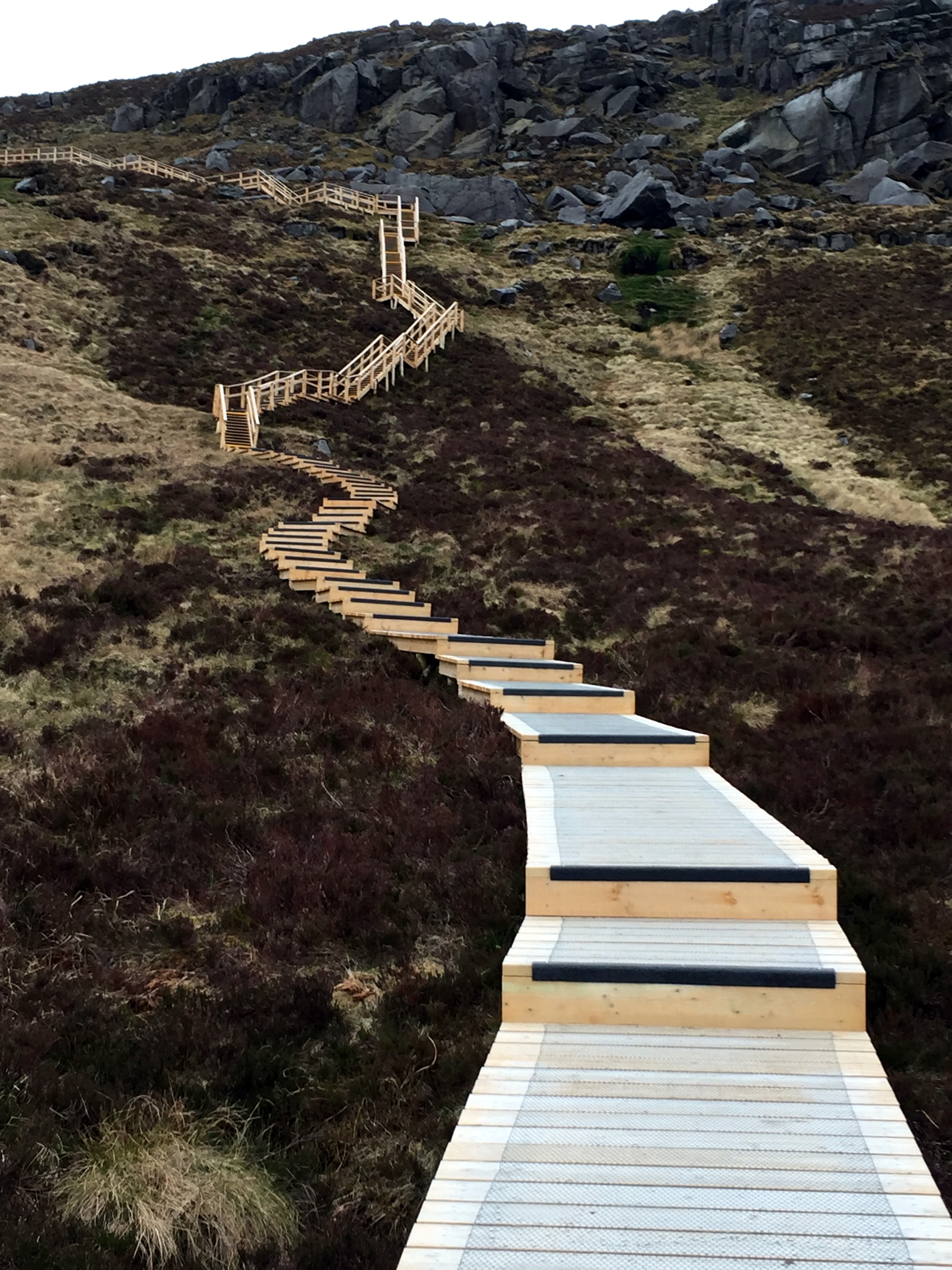
The walk starts along a well maintained farm track heading South towards the mountain. You only have to walk a few minutes before Cuilcagh and the route to it are fully visible. The first 2.5 miles are a very gentle gradient along this track, making it pretty straightforward for most walkers. The next section is a wooden Boardwalk which looked like it had been recently made. It is raised by about half a metre to protect the ground underneath. This also makes the next half mile section significantly easier. At the step section leading up the cliffs the boardwalk turns into a well constructed staircase with railings to hang onto.

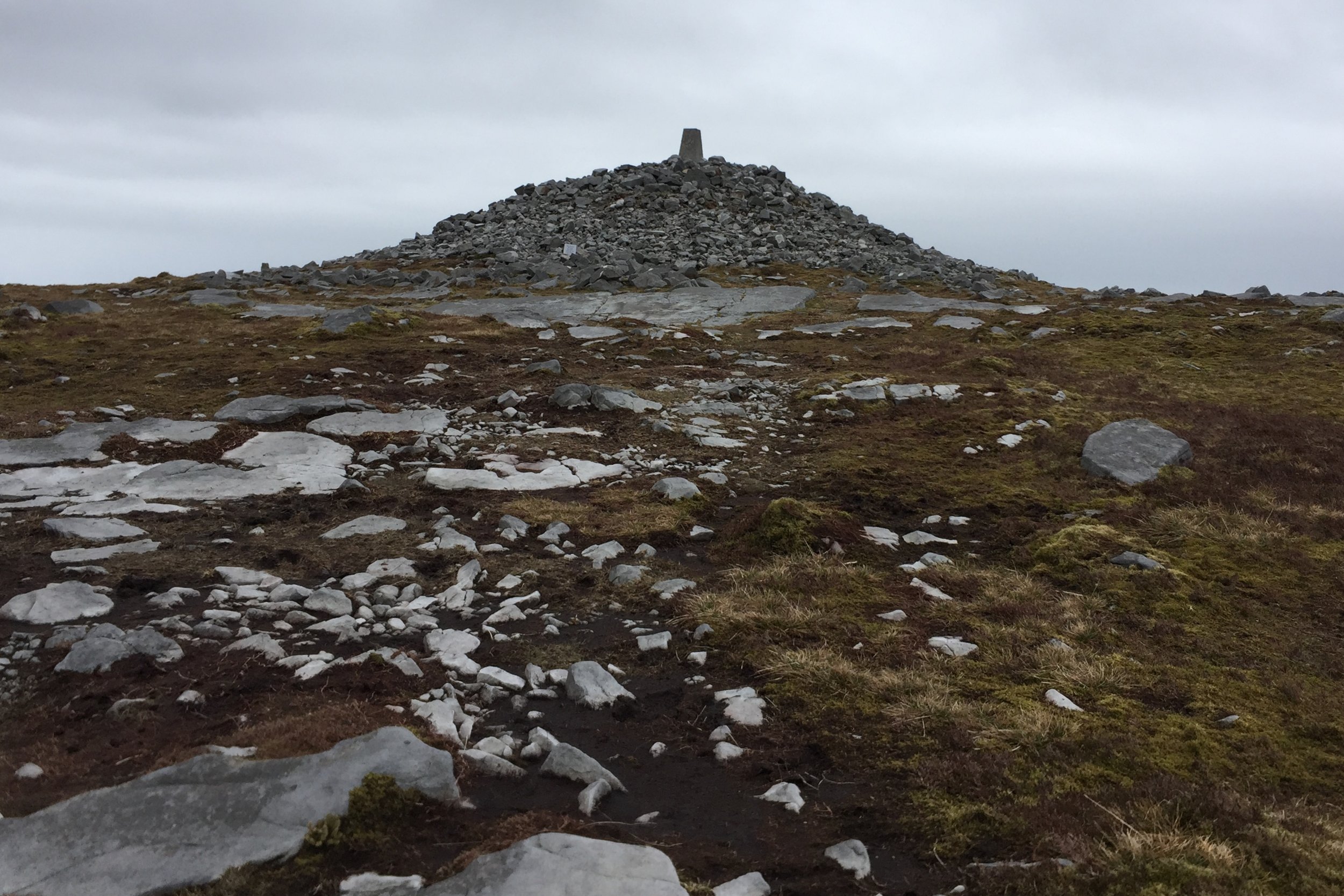
The boardwalk ends at the plateau and from there the summit is about 800m further. Up to now the navigation had been extremely simple, but this next section requires some care, especially in poor visibility. If you are using a GPS device, as I was, I recommend marking a waypoint at the top of the boardwalk. The top is just under the ridge and you can't see it until you get right to the edge and look down.

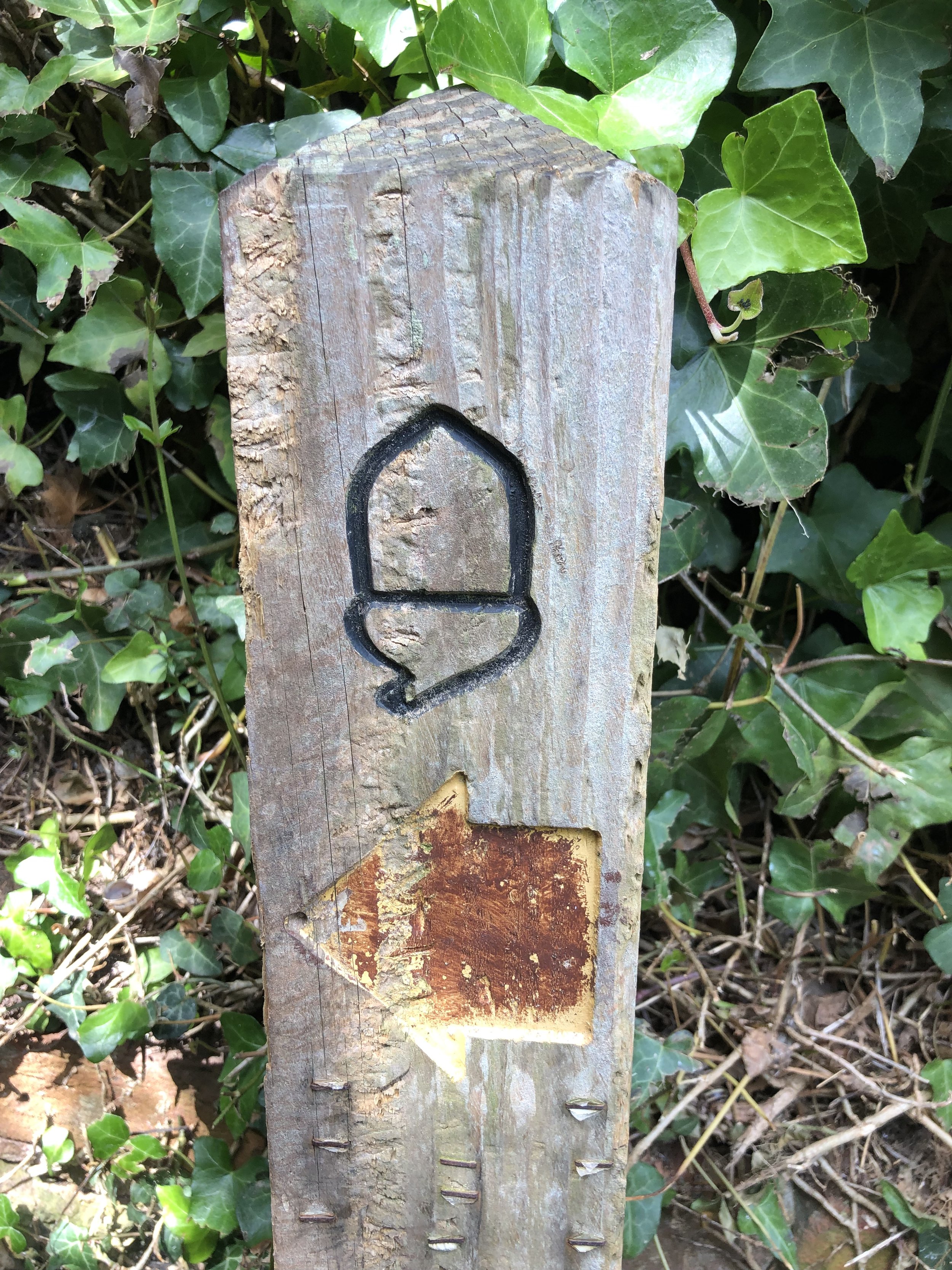
As the boardwalk ends, the trail heads across rocks and peat and is occasionally marked by the Cuilcagh Way's yellows leaf insignia, painted on some of the larger rocks. About half way on this section you'll reach a fence with a small opening. Through here turn left and follow the fence for about 50 metres then the summit will come into view directly ahead of you.

The summit is a Trig Point built up on a mound of rocks. It's rare that I can see much at all from the tops, but today was clear and I could see for miles across both Northern Ireland and the Republic. Cuilcagh sits right on the international border and is the County Top for both Fermanagh in the UK and Cavan in Ireland. The border is not marked so I had to use a combination of my Garmin and Google Maps to make sure I'd walked across both countries at the summit.

The way back was simple, especially as the visibility was good. This is the point to use the GPS waypoint to find the top of the boardwalk. Just after the boardwalk ended and I'd got back on the farmers track I saw the first signs of other people. Up til now I'd been on my own, and we didn't see anyone at all on the Trostan and Sawel treks. I'd been wondering if trekking is just not as popular in this area as treks like these on the mainland UK would attract many more people.