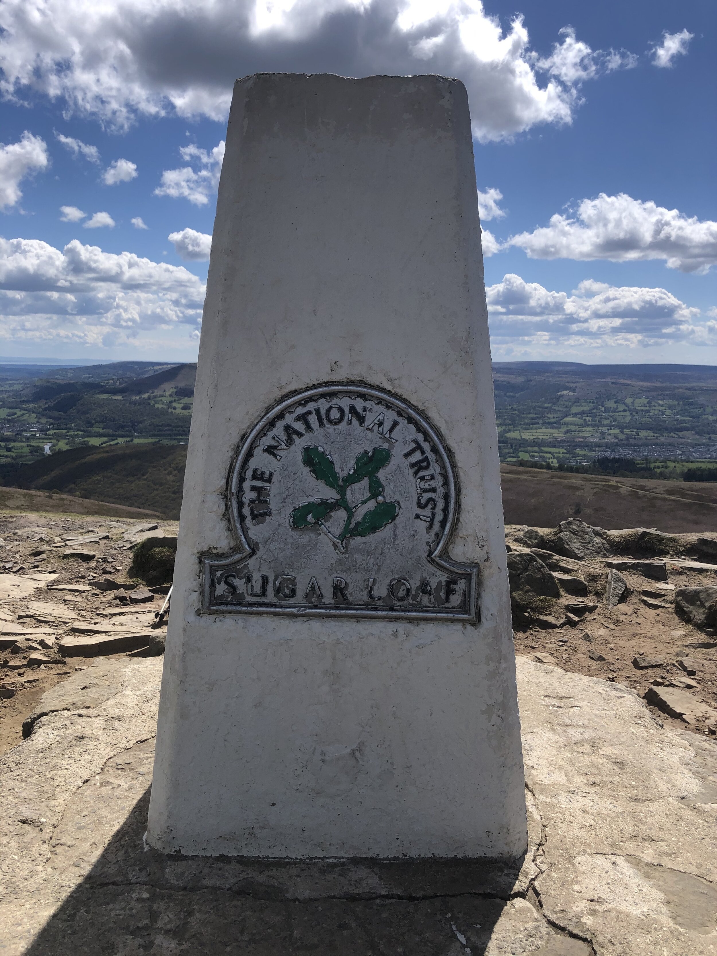
Sugar Loaf

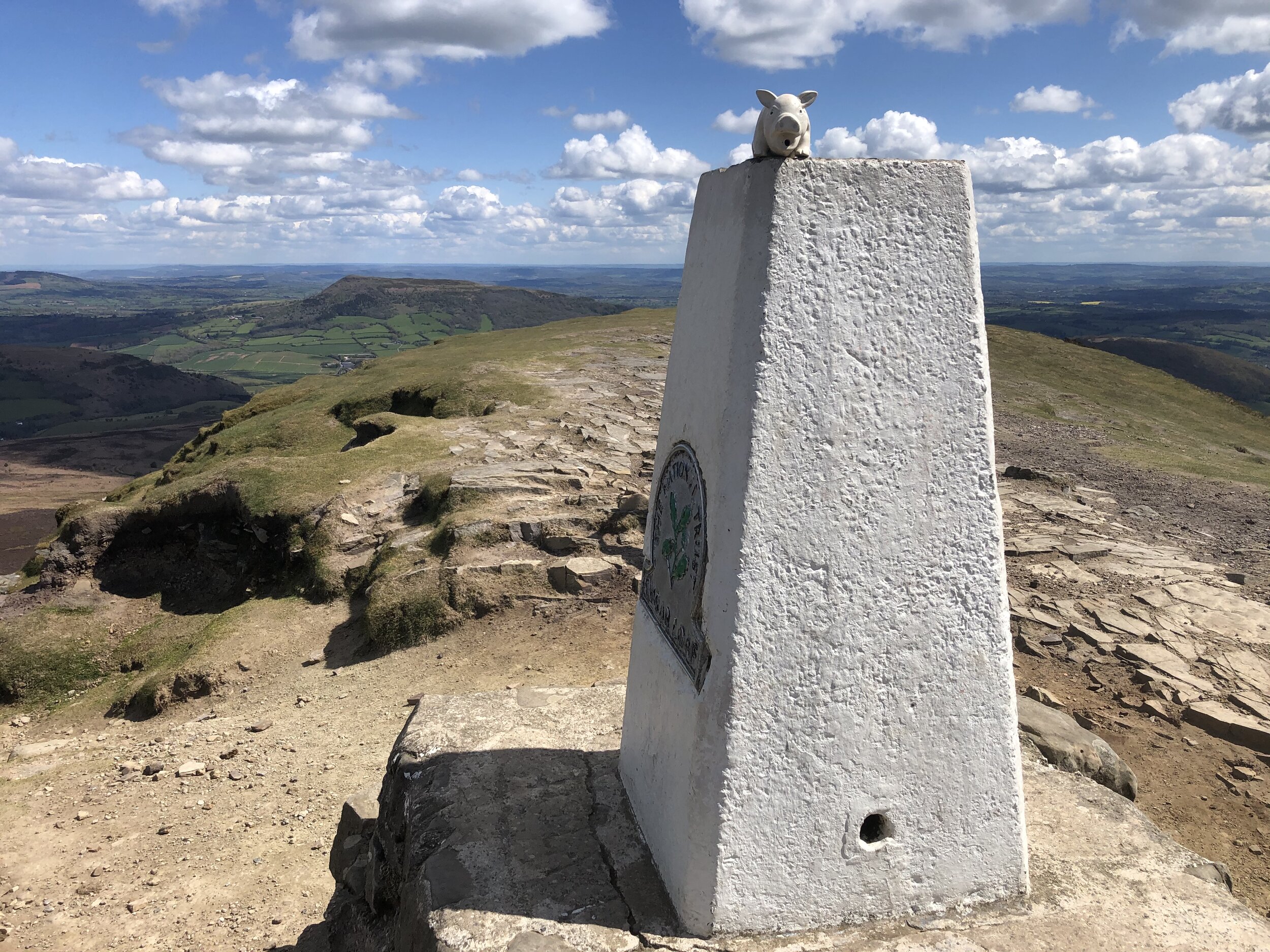
Trig Pillar at the top of Sugar Loaf
Member of: Marilyn
Parent Peak: Waun Fach
Elevation: 596m
Date climbed: 6th May 2021
Coordinates: 51° 51' 46'' N, 3° 3' 28'' W
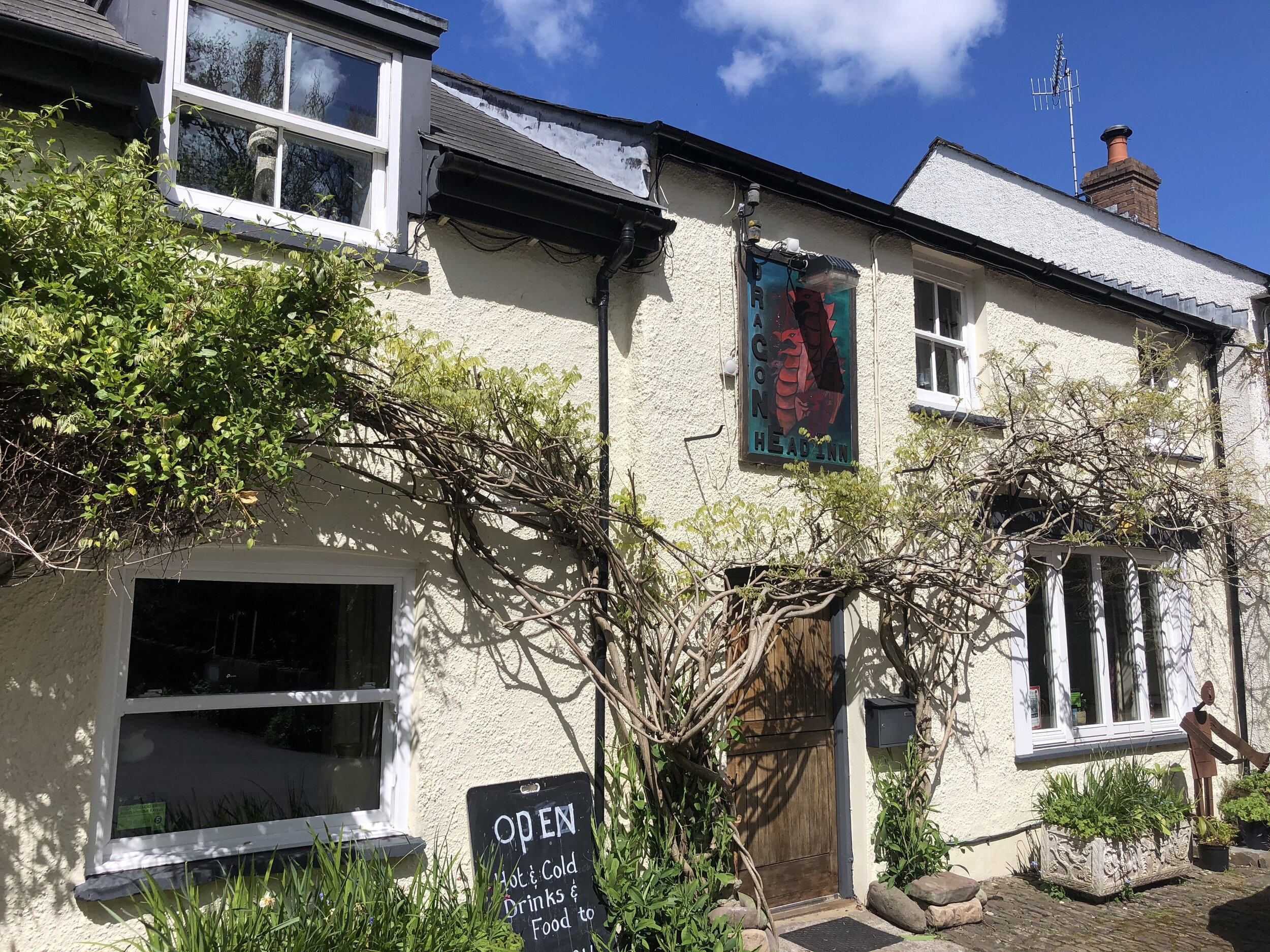
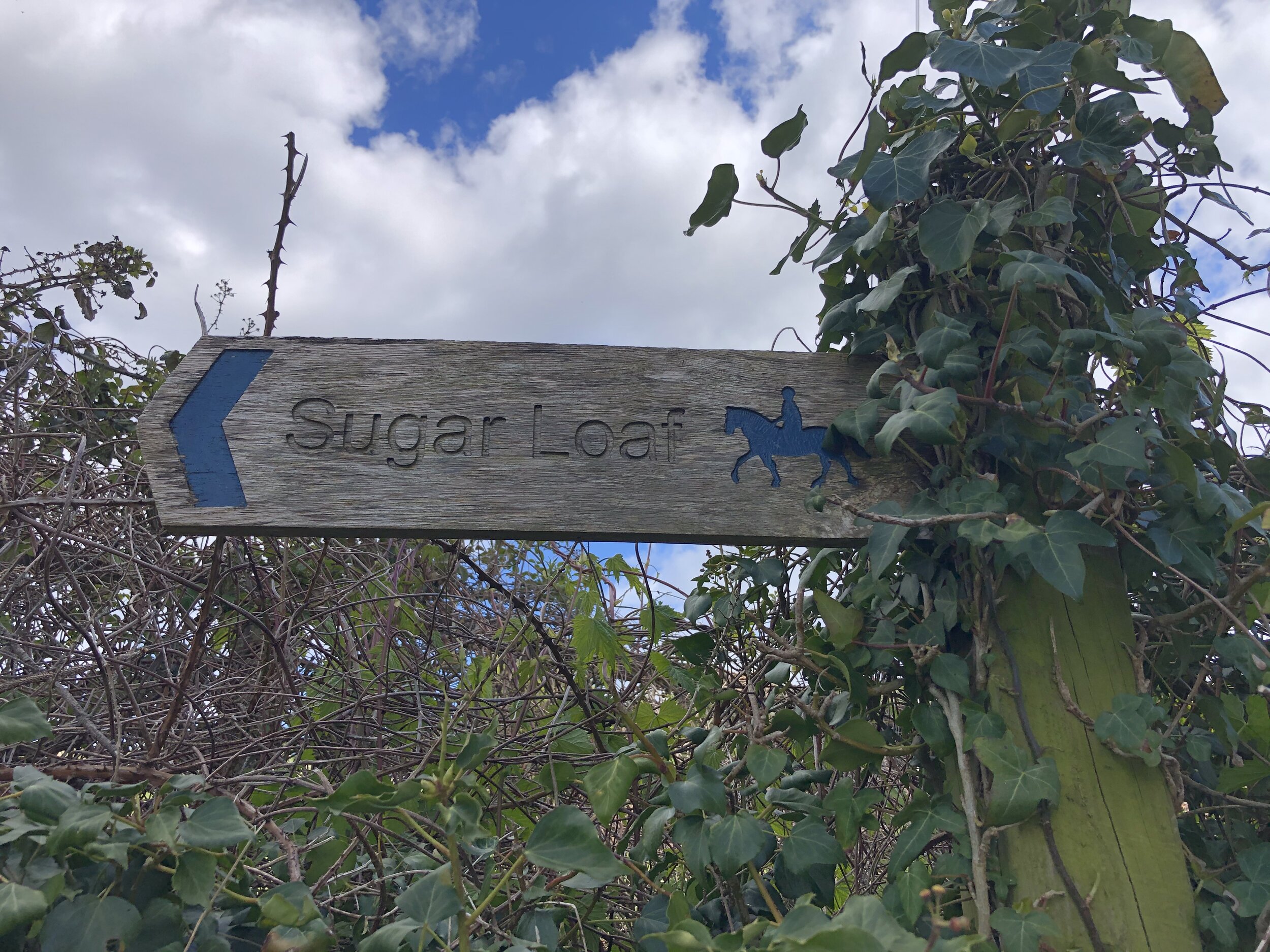
Route Start & Finish: The Dragons Head pub, Llangenny, Crickhowell, NP8 1HD
Distance: 8.7 km (5.4 miles)
Elevation change: +/- 502m
GPX File: get via Buy Me a Coffee
Other routes touched (walk): None
Other routes touched (cycle): None
Other pubs / Cafes on route: None
OS Trig Pillar: TP6243 - Sugar Loaf
Map: OS Explorer OL13 Brecon Beacons National Park - Eastern area
Links: Wikipedia, Peakbagger, Llangenny
This was the second of three trig-bagging walks in the Black Mountains on a spring trip to the Brecon Beacons. We were on the last day of good weather before a long stretch of rain so we picked this one based on recommendation from a friend who lives nearby.
Many people start their Sugar Loaf trip from Abergavenny and there’s lots of footpath options between the town and the summit. The approach from Llangeny is a great alternative, especially if you’re travelling there from the North or West.
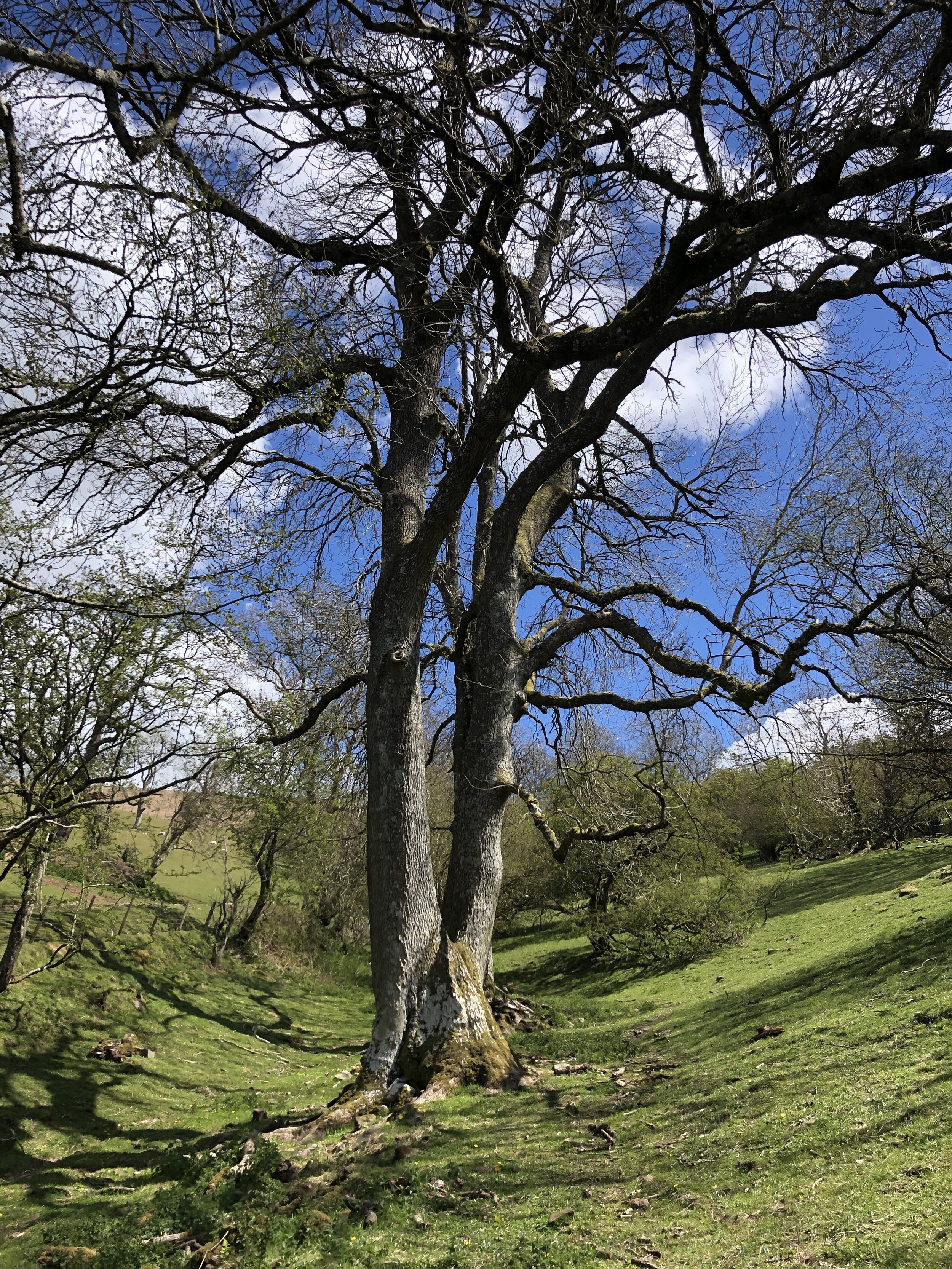
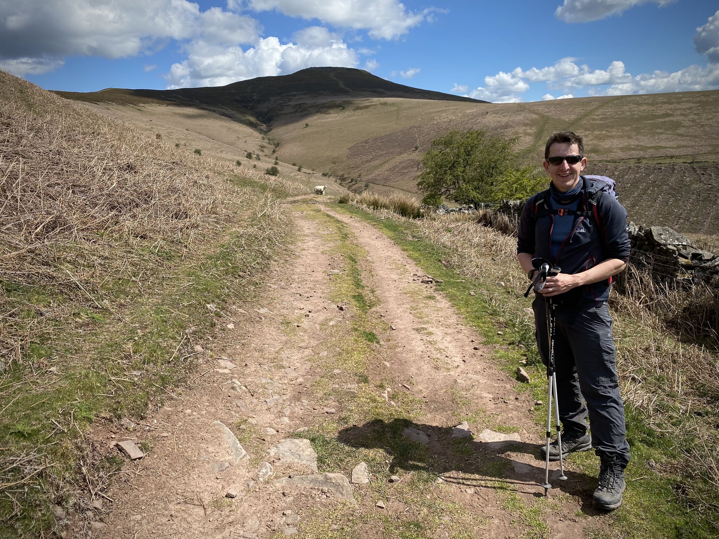
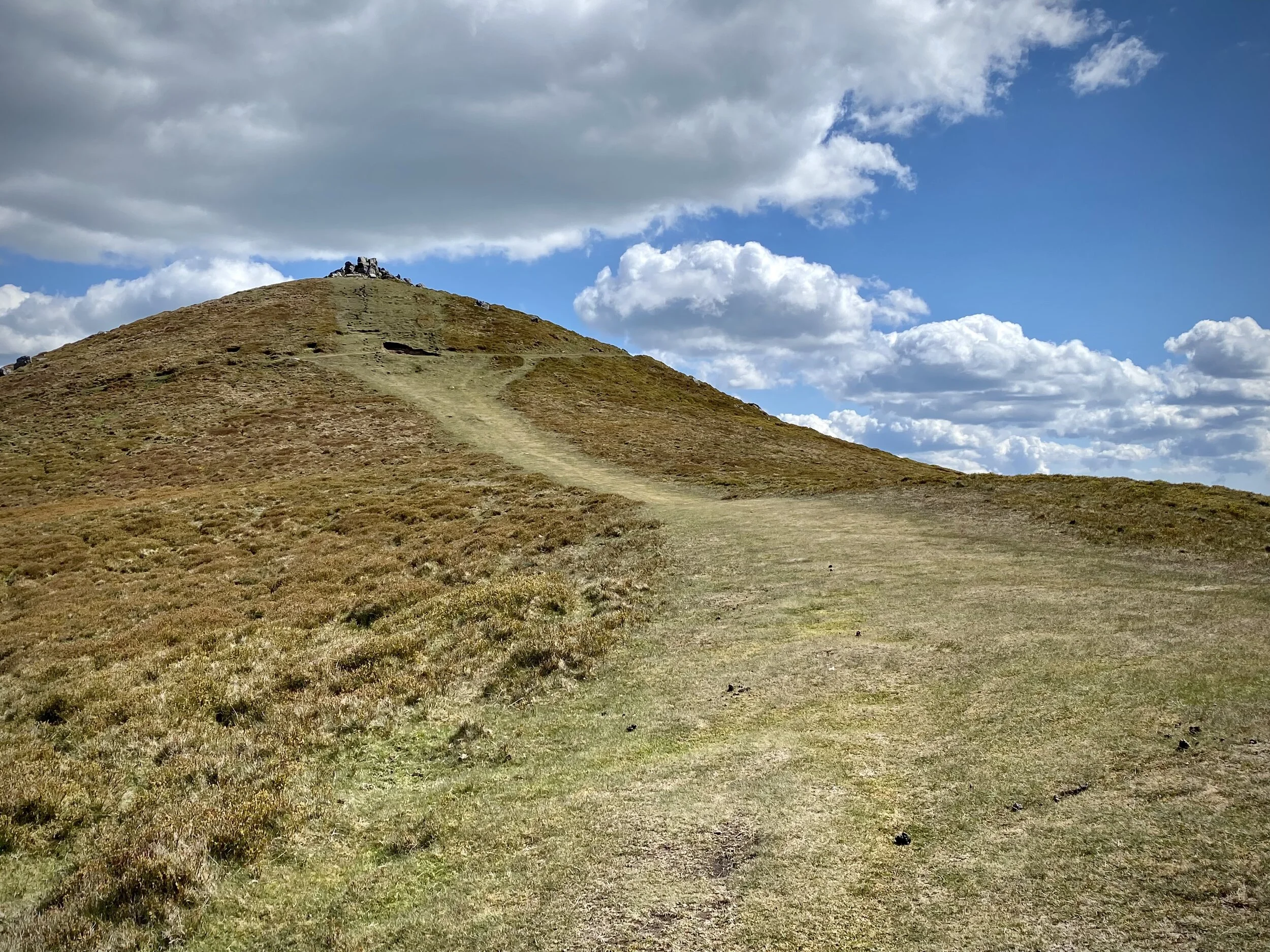
From the Dragon’s Head car park, cross over the (river) Grwyne Fawr, taking a left on the road that runs parallel to the river. Take the first road on right and walk up the hill in a north-easterly direction. After ~1.25 km from the start continue along the footpath through a farm rather than keeping on the road that curves to the right. Once past the farm you’ll follow the edge of a field upwards towards a path T-junction. Take a right here heading south. This path will curve round the brow of a hill before heading north east up to the summit of Sugar Loaf.
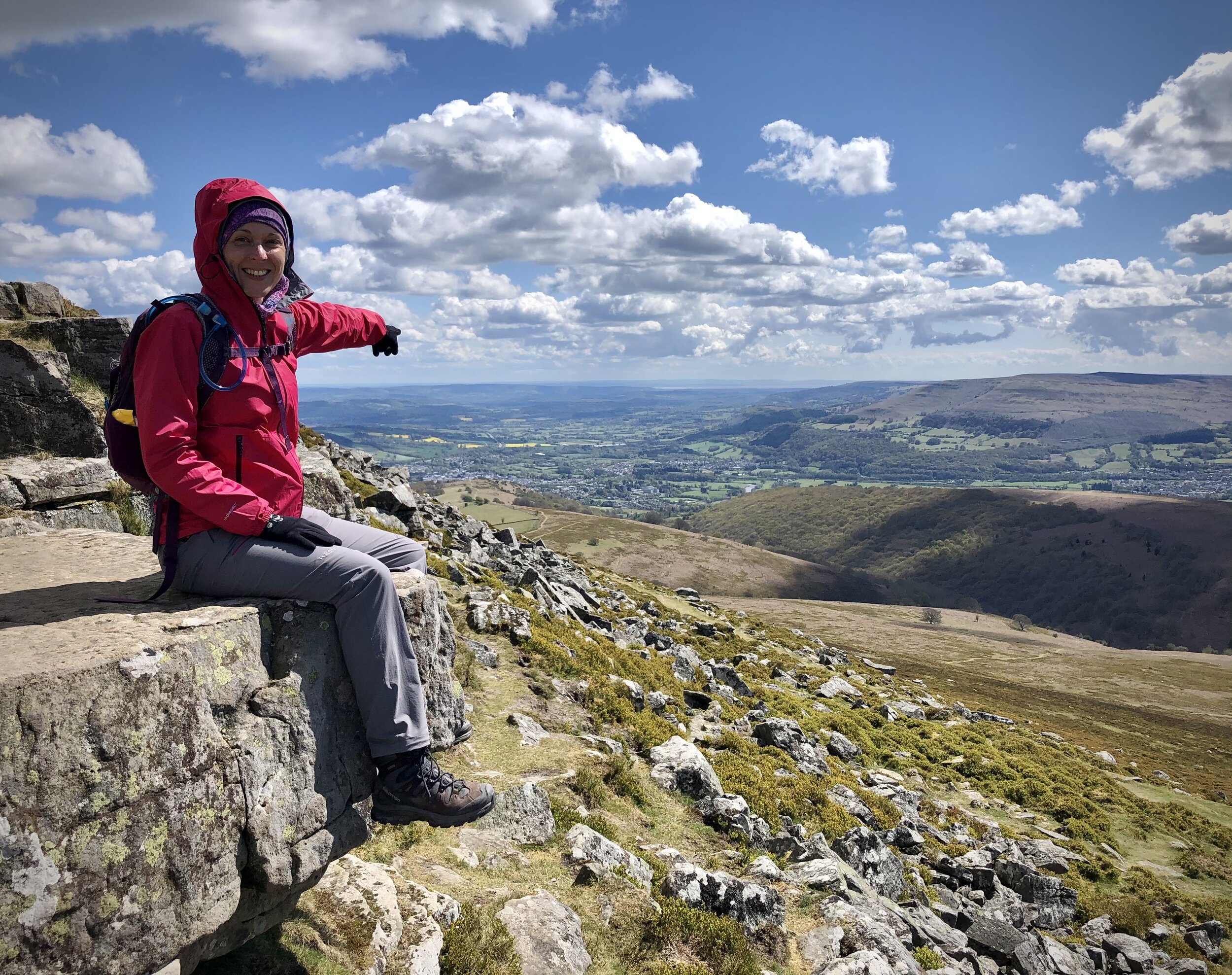
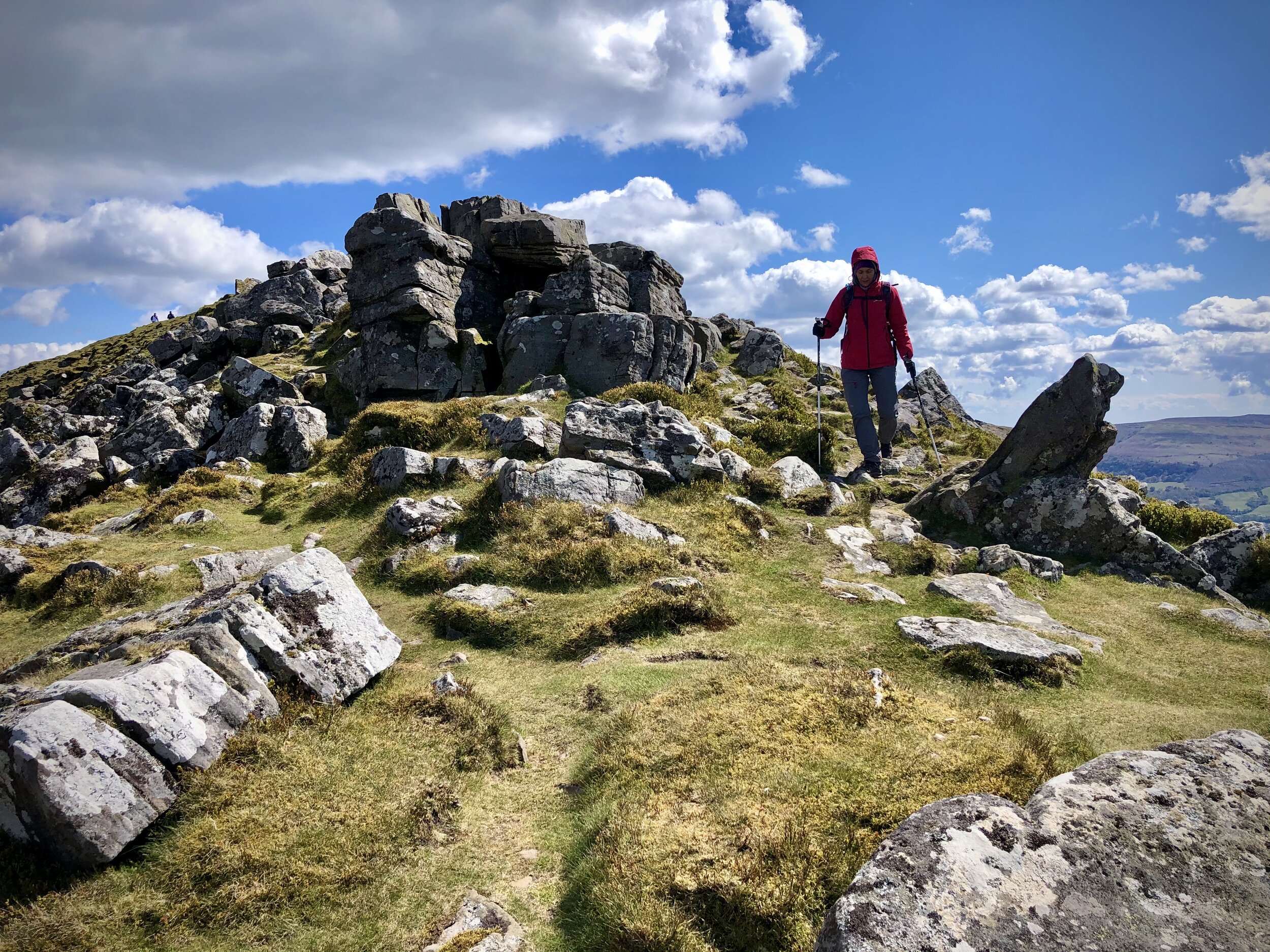
On a clear day the views from the summit are excellent so it’s worth spending a bit of time there to take it all in. To return to the start, take the north-westerly path which curves round to the west. After 3km from the summit the path enters a farm where you’ll take a right onto the road. Soon after this take a left onto another road, another left at the end and continue to the junction where you’ll meet your earlier route up. Take a right here and retrace your steps to the bridge then the Dragons Head pub.