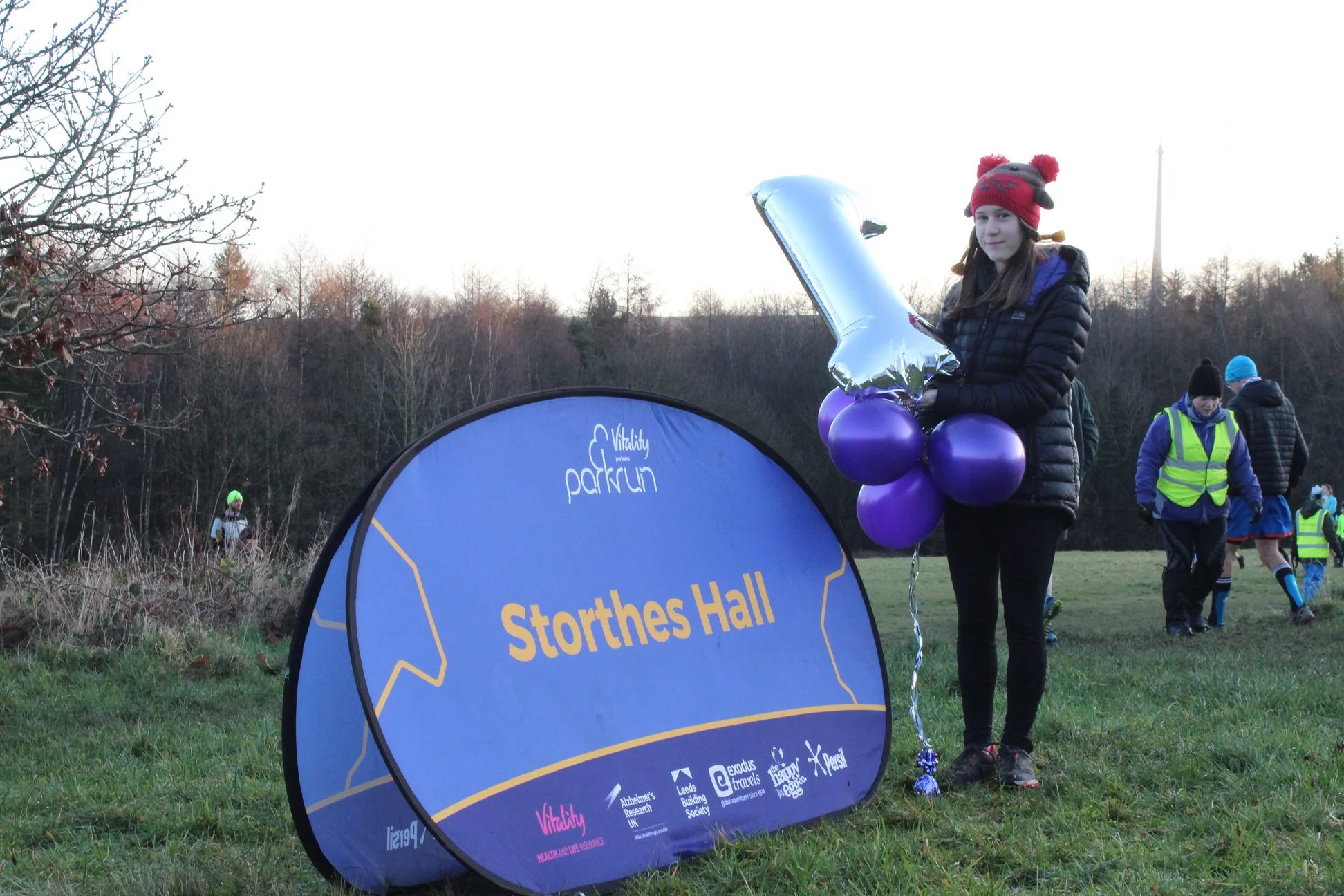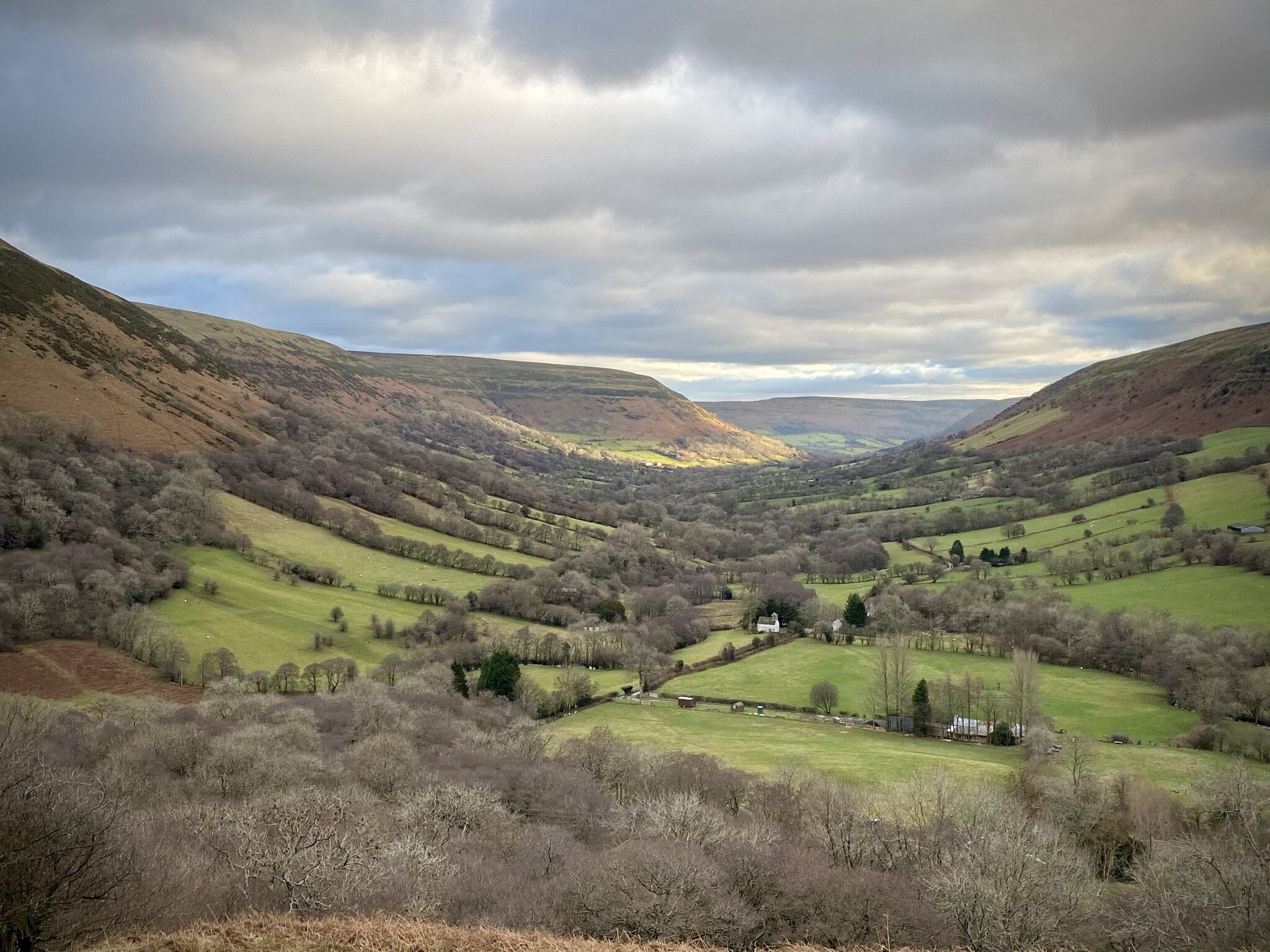
There are currently 61 parkrun events in Wales of which I have completed 5. The first Welsh event was Cardiff which started on February 16th 2008 and the newest is Llwybr Dyffryn Tywi, Nantgaredig which started on April 11th 2026. The name for having completed all parkrun events in Wales is “Plugged The Leek”.
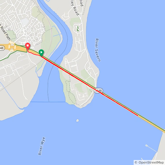
Severn Bridge parkrun’s start and end are in Monmouthshire, Wales. However the course extends into Gloucestershire, England.
Three 5k parkrun events in Wales have been permanently cancelled: Bodelwyddan Castle, Caldicot and Llanelli Coast. Each has been replaced by other nearby events.
Numbers exclude 2k Junior parkruns and any events that are not open to the general public such as prisons or armed forces facilities.
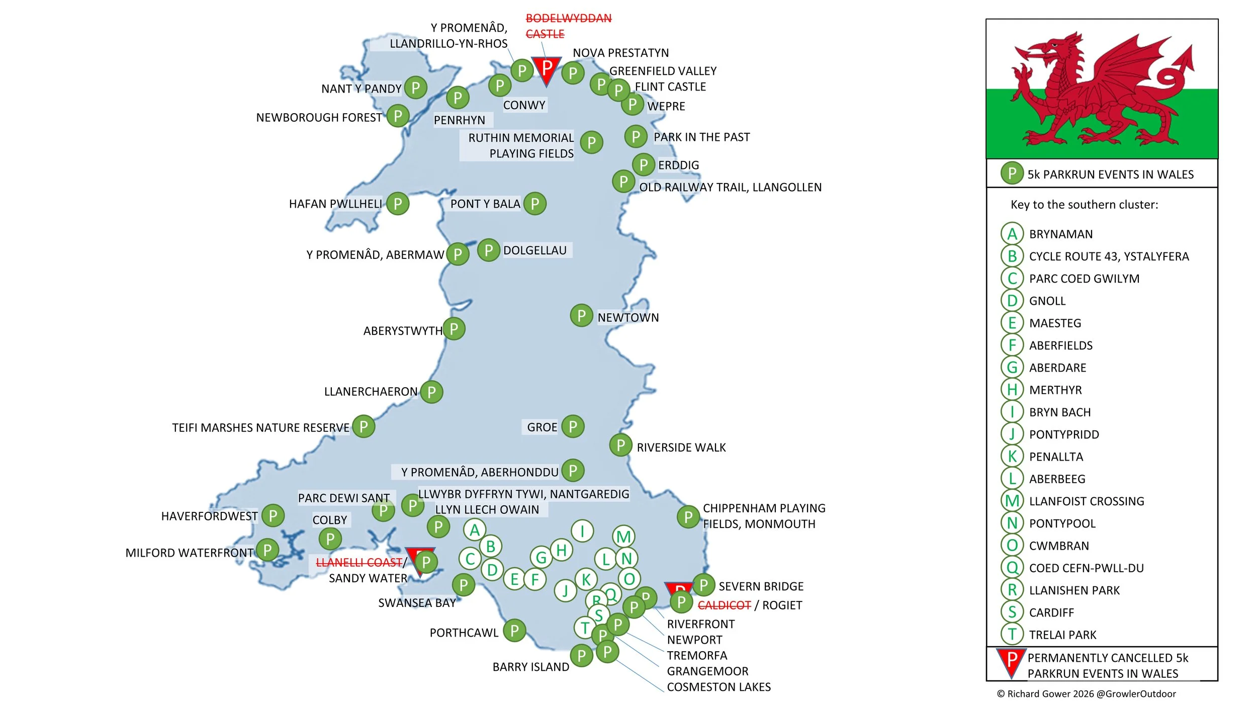
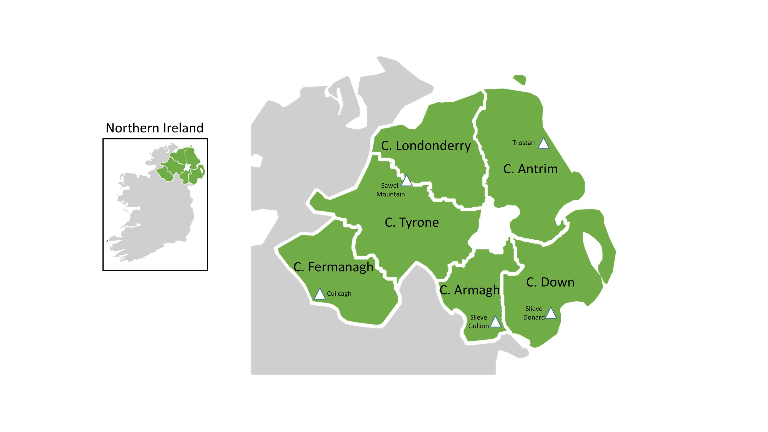
Welsh parkruns by County
If you’re exploring Welsh geography, the county names can feel a little tangled. Wales has layers of counties: some ancient, some administrative, some ceremonial, and they don’t all line up neatly. Here’s a clear guide to how the historic and preserved counties fit together.
The historic counties, with names like Glamorgan, Pembrokeshire, and Denbighshire, date back to the 16th century, when the Laws in Wales Acts (1535–1542) established them as the framework for local government, justice, and taxation.
They no longer have any official administrative role, but they remain deeply woven into Welsh life. People still use them for cultural identity, local geography, sporting organisations, and heritage. In many ways, these counties are the mental map that Wales still lives by.
The preserved counties are much more recent. They are based on the administrative counties created in 1974, when Wales underwent a major reorganisation of local government. Those 1974 counties, such as Dyfed, Gwent, and Clwyd, ran local services until 1996.
In 1996, another restructuring replaced them with today’s 22 principal areas. At the same time, the preserved counties were formally created to keep the old 1974 boundaries alive for ceremonial purposes.
Today, their role is narrow but important: they define the areas served by the Lord-Lieutenants and High Sheriffs of Wales. Beyond that, they don’t influence local government or everyday administration.
Glamorgan is the Welsh historic county with the most events at 19. Montgomeryshire has the least with 1 event.
Gwent is the Welsh preserved county with the most parkrun events at 12. Powys has the least with 4 events.
Cardiff and Gwynedd are the principal areas with the most parkrun events at 5 each. Merthyr Tydfil and Wrexham have the least with 1 each
All of the Welsh parkrun events …
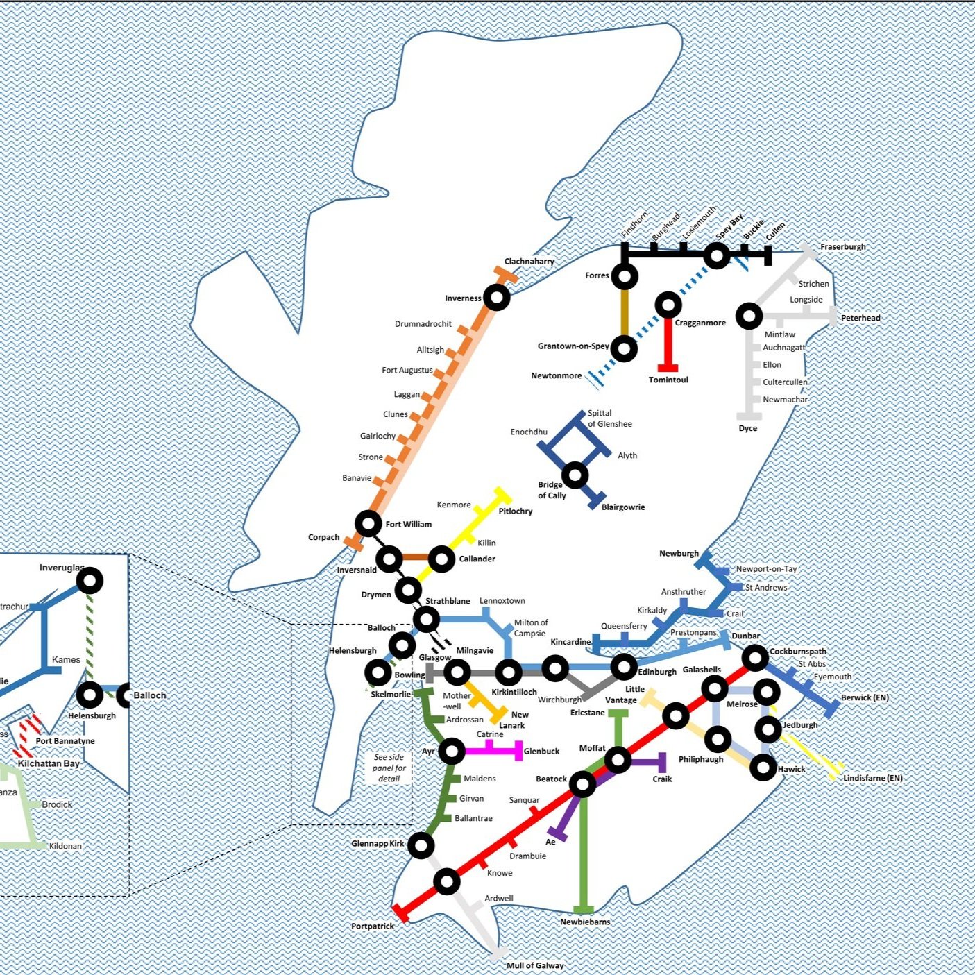
Below are each of the Welsh parkrun events in alphabetical order. A few things to note:
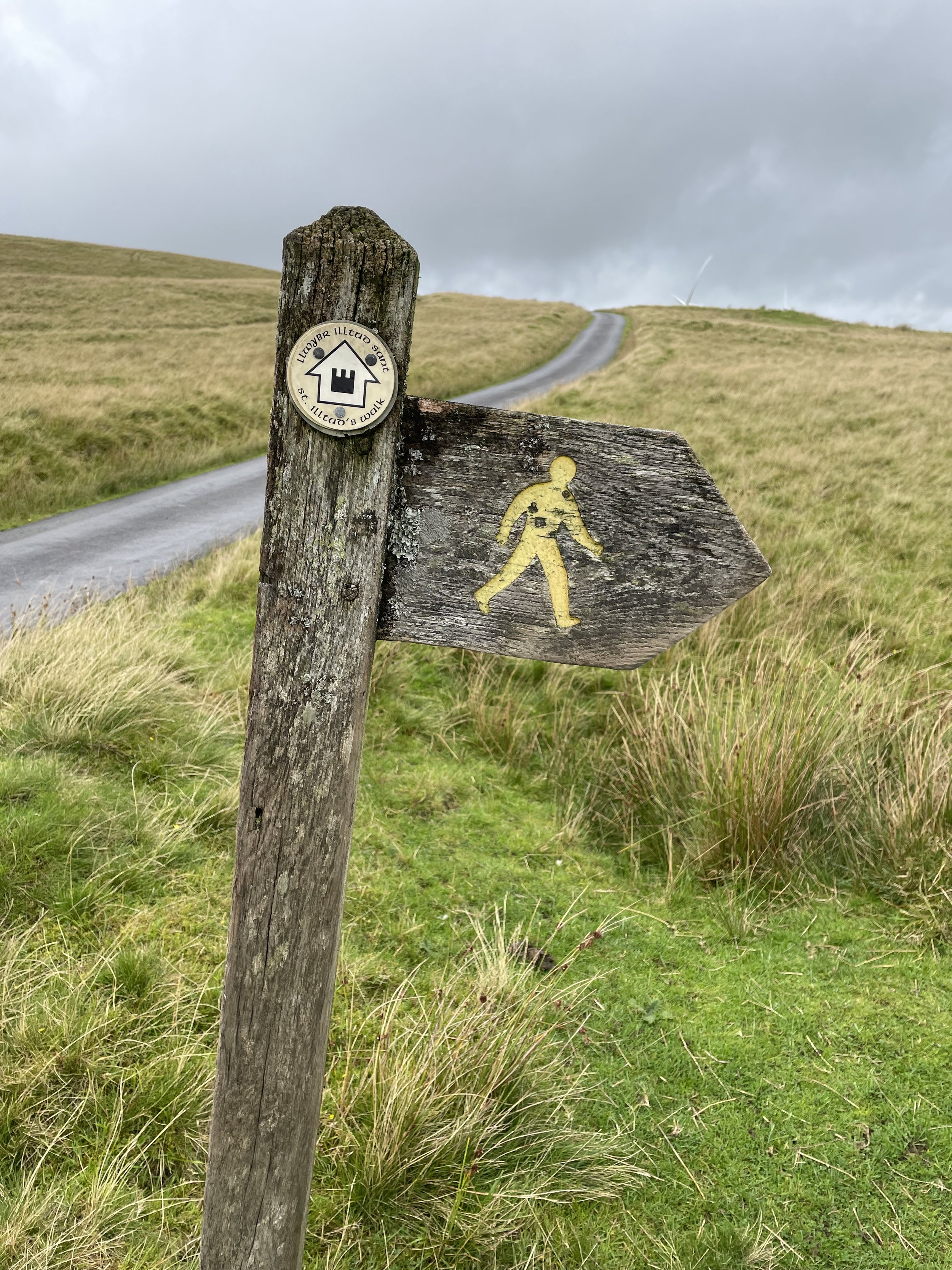
The interactive maps below take you to the approximate location for the course, typically the centre of the park. See the course instructions in the parkrun page for each event for specific directions to the start.
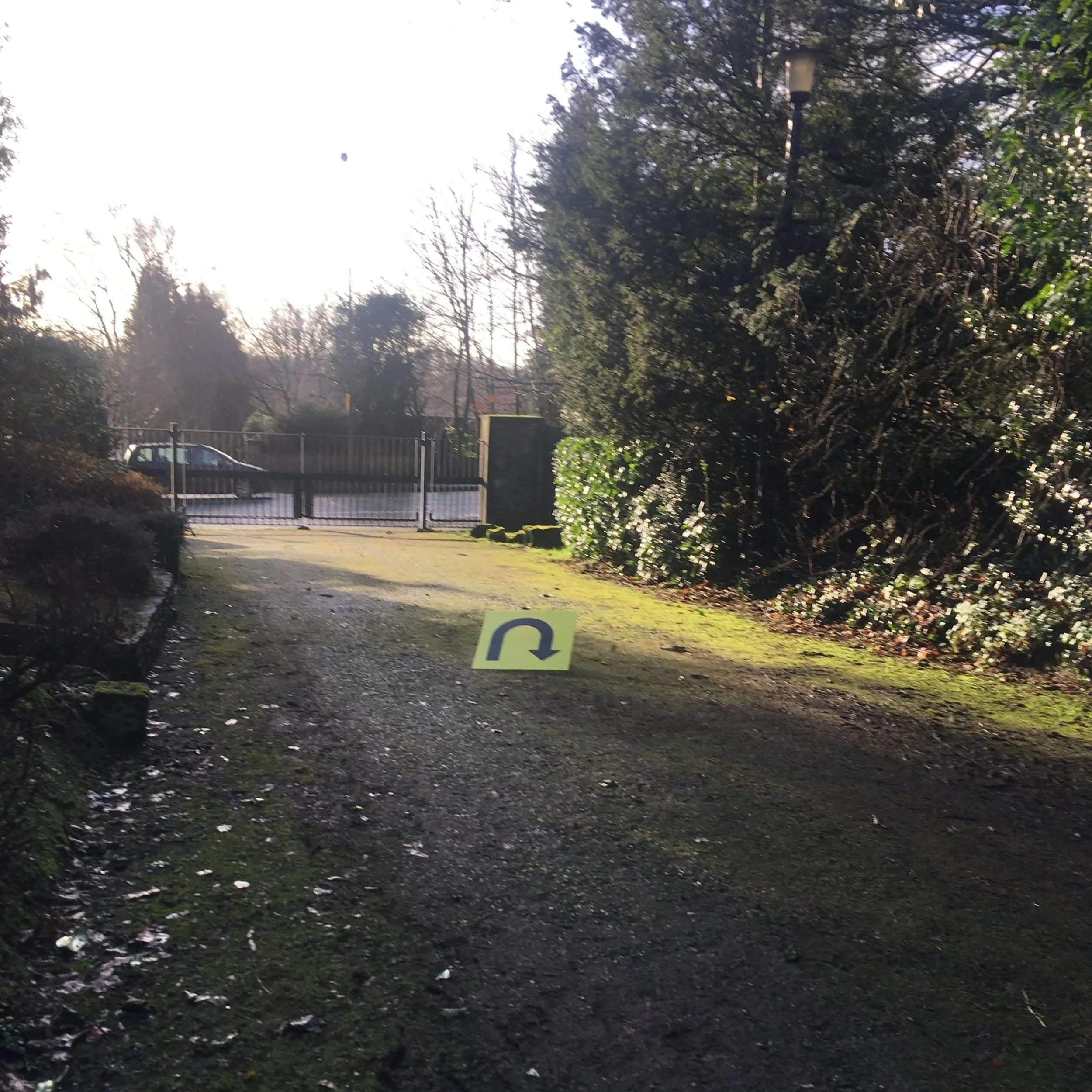
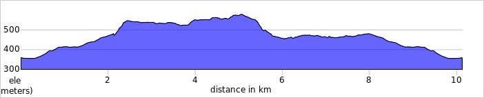
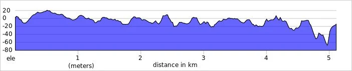
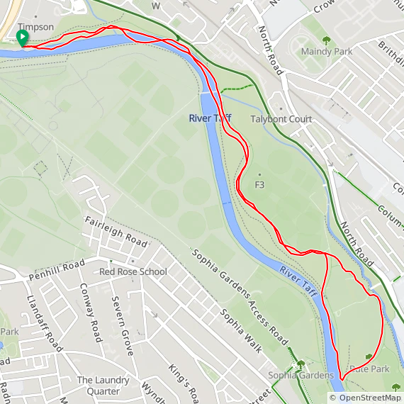
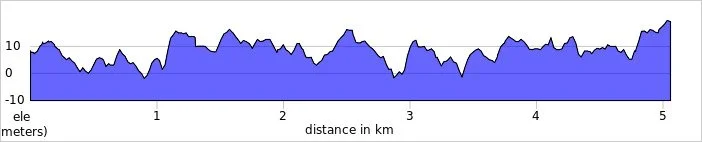
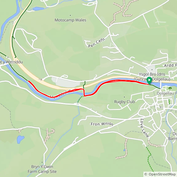
Course maps and elevation profiles show the route at the time that I ran it and may have changed since then. See the Course page in the event’s page on parkrun.org.uk for the current course outline. Note that course outlines are from Garmin data during a specific run and may vary from the officially measured distance.
Please contact me If you spot an event that doesn’t have a course map and elevation profile and you would like to donate one from your own run. I’m also interested in maps and elevation profiles for courses that have changed or where there’s a regular alternative route (e.g. Horsham). I’ll need a GPX file from your run plus the date. I’ll include a credit for you and will donate £1 to parkrun.
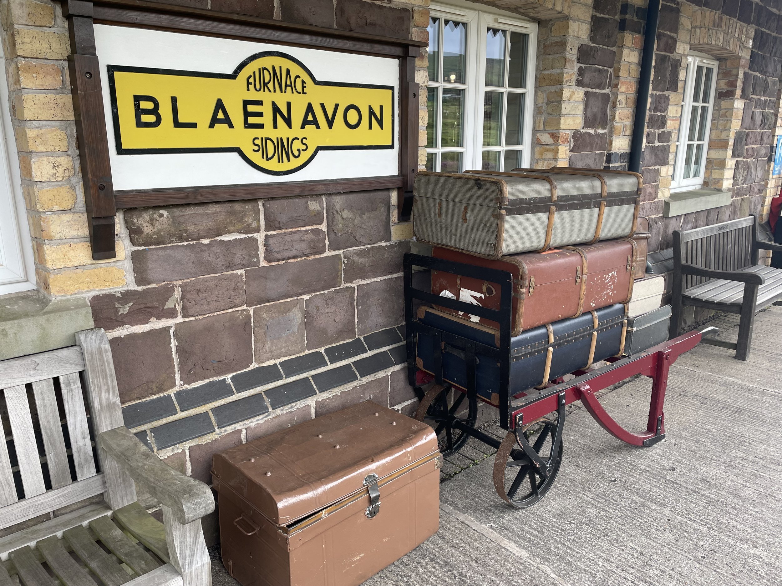
Aberbeeg
I have not yet completed this event
Historic County: Monmouthshire
Preserved County: Gwent
Principal Area: Blaenau Gwent
Inaugural: November 3rd 2018
Links: Event Home Page, Course Page
Aberdare
I have not yet completed this event
Historic County: Glamorgan
Preserved County: Mid Glamorgan
Principal Area: Rhondda Cynon Taf
Inaugural: June 9th 2018
Links: Event Home Page, Course Page
Aberfields
I have not yet completed this event
Historic County: Glamorgan
Preserved County: Mid Glamorgan
Principal Area: Bridgend
Inaugural: August 19th 2023
Links: Event Home Page, Course Page
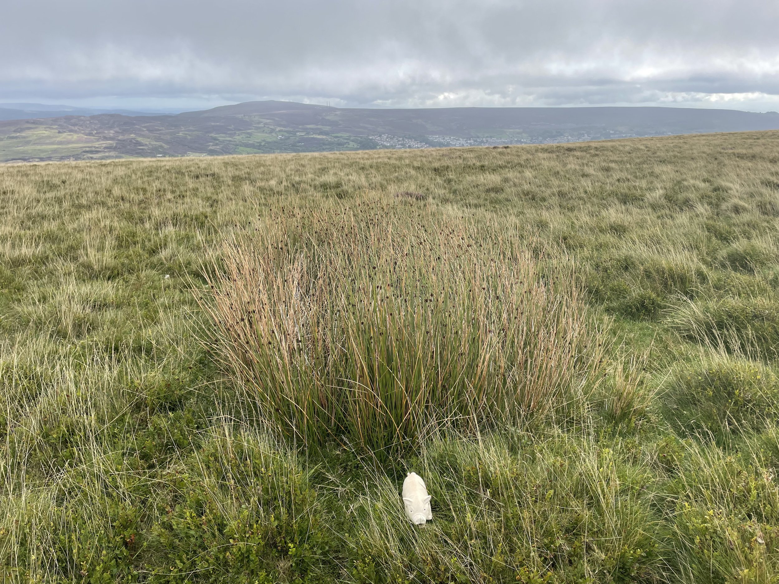
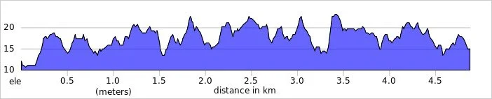
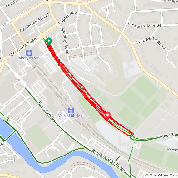
Aberystwyth
I completed this event on: August 15th 2015 with a finish time of: 24:42
Other routes touched: None
Historic County: Cardiganshire
Preserved County: Dyfed
Principal Area: Ceredigion
Inaugural: September 1st 2012
Links: Event Home Page, Course Page
Barry Island
I have not yet completed this event
Historic County: Glamorgan
Preserved County: South Glamorgan
Principal Area: Vale of Glamorgan
Inaugural: May 2nd 2015
Links: Event Home Page, Course Page
Bodelwyddan Castle
***Bodelwyddan Castle parkrun is now permanently cancelled ***
I did not complete this event before it was closed
Historic County: Flintshire
Preserved County: Clwyd
Principal Area: Denbighshire
Inaugural: August 18th 2018. Final event: #35 on June 29th 2019
Reason for cancellation: Closure of the castle and grounds to the public.
Replaced by: Nova Prestatyn (maybe not officially but many of the core team moved there)
Links: Event Home Page, Wikipedia
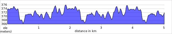
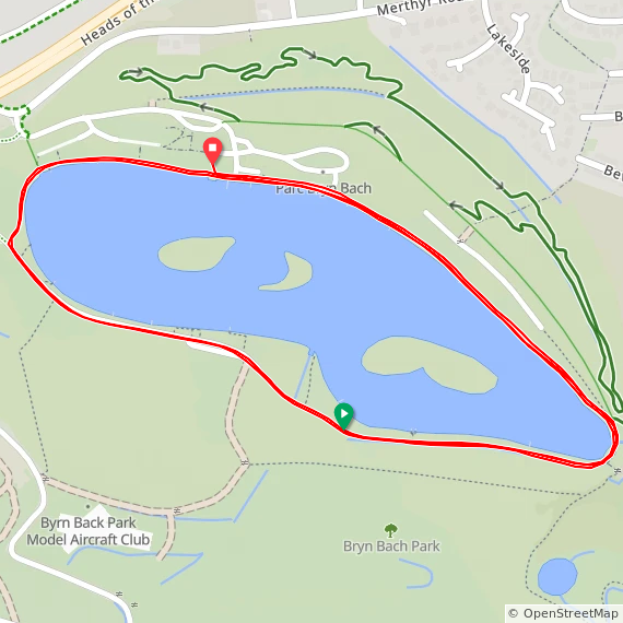
Bryn Bach
I completed this event on: April 4th 2015 with a finish time of: 25:12
Other routes touched (cycle): NCN 46, 467
Historic County: Monmouthshire
Preserved County: Gwent
Principal Area: Blaenau Gwent
Inaugural: July 21st 2012
Links: Event Home Page, Course Page
Brynaman
I have not yet completed this event
Historic County: Carmarthenshire
Preserved County: Dyfed
Principal Area: Carmarthenshire
Inaugural: September 21st 2019
Links: Event Home Page, Course Page
Caldicot
***Caldicot parkrun is now permanently cancelled ***
I did not complete this event before it was closed
Historic County: Monmouthshire
Preserved County: Gwent
Principal Area: Monmouthshire
Inaugural: July 29th 2017. Final event: #7 on October 14th 2017
Reason for cancellation: Suspended due to railway works.
Replaced by: Rogiet
Links: Event Home Page
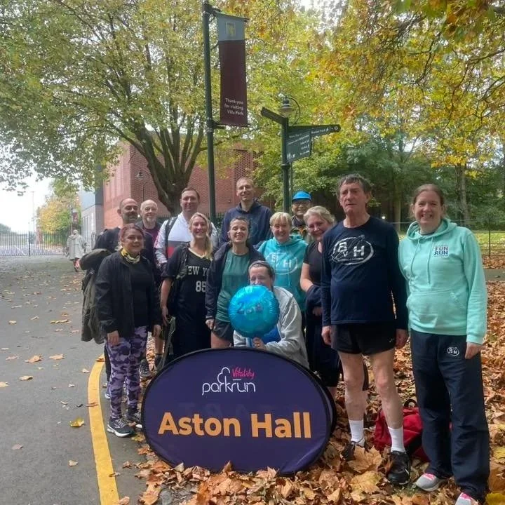
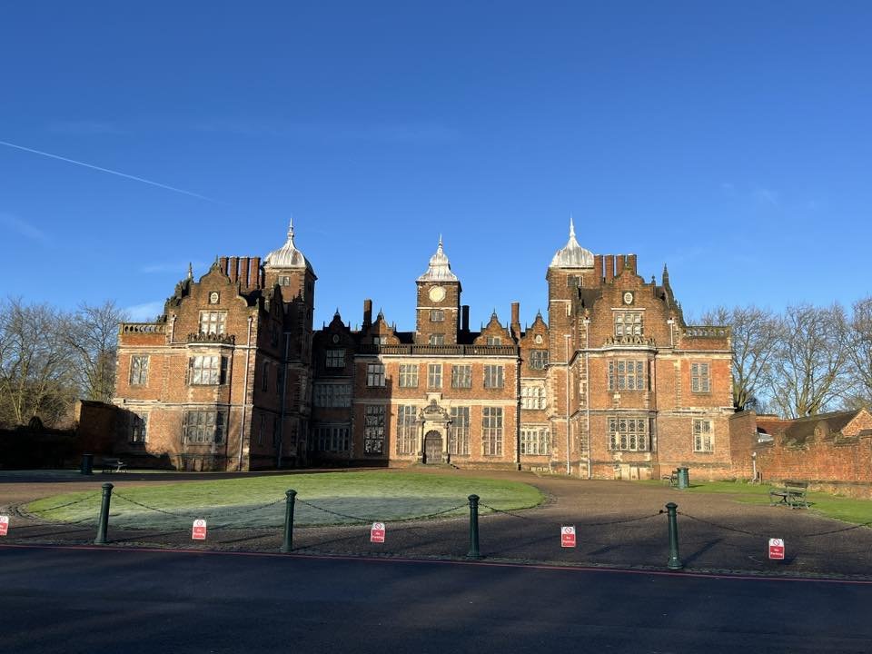
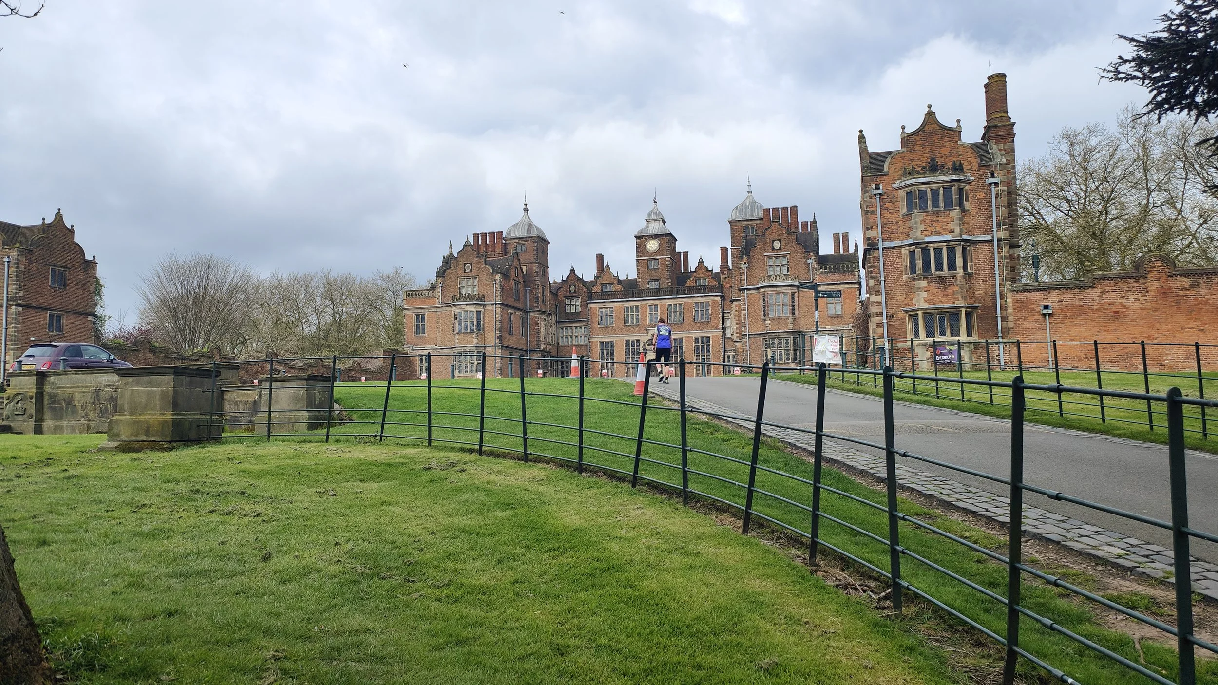
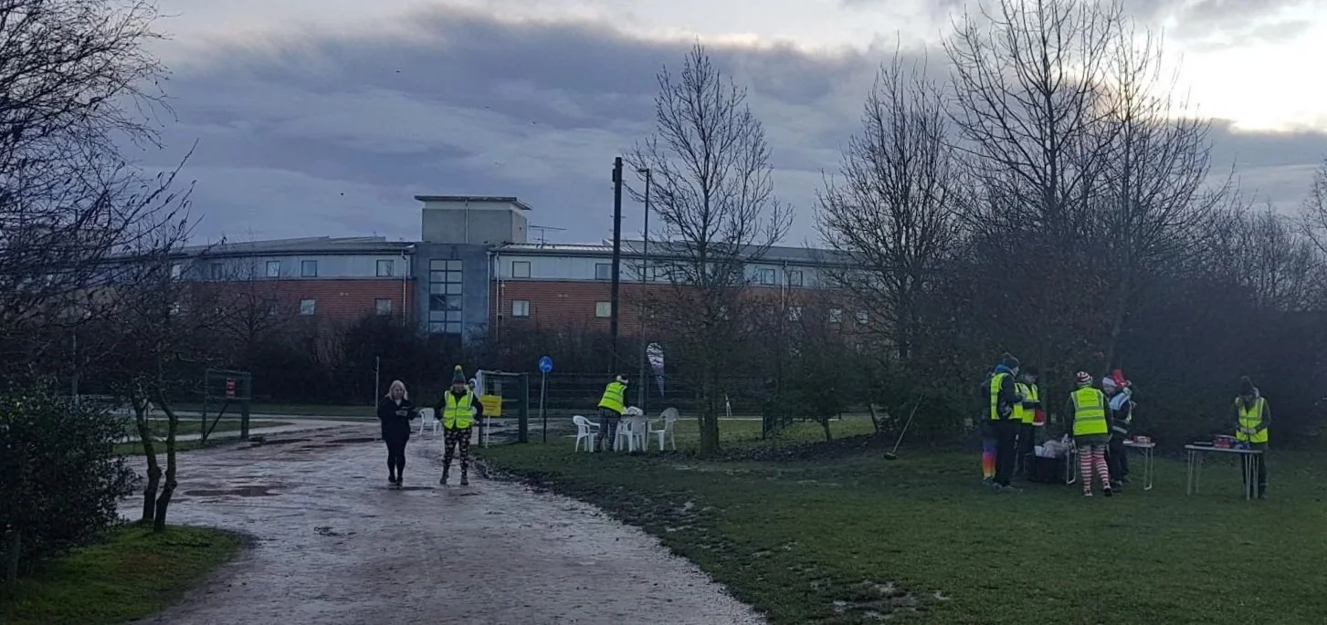
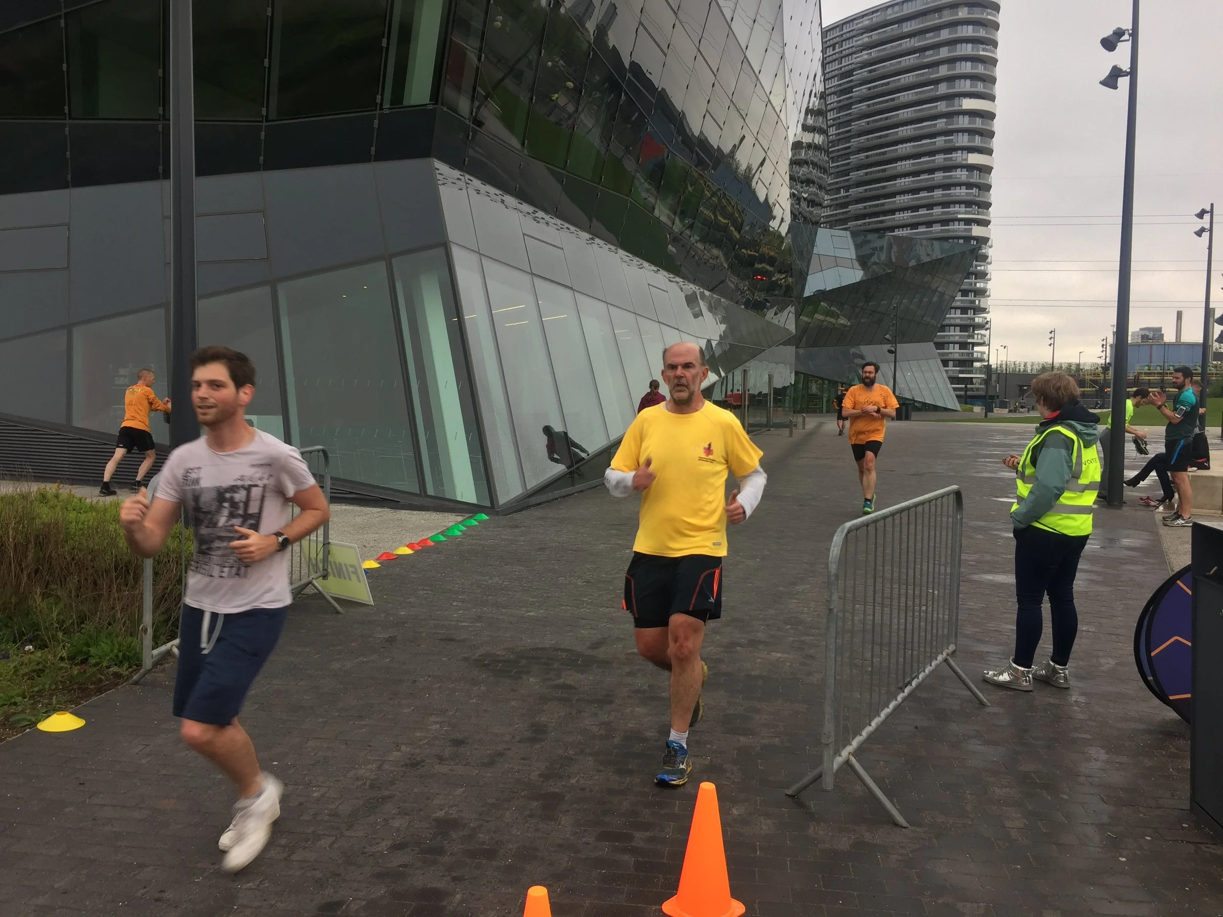
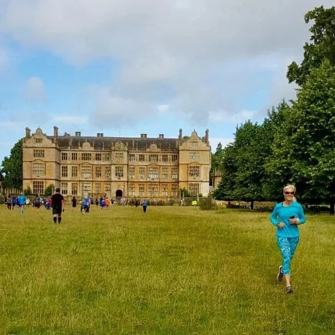
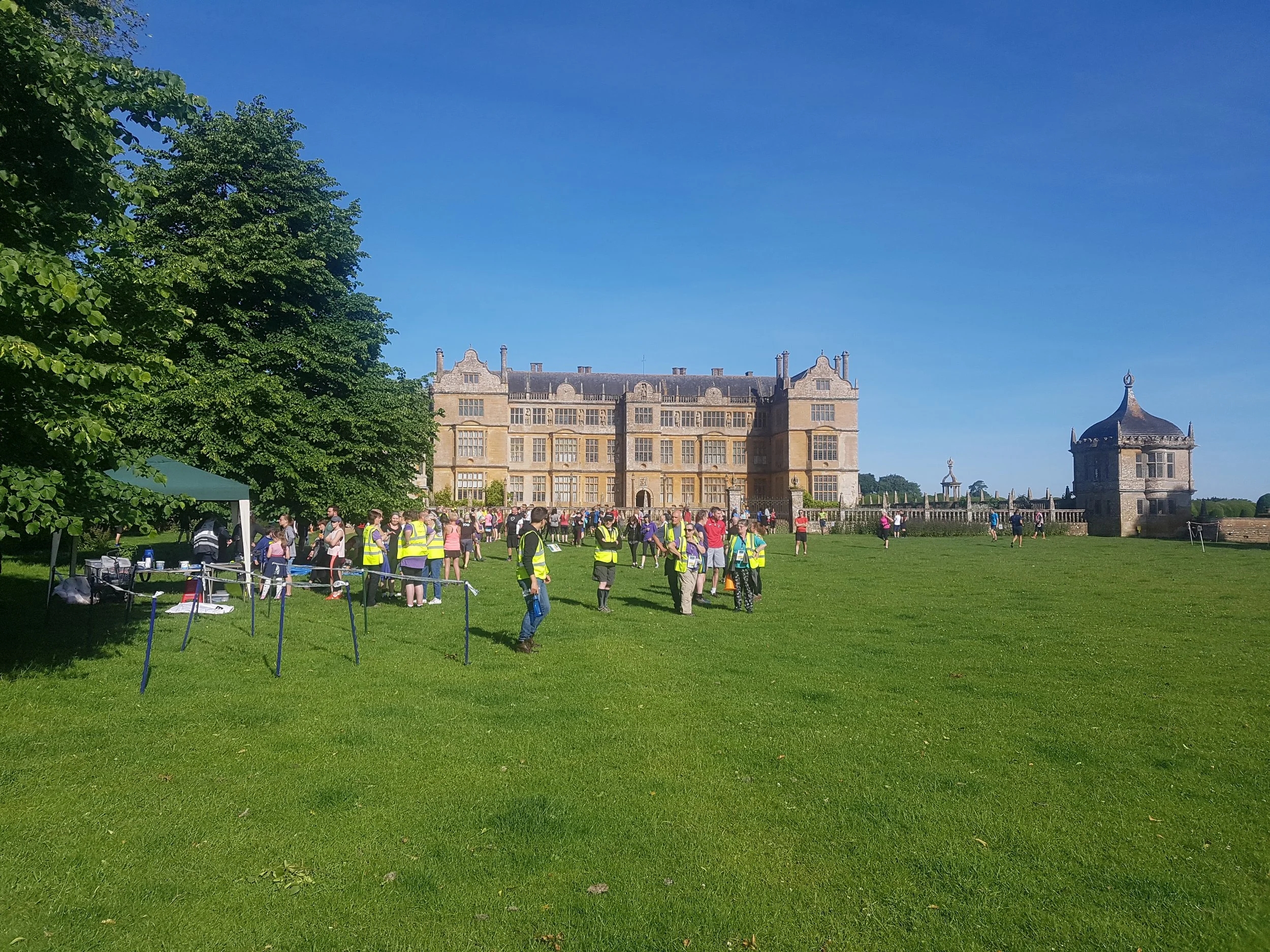
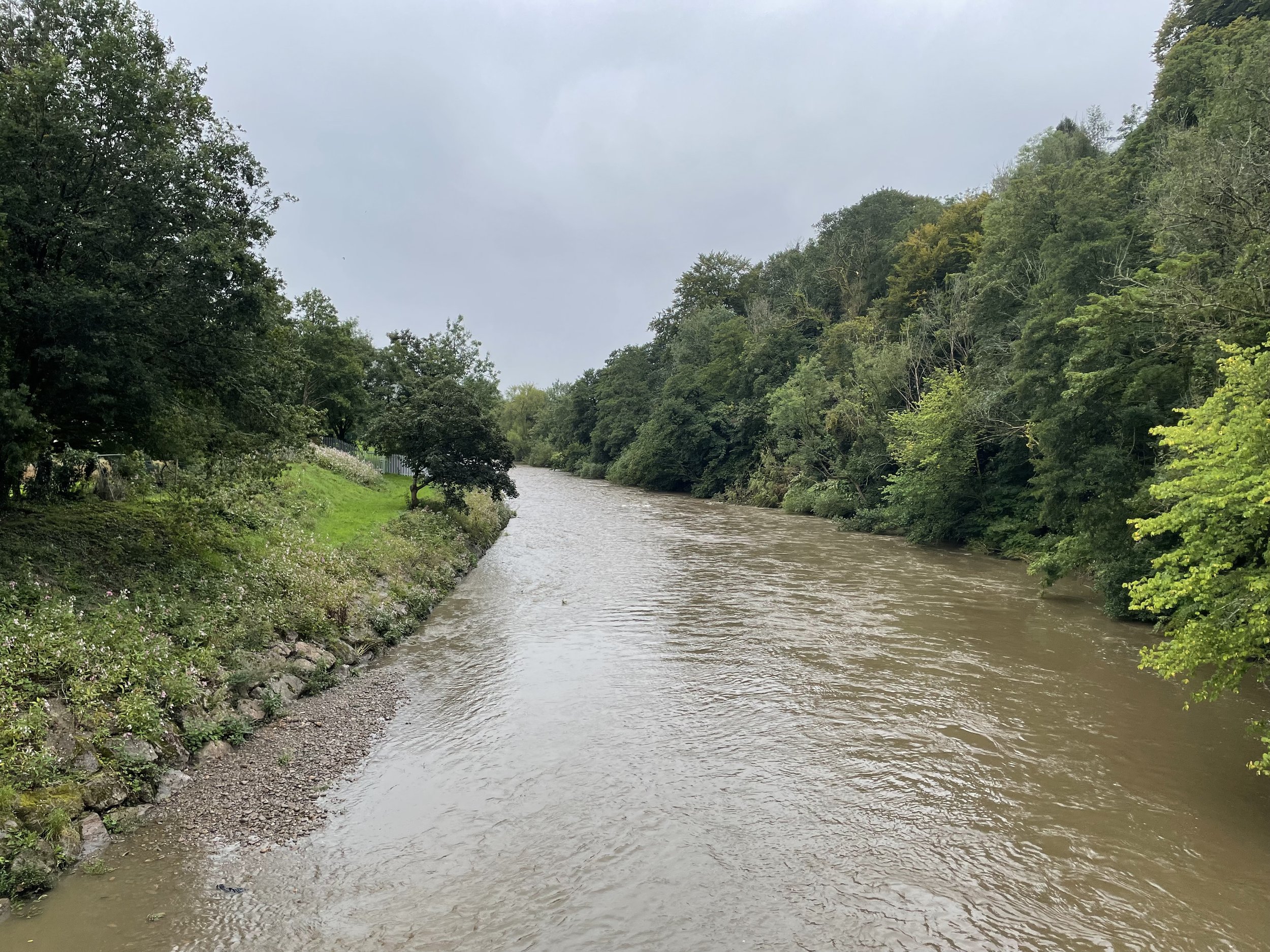
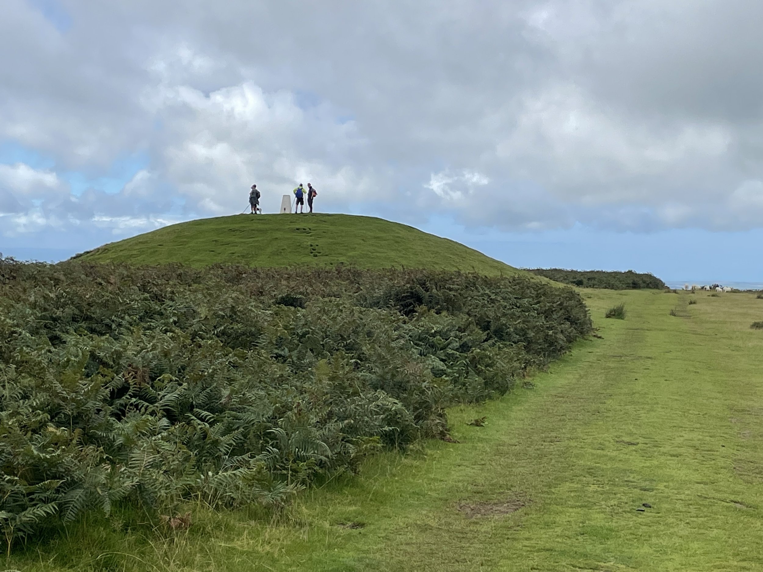
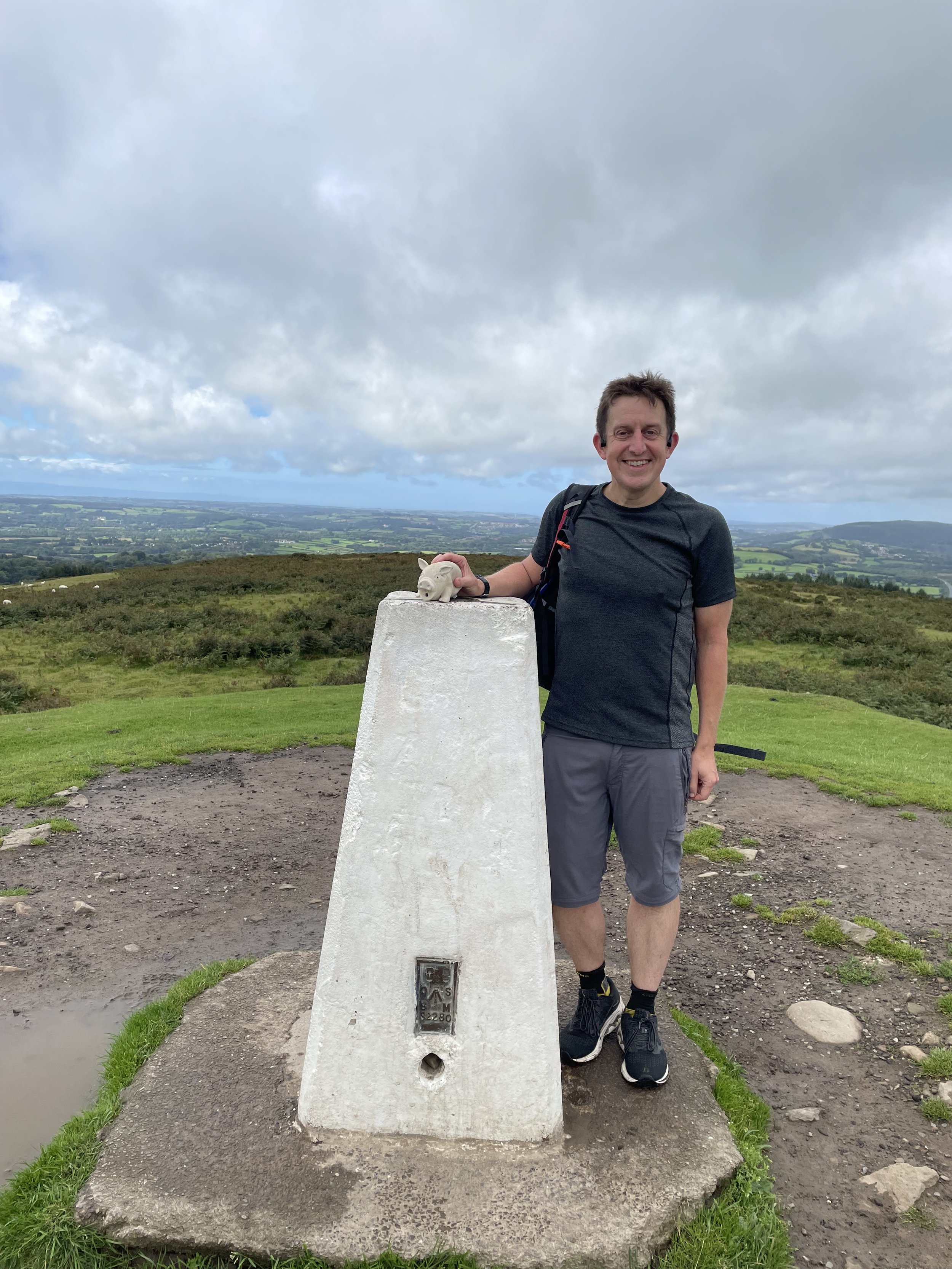
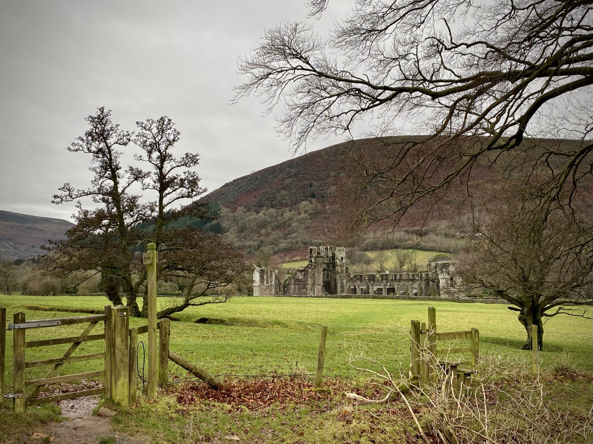
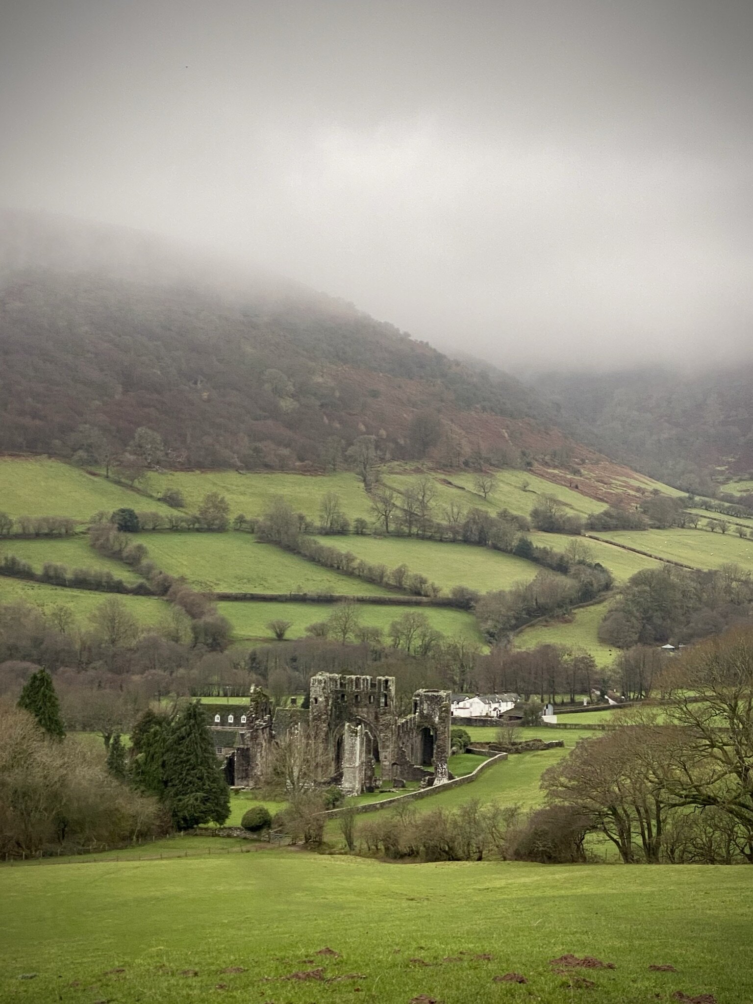
Cardiff
I completed this event on: August 19th 2023 with a finish time of: 27:12
Other routes touched (walk): Cambrian Way, Taff Trail
Other routes touched (cycle): Lôn Las Cymru (NCN 8)
Historic County: Glamorgan
Preserved County: South Glamorgan
Principal Area: Cardiff
Inaugural: February 16th 2008
Links: Event Home Page, Course Page
Chippenham Playing Fields, Monmouth
I have not yet completed this event
Historic County: Monmouthshire
Preserved County: Gwent
Principal Area: Monmouthshire
Inaugural: July 16th 2022
Links: Event Home Page, Course Page
Coed Cefn-pwll-du
I have not yet completed this event
Historic County: Glamorgan
Preserved County: Gwent
Principal Area: Caerphilly
Inaugural: September 24th 2022
Links: Event Home Page, Course Page
Colby
I have not yet completed this event
Historic County: Pembrokeshire
Preserved County: Dyfed
Principal Area: Pembrokeshire
Inaugural: August 30th 2014
Links: Event Home Page, Course Page
Conwy
I have not yet completed this event
Historic County: Caernarfonshire
Preserved County: Clwyd
Principal Area: Conwy
Inaugural: January 10th 2015
Links: Event Home Page, Course Page
Cosmeston Lakes
I have not yet completed this event
Historic County: Glamorgan
Preserved County: South Glamorgan
Principal Area: Vale of Glamorgan
Inaugural: March 7th 2020
Links: Event Home Page, Course Page
Cwmbran
I have not yet completed this event
Historic County: Monmouthshire
Preserved County: Gwent
Principal Area: Torfaen
Inaugural: June 18th 2016
Links: Event Home Page, Course Page
Cycle Route 43, Ystalyfera
I have not yet completed this event
Historic County: Glamorgan
Preserved County: West Glamorgan
Principal Area: Neath Port Talbot
Inaugural: April 27th 2024
Links: Event Home Page, Course Page
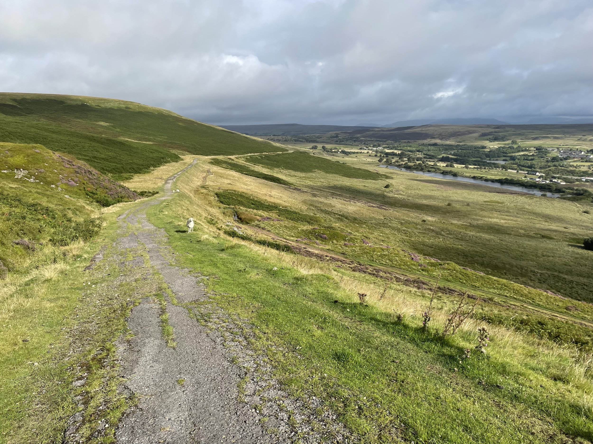
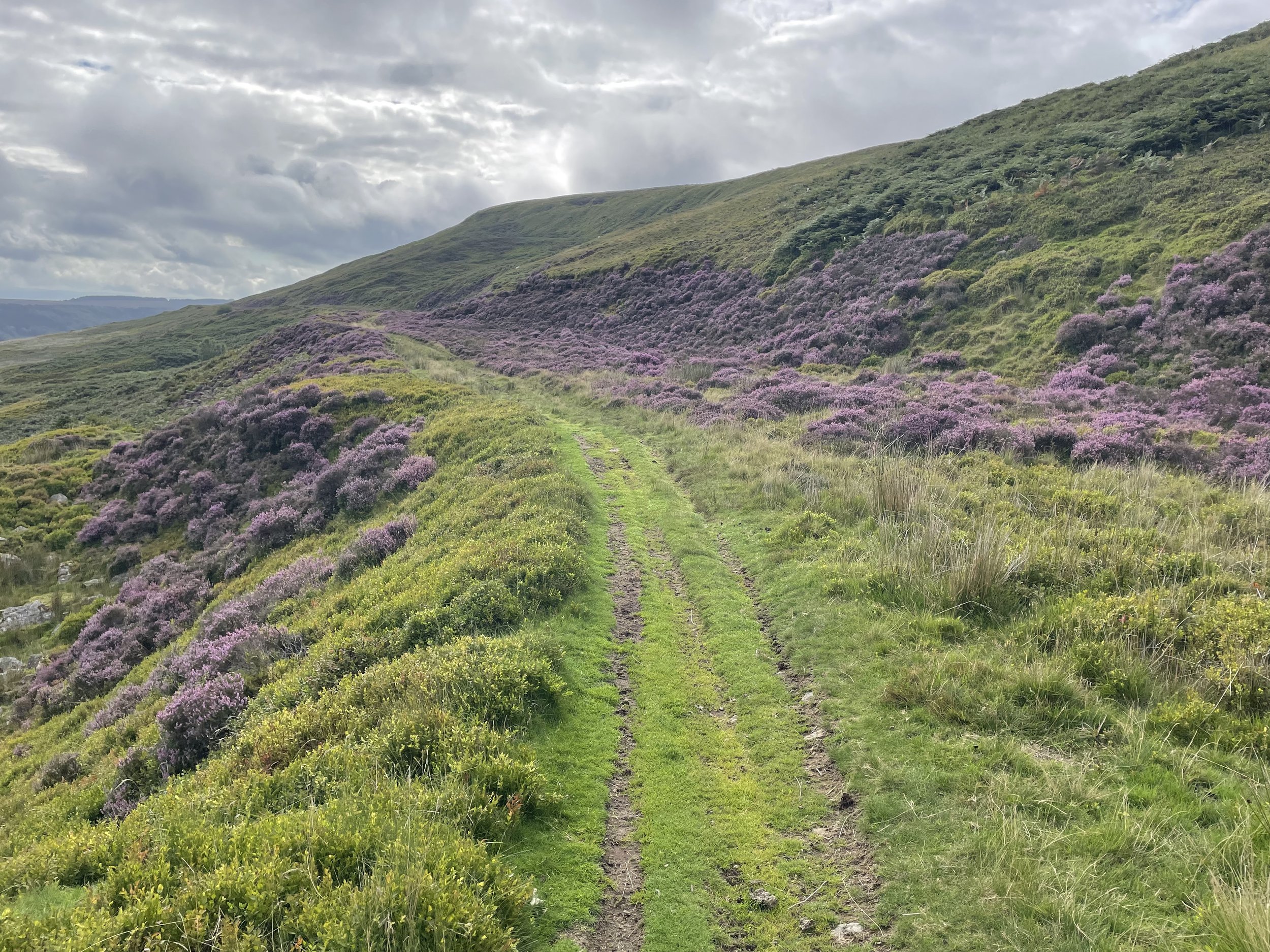
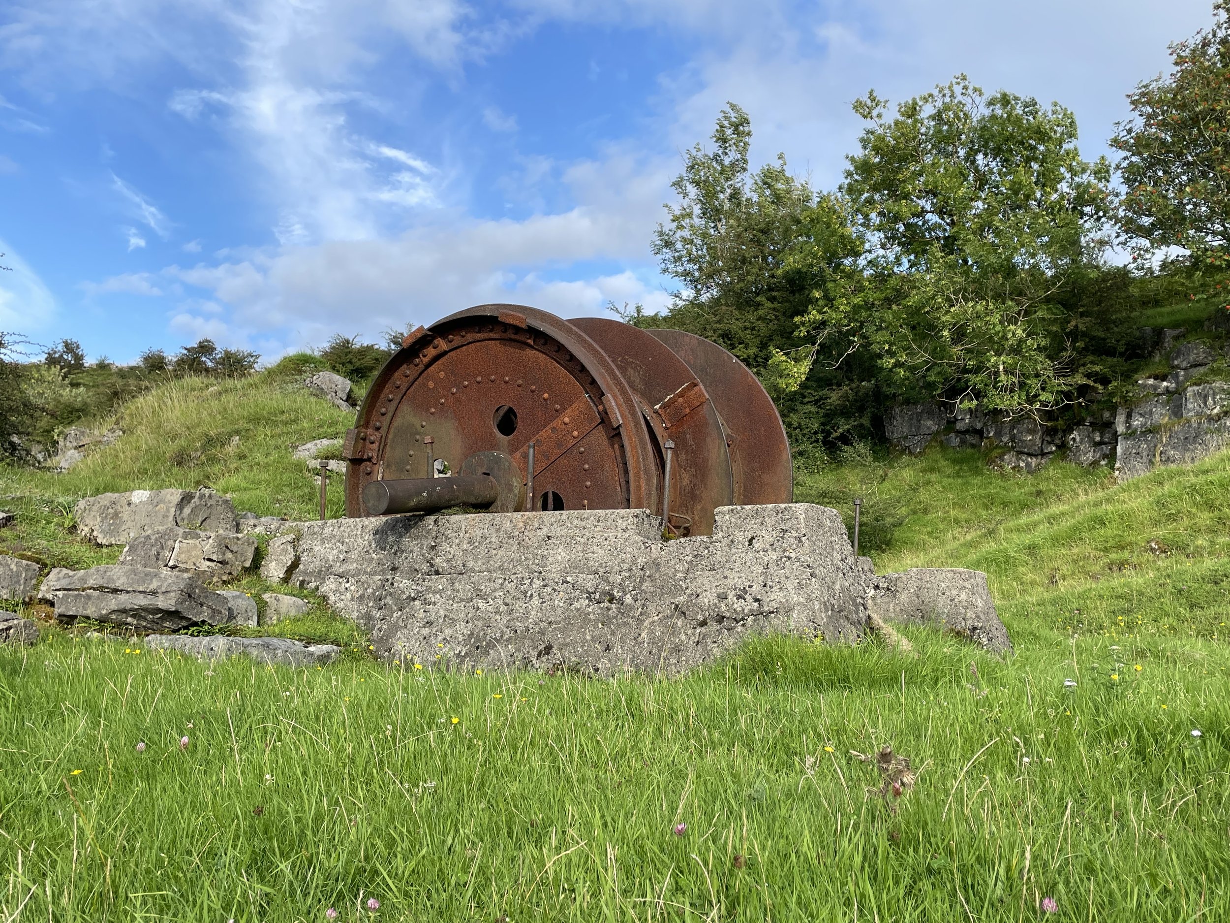
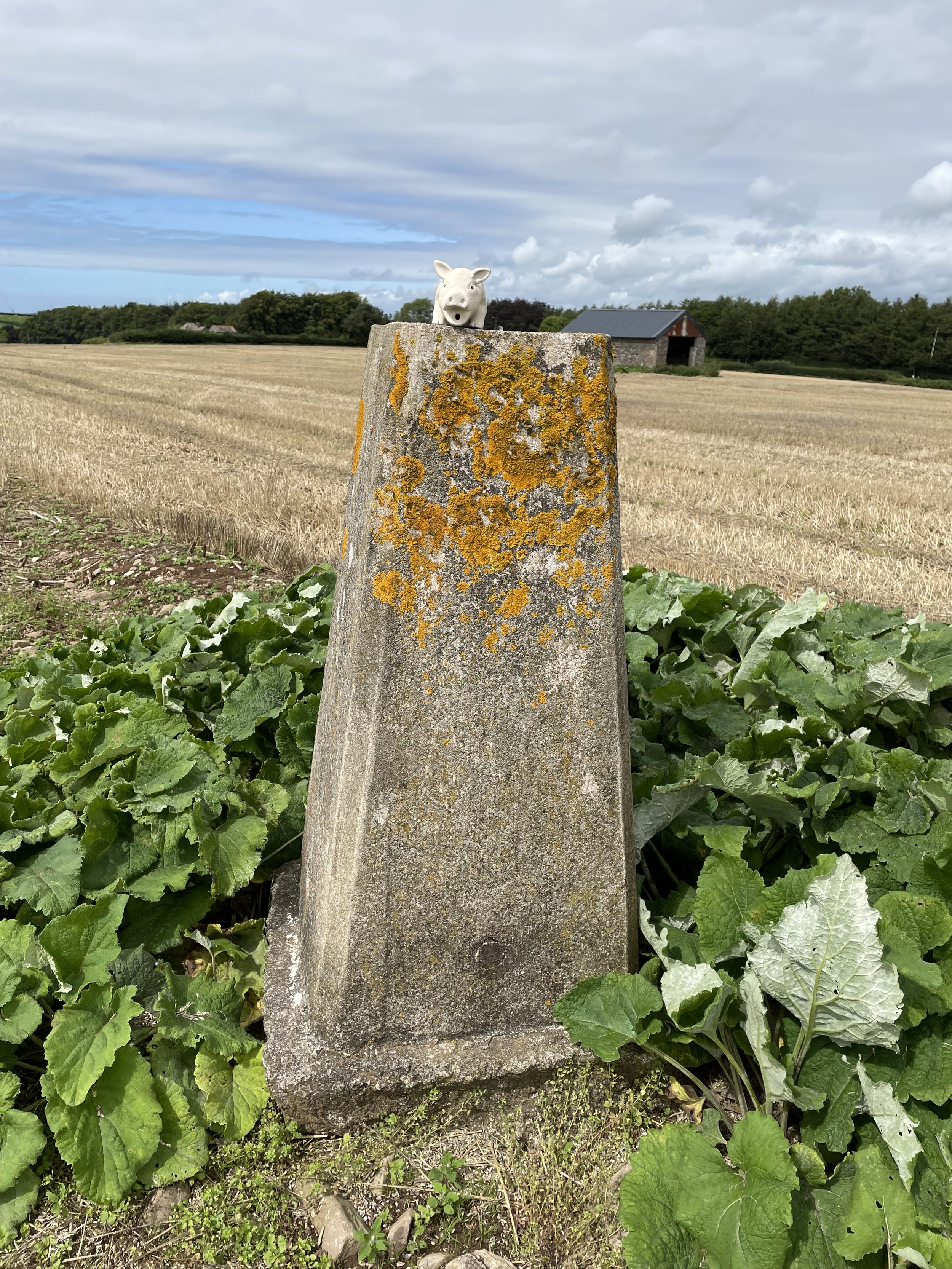
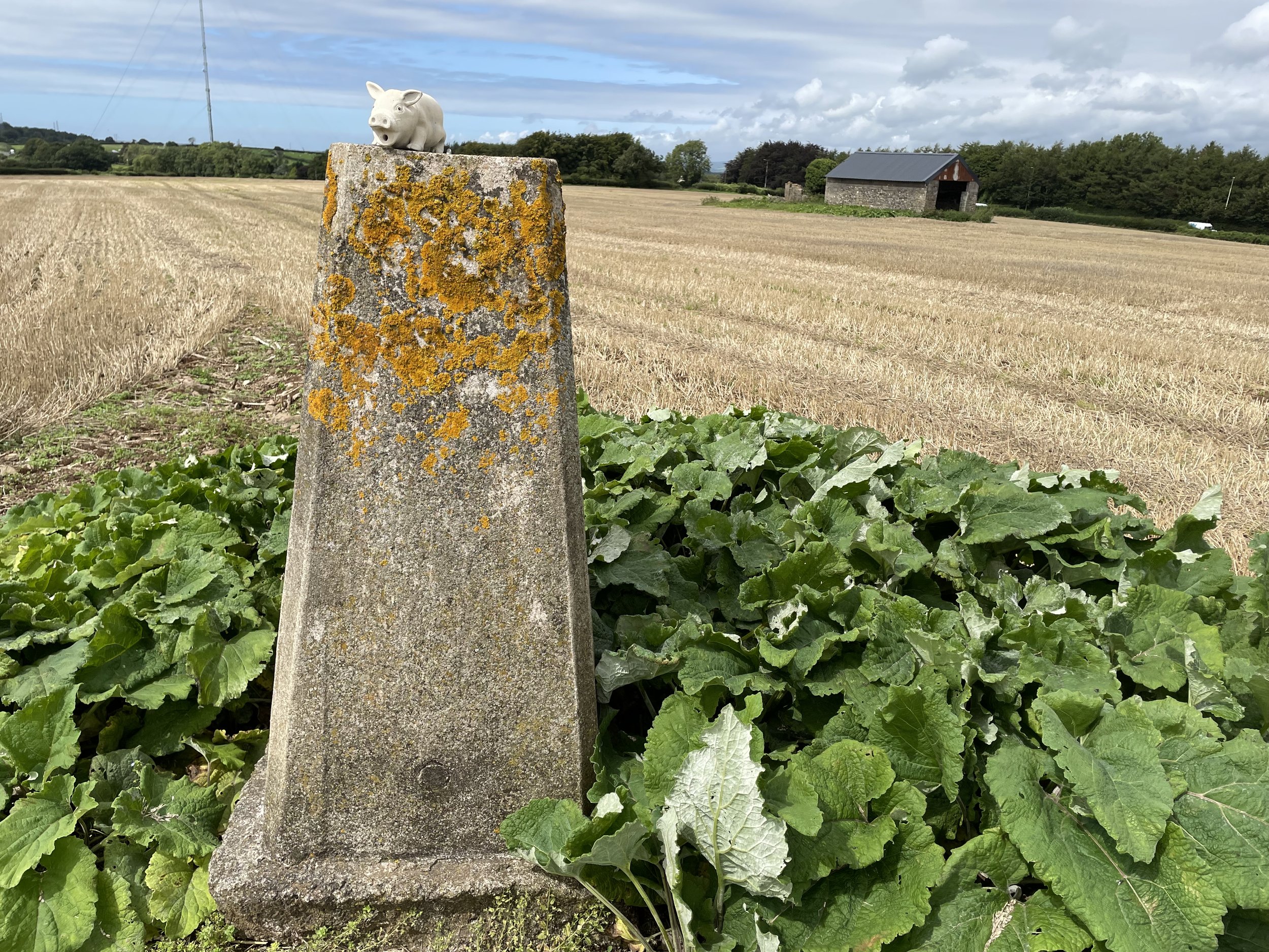
Dolgellau
I completed this event on: June 22nd 2019 with a finish time of: 24:53
Other routes touched (cycle): Lôn Las Cymru (NCN 8)
Other routes touched (walk): Mawddach Trail
Historic County: Merionethshire
Preserved County: Gwynedd
Principal Area: Gwynedd
Inaugural: February 13th 2016
Links: Event Home Page, Course Page
Erddig
I have not yet completed this event
Historic County: Denbighshire
Preserved County: Clwyd
Principal Area: Wrexham
Inaugural: May 14th 2016
Links: Event Home Page, Course Page
Flint Castle
I have not yet completed this event
Historic County: Flintshire
Preserved County: Clwyd
Principal Area: Flintshire
Inaugural: January 10th 2026
Links: Event Home Page, Course Page
Gnoll
I have not yet completed this event
Historic County: Glamorgan
Preserved County: West Glamorgan
Principal Area: Neath Port Talbot
Inaugural: September 5th 2015
Links: Event Home Page, Course Page
Grangemoor
I have not yet completed this event
Historic County: Glamorgan
Preserved County: South Glamorgan
Principal Area: Cardiff
Inaugural: October 31st 2015
Links: Event Home Page, Course Page
Greenfield Valley
I have not yet completed this event
Historic County: Denbighshire
Preserved County: Clwyd
Principal Area: Flintshire
Inaugural: March 14th 2020
Links: Event Home Page, Course Page
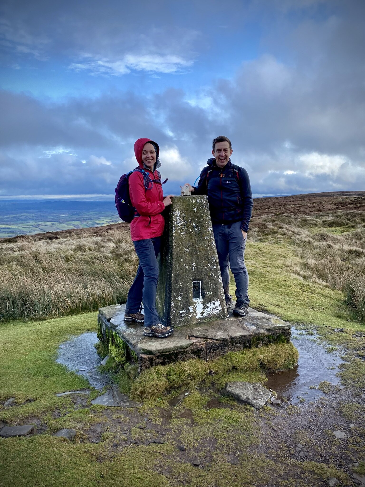
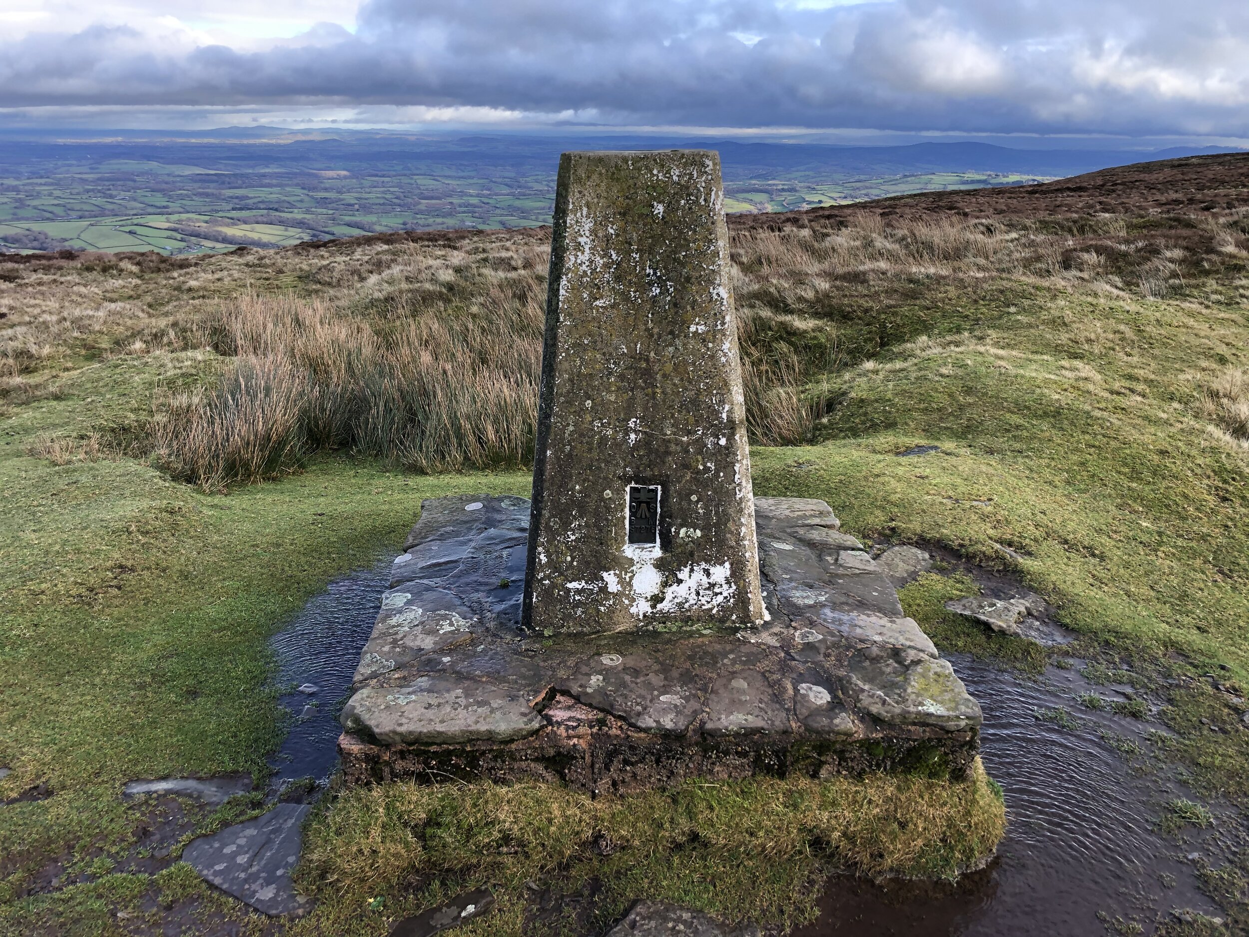
Groe
I have not yet completed this event
Historic County: Brecknockshire
Preserved County: Powys
Principal Area: Powys
Inaugural: March 2nd 2019
Links: Event Home Page, Course Page
Hafan Pwllheli
I have not yet completed this event
Historic County: Caernarfonshire
Preserved County: Gwynedd
Principal Area: Gwynedd
Inaugural: February 16th 2019
Links: Event Home Page, Course Page
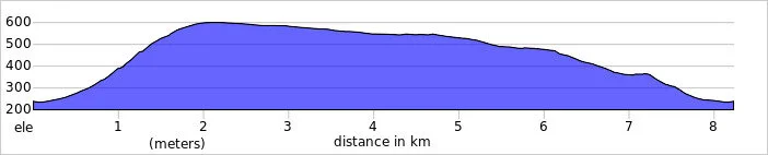
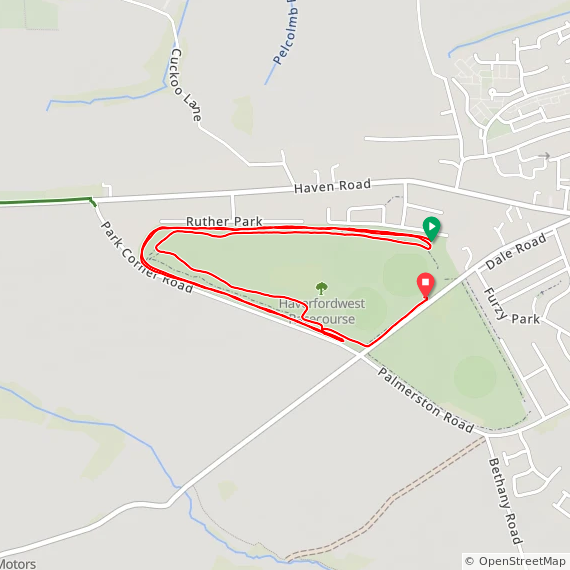
Haverfordwest
I have not yet completed this event
Other routes touched (cycle): N/A, although NCN 4 runs past the southern edge of the course
Historic County: Pembrokeshire
Preserved County: Dyfed
Principal Area: Pembrokeshire
Inaugural: September 23rd 2017
This event is part of the Compass Club challenge
Course Map and Elevation Profile by: Mark Brace on August 27th 2022
Links: Event Home Page, Course Page
Llanelli Coast
***Llanelli Coast parkrun is now permanently cancelled ***
I did not complete this event before it was closed
Historic County: Carmarthenshire
Preserved County: Dyfed
Principal Area: Carmarthenshire
Inaugural: November 19th 2016. Final event: #161 on March 7th 2020
Reason for cancellation: Not due to a single event, but rather its operations shifted to become the nearby Sandy Water parkrun, though the original site faced issues like flooding and changing conditions over time.
Replaced by: Sandy Water
Links: Event Home Page
Llanerchaeron
I have not yet completed this event
Historic County: Cardiganshire
Preserved County: Dyfed
Principal Area: Ceredigion
Inaugural: January 6th 2018
Links: Event Home Page, Course Page
Llanfoist Crossing
I have not yet completed this event
Historic County: Monmouthshire
Preserved County: Gwent
Principal Area: Monmouthshire
Inaugural: November 22nd 2025
Links: Event Home Page, Course Page
Llanishen Park
I have not yet completed this event
Historic County: Glamorgan
Preserved County: South Glamorgan
Principal Area: Cardiff
Inaugural: June 18th 2022
Links: Event Home Page, Course Page
Llwybr Dyffryn Tywi, Nantgaredig
I have not yet completed this event
Historic County: Carmarthenshire
Preserved County: Dyfed
Principal Area: Carmarthenshire
Inaugural: April 11th 2026
Links: Event Home Page, Course Page
Llyn Llech Owain
I have not yet completed this event
Historic County: Carmarthenshire
Preserved County: Dyfed
Principal Area: Carmarthenshire
Inaugural: July 13th 2013
Links: Event Home Page, Course Page
Maesteg
I have not yet completed this event
Historic County: Glamorgan
Preserved County: Mid Glamorgan
Principal Area: Bridgend
Inaugural: May 25th 2019
Links: Event Home Page, Course Page
Merthyr
I have not yet completed this event
Historic County: Glamorgan
Preserved County: Mid Glamorgan
Principal Area: Merthyr Tydfil
Inaugural: April 22nd 2017
Links: Event Home Page, Course Page
Milford Waterfront
I have not yet completed this event
Historic County: Pembrokeshire
Preserved County: Dyfed
Principal Area: Pembrokeshire
Inaugural: September 7th 2019
Links: Event Home Page, Course Page
Nant y Pandy
I have not yet completed this event
Historic County: Anglesey
Preserved County: Gwynedd
Principal Area: Isle of Anglesey
Inaugural: August 25th 2018
Links: Event Home Page, Course Page
Newborough Forest
I have not yet completed this event
Historic County: Anglesey
Preserved County: Gwynedd
Principal Area: Isle of Anglesey
Inaugural: June 23rd 2018
Links: Event Home Page, Course Page
Newport
I have not yet completed this event
Historic County: Monmouthshire
Preserved County: Gwent
Principal Area: Newport
Inaugural: March 26th 2011
Links: Event Home Page, Course Page
Newtown
I have not yet completed this event
Historic County: Montgomeryshire
Preserved County: Powys
Principal Area: Powys
Inaugural: October 24th 2015
Links: Event Home Page, Course Page
Nova Prestatyn
I have not yet completed this event
Historic County: Flintshire
Preserved County: Clwyd
Principal Area: Denbighshire
Inaugural: December 7th 2019
Links: Event Home Page, Course Page
Old Railway Trail, Llangollen
I have not yet completed this event
Historic County: Denbighshire
Preserved County: Clwyd
Principal Area: Denbighshire
Inaugural: June 17th 2023
Links: Event Home Page, Course Page
Parc Coed Gwilym
I have not yet completed this event
Historic County: Glamorgan
Preserved County: West Glamorgan
Principal Area: Swansea
Inaugural: June 7th 2025
Links: Event Home Page, Course Page
Parc Dewi Sant
I have not yet completed this event
Historic County: Carmarthenshire
Preserved County: Dyfed
Principal Area: Carmarthenshire
Inaugural: November 29th 2025
Links: Event Home Page, Course Page
Park in the Past
I have not yet completed this event
Historic County: Flintshire
Preserved County: Clwyd
Principal Area: Flintshire
Inaugural: May 3rd 2025
Links: Event Home Page, Course Page
Penallta
I have not yet completed this event
Historic County: Glamorgan
Preserved County: Gwent
Principal Area: Caerphilly
Inaugural: July 25th 2015
Links: Event Home Page, Course Page
Penrhyn
I have not yet completed this event
Historic County: Caernarfonshire
Preserved County: Gwynedd
Principal Area: Gwynedd
Inaugural: November 15th 2014
Links: Event Home Page, Course Page
Pont y Bala
I have not yet completed this event
Historic County: Merionethshire
Preserved County: Gwynedd
Principal Area: Gwynedd
Inaugural: April 13th 2019
The event is part of The Full Ponty challenge
Links: Event Home Page, Course Page
Pontypool
I have not yet completed this event
Historic County: Monmouthshire
Preserved County: Gwent
Principal Area: Torfaen
Inaugural: November 23rd 2013
The event is part of The Full Ponty challenge
Links: Event Home Page, Course Page
Pontypridd
I have not yet completed this event
Historic County: Glamorgan
Preserved County: Mid Glamorgan
Principal Area: Rhondda Cynon Taf
Inaugural: October 12th 2013
The event is part of The Full Ponty challenge
Links: Event Home Page, Course Page
Porthcawl
I have not yet completed this event
Historic County: Glamorgan
Preserved County: Mid Glamorgan
Principal Area: Bridgend
Inaugural: April 6th 2013
Links: Event Home Page, Course Page
Riverfront
I have not yet completed this event
Historic County: Monmouthshire
Preserved County: Gwent
Principal Area: Newport
Inaugural: January 21st 2017
Links: Event Home Page, Course Page
Riverside Walk
I have not yet completed this event
Historic County: Brecknockshire
Preserved County: Powys
Principal Area: Powys
Inaugural: November 28th 2023
Links: Event Home Page, Course Page
Rogiet
I have not yet completed this event
Historic County: Monmouthshire
Preserved County: Gwent
Principal Area: Monmouthshire
Inaugural: October 21st 2017
Links: Event Home Page, Course Page
Ruthin Memorial Playing Fields
I have not yet completed this event
Historic County: Denbighshire
Preserved County: Clwyd
Principal Area: Denbighshire
Inaugural: May 28th 2022
Links: Event Home Page, Course Page
Sandy Water
I have not yet completed this event
Historic County: Carmarthenshire
Preserved County: Dyfed
Principal Area: Carmarthenshire
Inaugural: August 21st 2021
Links: Event Home Page, Course Page
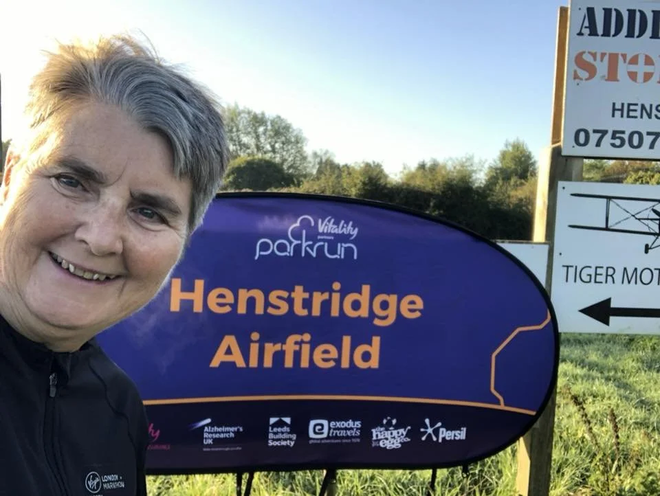
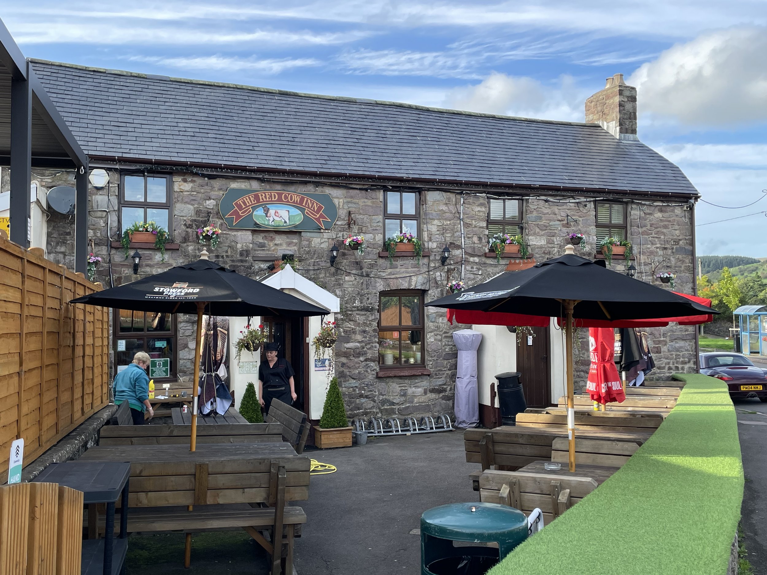
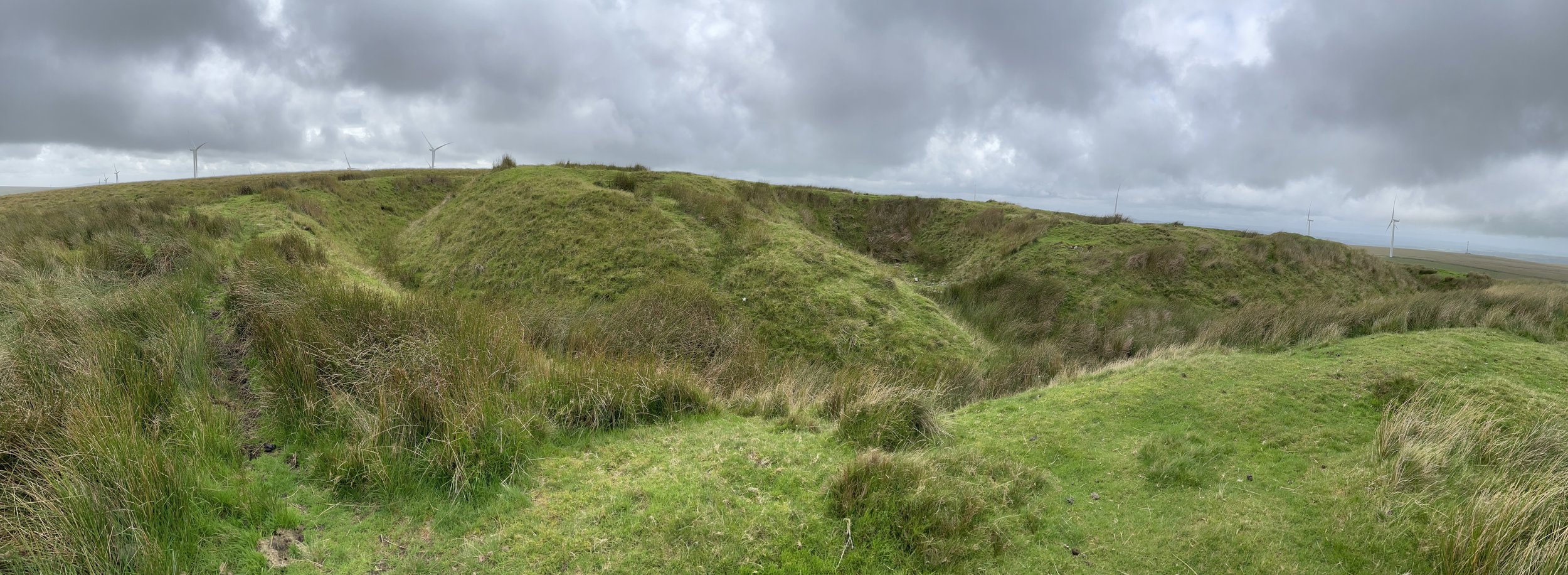
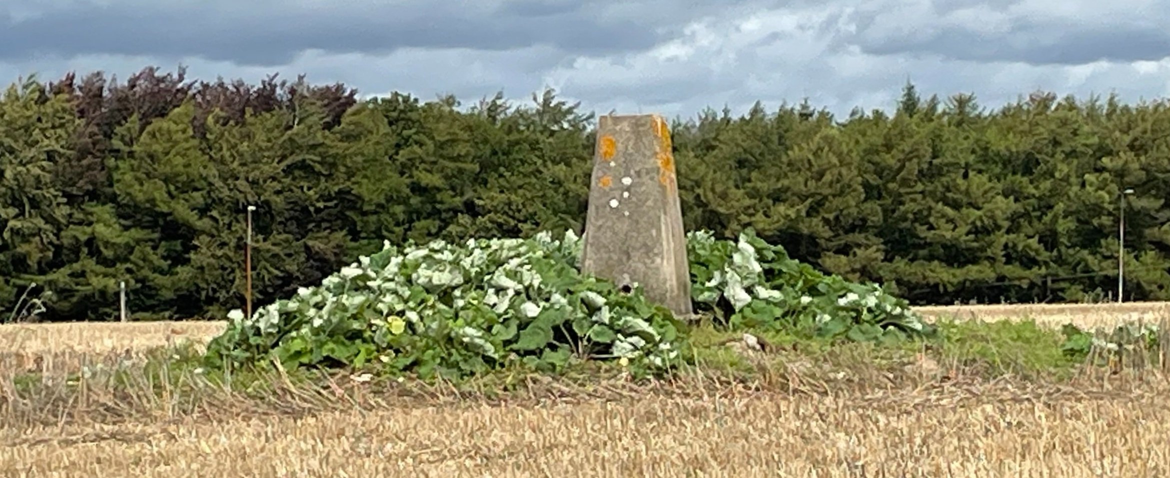
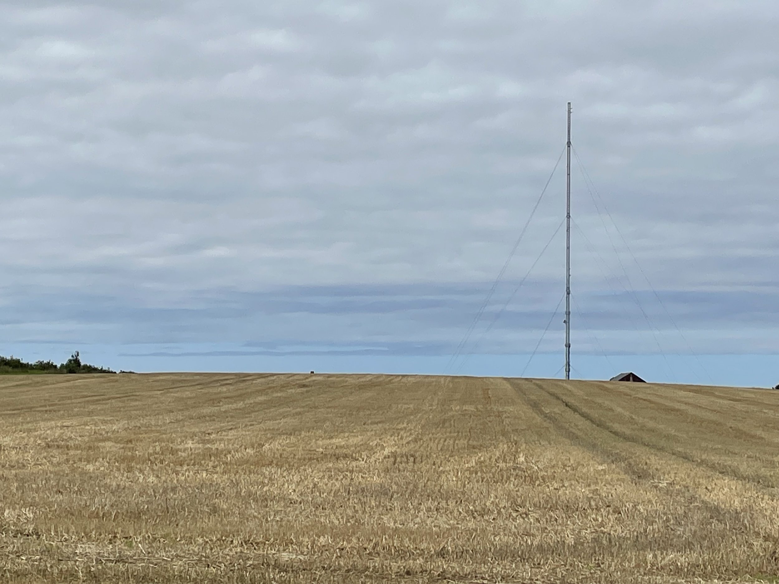
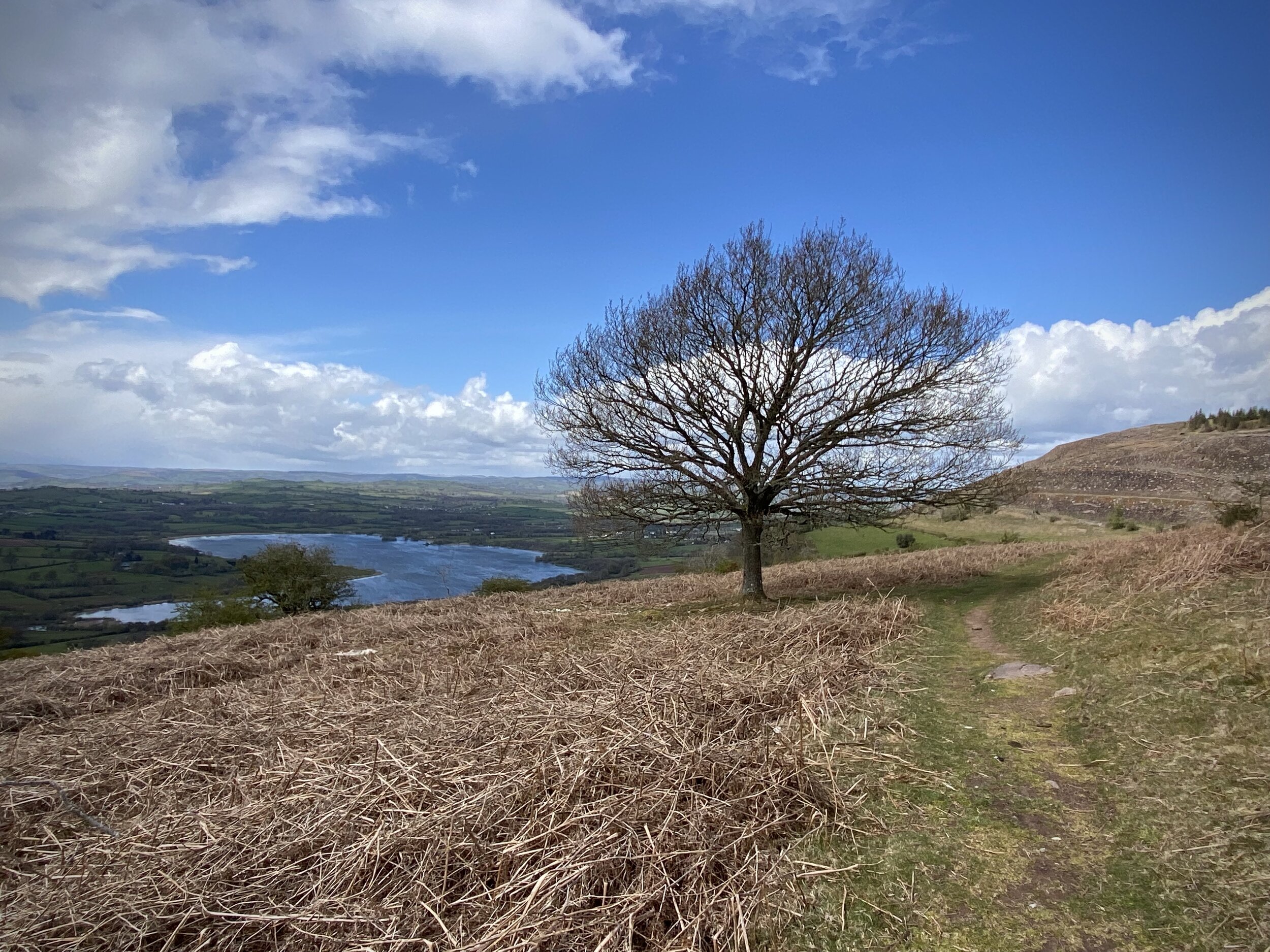
Severn Bridge
I completed this event on: November 3rd 2018 with a finish time of: 28:14
Other routes touched (walk): Wales Coast Path
Other routes touched (cycle): NCN 4
Historic County: Monmouthshire
Preserved County: Gwent
Principal Area: Monmouthshire
Inaugural: August 11th 2018
Links: Event Home Page, Course Page
Swansea Bay
I have not yet completed this event
Historic County: Glamorgan
Preserved County: West Glamorgan
Principal Area: Swansea
Inaugural: October 24th 2015
Links: Event Home Page, Course Page
Teifi Marshes Nature Reserve
I have not yet completed this event
Historic County: Cardiganshire
Preserved County: Dyfed
Principal Area: Pembrokeshire
Inaugural: July 22nd 2023
Links: Event Home Page, Course Page
Trelai Park
I have not yet completed this event
Historic County: Glamorgan
Preserved County: South Glamorgan
Principal Area: Cardiff
Inaugural: March 7th 2020
Links: Event Home Page, Course Page
Tremorfa
I have not yet completed this event
Historic County: Glamorgan
Preserved County: South Glamorgan
Principal Area: Cardiff
Inaugural: October 26th 2019
Links: Event Home Page, Course Page
Wepre
I have not yet completed this event
Historic County: Flintshire
Preserved County: Clwyd
Principal Area: Flintshire
Inaugural: May 14th 2016
Links: Event Home Page, Course Page
Y Promenâd, Aberhonddu
I have not yet completed this event
Historic County: Brecknockshire
Preserved County: Powys
Principal Area: Powys
Inaugural: June 1st 2024
Links: Event Home Page, Course Page
Y Promenâd, Abermaw
I have not yet completed this event
Historic County: Merionethshire
Preserved County: Gwynedd
Principal Area: Gwynedd
Inaugural: June 13th 2024
Links: Event Home Page, Course Page
Y Promenâd, Llandrillo-yn-Rhos
I have not yet completed this event
Historic County: Denbighshire
Preserved County: Clwyd
Principal Area: Conwy
Inaugural: November 29th 2025
Links: Event Home Page, Course Page
More parkrun posts
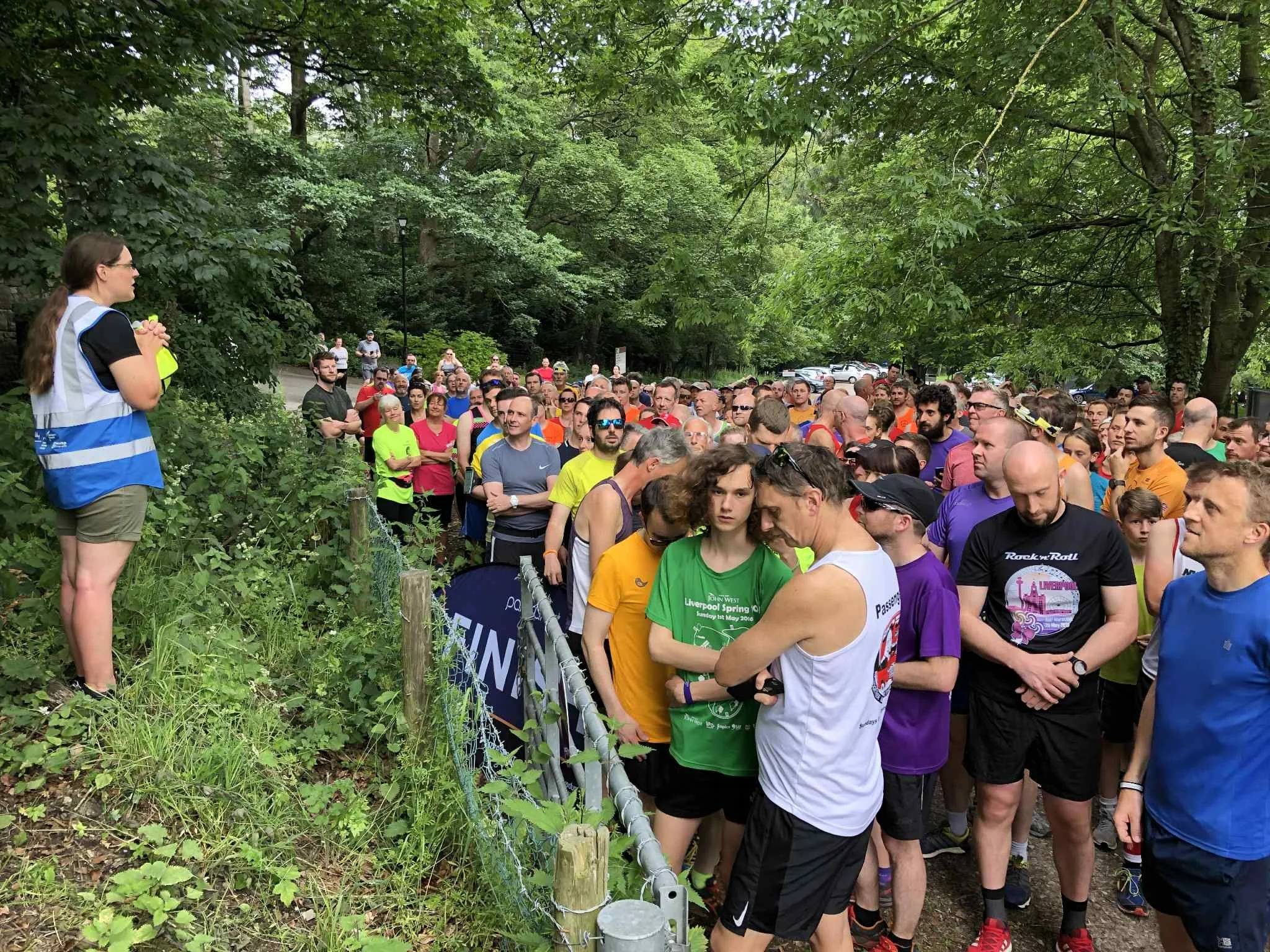
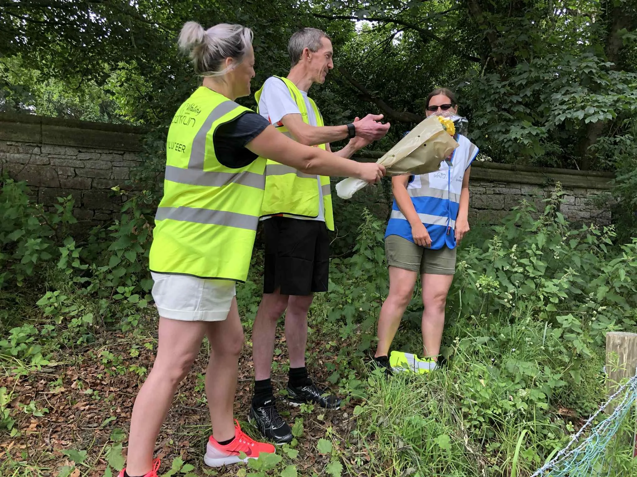
parkruns are free, weekly, community 5k events all around the world. I started in December 2012 and have been obsessive about it ever since. See my parkrun Collection page for details.
Featured and popular parkrun posts: