Twmpa & Rhos Dirion Circular Walk

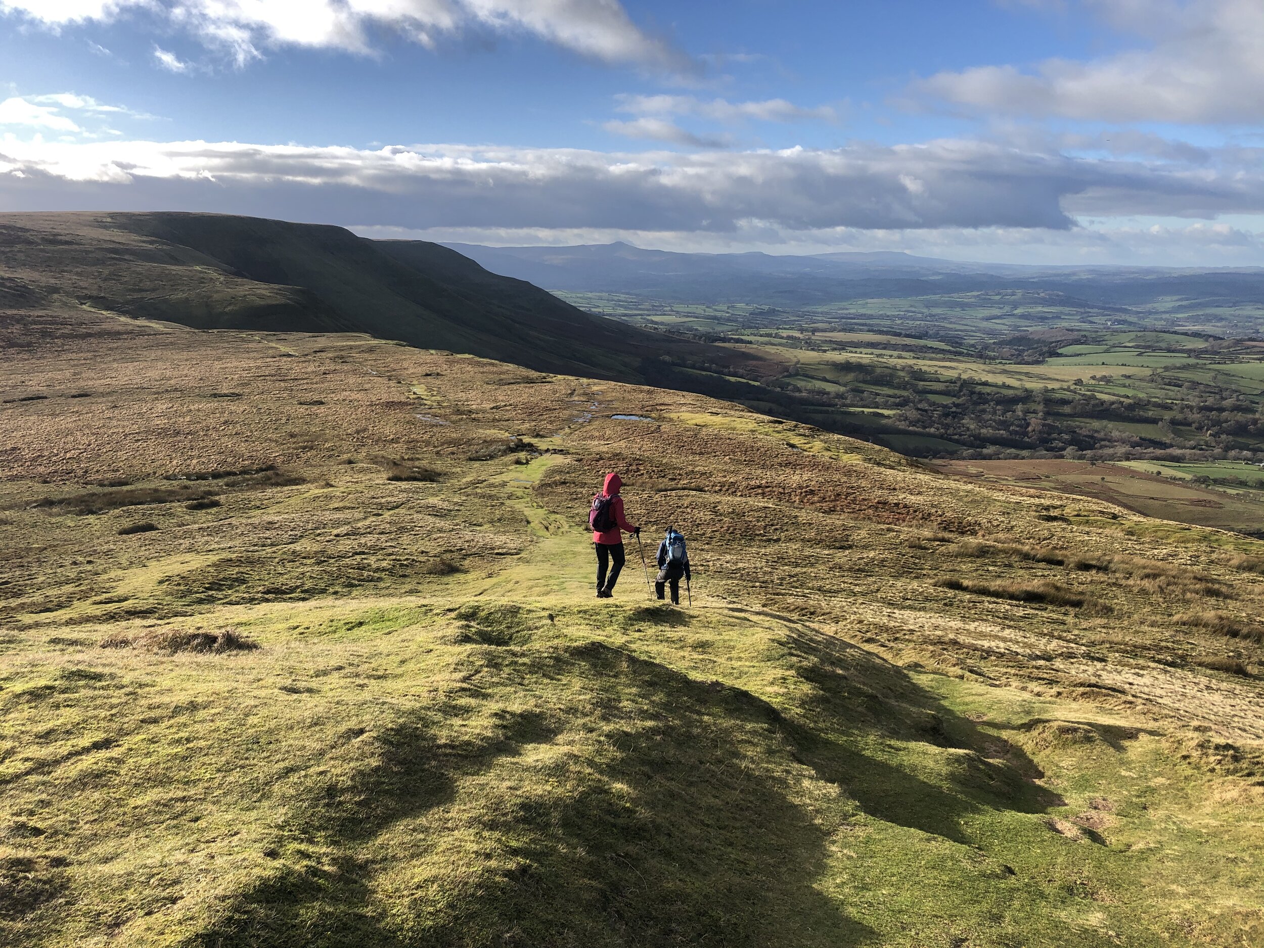
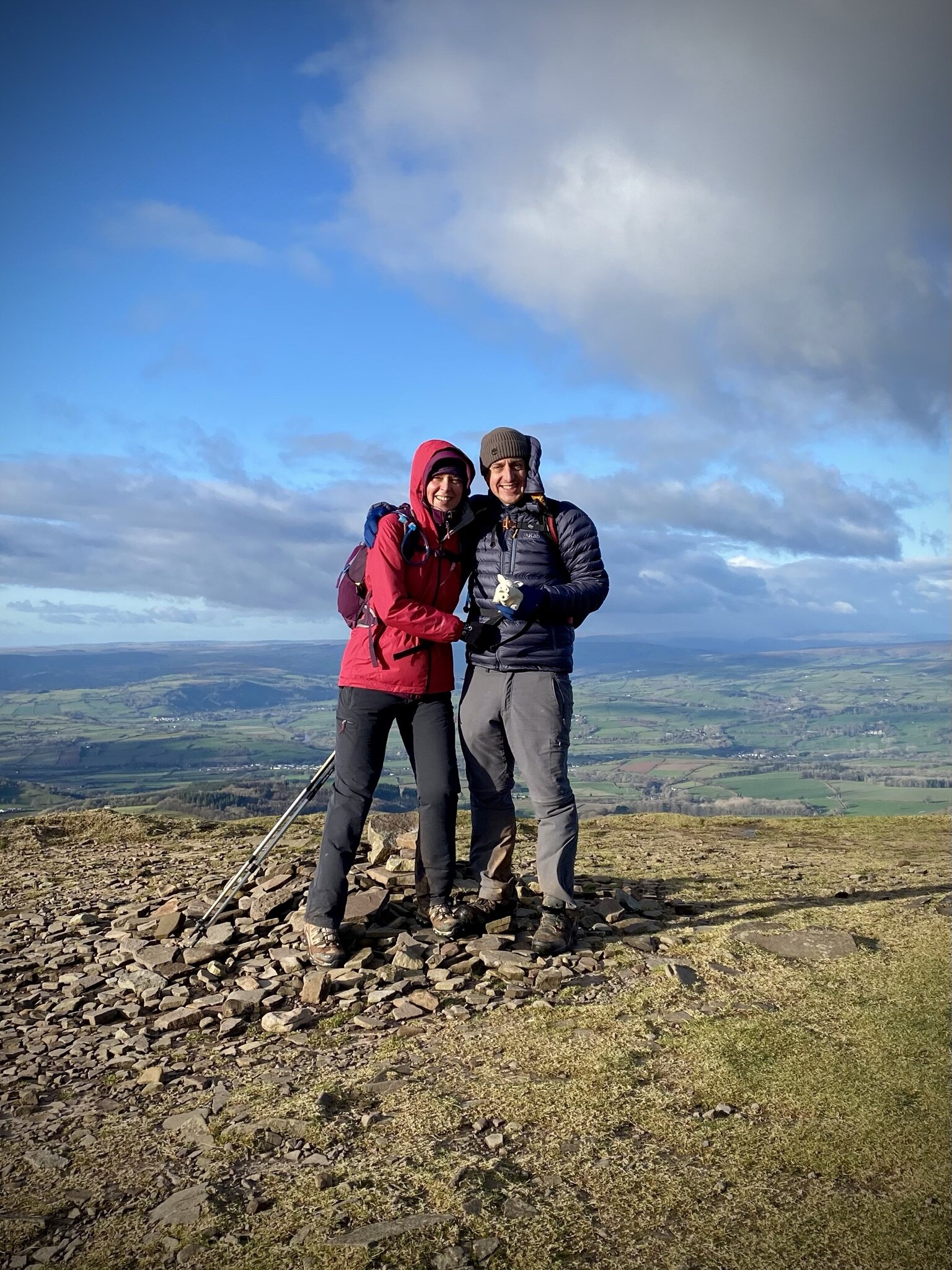
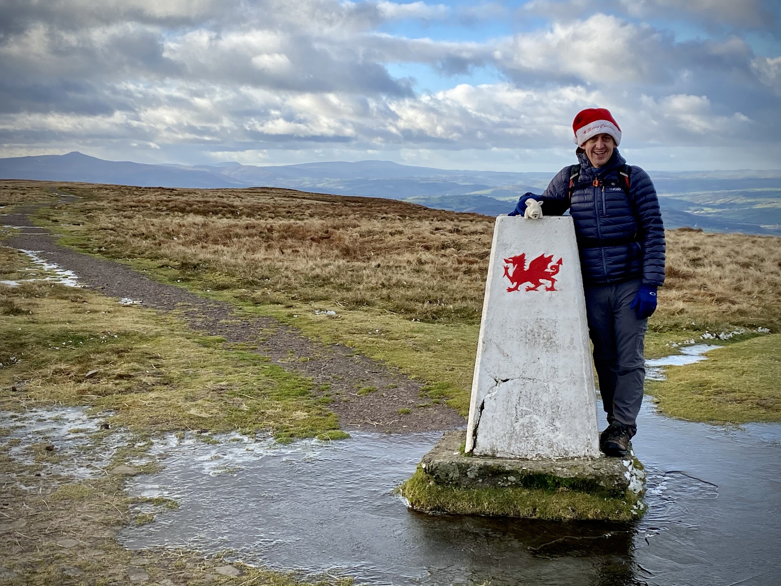
View to Pen y Fan from Rhos Dirion
Start & Finish: Gospel Pass Car Park, Capel-y-ffin, Abergavenny, NP7 7NP
Distance: 13 km (8.1 miles)
Elevation change: + / - 376m
GPX File: get via Buy Me a Coffee
Other routes touched (walk): None
Other routes touched (cycle): NCN 42
Pubs / Cafes on route: None
Map: OS Explorer OL13 Brecon Beacons National Park - Eastern area
Links: Gospel Pass, Vale of Ewyas
Rhos Dirion:
Member of: None
Parent Peak: Waun Fach
Elevation: 713m
Date climbed: 24th December 2020
Coordinates: 51° 59' 36'' N, 3° 8' 59'' W
OS Trig Pillar: TP5658 - Rhos Dirion
Links: Wikipedia / Peakbagger
Twmpa:
Member of: None
Parent Peak: Waun Fach
Elevation: 690m
Date climbed: 24th December 2020
Coordinates: 52° 2' 7'' N, 3° 6' 17'' W
OS Trig Pillar: None
Links: Wikipedia / Peakbagger
In the third of three winter walks in the Vale of Ewyas we did a circular trek to the summits of Twmpa and Rhos Dirion.
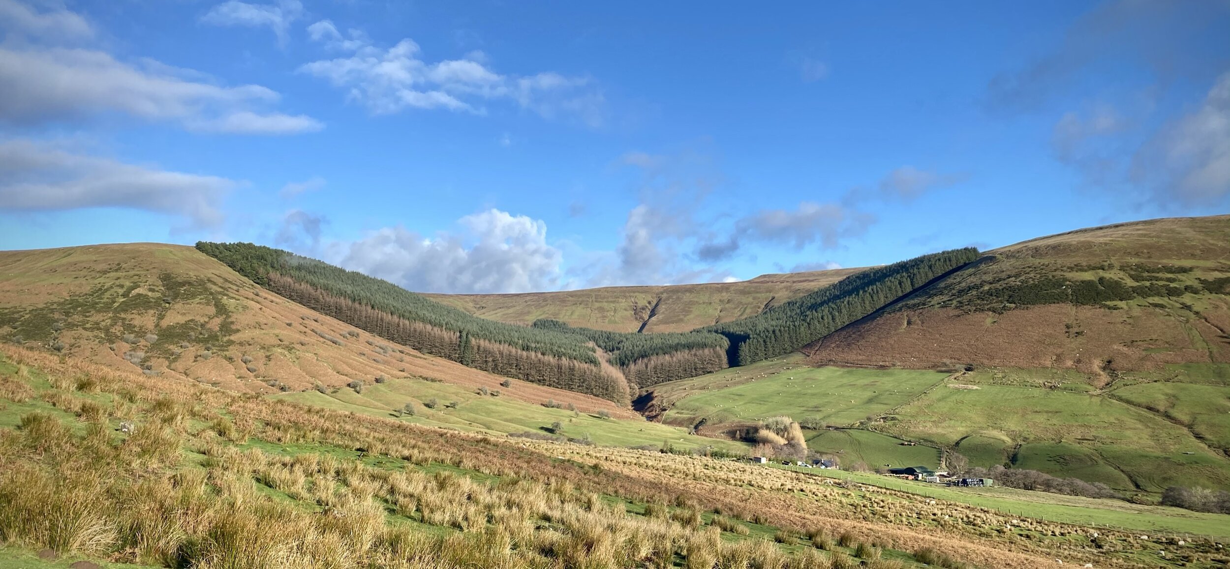
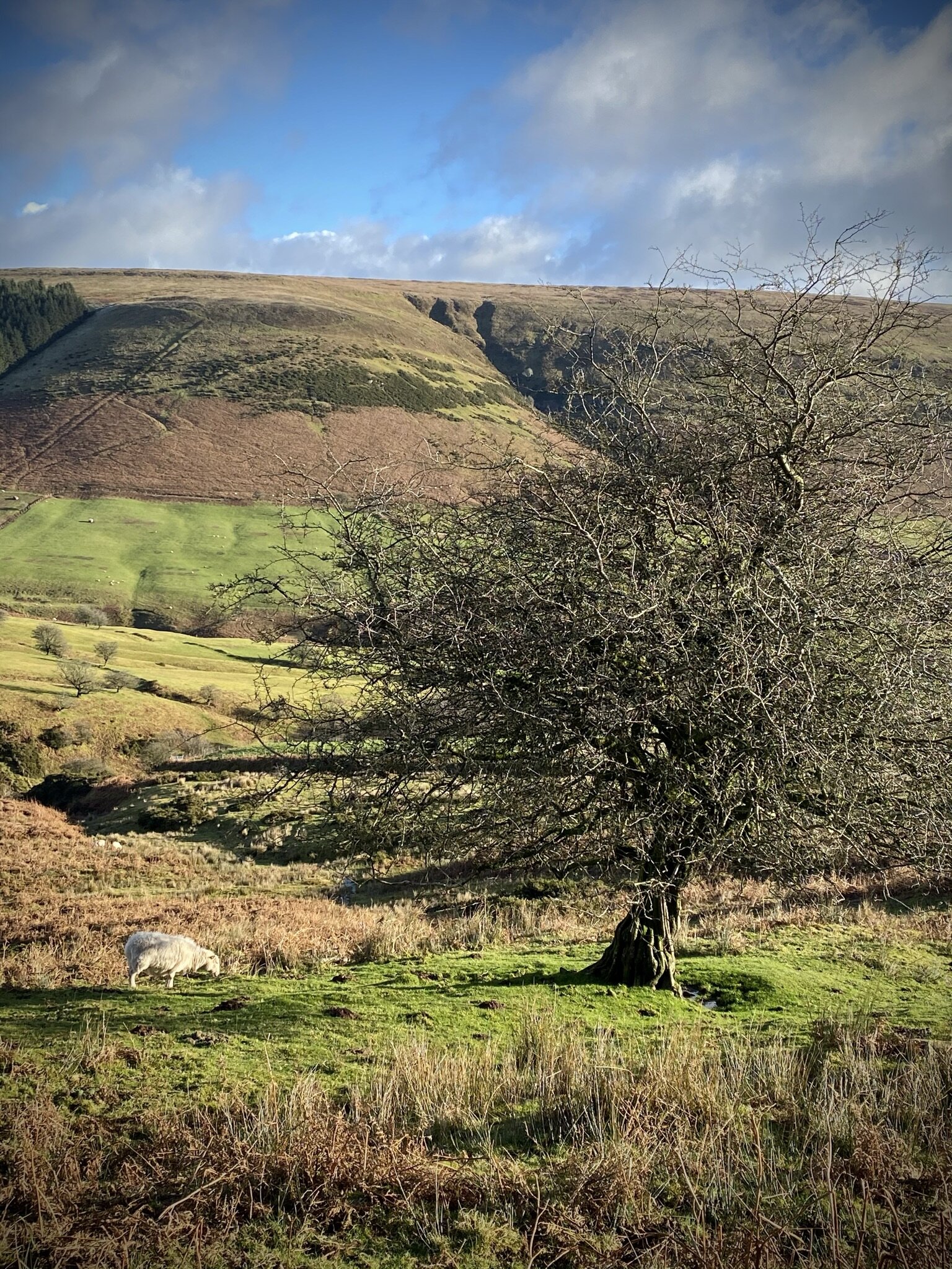
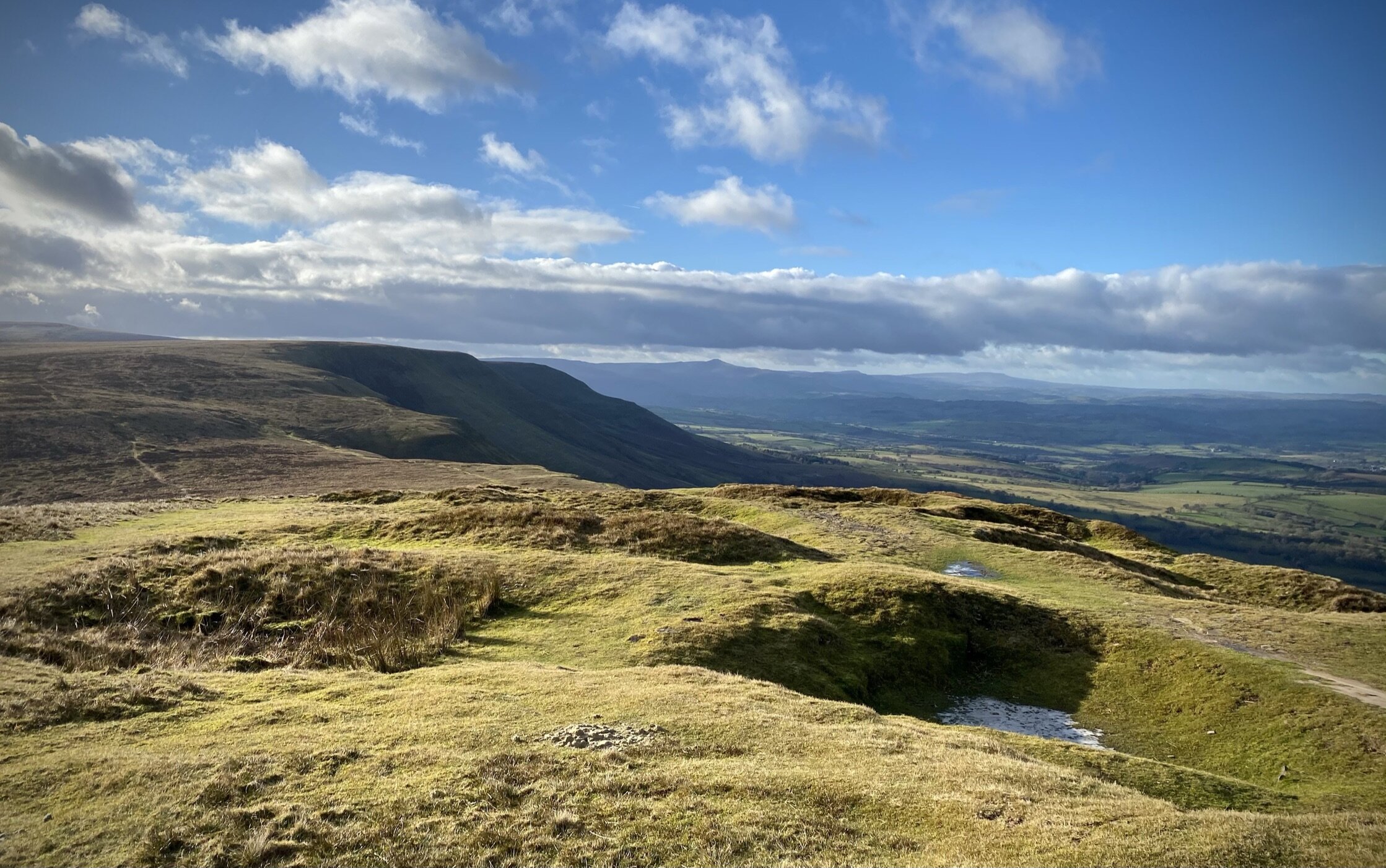
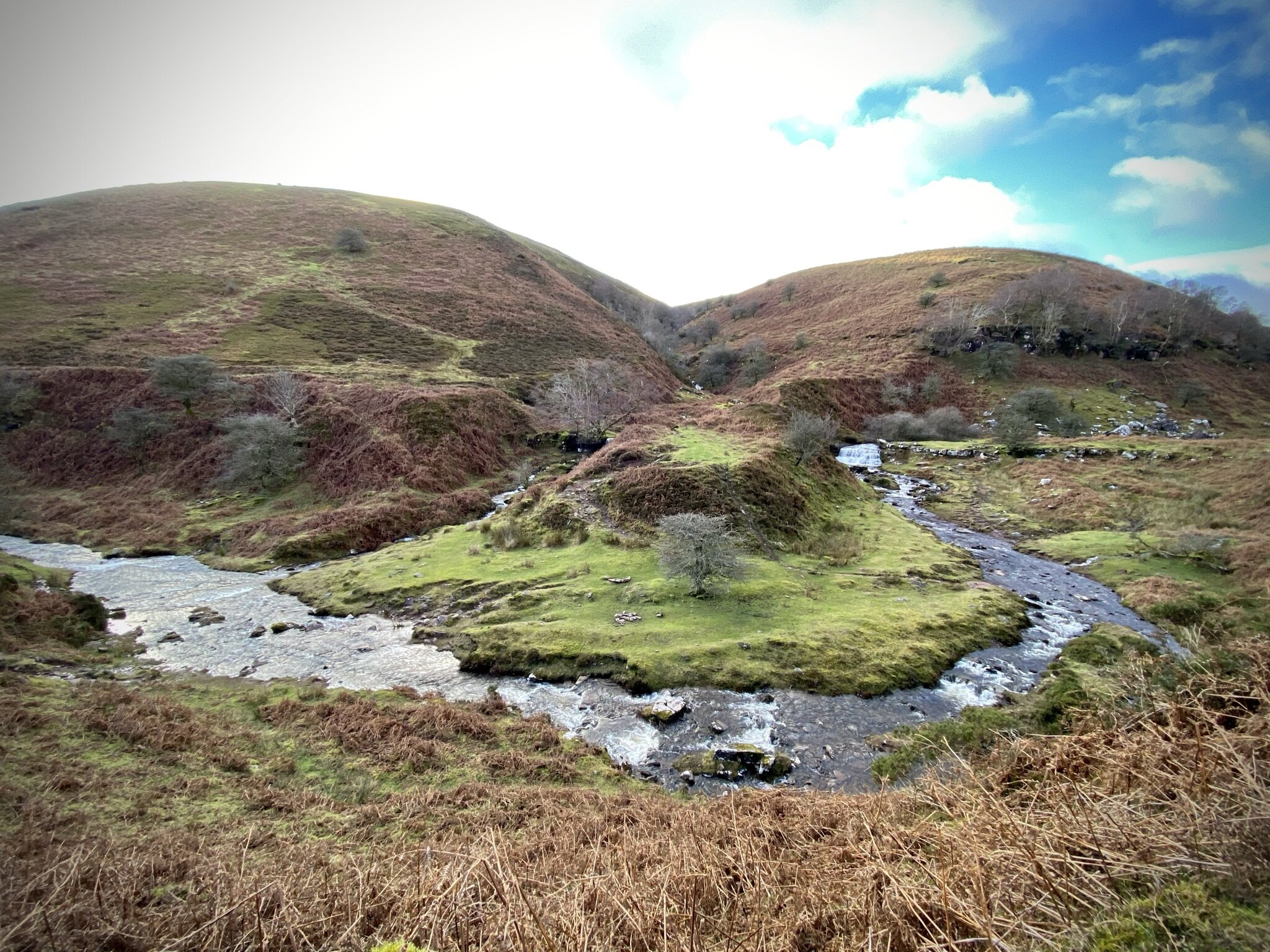
From the free parking at Gospel Pass take the westerly path up to the summit of Twmpa, also called Lord Hereford’s Knob. Trig Baggers will be disappointed as there’s no pillar at the top. By continuing west for another 1.8 km you’ll reach the patriotically painted pillar at the top of Rhos Dirion. We were there on a cold but clear winter’s day and had a great view of Pen y Fan in the distance. After bagging Rho Dirion, retrace your steps down to the col between the two summits. Rather than climb back up to Twmpa, take a right to head in a south-easterly direction down the valley. Navigation is easy following a well worn path tracing the course of Nant Bwch.
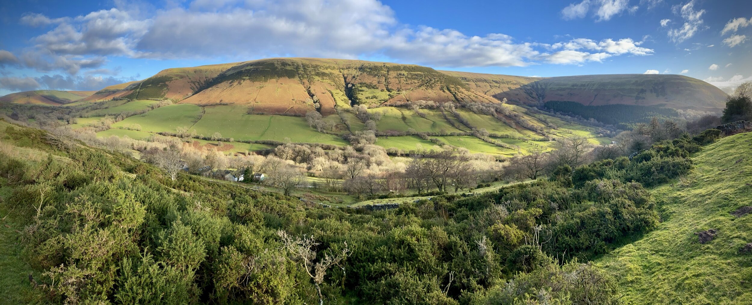
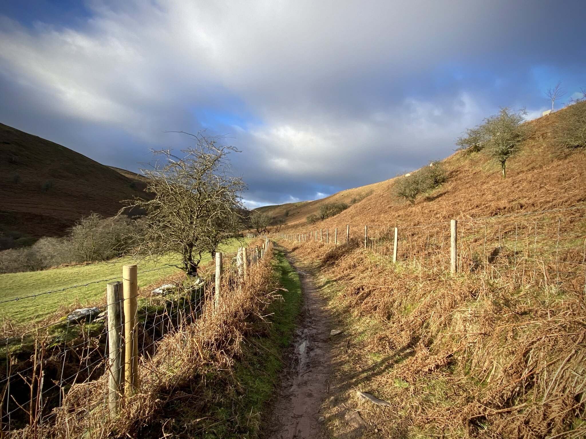
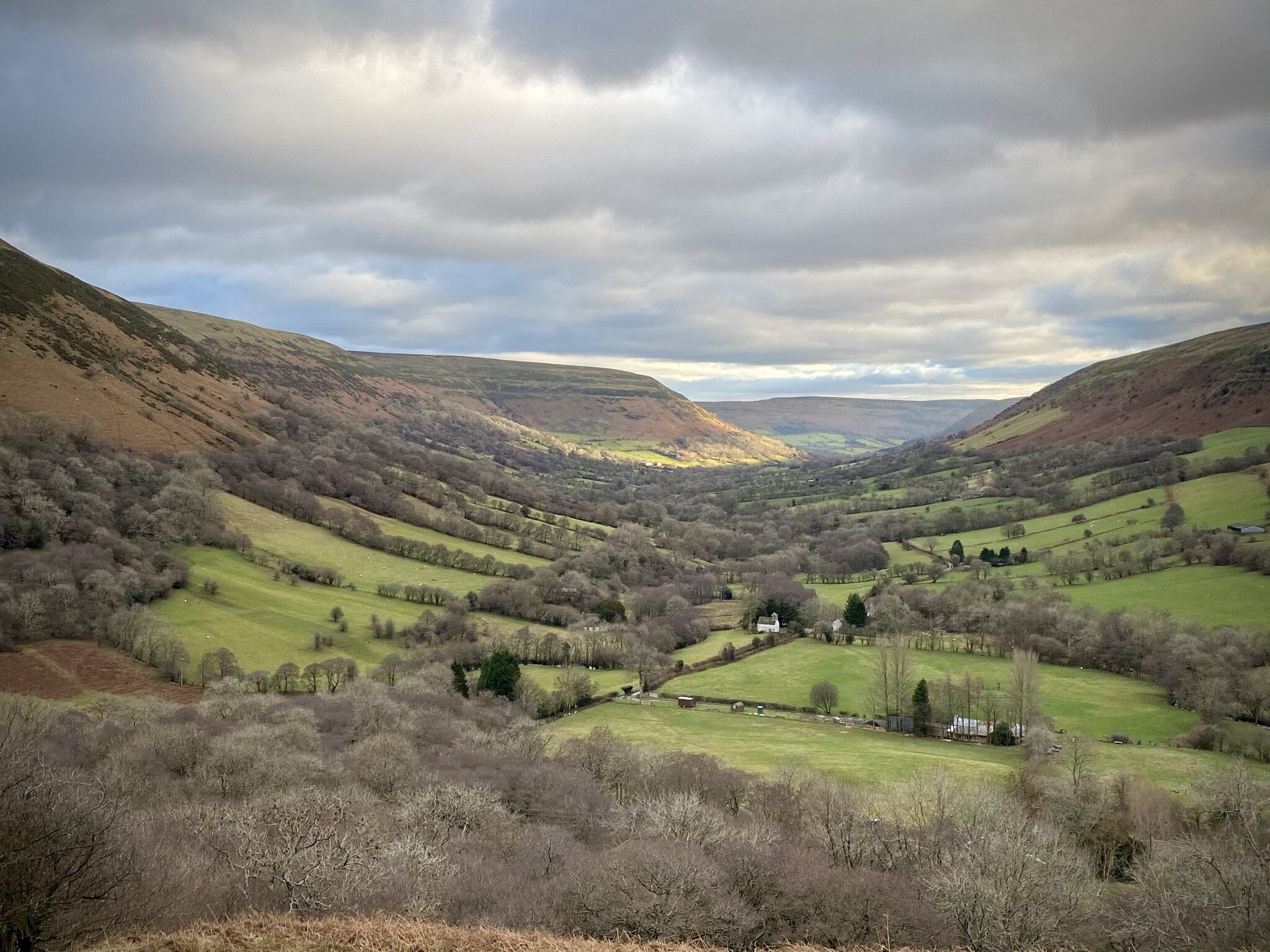
The valley path turns into a farm track then a single-track road to Capel-y-ffin. Rather than stick to the road follow the path that curves round the side of the nose of the mountain half way up its elevation. On the southern-most point you’ll get a great view over Capel-y-ffin and the southern part of the Vale of Ewas.
Continue on the mountain pass as it curves anti-clockwise around the mountain. You’ll now be heading north back towards the Gospel Pass. After ~2 km the path will join the valley road which you can follow back to the car park.