Waun Fach and The Dragon's Back

Top of the Dragons Back
Member of: Marilyn, Hewitt, Nuttall
Parent Peak: Pen y fan
Elevation: 811m
Date climbed: 5th May 2021
Coordinates: 51° 57' 46'' N, 3° 8' 35'' W
Route Start & Finish: The Dragons Back pub, Pengenffordd, Talgarth, Brecon, LD3 0EP
Distance: 11.7 km (7.3 miles)
Elevation change: +/- 574m
GPX File: get via Buy Me a Coffee
Other routes touched (walk): None
Other routes touched (cycle): None
Other Pubs / Cafes on route: None
OS Trig Pillar: TP3548 - Gwynydd Bach
Map: OS Explorer OL13 Brecon Beacons National Park - Eastern area
Links: Wikipedia / Peakbagger
This was the second of three trig-bagging walks in the Black Mountains on a spring trip to the Brecon Beacons. It was my birthday and, having missed out on our normal big trip due to Covid, I wanted a special mountain. It may not be well known, a County Top or on many bucket lists, but as the highest peak in the Black Mountains, that would be enough significance for this year.
The car park next to the Dragon’s Back pub is an obvious place to start. The honesty box for the £2 charge gives warnings of tough-to-remove stickers to be stuck to windscreens if the charge is not paid. Despite the CCTV cameras above it, it’s unlikely they would know you’ve put money in there. After a year of not touching any cash I was pleasantly surprised to discover that we actually had some coins in the car.
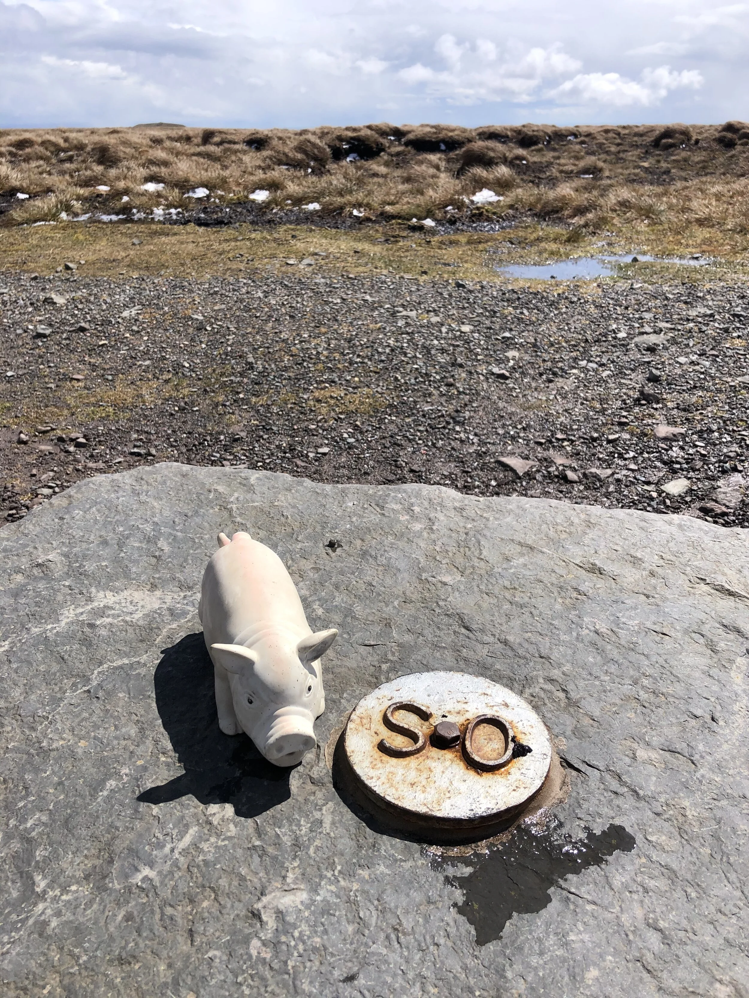
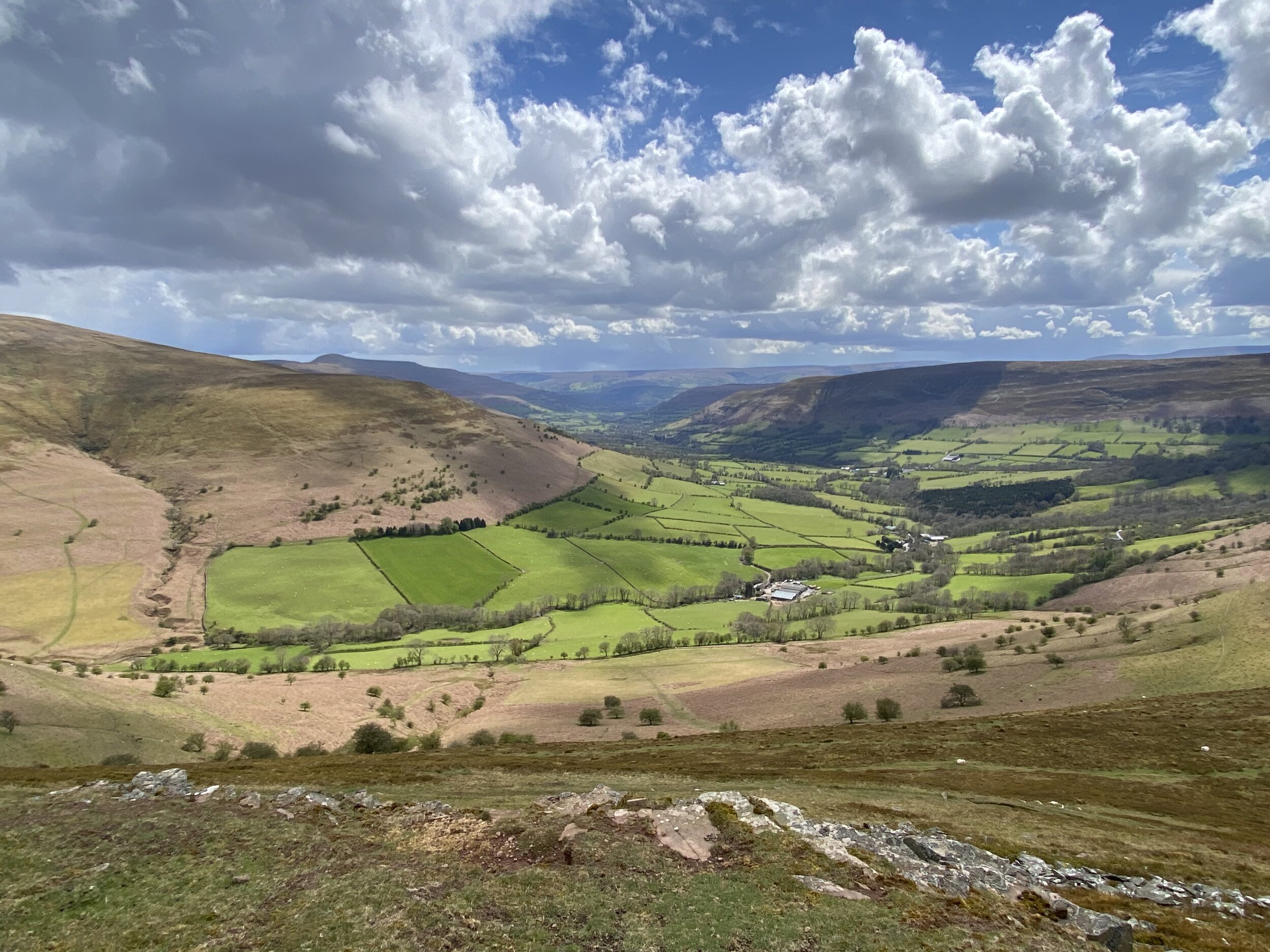
Take the footpath that starts at the north end of the car park and follow it in a south-easterly direction for just over 3.5 km. Here you’ll reach a ridgeline with several different footpath interactions. Take the path that heads north, continuing to ascent, then curves to the east. Follow this path for approximately 2km to the summit of Waun Fach. There used to be an OS Trig Pillar here, but it’s been replaced by a low, flat stone with a metal OS roundel on it.
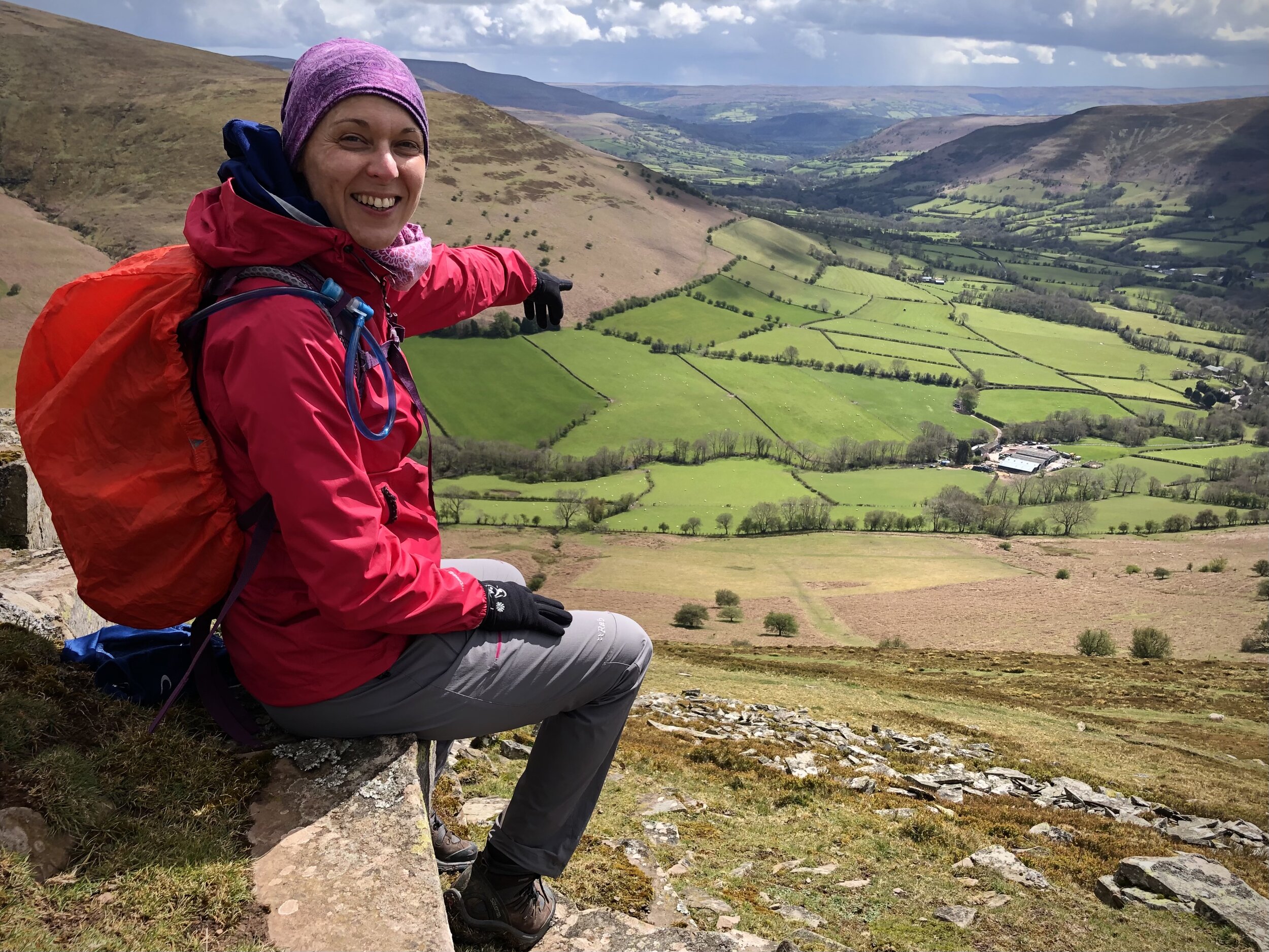
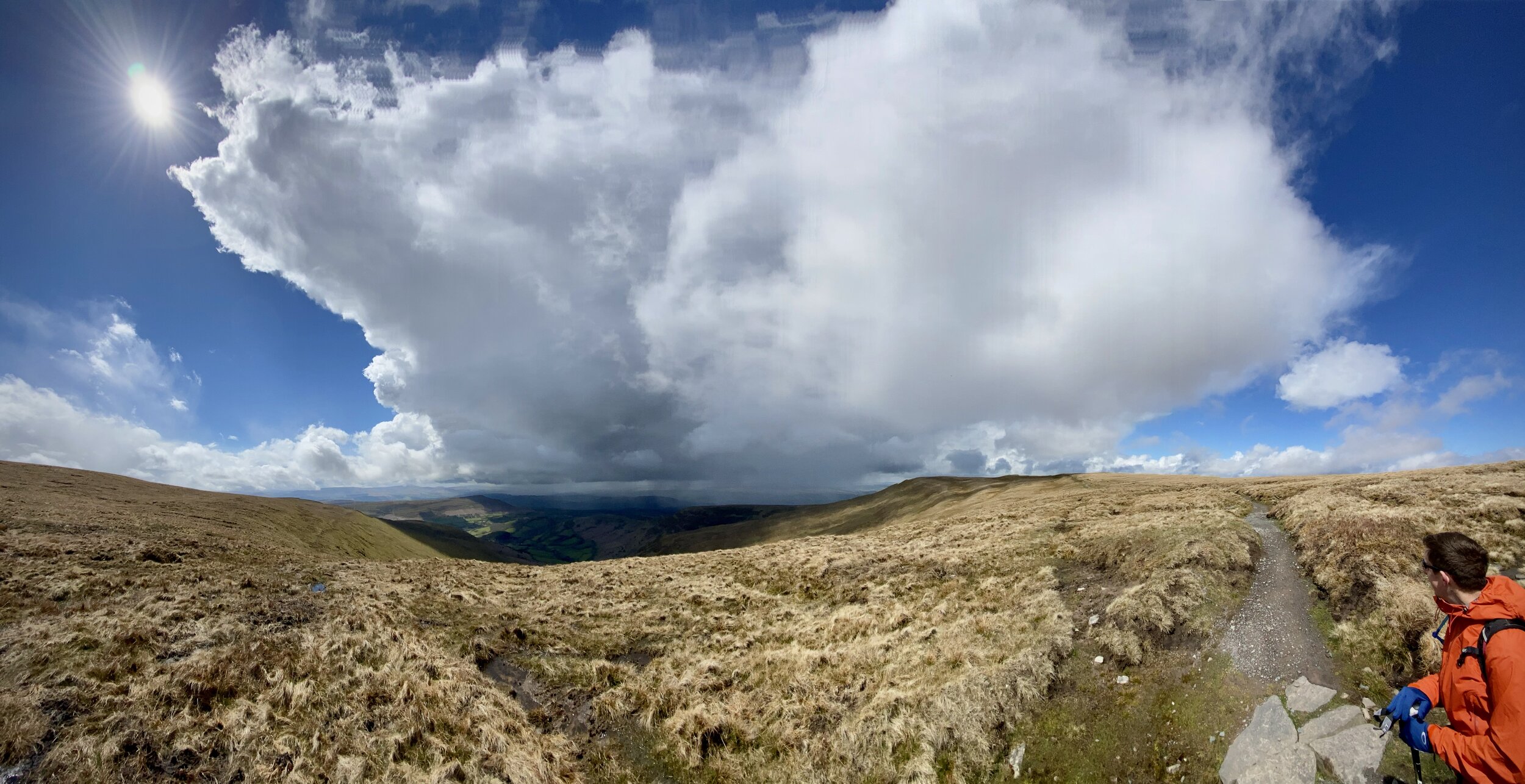
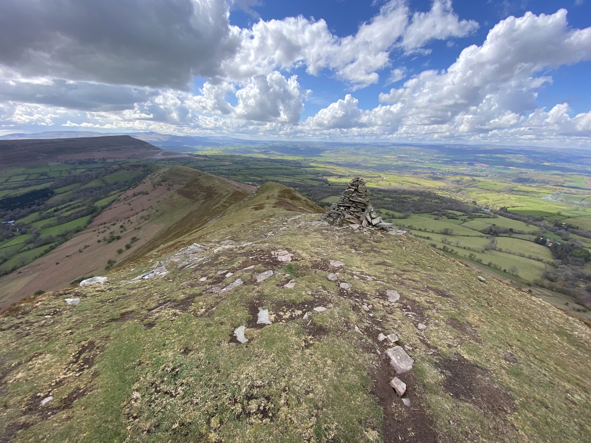
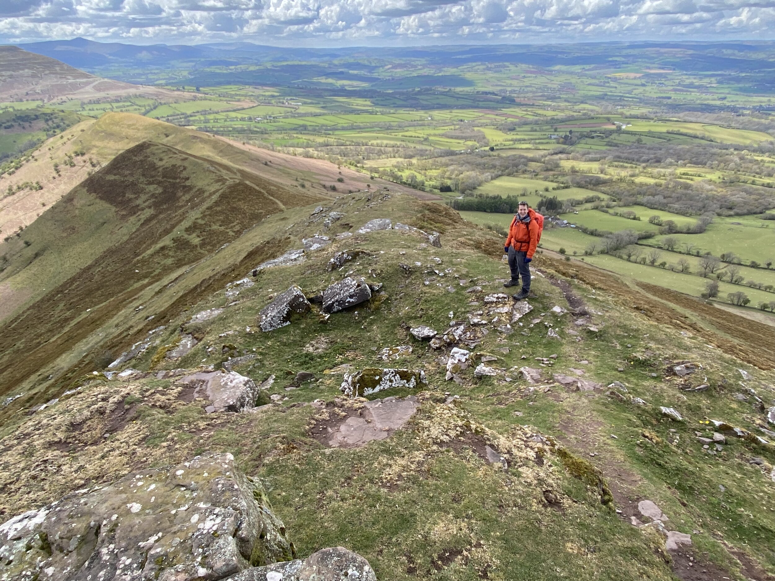
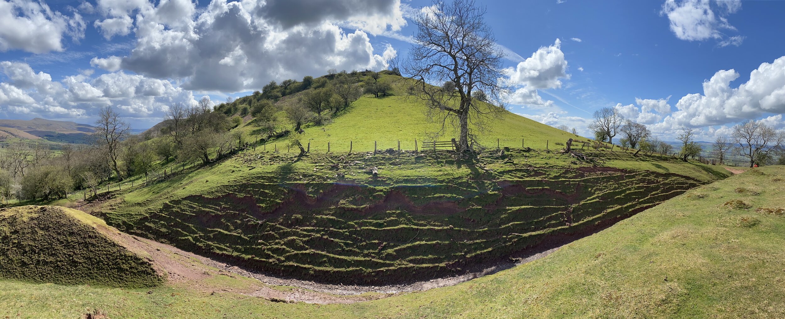
From the summit, take the northerly footpath, descending steadily for 1.5 km. At the path junction take the left hand path, heading south west, descending along the Dragons Back. We had very good visibility which gave us some amazing views across to the National Park to Pen y Fan and beyond. The highlight at the end of the trip is the path through the ruins of Castel Dinas. The steep ascent up to to the castle right at the end of the trip was a bit daunting though given we were low on energy at the time.
I’d been hesitant about doing this one having read and heard of tough navigation and boggy conditions at the top. The path at the summit seemed relatively new so have probably addressed the bogginess issue. I’d say that the navigation is no tougher than similar mountains in the area so you’ll be fine with the usual preparation, clothing and skills for the hills.