Mynydd Llangorse

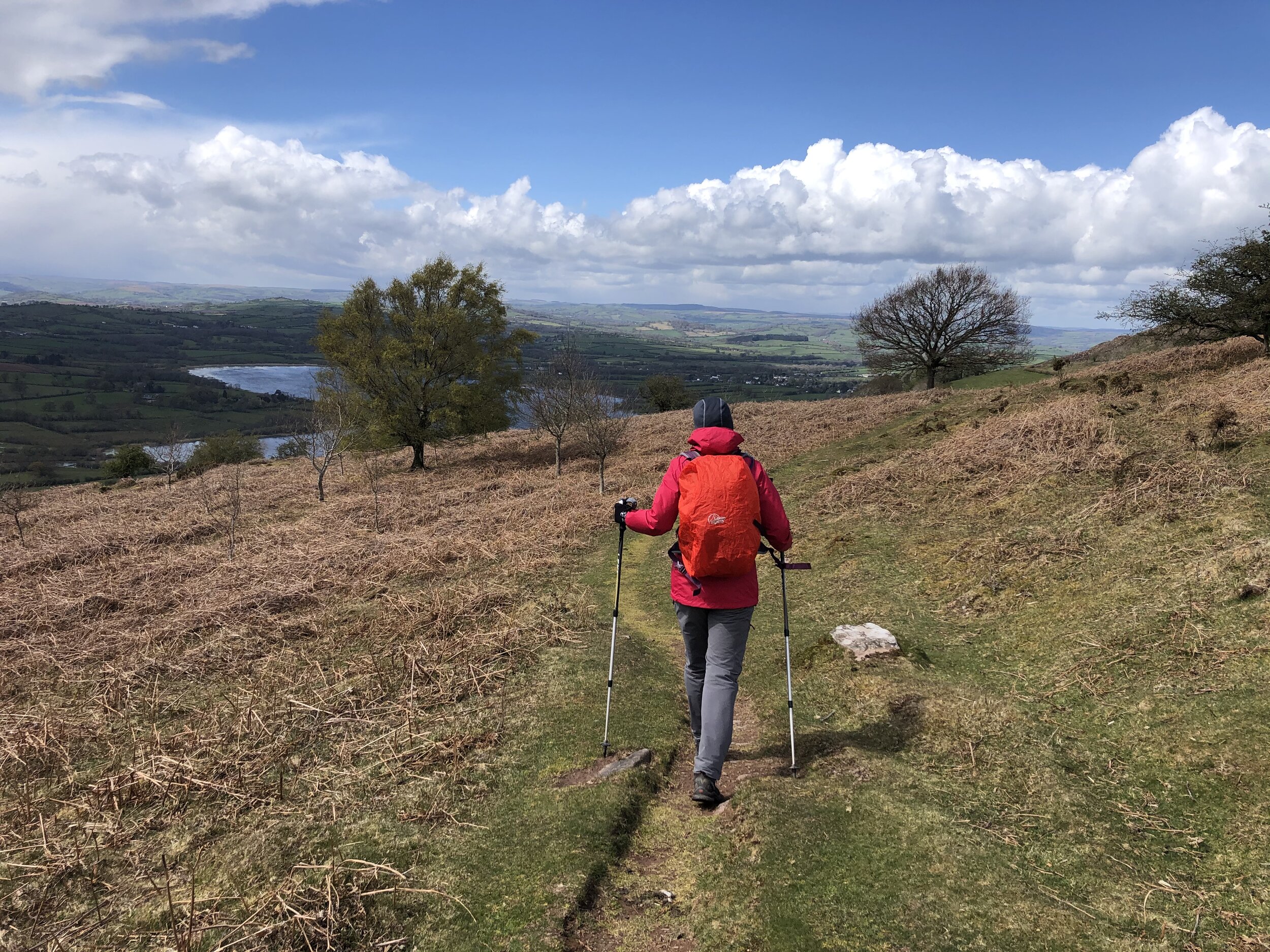
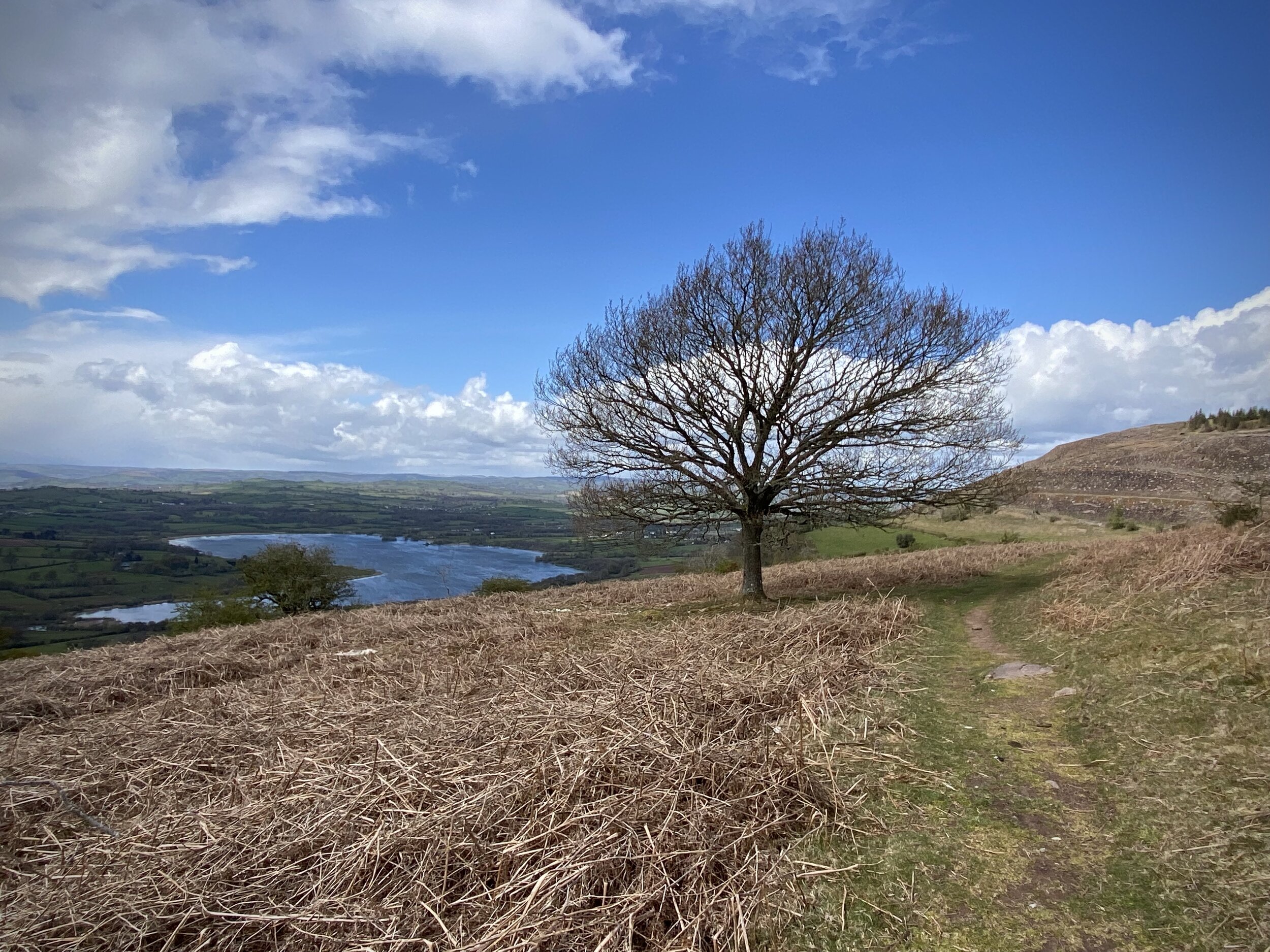
View to Llangorse Lake from the western side of Mynydd Llangorse
Member of: Marilyn
Parent Peak: Mynydd Troed
Elevation: 515m
Date climbed: 4th May 2021
Coordinates: 51° 55' 57'' N, 3° 13' 27'' W
Route Start & Finish: Parking outside Llangorse Multi Activity Centre, Gilfach Farm, Llangorse, Brecon, LD3 7UH
Distance: 6.5 km (4.0 miles)
Elevation change: +/- 285m
GPX File: get via Buy Me a Coffee
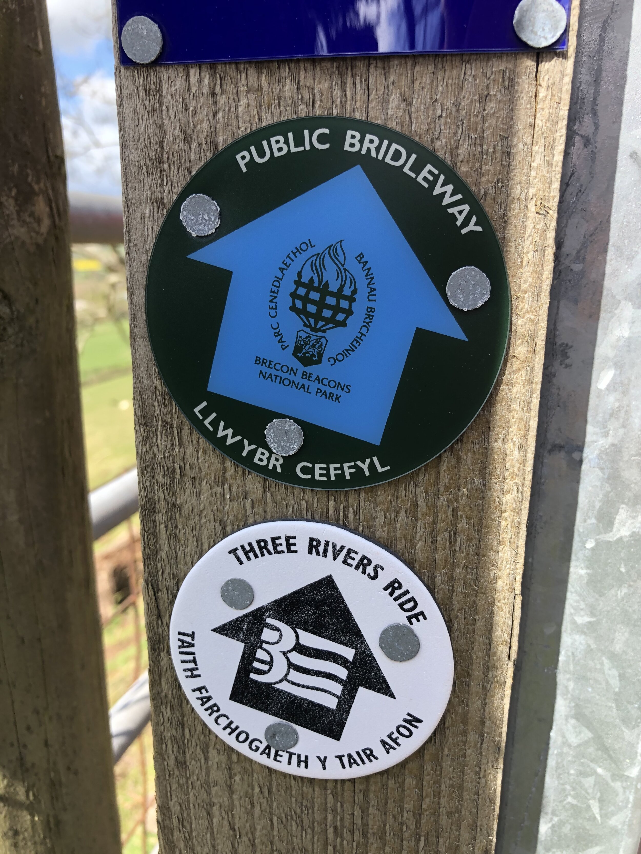
Other routes touched (walk): Beacons Way
Other routes touched (cycle): None
Pubs / Cafes on route: None
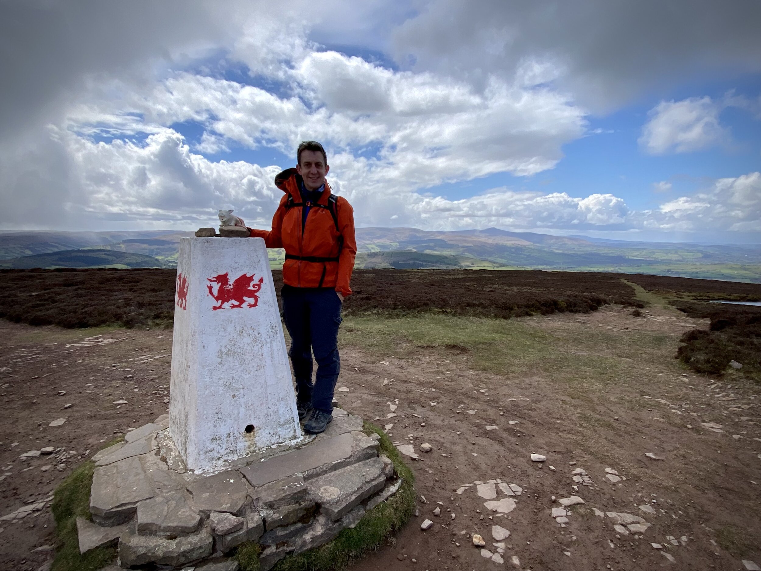
OS Trig Pillar: TP5020 - Mynydd Llangorse
Map: OS Explorer OL13 Brecon Beacons National Park - Eastern area
Links: Wikipedia, Peakbagger, Llangorse Lake, Llangors
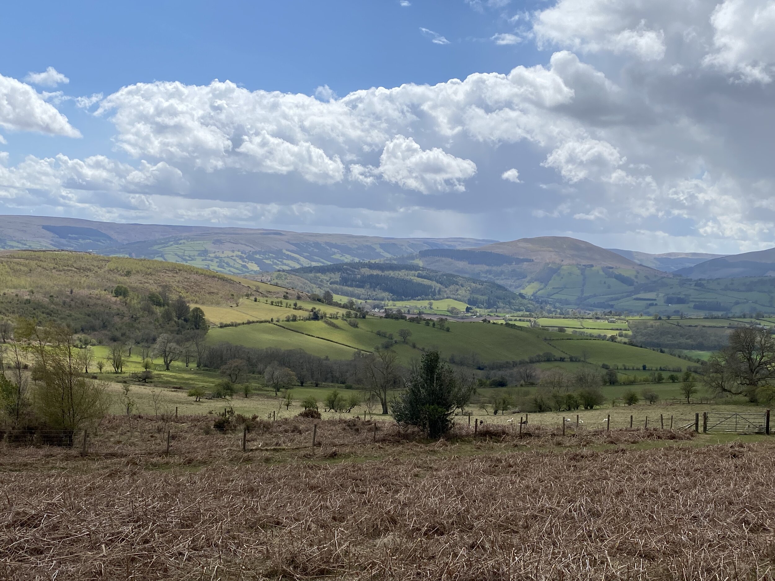
This was the first of three trig-bagging walks in the Black Mountains on a spring trip to the Brecon Beacons. With a short distance and relatively low elevation this made for a nice warm-up for the longer treks of the next couple of days.
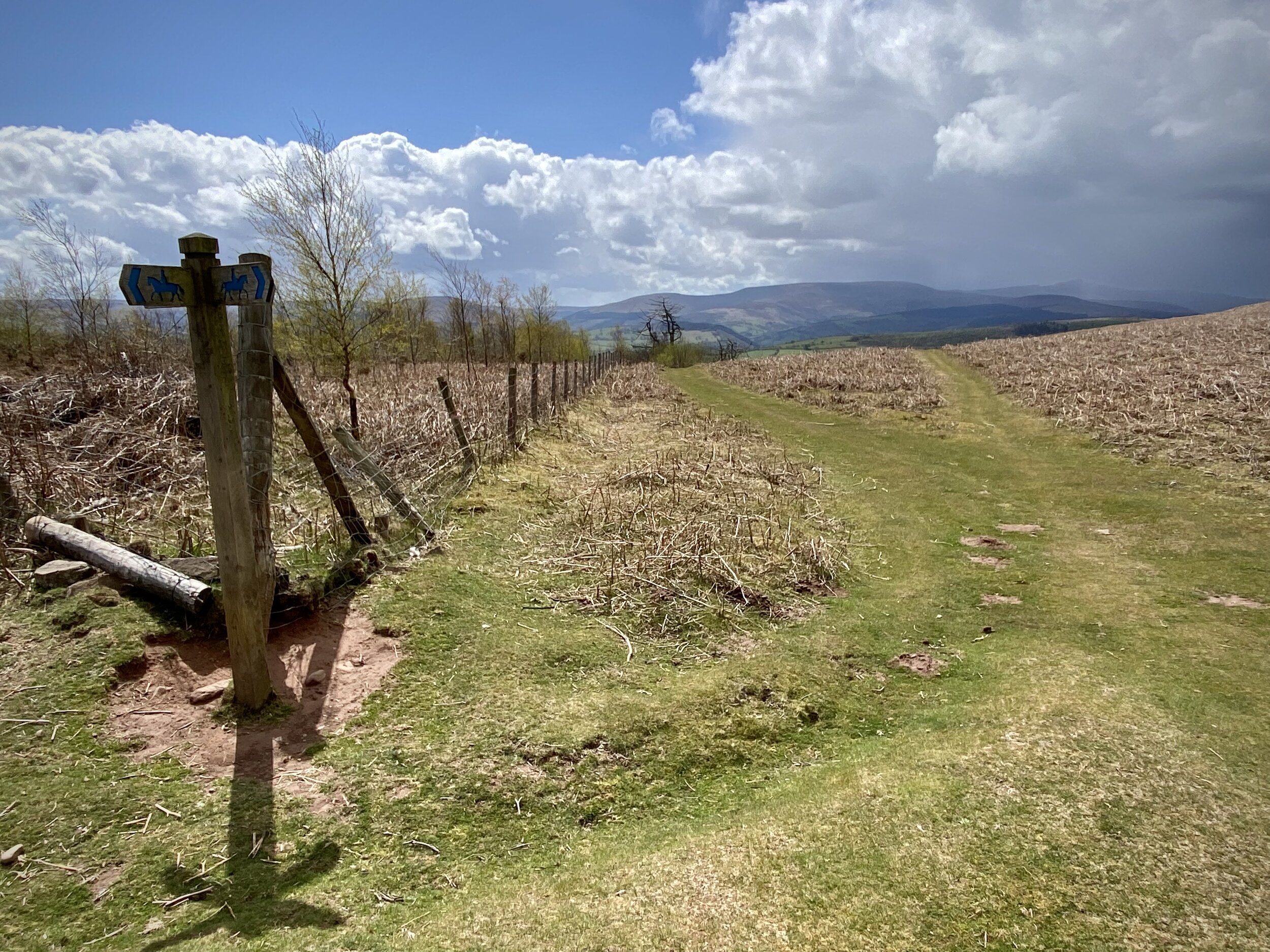
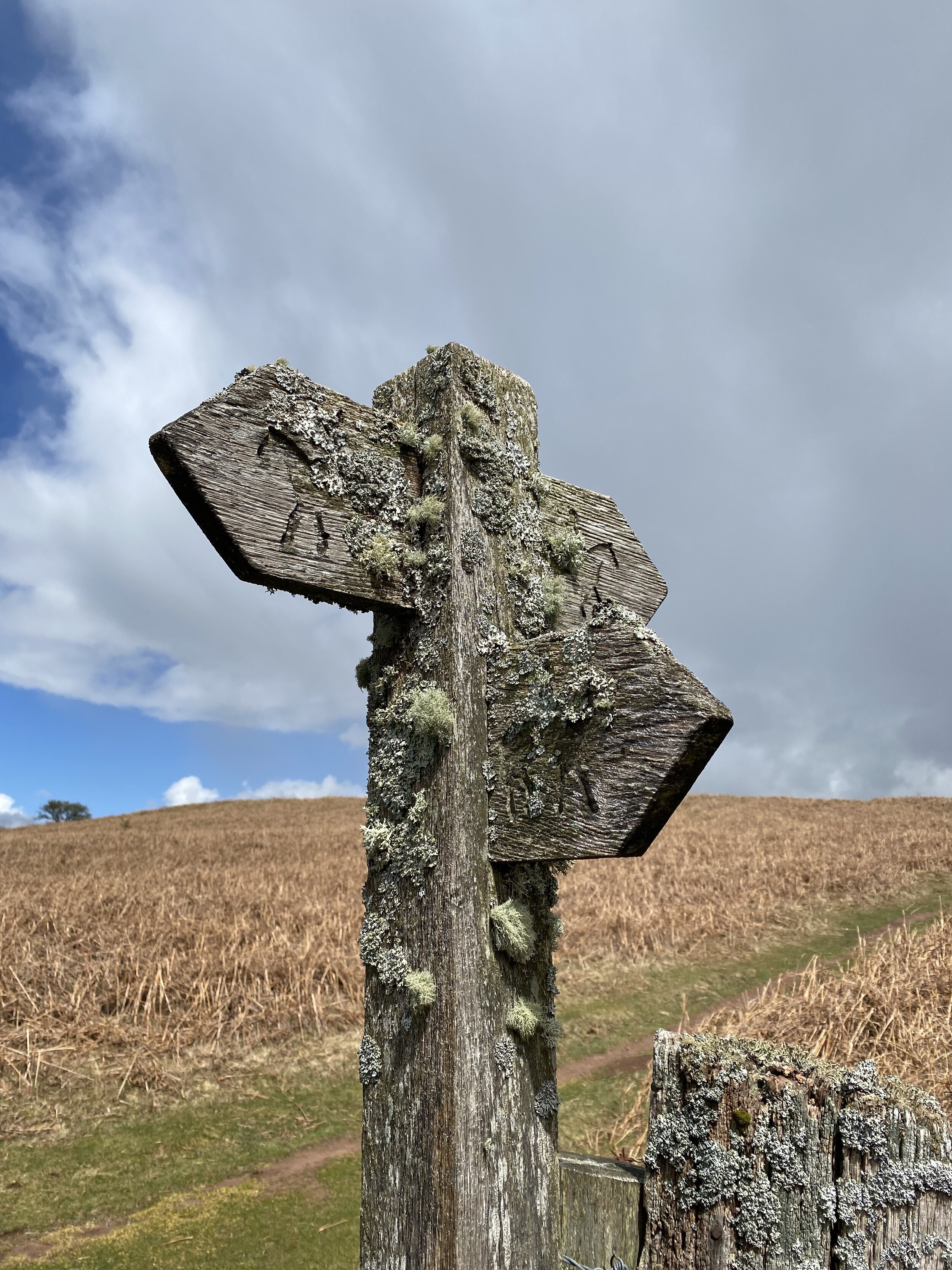
The parking area just outside of the Llangorse Activity Centre is an obvious place to start. Just inside the activity centre you can find the start of a footpath heading in a south-easterly direction across a field towards the hill. The trig pillar at the summit is only 1.5km from the Activity Centre, giving you the option of a very short out-and-back. If you prefer a longer circular walk, there’s several options based on a few paths that intersect at the summit. We continued east for ~500 metres, then taking a well marked track south to the Beacons Way.
When you meet the Beacons Way, don’t follow it but take the westerly path that makes a steady descent from the hill. This path will curve round to the hill and reconnect with the path you followed at the start and back to the Activity Centre.
The cafe at Llangorse lake, a short drive from the Activity Centre, is a great place for a rest, a coffee and a cake after the walk.