Posts tagged Brecon Beacons
Merthyr Common & Pen March: Merthyr Tydfill & Caerphilly High Points

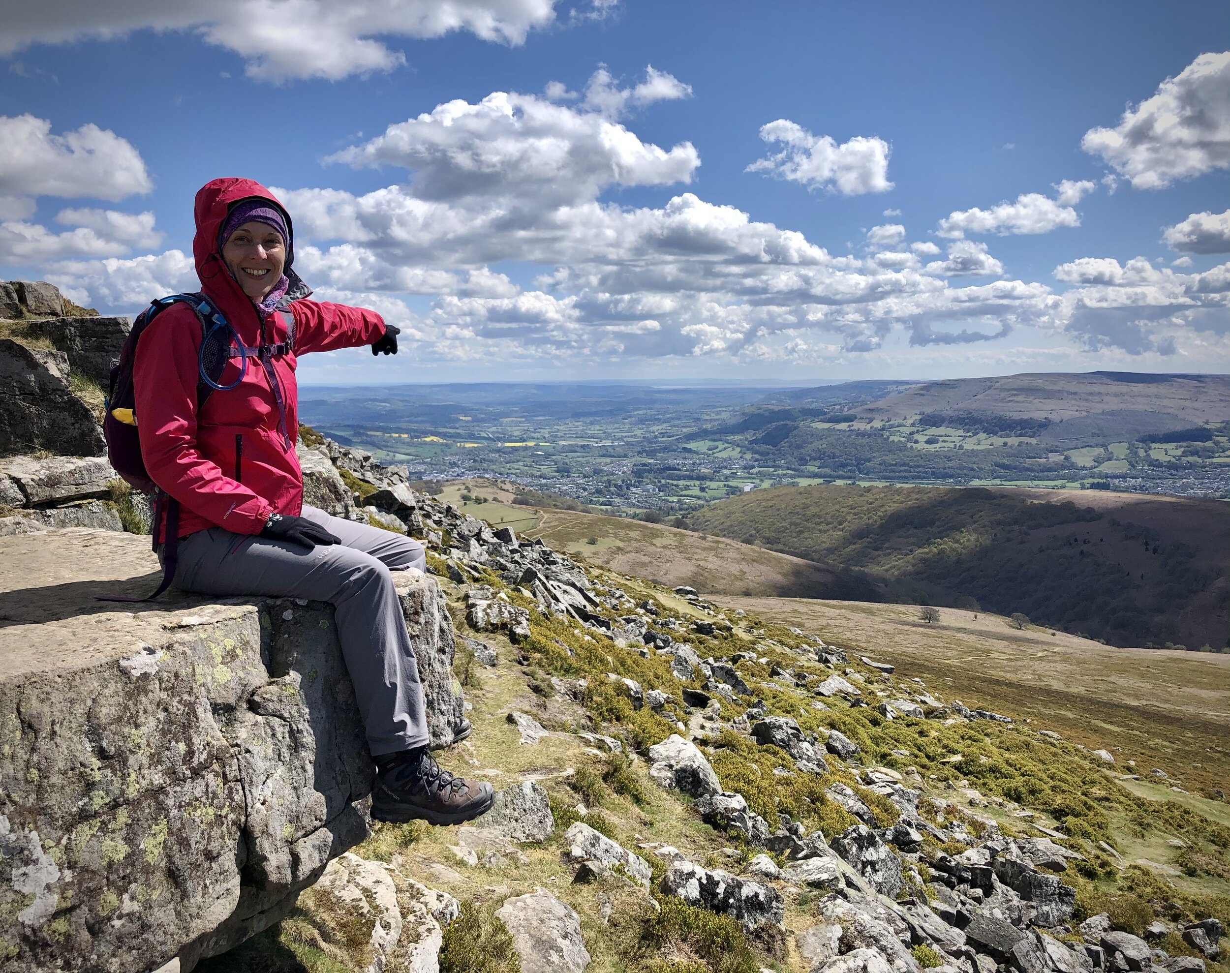
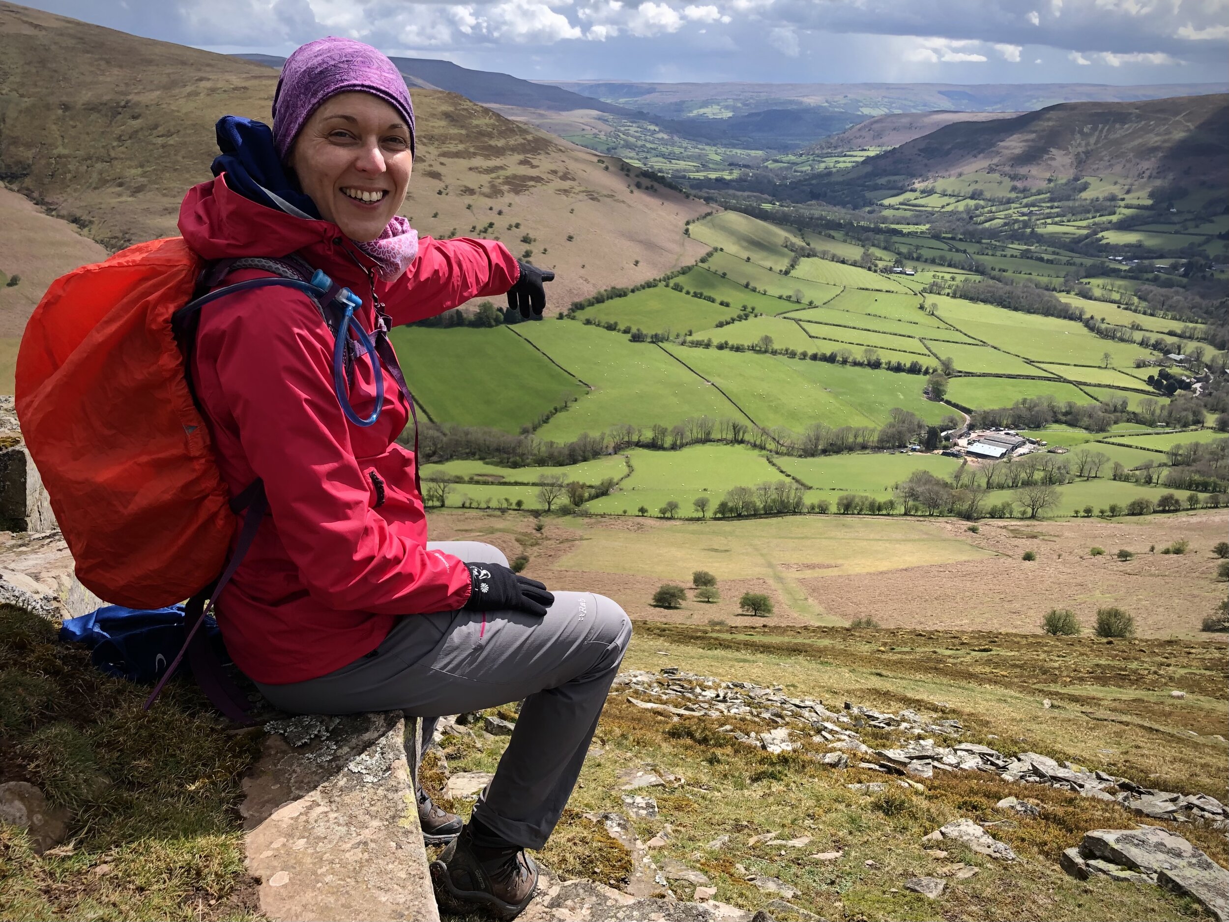
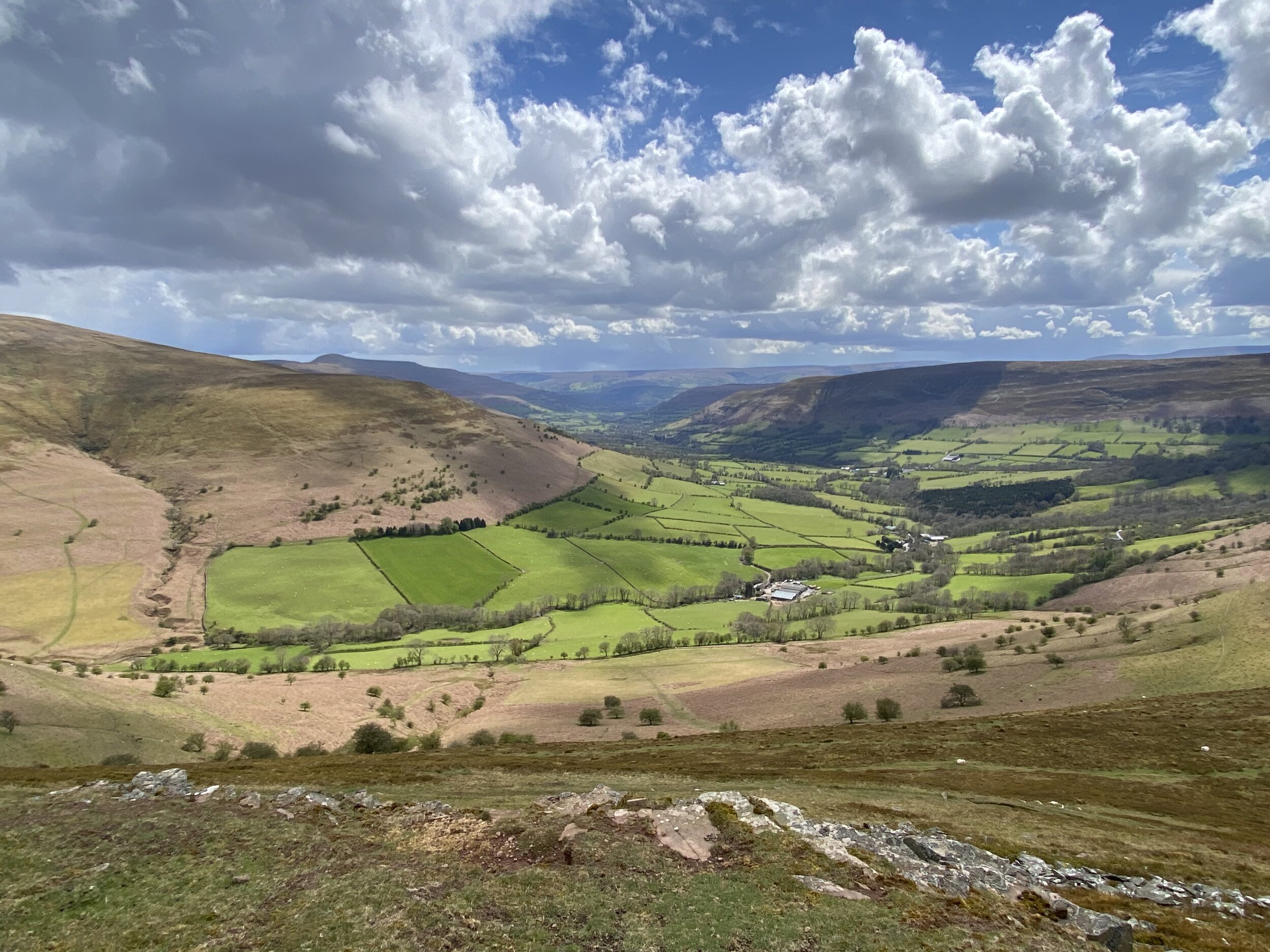
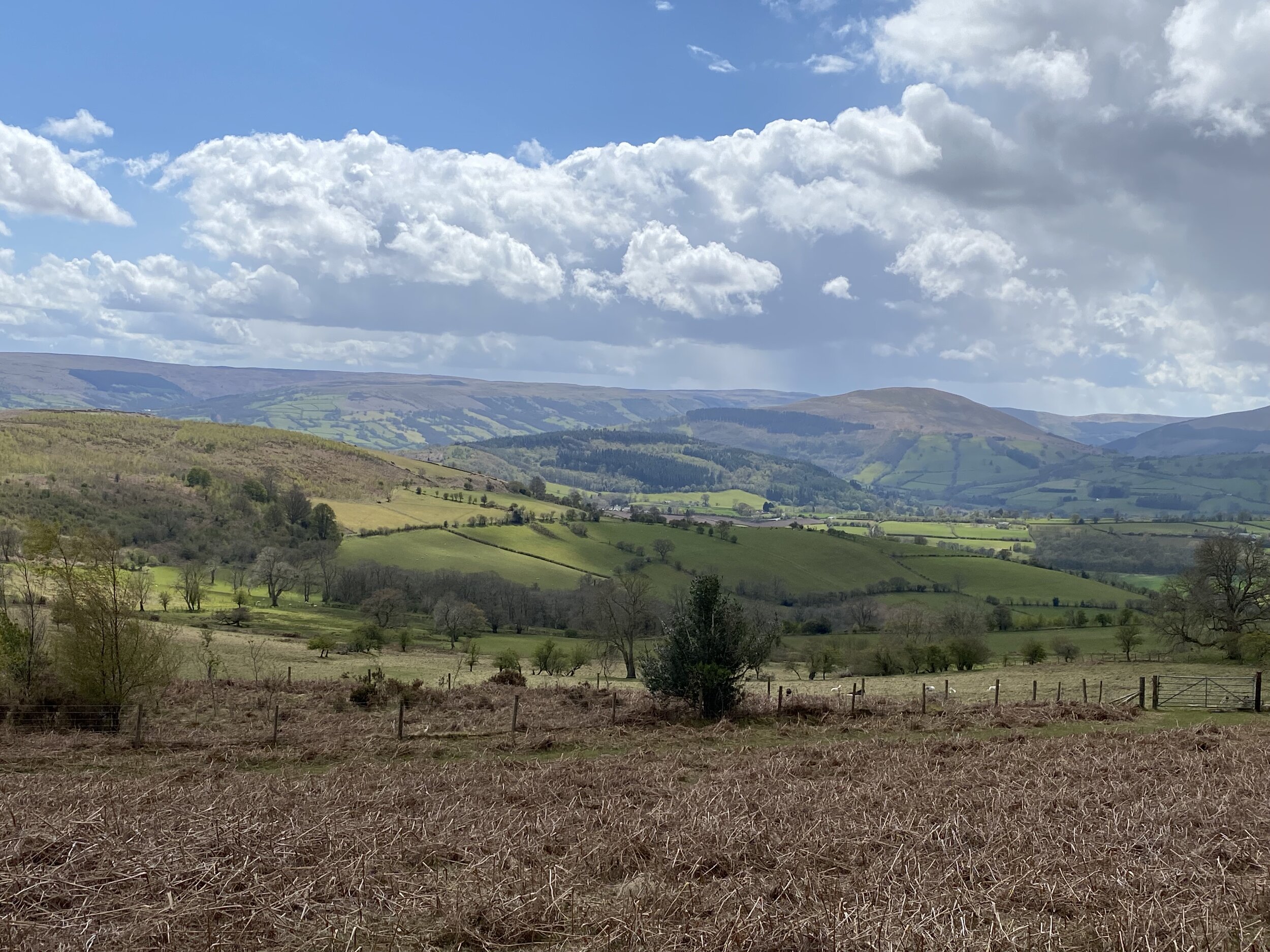
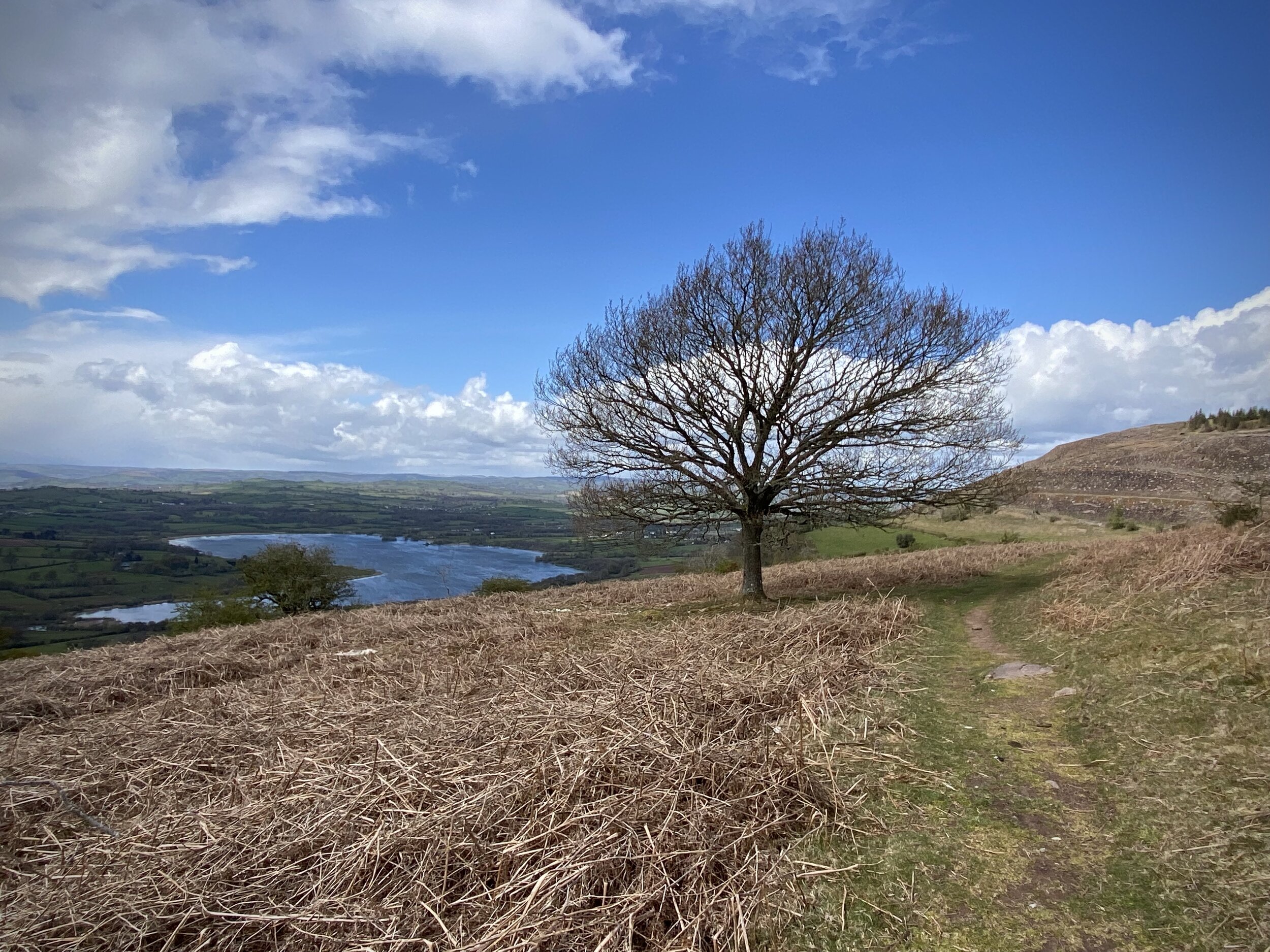
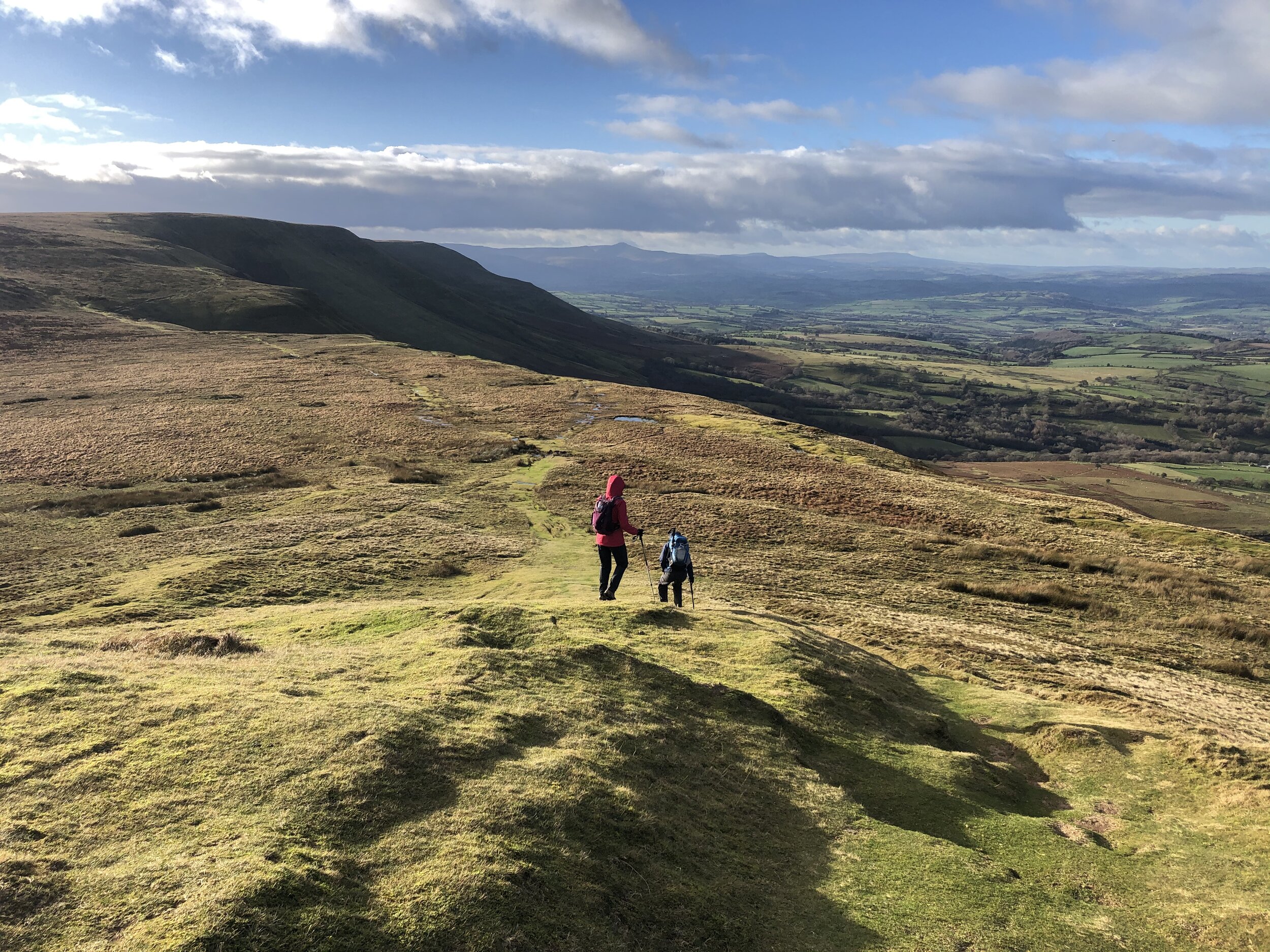
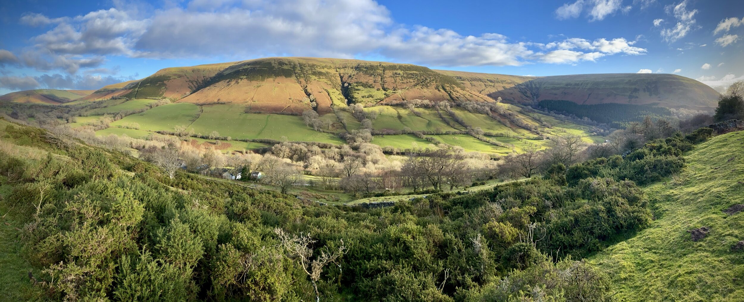
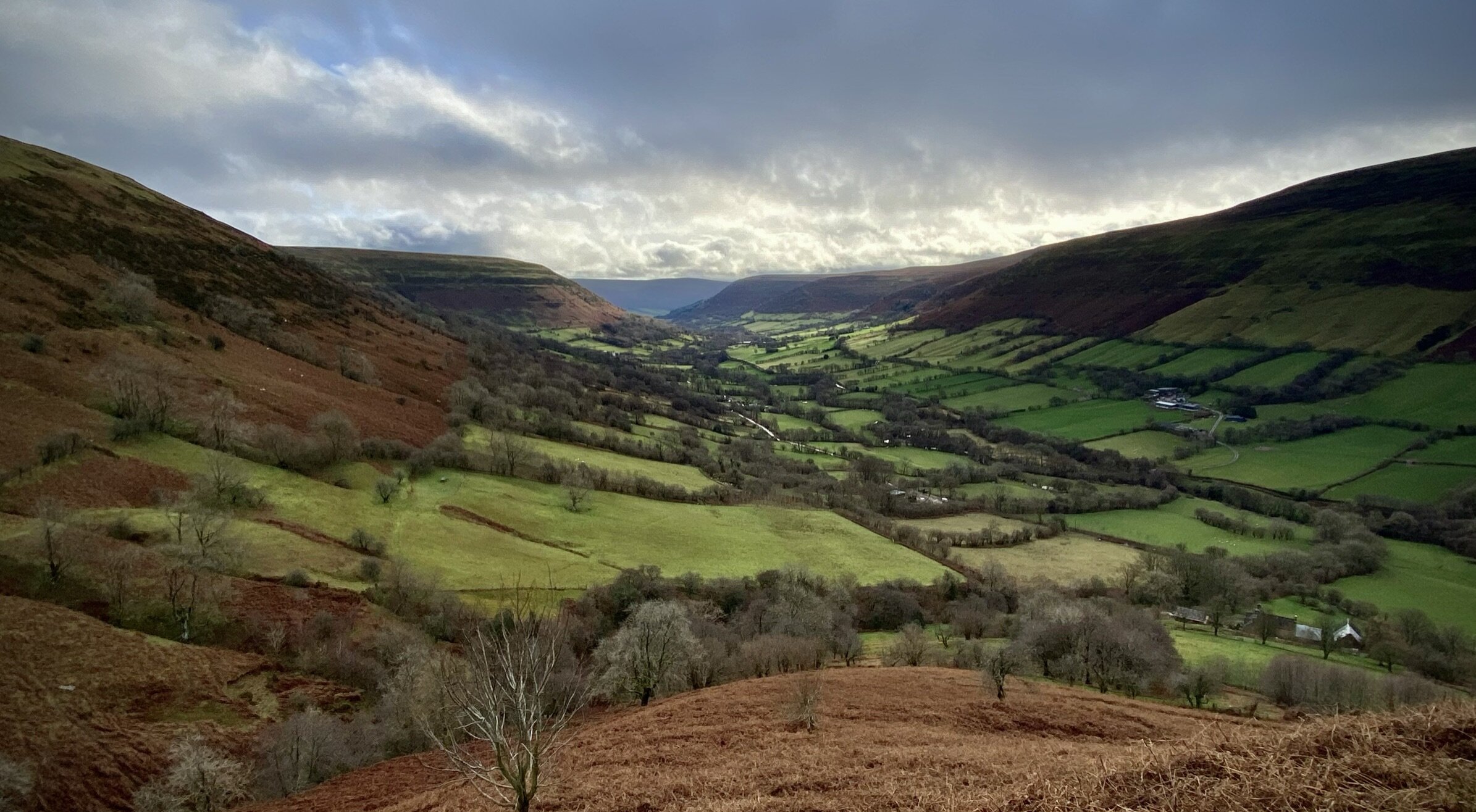
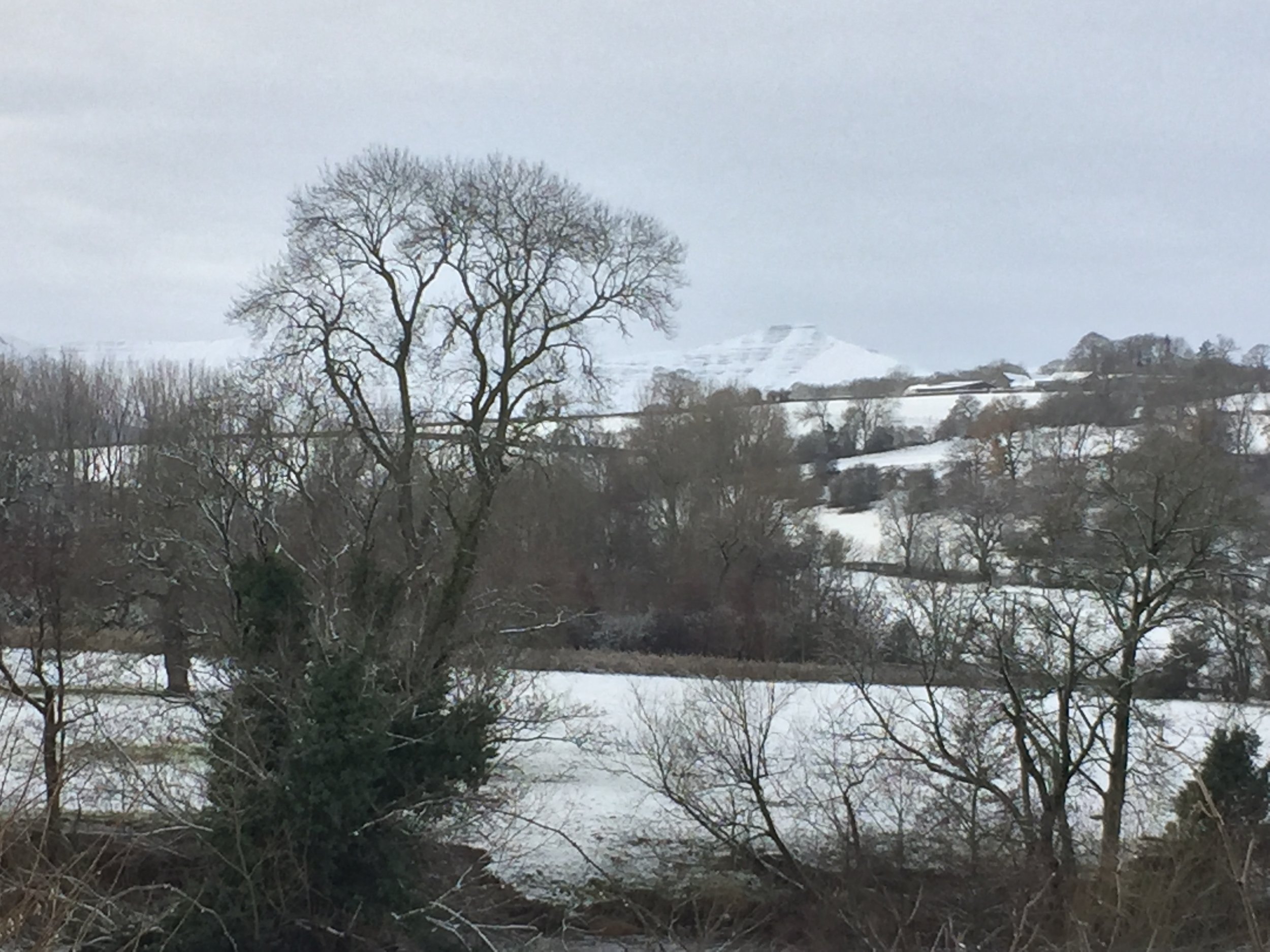
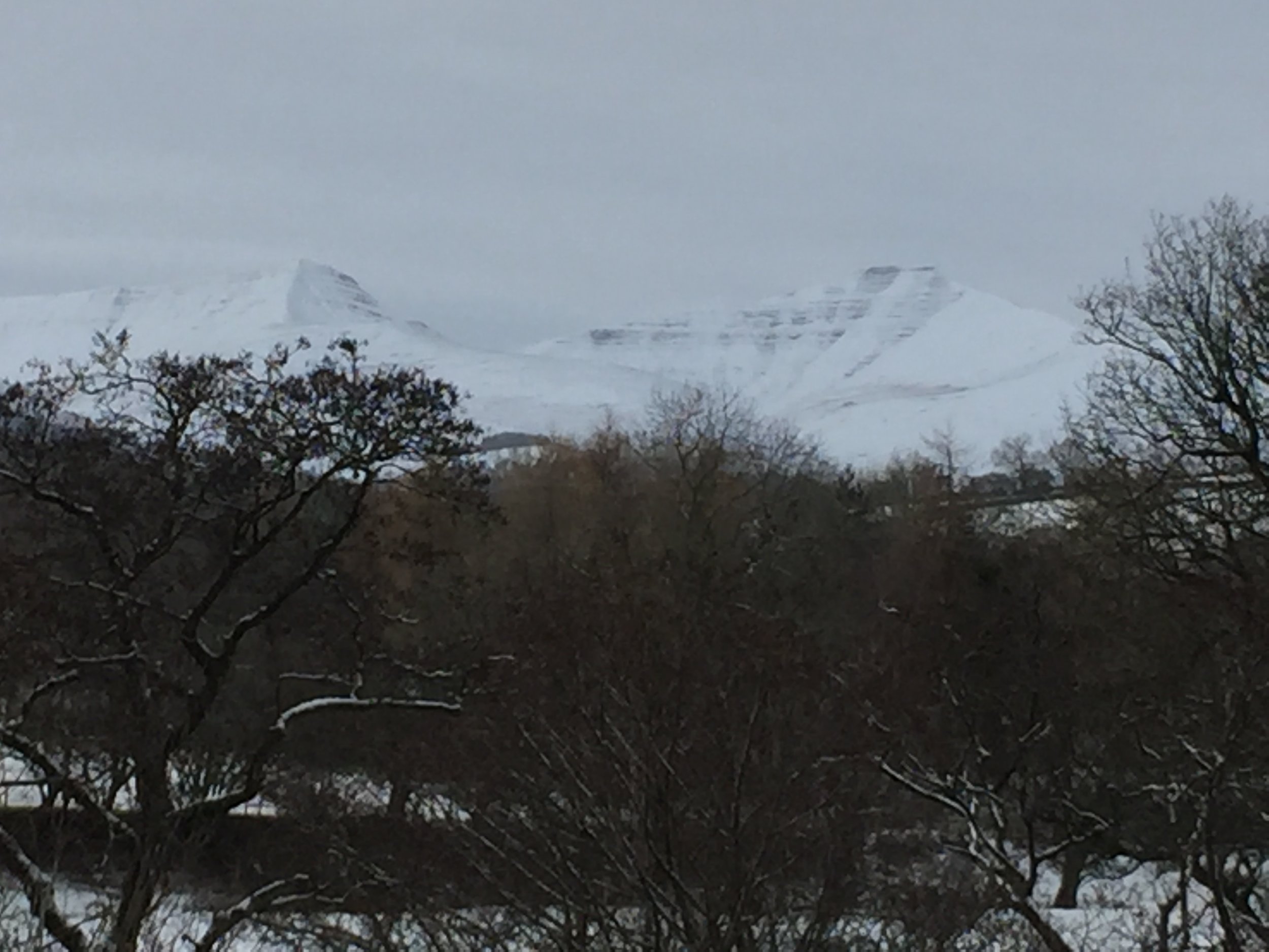
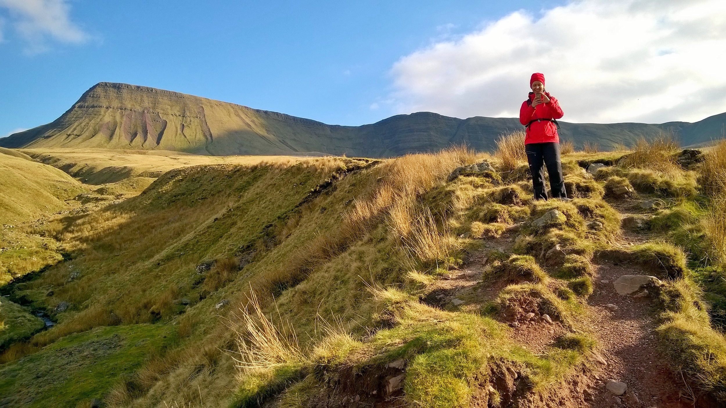
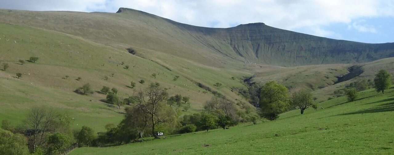
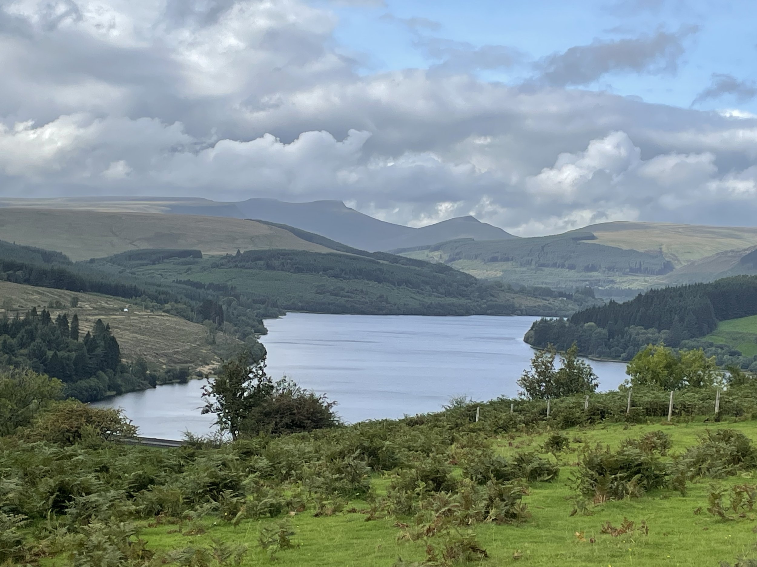
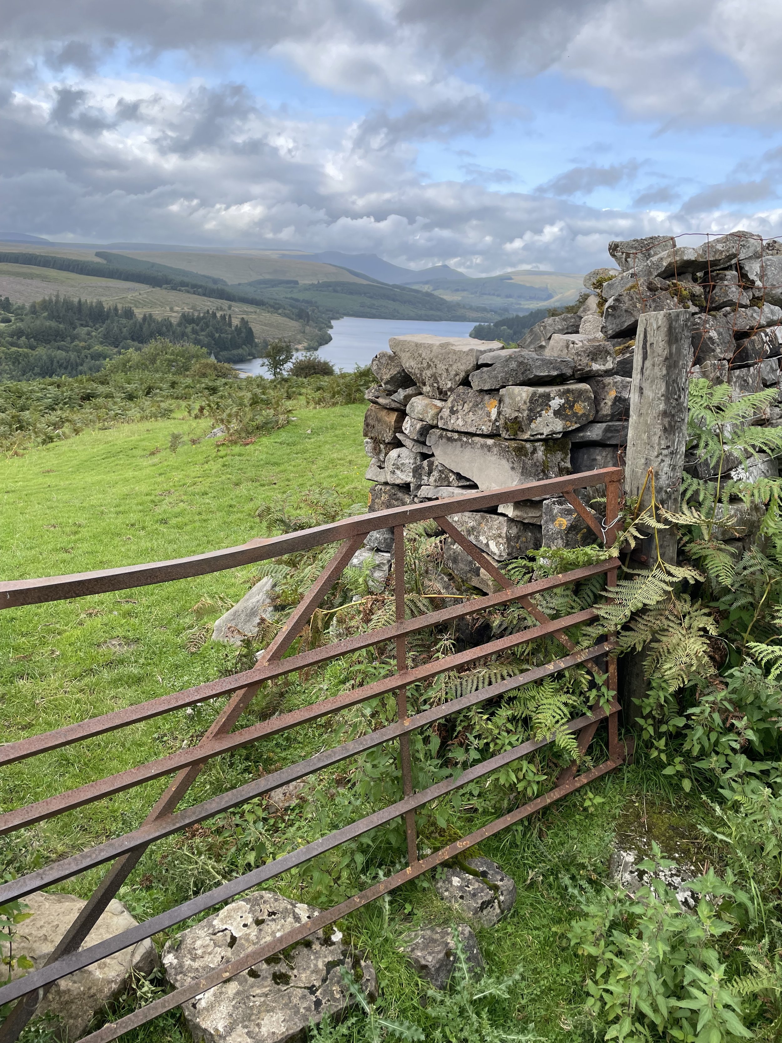
Pontsticill Reservoir and view to the Brecon Beacons
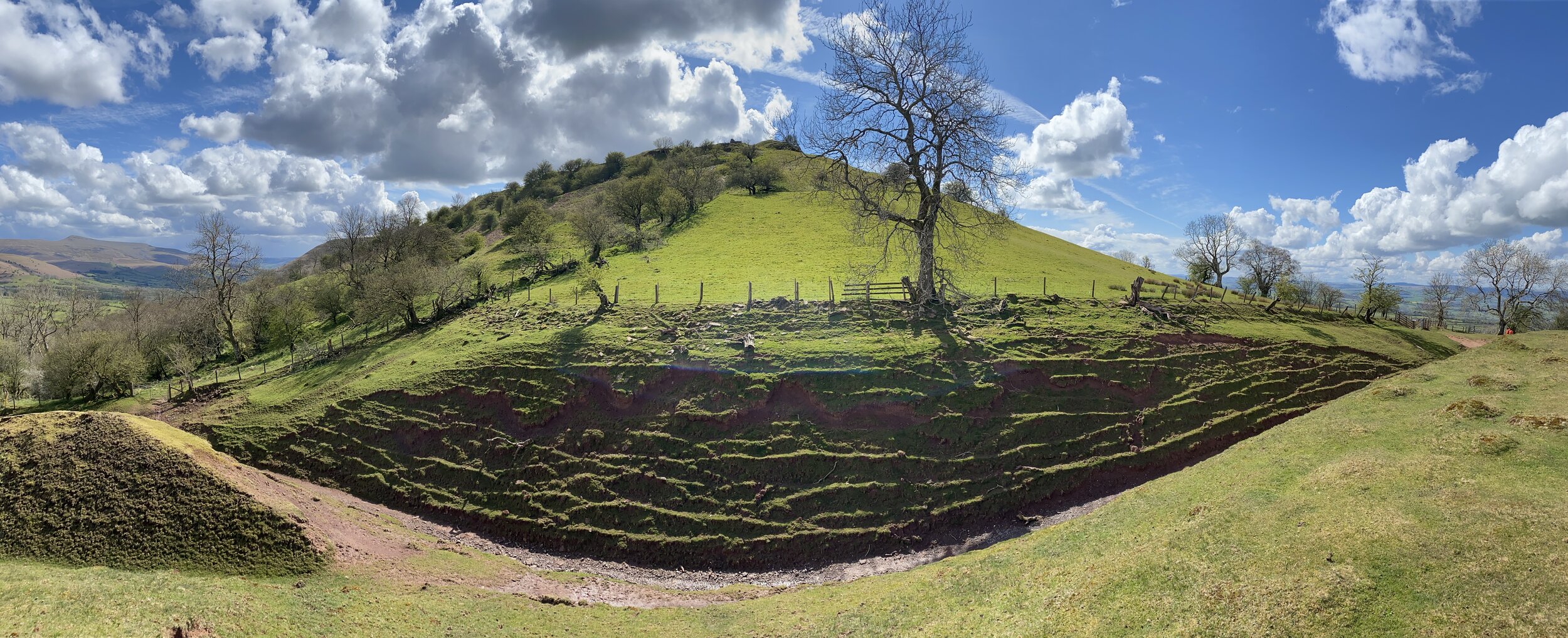
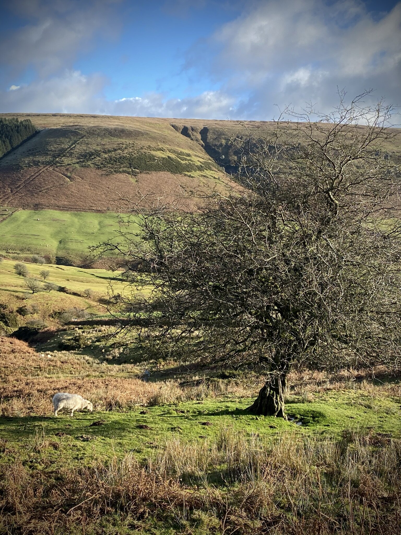
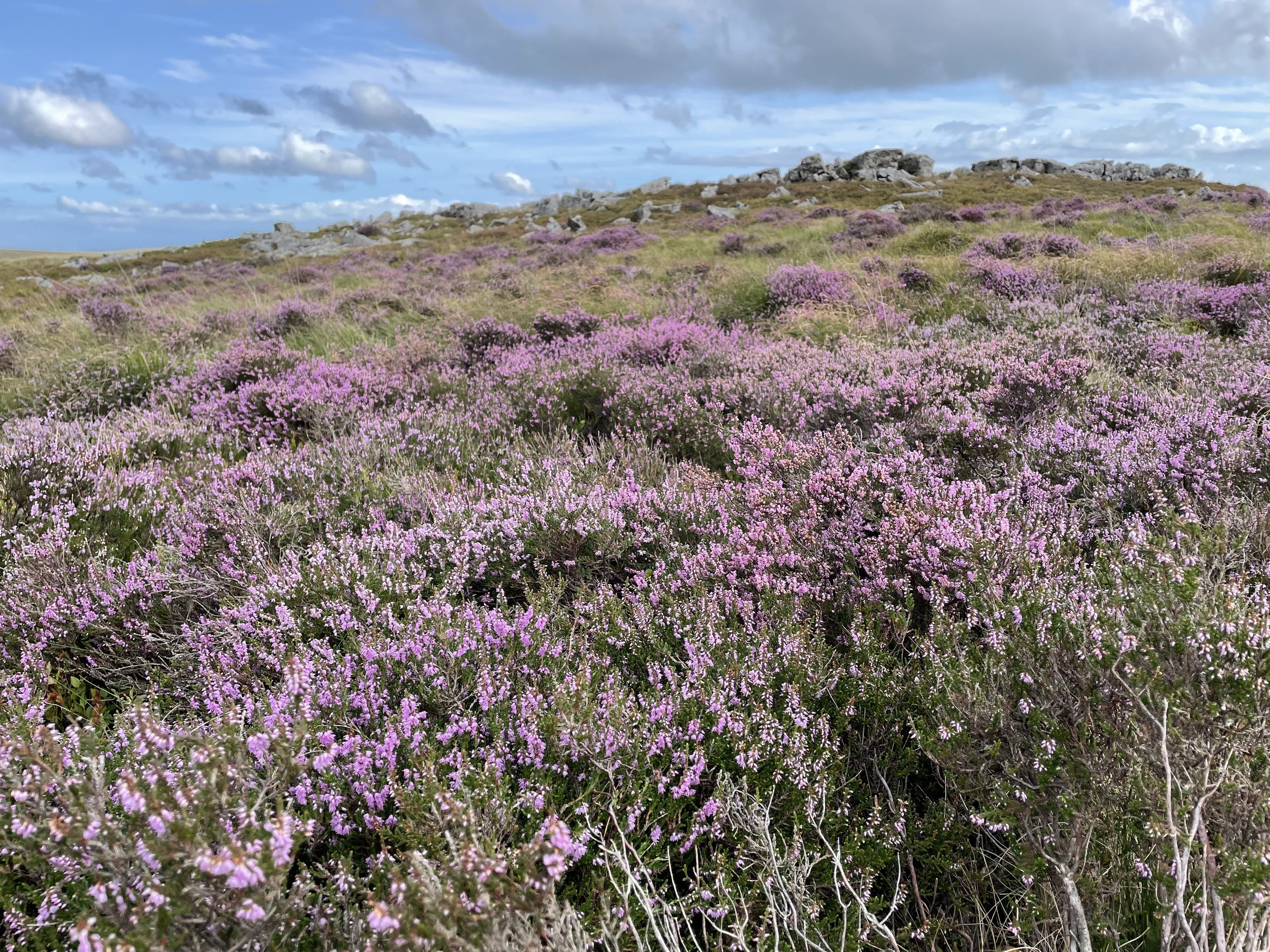

Merthyr Common

Significance: High Point for the Welsh Principal Area of Merthyr Tydfil
Member of: N/A
Parent Peak: Cefn yr Ystrad. NHN = Pen March
Elevation: 531m
Coordinates: 51° 47' 25'' N, 3° 20' 6'' W
Links: Wikipedia (Merthyr Tydfil), Peakbagger
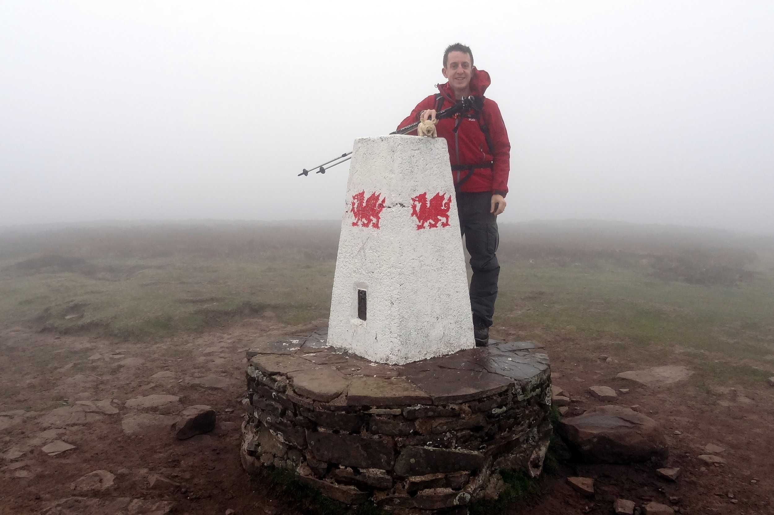
, Hillbagging

Pen March

Significance: High Point for the Welsh Principal Area of Caerphilly
Member of: N/A
Parent Peak: Cefn yr Ystrad. NHN = Cefn yr Ystrad
Elevation: 535m
Coordinates: 51° 47' 27'' N, 3° 19' 56'' W
Links: Wikipedia (Caerphilly), Peakbagger, Hillbagging

For both peaks:

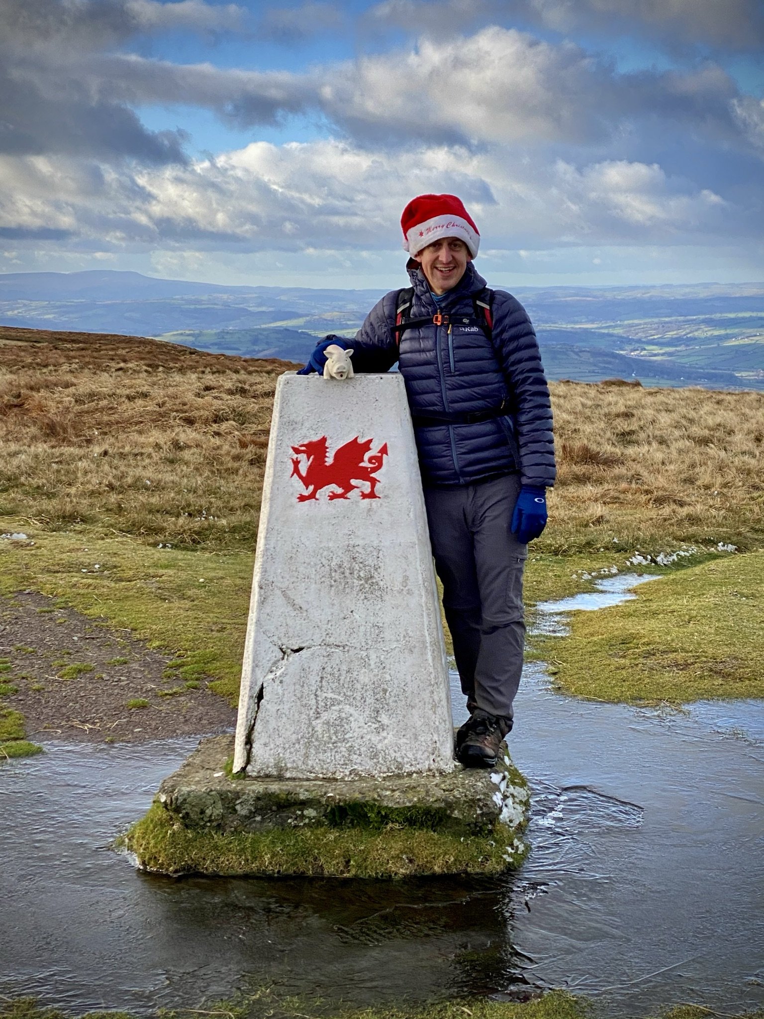
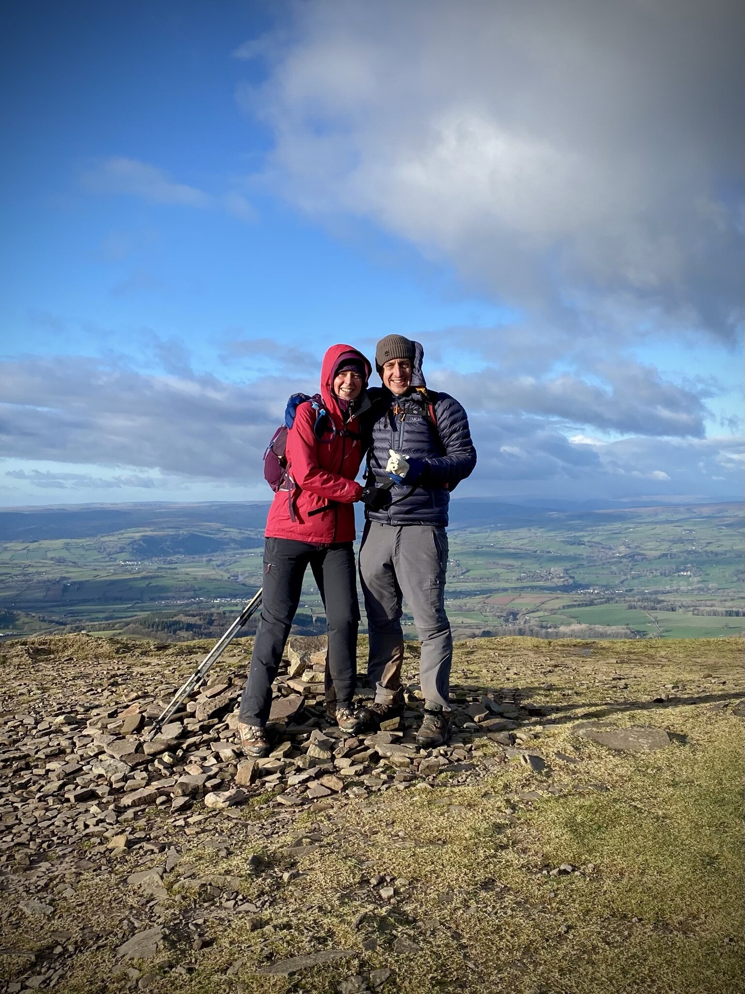
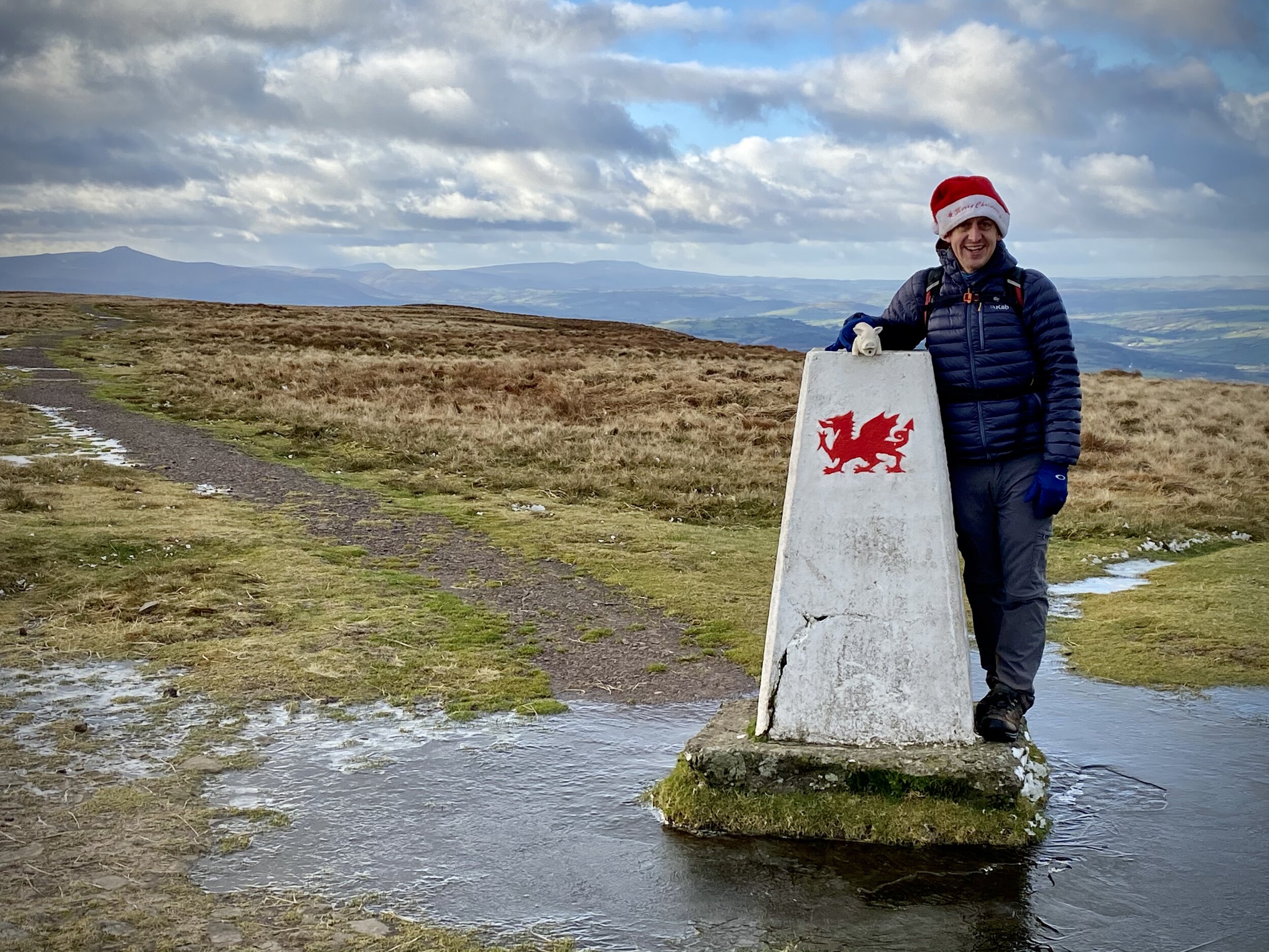
Date climbed: August 19th 2023
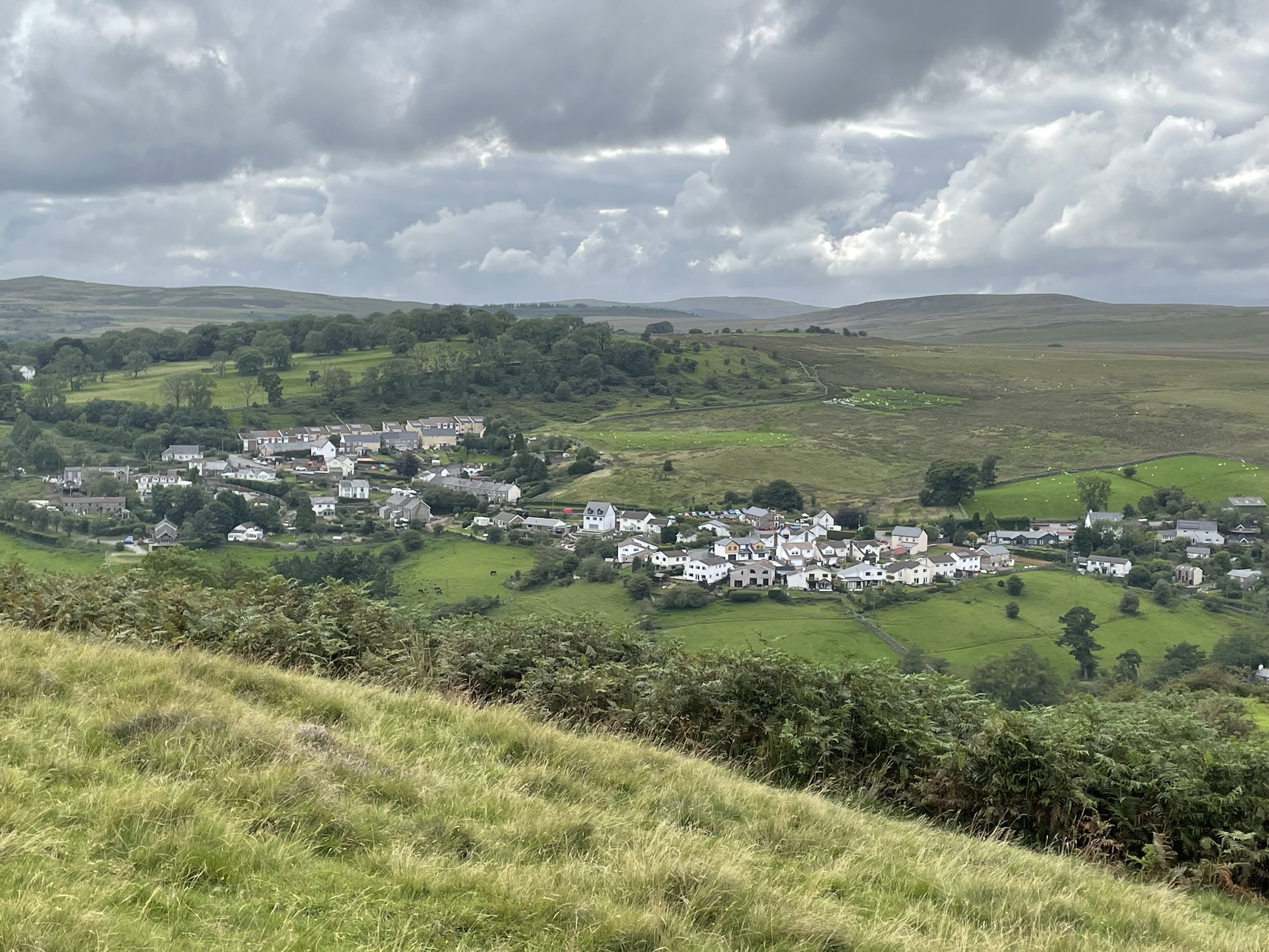
Route Start & Finish: Red Cow Inn, Main Road, Pontsticill, Merthyr Tydfil, CF48 2UN
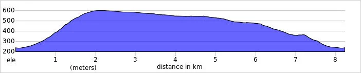
Route Distance: 6.6 km (4.1 miles)
Route Elevation change: +/- 284m
GPX File: get via Buy Me a Coffee
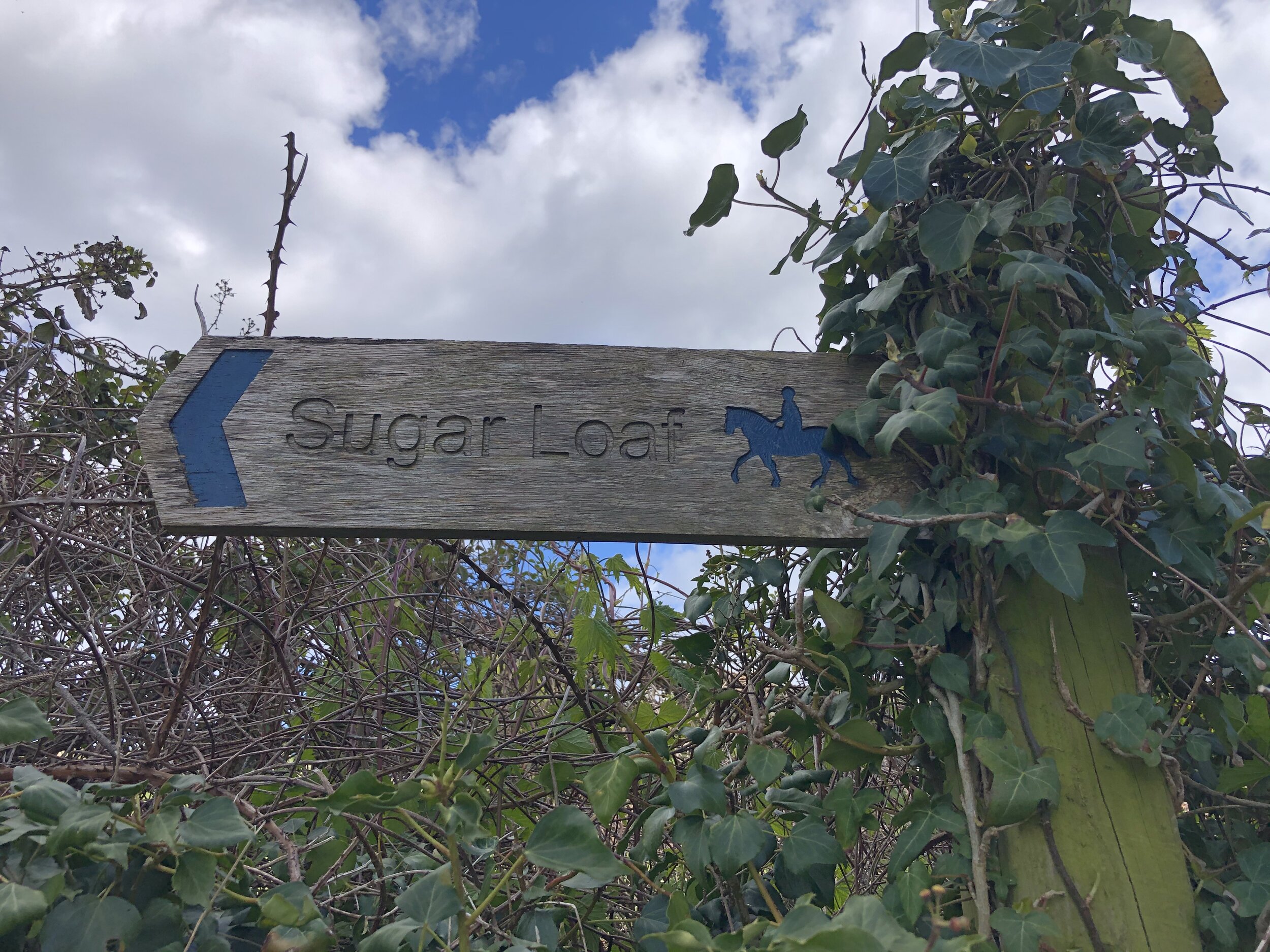
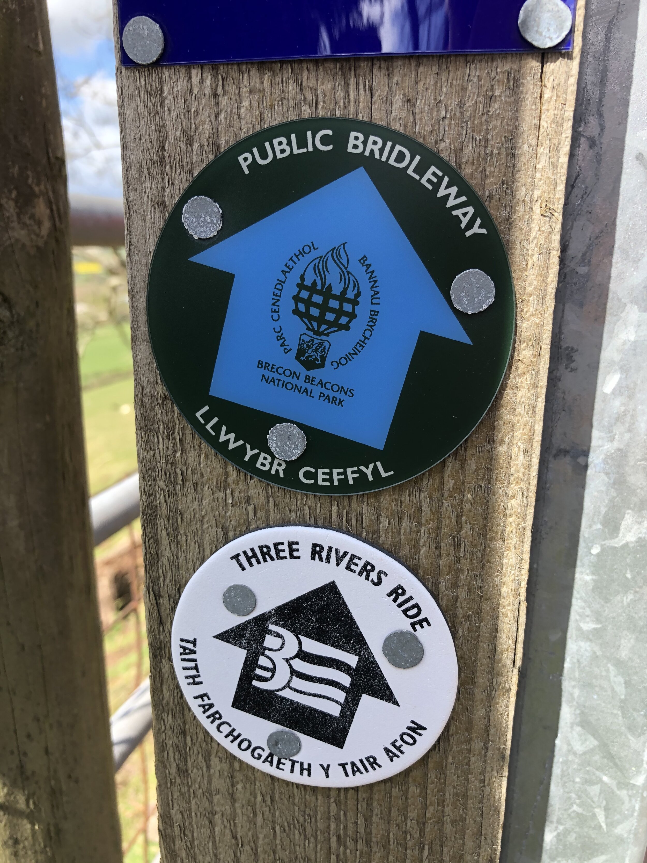
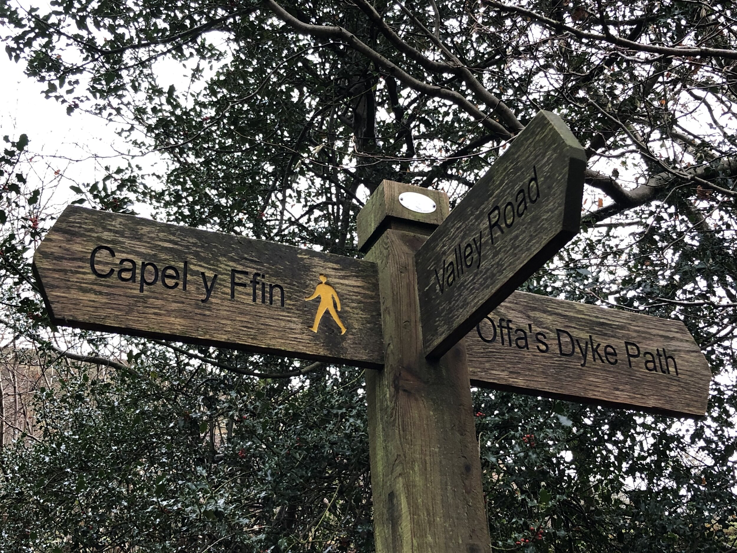
Other routes touched (walk): Taff Trail
Other routes touched (cycle): NCN 8
Pubs / Cafes on route: Red Cow Inn at start and finish
Map: Brecon Beacons National Park / Parc Cenedlaethol Bannau Brycheiniog Map | Western Area | Ordnance Survey | OS Explorer Map OL12
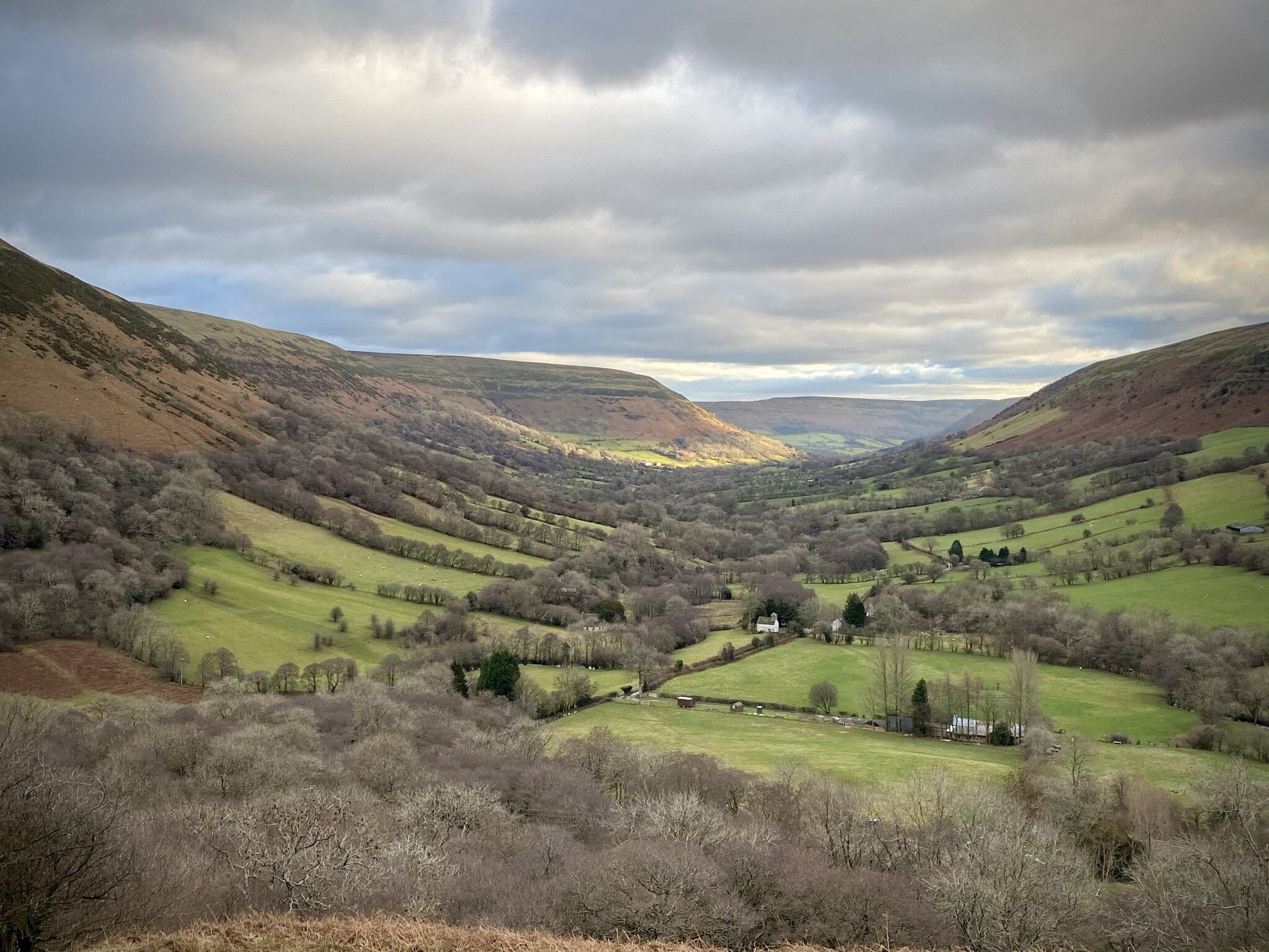
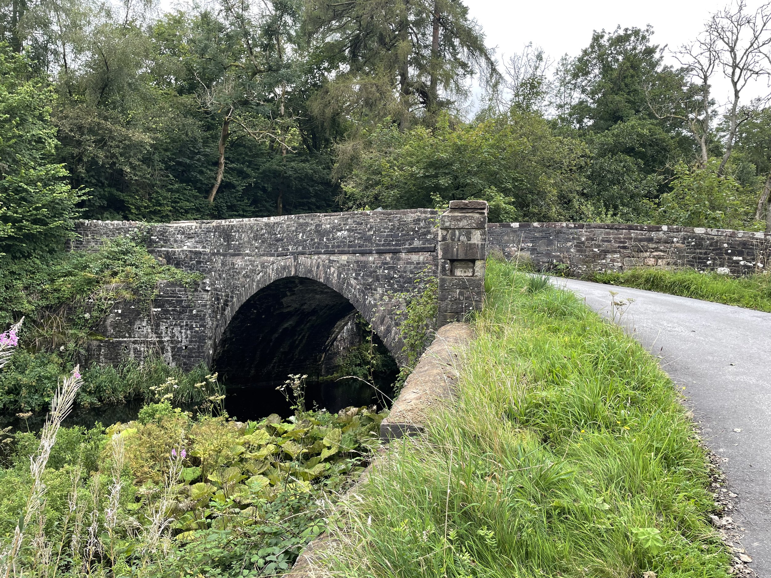
Links: Pontisticill, Pontsticill Reservoir, Brecon Beacons National Park


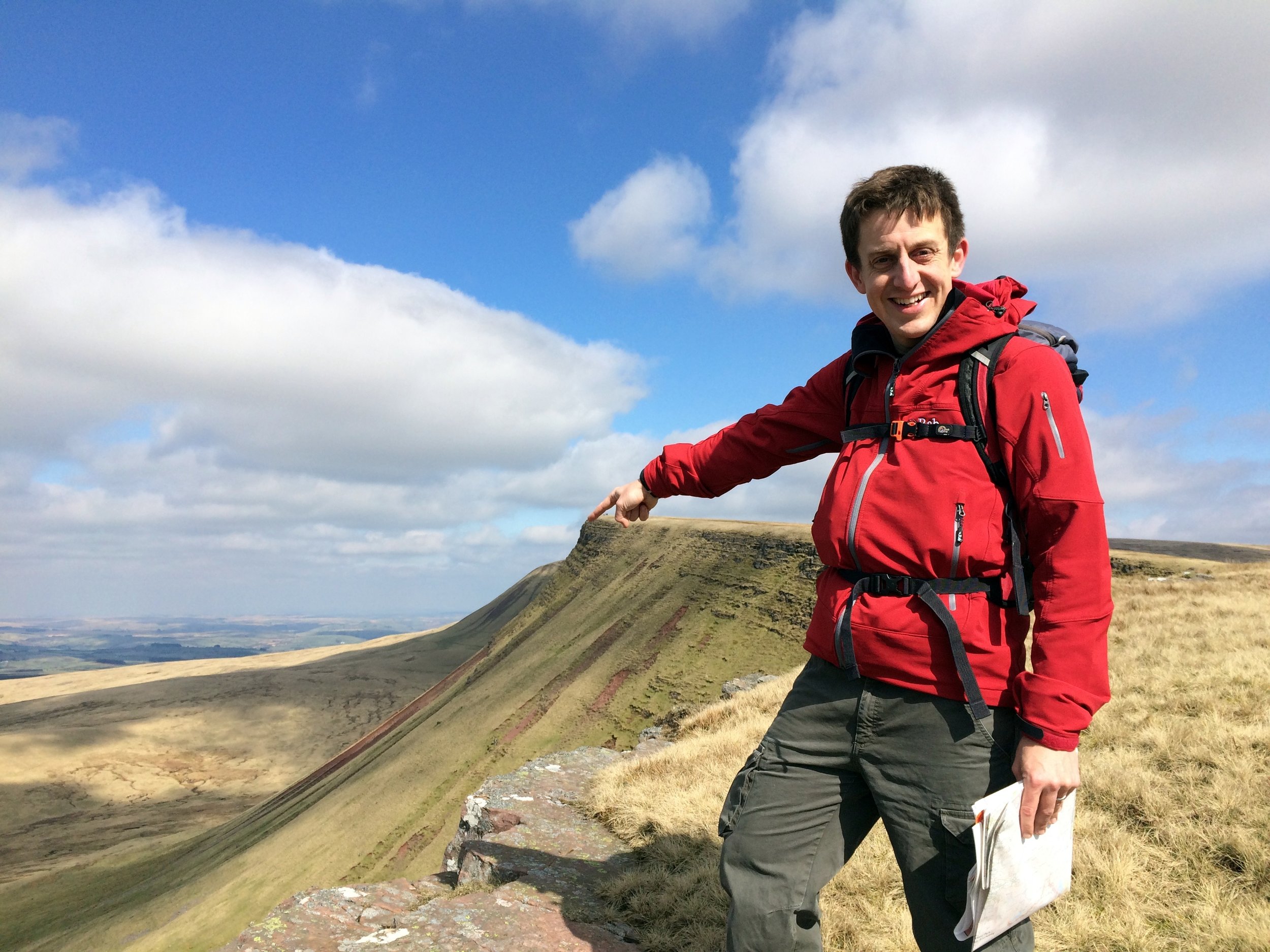
This walk covers the high points of both the Welsh Principal Areas of Merthyr Tydfil and Caerphilly.

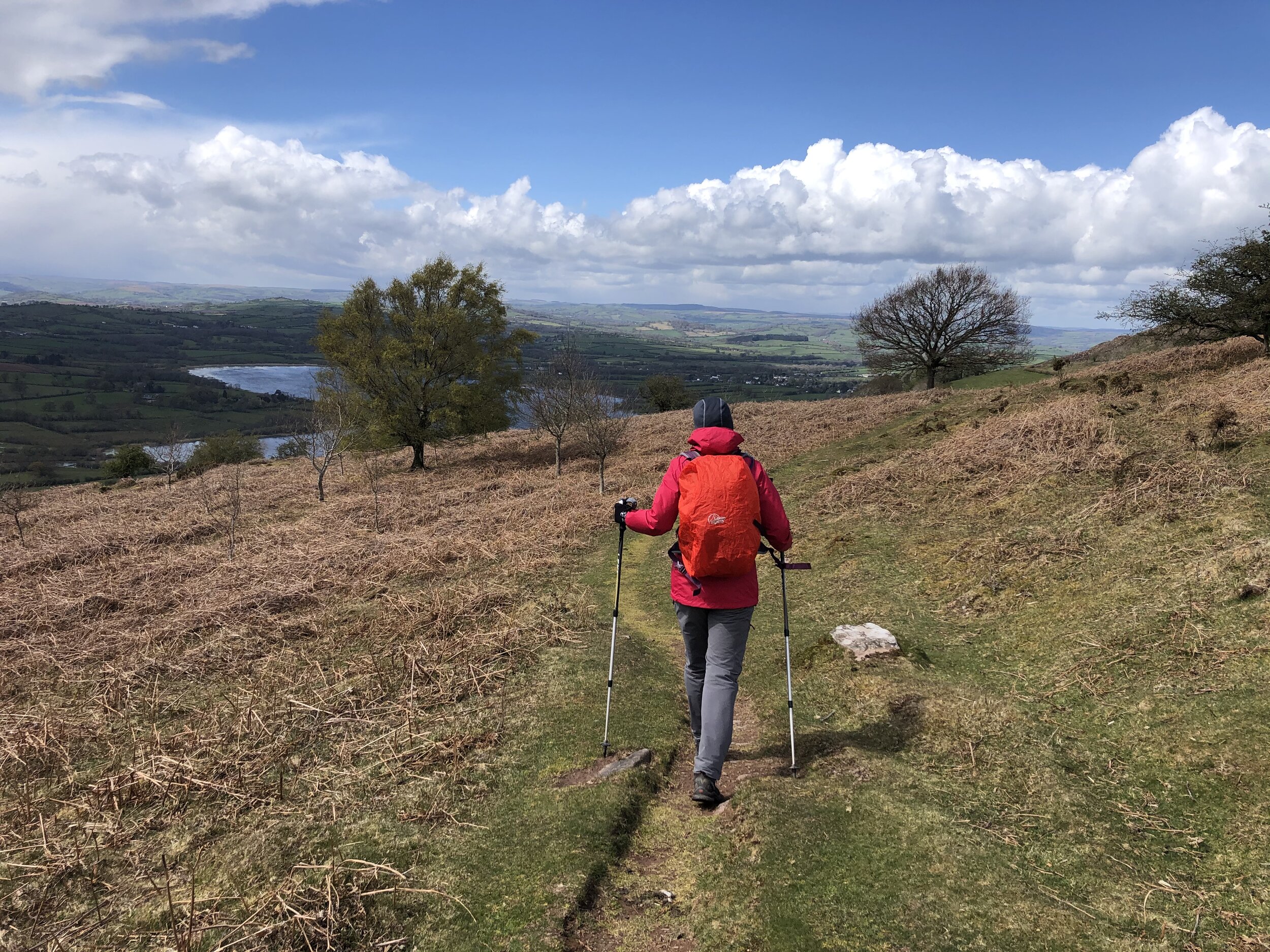
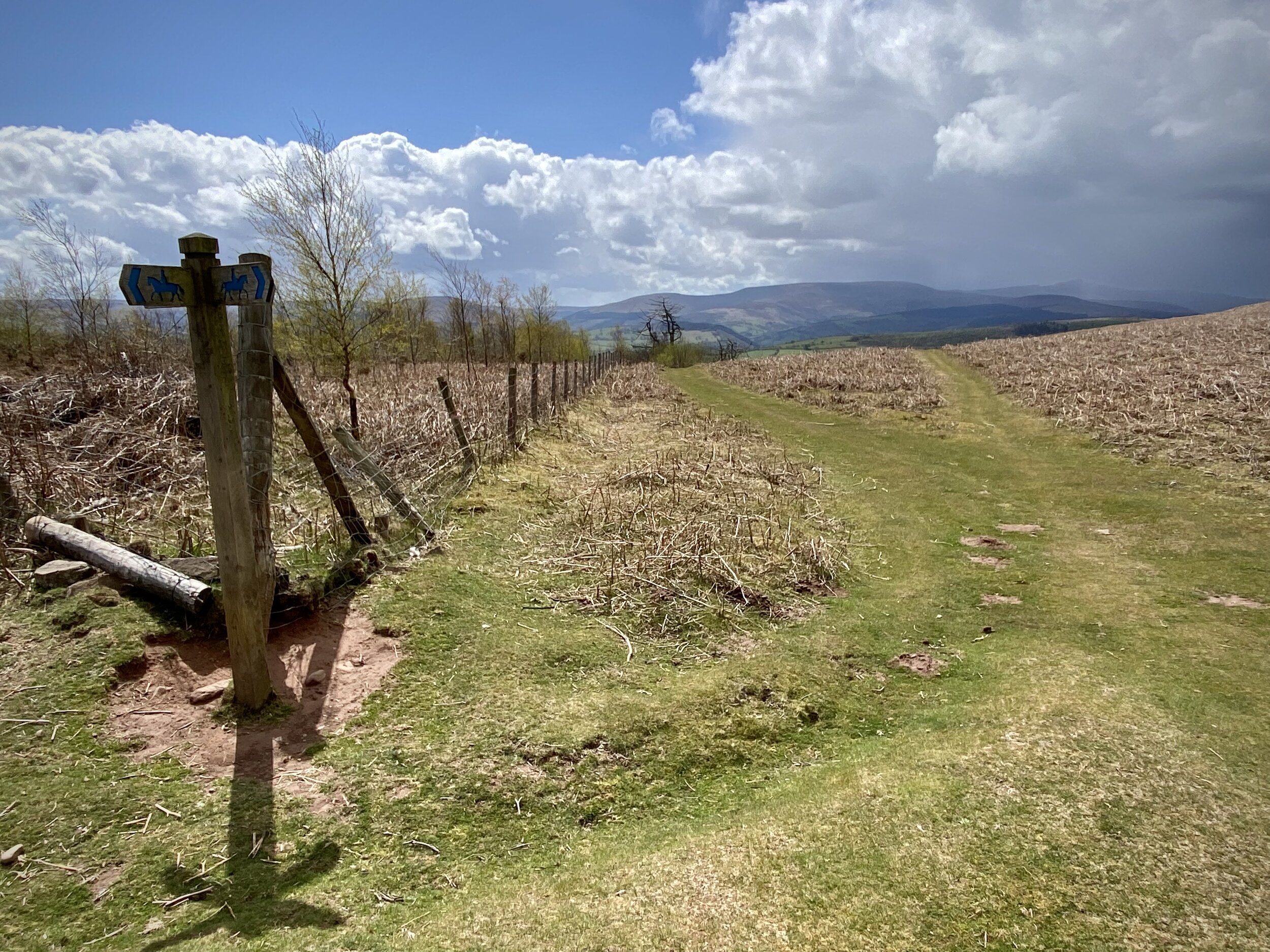
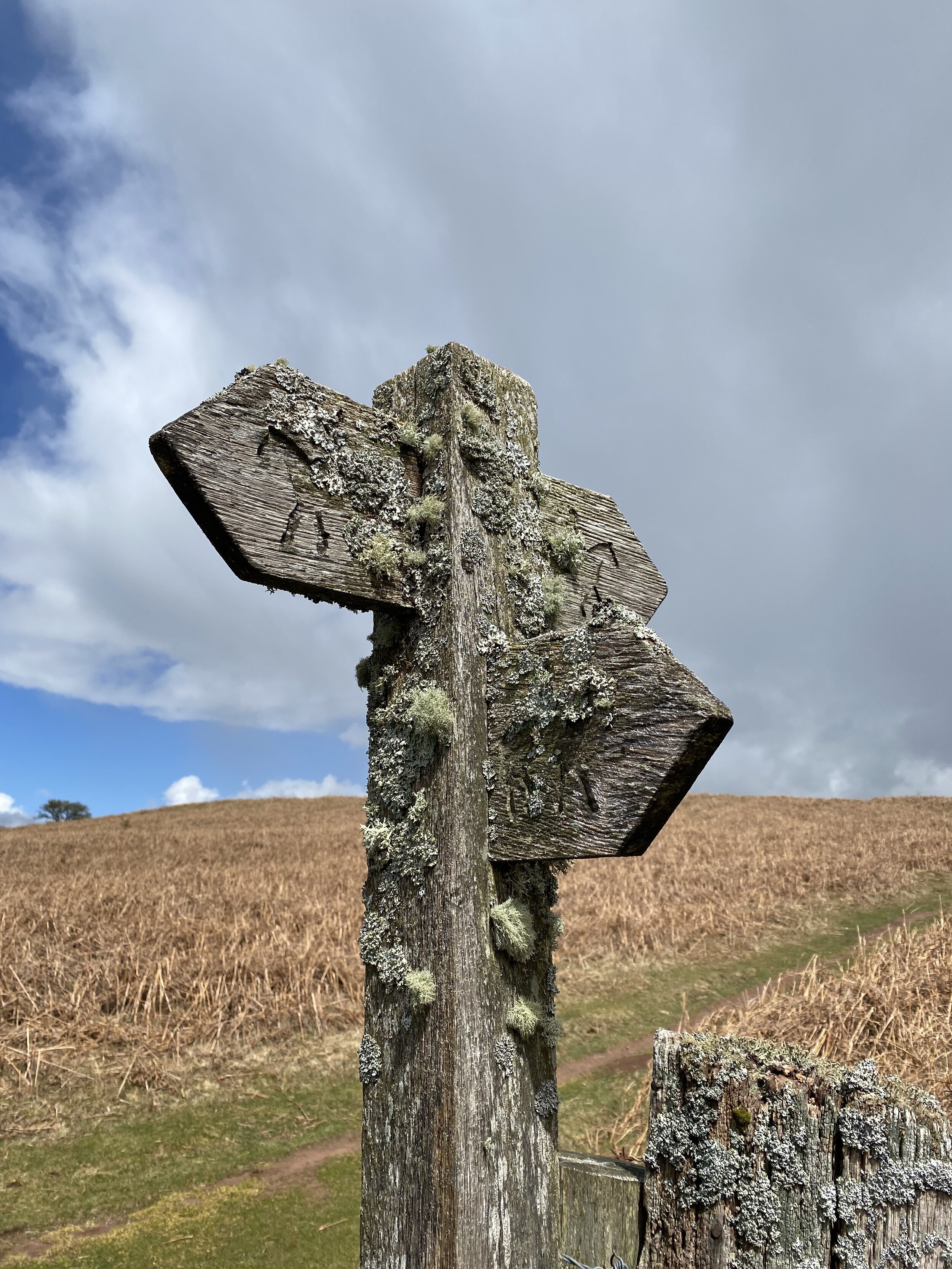
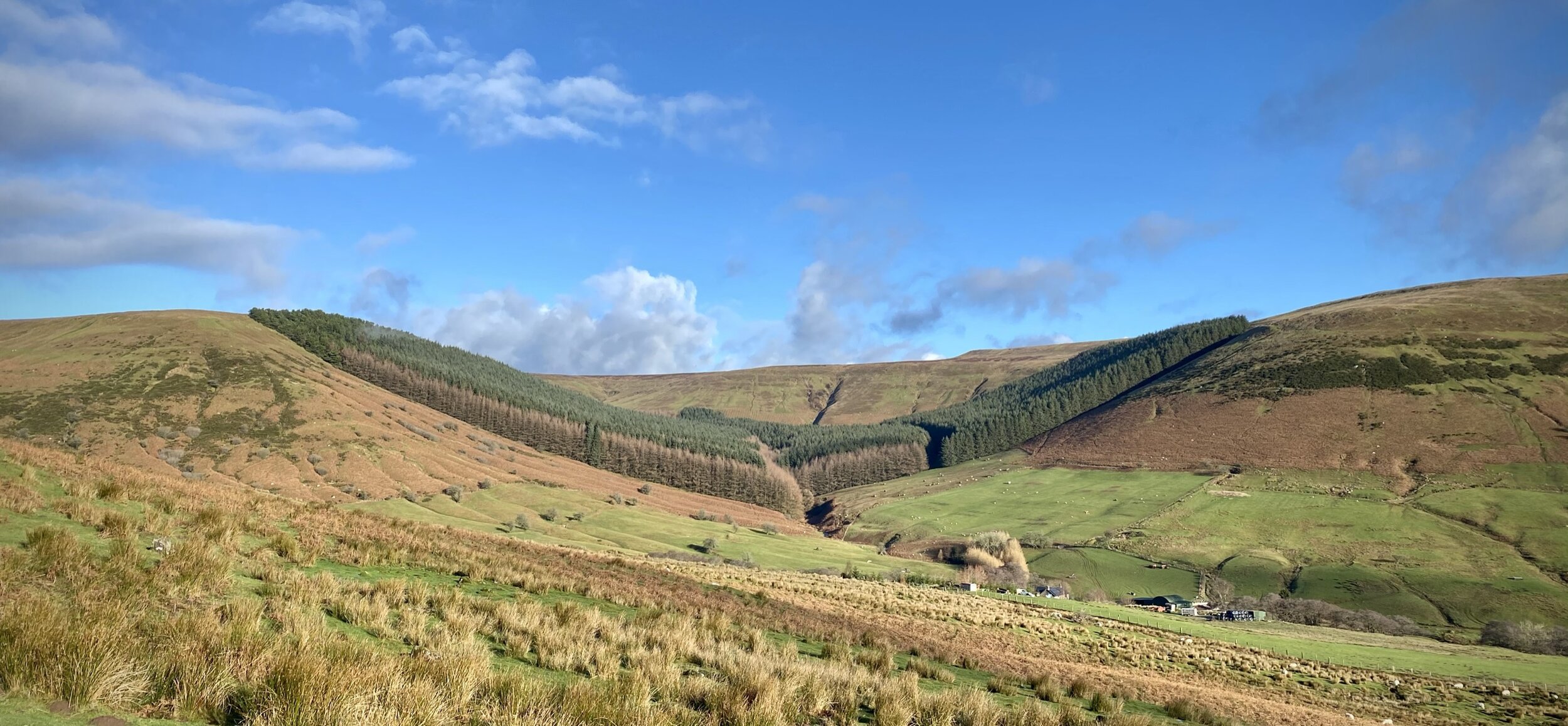
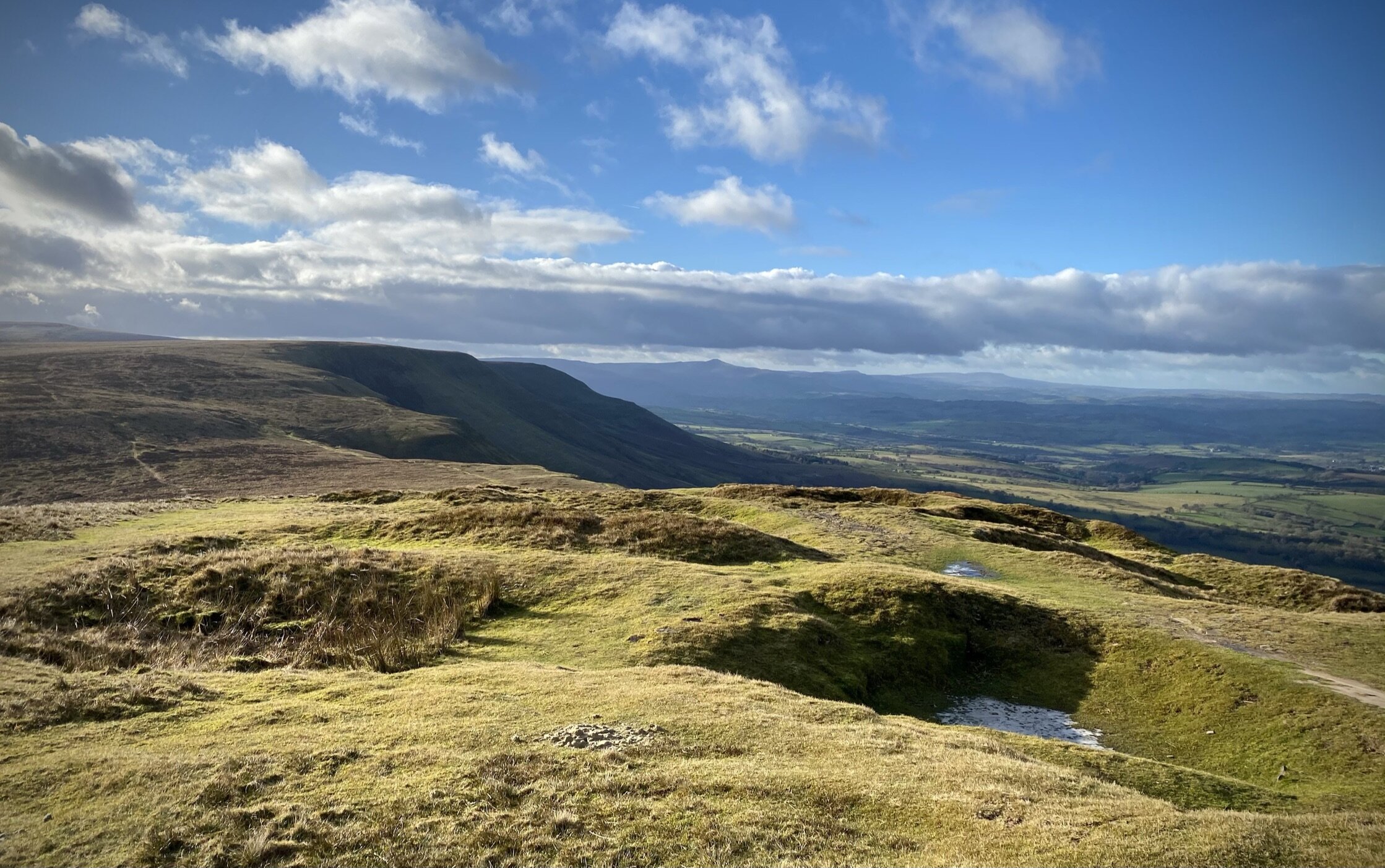
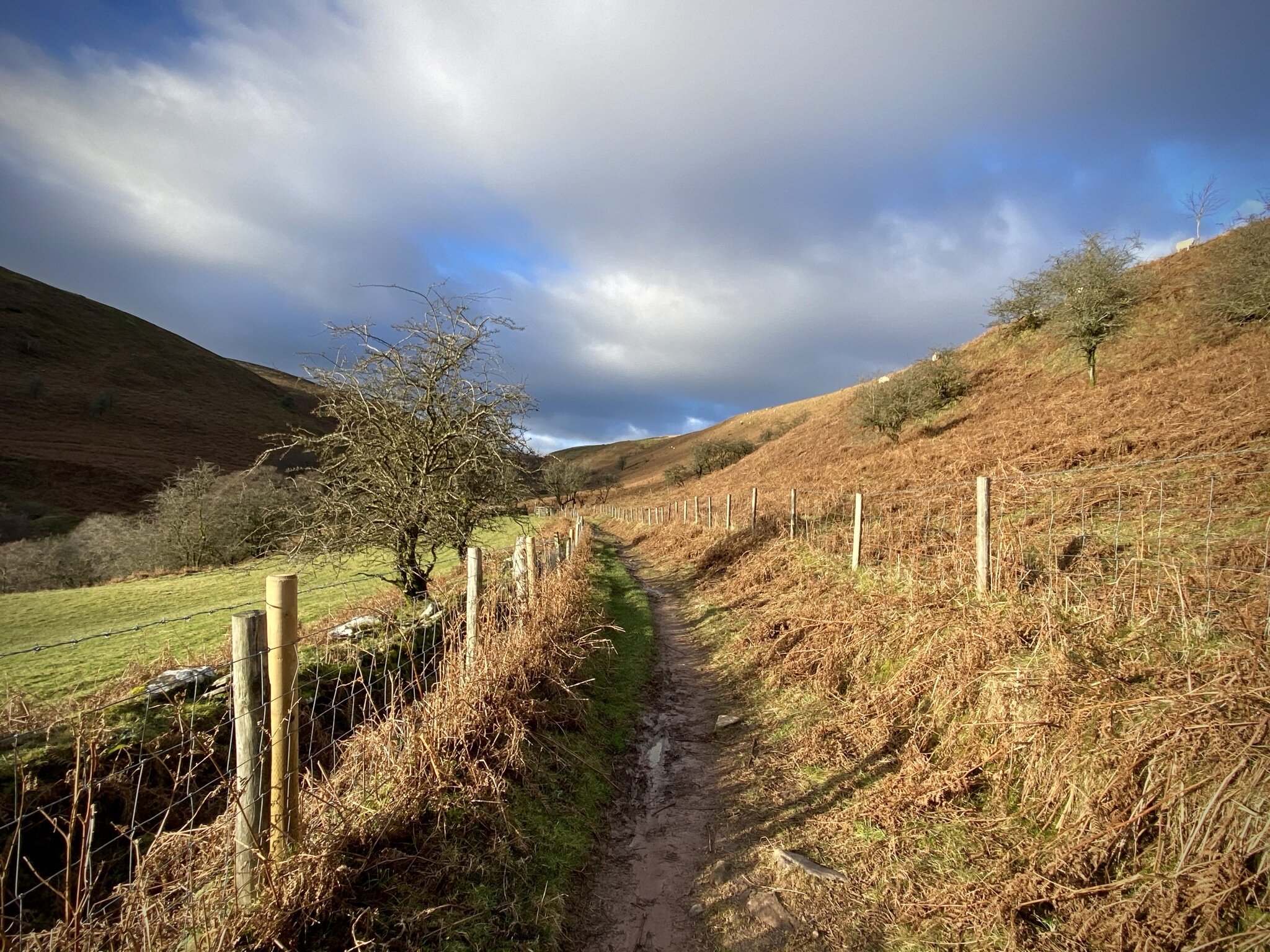
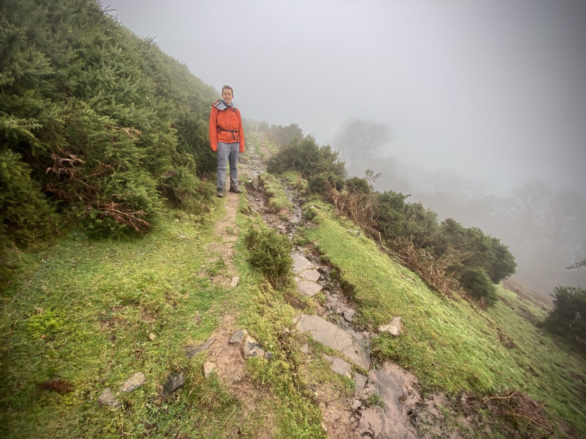
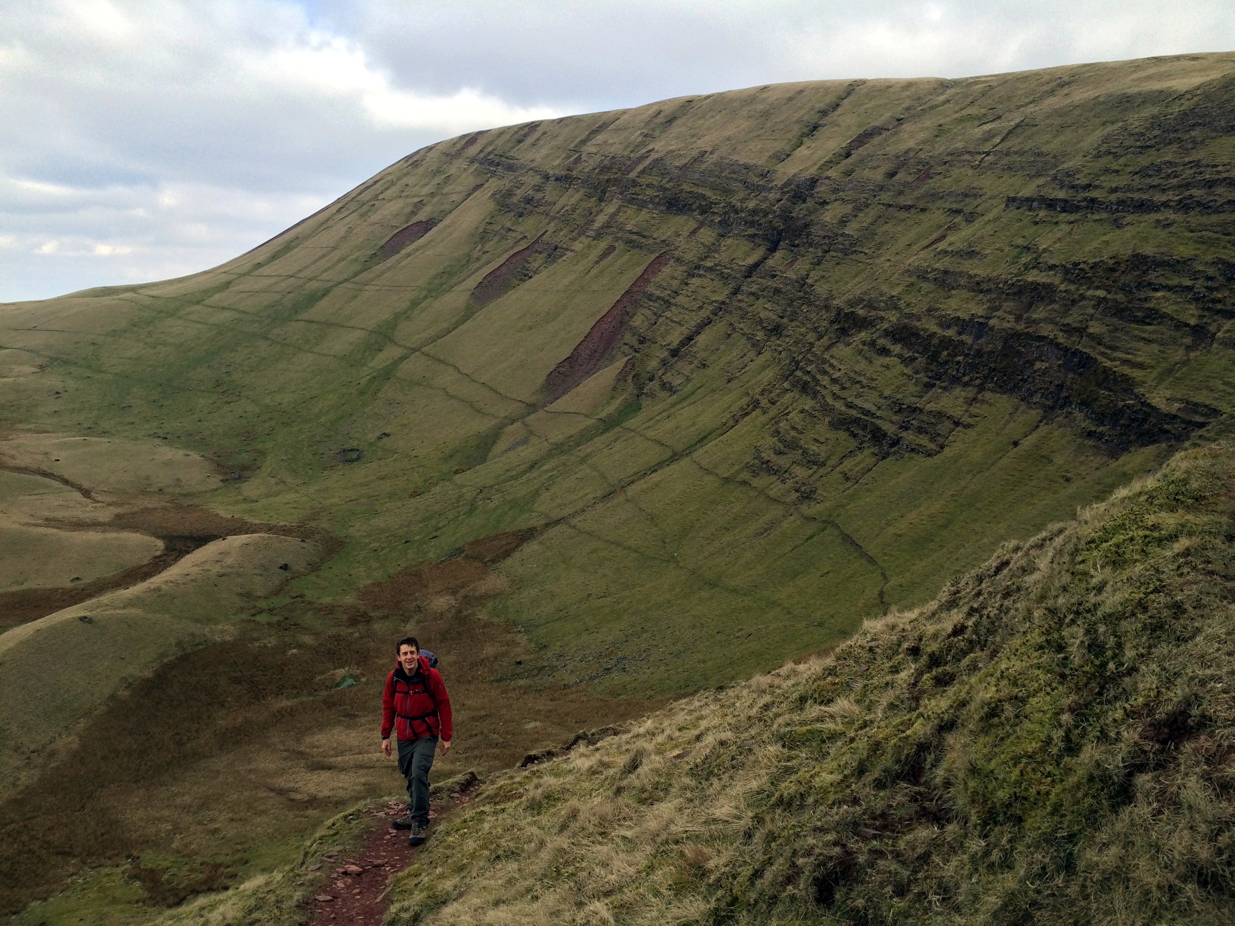
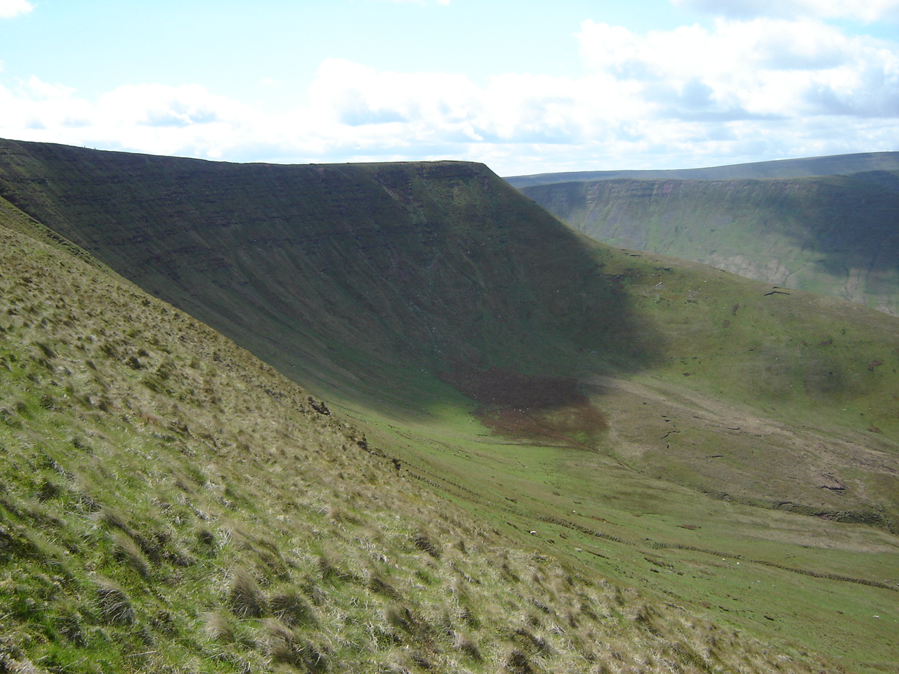
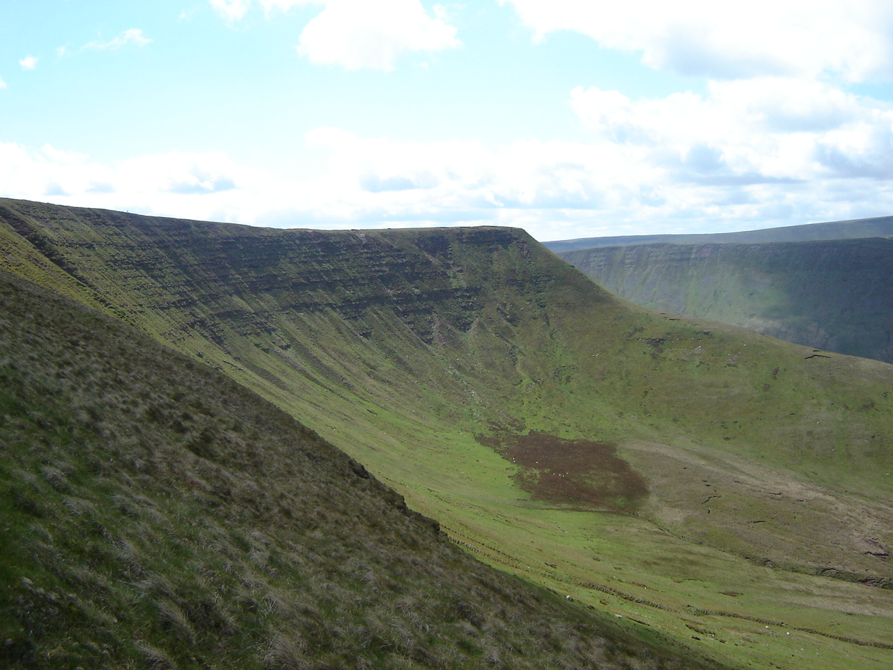
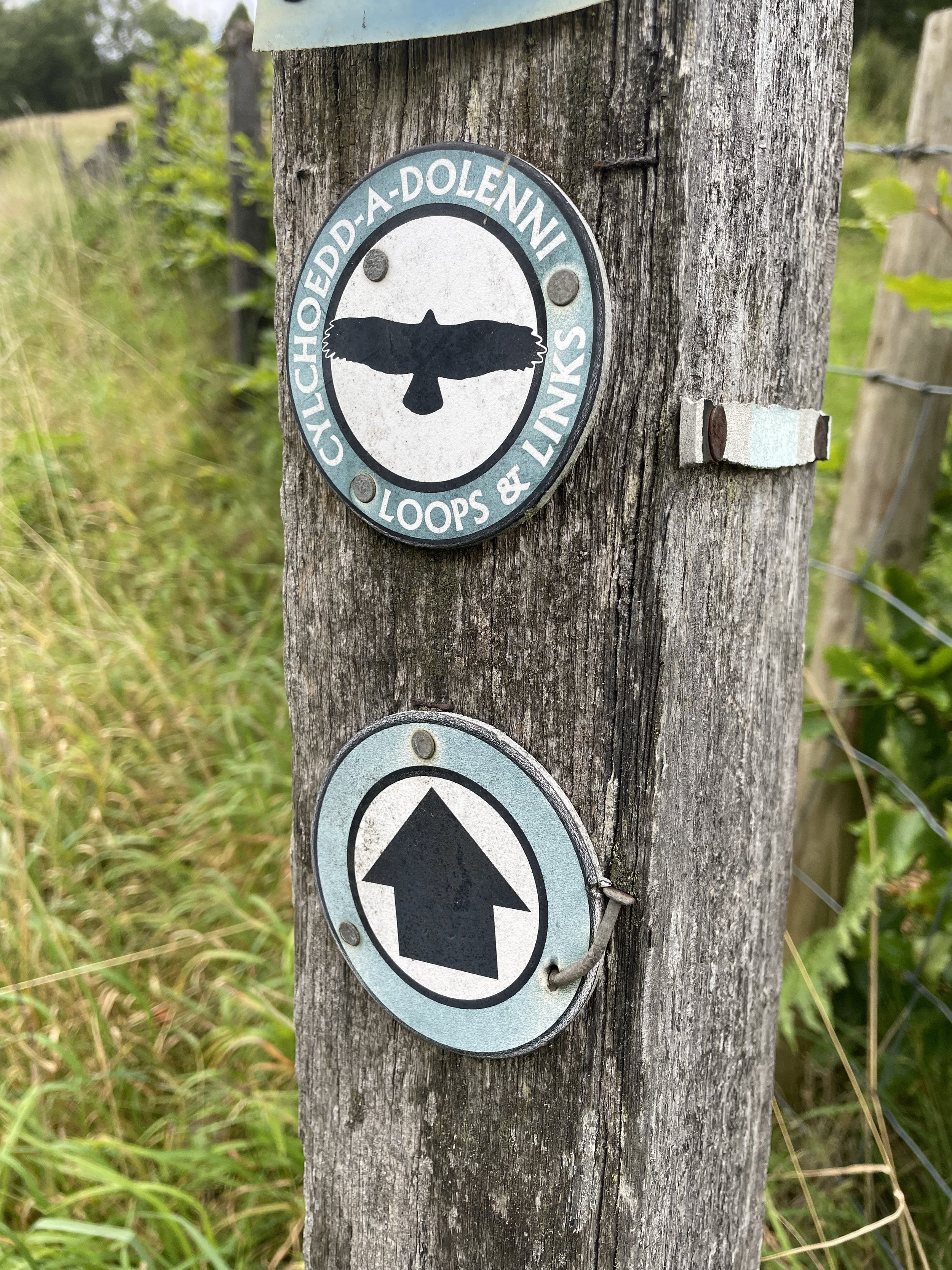
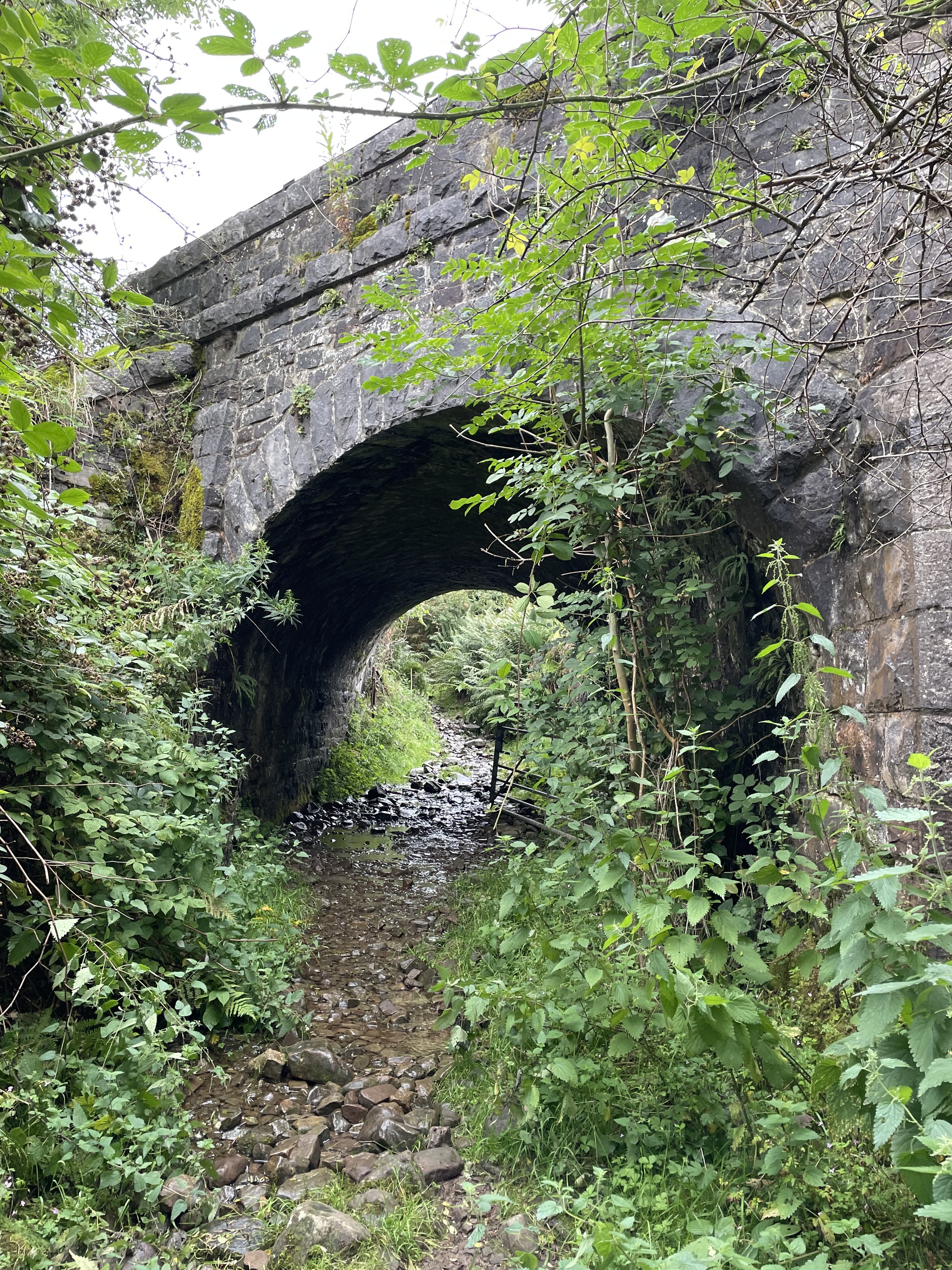
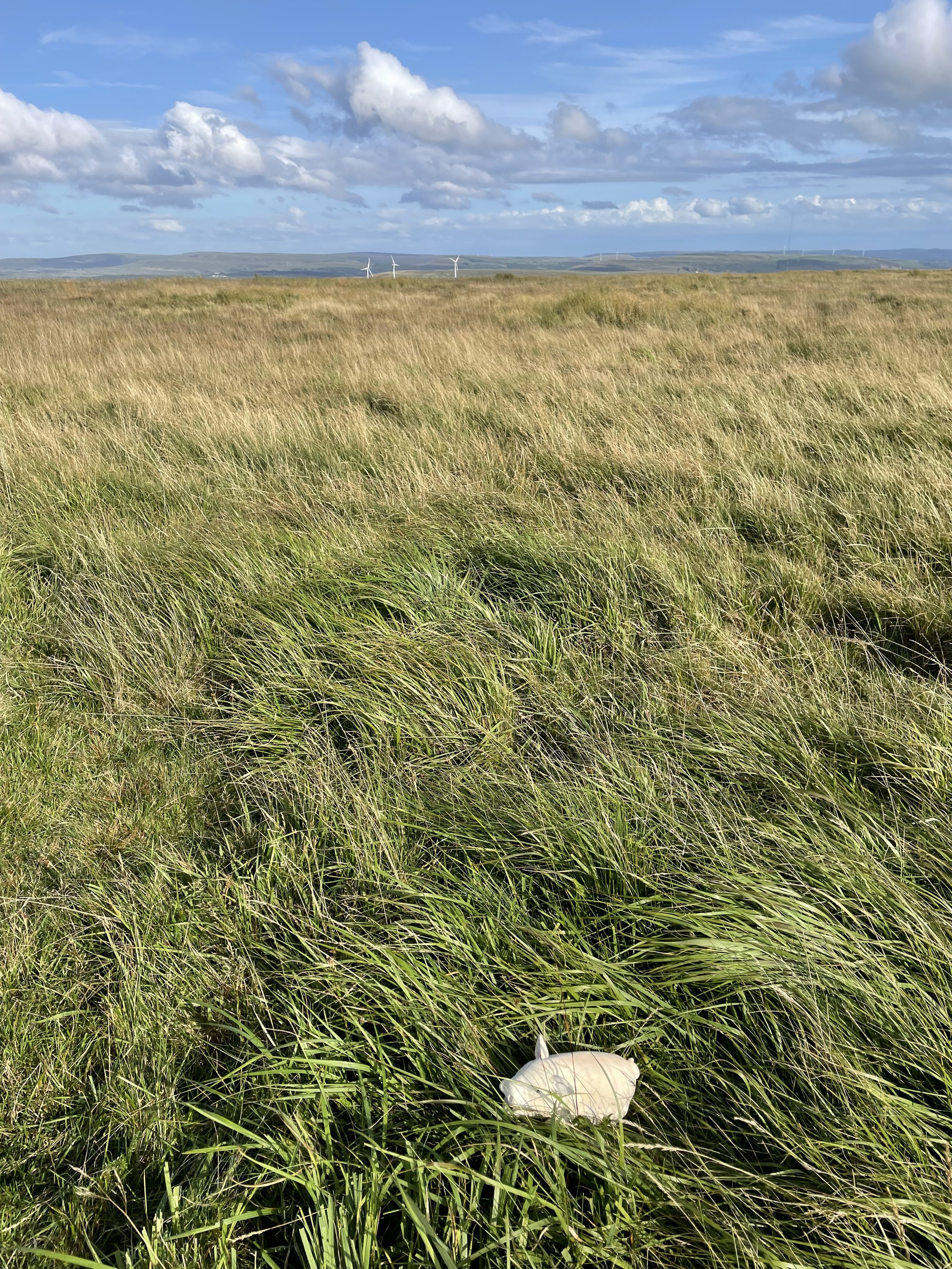
To start the walk I parked outside the Red Cow Inn at Pontsticill and followed the road down the hill to cross over Taff Fechan (river) to meet the Taff Trail. Cross the road opposite the water treatment plant to join a footpath that leads up the hill in a north-easterly direction. The path crosses under the Brecon Mountain Railway to meet a path junction at the 350m contour line. Take a right and keep to the path now heading south-east. At the 440m contour line, approximately 1.4km into the walk, leave the path and cross open land towards the high points. This is where I found it essential to follow my GPX track as it’s easy to get lost up there.

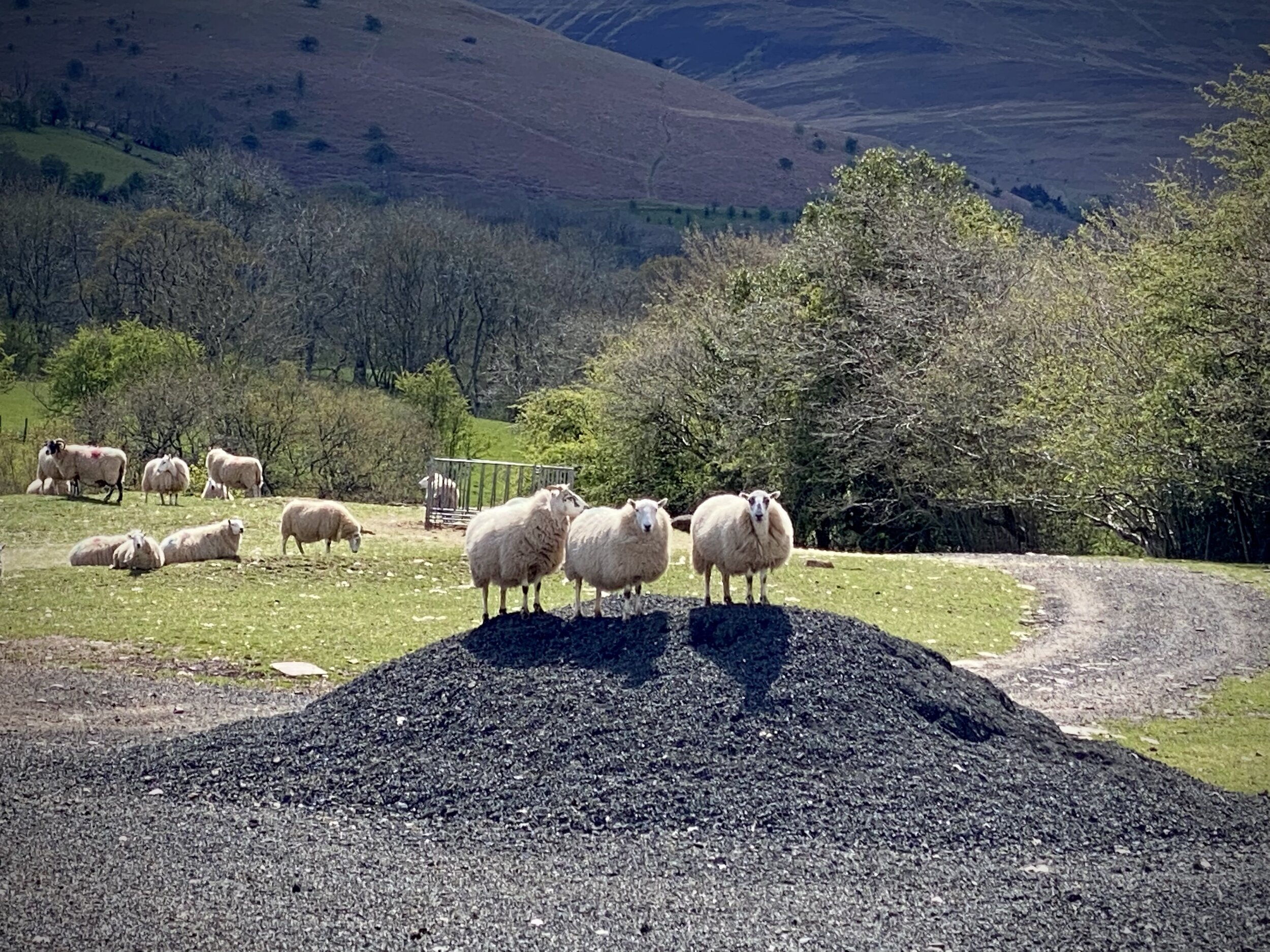
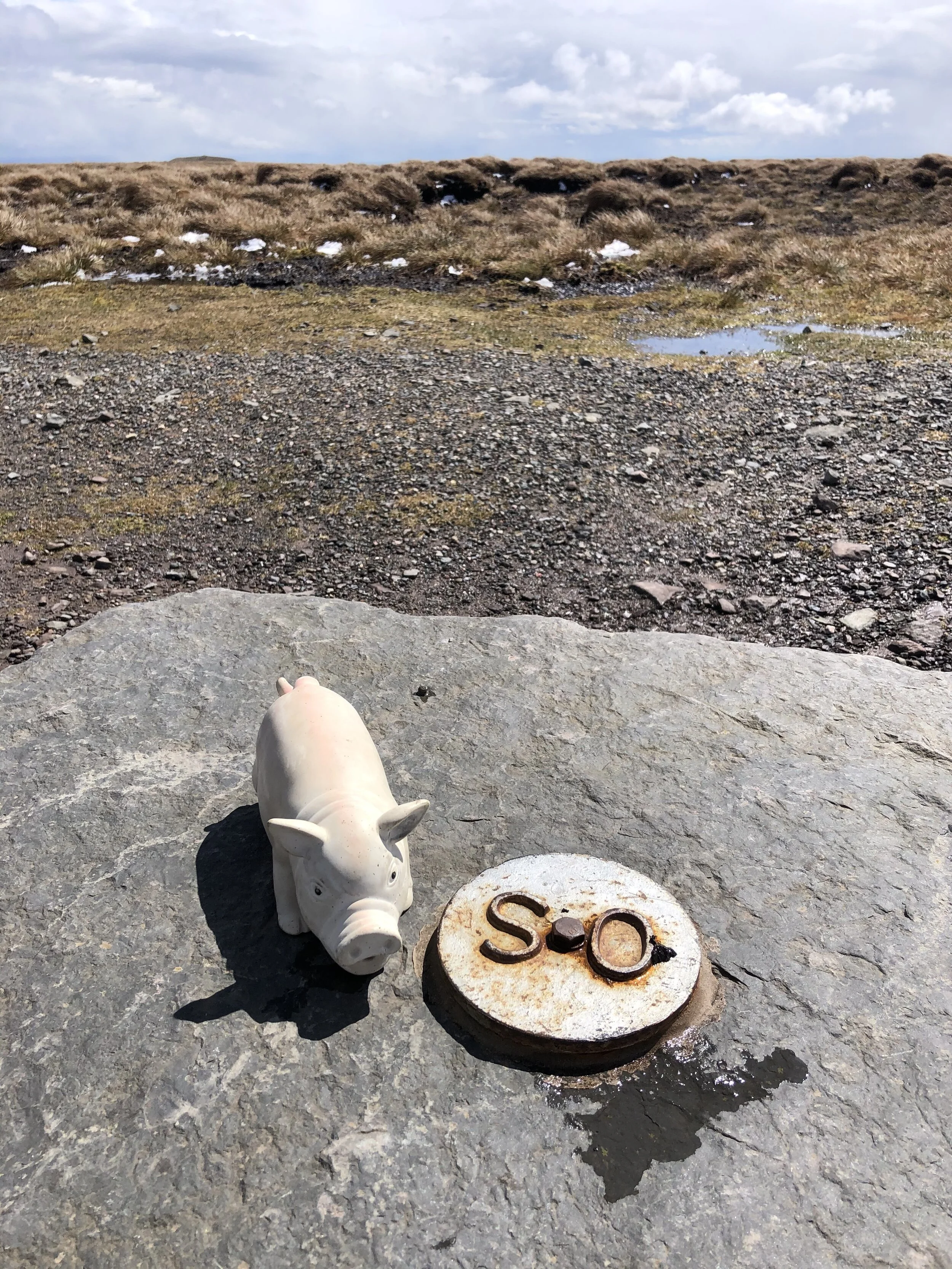
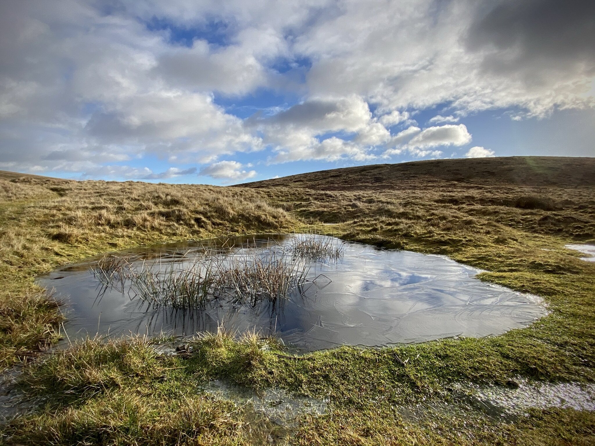
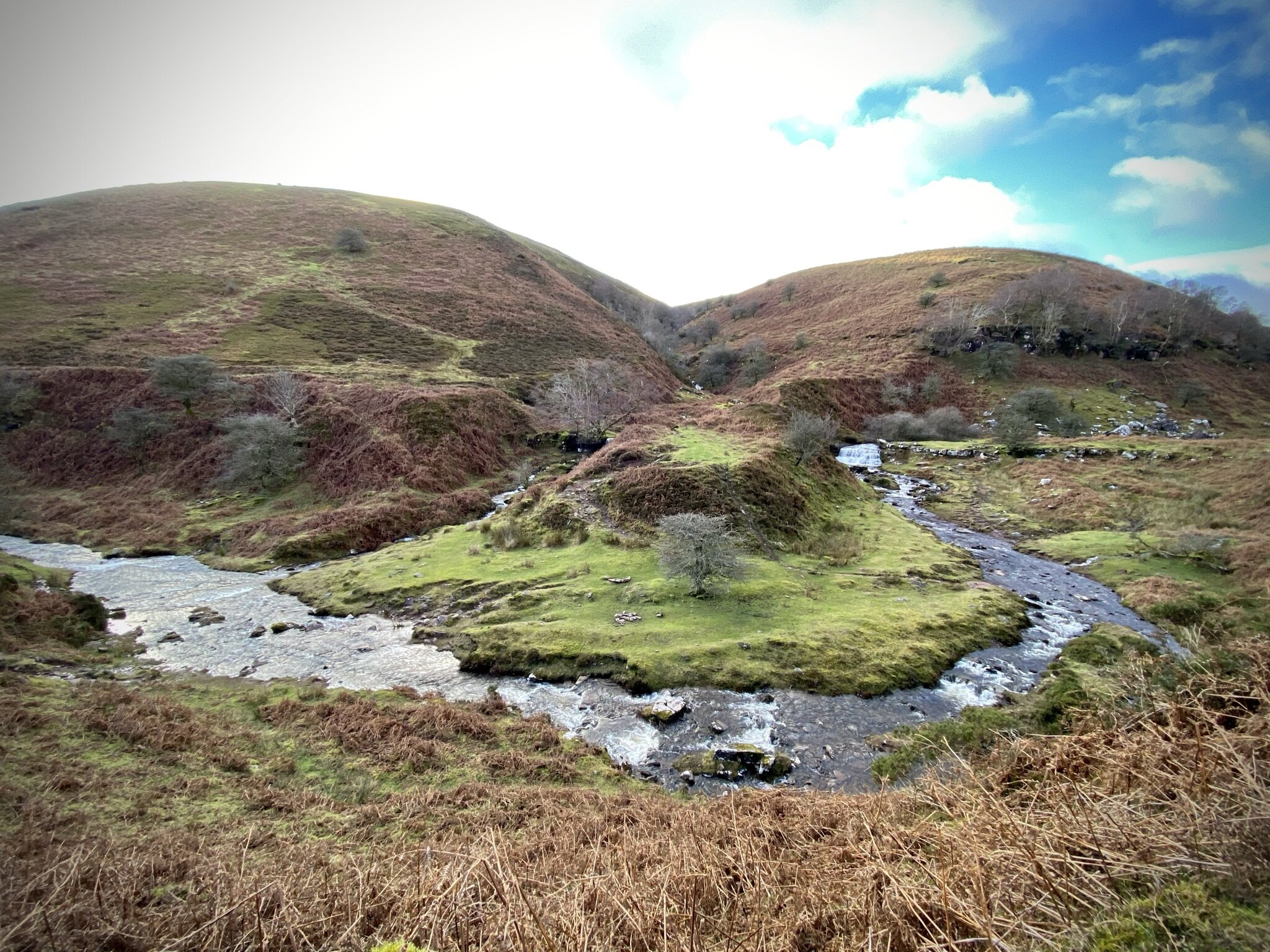
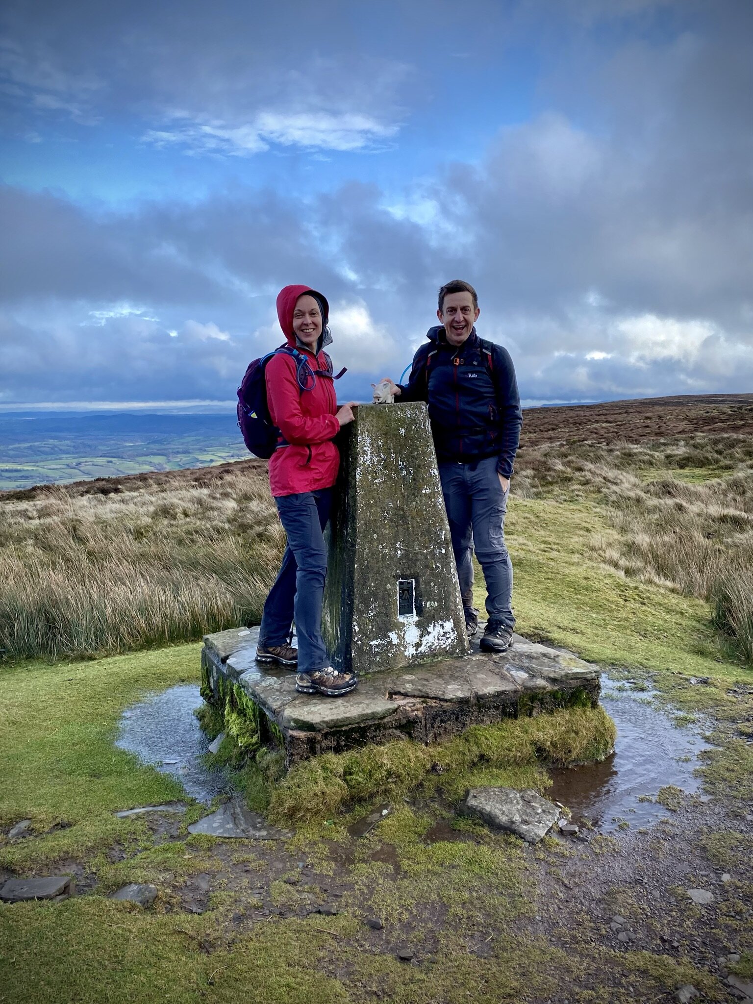
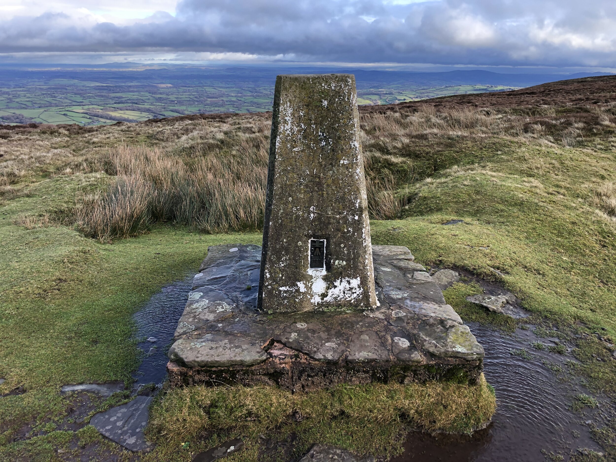
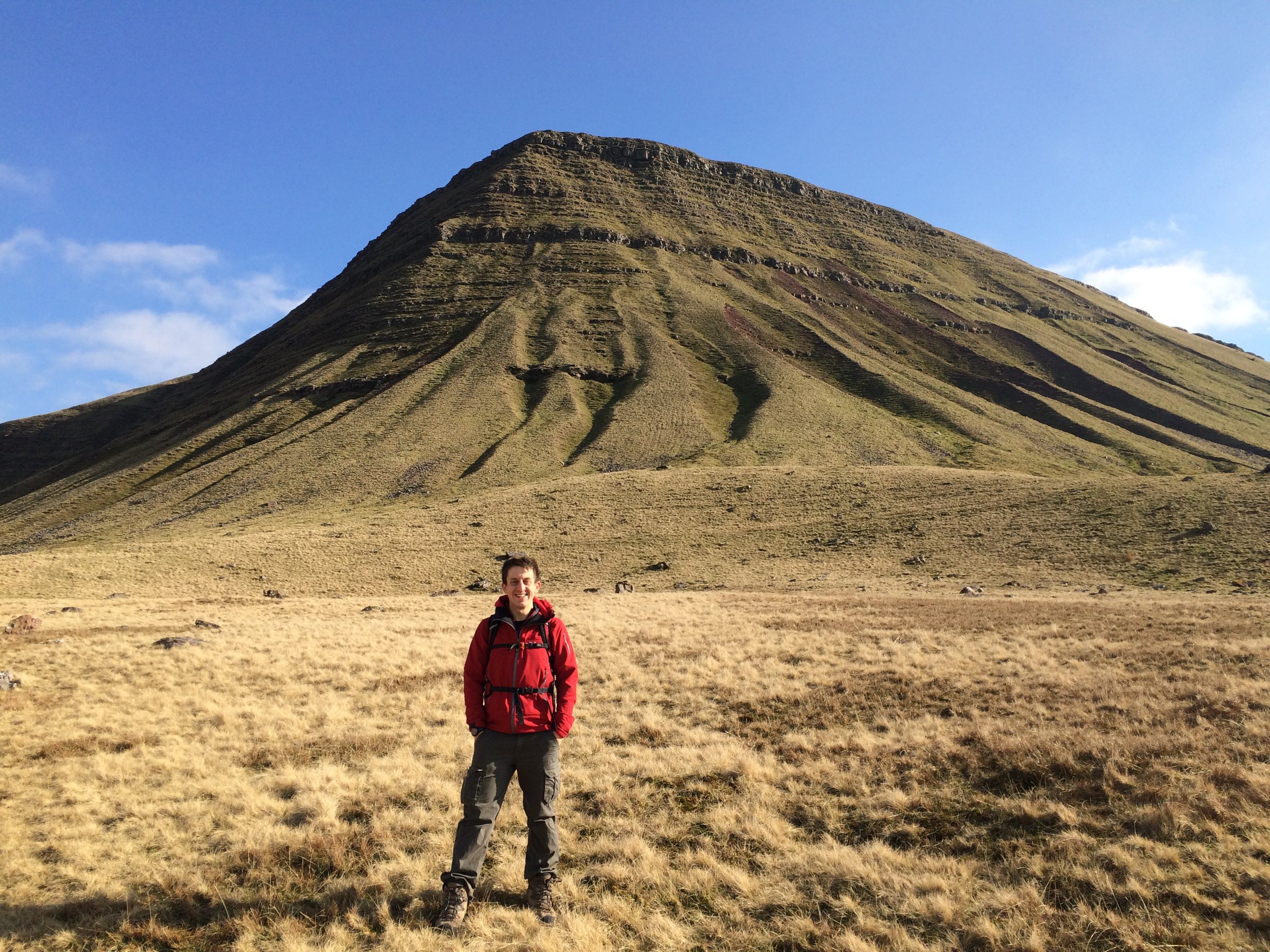
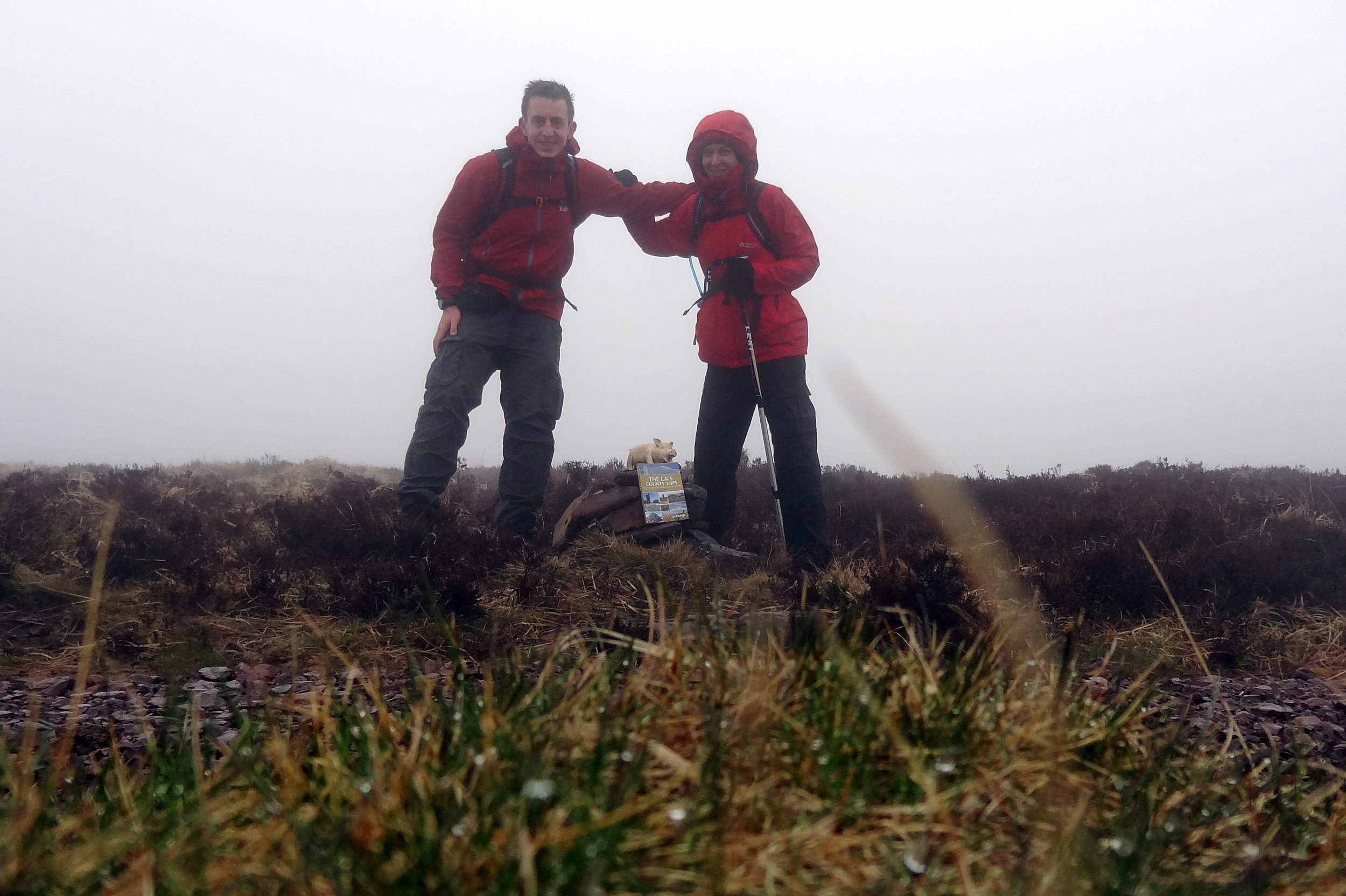
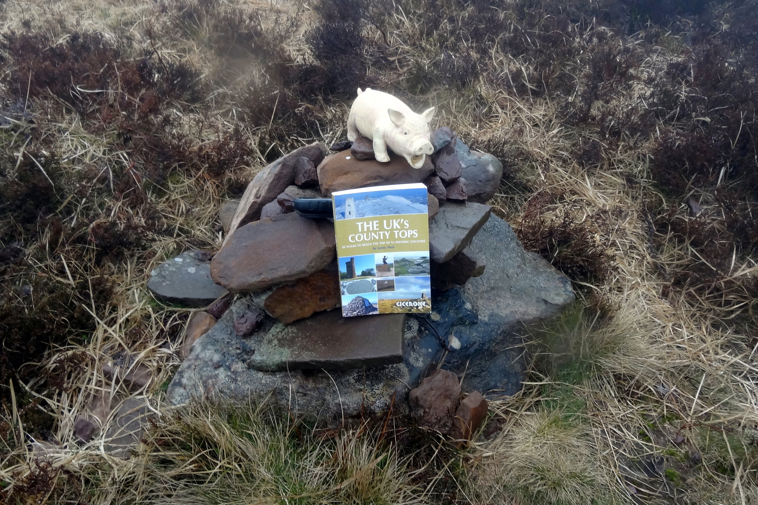
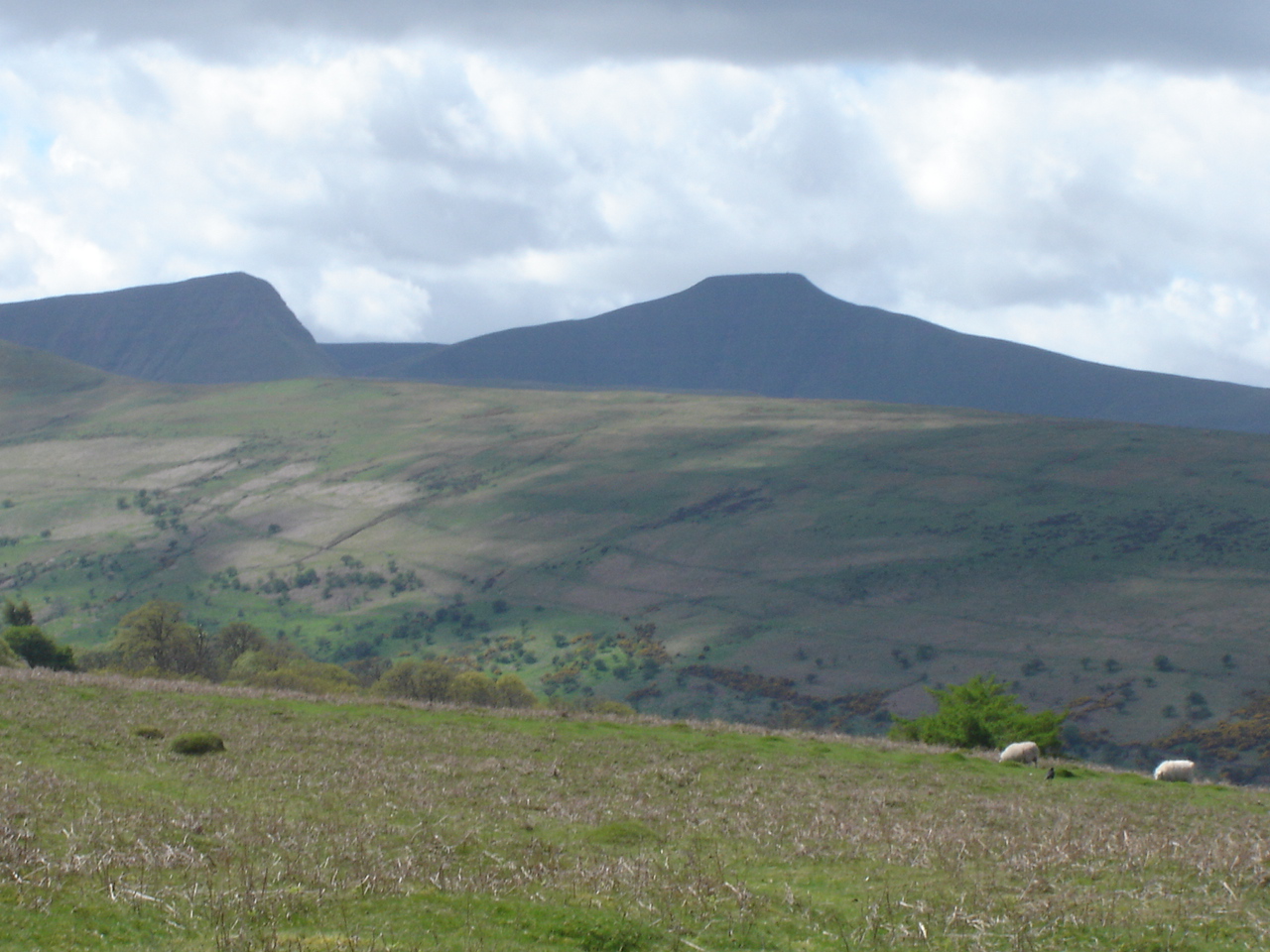
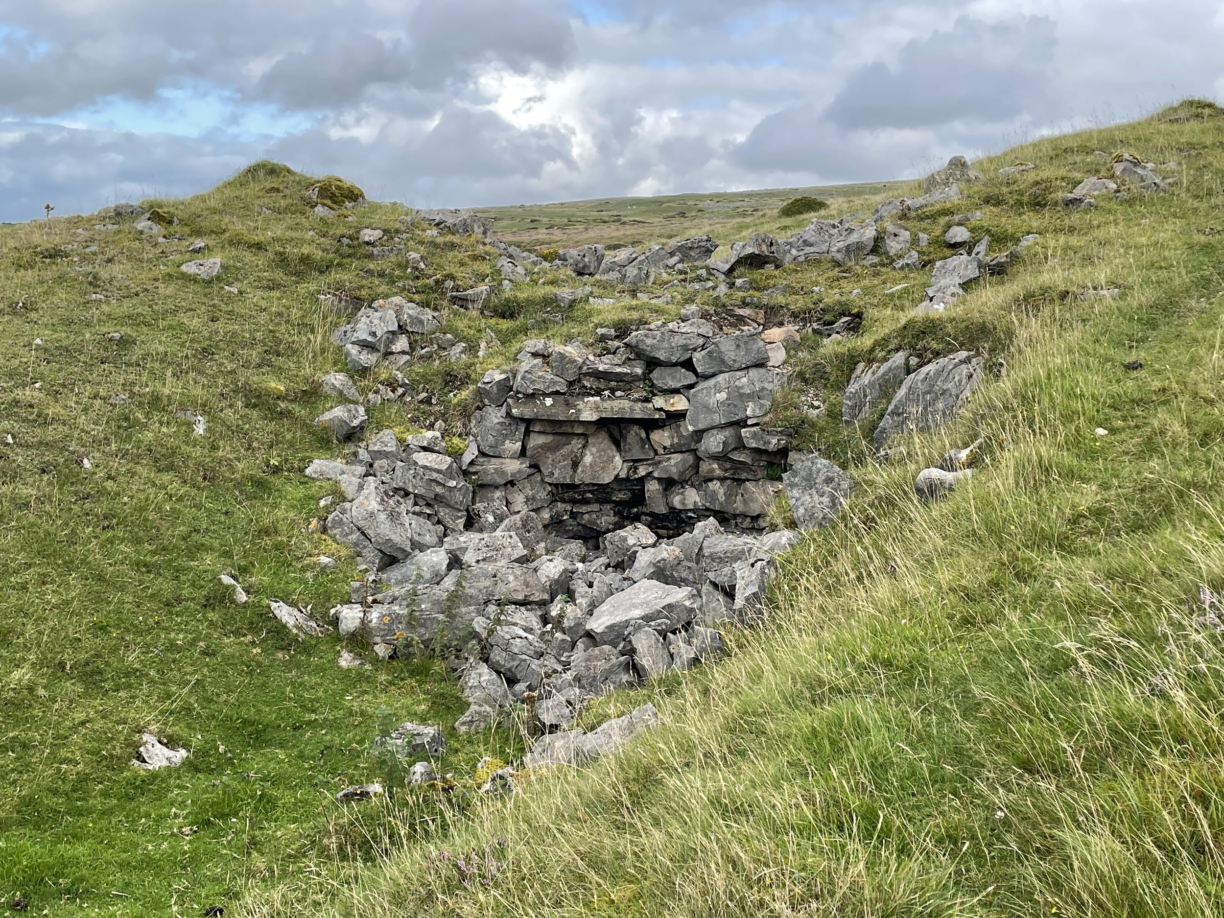
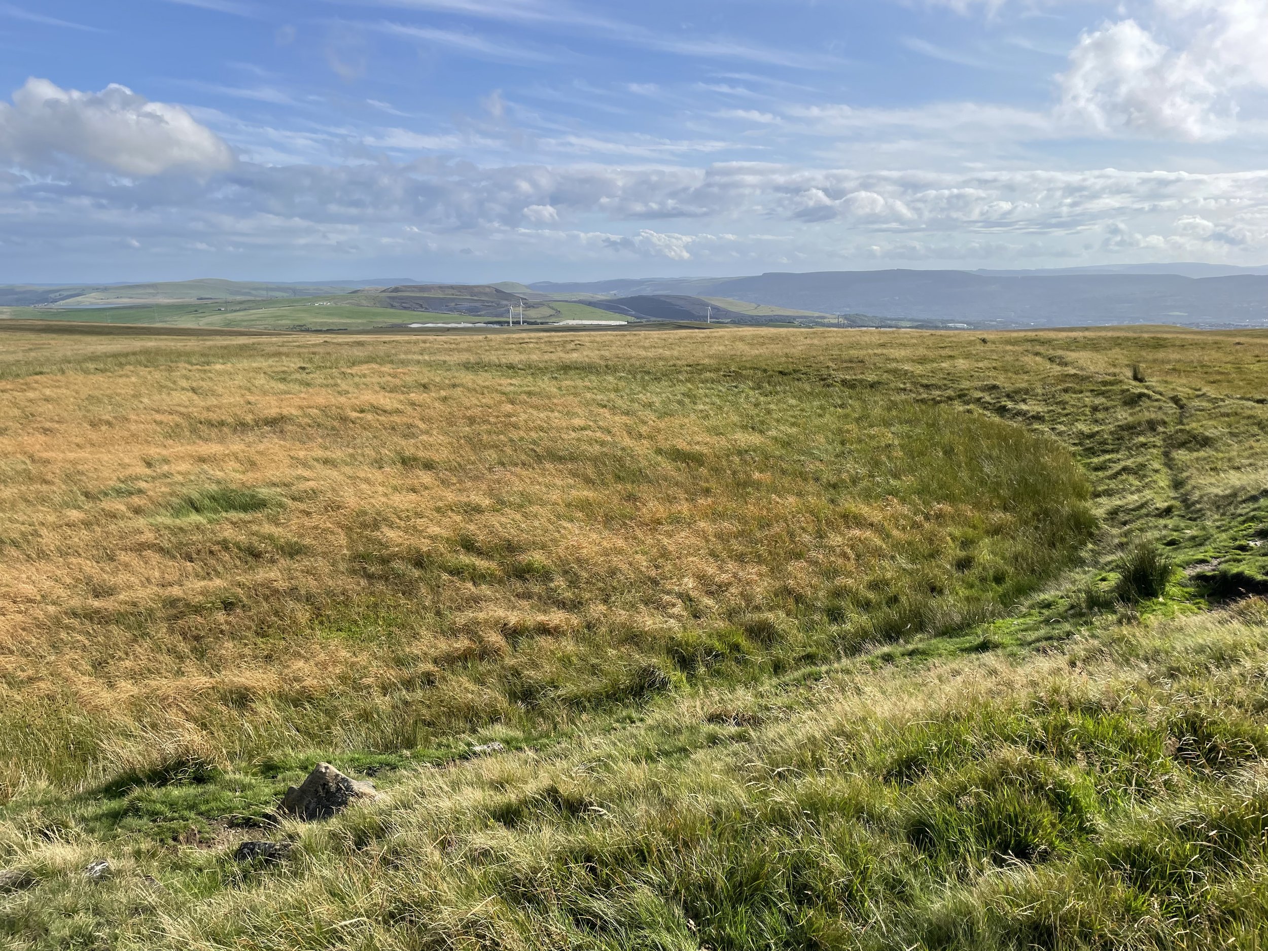
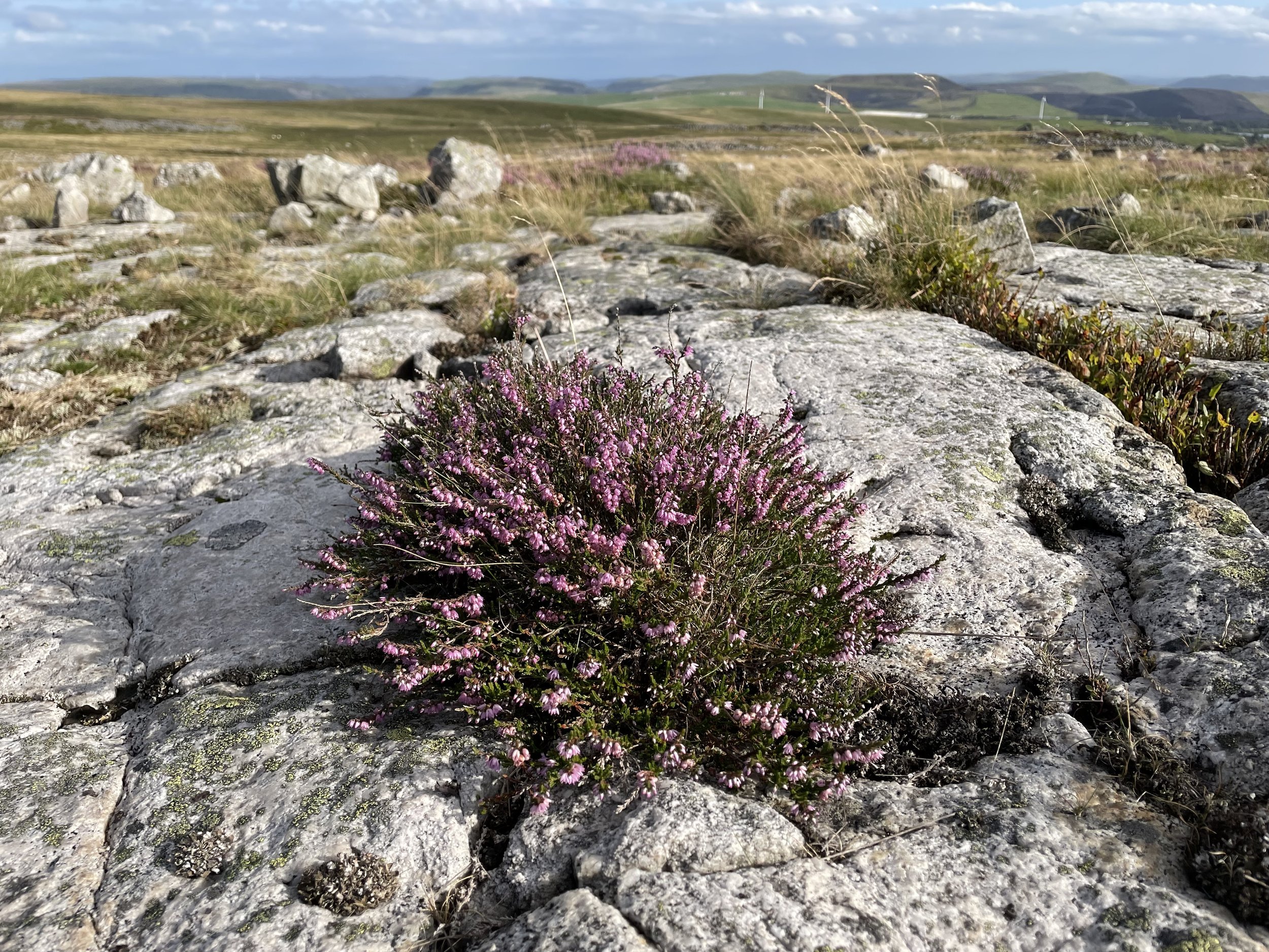
The route to the high point roughly follows the border of Merthyr Tydfil and Powys until you reach a dry pond that marks the Merthyr / Powys / Caerphilly county tri-point. The Merthyr Common high point is to the west of the pond and Pen March to the east. There’s nothing to mark either and neither feels like an achieved summit as the ground in Powys to the north of the border is higher.

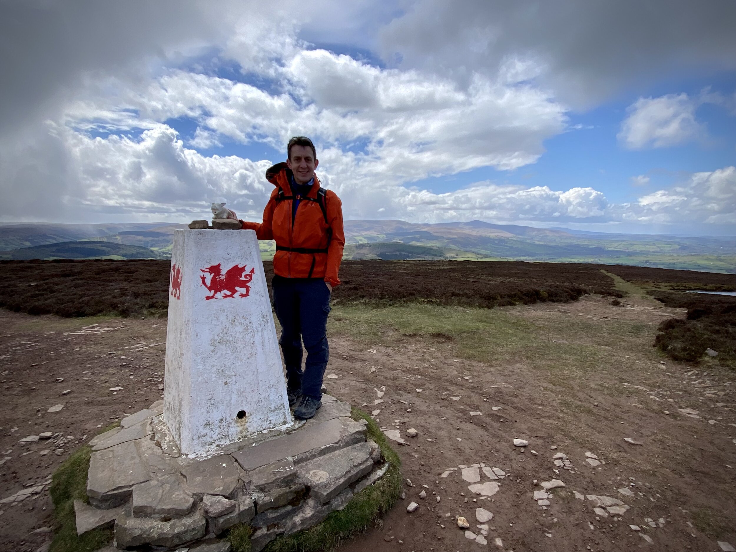
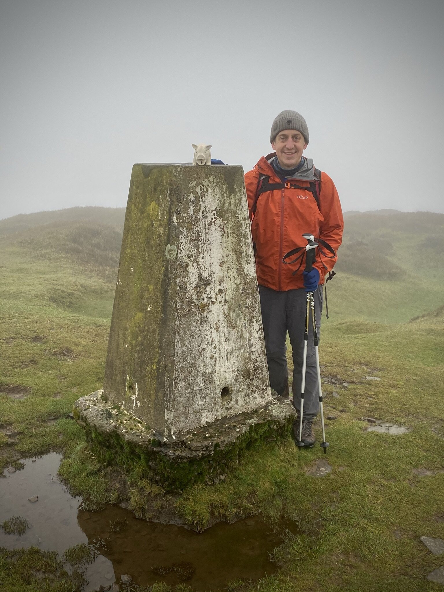
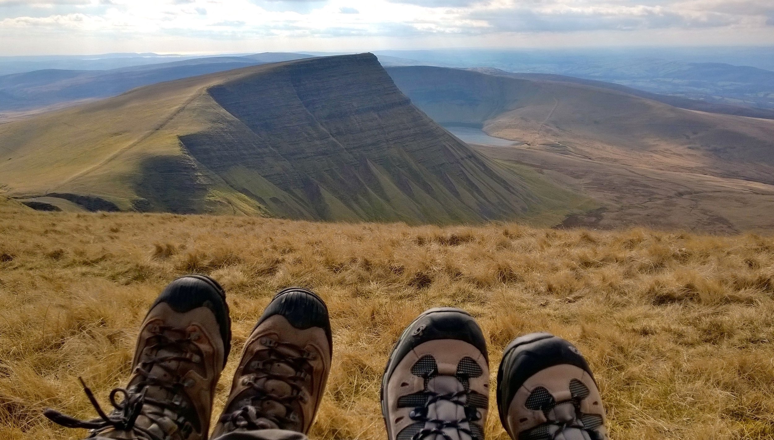
My original plan for this walk was to include the Trig Point at the summit of Cefn Yr Ystrad. It was now late in a full day of high-point bagging, getting cold and the route to the Trig Pillar was boggy. I decided to leave Cefn Yr Ystrad for another day, return to Pontsticill and rest for more high-points the next day.


2 Peaks and a County Tri-point

Map base = Esri Topo


Sugar Loaf
Trig Pillar at the top of Sugar Loaf

Trig Pillar at the top of Sugar Loaf


Member of: Marilyn
Parent Peak: Waun Fach
Elevation: 596m
Date climbed: 6th May 2021
Coordinates: 51° 51' 46'' N, 3° 3' 28'' W
Route Start & Finish
: The Dragons Head pub, Llangenny, Crickhowell, NP8 1HD
Distance: 8.7 km (5.4 miles)
Elevation change: +/- 502m
GPX File: get via Buy Me a Coffee
Other routes touched (walk): None
Other routes touched (cycle): None
Other pubs / Cafes on route: None
OS Trig Pillar: TP6243 - Sugar Loaf
Map: OS Explorer OL13 Brecon Beacons National Park - Eastern area
Links: Wikipedia / Peakbagger / Hillbagging / Llangenny


This was the second of three trig-bagging walks in the Black Mountains on a spring trip to the Brecon Beacons. We were on the last day of good weather before a long stretch of rain so we picked this one based on recommendation from a friend who lives nearby.

Many people start their Sugar Loaf trip from Abergavenny and there’s lots of footpath options between the town and the summit. The approach from Llangeny is a great alternative, especially if you’re travelling there from the North or West.

From the Dragon’s Head car park, cross over the (river) Grwyne Fawr, taking a left on the road that runs parallel to the river. Take the first road on right and walk up the hill in a north-easterly direction. After ~1.25 km from the start continue along the footpath through a farm rather than keeping on the road that curves to the right. Once past the farm you’ll follow the edge of a field upwards towards a path T-junction. Take a right here heading south. This path will curve round the brow of a hill before heading north east up to the summit of Sugar Loaf.

On a clear day the views from the summit are excellent so it’s worth spending a bit of time there to take it all in. To return to the start, take the north-westerly path which curves round to the west. After 3km from the summit the path enters a farm where you’ll take a right onto the road. Soon after this take a left onto another road, another left at the end and continue to the junction where you’ll meet your earlier route up. Take a right here and retrace your steps to the bridge then the Dragons Head pub.


elevation_profile (1).jpg

Waun Fach and The Dragon's Back
Top of the Dragons Back

Top of the Dragons Back


Member of: Marilyn, Hewitt, Nuttall
Parent Peak: Pen y fan
Elevation: 811m
Date climbed: 5th May 2021
Coordinates: 51° 57' 46'' N, 3° 8' 35'' W
Route Start & Finish: The Dragons Back pub, Pengenffordd, Talgarth, Brecon, LD3 0EP
Distance: 11.7 km (7.3 miles)
Elevation change: +/- 574m
GPX File: get via Buy Me a Coffee
Other routes touched (walk): None
Other routes touched (cycle): None
Other Pubs / Cafes on route: None
OS Trig Pillar: TP3548 - Gwynydd Bach
Map: OS Explorer OL13 Brecon Beacons National Park - Eastern area
Links: Wikipedia / Peakbagger / Hillbagging


This was the second of three trig-bagging walks in the Black Mountains on a spring trip to the Brecon Beacons. It was my birthday and, having missed out on our normal big trip due to Covid, I wanted a special mountain. It may not be well known, a County Top or on many bucket lists, but as the highest peak in the Black Mountains, that would be enough significance for this year.

The car park next to the Dragon’s Back pub is an obvious place to start. The honesty box for the £2 charge gives warnings of tough-to-remove stickers to be stuck to windscreens if the charge is not paid. Despite the CCTV cameras above it, it’s unlikely they would know you’ve put money in there. After a year of not touching any cash I was pleasantly surprised to discover that we actually had some coins in the car.

Take the footpath that starts at the north end of the car park and follow it in a south-easterly direction for just over 3.5 km. Here you’ll reach a ridgeline with several different footpath interactions. Take the path that heads north, continuing to ascent, then curves to the east. Follow this path for approximately 2km to the summit of Waun Fach. There used to be an OS Trig Pillar here, but it’s been replaced by a low, flat stone with a metal OS roundel on it.

From the summit, take the northerly footpath, descending steadily for 1.5 km. At the path junction take the left hand path, heading south west, descending along the Dragons Back. We had very good visibility which gave us some amazing views across to the National Park to Pen y Fan and beyond. The highlight at the end of the trip is the path through the ruins of Castel Dinas. The steep ascent up to to the castle right at the end of the trip was a bit daunting though given we were low on energy at the time.

I’d been hesitant about doing this one having read and heard of tough navigation and boggy conditions at the top. The path at the summit seemed relatively new so have probably addressed the bogginess issue. I’d say that the navigation is no tougher than similar mountains in the area so you’ll be fine with the usual preparation, clothing and skills for the hills.


elevation_profile.jpg

Mynydd Llangorse
View to Llangorse Lake from the western side of Mynydd Llangorse

View to Llangorse Lake from the western side of Mynydd Llangorse


Member of: Marilyn
Parent Peak: Mynydd Troed
Elevation: 515m
Date climbed: 4th May 2021
Coordinates: 51° 55' 57'' N, 3° 13' 27'' W
Route Start & Finish: Parking outside Llangorse Multi Activity Centre, Gilfach Farm, Llangorse, Brecon, LD3 7UH
Distance: 6.5 km (4.0 miles)
Elevation change: +/- 285m
GPX File: get via Buy Me a Coffee
Other routes touched (walk): Beacons Way
Other routes touched (cycle): None
Pubs / Cafes on route: None
OS Trig Pillar: TP5020 - Mynydd Llangorse
Map: OS Explorer OL13 Brecon Beacons National Park - Eastern area
Links: Wikipedia / Peakbagger / Hillbagging / Llangorse Lake, Llangors


This was the first of three trig-bagging walks in the Black Mountains on a spring trip to the Brecon Beacons. With a short distance and relatively low elevation this made for a nice warm-up for the longer treks of the next couple of days.

The parking area just outside of the Llangorse Activity Centre is an obvious place to start. Just inside the activity centre you can find the start of a footpath heading in a south-easterly direction across a field towards the hill. The trig pillar at the summit is only 1.5km from the Activity Centre, giving you the option of a very short out-and-back. If you prefer a longer circular walk, there’s several options based on a few paths that intersect at the summit. We continued east for ~500 metres, then taking a well marked track south to the Beacons Way.

When you meet the Beacons Way, don’t follow it but take the westerly path that makes a steady descent from the hill. This path will curve round to the hill and reconnect with the path you followed at the start and back to the Activity Centre.

The cafe at Llangorse lake, a short drive from the Activity Centre, is a great place for a rest, a coffee and a cake after the walk.


route-35995910-map-full.png
elevation_profile.jpg

The Brecon Beacons Rivers

Here’s a Tube-style map of the rivers of the Brecon Beacons (Bannau Brycheiniog in Welsh). Let me know if you spot any mistakes and I’ll donate £1 per correction to one of my causes. If you would like a printable PDF version, please Buy Me a Coffee and send me your e-mail via the Contact page. All copies for personal, not commercial use.


Brecon%2BBeacons%2BTube%2BMap%2B-%2BKey.jpg

Note: the map shows rivers that start, end or pass through the Brecon Beacons National Park. There are some rivers such as the Rhondda, Ogmore and Ely that are not included as their source is south of the Park even though they flow into the Bristol Channel or join another river on this map.


Other Posts for the Brecon Beacons (Bannau Brycheiniog)


Tube-style Maps


Twmpa & Rhos Dirion Circular Walk
View to Pen y Fan from Rhos Dirion

View to Pen y Fan from Rhos Dirion


Start & Finish: Gospel Pass Car Park, Capel-y-ffin, Abergavenny, NP7 7NP
Distance: 13 km (8.1 miles)
Elevation change: + / - 376m
GPX File: get via Buy Me a Coffee
Other routes touched (walk): None
Other routes touched (cycle): NCN 42
Pubs / Cafes on route: None
Map: OS Explorer OL13 Brecon Beacons National Park - Eastern area
Links: Gospel Pass, Vale of Ewyas

Rhos Dirion:

Member of: None
Parent Peak: Waun Fach
Elevation: 713m
Date climbed: 24th December 2020
Coordinates: 51° 59' 36'' N, 3° 8' 59'' W
OS Trig Pillar: TP5658 - Rhos Dirion
Links: Wikipedia / Peakbagger

Twmpa:

Member of: None
Parent Peak: Waun Fach
Elevation: 690m
Date climbed: 24th December 2020
Coordinates: 52° 2' 7'' N, 3° 6' 17'' W
OS Trig Pillar: None
Links: Wikipedia / Peakbagger


In the third of three winter walks in the Vale of Ewyas we did a circular trek to the summits of Twmpa and Rhos Dirion.

From the free parking at Gospel Pass take the westerly path up to the summit of Twmpa, also called Lord Hereford’s Knob. Trig Baggers will be disappointed as there’s no pillar at the top. By continuing west for another 1.8 km you’ll reach the patriotically painted pillar at the top of Rhos Dirion. We were there on a cold but clear winter’s day and had a great view of Pen y Fan in the distance. After bagging Rho Dirion, retrace your steps down to the col between the two summits. Rather than climb back up to Twmpa, take a right to head in a south-easterly direction down the valley. Navigation is easy following a well worn path tracing the course of Nant Bwch.

The valley path turns into a farm track then a single-track road to Capel-y-ffin. Rather than stick to the road follow the path that curves round the side of the nose of the mountain half way up its elevation. On the southern-most point you’ll get a great view over Capel-y-ffin and the southern part of the Vale of Ewas.

Continue on the mountain pass as it curves anti-clockwise around the mountain. You’ll now be heading north back towards the Gospel Pass. After ~2 km the path will join the valley road which you can follow back to the car park.


route-34848075-map-full.png
elevation_profile.jpg

Llanthony Priory and Rhiw Arw Trig Pillar Circular Walk
Misty descent to Llanthony Priory

Misty descent to Llanthony Priory


Start & Finish: Llanthony Priory Hotel, Llanthony, Abergavenny, NP7 7NN
Distance: 8.2 km (5.1 miles)
Elevation change: + / - 364m
GPX File: get via Buy Me a Coffee
Other routes touched (walk): Offa’s Dyke Path, Beacons Way
Other routes touched (cycle): None, although NCN 42 passes by the road entrance to Llanthony Priory
Pubs / Cafes on route: Coffee Shop at Llanthony Priory. The Half Moon Pub is near the Priory but not on the route
Trig Pillar: TP5648 - Rhiw Arw
Map: OS Explorer OL13 Brecon Beacons National Park - Eastern area
Links: Llanthony, Llanthony Priory, River Honddu, Offa’s Dyke, Vale of Ewyas


In the second of three winter walks in the Vale of Ewyas we did a circular trek to the Rhiw Arw Trig Pillar.

From the free car parking at Llanthony Priory, take the Beacons way clockwise around the Priory. Leave the Beacons Way at the northern side of the Priory outer wall and follow the footpath signed to Hatterall Ridge as it curves round to the north-west. Keeping to this track you’ll reach the Offa’s Dyke National Trail approximately 2 km from the Priory. Take a right onto the National Trail, heading south-east. Follow Offa’s Dyke for ~2.5 km until you reach the Rhiw Arw Trig Pillar.

After the Trig Pillar continue south-east along Offa’s Dyke for just under 1 km and descend back to Llanthony Priory via The Beacons Way.


route-34878022-map-full.png
elevation_profile (1).jpg

North Daren Trig Pillar from Capel-y-ffin Out-and-Back Walk
View towards Llanthony

View towards Llanthony


Start & Finish: Church of St. Mary the Virgin, Capel-y-ffin, Abergavenny, NP7 7NP
Distance: 8.8 km (5.5 miles)
Elevation change: + / - 325m
GPX File: get via Buy Me a Coffee
Other routes touched (walk): Offa’s Dyke Path
Other routes touched (cycle): NCN 42
Pubs / Cafes on route: None
Trig Pillar: TP5154 - North Daren
Map: OS Explorer OL13 Brecon Beacons National Park - Eastern area
Links: Capel-y-ffin, River Honddu, Offa’s Dyke, Vale of Ewyas


In the first of three winter walks in the Vale of Ewyas we did an out-and-back trek to the North Daren Trig Pillar.

From Capel-y-ffin village centre, take the track to the right of St. Mary’s Chapel. Continue for ~1 km passing over the River Honddu, the Baptist church on the left and a farm on the right. When you reach the footpath sign for Offa’s Dyke, cross over the stile on the left of the track. From here follow the path at it climbs and zig zags up to to National Trail. The path uphill path was very obvious when we were there in winter but can be obscured by bracken in the summer.

A cairn and a stone sign marks the junction of the uphill path and Offa’s Dyke. Turn right (south-east) onto the National Trail and continue for ~1.6 km until you reach the Trig Pillar. For the return trip, retrace your steps back to the bottom of the hill where the path meets the track. Here you can take a right and follow the track back to Capel-y-ffin or take a left then a footpath shortly on the right. Here you can follow a path across a field, over a wooden bridge and onto the valley road. Take a right when you get to the road to return to Capel-y-ffin.


route-34539967-map-full.png
elevation_profile.jpg

Walking The Monmouthshire & Brecon Canal - Part 1

Start: Brecon Canal Basin, Brecon, LD3 7EY
Finish: Crickhowell High Street, Crickhowell, NP8 1BE
Distance: 25 km (15.5 miles)
Elevation change: +134m / -201m. Net -67m
GPX File: get via Buy Me a Coffee
Other Routes Touched (walk): Taff Trail, Usk Valley Walk
Other Routes Touched (cycle): NCN 8
Maps:
- OS Explorer OL12 Brecon Beacons National Park - Western & Central areas
- OS Explorer OL13 Brecon Beacons National Park - Eastern area
Links: Monmouthshire & Brecon Canal, River Usk, Brecon, Talybont on Usk, Crickhowell


I’d only seen the Monmouth & Brecon Canal a few times before and that was only the basin at Brecon. It’s where I started the Taff Trail many years ago and was the venue for a Landscape Photography course I did in 2012. I never thought about where it went to until recently. Timi and I were staying in the Valley of Ewyas on the Welsh border and I needed a one-day adventure while she spent time with her coaching friends.

I looked at a few options from cycling the whole length of its to walking or running a section. The 16-mile Brecon to Crickhowell section was an obvious choice for a short winter day. There’s an infrequent bus between the towns which helped the logistics for a point-to-point walk.

After a thwarted attempt on Pontypool parkrun I arrived at Crickhowell at 09:30. I’d driven over an hour to get there from our isolated farmhouse only to find that the run was cancelled due to ice. It was especially annoying as I had checked the run’s homepage the day before to see if it was on. It must have been cancelled overnight and, without internet at the farm, I had no way of checking that morning.

With the bus leaving at 10:20 I had a while to fill up on coffee and carrot cake at the Latte-Da cafe next to the bus stop. The last time I’d spent any time in the town was 25 years ago. I remember a cafe there that was a shrine to Cliff Richard. His songs were on constant rotation and there were photos of him all over the walls. It was a quirky place that I hoped was still there but it was now long gone in the history of the town.

After a short bus ride and a 5 minute walk to the canal basin I started my walk. The first section was pretty snowy with some amazing views of Pen-y-fan and its sisters on the first 3 miles. The well kept towpath is dotted with wooden sculptures and information boards depicting the history of the canal.

The route follows the River Usk remaining higher than the river in most parts and crossing it on viaducts several times. The A40 is also close by and, apart from the first couple of miles out of Brecon, it’s distant enough not to spoil a quiet walk.

There were a couple of places, like Talybont on Usk and Llangynidr, with canal-side pubs that would have been nice stops. As it happened I decided to plough on so I could be back at the farm before it got dark.

The first 5 miles were the most interesting then a lot of the route was much the same. That’s why I prefer to cycle along canal towpaths as they’re often a bit samey for the slower speed of walking. Even so, it was a lovely walk and a good use of a chilly winter day.

elevation_profile.jpg
Chwarel y Fan: Monmouthshire County Top
Summit of Chwarel y Fan

Summit of Chwarel y Fan


Significance: Highest peak in Monmouthshire (Historic CT)
Member of: Hewitt, Nuttall
Parent Peak: Waun Fach. NHN = Pen y Gadair Fawr
Elevation: 679m
Date climbed: 5th April 2015
Coordinates: 51°57′30″N 3°04′51″W 
Route Start / End: Llanthony Priory, Llanvihangel Crucorney, Abergavenny, NP7 8DQ
Route Distance: 14.1 km (8.8 miles)
Route Elevation Change: +/- 470m
Subsidiary tops on route: Bal-Mawr (599m)
GPX File: get via Buy Me a Coffee
Other routes touched (walk): Beacons Way
Other routes touched (cycle): None
Map: OS Explorer OL13 Brecon Beacons National Park
Guidebook: The UK's County Tops (Jonny Muir)
Links: Wikipedia (Monmouthshire), Wikipedia (Chwarel y Fan), Peakbagger, Hillbagging


OTHER HIGH POINTS IN NORTH WALES


Fan Foel: Carmarthenshire County Top
IMG_3574.jpg

Significance: Highest peak in Carmarthenshire (Historic CT)
Member of: N/A
Parent Peak: Fan Brycheiniog. NHN = Fan Brycheiniog - Twr y Fan Foel
Elevation: 781m
Date climbed: April 4th 2015
Coordinates: 51° 53' 14'' N, 3° 42' 49'' W
Route Start / End: Llyn y Fan Fach Car Park, Llanddeusant SA19 9UN
Route Distance: 9.9 km (6.1 miles)
Route Elevation Change: +/- 540m
Subsidiary tops on route: Bannau Sir Gaer (Picws Du), Waun Lefrith
GPX File: get via Buy Me a Coffee
Other routes touched (walk): Beacons Way, South Wales Traverse
Other routes touched (cycle): None
Map: OS Explorer OL12 Brecon Beacons National Park - Western & Central Areas
Guidebook: The UK's County Tops (Jonny Muir)
Links: Wikipedia (Carmarthenshire), Wikipedia (Fan Brycheiniog), Peakbagger, Hillbagging


This one is the highest peak in Carmarthenshire but only counts as a sub-peak of Fan Brycheiniog so it doesn’t count as a Marilyn, Nuttall or Hewitt in its own right. Looking back on this one I wish I’d made the extra effort to bag the higher peak too. Even so, this was an amazing walk on a clear spring day with views for miles. It was much less crowded than the Brecon Beacons too.


route-29027815-map-full.png


Black Mountain: Herefordshire County Top

Also Known As: Twyn Llech (Welsh)
Significance: Highest peak in Herefordshire (Historic CT).
Member of: Marilyn, Hewitt, Nuttall
Parent Peak: Waun Fach. NHN = Rhos Dirion
Elevation: 703m
Date climbed: April 20th 2014
Coordinates: 52°00′30″N 3°05′05″W
Route Start / End: Gospel Pass Car Park, Capel-y-ffin, Abergavenny, NP7 7NP
Route Distance: 8 km (5 miles)
Route Elevation Change: +/- 196m
Subsidiary tops on route: Hay Bluff (677m)
GPX File: get via Buy Me a Coffee
Other routes touched: Offa’s Dyke Path
OS Trig Pillar: TP5402 - Pen-Y-Beacon
Map: OS Explorer OL13 Brecon Beacons National Park
Guidebook: The UK's County Tops (Jonny Muir), Walking the County High Points of England (David Bathurst)
Links: Wikipedia (Herefordshire), Wikipedia (Black Mountain), Peakbagger, Hillbagging


If I had known that I’d be returning to the Ewyas valley many times in the future I probably wouldn’t have attempted this on on such a rainy day. As it happened we were on the last day of a long weekend in the Brecon Beacons and I was eager to bag this one.

Although Black Mountain is the high point of Herefordshire, an English County, much of the walk is in Wales. The obvious starting point is the car park at the top of Gospel Pass. From here there’s a well trodden path up the side of the valley to the Hay Bluff Trig Pillar. From the pillar, take the south-easterly path to join Offa’s Dyke. Continue for ~1.2k until you get to the high point. There’s nothing here except for a small group of stones. As visibility was very poor and it was raining a lot, we quickly retraced our steps back to the parking spot.

In the following years a good friend of ours would move to the valley and we have done a lot more walks near there. With better weather and more time I would plan a different walk that includes both Twmpa and Black Mountain.


Pen y Fan: Brecknockshire County Top
DSC00692.jpg

Significance: Highest peak in Brecknockshire (Historic CT), Powys (Preserved County and Principal Area), Brecon Beacons National Park
Member of: Marilyn, Hewitt, Nuttall
Elevation: 886m
Date climbed: April 2005 and several others
Coordinates: 51.8840° N, 3.4364° W
Route Start / End: Circular from Cwn Gwdi car park, Unnamed Road, 8LE, Brecon
Route Distance: 23.6 km (14.6 miles)
Route Elevation Change: +/- 929m
Subsidiary tops on route: Cribyn, Fan y Big, Craig Cwareli, Bwlch y Ddwyallt
GPX File: get via Buy Me a Coffee
Other routes touched (walk): Beacons Way, Taff Trail
Other routes touched (cycle): NCN 8
OS Trig Pillar: TP1610 - Brecon Beacons
Map: OS Explorer OL12 Brecon Beacons National Park - Western & Central Areas
Guidebook: The UK's County Tops (Jonny Muir)
Links: Wikipedia (Brecknockshire), Wikipedia (Pen y Fan), Peakbagger, Hillbagging


In the years before I got married the Pen y Fan, Cribyn and Fan y Big circuit was my Girlfriend Test. If it was looking serious I would "take them up the Brecons" to see if they survived. If they liked it, it was a good sign.

I did The Test on my wife, then girlfriend, in 2002. She passed it, although didn't quite make it all the way back to the car park. I remember her sitting down on a rock 100 metres from the car park and refusing to move. I went ahead and to get the car to pick her up on the way back to Brecon.

Looking back on it, that was quite an ambitious test for a non-walker. Timi is a big trekker now, but not so much back then. I had probably killed her enthusiasm for walking for 10 years until we got into a rhythm of shorter walks.

The route described here is a longer version of the circuit than I used to do for the Girlfriend Test. This was one that I did with a mate a few years later. For the shorter versions of this route, descend on the north-easterly paths from either the summit of Cribyn or Fan y Big and connect back to the east-west road to the Cwn Gwdi car park.