Posts tagged UK County Tops
Càrn Eige: Ross & Cromarty County Top
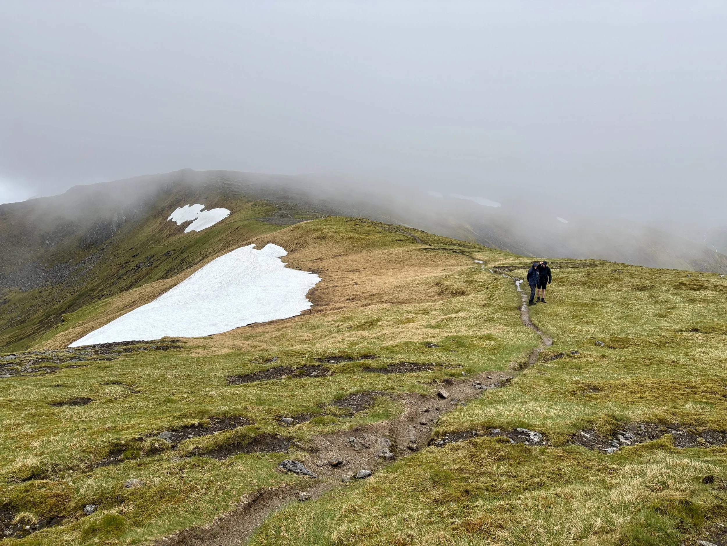
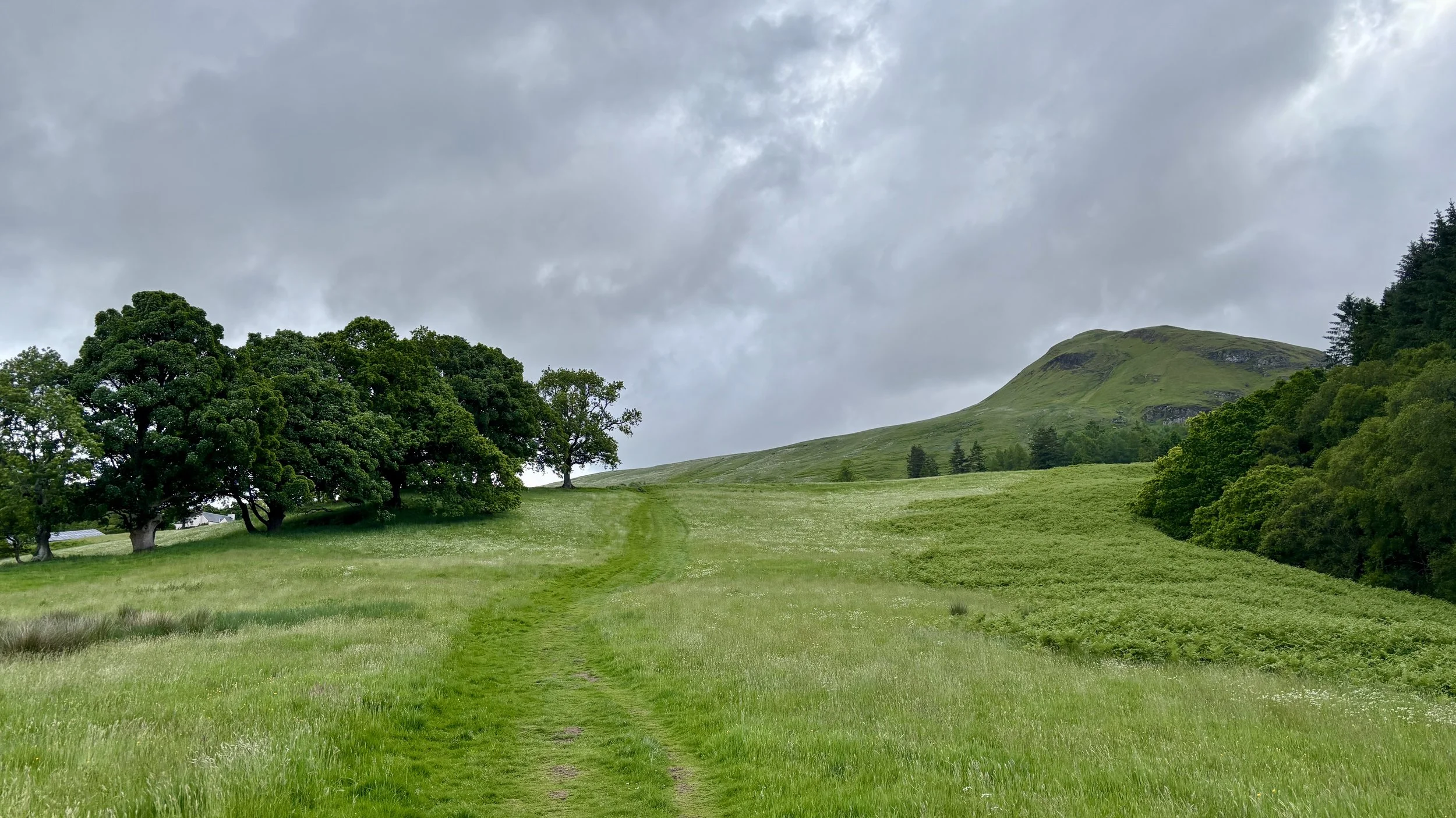
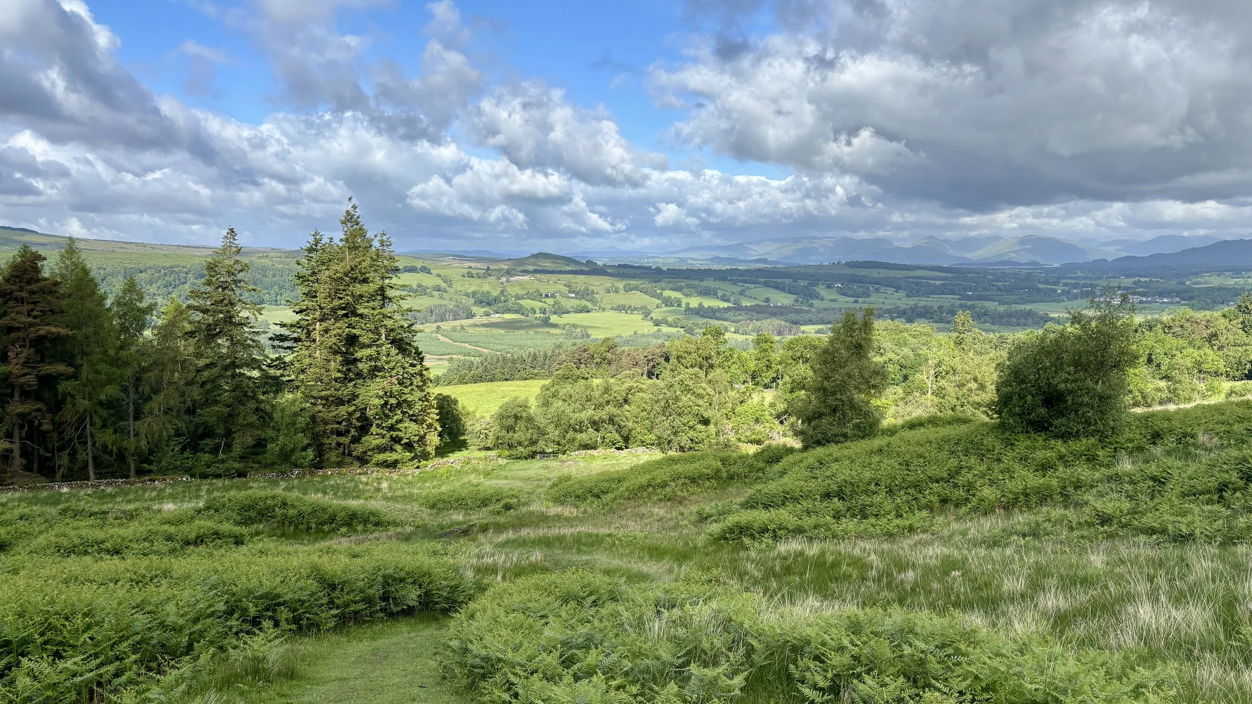
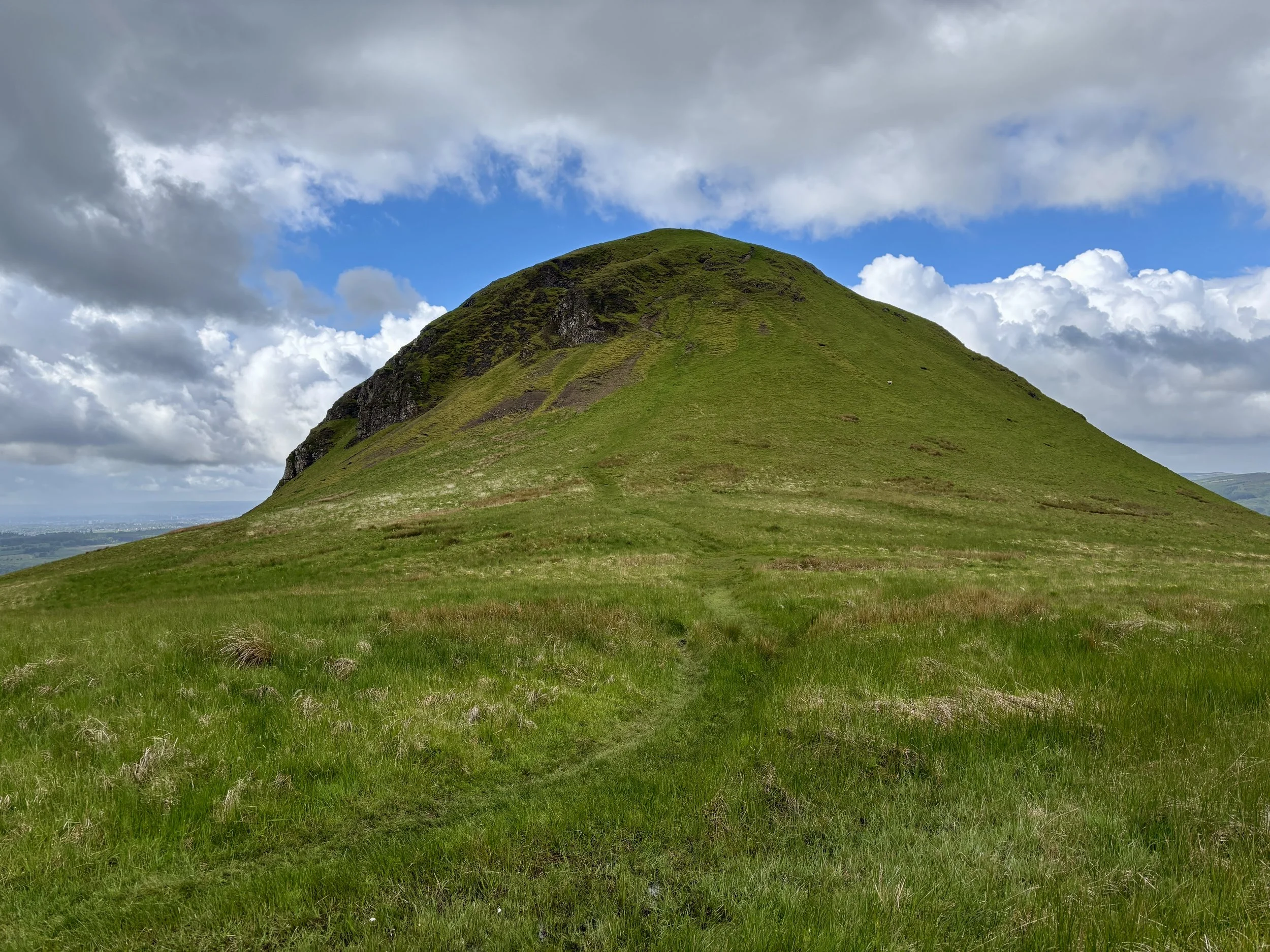
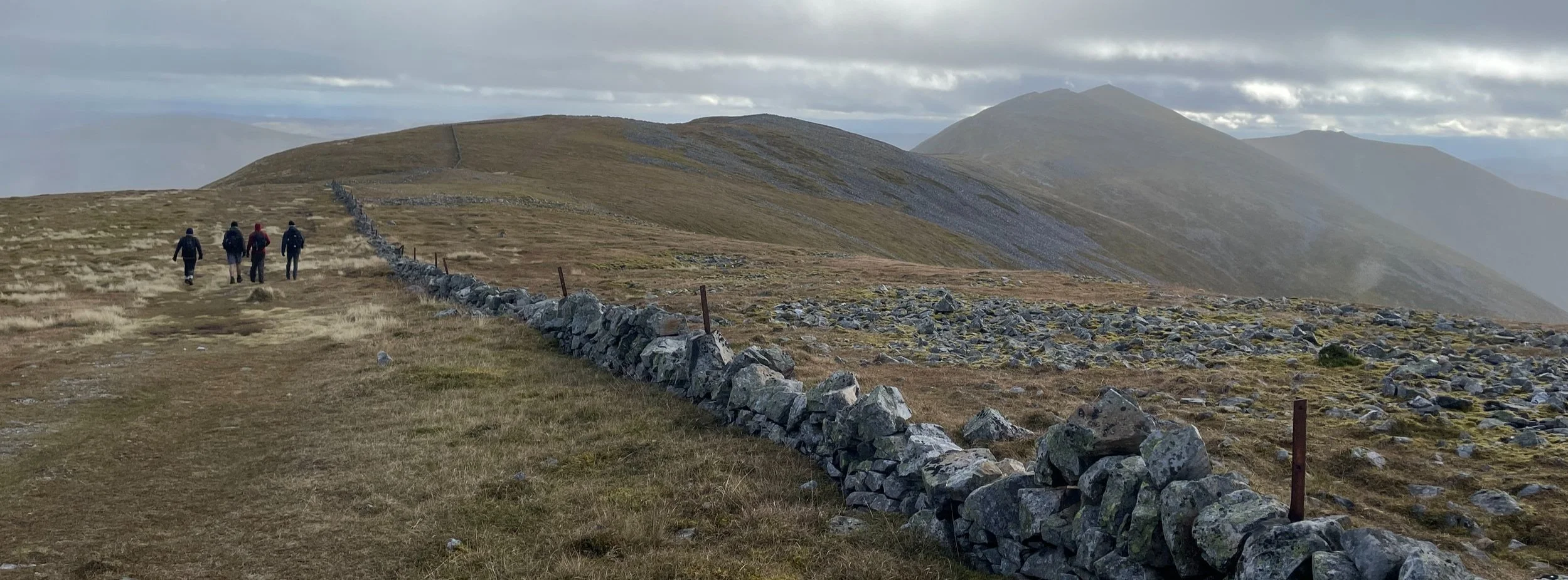
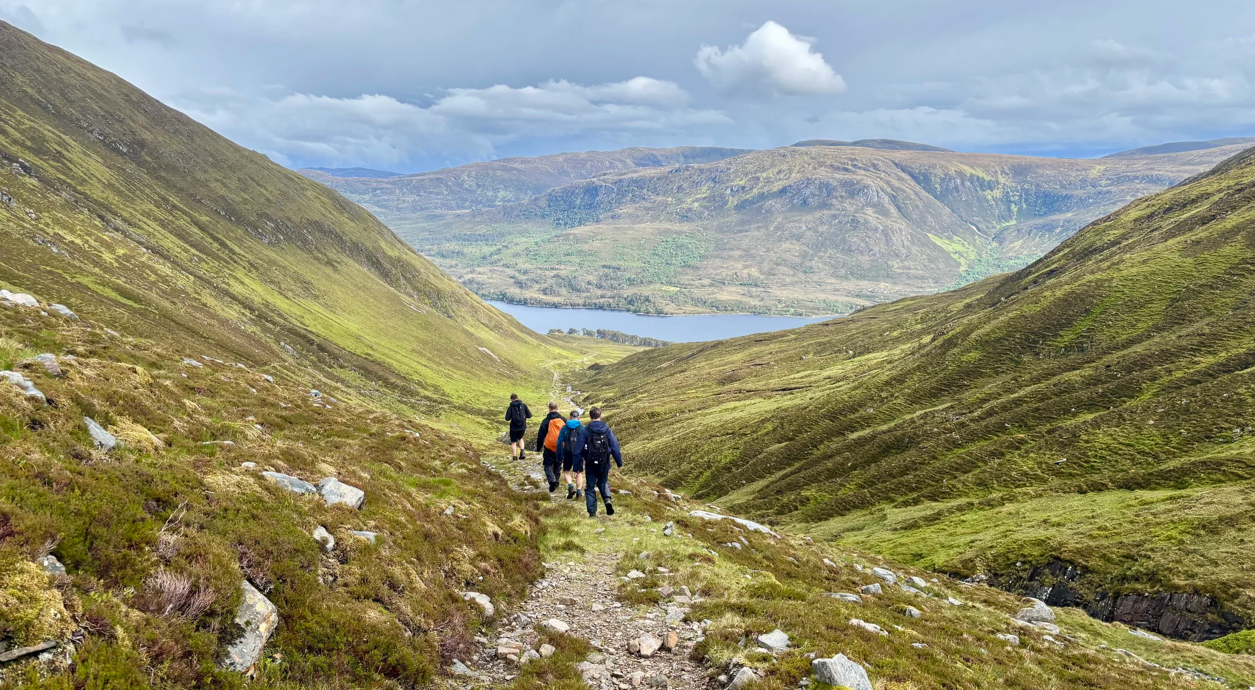
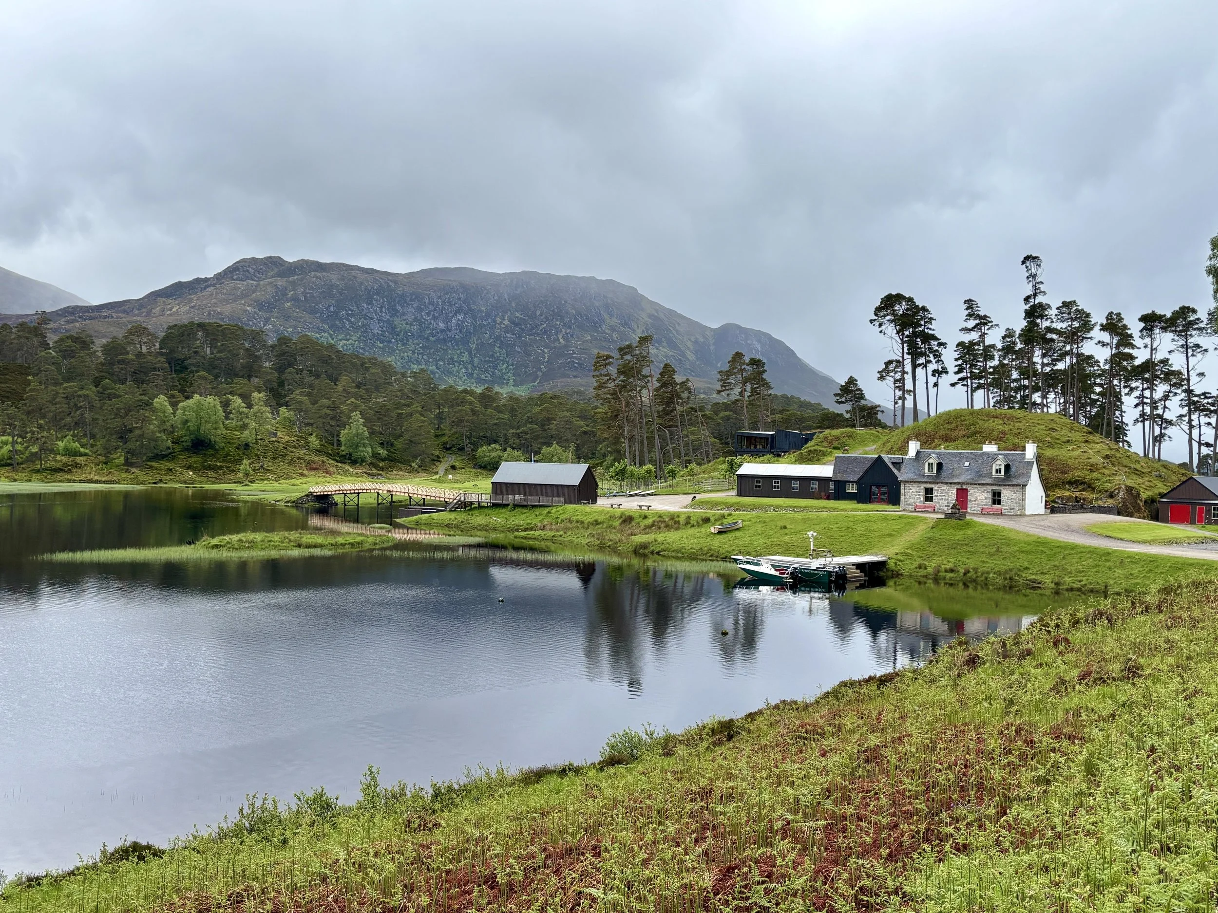
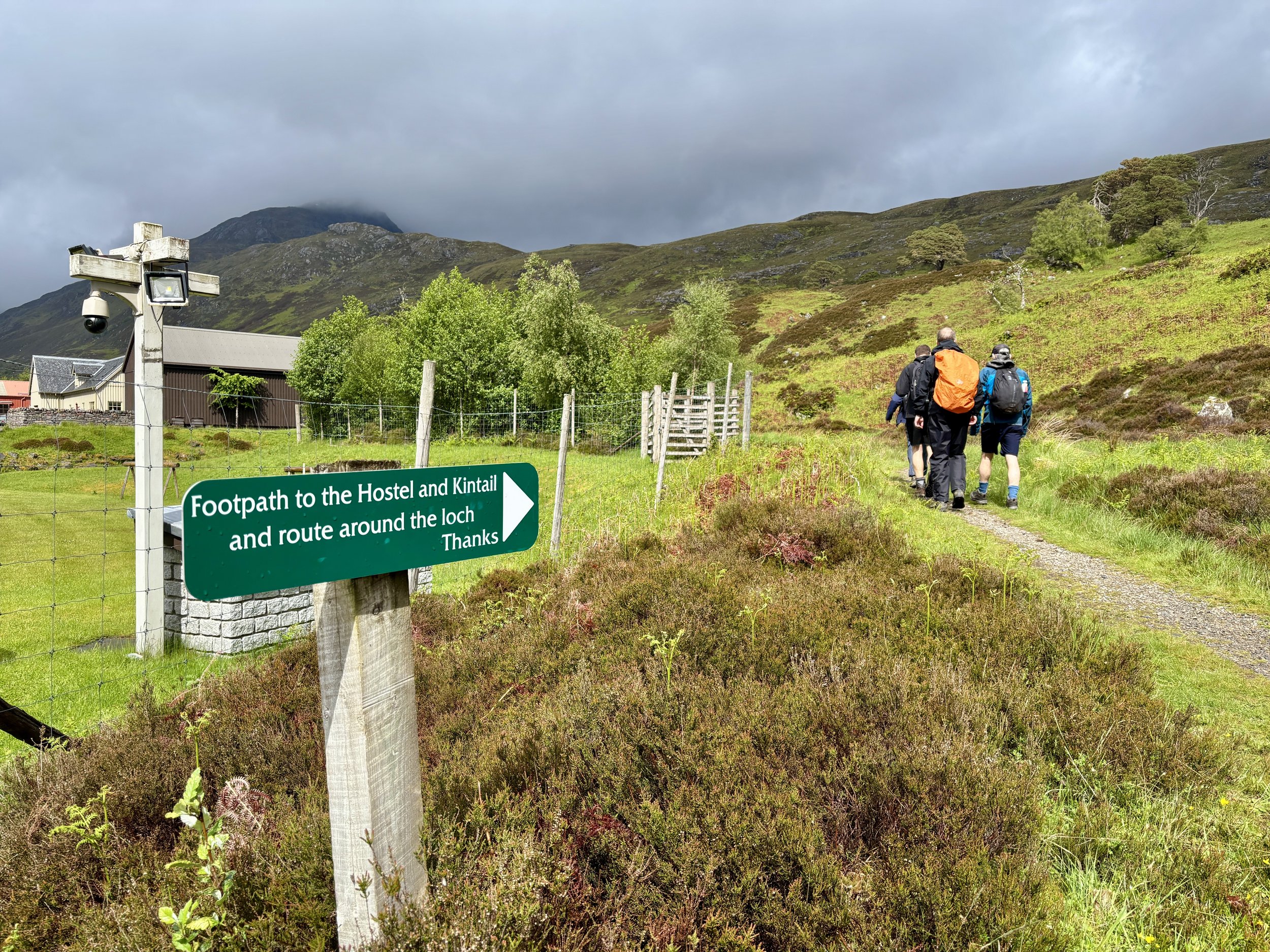
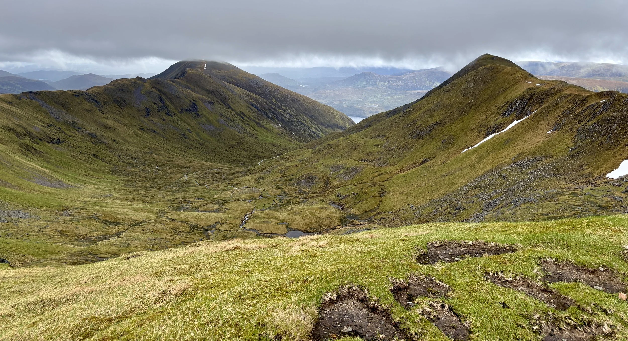
The descent of Mam Sodhail towards Loch Affric

The descent towards Loch Affric


Also Known As: Càrn Èite (Scottish Gaelic)
Significance
: Historic County Top for Ross and Cromarty, Pre-Historic County Top for Ross-shire
Member of: Munros, Marilyns
Parent Peak: Ben Nevis
Nearest Higher Neighbour: Aonach Mor (1,220 m)
Elevation: 1,183m
Date climbed: June 7th 2026
Coordinates: 57° 17' 16'' N, 5° 6' 55'' W

Route Start & Finish: River Affric Car Park, Beauly, IV4 7LY
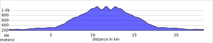
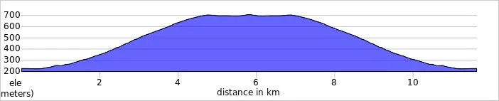
Route Distance: 23.2 km (14.4 miles)
Route Elevation change: +/- 1,180m
Subsidiary tops on route: Mam Sodhail (1,179 m)
GPX File: get via Buy Me a Coffee
Other routes touched (walk): None
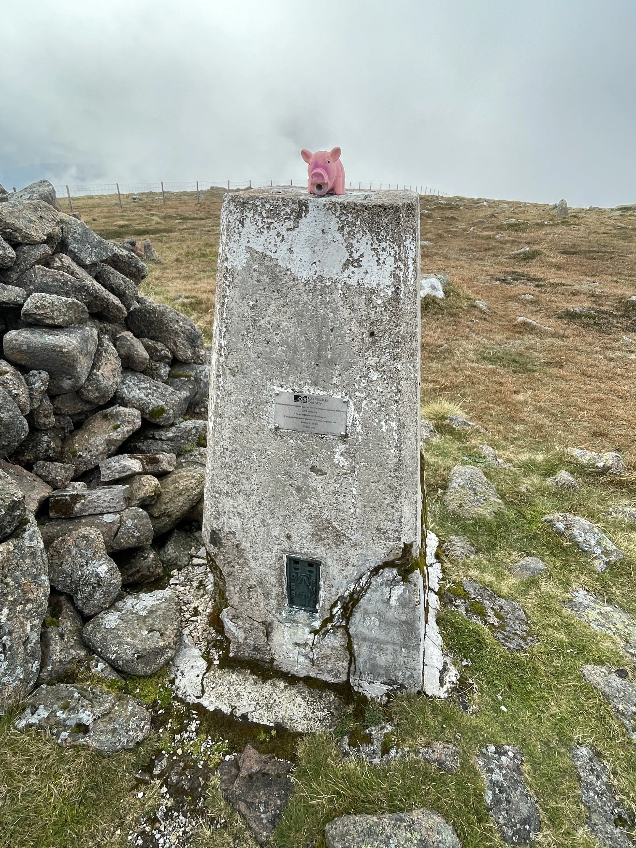
OS Trig Pillar: TP1949 - Carn Eige
Pubs / Cafes on route: None
Map: Glen Shiel & Kintail Forest Map | Shiel Bridge, Morvich, Killilan & Kinloch Hourn | Ordnance Survey | OS Explorer Map 414
Links: Wikipedia: (Ross and Cromarty / Càrn Eighe), Peakbagger, Hillbagging


Càrn Eige is the Historic County Top for Ross and Cromarty and the 4th highest of all of the UK County Tops. I bagged it in 2026 on our annual County Top weekend trip, along with the present-day County Tops of East Dunbartonshire, West Dunbartonshire, Glasgow City and the Historic County Top of Argyll.

Walking Directions

The guidance below will help you navigate but don’t use it as a fully accurate turn-by-turn guide. Always take a map and/or a GPX route and prepare well for the weather and terrain.

This was the big walk of the weekend. Clocking in at around 25 km, it was scheduled for the Sunday, right after our epic climb up Bidean nam Bian. Unsurprisingly, we were all feeling quite tired. It had already been a long couple of days: I was dealing with some fresh blisters on my feet, and according to my Garmin watch, my Body Battery was running seriously low. To top it off, we woke up at the Glen Nevis Youth Hostel in Fort William to a lot of rain.

We set off on the two-hour drive towards Glen Affric. Along the way, a serious debate sparked up in the car. Given our state of fatigue, the miserable weather, and the fact that we were approaching another genuinely big, intimidating mountain, we were questioning if this was actually a good idea. I kept remembering a mountain rescue call-out from early in my trekking days, so I was understandably a bit nervous.

However, as we drove away from Fort William and closer to the start of the walk, the weather began to visibly improve. We decided we would at least give it a try. To keep things safe, we agreed to assess the conditions at the start line and committed to three clear options.

Plan A was to complete the full circular route as described in Jonny Muir's UK County Tops book, provided the weather held and we felt strong. Plan B was our fallback if the weather was merely okay and the final sections looked unappealing: we would bag the main summits and retrace our steps for an out-and-back route, avoiding the boggy sections described in the book. Finally, Plan C was our baseline: if the conditions turned dangerous, became too slippery, or the weather closed in, we would turn back immediately. It is always better to not attempt a climb and try again another year.

By the time we got close, we were quite hungry. We stopped off on the way at the Bog Cotton Café at a nearby caravan park in Cannich. It was exactly what we needed: a fantastic Scottish breakfast to build up some energy. Conveniently, there was a local store just around the corner that specialised in Australian pies, so I couldn't resist buying a kangaroo and ale pie to take up the mountain.

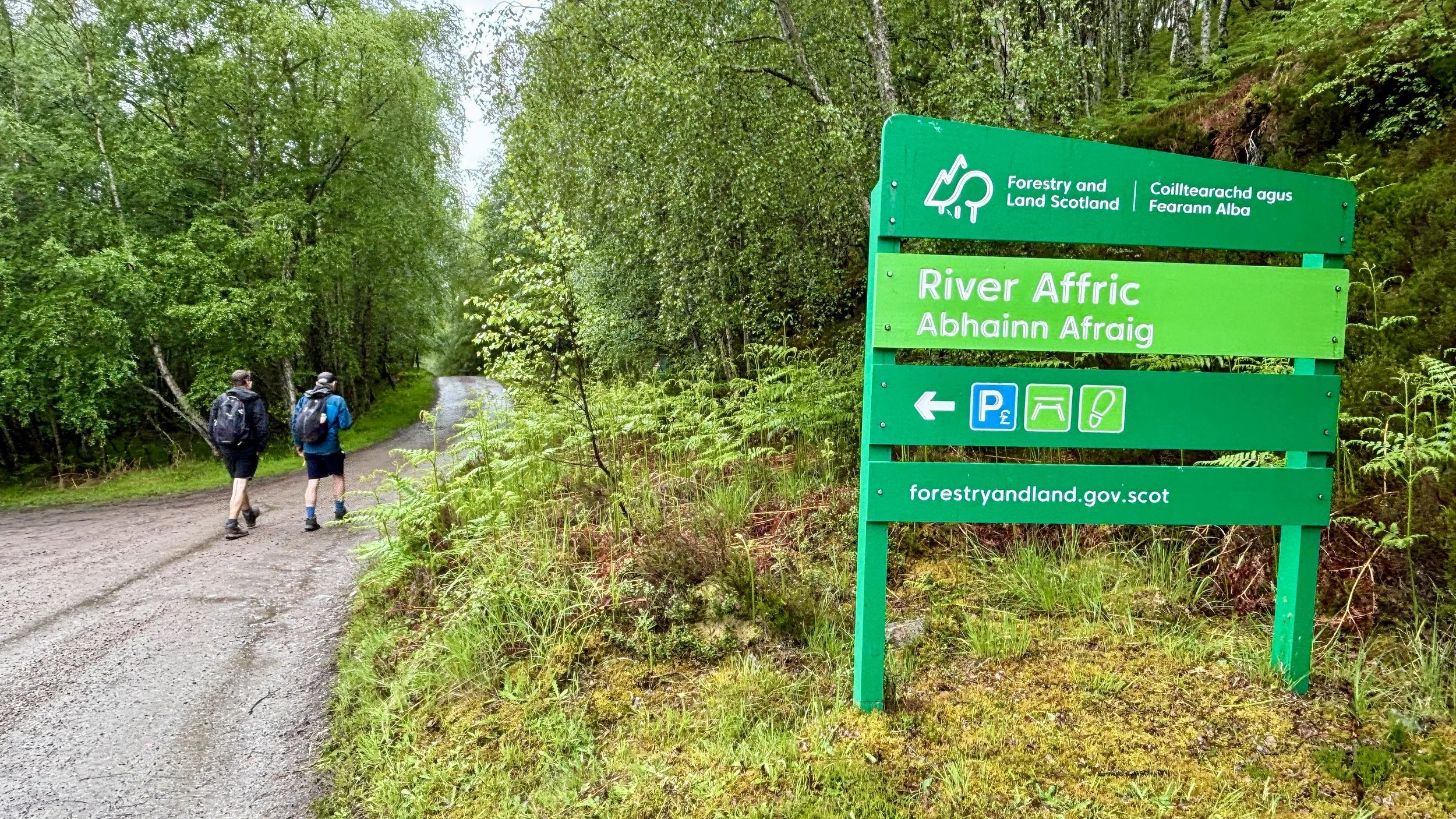
Taking an hour for breakfast was well worth it, and by the time we arrived at the River Affric car park, it was midday. Given the generous amount of daylight in June, this timing was perfectly fine. We quickly got our gear ready and started the hike.

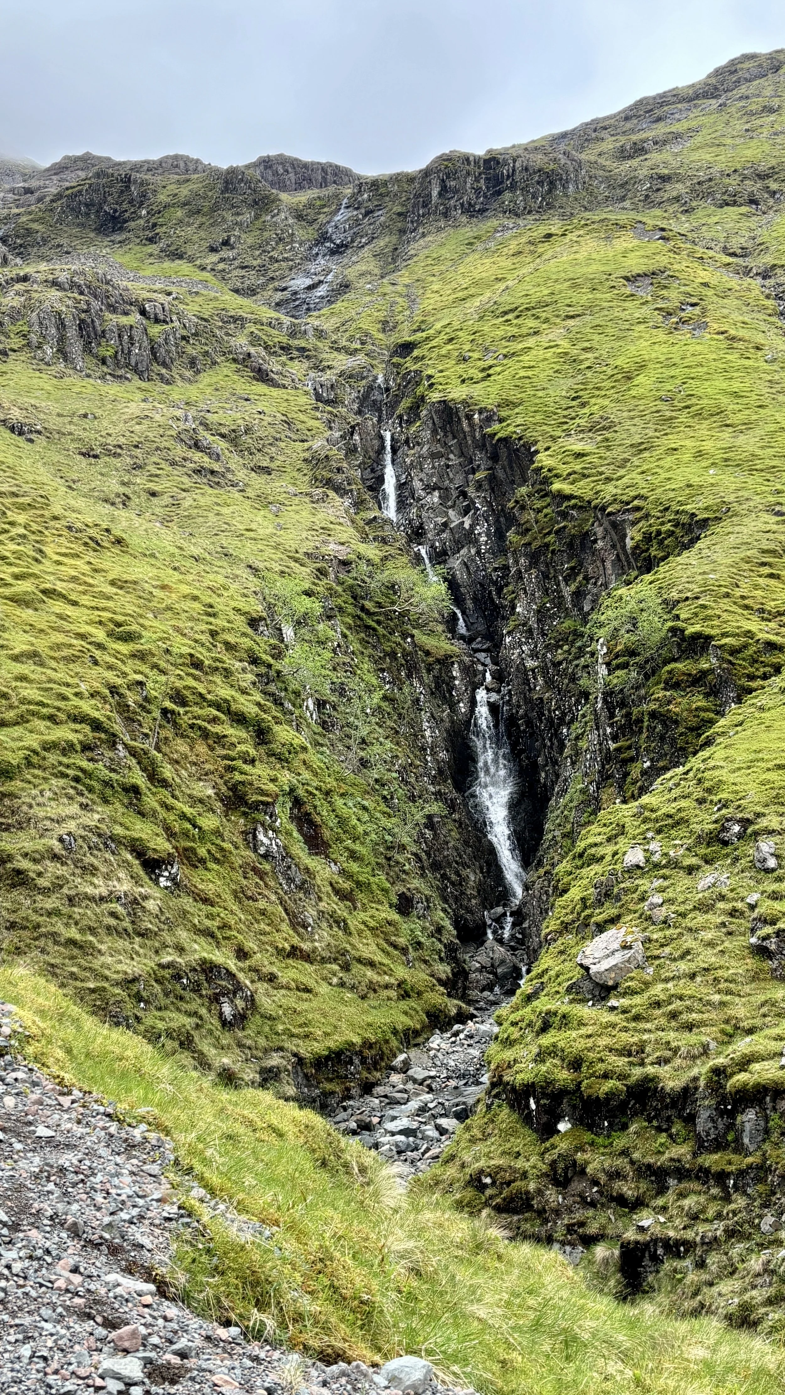
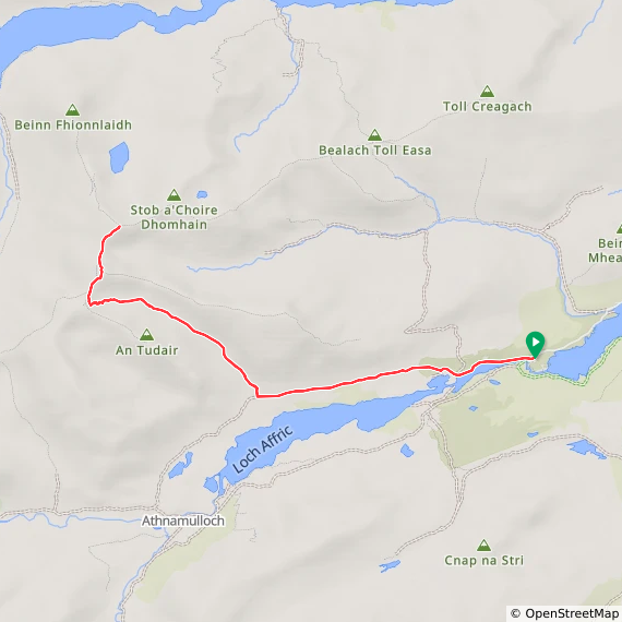
The first six kilometres are straightforward. The track runs parallel to the north side of Loch Affric, offering a steady warm-up. At around the 5.5 km mark, you leave the main trail and start a slow, steady climb following a stream with a waterfall. The ground here was a little bit boggy, but the path remained well-defined in most places.

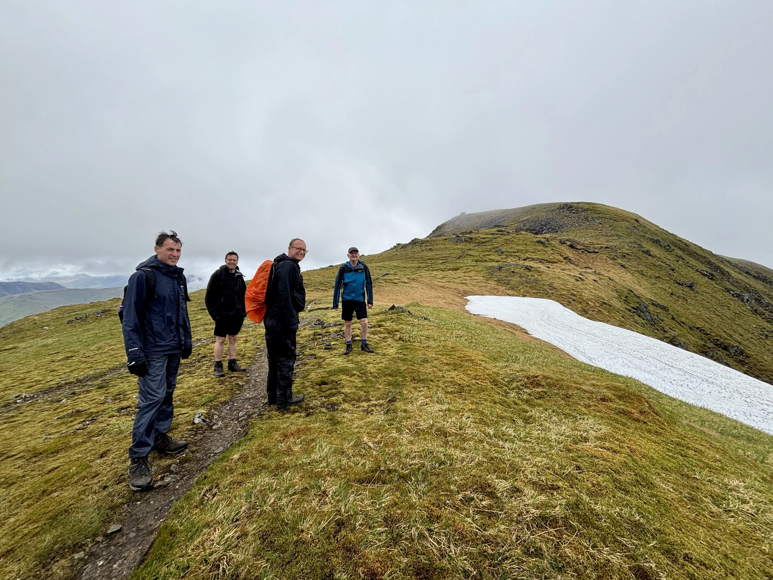
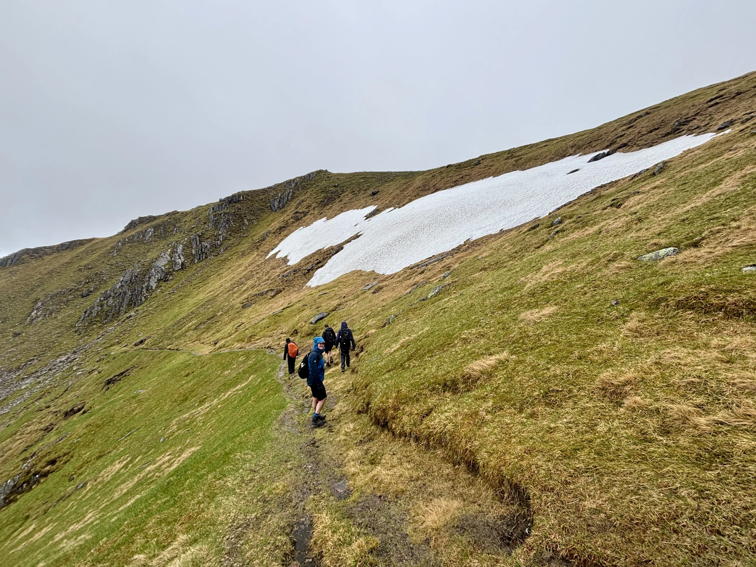
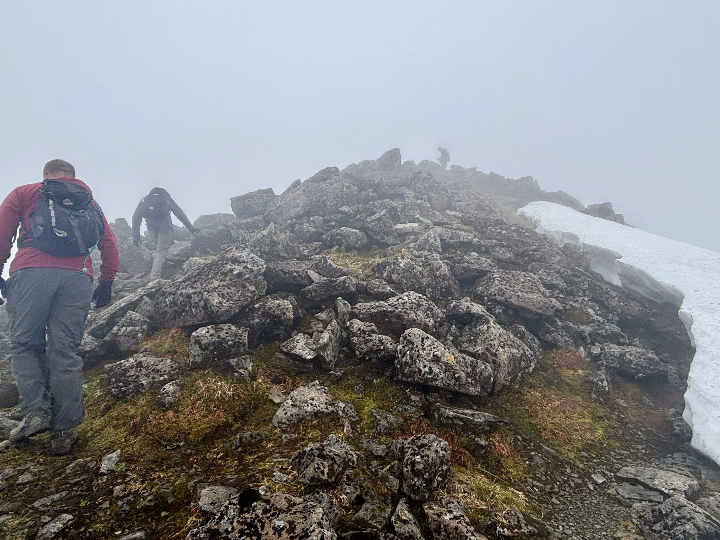
The final section of the ascent is the steepest, pushing you up onto the ridge line. Surprisingly for the time of year, there was still quite a lot of snow up there, but it wasn't dangerous to navigate. So far, so good: the weather was holding out, and we had decent visibility.

Once on the ridge, we turned right to tackle the first summit of the day: Mam Sodhail. Standing at 1,179 metres, it is only marginally lower than our main target, sitting just four metres shorter than Càrn Eige.

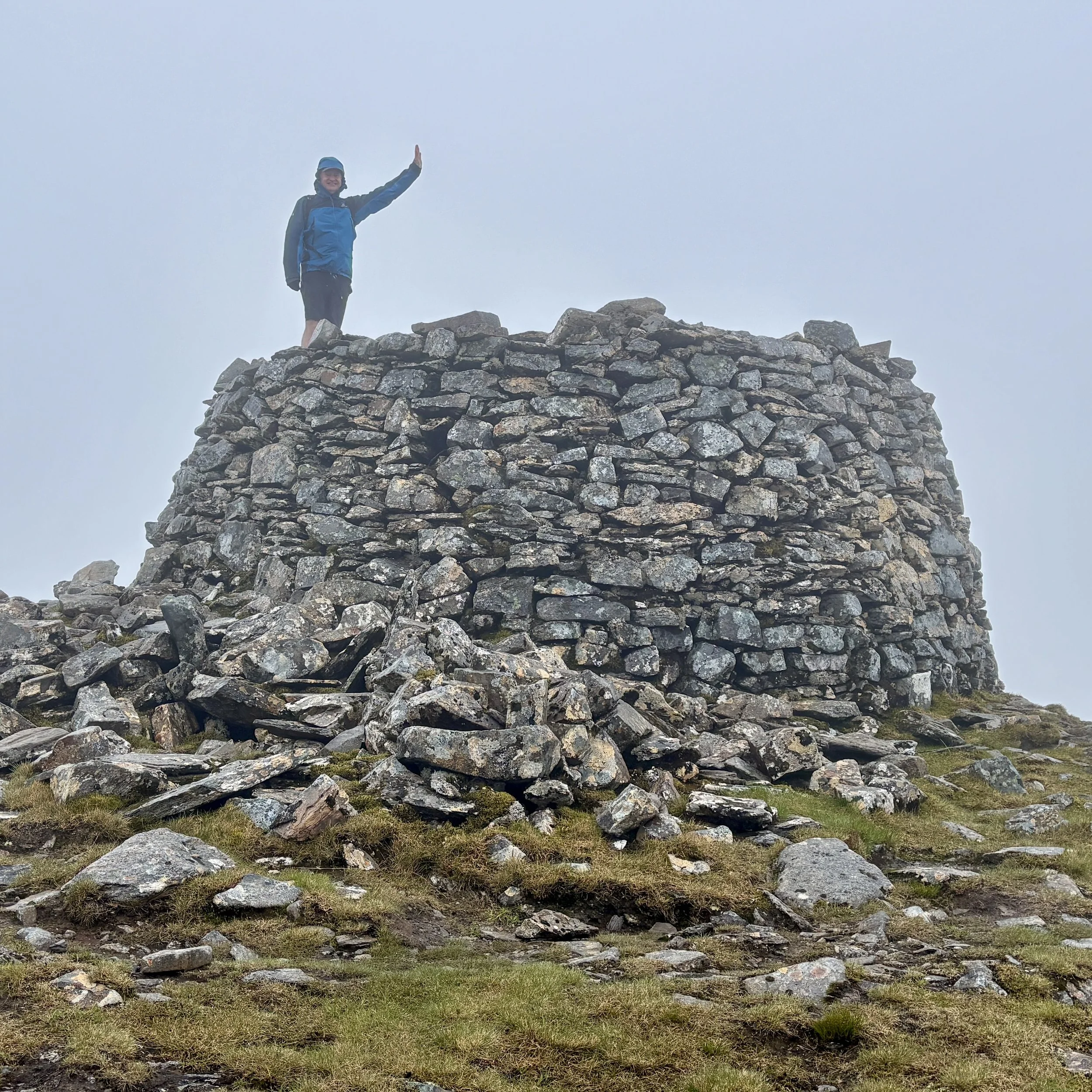
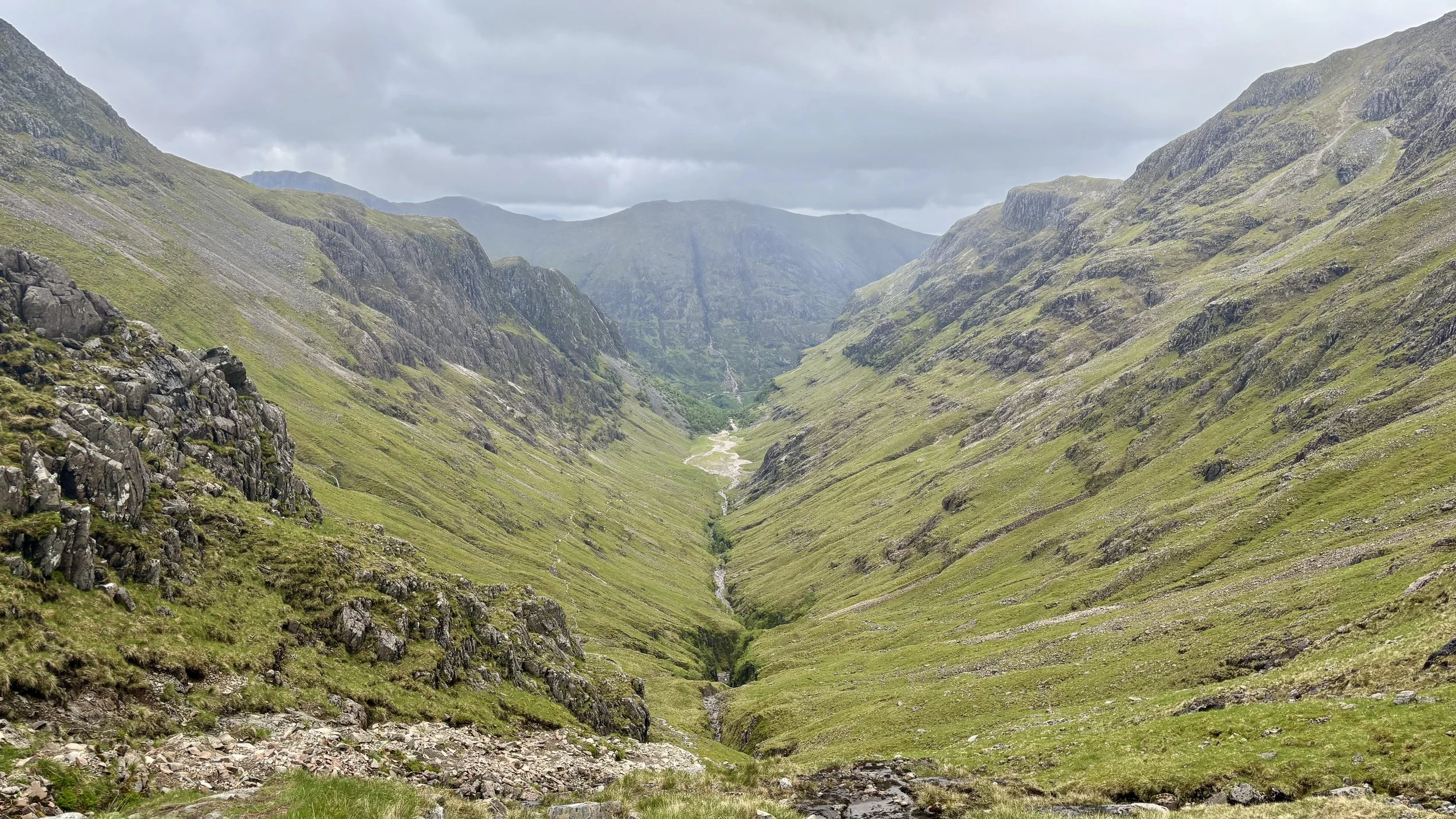
At the top of Mam Sodhail, it was a little bit windy and misty. However, the wind kept blowing the mist clear, rewarding us with brilliant views right down the valley.

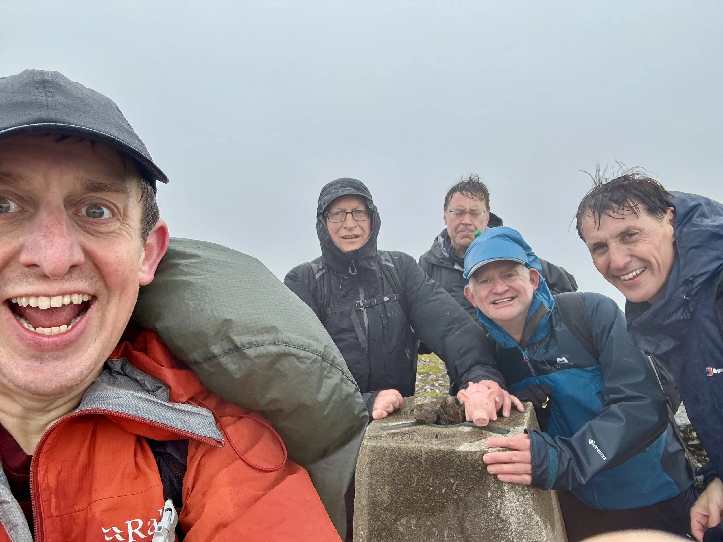
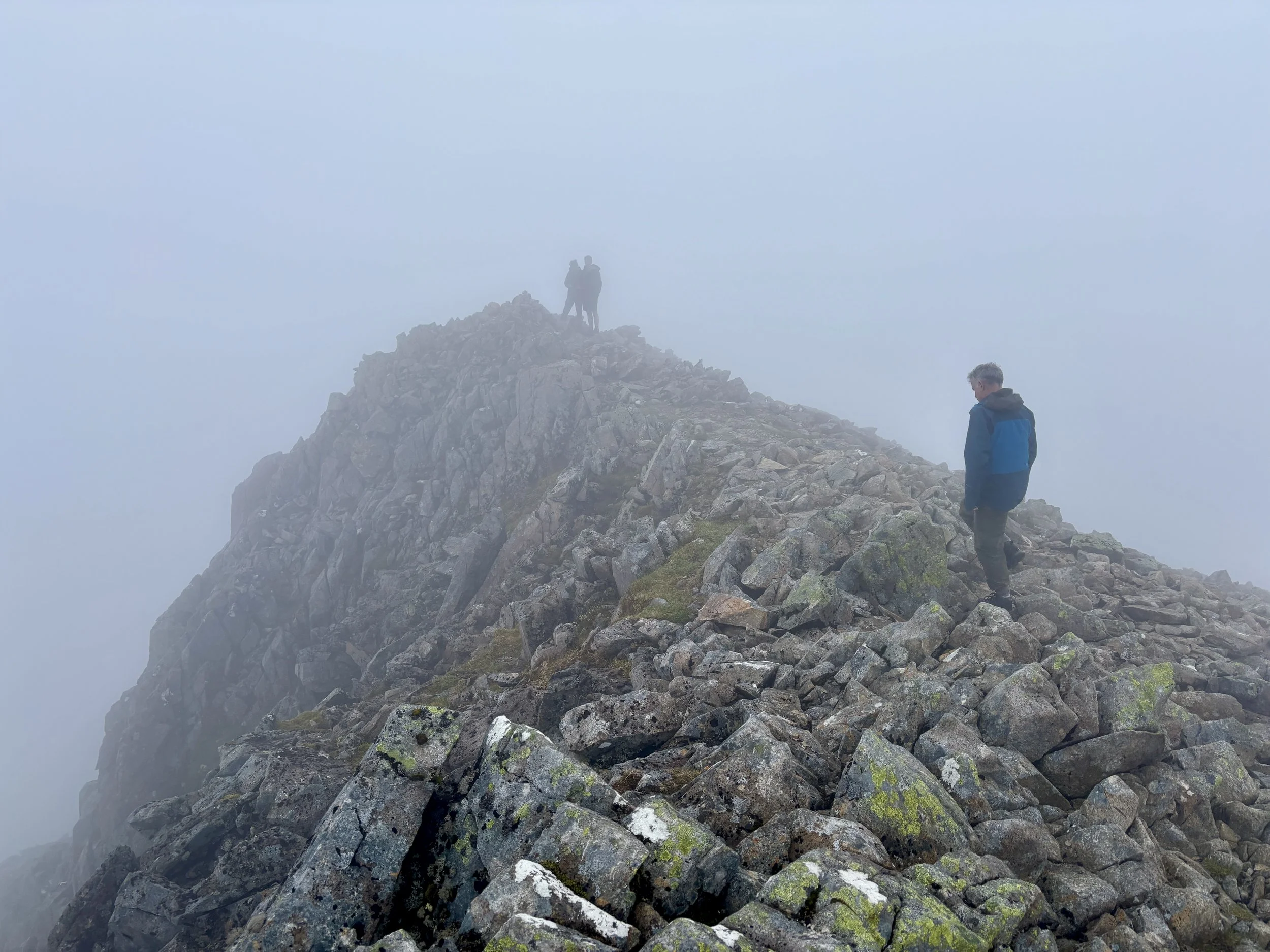
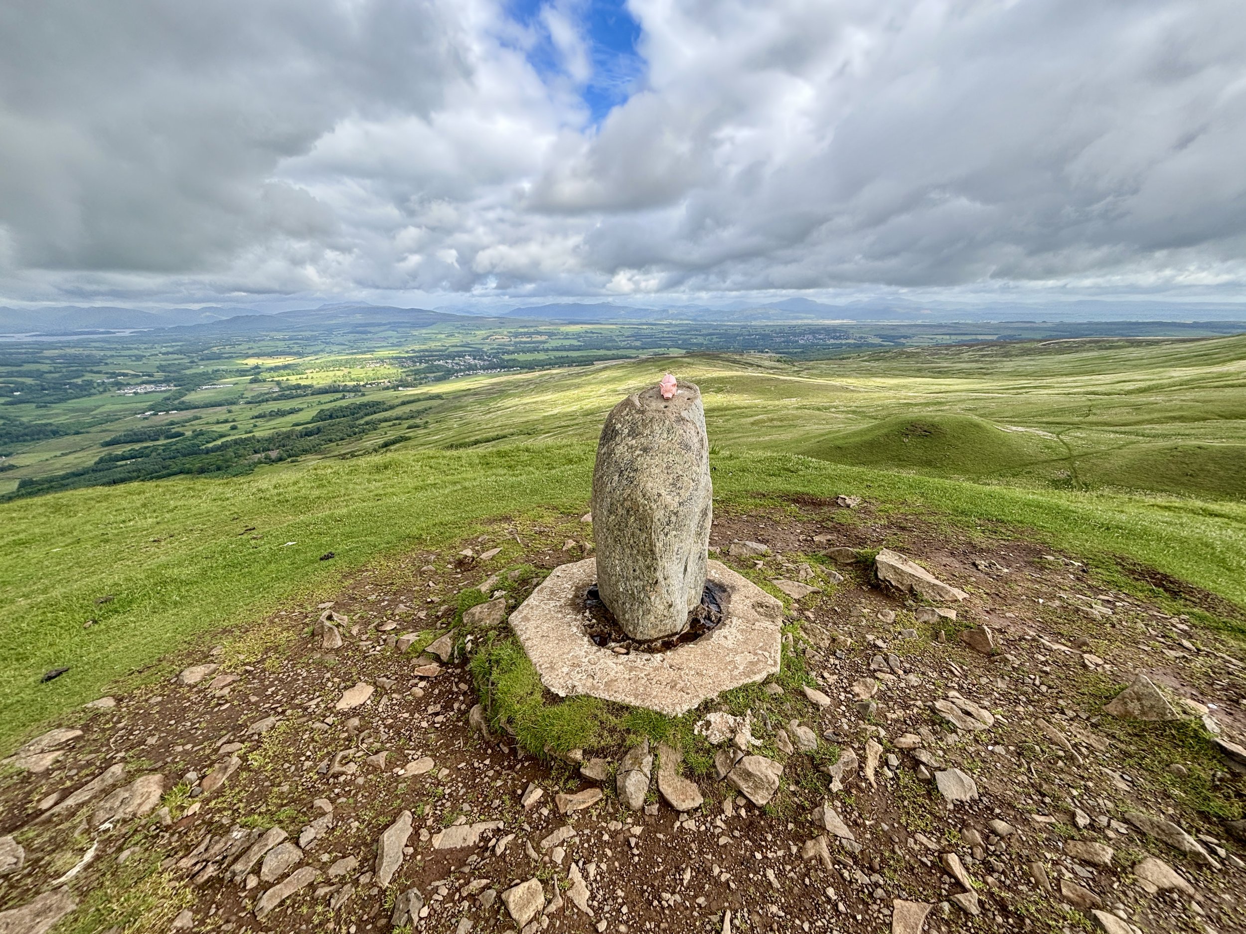
Feeling good, we descended the other side and began the final ascent up to the summit of Càrn Eige. Reaching the top felt like a massive victory, and we were rewarded with the trig pillar marking the high point of historic Ross and Cromarty. We were thrilled: we had successfully avoided Plan C and safely made it to the top!

Despite the success, the weather was still a factor, and we made the sensible decision to execute Plan B rather than attempting the full circular route. The only real disadvantage of the out-and-back route is missing out on a couple of other Munros, but they weren't on our main bagging list anyway. Claiming Càrn Eige was our primary goal for the day, and we had well and truly ticked that box.

We retraced our steps back down over Mam Sodhail. As we descended, the weather improved significantly. We enjoyed a very pleasant, warm walk back down the valley with high visibility, following the trail back to Loch Affric and along the farm track to the car park.

That successfully concluded the trek. We returned to the car at around 4:00 PM in very high spirits, already looking forward to our next county tops adventure.

Points of Interest along or near to the Route

  • Glen Affric: A celebrated Highland landscape often regarded as one of Scotland’s most beautiful glens. Its ancient Scots pinewoods form one of the largest surviving fragments of the Caledonian Forest, protected today within the Glen Affric National Nature Reserve.

  • Mam Sodhail: A broad, imposing Munro commonly climbed alongside Càrn Eighe. Despite appearances, its Gaelic name means “hill of the barns,” reflecting traditional shieling associations rather than a saddle‑like shape.

  • Loch Affric: A striking freshwater loch set beneath the surrounding peaks. Its shores support rich Caledonian woodland and diverse wildlife, including golden eagles, otters, pine martens, and other species that embody the wild character of Glen Affric.
Bidean Nam Bian: Argyll County Top
Ascent of Bidean nam Bian

Ascent of Bidean nam Bian


Also Known As: Bidean nam Beann, "peak of the mountains" (Scottish Gaelic)
Significance
: Historic County Top for Argyll
Member of: Munros, Marilyns
Parent Peak: Ben Nevis
Nearest Higher Neighbour: Ben Nevis
Elevation: 1,149m or 1,150m depending on source.
Date climbed: June 6th 2026
Coordinates: 56° 38' 34'' N, 5° 1' 46'' W

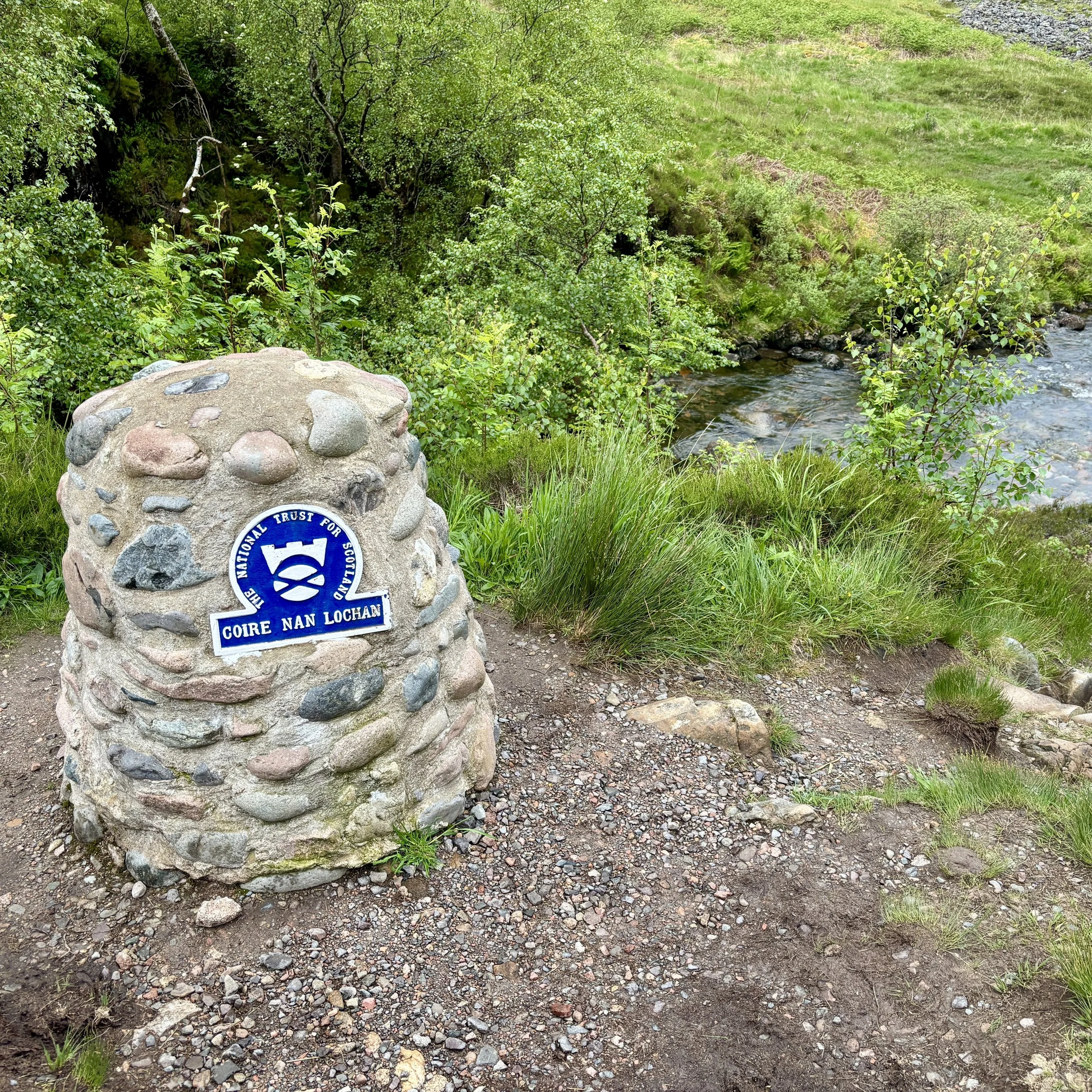
Route Start & Finish: Three Sisters Viewpoint Parking, Ballachulish, PH49 4HX
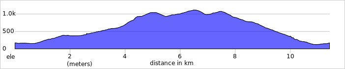
Route Distance: 11.4 km (7.1 miles)
Route Elevation change: +/- 1,154 m
Subsidiary tops on route: Stob Coire Sgreamhach (1,072m), Stob Coire nan Lochan (1,116m)
GPX File: get via Buy Me a Coffee
Other routes touched (walk): Bidean nam Bian Trail
OS Trig Pillar: N/A
Pubs / Cafes on route: None
Map: Glen Coe & Glen Etive Map | Ballaculish & Kinlochleven | Ordnance Survey | OS Explorer Map 384
Links: Wikipedia: (Argyll, Glen Coe, Bidean nam Bian), peakbagger, Hillbagging


Bidean nam Bian is the Historic County Top for the Argyll, and the 5th highest of all of the UK County Tops. I bagged it in 2026 on our annual County Top weekend trip, along with the present-day County Tops of East Dunbartonshire, West Dunbartonshire, Glasgow City and the Historic County Top of Ross and Cromarty.
Walking Directions

The guidance below will help you navigate but don’t use it as a fully accurate turn-by-turn guide. Always take a map and/or a GPX route and prepare well for the weather and terrain.

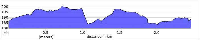
I always knew this mountain would be the big one. For the past few years, Bidean nam Bian has been sitting on our radar as a major objective: we intentionally saved it for later because of its sheer scale, its slightly more remote location, and the daunting elevation profiles in the UK County Tops book. I fully expected a tough day out, and it certainly did not disappoint.

Our Saturday began after reuniting at the Glasgow Youth Hostel the night before, having successfully completed our parallel Friday adventures: Mark, Matt, and Joel on Goat Fell, and myself bagging the East and West Dunbartonshire and Glasgow high points.

Since it was Saturday morning, we naturally kicked things off with a 5k. Keep in mind that parkrun starts at 09:30 in Scotland, so after finishing up at Victoria Park, we hit the road for the nearly two-hour drive north to Glencoe.

We arrived at the Three Sisters car park around midday. Unsurprisingly, it was completely full, so we ended up parking on the grass verge just outside. It is worth noting that you cannot actually see Bidean nam Bian from the road: it sits hidden away behind the towering ridges of the Three Sisters.

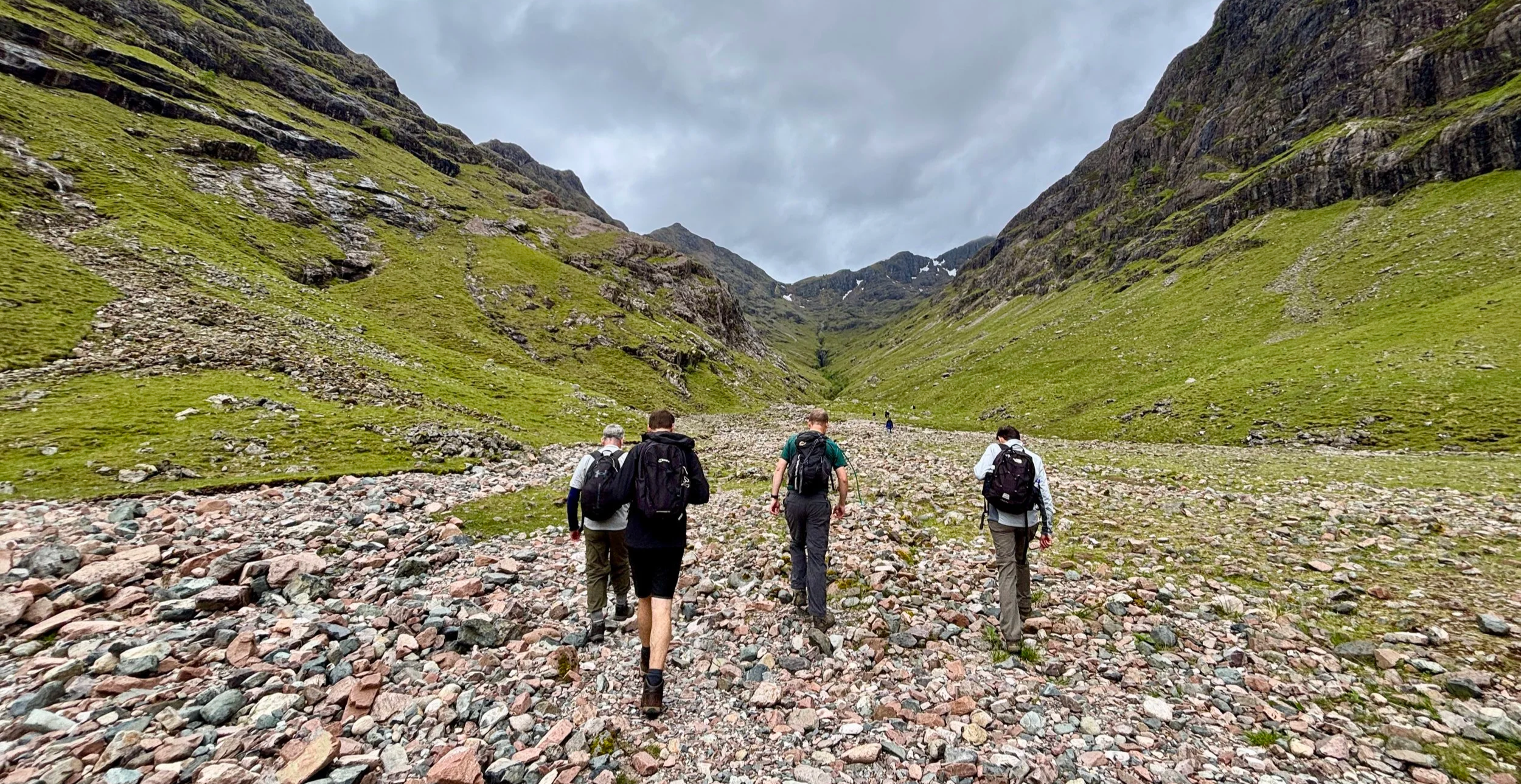
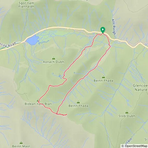
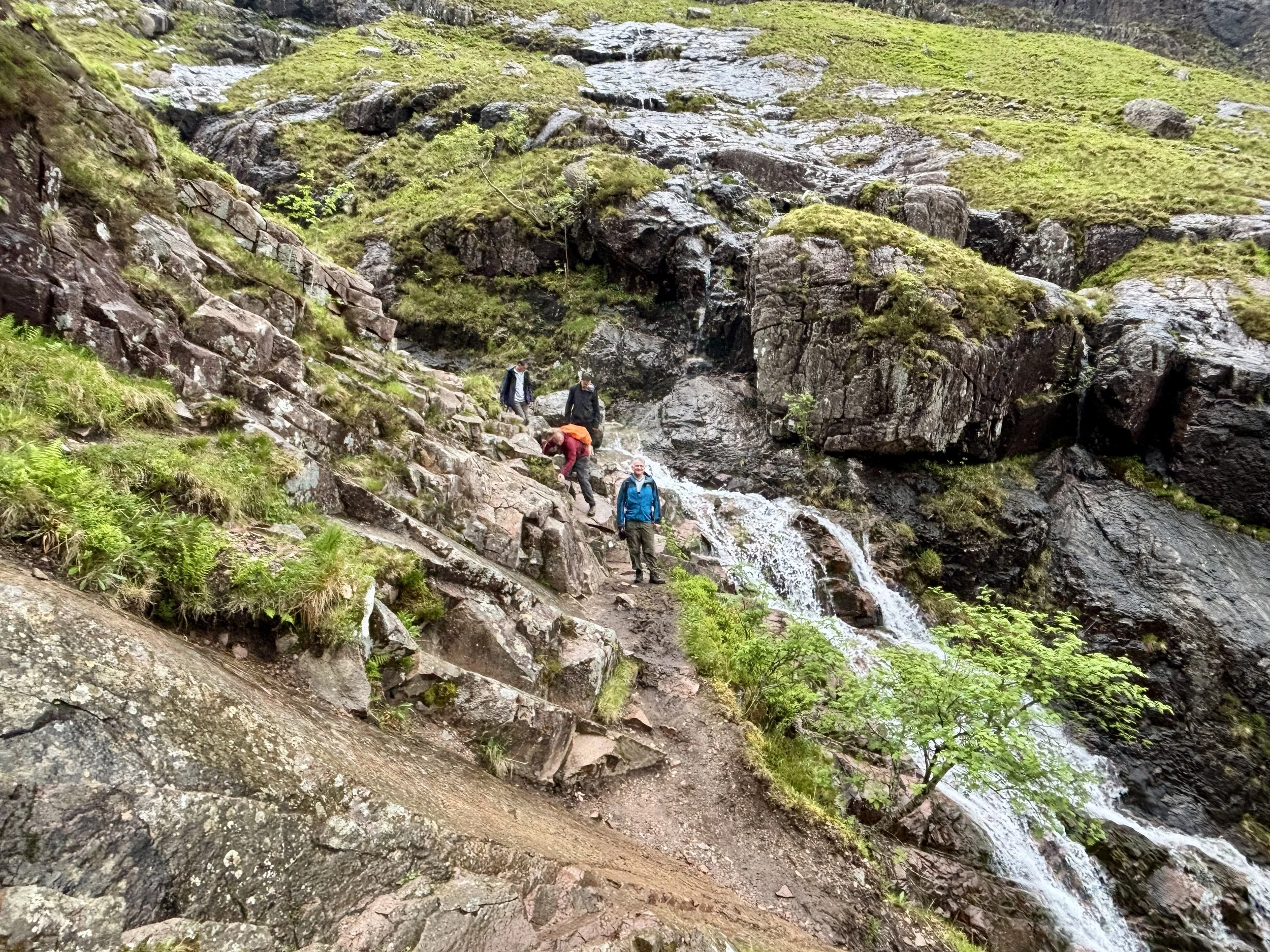
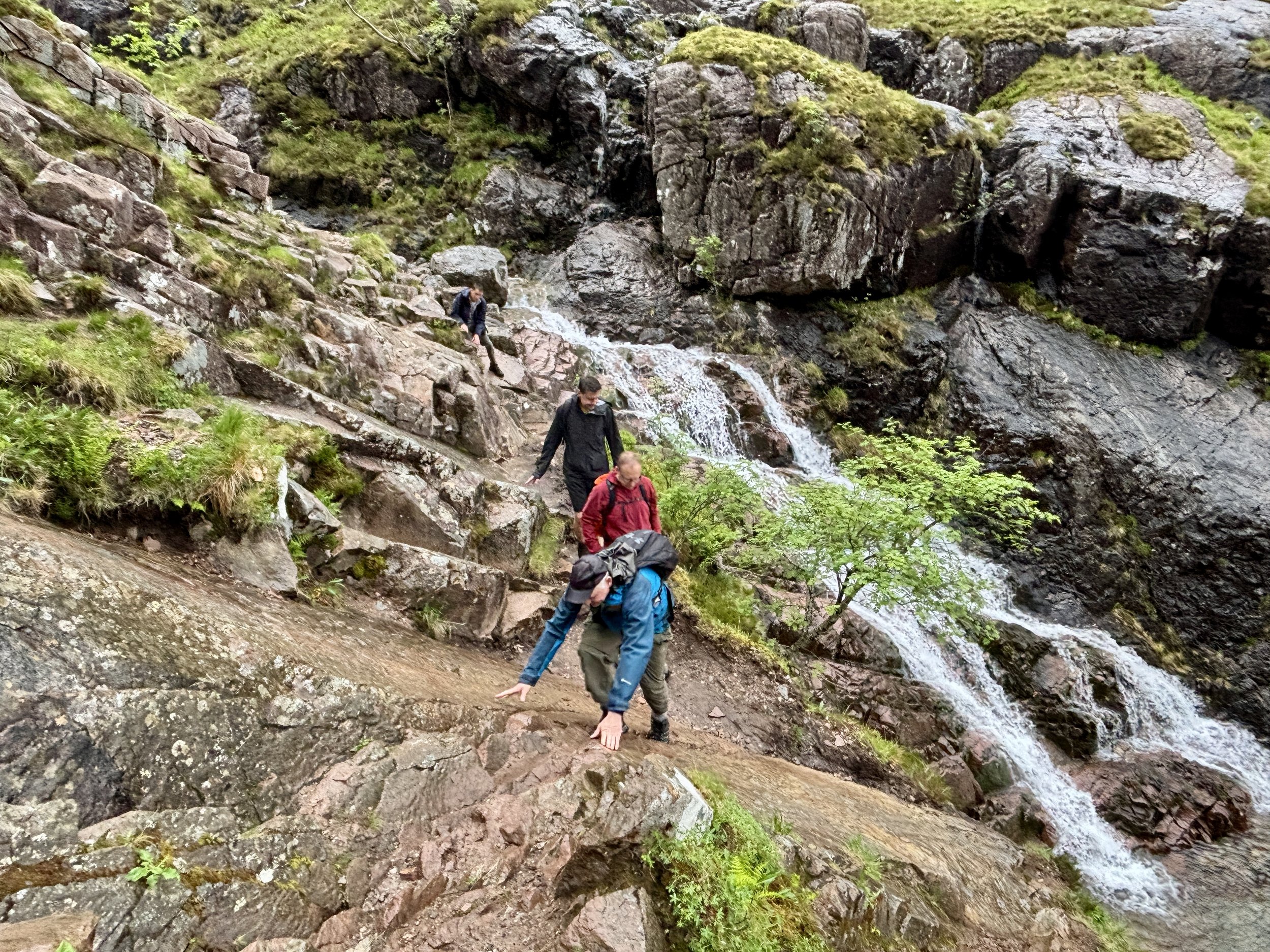
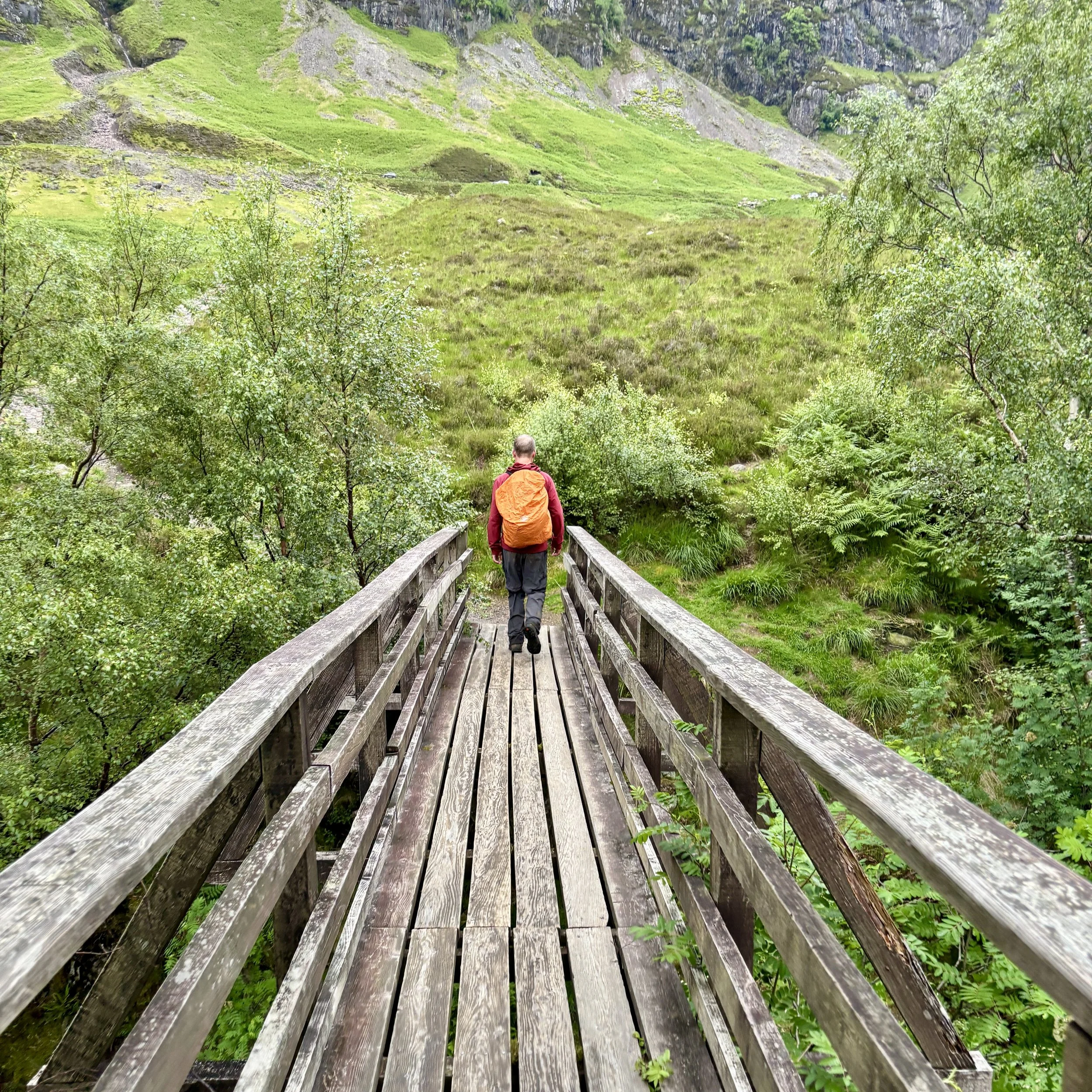
From the road, we took a south-easterly route to pick up the trail. The first section was fairly gentle, offering a steady climb up through the valley. However, as we drew closer to the summits, the terrain changed dramatically. The path gave way to steep, slippery scree, making the ascent a proper adventure.

We eventually scrambled our way up to the ridge line. At this point, the main summit was roughly two kilometres away to the right, but Joel pointed out an opportunity. By taking a left turn towards the east, we could do an out-and-back detour to bag Stob Coire Sgreamhach. We weren't entirely sure at first, but we were making excellent time, and the misty weather wasn't too bad. Since it is a Munro, we simply couldn't pass up the opportunity.

After bagging the bonus peak, we retraced our steps and tackled the increasingly steep final push up Bidean nam Bian. There is no trig pillar at the top, but the true summit is very obvious. By the time we arrived, the drizzle had set in, and the mist made visibility incredibly poor.

This left us with a decision to make: did we retrace our steps, or push forward to complete the full circular route back to the car park? None of us fancied descending the tricky, slippery scree we had just climbed, so despite not knowing exactly what the onward path held, we committed to the circular route.

We followed the path in a north-easterly direction from the summit, quickly arriving at the next Munro: Stob Coire nan Lochan, which stands at an impressive 1,116 metres.

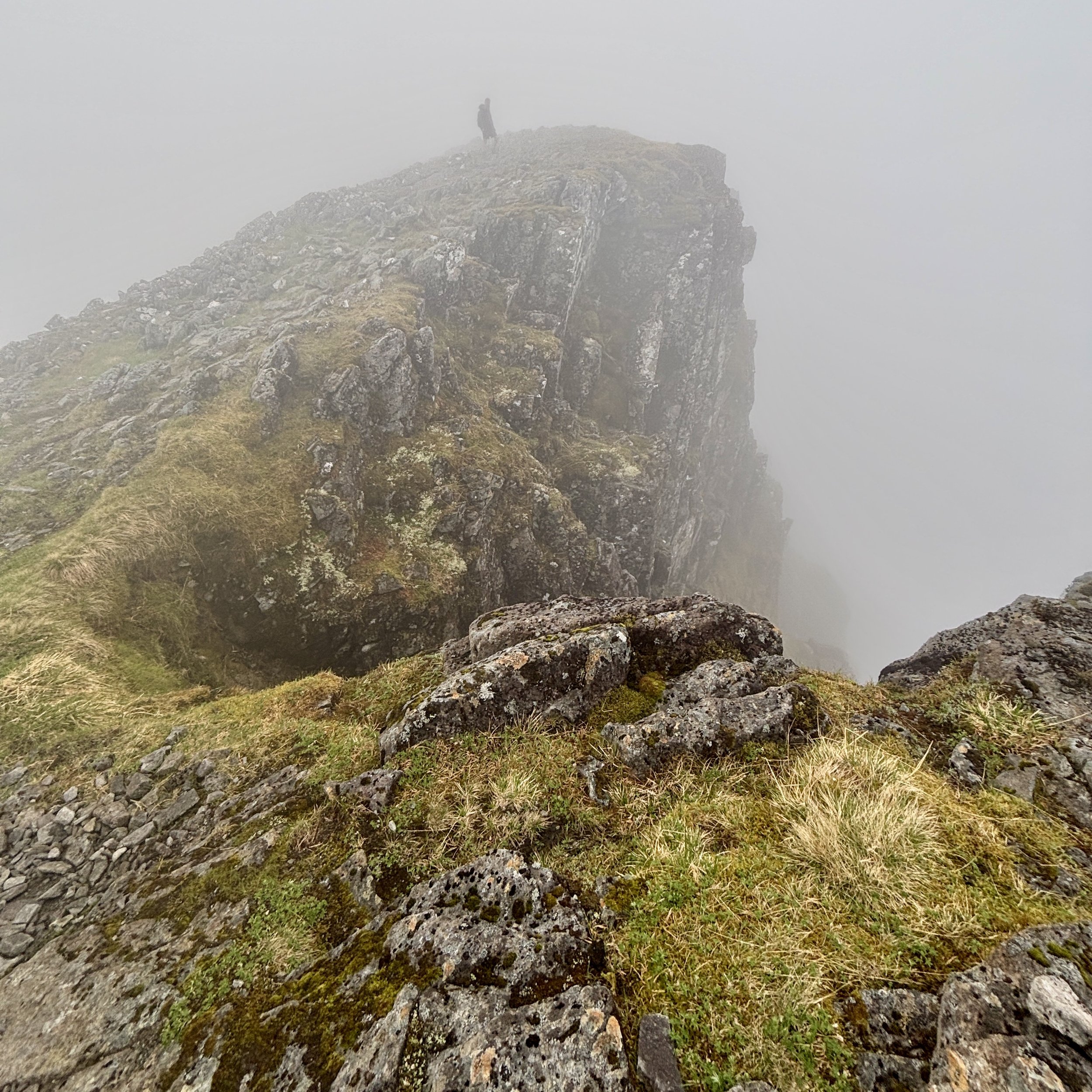
Continuing east from that subsidiary top, things got a bit more complicated. We hit a steep chimney section flanked by rocks, which proved quite tricky to navigate. By the time we reached the bottom of the chimney, we realised we had drifted roughly 100 to 200 metres west of the actual trail.

With no desire to climb back up the chimney, we carefully picked our way down the steep scree until we found ourselves standing on a ledge looking over a couple of lochans. Not wanting to risk a direct descent over the ledge, Joel did some excellent navigating. He found a route that required a short climb to look over the next ridge, which safely brought us back onto the correct path.

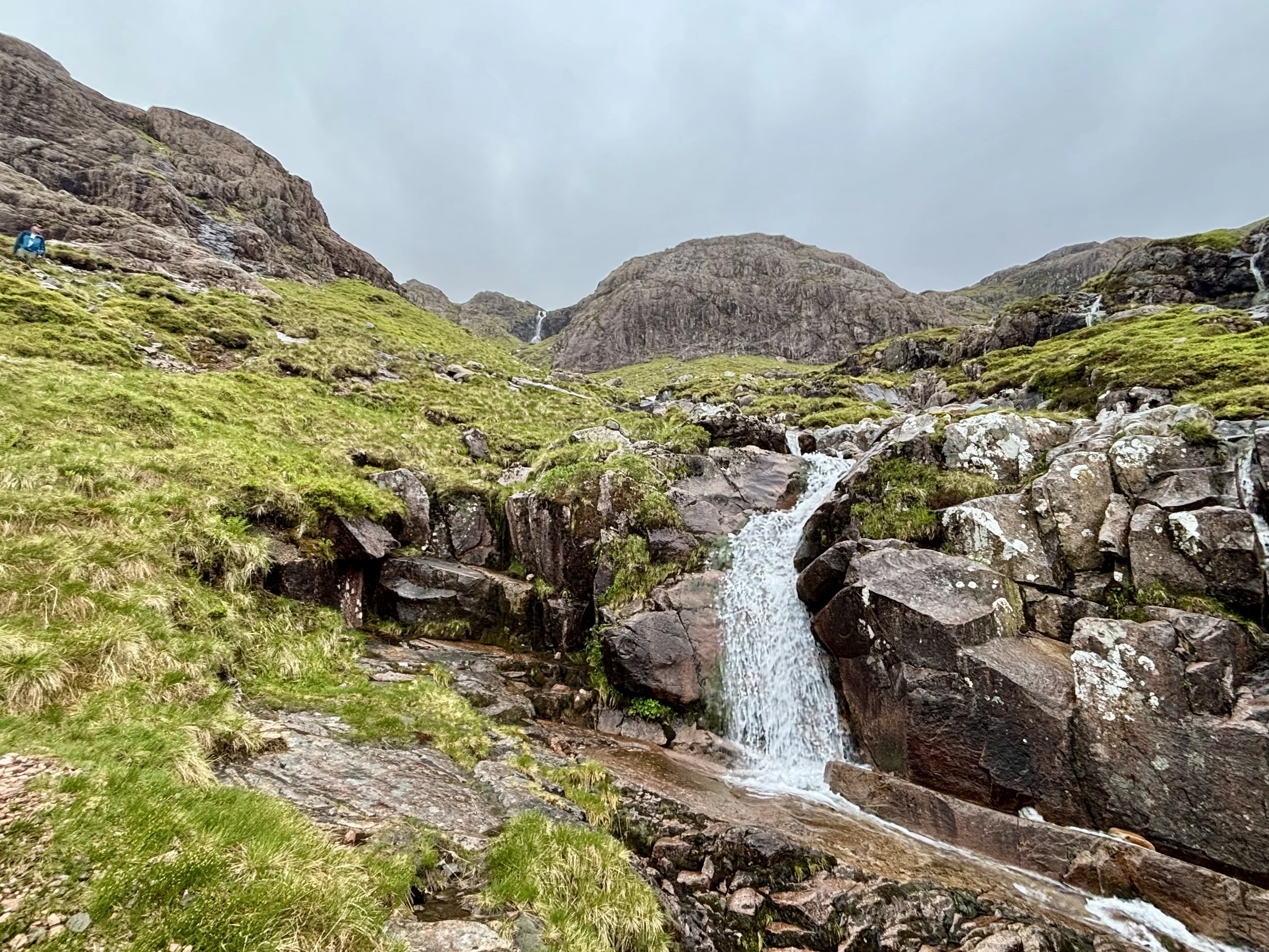
From there, the descent was much more straightforward. We followed a burn with a very pleasant waterfall all the way down to the road and back to the car.

All in all, it was a massive day out in the mountains. It was tough, slightly scary in places with the slippery scrambles, but incredibly rewarding. It absolutely lived up to its reputation. The main lesson learned for next time: keep a much closer eye on the GPS to spot when we wander off track!

Points of Interest along or near to the Route

  • The Three Sisters: The Three Sisters of Glencoe: Beinn Fhada, Gearr Aonach, and Aonach Dubh, form the striking northern ridges of the Bidean nam Bian massif. Their bedrock belongs to the ancient Glencoe volcanic complex, but their iconic shape is the work of ice, not fire. Repeated glaciations carved deep U‑ and V‑shaped valleys into the mountainside, leaving behind the steep buttresses and plunging gullies that dominate the skyline today.

  • Stob Coire nan Lochan: Rising to 1,115 metres, Stob Coire nan Lochan is one of the most beautiful subsidiary peaks of Bidean nam Bian. Its high corrie shelters a small lochan sculpted by glacial excavation — a perfect amphitheatre of cliffs, snow gullies, and dark water fed by meltwater and mountain runoff. Many walkers visit it en route to the main ridge, drawn by its dramatic, enclosed setting.

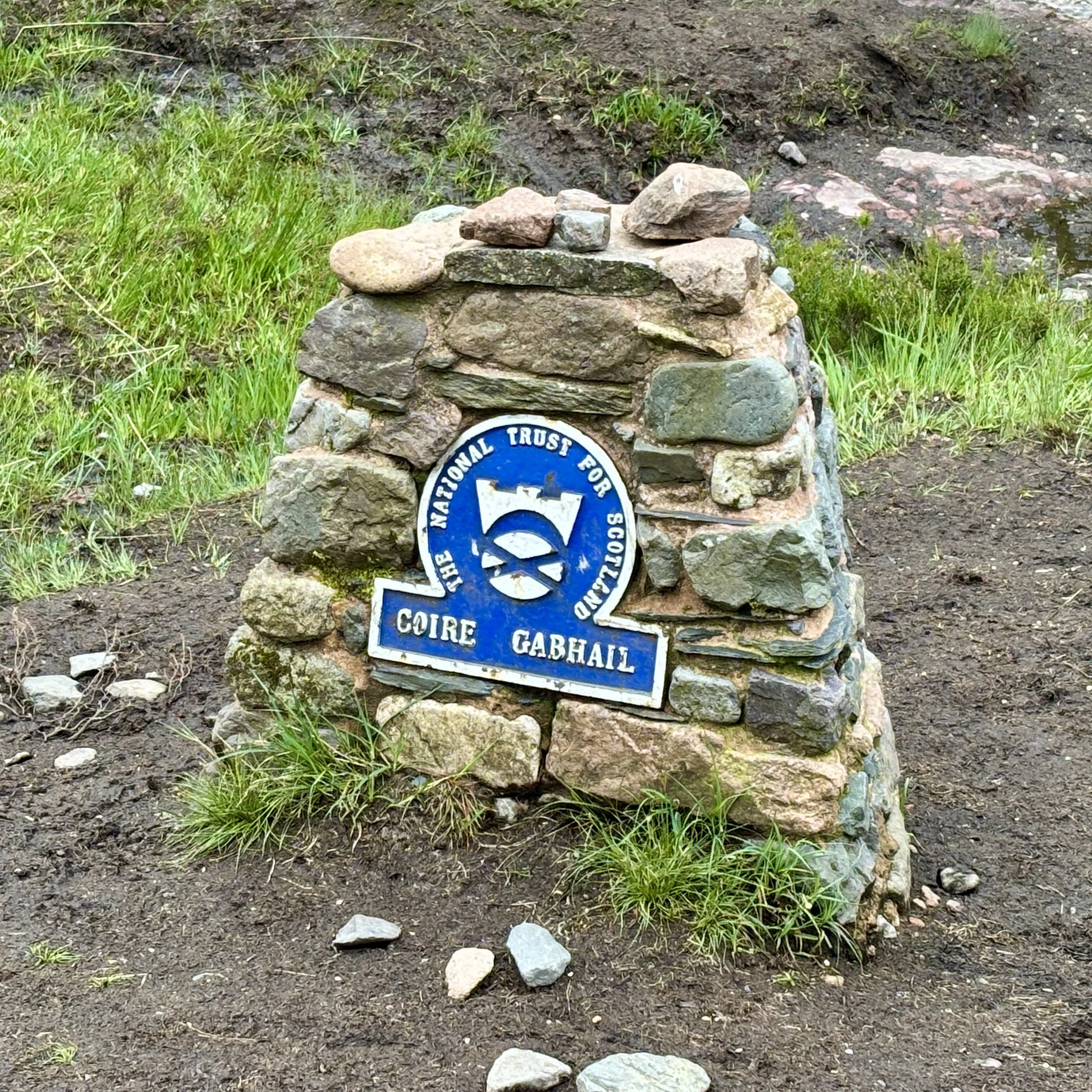
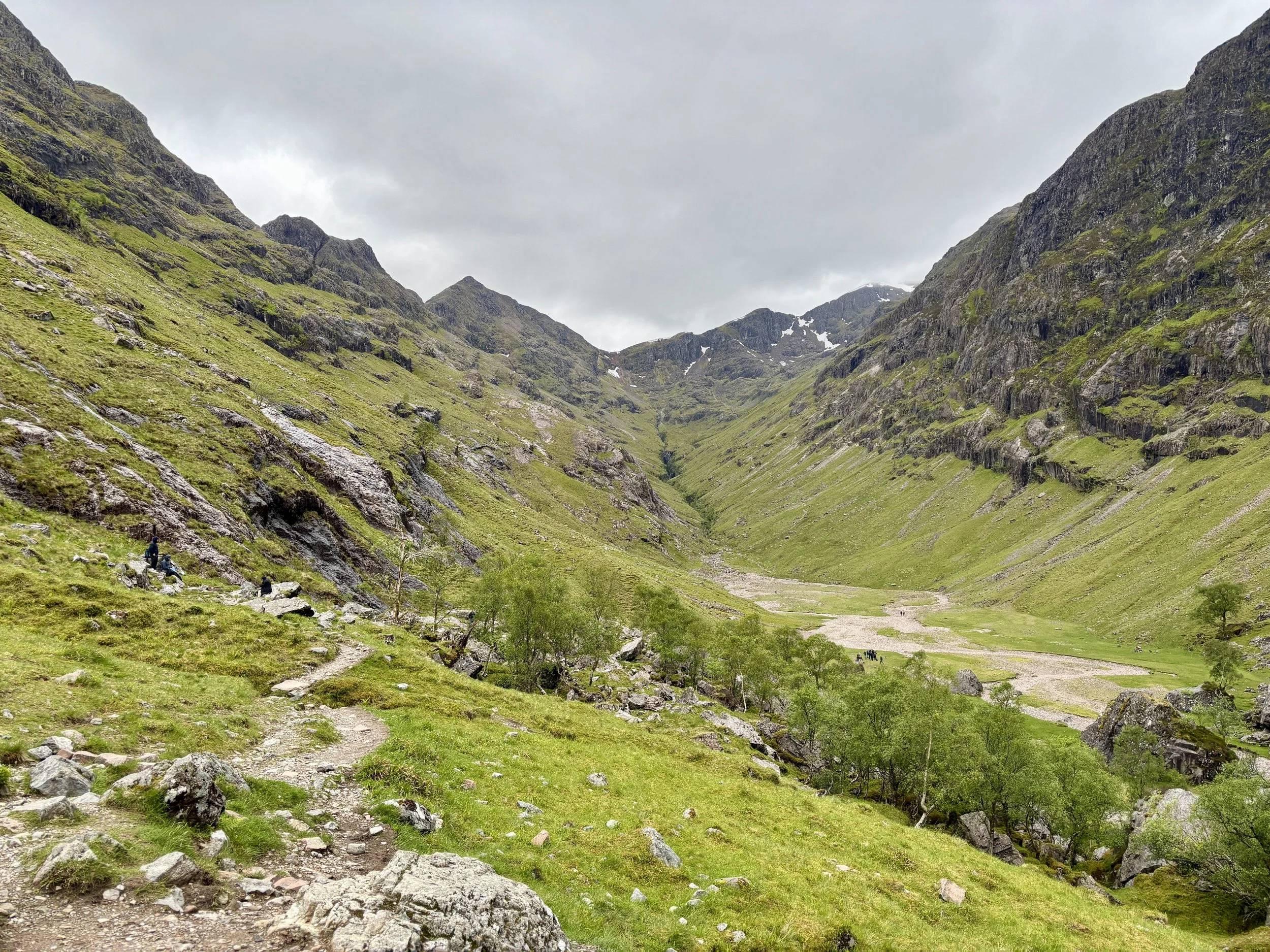
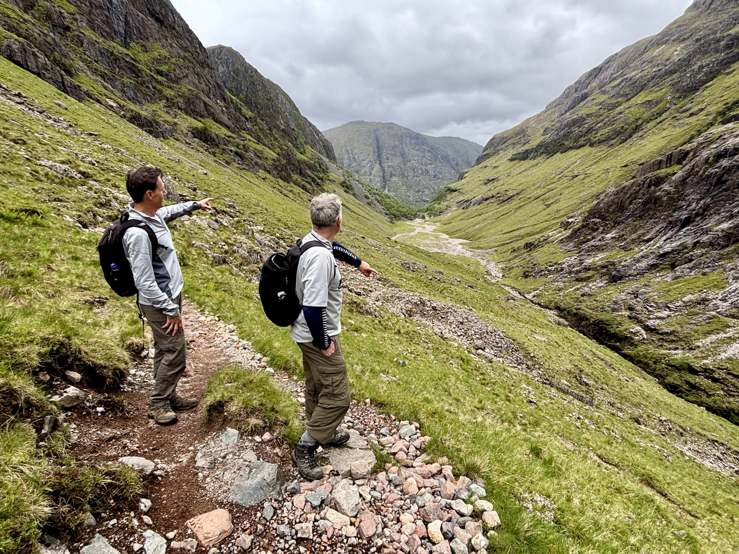
  • Hidden Valley (Coire Gabhail): Tucked behind a narrow, rocky gorge, Coire Gabhail, the Hidden or Lost Valley, is one of Glencoe’s most atmospheric places. Its Gaelic name, “the glen of the capture,” reflects its history: the MacDonalds of Glencoe used this secluded hanging valley to hide livestock, including cattle taken during clan raids. The concealed entrance and steep surrounding walls made it a natural refuge, invisible from the main glen below.

  • Geology of the Massif: Bidean nam Bian sits at the heart of the Glencoe caldera, one of the best-preserved examples of volcanic collapse in Britain. Around 410–400 million years ago, vast eruptions produced thick sheets of rhyolitic ignimbrite, collapse breccias, and later andesitic lavas. These volcanic layers form the backbone of the massif, but the rugged cliffs, corries, and ridges seen today owe their dramatic form to much later glacial erosion, which sculpted the landscape into its present grandeur.


Cathkin Braes: Glasgow City County Top

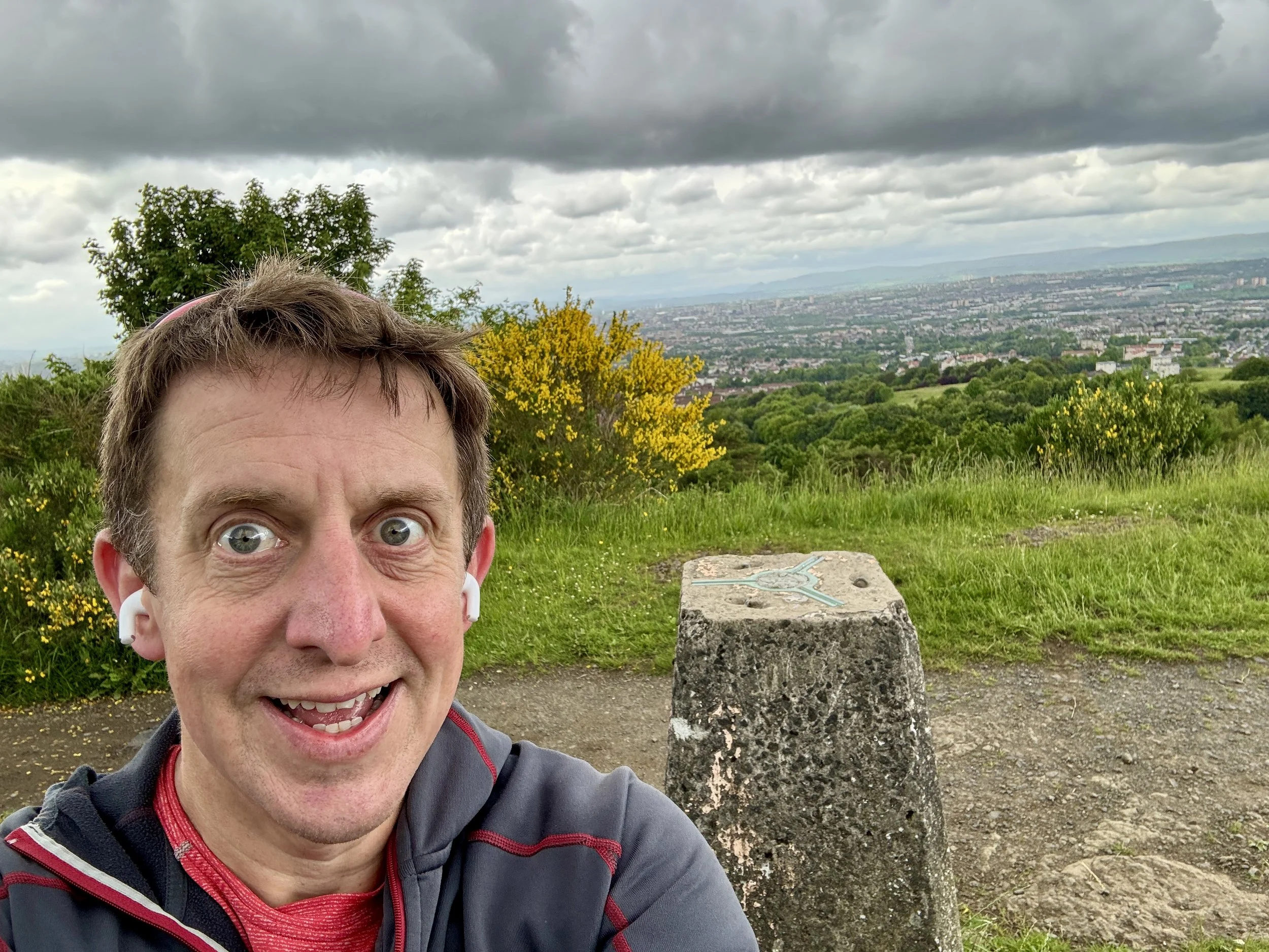
View over Glasgow from the OS Trig Pillar

View over Glasgow from the OS Trig Pillar

Significance: Present-day County Top for Glasgow City
Historic County: Lanarkshire, of which Culter Fell is the Historic County Top
Member of: N/A
Nearest Higher Neighbour: Corse Hill
Elevation: 200m
Date climbed: June 5th 2026
Coordinates: 55° 47' 56'' N, 4° 12' 41'' W

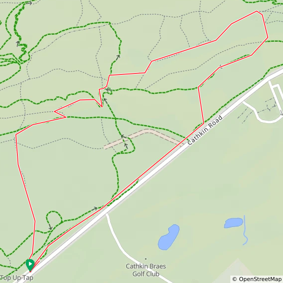
Route Start & Finish: Cathkin Brae Bike Park Top Car Park, B759, Glasgow, G76 9EY
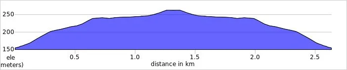
Route Distance: 2.3 km (1.42 miles)
Route Elevation change: +/- 31m
GPX File: get via Buy Me a Coffee
Other routes touched (walk): None
OS Trig Pillar: None
Pubs / Cafes on route: None
Map: Glasgow Map | Paisley, Rutherglen & Kirkintilloch | Ordnance Survey | OS Explorer Map 342
Links: Wikipedia: (Glasgow / Cathkin Braes), Peakbagger, Hillbagging


Cathkin Braes is the Present-day County Top for Glasgow City. I bagged it in 2026 on our annual County Top weekend trip, along with the present-day County Tops of East and West Dunbartonshire and the Historic County Tops of Argyll and Ross and Cromarty.

It had already been a successful hiking day, having conquered both Earl's Seat and Duncolm to successfully claim the high points of East and West Dunbartonshire. This was part of our broader weekend plan and a parallel adventure: while I was out ticking off these local summits, Mark, Matt, and Joel were over on the Isle of Arran to tackle Goat Fell.

With a couple of hours to spare before I needed to drop my hire car back at Glasgow Airport and reunite with the boys, I realised I had the perfect window for a quick detour. I have been saving Cathkin Braes for a few years, waiting for an opportunity to comfortably squeeze it into an itinerary. As the county top for Glasgow City, it is highly accessible and makes for a very straightforward, short walk.

Walking Directions

The guidance below will help you navigate but don’t use it as a fully accurate turn-by-turn guide. Always take a map and/or a GPX route and prepare well for the weather and terrain.

The drive over from Kilpatrick Braes was quick and easy. I pulled into the main Cathkin Braes car park located just off the B759 road. It is a good size, and being late on a Friday afternoon, it was full of people out enjoying a walk with their dogs.

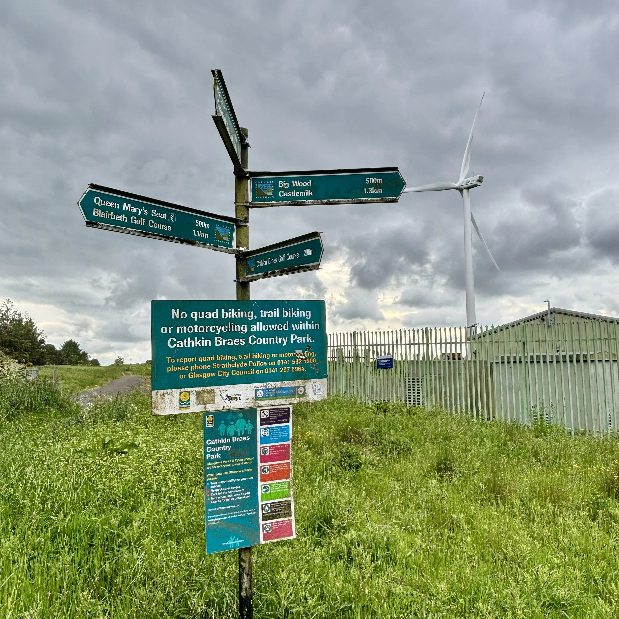
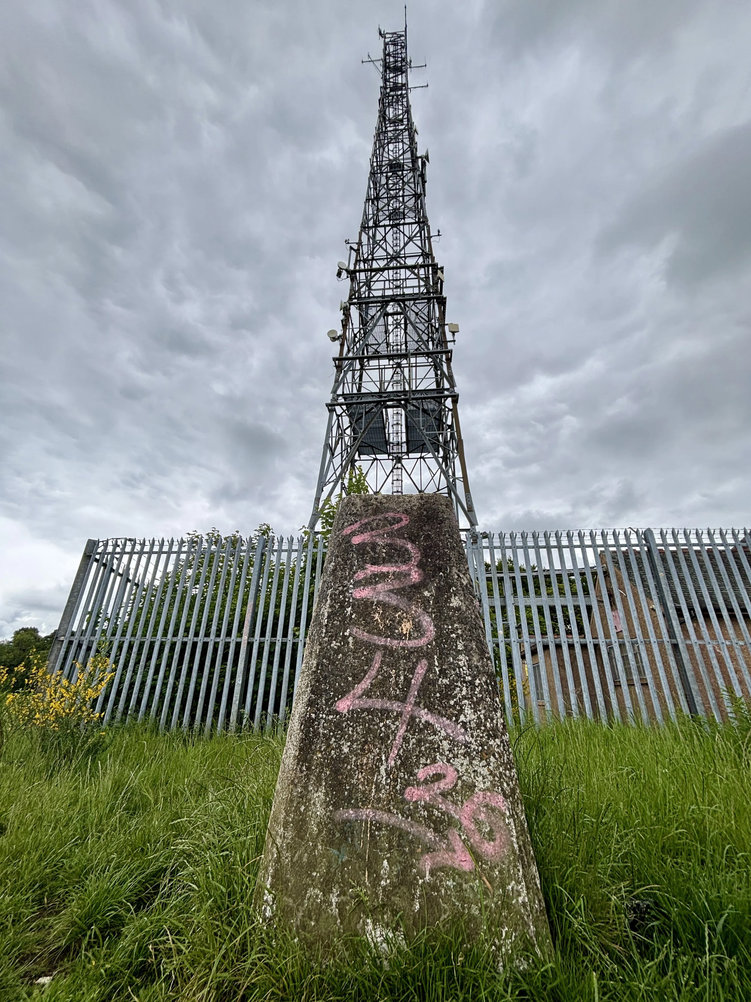
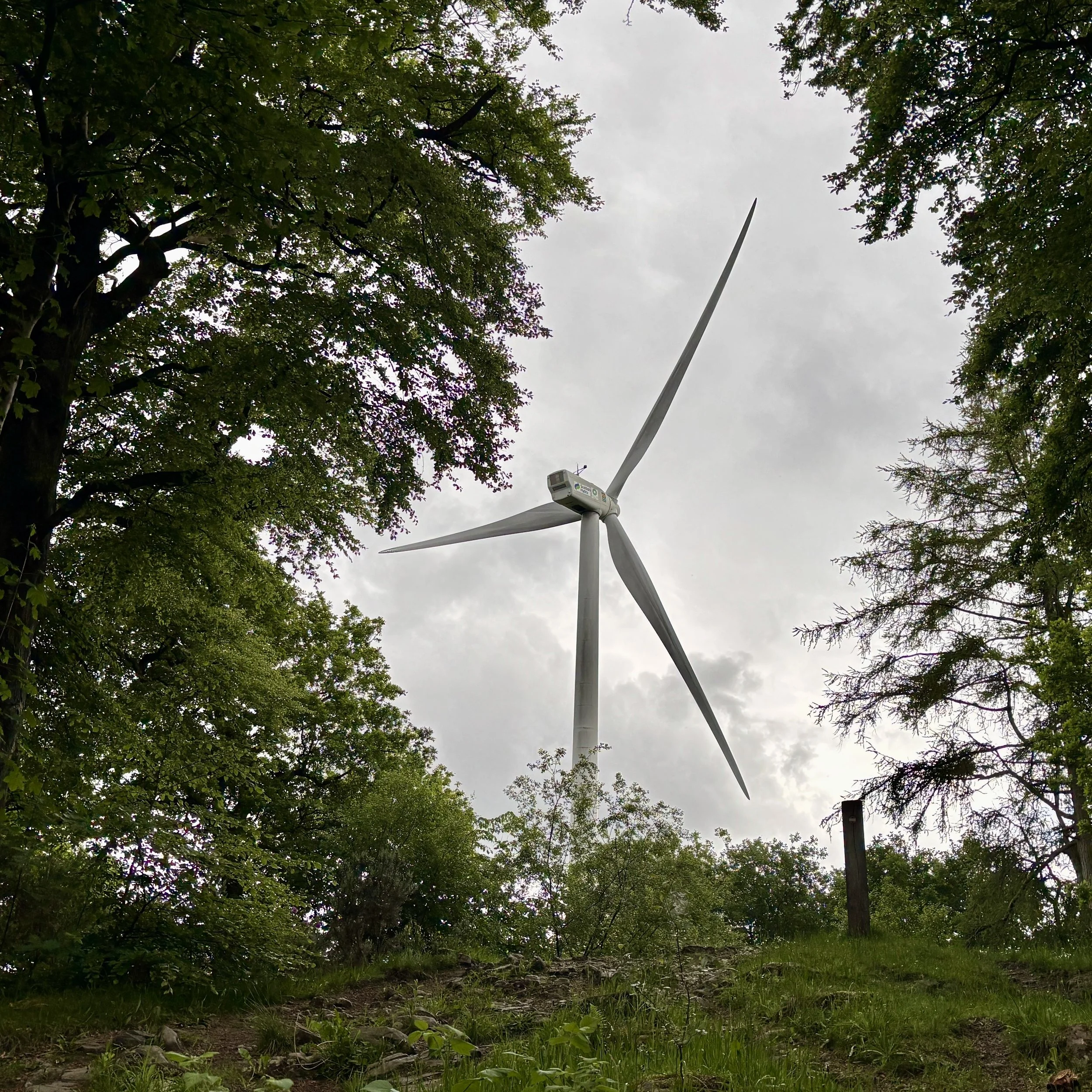
From the car park, you pick up a path that runs close to and parallel with the B759 in a north-easterly direction. The route takes you through some vegetation, pointing you towards a very clear visual target: the large wind turbine. You simply keep heading towards it, eventually passing right through the turbine's car park and out the other side.

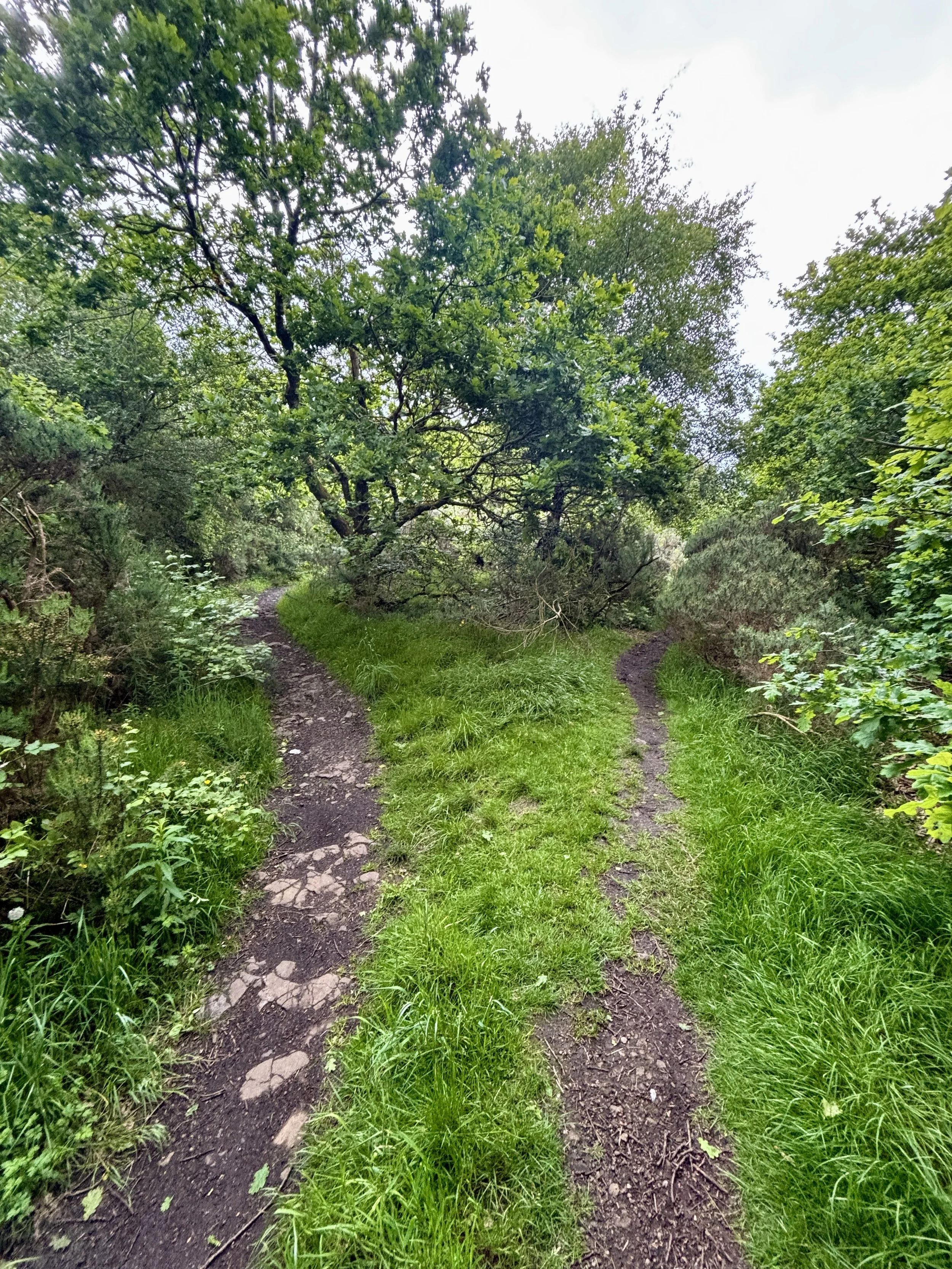
From the turbine, you follow a path heading in a slightly northerly direction to hunt down the exact coordinates of the high point. Unlike some of the more dramatic peaks, the true highest elevation here is beautifully unassuming. It is located on a path deep in the woods, with nothing marking the spot other than a distinct fork in the trail. I snapped a quick picture of the fork to officially document the achievement and pressed on.

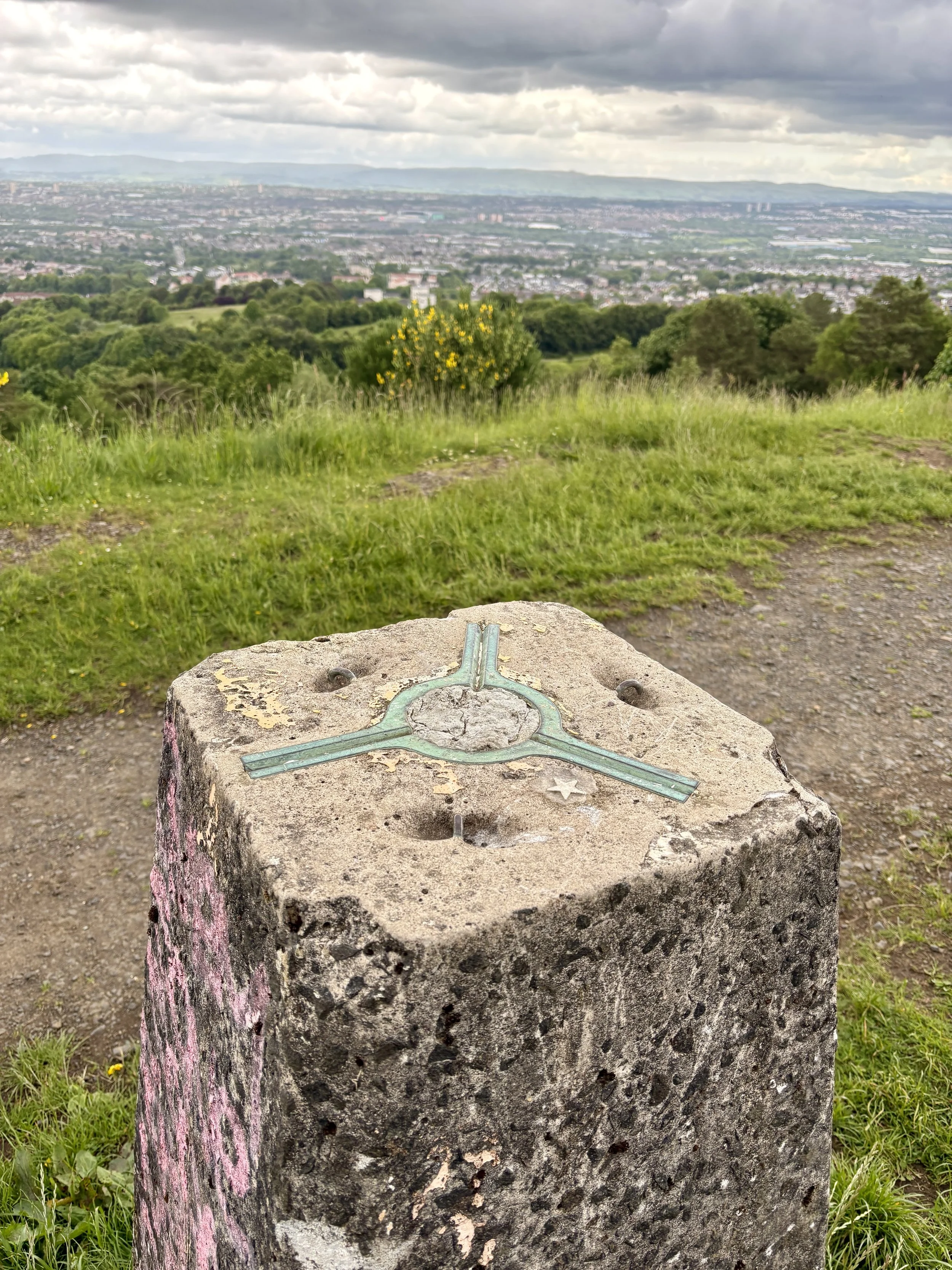
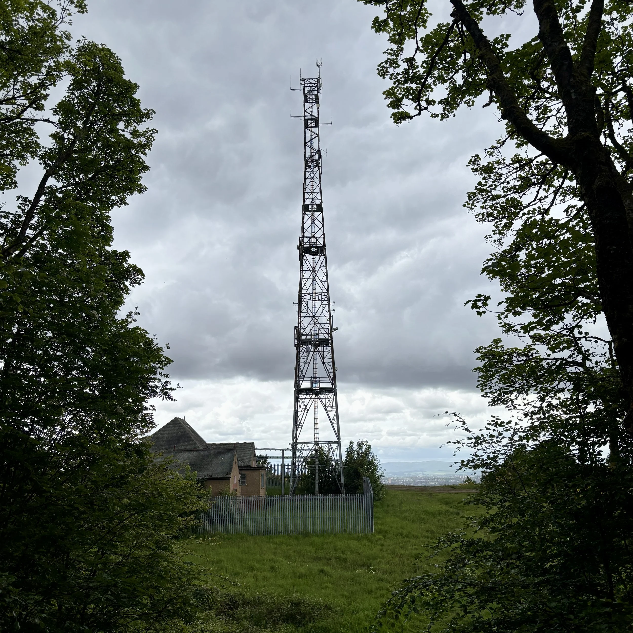
Taking the north-easterly path from the fork, I headed out towards a clearing. This is where the walk really rewards you: it opens up onto the ridge line, offering a fantastic view stretching right over the city of Glasgow. Sitting just in front of a very large telegraph pole, you will find the trig pillar. It is sporting a little bit of graffiti these days, but it is otherwise in good condition and well looked after.

After taking in the city views, the return leg is incredibly simple. You just follow the path along the ridge in a south-westerly direction, re-enter the woods shortly afterwards, and follow the trail all the way back to where you started at the B759 car park. It was an excellent, short walk to cap off the day before heading to the airport.

Points of Interest along or near to the Route

  • Cathkin Braes Country Park: Sitting among the highest points in Glasgow at around 200 metres, Cathkin Braes offers sweeping views across the city towards the Campsie Fells and, on clear days, the distant Southern Highlands. The Braes are also tied to the story of Mary, Queen of Scots: tradition holds that she watched the 1568 Battle of Langside from a vantage point here, witnessing the defeat of her supporters and the effective end of her reign in Scotland.

  • Geological Significance: The Braes form part of Glasgow’s Carboniferous volcanic landscape, shaped over millions of years as lava flows and volcanic rocks were gradually eroded into the distinctive ridge line seen today. This varied terrain supports a rich mosaic of habitats, from acid grassland and heath to woodland edges and wetlands. It is an important refuge for wildlife, including kestrels, owls, and seasonal migratory birds, making it one of the city’s most ecologically valuable upland areas.


Duncolm: West Dunbartonshire County Top
Trig Pillar at the summit of Duncolm

Trig Pillar at the summit of Duncolm


Also Known As: Dùn Choluim (Scottish Gaelic)
Significance
: Present-day County Top for West Dunbartonshire, highest point of the Kilpatrick Hills
Historic County: Dunbartonshire, of which Ben Vorlich is the Historic County Top
Member of: N/A
Nearest Higher Neighbour: Dumgoyne (427m)
Elevation: 401 m
Date climbed: June 5th 2026
Coordinates: 55° 57' 58'' N, 4° 27' 5'' W

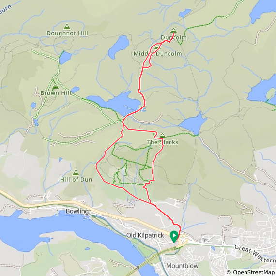
Route Start & Finish: Kilpatrick Braes Car Park, 25 Mount Pleasant Drive, Old Kilpatrick, Glasgow, G60 5LT
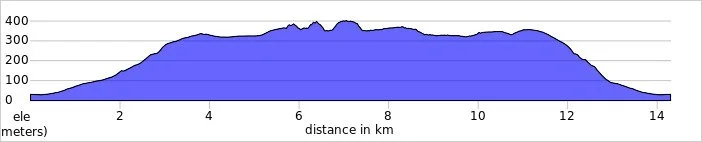
Route Distance: 14.2 km (8.8 miles)
Route Elevation change: +/- 479m
Subsidiary tops on route: Little Duncolm, Middle Duncolm, The Slacks
GPX File: get via Buy Me a Coffee
Other routes touched (walk): Clyde Coastal Path
OS Trig Pillar: TP2908 - Duncolm Hill and TP6428 - The Slacks
Pubs / Cafes on route: None
Maps:
- Glasgow Map | Paisley, Rutherglen & Kirkintilloch | Ordnance Survey | OS Explorer Map 342
- Loch Lomond South Map | Dumbarton, Helensburgh, Drymen & Cove | Ordnance Survey | OS Explorer Map OL38
Links: Wikipedia (West Dunbartonshire / Kilpatrick Hills / Duncolm), Peakbagger, Hillbagging


Duncolm is the Present-day County Top for West Dunbartonshire. I bagged it in 2026 on our annual County Top weekend trip, along with the present-day County Tops of East Dunbartonshire, Glasgow City and the Historic County Tops of Argyll and Ross and Cromarty.

After successfully tackling Earl's Seat to claim the high point of East Dunbartonshire, the next natural step was to complete the regional set by summiting Duncolm. This serves as the present-day county top of West Dunbartonshire and sits nicely in the nearby Kilpatrick Hills.

Walking Directions

The guidance below will help you navigate but don’t use it as a fully accurate turn-by-turn guide. Always take a map and/or a GPX route and prepare well for the weather and terrain.

Getting there involved a 30-minute drive back towards Glasgow. I parked in the Kilpatrick Braes car park, located just off the Great Western Road (the A82).

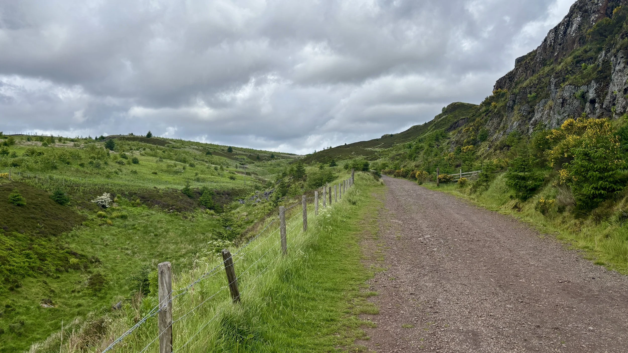
From the car park, the route begins by walking down onto Mount Pleasant Drive. You then take the underpass to safely cross under the A82 and follow a small road leading towards a local farm. At the farm entrance, take a right to join a path that steadily winds its way uphill in a north-westerly direction.

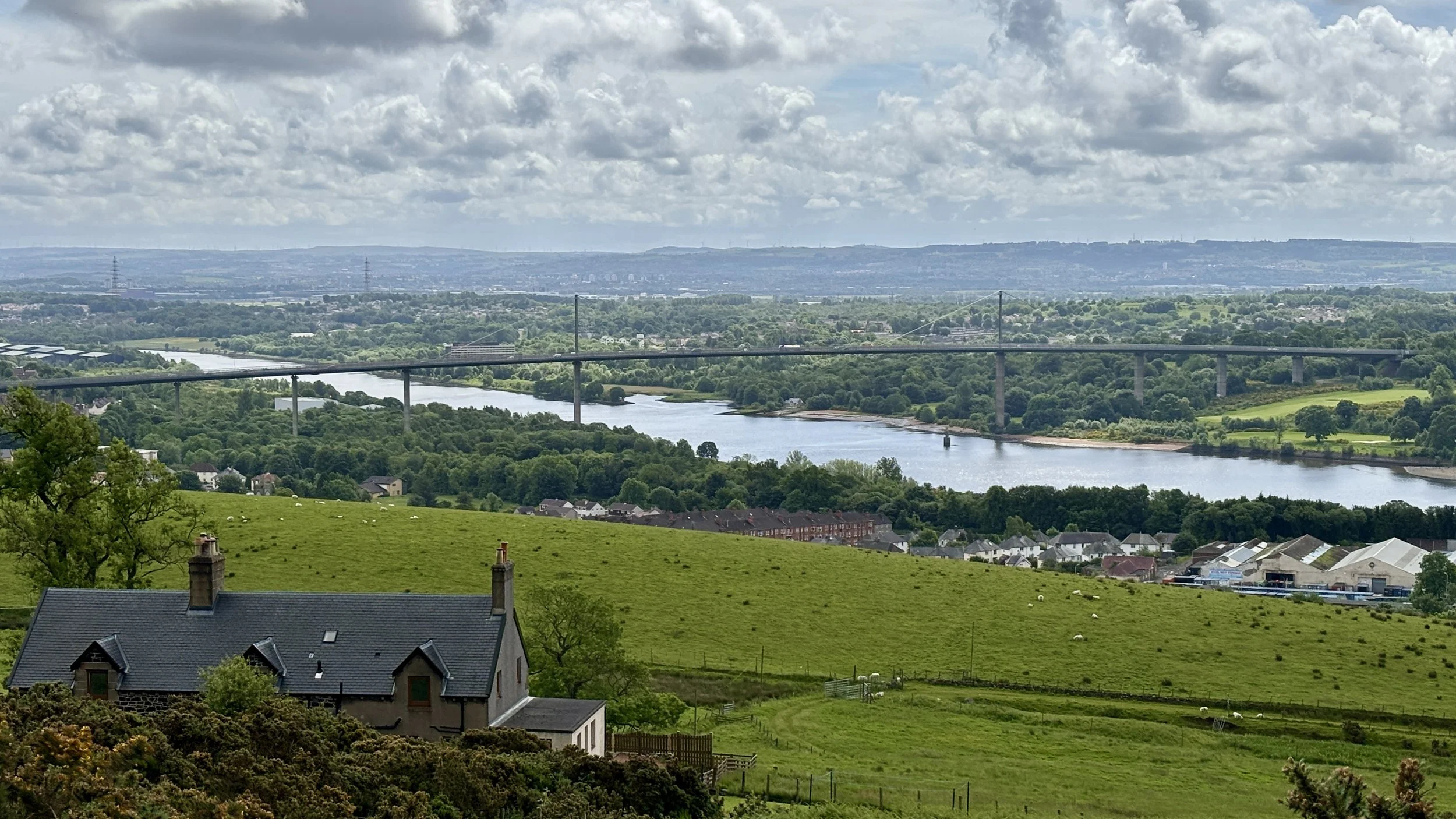
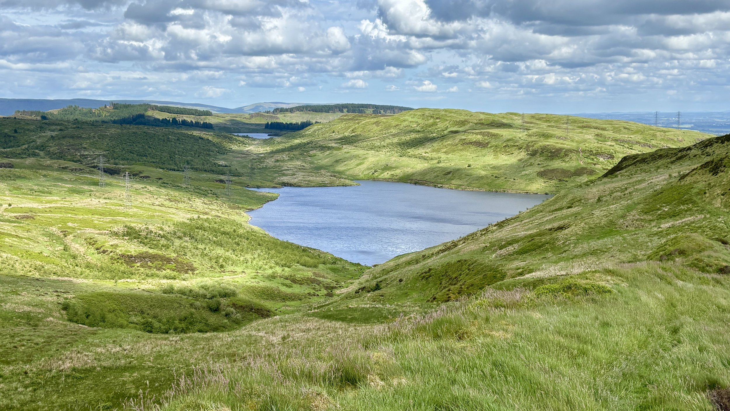
As you ascend, the scenery really starts to deliver. On your right-hand side, you are flanked by impressive cliff edges. Meanwhile, over on your left, the elevation offers a fantastic, sweeping view over the River Clyde and back towards the Erskine Bridge.

The path eventually curves around the side of the hills, shifting you into a north-easterly direction. After walking roughly 4.2 kilometres, you reach the pleasant shores of Loch Humphrey. It is a fantastic spot to take in the views: there is plenty of local wildlife, including a fair few ducks, and you can clearly spot Duncolm rising in the distance.

From the loch, the path continues along its south-eastern edge before curving steadily towards the north. Around the 5.7-kilometre mark, it is time to leave the established track and tackle a fairly steep grassy bank.

This ascent brings you to Little Duncolm, the first of three distinctly named peaks in the cluster. While there isn't a marker at the summit, the views are excellent. From there, it requires a careful descent down the northern side, crossing over a small stream before immediately beginning the climb up to Middle Duncolm.

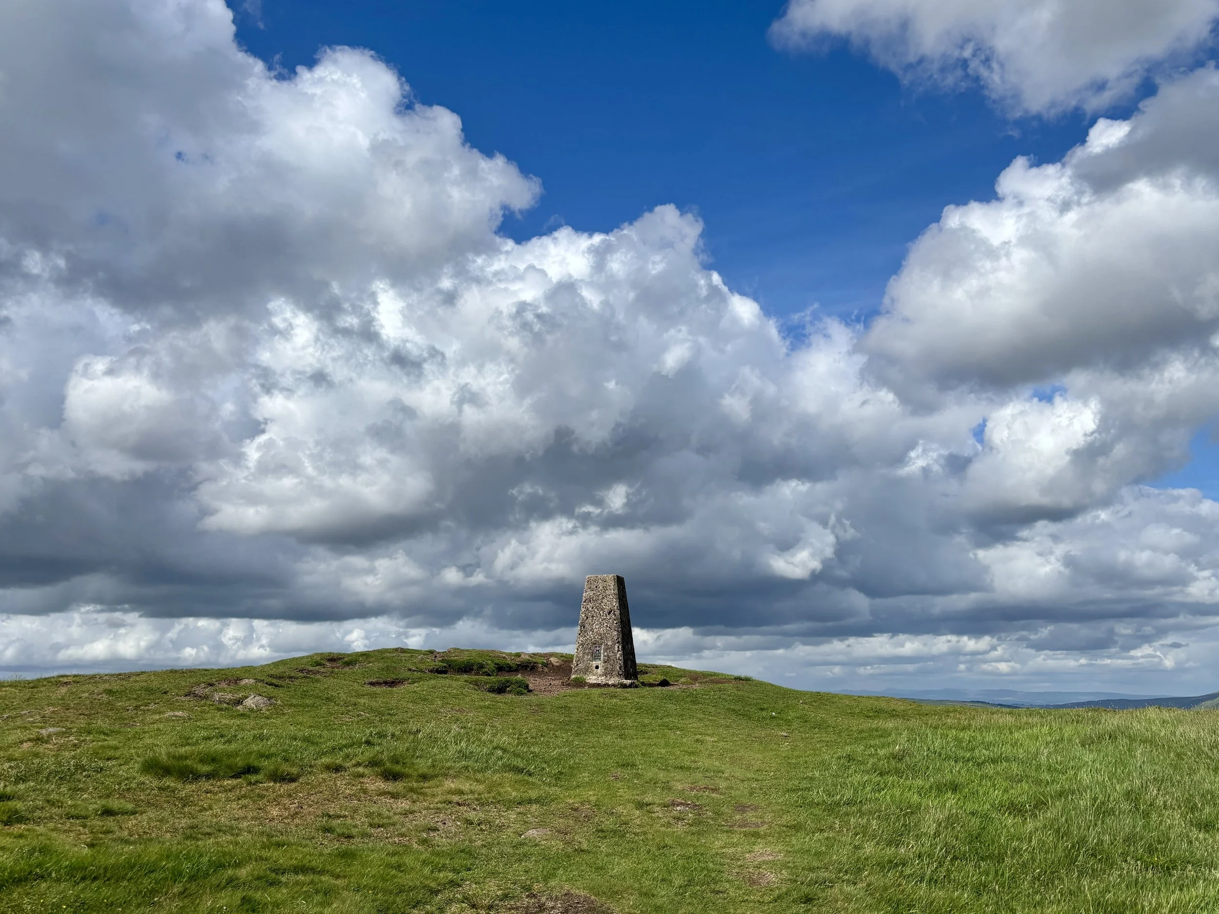
After navigating Middle Duncolm, you descend its north-eastern side before continuing in a north-easterly direction to tackle the steep bank up to the main summit of Duncolm. You will know you have made it when you reach the Trig Pillar, which offers stunning 360-degree views of the surrounding area.

After enjoying the views from the Trig Pillar, it is time to retrace your steps back down. Thankfully, there is no need to re-ascend Middle and Little Duncolm: you can simply stay on the bypass path that skirts their north-westerly side, eventually rejoining the main track just south of Little Duncolm.

Continue back along the main path. At around the 10-kilometre mark of the trip, take a path on the left. This cuts across the hill towards a fence line enclosing a small wooded area. Follow the fence line as it heads east, then turn south for a slight descent before heading up to The Slacks, where you can successfully bag another trig pillar.

From The Slacks, pick up the path heading in a southerly direction. This provides a steady descent back down to the original route. Take a left to rejoin it, and from there, it is just a case of retracing your steps for the final 1.3 kilometres all the way back to the Kilpatrick Braes car park. It makes for a rewarding route and a very satisfying way to finish off the Dunbartonshire high points.

Points of Interest along or near to the Route

  • Kilpatrick Hills: These hills are of volcanic origin, formed during the Carboniferous period as part of the Clyde Plateau Volcanic Formation. Their mix of basaltic crags and broad plateau surfaces creates a distinctive upland landscape that contrasts sharply with the surrounding urban areas of West Dunbartonshire.

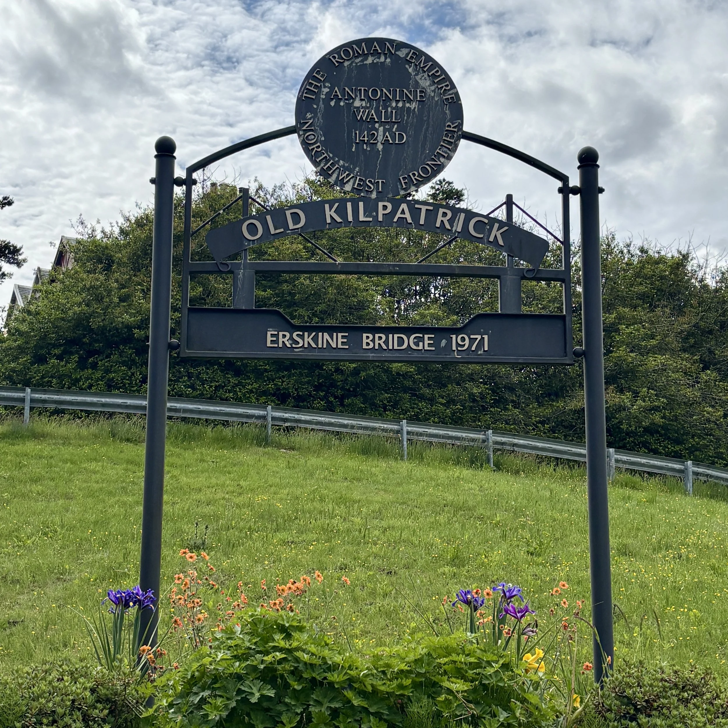
  • Erskine Bridge: Looking back over the River Clyde, the Erskine Bridge stands out as a major cable‑stayed box‑girder bridge, opened in 1971. It forms a key crossing linking the A898 to the A82 and sits just north of the M8 corridor. Its elegant profile provides a striking engineering landmark against the natural backdrop of the river.


Earl's Seat: East Dunbartonshire County Top
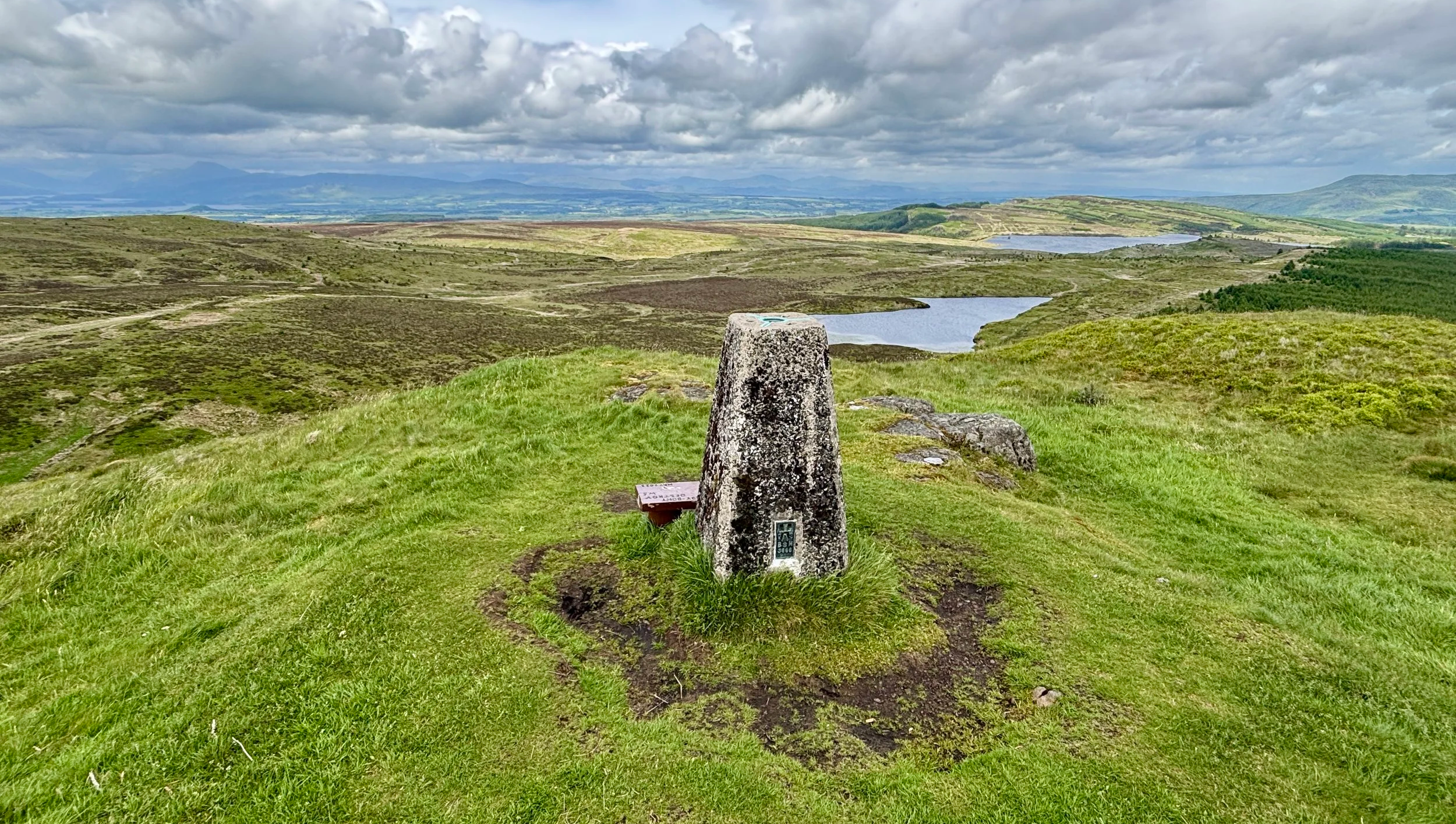
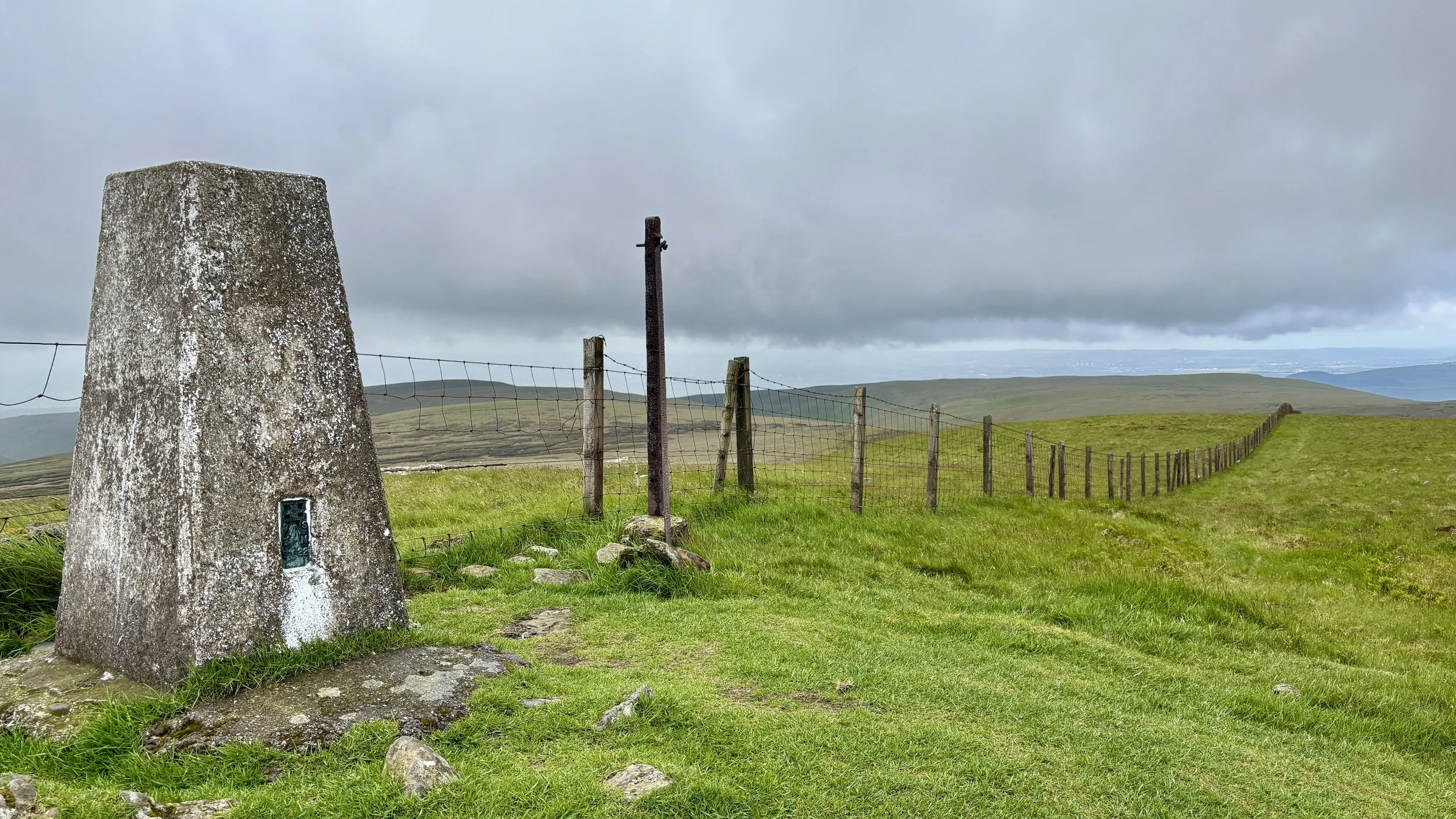
OS Trig Pillar at the top of Earl’s Seat at the border of East Dunbartonshire and Stirling

OS Trig Pillar at the top of Earl’s Seat at the border of East Dunbartonshire and Stirling


Significance: Present-day County Top for East Dunbartonshire
Historic County: Stirlingshire, of which Ben Lomond is the Historic County Top
Member of: Marilyns
Parent Range: Campsie Fells
Nearest Higher Neighbour: Binnean nan Gobhar
Elevation: 578m
Date climbed: June 5th 2026
Coordinates: 56°01′33″N 4°17′47″W

Route Start & Finish: Glengoyne Distillery, Dumgoyne, Killearn, Glasgow, G63 9LB
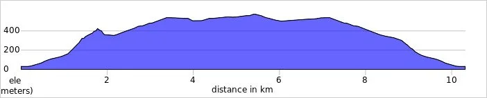
Route Distance: 10.3 km (6.4 miles)
Route Elevation change: +/- 628m
Subsidiary tops on route: Dumgoyne Hill (427m), Garloch Hill (524m)
GPX File: get via Buy Me a Coffee
Other routes touched (walk): None
OS Trig Pillar: TP2957 - Earls Seat
Pubs / Cafes on route: None
Map: Campsie Fells Map | Kilsyth, Strathblane & Fintry | Ordnance Survey | OS Explorer Map 348
Links: Wikipedia: (East Dunbartonshire / Campsie Fells / Earl’s Seat), Peakbagger, Hillbagging


Earl’s Seat is Present-day County Top for East Dunbartonshire. I bagged it in 2026 on our annual County Top weekend trip, along with the present-day County Tops of West Dunbartonshire, Glasgow City and the Historic County Tops of Argyll and Ross and Cromarty.

This year marked a significant milestone: the tenth anniversary of our annual boys' County Top trip. The adventure kicked off on a Friday, but this time around, we opted for parallel adventures. While Mark, Matt, and Joel headed over to the Isle of Arran to tackle Goat Fell to claim the highest point of that county, I decided on a different path. Having already summited Goat Fell a few years prior, I set my sights on bagging the high points of present-day East and West Dunbartonshire. Because they are fairly close together, they make for two great summits to link up in a single day. First up on the agenda: Earl's Seat.

Walking Directions

The guidance below will help you navigate but don’t use it as a fully accurate turn-by-turn guide. Always take a map and/or a GPX route and prepare well for the weather and terrain.

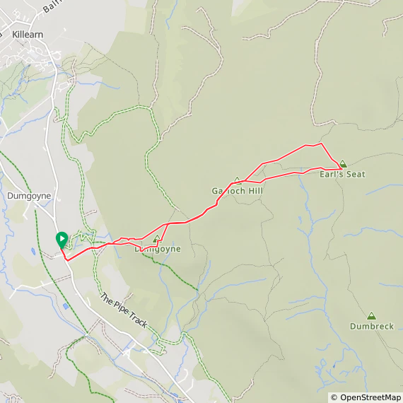
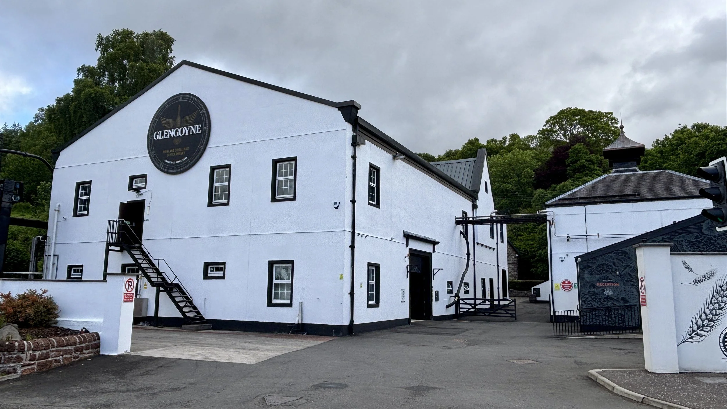
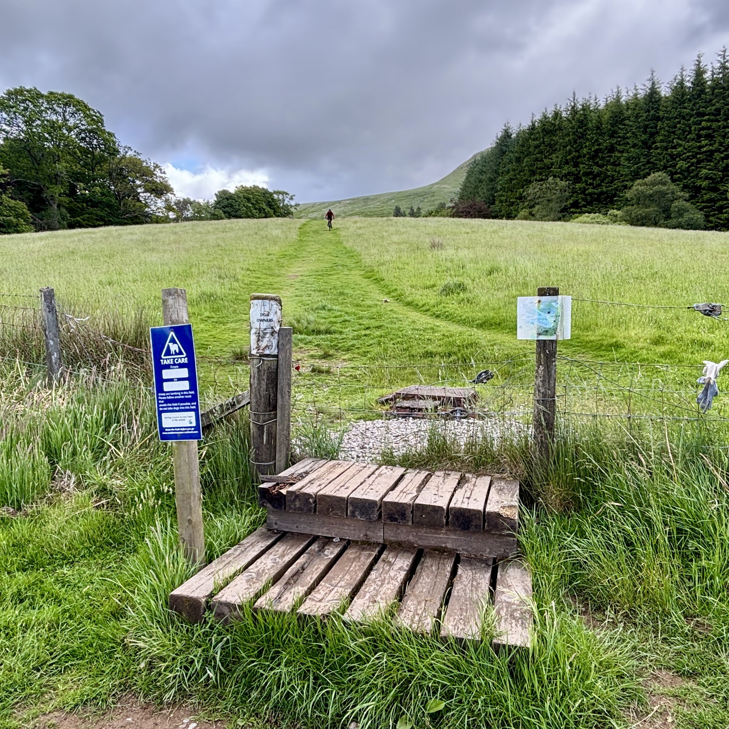
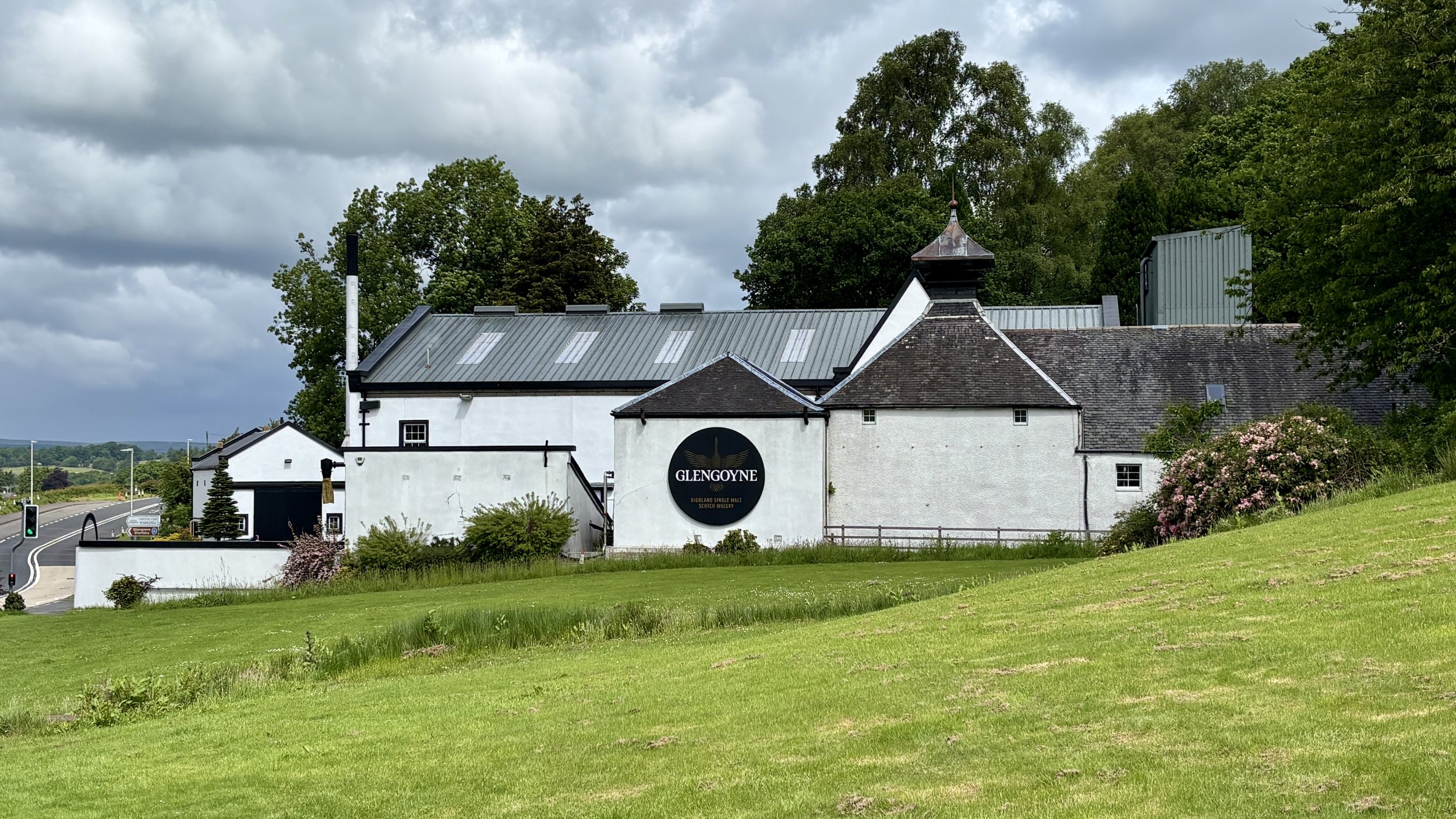
The starting point was an easy forty-minute drive from Glasgow Airport. I headed for the Glengoyne Distillery, which offers great parking. A quick note for anyone planning this route: the distillery car park is officially for customers only. Given it was a quiet day, I chanced it, but there is alternative parking nearby if you prefer to play it safe. From the distillery, the route begins by heading south down the main road for about 100m. After crossing over, you will find a gate leading into a field, and the path begins its slow, steady climb up the hill.

It isn't long before you are greeted by the imposing, steep figure of Dumgoyne Hill. At this stage, the path presents two choices: fork right to take the path straight over the top of Dumgoyne Hill, or keep left to skirt around the side and avoid the climb entirely.

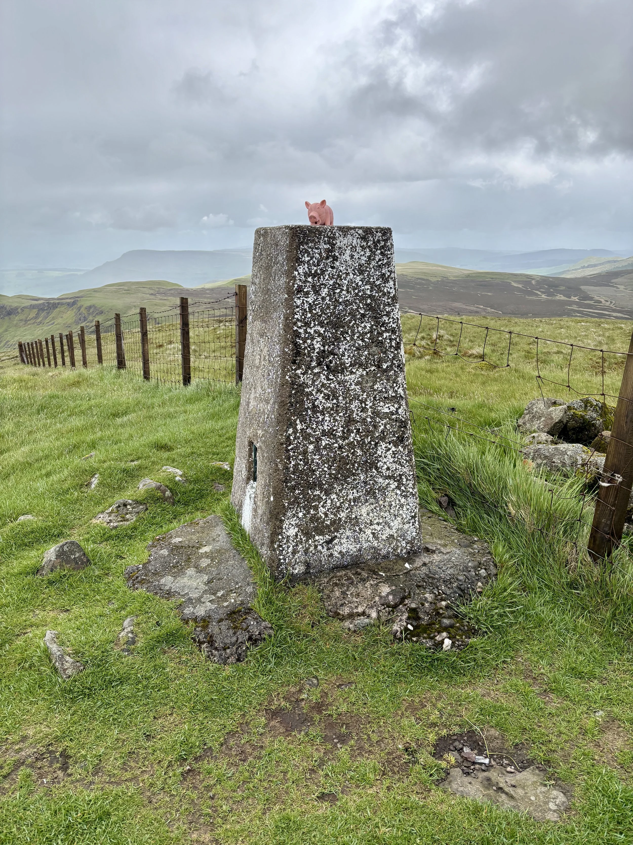
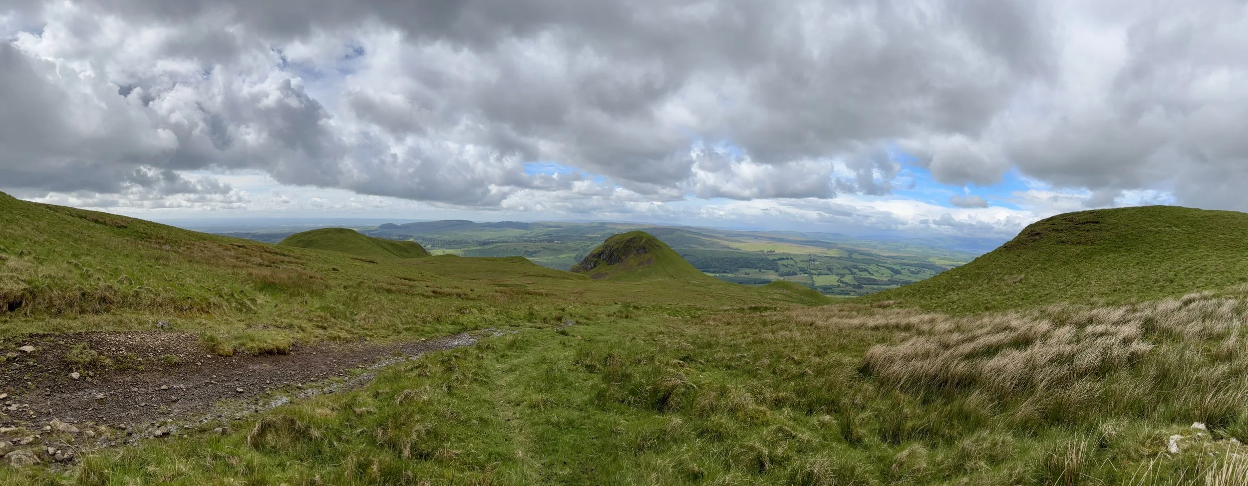
Determined to bag Dumgoyne Hill as well, I took the right-hand path. It is a steep ascent up the southern side, but the effort is richly rewarded. While there isn't a traditional trig pillar at the summit, there is a large, pillar-sized stone and, more importantly, fantastic views stretching right across the valley.

Leaving Dumgoyne Hill, the path heads in a north-north-easterly direction down the opposite side of the hill. I will admit this section was a little daunting: the ground was damp, and the gradient was extremely steep. I don't typically tackle tricky hills on my own, but it wasn't particularly dangerous. With a bit of care, and an undignified slide down one short section, I made it to the bottom safely.

Continuing northeast, the route seamlessly joins back up with the main bypass path you would have taken had you skipped Dumgoyne Hill. From here, it becomes a steady, albeit slightly boggy, ascent towards a subsidiary top called Garloch Hill, marked by a few cairns. Pushing on towards Earl's Seat, the landscape opens up, and you can spot the Trig Pillar from quite a distance: a perfect visual target to aim for.

After taking in the summit of Earl's Seat, I decided against simply retracing my steps. Instead, I opted to turn the walk into a circular route. Heading north-west, the path leads towards Ballagan Tops before taking a westerly turn to rejoin the original ascent path just east of Garloch Hill.

From there, it was a straightforward walk retracing my steps back to the distillery. This time, however, I took the northerly path to comfortably bypass Dumgoyne Hill.

All in all, the route took about three hours: a highly enjoyable morning on the hills and a fantastic start to the weekend's county top bagging.

Points of Interest along or near to the Route

  • Glengoyne Distillery: Established in 1833, this distillery is unique for being located on the Highland Line, the geographical divide between the Highlands and Lowlands. Uniquely, the distillery sits in the Lowlands, while its maturation warehouses sit across the road in the Highlands.

  • The Campsie Fells: These are a range of volcanic hills formed during the Carboniferous period. They are composed largely of basalt, creating the dramatic crags and scree slopes visible from the surrounding valleys, including the steep face of Dumgoyne.

  • The Highland Boundary Fault: The route passes over a significant geological divide. This fault line runs across Scotland from Arran in the west to Stonehaven in the east, separating the flatter, sedimentary Lowlands from the rugged, metamorphic Highlands.

  • Dumgoyne: A striking volcanic plug that rises sharply from the edge of the Campsie Fells. It formed when magma solidified within an ancient volcanic vent, leaving behind the resistant core that now stands as a prominent landmark. Its steep, symmetrical profile has been further shaped by glacial erosion, but it is not a crag‑and‑tail formation; instead, it is simply the exposed remnant of a Carboniferous volcano.


London Outdoors
 

Welcome to London Outdoors. London might be a busy city, but it is also packed with incredible green spaces and trails. This page is a collection of my outdoor adventures across the capital: whether I am heading out for a long walk, exploring new cycling routes, or lacing up my trainers for a local parkrun. Have a look through the index below to find all my posts about getting outside in the city.

Comment below or contact me if you have any questions, suggestions for improvement or if you spot any errors in any of the posts. I’ll donate £ to one of the outdoor causes that i support for any correction made.


Featured and Popular Posts

This section brings together some of my most memorable urban explorations. It includes the fascinating history behind London's Coal Duty Posts and the challenge of navigating the historic City of London boundary.

You can also find my journeys tracing the Roman London Wall and my comprehensive treks around the London Loop and Capital Ring. These routes offer a fantastic mix of history and scenery: showcasing the diverse places that make the capital so unique.


Walking in London

Exploring on foot is one of the best ways to uncover the hidden details of the capital. This section brings together a variety of walking routes across the city, from short urban strolls through central neighbourhoods to much longer trails connecting the outer boroughs.

It is not just about the distance covered, either: these walks also take in a wide variety of fascinating places. Whether your route passes by historic National Trust properties, takes in the Royal Parks or other green spaces, these posts will guide you through the diverse landmarks that make navigating the city so rewarding.

Scroll down for a separate section on walks along London’s Waterways.


London High Points

For those who like a good view or a geographical challenge, this collection focuses on the highest spots across the city. From standing at the specific peaks of every London Borough to tracking down Greater London OS Trig Pillars, there is plenty of elevation to seek out.

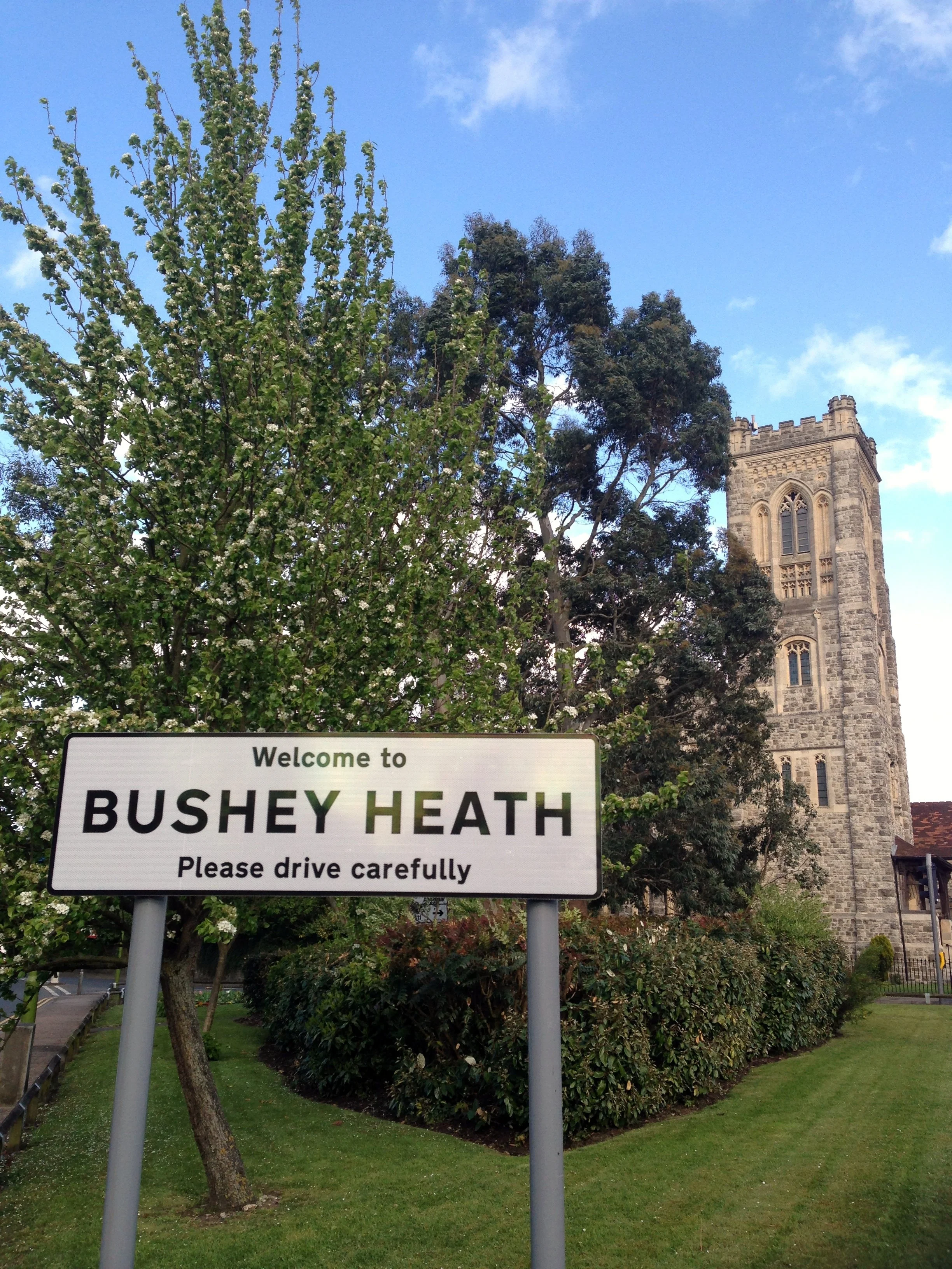
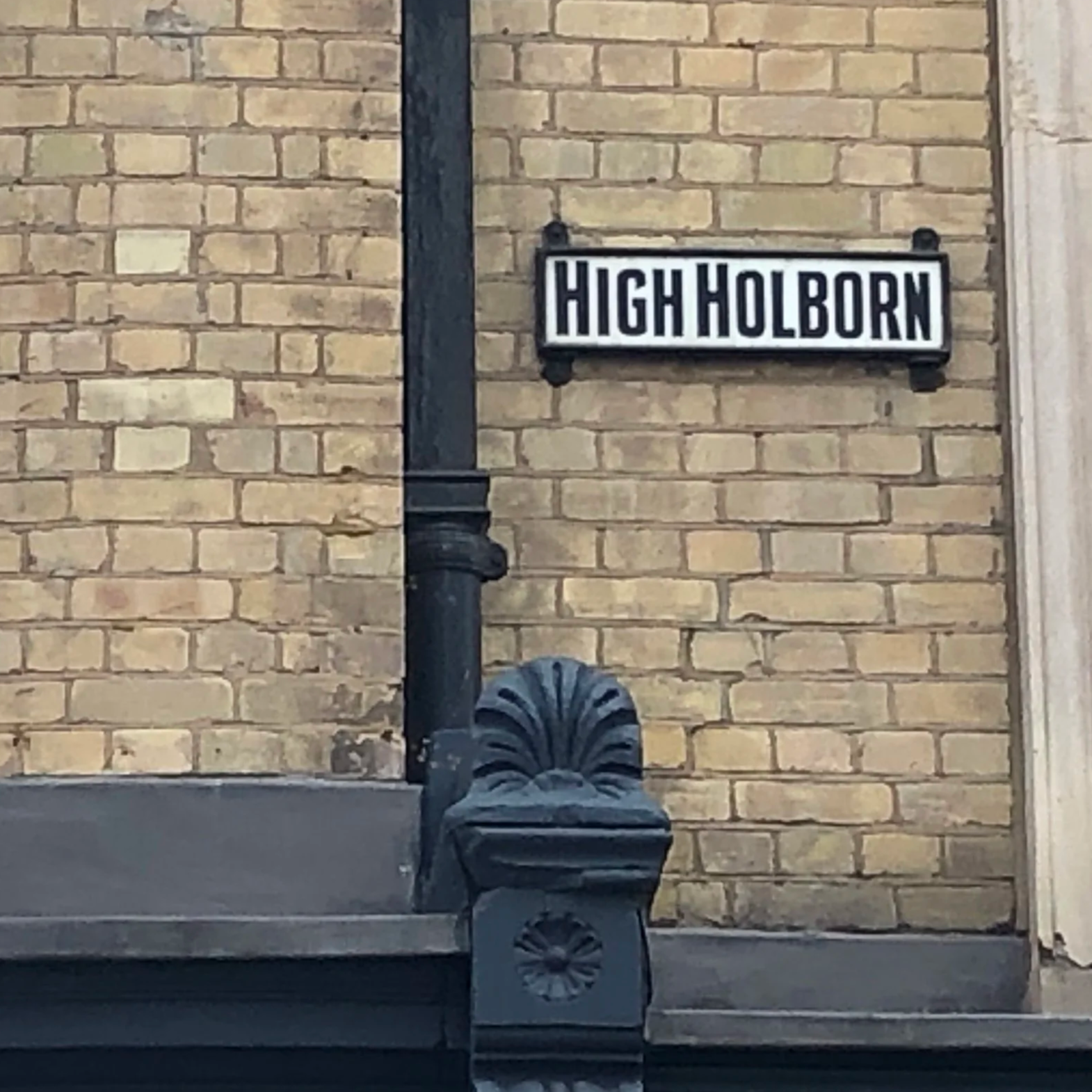
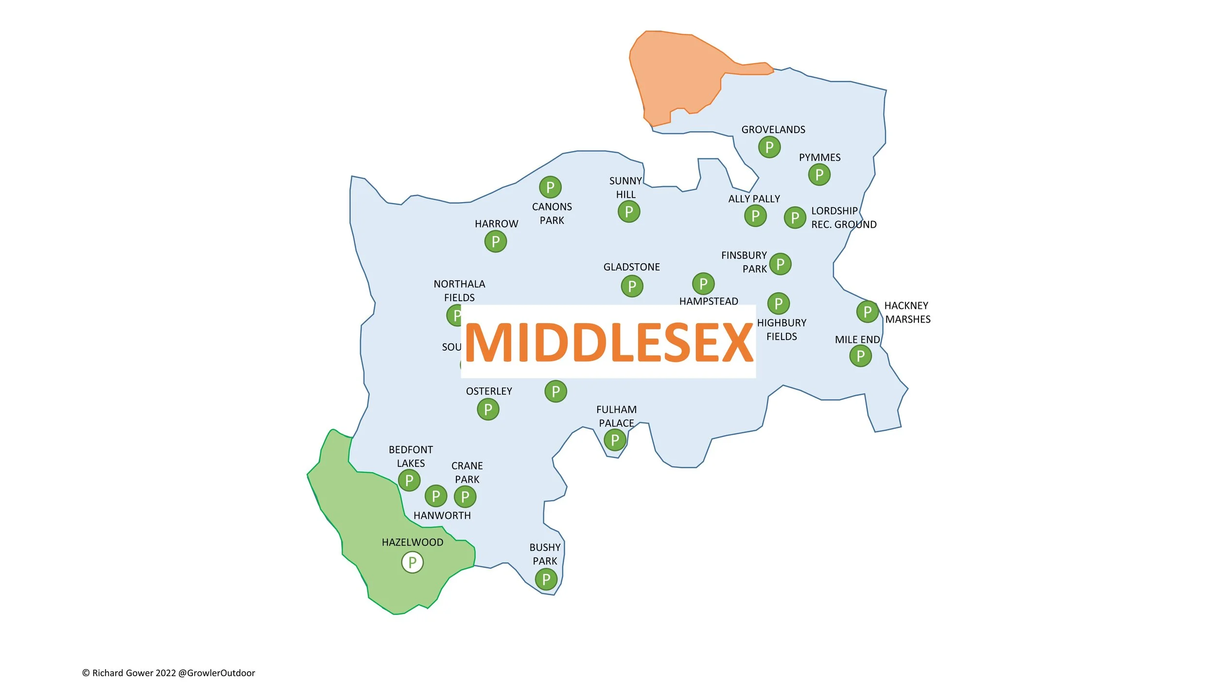
Whether you are aiming for the Middlesex County Top at Bushey Heath or uncovering the City of London High Point at High Holborn, these posts will guide you to the summits hidden within the urban landscape.


London’s Rivers and Waterways

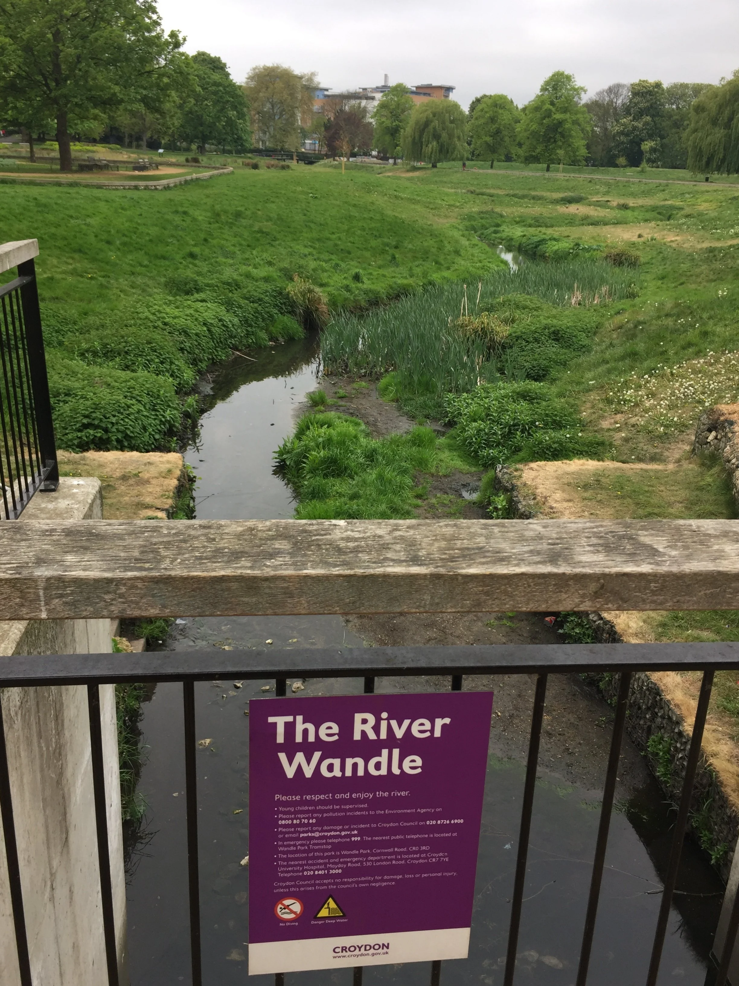
London is defined by its waterways, and walking their paths reveals a calmer side to the busy city. This section covers relaxing strolls along the River Wandle Trail and the River Brent Path, as well as tracing the fascinating historic route of the River Fleet.

If you prefer towpaths, you will also find my guides to navigating the Regent's Canal, the Limehouse Cut, and the Hertford Union Canal. These waterside routes are brilliant environments to explore at your own pace.


Train and Tube

Public transport networks offer some surprising opportunities for outdoor adventures. Here you can read about tracking the Elizabeth Line stations above ground and the physical challenge of running the entire Circle Line.

It is not just about active lines, either: this section also explores historic transport routes transformed into nature trails, including the Parkland Walk near Alexandra Palace and the disused railway from Uxbridge to Denham.


London parkruns

Saturday mornings are often dedicated to parkrun, and this category is a dedicated hub for achieving the coveted 'LonDone' status. It details my experiences visiting events across Greater London and completing all the Middlesex courses.

For anyone else chasing the ultimate tourism goals, I have also included guides on transport connections and venturing into the extended challenges of LonDone + and LonDone ++.


Cycling In London

Getting on the bike is one of the best ways to cover longer distances across the city's green spaces. These posts highlight dedicated cycling routes, including the vast orbital circuits of the London Loop and Capital Ring.

You can also follow my two-wheeled adventures along the River Crane and the River Ash: offering peaceful cycling alternatives away from the busy main roads.


Cycling to and through London

For those looking to stretch their legs on longer rides, these routes connect the capital to the wider landscape. You will find journeys along the Grand Union Canal and the River Lea, offering straightforward navigation right into the heart of the city.

The collection also features epic rides tracking the Prime Meridian, following the historic Semaphore Line from Portsmouth, and riding out to the coast along the Thames Estuary to Margate.

Trig Pillar Extremes

If you’ve searched for or stumbled across this page then you probably already know what an OS Trig Pillar is. If you don’t then this article from the Ordnance Survey is a good place to start.

Over 6,000 Trig Pillars were erected across the country from 1936 to 1962. The first known person to have visited all of them was Rob Woodall who completed his 14-year personal quest in April 2016. At the time of writing this I’ve also been visiting Trig Pillars for over 14 years but so far I’ve bagged less than 5%. While I don’t have the need to bag them all, I’d be happy with an “interesting 10%”. These would include all of the pillars on the UK County Tops and, as it’s close to home, all of South East England. After a geeky pub conversation somewhere in Scotland after a County Top climb, I also took an interest in the extremes: the oldest, the newest, the furthest north, east, south and west. This post shows the results of my research so far into what are those extreme Trig Pillars.

Let me know if you have any corrections to the information on this page or any suggestions for other extreme Trig Pillars. I’ll donate £1 to one of the outdoor causes that I support for any edit made.


Trig Pillar Compass Club

The spreadsheet below shows the same Trig Pillars as in the map above. Note that those highlighted in yellow are ones that I’m less confident in. Comment below if you can confirm or correct any of these.


Other Extremes


Thanks to Mark Brace and Ross Lockley for their contributions to this page.


Worcestershire Beacon: Worcestershire County Top

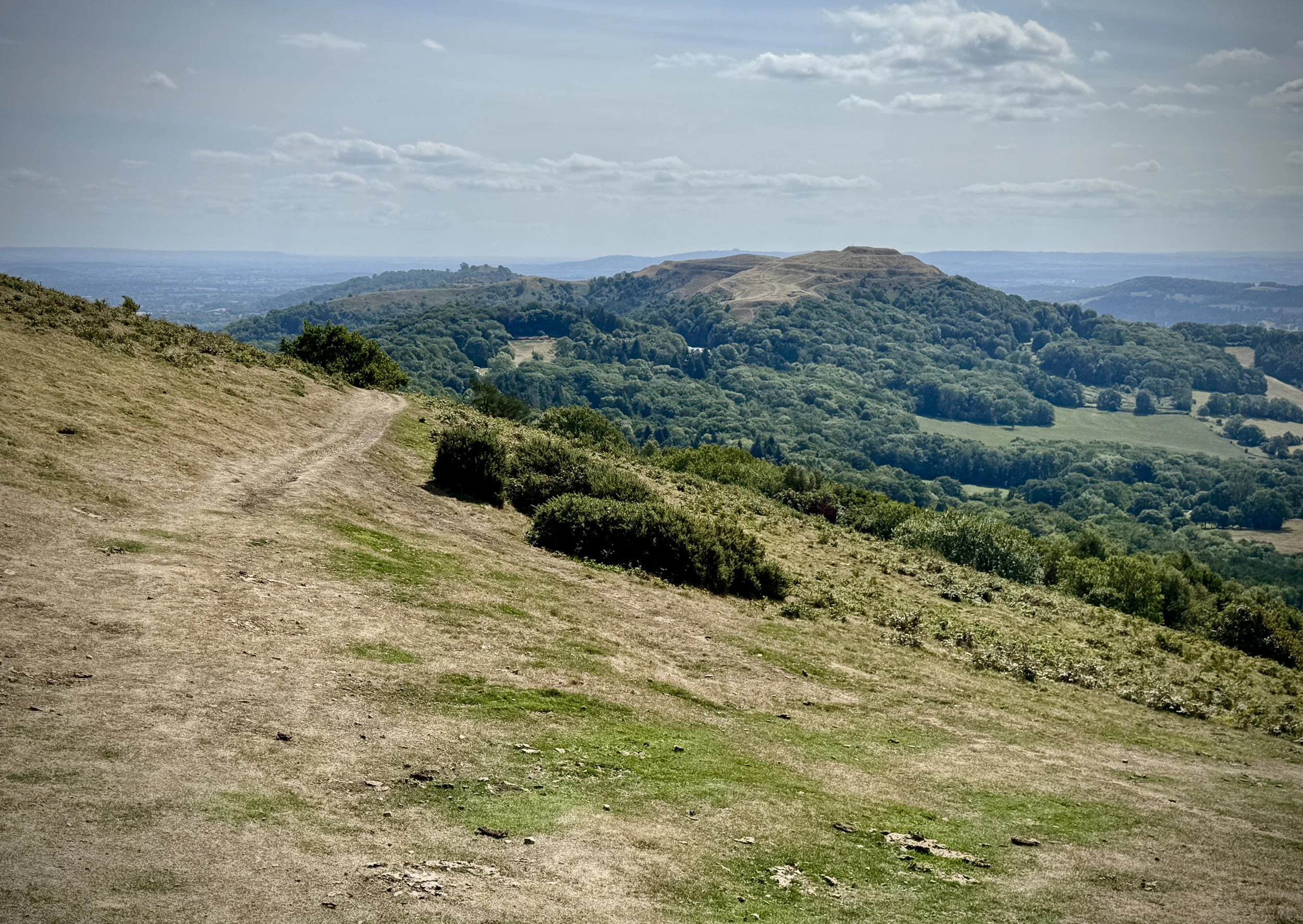
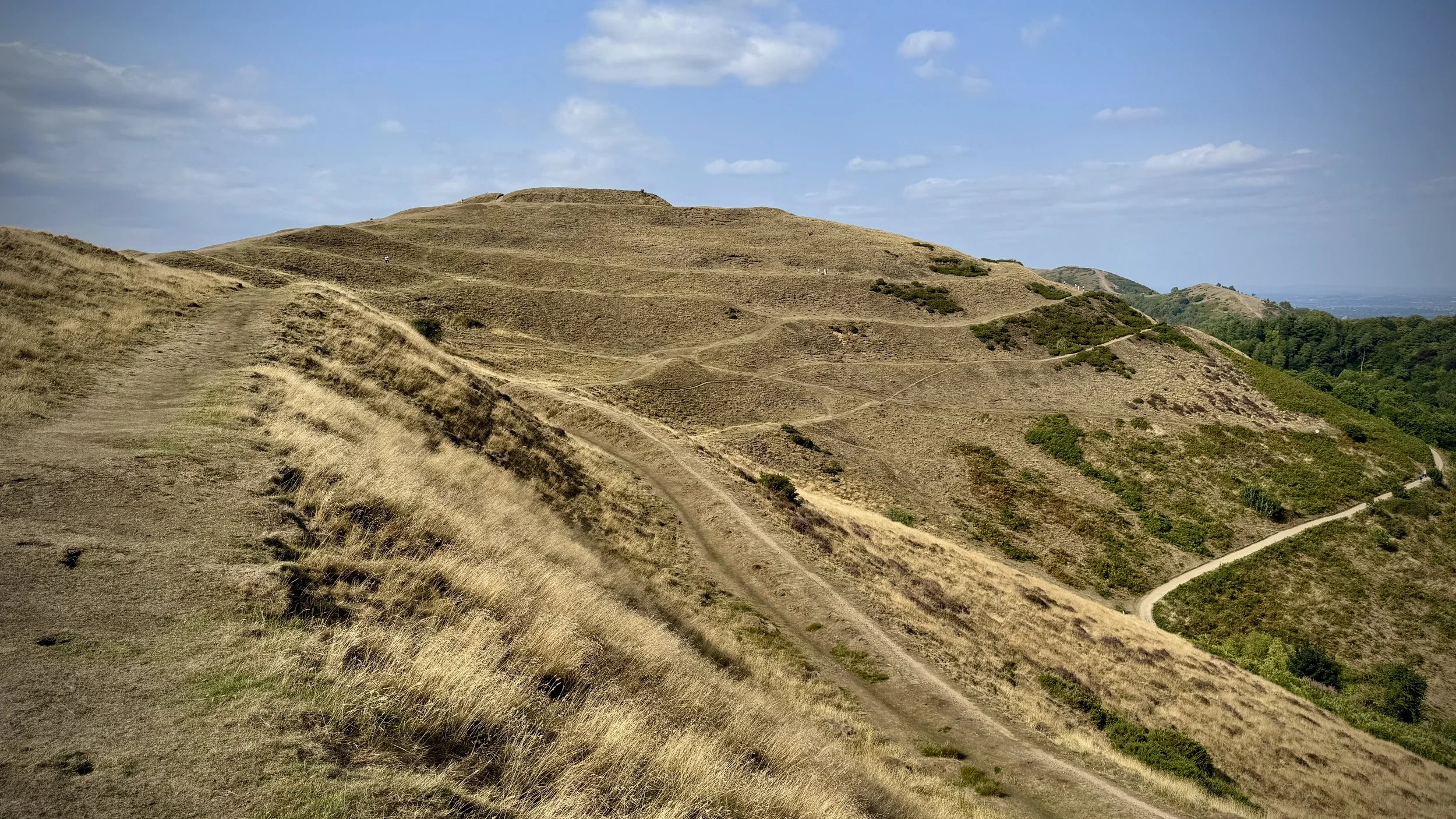
Descent from the southern side of Worcestershire Beacon with view to Herefordshire Beacon (British Camp)


Significance: Highest peak in Worcestershire (Historic County Top), Malvern Hills National Landscape
Member of: Marilyn, Hardy
Parent Peak: Hergest Ridge
Nearest higher Neighbour: Titterstone Clee Hill
Elevation: 425m
Date climbed: 19th April 2014 and 9th August 2025
Coordinates: 52°06′17″N 2°20′25″W


Route Start: Malvern Clock Tower, North Malvern Road, Malvern, WR14 4ND
Route Finish: British Camp Car Park, A449, Great Malvern, Malvern, WR13 6DW
Route Distance: 8.6 km (5.3 miles)
Route Elevation Change: +346m /- 249m. Net 97m
Subsidiary tops on route: End Hill (328m), North Hill (398m), Table Hill (375m), Sugarloaf Hill (369m), Summer Hill (383m), Perseverance Hill (324m), Jubilee hill (328m), Pinnacle Hill (358m), Black Hill (317m)
GPX File: get via Buy Me a Coffee
Other routes touched (walk): Geopark Way, Three Choirs Way, Worcestershire Way
Other routes touched (cycle): none
OS Trig Pillar: TP0724 - Malvern
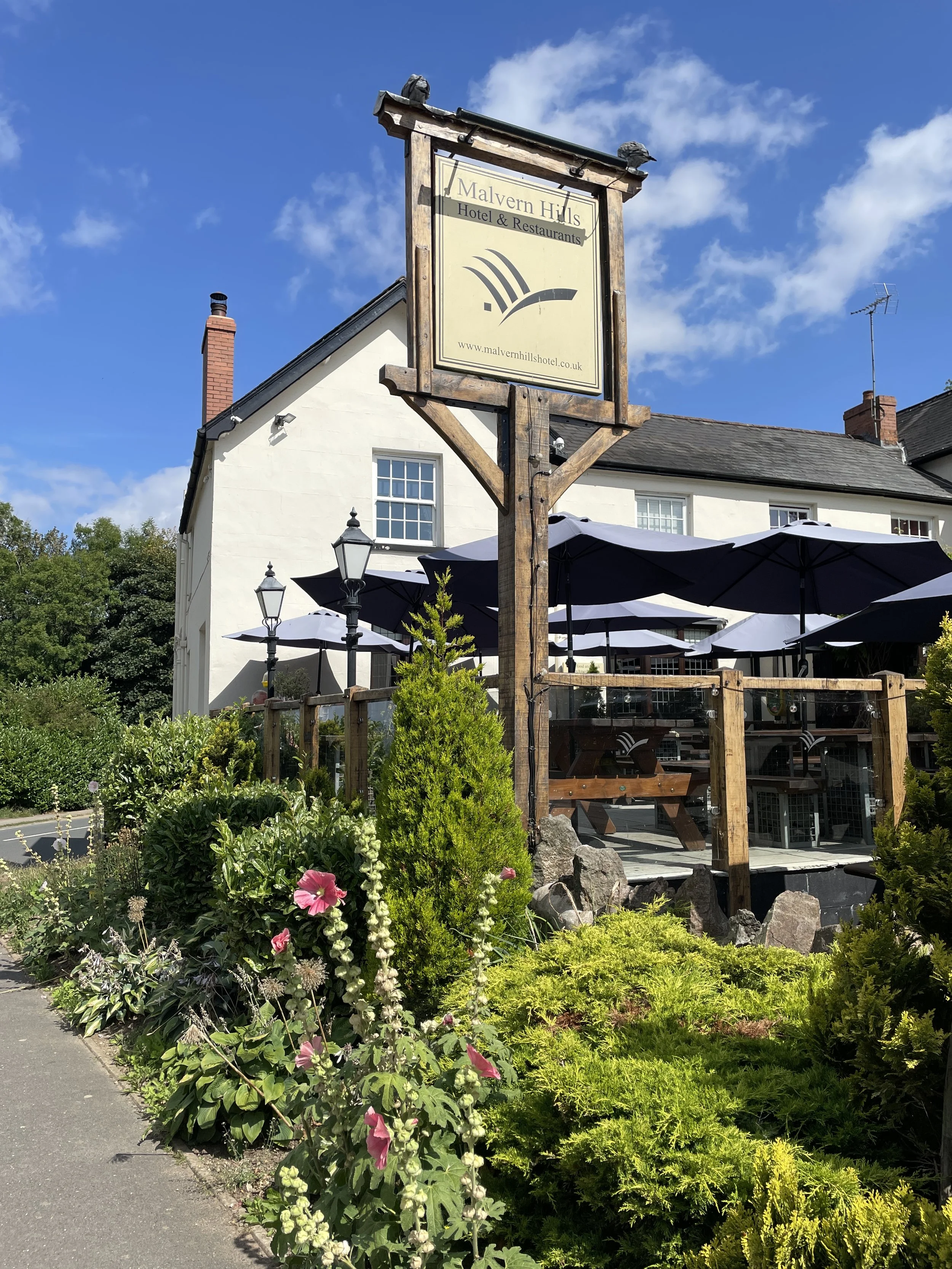
Cafe / pubs on route: Cafe H20 or The Wyche Inn (just off route at 4.93km in), The Malvern Hills Hotel & Restaurant or Sally's Place at the end
Map:
OS Explorer Map (190) Malvern Hills & Bredon Hill
Guidebook: The UK's County Tops (Jonny Muir), Walking the County High Points of England (David Bathurst)
Links: Wikipedia (Worcestershire), Wikipedia (Worcestershire Beacon), Peakbagger


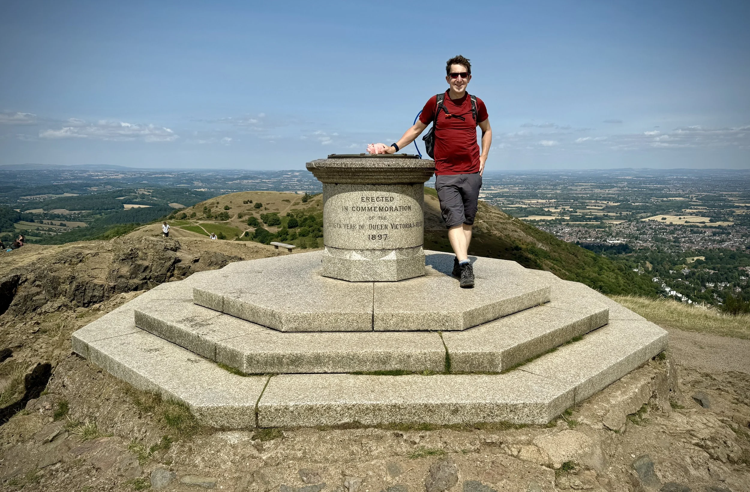
Worcestershire Beacon was an early bag for us in our UK County Tops mission. We were in Malvern to visit some friends and did the short 2.5 km out-and-back from the Beacon Road Car Park at Upper Wyche. It was a nice walk on a windy April day but it was always at the back of my mind to return one day to do the Malvern Ridge Properly. So, 11 years later, we returned for a long weekend to celebrate our anniversary and walk the northern half of the Ridge.

We were staying at the Malvern Hills Hotel at the end of the walk. It’s conveniently positioned at the base of Black Hill, the final summit of the northern half of the ridge. We were pleasantly surprised to that there was a good Uber service in town and we only had to wait 10 minutes to get picked up for the 15 minute drive to the Clock Tower.

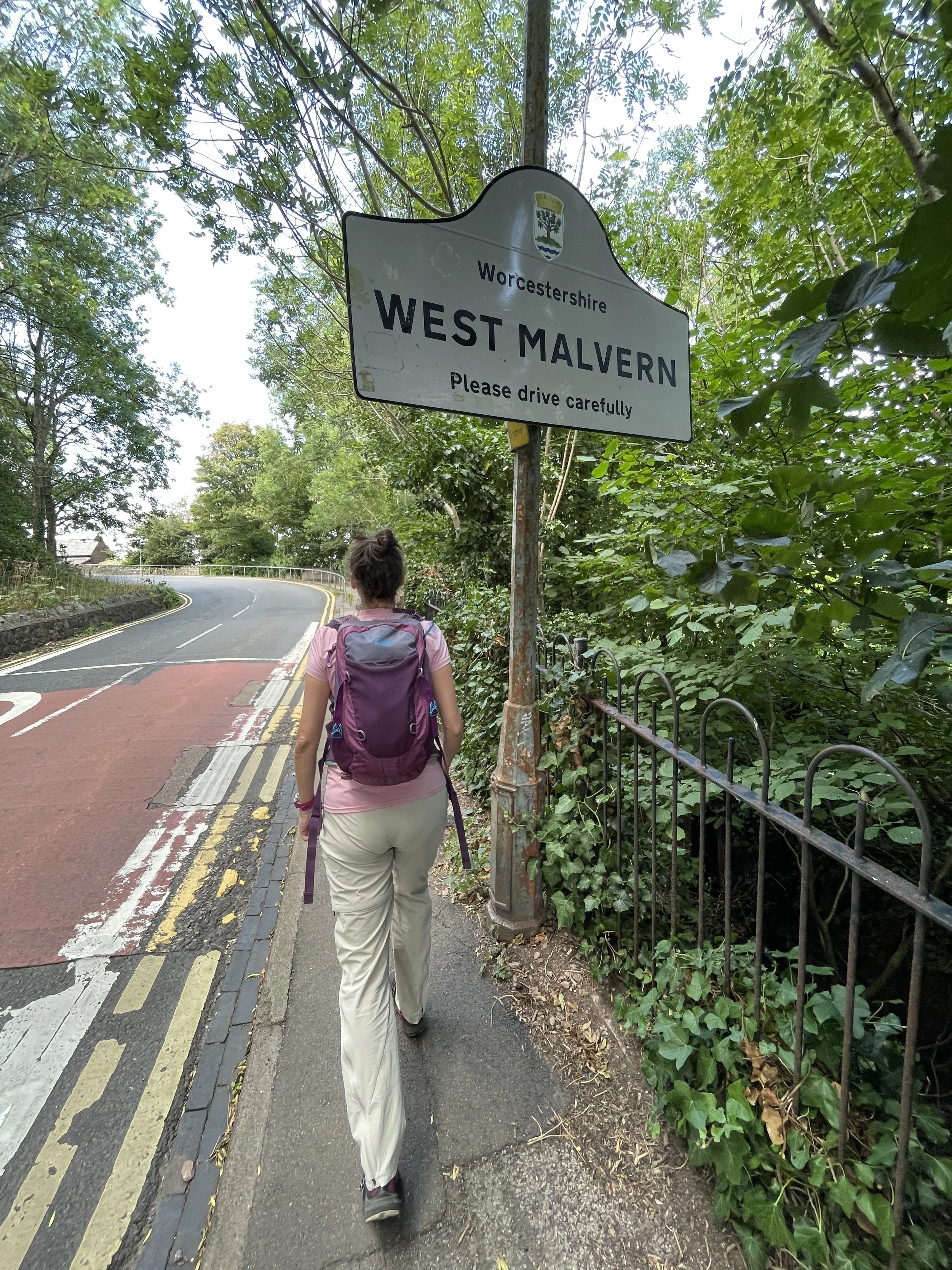
From the Clock Tower walk up North Malvern Road in a north-westerly direction until you pass the town sign for West Malvern. Just before the road bends cross over to the left hand side to take the track up into the ridge. Soon the tree line will clear and you’ll already have spectacular views. Continue south to ascend to the first summit of End Hill. Table Hill is the next obvious summit heading south, but this route takes a left shortly after end Hill to scale North Hill before a sharp westerly turn to take in Table Hill. Continue heading south to summit Sugarloaf Hill then continue to the summit of Worcestershire Beacon.

Worcestershire Beacon is the highest point in the Historic County of Worcestershire. I also heard that there’s nothing higher to the east until the Ural Mountains in Russia. I’m not completely convinced of that so post a comment below if you know of a reliable source. The "Beacon" in it’s name points to its long-standing use as a crucial signaling point. The hill was part of a chain of warning fires lit to alert the country of the approaching Spanish Armada in 1588. This tradition continued for centuries, with fires being lit for national celebrations like Queen Victoria's Diamond Jubilee and the Millennium.

The section south of the Beacon to Upper Wyche is the busiest part of the walk with many doing the short out-and-back from the car park as we did 11 years before. If you’re bagging all of the summits remember to take in Summer Hill rather than following the main path around it.

Wyche Road at Upper Wyche is the only road crossing on the route at a little over half way. We were very happy to meet an ice cream van on the very hot day that we were there. There’s also a pub and cafe near the crossing and public toilets near the start of the ascent to Perseverance Hill.

This second half of the route has fewer people and is an easier section with gentler climbs between the summits. After Perseverance Hill you’ll pass over Jubilee Hill. Pinnacle Hill and Black Hill before descending to the end point at the Malvern Hills Hotel and British Camp car park on the A449. If you’re not ready to finish walking for the day you can rest a while here then take in the short circular up to Herefordshire Beacon. Scroll down for details.


Bonus Walk: Herefordshire Beacon and Millennium Hill

Route Start and Finish: British Camp Car Park, A449, Great Malvern, Malvern, WR13 6DW
Route Distance: 2.4 km (1.5 miles)
Route Elevation Change: +/- 83m
GPX File: get via Buy Me a Coffee
Other routes touched (walk): Three Choirs Way
Other routes touched (cycle): none
Map: OS Explorer Map (190) Malvern Hills & Bredon Hill
Links: Wikipedia: (Herefordshire Beacon / British Camp), Peakbagger: (Herefordshire Beacon / Millennium Hill)

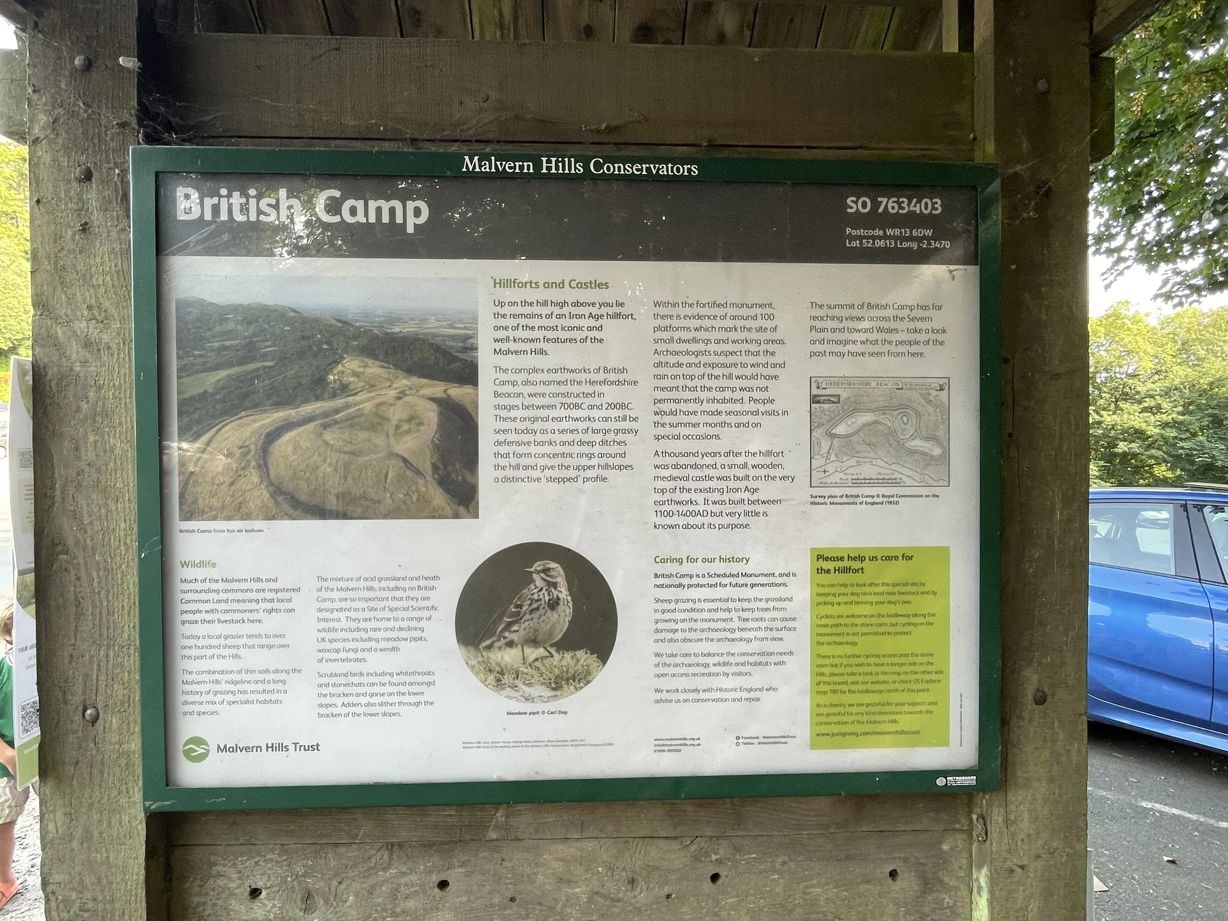
If you’ve been following the main route above you’ll see Herefordshire Beacon in the distance for much for the walk. It’s distinguishable by a flat grassy top and ringed by earthworks. Summiting it plus Millennium Hill at the end of the plateau is a short, steep but rewarding walk either as an add on to the main ridge walk or a short walk in it’s own right.


OTHER HIGH POINT IN Worcesterhire

  • Rednal Hill North Top (250m) Birmingham Unitary Authority High Point: Peakbagger


High Points of The Kent Lathes

When we think of historical English counties, Kent often conjures images of Canterbury Cathedral, hop fields, and a rich maritime past. But dig a little deeper into its administrative history, and you'll uncover a fascinating and uniquely Kentish set of subdivisions: the Lathes. Similar in concept to Sussex's Rapes, but with an even more ancient lineage, the Lathes of Kent represent a remarkable glimpse into Anglo-Saxon governance and the enduring legacy of early English kingdoms.

The term "Lathe" is believed to derive from an Old English word, possibly related to "læth," meaning a "division" or "district." These were large administrative and judicial units that predate the Norman Conquest, likely evolving during the Anglo-Saxon Kingdom of Kent. Unlike the more uniform shires that became common across much of England, the Lathes were particular to Kent and functioned as significant regional groupings, each with its own local assembly (or moot) and a degree of administrative autonomy. They effectively served as a tier of governance between the individual hundred (a smaller administrative unit) and the county as a whole.

Historically, Kent was divided into five main Lathes, each stretching roughly from the coast inland:

  • Sutton-at-Hone: The westernmost lathe, encompassing areas now part of Greater London.

  • Aylesford: Centred on the ancient crossing point of the River Medway at Aylesford.

  • Scray (or Shirley): A large central lathe, extending across much of mid-Kent.

  • St Augustine: Named after St Augustine's Abbey in Canterbury, reflecting its ecclesiastical importance.

  • Shepway: The southernmost lathe, bordering the coast and the Romney Marsh.

Having visited the high points of the Sussex Rapes in the previous year I set about visiting the high points of the Kent Lathes. I couldn’t find an established list of the Lathe High Points so I worked them out based on Trigpointing.uk and Peakbagger logs. Although I’m reasonably confident that these are the Lathe High Points, please leave a comment or reach me via the Contact form if you know of a different high point for any of the Lathes.


Lathe of Sutton-at-Hone

Highest Point: Betsom’s Hill
OS Trig Pillar: N/A
Links: Blog Post, Wikipedia, Wikishire, Peakbagger
Flag Image Source: British County Flags


Lathe of Aylesford

Highest Point: Wrotham
OS Trig Pillar: TP7083 - Wrotham
Links: Blog Post, Wikishire, Peakbagger
Flag Image Source: British County Flags


Lathe of Scray

Highest Point: Kingswood
OS Trig Pillar: TP4236 - Kingswood
Links: Blog Post, Wikipedia, Wikishire
Flag Image Source: British County Flags


Lathe of St Augustine

Highest Point: Farthingloe
OS Trig Pillar: TP3122 - Farthingloe
Links: Blog Post, Wikipedia, Wikishire
Flag Image Source: British County Flags


Lathe of Shepway

Highest Point: Paddlesworth
OS Trig Pillar: TP0449 - Paddlesworth
Links: Blog Post, Wikipedia, Wikishire
Flag Image Source: British County Flags


Wrotham: Lathe of Aylesford High Point

View to the south from nearby the high point

Significance: Highest point in the Kent Lathe of Aylesford
Parent Peak: Botley Hill
Nearest Higher Neighbour: Toys Hill
Elevation: 235m
Date “climbed”: 12th July 2025
Coordinates: 51° 19' N, 0° 17' E

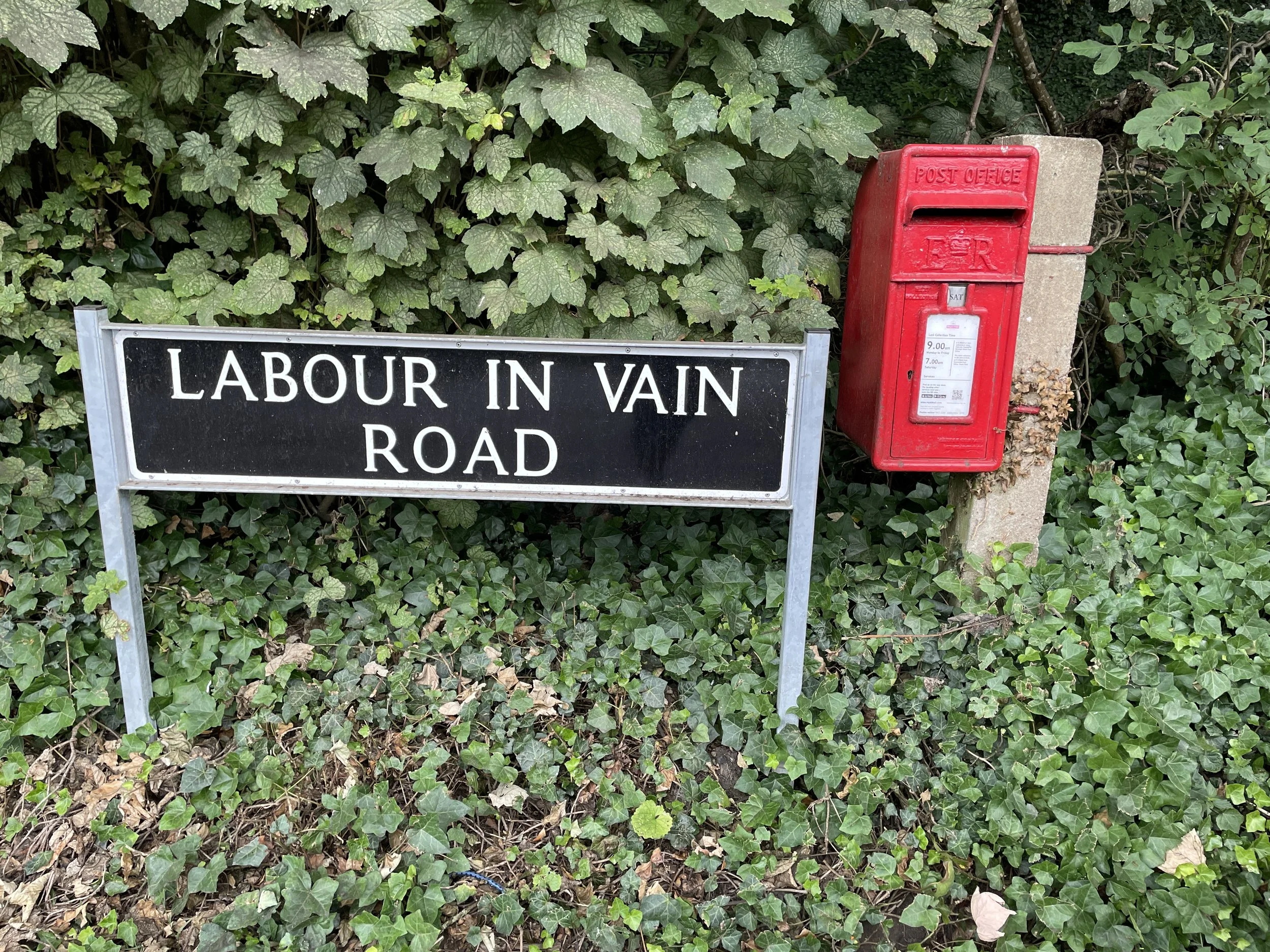
Route Start / End: On street parking in Stansted village on Labour-In-Vain road west of the junction with Plaxdale Green Road.
Route Distance: 2.5 km (1.6 miles)
Route Elevation Change: +/- 31m
GPX File: get via Buy Me a Coffee
Other routes touched (walk): None
OS Trig Pillar: TP7083 - Wrotham
Map: Maidstone & the Medway Towns Map | Kent Downs | Ordnance Survey | OS Explorer Map 148
Links: Wikipedia: Stansted, Wikishire: Lathe of Aylesford, Peakbagger


I visited the Wrotham Trig Pillar as a part of a mission to bag the High Points of the Kent Lathes, the historic sub-divisions of Kent. I couldn’t find an established list of the Lathe High Points so I worked them out based on Trigpointing.uk and Peakbagger logs. I’m pretty sure that Wrotham is the high point of the Lathe of Aylesford but please let me know if you think that the high point is somewhere else.

This is a short out-and-back walk from a parking space in Stansted village on Labour-In-Vain road west of the junction with Plaxdale Green Road. Walk south-east along Labour-in-Vain road, past the Hilltop Restaurant, then take the footpath on the right that crosses the A20. Continue along the footpath across the field and cross the bridge over the M20. Take the first footpath on the right to head in a south-westerly direction.

I was there in mid-summer and there were narrow, nettle-filled bushes surrounding the path but it was just about passable. Longer trousers and secateurs may have helped but it was OK apart from taking home a few scratches. There’s a lot of paths around the area and they didn’t exactly match up with the map so using the GPX file was very helpful here. Eventually I found the pillar in the middle of a thorny bush on the edge of a field.

Return via the same route, taking in the long views to the south.


Paddlesworth: Lathe of Shepway High Point

Significance: Highest point in the Lathe of Shepway
Elevation: 187m
Date “climbed”: 12th July 2025
Coordinates: 51°06'46.0"N 1°08'30.3"E
OS Trig Pillar: TP0449 - Paddlesworth
Map: Dover, Folkestone & Hythe Map | England Coast Path | Ordnance Survey | OS Explorer Map 138
Links: Wikipedia: (Lathe of Shepway, Paddlesworth), Wikishire: Lathe of Shepway


I visited the Paddlesworth Trig Pillar as a part of a mission to bag the High Points of the Kent Lathes, the historic sub-divisions of Kent. I couldn’t find an established list of the Lathe High Points so I worked them out based on Trigpointing.uk and Peakbagger logs. I’m pretty sure that Paddlesworth is the high point of the Lathe of Shepway but please let me know if you think that the high point is somewhere else.

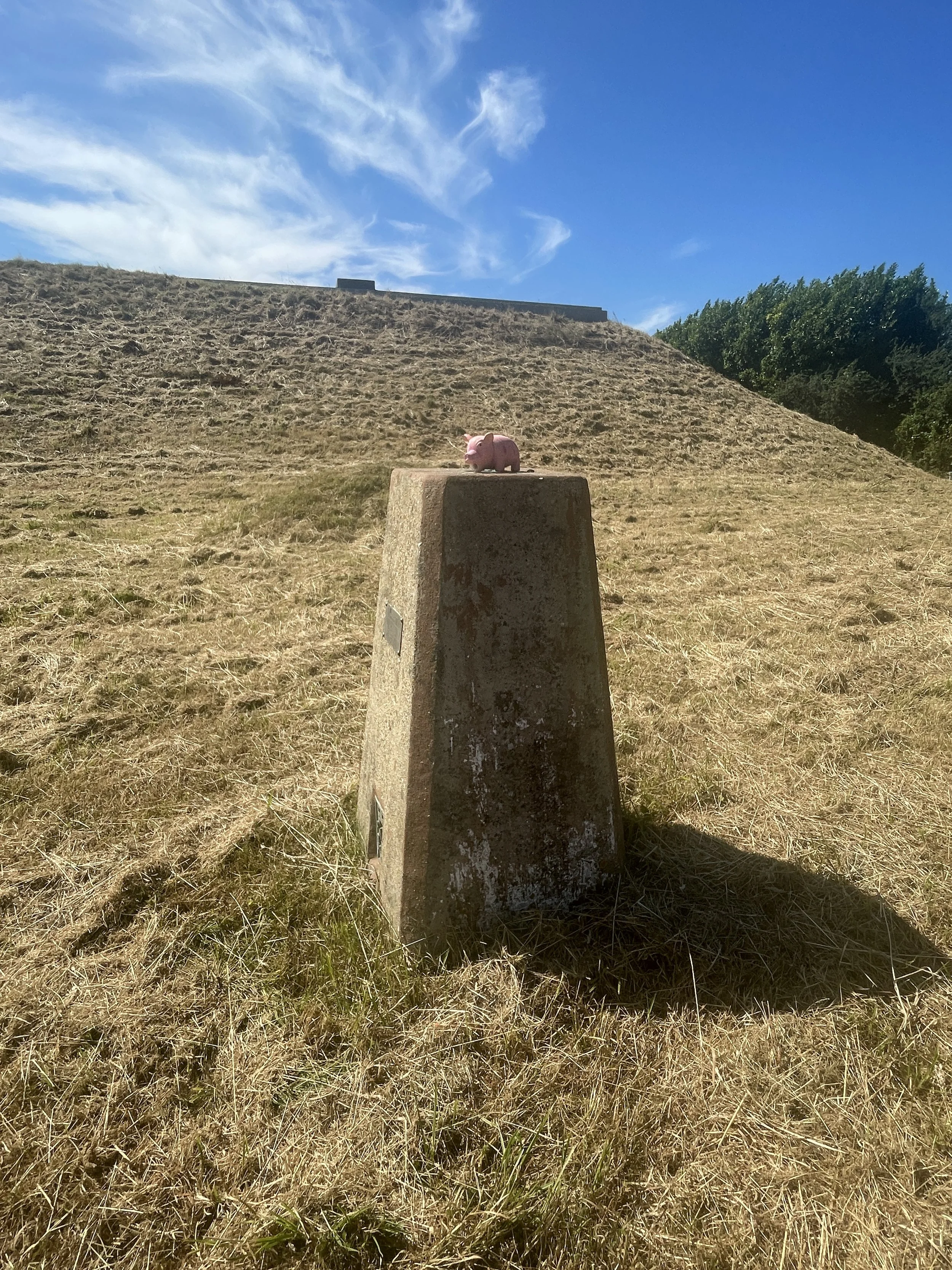
This is a very quick drive-by bag. The pillar is in the grounds of a reservoir at the end of Fisher’s Lane in Paddlesworth. It’s private property but the pillar is very close to the gate. Easy to take a photo from a short distance or to hop over the gate to reach it.


Farthingloe: Lathe of St. Augustine High Point

View to Aycliffe and Dover Harbour from the descent from Farthingloe

Significance: Highest point in the Kent Lathe of St. Augustine
Elevation: 182m
Date “climbed”: July 12th 2025
Coordinates: 51°12'42.1"N 0°53'51.2"E

Route Start / End: On-street parking at junctions of St David’s Avenue and Old Folkestone Road, Aycliffe, Dover, CT17 9HJ, Kent
Route Distance: 1.8 km (1.1 miles)
Route Elevation Change: +/- 66m
GPX File: get via Buy Me a Coffee
Other routes touched (walk): none
OS Trig Pillar: TP3122 - Farthingloe
Map: Dover, Folkestone & Hythe Map | England Coast Path | Ordnance Survey | OS Explorer Map 138
Links: Wikipedia: Lathe of St Augustine, Wikishire: Lathe of St. Augustine, Dover Historian: Farthingloe


I visited the Farthingloe Trig Pillar as a part of a mission to bag the High Points of the Kent Lathes, the historic sub-divisions of Kent. I couldn’t find an established list of the Lathe High Points so I worked them out based on Trigpointing.uk and Peakbagger logs. I’m pretty sure that Farthingloe is the high point of the Lathe of St. Augustine but please let me know if you think that the high point is somewhere else.

This one can be a quick out-and-back if you know where to go. The area around the pillar is quite overgrown so be careful. Long trousers and secateurs are worth taking in the summer. If you’re driving there’s plenty of free on-street parking in Aycliffe.

From the corner of St. David’s Avenue and Old Folkestone Road take a path through a gate heading west then take the first footpath on the right to ascend the steep hill. Although the route up the the hill looks straight on the map you’ll need to navigate around and through bushes to get to the top. At the path junction take a left heading west.

The trig pillar is just off the path to the left. I missed it on the way out and ended up at the wheat field. The circle on the map below is where I ended up in some abandoned farm buildings in a thorny bush. It was an interesting accidental diversion but you don’t need to go that far.

The pillar is a rare English cylindrical one and the views from it, and the descent are well worth the scramble to it. Return to Aycliffe by the same route.


Kingswood: Lathe of Scray High Point

Significance: Highest point in the Kent Lathe of Scray
Elevation: 182m 
Date “climbed”: 11th July 2025
Coordinates: 51°12'42.1"N 0°53'51.2"E

Route Start / End: Kings Wood Car Park, Challock, Ashford TN25 4AR
Route Distance: 450m (0.3 miles)
Route Elevation Change: +/- 3m
GPX File: get via Buy Me a Coffee
Other routes touched (walk): N/A
OS Trig Pillar: TP4236 - Kingswood
Map: Ashford Map | Headcorn, Chilham and Wye | Ordnance Survey | OS Explorer Map 137
Links: Wikipedia: Lathe of Scray, Wikishire: Lathe of Scray, Forestry England: Kingswood


I visited the Kingswood Trig Pillar as a part of a mission to bag the High Points of the Kent Lathes, the historic sub-divisions of Kent. I couldn’t find an established list of the Lathe High Points so I worked them out based on Trigpointing.uk and Peakbagger logs. I’m pretty sure that Kingswood is the high point of the Lathe of Scray but please let me know if you think that the high point is somewhere else.

This one is an easy drive-by bag from the Kingswood Forestry Commission Car Park. Take a left onto White Hill road and follow it for approx 150m. Enter the woods on the south side of the road and follow a faint path in the woods to find the Trig Pillar. You’ll notice a sign opposite the car park entrance saying “Private Wood. Keep Out”. I assume that this also covers the location of the Trig Pillar but it’s a very quick out-and back from the road without crossing any fences.


Ben MacDui: Aberdeenshire & Banffshire County Top

Ascent to Macdui with Loch Morlich in the background


Also Known As: Beinn Macduibh
Significance
: Historic County Top for Aberdeenshire & Banffshire
Member of: UK County Tops, Scotland County/Unitary Authority High Points, Marilyns, Munros
Nearest Higher Neighbour: Ben Nevis 
Elevation: 1,309m
Date climbed: June 13th 2025
Coordinates: 57° 4' 14'' N, 3° 40' 9'' W

Route Start & Finish: Cairngorm Mountain Upper Cas Car Park, Aviemore, PH22 1RB
Route Distance: 17.4 km (10.8 miles)
Route Elevation change: +/- 1.027m
Subsidiary tops on route: Ben Macdui - North Top (1,295m), Cairn Lochan (1,215m), Stob Coire an t-Sneachda (1,176m), Cairn Gorm - Fiacaill a' Choire Chois (1,141m), Cairn Gorm (1,244m)
GPX File: get via Buy Me a Coffee
Other routes touched (walk): Cairn Gorm Trail, Miadan Path
OS Trig Pillar: TP1286 - Ben Macdhui
Pubs / Cafes on route: Cairngorm Cafe at Cairngorm Mountain Base Station and at Ptarmigan Station
Map: Cairn Gorm & Aviemore: Sheet 403 (OS Explorer Map)
Links: Wikipedia: (Aberdeenshire / Banffshire / Ben Macdui), Peakbagger


Ben Macdui is the Historic County Top for both Banffshire and Aberdeenshire and the 2nd highest of all of the UK County Tops. We bagged it in 2025 on our annual County Top weekend trip, along with the Historic County Tops of Nairnshire and Morayshire.

This was The Big One of our annual Scottish County Tops trips so far. Having worked our way through the southern Scottish summits it was now time to take on the 2nd highest summit in the UK. It was also the reason why we changed our trips from the end of September to mid-June. The Cairngorm plateau can be glorious in fine weather but dangerous in poor visibility. Moving to June would give us a highler chance of good weather and more hours of light to complete the trip. There’s several ways that you can approach Ben MacDui but we opted for a route that took in several other nearby peaks plus a trip on the Cairngorm Funicular.

Starting from the car park at the Cairngorm Mountain ski centre cross over the end of the ski runs to take the Cairn Gorm Trail in a south-westerly direction. After 4 km you’ll reach a split in the path where you’ll leave the Cairn Gorm Trail to keep on the Miadan Path heading south. You’ll reach the Trig Pillar at the summit of Ben Macdui after 8.5 km from the start.

At the summit we were grateful that we’d chosen to do the trip in June and that we had swapped from a rainy Saturday to a bright, dry Sunday. The views across the National Park were spectacular and made up for many cloudy ascents of UK high points in the past.

On a day of poor visibility the obvious route back would be to return the same way to the Base Station. As we had great weather and it was still early in the day we kept to our best-case plan and took the interesting route back, bagging more summits on the way. First up was Ben Macdui North-Top. This is just 700m from Ben Macdui summit and only 16m lower in elevation. From here you can decend carefully taking a north-westerly curve down the slope to rejoin the Miadan Path. Soon you’ll reach a split in the path where you’ll take the right-hand path heading north. At the 12 km mark leave the path to take a bearing up the slope to rejoin the Cairn Gorm Trail at the summit of Cairn Lochan.

After Cairn Lochan continue along the Cairn Gorm Trail in a north-easterly direction to the summit of Stob Coire an t-Sneachda then continue towards Cairn Gorm Mountain. Along the way you can take a minor diversion off the Trail to bag Fiacaill a' Choire Chois. After bagging Cairn Gorm, the 6th highest Munro, descend in a northerly direction to the Ptarmigan Station to visit the cafe, exhibition and the Funicular.

If you’re planning to take the Funicular check first that it’s running and don’t leave it too late in the day. We arrived an hour before the last train and were able to get onto one around 30 minutes after we arrived. If you miss the train or it’s not running you can also walk down via the Cairn Gorm Trail. Also note that you can only descend via the Funicular if you’ve been hiking as they don’t allow anyone out onto the hills if you’re using the train to ascend.


Carn a'Ghille Chearr: Morayshire County Top

After the rain: descent of Carn a'Ghille Chearr


Significance: Historic County Top for Morayshire (formerly Elginshire)
Member of: UK County Tops, Scotland County/Unitary Authority High Points, Marilyns
Parent Peak:
Nearest Higher Neighbour: Creagan a' Chaise
Elevation: 710m
Date climbed: June 13th 2025
Coordinates: 57° 21' 4'' N, 3° 25' 53'' W

Route Start & Finish: Car park at Ballcorach off the B9136
Route Distance: 11.6 km (7.2 miles)
Route Elevation change: +/- 497m
Subsidiary tops on route: Carn Eachie (705m)
GPX File: get via Buy Me a Coffee
Other routes touched (walk): None
OS Trig Pillar: TP2604 - Cromdale
Pubs / Cafes on route: None
Map: OS Explorer OL61 Grantown-on-Spey & Hills of Cromdale
Links: Wikipedia: (Morayshire), Peakbagger


Carn a'Ghille Chearr is the Historic County Top for Morayshire and the 33rd highest of all of the UK County Tops. We bagged it in 2025 on our annual County Top weekend trip, along with the Historic County Tops of Nairnshire, Aberdeenshire and Banffshire.

In our original plan we were going to do Ben Macdui on the Saturday of our weekend away but, on checking the weather, we moved it to the dryer Sunday and went for the shorter, easier walk of Carn a'Ghille Chearr instead. It turned out to be a good choice, but did mean that we hardly got any views. In Jonny Muir’s UK County Tops book he describes it as “a miserable trudge through sopping bog over grassy tussocks” on a miserable day. We had a miserable day and Jonny was 100% correct.

The start of the route is a small free car park at Ballcorach off the B9136. Before you start take a few minutes to walk down to the banks of the River Avon for a nice view of the river and the bridge that you will have just driven across. To start the walk, first head north keeping to the western side of the river. After ~200m take the footpath on the left heading towards the mountain.

The route is straightforward with just one path leading up to the Trig Pillar at the summit. The path is well defined for most of the way but loses itself in the bog near the point where is curves towards Carn Eachie. We were in drizzly cloud by then so we relied on the GPS to keep us on track. We had read that there’s remains of a crashed plane between Carn Eachie and the summit but we couldn’t find anything despite a bit of hunting. Maybe it would have been obvious on a clear day.

On the return to strayed off route a bit, taking a more direct route to the start, cutting off the big curve that we came up on.


Càrn Glas-choire: Nairnshire County Top

Summit of Càrn Glas-choire


Significance: Historic County Top for Nairnshire
Member of: UK County Tops, Scotland County/Unitary Authority High Points, Marilyns,  Grahams
Nearest Higher Neighbour: Geal-charn Mor
Elevation: 659m
Date climbed: June 13th 2025
Coordinates: 57° 20' 22'' N, 3° 50' 36'' W

Route Start & Finish: Parking spot 200m south of farm track to Aucherteang Cottage on the B9007.
Route Distance: 13.1 km (8.1 miles)
Route Elevation change: +/- 385m
Subsidiary tops on route: None
GPX File: get via Buy Me a Coffee
Other routes touched (walk): None
OS Trig Pillar: TP1956 - Carn Glas Choire
Pubs / Cafes on route: None
Map: Lochindorb, Grantown-on-Spey & Carrbridge Map | Caingorms National Park | Ordnance Survey | OS Explorer Map OL60
Links: Wikipedia: (Nairnshire), Peakbagger


Càrn Glas-choire is the Historic County Top for Nairnshire and the 40th highest of all of the UK County Tops. We bagged it in 2025 on our annual County Top weekend trip, along with the Historic County Tops of Morayshire, Banffshire and Aberdeenshire.

We picked Càrn Glas-choire as the first of our weekend walks as it’s roughly 45 minutes from Inverness airport and on the way to Aviemore where we were staying. There’s not many options for parking but fortunately it’s not a popular mountain so it wasn’t a problem. We found a parking spot next to a gate a few minutes walk to the south of the route.

First find the track off the B9007 with the sign to Auchterteang Cottage and follow it in a north-easterly direction through the farm. The path soon crosses over Duthill Burn and continues to meander up the mountain to the trig point at the summit. It’s a well maintained path and navigation is simple. The only time that we needed to rely on our GPS was to check the return route down from the cloudy top.

We returned by the same route, completing the whole trek in just over 3 hours. After returning to the car we headed for a whisky at Glenlivet Distillery, a 10 minute drive away. It was a nice warm-up for the weekend but I don’t think this one will stand out in our memories of the full set of County Tops.


Brimmond Hill: Aberdeen High Point

Approaching the summit of Brimmond Hill from the car park.


Significance: High Point for the City of Aberdeen Council Area
Member of: Scotland County/Unitary Authority High Points, Marilyns
Nearest Higher Neighbour: Cairn-mon-earn
Historic County: Aberdeenshire (of which Ben Macdui is the County Top)
Elevation: 266m
Date climbed: September 30th 2024
Coordinates: 57° 10' 23'' N, 2° 14' 22'' W

Route Start & Finish: Brimmond Hill Car Park, Aberdeen, AB15 8RQ
Route Distance: 2.6 km (1.6 mile)
Route Elevation change: +/- 100m
Subsidiary tops on route: None
GPX File: get via Buy Me a Coffee
Other routes touched (walk): Brimmond Hill Circular
OS Trig Pillar: TP0666 - Brimmond
Pubs / Cafes on route: None
Map: Aberdeen & Banchory Map | Deeside Way | Ordnance Survey | OS Explorer Map 406
Links: Wikipedia: (Aberdeen / Brimmond Hill), Peakbagger


Brimmond Hill is the highest point in the present-day Council Area of Aberdeen within the Historic County of Aberdeenshire. We bagged this one in 2024 on the final day of our annual County Top trip having also visited the high point of Dundee City and the Historic County Tops of Angus and Kincardineshire.

This one can be bagged in a short out and back walk from the Brimmond Hill car park off the Borrowstone Road. It’s a 1.3 km walk the top which is marked by a Trig Pillar, a radio transmitter and a flag pole. It was a little misty when we were there but we still had a good view across to Aberdeen City, the airport and the surrounding hills.

We returned to the car-park via the same route but there’s also a circular option which returns via a path to the south adding around 500m to the total trip.


Mount Battock: Kincardineshire County Top

Path split on the circular route. Mount Battock in the distance


Significance: Historic County Top for Kincardineshire
Member of: UK County Tops, Scotland County/Unitary Authority High Points, Marilyns
Nearest Higher Neighbour: Mount Keen 
Elevation: 778m
Date climbed: September 29th 2024
Coordinates: 56° 56' 57'' N, 2° 44' 31'' W

Route Start & Finish: Small parking space near Millden Lodge, Glen Esk
Route Distance: 15 km (9.3 miles)
Route Elevation change: +/- 637m
Subsidiary tops on route: Wester Cairn
GPX File: get via Buy Me a Coffee
Other routes touched (walk): None
OS Trig Pillar: TP0677 - Mount Battock
Pubs / Cafes on route: None
Map: Glen Esk and Glen Tanar (OS Explorer Map Series): No. 395
Links: Wikipedia: (Kincardineshire / Mount Battock), Peakbagger


Mount Battock is the Historic County Top for Kincardineshire and the 27th highest of all of the UK County Tops. We bagged it in 2024 on our annual County Top weekend trip, along with the Historic County Top of Angus and the Council Area High Points of Dundee and Aberdeen.

The start of the route is from a small parking area in Millden just off the minor road that tracks the northern edge of the River North Esk. From here take the lane that heads north from the parking spot, past the old water mill to a path junction at Muir Cottage. Take the right hand path to follow the track that follows the left-hand side of the Burn of Turrett. At the 2km mark you’ll reach another path junction which marks the start of the main circular section of this walk. Take the left hand path to the Trig Pillar and stone shelter at the summit of Mount Battock.

To descend cross over the fence to the south of the summit, using the ladder stile. There’s a path here in places but it’s often hard to track as it passes through very boggy ground. Just keep close to the fence on your left for around 800m until you reach a well-defined track. Follow the track in a south / south westerly direction until it meets the Burn of Turrett. Cross over the burn and you’ll reach the path junction where you previously took a left to start the circular section. From here take a left to retrace the first 2 km of the route back to the start.


Kincardine Kirkyard

One of the highlights of this year's County Top bagging trip was finding the remains of the lost County Town of Kincardine. This was originally a Scottish Burgh that developed around Kincardine Castle. By 1600, the burgh was in decline, and the county town moved to Stonehaven where it is now.

Our hunt for the lost town of Kincardine began on the way to Aberdeen after our Mount Battock walk. We stopped for a drink in Fettercairn and discovered a plaque in the main square detailing the town's history. The last sentence on the plaque reads: "All that remains of the old County Burgh today is the tiny Kirkyard of St Catherine's Chapel with a solitary tombstone dated 1786"

The site of Kincardine Castle is easy to find with a 5 minute drive to the east of Fettercairn along the B966. Take a left off the B966 to find Castleton Kincardine Farm (AB30 1EX). Turning left into the farm drive you can see the foundations of the old castle on your right. Slightly further down the farm track you'll see a clump of trees in the middle of a field. This is the remains of the old kirkyard.

We parked at the side of the lane and crossed the field to the kirkyard. In late September the field had been ploughed but be careful not to damage crops at other times of the year and, if possible, ask permission from the landowner. The tombstone and remains of the old wall are easy to find in the centre of the trees with not too much foliage to get through.

Links: Fettercairn, Kincardine


Glas Maol: Angus County Top

Walking from Glas Maol towards Creag Leacach


Significance: Historic County Top for Angus
Member of: UK County Tops, Scotland County/Unitary Authority High Points, Munros, Marilyns
Parent Peak: Lochnagar
Nearest Higher Neighbour: Carn a' Coire Boidheach
Elevation: 1,068m
Date climbed: September 28th 2024
Coordinates: 56° 52' 23'' N, 3° 22' 6'' W

Route Start & Finish: Small parking area on A93 Old Military Road, ~3km north of Glenshee Ski Centre
Route Distance: 19.3 km (12 miles)
Route Elevation change: +/- 808m
Subsidiary tops on route: Carn an Tuirc, Cairn of Claise, Creag Leacach
GPX File: get via Buy Me a Coffee
Other routes touched (walk): The Monega Pass
OS Trig Pillar: TP3372 - Glas Maol
Pubs / Cafes on route: Cafe at Glenshee Ski Centre
Map: Glen Shee & Braemar Map | The Cairnwell & Glas Maol | Ordnance Survey | OS Explorer Map OL52
Links: Wikipedia: (Angus / Glas Maol), Peakbagger, Glenshee Ski Centre


Glas Maol is the Historic County Top for Angus and the 7th highest of all of the UK County Tops. We bagged it in 2024 on our annual County Top weekend trip, along with the Historic County Top of Kincardineshire and the Council Area High Points of Dundee and Aberdeen.

The quickest way to conquer Glas Maol is an out-and-back from the large car park at Glenshee Ski Centre. I always prefer an interesting circular over an out-and-back so we opted for the 4-Munro circuit that I found on the Walk Highlands site. For this we started at a small parking spot around 3 km north of the Ski Centre. If that parking spot is full then park at the Ski Centre and walk to the northern parking at the start of the walk rather than at the end.

From the northern parking spot take the footpath that ascends to Carn an Tuirc in an east/north-easterly direction on the northern side of a small stream. After 1.2km you’ll cross over the stream, continuing to ascend. You’ll reach the summit of the first of the day’s Munros after 2.9km.

Continue along the path, now curving to the south-east, for another 2.6 km to reach the summit of Cairn of Claise. This is the second Munro of the day and, at 1.064m, just 4 metres lower than Glas Maol. Continue along the path, now heading south-west. The route descends slightly then ascends, crossing over the Monega Pass, to the summit of Glas Maol. The high point is marked by a Trig Pillar and a stone shelter large enough for 4 people.

After the Glas Maol summit, continue heading south-west, descending for 1km to the 10 km point in the walk. Here you’ll reach a path junction marked by a large cairn. This is a good point to make a decision to either take a short out-and-back to the 4th Munro, or return straight down to the road. We expected bad weather but, as it turned out, we had a bright, albeit cold, day with good visibility so we decided to bag the 4th Munro.

To reach Creag Leacach continue south for 1.5 km following the ridge line towards the steep ascent to the summit. The path gets very close to a steep drop on the left hand side just ahead of the climb so be extra careful in low visibility. After the summit, retrace your steps back to the large cairn, then continue descending in a north-westerly direction towards the ski-slopes. As you get closer to the slopes, continue along the path as it curves to the west and descend back to A93 Old Military Road at the large Glenshee Ski Centre car park. Take a right onto the road and follow the grass verge back to the starting point.

There’s a cafe at the Ski Centre that’s a great place to stop at the end to celebrate completing the route. Don’t rely on it if you’re out late in the day though. Our excitement to stop there quickly vanished when we arrived there 5 minutes after closing time.

While some of the County Top walks are starting to blur together in our memories, Glas Maol will likely be one that will stand out as a real classic route. The great visibility that we had that day certainly helped but the chance to bag 4 Munros in 1 walk was a big factor too.


Gallow Hill: Dundee City High Point

Water Tower at the top of Gallow Hill


Significance: High Point for the Dundee City Council Area
Member of: Scotland County/Unitary Authority High Points
Parent Peak: King's Seat
Nearest Higher Neighbour: Craigowl Hill
Historic County: Angus (of which Glas Maol is the Historic County Top)
Elevation: 175m
Date climbed: September 27th 2024
Coordinates: 56° 29' 41'' N, 3° 2' 5'' W

Route Start & Finish: Clatto Country Park Visitor Centre, 83 Clatto Country Park, Dundee, DD3 9SE
Route Distance: 1.2 km (>1 mile)
Route Elevation change: +/- 20m
Subsidiary tops on route: None
GPX File: get via Buy Me a Coffee
Other routes touched (walk): None
OS Trig Pillar: N/A. Nearest is TP6425 - The Roundie
Pubs / Cafes on route: None
Map: Dundee & Sidlaw Hills Map | River Tay | Ordnance Survey | OS Explorer Map 380
Links: Wikipedia: (City of Dundee), Peakbagger


Gallow Hill is the highest point in the present-day Council Area of Dundee City within the Historic County of Angus. We were in town for the day as a part of our annual Scottish County Top weekend. As a warm-up for bagging Glas Maol, the Angus Historic County Top, on the following day we visited Gallow Hill plus a couple of Trig Pillars in the area.

The summit of Gallow Hill is a short out-and-back from either of the car parks at Clatto Country Park or the Templeton Woods Ranger Station. From either start point walk to the large concrete water tower at the top of the hill. The actual high point isn’t marked so we walked round a few possible contenders. The coordinates from Peakbagger take you to a bend in a path to the south of the tower. This seems unlikely to be the place as it’s not the highest ground and it’s not on a boundary. The water tower base is also unlikely as it’s man-made but we walked a full circuit of the outer fence anyway. Most likely seemed to be a small knoll on the east of the tower. Whichever point was the highest, we felt satisfied that we’d bagged it and returned back to the car.

There’s no Trig Pillar at the high point but The Roundie, nearby at 159m elevation is worth a visit. We also visited Dundee Law earlier in the day. This is 1m lower than Gallow Hill, but a more satisfying visit as it has a Trig Pillar and a great view over the city and the Tay Estuary.