Bidean Nam Bian: Argyll County Top
Ascent of Bidean nam Bian
Also Known As: Bidean nam Beann, "peak of the mountains" (Scottish Gaelic)
Significance: Historic County Top for Argyll
Member of: Munros, Marilyns
Parent Peak: Ben Nevis
Nearest Higher Neighbour: Ben Nevis
Elevation: 1,149m
Date climbed: June 6th 2026
Coordinates: 56° 38' 34'' N, 5° 1' 46'' W
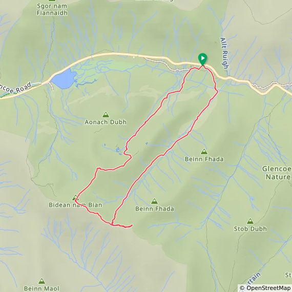
Route Start & Finish: Three Sisters Viewpoint Parking, Ballachulish, PH49 4HX
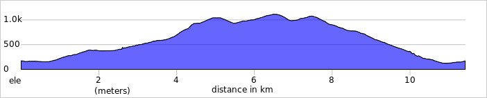
Route Distance: 11.4 km (7.1 miles)
Route Elevation change: +/- 1,154 m
Subsidiary tops on route: Stob Coire Sgreamhach (1,072m), Stob Coire nan Lochan (1,116m)
GPX File: get via Buy Me a Coffee
Other routes touched (walk): Bidean nam Bian Trail
OS Trig Pillar: N/A
Pubs / Cafes on route: None
Map: Glen Coe & Glen Etive Map | Ballaculish & Kinlochleven | Ordnance Survey | OS Explorer Map 384
Links: Wikipedia: (Argyll, Glen Coe, Bidean nam Bian), peakbagger, Hillbagging
Bidean nam Bian is the Historic County Top for the Argyll, and the 5th highest of all of the UK County Tops. I bagged it in 2026 on our annual County Top weekend trip, along with the present-day County Tops of East Dunbartonshire, West Dunbartonshire, Glasgow City and the Historic County Top of Ross and Cromarty.
Walking Directions
The guidance below will help you navigate but don’t use it as a fully accurate turn-by-turn guide. Always take a map and/or a GPX route and prepare well for the weather and terrain.
I always knew this mountain would be the big one. For the past few years, Bidean nam Bian has been sitting on our radar as a major objective: we intentionally saved it for later because of its sheer scale, its slightly more remote location, and the daunting elevation profiles in the UK County Tops book. I fully expected a tough day out, and it certainly did not disappoint.
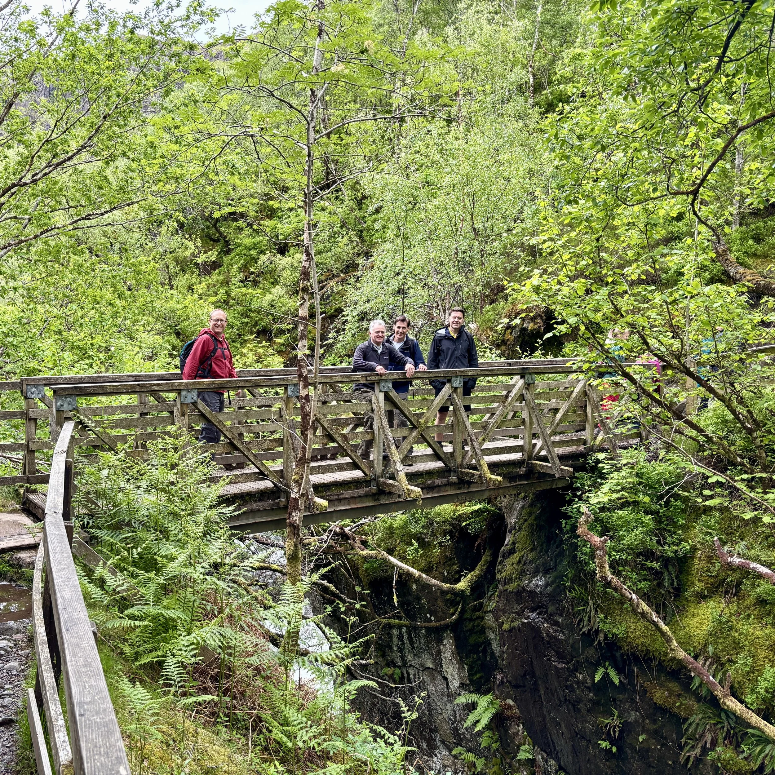
Our Saturday began after reuniting at the Glasgow Youth Hostel the night before, having successfully completed our parallel Friday adventures: Mark, Matt, and Joel on Goat Fell, and myself bagging the East and West Dunbartonshire and Glasgow high points.
Since it was Saturday morning, we naturally kicked things off with a 5k. Keep in mind that parkrun starts at 09:30 in Scotland, so after finishing up at Victoria Park, we hit the road for the nearly two-hour drive north to Glencoe.
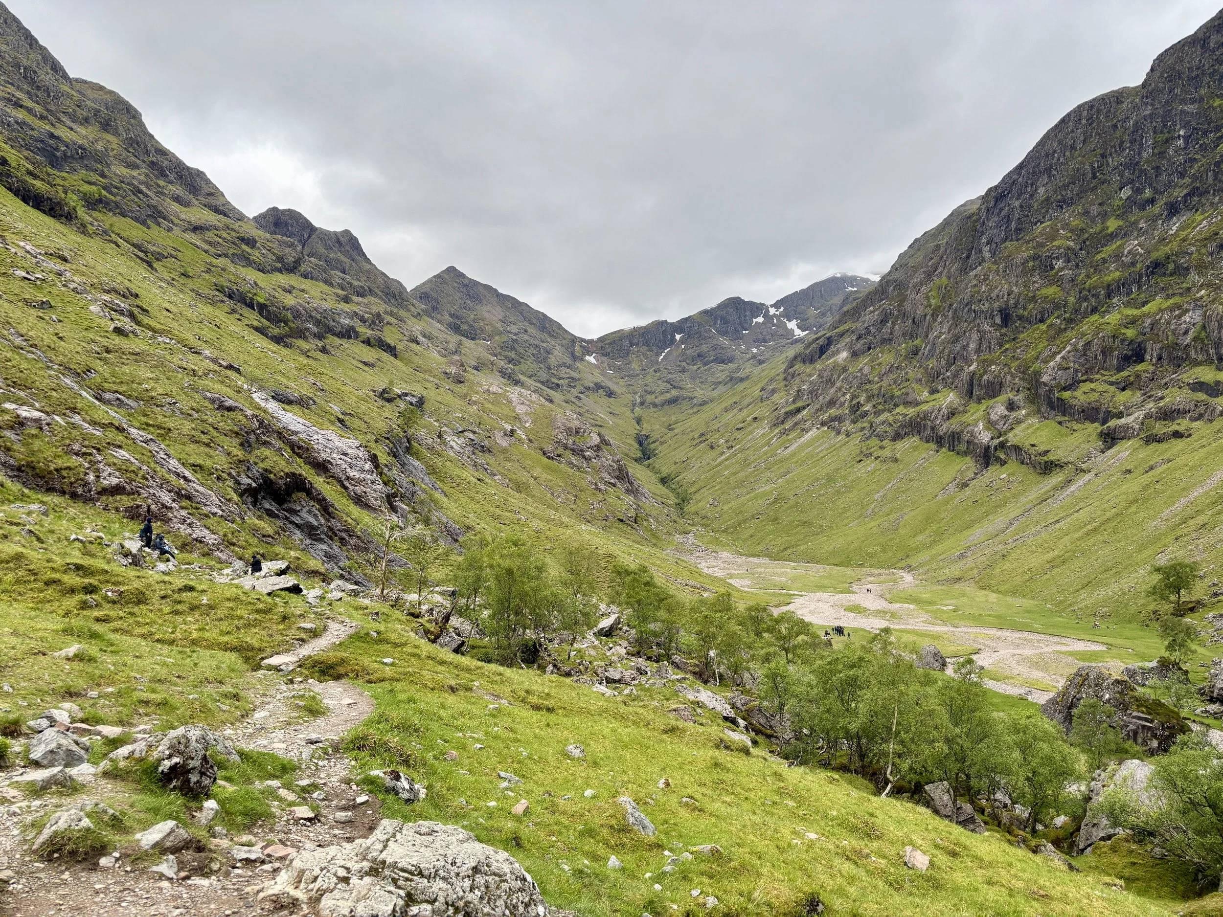
We arrived at the Three Sisters car park around midday. Unsurprisingly, it was completely full, so we ended up parking on the grass verge just outside. It is worth noting that you cannot actually see Bidean nam Bian from the road: it sits hidden away behind the towering ridges of the Three Sisters.
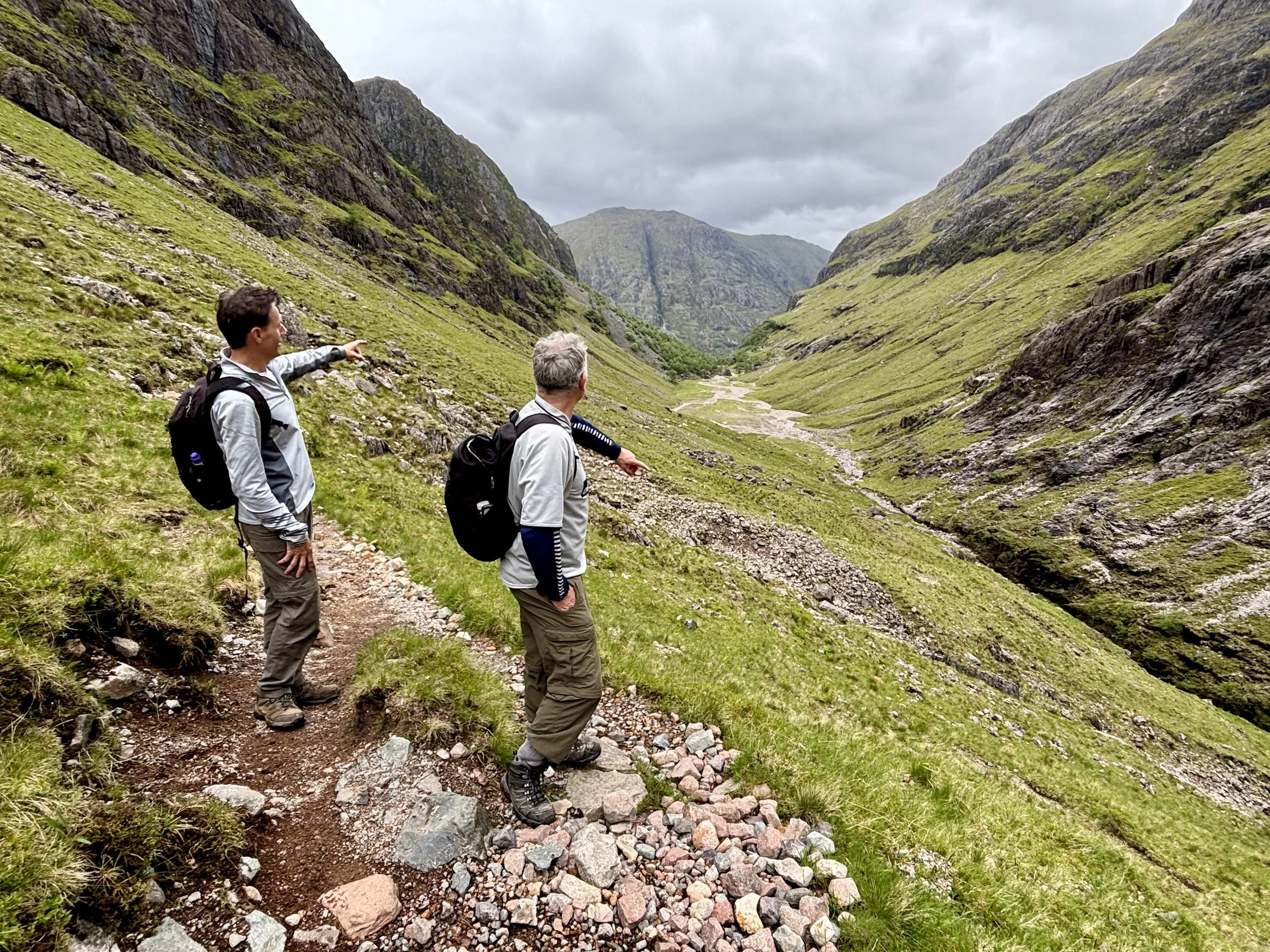
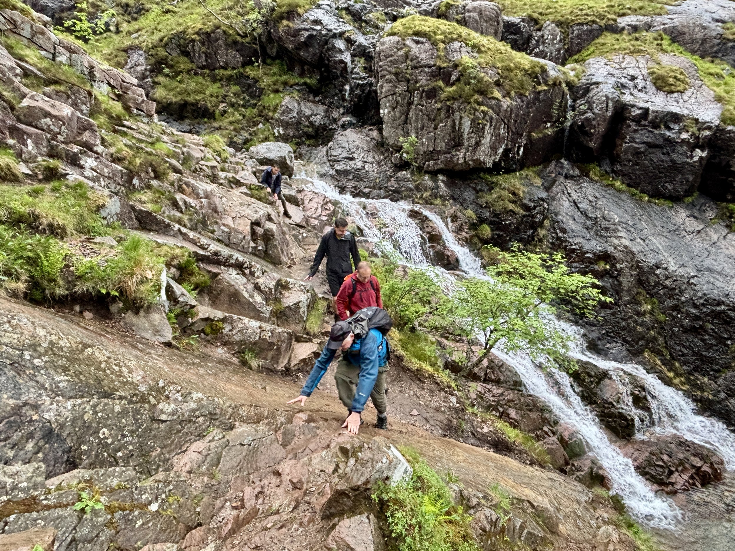
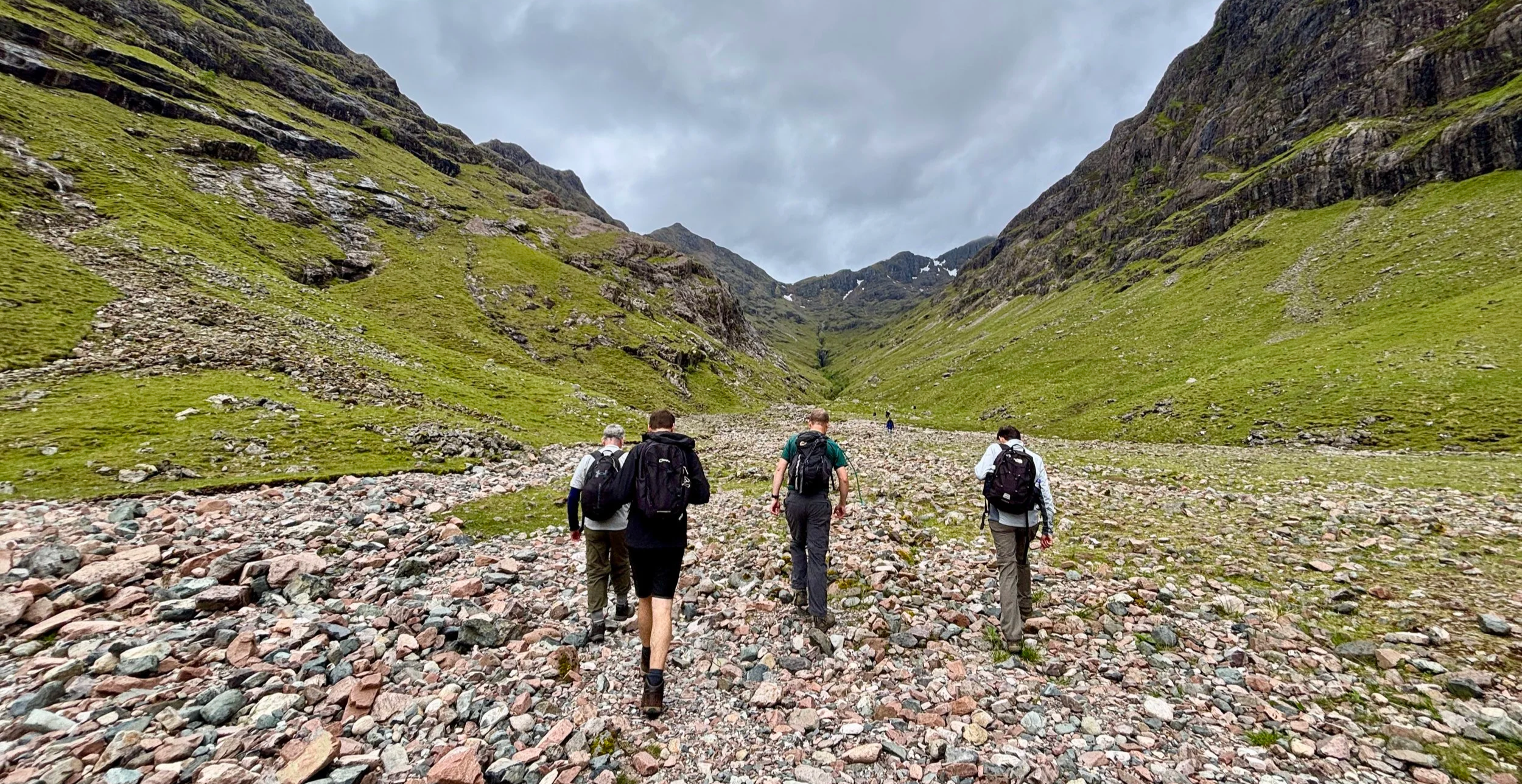
From the road, we took a south-easterly route to pick up the trail. The first section was fairly gentle, offering a steady climb up through the valley. However, as we drew closer to the summits, the terrain changed dramatically. The path gave way to steep, slippery scree, making the ascent a proper adventure.
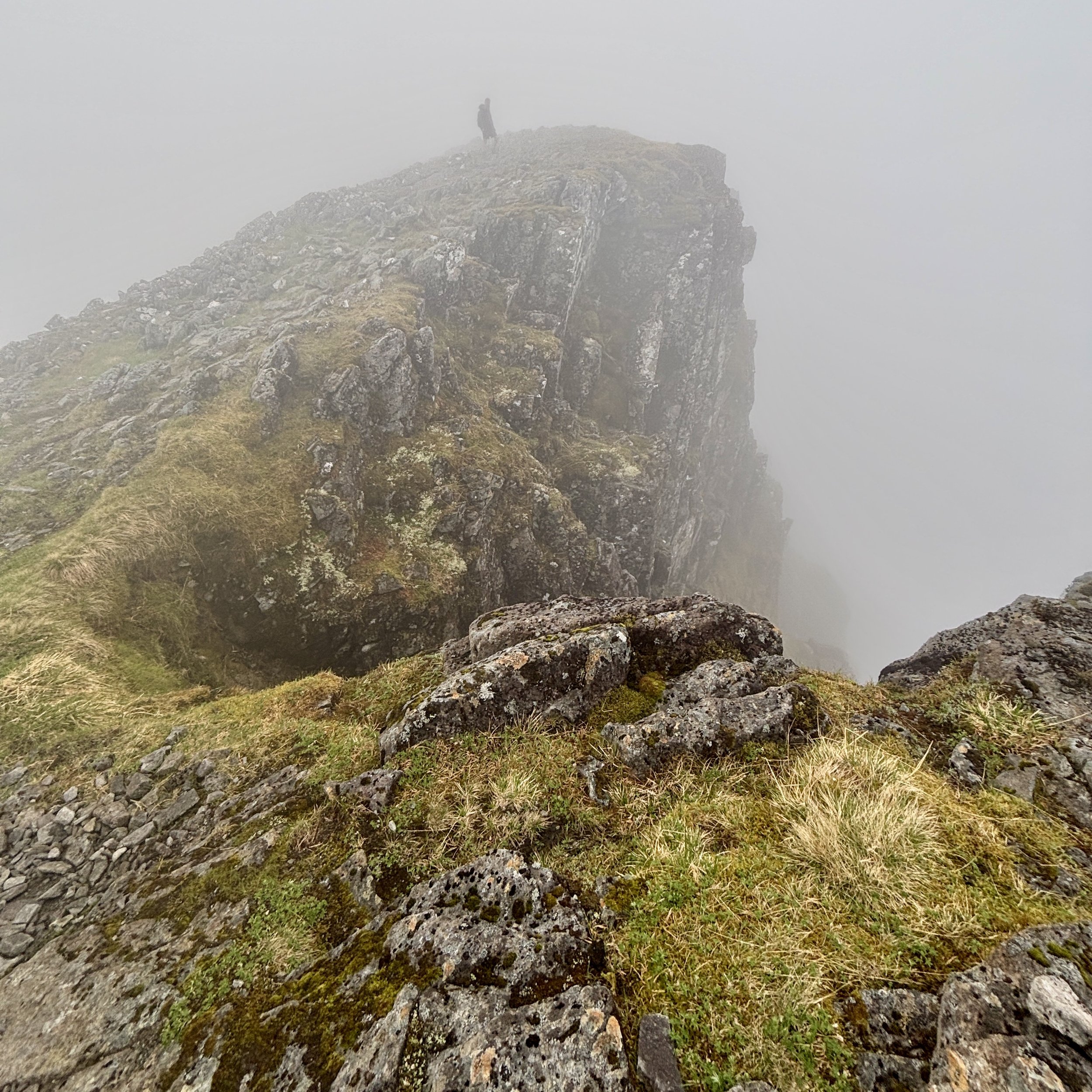
We eventually scrambled our way up to the ridge line. At this point, the main summit was roughly two kilometres away to the right, but Joel pointed out an opportunity. By taking a left turn towards the east, we could do an out-and-back detour to bag Stob Coire Sgreamhach. We weren't entirely sure at first, but we were making excellent time, and the misty weather wasn't too bad. Since it is a Munro, we simply couldn't pass up the opportunity.
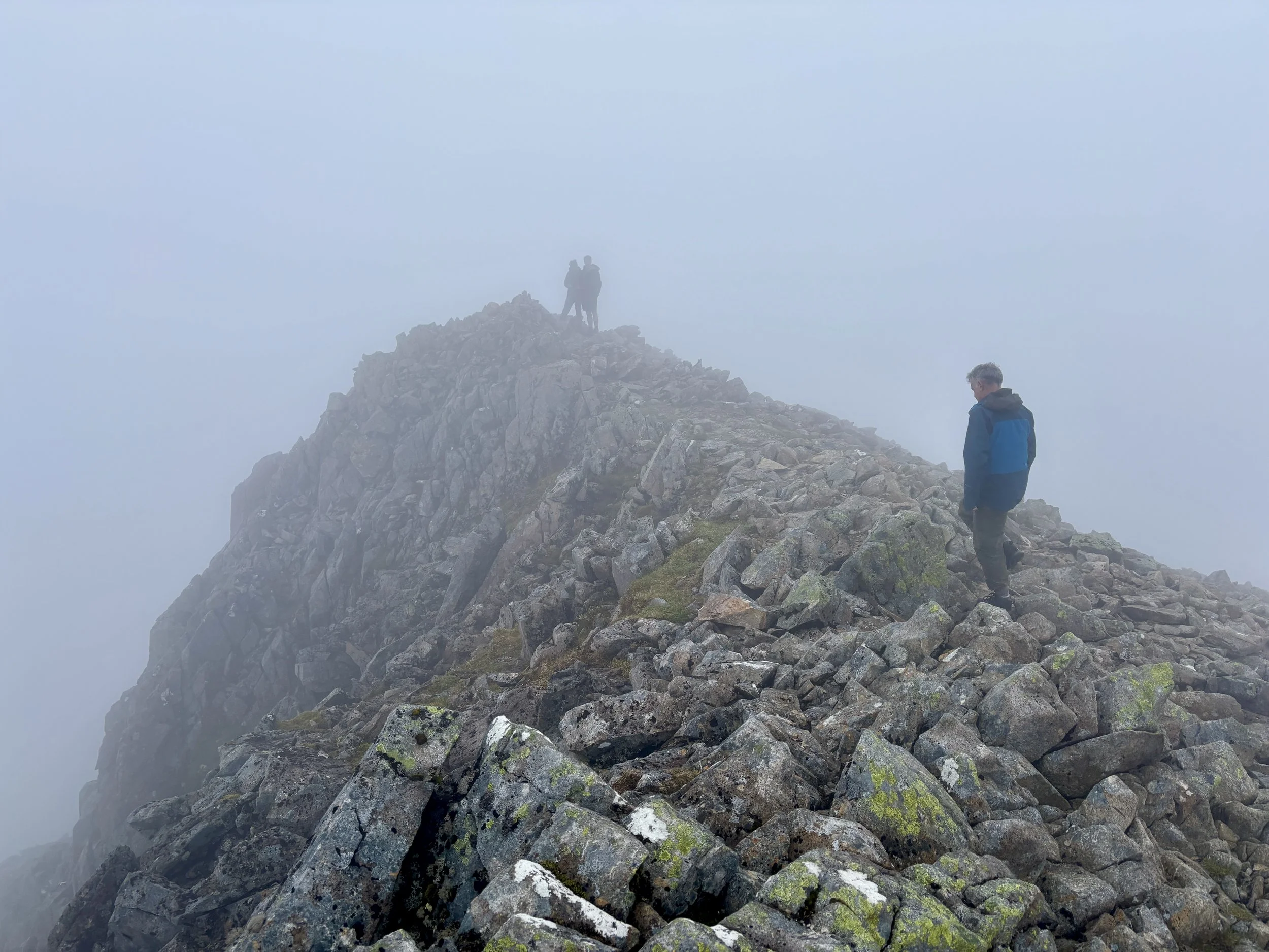
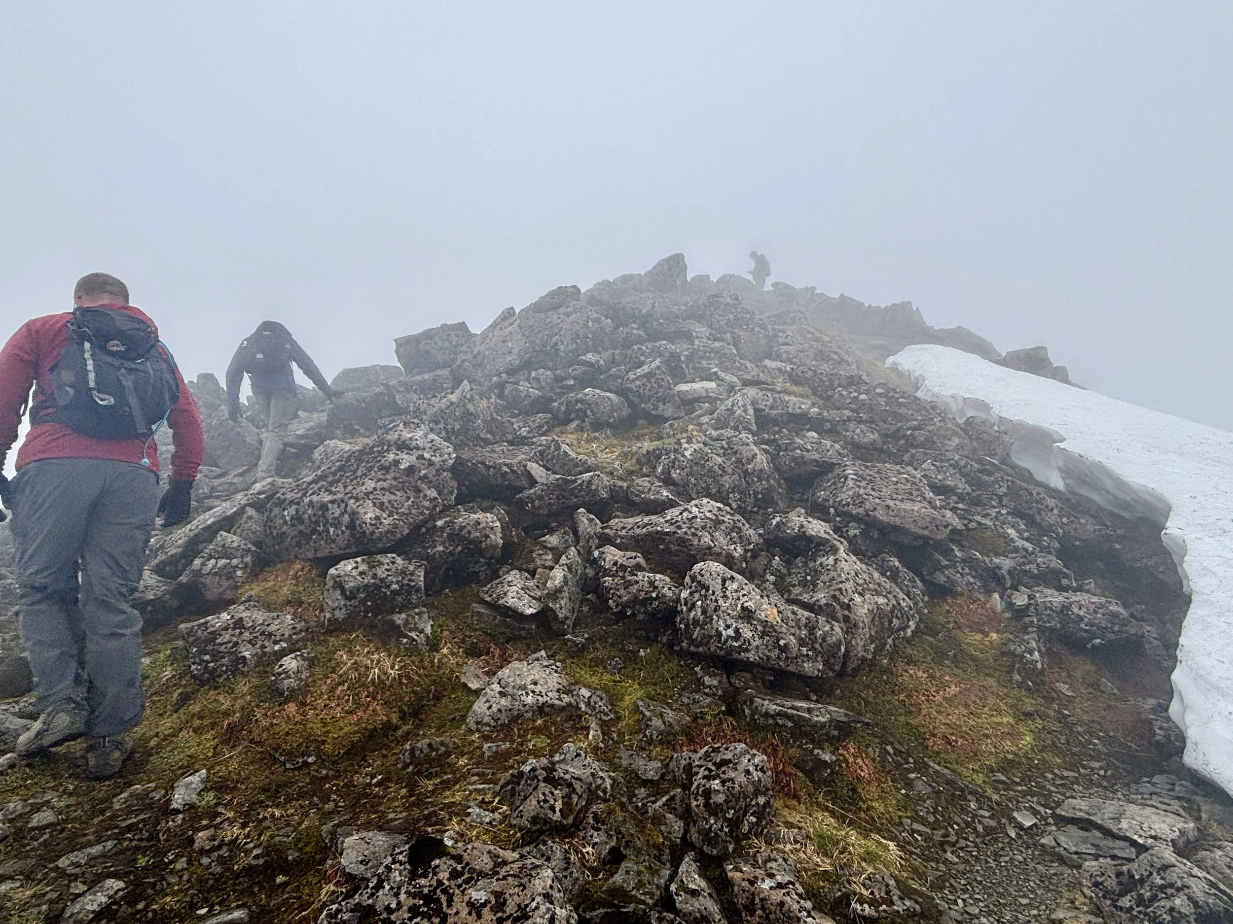
After bagging the bonus peak, we retraced our steps and tackled the increasingly steep final push up Bidean nam Bian. There is no trig pillar at the top, but the true summit is very obvious. By the time we arrived, the drizzle had set in, and the mist made visibility incredibly poor.
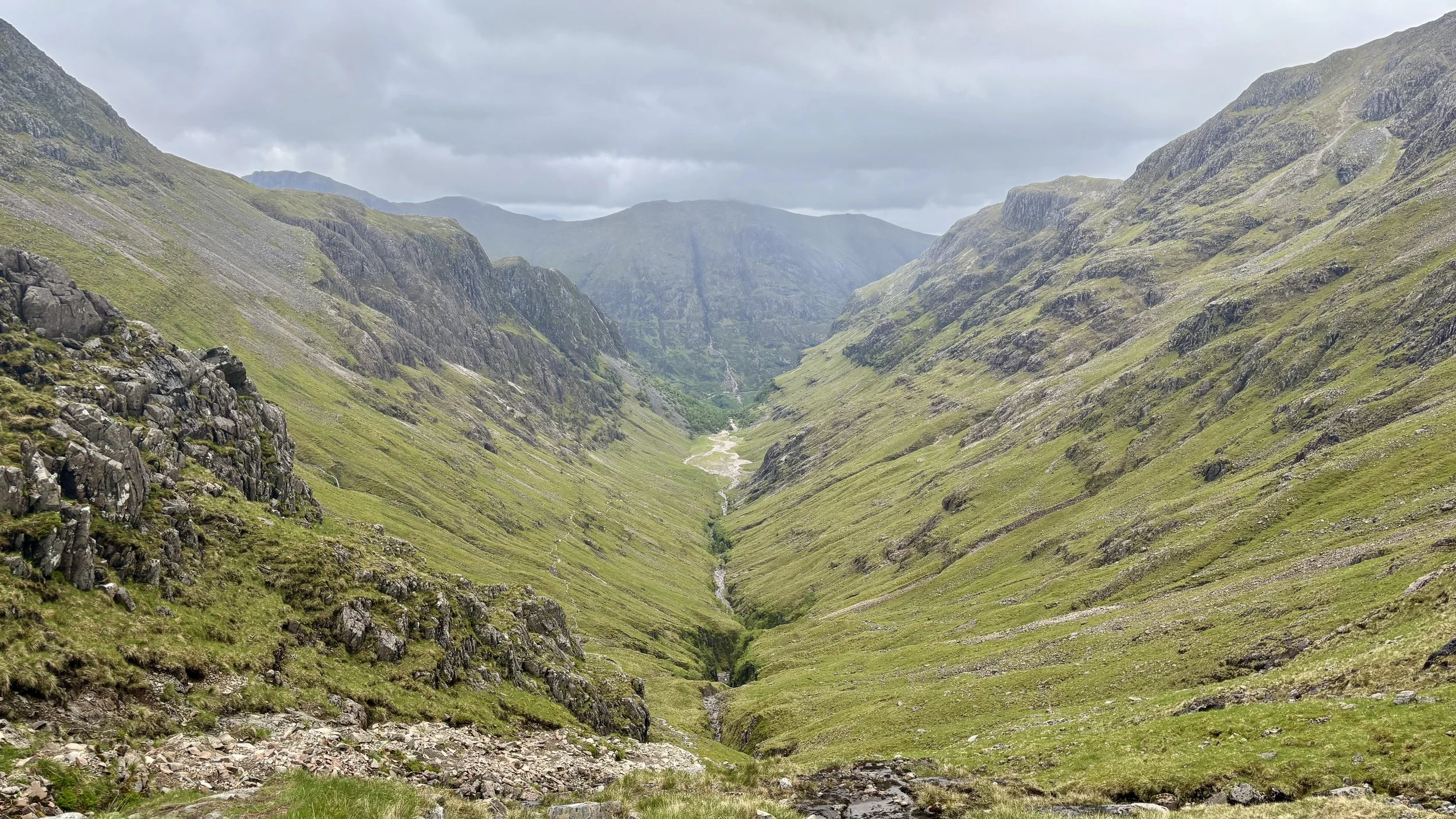
This left us with a decision to make: did we retrace our steps, or push forward to complete the full circular route back to the car park? None of us fancied descending the tricky, slippery scree we had just climbed, so despite not knowing exactly what the onward path held, we committed to the circular route.
We followed the path in a north-easterly direction from the summit, quickly arriving at the next Munro: Stob Coire nam Beith, which stands at an impressive 1,115 metres.
Continuing east from that subsidiary top, things got a bit more complicated. We hit a steep chimney section flanked by rocks, which proved quite tricky to navigate. By the time we reached the bottom of the chimney, we realised we had drifted roughly 100 to 200 metres west of the actual trail.
With no desire to climb back up the chimney, we carefully picked our way down the steep scree until we found ourselves standing on a ledge looking over a couple of lochans. Not wanting to risk a direct descent over the ledge, Joel did some excellent navigating. He found a route that required a short climb to look over the next ridge, which safely brought us back onto the correct path.
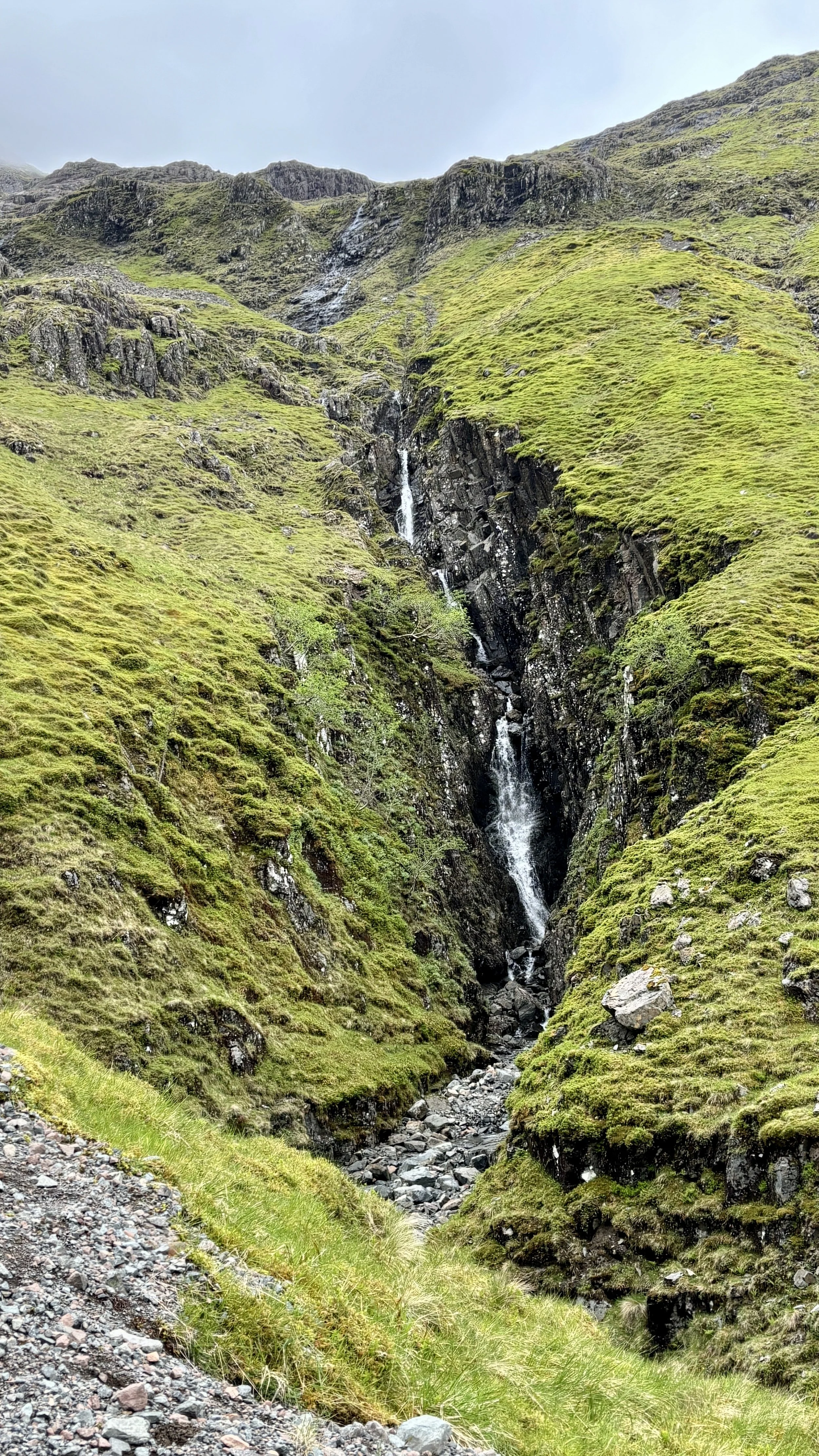
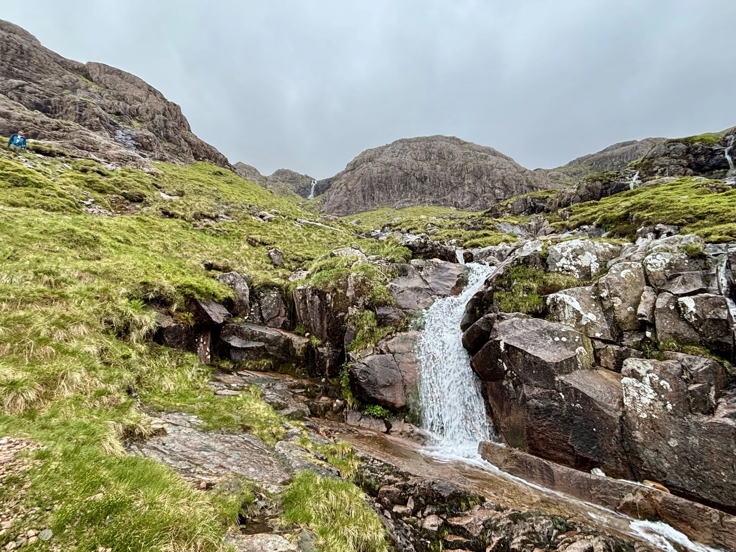
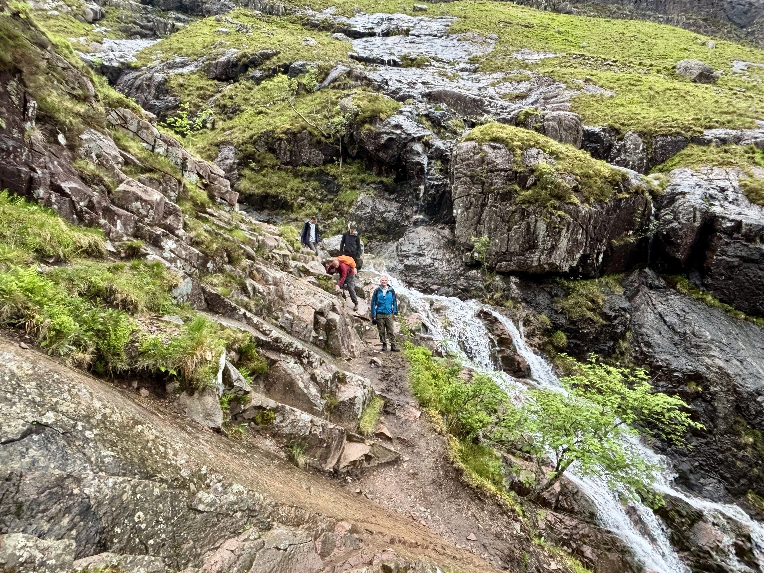
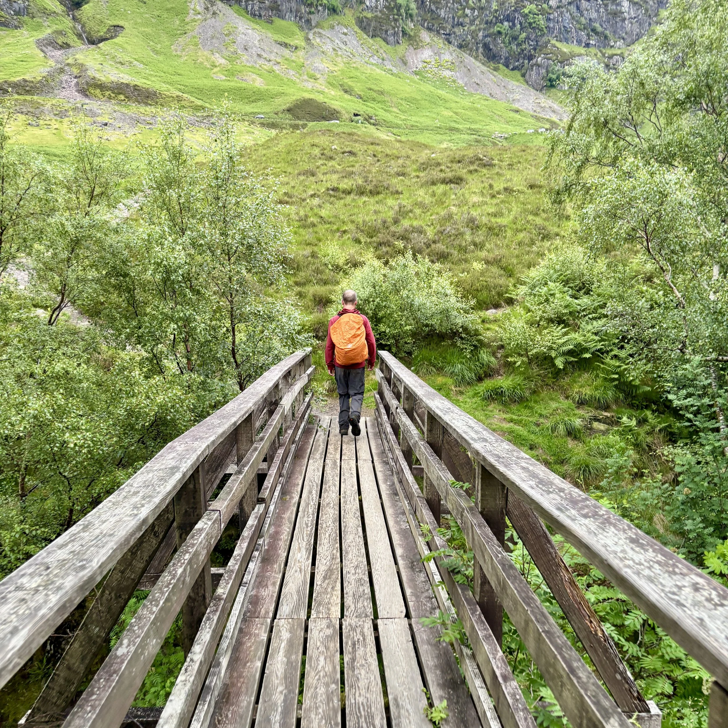
From there, the descent was much more straightforward. We followed a burn with a very pleasant waterfall all the way down to the road and back to the car.
All in all, it was a massive day out in the mountains. It was tough, slightly scary in places with the slippery scrambles, but incredibly rewarding. It absolutely lived up to its reputation. The main lesson learned for next time: keep a much closer eye on the GPS to spot when we wander off track!
Points of Interest along or near to the Route
The Three Sisters: The Three Sisters of Glencoe: Beinn Fhada, Gearr Aonach, and Aonach Dubh, form the striking northern ridges of the Bidean nam Bian massif. Their bedrock belongs to the ancient Glencoe volcanic complex, but their iconic shape is the work of ice, not fire. Repeated glaciations carved deep U‑ and V‑shaped valleys into the mountainside, leaving behind the steep buttresses and plunging gullies that dominate the skyline today.
Stob Coire nan Lochan: Rising to 1,115 metres, Stob Coire nan Lochan is one of the most beautiful subsidiary peaks of Bidean nam Bian. Its high corrie shelters a small lochan sculpted by glacial excavation — a perfect amphitheatre of cliffs, snow gullies, and dark water fed by meltwater and mountain runoff. Many walkers visit it en route to the main ridge, drawn by its dramatic, enclosed setting.
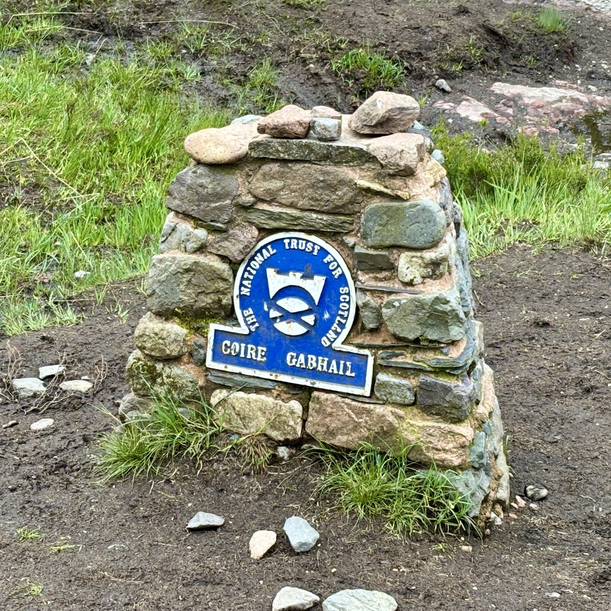
Hidden Valley (Coire Gabhail): Tucked behind a narrow, rocky gorge, Coire Gabhail, the Hidden or Lost Valley, is one of Glencoe’s most atmospheric places. Its Gaelic name, “the glen of the capture,” reflects its history: the MacDonalds of Glencoe used this secluded hanging valley to hide livestock, including cattle taken during clan raids. The concealed entrance and steep surrounding walls made it a natural refuge, invisible from the main glen below.
Geology of the Massif: Bidean nam Bian sits at the heart of the Glencoe caldera, one of the best-preserved examples of volcanic collapse in Britain. Around 410–400 million years ago, vast eruptions produced thick sheets of rhyolitic ignimbrite, collapse breccias, and later andesitic lavas. These volcanic layers form the backbone of the massif, but the rugged cliffs, corries, and ridges seen today owe their dramatic form to much later glacial erosion, which sculpted the landscape into its present grandeur.