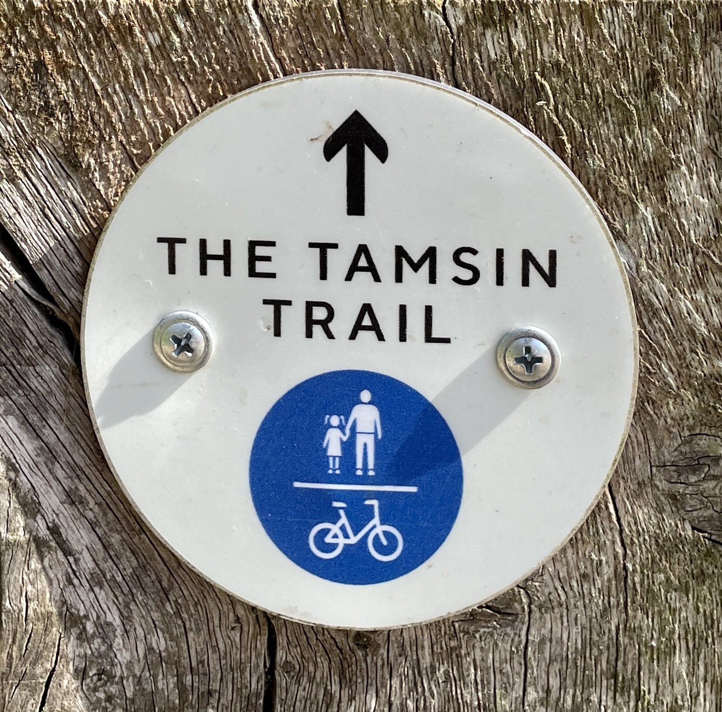
Walking The Tamsin Trail in Richmond Park
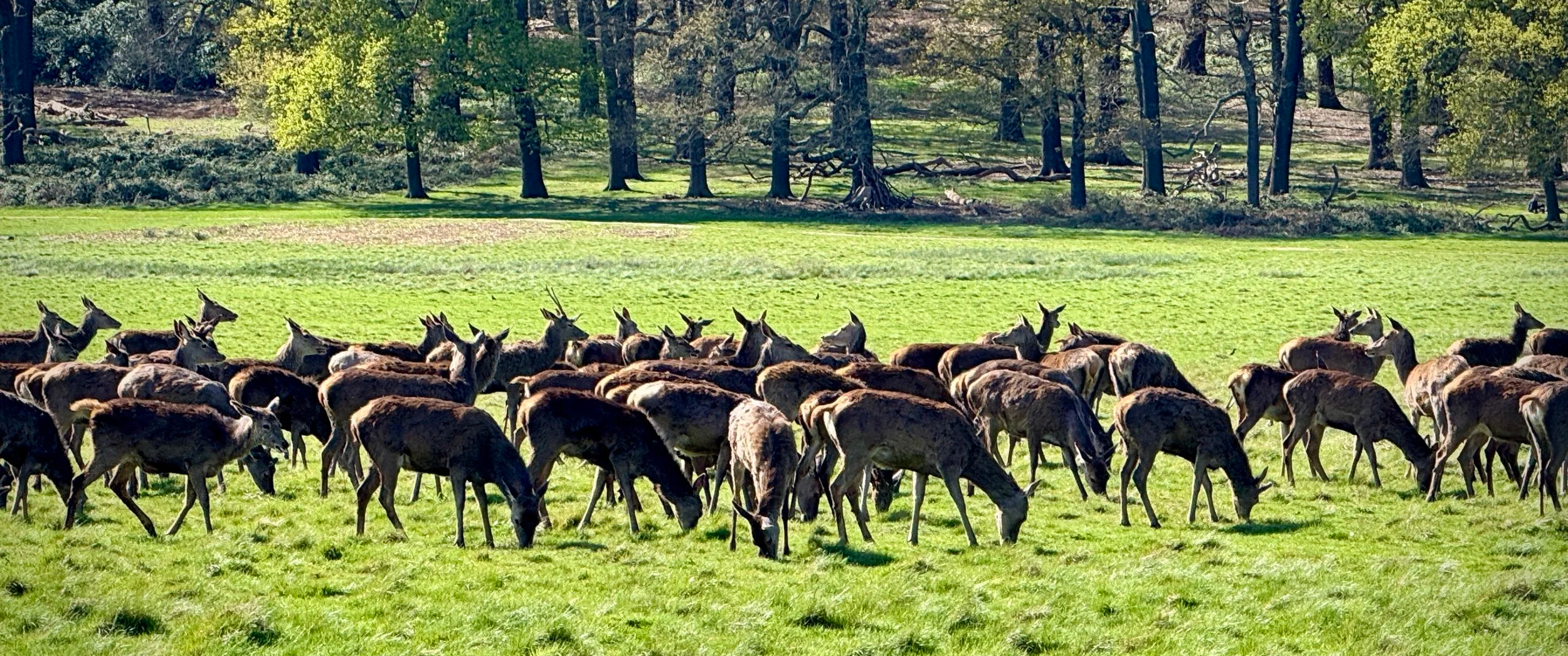
Deer grazing near the Tamsin Trail
Start & Finish: Various (see notes below)
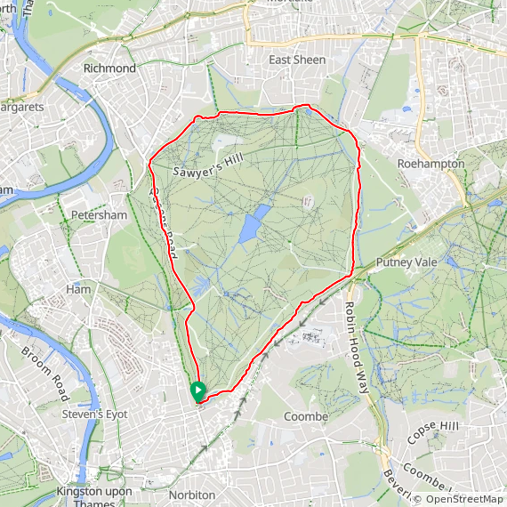
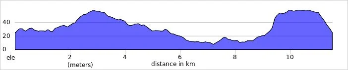
Distance: 11.5 km (7.1 miles)
Elevation change: +/- 107m
GPX File: get via Buy Me a Coffee
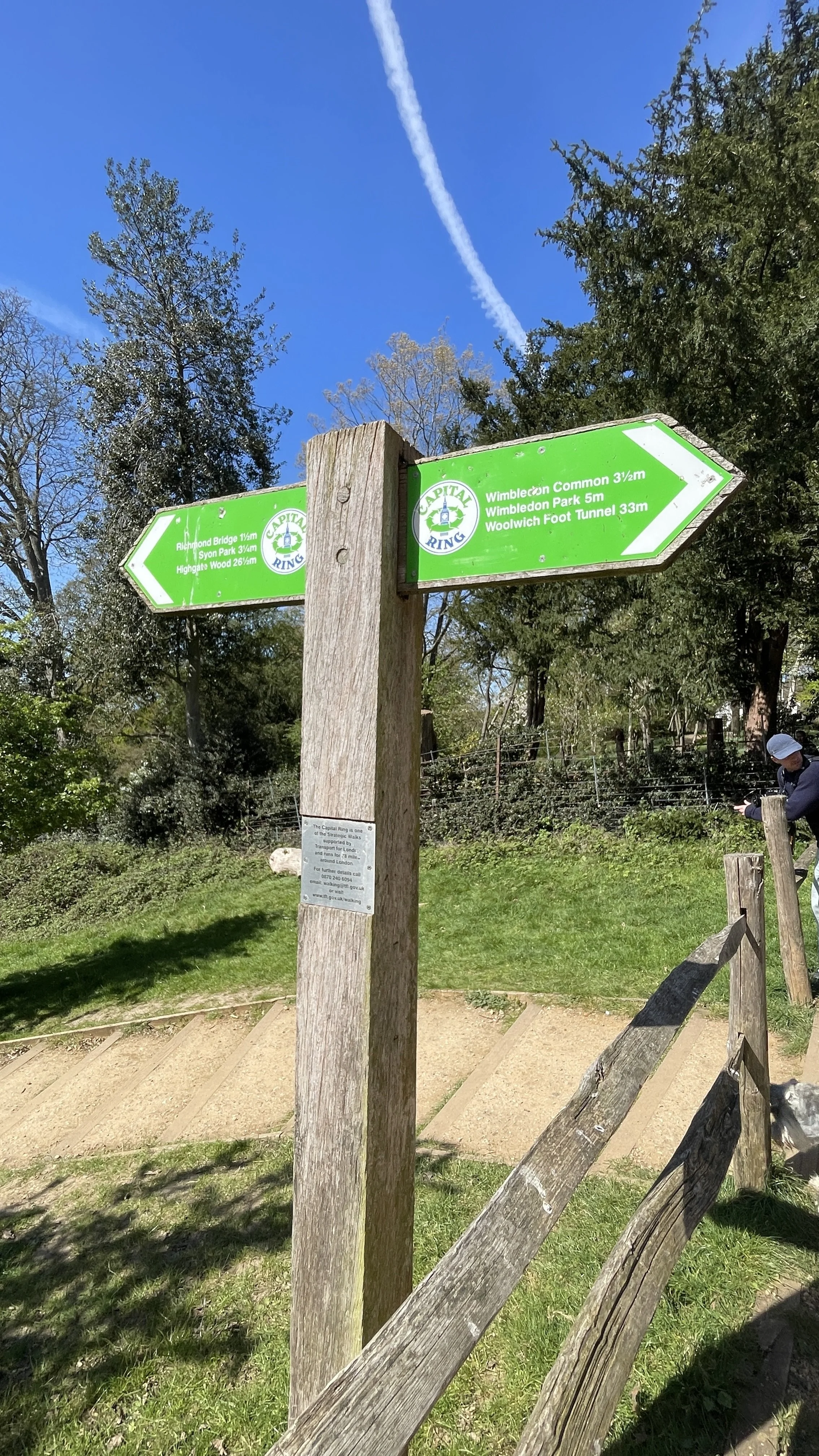
Other routes touched (walk): Capital Ring, Beverley Brook Walk
Other routes touched (cycle): NCN 4
Pubs / Cafes on route: Various (see notes below)
OS Trig Pillar: TP5674 - Richmond Park
Map: London South Map | Westminster, Greenwich, Croydon, Esher & Twickenham | Ordnance Survey | OS Explorer Map 161
Links: Richmond, Richmond Park, Pembroke Lodge, London’s Protected Views
The Tamsin Trail is a shared perimeter cycleway and walking path that traces the outskirts of Richmond Park, closely following the boundary wall. It was originally conceived as a way to reduce off-track cycling and protect the park's delicate grassland and flora from mountain bikers. In this regard, it is considered a highly successful addition to the park, having significantly reduced off-path riding in the vicinity.
Today, it is incredibly popular with walkers, runners, and cyclists. If you happen to be there on a Saturday morning, you will likely spot the local parkrun community using part of the route.
How the Trail Got Its Name
The factual origin of the Tamsin Trail's name is well documented. The trail was under construction for several years before being officially opened in September 1997 by celebrity Jerry Hall and Peter Beckwith. It was named after Tamsin, the daughter of Peter Beckwith, who was the Chairman of The Richmond Park Charitable Trust at the time. It was his significant private donation that funded the creation of the trail.
Despite this clear history, if you chat with some of the park regulars, you might hear a couple of local legends floating around. Some say the path was named after a beloved Labrador called Tamsin who belonged to a local cyclist, while others claim it was named after Tamsin Keys, the wife of a former park ranger. While these stories add a bit of charming folklore to the walk, it is the Beckwith family's generosity we ultimately have to thank for the route.
Sharing the Path
Because it is a shared path for both cyclists and pedestrians, there have been ongoing concerns and strong views regarding the safety and co-existence of both groups. Over the years, various measures have been taken to manage this: in 2003, the police even conducted a trial specifically to catch speeding cyclists on the trail.
Additionally, near Pembroke Lodge, cyclists using the upper part of the trail would sometimes ride directly down the slope to connect to a newer lower path: this led to the installation of barriers to prevent the descent and limit soil erosion.
What to Expect on the Route
The trail is accessible and relatively easy to navigate:
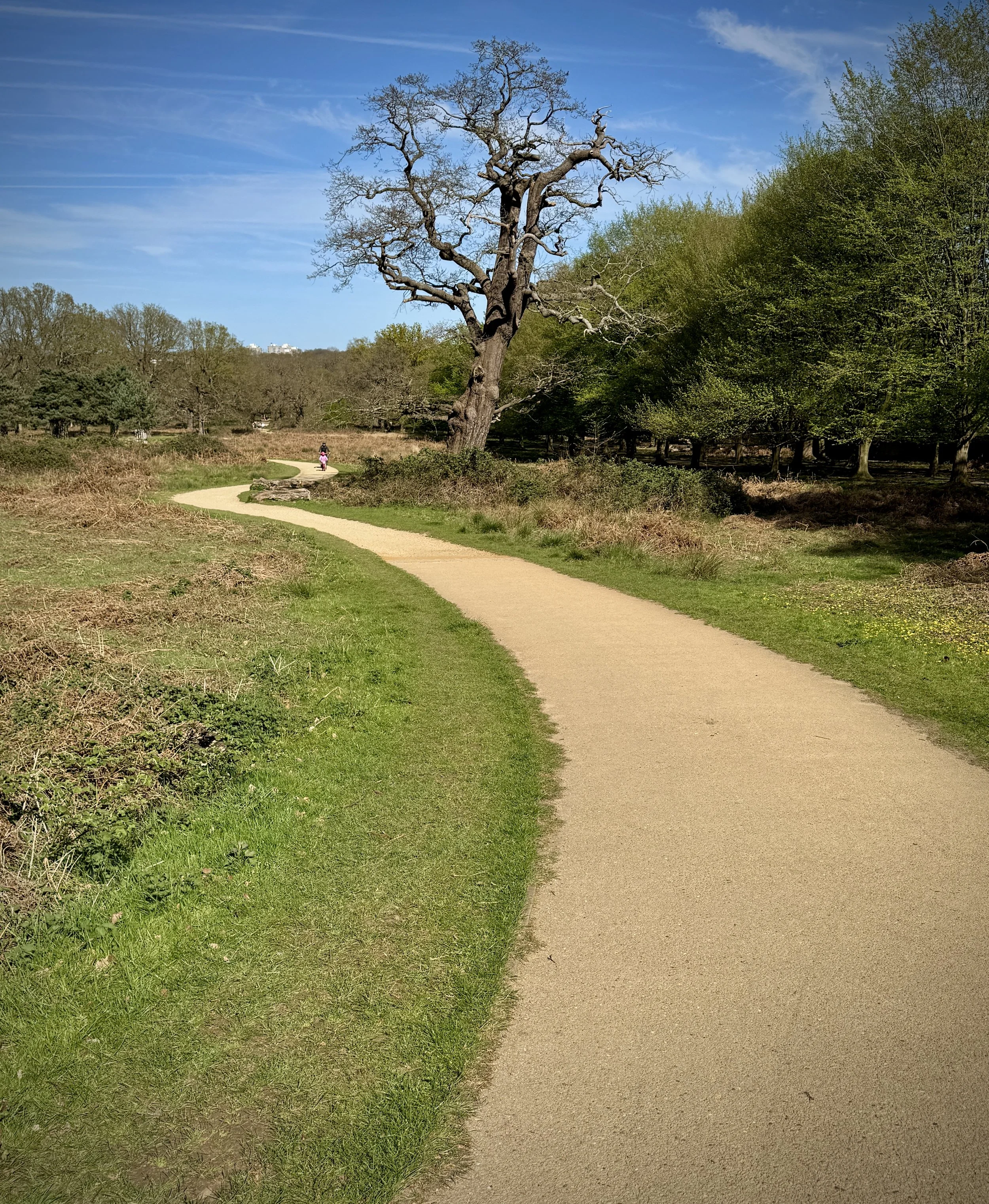
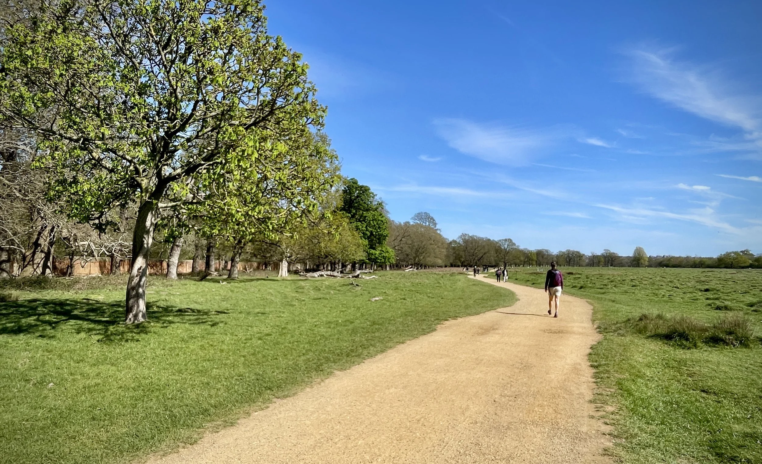
Terrain: The path is largely made of hard-packed crushed limestone and sand. While mostly flat, there are a few undulating sections, particularly the climb up Broomfield Hill near the Robin Hood Gate.
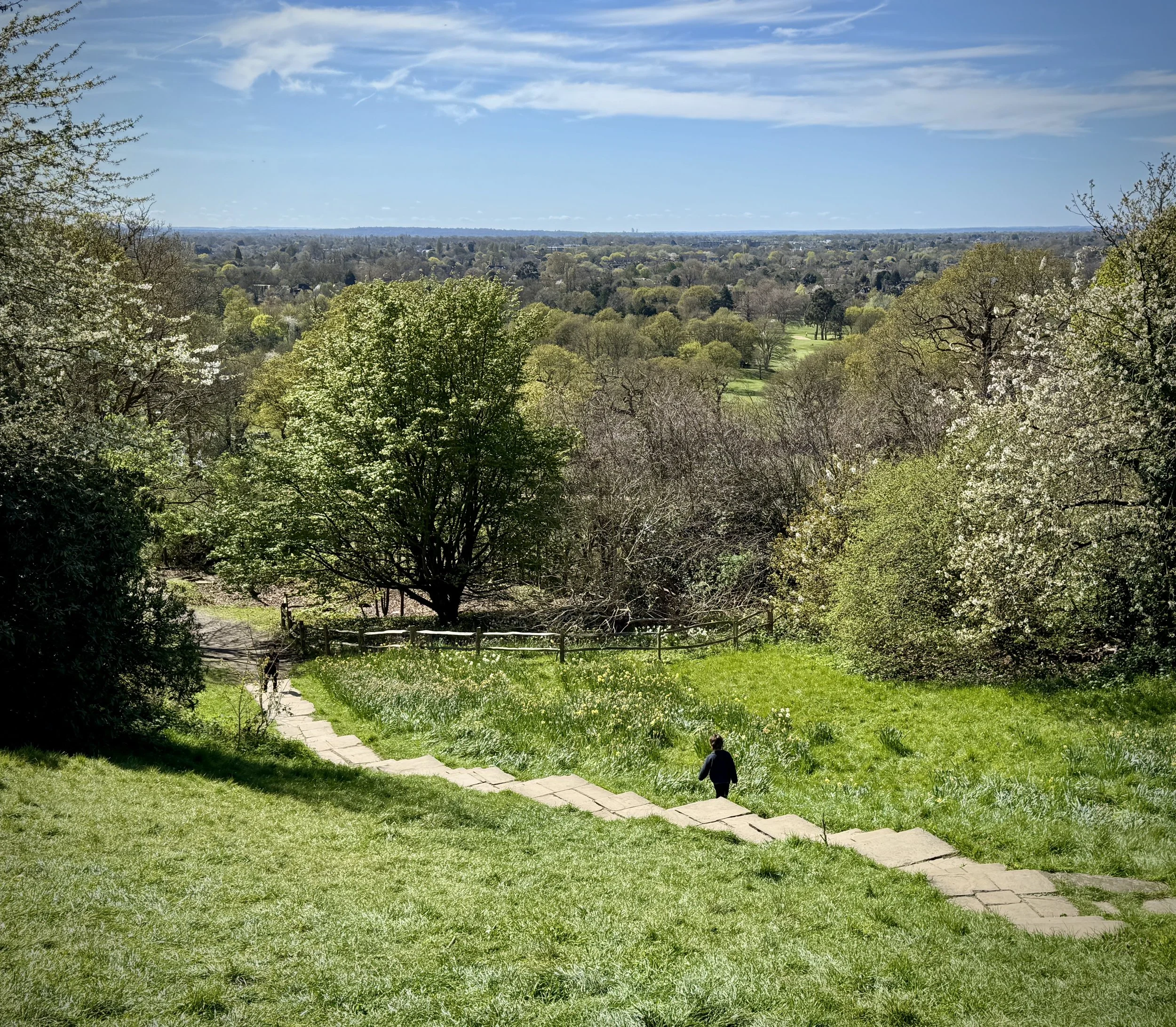
Time Needed: For walking, it is best to allow between 2.5 and 4 hours. This gives you plenty of time to stop for photographs, rest, or grab a coffee. You can also make the walk slightly longer by using some of the smaller paths that hug closer to the boundary. We used some of these for a quieter experience as some of the Trail stays close to the main park roads.
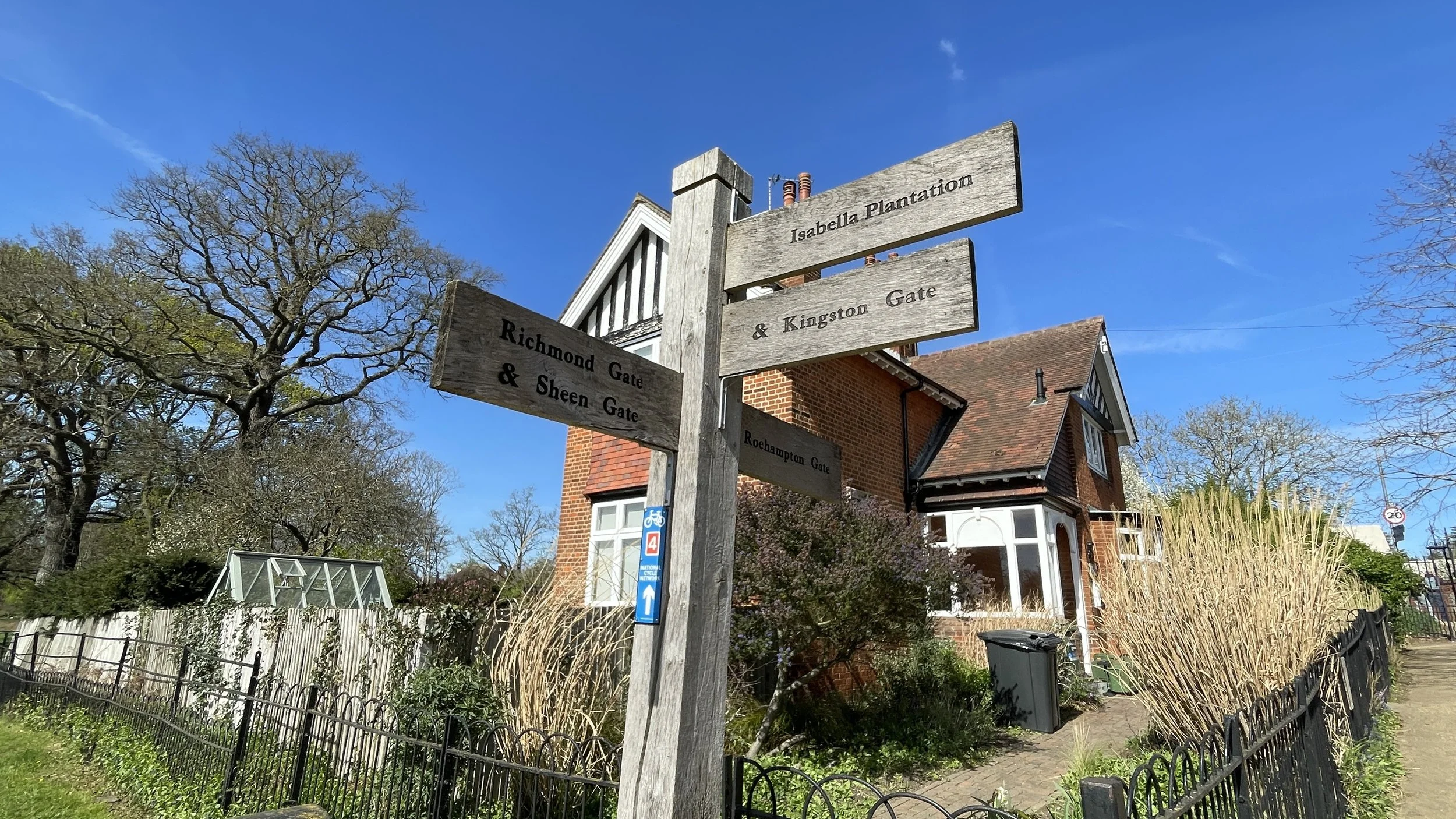
Starting Point: The trail connects all the main gates: Roehampton, Robin Hood, Kingston, Ham, Richmond, and East Sheen. Because of this, you can start your walk from any entrance and simply choose to go clockwise or anti-clockwise.
Highlights Along the Way
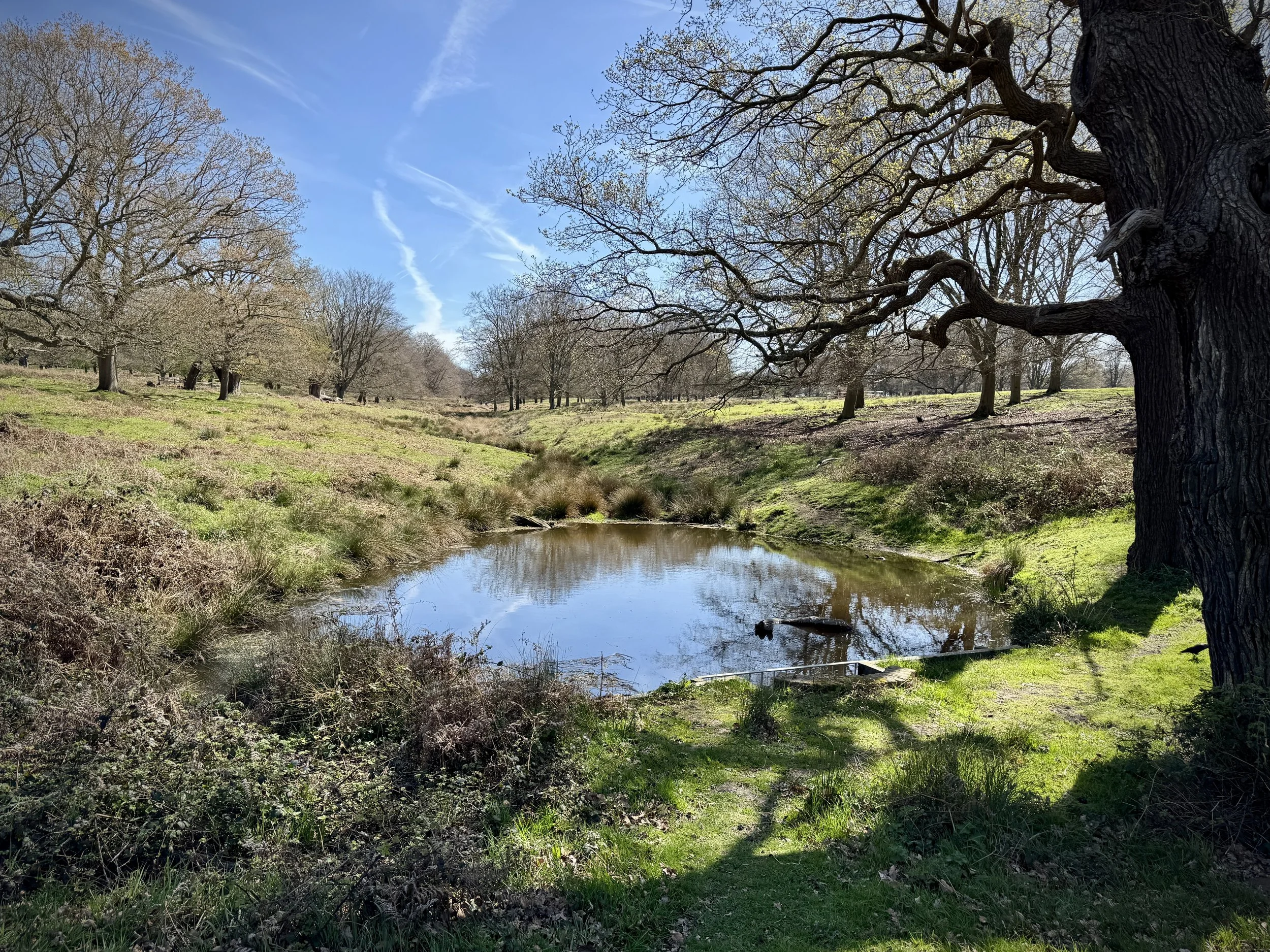
Walking the Tamsin Trail gives you a great tour of the park's varied landscapes and wildlife. Here are a few highlights to look out for:
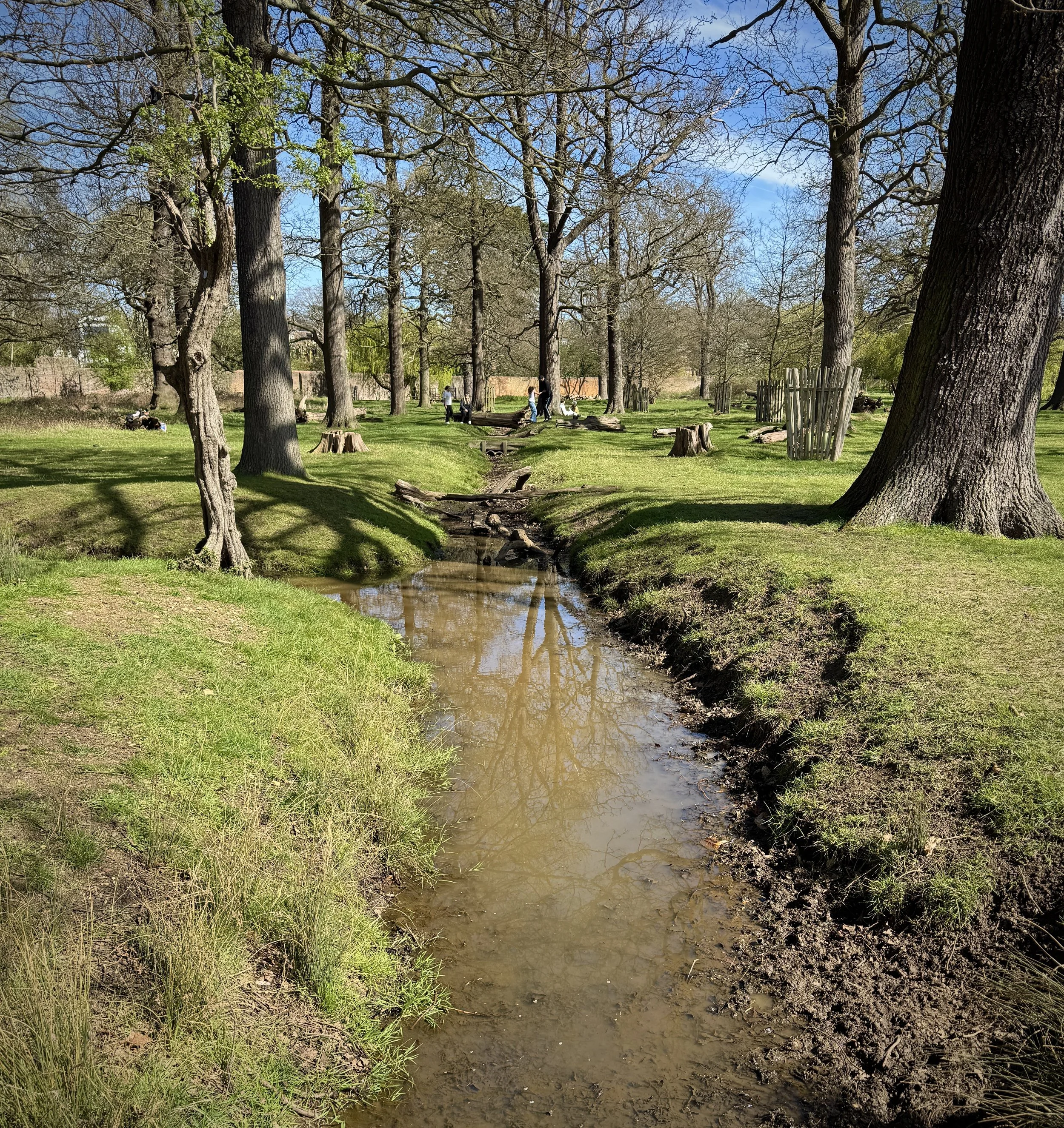
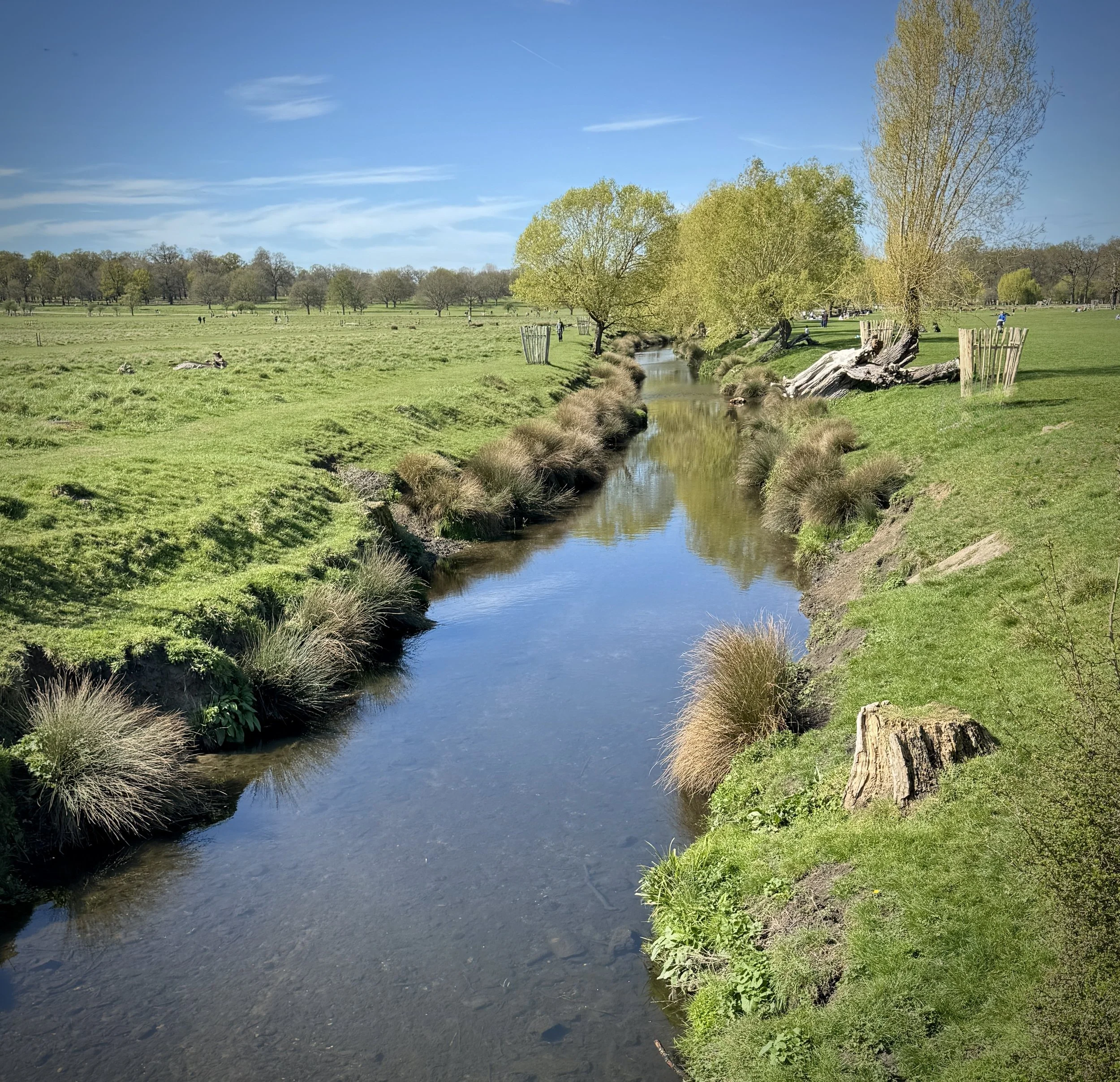
Beverley Brook: Just past the Roehampton Gate, the trail crosses a footbridge over this beautiful little river. The name actually comes from the Old English 'Beaver's Ley', meaning a place where beavers live. While you will not see beavers today, the brook is a fantastic spot for wildlife. Keep your eyes peeled: you might spot the bright blue flash of a kingfisher, parakeets in the trees, or even deer cooling off in the shallow water during warmer weather.
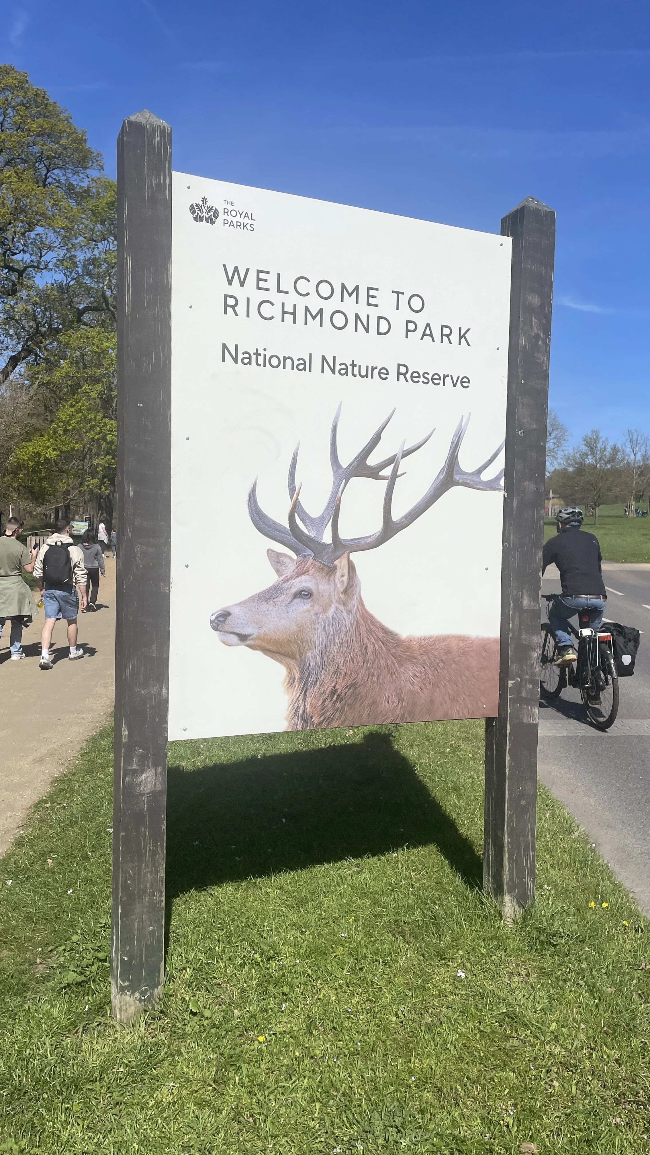
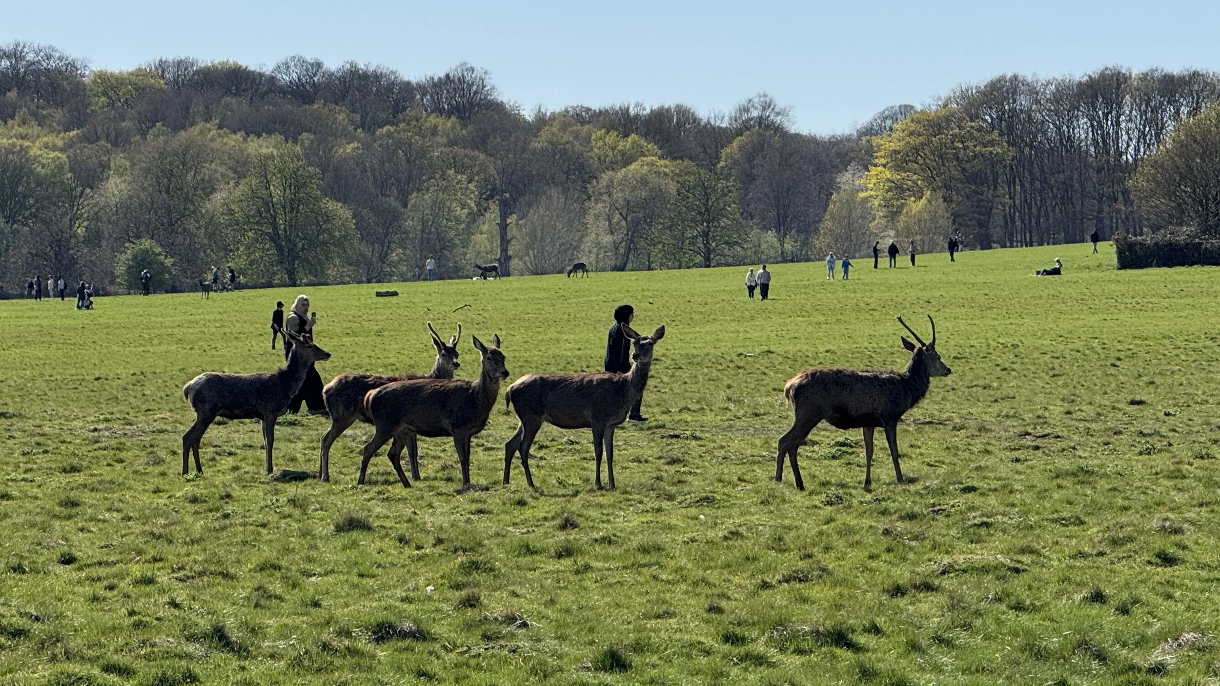
The Deer: Richmond Park is famous for its hundreds of free-roaming red and fallow deer. The trail passes many of their favourite grazing spots. Just remember to keep a respectful distance and never feed them.
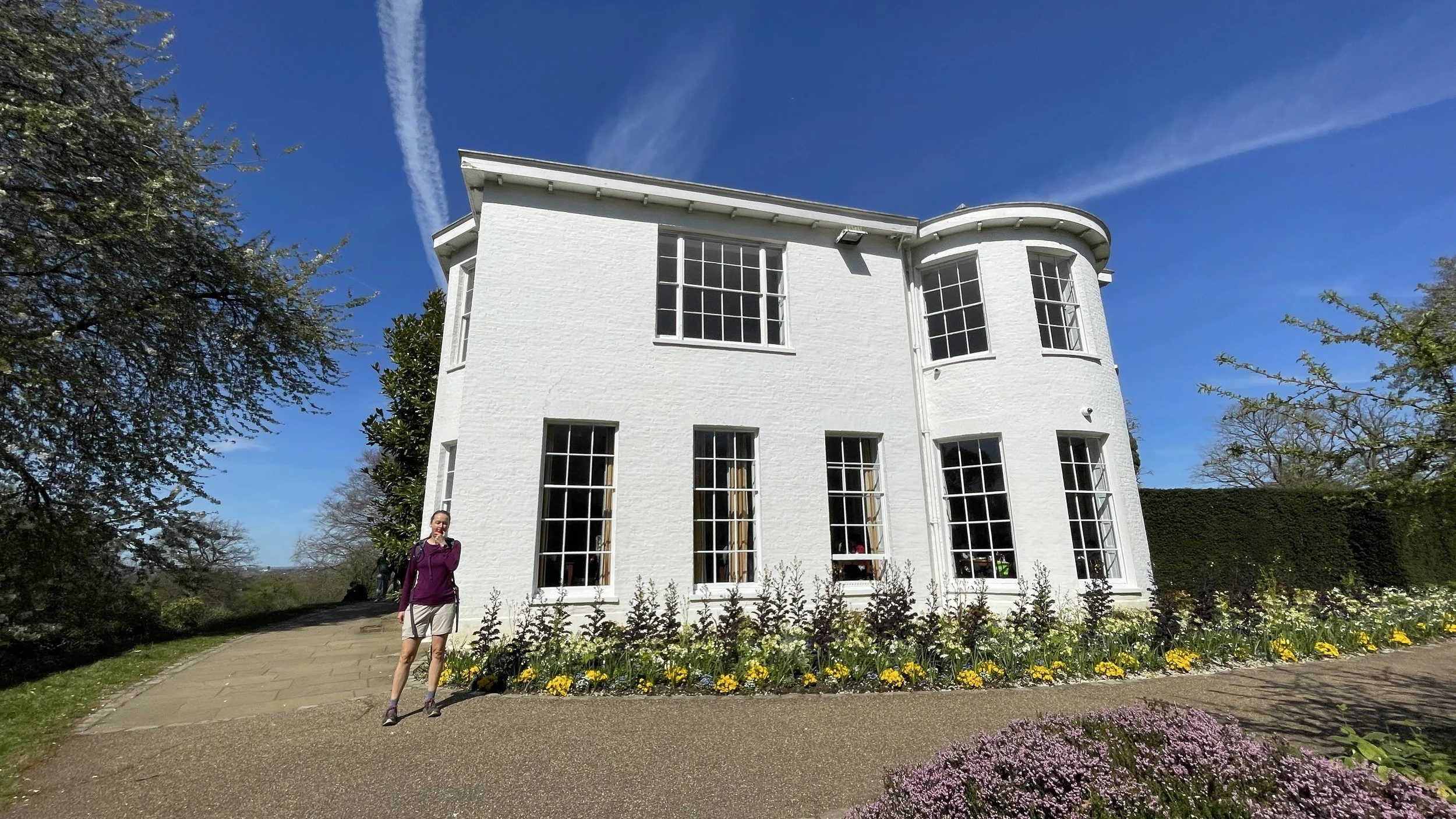
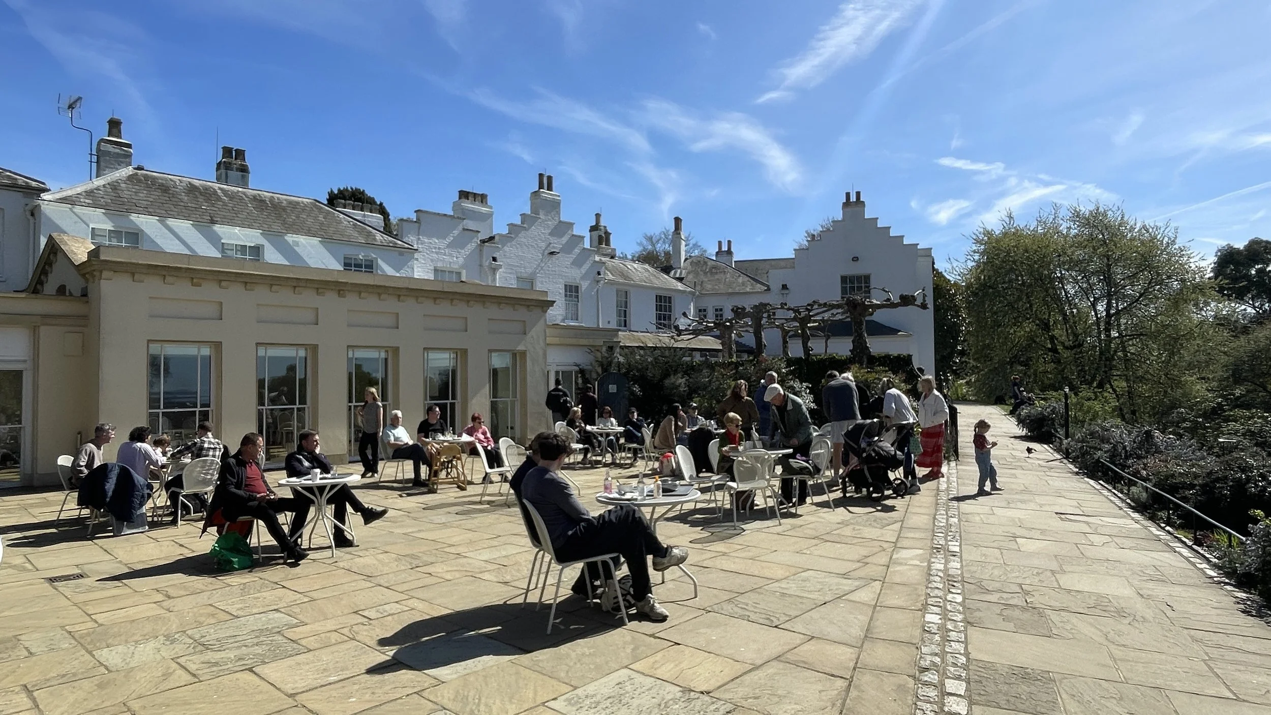
Pembroke Lodge: Situated on the high ground within the park, this Grade II listed Georgian mansion is a brilliant place to stop. It features beautifully landscaped gardens and a popular cafe. The lodge has a rich history, having once been the home of Prime Minister Lord John Russell, and its elevated position offers sweeping, panoramic views over the Thames Valley.
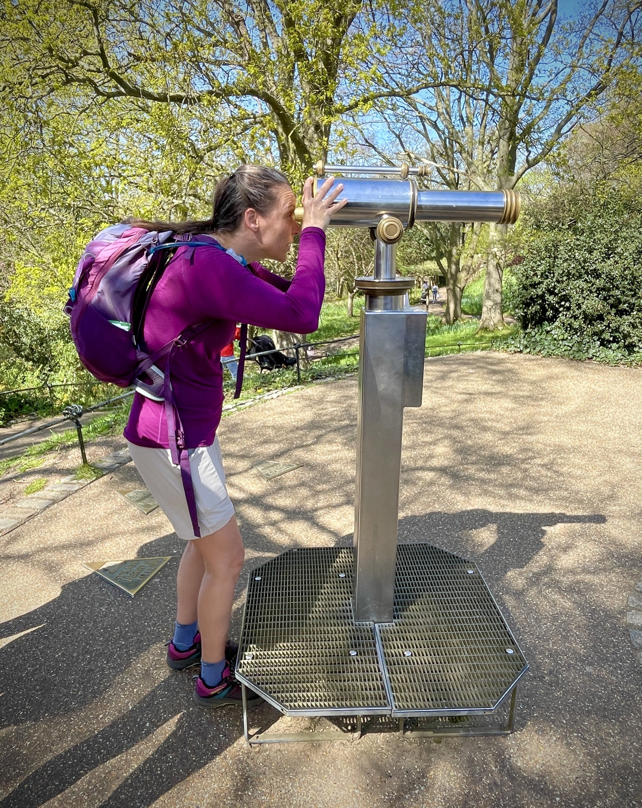
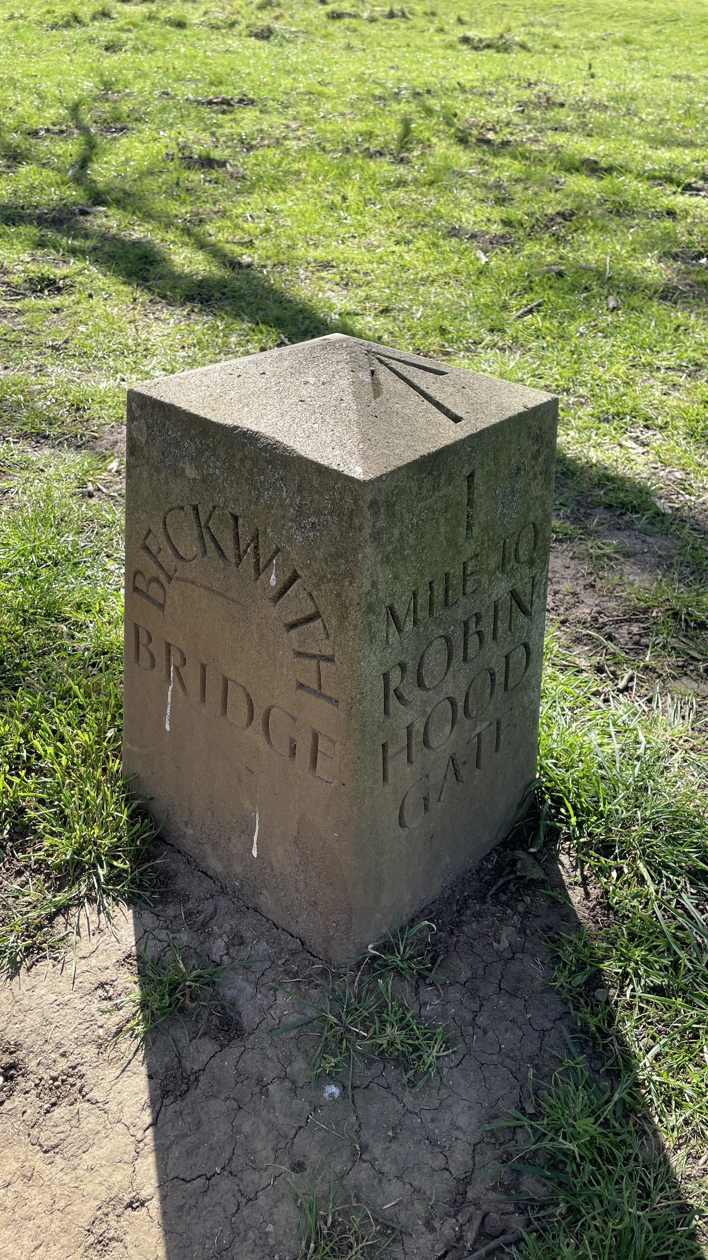
King Henry's Mound and the OS Trig Pillar: Located just north of Pembroke Lodge, King Henry's Mound is a prehistoric burial chamber that provides an incredible vantage point. If you look through the trees, you can see a specially protected, framed view of St Paul's Cathedral. Just a stone's throw from the mound, between the footpath and the road, you will also spot an Ordnance Survey trig pillar. These historic concrete pillars were part of the vast retriangulation network used to map Great Britain, and this specific one sits at an elevation of 56 metres above sea level.
Refreshments: You will not be short of places to stop. There are cafes, toilets, and water fountains at both Roehampton Gate and Pembroke Lodge, along with various refreshment kiosks located around the park.
Getting There
Richmond Park is highly accessible, whether you are arriving by public transport or driving.
By Public Transport:
Train & Tube: The closest mainline stations are Richmond and North Sheen to the north of the park, and Norbiton to the south. You can also catch the District Line directly to Richmond Station. From these stations, it is roughly a 15 to 25-minute walk to the nearest park gate, or you can hop on a local bus.
Bus: Several bus routes serve the park's perimeter. The 85 and K3 stop near Ladderstile Gate on Kingston Hill, the 65 stops near Ham Gate Avenue, and the 371 stops near Ham Village.
Free Park Minibus: If you are visiting on a Monday, Wednesday, or Friday between March and November, you can take advantage of the free, volunteer-run RP1 minibus. It is fully accessible for wheelchair users and loops between all the car parks and main gates.
By Car (Gates, Car Parks, and Facilities): If you are driving, the park has several main vehicle gates with car parks. Since the Tamsin Trail is a loop, you can park at any of these and start your walk immediately. Here is a breakdown of the main car parks and their facilities:
Roehampton Gate: Car park, Roehampton Gate Café (which includes an ice cream parlour), and toilets.
Pembroke Lodge: Car park, a fantastic café (perfect for a classic cream tea), and toilets. This is located close to Richmond Gate.
Kingston Gate: Car park, a refreshment kiosk, and toilets.
Sheen Gate: Car park and toilets.
Robin Hood Gate: Car park and toilets.
Internal Car Parks: If the gate car parks are busy, there are also internal car parks at Pen Ponds (with a kiosk) and Broomfield Hill (with a kiosk). There is also a dedicated disabled visitors' car park at Isabella Plantation, which has accessible toilets.
Note: Parking in the Royal Parks is free, but it can fill up very quickly on weekends and bank holidays. There is a 20p contactless charge to use the public toilets.
Whether you are looking for a brisk weekend walk or a leisurely stroll to take in the wildlife, the Tamsin Trail is a fantastic choice. It is a wonderful reminder of the beautiful places we have access to right outside our doors, full of history and nature that is just waiting to be explored.