London's Protected Views

Kenwood House to St Paul’s Cathedral Protected Sight Line
If you look across the London skyline today, it feels like a new skyscraper appears almost every week. With so much constant development, it is easy to assume that the historic views of the city might eventually disappear entirely behind walls of glass and steel. However, there are a few special places where the view is completely preserved.
These are London's Protected Views: a specific set of 13 sightlines directed towards either St Paul's Cathedral or the Palace of Westminster that are strictly protected by planning laws. In short, it means that no new developments are allowed to block or obscure the line of sight from these precise vantage points. Some of these sightlines are naturally framed by trees, while others look straight down the river or across wide open parks.
I have now managed to visit all 13 of these places. Tracking them down has been a brilliant excuse to get outdoors and explore different parts of the capital. If you have been following my other weekend walks, you will probably notice that hunting down these viewpoints naturally crossed over with my Greater London High Points series and a few of my riverside routes.
Whether you are already out on a weekend stroll and fancy a scenic detour, or you are just looking for an adventure with a bit of a historical twist, seeking out these viewpoints is highly recommended. Here are the details for each protected sightline, including how to find them and the routes I took to get there:

Alexandra Palace to St Paul's Cathedral
From: Alexandra Palace: 51°35′38″N 0°07′48″W
To: St Paul's Cathedral: 51°30′49″N 0°05′53″W
Distance: 9.2 km
Elevation Difference: -57m
Nearest Underground Station to view point: Bounds Green (Piccadilly Line): 1 mile.
Nearest Rail Station to view point: Alexandra Palace Station (Great Northern & Thameslink): 0.4 miles
Nearest Underground Station to target point: St Paul’s (Central Line): 0.1 miles.
Nearest Rail Station to target point: City Thameslink (Thameslink): 0.2 miles
On the route of: Alexandra Palace and the Parkland Walk

Parliament Hill Summit to St Paul's Cathedral
From: Parliament Hill: 51°33′35″N 00°09′35″W
To: St Paul's Cathedral: 51°30′49″N 0°05′53″W
Distance: 6.6 km
Elevation Difference: -53m
Nearest Underground Station to view point: Belsize Park (Northern Line): 0.9 miles
Nearest Rail Station to view point: Hampstead Heath (Overground): 0.4 miles
Nearest Underground Station to target point: St Paul’s (Central Line): 0.1 miles.
Nearest Rail Station to target point: City Thameslink (Thameslink): 0.2 miles
On the route of: Walking The Hampstead and Highgate London Borough High Points

Parliament Hill Summit to the Palace of Westminster
From: Parliament Hill: 51°33′35″N 00°09′35″W
To: The Palace of Westminster: 51°29′57″N 00°07′29″W
Distance: 7.1 km
Elevation Difference: -69m
Nearest Underground Station to view point: Belsize Park (Northern Line): 0.9 miles
Nearest Rail Station to view point: Hampstead Heath (Overground): 0.4 miles
Nearest Underground Station to target point: Westminster (Circle, District & Jubilee Lines): 0.1 miles
Nearest Rail Station to target point: Waterloo (South Western): 0.6 miles
On the route of: Walking The Hampstead and Highgate London Borough High Points

Parliament Hill Prominent Oak to the Palace of Westminster
From: Parliament Hill Prominent Oak: 51°33'37.4"N 0°09'27.6"W
To: The Palace of Westminster: 51°29′57″N 00°07′29″W
Distance: 7.2 km
Elevation Difference: -64m
Nearest Underground Station to view point: Belsize Park (Northern Line): 1.0 miles
Nearest Rail Station to view point: Hampstead Heath (Overground): 0.5 miles
Nearest Underground Station to target point: Westminster (Circle, District & Jubilee Lines): 0.1 miles
Nearest Rail Station to target point: Waterloo (South Western): 0.6 miles
On the route of: Walking The Hampstead and Highgate London Borough High Points

Kenwood House to St Paul's Cathedral
From: Kenwood House: 51°34'19.0"N 0°09'54.1"W
To: St Paul's Cathedral: 51°30′49″N 0°05′53″W
Distance: 7.9 km
Elevation Difference: -81m
Nearest Underground Station to view point: Highgate (Northern): 1.1 miles
Nearest Rail Station to view point: Hampstead Heath (Overground): 1.4 miles
Nearest Underground Station to target point: St Paul’s (Central Line): 0.1 miles.
Nearest Rail Station to target point: City Thameslink (Thameslink): 0.2 miles
On the route of: Walking The Hampstead and Highgate London Borough High Points

Summit of Primrose Hill to St Paul's Cathedral
From: Primrose Hill: 51°32'22.5"N 0°09'38.6"W
To: St Paul's Cathedral: 51°30′49″N 0°05′53″W
Distance: 5.2 km
Elevation Difference: -25m
Nearest Underground Station to view point: Chalk Farm (Northern): 0.5 miles.
Nearest Rail Station to view point: South Hampstead (Overground): 1 mile
Nearest Underground Station to target point: St Paul’s (Central Line): 0.1 miles.
Nearest Rail Station to target point: City Thameslink (Thameslink): 0.2 miles

Summit of Primrose Hill to the Palace of Westminster
From: Primrose Hill: 51°32'22.5"N 0°09'38.6"W
To: The Palace of Westminster: 51°29′57″N 00°07′29″W
Distance: 5.1 km
Elevation Difference: -41m
Nearest Underground Station to view point: Chalk Farm (Northern): 0.5 miles.
Nearest Rail Station to view point: South Hampstead (Overground): 1 mile
Nearest Underground Station to target point: Westminster (Circle, District & Jubilee Lines): 0.1 miles
Nearest Rail Station to target point: Waterloo (South Western): 0.6 miles
Greenwich Park to St Paul's Cathedral

From: Greenwich Park, north east of the General Wolfe statue: 51°28'40.6"N 0°00'02.9"W
To: St Paul's Cathedral: 51°30′49″N 0°05′53″W
Distance: 7.8 km
Elevation Difference: -6m
Nearest Underground Station to view point: Canary Wharf (Jubilee): 2.7 miles. Connect via the DLR from Cutty Sark Station: 0.6 miles.
Nearest Rail Station to view point: Maze Hill (Thameslink, Southeastern): 0.6 miles.
Nearest Underground Station to target point: St Paul’s (Central Line): 0.1 miles.
Nearest Rail Station to target point: City Thameslink (Thameslink): 0.2 miles
On the route of: Cycling the Prime Meridian

Blackheath to St Paul's Cathedral
From: Point Hill Park, Blackheath, near the orientation board: 51°28'24.5"N 0°00'39.5"W
To: St Paul's Cathedral: 51°30′49″N 0°05′53″W
Distance: 7.5 km
Elevation Difference: 0m
Nearest Underground Station to view point: Canary Wharf (Jubilee): 2.9 miles. Connect via the DLR from Greenwich Station: 0.5 miles.
Nearest Rail Station to view point: Deptford Bridge (Overground): 0.6 miles.
Nearest Underground Station to target point: St Paul’s (Central Line): 0.1 miles.
Nearest Rail Station to target point: City Thameslink (Thameslink): 0.2 miles

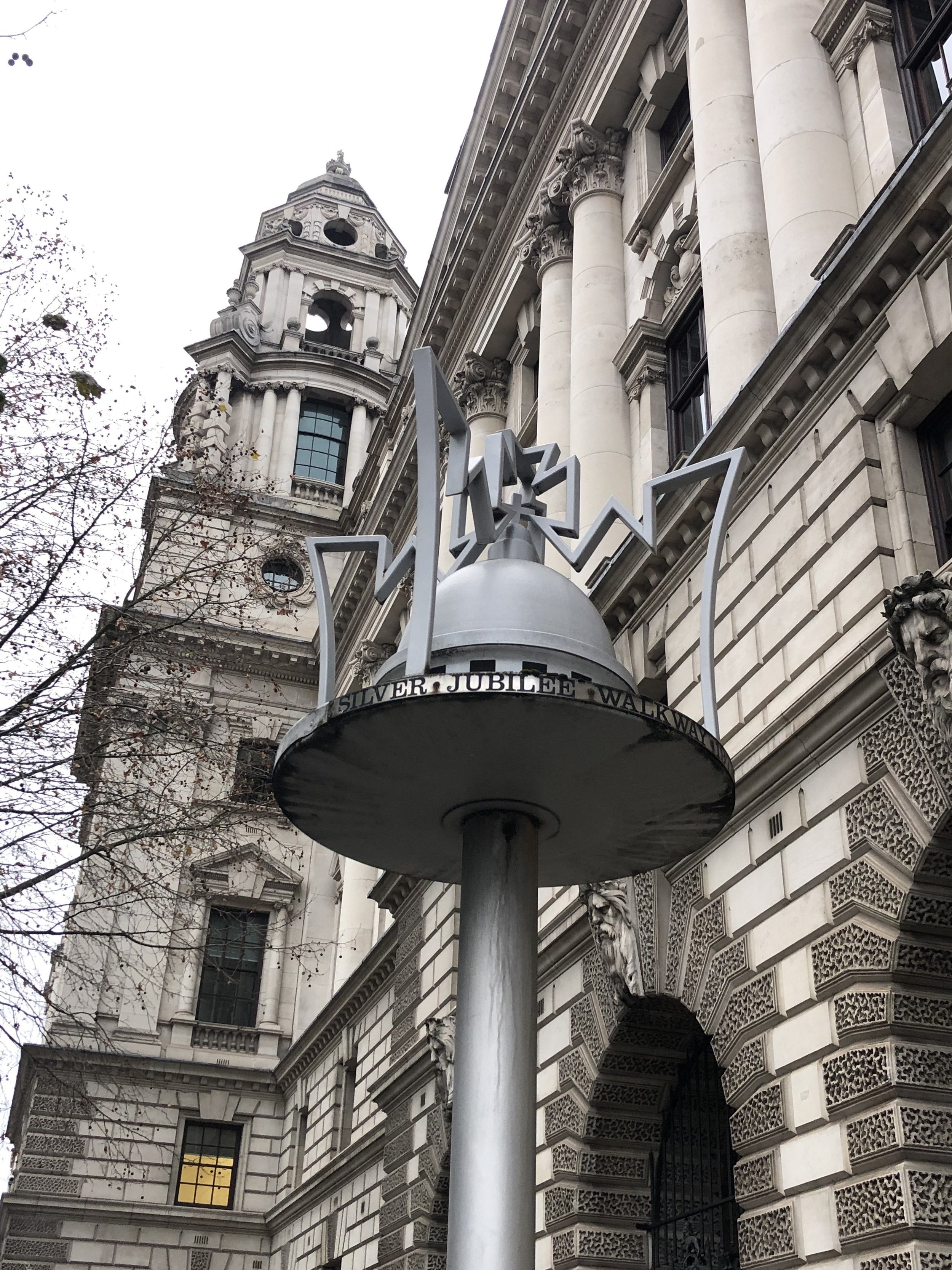
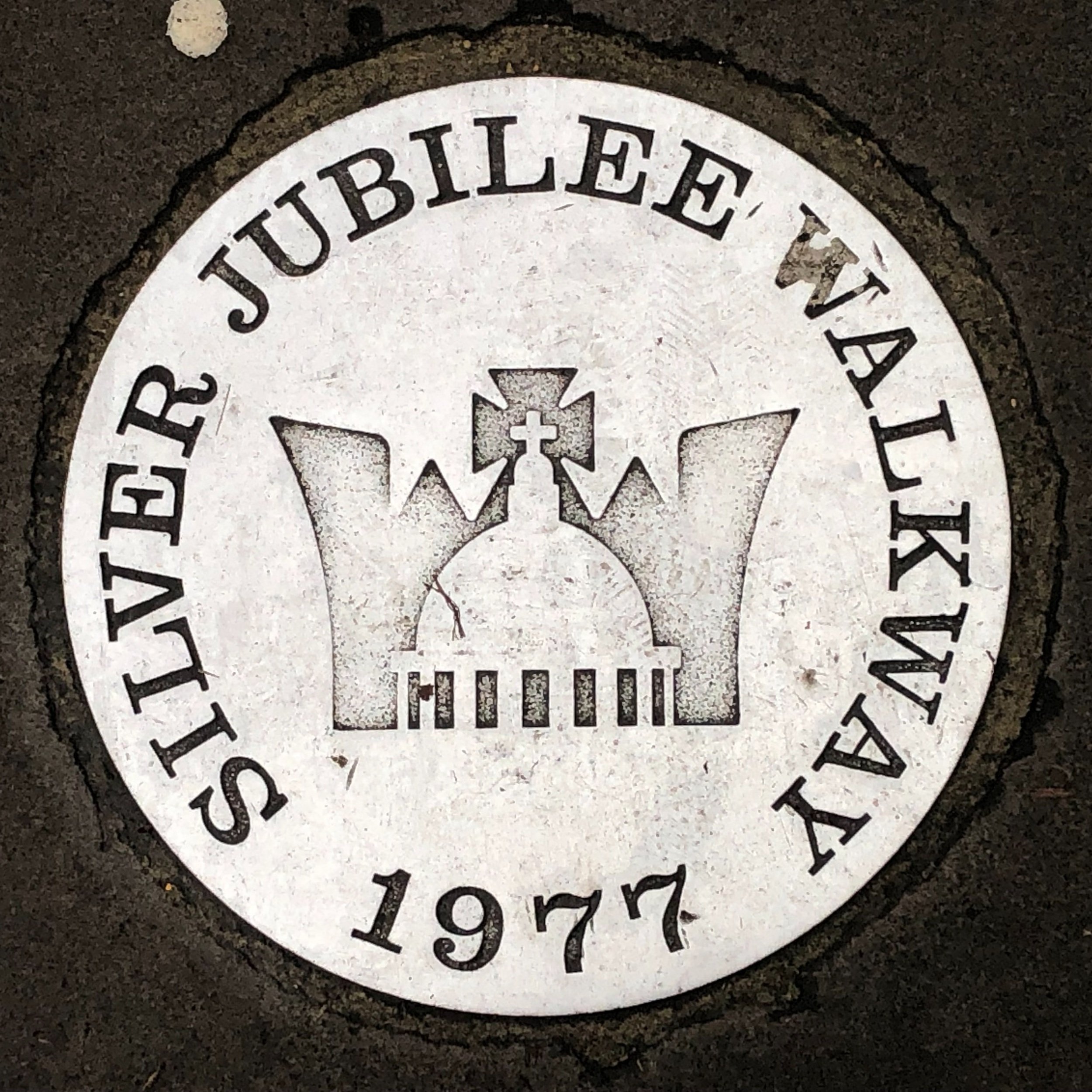
Westminster Pier to St Paul's Cathedral
From: Westminster Pier: 51°30'06.2"N 0°07'25.4"W
To: St Paul's Cathedral: 51°30′49″N 0°05′53″W
Distance: 2.2 km
Elevation Difference: +23m
Nearest Underground Station to target point: Westminster (Circle, District & Jubilee Lines): 0.1 miles
Nearest Rail Station to target point: Waterloo (South Western): 0.5 miles
Nearest Underground Station to target point: St Paul’s (Central Line): 0.1 miles.
Nearest Rail Station to target point: City Thameslink (Thameslink): 0.2 miles
On the route of: Walking Central London’s Protected views (see below)

Richmond Park to St Paul's Cathedral
From: King Henry VIII's Mound in Richmond Park: 51°26'41.8"N 0°17'41.1"W
To: St Paul's Cathedral: 51°30′49″N 0°05′53″W
Distance: 15.6 km
Elevation Difference: -25m
Nearest Underground Station to view point: Richmond (District Line): 1.5 miles.
Nearest Rail Station to view point: Richmond (Overground, South Western Railway): 1.5 miles.
Nearest Underground Station to target point: St Paul’s (Central Line): 0.1 miles.
Nearest Rail Station to target point: City Thameslink (Thameslink): 0.2 miles
On the route of: The Tamsin Trail, The Capital Ring, Walking The Merton, Wandsworth and Richmond London Borough High Points
Links: BBC News Article 2006
A pro tip for this one is to find the telescope at the top of King Henry’s Mound where you can see the whole protected viewpoint all of the way to St Paul’s. The mound is a prehistoric burial chamber from the Bronze Age and later was used as a viewpoint for hunting and falconry. It is thought that King Henry VIII stood in this very spot when hunting. Also nearby is the Ordnance Survey Trig Pillar: TP5674 - Richmond Park

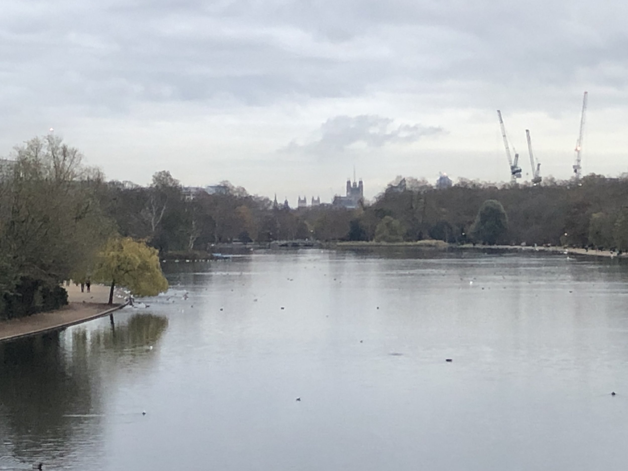
The Serpentine to the Palace of Westminster
From: The centre of the bridge over the Serpentine: 51°30'22.0"N 0°10'21.6"W
To: The Palace of Westminster: 51°29′57″N 00°07′29″W
Distance: 3.4 km
Elevation Difference: -5m
Nearest Underground Station to view point: Lancaster Gate (Central Line): 0.6 miles.
Nearest Rail Station to view point: Paddington (GWR, Heathrow Express): 09 miles.
Nearest Underground Station to target point: Westminster (Circle, District & Jubilee Lines): 0.1 miles
Nearest Rail Station to target point: Waterloo (South Western): 0.6 miles
On the route of: Walking Central London’s Protected views (see below)

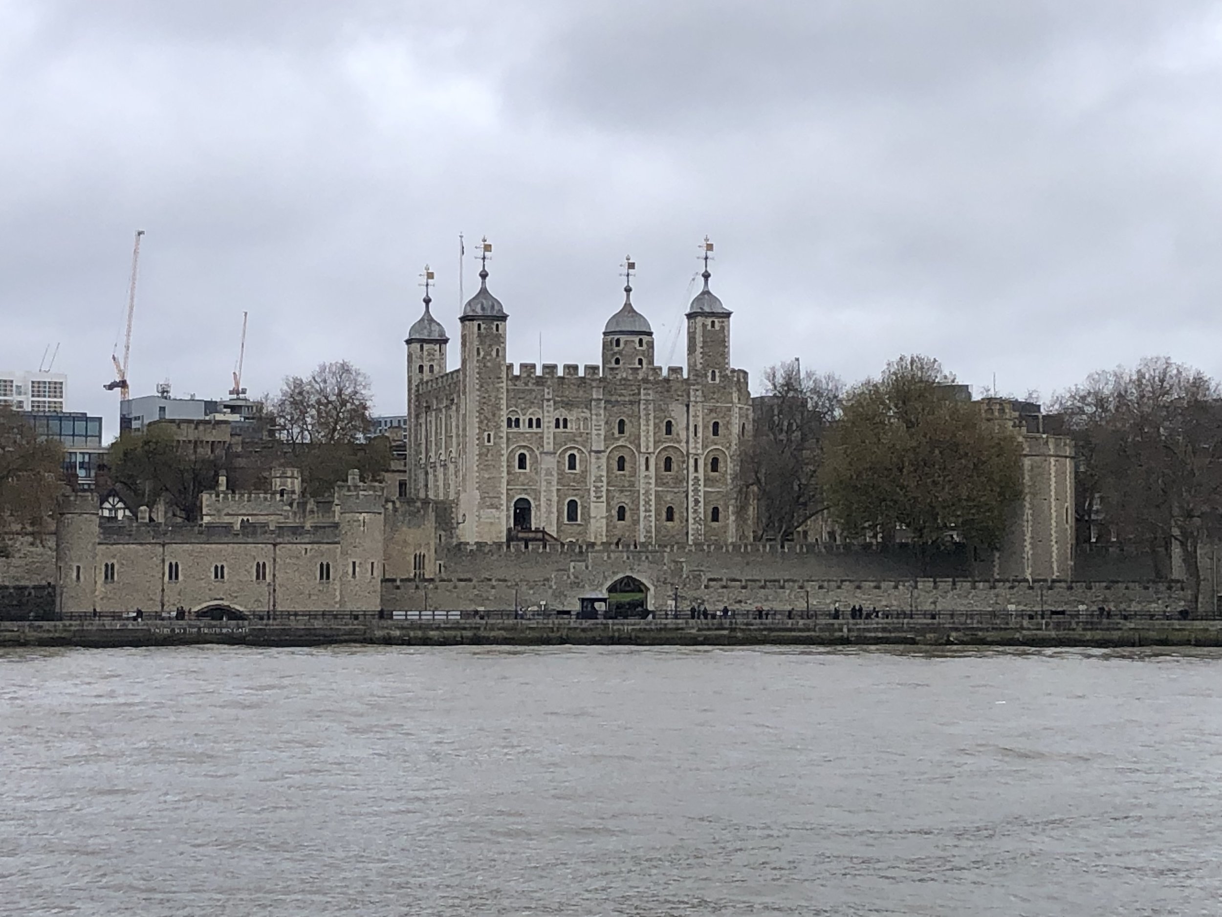
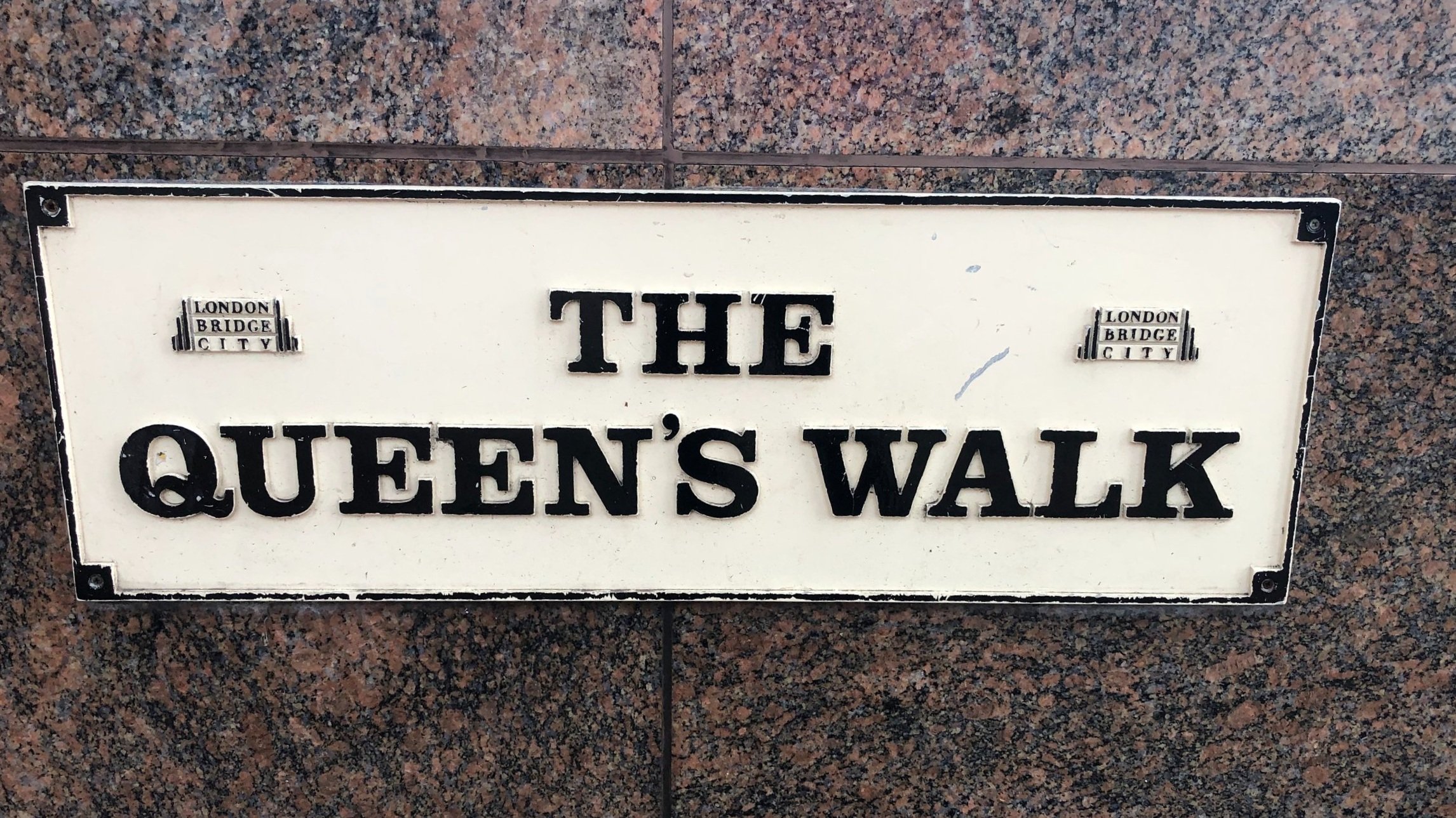
The Queen's Walk at City Hall to the White Tower
From: The Queen's Walk at City Hall: 51°30'18.4"N 0°04'42.5"W
To: The White Tower, Tower of London: 51°30′29″N 00°04′34″W
Distance: 0.4 km
Elevation Difference: +10m
Nearest Underground Station to view point: Tower Hill (Circle, District Lines): 0.7 miles
Nearest Rail Station to view point: London Bridge (Southern, Thameslink, Southeastern): 0.5 miles
Nearest Underground Station to target point: Tower Hill (Circle, District Lines): 0.2 miles
Nearest Rail Station to target point: London Fenchurch Street (c2c): 0.2 miles
On the route of: Walking Central London’s Protected views (see below)
All of London’s Protected Views

Walking Central London’s Protected Views
The three shortest sightlines in Central London can be visited on a scenic 10km walk. The sightlines included are:
The Queen's Walk at City Hall to the White Tower.
Westminster Pier to St Paul's Cathedral
The Serpentine to the Palace of Westminster
The 10km distance includes starting and ending at the closest London Underground stations. Navigation is very simple as you’re mostly following the Thames Path and/or Jubilee Greenway and it passes many of the iconic London sights. I went on a chilly December day and didn’t hang around so it took me about 2 hours. It’s worth doing it more slowly in the Summer to appreciate more of the points of interest along the way.
Tower Hill on the Circle and District Line is the closest station to the start. From here you’ll pass the Tower of London and over Tower Bridge to get to the first sightline. From City Hall it’s only 400m to the White Tower and most of that is river. It’s a great view but practically impossible to obscure by buildings so it’s a strange one to include as a protected sightline.
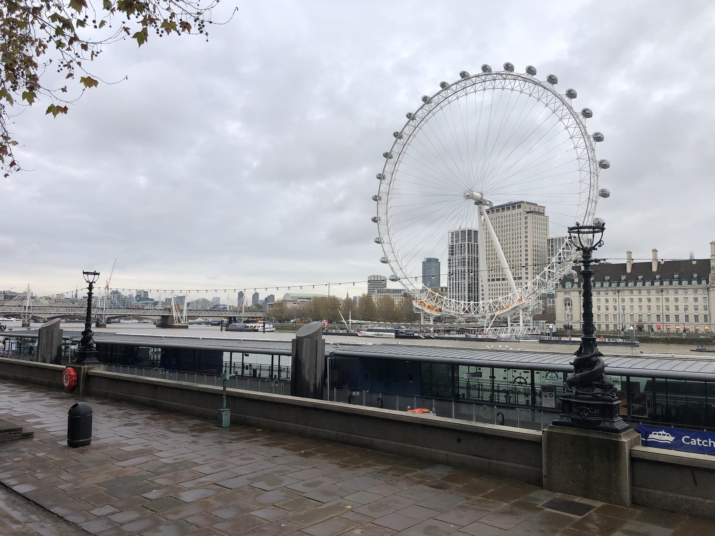
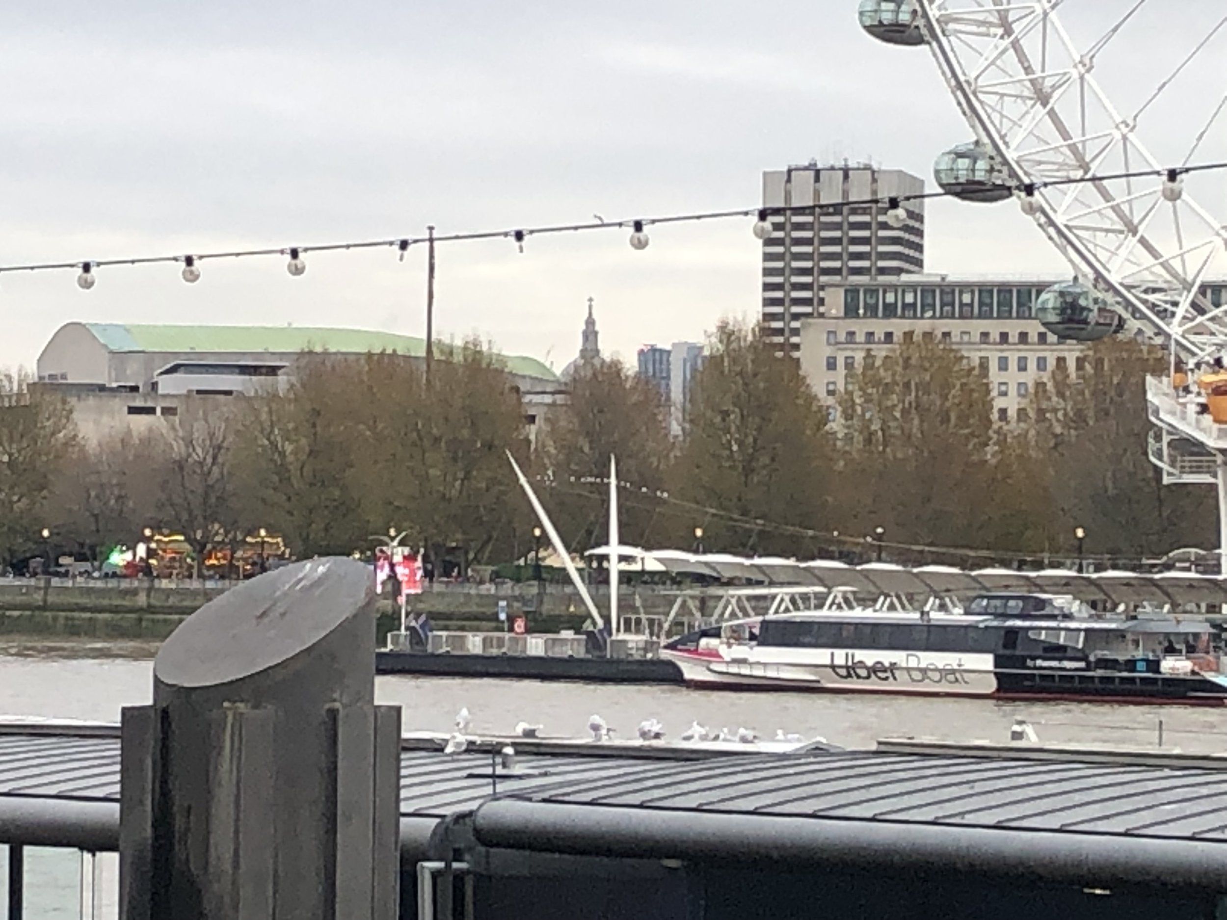
From City Hall follow the Thames Path in a westerly direction until you reach Westminster Bridge. Cross over the bridge towards the Palace of Westminster then take a right onto Victoria Embankment. You’ll find the sight-line to St Paul’s near the top of the steps down to the lower level. Here you can see the dome of St Paul’s between the roof of the Royal Festival Hall and the London Studios’ Tower.
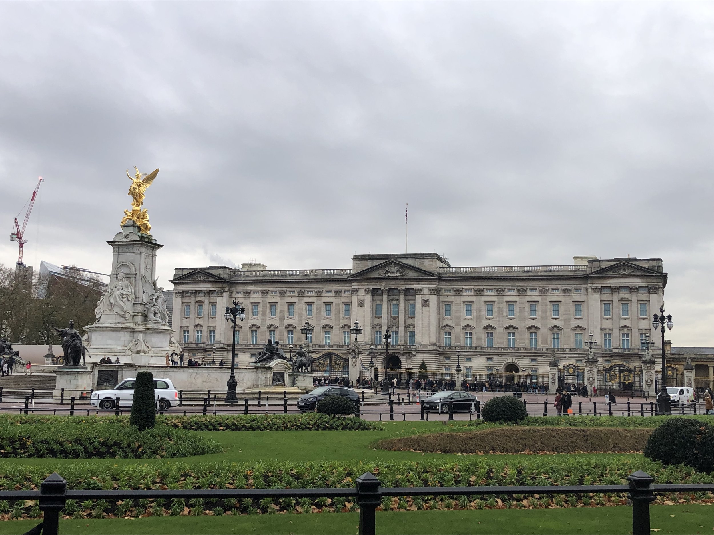
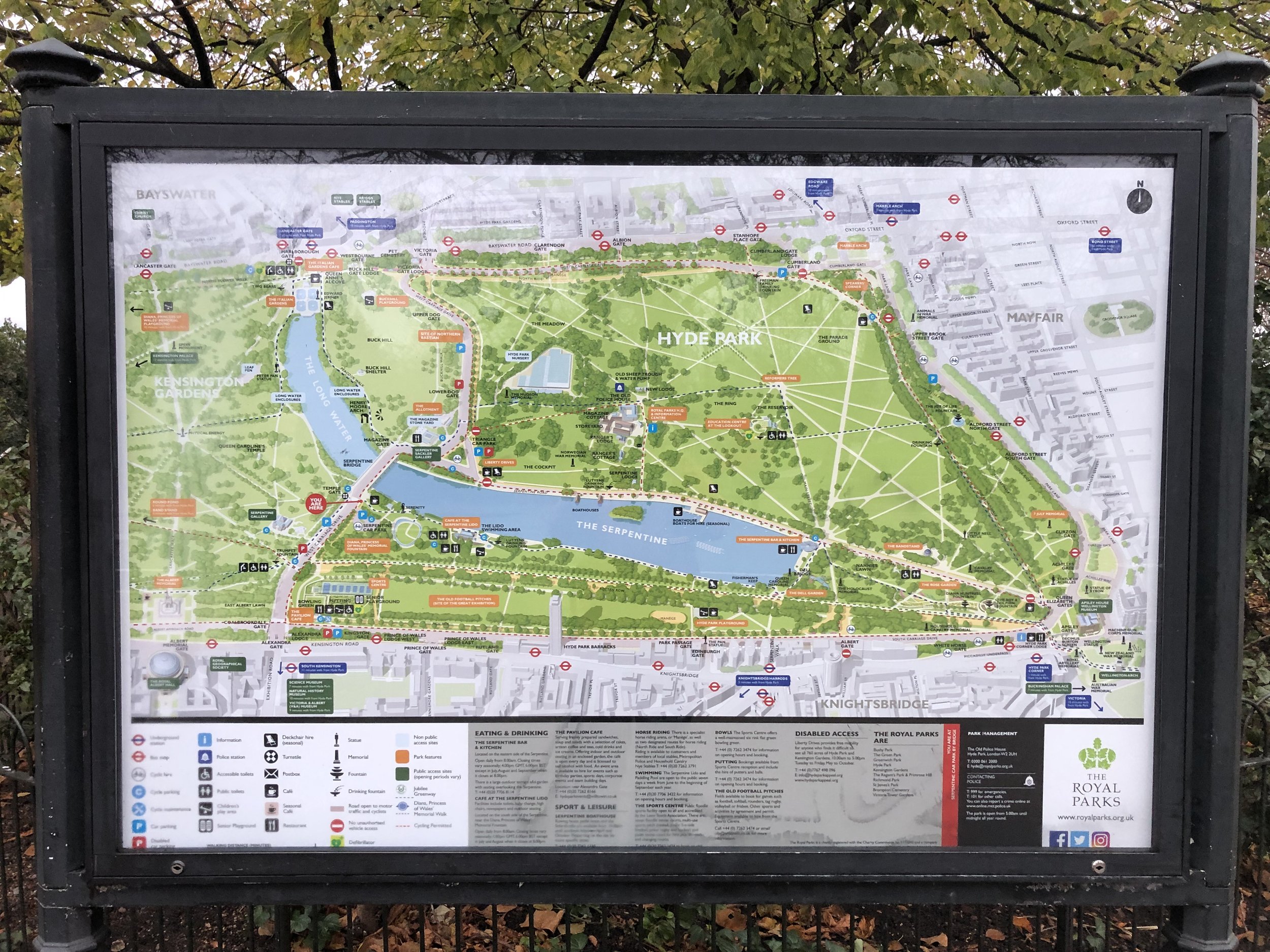
From Westminster Pier, return to Westminster Bridge Road and take a right onto George Street. Follow this to the edge of St James’s Park. Either follow the Jubilee Greenway around the edge of the park or cut through the centre to get to Buckingham Palace. Cross The Mall and into Green Park, following the Jubilee Greenway parallel to Constitution Hill to Hyde Park Corner. Cross the island at Hyde Park Corner, still following The Jubilee Greenway and into the south-east corner of Hyde Park. Once in Hyde Park either follow the Jubilee Greenway, or the path closest to the southern edge of The Serpentine to West Carriage Drive. Turn right onto West Carriage Drive and onto the bridge over The Serpentine. The protected sightline to the Palace of Westminster is halfway along the bridge on the right hand side.
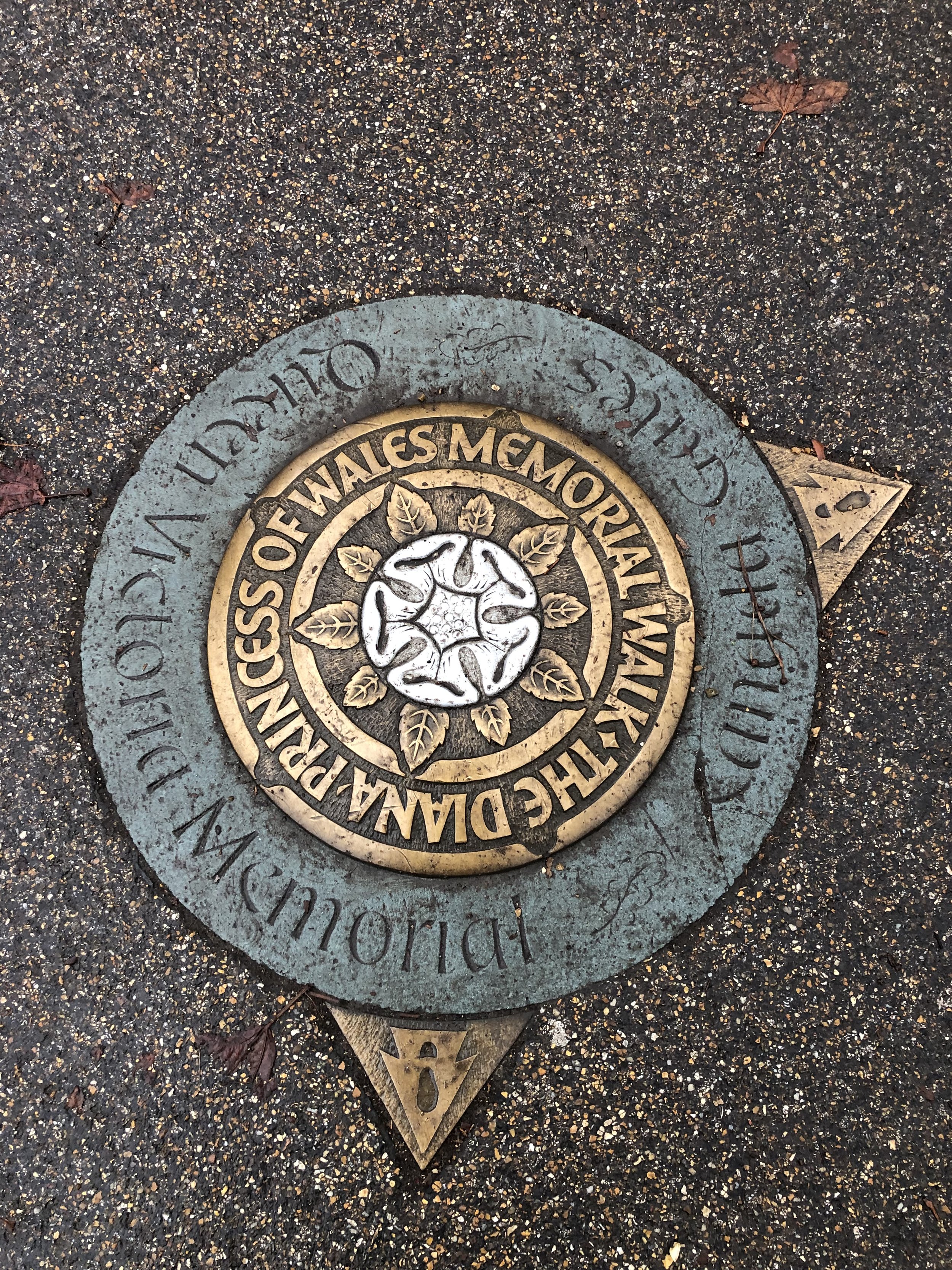
From the Serpentine Bridge continue north and take the first footpath on the right, following the Diana Princess of Wales Memorial Walk. This will take you to the northern edge of the park and the Bayswater Road. Lancaster Gate Underground Station, on the Central Line is on the opposite side of the road. On the Central Line change at Notting Hill Gate (heading west) or Bank (heading east) to pick up the District or Circle Lines to return to the start.
Start: Tower Hill Underground Station: London, EC3N 4DJ
Finish: Lancaster Gate Underground Station: Bayswater Rd, London W2 2UE
Distance: 9.8 km (6.1 miles)
Elevation change: +84m / -71m. Net +13m
GPX File: get via Buy Me a Coffee
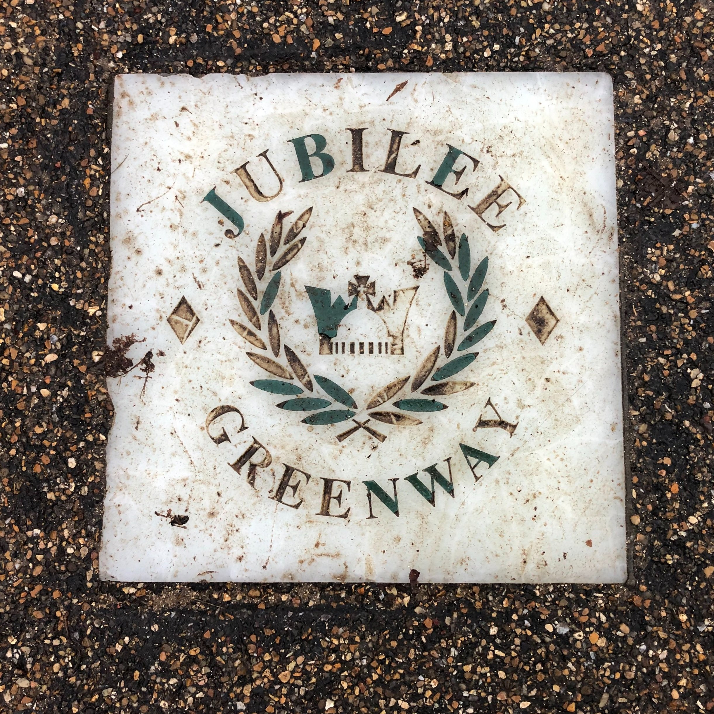
Other routes touched (walk): Thames Path, Jubilee Greenway, Jubilee Walkway, Diana Princess of Wales Memorial Walk
Other routes touched (cycle): NCN 4, CS 3, 6 7,
Pubs / Cafes on route: Lots on Queen’s Walk
Maps:
- London South Map | Westminster, Greenwich, Croydon, Esher & Twickenham | Ordnance Survey | OS Explorer Map 161
- London North Map | The City, West End, Enfield, Ealing, Harrow & Watford | Ordnance Survey | OS Explorer Map 173
Links: Tower of London, The White Tower, Tower Bridge, Queen’s Walk, City Hall, Westminster Pier, Palace of Westminster, St James’ Park, Green Park, Hyde Park, The Serpentine


More London posts
If you enjoyed reading this post, there is plenty more to explore across the capital. I have put together a dedicated London Outdoors page where I keep track of all my other adventures around the city. It is a handy index where I group my posts by the different types of places I have visited: including historic boundary lines, canal towpaths, and some surprising urban high points.
The collection covers a bit of everything: from long-distance cycling routes to tracing the underground network on foot, and ticking off another Saturday morning parkrun. If you are looking for some inspiration for your own weekend outings, head back over to the London Outdoors page to see what else I have been up to.