Walking The Hampstead and Highgate London Borough High Points

Protected view of St Pauls from Kenwood House

Start & Finish: Hampstead Heath Station, London, NW3 2QD
Distance: 9 km (5.6 miles)
Elevation change: +/- 144m
GPX File: get via Buy Me a Coffee
Other routes touched (walk): River Fleet Walk
Other routes touched (cycle): None
Pubs / Cafes on route: Several on the junction of Highgate Road and Swain’s Lane and also on Highgate Hill
Map: OS Explorer 173 London North
Links: Hampstead Heath, Hampstead Heath Station, Highgate Cemetery, Highgate, Kenwood House, London’s Protected Views
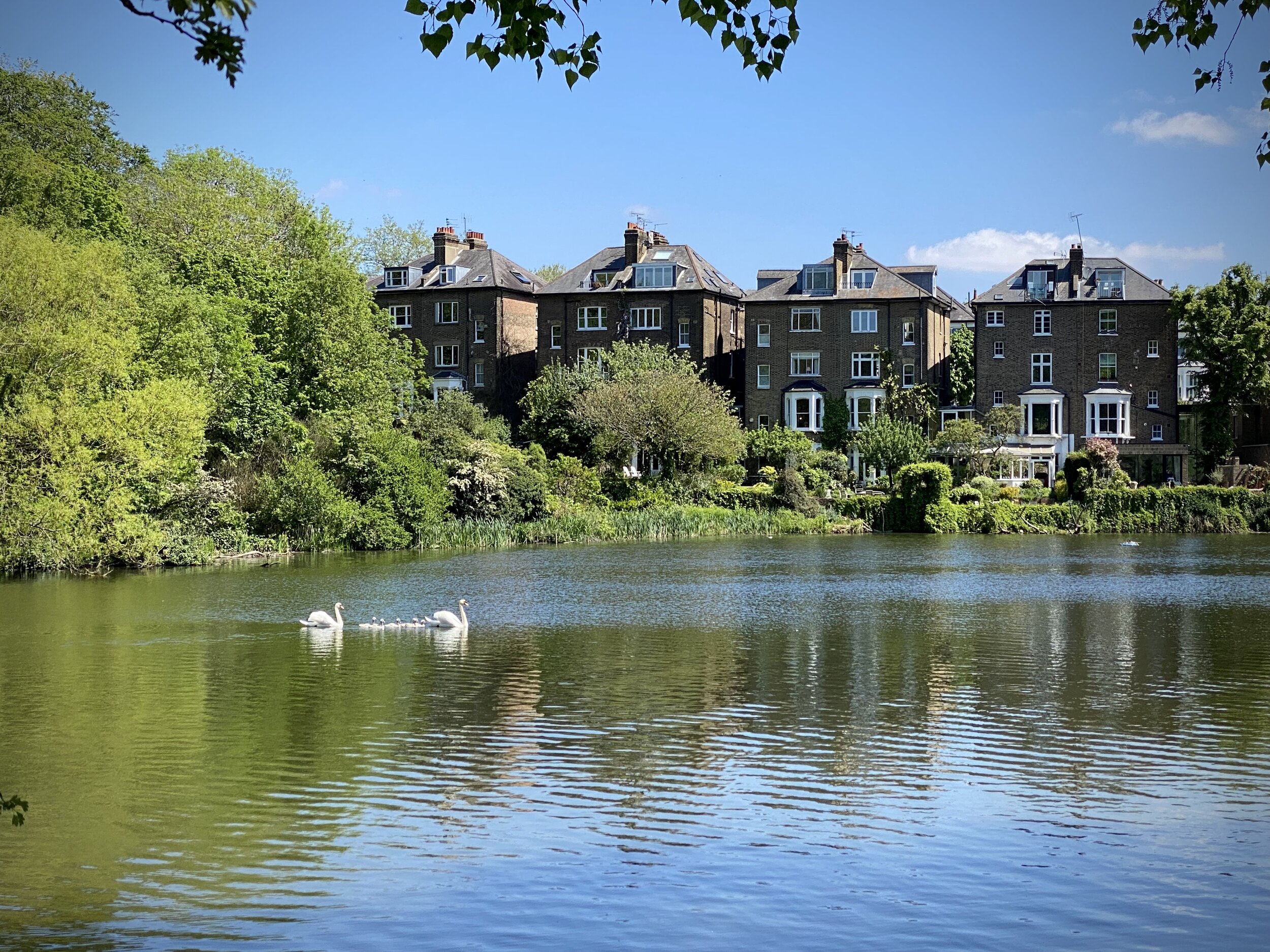
For our latest Greater London Boroughs High Points walk we ticked off Islington, Haringey and Camden. All three can be reached by a 9km circular walk through Hampstead Heath and the edge of Highgate Cemetery. Whether you’re starting from Hampstead Heath Station or East Heath Car Park, you’re near the southern edge of the circuit. Taking an anti-clockwise route, you’ll soon reach Parliament Hill.

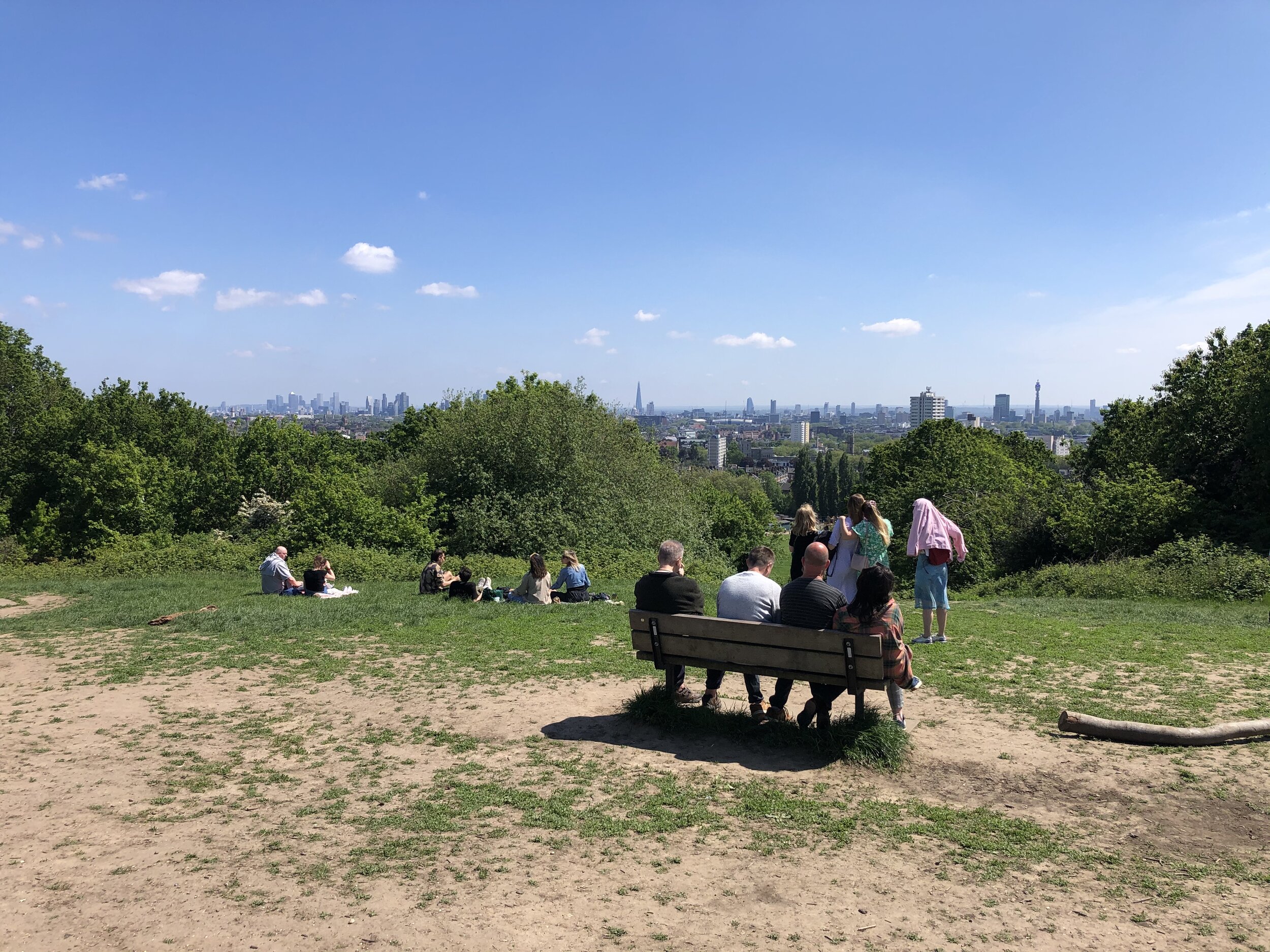


Parliament Hill
Significance: N/A
Member of: Protected View of St Pauls and the Palace of Westminster
Parent Peak: Hampstead Heath. NHN = Hampstead Heath.
Elevation: 98m
Date “climbed”: 30th May 2021
Coordinates: 51° 33' 35'' N, 0° 9' 35'' W
On route of: Belsize Walk
Nearest Station: Hampstead Heath (Overground): 0.6 km
Map: OS Explorer 173 London North
Links: Wikipedia, Peakbagger, Protected Views
The star of many London skyline scenes in TV and movies, Parliament Hill is a Protected View of St Paul’s Cathedral. Any filming done here must have been done very early in the morning as it’s usual packed with people.
The famous kite-flying hill on Hampstead Heath was known in ancient times as Traitors' Hill, perhaps due to an execution site. It took on its present name in the mid-17th century, when Parliamentarian forces occupied the hill during the English Civil War. You can see the modern Houses of Parliament from its summit. Rumours that the hill has a connection with the Gunpowder Plot to blow up Parliament are intriguing (especially given the former name of Traitors' Hill), but unsubstantiated. source: How London’s Hills Got Their Names.
From the viewpoint, continue walking east, exiting the park at Highgate Road.

Highgate Hill
Significance: Highest point in London Borough of Islington
Member of: N/A
Parent Peak: Haddington Hill. NHN = Highgate
Historic County: Middlesex (of which Bushey Heath is the County Top)
Elevation: 100m
Date “climbed”: 30th May 2021
Coordinates: 51° 34' 9'' N, 0° 8' 32'' W
Nearest Station: Archway (Northern Line): 0.6 km
On route of: N/A. The Capital Ring is 1 km to the north
Map: OS Explorer 173 London North
Links: Wikipedia (Highgate), Peakbagger, Hillbagging
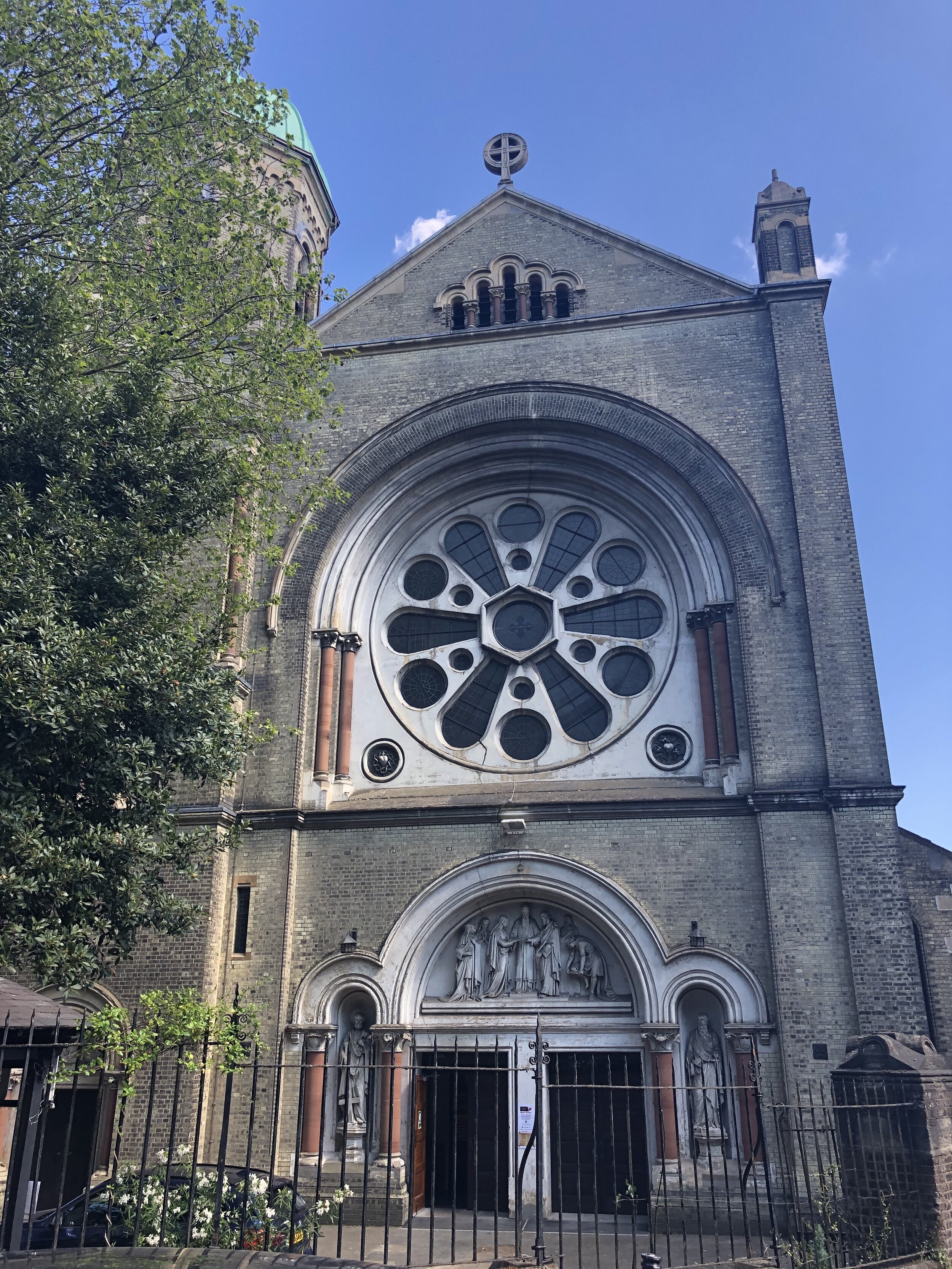
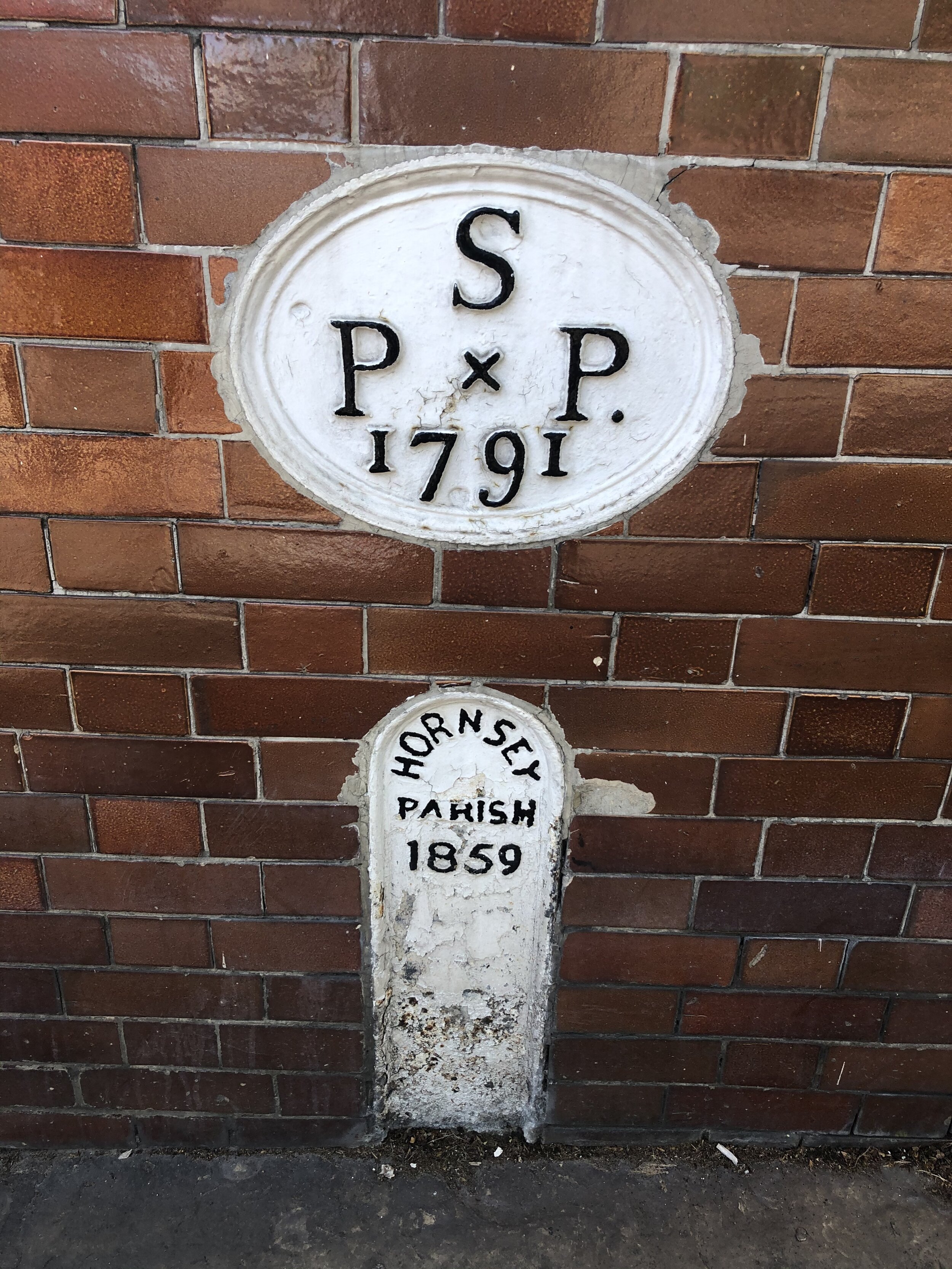
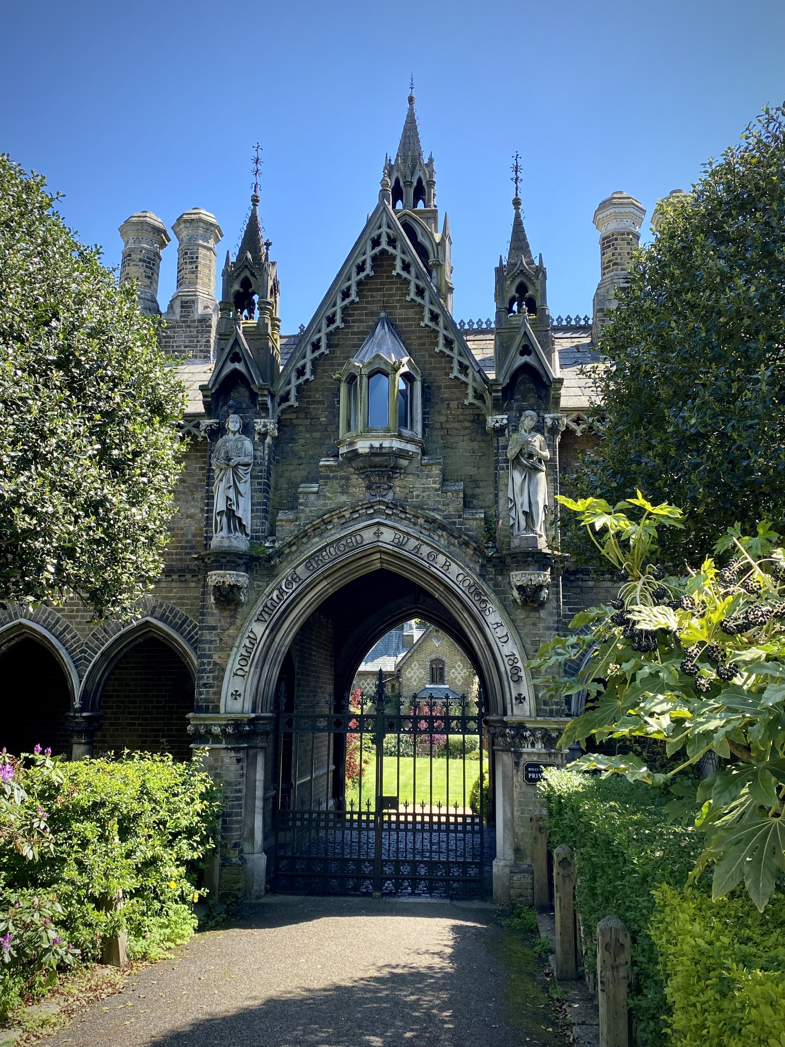
From Highgate road, continue in an anti-clockwise direction, following Swain’s Lane, Chester Road, Raydon Street and north along Dartmouth Park Hill. The stone that marks the highest point in Islington is on the western side of the north end of Dartmouth Park Hill opposite St Joseph’s Parish Church. Look out for the OS Benchmark symbol on the side. This is also the tri-point of the boroughs of Islington, Camden and Haringey.
The 'gate' in the name Highgate refers to a long-lost access route into the Bishop of London's deer hunting grounds on top of the hill. There is an alternative theory, elegantly described on Hidden Highgate, which puts the 'high' part of the name as a corruption of the Saxon word haeg, meaning hawthorn. So Highgate could refer to a gap in a hawthorn boundary. source: How London’s Hills Got Their Names.

Highgate
Significance: Highest point in London Borough of Haringey
Member of: N/A
Parent Peak: Haddington Hill. NHN = Hampstead Heath
Historic County: Middlesex (of which Bushey Heath is the County Top)
Elevation: 129m
Date “climbed”: 30th May 2021
Coordinates: 51° 34' 17'' N, 0° 9' 0'' W
Nearest Station: Highgate (Northern Line): 0.8 km
On route of: N/A. The Capital Ring is 1 km to the north-east
Map: OS Explorer 173 London North
Links: Wikipedia (Highgate), Peakbagger, Hillbagging
From the Islington high point follow Highgate Hill in a north-westerly direction for 600m to reach the high point of Haringey. It’s in the middle of the junction of Highgate Hill, Hampstead Lane and the B519. There’s several cafes and pubs along the way for a half-way point rest.
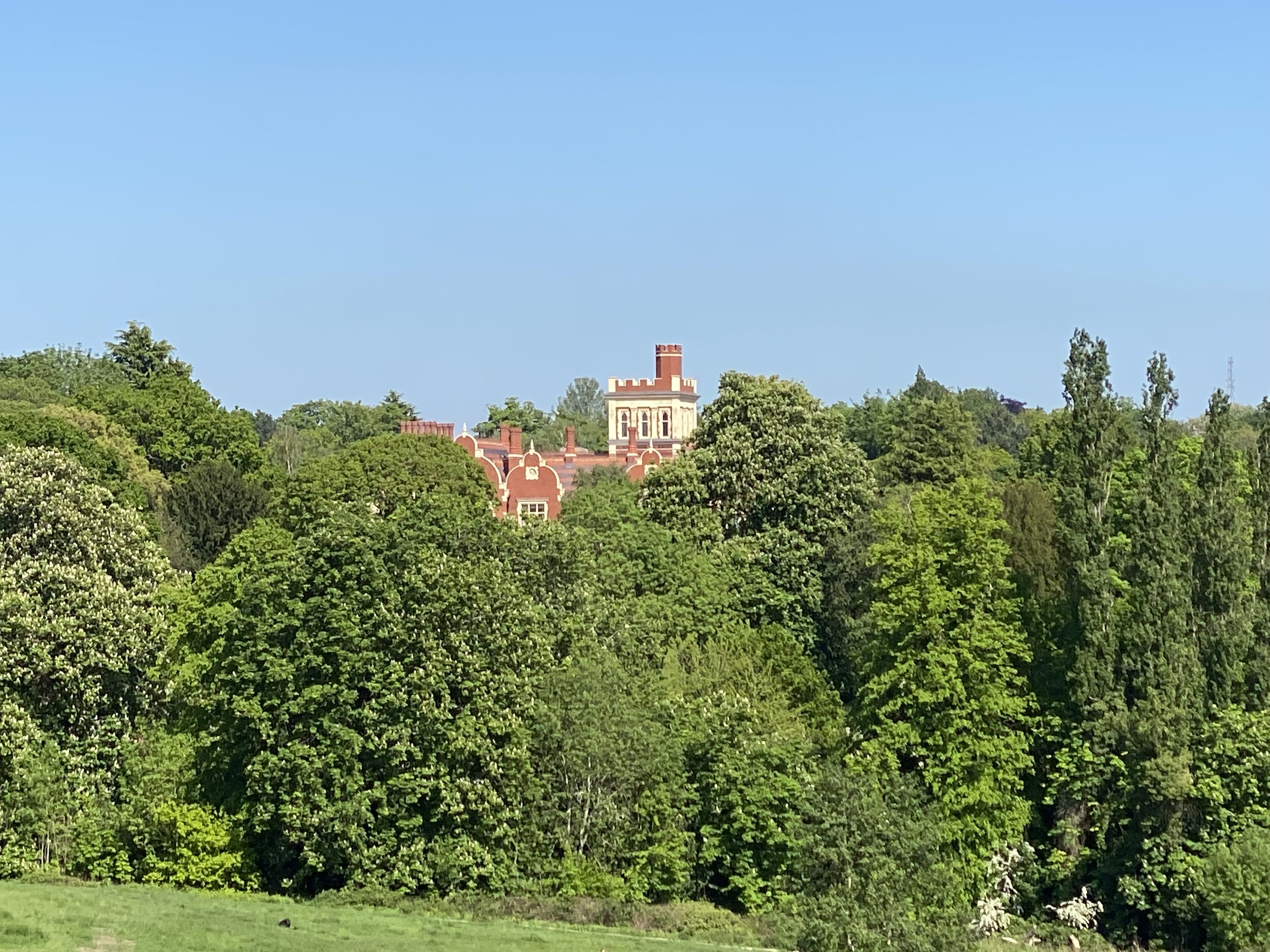
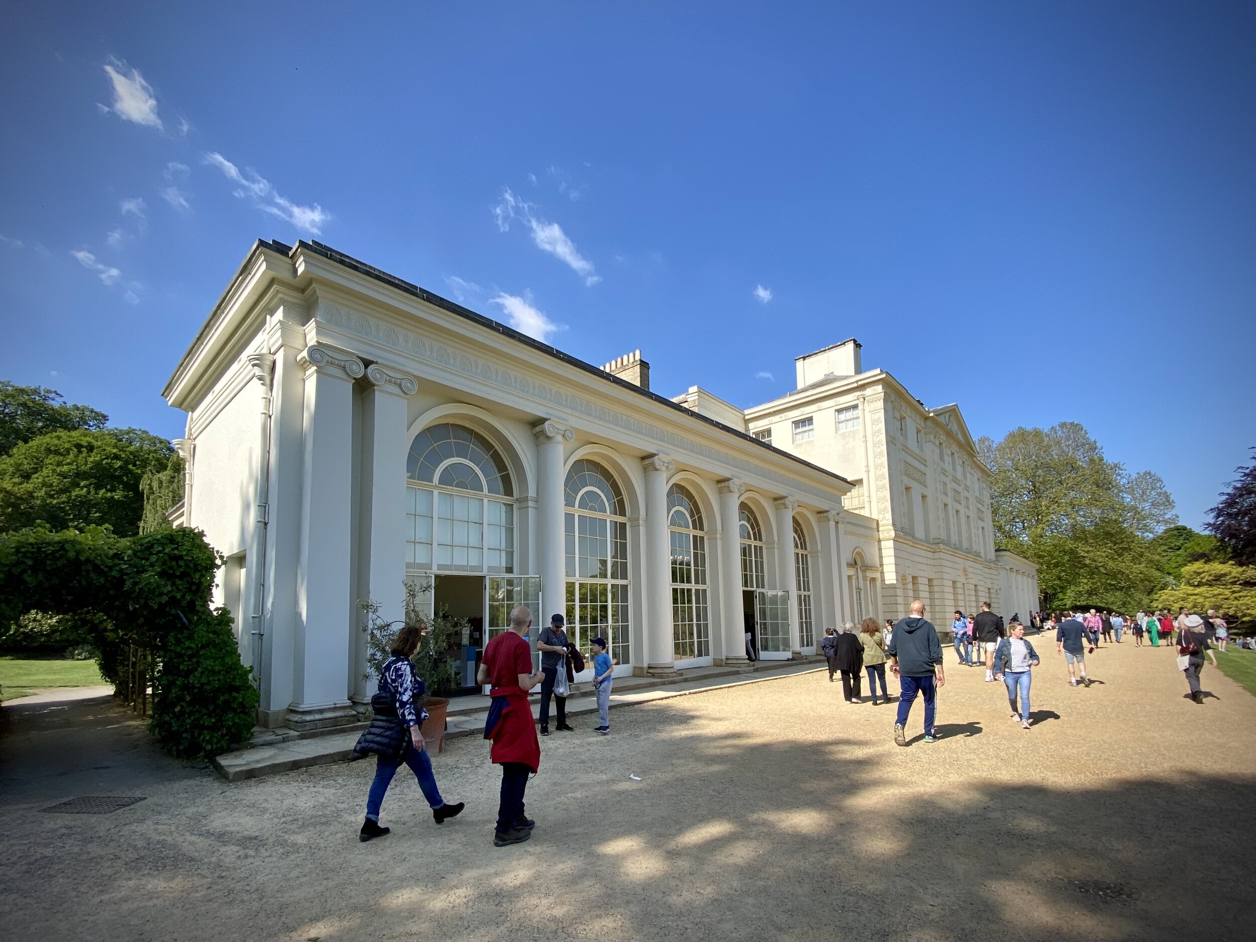
From the Haringey high point, follow Hampstead Lane west then take the first left onto The Grove and first right onto Fitzroy Park. After ~900m take a right at the junction, and take a footpath back into Hampstead Heath at the end of the road. Continue through the Heath in a north-westerly direction up to the Kenwood House Protected Viewpoint.
Continue west past the front side of Kenwood House to the car park on Hampstead Lane. We took a minor excursion from the park to bag the Hampstead Lane summit (116m elevation) at the Haringey/Camden/Barnet Tripoint. There’s little to see here and nothing to mark the summit so it’s only one for the London peaks completists.

Hampstead Heath
Significance: Highest point in London Borough of Camden
Member of: N/A
Parent Peak: Haddington Hill. NHN = Highwood Hill
Historic County: Middlesex (of which Bushey Heath is the County Top)
Elevation: 134m
Date “climbed”: 30th May 2021
Coordinates: 51° 33' 53'' N, 0° 10' 41'' W
Nearest Station: Hampstead Heath (Overground): 1.7 km
On route of: N/A. Belsize Walk is 1.1 km to the south-east
Map: OS Explorer 173 London North
Links: Wikipedia (Hampstead Heath), Peakbagger, Hillbagging
Hampstead Heath was the highest point of the old County of London Administrative County. This was abolished in 1965 and replaced by Greater London
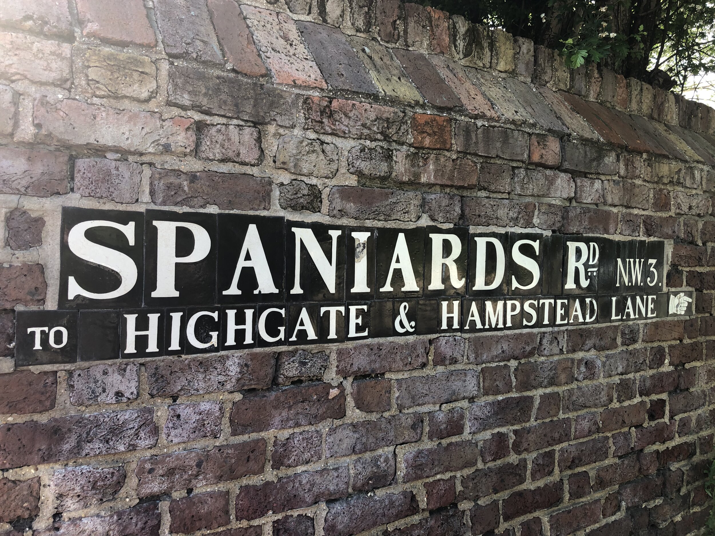
From the Kenwood House Car Park follow the Hampstead Heath boundary path south. Exit the park onto Spaniards Road on the first exit south of the Columbus Drive estate. Continue south along the eastern side of Spaniard’s drive and you’ll soon walk over the high point of Camden. There’s nothing to mark it, but the nearby Hampstead Heath sign (pictured here) is a good proxy.
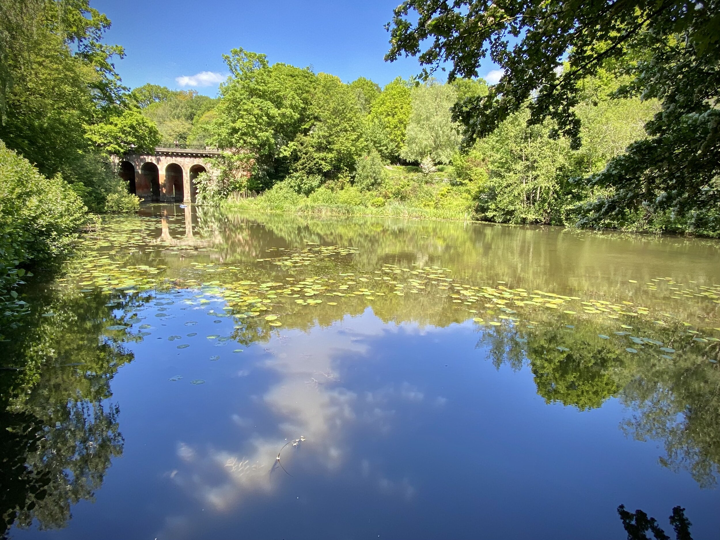
Re-enter the Heath at the next entrance and follow the paths back down to the mixed bathing ponds and back to the start.