Walking The Merton, Wandsworth and Richmond London Borough High Points
Big Alp, Wandsworth Borough High Point, Putney Heath

Start: Wimbledon Station, The Broadway, London, SW19 7NL
Finish: The Quadrant, Richmond, TW9 1EZ
Distance: 13.3 km (8.3 miles)
Elevation change: +126m /- 142m. Net -16m
GPX File: get via Buy Me a Coffee
Other routes touched (walk): The Capital Ring
Other routes touched (cycle): NCN 4
Pubs / Cafes on route: Several on Wimbledon and Richmond High Streets plus Pen Ponds Cafe near Spankers Hill in Richmond Park
Map: OS Explorer Map (161) London South, Westminster, Greenwich, Croydon, Esher & Twickenham
Guidebook: Capital Ring (National Trail Guides) by Colin Saunders
Links: Wimbledon, Wimbledon Station, Wimbledon Common & Putney Heath, Wimbledon Common Windmill, Richmond Park, Richmond, Richmond Station, London’s Protected Views
For our latest Greater London Boroughs High Points walk we ticked off Merton, Wandsworth and Richmond-upon Thames. All three can be reached via a 13km stretch of the Capital Ring with a few minor diversions. As a point-to-point route it’s very accessible as it starts and ends at 2 London Overground stations with a ~25 minute connection between them.


Lauriston Road
Significance: (alternative) Highest point in London Borough of Merton
Member of: N/A
Parent Peak: Botley Hill. NHN = Big Alp, Putney Heath
Historic County: Surrey (of which Leith Hill is the County Top)
Elevation: 55m
Date “climbed”: 29th May 2021
Coordinates: 51° 25' 22'' N, 0° 13' 24'' W
Nearest Station: Wimbledon (South Western Railway, Thameslink): 1.4 km
On route of: N/A. The Capital Ring is 2 km to the north
Map: OS Explorer Map (161) London South, Westminster, Greenwich, Croydon, Esher & Twickenham
Links: Wikipedia (Merton), Peakbagger, Hillbagging
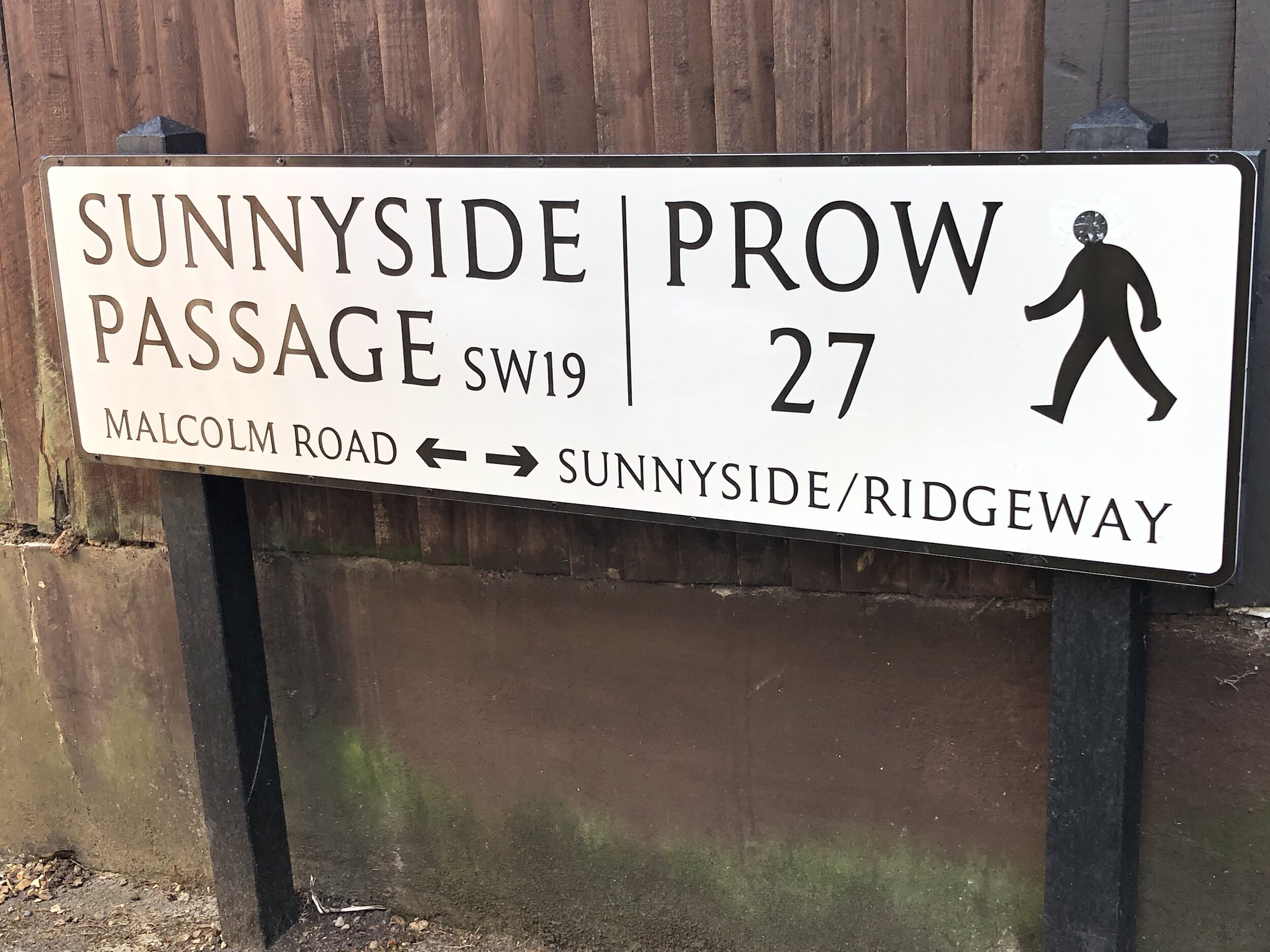
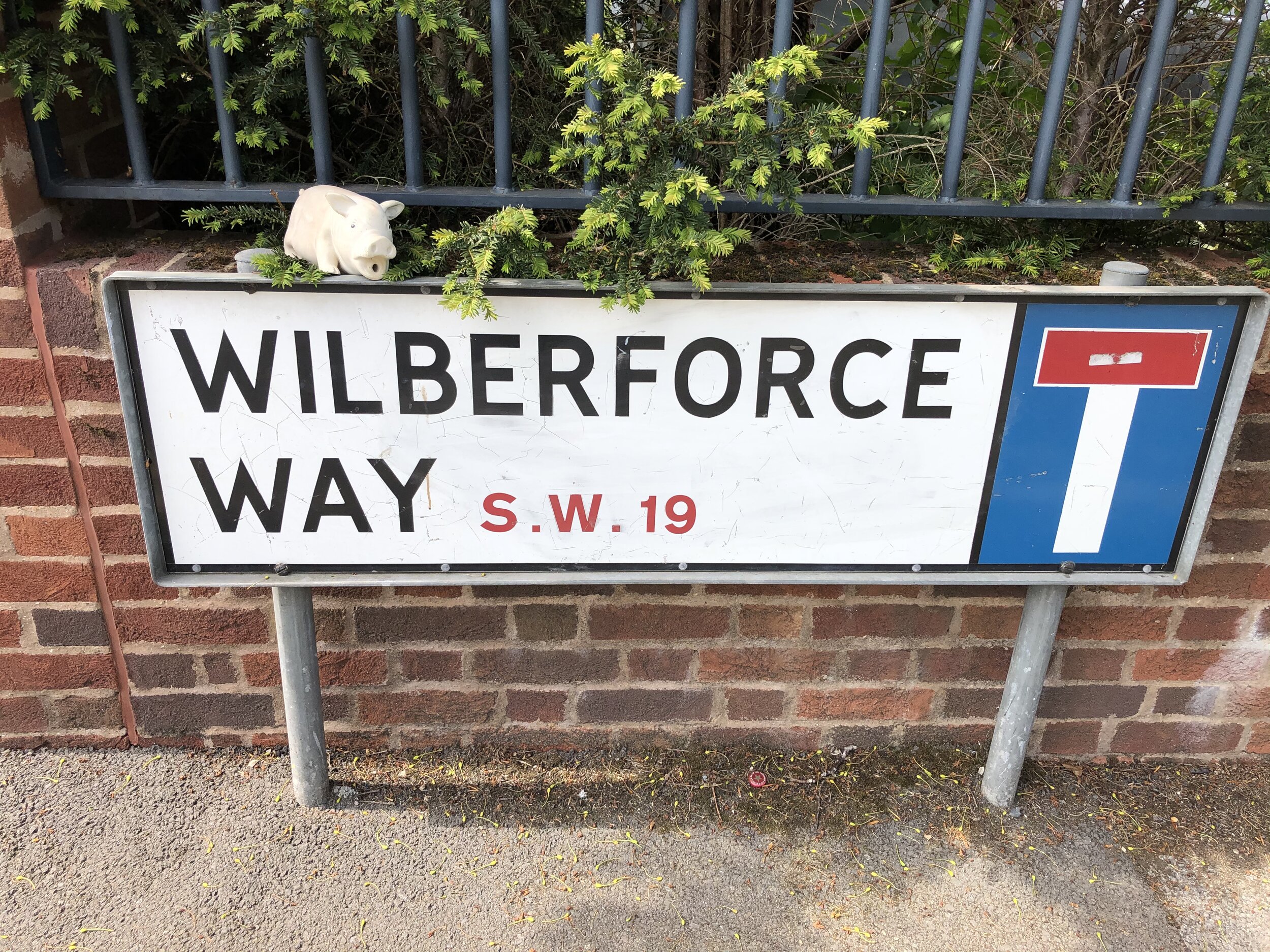
The first of 2 alternative high points for Merton can be found on the way to Wimbledon Common from Wimbledon Station. The unmarked high point is on the north side of Lauriston Road just north of the junction with Wilberforce Way.

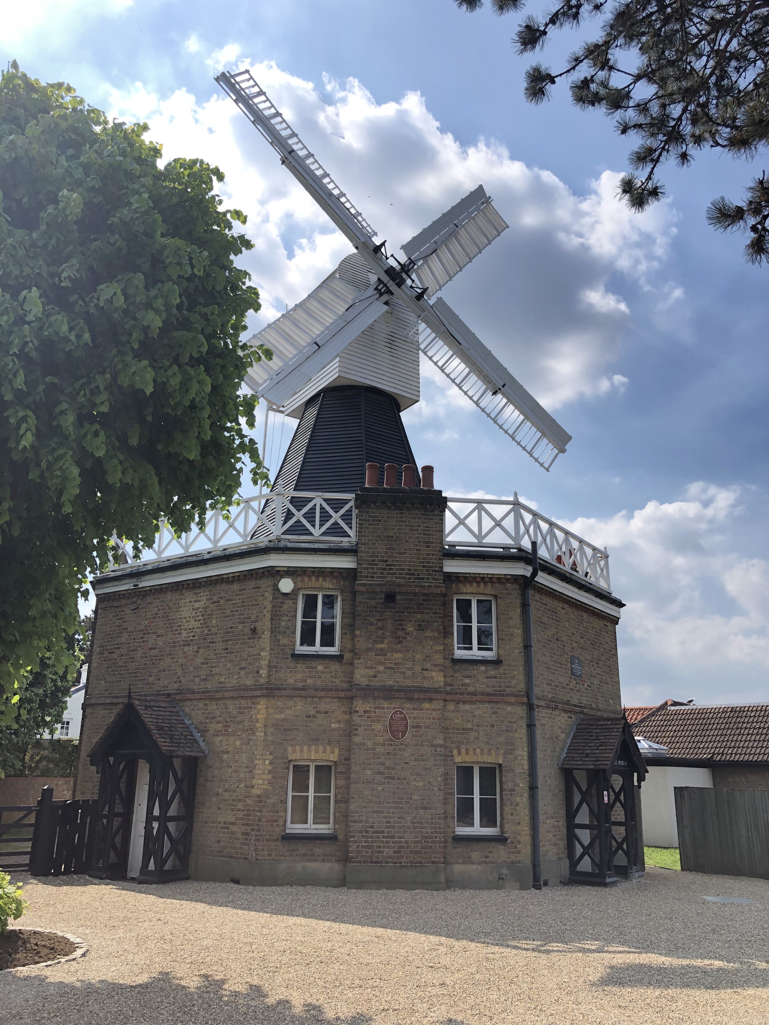
Wimbledon Common
Significance: Highest point in London Borough of Merton
Member of: N/A
Parent Peak: Botley Hill. NHN = Big Alp, Putney Heath
Historic County: Surrey (of which Leith Hill is the County Top)
Elevation: 55m
Date “climbed”: 29th May 2021
Coordinates: 51° 25' 58'' N, 0° 13' 27'' W
Nearest Station: Wimbledon (South Western Railway, Thameslink): 2 km
On route of: N/A. The Capital Ring is 0.7 km to the north
Map: OS Explorer Map (161) London South, Westminster, Greenwich, Croydon, Esher & Twickenham
Links: Wikipedia (Merton), Peakbagger, Hillbagging
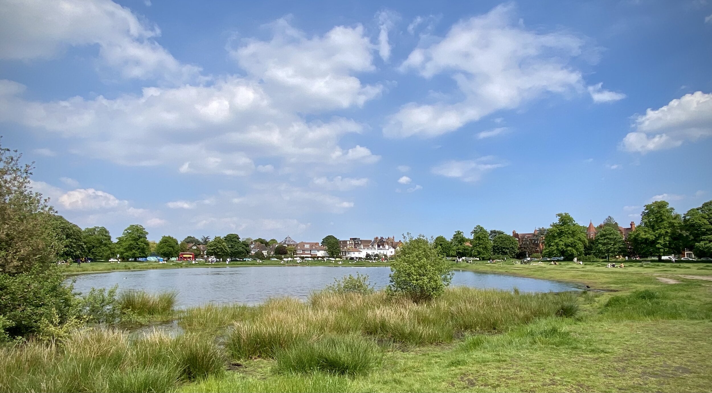
The Wimbledon Common high point of Merton is ~1 km north of Lauriston Road. You can access it either by the pavement alongside Parkside road or via the parallel footpath on the edge of the common. Look out for the Parkside Road sign opposite the entrance to Calonne Road

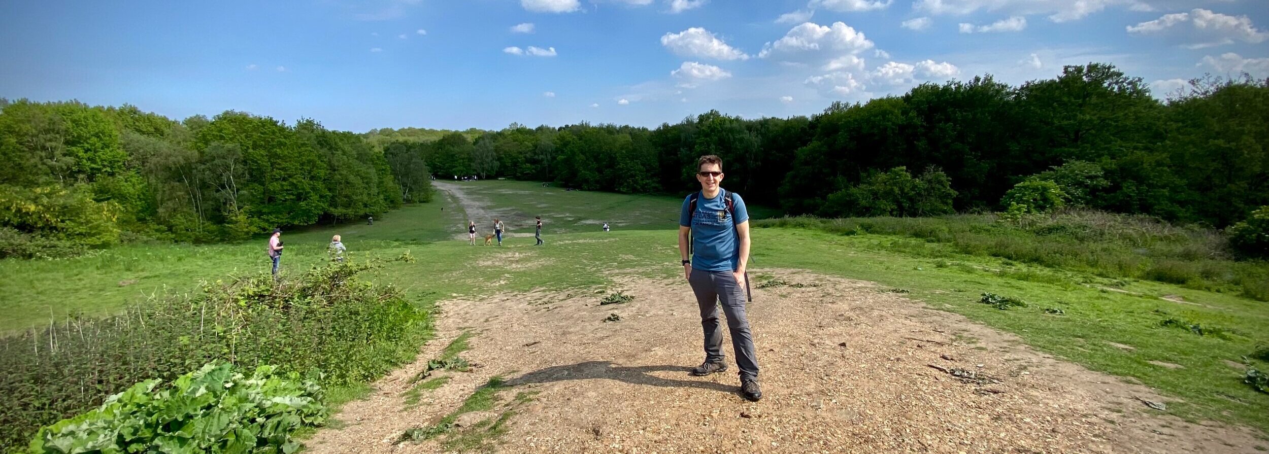
Big Alp, Putney Heath
Significance: Highest point in London Borough of Wandsworth
Member of: N/A
Parent Peak: Botley Hill. NHN = Westow Hill
Historic County: Surrey (of which Leith Hill is the County Top)
Elevation: 60m
Date “climbed”: 29th May 2021
Coordinates: 51° 26' 27'' N, 0° 14' 1'' W
Nearest Station: Southfields (District Line): 2.3 km
On route of: N/A. The Capital Ring is 0.4 km to the south
Map: OS Explorer Map (161) London South, Westminster, Greenwich, Croydon, Esher & Twickenham
Links: Wikipedia (Wandsworth), Peakbagger, Hillbagging
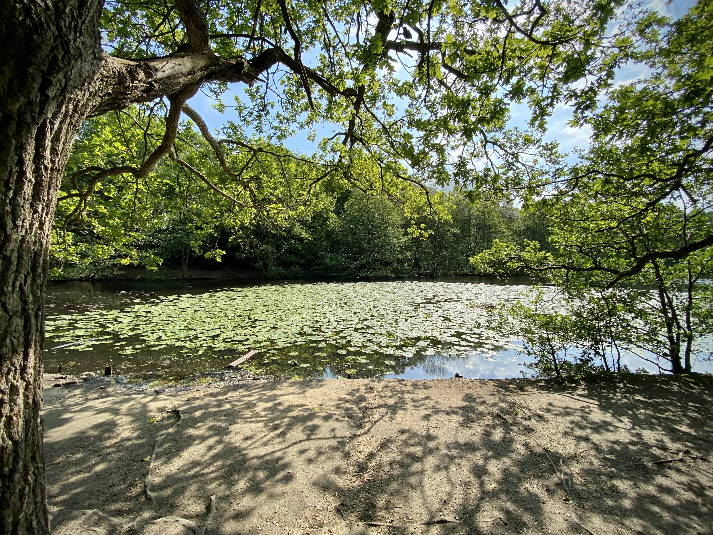
Big Alp on Putney Heath is just over 1 km north west of the Wimbledon Common high point. After the underwhelming summits of Merton this at least feels like a real hill. From Big Alp descend through the woods in a south-westerly direction to pick up the Capital Ring at the southern end of Queensmere lake. From here follow the Capital Ring in a westerly direction into Richmond Park.
When you enter Richmond Park at Robin Hood Gate you’re only ~300m from the tri-point of the boroughs of Kingston, Richmond and Wandsworth on the Beverley Brook. I hadn’t researched it at the time otherwise I would have taken to the small diversion to see it.
Further into Richmond Park at Pen Ponds cafe you can make a minor diversion to the summit of Spankers Hill. There’s nothing of interest there, just go to ponder how it got that name.

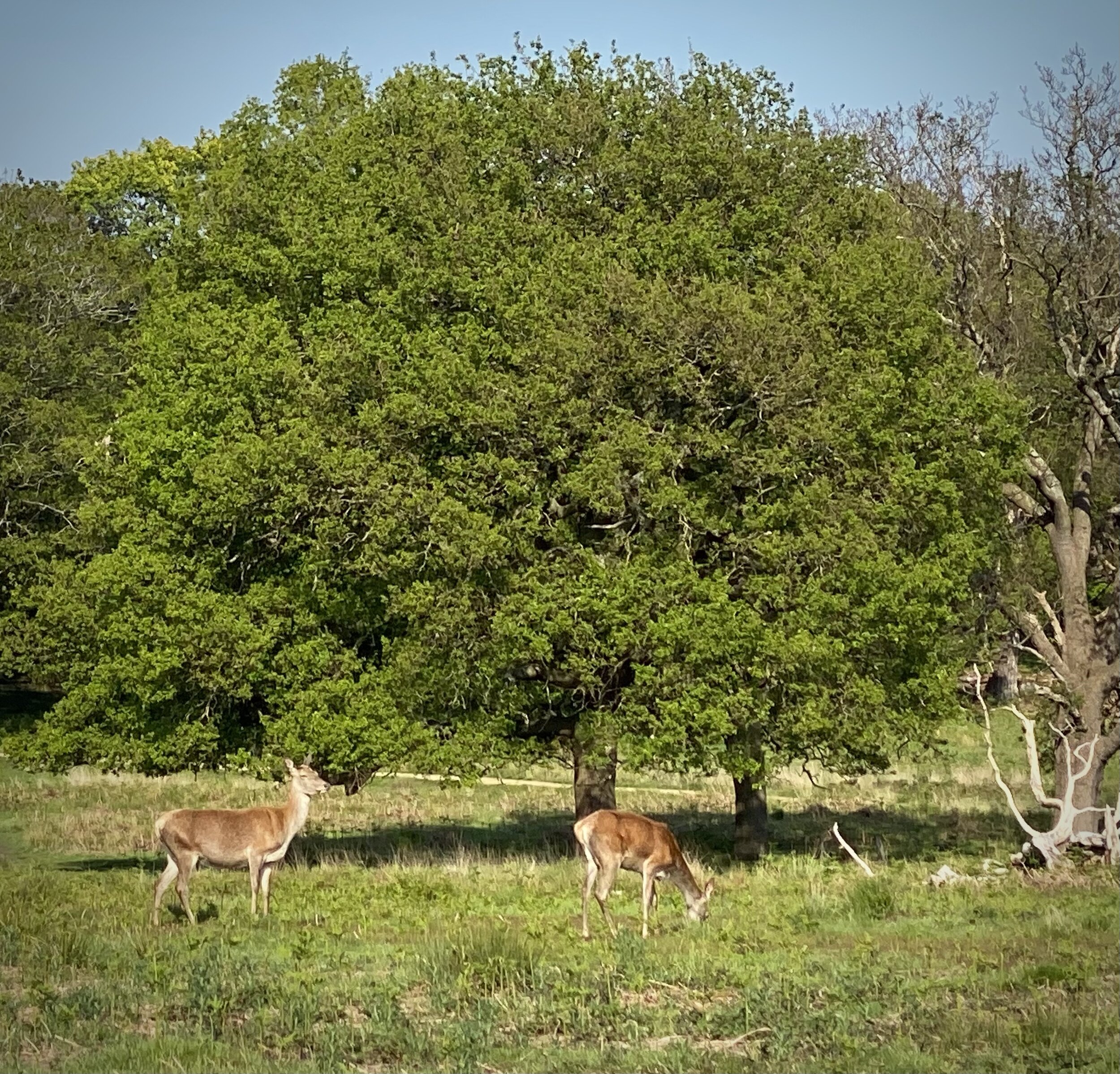
Richmond Park
Significance: Highest point in London Borough of Richmond upon Thames
Member of: Protected View of St Paul’s
Parent Peak: Botley Hill. NHN = Big Alp, Putney Heath
Historic County: Surrey (of which Leith Hill is the County Top)
Elevation: 56m
Date “climbed”: 29th May 2021
Coordinates: 51° 26' 42'' N, 0° 17' 38'' W
Nearest Station: Richmond (Overground, South Western Railway, District Line): 2.4 km
On route of: N/A. The Capital Ring is 0.2 km to the west
OS Trig Pillar: TP5674 - Richmond Park
Map: OS Explorer Map (161) London South, Westminster, Greenwich, Croydon, Esher & Twickenham
Links: Wikipedia (Richmond-upon Thames), Peakbagger, Hillbagging, London’s Protected Views
After Pen Ponds leave the Capital Ring and take a short cut west through Sidmouth Wood. After leaving the wood continue across Queen’s Road to find the Richmond high point.
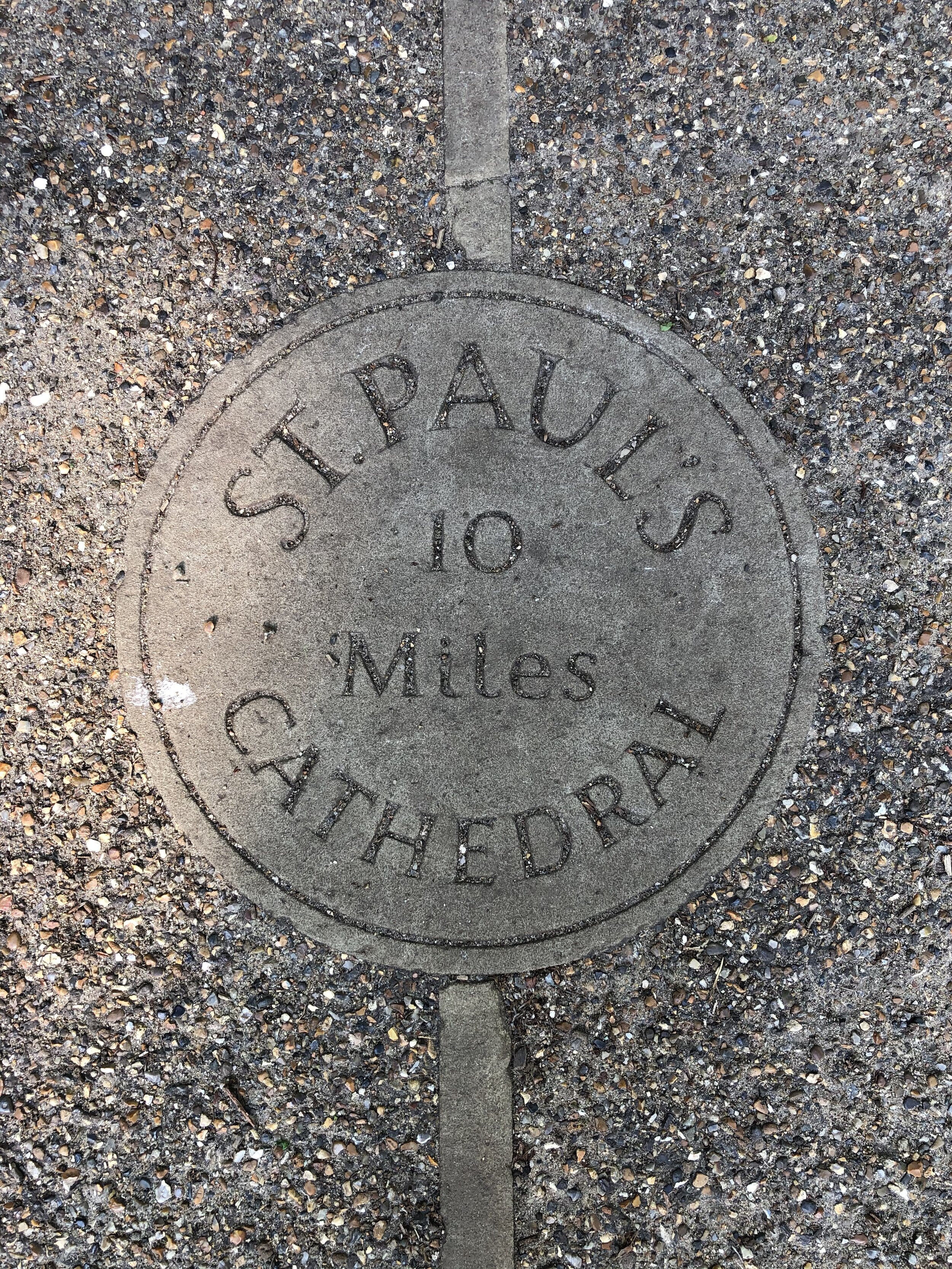
Although not the highest point on this trip, the Richmond-upon-Thames high point is the most interesting. There’s an OS Trig Pillar to mark the summit and it’s one of the Protected Views of St Paul’s Cathedral.
From the Trig Pillar continue following the boundary of the park for ~1km, then exit at Cambrian Gate. Head north-west along Cambrian Road, Marlborough Road and Church Road to reach the end at Richmond Station.