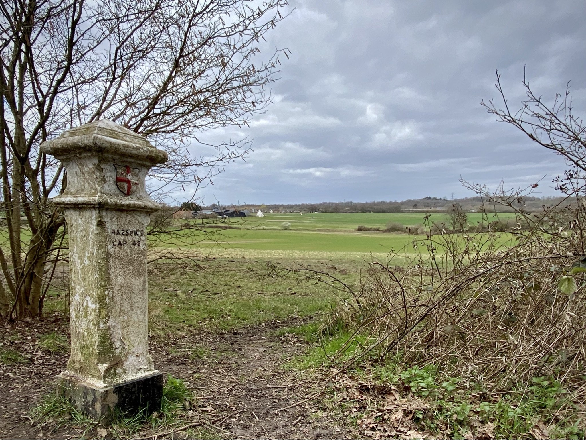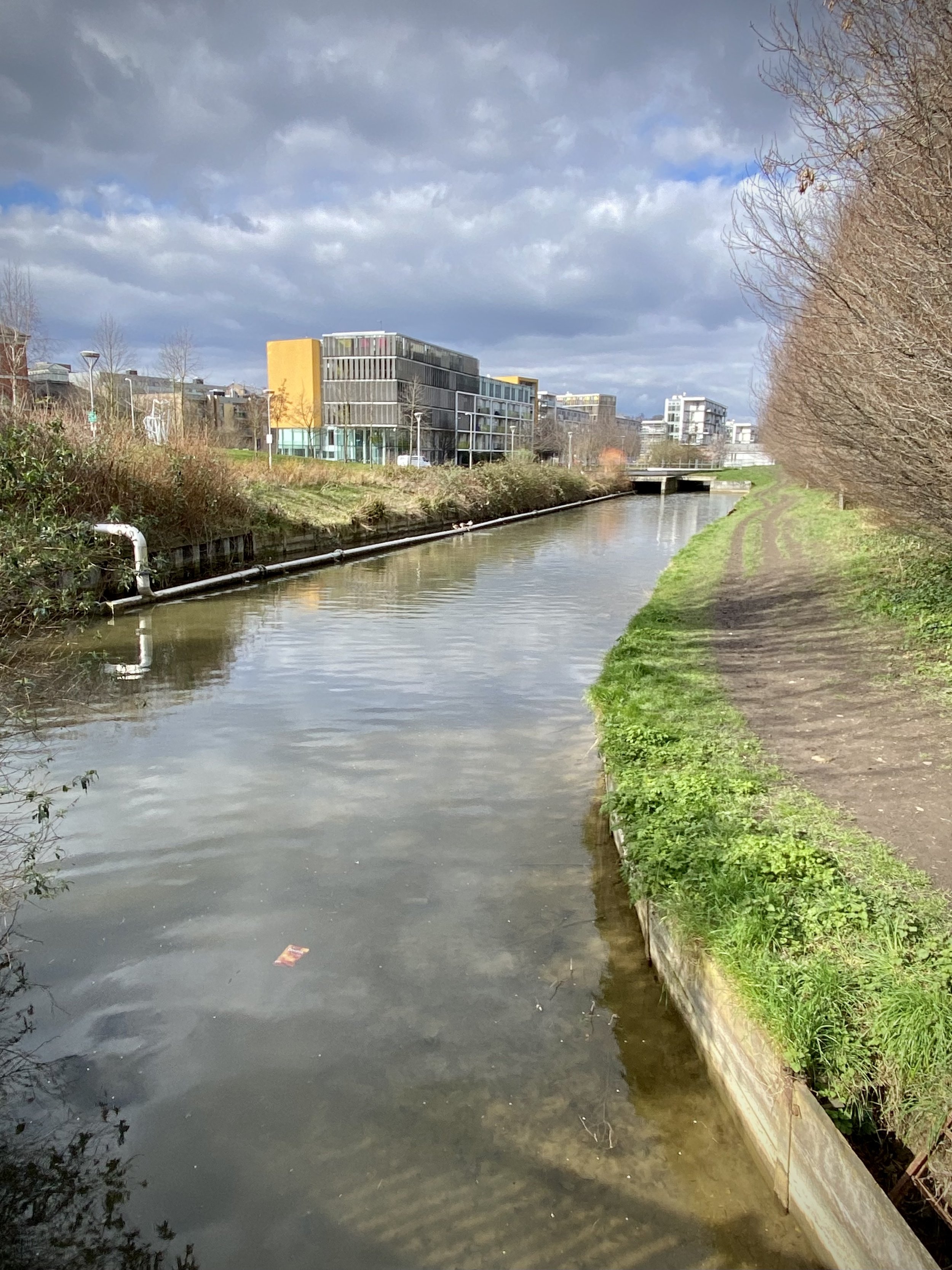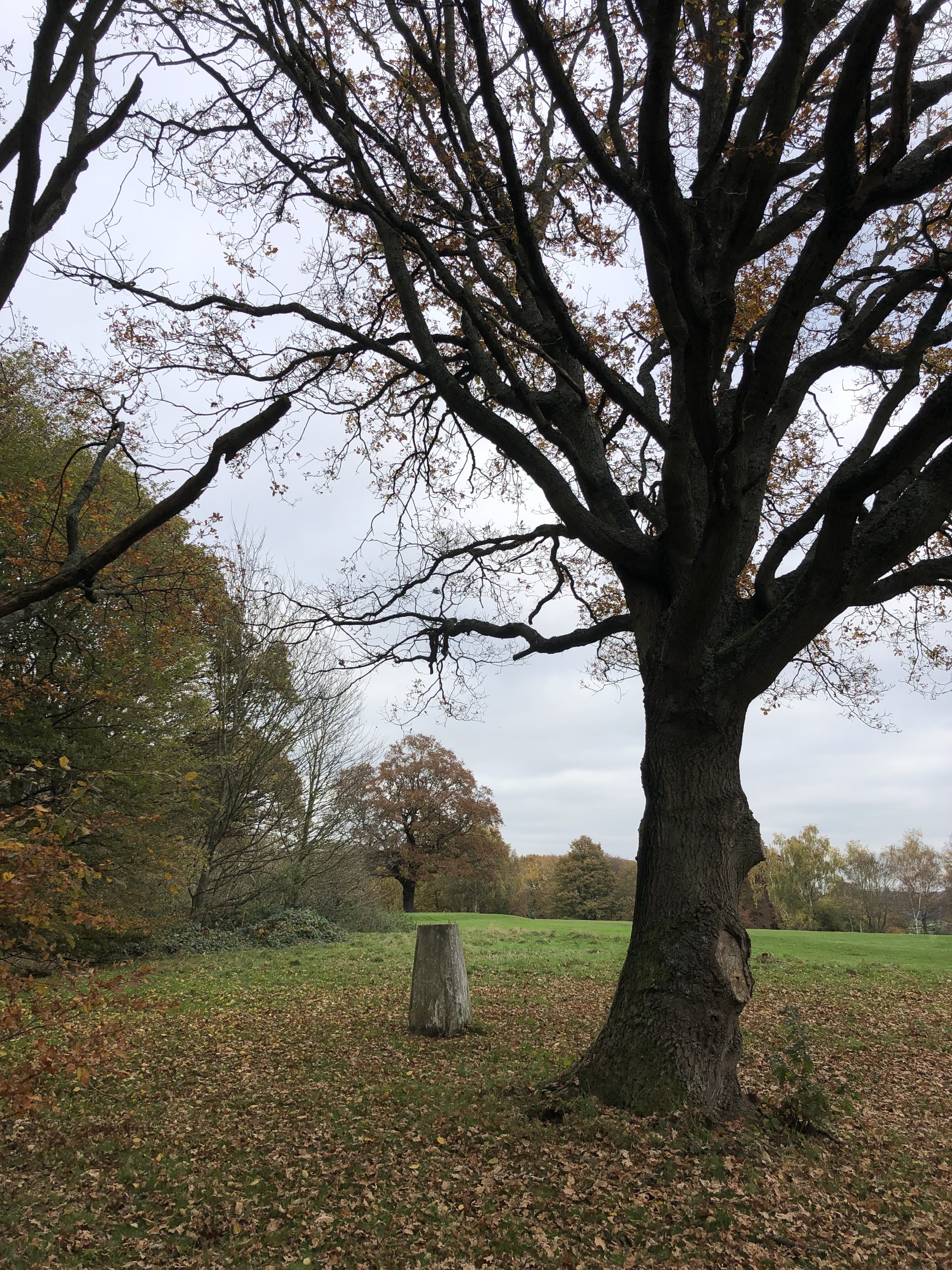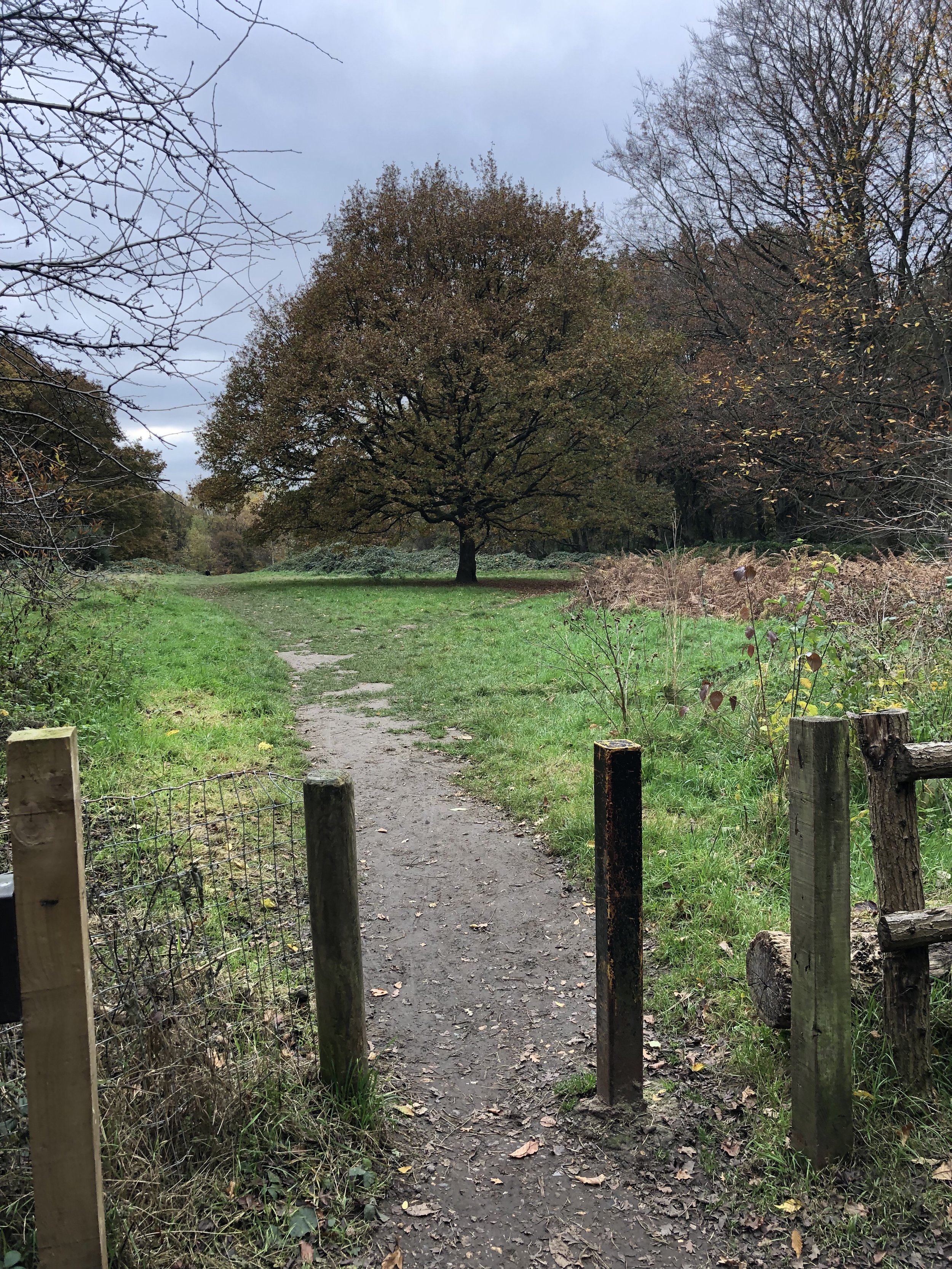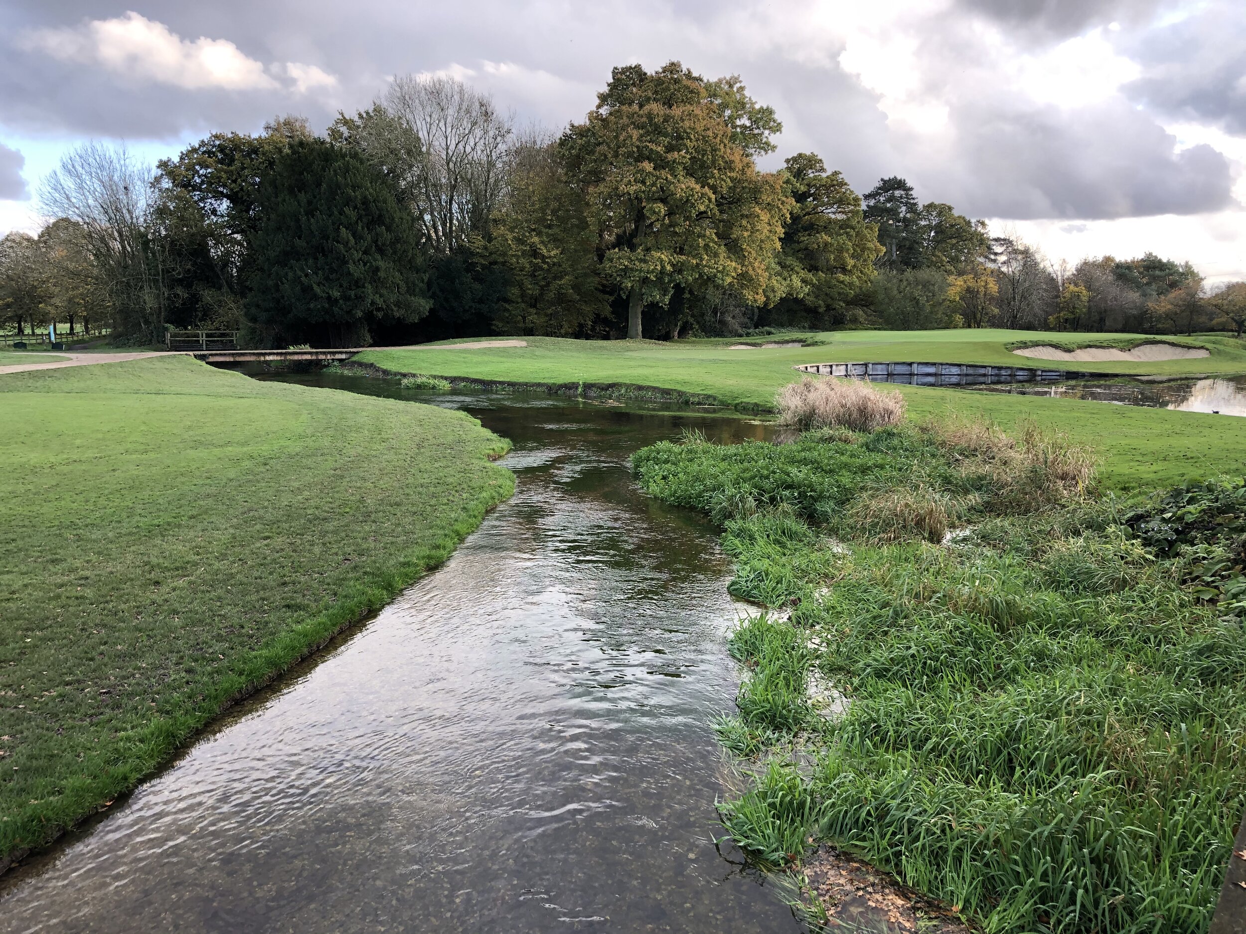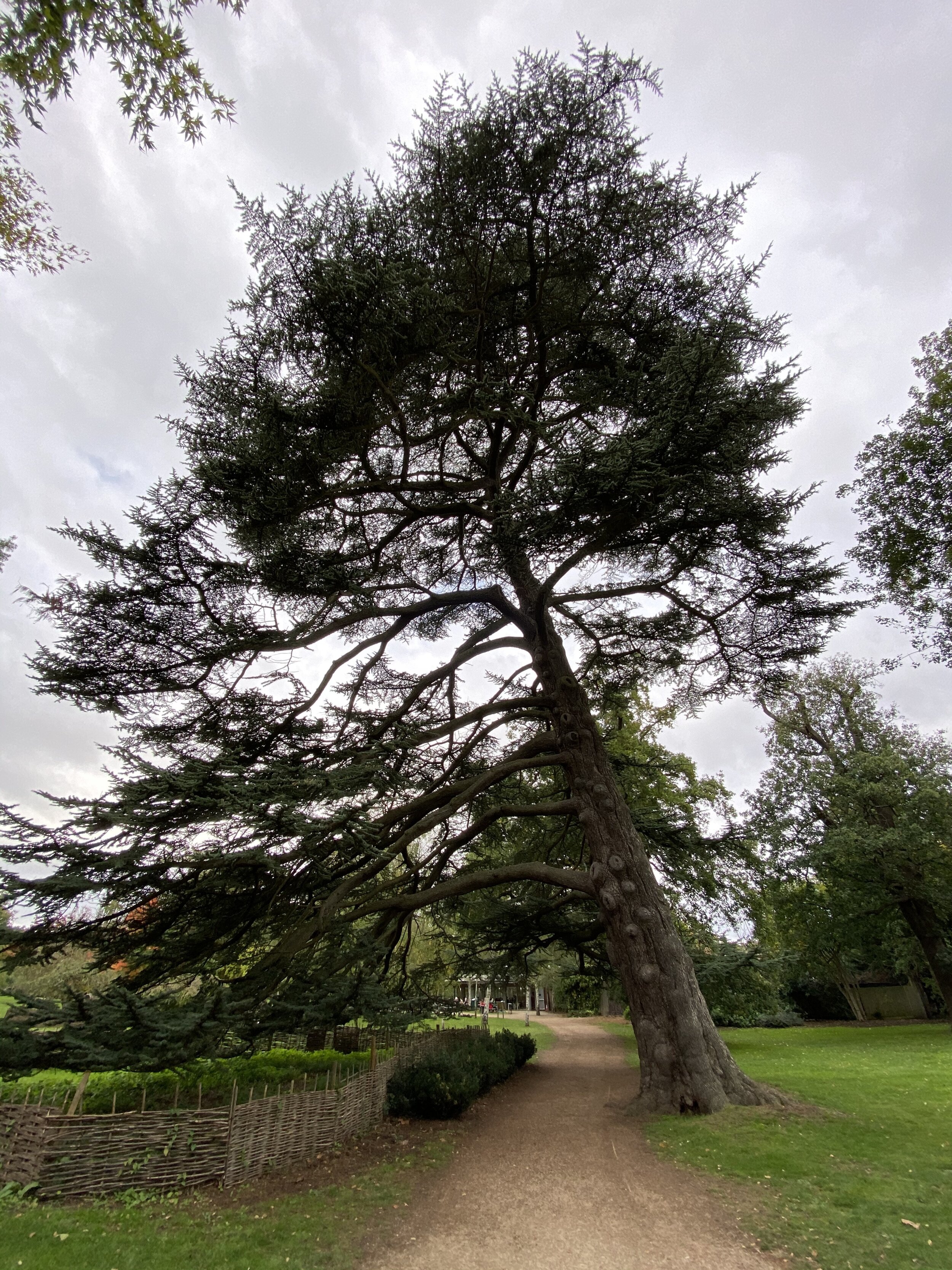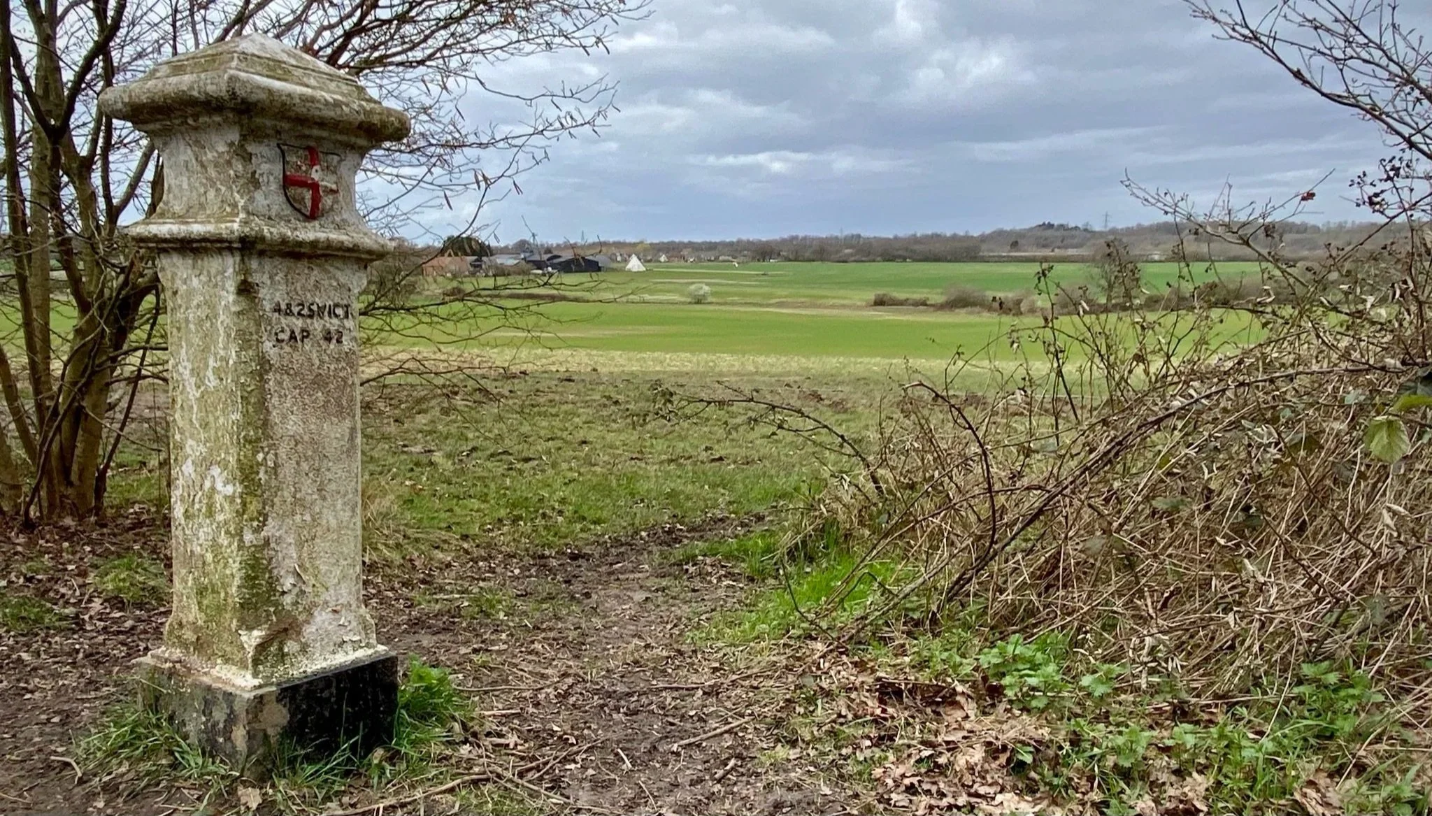
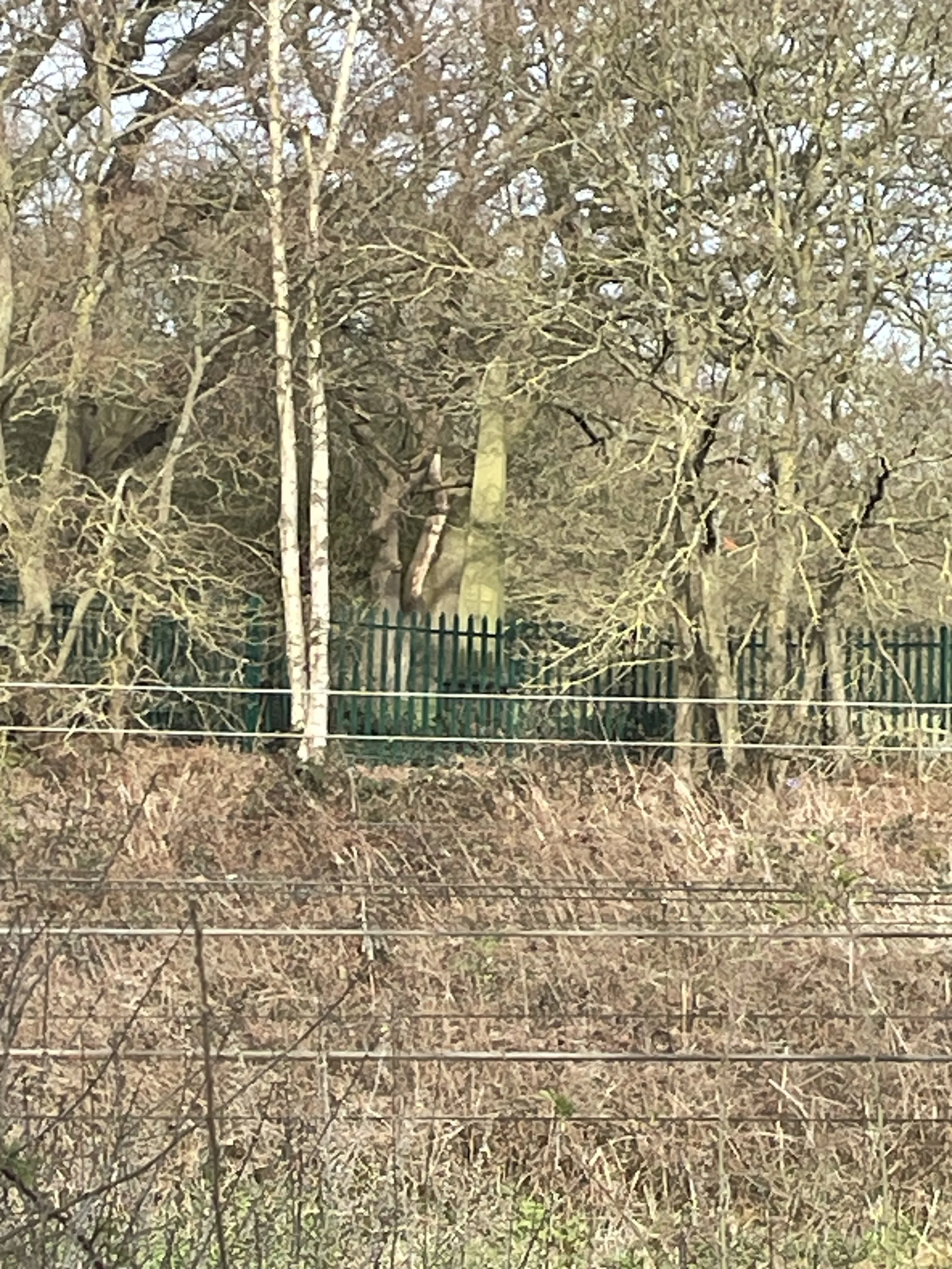
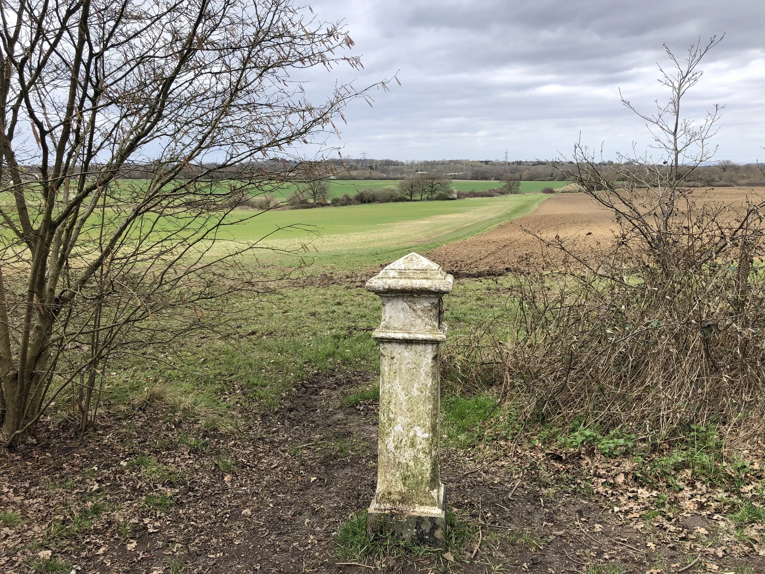
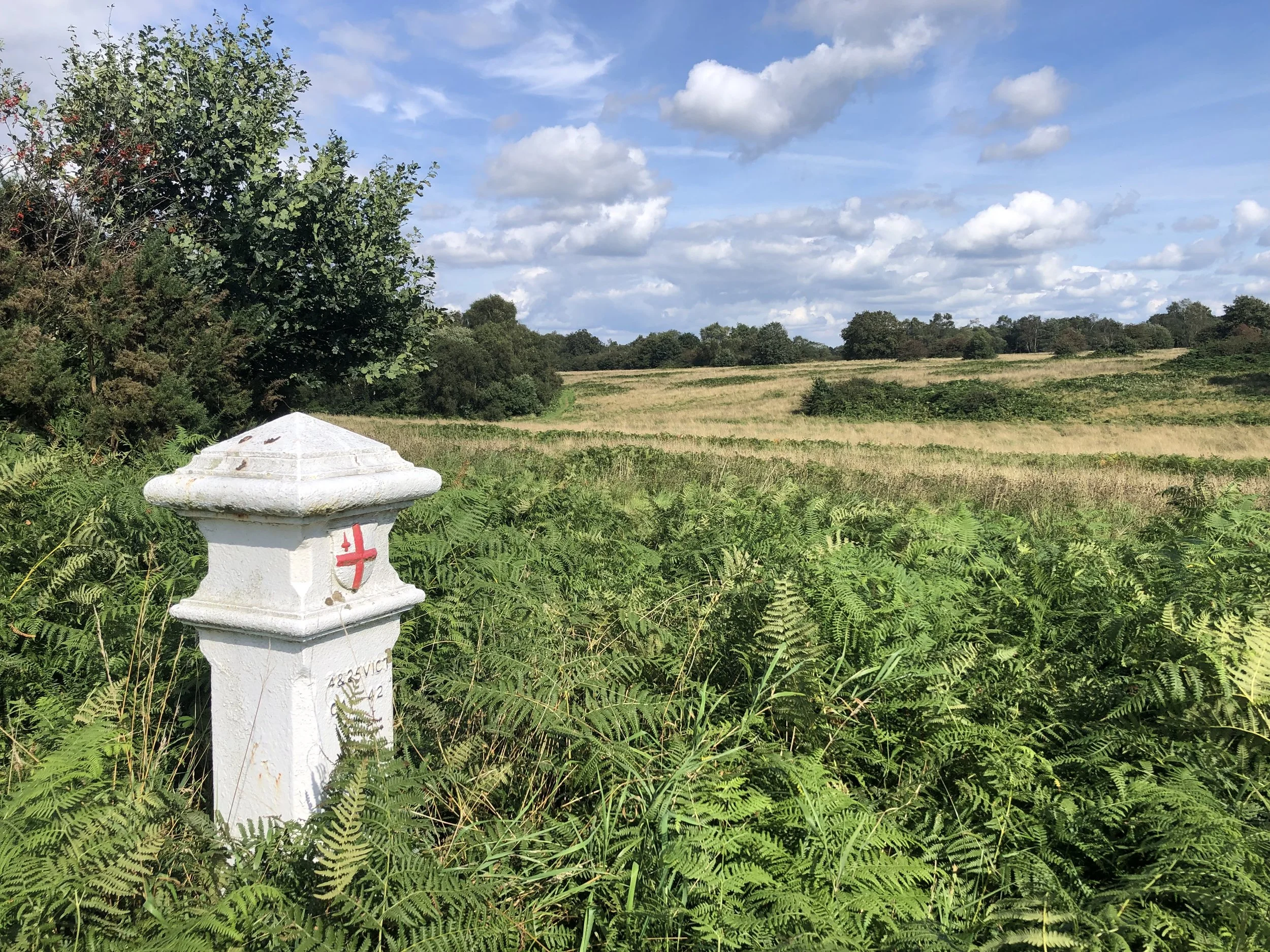
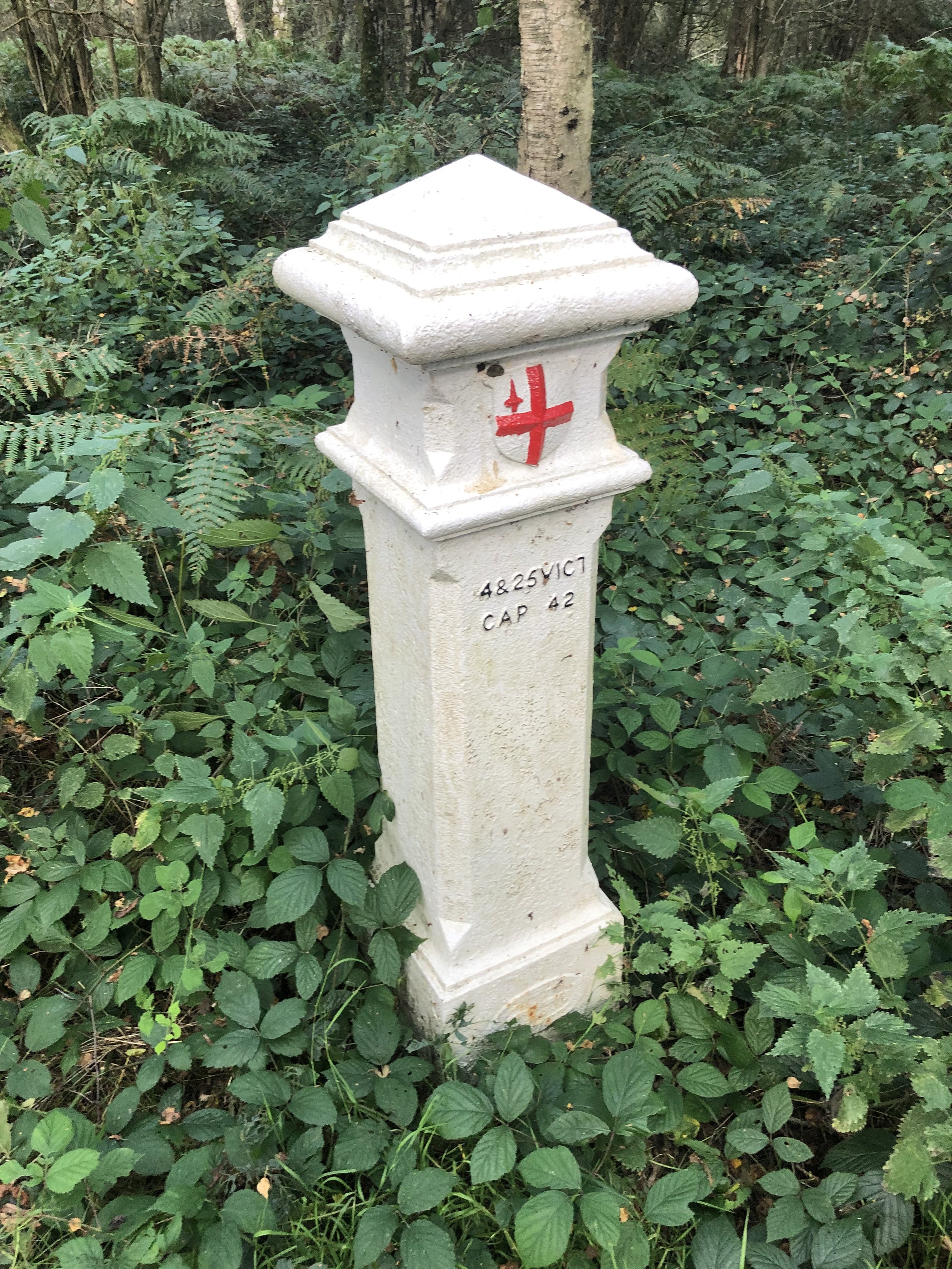
View to Rushett Farm airstrip from the Coal Post on the north edge of Ashtead Woods
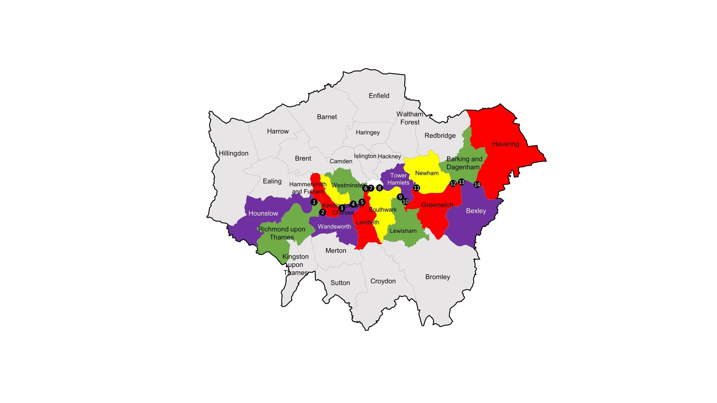
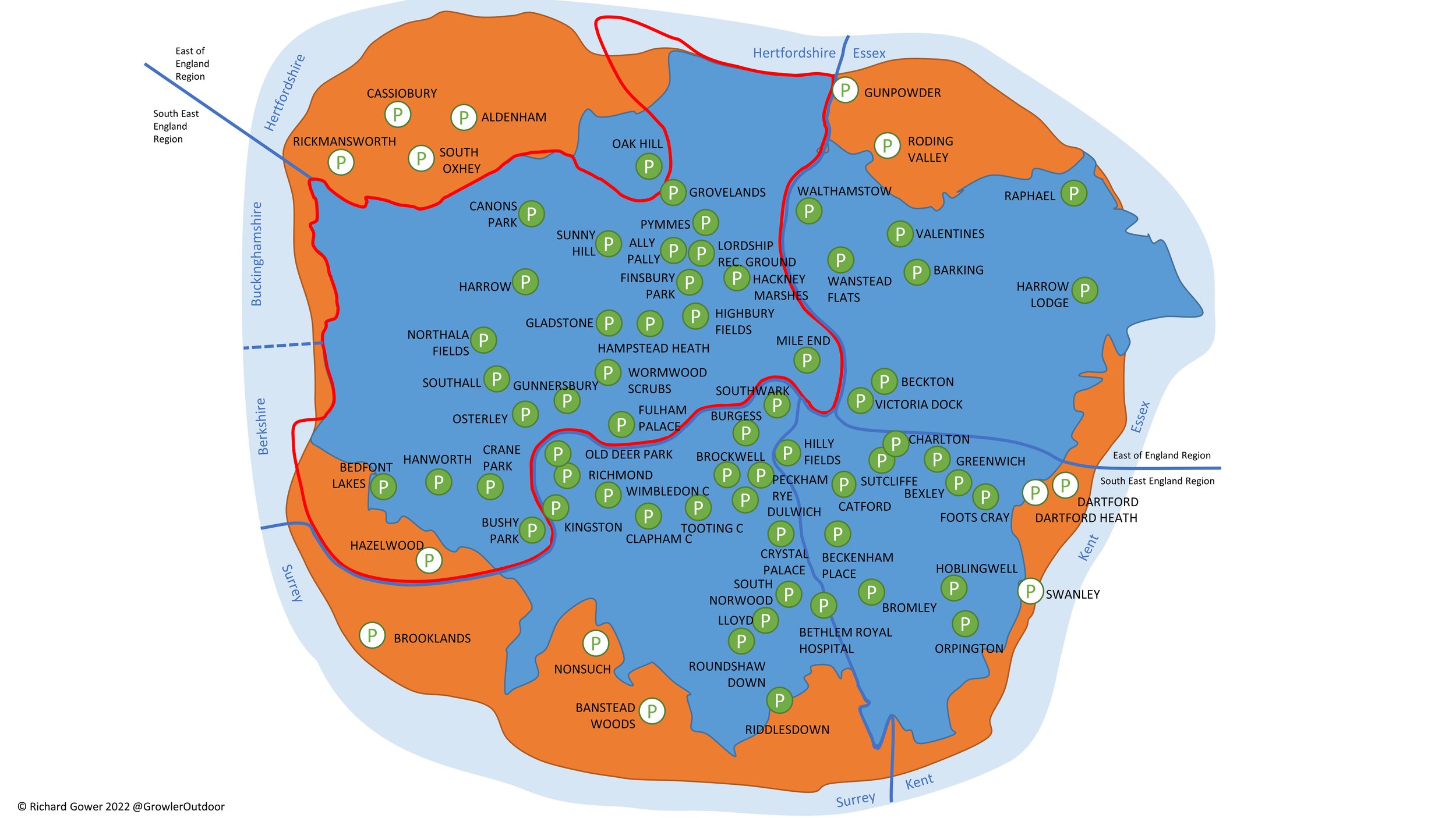
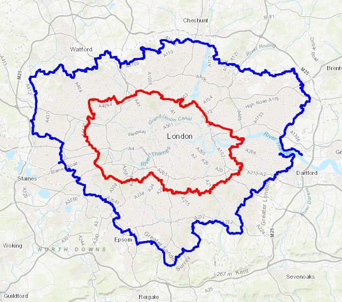
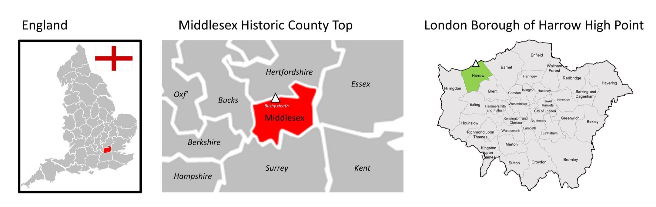
The Coal Post Boundary compared with the current Greater London Boundary and the M25
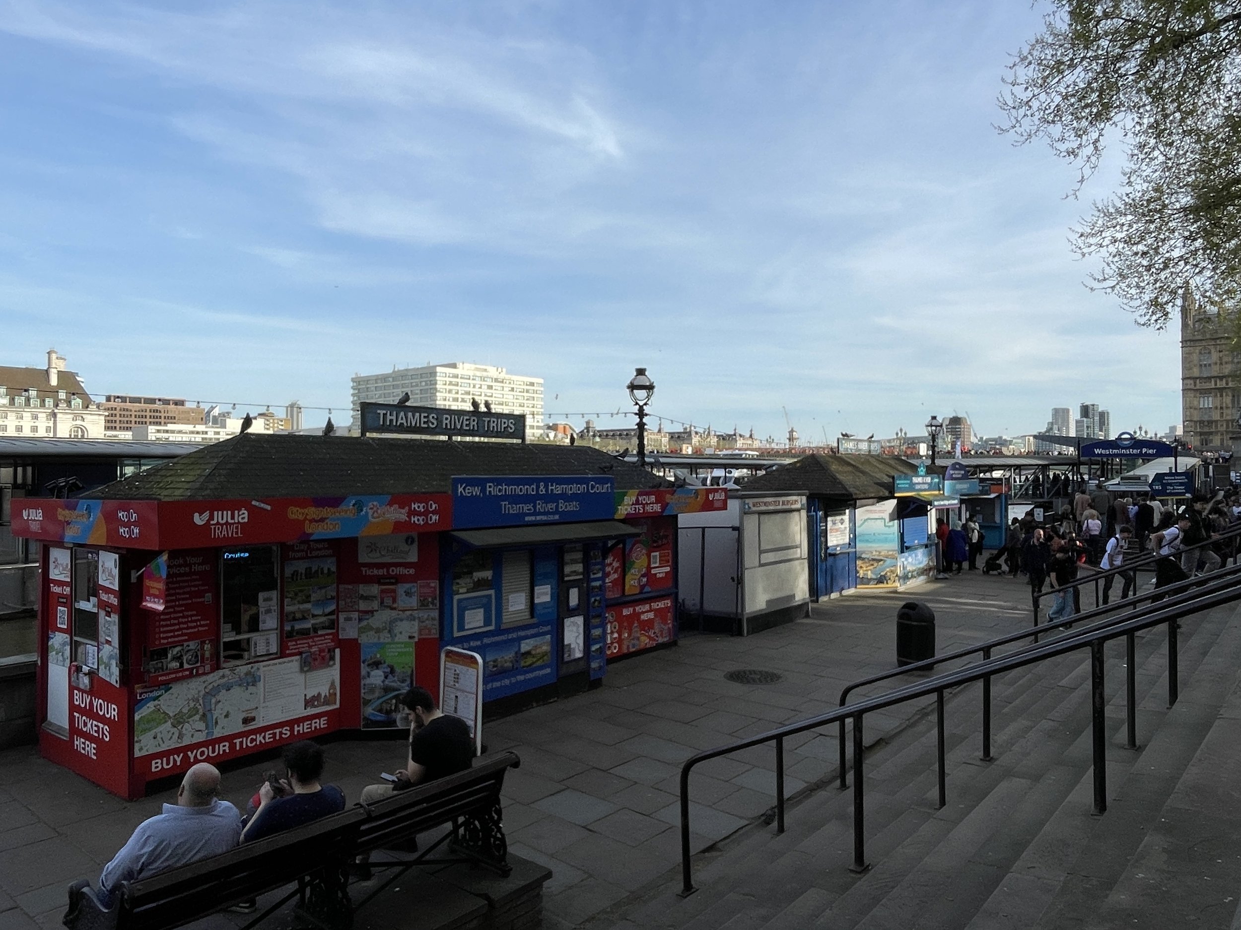
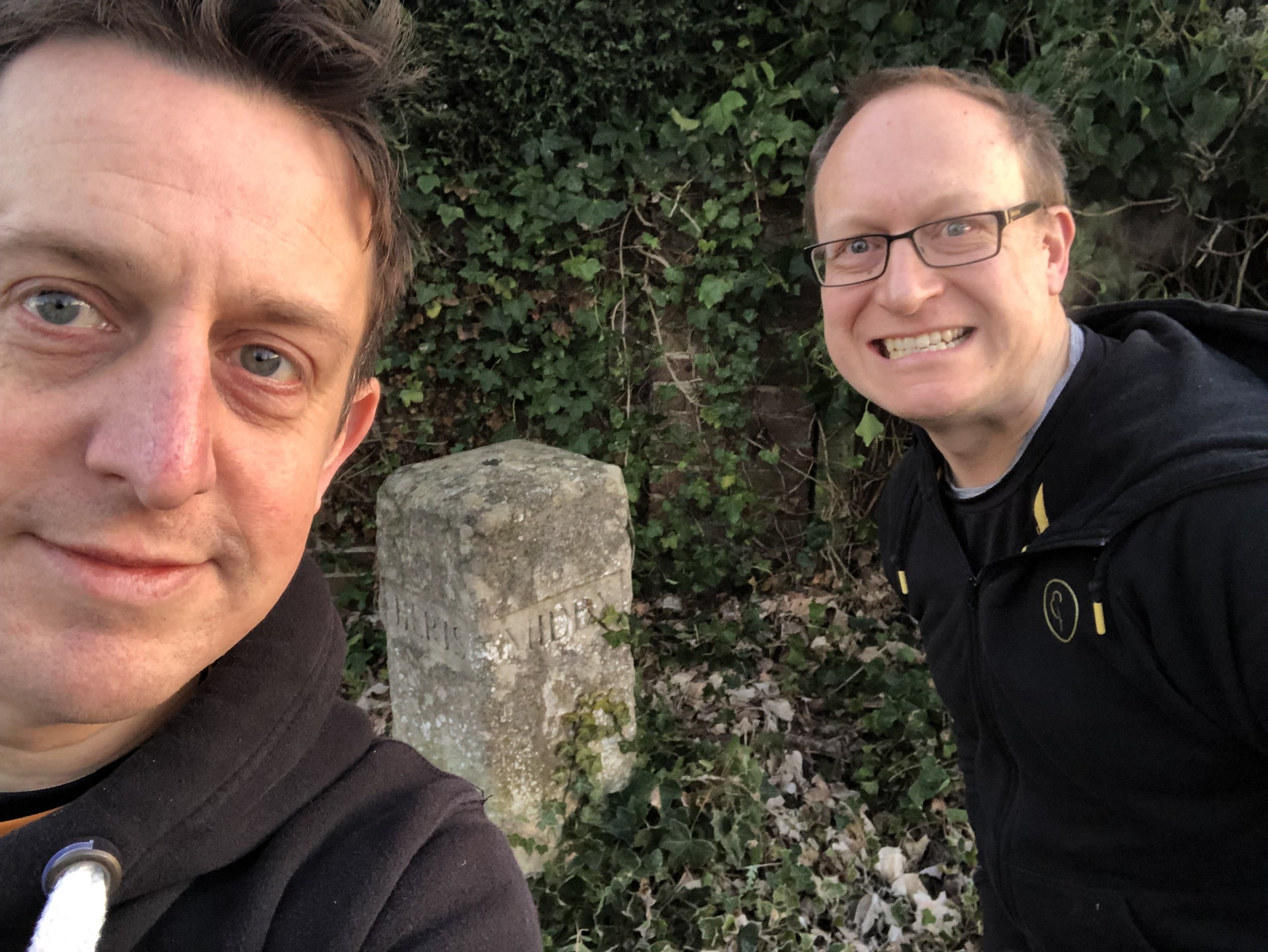
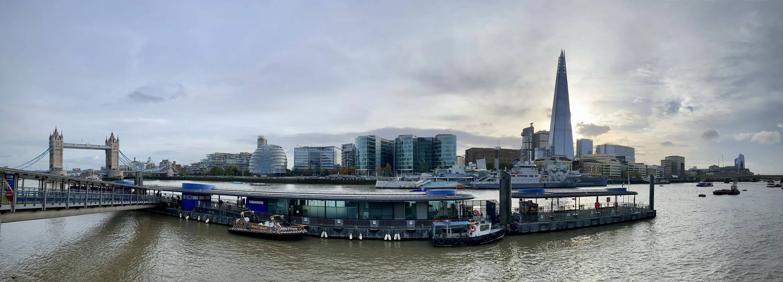
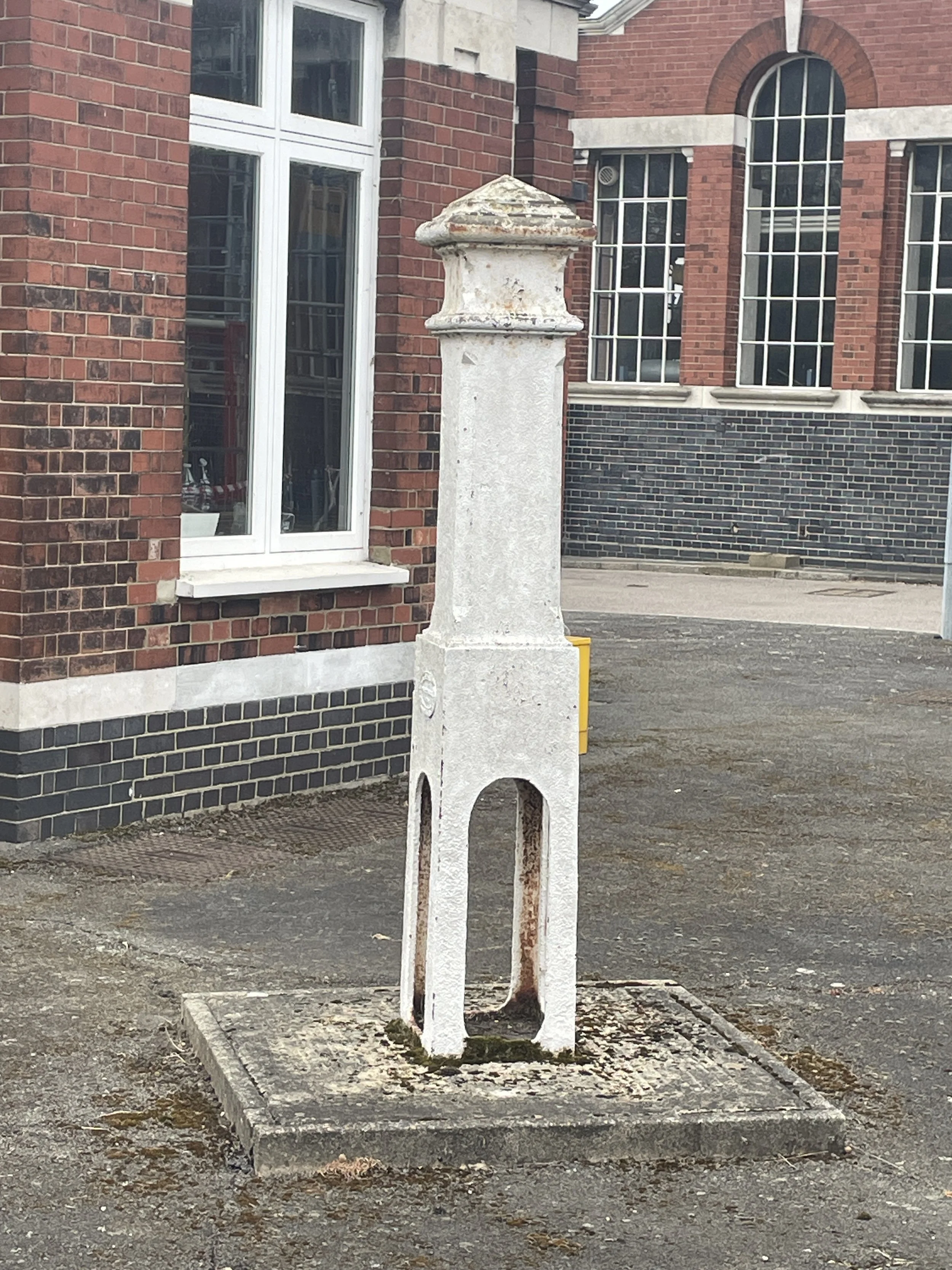
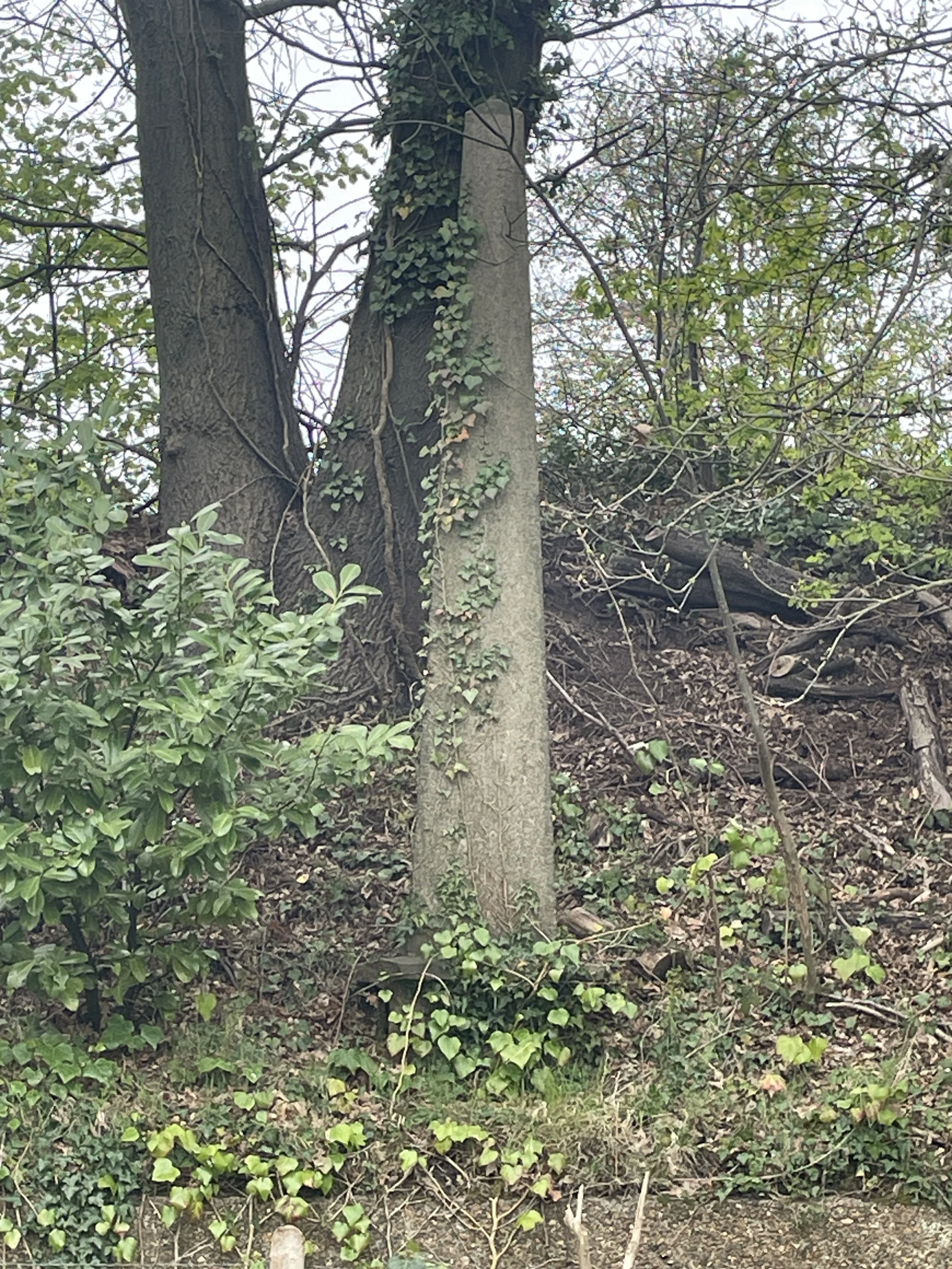
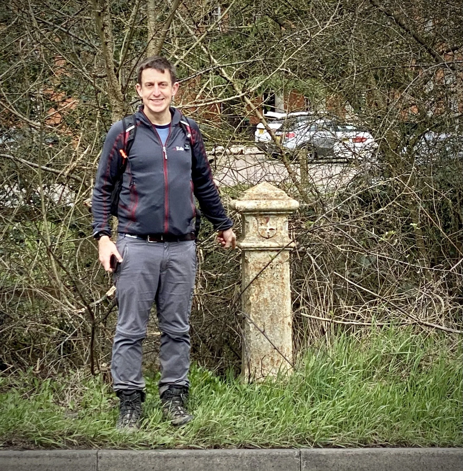
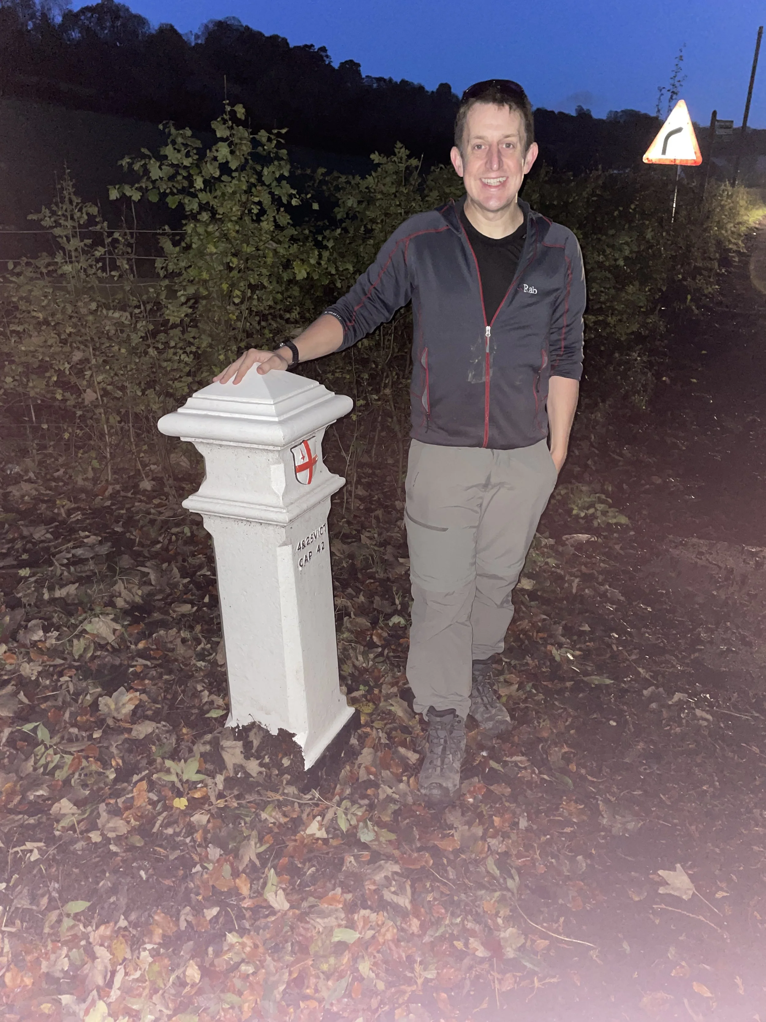
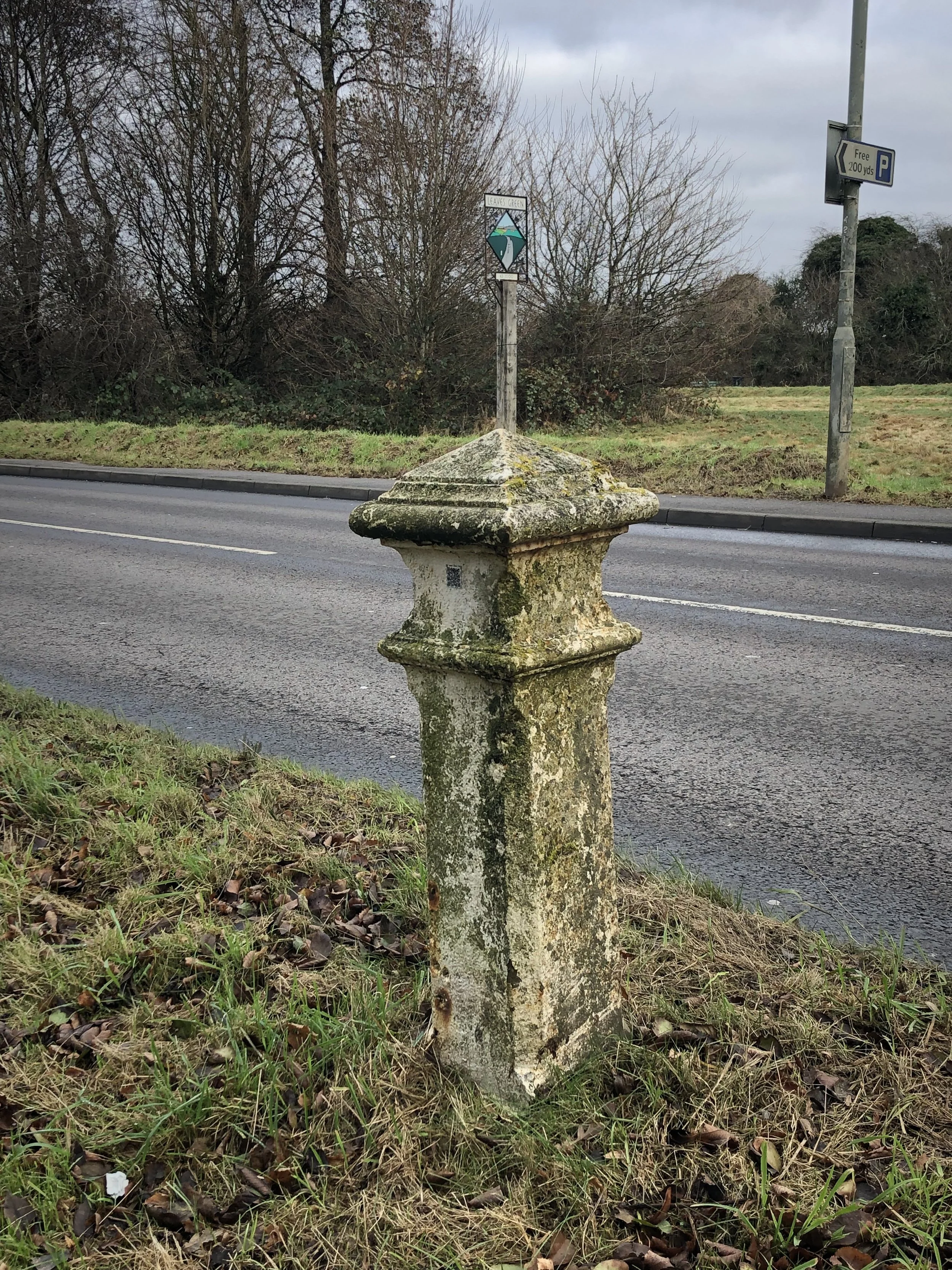
Not content with visiting all of the Greater London High Points and OS Trig Pillars in London, I set myself the mission to visit all of the over 200 London Coal Duty Posts that are still standing.
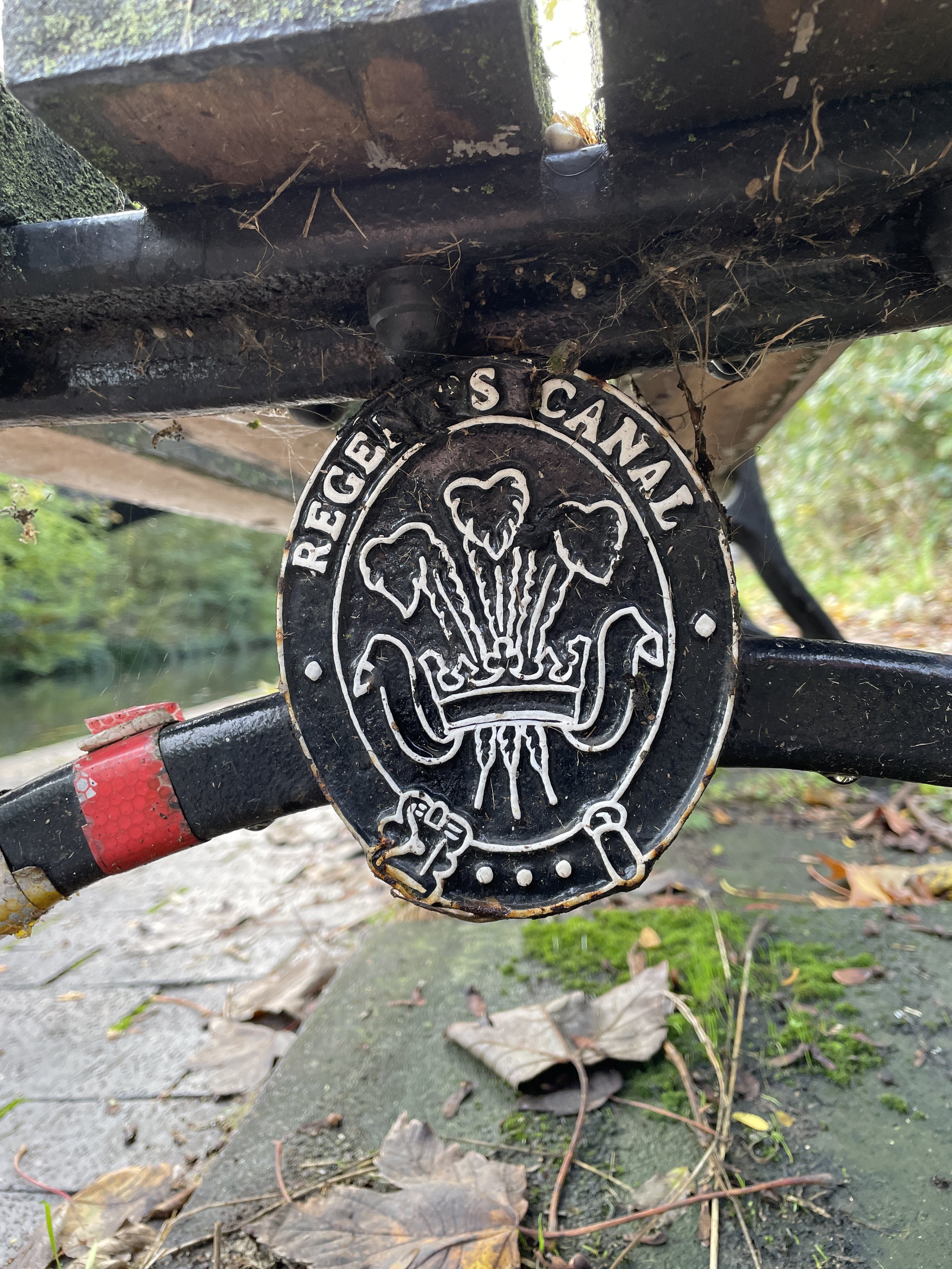
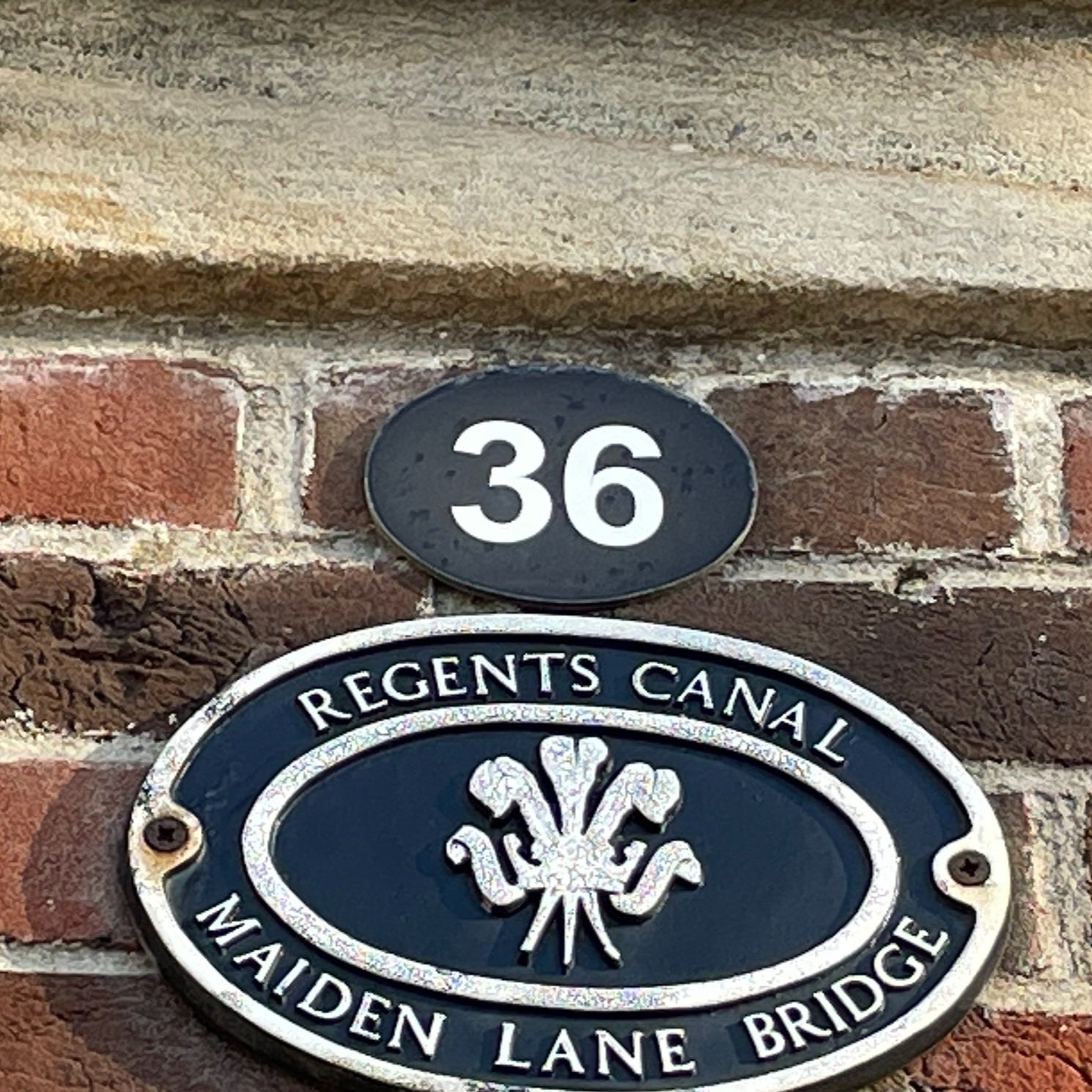
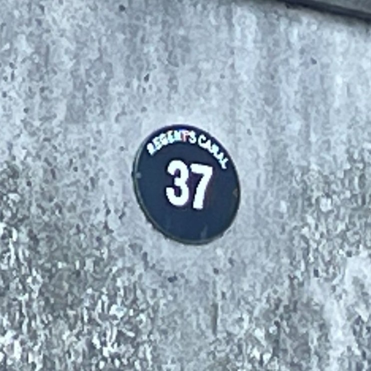
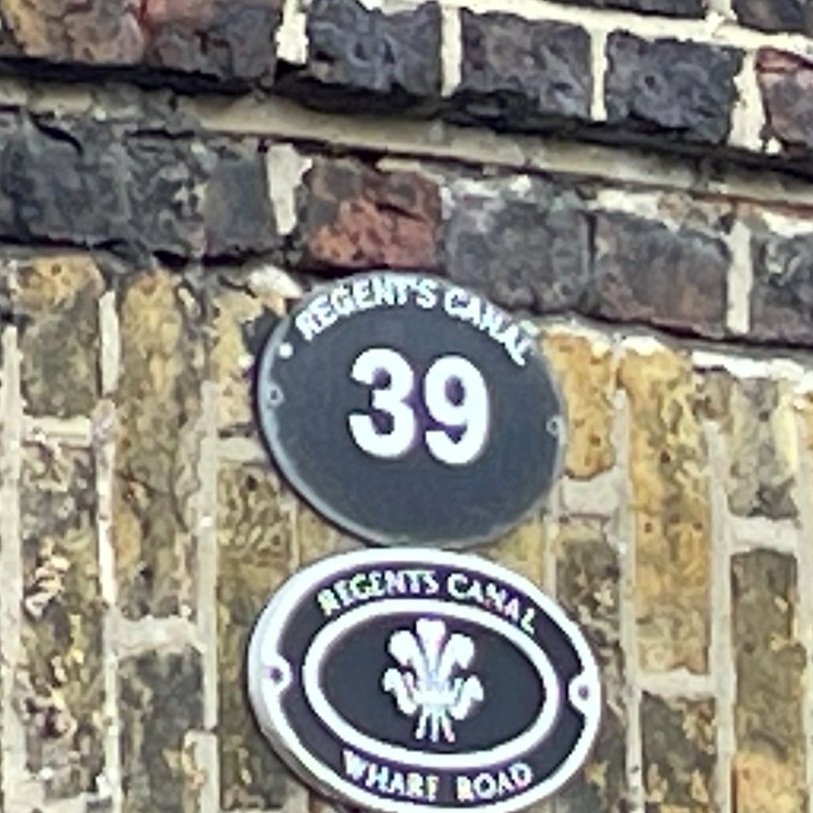
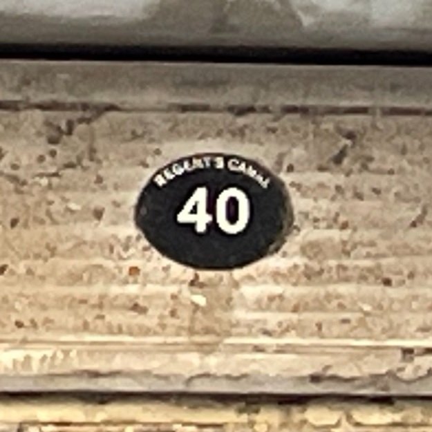
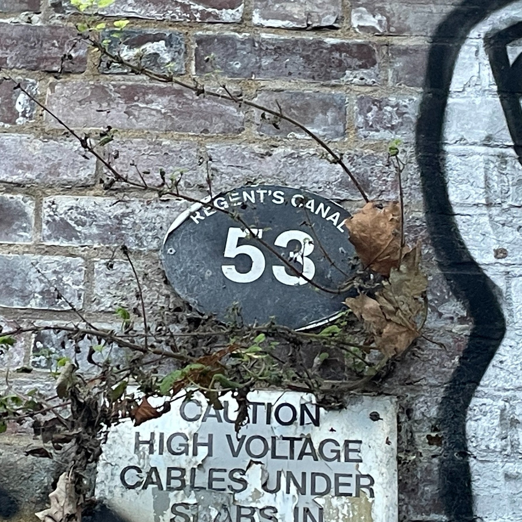
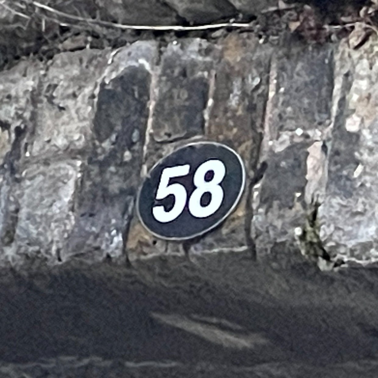
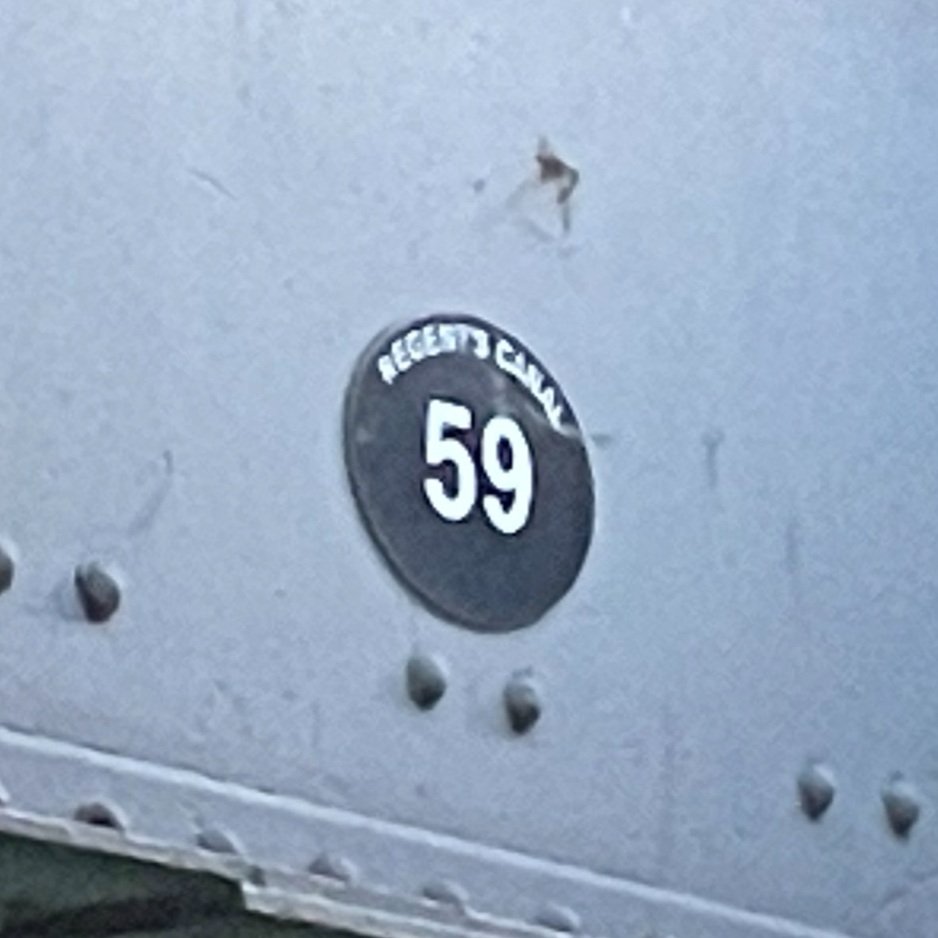
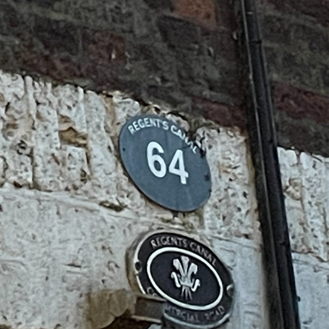
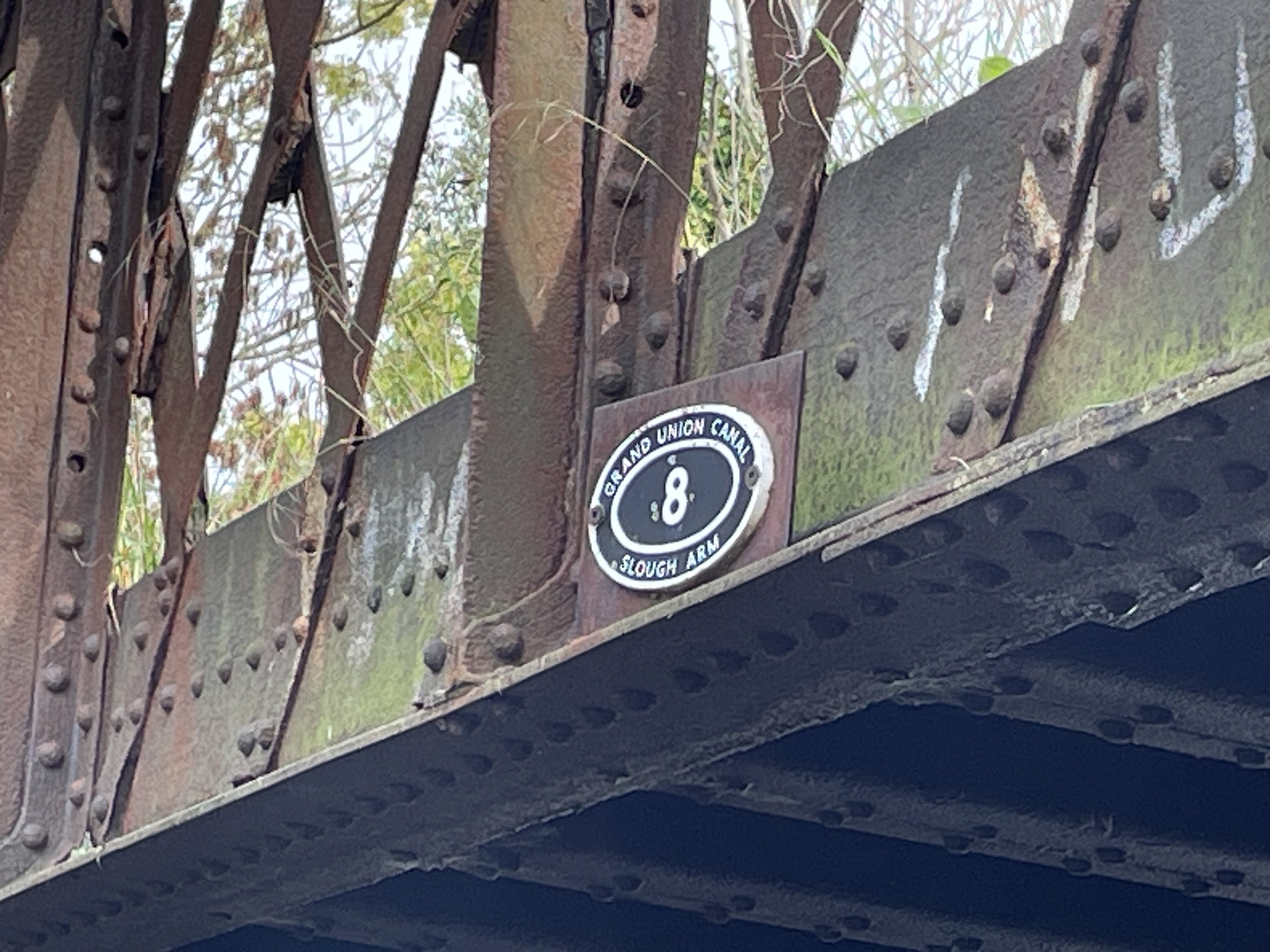
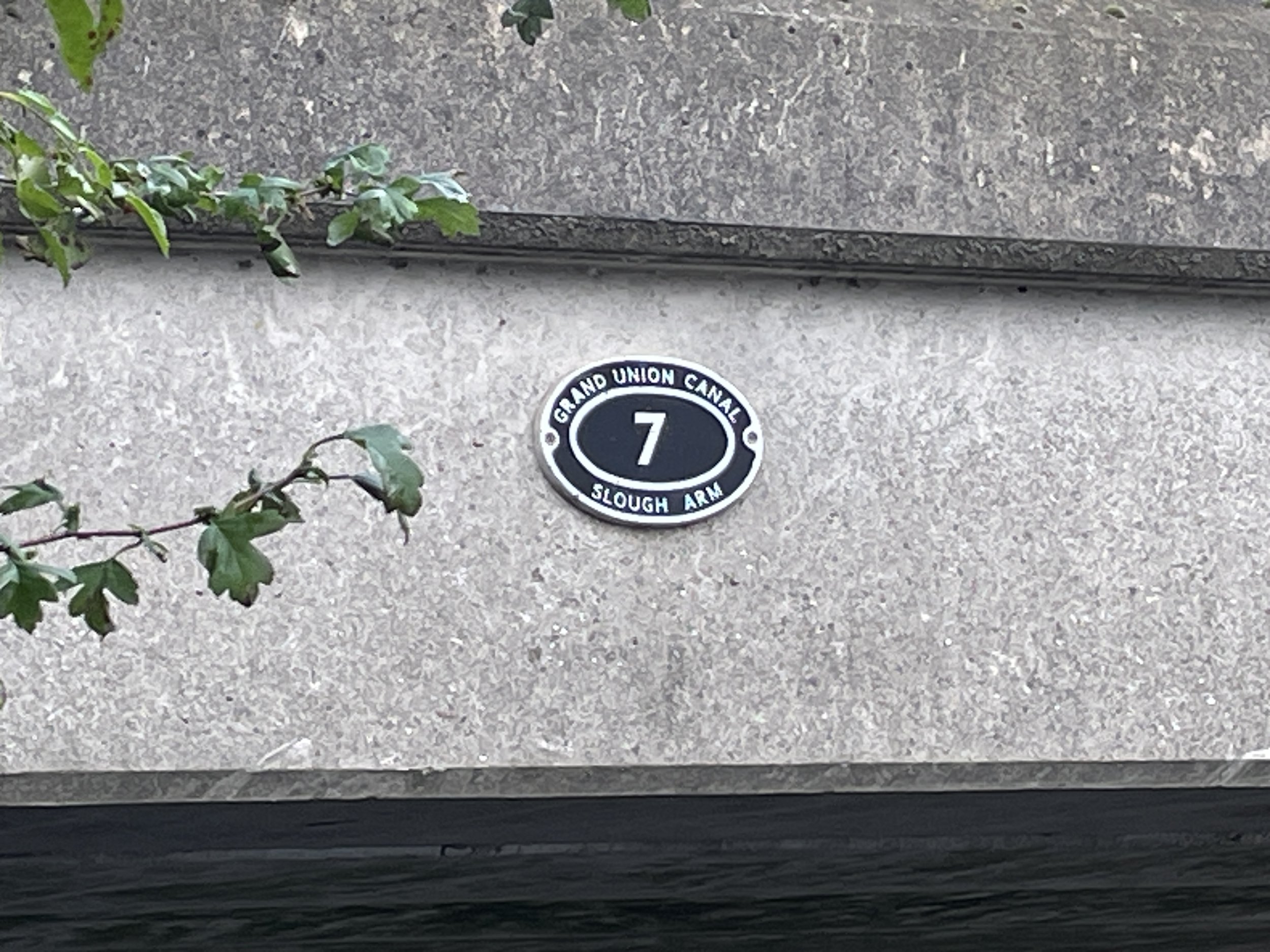
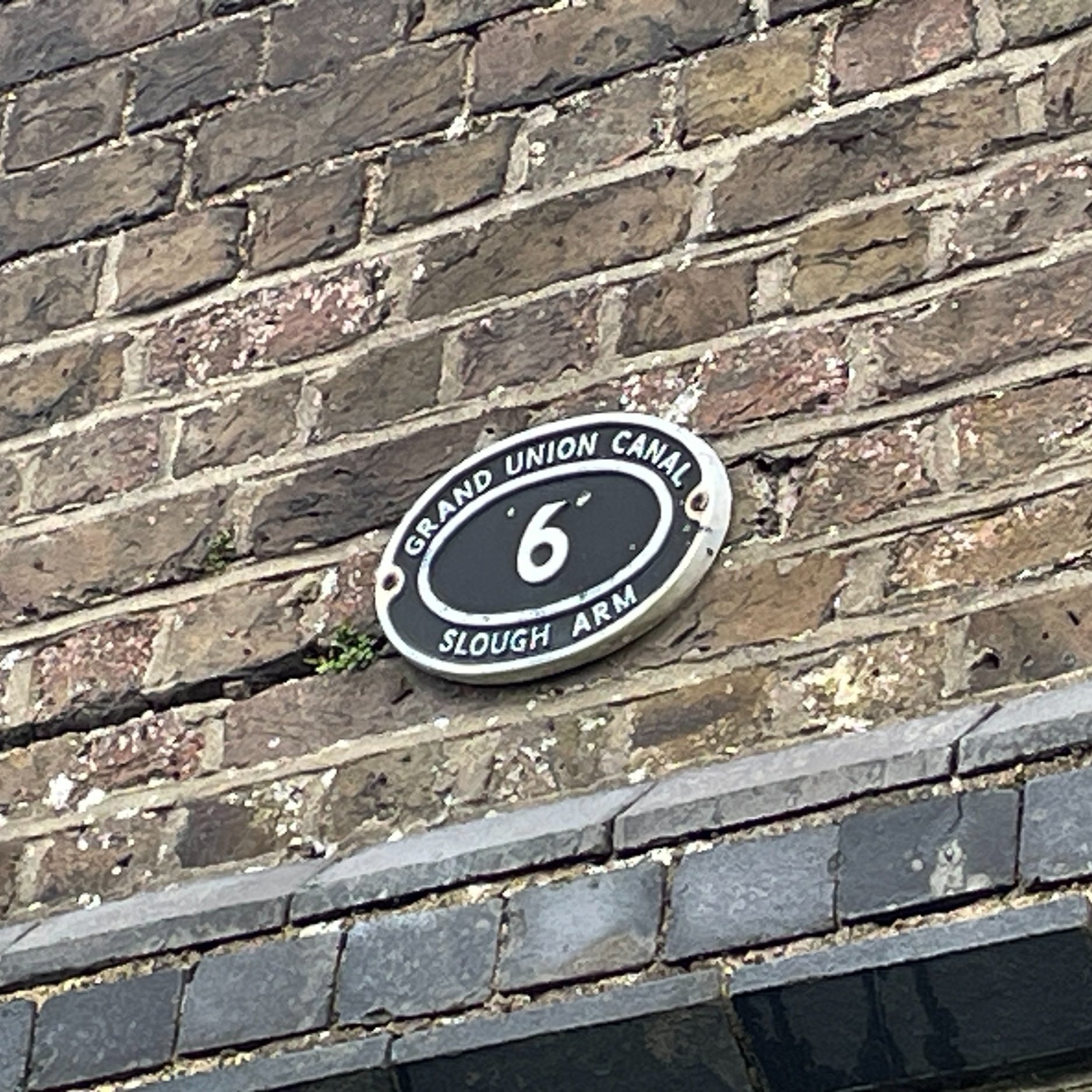
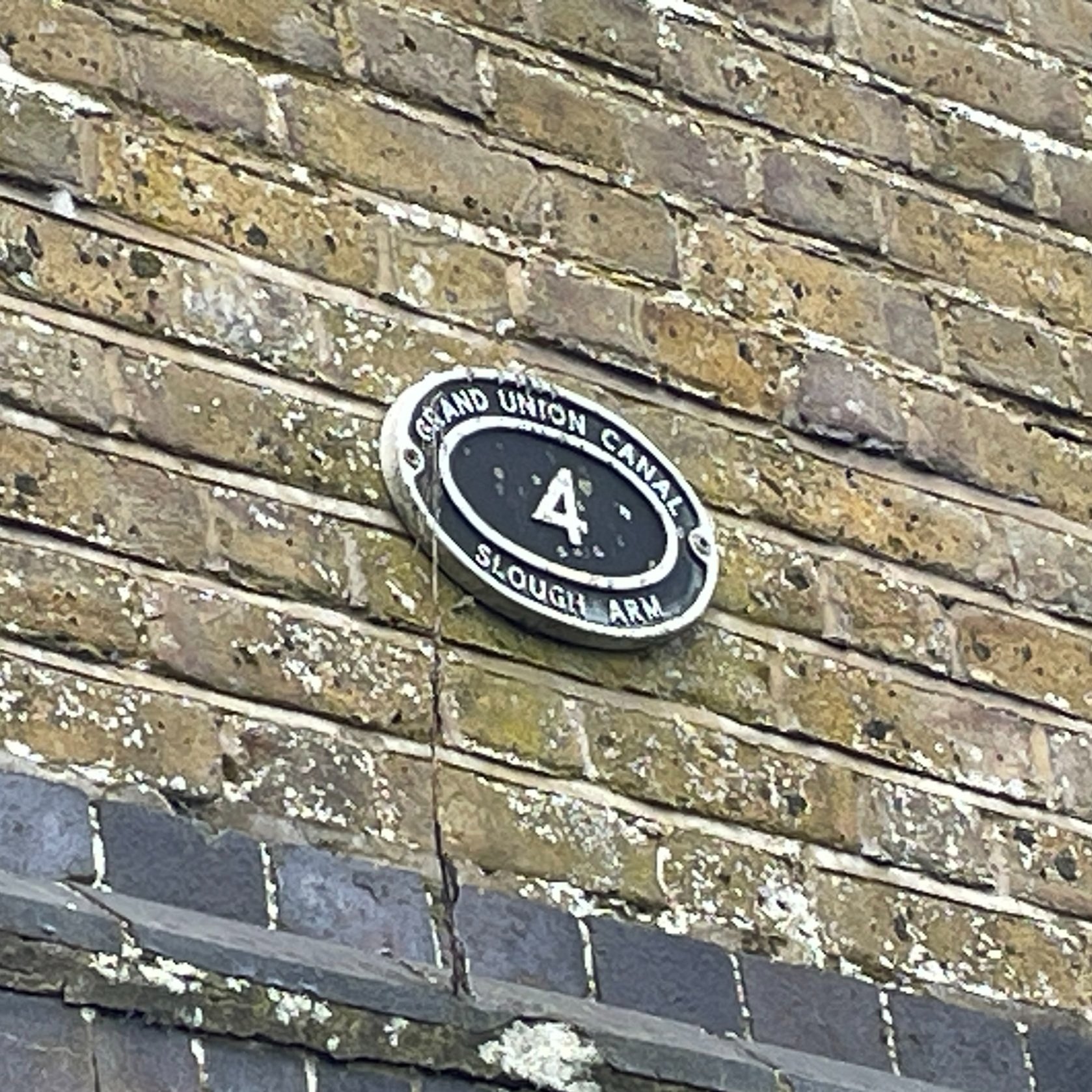
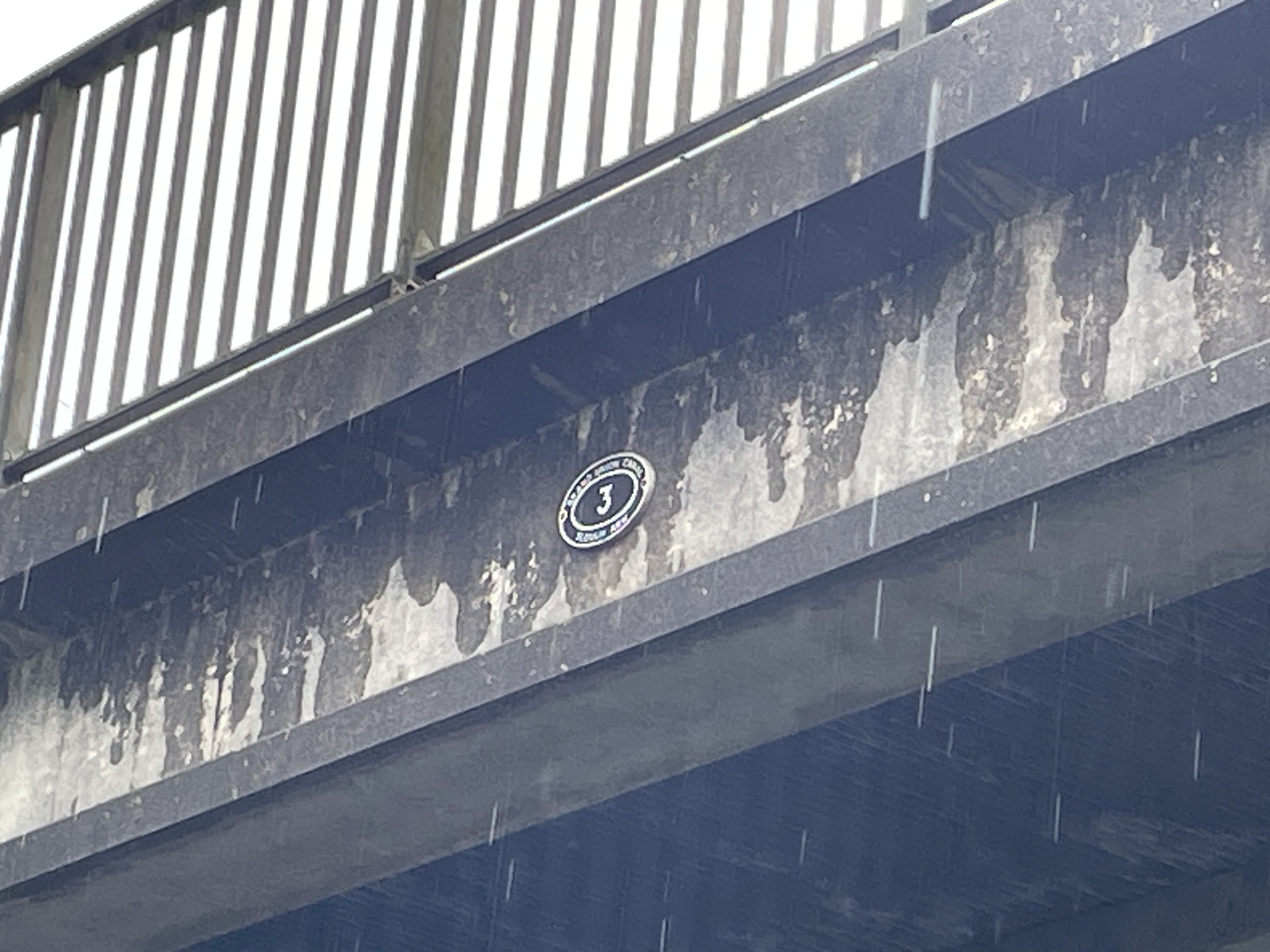
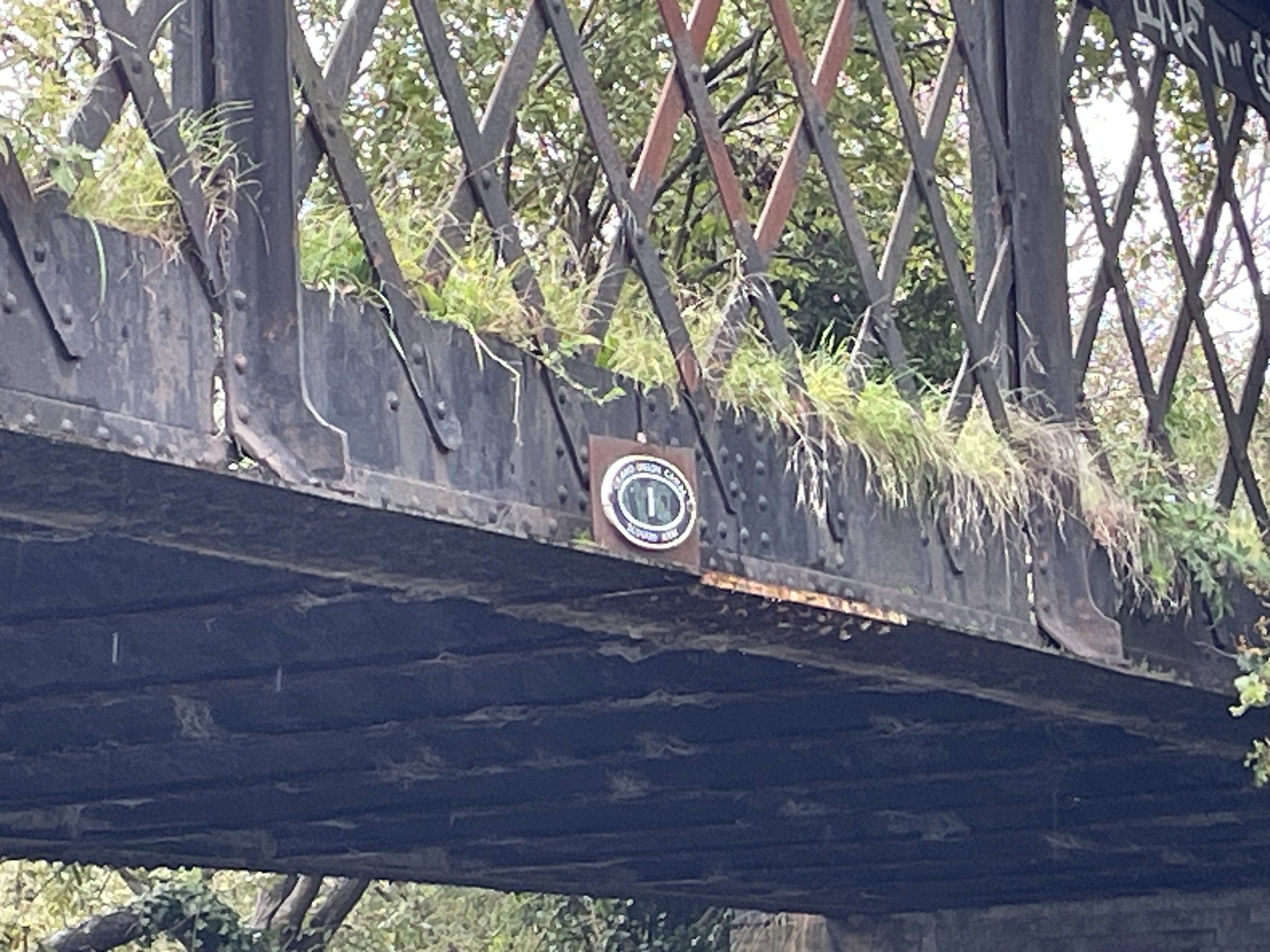
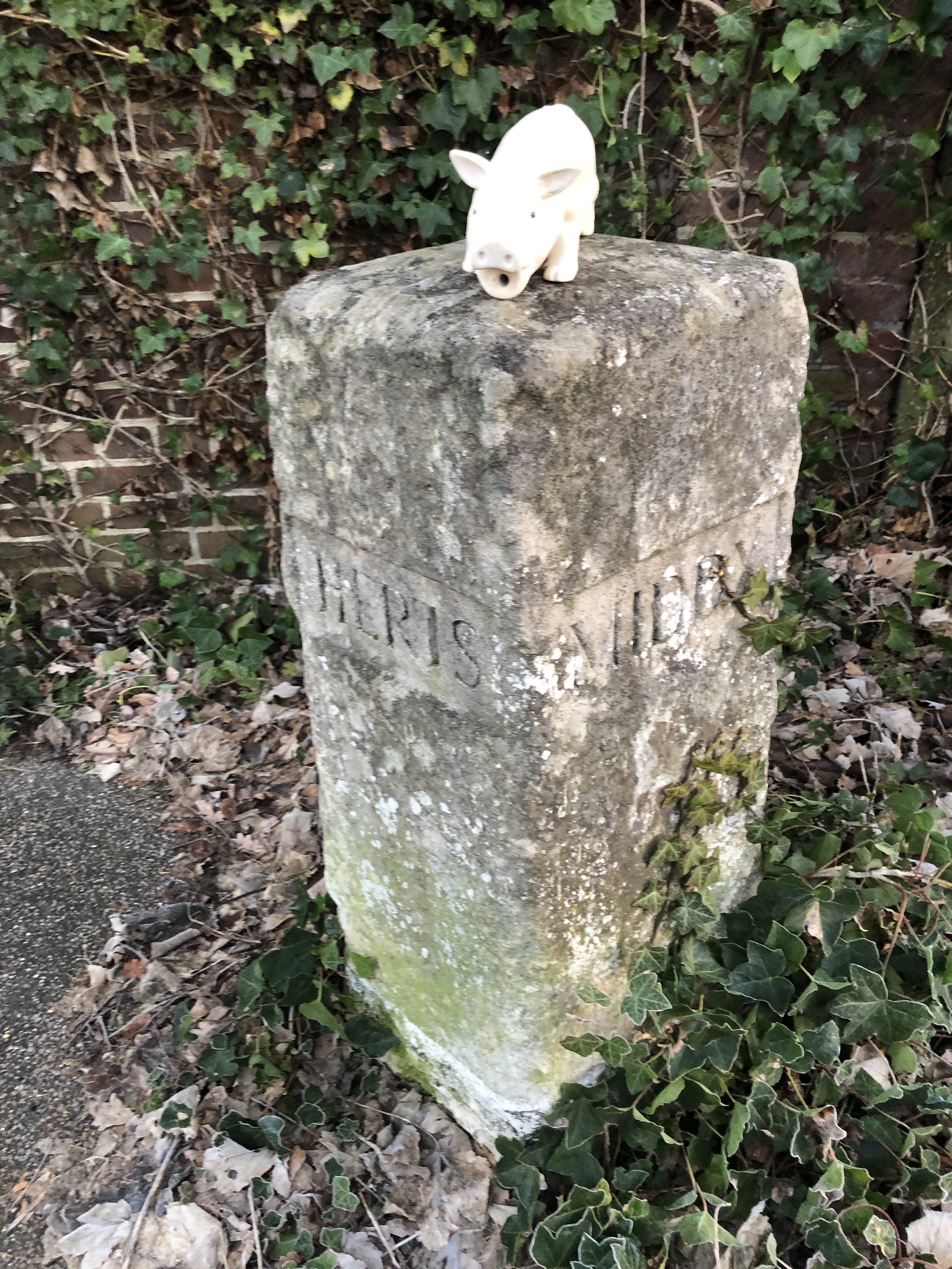
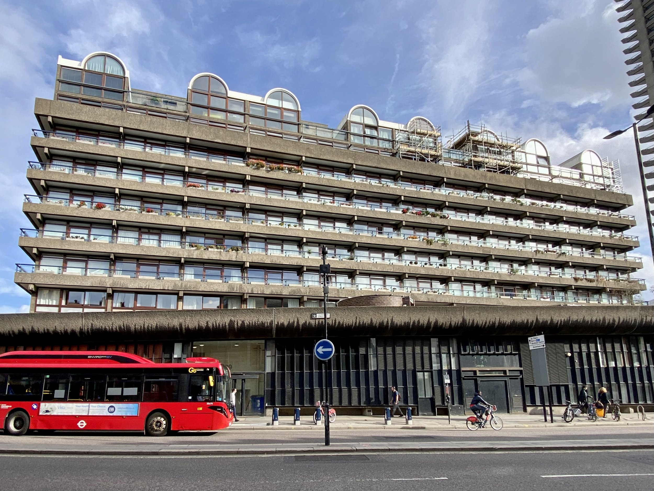
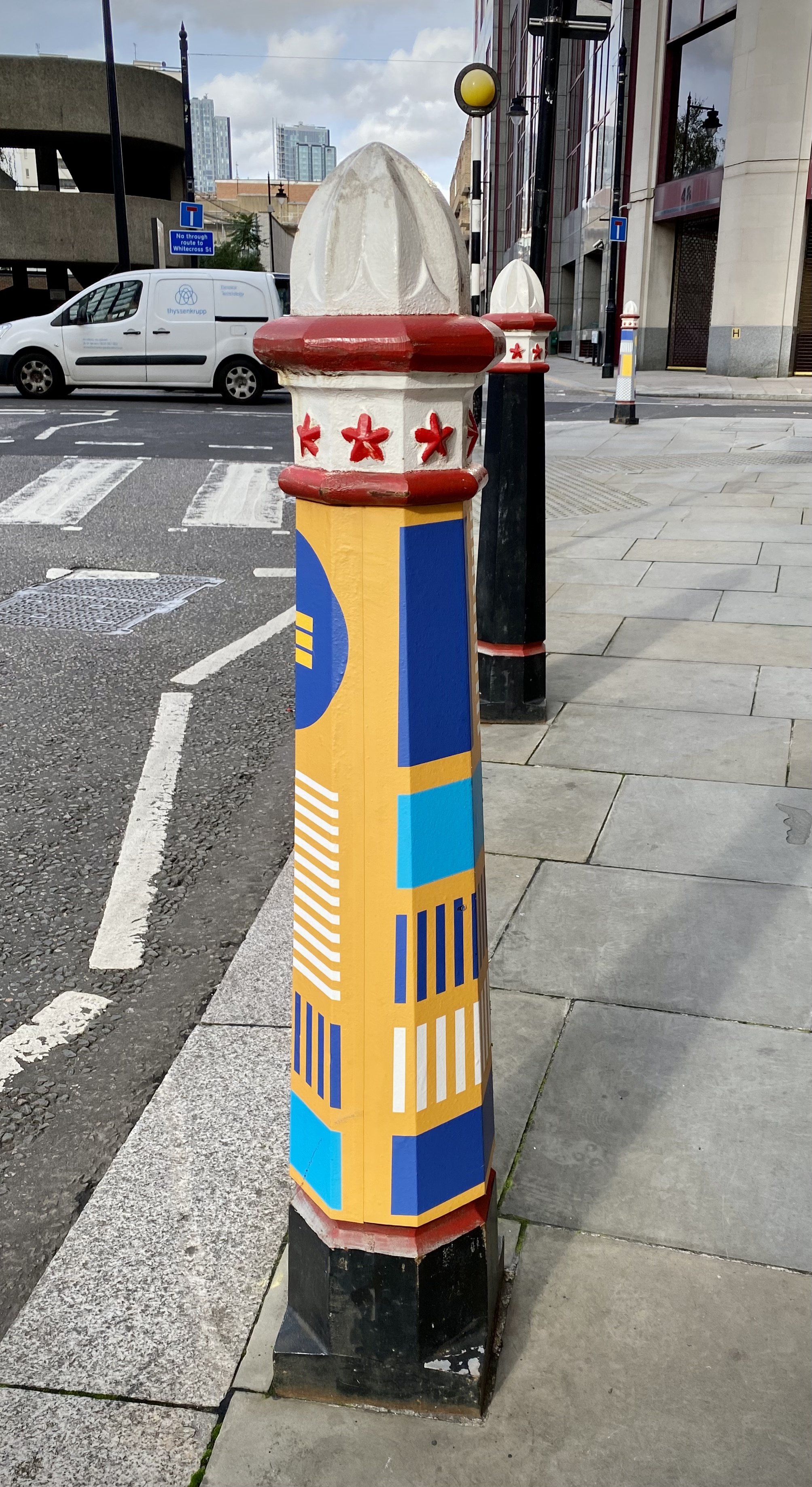
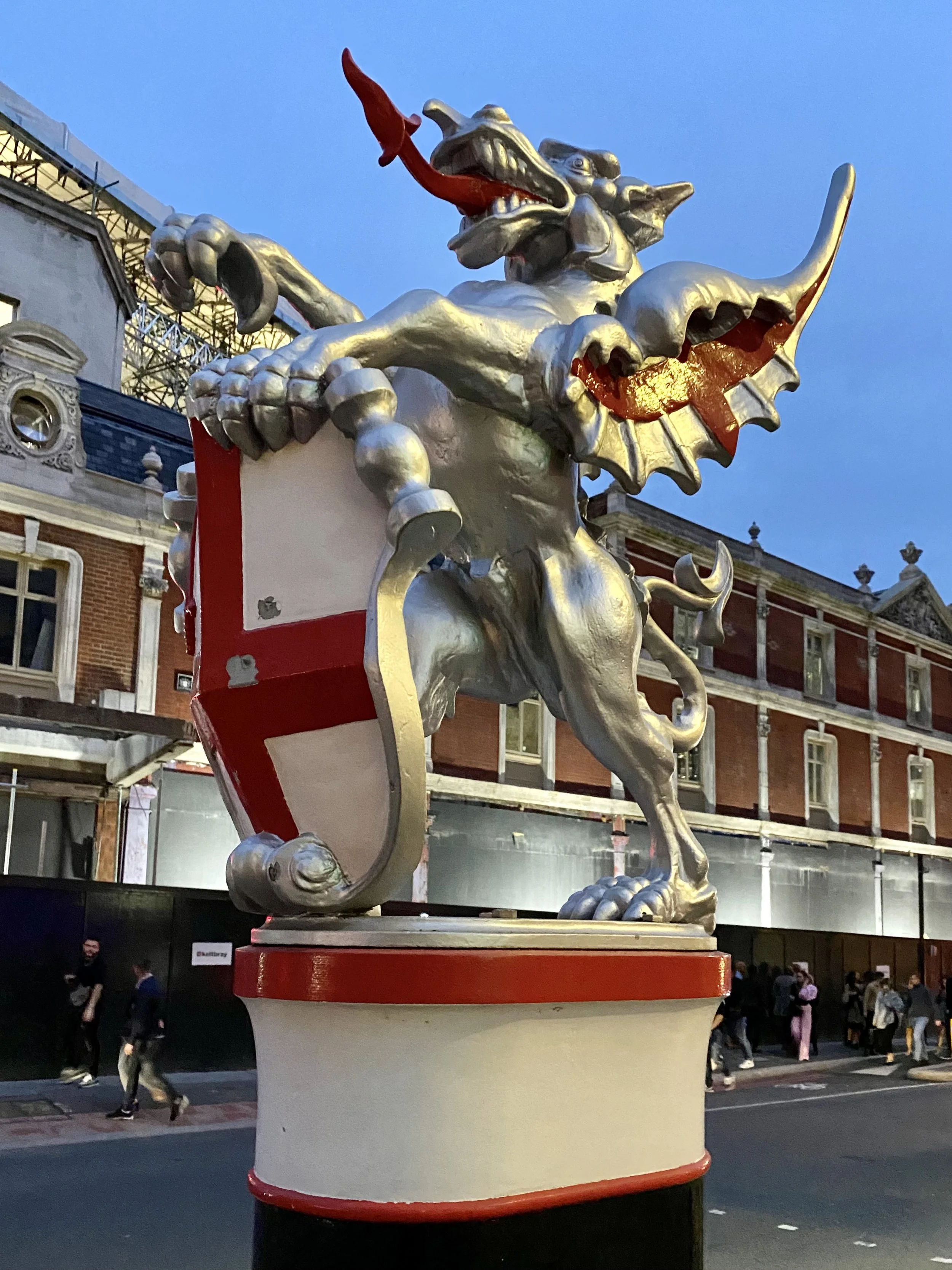
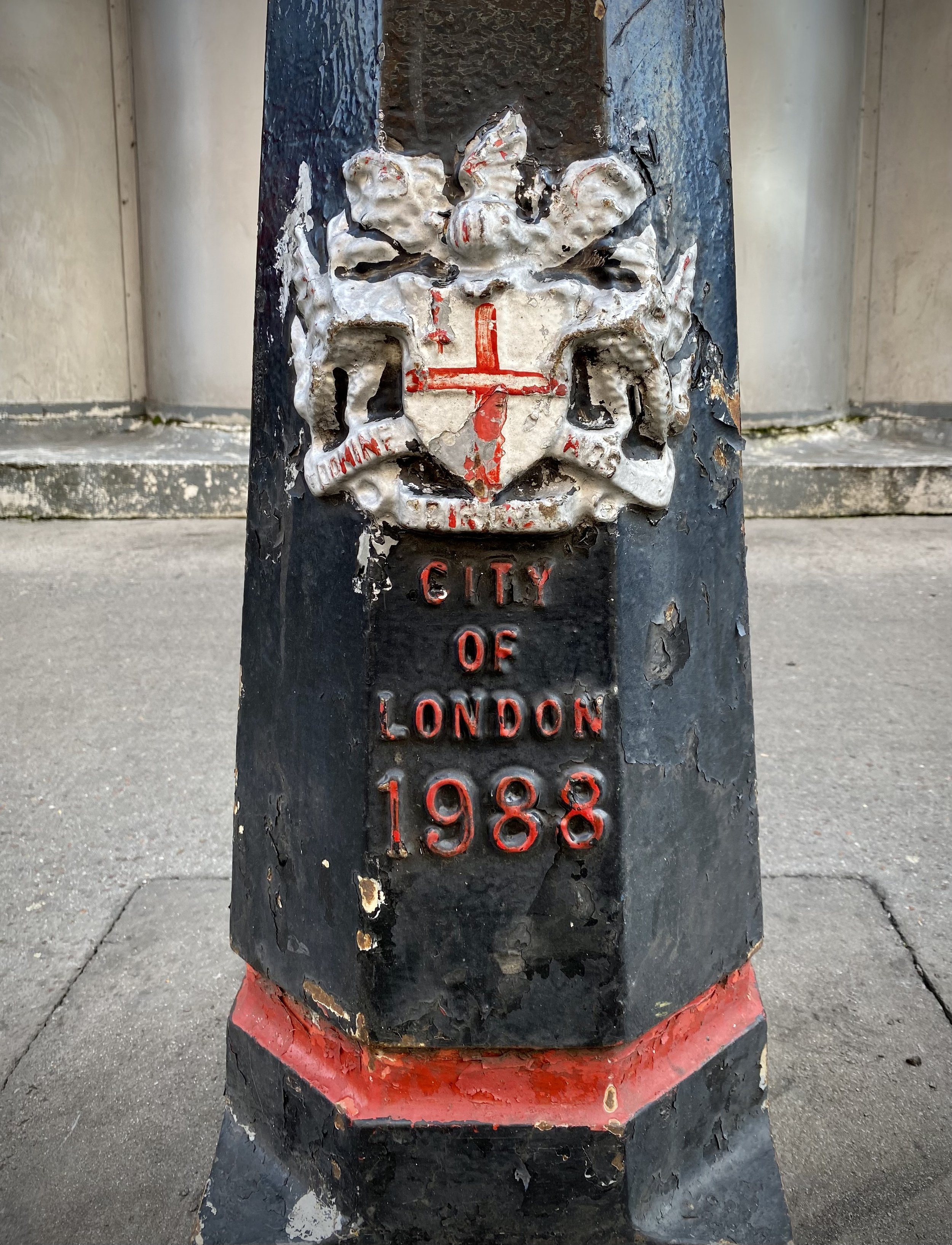
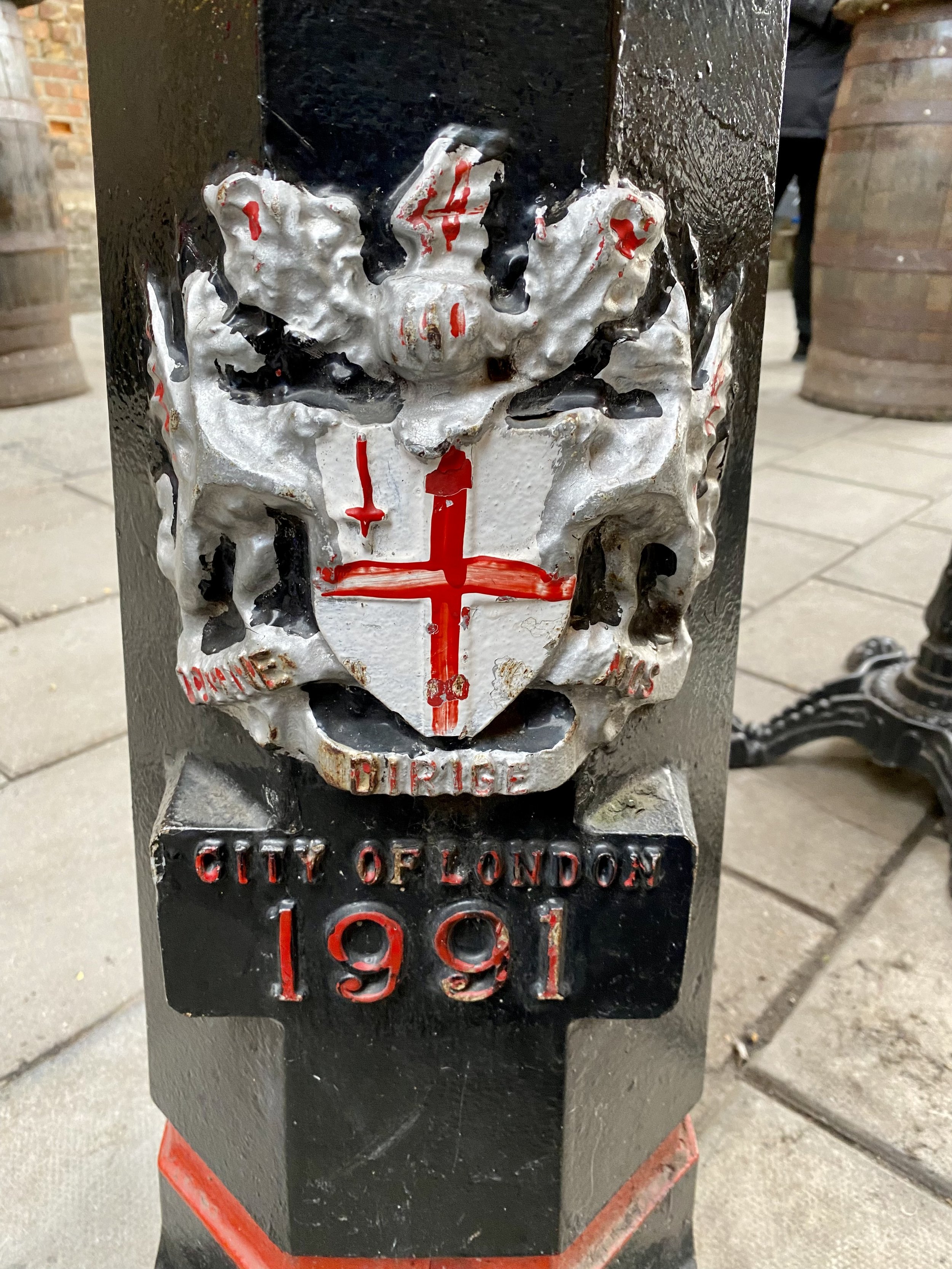
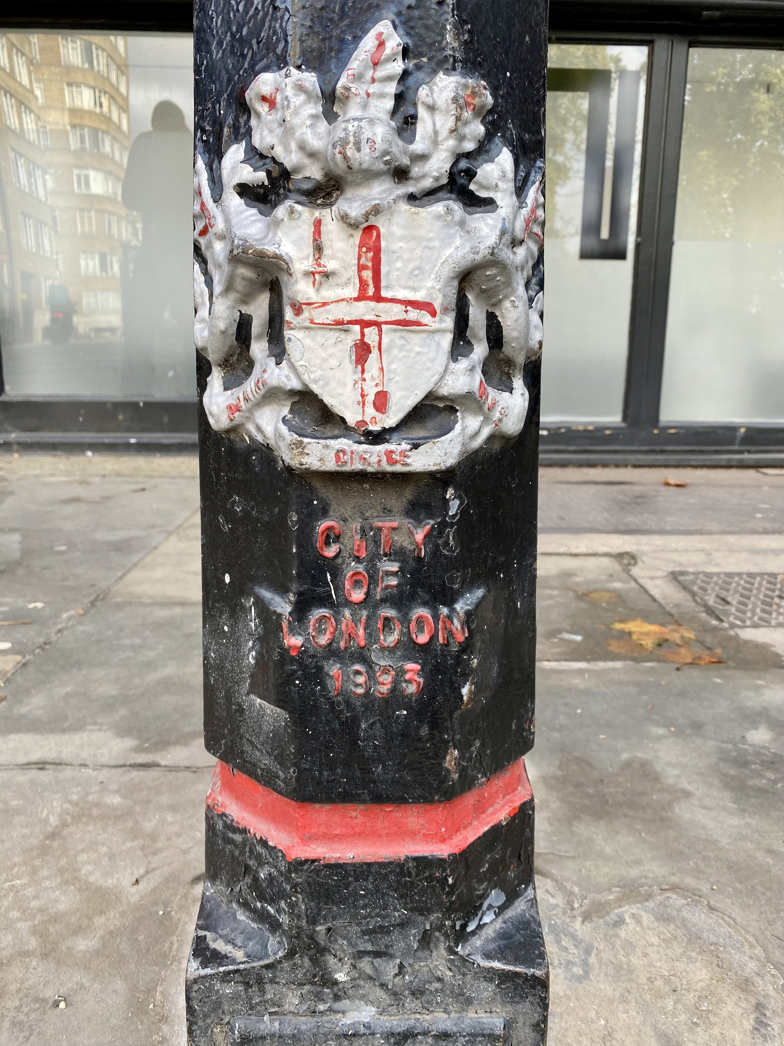
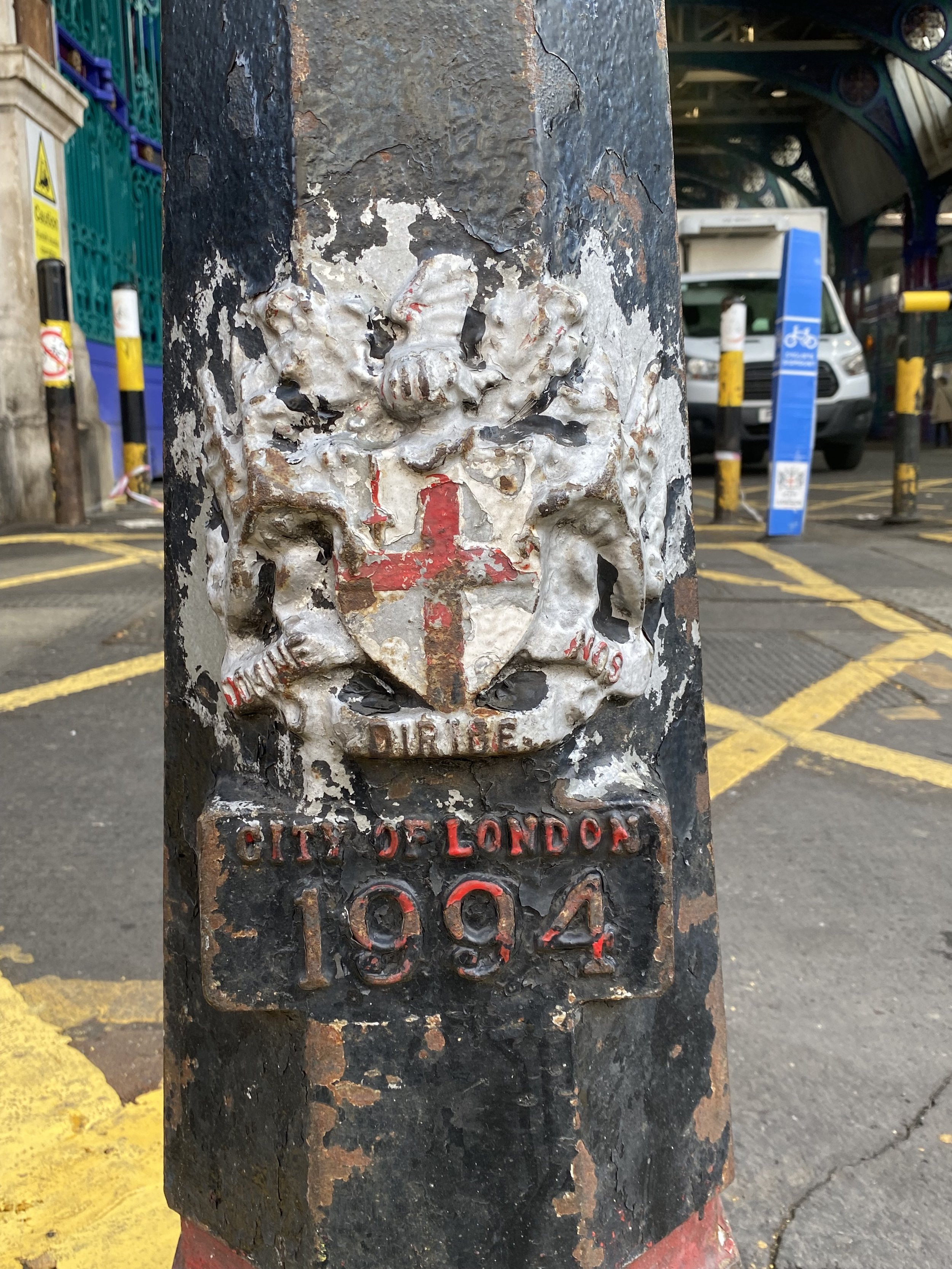
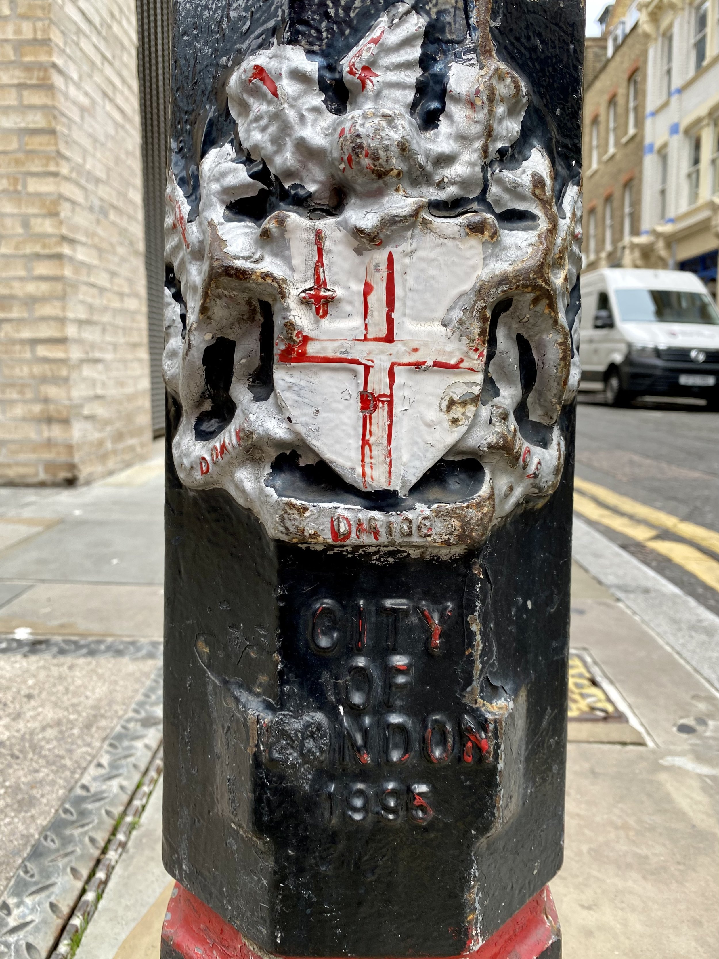
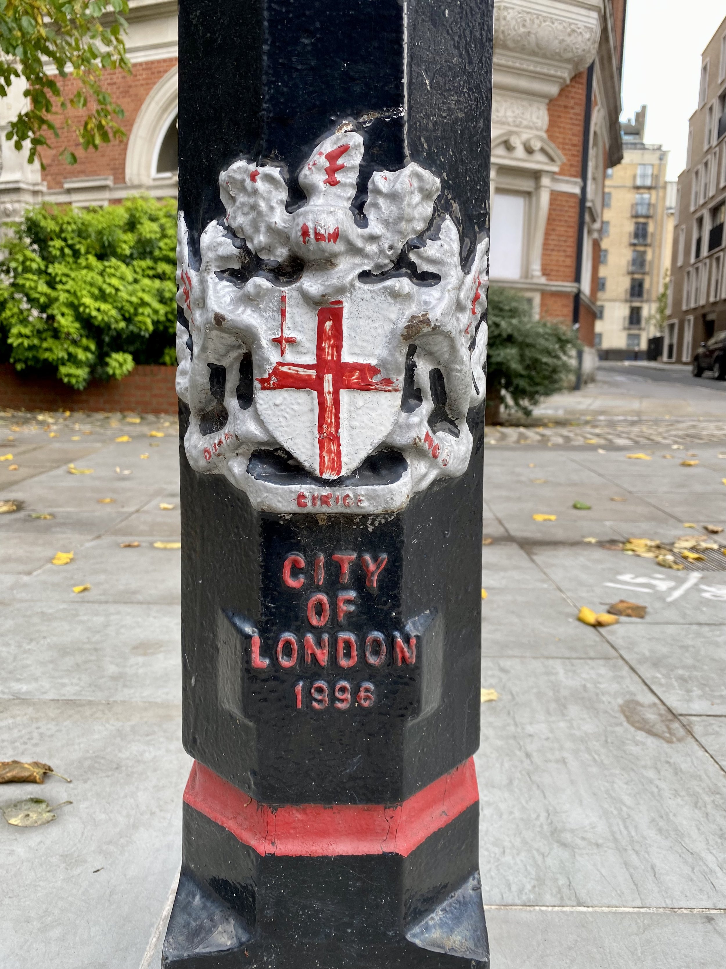
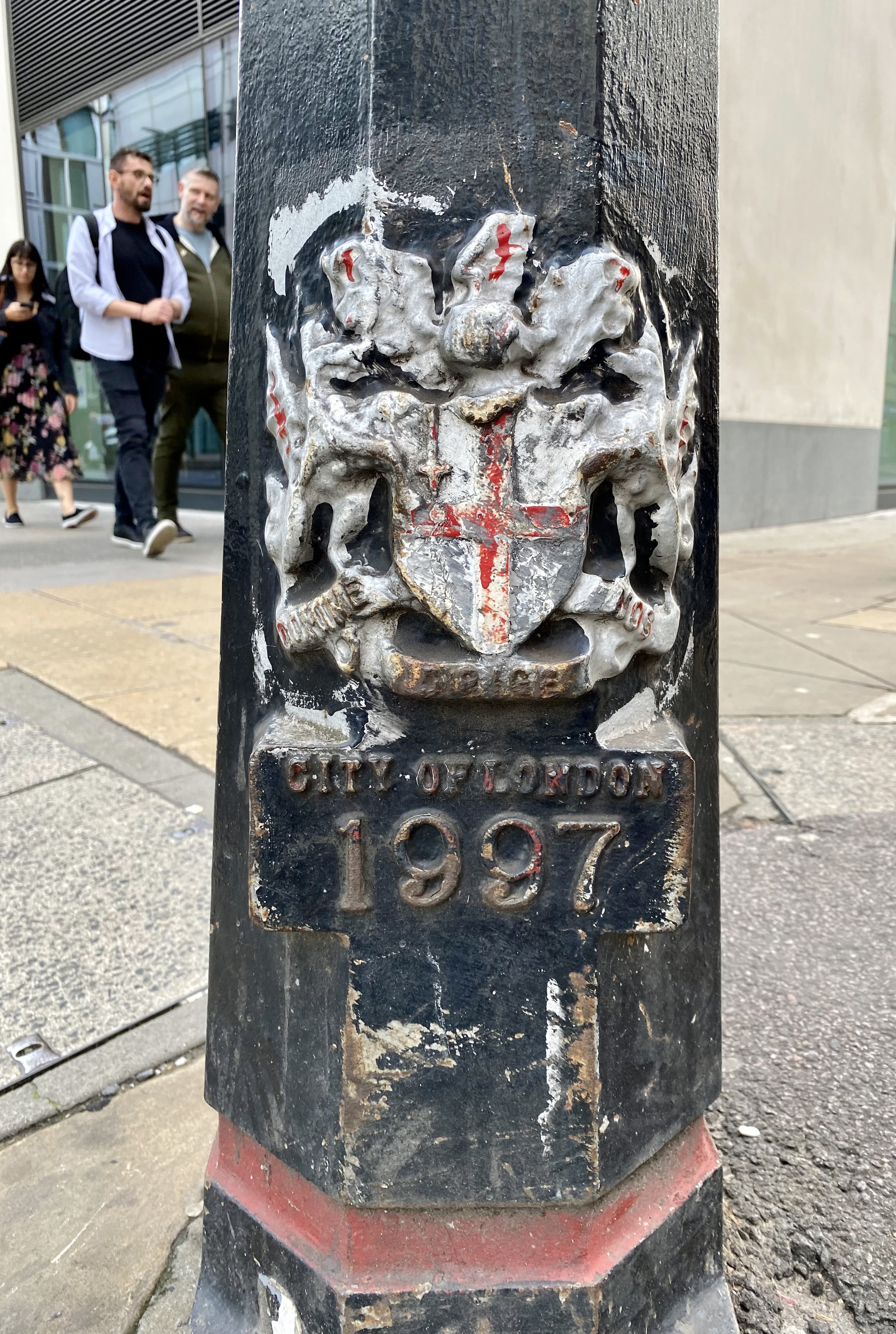
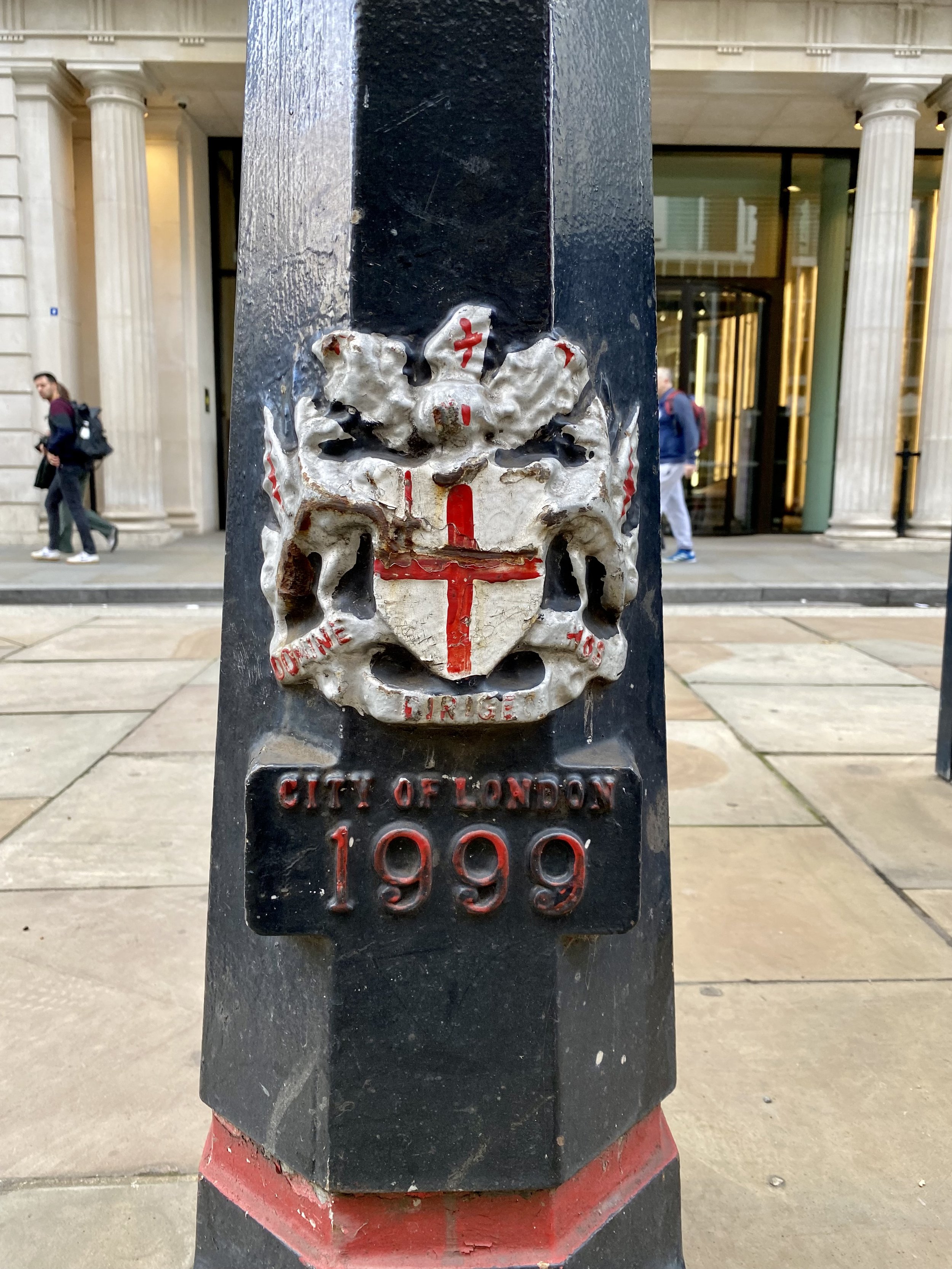
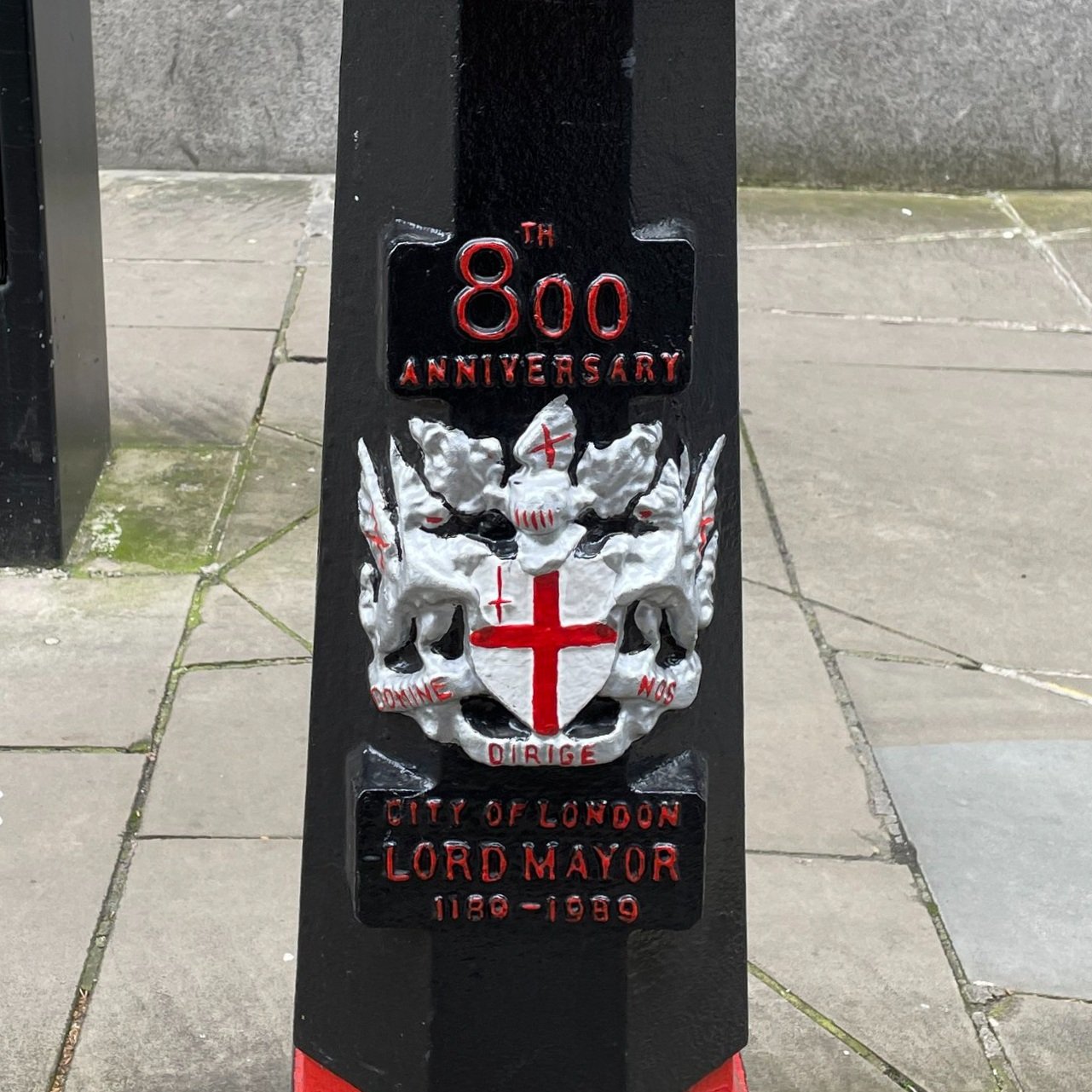
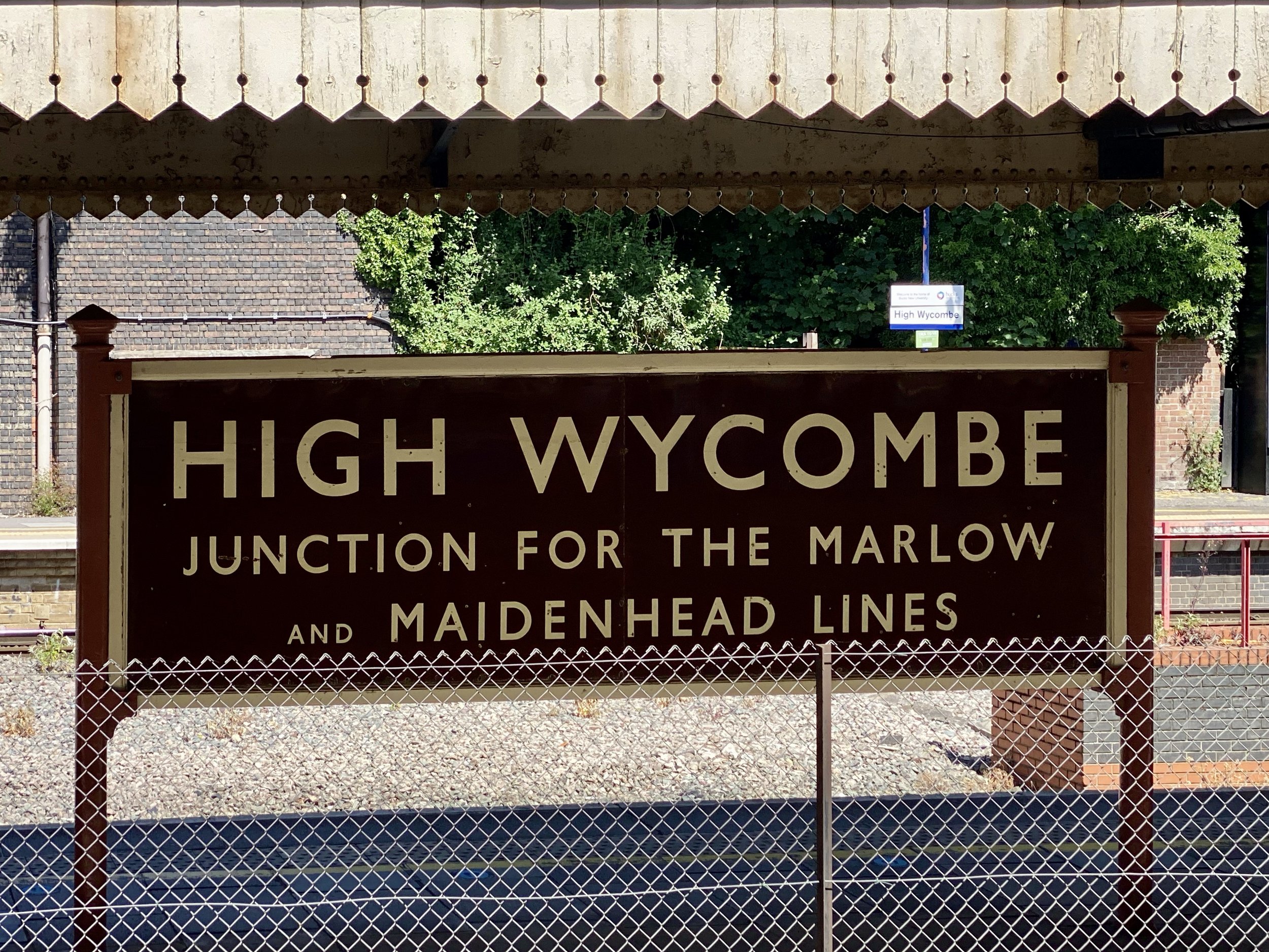
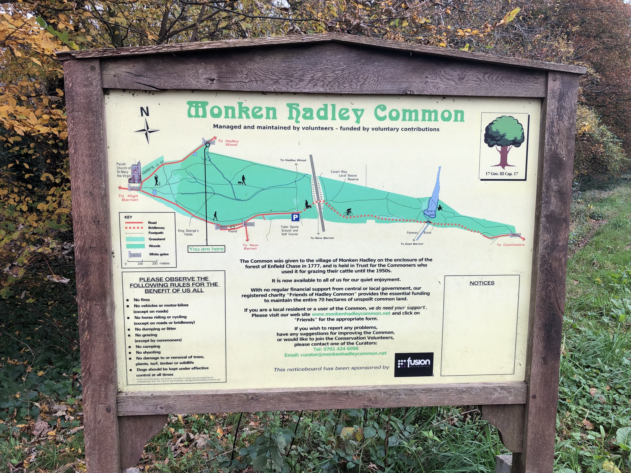
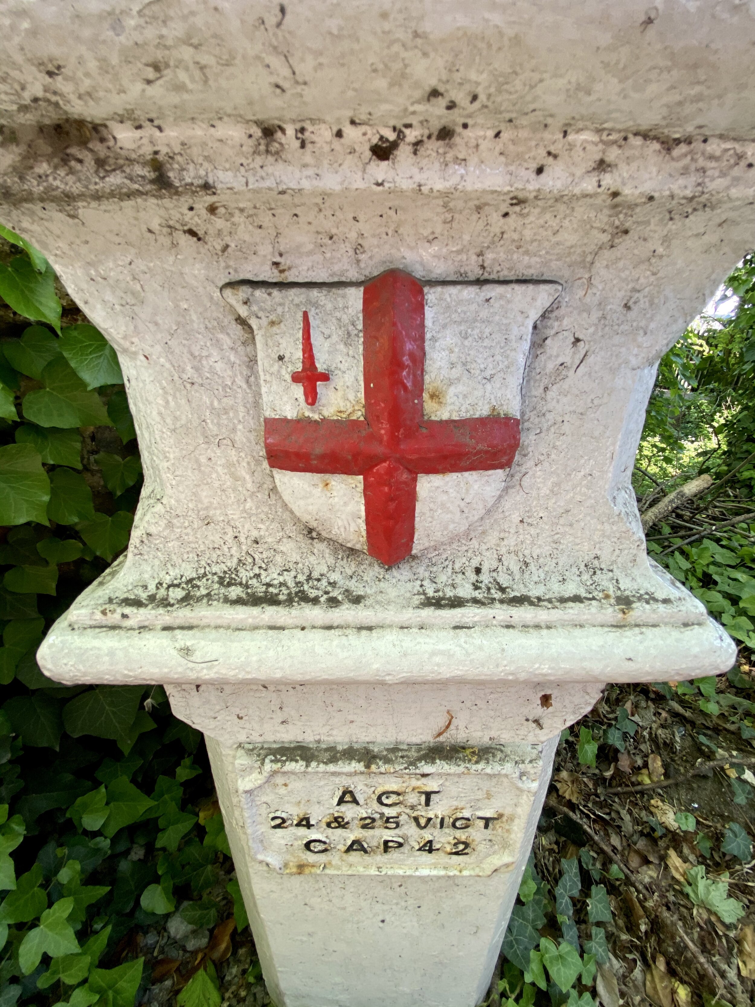
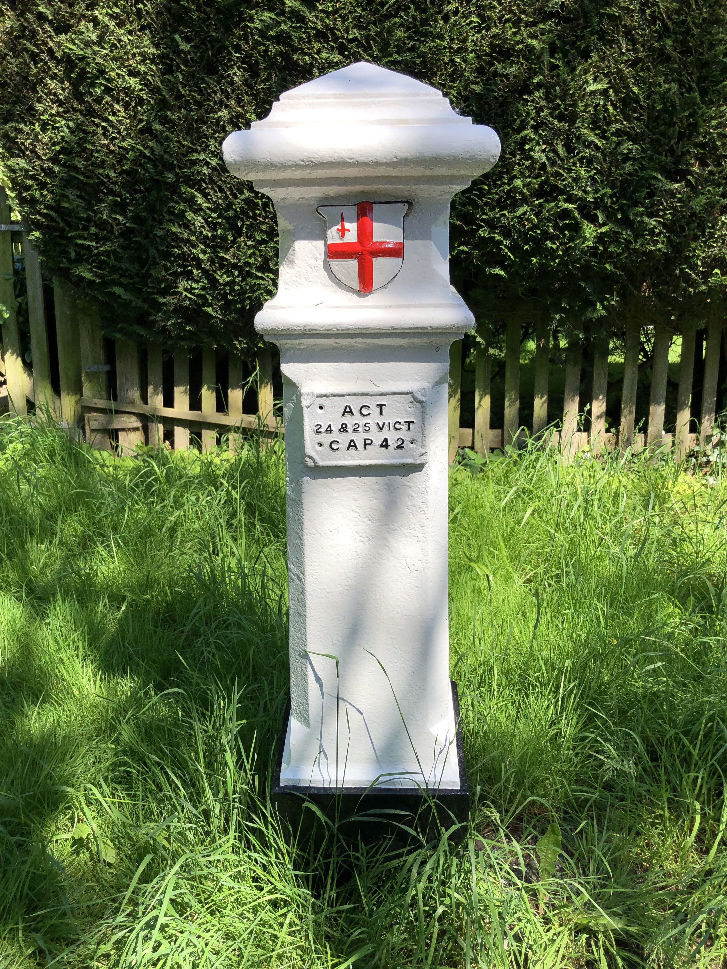
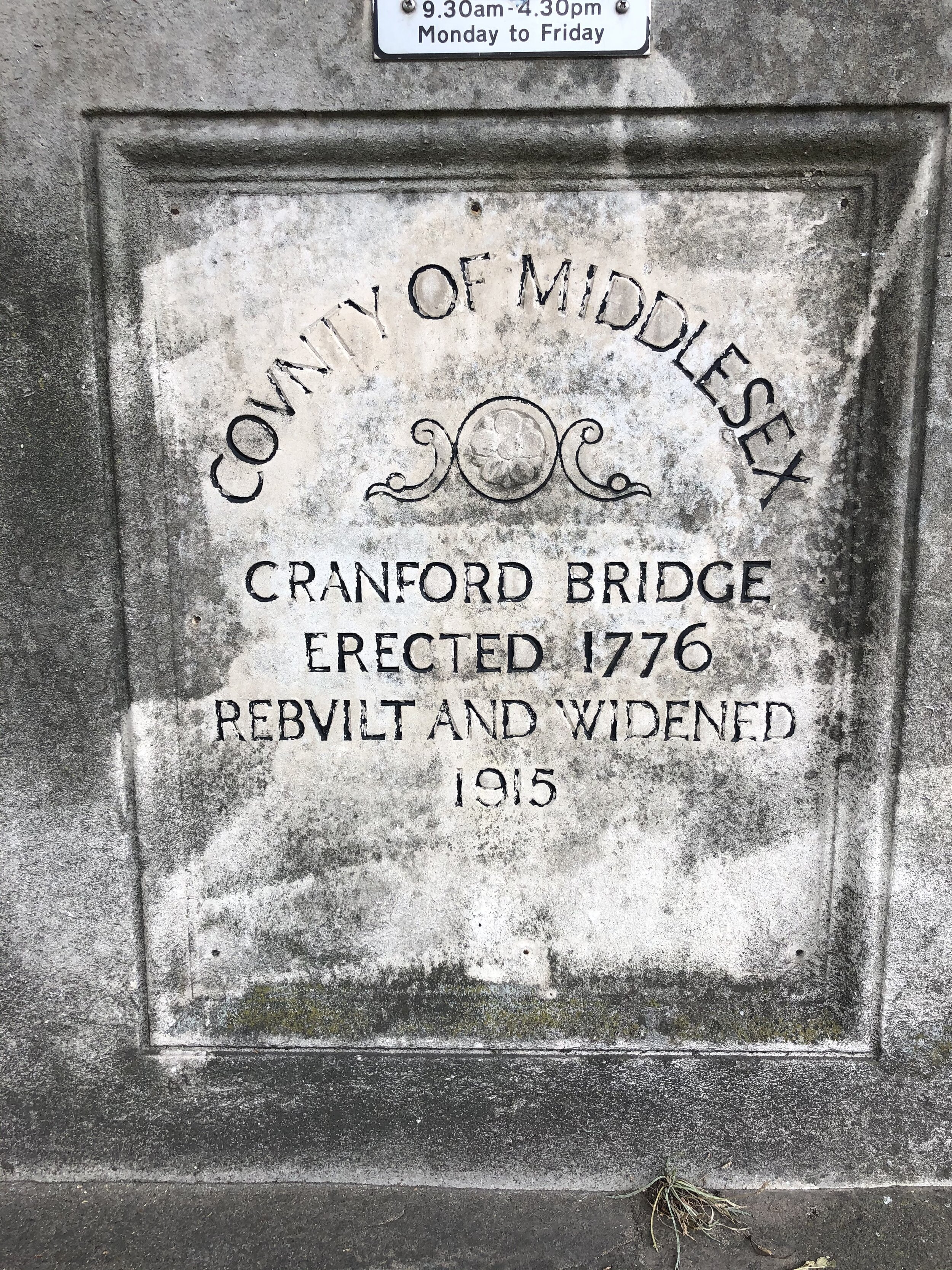
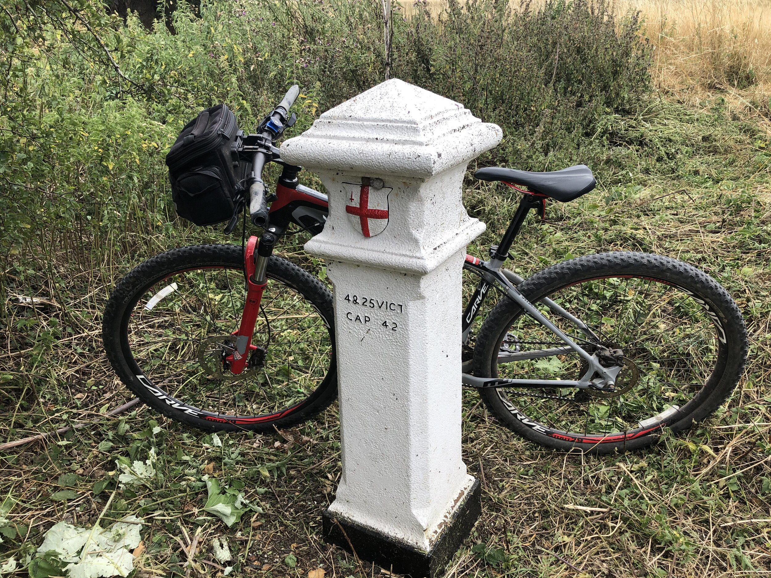
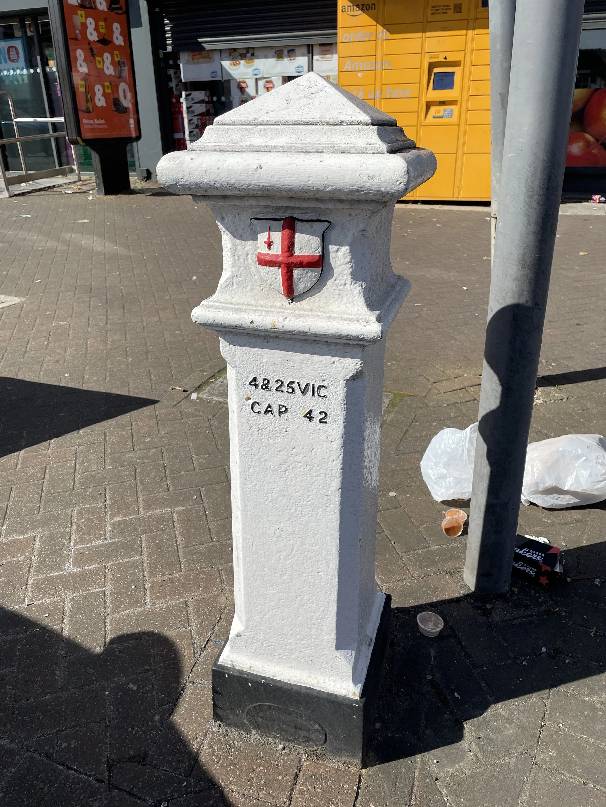
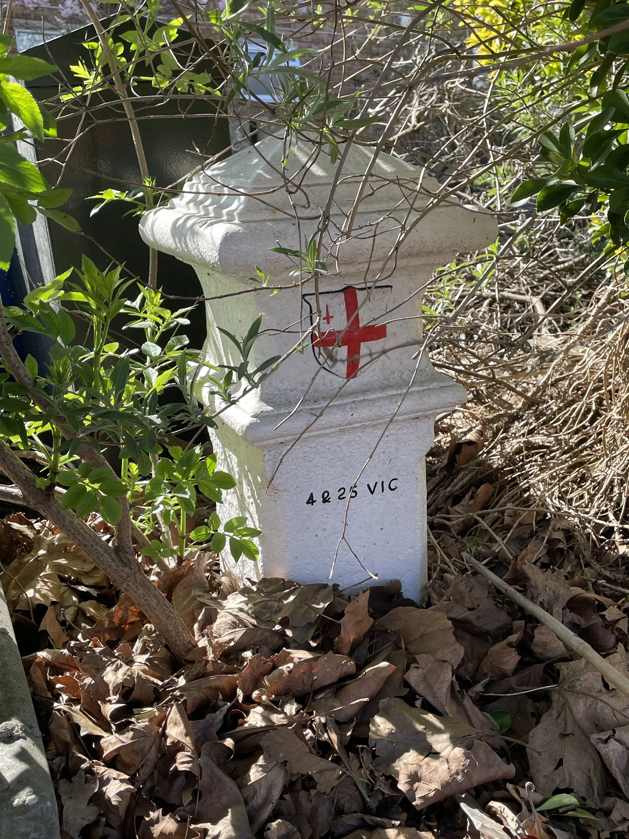
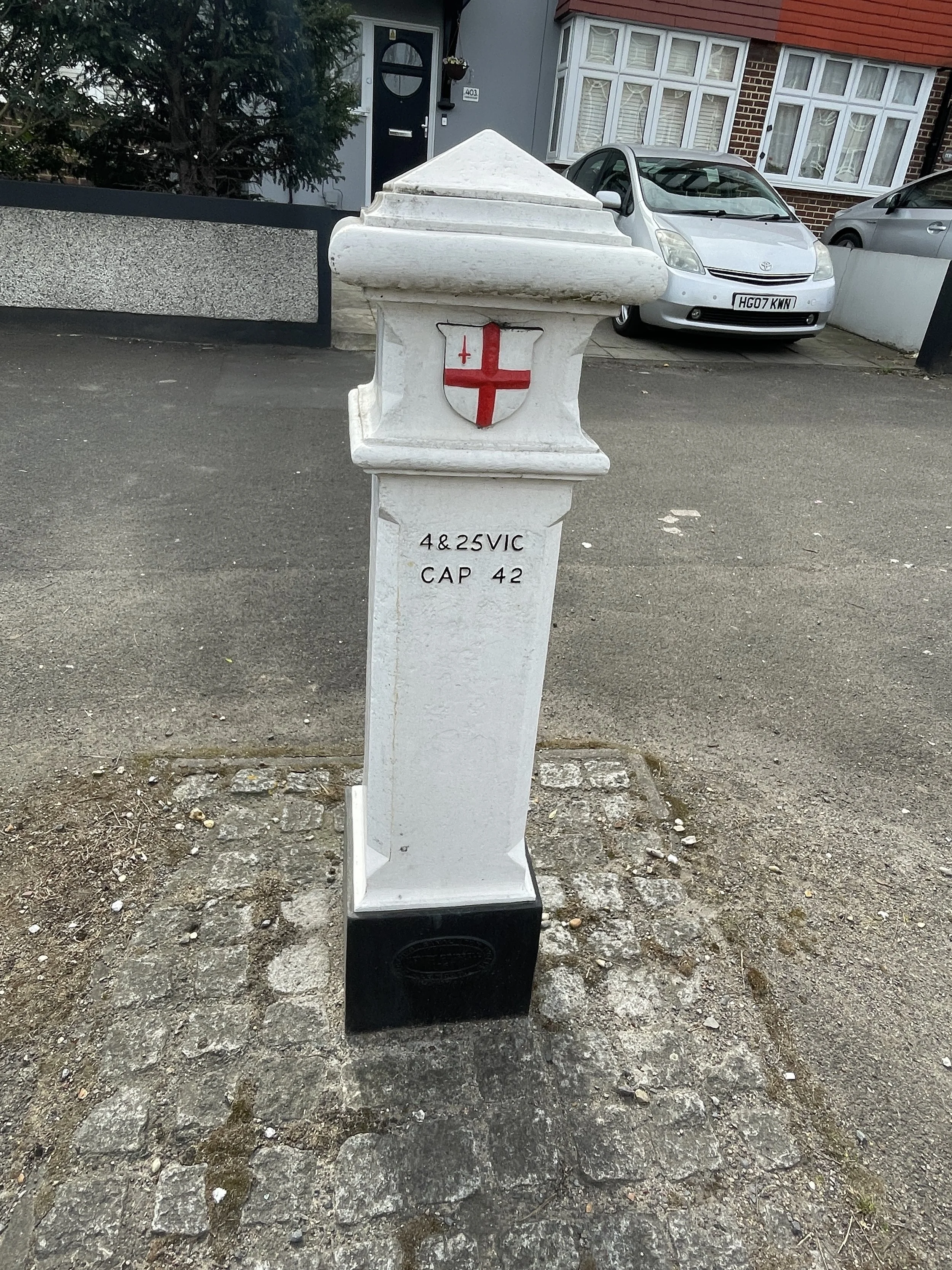
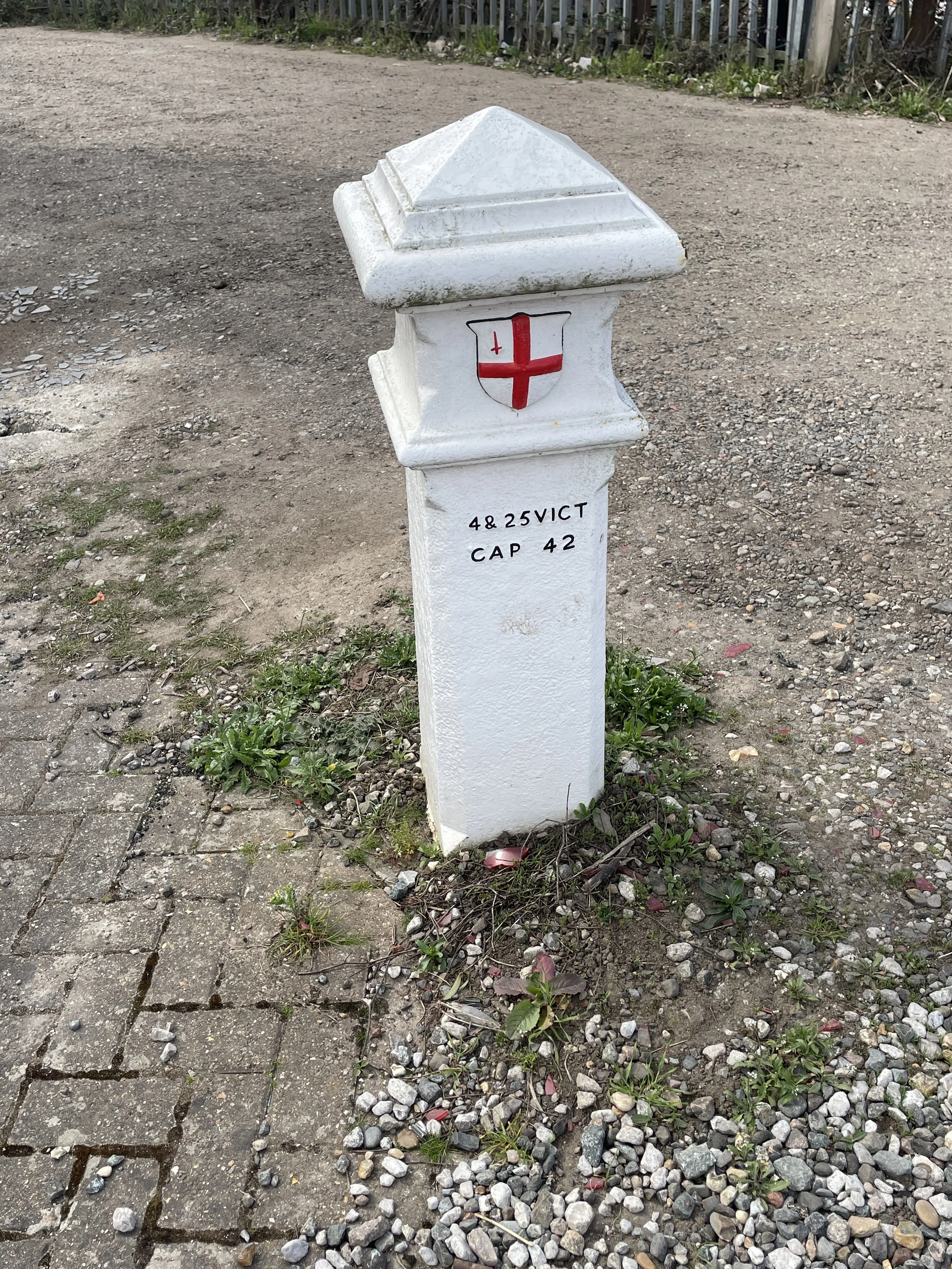
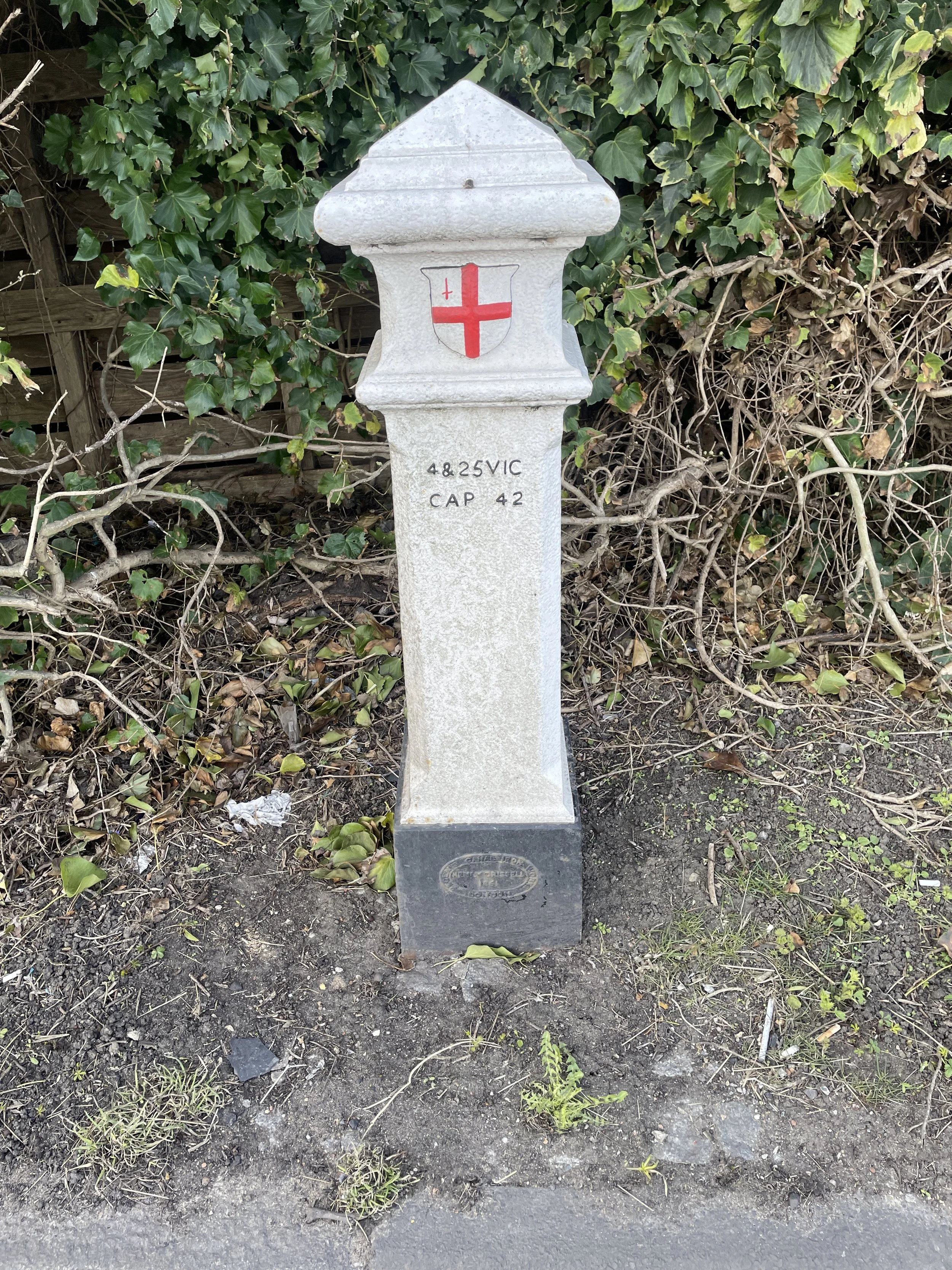
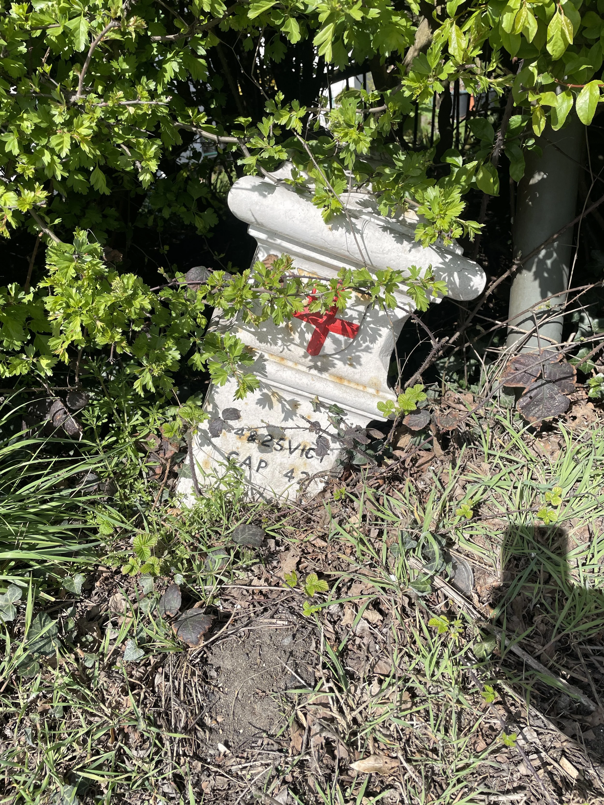
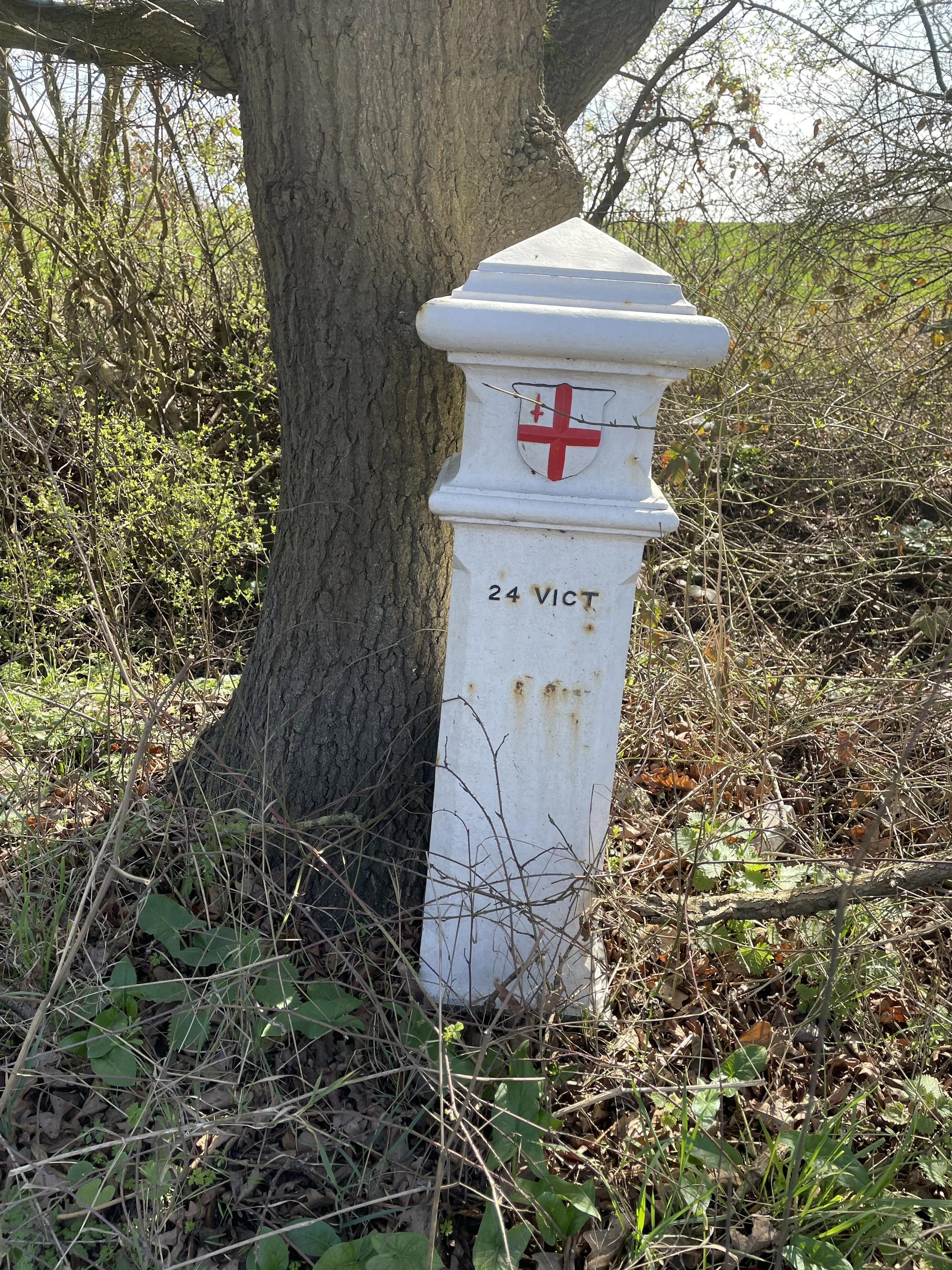
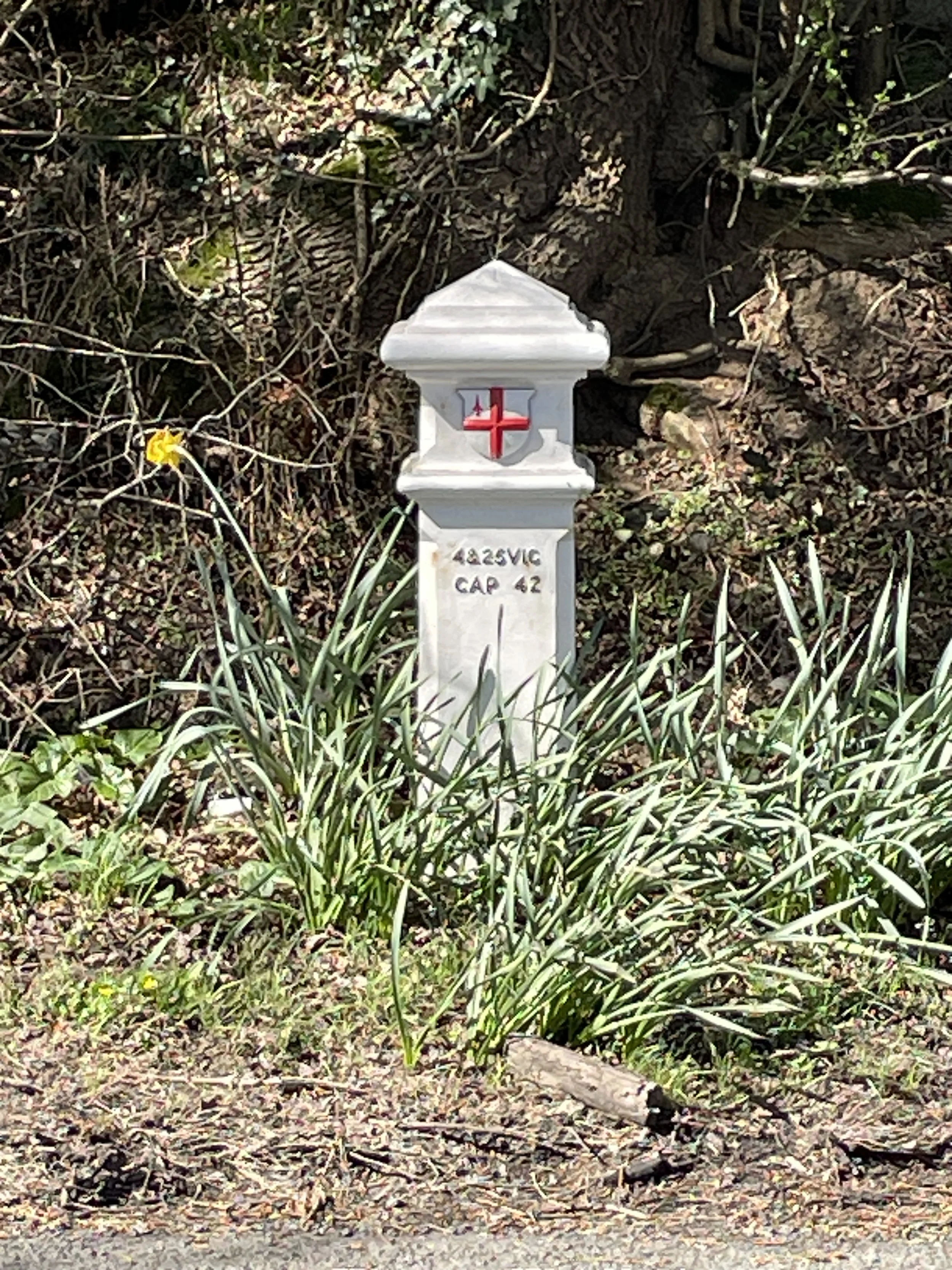
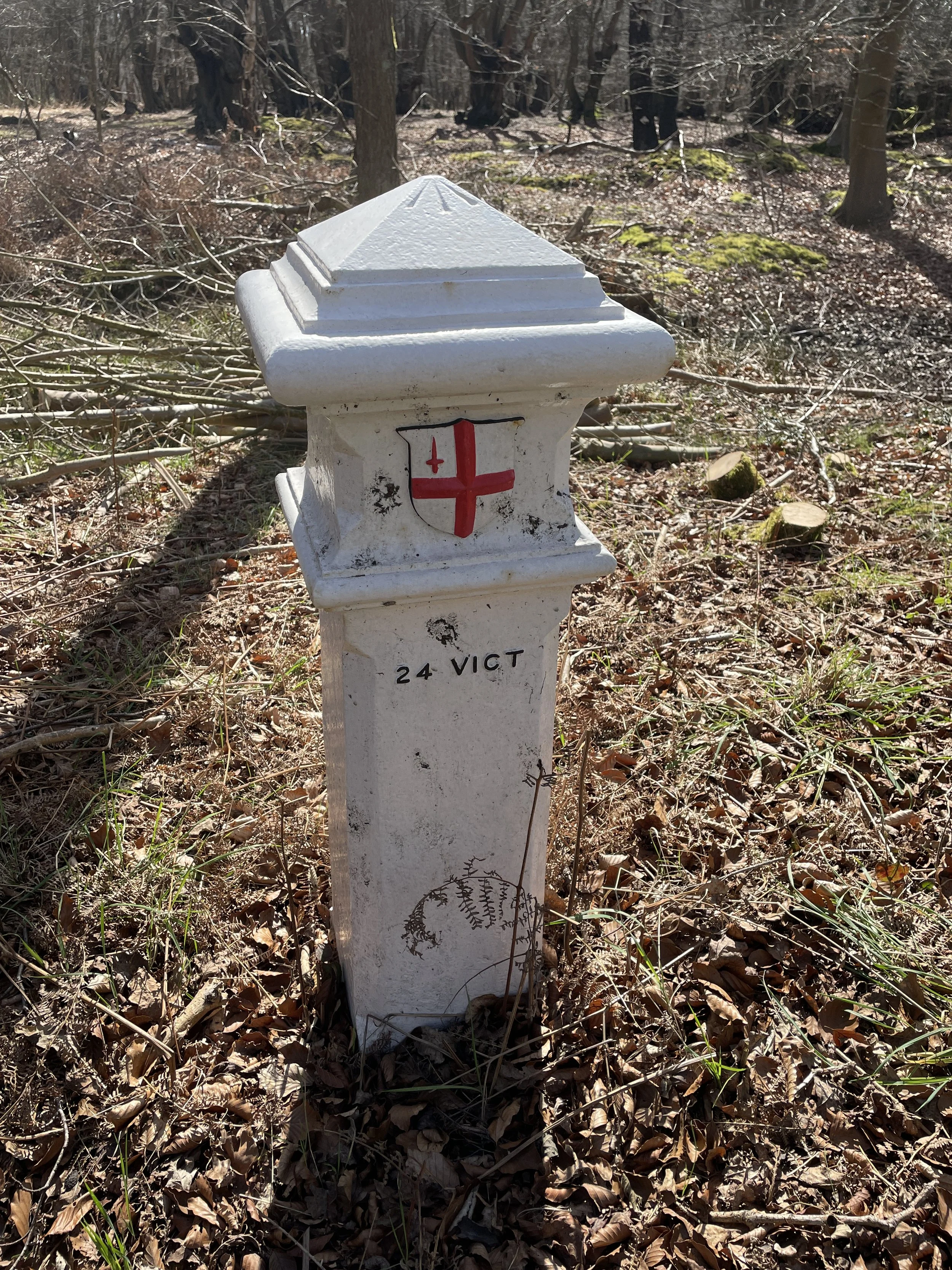
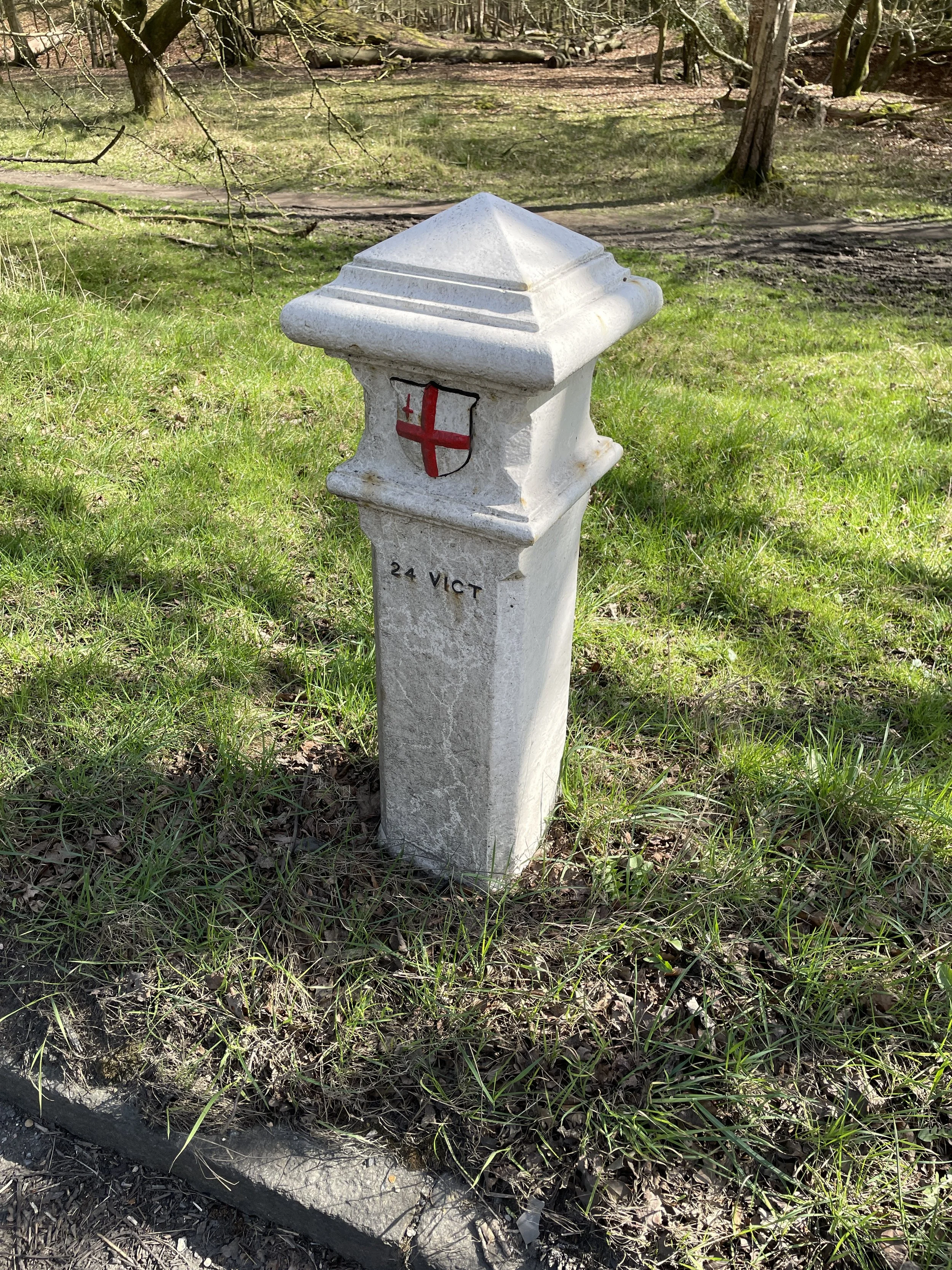
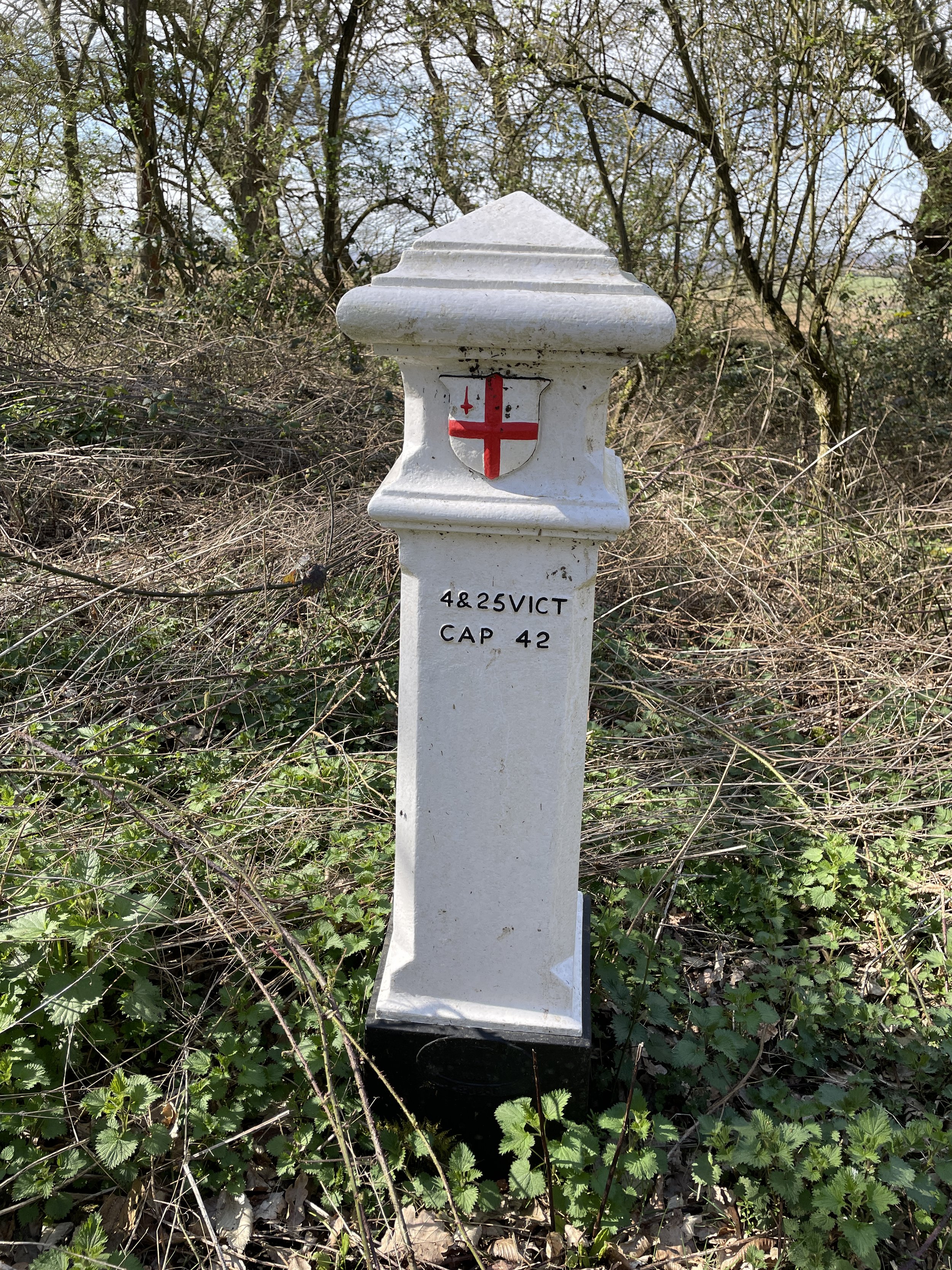
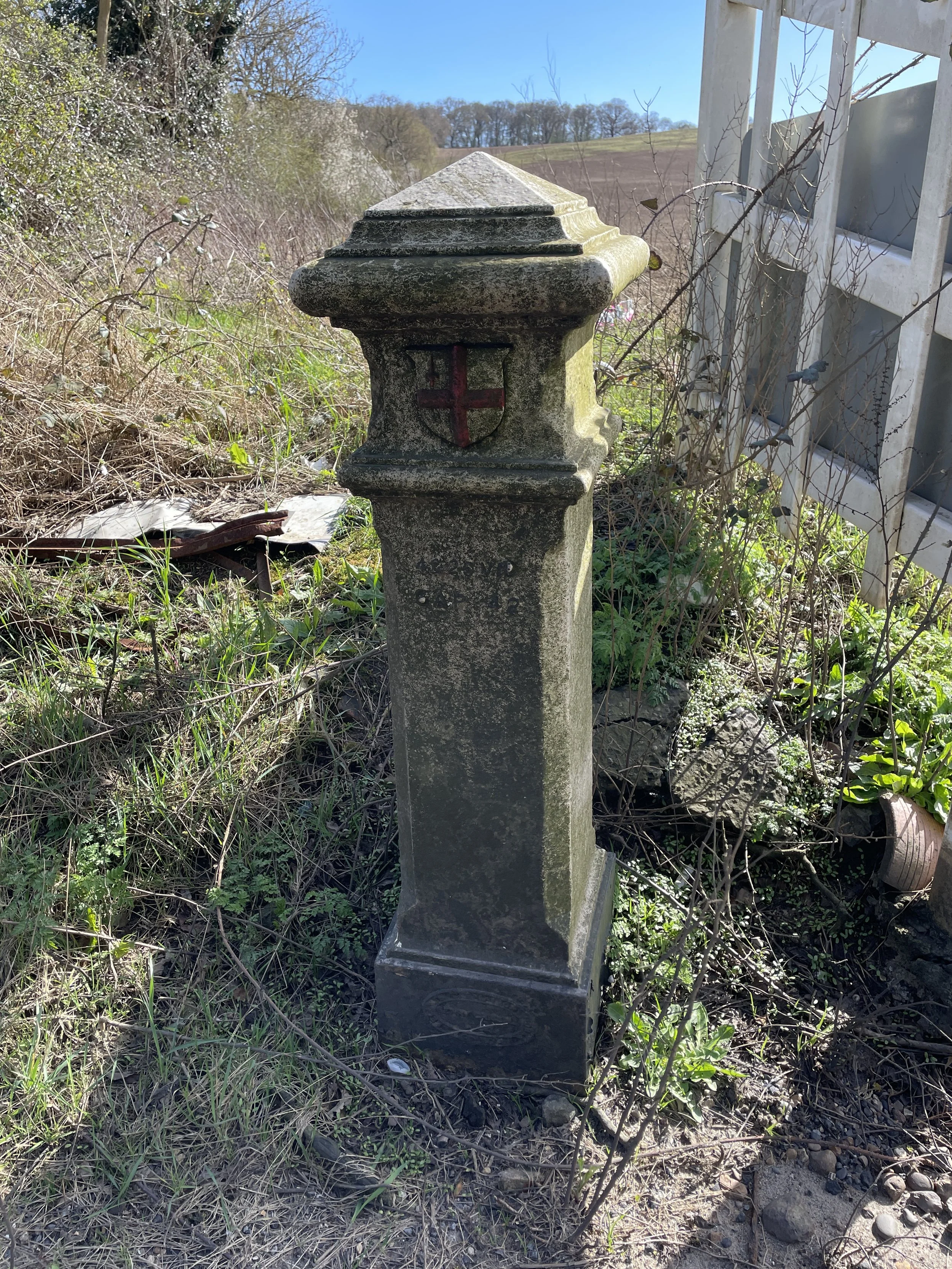
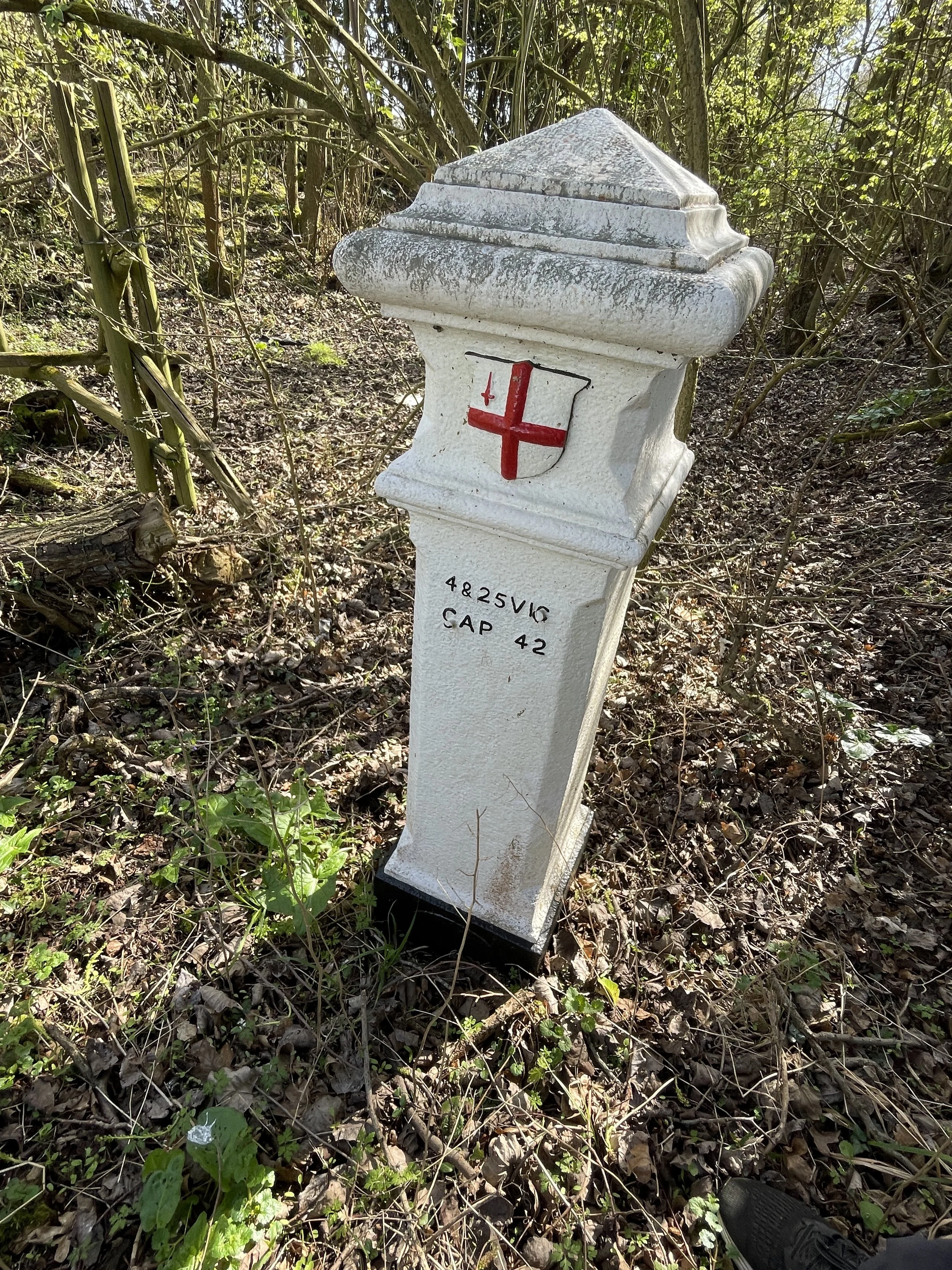
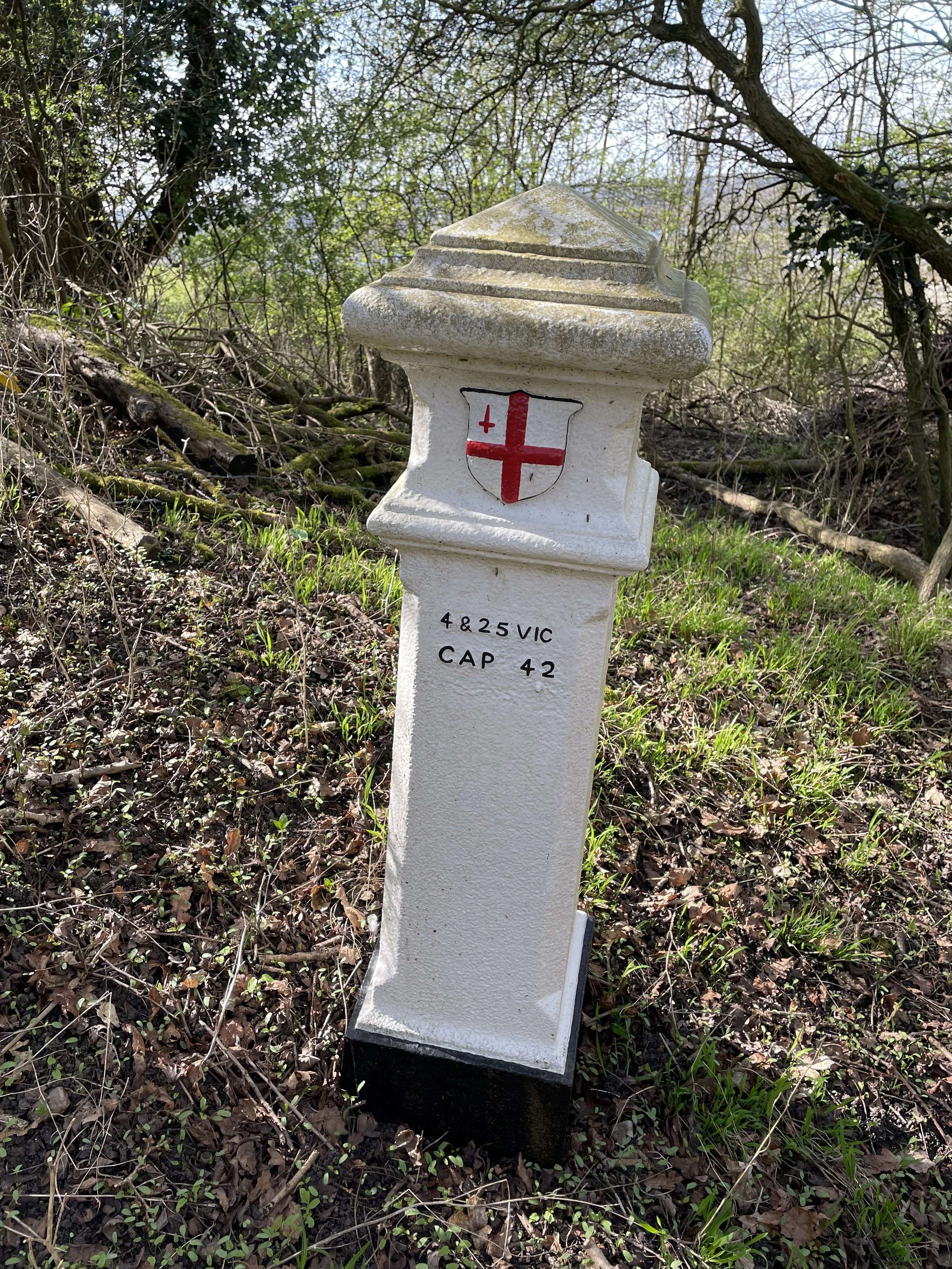
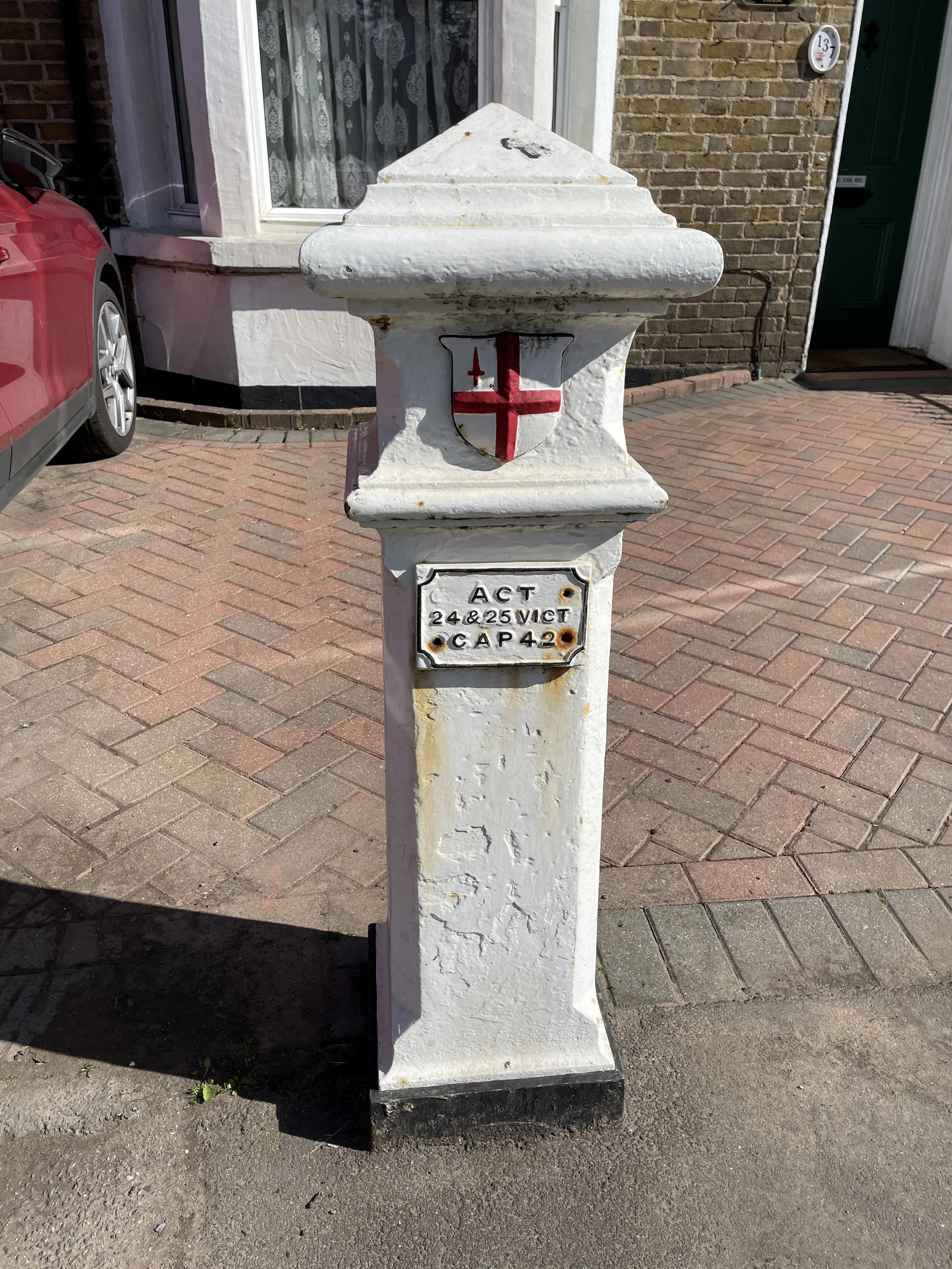
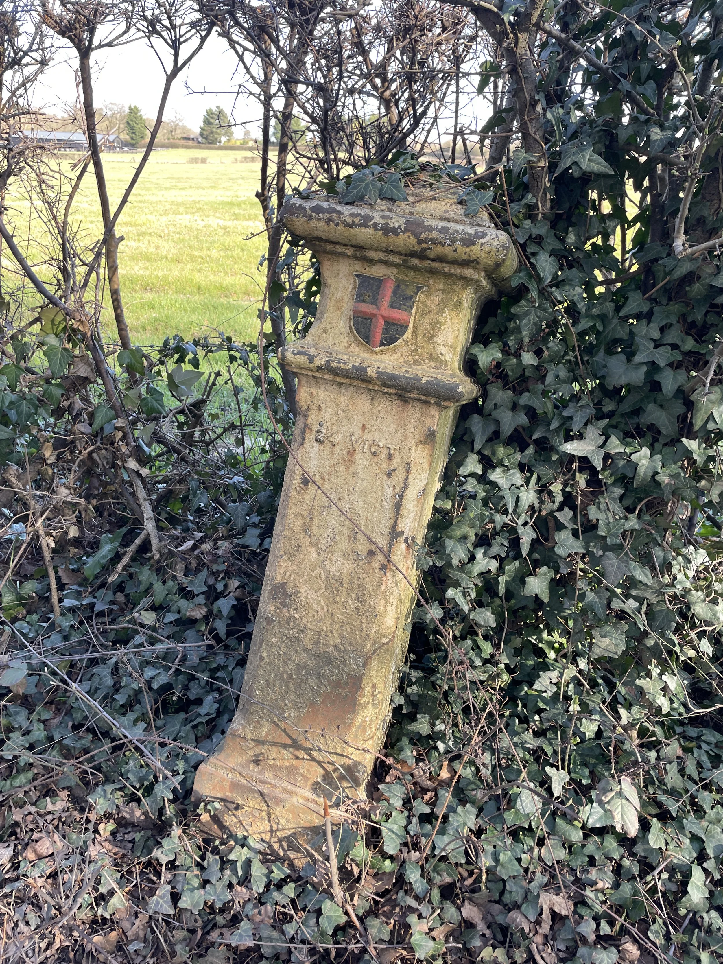
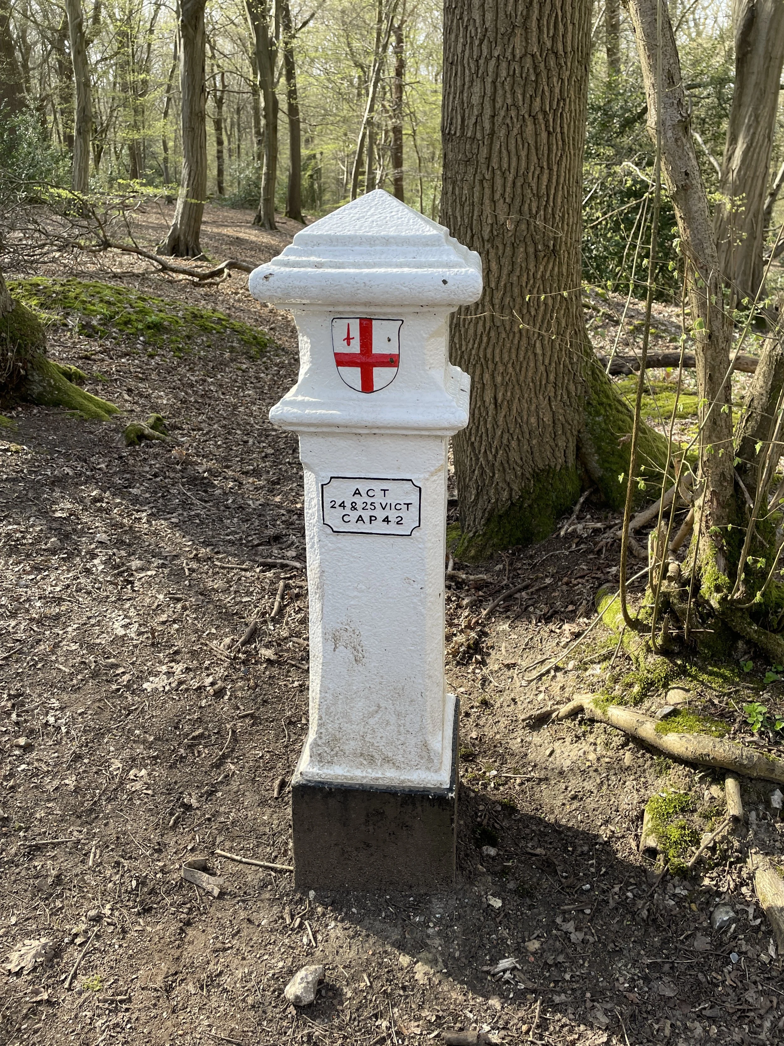
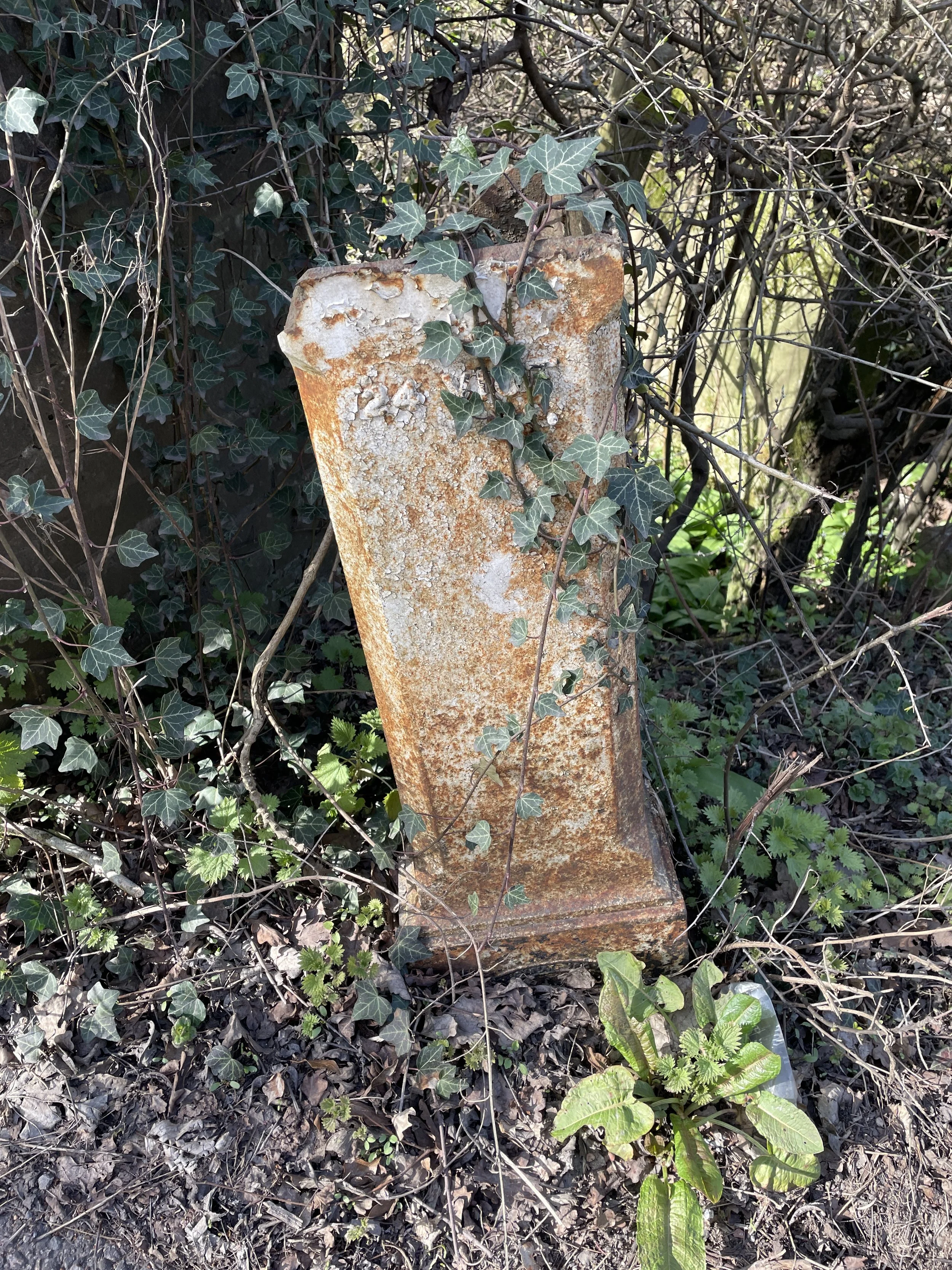
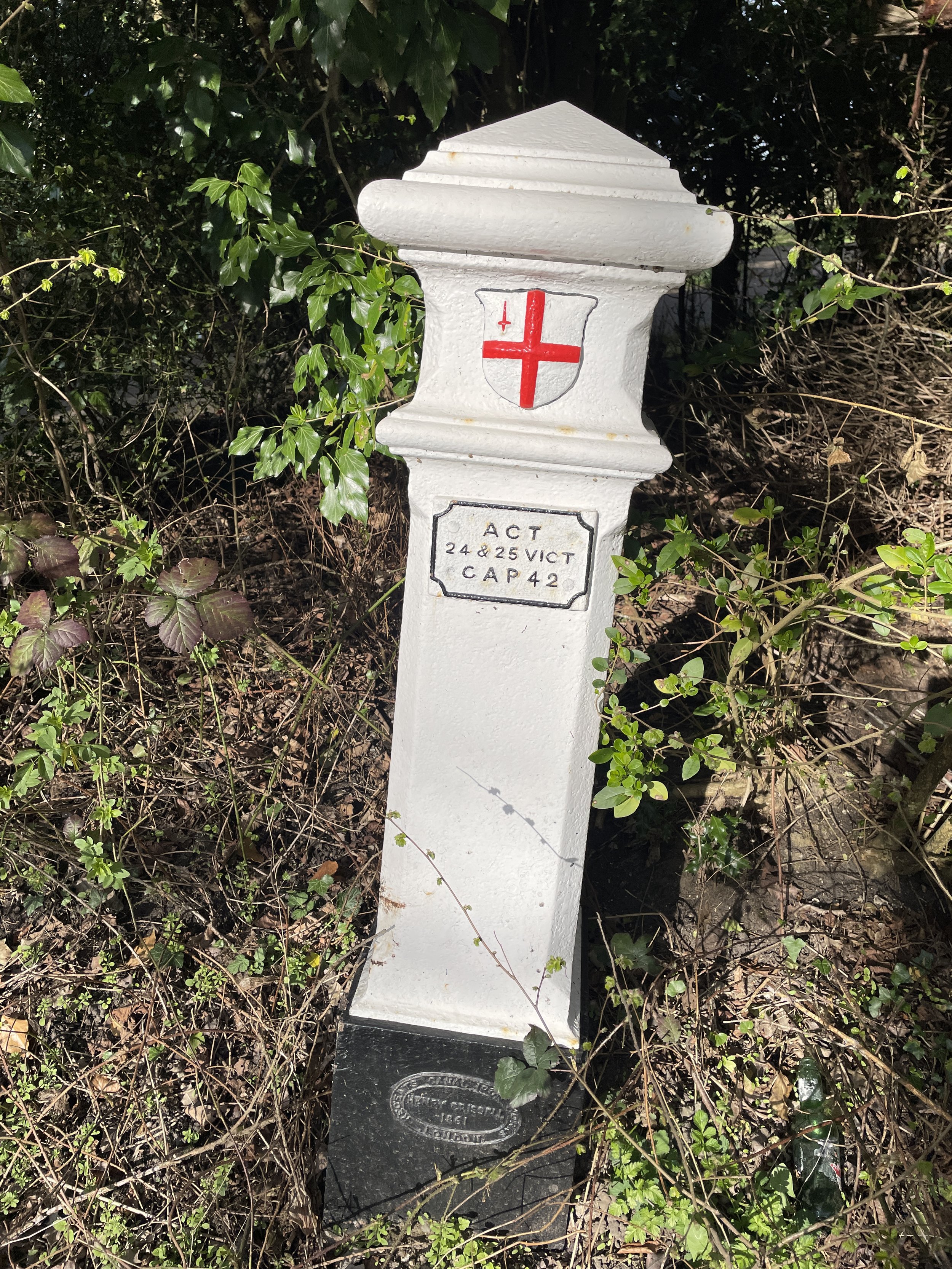
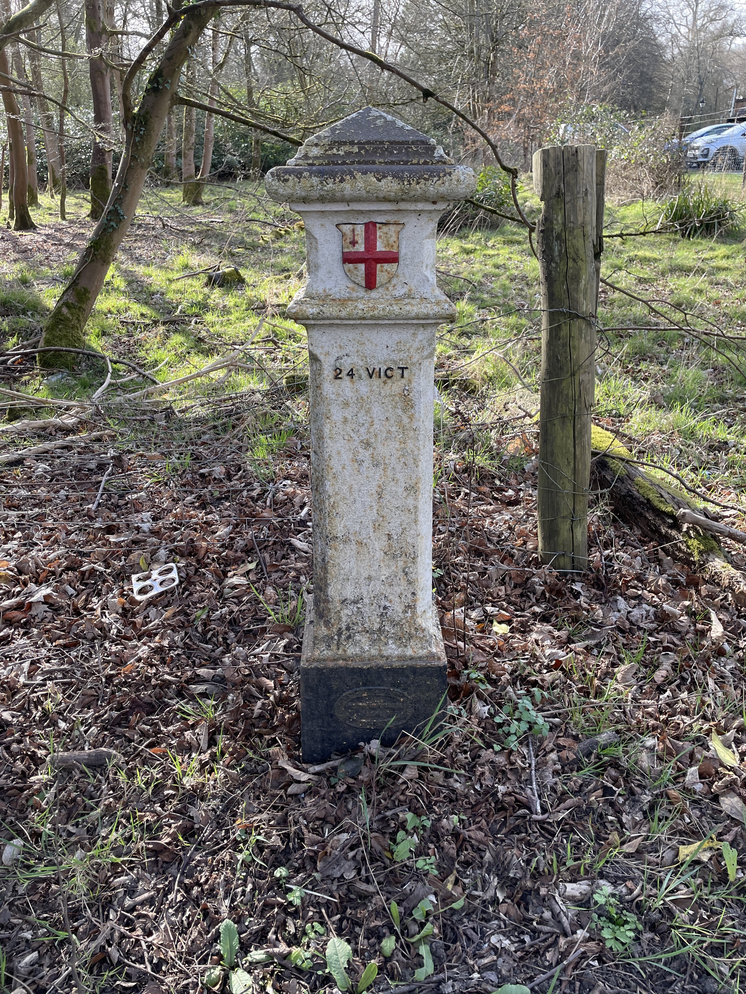
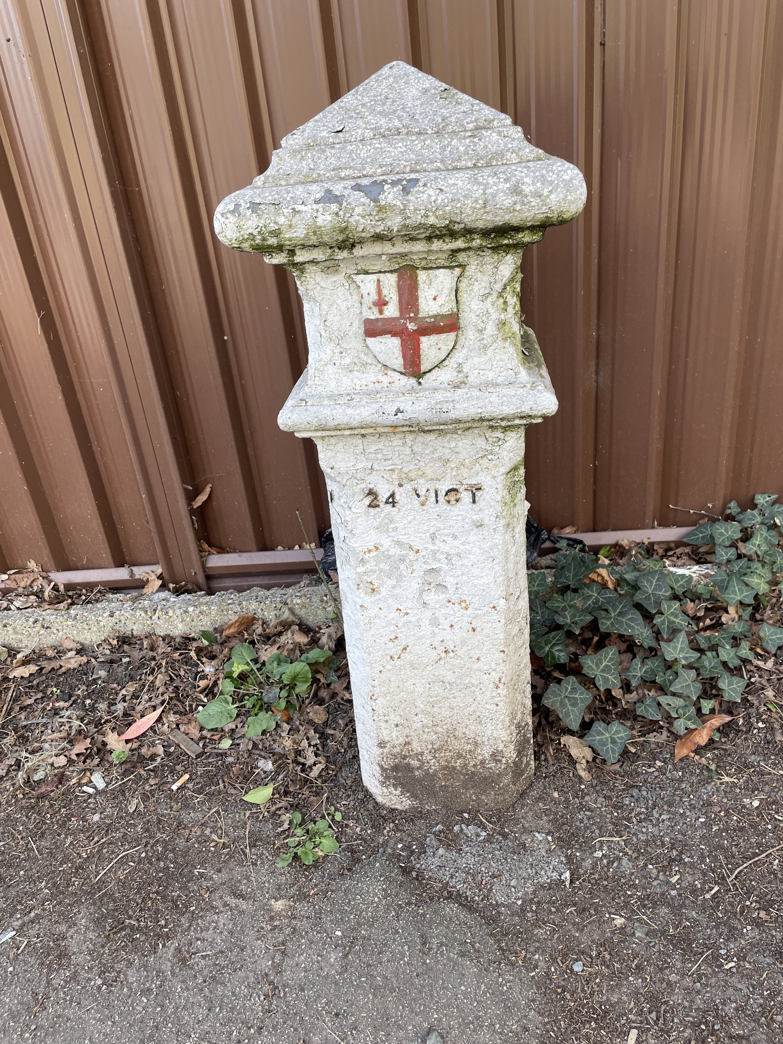
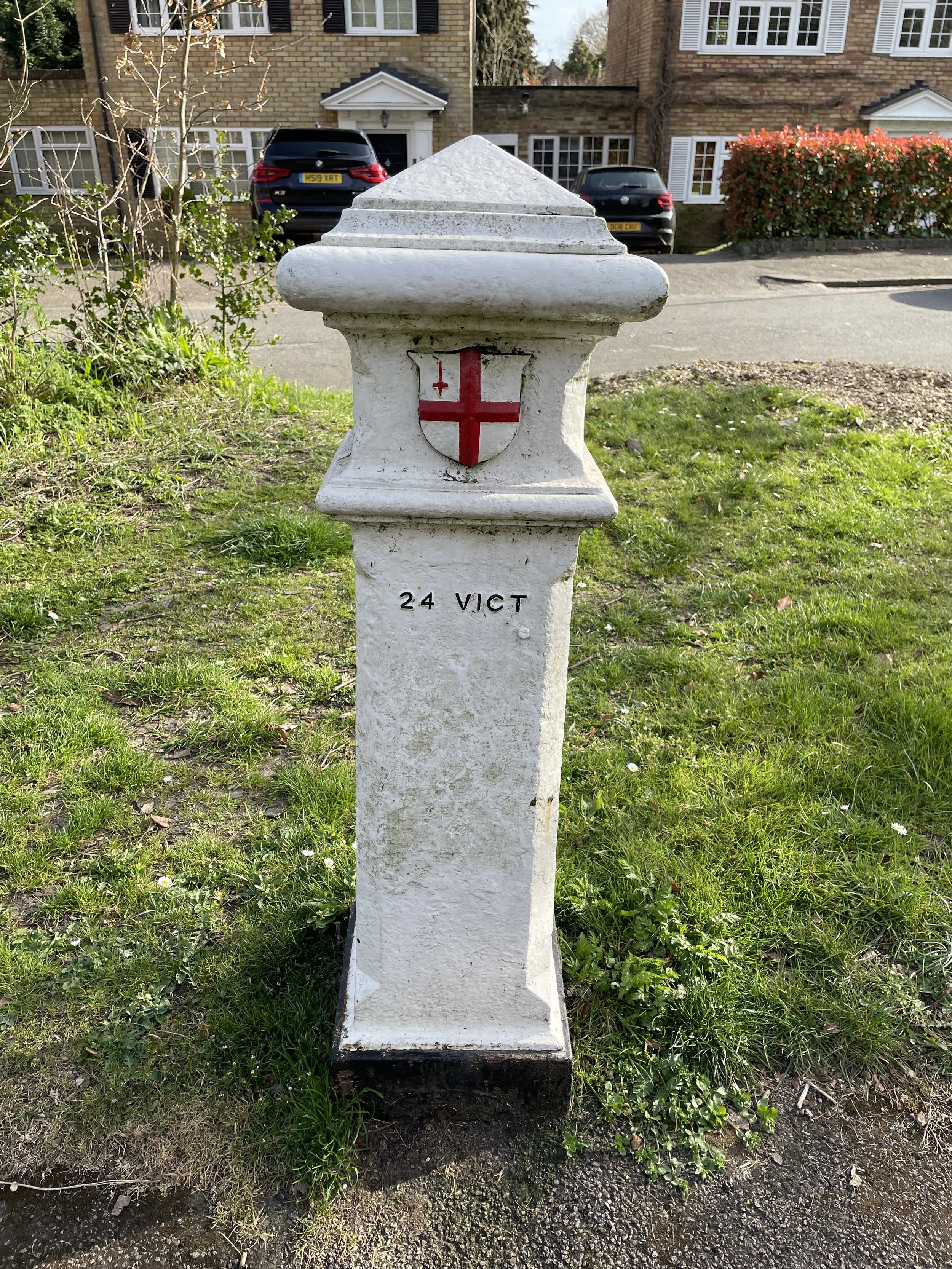
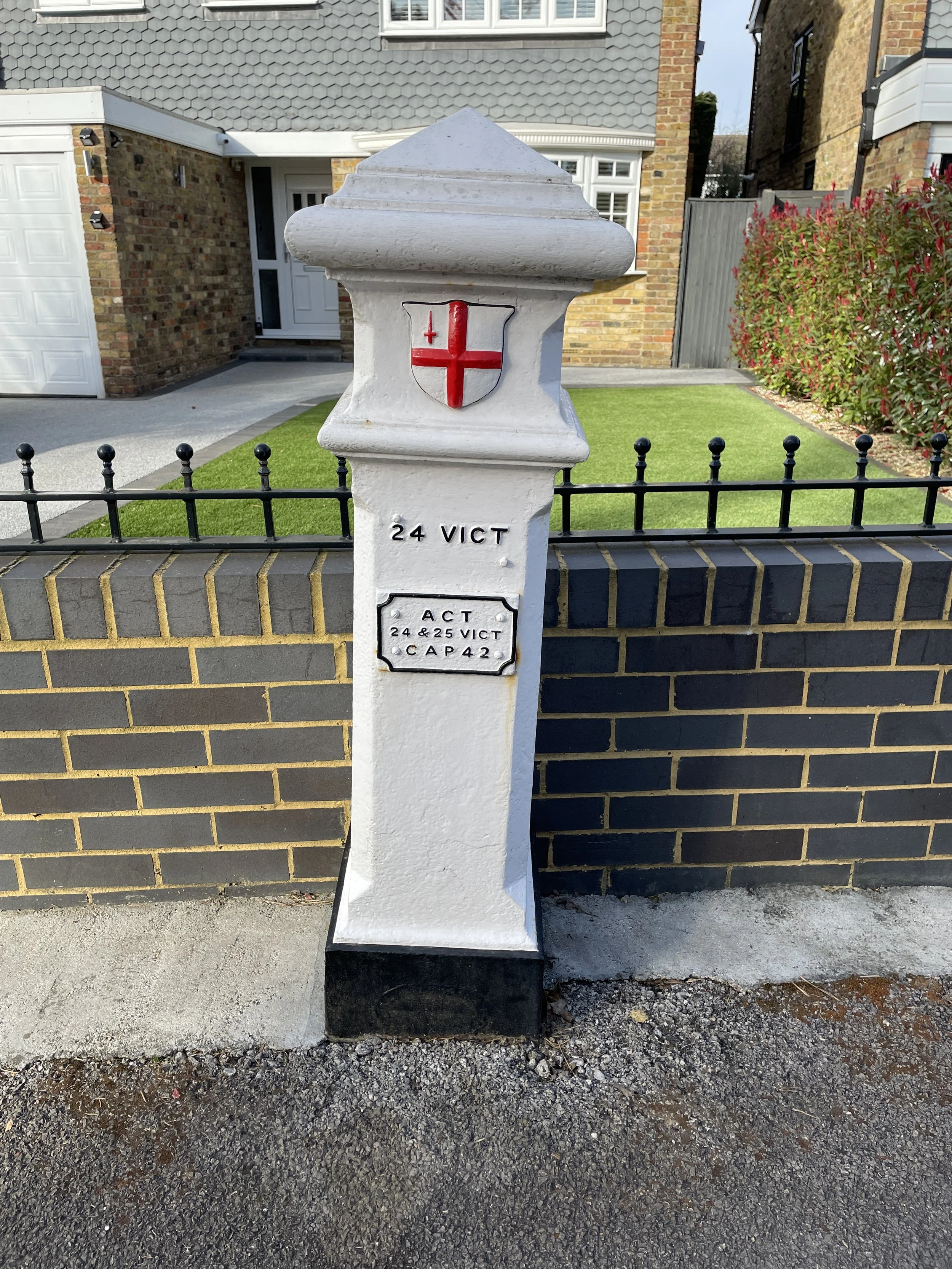
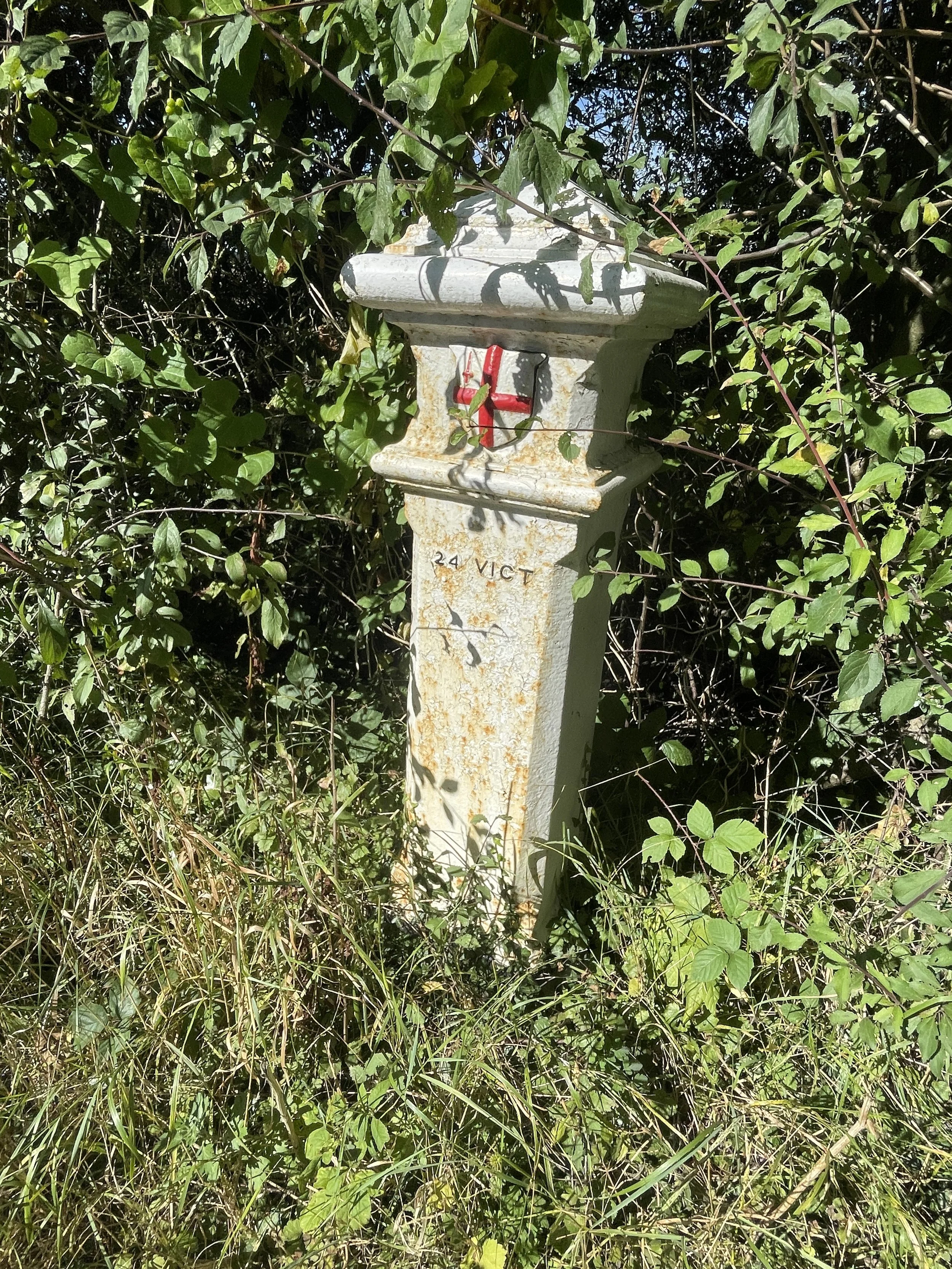
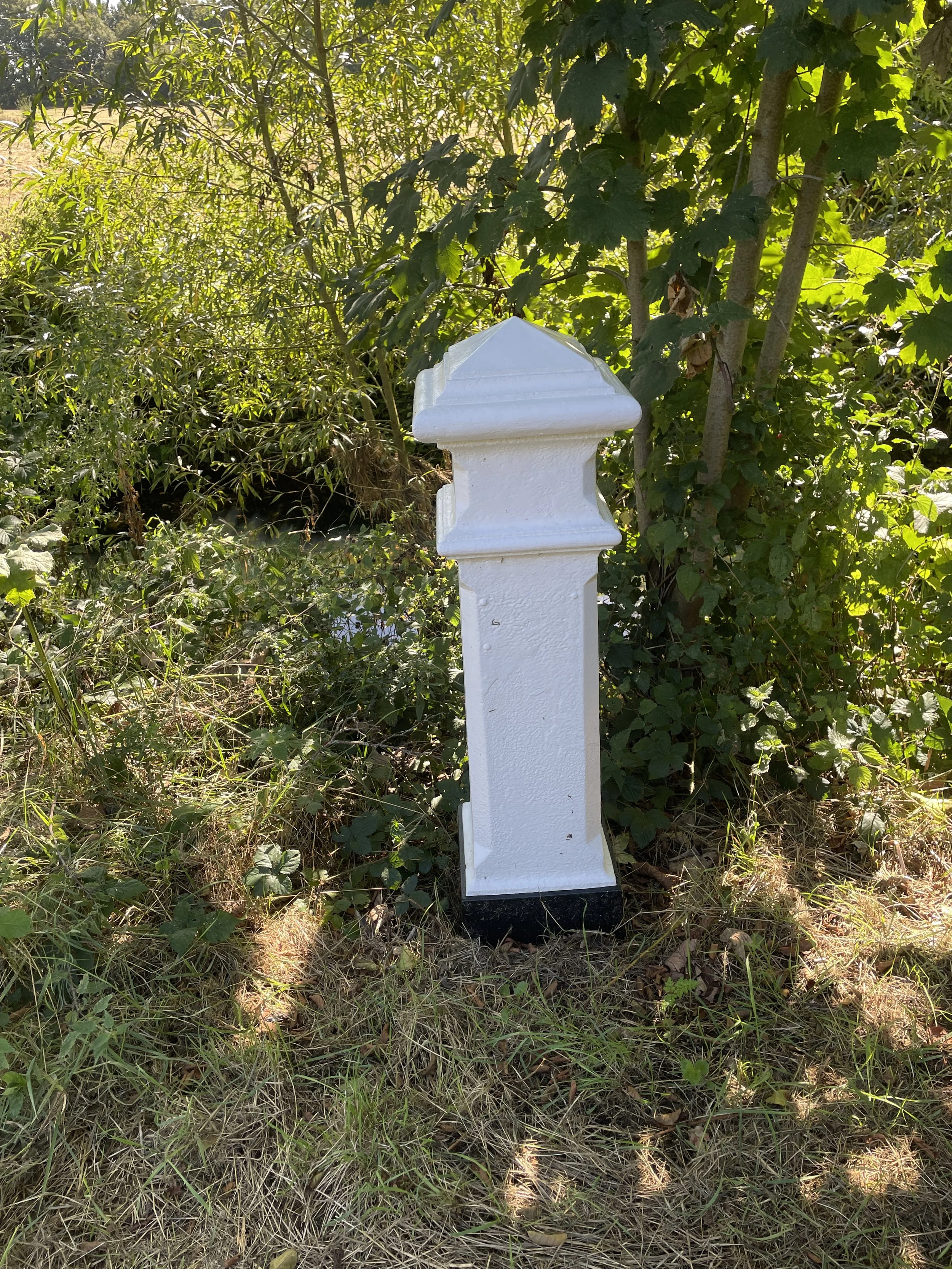
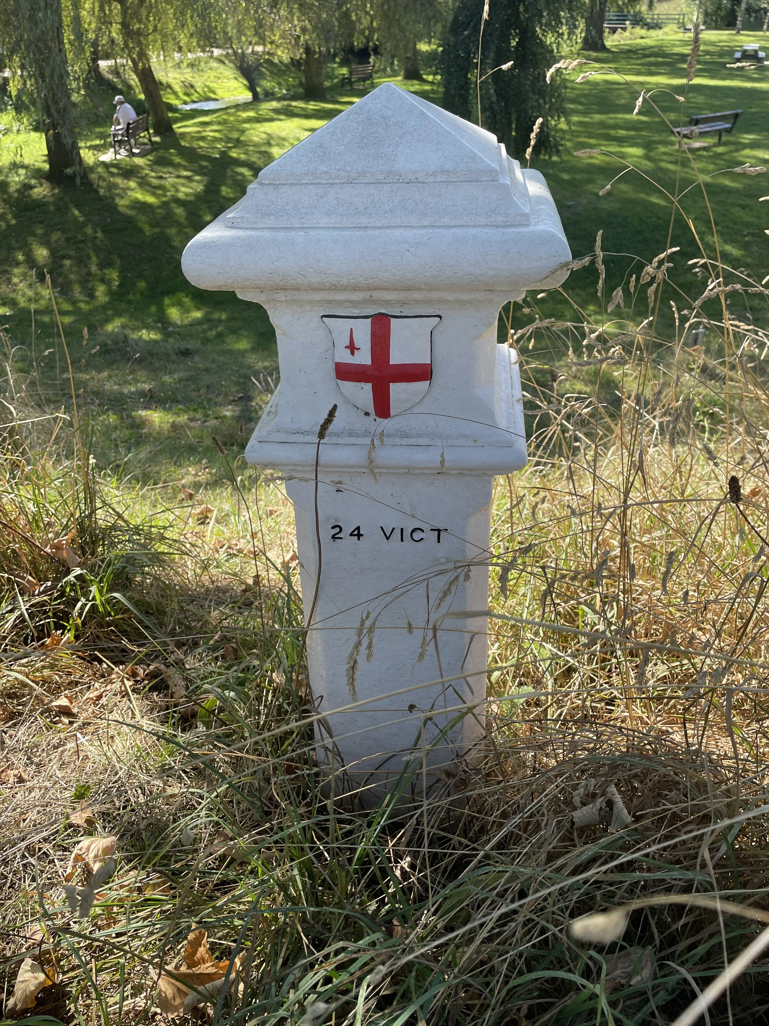
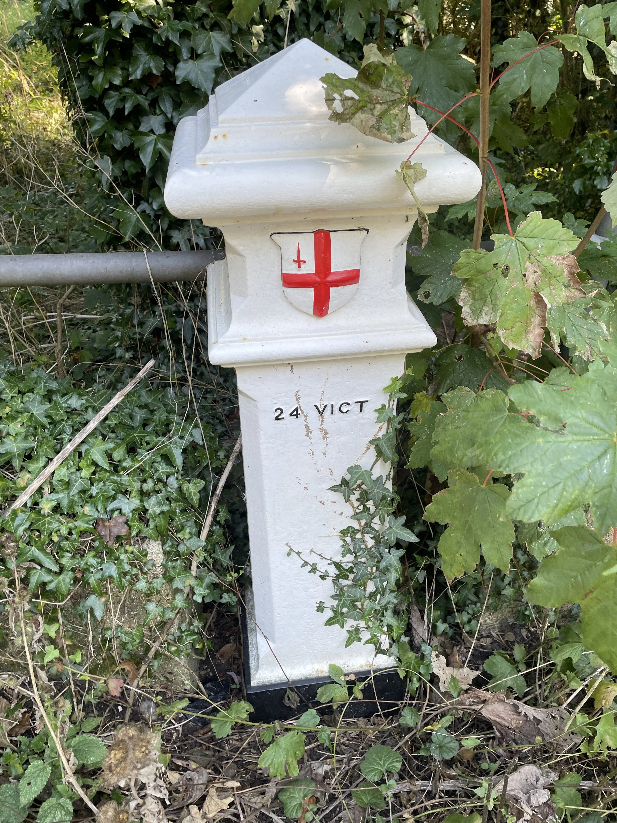
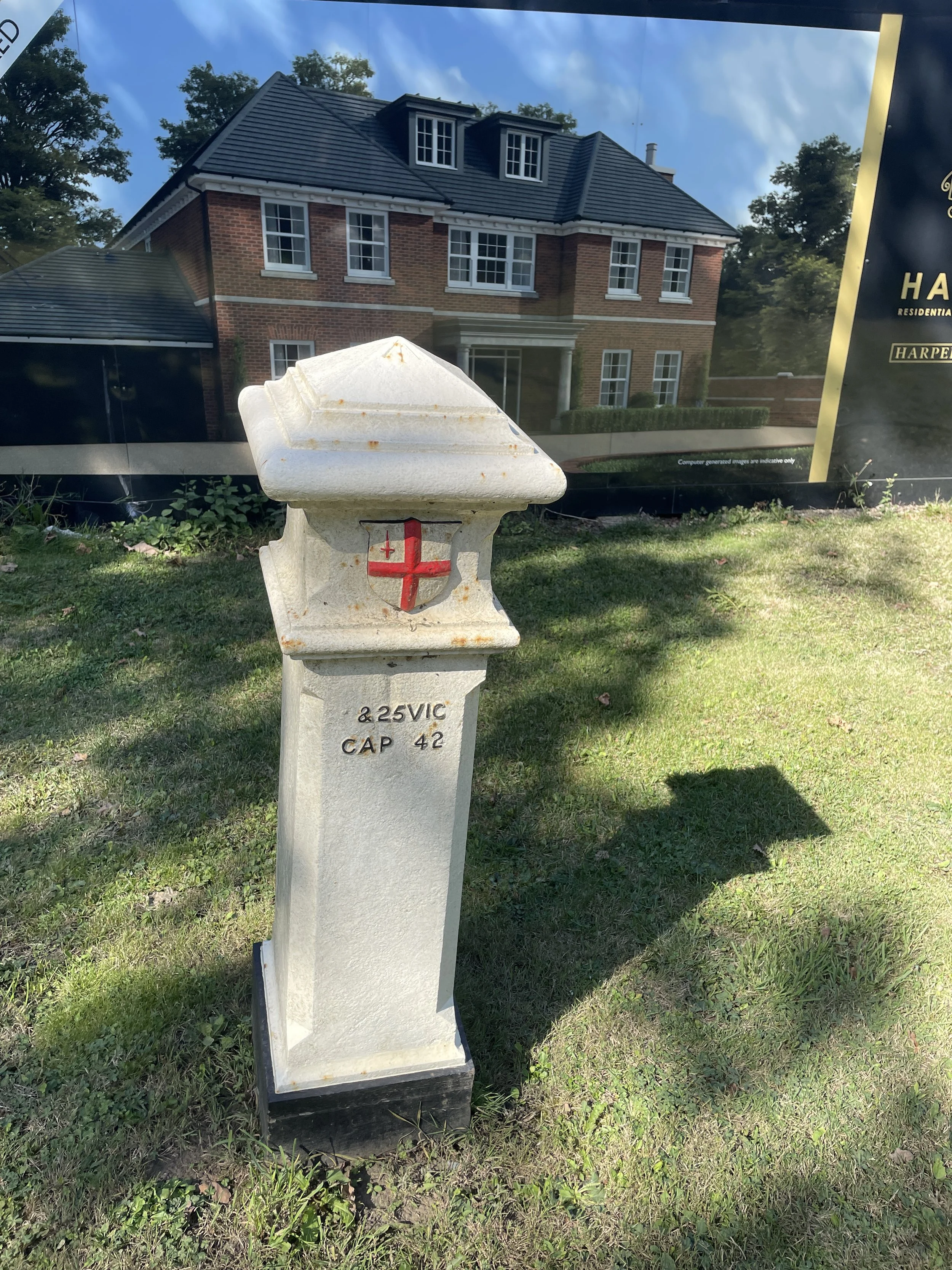
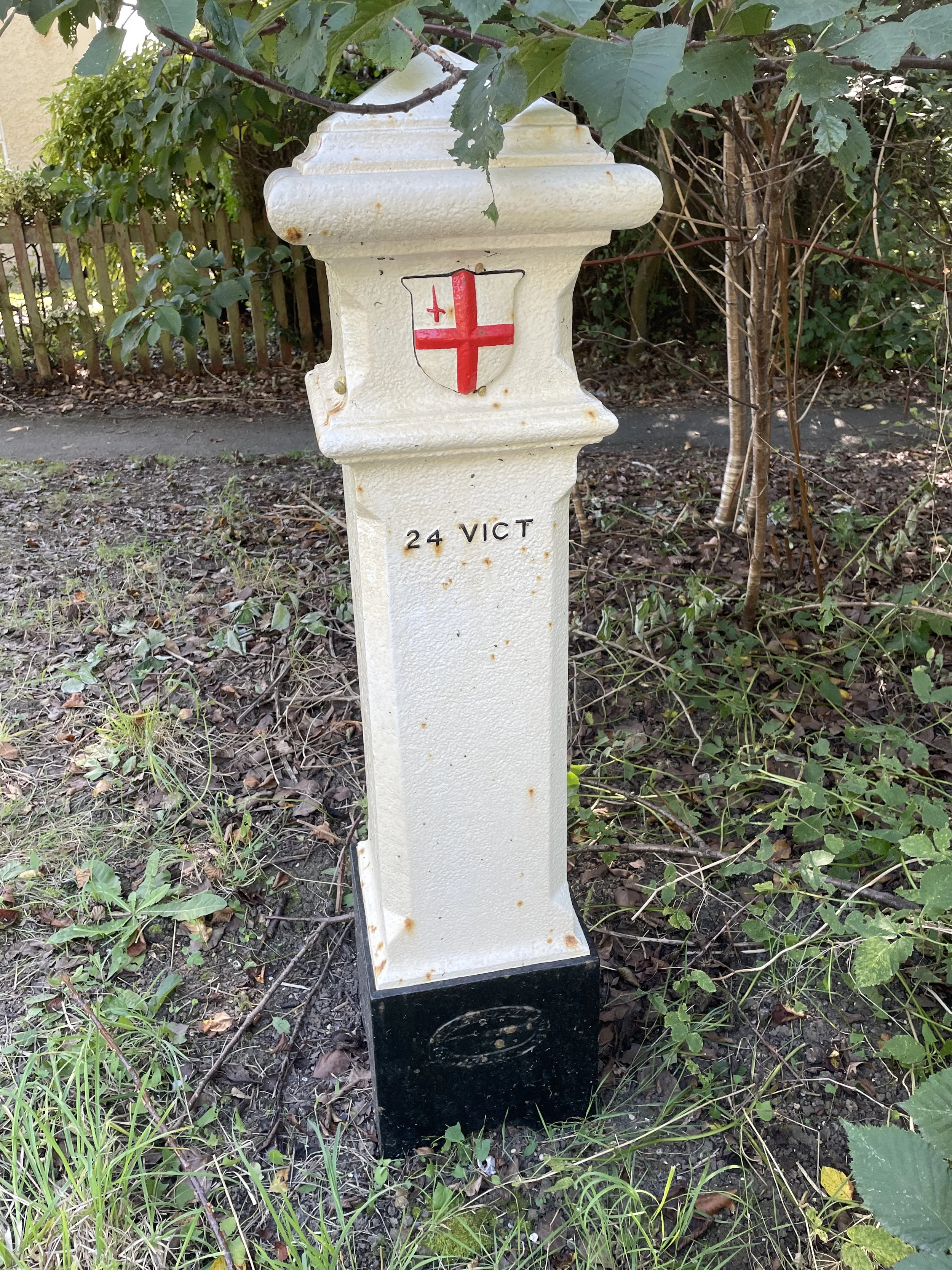
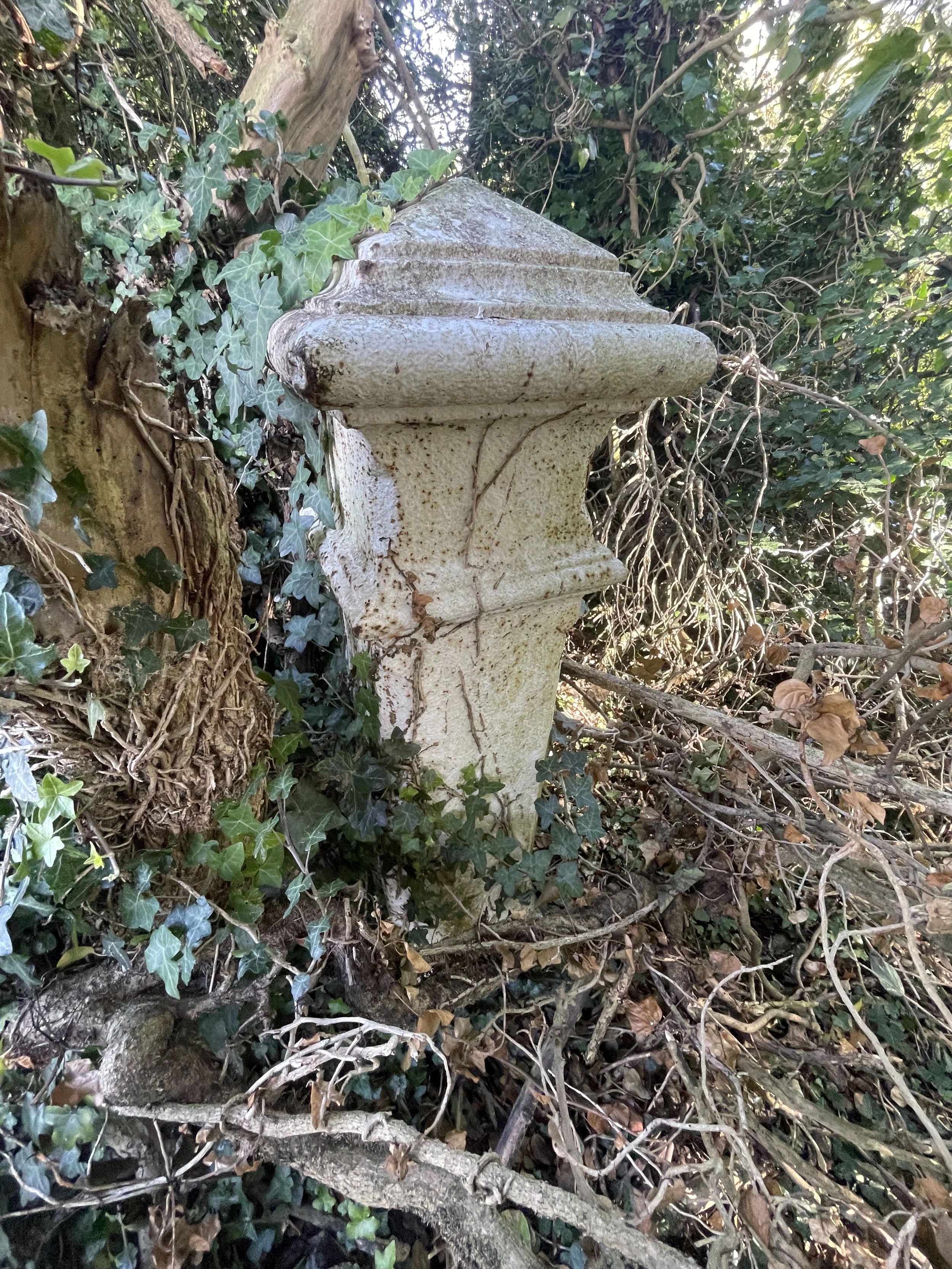
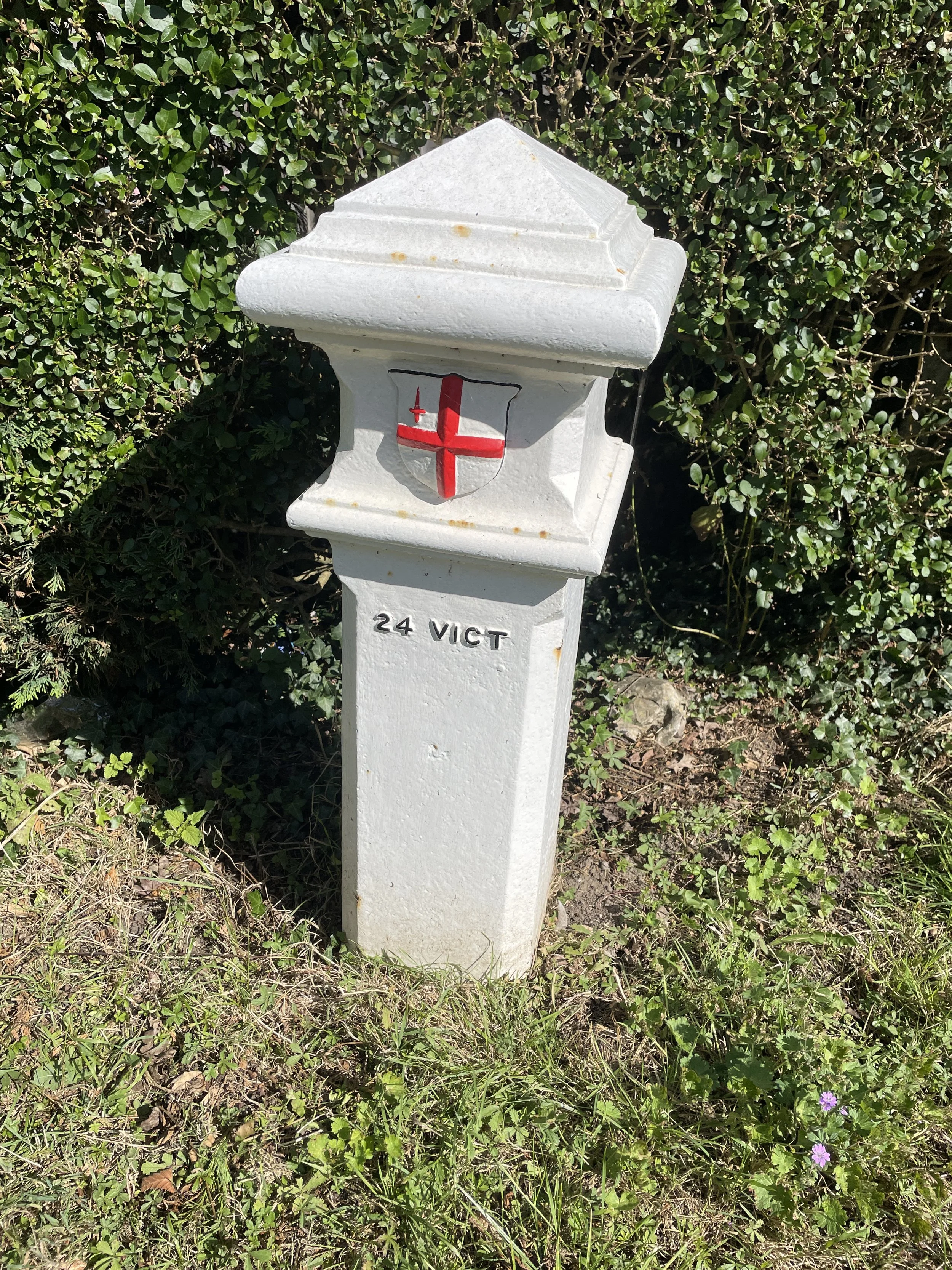
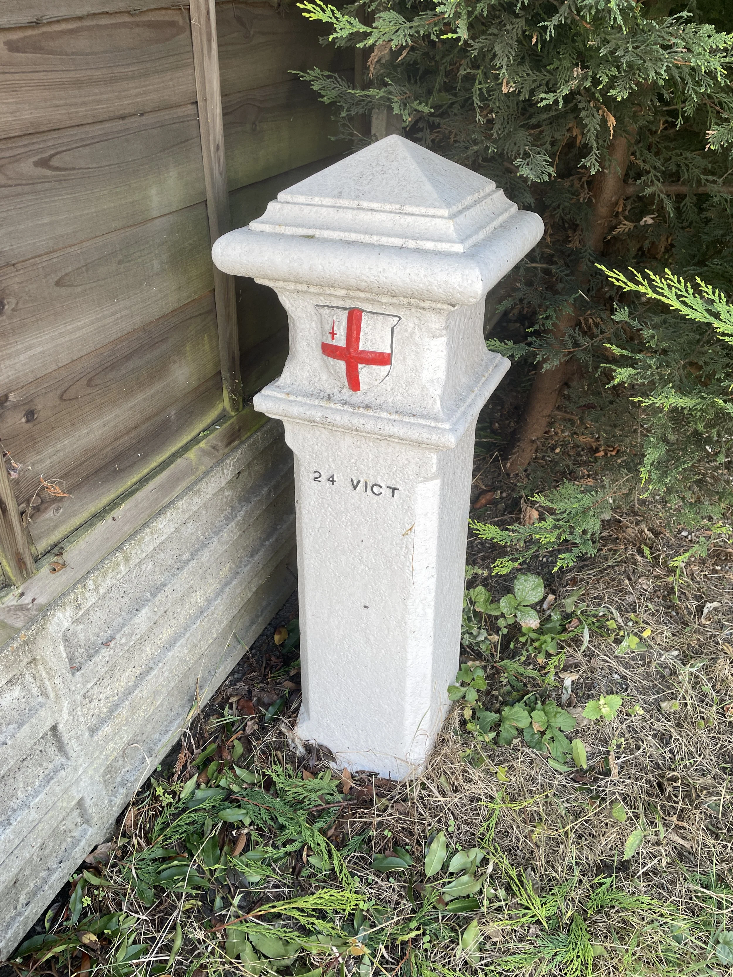
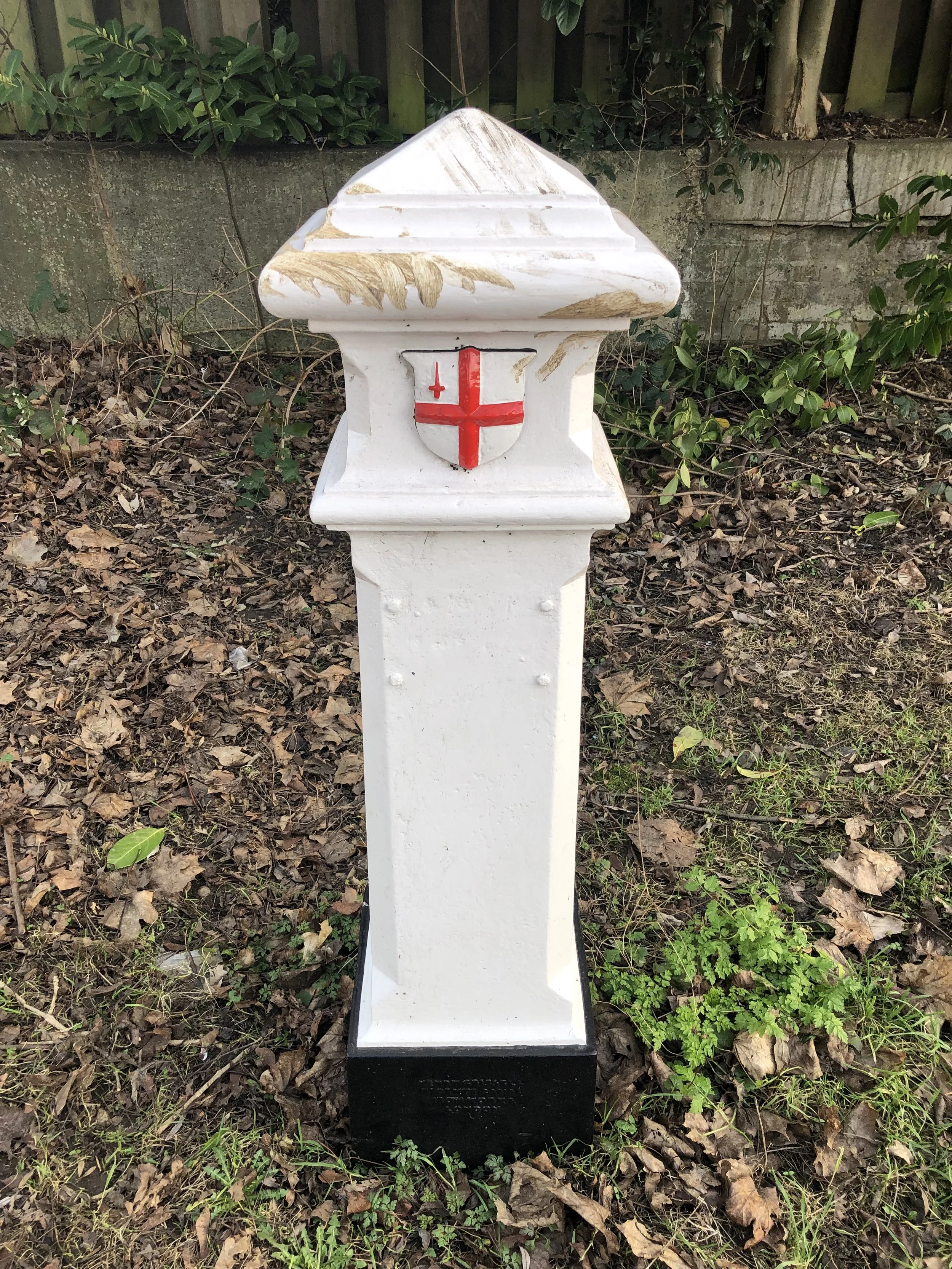
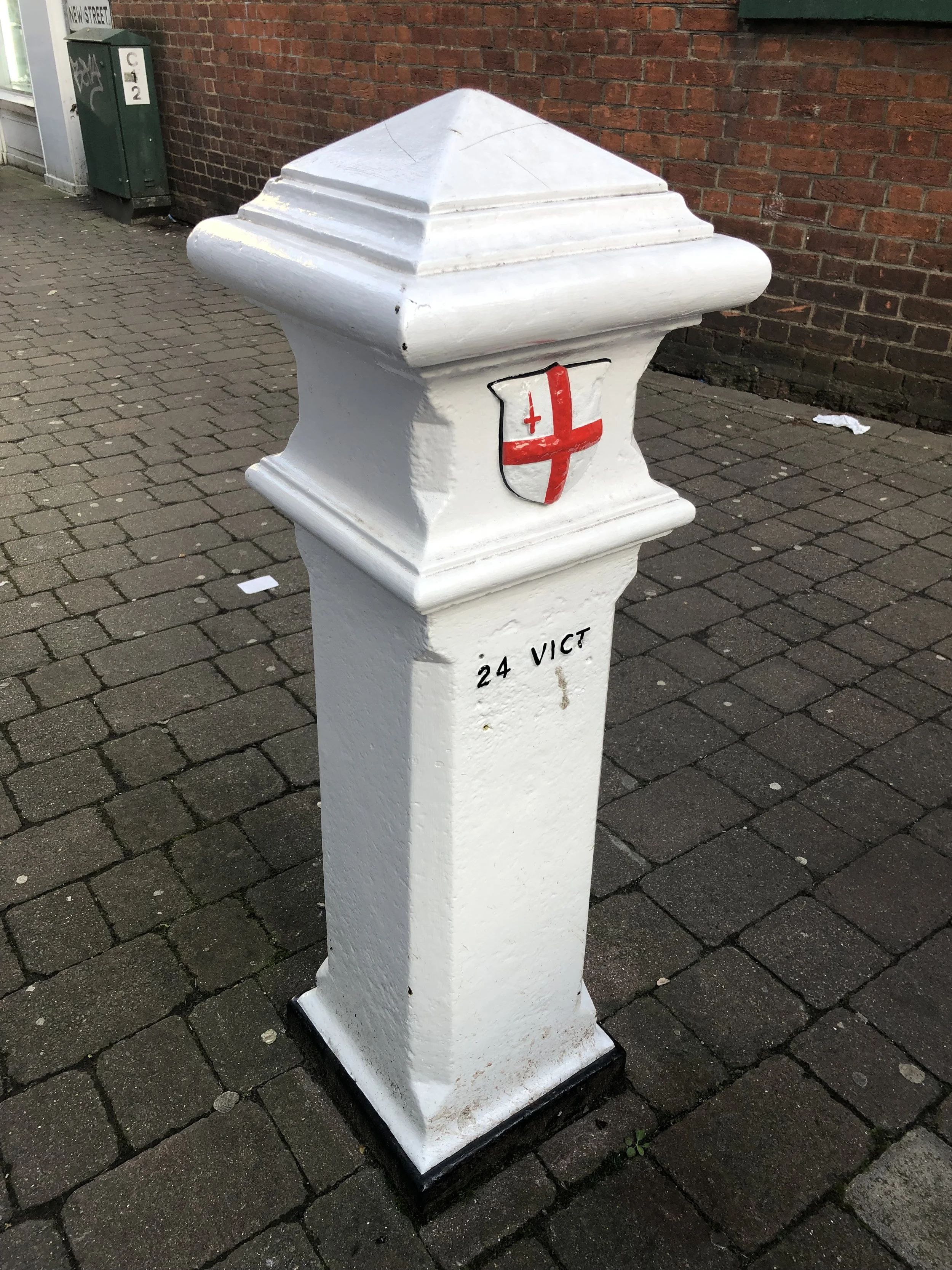
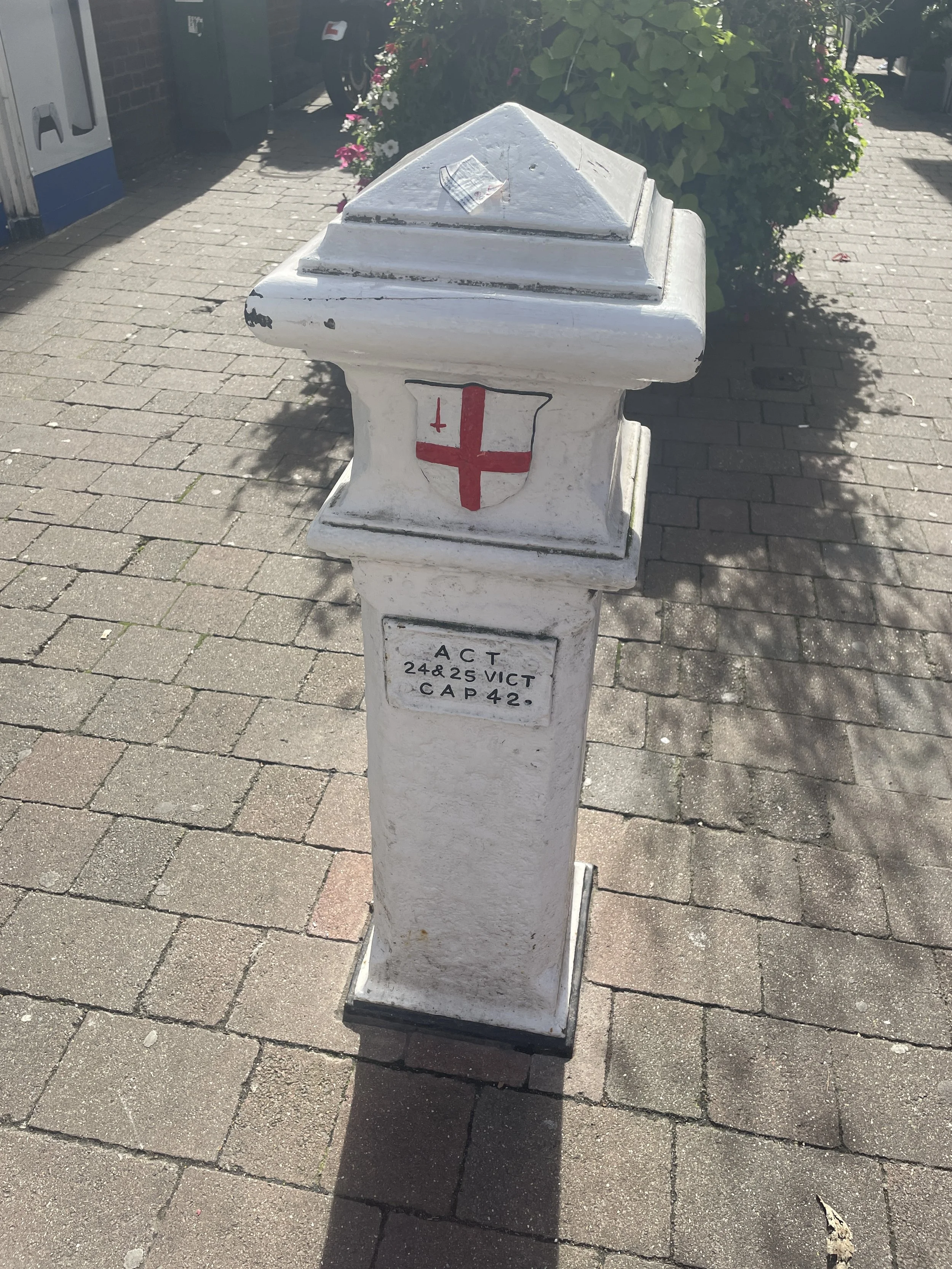
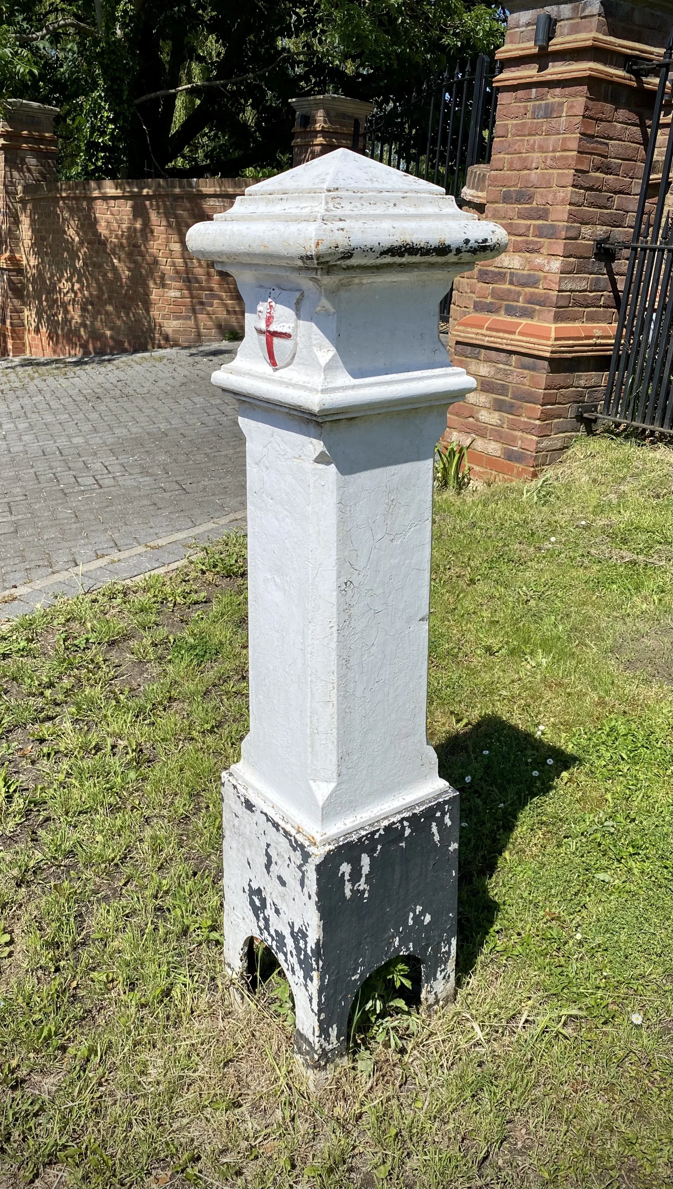
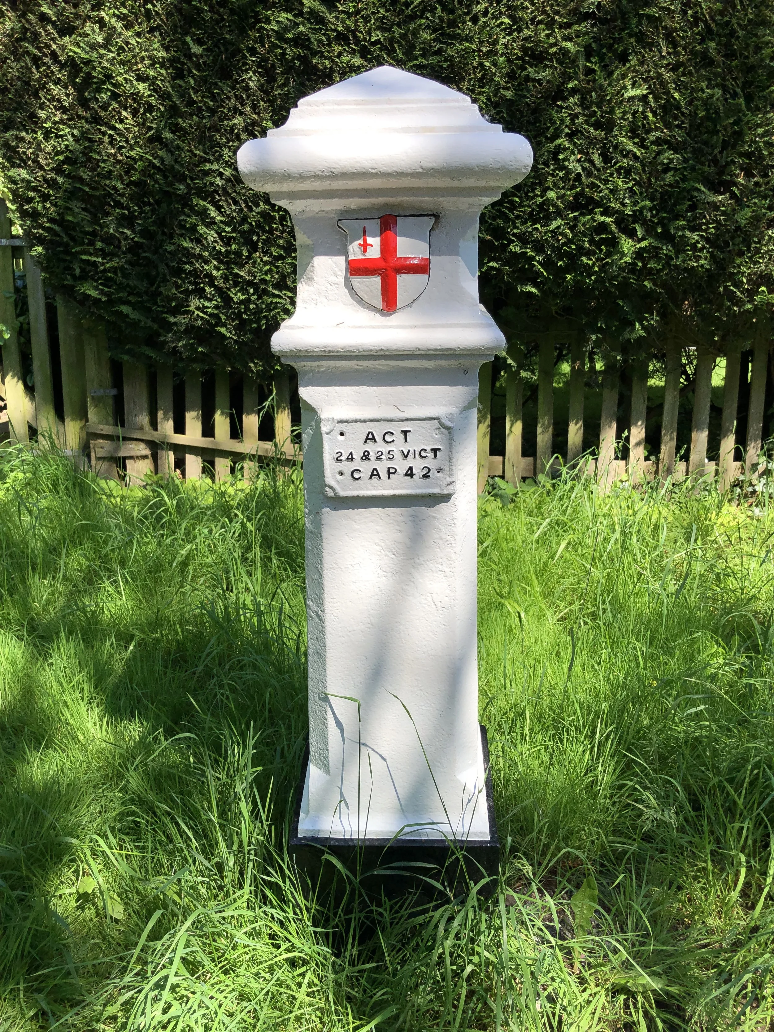
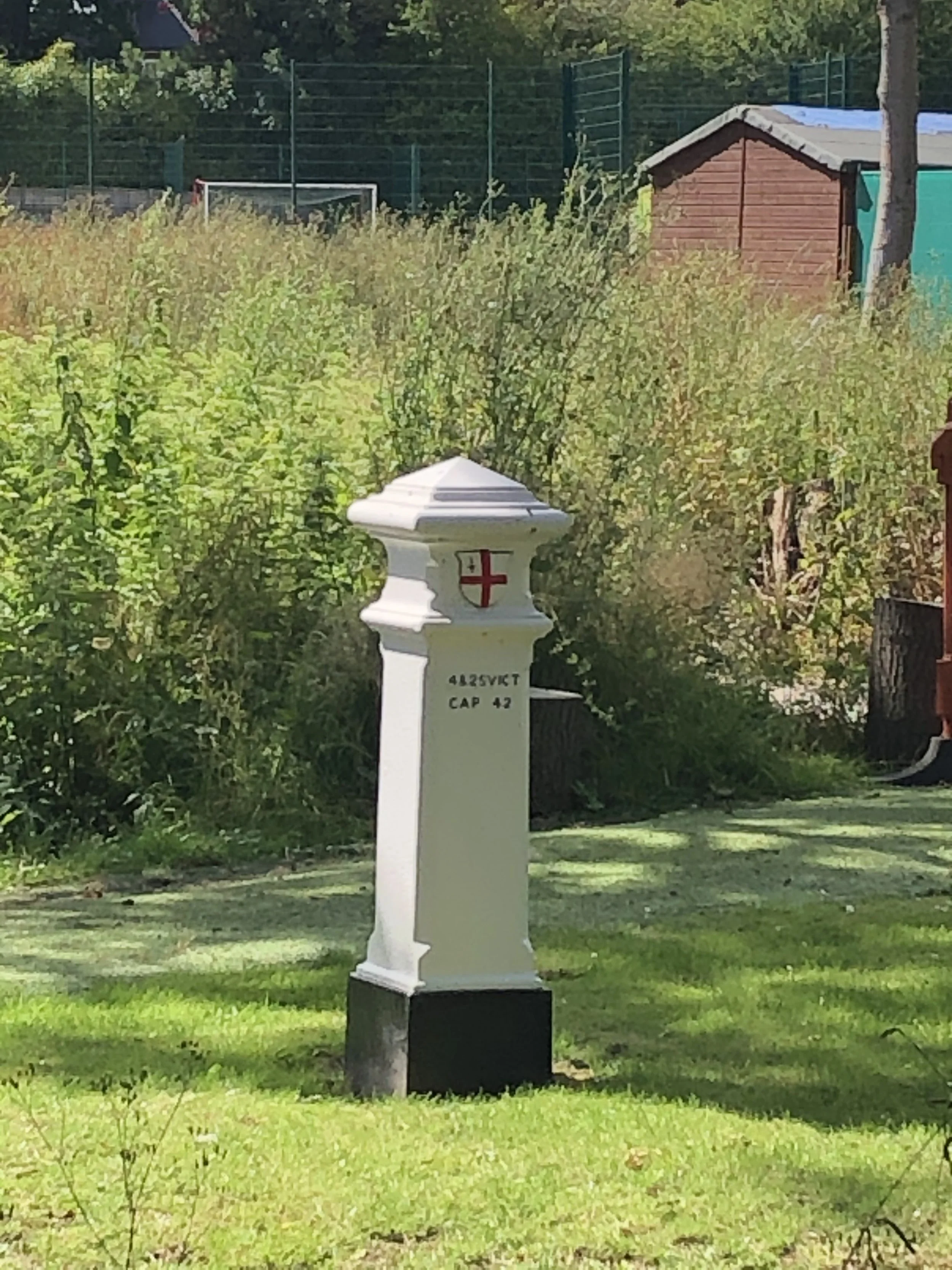
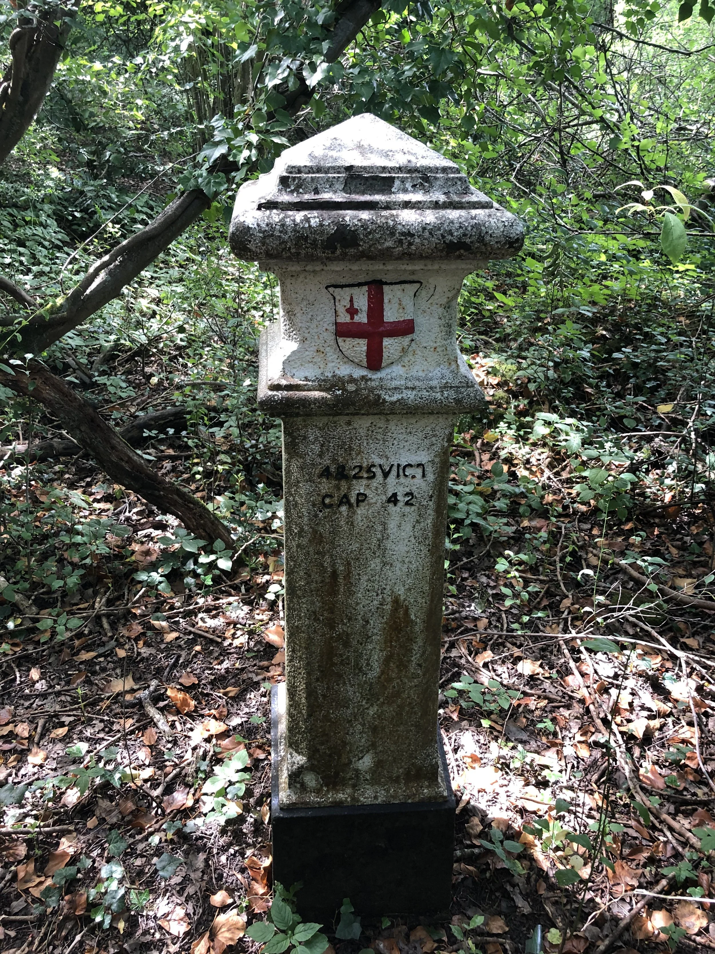
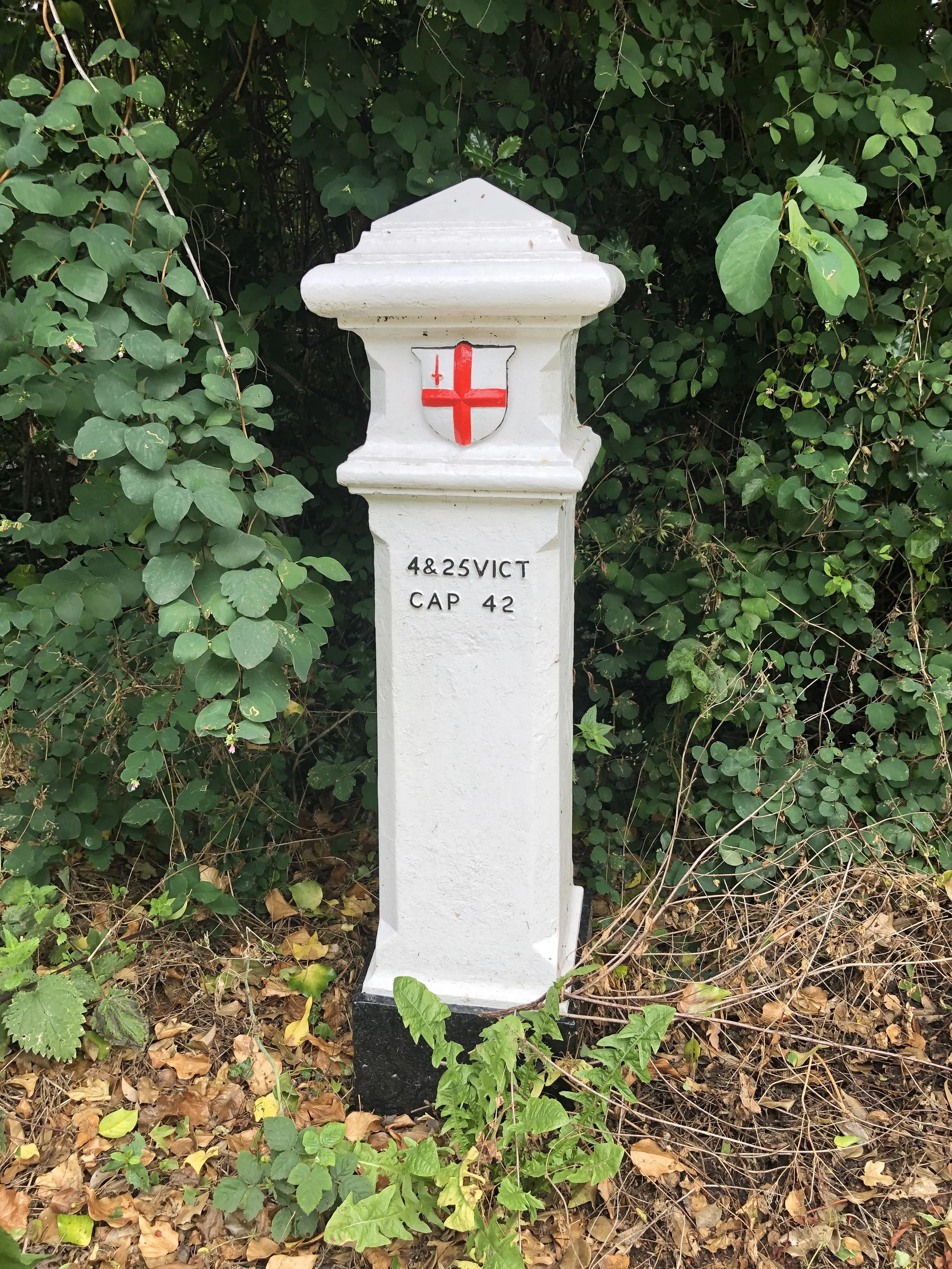
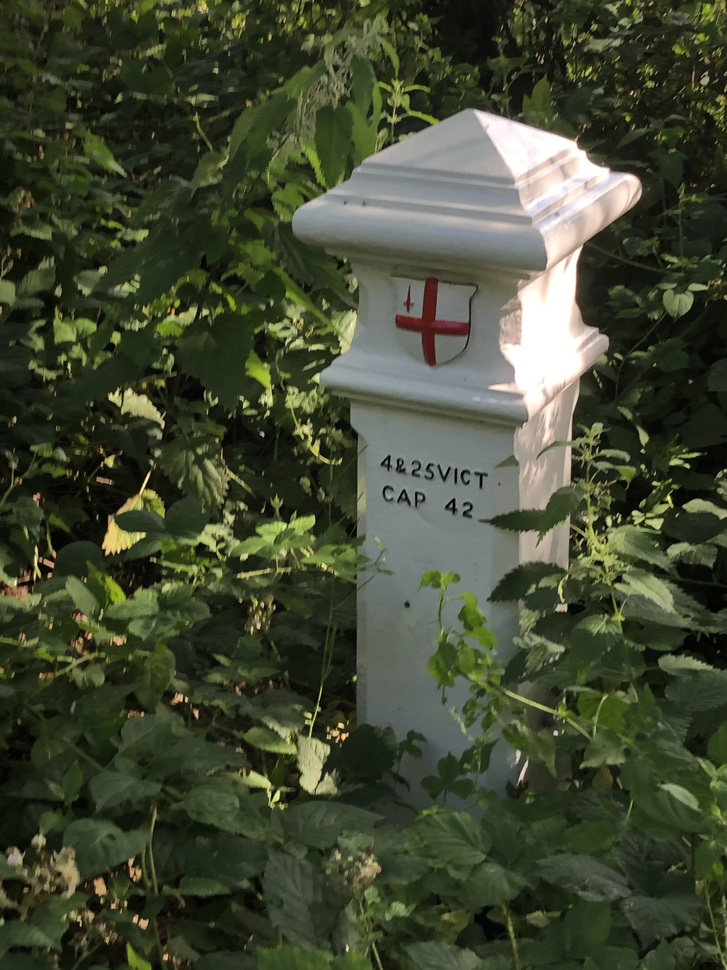
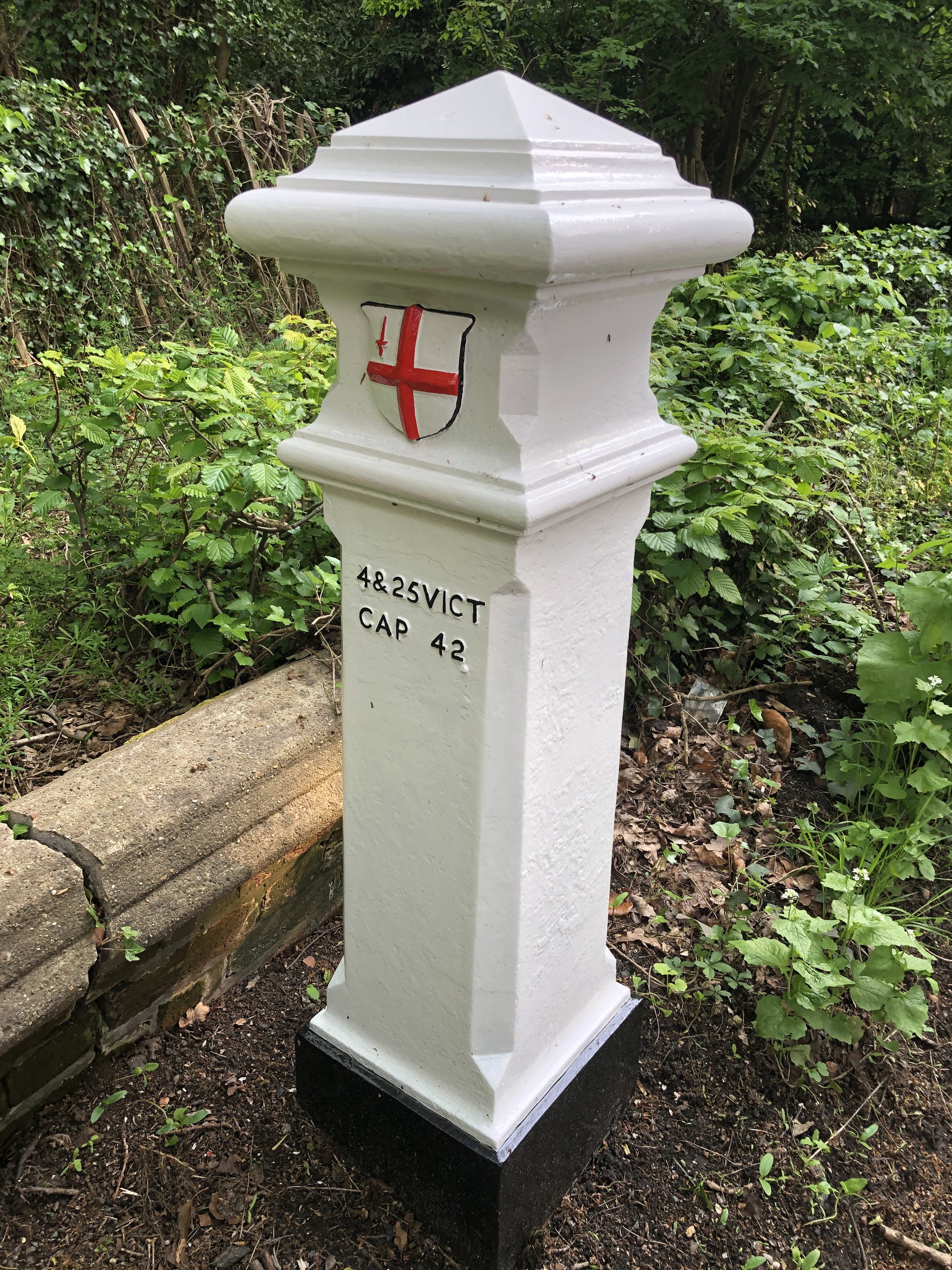
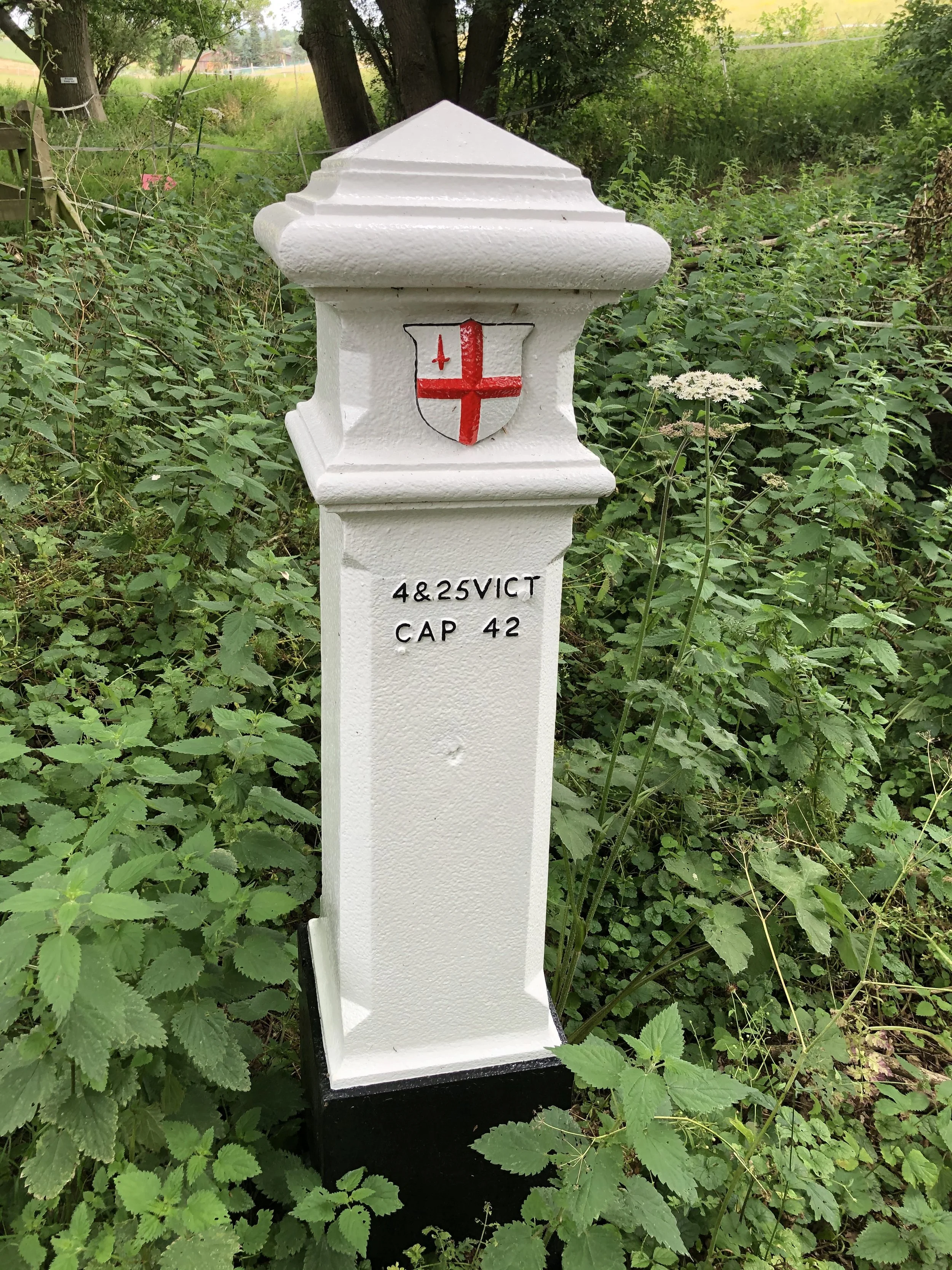
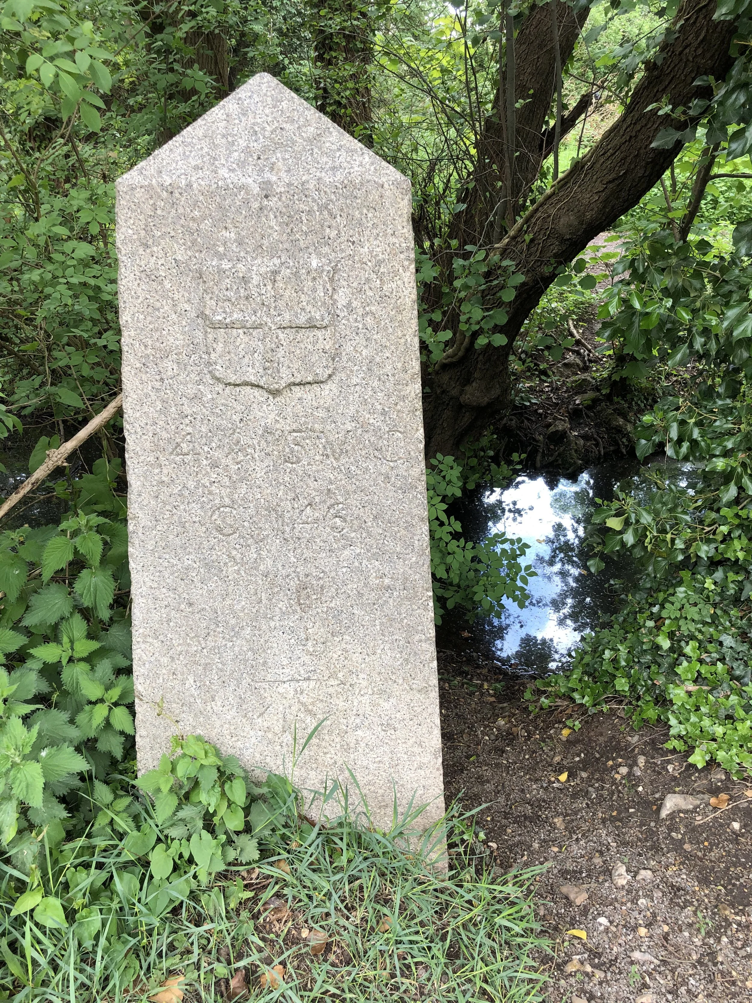
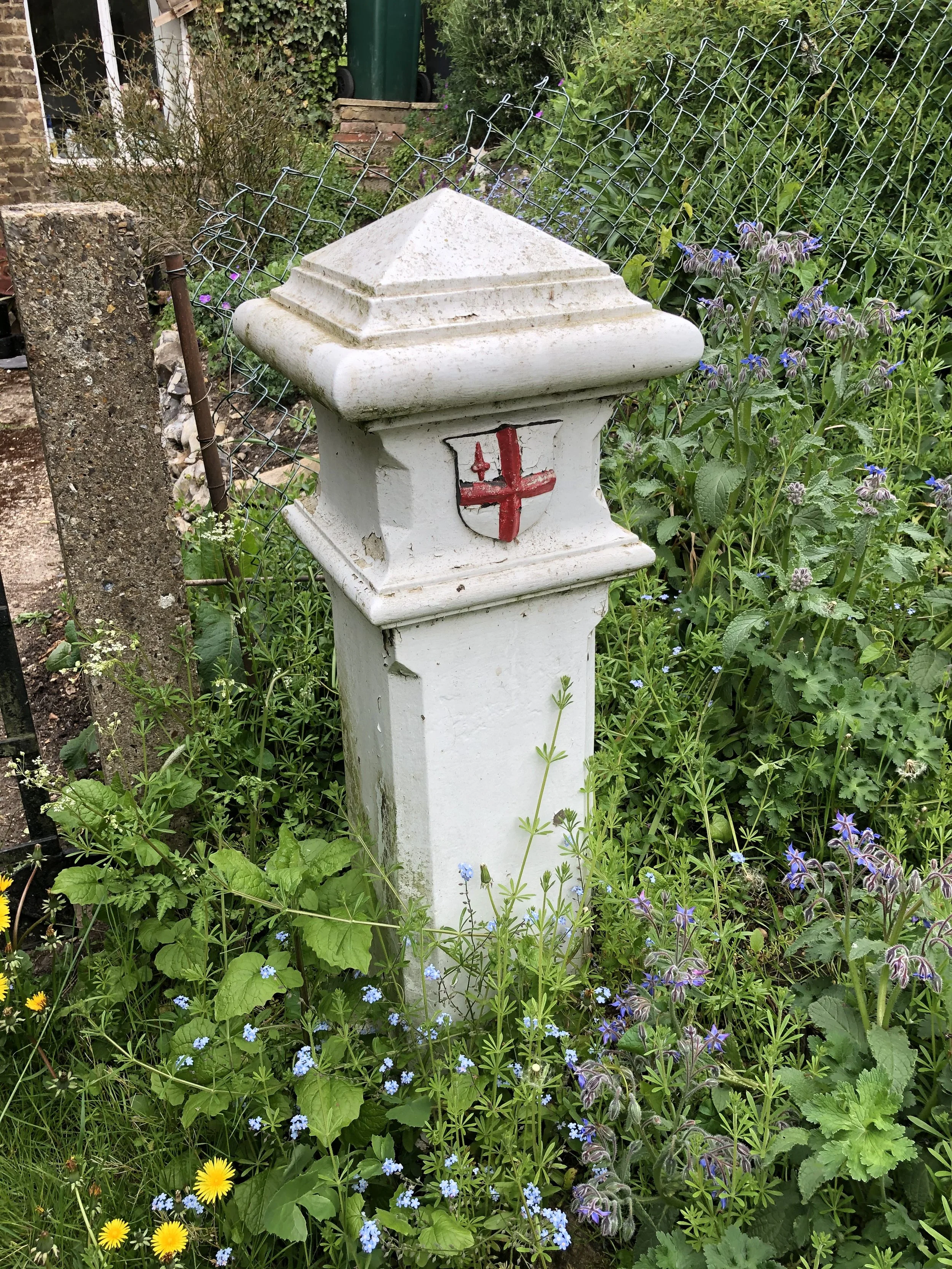
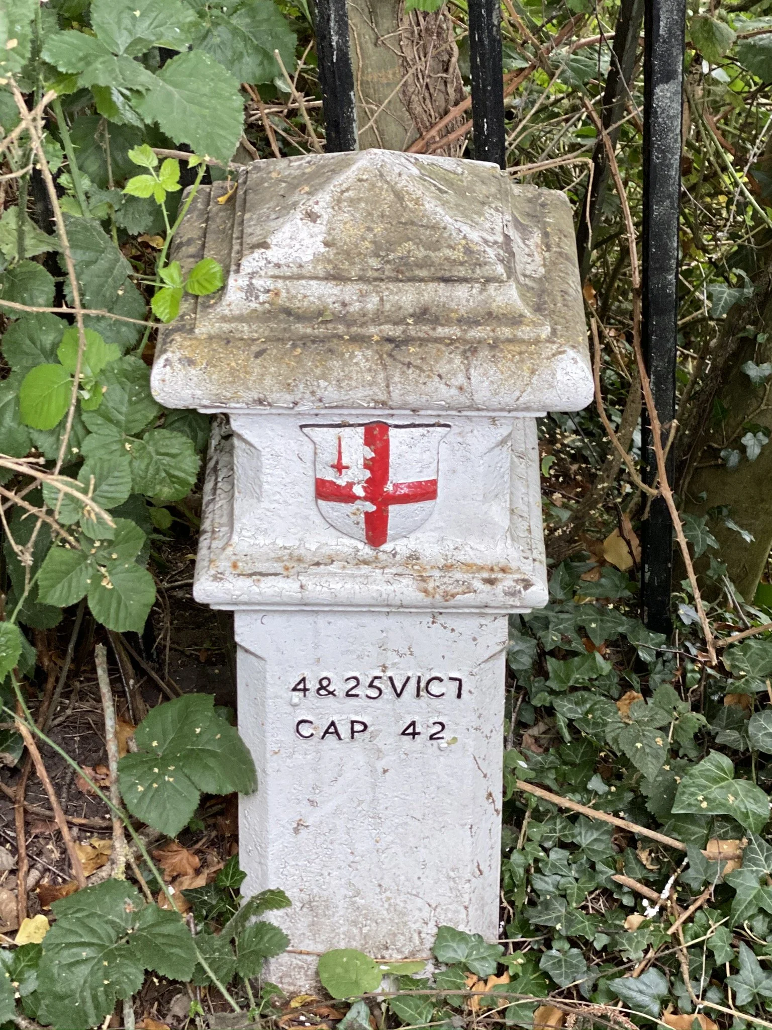
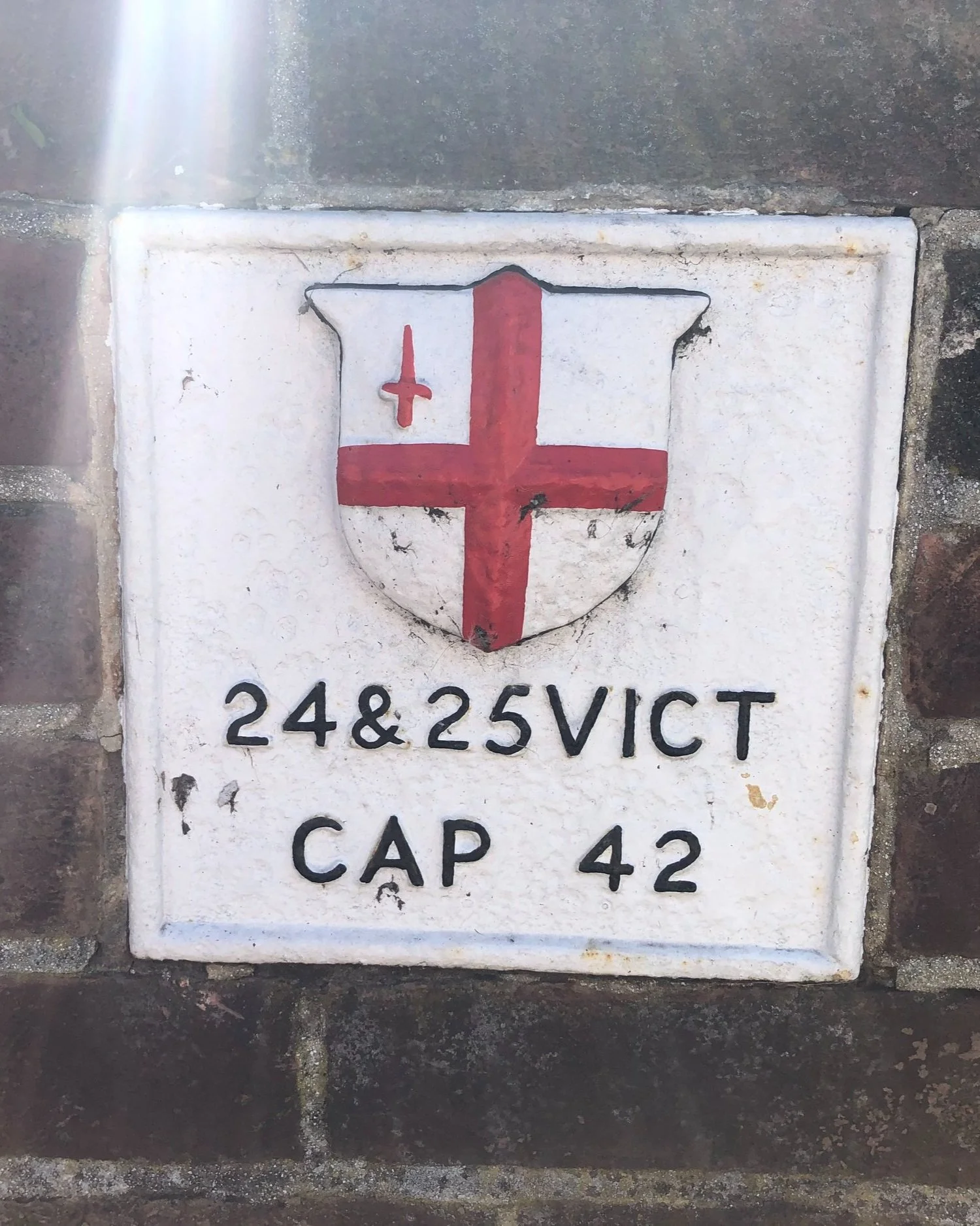
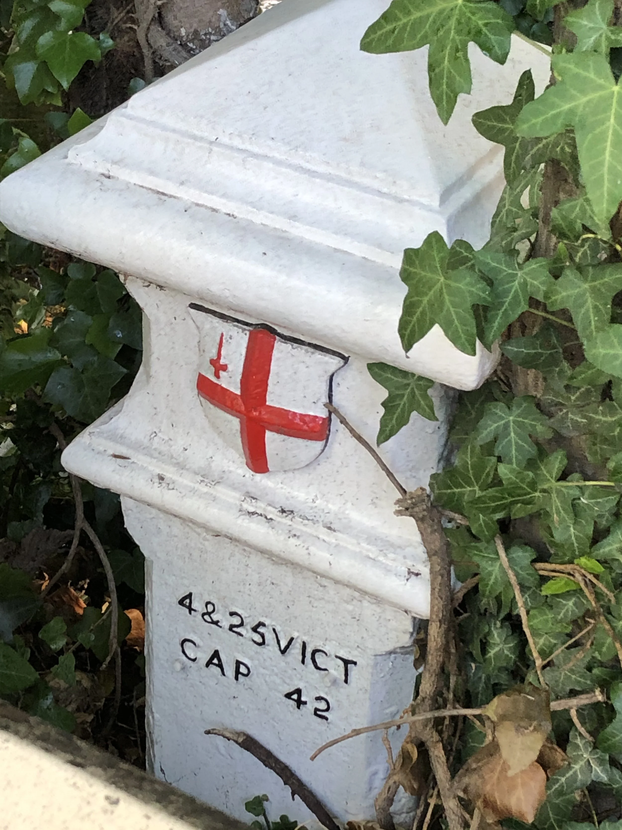
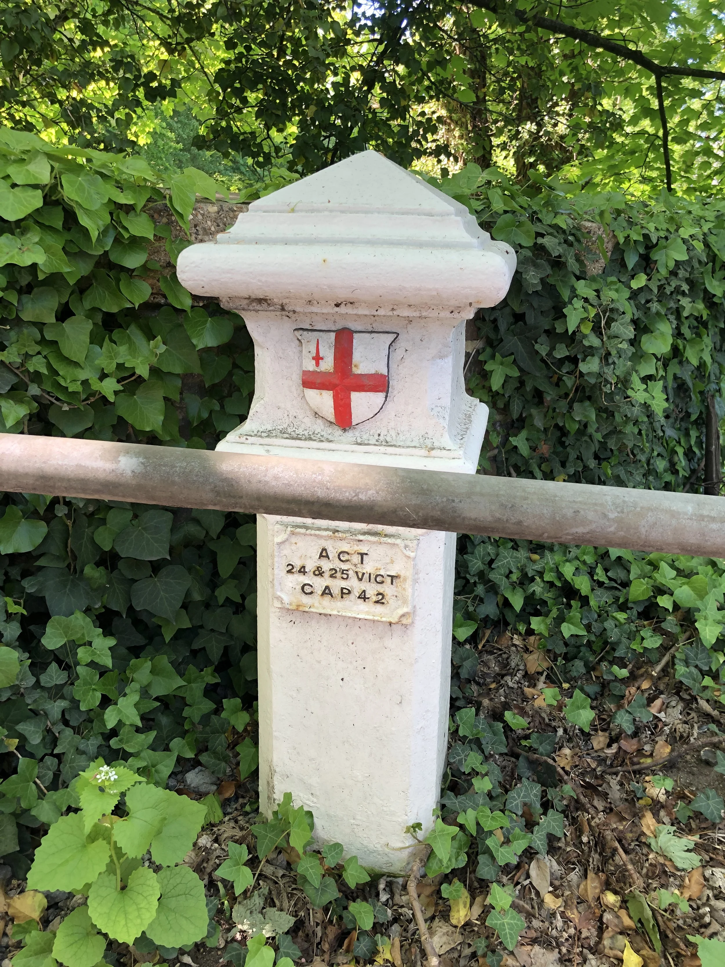
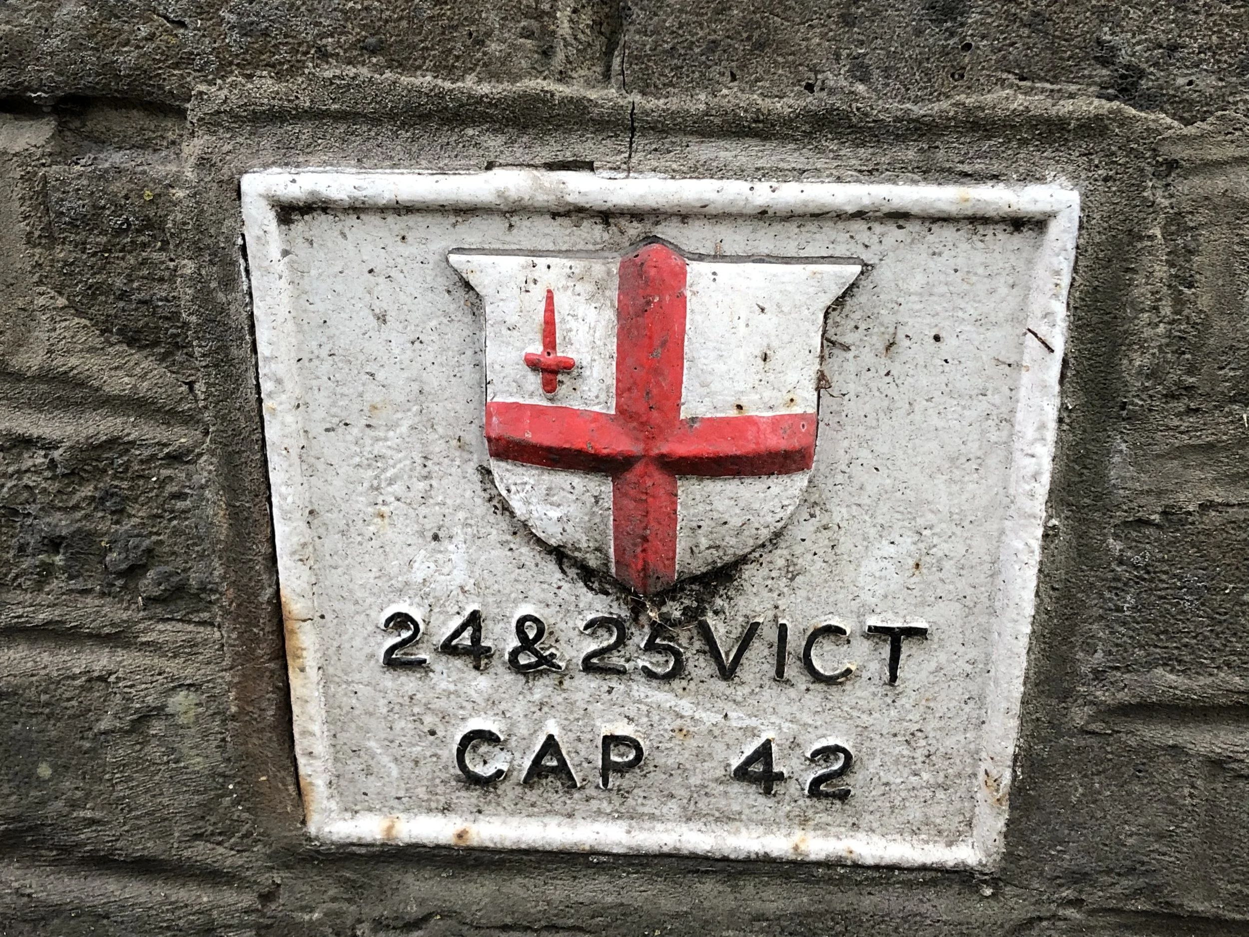
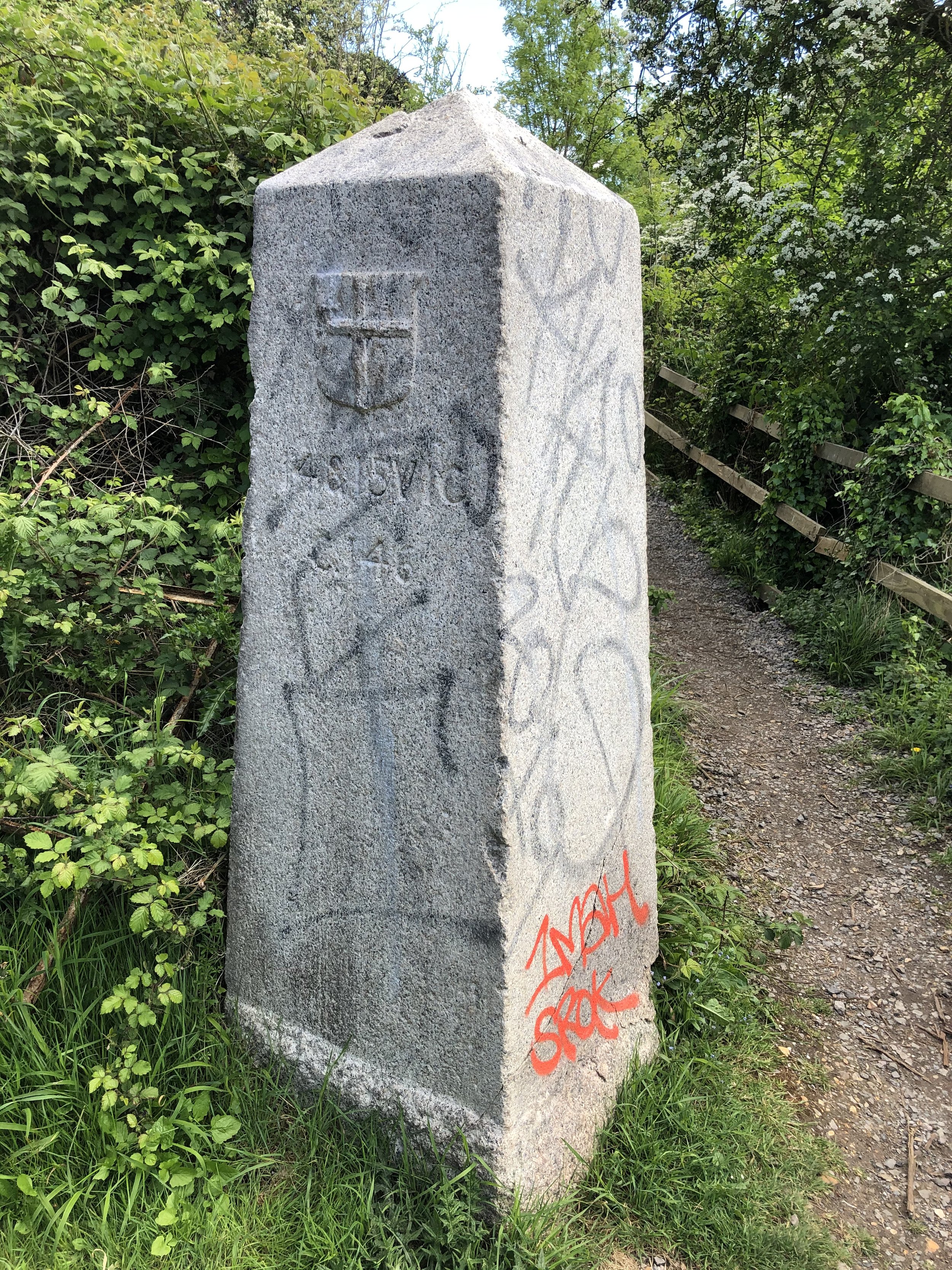
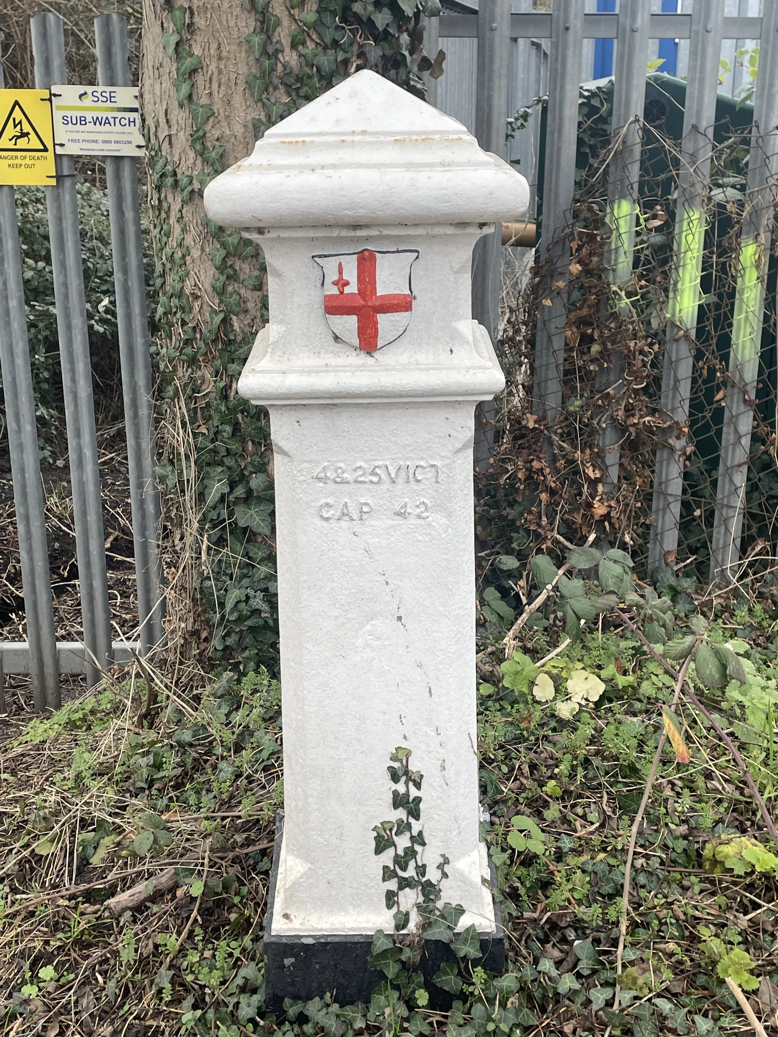
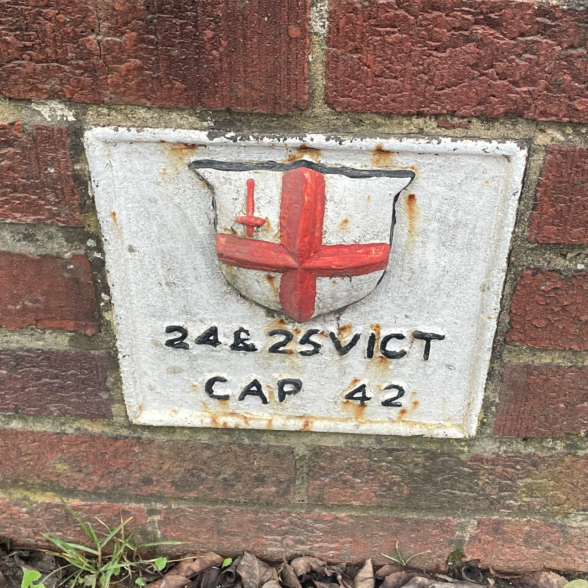
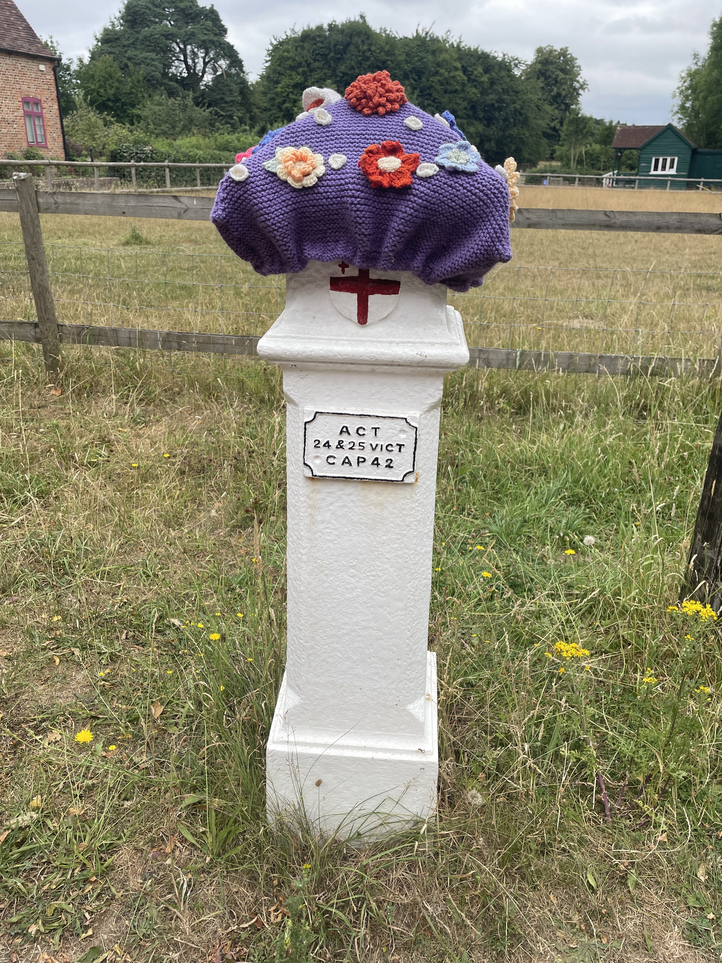
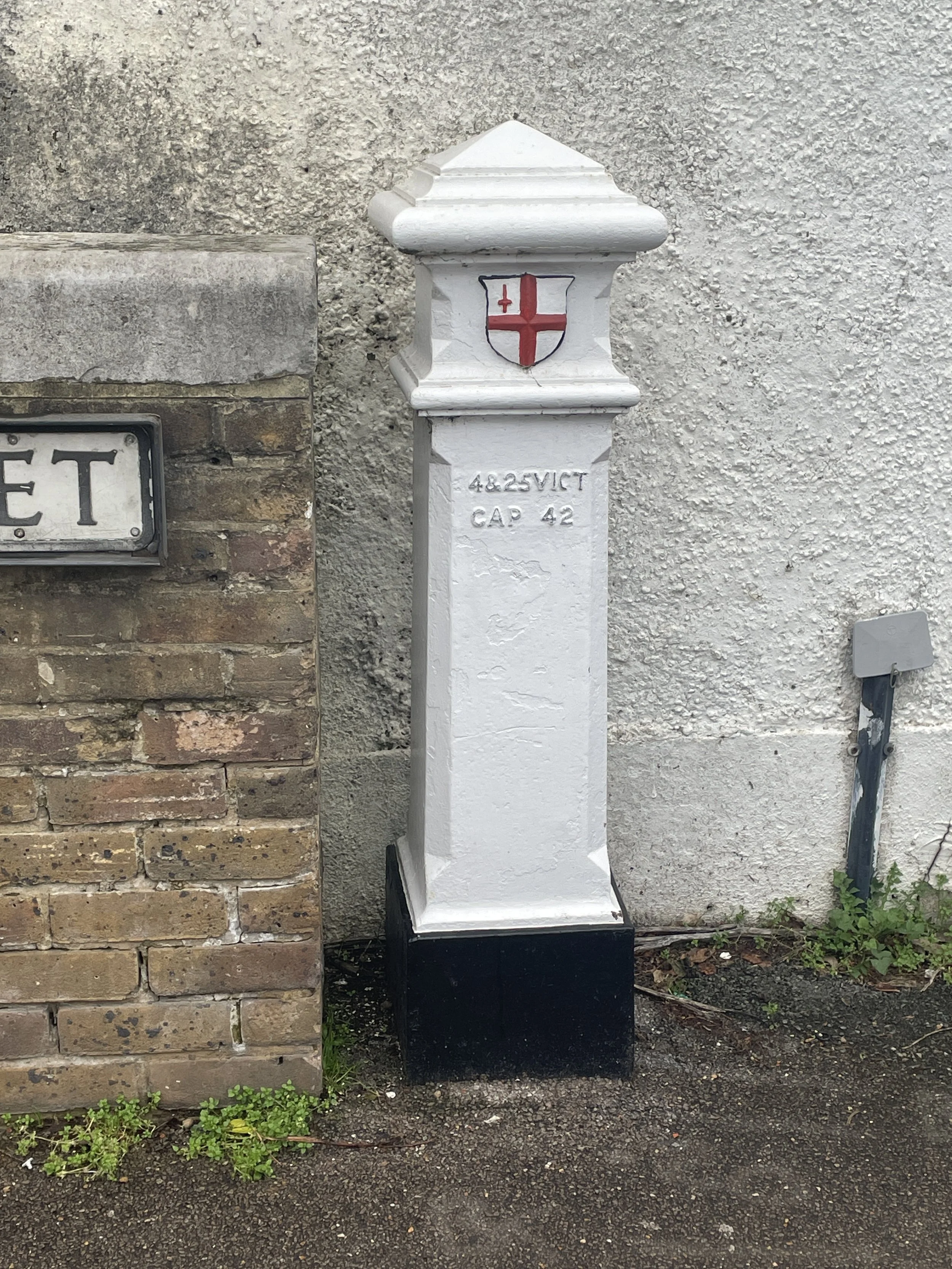
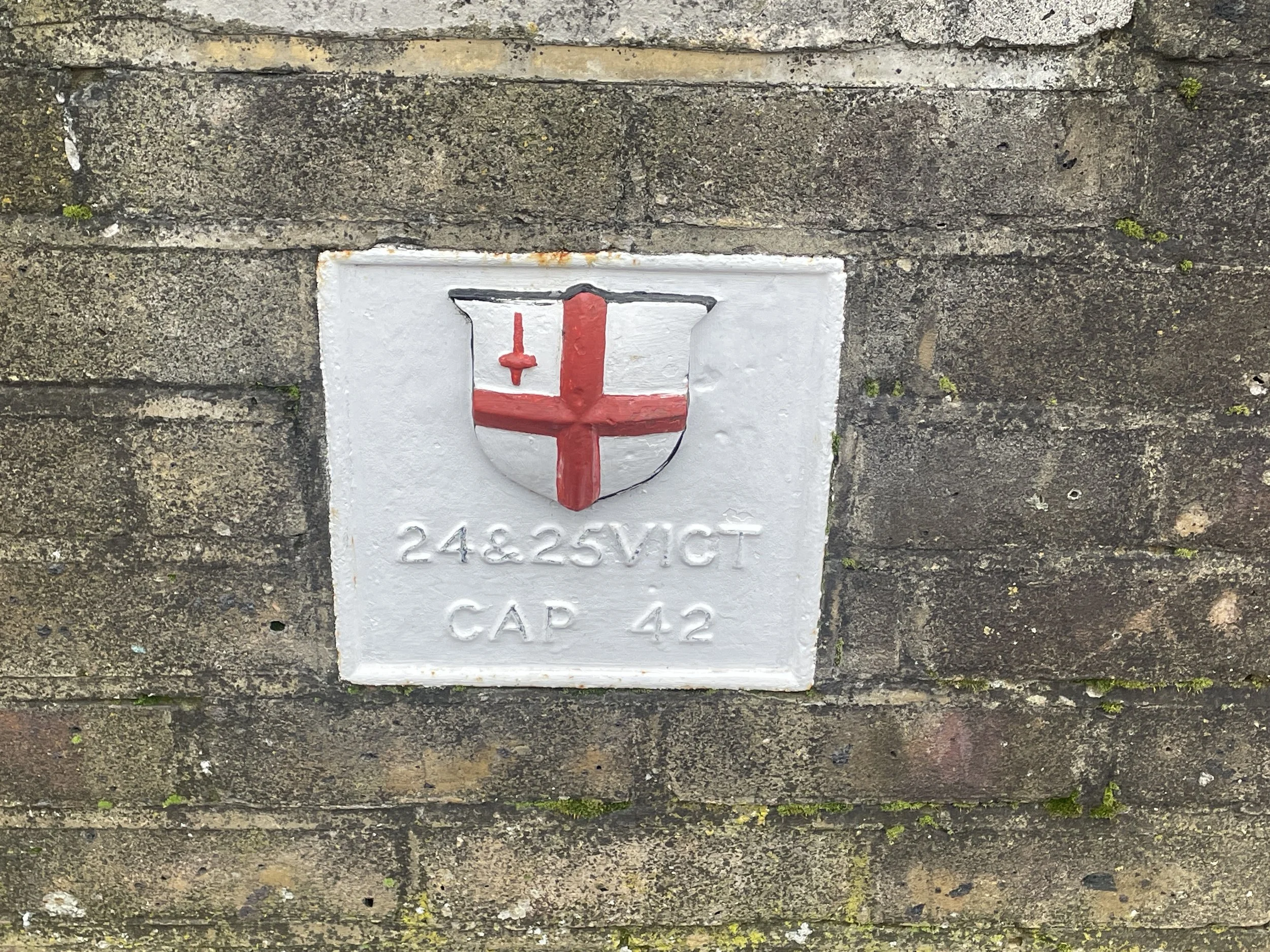
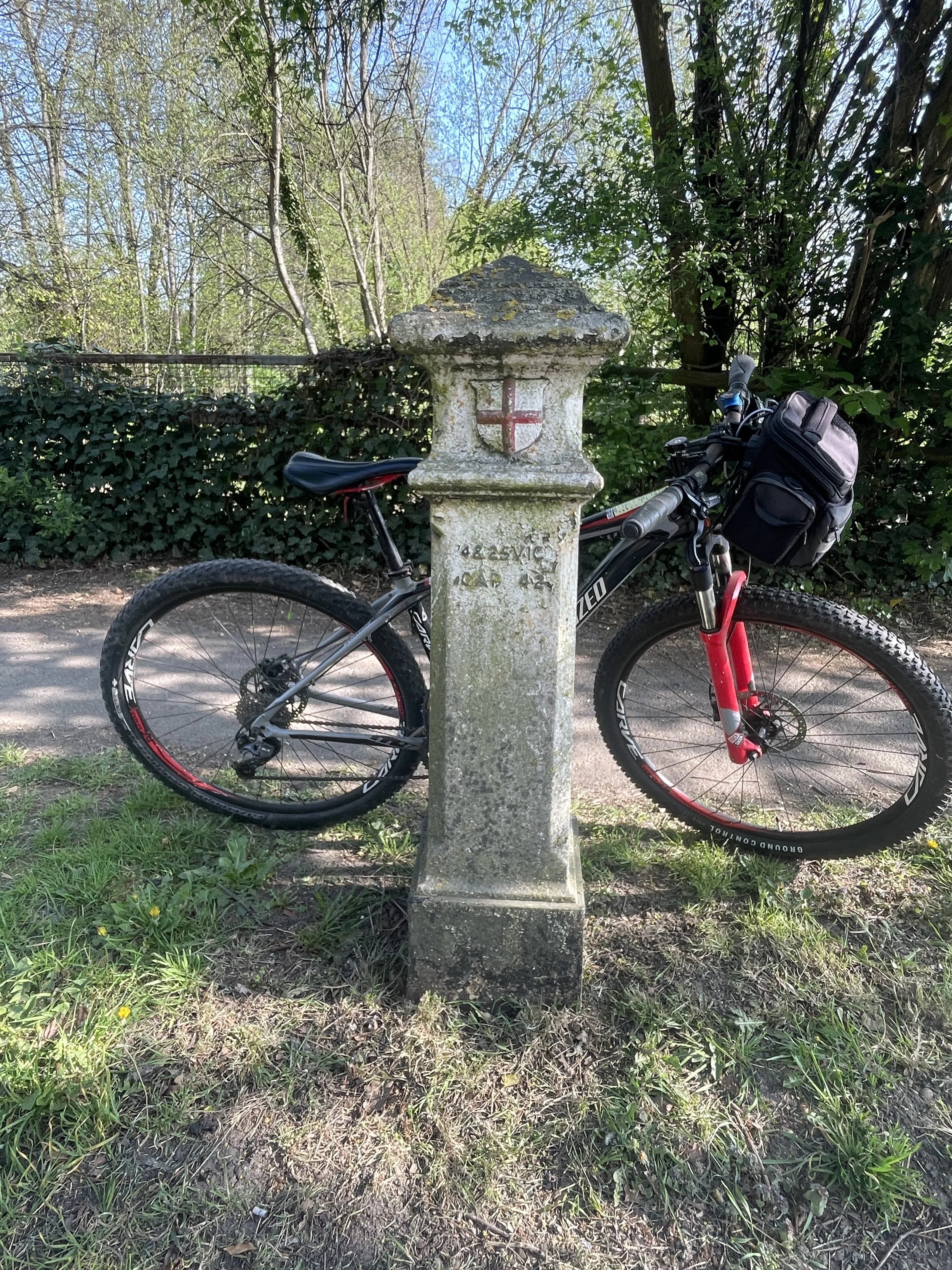
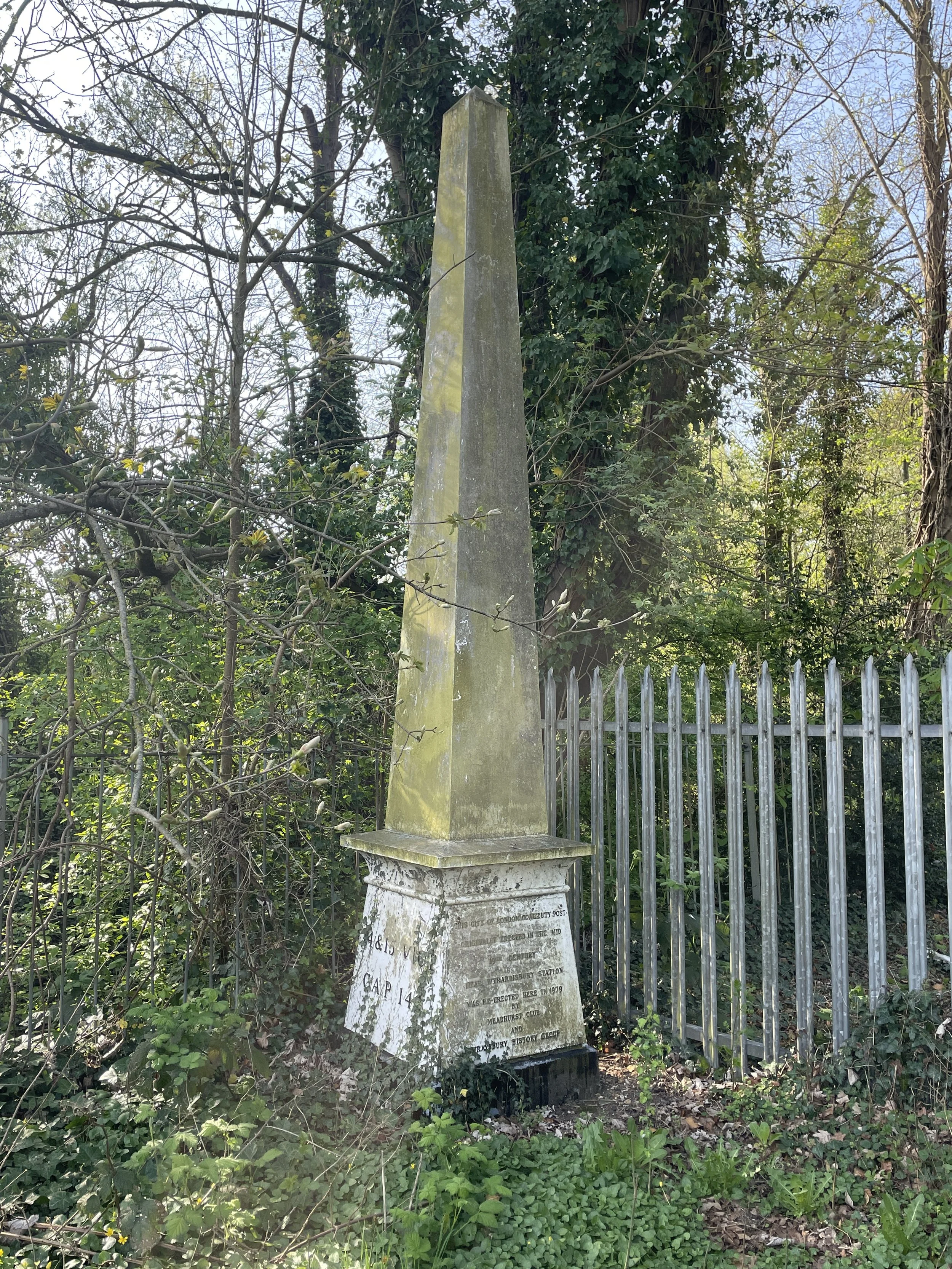
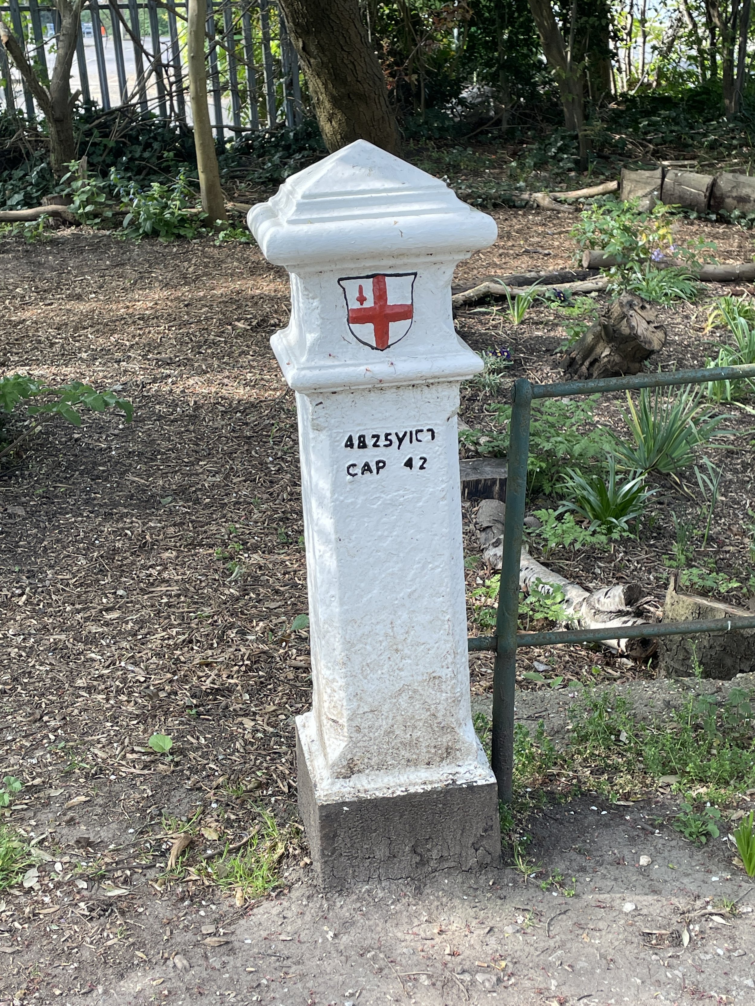
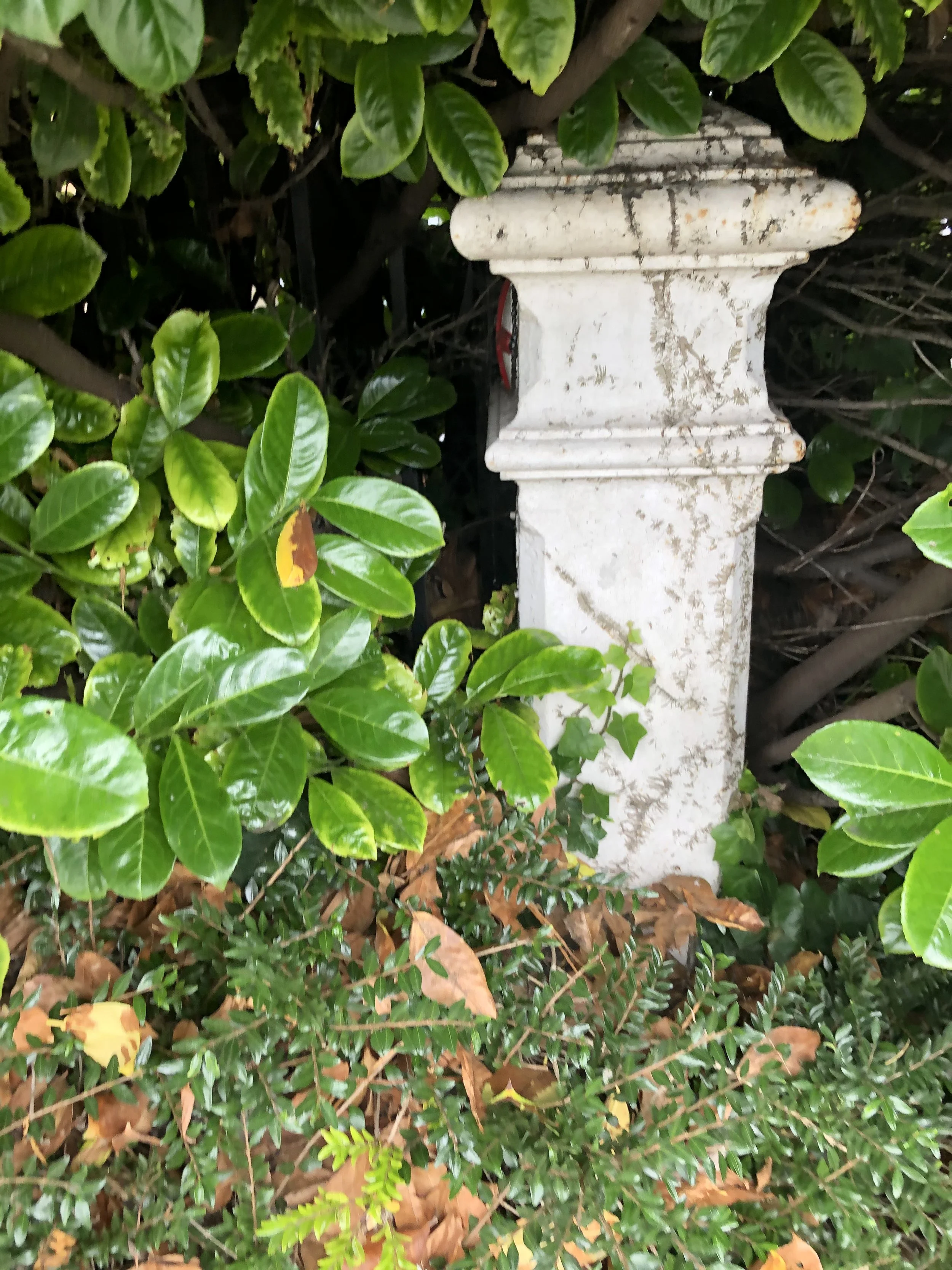
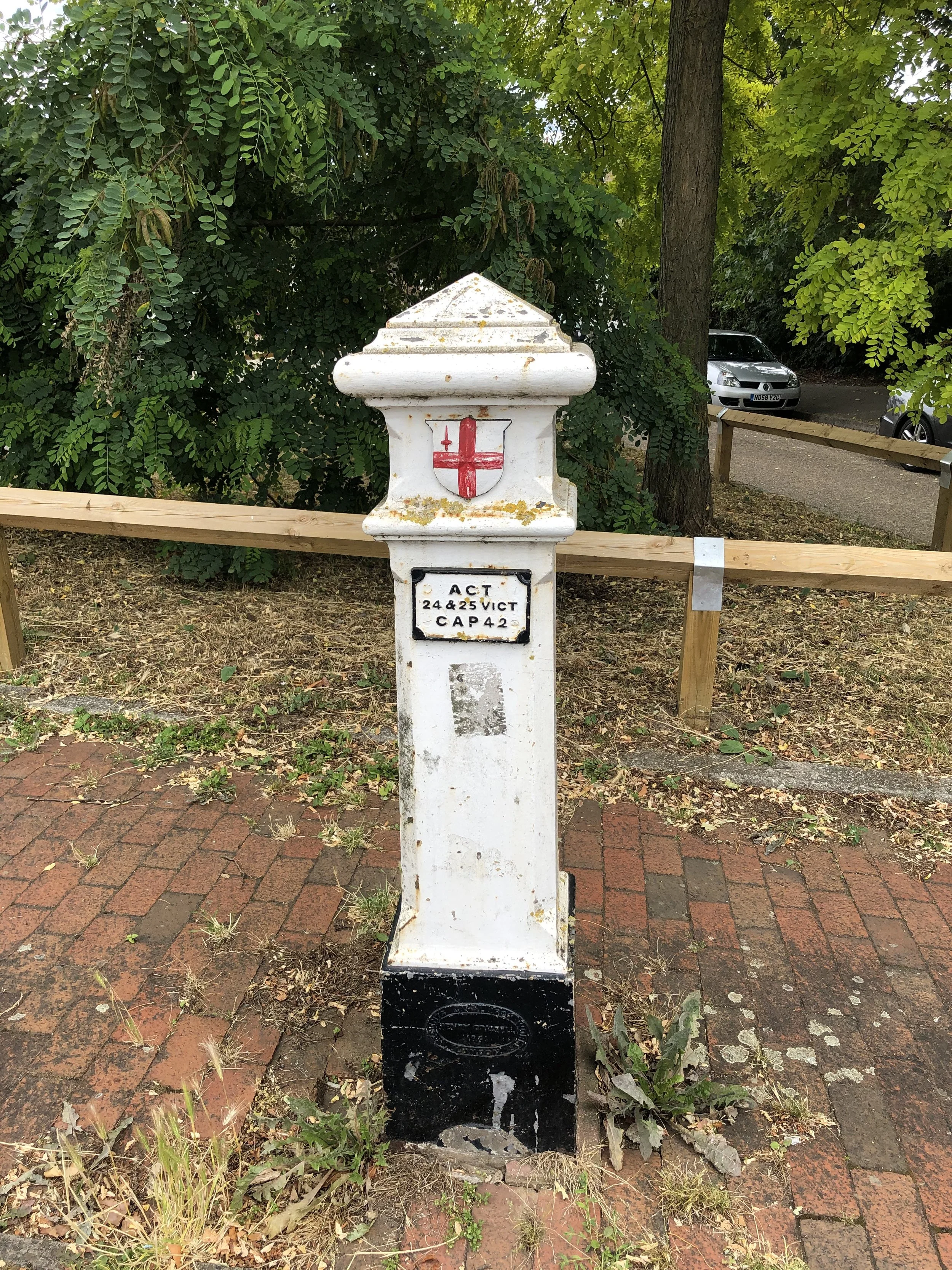
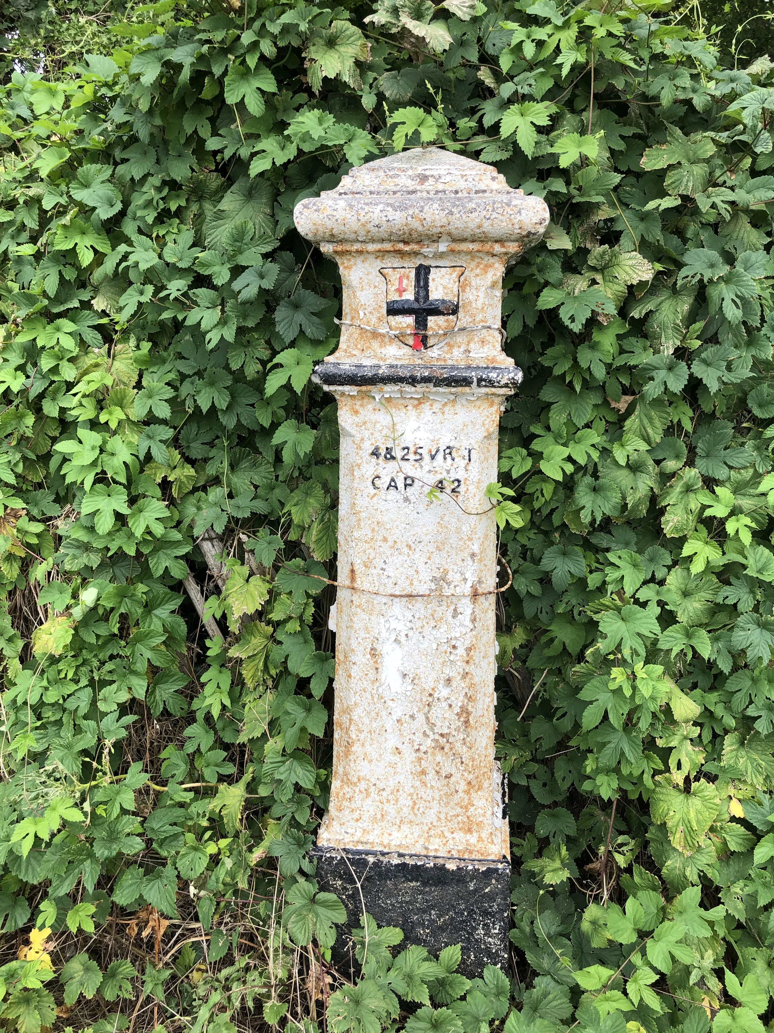
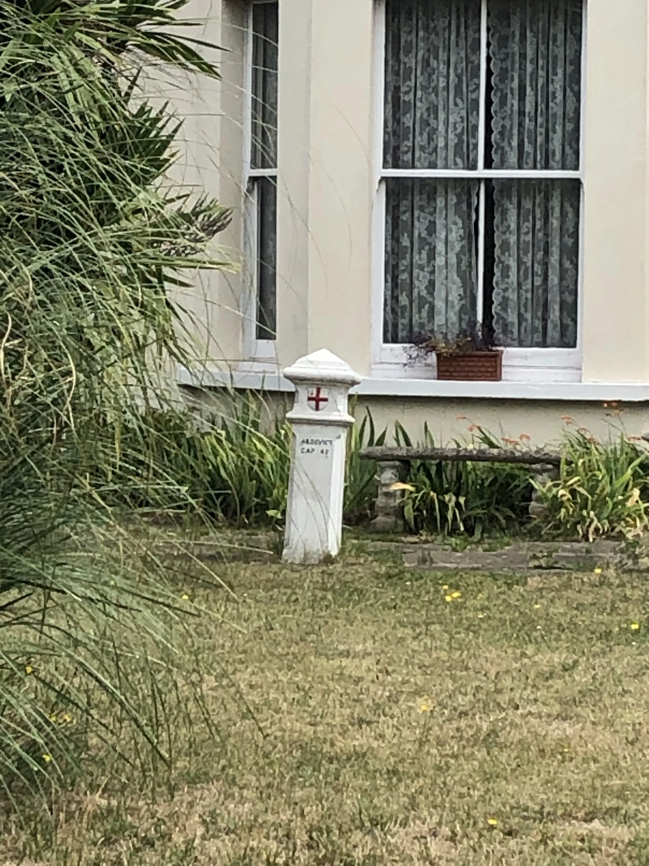
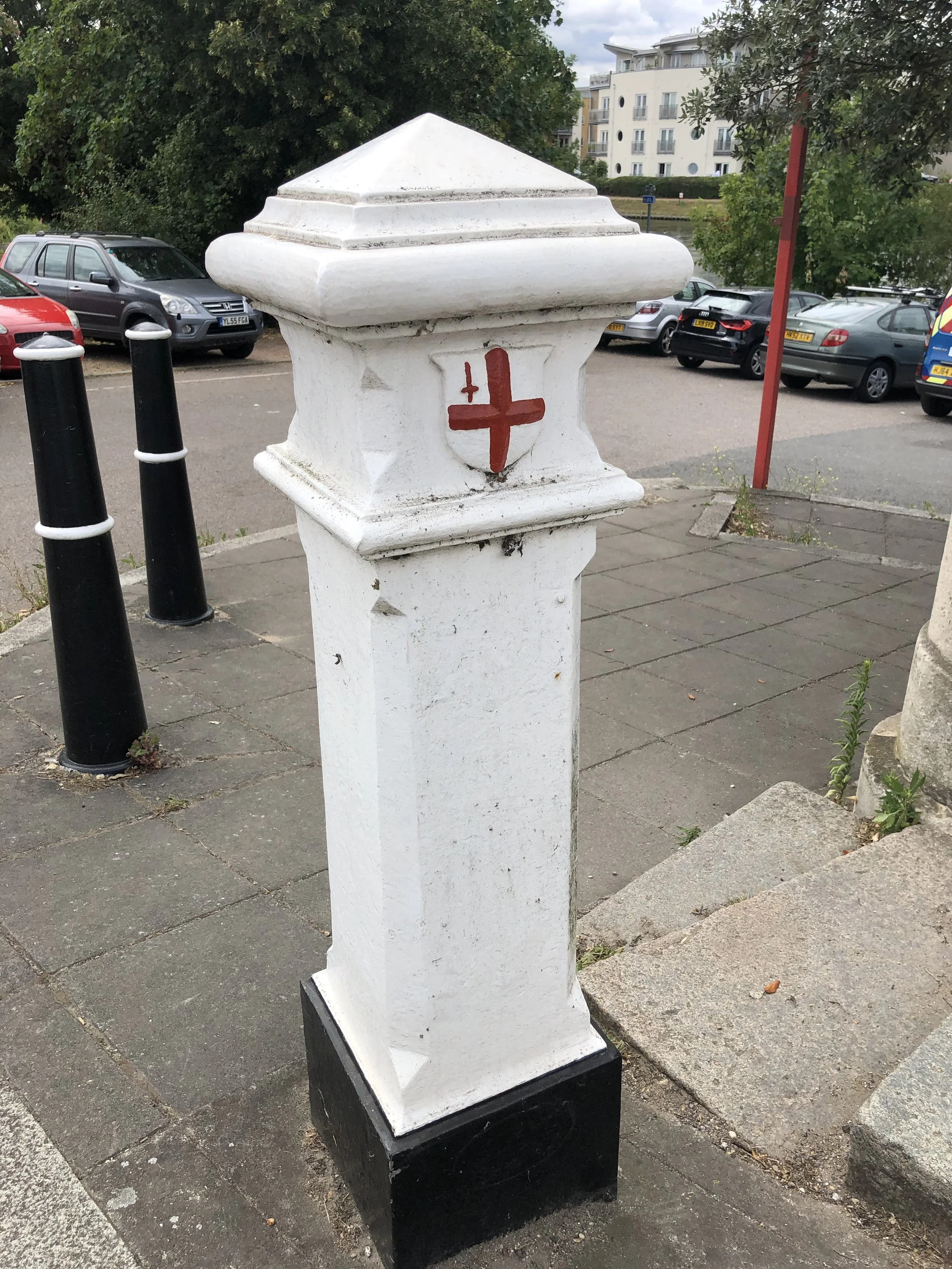
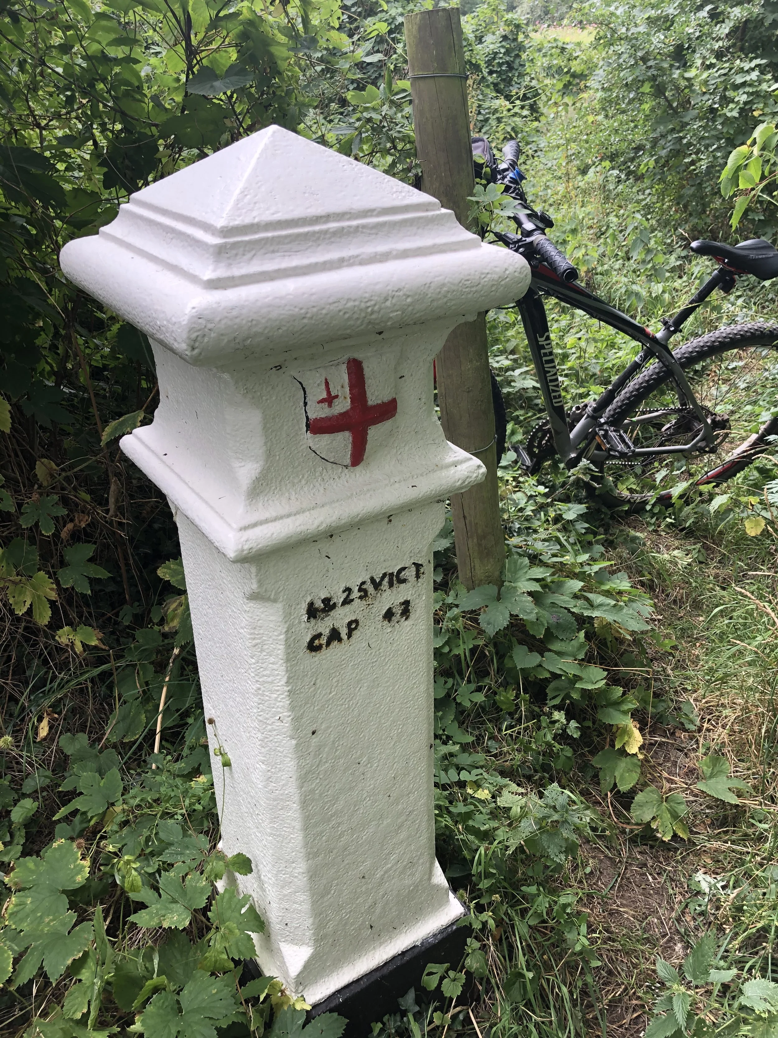
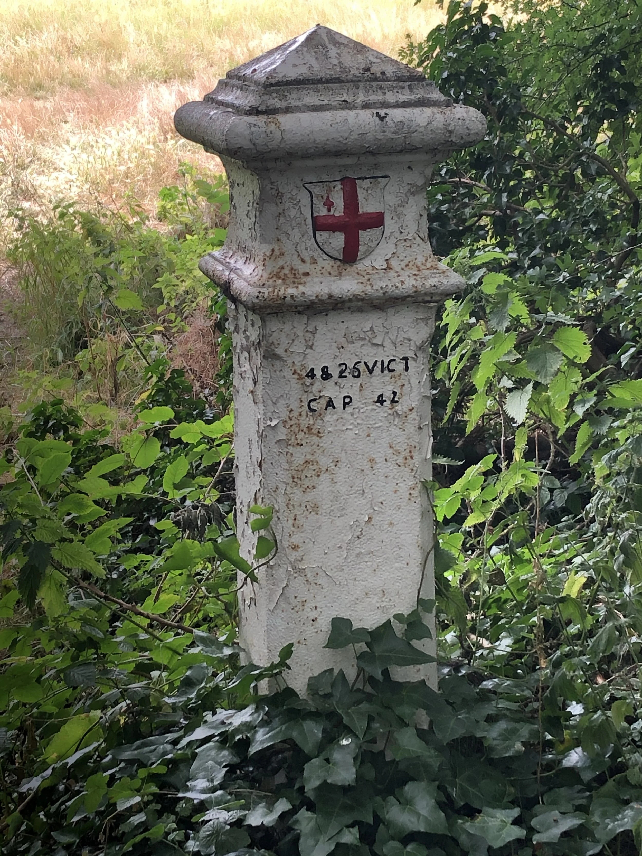
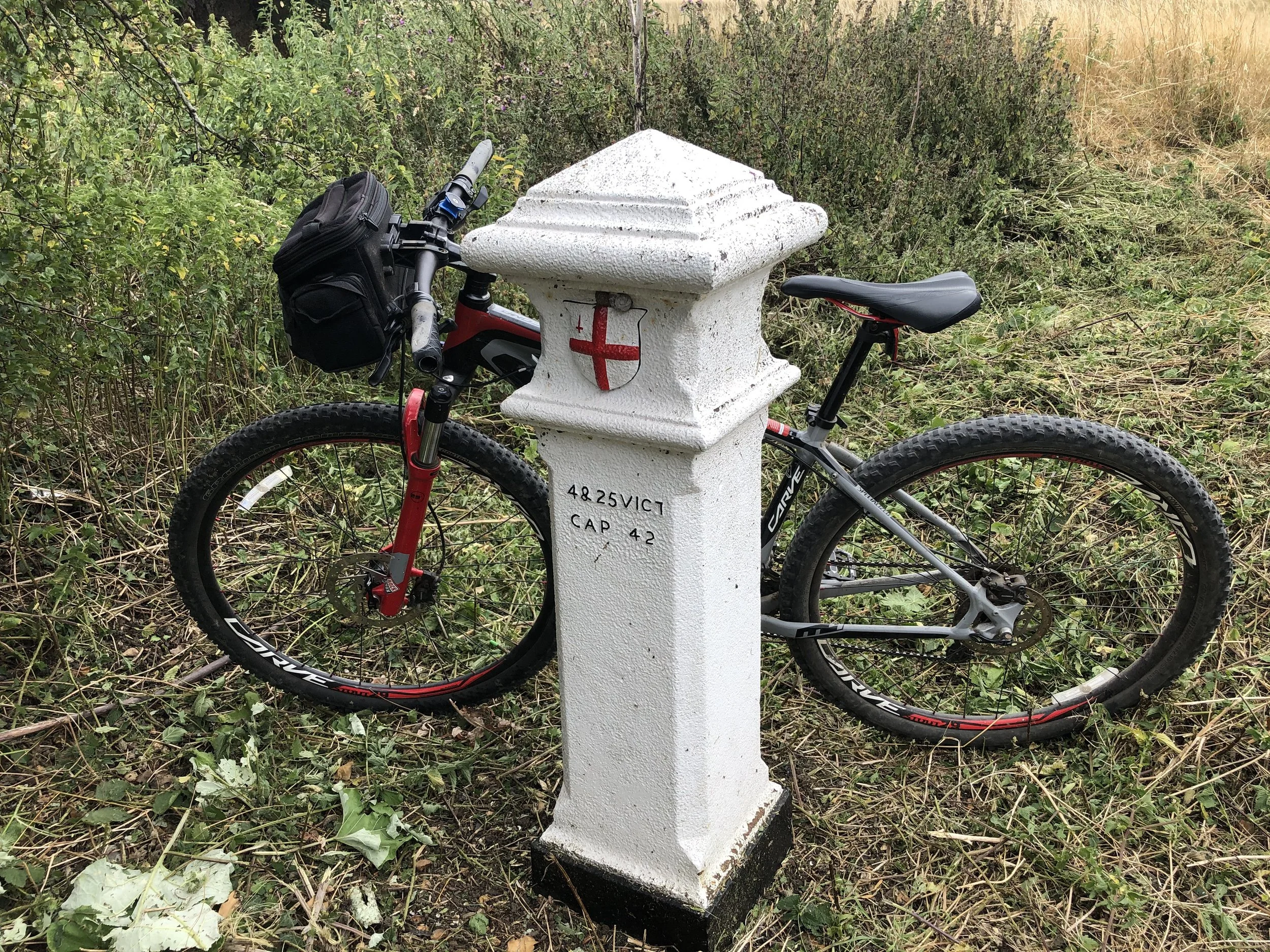
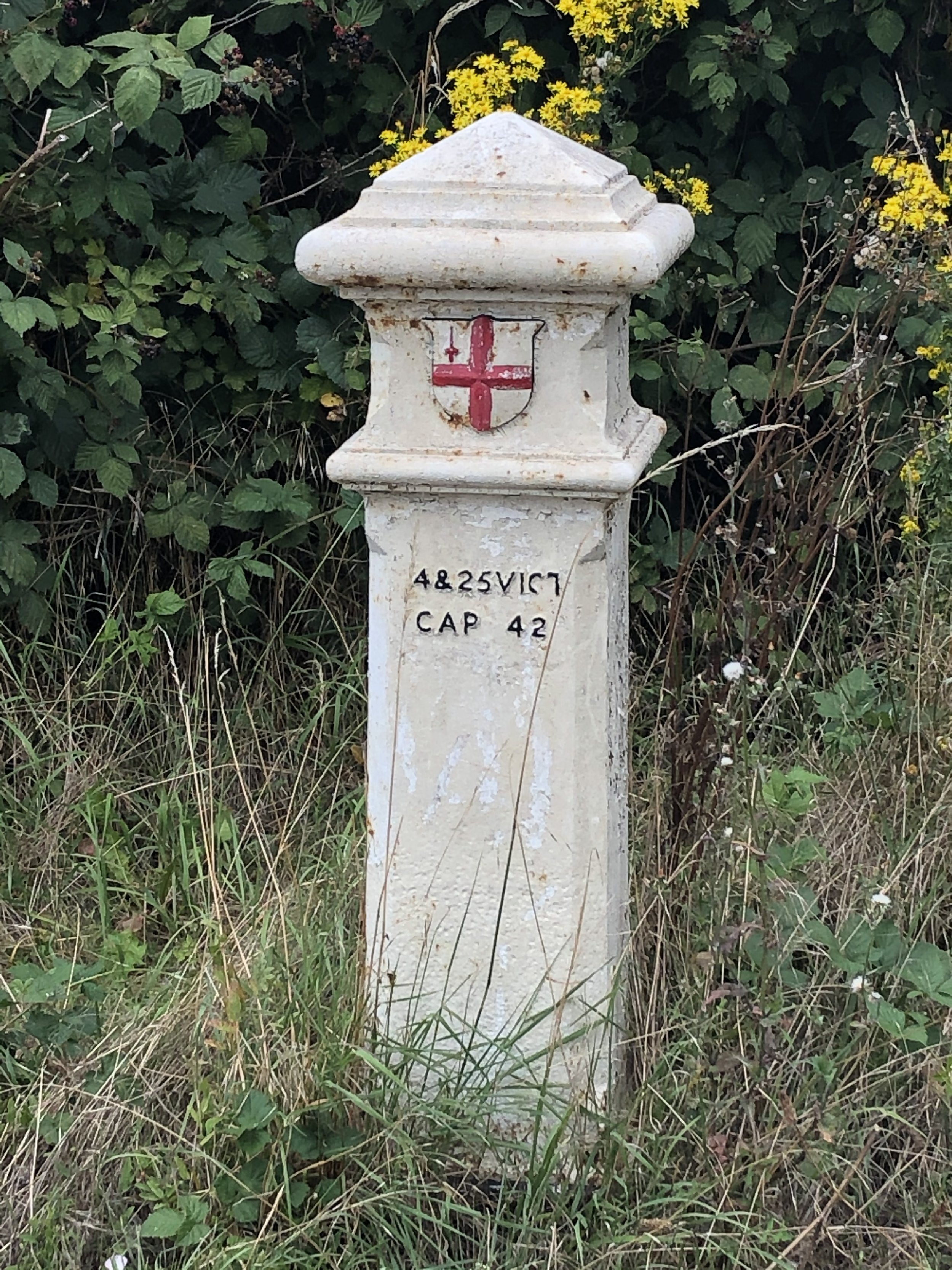
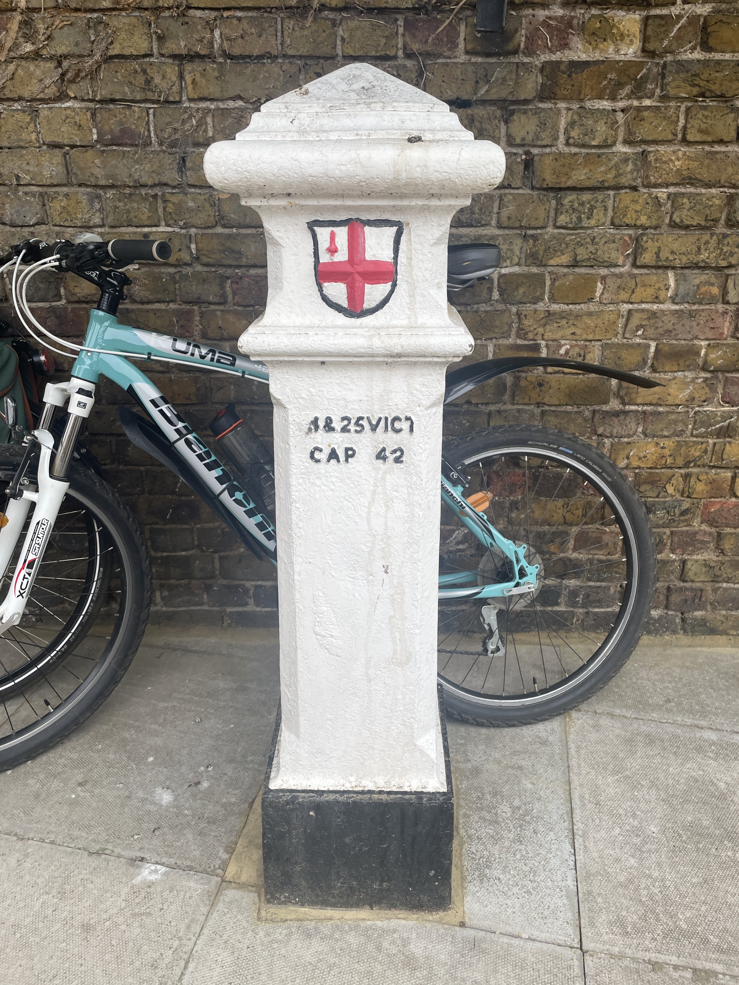
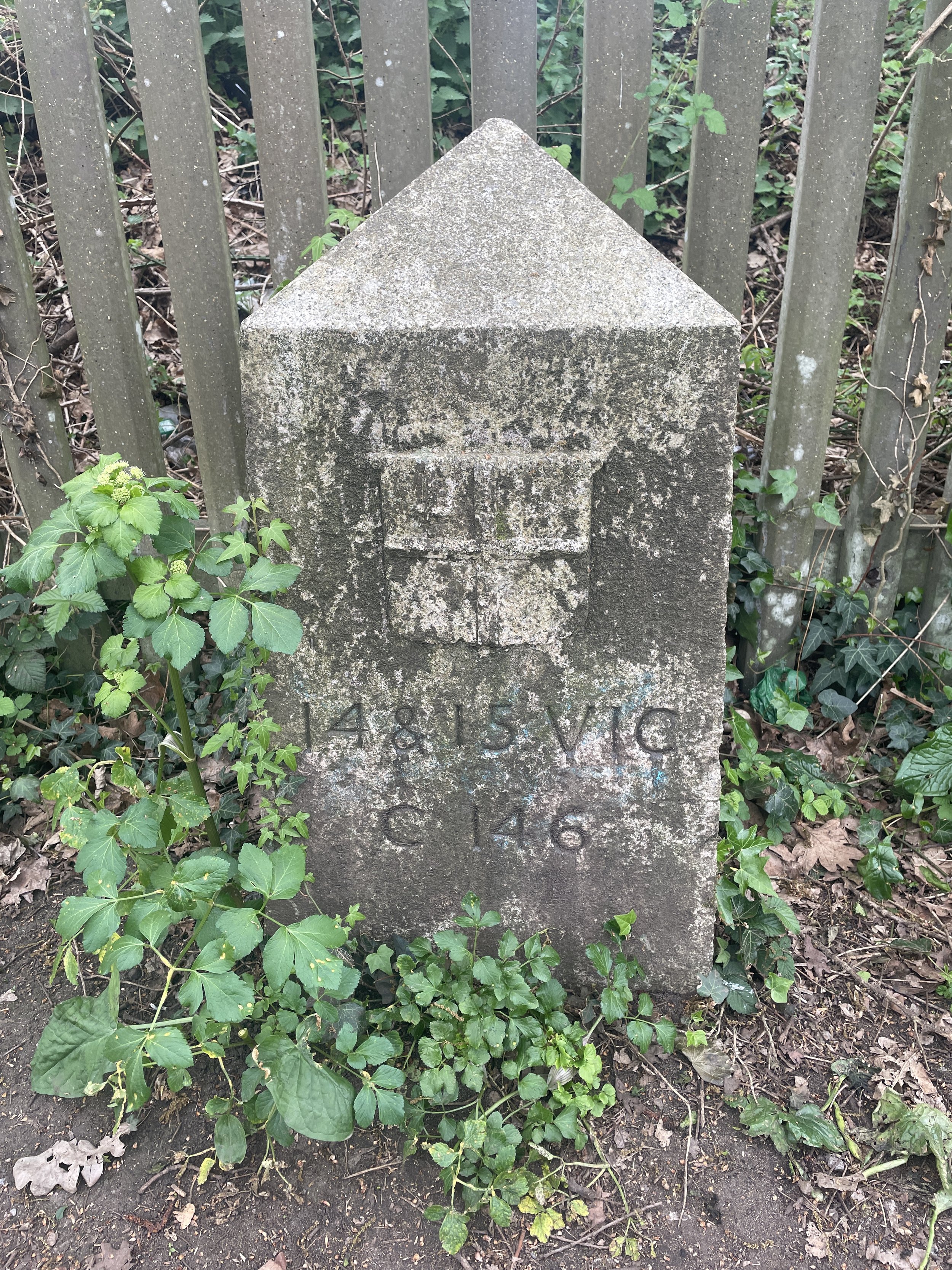
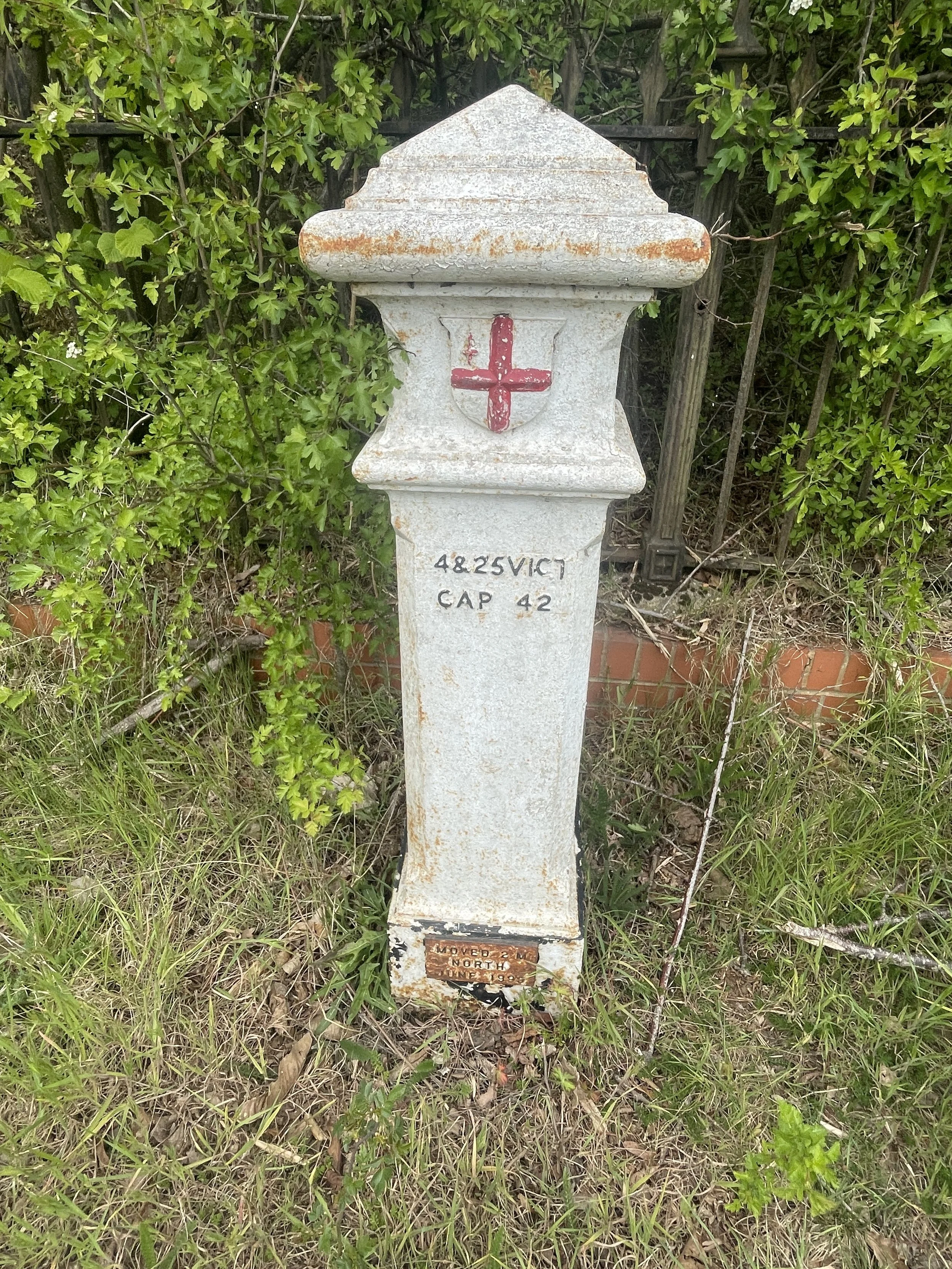
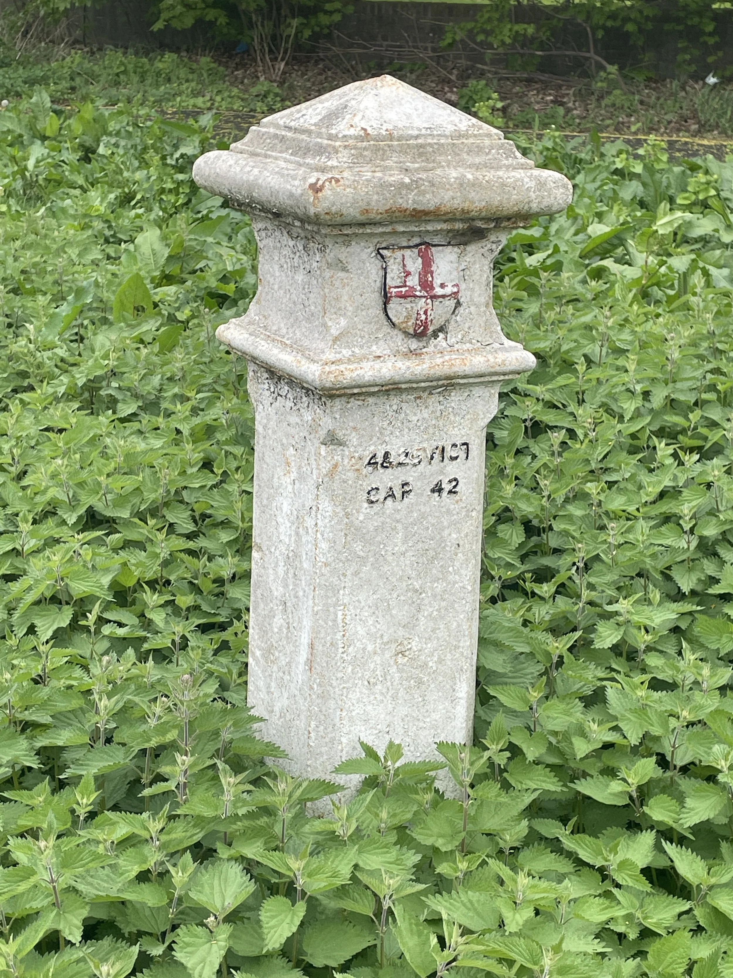
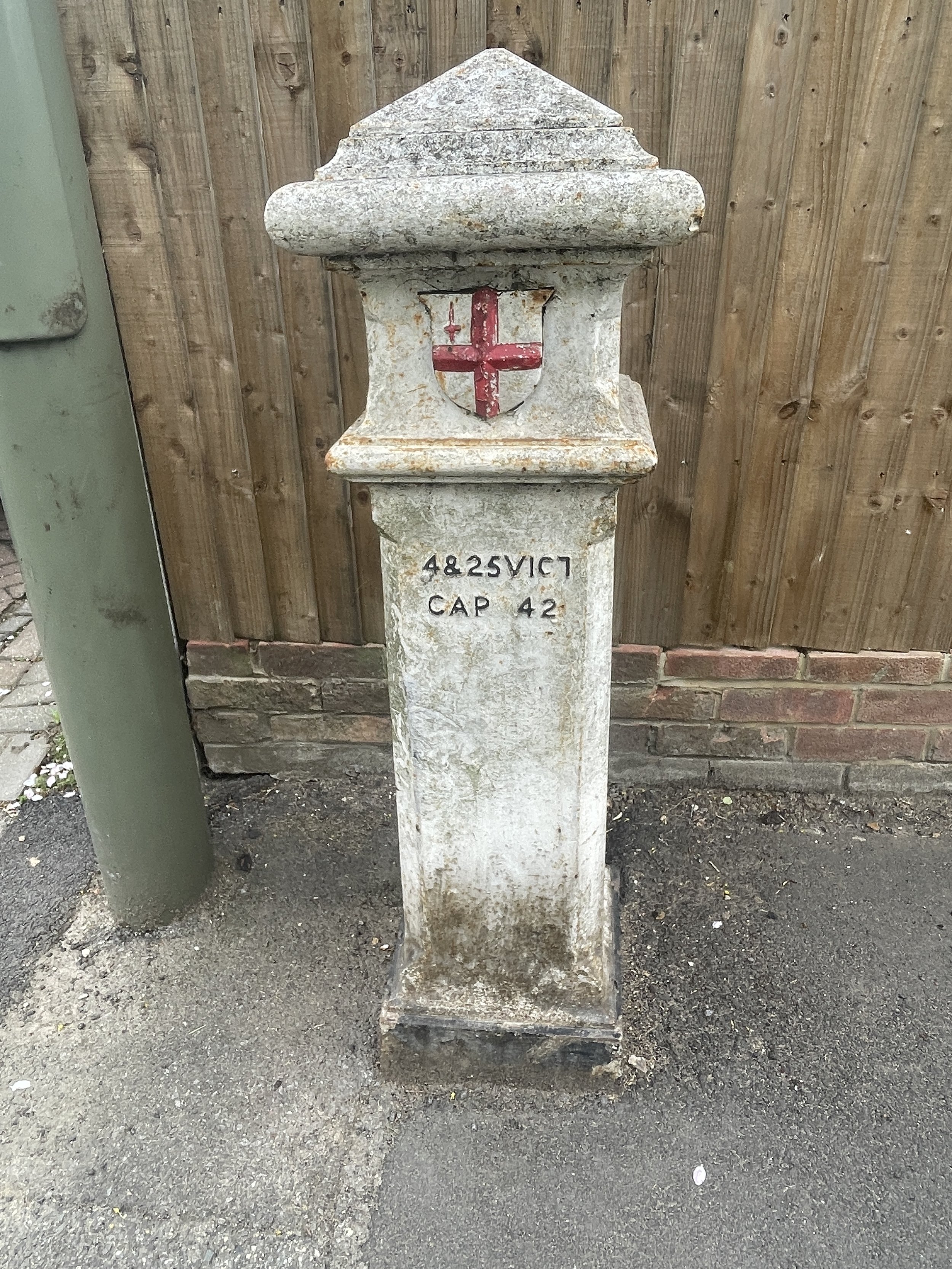
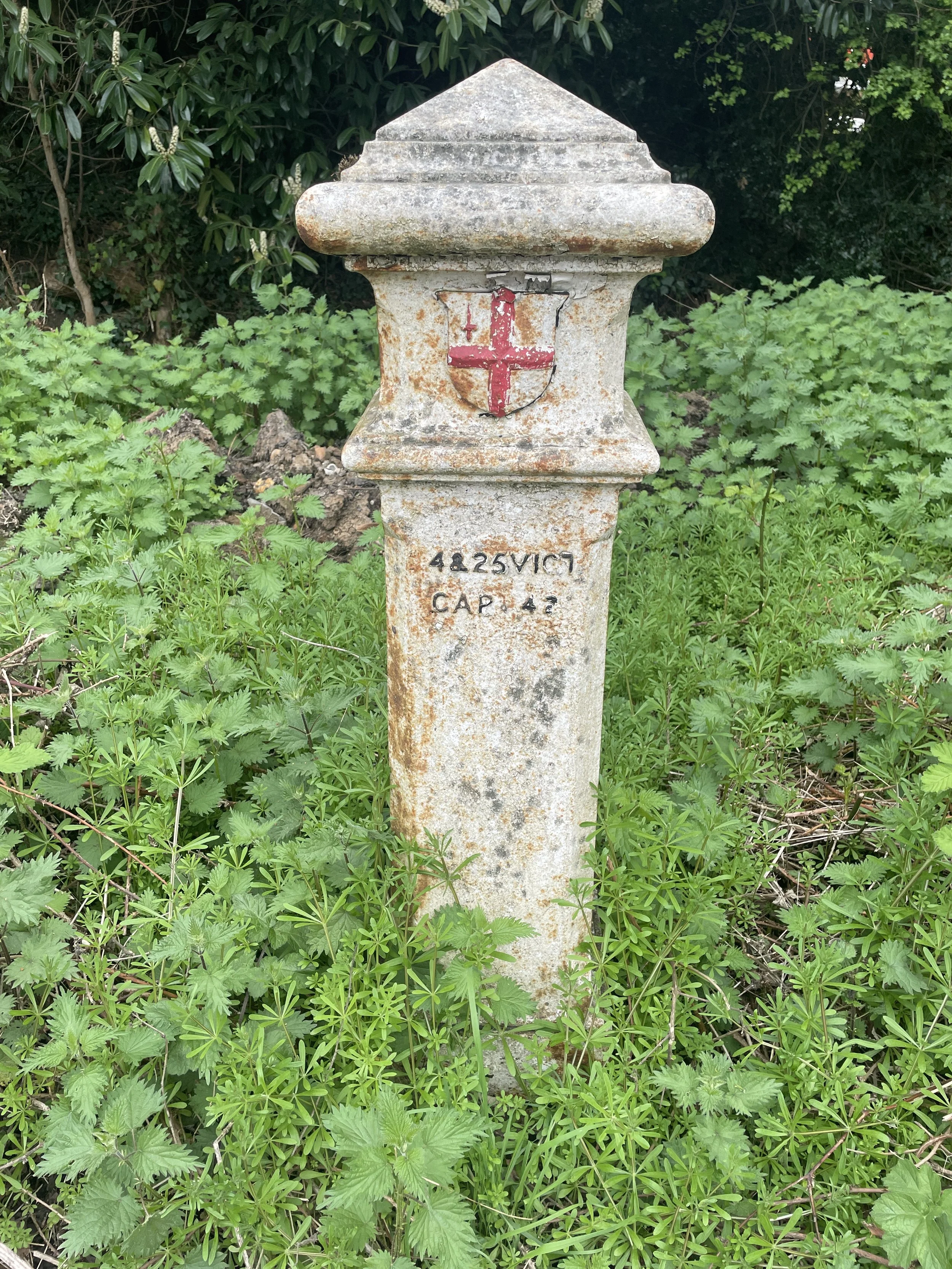
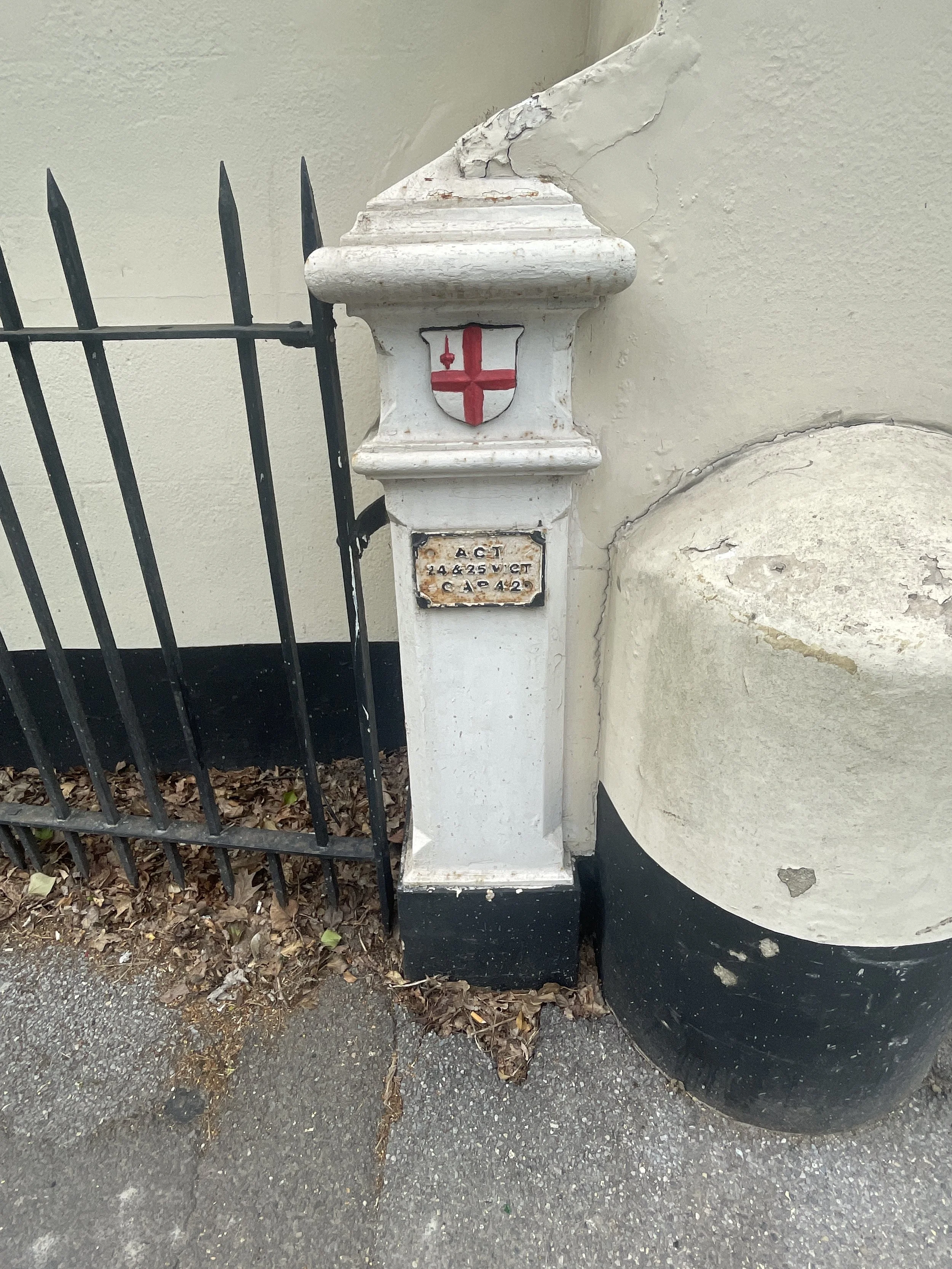
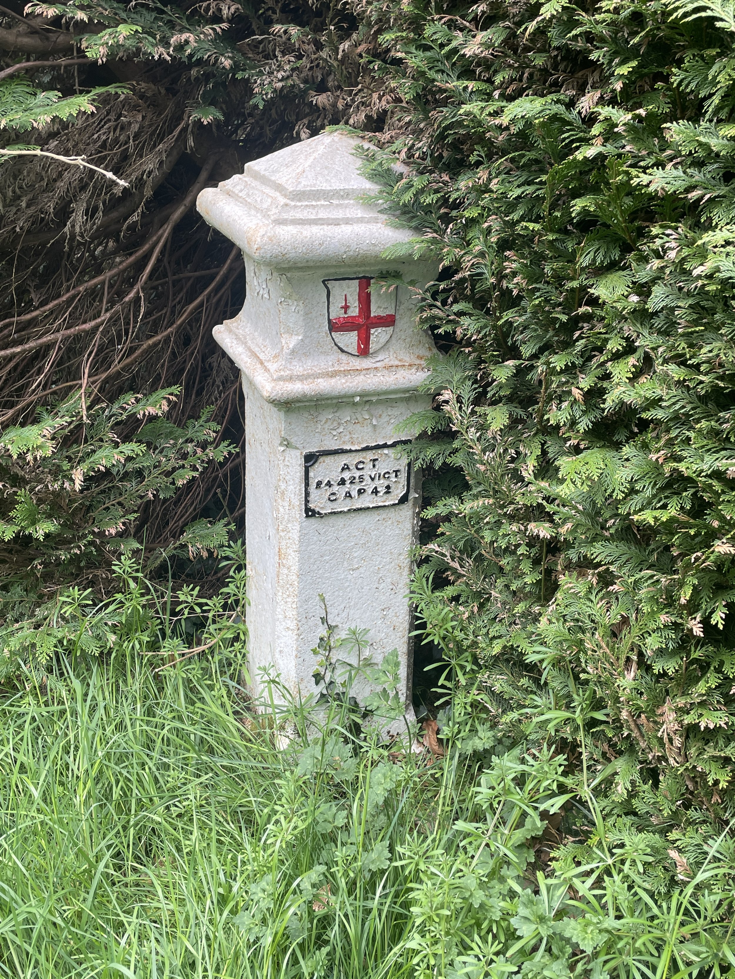
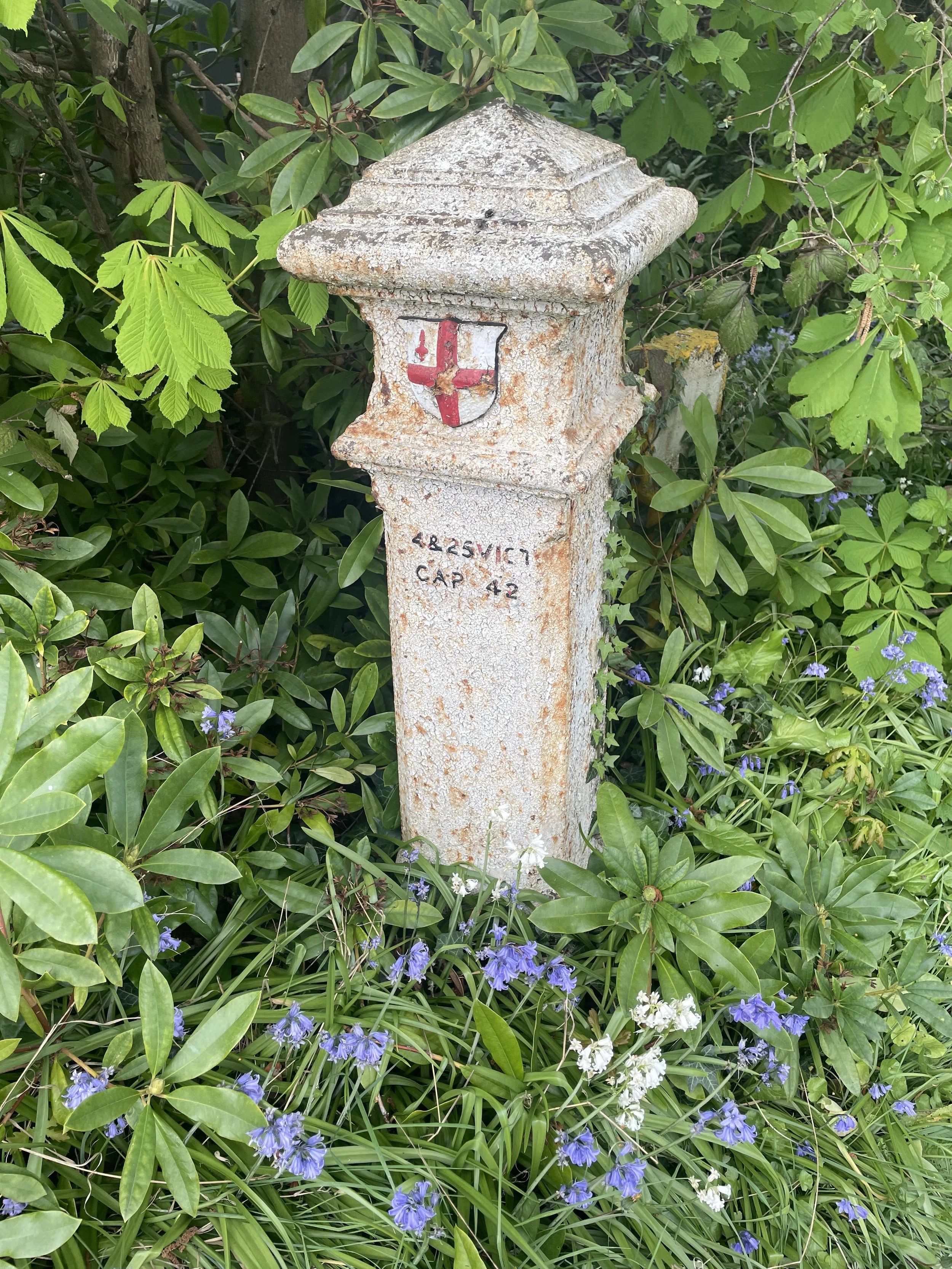
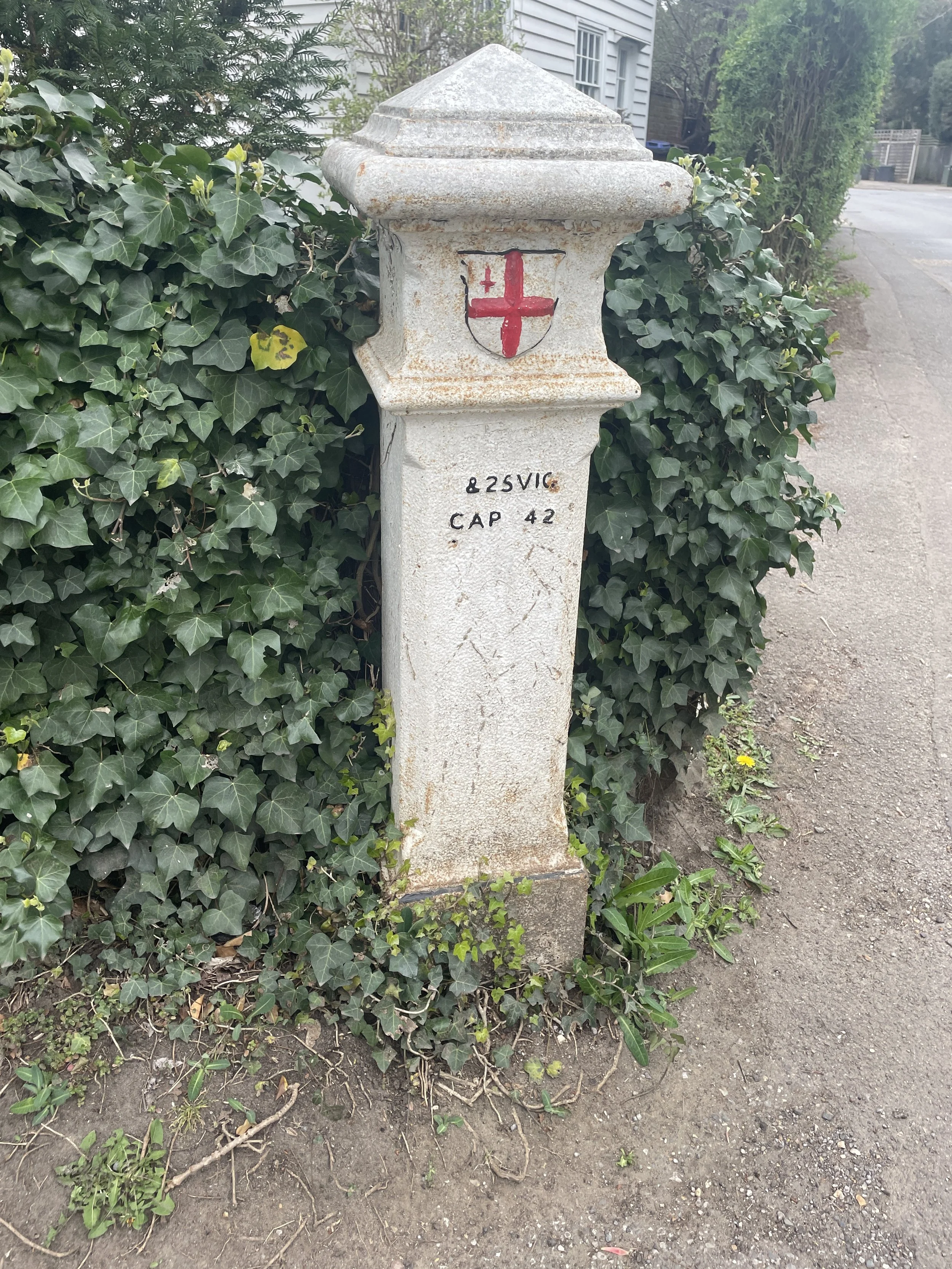
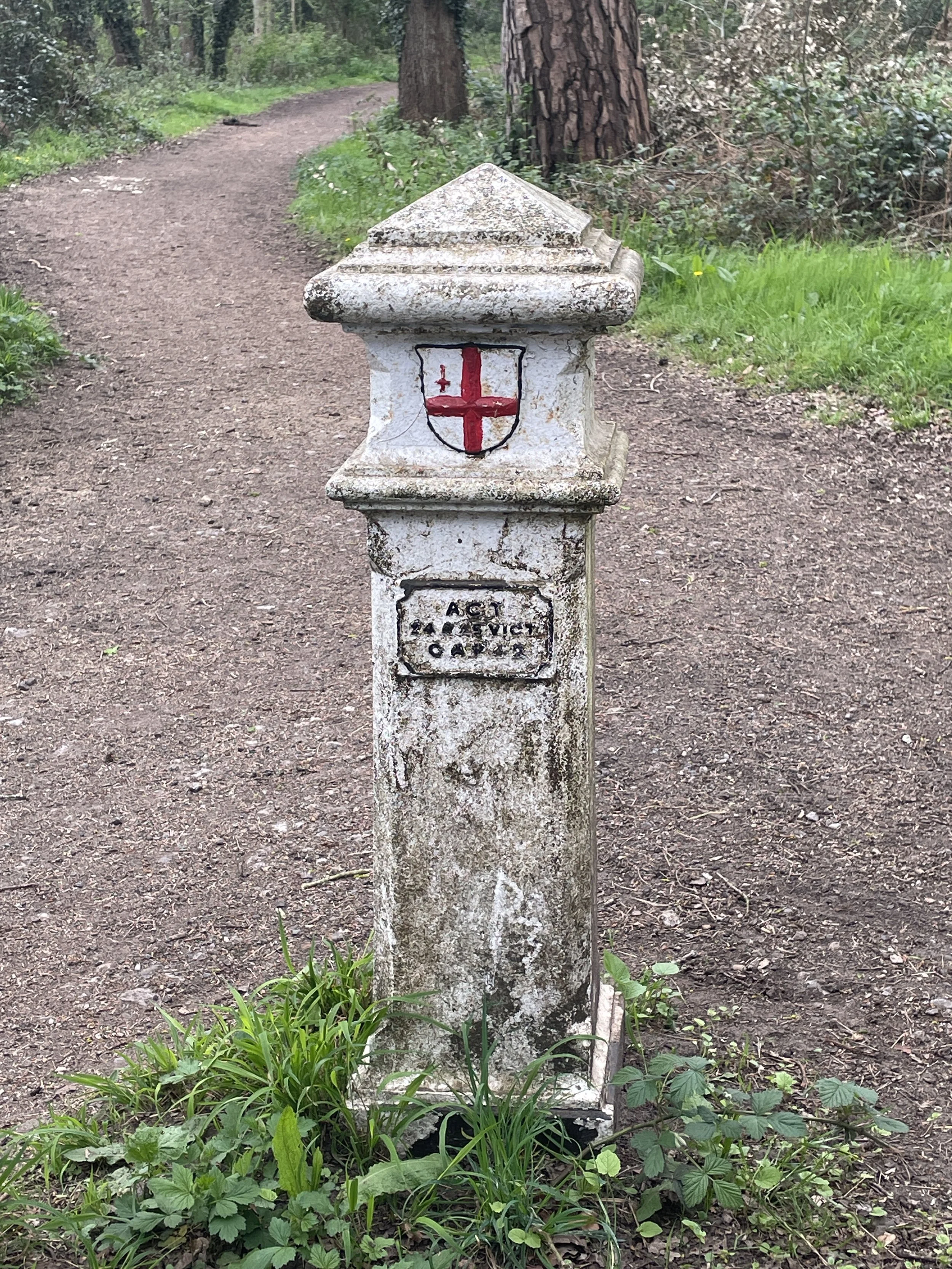
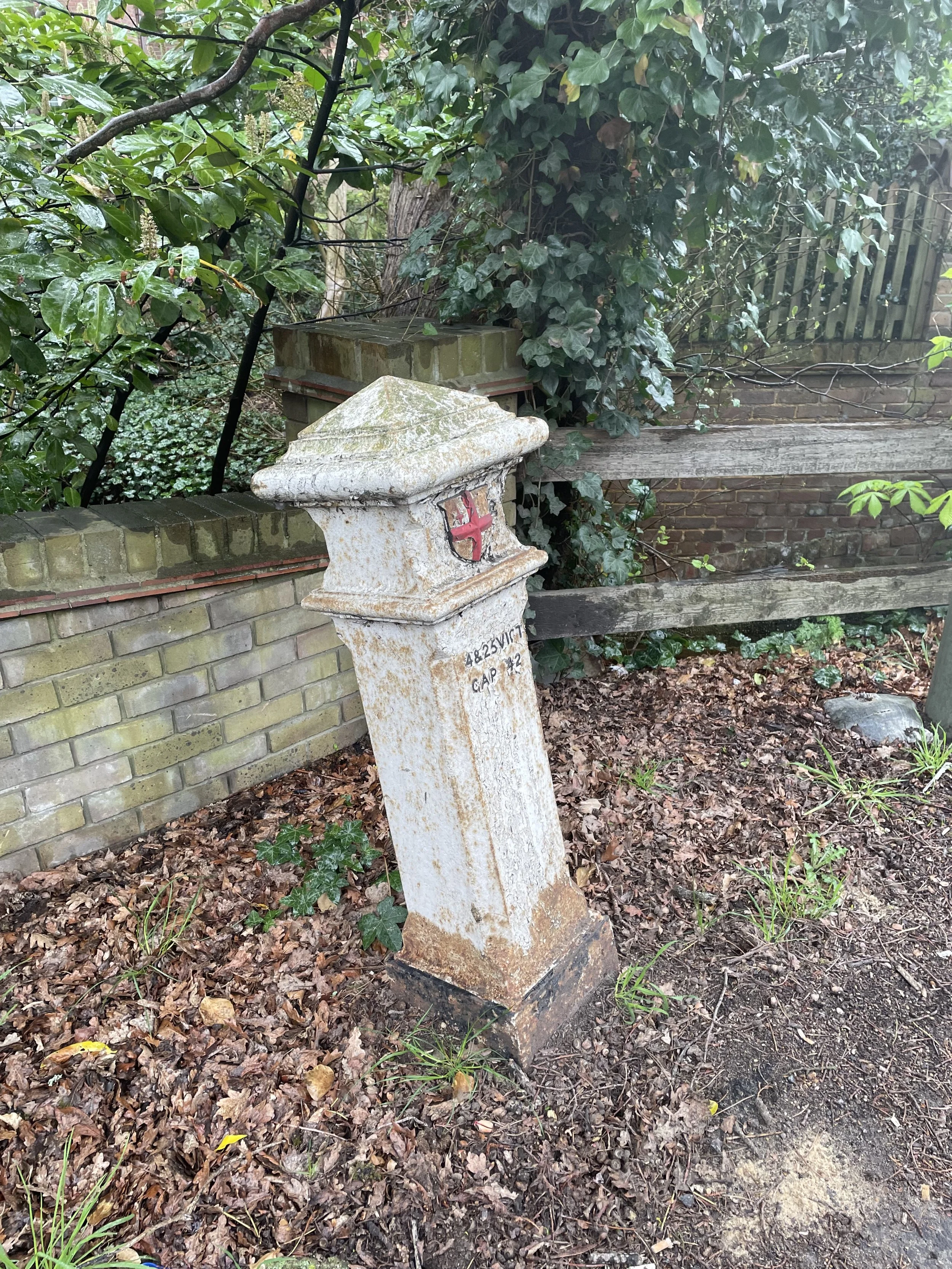
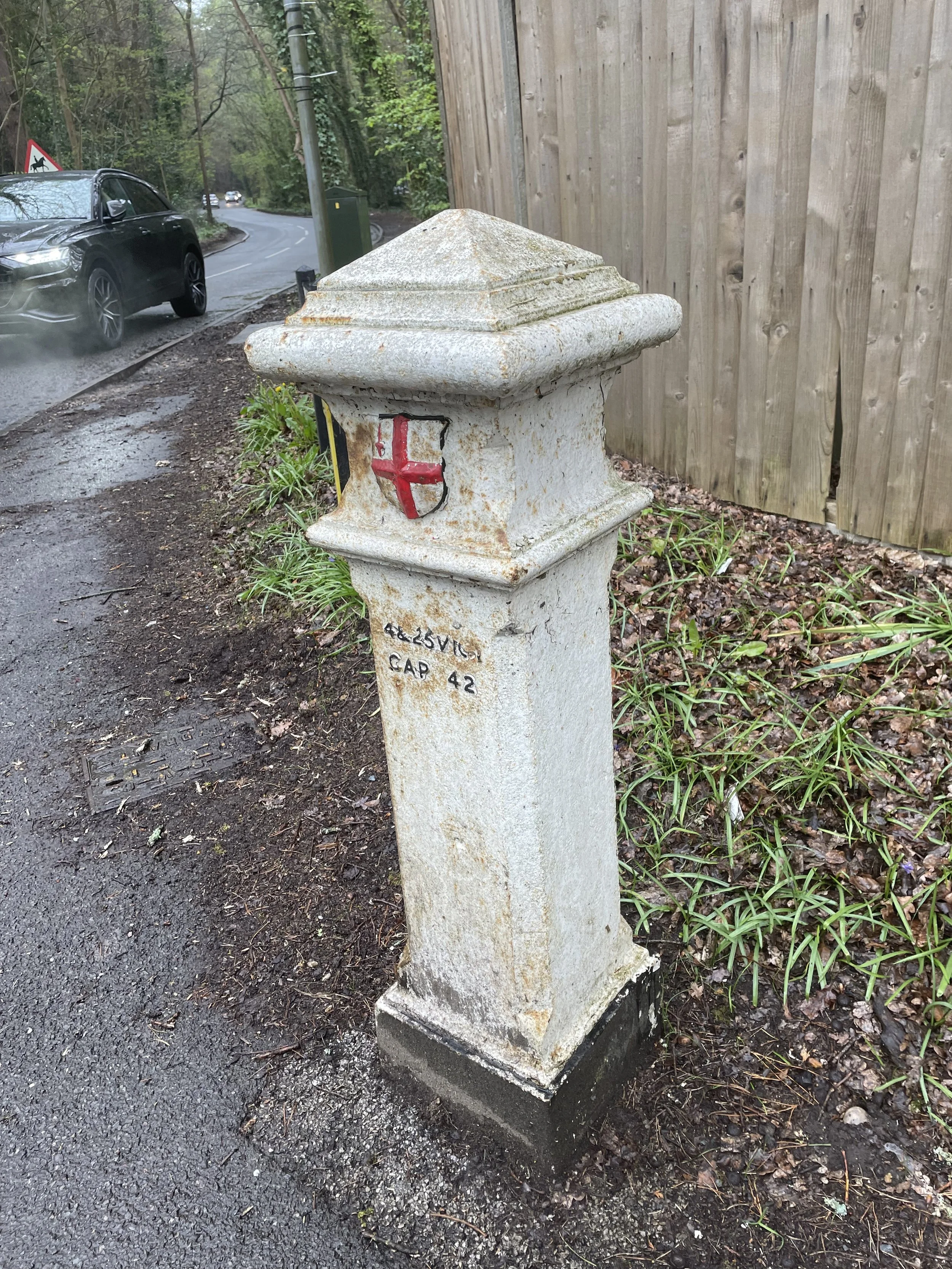
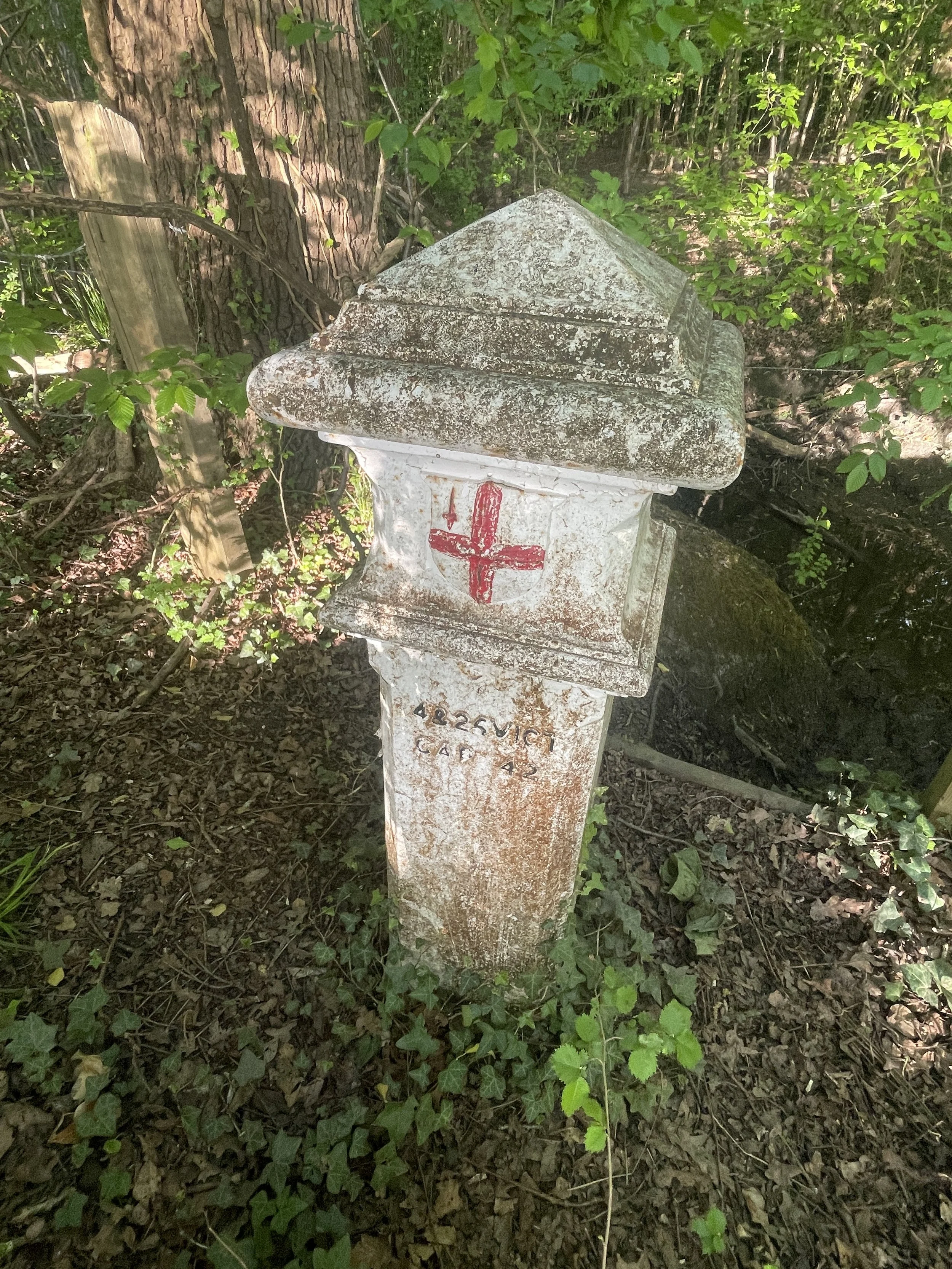
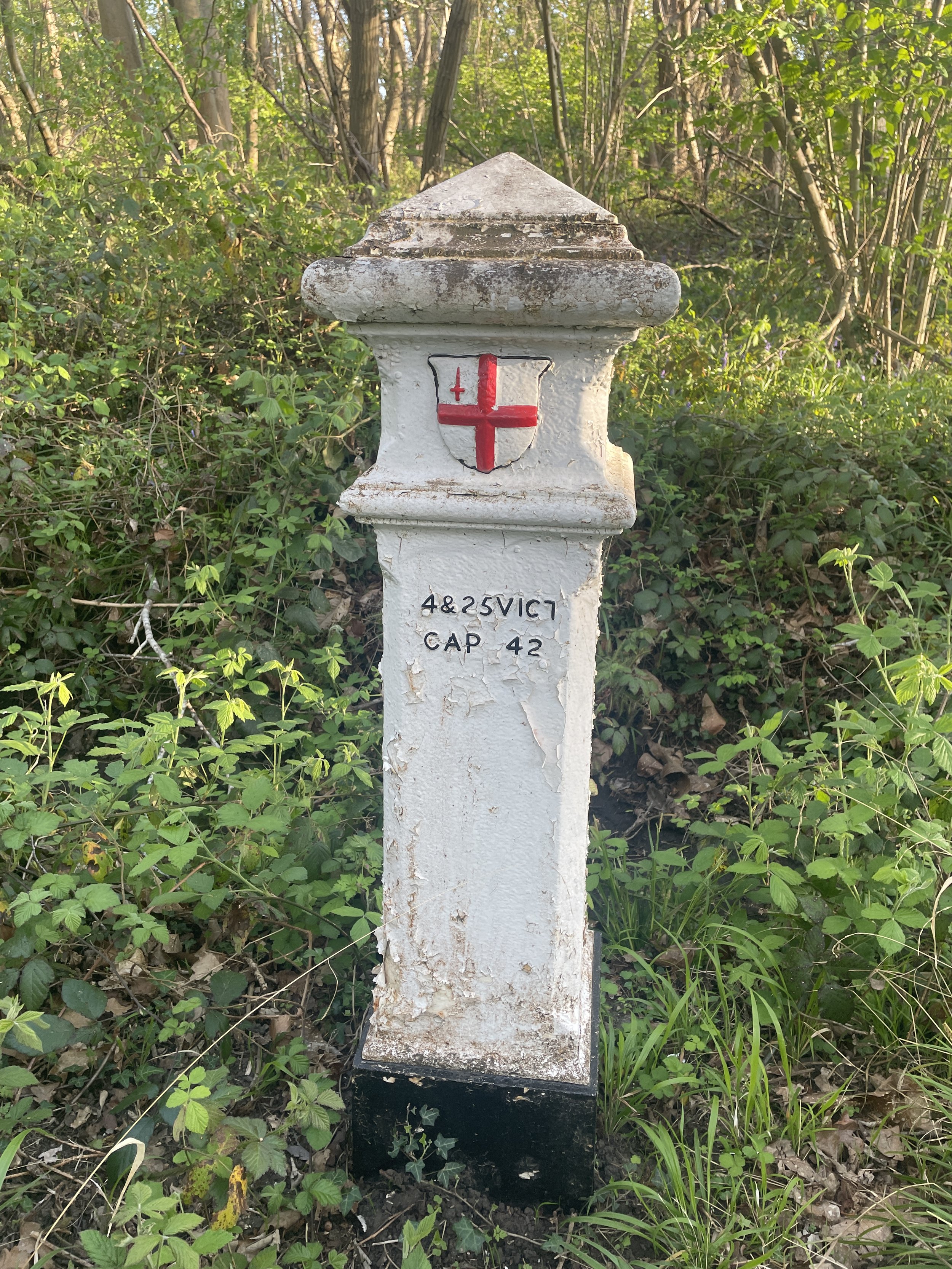
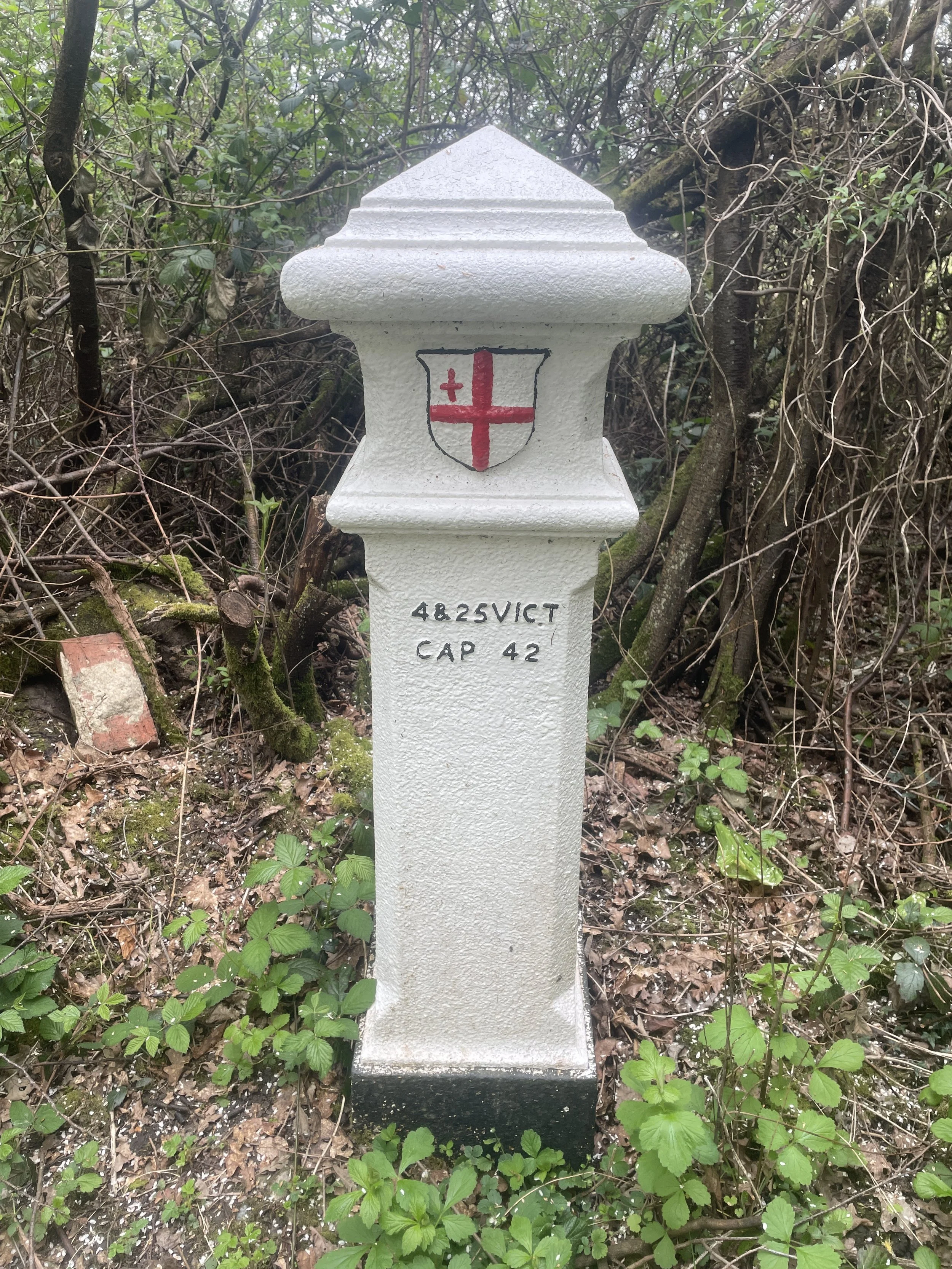
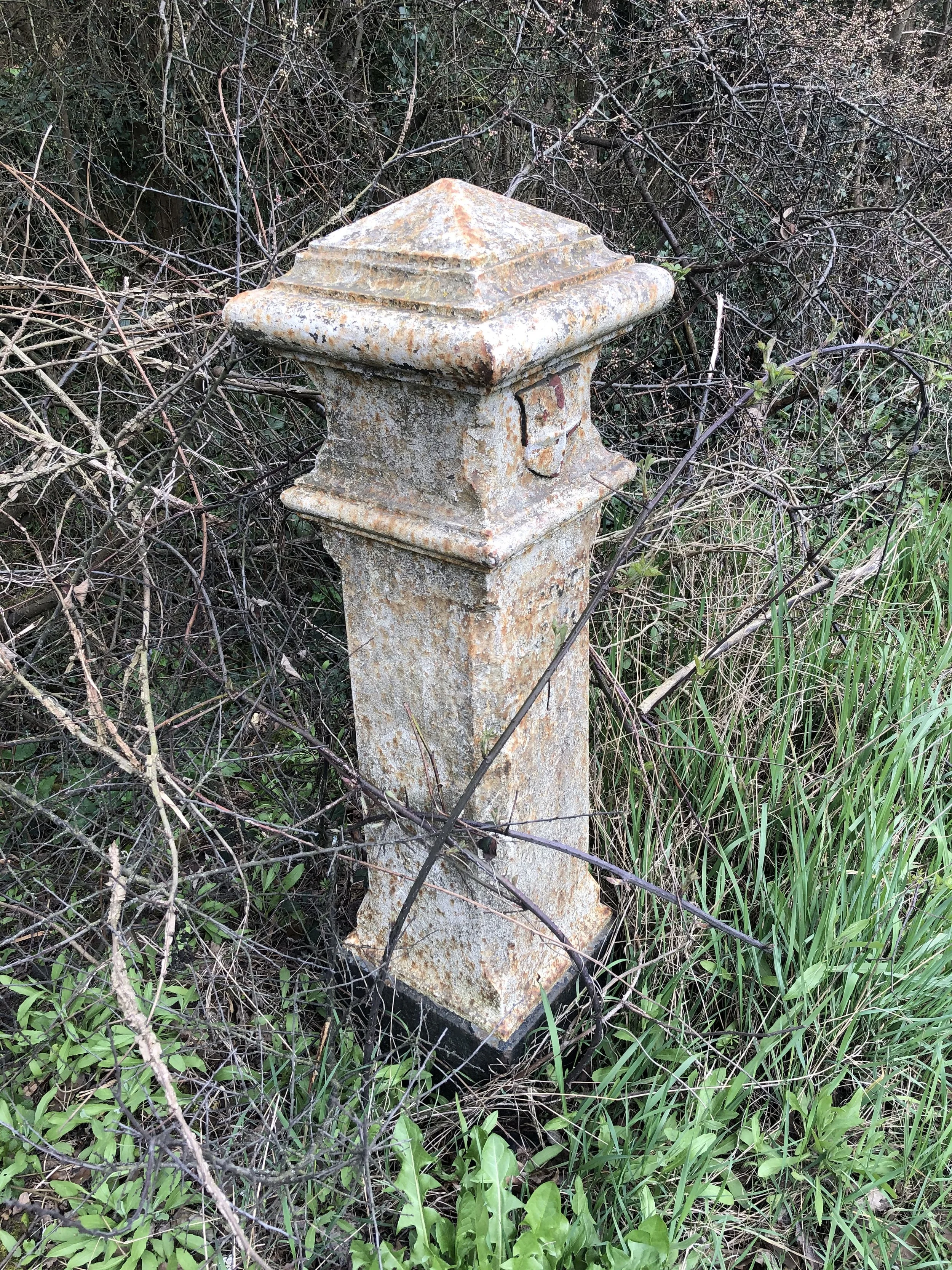
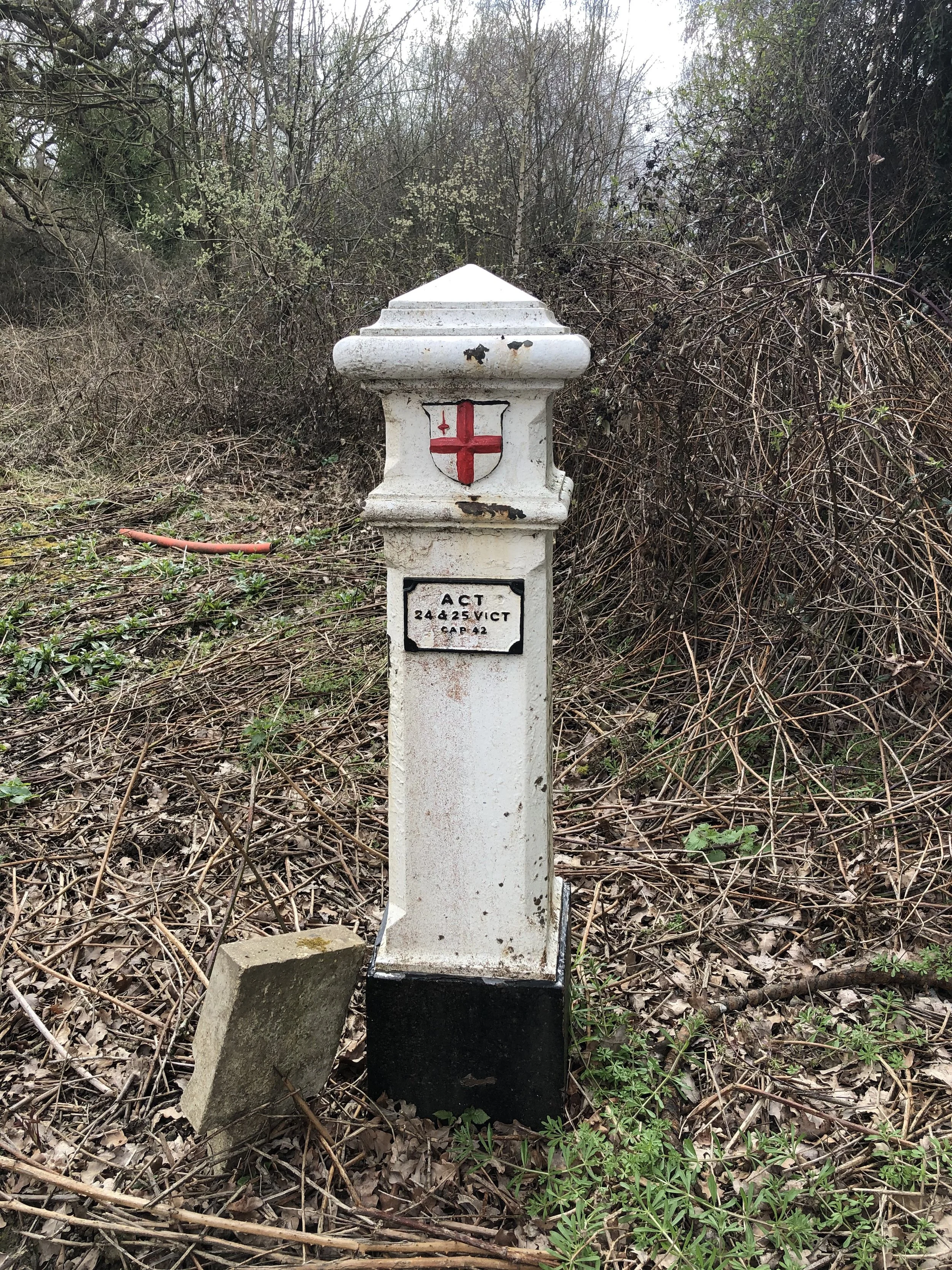
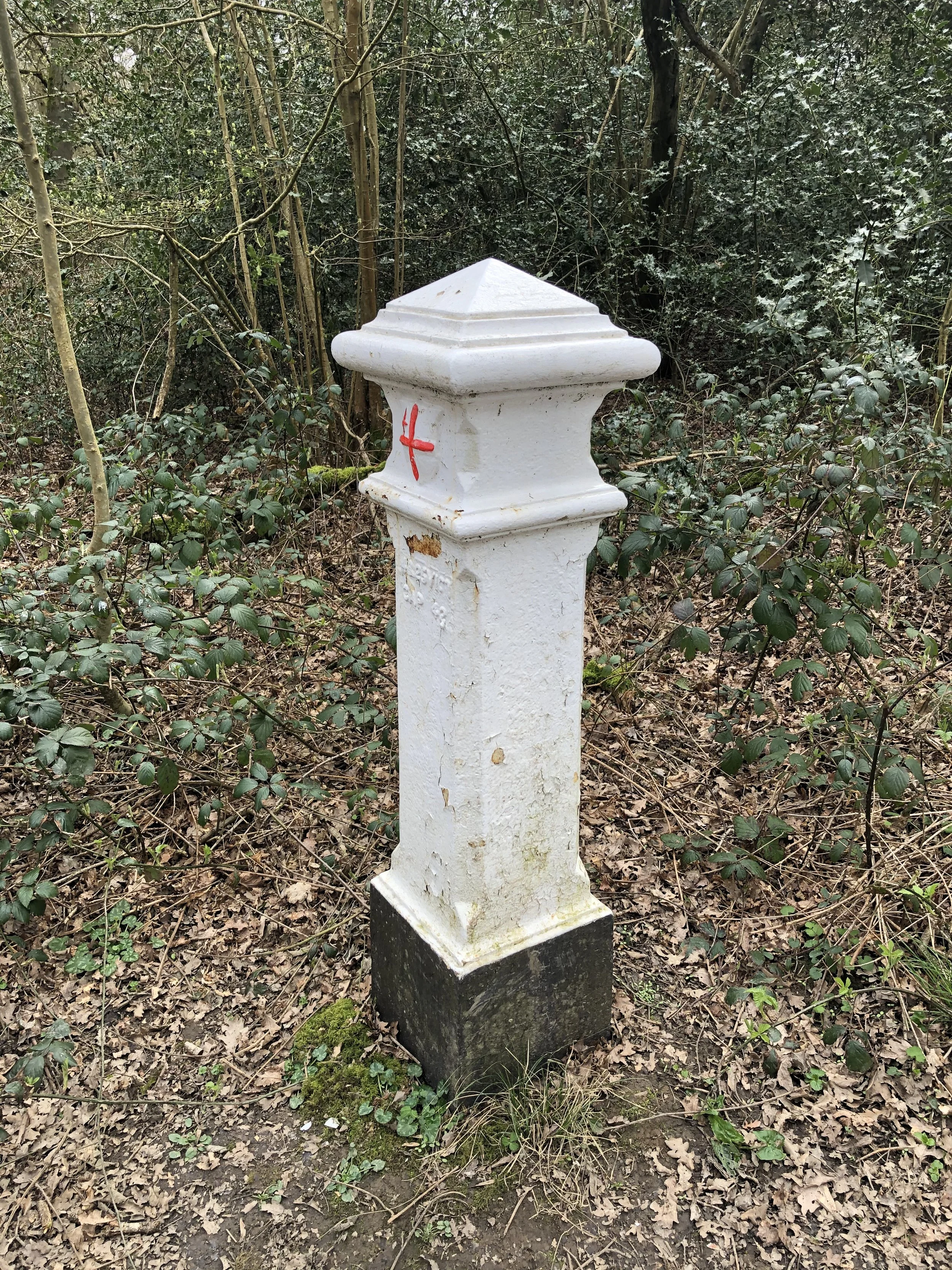
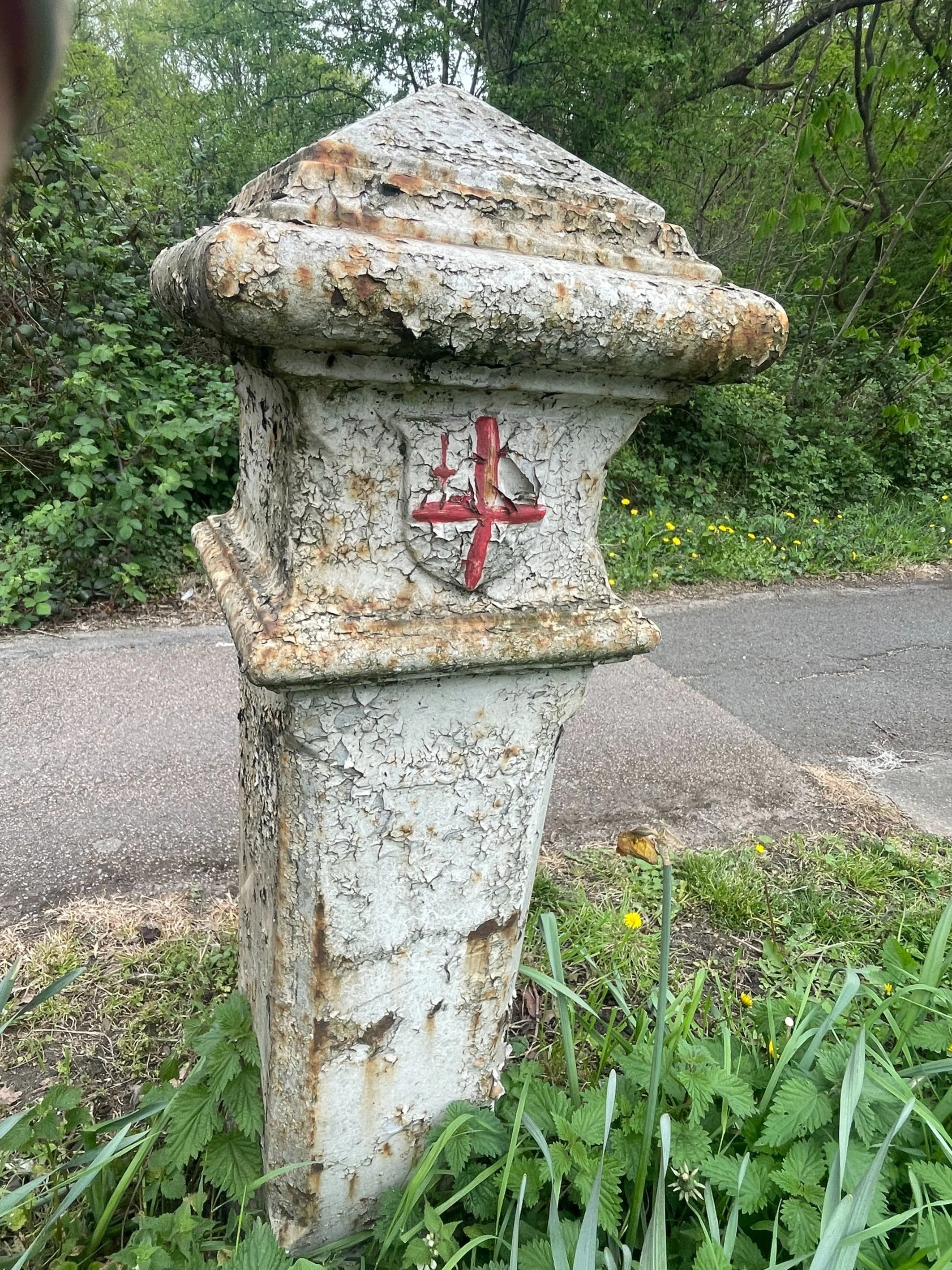
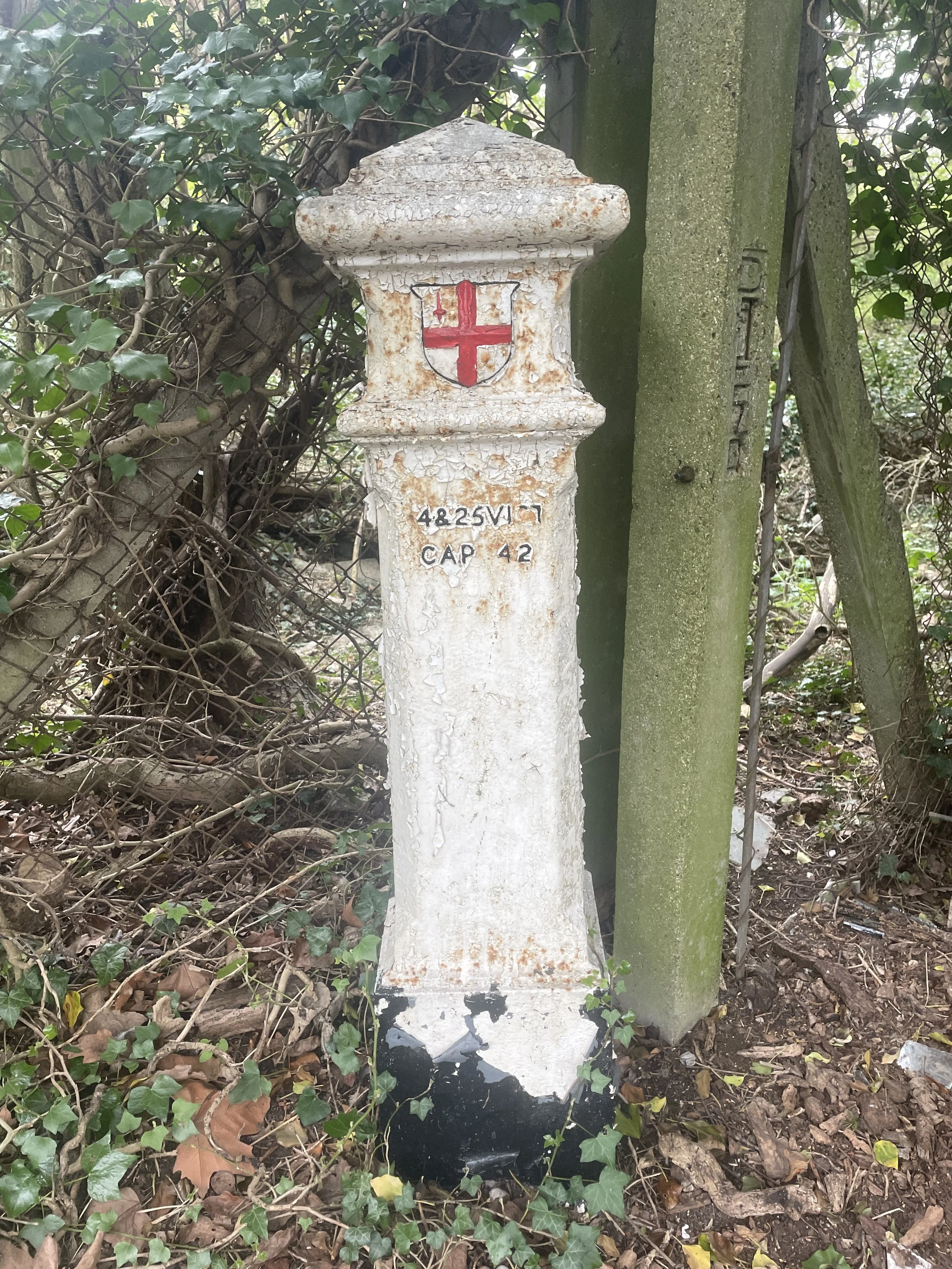
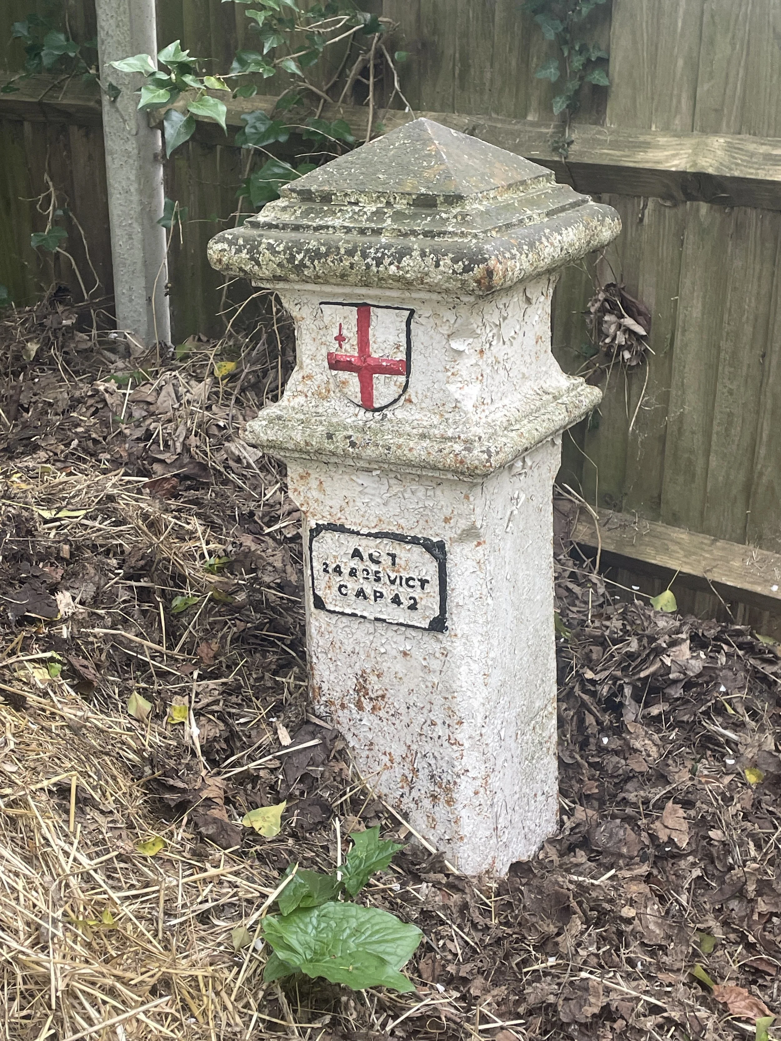
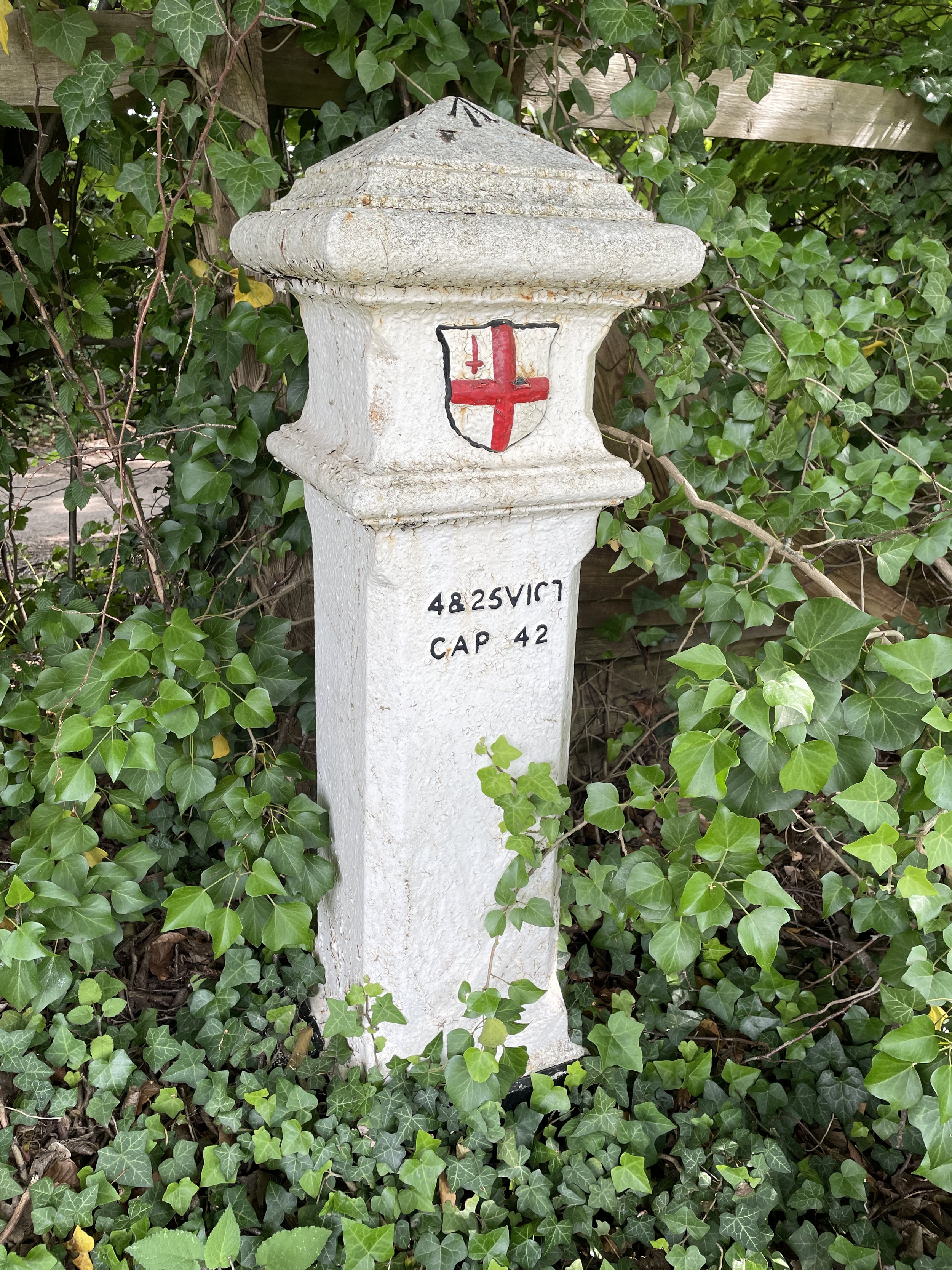
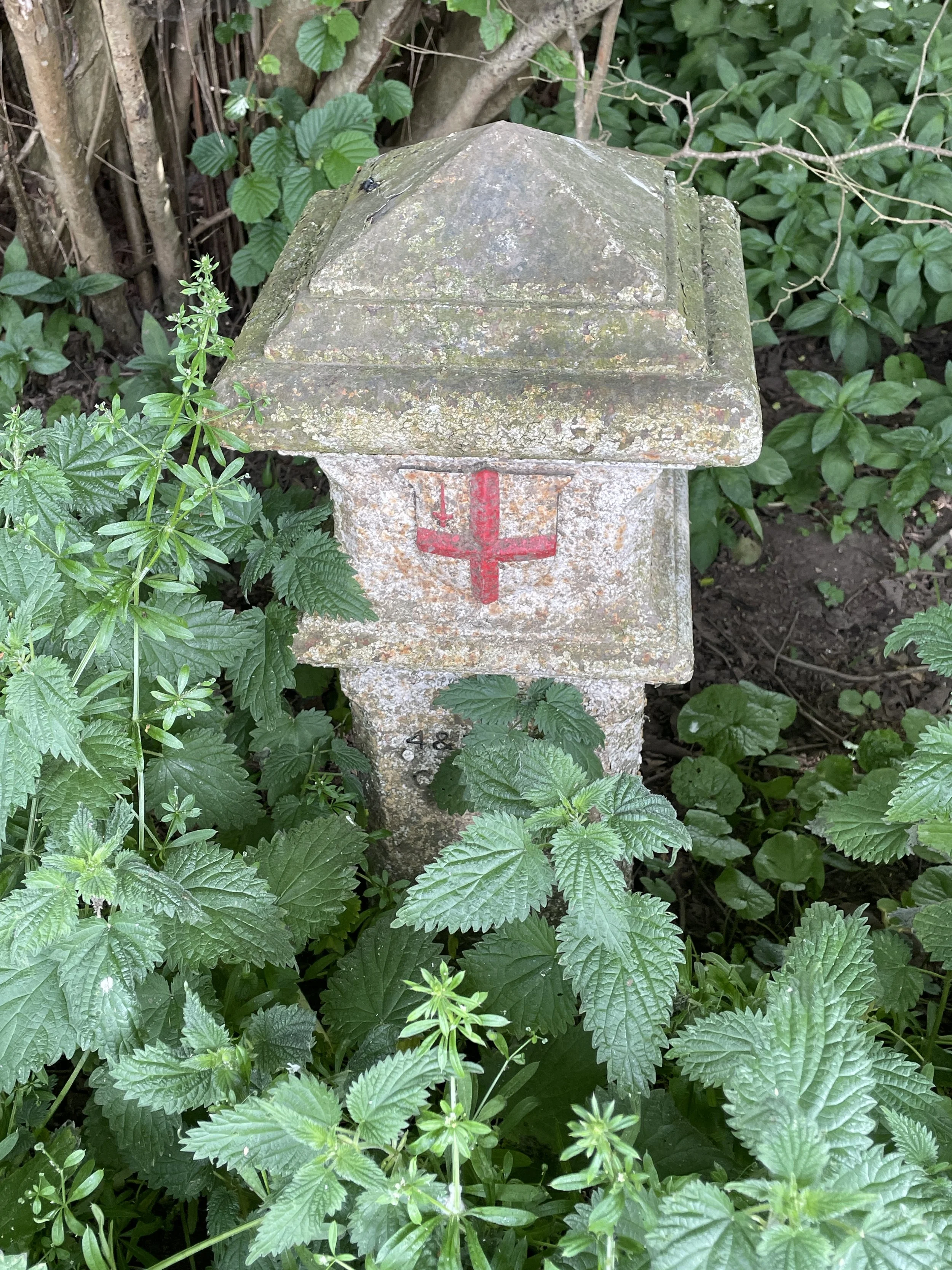
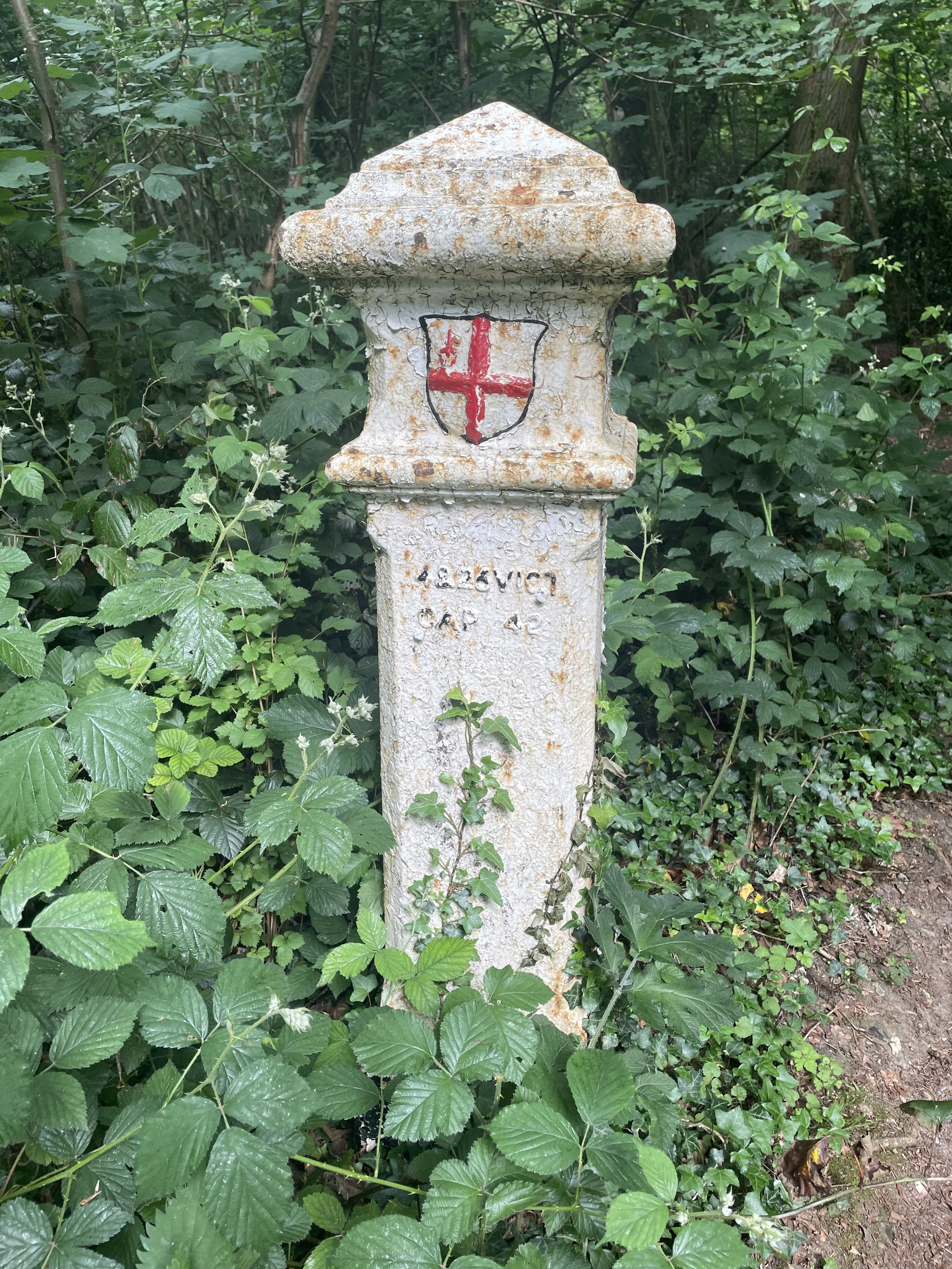
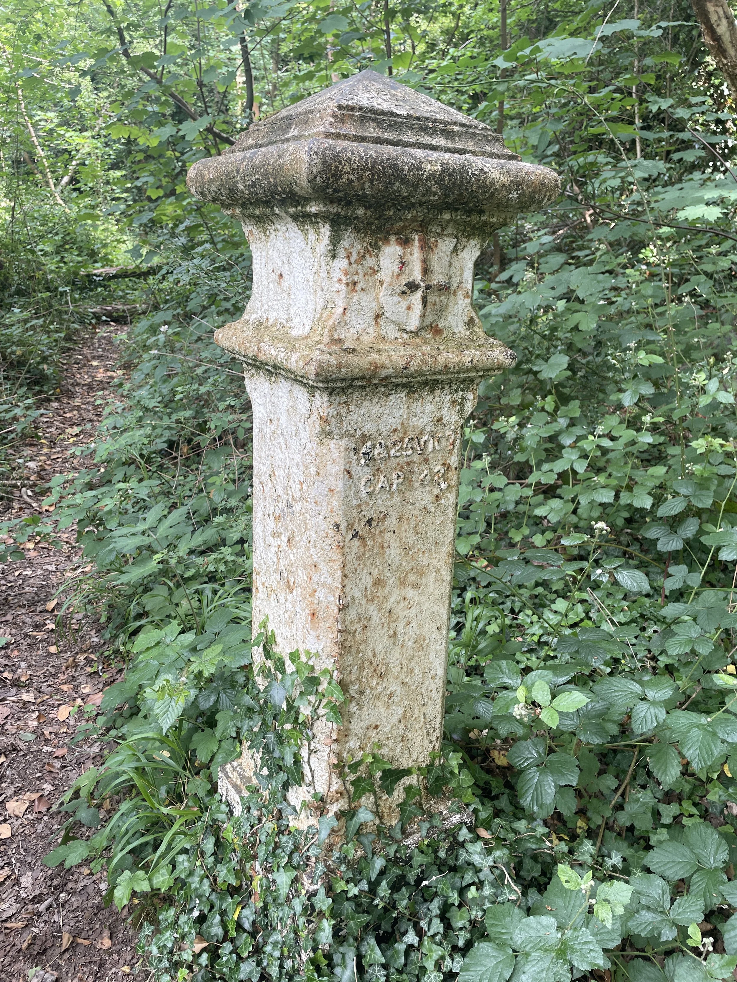
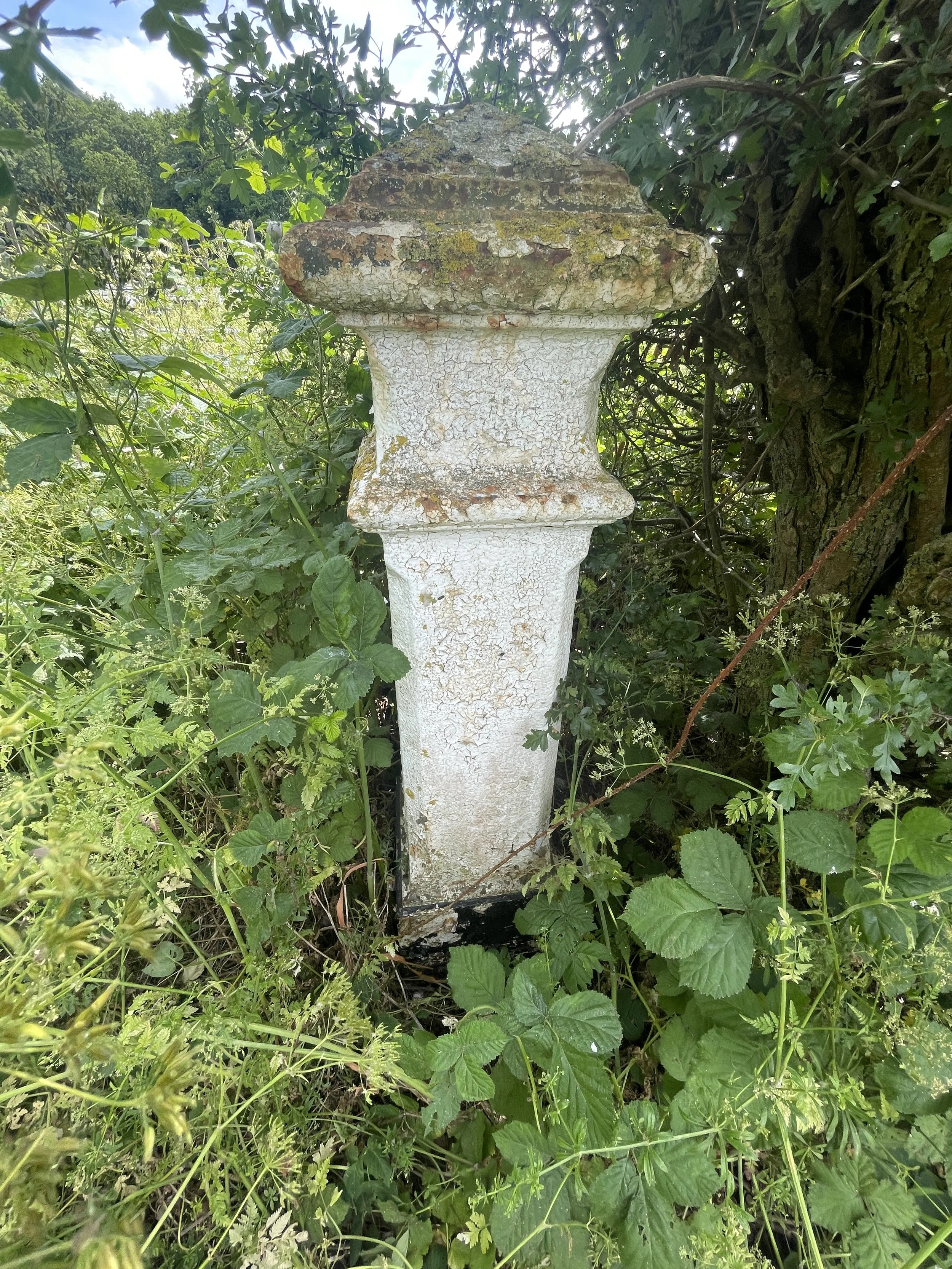
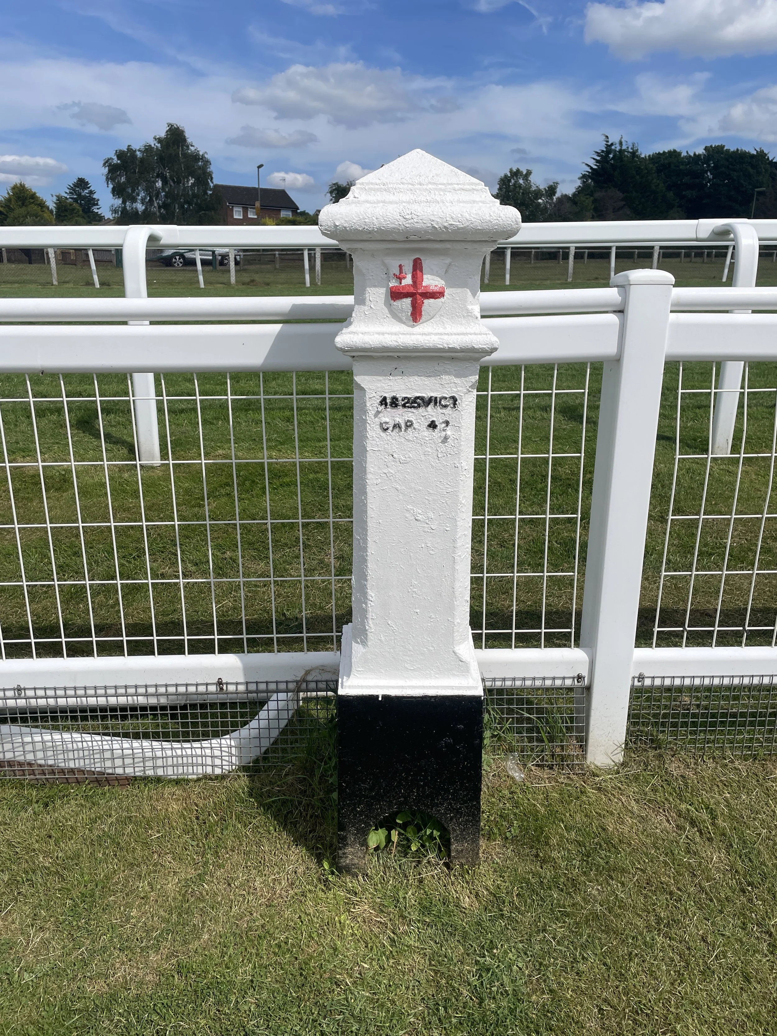
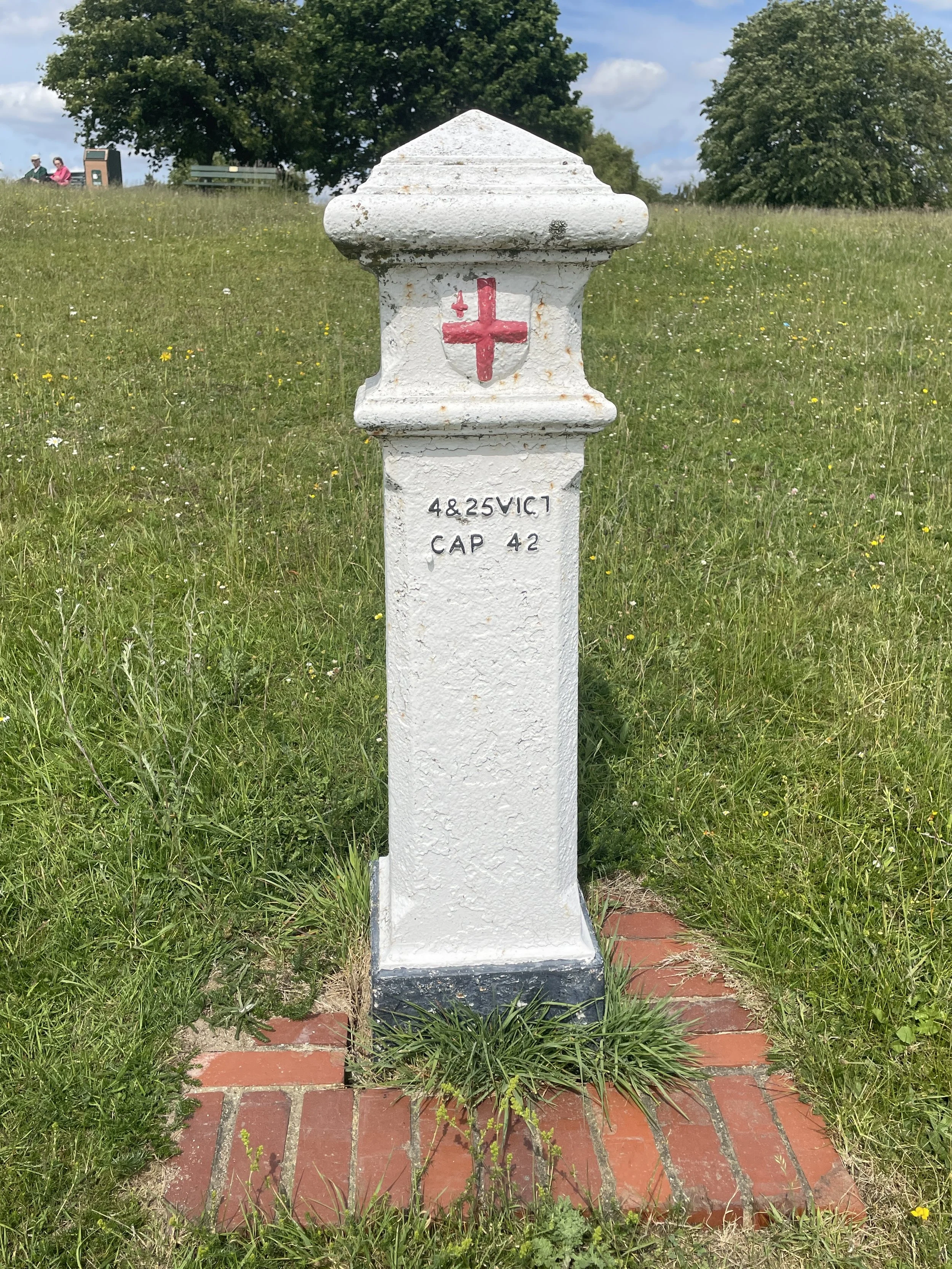
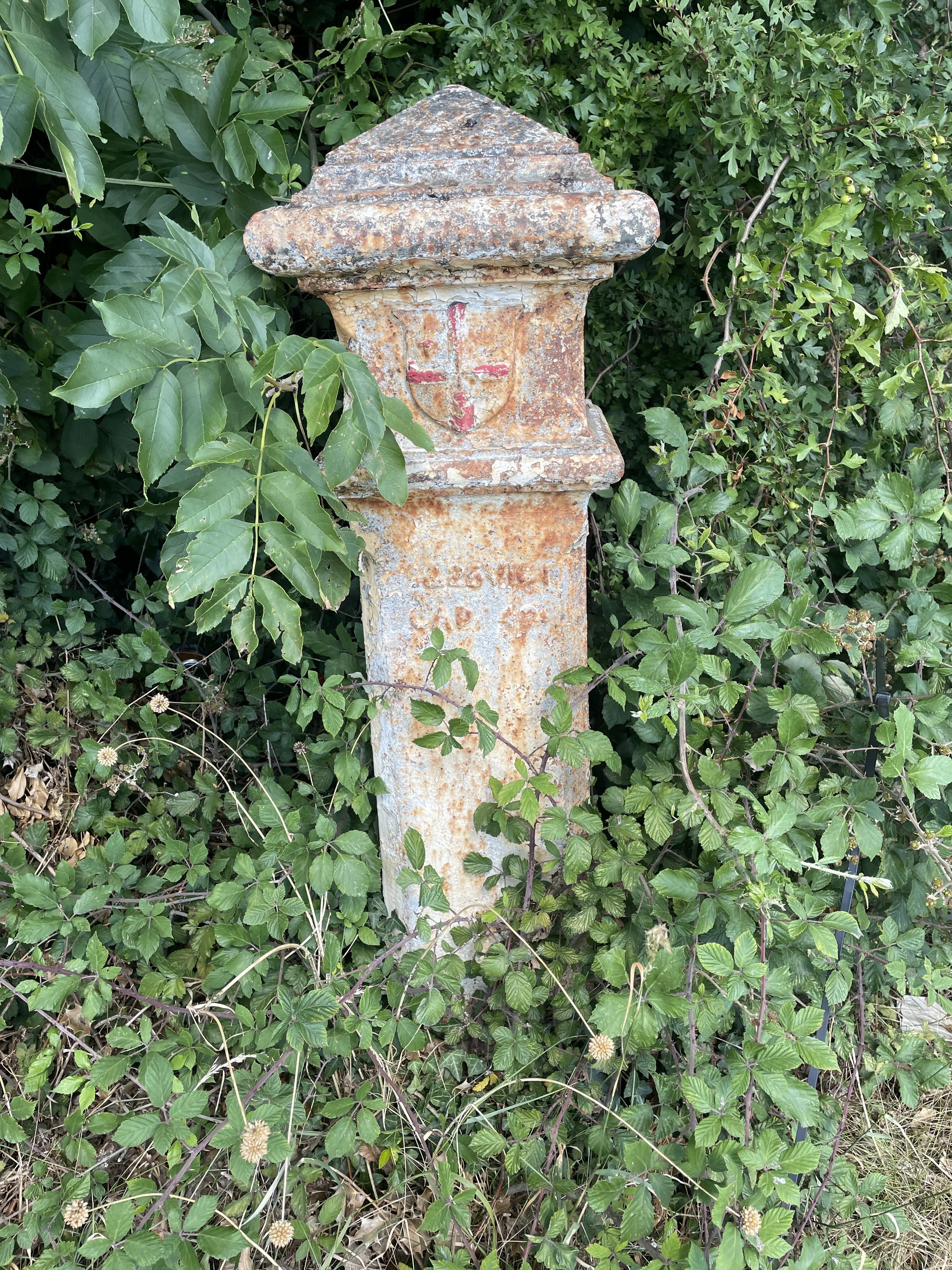
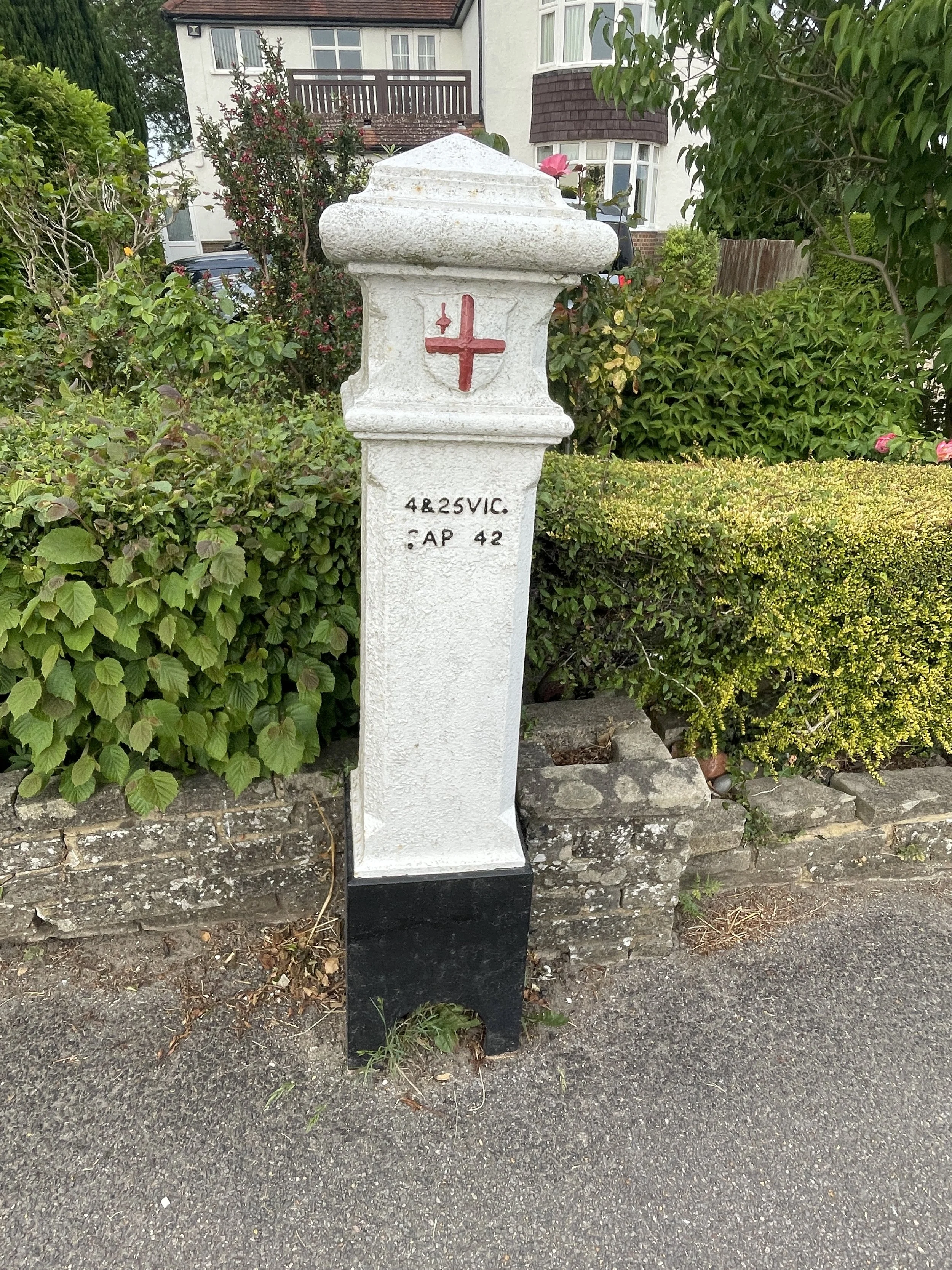
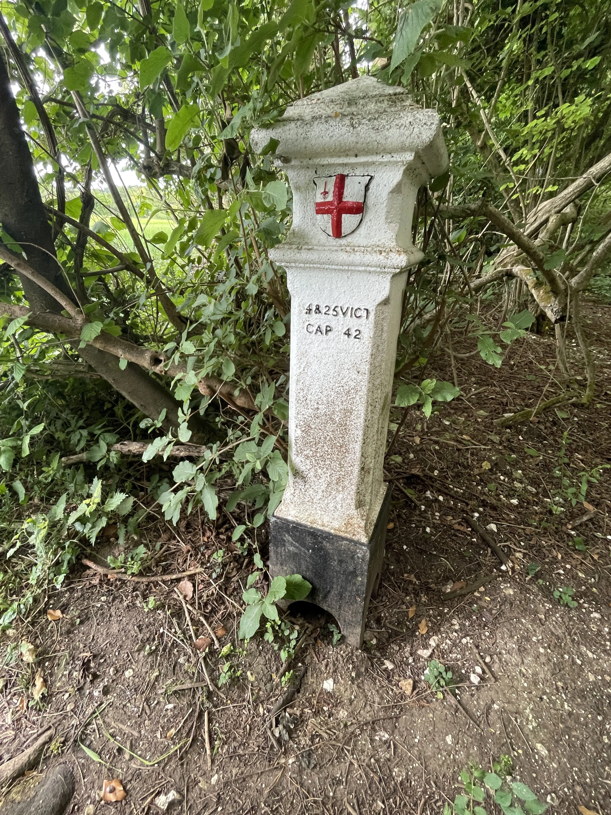
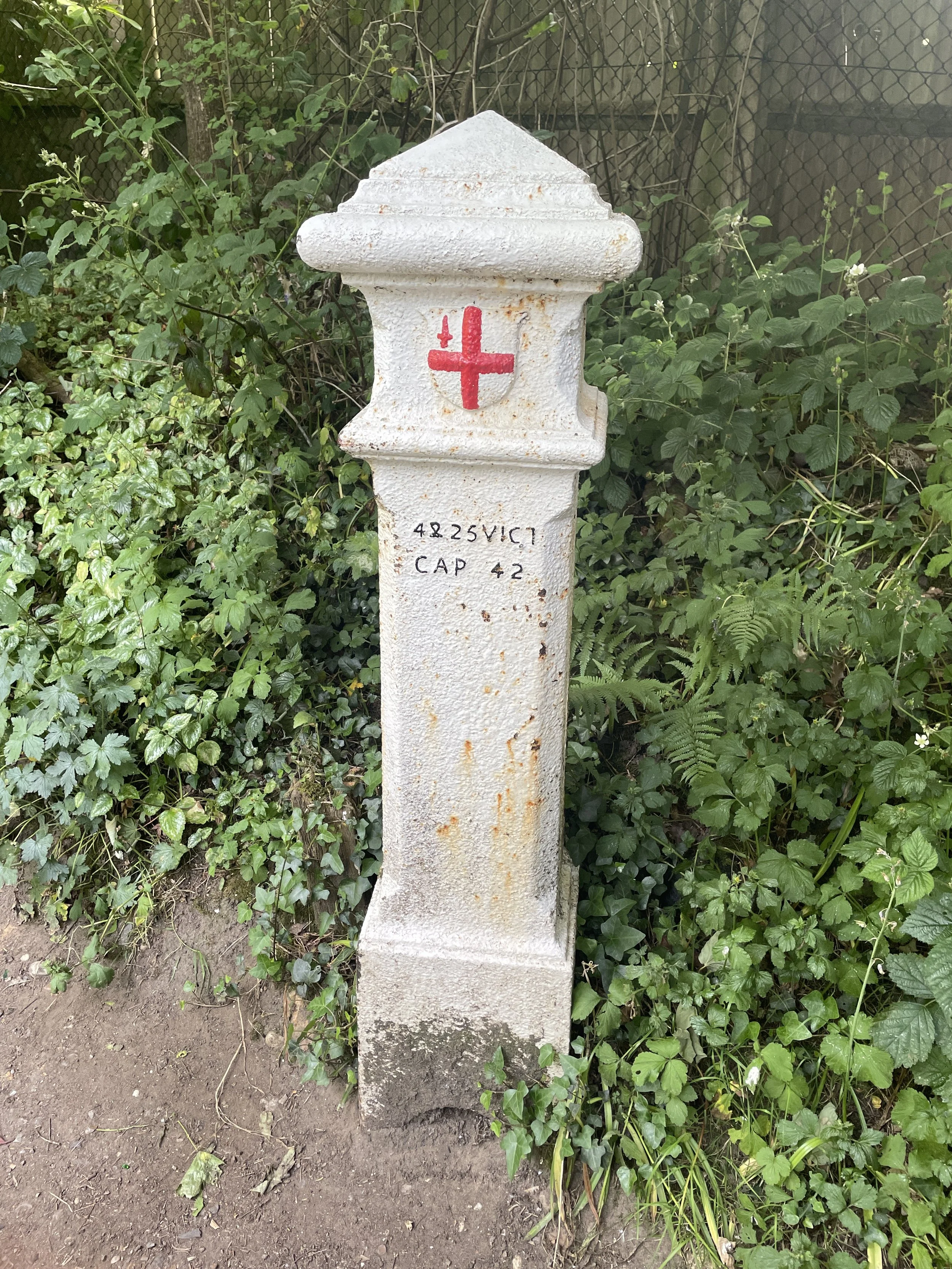
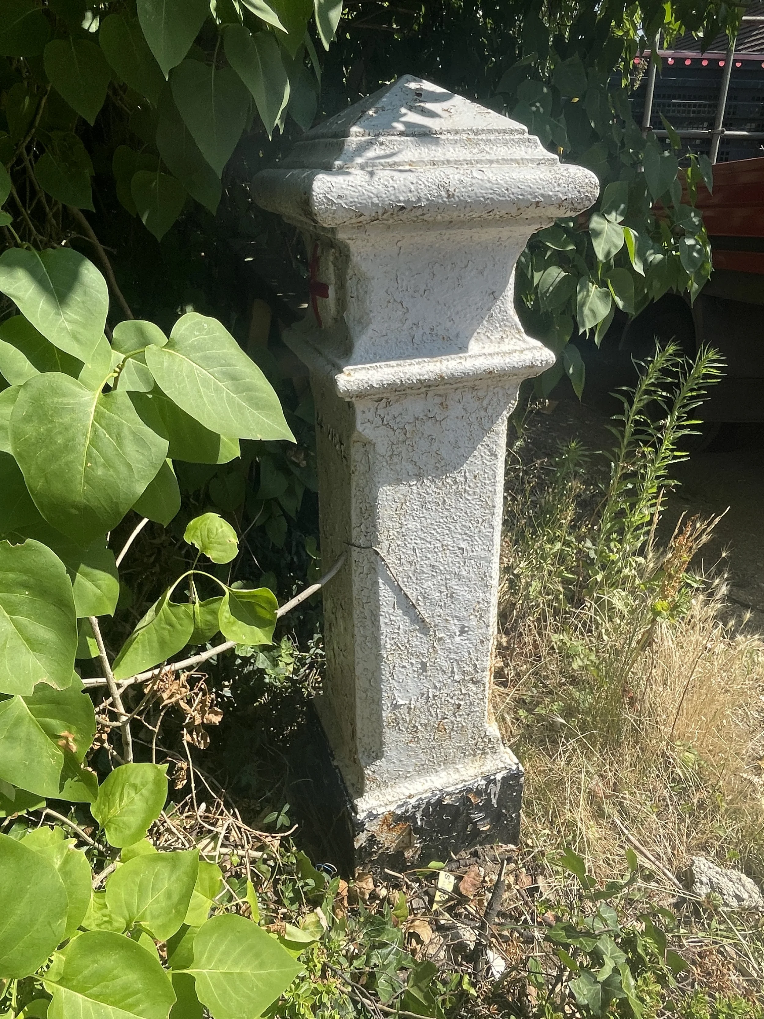
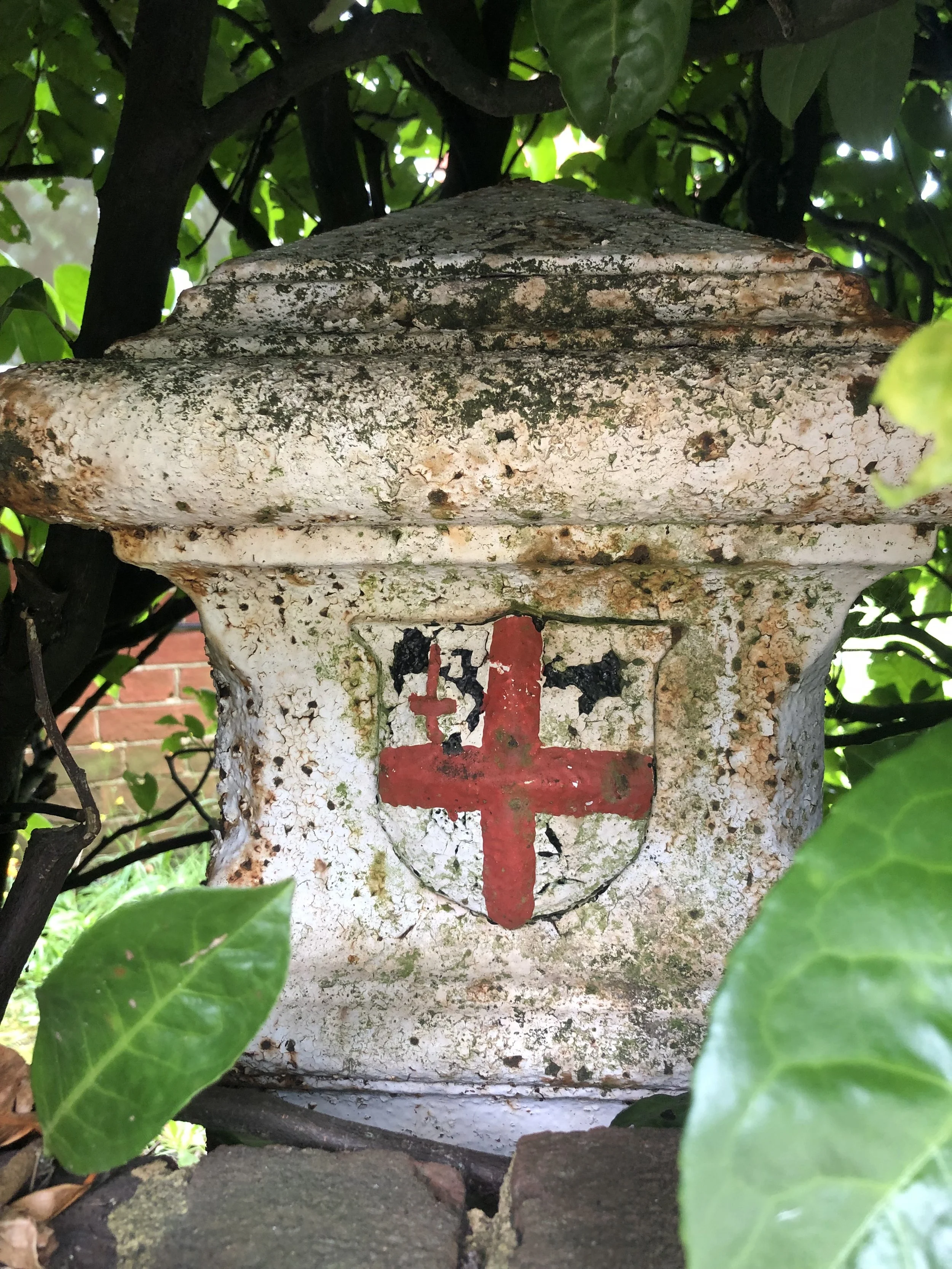
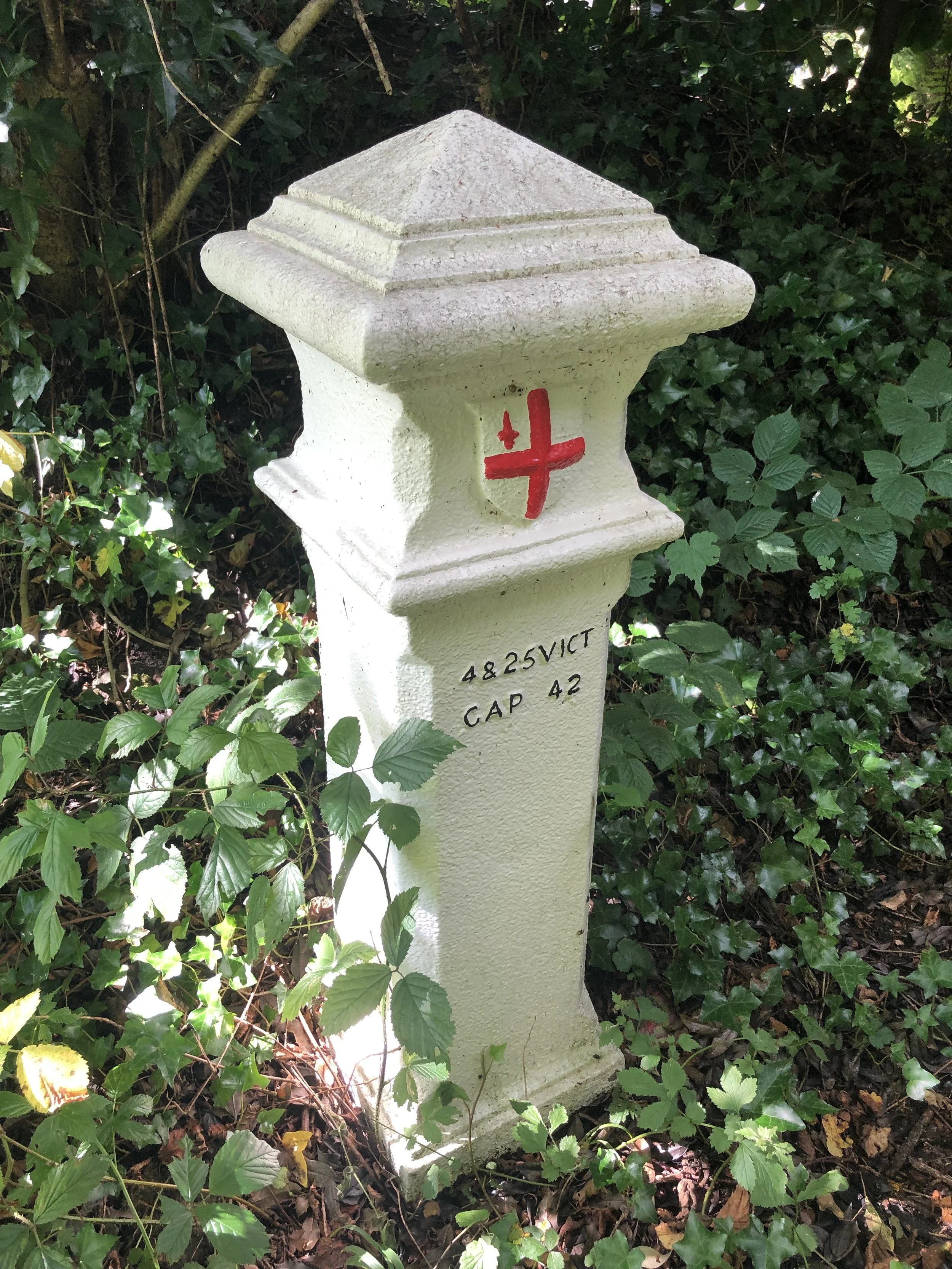
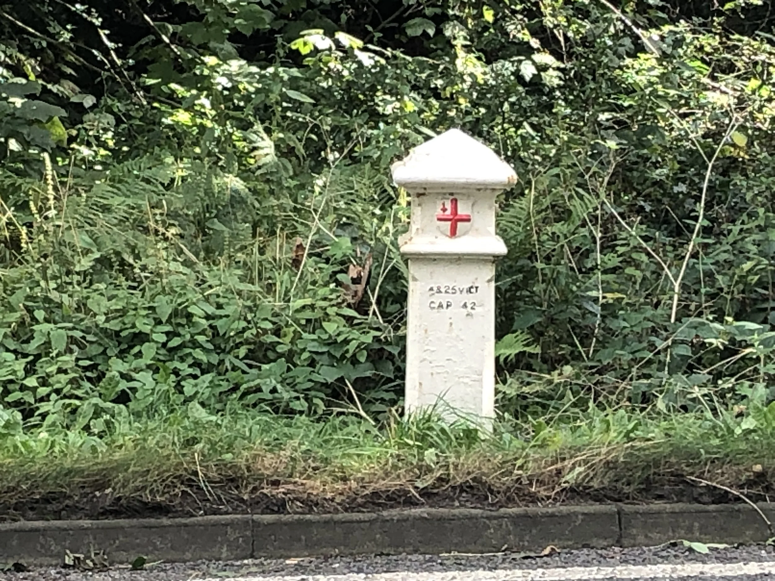
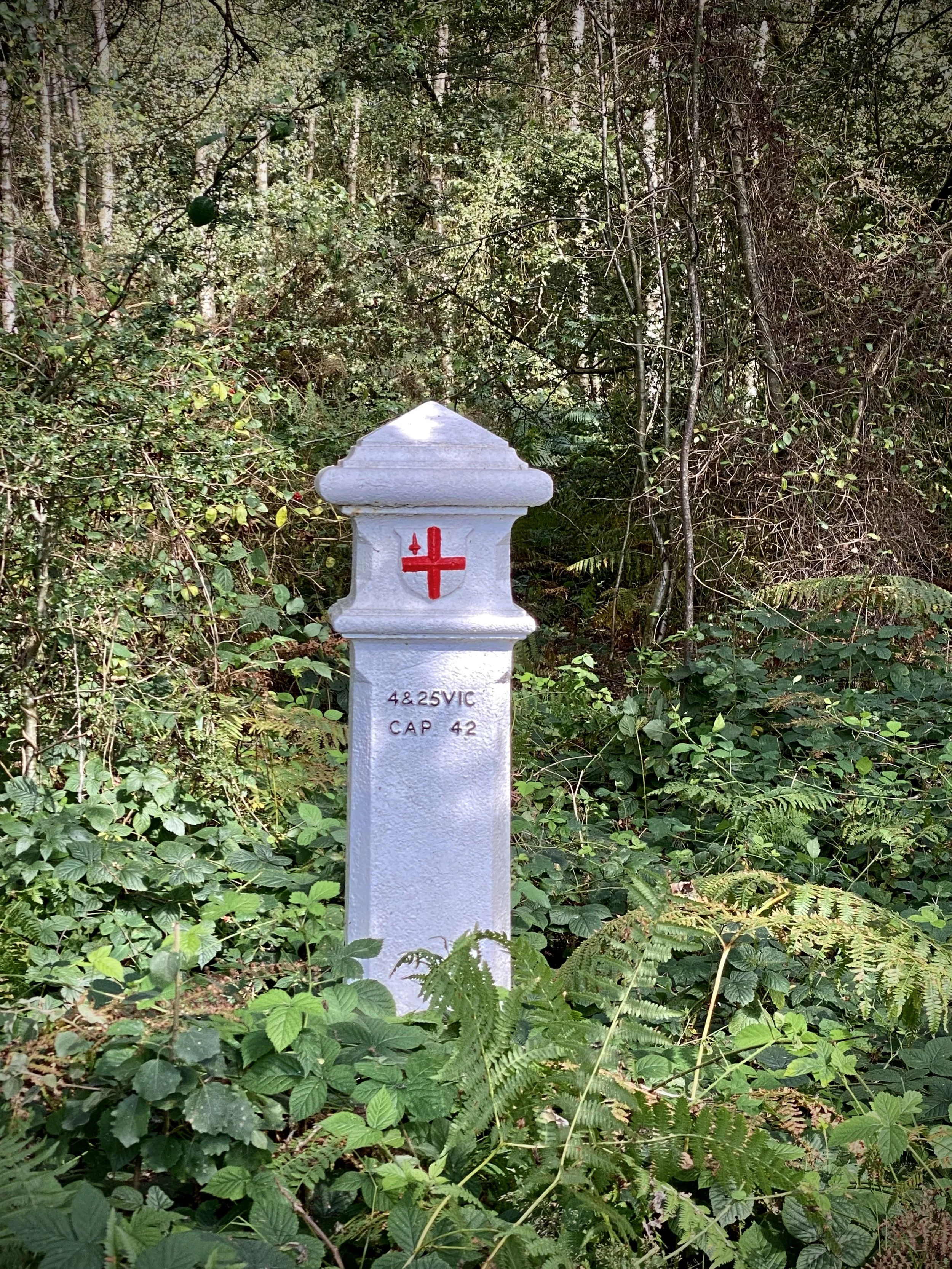
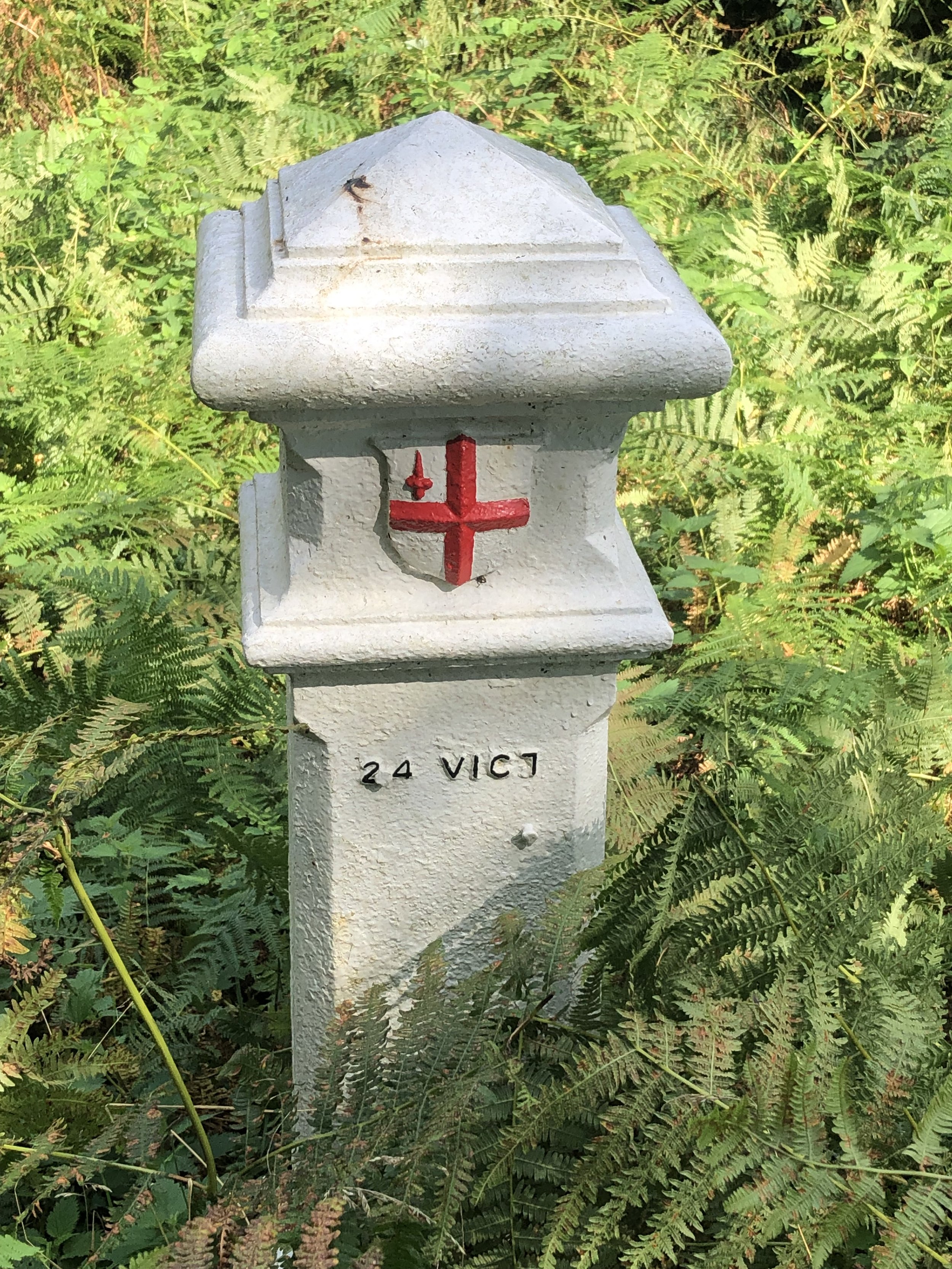
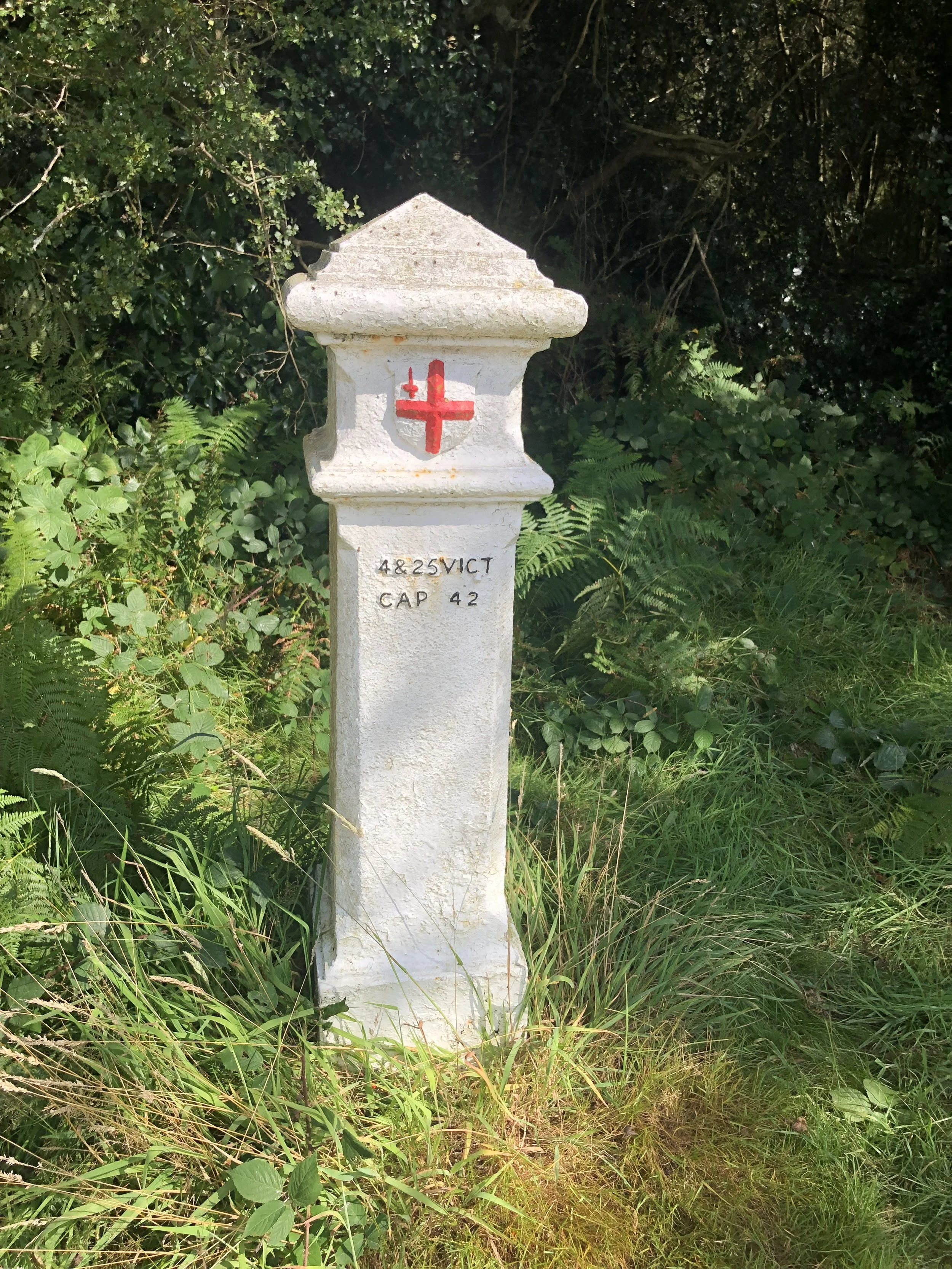
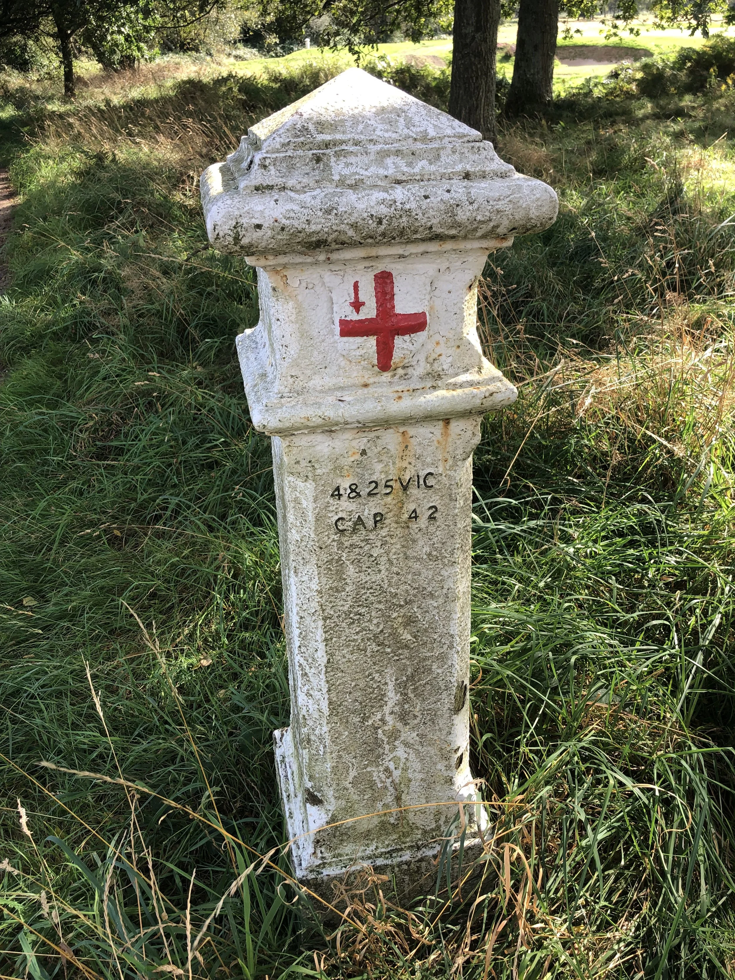
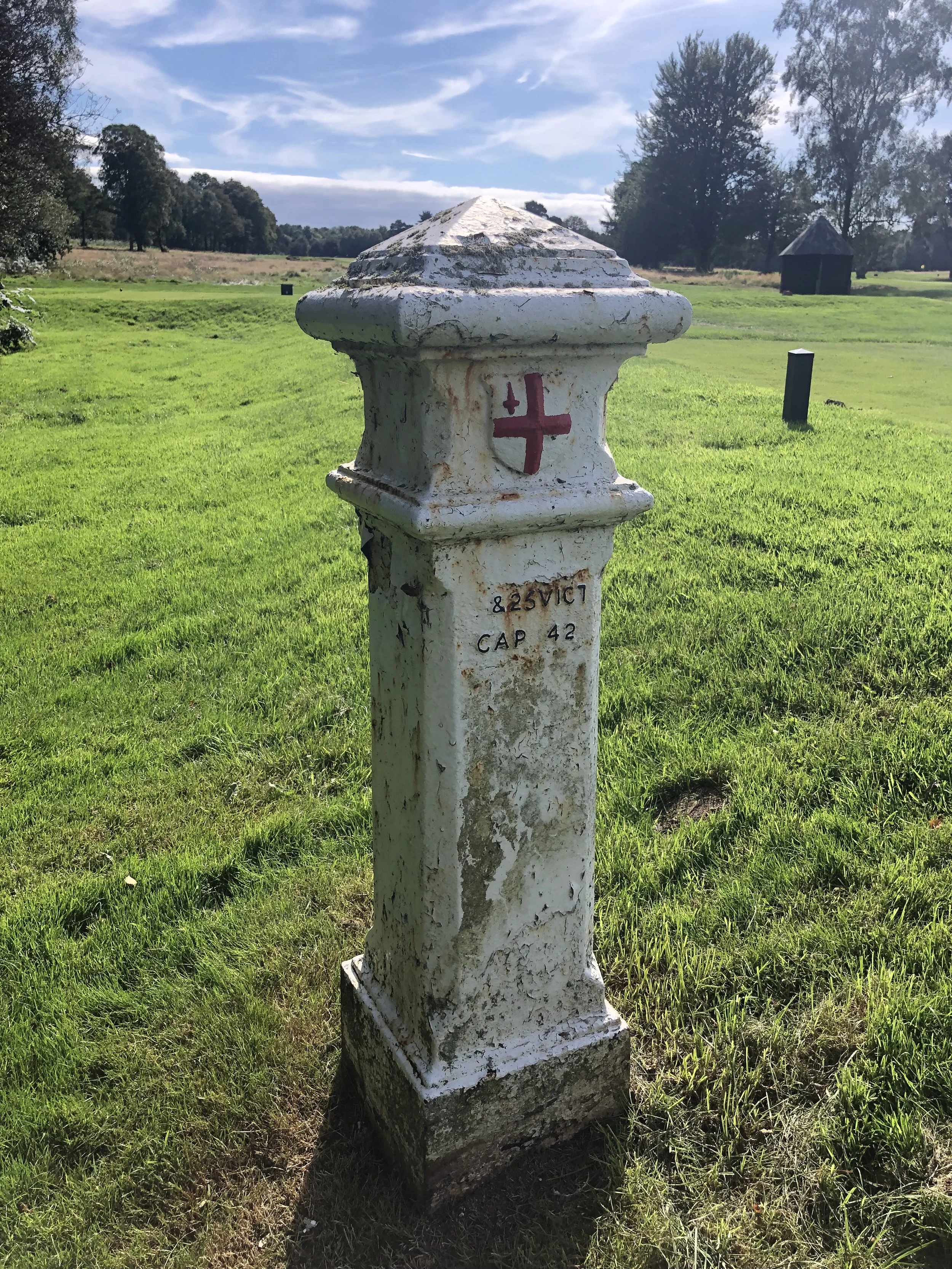
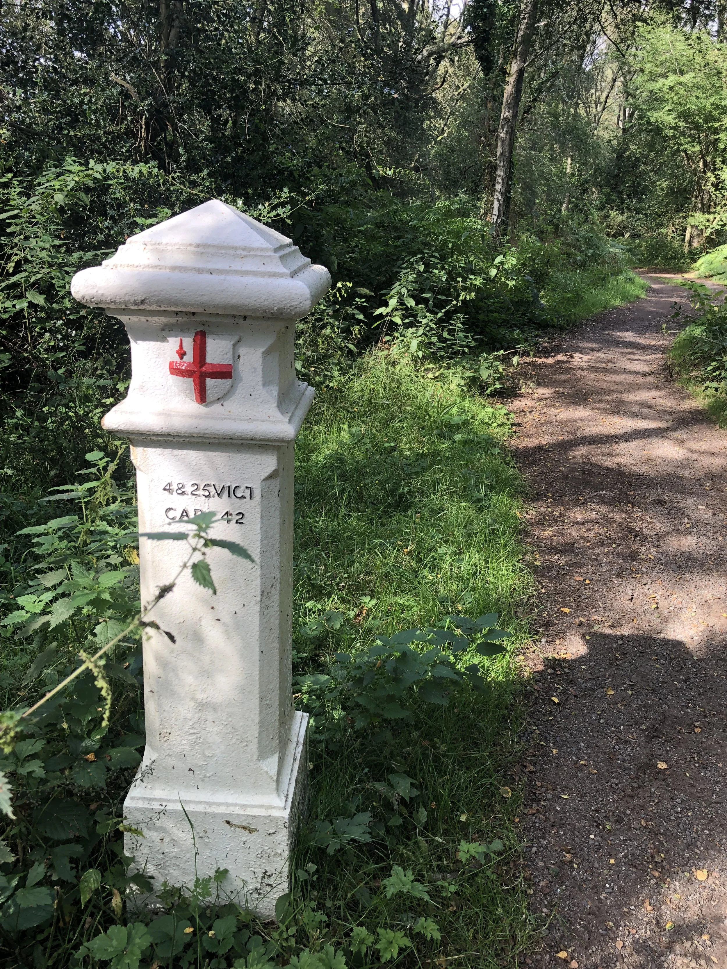
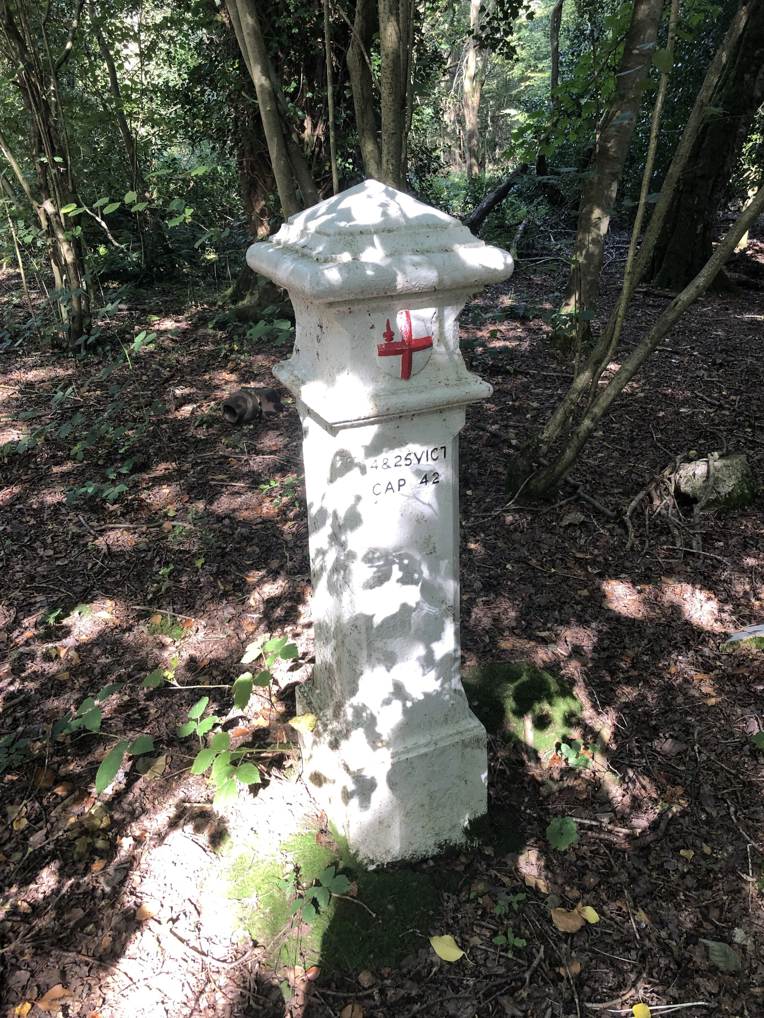
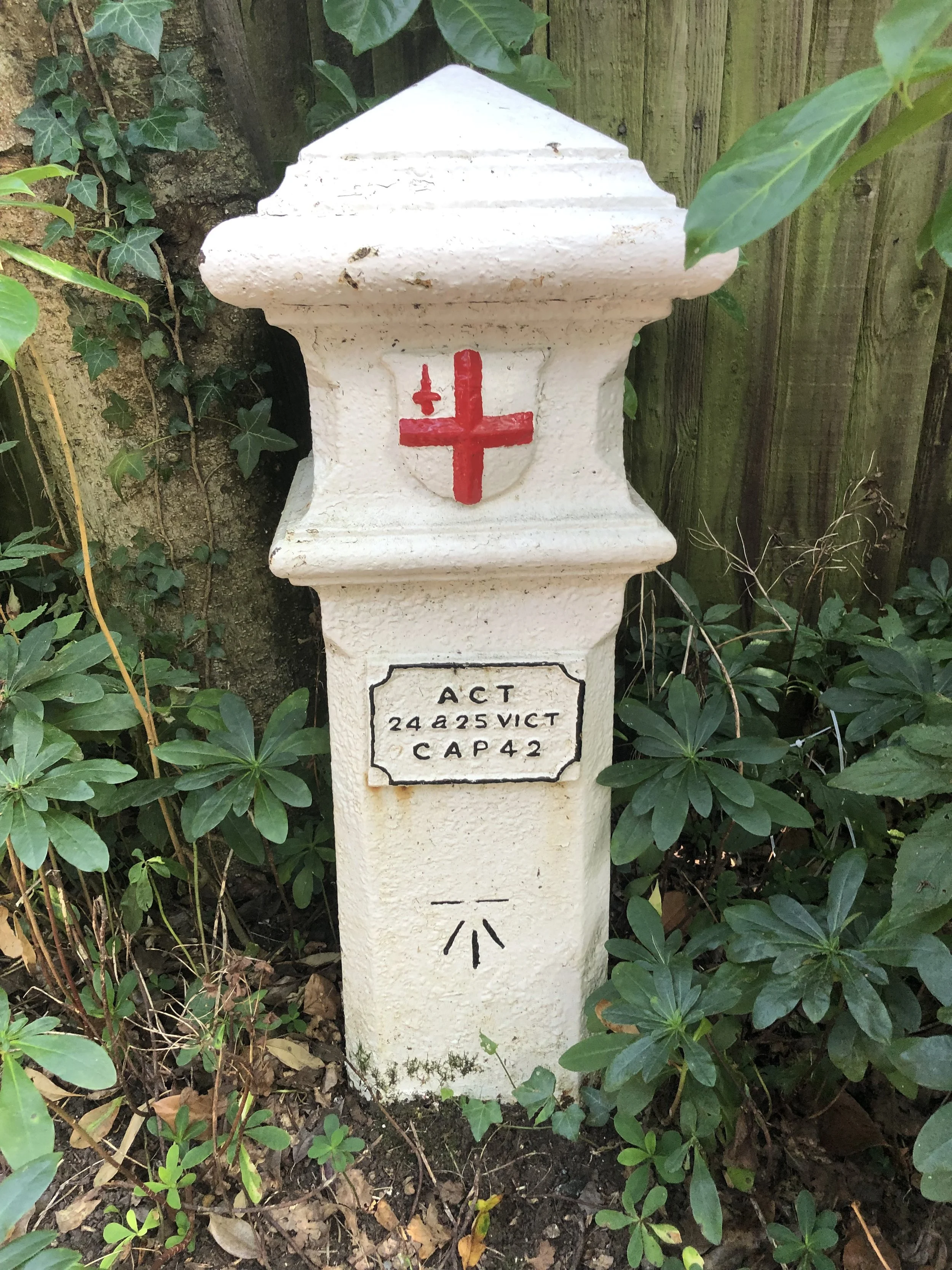
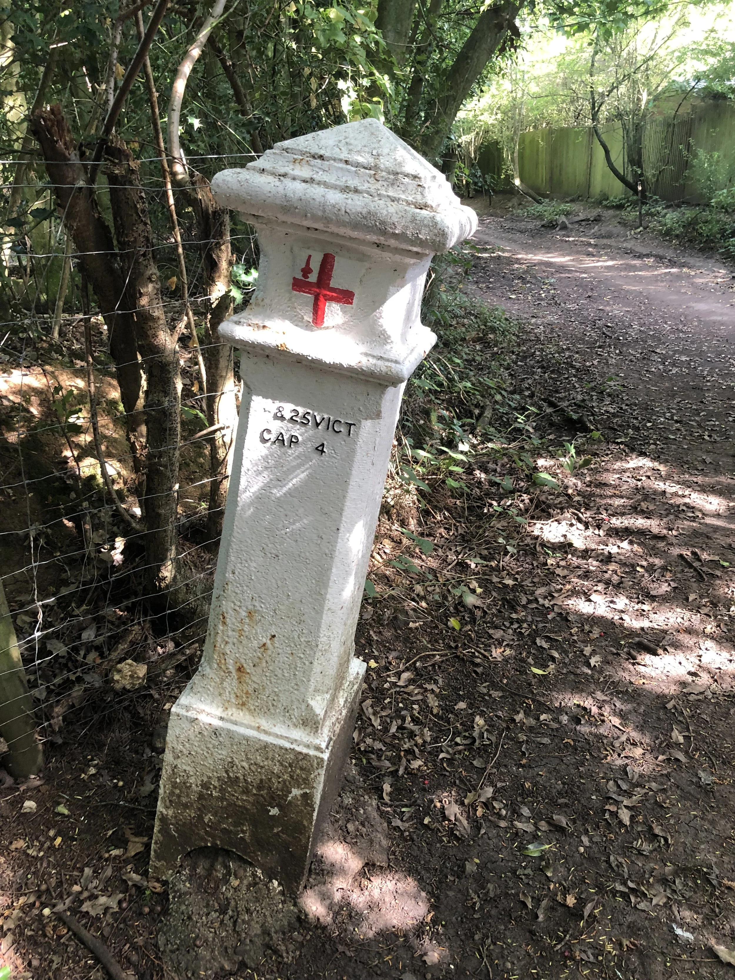
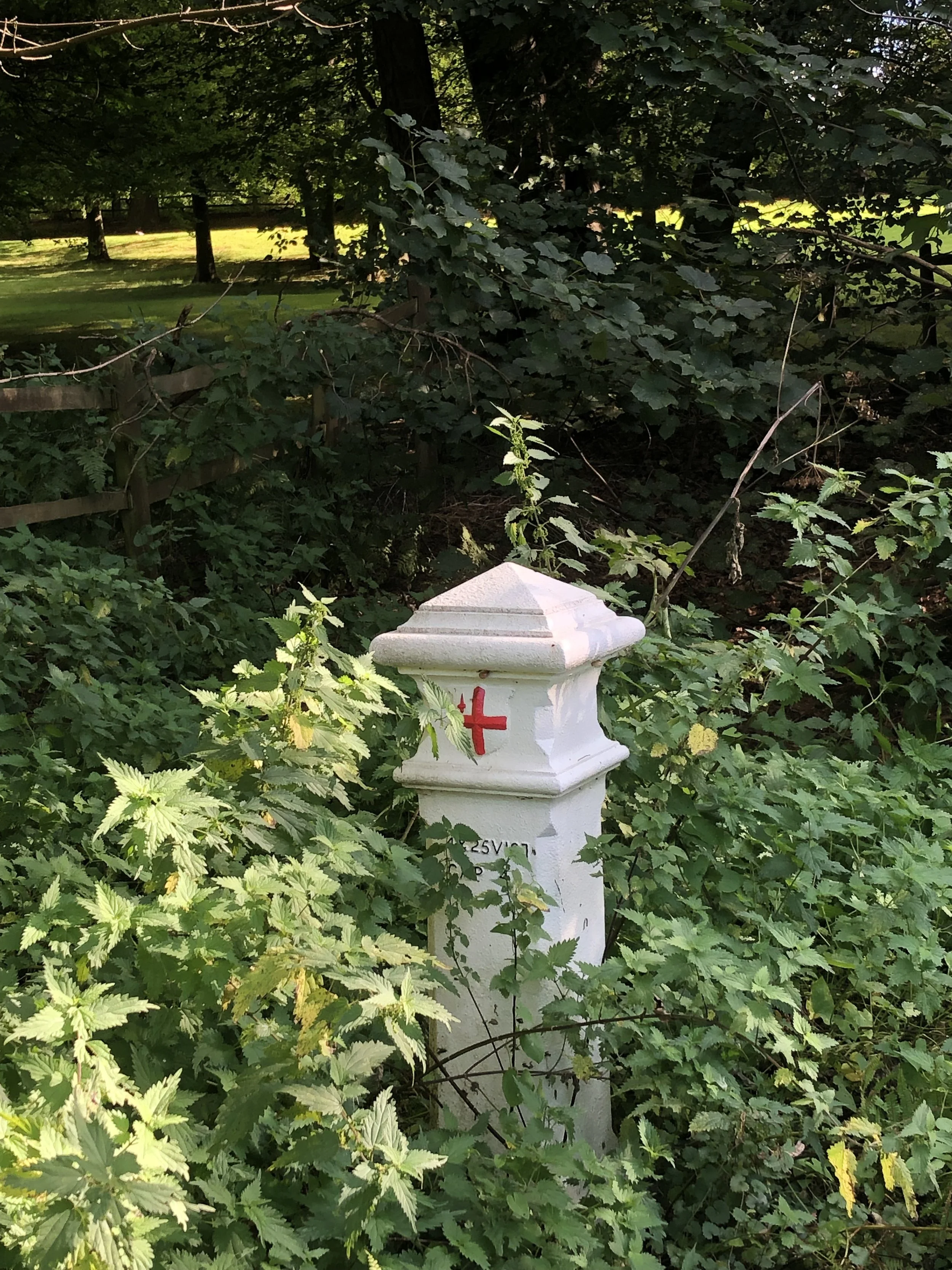
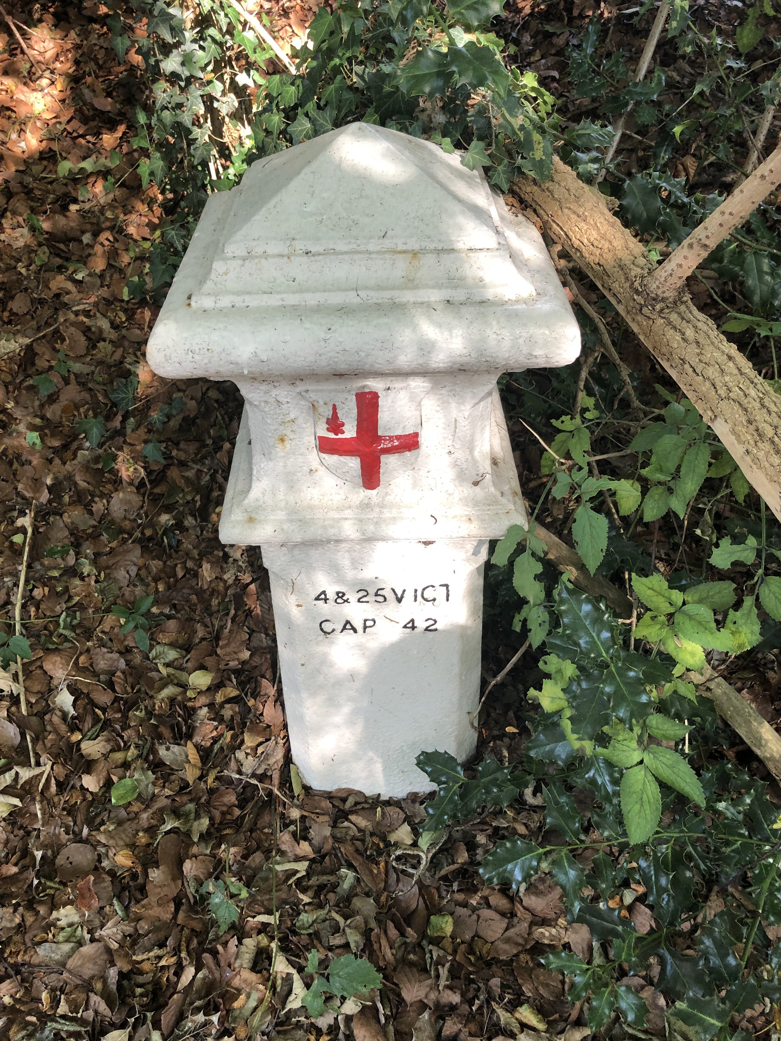
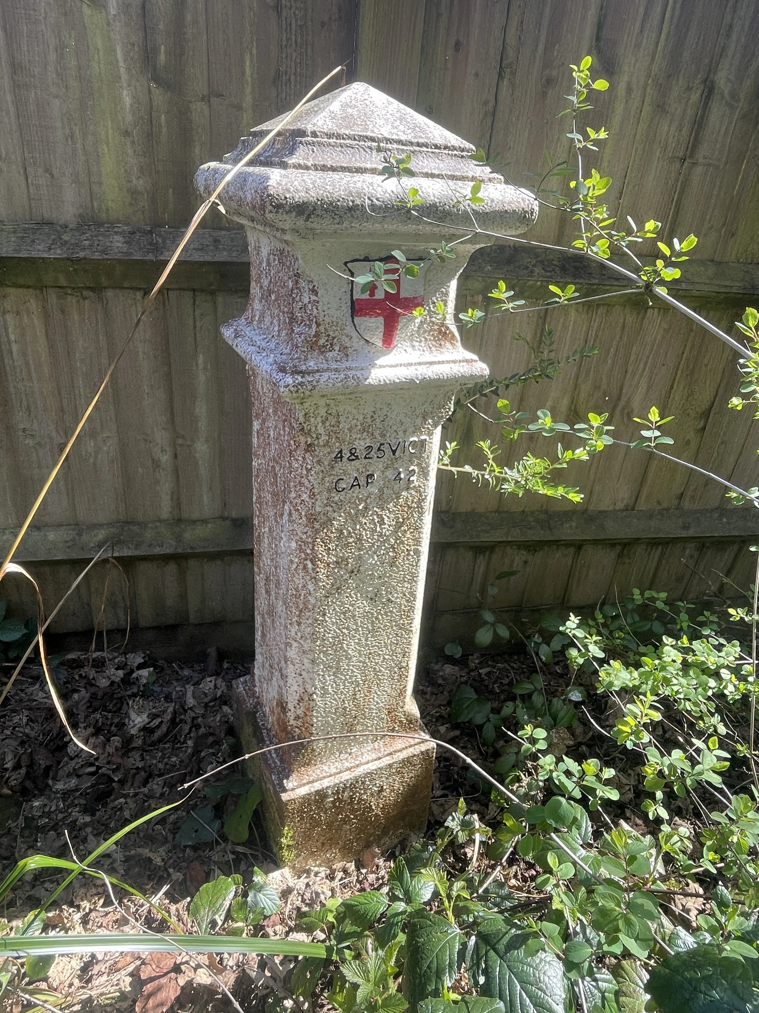
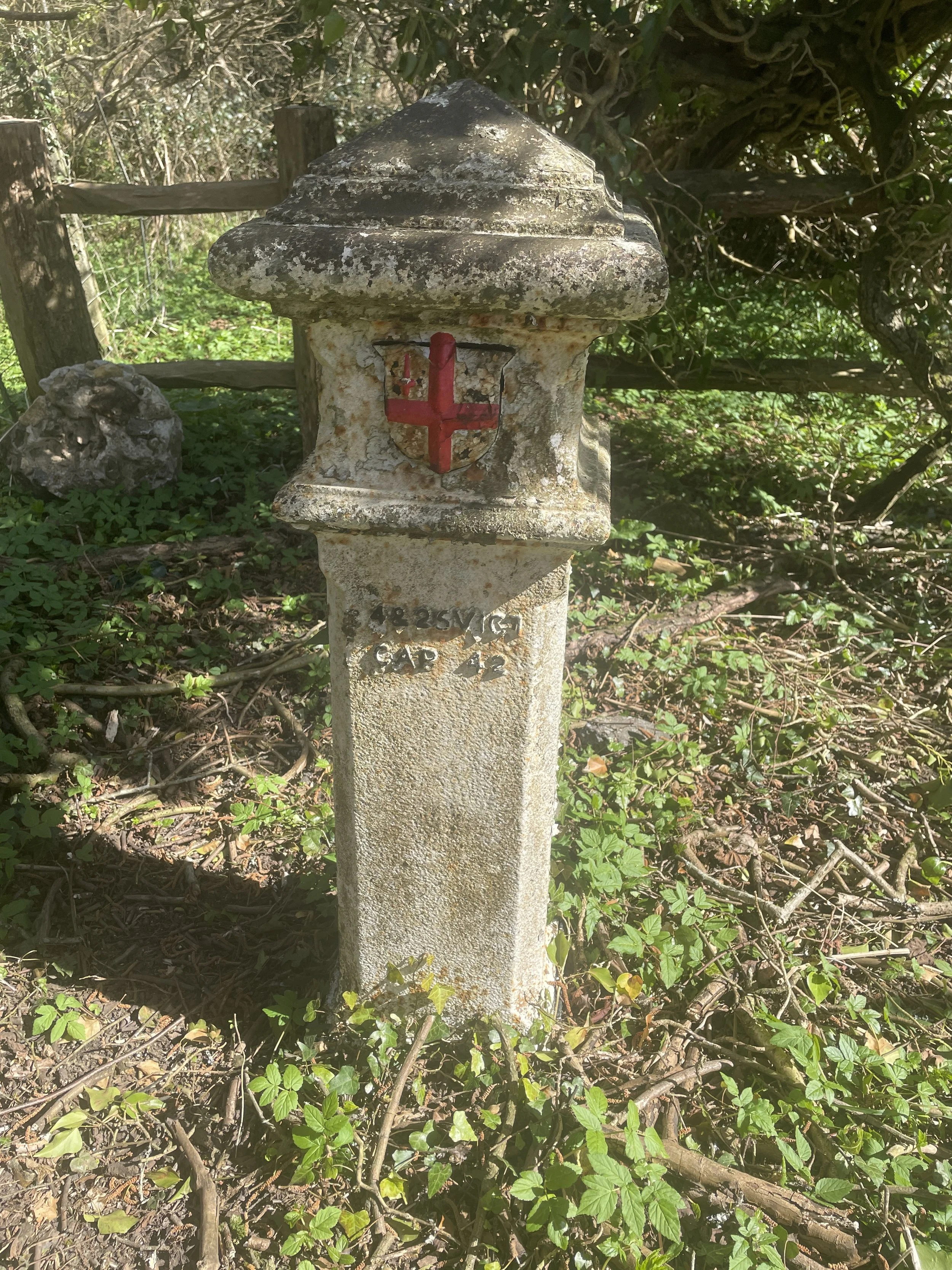
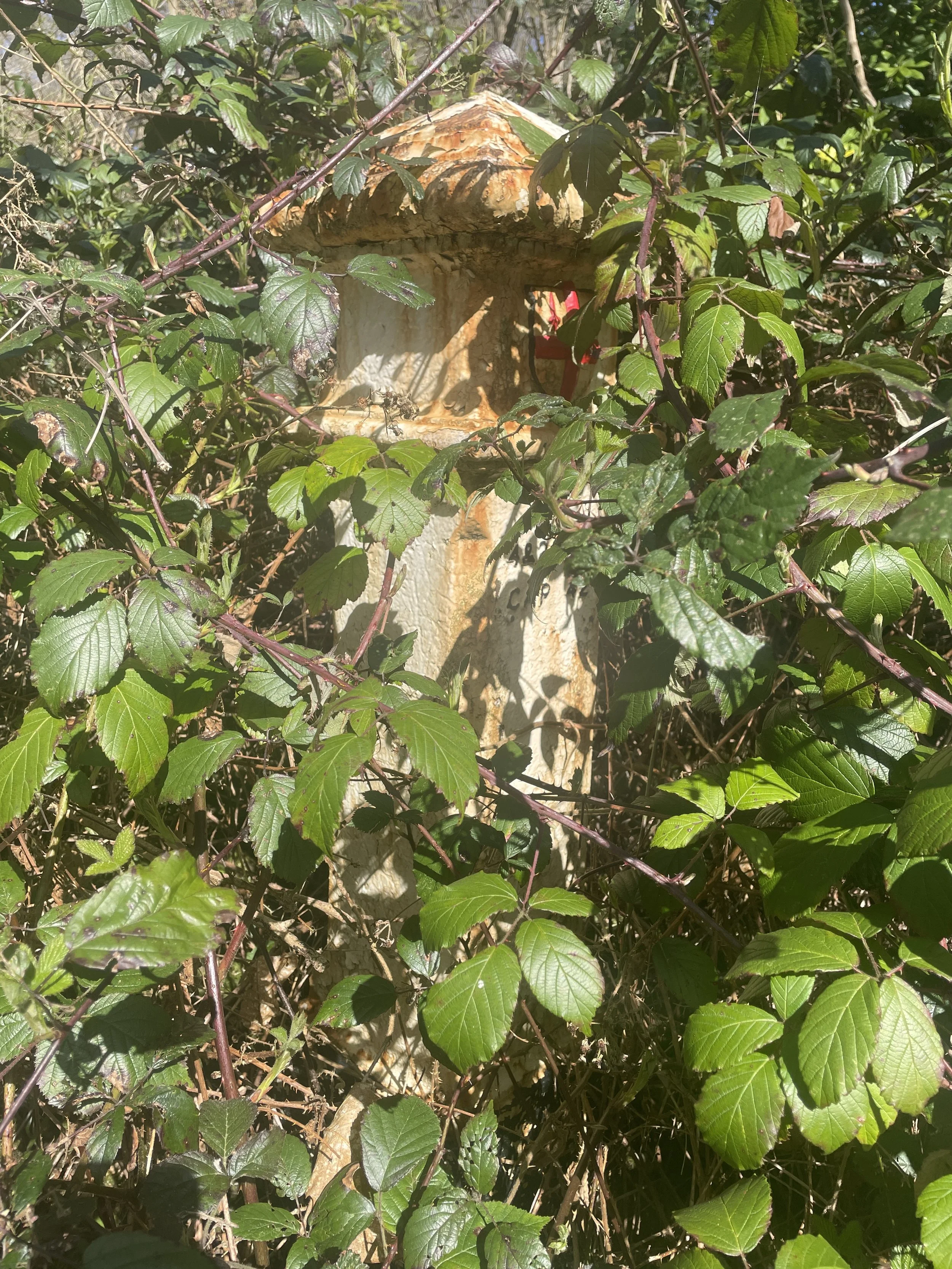
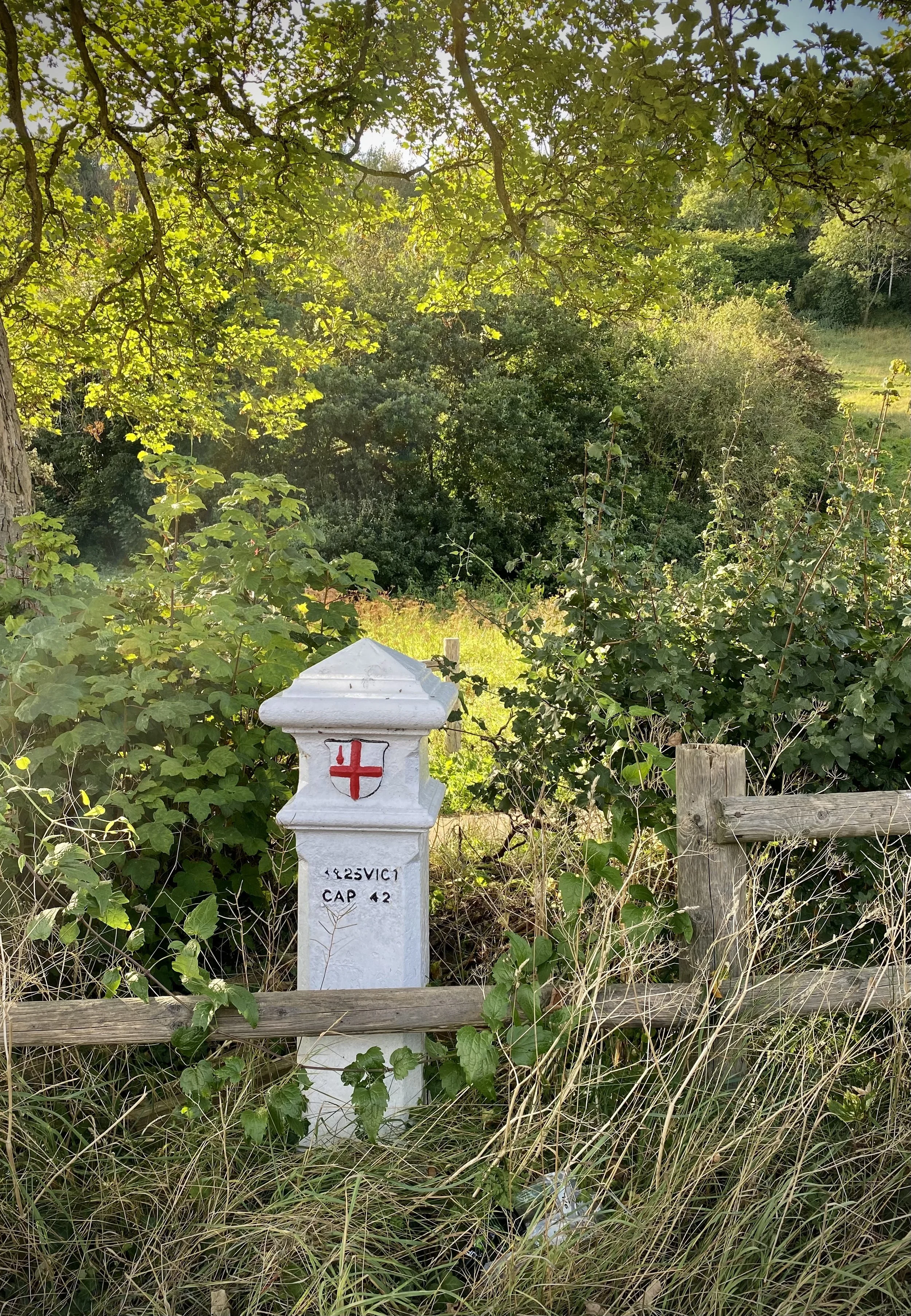
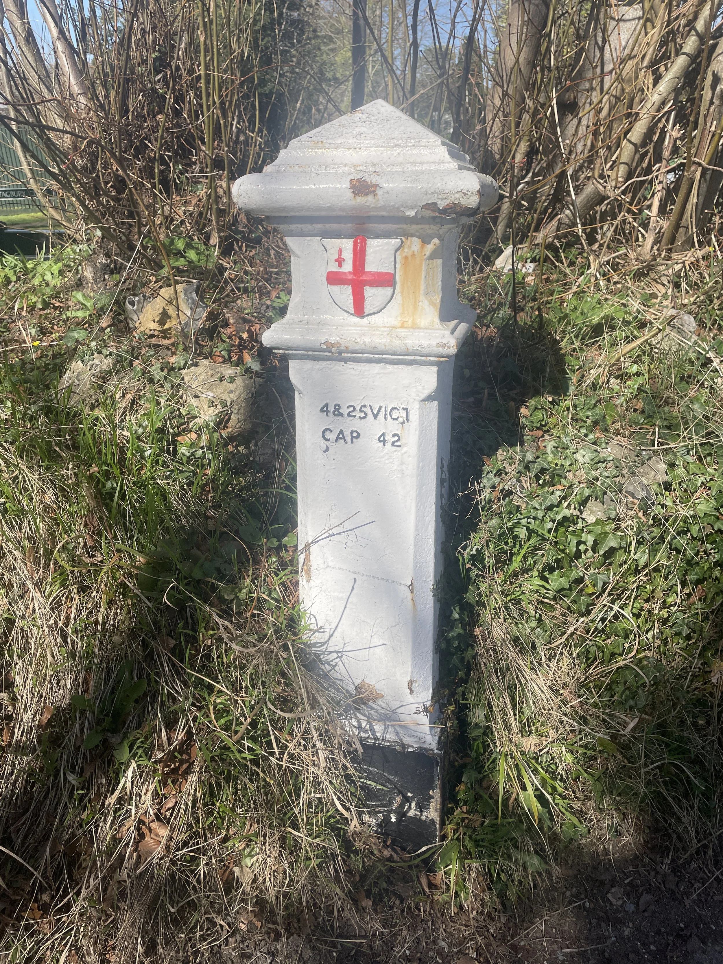
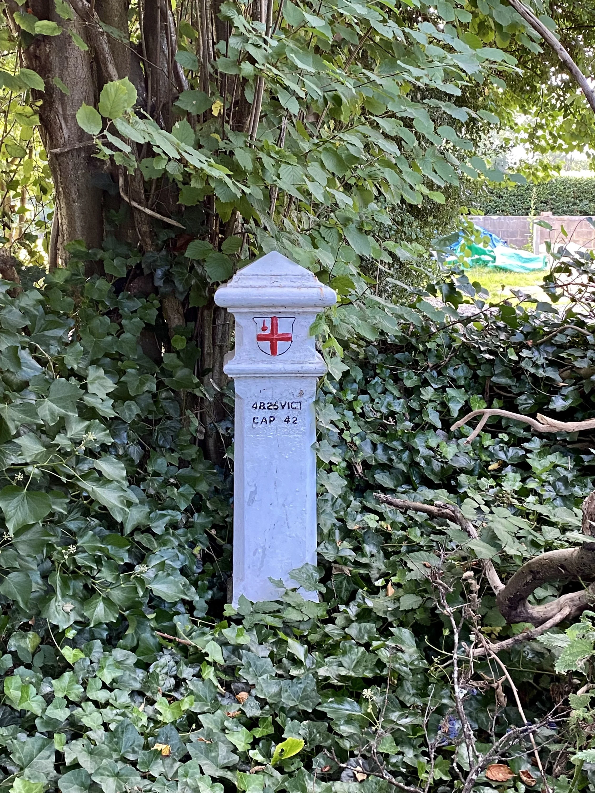
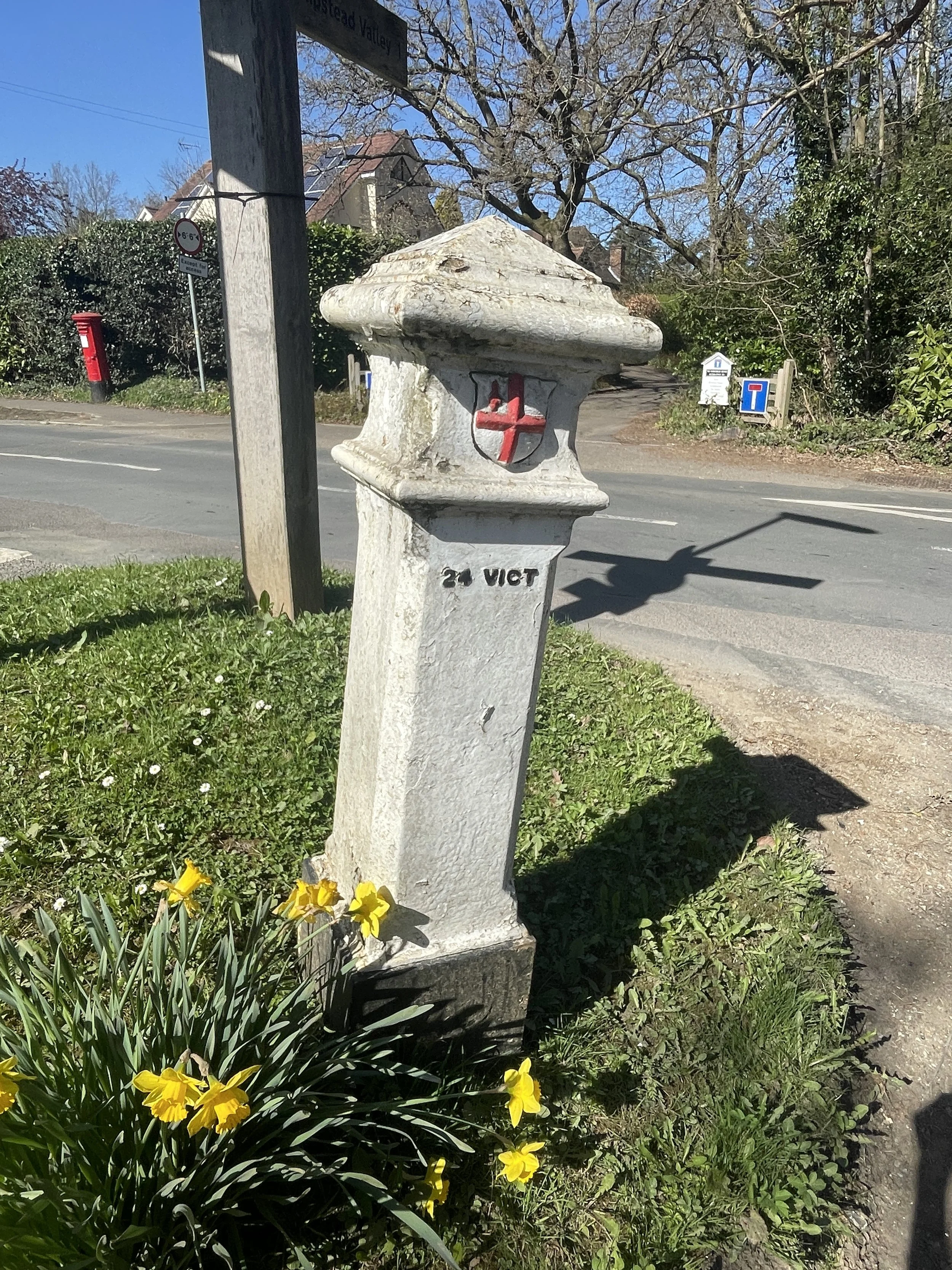
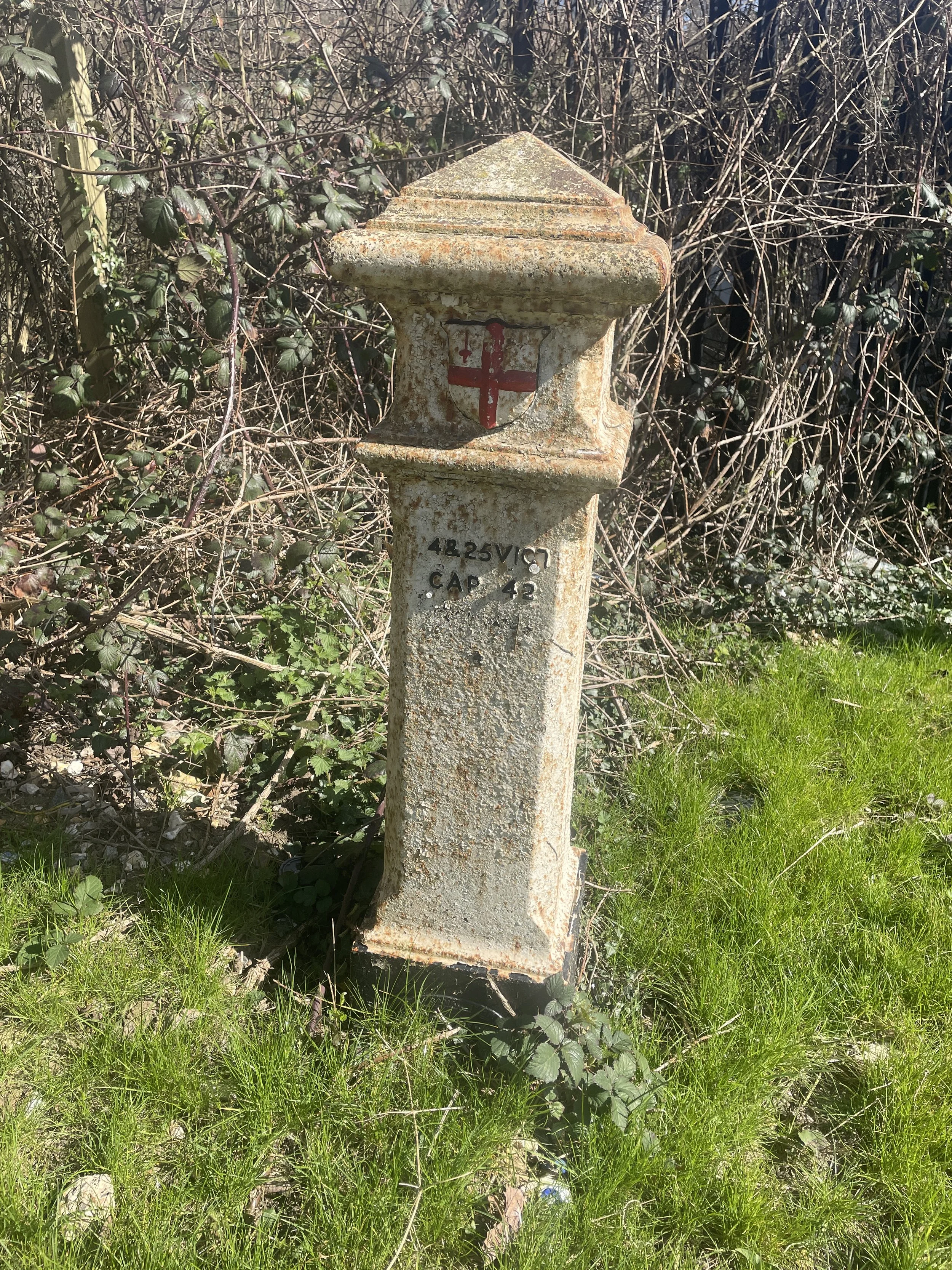
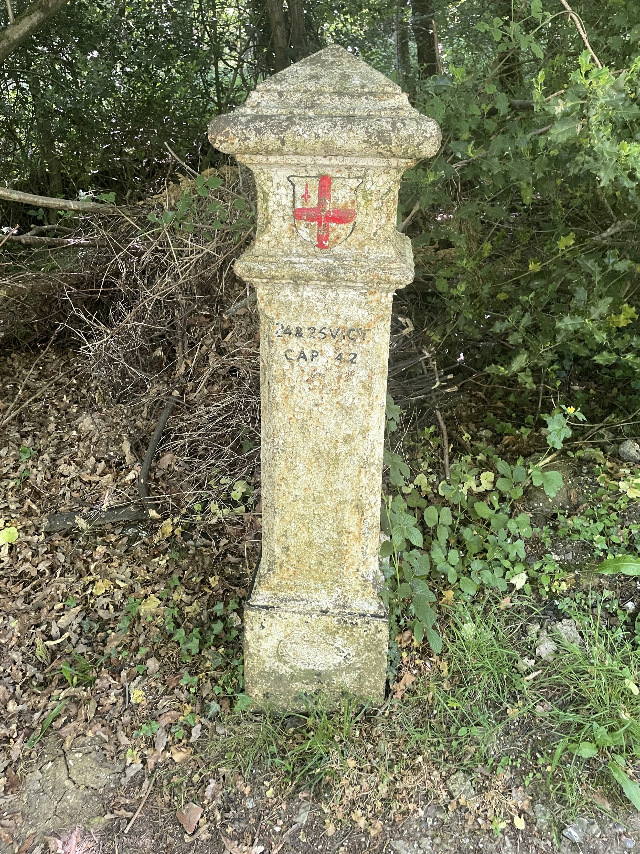
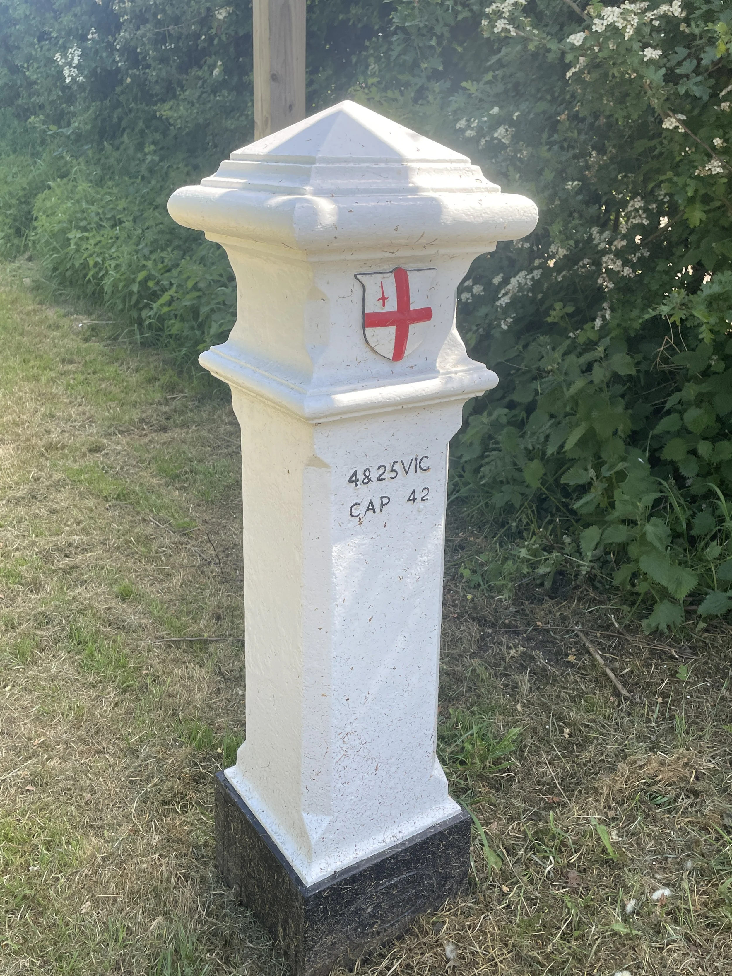
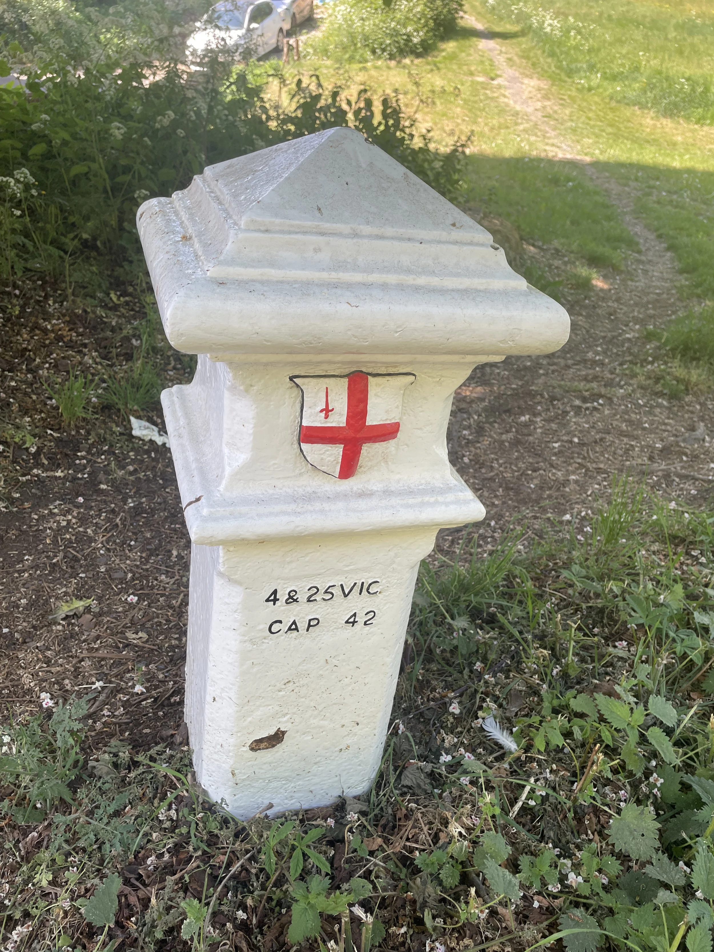
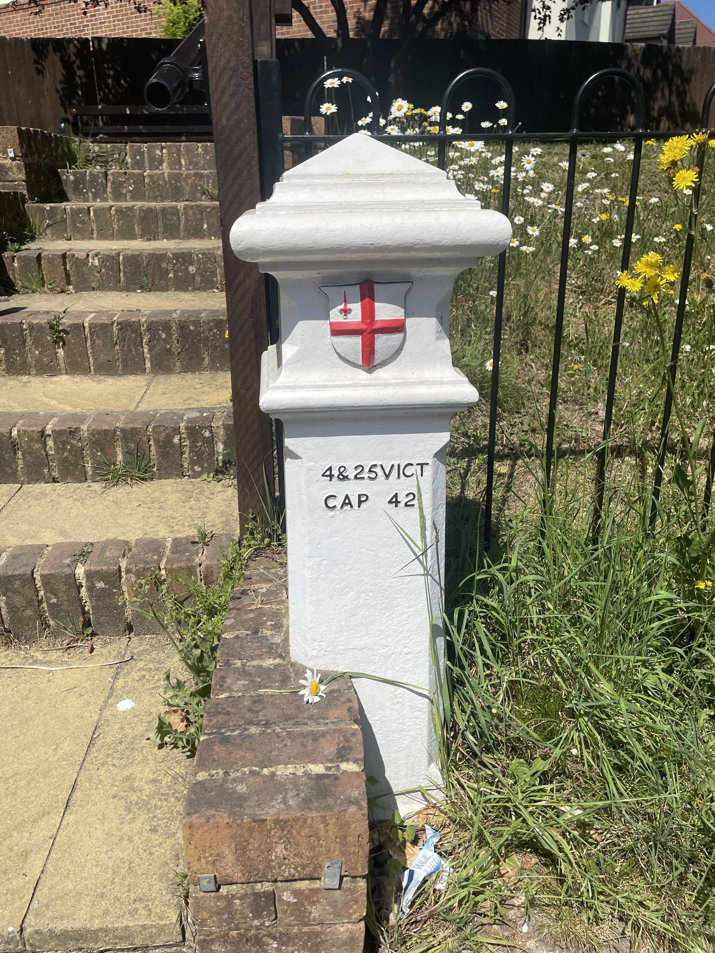
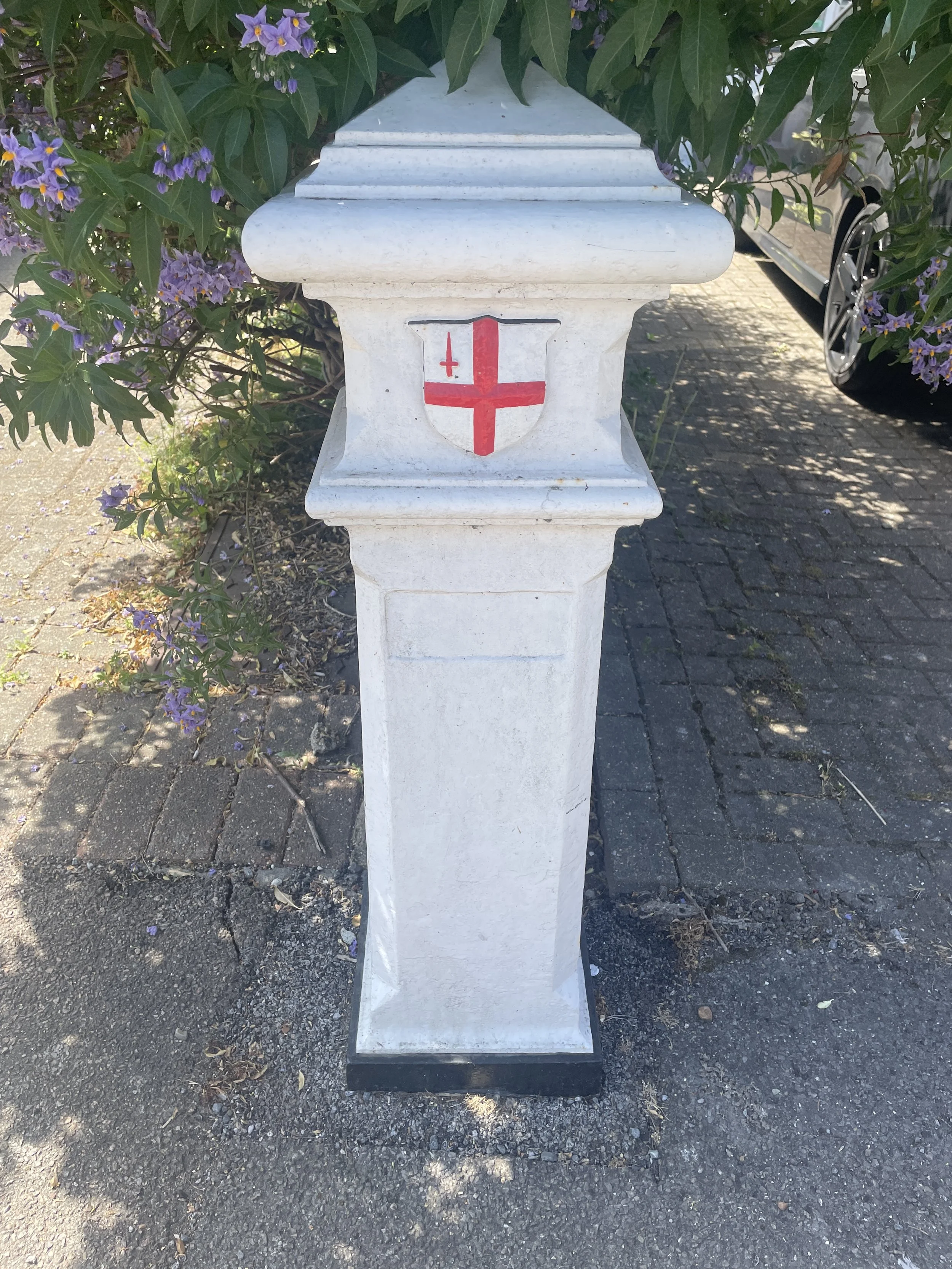
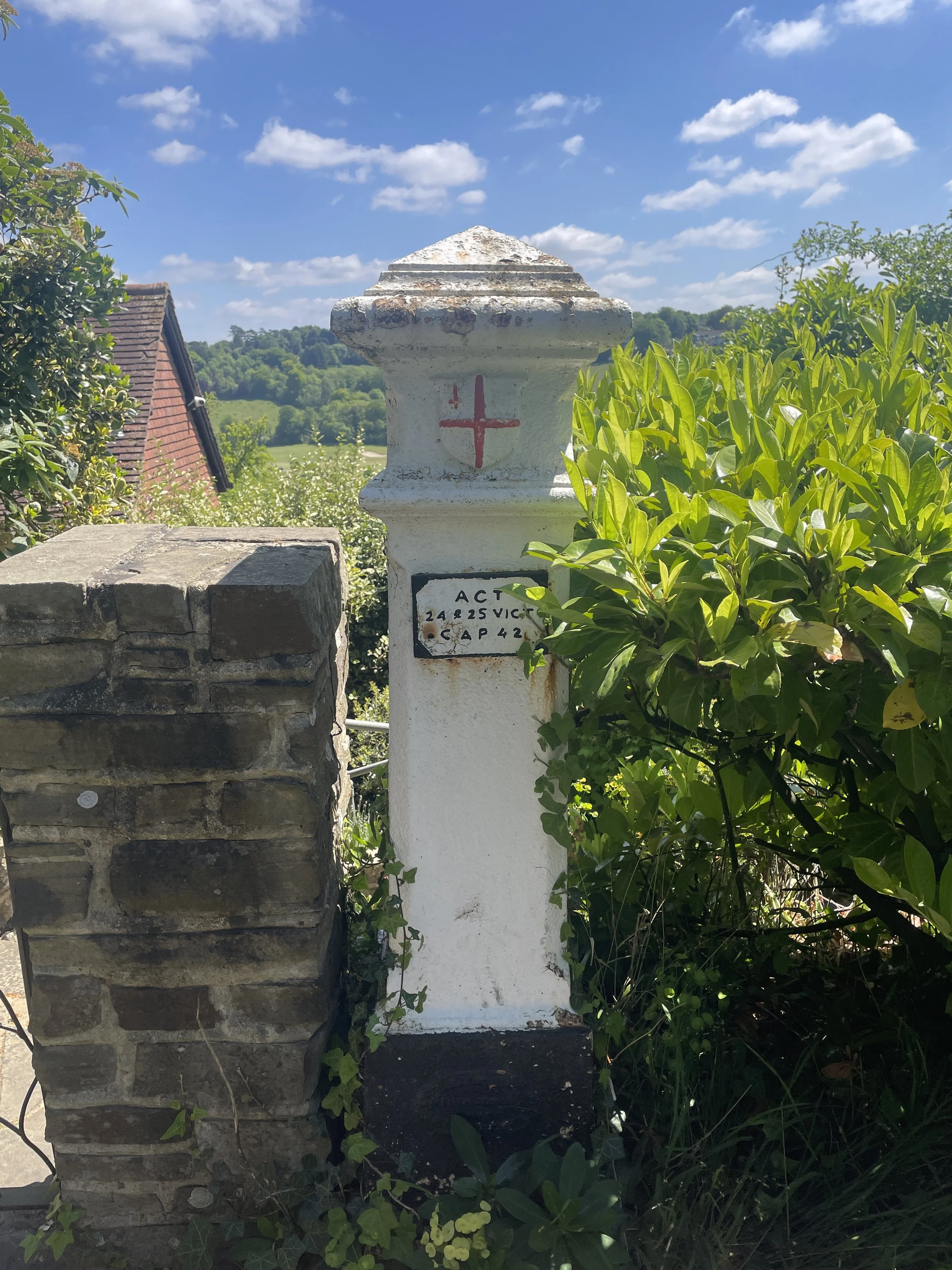
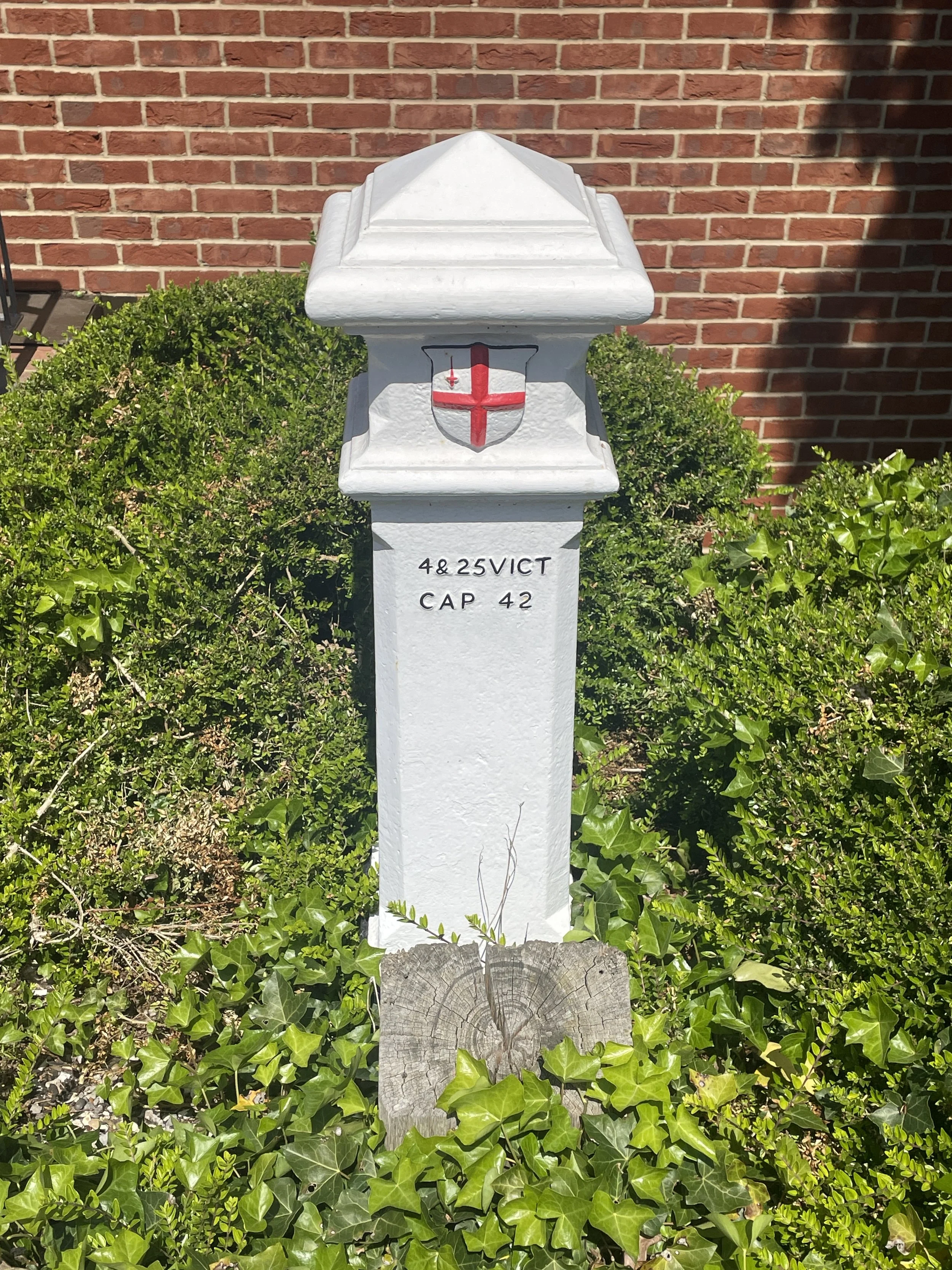
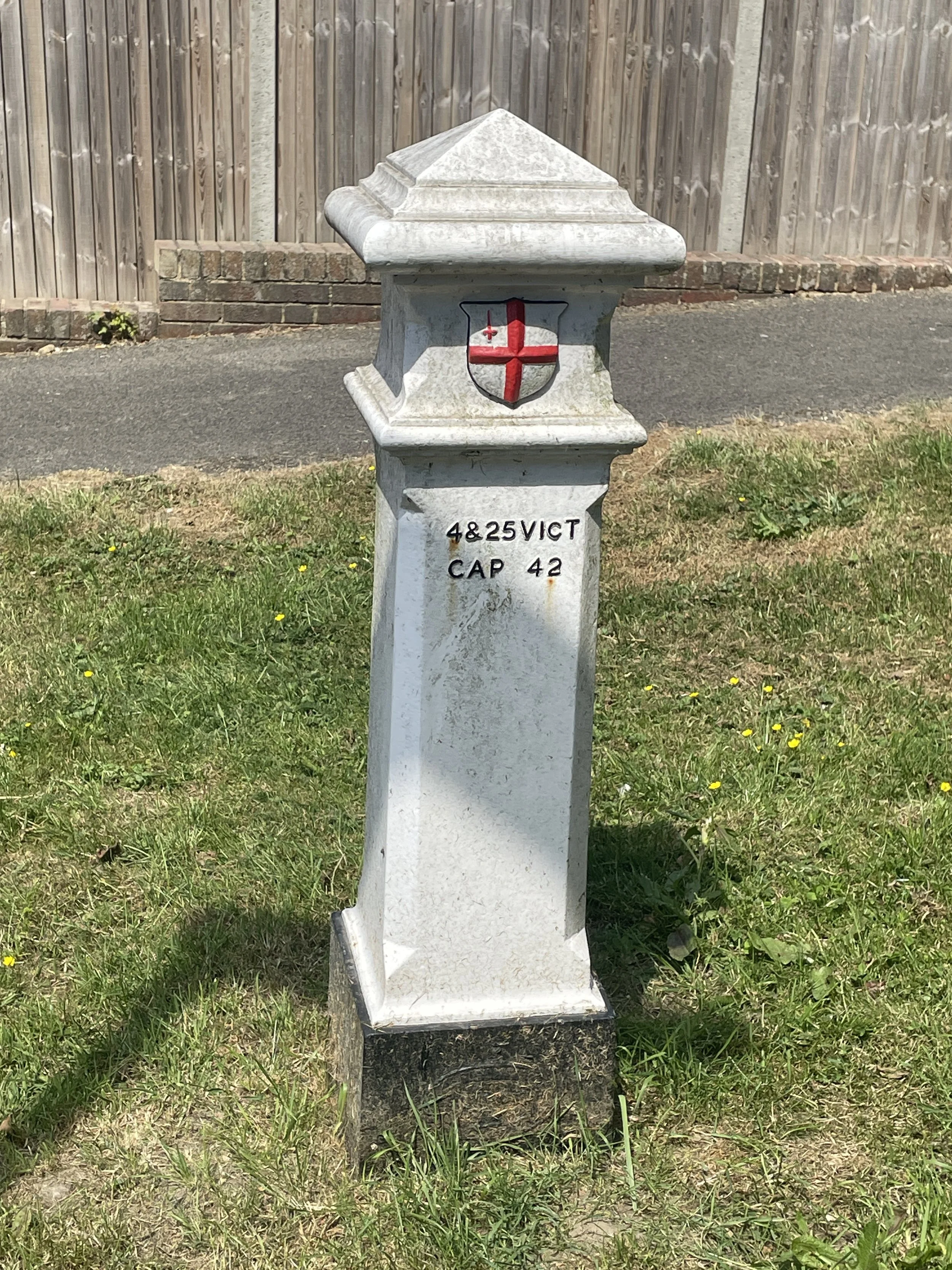
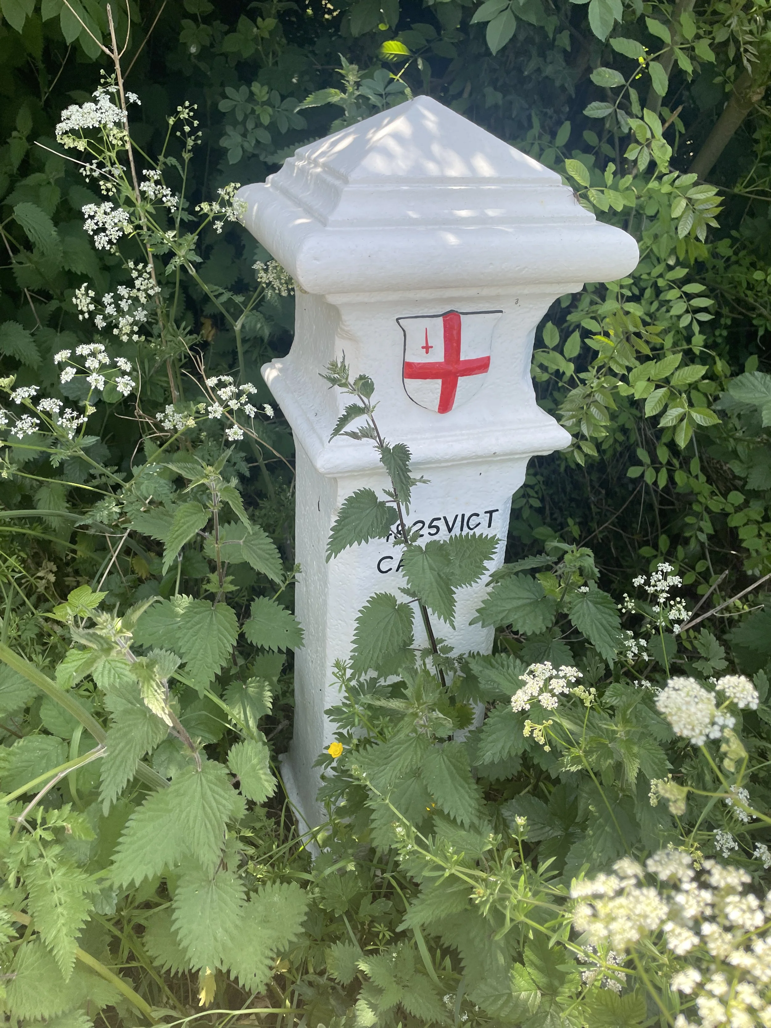
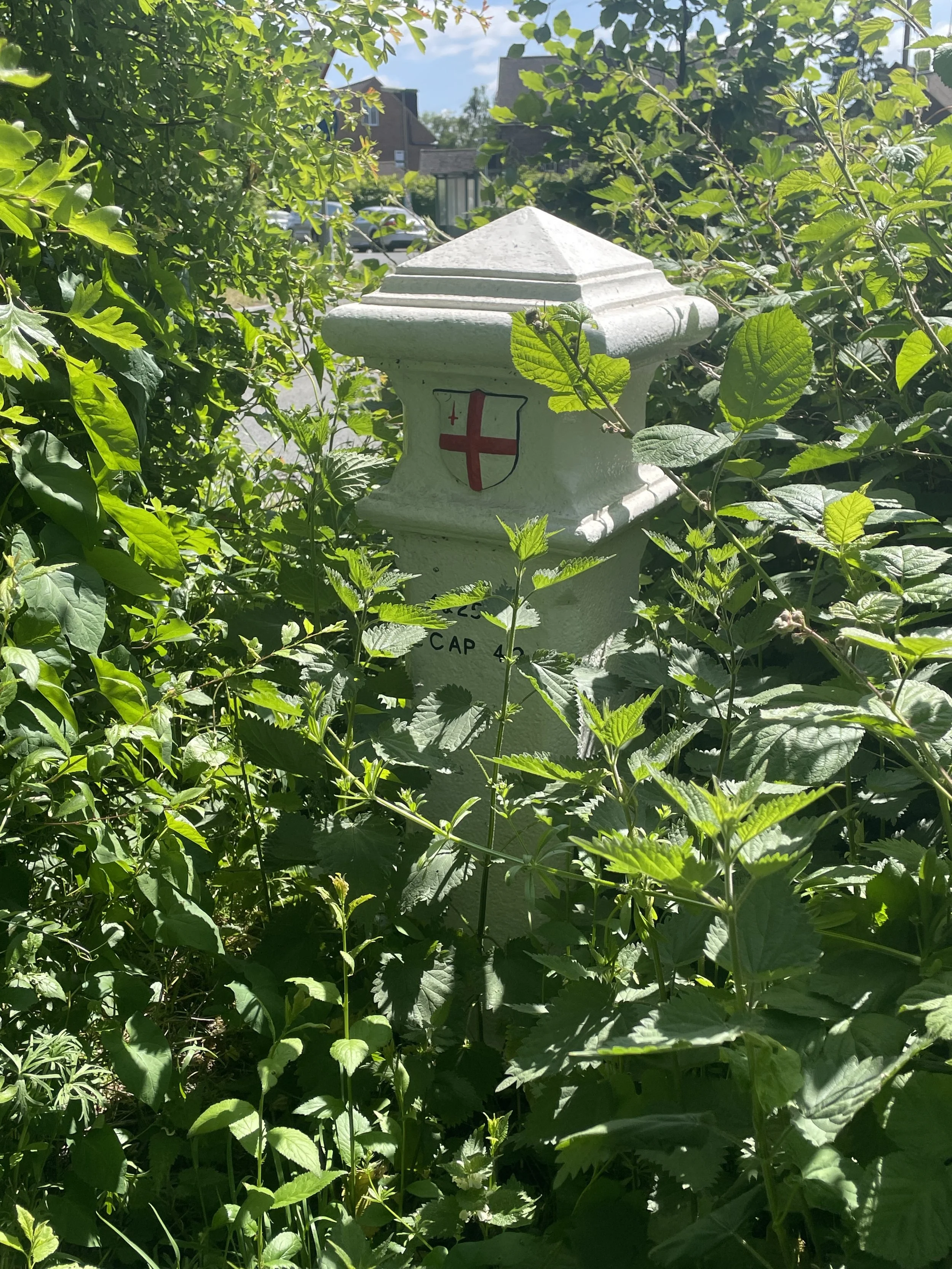
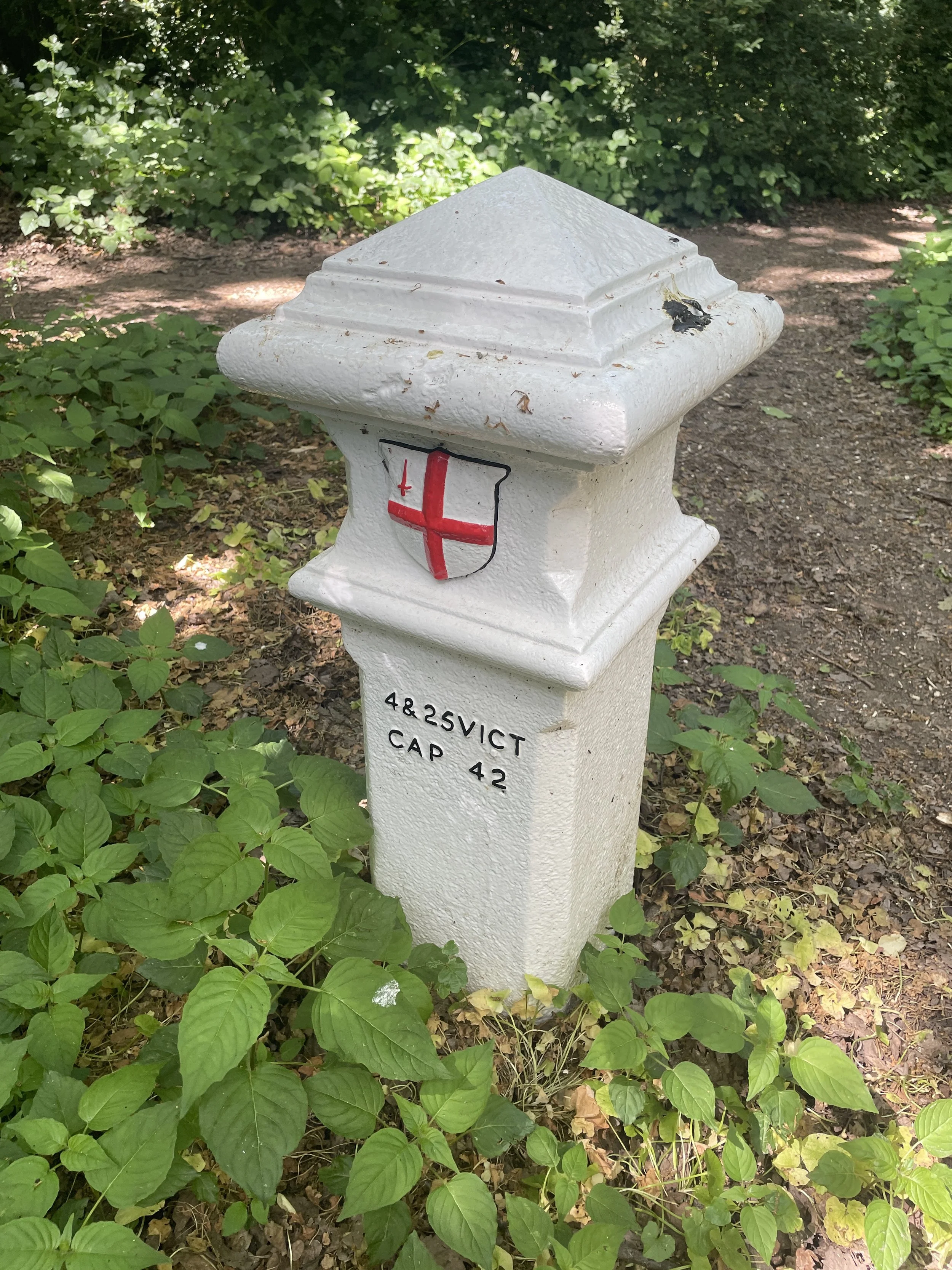
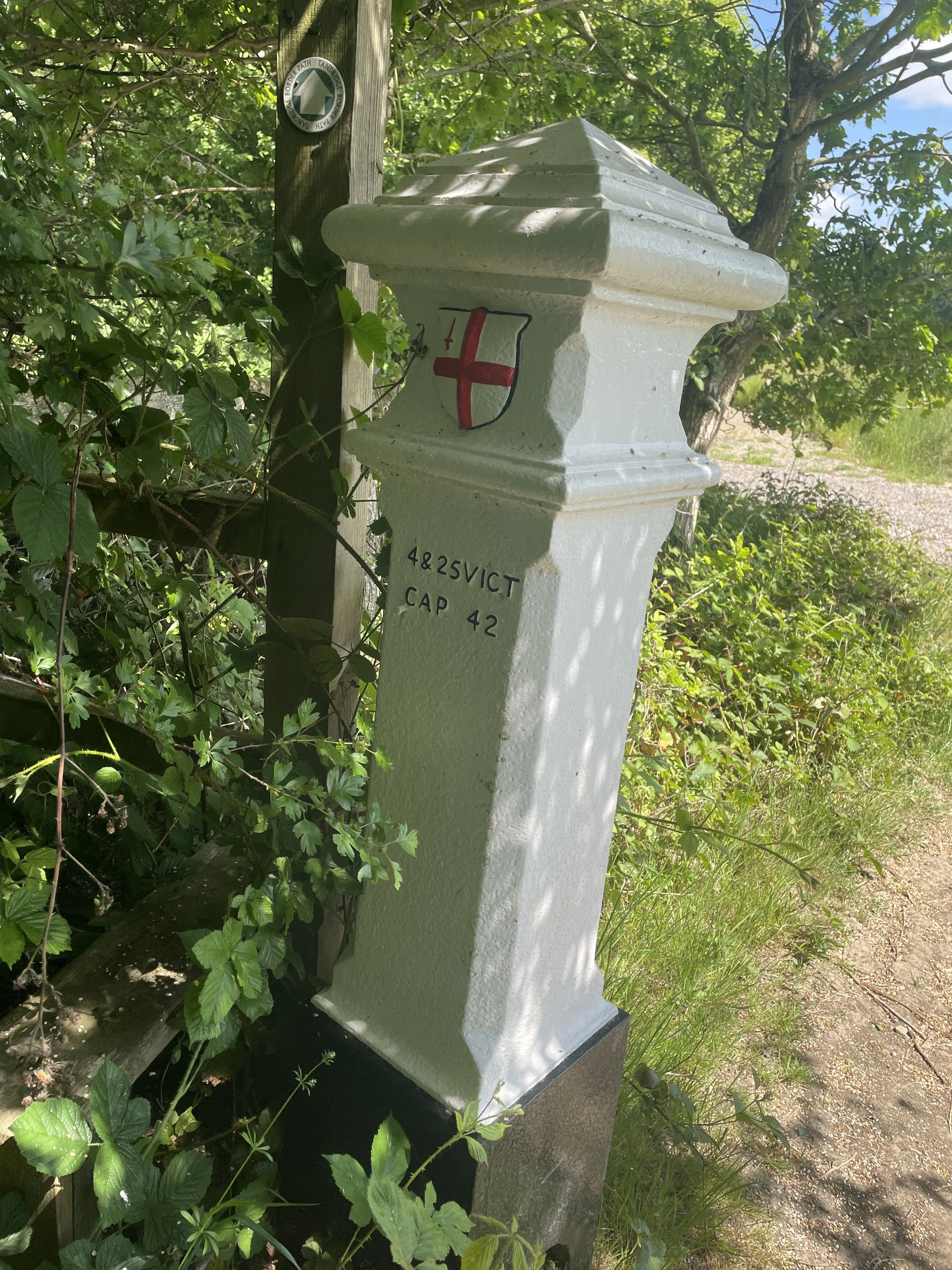
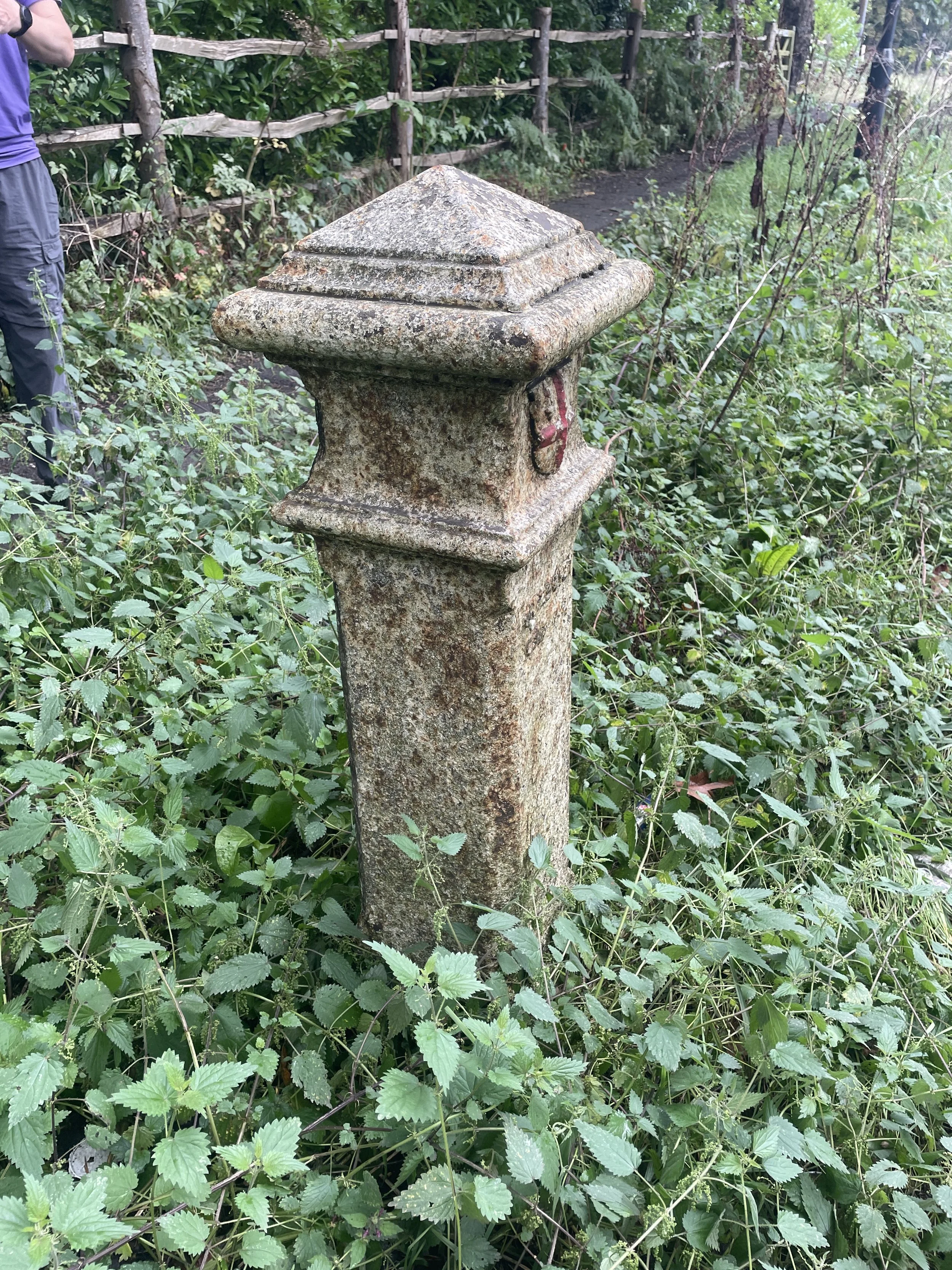
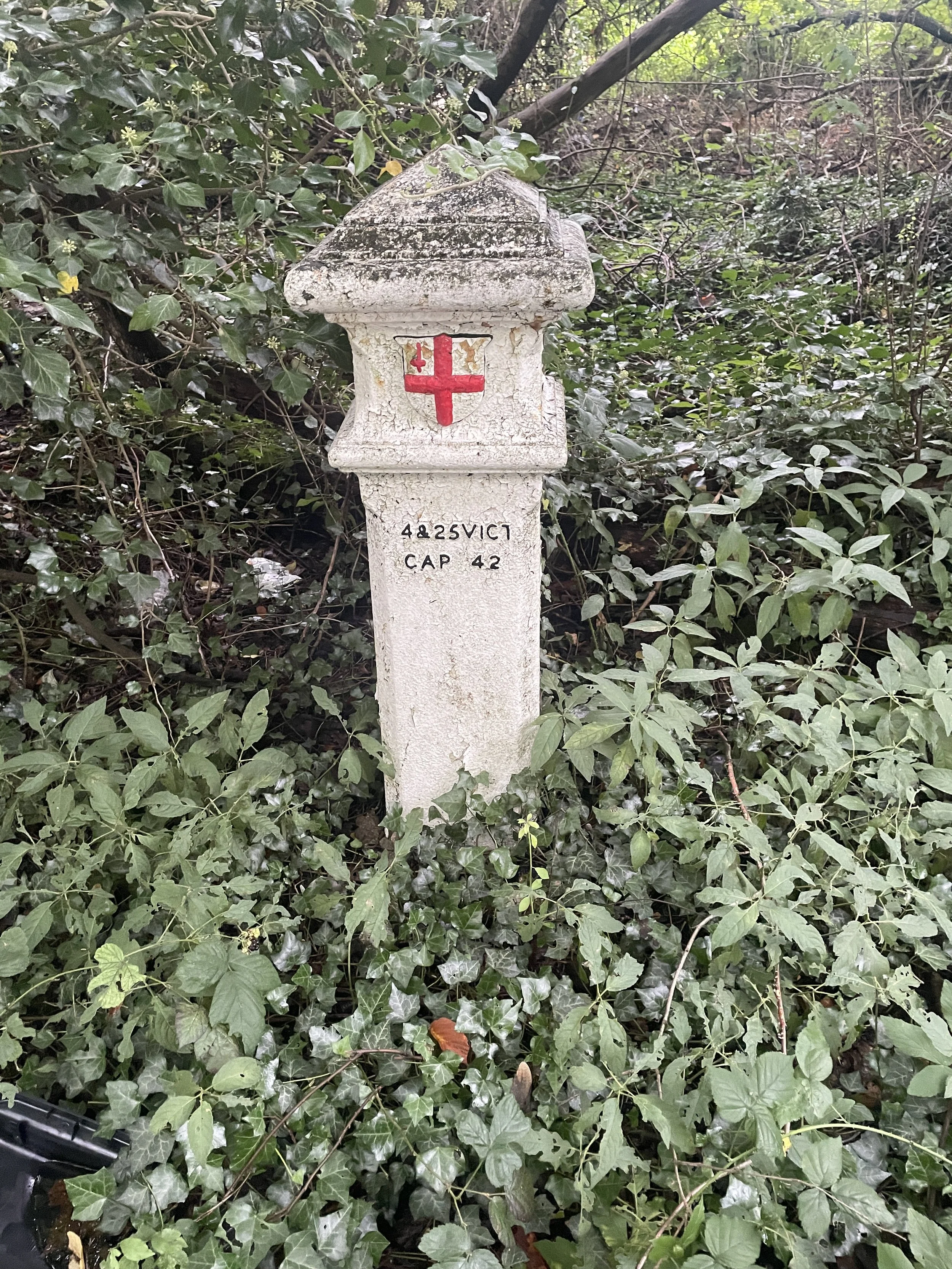
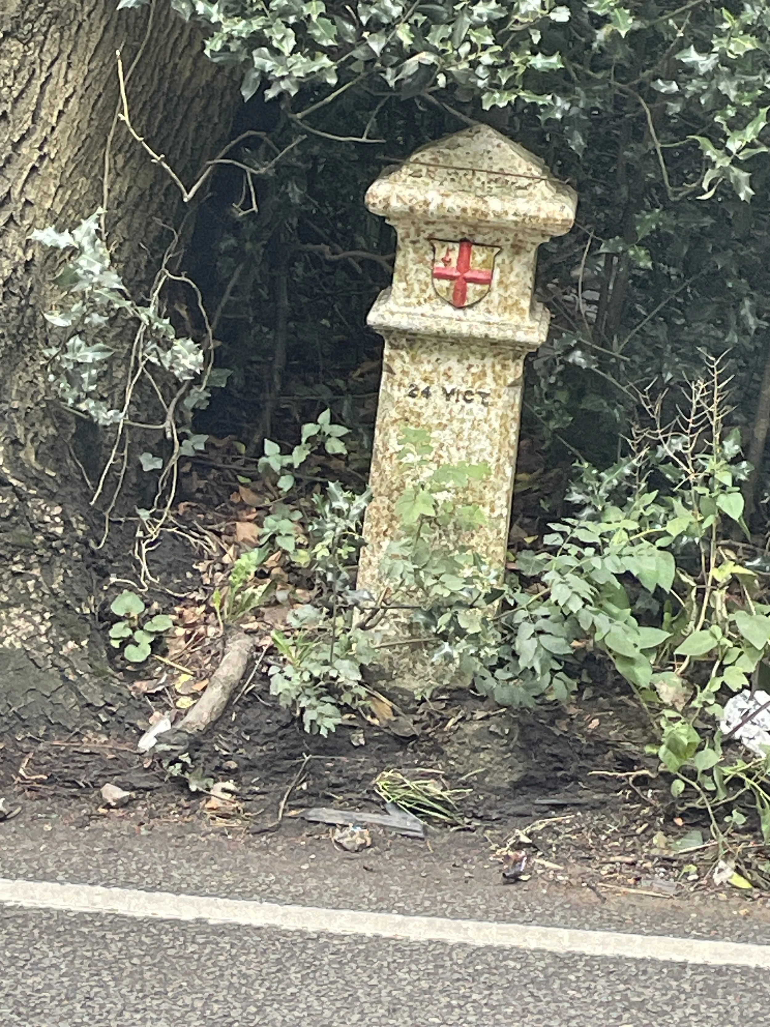
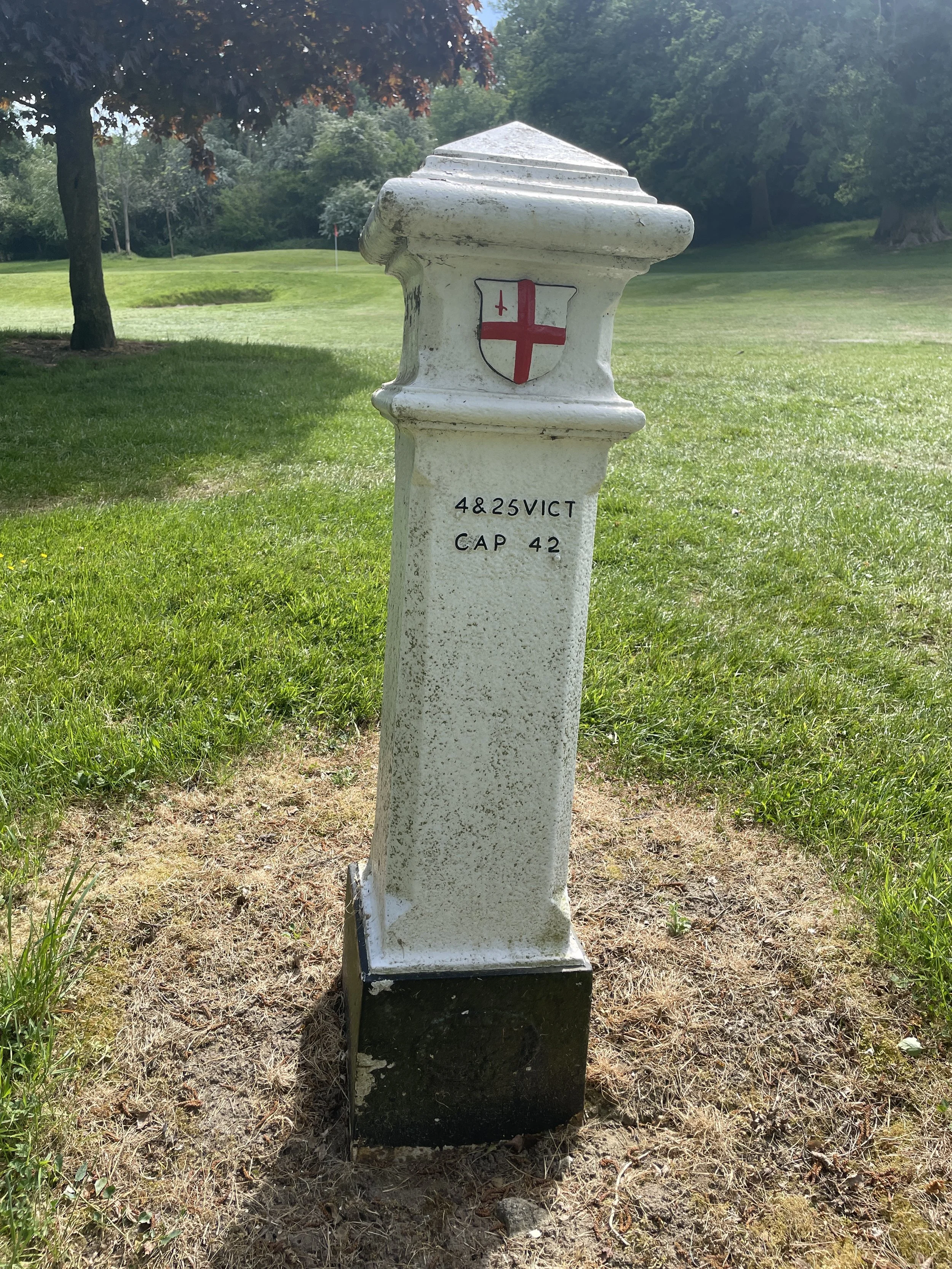
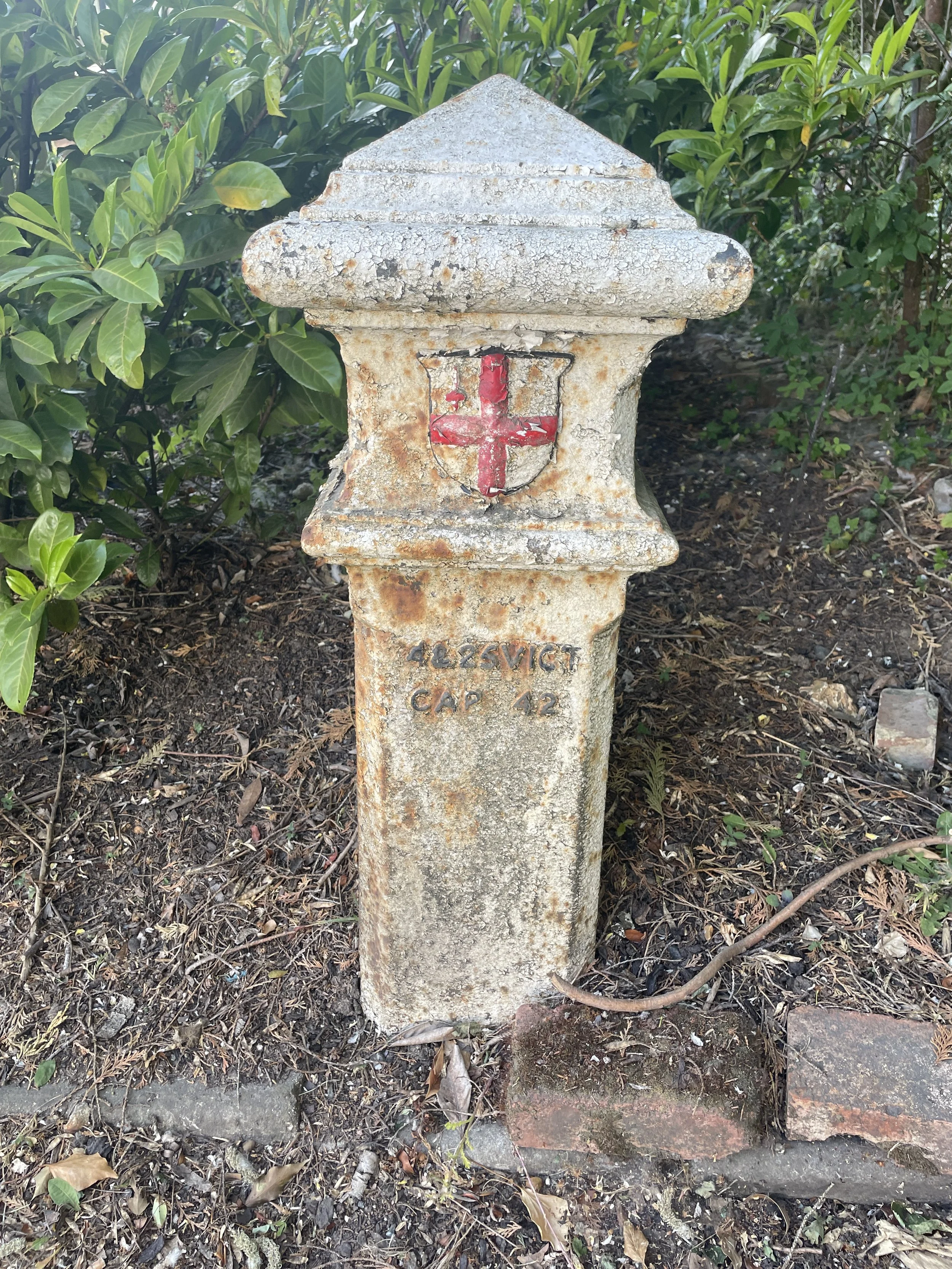
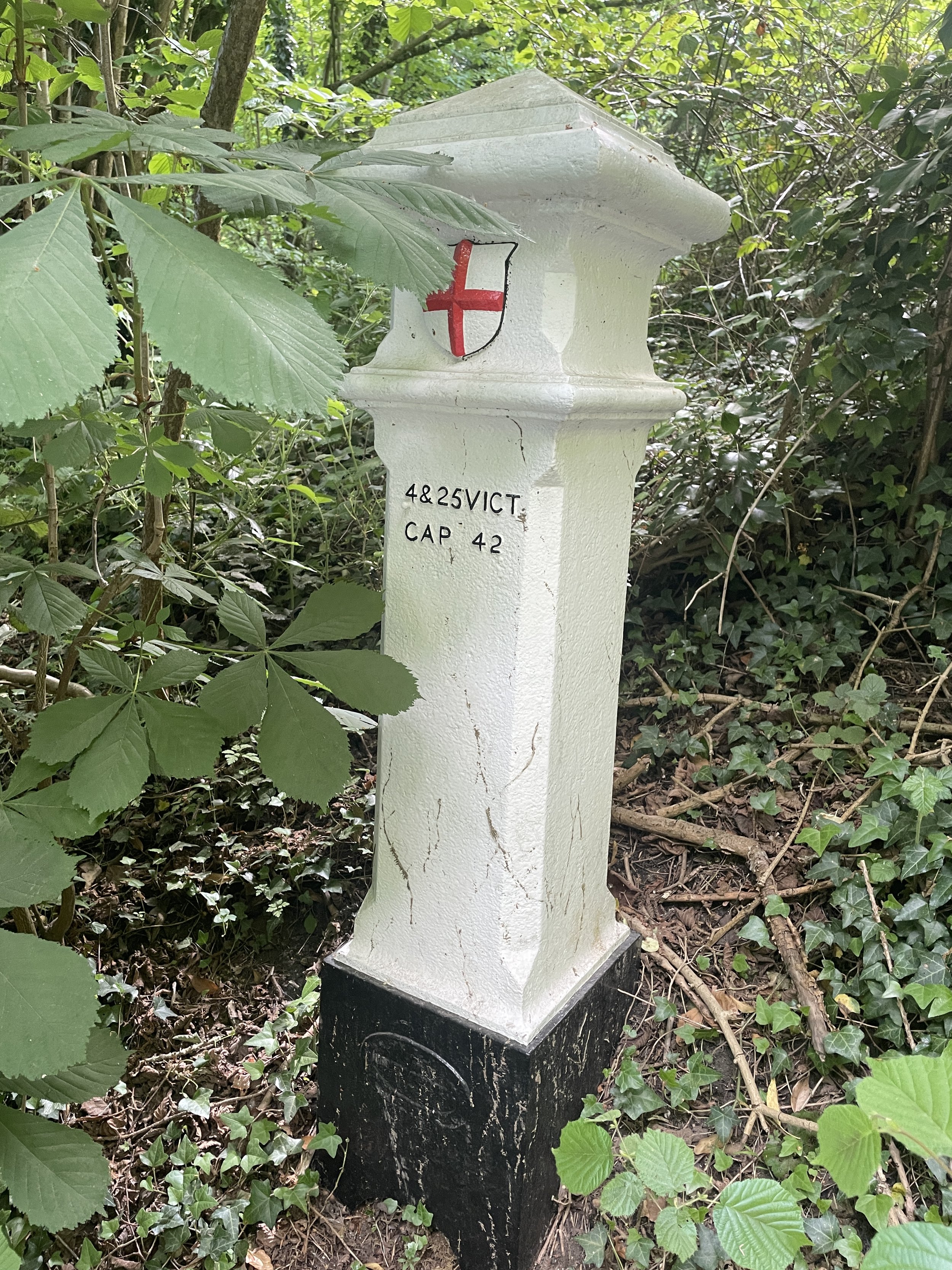
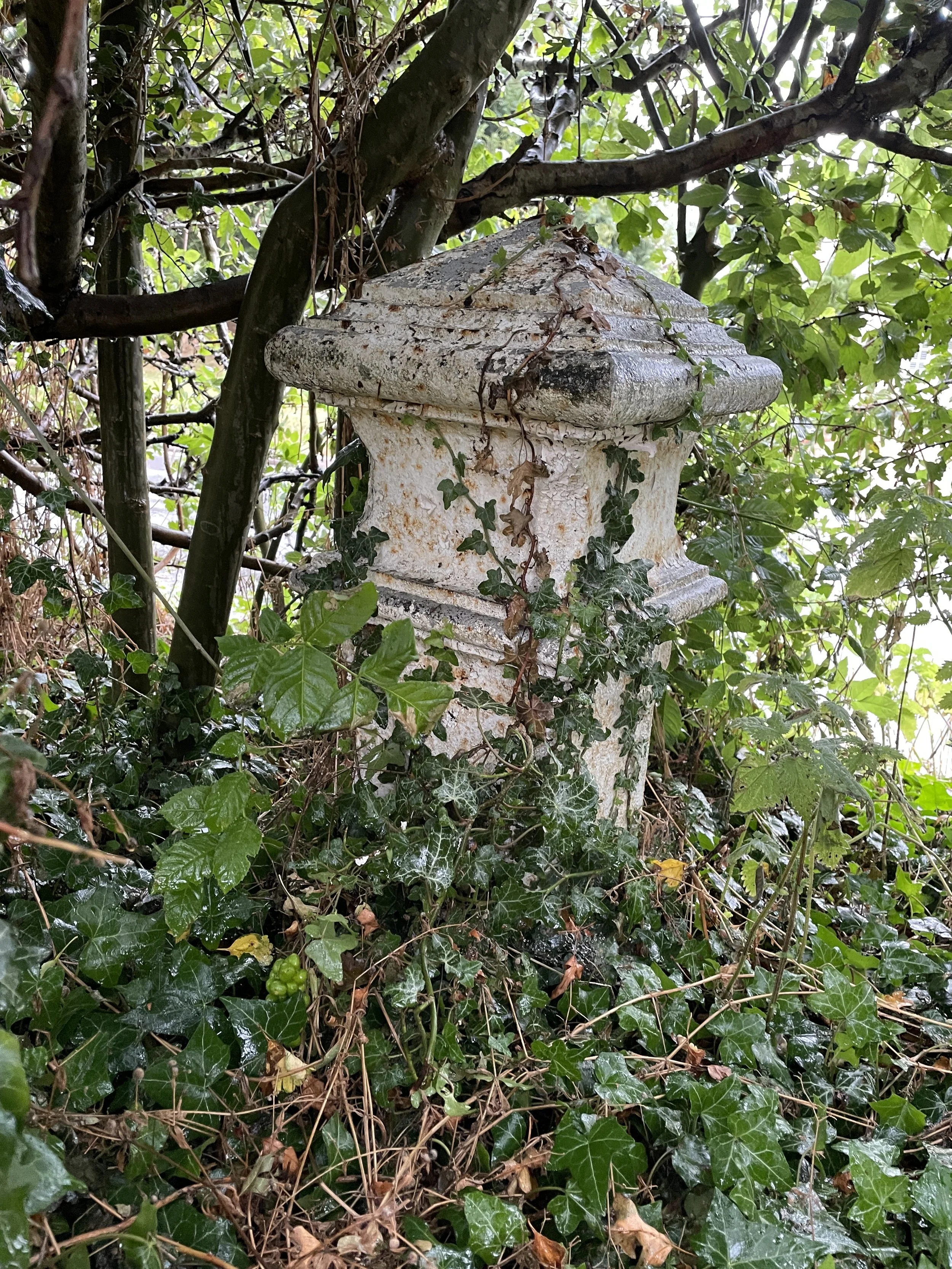
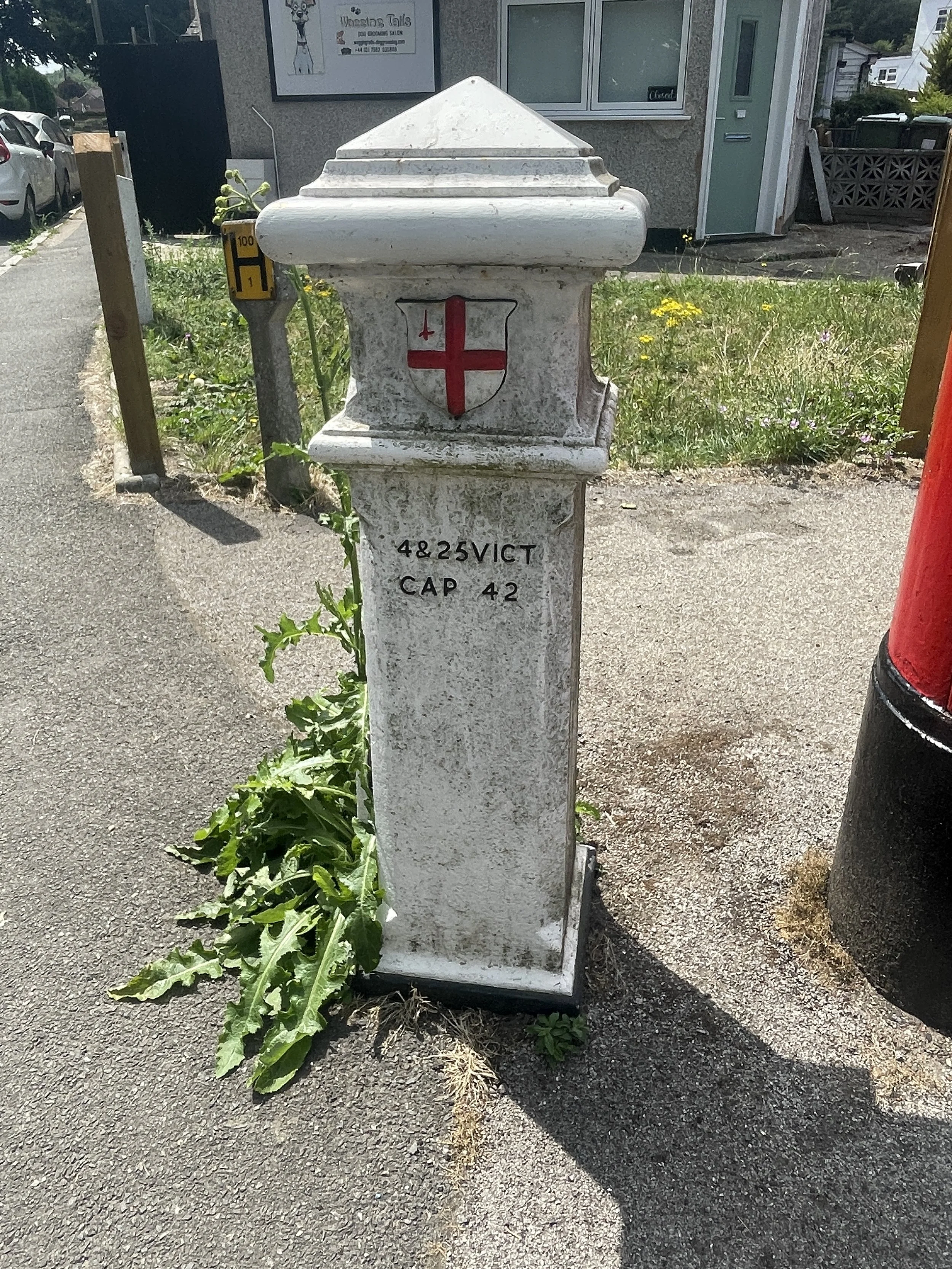
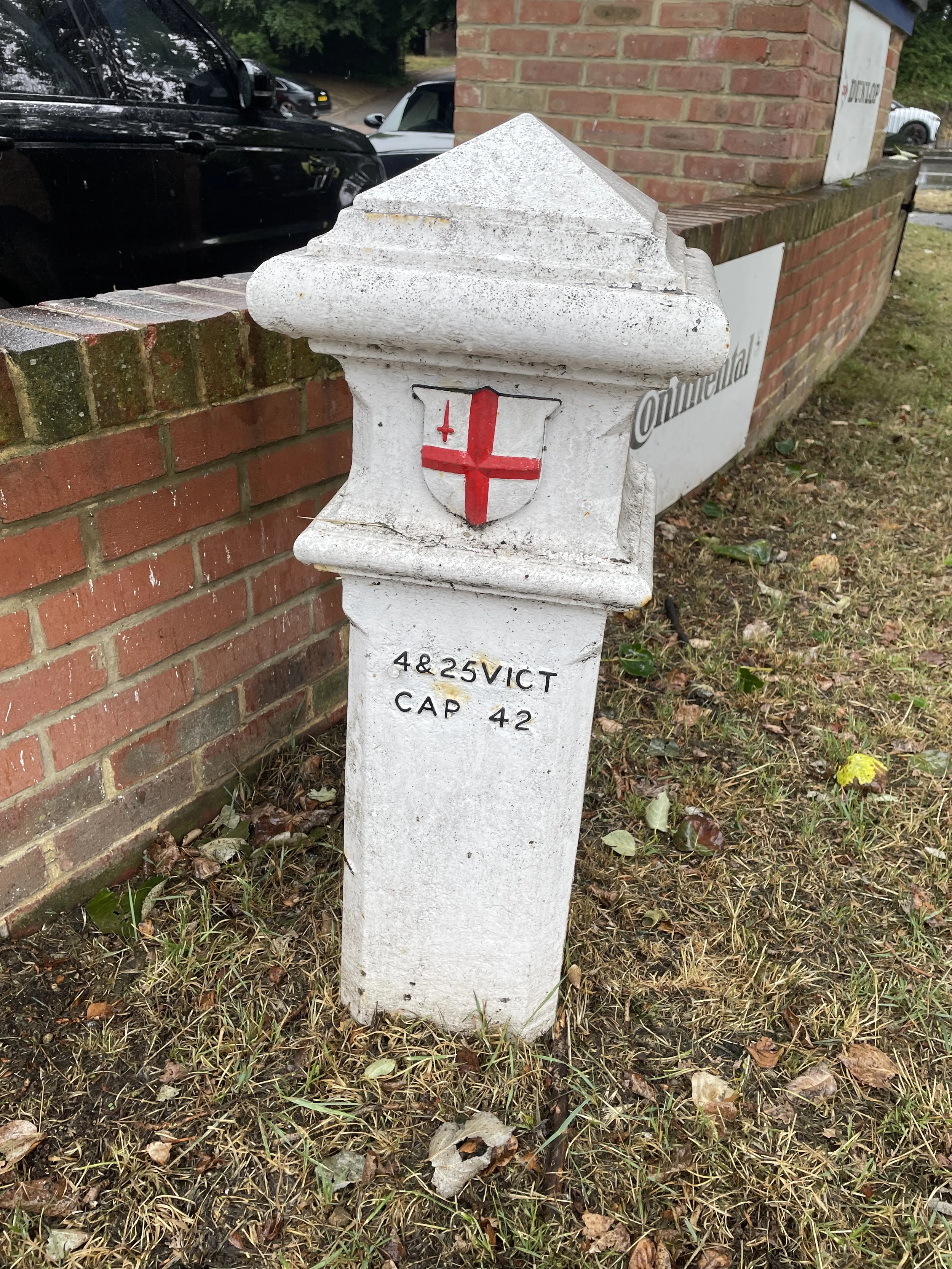
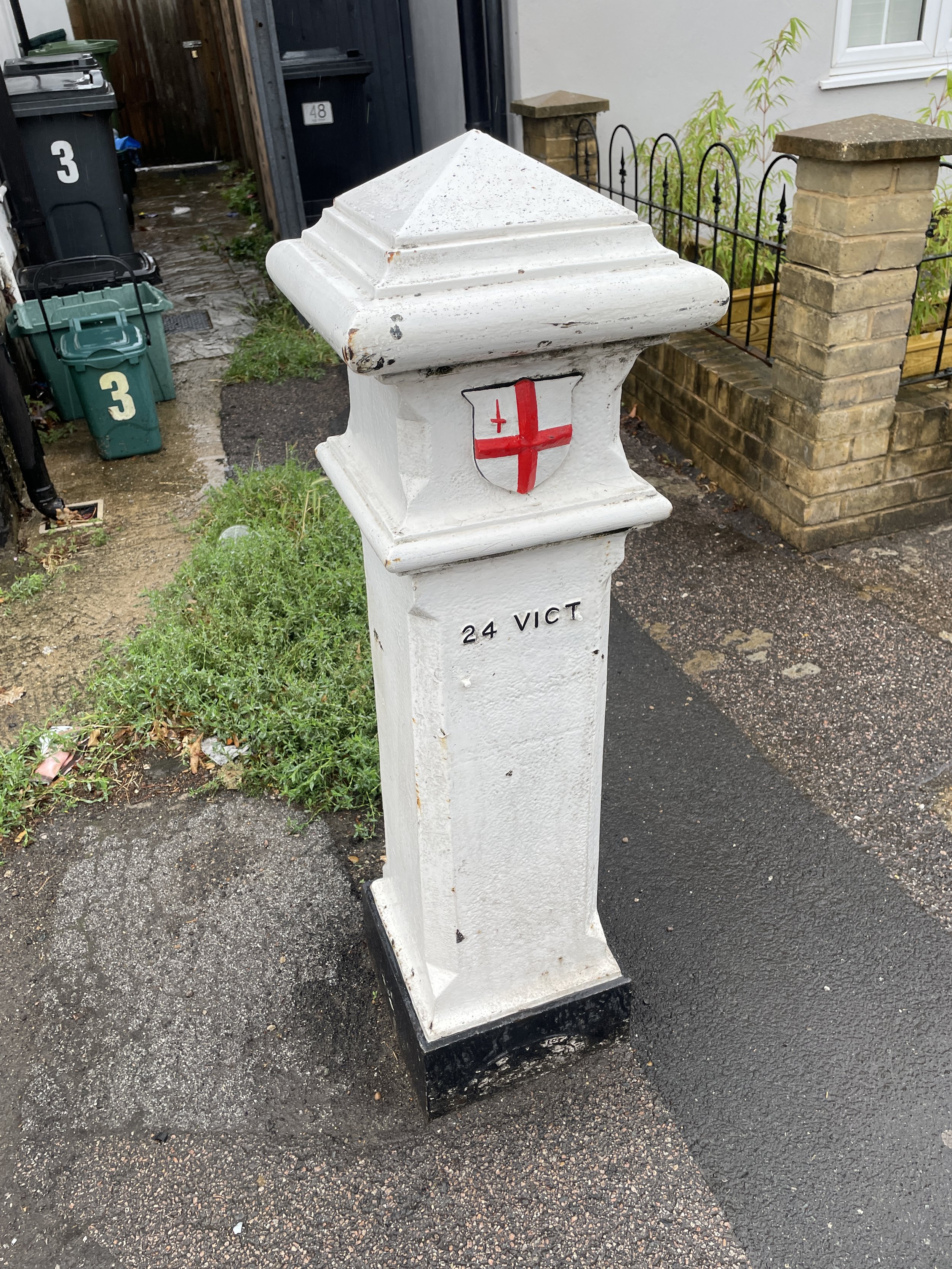
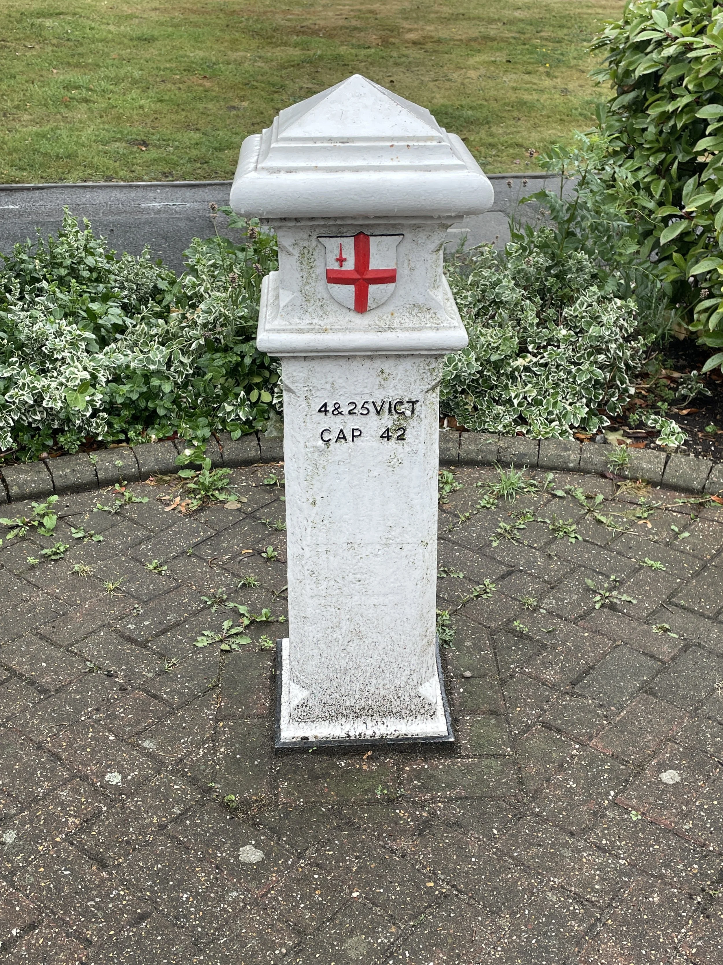
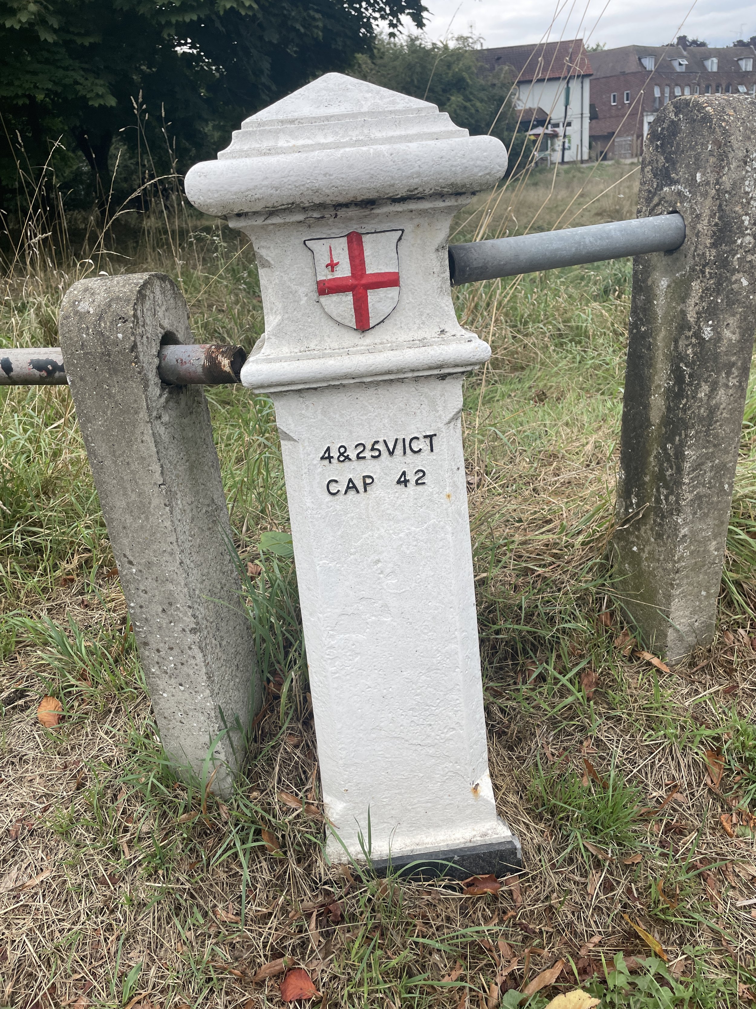
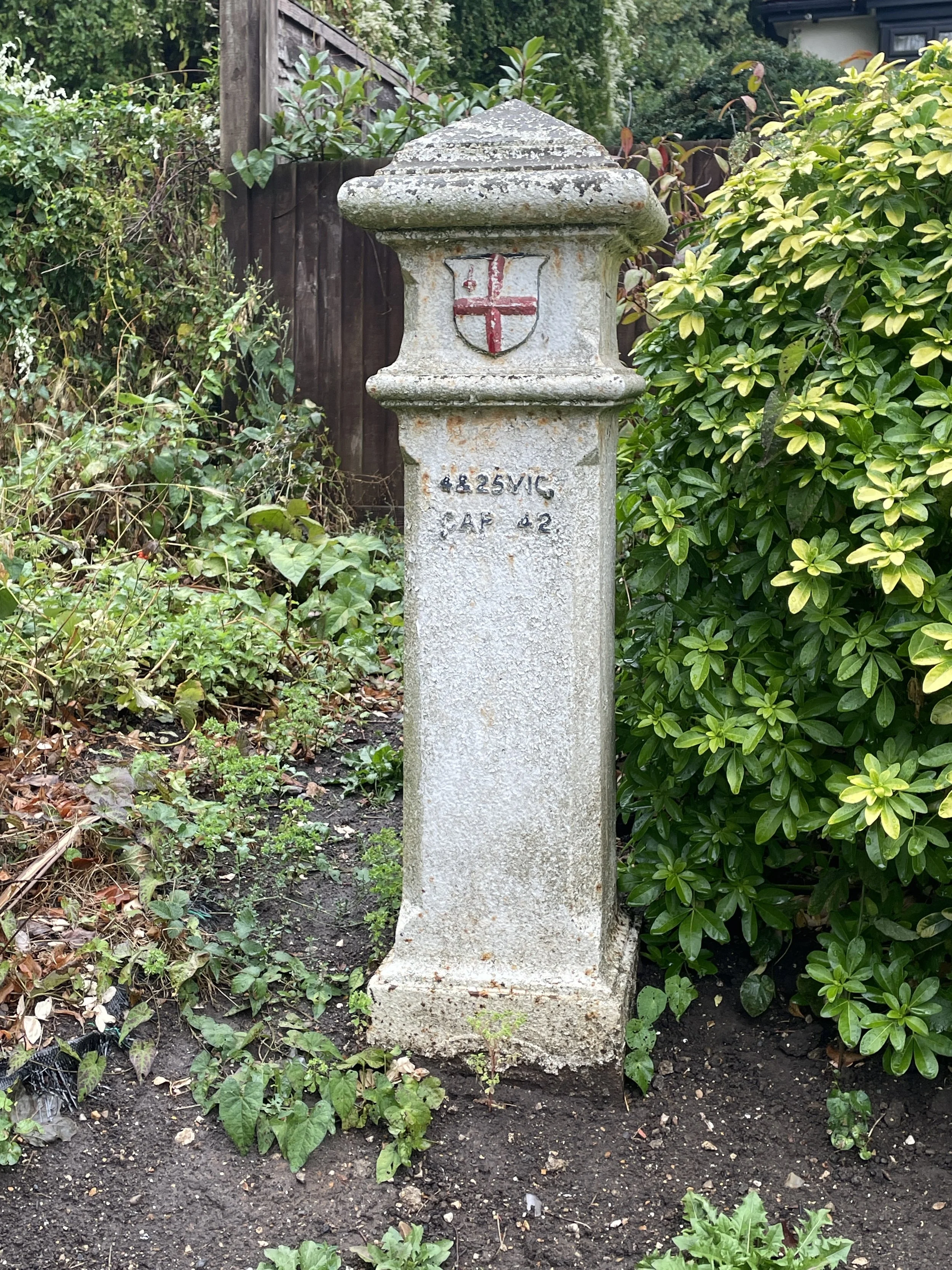
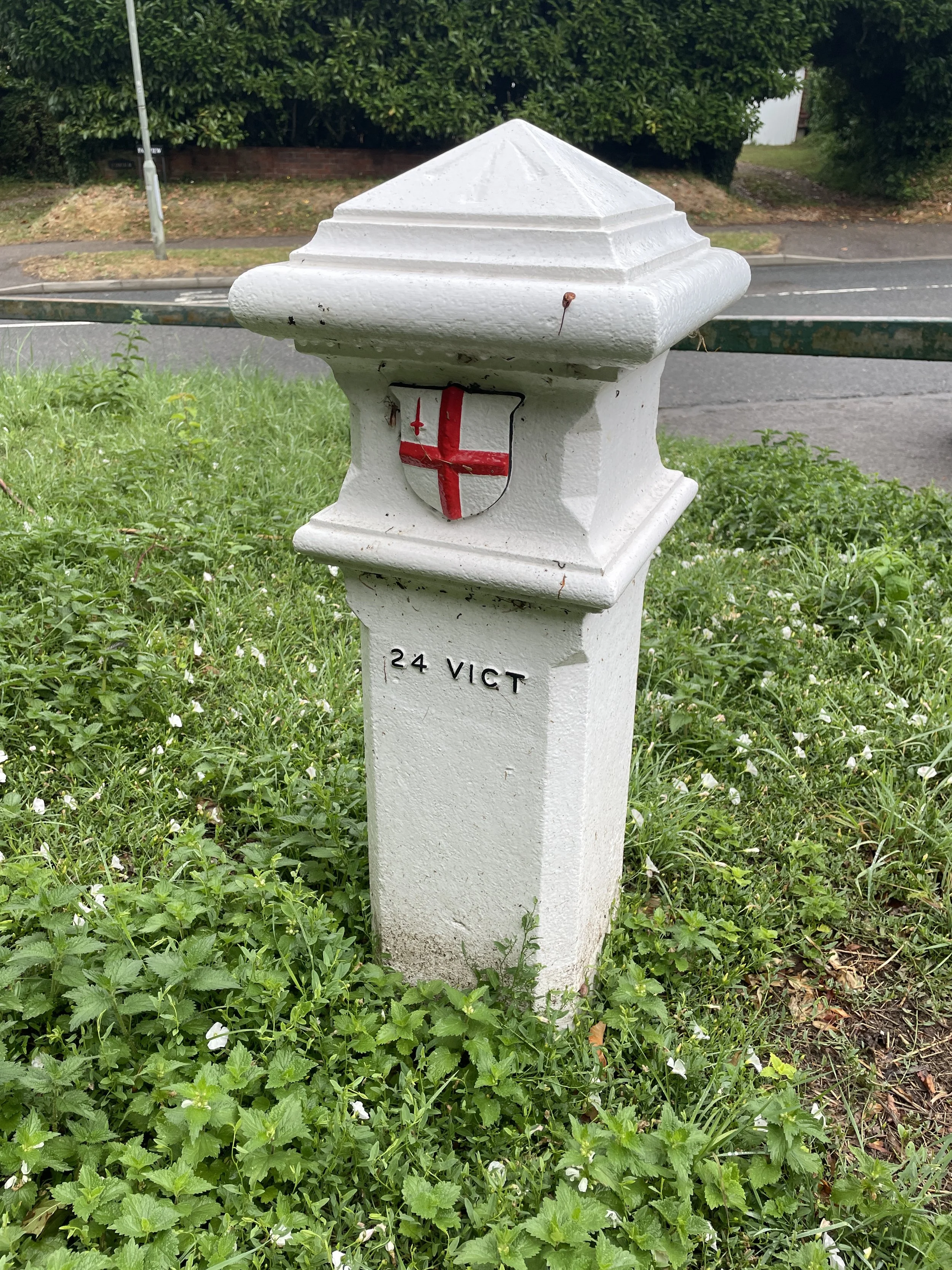
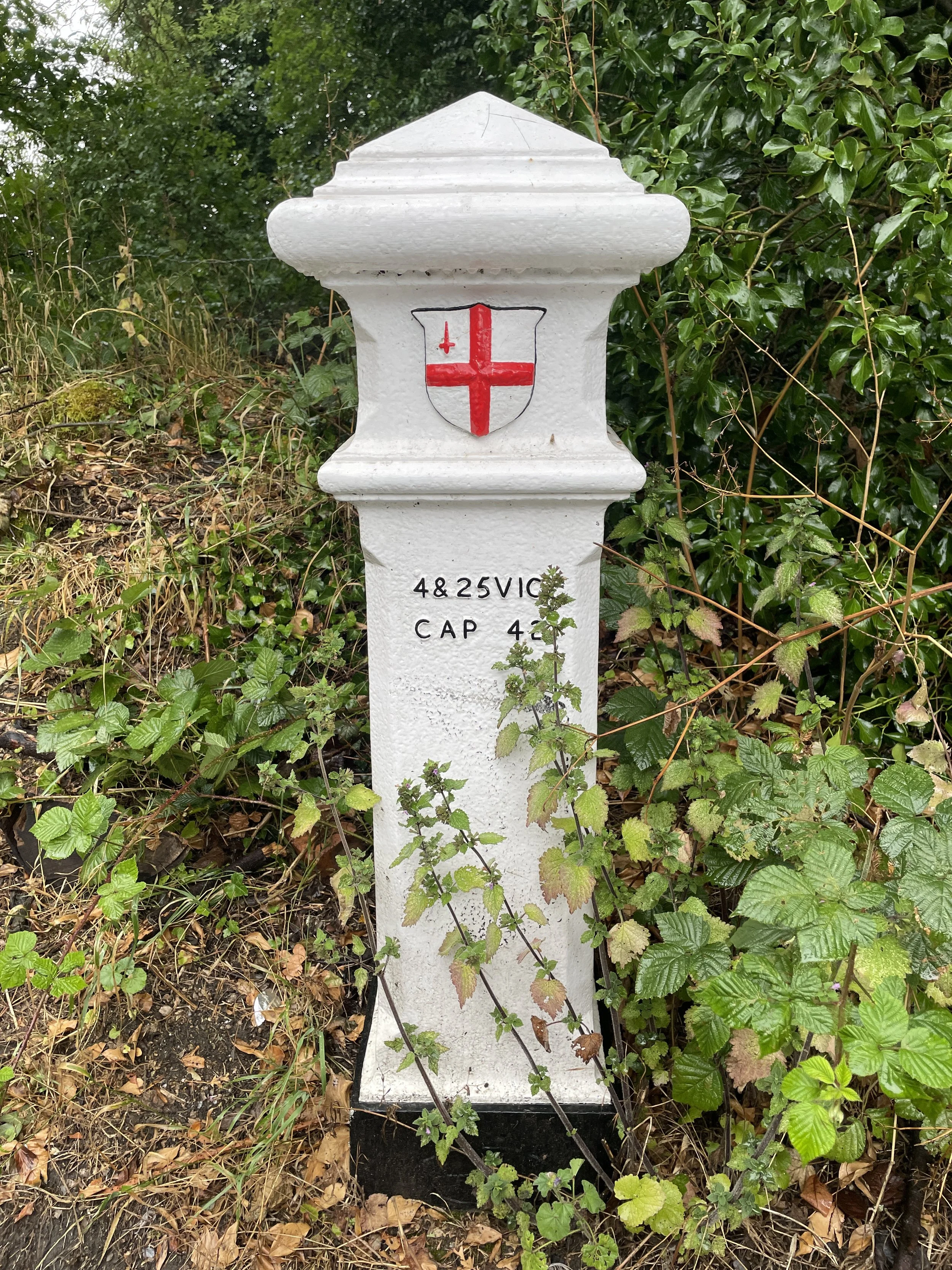
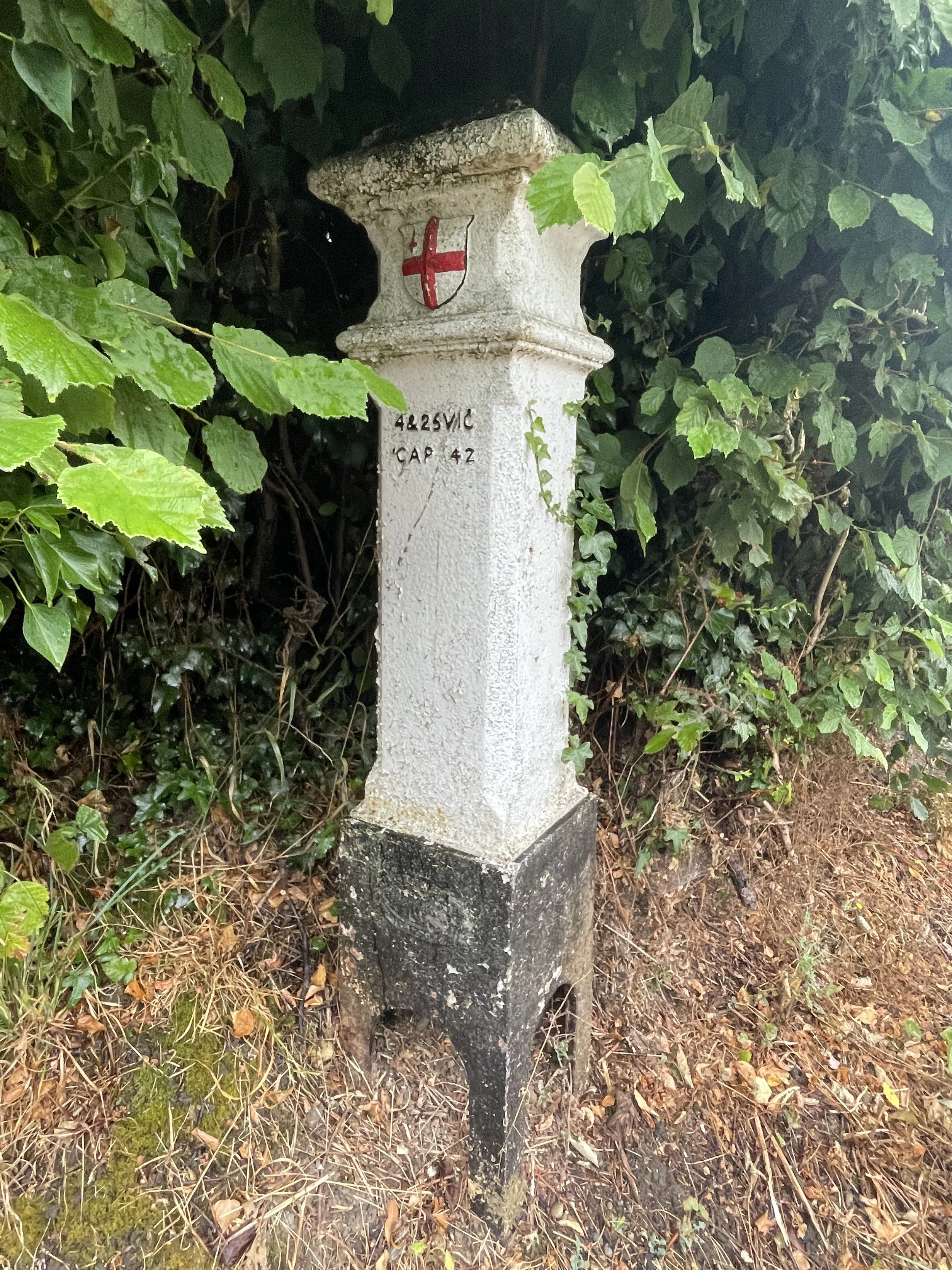
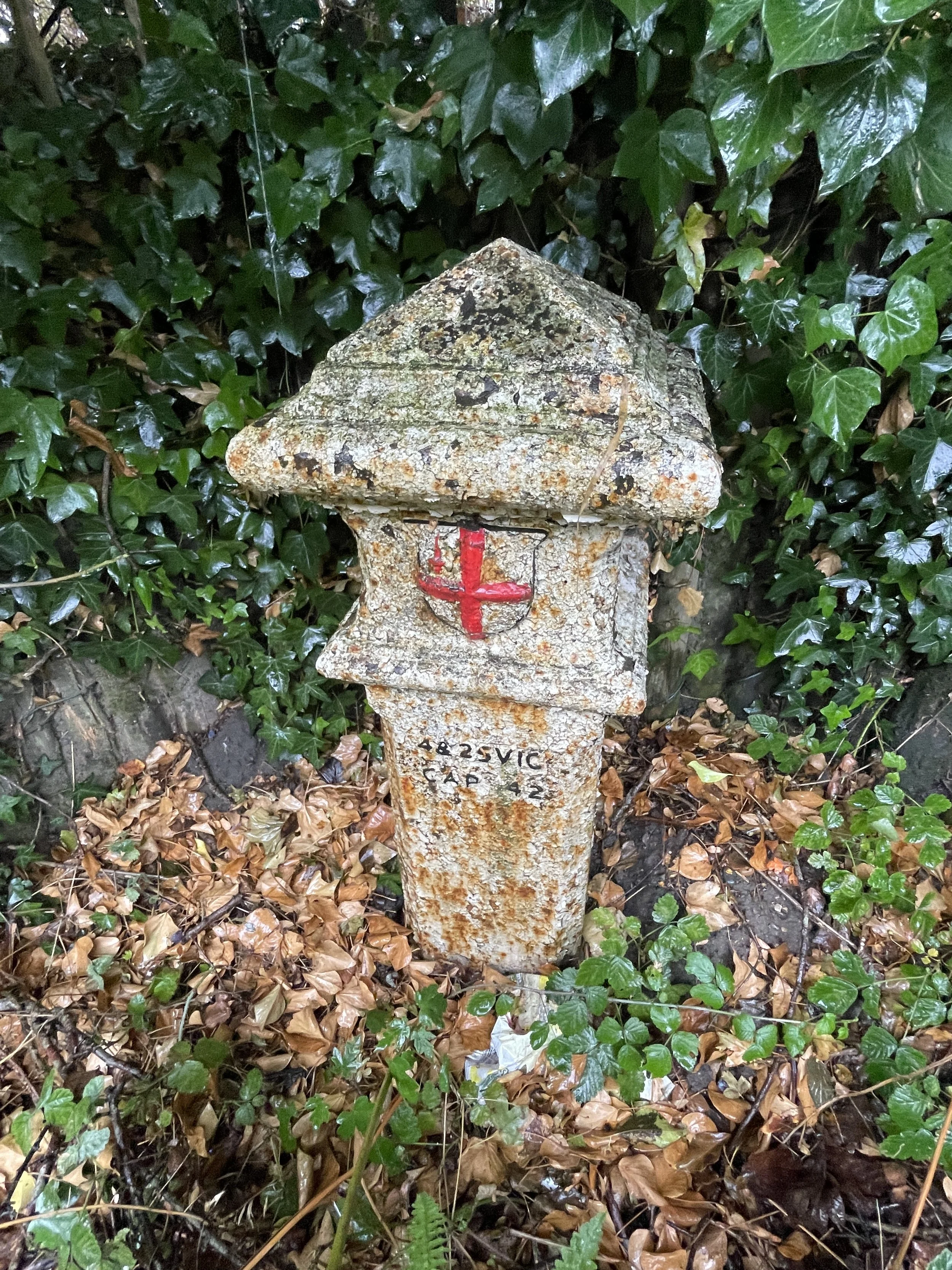
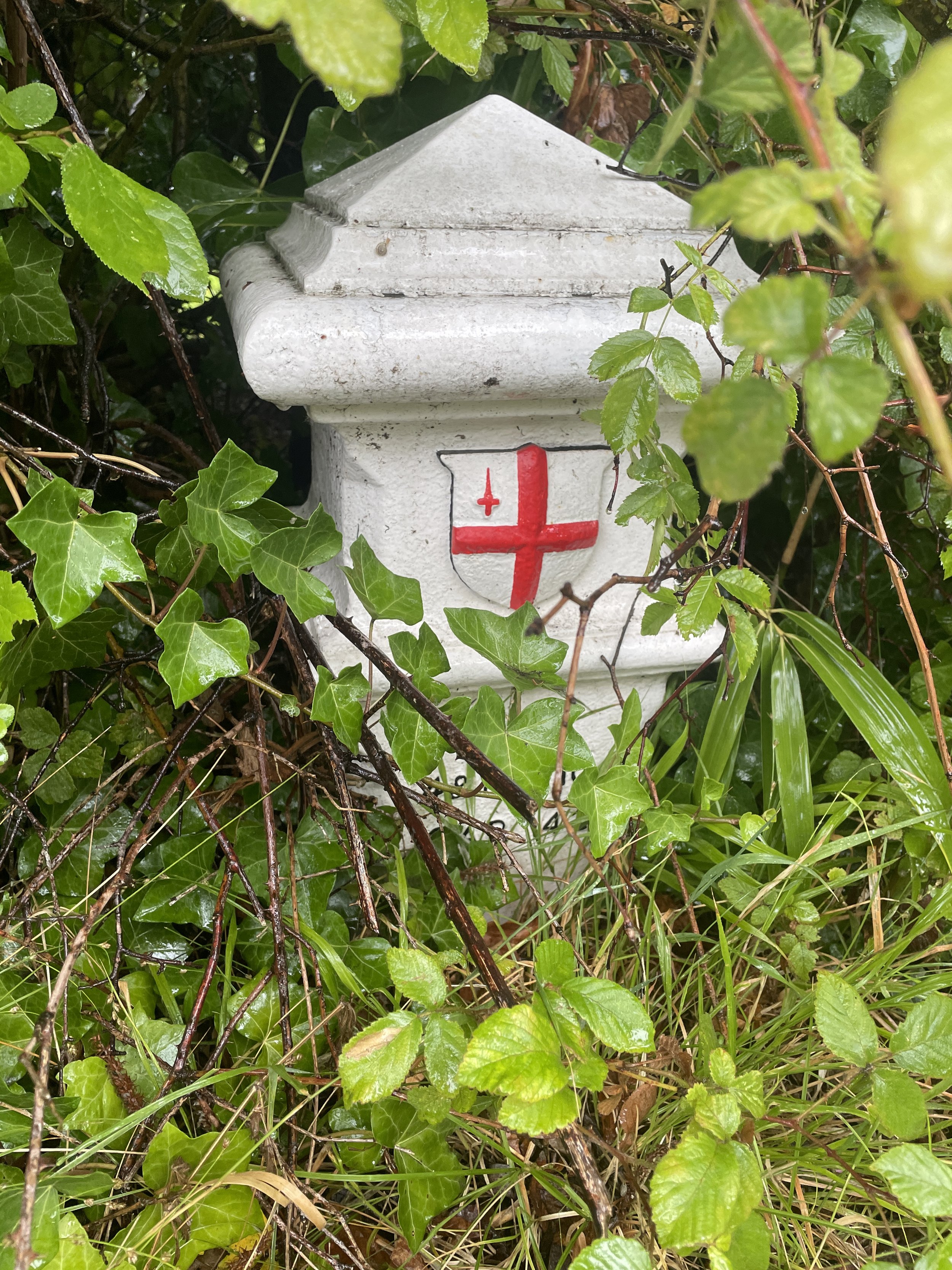
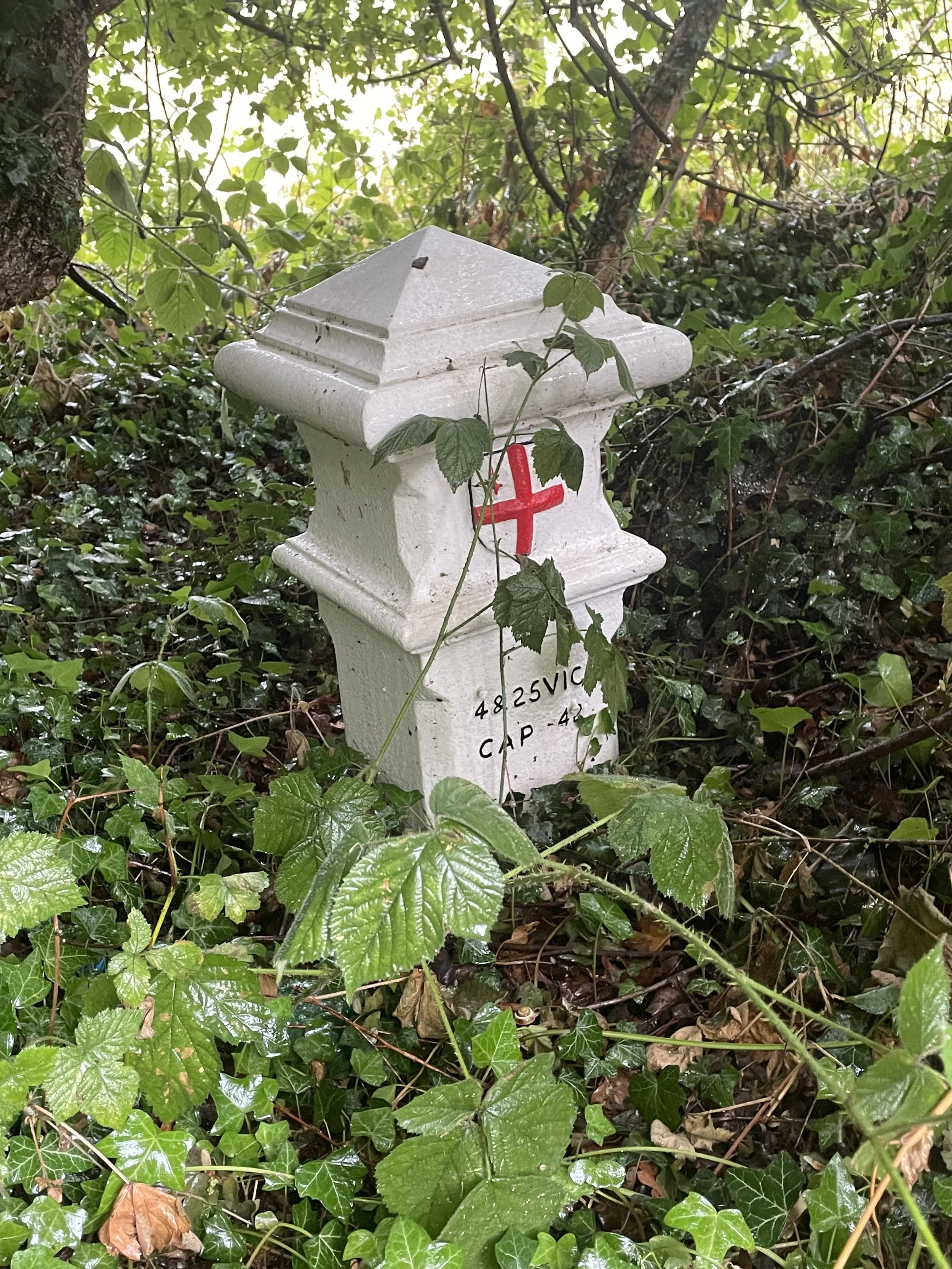
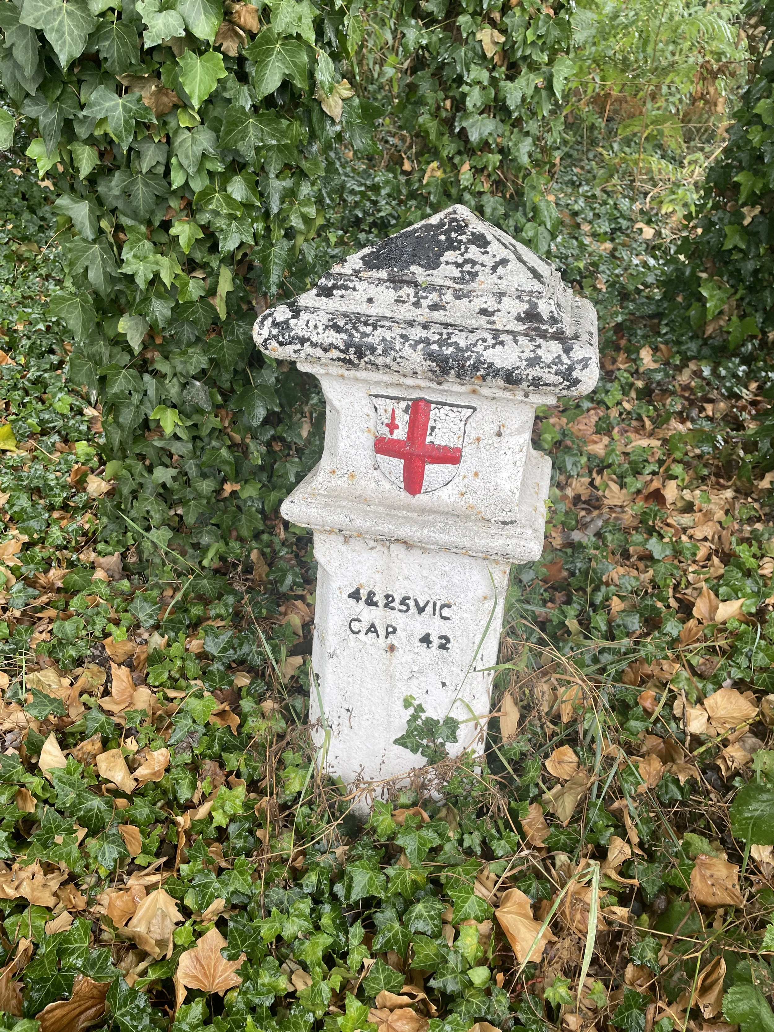
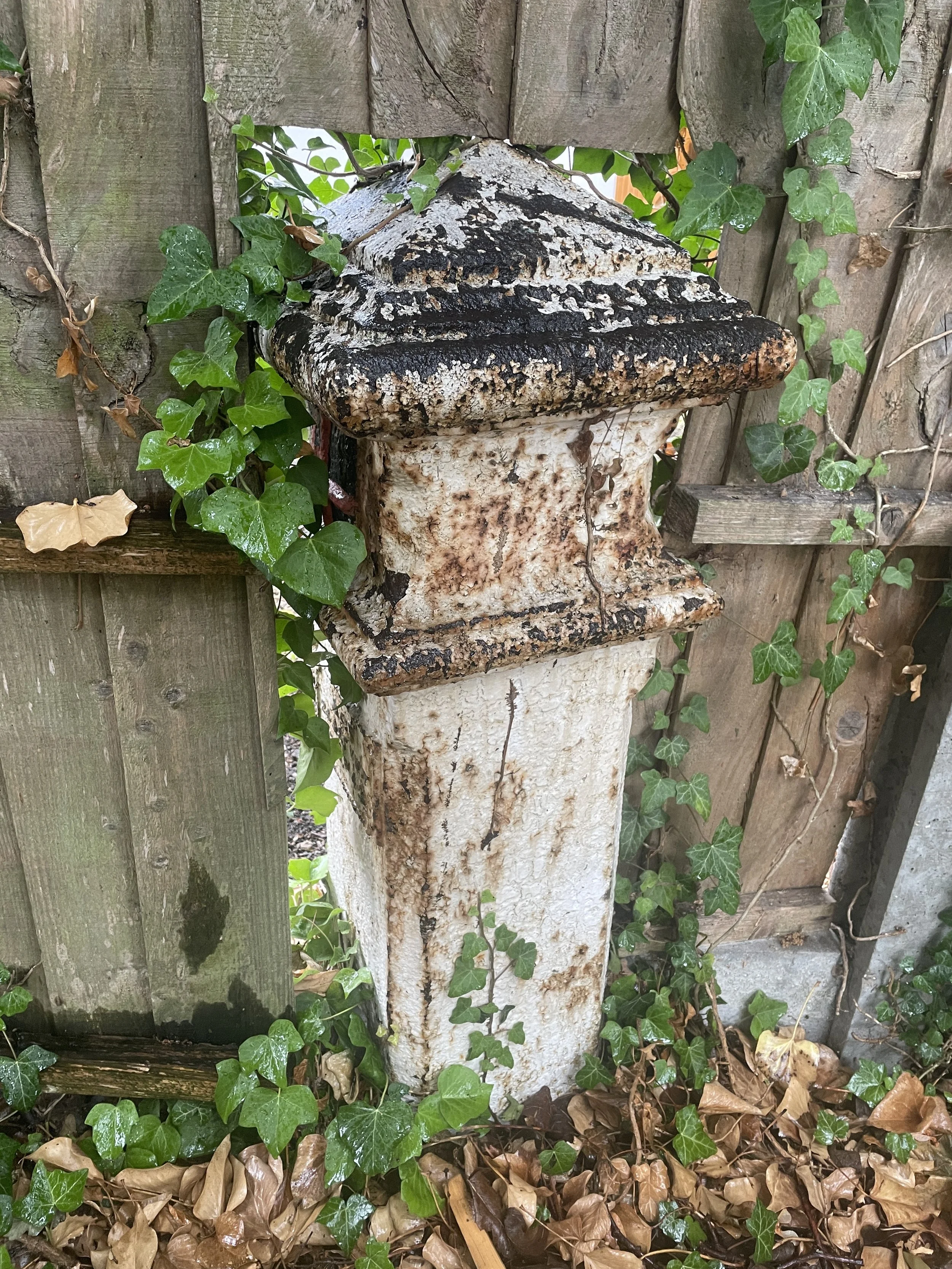
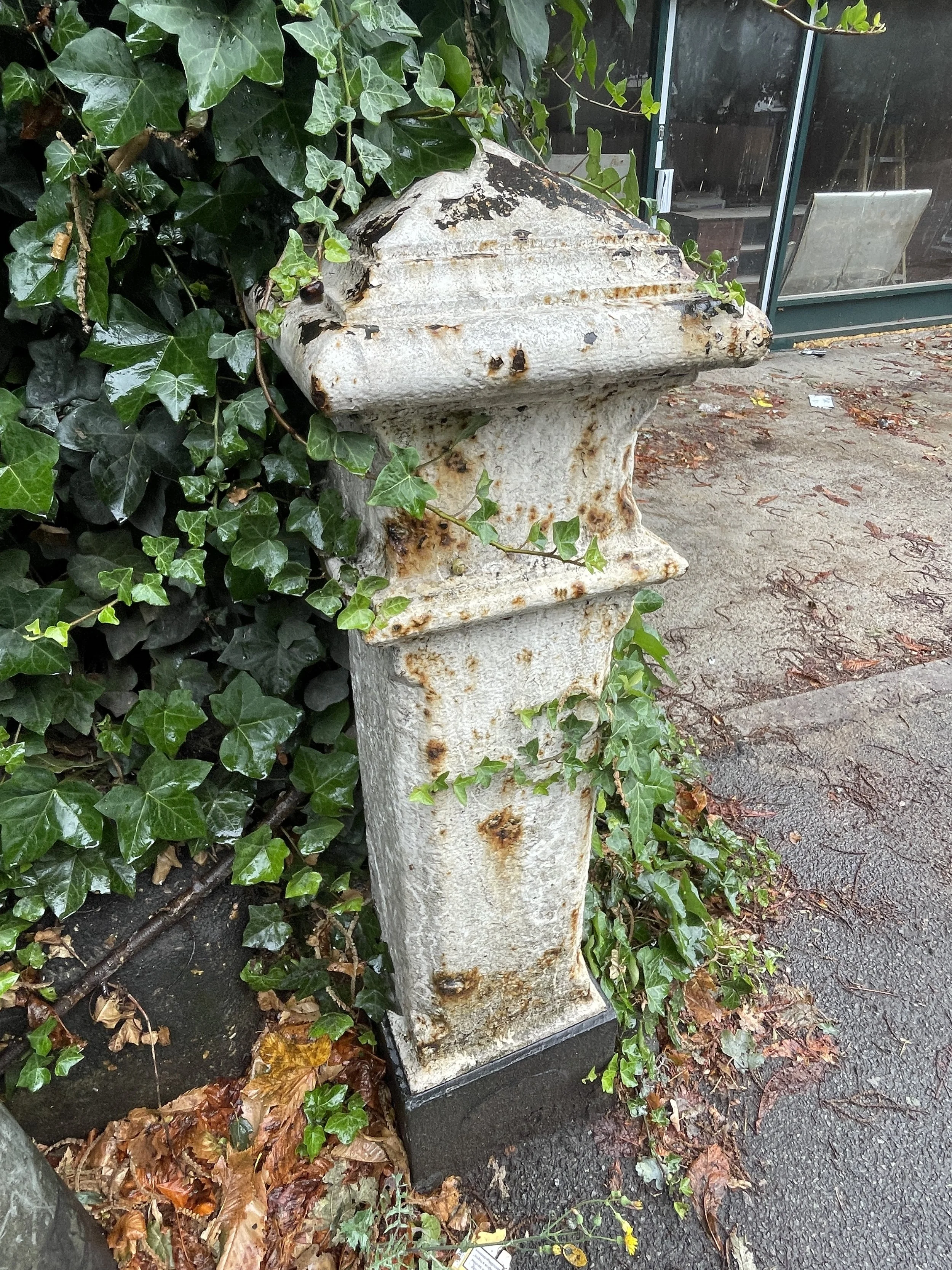
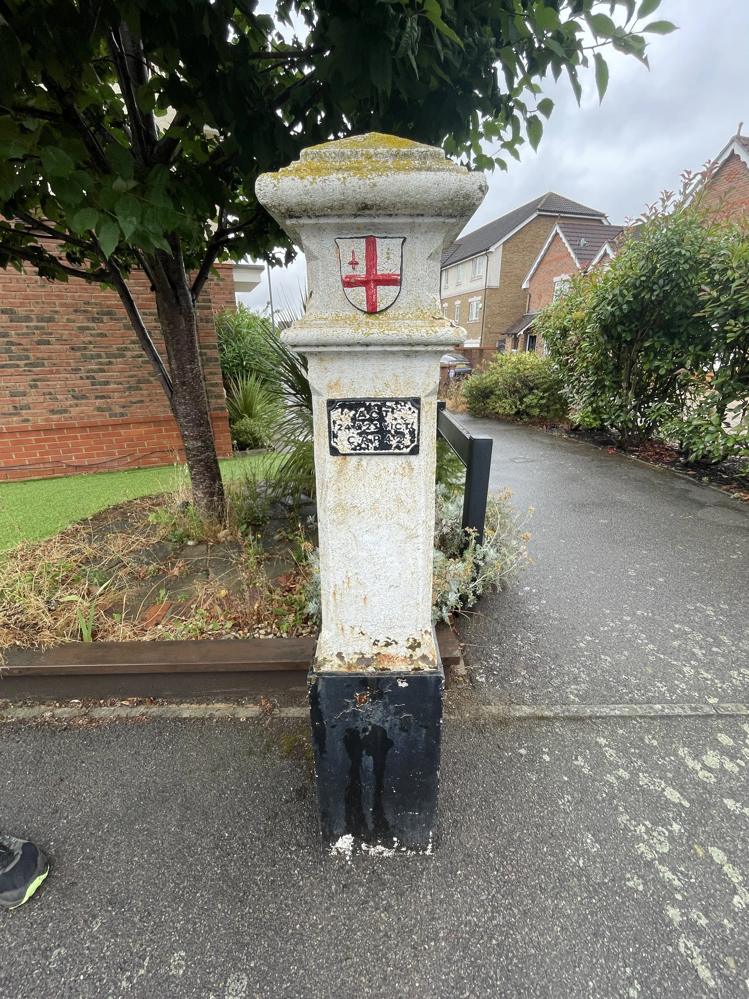
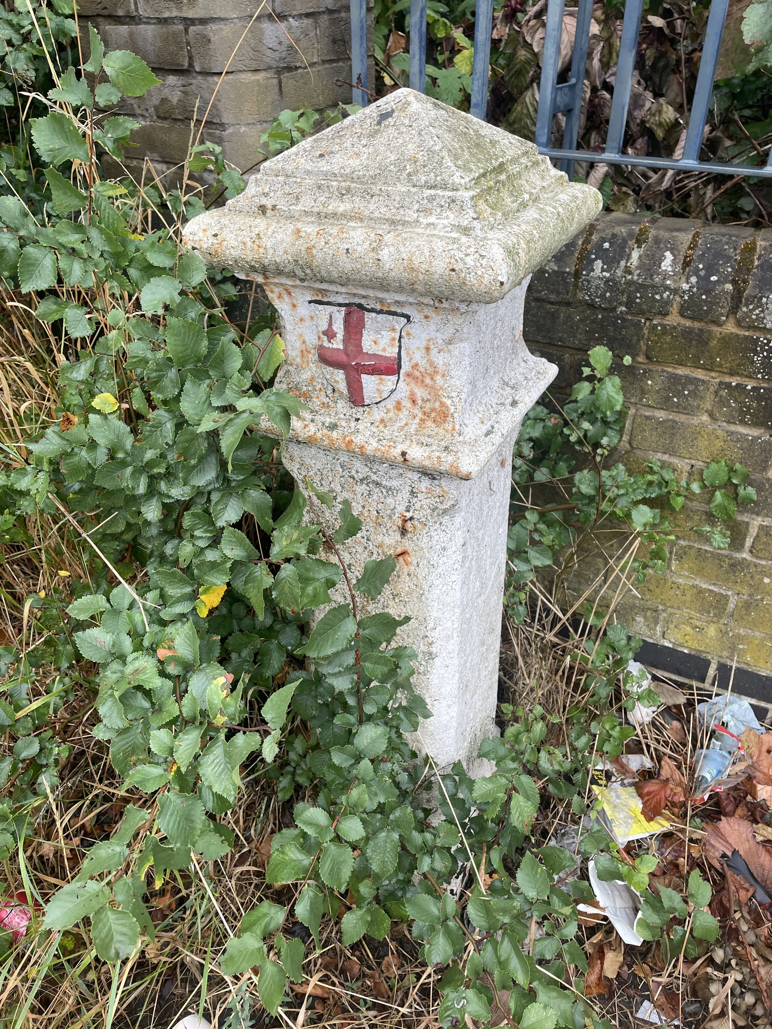
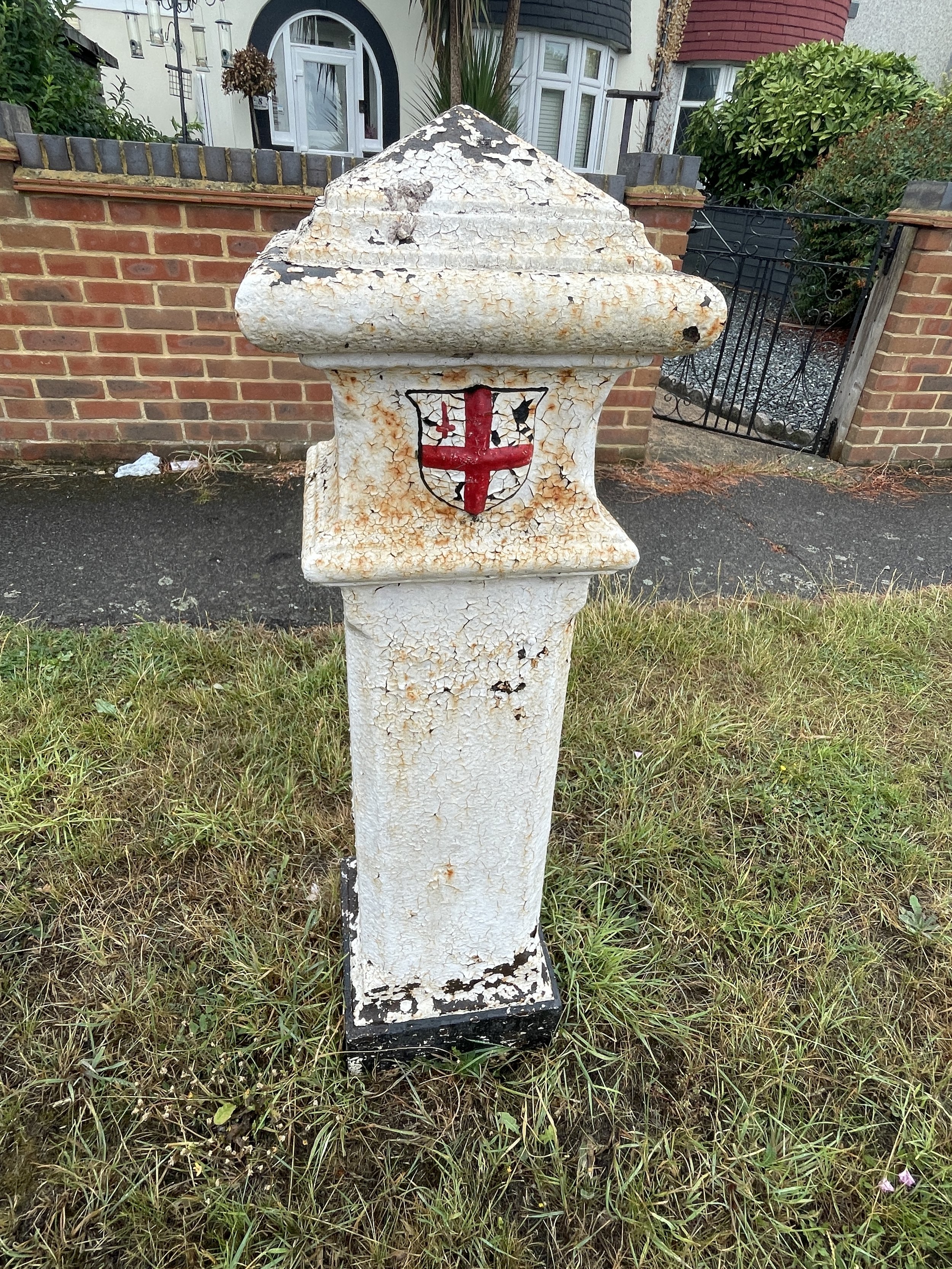
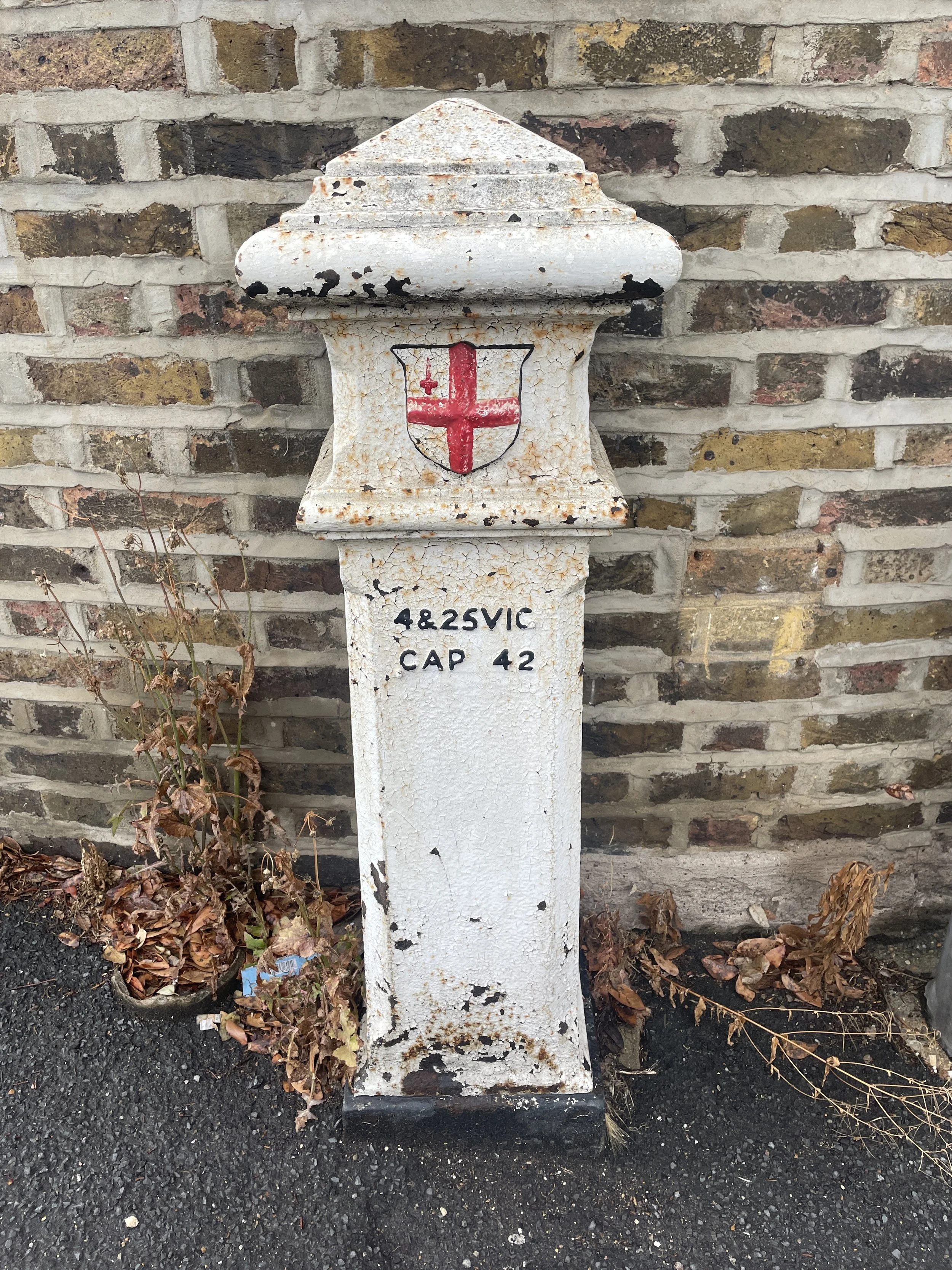
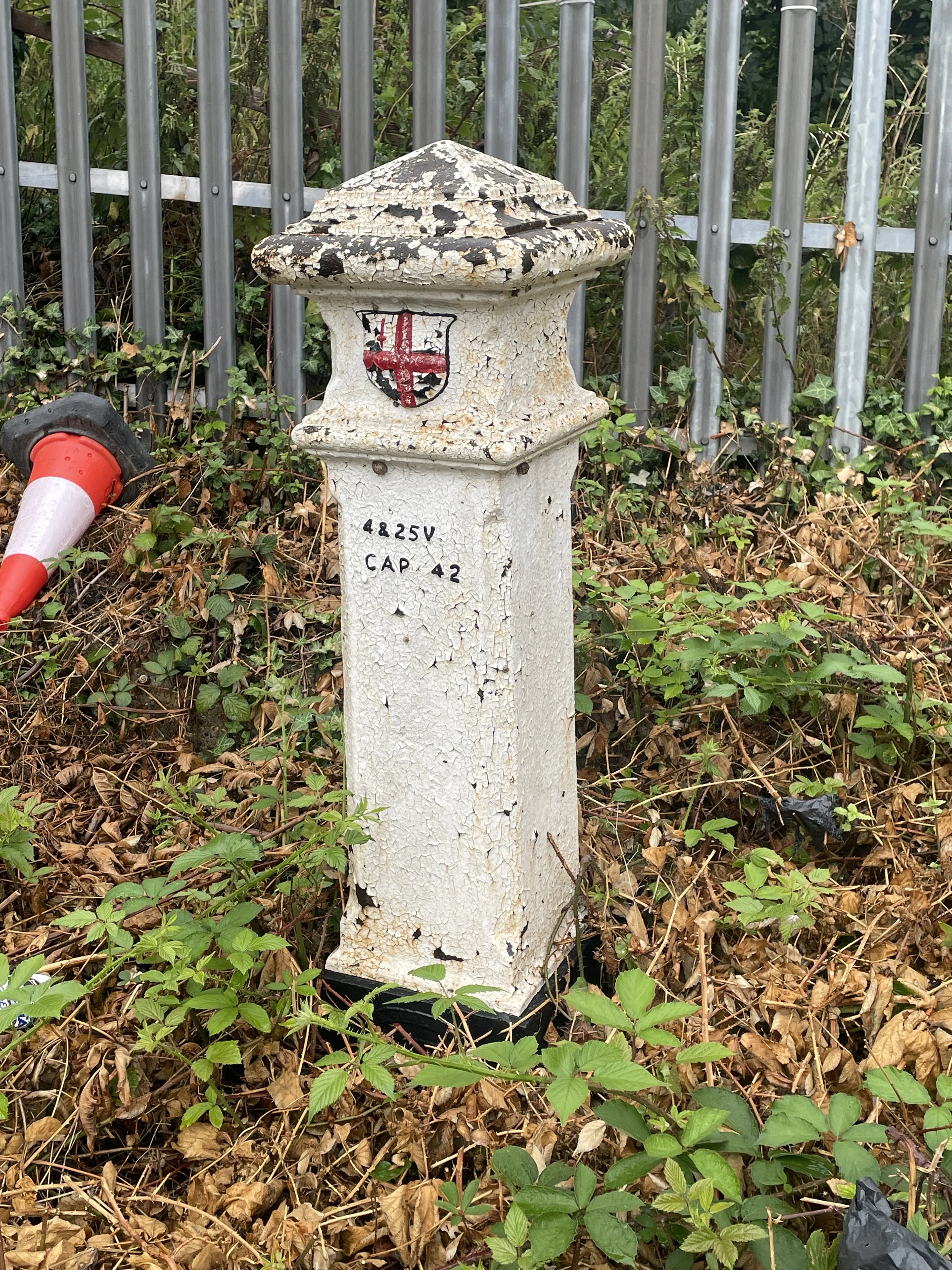
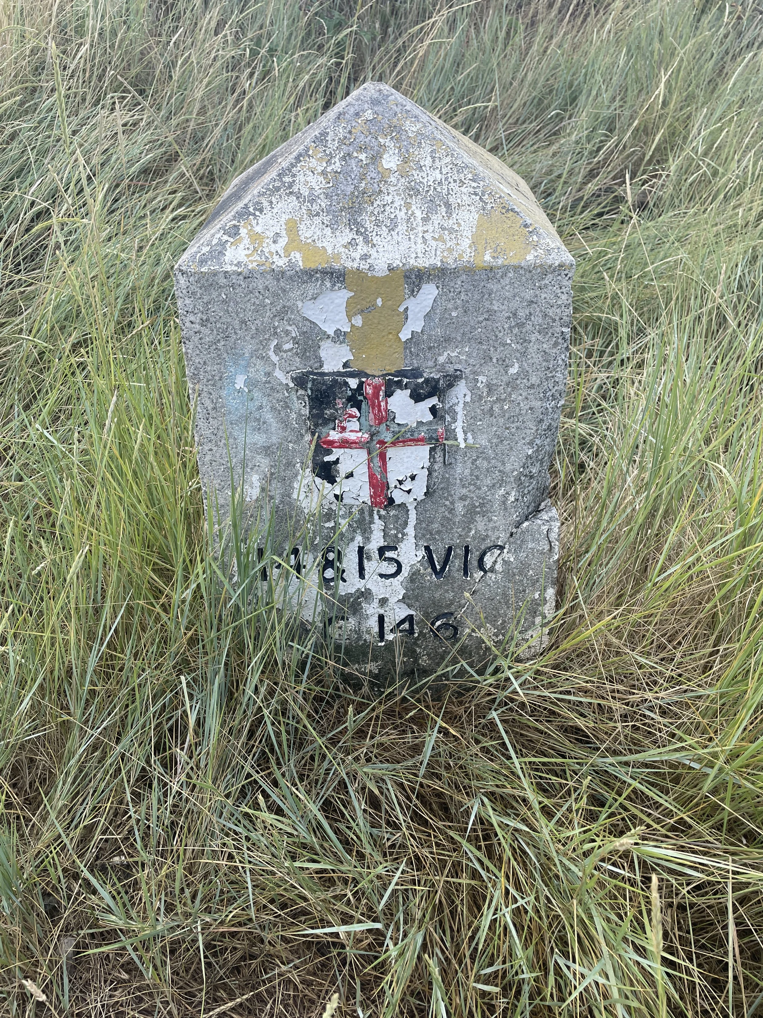
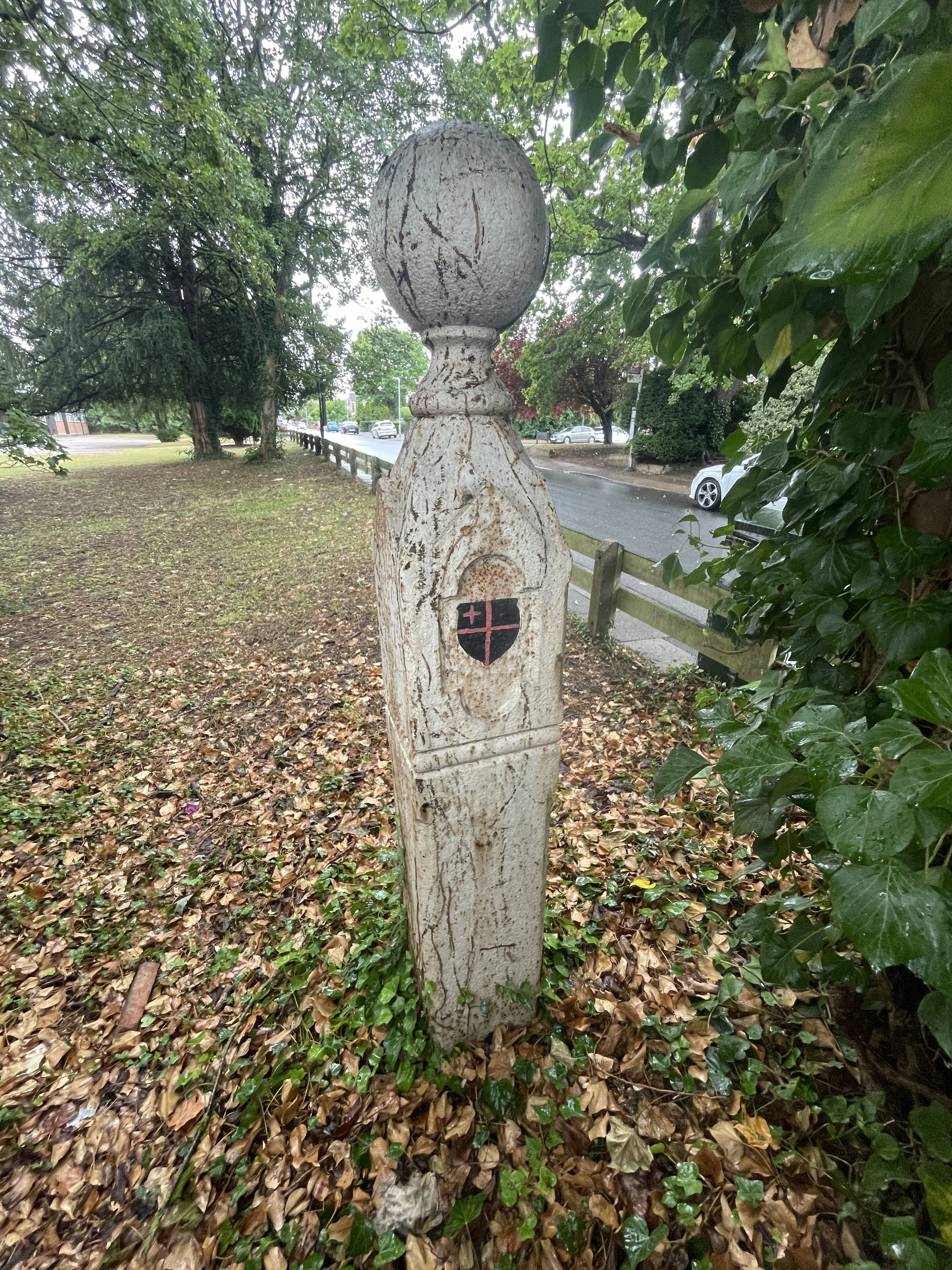
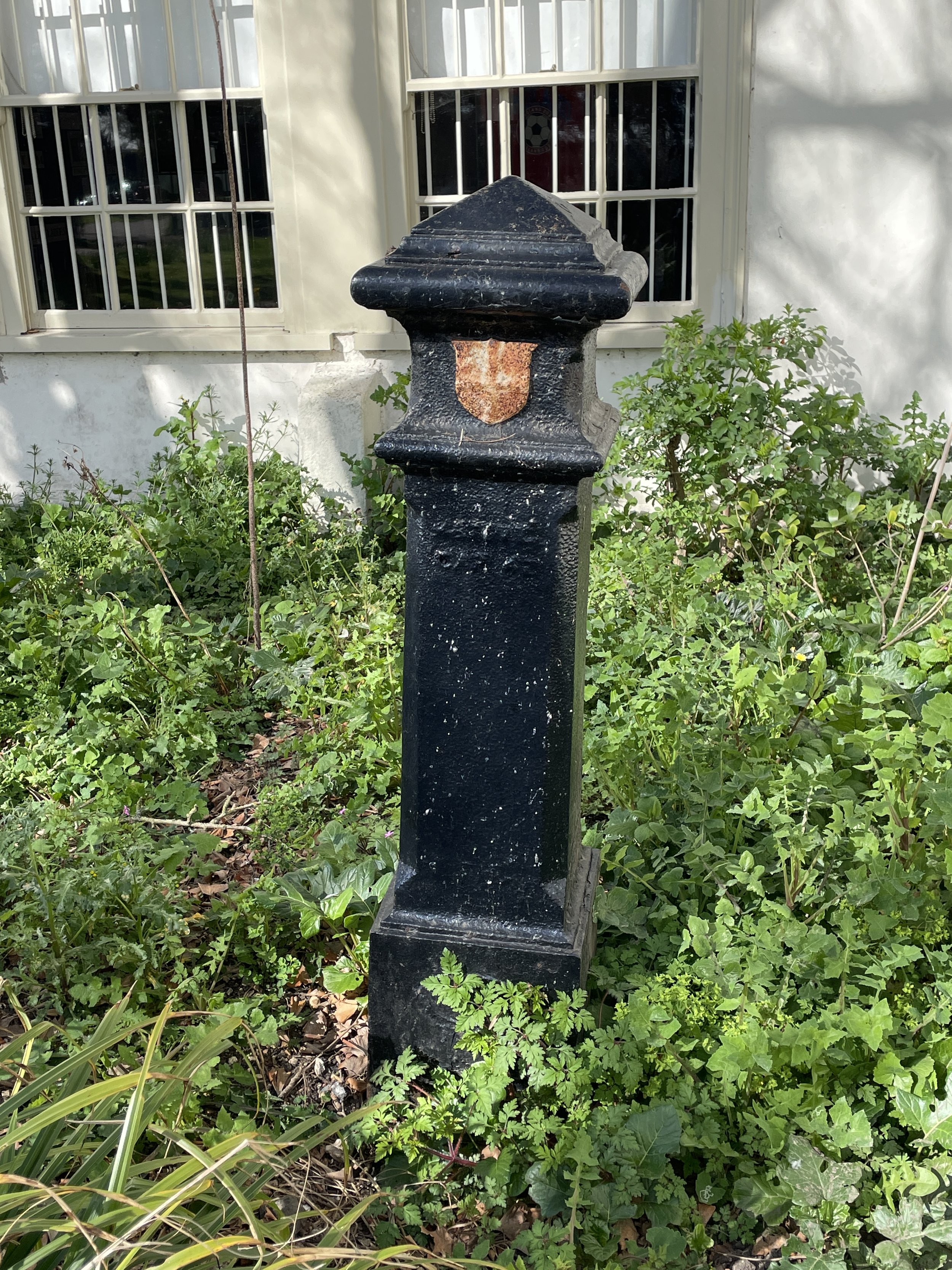
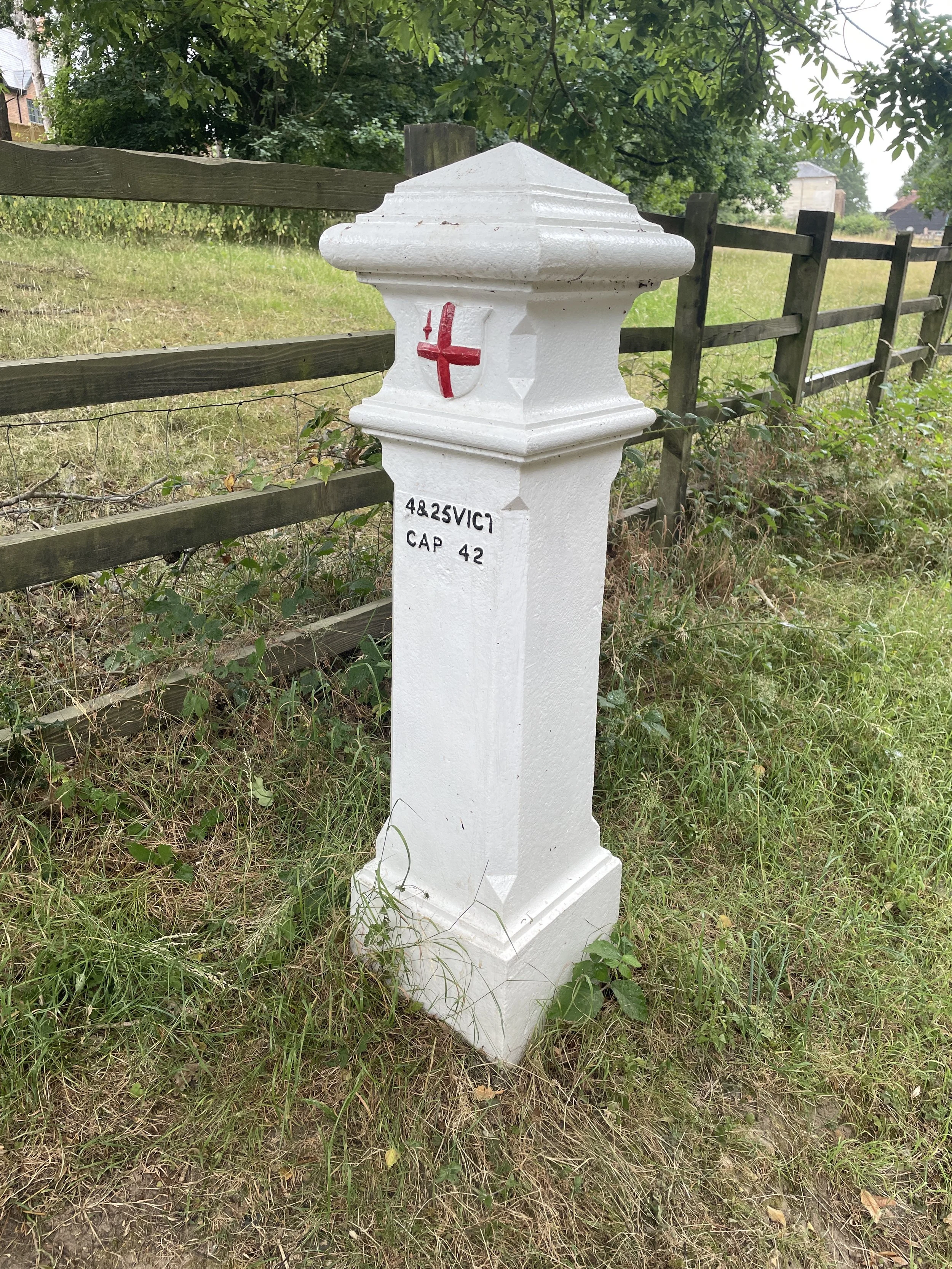
The London Coal Duty Posts mark a fascinating chapter in the capital's history of taxation and urban development. Erected primarily in the 1860s, these posts denote the irregular boundary, roughly 12 to 18 miles from central London, where a tax was levied on coal (and for a period, wine) entering the Metropolitan Police District. This ancient duty, which dates back to the 17th century, was a vital source of income for the Corporation of London, initially intended to fund the rebuilding of the city after the devastating Great Fire of 1666.
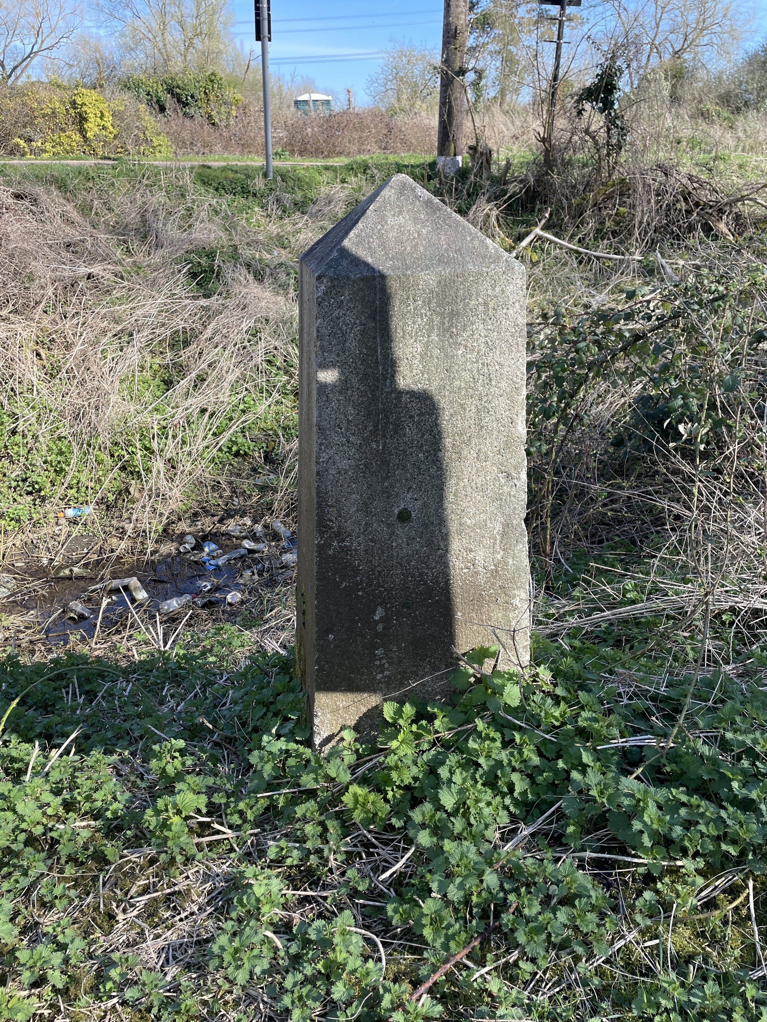
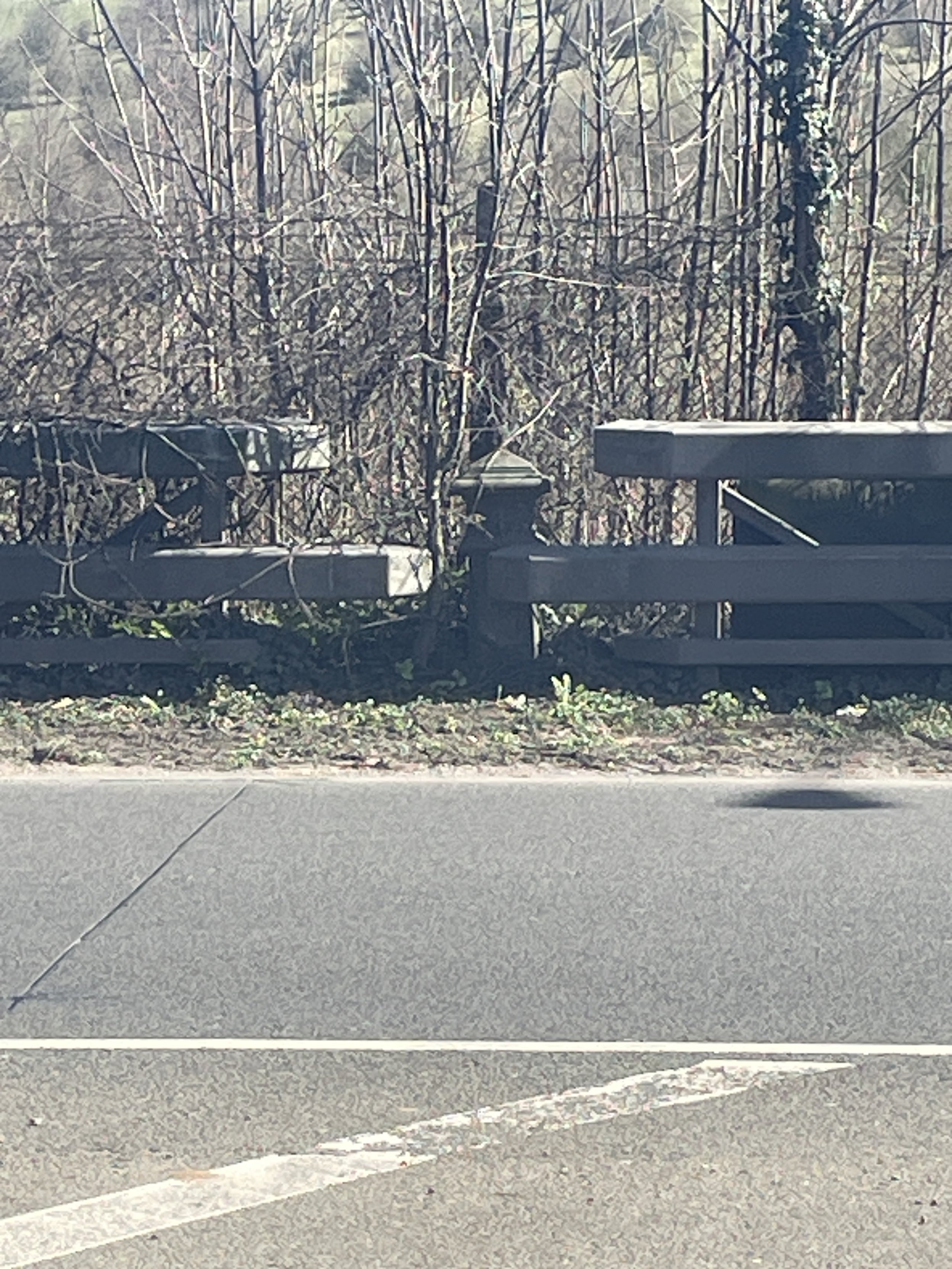
The purpose of these posts was to provide clear, visible markers of where the duty became payable, ensuring that no one could feign ignorance of the tax. With the advent of canals and railways in the 19th century, which brought coal into London through new routes, it became necessary to extend the collection points beyond the traditional river Thames entry. Approximately 280 posts were installed along roads, railways, and canals, and remarkably, over 200 of them still survive today, many of them now Grade II listed buildings. While the duty was generally not collected at the posts themselves (this was usually handled by transport companies or coal merchants), the posts served as an undeniable physical demarcation of the chargeable zone.
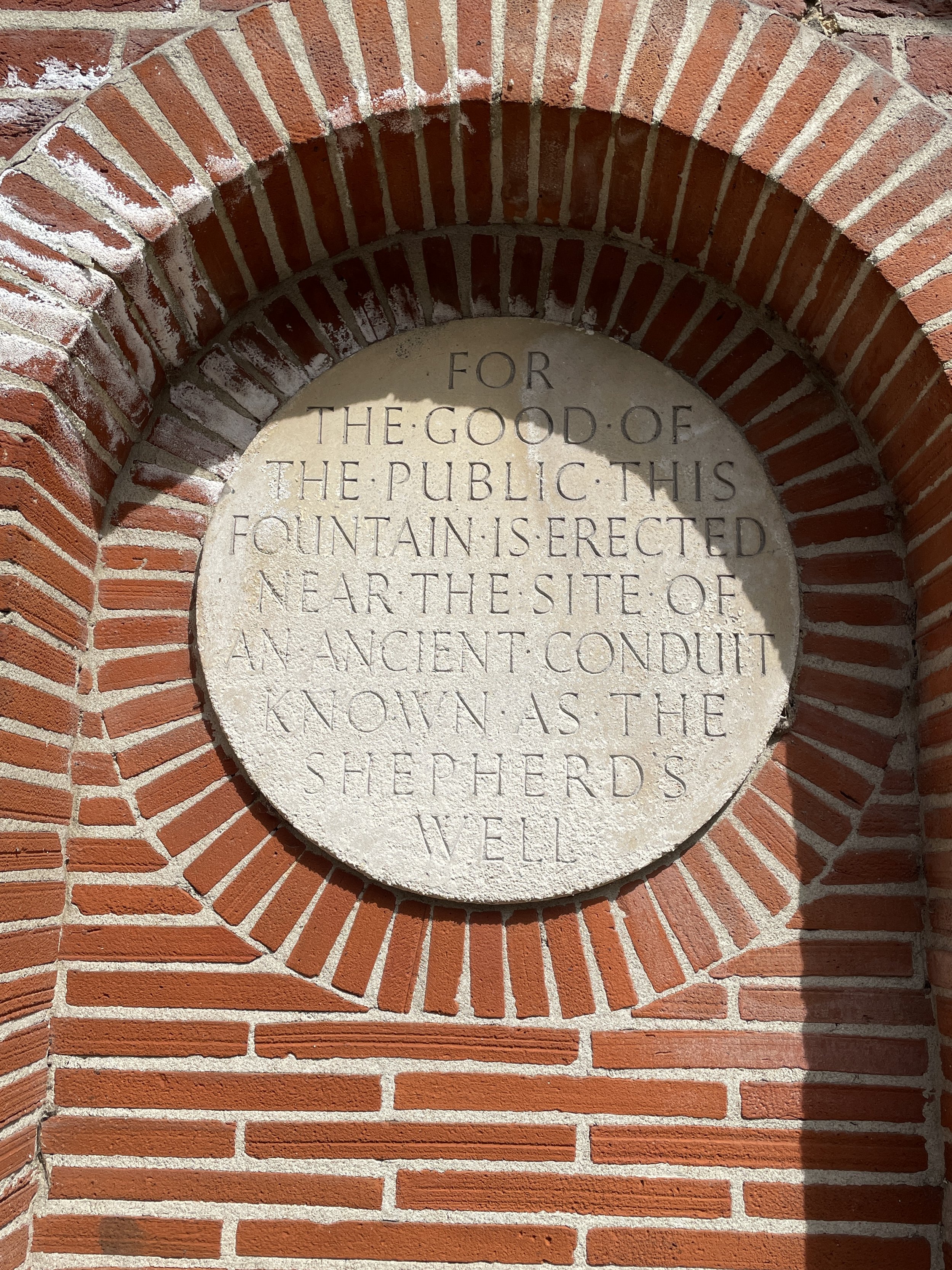
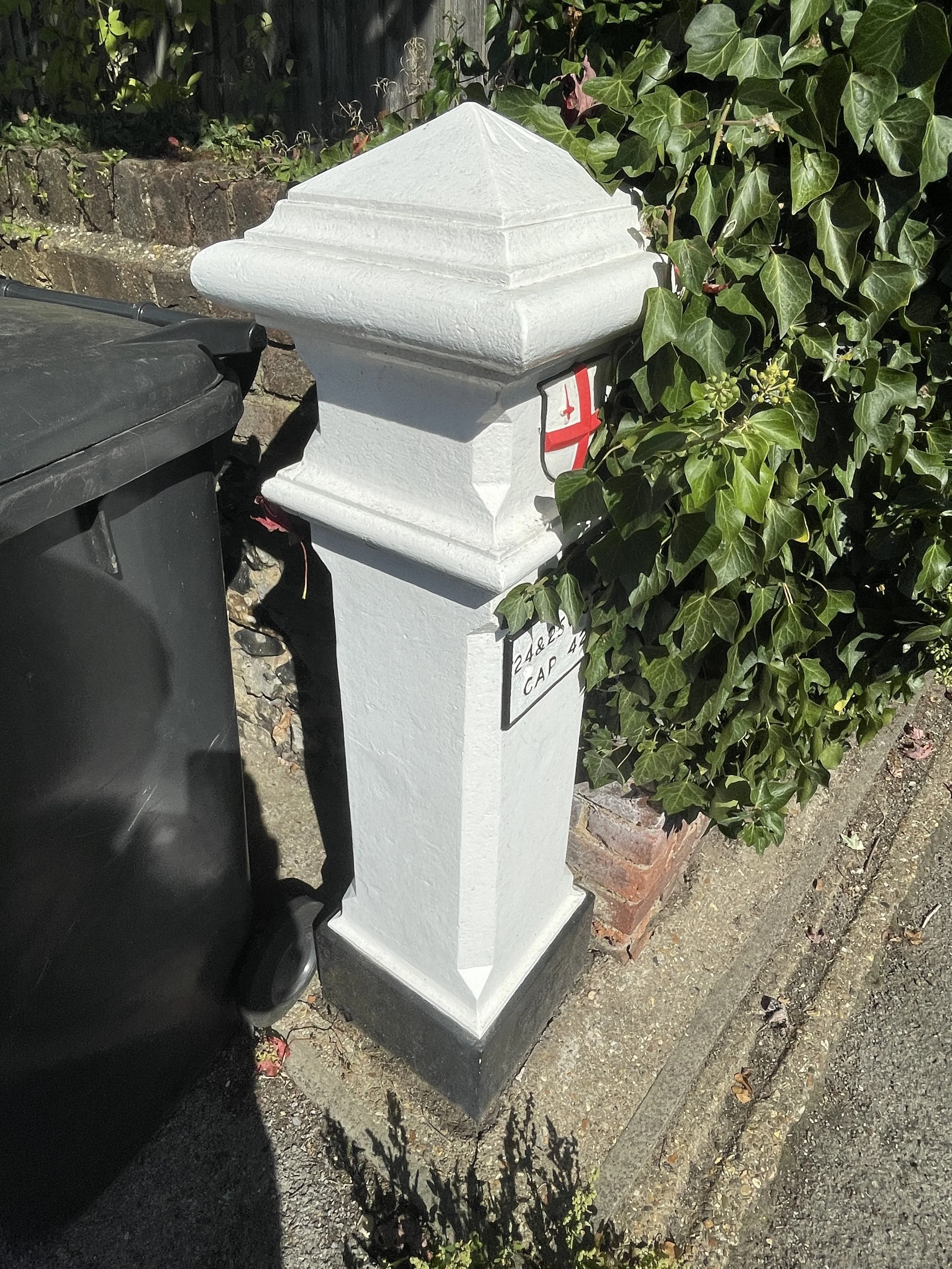
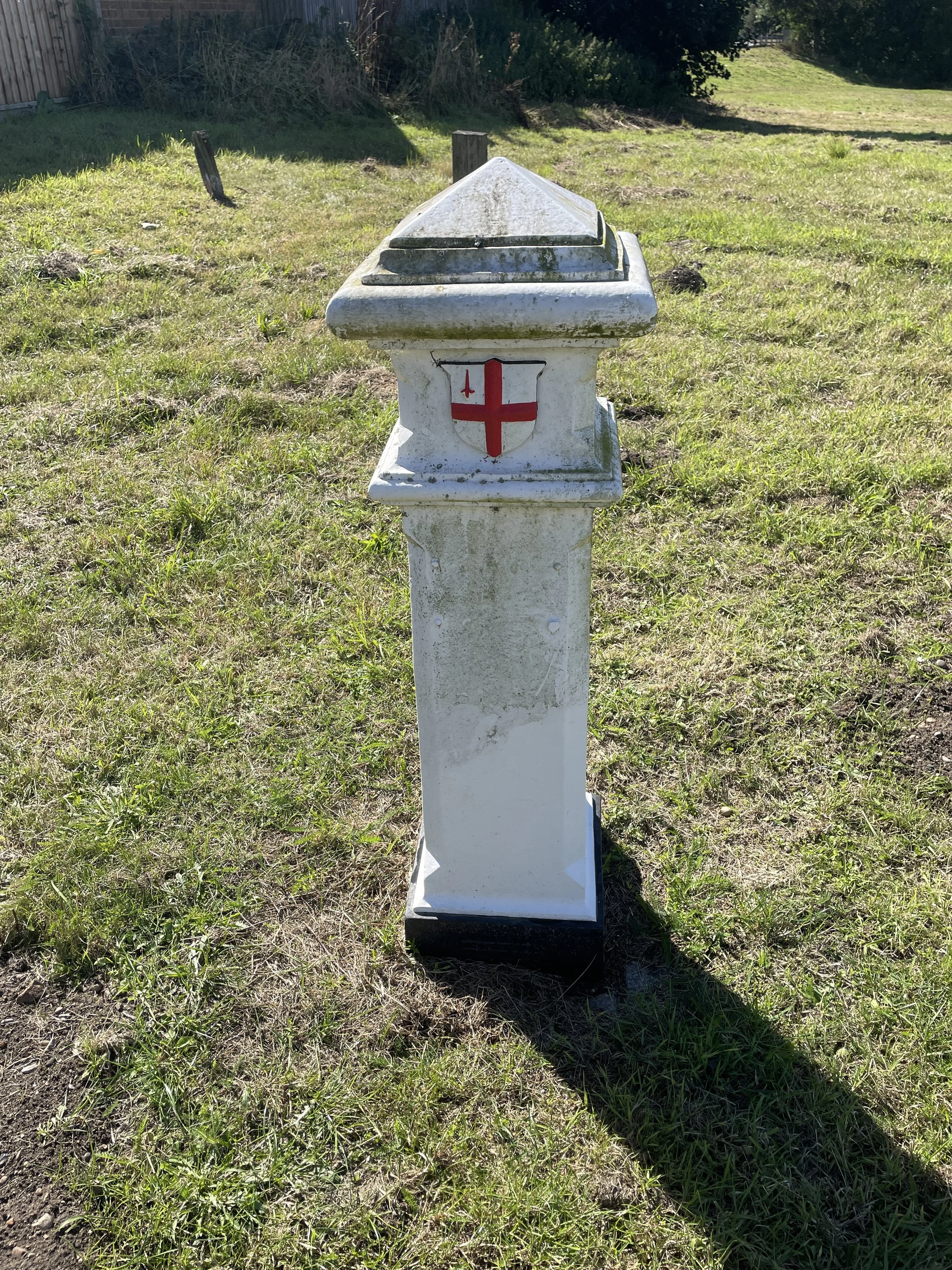
Though the coal duties were finally abolished in 1890, these unassuming markers remain a tangible link to London's past. The funds raised from these taxes played a significant role in financing numerous crucial public works and improvements across the growing metropolis. Projects such as the construction of the Thames Embankment, the Holborn Viaduct, and the freeing of several Thames bridges from tolls were all beneficiaries of this revenue. So, the next time you encounter one of these distinctive posts, take a moment to appreciate its subtle but profound historical significance: a small piece of iron that helped shape the modern fabric of London.
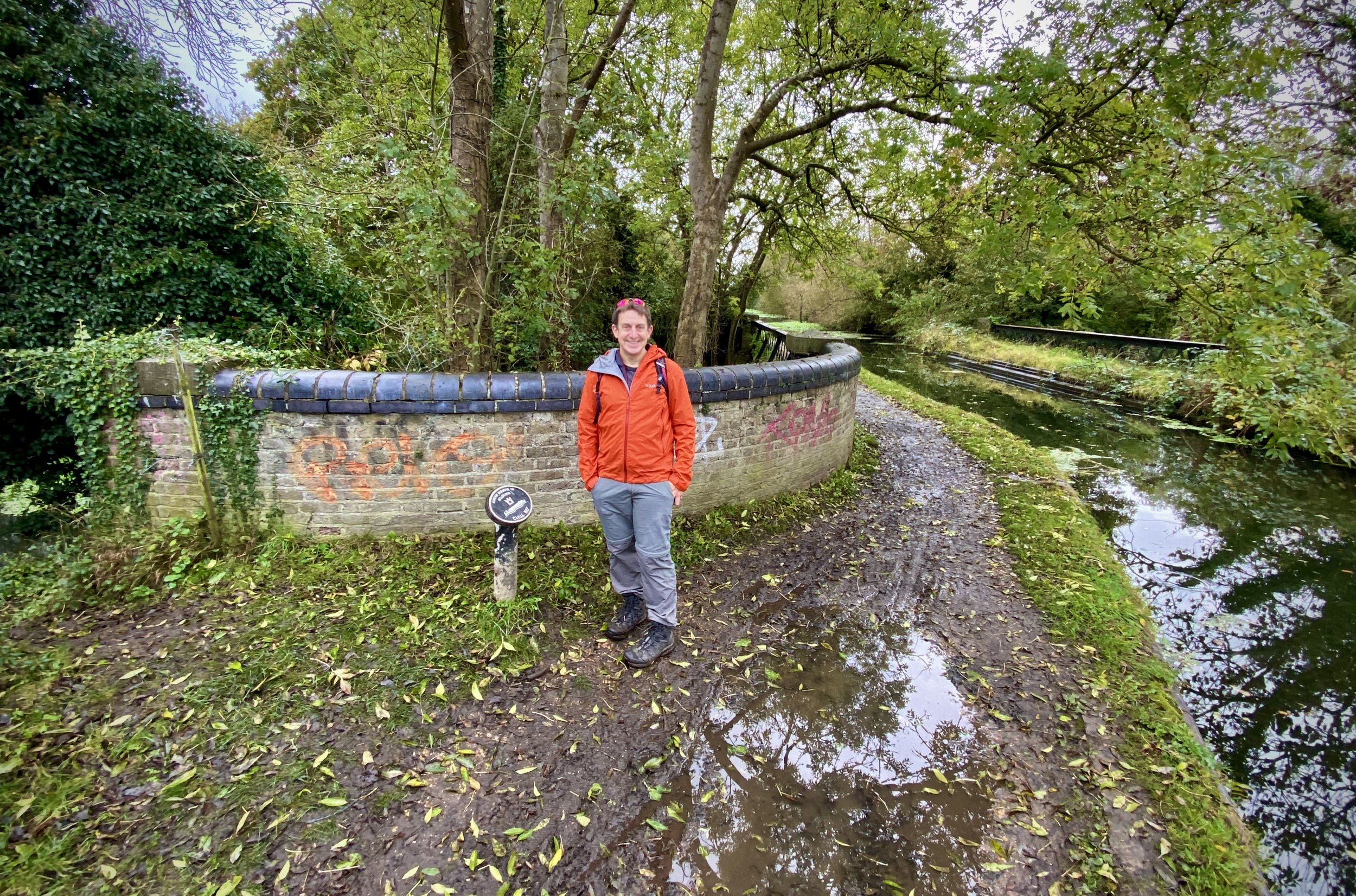
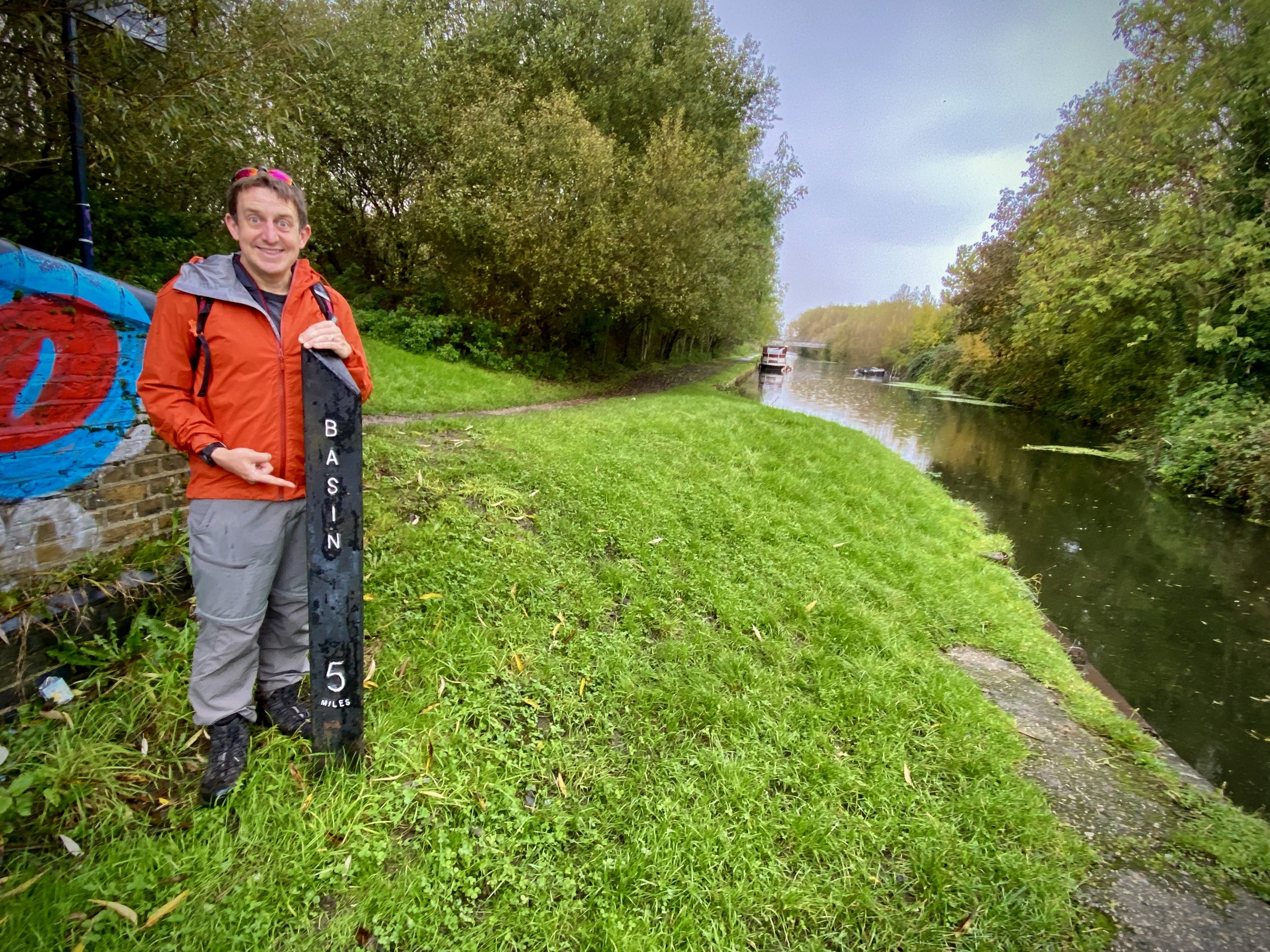
If you want to find out more about the Coal Duty Posts I highly recommend visiting Martin Nail’s website. It’s an amazingly thorough documentation of the history, location and conditions of the posts. Rather than reproduce anything here, my post below contains my own photos, notes and links to Coal Post themed walks and cycle trips that I have done. I’ve used Martin’s Coal Post numbering and where there’s a link to a specific post it goes to the relevant page on Martin’s website.
If you spot any errors on this page or have new information about any of the posts that I have missed please contact me or comment below. I’ll donate £1 to one of the outdoor causes that I support for every edit made.
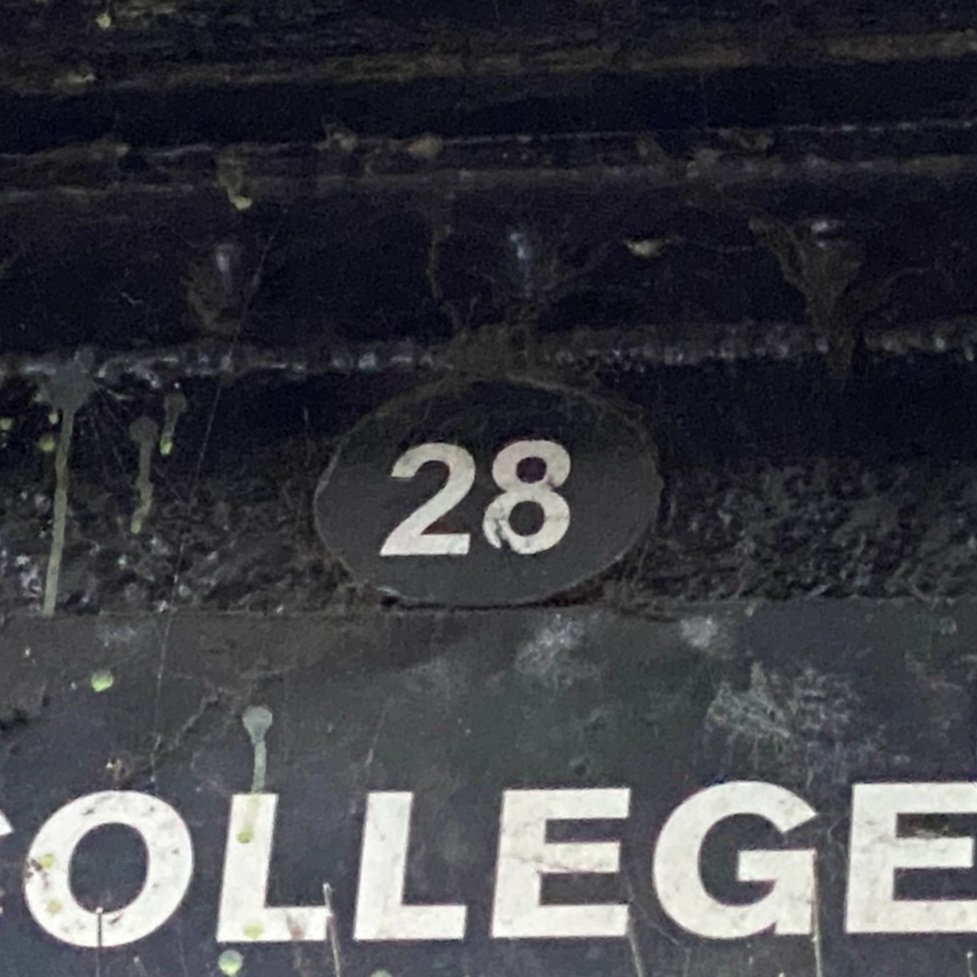
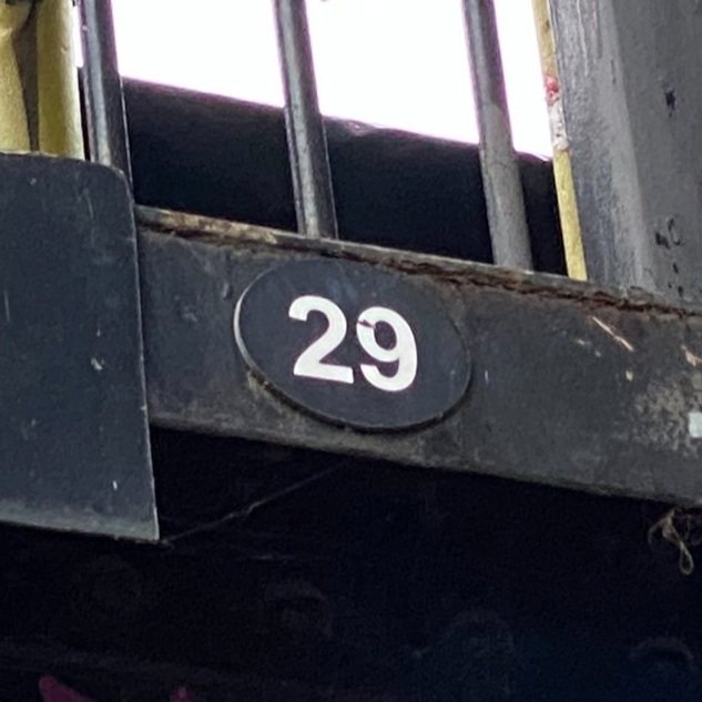
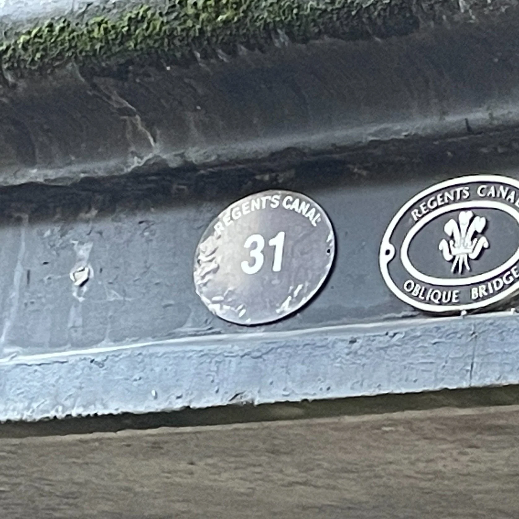
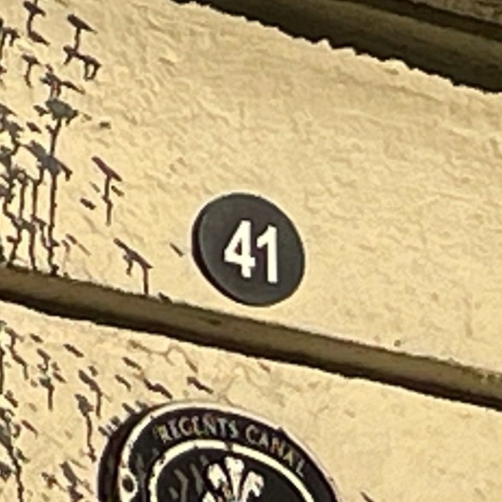
The North-East: Posts 1 to 31.
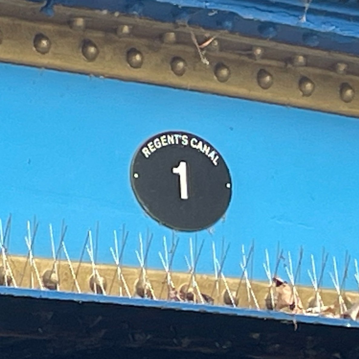
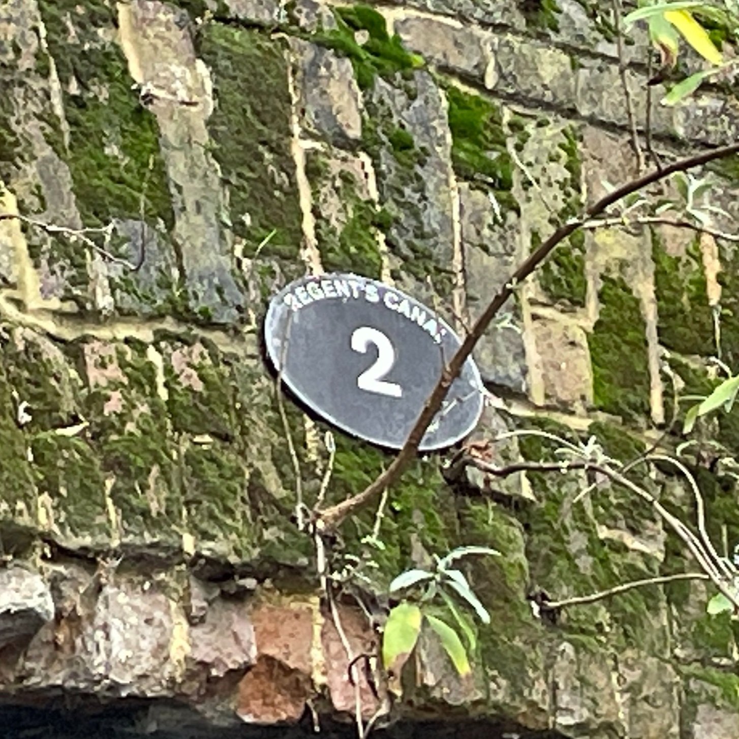
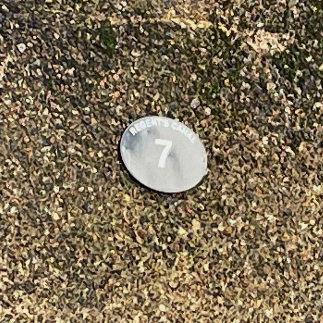
Anti-clockwise from Dagenham to the A1(M). The first 6 posts (Posts 0a to 0f) are missing. Coal Post #1 is the first extant post north of the Thames in the east. Scroll down to the Notes section at the bottom of this page for details of missing photos.
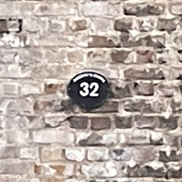
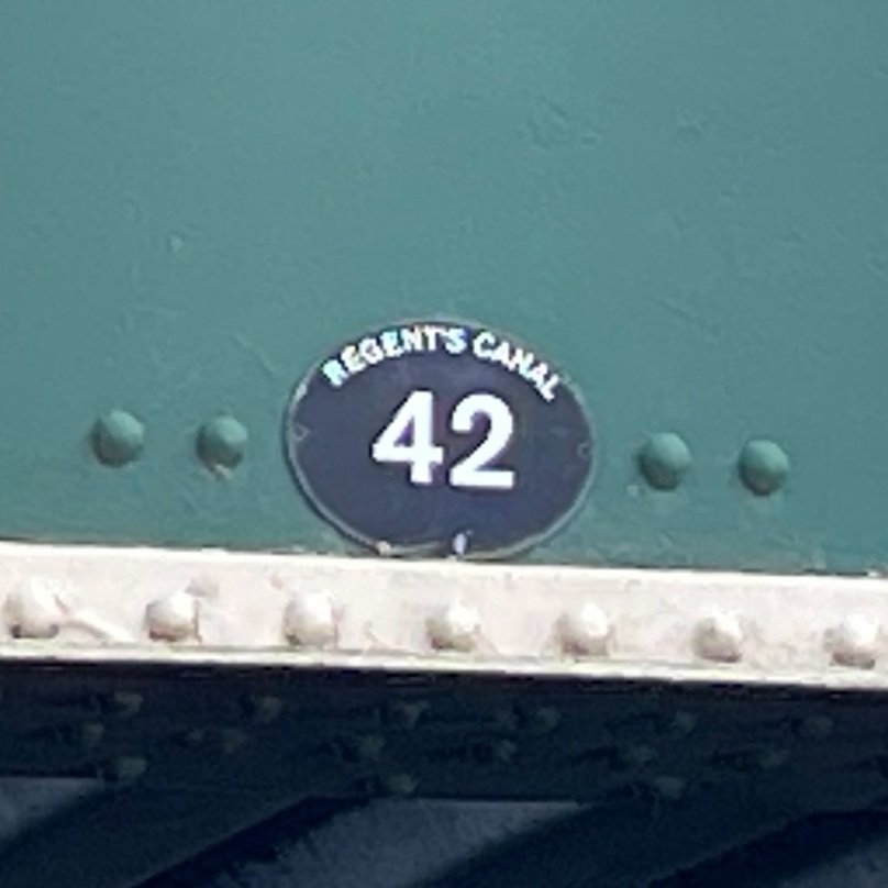
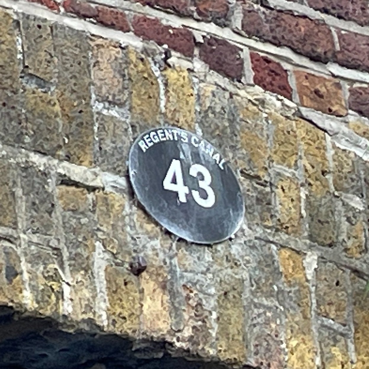
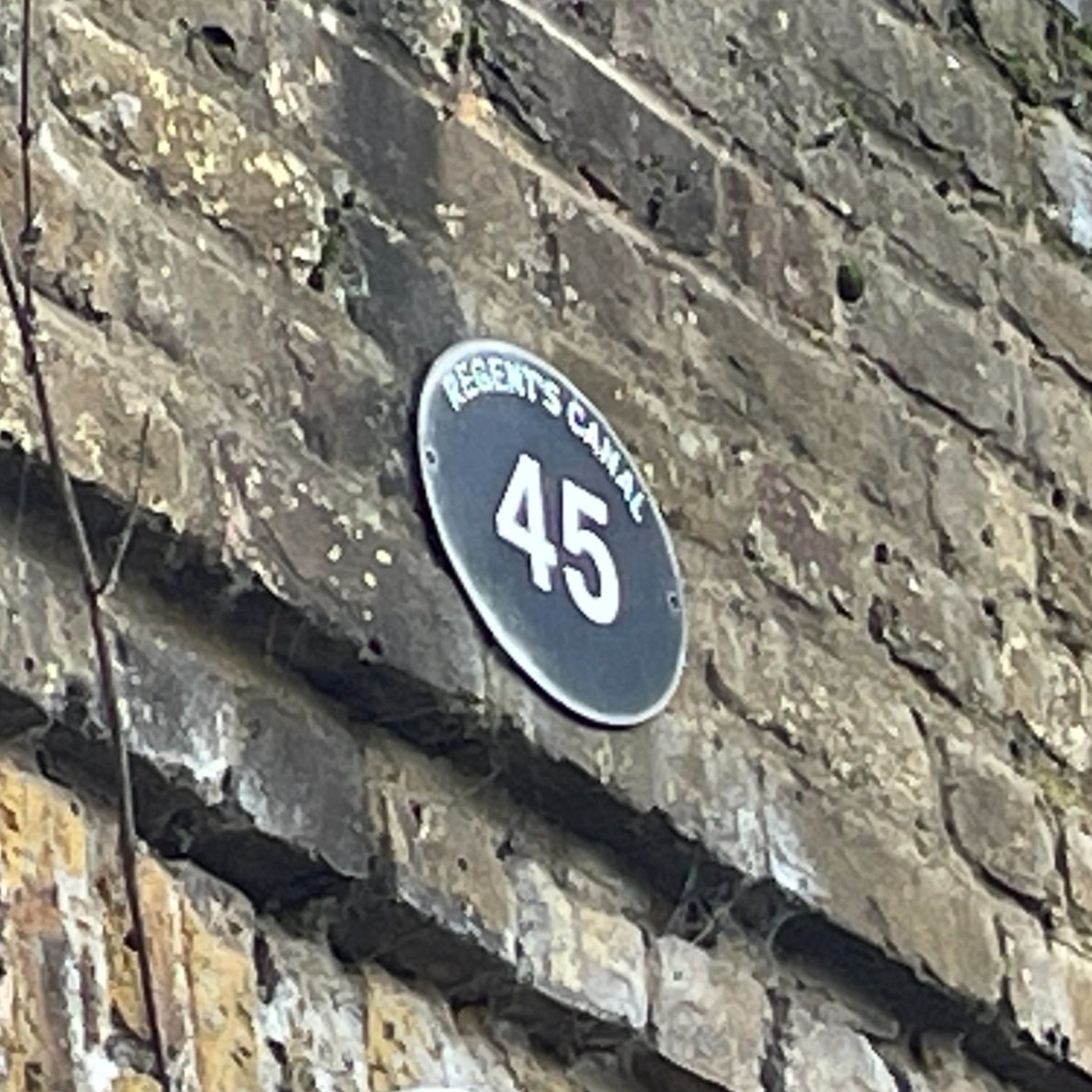
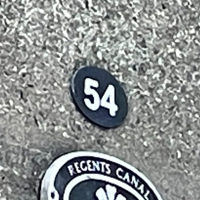
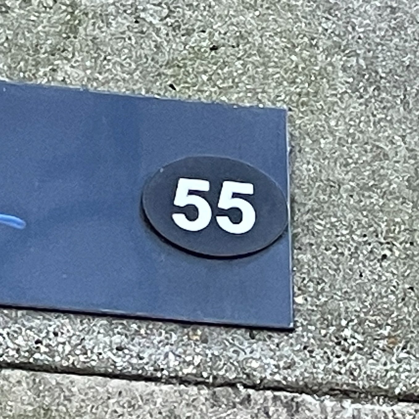
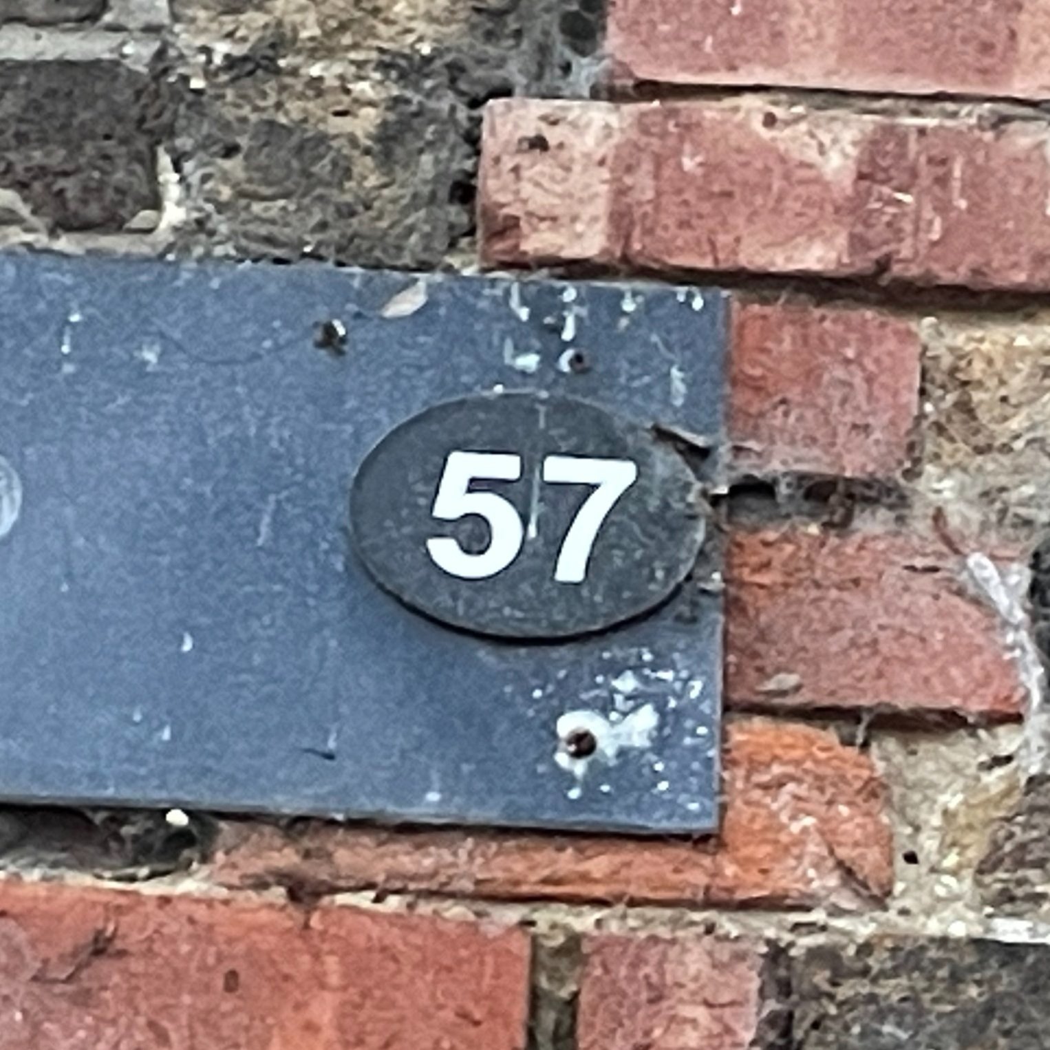
The North-West: Posts 33 to 83
Anti-clockwise from the A1(M) to the River Thames at Staines. Scroll down to the Notes section at the bottom of this page for details of missing photos.

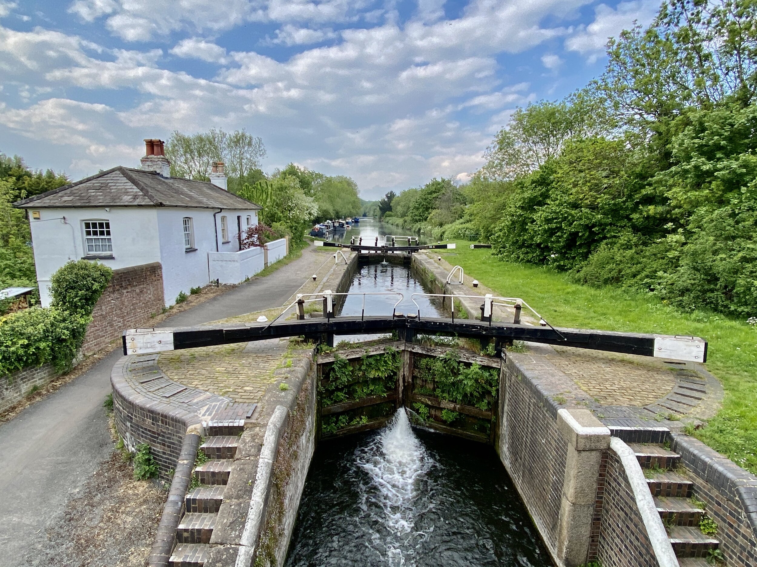
The South-West: Posts 84 to 164
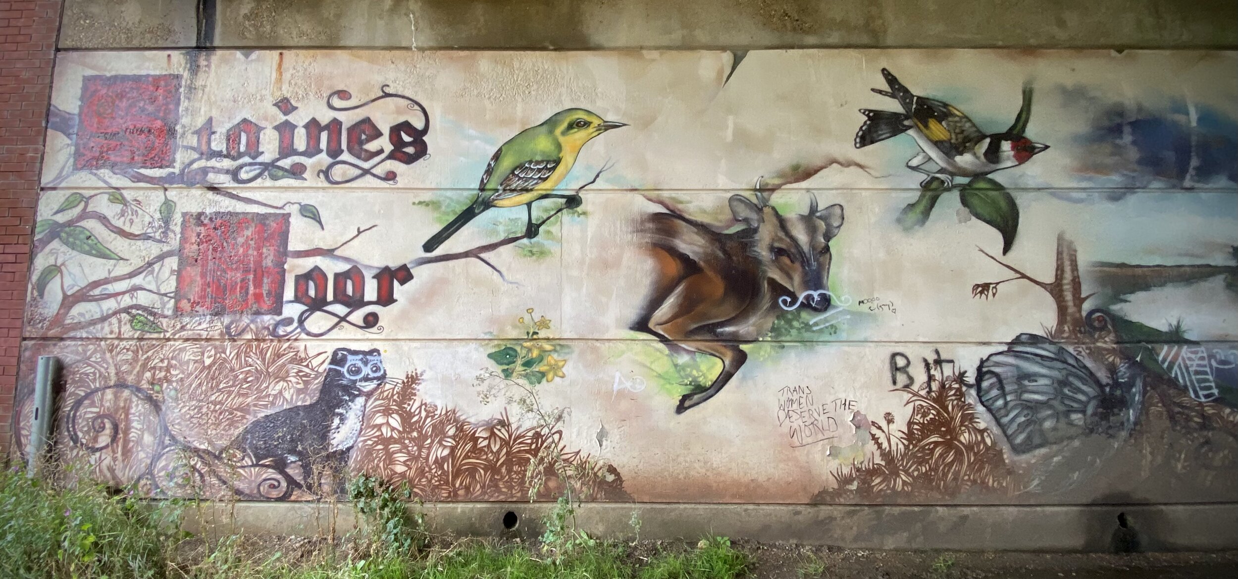
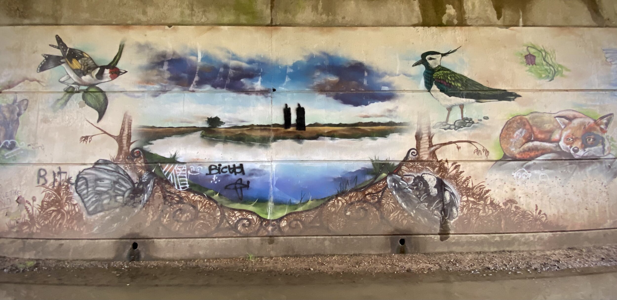
Anti-clockwise from the River Thames at Staines to Hooley. Scroll down to the Notes section at the bottom of this page for details of missing photos.
The South-East: Posts 165 to 217
Anti-clockwise from the River Thames at Staines to Hooley. Scroll down to the Notes section at the bottom of this page for details of missing photos.

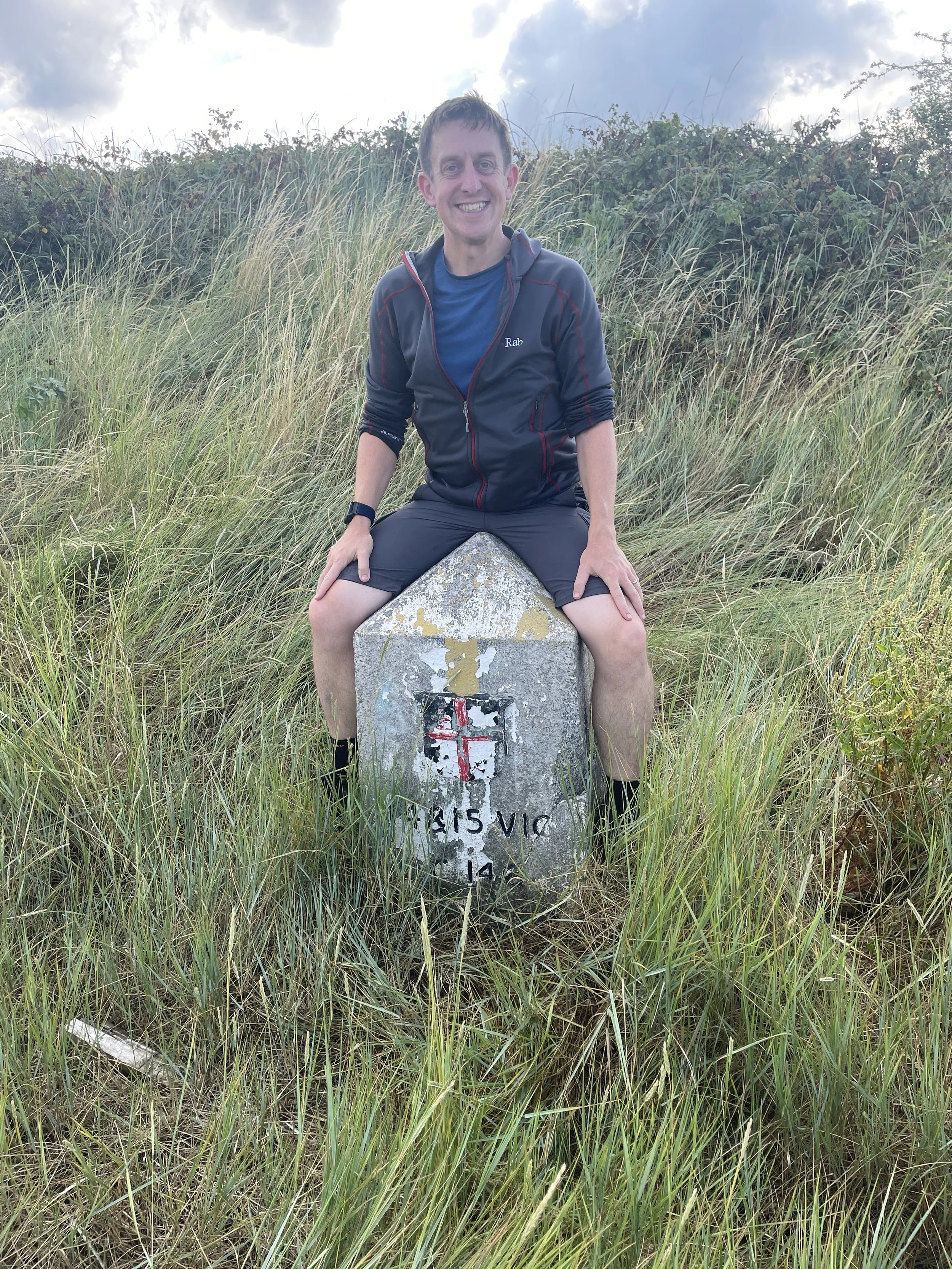
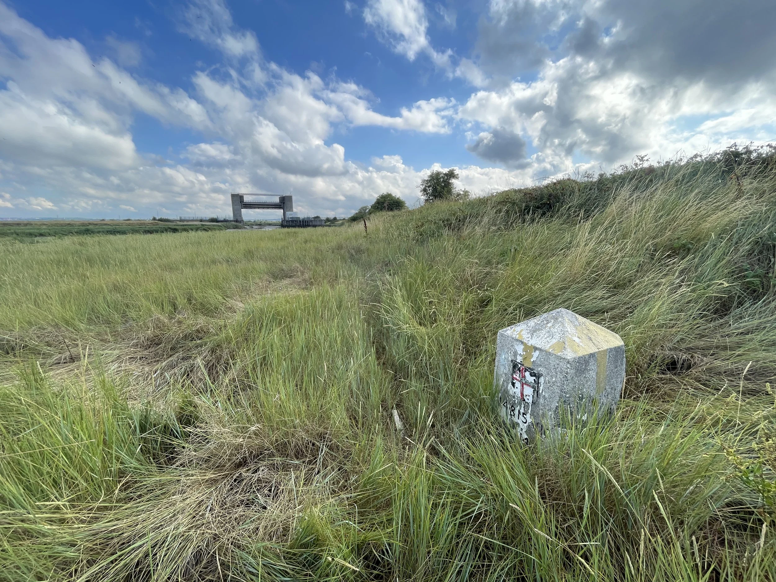
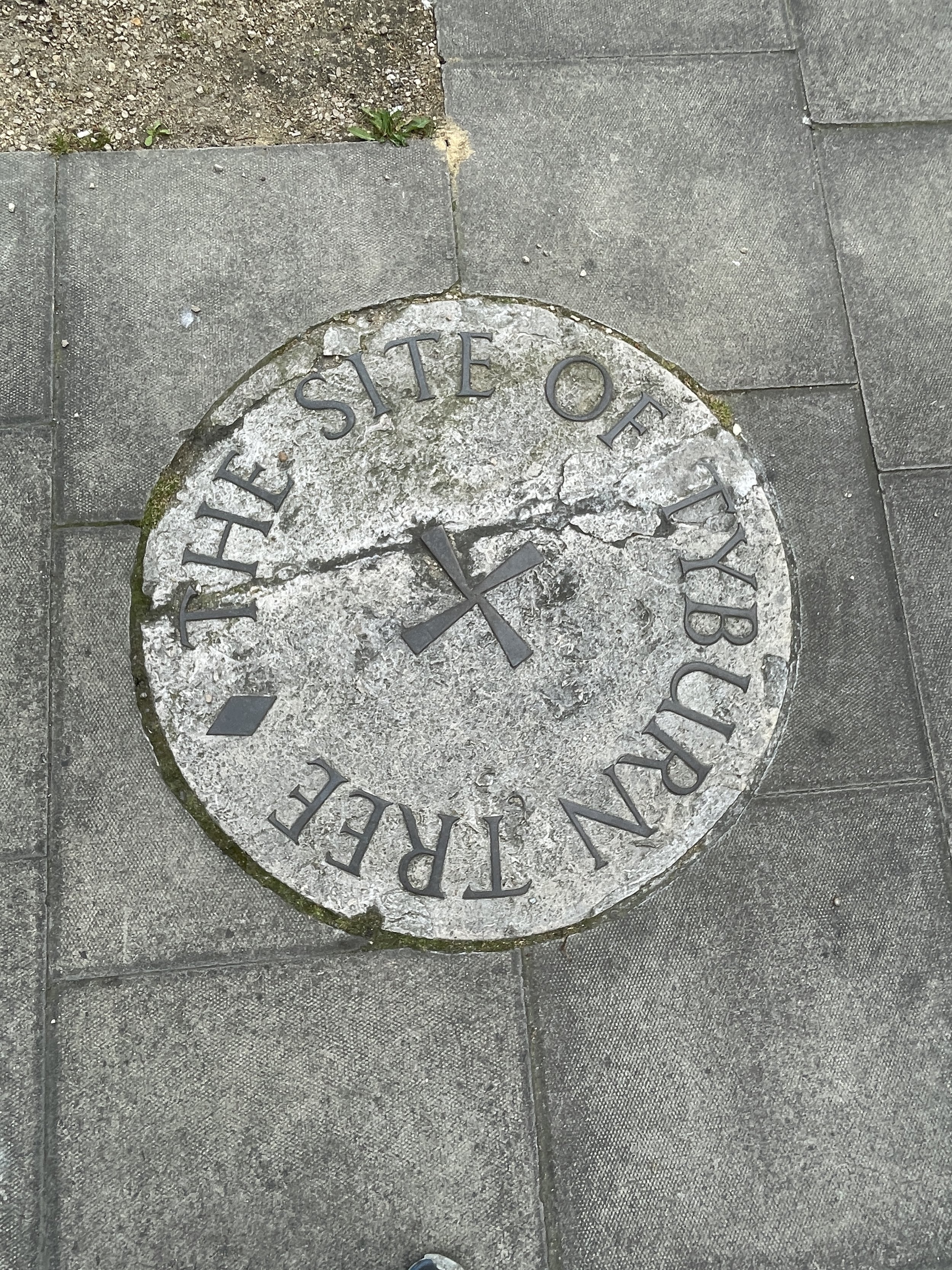
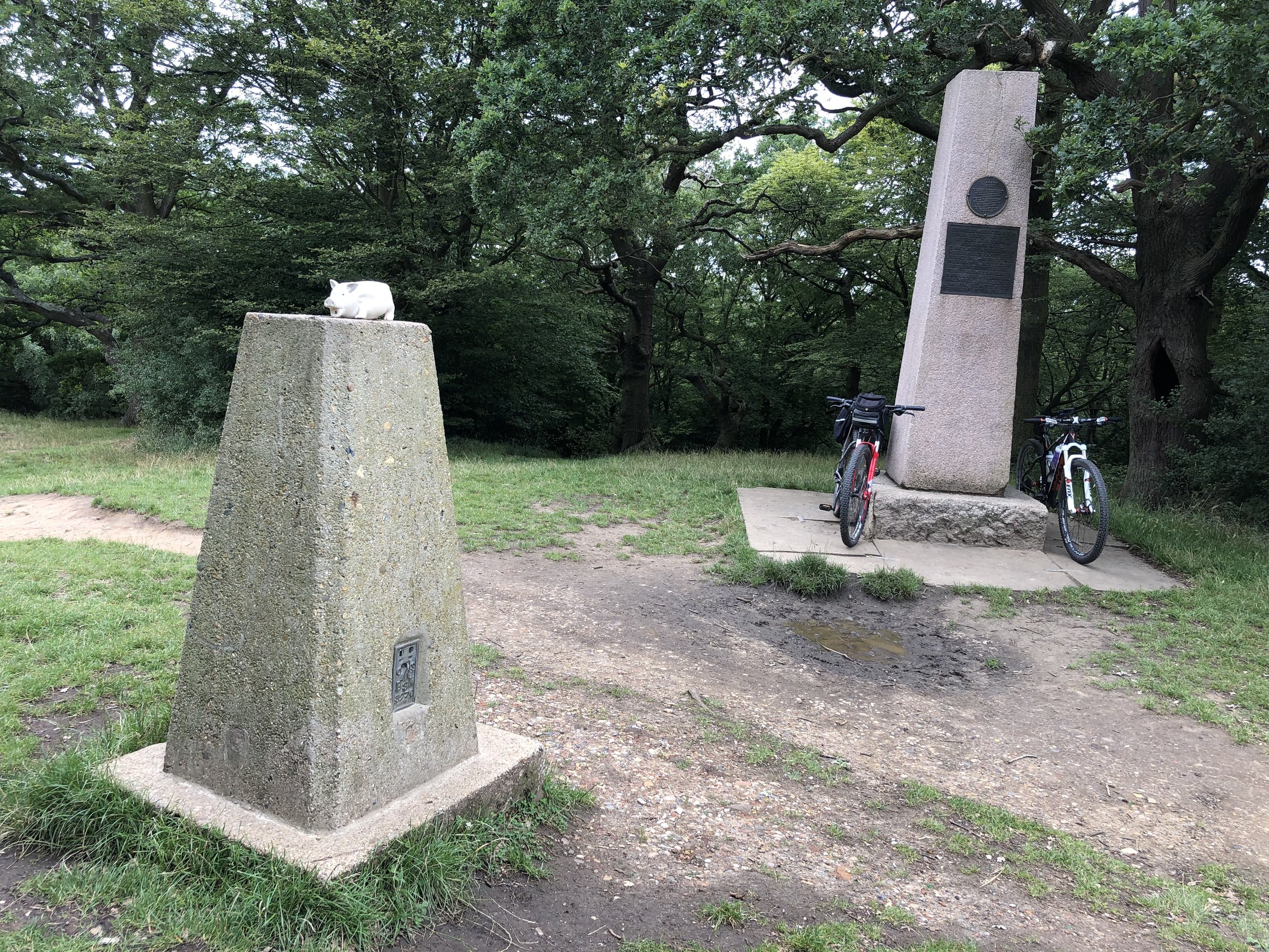
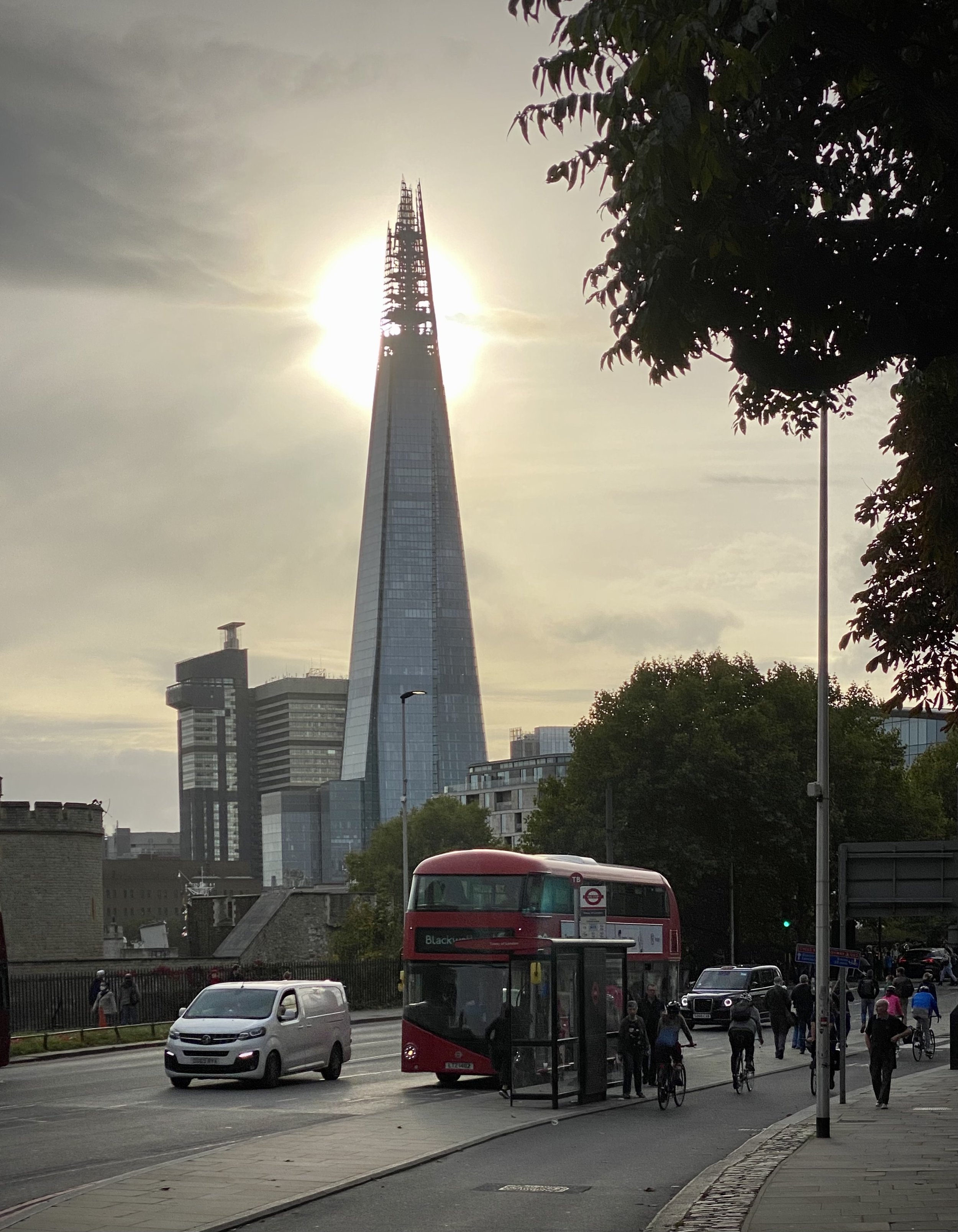
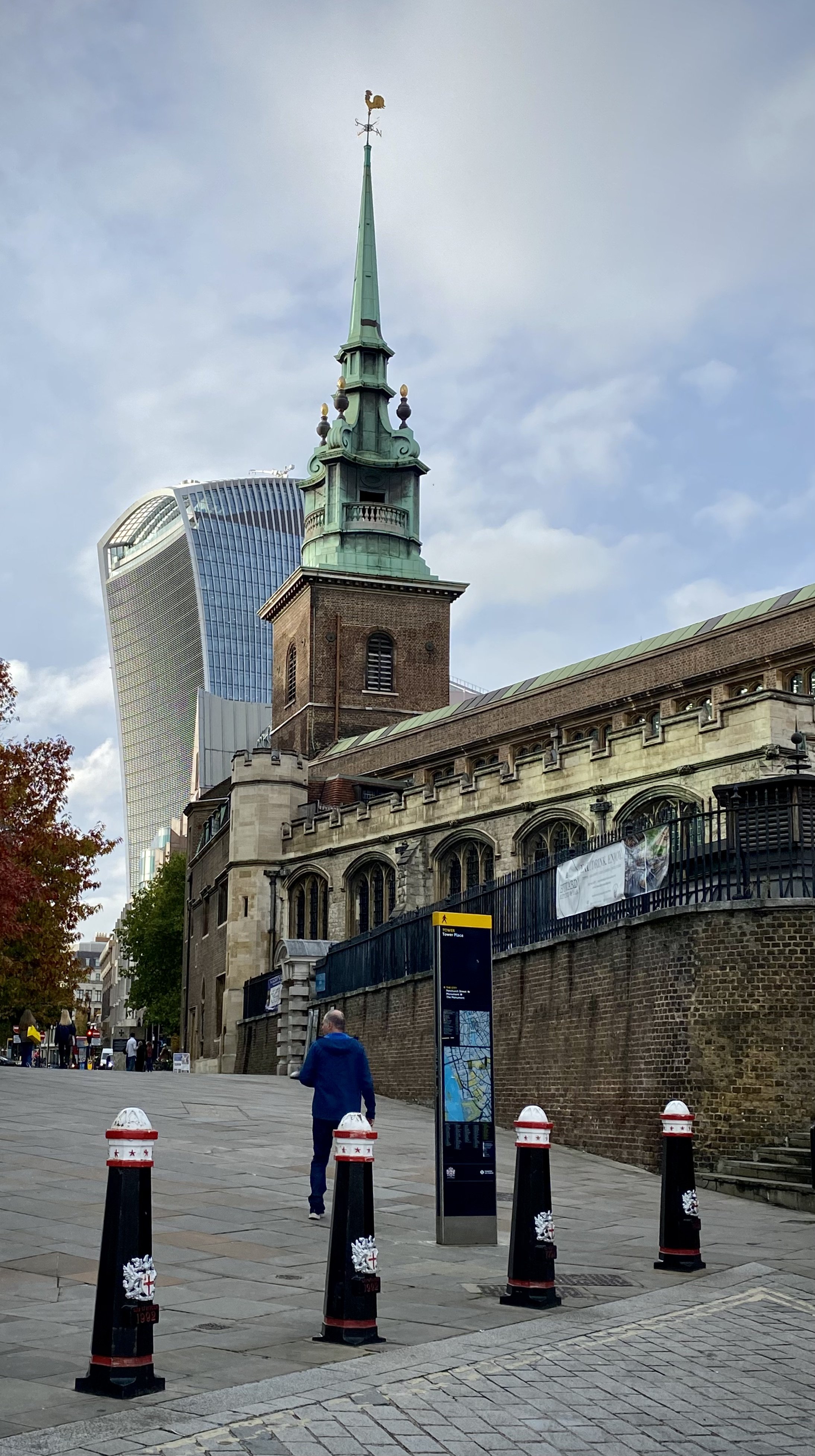
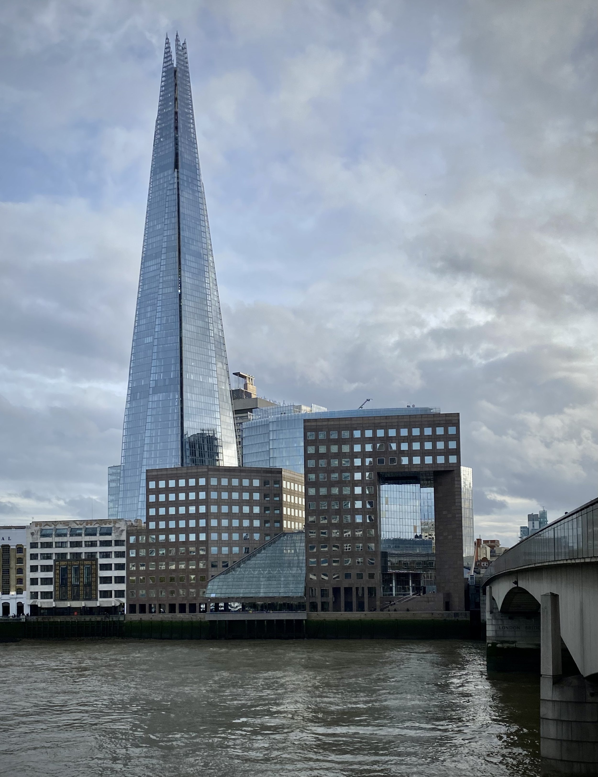
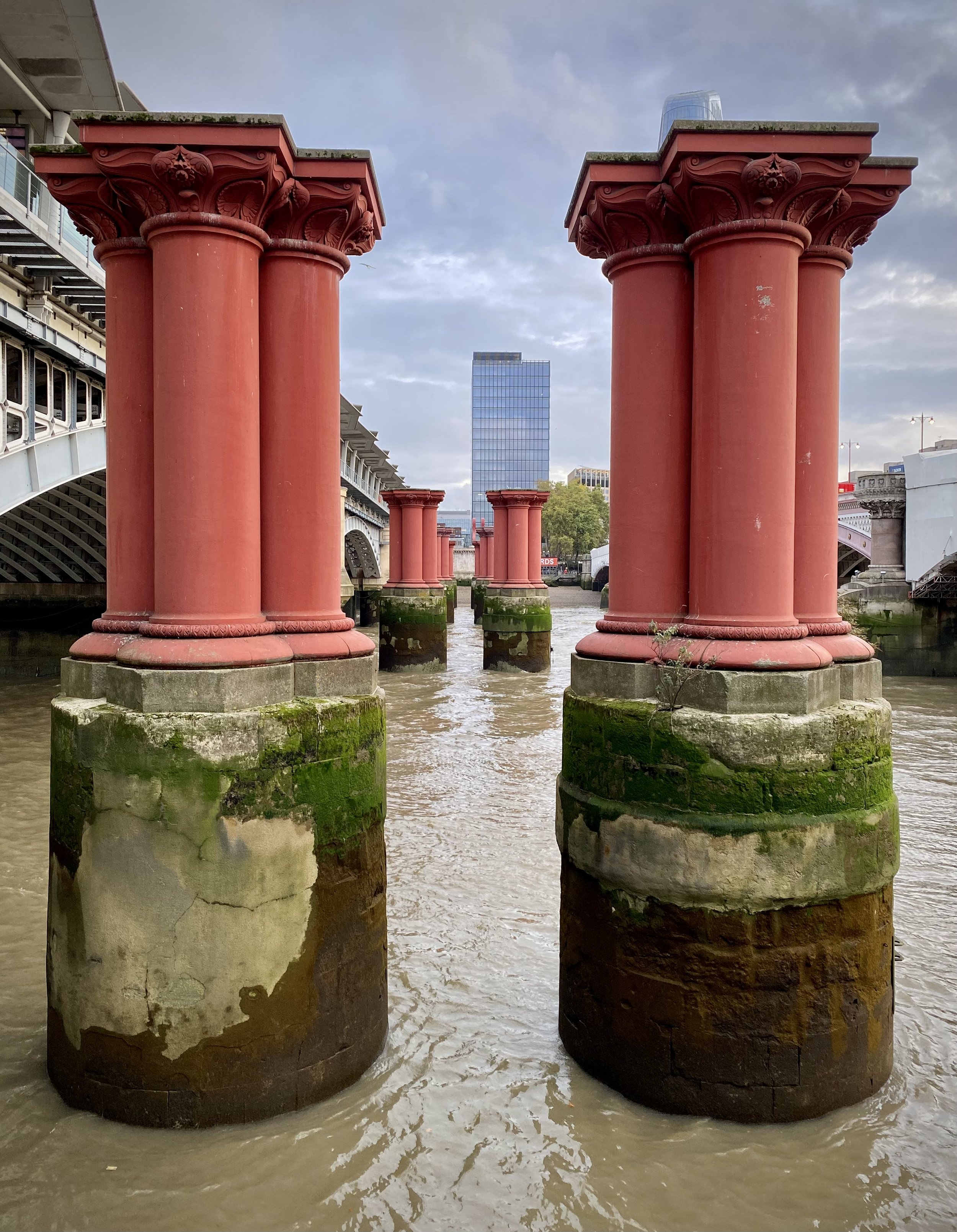
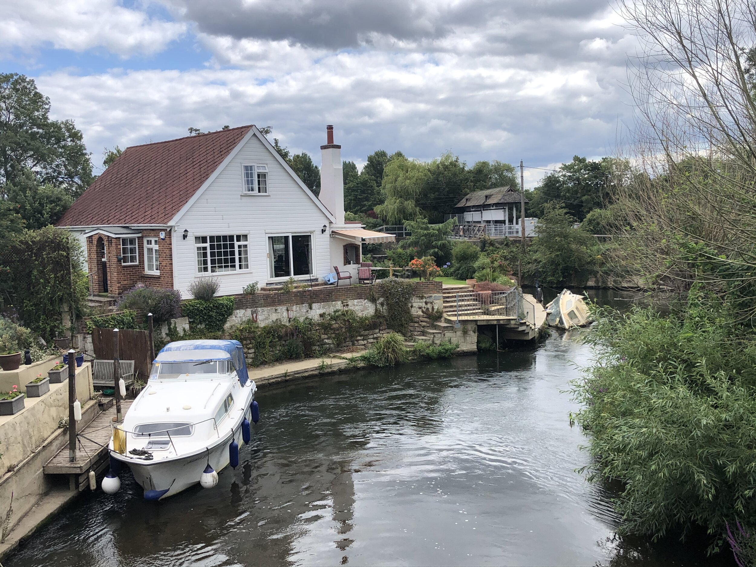
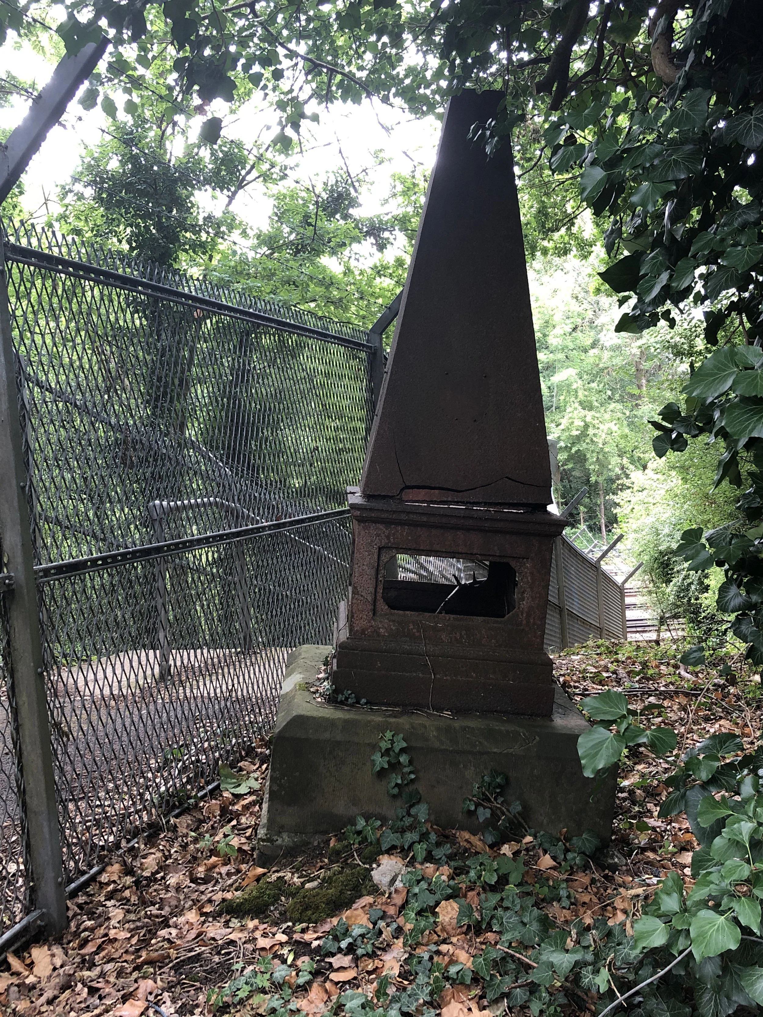
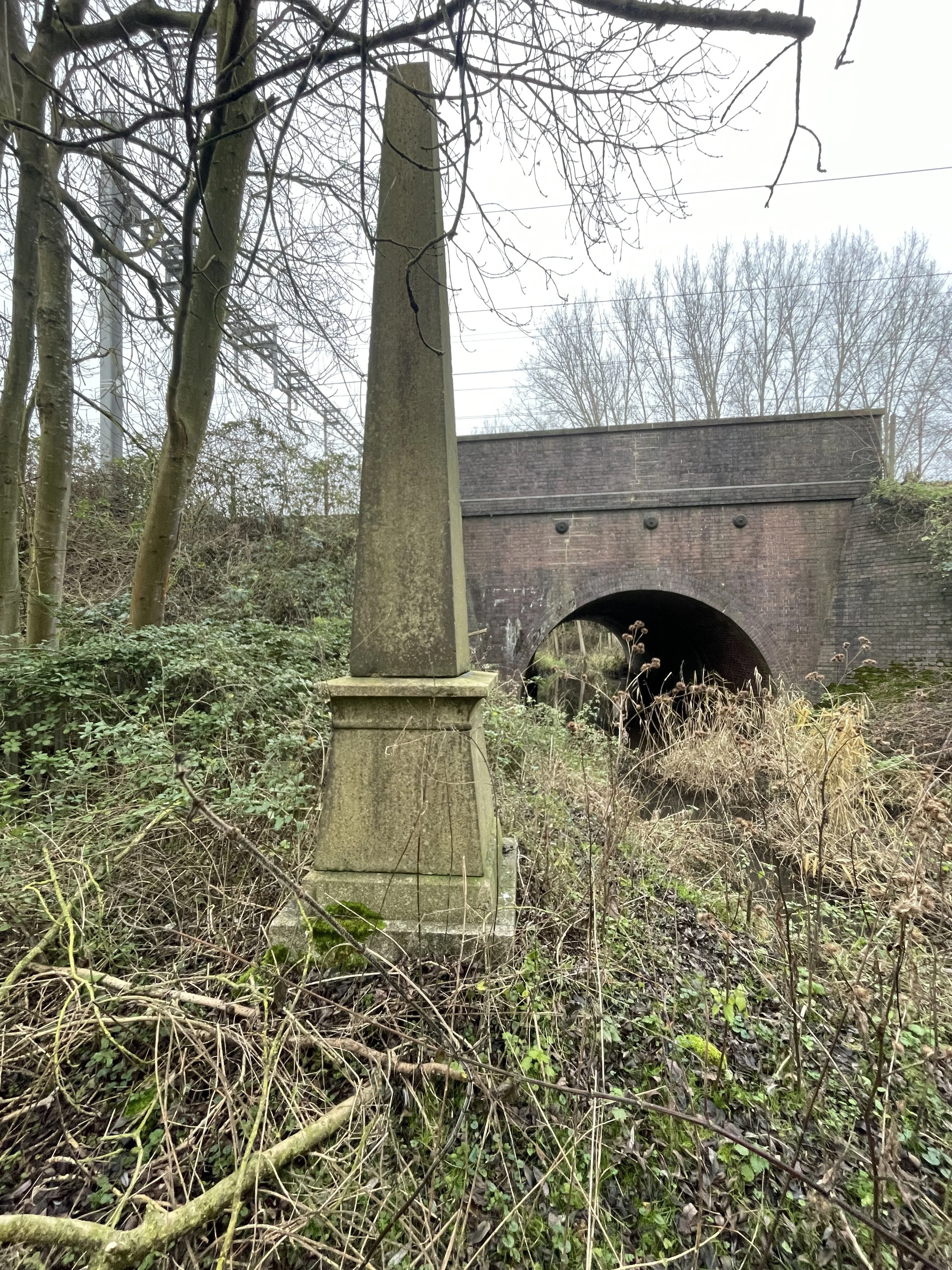
The Final Coal Duty Post at Erith
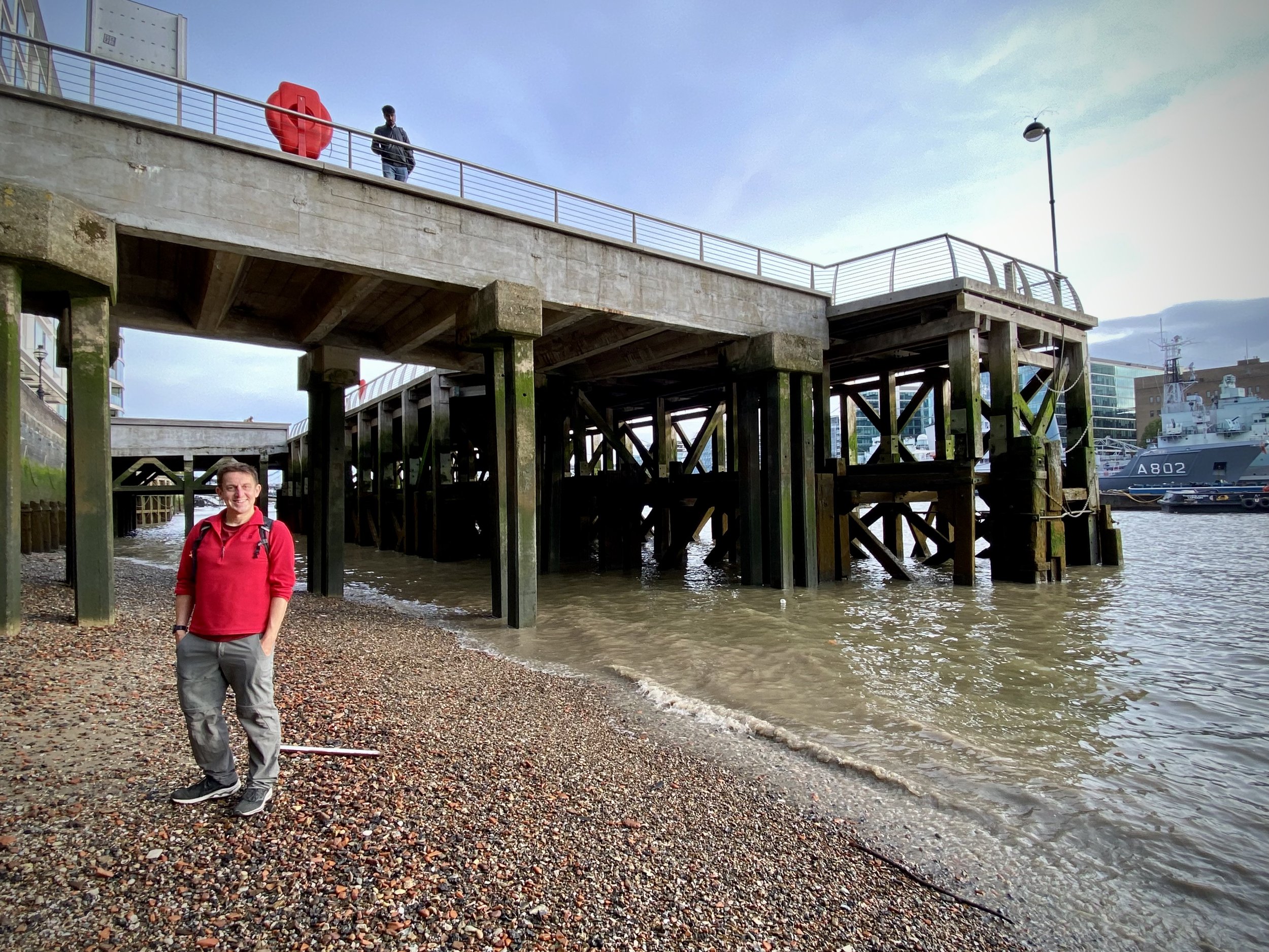
Although I visited most of the posts in a fairly random order, I saved the final extant and in-place post to the end. I had unknowingly cycled past it years before on the London Loop ride. It’s very easy to miss though as the post is off the path on a grassy peninsula next to the confluence of the rivers Darent and Thames.
To access it, park at the corner of Burnett Road and Ness Road and take the footpath running in a south easterly direction to the footpath running along the river Darent. This path forms part of the London Loop, Cray Riverway Path and the National Cycle Network Route 1. Take a left to follow the path towards the Thames. When you reach the confluence, leave the path to carefully walk down the grassy part where you’ll find the pillar
The Randoms
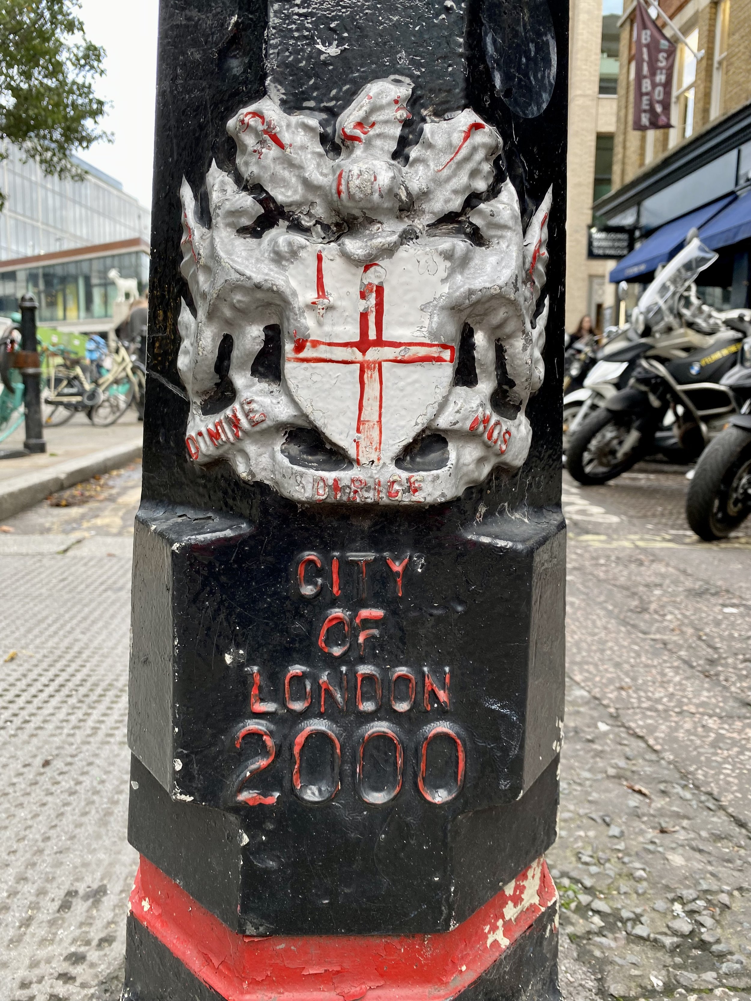
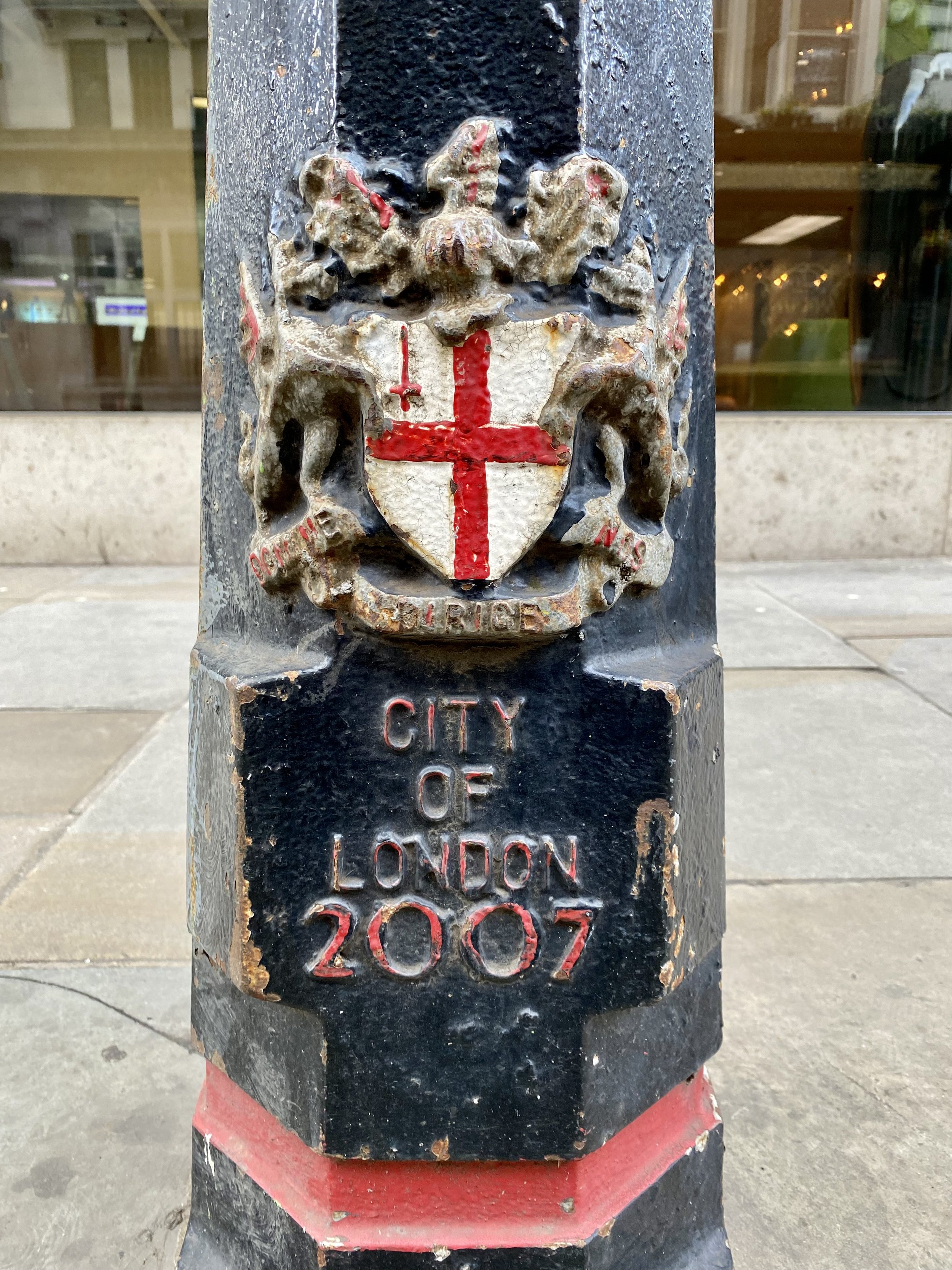
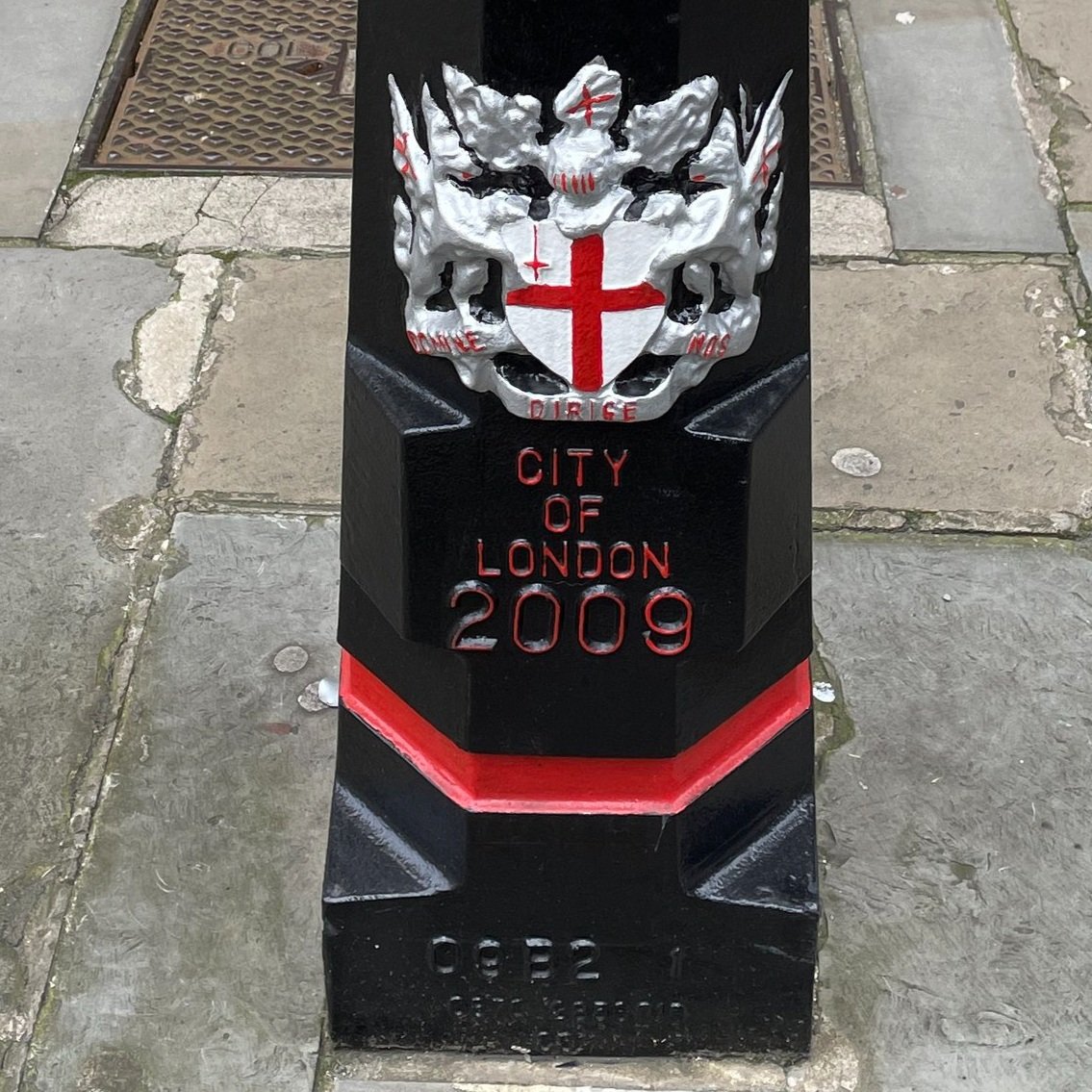
Here are a few other posts and markers related to the Corporation of London that are not in Martin’s List of Coal Duty Posts:
Kiln Lane Boundary Marker: Located next to Coal Duty Post #208 near Bexley.
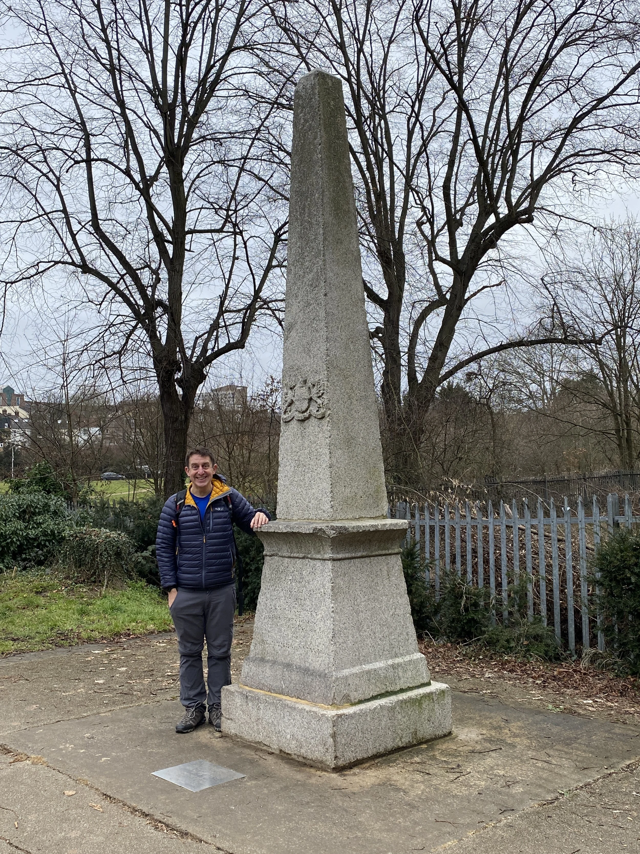
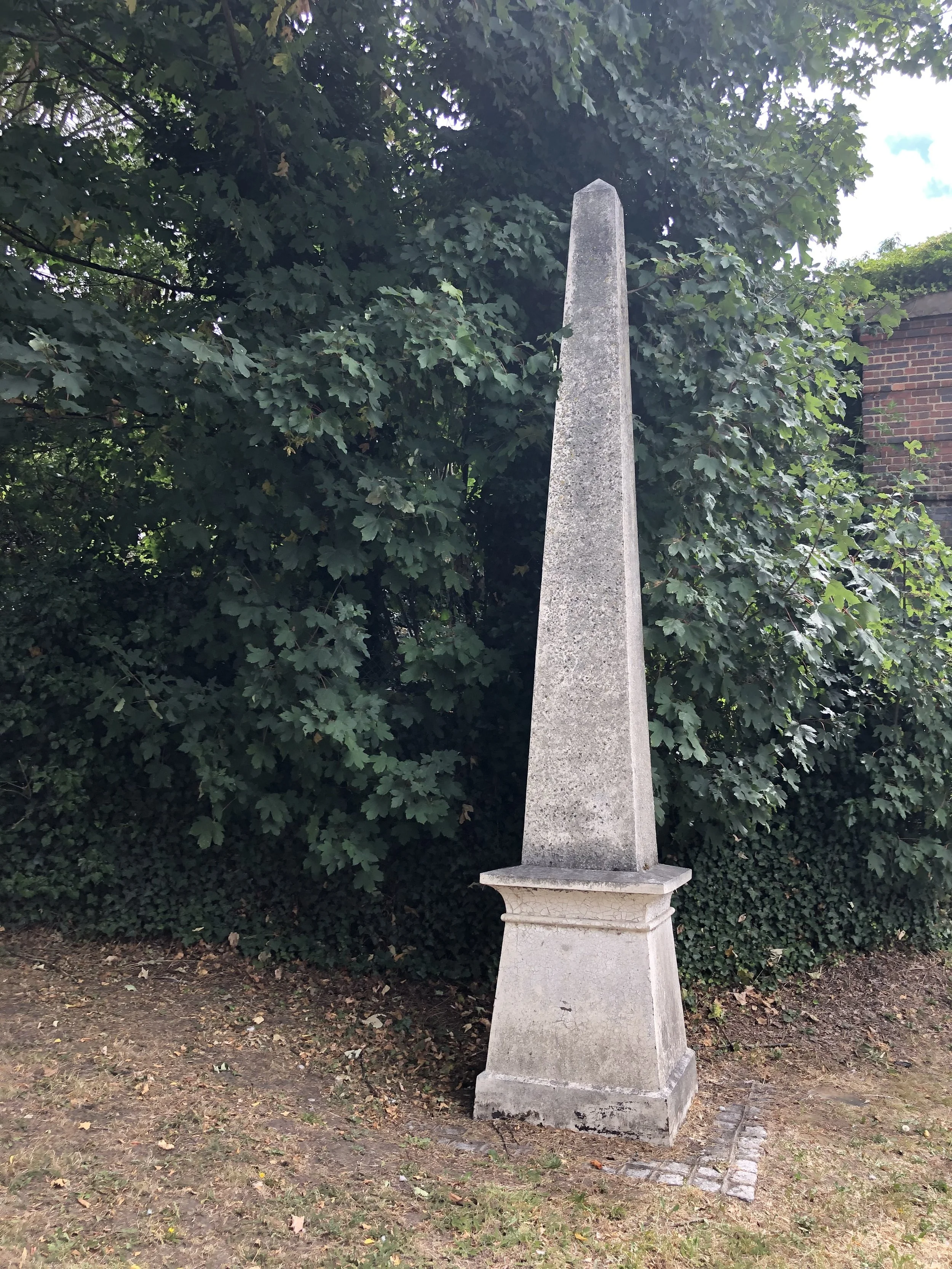
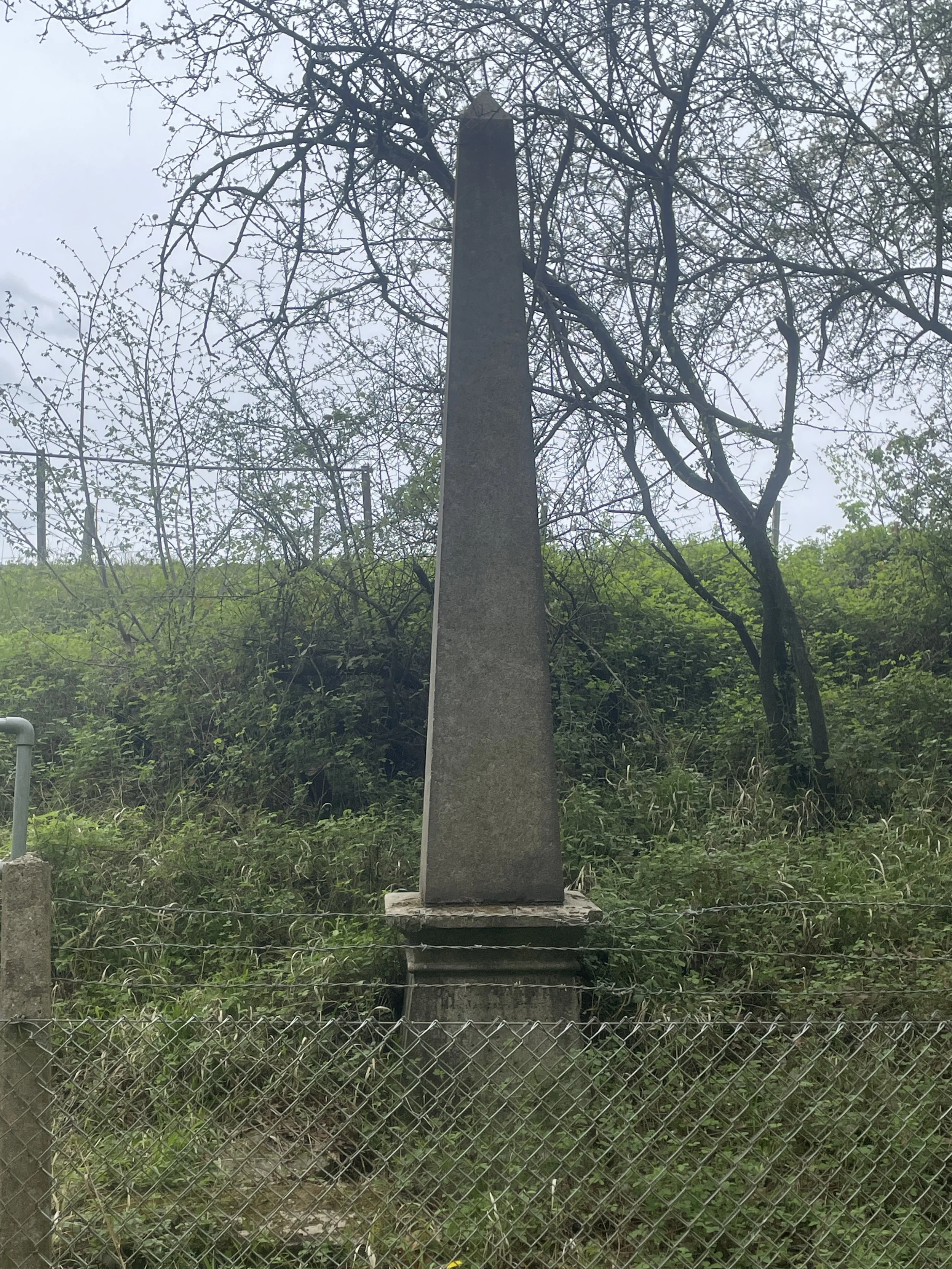
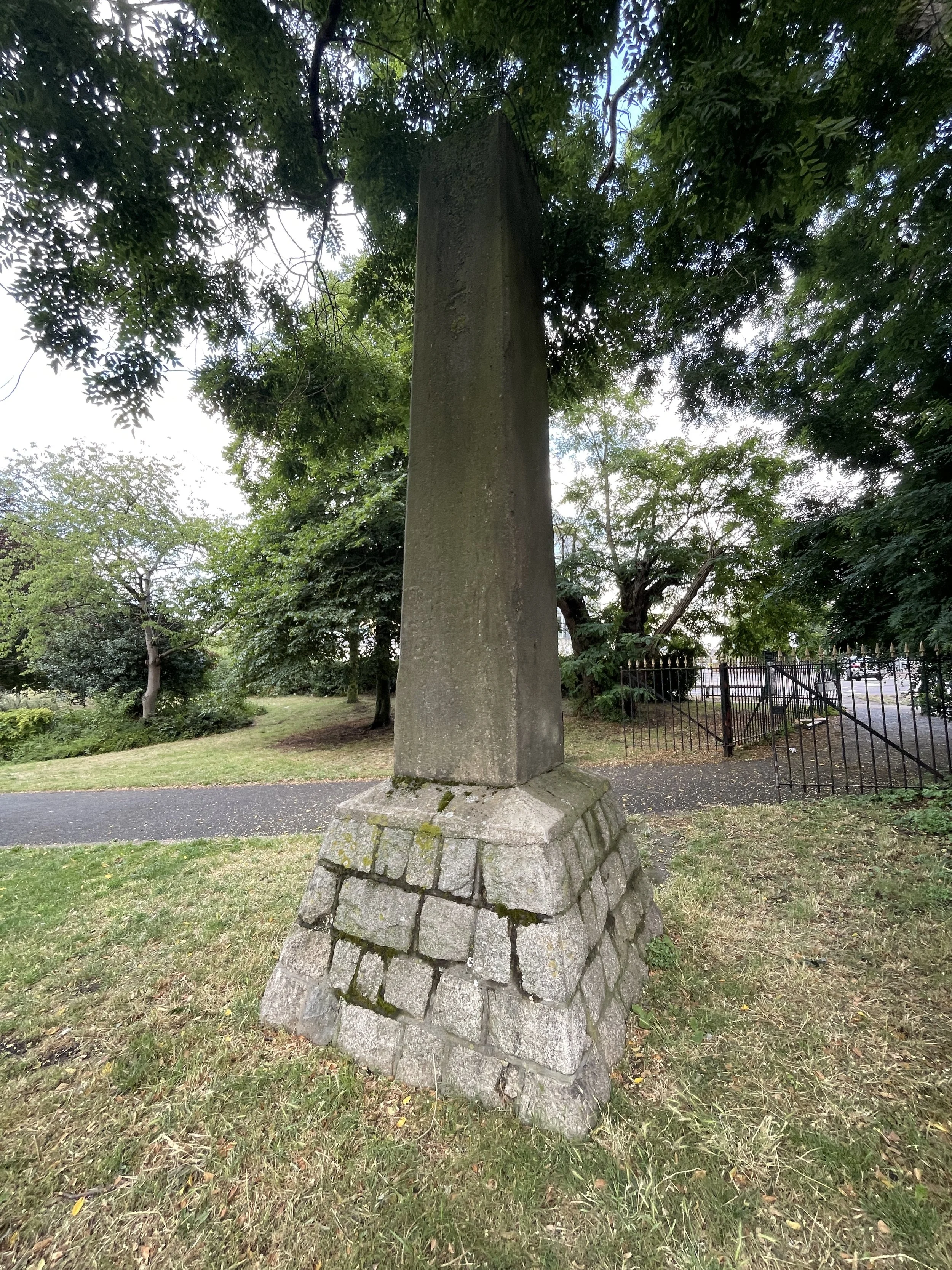
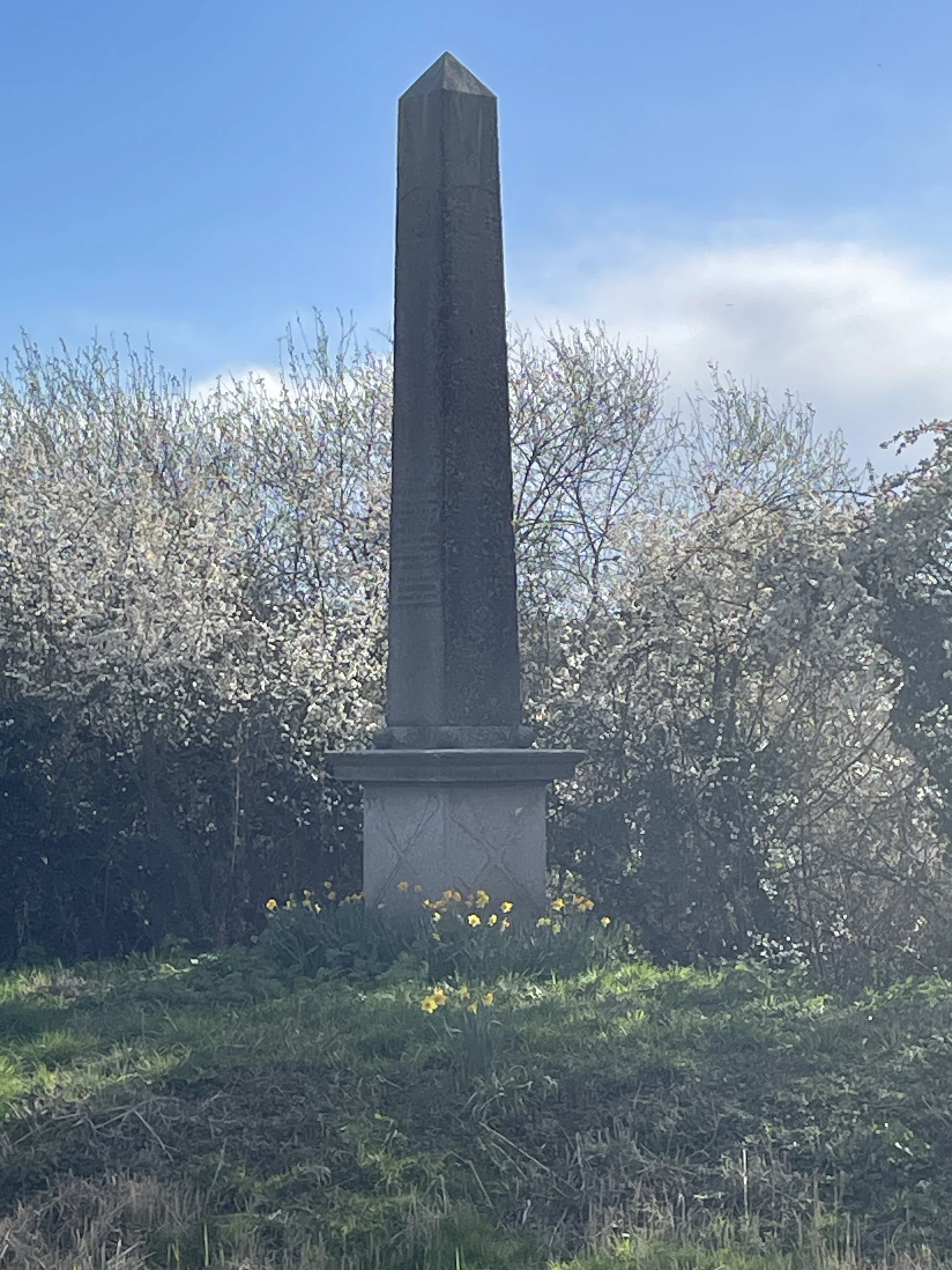
Gravesend Obelisk: Unknown whether this is related to coal duty.
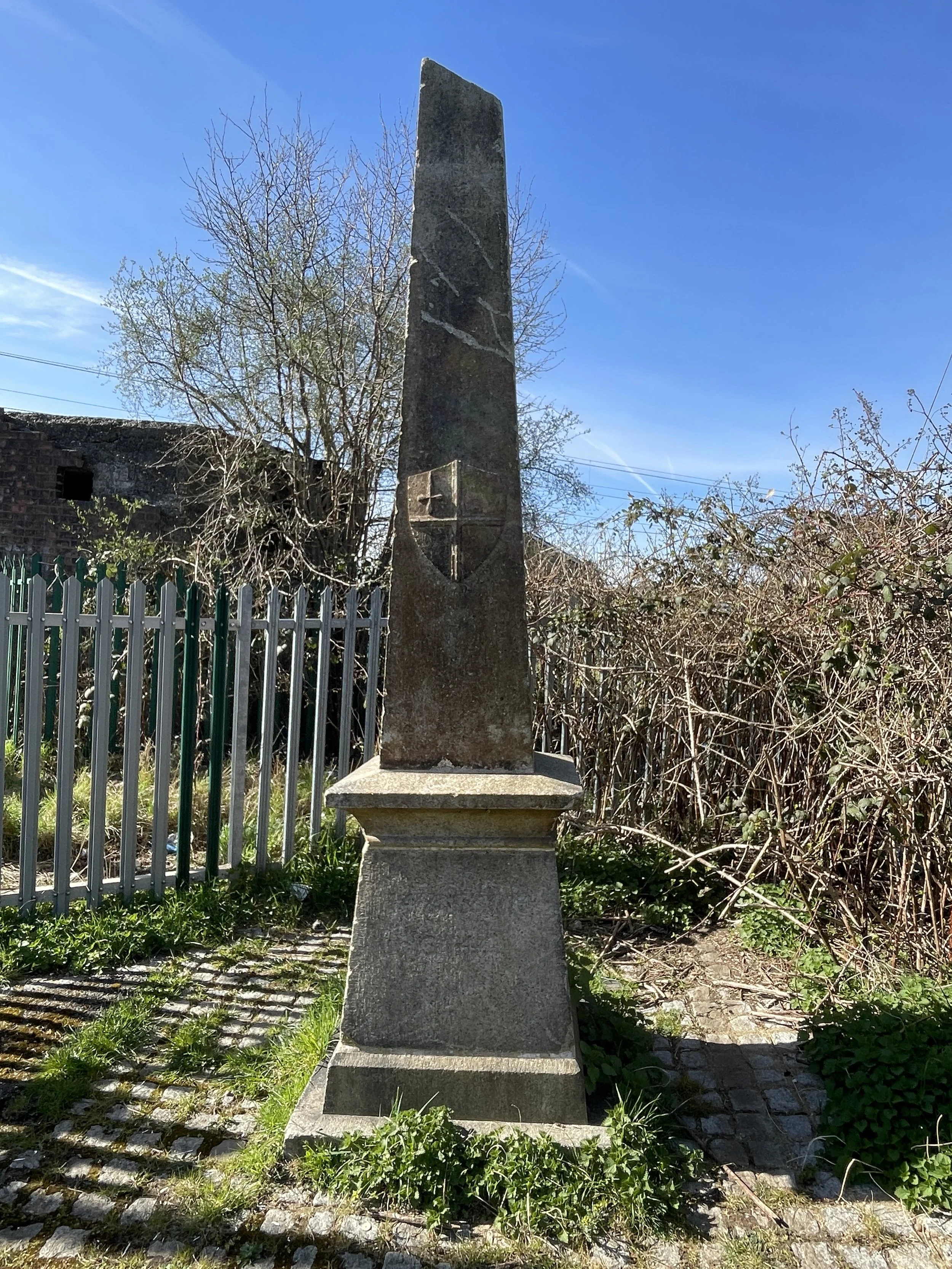
Medway Obelisk: On the Thames and Medway Canal to mark the jurisdiction of the Cities of London and Rochester for the collection of dues
Comment below or contact me if you know of any other pillars, posts or markers related to the Corporation of London boundary.
Coal Duty Posts in Museums
Coal Duty Post 5 is now at Valence House Museum, Dagenham. It was moved to the museum following road widening in 1960. It is currently outside the museum to left of the front door.
Coal Duty Post 63. In Museum of London reserve collections. Originally at the side of Springwell Lane in parapet of Drayton Ford Bridge. Removed in 1923 and in current ownership since 1965. I contacted the Museum in summer 2025 to enquire about visiting the stone but at the time it was not available to see it.
Coal Duty Posts 74 and 75 are now on display at the Chiltern Open Air Museum in Chalfont St. Giles. They were removed in 1982 in advance of construction of the M25 motorway and have been at the museum since 1998.
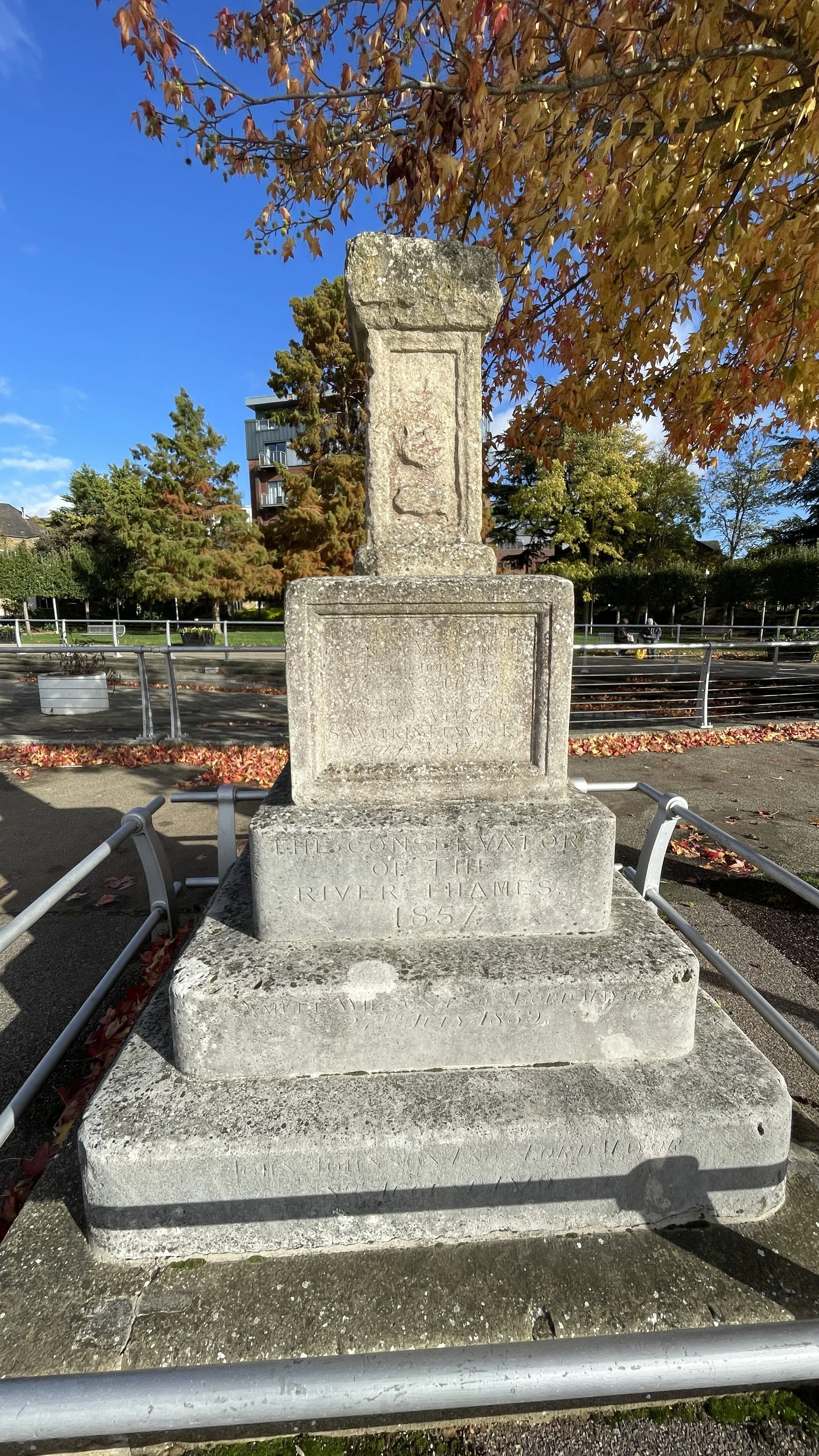
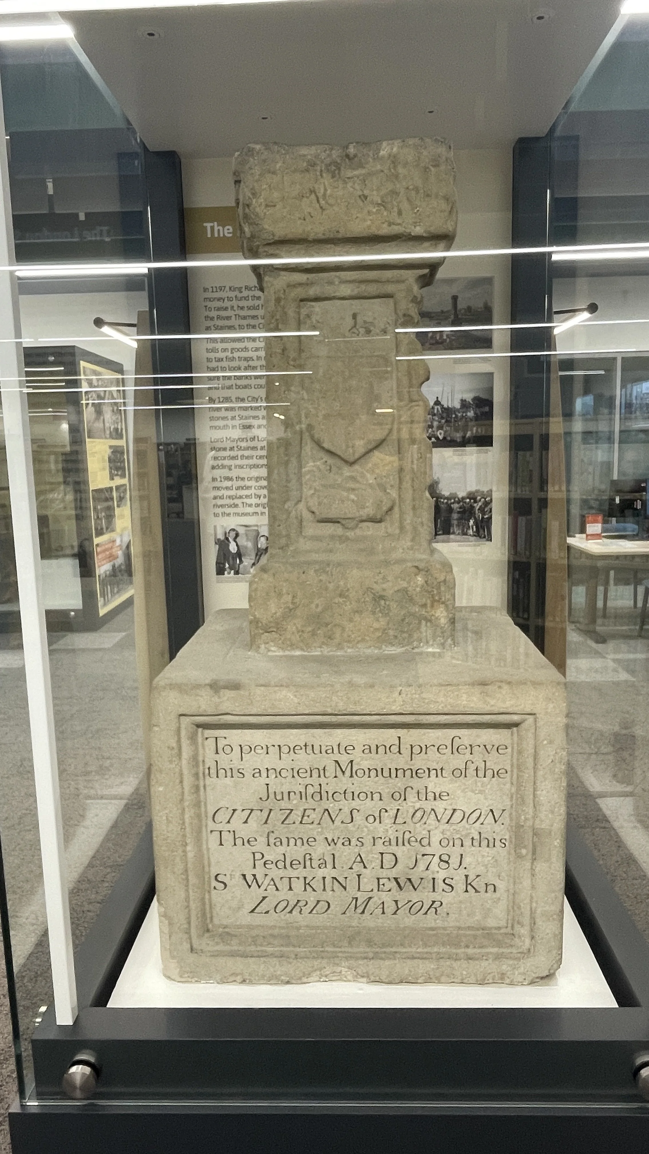
Coal Duty Post 83, also known as The London Stone, is now on display at Spelthorne Museum in Staines, It was first moved in 1986 and has been at the museum since 2004; it was replaced at its original location by a replica.

Blog posts including the London Coal Duty Posts
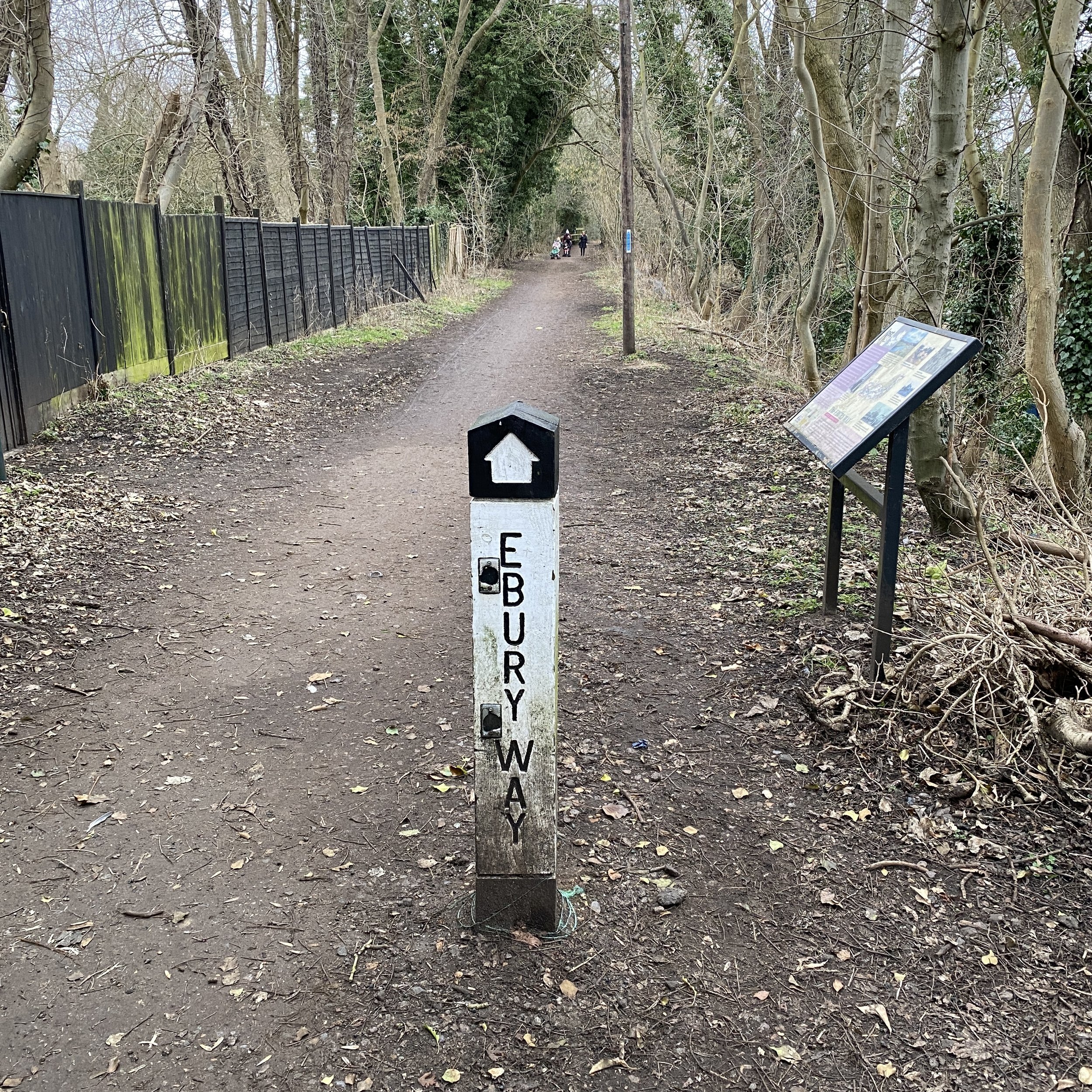
45, 46: Walking The Ebury Way
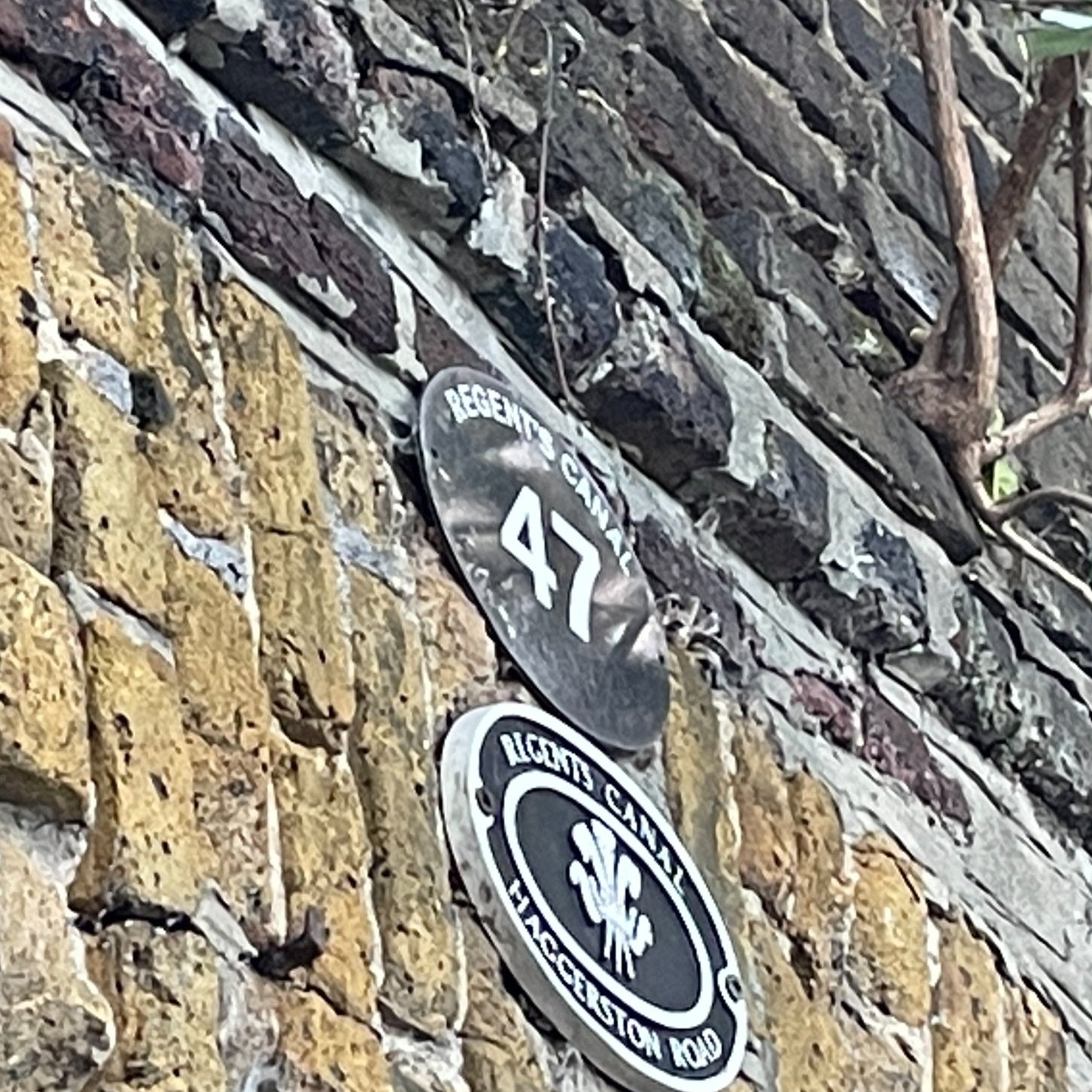
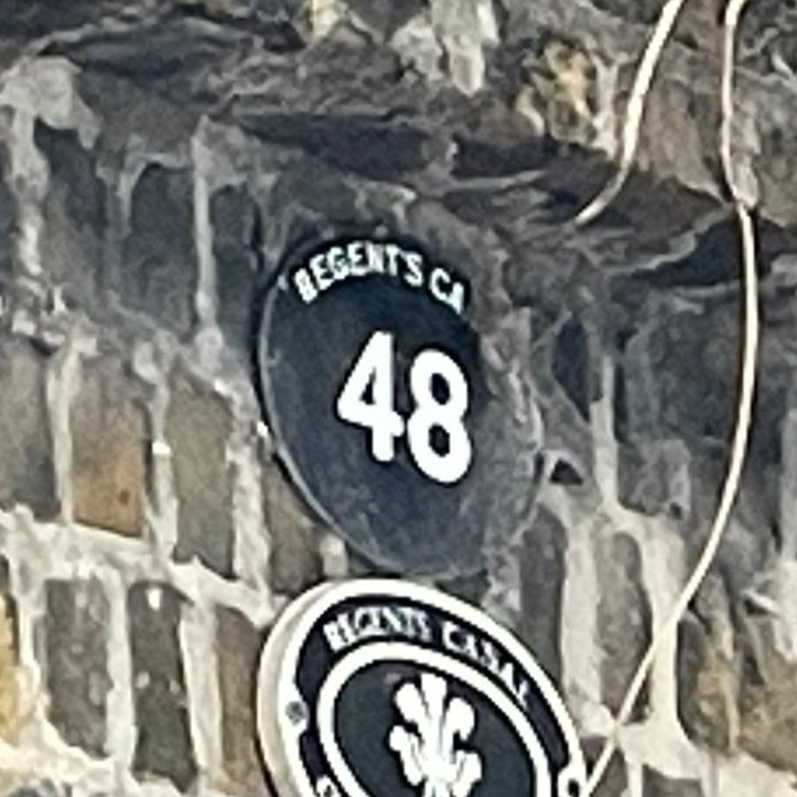
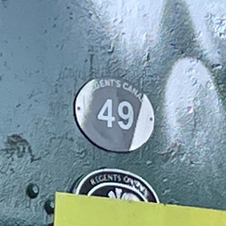
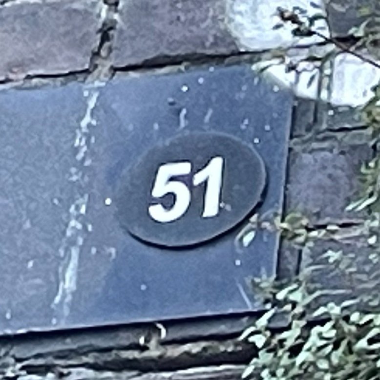
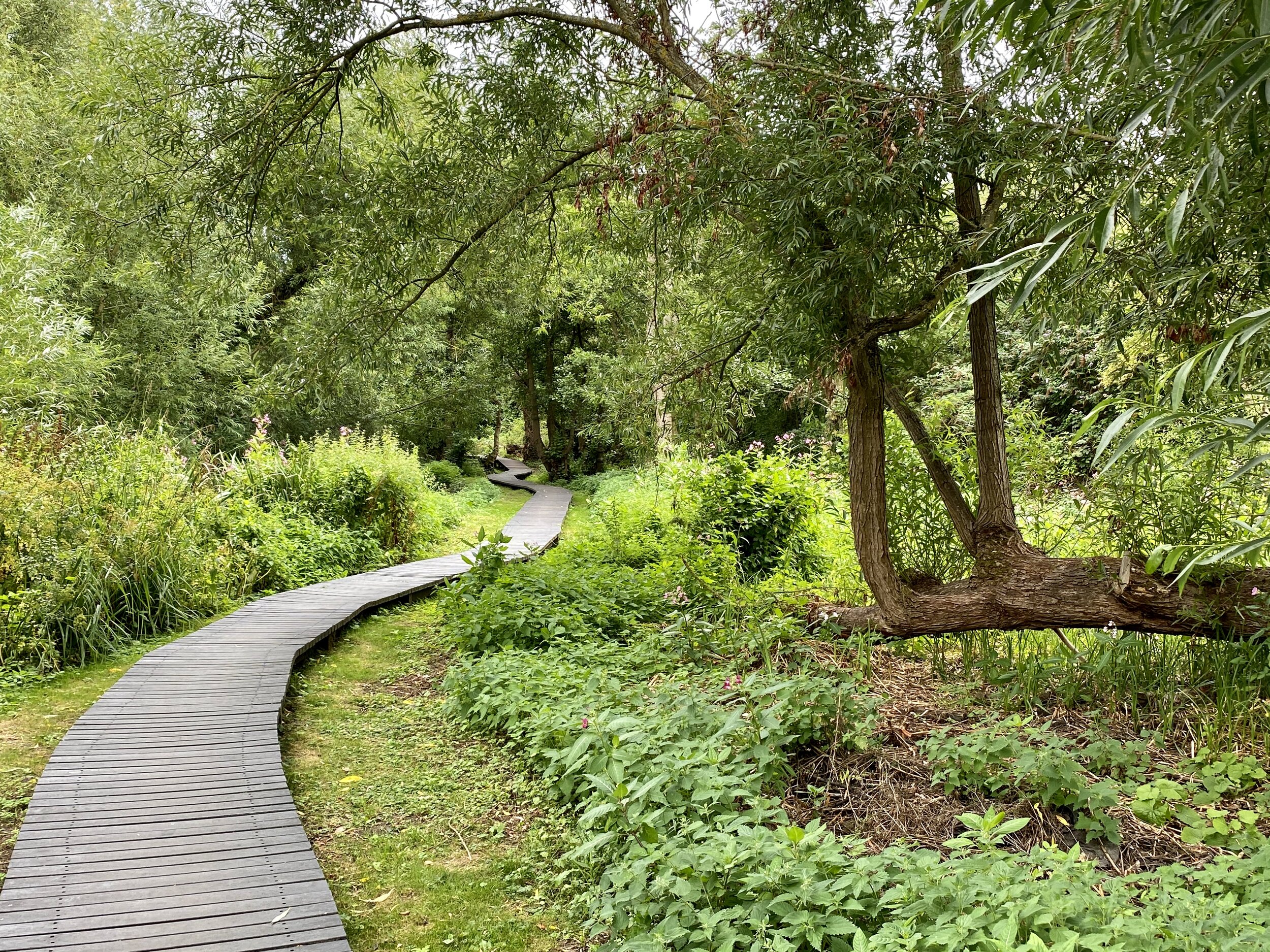
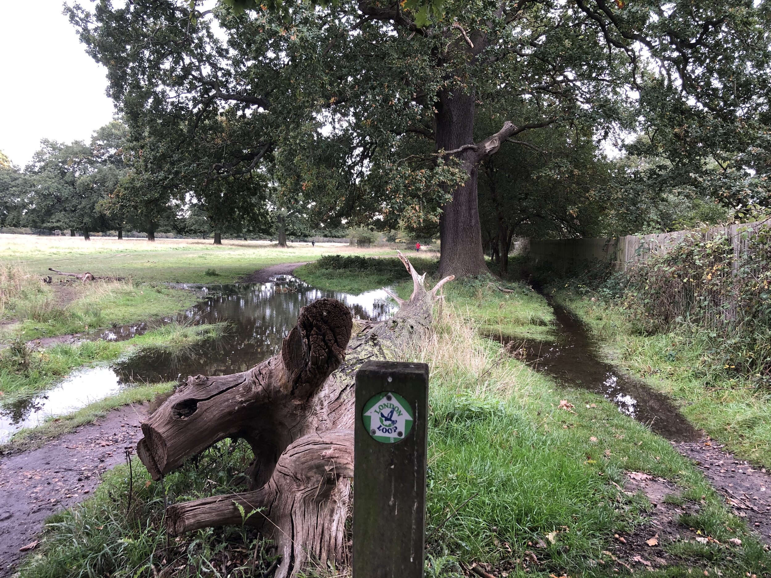
49,50,51: Walking The London Loop: Stanmore Common to South Oxhey
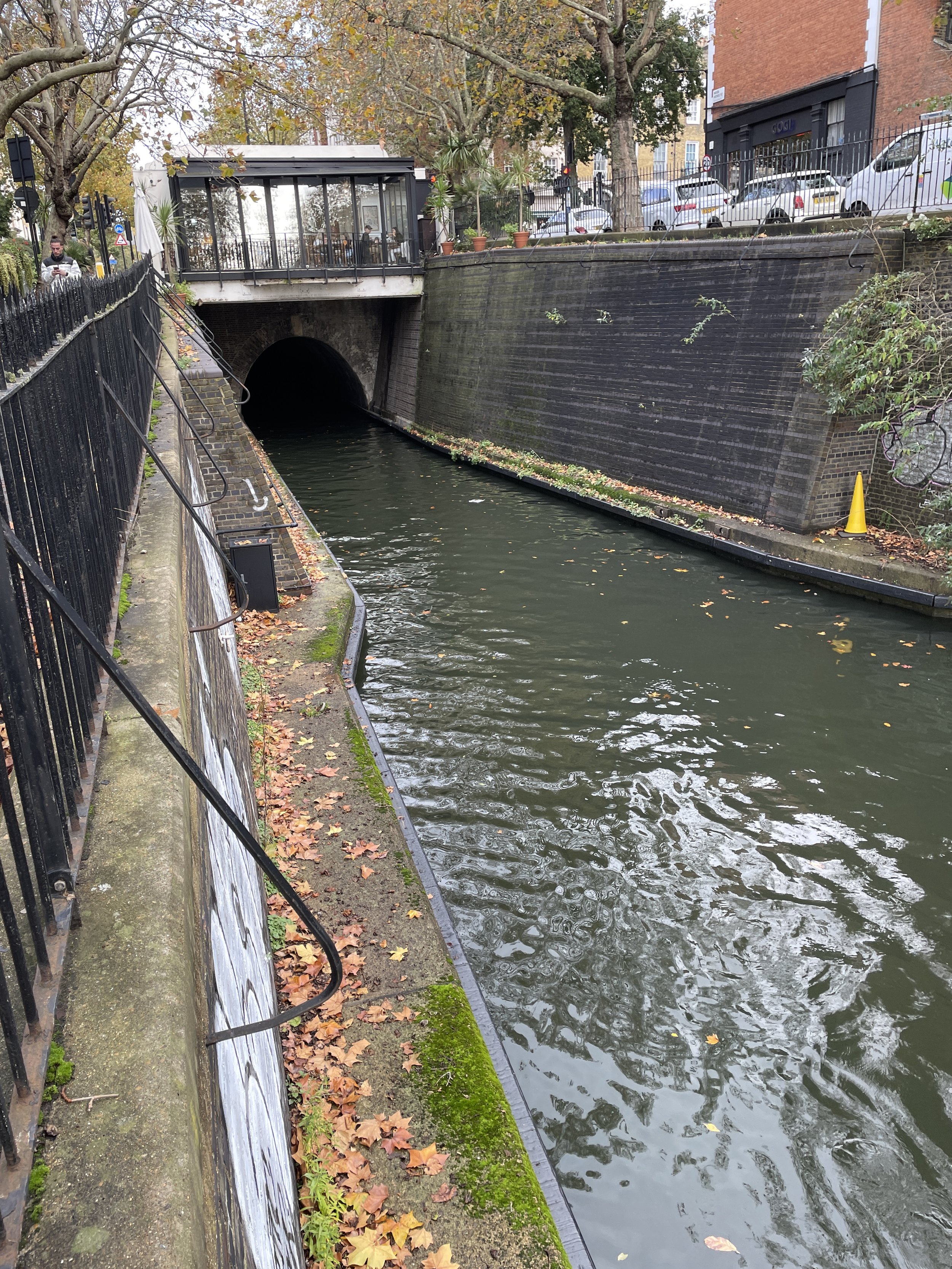
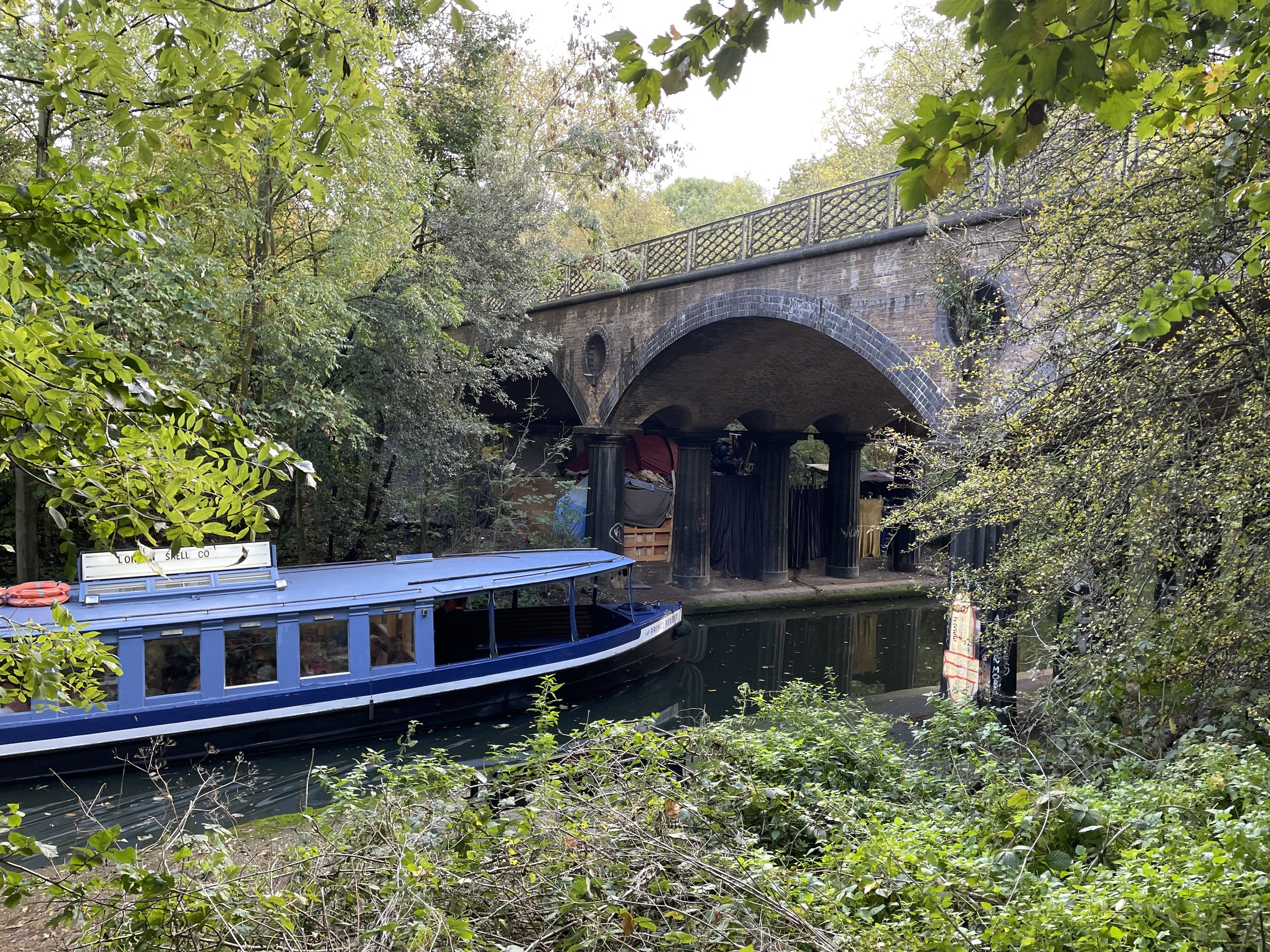
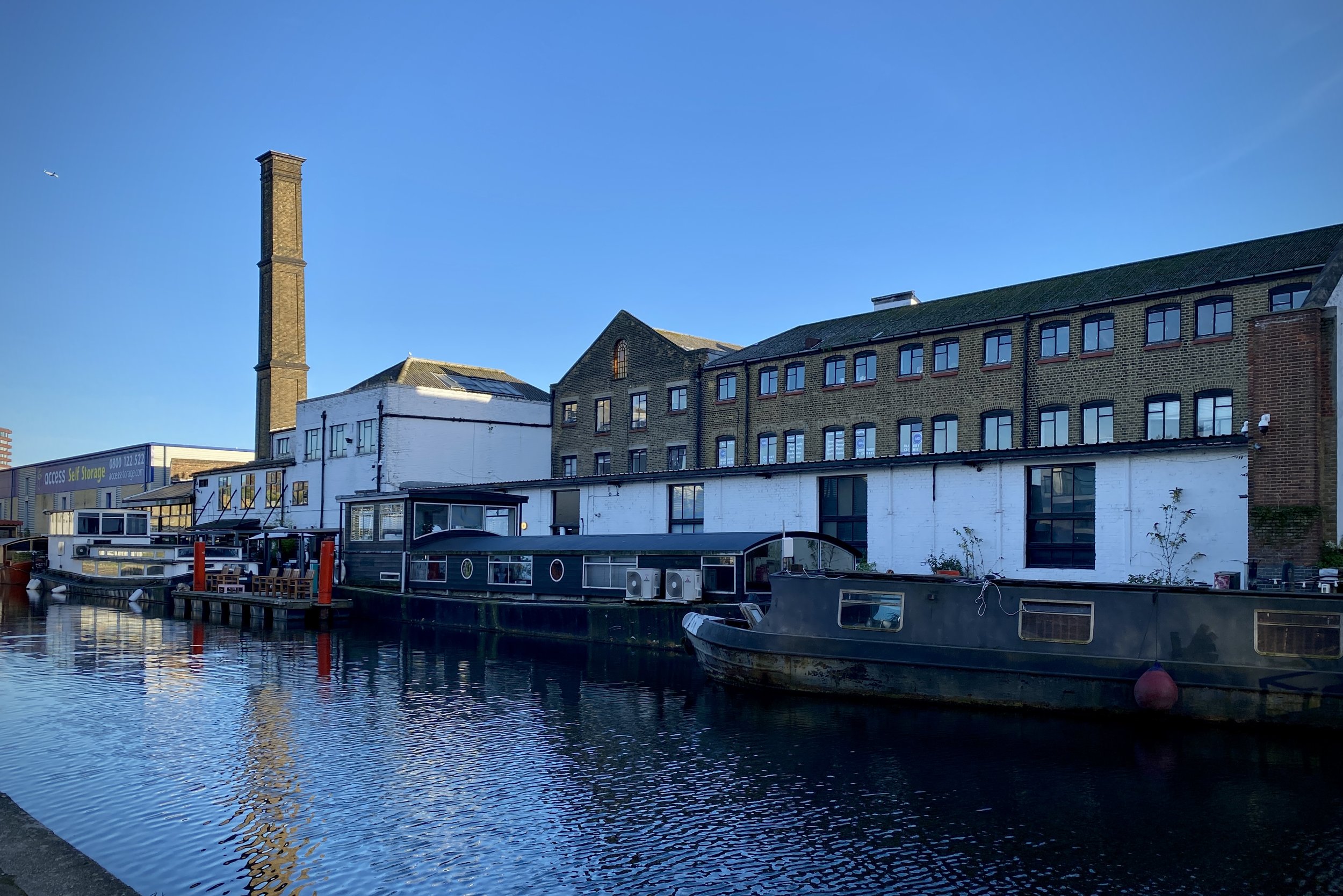
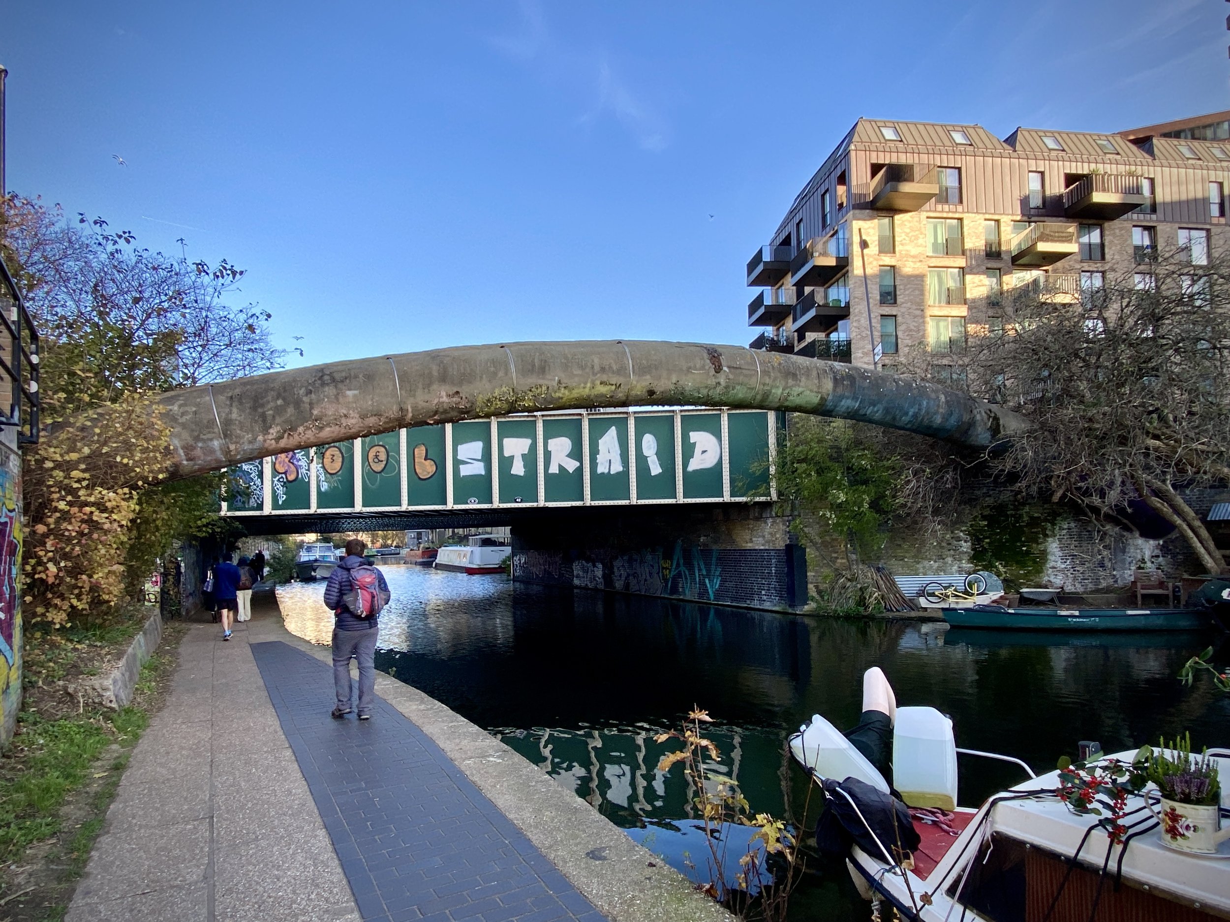
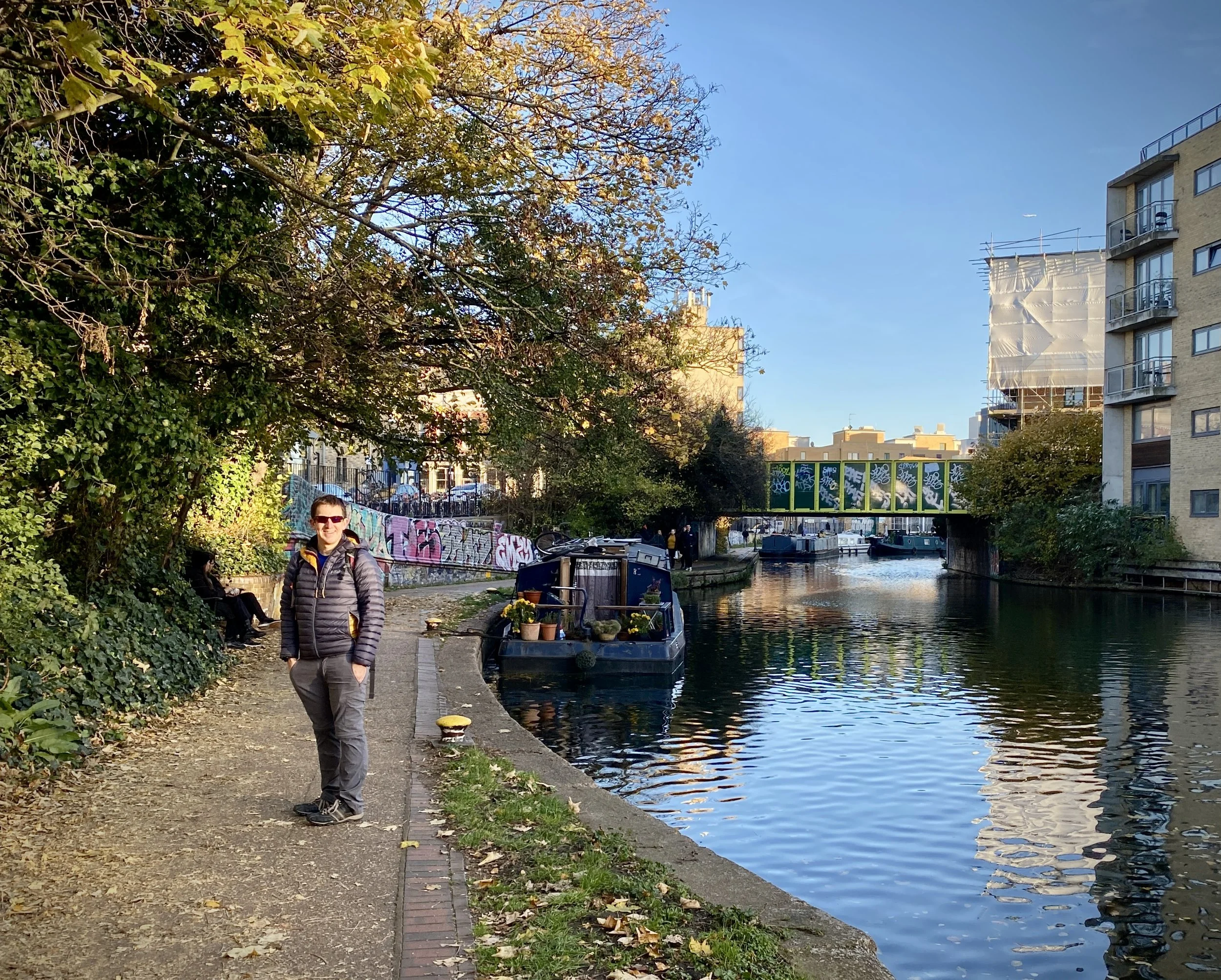
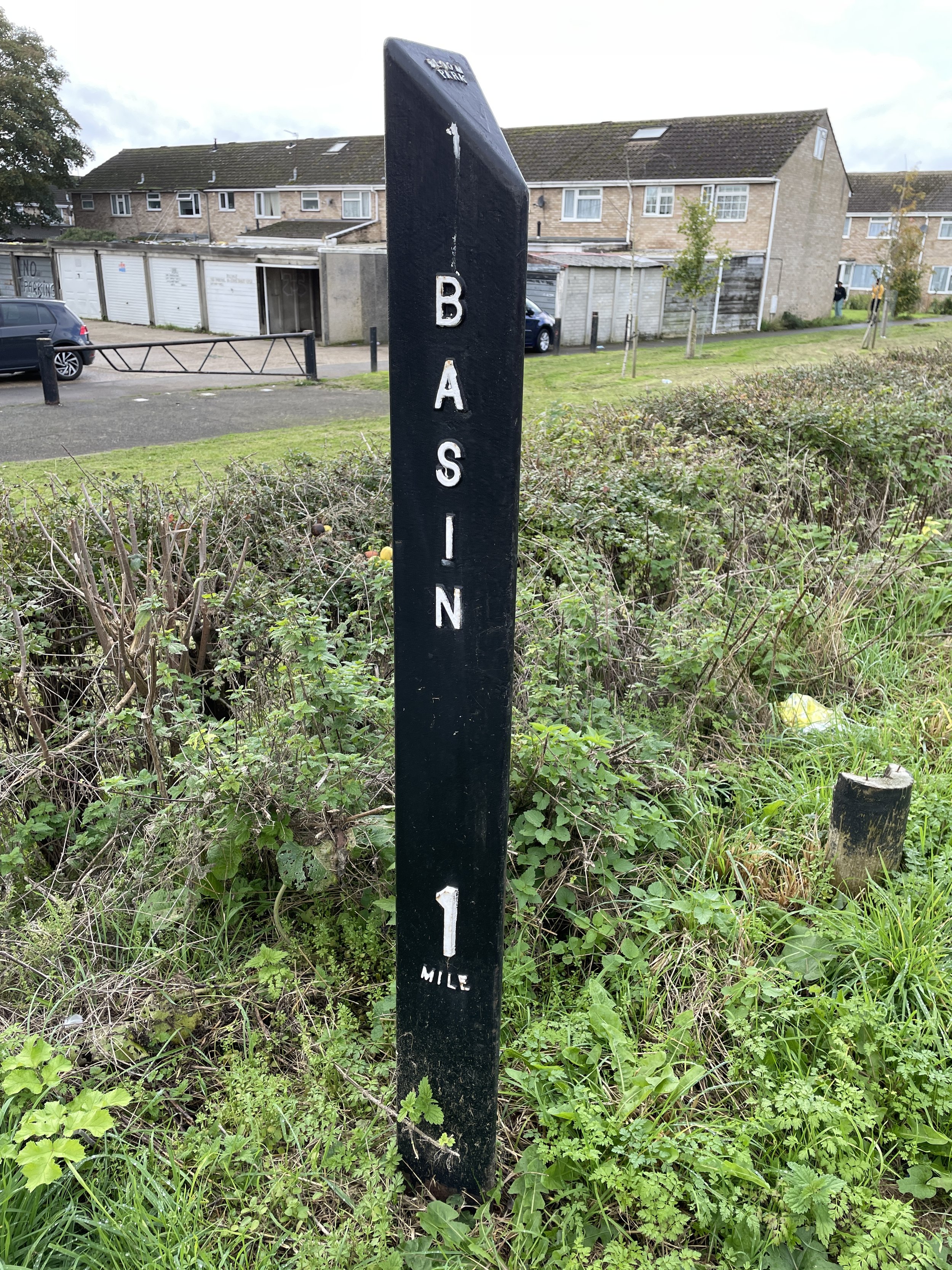
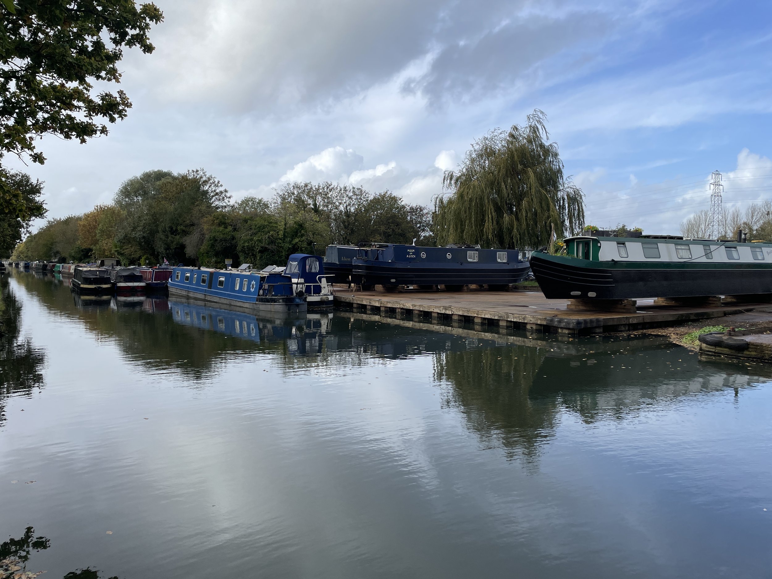
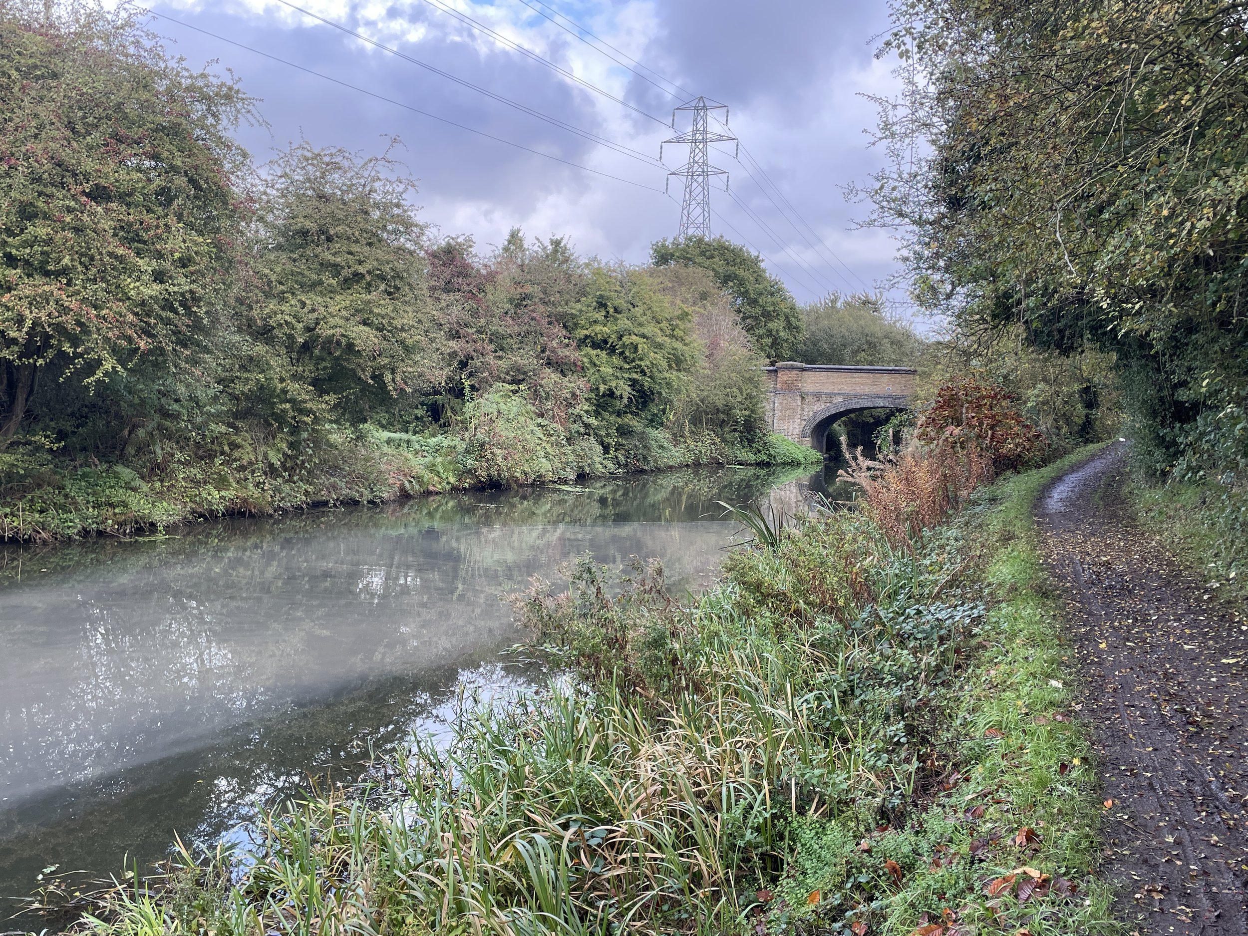
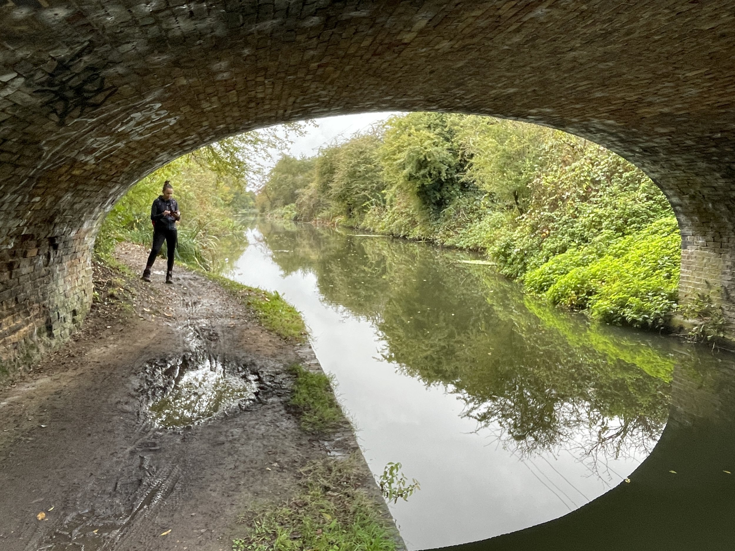
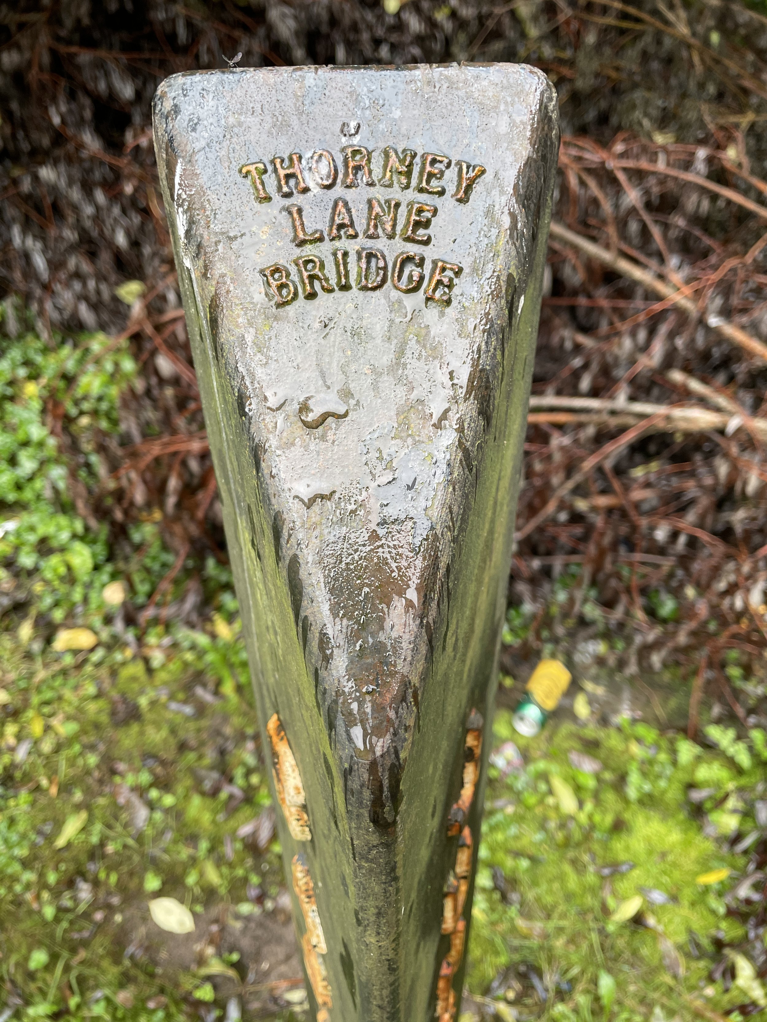
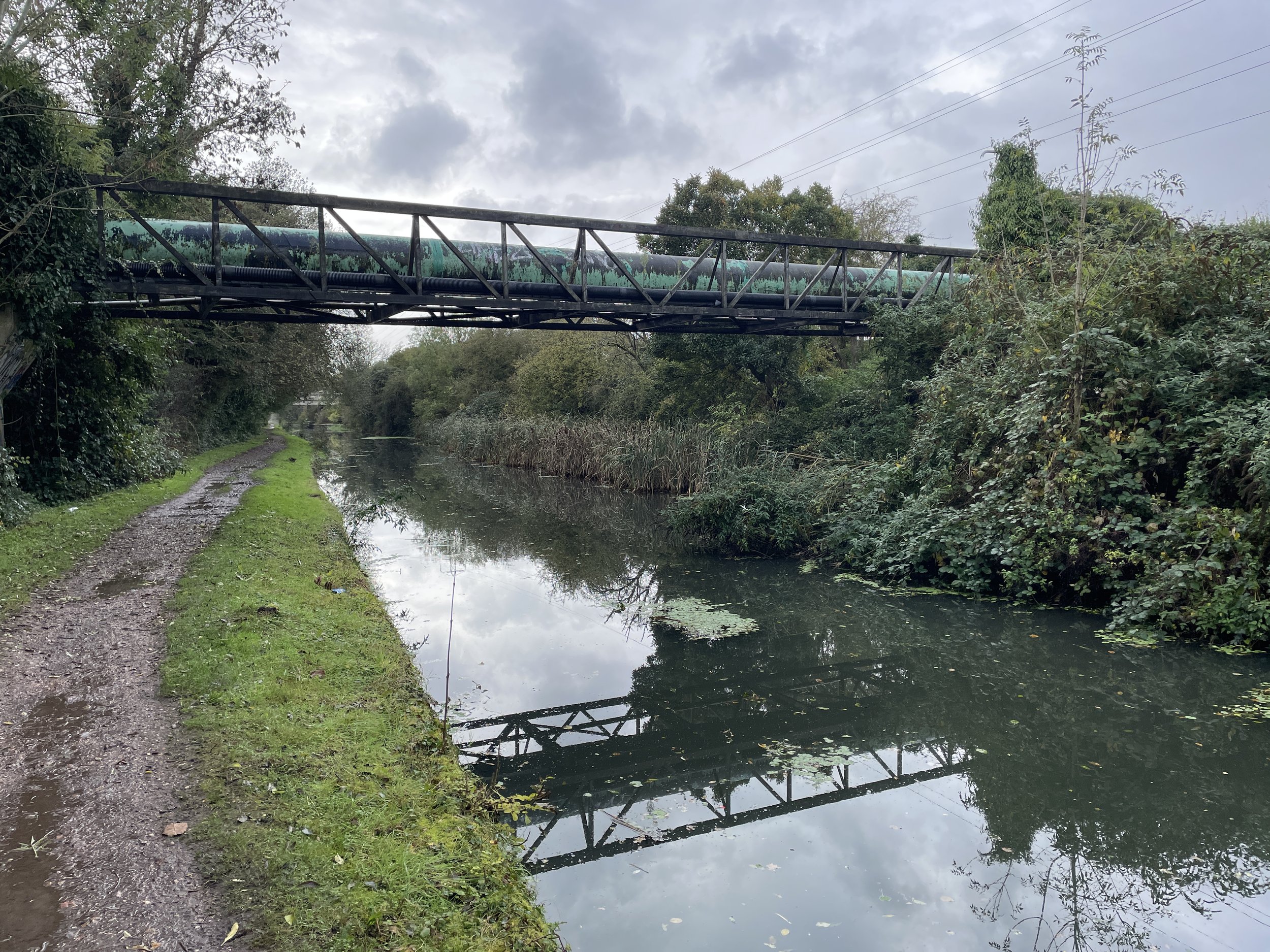
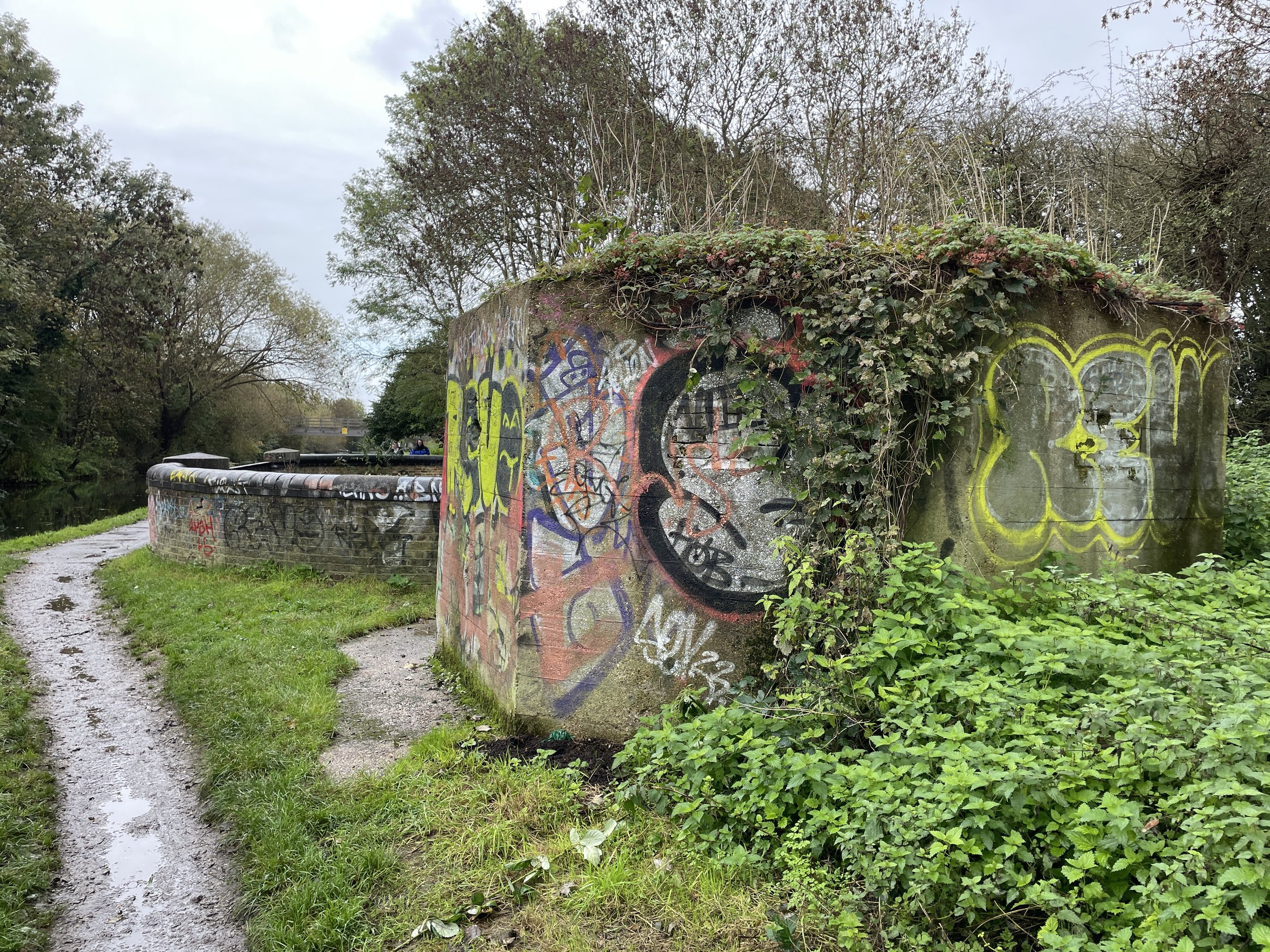
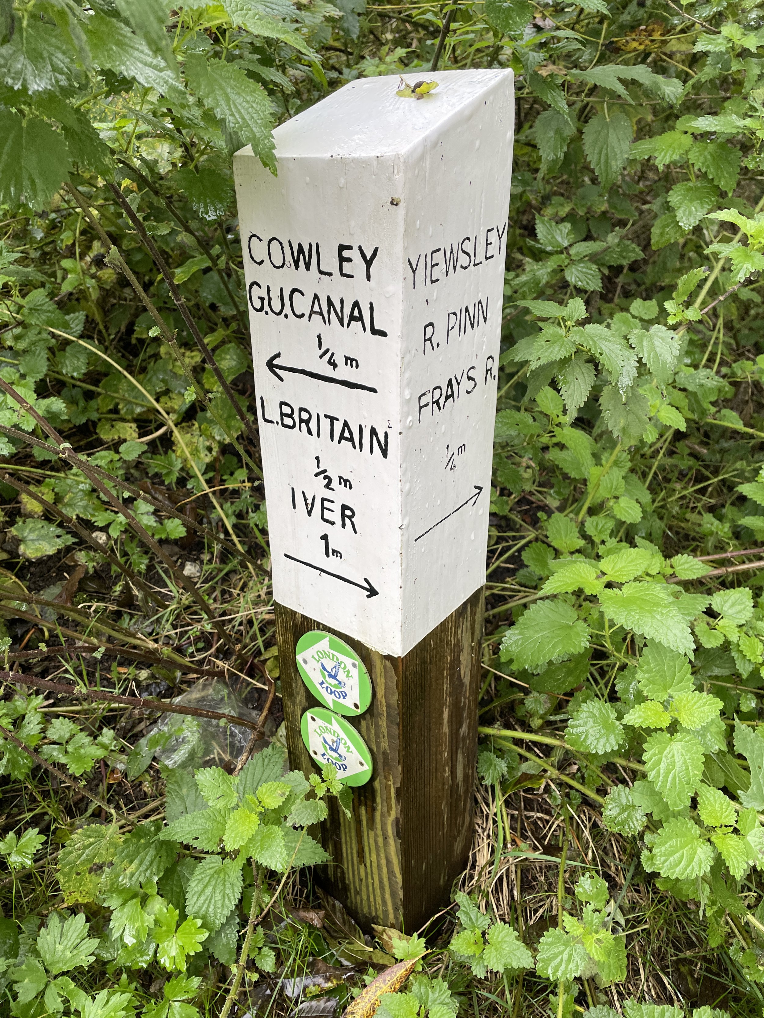
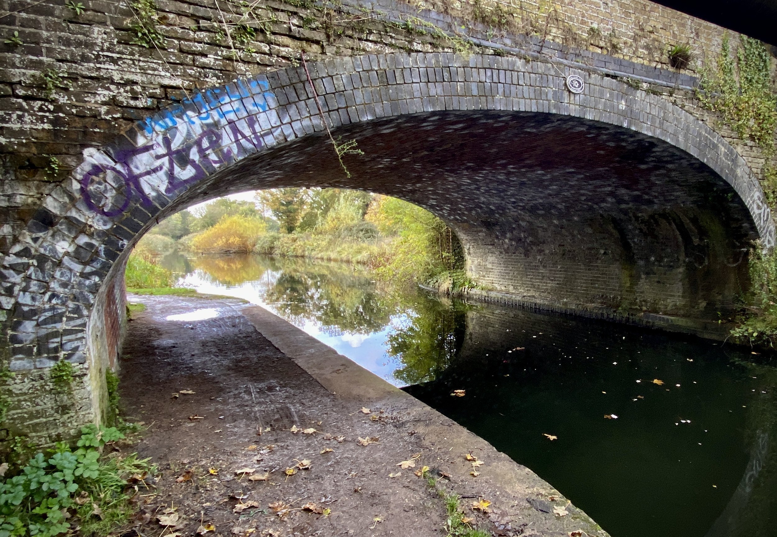
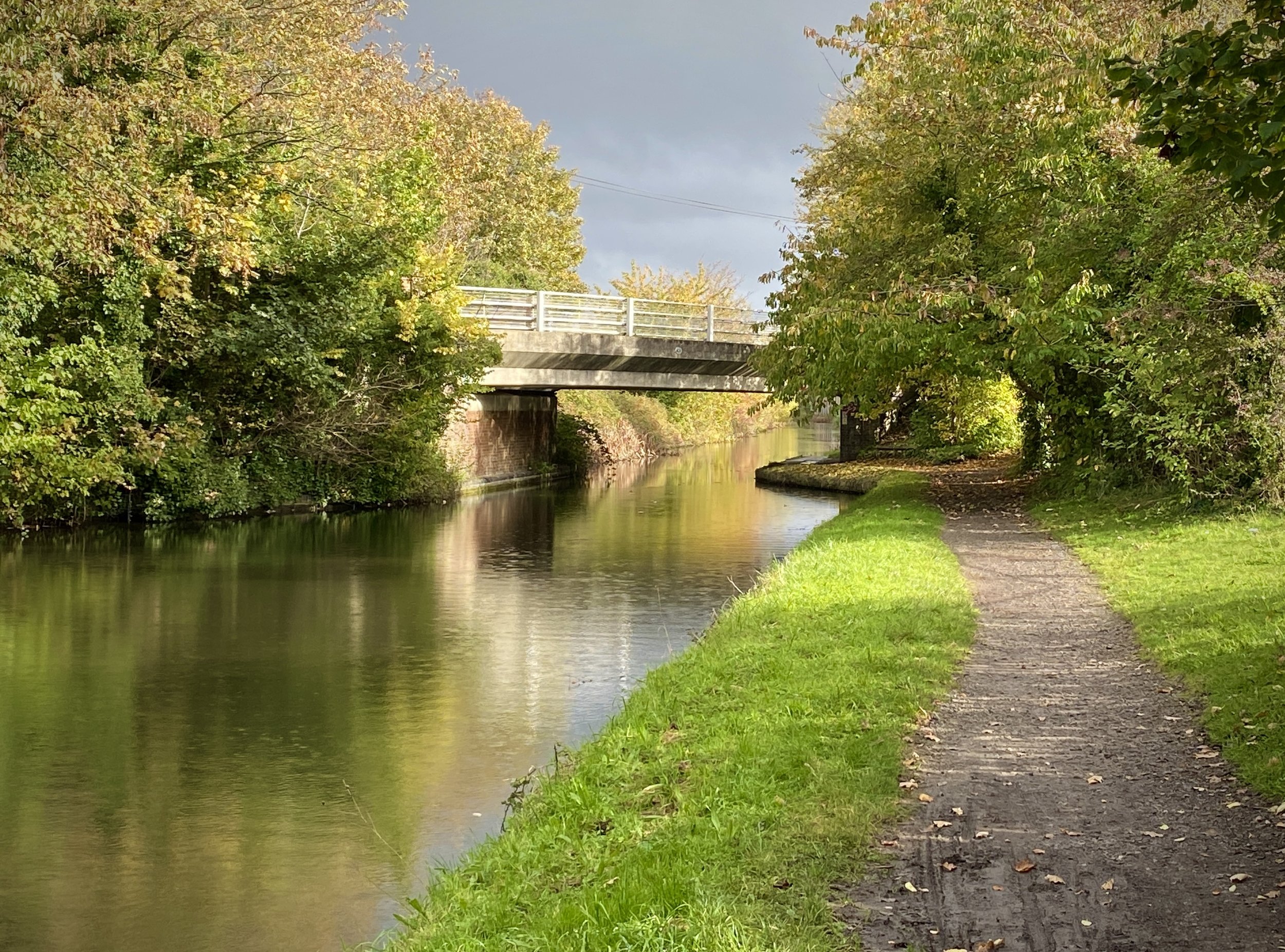
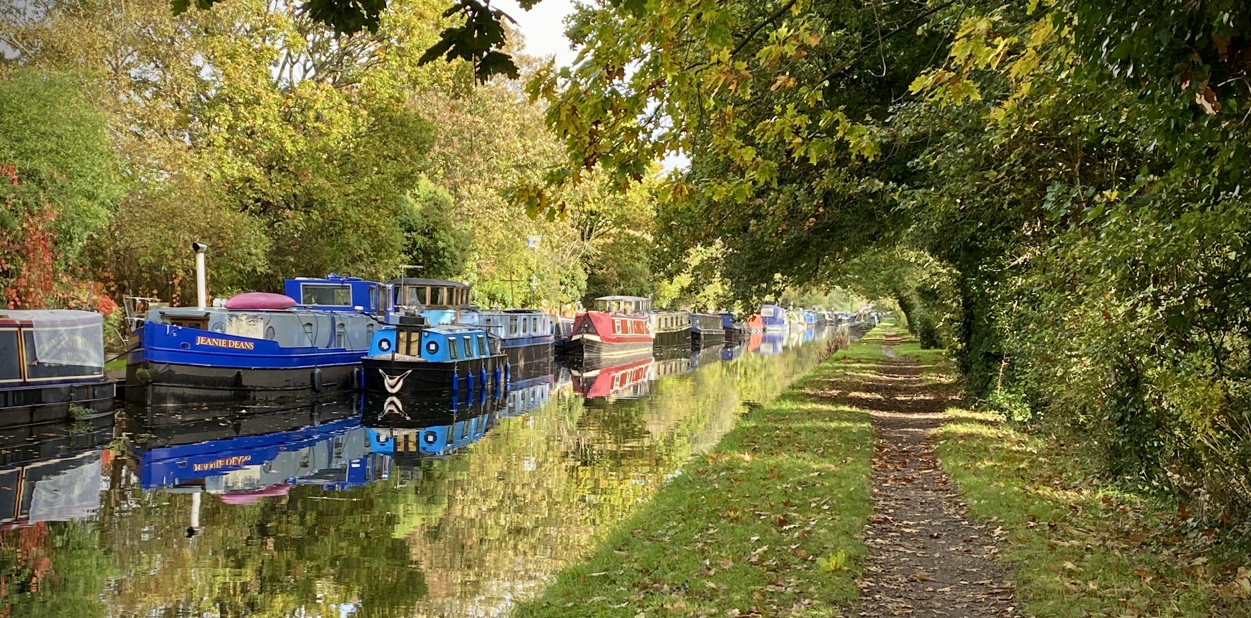
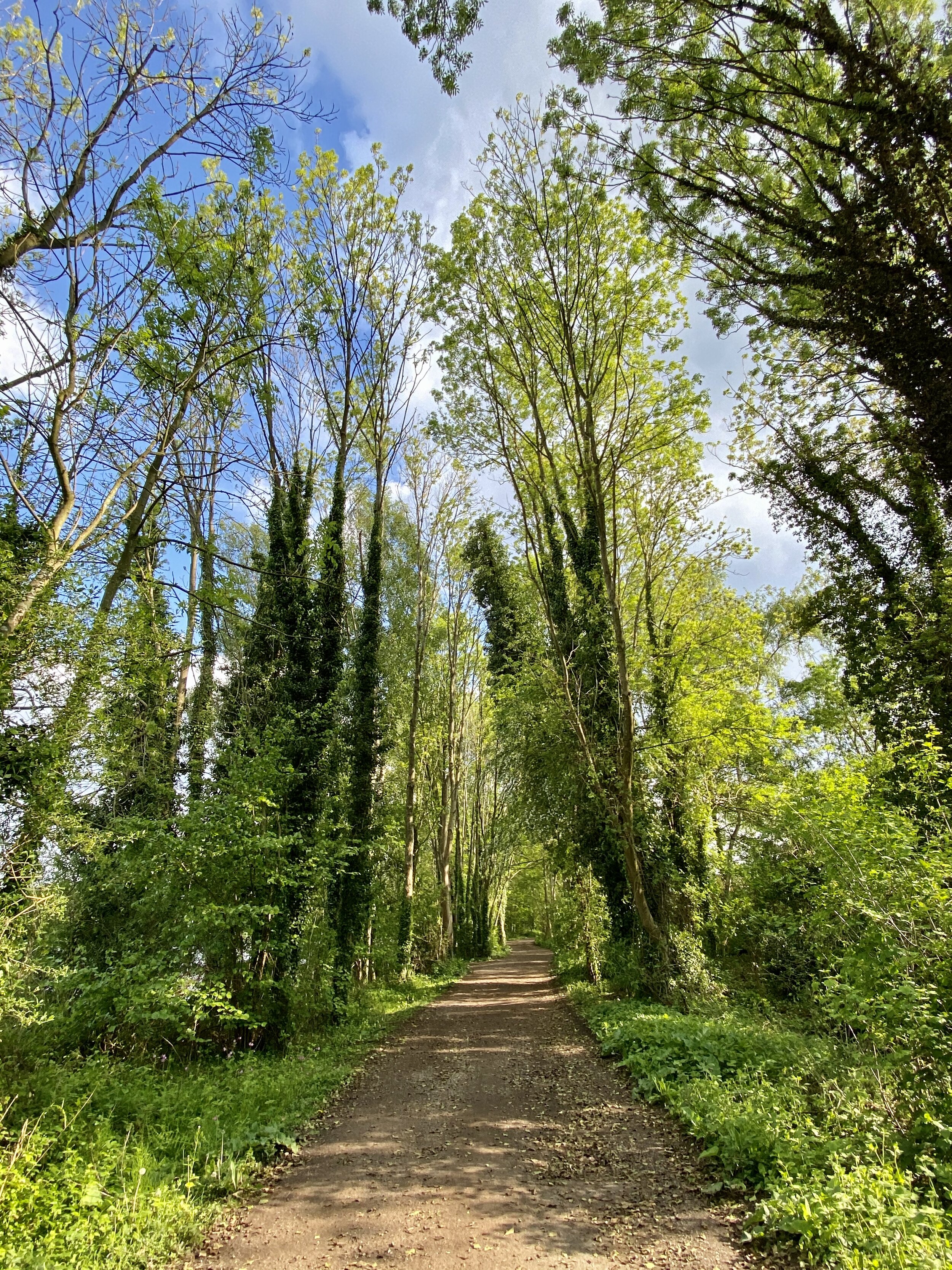
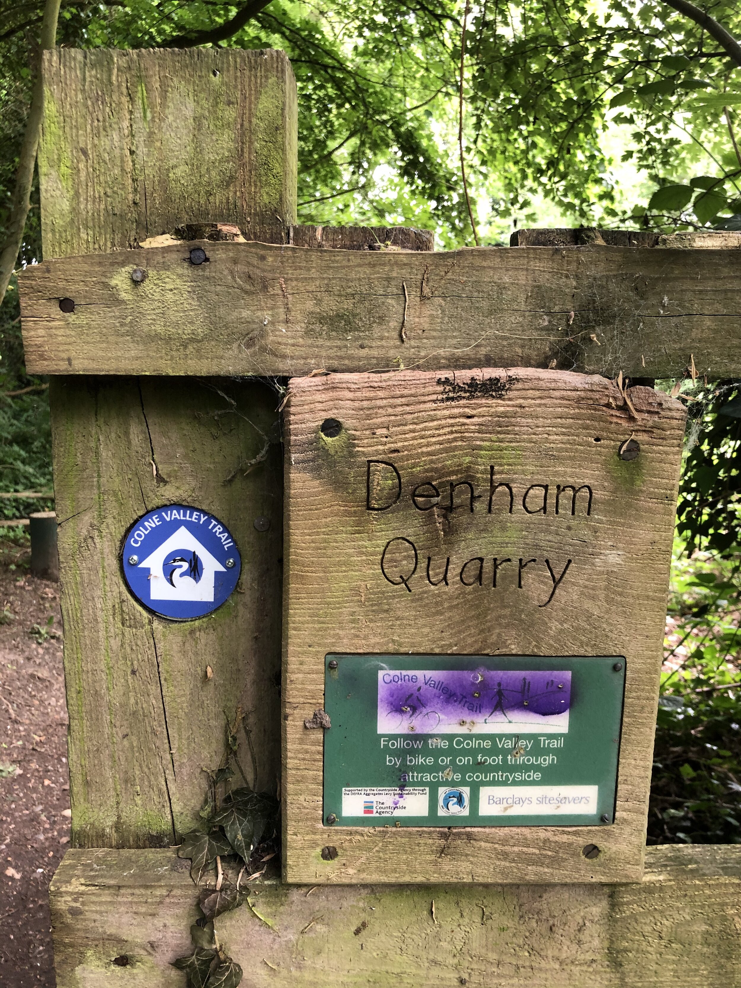
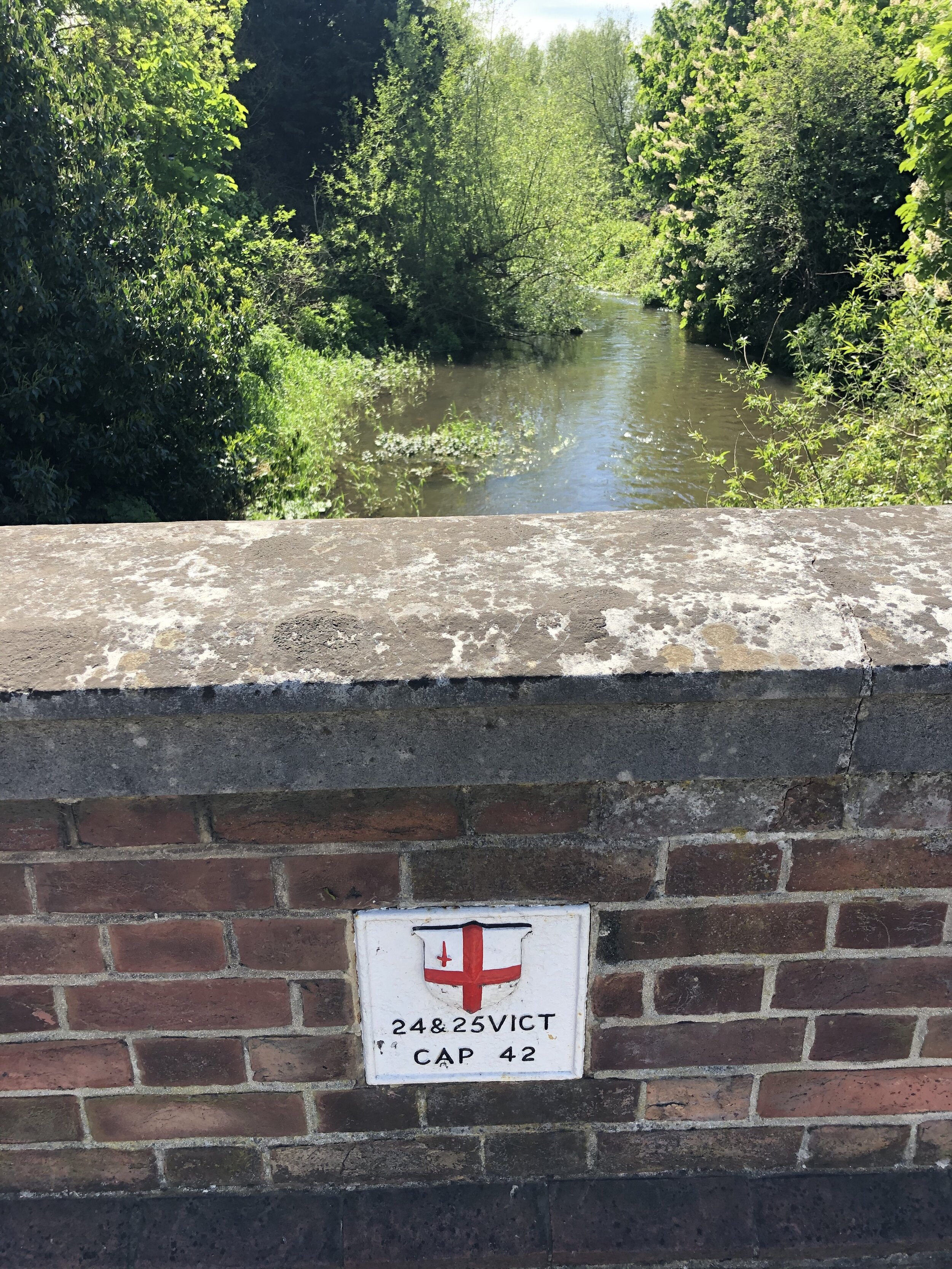
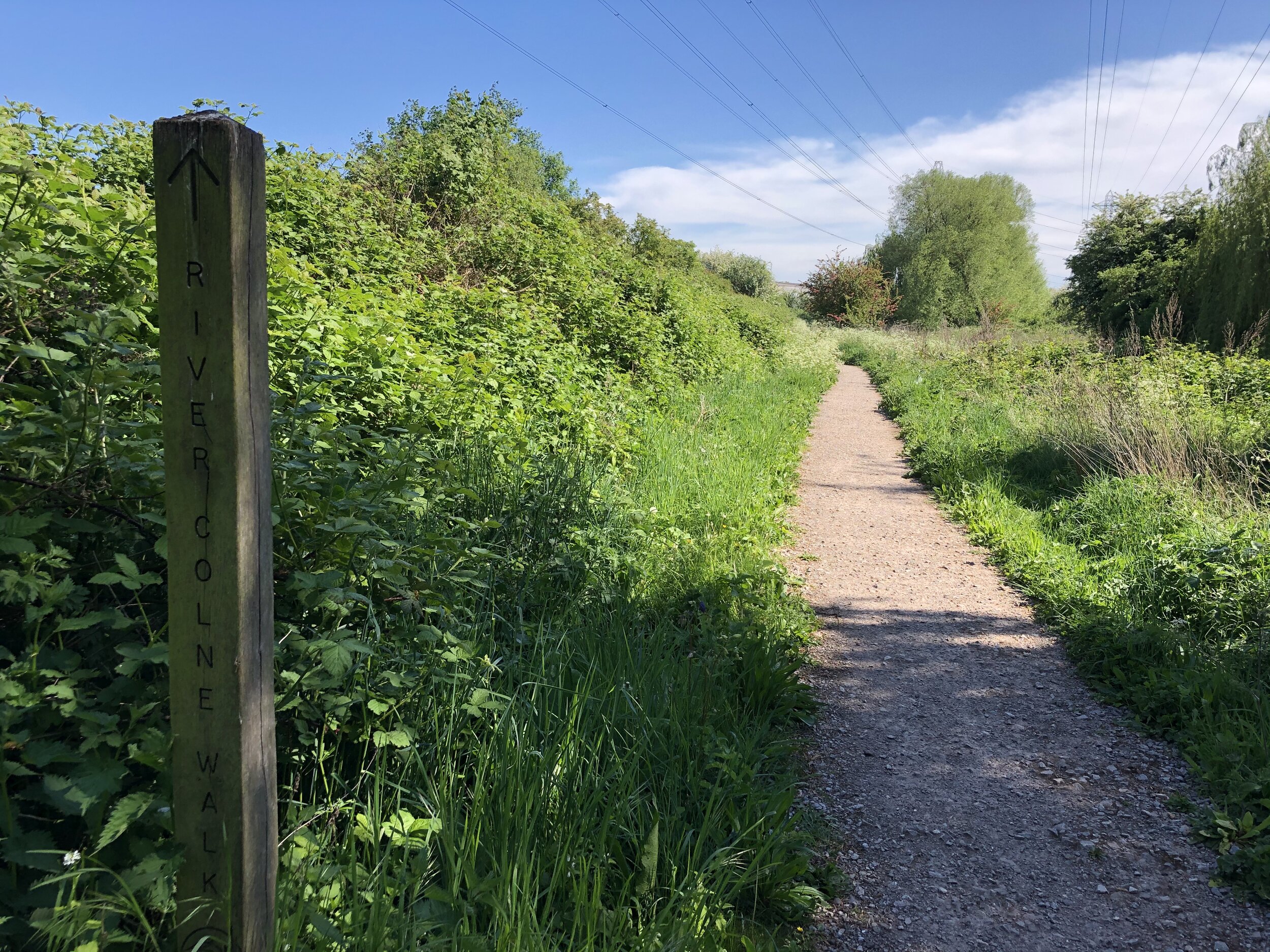
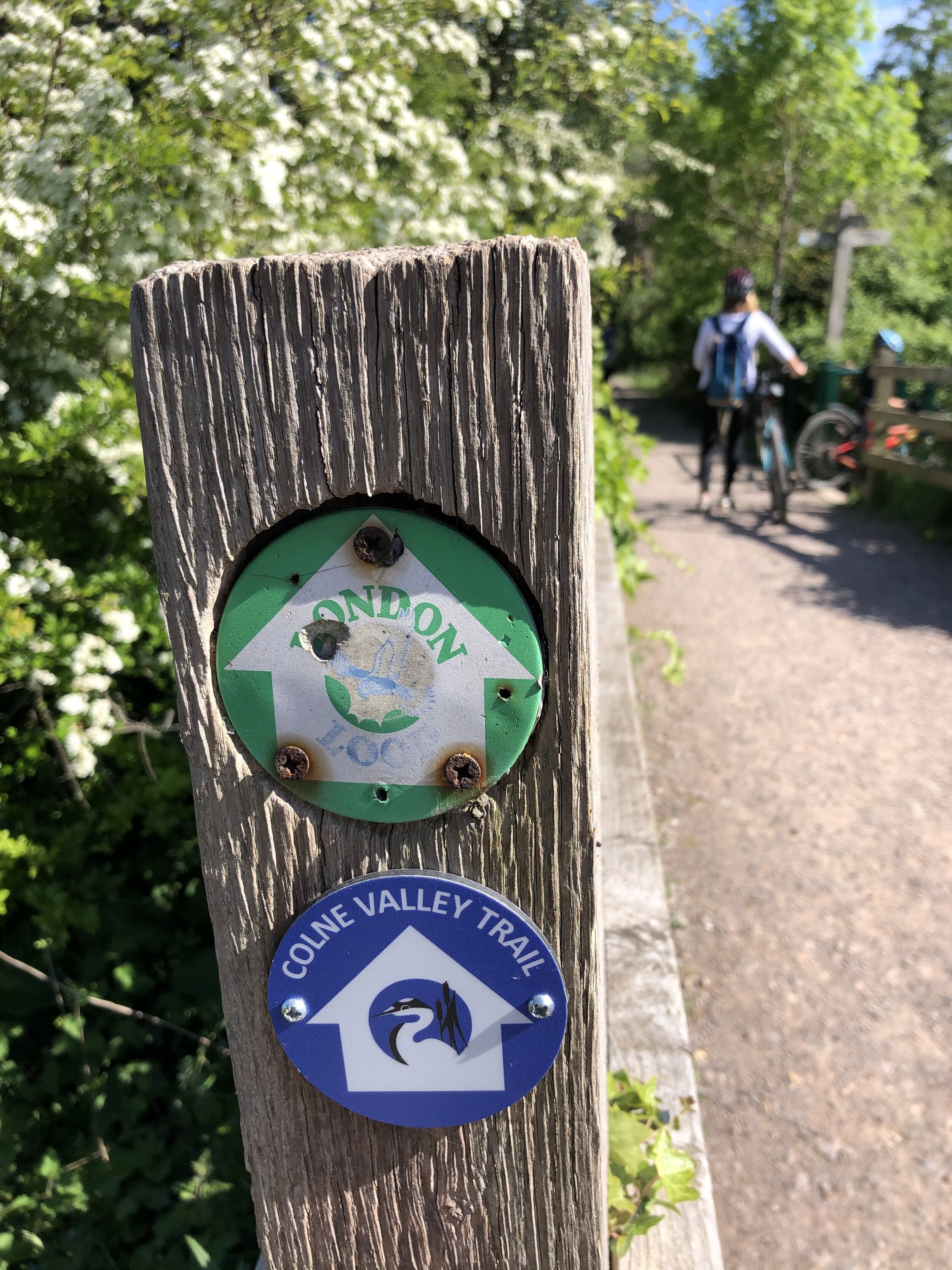
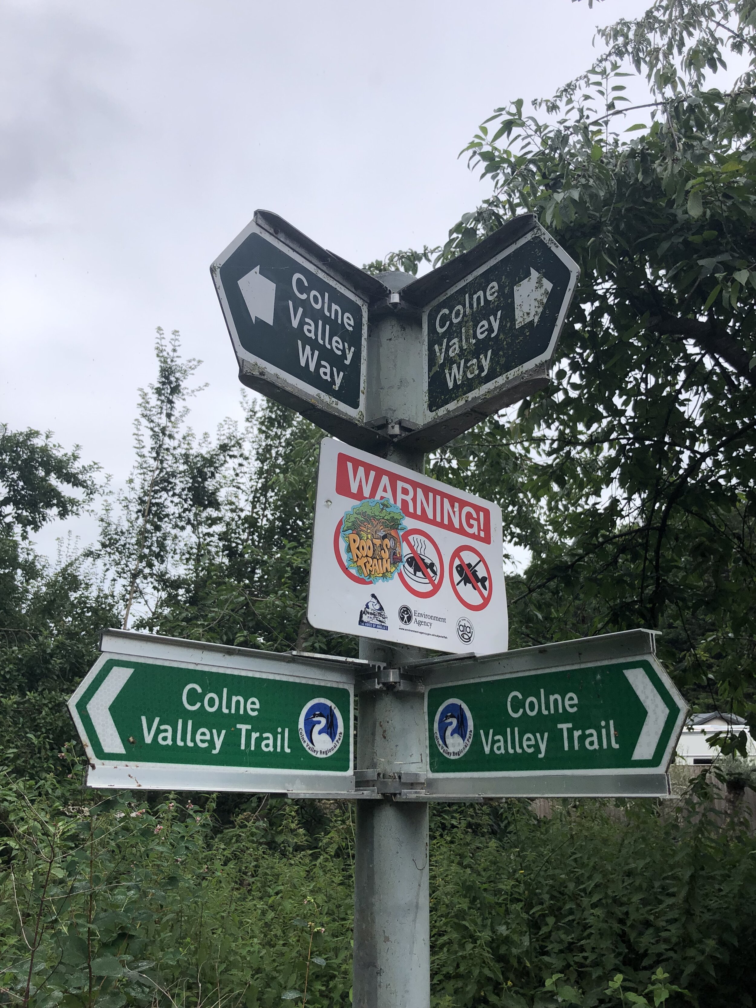
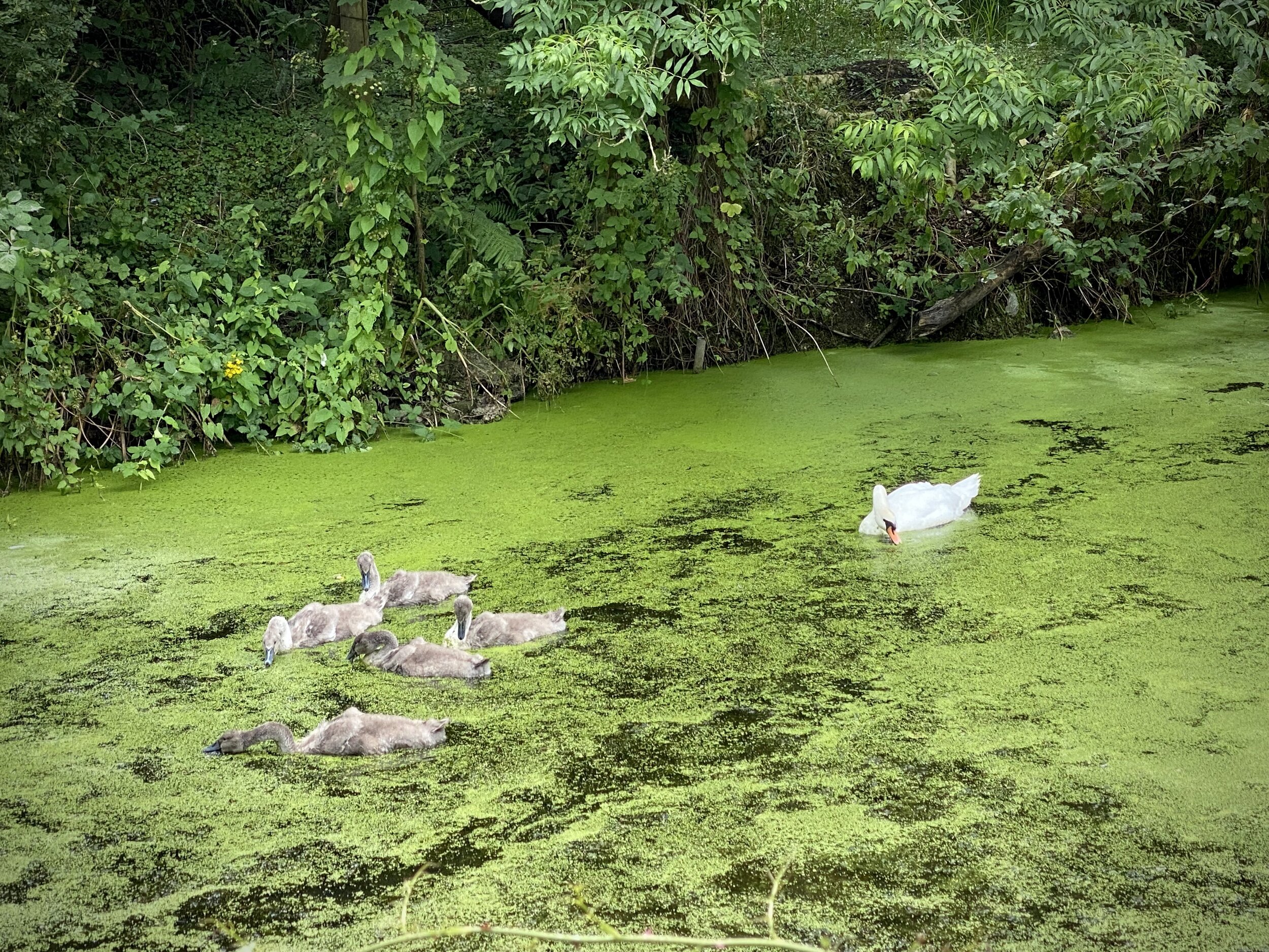
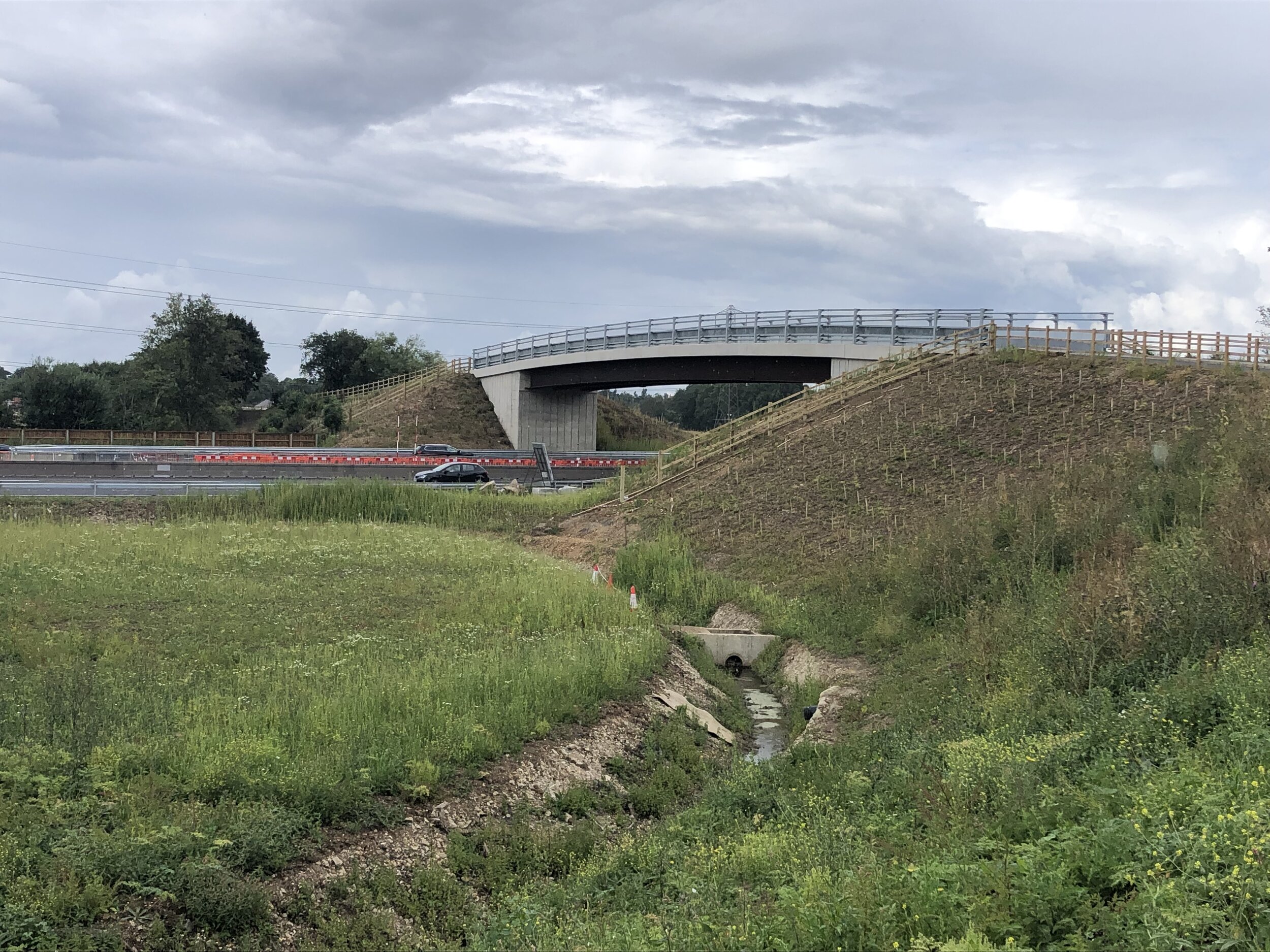
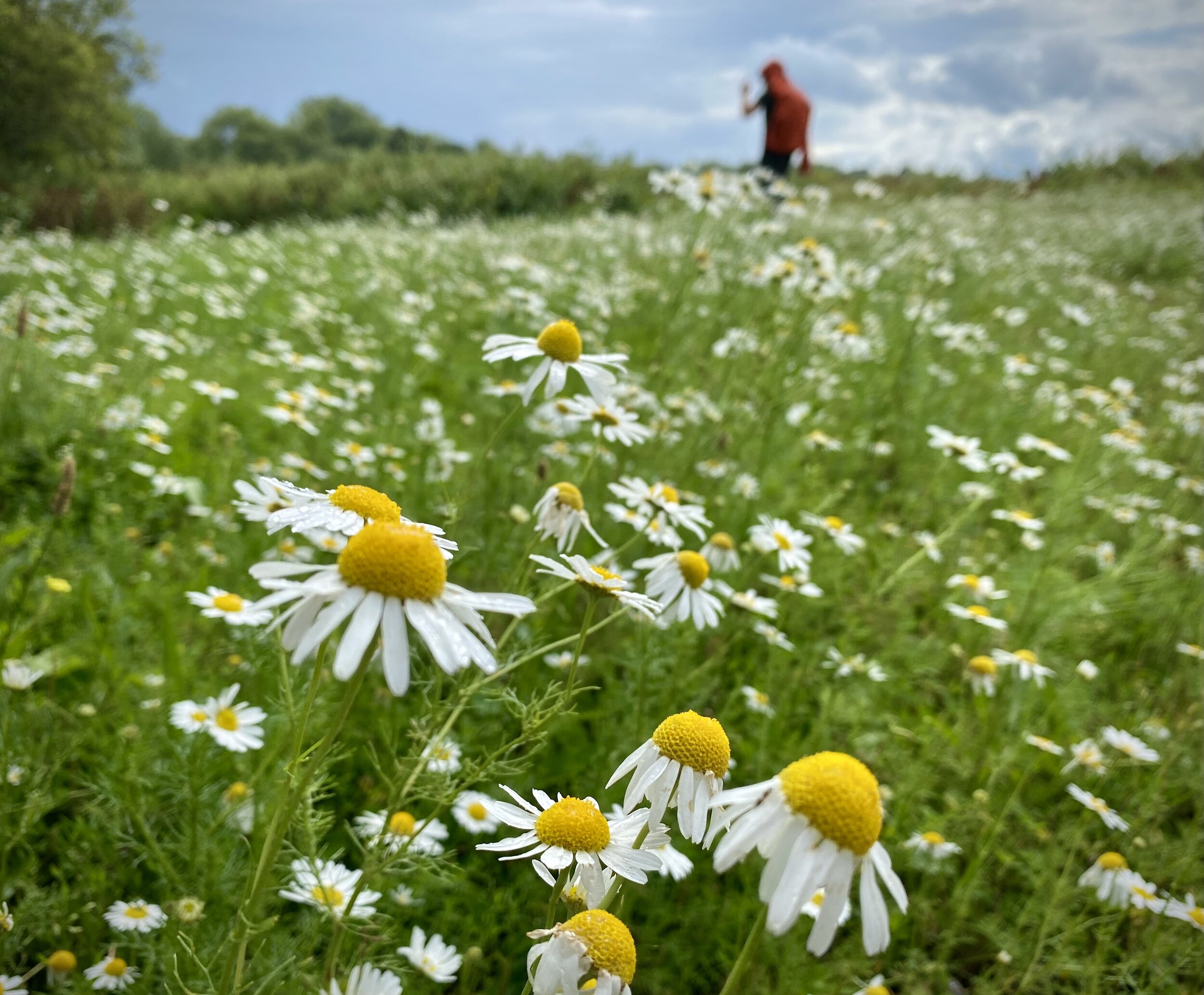
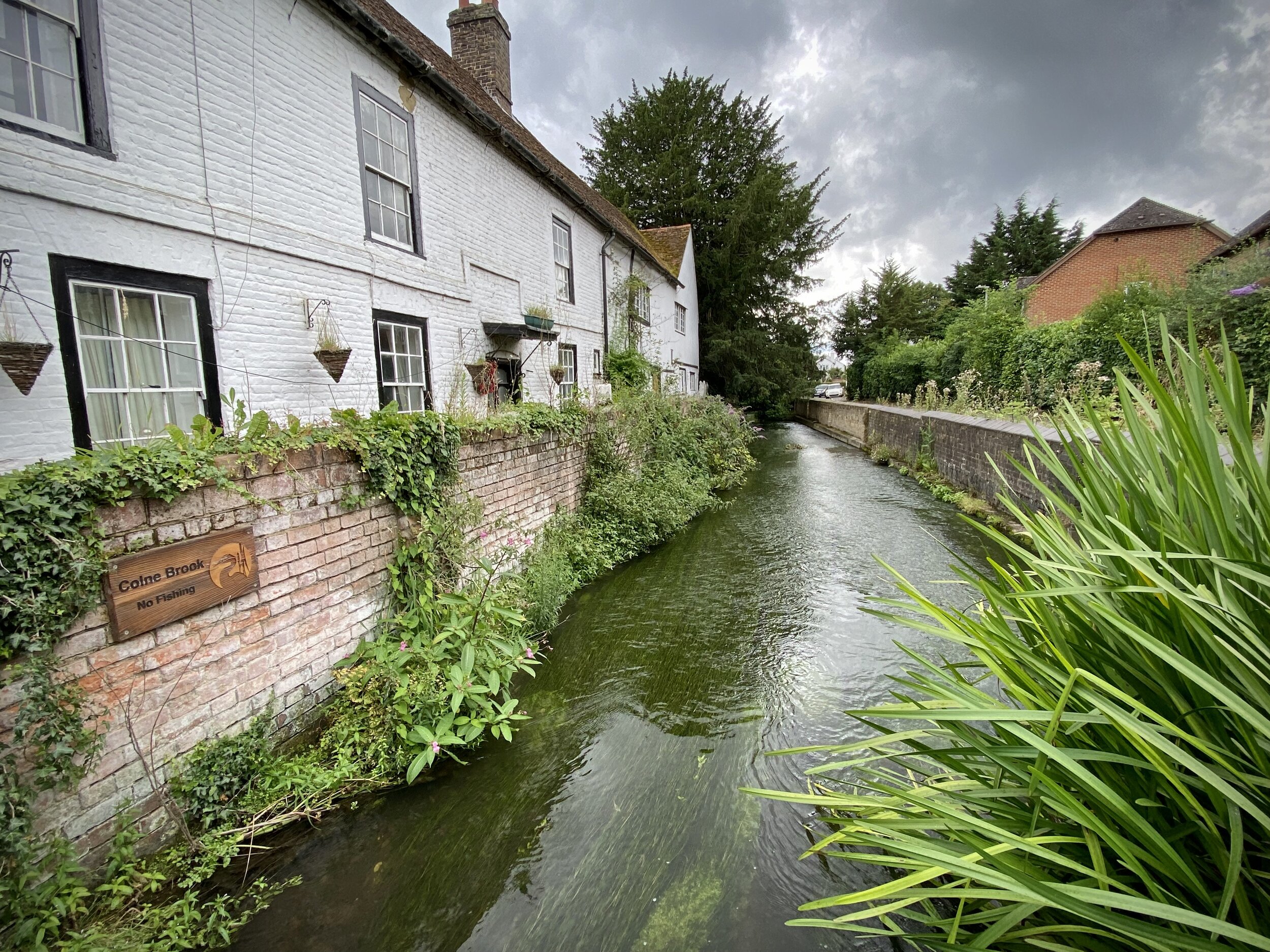
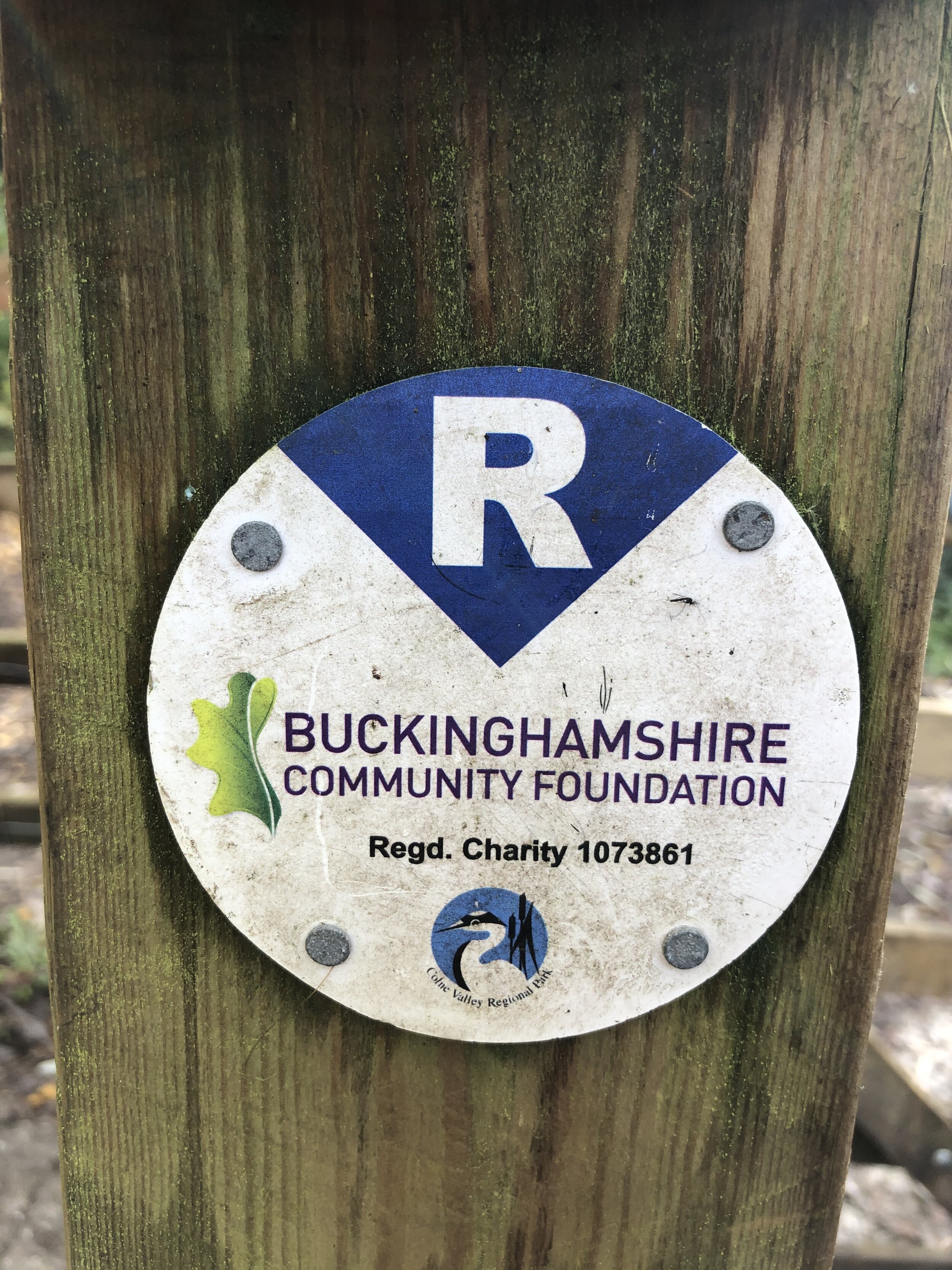
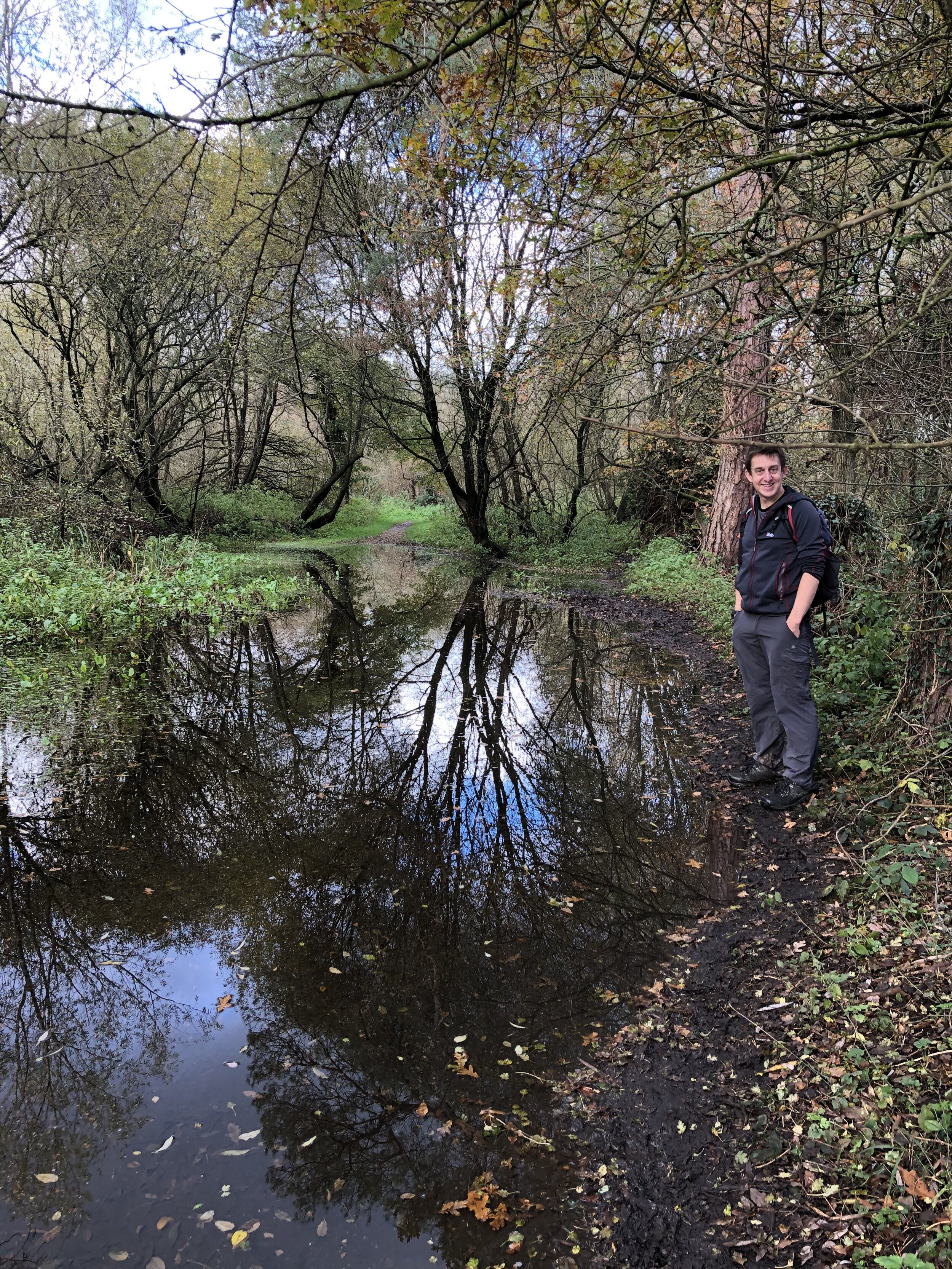
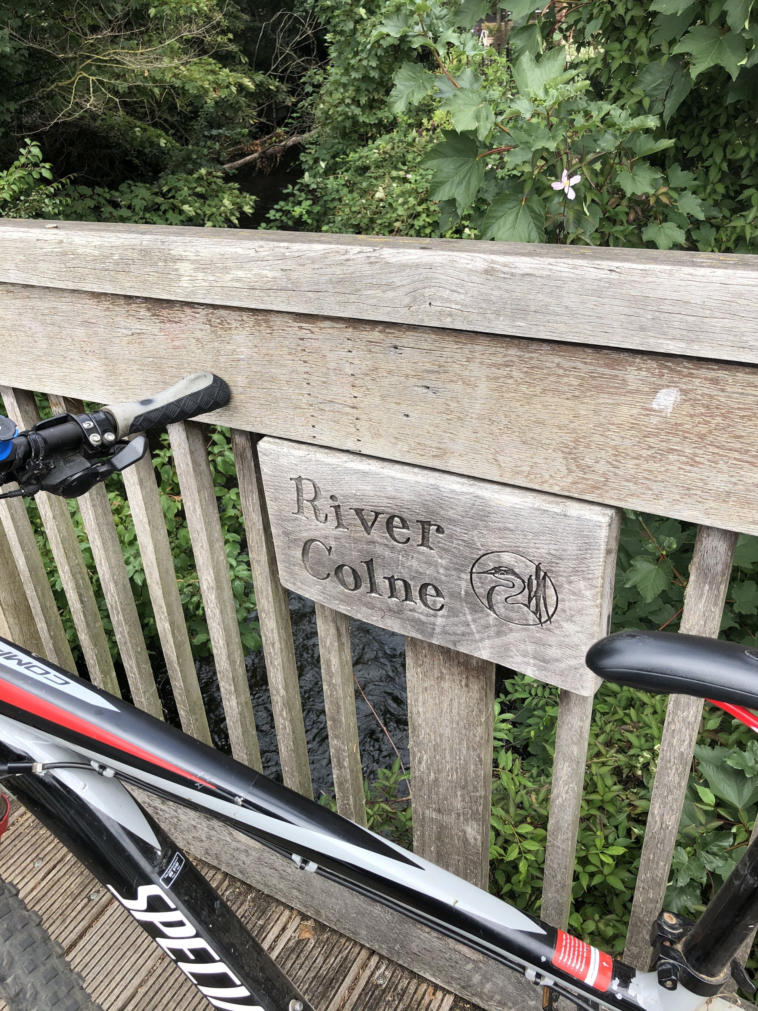
60, 65, 66: Walking The Colne Valley Trail
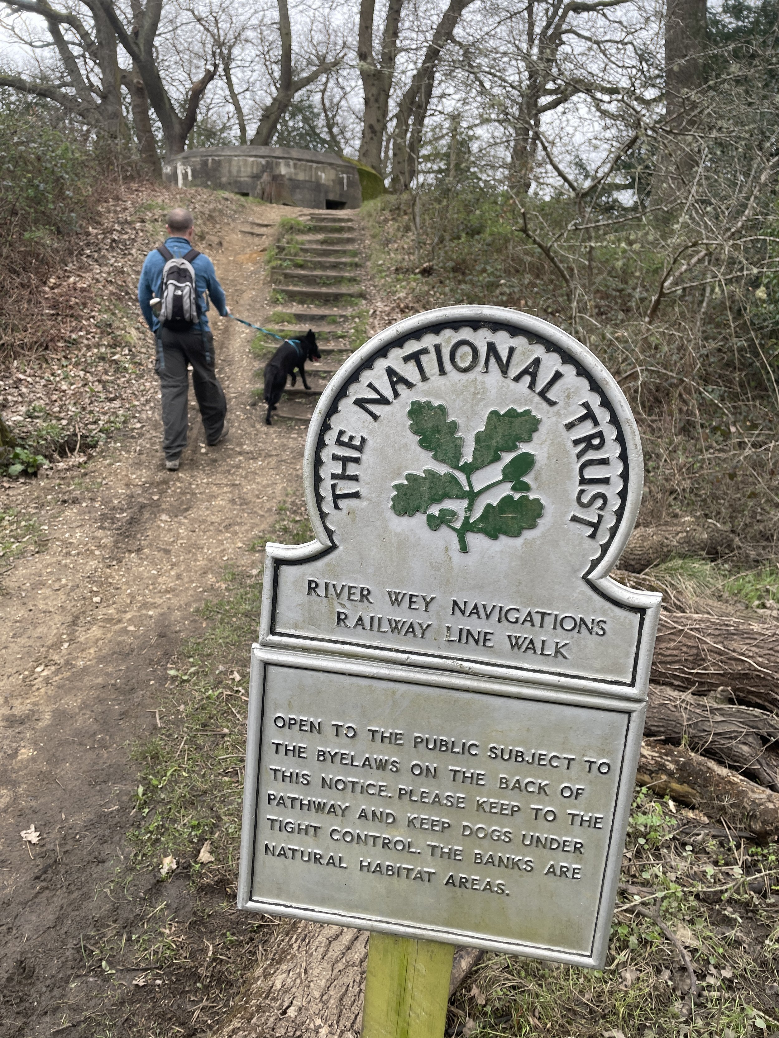
91 to 93: Walking the River Wey Part 1: Weybridge and Desborough Island
117 to 120: Chessington Countryside Walk
#125 to 136: Epsom Downs and Langley Vale Wood Circular Walk
137 to 155: Banstead Heath Circular Walk
151, 152: Walking The North Downs Way Part 5 - Betchworth to Merstham
Notes
#5 has been relocated to the outside of the Valance House Museum. See the section on Coal Duty Posts in Museums.
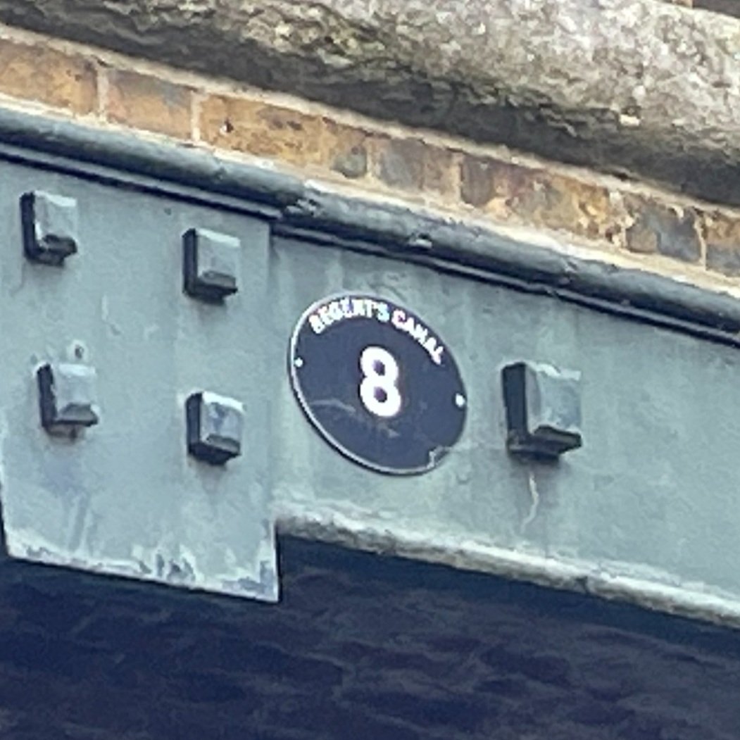
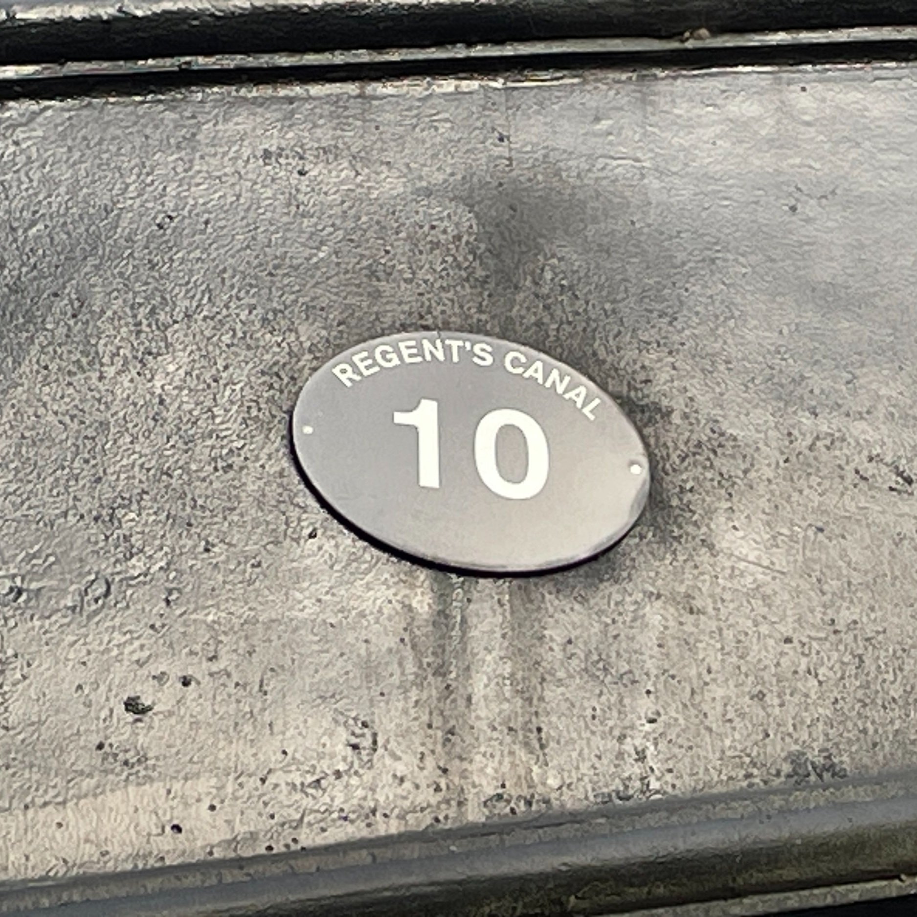
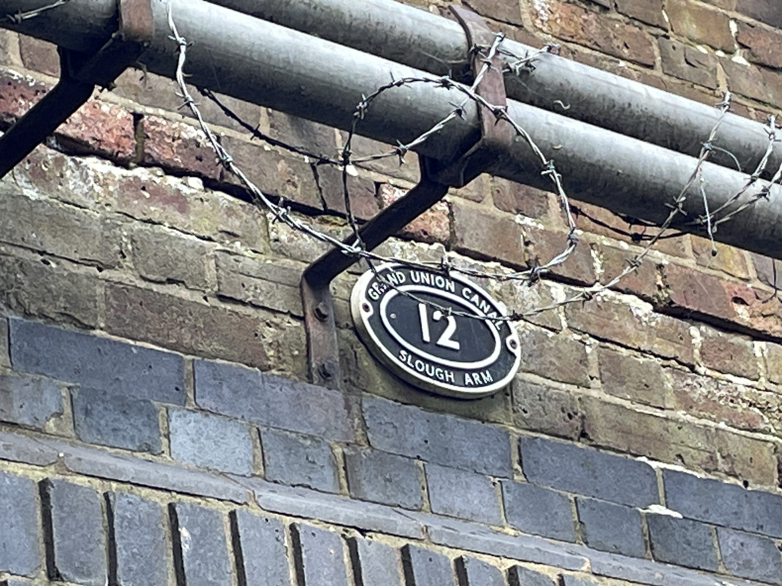
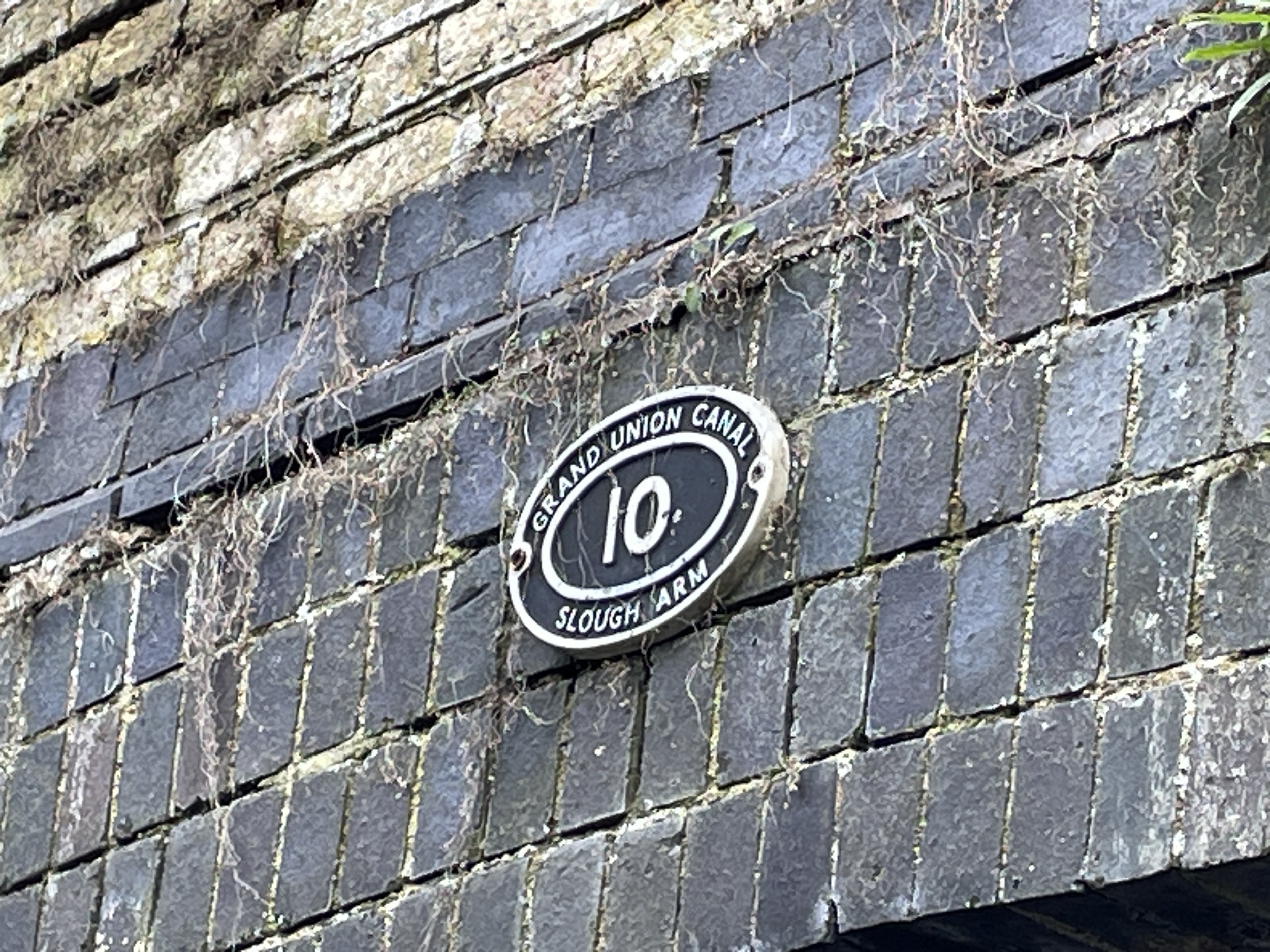
#10 is inaccessible but, according to coaldutyposts.co.uk, is visible from the train.
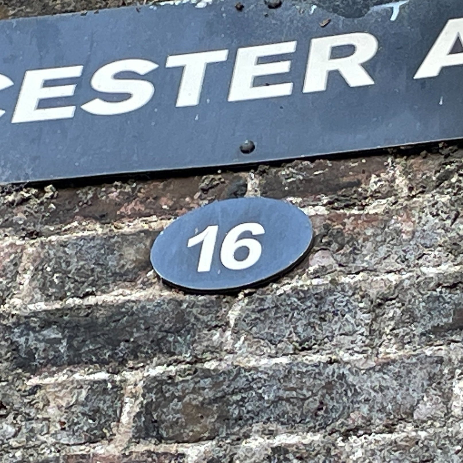
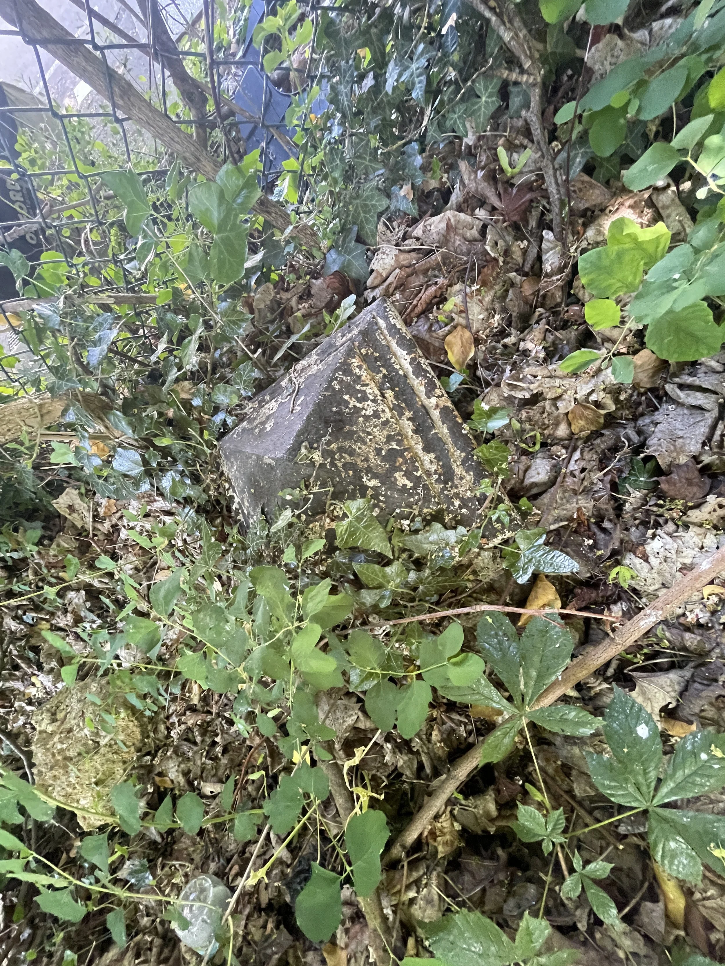
#16 is shown as extant on coaldutyposts.co.uk but I couldn't find it when visited in March 2025. Possible road widening or just overgrown?
#17 is missing.
#32 is missing. See this article for an interesting story about it.
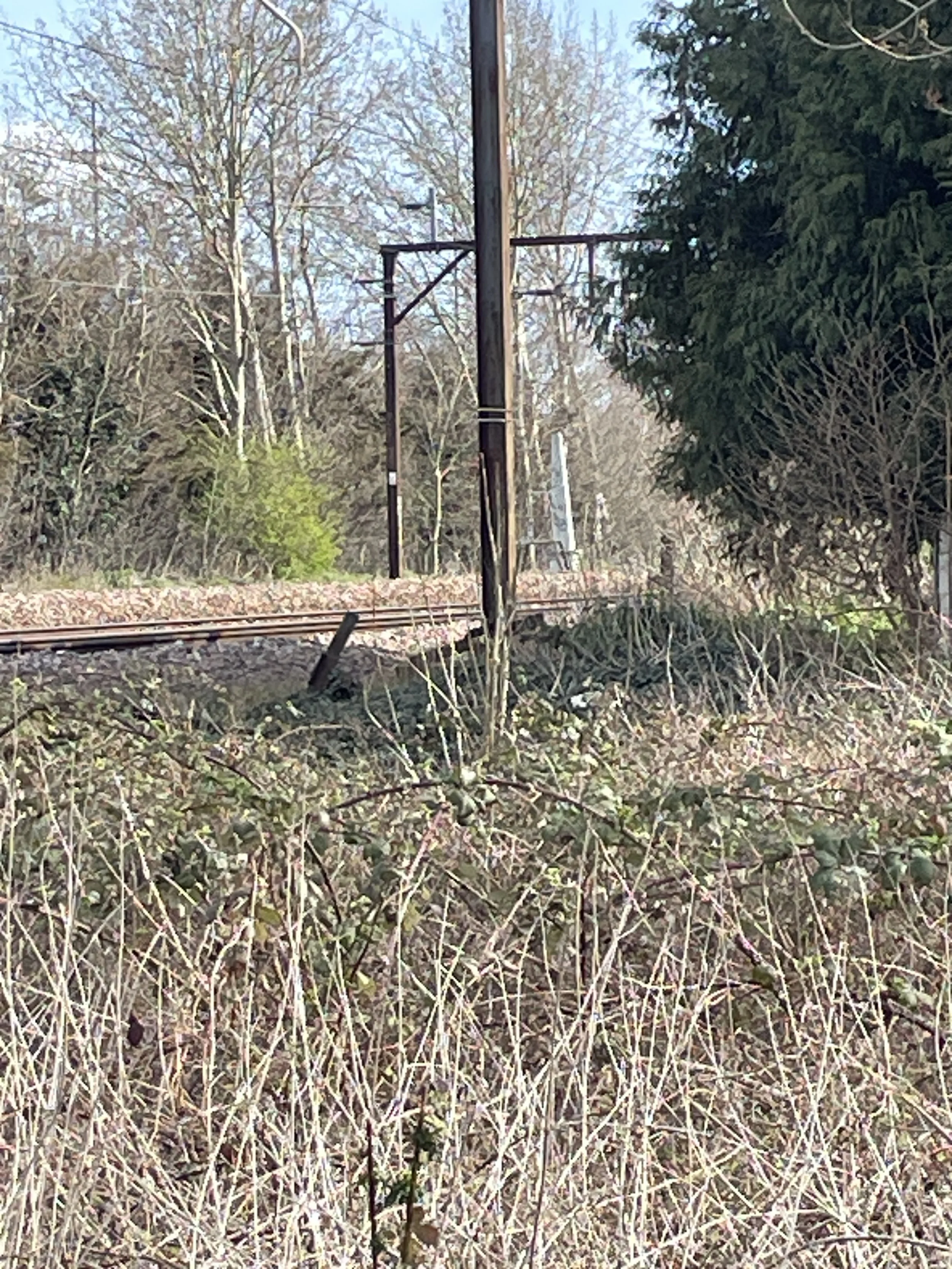
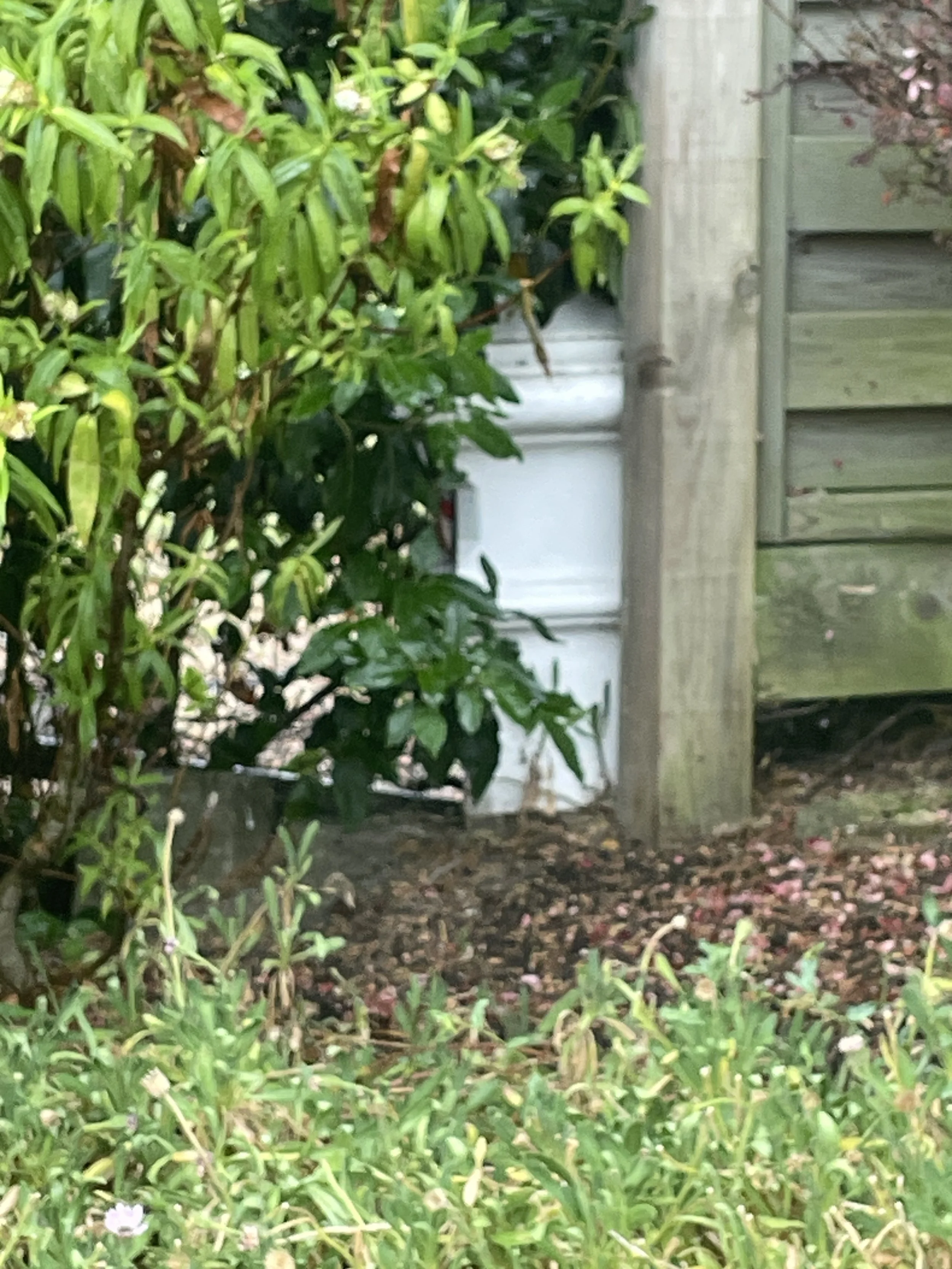
#42 is listed on coaldutyposts.co.uk as “On railway land but visible from road”. I couldn’t see it when visited in 2025.
#50 is listed on coaldutyposts.co.uk as “On railway land but visible from public footpath on opposite side of railway” I couldn’t see it when visited in 2025.
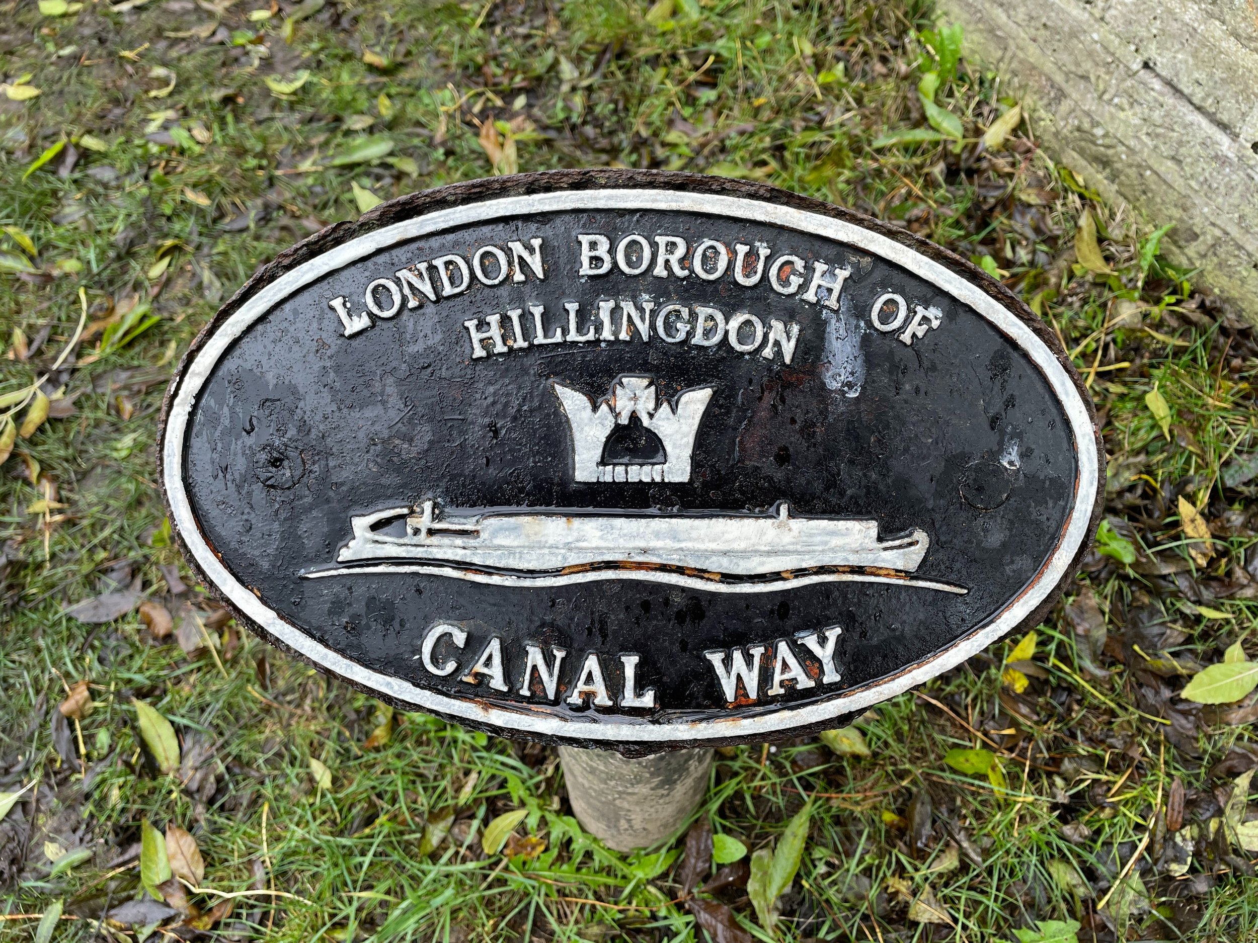
#51 is also the highest point of the London Borough of Hillingdon.
#56 is missing.
#218 is out of sequence with the anti-clockwise numbering of the other post. Located between #60 and #62
#61 is listed on coaldutyposts.co.uk as “On private land but visible from permissive footpath on other bank of river”. I couldn’t see it when visited in 2020.
#63 is now in the reserve collection of the Museum of London
#64 is on a Private Road. I decided not to visit.
#71 is missing.
#79 is on private land. I decided not to visit.
#95 is listed on coaldutyposts.co.uk as “In grounds of Middle Thames Yacht Club at N side of Sunbury Lock Ait”. I visited in April 2025, assisted by 2 members of the Sunbury Yacht Club but couldn't find it and they couldn’t remember seeing it before. Maybe now missing?
#111 is listed on coaldutyposts.co.uk as “On railway land but visible from Stokesheath Road”. I couldn’t see it when visited in 2025.
#112 is listed on coaldutyposts.co.uk as “In garden of house but visible from road”. I couldn’t see it when visited in 2025.
#135 is listed on coaldutyposts.co.uk as “In garden of house but visible from road”. New high fence installed. Not visible when visited in 2025.
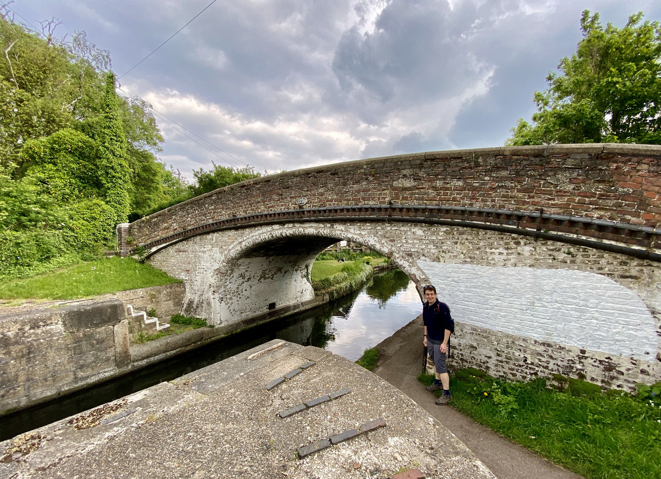
#170 is listed on coaldutyposts.co.uk as “On railway land but visible from road”. I couldn’t see it when visited in 2025.
#197 is listed on coaldutyposts.co.uk as “On railway land but visible from Crown Close”. I couldn’t see it when visited in 2025.
#206 is listed on coaldutyposts.co.uk as “On railway land but visible from public footpath on opposite side of railway”. I couldn’t see it when visited in 2025.
#216 is listed on coaldutyposts.co.uk as “On railway land but visible from public footpath”. I couldn’t see it when visited in 2025.
I’ve not listed any Coal Duty Posts on this page that were identified as missing on coaldutyposts.co.uk. These are mostly identified with a letter after the number (e.g. 66a). The exceptions are posts identified as missing on coaldutyposts.co.uk but don’t have a letter after the number (e.g. 71) which I’ve noted above.

More London posts
If you enjoyed reading this post, there is plenty more to explore across the capital. I have put together a dedicated London Outdoors page where I keep track of all my other adventures around the city. It is a handy index where I group my posts by the different types of places I have visited: including historic boundary lines, canal towpaths, and some surprising urban high points.
The collection covers a bit of everything: from long-distance cycling routes to tracing the underground network on foot, and ticking off another Saturday morning parkrun. If you are looking for some inspiration for your own weekend outings, head back over to the London Outdoors page to see what else I have been up to.