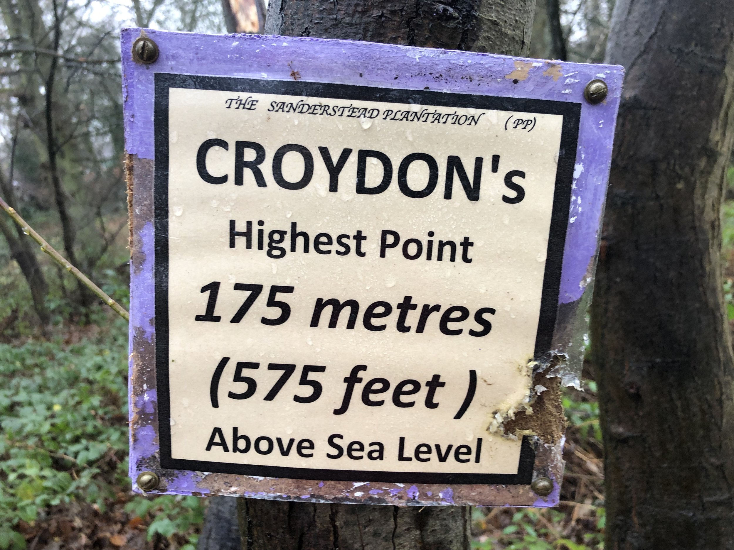
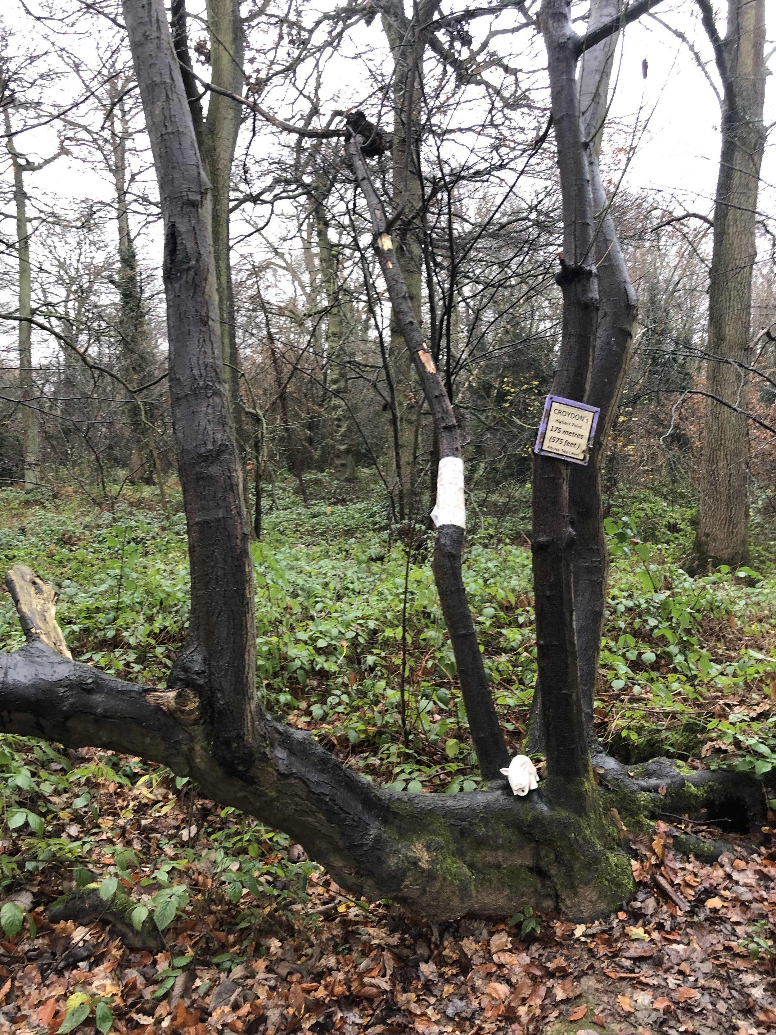
Sanderstead Plantation: Croydon Borough High Point

Significance: Highest peak in London Borough of Croydon
Member of: N/A
Parent Peak: Botley Hill. NHN = Botley Hill
Historic County: Surrey (of which Leith Hill is the County Top)
Elevation: 175m
Date “climbed”: 20th December 2021
Coordinates: 51° 20' 23'' N, 0° 4' 24'' W
Nearest Station: Sanderstead (Southern, Thameslink): 2.3 km
On route of: N/A. London Loop is 1 mile to the north-east
Map: London South Map | Westminster, Greenwich, Croydon, Esher & Twickenham | Ordnance Survey | OS Explorer Map 161
Links: Wikipedia (Croydon), Peakbagger
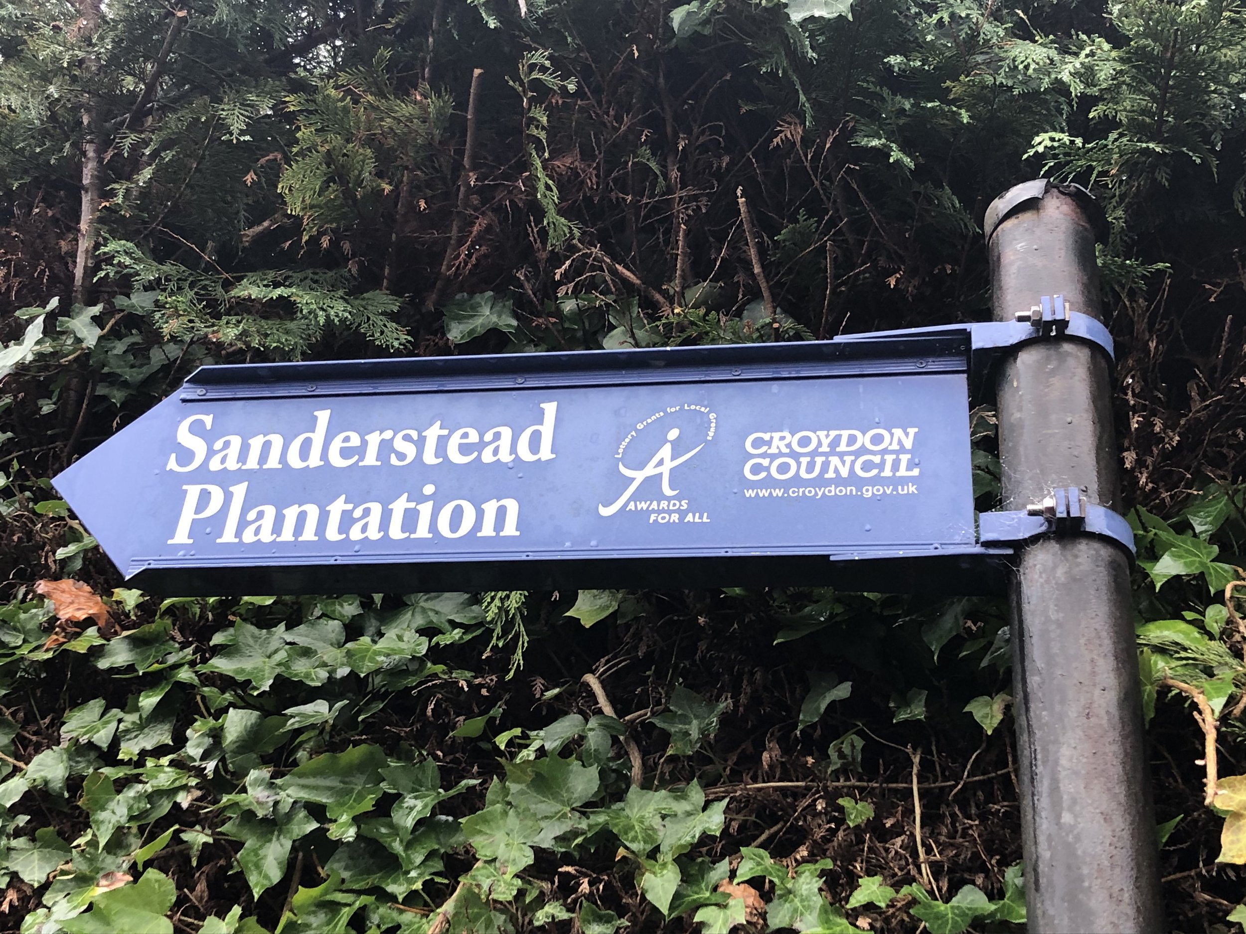
Although Sanderstead Plantation is only the second highest peak in London, it beats Westerham Heights for enjoyment. This is a proper hill with a walk through the woods to get there. It also has a handy sign at the top to tell you that you’ve made it. There’s a short footpath to the top from Church Way where there’s also free on-street parking.
The Selsdon Park Trig Pillar (TP5873 - Selsdon Park) is only 500m away to the east. It’s on private ground though and recent logs suggest it’s inaccessible and hard to see from the path. I gave it a miss and decided to drive to Pollard’s Hill. The Trig Pillar (TP5488 - Pollards Hill) there is in a public park with views over the beautiful Croydon skyline.