Chiltern Walks: Denham Village and The Grand Union Canal

Old Mill, Denham
Start & Finish: Denham Station, Denham, Uxbridge, UB9 5ES
Distance: 6.2 km (3.9 miles)
Elevation change: +/- 29m
South Bucks Way section covered: Denham Station to the Grand Union Canal: 2.31 km
GPX File: get via Buy Me a Coffee
Other routes touched (walk): South Bucks Way
Other routes touched (cycle): Grand Union Canal Towpath
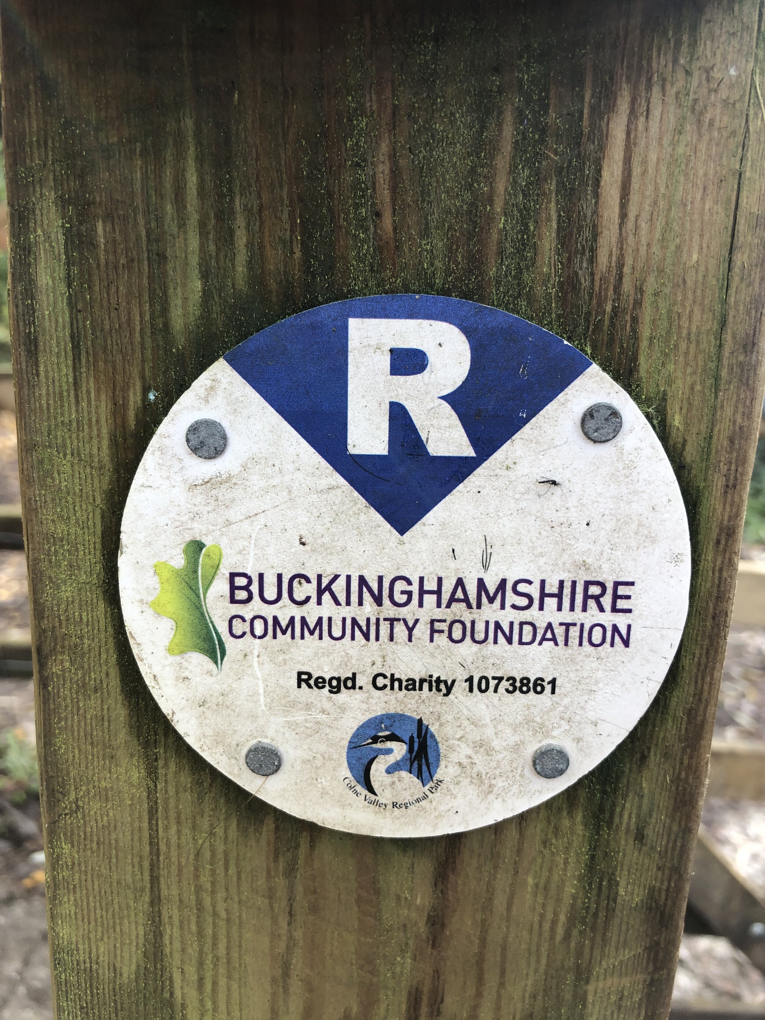
Pubs / Cafes on route: Colne Valley Cafe at the Colne Valley Regional Park Visitors’ Centre, plus 3 pubs in Denham Village
Map: OS Explorer Map (172) Chiltern Hills East
Links: River Misbourne, Denham, Denham Station, Denham Country Park, Denham Place
The South Bucks Way is a 37 km (23-mile) trail that promises a delightful escape for walkers and hikers. This scenic route, often overshadowed by its more famous counterparts, offers a tranquil journey through charming villages, lush countryside, and the gentle murmur of the River Misbourne. This post is part of a series of circular walks featuring the South Bucks Way. The full trail stretches from Coombe Hill near Wendover to the Grand Union Canal at Denham. Our walks take in short sections of the South Bucks Way and loop back to the start on other paths. The South Bucks Way is well sign-posted however you’ll need a map or GPX route to keep on track for the return sections of the loops. The guidance below will help but don’t use it as a fully accurate turn-by-turn guide.
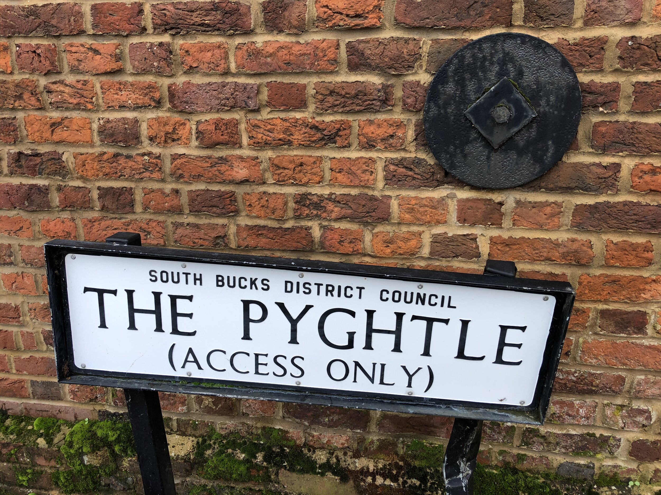
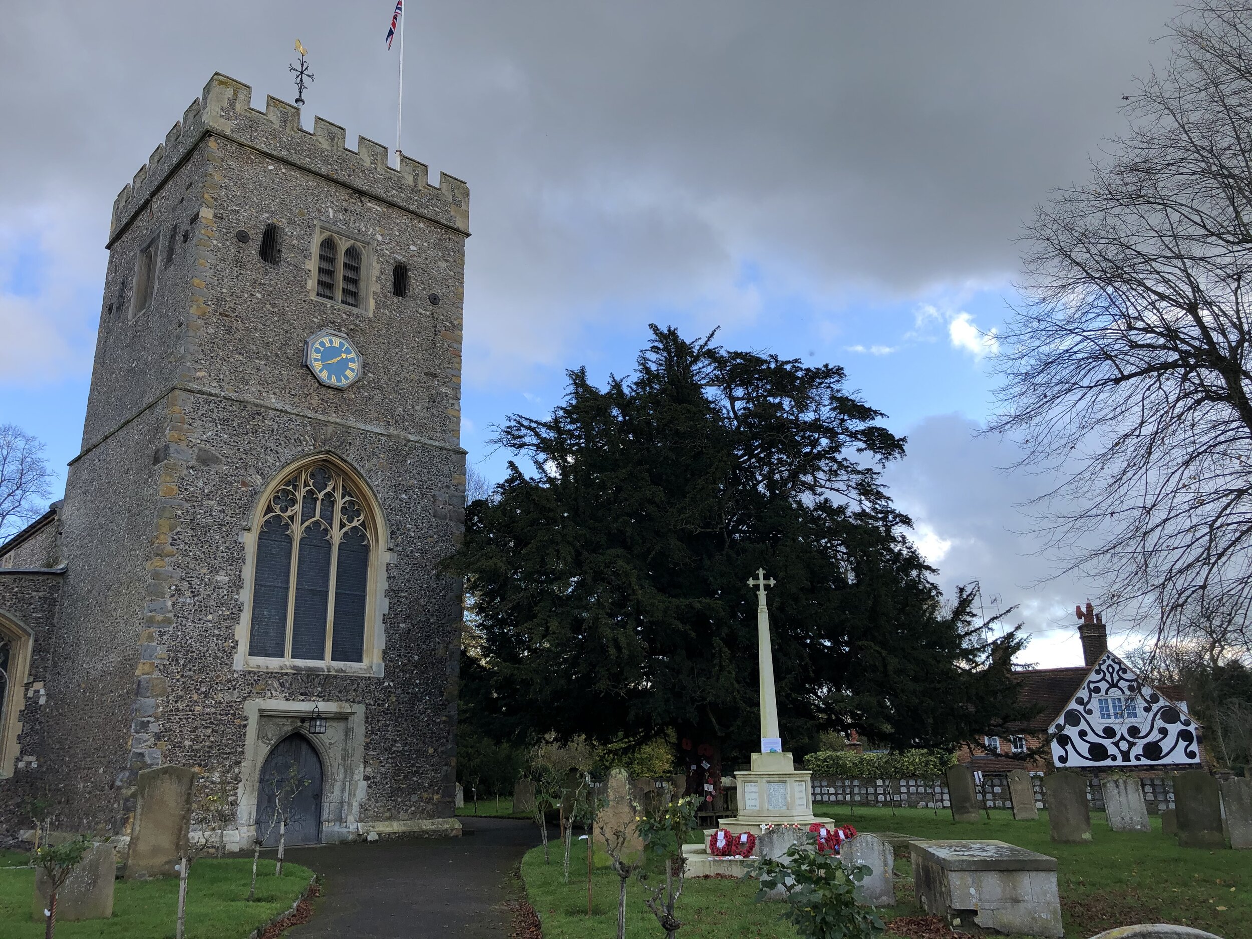
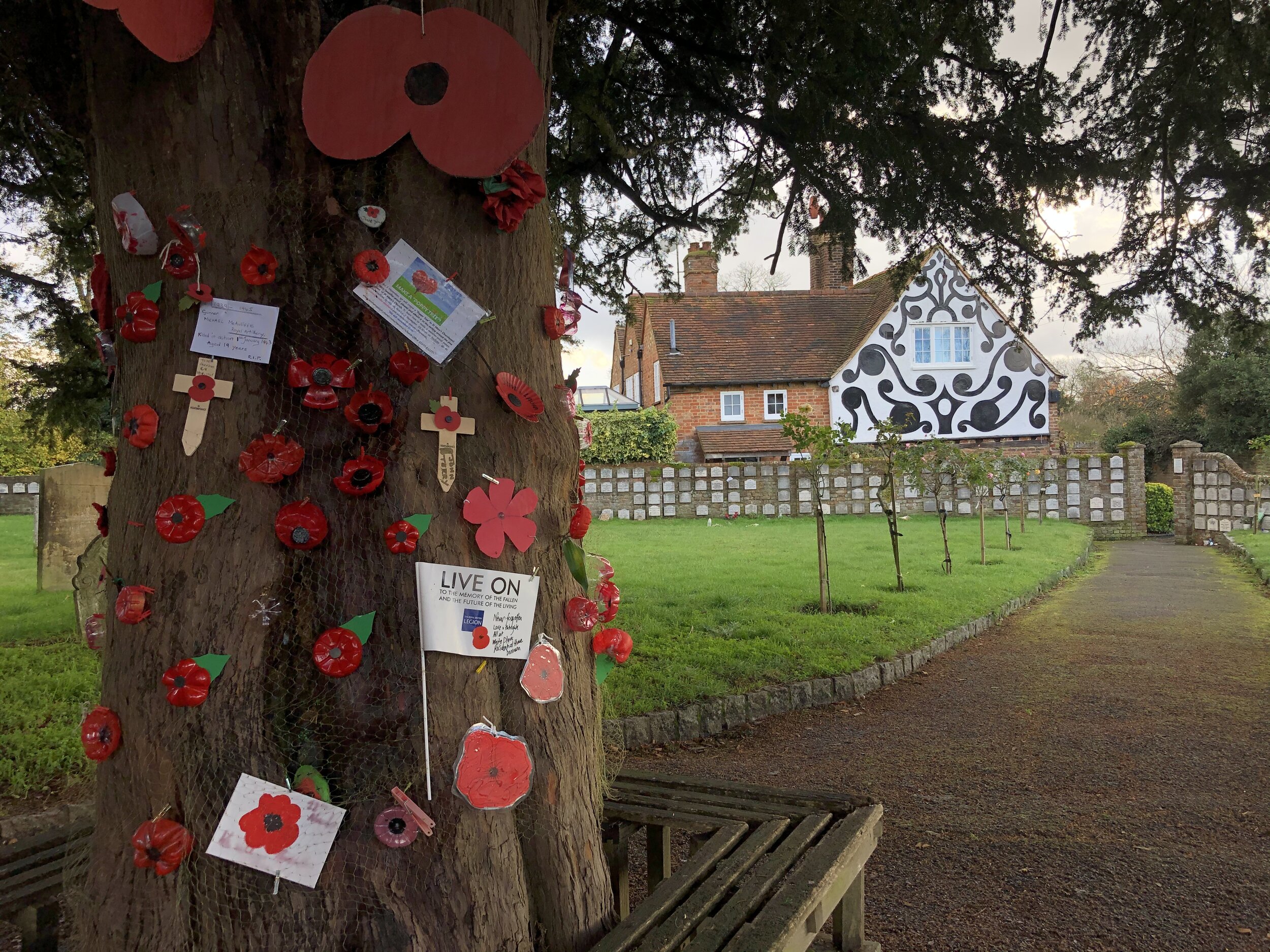
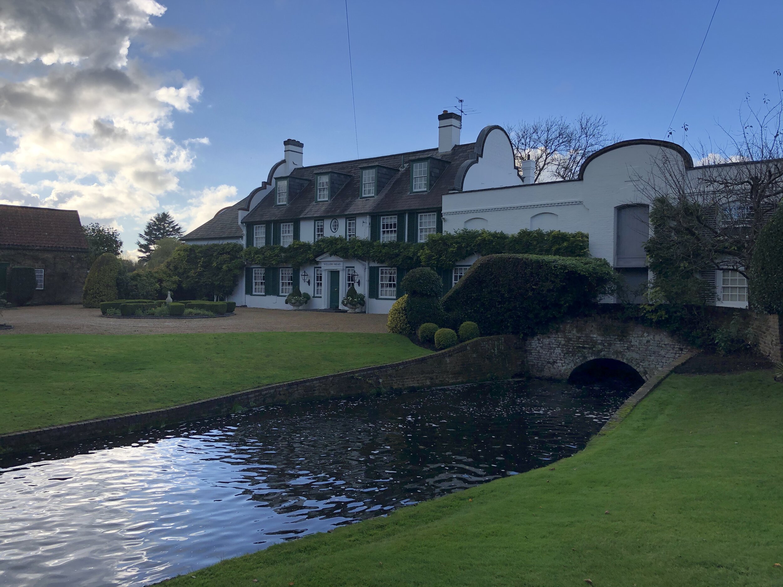
To start this walk, exit from the south side of Denham station and take The Phygtle to Denham Village. The path ends at the gates of Denham Place where we met a couple of staff about the meaning of Phygtle. We were told that it means pig-tail, which sounds great but he was probably making it up. The only other definition that I found for the name was that it’s an old English word for a small plot of land.
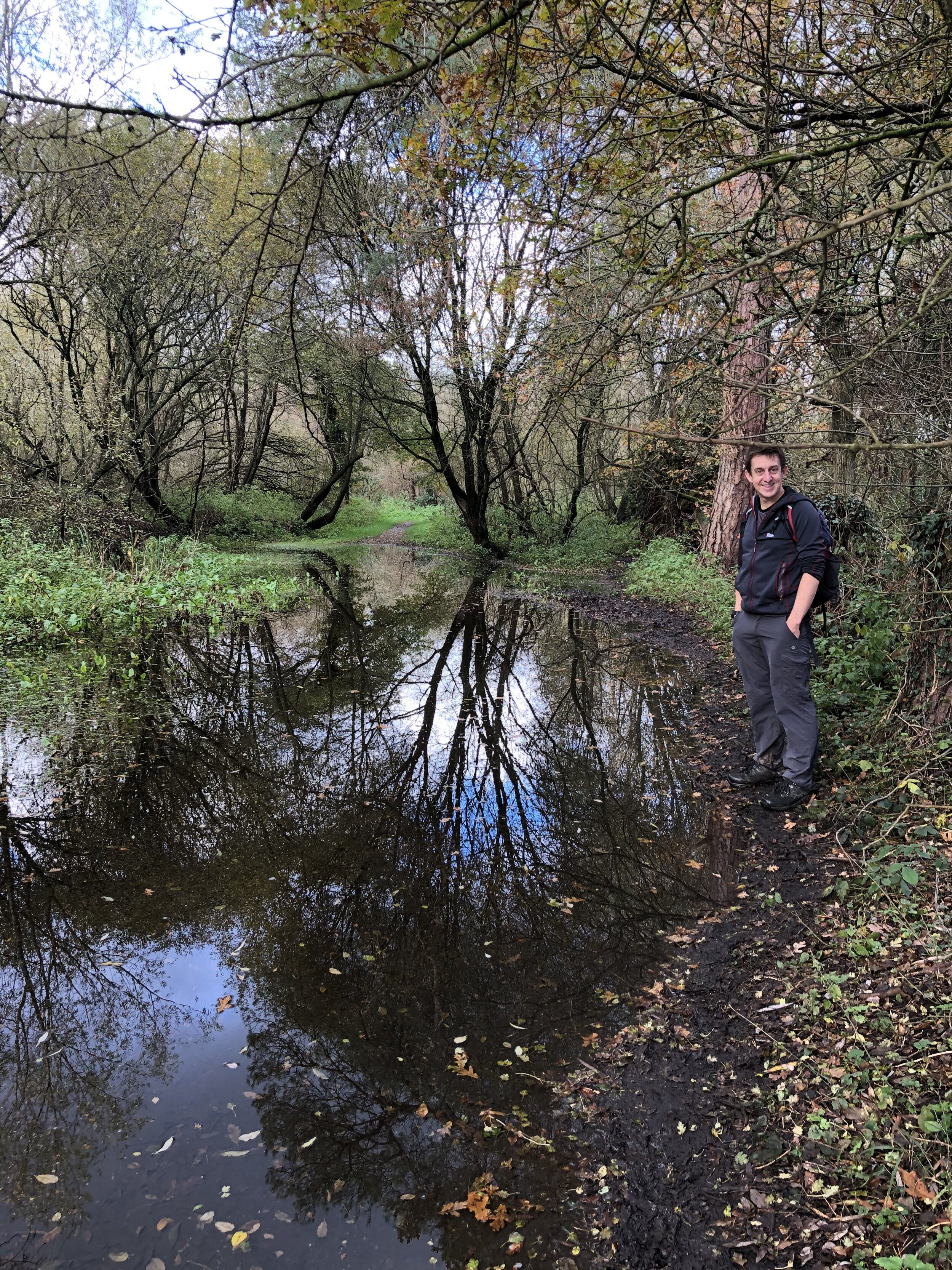
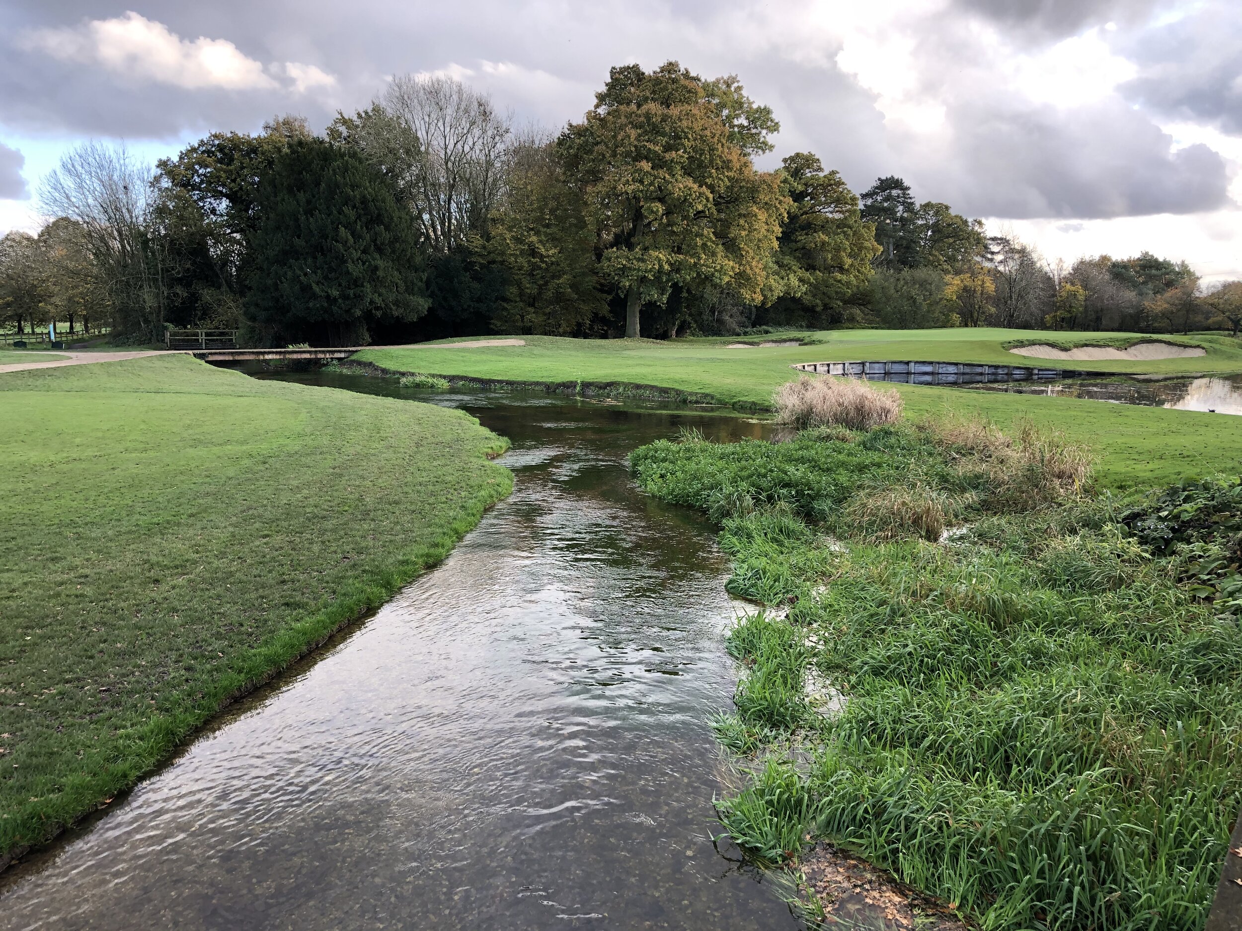
At the end of The Phygtle, turn right and follow Village Road until it meets Old Mill Road at the Misbourne. Take a left off the road and onto the South Bucks Way footpath. Follow this across the golf course, past the Colne Valley Park Visitors Centre, over Denham Court Drive and into Denham Country Park. From the car park take the south-eastern path that crosses the river Colne and connects to the Grand Union Canal. You are now at the southern end of the South Bucks Way.
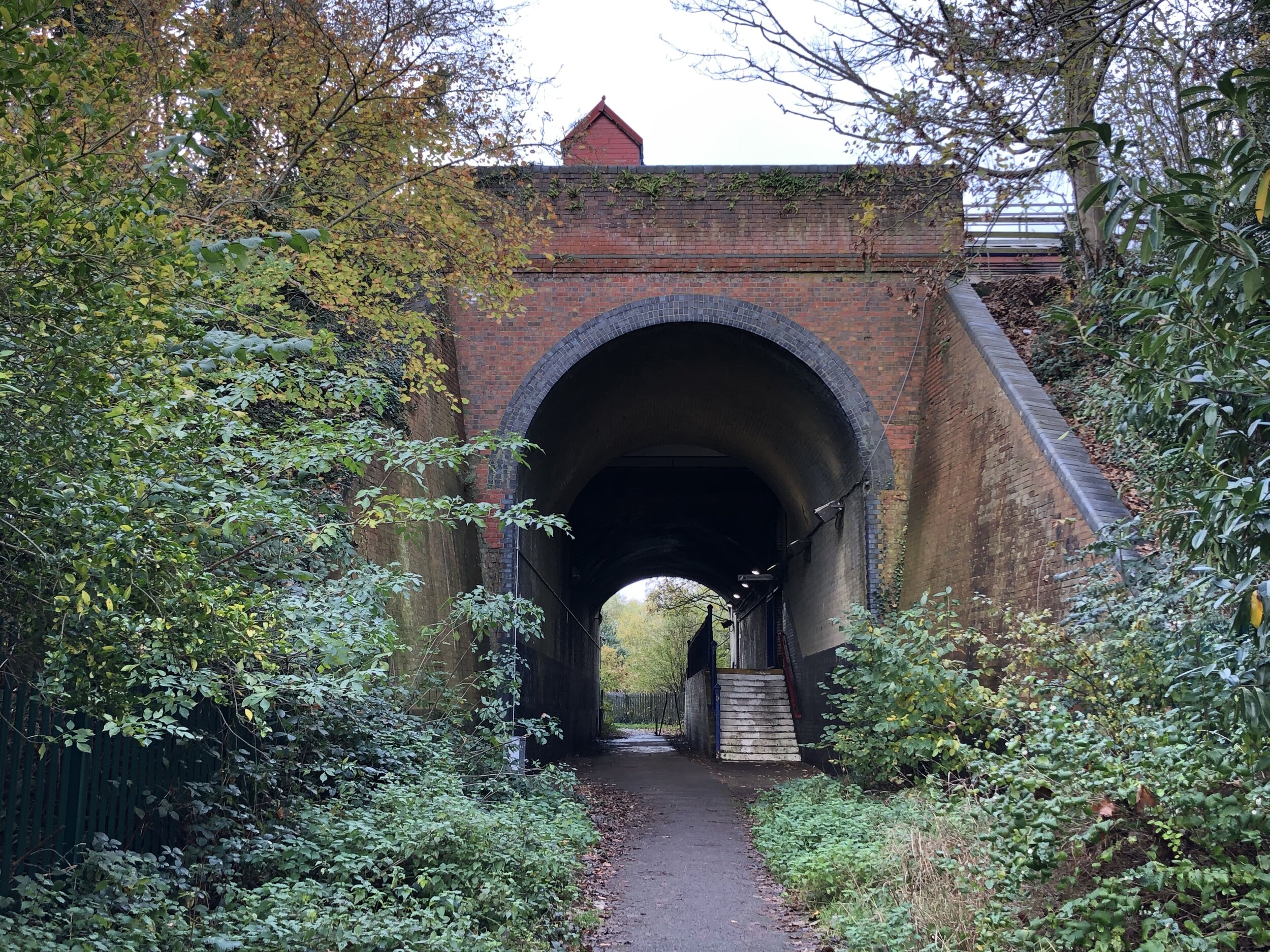
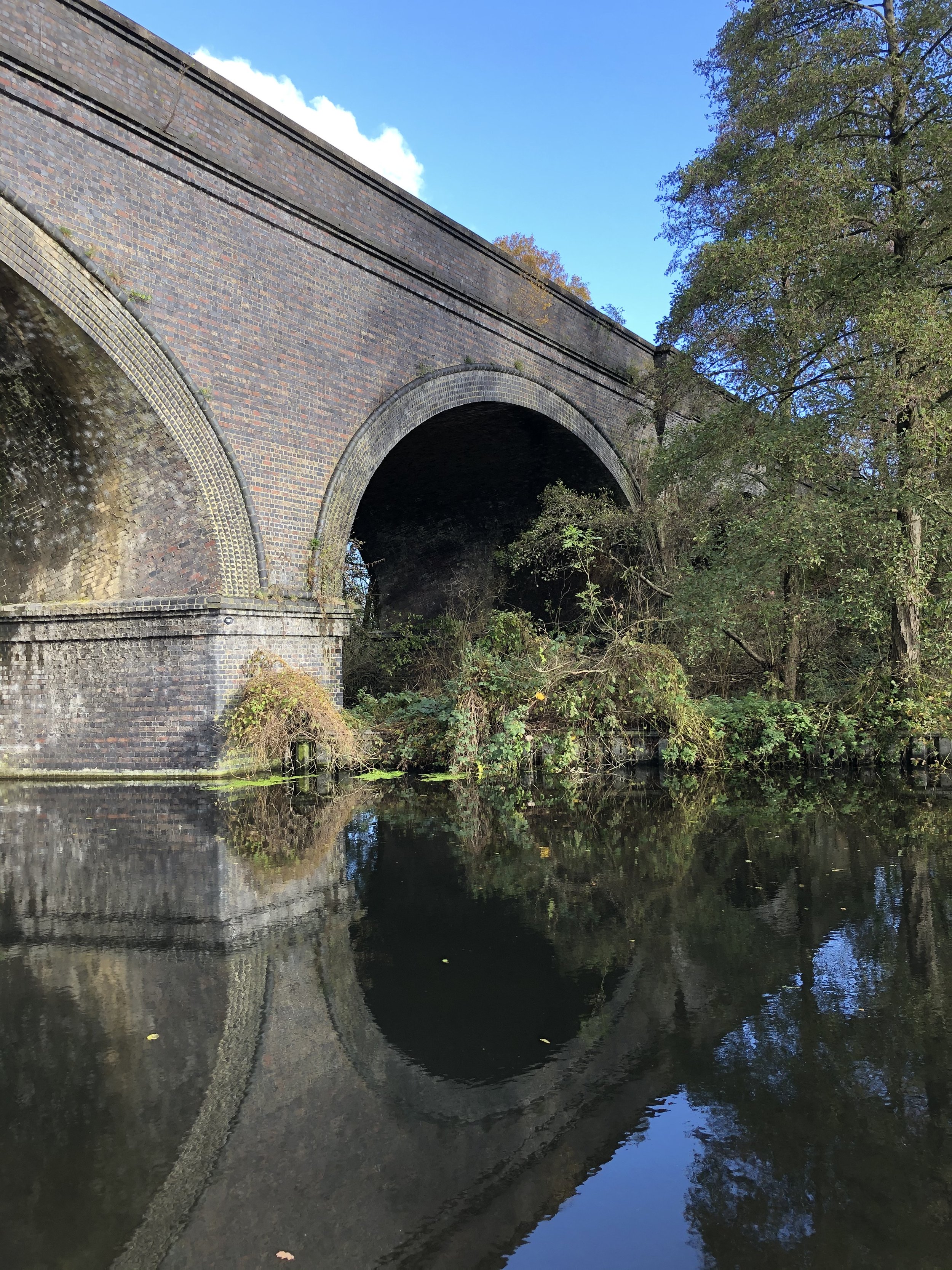
To return to the start take a left onto the Grand Union Canal and follow it in a northerly direction for ~2.5 km to the Moorhall Road Bridge. Along the way you’ll pass over the Frays River and under the railway bridges that carry the Chiltern Mainline and HS2.
Leave the canal onto Moorhall Road and head south-west back toward Denham. It’s a busy, unattractive road, especially with the HS2 works, but it’s safe enough with a pavement. Turn left onto Savay Lane then right onto the South Bucks Way and you’re back onto The Phygtle toward Denham Station.


South Bucks Way previous section (north): Gerrards Cross to Denham