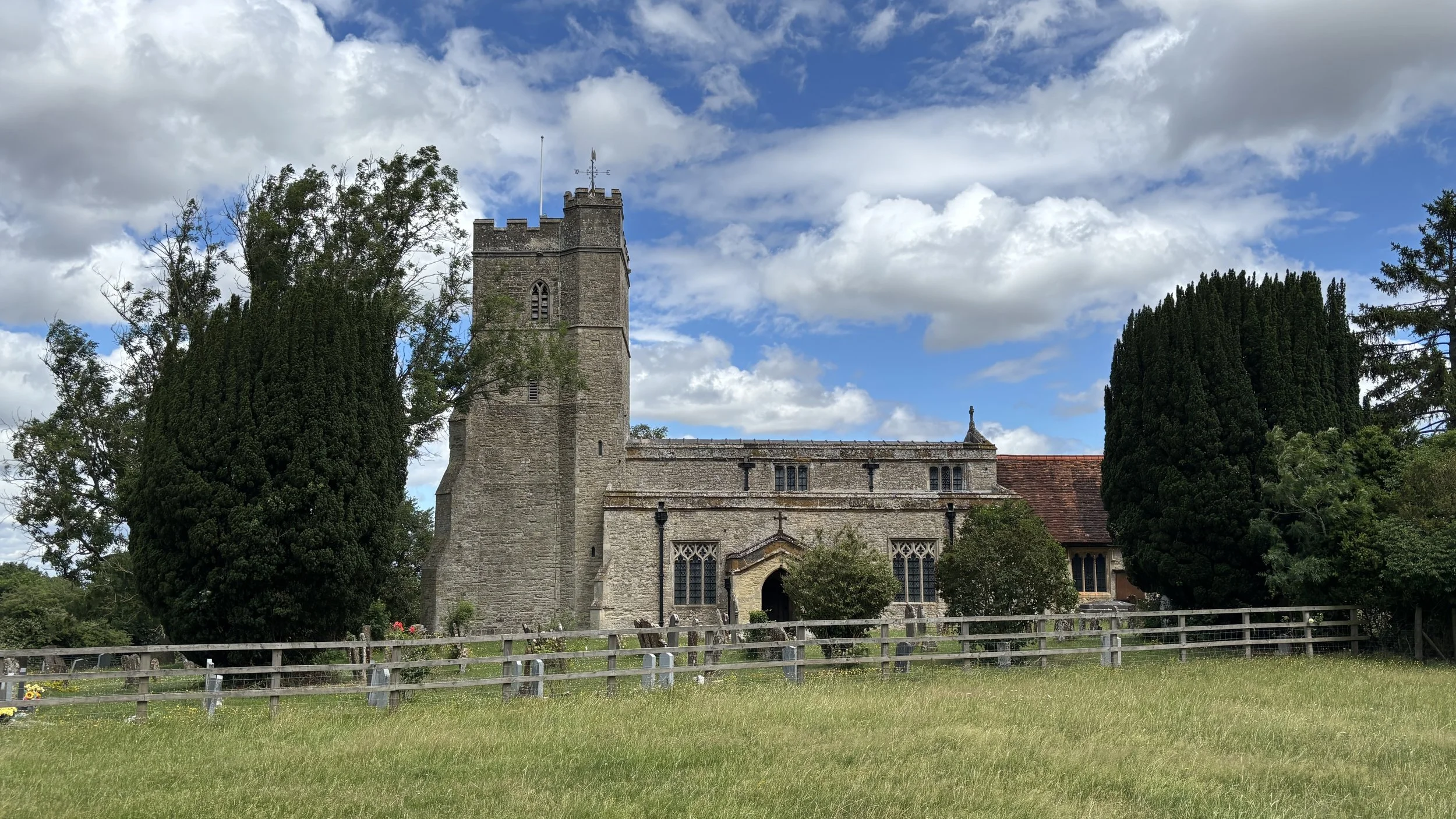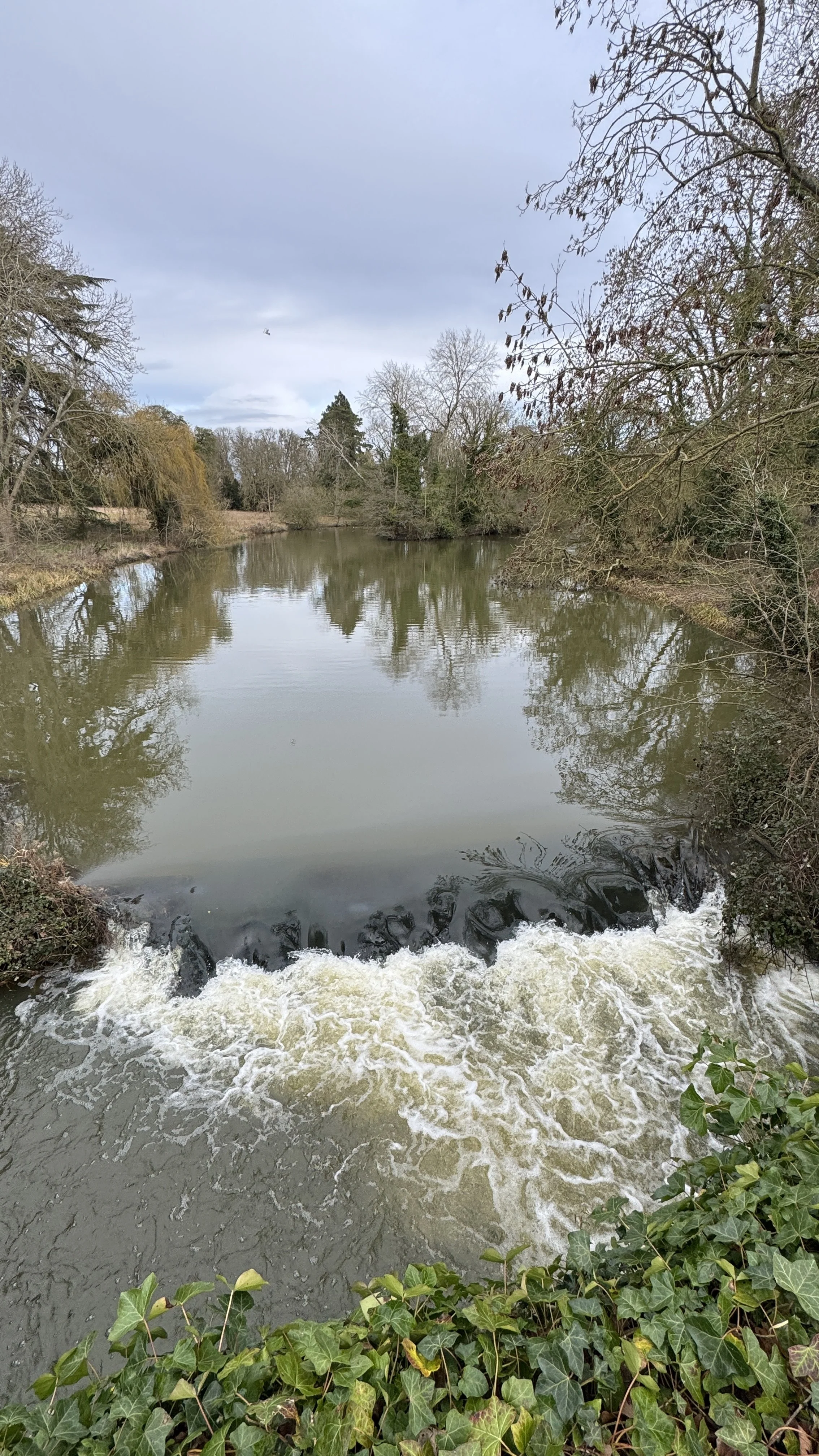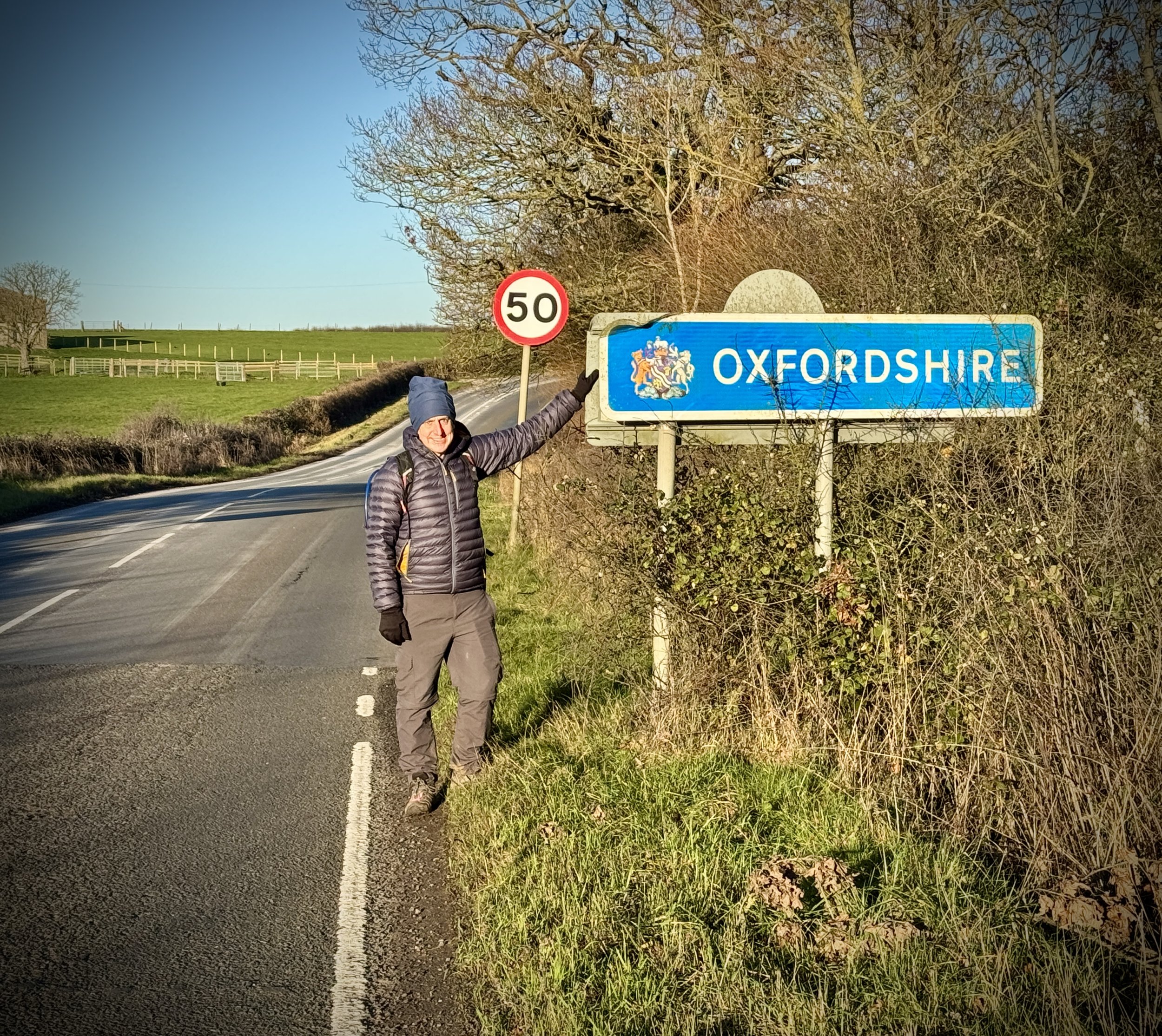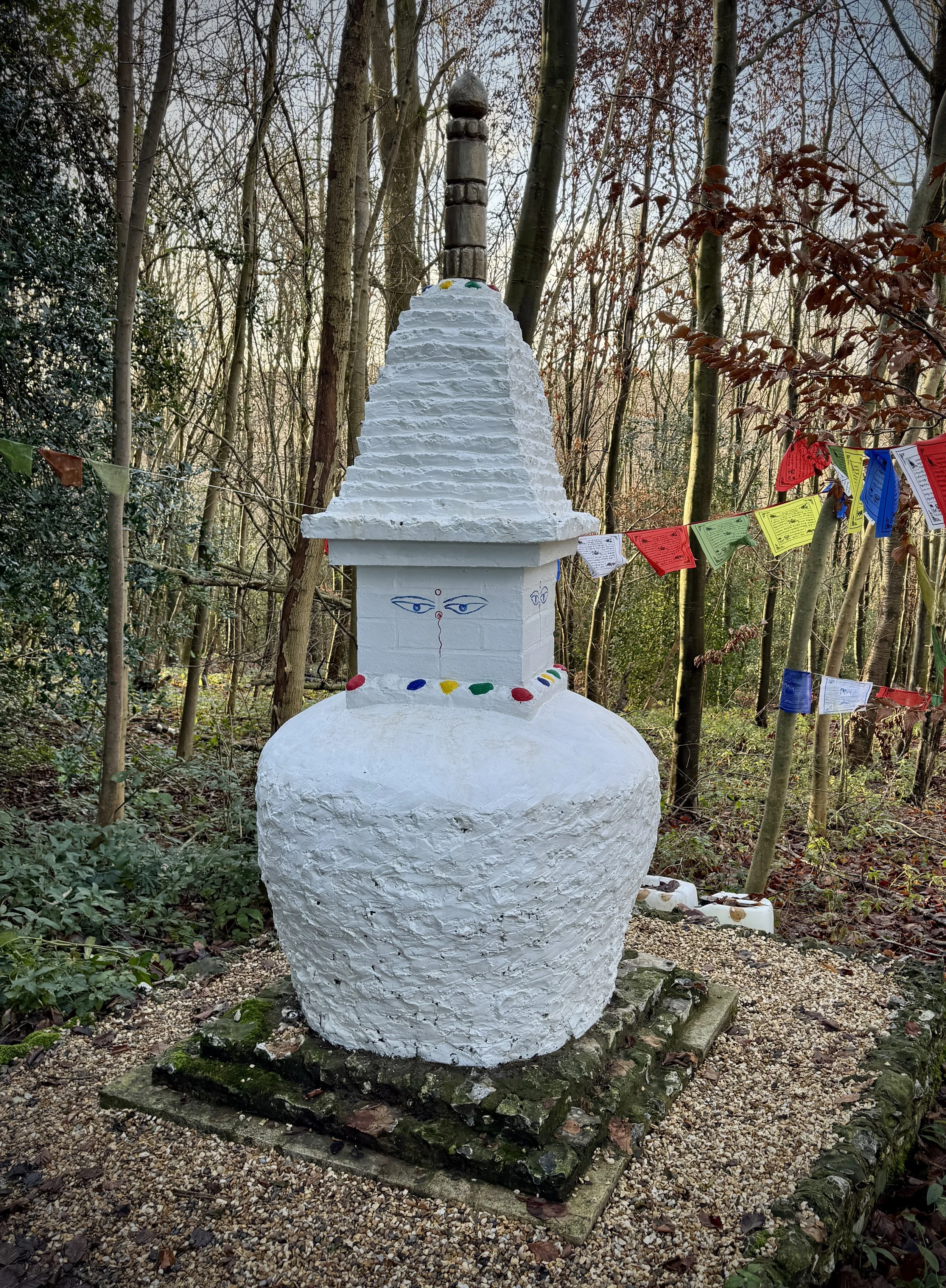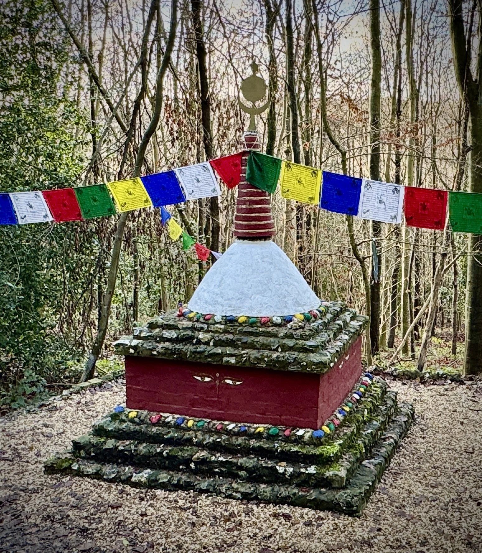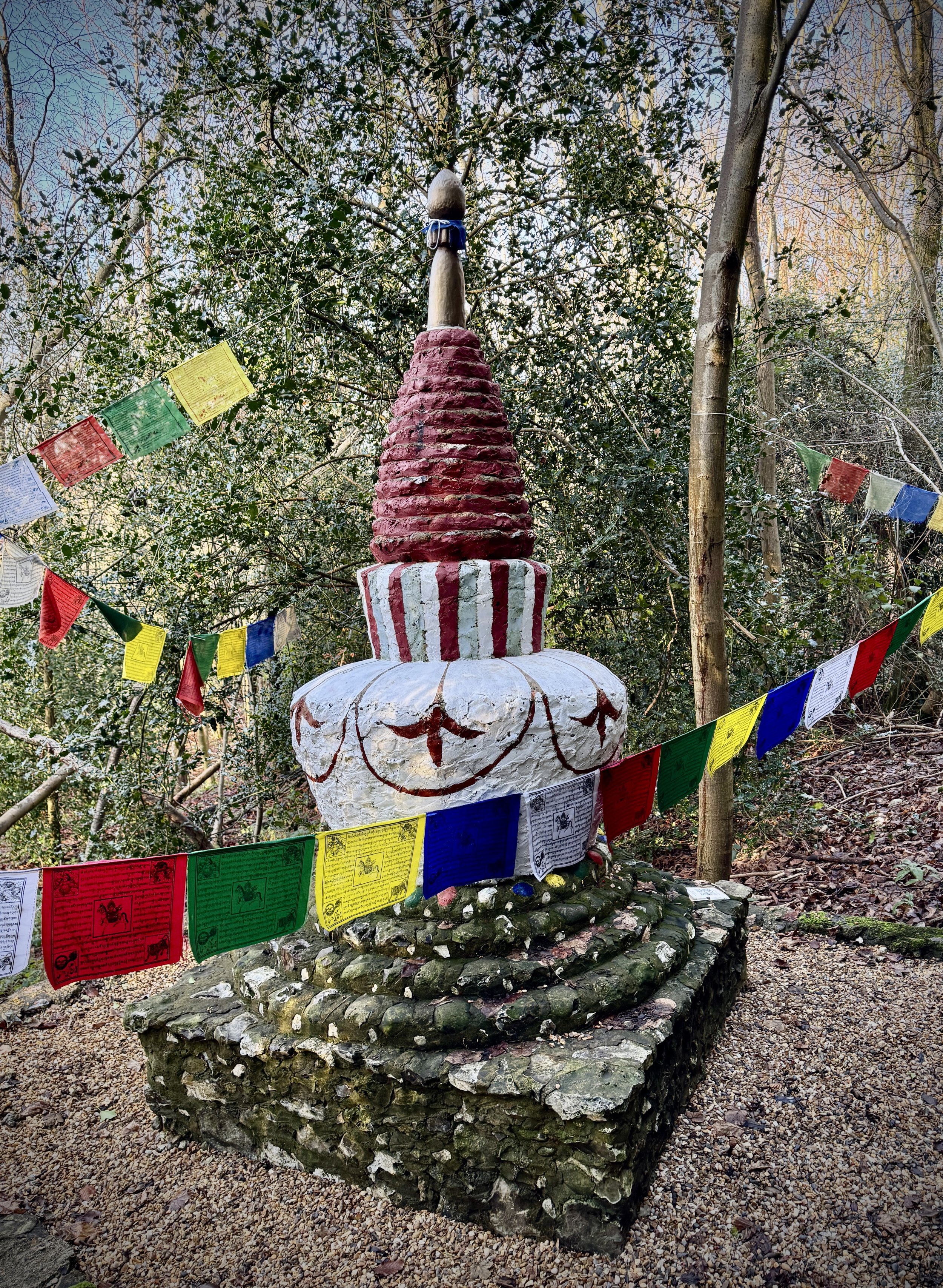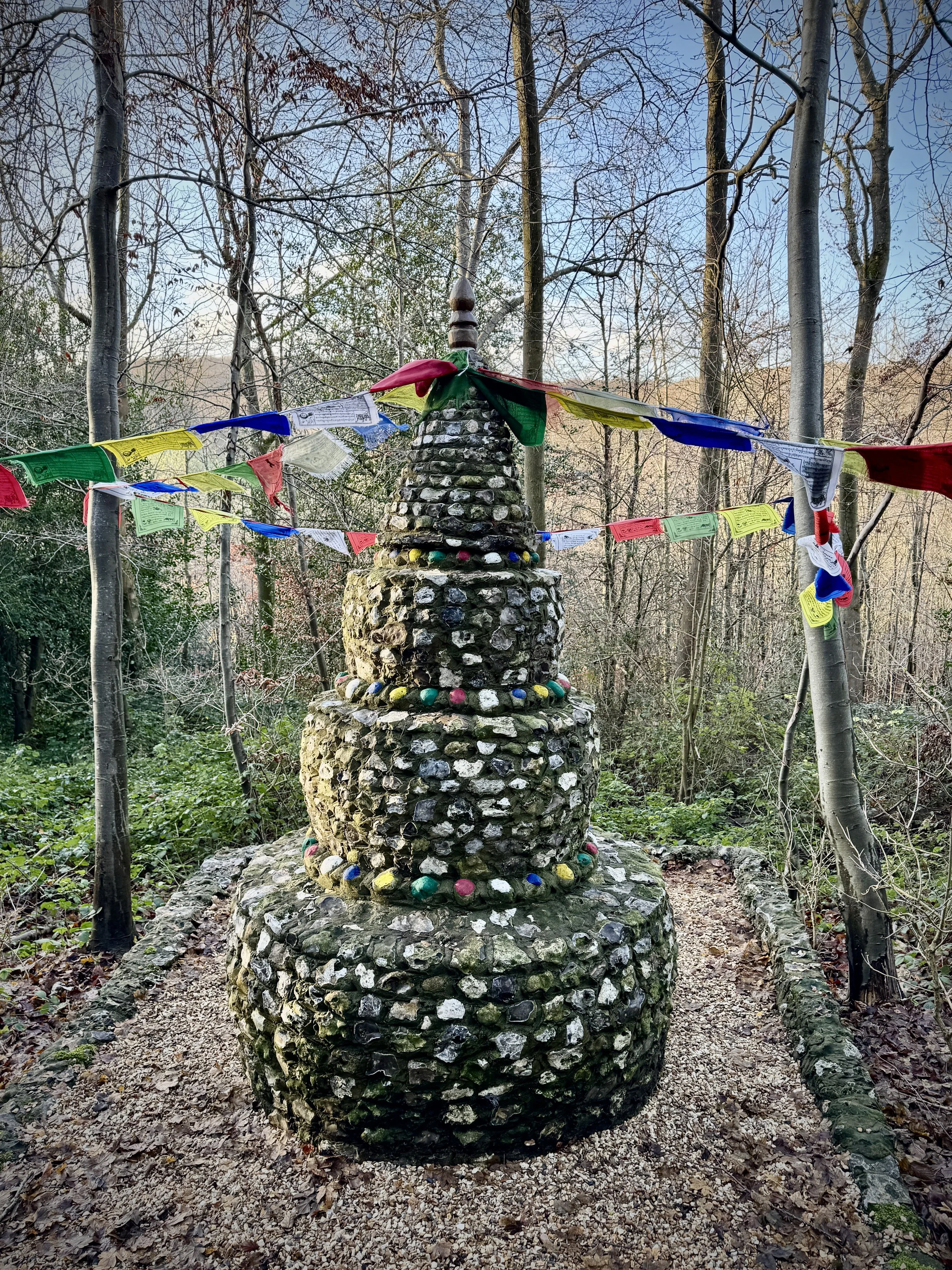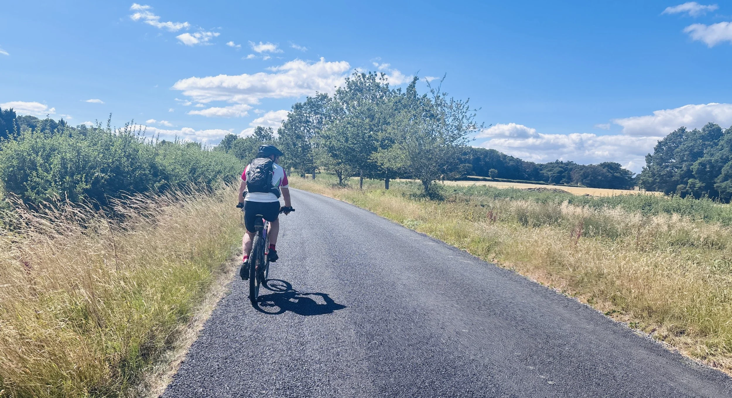
Near Kidlington
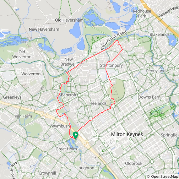
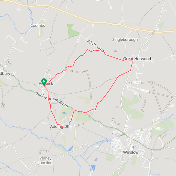
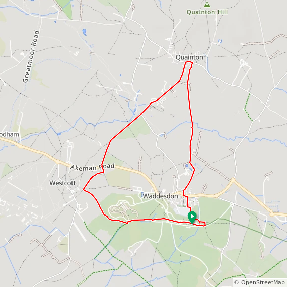
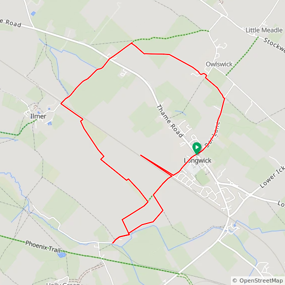
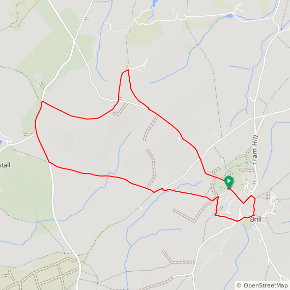
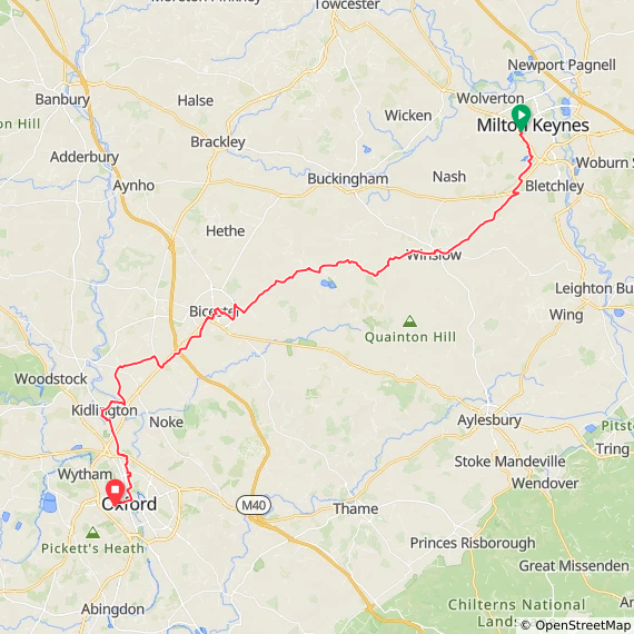
Start: Milton Keynes Central Railway Station, Phoenix House, Milton Keynes, MK9 1AW
Finish: Oxford Station, Park End Street, Oxford OX1 1HS
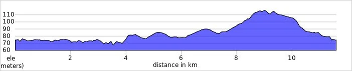
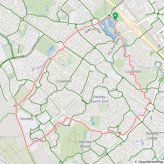
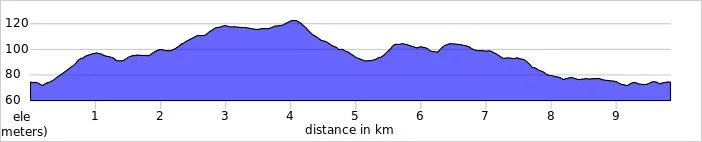
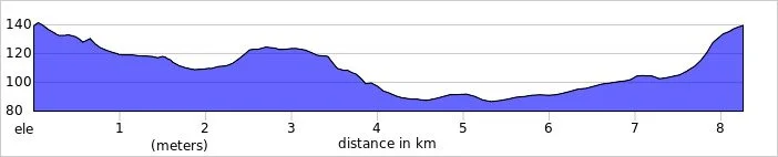
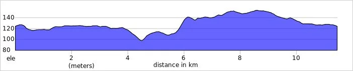
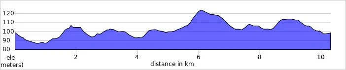
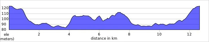
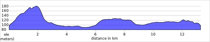
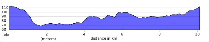
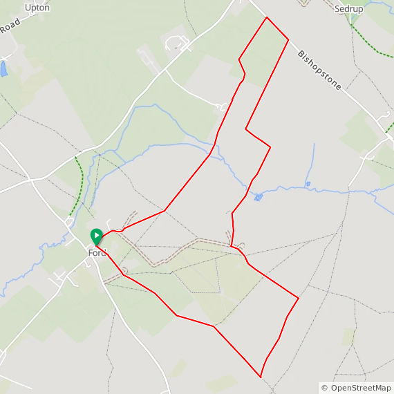
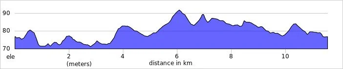
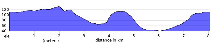
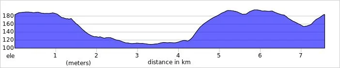
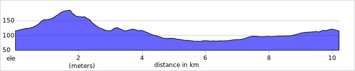
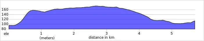
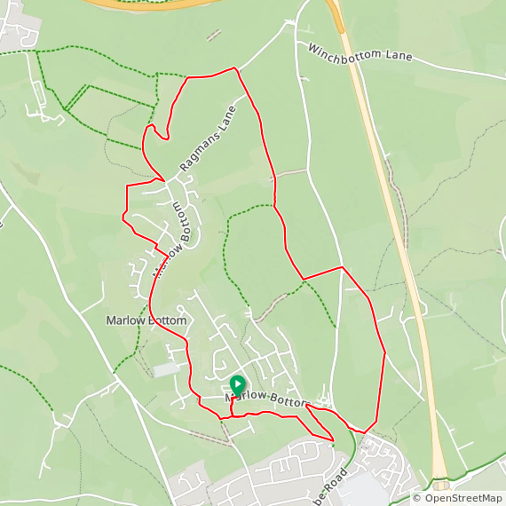
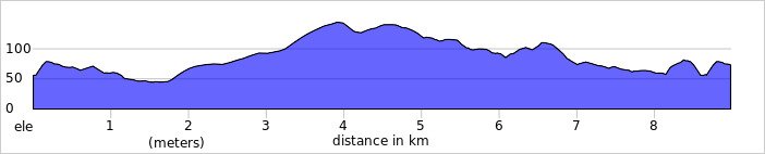
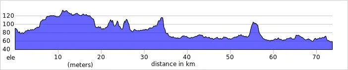
Distance: 73 km (45 miles)
Elevation change: +338 / -367m (-29m)
GPX File: get via Buy Me a Coffee
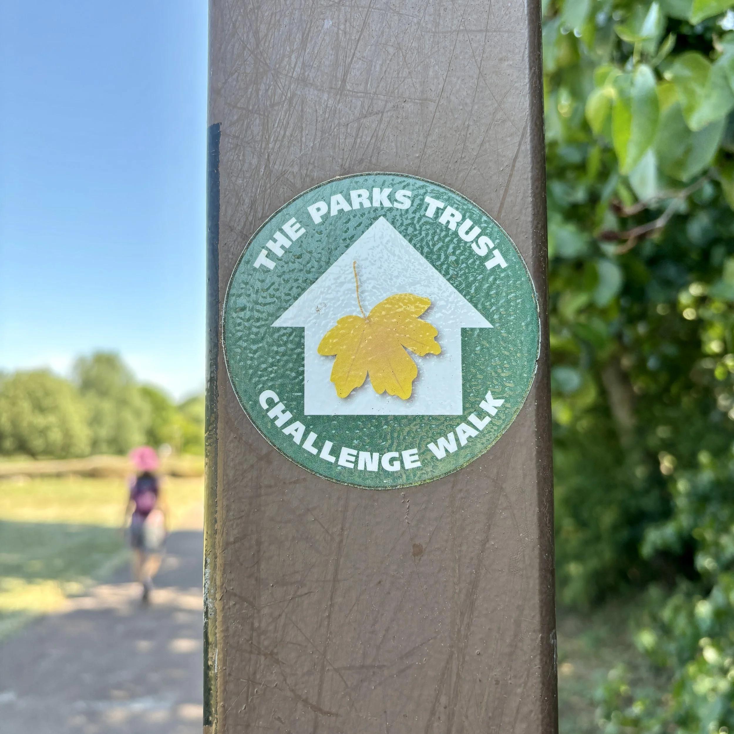
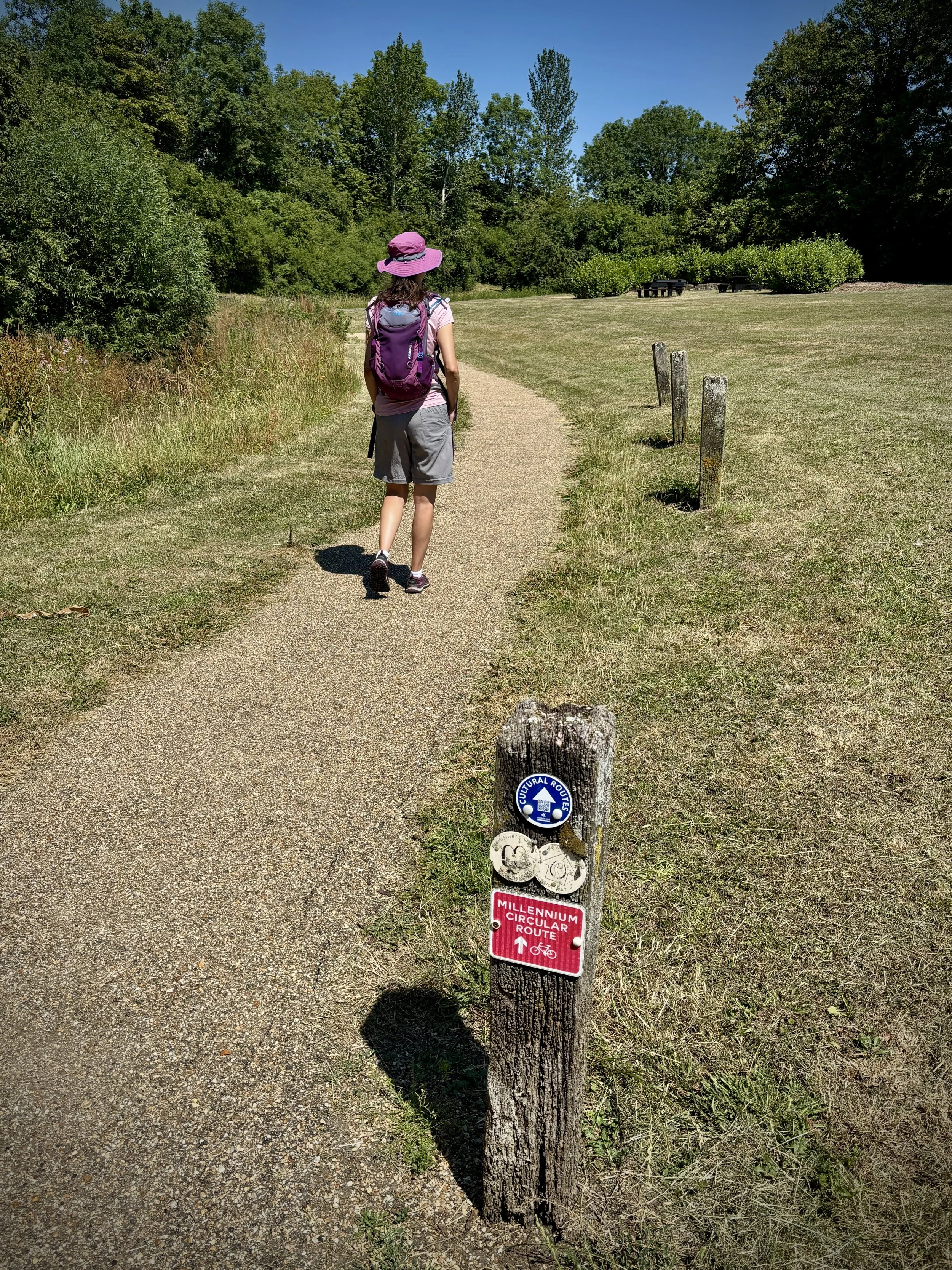
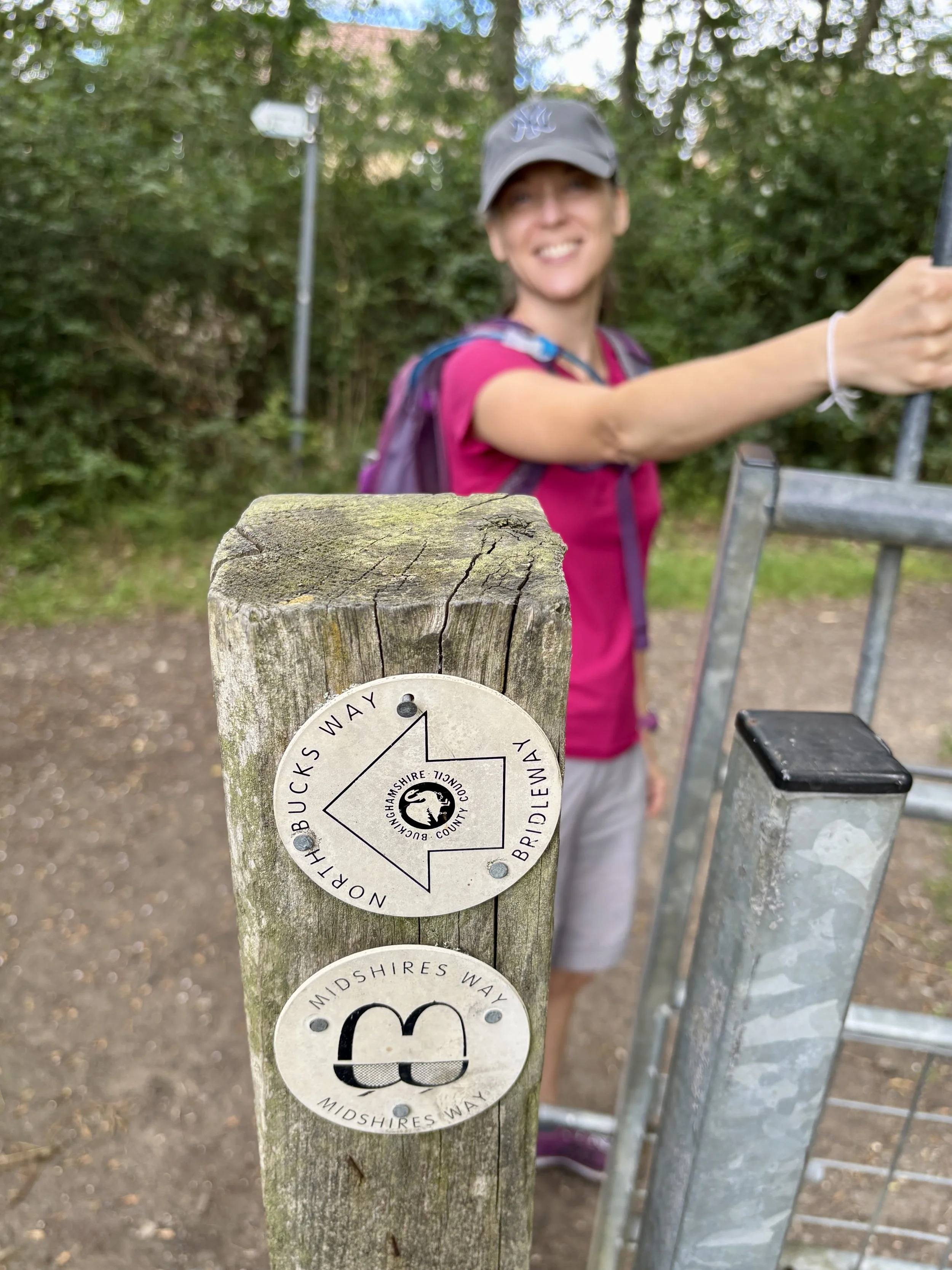
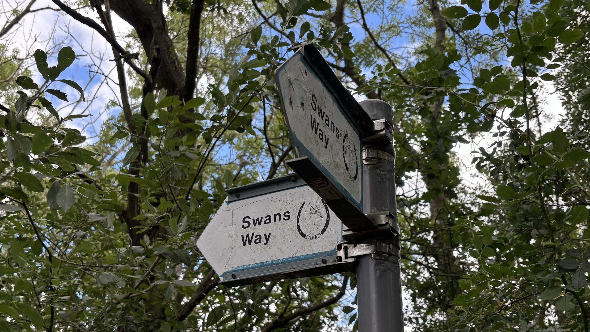
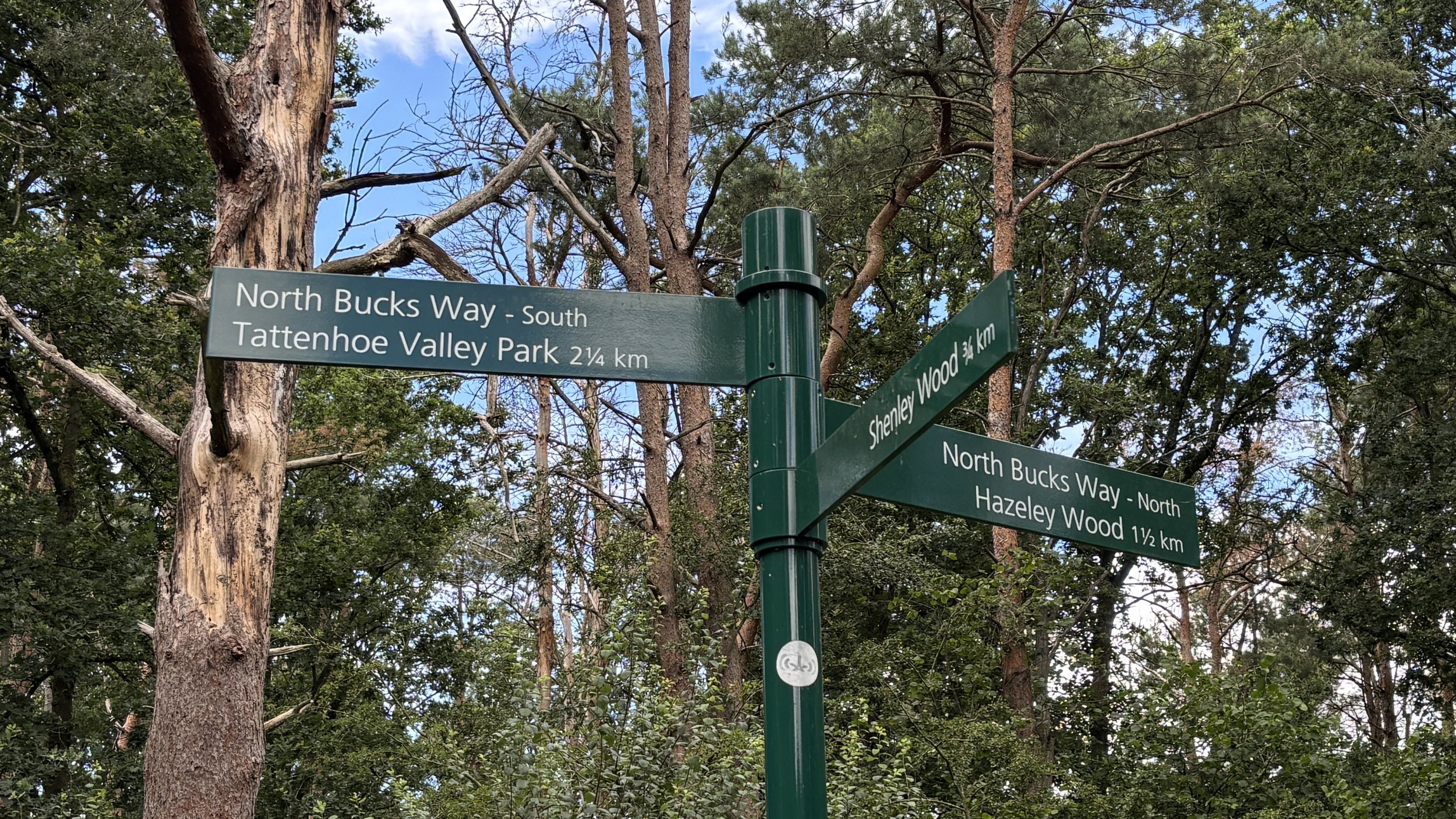
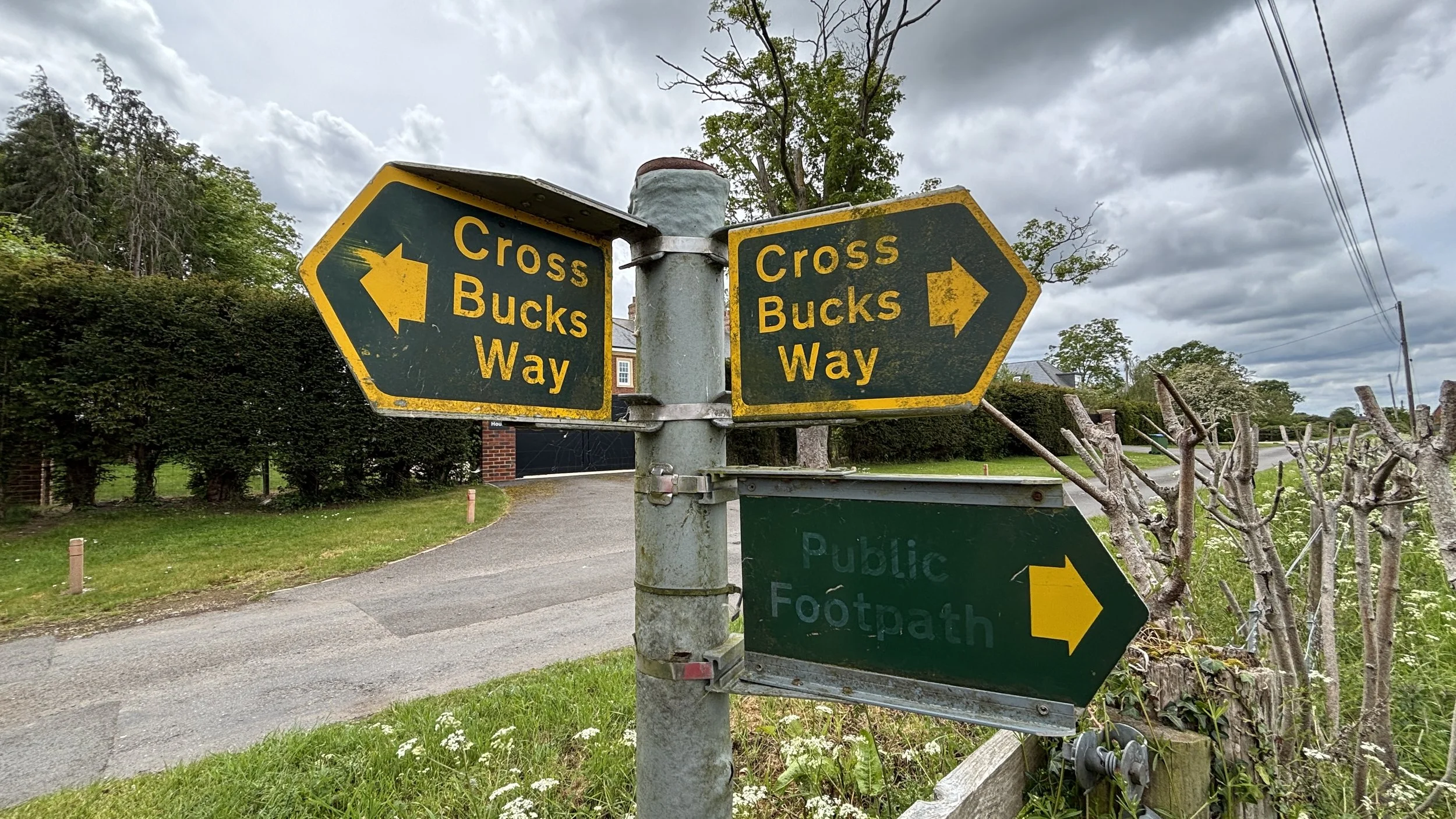
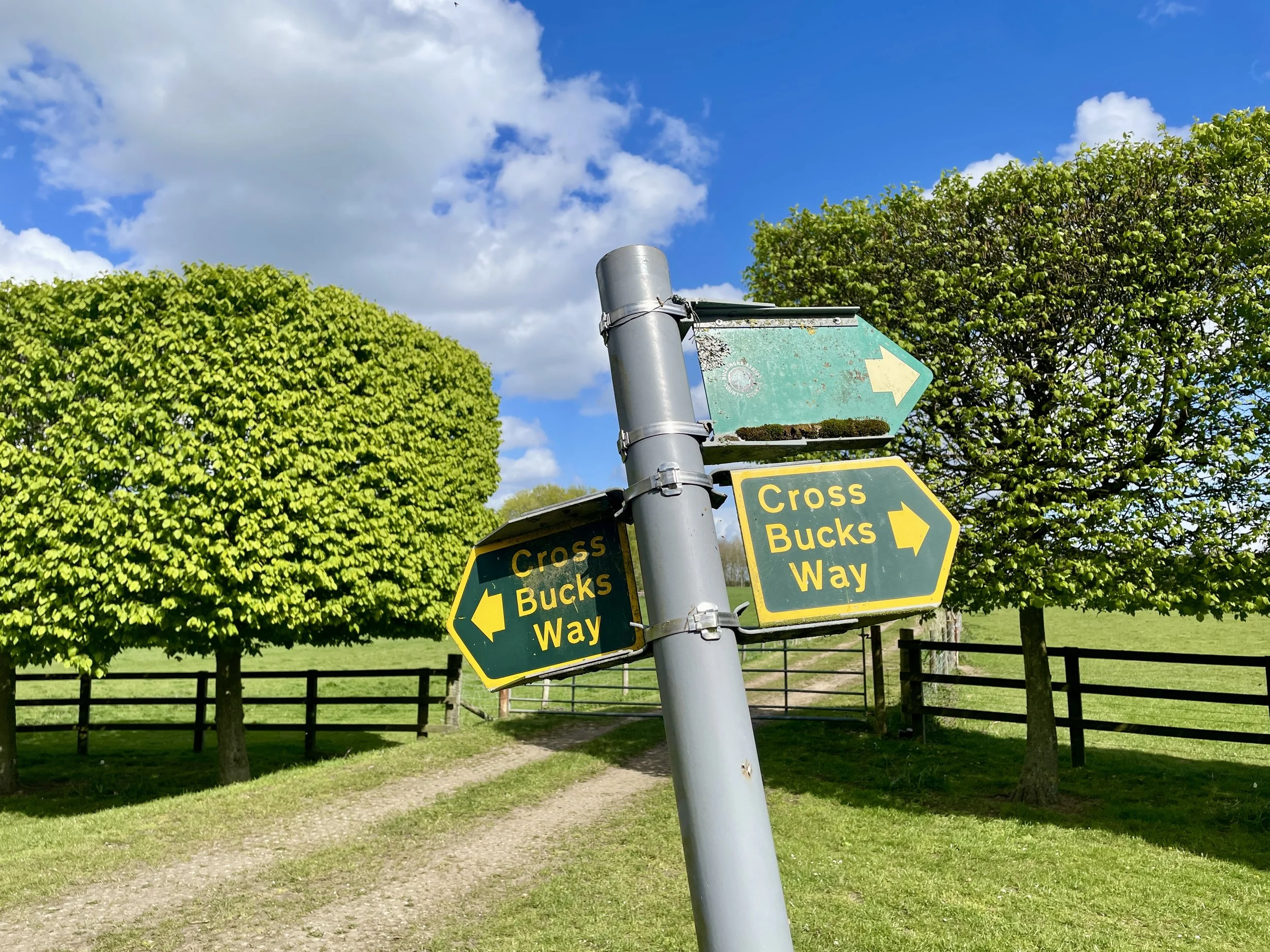
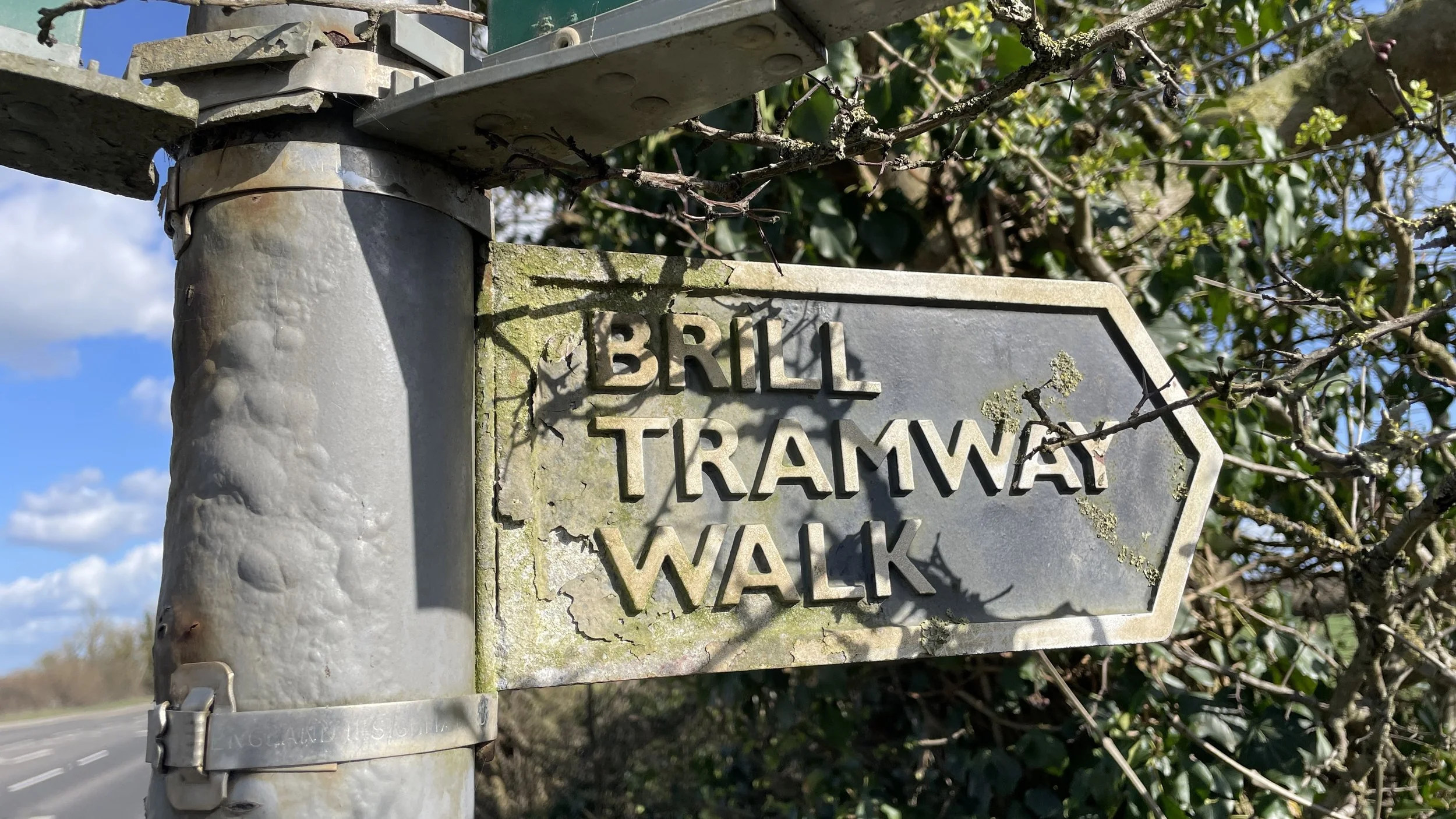
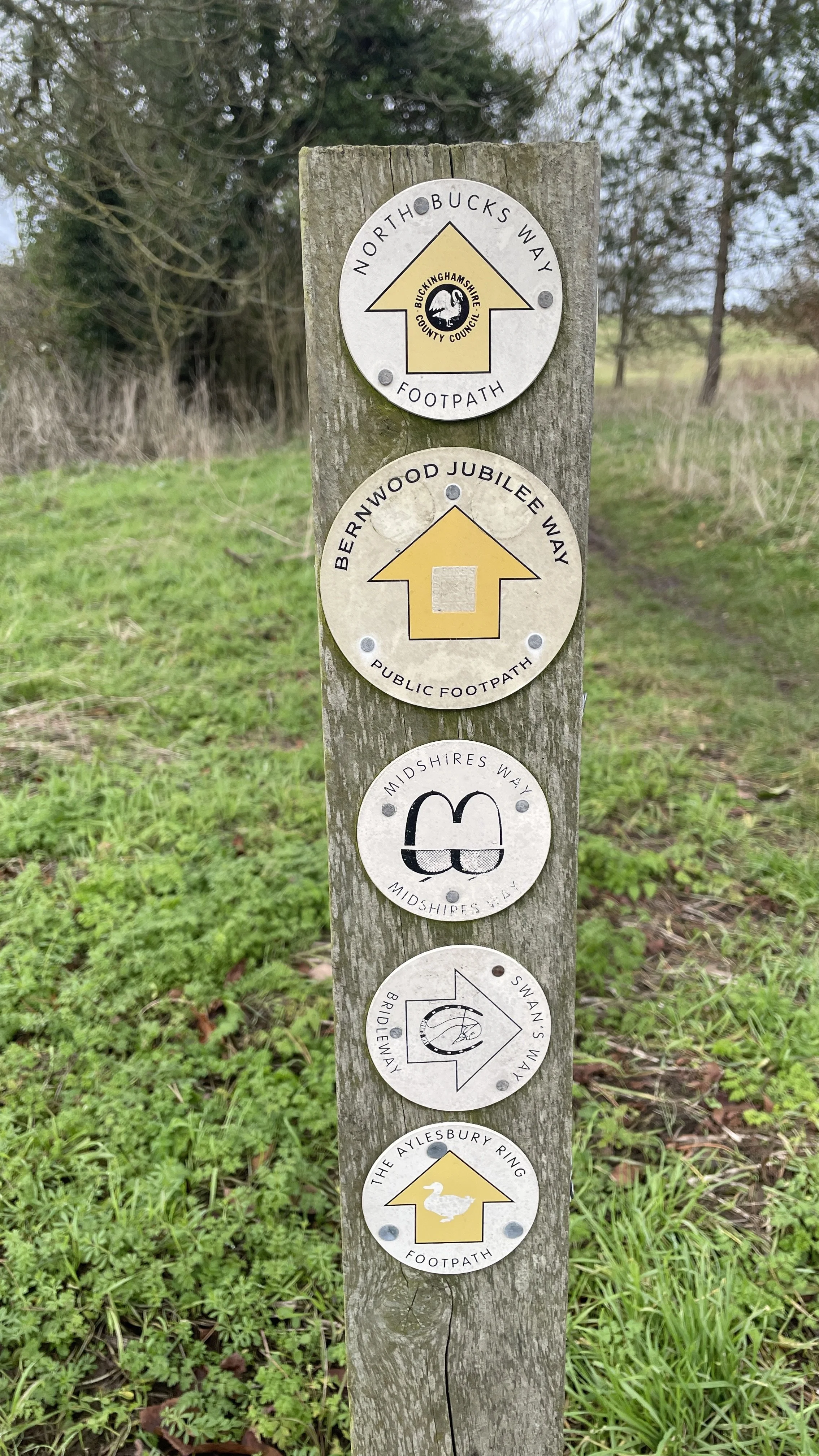
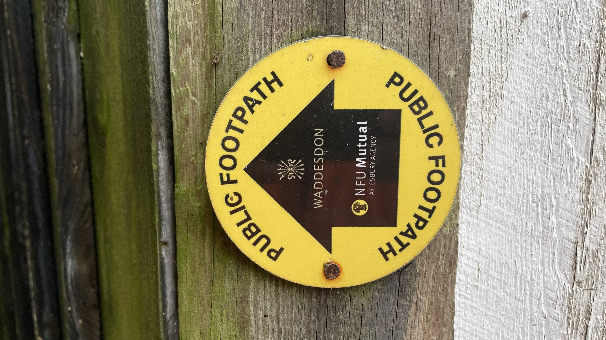
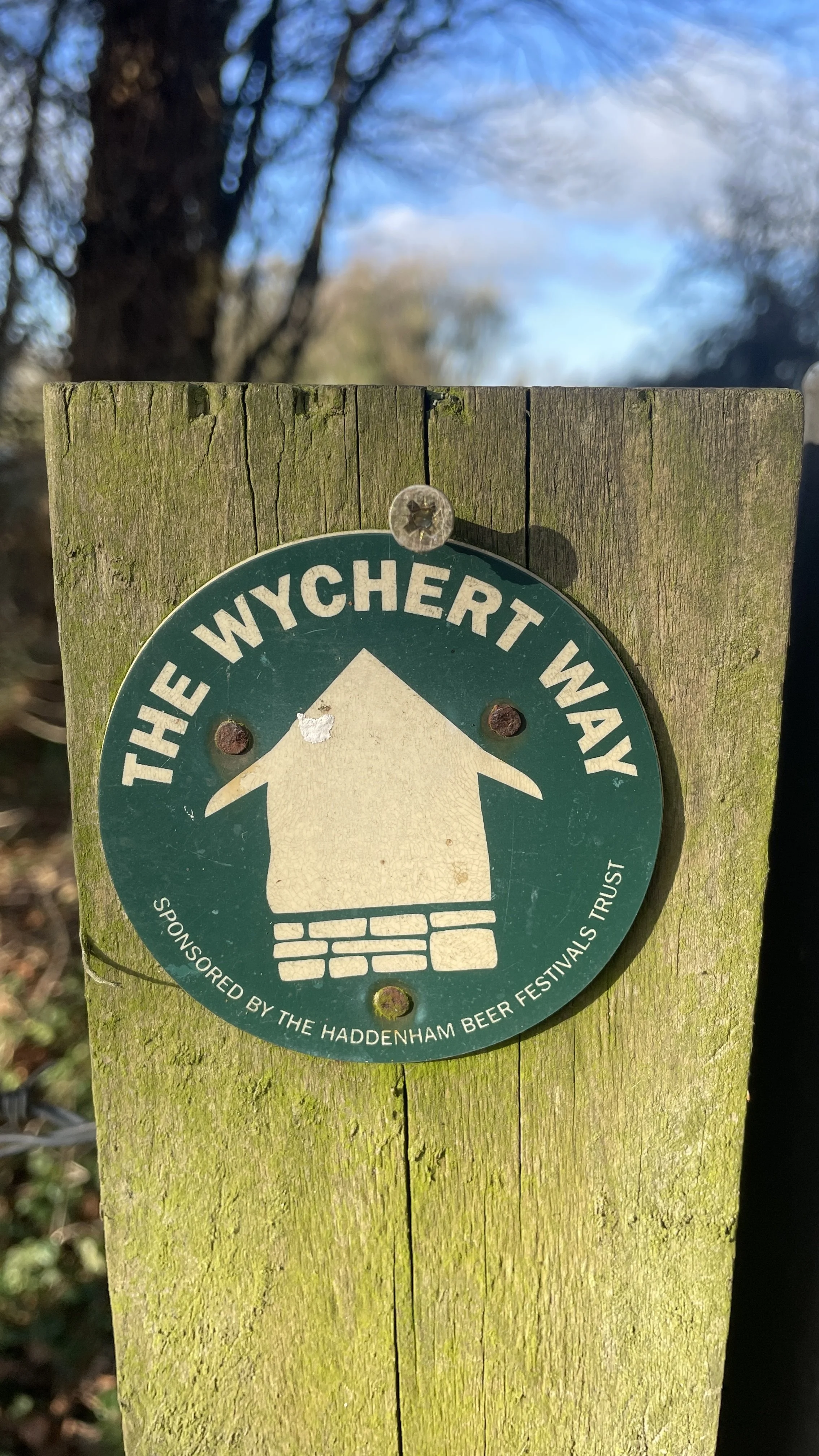
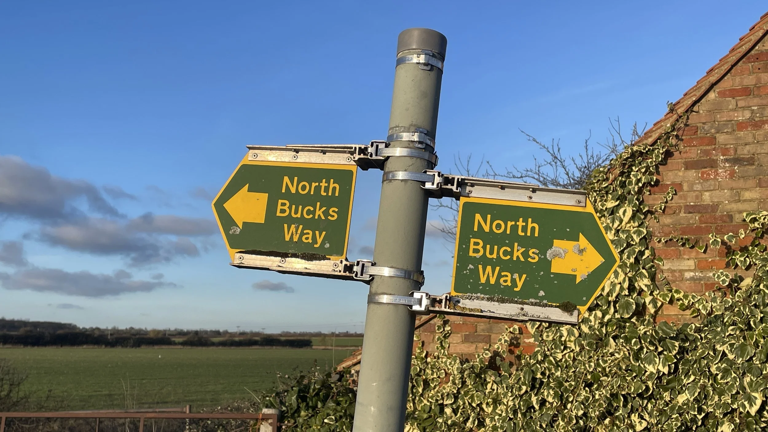
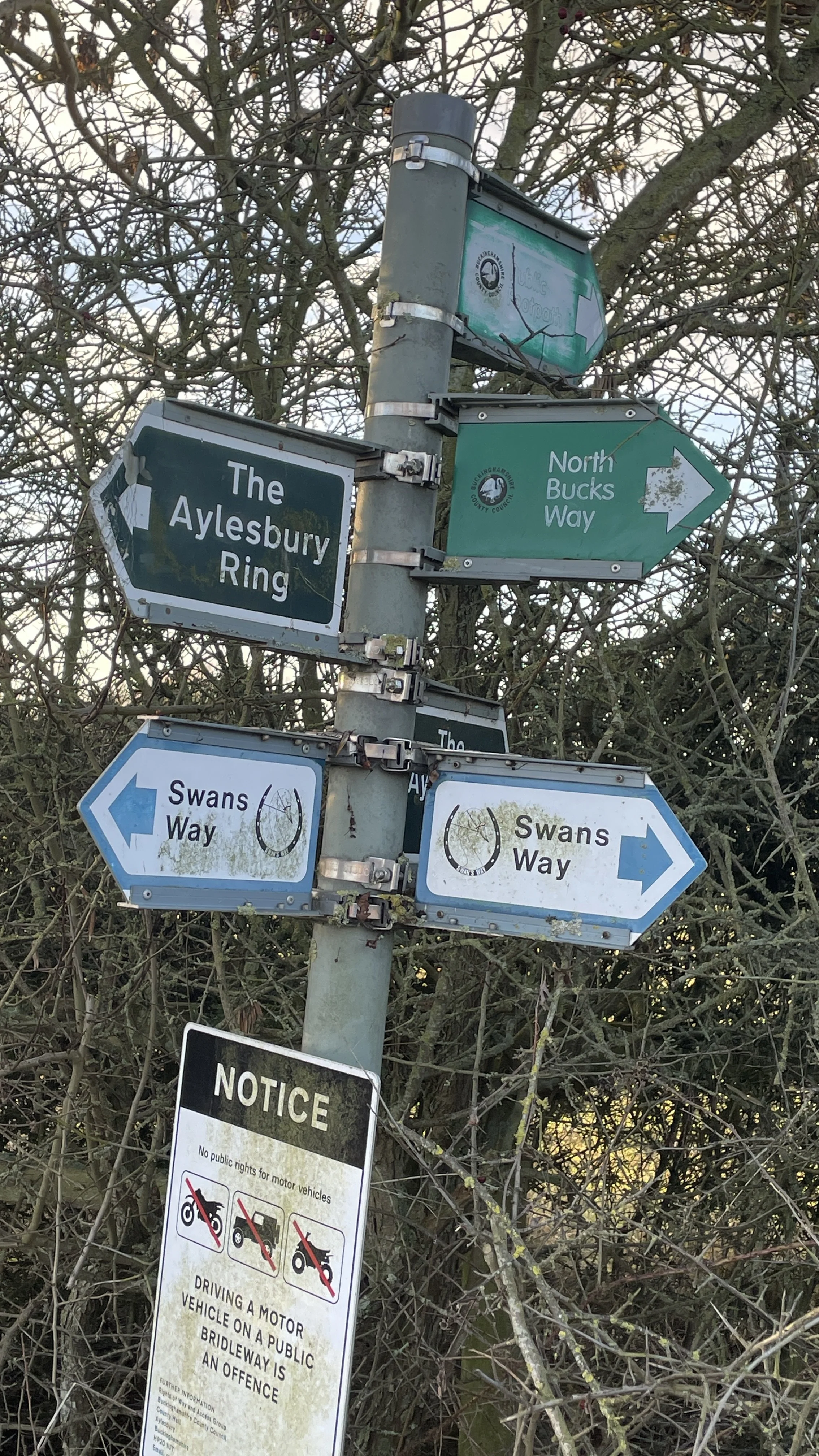
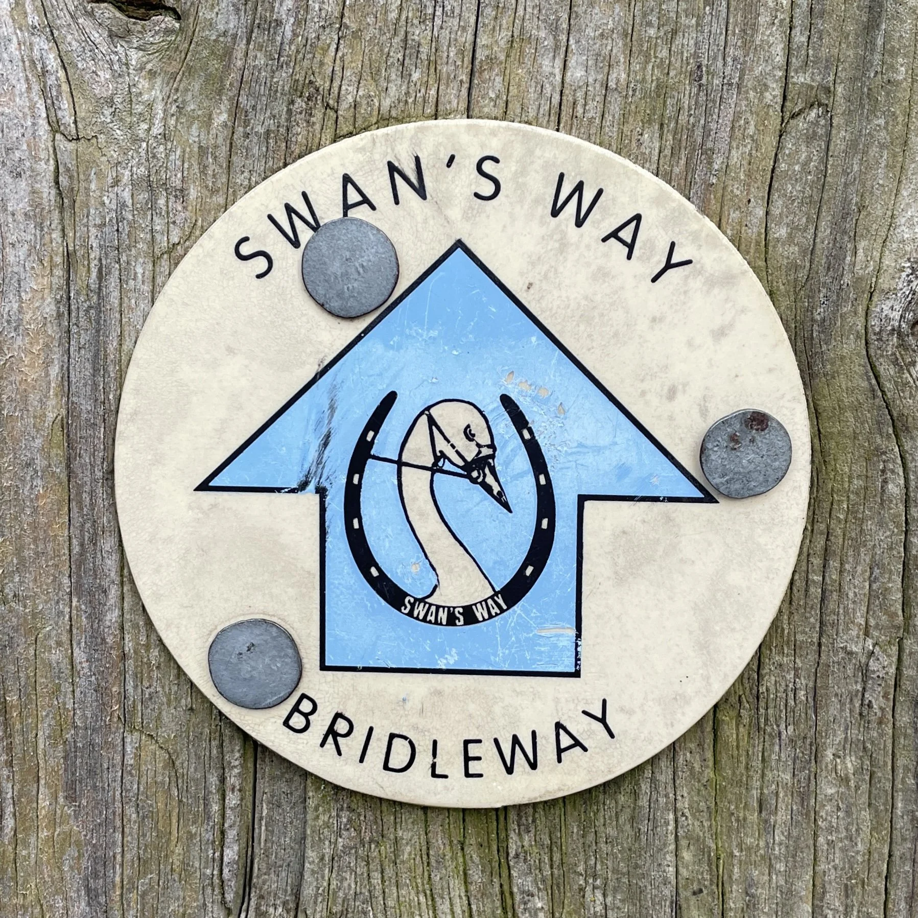
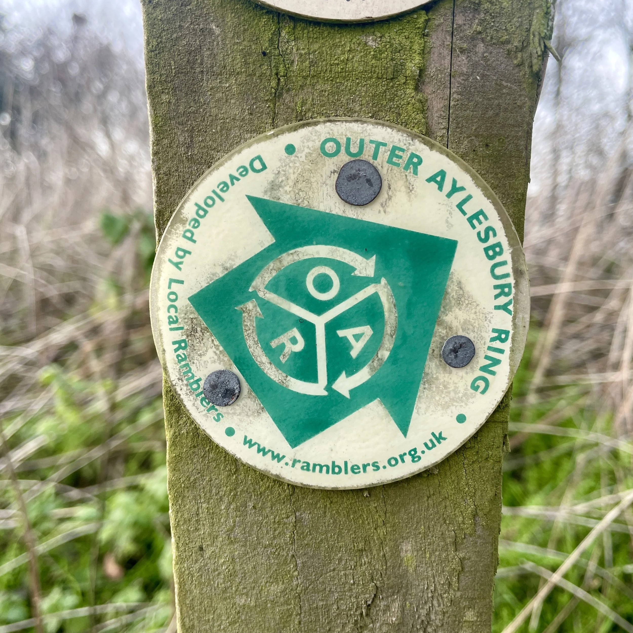
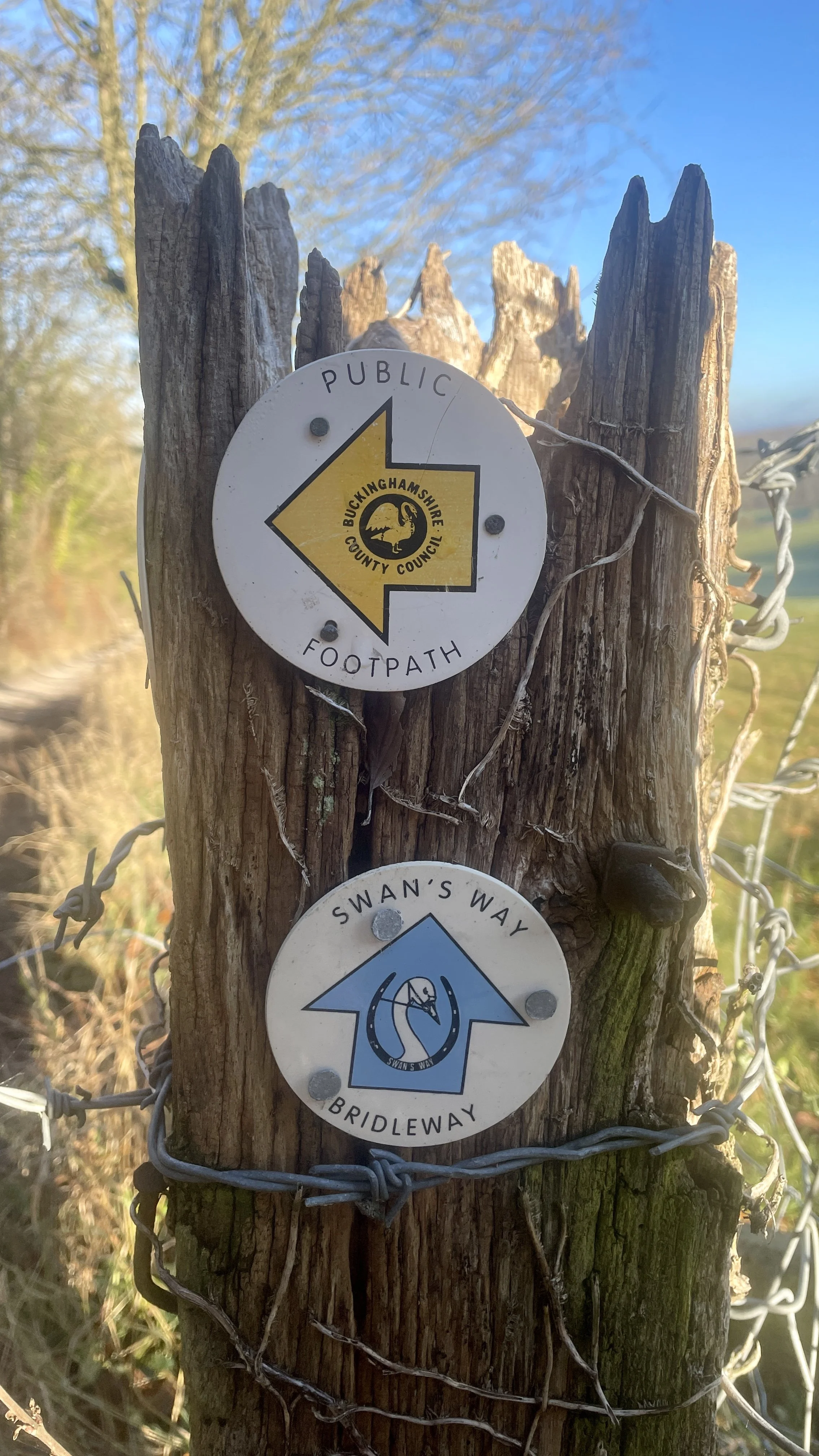
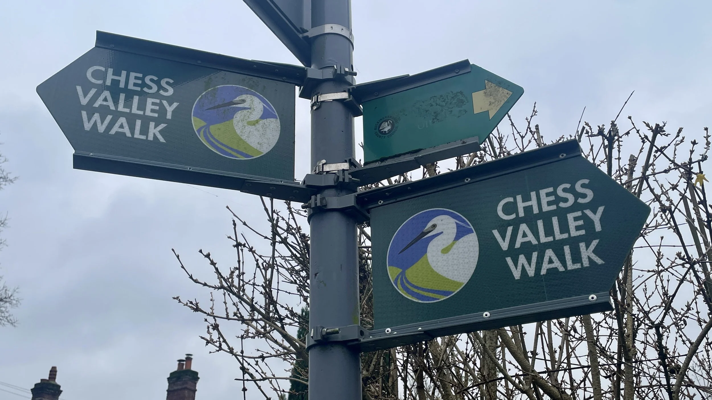
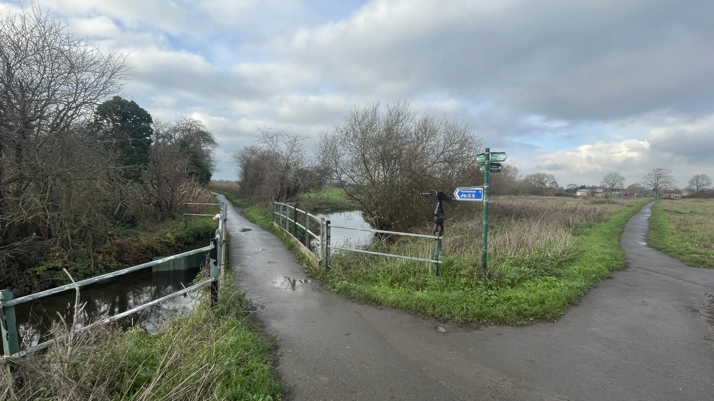
Other routes touched (walk): Milton Keynes Boundary Walk, Cross Bucks Way, Midshires Way, Brentwood Jubilee Way, Langford Heath Route, Oxfordshire Way, Oxford Green Belt Way, Kidlington Circular Walk, Oxford Canal Walk
Other routes touched (cycle): NCN 5, 50, 51, Milton Keynes Redways: V2, H8, National Byway
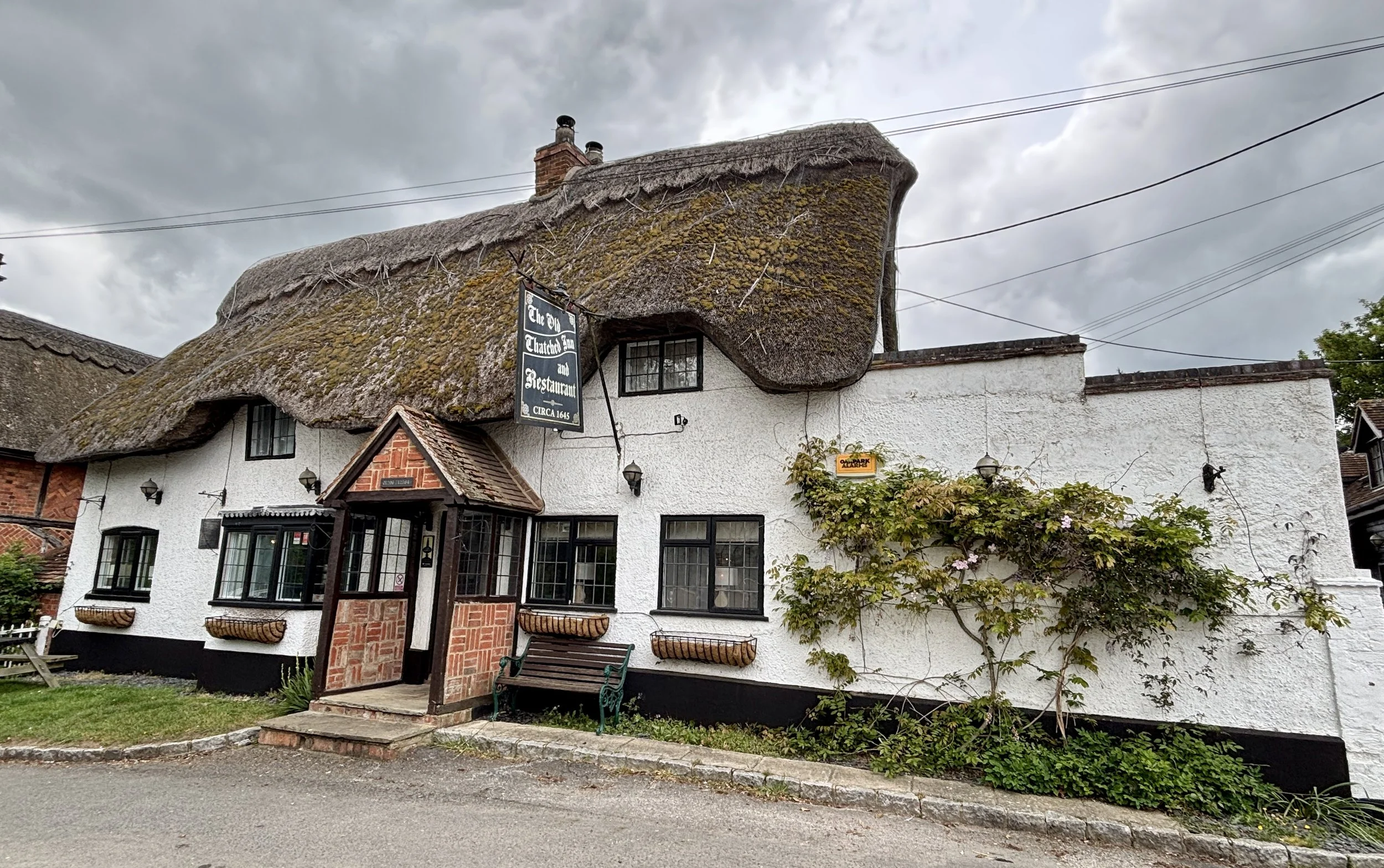
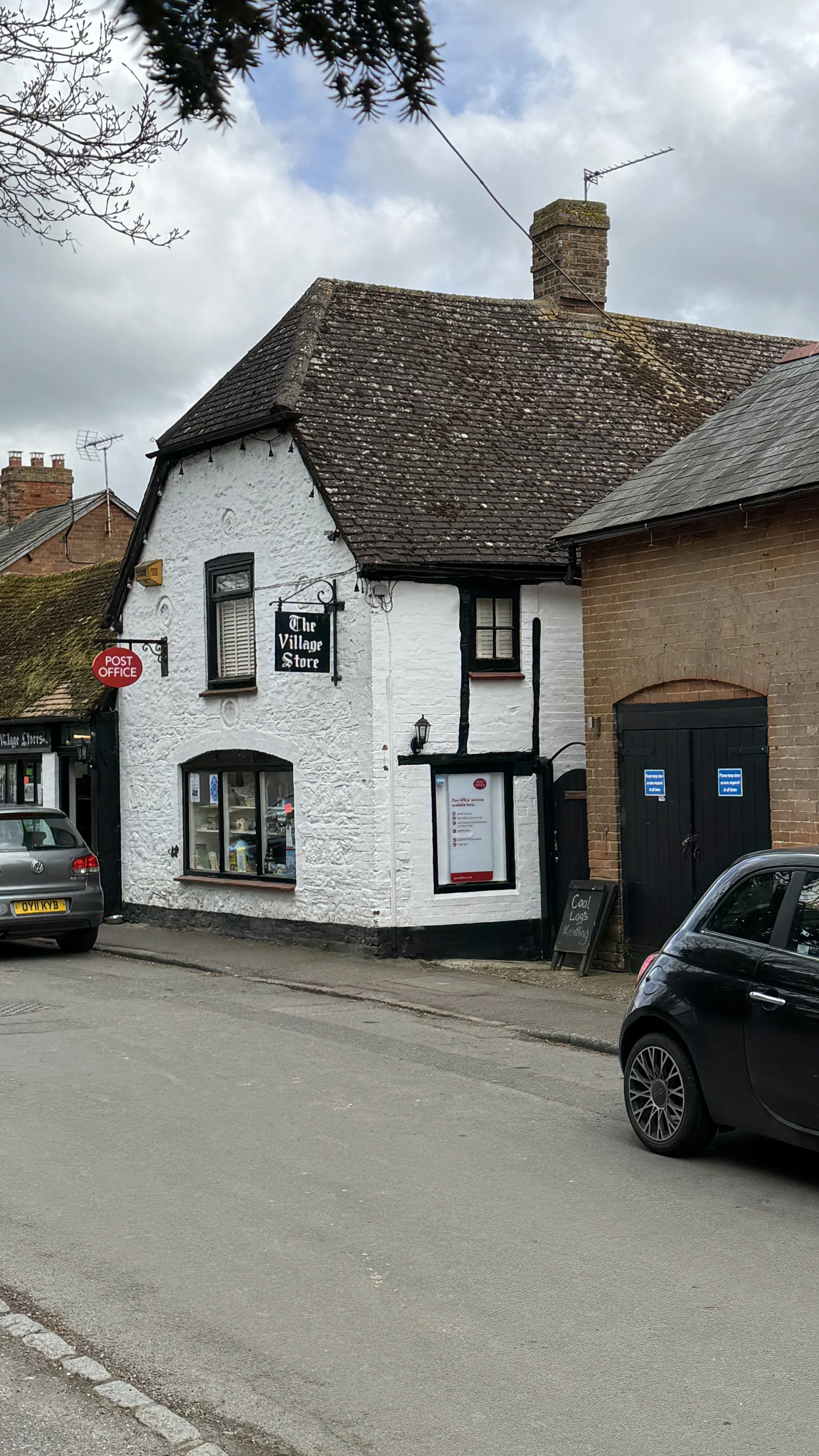
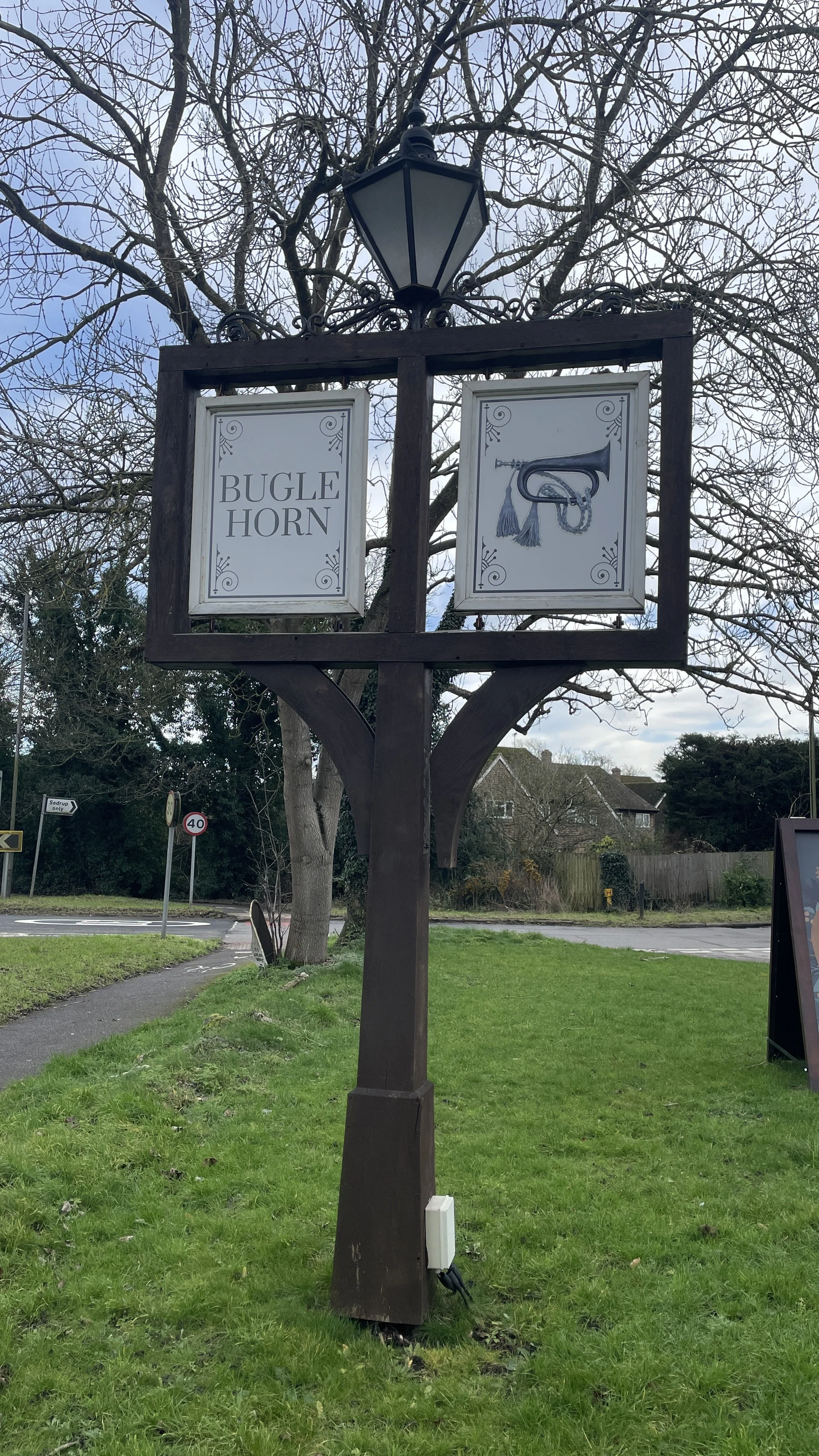
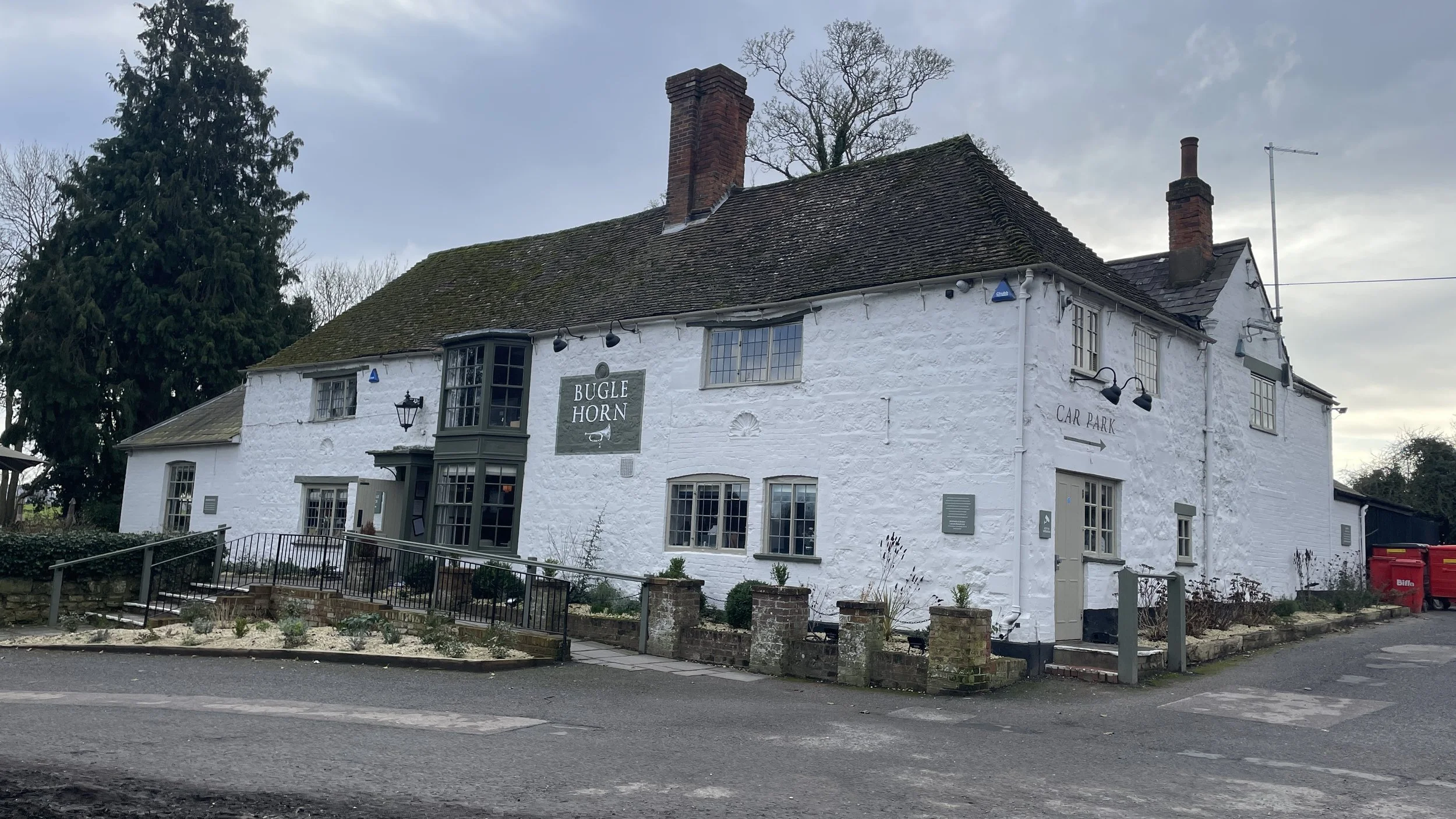
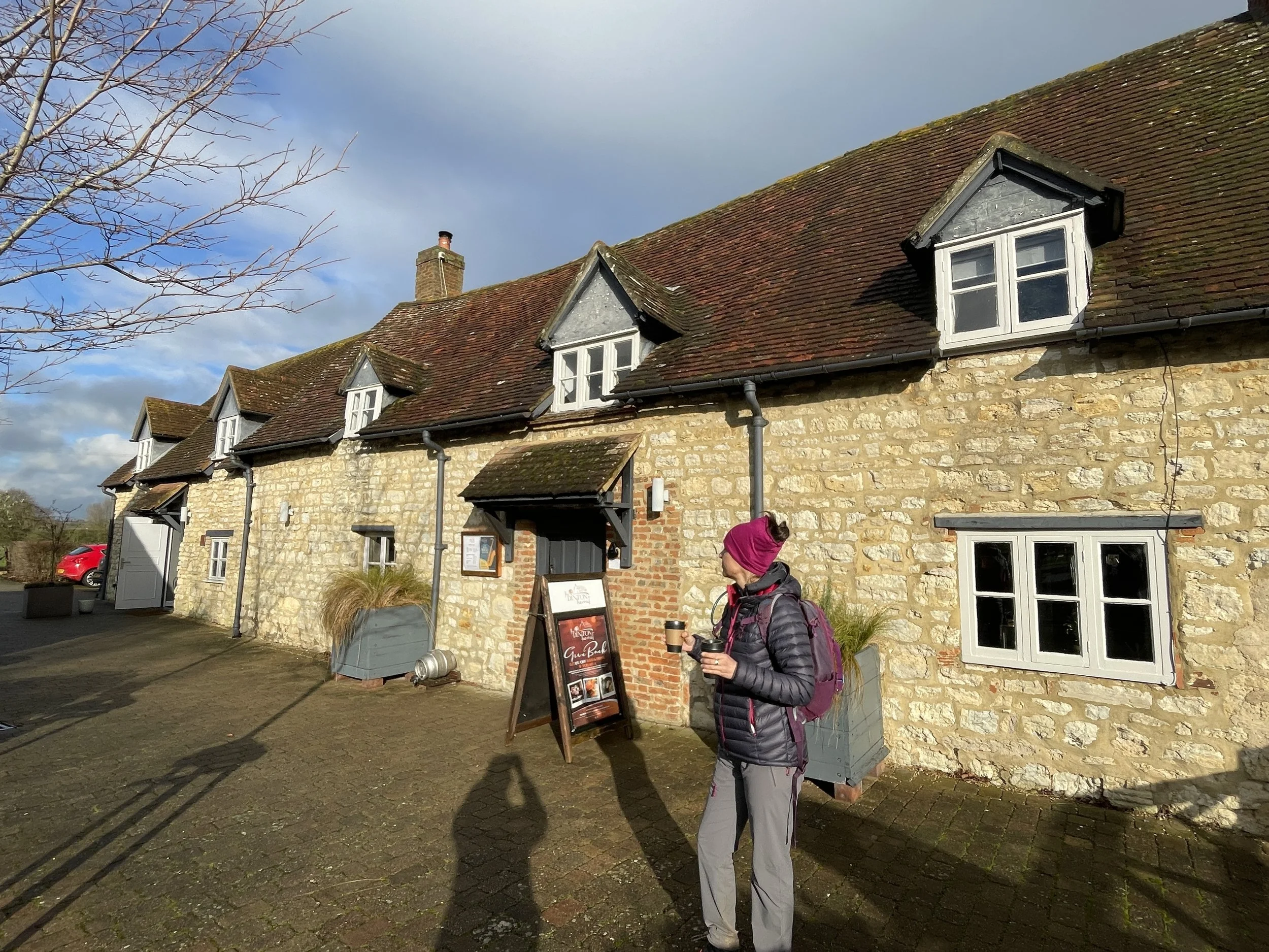
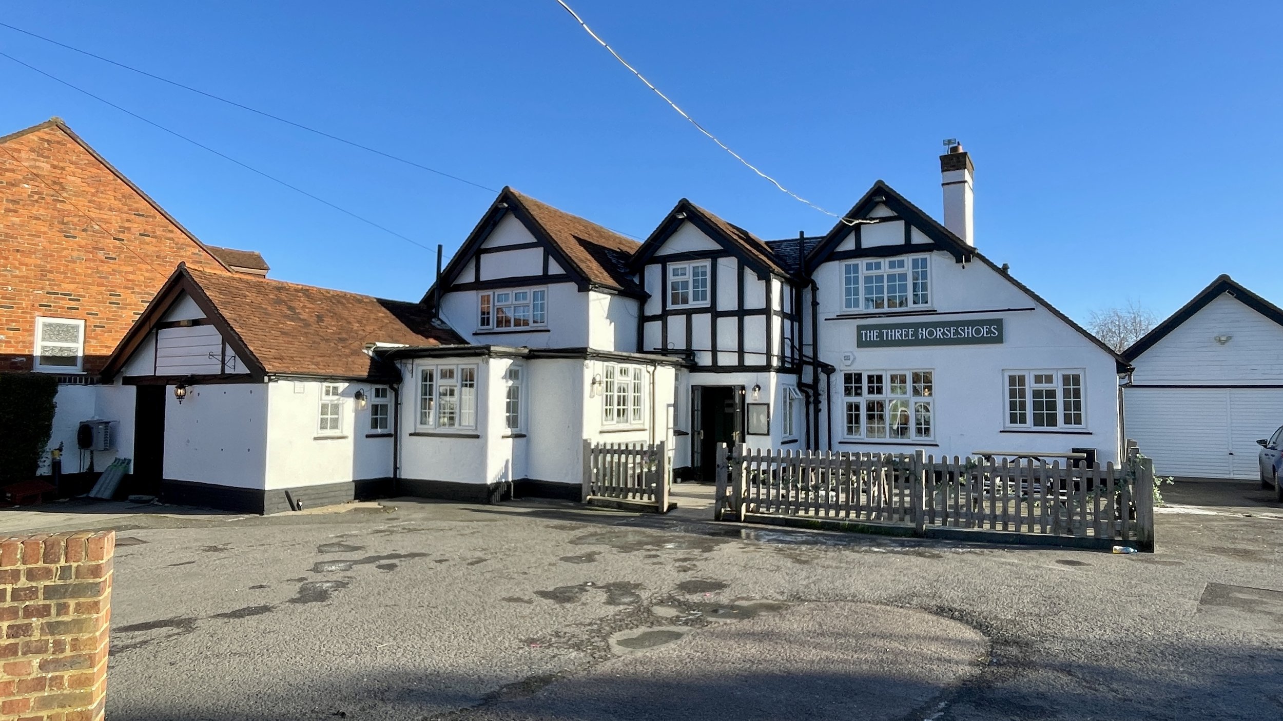
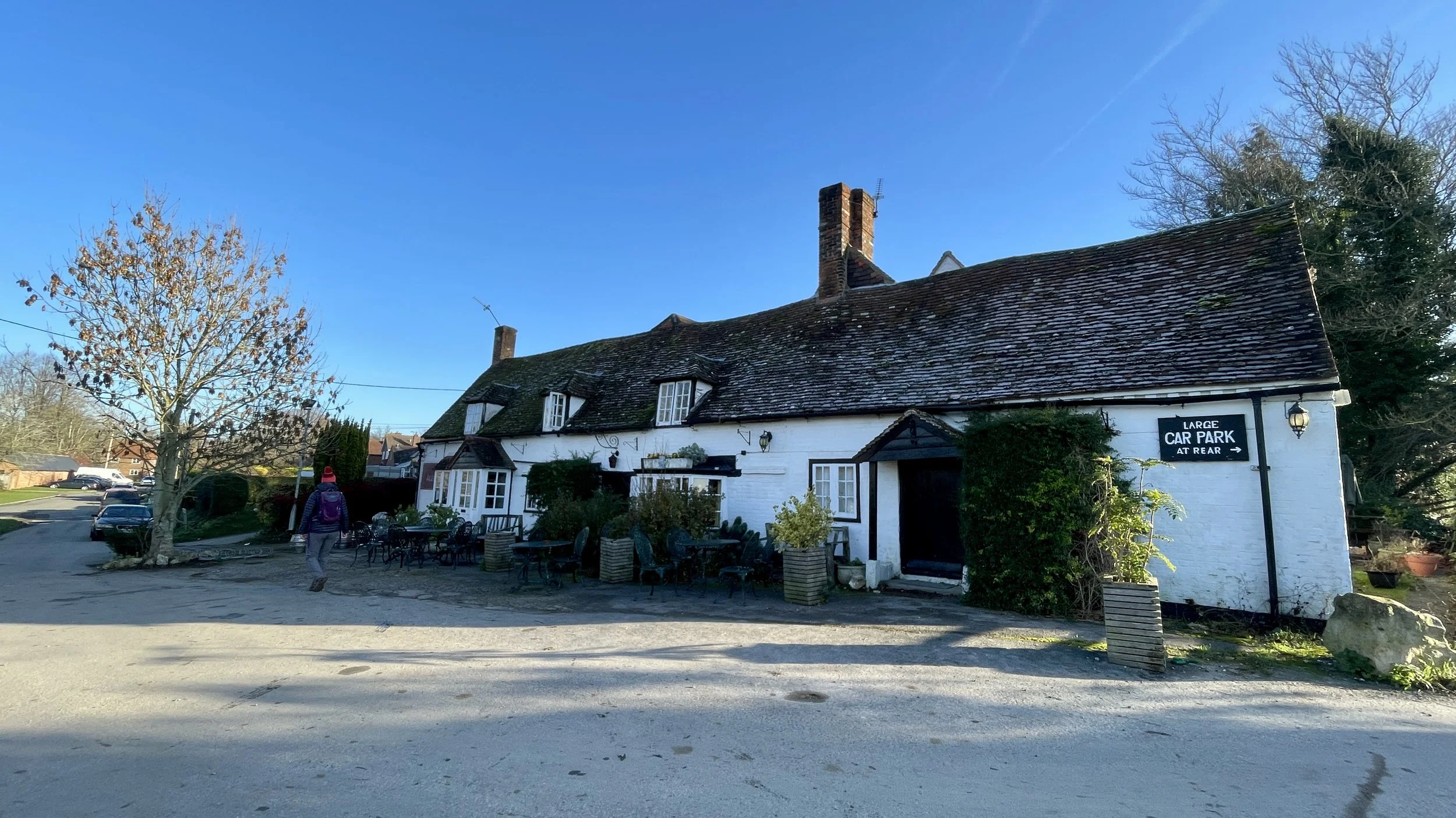
Pubs / Cafes on route: Several. We stopped a Legends in Winslow (17 km in), Twyford Village Stores and Coffee Shop (31 km in) and The Bell, Hampton Poyle (58 km in)
Millennium Mileposts: 574, 575, 271, 533, 534, 536, 576, 272, 273, 535
Maps:
- Buckingham & Milton Keynes Map | Leighton Buzzard & Woburn | Ordnance Survey | OS Explorer Map 192
- Banbury, Bicester & Chipping Norton Map | Brackley | Ordnance Survey | OS Explorer Map 191
- Oxford Map | Witney & Woodstock | Ordnance Survey | OS Explorer Map 180
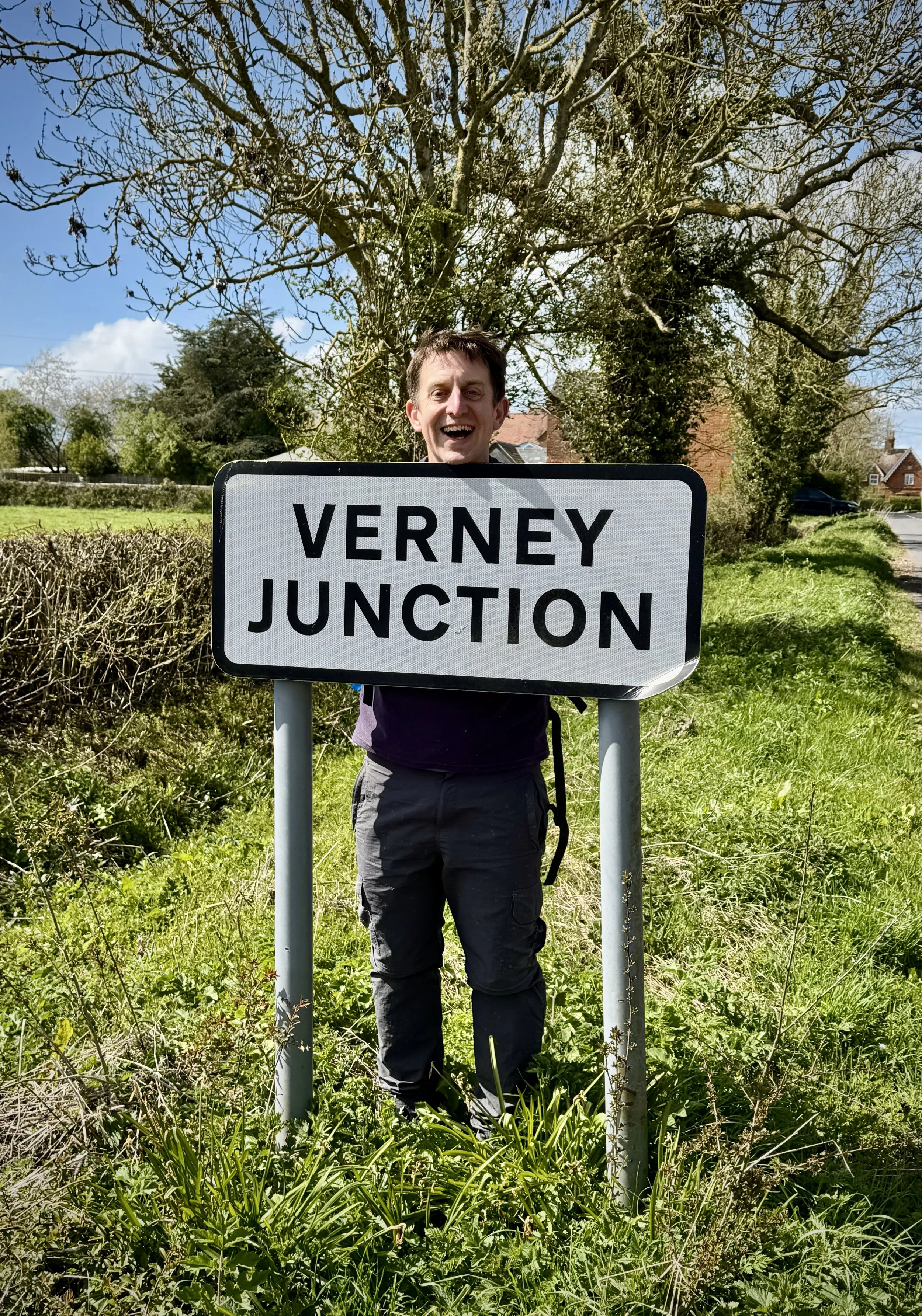
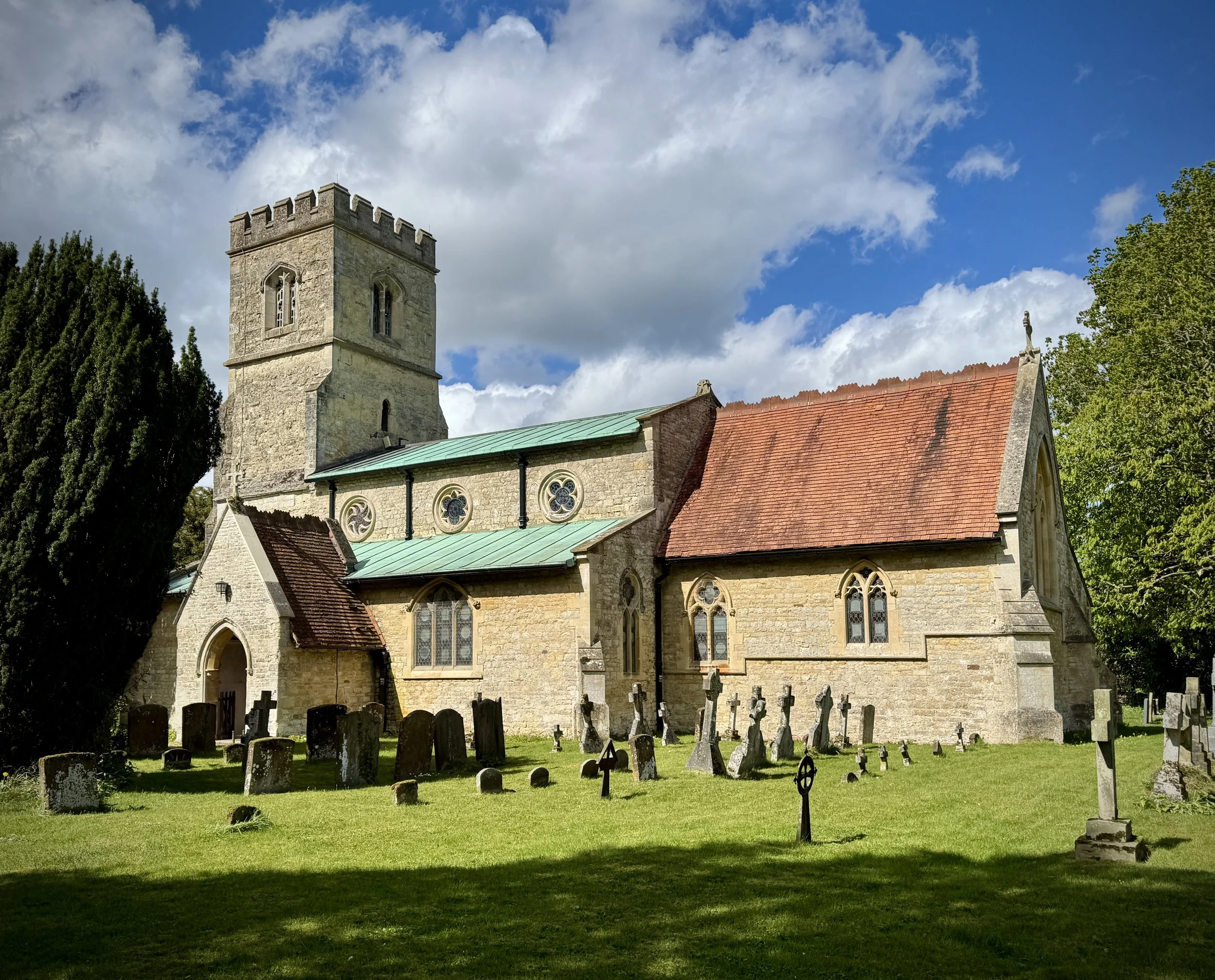
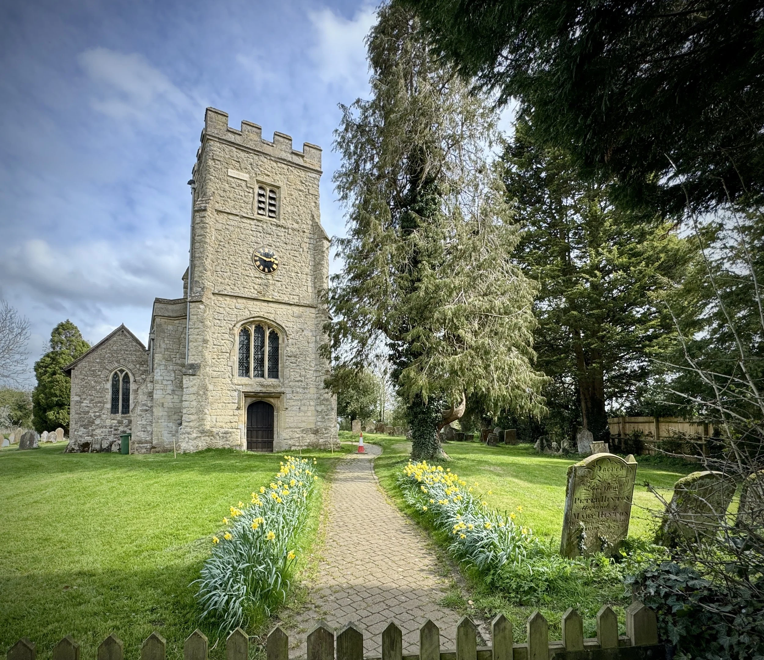
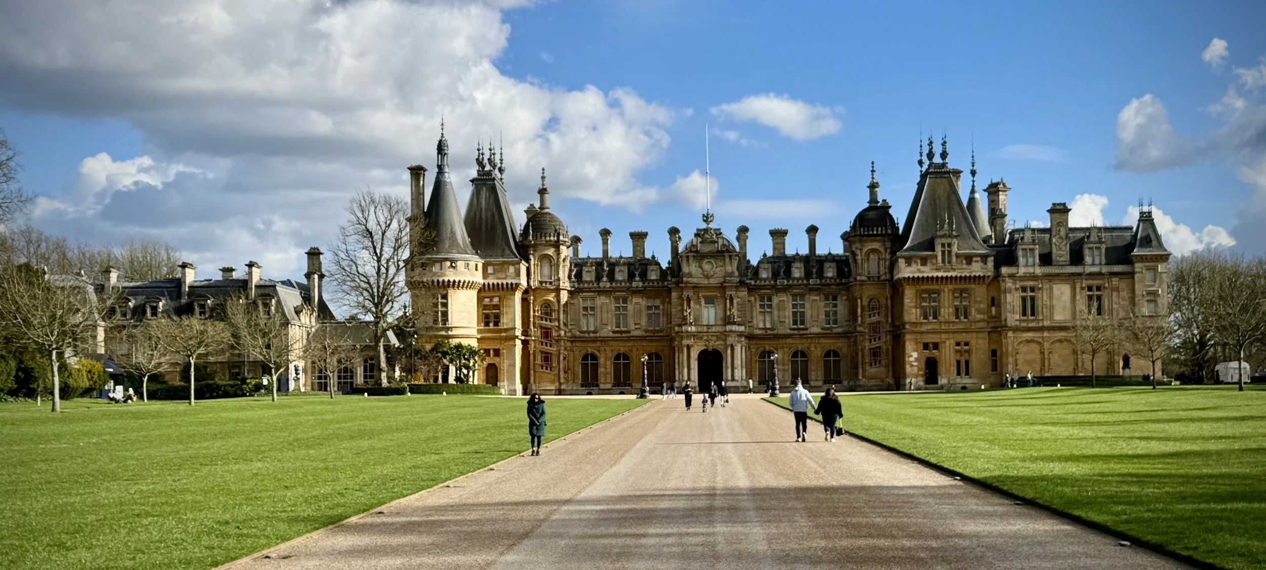
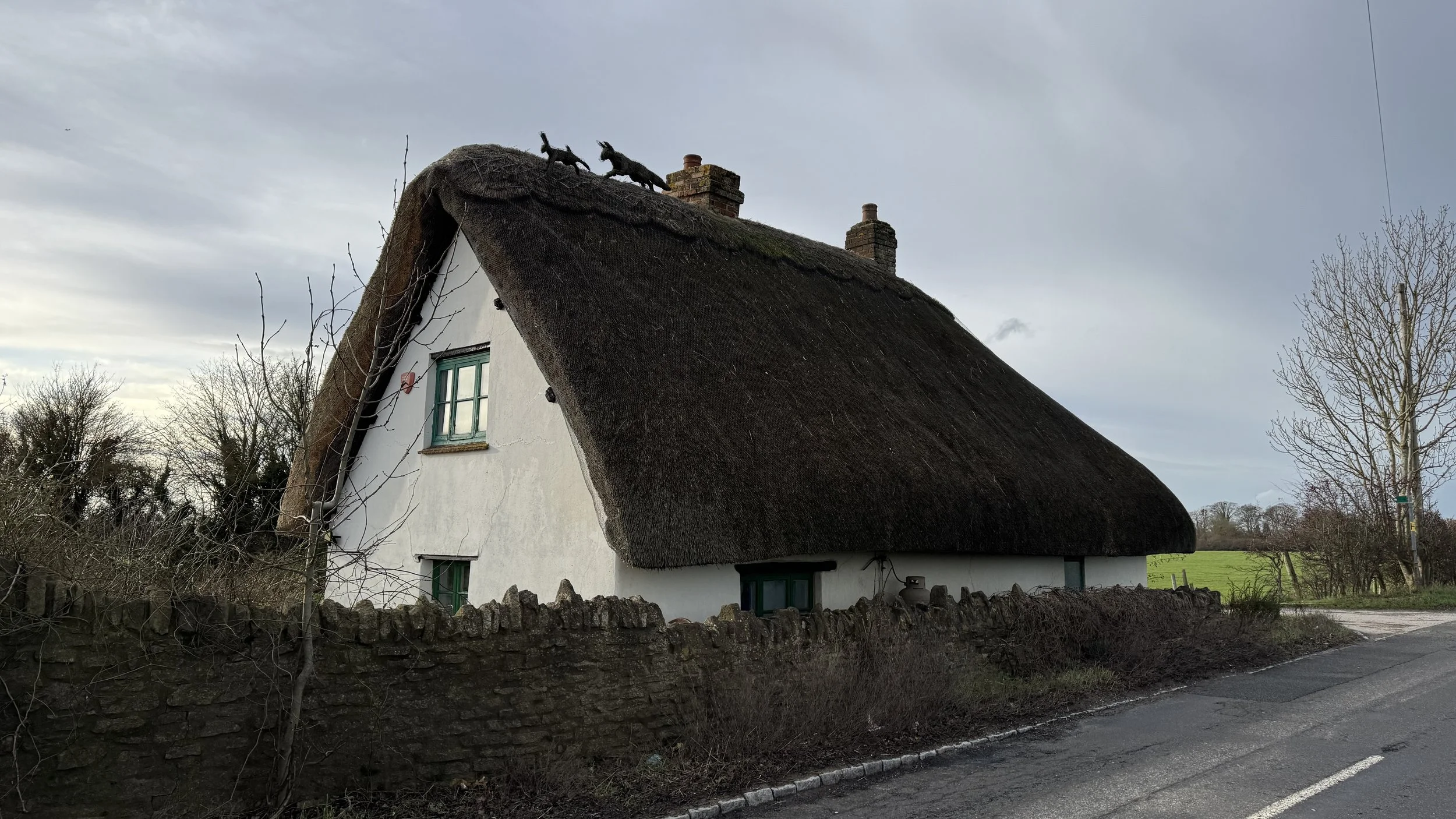
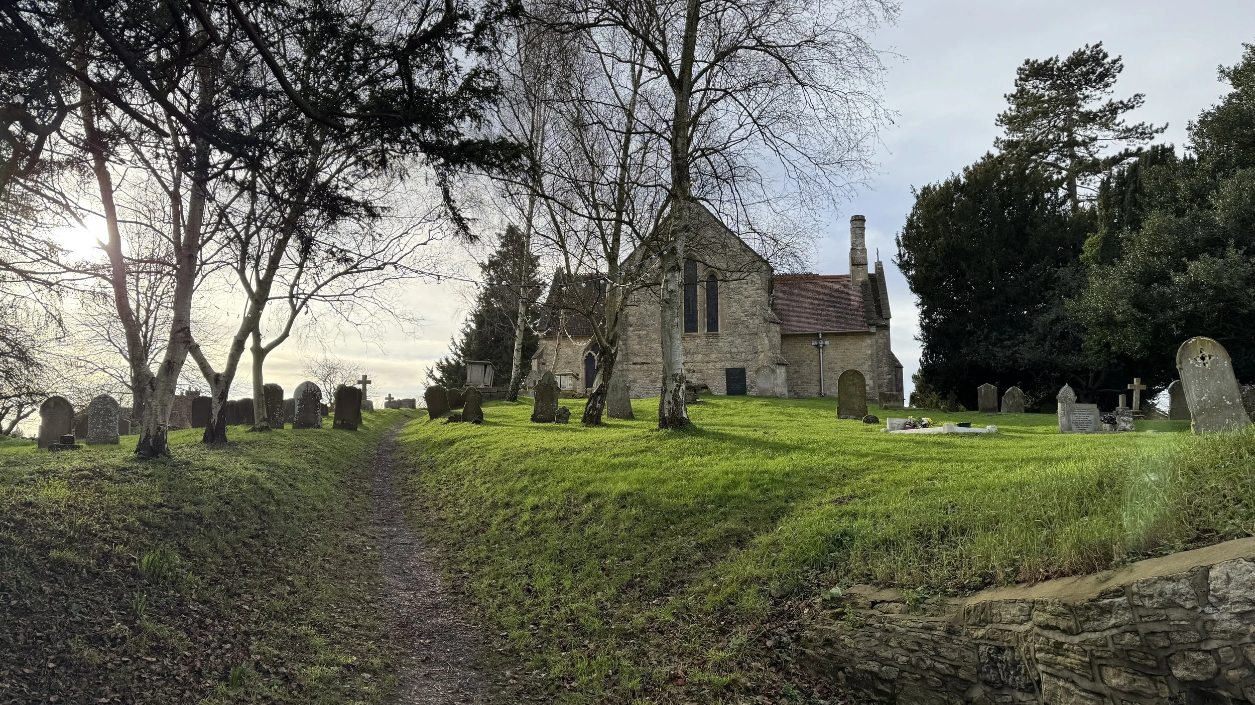
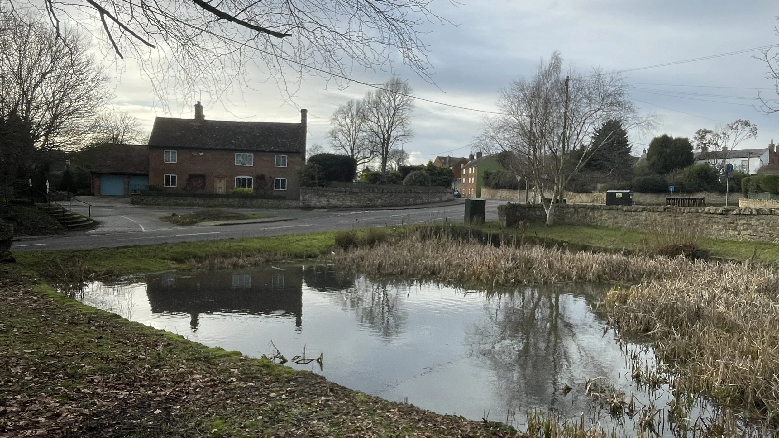
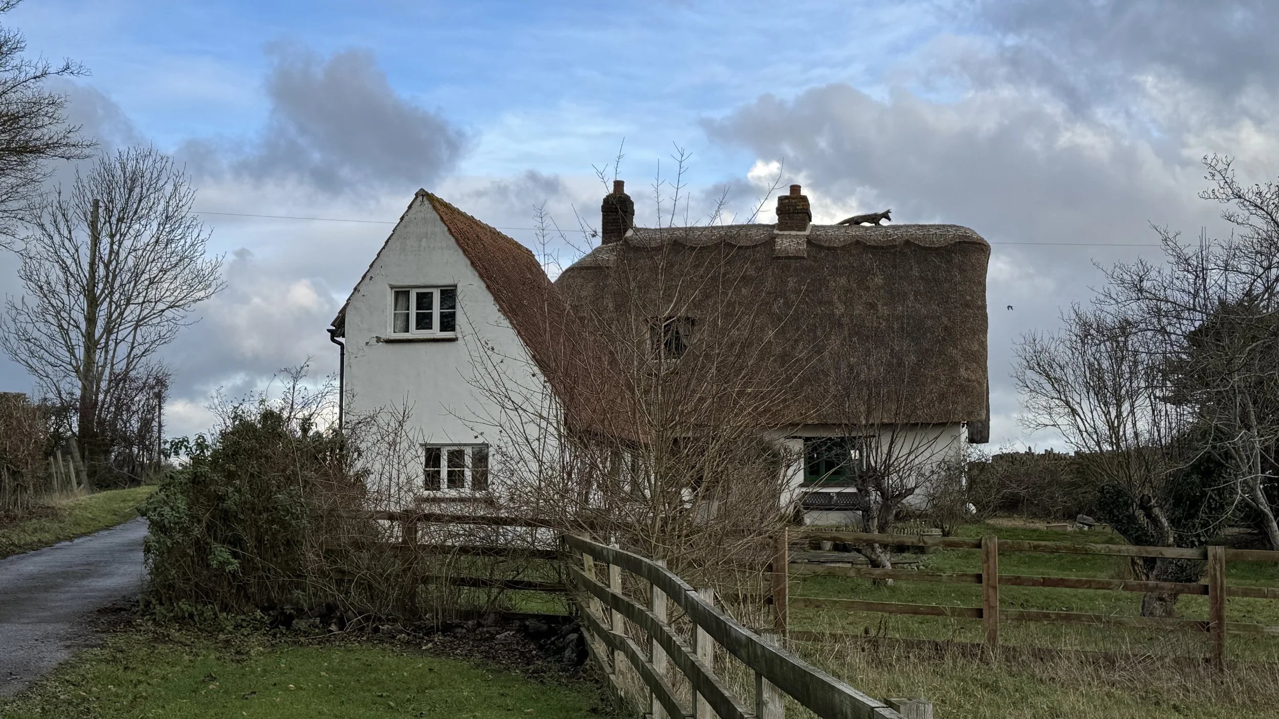
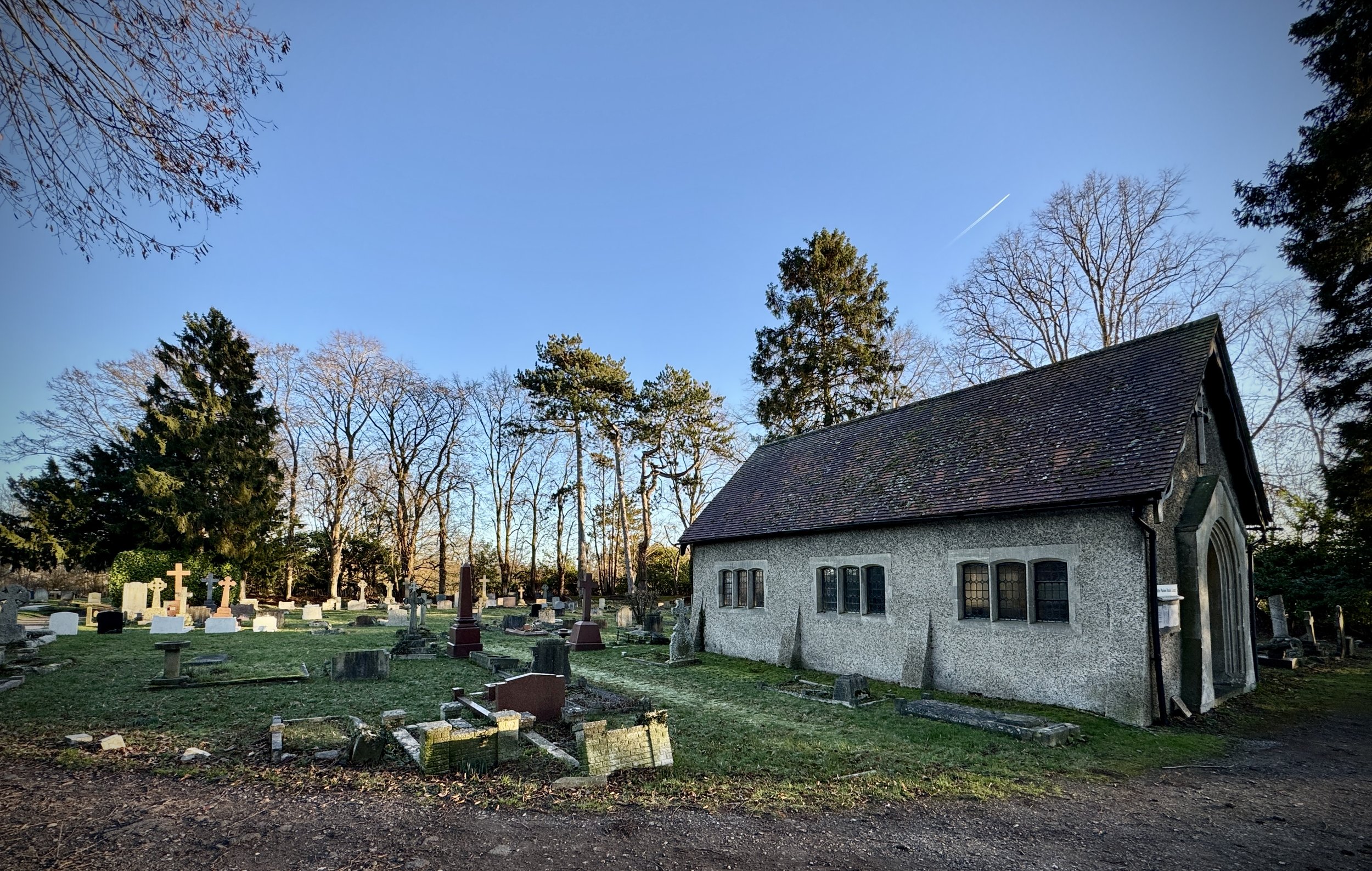
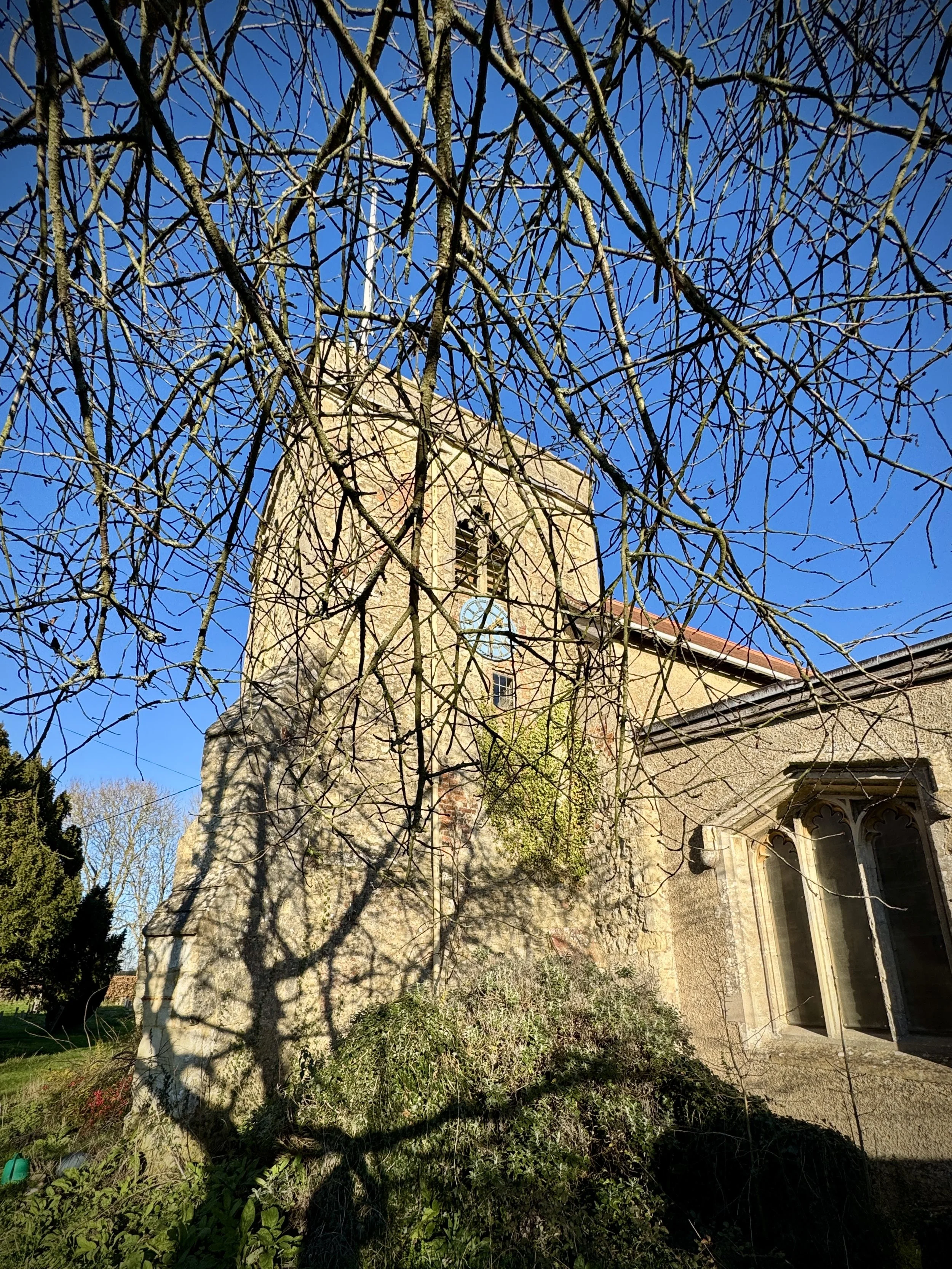
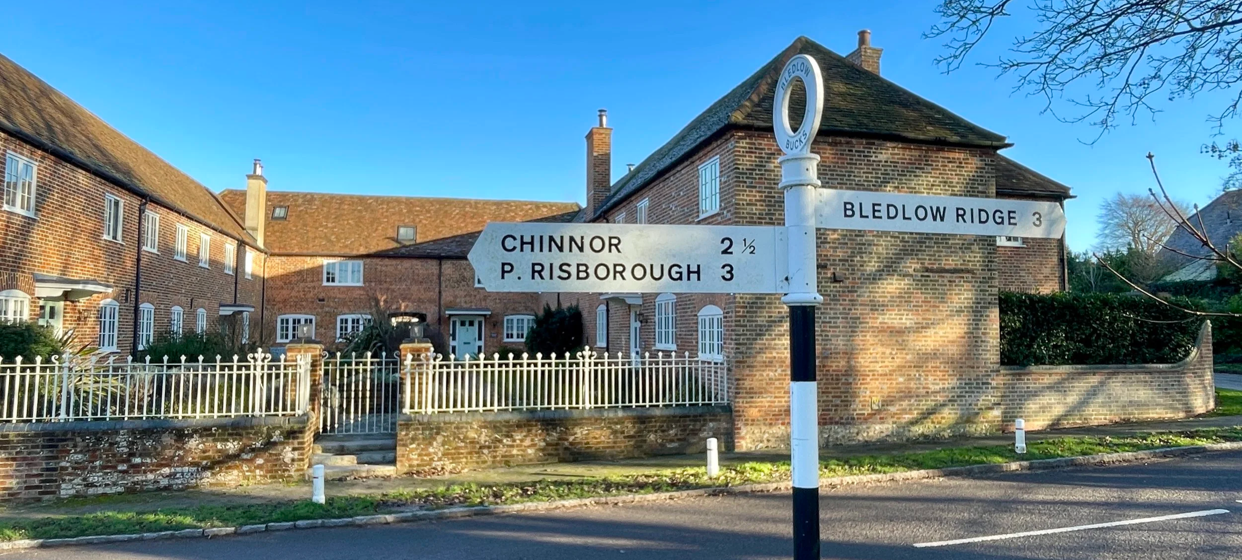
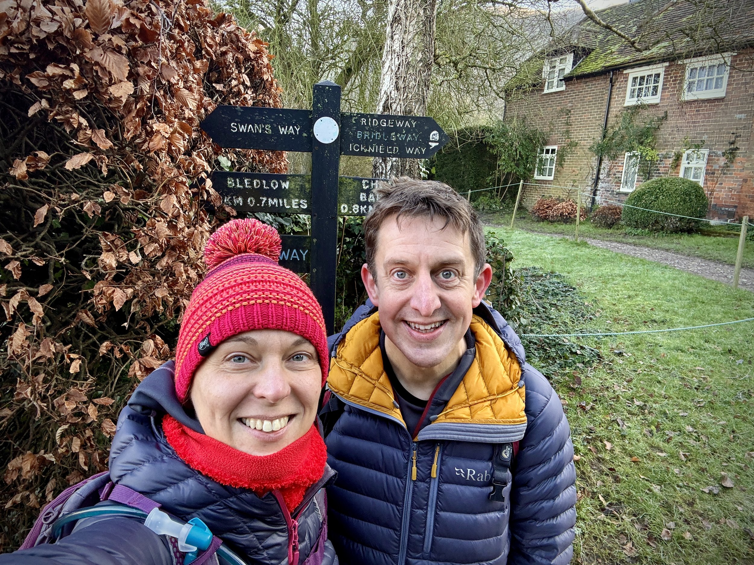
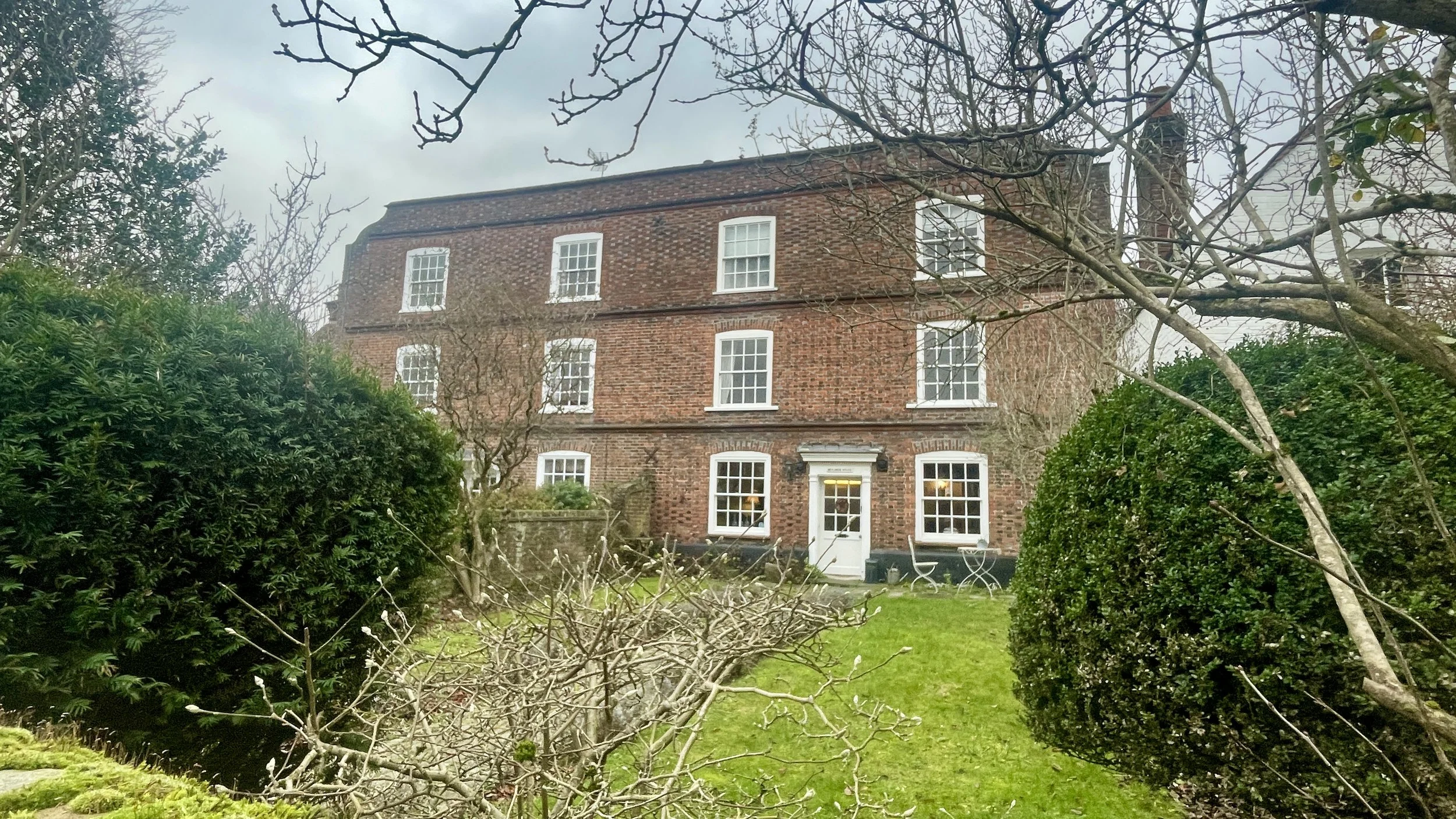
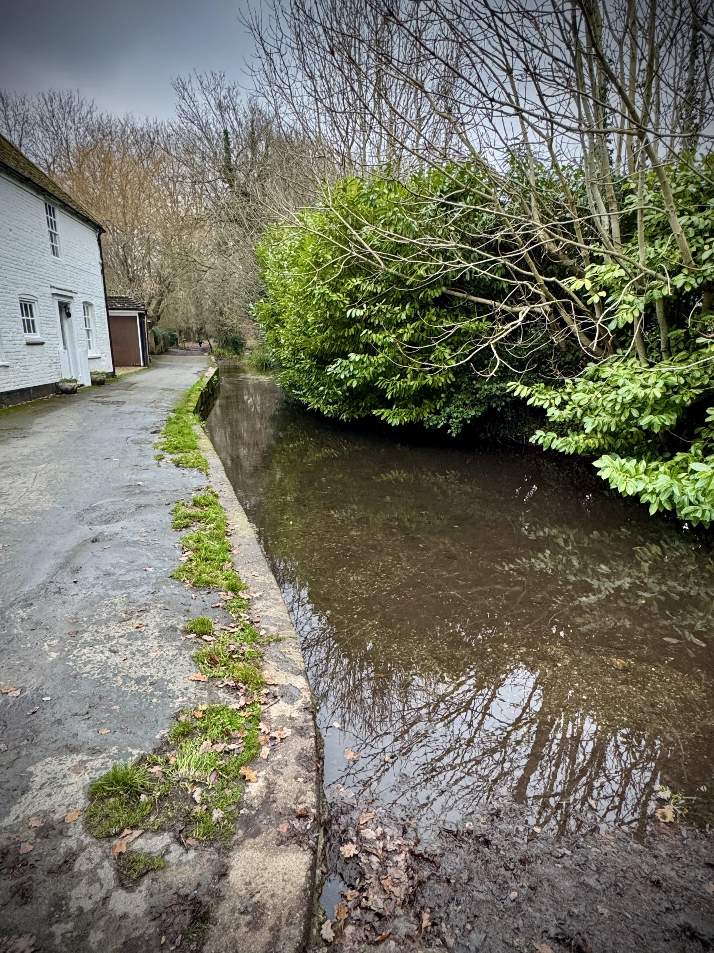
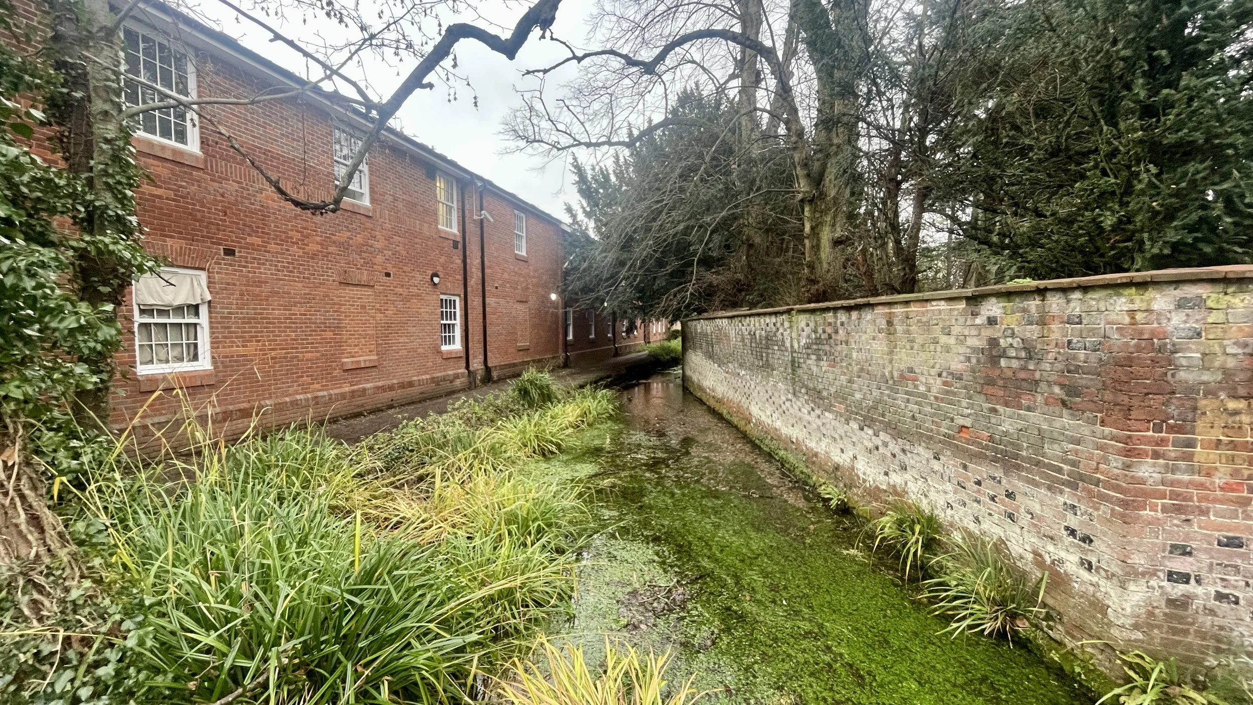
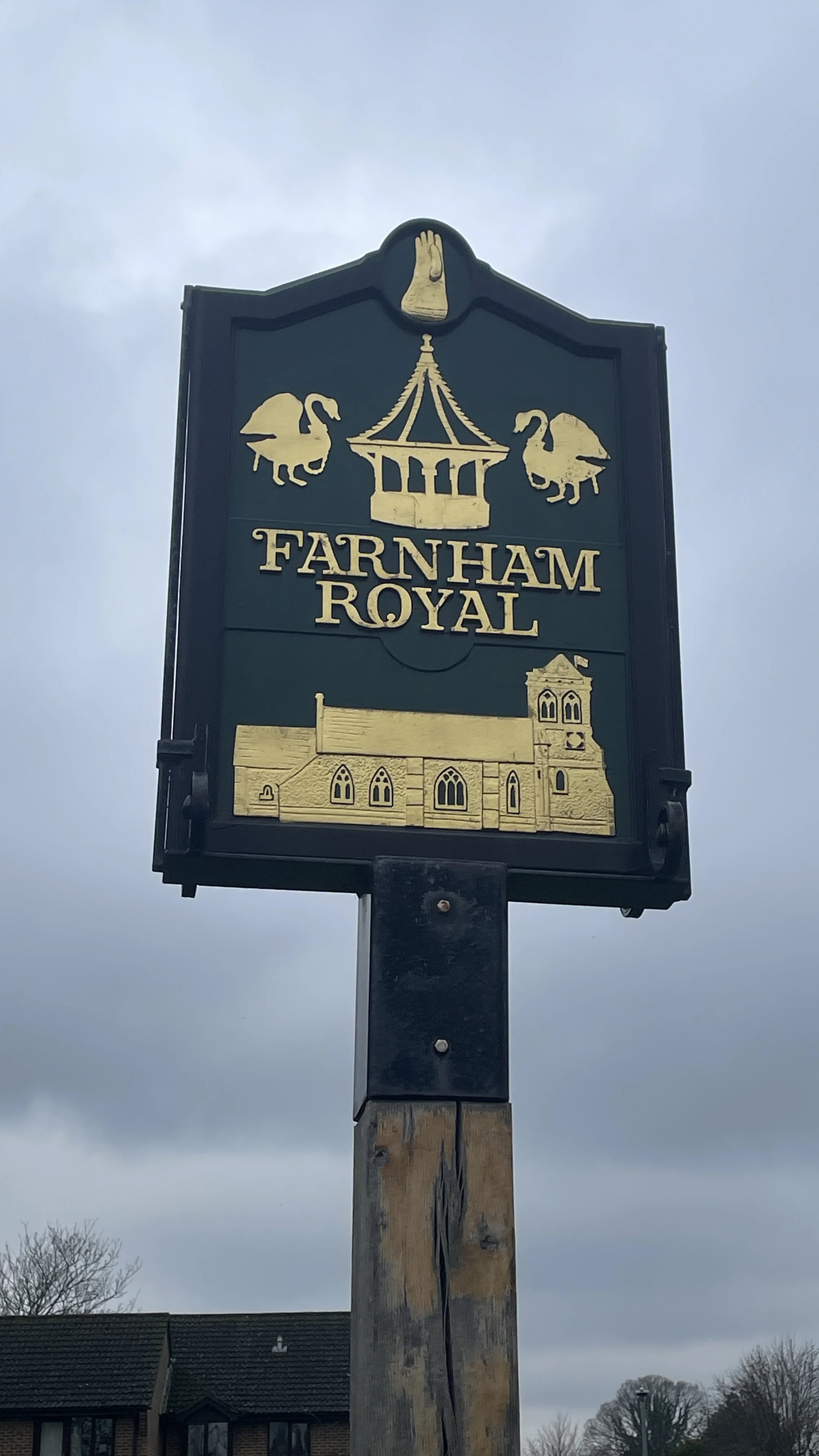
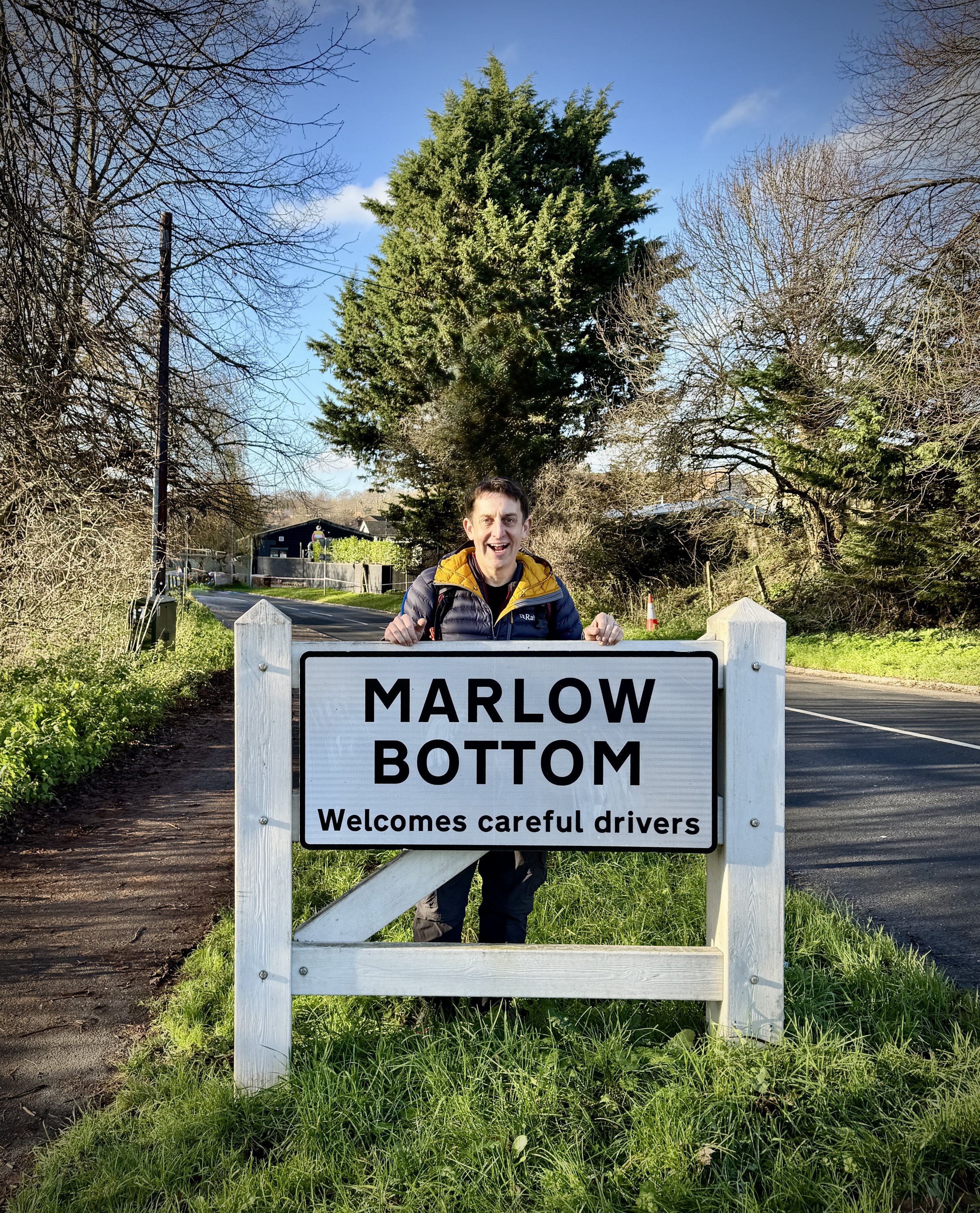
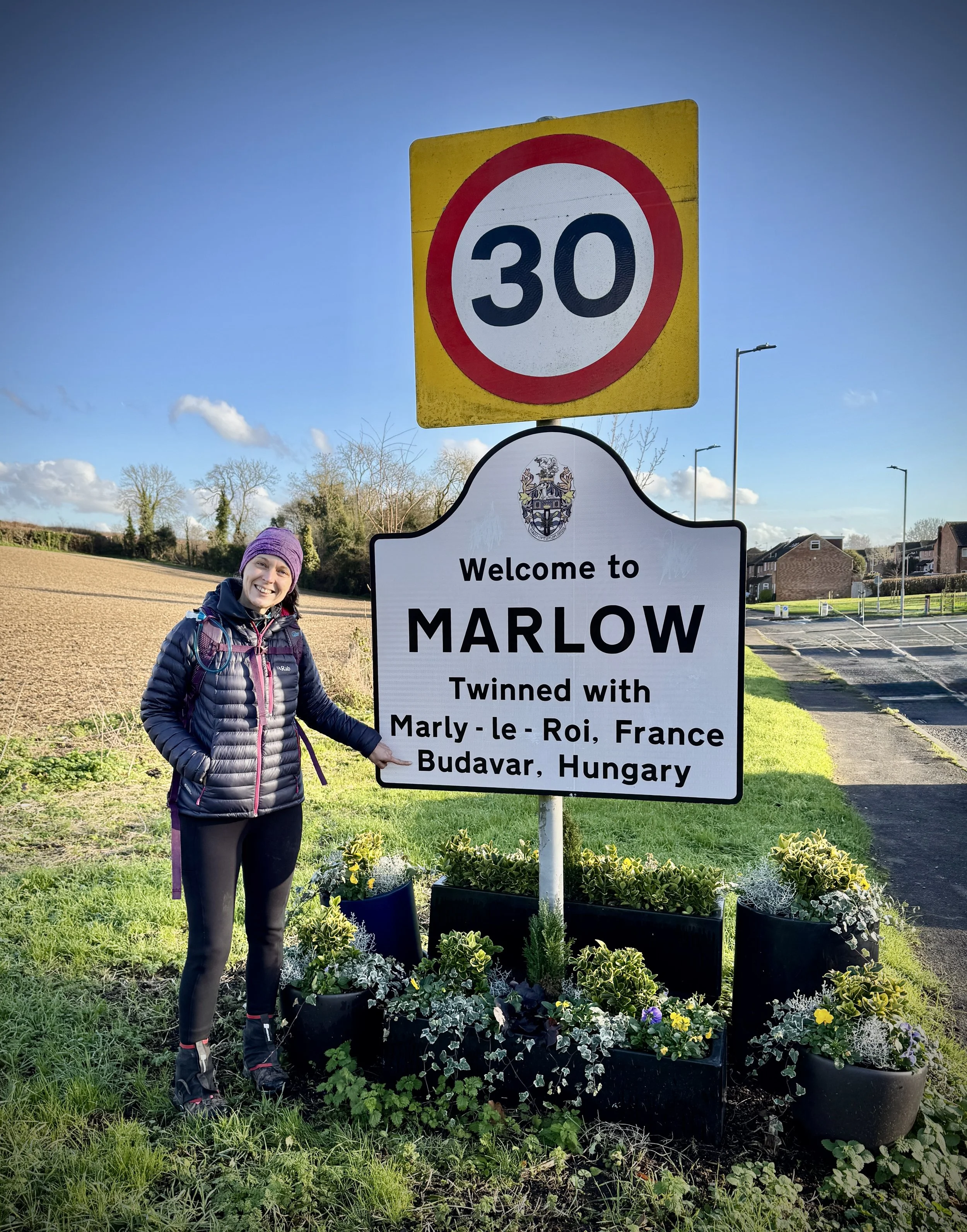
Links: Milton Keynes, Winslow, Middle Claydon, Steeple Claydon, Twyford, Bicester, Bletchingdon, Kidlington, Oxford
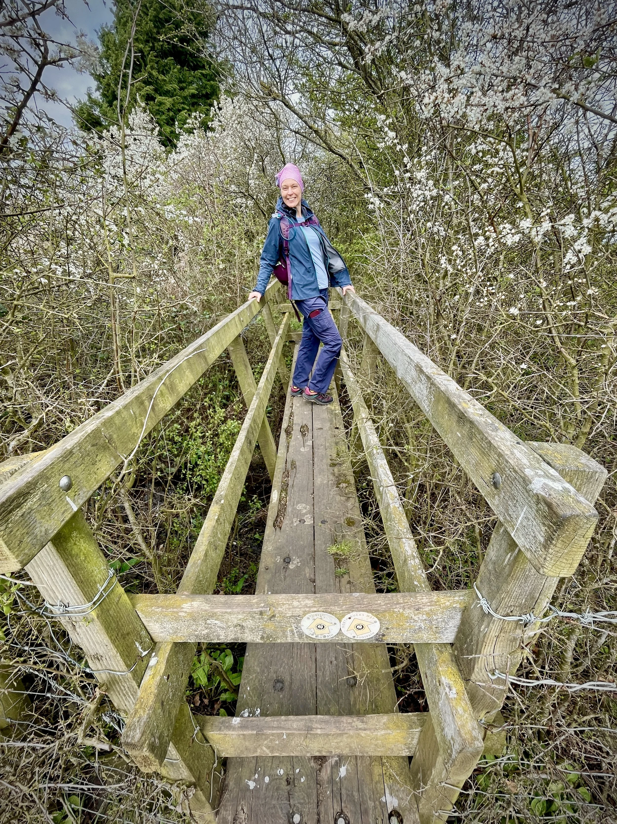
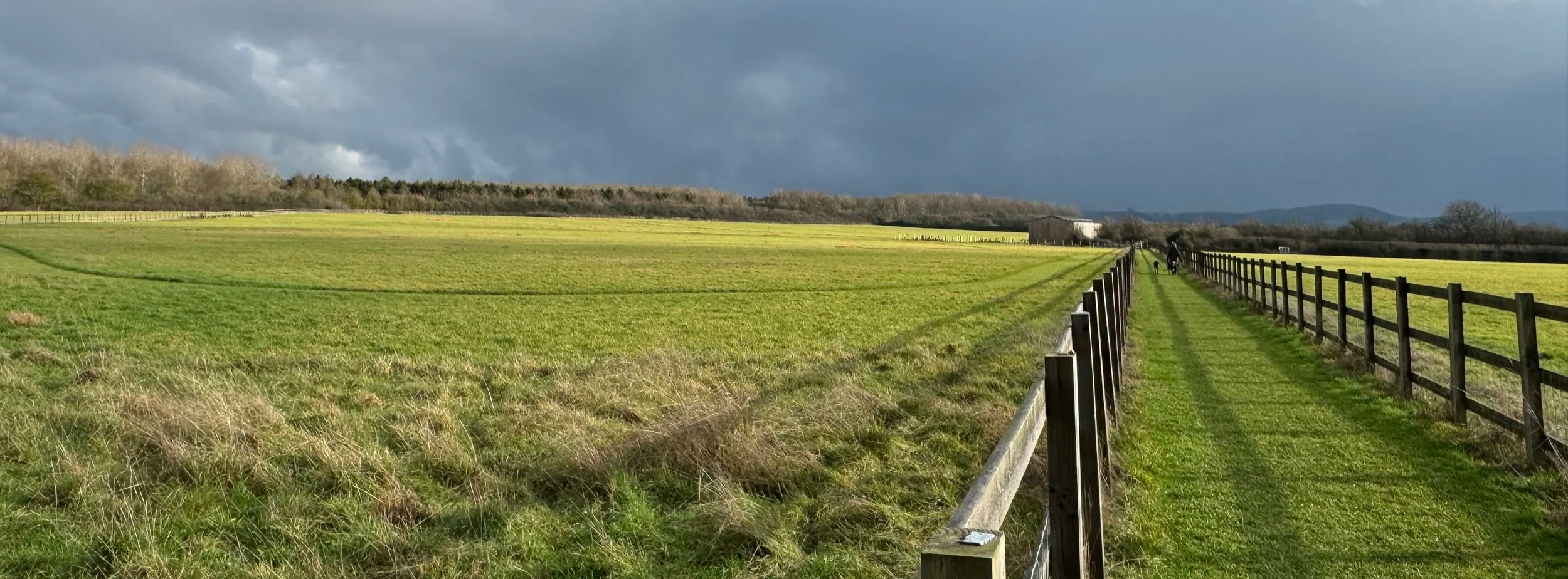
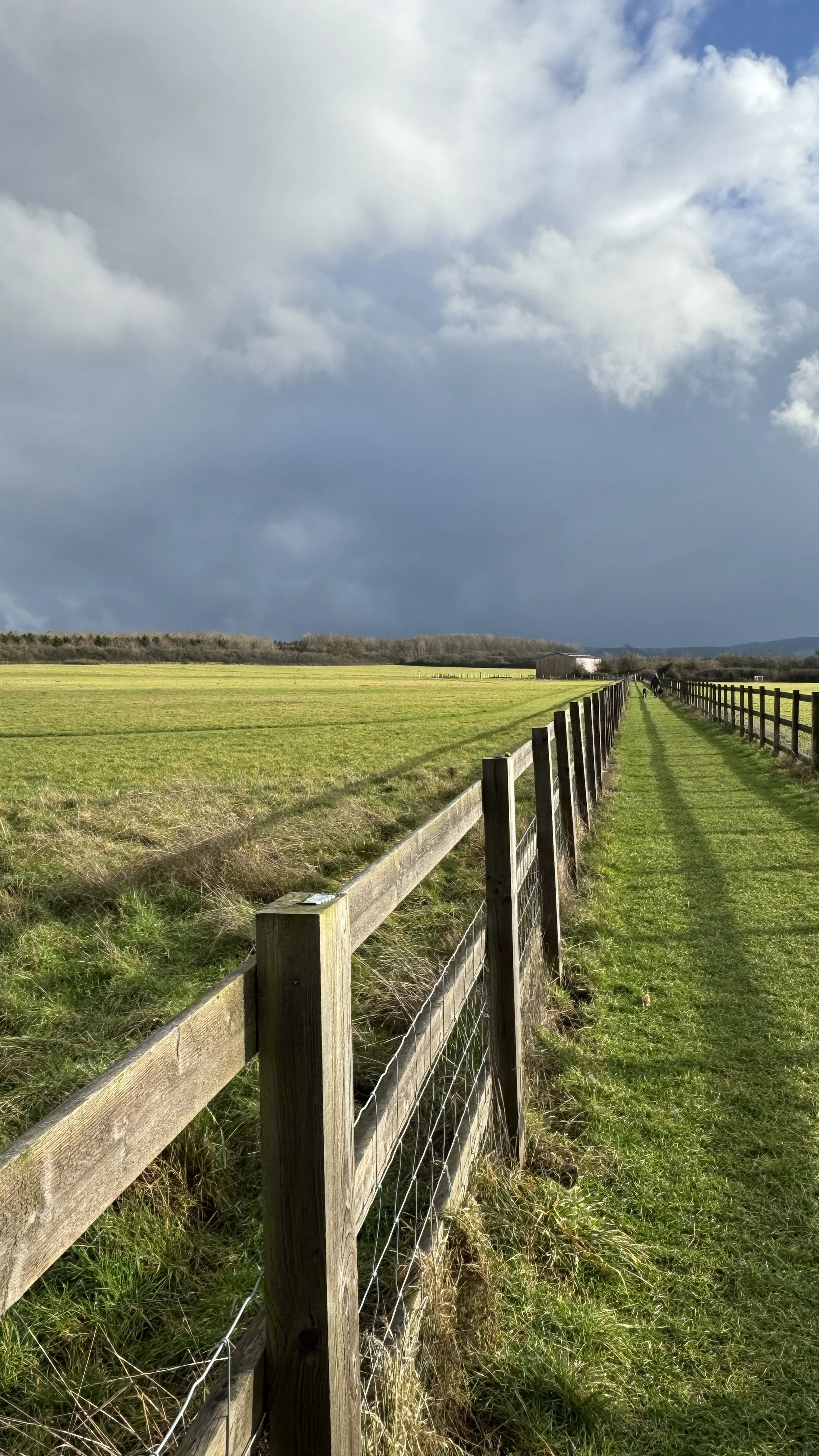
This ride was the next in our series of cycling the National Cycle Network routes in the south-east of England. We have been tackling these as short, one-day sections. It was also a brilliant chance to bag a number of Millennium Mileposts, as this section of the NCN 51 started out with a remarkably rich seam of them.
Ideally, we would have used the train to get between Oxford and Milton Keynes to start the ride. Sadly, the East West Railway line, affectionately known as the old Varsity Line, is still not open for passenger services.
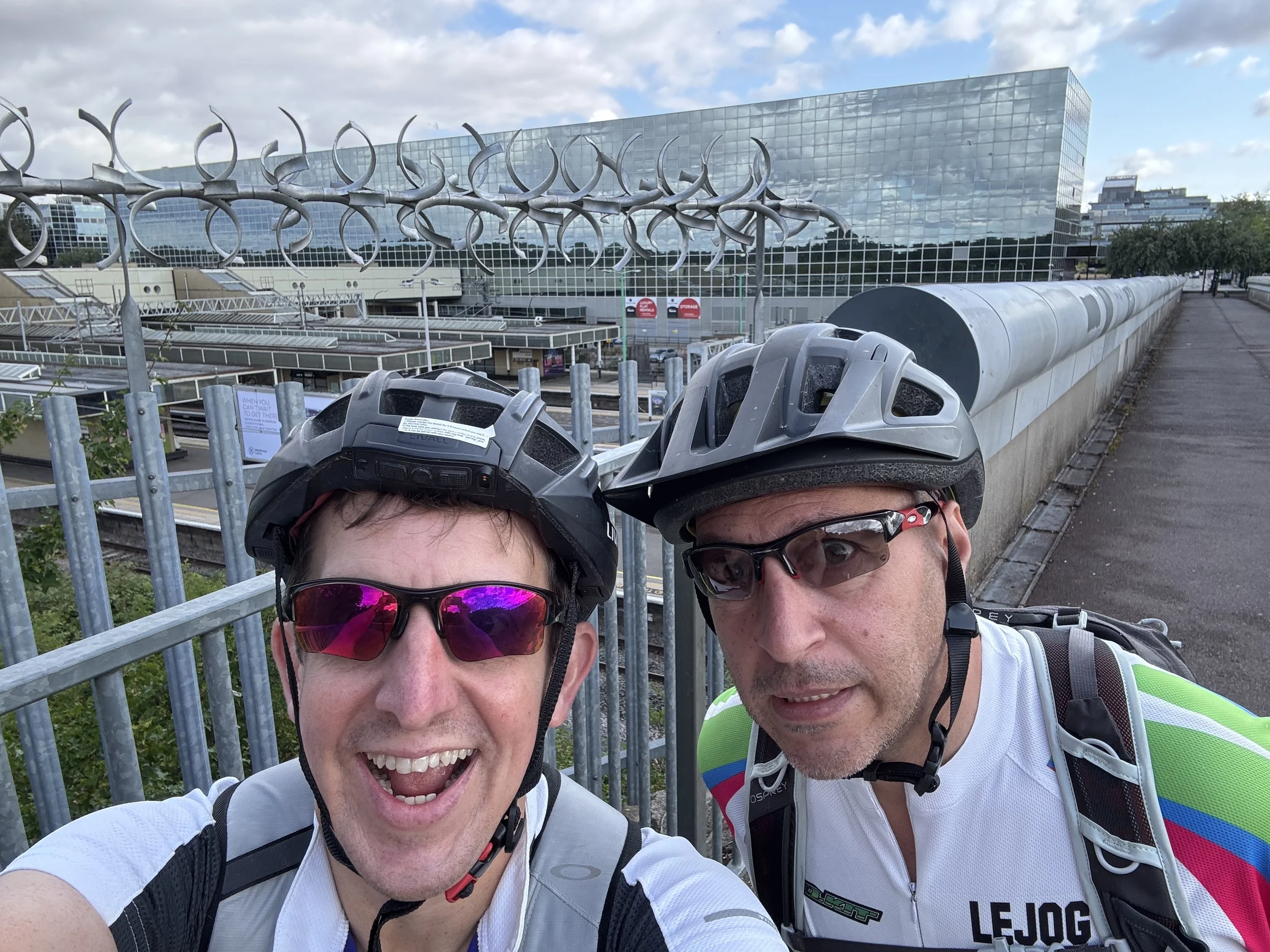
That would have been perfect because we could have parked at Oxford, caught the train to Milton Keynes, and then simply cycled back. As it happened, we had to rely on a two-car shuffle. This meant meeting at Oxford, parking one car there, loading the bikes into the other car, driving to Milton Keynes, parking there, and then cycling back to Oxford. After the ride, we had to do the reverse to pick up the car in Milton Keynes. It added an extra couple of hours to the trip, but it was absolutely worth it. We were eager to get this route done, and we genuinely didn't know how long it would be until the new railway line finally opens to passengers.
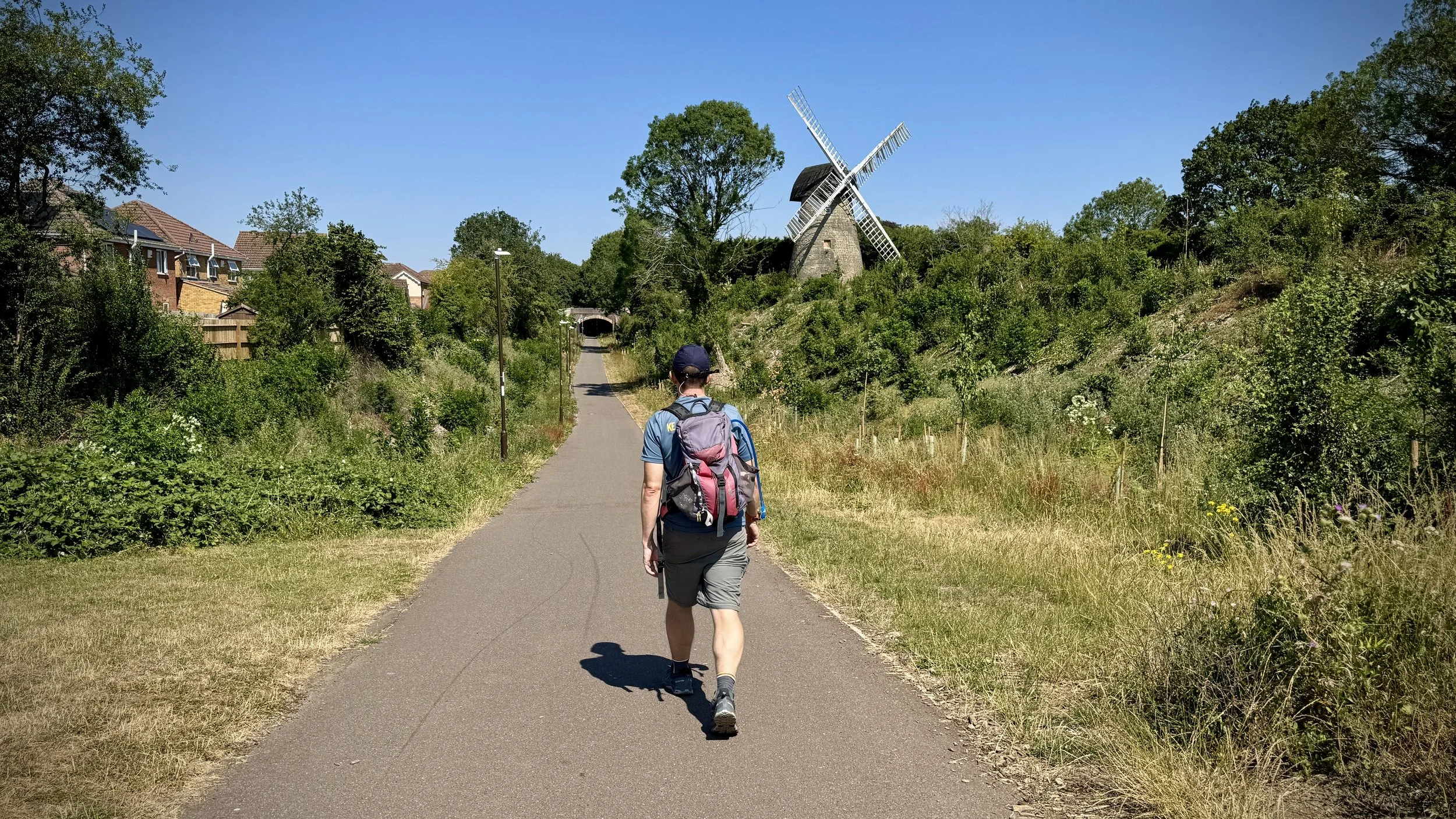
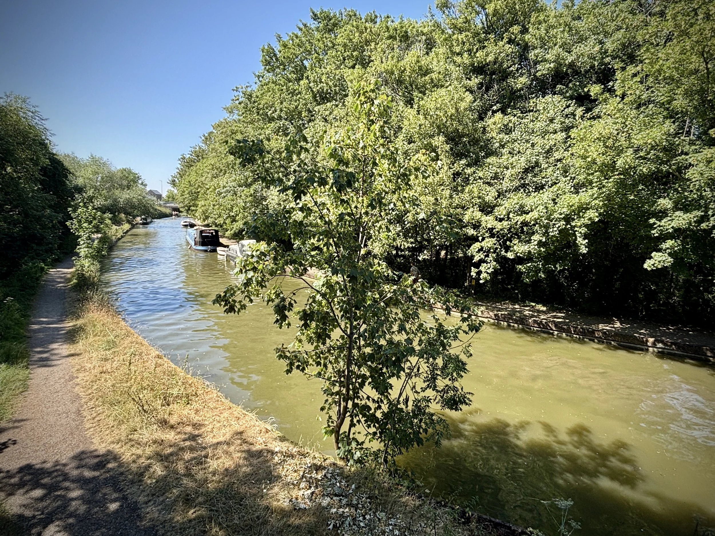
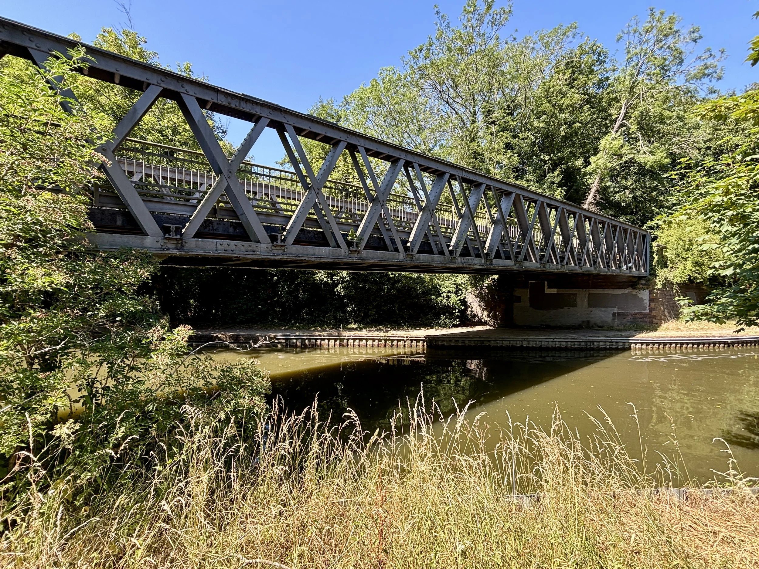
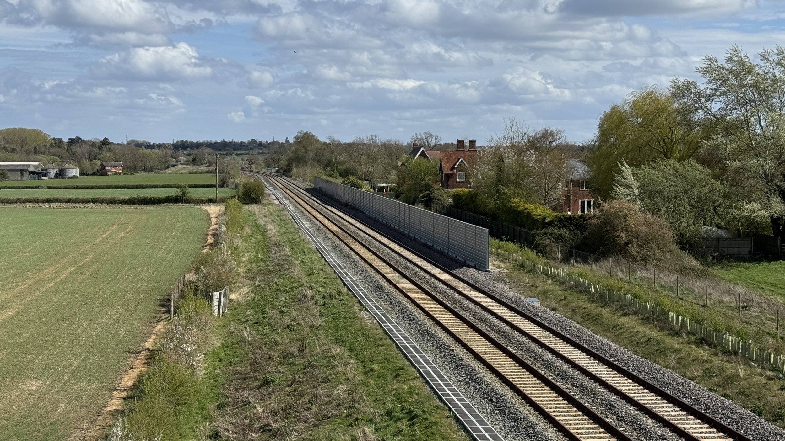
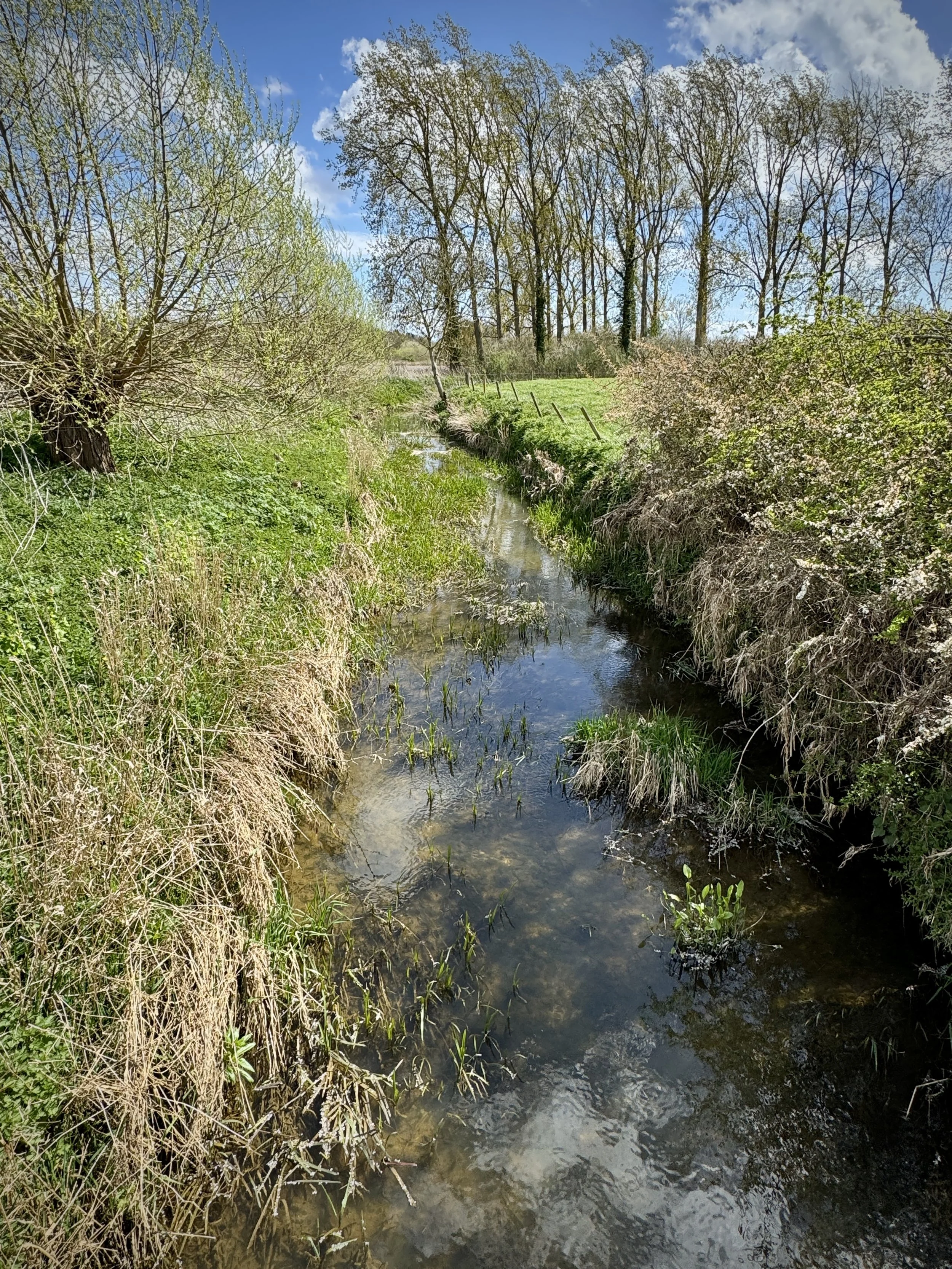
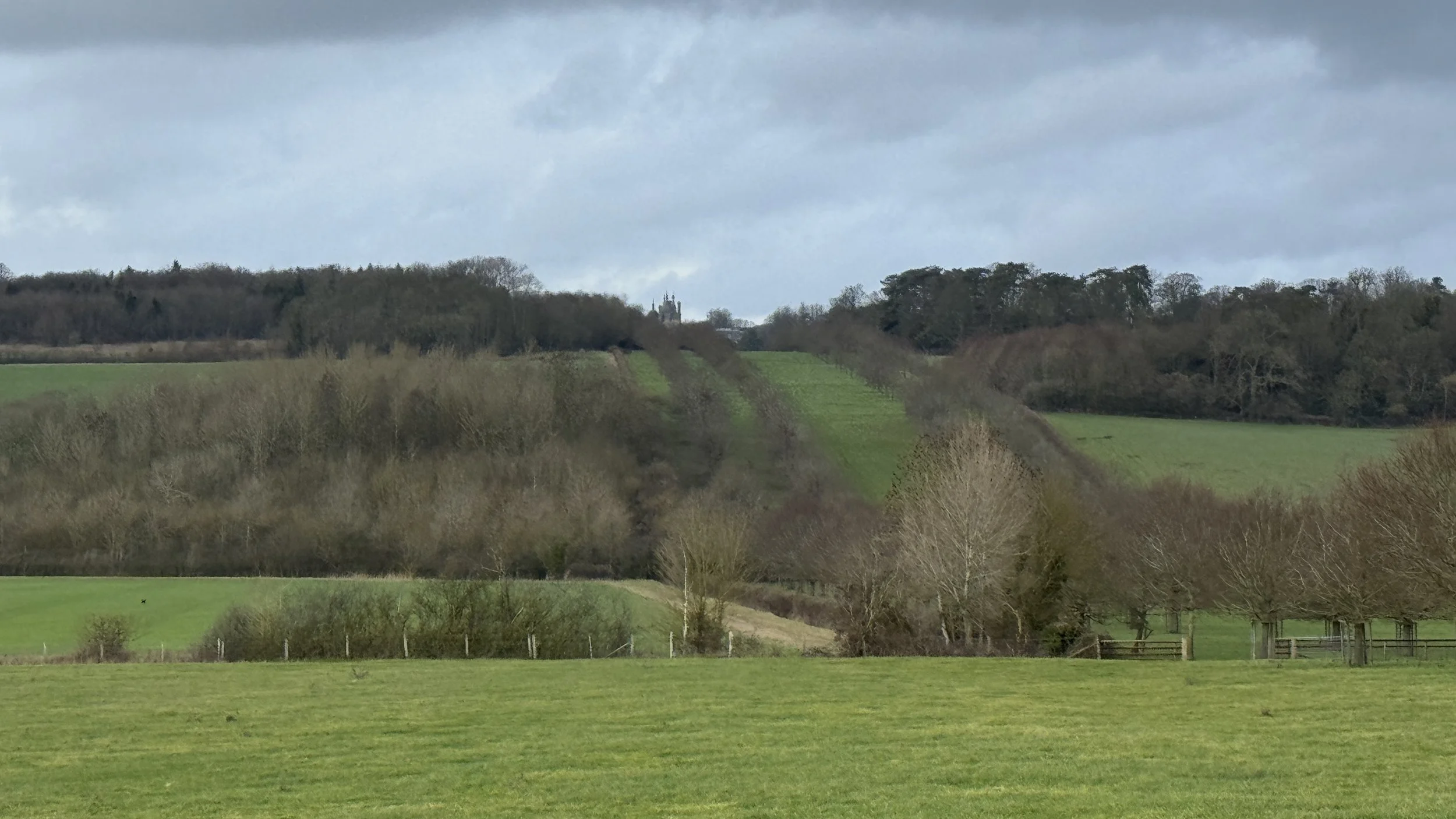
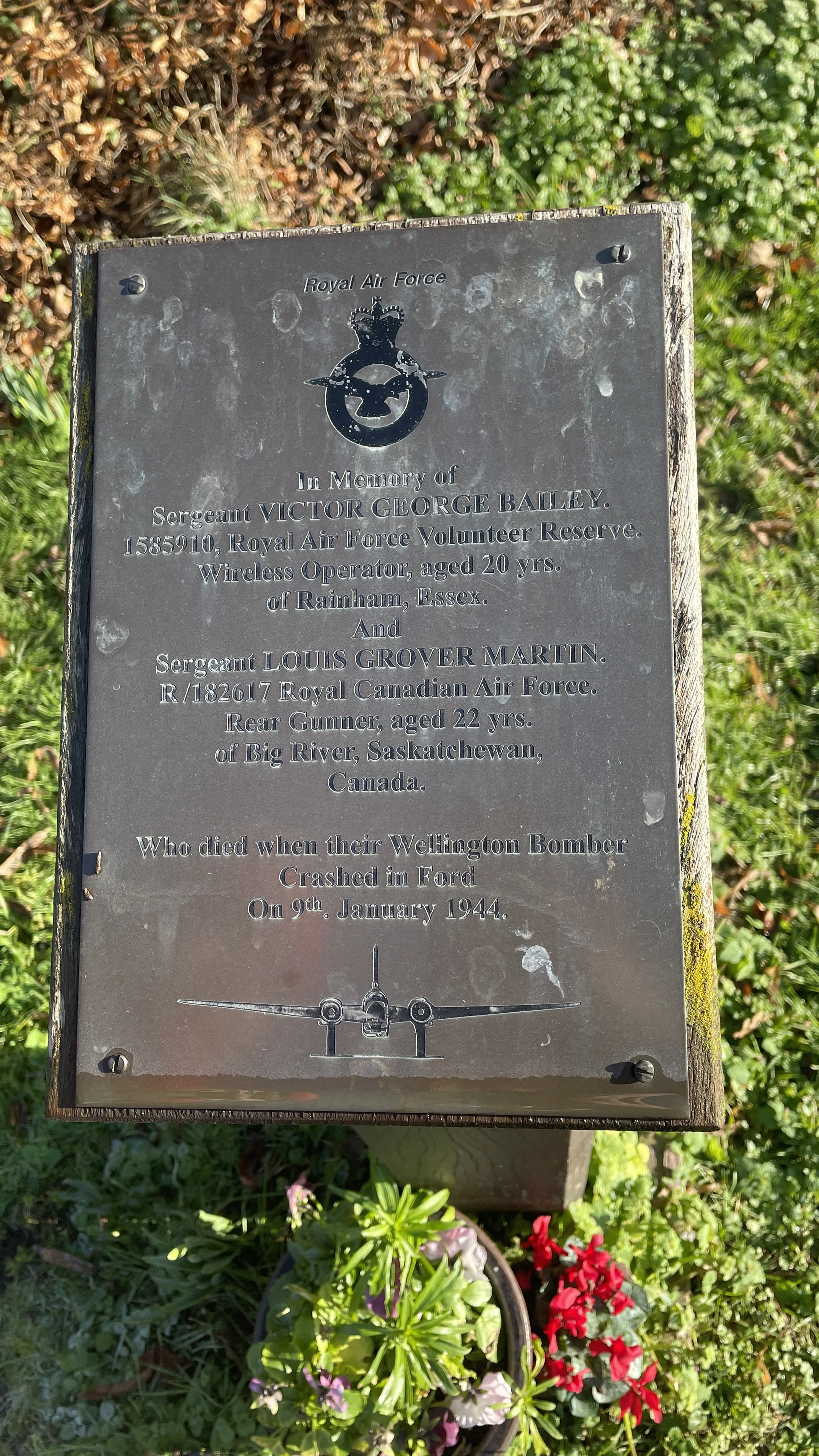
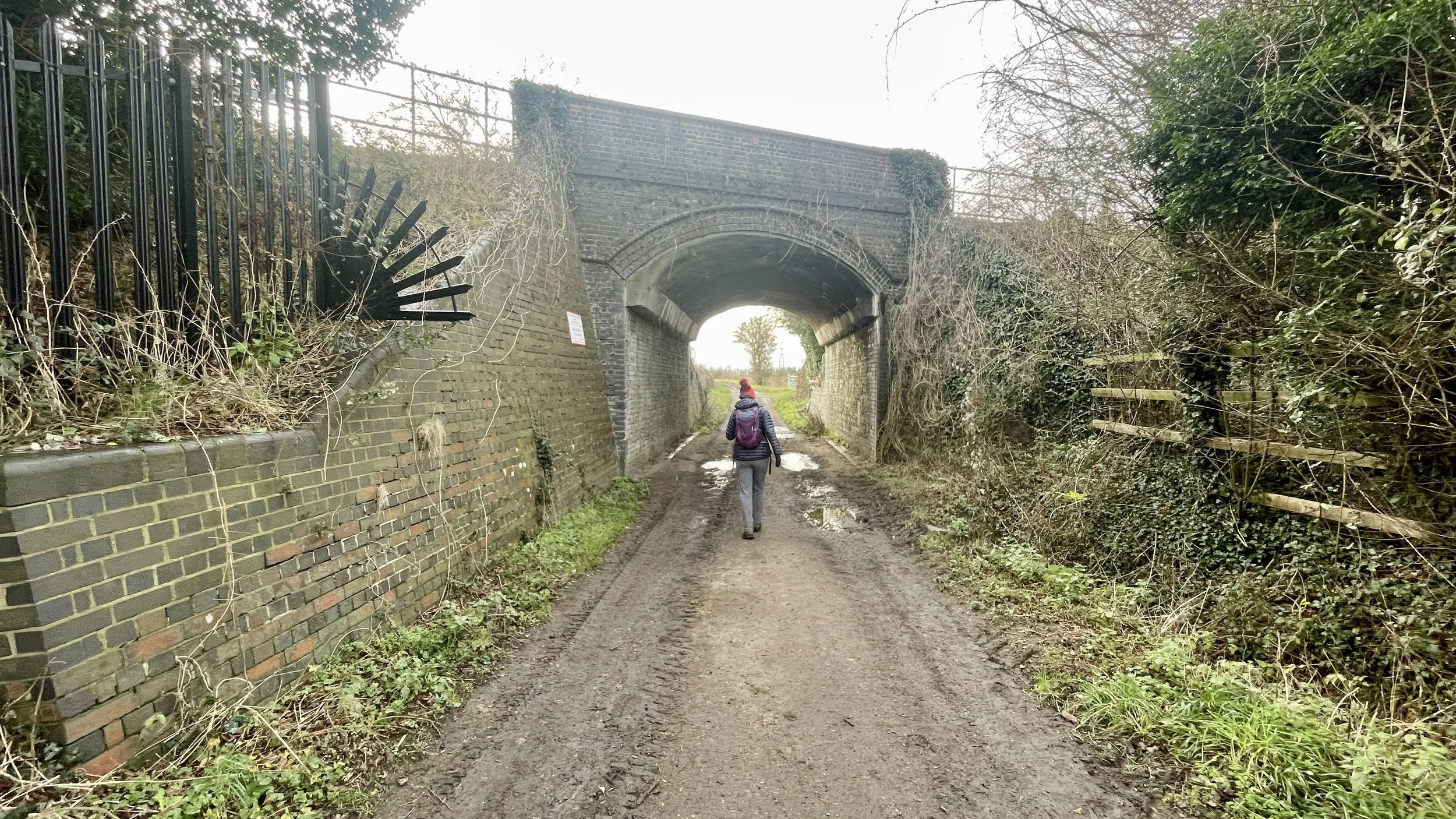
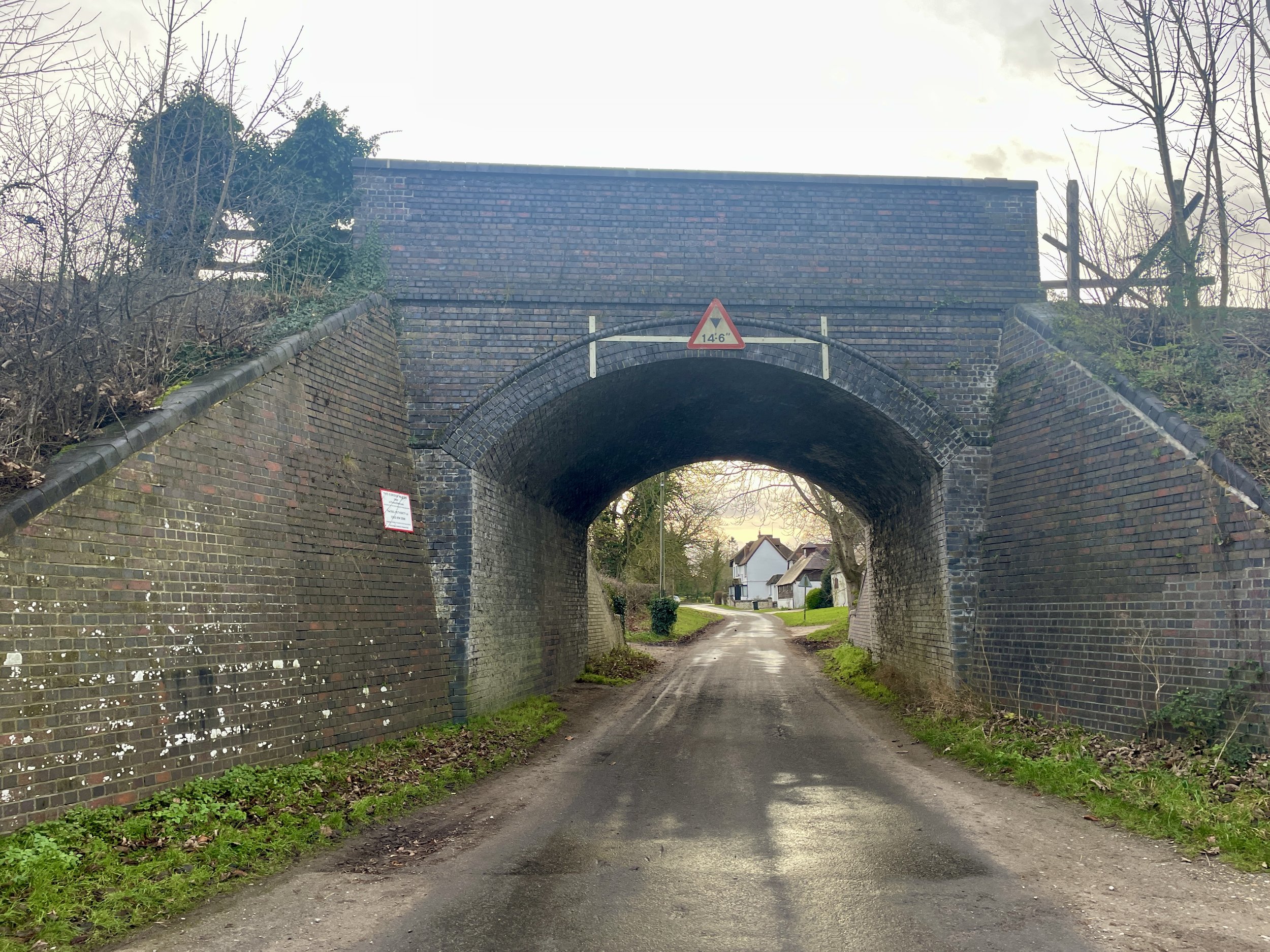
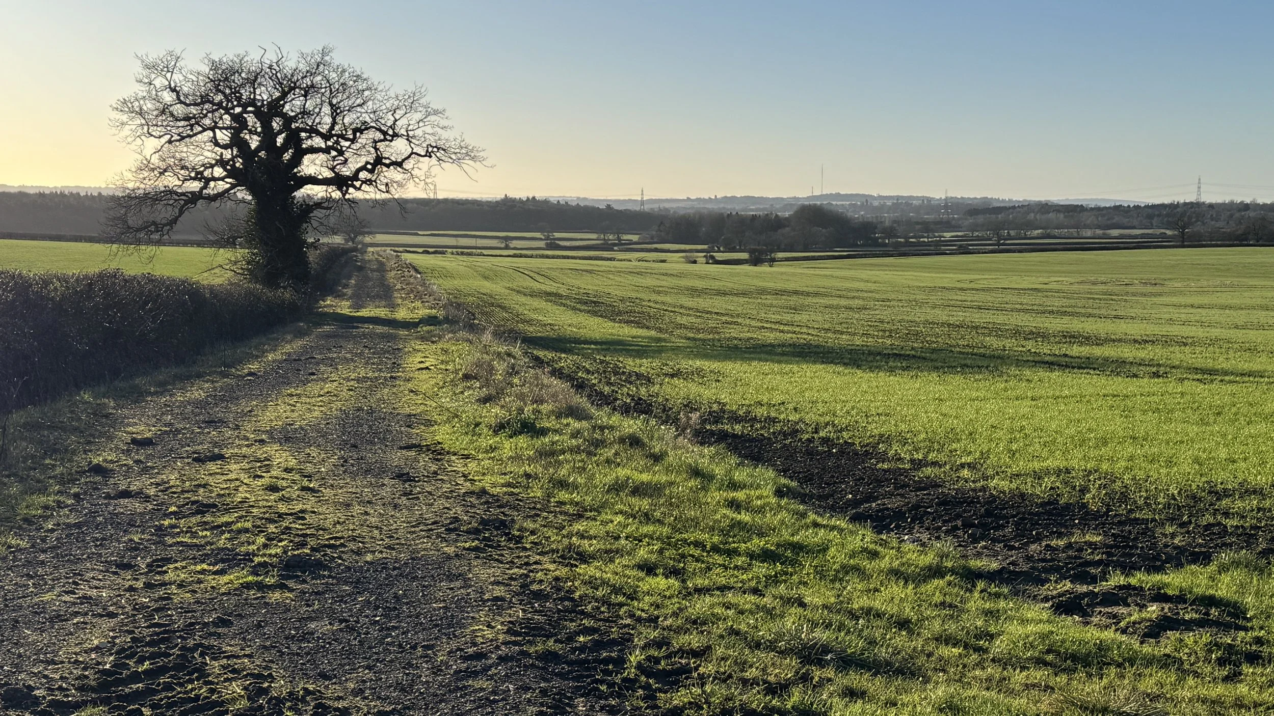
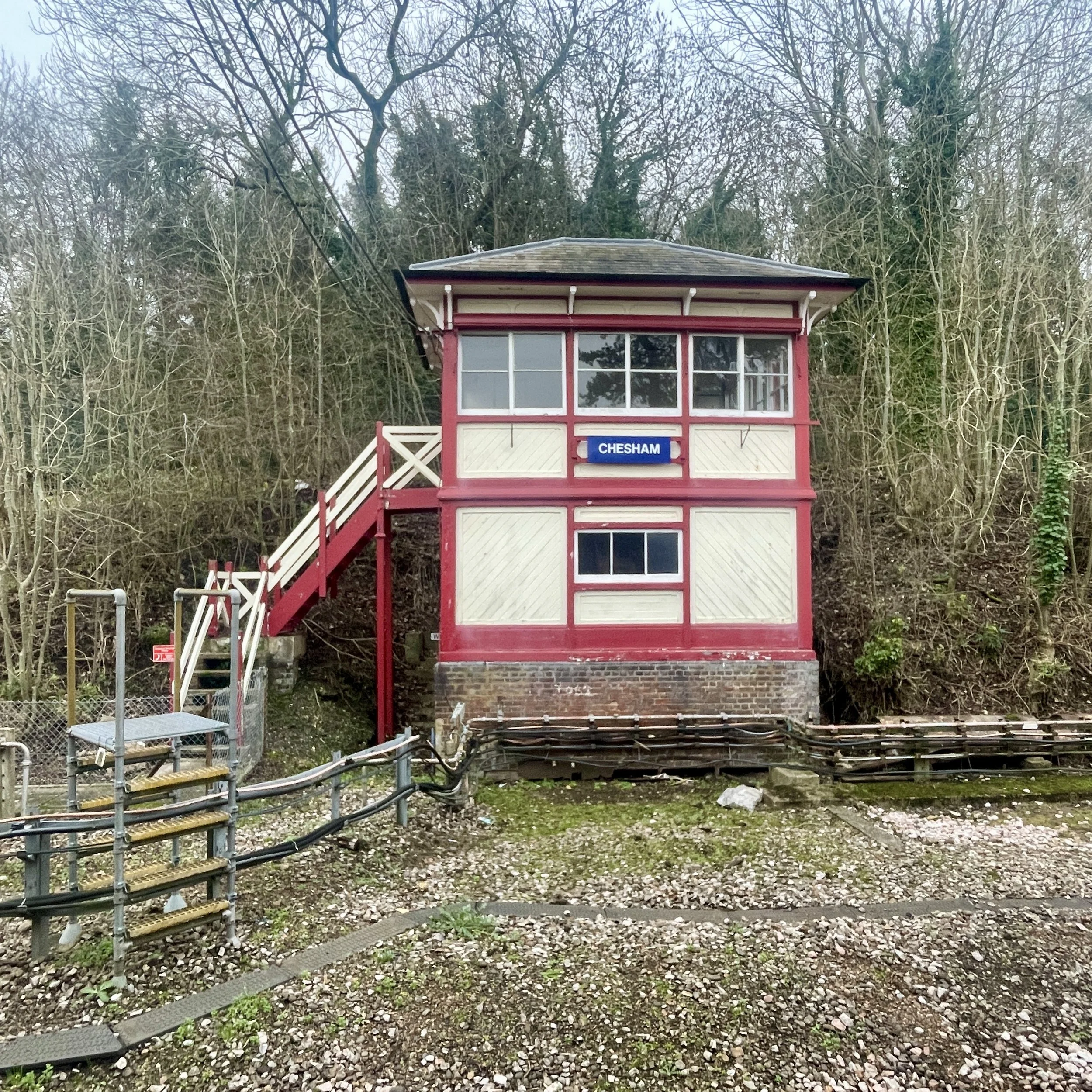
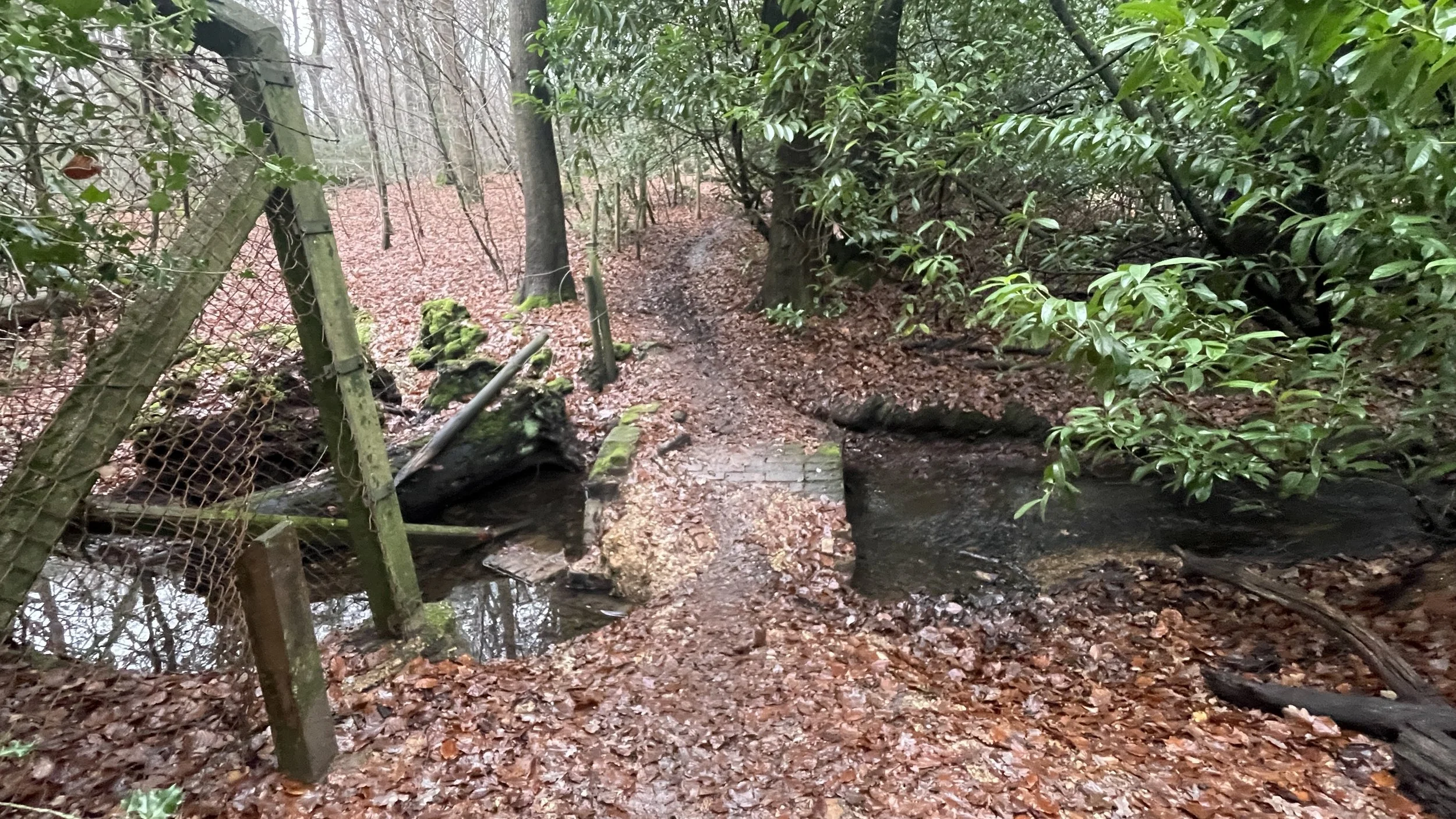
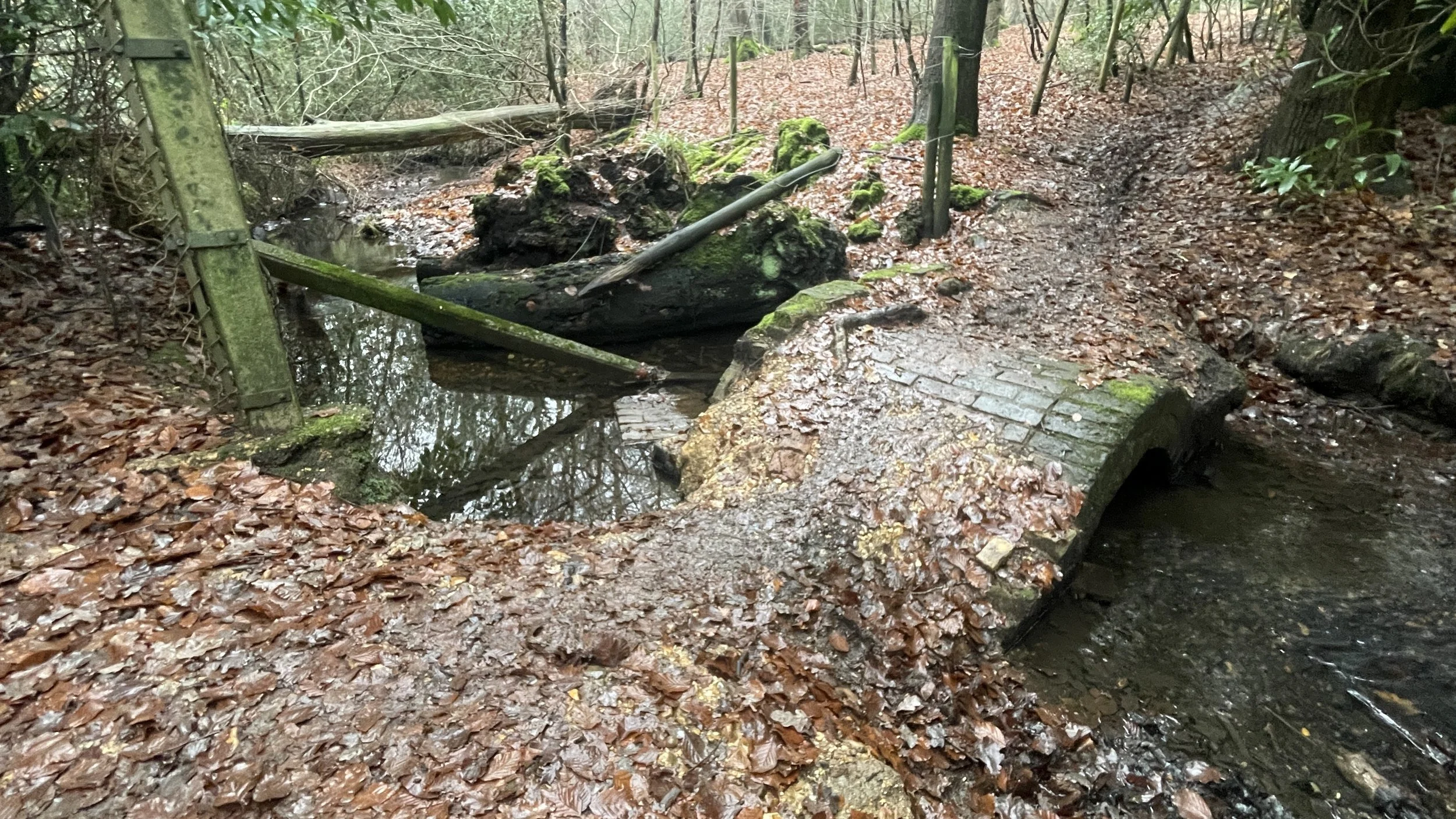
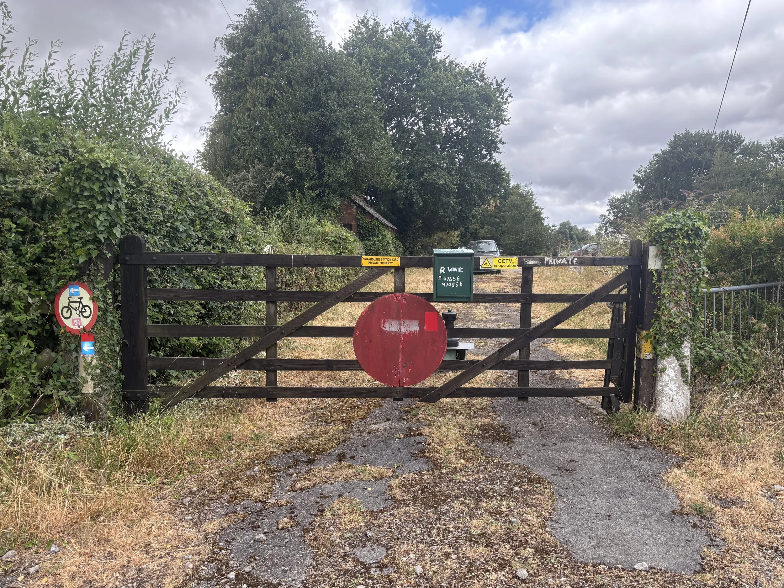
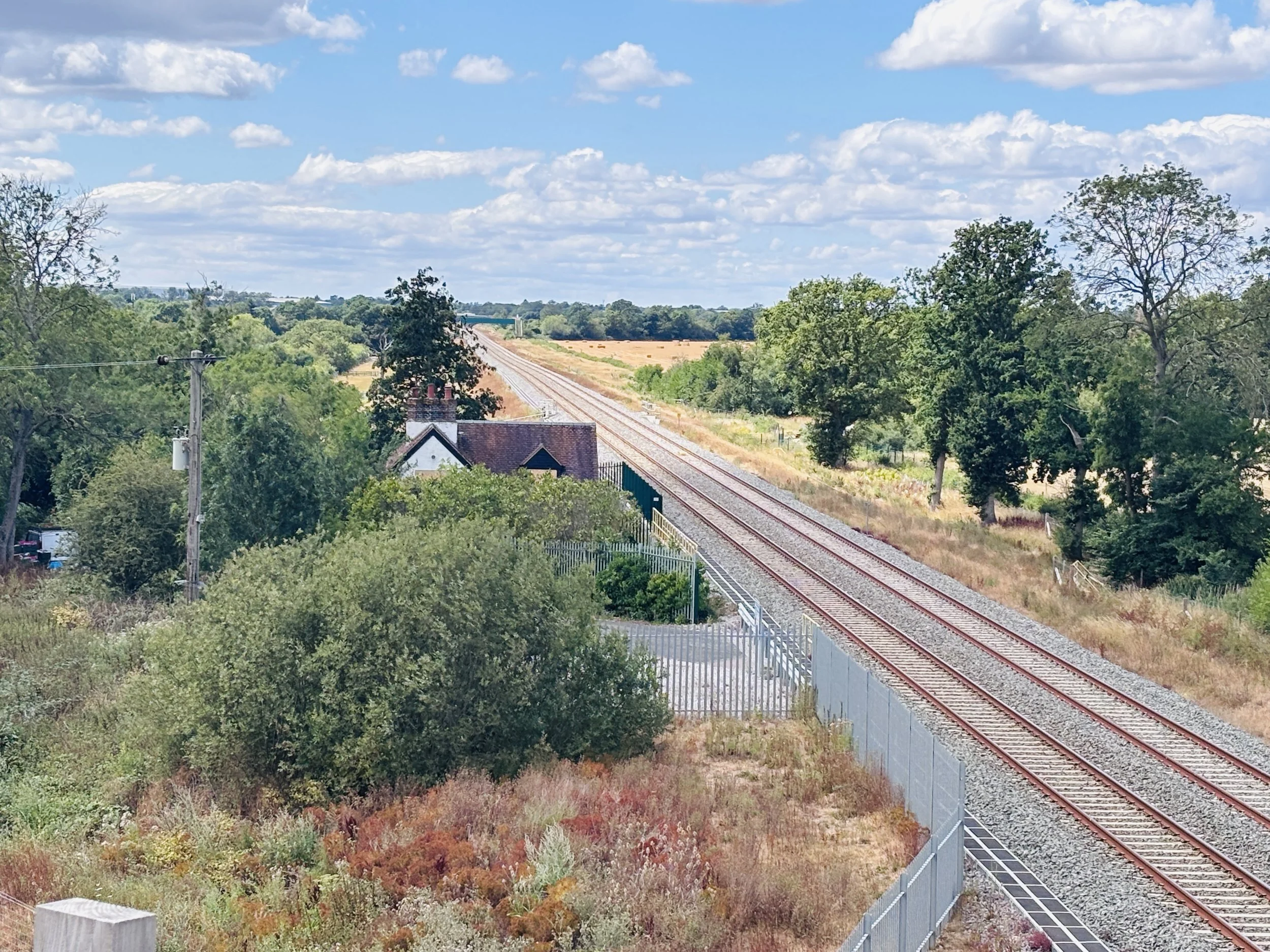
Since we spent so much time criss-crossing and riding near the railway line, I thought I would look up the history of it.
The original Varsity Line passenger service was withdrawn on the January 1st 1968. At the time, receipts were only half the operational costs, making it uneconomical to run. While many associate the railway closures of that era with the Beeching cuts, the decision to withdraw services along this specific line was actually taken by Tom Fraser, the Minister of Transport. Over time, it became a disused railway, and the national cycle route now runs close to it and crosses it quite a few times.
Nowadays, there is a major project underway to reopen the line as the East West Rail, which will eventually link Oxford, Milton Keynes, Bedford, and Cambridge. The line is being built on the old Varsity Line corridor. The section between Oxford and Milton Keynes has been rebuilt with new track, bridges, and signalling, and was officially handed over to Network Rail in December 2024.
However, if you are wondering why we couldn't just hop on a train, there is conflicting information online about the actual opening date. Some sources state that the Oxford to Milton Keynes section was originally set to open in 2025, while others now indicate that services might not start until December 2026. A significant reason for the delay is a dispute with rail unions over a proposal for driver-only operation. There have also been delays attributed to the need to complete train preparation, staff training, and final works at the new Winslow station.
So, for now, the two-car shuffle was our best option!
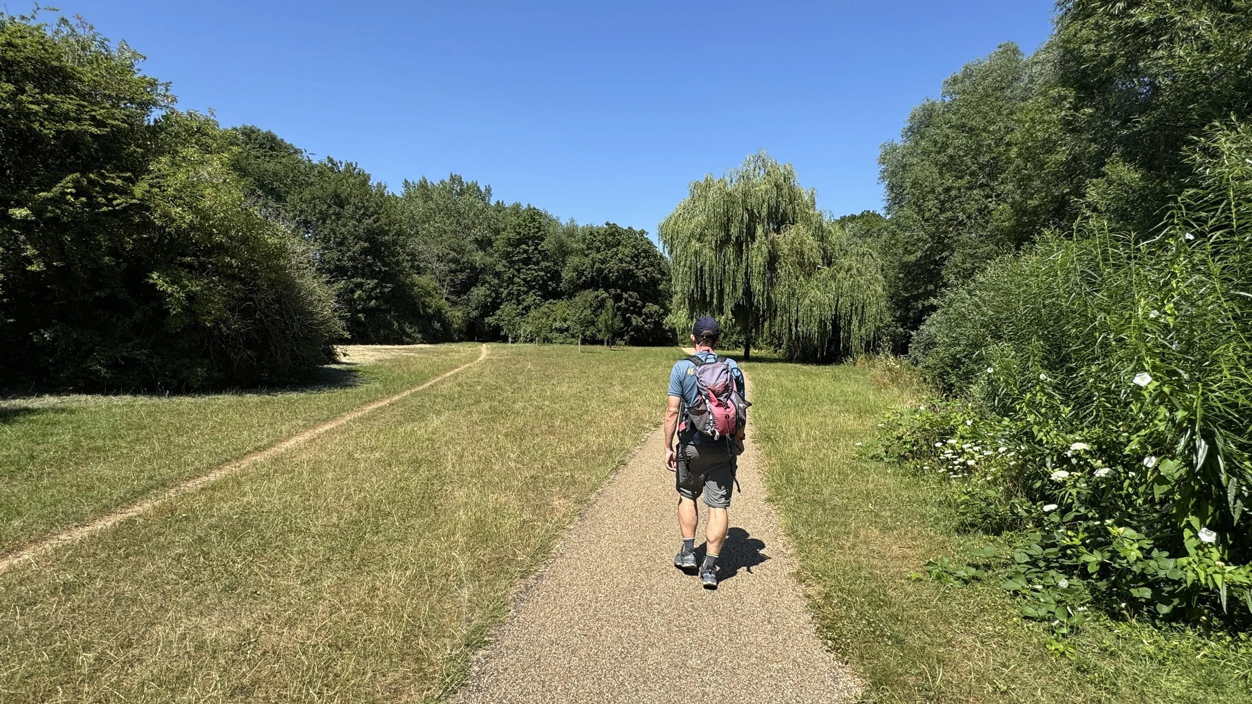
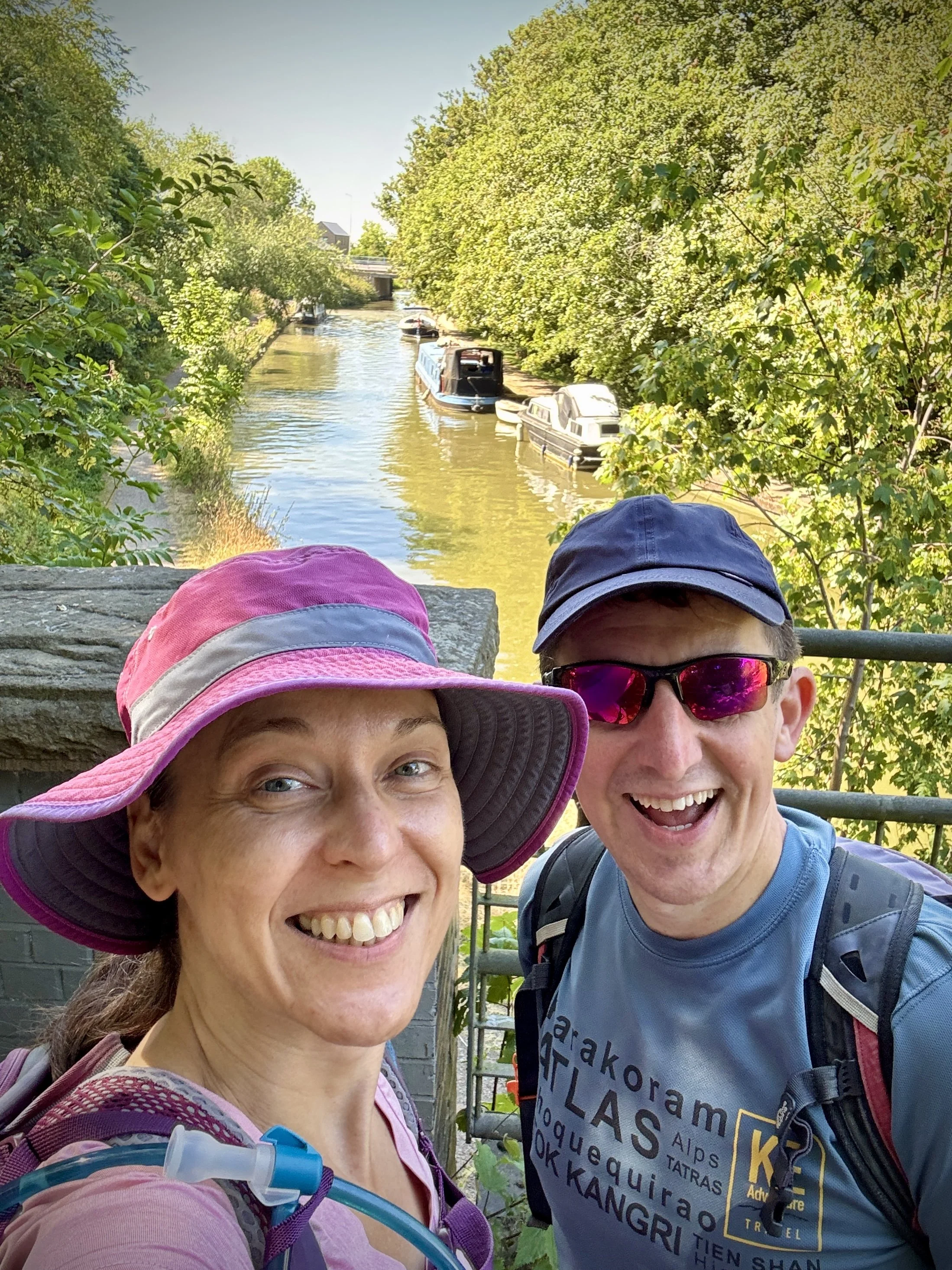
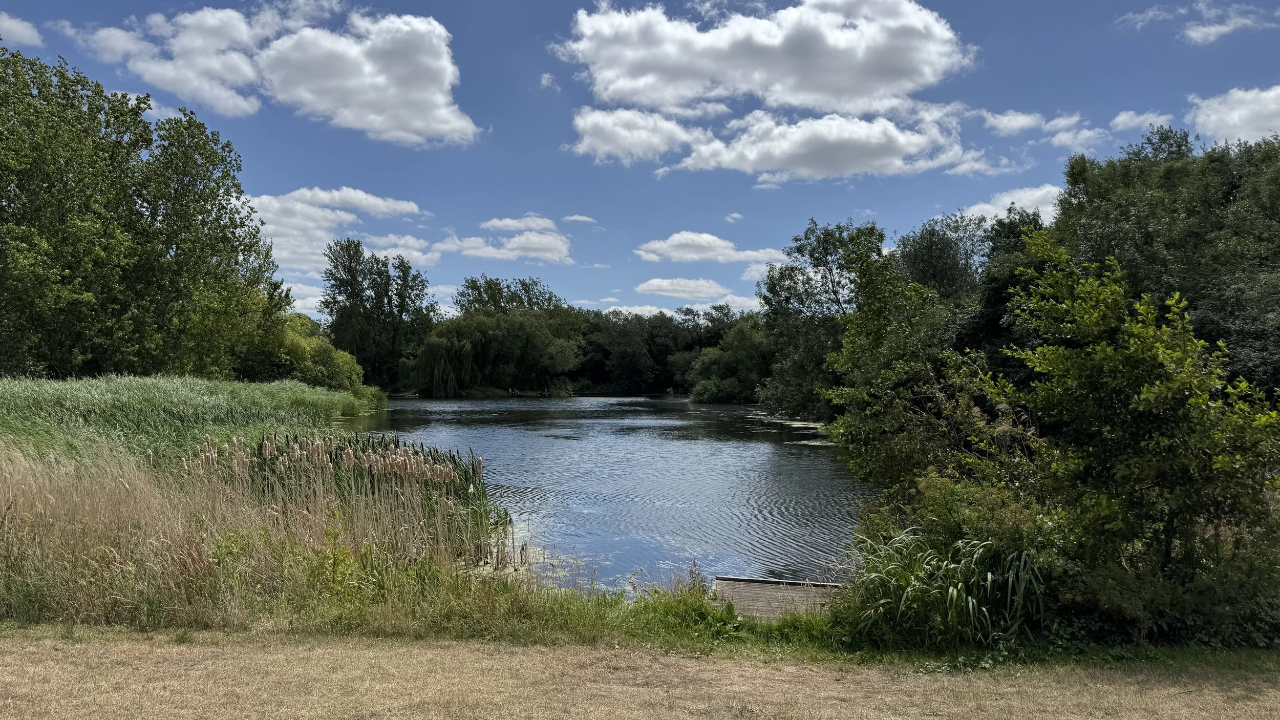
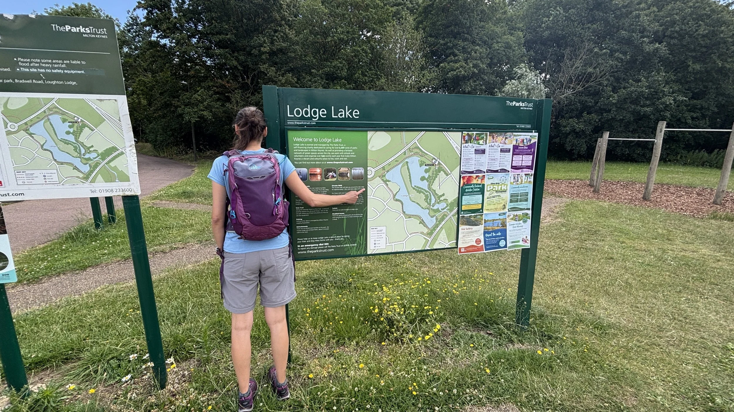
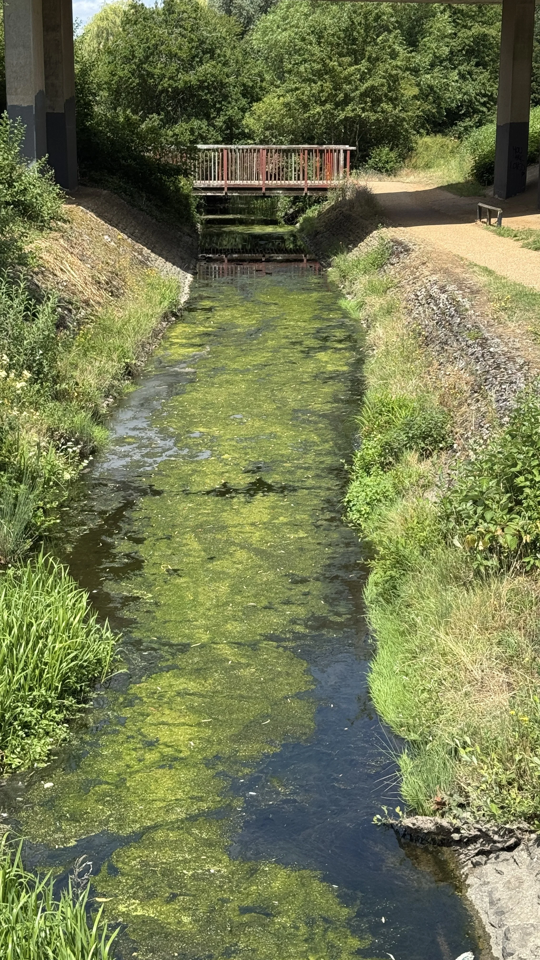
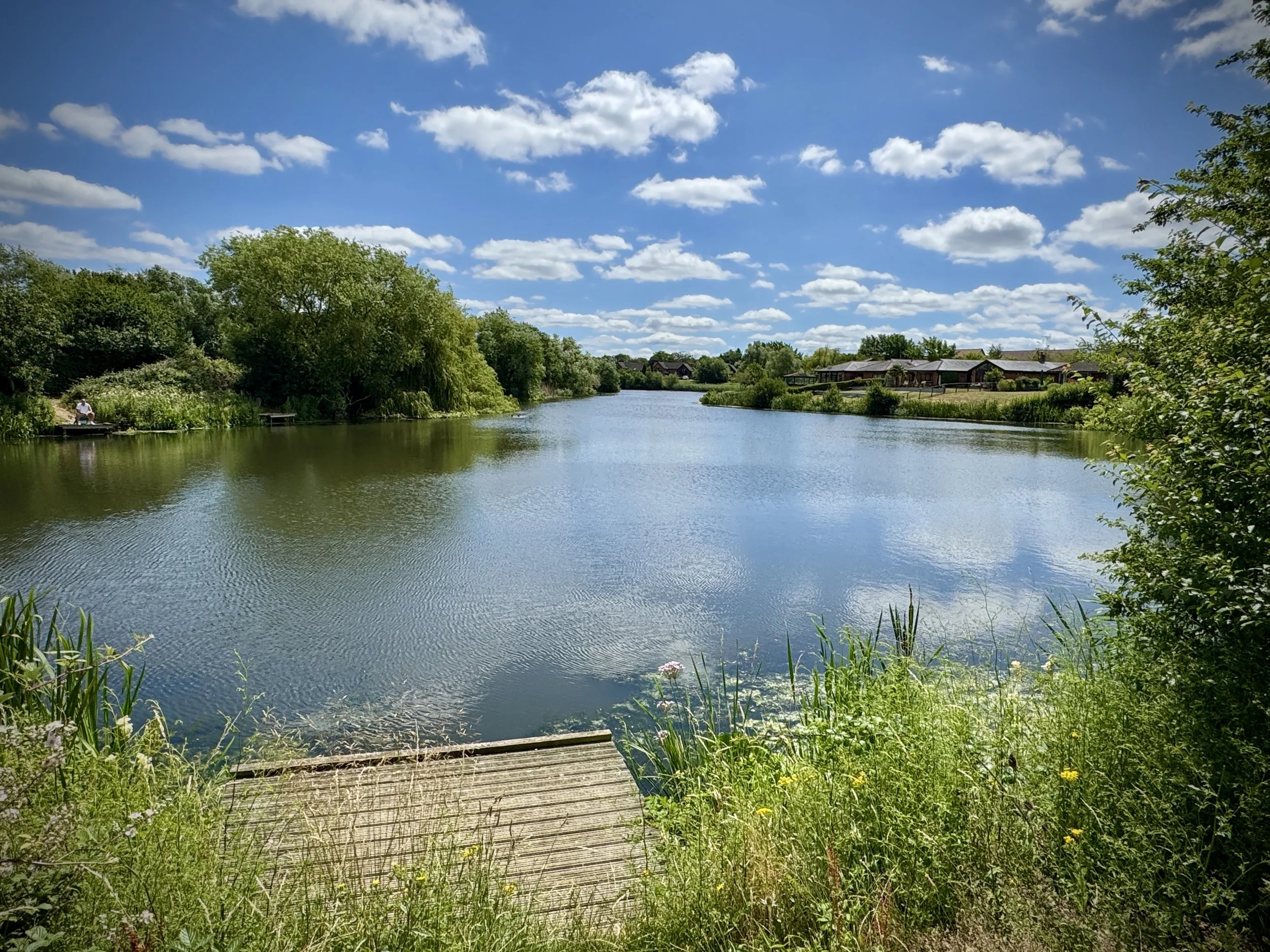
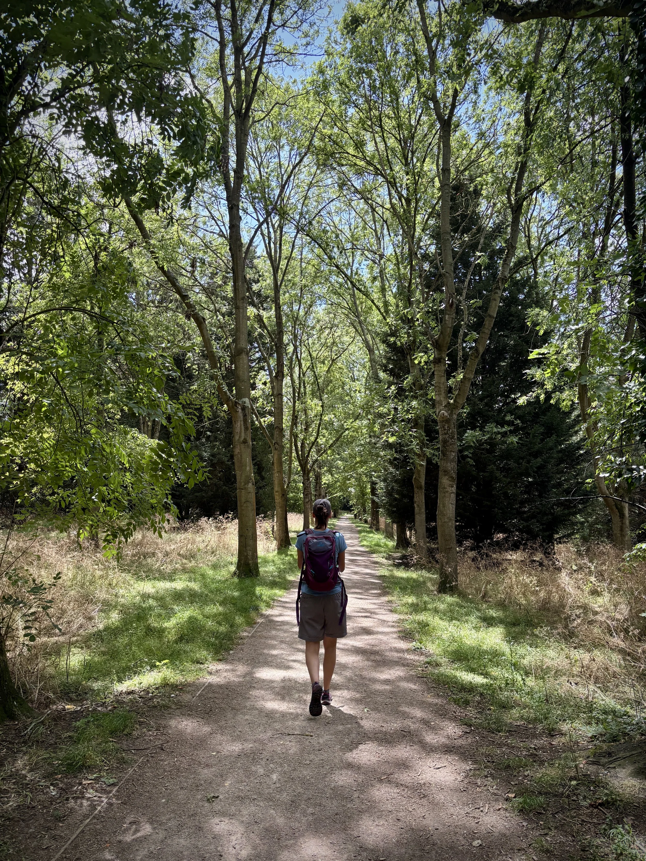
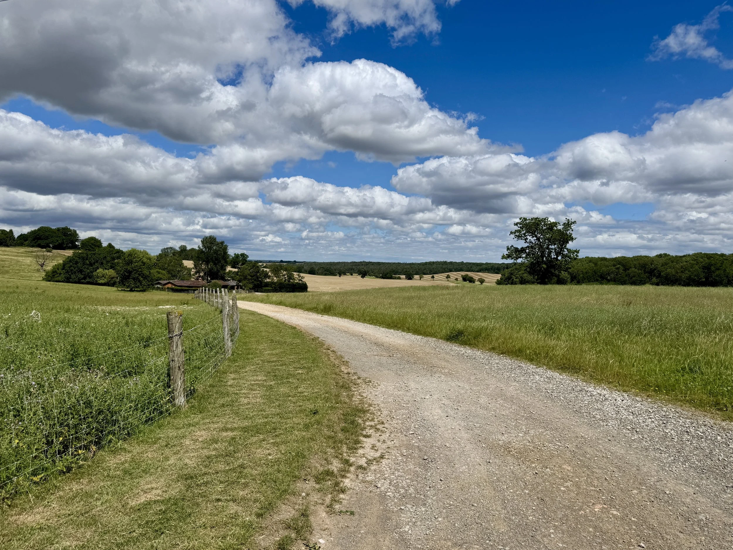
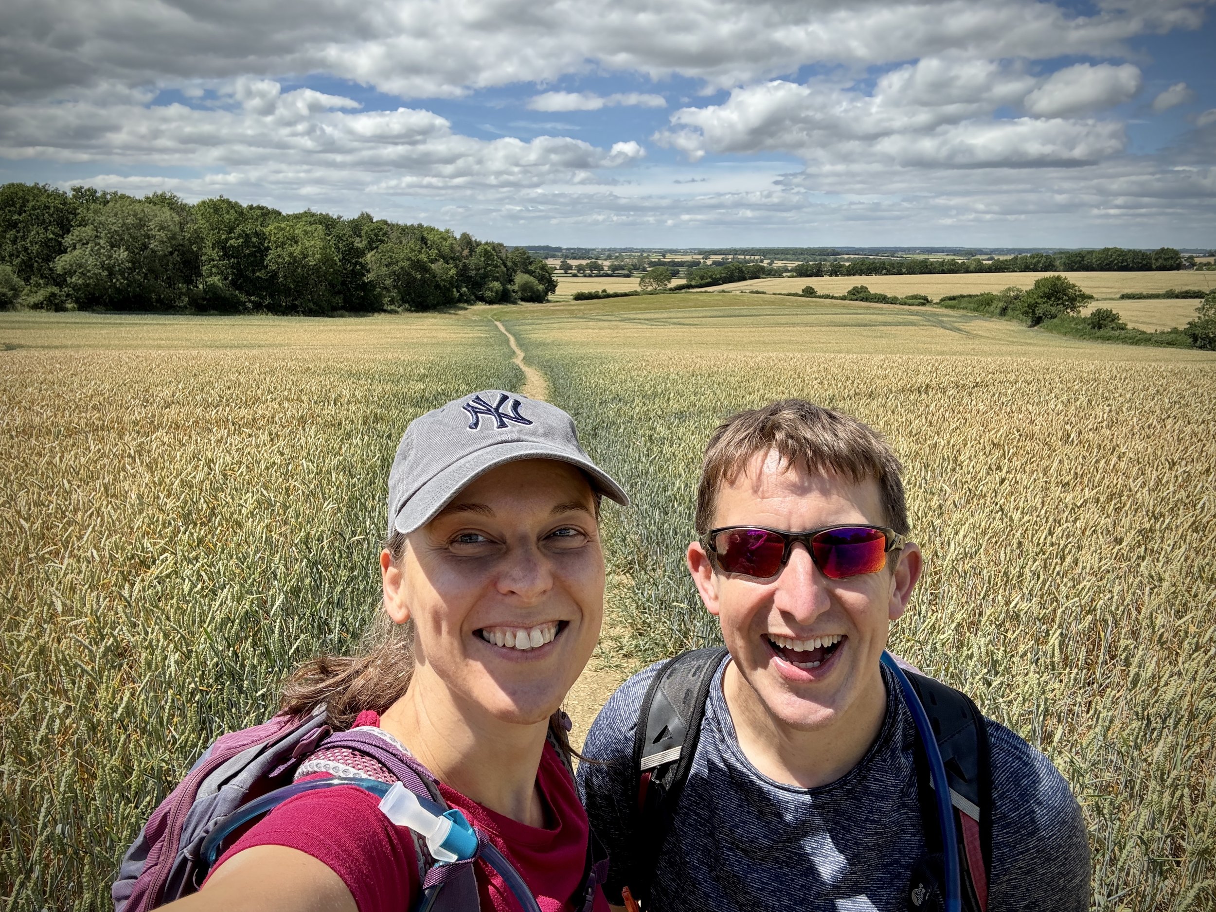
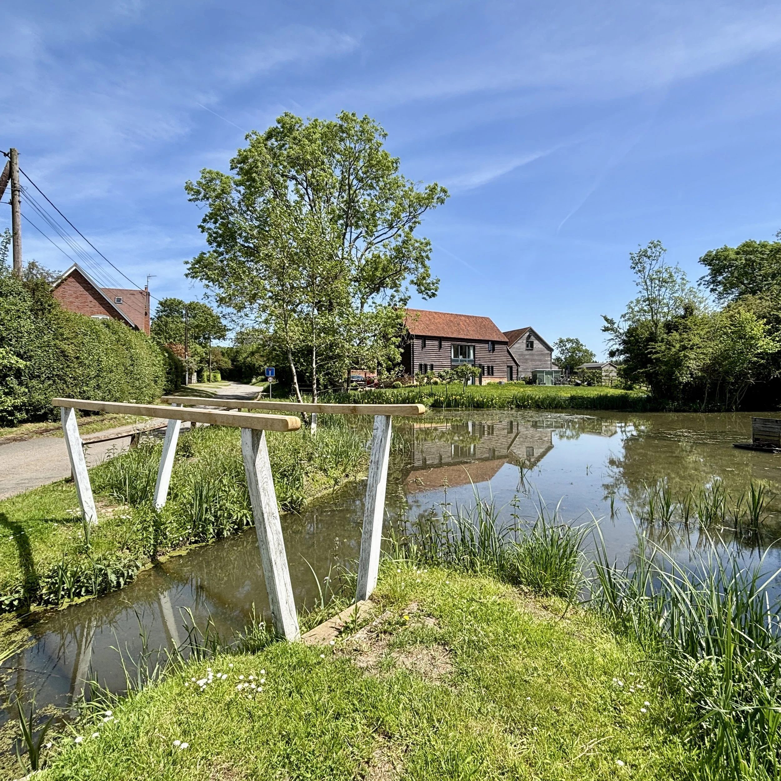
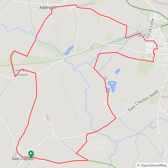
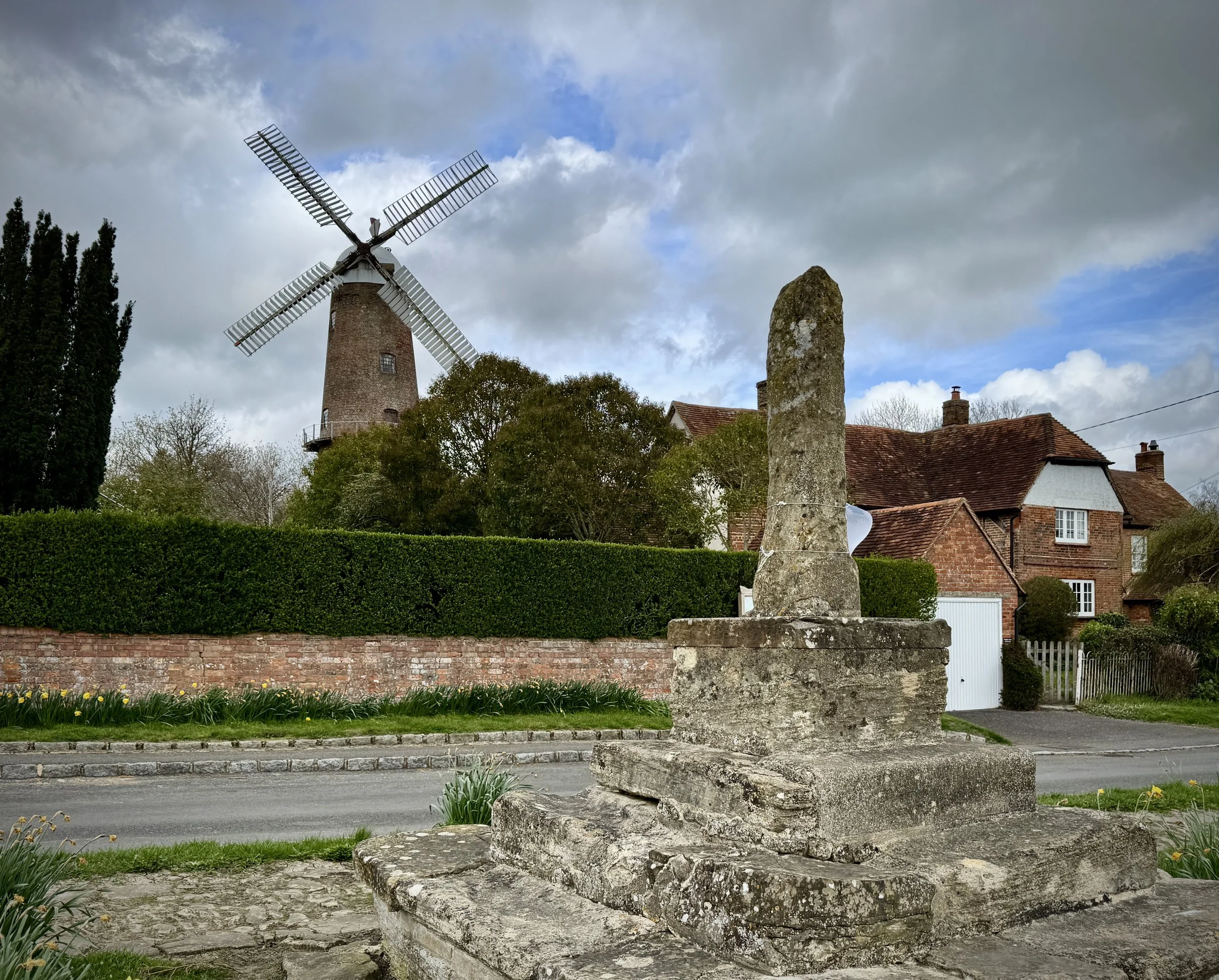
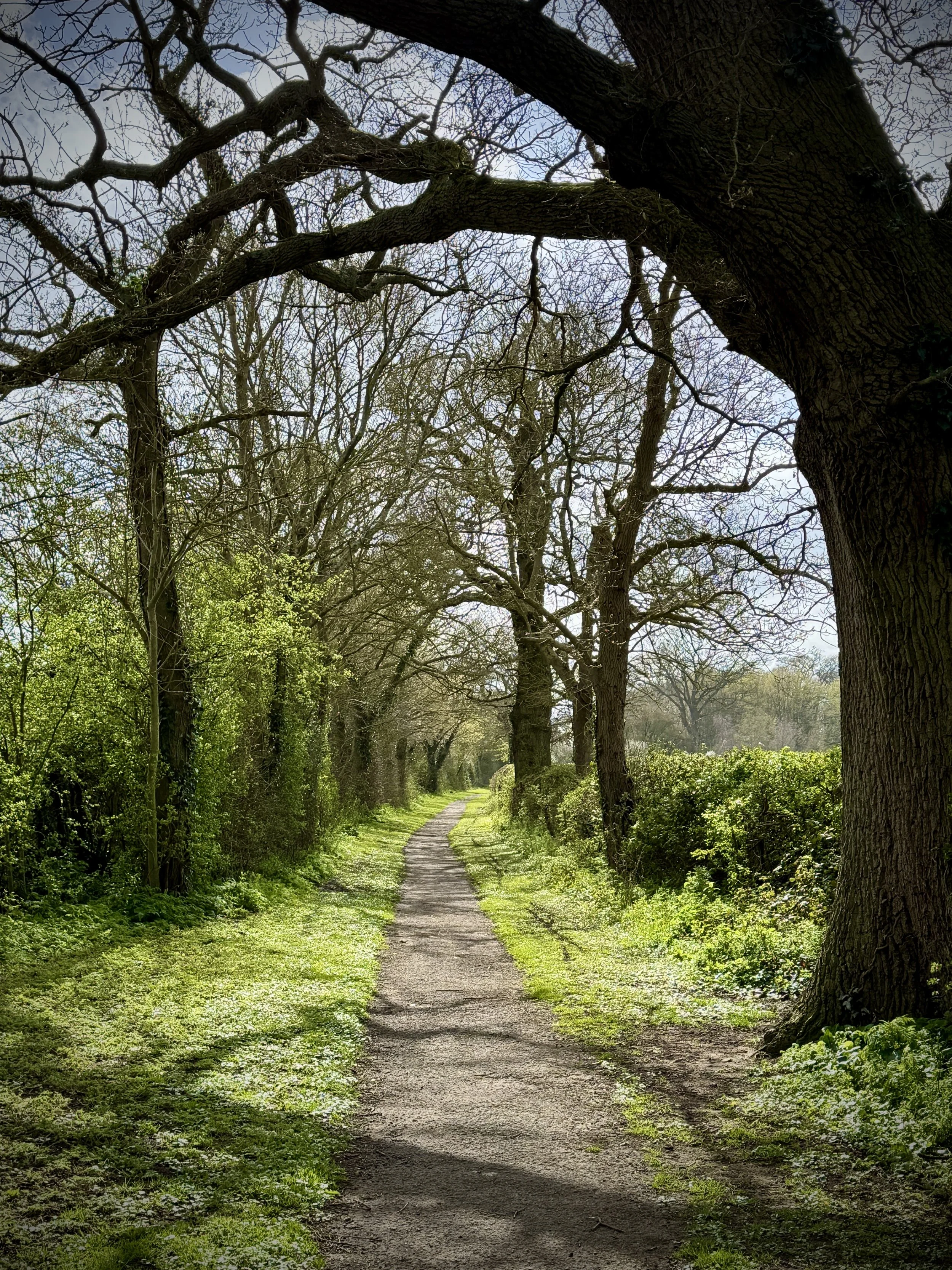
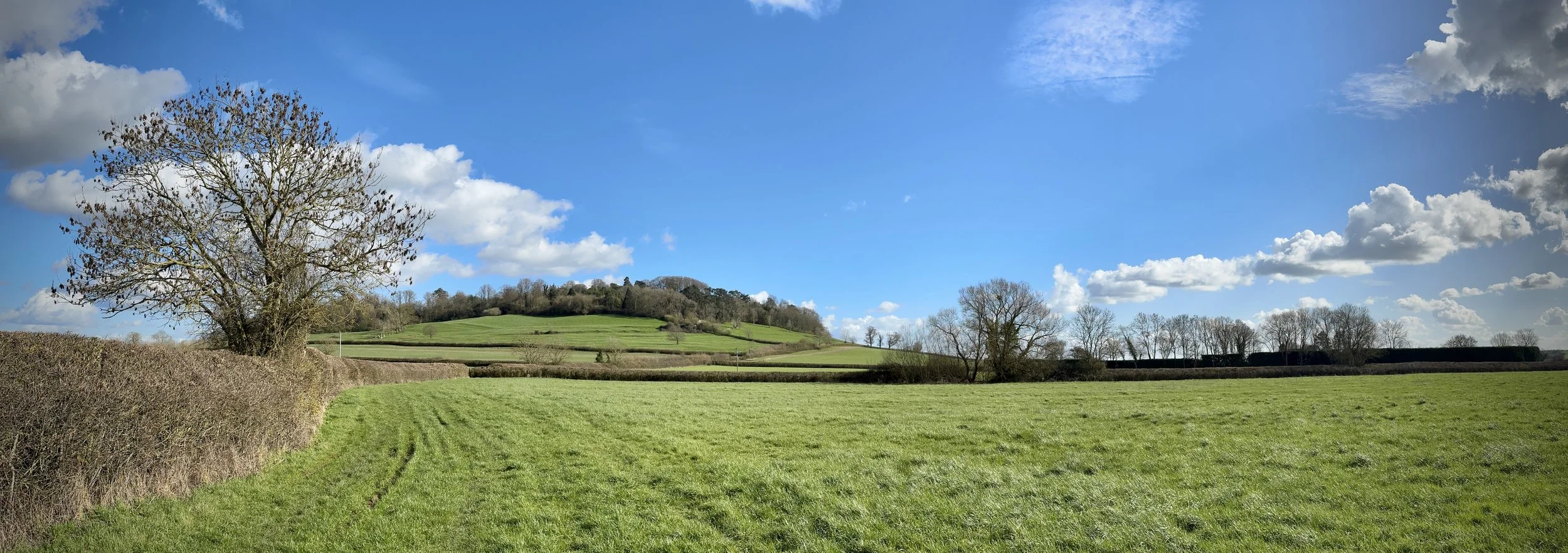
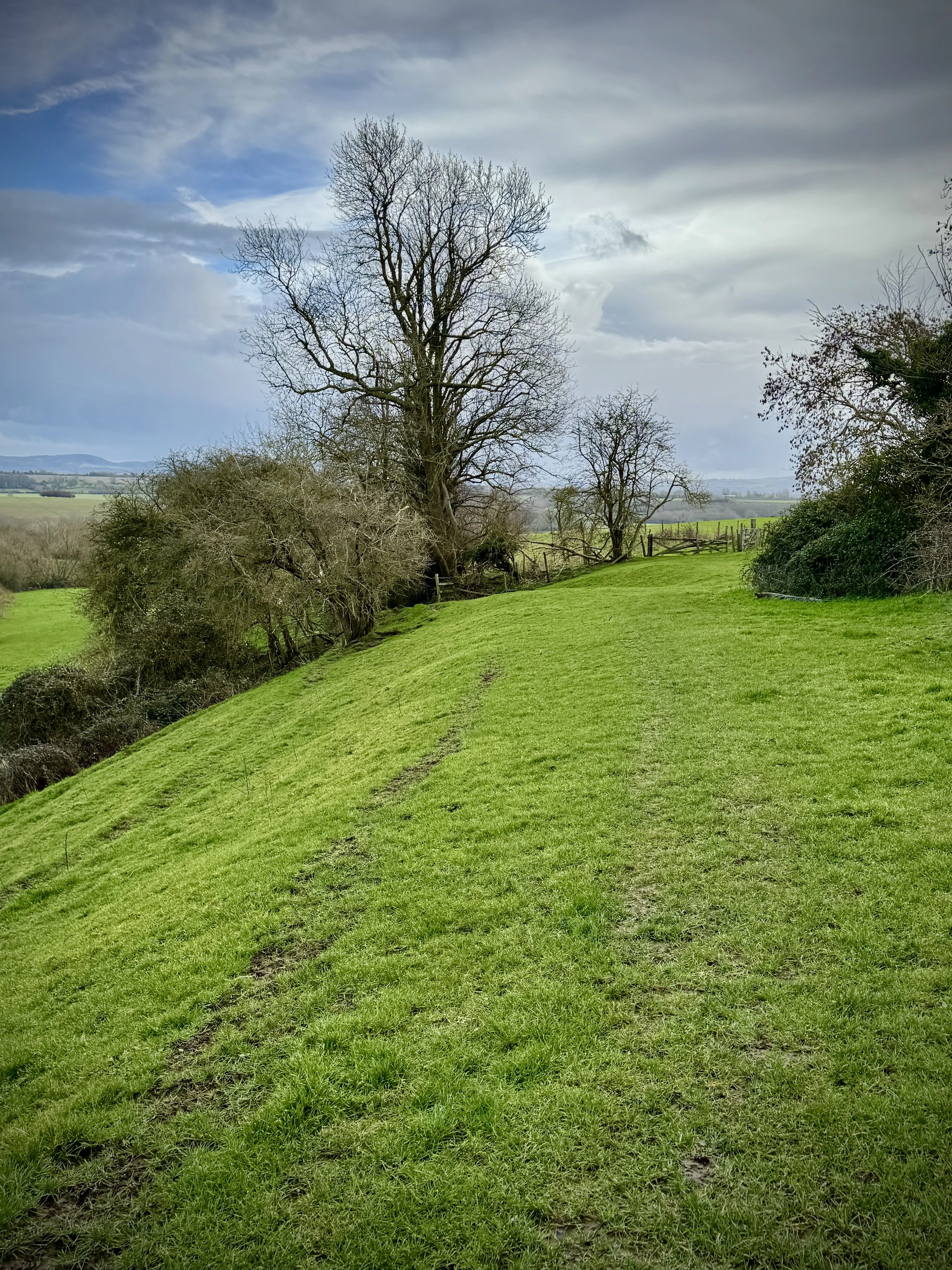
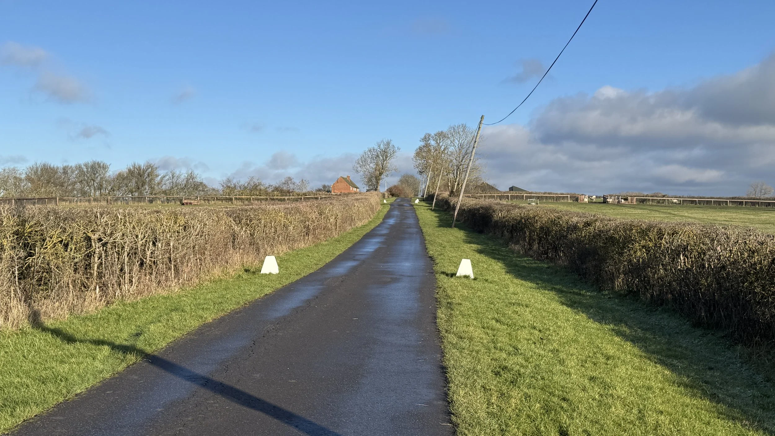
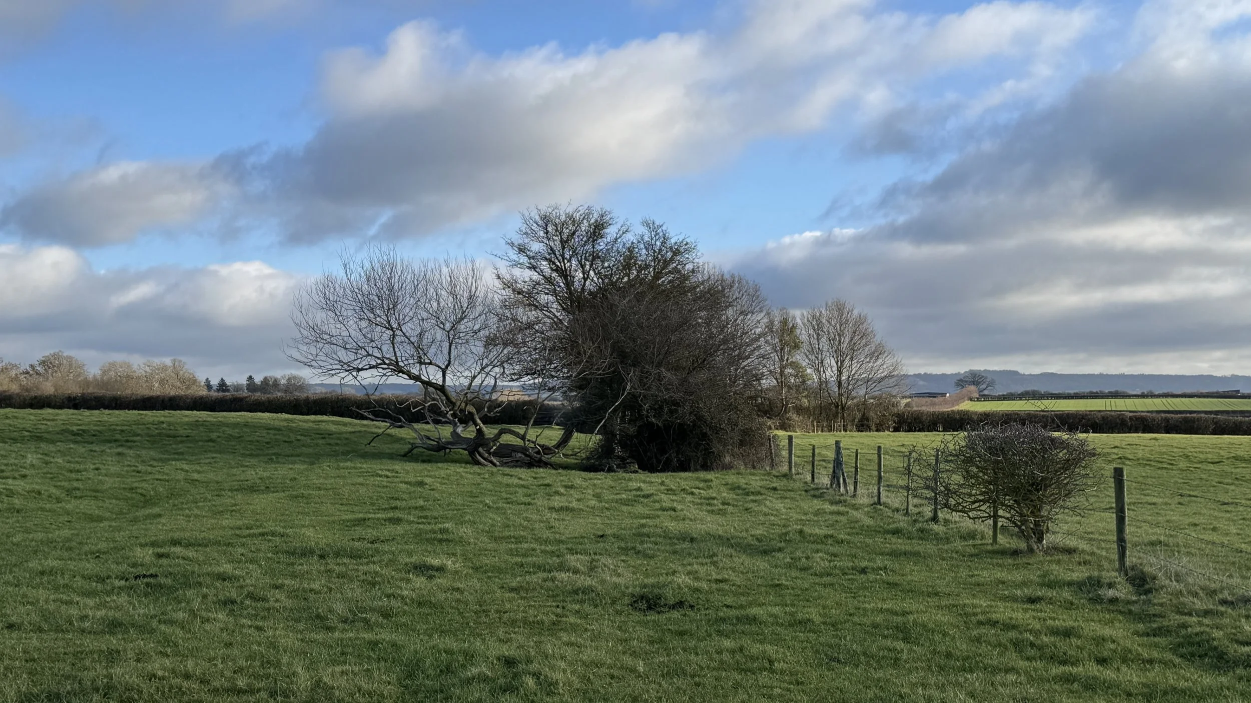
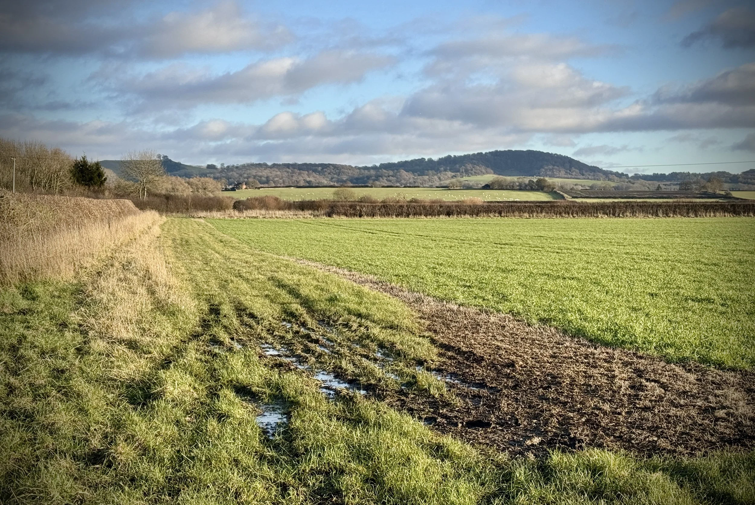
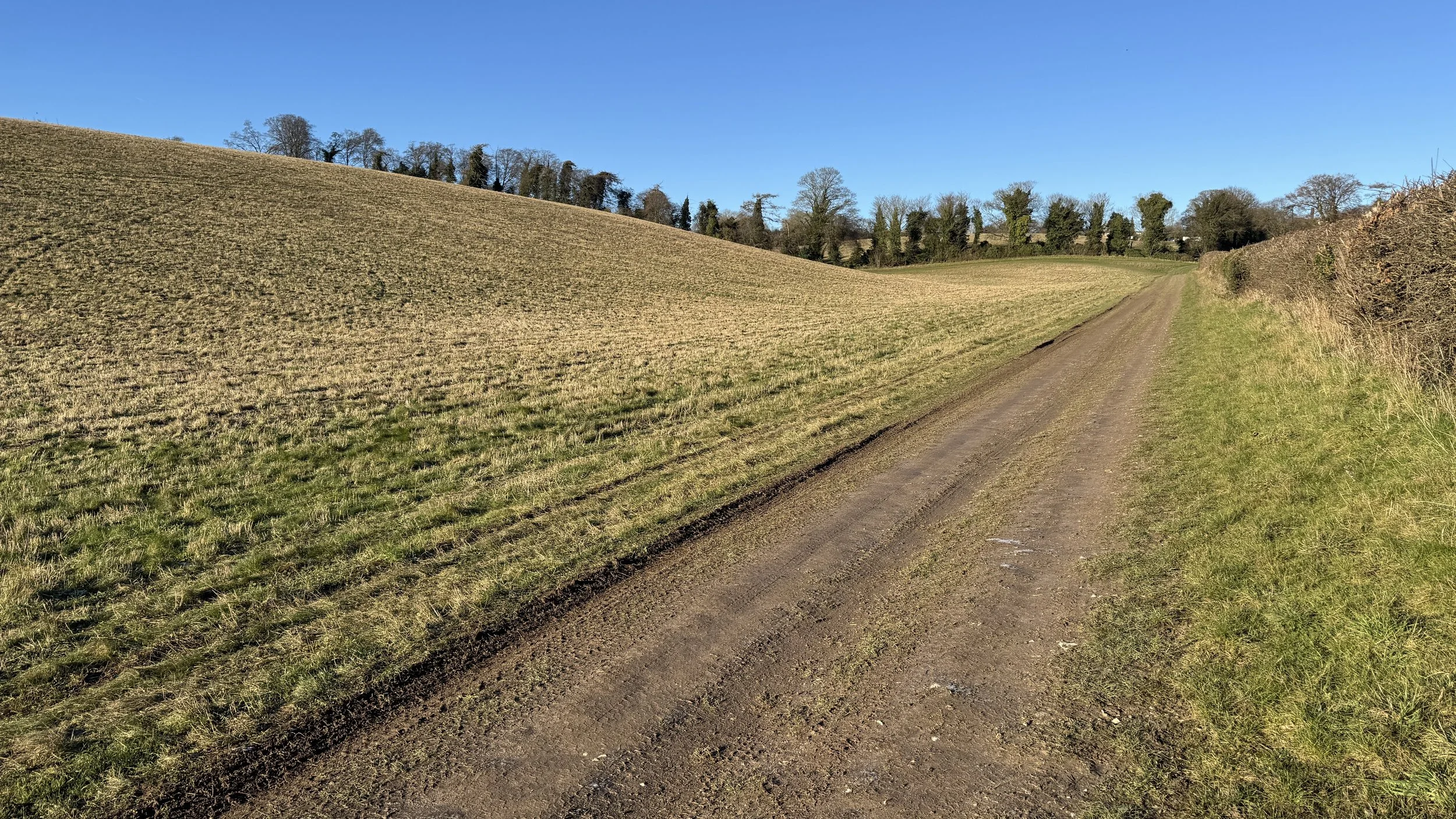
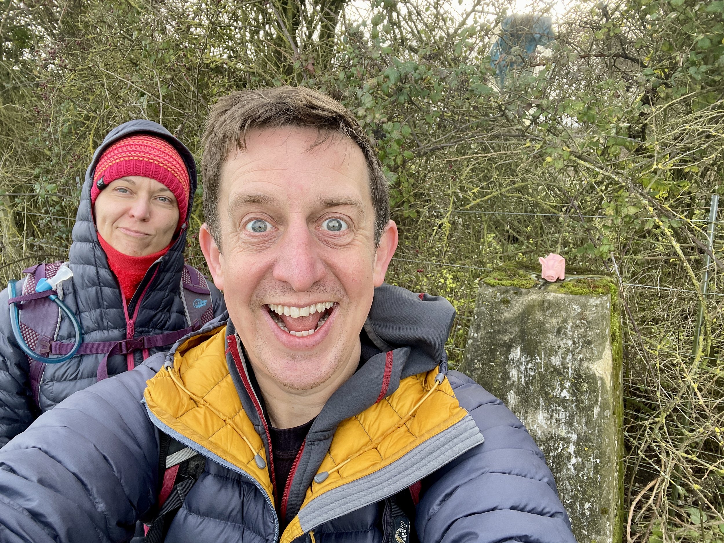
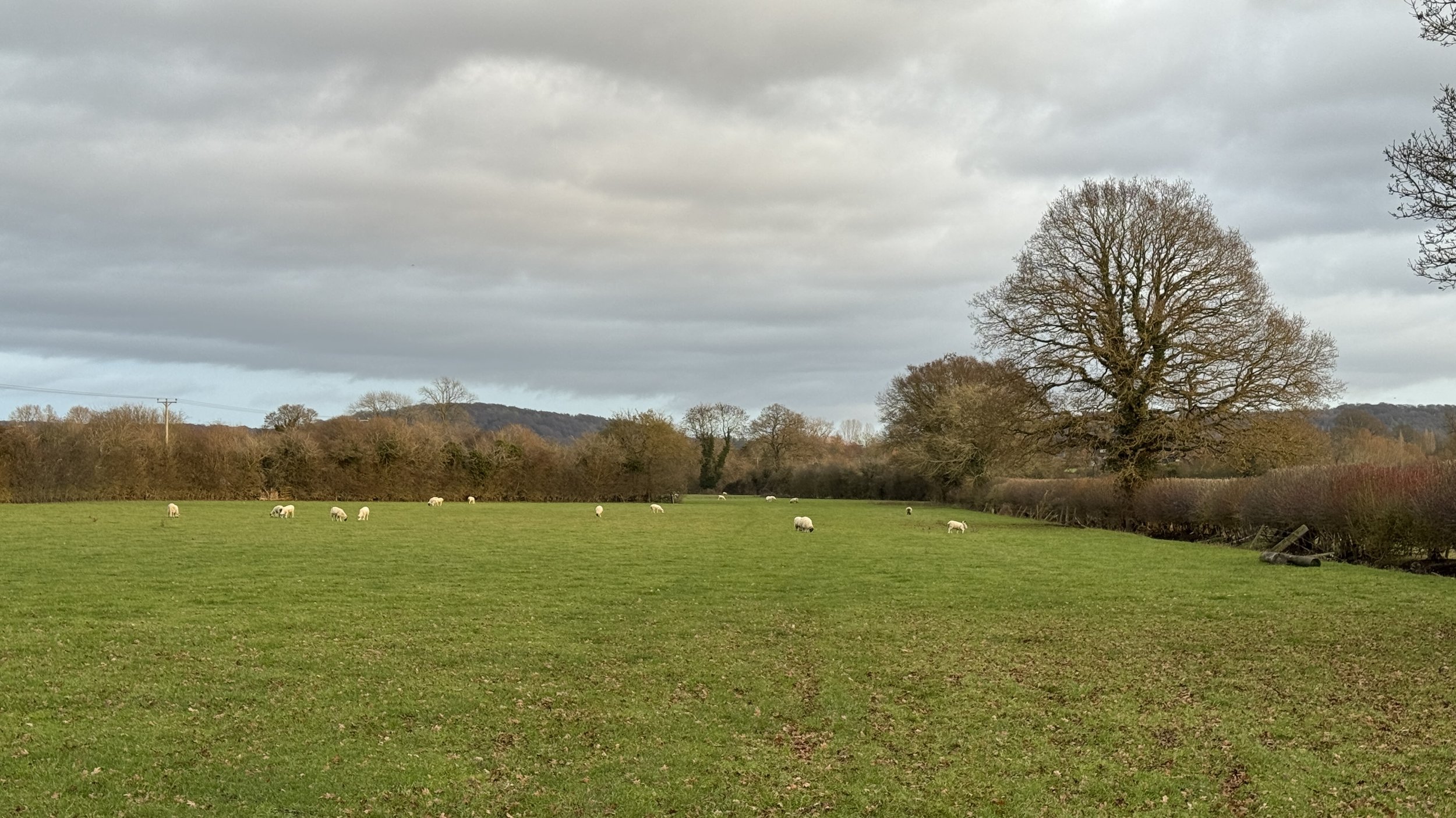
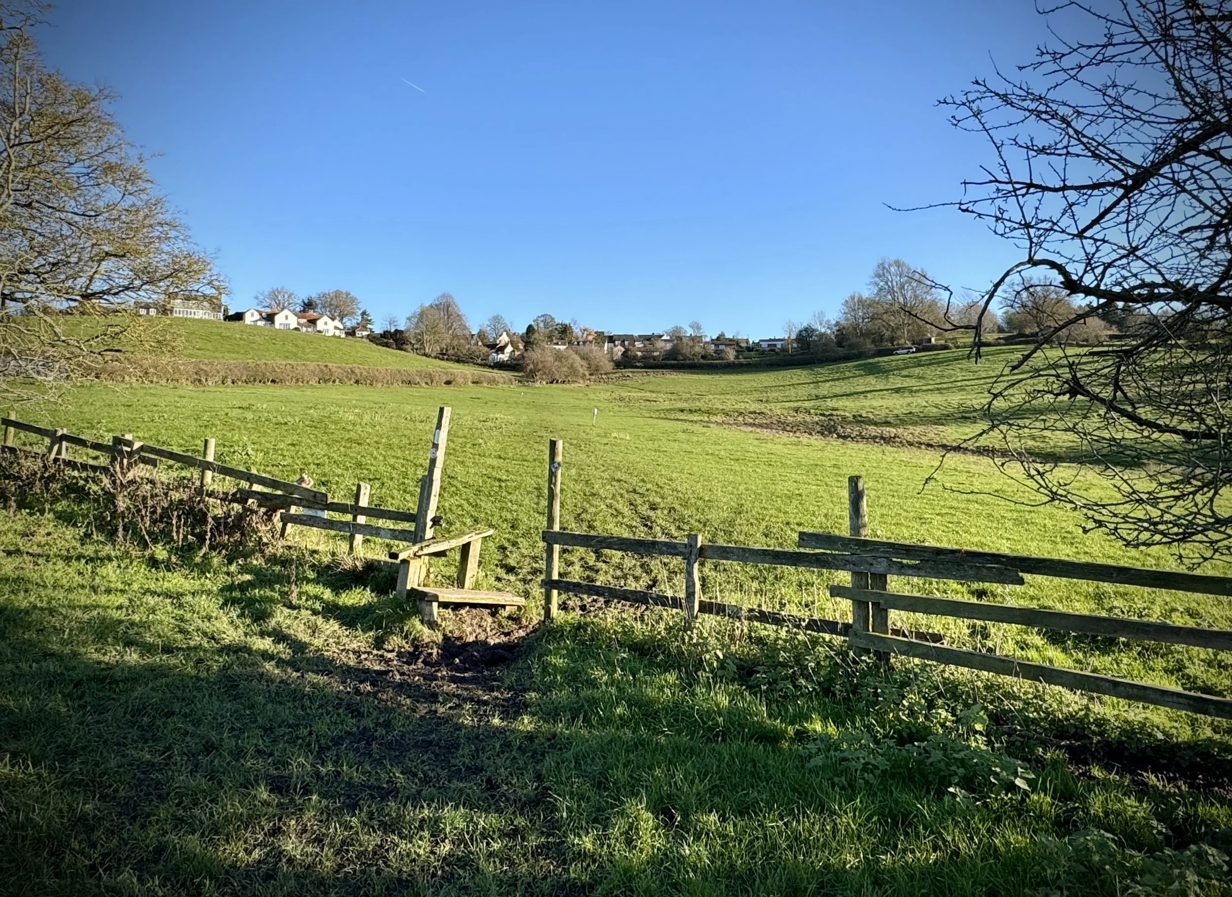
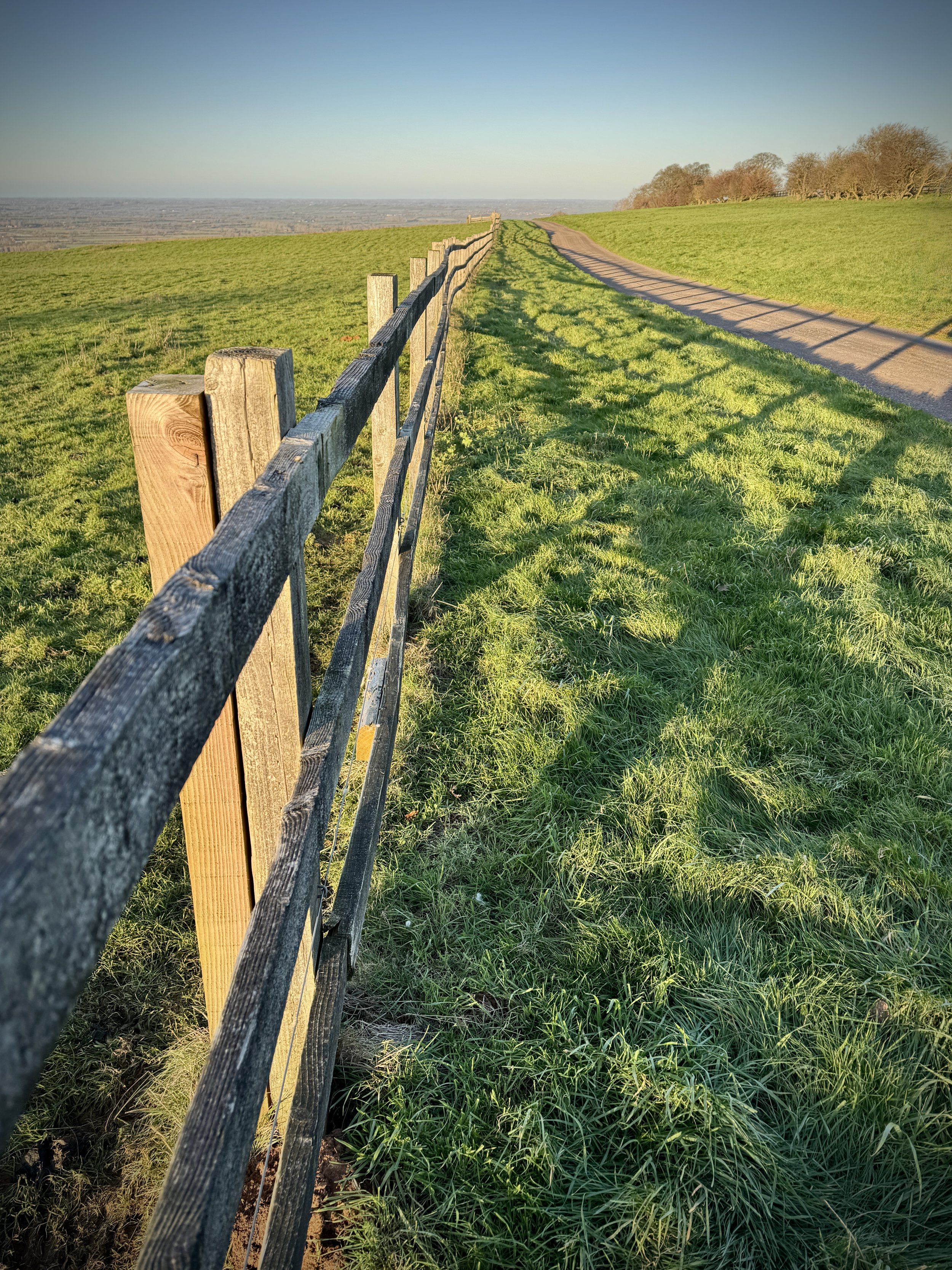
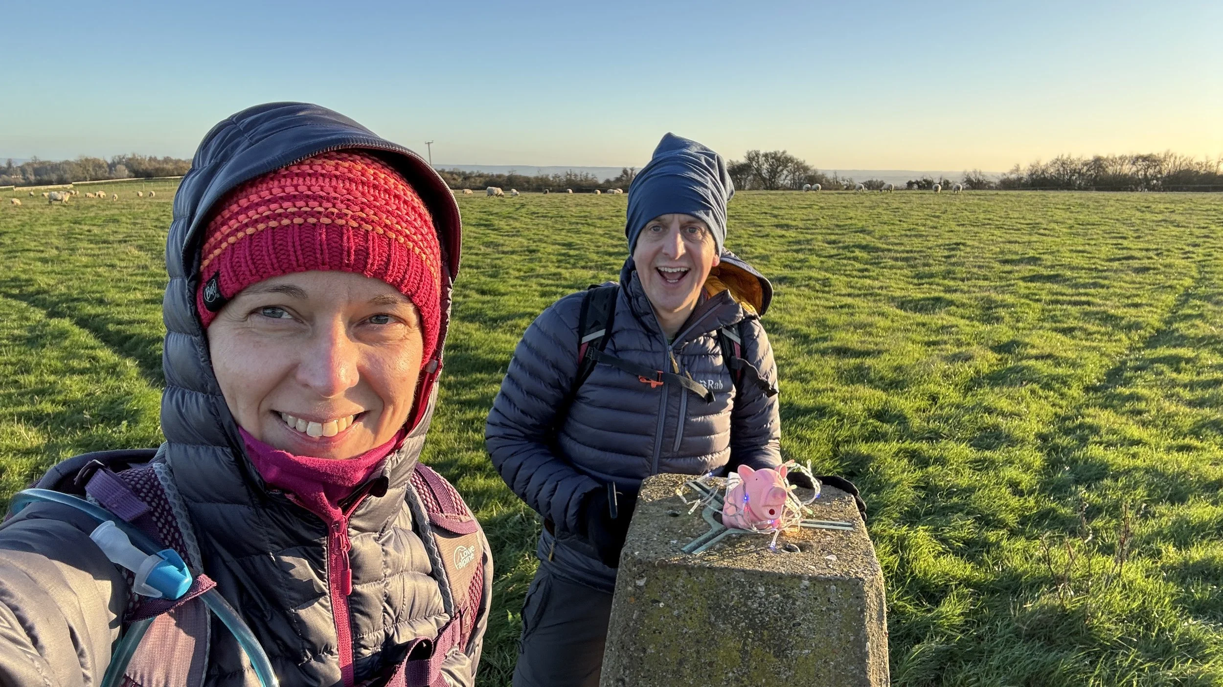
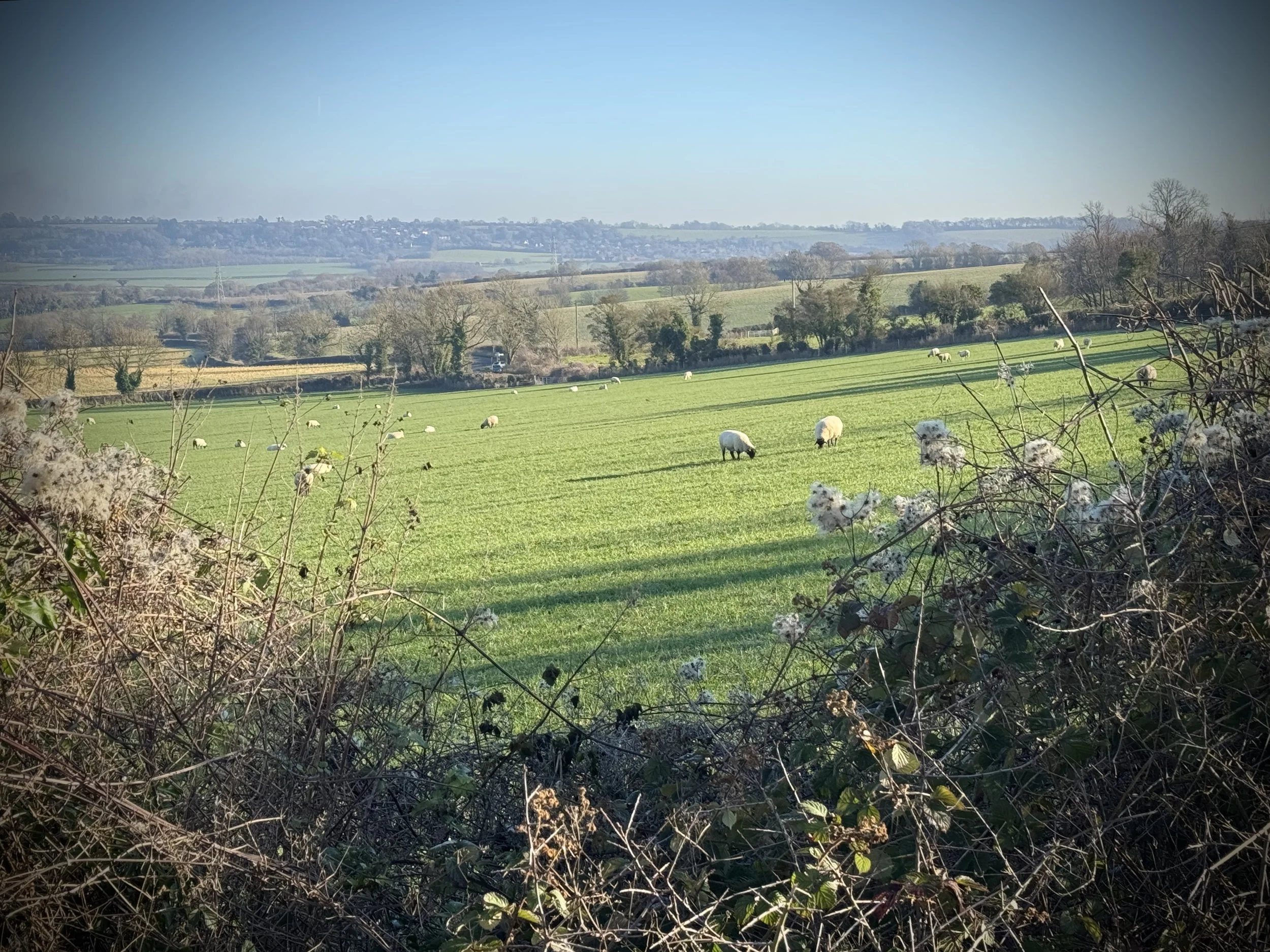
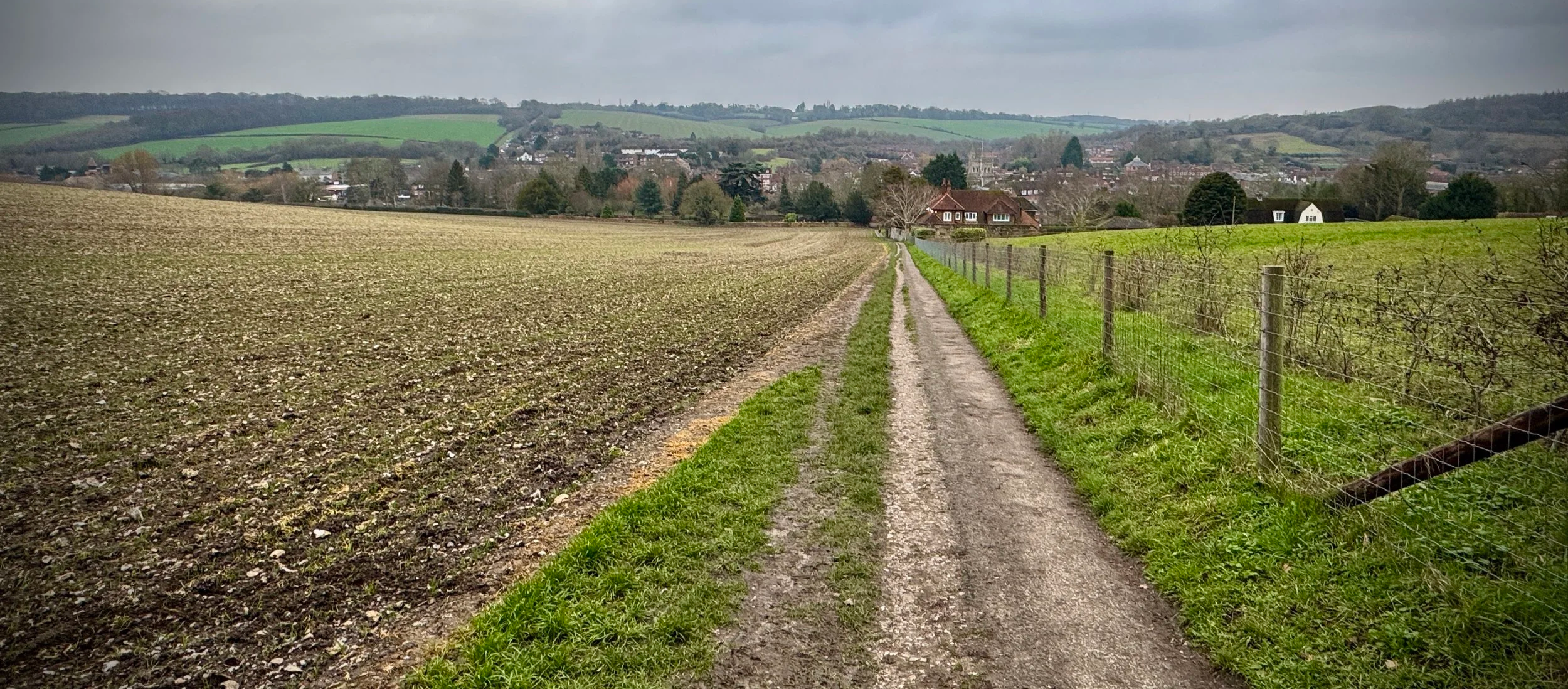
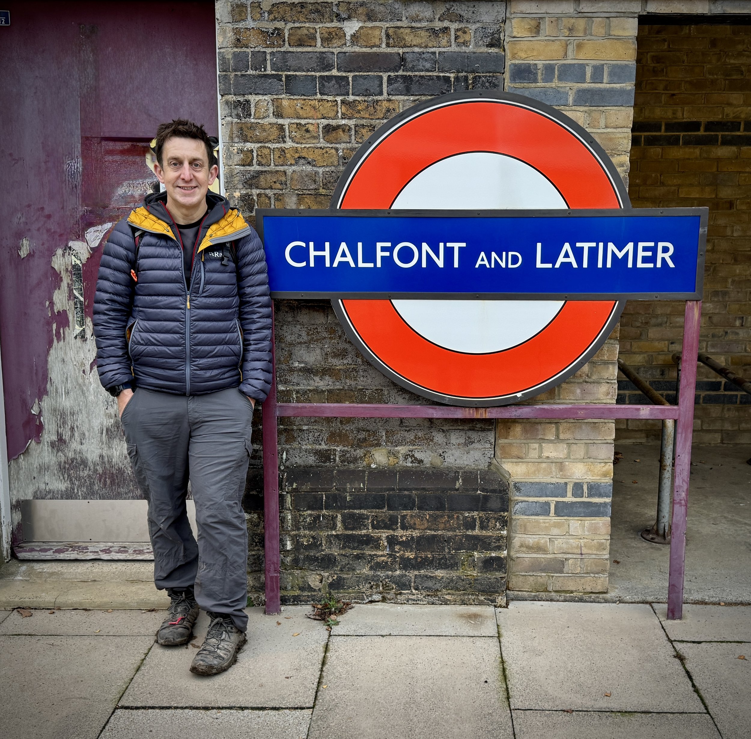
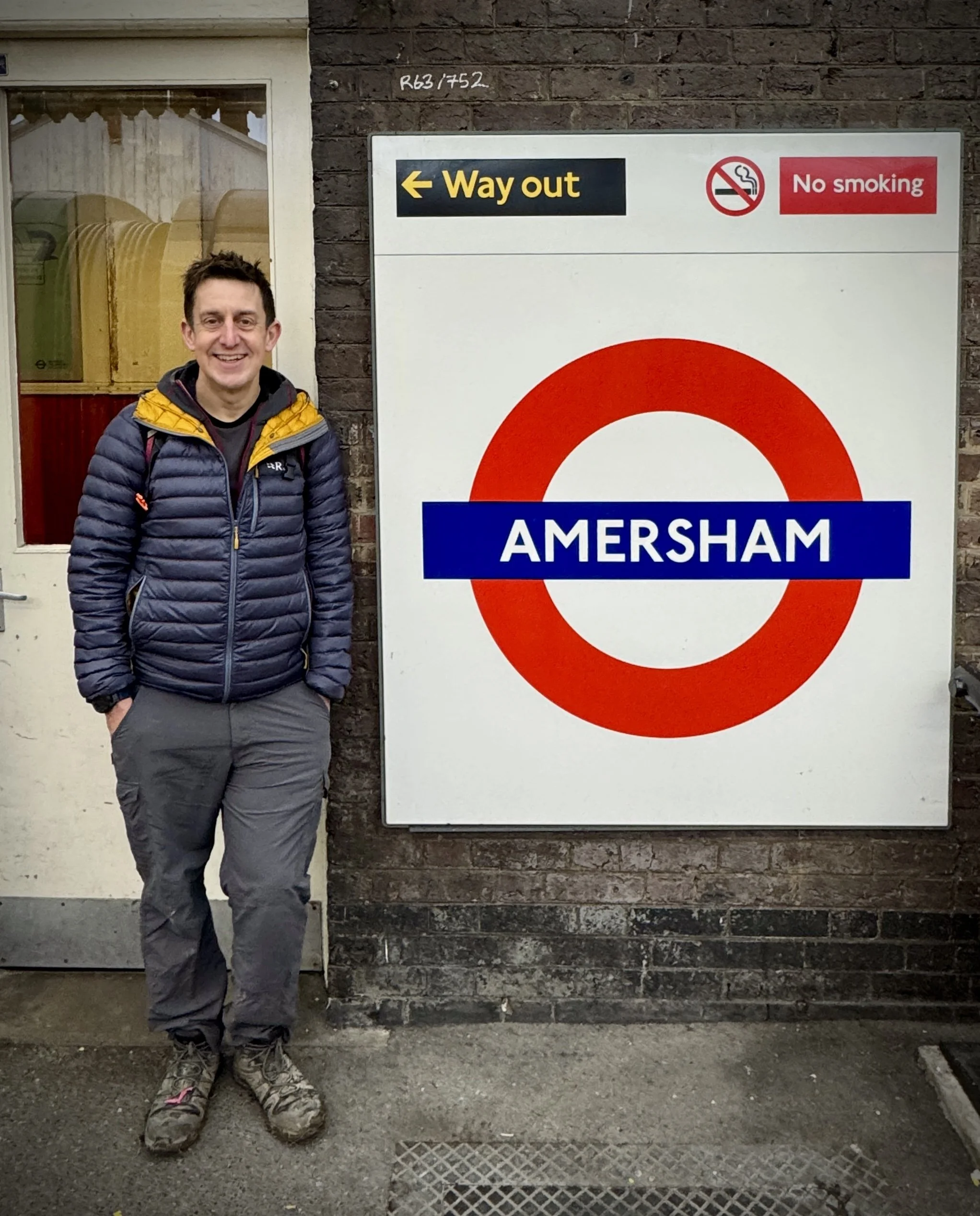
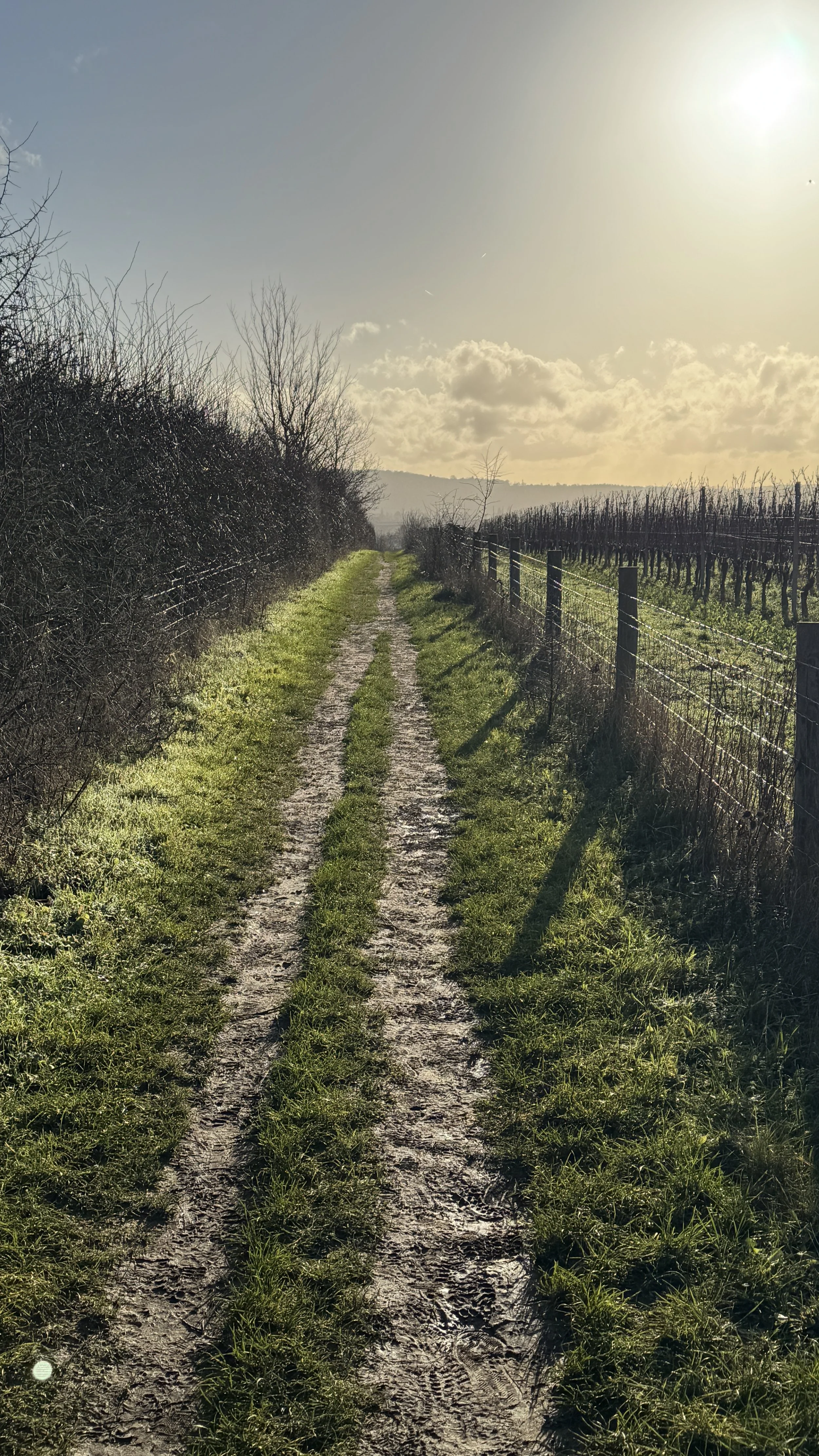
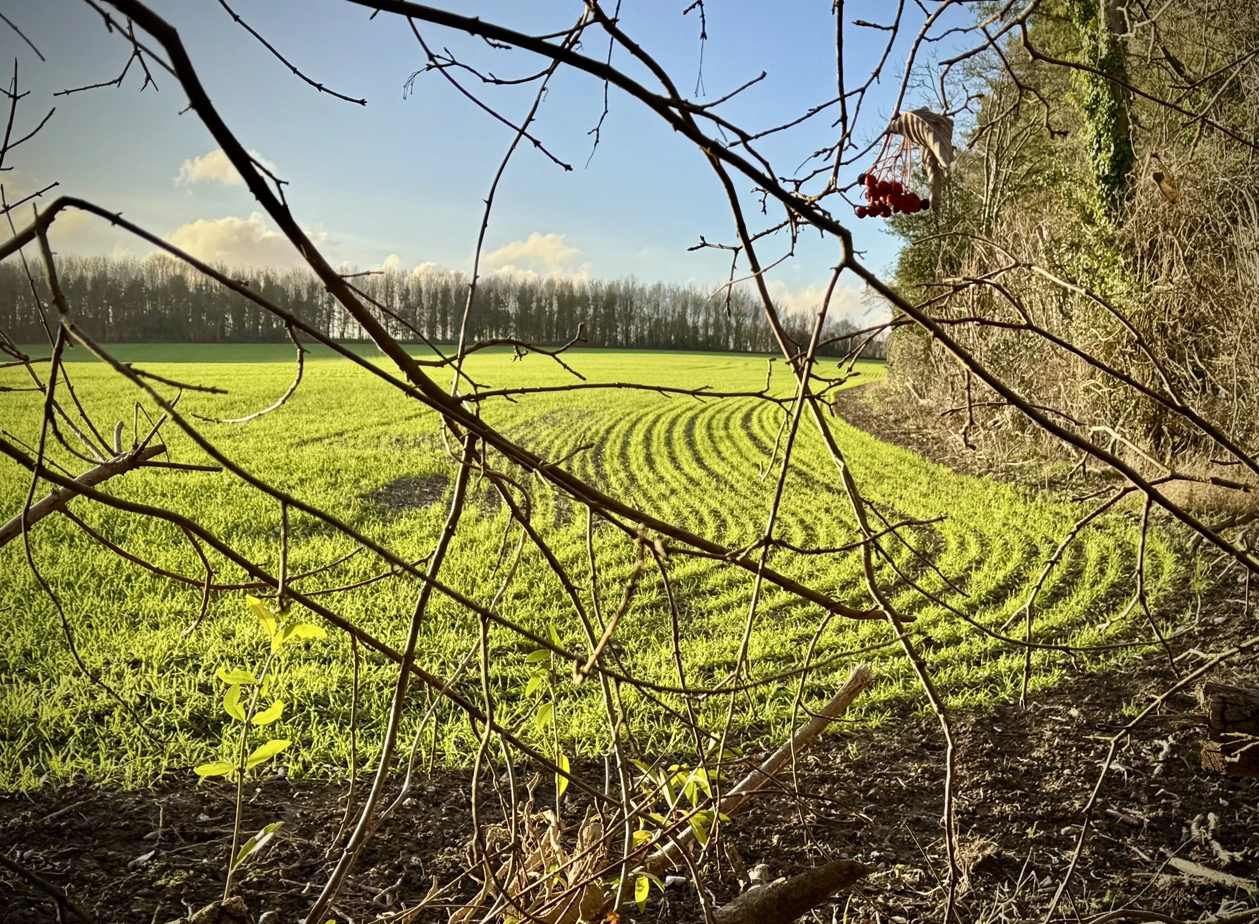
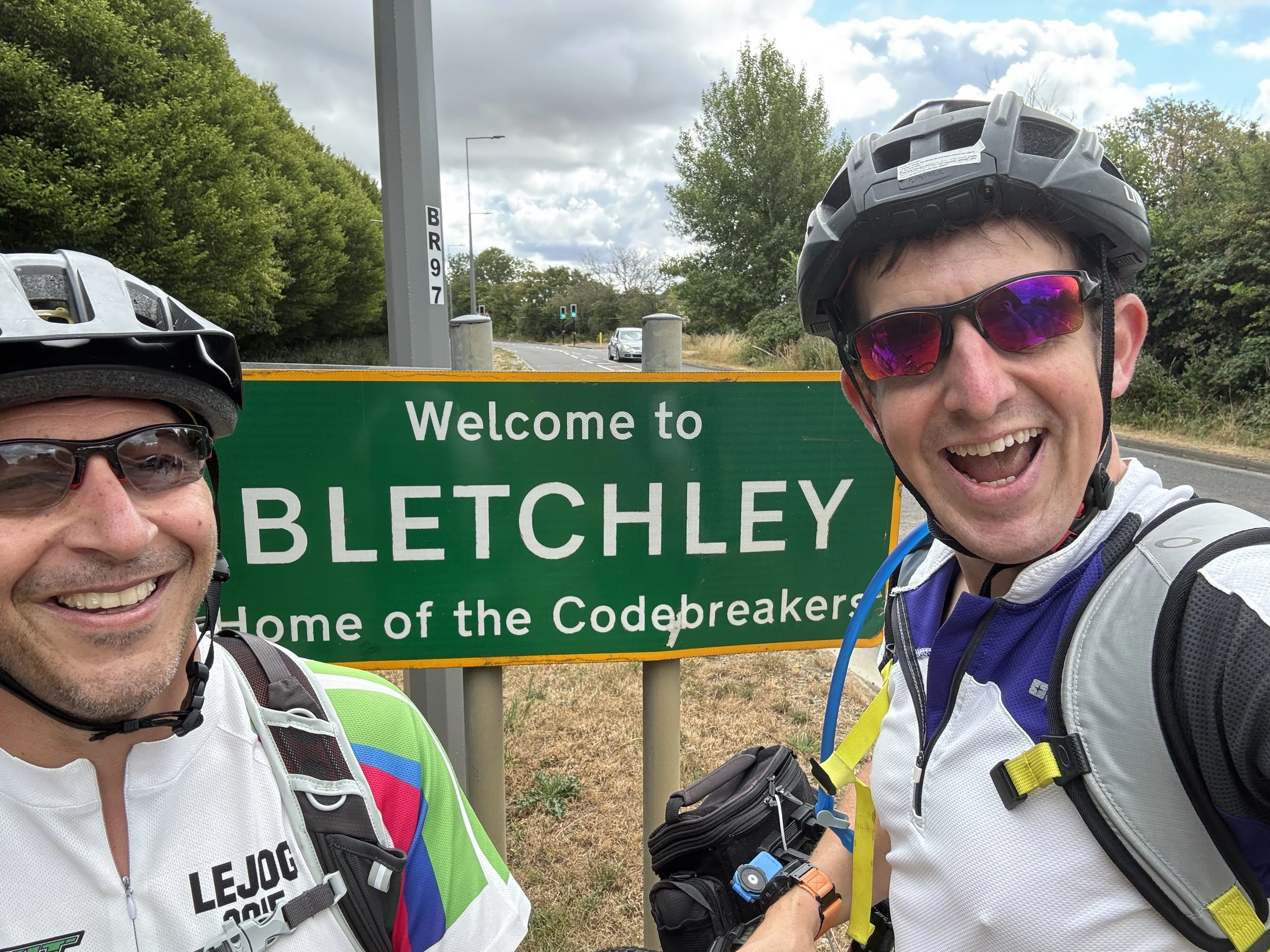
We set off from Milton Keynes, immediately hitting that rich seam of Millennium Mileposts I mentioned earlier. We were ticking them off rapidly as we navigated the lakes and green spaces of MK, passing the Teardrop Lakes and Furzton Lake.
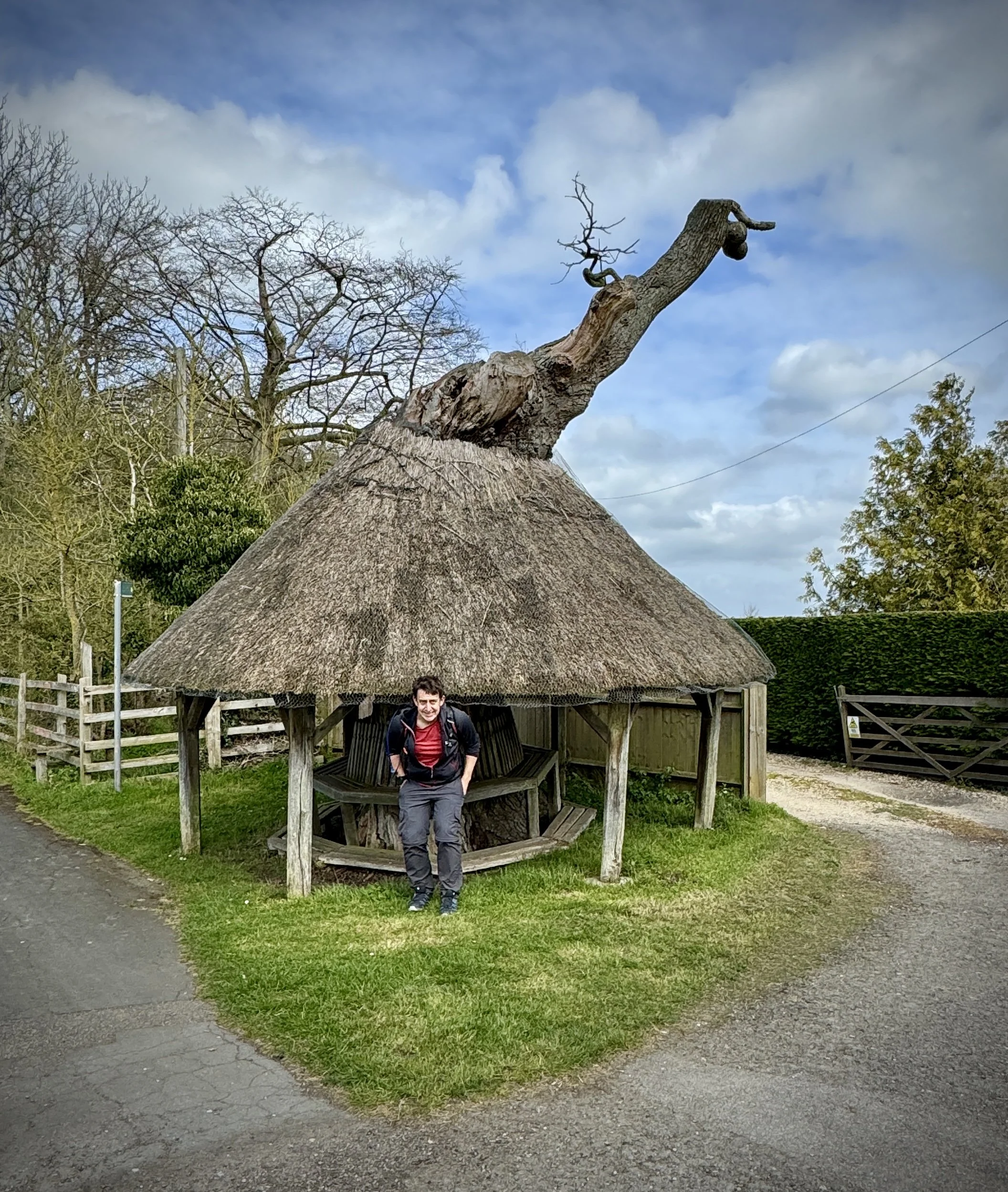
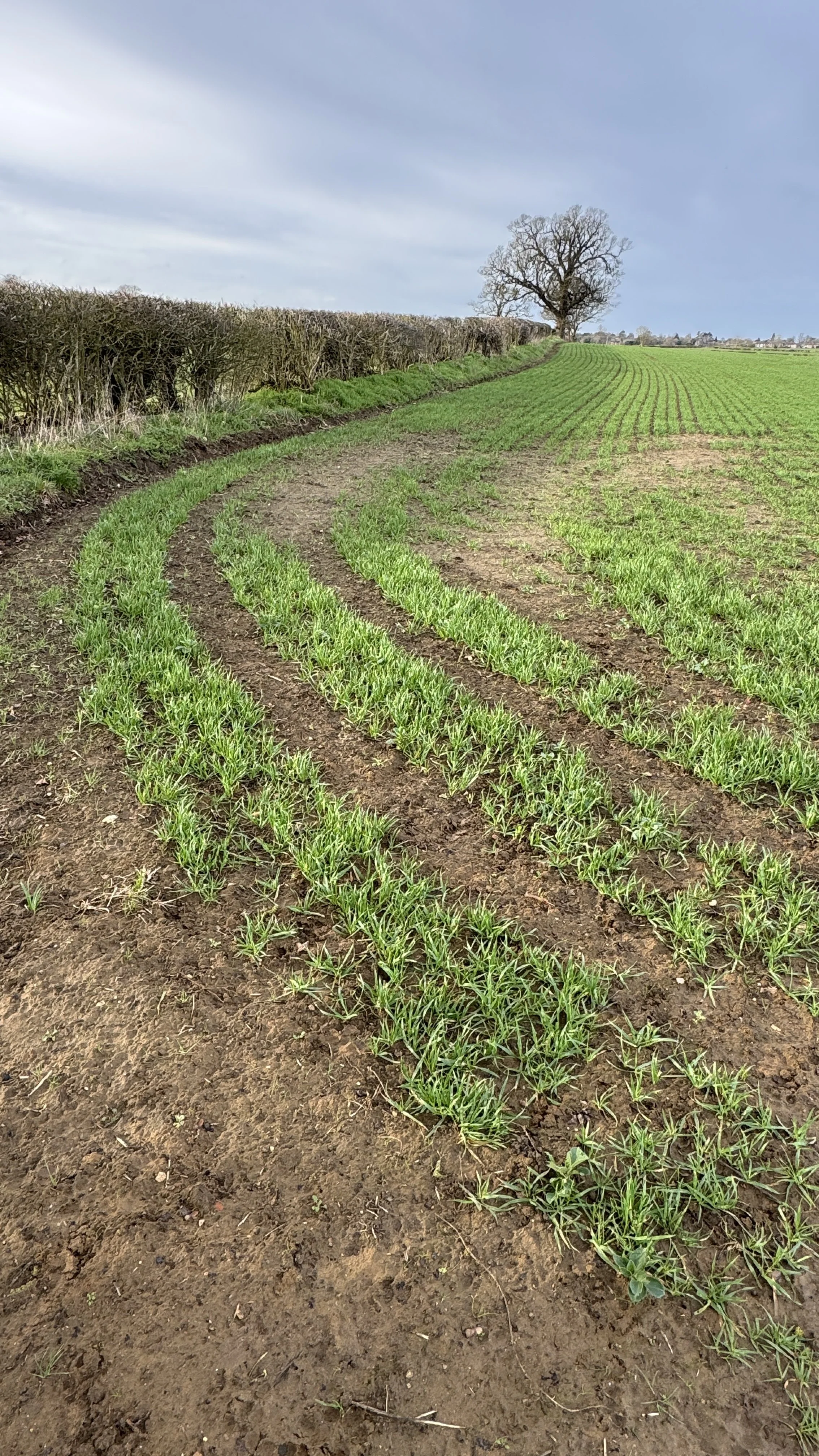
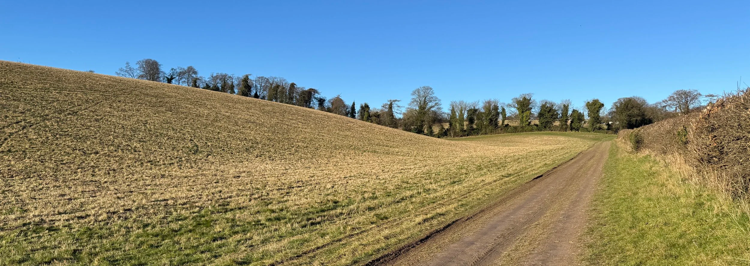
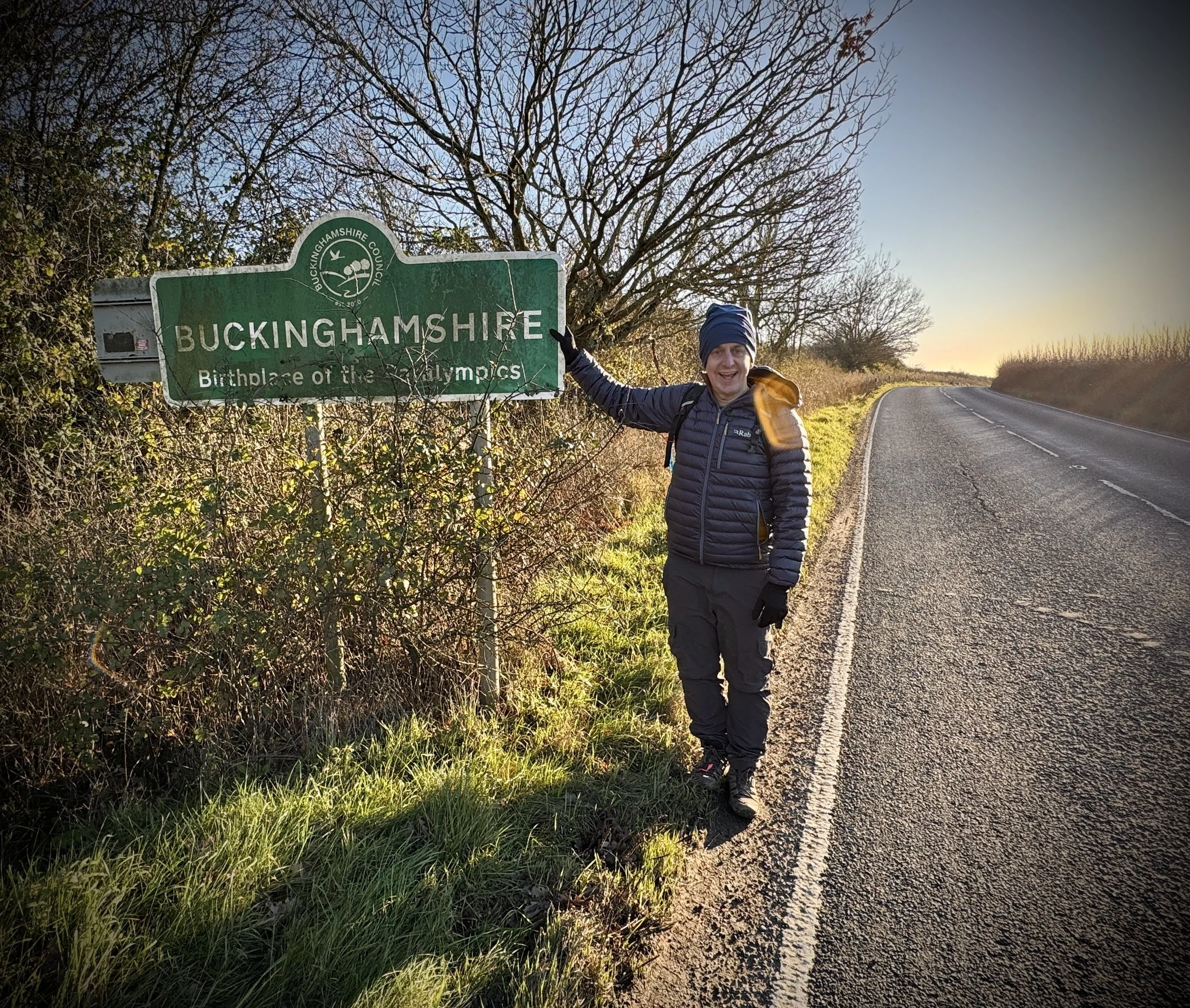
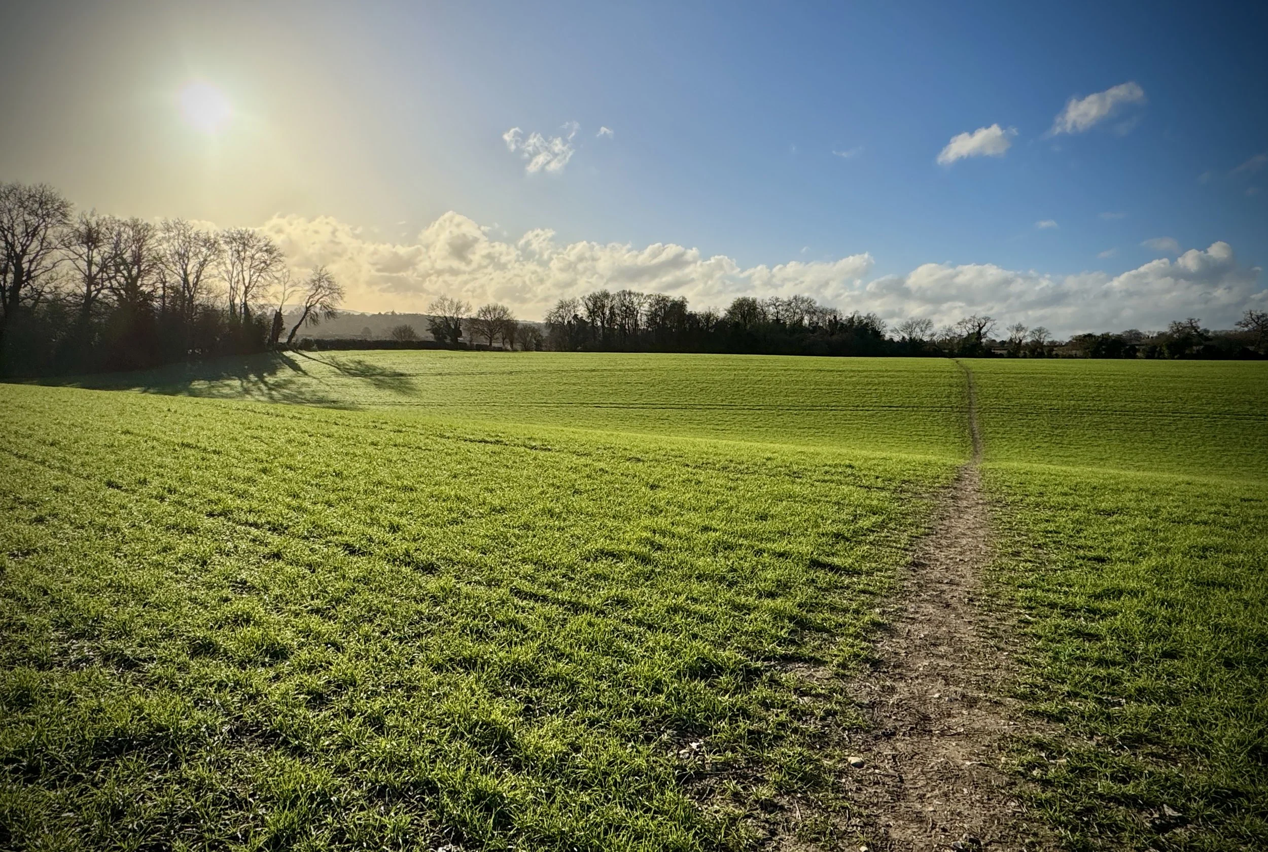
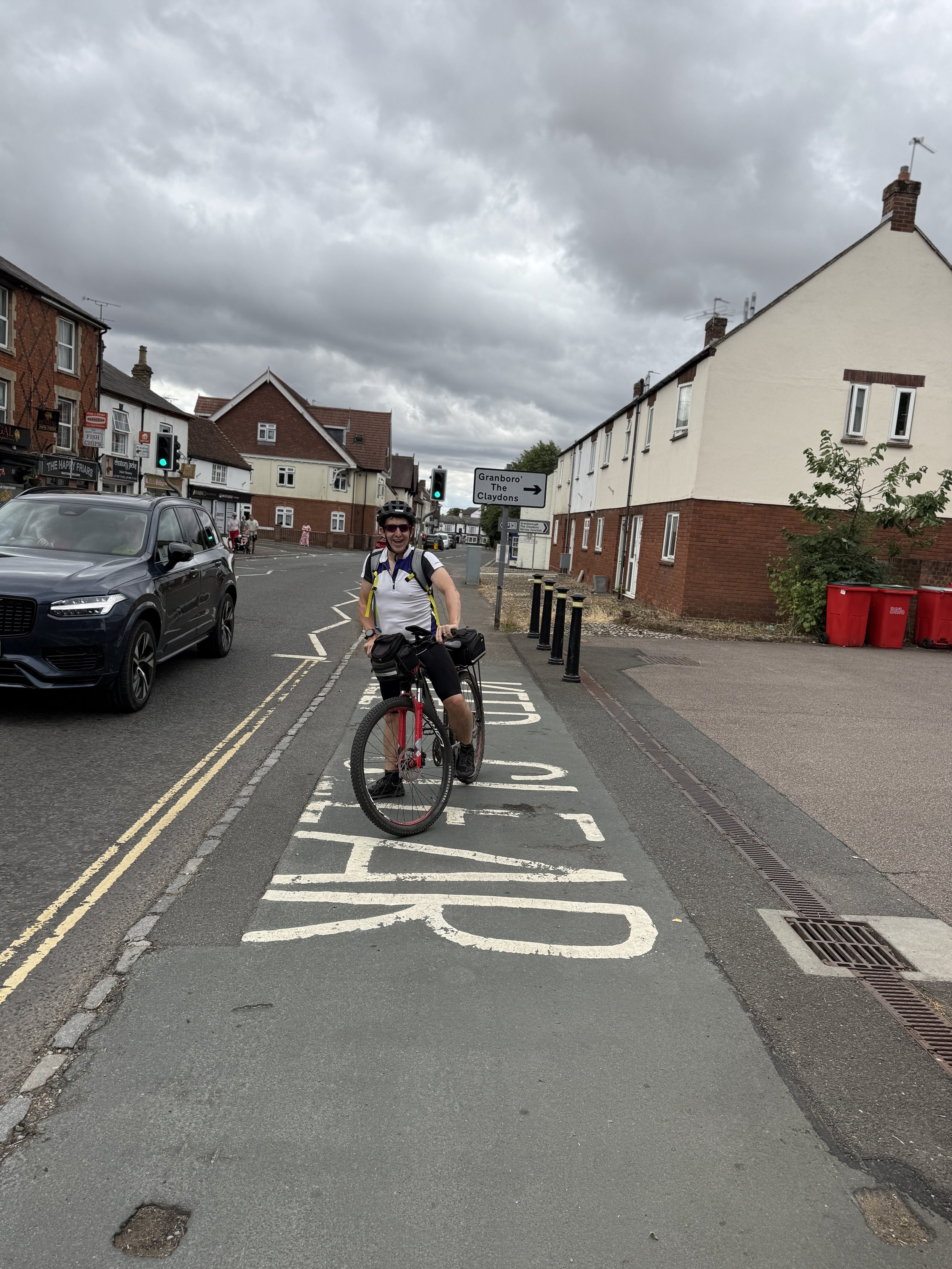
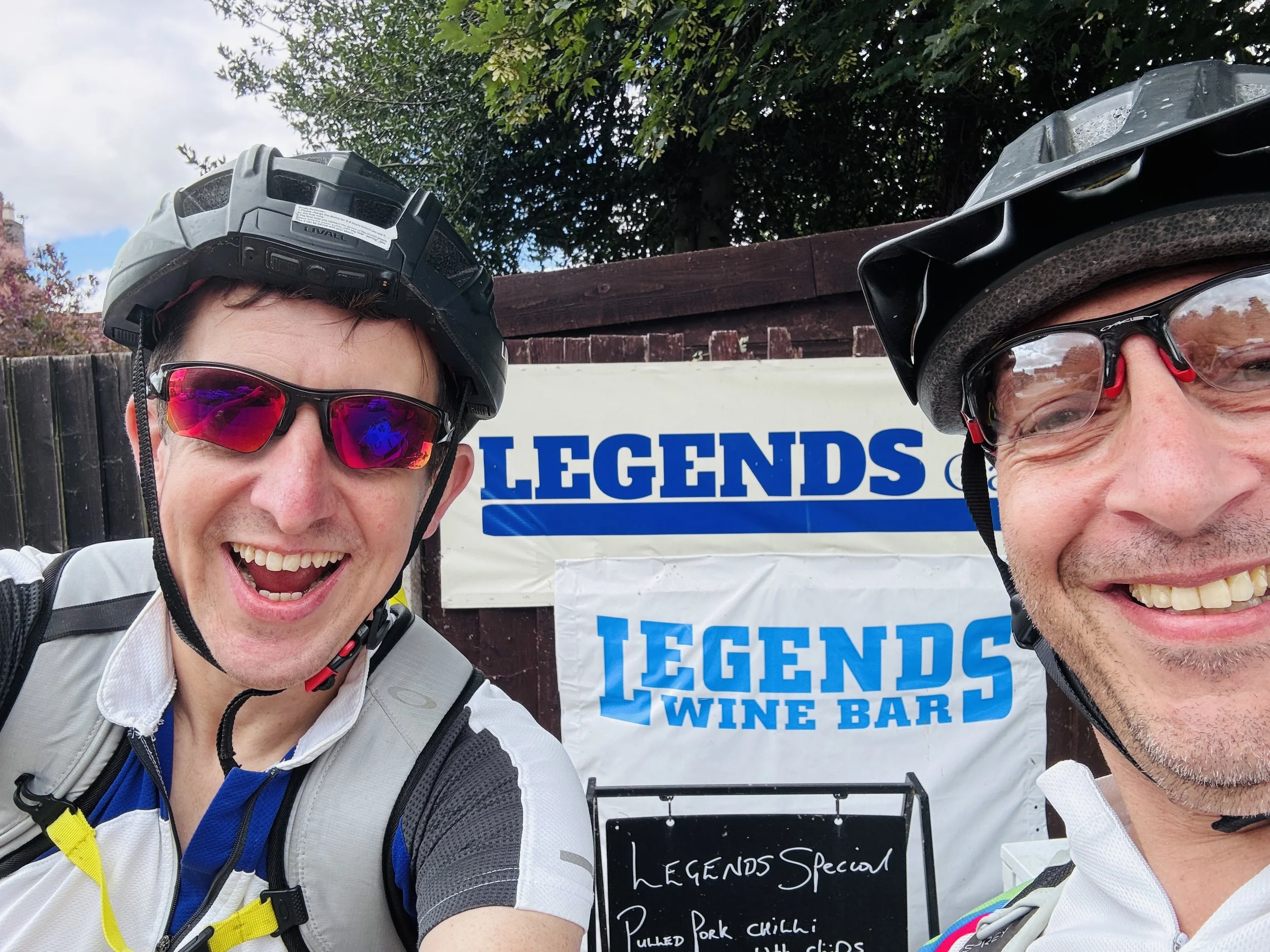
As we pedalled further into the Buckinghamshire countryside, the route guided us towards the market town of Winslow. By this point, we were well due for a break and decided to stop at a cafe called Legends. To be perfectly honest, we chose it mostly because it was the only place open at the time, but it turned out to be a fantastic find. It has a lovely garden at the back which was easily accessible for our bikes, the staff were incredibly friendly, and they served up some great coffee and cake to keep our energy levels up.
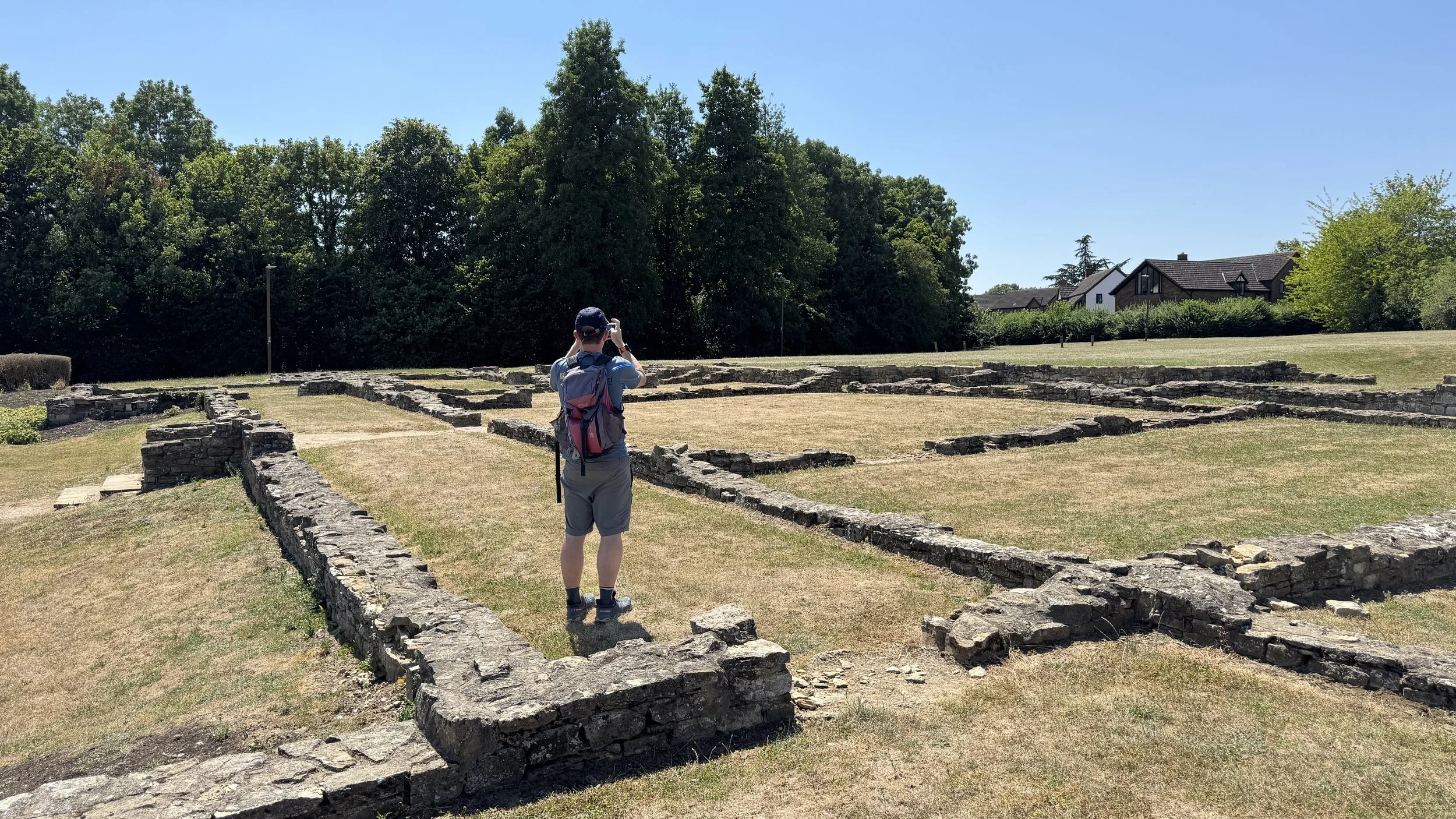
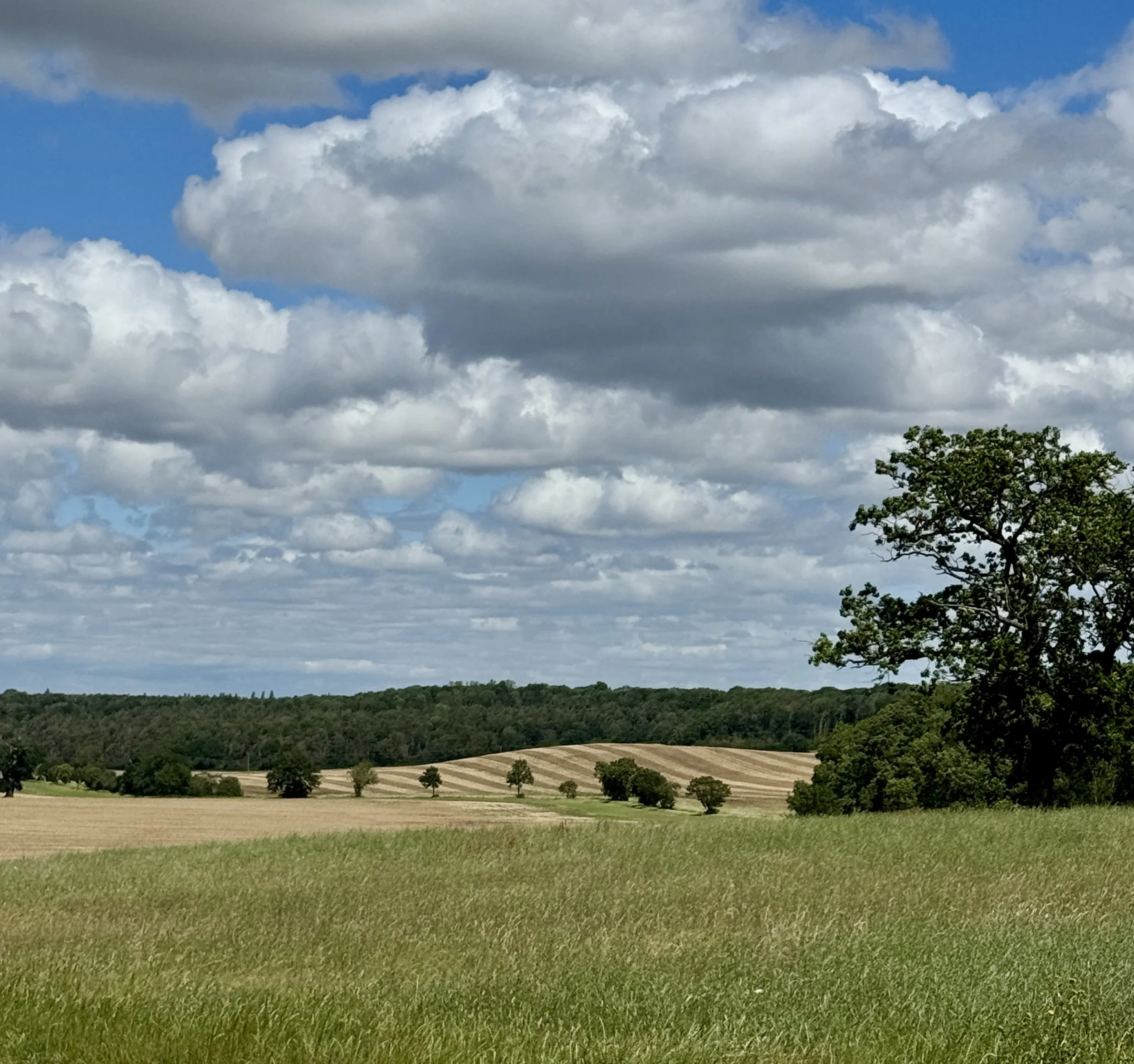
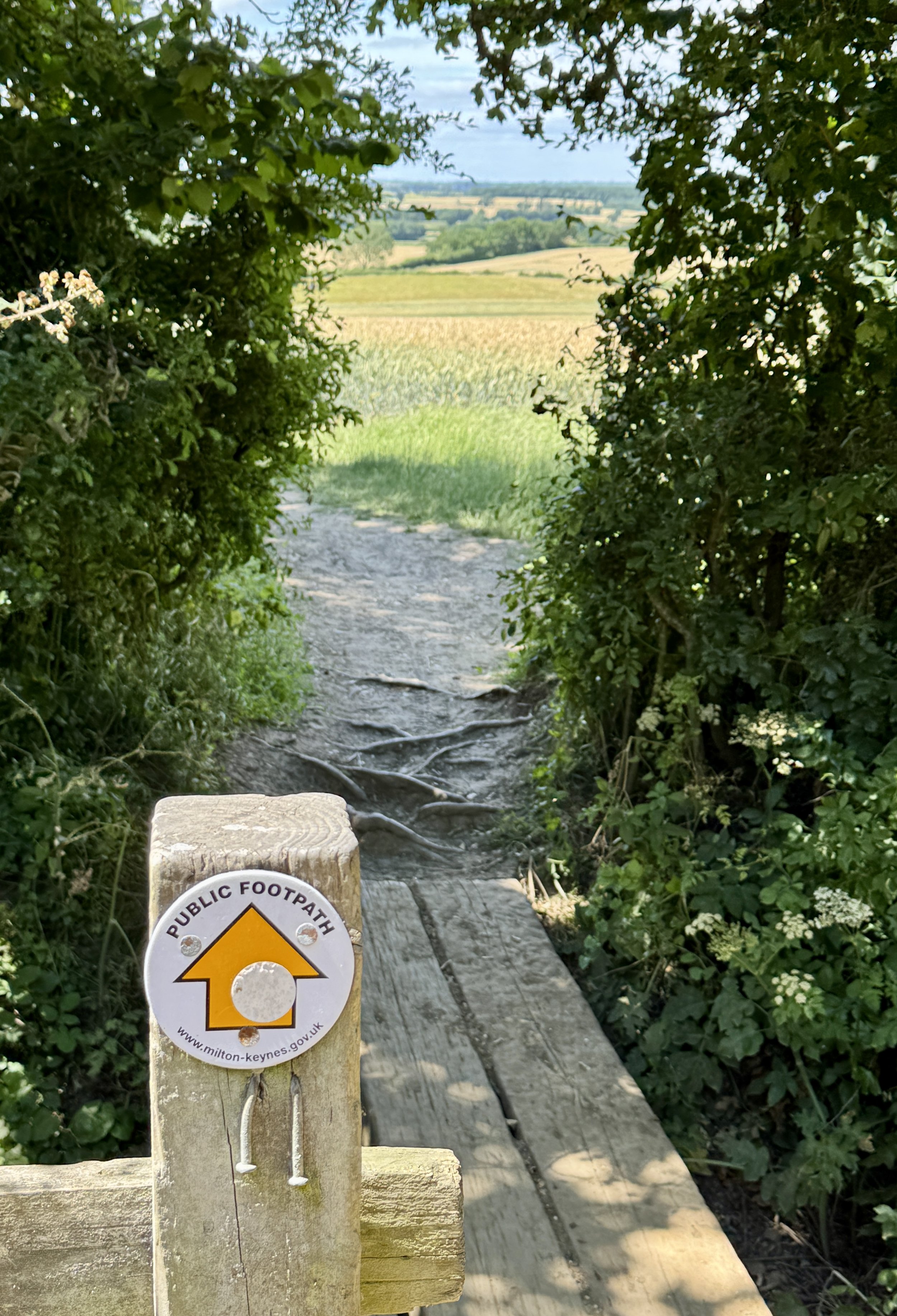
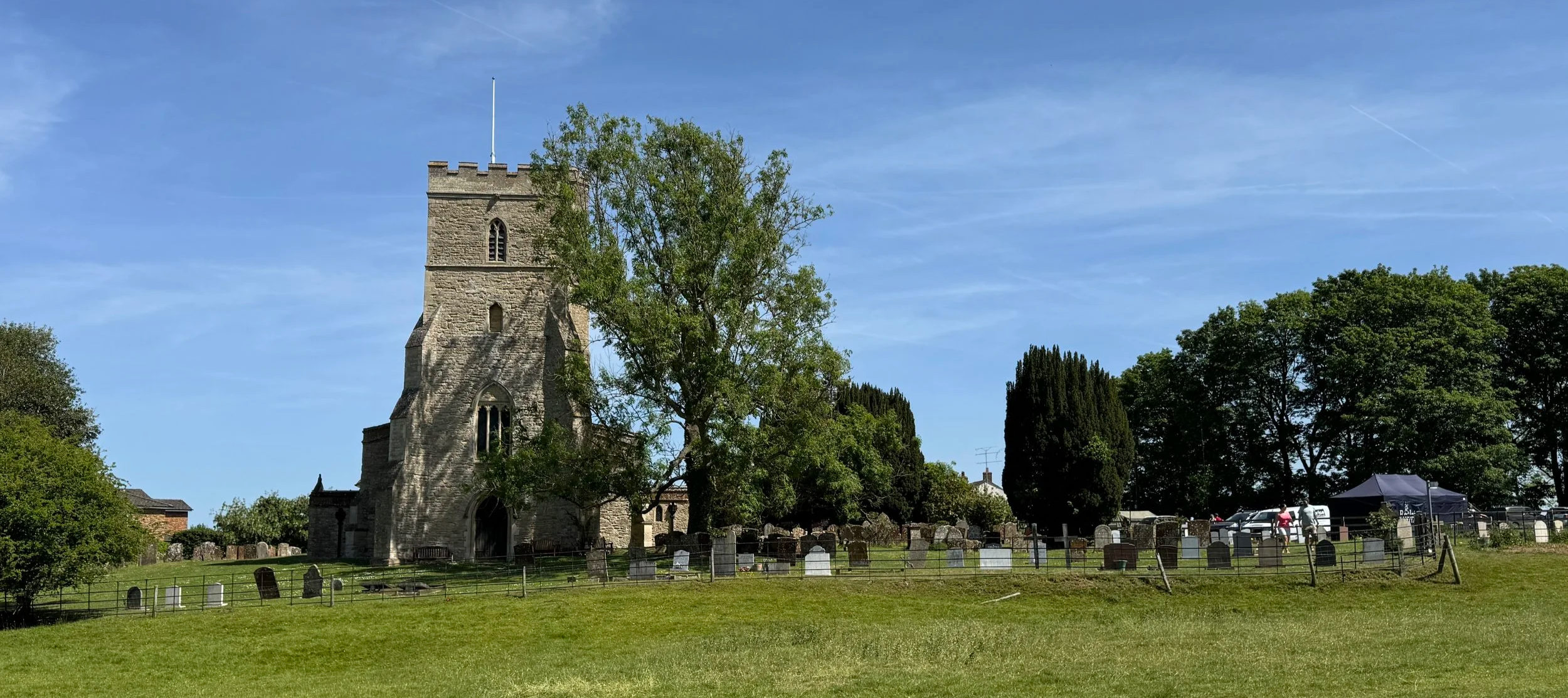
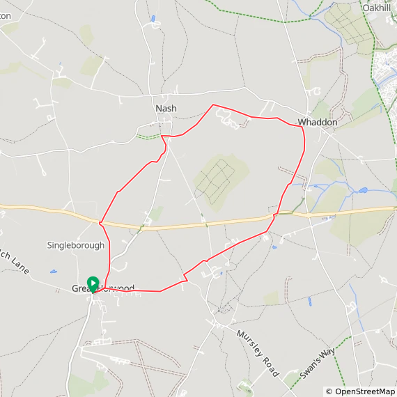
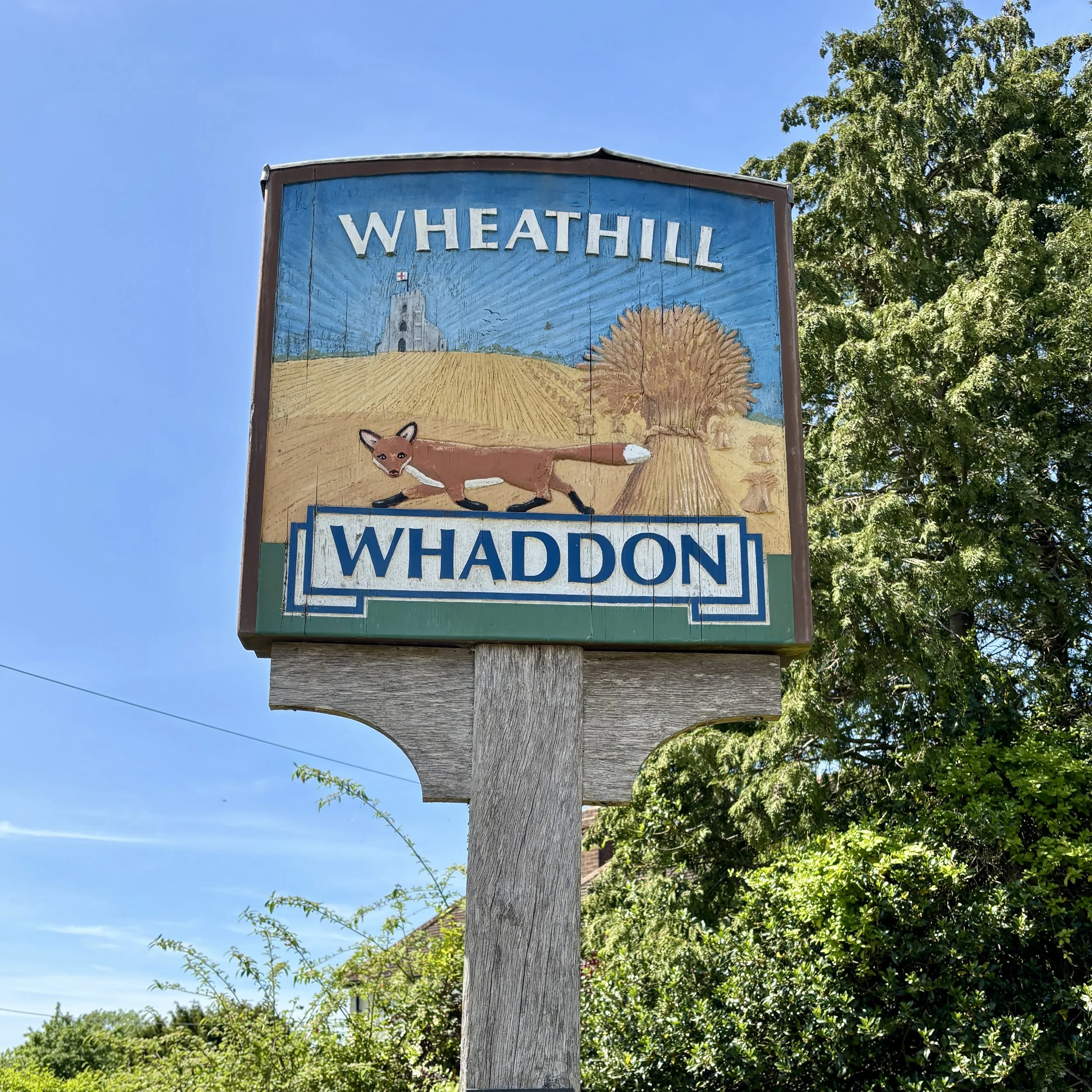
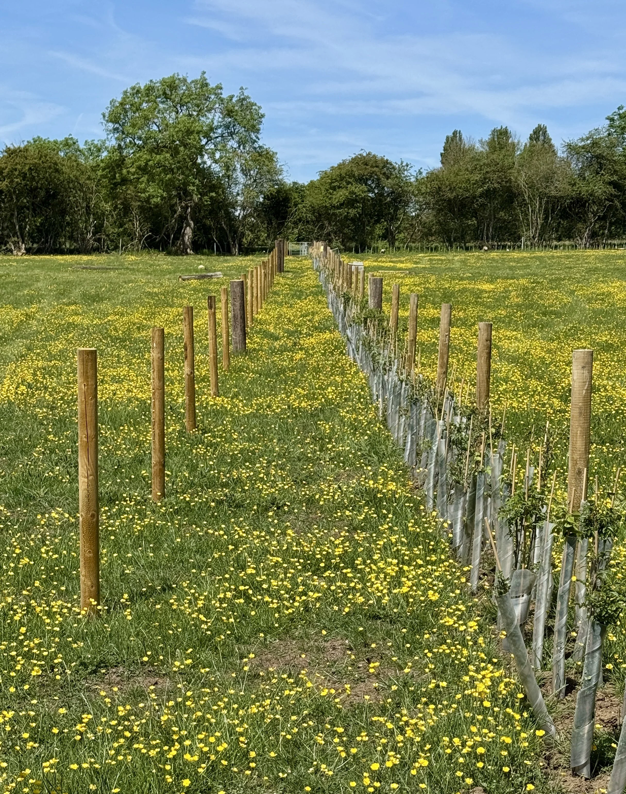
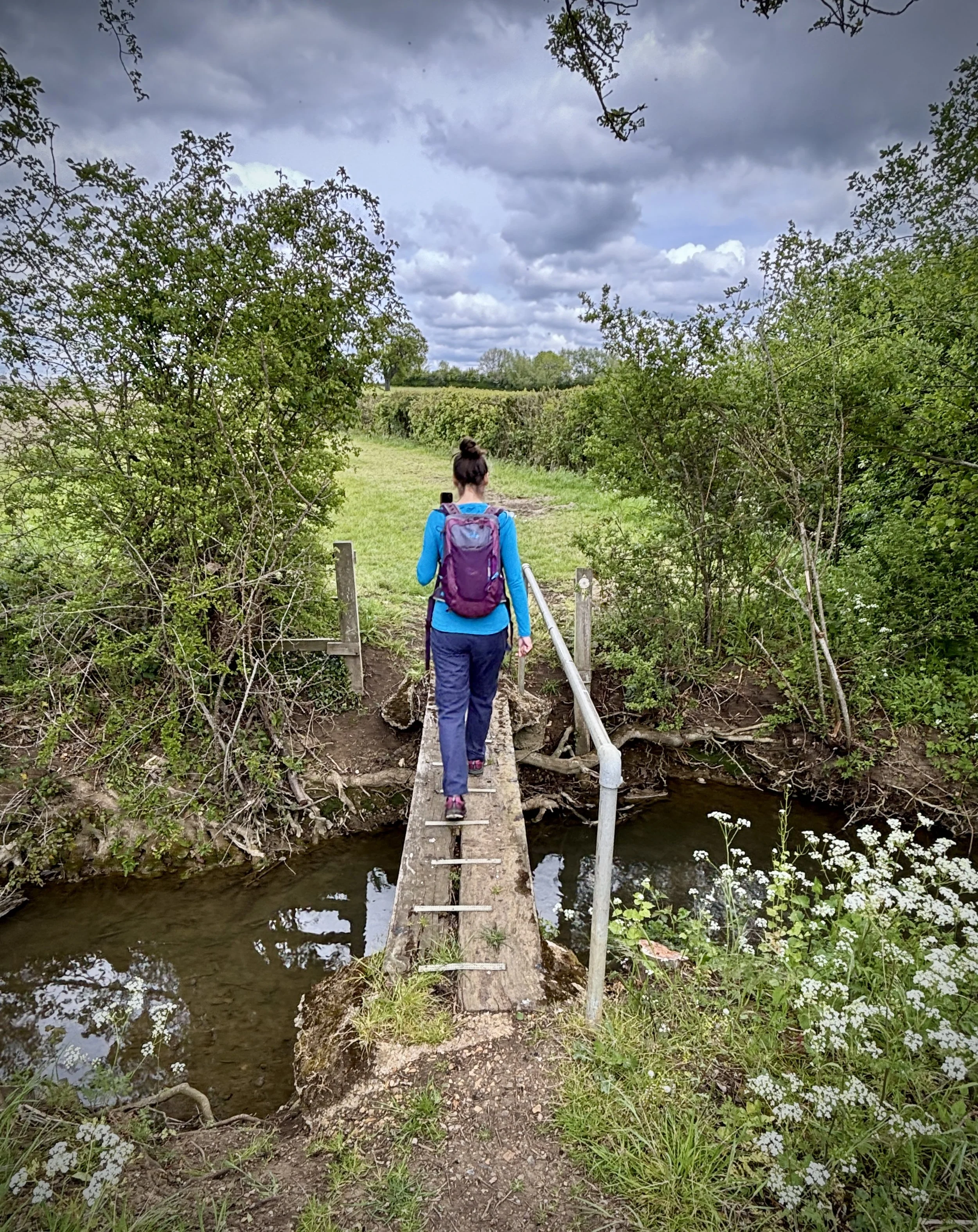
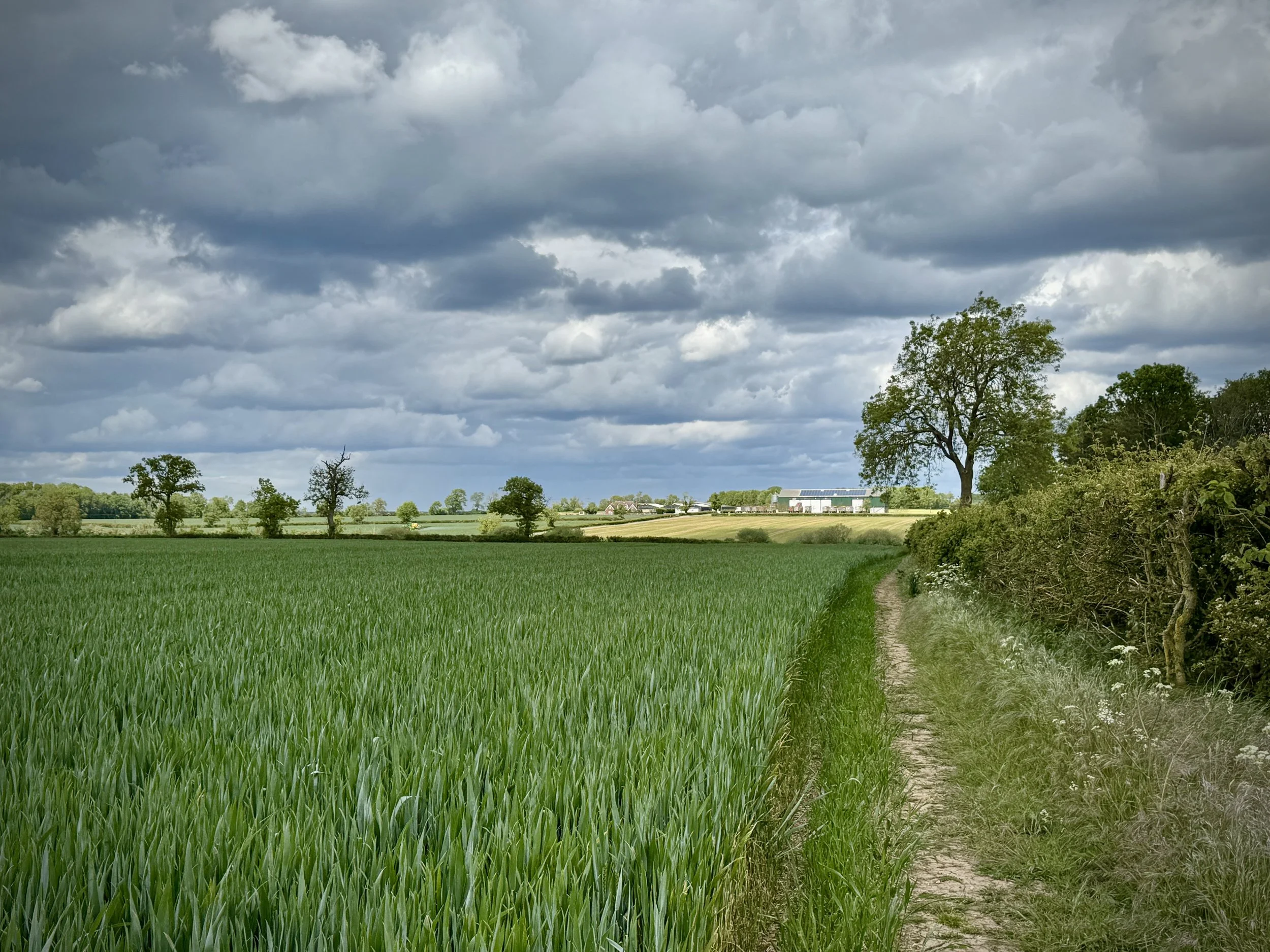
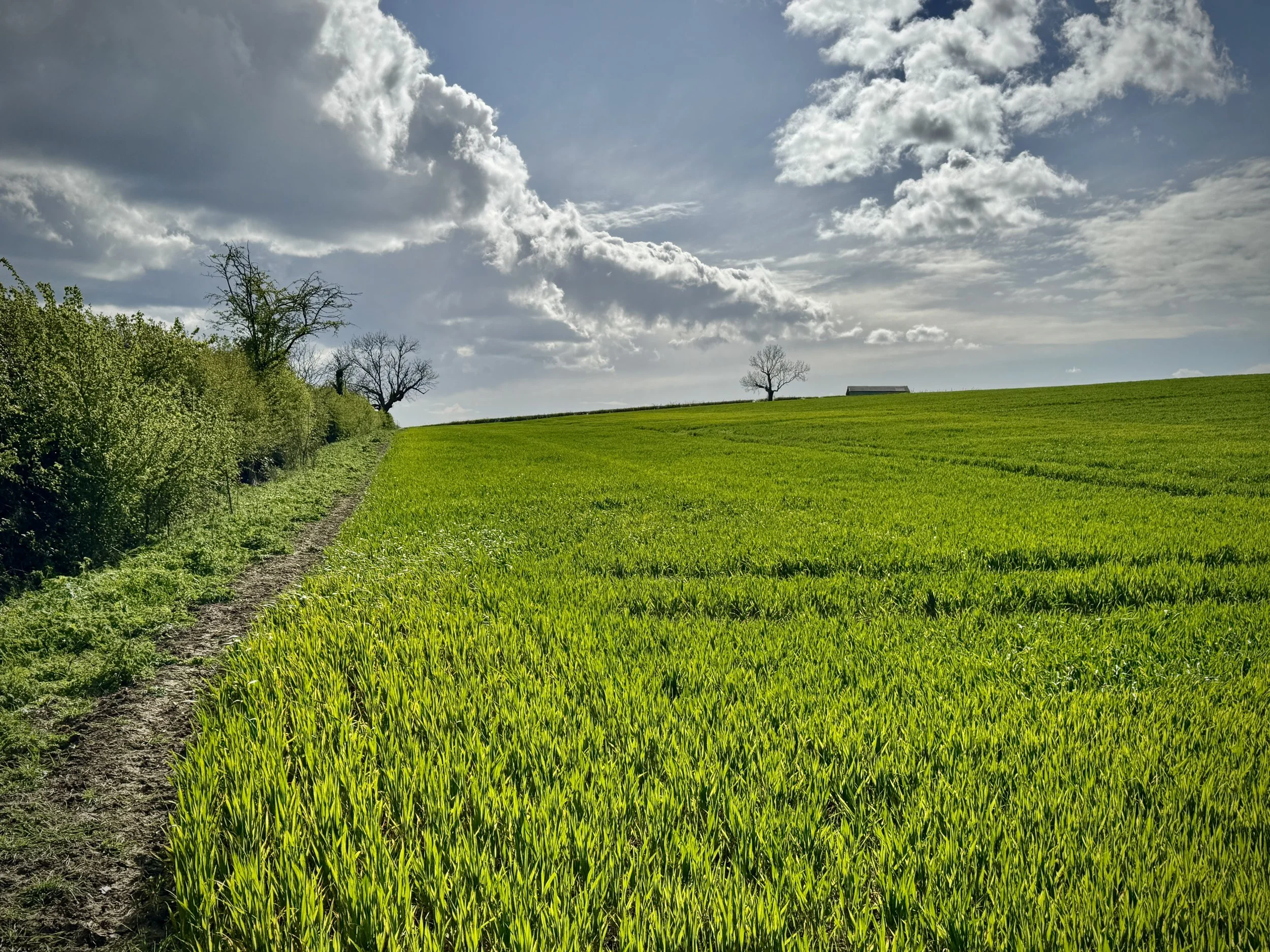
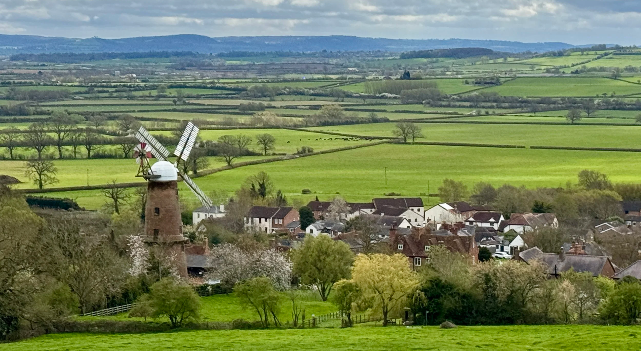
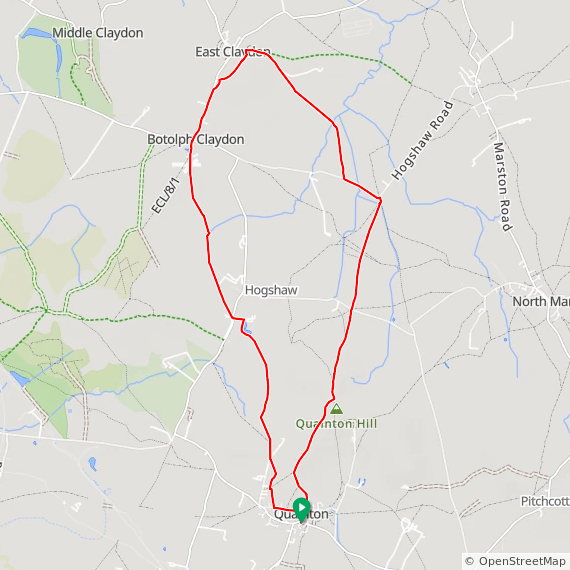
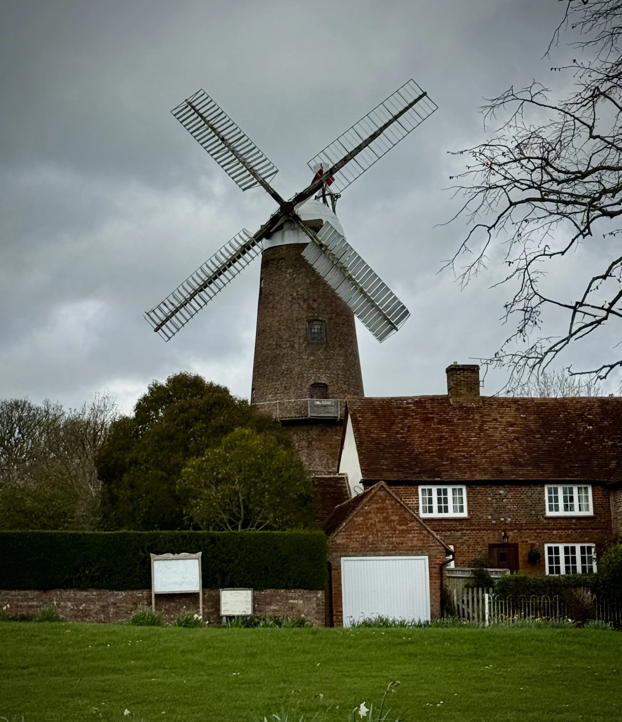
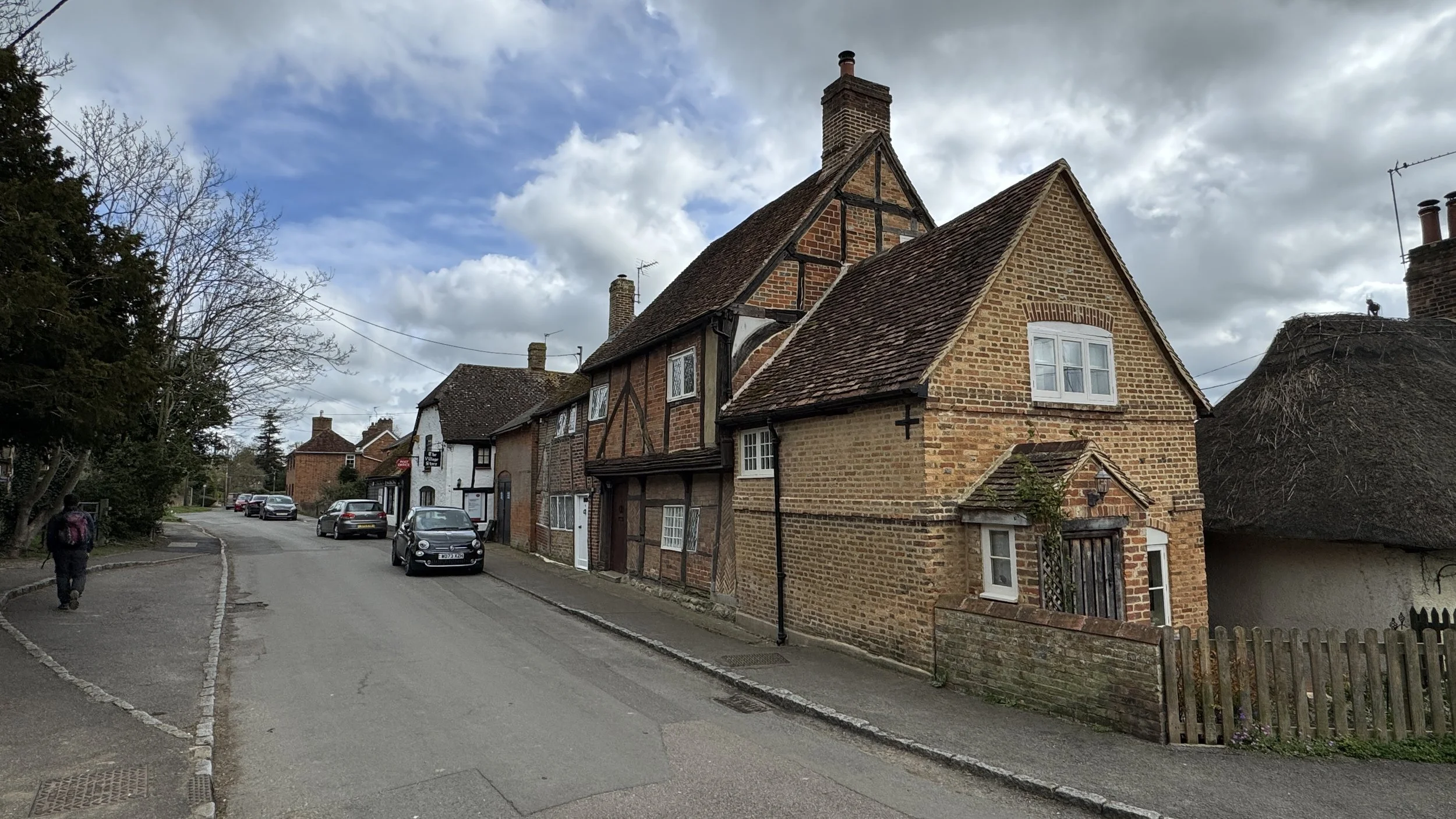
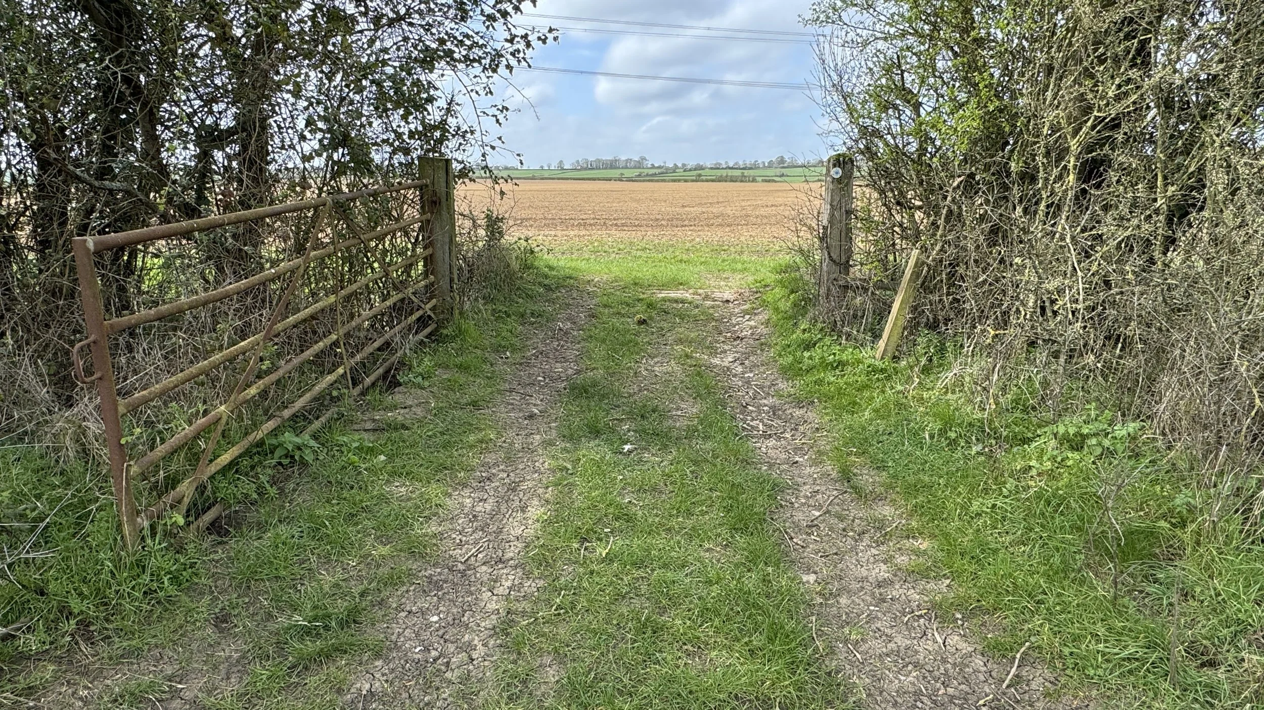
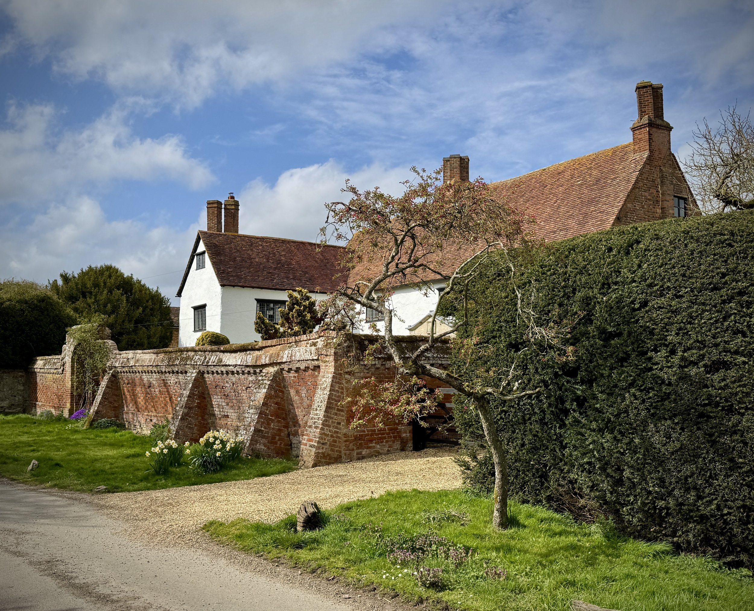
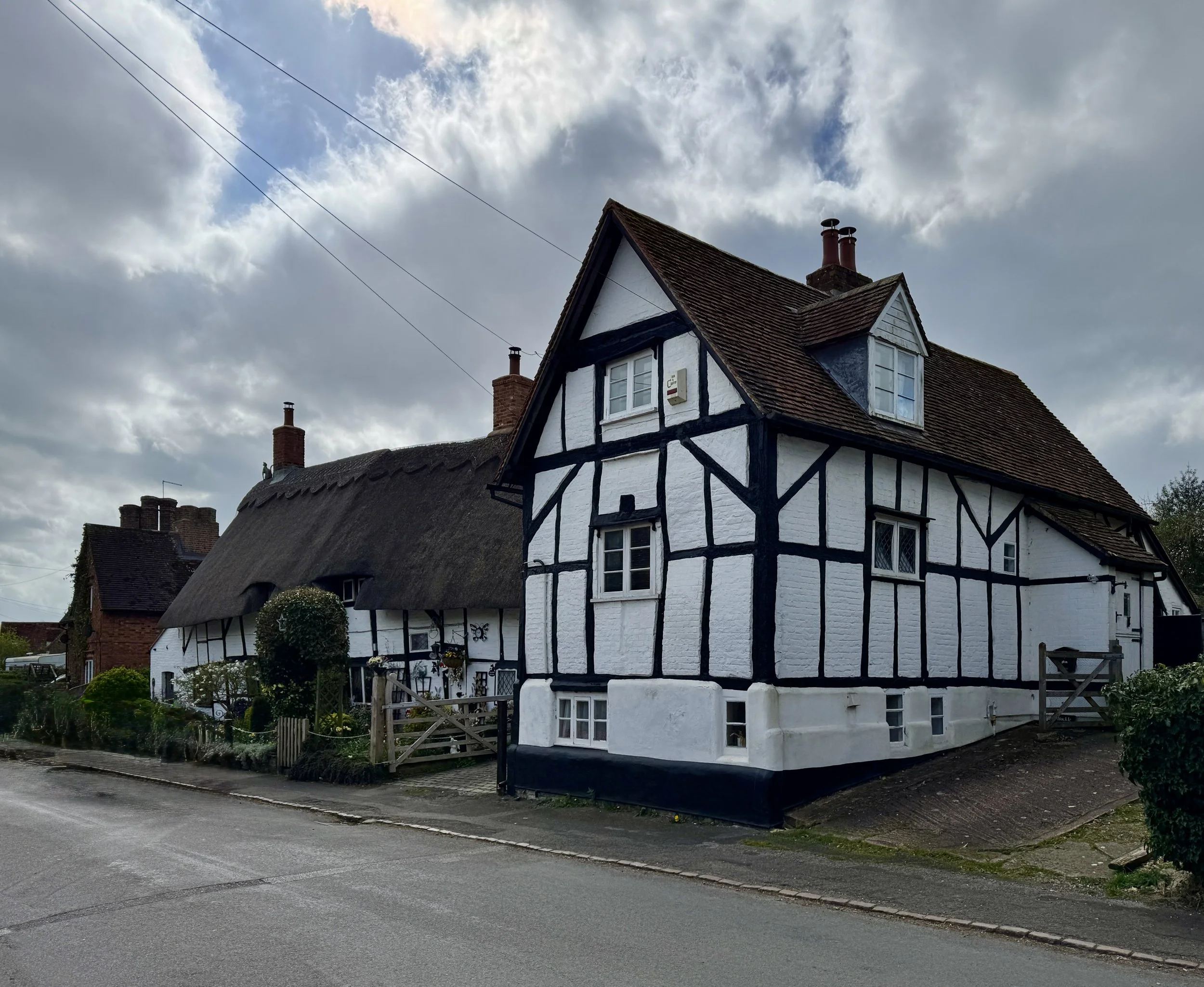
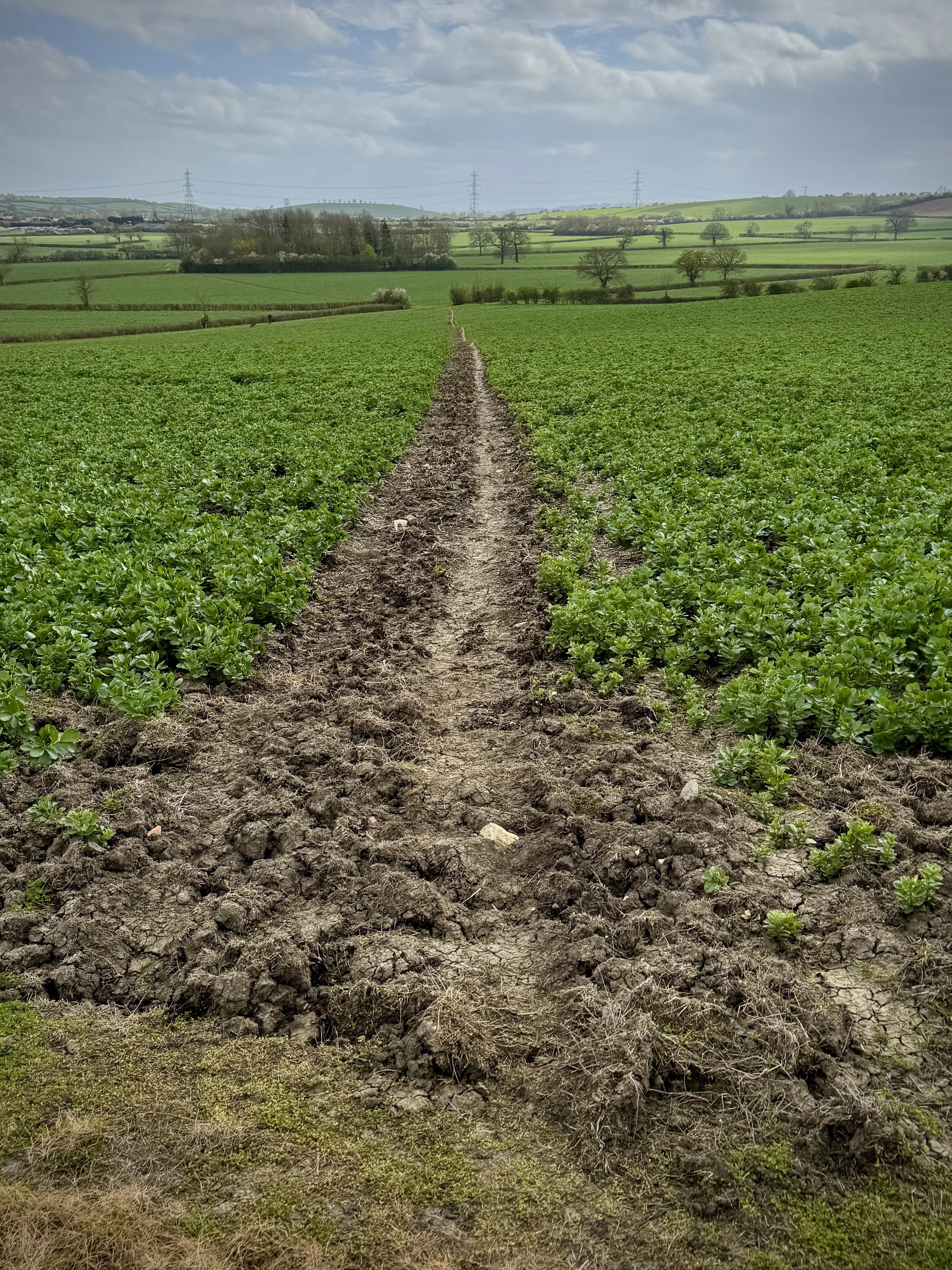
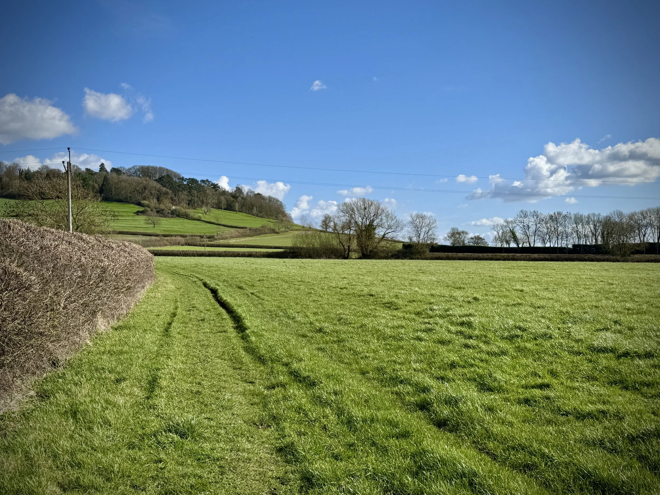
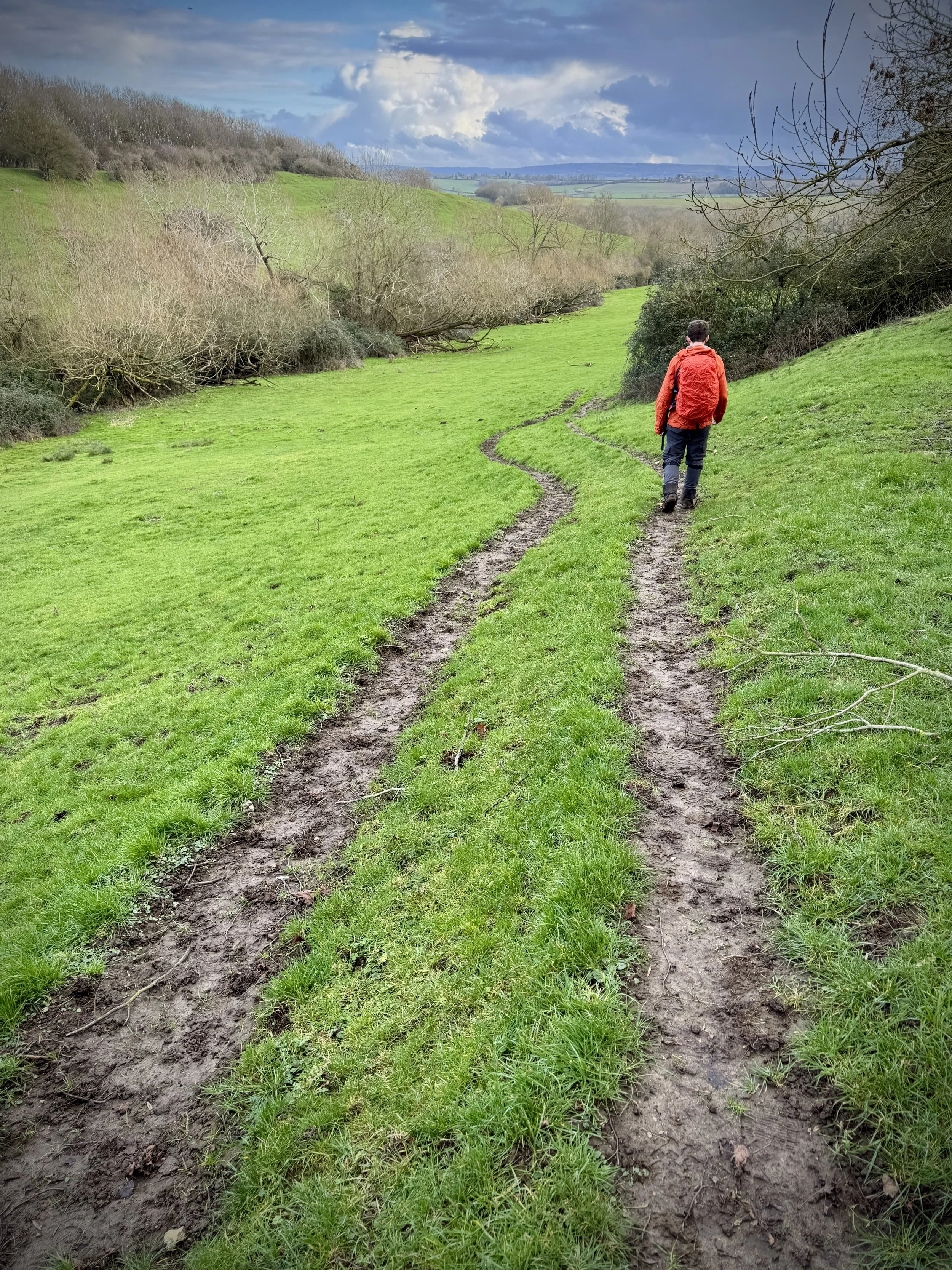
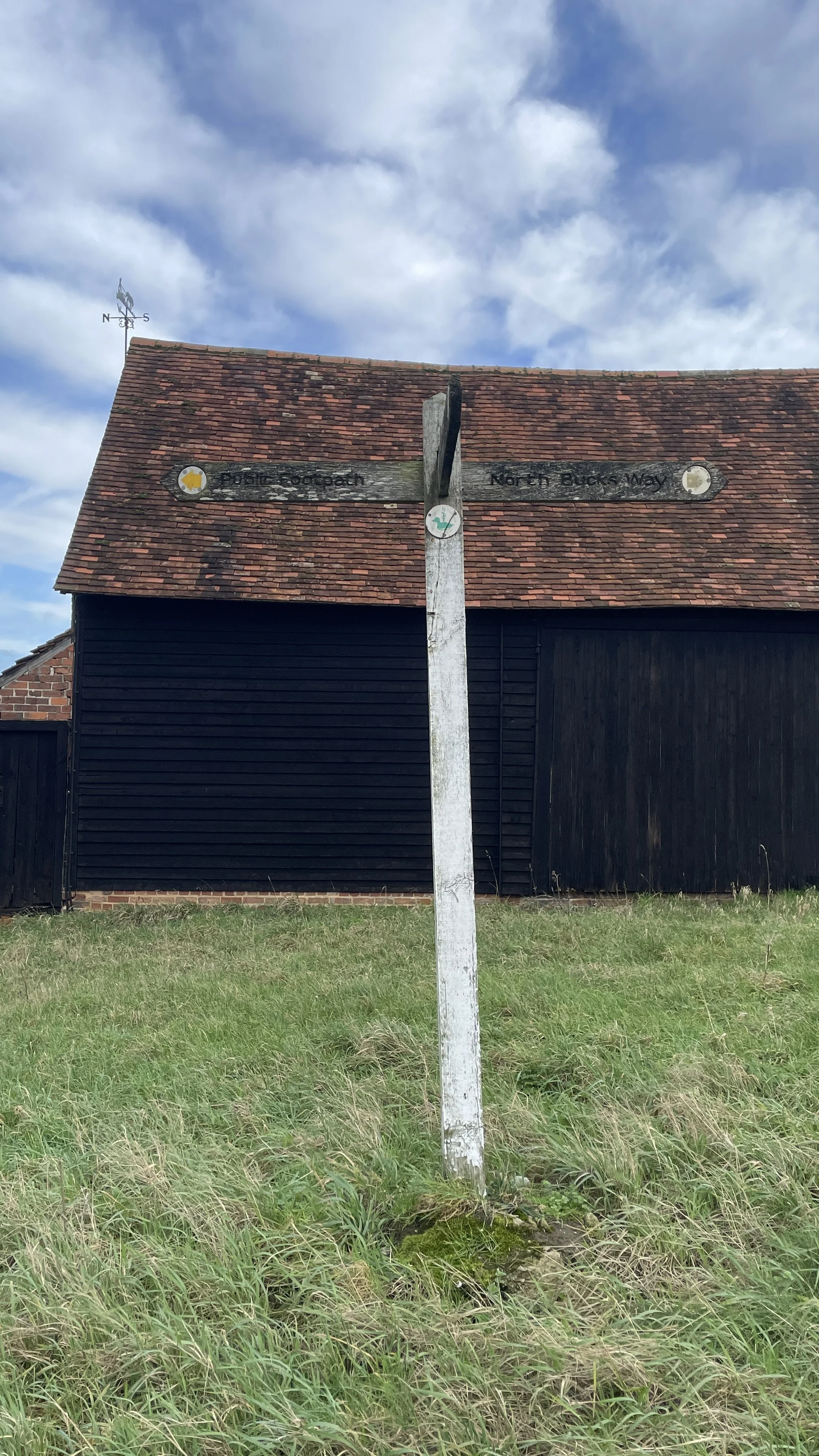
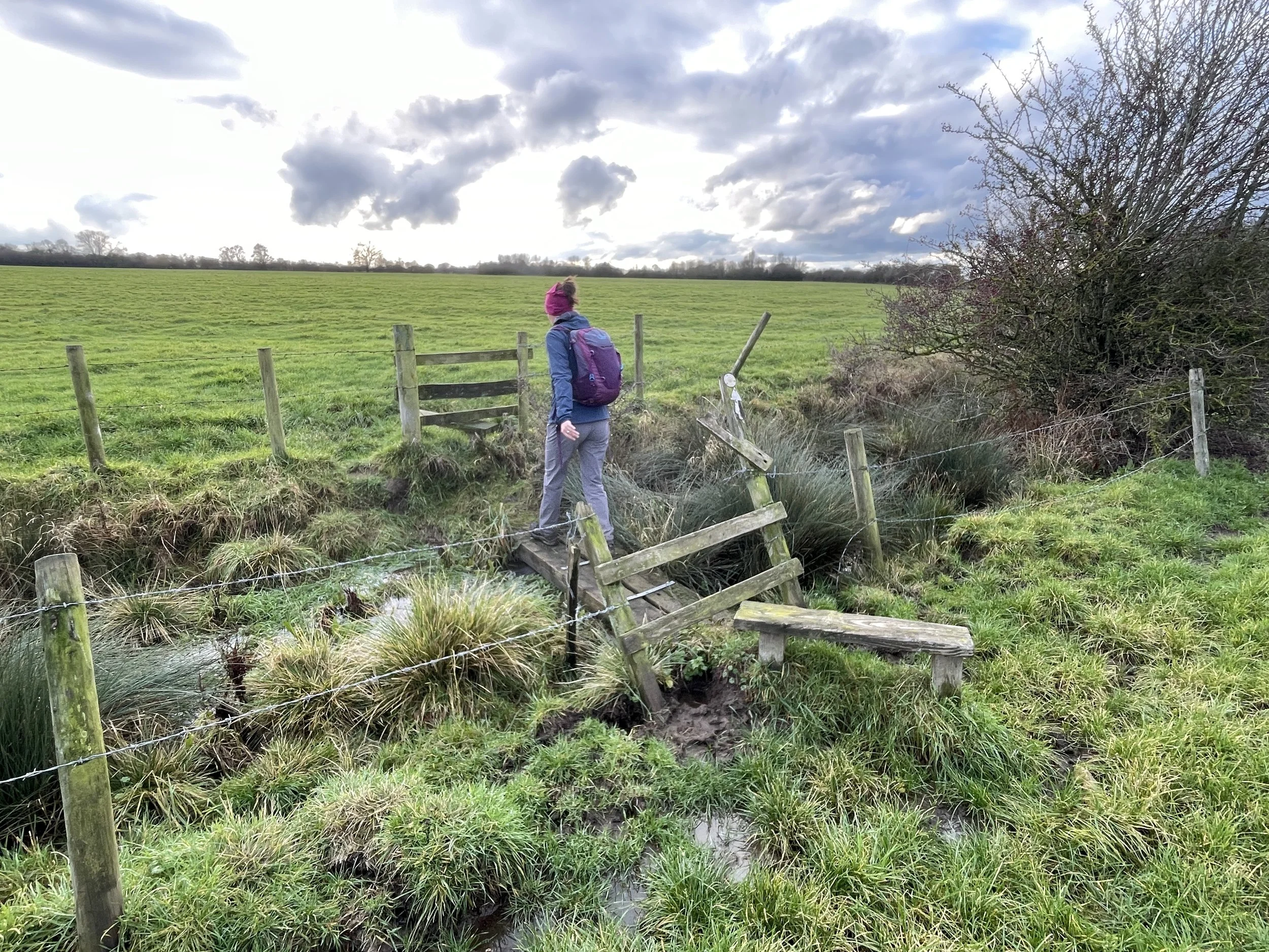
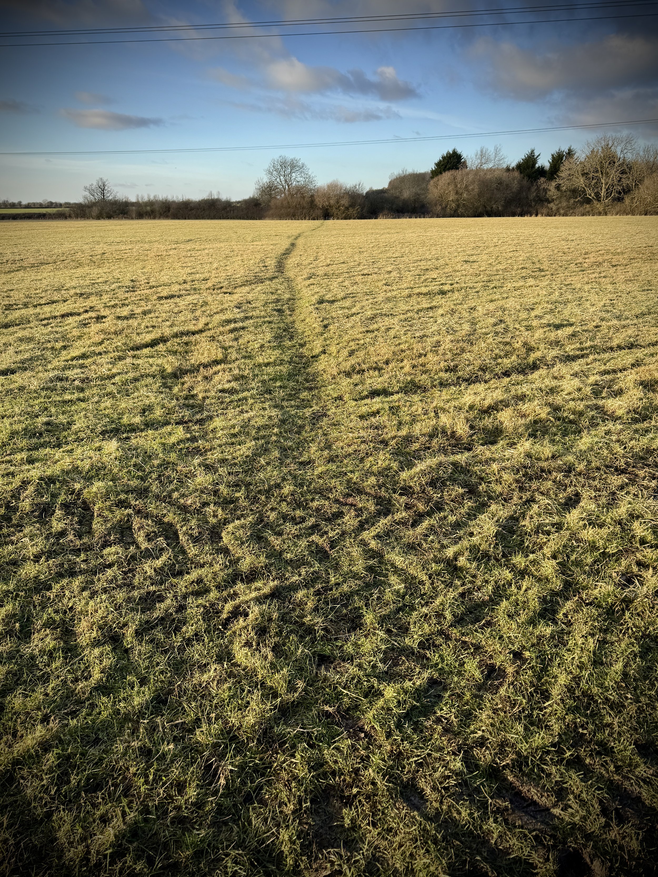
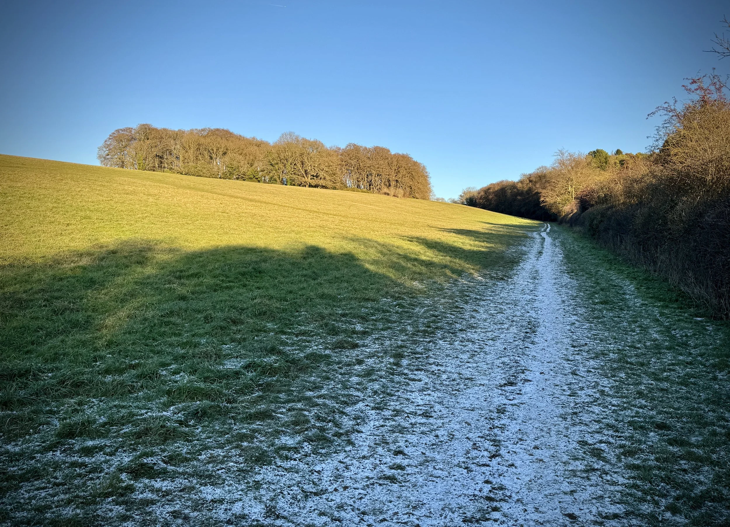
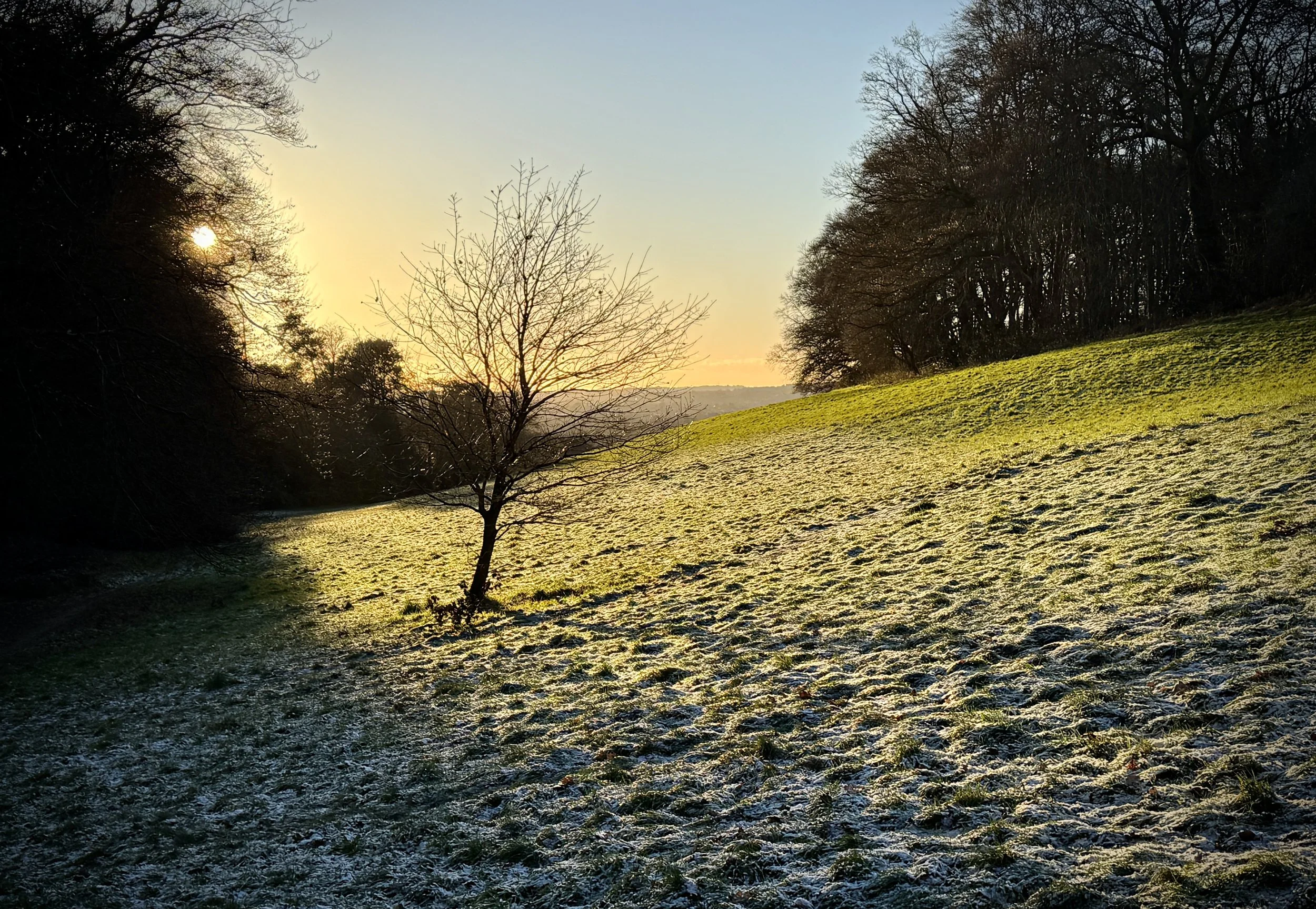
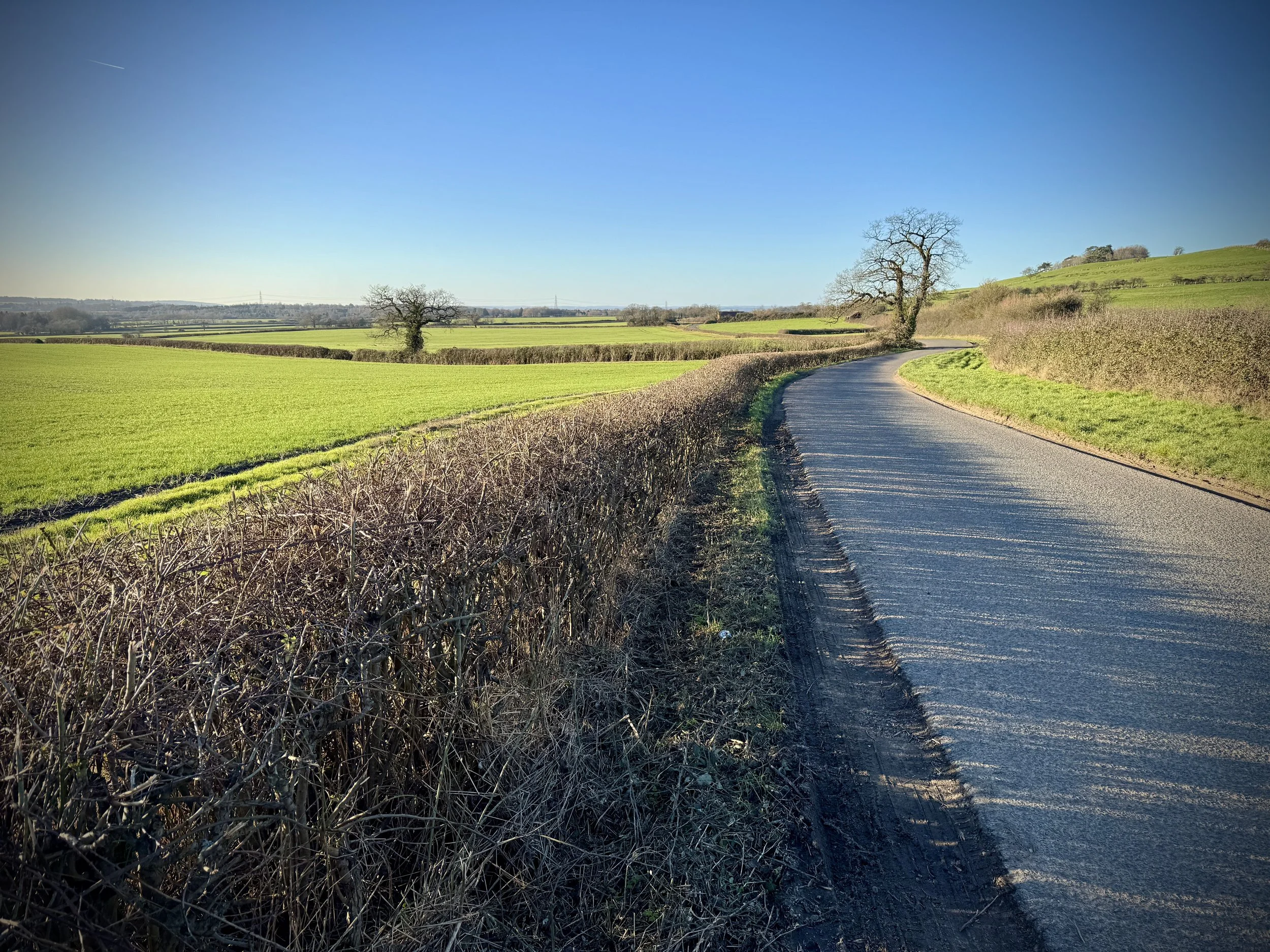
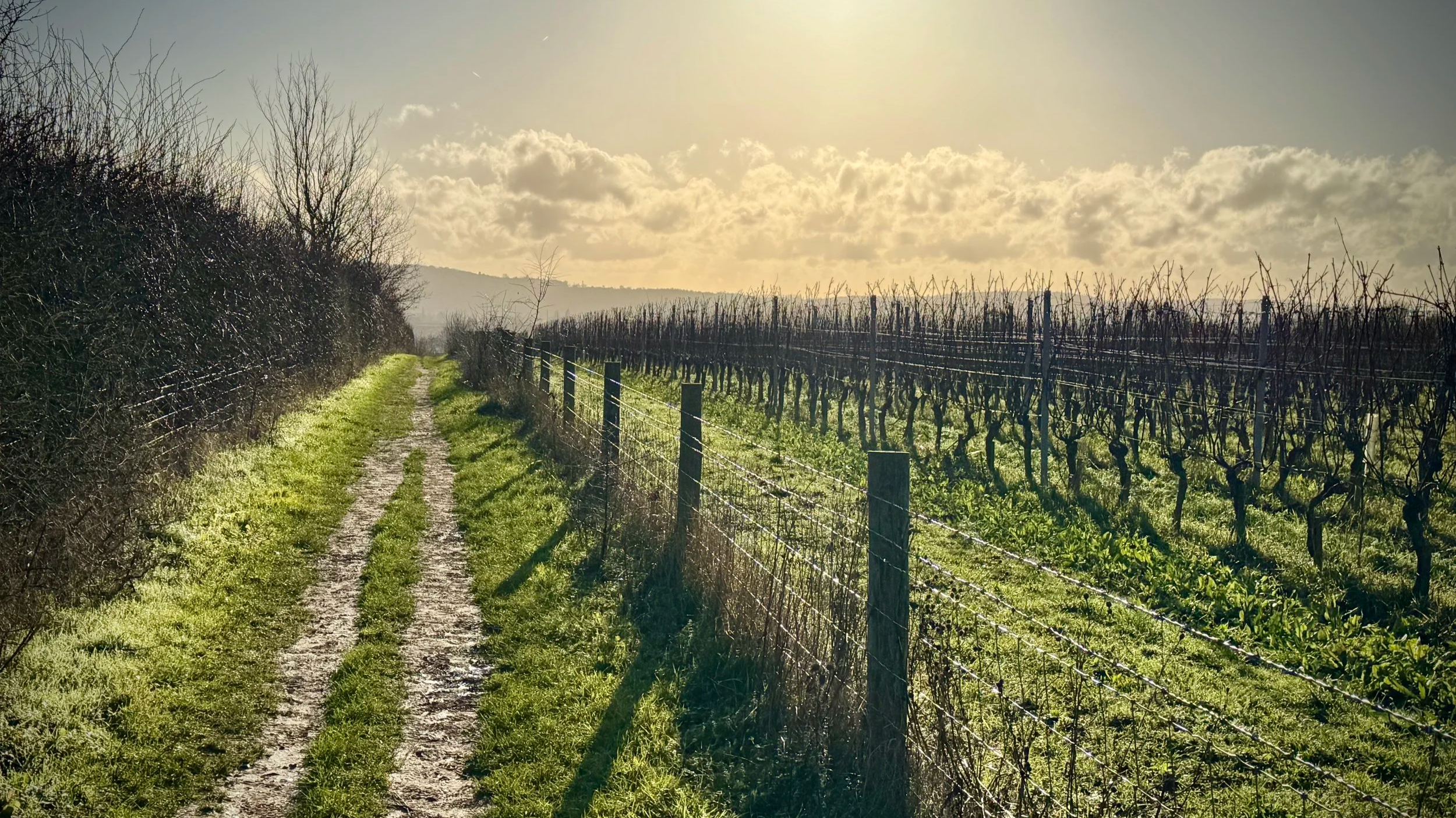
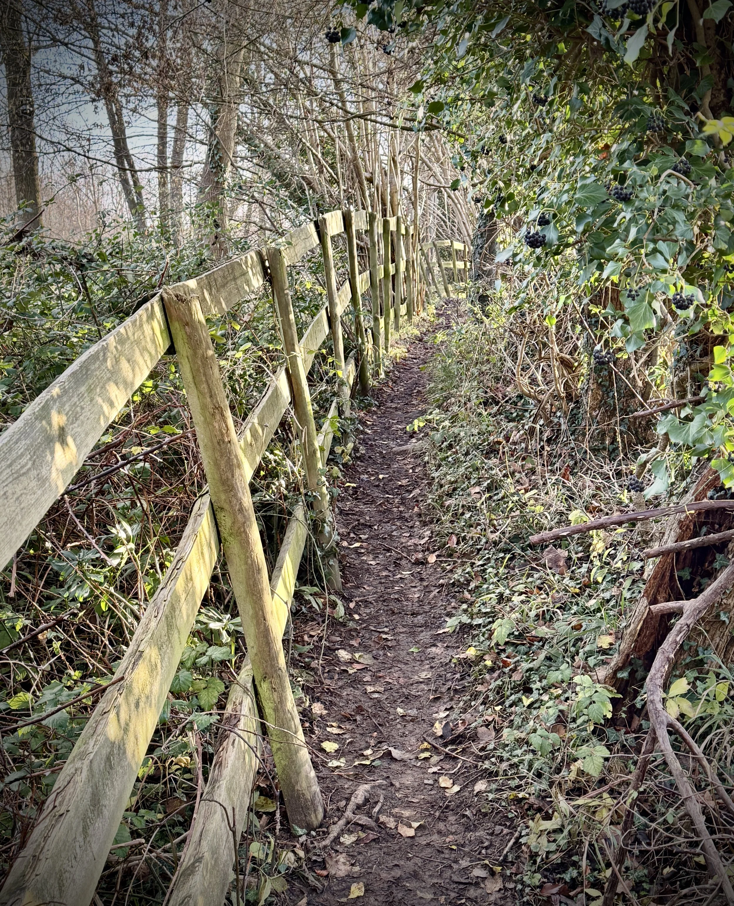
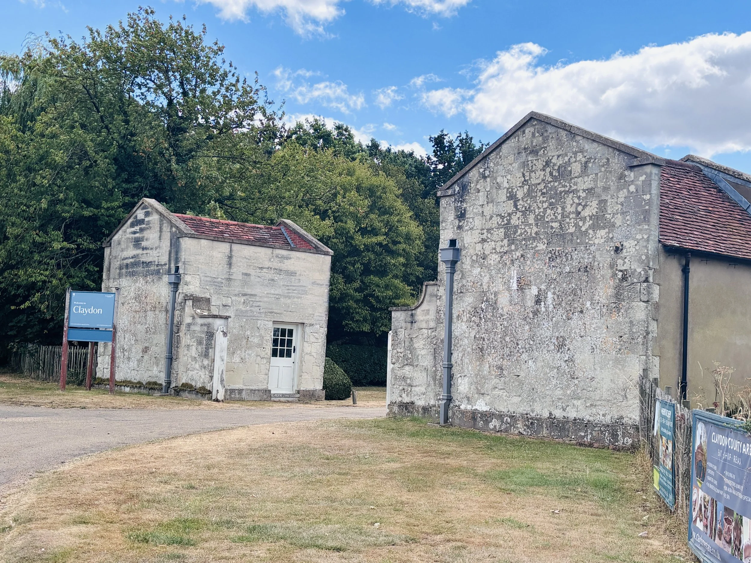
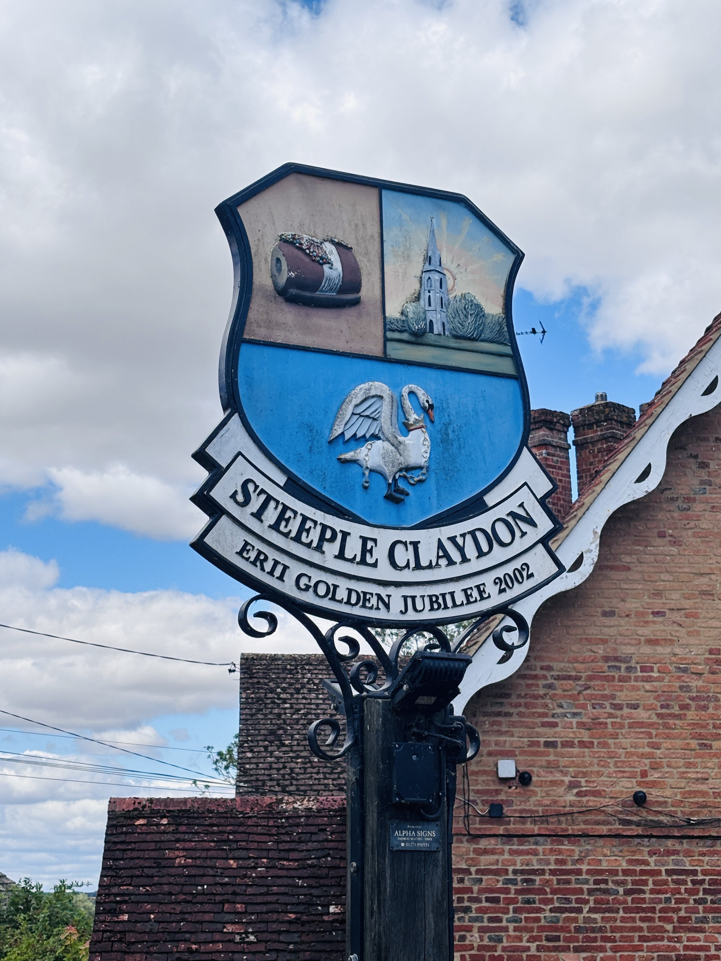
Back on the route, we passed through picturesque villages like Middle Claydon, continuing our successful milepost hunt. However, just after passing through Steeple Claydon, we got into HS2 construction territory. We quickly found that a short section of the cycle route was closed, forcing us to take a diversion. We ended up doing a roughly 5 km loop that effectively added about 4 km to our total mileage for the day.
It is worth noting for any cyclists planning to do this route: until the HS2 construction works are fully complete, there is likely to be some disruption along the way. I'd highly recommend either planning for it in advance or just assuming you will need to navigate around a diversion or two on the fly.
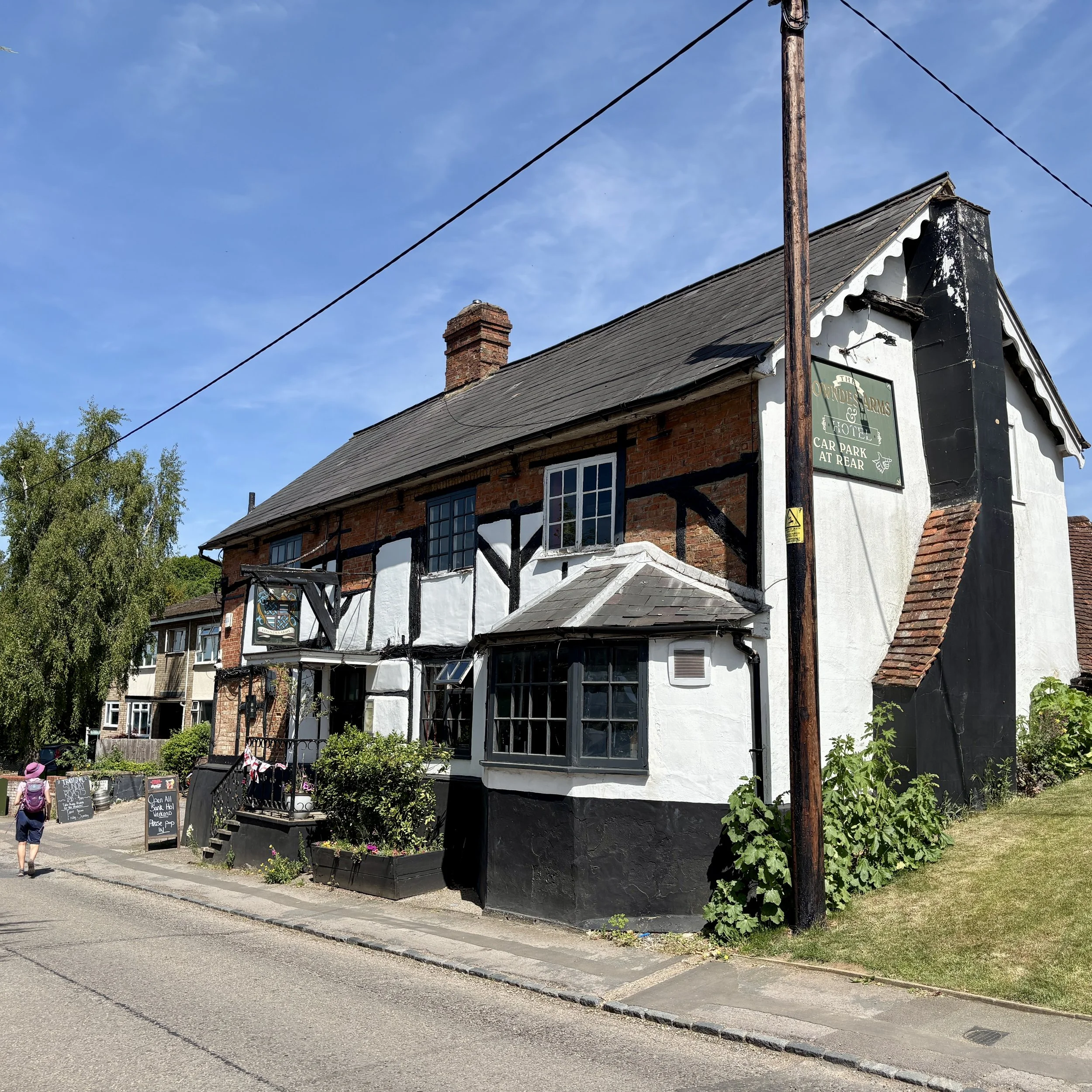
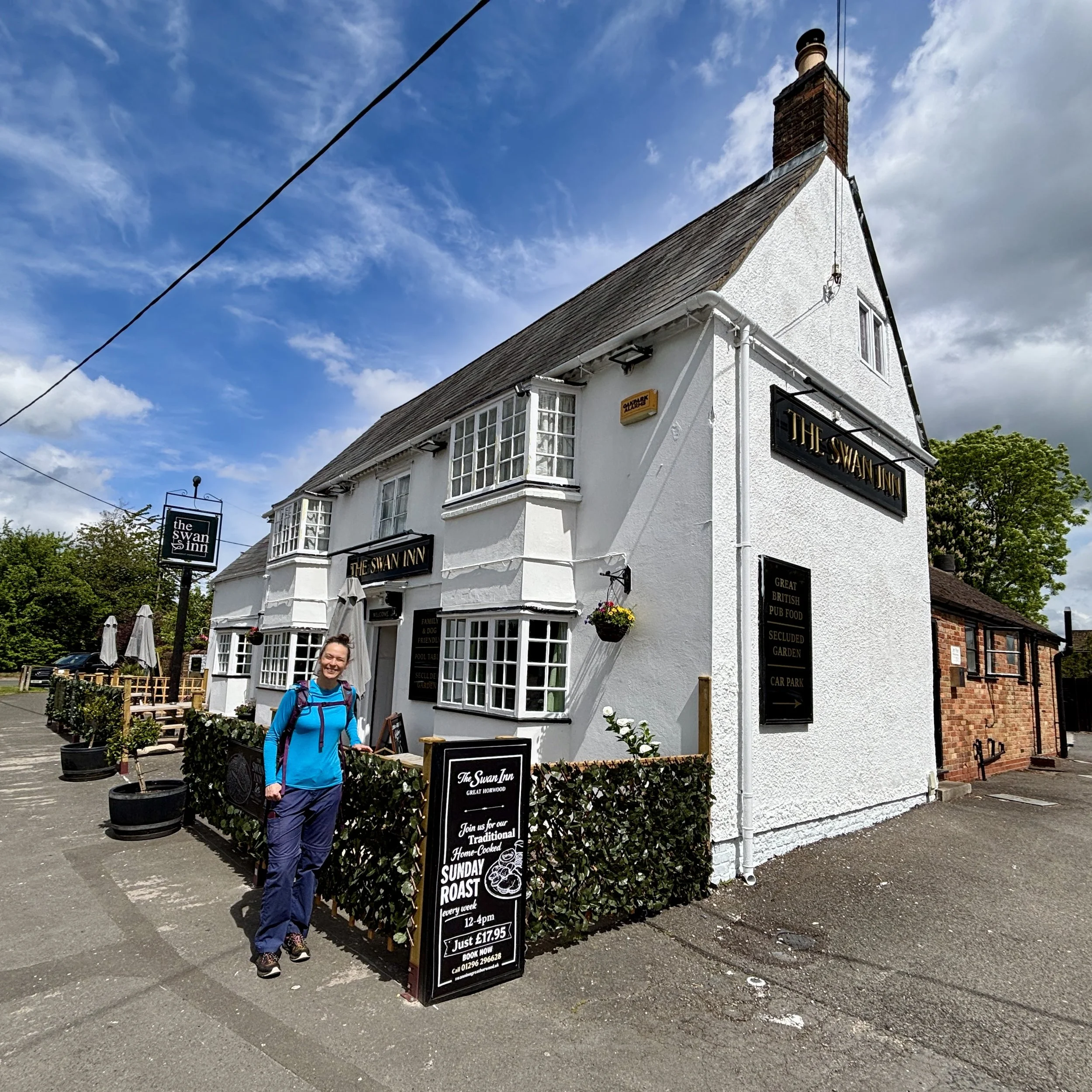
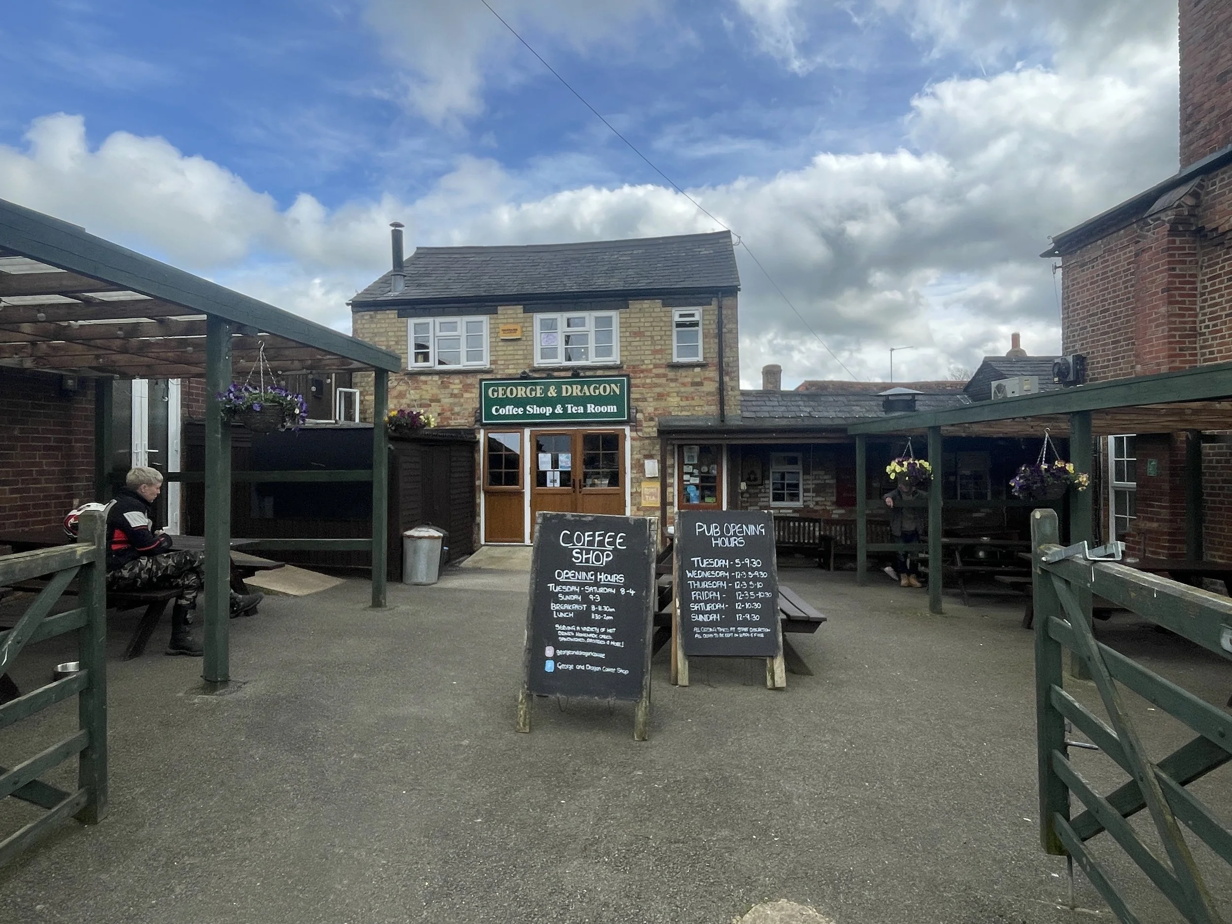
After making our way around the construction works, our next crucial target was the Twyford Cafe, located at a nearby campsite. We arrived by the skin of our teeth: just five minutes before they were due to close at 1 o'clock on a Sunday. Despite our late arrival, the staff were wonderfully accommodating and friendly. They kindly warmed up some pasties for us, which we took outside to eat after they had officially locked up the shop.
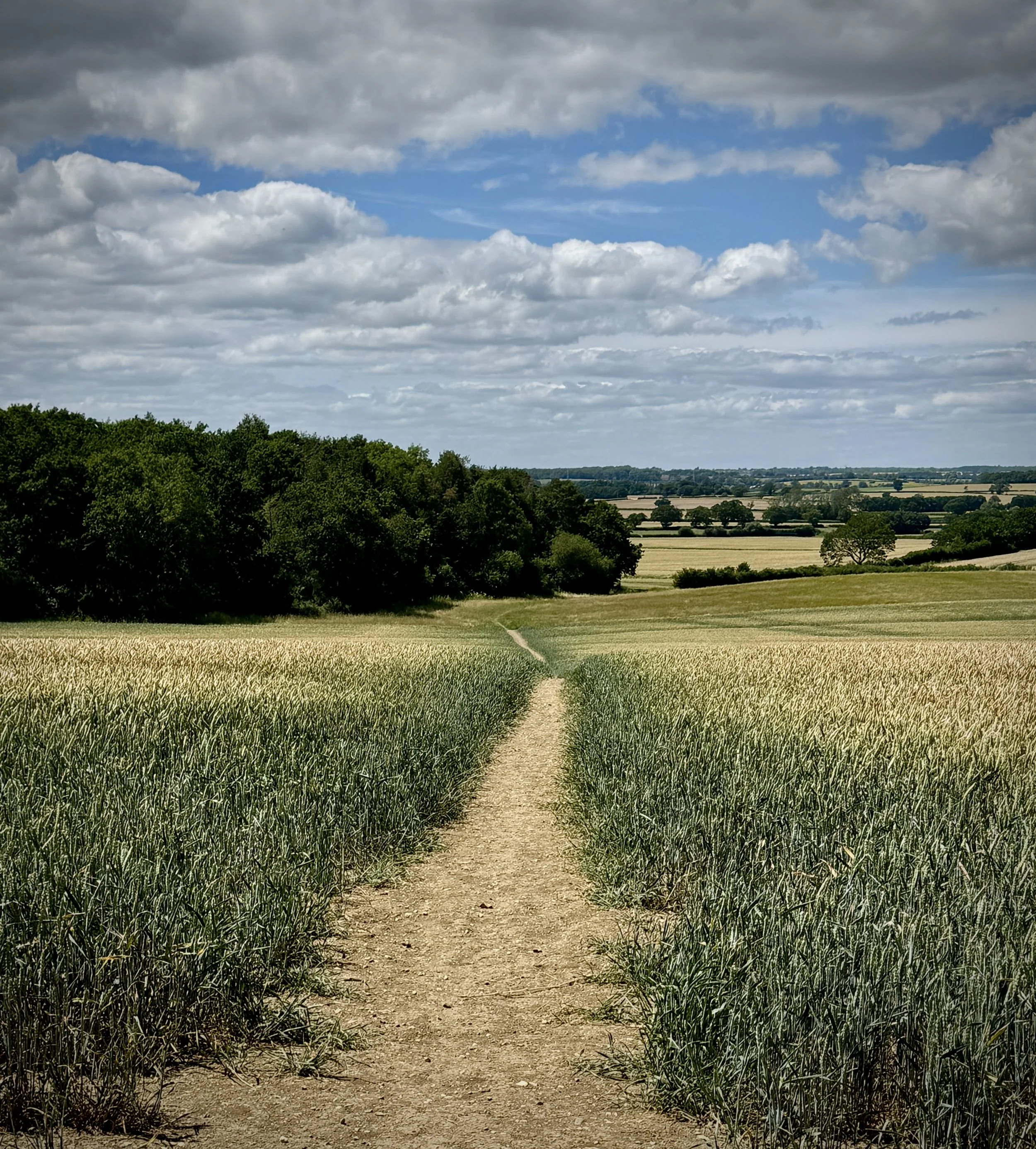
Setting off from Twyford with full stomachs, we noticed something a bit strange: after a fantastic run of Millennium Mileposts between Milton Keynes and Twyford, they completely dried up. We didn't spot a single one for the rest of the trip all the way into Oxford. I am not entirely sure why that is, but it seemed like a strange anomaly given how packed the first half of the route was with them.
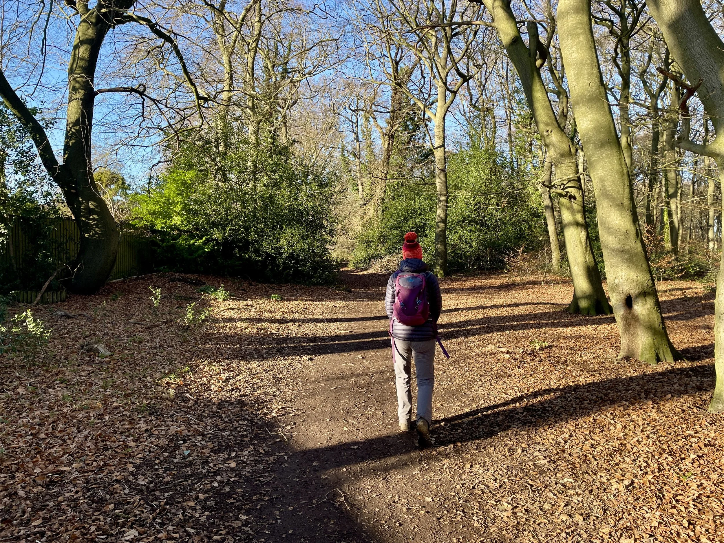
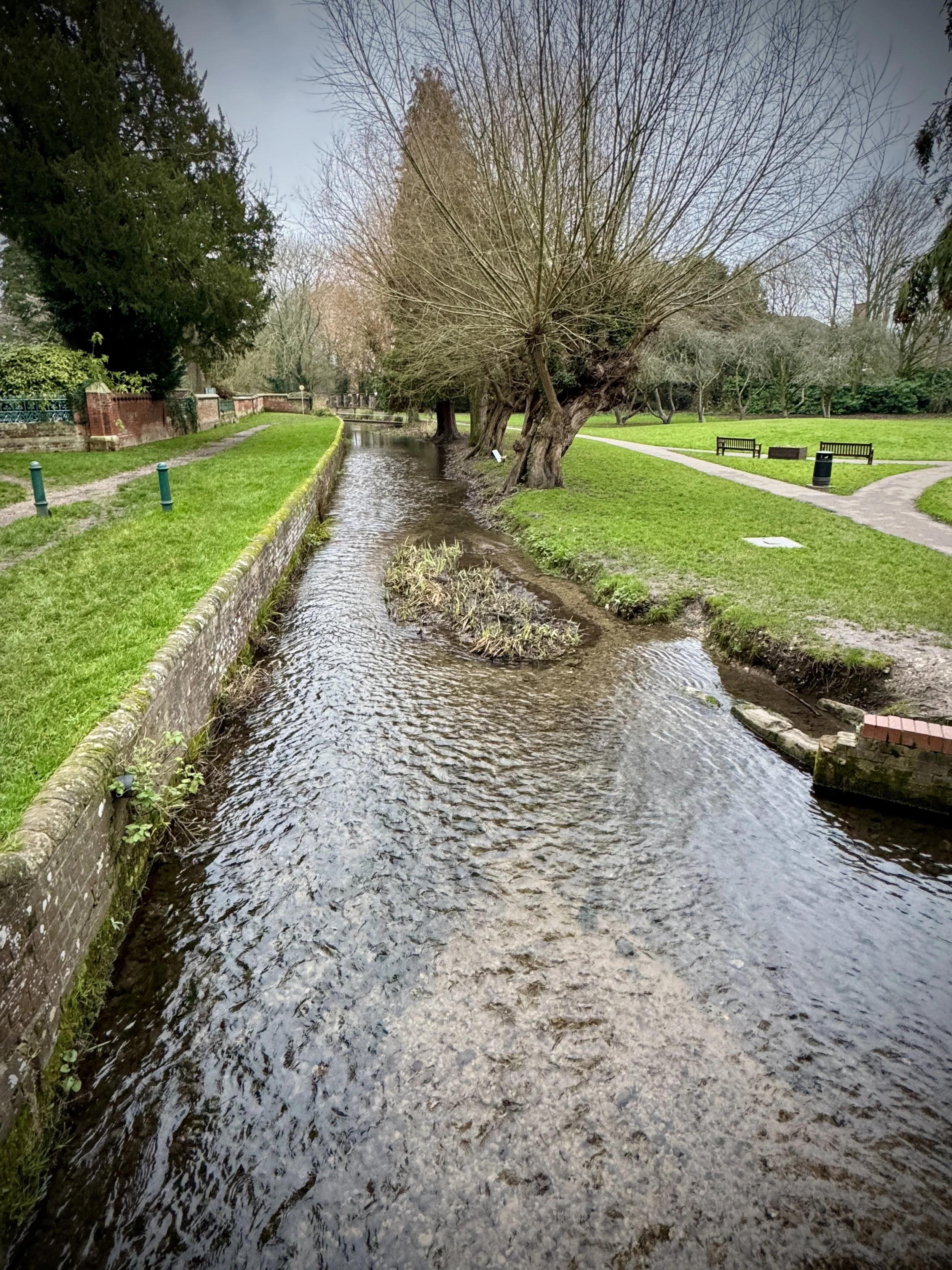
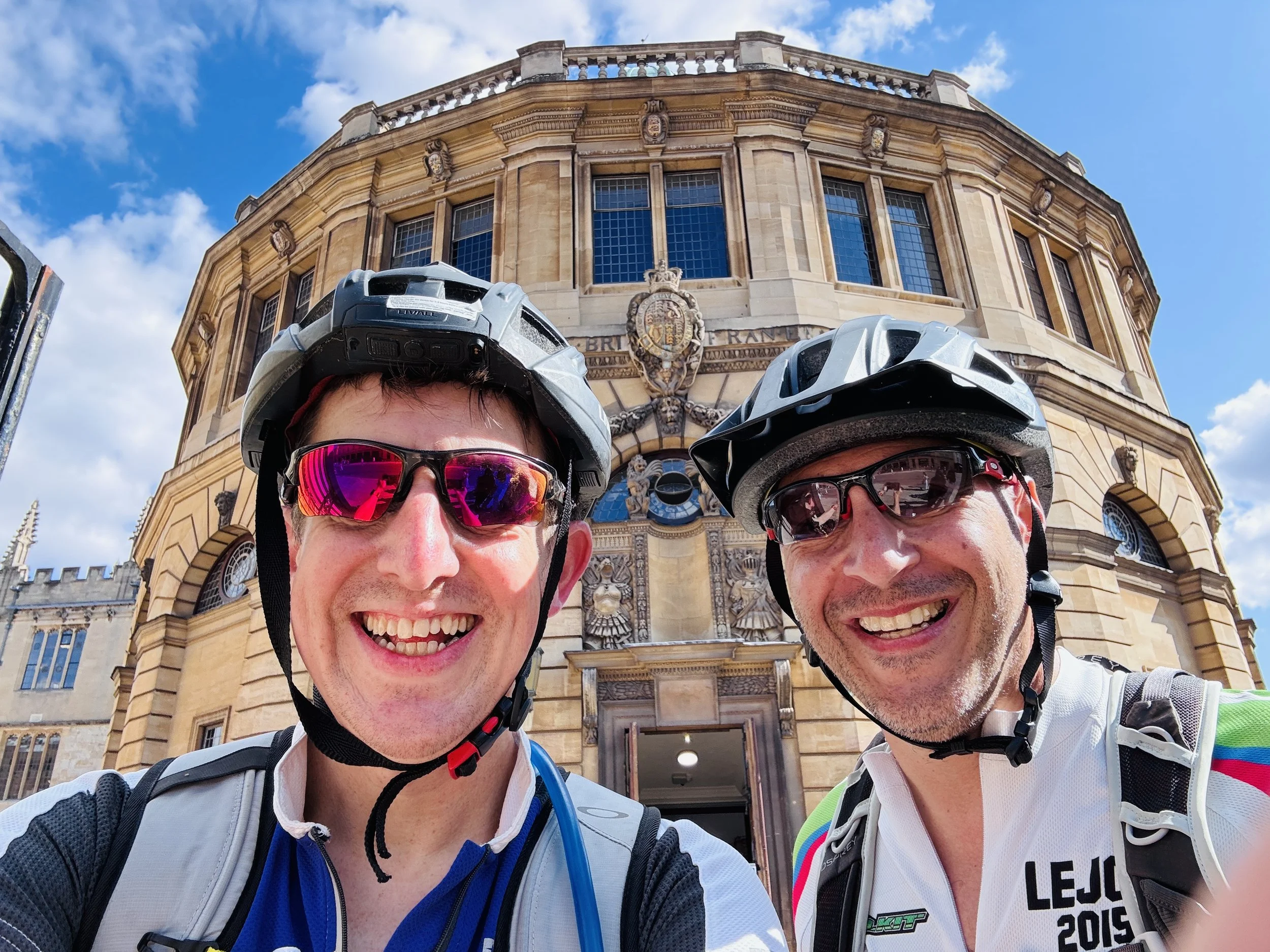
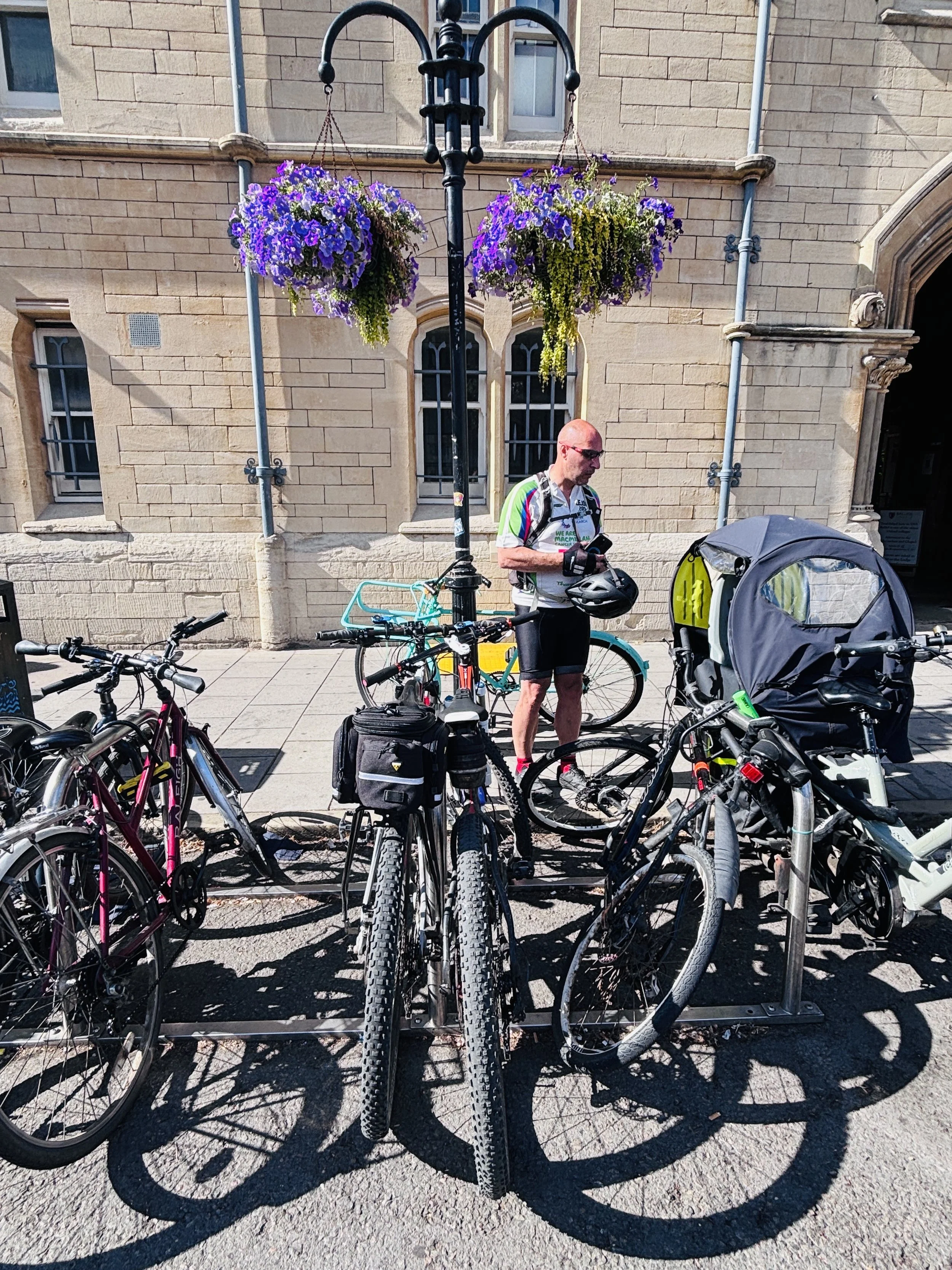
As we finally approached the outskirts of Oxford, I was in the zone and ready to just power on to the very end of the route to finish it off. However, Brian had a much more sensible idea: it was a beautiful afternoon, so why not stop, enjoy the city, and get some proper food before we headed back?
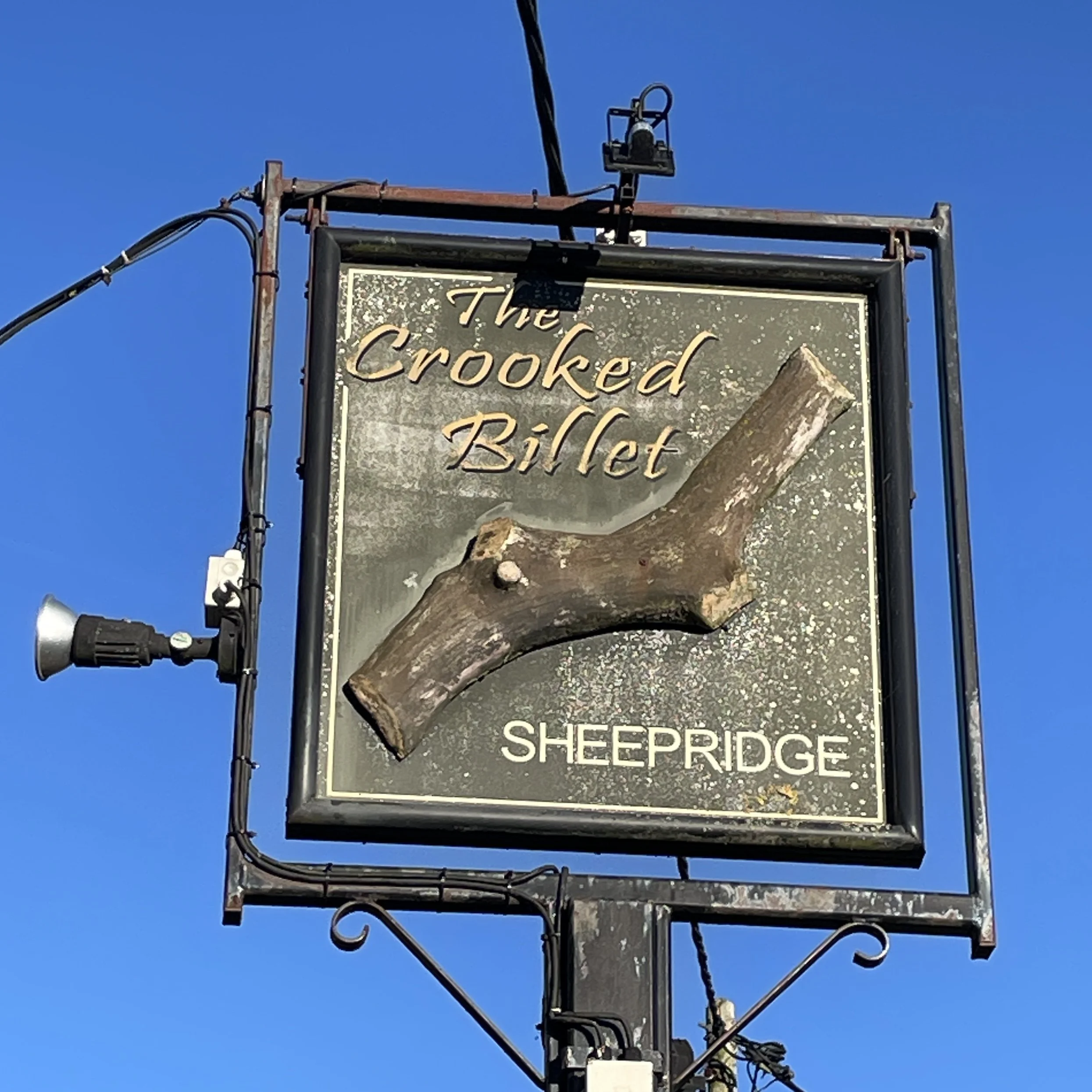
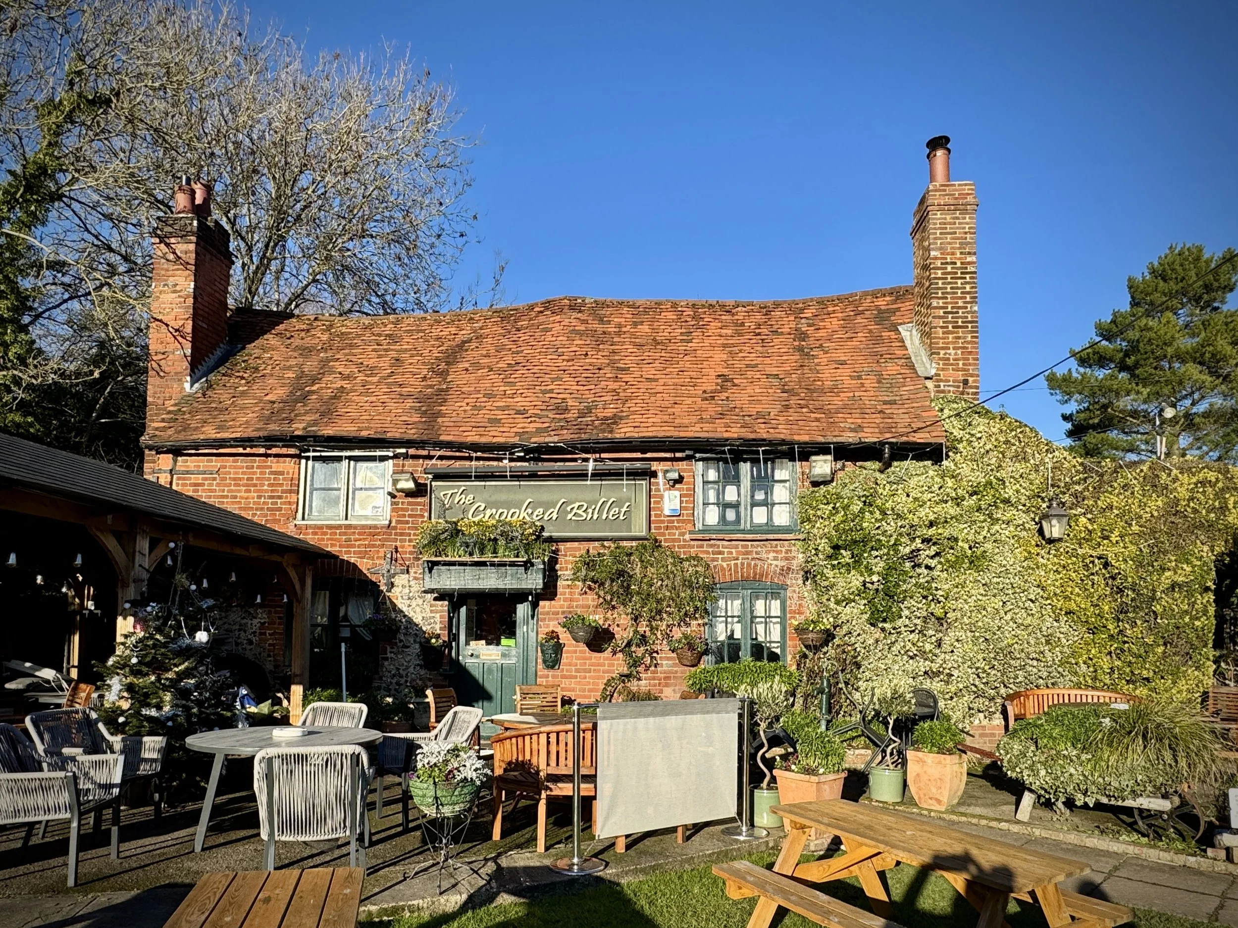
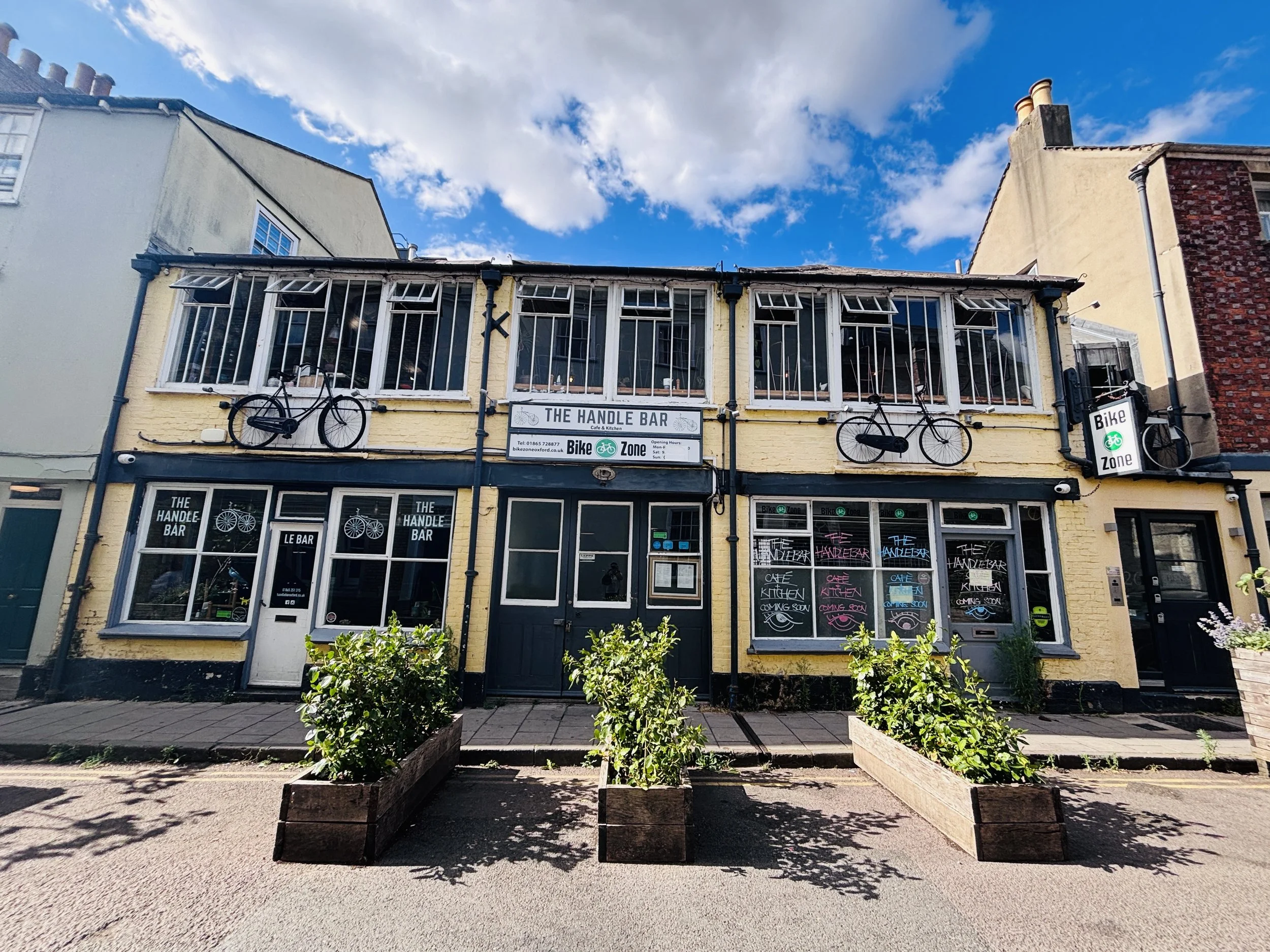
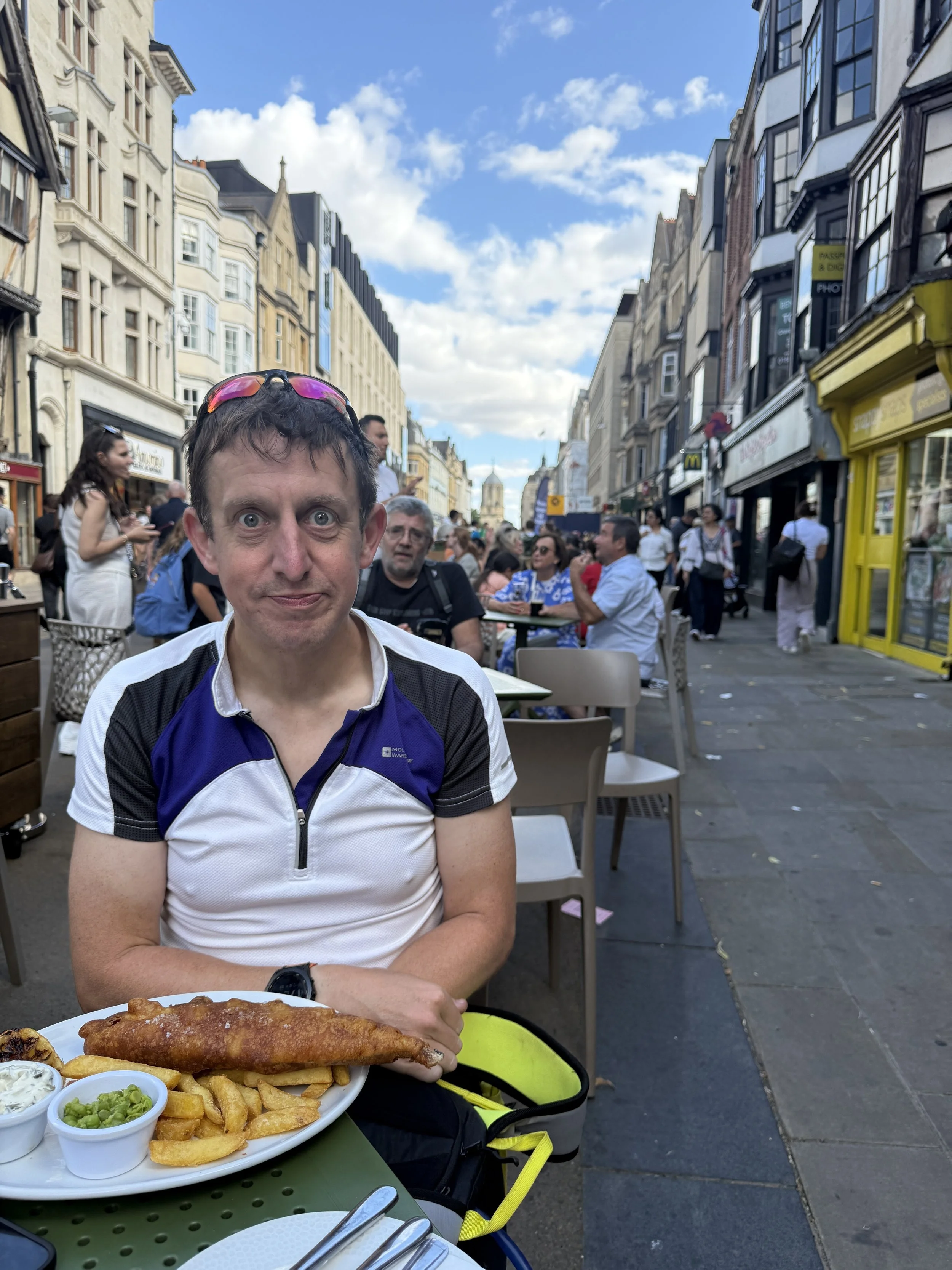
We decided to try and find the Handlebar cycle cafe, a choice driven almost entirely by our amusement at its funny name. Unfortunately, when we got there, we discovered it was closed. Undeterred by this minor setback, we found a local pub instead, where a classic plate of fish and chips did the job perfectly before we began the logistical shuffle of getting ourselves and the bikes home.
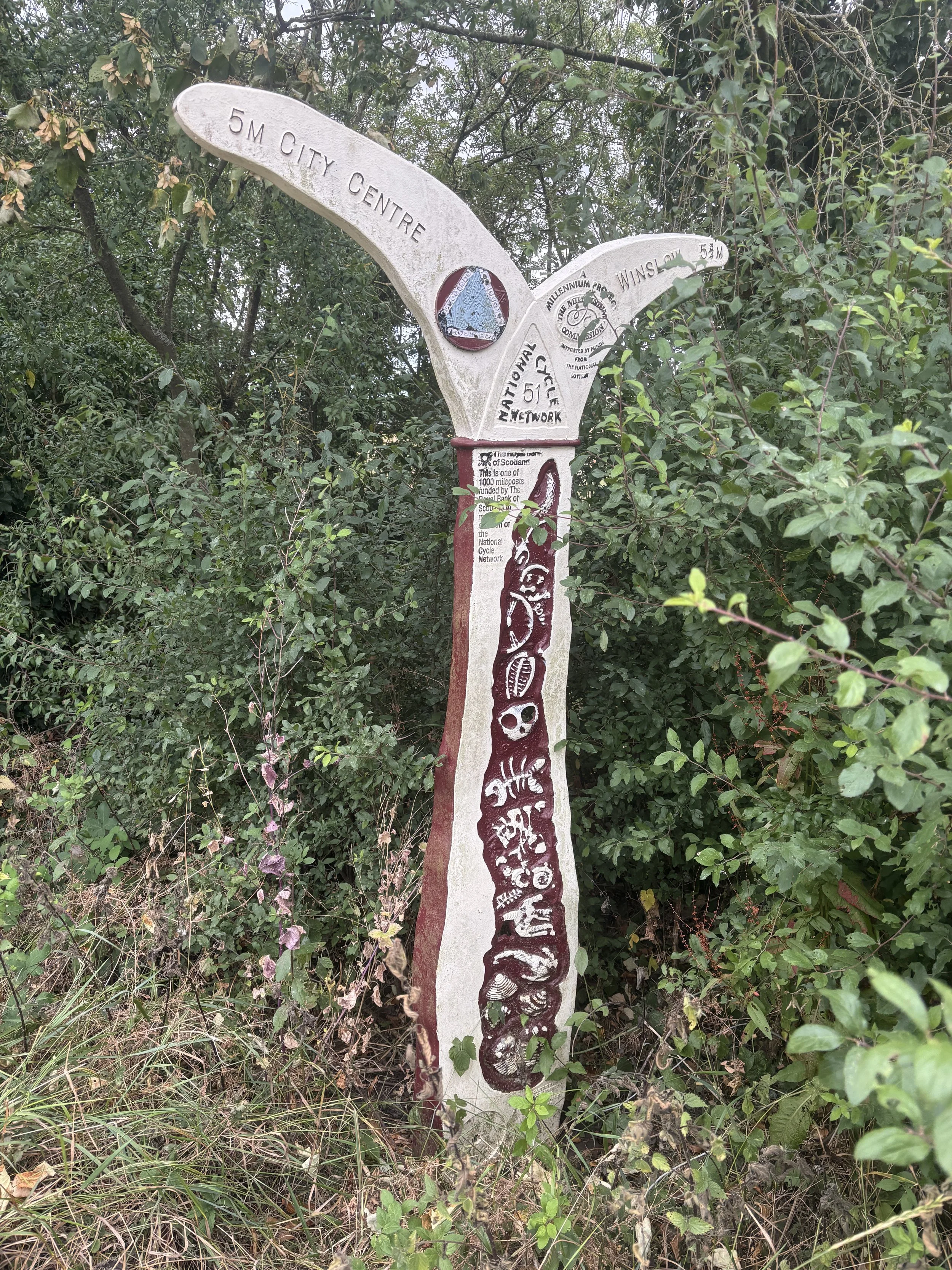
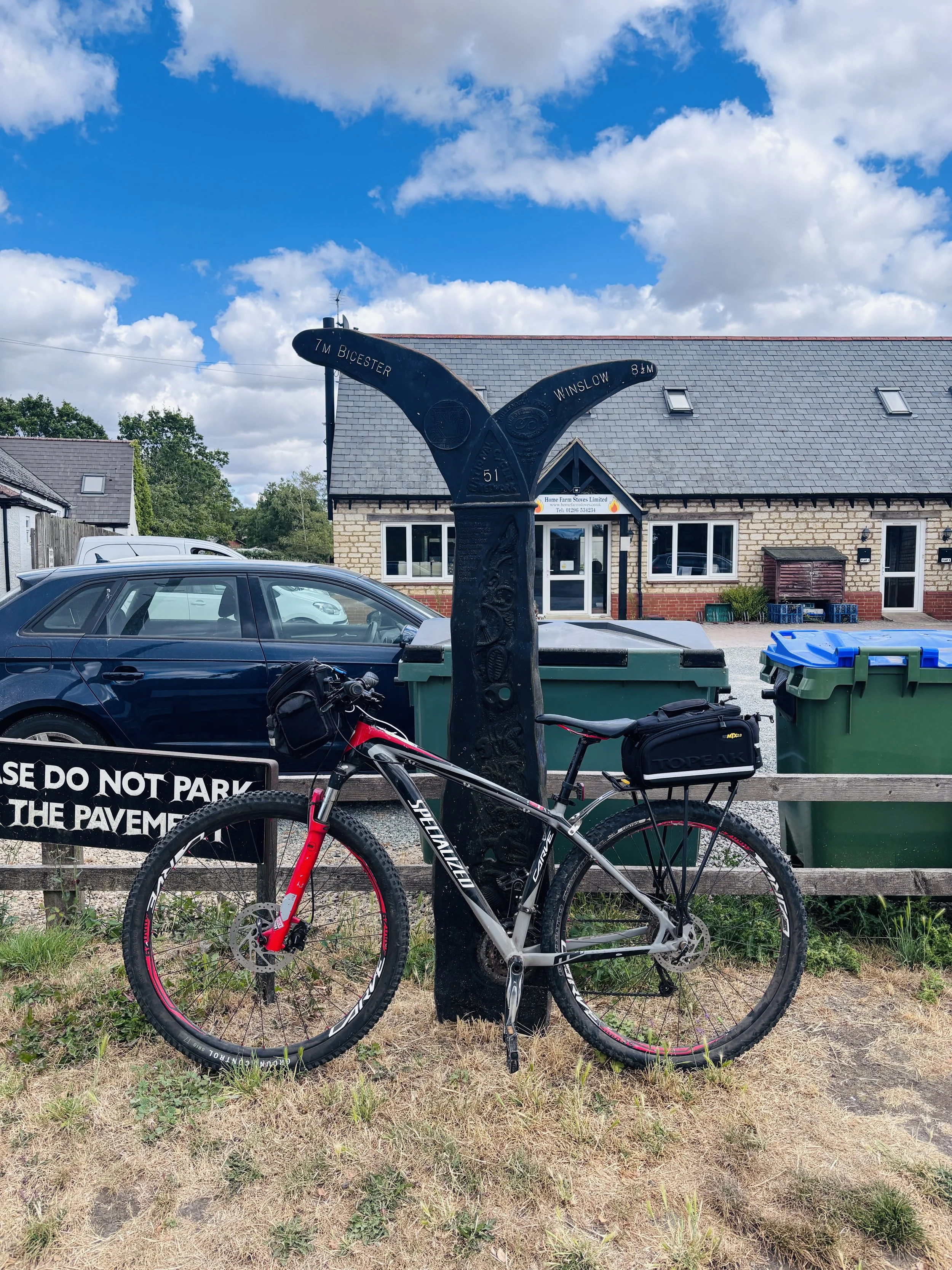
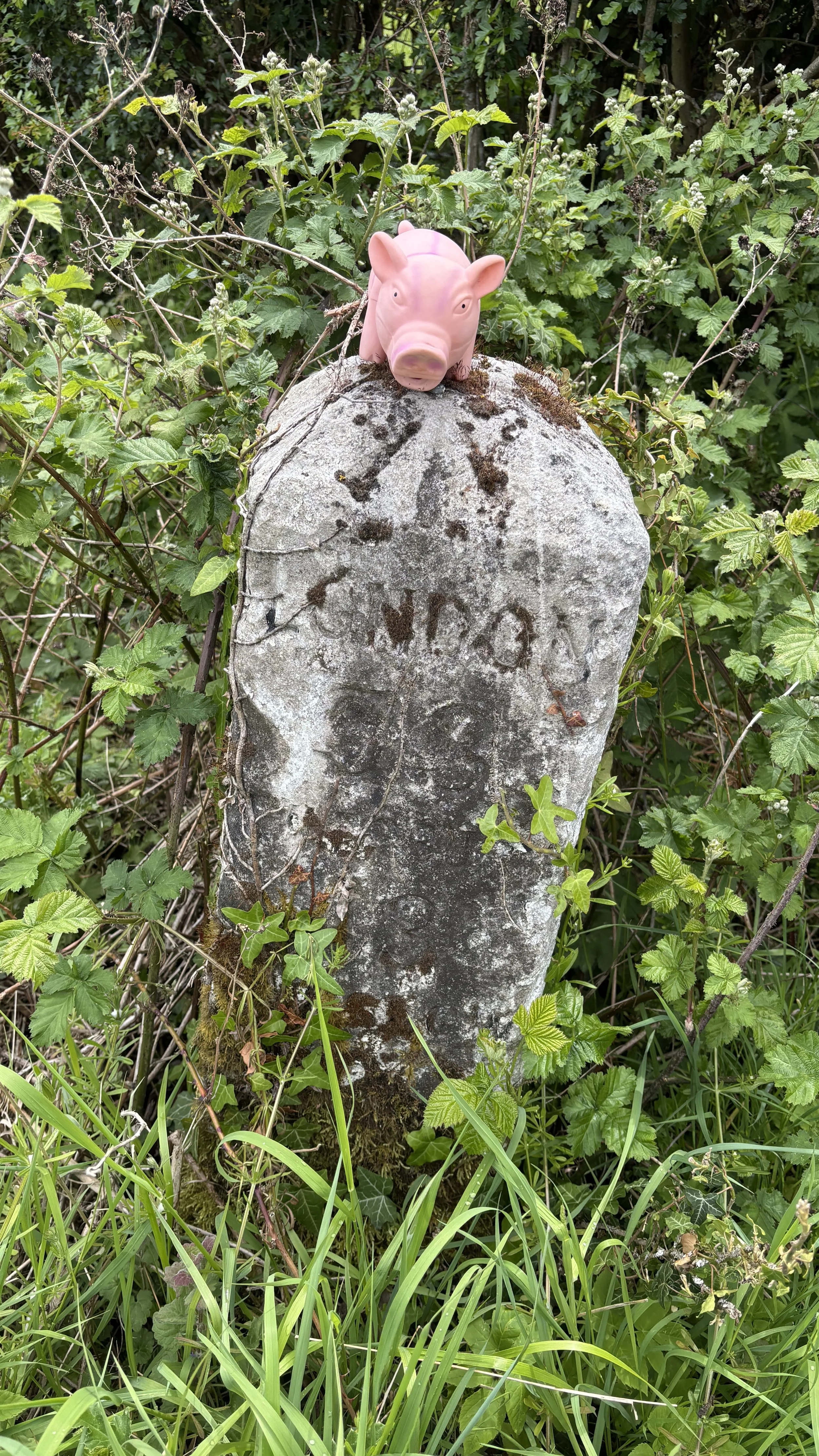
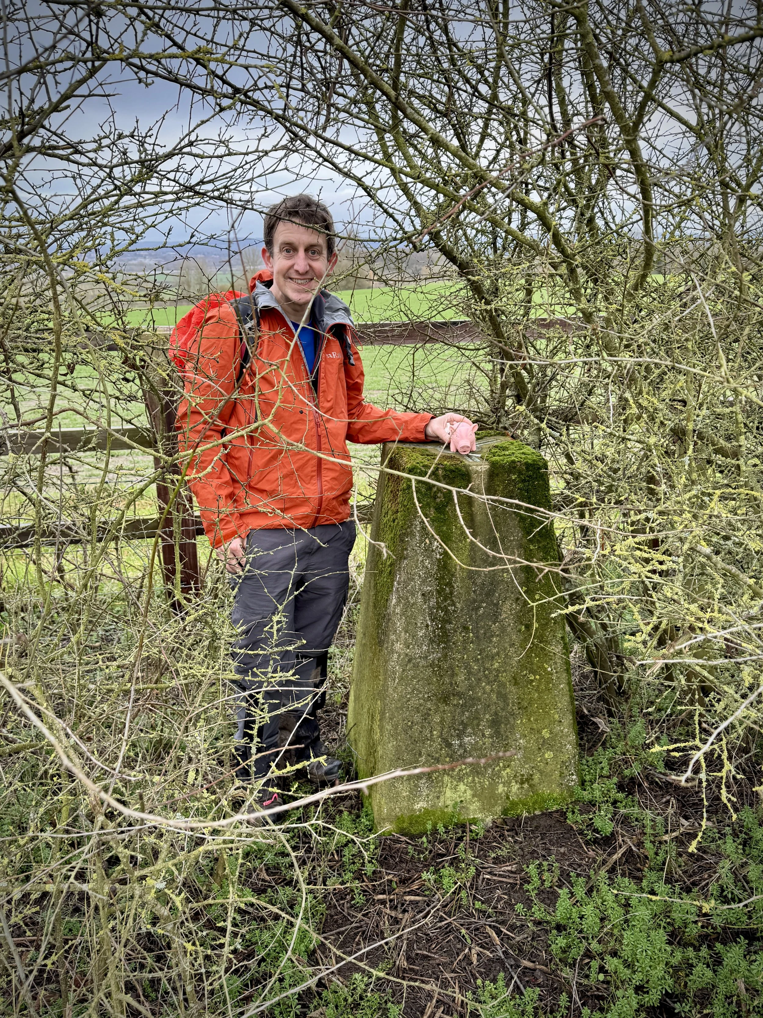
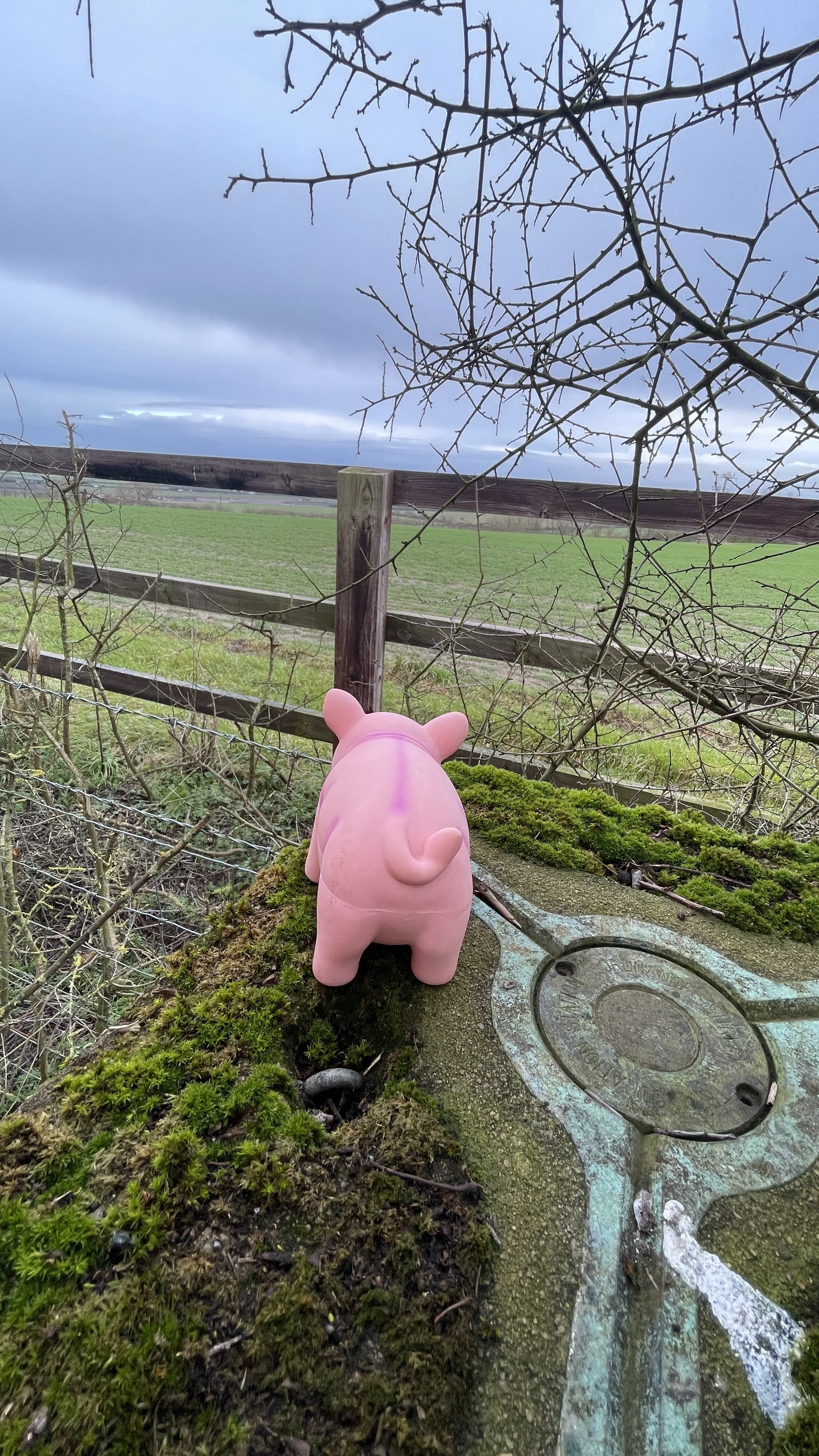
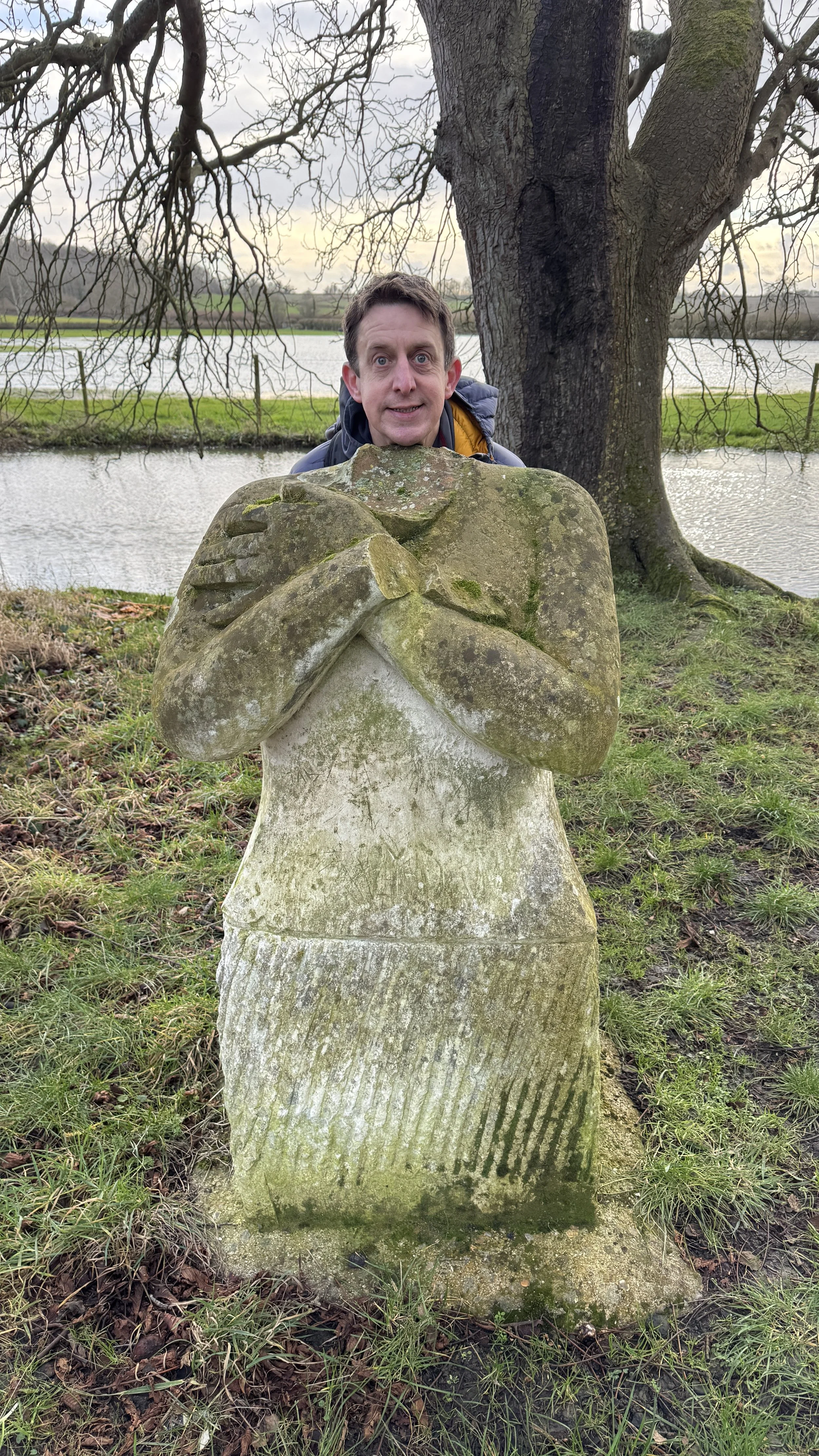
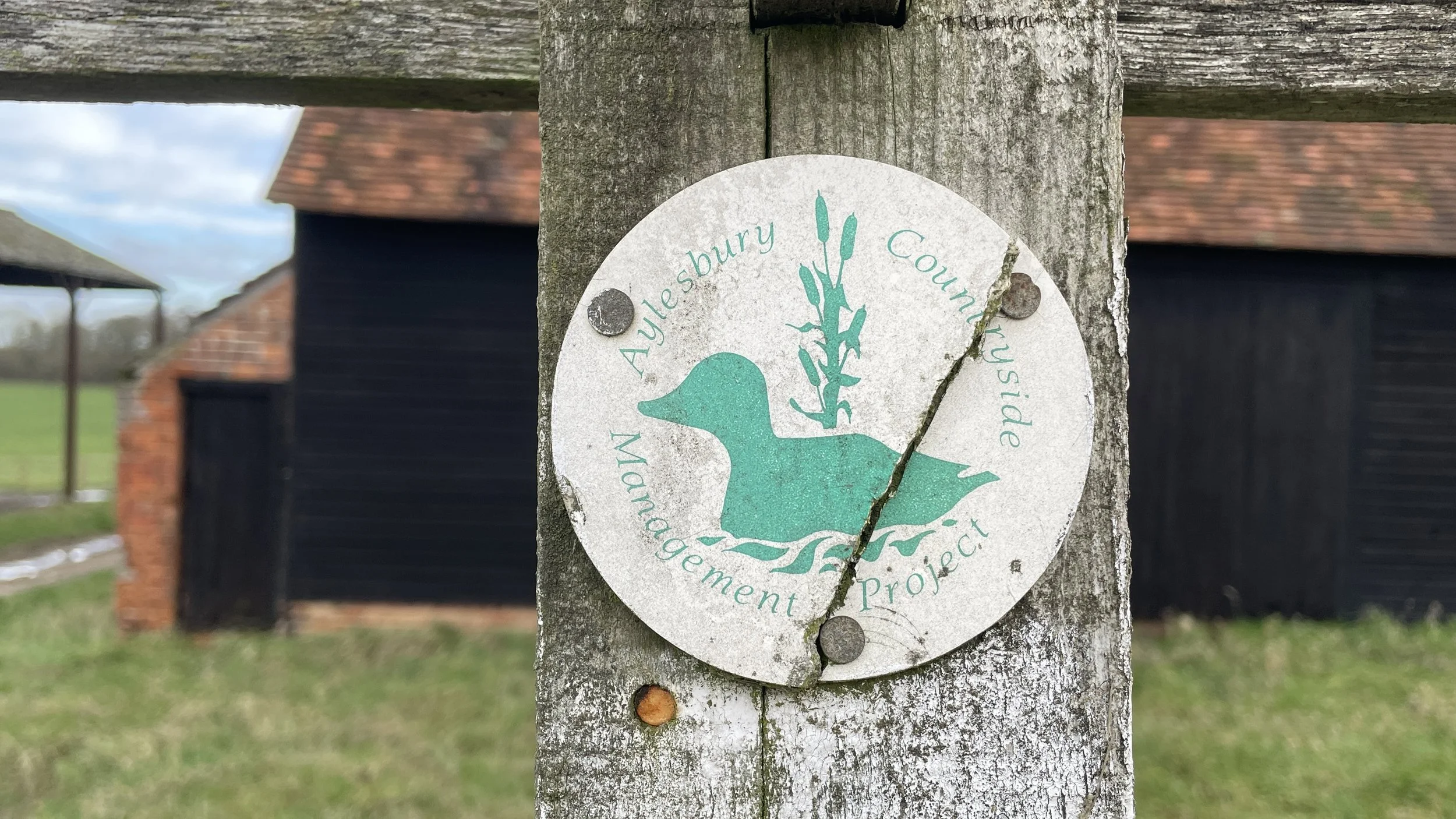
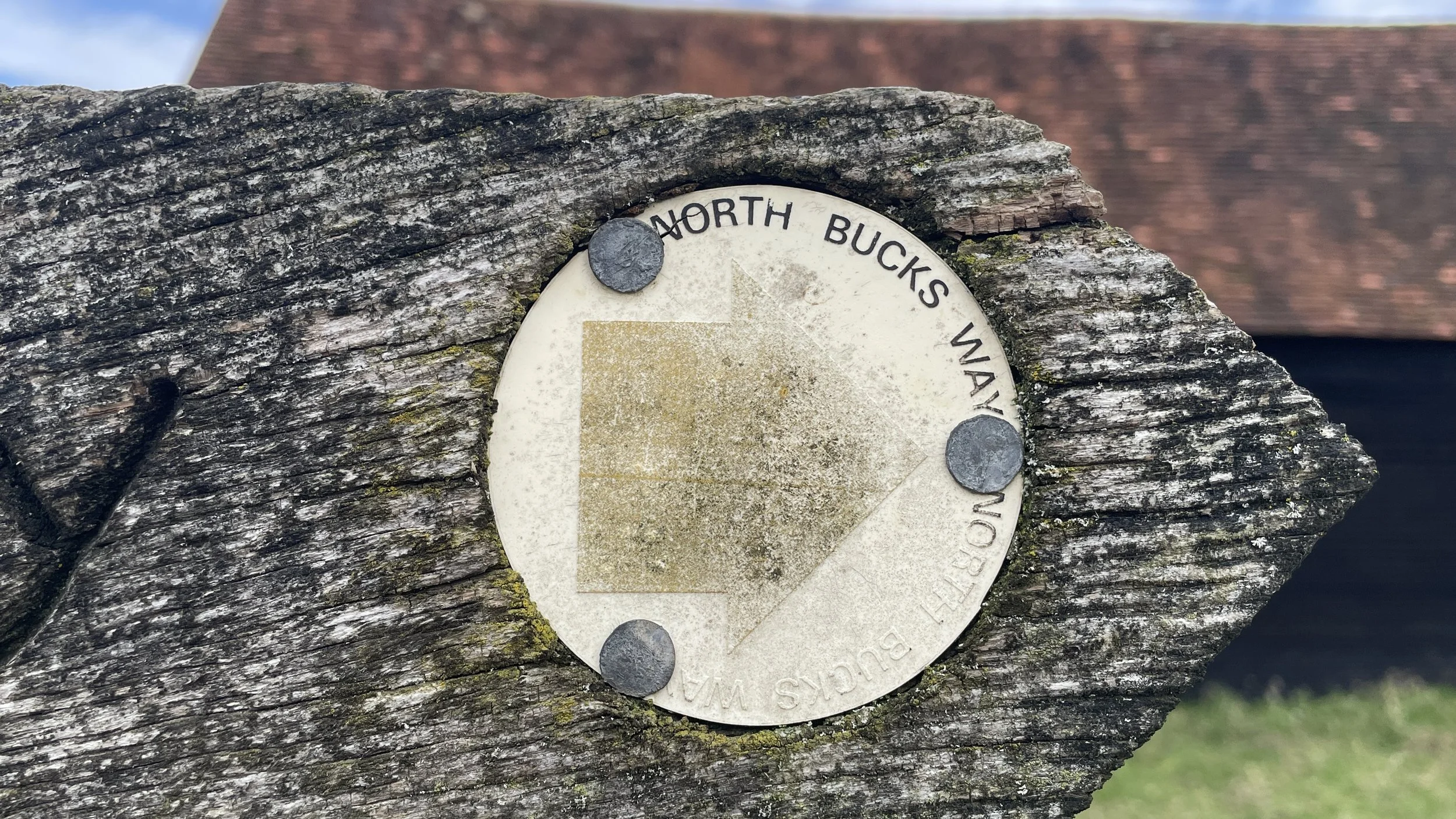
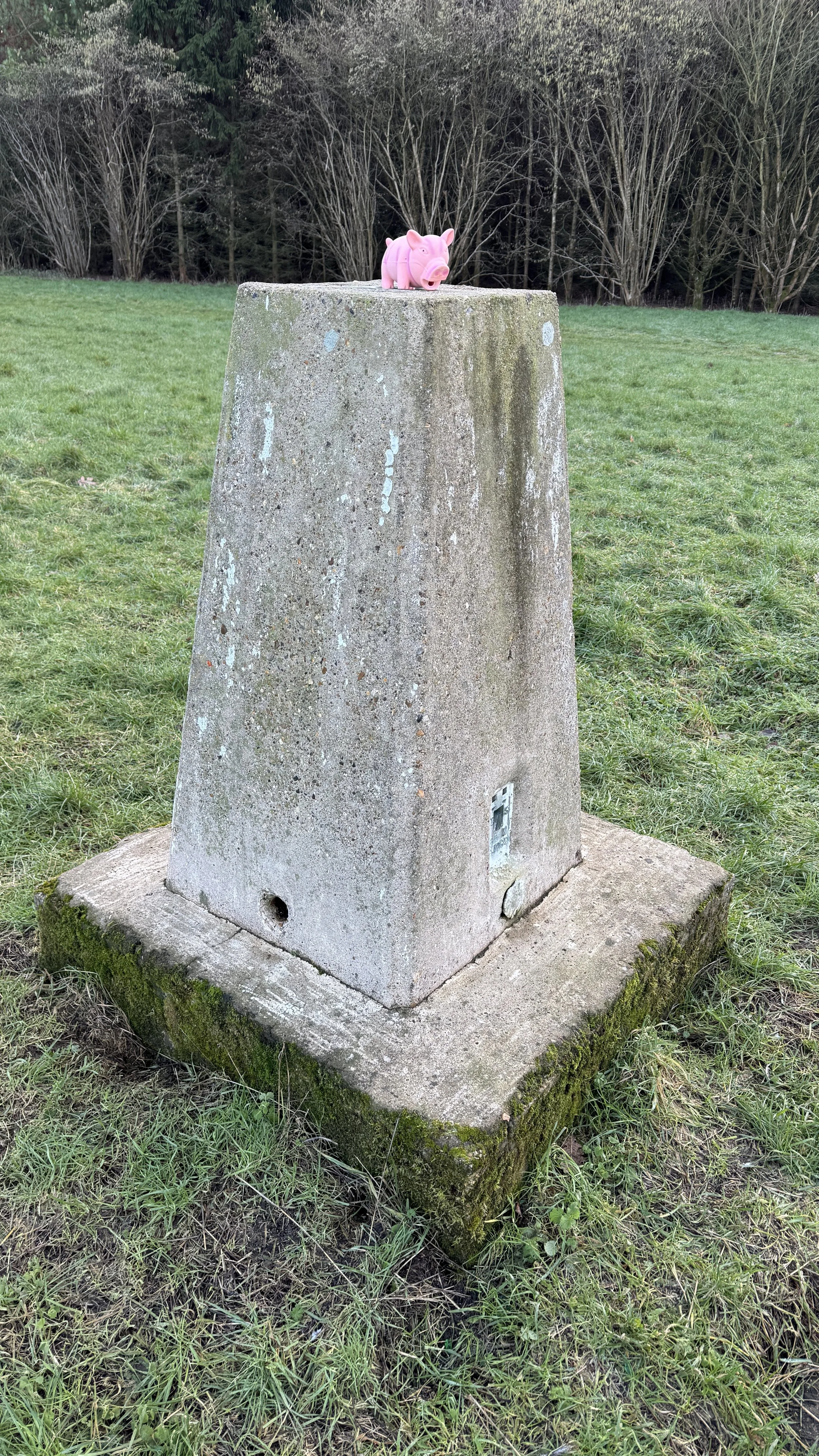
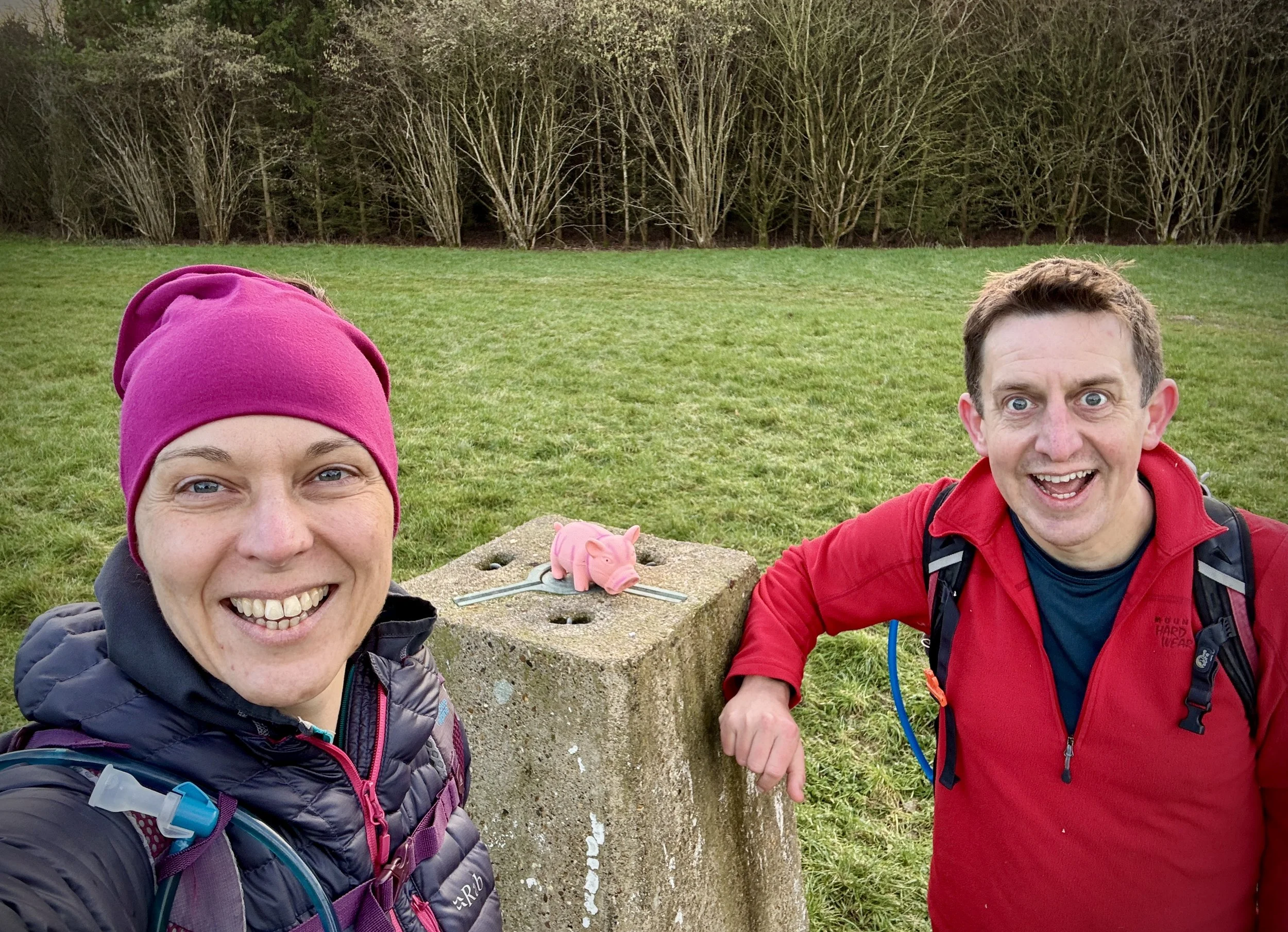
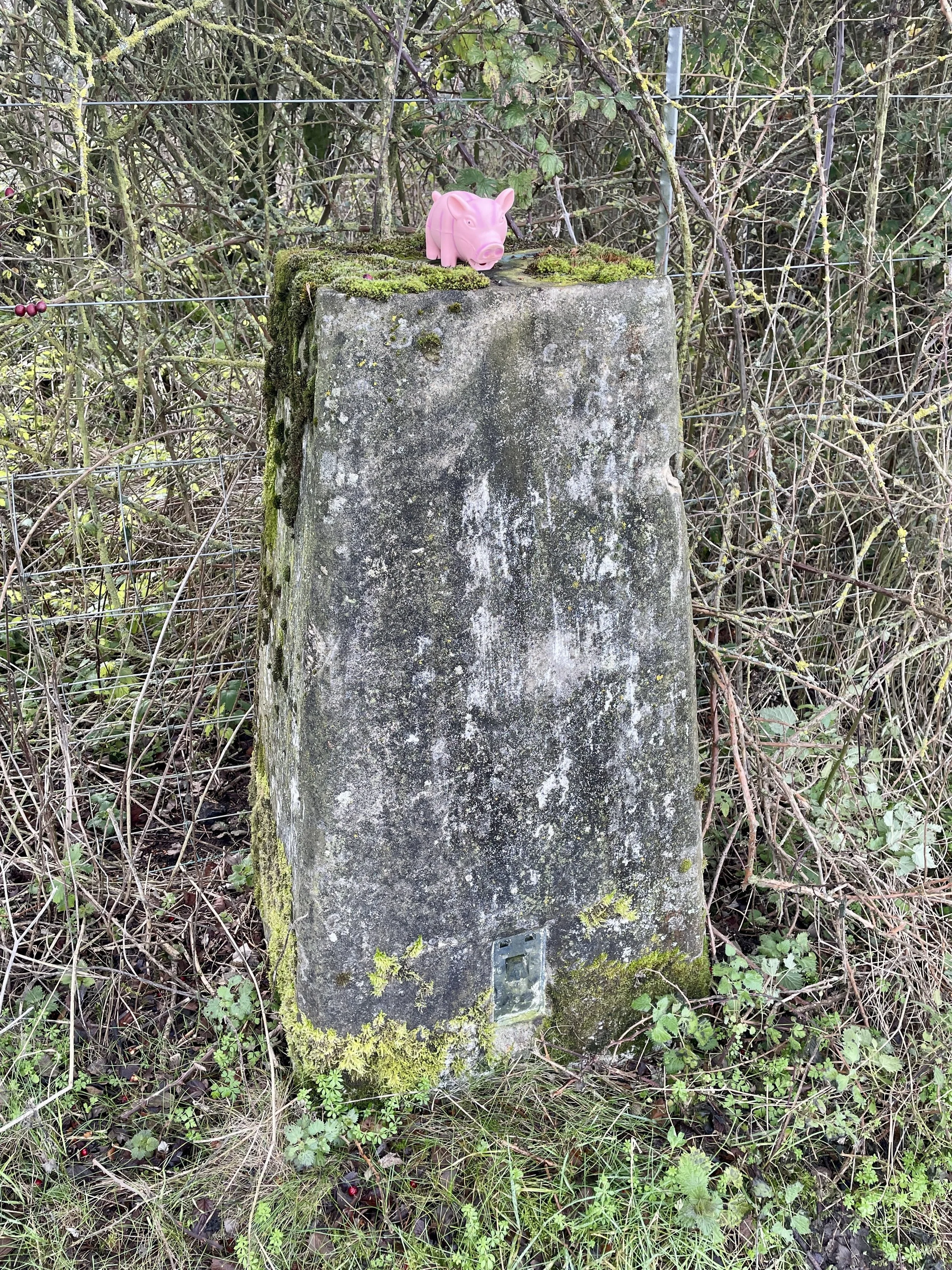
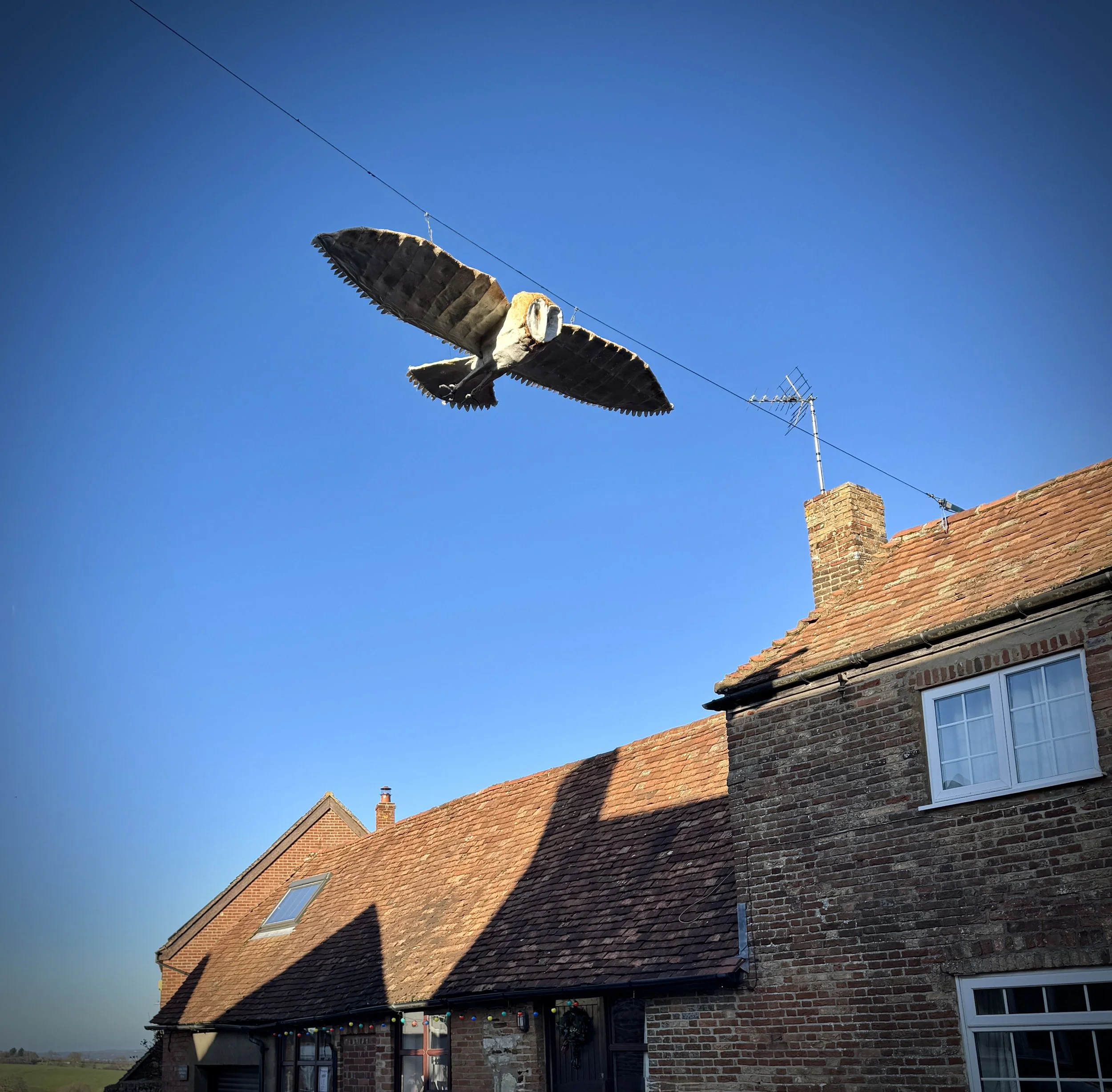
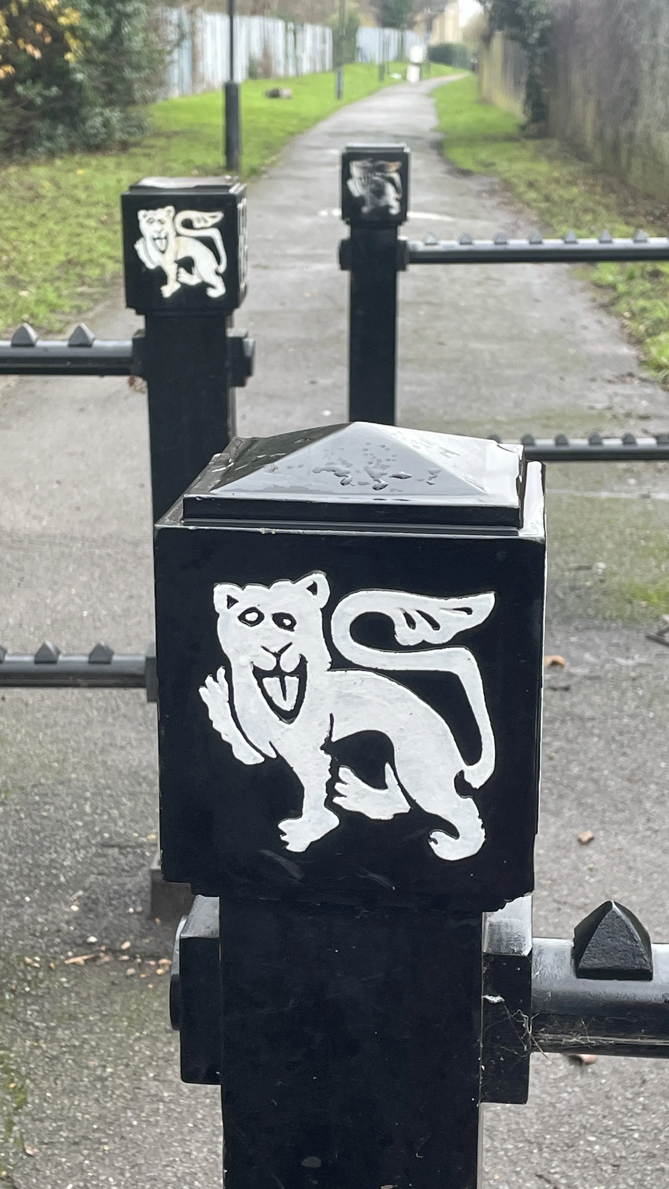
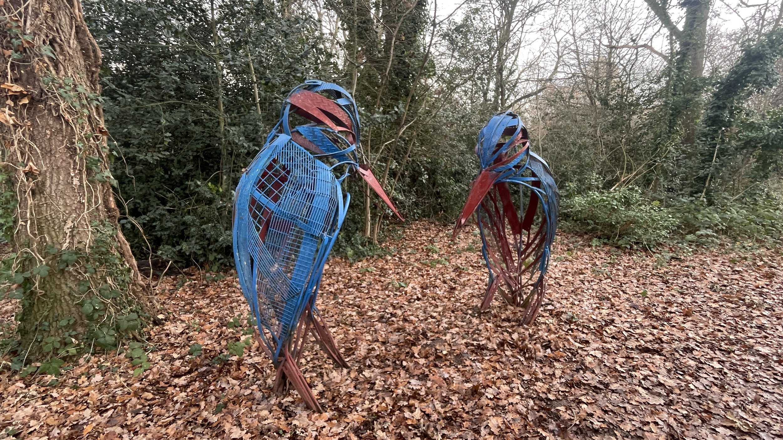
The Millennium Mileposts
Dotting the UK's National Cycle Network are over 1,000 unique markers known as the Millennium Mileposts. Unveiled in 2000, these cast-iron sculptures are more than just waymarkers. Designed by four artists, one from each nation of the UK, they celebrate the diversity of the cycling routes. These artistic mileposts come in various shapes and can be found in both bustling towns and scenic landscapes, adding a touch of artistic charm to a cycling adventure.
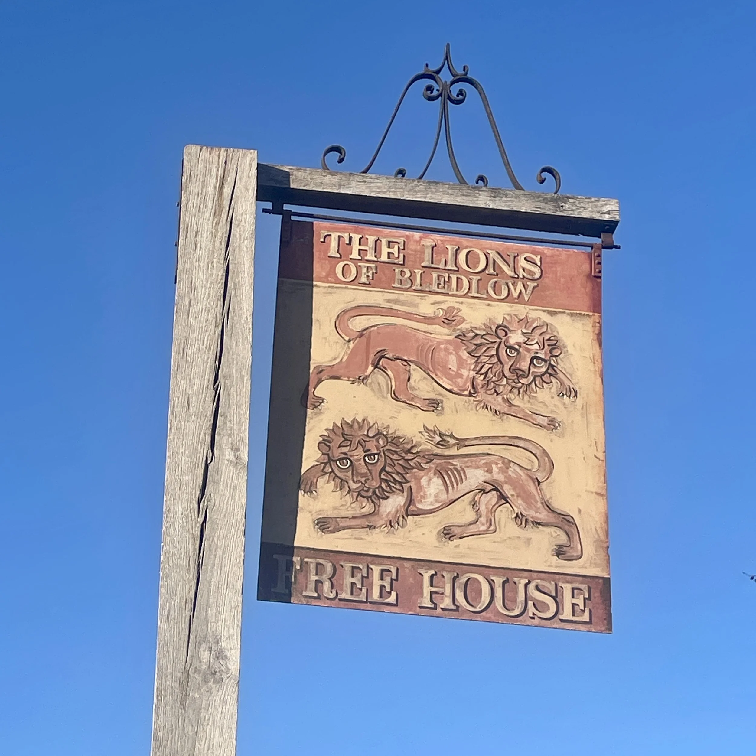
Here are the 10 Millennium Mileposts that we spotted along the route.