Walking The Midshires Way Part 3: Ford and Kemble Wick
Between Aston Sandford and Owlswick
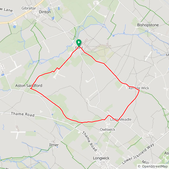
Start & Finish: The Dinton Hermit, Water Lane, Ford, Aylesbury, HP17 8XH
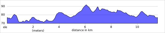
Distance: 11.6 km (7.2 miles)
Elevation change: +/- 58m
Terrain: Predominantly level terrain consisting of field-edge footpaths, narrow country lanes, and farm tracks across the Aylesbury Vale.
Midshires Way section covered: Longwick to Michael’s Peace: 4.3 km
GPX File: get via Buy Me a Coffee
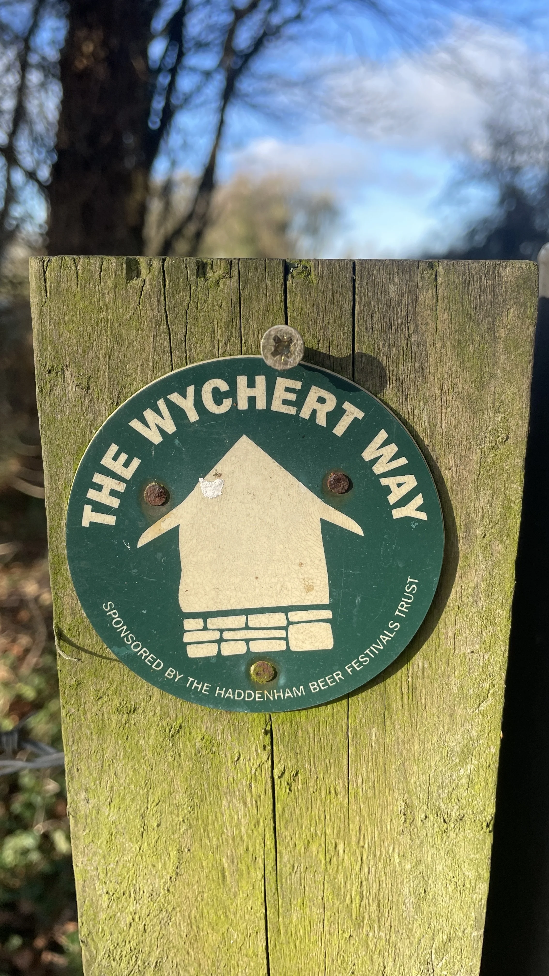
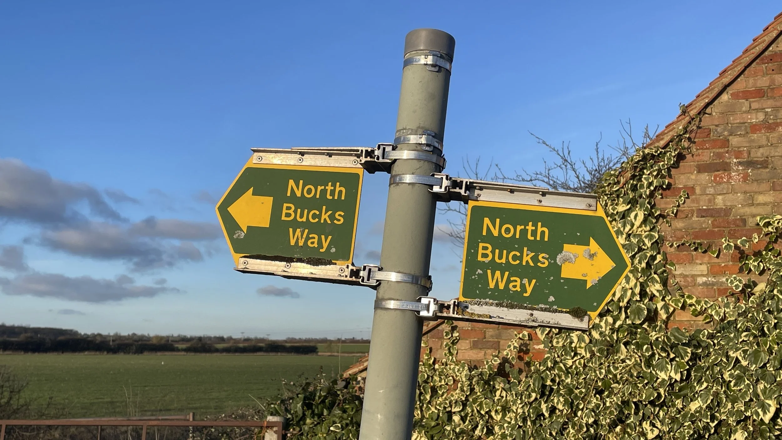
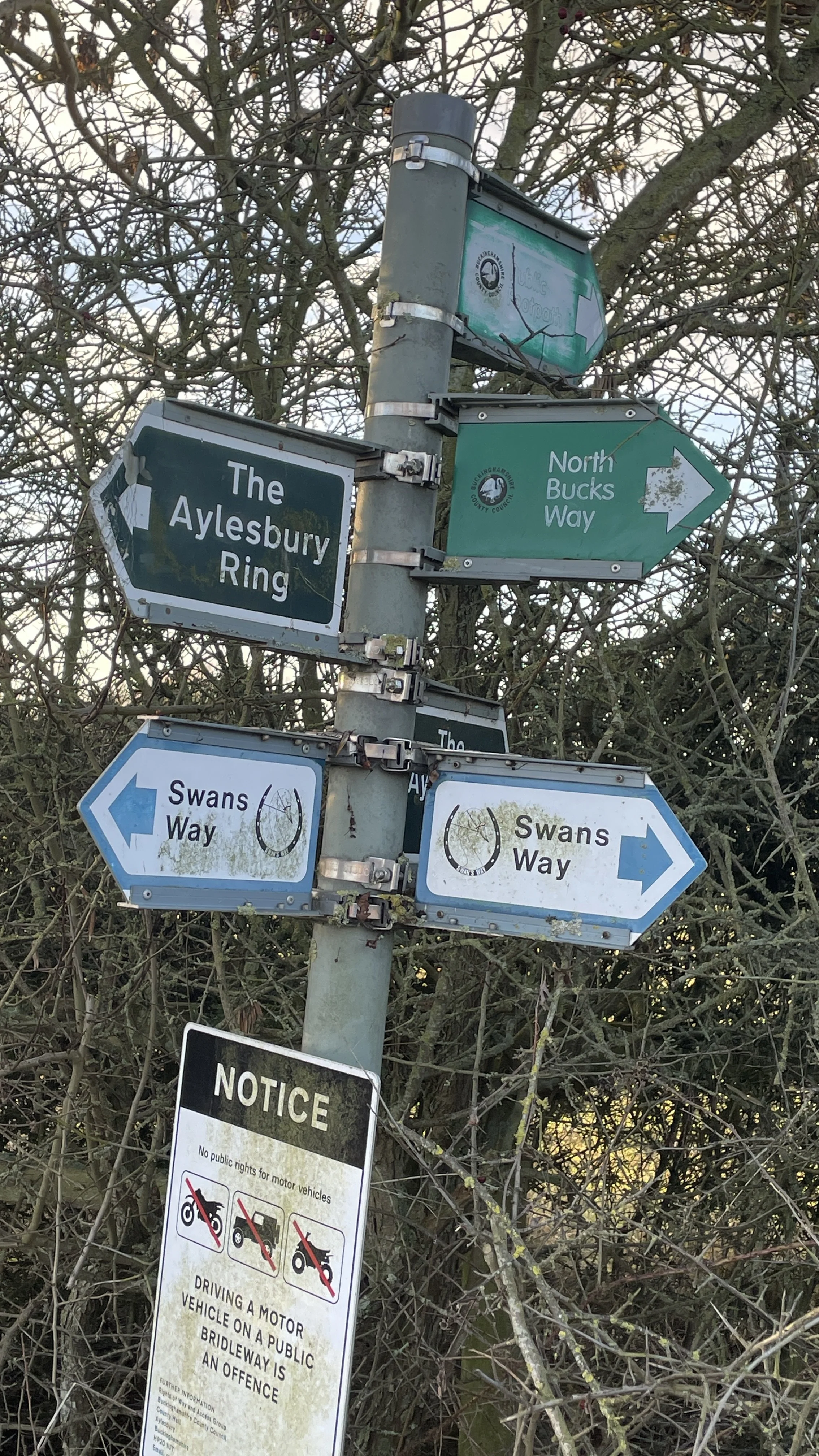
Other routes touched (walk): Midshires Way, The Swan Way, The Wychert Way, Aylesbury Ring, Outer Aylesbury Ring, North Bucks Way
Other routes touched (cycle): None
Pubs / Cafes on route: The Dinton Hermit at the start and end of the walk
Map: Chiltern Hills North Map | Aylesbury, Berkhamsted & Chesham | Ordnance Survey | OS Explorer Map 181
Links: Ford, Buckinghamshire, Midshires Way, Kimble Wick, Kimblewick bit, Aylesbury Vale
This is part of a series of short circular walks following the length of the Midshires Way in Buckinghamshire. The Midshires Way is a 225-mile (362 km) trail that journeys through the rural heart of Middle England, linking the Ridgeway National Trail at Bledlow in the south to the Trans Pennine Trail at Stockport in the north. Opened in 1994, this route traverses several counties, including Buckinghamshire, Northamptonshire, Leicestershire, Nottinghamshire, Derbyshire, and Greater Manchester, following a scenic tapestry of ancient bridleways, quiet country lanes, and historic canals. In Buckinghamshire, the Midshires Way has a significant connection with the Swan's Way (often referred to as the Swan Way), a 65-mile long-distance bridleway. Essentially, the Swan's Way forms the backbone of the Buckinghamshire section of the Midshires Way, with the two routes being broadly coincident for approximately 50 miles between Salcey Forest and Bledlow. While the Swan's Way strictly adheres to bridleways to accommodate horse riders and cyclists, the Midshires Way sometimes offers alternative waymarked footpaths for walkers to avoid on-road sections.
Walking Directions
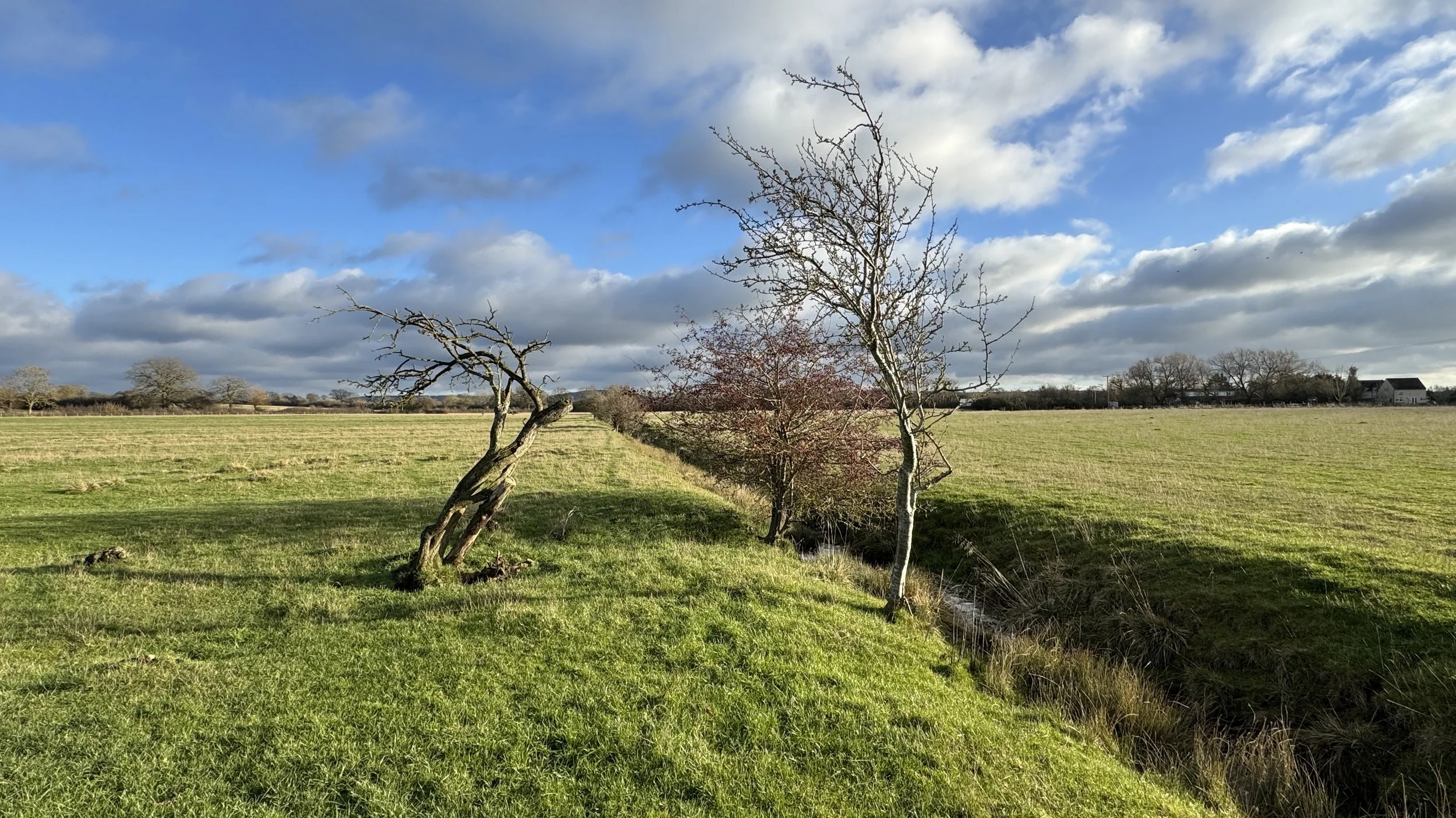
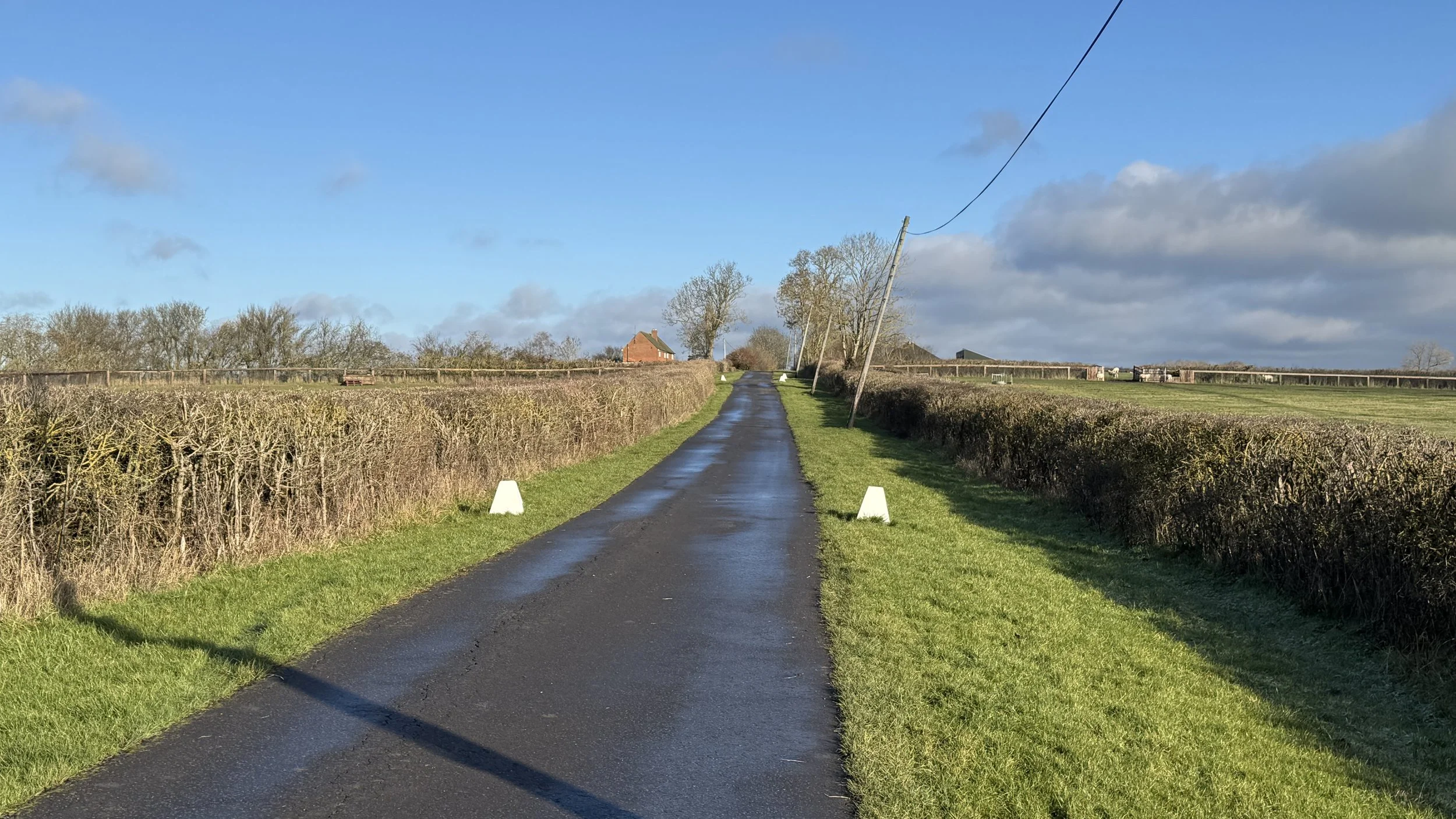
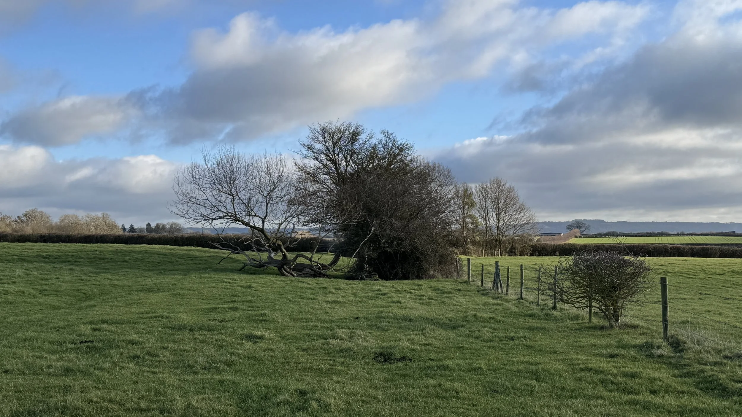
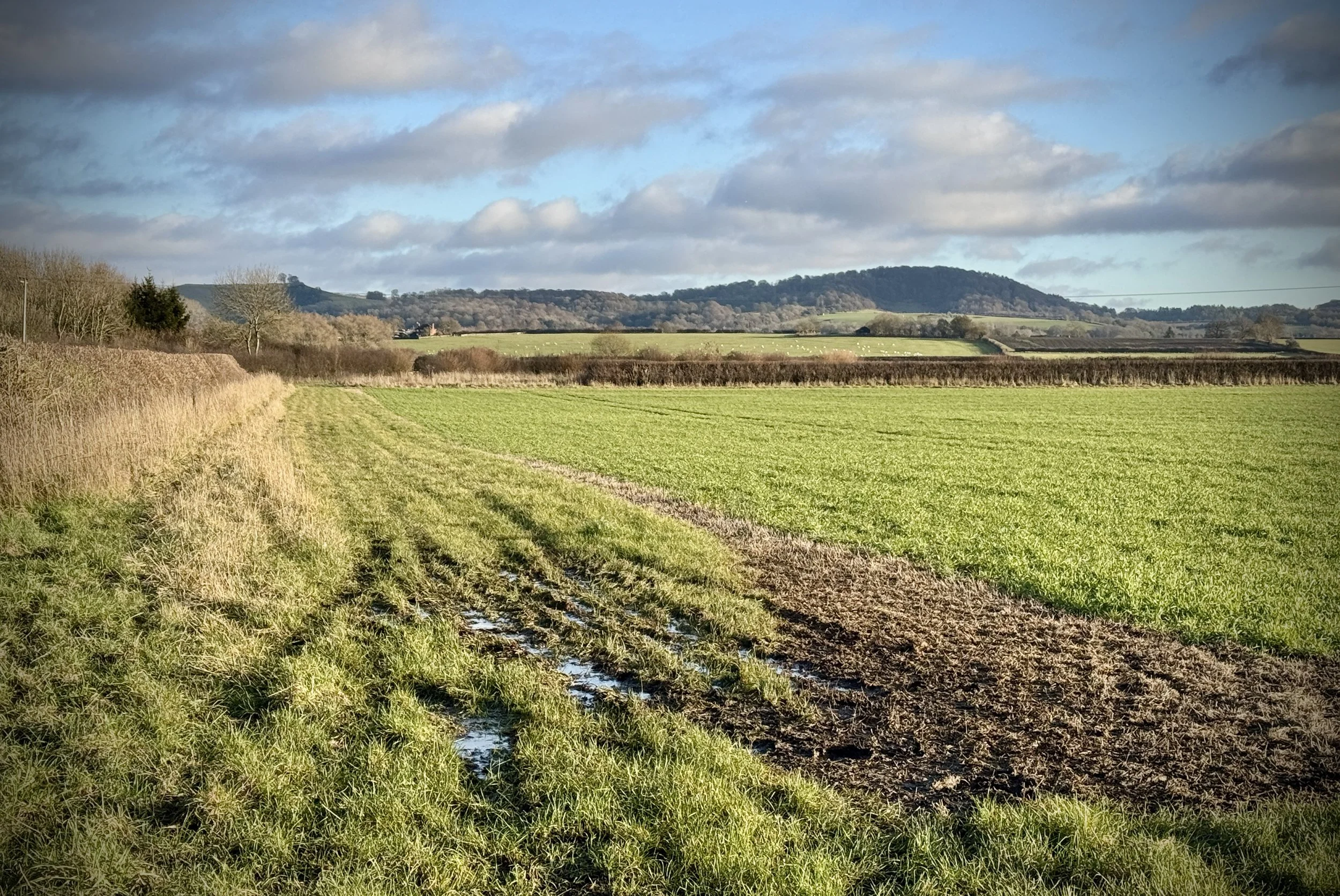
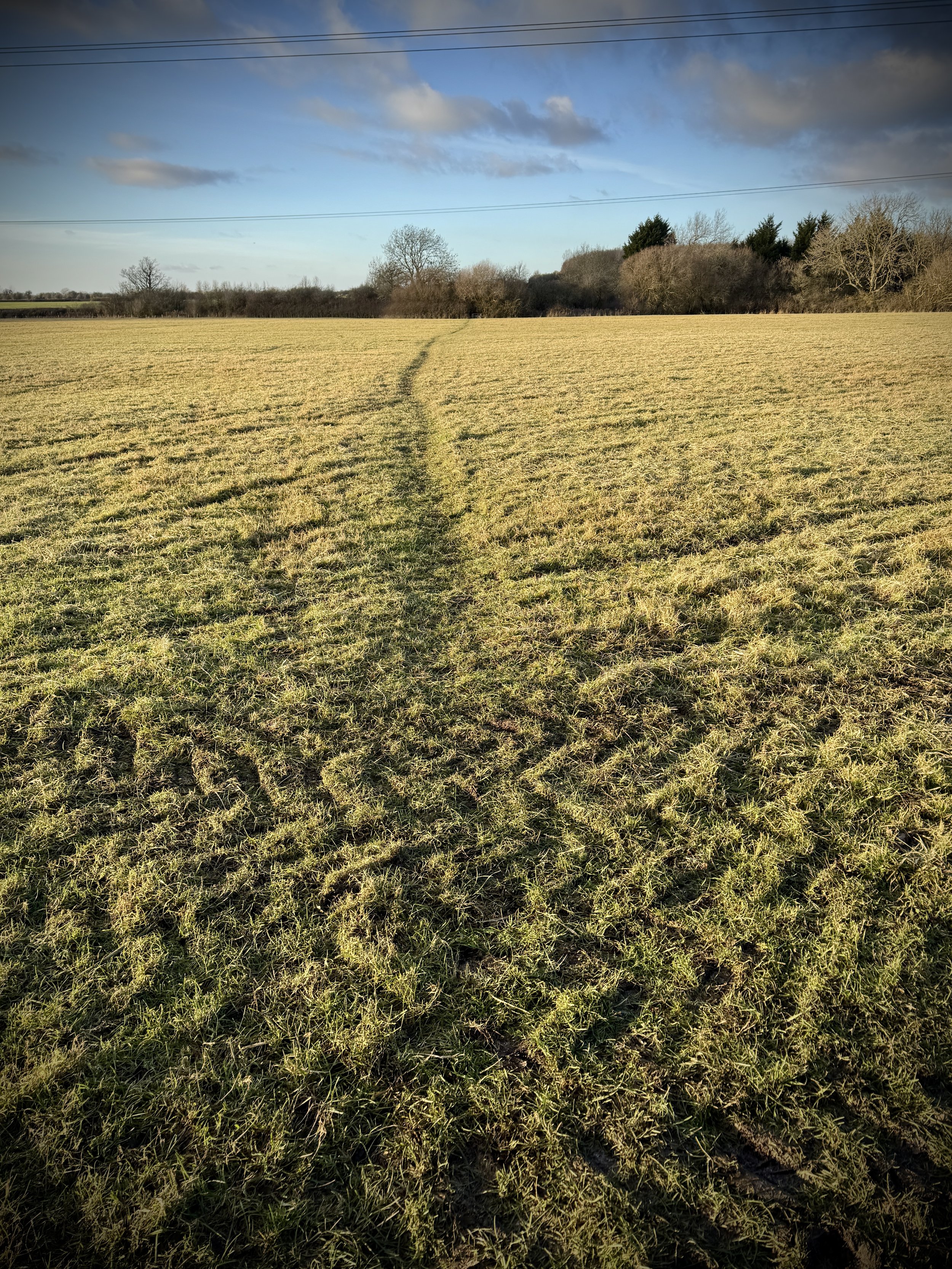
This third instalment of our Midshires Way series takes us deeper into the tranquil landscape of the Aylesbury Vale. Starting in the small hamlet of Ford, this circular route offers a wonderfully flat and accessible journey through the agricultural heart of Buckinghamshire. The walk is defined by its big skies and expansive views of the distant Chiltern Hills, providing a real sense of openness as you navigate the patchwork of fields between Ford, Kemble Wick, and the fringes of Dinton.
What makes this particular section so engaging is the blend of rural solitude and hidden local history. From crossing tiny tributaries of the River Thame to passing through secluded farmsteads, the route feels like a step back in time. Whether you are following the waymarked Swan Way bridleways or the narrow tracks of the Midshires Way, the walking is easy and the atmosphere is one of complete countryside peace.
The guidance below will help you navigate but don’t use it as a fully accurate turn-by-turn guide. Always take a map and/or a GPX route and prepare well for the weather and terrain.
Start in the hamlet of Ford, with parking available at The Dinton Hermit or along Chapel Road.
Head south-west out of the village along the Chapel Road, then take the footpath leading across the fields following The Wychert Way toward the south-west.
When you reach a path junction with the Outer Aylesbury Ring at Aston Sandford, take a left to follow the field edge in a south-easterly direction.
The route crosses a farm which was very muddy and in the process of construction. Be careful through this part.
When you reach a track that cuts diagonally across the Outer Aylesbury Ring you’ll now be back on the Midshires Way at the point where you left of in Part 2. Take a left onto the Midshires Way, leaving the Outer Aylesbury Ring.
Continue along the track to Stockwell Lane then take an right to follow Stockwell Lane. Take the next left onto Kimblewick Road.
When you reach Kimblewick Village, take a left to follow an unnamed no-through-road in a north-westerly direction.
The road will become a track and when it takes a sharp turn to the left, leave it to follow a footpath on the left through fields.
Continue along the path in a north-westerly direction until you return back to the Dinton Hermit pub on Water Lane.
Points of Interest along or near to the Route
Ford: A picturesque hamlet whose name derives from the Anglo-Saxon for a stream crossing. It is home to several Grade II listed buildings and thatched cottages.
The Dinton Hermit: This historic pub is named after John Bigg, a legendary local recluse who lived in a cave nearby. Bigg was a Parliamentarian sympathiser during the Civil War and was famously rumoured to have been one of the executioners of King Charles I.
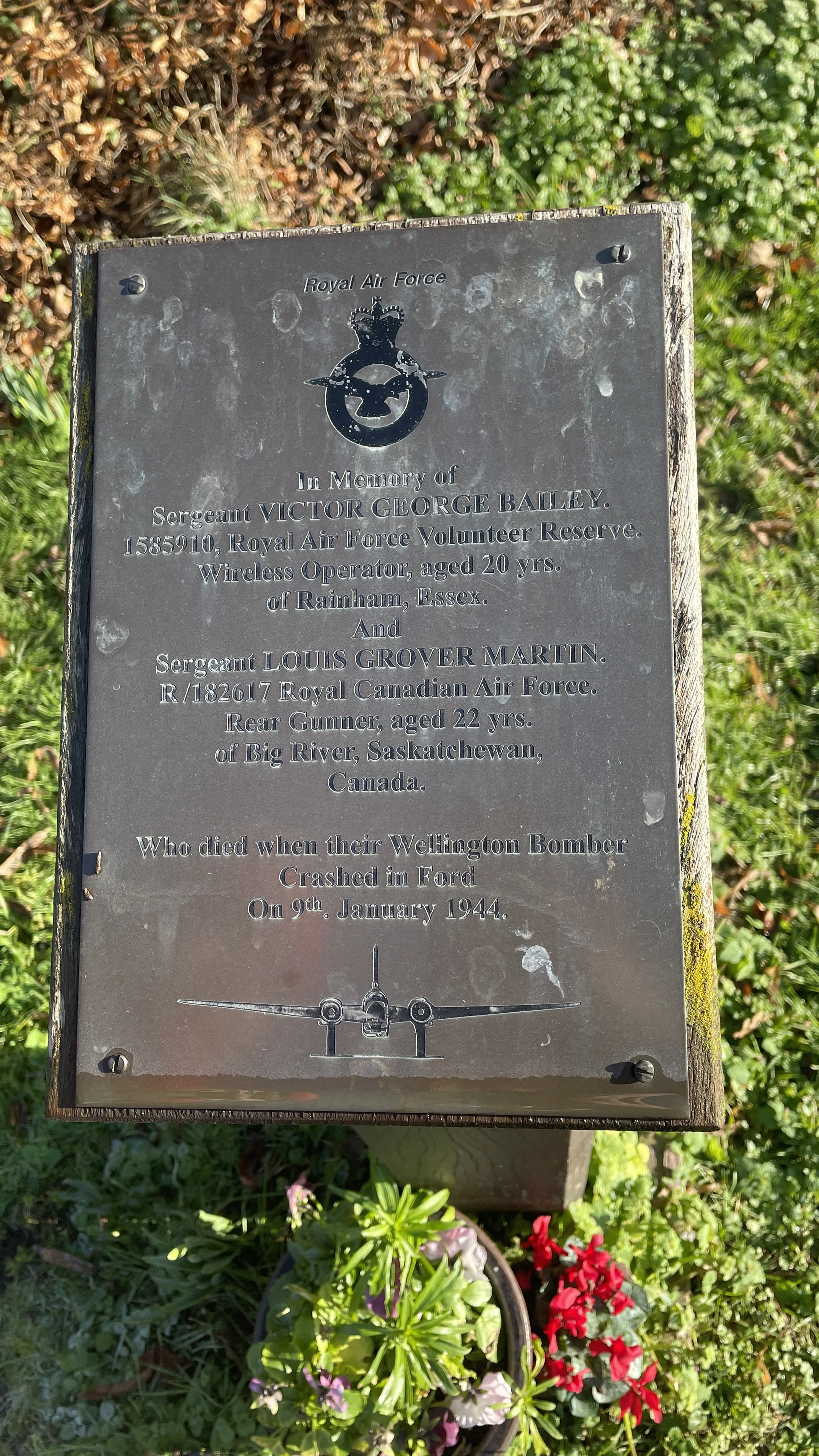
Wellington Bomber Memorial: Near Ford, a poignant memorial plaque commemorates Sergeant Victor George Bailey (RAF) and Sergeant Louis Grover Martin (RCAF). Both men died when their Wellington Bomber crashed in Ford on 9th January 1944. The crash involved a larger crew, most of whom survived.
The Aylesbury Vale Views: As you walk the level paths of the Midshires Way, keep an eye on the southern horizon. The route offers fantastic, distant views of the Chiltern Escarpment, including landmarks like Coombe Hill.
River Thame Tributaries: The route crosses several small brooks and drainage ditches that eventually feed into the River Thame, highlighting the low-lying, fertile nature of the Vale's agricultural land.
Kimble Wick: Part of the wider parish of Great and Little Kimble cum Marsh. It is famously the namesake of the Kimblewick bit, a type of horse bit first developed here by local farmer and showjumper Felix Oliver.
Midshires Way previous section (south): Ilmer and Longwick
Midshires Way next section (north): Ford and Michael's Peace