Walking The Midshires Way Part 4: Ford and Michael's Peace
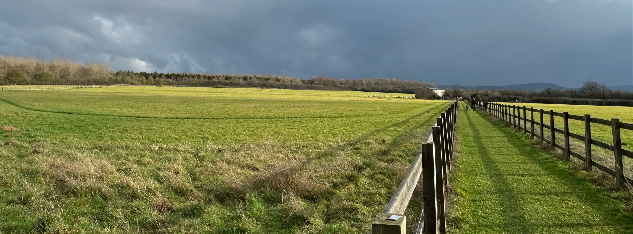
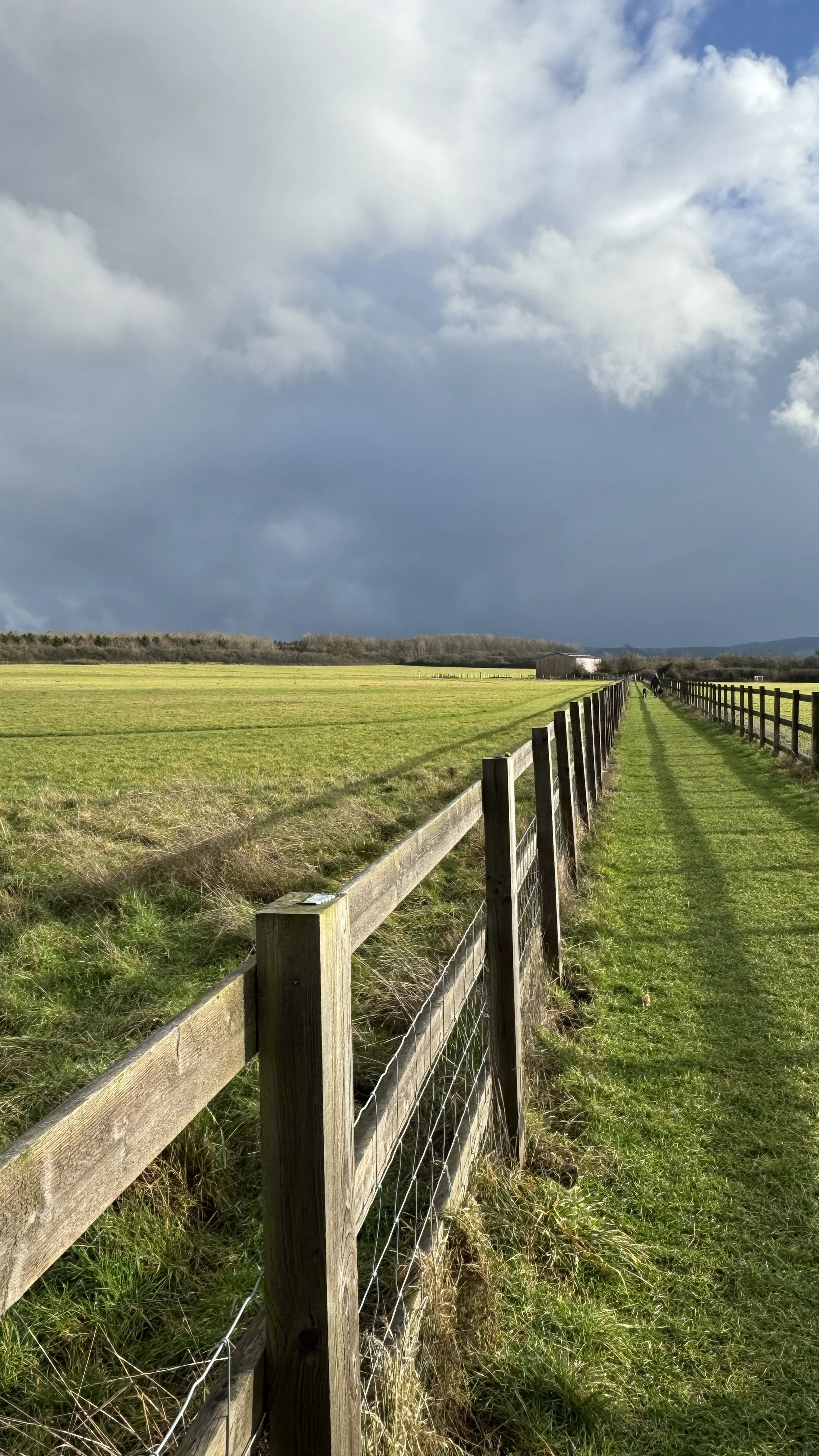
Cloudy sky over the Chilterns. View from near Ford village
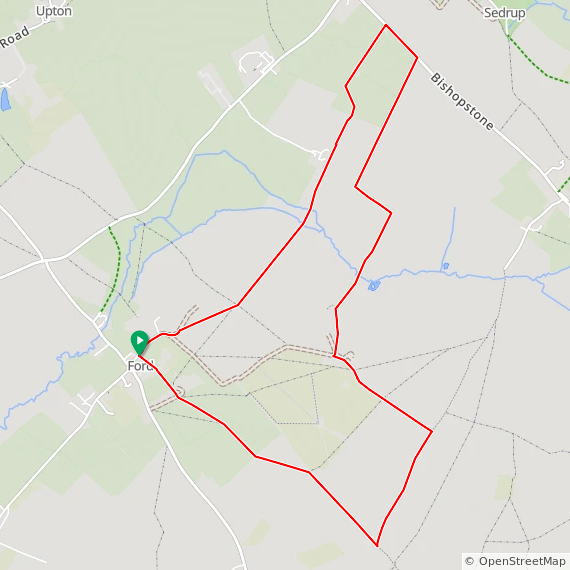
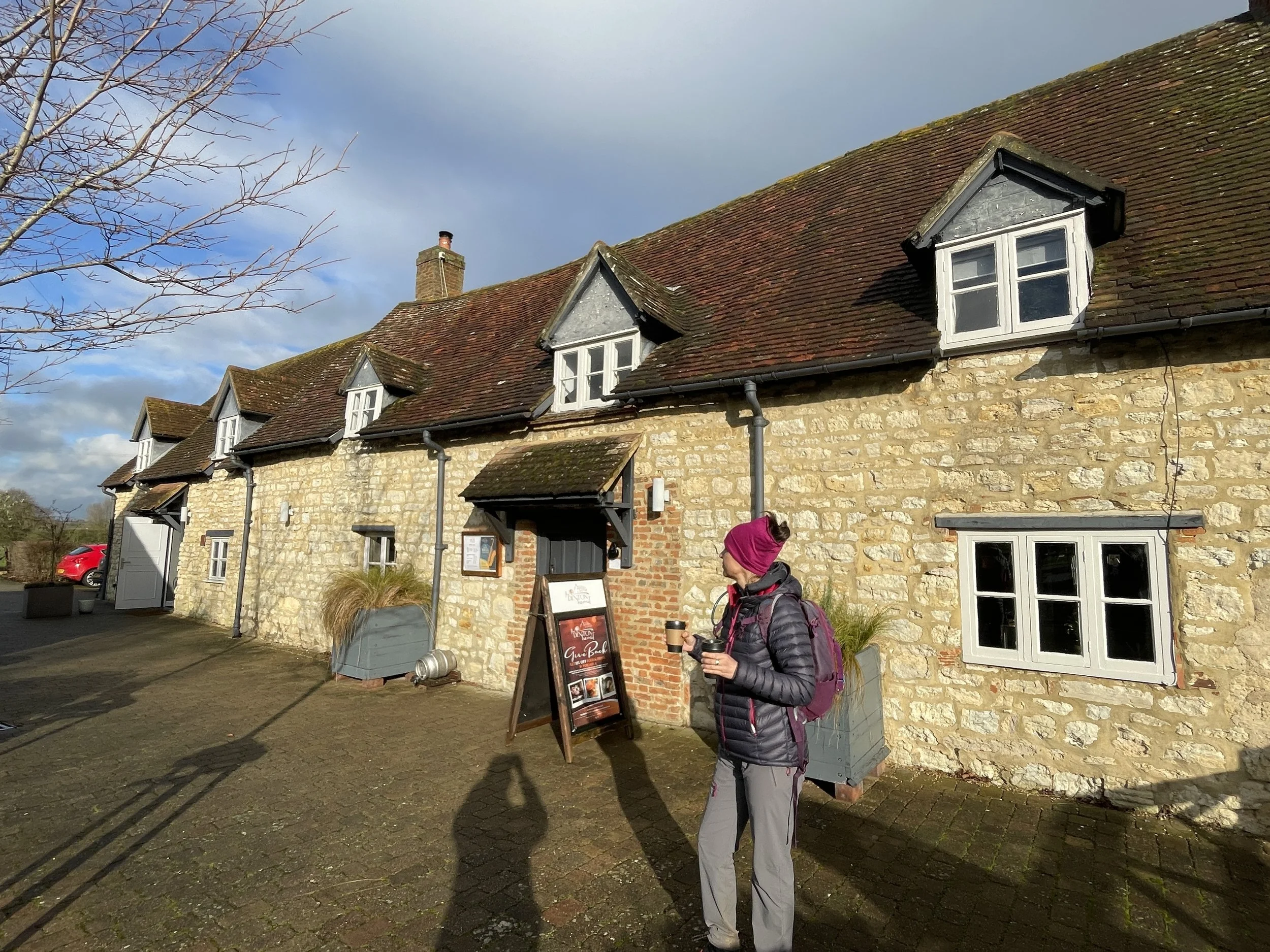
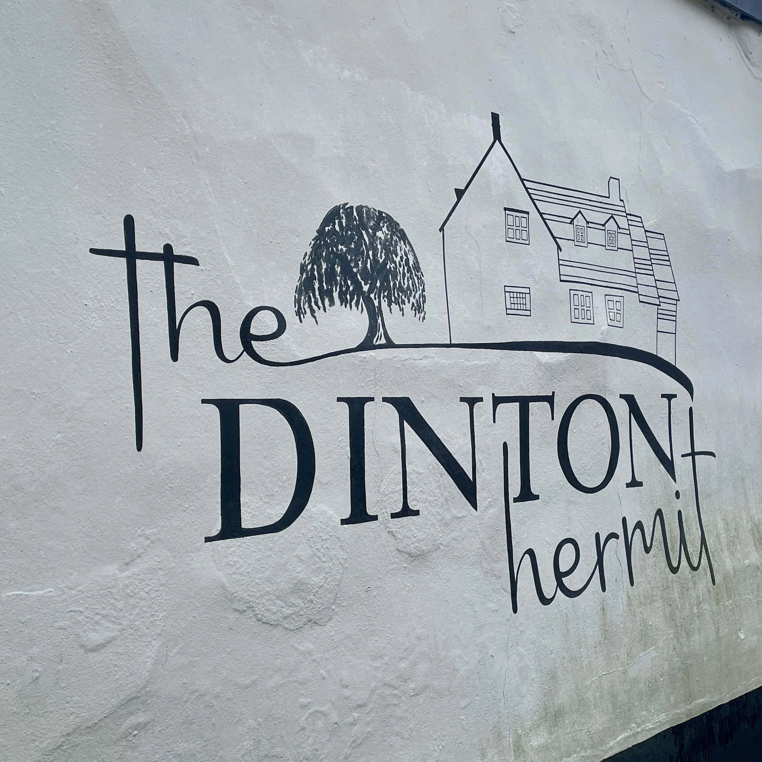
Start & Finish: The Dinton Hermit, Water Lane, Ford, Aylesbury, HP17 8XH
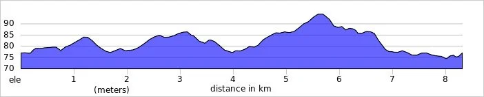
Distance: 8.3 km (5.2 miles)
Elevation change: +/- 41 m
Terrain: Mostly level field-edge paths, quiet country lanes, and a short optional section through community woodland.
Midshires Way section covered: Michael’s Peace to Bishopstone Road: 3.8 km
GPX File: get via Buy Me a Coffee
Other routes touched (walk): Midshires Way, The Swan Way, The Wychert Way, Aylesbury Ring, North Bucks Way
Other routes touched (cycle): None
Pubs / Cafes on route: The Dinton Hermit at the start and end of the walk
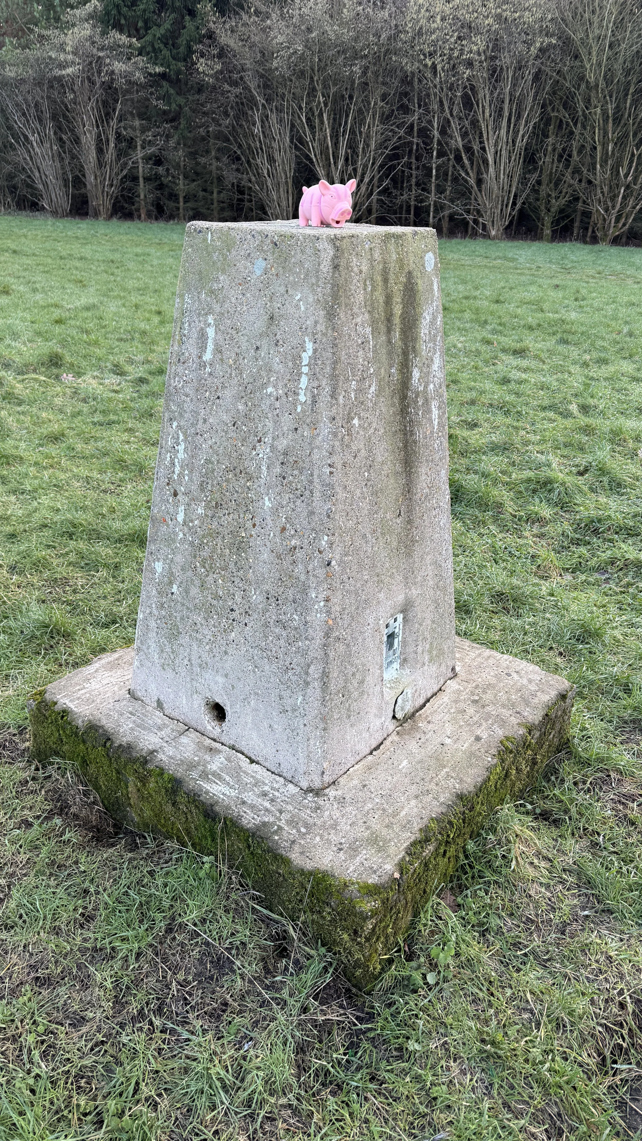
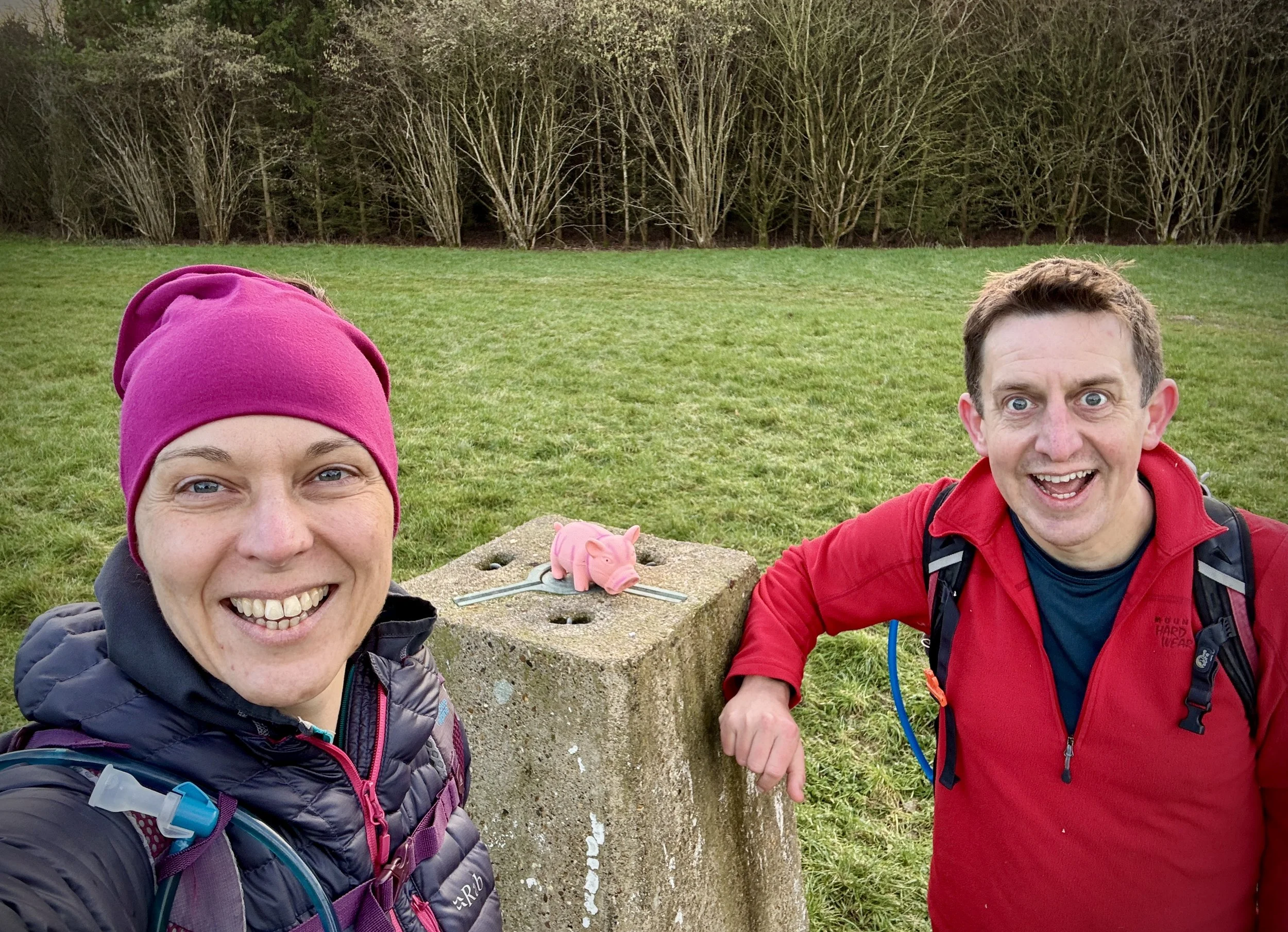
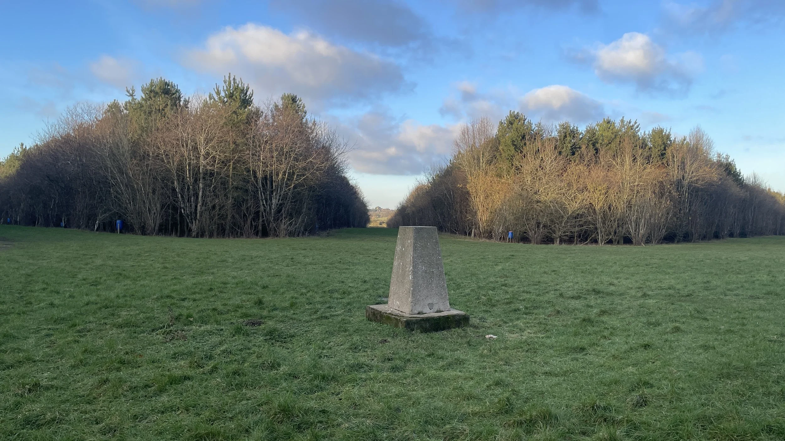
OS Trig Pillar: TP4919 - Moreton Farm
Map: Chiltern Hills North Map | Aylesbury, Berkhamsted & Chesham | Ordnance Survey | OS Explorer Map 181
Links: Ford, Buckinghamshire, Midshires Way
This is part of a series of short circular walks following the length of the Midshires Way in Buckinghamshire. The Midshires Way is a 225-mile (362 km) trail that journeys through the rural heart of Middle England, linking the Ridgeway National Trail at Bledlow in the south to the Trans Pennine Trail at Stockport in the north. Opened in 1994, this route traverses several counties, including Buckinghamshire, Northamptonshire, Leicestershire, Nottinghamshire, Derbyshire, and Greater Manchester, following a scenic tapestry of ancient bridleways, quiet country lanes, and historic canals. In Buckinghamshire, the Midshires Way has a significant connection with the Swan's Way (often referred to as the Swan Way), a 65-mile long-distance bridleway. Essentially, the Swan's Way forms the backbone of the Buckinghamshire section of the Midshires Way, with the two routes being broadly coincident for approximately 50 miles between Salcey Forest and Bledlow. While the Swan's Way strictly adheres to bridleways to accommodate horse riders and cyclists, the Midshires Way sometimes offers alternative waymarked footpaths for walkers to avoid on-road sections.
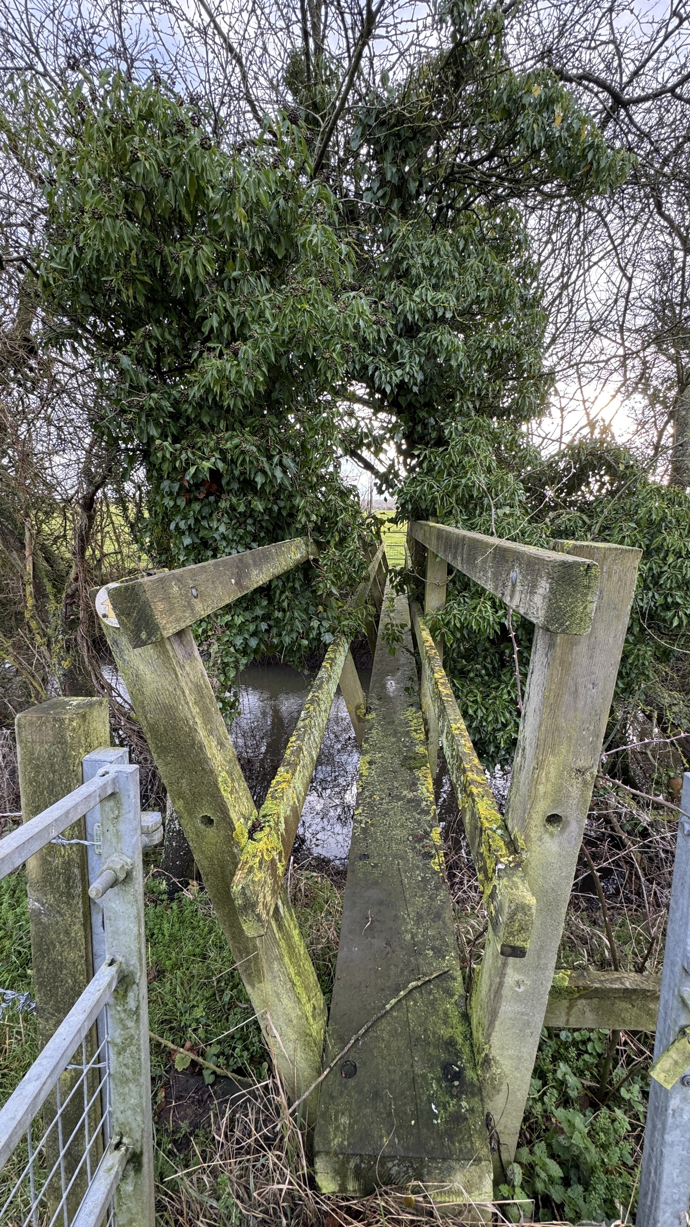
Walking Directions
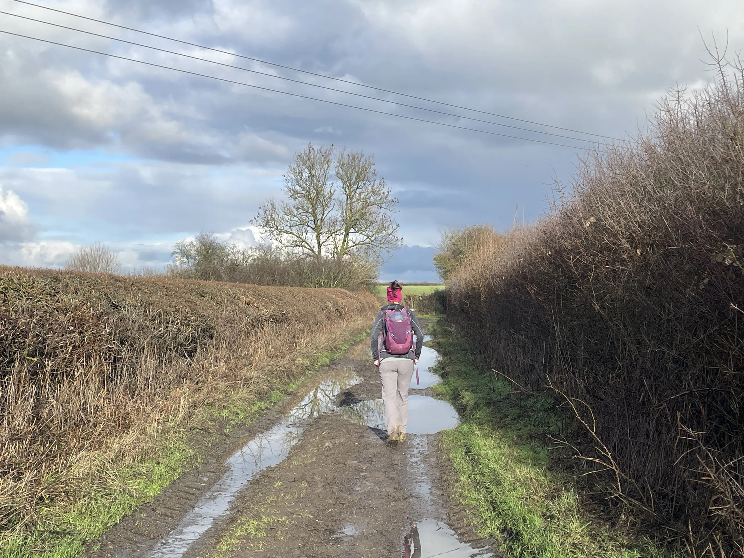
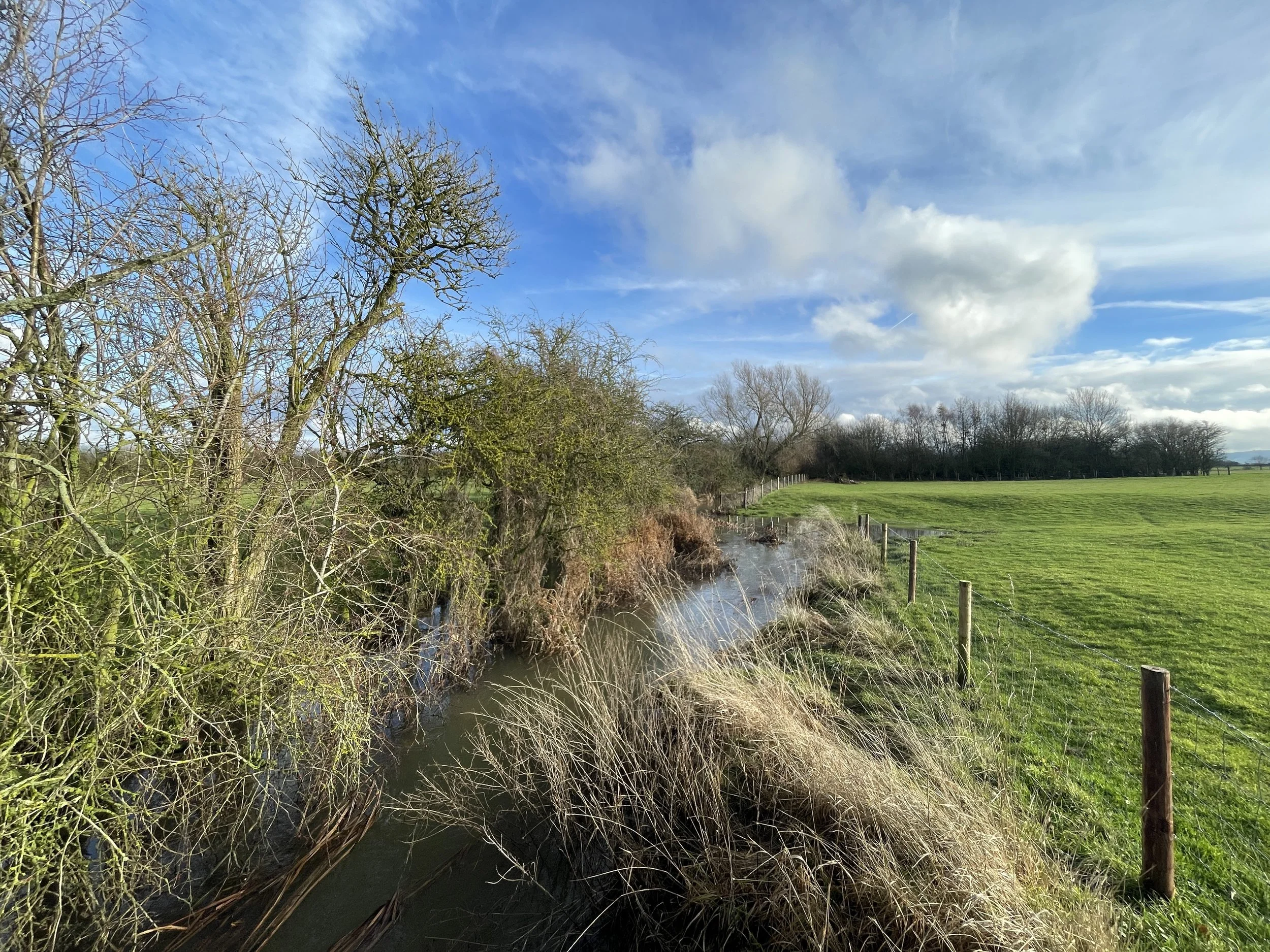
This walk starts in the quiet hamlet of Ford, setting off into the heart of the Aylesbury Vale. The route primarily follows a scenic section of the Midshires Way, leading you through an undulating landscape of traditional English farmland. It is a fantastic choice for those looking for a peaceful journey that avoids the steeper climbs of the nearby Chiltern ridge while still offering great views of the hills in the distance.
If you are into bagging OS Trig Pillars, there’s an optional diversion into Michael’s Peace to the Moreton Farm Pillar.. The guidance below will help you navigate but don’t use it as a fully accurate turn-by-turn guide. Always take a map and/or a GPX route and prepare well for the weather and terrain.
Starting at the Dinton Hermit pub in Ford, head south-east cross over Water Lane to follow the Aylesbury Ring in a south-easterly direction for 1.8 km.
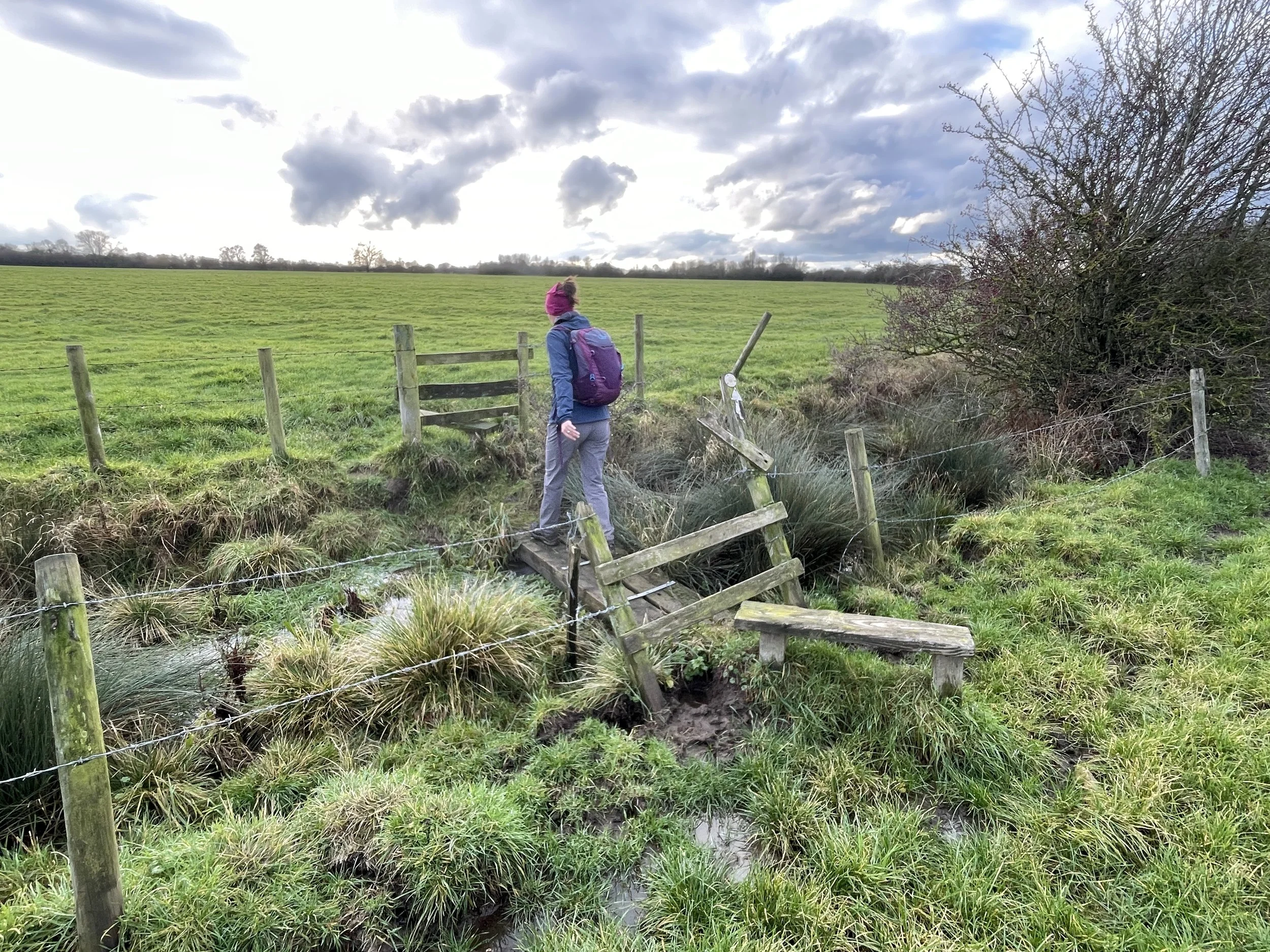
When you reach the track that connects with the Midshires Way take a left for ~750m to take the first path on the left.
Continue along the path for ~750m to a path junction on the boundary of Michael’s Peace. If you want to visit the Moreton Farm Trig Pillar, there’s 2 entrances on the left of this section of path.
At the path junction take a right to continue following the Midshires Way across farmland to Bishopstone Road.
Take a left onto Bishopstone Road then take the first path on the left at #2 Bishopstone.
Follow this path in a south-westerly direction for 2.5 km back to Water Lane and the Dinton Hermit pub.
Points of Interest along or near to the Route
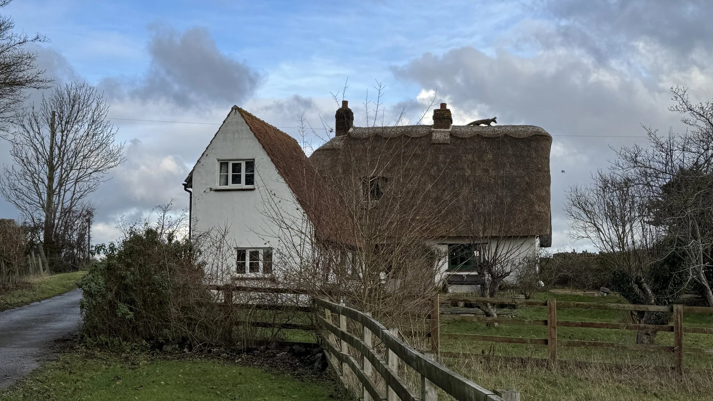
Ford: A picturesque hamlet whose name derives from the Anglo-Saxon for a stream crossing. It is home to several Grade II listed buildings and thatched cottages.
The Dinton Hermit: This historic 17th-century country inn in Ford is named after John Bigg, the "Dinton Hermit," who was reputedly the executioner of King Charles I and lived in a cave nearby.
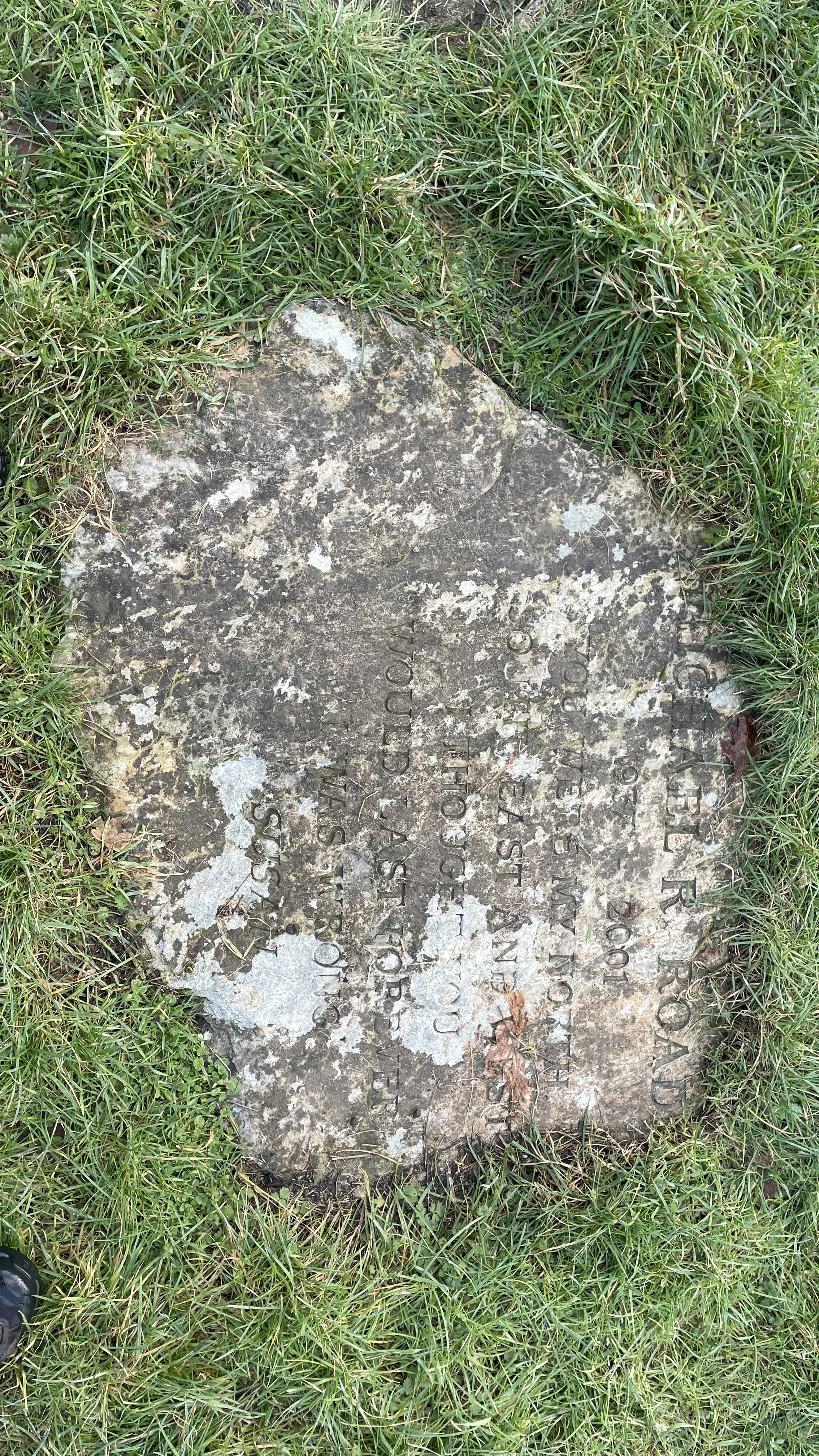
Michael's Peace: A 90-acre woodland planted in the winter of 2001-2002 that features diverse tree species like oak, ash, and hazel. A central memorial stone dedicated to Michael Roads serves as the starting point for six radiating rides, providing panoramic views of six local churches and the Chilterns. Supported by the Forestry Commission, this high point has become a haven for wildlife, including skylarks, little owls, and butterflies, making it a popular destination for the local community.
Moreton Farm Trig Pillar (TP4919): This concrete pillar is part of the historic Ordnance Survey triangulation network. At an elevation of roughly 92m, it provides a quiet marker in the Aylesbury Vale landscape.
The Wychert Way: The route touches this unique local trail. "Wychert" is a traditional building material made of white decayed limestone and straw, unique to this small pocket of Buckinghamshire (the Haddenham/Dinton area).
View of Coombe Hill: On clear days, look south-east. The Boer War Monument on top of Coombe Hill is often visible as a tiny spike on the horizon of the Chilterns.

Midshires Way previous section (south): Ford and Kemble Wick
Midshires Way next section (north): Hartwell and Stone