Walking The Midshires Way Part 2: Ilmer and Longwick
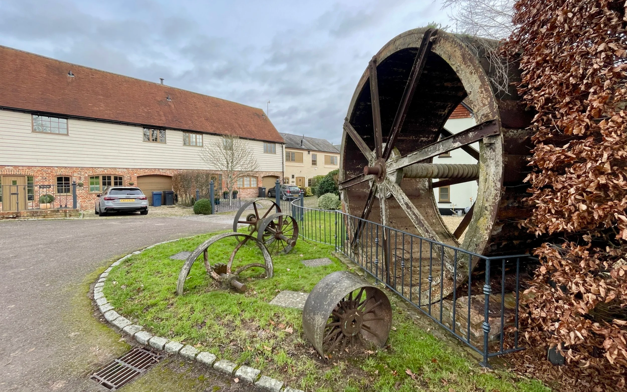
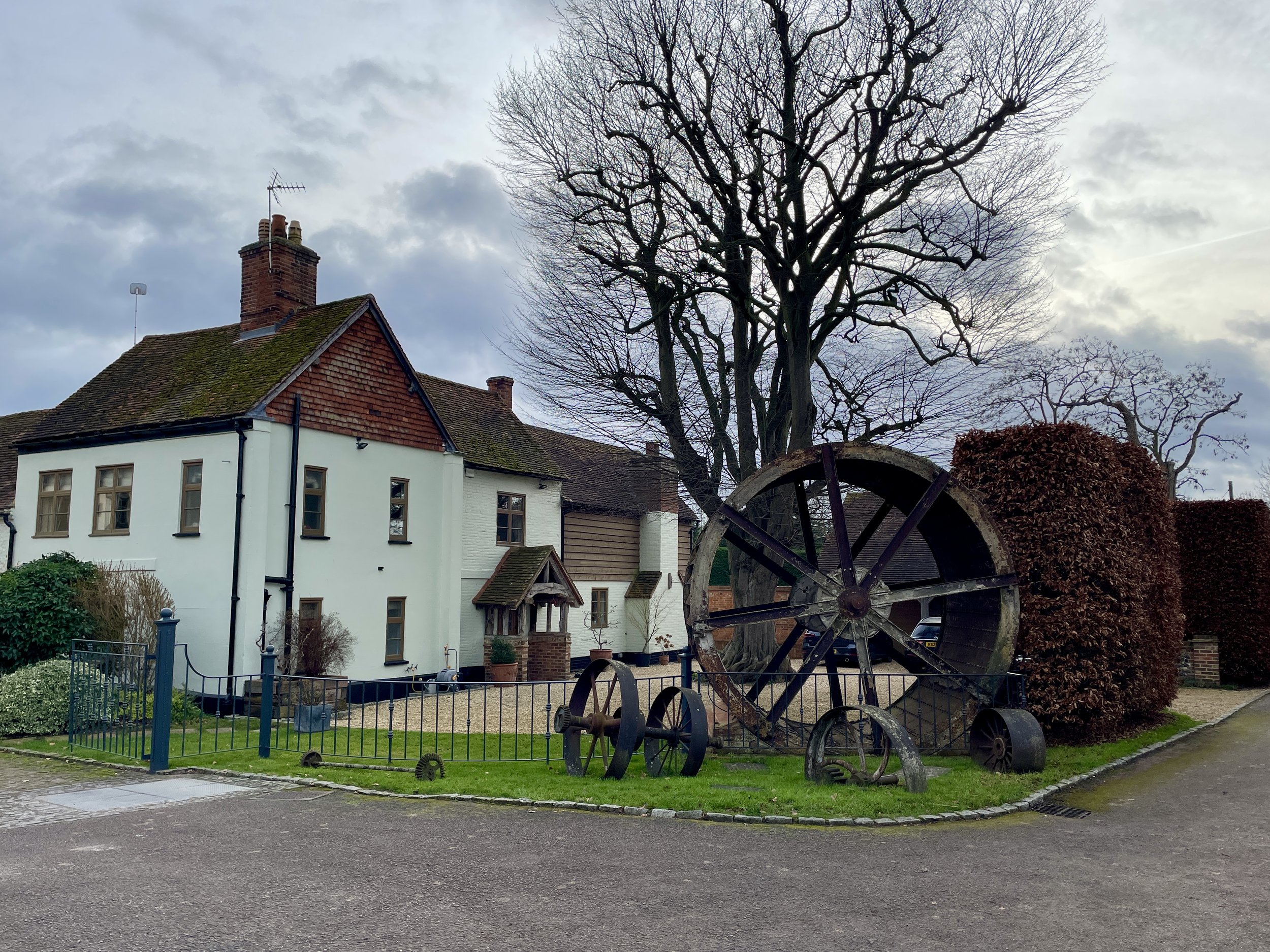
Water Wheel on North Mill Road
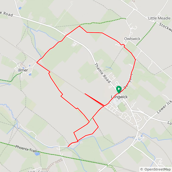
Start & Finish: Longwick Stores And Post Office, Thame Road, Longwick, Princes Risborough, HP27 9SF
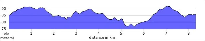
Distance: 8.3 km (5.2 miles). Can be shortened by ~1 km by removing the detours. See walk description.
Elevation change: +/- 37m
Terrain: Level field-edge paths, quiet country lanes, and agricultural tracks.
Midshires Way section covered: North Mill Road to Longwick: 3.6 km
GPX File: get via Buy Me a Coffee
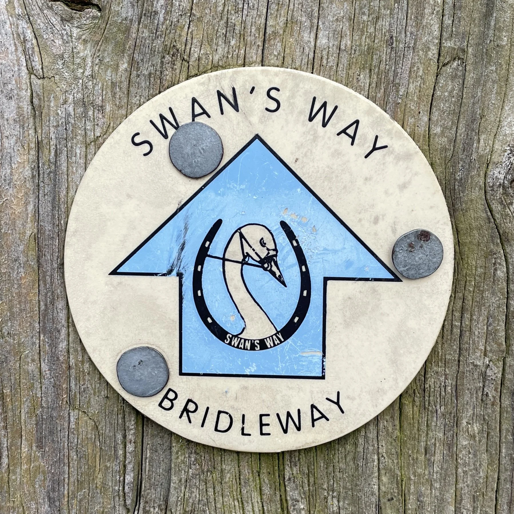
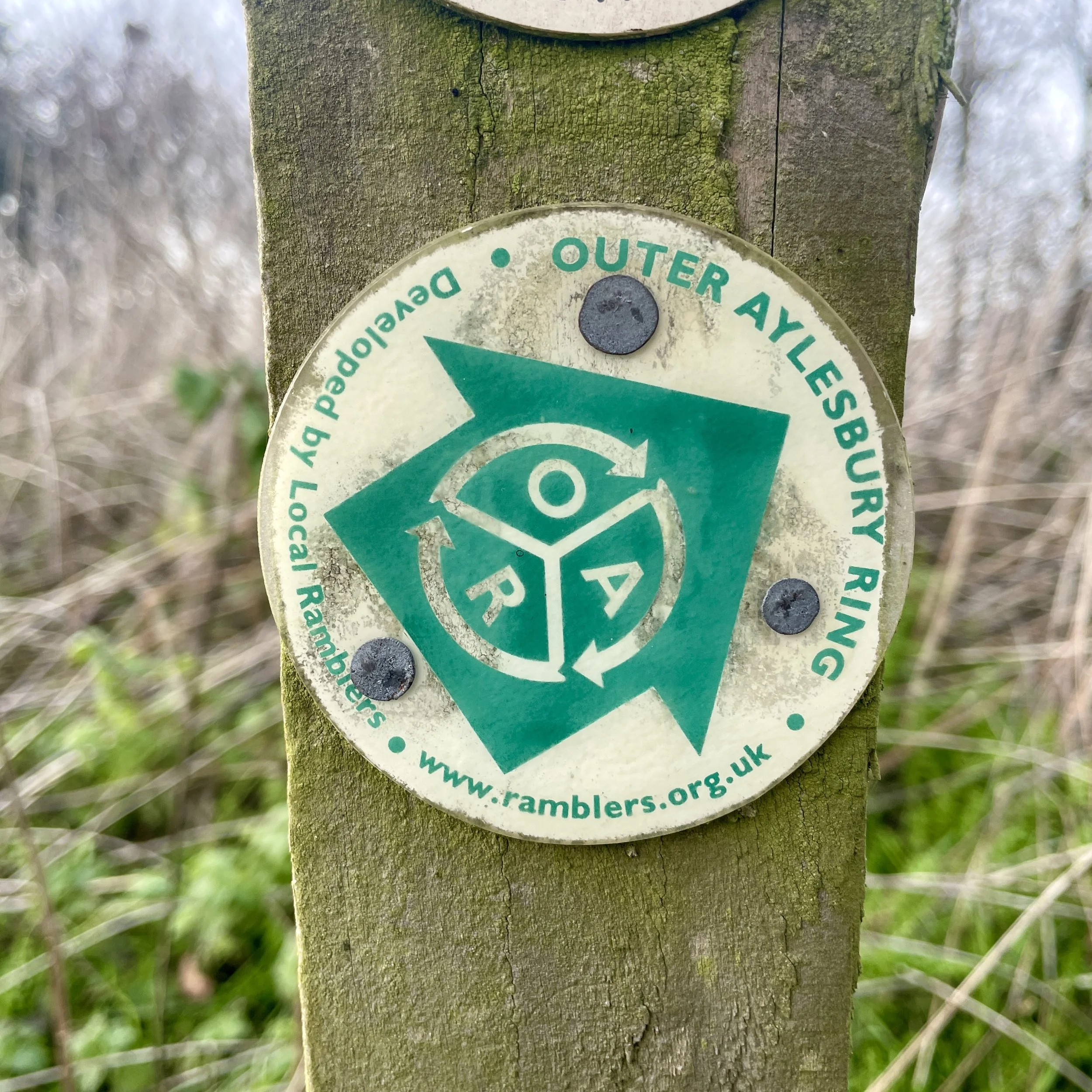
Other routes touched (walk): Midshires Way, Swan Way, Outer Aylesbury Ring,
Other routes touched (cycle): None
Pubs / Cafes on route: The Red Lion Longwick, just off the route at the start and end.
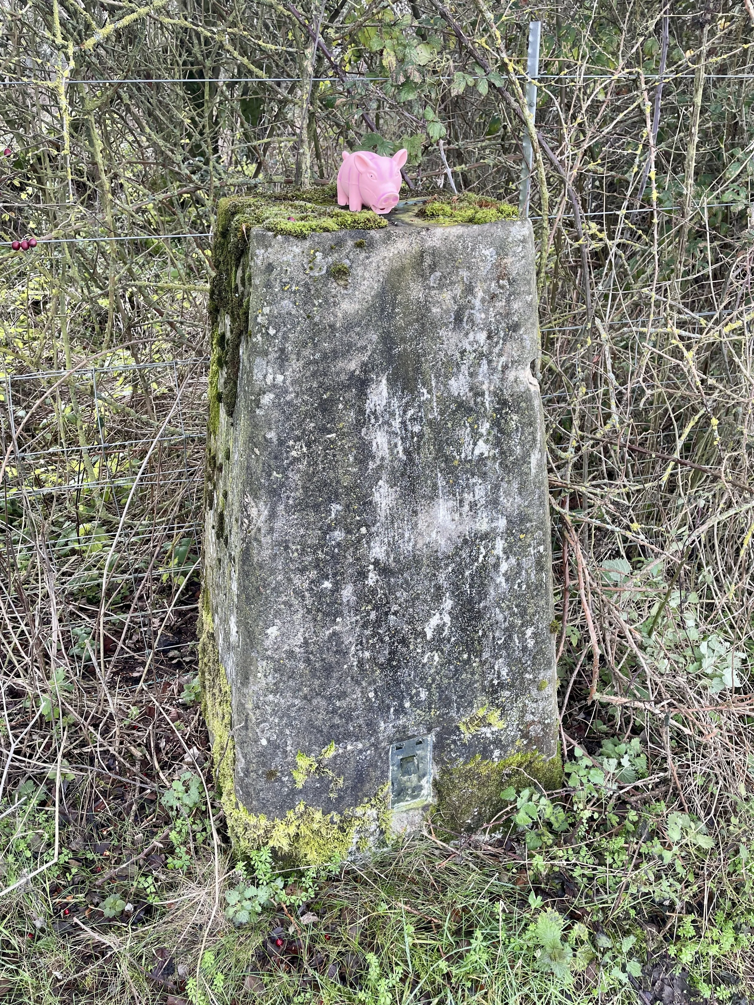
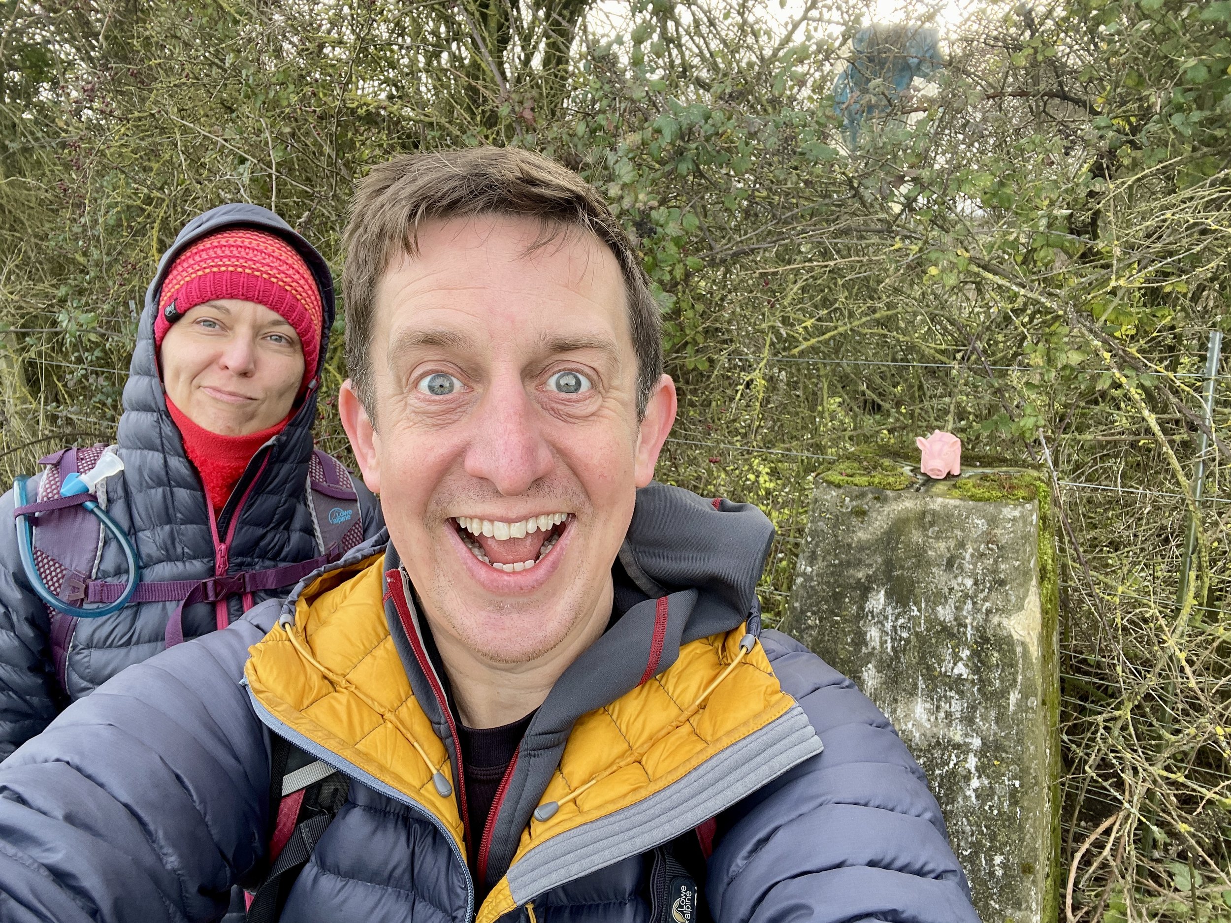
OS Trig Pillar: TP5612 - Red House Farm
Disused Station: Ilmer Halt
Map: Chiltern Hills North Map | Aylesbury, Berkhamsted & Chesham | Ordnance Survey | OS Explorer Map 181
Links: Longwick, Ilmer, Aylesbury Vale,
This is part of a series of short circular walks following the length of the Midshires Way in Buckinghamshire. The Midshires Way is a 225-mile (362 km) trail that journeys through the rural heart of Middle England, linking the Ridgeway National Trail at Bledlow in the south to the Trans Pennine Trail at Stockport in the north. Opened in 1994, this route traverses several counties, including Buckinghamshire, Northamptonshire, Leicestershire, Nottinghamshire, Derbyshire, and Greater Manchester, following a scenic tapestry of ancient bridleways, quiet country lanes, and historic canals. In Buckinghamshire, the Midshires Way has a significant connection with the Swan's Way (often referred to as the Swan Way), a 65-mile long-distance bridleway. Essentially, the Swan's Way forms the backbone of the Buckinghamshire section of the Midshires Way, with the two routes being broadly coincident for approximately 50 miles between Salcey Forest and Bledlow. While the Swan's Way strictly adheres to bridleways to accommodate horse riders and cyclists, the Midshires Way sometimes offers alternative waymarked footpaths for walkers to avoid on-road sections.
Walking Directions
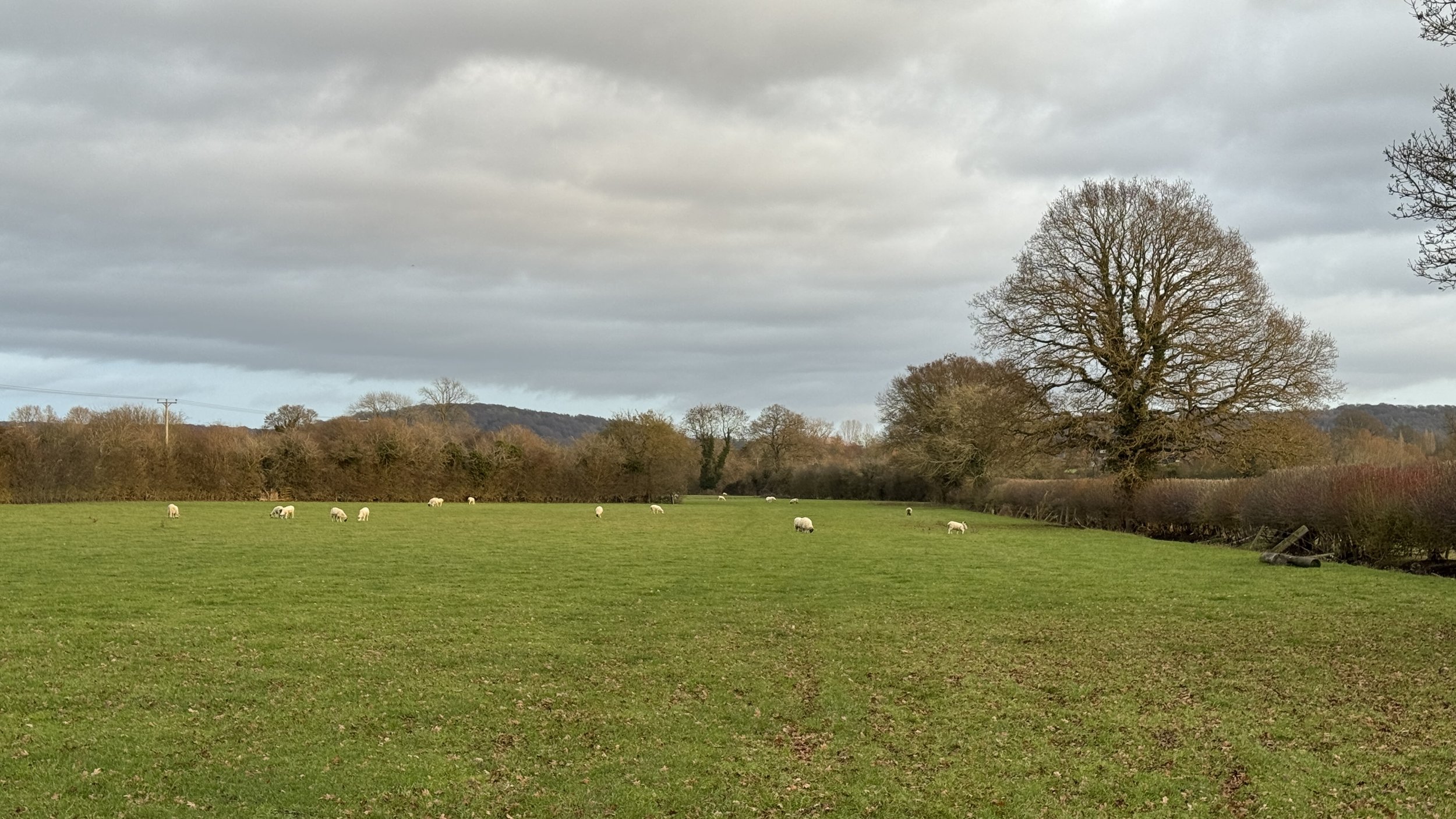
For this walk, we set out from Longwick, a pleasant village situated in the Aylesbury Vale just north of Princes Risborough. This circular route explores the quiet, low-lying farmlands of Buckinghamshire, leading us through the small hamlet of Ilmer and offering wide, open views of the Chiltern escarpment in the distance.
The trail is largely level, making it a relaxing journey through a patchwork of fields and narrow country lanes. It captures the quintessential rural charm of this part of the county, where ancient hedgerows and slow-moving streams define the landscape. The guidance below will help you navigate but don’t use it as a fully accurate turn-by-turn guide. Always take a map and/or a GPX route and prepare well for the weather and terrain.
Start in Longwick, where there’s free on-street parking near the Longwick Stores and Post Office on the A4129 Thame Road.
Take Walnut Tree Lane in a south-westerly direction toward the edge of the village.
When you reach the open field on the right hand side, where the Lane becomes a track, you have the option of taking a 800m out-and back diversion to bag the Red House Farm Trig Pillar. You’ll need to keep to the outside of the field to avoid damaging crops.
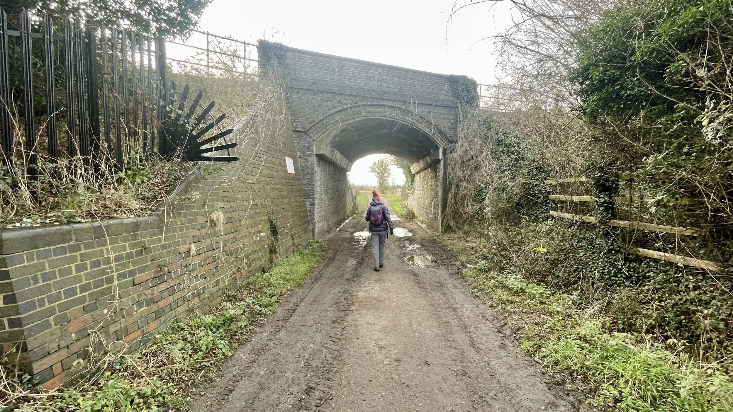
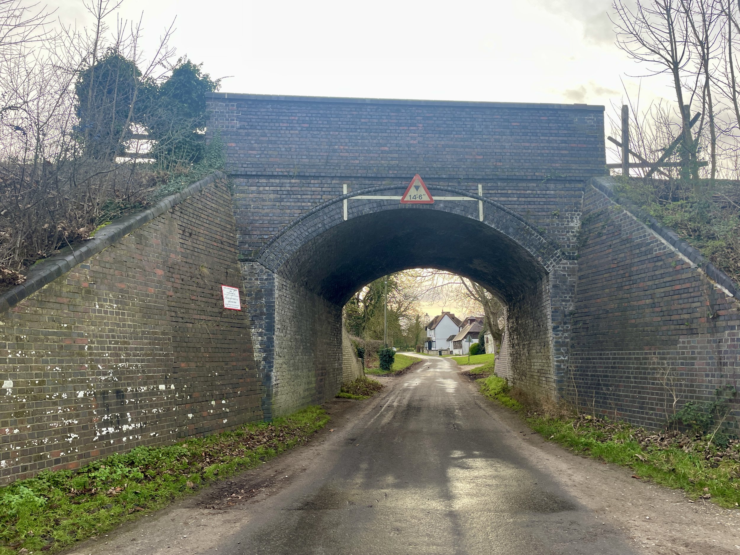
After passing under the railway bridge continue in a south-westerly direction for 300m then take a path on the left. Follow this path in a south-easterly direction for 220m then take a right to head south-west.
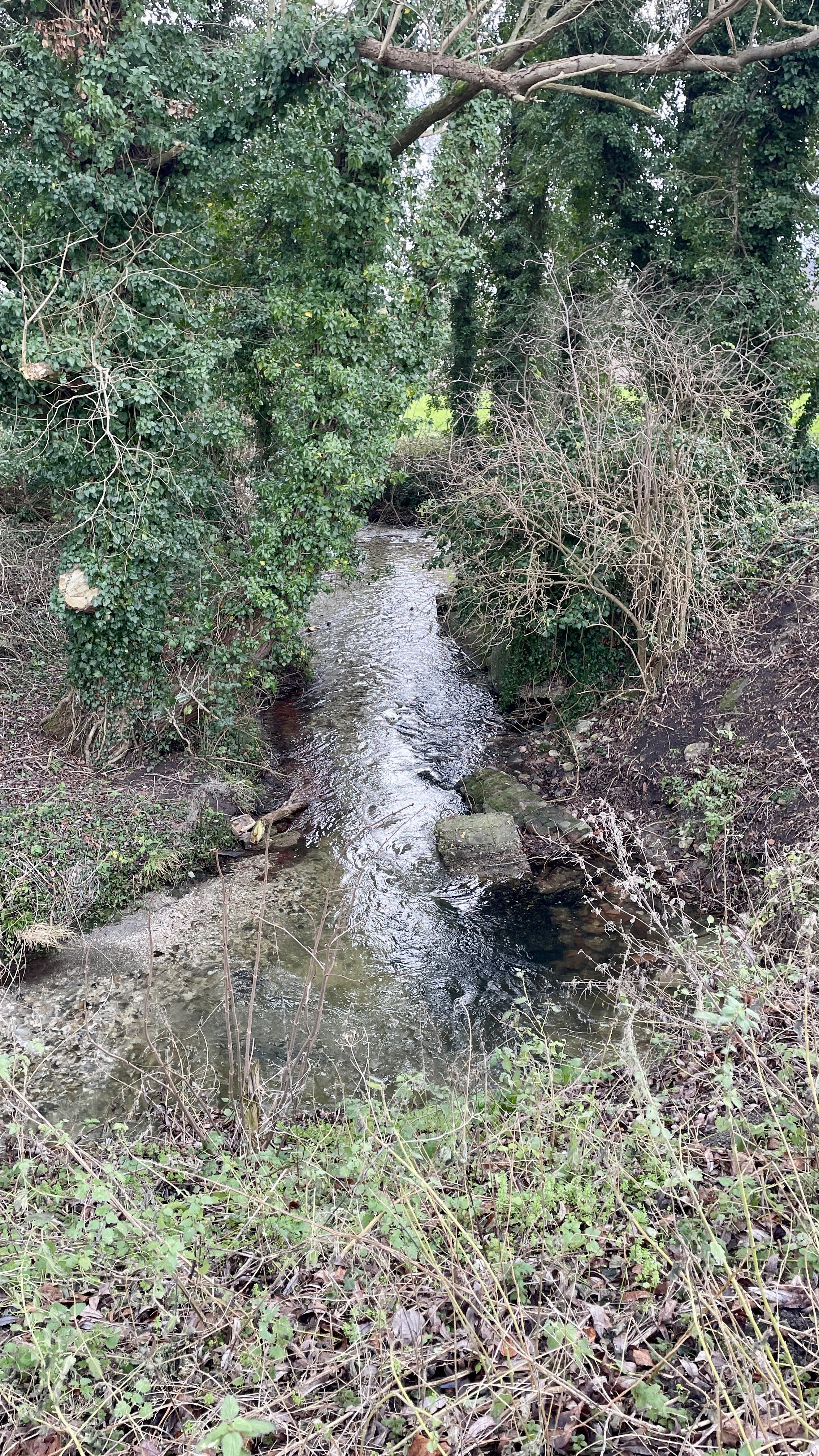
At the corner of the field you’ll meet the Midshires Way near a kink in the Horsenden Stream. You could take a right to follow the Midshires but you’ll have missed a very small section that connects to Part 1 of this series. For completer-finishers you can continue walking south-west to the corner of North Mill Road / Sandpit Lane where you crossed over the Horsenden Stream in Part 1. Retrace your steps back to the field-corner taking a moment to admire the old wooden water-wheel.
Follow The Midshires Way / Swan Way in a north-westerly direction along field edges until you meet Ilmer Lane. Take a right onto Ilmer Lane to cross under the railway bridge. On the right you can see a house called The Sidings, a clue that the old Ilmer Halt railway station was once located here.
Continue along Ilmer Lane in a north-easterly direction, cross over the A4129 Thame Road and along the track to the left of the entrance to the flower nursery.
Approximately 300m after crossing the A4129 take the first footpath on the right to leave the Midshires Way to cross open fields in an easterly direction to Bar Lane.
Take a right onto Bar Lane to follow it back to the start at the A4129 in Longwick Village.
Points of Interest along or near to the Route
Longwick: Our starting point is a village with a long agricultural history. Local produce from this area, including watercress and willow poles, was historically exported to London markets via the nearby railway.
Longwick Mill: Located in Longwick, this mill was part of a thriving network of local businesses that benefited from regional freight services.
Red House Farm Trig Pillar: Sitting at an elevation of 92m, this concrete pillar (TP5612) is part of the historic Ordnance Survey triangulation network used to map the UK.
Ilmer: A tiny, secluded hamlet known for the Grade II* listed St Peter’s Church. The name Ilmer is thought to mean "Yewmere," referring to a lake where yew trees grew.
The Horsenden Stream: A quiet tributary that the route follows near the Red House Farm. Its gentle flow is a key feature of the low-lying Aylesbury Vale landscape.
Ilmer Halt (Disused Station): Opened in 1929 and closed in 1963, this was one of the smallest "halts" on the Great Western Railway. The nearby house "The Sidings" marks the spot where commuters once boarded steam trains.
Views of the Chilterns: While the walk itself remains in the vale, the elevation changes provide a fantastic perspective of the nearby ridge, including Wain Hill.
Midshires Way previous section (south): Hempton Wainhill & Bledlow
Midshires Way next section (north): Ford and Kemble Wick