Walking The Midshires Way Part 1: Hempton Wainhill & Bledlow
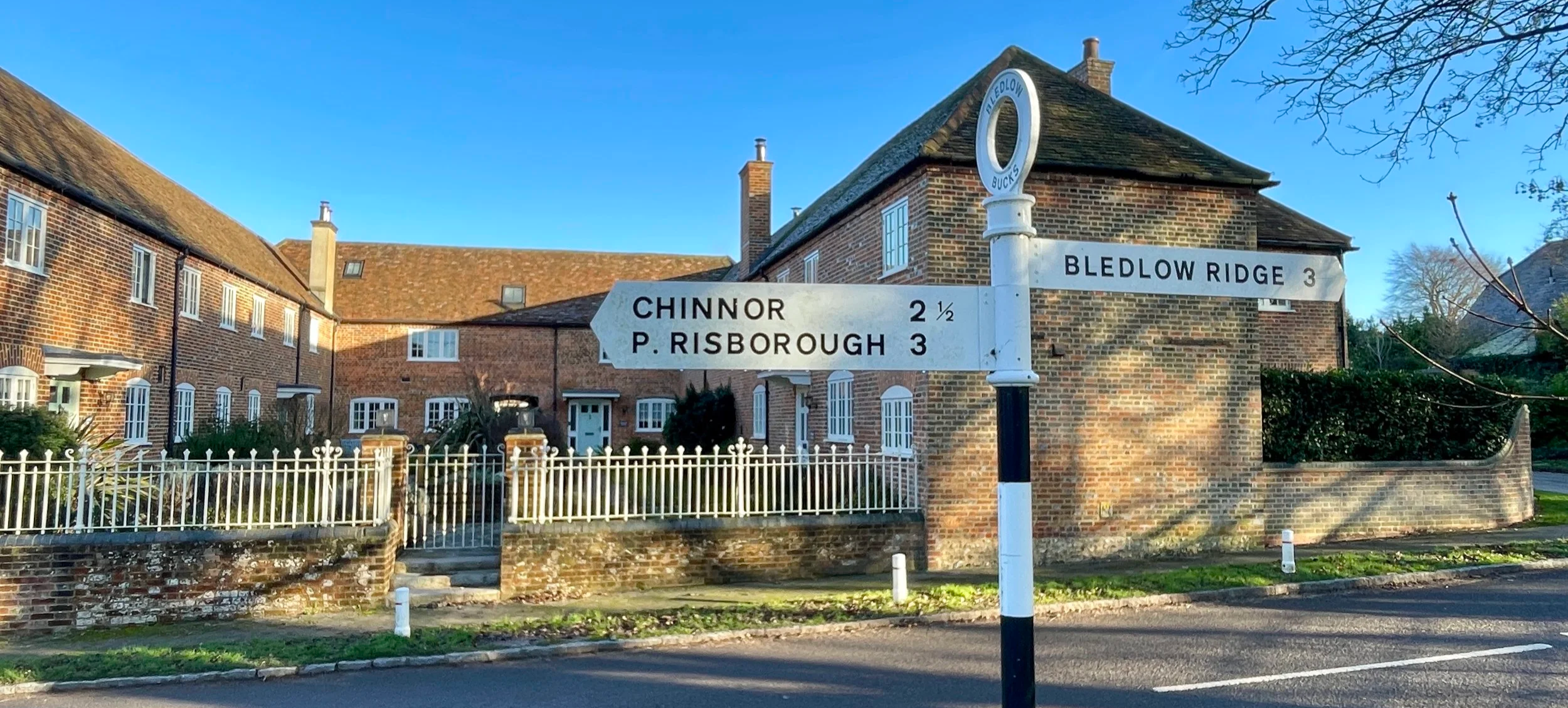
Road junction at Bledlow
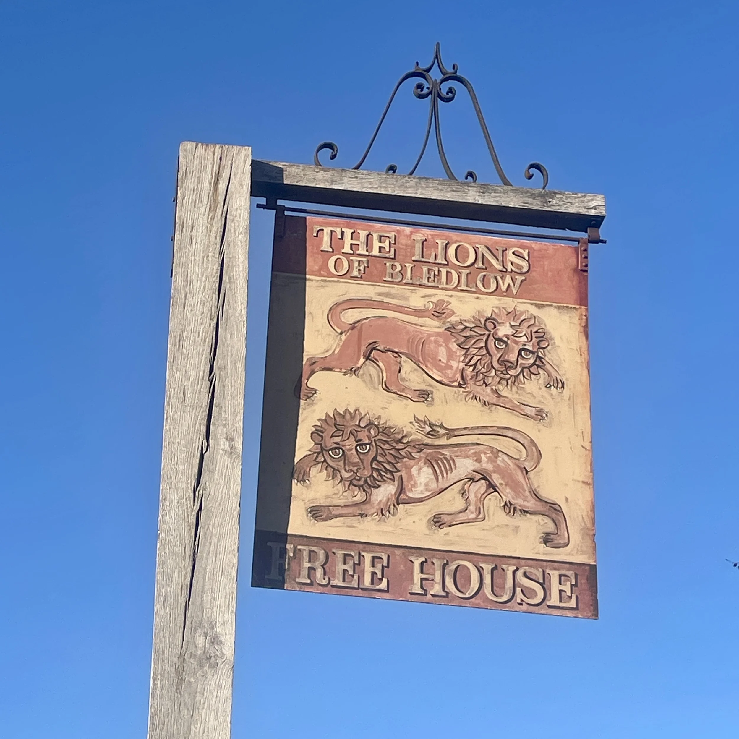
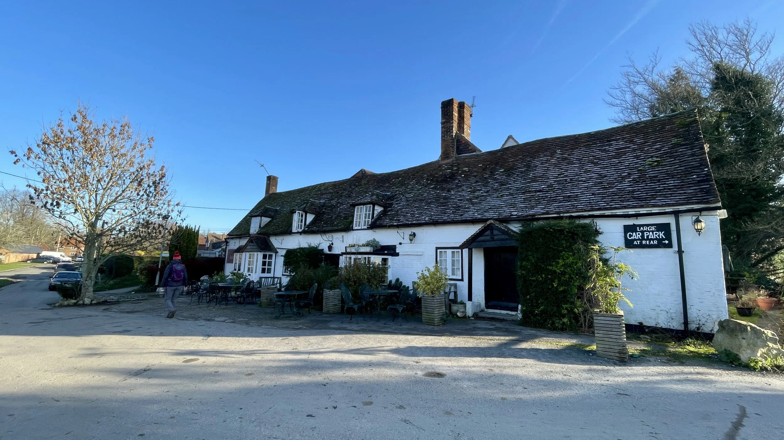
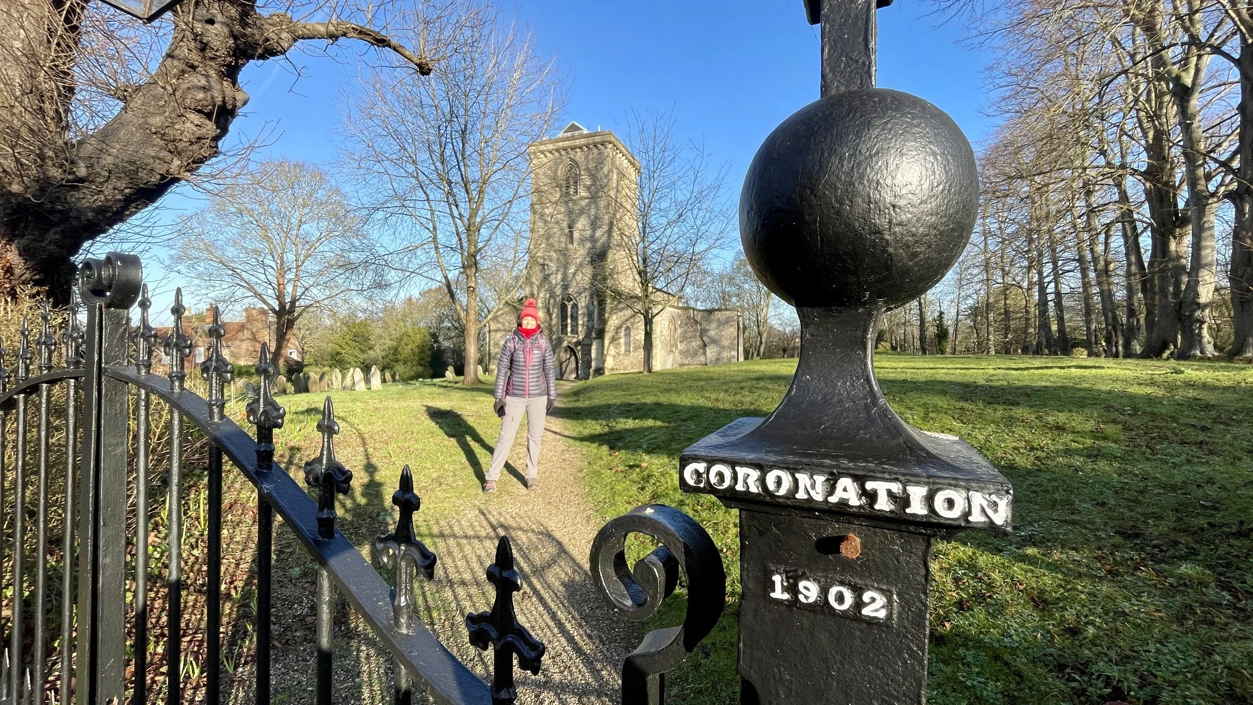
Start & Finish: Lions Of Bledlow, Church End, Bledlow, Princes Risborough, HP27 9PE
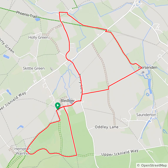
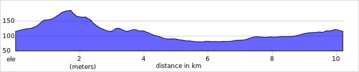
Distance: 10.2 km (6.4 miles)
Elevation change: +/- 121m
Terrain: Elevated ridge-top bridleways, sheltered woodland trails, and level field-edge paths following the old railway line.
Midshires Way section covered: The Ridgeway at Wainhill to North Mill Road: 3.7 km
GPX File: get via Buy Me a Coffee
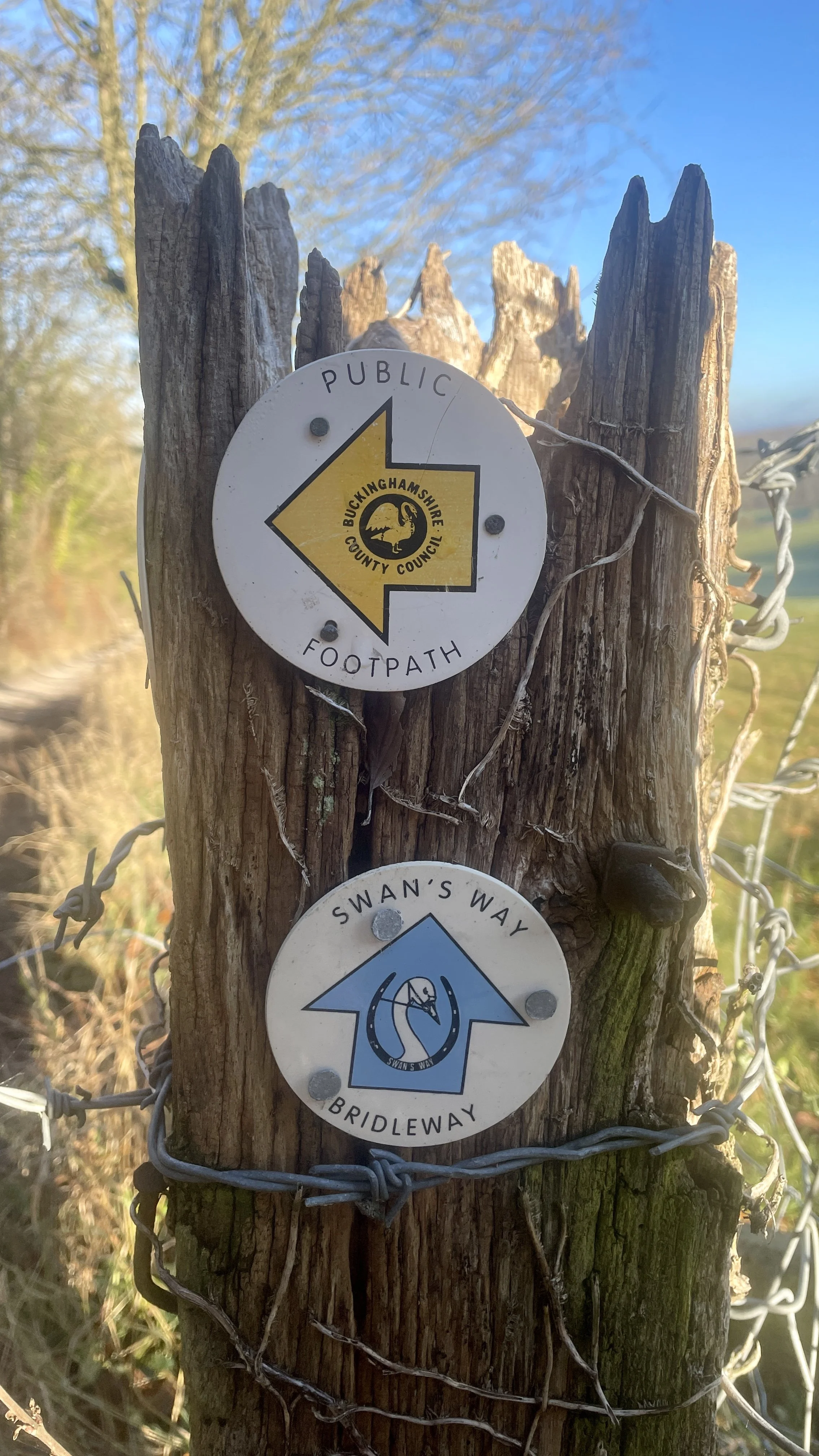
Other routes touched (walk): Midshires Way, The Swan Way, Chiltern Way, The Ridgeway, Risborough Pink Route, Risborough Green Route
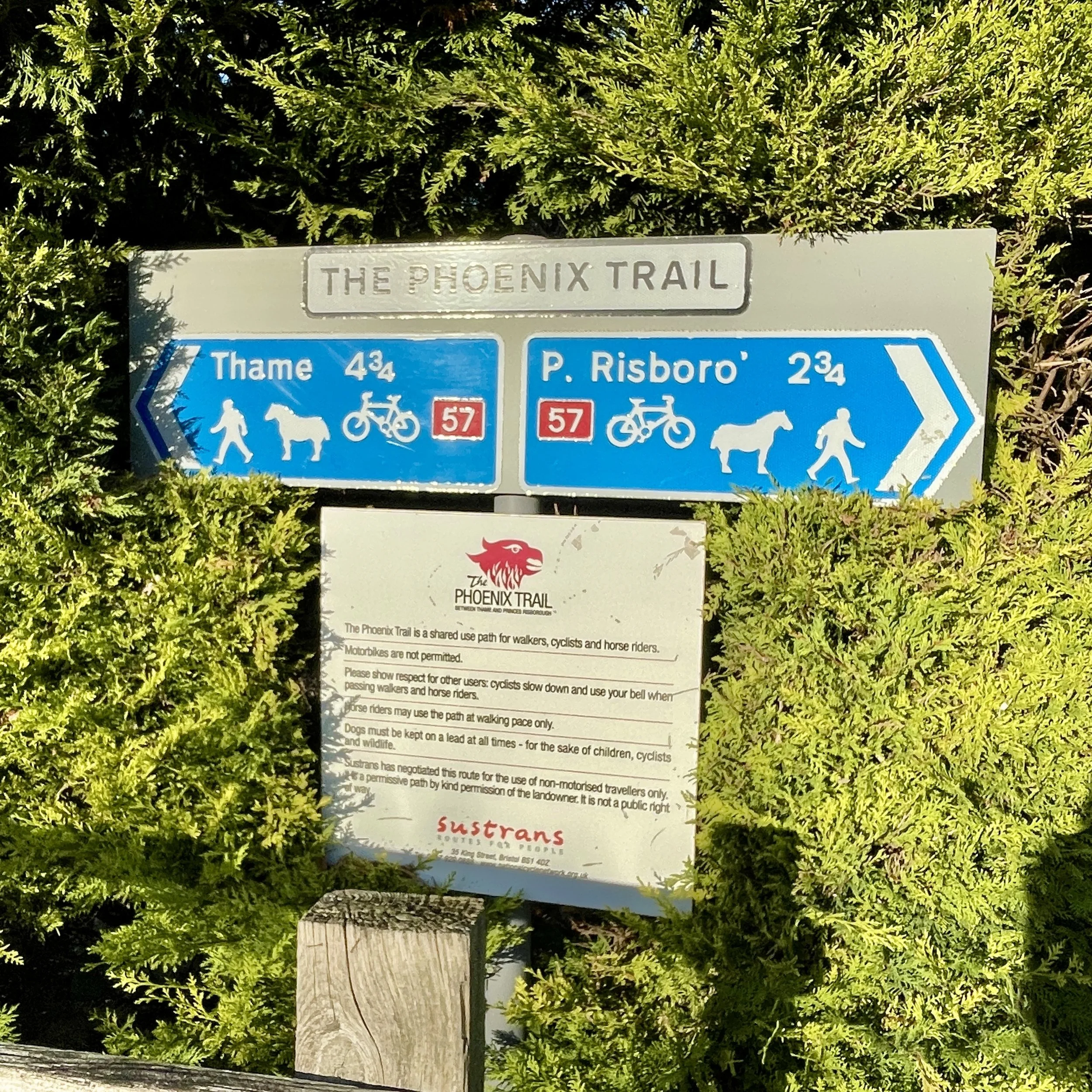
Other routes touched (cycle): Phoenix Trail, NCN 57
Pubs / Cafes on route: Lions Of Bledlow at start and end
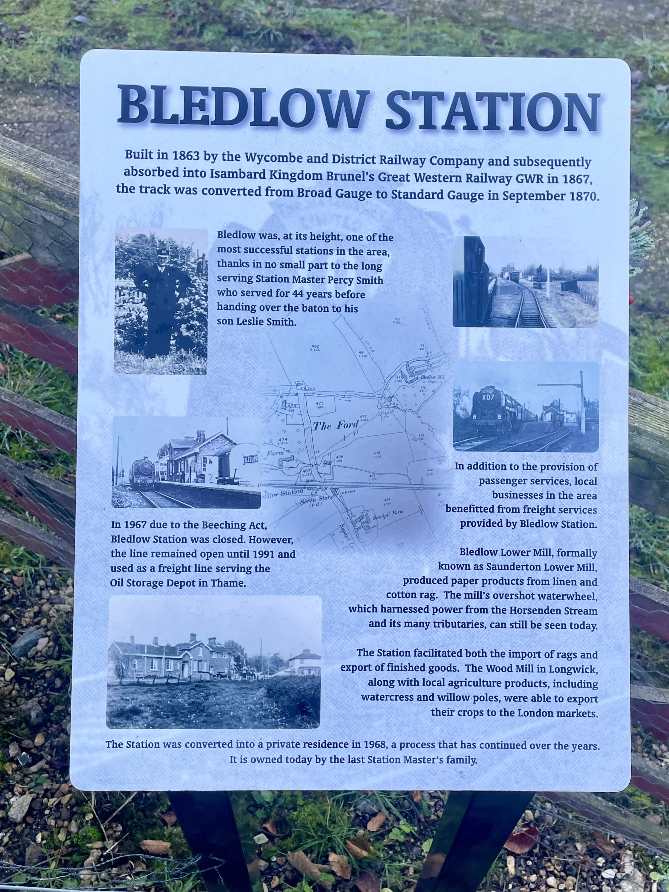
Disused Stations: Bledlow, Bledlow Bridge Halt
Map: Chiltern Hills North Map | Aylesbury, Berkhamsted & Chesham | Ordnance Survey | OS Explorer Map 181
Links: Bledlow, The Ridgeway, Midshires Way, Horsenden
This is part of a series of short circular walks following the length of the Midshires Way in Buckinghamshire. The Midshires Way is a 225-mile (362 km) trail that journeys through the rural heart of Middle England, linking the Ridgeway National Trail at Bledlow in the south to the Trans Pennine Trail at Stockport in the north. Opened in 1994, this route traverses several counties, including Buckinghamshire, Northamptonshire, Leicestershire, Nottinghamshire, Derbyshire, and Greater Manchester, following a scenic tapestry of ancient bridleways, quiet country lanes, and historic canals. In Buckinghamshire, the Midshires Way has a significant connection with the Swan's Way (often referred to as the Swan Way), a 65-mile long-distance bridleway. Essentially, the Swan's Way forms the backbone of the Buckinghamshire section of the Midshires Way, with the two routes being broadly coincident for approximately 50 miles between Salcey Forest and Bledlow. While the Swan's Way strictly adheres to bridleways to accommodate horse riders and cyclists, the Midshires Way sometimes offers alternative waymarked footpaths for walkers to avoid on-road sections.
Walking Directions
For this first section of the Midshires Way we parked near the Lions of Bledlow Pub. The route is a figure of 8, returning to the Lions at th3 3.6 km mark. The reason for this figure of 8 shape is to use the Chiltern Way and Ridgeway to get to the start of the Midshires Way then follow the Midshires Way in a northerly direction. This northerly direction will be consistent for all walks in this series. The guidance below will help you navigate but don’t use it as a fully accurate turn-by-turn guide. Always take a map and/or a GPX route and prepare well for the weather and terrain.
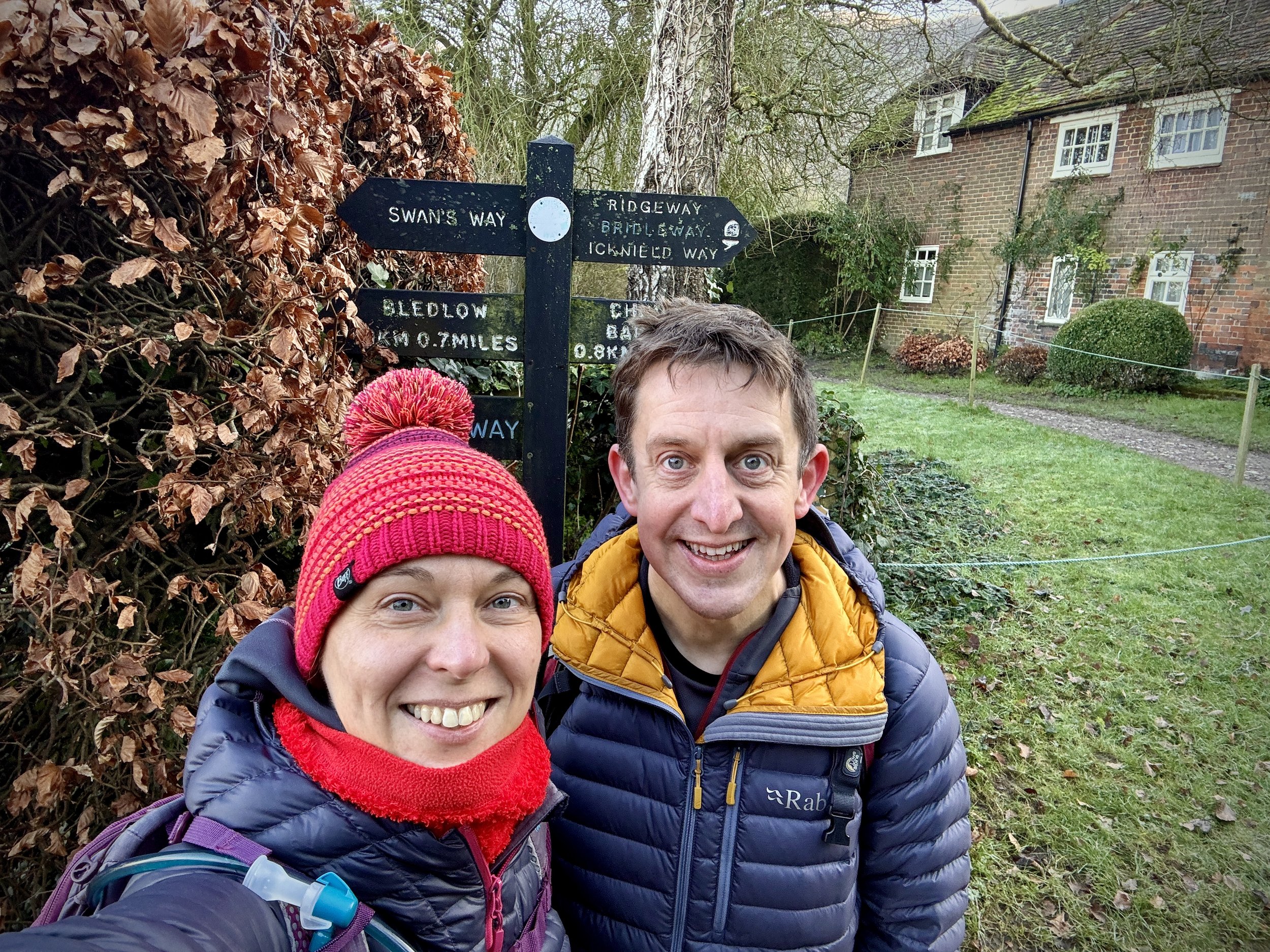
Starting from The Lions Of Bledlow walk along Church End (road) in a north-easterly direction then take the first footpath on the right to join the Chiltern Way. Follow the Chiltern Way in a south-easterly direction until the Upper Icknield Way.
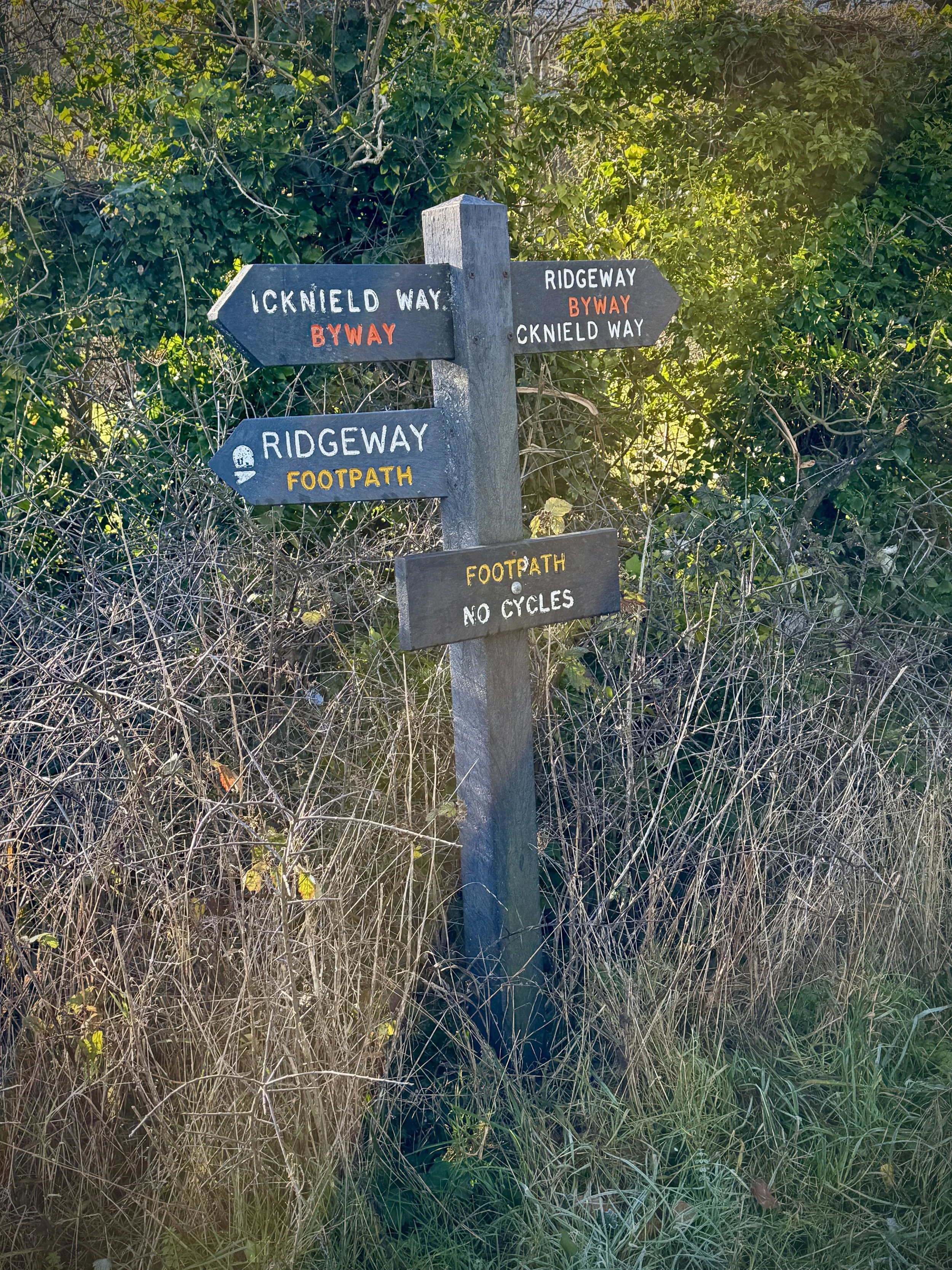
Take a right and follow the Upper Icknield Way in a westerly direction, connecting to the Ridgeway before entering the woods. When you reach the house at the top of the hill you are now at the start of the Midshires Way.
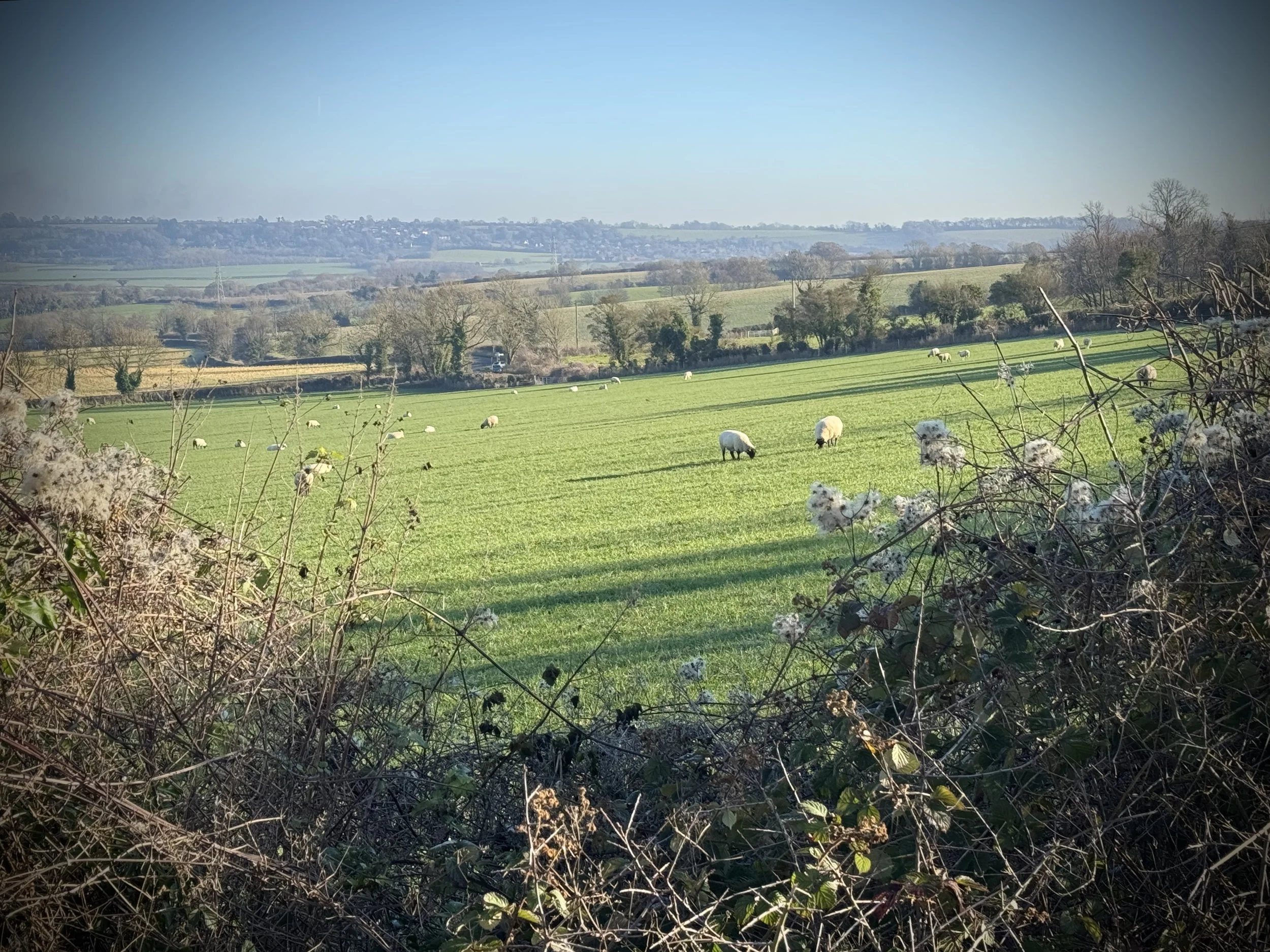
Take a right to leave the Ridgeway and follow the Midshires Way down the hill back to the Lions of Bledlow. Here you’ll get a great view of the Vale of Aylesbury to the north of the Chilterns.
Pass the Lions of Bledlow to follow Church Lane again. This time continue past the Chiltern Way footpath that you took earlier and continue to the junction with Bledlow Ridge Road and Perry Lane.
Take a left onto Perry Lane and follow it in a northerly direction to the junction with Chinnor Road and Lower Icknield Way, Half way along Perry Road you’ll pass under a railway bridge that carries the Chinnor and Princes Risborough Heritage Railway. The old Bledlow Bridge Halt was near this bridge.
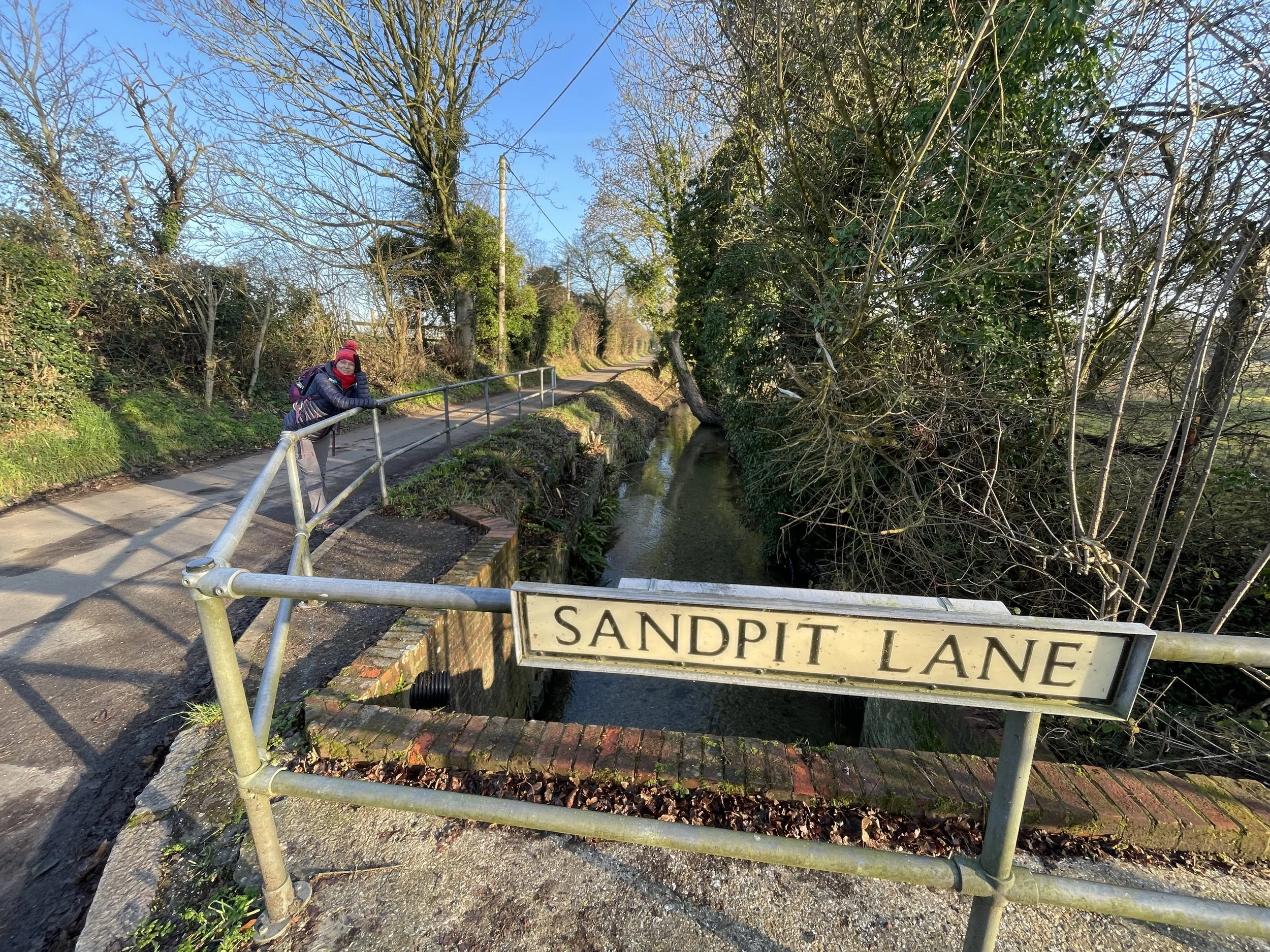
Cross over the junction to Chapel Lane then take a right to follow Sandpit Lane. Follow Sandpit Lane in a northerly direction, crossing over the Phoenix trail, another disused railway. As you cross the Phoenix Trail look to your left to see the old Bledlow Station building.
Continue north up Sandpit Lane to North Mill Road where you’ll cross a small bridge over the Lyde Brook. Take a right to continue along North Mill Road keeping the Lyde Brook on your right.
Take the first footpath on the right, leaving the Midshires Way to cross over the Lyde Brook / Horsenden Stream. Follow the path across the fields to Lower Icknield Way.
Take a right onto Lower Icknield Way, passing under the old railway bridge that carries the Phoenix Trail. On the southern side of the bridge take a left to follow the Risborough Pink Route to Horsenden. Along the way you’ll pass over the level crossing for the Chinnor and Princes Risborough Heritage Railway.
When you reach the small village of Horsenden take a right to continue along the Risborough Pink Route back to Perry Lane. Take a left onto Perry Lane the a right onto Church End to return back to the start at the Lions of Bledlow.
Points of Interest along or near to the Route
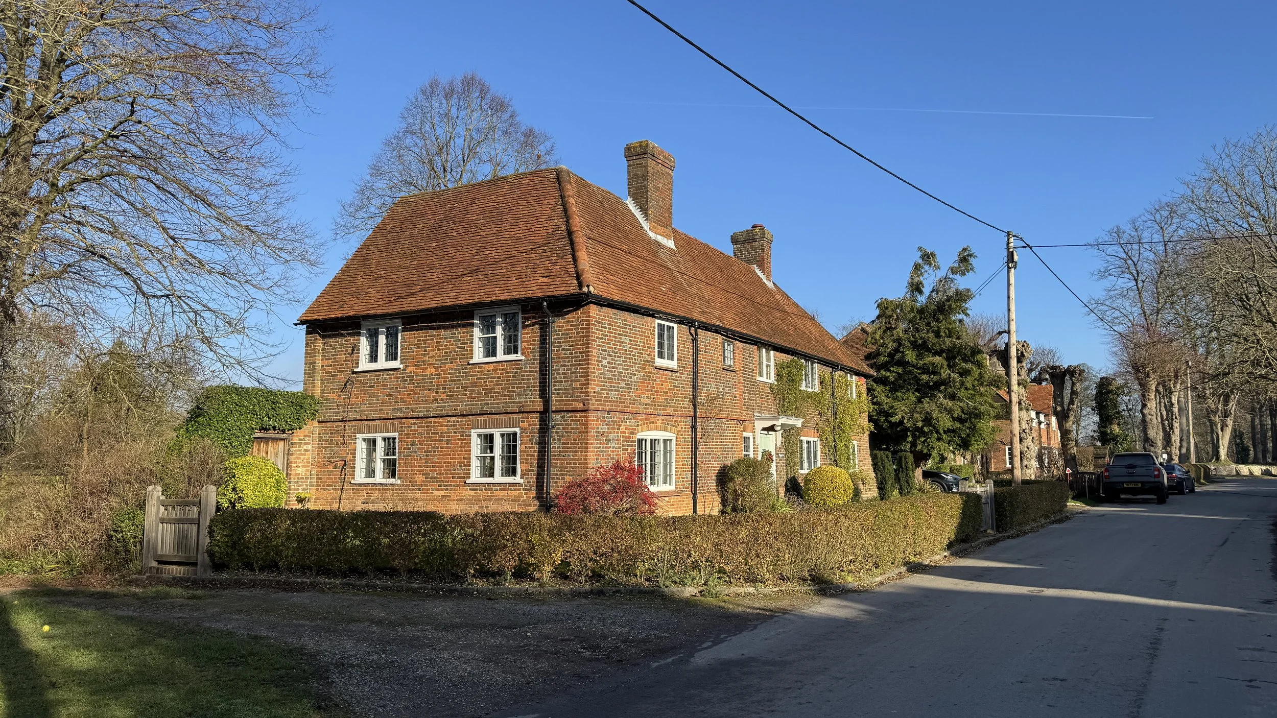
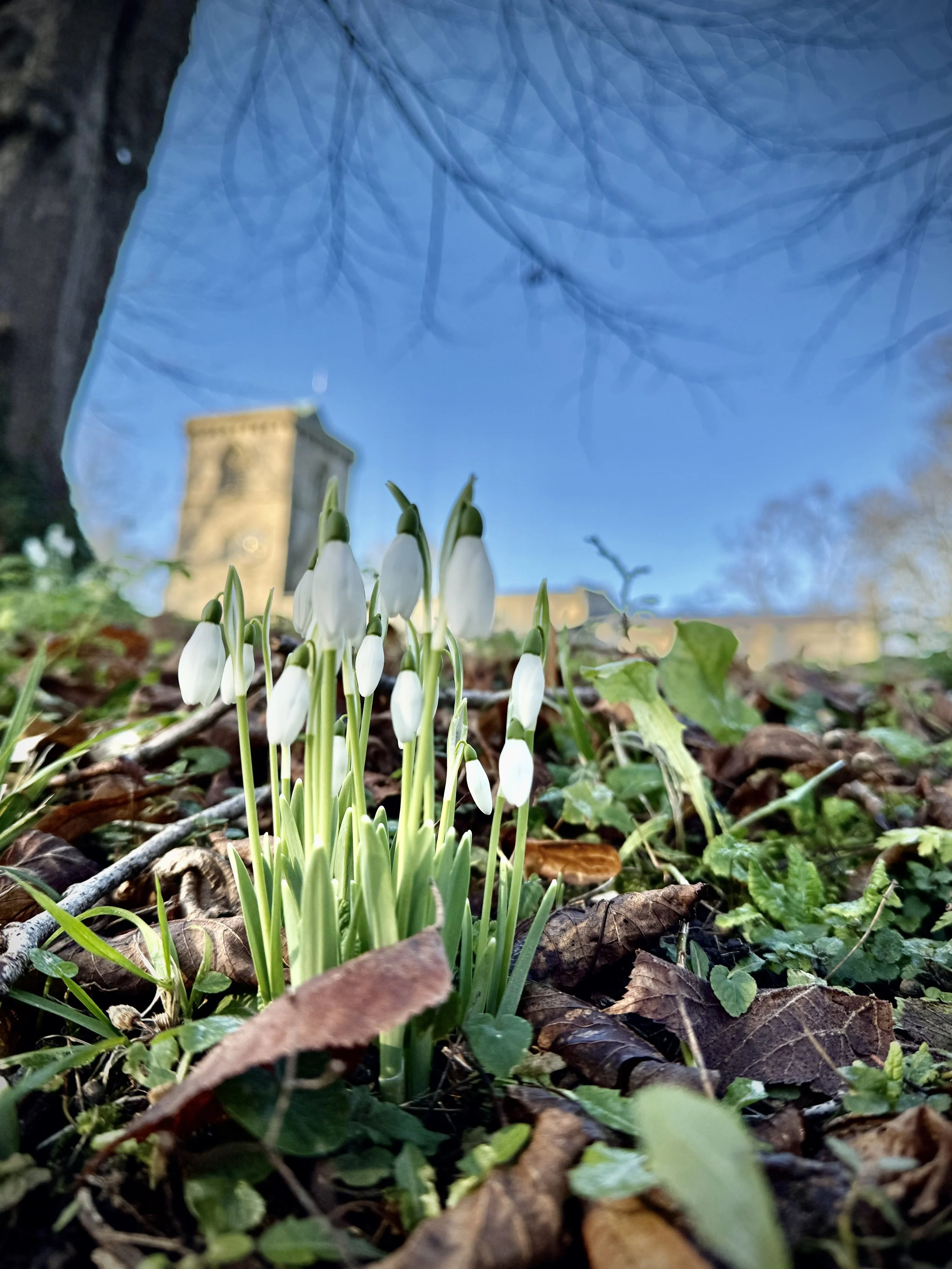
Bledlow Village: A quintessential Buckinghamshire village featuring flint and brick cottages and the beautiful church of the Holy Trinity.
The Lyde Garden: Located just past the Holy Trinity Church, this "secret" water garden was created in a deep chalk sunken garden where natural springs surface.
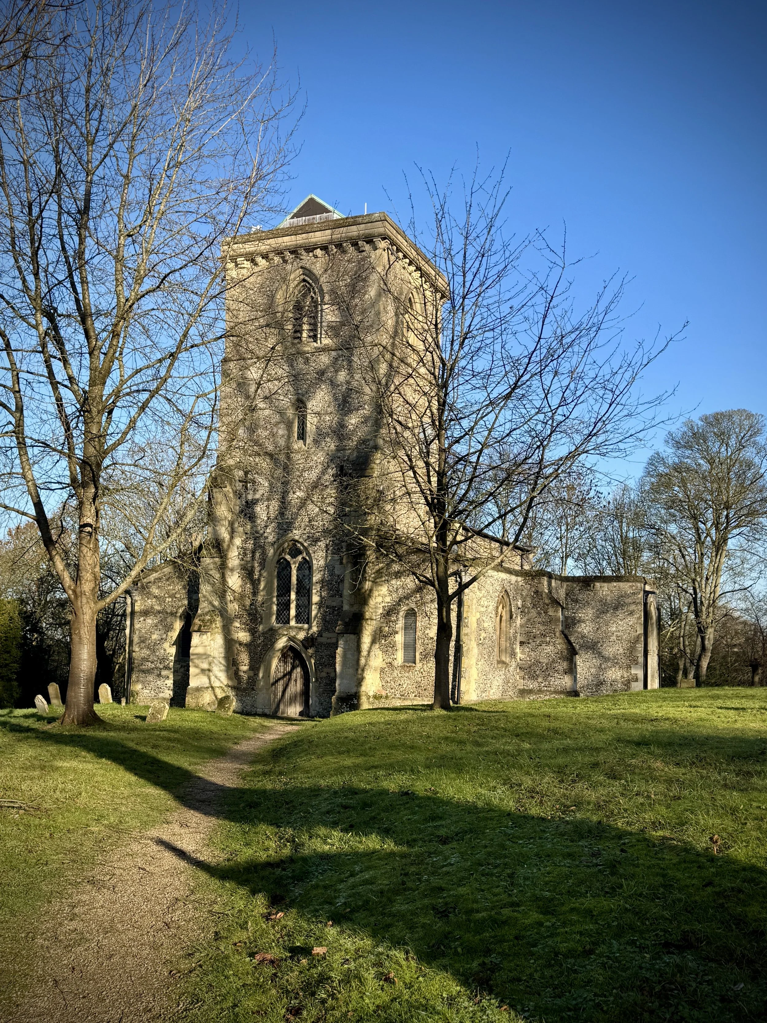
Holy Trinity Church: A 12th-century church that has remained largely unchanged since the 13th century. It features a prominent tower with a peal of eight bells and a nave with columns dating back to approximately 1200.
Bledlow Cross: A large cross cut into the chalk turf on the north slope of Wain Hill. Although often overgrown, it is a significant local landmark dating back to at least the late 1700s.
Bledlow Station: Now a private residence, this station was built in 1863 by the Wycombe and District Railway Company and absorbed into Isambard Kingdom Brunel's Great Western Railway in 1867. At its peak, it was a vital hub for local industries: importing rags for paper production at Bledlow Lower Mill and exporting finished goods, watercress, and willow poles to London markets. Though closed to passengers in 1967 due to the Beeching Act, the line served a freight depot in Thame until 1991.
Bledlow Lower Mill: Formerly known as Saunderton Lower Mill, this site harnessed the power of the Horsenden Stream to produce paper from linen and cotton rag. The mill's overshot waterwheel can still be seen today.
Midshires Way next section (north): Ilmer and Longwick