Trig Pillar Walks: Brill Windmill and Muswell Hill
Muswell Hill Trig Pillar
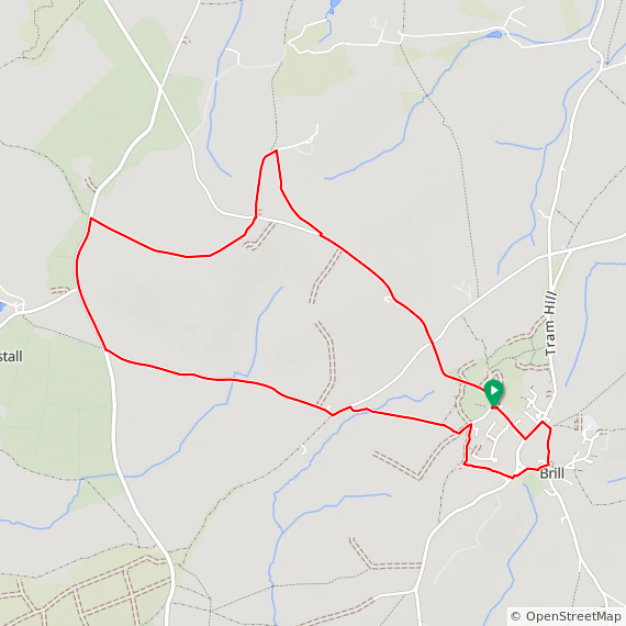
Start & Finish: Brill Windmill, South Hills, Brill, Aylesbury, HP18 9TQ
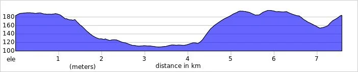
Distance: 7.6 km (4.7 miles)
Elevation change: +/- 125m
GPX File: get via Buy Me a Coffee
Terrain: Rolling hilltop ridges, open common land, geological SSSI sites, and village footpaths.
Other routes touched (walk): Bernwood Jubilee Way, Piddington Circular Walk
Other routes touched (cycle): National Byway
Pubs / Cafes on route: The Pointer, The Pheasant, both in Brill at the start and end of the walk.
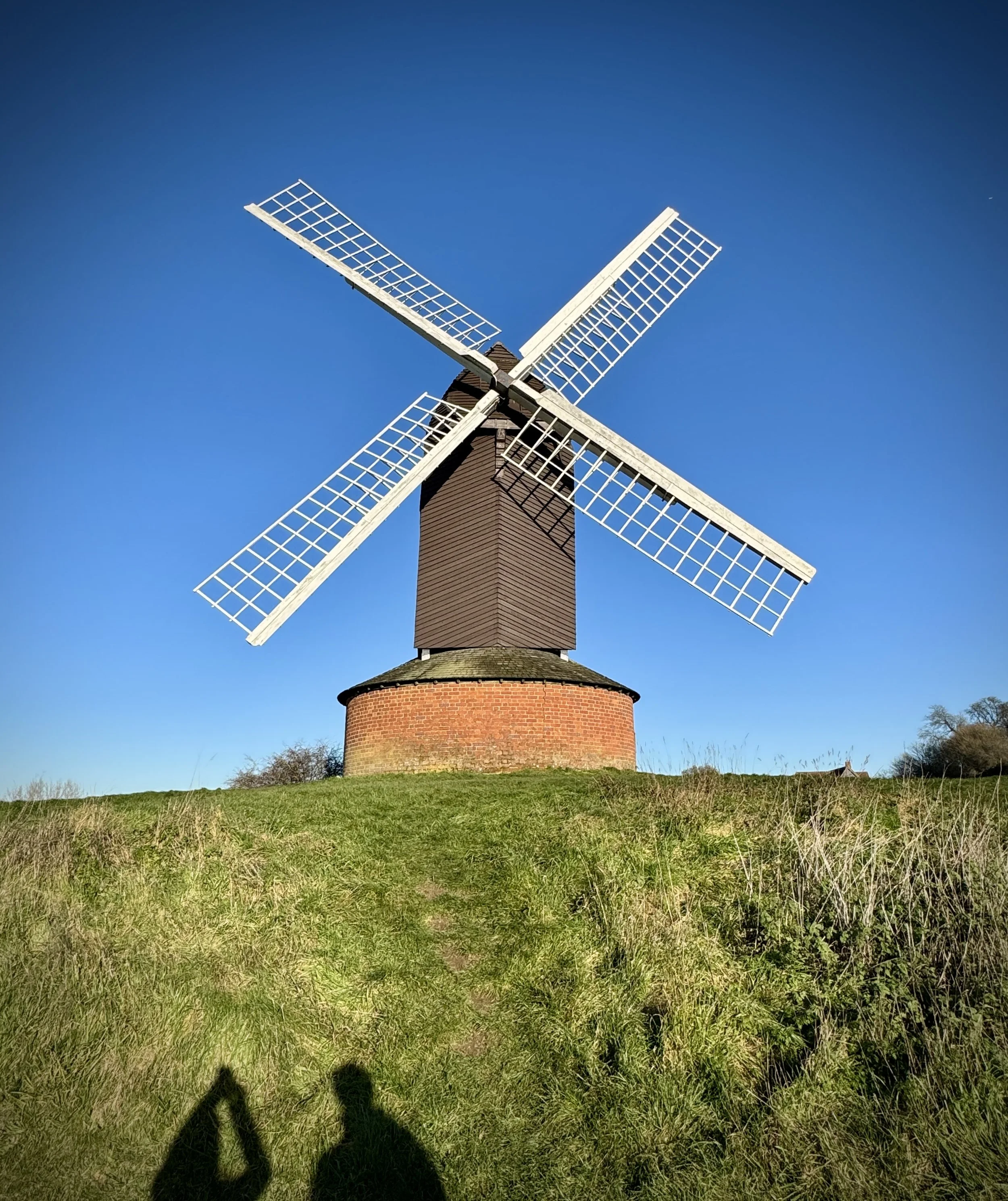
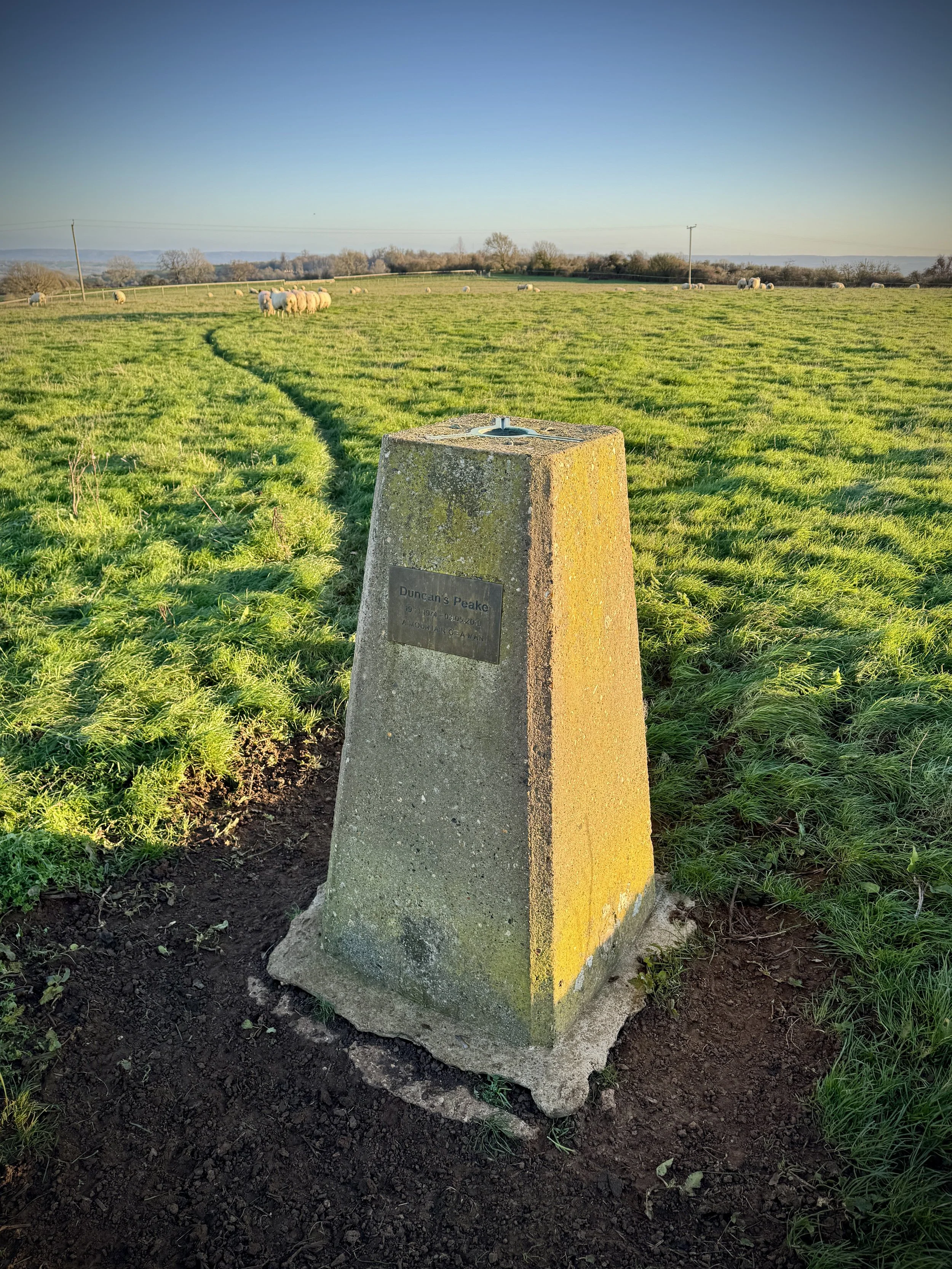
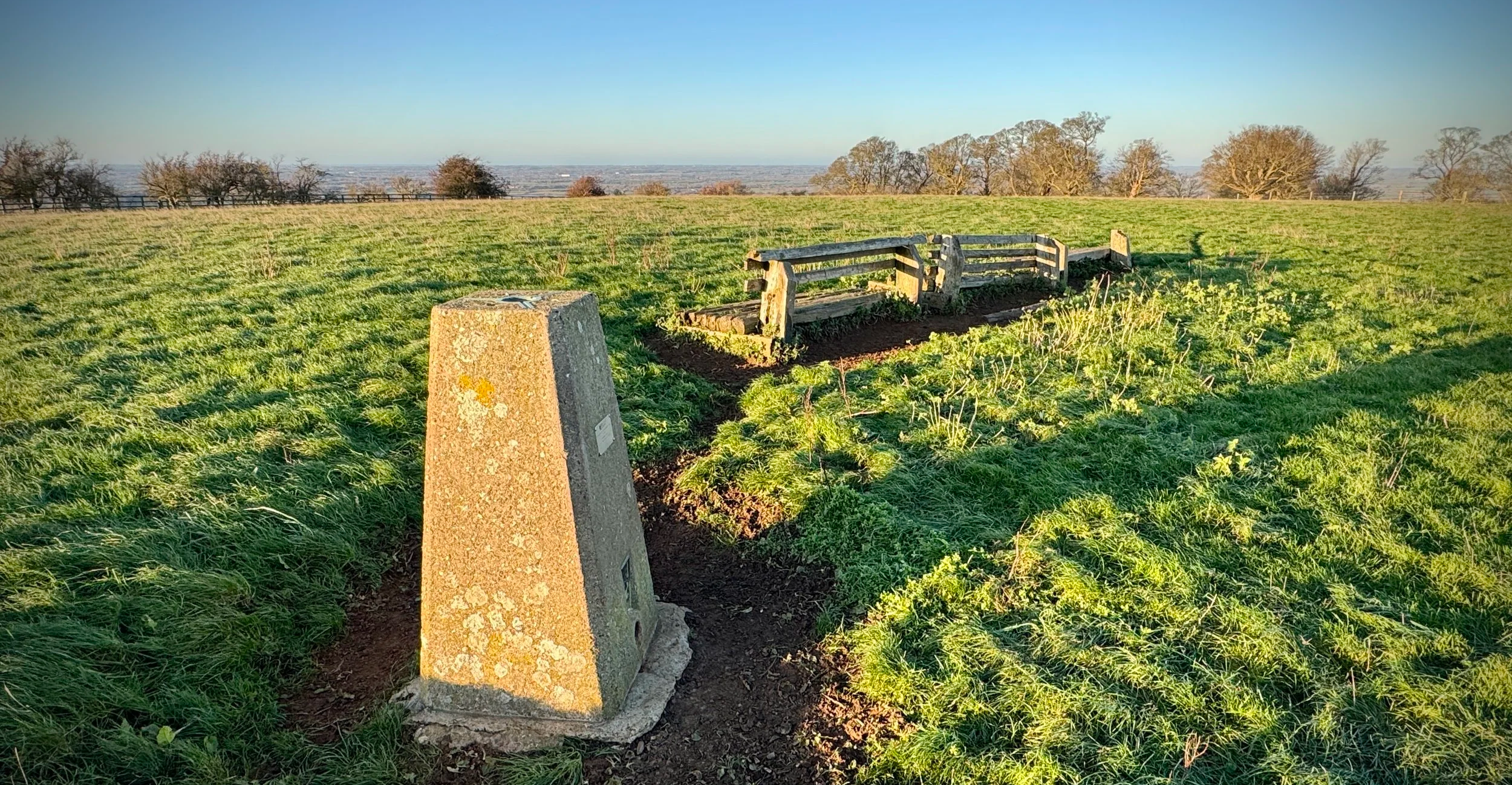
OS Trig Pillars: TP0728 - Muswell Hill and (just off route) TP1632 - Brill House
Map: Oxford Map | Witney & Woodstock | Ordnance Survey | OS Explorer Map 180
Links: Brill, Brill Windmill, Muswell Hill (Buckinghamshire), Brill Tramway, Bernwood Forest.
This is part of a series of short circular walks in the Buckinghamshire based around bagging an Ordnance Survey Trig Pillar. If you’ve searched for or stumbled across this page then you probably already know what an OS Trig Pillar is. If you don’t then this article from the Ordnance Survey is a good place to start.
The Muswell Hill Trig Pillar is right on the route but the Brill House Pillar is just off the rout to the south-east of Brill just off the Thame Road. We bagged it as a drive-by after the main walk but you could add it into the walk by walking to it, and back, when you get to Church Street. This will add an extra 800m to the total route length.
Note that Muswell Hill shouldn’t be confused with the place in London of the same name. The two places named Muswell Hill, one in London and one in Buckinghamshire, share a similar name but not a proven shared origin. London’s Muswell Hill is well documented as taking its name from a medieval healing spring known as the “Mus Well,” which attracted pilgrims. The Buckinghamshire Muswell Hill, near Brill, is historically associated with a hermitage and chapel, giving it its own religious significance, though no clear evidence links its name to a well or to the London site. While both locations have medieval religious associations, the connection between them appears to be coincidental rather than a direct naming relationship.
Walking Directions
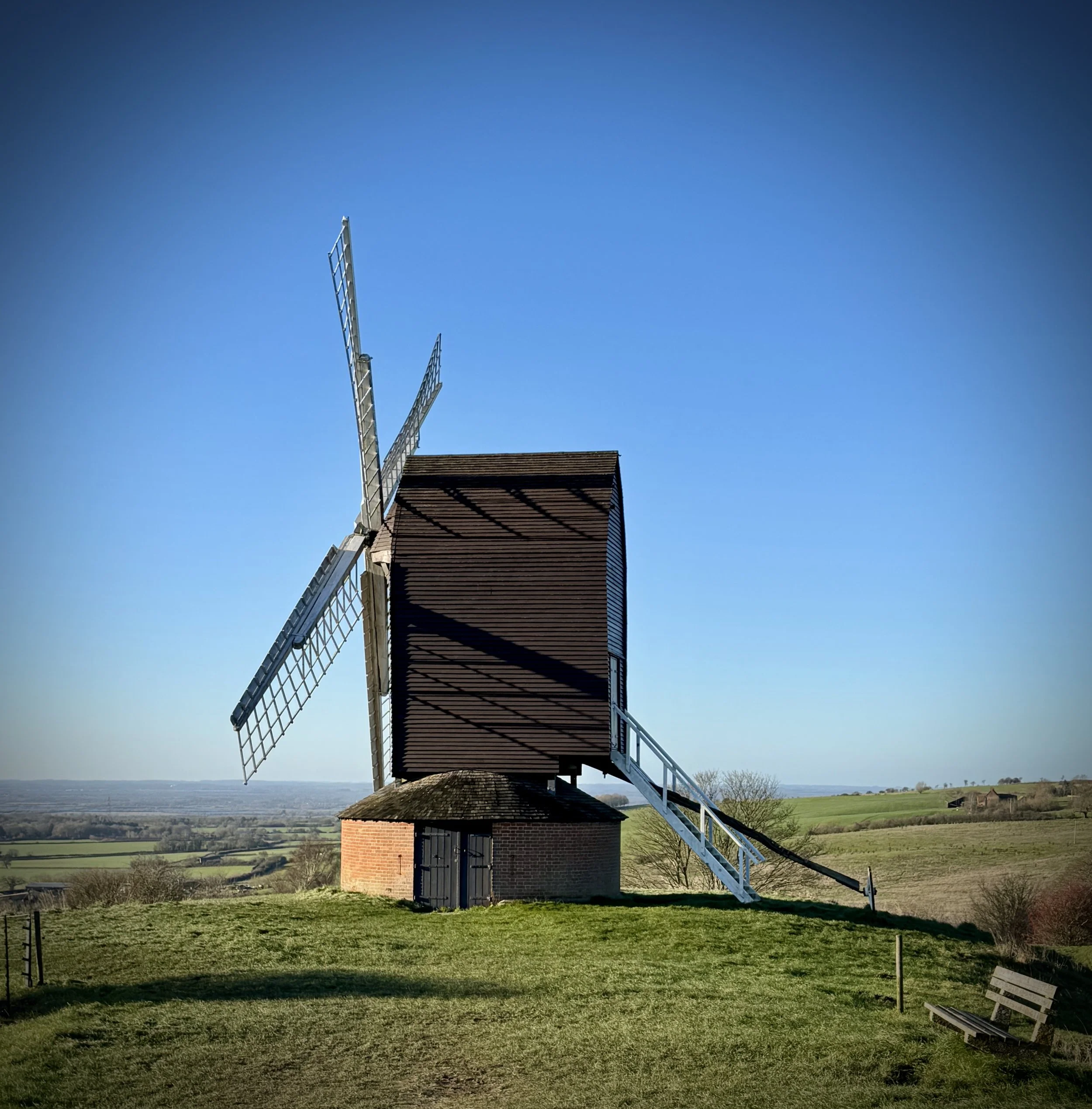
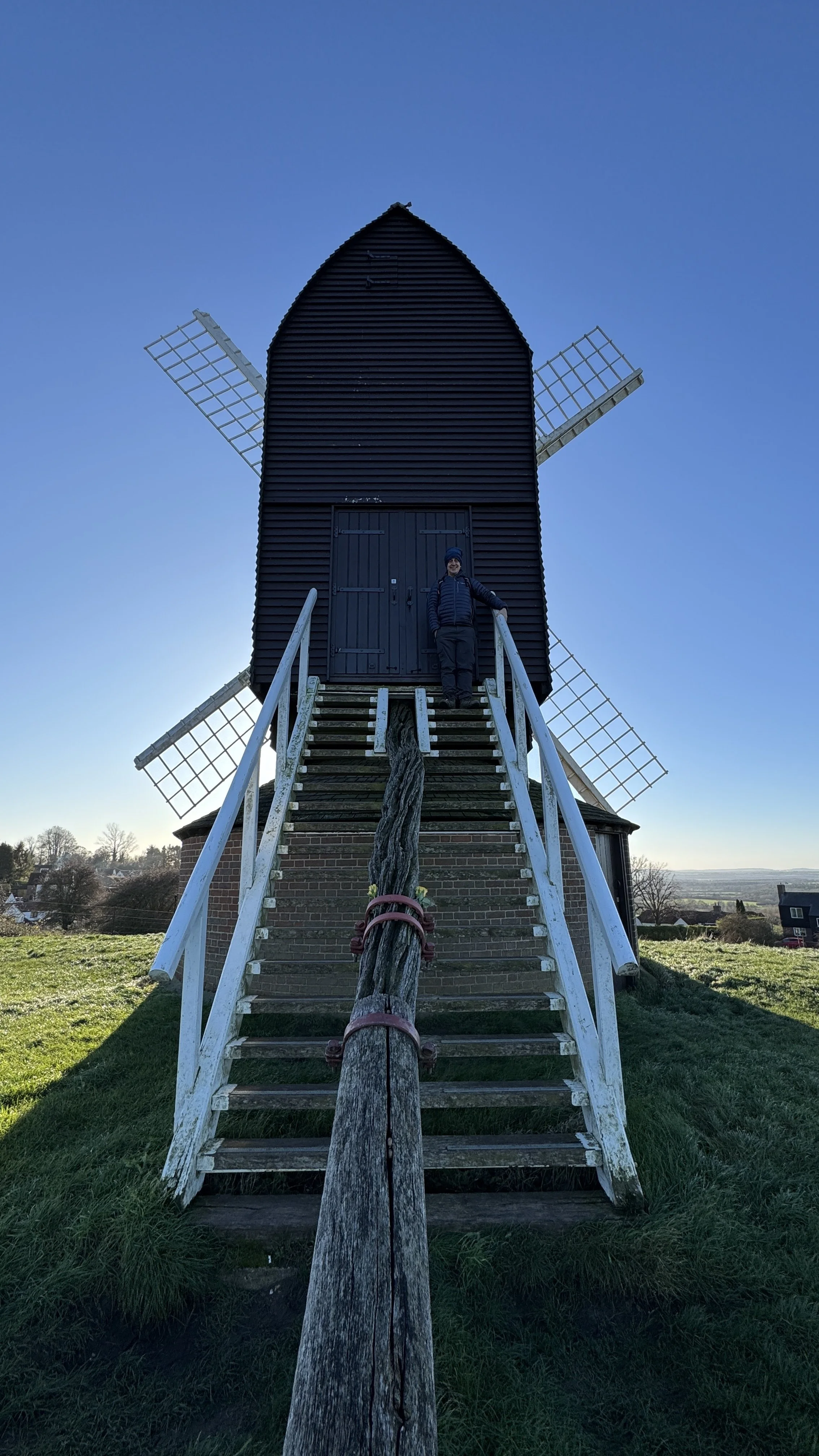
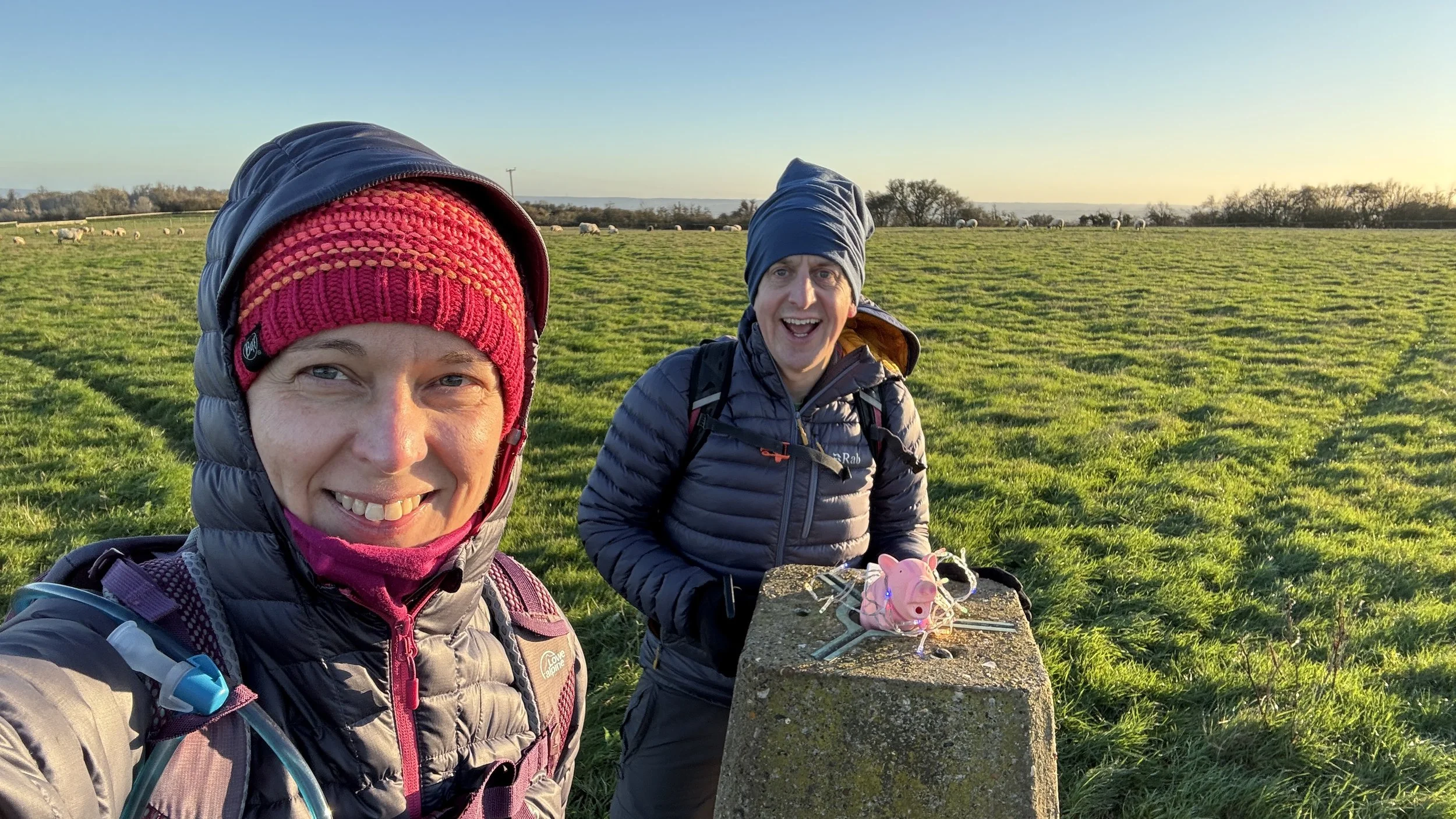
For this walk we parked at Brill in the free parking spaces outside the historic Windmill. This circular route begins at the iconic 17th-century post mill, leading you through an undulating landscape with expansive vistas across the Vale of Aylesbury. It was Christmas Day, and we were very lucky to have a bright, sunny day for our stroll.
The guidance below will help you navigate but don’t use it as a fully accurate turn-by-turn guide. Always take a map and/or a GPX route and prepare well for the weather and terrain.
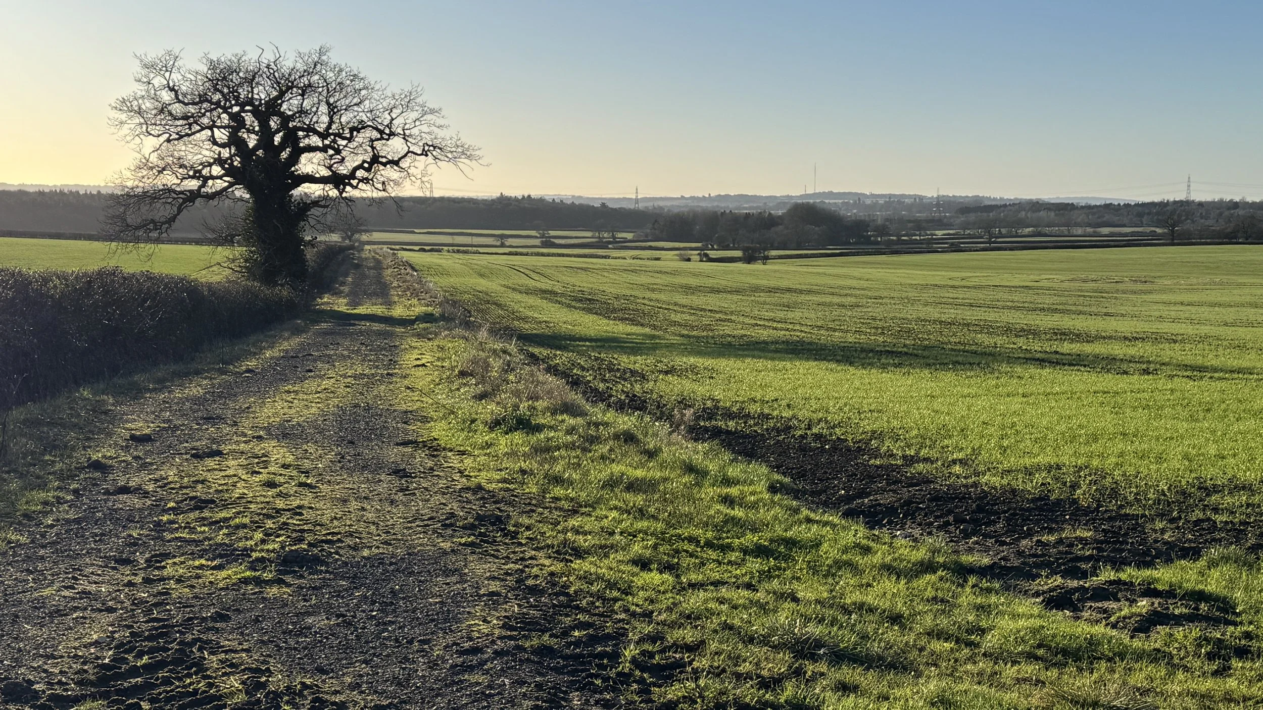
Start at Brill Common: Begin at the historic Brill Windmill. Walk south-west across the undulating mounds of the common, which were formed by ancient clay workings.
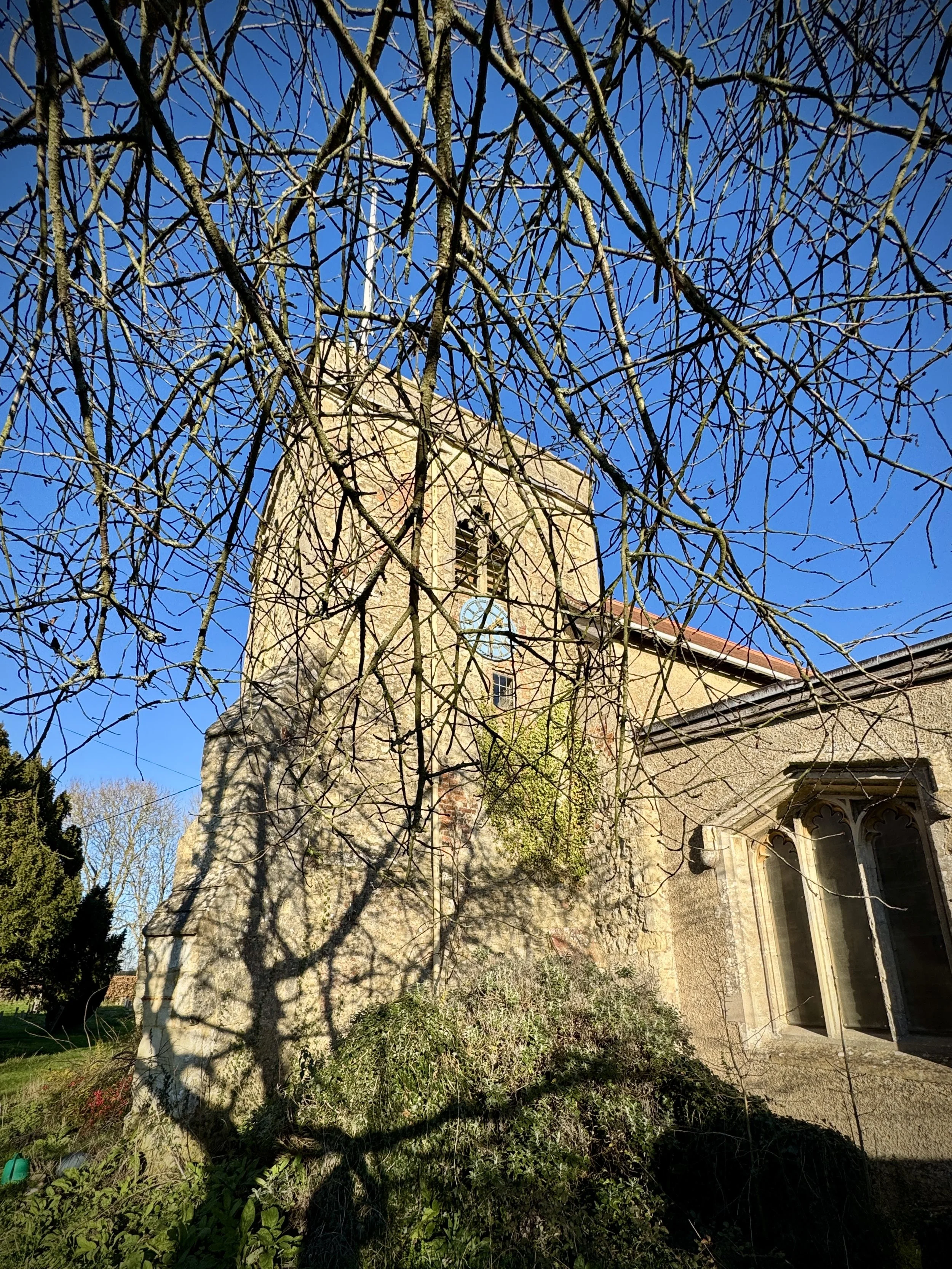
Brill Village: Walk down Windmil Street in a south-easterly direction towards the village centre. Take a left onto Temple Street then a right on to a footpath that joins the Bernwood Jubilee Way. Keep on the Bernwood Jubilee Way as it traces a circle of the village, passing All Saints Church and onto The Square. After 1.4 km into the walk you’ll reach South Hills (road) where you’ll get another view of the Windmill.
The Jubilee Way: Keep following the Bernwood Jubilee Way in a westerly direction to the B4011.
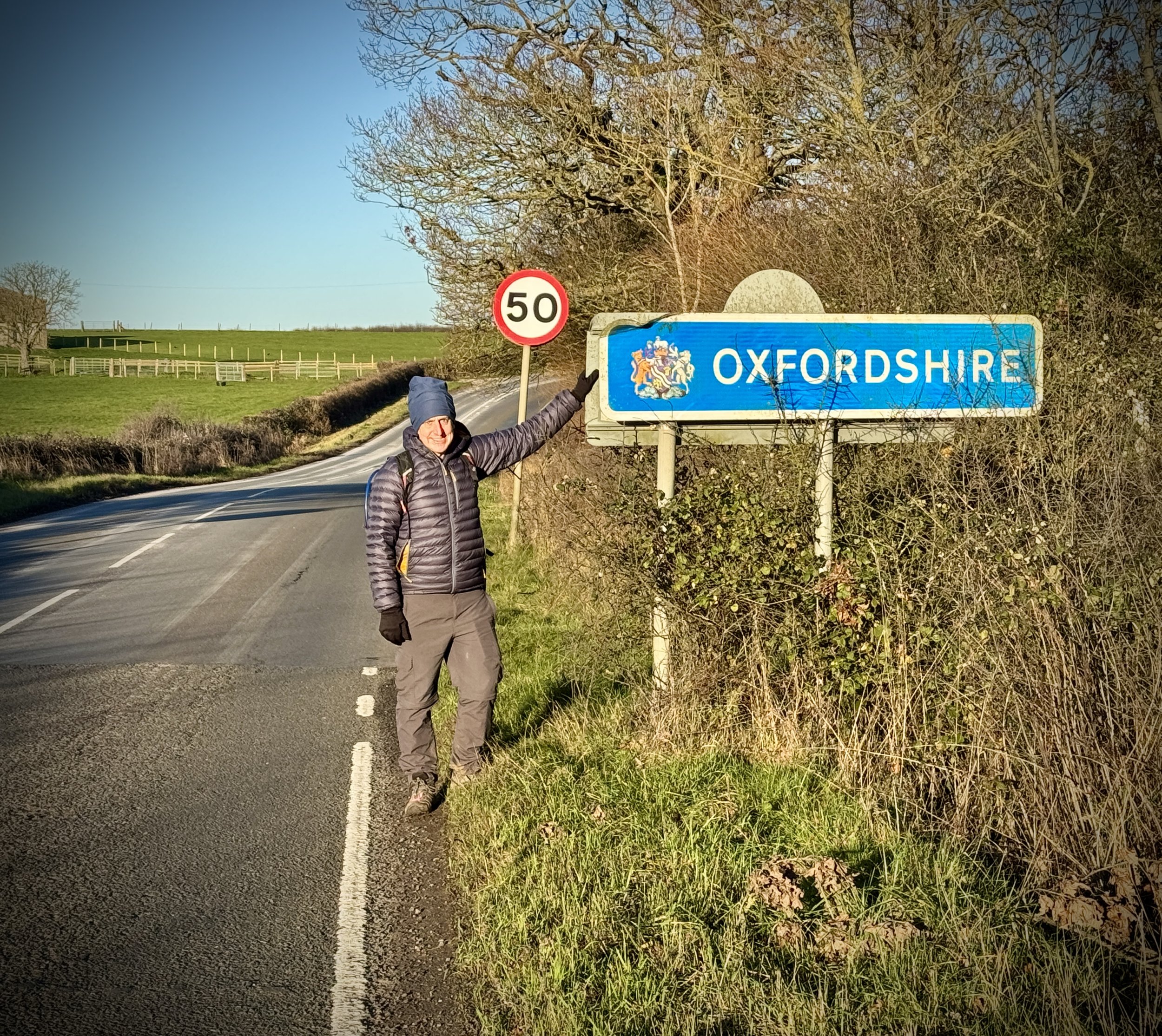
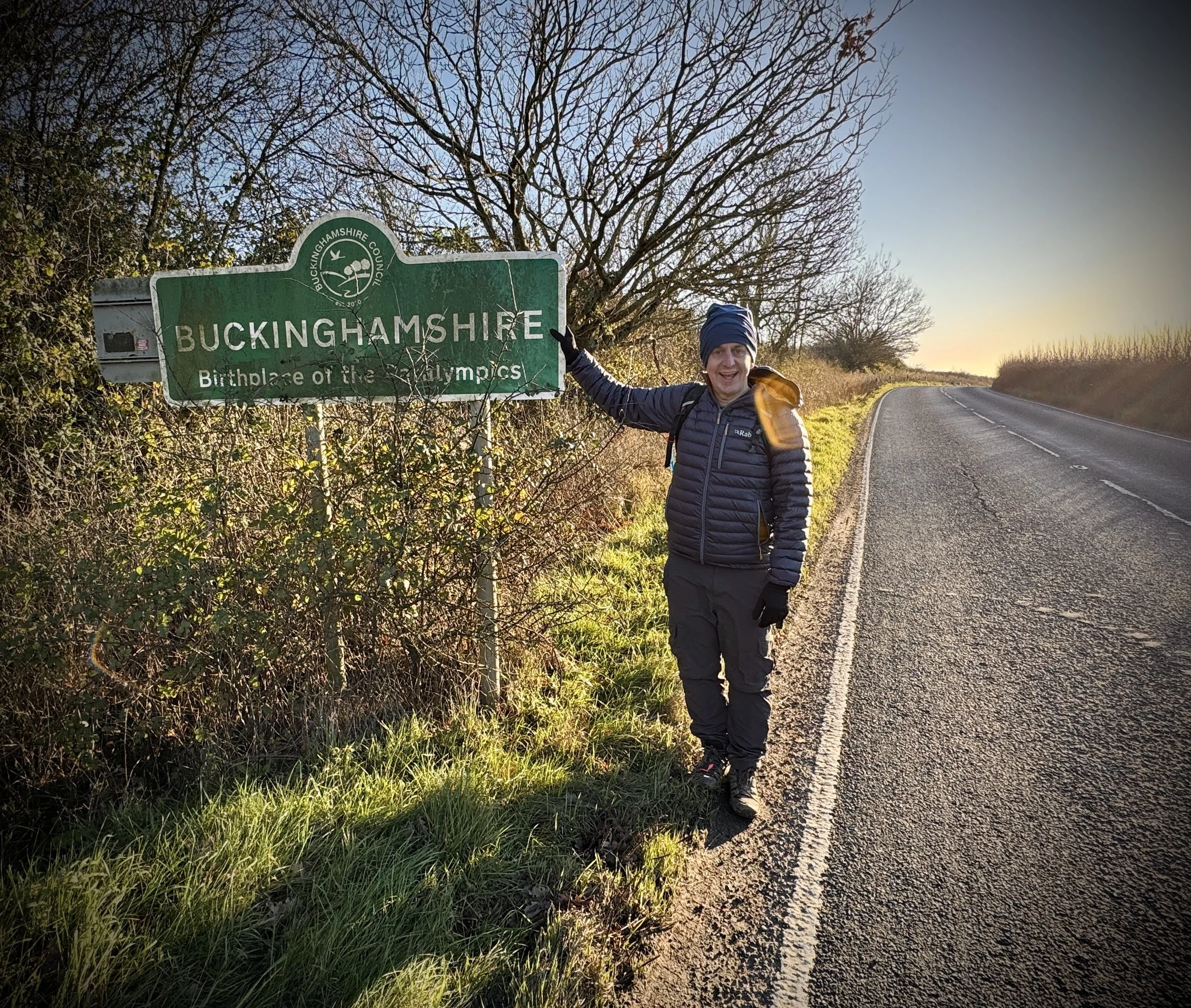
Busy Road. Take a right onto this road to follow it in a northerly direction. Please note that there is no pavement here, so you need to be very careful of any approaching cars. Continue until you pass the signs marking the Oxfordshire/Buckinghamshire border. Just past these, take a right onto a footpath that also forms part of the Piddington circular walk.
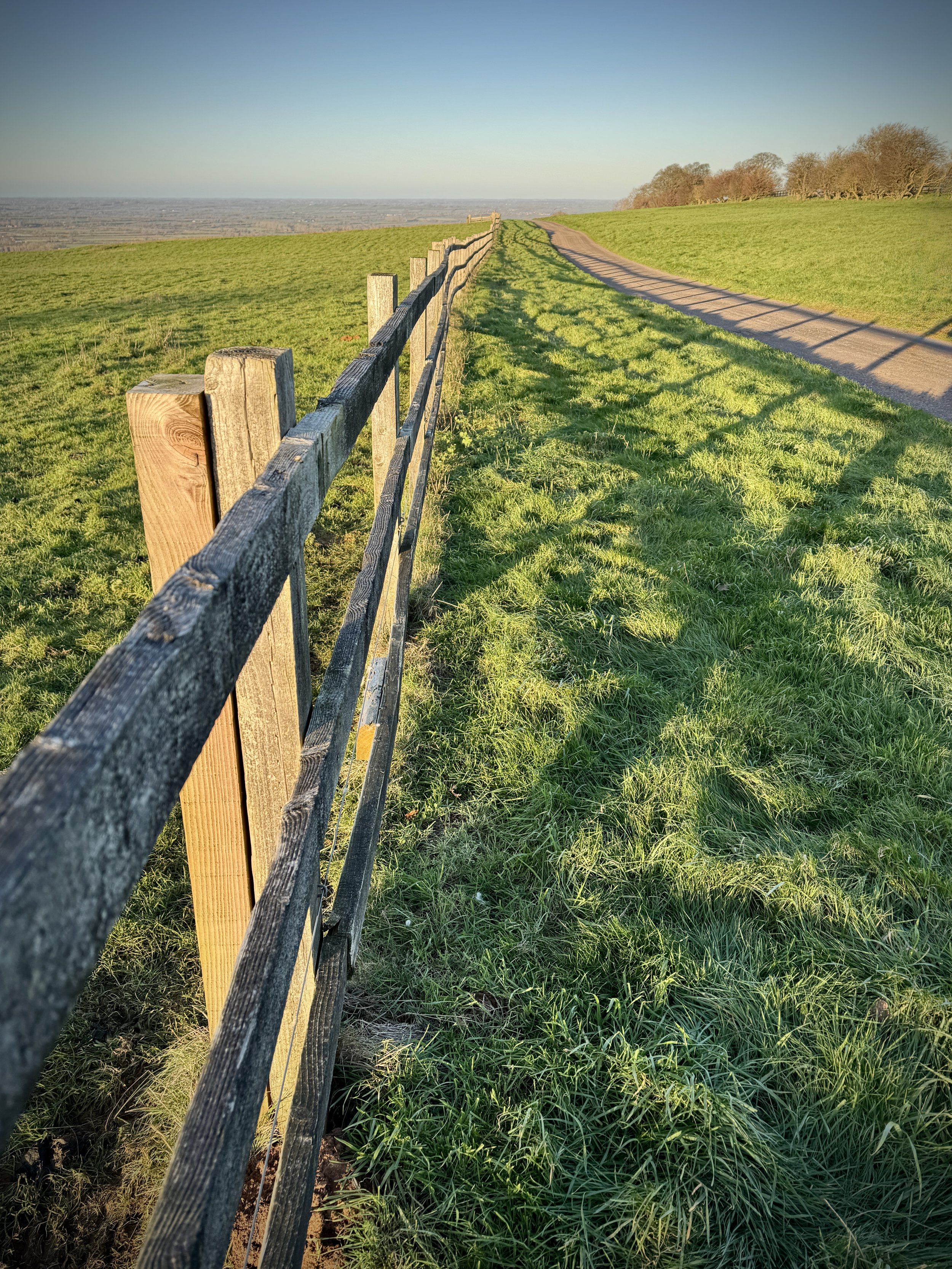
Muswell Hill Ascent: Follow the path north-west to begin the steady climb up Muswell Hill (Buckinghamshire). As you reach the top, you will enter the geological SSSI area.
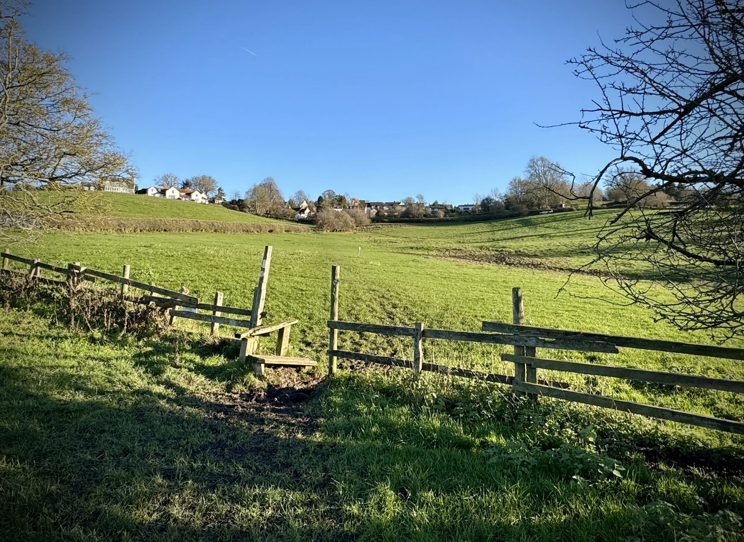
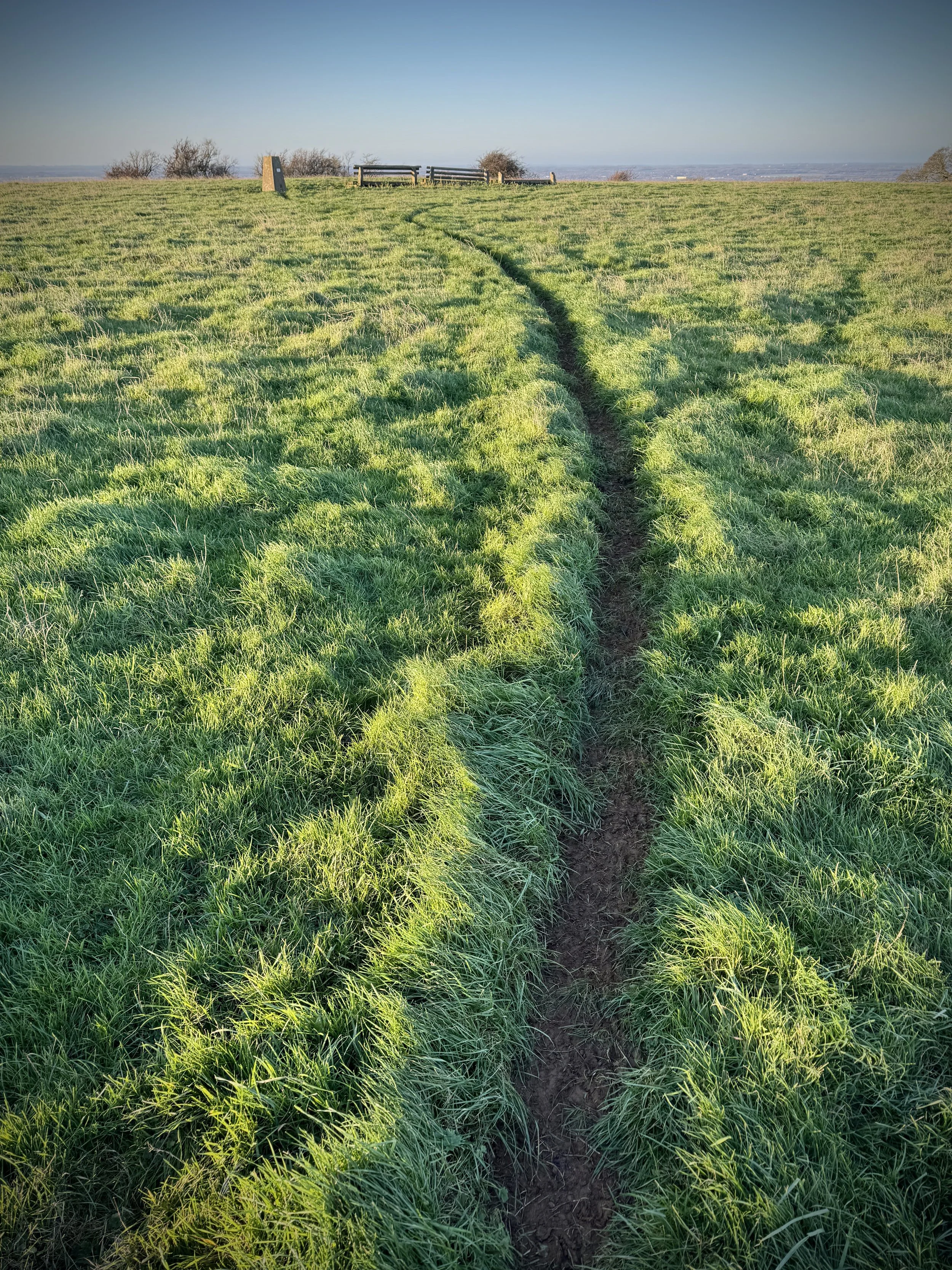
Private Drive: At the top of the hill, cross over the road and take the footpath on the left that follows a private drive. As you walk along the drive, look to your right and you will be able to see the trig pillar poking up over the top of the hill. When you turn the corner on the private drive, look out for the footpath on the right: there is a stile to climb over the fence.
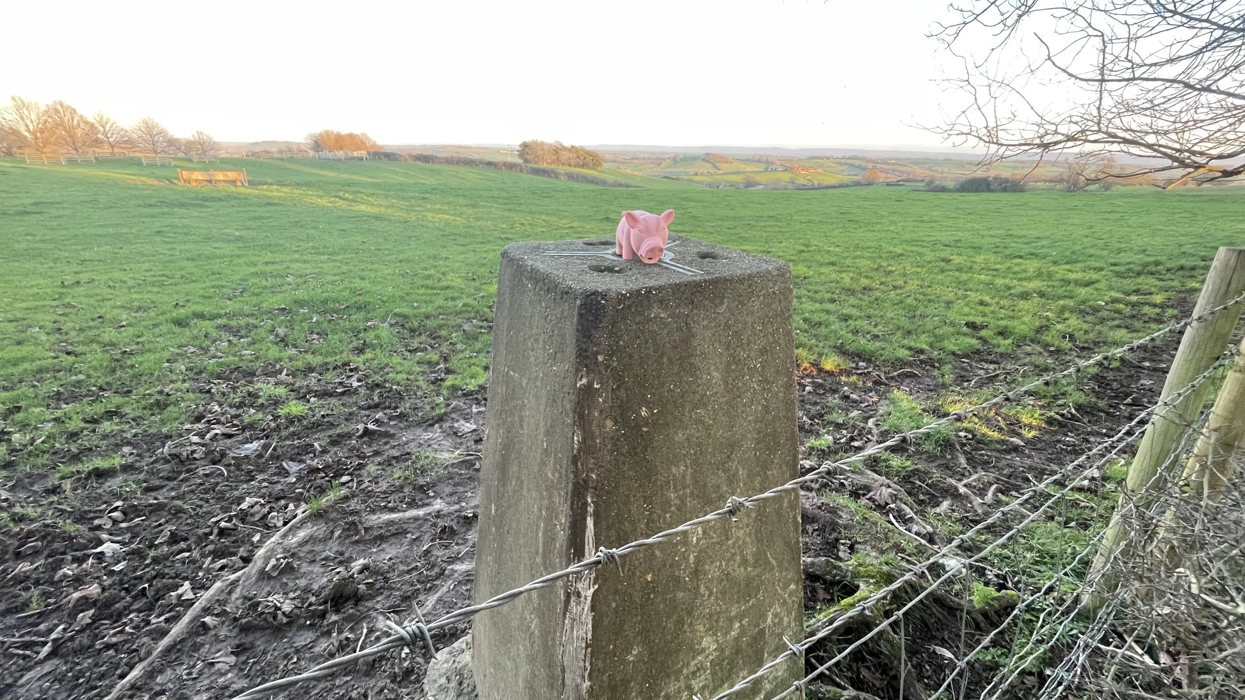
Panoramic Views: Take time at the summit of Muswell Hill to enjoy the 360-degree views across the Vale of Aylesbury and toward the Oxfordshire border.
Return to Brill: After the trig pillar, keep walking in the same direction diagonally across the field to the stile in the corner. Earlier, take a left and follow the road all the way back to the Windmill to complete the loop.
Points of Interest along or near to the Route
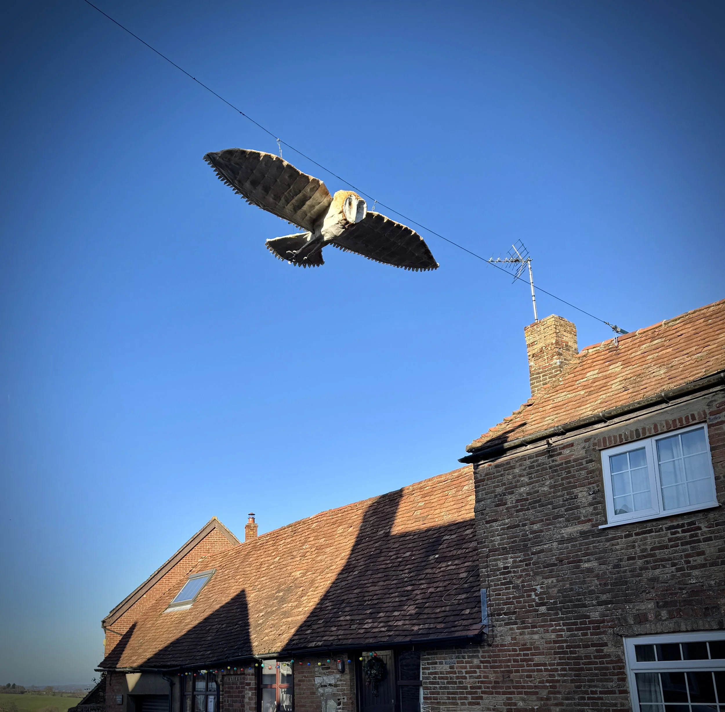
Brill Windmill: Built around 1685, this is one of the best-preserved examples of a "post mill" in the UK. Its timber frame is Grade II* listed and offers a direct link to the village's agricultural past.
Muswell Hill (Buckinghamshire): A 0.2-hectare geological Site of Special Scientific Interest (SSSI). It is significant for its early Cretaceous sandstones and ironstones, providing a window into the area’s prehistoric environment.
The Brill Tramway Terminus: The route passes the site of Brill’s former tramway terminus. Remarkably, until 1935 this quiet hilltop was linked by the Metropolitan Railway all the way to Baker Street in central London.
Tolkien Connection: Scholars note that Tolkien drew inspiration for the village of Bree from Brill—both linguistically (“hill‑hill”) and from his familiarity with the area during his Oxford years.