When: May 25th 2026
Where: Marlow Rugby Club, Riverwoods Drive, Marlow, SL7 1QU
Organiser: Racing Line Running
Distance: 10 km
Elevation: +/- 91m
Course: Start and finish at the Marlow Rugby Club. Out onto the Thames Path for an anti-clockwise loop between Marlow Bridge and the Bourne End railway bridge. One steep climb up and down Winter Hill, otherwise flat.
Other routes touched (walk): Thames Path, Shakespeare’s Way, The Chiltern Way Berkshire Loop
Finish time: 64 minutes, 34 seconds
Approaching Caversham Bridge from the west
Start & Finish: Tilehurst Station, Reading, RG31 6TH
Distance: 10.9 km (6.8 miles)
Elevation change: +41 / -54m. Net -13m
Terrain: Flat, well-paved or hard-packed riverside paths with some grassy sections.
Thames Path section covered: Tilehurst to Sonning: 10.9 km
GPX File: get via Buy Me a Coffee
Other routes touched (walk): Thames Path, St Frideswide’s Way, Wokingham Way
Other routes touched (cycle): NCN 4, 5
Pubs / Cafes on route: Several options in Reading but we stopped at the Thames Lido restaurant at 6.1 km in. Also The Great House Sonning at the end.
Map: Reading, Wokingham & Pangbourne Map | Thames Path | Ordnance Survey | OS Explorer Map 159
Links: Tilehurst, Reading, River Thames, Caversham, Sonning
This is part of a series of short walks following the length of the Thames Path National Trail. The Thames Path is a 185-mile (298 km) National Trail that journeys alongside England's best-known river, linking its source in the rural Cotswolds in the west to the Thames Barrier and Woolwich in the east. Opened in 1996, this route traverses several counties, including Gloucestershire, Wiltshire, Oxfordshire, Berkshire, Buckinghamshire, Surrey, and Greater London, following a scenic tapestry of peaceful water meadows, bustling towns, and historic towpaths.
Walking Directions
This section of the Thames Path offers a fascinating mix of environments, taking you seamlessly from suburban fringes right through the heart of a major town and out into peaceful countryside. Starting at Tilehurst railway station, the path joins the river and stays remarkably close to the water for the entire route. It is a fantastic walk for those who enjoy flat, easy terrain with plenty of opportunities to stop for refreshments along the way.
As you progress towards Reading, the landscape transitions from tree-lined riverbanks to the bustling centre of the town, passing rowing clubs and historic bridges. Once you navigate past the mouth of the River Kennet, the urban environment quickly fades away. The final stretch alongside Thames Valley Park is tranquil and green, guiding you gently into the picturesque, historic village of Sonning.
The guidance below will help you navigate but don’t use it as a fully accurate turn-by-turn guide. Always take a map and/or a GPX route and prepare well for the weather and terrain.
Start at Tilehurst railway station and head north to join the Thames Path on the south bank of the river.
Follow the paved riverside path eastwards, keeping the River Thames on your left.
Continue straight along the path as it passes the Rivermead Leisure Complex and Reading Rowing Club.
Walk directly under Caversham Bridge and continue along the promenade towards Reading Bridge.
Pass under Reading Bridge and enter King's Meadow, following the designated path along the river edge.
Cross the pedestrian walkway at Horseshoe Bridge, which takes you over the point where the River Kennet meets the Thames.
Follow the path as it curves around the edge of Thames Valley Park, continuing to keep the river on your left.
Stay on the main riverside trail through the wooded and grassy sections leading towards Sonning.
Arrive at Sonning Lock and continue the final short distance to finish the walk at Sonning Bridge.
Note that we did this as a point-to-point walk, leaving our car near Sonning Bridge and taking an Uber to Tilehurst. An alternative option is to add an extra 5 km to the walk to reach Twyford Station and take a train from there back to the start at Tilehurst. The 129 bus route also connects Twyford Station and Sonning High Street.
Points of Interest along or near to the Route
Caversham Bridge: Spanning the River Thames between Reading and Caversham, this long‑established crossing point has served travellers since at least the 12th century, when the first recorded bridge stood here. The current structure — an elegant combination of concrete and granite — was opened in 1926 by Edward, Prince of Wales (later King Edward VIII). Today it marks one of the busiest urban stretches of the Thames Path, offering walkers broad views of the river’s lively boat traffic and the activity of Reading’s rowing clubs.
King's Meadow and Thames Lido: Just east of Reading’s centre lies King’s Meadow, a historic riverside park once owned by Reading Abbey and purchased for public use in 1869. Set within its 12 acres is the Thames Lido, housed in the beautifully restored King’s Meadow swimming pool. First opened in 1902 as the Ladies’ Swimming Bath and originally fed directly from the Thames, it now operates as a heated outdoor pool, spa and restaurant following an extensive restoration completed in 2017. It makes an excellent mid‑walk stop for a swim, coffee or meal.
Horseshoe Bridge: At the point where the River Kennet meets the Thames, walkers cross the distinctive Horseshoe Bridge. Added in 1892 as an accommodation and footbridge alongside Isambard Kingdom Brunel’s 1839 Great Western Railway bridge, it provides a convenient pedestrian route across the Kennet’s mouth. This junction is historically significant: just upstream lies Blake’s Lock, the eastern terminus of the Kennet & Avon Canal, marking the end of the waterway’s long route from Bath.
Sonning Lock and Village: A fitting finale to the walk, Sonning Lock — first built in 1773 and rebuilt in 1905 — is widely regarded as one of the most picturesque locks on the Thames, celebrated for its colourful, carefully tended gardens. Beyond the lock lies the historic village of Sonning, described by Jerome K. Jerome as “the most fairy‑like little nook on the whole river.” Its 18th‑century brick bridge, riverside pubs and handsome period buildings create a quintessential Berkshire village scene.
Thames Path previous section (west): Goring to Tilehurst (blog post coming soon)
Thames Path next section (east): Shiplake, Binfield Heath and Sonning Eye
Warriner Windmill near Bloxham Grove
National Cycle Network (NCN) Route 5 spans roughly 370 miles from Holyhead on Anglesey down to Reading. It takes in a long, varied stretch of the country, picking up the North Wales coast, weaving through Chester, Birmingham, and Oxford, and uses a mix of canal towpaths and river valleys.
The Banbury to Reading segment is highly practical for a point-to-point ride. Heading south from Banbury, it uses the Salt Way and the Oxford Canal towpath. South of Oxford, it crosses the River Thames and climbs over the Chiltern ridge before dropping into Reading.
I cycled this section of NCN 5 on my own years ago, but it was before the installation of the Millennium Mileposts. Since I’ve recently become obsessive about 'bagging' all the Mileposts in the South East, I had to go back and ride it properly.
Day 1: Banbury to Oxford
Start: Banbury Station, Station Road, Banbury OX16 5AB, United Kingdom
Finish: Oxford Station, Park End Street, Oxford OX1 1HS
Distance: 54 km (33.5 miles)
Elevation change: +396 / -428m (-32m)
GPX File: get via Buy Me a Coffee
Other routes touched (walk): Jurassic Way, Oxford Canal Walk, Cross Cotswold Pathway, Salt Way, Oxfordshire Way, The Roman Way, Shakespeare’s Way,
Other routes touched (cycle): NCN 5, National Byway
Pubs / Cafes on route: Several. We stopped in Woodstock (39 km in) for lunch at The King's Arms
Millennium Mileposts: 684, 686, 706, 818, 819
Maps:
- Banbury, Bicester & Chipping Norton Map | Brackley | Ordnance Survey | OS Explorer Map 191
- Oxford Map | Witney & Woodstock | Ordnance Survey | OS Explorer Map 180
Links: Banbury, Bodicote, Bloxham, Barford St Michael, Woodstock, Yarnton, Oxford
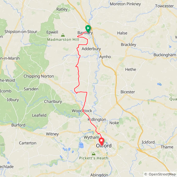
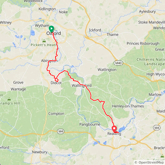
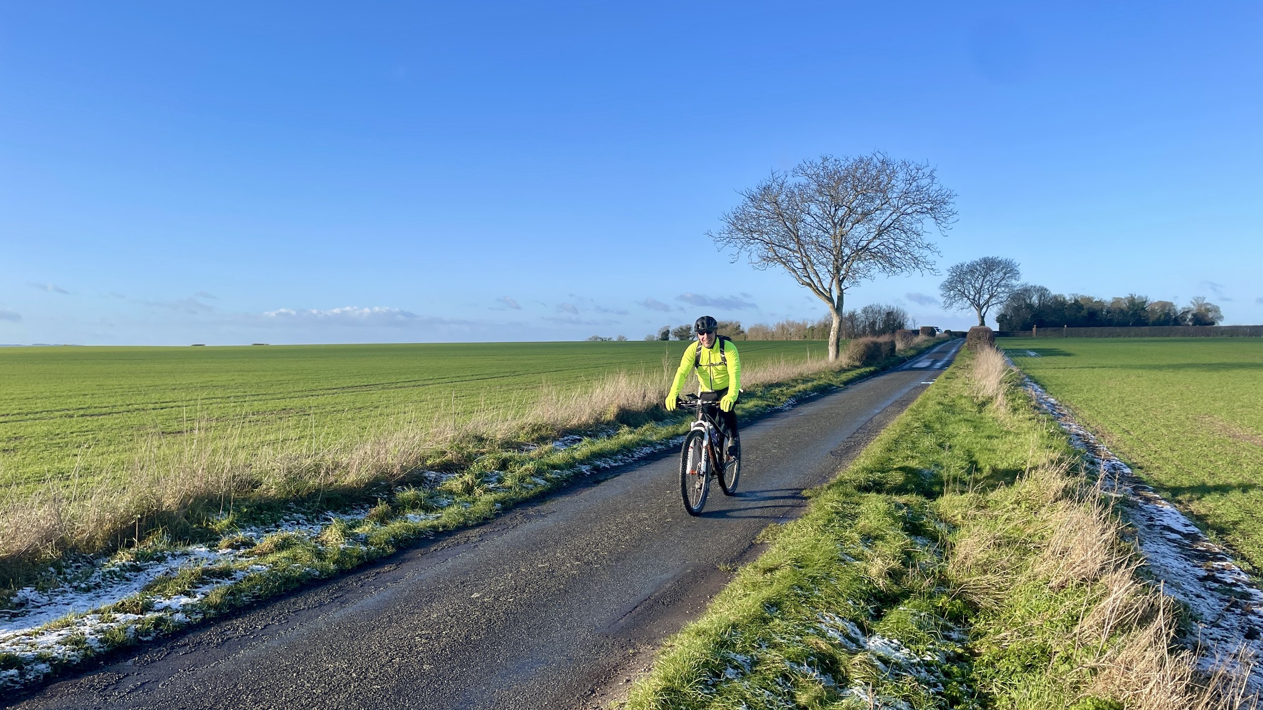
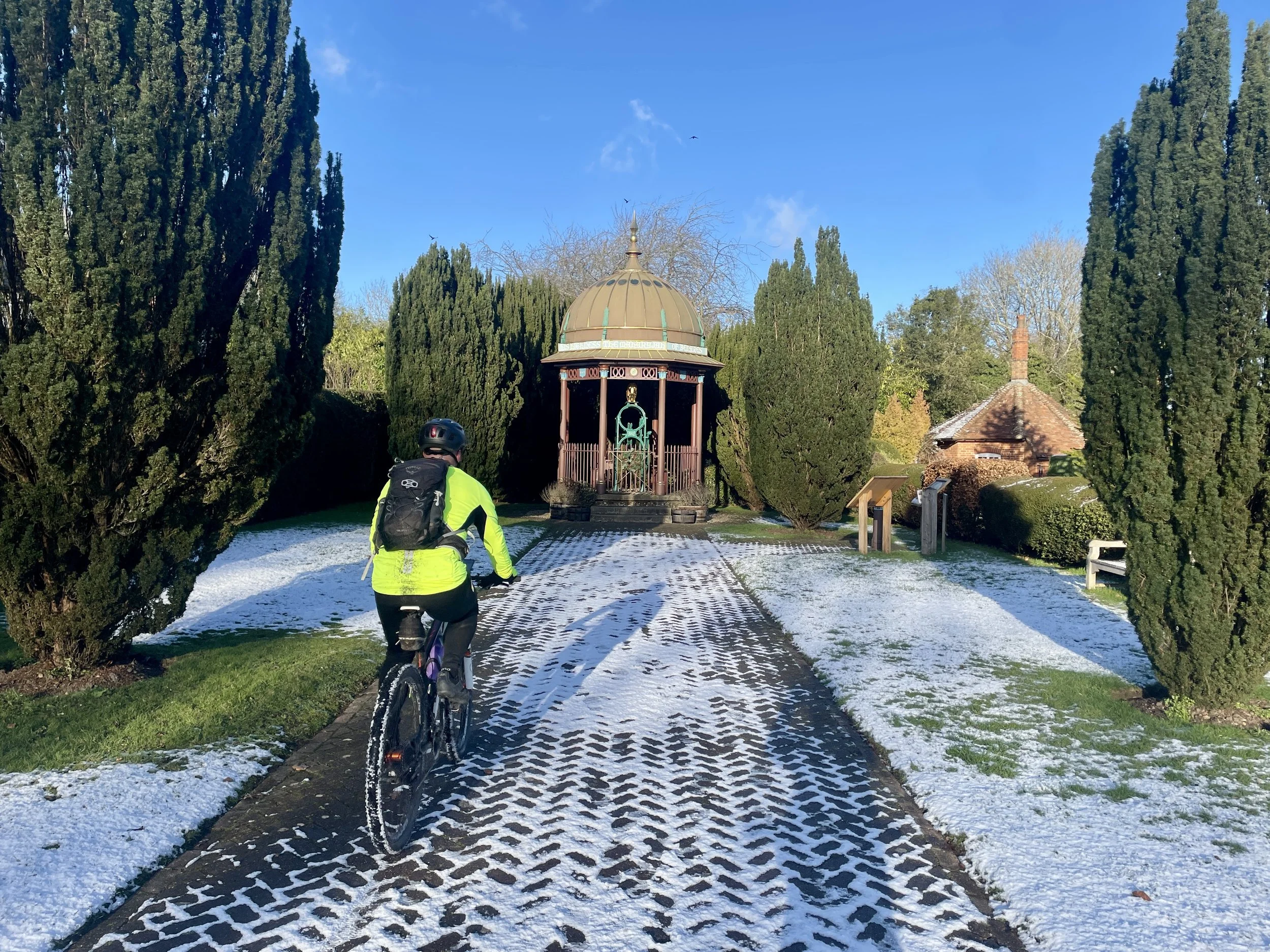
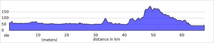
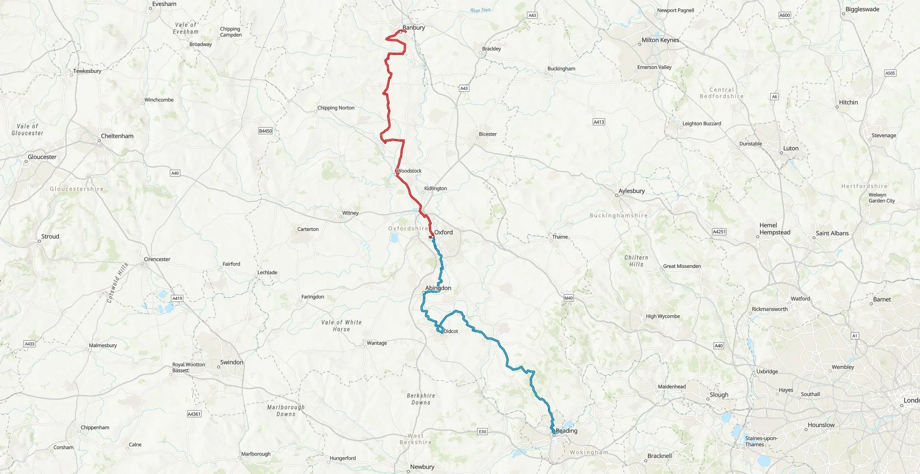
Back in January, my friend Brian and I tackled the Oxford to Reading leg. Although it slightly disturbed me that we were doing the 2 part route out of order, we did Part 2 first as it was closer to home and we had to work around the shorter daylight. We waited for the weather to improve before attempting the northern Banbury to Oxford. By April it was finally warm and dry enough to finish the job.
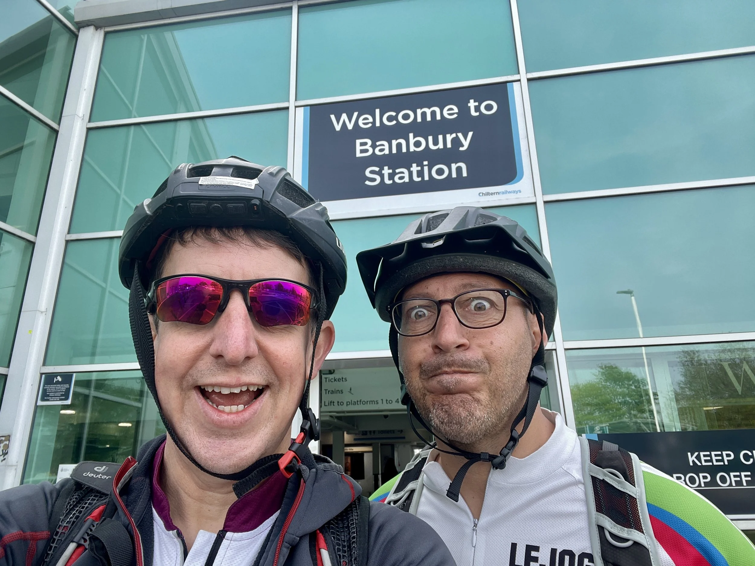
The logistics of the Banbury to Reading corridor are straightforward thanks to a direct rail link. We parked near Oxford station and caught the train up to Banbury: a 17-minute journey. Factoring in a 45-minute wait at Oxford, we’d already consumed enough coffee and cake, allowing us to bypass the Banbury town centre cafes entirely.
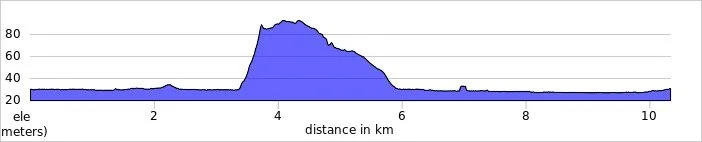
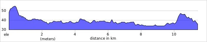
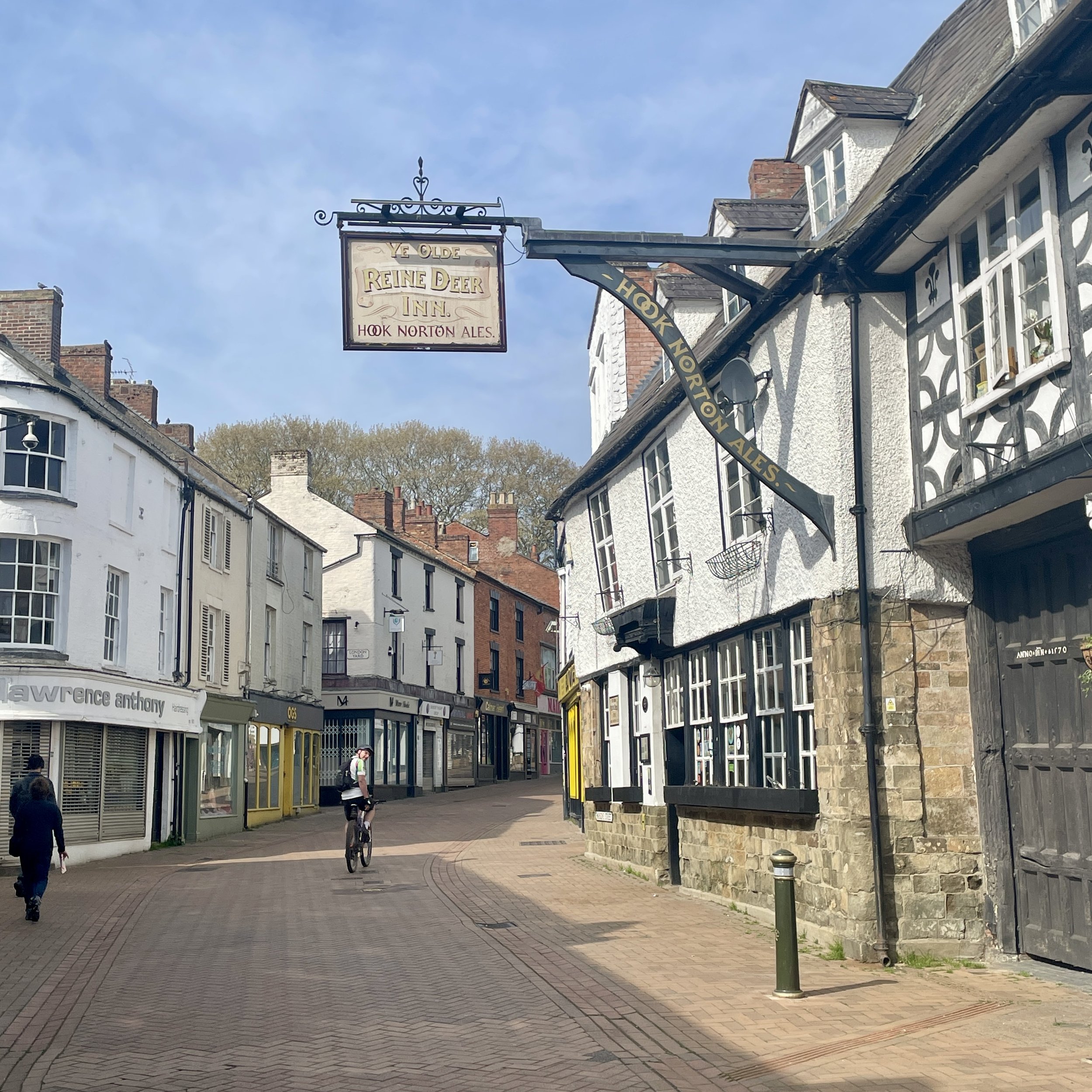
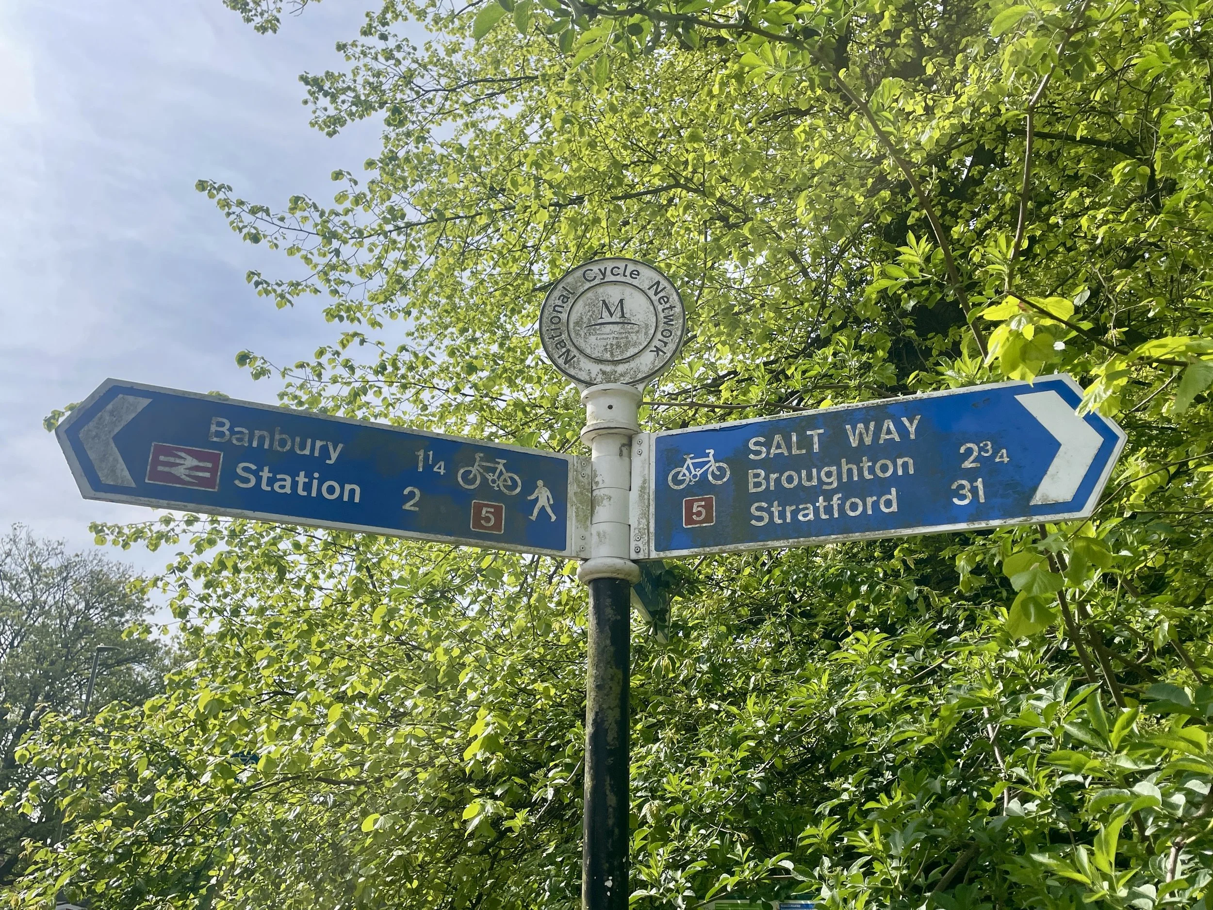
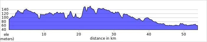
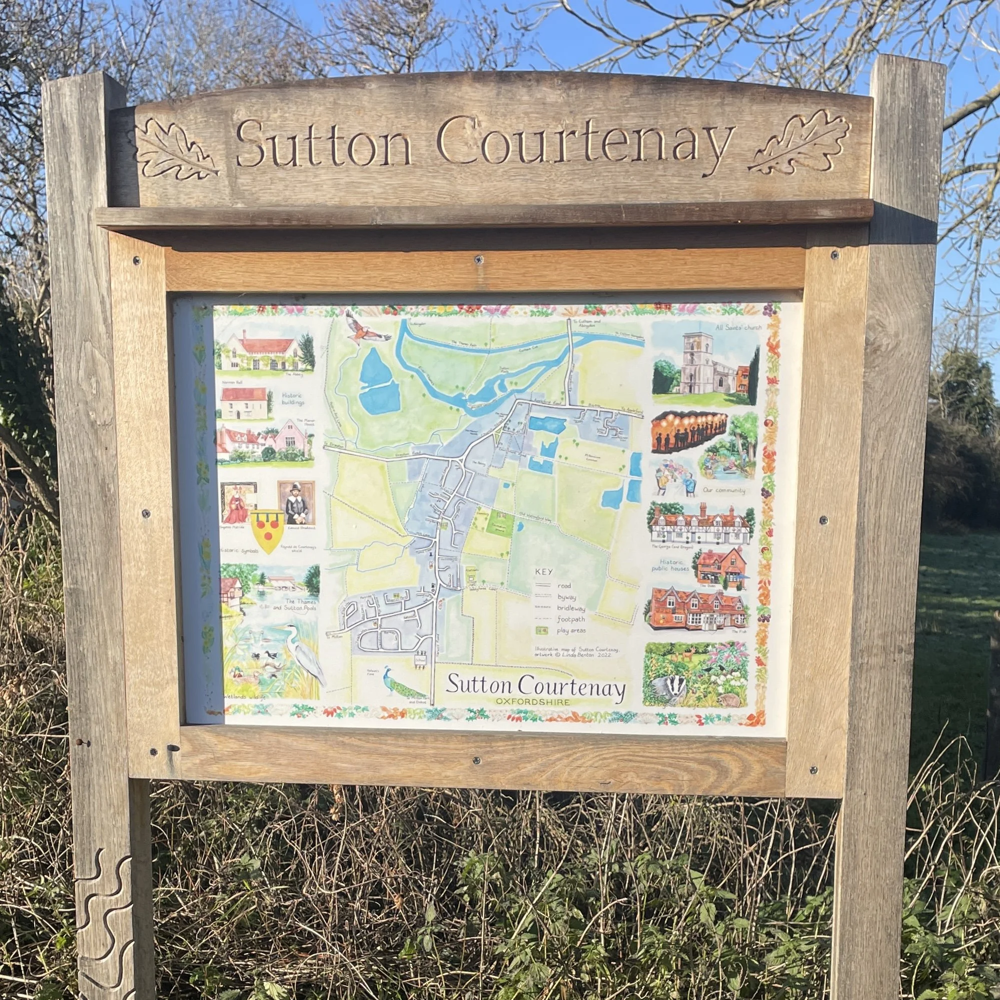
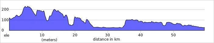
Banbury isn’t directly on the National Cycle Route so the first few kilometres were through the town centre and quiet roads and paths to the western part of town.
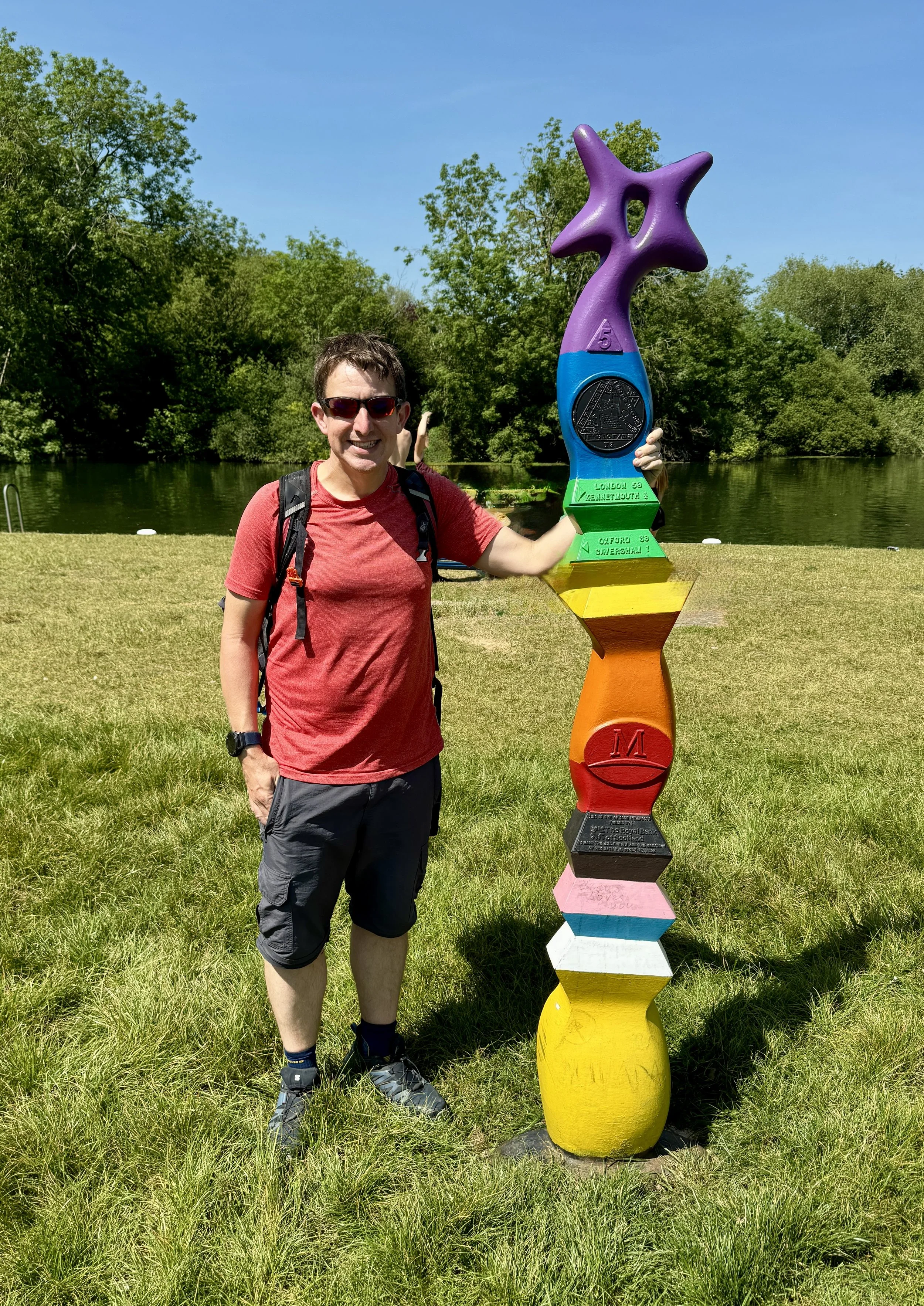
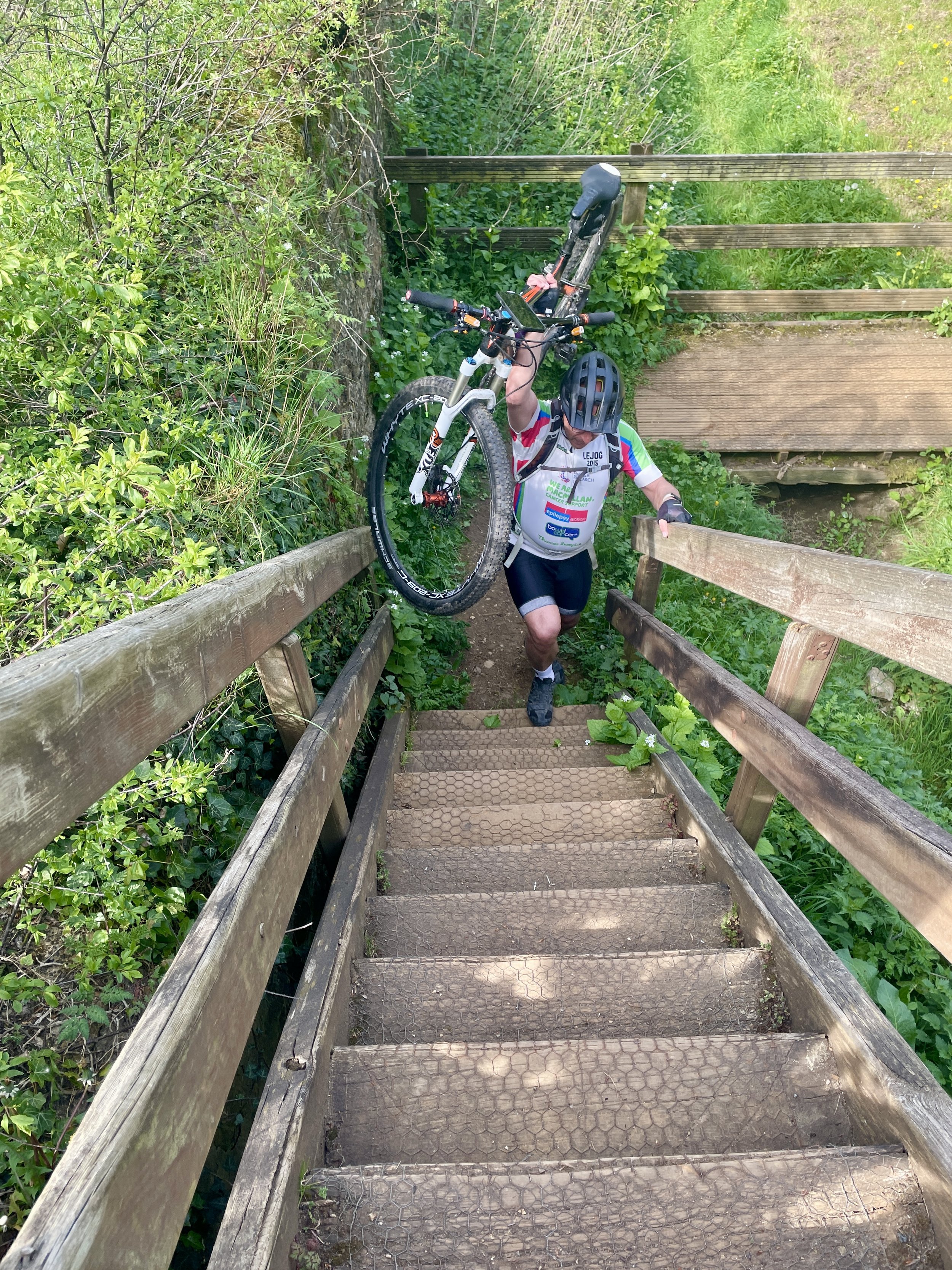
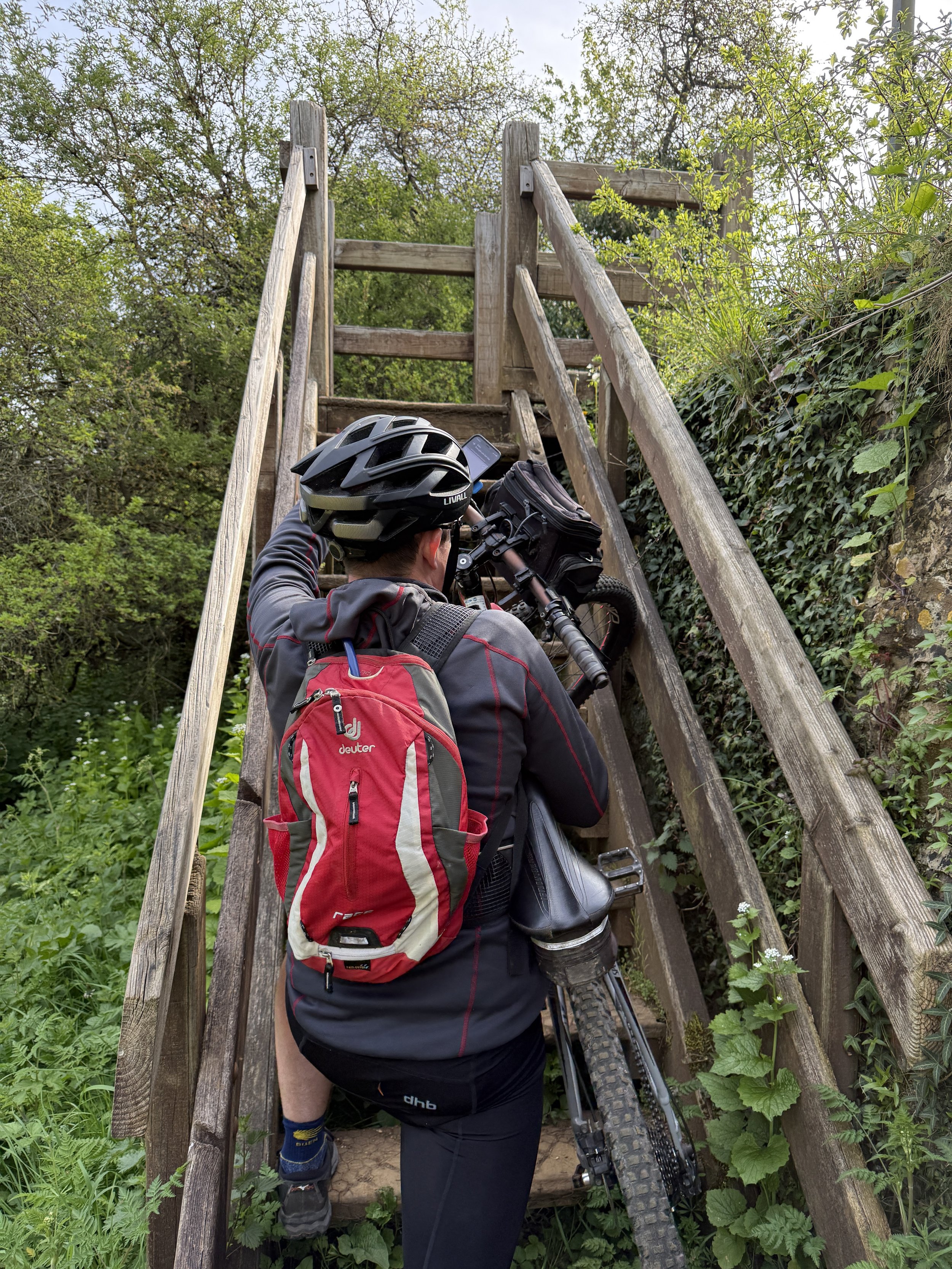
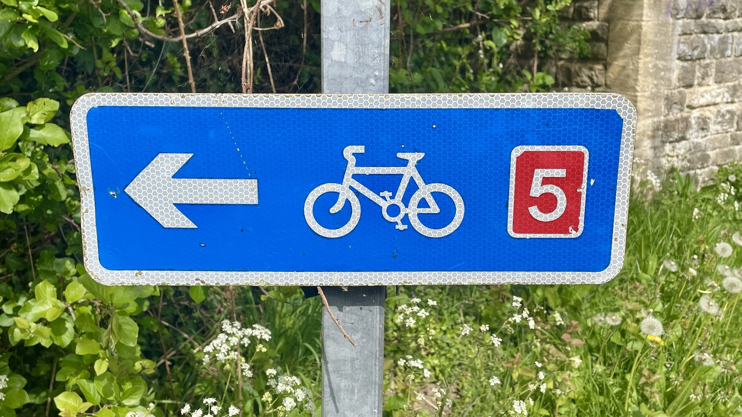
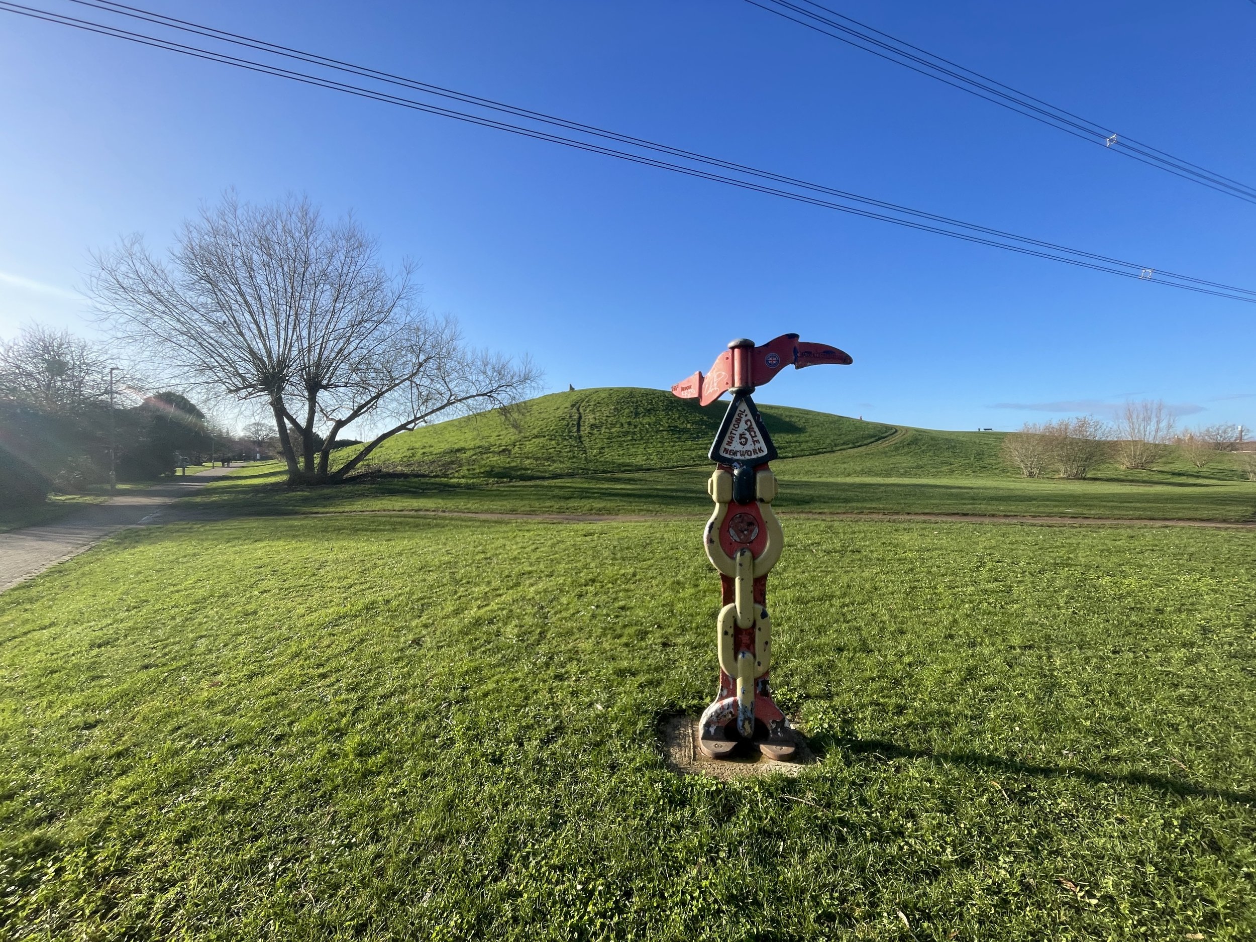
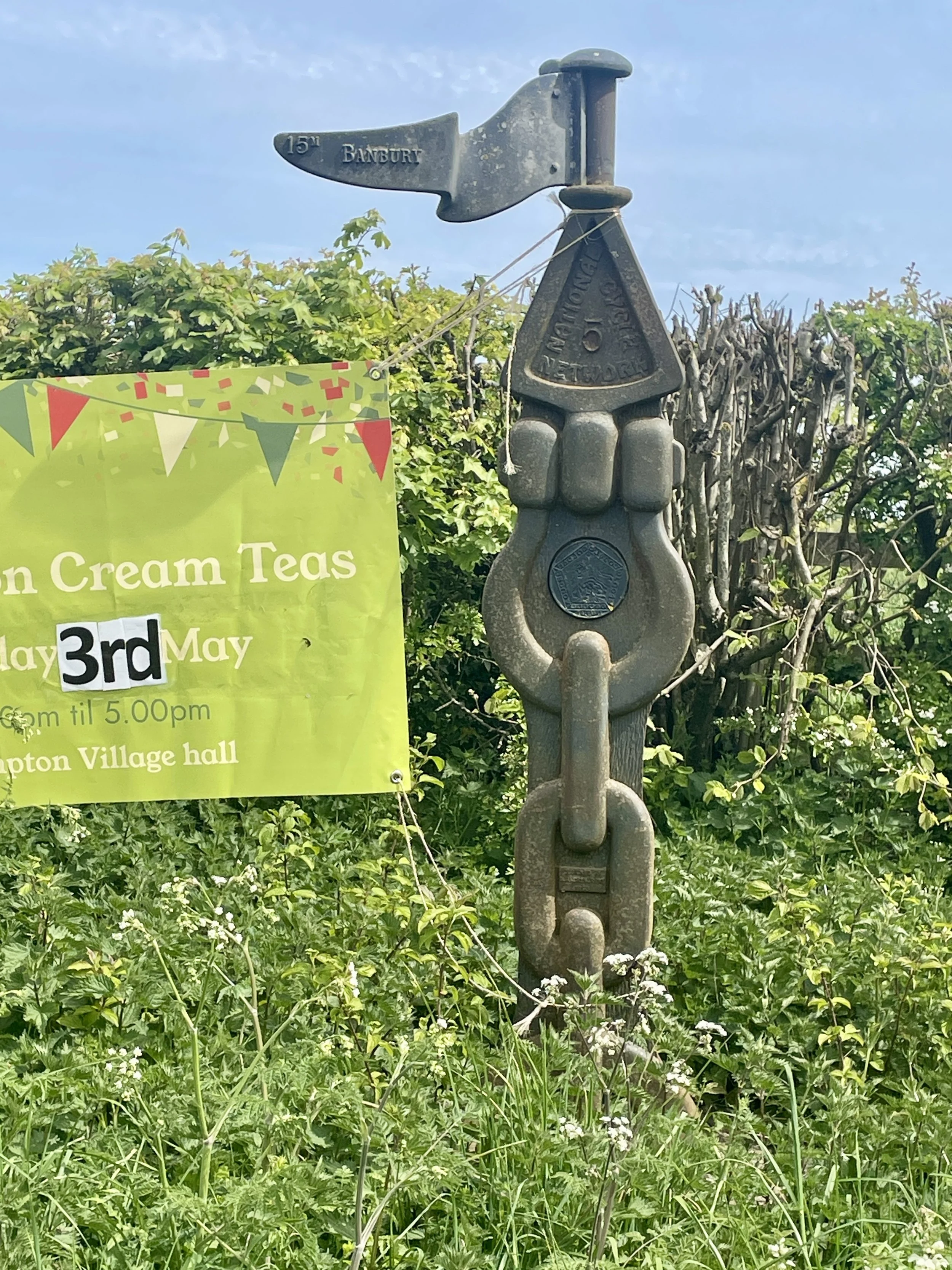
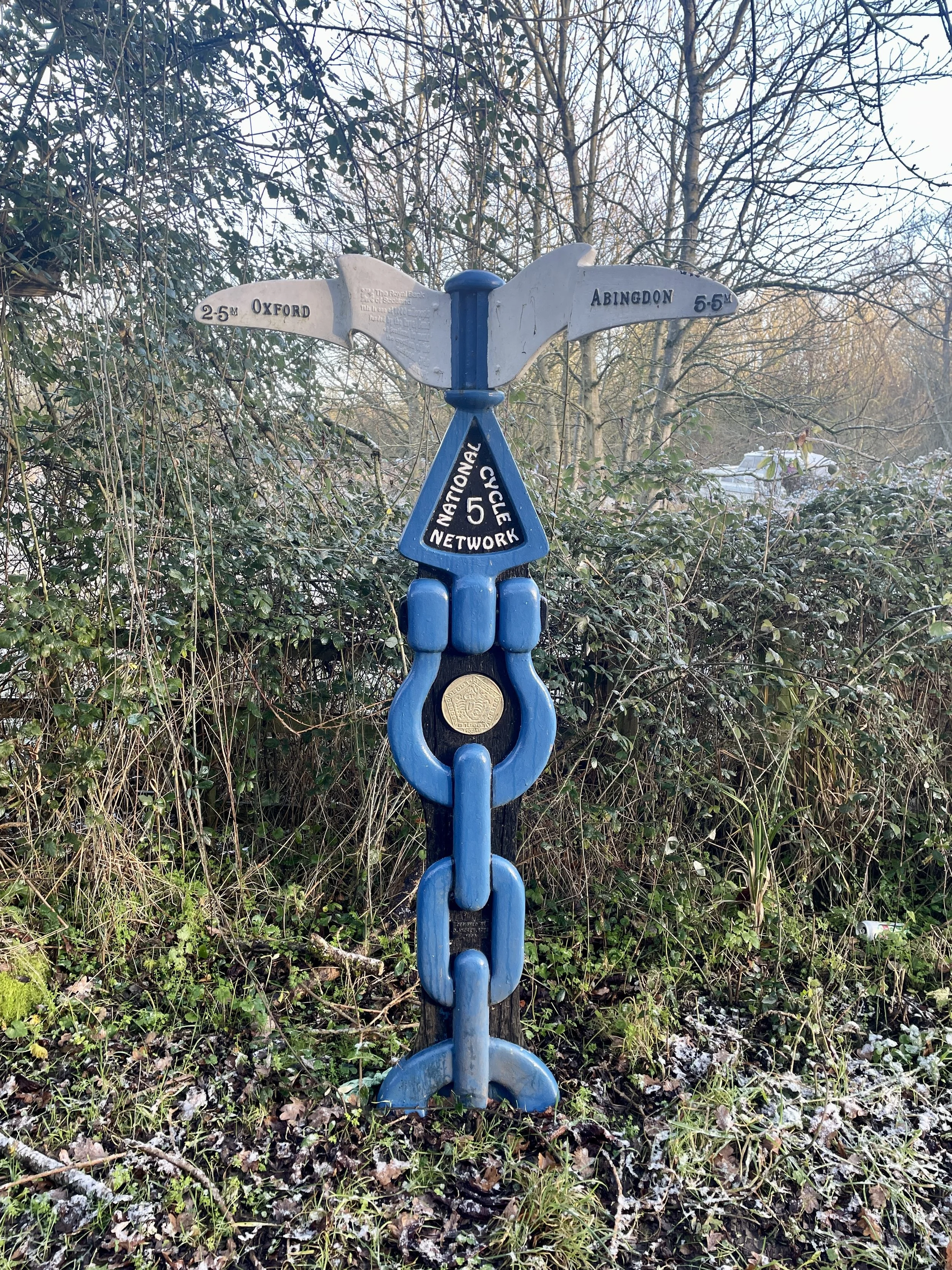
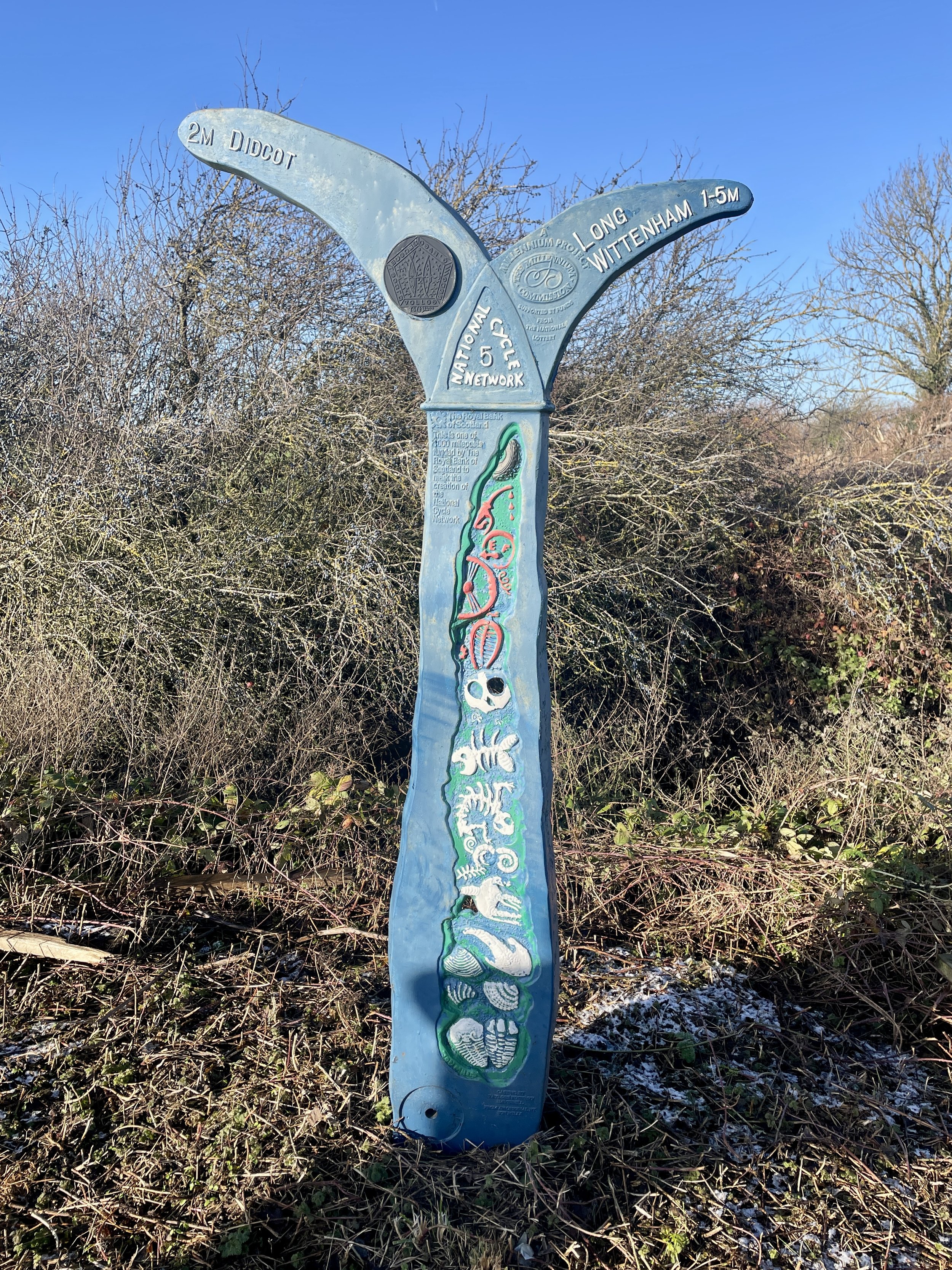
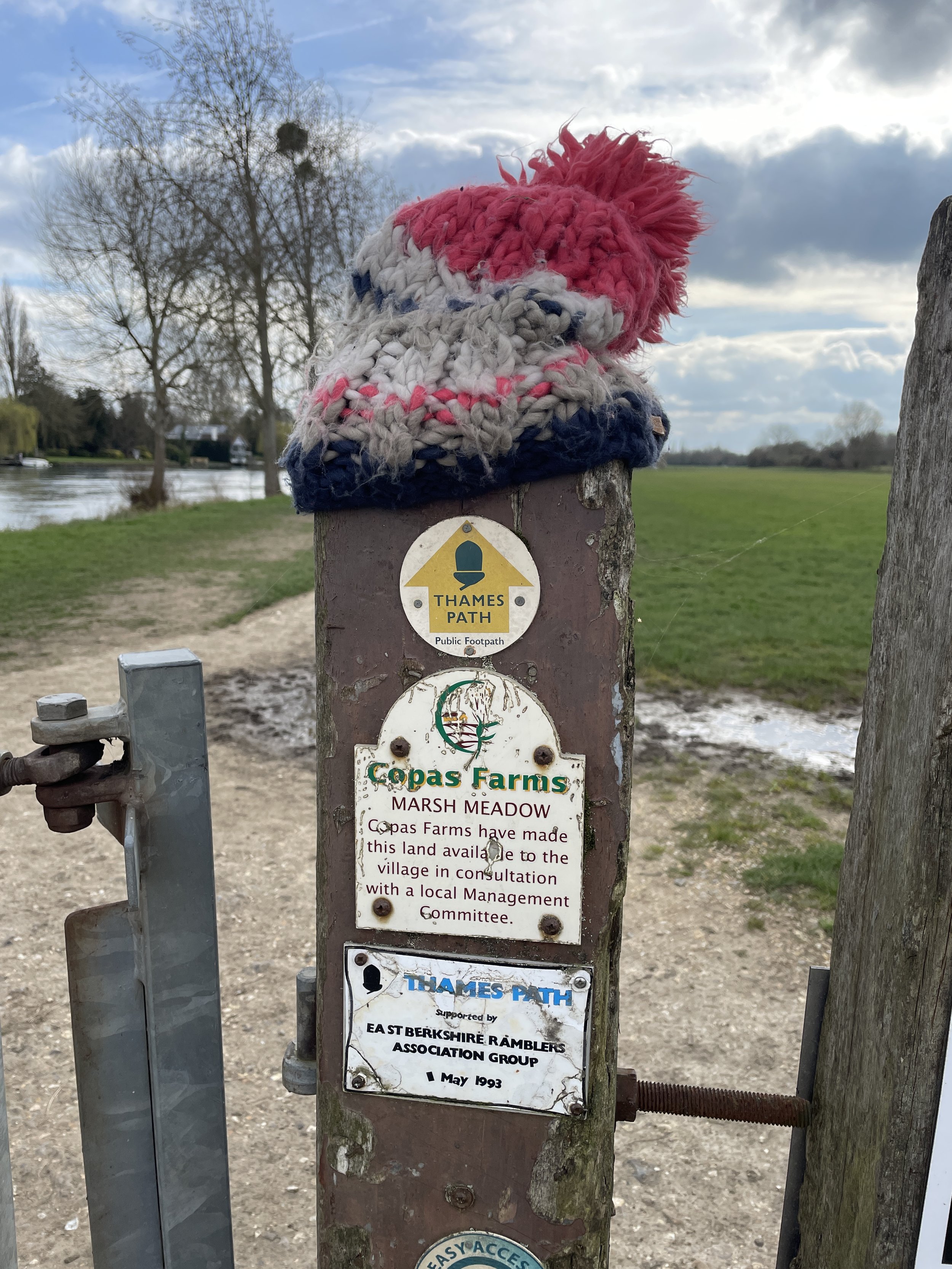
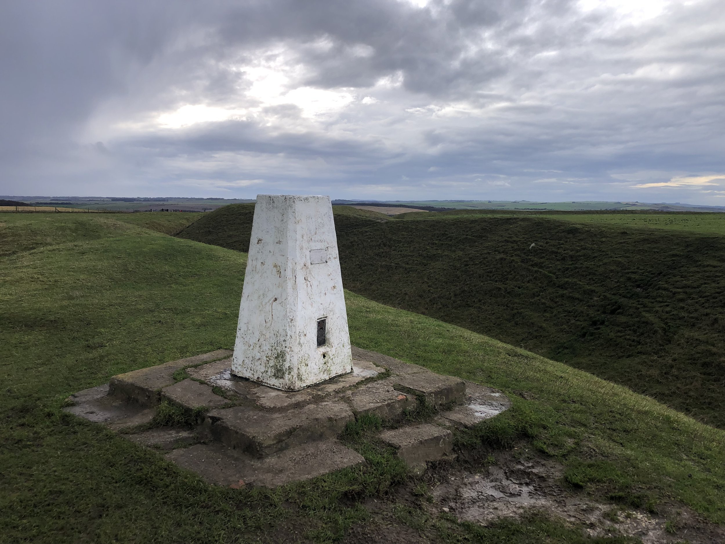
At 4 km, we hit the NCN5. We spotted the first Millennium Milepost of the day right away. Getting to it, however, meant hauling the bikes up a steep, unexpected set of wooden steps from the cycle path onto the main road.
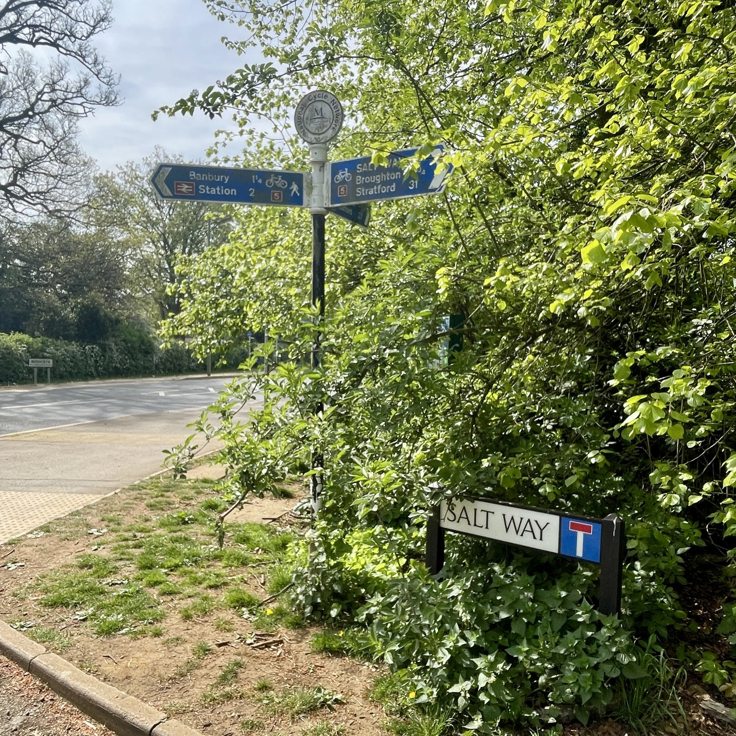
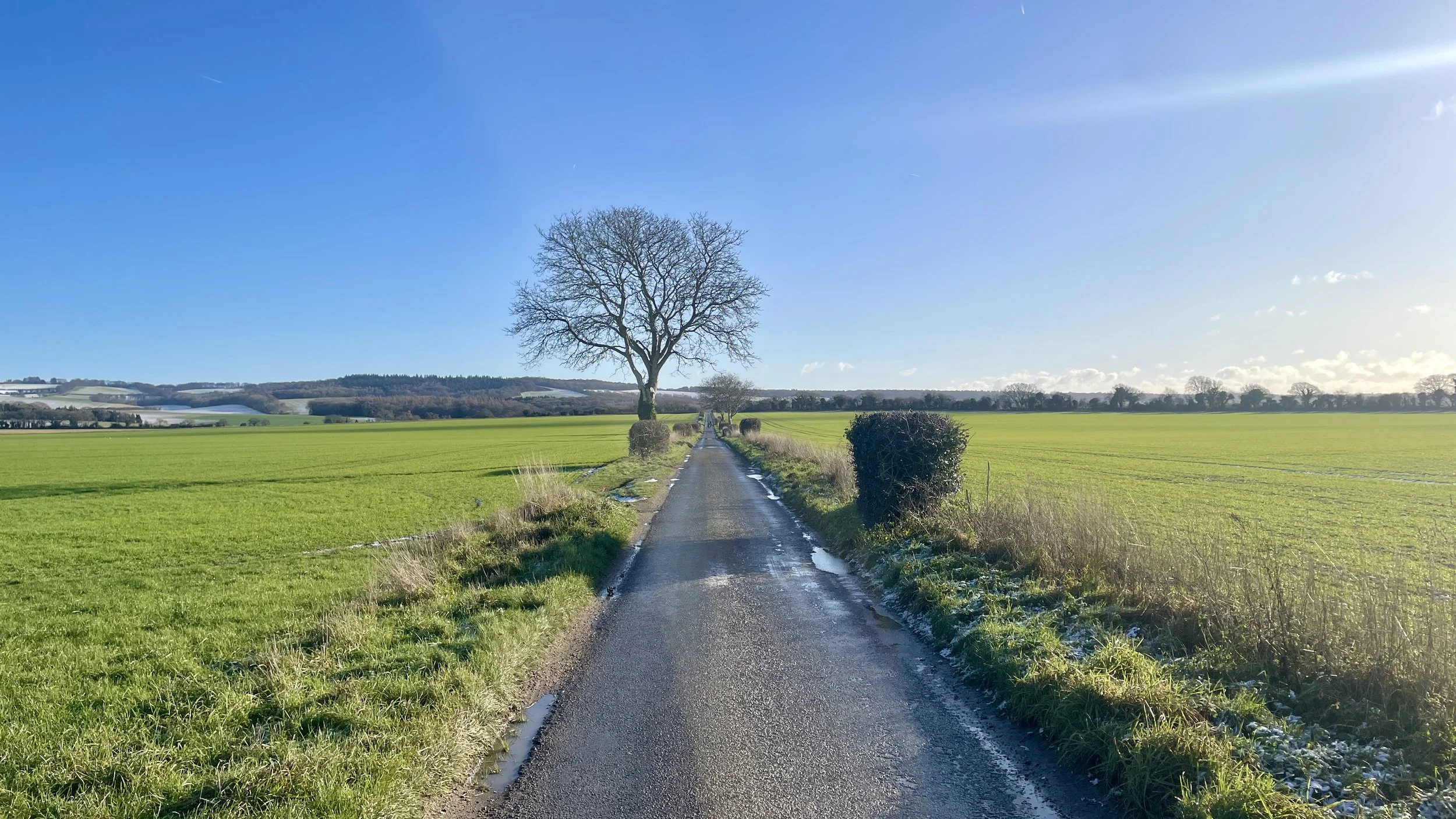
Across the road, we joined the Salt Way. This is a straight, off-road track. The Salt Way Activity Group notes this was an ancient route used for transporting salt.
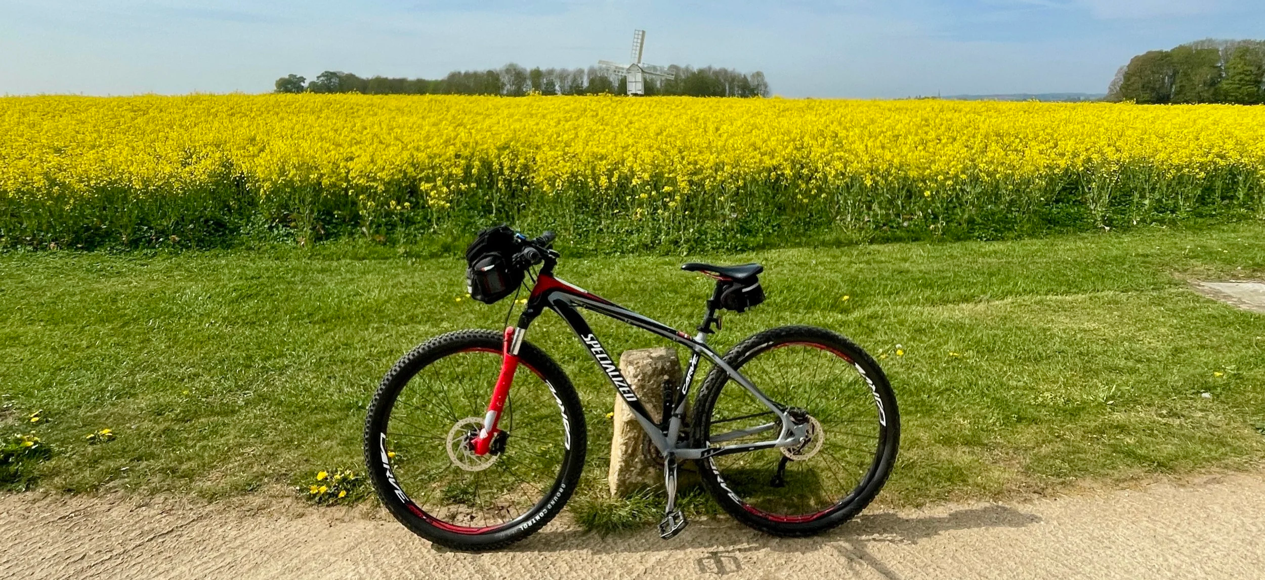
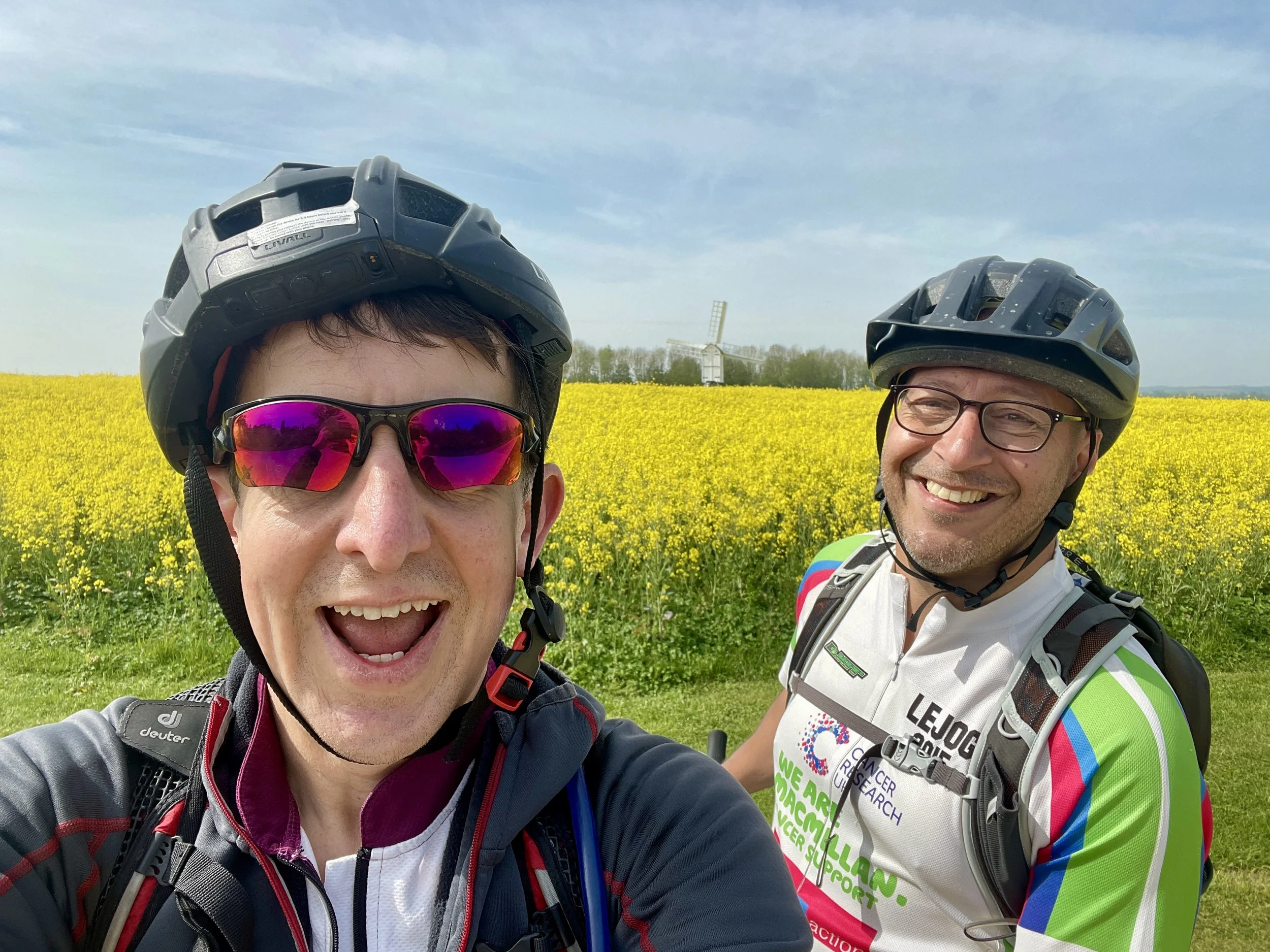
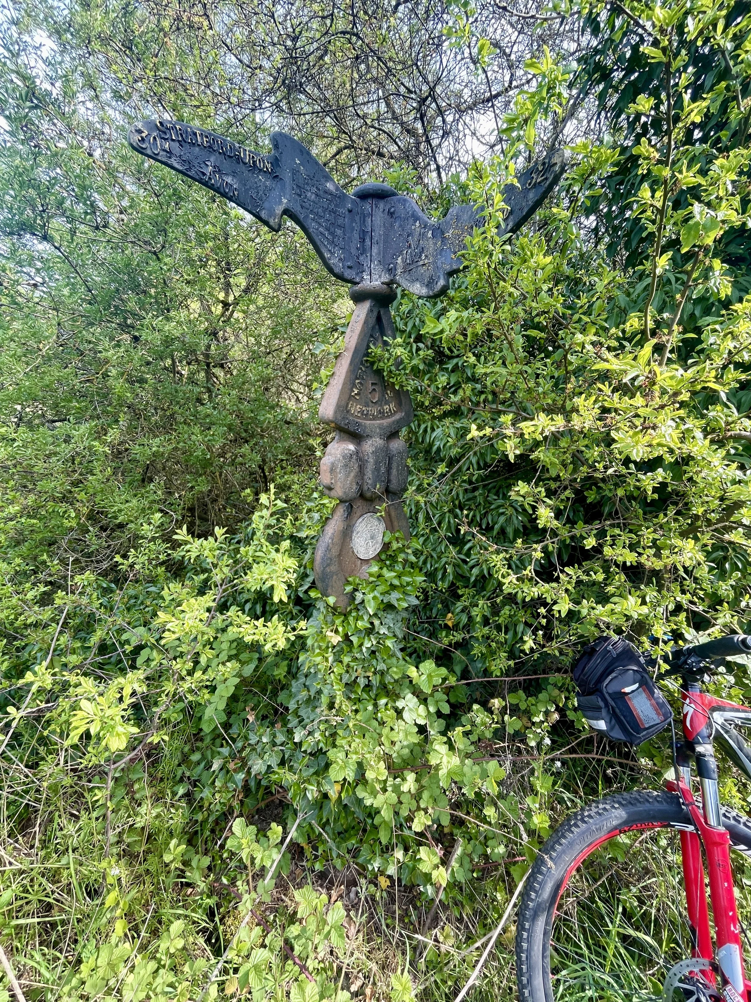
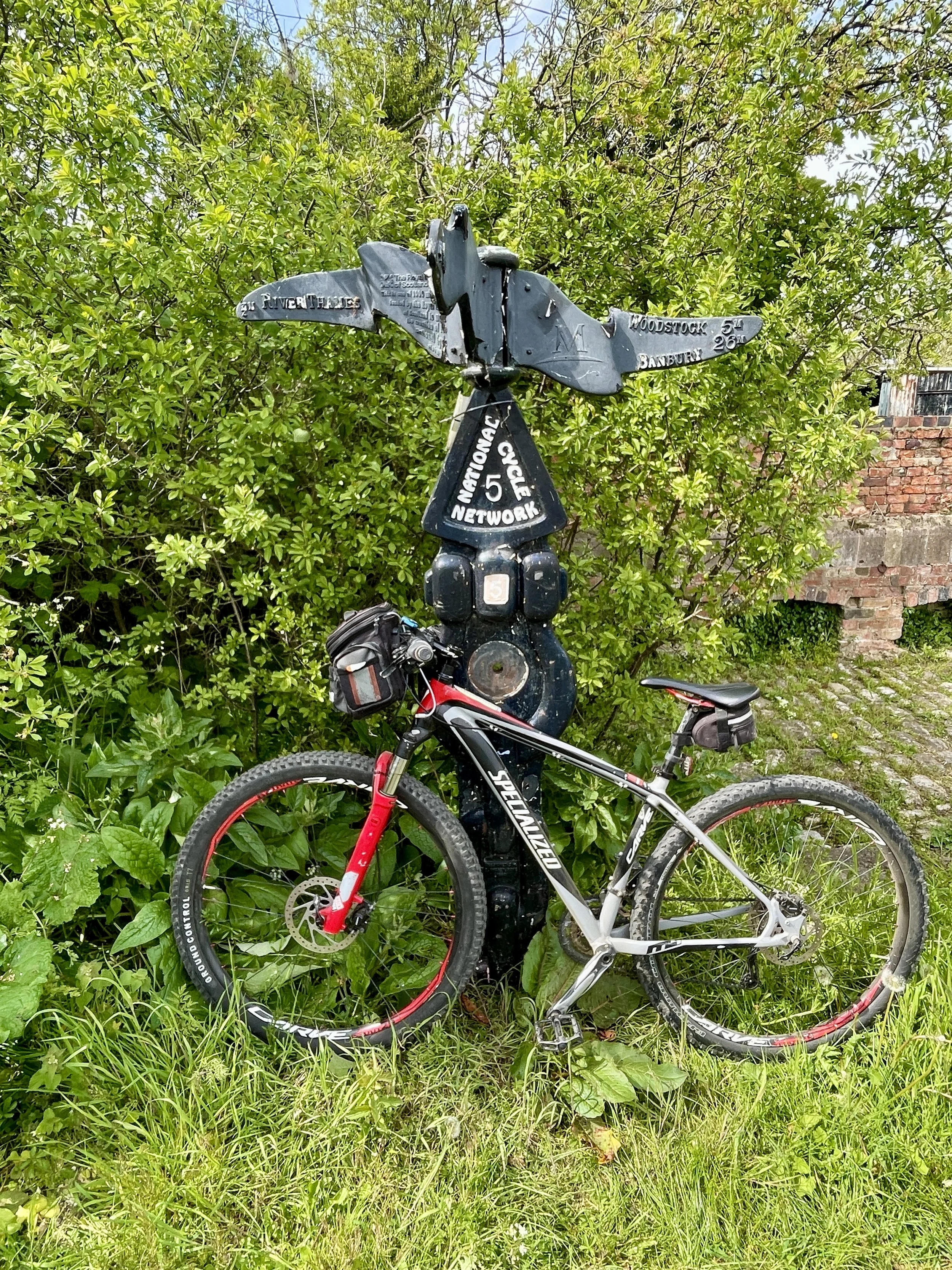
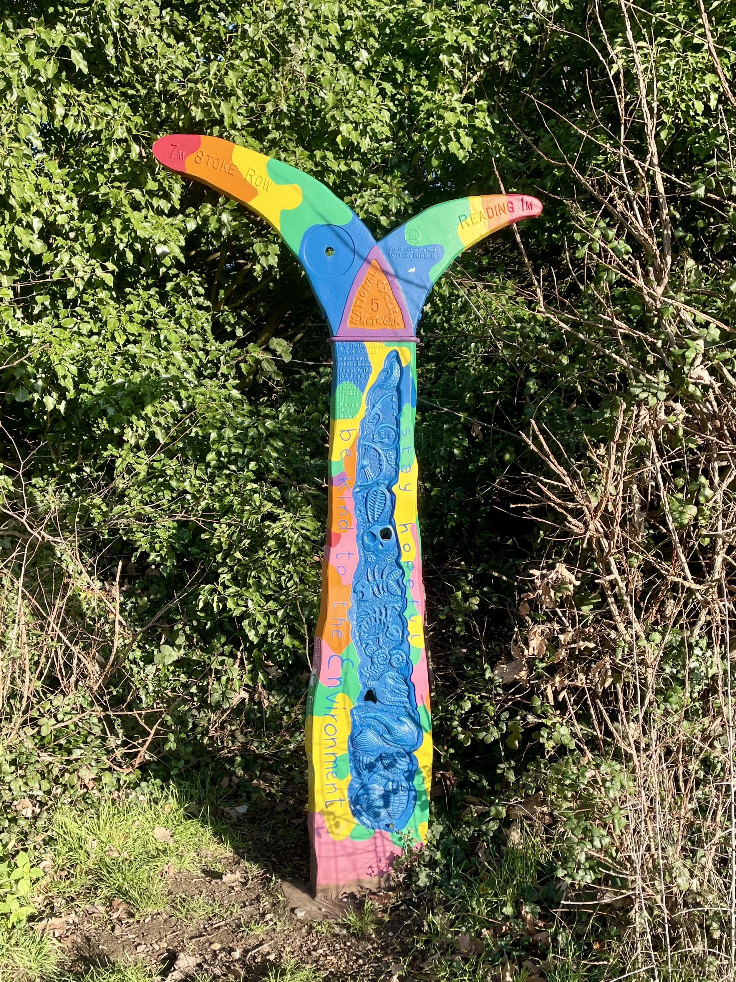
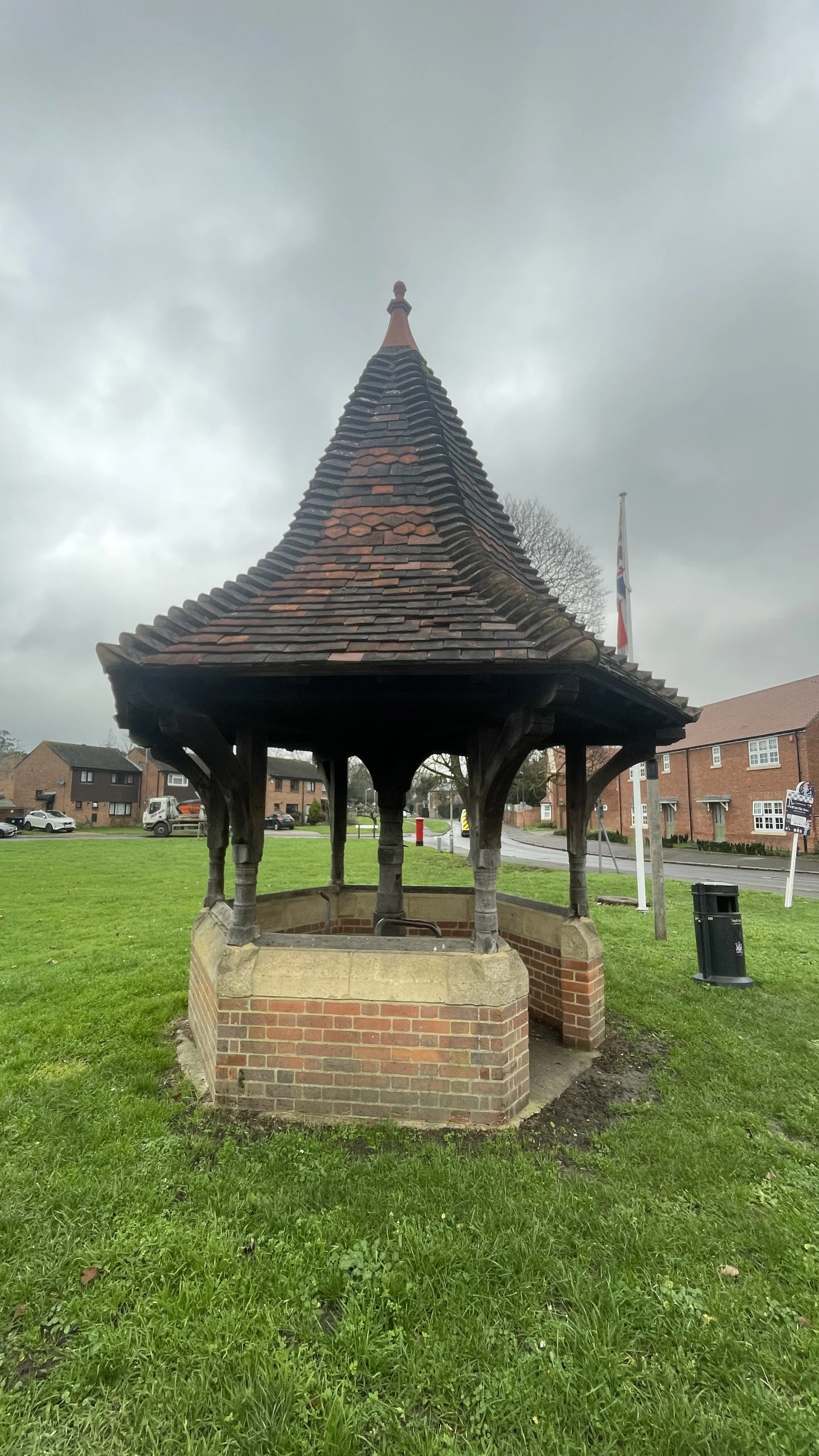
By the 11 km mark, we found our second Millennium Milepost in the small town of Bloxham. Just outside of town, we passed a yellow rapeseed field with a small windmill in the middle: the banner photo for this post. The route continued south through the "Barfords" (Barford St. John and Barford St. Michael), leading us to Nether Worton at 18 km, where we bagged milepost number three.
Reaching Middle Barton at 23 km, the "second breakfast" cravings had set in. However, we ran into a recurring logistical failure for Brian and me: we start so early that we consistently beat the opening hours of rural pubs and cafes.
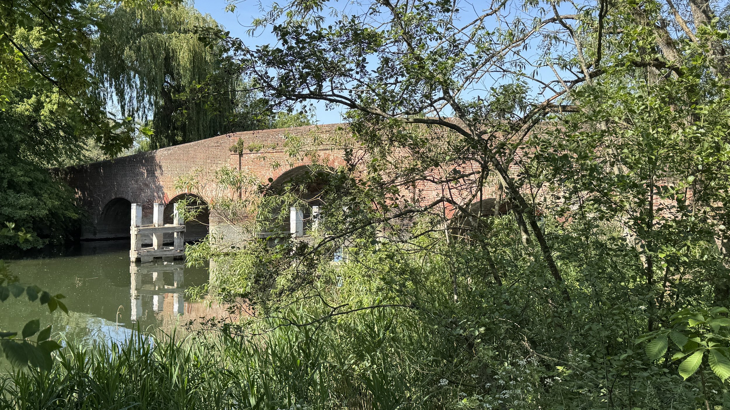
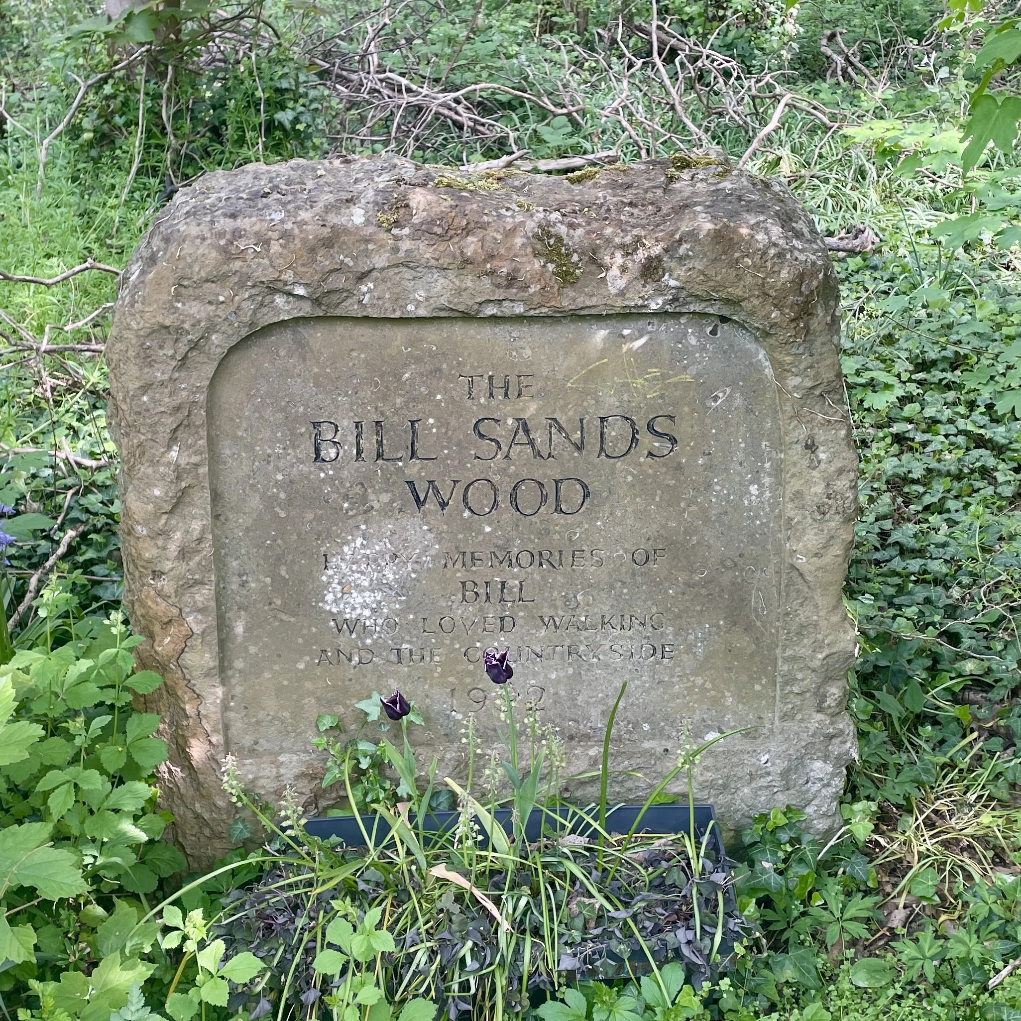
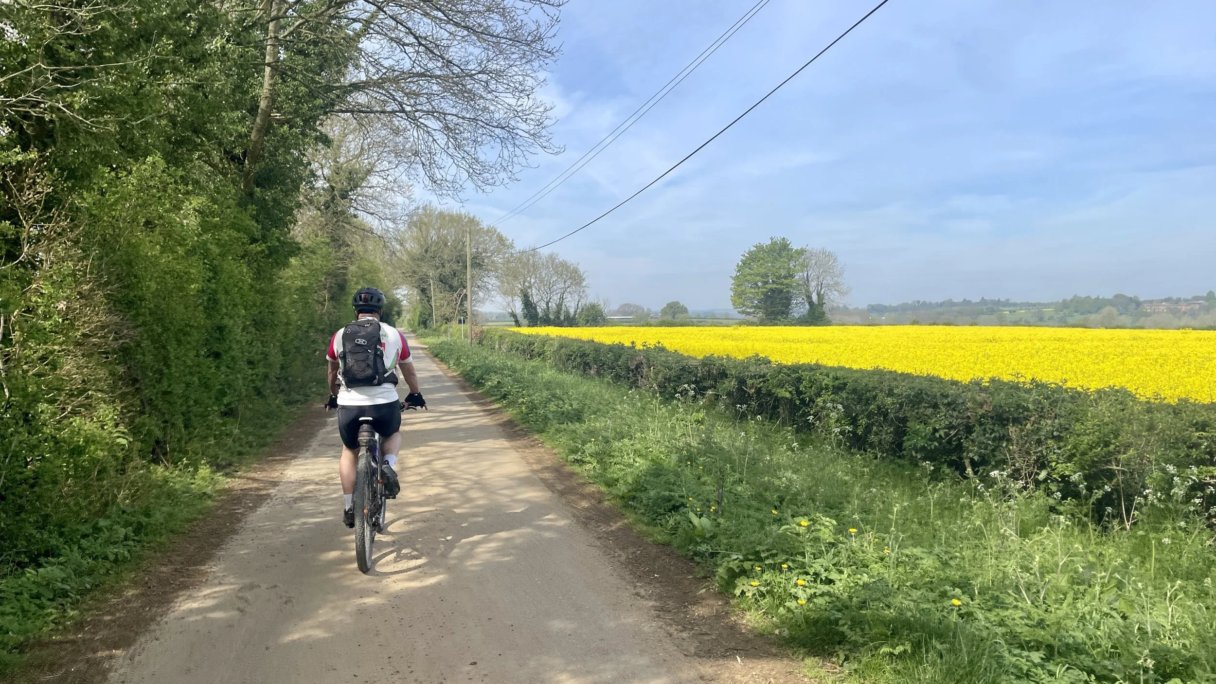
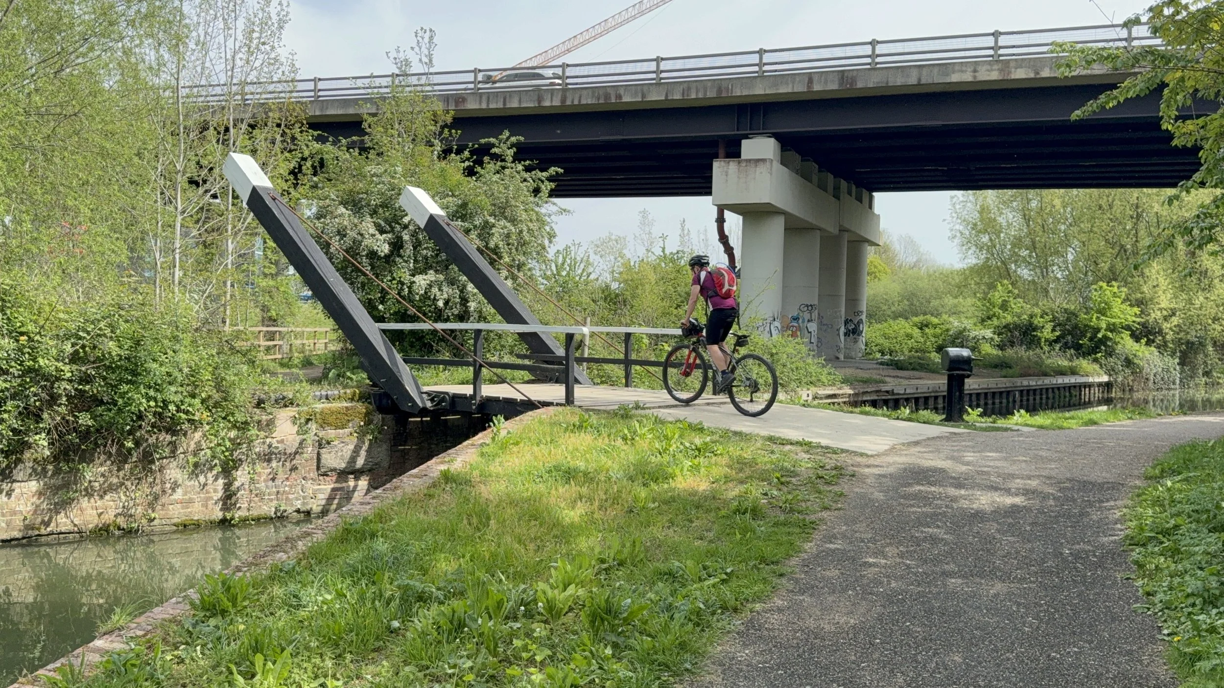
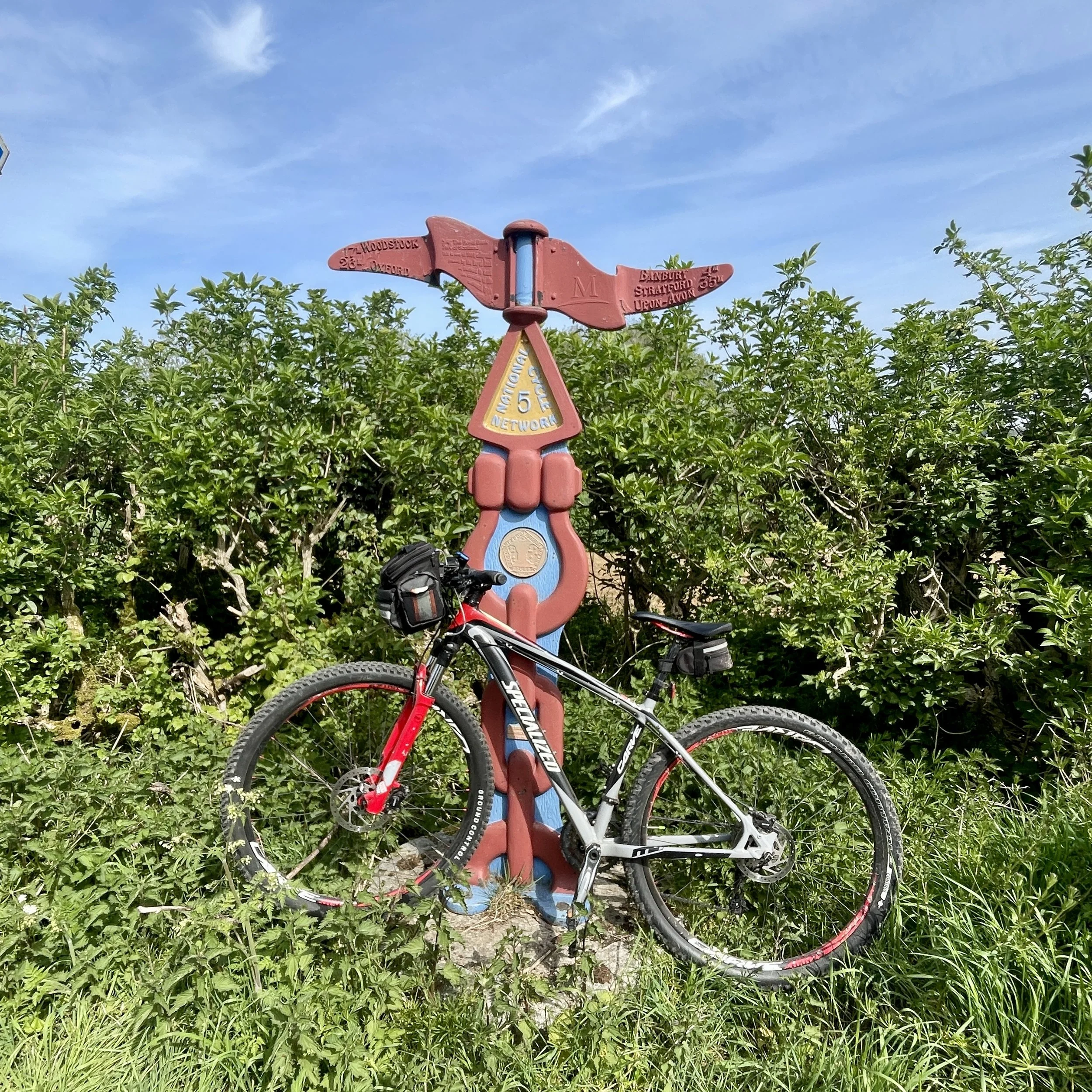
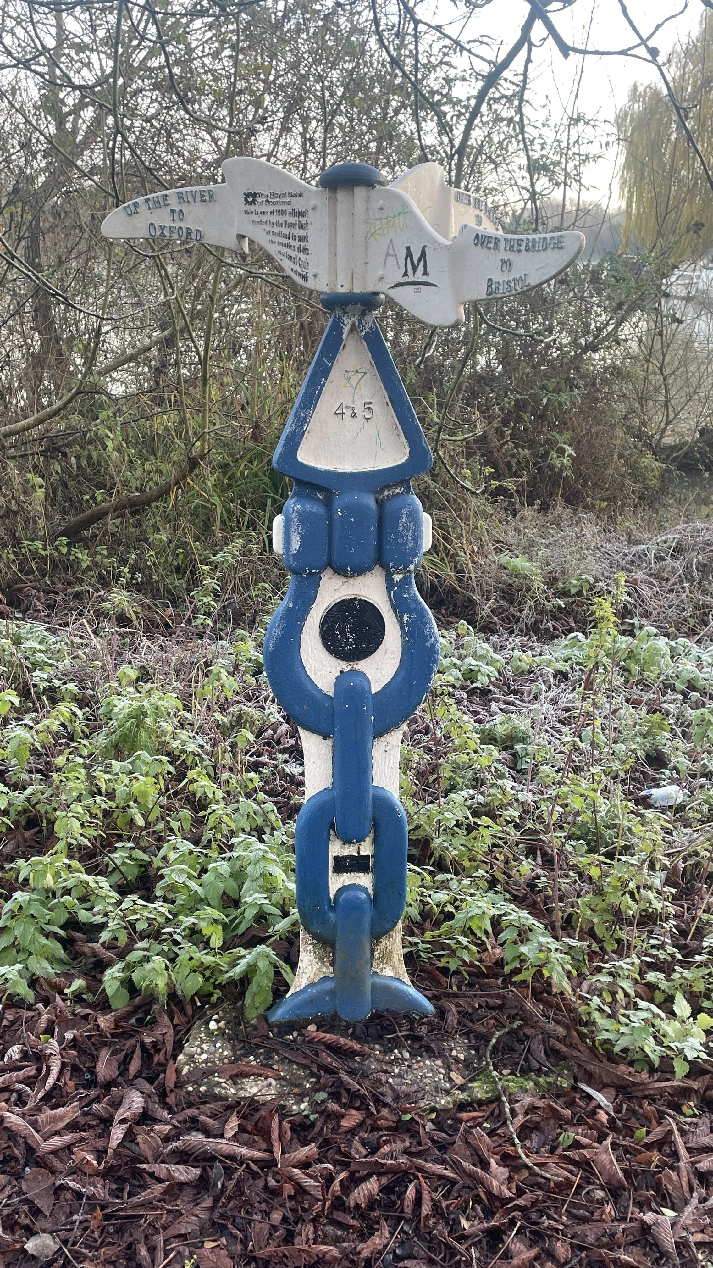
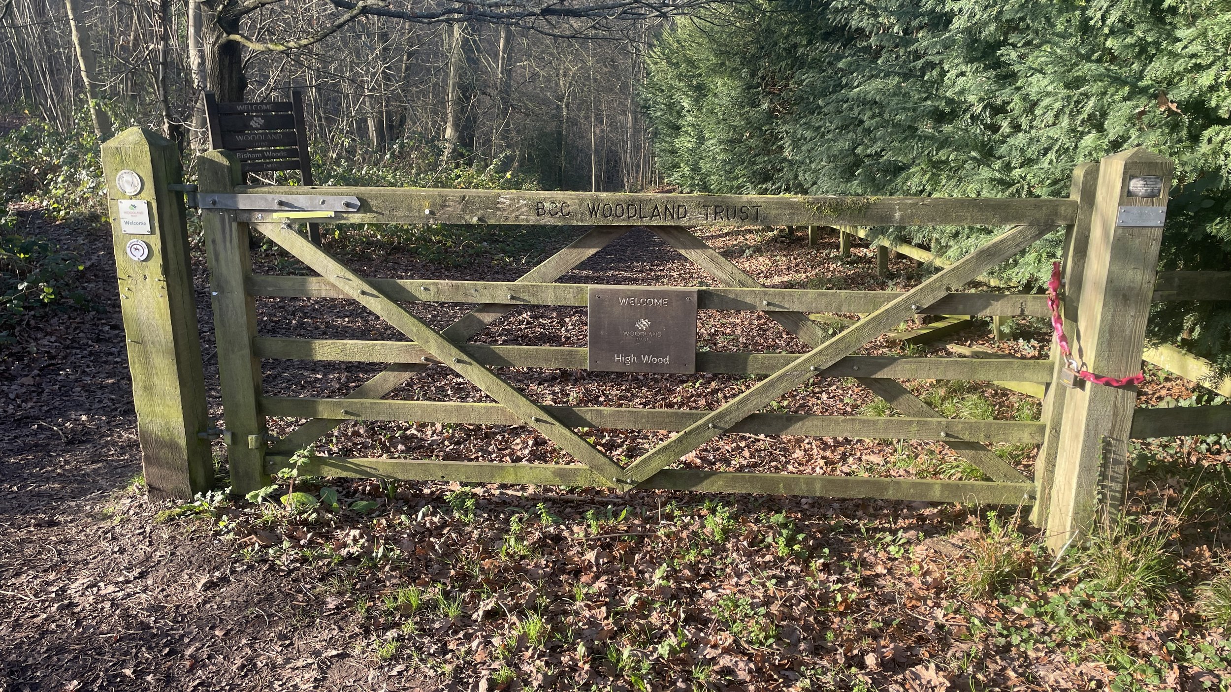
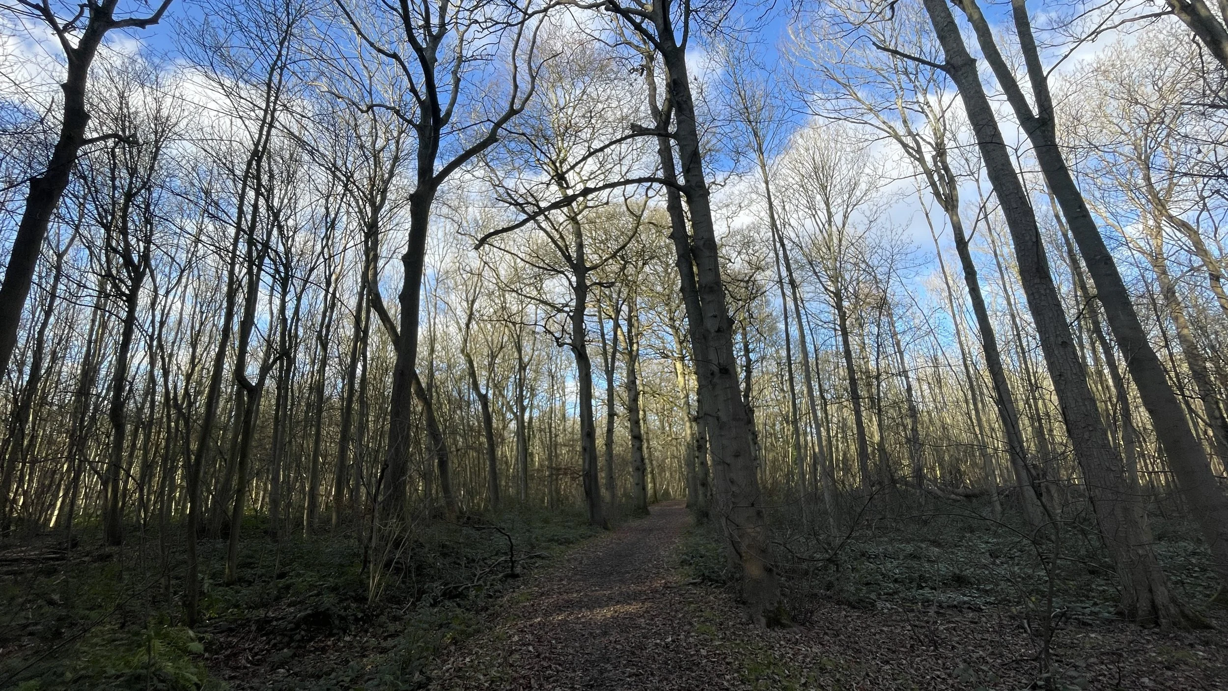
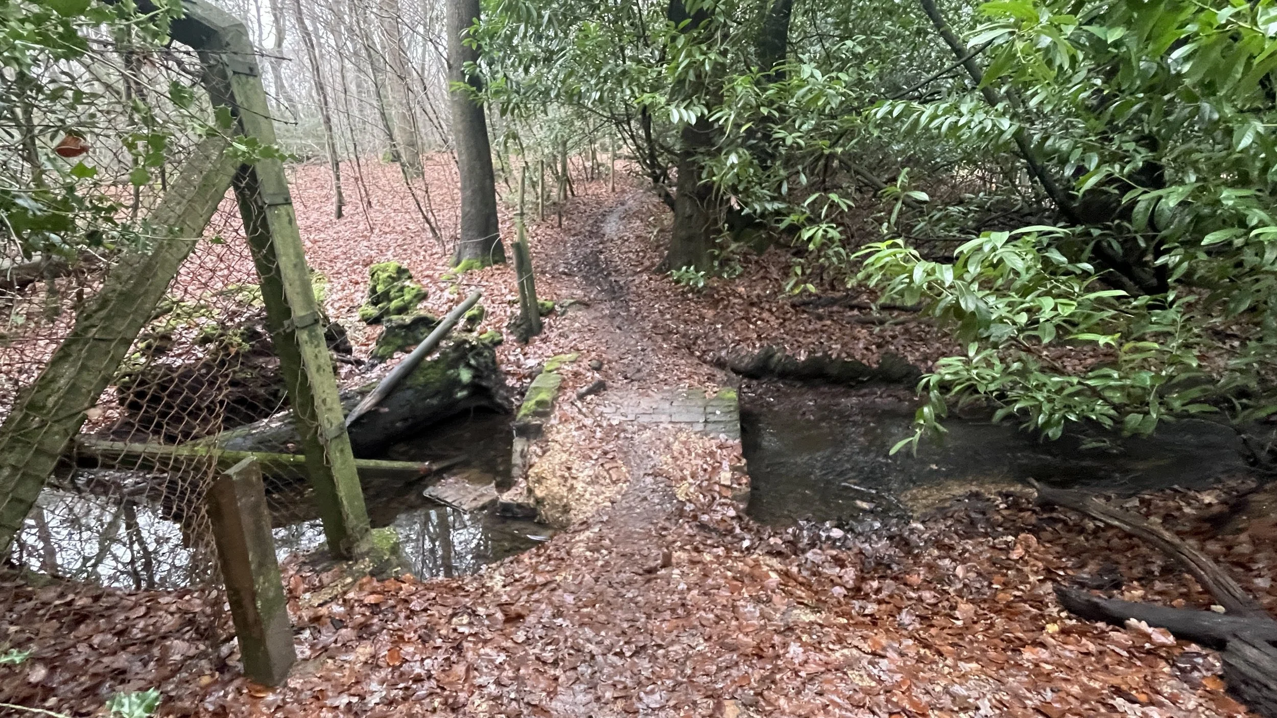
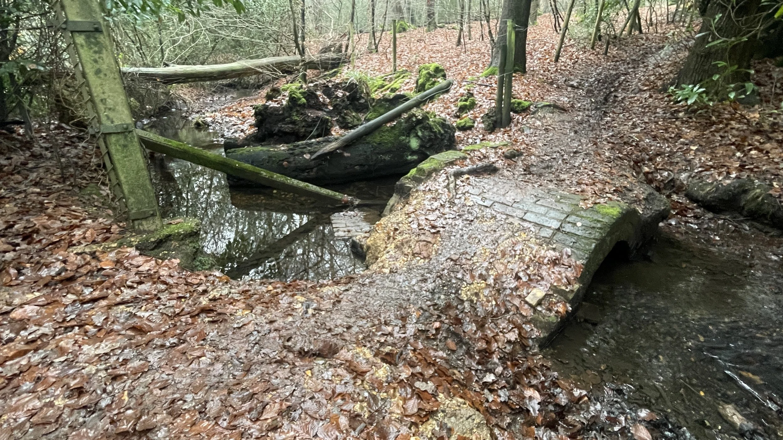
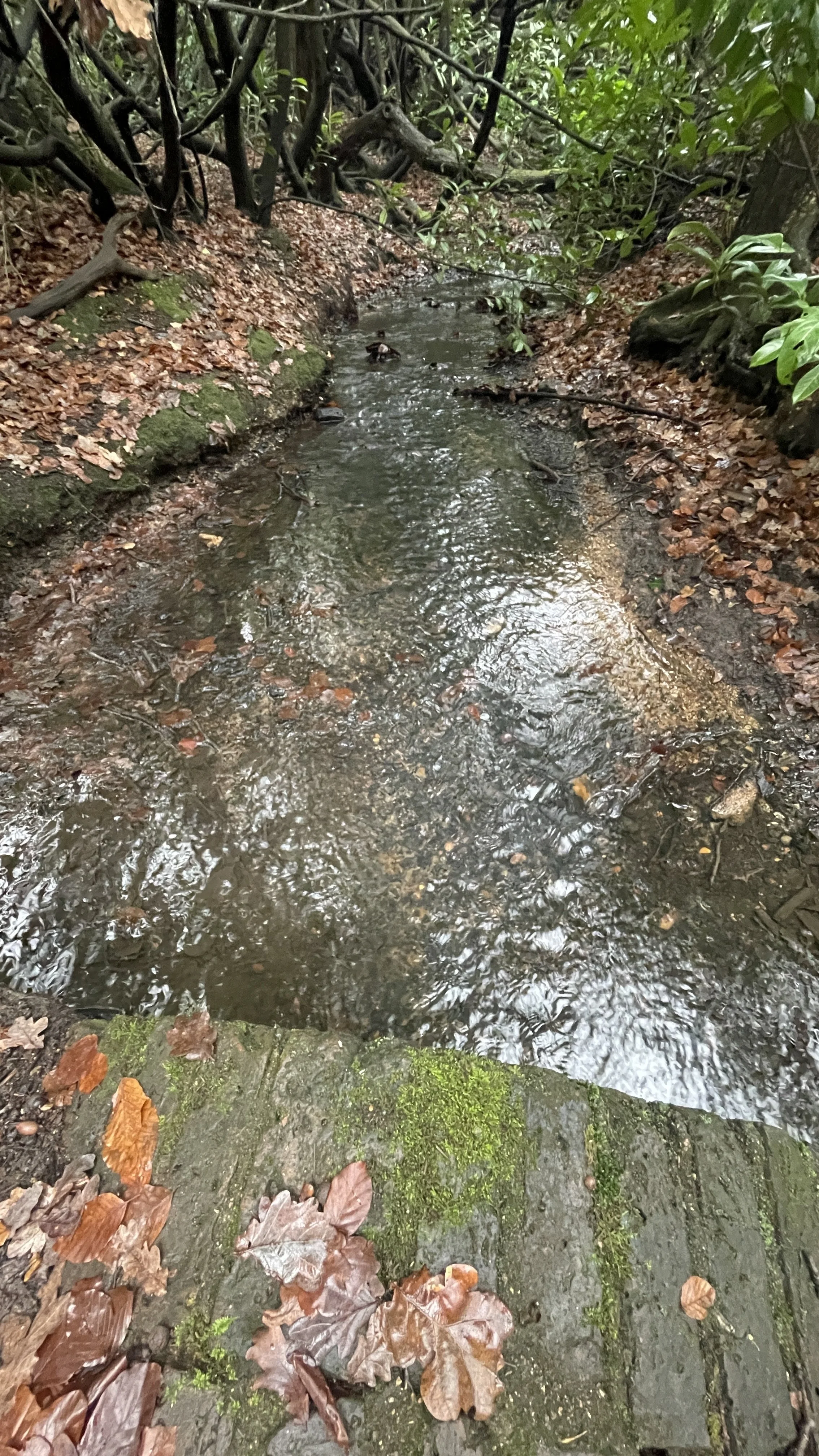
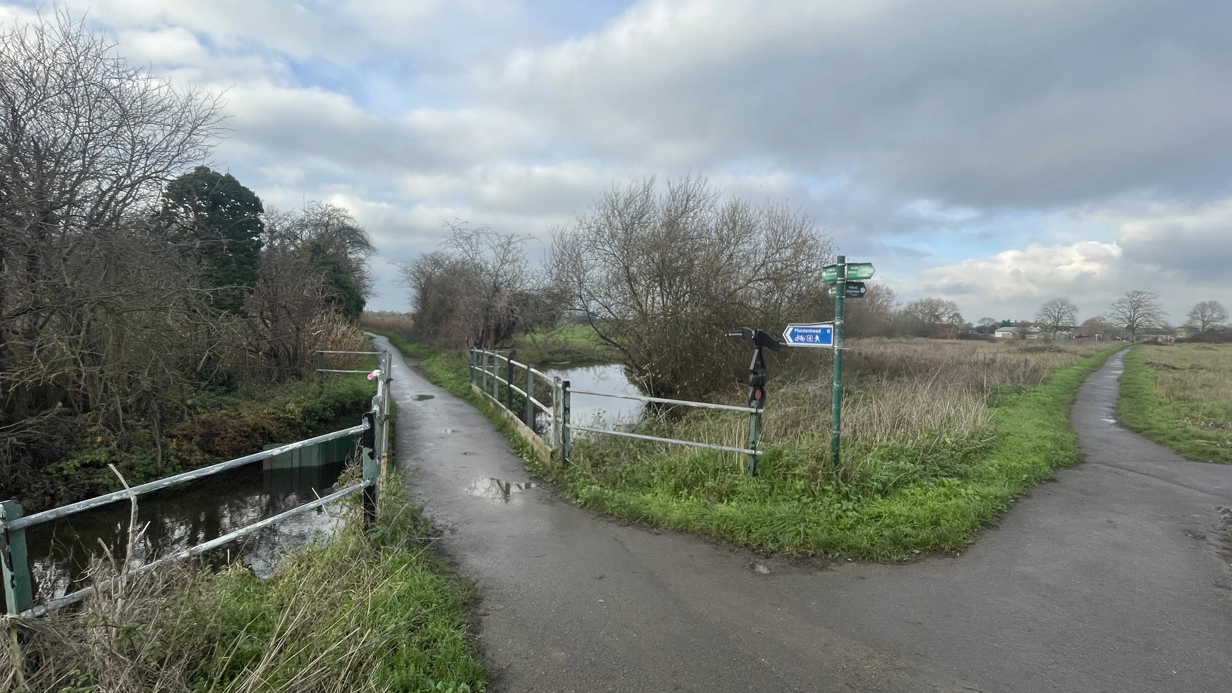
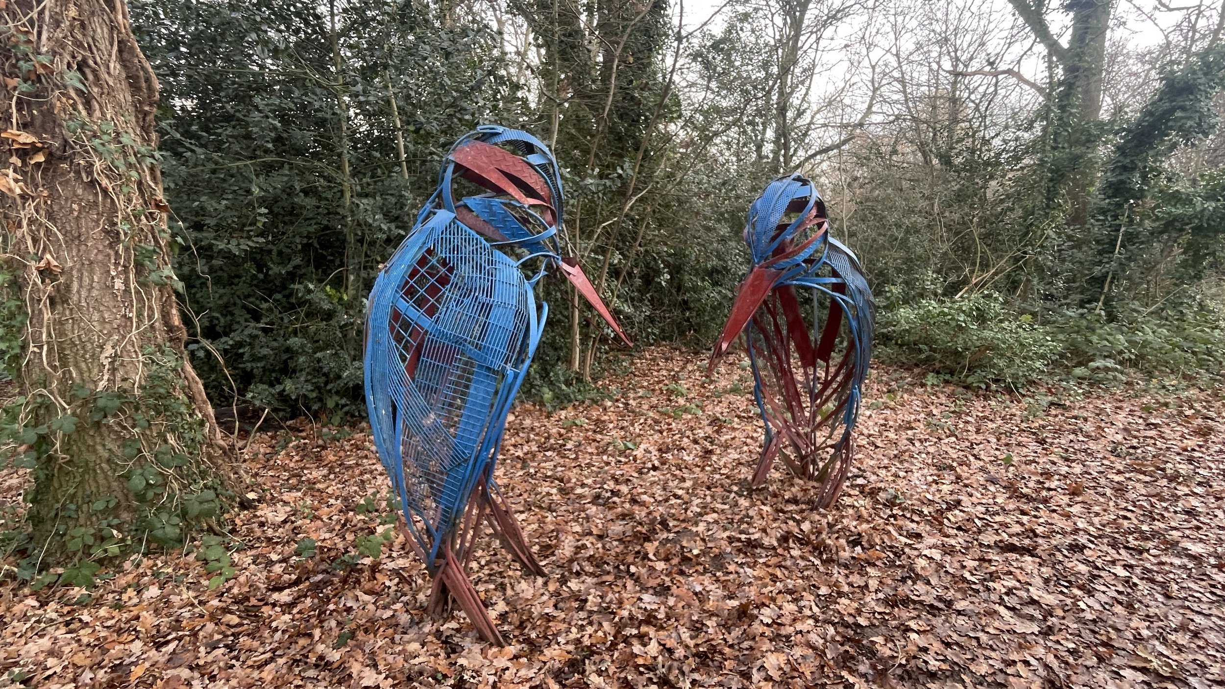
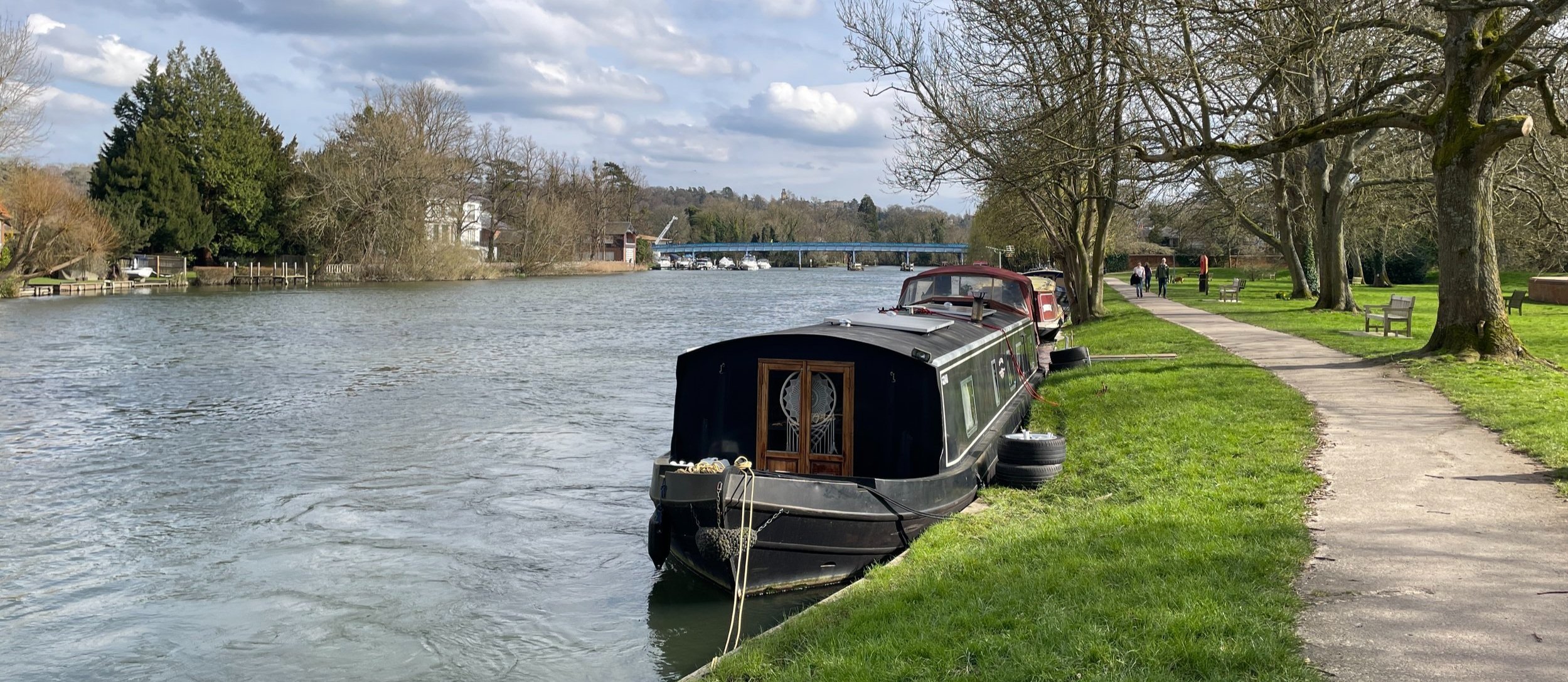
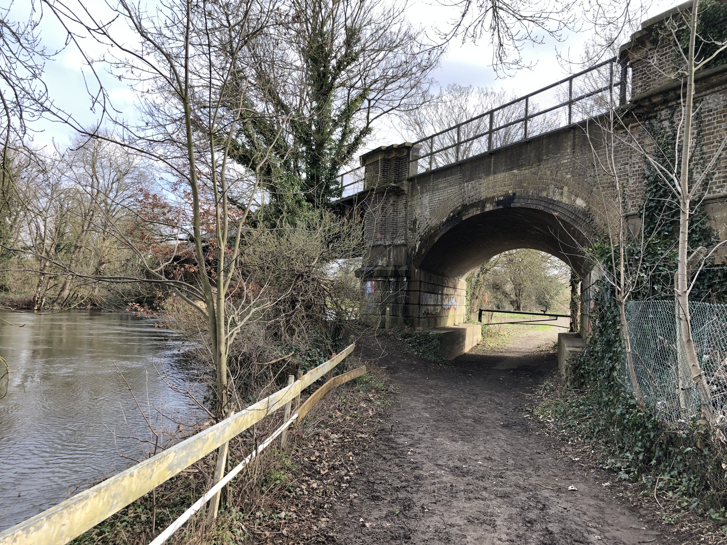
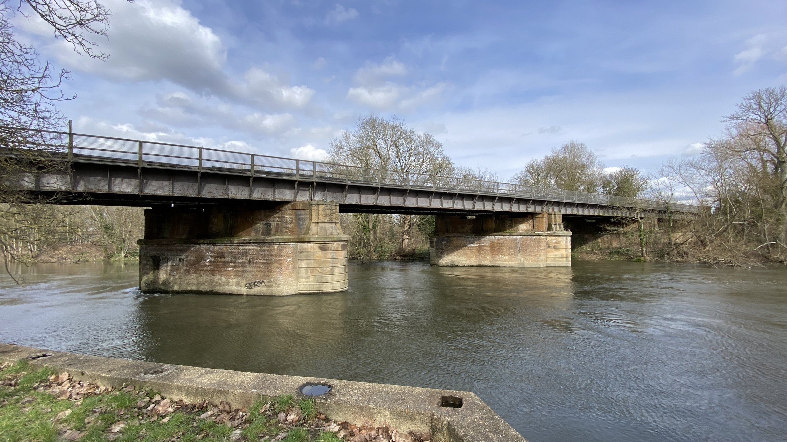
The fourth milepost appeared just outside Glympton around the 35 km mark. Shortly after, there is a great section running through a forest parallel to a river. It is easily one of the best parts of the route.
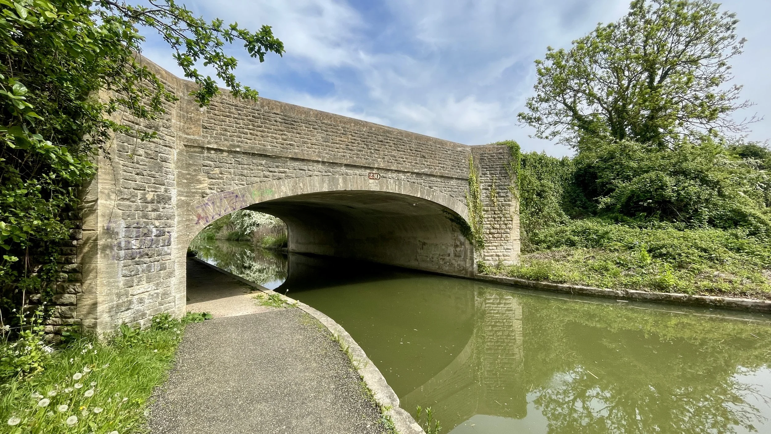
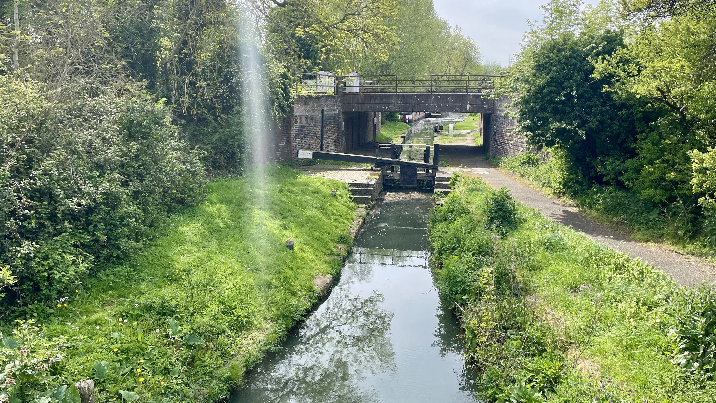
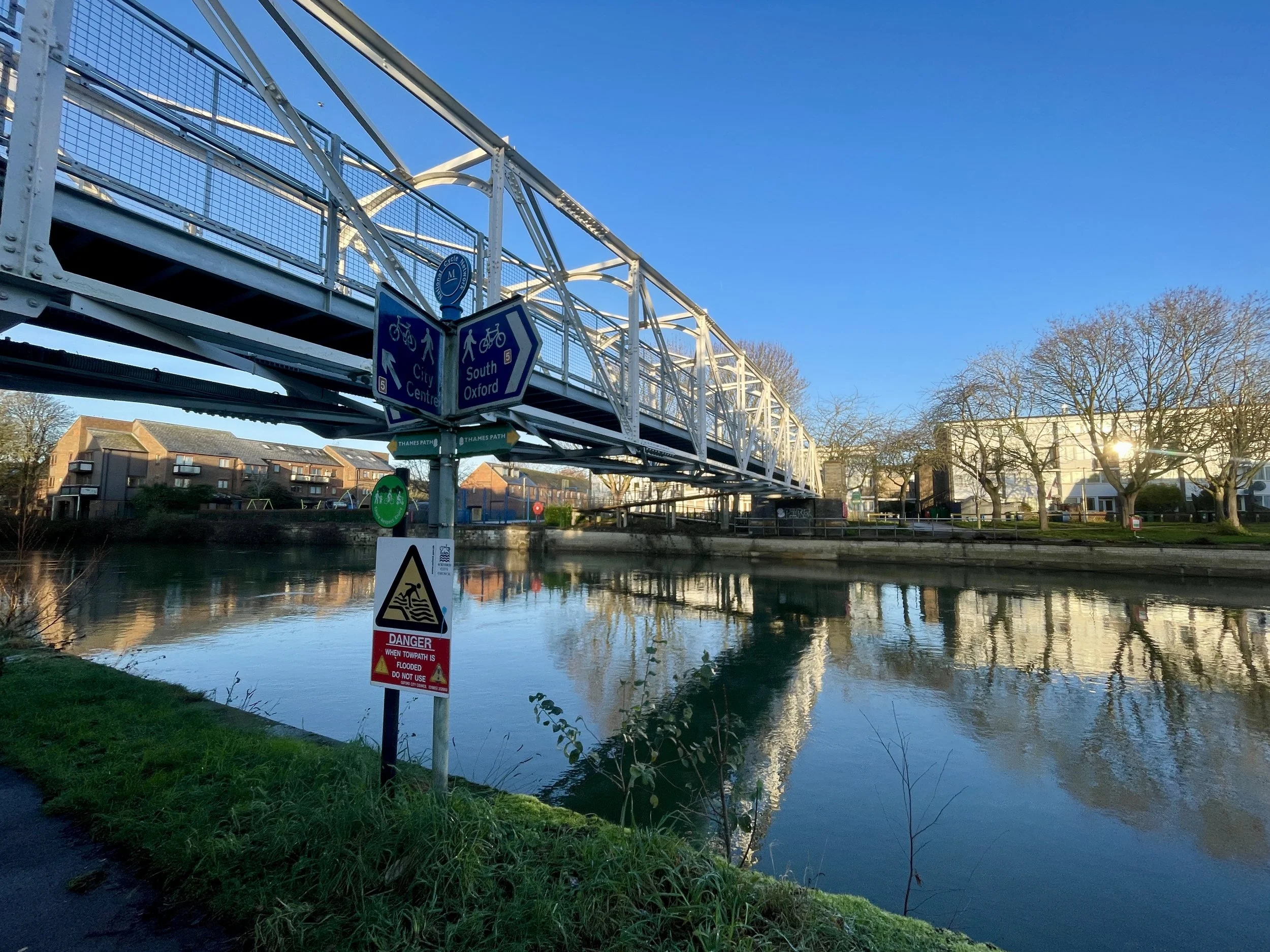
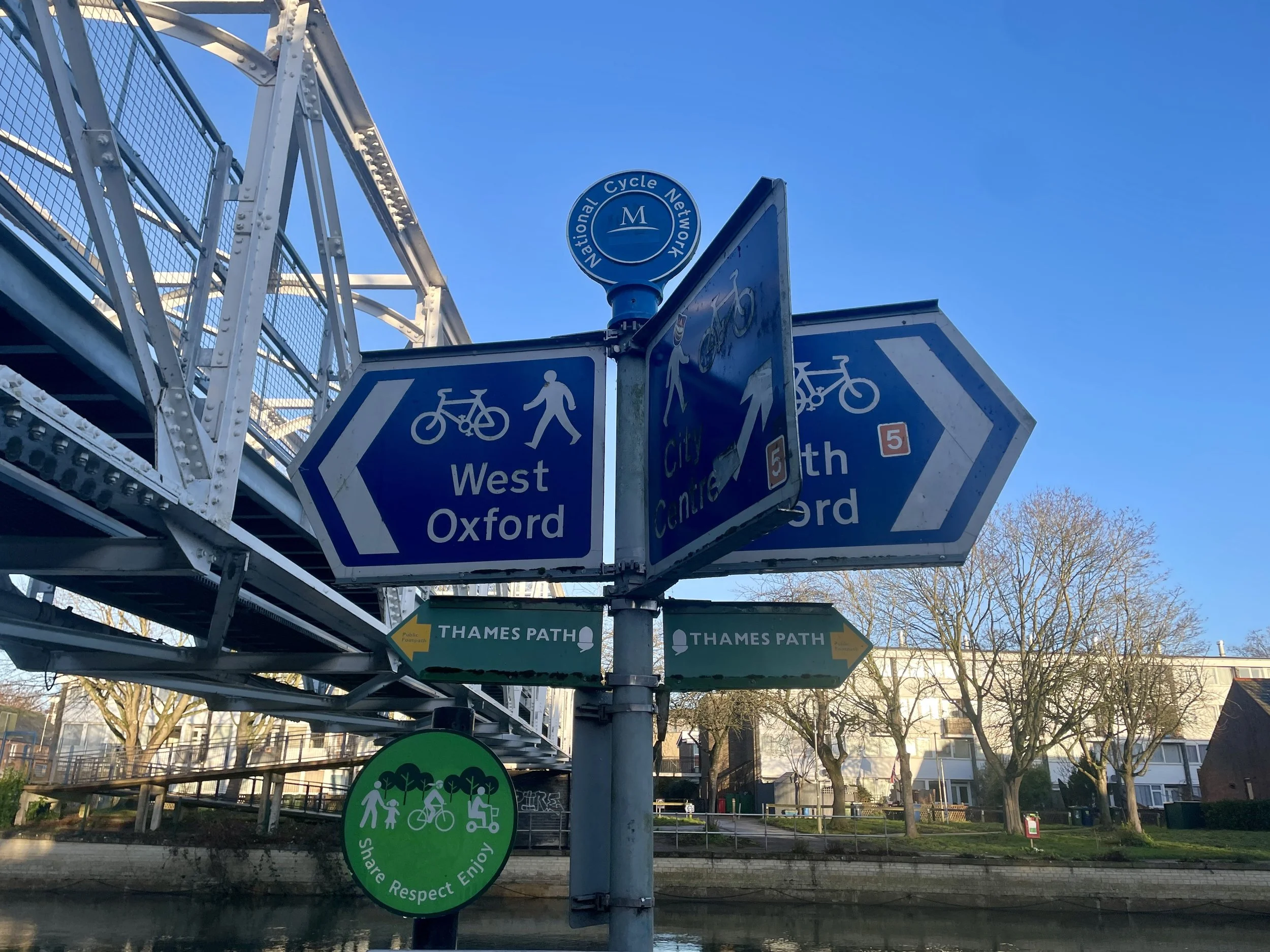
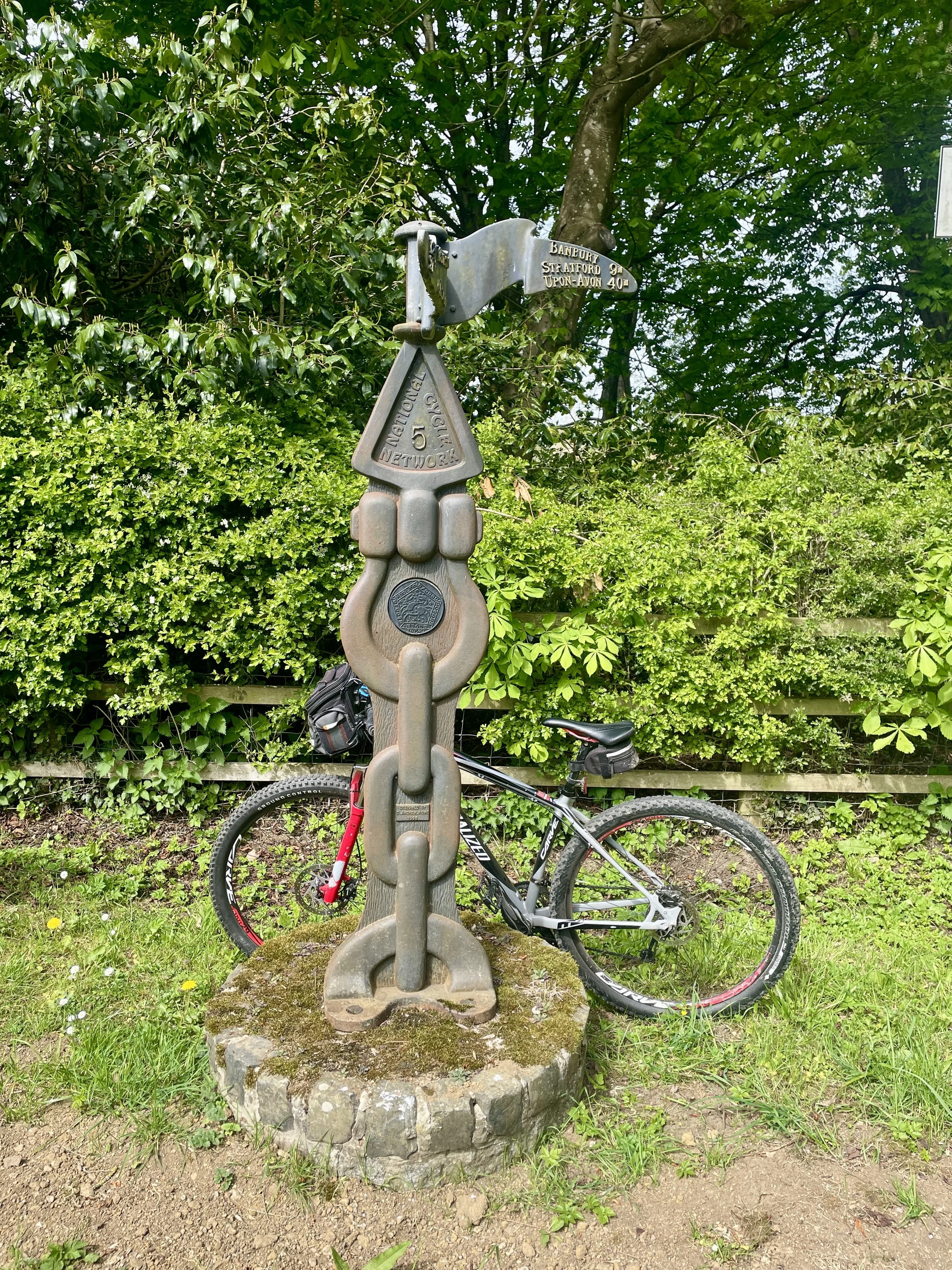
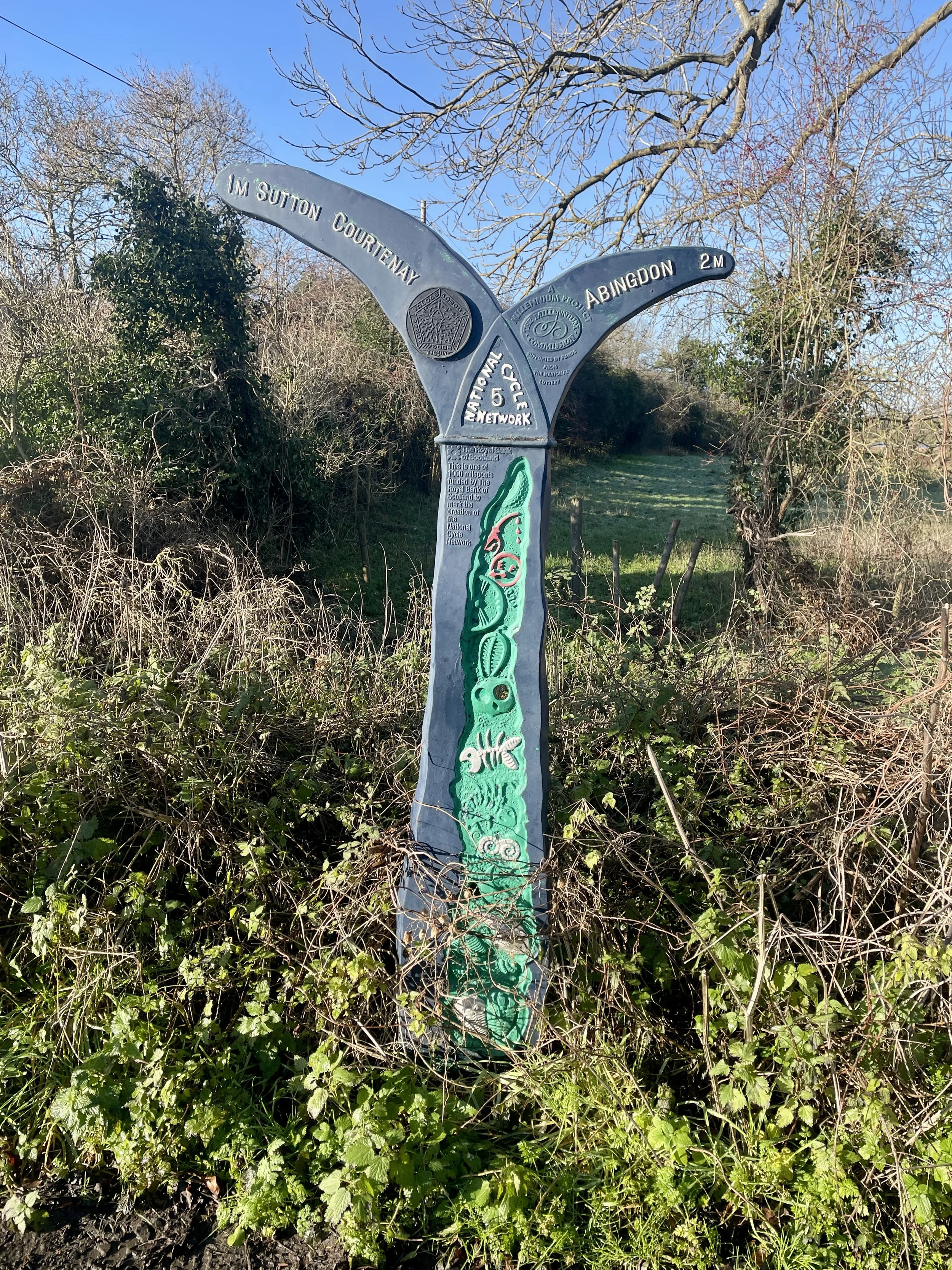
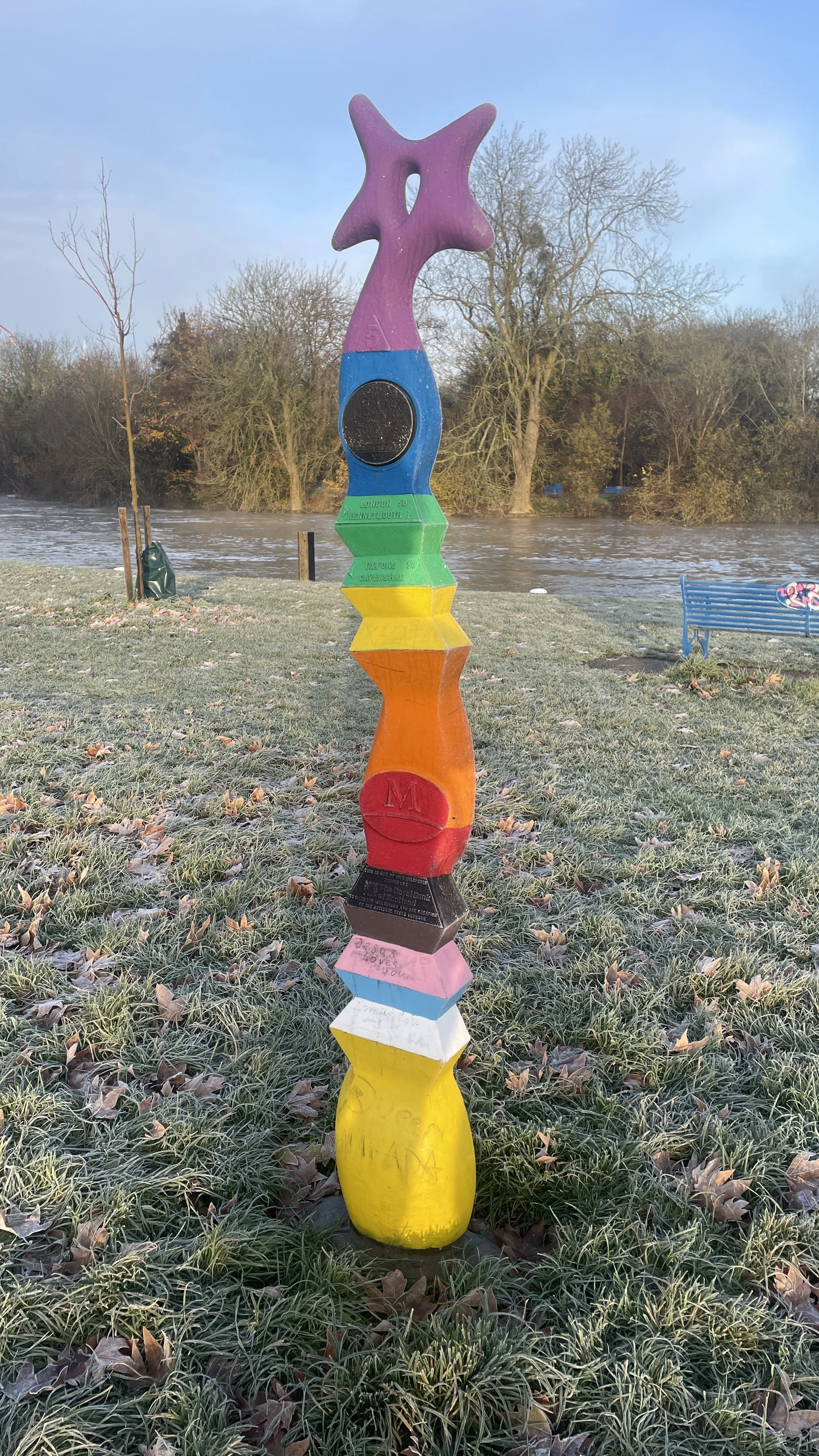
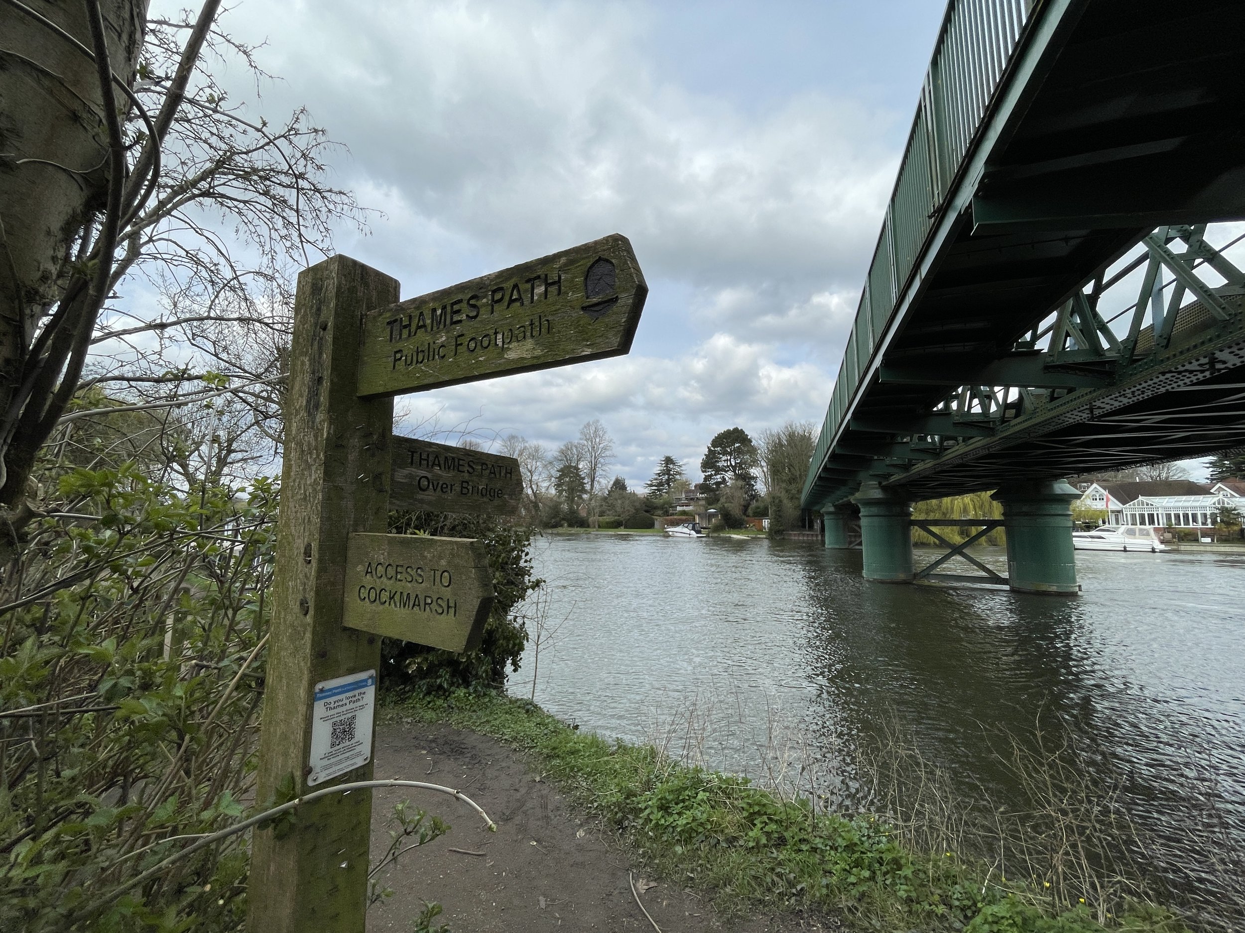
We rolled into Woodstock at 40 km at exactly 1:00 pm. We paused the ride here, finding a pub in the town centre for fish and chips. Pointing the bikes south-east toward Oxford post-lunch, we located the final Millennium Milepost (number five) at 48 km where the route joins the Oxford Canal at the north end of the city. Following the canal path through the residential streets of North Oxford, we arrived back at the train station and the car by 3:30 pm.
It was an efficient and hugely enjoyable day out and much warmer than the January attempt.
Day 2: Oxford to Reading
Start: Oxford Station, Park End Street, Oxford OX1 1HS
Finish: Reading Station, Bagnall Way, Reading, RG1 8BT
Distance: 68 km (42 miles)
Elevation change: + 455 / -476m. Net +21 m
GPX File: get via Buy Me a Coffee
Other routes touched (walk): Thames Path, Oxford Green Belt Way, The Vale Way, The Roman Way, The Ridgeway, Chiltern Way Southern Extension, St Frideswide's Way
Other routes touched (cycle): NCN 4, 5, 544, Icknield Way Trail
Pubs / Cafes on route: Many on the route. We stopped for a coffee at Abingdon at 15 km in
Millennium Mileposts: 231, 223, 224, 225, 226, 227, 230, 229, 222, 58, 141, 140
Maps:
- Oxford Map | Witney & Woodstock | Ordnance Survey | OS Explorer Map 180
- Vale of White Horse Map | Abingdon-on-Thames, Wantage, Wallingford & Faringdon | Ordnance Survey | OS Explorer Map 170
- Chiltern Hills West Map | Henley-on-Thames & Wallingford | Ordnance Survey | OS Explorer Map 171
Links: Oxford, Abingdon, Didcot, Wallingford, Stoke Row, Caversham, Reading
On the 2nd of January, Brian and I set off to tackle the southern section. Our original plan was to cycle from Reading to Oxford and return by train. However, during the drive, Brian actually checked the forecast and discovered we would be cycling directly into a headwind the entire way. We aborted the original plan, drove to Oxford, parked near the station, and cycled south instead.
Conditions were terrible. It had rained overnight, and the ground was covered in snow and ice. For the first 10 km, we spent an hour cycling cautiously to avoid slipping. By the time we reached Abingdon, we were moving significantly slower than my standard parkrun pace. We stopped at a coffee shop to warm up, establishing a contingency plan to abandon the ride at Didcot and take the train back if the ice persisted.
Leaving the cafe, the weather broke. The sun melted the ice, and our pace drastically improved. Around the 20 km mark, we passed Didcot, bagging several Millennium Mileposts along the way. Ten kilometres later, we passed Wallingford, crossed the River Thames, and entered the Chilterns. Riding from Wallingford across the Ridgeway and into the Chiltern Hills under clear skies made up for the freezing start.
The final major leg at 55 km required a climb up and over the Chiltern ridge, followed by a fast descent into Caversham from Stoke Row. Finally, at 60 km, we bagged one final Millennium Milepost in Caversham, crossed the river, and finished the ride at Reading station.
Technically, NCN 5 continues east along the Thames for another 1.5 km to the confluence with the River Kennet. Having cycled that section previously and already bagged its two mileposts, we opted to skip it to ensure we got back to Oxford in daylight.
The Full 2-Day Route
Day 1 in red, day 2 in blue
The Millennium Mileposts
Dotting the UK's National Cycle Network are over 1,000 unique markers known as the Millennium Mileposts. Unveiled in 2000, these cast-iron sculptures are more than just waymarkers. Designed by four artists, one from each nation of the UK, they celebrate the diversity of the cycling routes. These artistic mileposts come in various shapes and can be found in both bustling towns and scenic landscapes, adding a touch of artistic charm to a cycling adventure.
Millennium Mileposts on Day 1: Banbury to Oxford
Millennium Mileposts on Day 2: Oxford to Reading
A winter’s day in Bisham Wood
Start & Finish: The Golden Ball Pub and Kitchen, 2 Golden Ball Lane, Maidenhead, SL6 6NW
Distance: 6.9 km (4.3 miles)
Elevation change: +/- 77m
Terrain: Quiet village lanes, woodland tracks through ancient beech woods, and field-edge footpaths.
GPX File: get via Buy Me a Coffee
Other routes touched (walk): Maidenhead Boundary Walk, Maidenhead Millennium Walk, Maidenhead Commons Trail, The Chiltern Way Berkshire Loop
Other routes touched (cycle): Round Berkshire Cycle Route
OS Trig Pillar: TP5638 - Resr Mount Hill (On private property and not visible from the public right of way)
Pubs / Cafes on route: The Golden Ball at the start and finish
Map: Chiltern Hills East Map | High Wycombe, Maidenhead & Rickmansworth | Ordnance Survey | OS Explorer Map 172
Links: National Trust Maidenhead and Cookham Commons. Cookham Dean, Bisham Woods, Cookham, Kenneth Grahame, Wind in the Willows
This circular route offers a delightful journey through the rolling landscape of Berkshire and the edges of the Chilterns. The trail takes you through a beautiful combination of ancient woodland and open commons, providing a real sense of peace as you move between the sheltered forest tracks and elevated village paths. It is a perfect choice for those who enjoy a varied landscape within a relatively compact distance.
Walking Directions
For this walk we parked on Golden Ball Lane near the pub of the same name. The guidance below will help you navigate but don’t use it as a fully accurate turn-by-turn guide. Always take a map and/or a GPX route and prepare well for the weather and terrain.
Start at The Golden Ball: Begin at the pub on Golden Ball Lane and head east. Cross over Winter Hill Road to continue onto Malders Lane.
Enter the Old Brick Works: Shortly on your right, enter the National Trust Old Brick Works. Follow the trail down to the pond, circling it to the east before taking the exit path on the right that runs along its eastern edge back up to Malders Lane.
Cross to the Fields: Turn right on Malders Lane for approximately 150m. At the junction of the Maidenhead Boundary and Millennium walks, take a left to head north across the open field.
Long Lane Crossing: Upon reaching the driveway at the 2km mark (Copas Brothers property), turn right and follow it to Long Lane. Cross directly over to Spring Lane and continue north.
Village Navigation: Turn left onto Pudseys Close. Follow this west, cross Church Road, and traverse the village green to reach Hollybush Lane.
Into the Woods: Cross Bigfrith Lane onto Hackett Lane. Follow it to the very end where it enters the ancient canopy of Bisham Woods.
The Woodland Loop: Follow the main tracks in an anti-clockwise curve. You will pass through High Wood and Inkydown Wood before entering Park Wood and finally Goulding Wood.
The Return: The path exits the southern corner of Goulding Wood onto Marlow Road. Turn right to return to the junction with Golden Ball Lane.
Finish: Complete the circular route back at The Golden Ball pub for refreshments.
If you’re feeling adventurous and a bit tresspassy you could bag the Resr Mount Hill OS Trig Pillar. It’s next to the top of the reservoir on Thames Water Property. The locked gate to the driveway up to it is off Pudseys Close. We had a look but decided not to risk it that day.
Points of Interest along or near to the Route
National Trust Old Brick Works: A hidden gem of industrial archaeology. These former clay pits now form a peaceful woodland area and pond, managed for wildlife.
Cookham Dean: This picturesque village is the start and end of your journey. Known for its historic charm and as the childhood home of Kenneth Grahame, the author of The Wind in the Willows, it sets a classic English tone for the walk.
Bisham Woods: A significant portion of the route passes through these ancient woods. They are designated as a Site of Special Scientific Interest (SSSI) and offer a stunning canopy of beech and oak trees, particularly vibrant during the autumn months.
Quarry Wood: As you transition through the woodland areas, you will pass through sections of Quarry Wood. These slopes provide atmospheric walking paths and occasional glimpses through the trees toward the Thames Valley.
Winter Hill: Although the main trail stays largely within the woods and village fringes, the route skirts the area near Winter Hill, offering potential for expansive views across the River Thames toward Marlow.
The Chalvey Ditch before it passes under the M4 at Cippenham
I was inspired to cycle the Salt Hill Stream and Hay Mill Stream / Chalvey Ditch after joining an event called Slough’s Lost Rivers. This event was hosted by Project Sponge in 2025 that helped us learn more about these lesser known streams. I had a particular interest in finding out more about the Chalvey Ditch as it runs through Cippenham where my parents grew up. I remember my Dad telling me stories of how he used to play in the open fields around the village green. The fields are now long gone, having been replaced by housing, but the stream that he would have played near is still there if you know where to look.
A big thanks to Gerald Higgins whose research into these streams has been a great contributor to the content of this post.
The Salt Hill Stream
The stream used to feed the mill which was in Salt Hill Park just north of the A4 Bath Road. The stream which flows through Salt Hill Park has two main feeder streams. The longest one starts near Fulmer on the edge of Frame Wood just south of Stoke Common and flows in a south-westerly direction through Stoke Park.
The easterly feeder starts in Stoke Wood, just to the east of Farnham Common and flows south into Brockhurst Wood, through South Buckinghamshire Golf Course and into Stoke Park. The two feeder streams converge near Northern Road, south of Stoke Park and at the northern end of the Manor Park estate. From there the stream flows south to Salt Hill Park, under the M4 and the Jubilee River towards the Thames. It goes across Eton College land and goes under Beggars Bridge on the Slough Road and flows along the side of Pococks Lane to join the River Thames.
The Hay Mill Stream and Chalvey Ditch
The stream used to start on the east side of Bedford Drive then went across into what is now Burnham Beeches. It flows into Upper Pond and on into Middle Pond. From here it flows to Swilley Pond and goes under Hawthorn Lane. From Swilley Pond the old course was across Crow Piece Lane and down the valley behind Burnham Civic Amenity Site. The course went across Farnham Lane near the junction with Walton Lane through Cocksherd Wood and continued down the valley to flow into the mill pond.
The whole area of the mill pond is now Haymill Valley Community Nature Reserve (The Millie), and the underground reservoir by Burnham Lane. The stream flows through the Millie although a lot of it is through reed beds. It enters a culvert before going underground again. Streamside Walk follows the course until it reappears out of the culvert passing through housing to cross under the M4 near Asda. When it emerges on the other side it has been diverted from its original course to run on the north side of the Jubilee River. It goes under the A355 and meets up with the stream from Salt Hill. From this point the stream flows west and joins its original course. It flows across Eton College land and goes under 14 Arch Bridge. It continues across Eton College land to join the River Thames.
The Cycle Route
For the cycle route I started with the Salt Hill Stream on the easterly feeder, following its course as closely as possible to the Thames. Then I followed the Thames to find the confluence with the Chalvey Ditch to follow it up to its source.
Cycle route start and end: The Broadway, Farnham Common, Slough SL2 3NE
Cycle route length: 28.7 km (17.8 miles)
Cycle route elevation change: +/- 126m
GPX File: get via Buy Me a Coffee
Other routes touched (walk): Beeches Way, Shakespeare’s Way, Jubilee River Path, Thames Path
Other routes touched (cycle): Beeches Cycleway, NCN 4, 461
Maps:
- Chiltern Hills East Map | High Wycombe, Maidenhead & Rickmansworth | Ordnance Survey | OS Explorer Map 172
Links: Farnham Common, Slough, Chalvey, Jubilee River, Eton, Eton Wick, Cippenham, Burnham
Part 1: Cycling the Salt Hill Stream from the source to the confluence with the Thames
This section starts at Farnham Common where there’s a parade of shops, a Costa Coffee and several pubs and restaurants. The village, on the edge of Burnham Beeches, was historically a stomping ground for highwaymen and is now a peaceful gateway to the Beeches. It’s a good meeting place for several cycle routes in the area. From the shops cycle north along the A355 Beaconsfield Road and then take a right onto Templewood Lane. At approximately 1.5 km into the route you’ll pass over the Salt Hill Stream. This is the closest you’ll get to the start of the stream as the source is inside the private woodland to the north of the lane.
Continue along Templewood Lane then take a right on the bridleway when the land curves to the left. Follow this bridleway in a southerly direction, connecting to the Beeches Way and Shakespeare’s Way. When you reach the first house on the right take a right to follow a small lane which leads to a footpath heading west through woodland back towards Farnham Common.
Shortly after the 3km point of the trip you’ll descend down to the Salt Hill Stream crossing over a small arched brick bridge. Continue along the path between Ingram’s Copse and Parson’s Wood to Parsonage Lane. Take a left onto Parsonage Lane and follow it in a southerly direction to the junction with Park Road. Take a right onto Park Road to the double roundabout at Farnham Royal. Take a left to follow Farnham Road in a southerly direction then a left onto Church Road. Follow Church Road as it becomes a bridleway then take a left onto Northern Road. You’re now in the Manor Park Estate.
Navigate Villiers Road, Douglas Road, Stanton Road, Granville Avenue and Pippin Close to travel south into the north-western corner of Granville Recreation Ground. Here you’ll see the Salt Hill Stream on the western edge of the park. Continue south through the park then exit onto Waterbeach Road where you’ll take a left. Cross over Oatlands Drive onto Hughenden Road, following it east into Godolphin Recreation Ground. Follow the eastern edge of the Recreation Ground, under the railway bridge and into Salt Hill Park. Here you’ll get some good views of the Salt Hill Stream with several information boards describing it.
At the southern exit of Salt Hill Park carefully cross over the busy A4 Bath Road and pick up the path that runs alongside the stream on the western side of the Montem Ice Rink. Look out for the Montem Mound. This Scheduled Ancient Monument is an Anglo-Saxon burial mound (tumulus) dating back to the 7th century, originally thought to be the burial site of a high-status individual. It was also the site of the bizarre 'Eton Montem' ceremony held by Eton College students until 1847.
Take a left when you get to Church Street then a right onto Chalvey High Street, a left onto Spackmans Way then a left onto the cycle path at the junction of Spackmans Way and Primary Road. Continue along the path then curve to the right when it reaches the railway line.
When you reach the Jubilee River follow the path on the northern side where you’ll cross over the Salt Hill Stream before you cross this man-made flood relief channel. Completed in 2002, it diverts water from the River Thames to reduce flood risk in Maidenhead, Windsor, and Eton. It has since become a thriving wildlife corridor for birds and fish.
Once on the southern side of the Jubilee River take a left to follow the Jubilee River footpath back in an easterly direction, shortly crossing over the Salt Hill Stream as it emerges from the river. Continue east under the railway then take a right onto a path that crosses over Woodham Road and into the grounds of an Eton College Sports Field.
Continue through the grounds of the sports field then take a right onto the B3022 Slough Road. After the mini roundabout take a left to follow the path past the Upper Club gatehouse then curve round to the right to follow a path that runs parallel to the Thames. Right after the curve you’ll reach a small bridge over the Salt Hill Stream. Here you can see the confluence of the Colenorton Brook with the River Thames.
Part 2: Between the Colenorton Brook and Boveney Ditch
Boveney Ditch before it meets the Thames
From the Colenorton Bridge in Upper Club, continue cycling in a south-westerly direction back to the B3022 Slough Road. Cross over the B3022 and follow Common Lane in a north-westerly direction through the heart of Eton College. This world-famous public school, founded in 1440 by King Henry VI. The college has educated 20 British Prime Ministers and features historic architecture dating back to the 15th century.
Follow the path on the eastern side of the Eton Great Common to Eton Wick Road. Cross over Eton Wick Road and follow the path diagonally across the field to cross under the railway bridge. Continue in a south-westerly direction to reach Meadow Lane next to the Thames. Take a right onto Meadow Lane, following it under the A332 to join up with the Thames Path.
Follow the Thames Path to Boveney Bridge where you’ll see the confluence of the Boveney Ditch and the River Thames. This small watercourse joins the Thames near Boveney. Nearby is St Mary Magdalene Church, a 12th-century church that served the bargees (barge workers) on the Thames. It is now cared for by the Friends of Friendless Churches.
Take a right onto the path on the eastern side of Boveney Bridge to follow it north along the eastern side of Eton Wick Recreation Ground to Eton Wick Road. Eton Wick is a village that grew to support the college and the castle. The recreation ground here offers open views of Windsor Castle in the distance. Take a left onto Eton Wick Road then first right on to Bell Lane. Take a left onto Alma Road, a right onto Inkerman Road and another right onto Moores Lane.
Follow Moores Lane in a northerly direction as it becomes a path then cross over the Jubilee River bridge. Take a right onto Wood Lane and continue following it north over the M40. Once you get to the northern side of the M40 bridge take a right to follow the path around the southern side of Asda, heading east to where you’ll meet the Chalvey Ditch. To the south the Chalvey Ditch crosses under the M40 to join the Salt Hill Stream before they both cross under the Jubilee River. We will now be following it north to its source.
Part 3: Cycling The Chalvey Ditch from the Jubilee River to the source
Starting from the bridge before the Chalvey Ditch crosses under the M40 follow a path heading north between houses, keeping the Ditch on your left hand side. Cross over Telford Drive and keep the Ditch on your left. When you reach Lodge Farm Park take a left to head west to cross over Telford Drive again. Follow the paths, now keeping the Ditch on your right. Cross over Richards Way continuing west and crossing the ditch twice over small bridges. Take a right onto Waterman Court, now heading north onto Millstream Lane on the eastern side of Cippenham Village Green.
The Village Green is a remnant of the old village of Cippenham, which was once a royal manor. The green is the heart of the historic village, surrounded by older cottages that contrast with the modern development nearby. You’ll see the ditch run right in front of the houses.
Once you reach Lower Cippenham Lane on the northern side of the village green, the Ditch disappears underground only to reappear a bit further north at Haymill Valley Community Nature Reserve. Cross over Lower Cippenham Lane heading north to Ward Gardens. Take a left onto Bowyer Drive then a right onto Elmshott Lane and follow it north to the A4.
Cross over the A4 and follow Station Road to Burnham Lane. Cross Burnham Lane to find a small footpath leading to Littlebrook Avenue. Find the entrance to Haymill Valley Community Nature Reserve. This reserve occupies the site of the former mill pond for the medieval 'Ay Mill'. When the mill fell into disuse after WWII, the pond silted up and became a reed bed. It is now a haven for reed warblers and kingfishers. Follow the path in a northerly direction to the top of the reserve near Whittaker Road. This is the final place you’ll see the uncovered Chalvey Ditch.
To complete the journey cross Whittaker Road and cross Lammas Meadow to Long Furlong Drive. Take Lynch Hill Lane in a northerly direction then take the path through Cocksherd Woods to join Farnham Lane. Follow Farnham Lane in an easterly direction then take a left onto Crown Lane. Follow Crown Lane north, then take a right onto Hawthorn Lane and a left onto Bedford Drive.
The route concludes near Burnham Beeches Nature Reserve. It is famous for its ancient pollarded beech trees, some of which are nearly 500 years old. The area has been a filming location for numerous movies, including Harry Potter and Robin Hood: Prince of Thieves. At the entrance to Burnham Beeches take a right onto Beeches Road to return back to the start at Farnham Common on the A355 Beaconsfield Road.
My first journey on the Elizabeth Line was in October 2022, marking my first trip into London after the Covid lockdowns. I was incredibly excited both to be back in the capital and to finally ride the Elizabeth Line, having geekily followed the progress of its construction for years. Timea took a photo of me with the shiny new purple roundel at Farringdon Station to mark the occasion. (Fun fact: Farringdon's new platforms are so long that they actually stretch all the way to Barbican station at the other end!)
A few weeks later, we made a Christmas trip into the West End and took similar photos of me at Tottenham Court Road and Bond Street stations. That was exactly what triggered my compulsive need to tick off everything in a series that can be turned into an adventure.
Over the next couple of years, I casually ticked off several more stations during other trips to London. Naturally, I had to make some strict rules to guide the collection: I had to have a photo of myself on the platform with the Elizabeth Line roundel behind me, and I also had to be physically getting on or off an Elizabeth Line train to get there. By early 2025, I had visited about half of the stations and decided that this would be the year I completed the entire set. What followed was a brilliant series of cycle rides, often with my friend Brian, to tick off the stations that I wouldn't naturally pass through on other trips. The grand finale was in December 2025, wrapping up with the three stations hidden deep under Heathrow Airport.
Along the way, I learned a quirky truth: not all stations actually have purple roundels on the platforms! Generally, it is only the stations fully managed by Transport for London (TfL) that get the full purple treatment. The completer-finisher in me still had to visit the other stations, though. I can't imagine anyone else feeling the need to do the same, but just in case you are planning your own mission, here is what you can look forward to:
Great Western Railway Stations: Reading, Twyford, Maidenhead, and Slough are all managed by GWR. Because of this, you won't find any purple Elizabeth Line roundels on their platforms.
The Heathrow Stations: The three airport stations are entirely managed by Heathrow Express. They serve the Elizabeth Line perfectly, but they do not feature the roundels.
Paddington: The historic mainline station is managed by Network Rail. However, the cavernous new deep-level Elizabeth Line station is managed directly by TfL and does feature the roundels. Just be aware that some Elizabeth Line services from the west terminate up in the main mainline station, where there are no purple roundels to be found!
Stratford and Shenfield: Both stations serve the line, but neither features a purple roundel down on the platform itself, although you can spot them mounted above the main station entrances if you look closely.
The Western Section: Reading To Acton Mainline
Scroll down to the the stations not managed by TFL section for photos of Reading, Twyford and Maidenhead.
The Heathrow Stations
All are managed by Heathrow Express. There are no Elizabeth Line roundels on the platform.
The Central Section: Paddington to Whitechapel
The North Eastern Section: Stratford to Shenfield
No Elizabeth Line roundel on the Stratford Station platform.
The South Eastern Section: Canary Wharf to Abbey Wood
The stations not managed by TFL
No Elizabeth Line roundels here.
More London Posts
If you enjoyed reading this post, there is plenty more to explore across the capital. I have put together a dedicated London Outdoors page where I keep track of all my other adventures around the city. It is a handy index where I group my posts by the different types of places I have visited: including historic boundary lines, canal towpaths, and some surprising urban high points.
The collection covers a bit of everything: from long-distance cycling routes to tracing the underground network on foot, and ticking off another Saturday morning parkrun. If you are looking for some inspiration for your own weekend outings, head back over to the London Outdoors page to see what else I have been up to.
Black Park Lake on the Horton Brook
Part of the Chiltern Rivers Series
Cycle route start and end: Boundary of Black Park and Pinewood Studios, Fulmer
Cycle route length: 39.4 km (24.5 miles)
Cycle route elevation change: +/- 166m
GPX File: get via Buy Me a Coffee
Other routes touched (walk): Beeches Way, Shakespeare’s Way, Colne Valley Trail, Slough Arm Canal Towpath, Rowley Farm Trail
Other routes touched (cycle): NCN 6, 61
Maps:
- Chiltern Hills East Map | High Wycombe, Maidenshead & Rickmansworth | Ordnance Survey | OS Explorer Map 172
- Windsor, Weybridge & Bracknell Map | Thames Path | Ordnance Survey | OS Explorer Map 160
Links: Black Park, George Green, Grand Union Canal Slough Arm, Langley, Colnbrook, Horton, Wraysbury, National Trust Ankerwyke, Sunnymeads, Datchet Common, Ditton Park, Slough, Wexham
It had been a few years since I thought that I had completed all of the Chiltern and Colne Valley rivers. Then I discovered the Horton Brook and The Datchet Common Brook on a map and needed to explore them too. Both are small and easily missed unless you’re looking out for them. They snake through fields and residential areas to the east of Slough but you can walk or cycle fairly close to them if you know where to look. Both of the brook’s sources are close to each other at Fulmer and and have confluences with the Thames near Wraysbury. This means that both can be discovered in a 40 km cycle ride, following the Horton brook from the source then the Datchet Common Brook from its confluence back to the source.
Cycling the Horton Brook from the source to the confluence with the Thames
River start: Boundary of Black Park and Pinewood Studios, Fulmer
River end: Confluence with the River Thames in National Trust, Ankerwyke
River length: 19.7 km (12.2 miles)
Links: DEFRA: Horton Brook
We started our cycle trip at the north-eastern corner of Black Park at the junction of Fulmer Common Road, Alderbourne Lane and Pinewood Road. Different maps show the source of the Brook either right on this corner or a little further south along the boundary of Black Park and Pinewood Studios. I’ve been cycling and walking there for years but always thought that it was a ditch.
After ~700m from Fulmer Common Road, the Brook cuts diagonally across the Country Park to empty into Black Park Lake, emerging on the south western side near the path to the car park. After Black Park the Brook crosses under Rowley Lane and into Rowley Farm. We cycled through the farm on the Rowley Farm Trail but ended up taking a fairly convoluted route to not stay very close to the Brook. The easiest route is to follow the A420 to George Green, although be very careful here is it’s a busy dual carriageway.
After the A420 the Brook snakes through George Green, Middle Green, across Langley Park Road and under the Grand Union Canal Slough Arm. Cycling close to the Brook is pretty straightforward and there’s a nice straight section of the canal to follow. After leaving the canal at Mansion Lane you’ll cross uner the railway and take a left onto Parlaunt Road then right onto Old Slade Lane. Meanwhile, the Brook passes through a field and Ritchlings Park Golf Club. After crossing over the M4, leave the Colne Valley Trail at a footpath junction and follow a messy path initially parallel to the motorway then cutting through a field to cross over the A4 Colnbrook Bypass. Here you’ll briefly re-join the Colne Valley Trail through Colnbrook village. After Colnbrook follow Horton Road keeping the Brook and The Queen Mother Reservoir on your right. Cross over Datchet Road to follow Park Lane and onto the footpath through the lakes to Station Road.
At Station Road you can take a left heading east to the bridge where the Brook flows under and into Wraysbury Lake. According to the DEFRA site, this is where the Horton Brook ends. The Wraysbury Lakes Ditch takes water from the lake and into the Colne Brook, which itself flows into the Thames at Runnymede.
For a more interesting cycle ride we took a right onto Station Road, passing through Wraysbury High Street then took at right into Magna Carta Lane. Here you can pass through the National Trust Ankerwyke site to connect to an arm of the Horton Brook that joins the Thames to the east of Ankerycke Yew. The paths through the National Trust site are for walking so best to lock your bikes up at the parking area.
Cycling The Datchet Common Brook from the Thames to the source
River start: Fulmer Wood Lake, Slough, SL3 6AA
River end: Confluence with the River Thames near The Avenue, Sunnymeads, Wraysbury, Staines, TW19 5EY
River length: 11.3 km (7 miles)
Links: DEFRA: Datchet Common Brook
From the end of the Horton Brook return to the B376 Staines Road and take a left towards Wraysbury. At the mini roundabout continue on the B376, then take a left onto The Avenue at Sunnymeads. Look out for the bridge over the Datchet Common Brook near house #37. This is the closest you’ll get to the confluence with the Thames which is behind the houses on the western side of the road.
After the bridge, turn around and take the next left onto Acacia Avenue to Sunnymeads Station. Take the footpath on the right to climb the steps back up to Welley Road. Take a left and follow Welley Road to the junction with Datchet Road. Take a left onto Datchet Road and follow it in an easterly direction towards Datchet Common. The Brook follows the Datchet Road on the northern side, following the edge of the Queen Mother Reservoir.
Take a right onto Penn Road, a left onto New Road then a right onto Ditton Road. Take a right at the junction with Major’s Farm Road, running parallel with the M4 until you reach the footbridge. Cross the bridge over the motorway to the northern side and look out for the entrance to Ditton Park on the corner of Ridig Court Road and Ditton Park Road.
You’re now in the most enjoyable part of the ride, following the course of the Brook through Ditton Park to Upton Court Road. At the north-eastern corner of Upton Park, take Quaves Road onto Lascelles Road then take a left on the A4 Wellington Street, crossing over to the northern side where safe to do so. At the large Sainsbury’s Roundabout take the A412 heading north. After crossing over the railway line and canal you can follow the quieter residential roads that run parallel to the A412.
Take a left onto Church Lane then a right onto Wexham Park Lane. Look out for the bridge over the Brook at Valley End at the bottom of the hill. Shortly after Valley End, at a curve in the road, take the footpath on the left called Gallions Lane and follow it in a northerly direction. The Brook will now be on your left running through Wexham Park Golf Course. Just before the end of Gallions Lane take a right to follow the path running parallel to Rowley Lane to the end at Black Park Lane. Follow Black Park Lane in a northerly direction to the end at Fulmer Common Road. When you meet the Shakespeare’s Way and Beeches Way that join from the left you’re now as close as you’ll get to the source of the Datchet Common Brook at Fulmer Wood Lake.
Take a right onto Fulmer Common Road to return to the start of the cycle ride at the north-eastern corner of Black Park
Red = Cycle Route, Green = Datchet Common Brook, Blue = Horton Brook
Elevation for cycle route
When: June 1st 2025
Where: Green Park, Reading, Berkshire
Organiser: Good Running Events
Distance: 10 km
Elevation: +/- 60m
Course: 3 km arc within Green Park and a 7 km loop of country roads either side of the M4.
Other routes touched: None
Finish time: 54 minutes, 52 seconds
Rotten Row
The Shakespeare’s Way is a 235 km / 146 mile mile long-distance path connecting Shakespeare's birthplace in Stratford-upon-Avon with the Shakespeare's Globe (Theatre), Southwark, London. A 34km section of the path cuts through the Chiltern Hills National Landscape in a south-easterly direction. Our walks take in short sections of the Shakespeare’s Way and loop back to the start on other paths. The Shakespeare’s Way is reasonably well marked however you’ll need a map or GPX route to keep on track for the return sections of the loops. The guidance below will help but don’t use it as a fully accurate turn-by-turn guide.
Point to Point: Britwell Salome to The Grand Union Canal at Yiewsley
Start: Britwell Salome, Watlington, OX49 5LG
Finish: Grand Union Tow Path, Yiewsley, West Drayton, UB7 7XN
Distance: 59 km (36.7 miles)
Elevation change: + 665 / - 755m. Net +90m
GPX File: get via Buy Me a Coffee
Maps: See individual section posts linked below.
- Chiltern Hills West Map | Henley-on-Thames & Wallingford | Ordnance Survey | OS Explorer Map 171
Links: Shakespeare’s Way (LWDA), See individual section posts linked below for other links.
Walking The Shakespeare’s Way Chilterns Section in 12 Circular Routes
If you’re not up for an 59 km walk in one go, you can take in the Shakespeare’s way in 12 circular walks of between 6 and 13 km each. We chose this option, completing all 12 sections over a few years from 2020 to 2025. The advantage of this option is exploring more of the villages and side paths close to the route. After Route 12 you can follow the Beeches Way to reach Yiewsley and the end of the Chilterns Section of the Shakespeare’s Way.
Note that these walks take you through the Chilterns Hills National Landscape. See the Walking The Beeches Way post for the continuation from Cookham to Yiewsley
Each number refers to a circular walk below. Base map: Esri Topo via RideWithGPS
Part 1: Britwell Salome and Lower Warren
Distance: 7.8 km (4.8 miles)
Elevation change: +/- 123m
Shakespeare’s Way section covered: Britwell Salome to The Ridgeway: 2.2 km
Part 2: Swyncombe and The North
Distance: 8.1 km (5 miles)
Elevation change: +/- 176m
Shakespeare’s Way section covered: The Ridgeway to Cookley Green: 3.8 km
Part 3: Swyncombe and Park Corner
Distance: 9.9 km (6.2 miles)
Elevation change: +/- 199m
Shakespeare’s Way section covered: Cookley Green to The Chiltern Way near Maidensgrove: 2.1 km
Part 4: Nettlebed, Park Corner and Maidensgrove
Distance: 8.5 km (5.3 miles)
Elevation change: +/- 159m
Shakespeare’s Way section covered: The Chiltern Way near Maidensgrove to Park Lane: 1.2 km
Part 5: Russell's Water, Pishill and Maidensgrove
Distance: 9.2 km (5.7 miles)
Elevation change: +/- 166m
Shakespeare’s Way section covered: Maidensgrove Common to farm at south Maidensgrove: 1.32 km
Part 6: Stonor and Turville Heath
Distance: 10 km (6.2 miles)
Elevation change: +/- 208m
Shakespeare’s Way section covered: Farm at south of Maidensgrove to Southend: 5.9 km
Distance: 12.3 km (7.6 miles)
Elevation change: +/- 216m
Shakespeare’s Way section covered: Southend to Hambleden: 5.4 km
Part 8: North-east Hambleden Circular
Distance: 9.7 km (6 miles)
Elevation change: +/- 145m
Shakespeare’s Way section covered: Hamble Brook to Rogues Plantation: 2.9 km
Part 9: Bovingdon Green and Shillingridge Wood
Distance: 10.9 km (6.8 miles)
Elevation change: +/- 152m
Shakespeare’s Way section covered: Rogues Plantation to Pullingshill Wood: 2.5 km
Part 10: Marlow and Harleyford
Distance: 10.2 km (6.3 miles)
Elevation change: +/- 94m
Shakespeare’s Way section covered: Pullingshill Wood to The Thames Path at Marlow: 3.4 km
Distance: 11.4 km (7 miles)
Elevation change: + / - 65m
Shakespeare’s Way section covered: The Thames Path at Marlow to Bourne End Rail Bridge: 3.4 km
Part 12: Bourne End, Cookham and Wooburn
Distance: 8.2 km (5.1 miles)
Elevation change: +/- 83m
Shakespeare’s Way section covered: Bourne End Rail Bridge to Broad Lane, Widmoor: 3.9 km
When: June 16th 2024
Where: Wargrave, Berkshire
Course: Hilly loop up to Crazies Hill with an out-and-back section at start and end
Other routes touched: Wokingham Way, Chiltern Way Berkshire Extension
Finish time: 59 minutes 39 seconds
River Thames at Cookham
Start & Finish: Wakeman Road Car Park, 2A Wakeman Road, Bourne End, SL8 5SX
Distance: 8.2 km (5.1 miles)
Elevation change: +/- 83m
Shakespeare’s Way section covered: Bourne End Rail Bridge to Broad Lane, Widmoor: 3.9 km
GPX File: get via Buy Me a Coffee
Other routes touched (walk): Thames Path, Shakespeare’s Way, Beeches Way, Chiltern Way Berkshire Loop, High Wycombe to Bourne End Disused Railway
Other routes touched (cycle): N/A
Pubs / Cafes on route: Several in Bourne End and Cookham village centres. Also The Ferry (2.4 km in), The Garibaldi (3.7 km in), Chequers Inn (5.3 km in),
Map: OS Explorer Map (172) Chiltern Hills East
Links: Bourne End, Cookham, Wooburn
The Shakespeare’s Way is a 235 km / 146 mile mile long-distance path connecting Shakespeare's birthplace in Stratford-upon-Avon with the Shakespeare's Globe (Theatre), Southwark, London. A 34km section of the path cuts through the Chiltern Hills National Landscape in a south-easterly direction. Our walks take in short sections of the Shakespeare’s Way and loop back to the start on other paths. The Shakespeare’s Way is reasonably well marked however you’ll need a map or GPX route to keep on track for the return sections of the loops. The guidance below will help but don’t use it as a fully accurate turn-by-turn guide.
For this walk we parked at Wakeman Road Car Park in Bourne End and walked to the River Thames via the footpath to the left of the station. At the Thames cross over the railway bridge and, at the bottom of the steps, take a right to follow the Thames Path in a southerly direction.
Leave the Thames Path at Cookham Bridge and cross over to the north side of the Thames to follow Ferry Lane north. Here you have 2 choices: to follow The Beeches Way by taking the first path on the right after the bridge or to take an alternative route via Hedsor Road. Both options come together around the 5km mark at the top of Harvest Hill. We had already done the Beeches Way option so we took the alternative described below.
Continue north along Ferry Lane the take a right onto Hedsor Road, following it for ~500m to take a left onto Heavens Lea. Cross over Hedsor Hill (road) to follow Harvest Hill (road) in a north-easterly direction to Kiln Lane. Take a left onto Kiln Lane then a right onto a footpath just before the Chequers pub. Follow this footpath all the way down to Wooburn Park then cross over the River Wye and Town Lane.
Take the path to the left of Spake Oak depot to reach the disused Wycombe to Bourne End Railway Line. Follow this in a south-westerly direction to the end at the A4155 Cores End Road. Follow this back to the car park in Bourne End.
Shakespeare’s Way previous section (west): Marlow Donkey
Shakespeare’s Way next section (east): Beeches Way
View North to the Chilterns from the top of the descent to Checkpoint 4 at Wooburn Town
When: June 3rd 2023
Start and Finish: North Maidenhead Cricket Club, SL6 8SP
Distance: 51 km (32 miles)
Elevation change: +/- 207m
GPX File: get via Buy Me a Coffee
Other routes touched (walk): The Green Way, Maidenhead Boundary Walk, Thames Path, Jubilee River Path, Beeches Way, Shakespeare’s Way, Chiltern Way Berkshire Loop, Wycombe to Bourne End Disused Railway
Other routes touched (cycle): NCN 4, 50, 61, Round Berkshire Cycle Route, Beeches Cycleway
Maps:
- Chiltern Hills East Map | High Wycombe, Maidenshead & Rickmansworth | Ordnance Survey | OS Explorer Map 172
- Windsor, Weybridge & Bracknell Map | Thames Path | Ordnance Survey | OS Explorer Map 160
Finish time: 7 hours 52 minutes 28 seconds
Links: Maidenhead, Cookham, River Thames, Bray, Jubilee River, Taplow, Burnham, Burnham Beeches, Wooburn, Bourne End
This was my 12th Ultra and the second of a 2-part series of local ~50 km Ultras with 3 weeks between them. My legs were back to normal after the recent Goring Gap Run and I was hoping to crack my sub-7 hour target for a 50 km. With a relatively flat course and dry conditions it should have been fine. However, my running nemesis: the sun was also out and it was a very hot one.
Signing up for this race was a no-brainer as it started and ended in Maidenhead where I grew up and took in trails that I’m very familiar with. The original route also went within 100 metres of my house. The final published course took a different route on the second half but still on home ground. My friend Mark wanted to join too as he grew up within half a mile of the start but other friends’ wedding plans took him away for the weekend.
The concept for this race was to start at midday on a Saturday and to finish before sunset at 21:24. This also meant that I could fit-in a parkun in the morning and get to the start line with time to spare to get showered and changed. Timea though this was a crazy idea but I did my best to explain that it was “perfectly normal”. I had done much longer Ultras in the past so the best way to think about it was that it was a 55 km Ultra with a long break between the first 5 km and the rest of it .
The first third of the race was pretty straightforward with a pleasant cross-country run to Cookham and a section of the Thames Path to Windsor. I kept a steady running pace and the heat wasn’t too bad. At 19 km, between the Thames and the Jubilee River, there was a flooded stream crossing the path with no means to keep dry. The only way through it was to get our feet wet. With very dry conditions for the few weeks before I didn’t think of bringing spare socks so I knew this would be trouble. My shoes and feet dried quickly but I knew that there would be trouble ahead.
From 20 km the heat kicked in and my running was over for the day, replaced by a power-march. Somewhere around 40 km I could feel the impact of getting my feet wet earlier with blisters forming on both feet. I knew that my sub-7 hour target wasn’t going to happen so it was now about finishing. It was a tough final 10 km but the finish line eventually came and I completed in 7 hours 52 minutes. I can never be disappointed with a finish time. Just completing is always enough and I was well within the sunset cut-off time.
When: May 14th 2023
Start and Finish: Mapledurham House, Mapledurham, Reading, RG4 7TR
Distance: 52 km (32 miles)
Elevation change: +/- 313m
GPX File: get via Buy Me a Coffee
Other routes touched (walk): Chiltern Way, Thames Path, The Ridgeway
Map: Chiltern Hills West Map | Henley-on-Thames & Wallingford | Ordnance Survey | OS Explorer Map 171
Finish time: 7 hours 32 minutes 51 seconds
Links: River Thames, Mapledurham House, Caversham, Reading, Purley on Thames, Pangbourne, Whitchurch on Thames, Goring on Thames, South Stoke, North Stoke, Moulsford, Streatley
This was my 11th Ultra and my third with my friend Mark. It was also the first of a 2-part series of local ~50km Ultras with 3 weeks between them.
It was a beautiful course starting at Mapledurham House on the north bank of the Thames near Reading. From there we headed east to cross the Thames at Caversham to follow the Thames Path north towards Wallingford. I had covered most of the route before either on short Thames Path or Chilterns trips or on the Race To The Stones Ultra back in 2016.
It was a very nice early summer day which made the views over the Thames, and the villages on the way, stunning to run through. It was also hot though and, not being a fan of warm weather running, the heat slowed me down significantly. Mark and I kept together until around 12km then I started to lose sight of him. My slow run became a fast walk around the half-way point and I could feel that my sub-7 hour target would be challenging. I might have made it but 50km turned out to be actually 52km with a hill at the end so I missed by target by half an hour. Mark, on the other hand, had an excellent run and finished a full 50 minutes ahead of me.
When: April 10th 2023
Where: Mortimer Common, Reading, RG7 3RG
Course: Two loops of woodland to the north-west of Mortimer with a >1km out and back from the start at Mortimer Fairground
Other routes touched: None
Finish time: 56:52
Approaching Windsor Castle on the Long Walk
Start & Finish: Windsor & Eton Bridge, Thames Street, Windsor SL4 1PX
Distance: 9 km (5.6 miles)
Elevation change: + / - 42 m
GPX File: get via Buy Me a Coffee
Other routes touched (walk): Thames Path
Other routes touched (cycle): N/A
Pubs / Cafes on route: Coffee Shop at Windsor Farm Shop (5.4 km in), many in Windsor Town Centre
Map: OS Explorer Map (160) Windsor, Weybridge & Bracknell
Links: Windsor, Windsor Home Park, Datchet, The Long Walk
This is part of a series of short circular walks containing the Thames Path National Trail. This one connects the 4th section of the Thames Path and Jubilee River series with the Runnymede and Old Windsor Circular. It’s also a great circuit of the perimeter of Windsor Castle and Home Park.
The walk starts at Windsor and Eton Bridge near Windsor Town Centre and follows the Thames Path in a north-easterly direction on the south side of the river. The first 1.3 km follows a path between the river and the railway line to Staines, passing Romney Lock. After the bridge that takes the rail line across the river the path follows the edge of the public part of Home Park. Continue following the river until Victoria Bridge. This is as far as you can go on the south side as Home Park becomes the private gardens of Windsor Castle the on other side of Victoria Bridge.
Cross over Victoria Bridge and take the path on the right to follow the Thames on the northern side. Here you’ll be able to see into the private areas of Home Park on the opposite side. The Thames Path joins the B470 after Datchet Golf Club and follows it for 130 metres, before briefly returning to the banks of the Thames for a short section to Albert Bridge. Cross Over Albert Bridge and follow the B3021 until the Old Windsor Roundabout. The Windsor Farm Shop is a good place to stop for a rest at this point.
At the Old Windsor Roundabout take a right and follow the A308 for 130 metres until you reach the Long Walk. Take a right onto the Long Walk to follow it all the way to the end at the castle. Here you’ll get great views of the castle ahead of you, the rest of the long walk behind you and the Frogmore Estate to the right.
At the end of the Long Walk, take a left onto Park Street, and continue onto High Street and Thames Street all the way back to the start at the Thames.
Previous section: Thames Path & Jubilee River Walk - Eton and Datchet
Next section: Runnymede and Old Windsor Circular Walk
At the top of the White Horse
Significance: Highest peak in the present-day county of Oxfordshire
Member of: N/A
Parent Peak: Walbury Hill
Nearest Higher Neighbour = Liddington Hill
Historic County: Berkshire (of which Walbury Hill is the County Top)
Elevation: 261m
Date “climbed”: January 8th 2023
Coordinates: 51° 34' 31'' N, 1° 34' 0'' W
OS Trig Pillar:
Map: Vale of White Horse Map | Abingdon-on-Thames, Wantage, Wallingford & Faringdon | Ordnance Survey | OS Explorer Map 170
Links: Wikipedia (Oxfordshire), Peakbagger, Hillbagger
Whitehorse Hill, also referred to as White Horse Hill is the highest point in the Present-Day or Ceremonial County of Oxfordshire. It’s not the Historic County Top though as that’s Bald Hill near Christmas Common in the Chilterns. Whitehorse Hill was originally in the Historic County of Berkshire before the boundary changes that formed the Ceremonial Counties. Compared with Bald Hill which has nothing to mark the summit, Whitehorse is a much more satisfying walk.
National Trust Short Walk
Start & Finish: National Trust White Horse Hill Car Park, Faringdon, SN7 (Free to National Trust members)
Distance: 2.5 km (1.6 miles)
Elevation change: +/- 50m
GPX File: get via Buy Me a Coffee
Other routes touched (walk): White Horse Hill Circular
Other routes touched (cycle): None
Pubs / Cafes on route: None
Map: Vale of White Horse Map | Abingdon-on-Thames, Wantage, Wallingford & Faringdon | Ordnance Survey | OS Explorer Map 170
Links: Uffington Castle, White Horse and Dragon Hill (English Heritage), White Horse Hill (National Trust), White Horse Hill Circular Walk
We had originally planned to walk the 7 km White Horse Hill Circular Walk. We were there on a very rainy January day and managed to get to the car park in a short break in the rain and decided for a shorter walk instead. From the main National Trust car park you can either do a 2 km out and back to the Trig Pillar or add an extra 0.5 km to take a circuit of Uffington Castle and see the top of the White Horse.
Despite the wintery conditions we got a great view over the Berkshire Downs. We’ll likely return in better weather to do the longer walk and check out Drago Hill too.
OTHER HIGH POINT IN OXFORDSHIRE
Bald Hill (257m) Oxfordshire Historic County High Point: Peakbagger, Hillbagging
When: September 18th 2022
Where: Fieldhouse Lane, Marlow, SL7 1LU
Course: Single loop around the River Thames between Marlow and Bourne End. 10 mile option also available.
Other routes touched (walk): Thames Path, Walking The Marlow Donkey, Shakespeare’s Way, The Chiltern Way Berkshire Loop, Cookham Bridleway Circuit
Finish time: 59:25
When: September 4th 2022
Where: Mapledurham Country Park, RG4 7TR
Course: Single loop hilly course in the woods and fields around Mapledurham Country Park.
Other routes touched (walk): Chiltern Way Southern Extension
Finish time: 57:48
Significance: Highest peak in the Unitary Authority of Reading
Member of: N/A
Parent Peak: Walbury Hill, NHN = Bowsey Hill
Historic County: Berkshire (of which Walbury Hill is the County Top)
Elevation: 103m
Date “climbed”: 12th June 2022
Coordinates: 51° 27' 5'' N, 1° 2' 48'' W
Map: Reading, Wokingham & Pangbourne Map | Thames Path | Ordnance Survey | OS Explorer Map 159
Links: Wikipedia (Reading), Peakbagger, Hillbagging
You can’t miss this one due to the massive water tower at the top. You can’t get in though, as gates are locked so the closest you’ll get are the gates on Park Lane. There’s nothing very interesting around here so I left it until I was in the area. The Wife wanted to go to the nearby IKEA so I made a quick escape from the furnishings to bag this one. There’s parking at the nearby Water Tower pub making this a very quick drive-by.
View to Hedsor from Winter Hill Golf Course
Start & Finish: Cookham Moor Public Car Park, 2 High Street, Cookham, SL6 9SG
Distance: 10.1 km (6.3 miles)
Elevation change: +/- 118m
GPX File: get via Buy Me a Coffee
Other routes touched (walk): Thames Path, Shakespeare’s Way, The Chiltern Way Berkshire Loop
Other routes touched (cycle): Round Berkshire Cycle Route
Pubs / Cafes on route: The Bounty, Bourne End, The Mole and Badger, Cookham Dean
Map: OS Explorer Map (172) Chiltern Hills East
Links: Cookham, Bourne End, Winter Hill, Cookham Dean, National Trust Maidenhead and Cookham Commons
This is a short circular walk mixing the flat ground of the Thames Path and a loop of nearby Winter Hill. Start at the National Trust Car Park (free to members) on Cookham Moor and walk in a northerly direction to the Thames. Take a left and follow the Thames Path in a northerly direction until the Bourne End rail bridge. Leave the Thames Path here as it crosses the bridge and keep to the south side of the Thames, now starting to curve toward the west.
After 3 km from the Car Park, the path takes a right-angle behind some riverside houses. Cross the field heading south-east to and take the path that climbs the hill heading in a south-westerly direction. Follow this path for 1.6 km until you reach Quarry Wood Road. Along the way you’ll see some great views across the river to Little Marlow and the Chiltern Hills beyond.
When you reach Quarry Wood Road take a right onto it and follow it for approx 100 metres and cross over to a footpath on the left hand side of the road. Be very careful here as there’s no pavement on this road and cars can be quite fast. Be visible and keep to the right facing oncoming traffic.
Follow the path in Quarry Wood in a south-westerly direction for 200 metres to a path junction. Take a left and follow this path for another 200 metres to the corner with Quarry Wood Road. Take a right and follow the path on the south-eastern edge of the Wood for 300 metres. Cross Over Grubwood Lane and take the path through the field, up the hill next to the llama enclosure. Continue to the woods at the top of the hill where you’ll now be on the Chiltern Way Berkshire Extension.
Once in the Woods, take a left and follow the Chiltern Way. This will take you past the Mole And Badger pub, round the Cricket Common and down to Dean Lane. Follow Dean Lane in an easterly direction to Alleyns Lane having left the Chiltern Way. Follow Alleyns Lane to Broadcuts Lane, then continue over the lane and along the path to Terry’s Lane. Continue over the next field to rejoin the Chiltern Way Berkshire Extension. Take the right hand path to follow the Chiltern Way across Winter Hill Golf Course to the bridge over the railway.
Once over the railway take a right and follow the path to Terry’s Lane. Take a path on the left and follow this to the east then south, following Stroud Water back to the National Trust Car Park.
Previous Thames Path Section (west): Bourne End & Marlow (The Marlow Donkey)
Next Thames Path Section (east): Maidenhead & Cookham