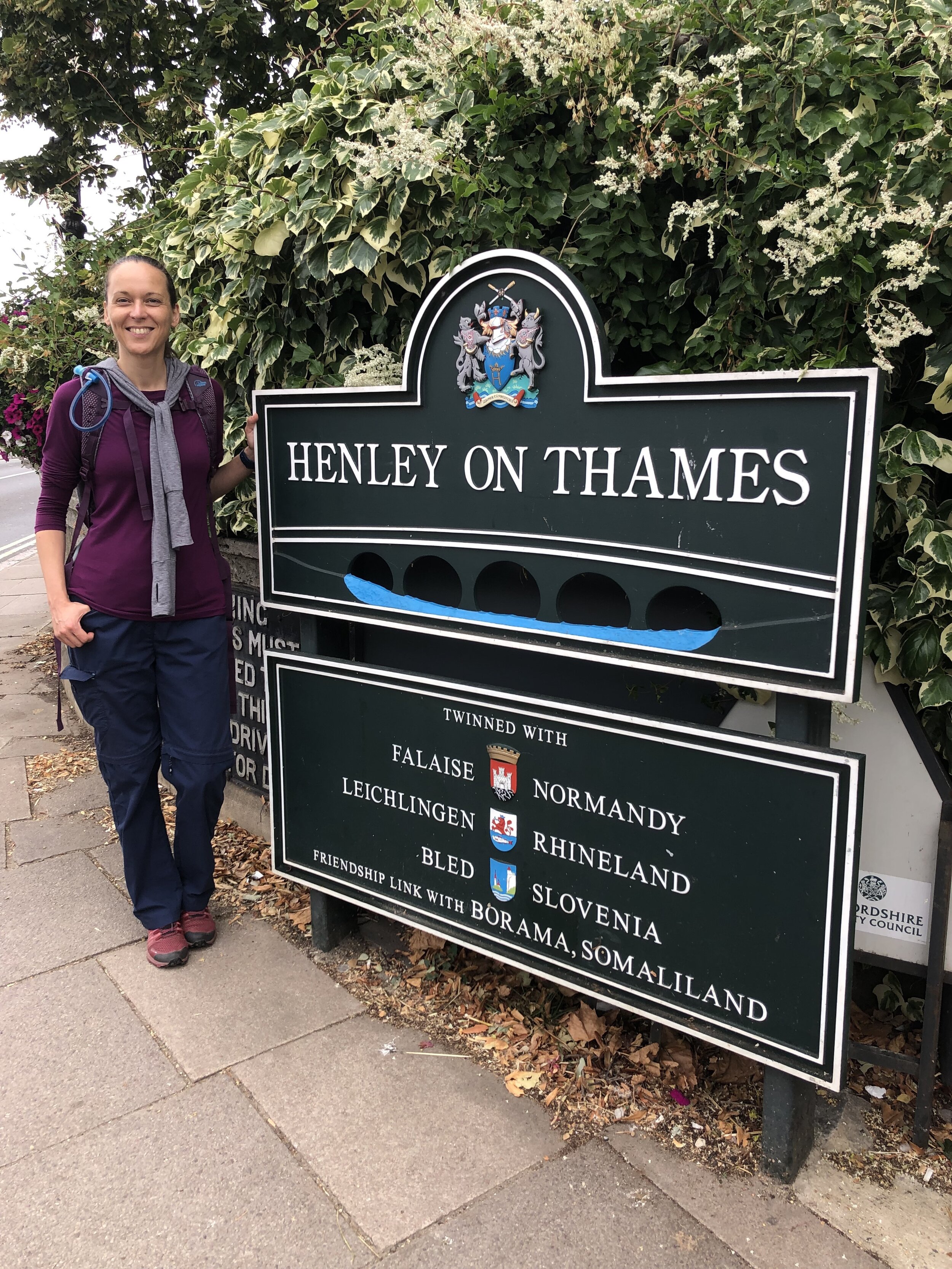
Henley-on-Thames, Remenham and Aston

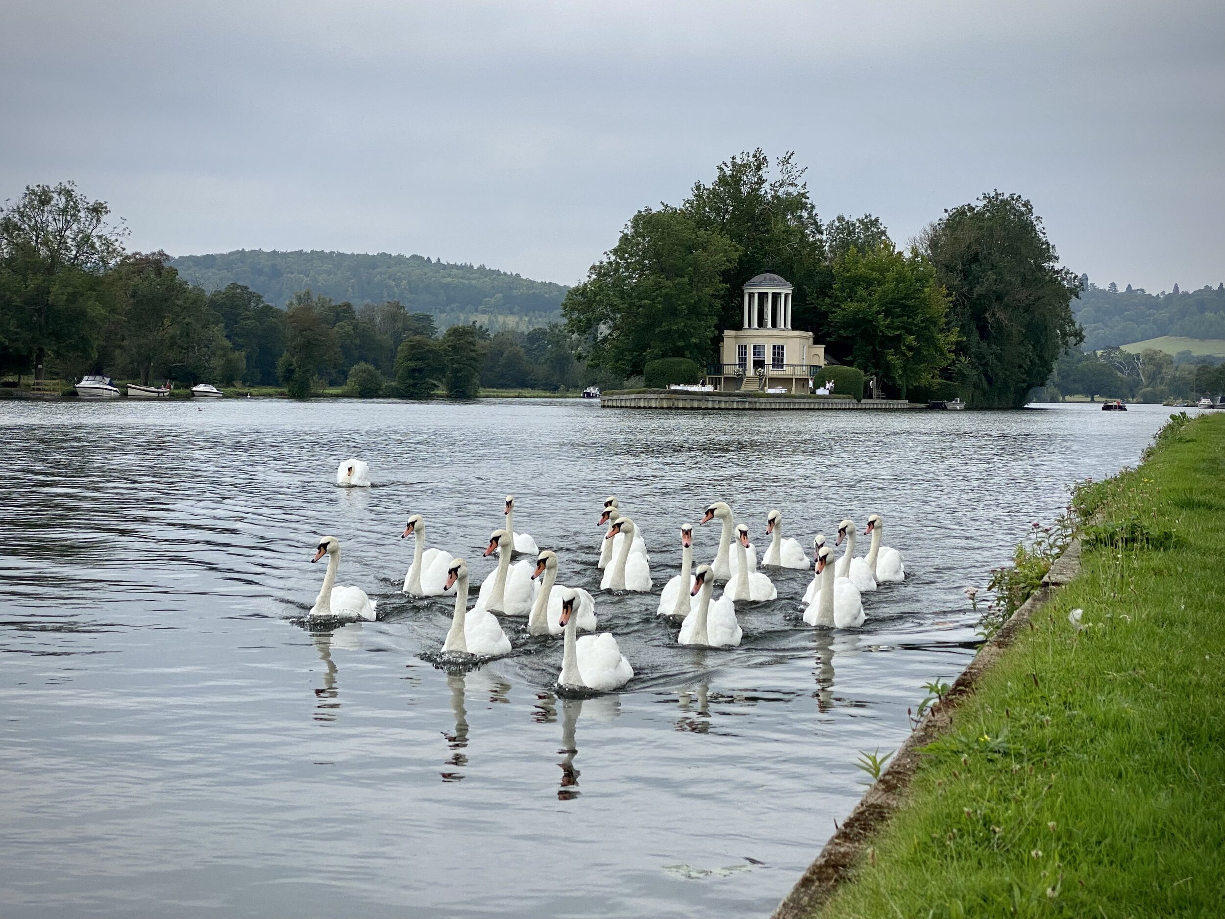
Temple Island
Start & Finish: Henley Bridge, White Hill, Henley-on-Thames, RG9 3HG
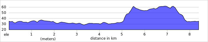
Distance: 8.4 km (5.2 miles)
Elevation change: +/- 54m
GPX File: get via Buy Me a Coffee
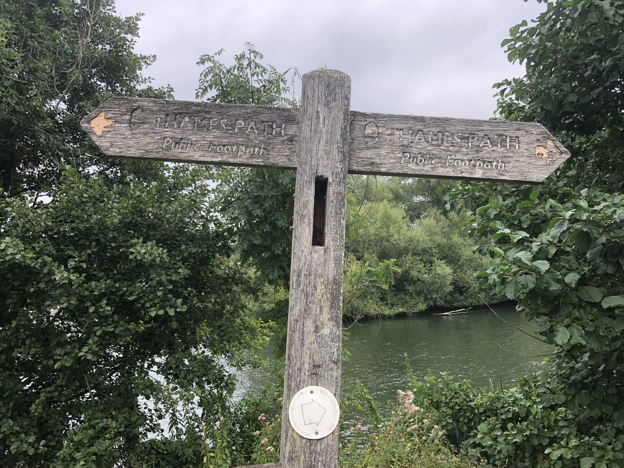
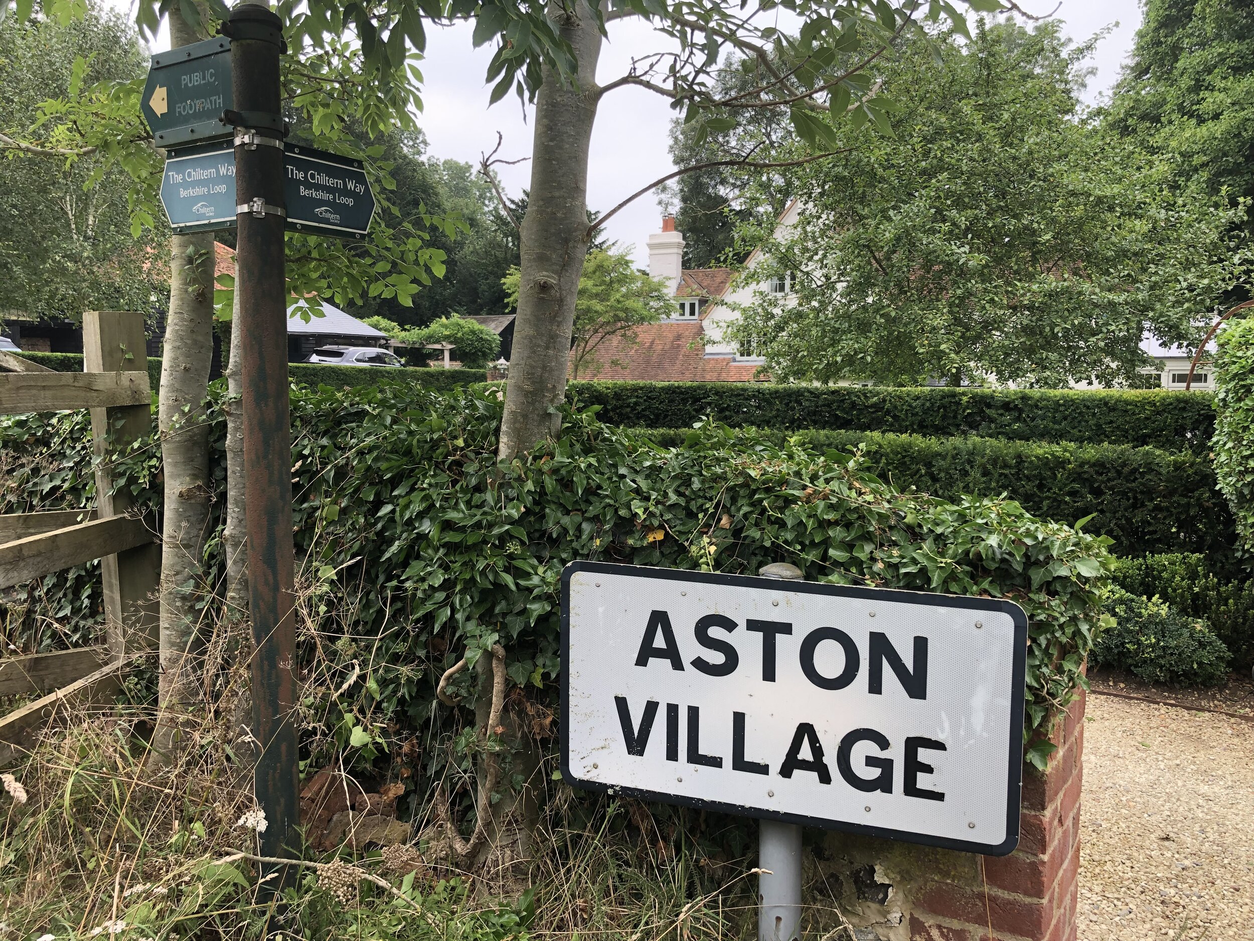
Other routes touched (walk): Thames Path, The Wokingham Way, The Chiltern Way Berkshire Loop,
Other routes touched (cycle): None
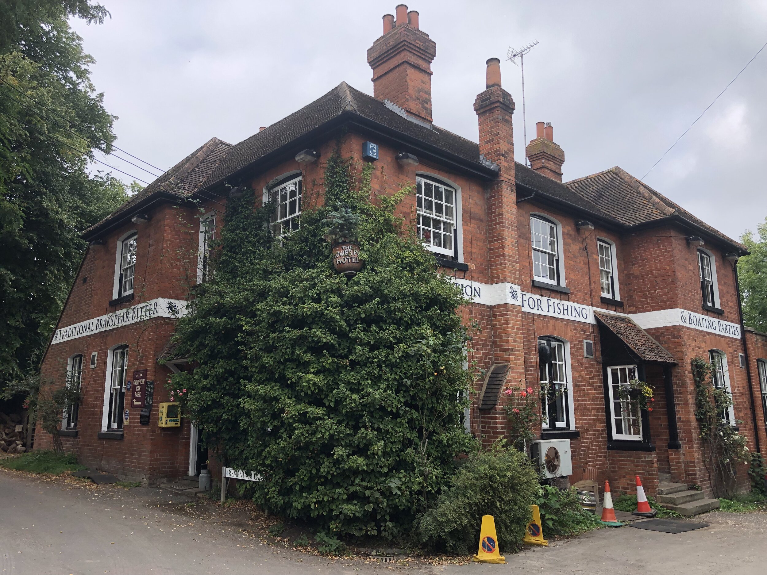
Pubs / Cafes on route: The Flower Pot, Aston
Map: Chiltern Hills West Map | Henley-on-Thames & Wallingford | Ordnance Survey | OS Explorer Map 171
Links: Henley-on-Thames, Remenham and Aston
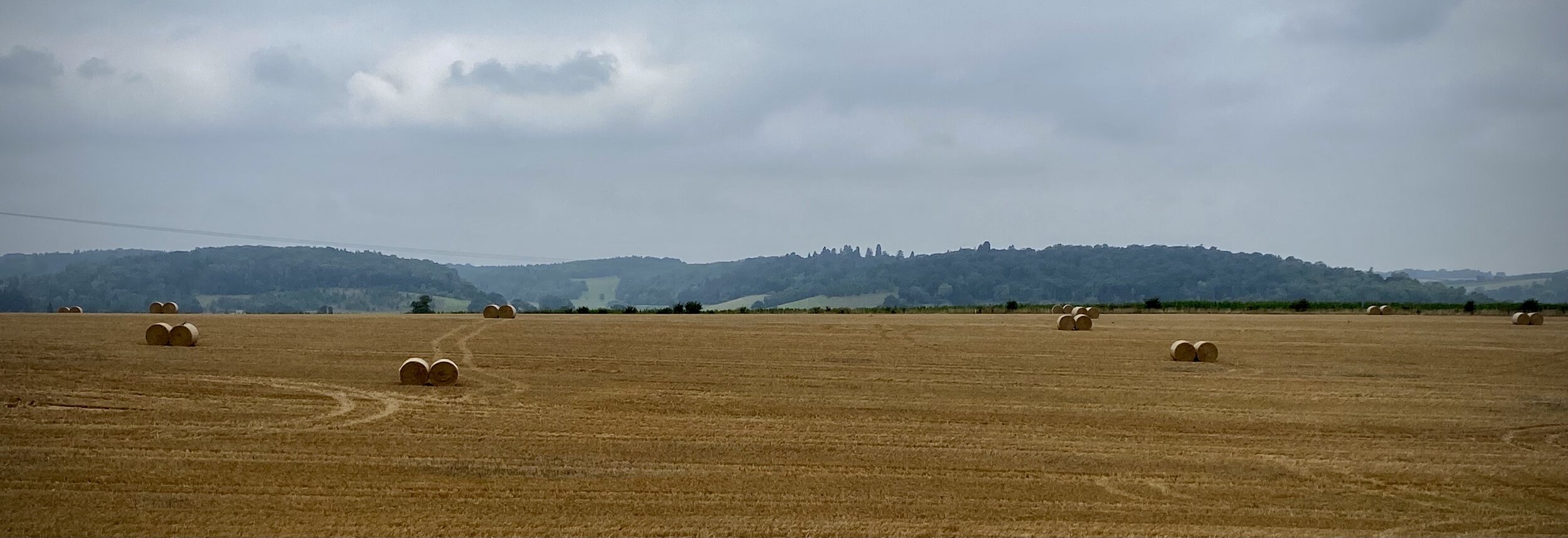
The latest of our series of short circular walks along the Thames Path starts and end in Henley-on-Thames. Navigation is especially easier as you’re following 2 well-signed trails for most of the route. The first 4.7km follows the Thames Path National Trail on the south side of the river. This is the venue for the Henley Regatta so it’s best to avoid it during the event.
When the Thames Path reaches Aston Ferry Lane, take a right onto the lane and continue for ~500m past the Flower Pot pub. Don’t take the left hand turn to continue on the Thames Path. Immediately after the last house in the village take a right hand turn onto the Chiltern Way Berkshire Extension. Follow this in a south-westerly direction all the way back to Henley Bridge.

Previous Thames Path Section (west): Shiplake and Henley-on-Thames
Next Thames Path Section (east): Aston and Crazies Hill